Category Archives: SCWP 2026

Keep calm and Taxi on

Thursday 7 May 2026

Day 16 of walking
Padstow to Porthcothan
Distance: 22.51km
Total distance: 319.18km
Climbing: 476m
Total climb: 10,551m

Today was the first day where we had a taxi transfer. We walked to Porthcothan, but there is no accommodation there, so Macs Adventure booked and prepaid for a taxi to pick us up at Porthcothan and take us forward to Newquay. We spend the night at the Great Western Hotel there and tomorrow morning a taxi will take us back to Porthcothan and we walk from there to Newquay and spend a second night there. This happens about half a dozen times on this trip. It is a bit messy but it works. We much prefer to just walk forward each day to our hotel at our own pace in our own time and not have to co-ordinate with pick ups. Today we could have had to wait 2 hours for the taxi pick up and it could have been cold, wet and miserable.
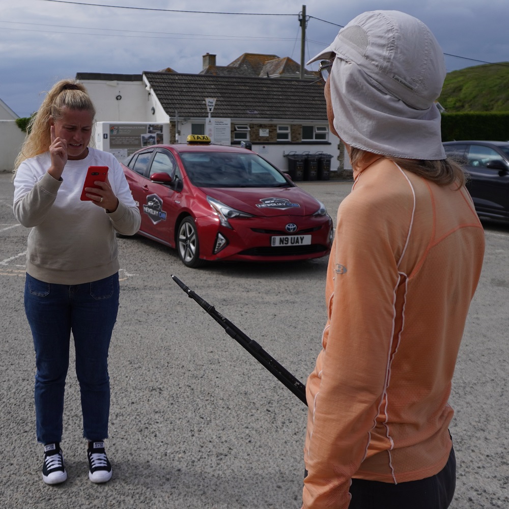
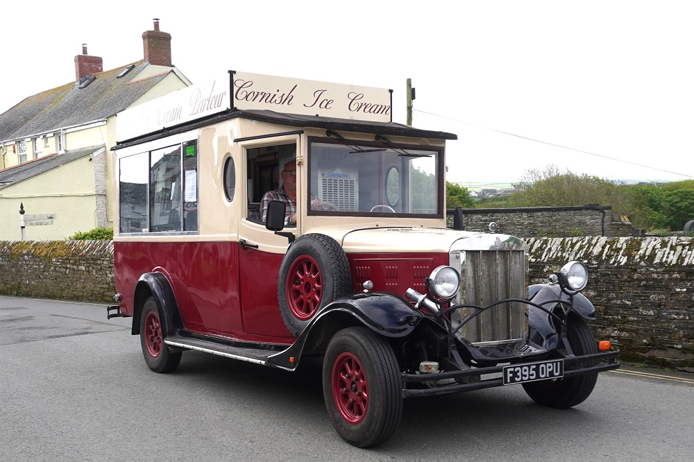
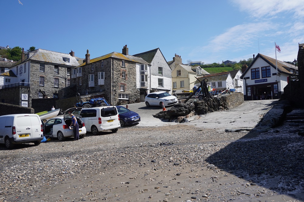
The taxi was booked to pick us up in a public car park at 5pm but we arrived at 3pm. Barbara was able to phone the taxi company and ask them to come and pick us up earlier, which they did, arriving at about 3.45pm. As it happened a young German couple turned up at the car park shortly after us and they also had a taxi booked with the same company for 5pm pick up. All four of us piled into the one cab saving the taxi company having to send out a second car. It was a half hour drive from Porthcothan to Newquay in a cosmopolitan taxi – two Germans, two Kiwis, a Hungarian driver in a Japanese Toyota Prius.

In order to be able to make local calls, to for example taxi companies and hotels, we had purchased and downloaded eSims to our phones. These are apps that have superseded having to buy a physical local sim card and putting it into your phone. There are dozens of companies offering dozens of options for the number of days and amount of data. Most plans are for data only which was not what we wanted. We get unlimited data at our hotel each night but do want to be able to call and text. Our plans have a small amount of data and unlimited calls and texts. Barbara activated her eSim in Port Isaac and today was the first time we have used it. It worked a treat even in Porthcothan which the taxi driver informed us has appalling connectivity. The only slight hiccup was that Macs had given us 4 telephone numbers. The first two said “this number is not available” but the third went straight to Newquay Cabs. Phew.

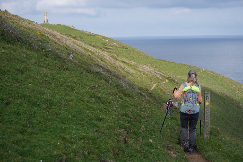
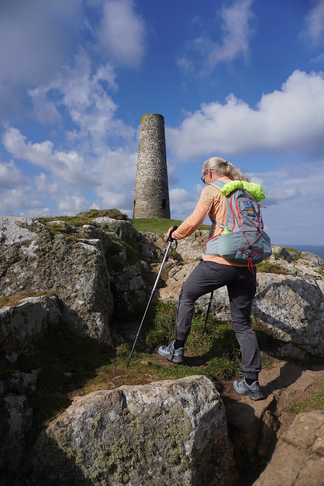
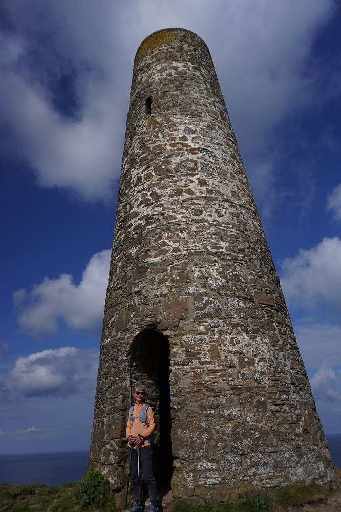
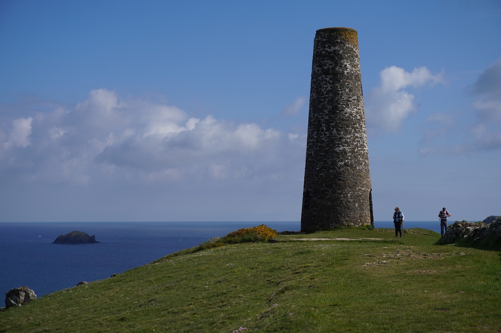
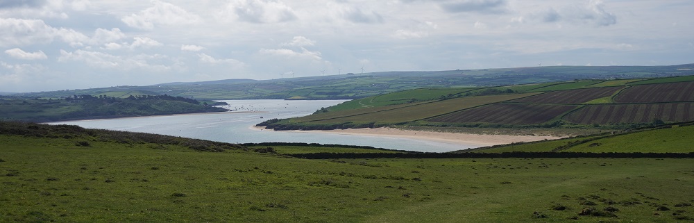
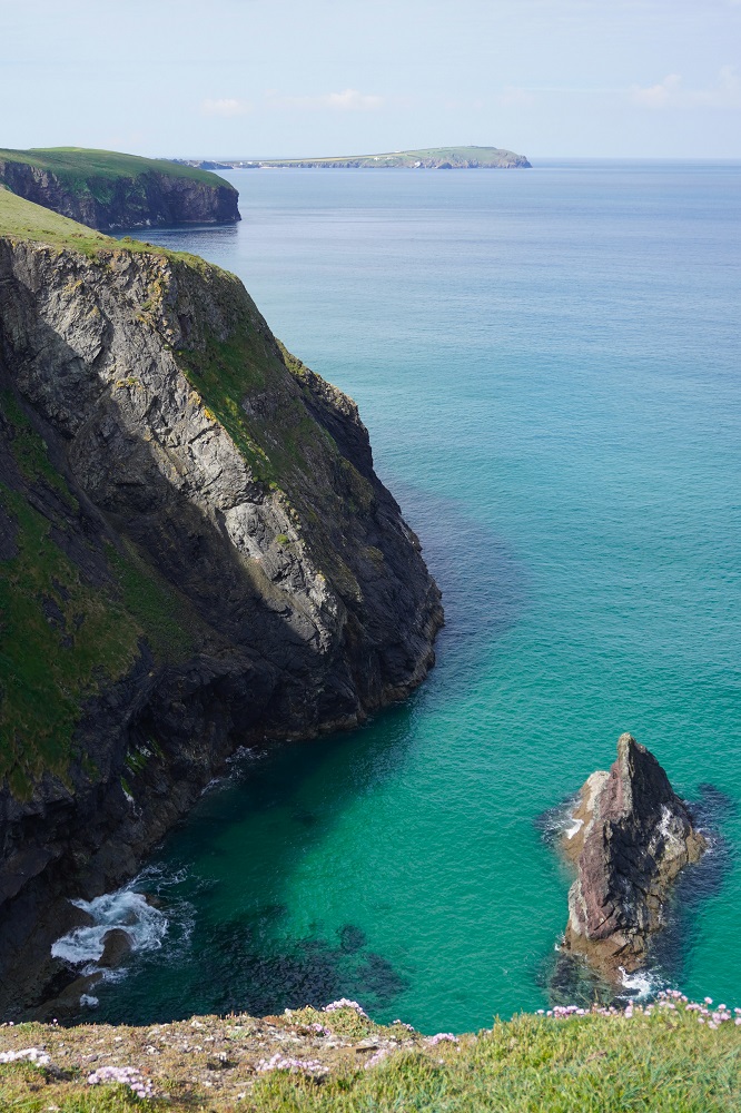
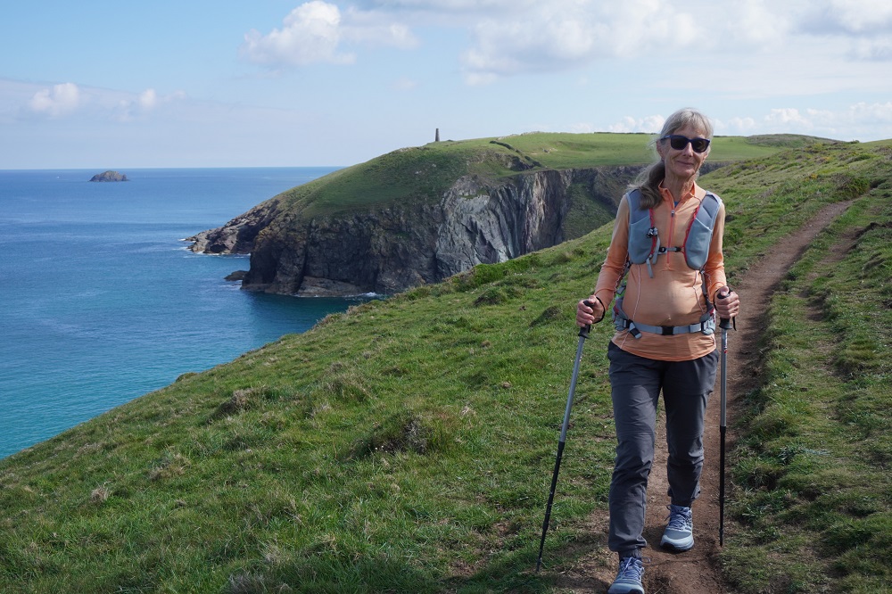
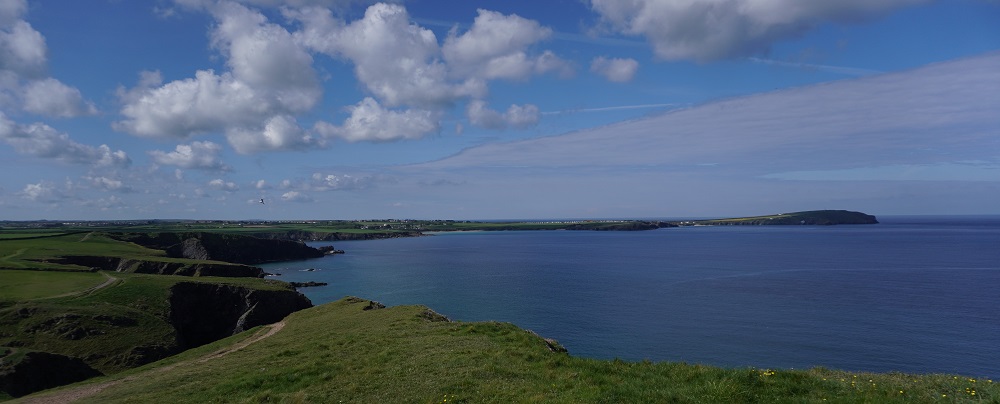
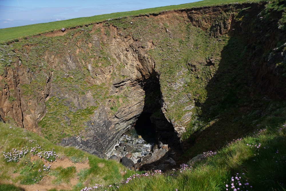
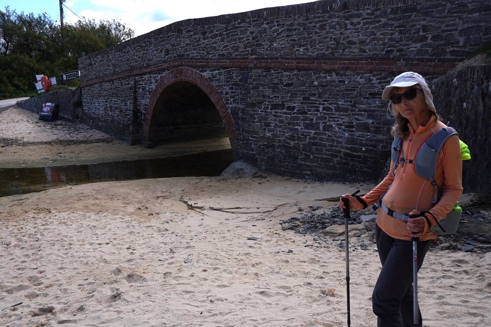
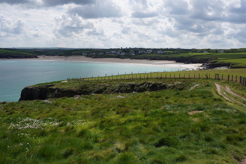
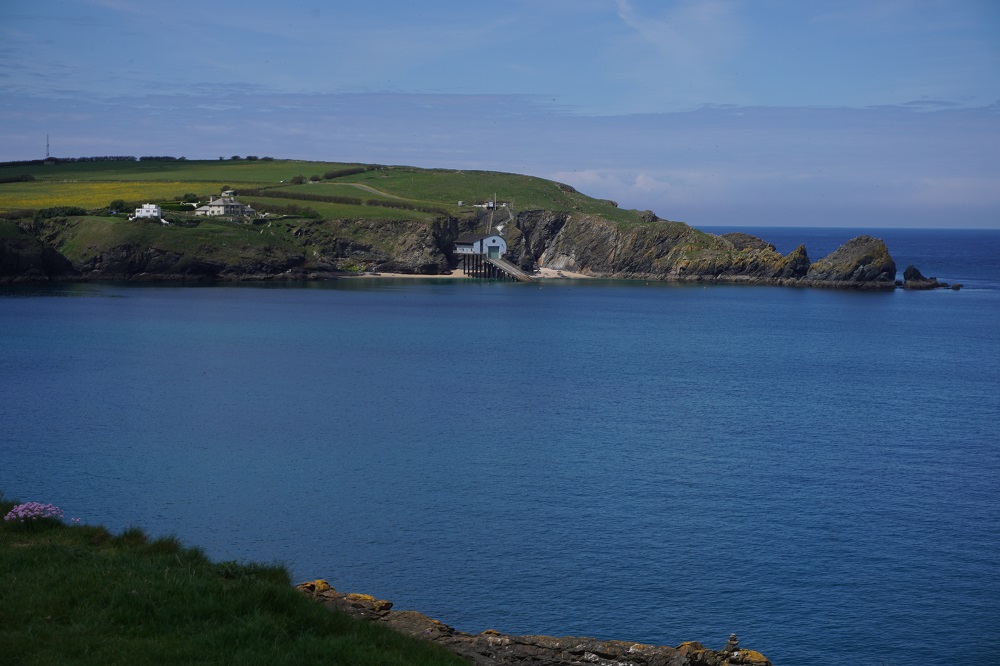
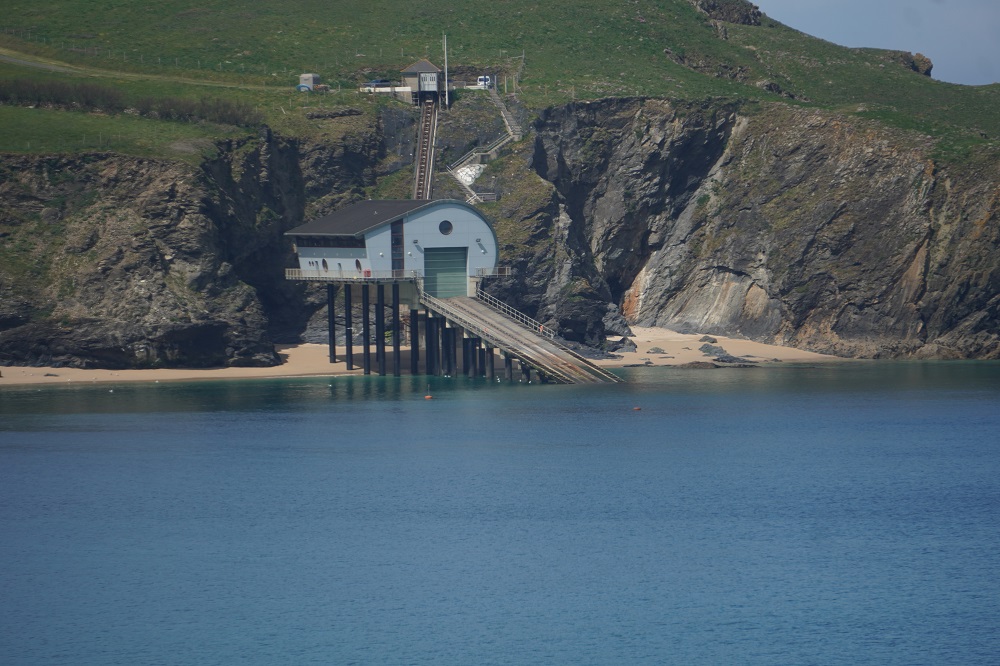
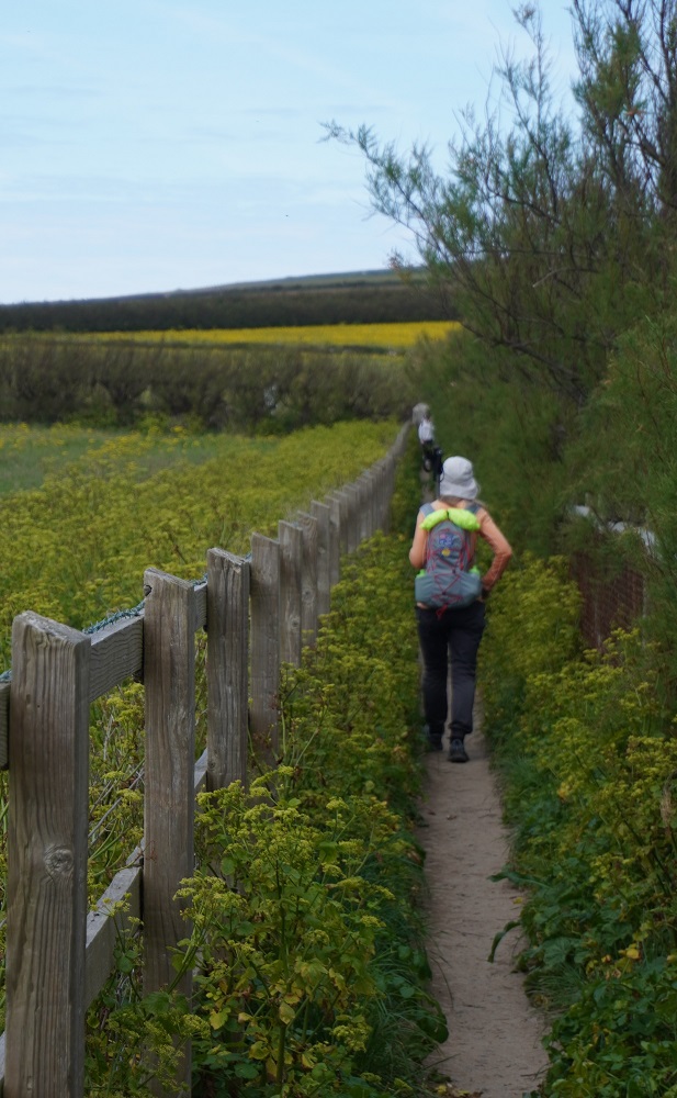
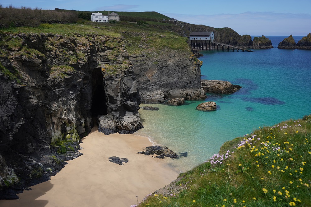
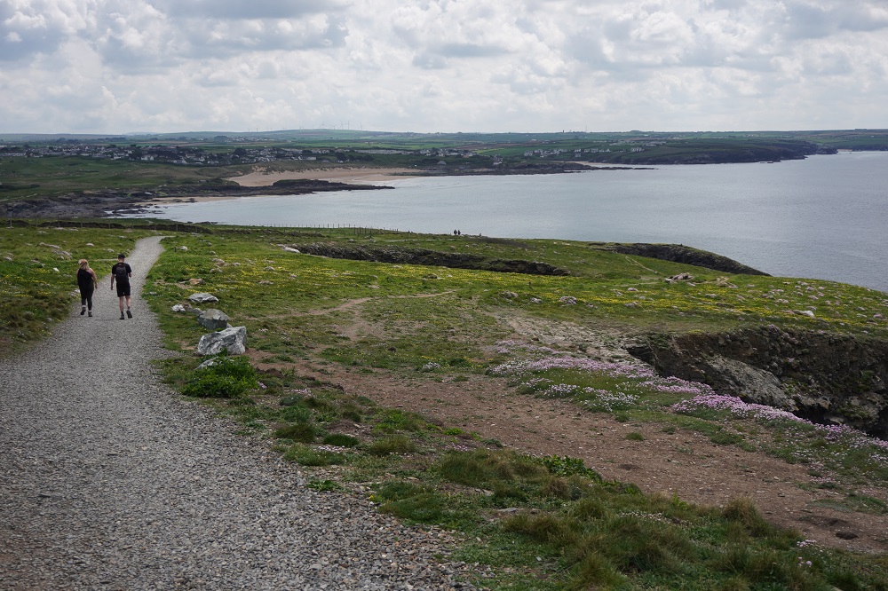
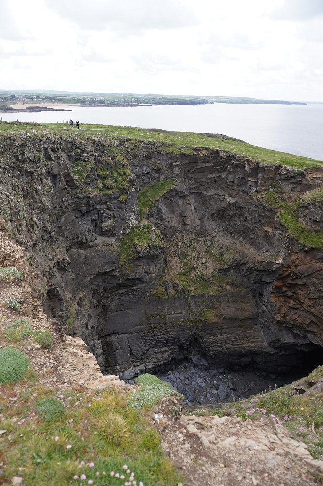
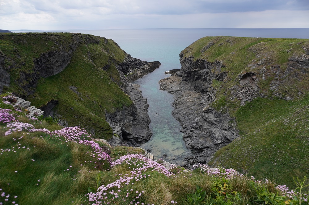
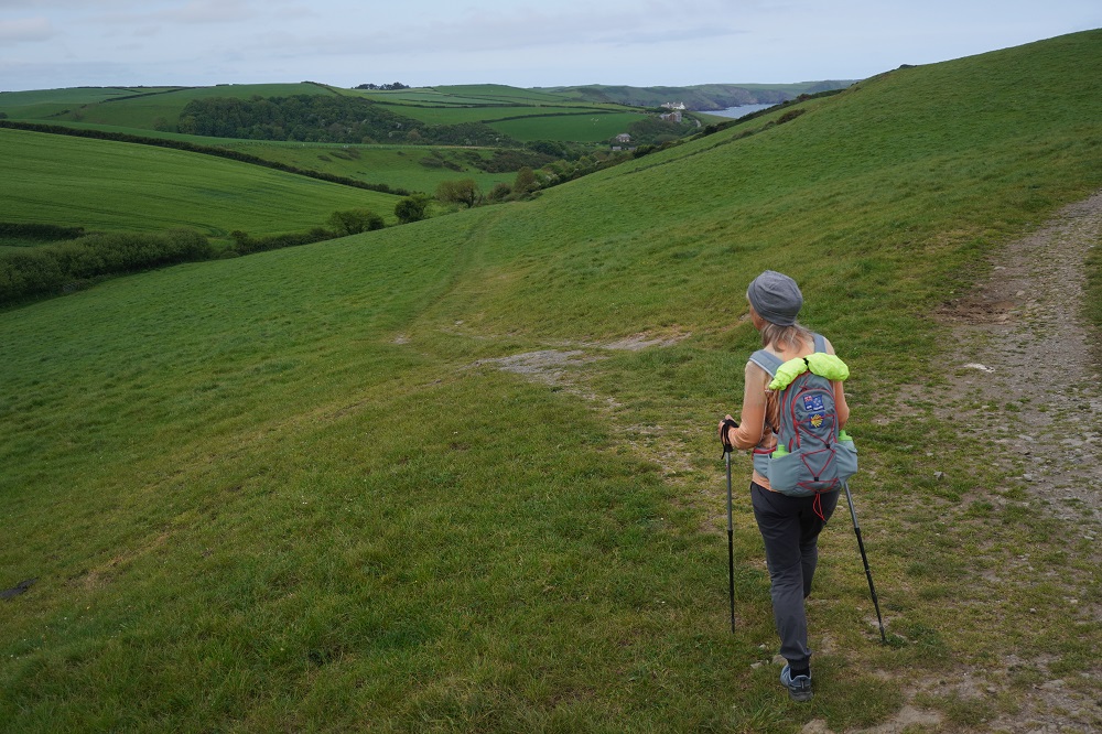
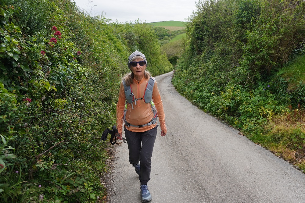
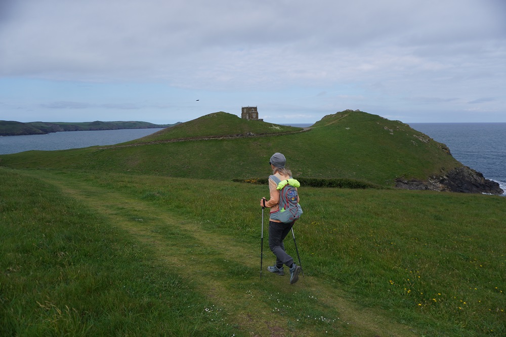
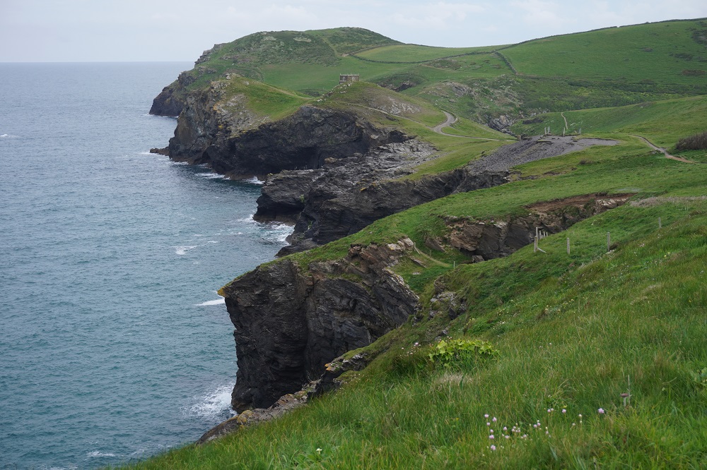
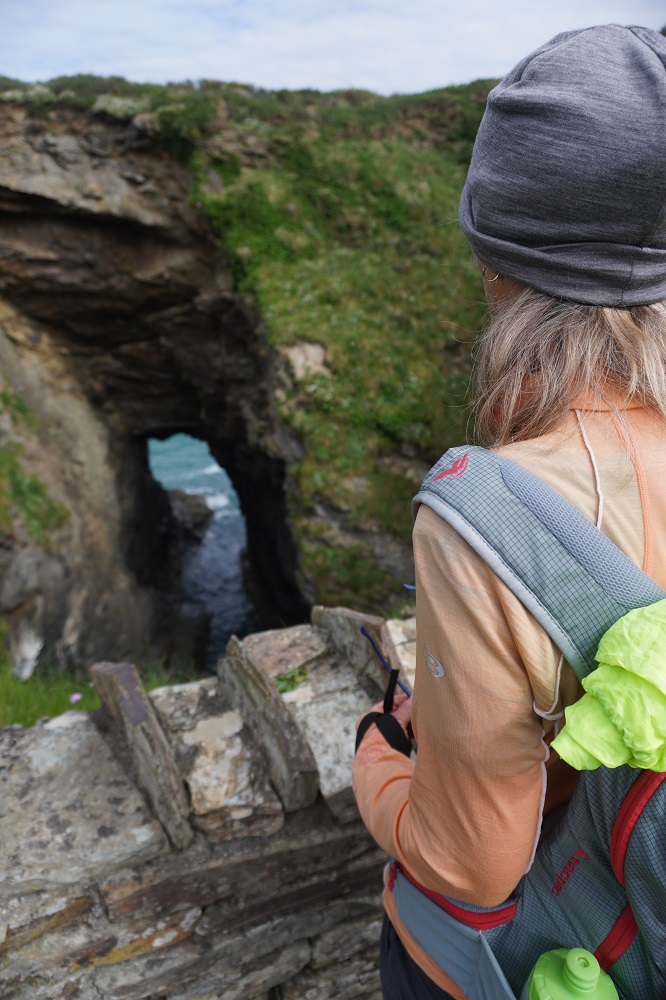
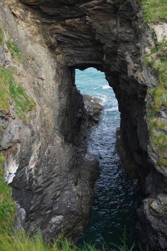
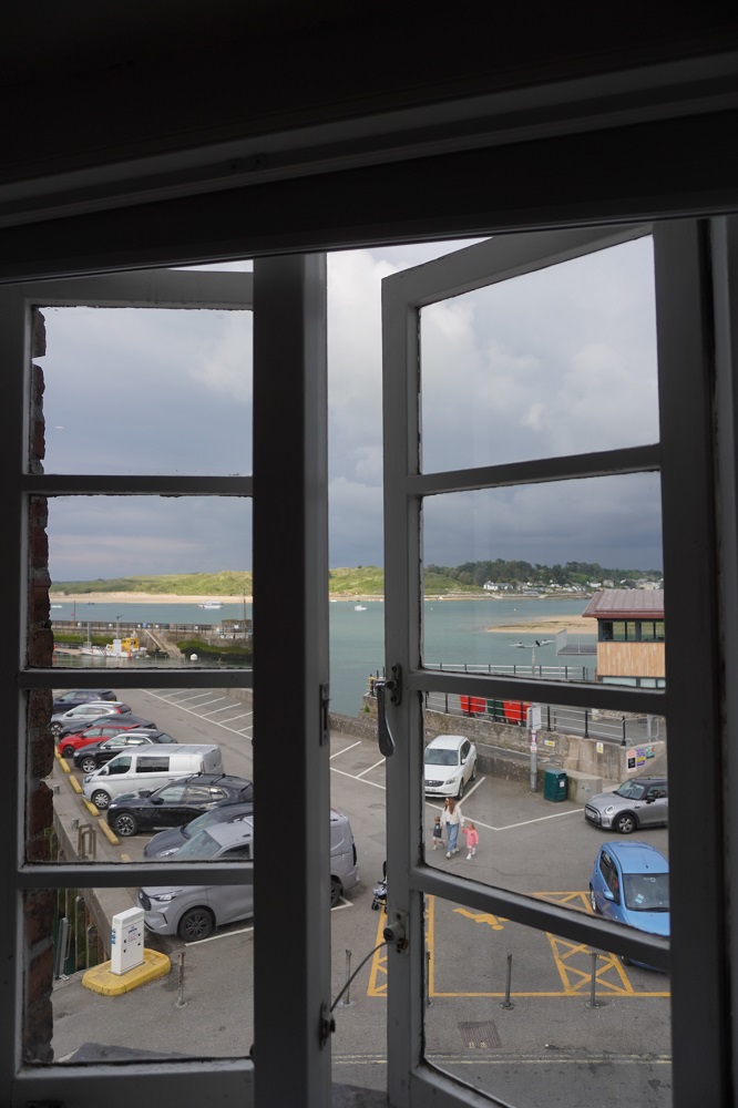
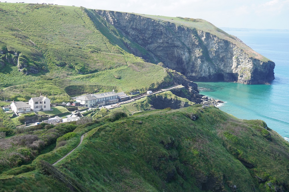
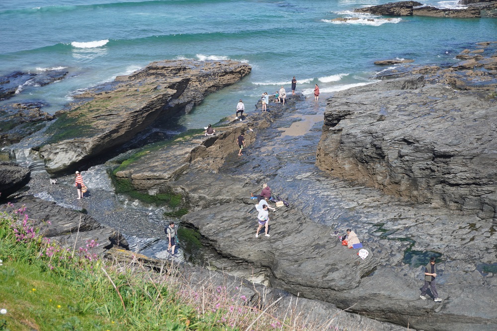
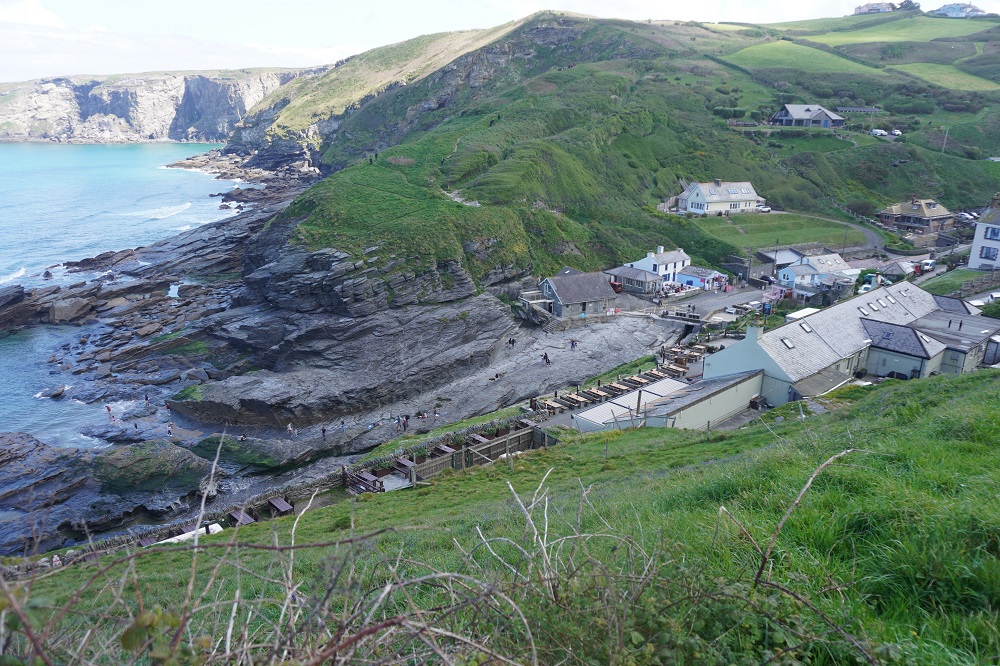
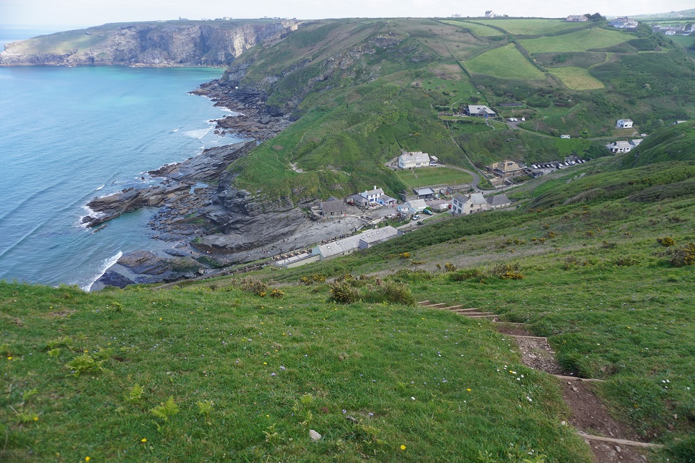
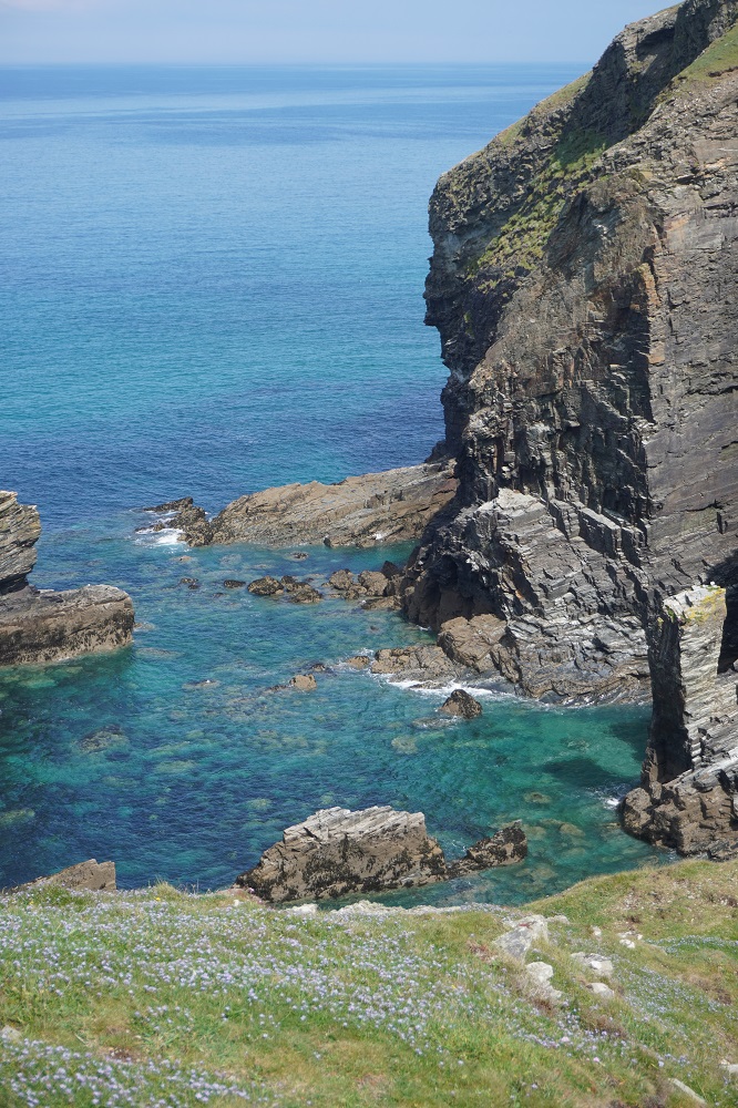
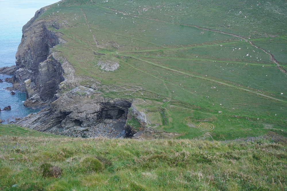
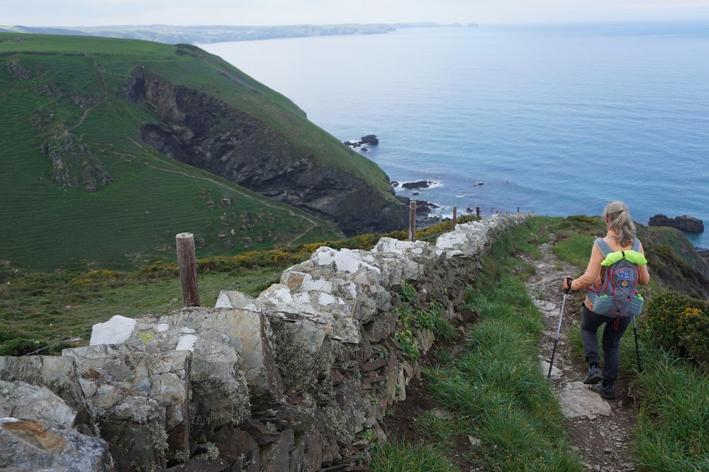
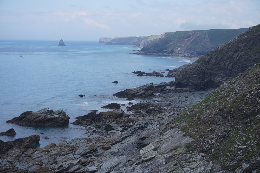
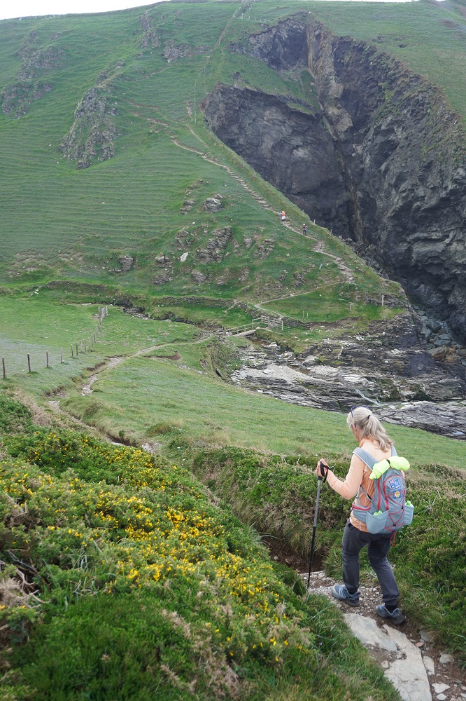
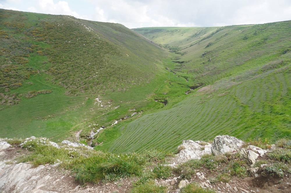
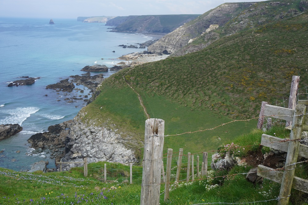
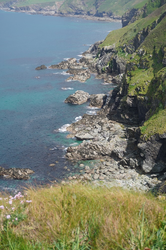
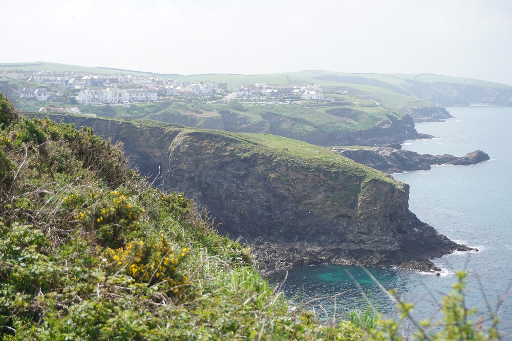
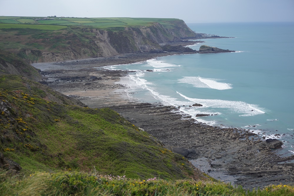
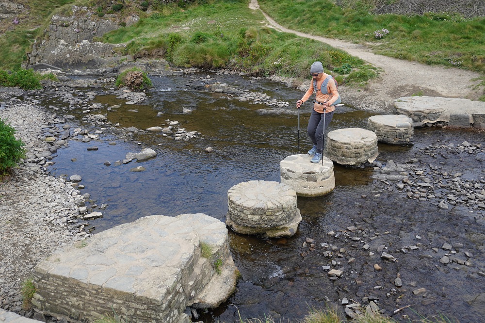
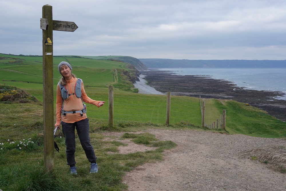
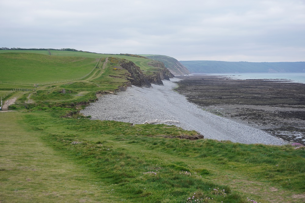
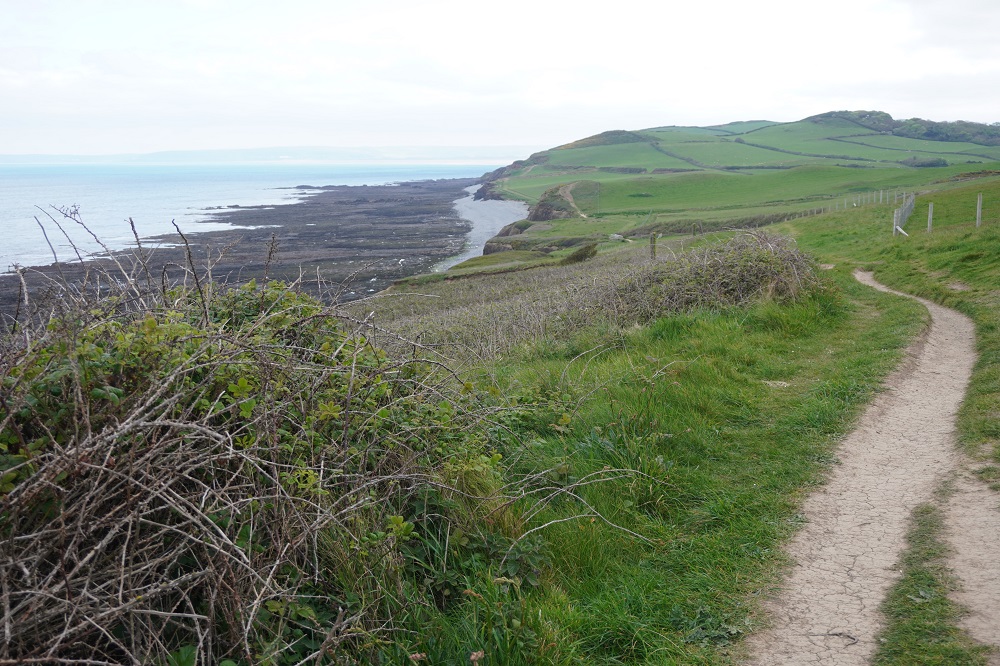
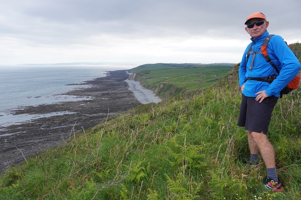
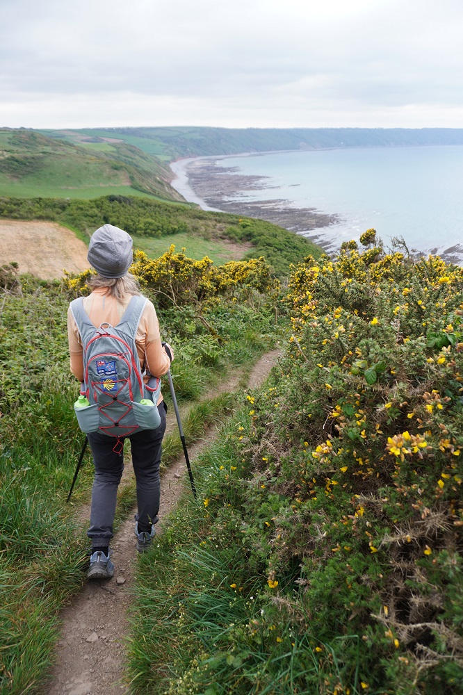
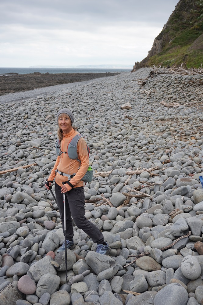
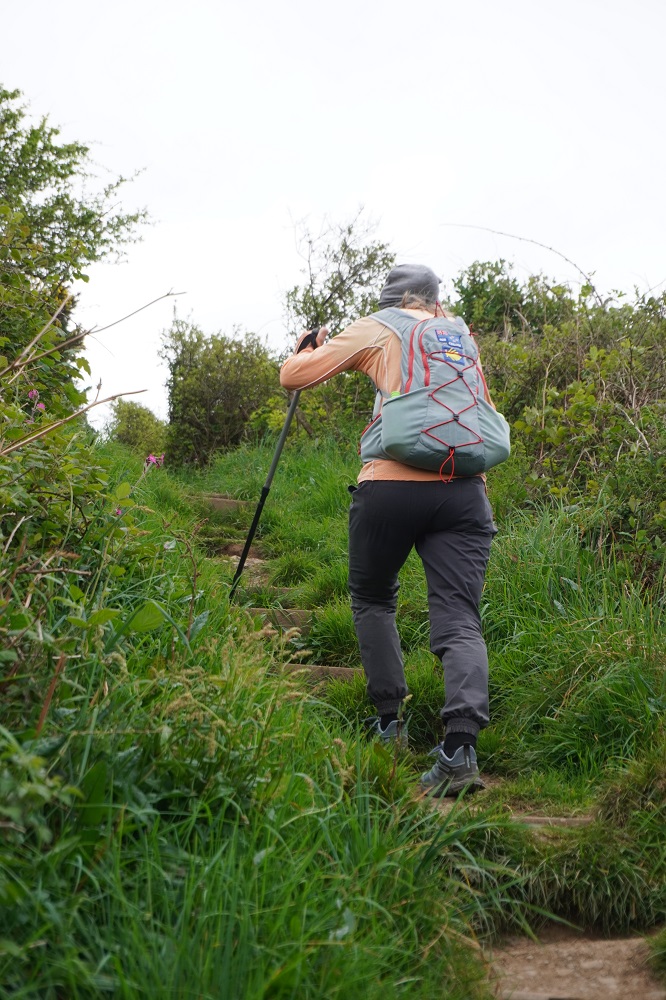
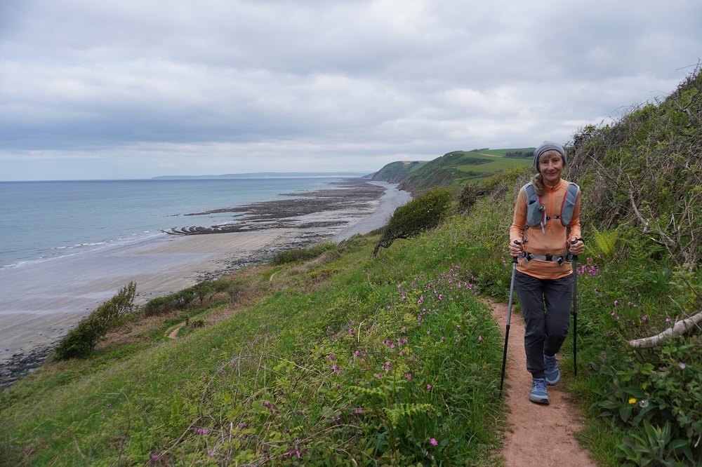
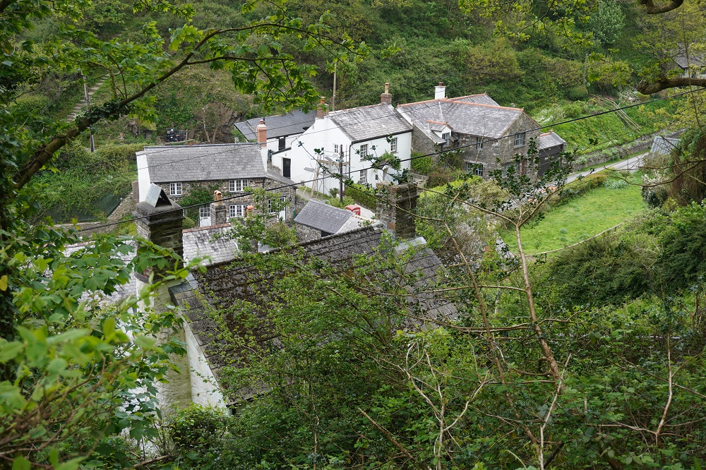
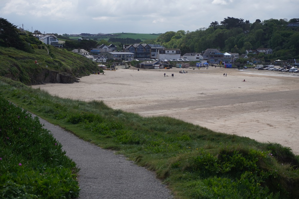
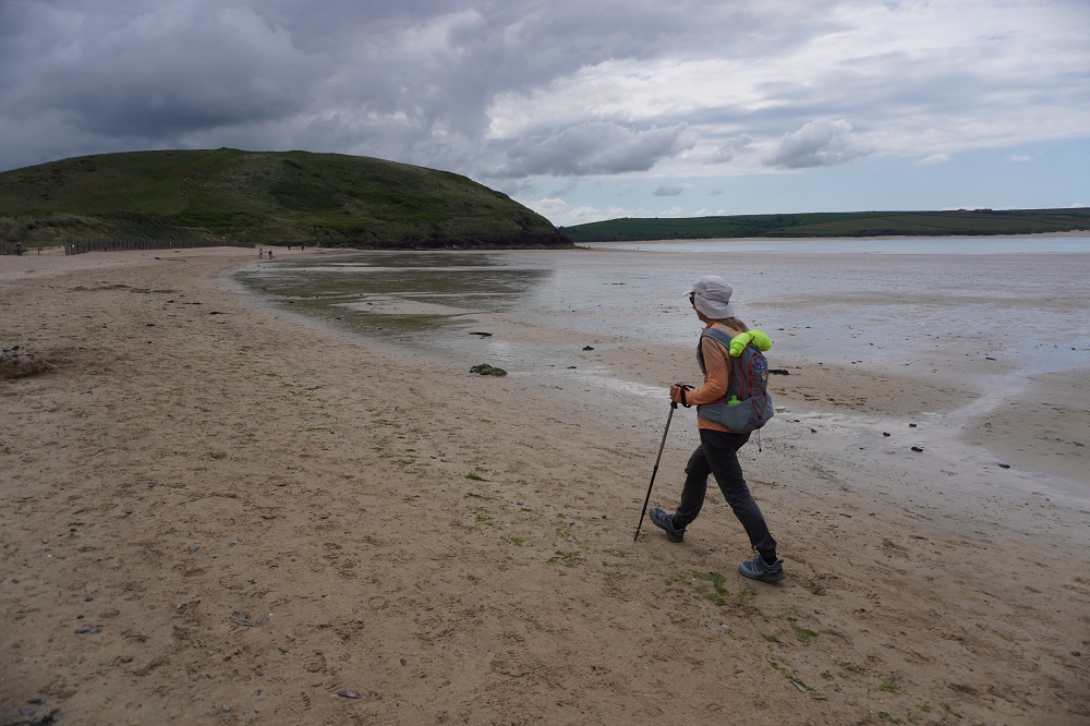
Today was quite long but pretty undemanding. It is rated easy/moderate which is a nice change from strenuous/severe of a week ago. The Coast Path leaves Padstow and proceeds around the sandy coves of the estuary of the Camel River. As you leave the estuary there is a little climb up the Stepper Point which has a 19th century stone Daymark Tower, an early aid to navigation. The path is now on the exposed Atlantic Coast and the cliffs are now low and rugged with little islands of rock that have split away from the mainland. There are also great holes in the grassy turf where caves have collapsed and sea water rushes in and out through the caves.

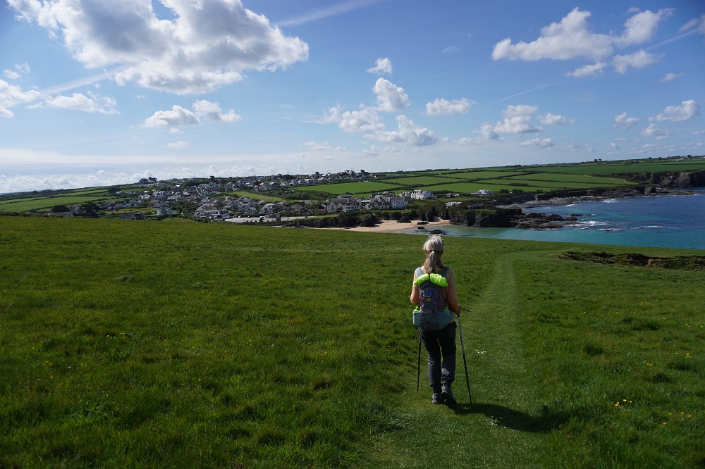
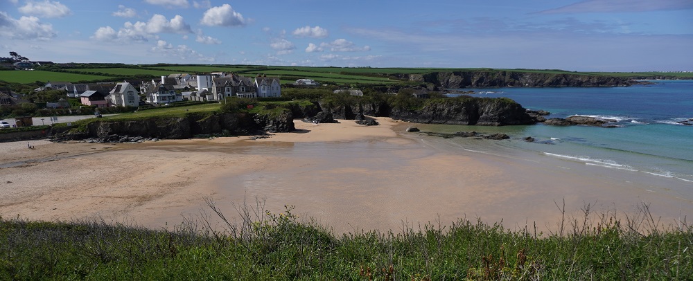
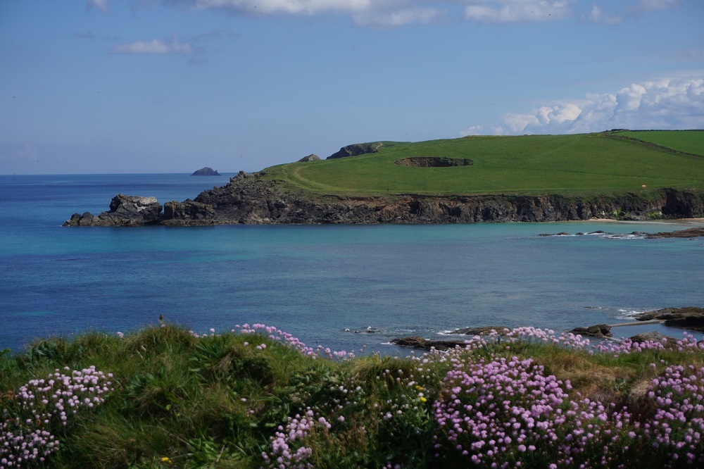
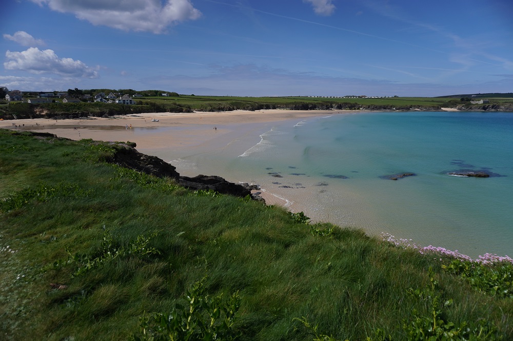
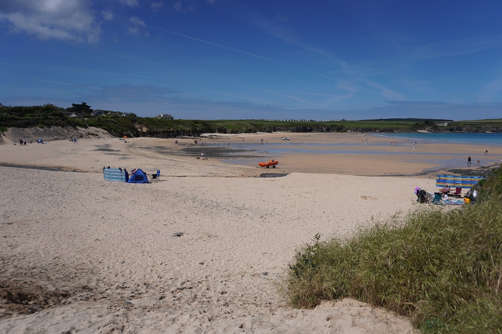
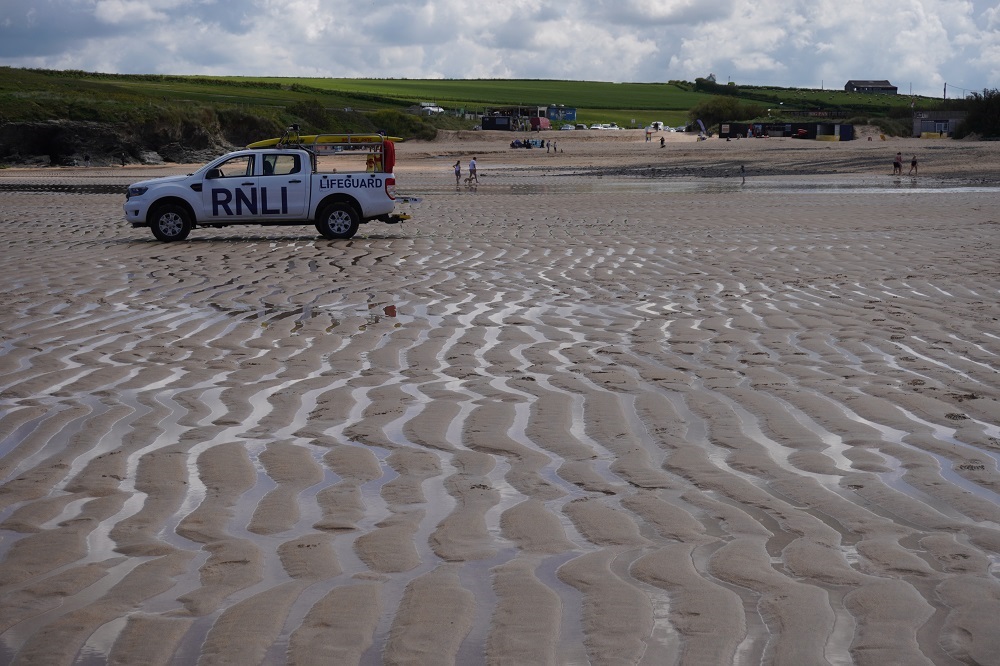
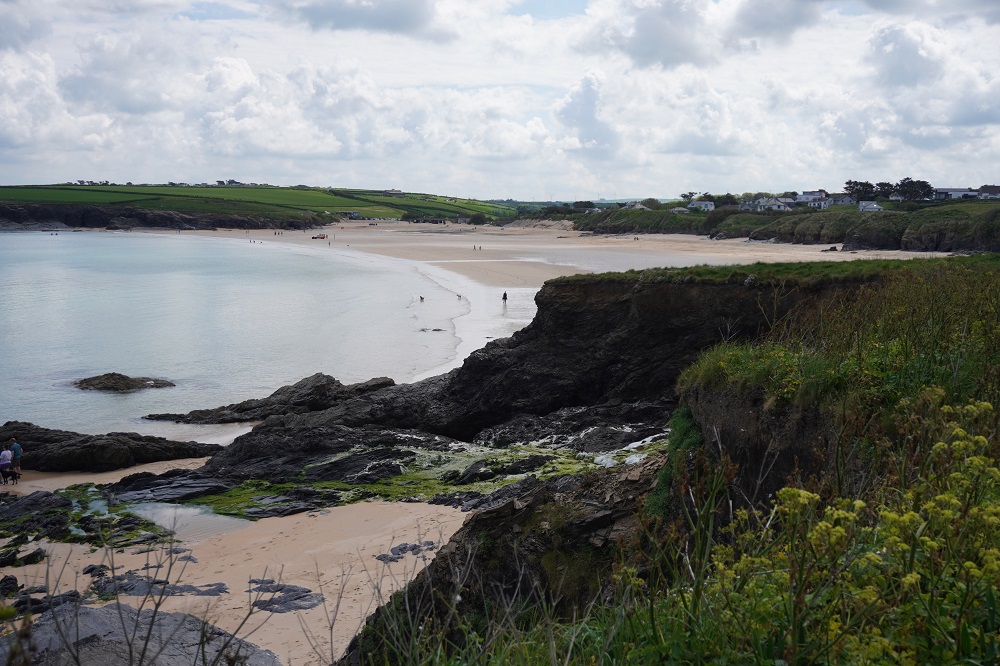
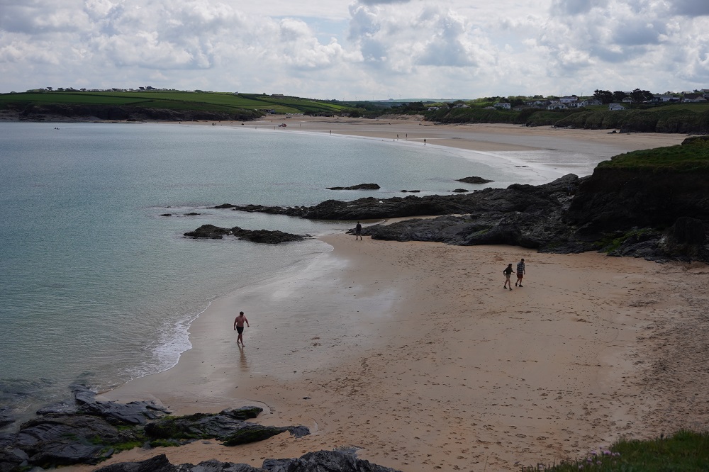
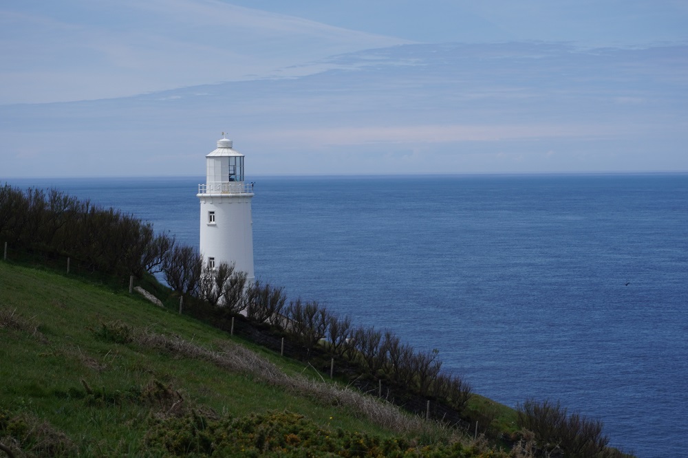
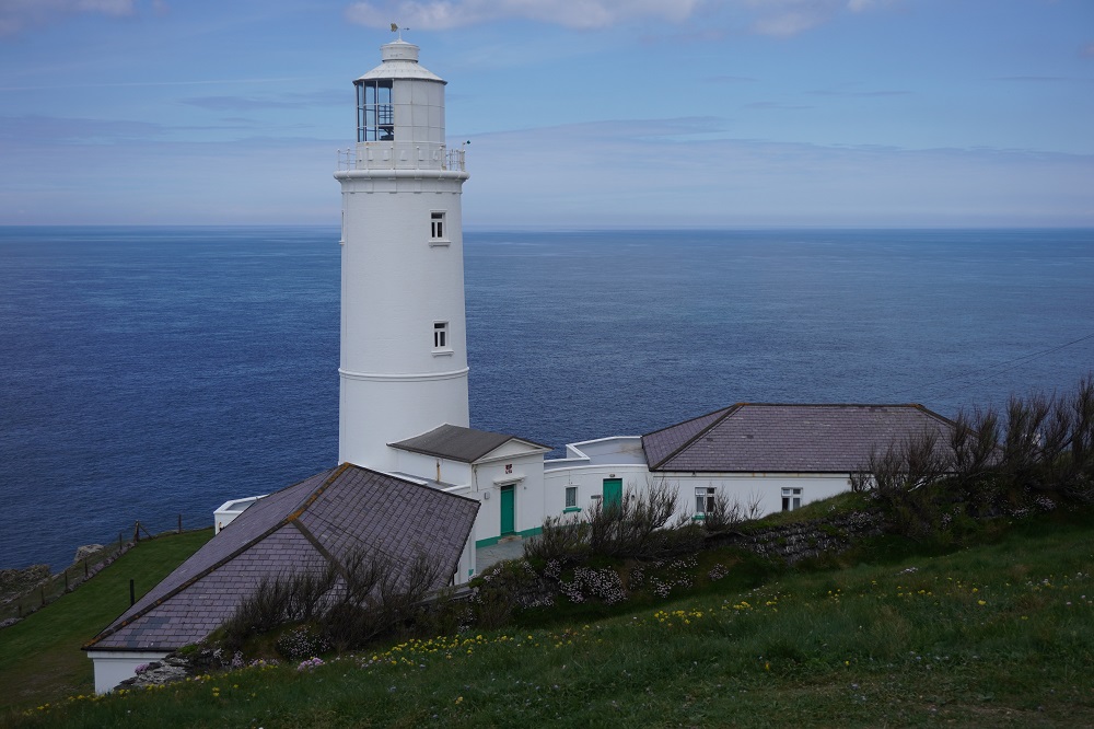
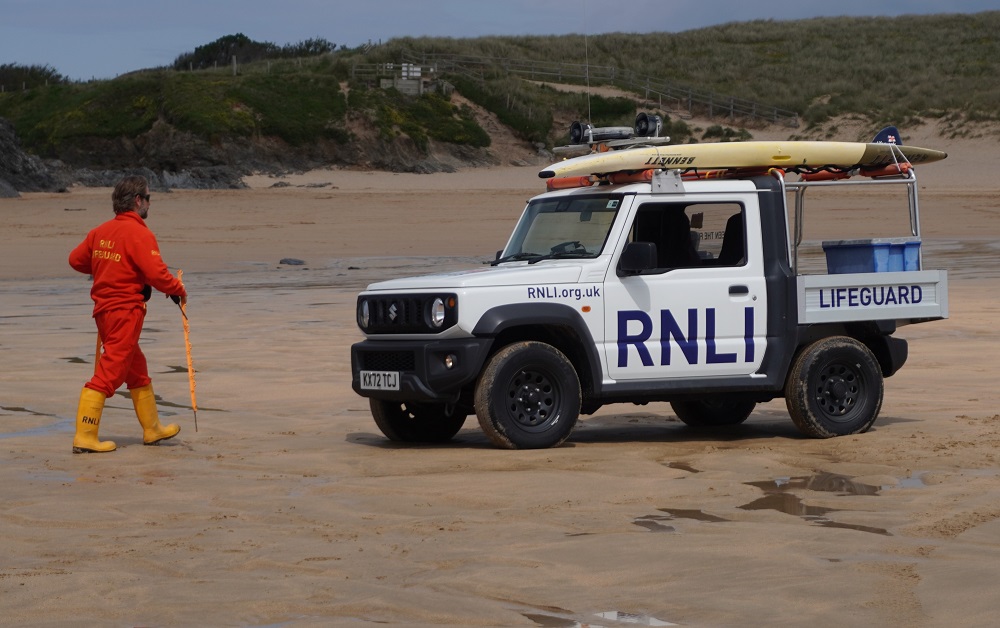
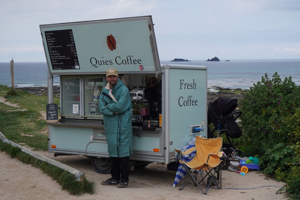
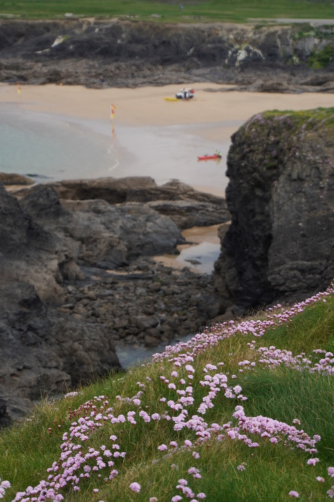
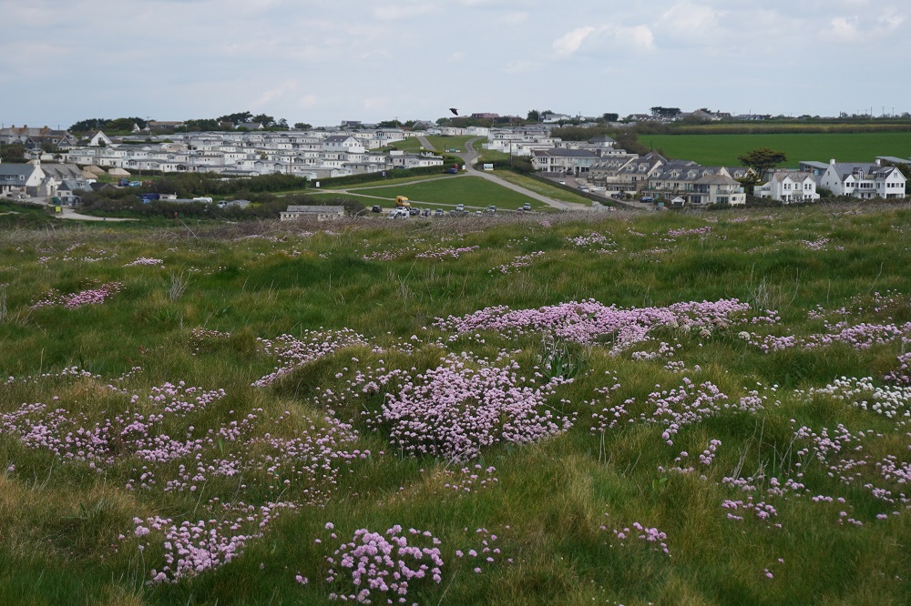
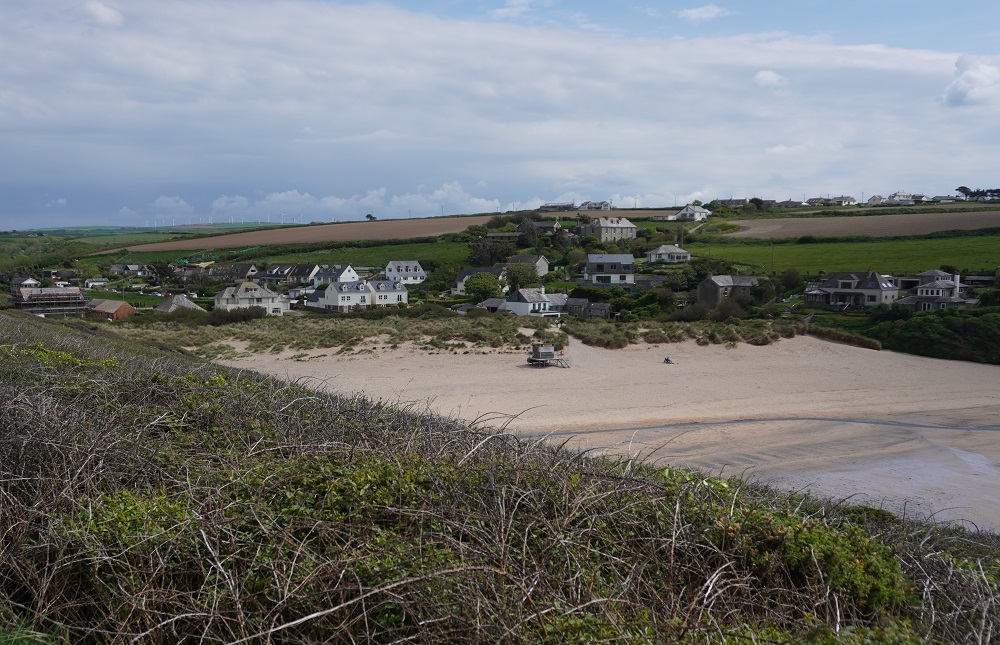
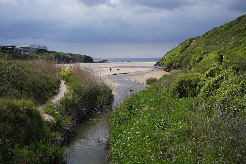
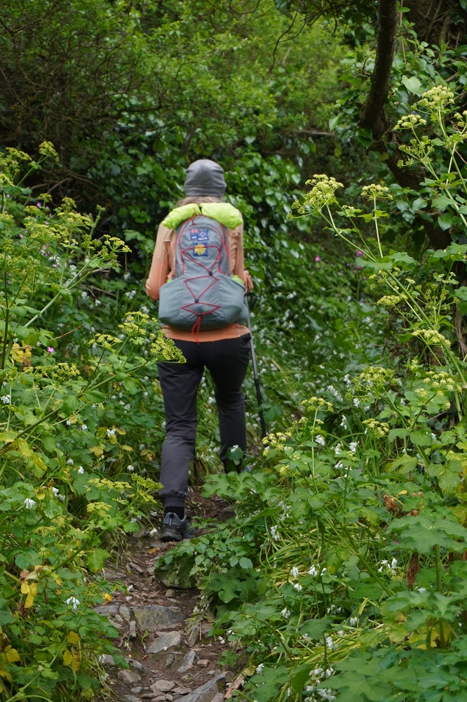
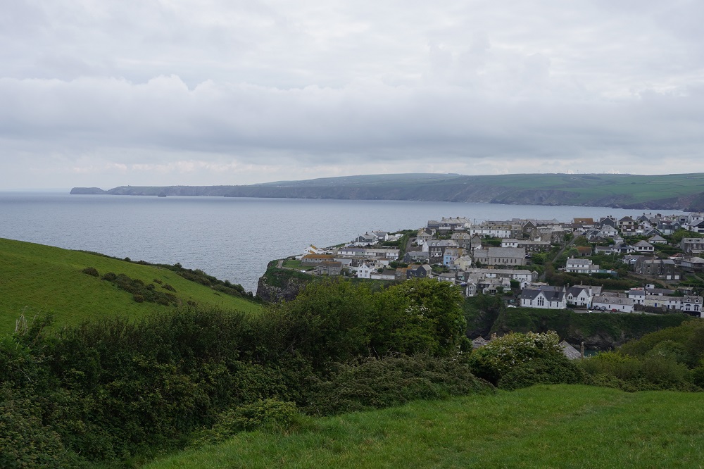
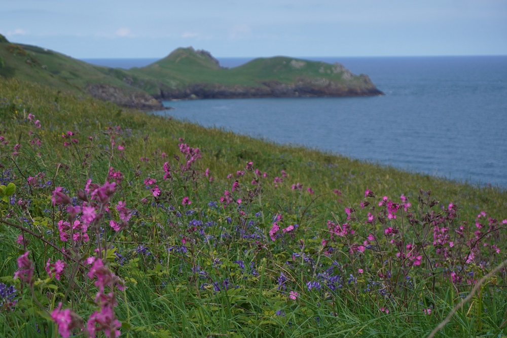
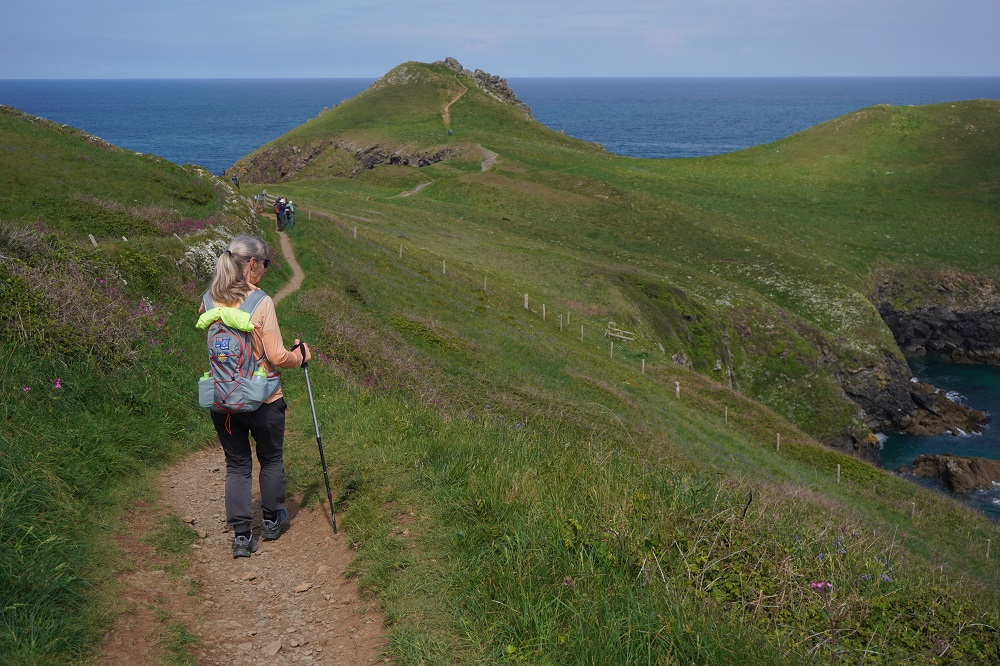
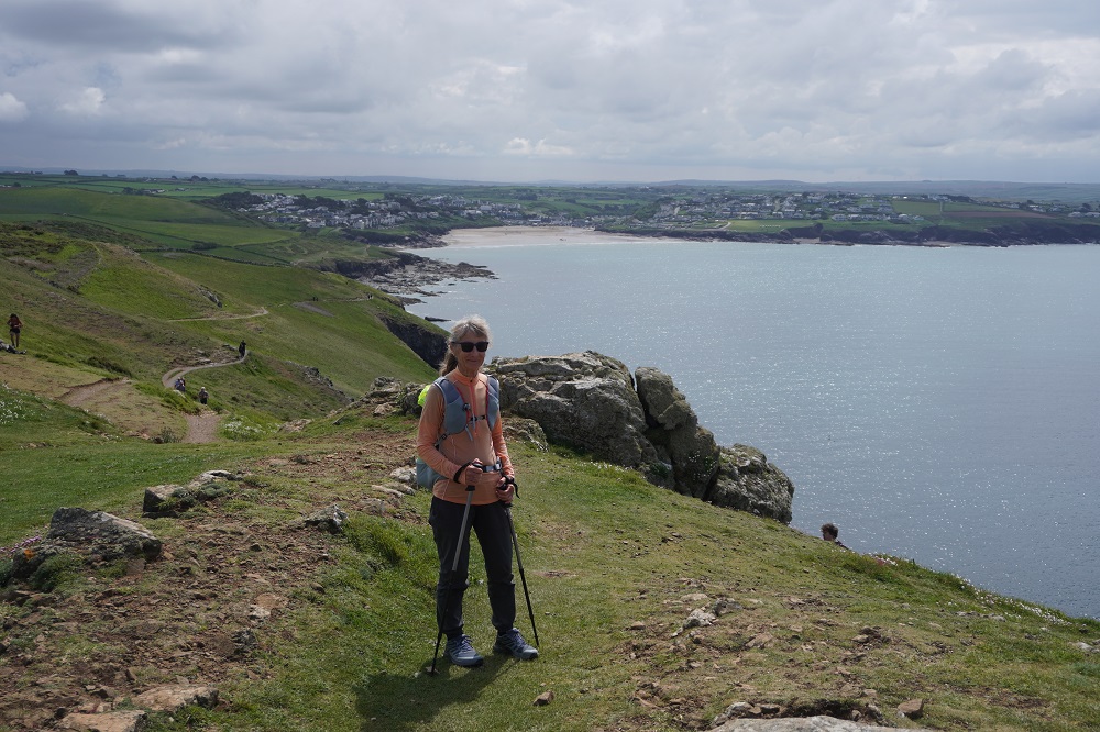
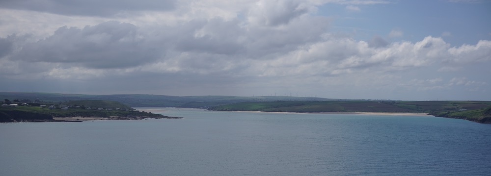
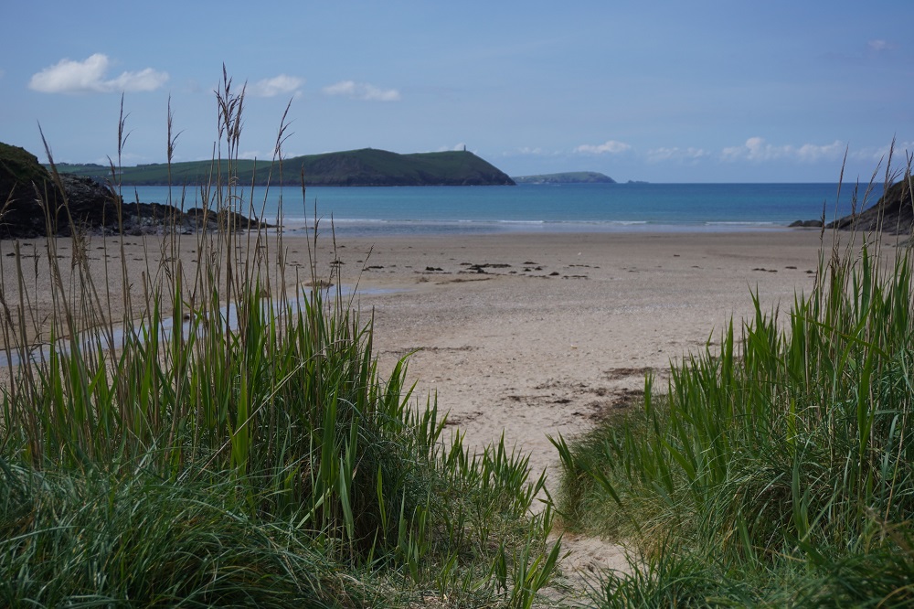
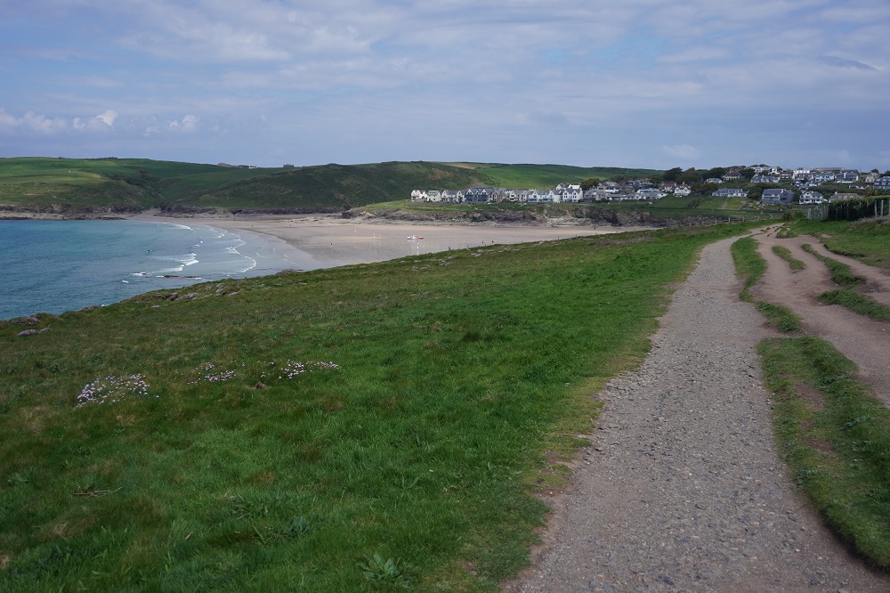
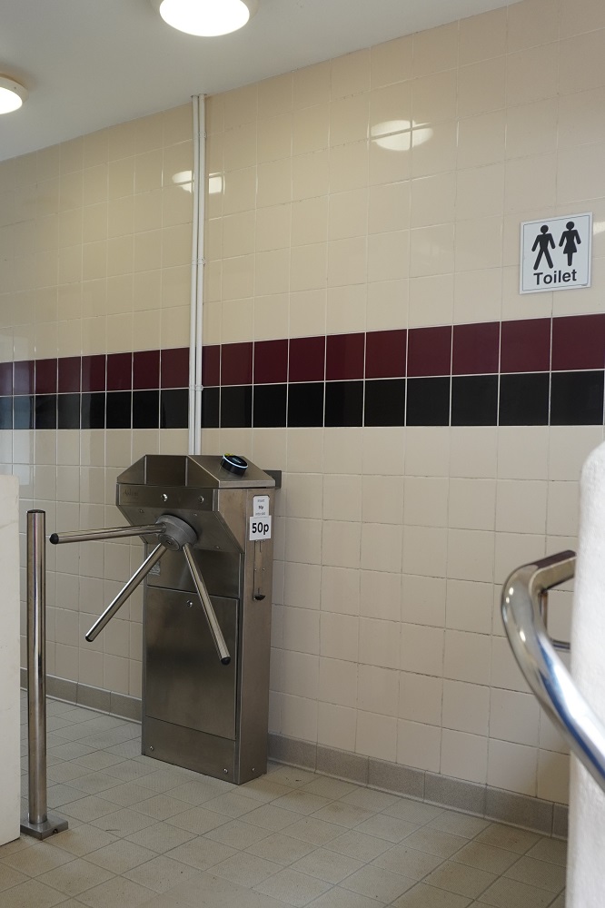
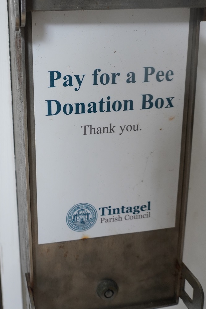
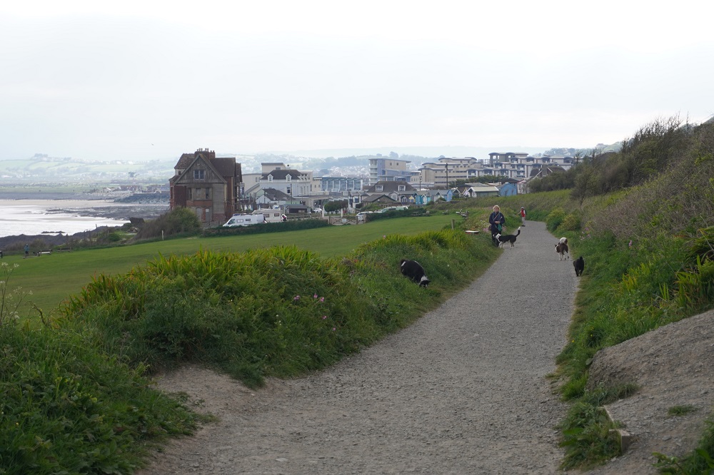
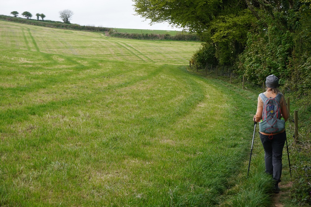
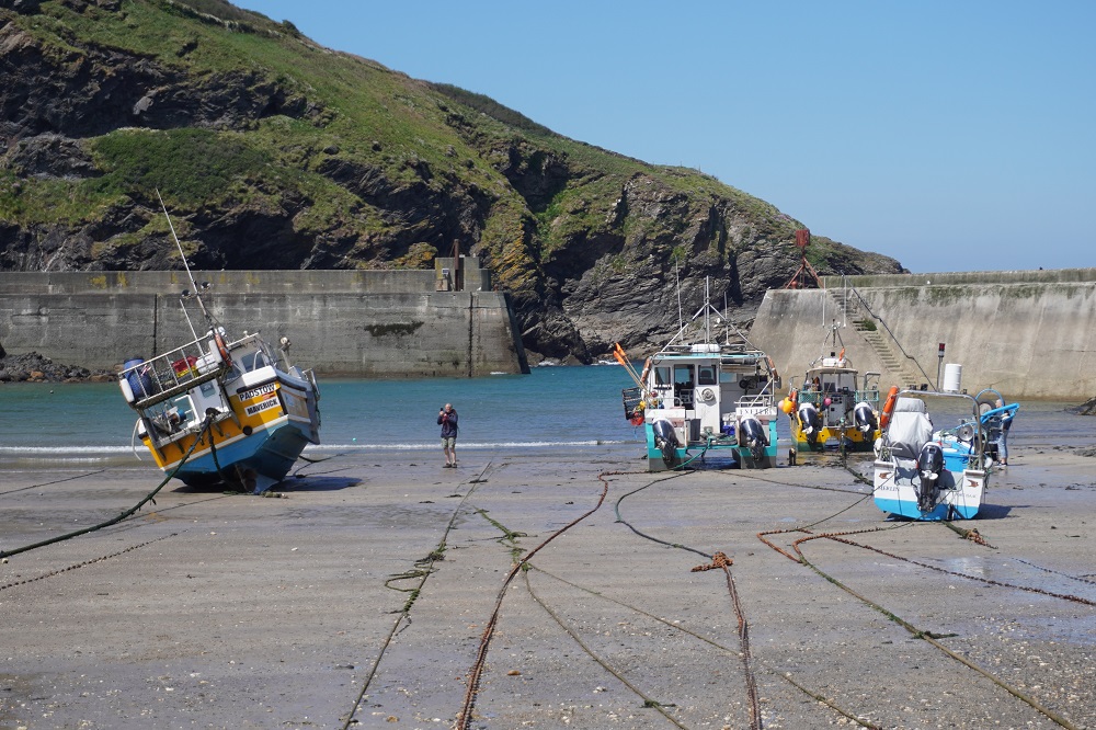
After an easy climb to Trevose Head with its lovely lighthouse there are then a series of little bays with sandy beaches, cafes, life guards and a few people making the most of a beautiful day by going to the beach. All the toilets at these beaches were 50p or 20p. We haven’t used a penny of cash yet on this trip and don’t have any coins, the smallest cash we have is a 5 pound note. Tomorrow our mission may be to get some change. Some relatively easy cliff top walking gets you to Porthcothan.Yesterday when I talked about getting from Rock to Padstow I said we, and everybody else, use the ferry. The alternative is a 20km walk up one side of the estuary and back down the other, some of it on busy roads. Absolutely nobody chooses this alternative.

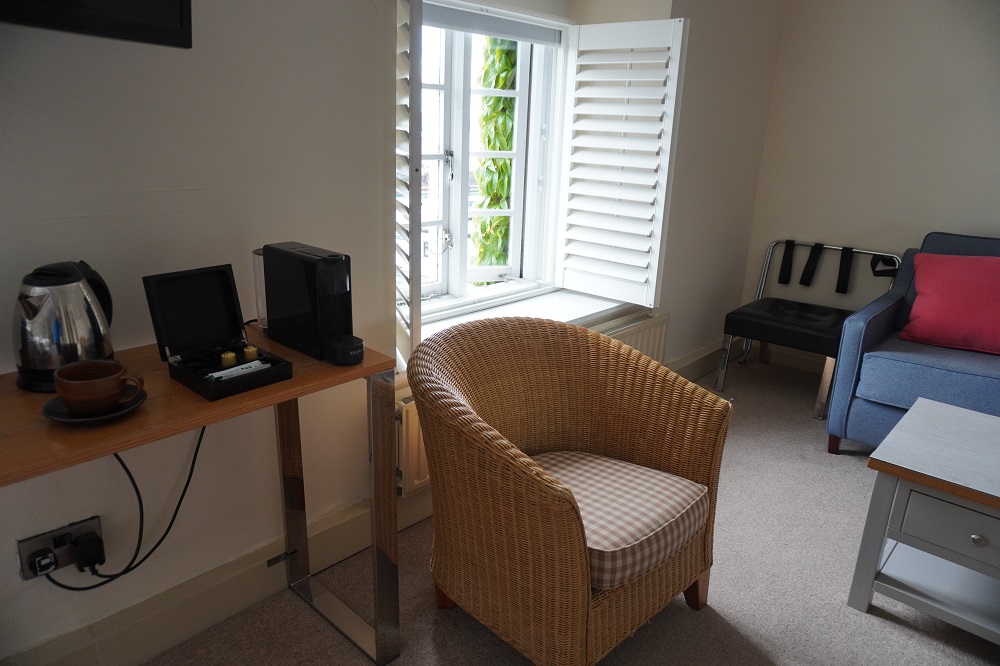
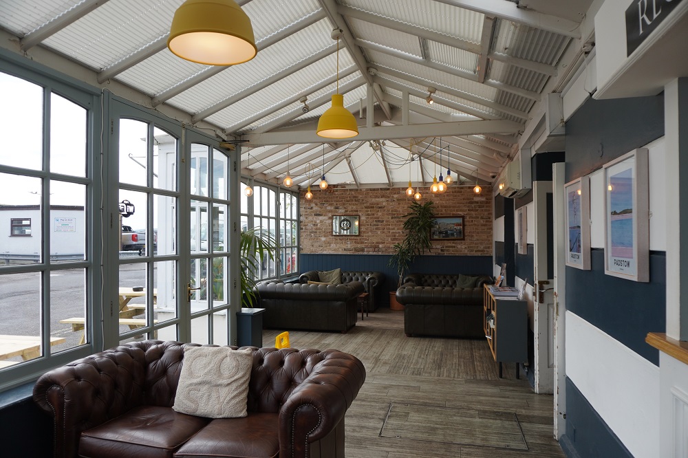
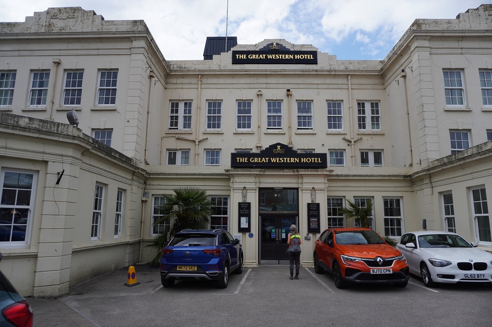
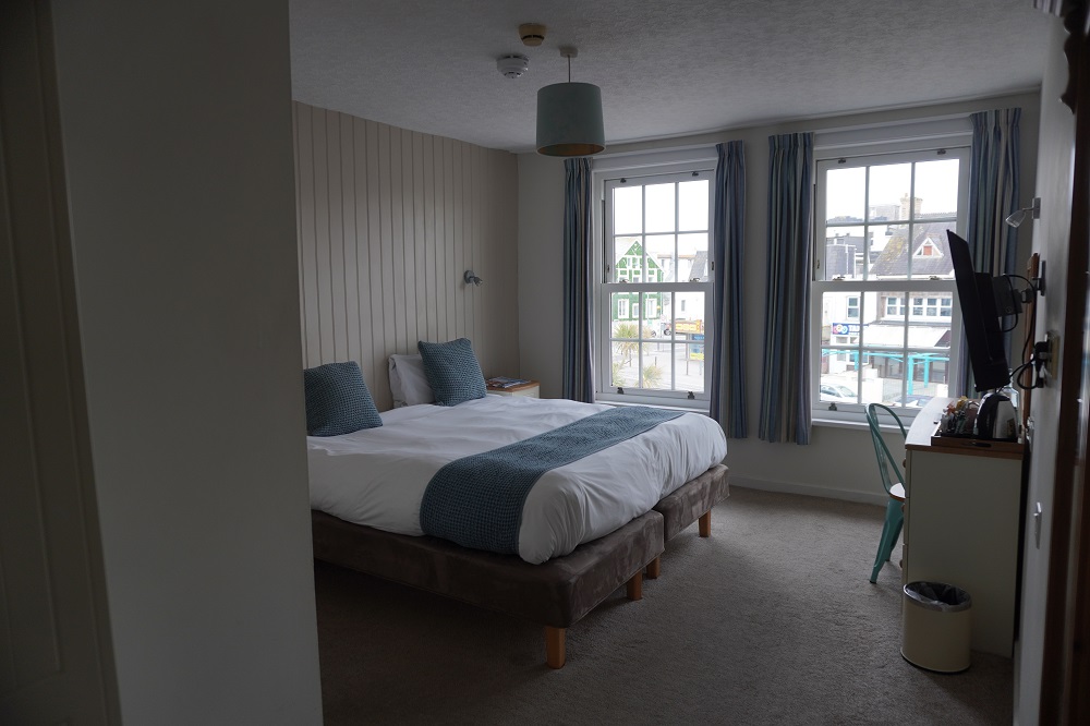
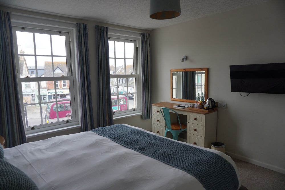
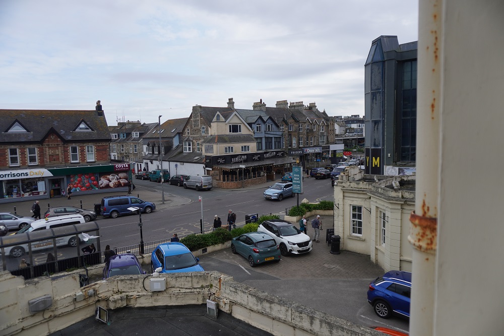
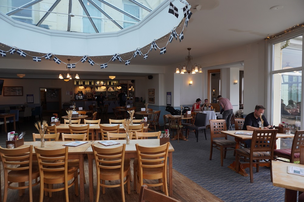
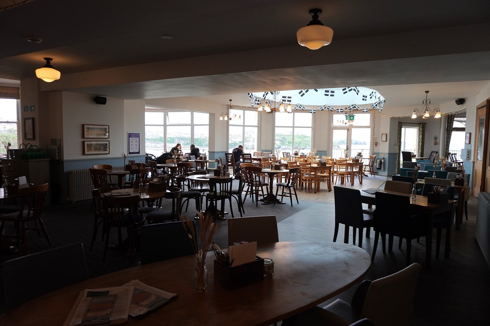
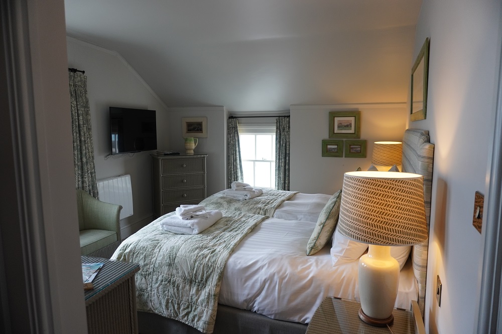
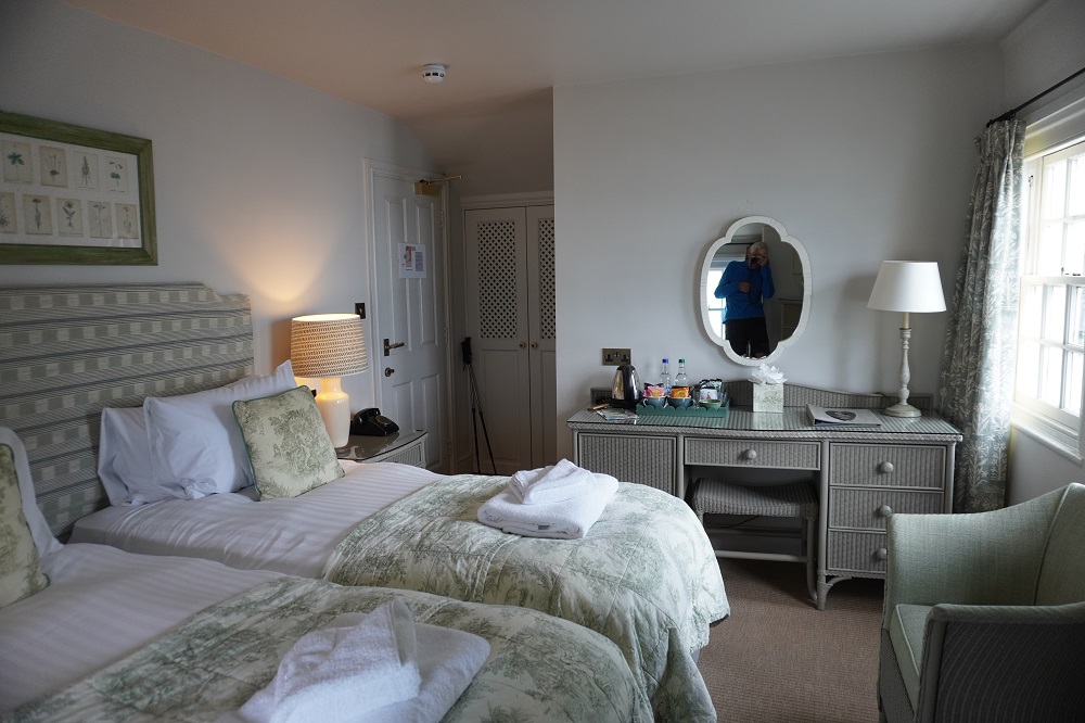
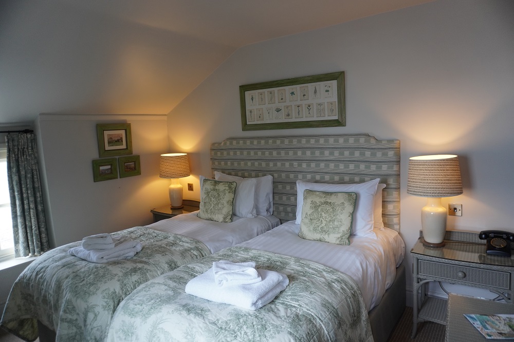
Tonight we are in the Great Western Hotel, the oldest purpose built hotel in Newquay. It is built in a prominent position overlooking Great Western Beach (formerly Borthwick Sands). The railway came to Newquay in 1876 and the hotel was opened in 1879. The hotel was the first of a string of hotels designed to promote Cornwall as a winter resort for the middle classes. The principal shareholder was The Great Western Railway Company. It was once grand but is now very tired, the present owners are starting a major refurbishment. It is a reminder of the days when the railways ruled.
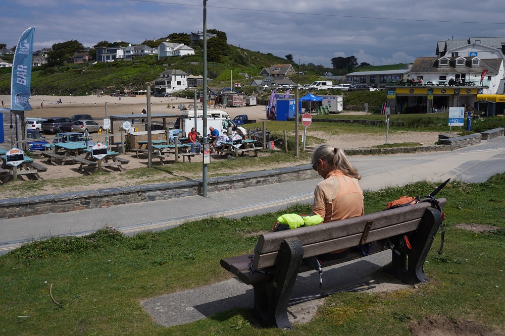
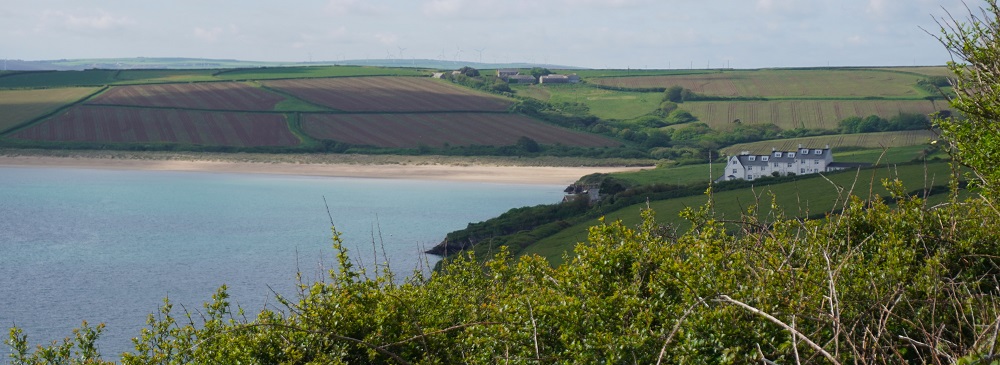
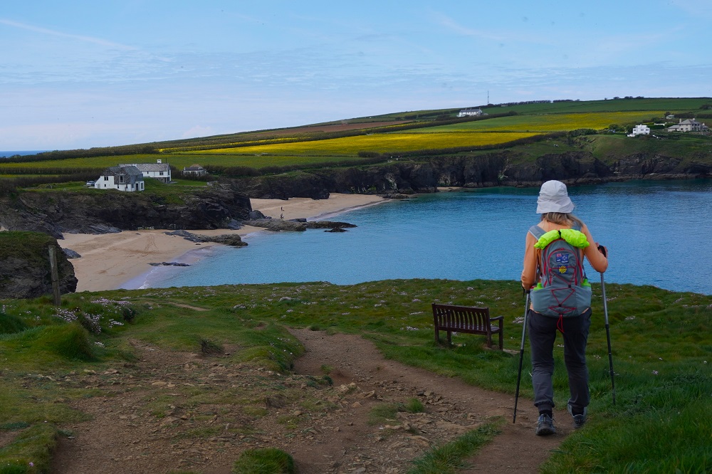
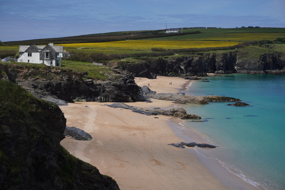
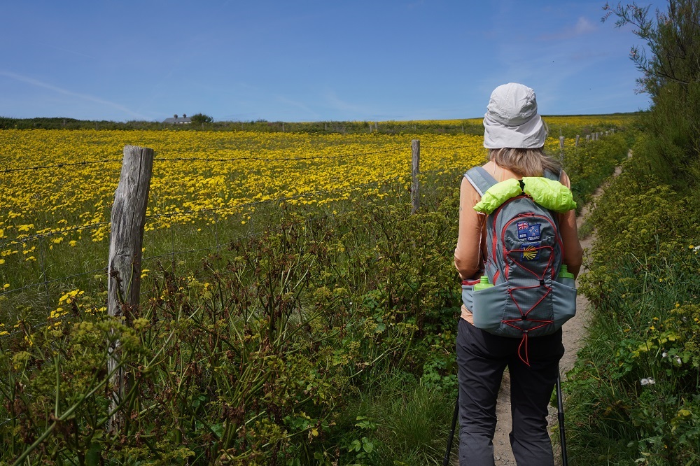
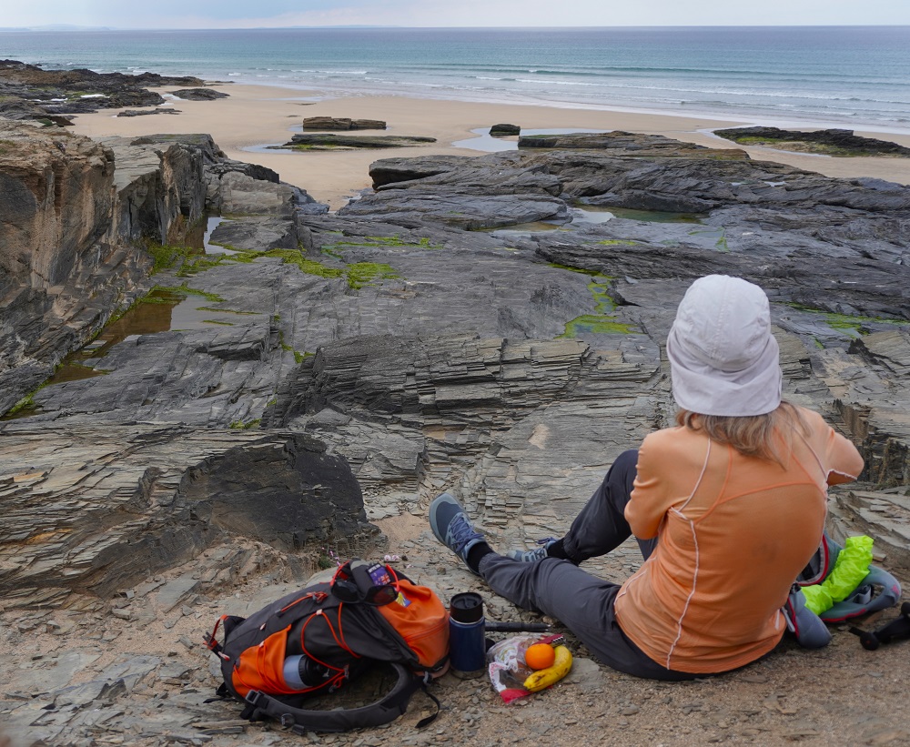
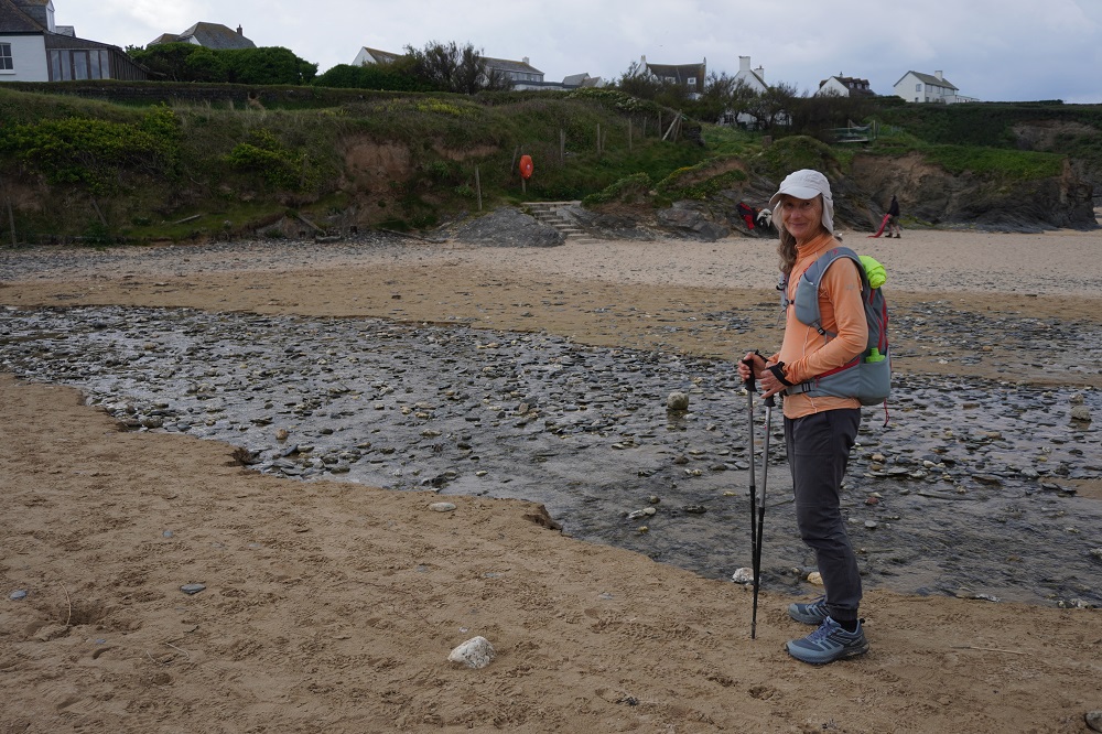
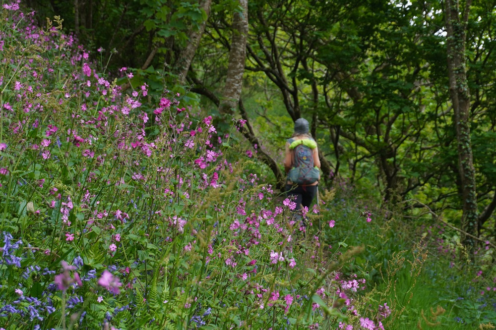
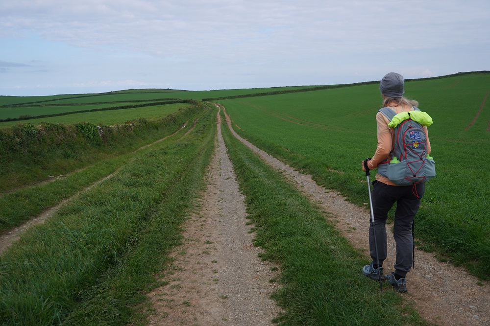
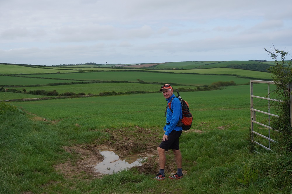
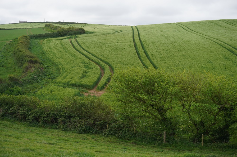
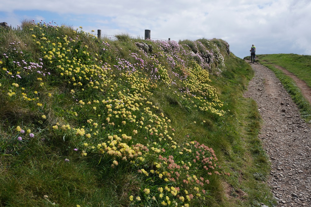
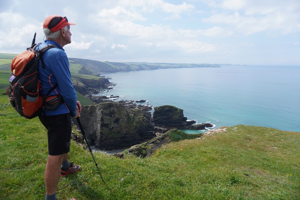
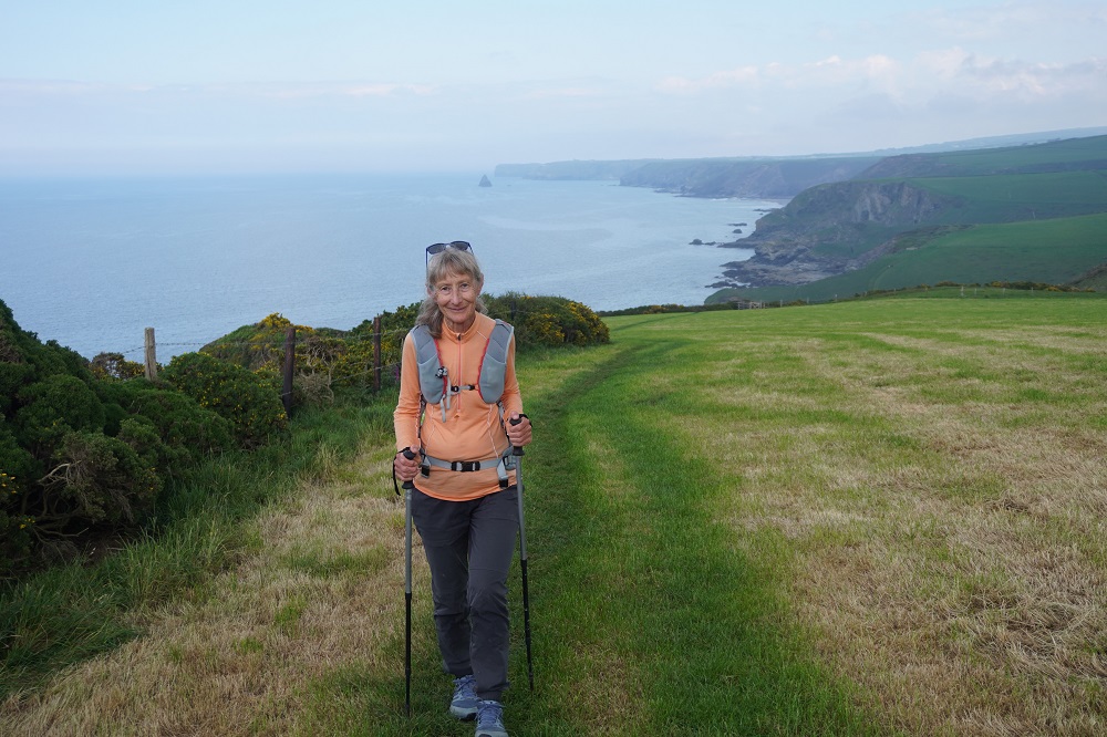
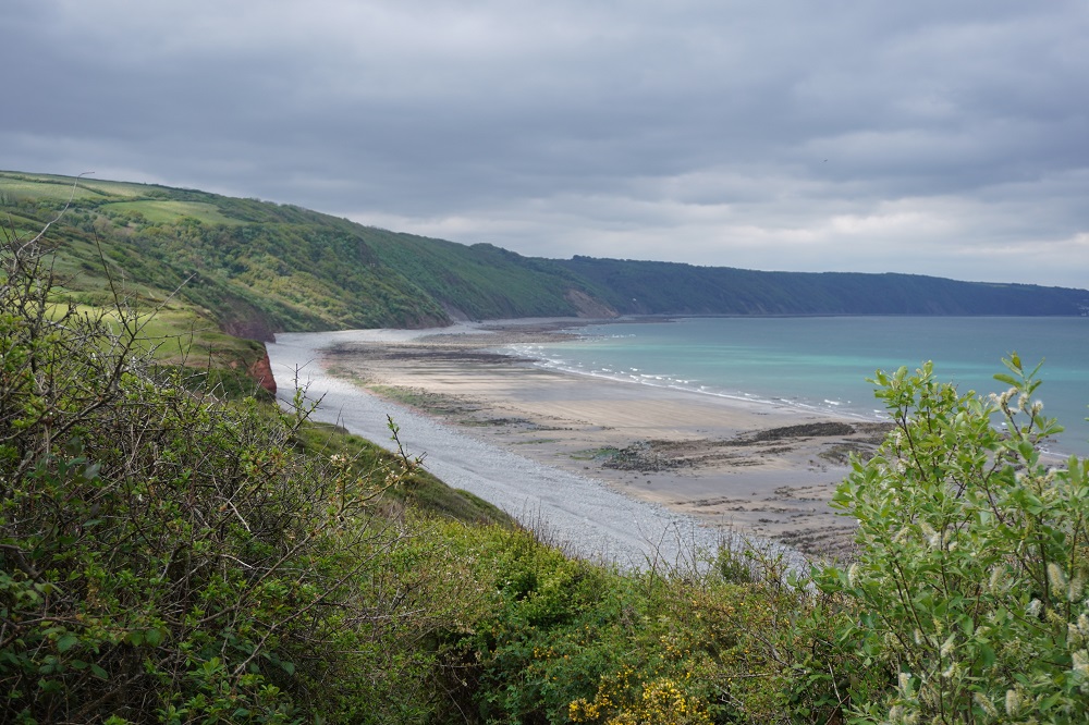
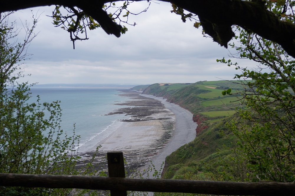
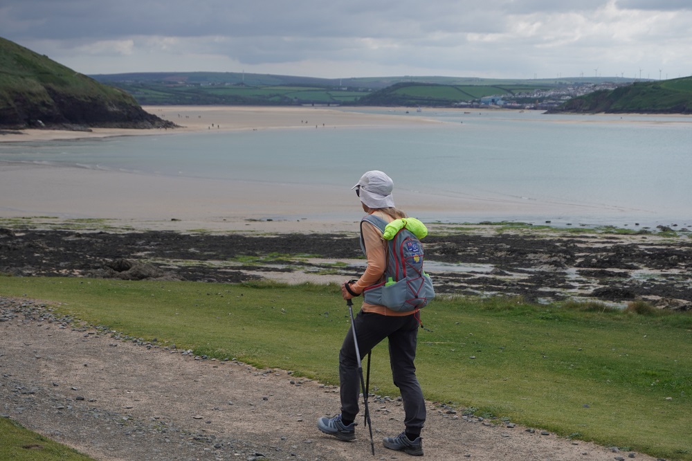
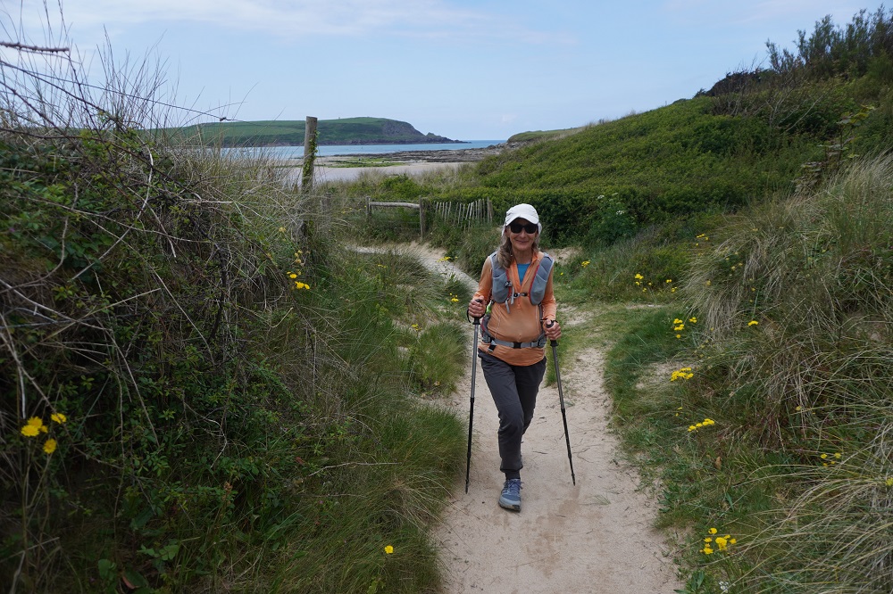
It was a perfect day for walking today. Nice cool morning, sunny, not a breath of wind and the air was very clear. Colours seemed very intense today, the sand very golden, the water turquoise, a bright yellow field which turned out to be dandelions, blue sky and white puffy clouds.

Who Pays the Ferryman?

Wednesday 6 May 2026

Day 15 of walking
Port Isaac to Padstow
Distance: 18.29km
Total distance: 296.67km
Climbing: 520m
Total climb: 10,075m

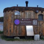
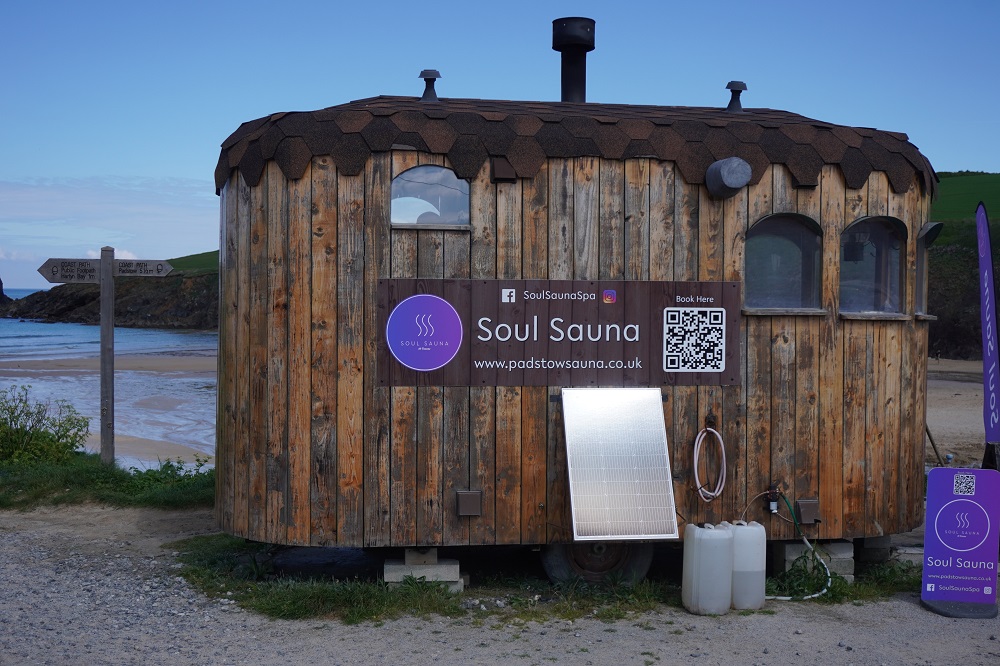
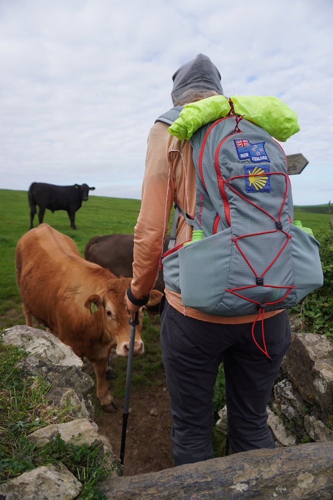
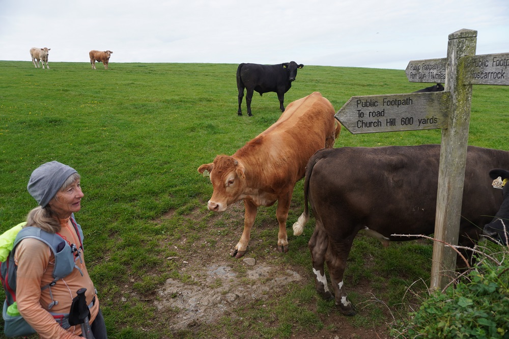
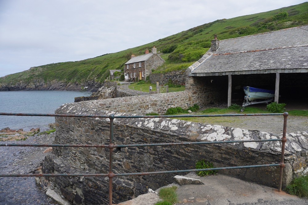
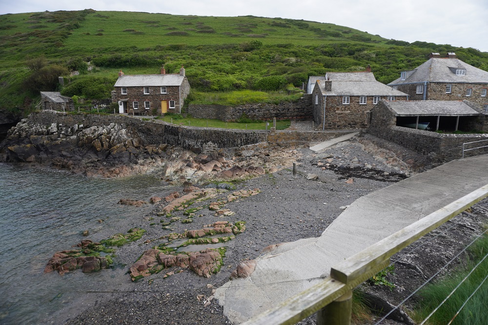
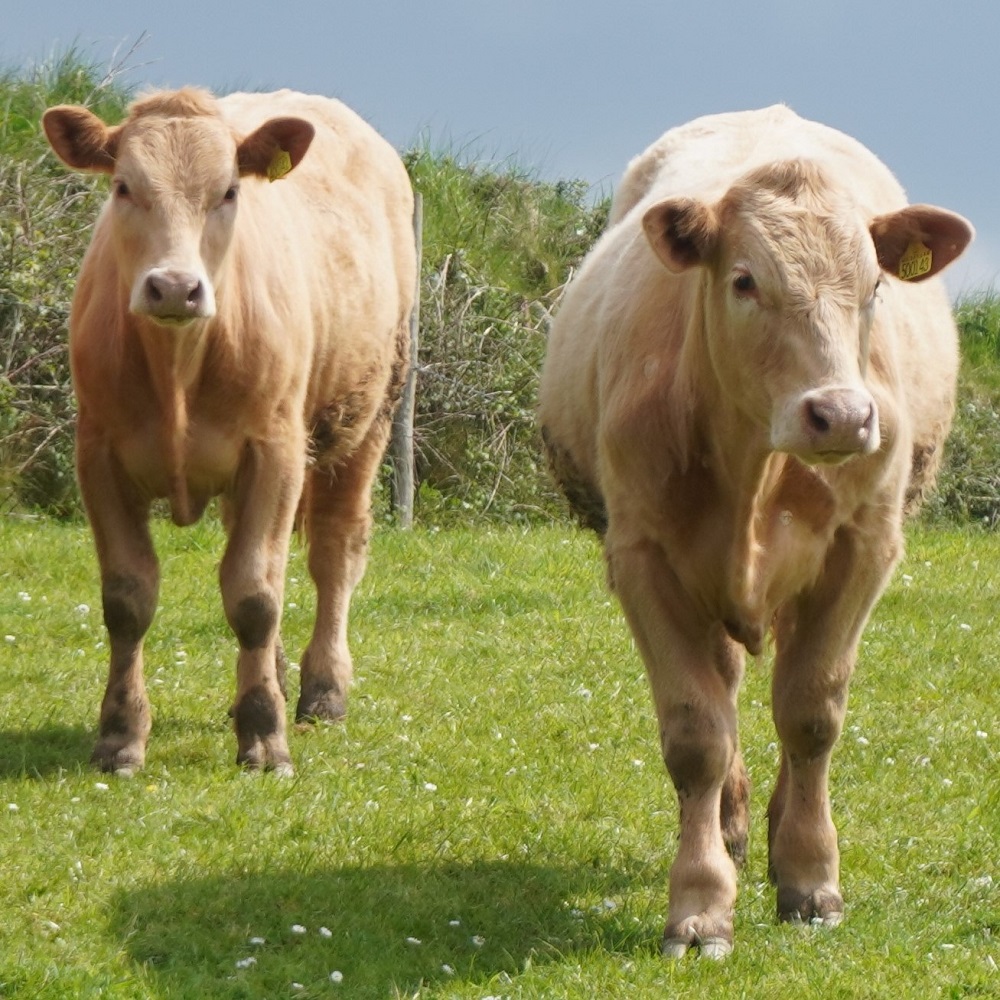
Today was our easiest day so far. The first 3 miles were supposed to be a winding tough section to Port Quin but there was an alternative path that went inland and after an initial climb was easy, going over farm land for 1¾ miles to Port Quin. The hardest part was getting over a stile where the cows were blocking our way and weren’t prepared to move. Barbara is now an experienced old cow hand and soon had them scattered. Port Quin is a tiny little former pilchard fishing village with a small beach and just a few houses. No refreshments or amenities but did have a sauna.

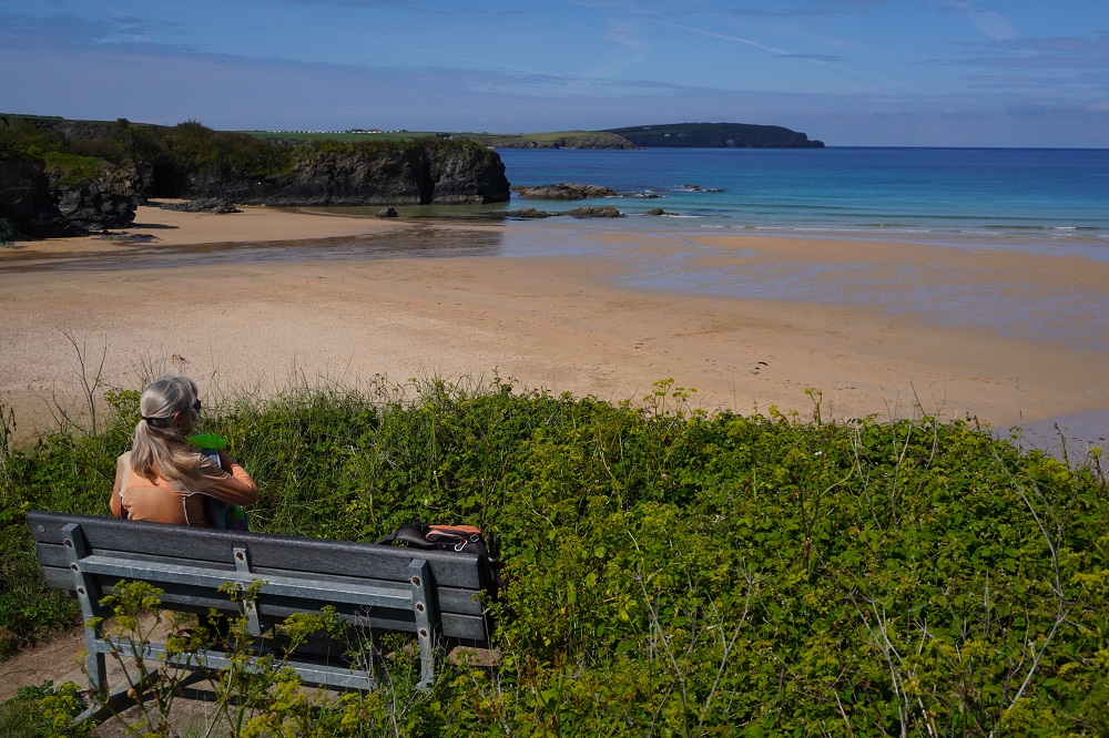
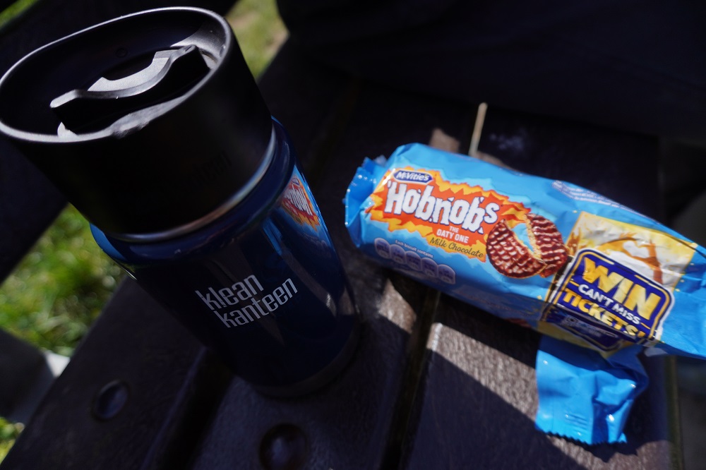
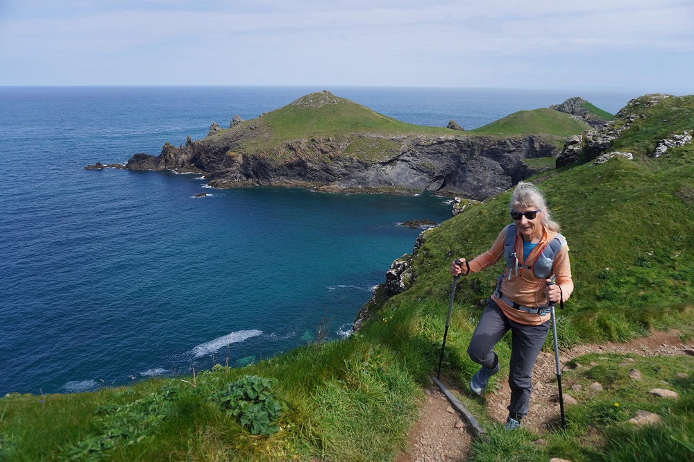
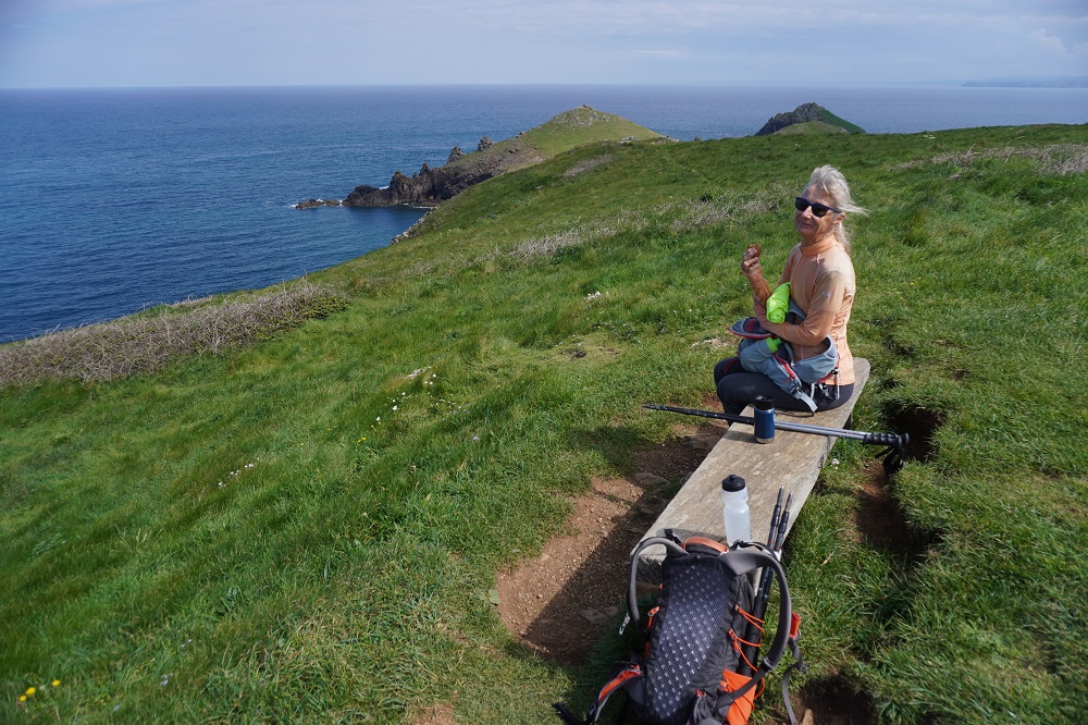
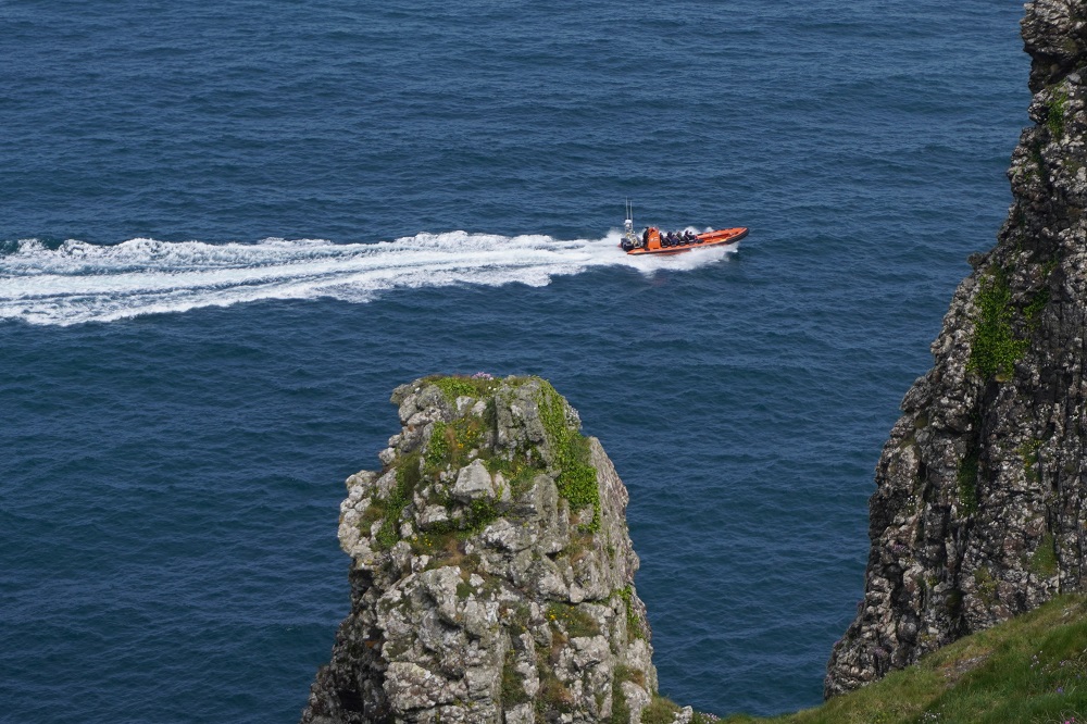
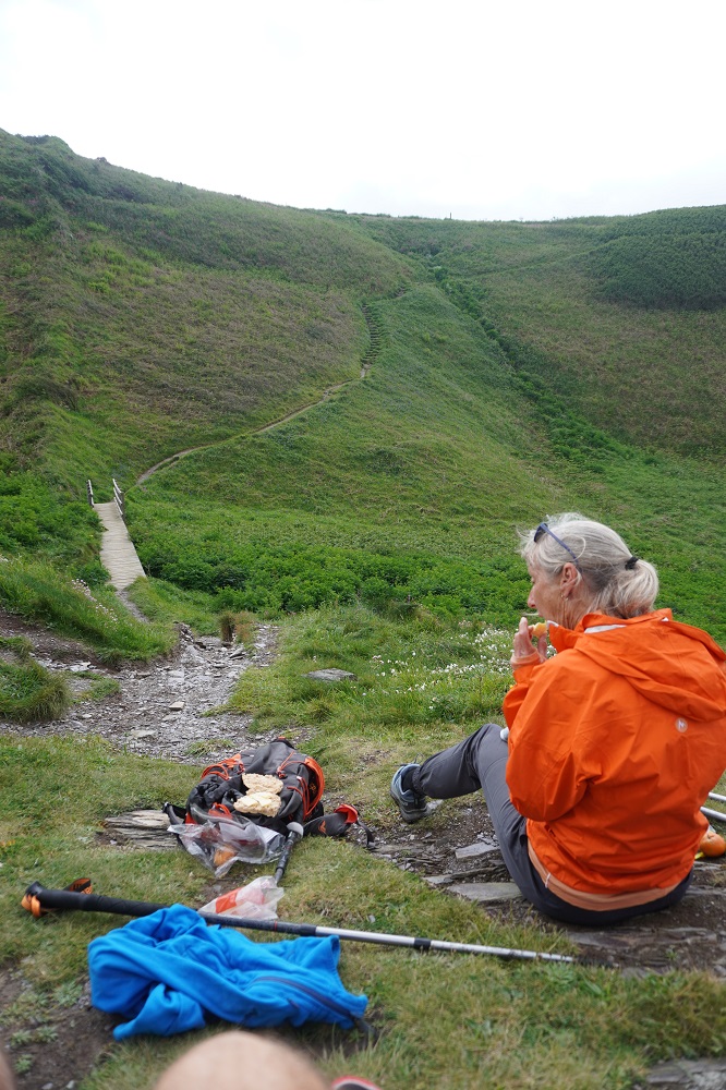
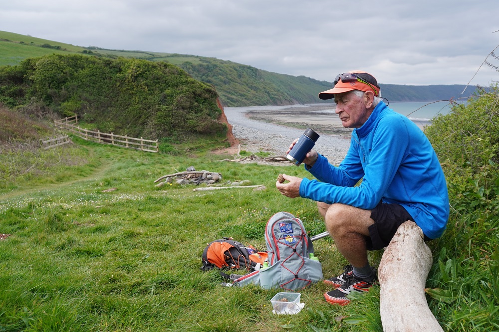
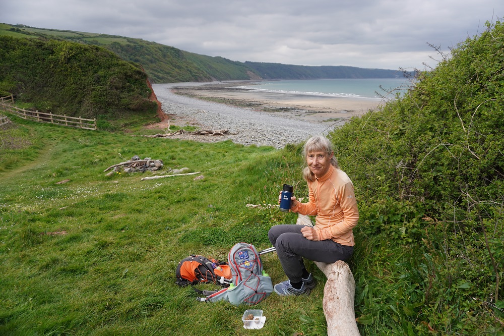
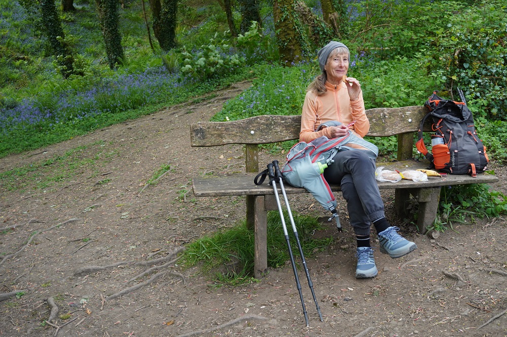
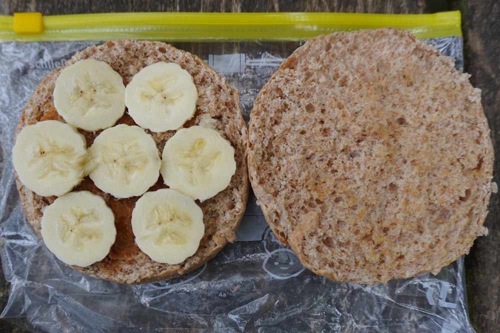
From Port Quin it was fairly easy walking over the windswept and beautiful headland called The Rumps – an iron age hill fort. We sat on a bench there and had our coffee break. We could see all the way back to Tintagel and below us high powered speed boats taking tourists out for a blast down the coast. We have a routine of walking for about two hours, having a coffee break from our Kleen Kanteen flask, walking another two hours, have lunch (usually something we have brought with us) and then walking to the end of the day. The underlying theory is: drink before you get thirsty, eat before you get hungry and rest before you get tired. Of course there isn’t always a waiting bench, or it is exposed, windy, cold or raining, so sometimes it gets pushed out to three hours or more before stops.

A gentle walk around Pentire Point and the vast Padstow Bay comes into view, this is the estuary of the Camel River. On Pentire Point there is a plaque commemorating the moving war poem For the Fallen written somewhere on this point by Laurence Binyon in 1914 at the start of WW1. We all know the famous last stanza:

They shall not grow old, as we that are left grow old
Age shall not weary them, nor the year’s condemn
At the going down of the sun and in the morning
We will remember them.

Binyon was too old to serve in WW1 but he enlisted as a hospital orderly and was inspired to write his poem after seeing the staggering numbers of wounded and dead soldiers after the Battle of Verdun.

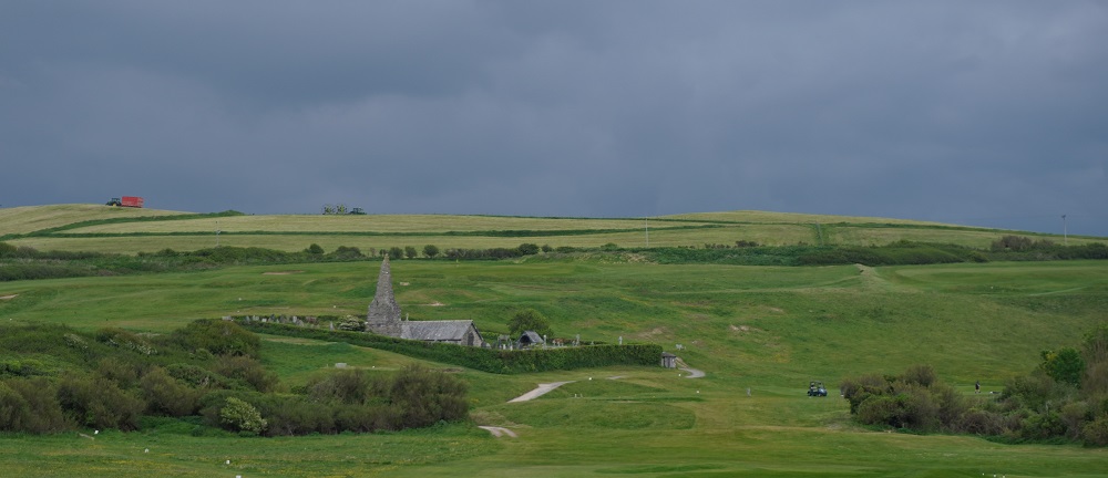
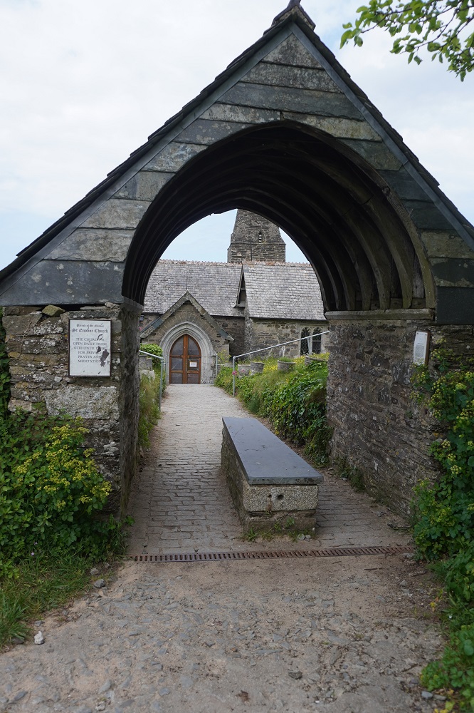
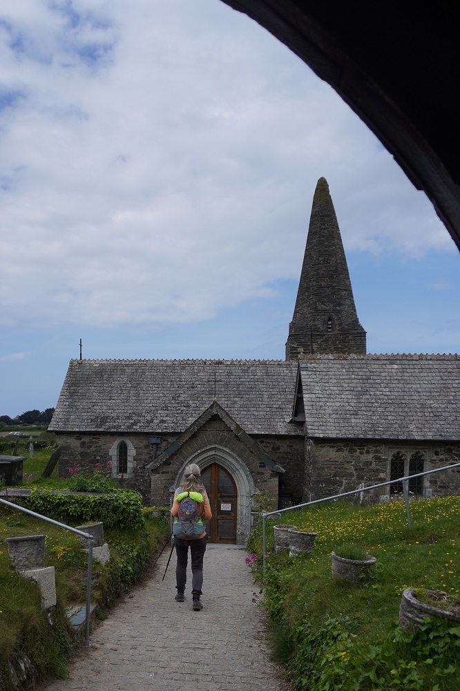
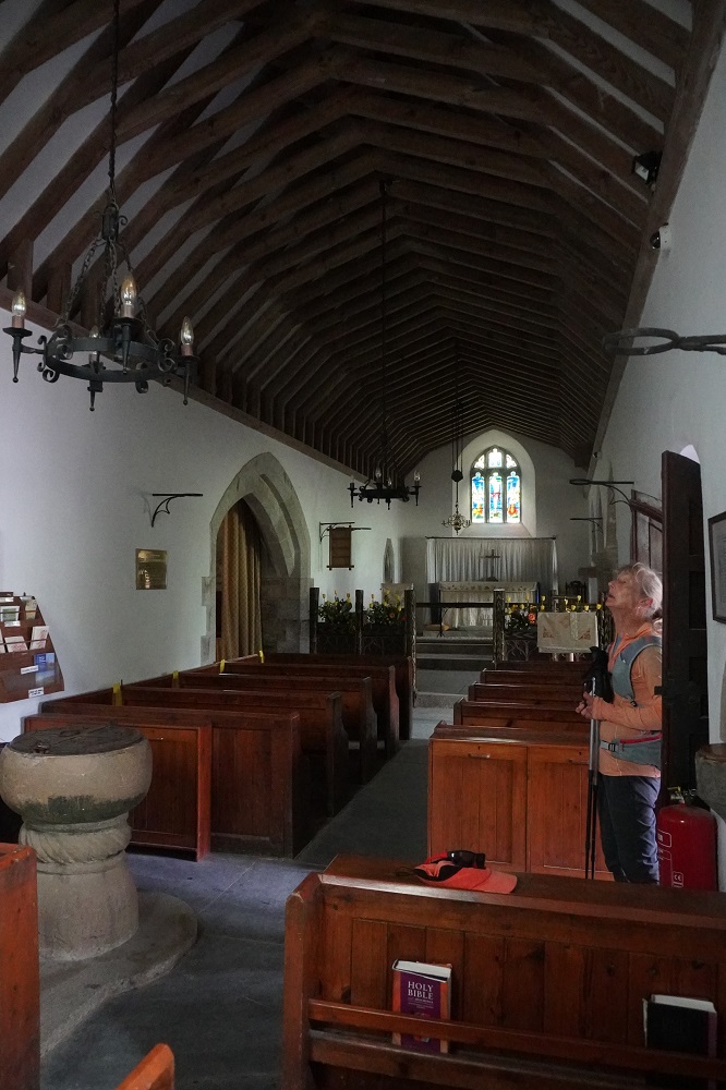
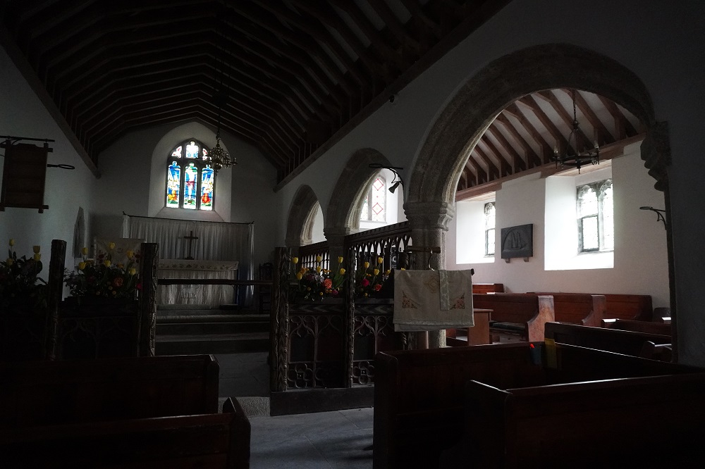
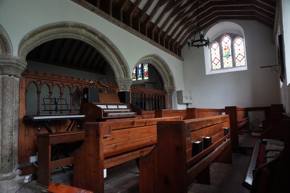
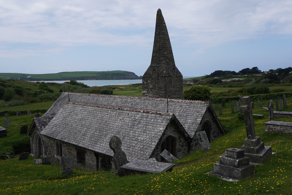
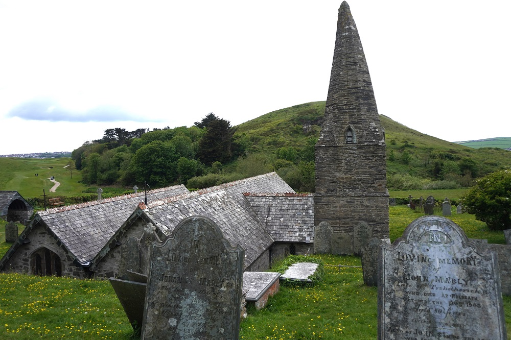
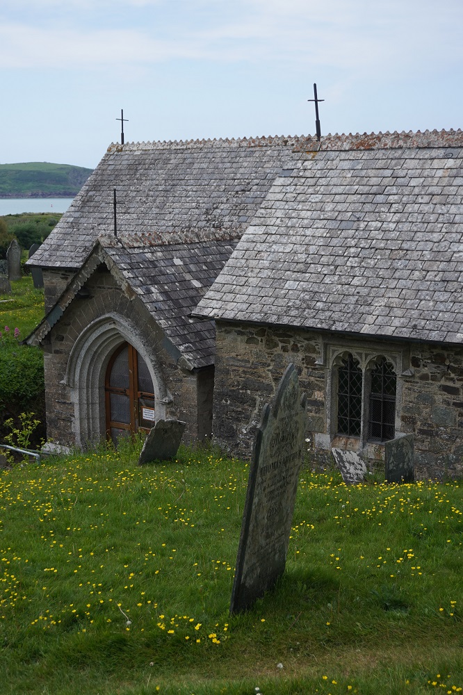
Before entering Padstow Bay we had to pass through the seaside resort of Polzeath, a popular holiday destination for families and surfers. Even what had been low cliffs were now left behind and it was easy flat walking behind the dunes and across the beach to Rock. Before reaching Rock we did a little side trip through a golf course (watch for flying golf balls and keep to the path marked by white stones) to the 12th century Church of St Enodoc. Enodoc was an obscure Celtic Saint. We love these little ancient churches. This one was left to rack and ruin by the 1800s but in the 19th century was faithfully restored using mostly the original materials. It has a distinctive bent spire which looks like it has been battered by storms. It does have working bells and ropes inside.

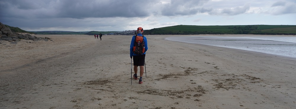
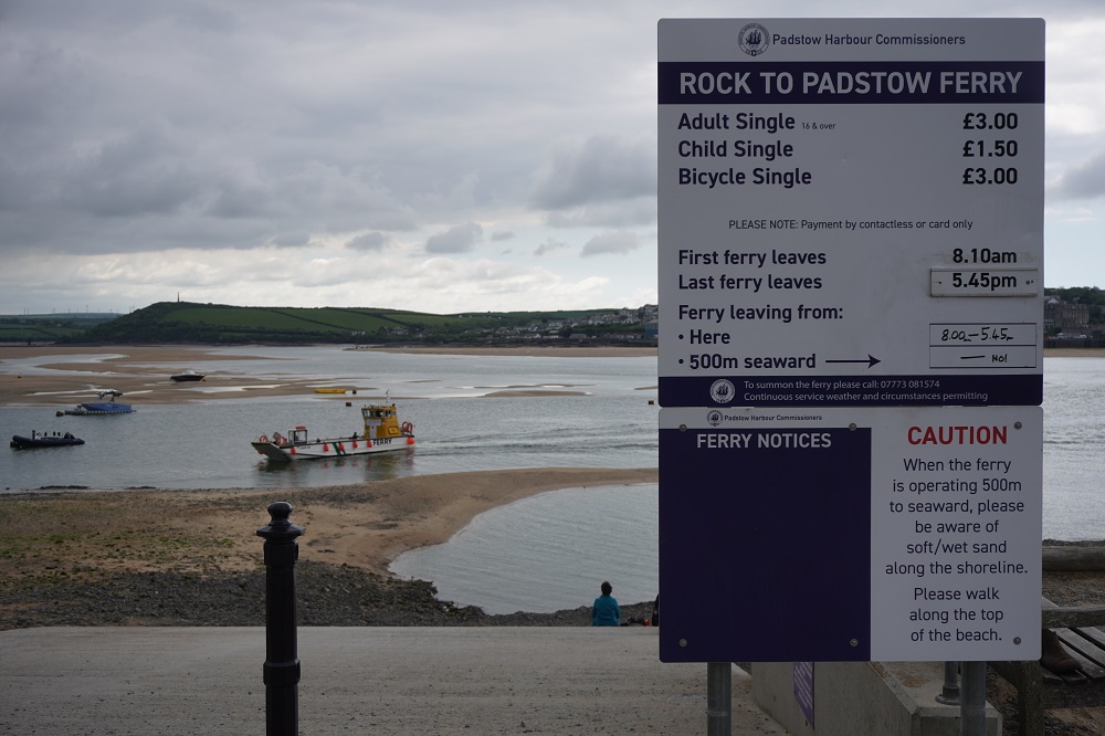
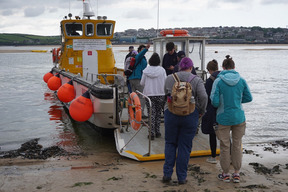
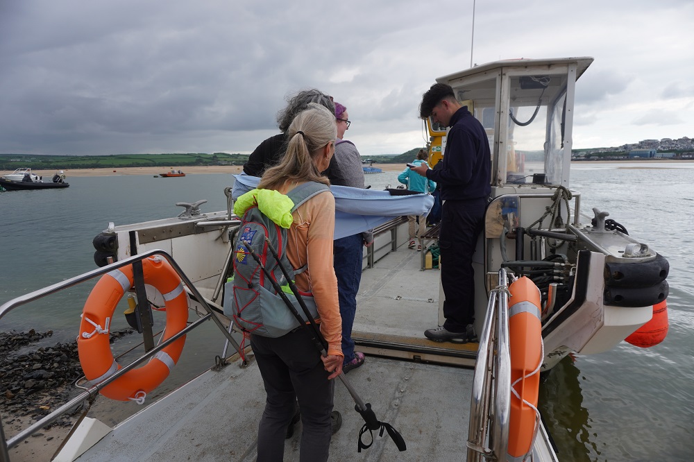
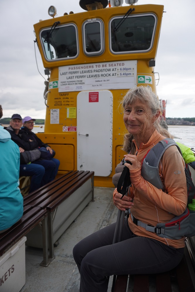
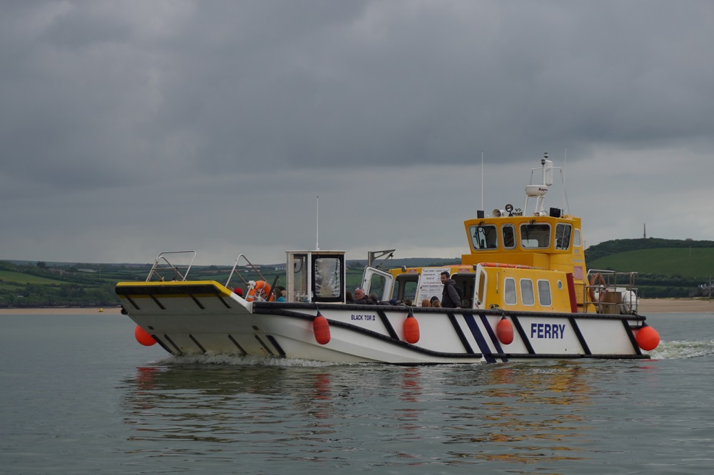
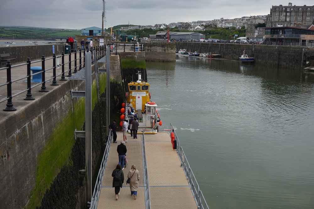
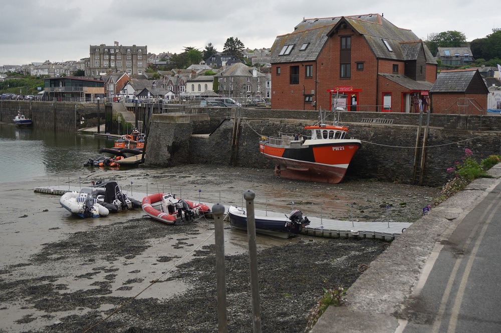
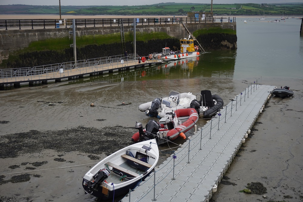
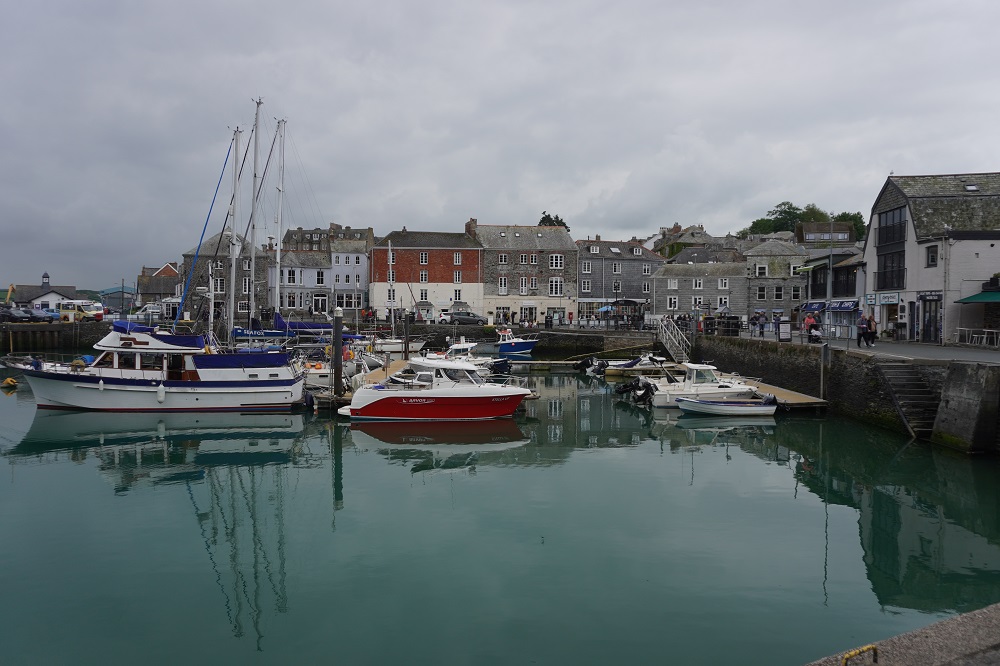
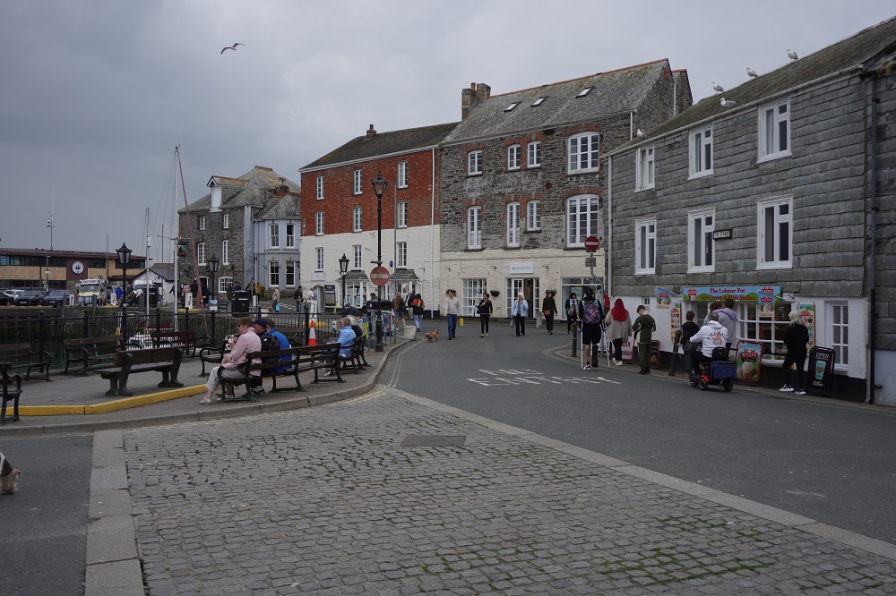
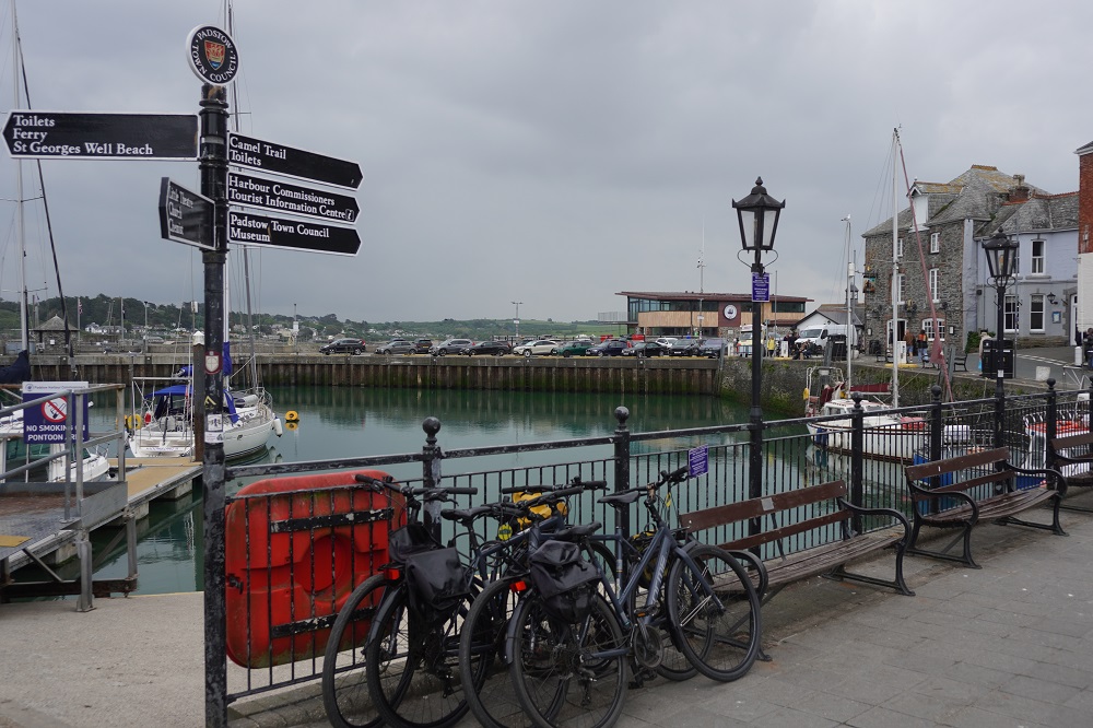
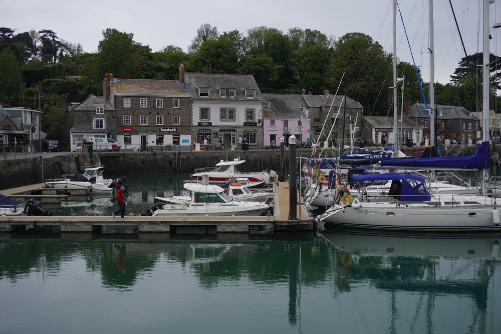
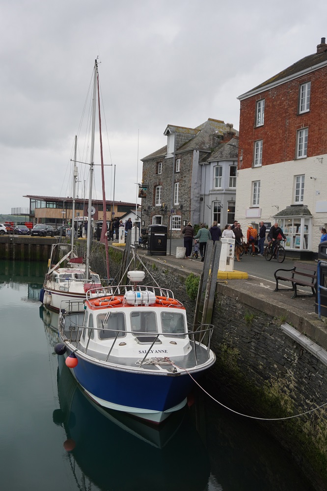
The tide was out so we left the path and walked over the wide beach to Rock. Rock is directly over the River Camel estuary from Padstow. The ferry from Rock is a regular year round service and the first of 13 ferries we will use on the Coast Path. £3 each for a 10 minute crossing. We though we may have to use some cash for the first time on this trip but even this little ferry was cashless, card only. The ferry takes you right into the heart of Padstow in its harbour. It is then just a few minutes walk to our accommodation.

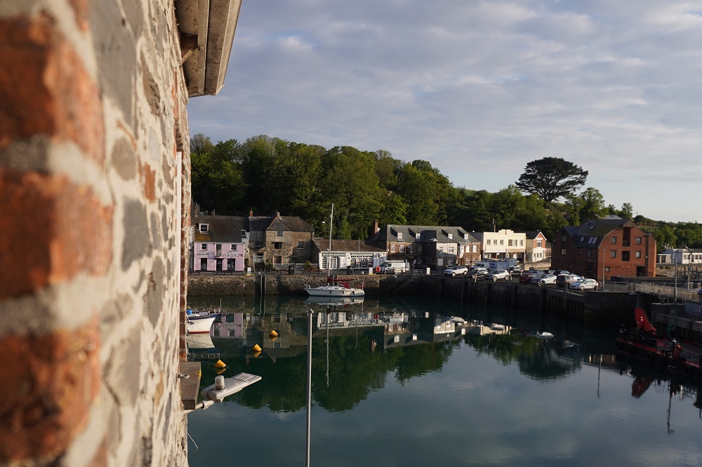
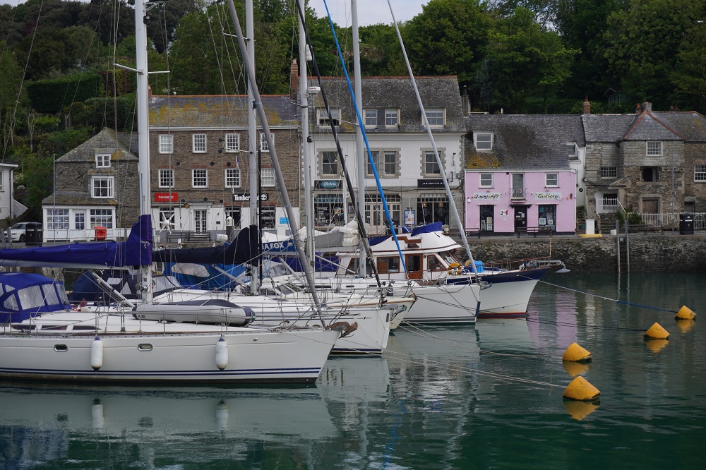
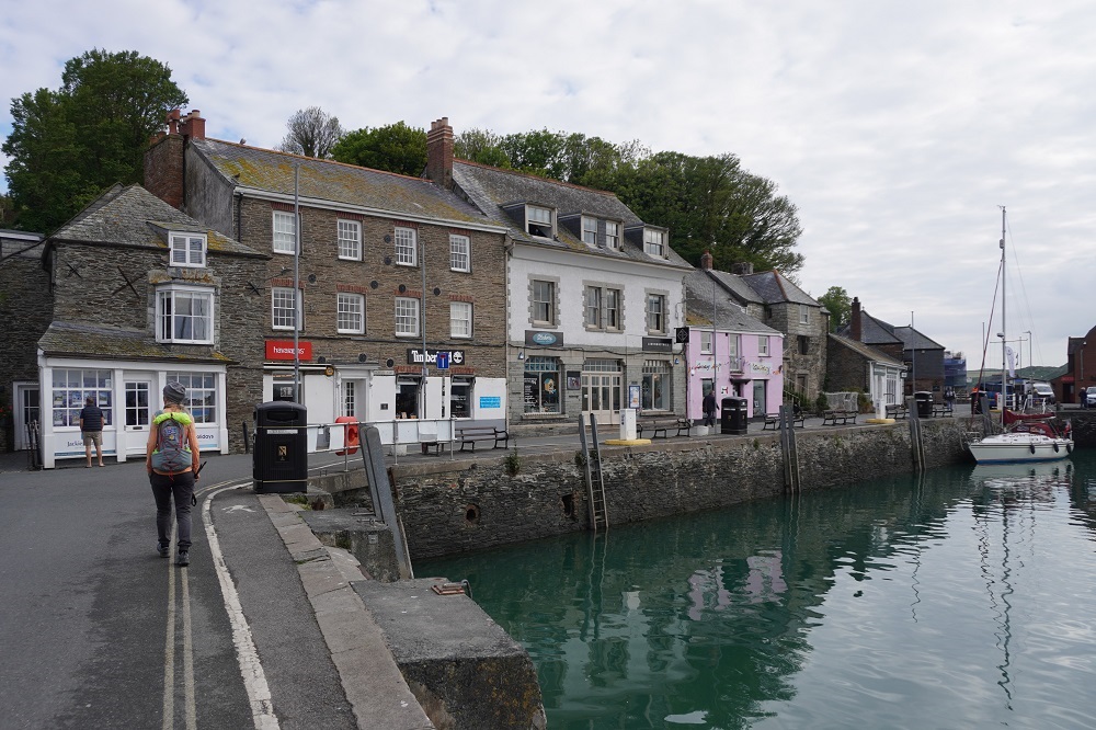
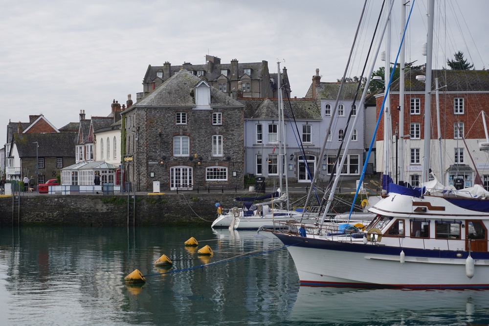
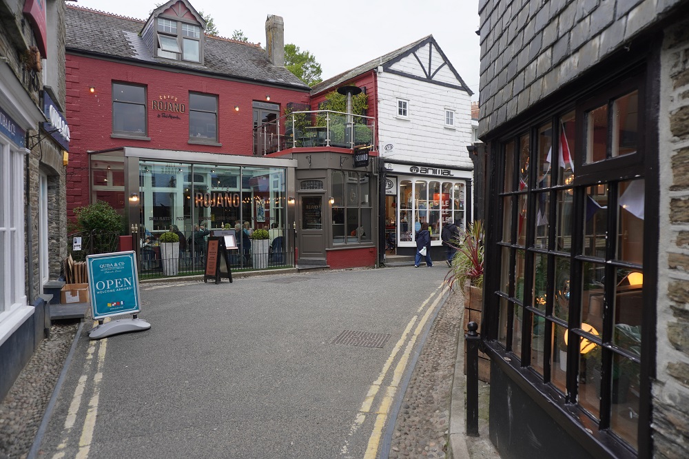
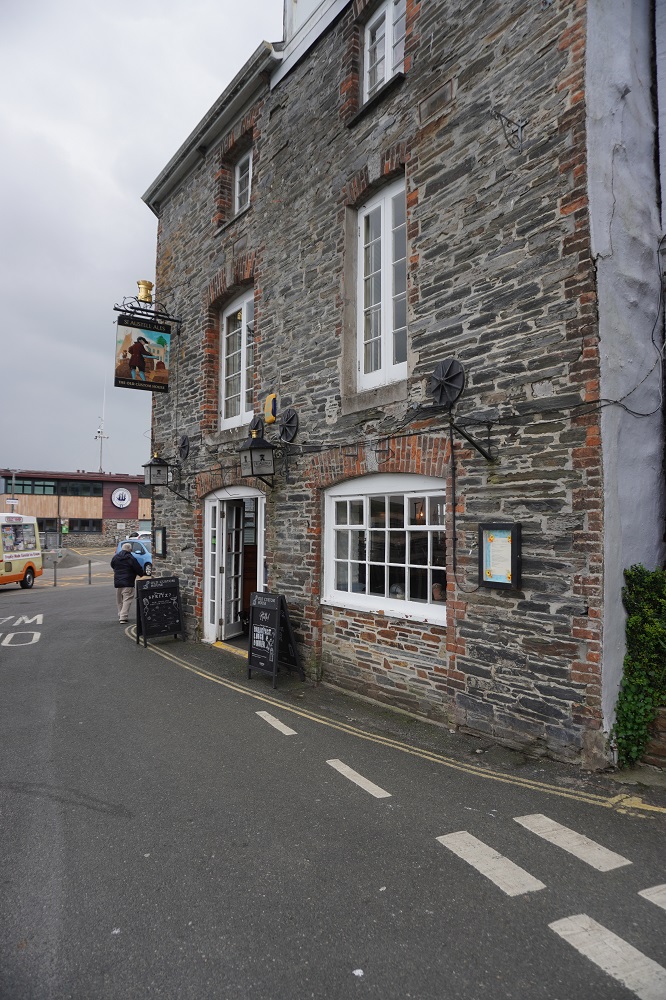
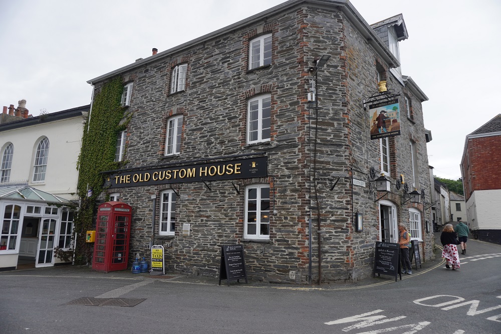
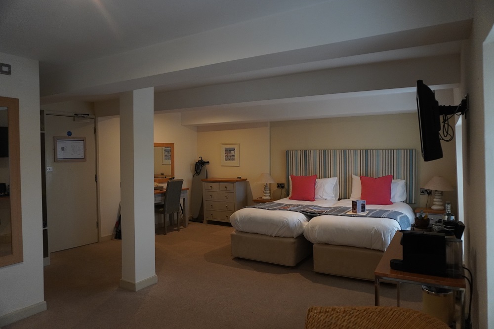
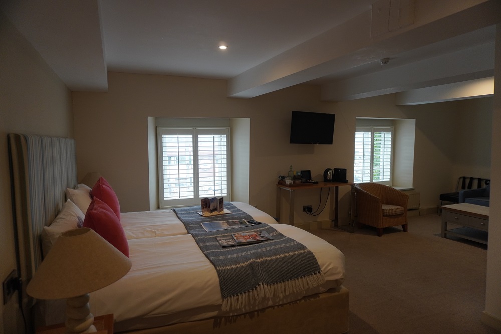
We are staying in The Old Custom House and as its name suggests was once the home of Revenue and Customs in Padstow. It was built in the 18th century and is right on the water’s edge overlooking the harbour. It has lots of charm and character, we have a huge room but are up two flights of stairs on the top level. Last time we were in Padstow we had a “rest day” and hired bicycles and went 18 miles up the Camel River on a beautiful flat ride. This time we are here one night and move on tomorrow.

Note: Who pays the ferryman was a hit TV show when we first visited England in 1978.

What’s up Doc?

Tuesday 5 May 2026

Rest day number 2 Port Isaac

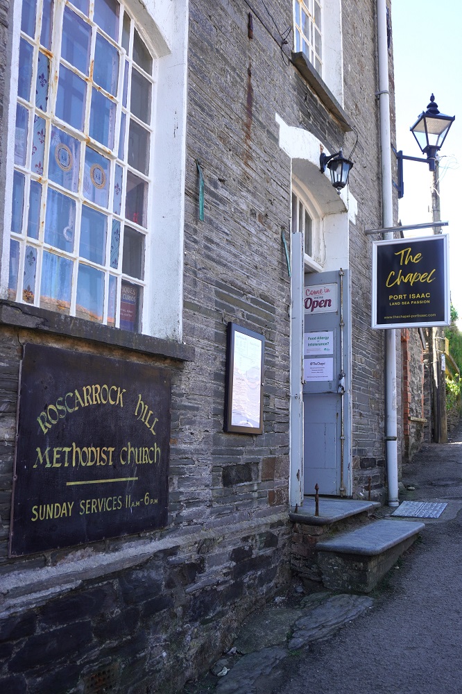
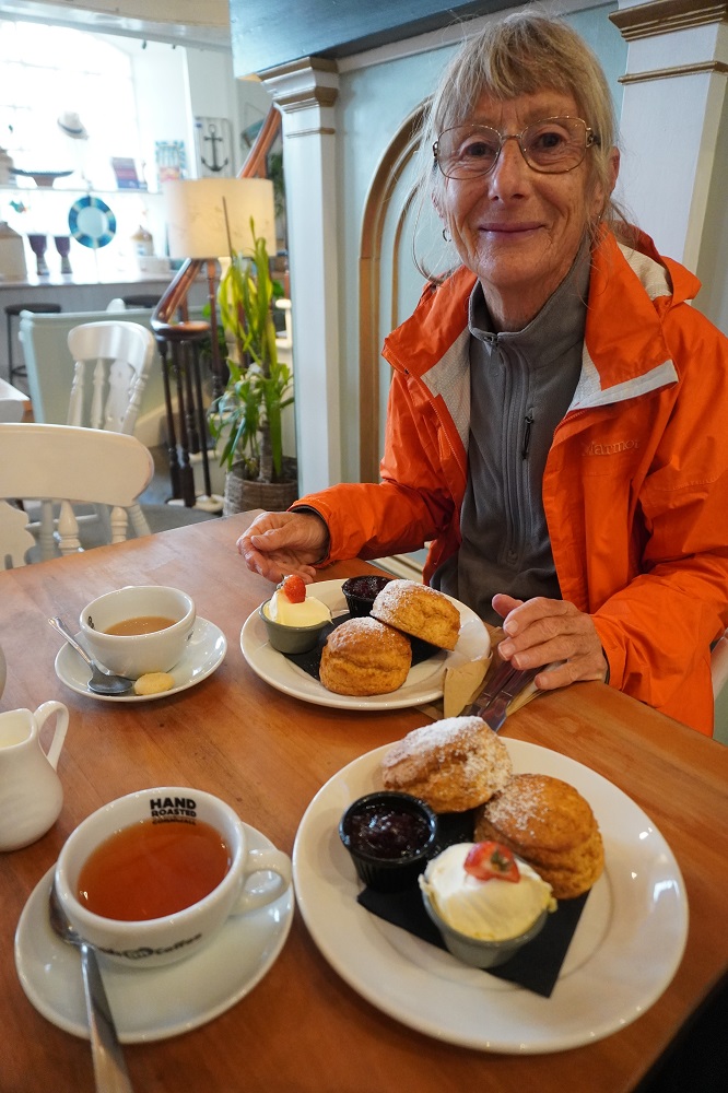
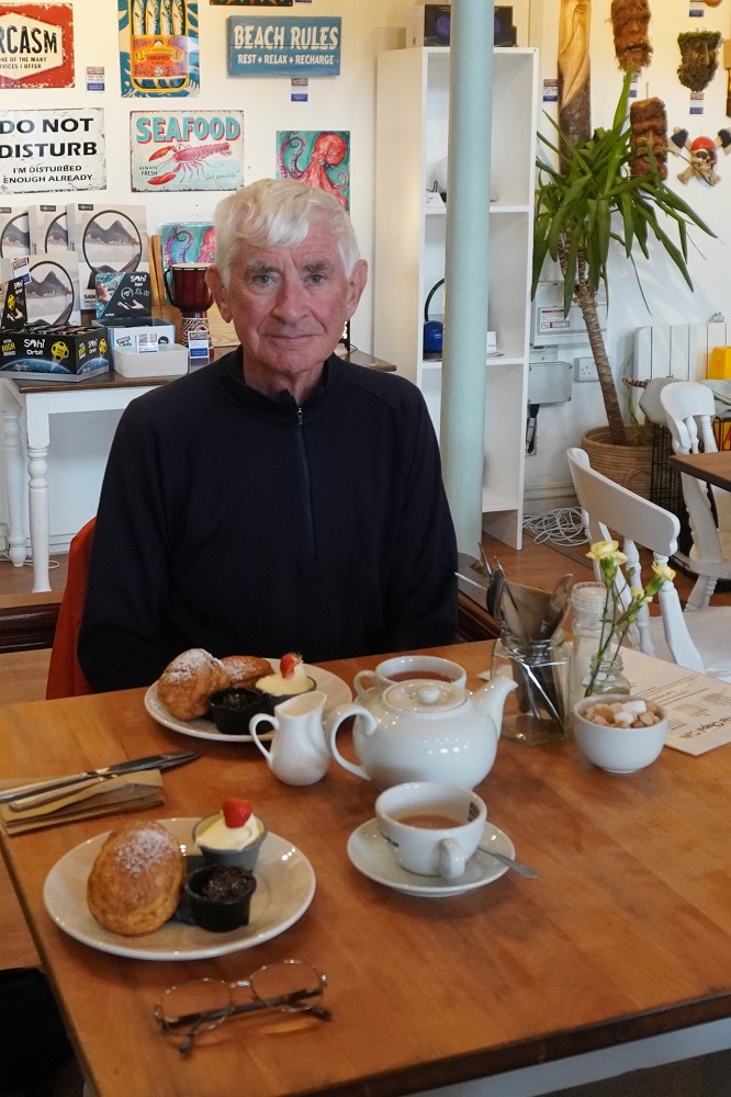
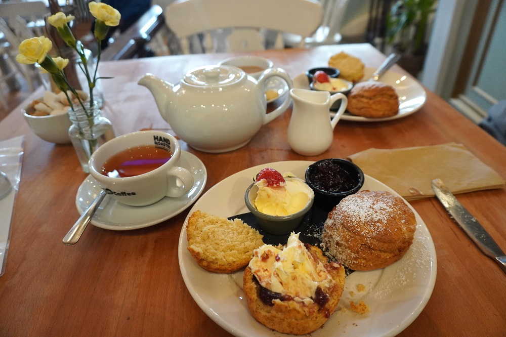
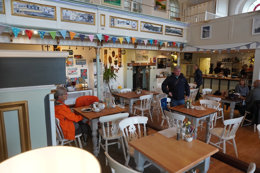
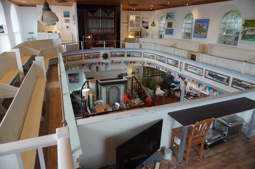
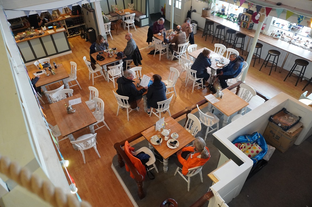
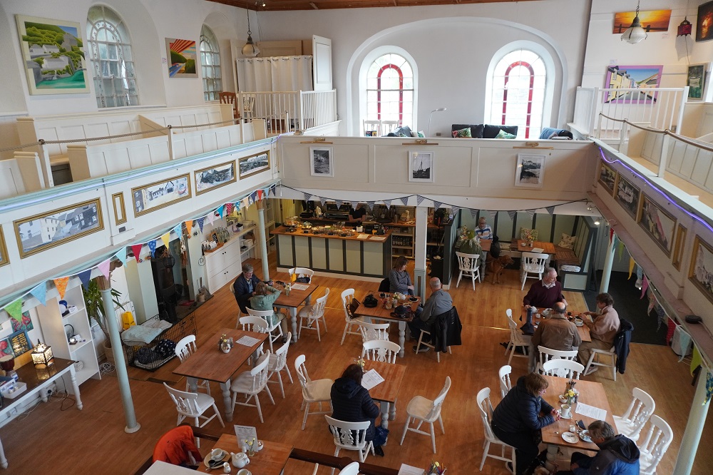
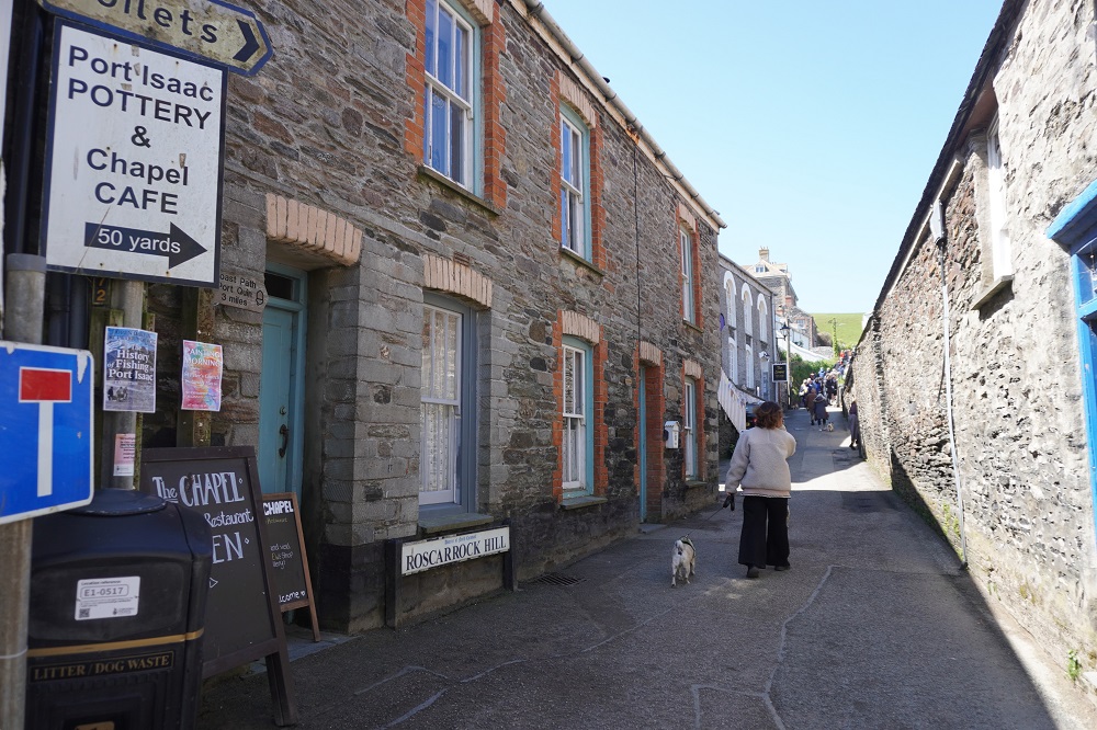
A very relaxed day. The only highlight was a Cornish cream tea at “The Chapel”, the former Rosscarrock Hill Methodist Church. A tearoom/cafe, gallery and shop all in one large space that still contains the church organ and pews on the upper floor. I’m not sure what music the Methodists would have had, but the background cafe music didn’t quite set the right atmosphere. We had tea with our cream tea, not coffee, and two scones with lashings of jam and clotted cream. It is very filling. That was my birthday treat.

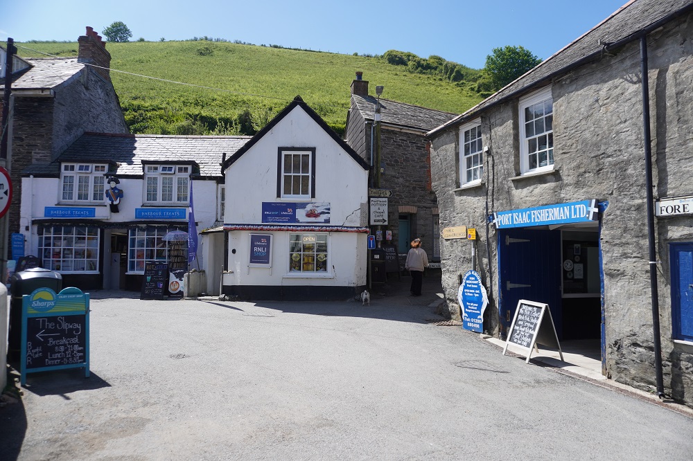
For TV drama watchers Port Isaac is the setting for Doc Martin, starring Martin Clunes and Caroline Catz. It ran for 10 series, 79 episodes, over 18 years from 2004 – 2022. Port Isaac is called Portwenn in the series with exterior scenes filmed on location here and interior scenes in a converted local barn. After initial enthusiasm a lot of locals got fed up with their village being a film location. Hoteliers, restaurateurs and shop keepers made a nice profit and trendy boutiques and smart art galleries muscled in, but the locals living here became a bit disgruntled with constant blocked roads and traffic stoppages, film crew basically taking over the town and doing whatever they wanted. Now it is busy with “TV location tourists” being led around by guides pointing out the locations of various scenes.

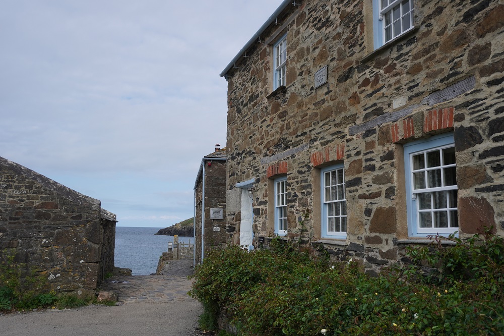
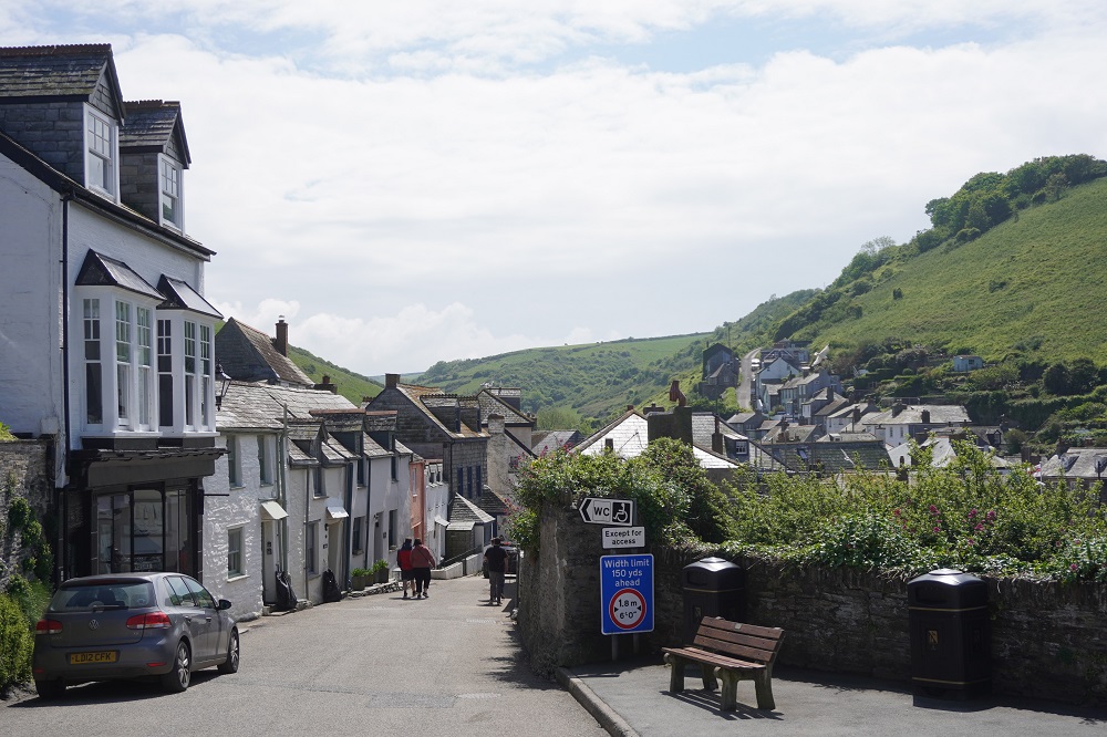
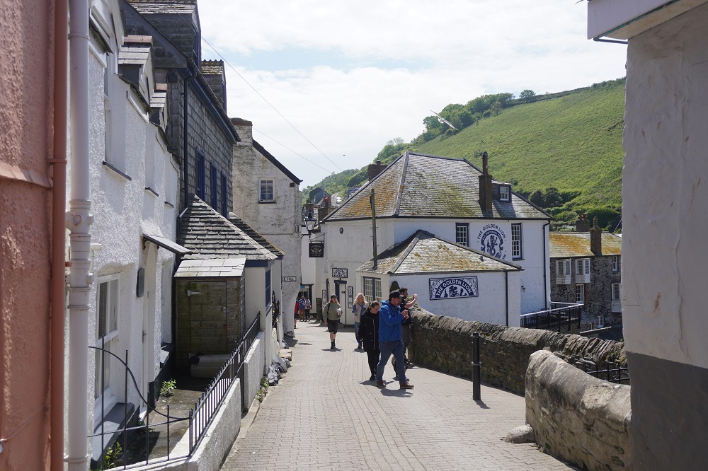
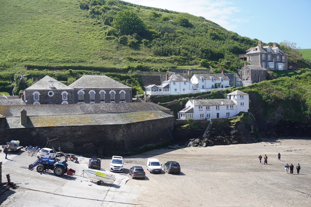
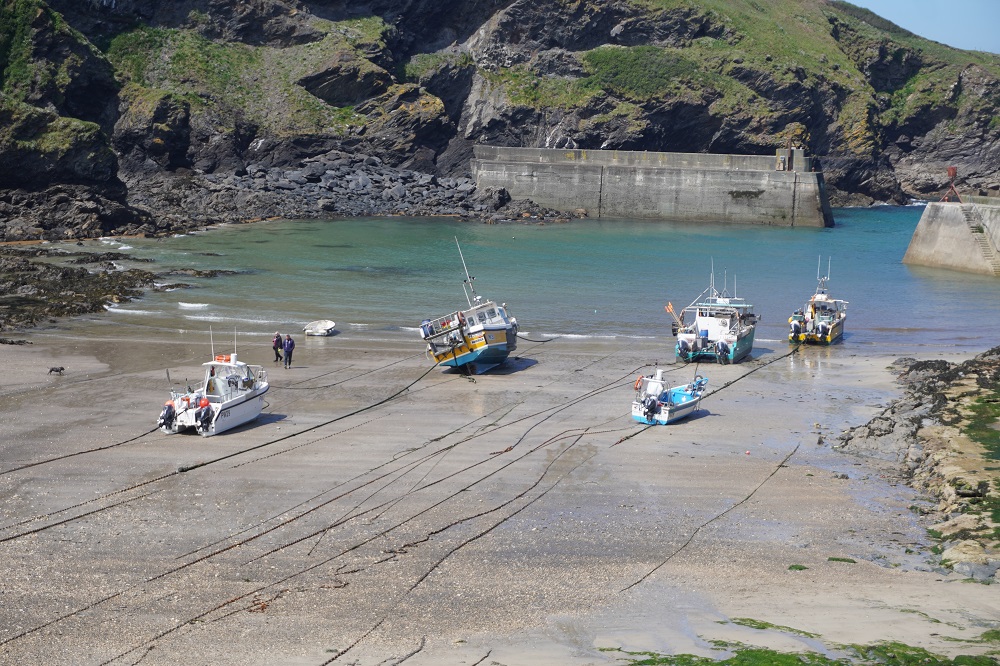
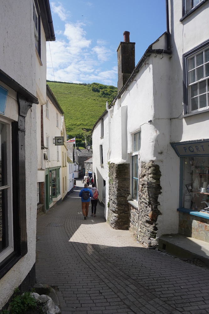
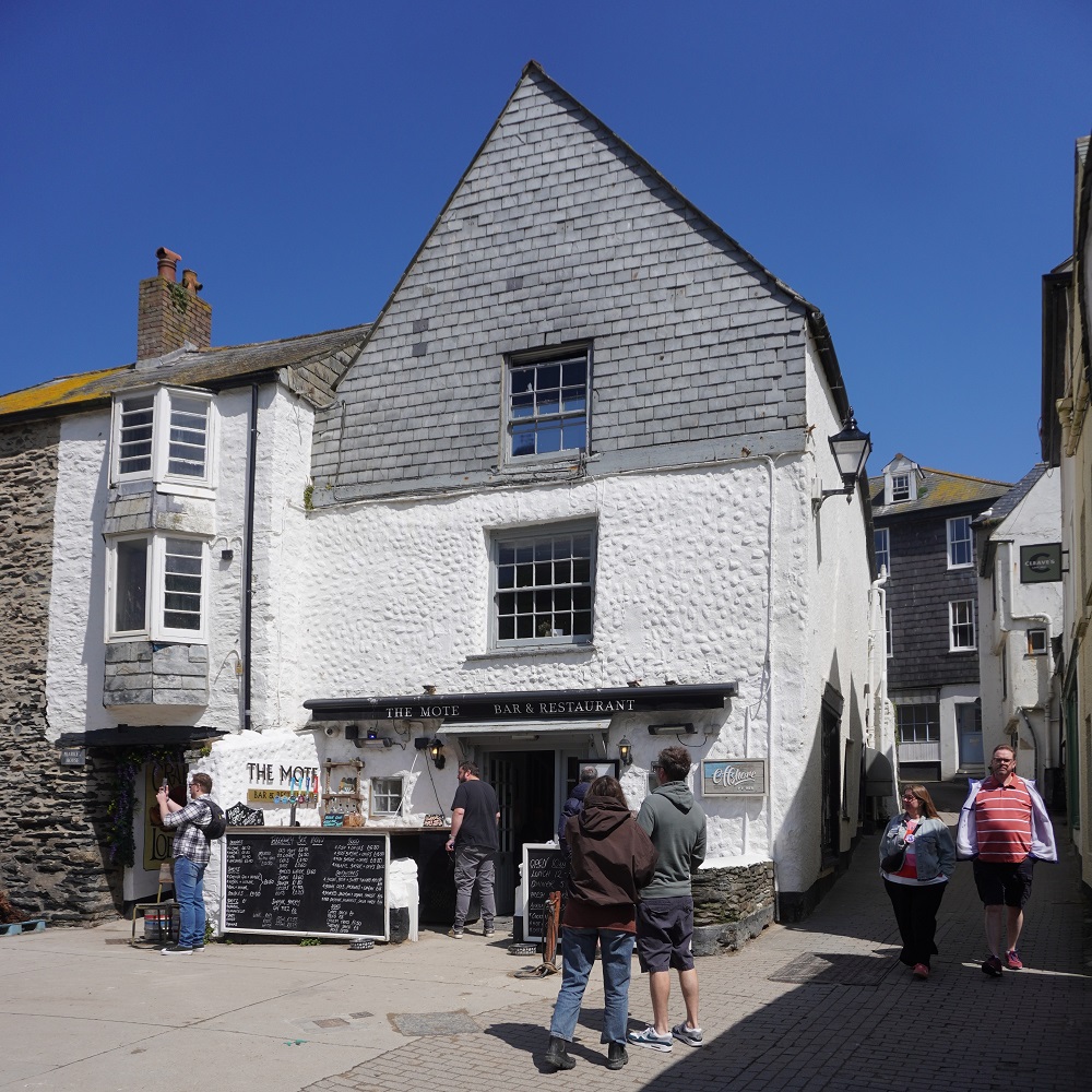
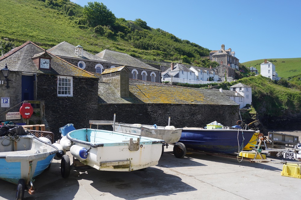
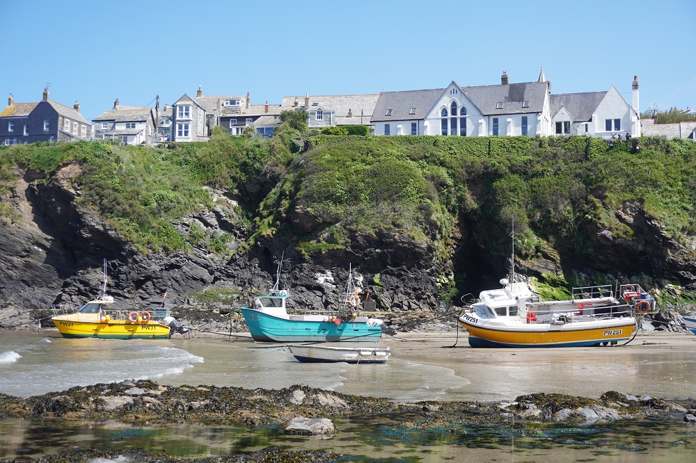
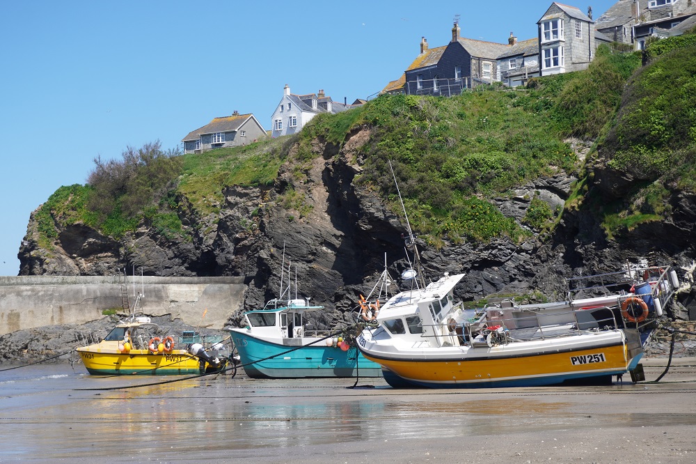
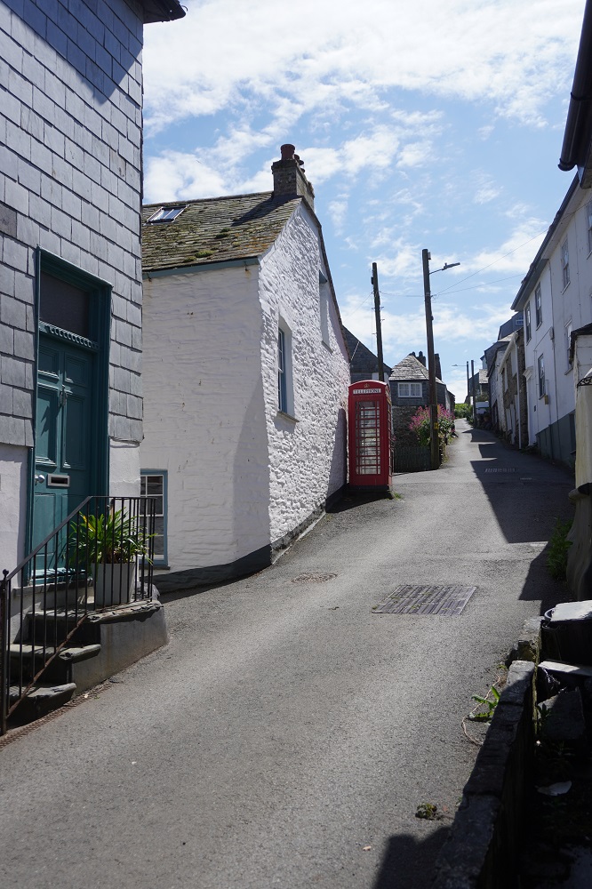
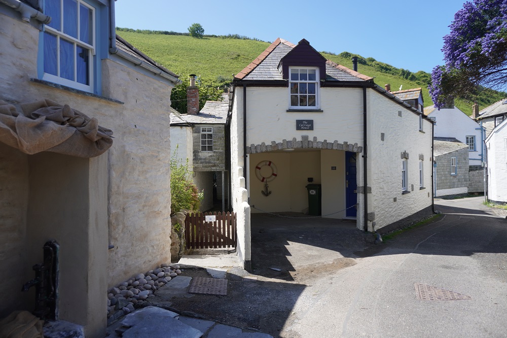
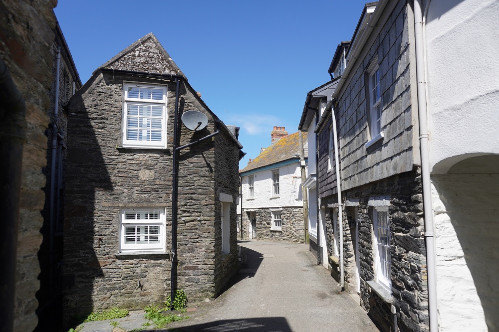
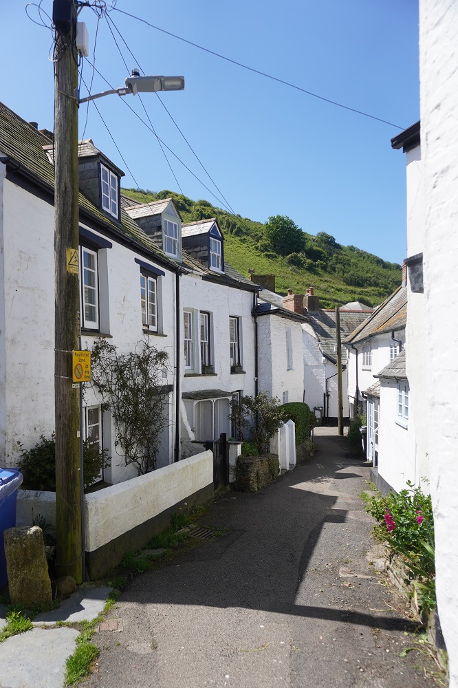
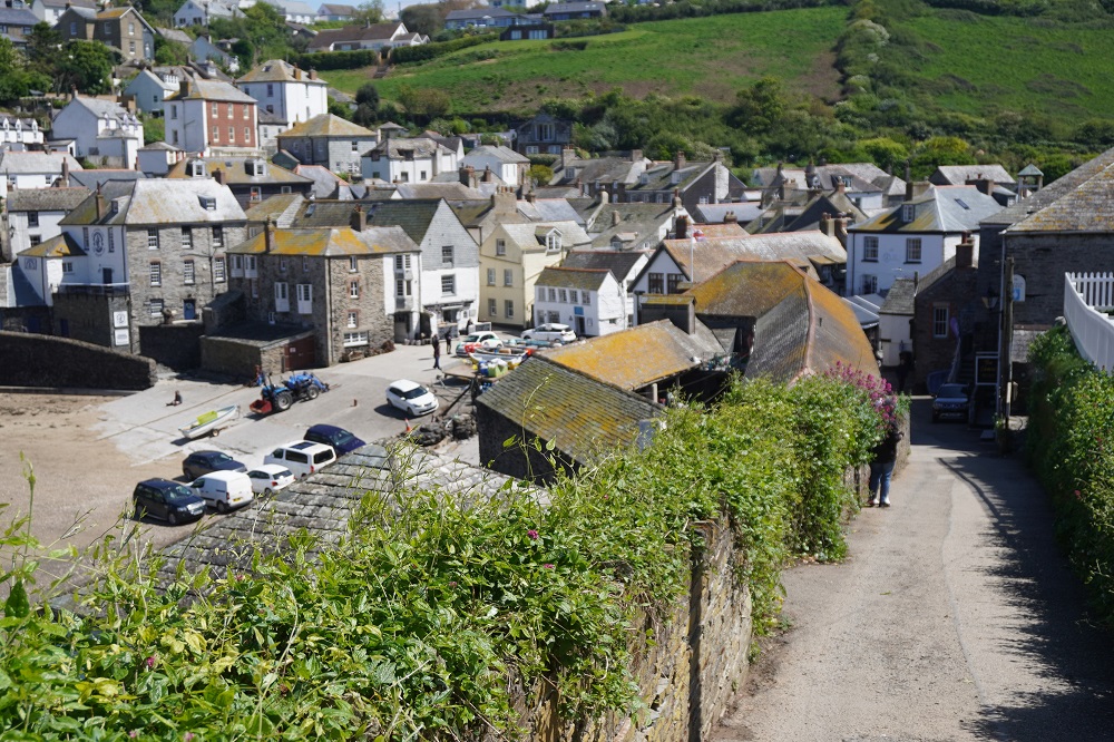
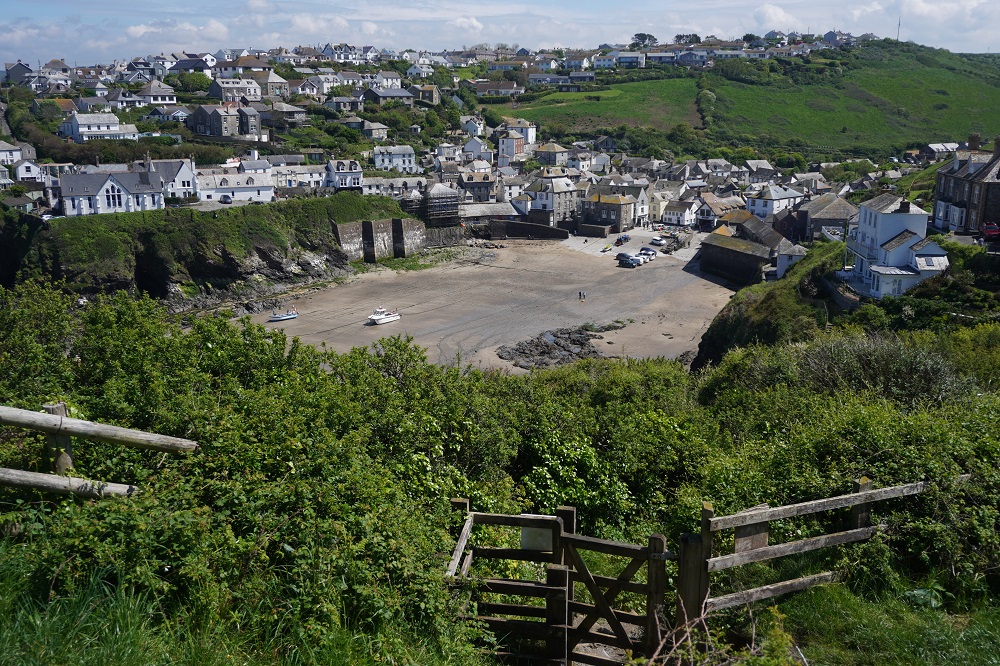
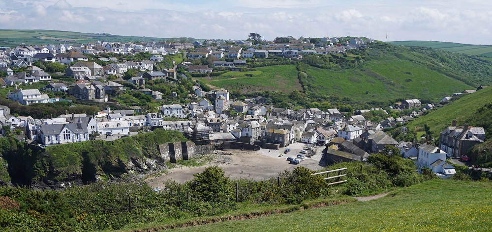
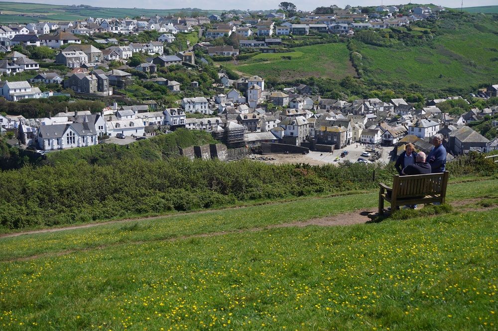
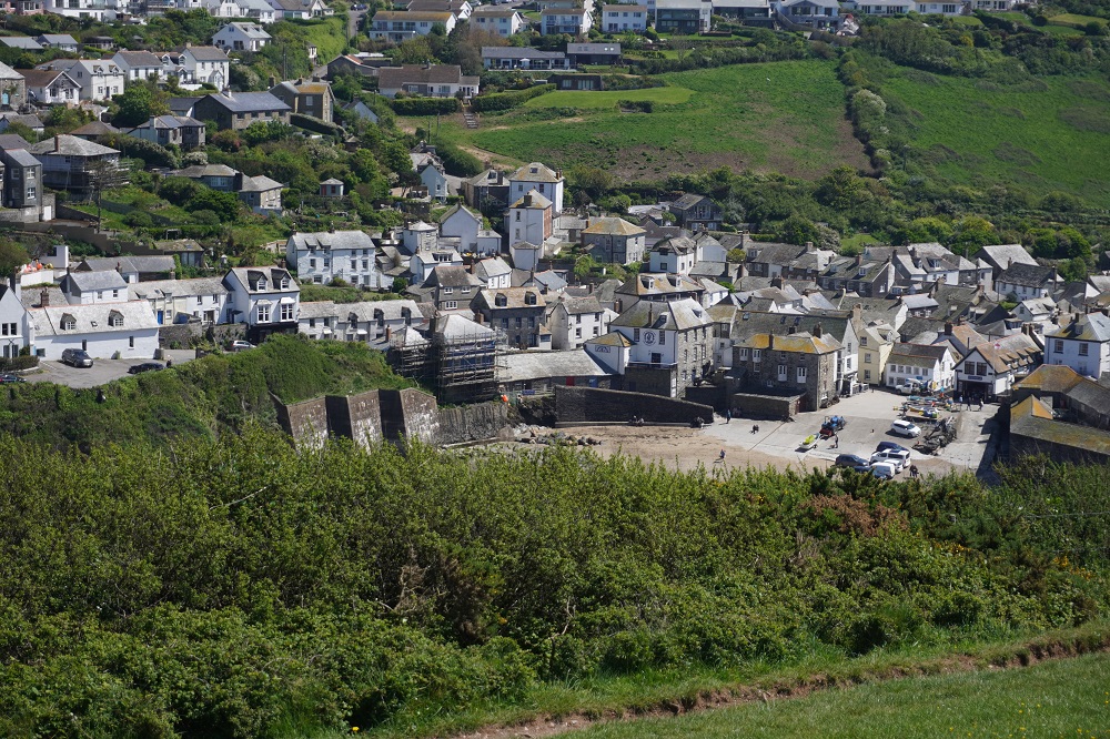
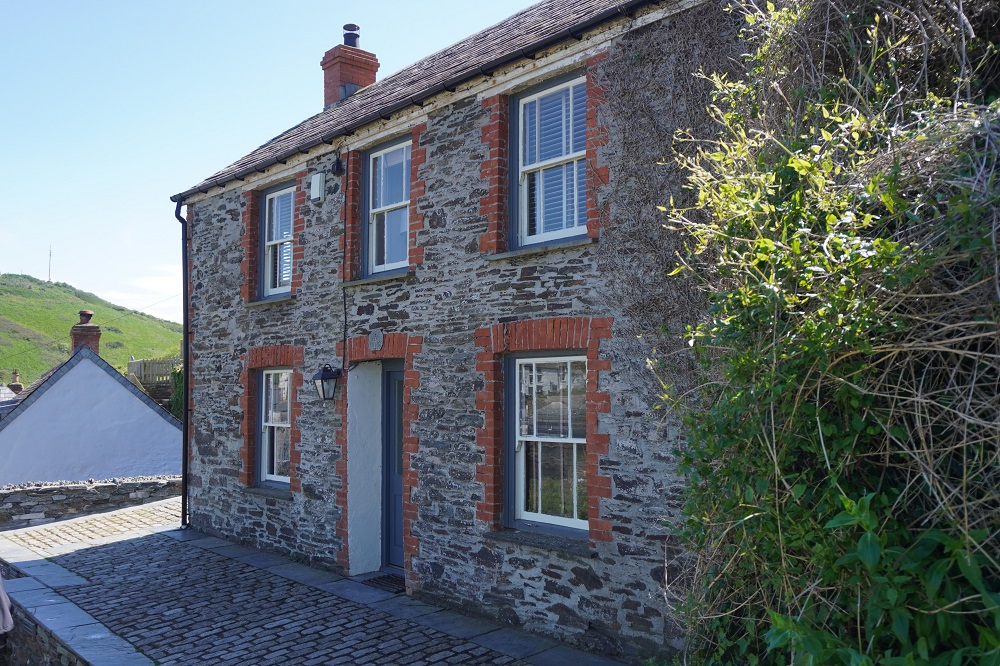
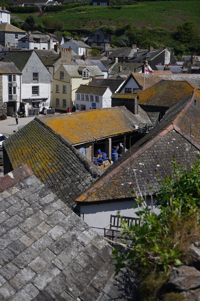
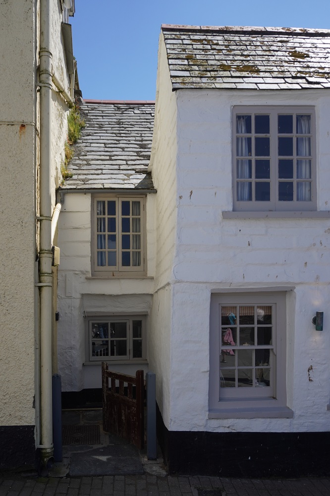
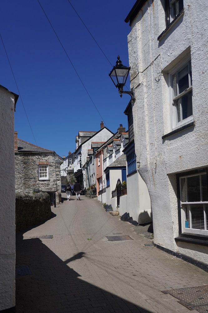
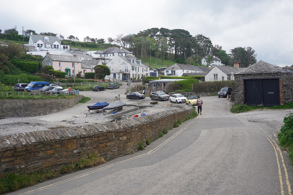
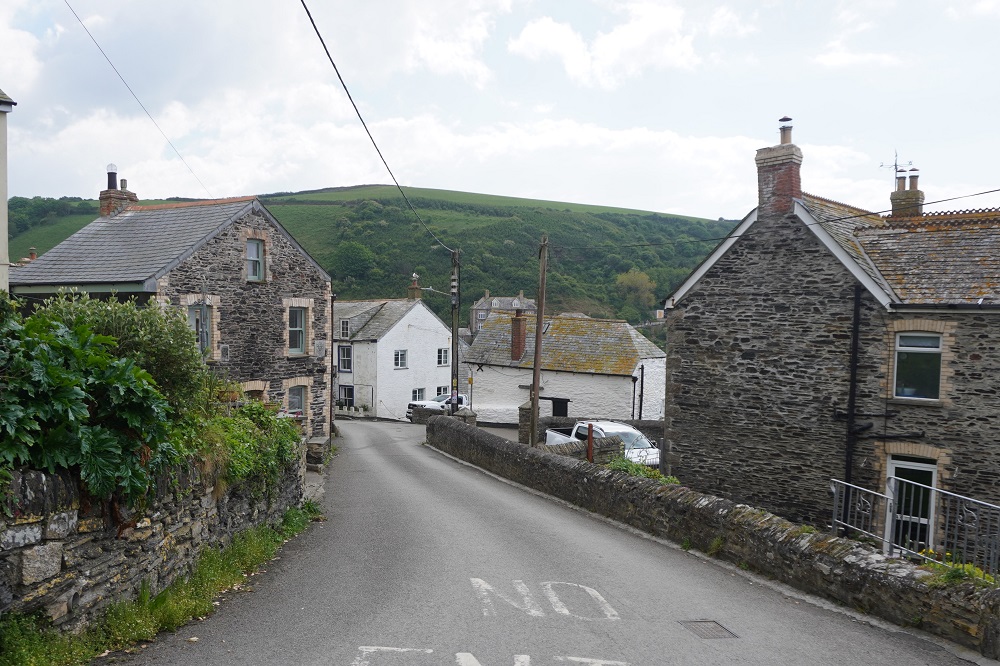
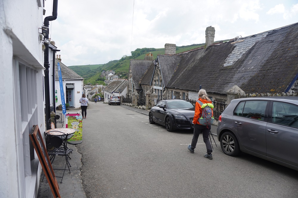
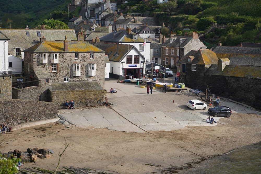
Port Isaac  was not named after anyone named Isaac, it comes from the Cornish Porthysek meaning “port abundant in corn” indicating a trade in locally grown corn. The pier was built during Henry VIII’s reign and there has been fishing here since the 14th century. Apart from corn the port also handled, coal, wood, stone, ores, limestone, salt, and pottery. It is still a working fishing port but it is now mainly a tourist destination. It has lovely white painted, slate roofed cottages and narrow winding streets. The old part of the village is quite small and compact with newer development on the surrounding hills.

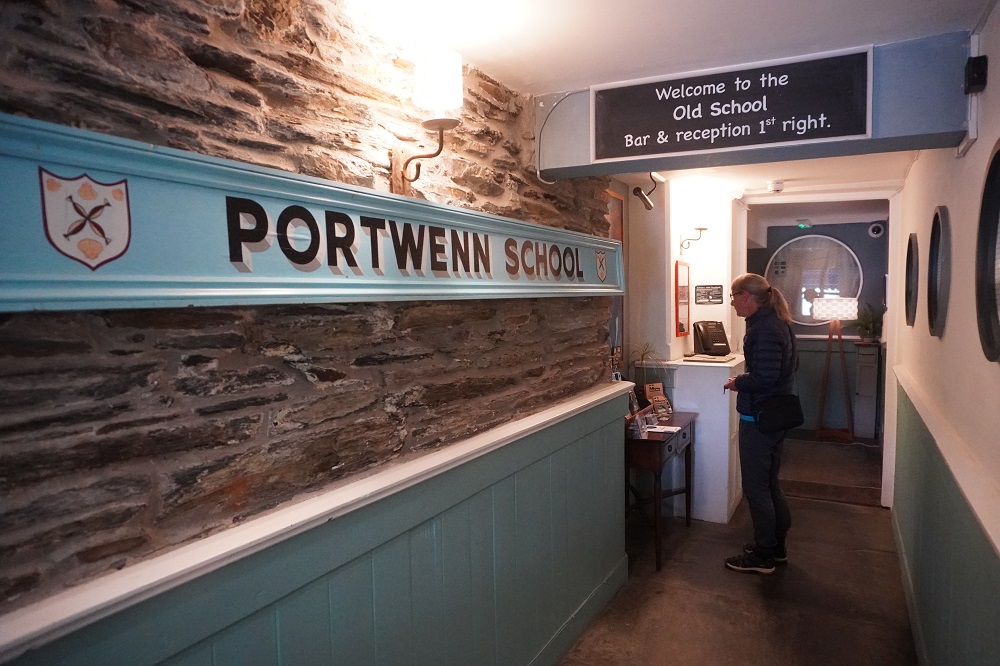
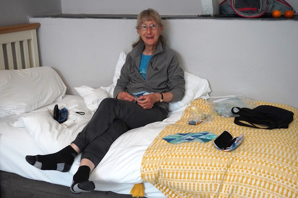
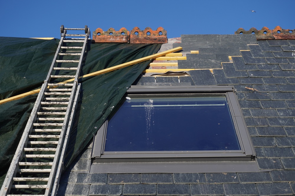
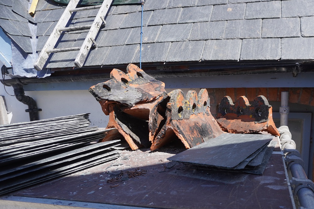
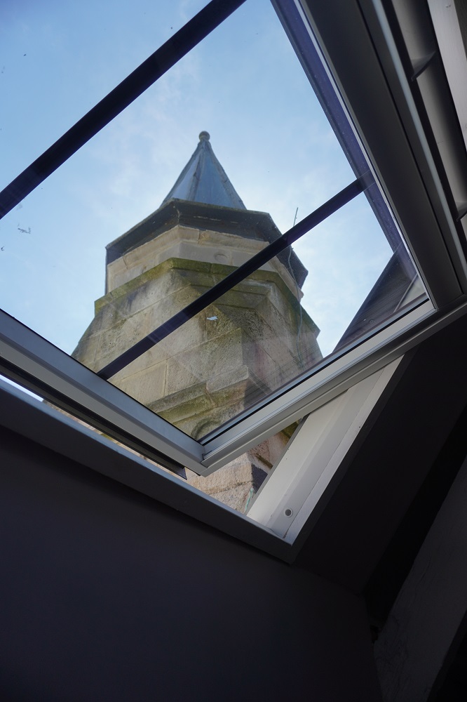
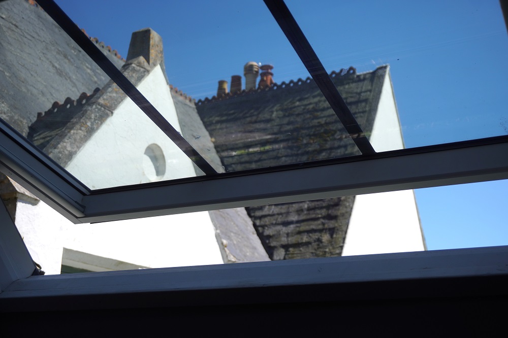
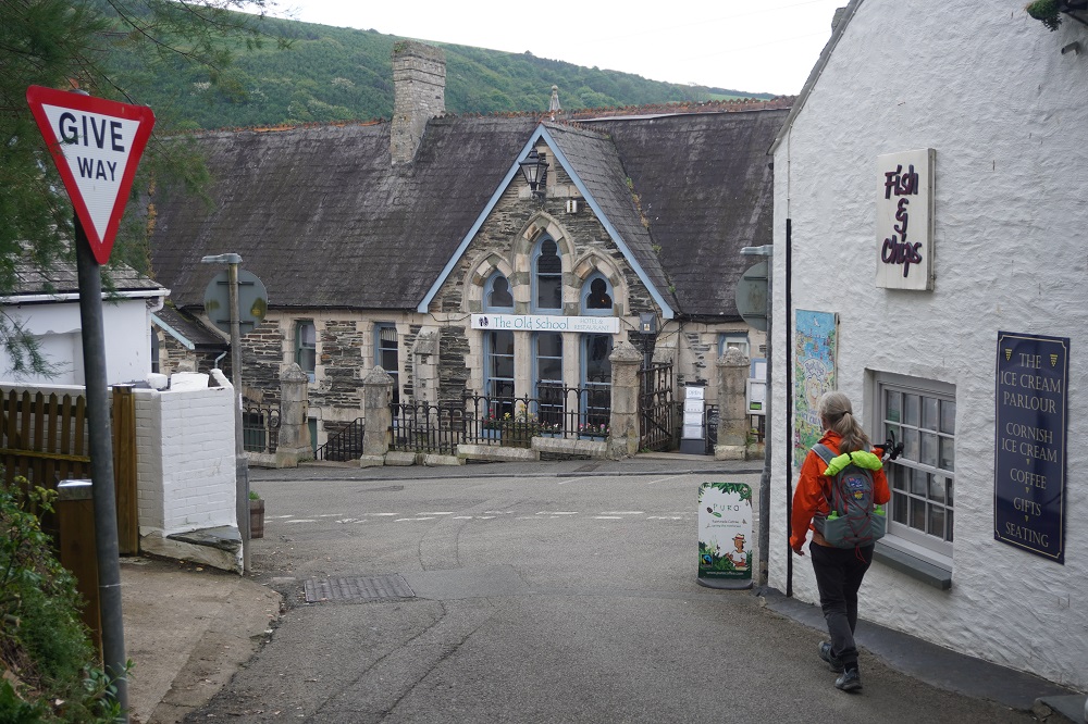
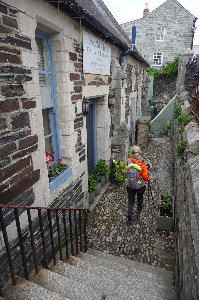
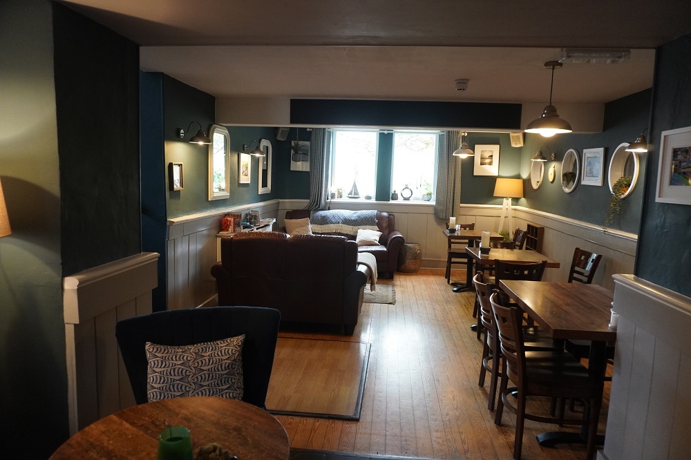
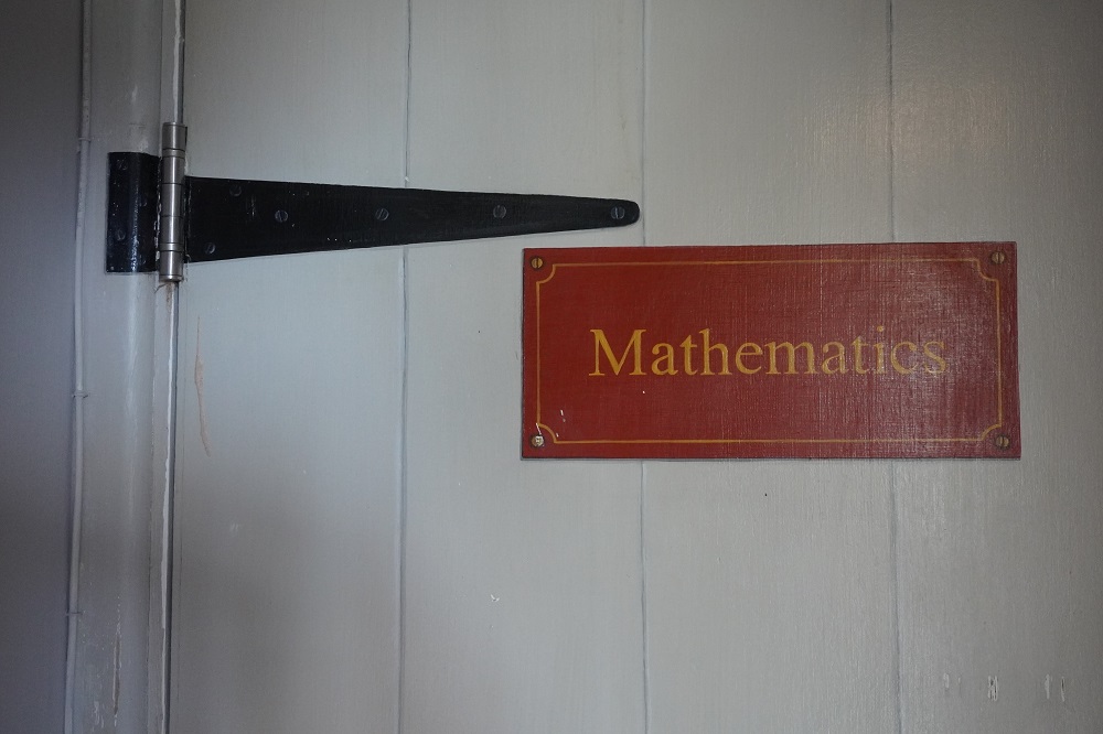
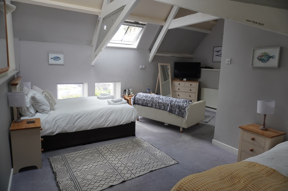
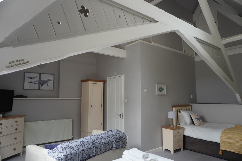
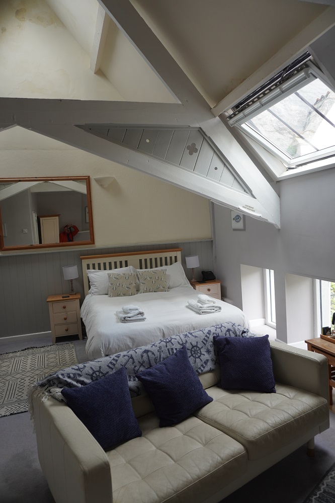
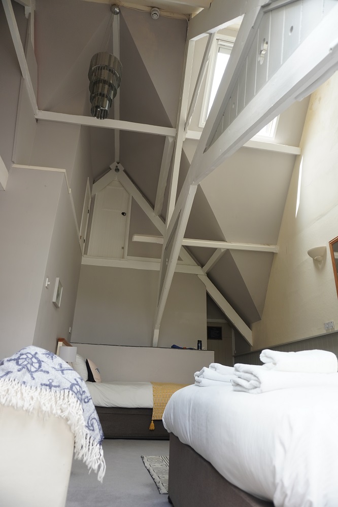
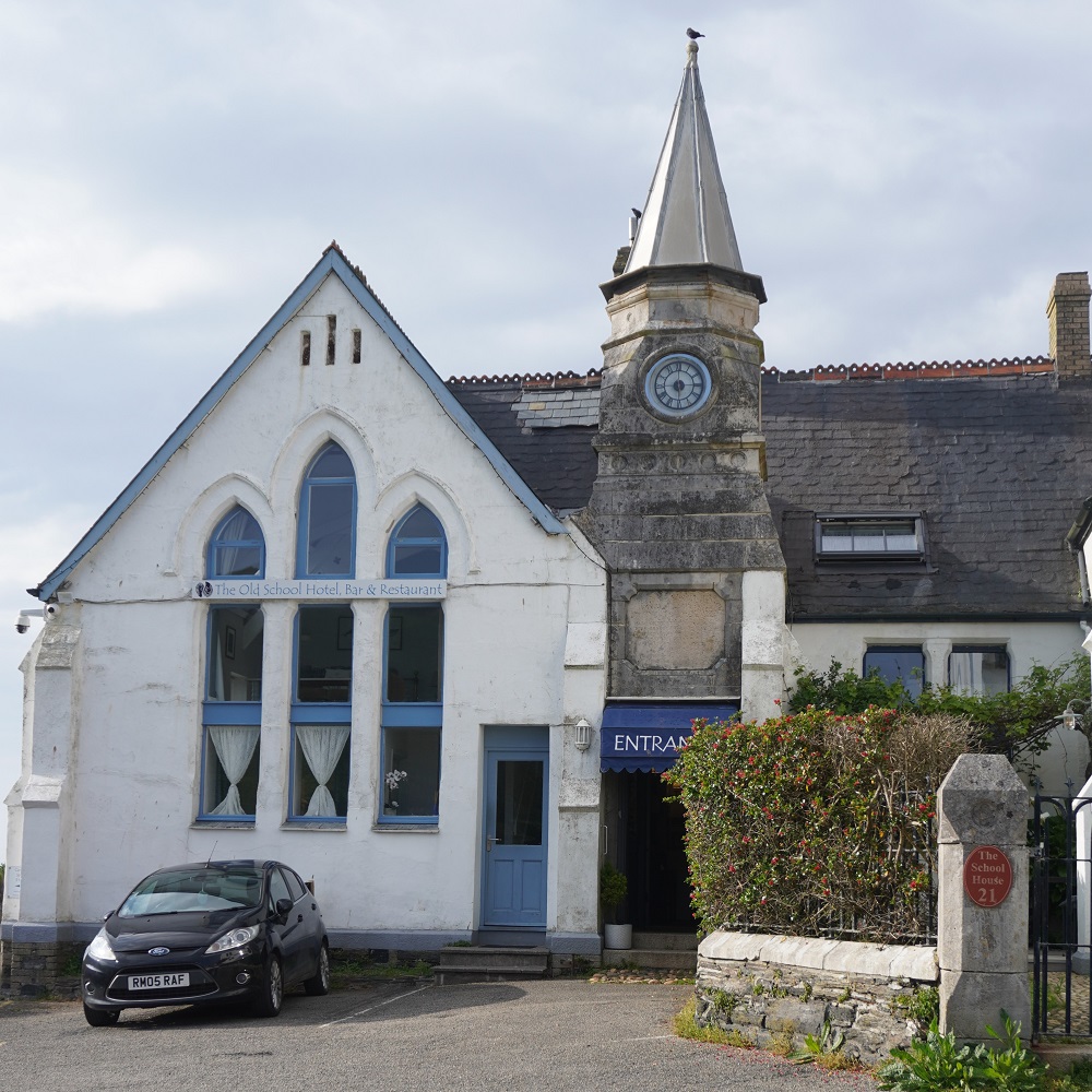
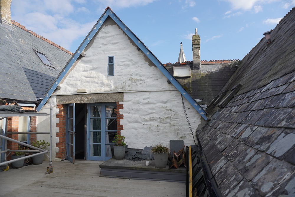
We are at The Old School Hotel which was a primary school built in 1875 and operated until 1977 with a roll of up to 238 local children. As I said yesterday our room is called Mathematics and there are also rooms called Latin, History, Geography etc. The door to the kitchen is appropriately named Domestic Science. Our room is double height and there are two large skylights, one right up at the ridge. The skylights are electrically controlled so you open and close them for ventilation, and open and close their blinds, at the push of a button. All very cool. Part of the roof is now being re-slated and it has been interesting (at least to me) to see the process of stripping off the old slate tiles and installing new. The tiles are very thin, only about 4mm. thick.

Back on the Coast Path tomorrow. One rest day is enough, we are restless (?) to be on the move again.

77 Sunset Strip

Monday 4 May 2026 – I’m 77 today

Day 14 of walking
Tintagel to Port Isaac
Distance: 17.14km
Total distance: 278.38km
Climbing: 789m
Total climb: 9,555m

“Hey, hey it’s my birthday
Happy birthday to me
Having such a good time”

Apologies to Lennon McCartney, The White Album 1968

For those who know Bingo, when the number 77 comes up the call is 77 Sunset Strip. This is in reference to a very popular American TV crime series in the late 1950s/early 1960s called 77 Sunset Strip. Sometimes at Bingo they even start singing the theme tune which is very catchy and only has 4 words followed by two clicks and lots of Ahs, Doos, Dahs. You can listen to it on Youtube. Only people older than me in their 80s will will know anything about this.

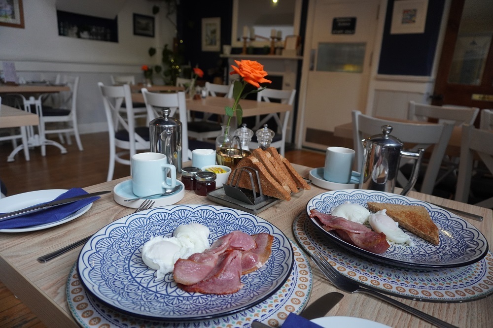
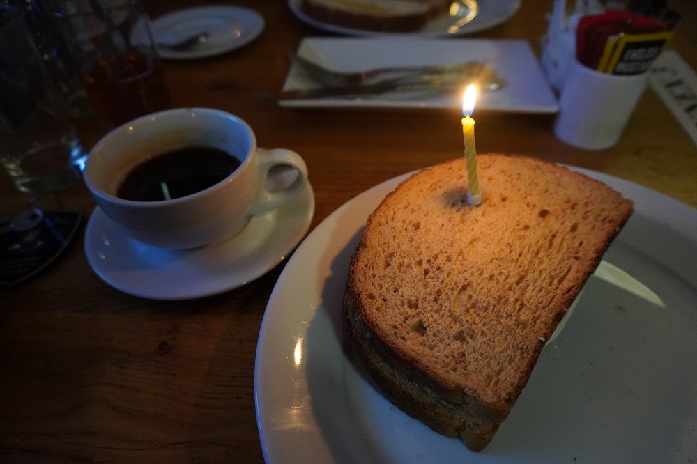
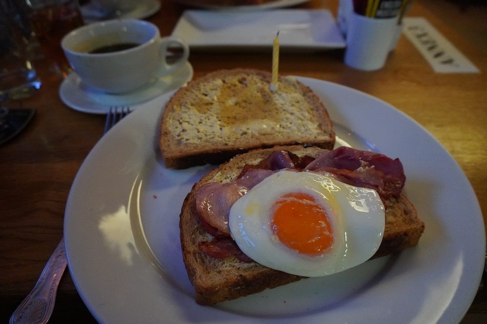
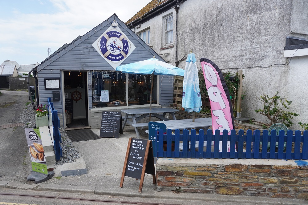
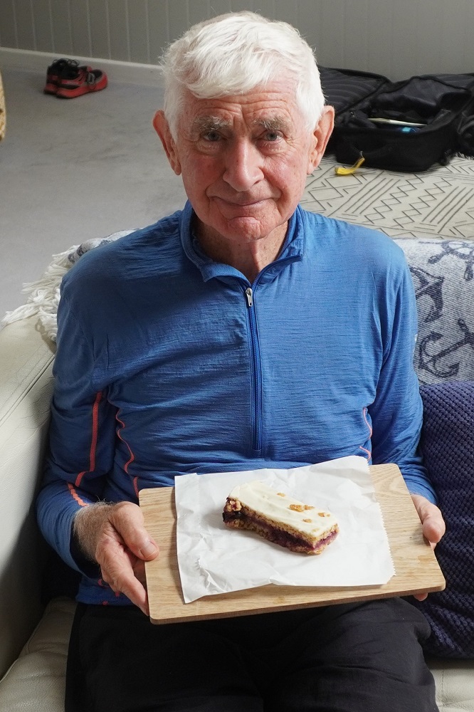
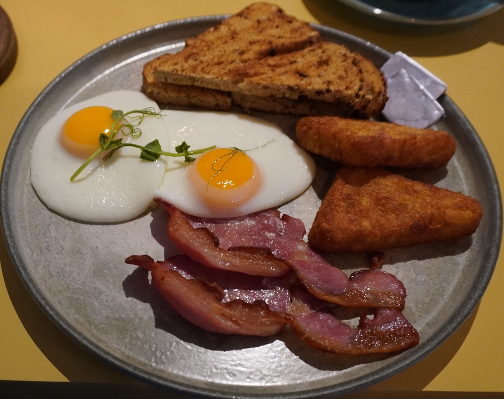
I have had a great birthday. While ordering breakfast this morning Barbara  mentioned it was my birthday and when the waiter brought out my bacon and egg bloomer it had a lit candle in it. So nice, and it meant I could make a wish.  No, they didn’t sing happy birthday! This afternoon in Port Isaac we decided to buy our first “true” Cornish pasties. In the bakery I decided to also buy some cake and when the lady heard it was for my birthday it was “on the house”. Tomorrow we will find the quaintest tea house in Port Isaac and have a Cornish Cream Tea to celebrate my birthday

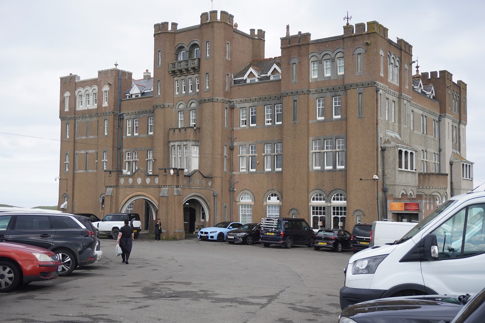
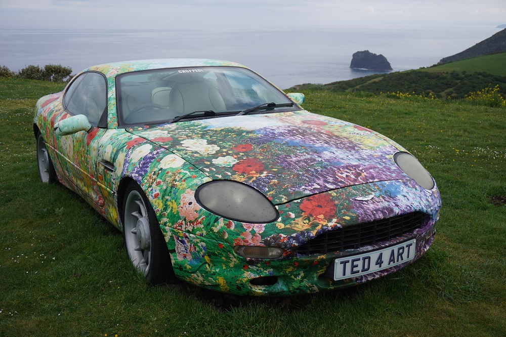
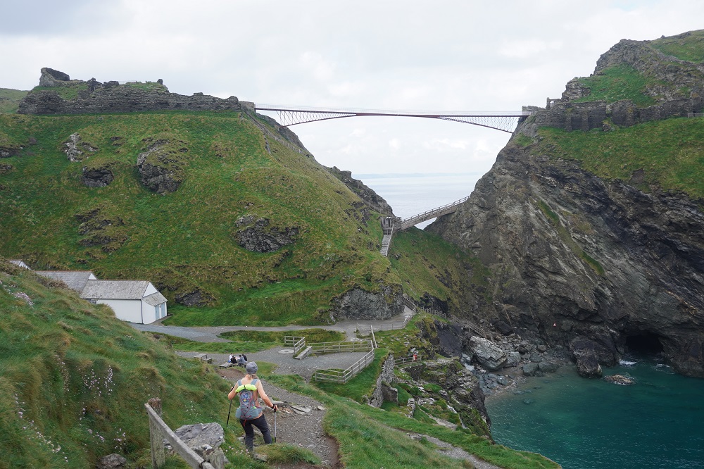
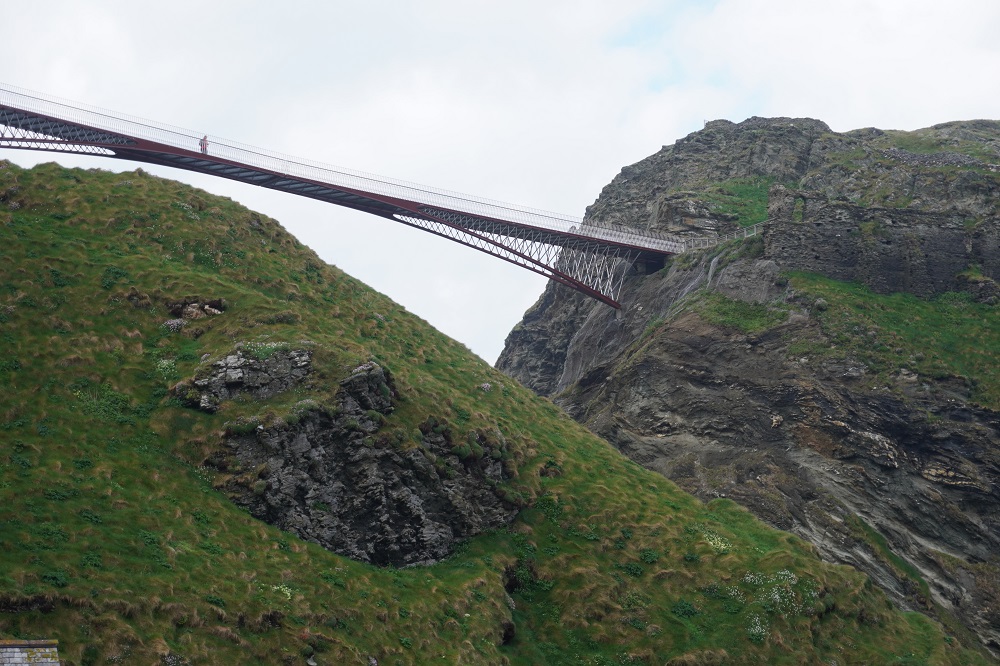
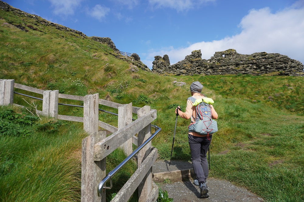
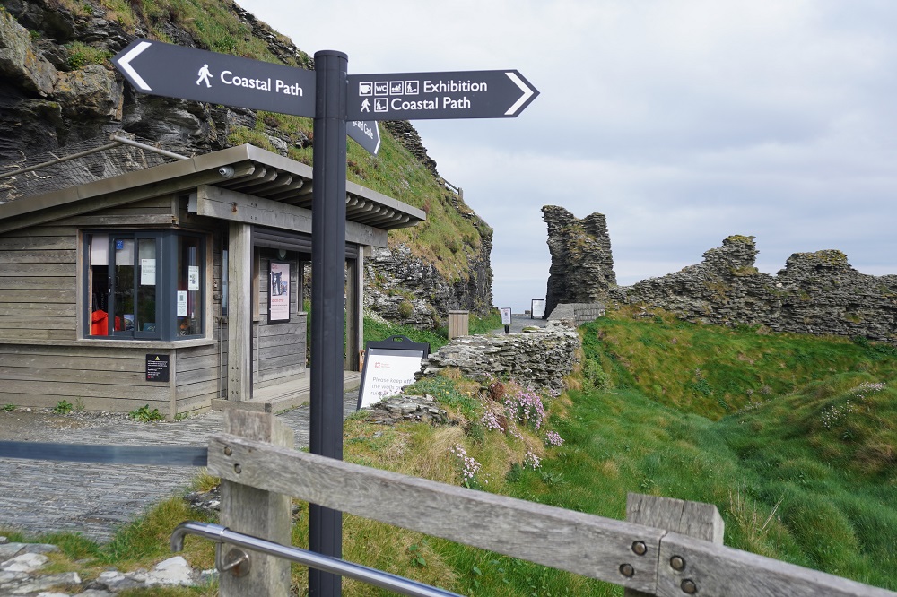
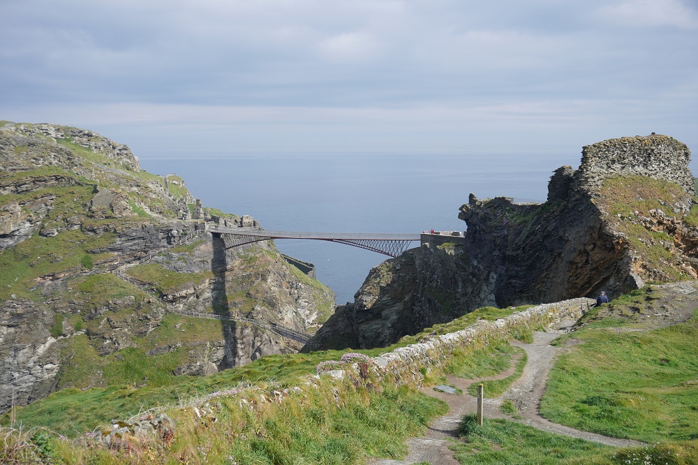
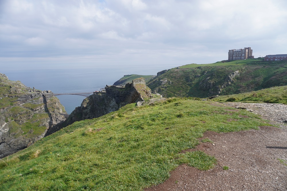
We back tracked a bit this morning to get back on the Coast Path and walked around the Camelot Castle Hotel, a huge Victorian structure on top of a headland. It has a focus on art and holds  art exhibitions in the hotel. On the lawn outside the hotel is an art installation of an Aston Martin car by Ted Stoughton, a blend of artistic imagination and engineering excellence. From the hotel you climb past the entrance to Tintagel Castle on Tintagel Head. Since we were here in 2018 an elegant high level bridge has been constructed linking the mainland with the Head. Previously there were steep steps down to near the water, a little bridge, and a steep climb back up. Now it is a level walk across, but only if you have a head for heights. An adult entry to the castle is £22 about NZ$55 each which we didn’t bother to do as there is very little of the castle remaining to see. It does have a cool sculpture, lots of interpretive material and fabulous views up and down the coast.

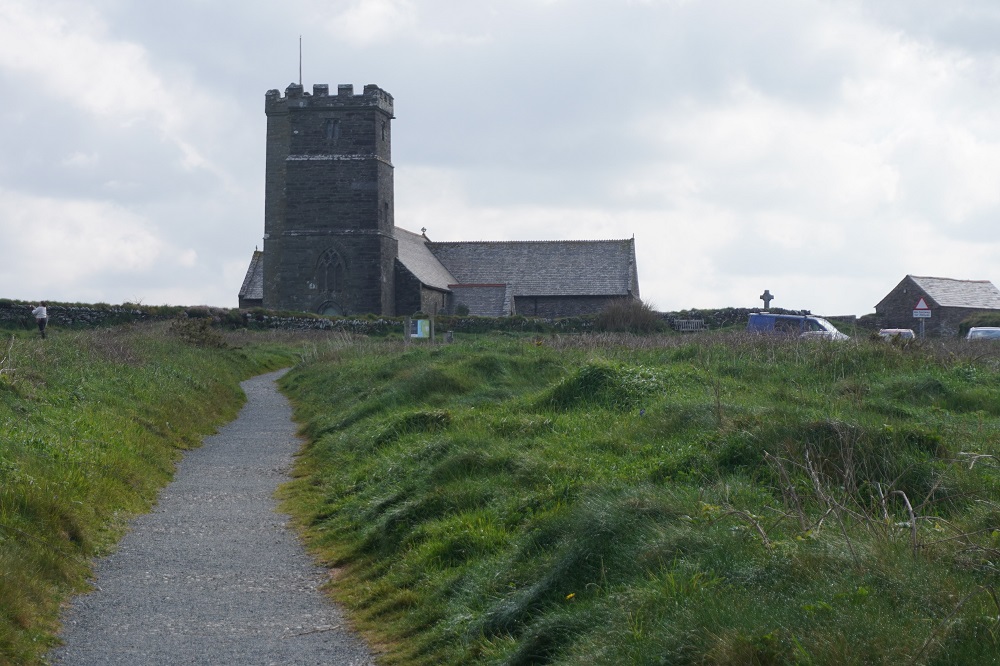
Just past the Castle is the lovely medieval (11th or 12th century) St Materiana’s Church. It has a high tower and is perched on a high dramatic cliff top. It was to be our reference point all day and even from the headland approaching Port Isaac it was visible about 17km away.

Another tough day of high cliffs cut by precipitously steep valleys. It was an empty, remote, arduous and dramatic coastline. At about the halfway point, squeezed into a steep valley was the hamlet of Trebarwith Strand, a tiny little settlement with a sandy little beach, The Port William Inn, a shop, cafe and most important of all, public toilets. Being a Bank Holiday Weekend Monday it was busy and there were a few hardy souls in swimming.

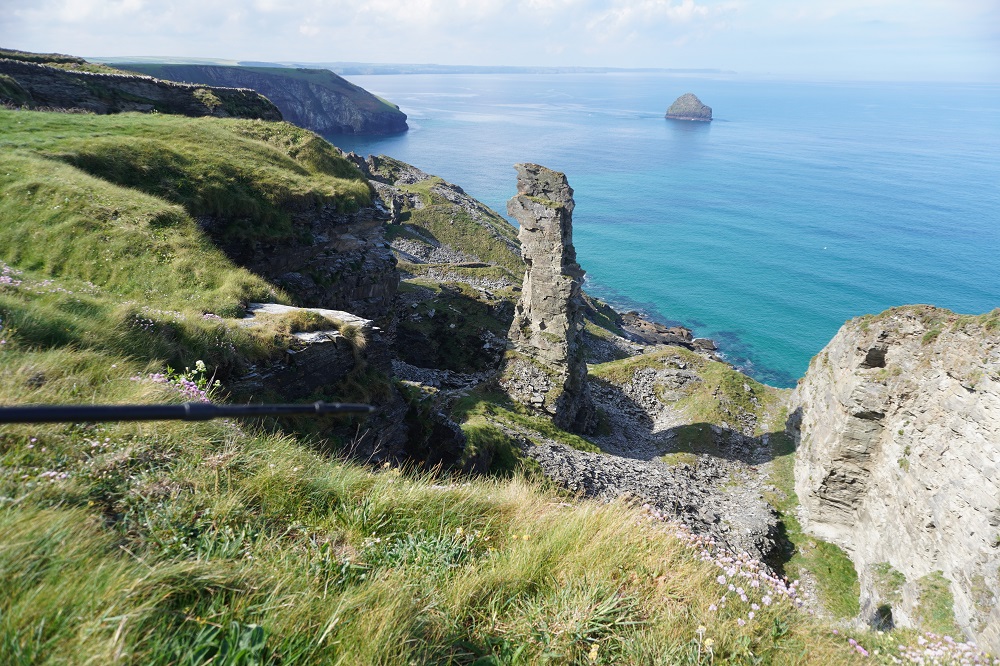
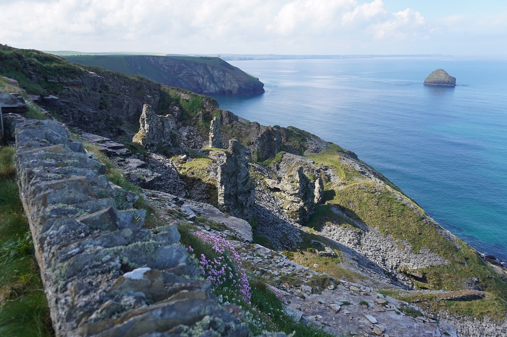
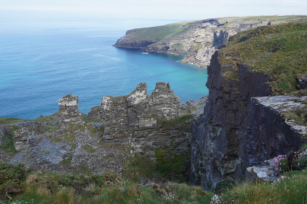
We passed through an area of once thriving slate quarries on the cliffs. This area was worked for slate for over 300 years. There were isolated pinnacles left in the quaries. One theory is that these were the fixing points for cables lowering the slate to ships below. The other theory is that they are inferior slate not worth the effort to extract.

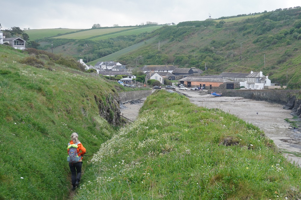
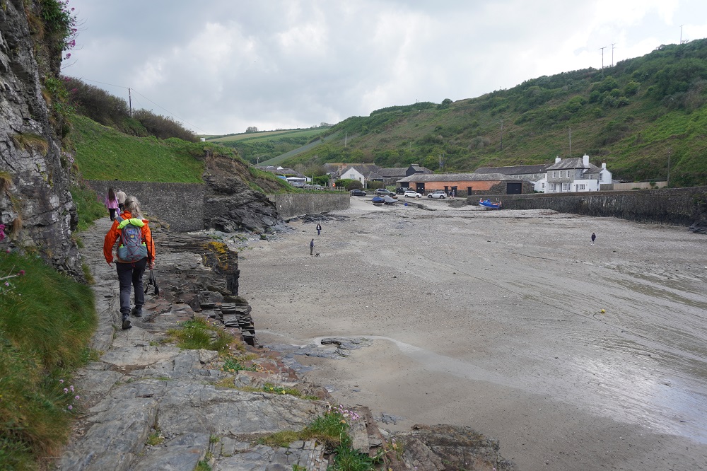
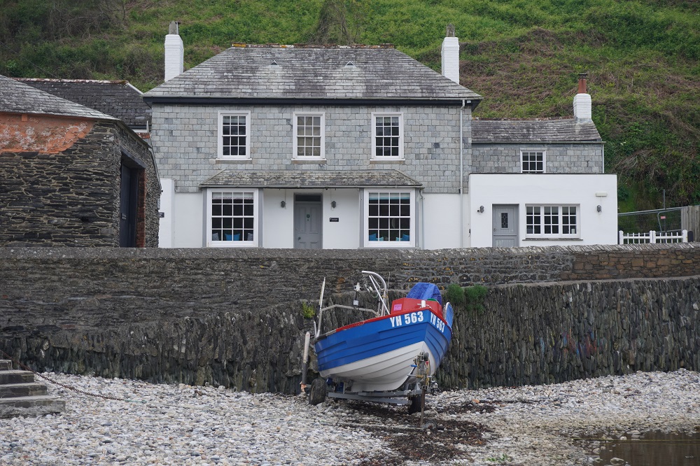
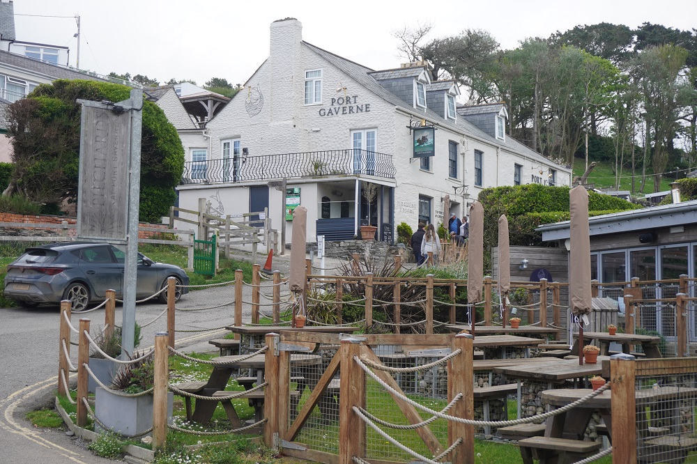
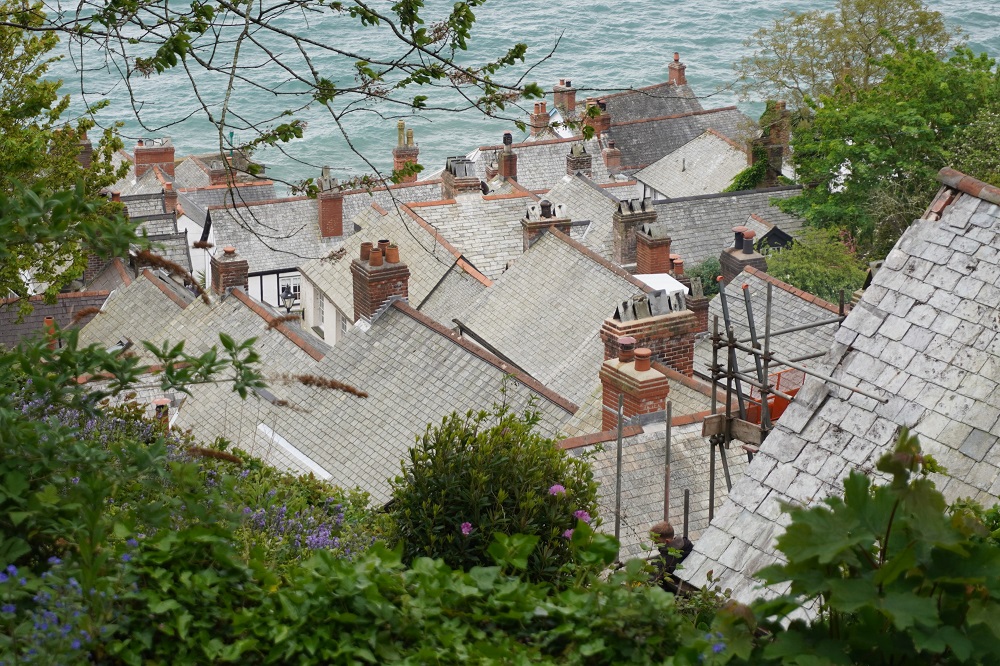
Just before reaching Port Isaac we passed through Port Gaverne which has a very nice hotel (we stayed there in 2018), a slipway and a few cottages. It is only 1km further on to Port Isaac where we are staying for two nights. Our accommodation is The Old School Hotel a gorgeous 1875 building formerly a school with a restaurant, very nicely fitted out rooms and a view down to the the harbour. We are up in the roof space again. You have to exit the main building, climb some outside stairs, cross over a flat section of roof, re-enter the roof space where we are among some very interesting old timber trusses. It is a very generous room and currently holds the record for the biggest room we have slept in. The rooms all have school subject names. Ours is Mathematics, and next door is Music.

Tomorrow is a rest day here in Port Isaac, and we need it. The last week has seen the steepest sections of the entire Coast Path. We have now walked the equivalent of our Vivian St apartment to about 10kms short of Waiouru.


Myths and Legends

Sunday 3 May 2026

Day 13 of walking

Crackington Haven to Tintagel
Distance: 18.89km
Total distance: 261.24km
Climbig: 1,065m
Total climb: 8,766m

Last night the forecast did not look good with light rain forecast for a lot of today. Not a good thought to go to sleep on. This morning the forecast had improved to light rain from noon. Breakfast today didn’t start until 8.30. We prefer a 7.30 breakfast and get an extra hour of walking in the morning, especially with the rain coming in the afternoon.This morning’s section was one of high cliffs, the highest cliffs in Cornwall. The highest is imaginatively called High Cliff (223m). It is also the highest sea cliff in England. This was an isolated section and the massive, bulky cliffs make it feel quite lonely. There were few beaches, only one at The Strangles that is accessible down a very steep path. We saw some feral goats and from one high headland could look down to a bay with about 50 basking seals. From the top of the first headland out of Crackington Haven we could see the outline of Camelot Castle Hotel on the headland at Tintagel 20 kms away.

The highlight of the day was Beautiful Boscastle a small village tucked into a deep green valley that ends in a naturally sheltered harbour. There was a 12th century castle here but little trace of it can be seen today. Boscastle made headlines in 2004 when a flash flood swept down the valley carrying away houses and vehicles and causing chaos. Miraculously no one died. Within a year most of the buildings had been faithfully restored or rebuilt. You can tell the restored and rebuilt buildings because they are straight and square with new slate roofs. The buildings that survived the flood undamaged are still a bit wonky with sagging roofs and uneven floors. We spent a bit of time there and bought some delicious date and pecan oaty slice, solid and very filling. This is a very busy tourist village as coaches going on to Tintagel call in here and disgorge 60 people at a time. There is also the popular Museum of Witchcraft and Magic.

It was 11km to Boscastle and then 8 km to Tintagel. The latter section combined pretty much all we have seen on the Coast Path so far, headlands, sandy beaches, steep valleys, historic features and all on a manageable and not too taxing scale. After Boscastle there were a few spots of rain so the coats went on, but it soon stopped and we were much too hot doing the climbs so they came off again. Then the light rain set in a bit so the coats went on again and stayed on into Tintagel. There was a public footpath leading from the Coast Path into the village of Tintagel before you reach the imposing Camelot Castle Hotel and the Tintagel Castle ruins. We decided to take this and get to our accommodation and out of our wet clothes. We will back track in the morning to go via the hotel and castle.

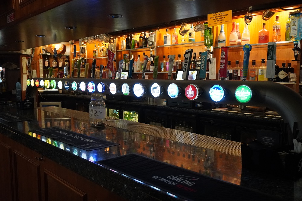
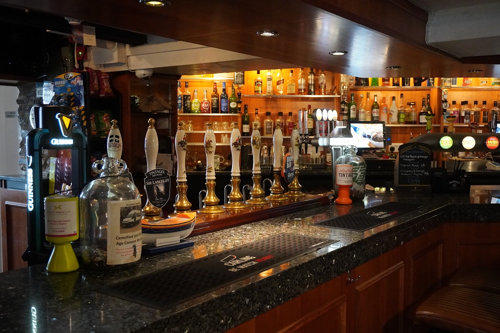
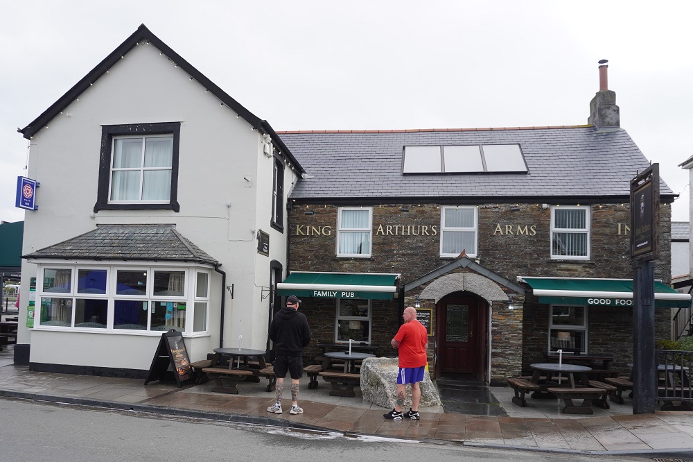
We are staying at King Arthur’s Arms in the heart of Tintagel. We presume this “Arms” are as in weapons, not arms as in legs, feet etc. It is a very comfortable inn/hotel/B & B/free house. We are in a newish annex to the old hotel. It is by far the largest room we have had so far, has an enormous accessible bathroom you could fit a rugby team in, and best of all is at ground floor with no stairs. A first on this trip. We had a meal there, Homemade beef stew with mash, vegetables and dumplings. The meal size was enormous and neither of us could empty our plates. After going to Sainsburys in Bude the other day to get an eye mask, would you believe it, in our room were complimentary eye masks and ear plugs. Also a vanity kit, shoe shine sponge and comb. What we really wanted was a little sewing kit so we can do running repairs as we go. When we checked in they told us a live band was booked from 8 o’clock. Maybe that’s why the ear plugs.

Tintagel seems to be a town surviving solely on the legend of King Arthur. As well as our pub, his name is used for pasties, pizzas and much else, And if not his name then Camelot, Guinevere, Merlin, etc. You can probably bring home a suit of armour from here. There has been settlement here from the Iron Age and a castle, now a total ruin, built on the rocky promontory in 1236, a stronghold of the Dukes of Cornwall. Back in the 6th century a real king called Arthur did exist but all the stories about knights, round tables, Merlin the Wizard, swords in stones, and King Arthur being born here is fiction. It is all good fun. Everyone loves a story of romance, chivalry, bravery, tragedy and magic spells

A significant milestone today. We have now walked just over 250km, so a quarter of the journey completed. Tomorrow we will have climbed one Mt Everest (8,846.48m from sea level).


The rain came

Saturday 2 May 2026

Day 12 of walking
Bude to Crackington Haven
Distance: 18.95km
Total distance: 242.35km
Climbing: 760m
Total climb: 7,701m

First stop this morning was to Sainsburys to buy Barbara an eye mask. She likes a room to be very dark when she sleeps. Unfortunately many of the rooms we sleep in have thin or poorly fitting curtains and blinds and often there are street lights outside. She has been using an old airline “freebie” but the elastic has perished so it was off to buy a new eye mask. She now has a Sleepyzzz’s, 100% light blocking, adjustable headband, washable, with fleecy lining eye mask. Should do the trick.

We had a walk around the canal this morning. It is a popular fishing spot and there were a few anglers already set up. The canal runs right to the sea and there is a sea lock-gate holding the water in the canal at low tide. An easy grassy climb takes you up to the Storm Tower at Compass Point. It was originally built as an architectural enhancement to the coastline and was based on the “Temple of the Winds” in Athens. It is an octagonal shape with the eight principal points of the compass engraved on the appropriate face. It was gifted to the Coastguard and became a landmark for guiding ships. It is locally called “The Pepperpot”.

The walking continued to be easy on grassy low cliffs above surfing beaches to Widemouth (pronounced Widmouth) Bay. Once past Widemouth the hard work really began. The beaches gave way to an ever higher and more rugged coastline cut by deep and steep valleys. Four of these, and they had interminable switch backs or straight sets of hundreds of steps. There was some relief in woodland at the bottom of valleys and rolling meadow at the top of headlands. We stopped for lunch at Chipman Point on a bench that we discovered had “Poole 500 m” carved into it. We try hard to  think only one or two days ahead. 500 miles is just too daunting to comprehend.

It was a murky morning, no wind and not cold but a bit dreary. The forecast was for light rain from 2pm and we were hoping to get to Crackington Haven before then. We made good time for the first half of the day but when we hit the big valleys we slowed down a lot. We climb up really well but going down steep paths of loose rubble has to be taken slowly and carefully. Sure enough at 2pm the drizzle started, on went the rain coats and we had a wet last 20 minutes or so to the Coombe Barton Inn at Crackington Haven. This the first rain since leaving home 17 days ago so we cannot complain.

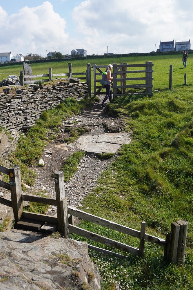
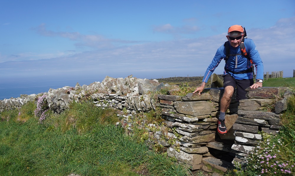
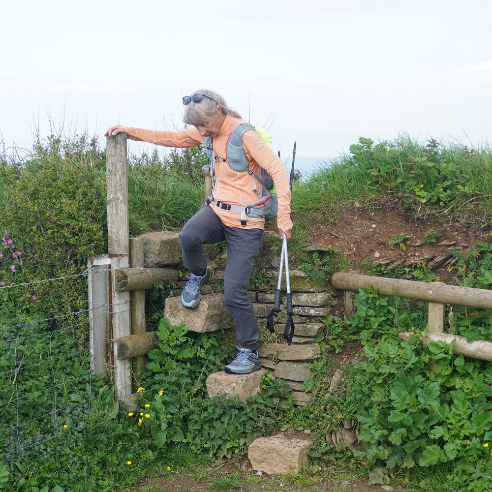
We had a number of stiles to climb today. In Ireland we had to climb hundreds of them but they are relatively rare on the SWCP. Today we climbed four. Usually at a fence or hedge you get a kissing gate which we find much easier to pass through than our inflexible old bodies trying to get over a stile.  I think those with a big pack on their back prefer stiles, or jst a standard hinged gate with latch, as the kissing gates are often a tight squeeze and difficult for them to manoeuvre through.

Crackington Haven is in a small cove with a lovely beach that is popular with families. There is the Coombe Barton Inn, a small shop, cabin café, large car park and about a dozen houses. The Inn is pulsating, the music going, and it is Bingo night. It is also Saturday night of a Bank Holiday Weekend so a bit busier than usual. We of course are tired and just want to get to sleep but that might not be possible for a while yet.

We are listening

Friday 1 May 2026

Day 11 of walking
Morwenstow to Bude
Distance: 14.94km
Total distance: 223.40km
Climbing; 634m
Total climb: 6941m

Today we awoke to Mowenstow shrouded in mist but by the time we had finished breakfast it had all disappeared. The Bush Inn is 1km inland off the path so we had to retrace our steps of yesterday back to the coast. First highlight was Hawker’s Hut. This is a tiny hut on a steep cliff built by the Rev Robert Stephen Hawker as a lookout to warn ships of the dangers of navigation. It is built entirely of timber salvaged from ship wrecked boats. He also entertained literary friends in the hut and wrote essays and no doubt sermons. Hawker became vicar of St Morewenna and John the Baptist in 1834 and was something of an eccentric. He wore colourful clothes, sometimes dressed as a mermaid and excommunicated his cat for mousing on a Sunday. He was also extremely compassionate and introduced the practice of giving the bodies of shipwrecked sailors a Christian burial. Previously they had been allowed to bob around in the ocean for days and couldn’t be buried in the church cemetery because it was not known if they were Christians. Along this coast over 150 ships have been wrecked between Morwenstow and Bude. At his funeral mourners wore purple instead of black.

Visible just about all day was the enormous site of GCHQ Bude. GCHQ stands for Government Communications Head Quarters. This is a UK Government high security satellite ground station and “eavesdropping” centre monitoring global communications. This site focuses on collecting data from satellites and intercepting data and voice traffic from communication networks. It was secure behind security cameras, two layers of high fence with razor wire. It definitely gave the impression you were being watched and listened to. The large dishes were visible as we left Morwenstow and we can still see them from outside our guest house window in Bude.

Today was a relaxed day. The wind had blown itself out and it was a nice calm day. Cloudy and cool at first but sunny and hot by the time we reached Bude. There were another 5 valleys to descend and ascend and the first three were just as steep as yesterday but they tapered off a bit as we approached Bude. The last two valleys also had vehicle access and toilets. The first, Duckpool, had a seasonal café in a caravan (The Hedgerow) and the second at Sandymouth had a substantial permanent café. We did all the difficult walking comfortably and the last few kilometres were easy over gently undulating grassy meadows. The high cliffs and jagged rocks stretching out to sea have now given way to vast golden sandy beaches and surfers.

We stopped a couple of kilometres short of Bude at Crooklets Beach to have lunch at Rosie’s Kitchen. It was 1pm and we had time to fill in before we could check in at 3pm. We also stopped here 8 years ago for lunch. For those who want to know Barbara had Moroccan Mezze Salad with falafel, chef’s spiced hummus, toasted ciabatta, pickled pink cabbage, house salad, spiced toasted chick peas and chicken  and I had Taco Salad with crispy cos lettuce, avocado, beef tomatoes, grilled corn, jalapenos, tortilla nacho croutons, paprika ranch dressing and chicken. Delicious and very filling. We will just have some scratch food in our room from the supermarket for dinner. After going to the supermarket we had a couple of items to buy. Barbara wanted some lip balm as walking in the wind is not good on the lips, and the other day I stepped on my sunglasses and broke them. They sort of worked when patched up with dressing tape from the first aid kit but they could no longer be folded flat. Sunglasses vary in price from several hundred pound in upmarket shops, cycle shops etc., down to about 6 pounds in shops that sell all that sea side tat. I bought the latter as chances are I will stand on them as well.

Bude is a compact little seaside town with plenty of charm and character and a wonderful beach – Summerleaze. As well as the beach it has a large sea pool built in 1930, a man-made tidal saltwater swimming pool. It provides a safe place for people to go sea swimming as we have seen a few signs on the beach warning of rips. Bude has a small castle built in 1830 and surrounded by water from the canal.

Bude canal was dug to transport mainly sand inland to be spread on the land to improve the poor soil in North Cornwall. The original scheme was for a 90 mile canal connecting the Bristol Channel with the English Channel. 35 miles of canal were in operation by 1823 but with the coming of the railway, canal use gradually declined. There is a short section that has been prepared and is quite pretty. We will have a close look at it on our way out of Bude tomorrow morning.

Windy as

Thursday 30 April 2026

Day 10 of walking
Hartland Quay to Morwenstow
Distance: 14.45km
Total distance: 208.46km
Climbing: 635m
Total climb: 6307m

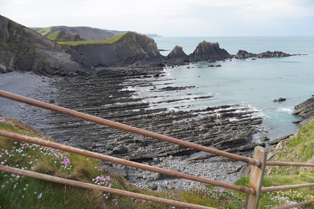
Today was one of the remotest and most beautiful stretches of coastline the SWCP has to offer. There are no villages or refreshments between Hartland Quay and Morwenstow. Despite a steep scramble up out of Hartland Quay the first part of the walk is gentle, passing two waterfalls, a small one at Wargery Water and a much more impressive one at Speke’s Mill Mouth. After an easy walk up a valley to Swansford Hill you are straight into five incredibly steep descents and ascents scrambling over valley after valley. It is an awe-inspiring and dramatic coastline with jagged edges of rock stretching out into the ocean, headlands with high steep cliffs and tiny inaccessible beaches.
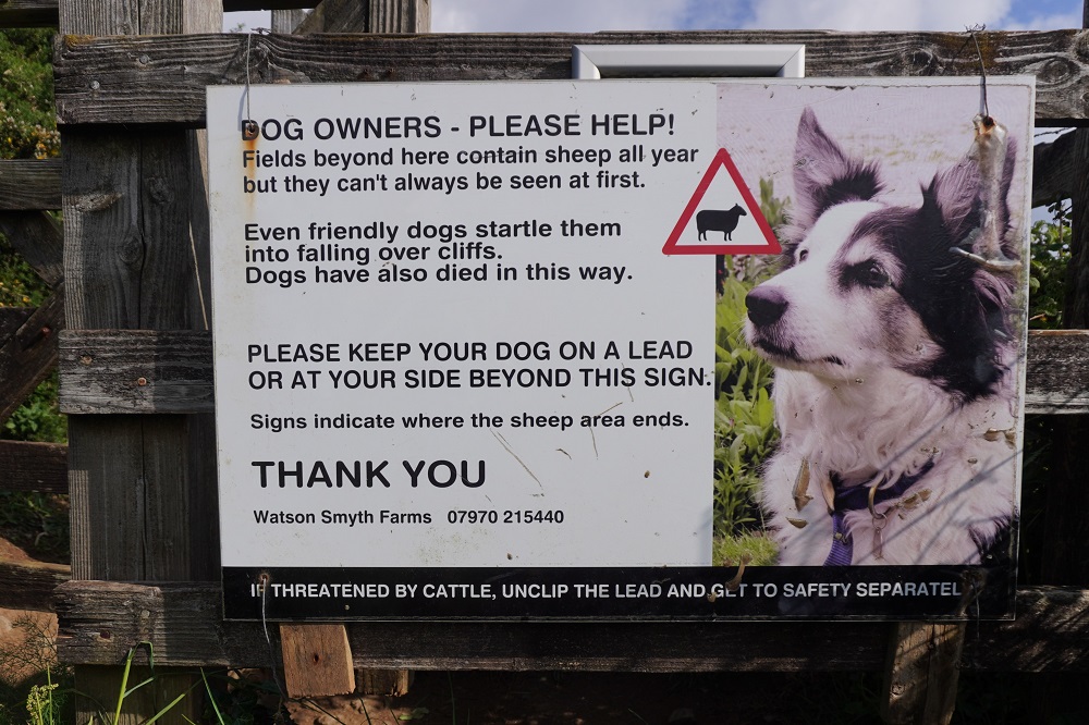
There were strong winds today, gusting up to 65km/hour. It was a cross wind for us and it was a bit unnerving at times on the high cliffs with a side wind blowing you toward the edge. There are also lots of signs warning of steep cliffs which are often undercut and can drop into the sea or rocks below at any time. We handled the walking very well today but feel a bit beaten up due to battling the wind all day.
We crossed the border from North Devon into Kernow (Cornwall), and there was a sign to let us know. Unfortunately the photo I took there is horribly out of focus, I think I slipped on the little bridge just before the sign. I will get a better photo next time we pass this way. Ha ha! There is also a sign saying 300 miles (480kms) to Plymouth. Plymouth is the end of the Cornwall coast and where you cross into South Devon. Now we are in Cornwall we can have genuine Cornish Pasties and Cornish Cream Teas.
On one of the descents we came across a lovely little stone hut. Ronald Duncan’s hut. Author, poet, playwright and pacifist. He built the hut so he could have views of the sea while he was writing. We made an entry in the visitors’ book and you could read some of his poetry and other work. It was another poem by John Moat called Welcome Beach that took my fancy:
“The pebbles are out of order. Some man’s
Been down to meddle with the stones again
………..”

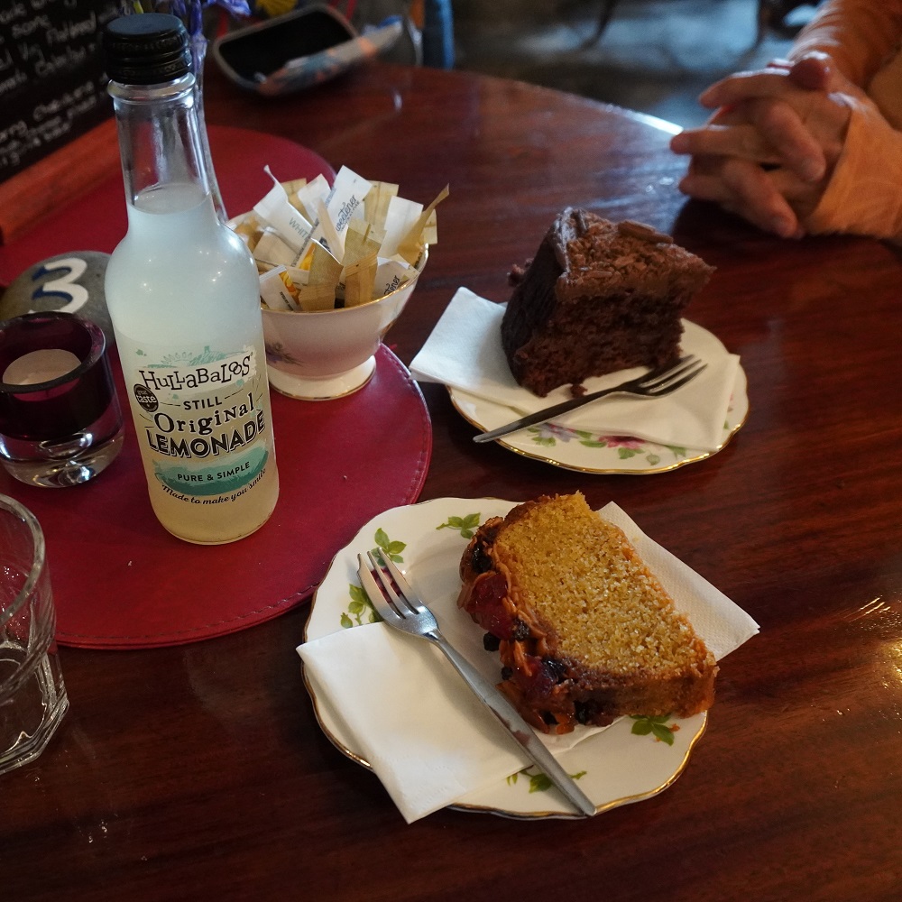
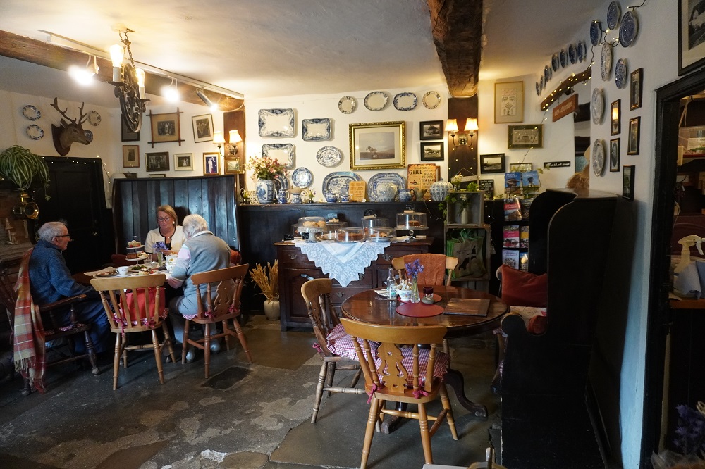
Shortly after our fifth steep climb and descent we were able to get off the roller coaster and go inland to the hamlet of Morwenstow. This is an ancient tiny settlement with just church and church yard, tea rooms, an inn/pub and a B & B. Someone had recommended to us the multi award winning Rectory Farm Tearoom for its cakes so we called in to sample Cornish sticky cake, a chocolate fudge cake and a hand made lemonade. It was charming and the cake was nice but Barbara thought it a bit snobby and $35 for two bits of cake and a fizzy drink is a bit up there. It was nice and warm and a relief to be out of the wind.

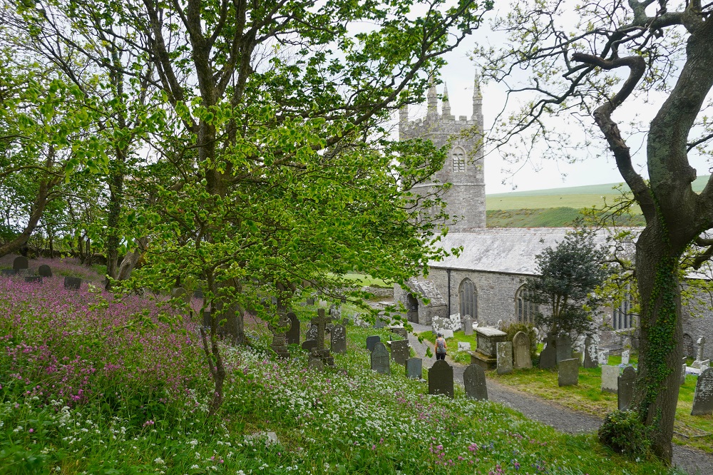
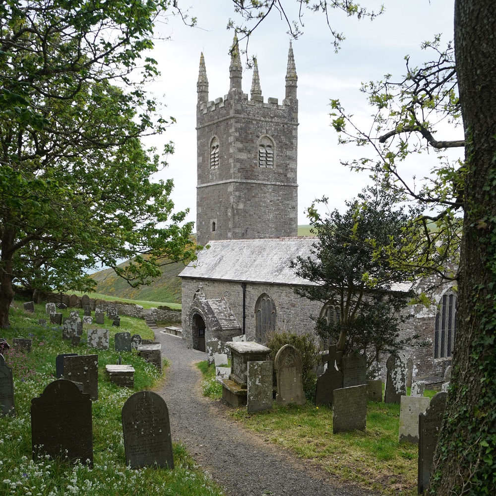
We then had a look in the church, dedicated to St Morwenna and St John the Baptist. The earliest part of the church is from Norman times but it is a bit strange in that the columns down one side of the nave are Romanesque and down the other side gothic. It is one of those lovely churches you find standing in the English countryside with an enormous bell tower. It has a large graveyard overgrown with masses of pink wild flowers. One of the vicars was the Rev Hawker, of Hawker’s Hut fame. More on him tomorrow.

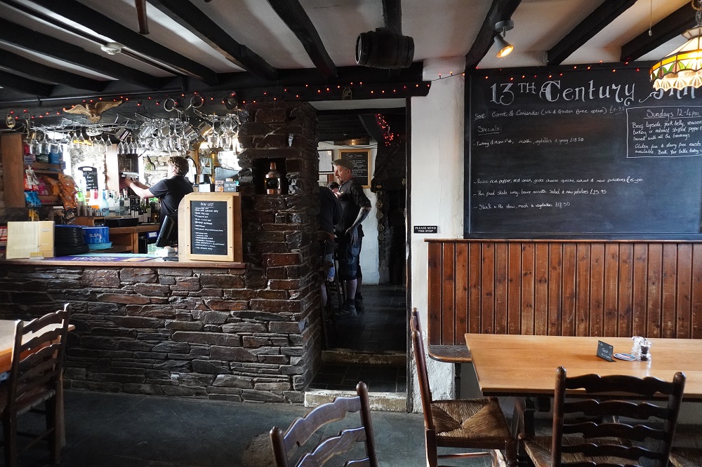
We are staying in Morwenstow tonight in the 13th century Bush Inn. Another lovely old country inn and again we are upstairs in an attic bedroom. We stayed here eight years ago in the very same room. Downstairs in the bar we had a delicious meal. For those who only read the blog and look at the photos for the food we had: Beef and ale stew with mash, carrots, onions, broccoli and parsnip (Barbara) and I had Cornish sausages with gravy, onions, mash, and the same vegetables. Large meals but after a day out climbing and fighting the wind we downed the lot.

Despite all the steep climbs and the wind we feel good tonight. We are not fast walkers. Not Ferraris, more like old Massy Ferguson tractors, put us in low gear and we can chug along forever.


Back on the roller coaster

Tuesday 28 April 2026

Day 8 of walking
Westward Ho! to Clovelly
Distance: 19.55km
Total distance: 176.34km
Climbing: 913m
Total climb: 4946m

It was great to be back on the path again this morning. Honestly yesterday in Westward Ho! was a bit boring although absolutely necessary for our recovery. Gone are the two dead flat days walking to Westward Ho!, we are back on the roller coaster.

The day began with a fairly gentle walk out of Westward Ho! along a disused railway but soon we were climbing exposed and open cliffs cut by steep and fairly testing combes. At times we had to descend the cliffs and walk short stretches on the stony beach. There were several of these and from the tops looking back we could see Saunton and Baggy Head where we walked about 5 days ago.

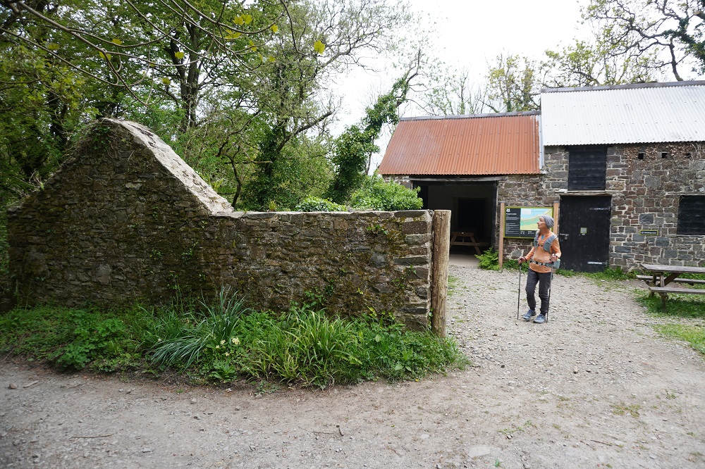
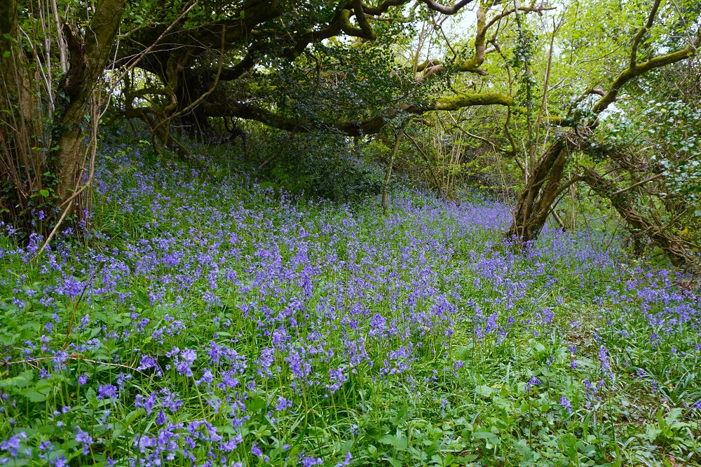
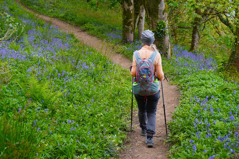
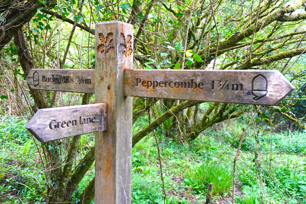
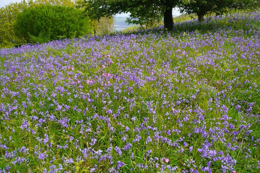
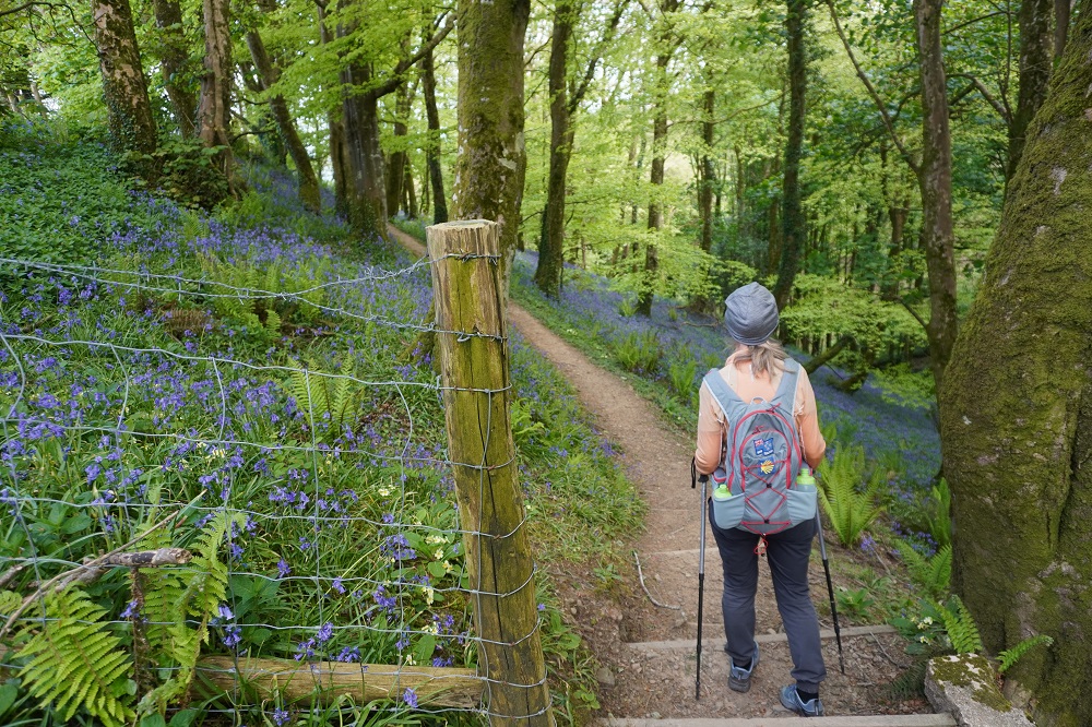
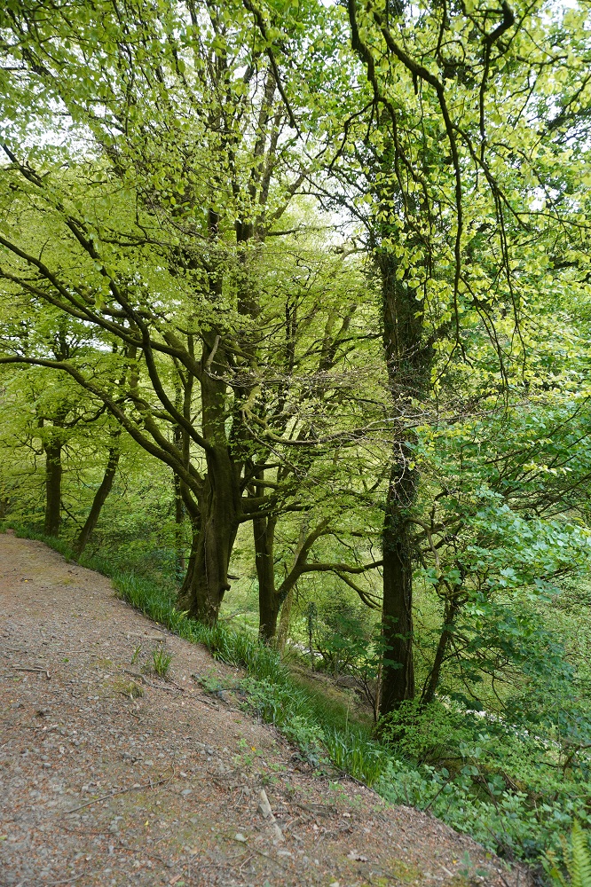
At Peppercombe, where there is an old stone coach house now used as a shelter, the nature of the path changed. Still a lot of climbing and descending but now in woodland. The floor of the woodland was a carpet of blue bells, about a hundred million of them!

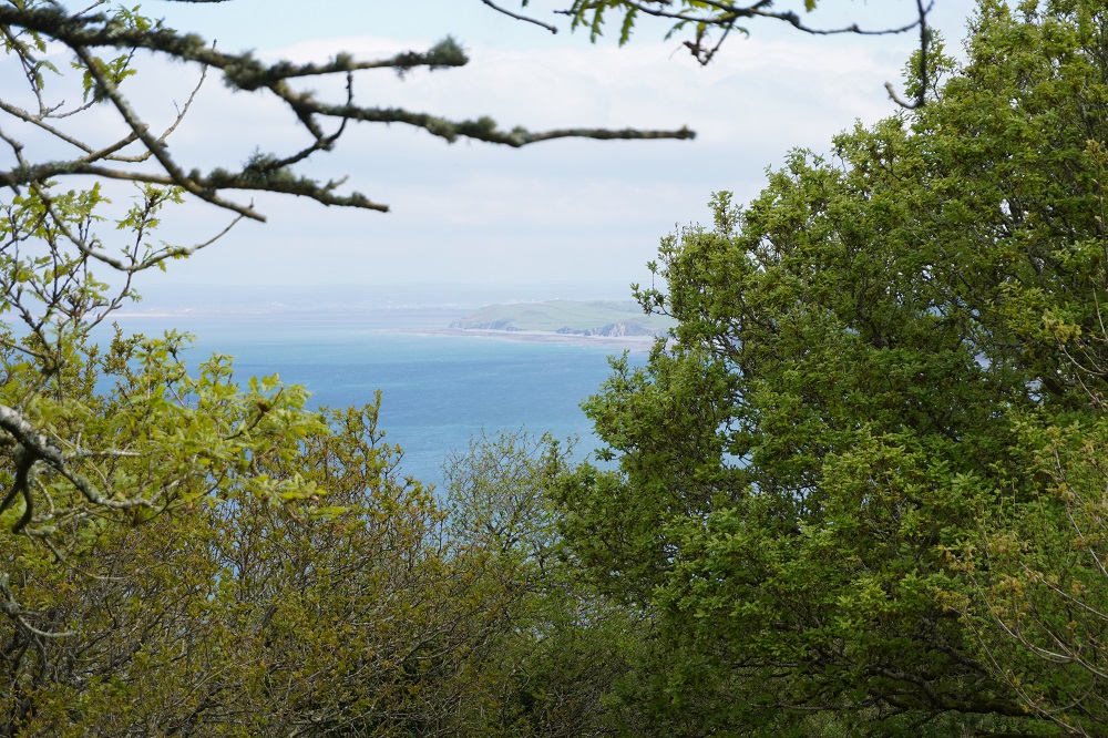
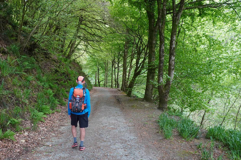
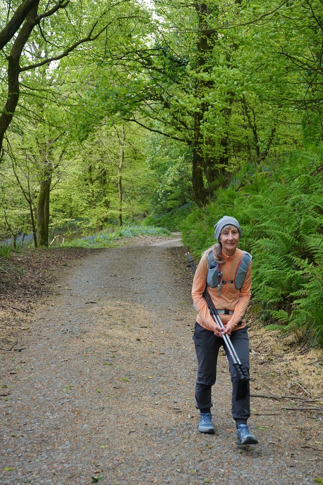
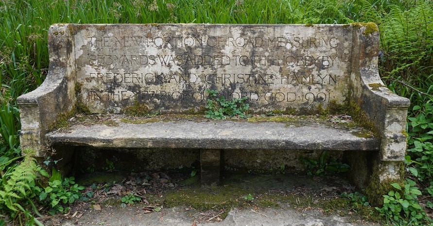
We passed through only one hamlet today, that of Bucks Mills. It was just a little huddle of houses at the bottom of a combe with access to a rocky beach. We were mostly still in woodland of huge beech trees and gigantic rhododendron bushes and occasionally out in the open walking the perimeter of fields. There were now no real sea views just glimpses through the trees. The last 5 km section of the day was on Hobby Drive, a 19th century bridleway, wide and gently undulating and took us all the way to Clovelly.

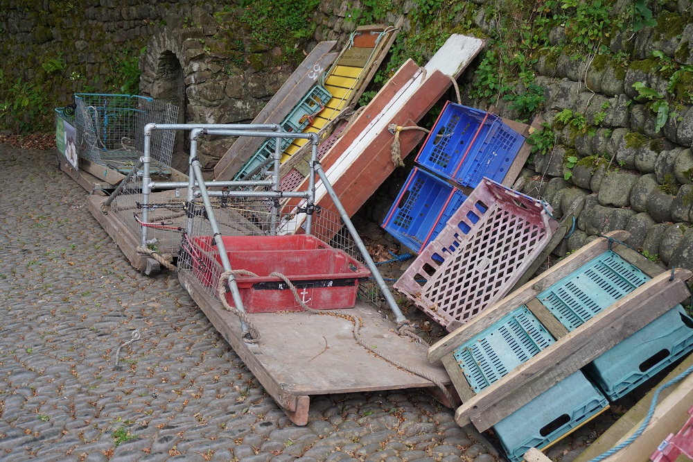
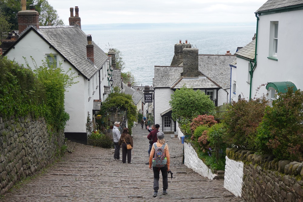
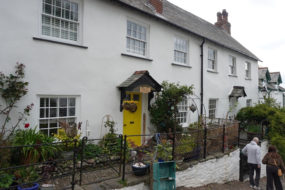
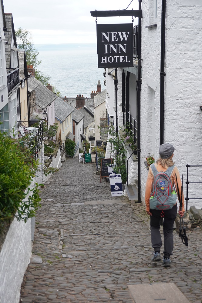
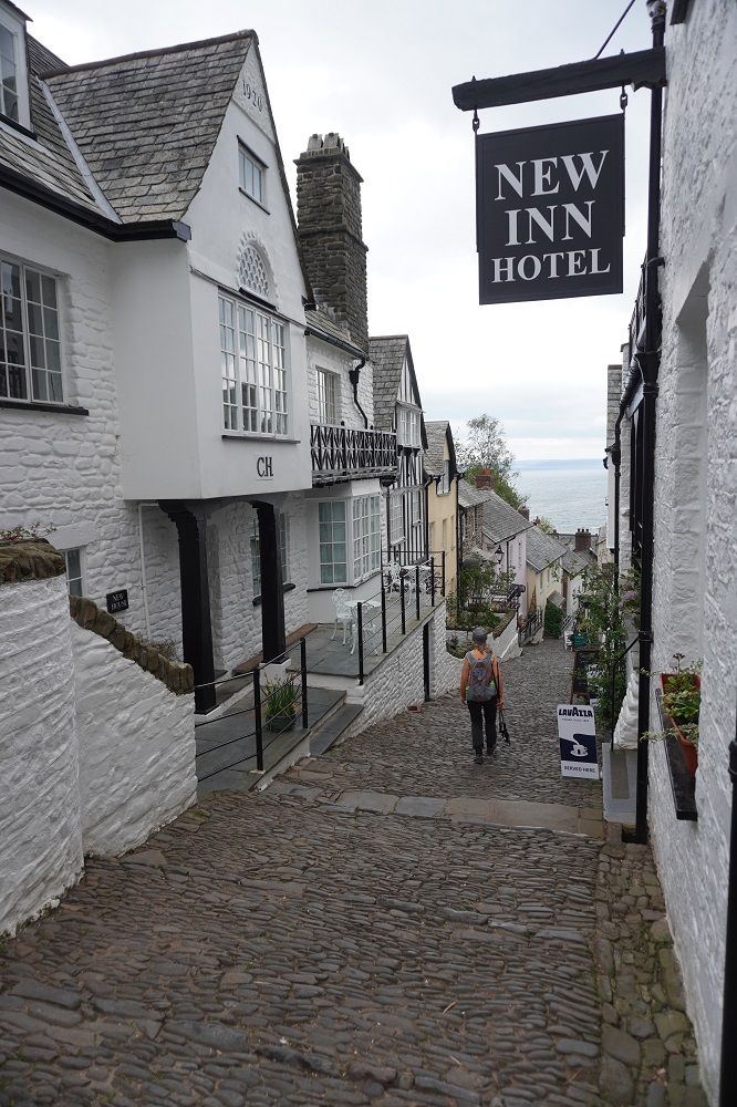
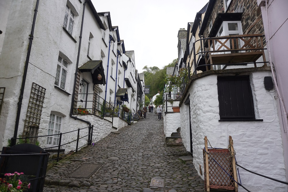
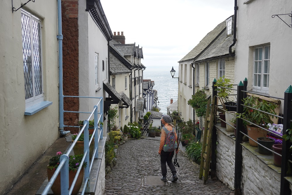
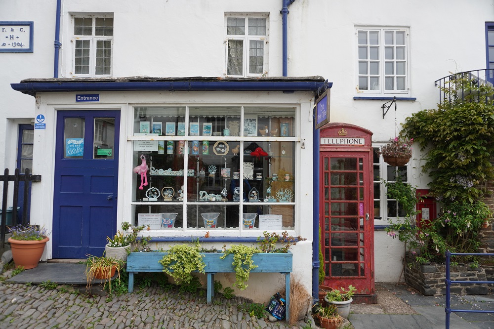
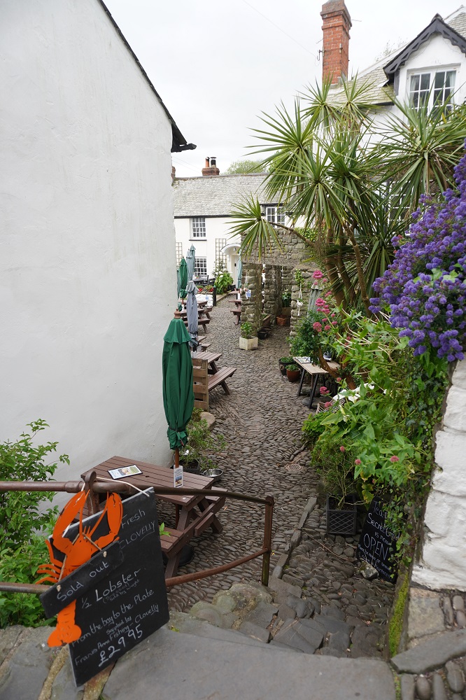
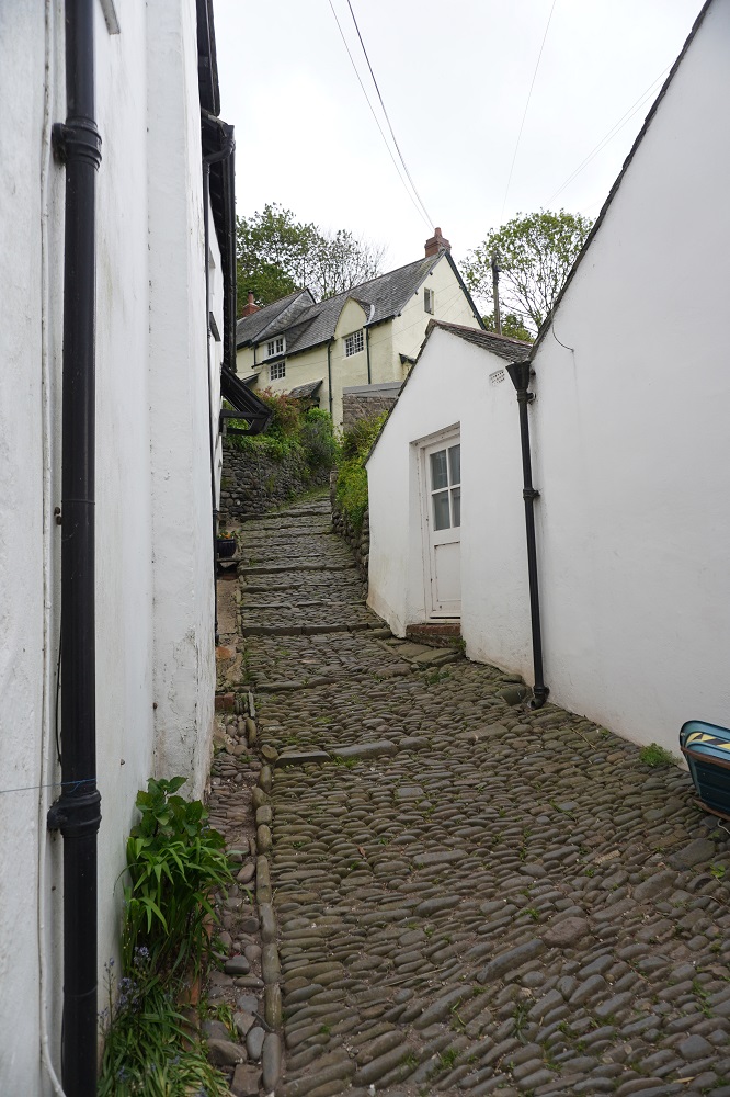
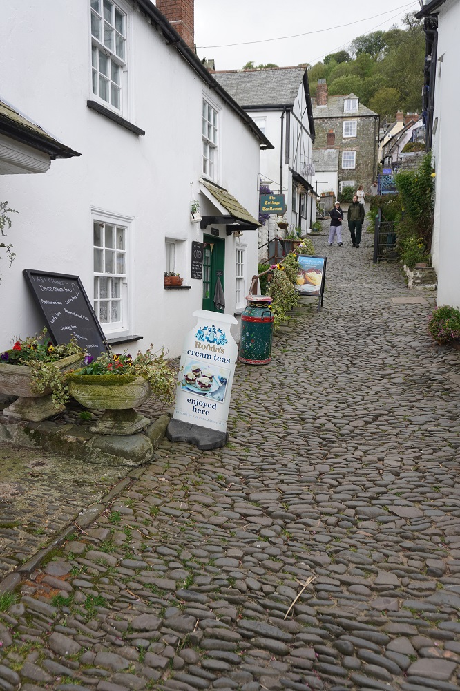
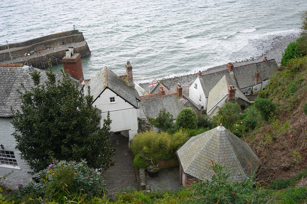
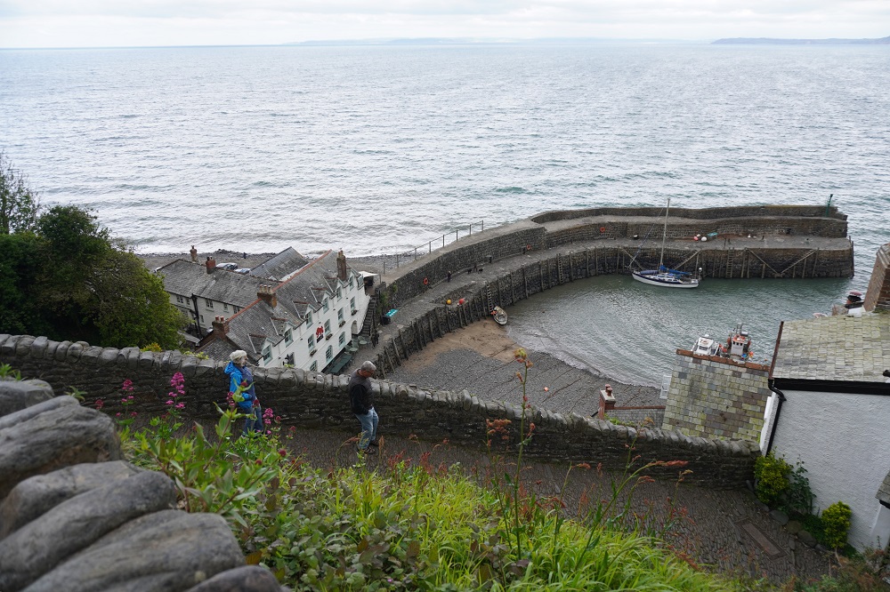
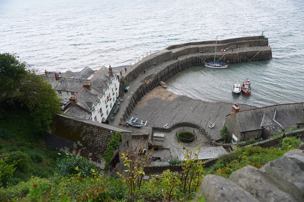
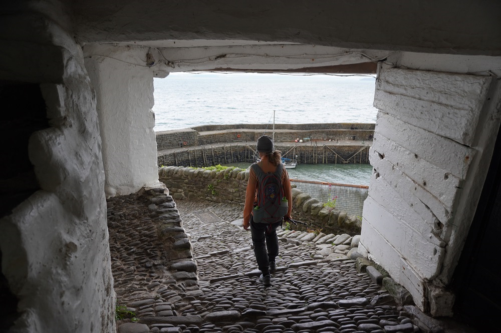
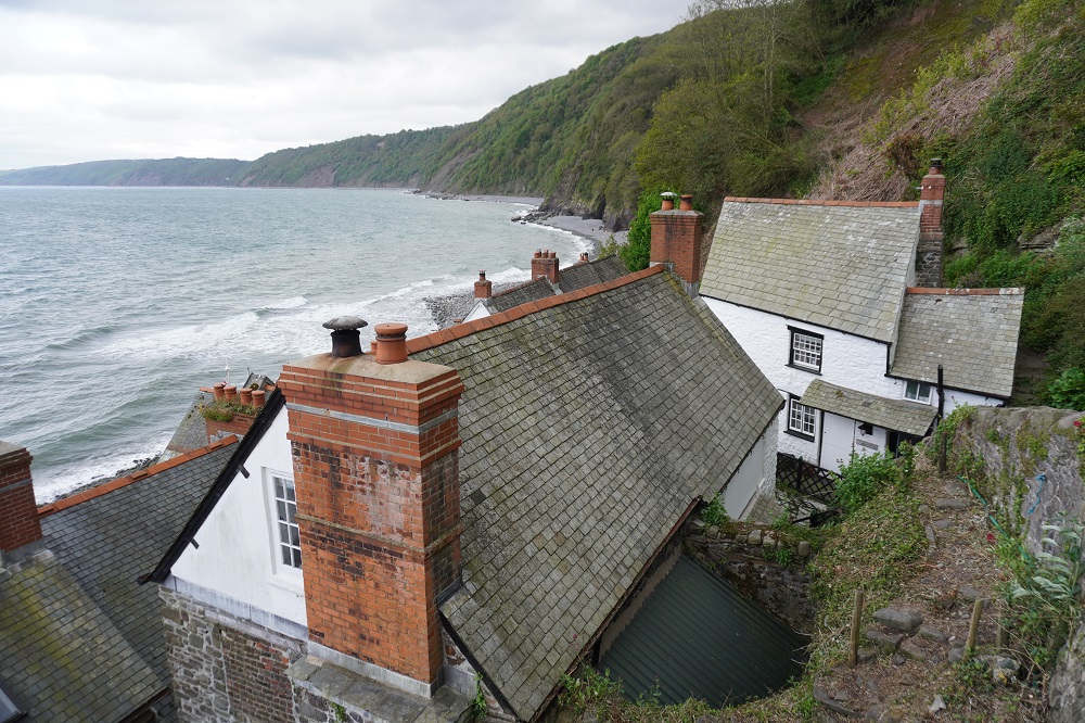
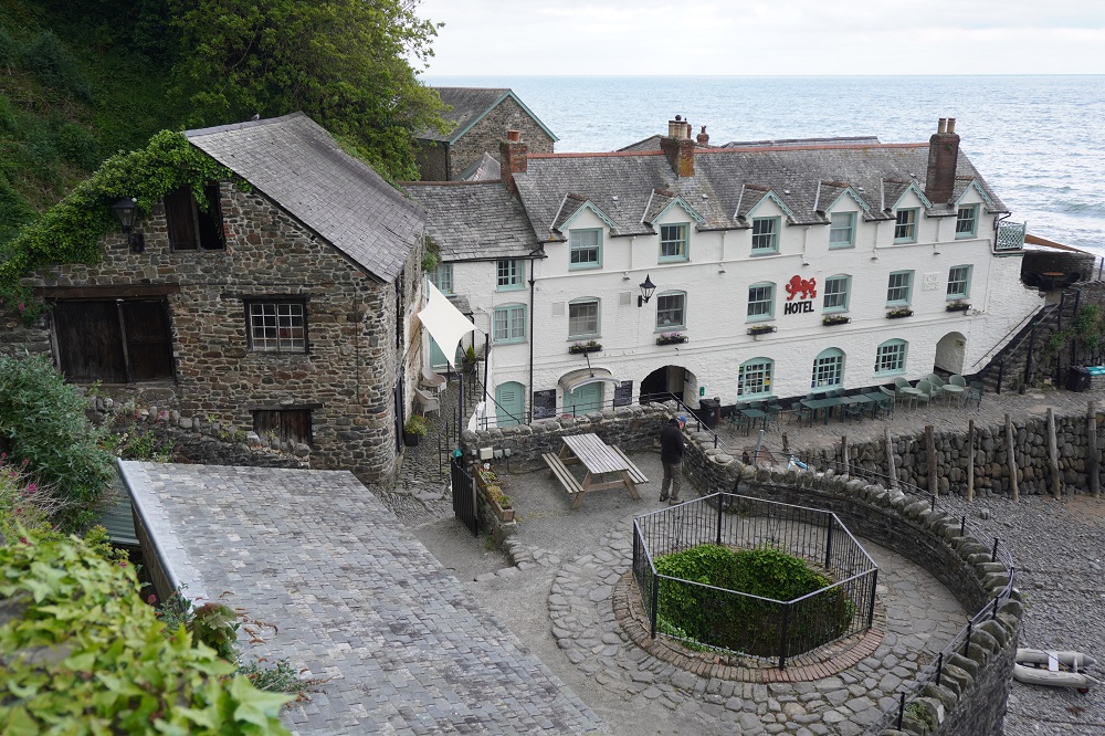
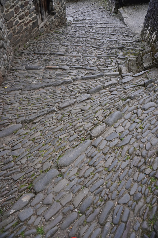
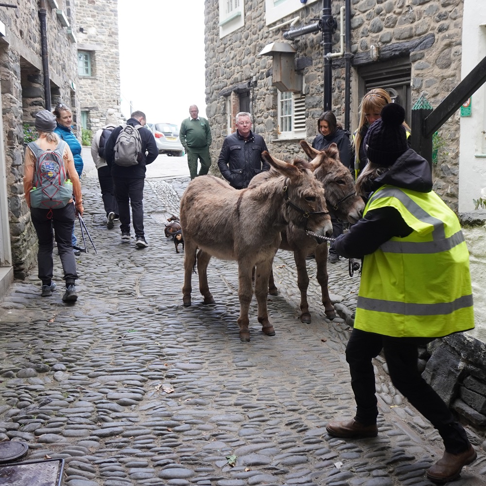
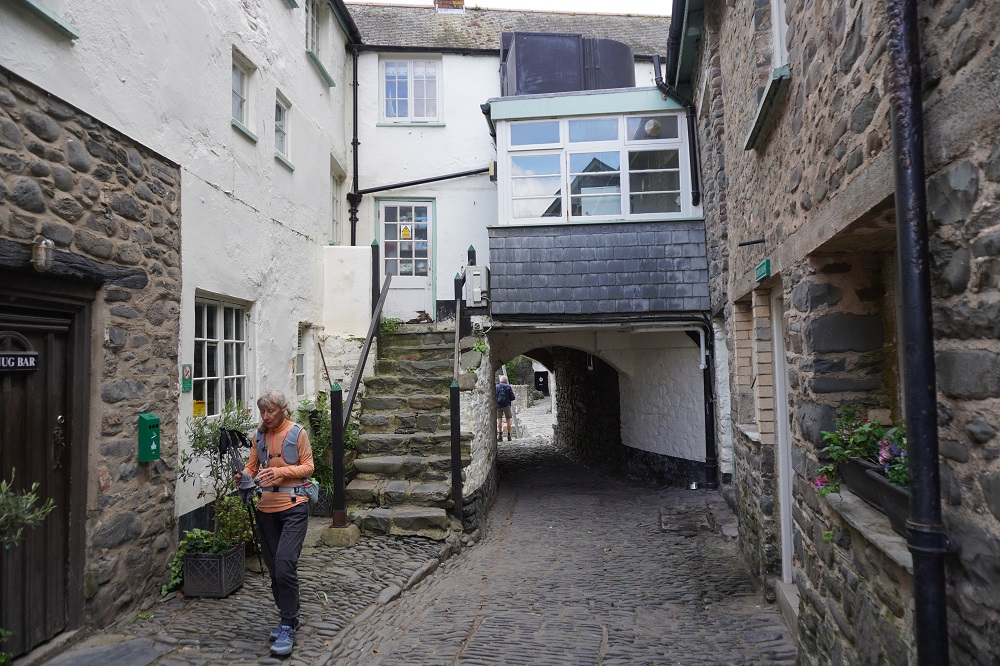
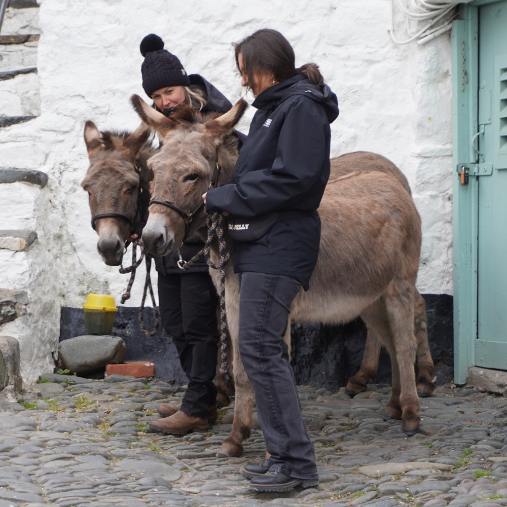
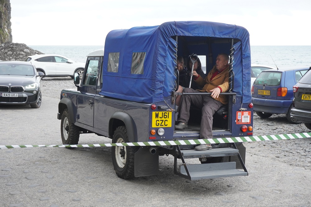
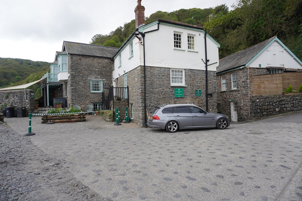
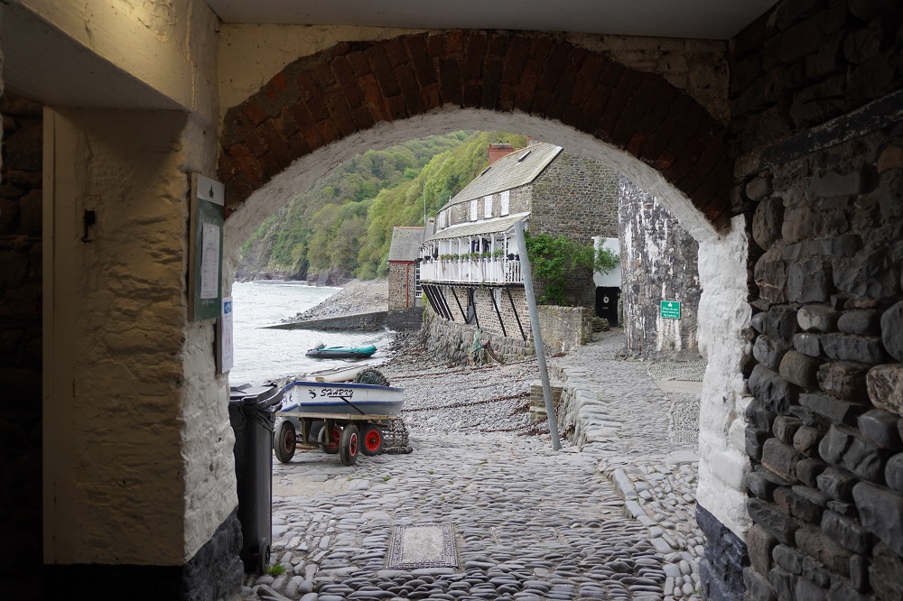
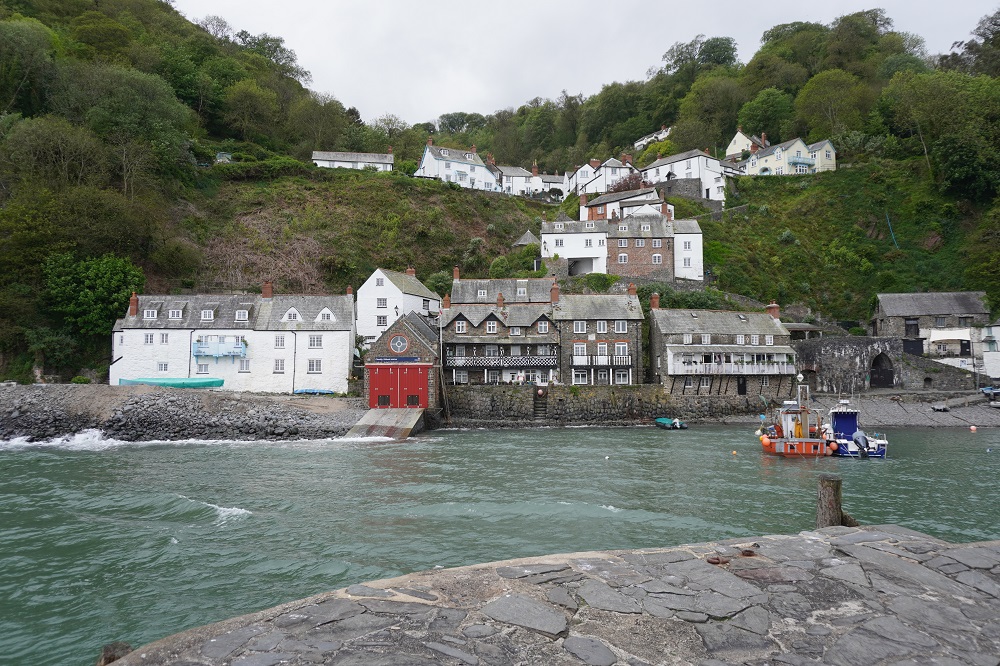
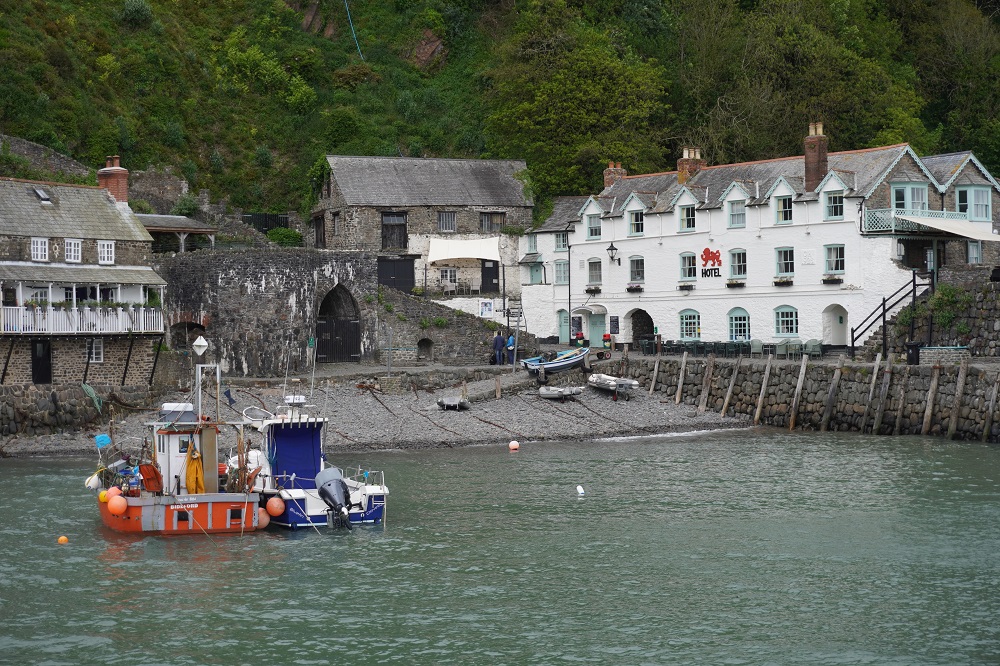
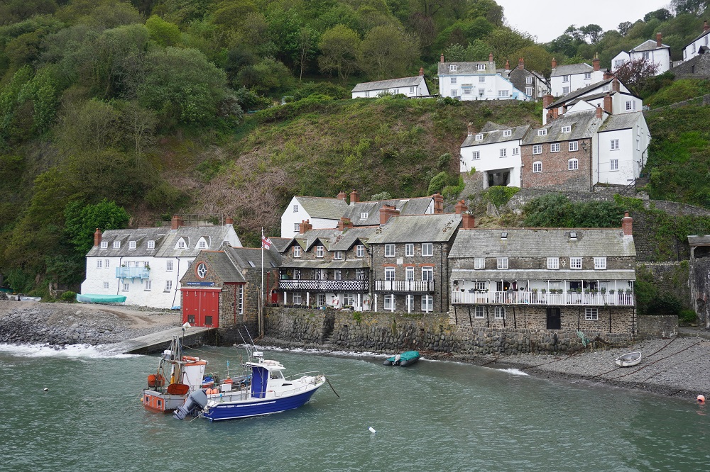
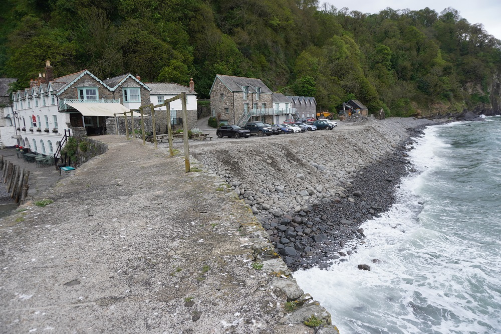
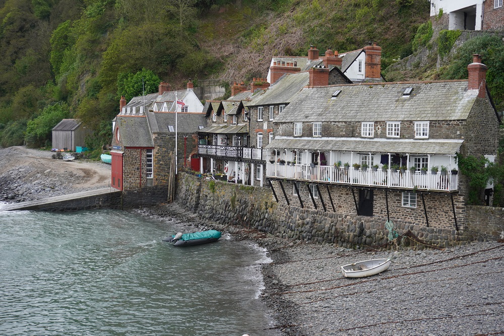
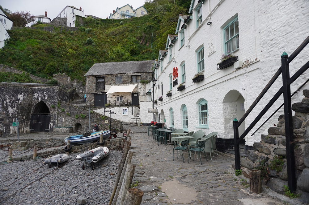
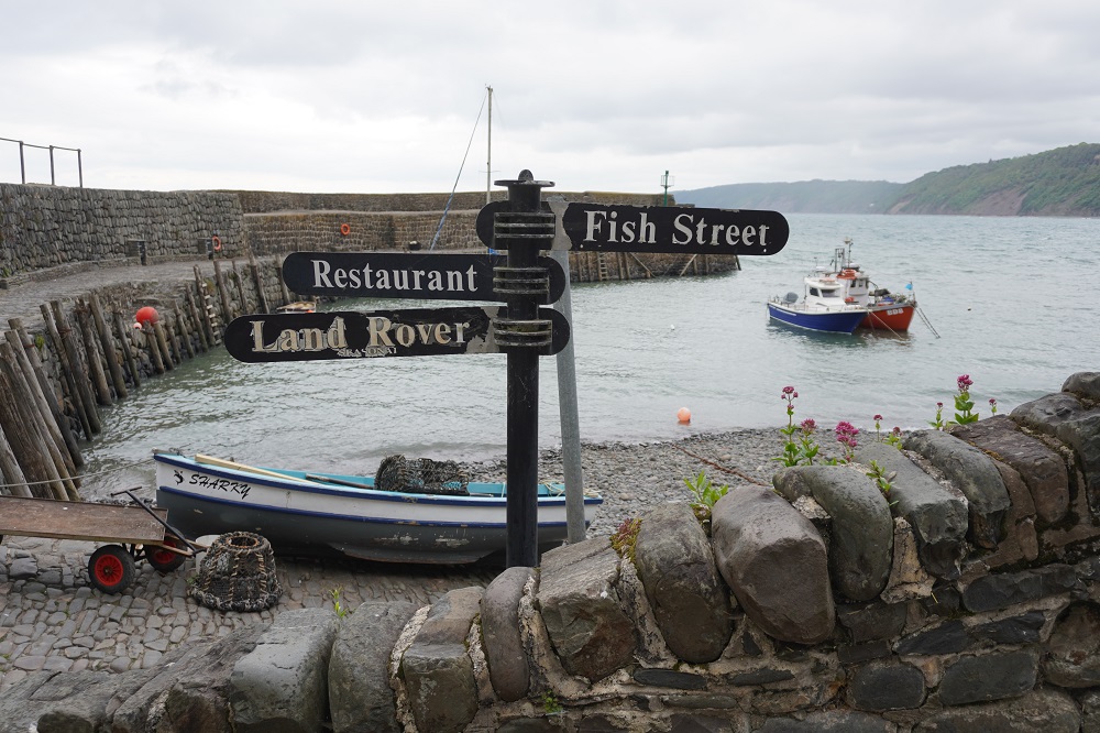
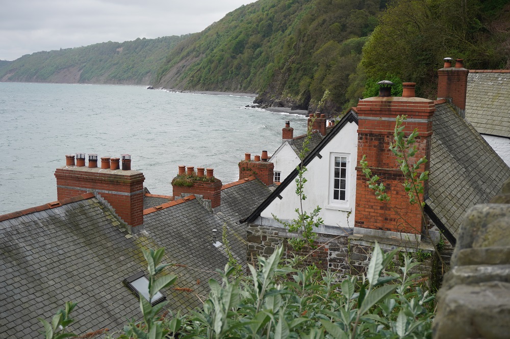
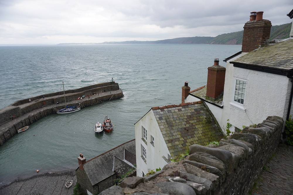
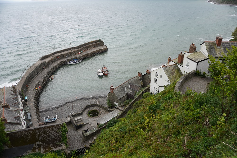
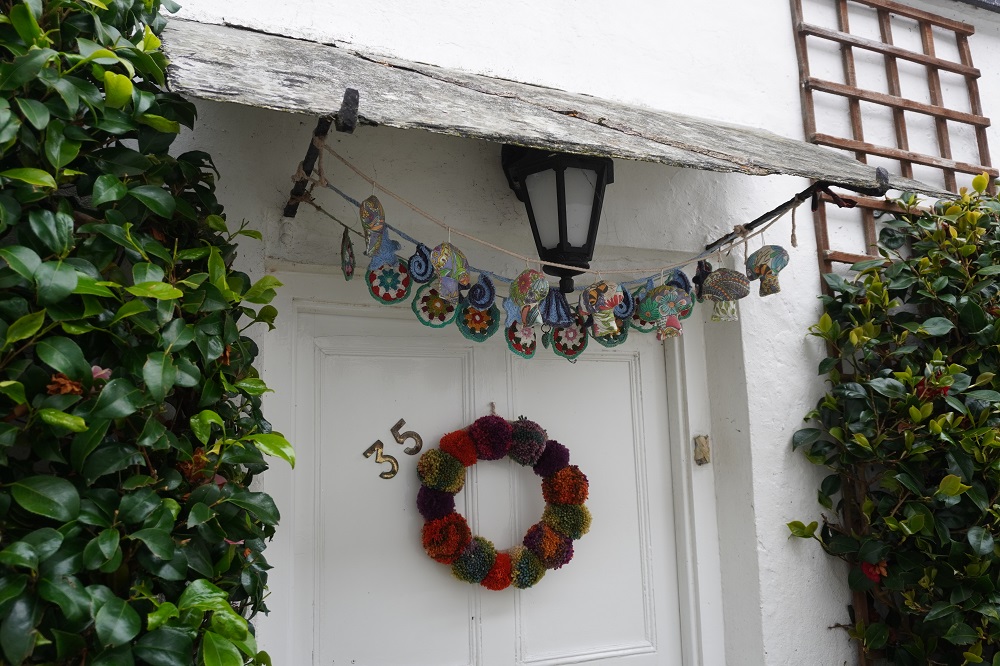
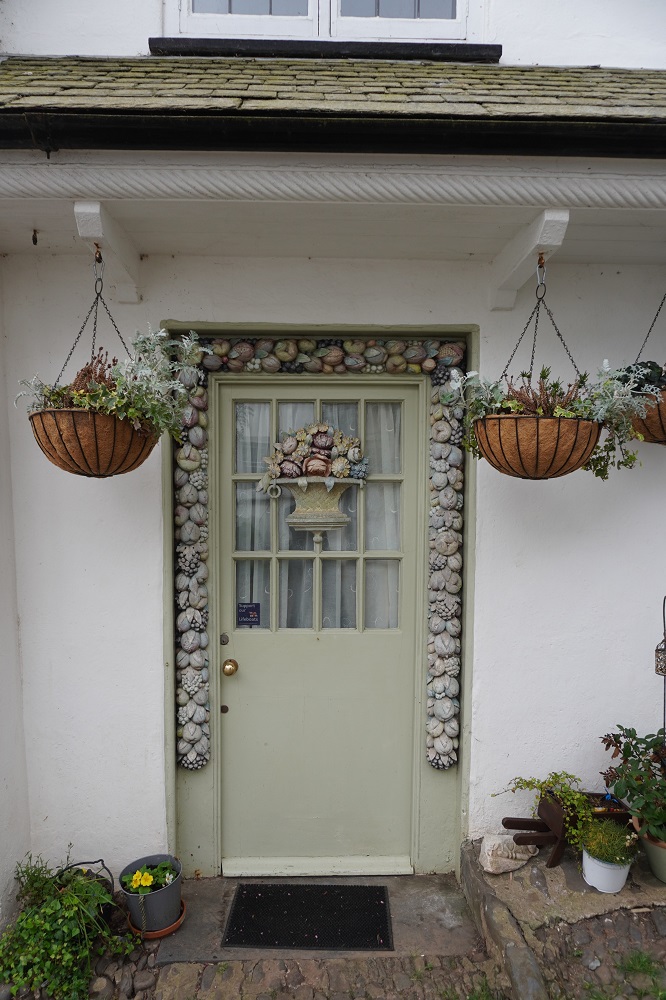
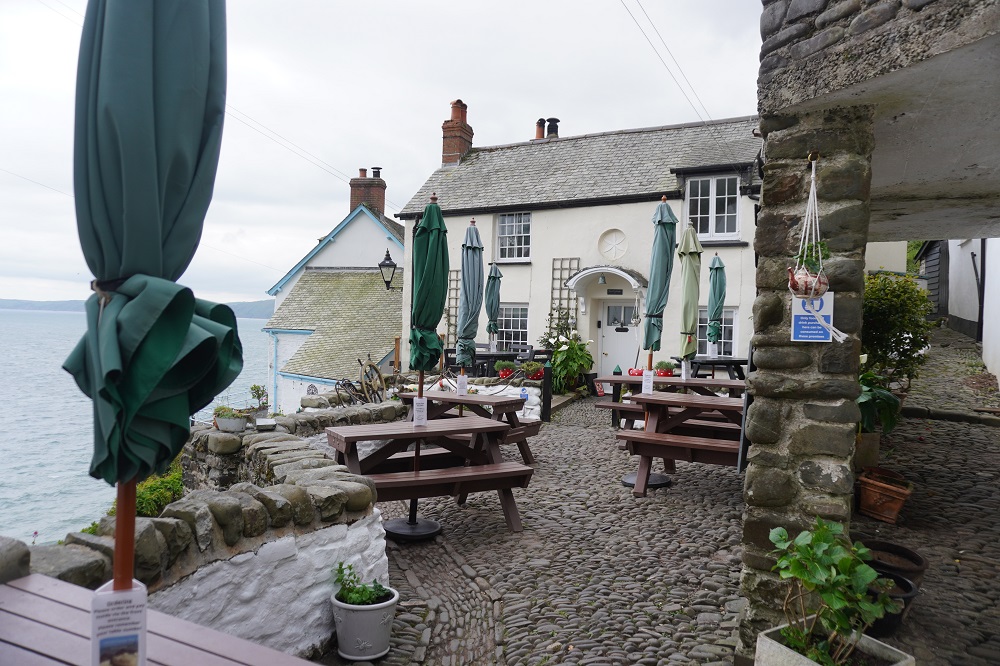
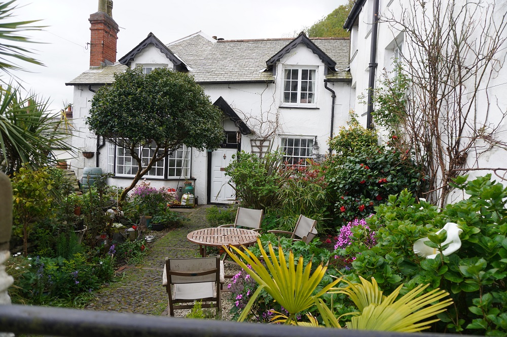
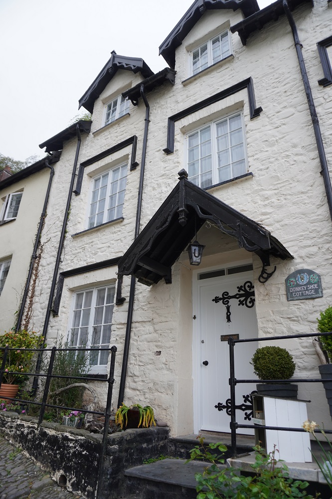
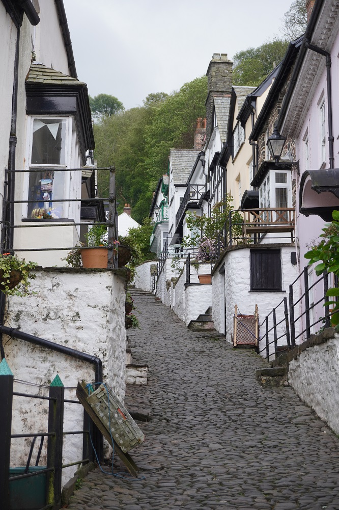
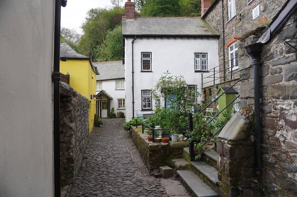
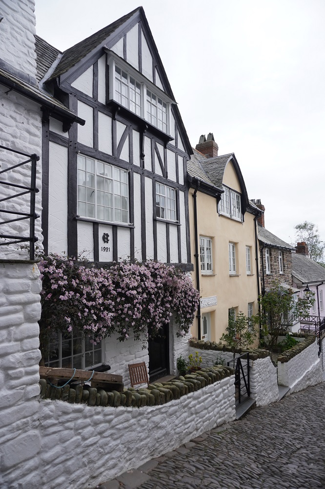
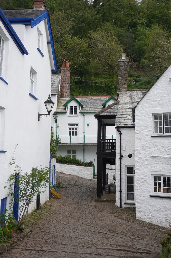
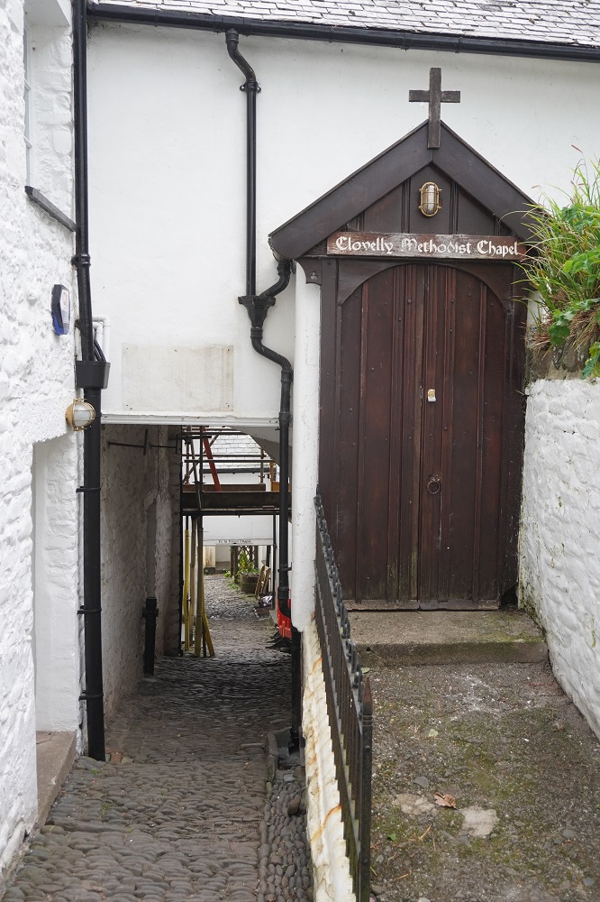
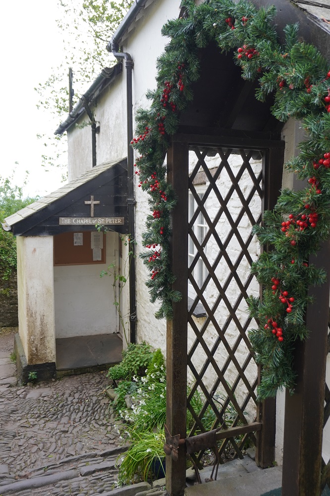
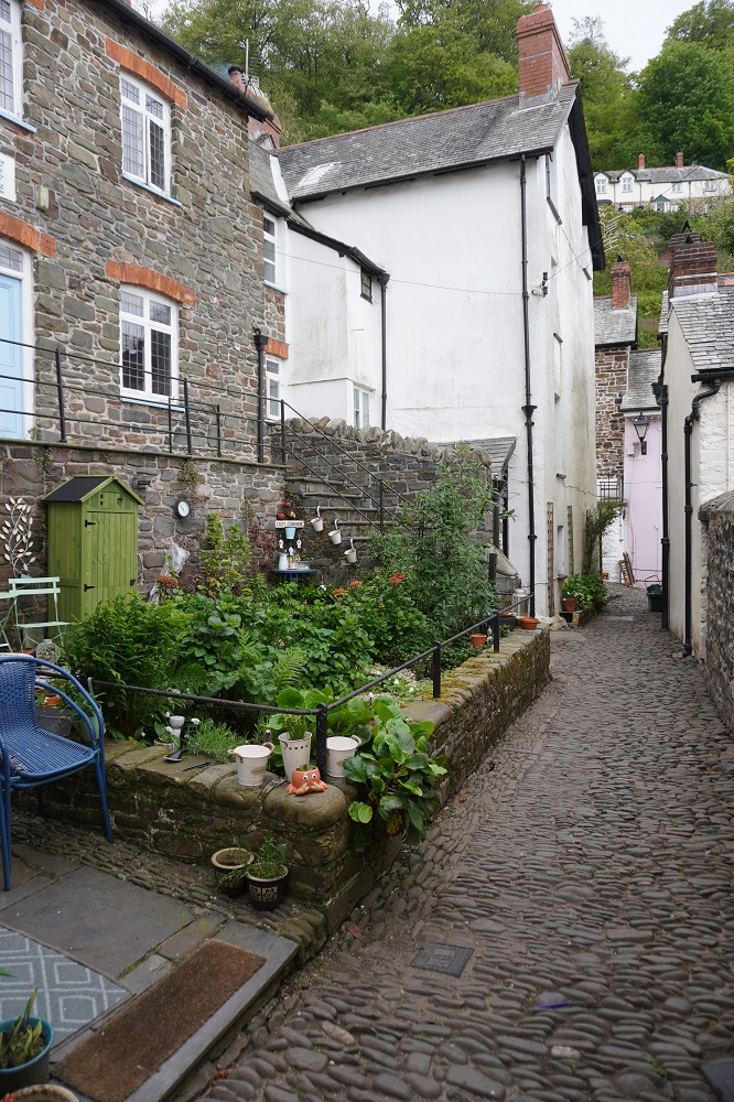
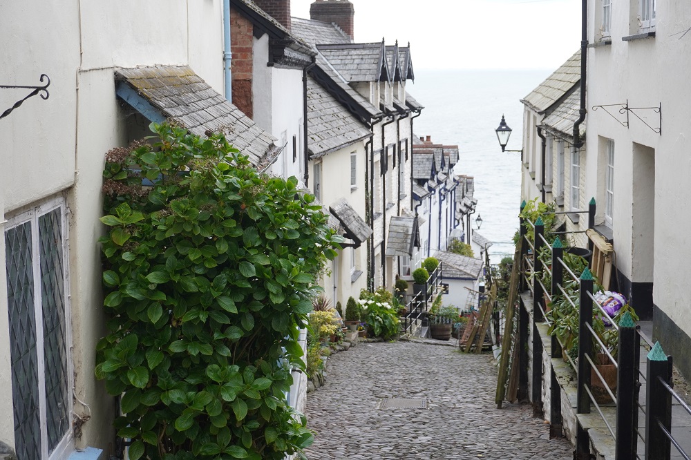
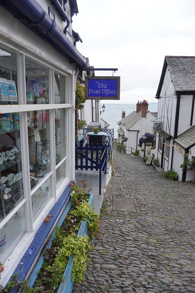
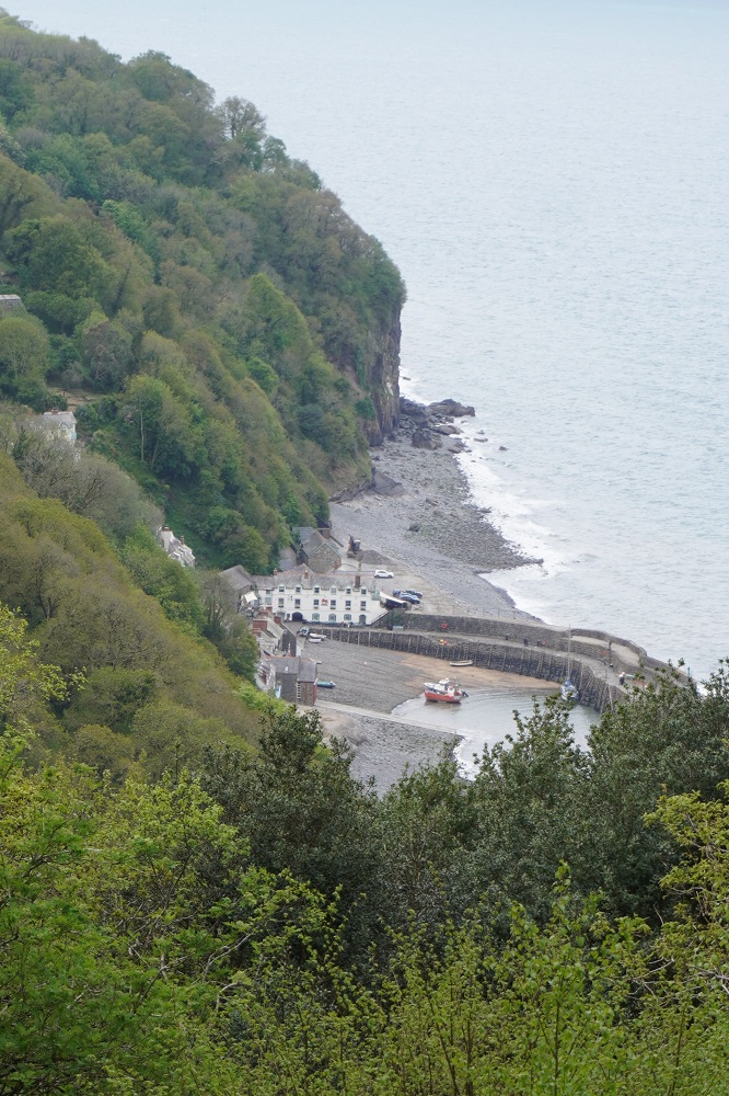
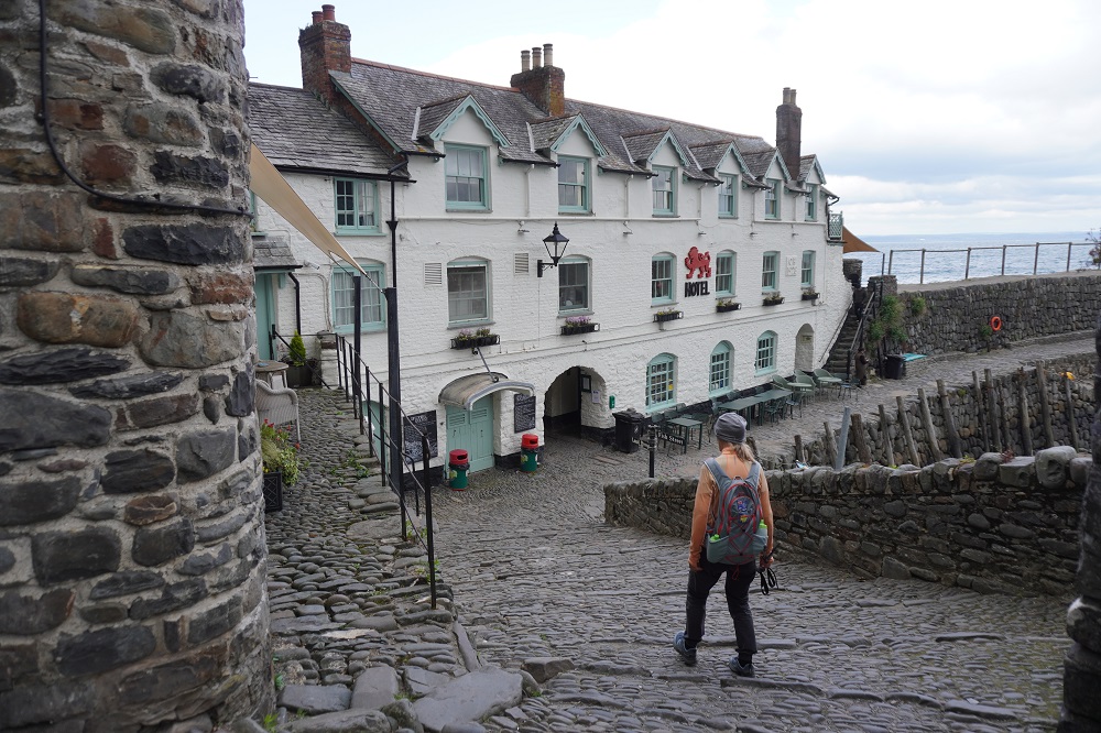
Clovelly is one of the loveliest villages on the entire South West Coast Path. It is 400 feet of narrow, steep cobbled street rolling down to the sea and a tiny harbour. The street is lined each side with wonderfully preserved cottages. It is the most photogenic village we will visit this trip. The gradient of the main street – which has the names Up-a-Long and Down-a-Long – is steep enough to prevent vehicles driving up or down it. There is a back road used by Land Rovers to shuttle the elderly and lazy up and down to the harbour. Goods to the houses and cafes are brought in by sled, sliding down the cobblestones. Rubbish is taken to the bottom where it is removed by boat. There are also donkeys and for a fee you can get a ride back up the cobbles.

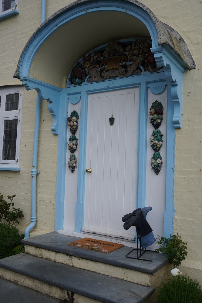
The whole of Clovelly is privately owned by the Hamlyn family who acquired the village as part of the entire Clovelly Estate in1738. The estate was originally owned by William the Conqueror and only three families have owned it since. Christine Hamlyn inherited the estate in 1884 and she and her husband spent years restoring many of the cottages, Her initials and the date of restoration can be seen on many of the buildings.

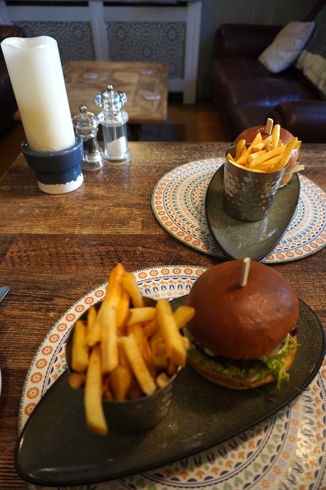
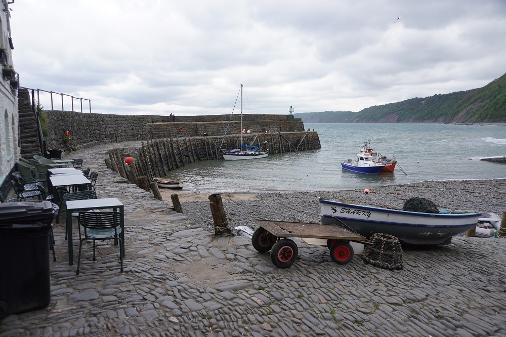
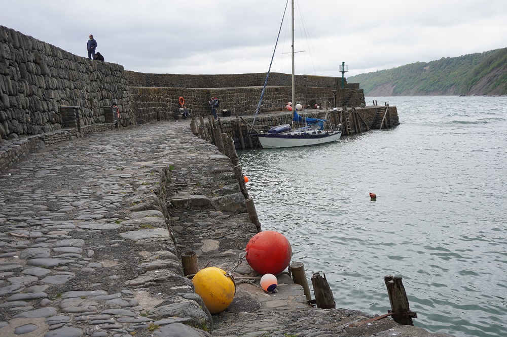
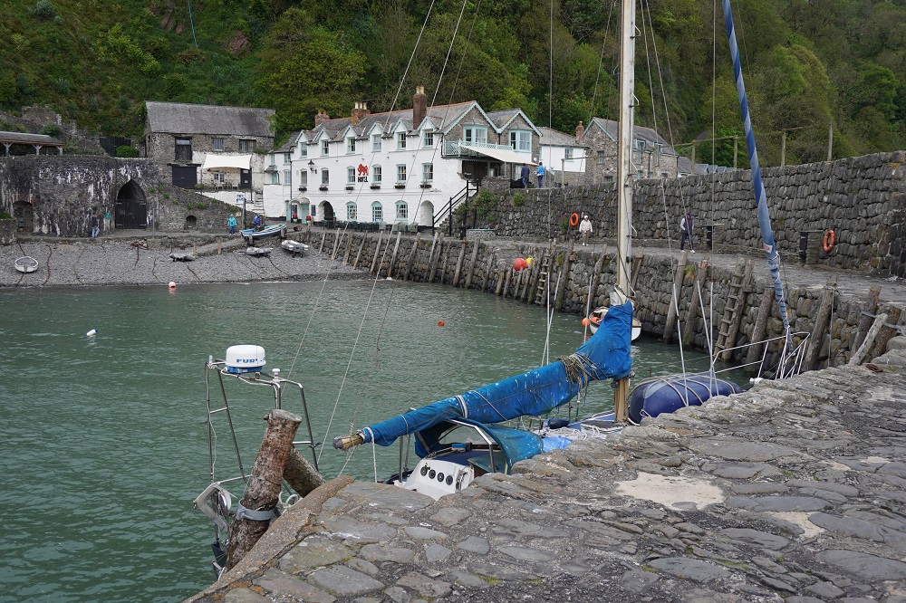
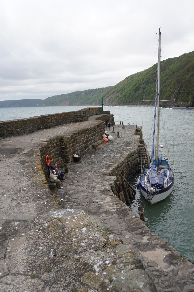
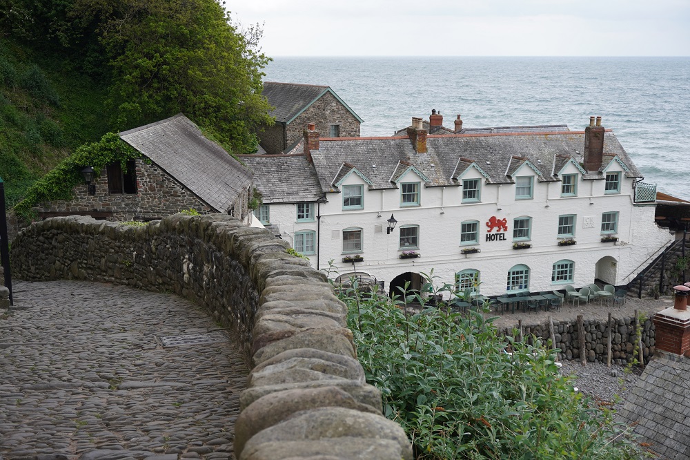
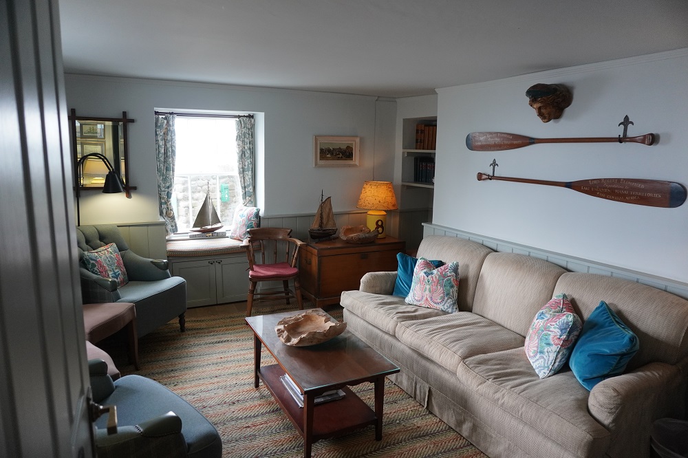
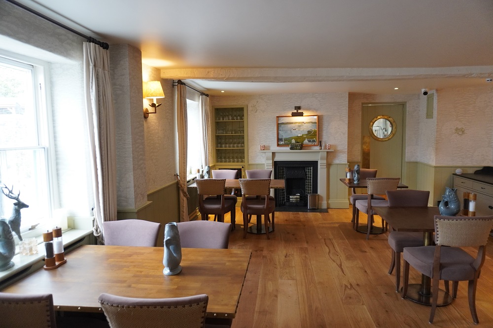
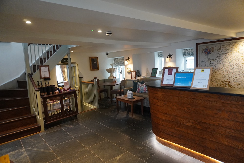
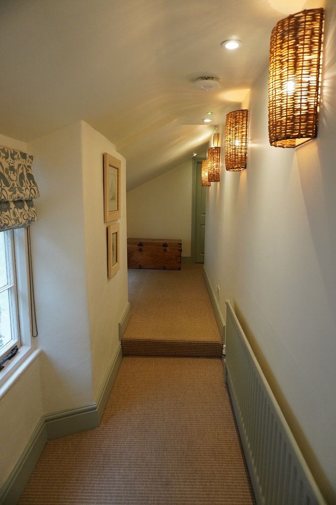
We are staying in Clovelly down at the harbour in the Red Lion Hotel. It is a beautifully restored and appointed 4 star eighteenth century Inn standing right on the quay. Right outside our windows the sea is lapping against the harbour sea wall. There are 17 rooms, a restaurant, a bar with bar food and the cosiest snug bar you could imagine. This is luxury after a day on the roller coaster. The restaurant was way too pricey for us so it was burgers in the bar. They only do Burgers and pizza.

Useless trivia of the day: there are between 500 and 600 hotels called the Red Lion in the UK.

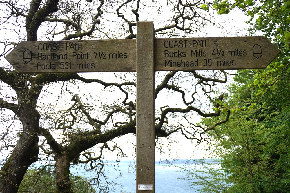
We are so glad to be back walking. It was colder today, only got up to 14° and there was a cold wind. All our friends seem to have gone. All day we saw only one guy going in our direction and two single guys coming toward us. At the top of Clovelly there was a Coast Path sign that said 99 miles from Minehead, so that was a little accomplishment. We felt good and strong after a rest day and enjoyed the cliffs, the woodland, the blue bells and are loving our accommodation tonight.

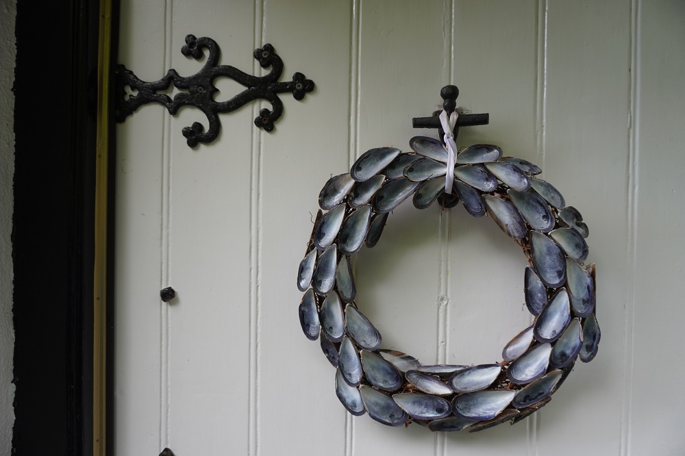
I will do a separate post with some photos of Clovelly