Category Archives: SCWP 2026

Horrors

Saturday 16 May 2026

Day 23 of walking

Sennen Cove to Porthcurno
Distance: 12.56km
Total distance: 461.38km
Climbing: 470m
Total climbing: 15,046m

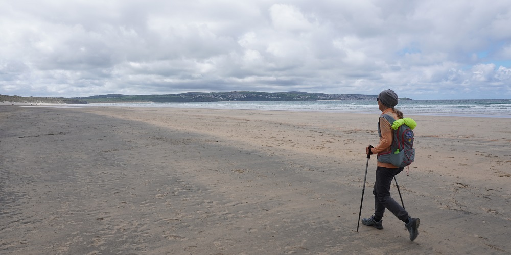
A slow day today. Deliberately slow. We only had 12km to walk and our destination was “Strictly no check-in before 3.30pm”. So we had a late breakfast, and the service was slow, so we didn’t get away until after 9.30. This was good as there was a shower of rain at 8.30 and a group leaving then were all covered up in their jackets, leggings, ponchos, gloves and pack covers. When we left the rain had cleared. We meandered along and stopped a lot.

After a climb out of Sennen Cove passing a Coast Watch building, you arrive at Land’s End, the most westerly point of mainland England. This is a big milestone on the South West Coast Path. The actual point is on a typically rugged headland and marked by a flag and The “First and Last” House. This was built in the 1800s for Gracie Thomas who ran a small tea and souvenir shop. This is probably the most photographed house in Cornwall. A little further on is the also much photographed Land’s End signpost, with distance markers for New York and John O’Groats (in Scotland). For £10.99 we could have had Wellington, or anywhere else for that matter, slid into the sign.

The beauty of the coastline and the windswept heath is then destroyed for many by the horror that is the West Country Shopping Village. This is a large amusement park with arcades, kids’ rides, “experiences”, souvenir shops, cafes, restaurants, bars, a good visitor centre, toilets, coach and car park etc. This can get incredibly busy but it was still early when we skedaddled through, so not too many people about. Once you get past the Geeb Animal Farm, an 18th century farm with pigs, goats, chicken, sheep, alpacas (not sure they were here in the 18th century), the crowds disappear and it is just the walkers and the wild coast.

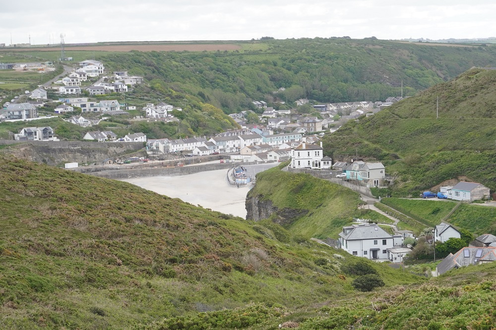
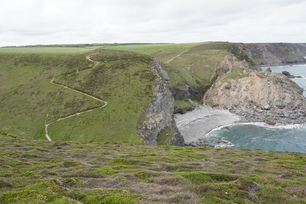
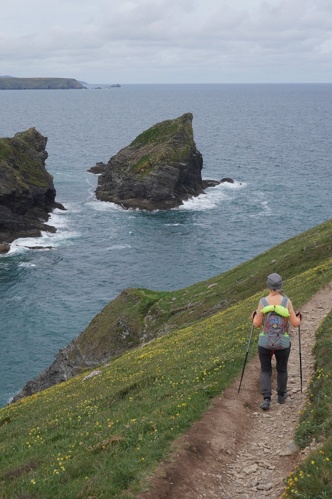
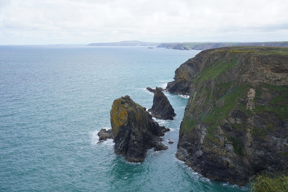
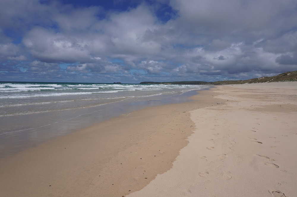
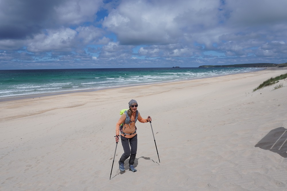
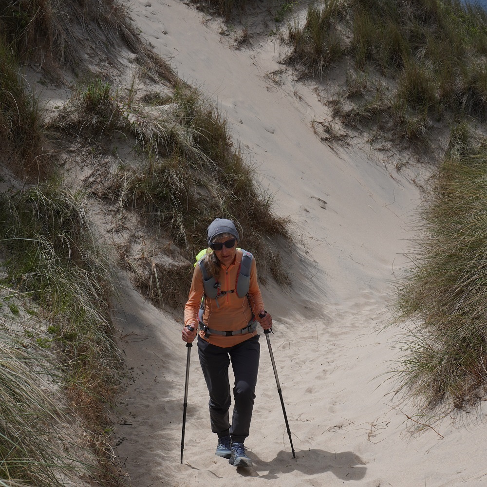
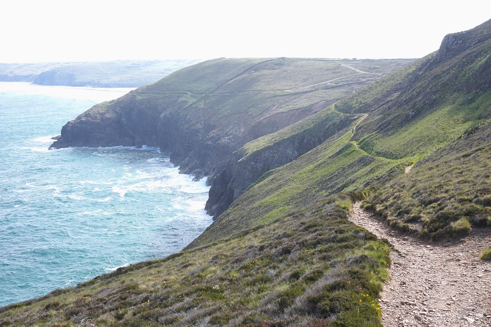
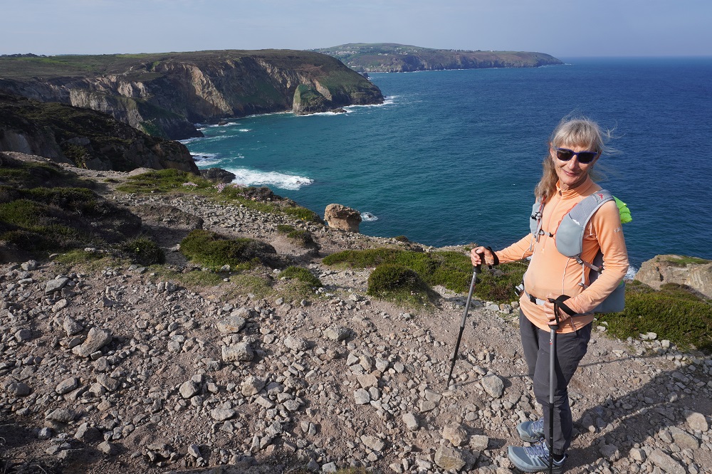
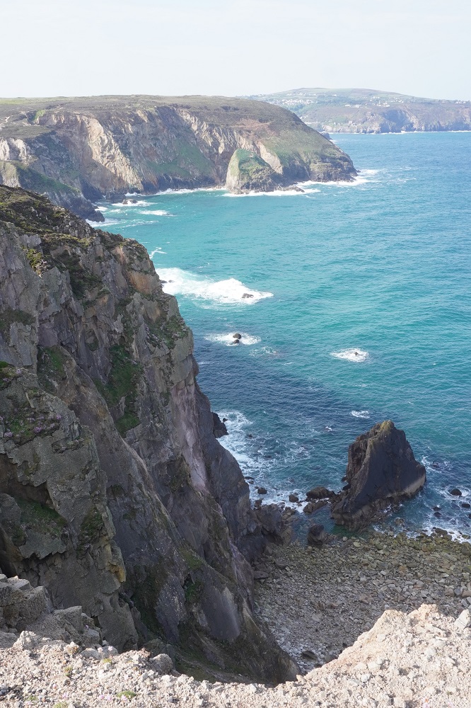
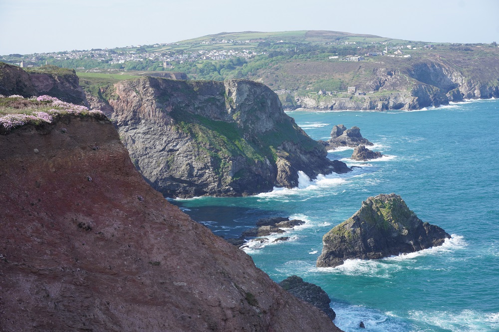
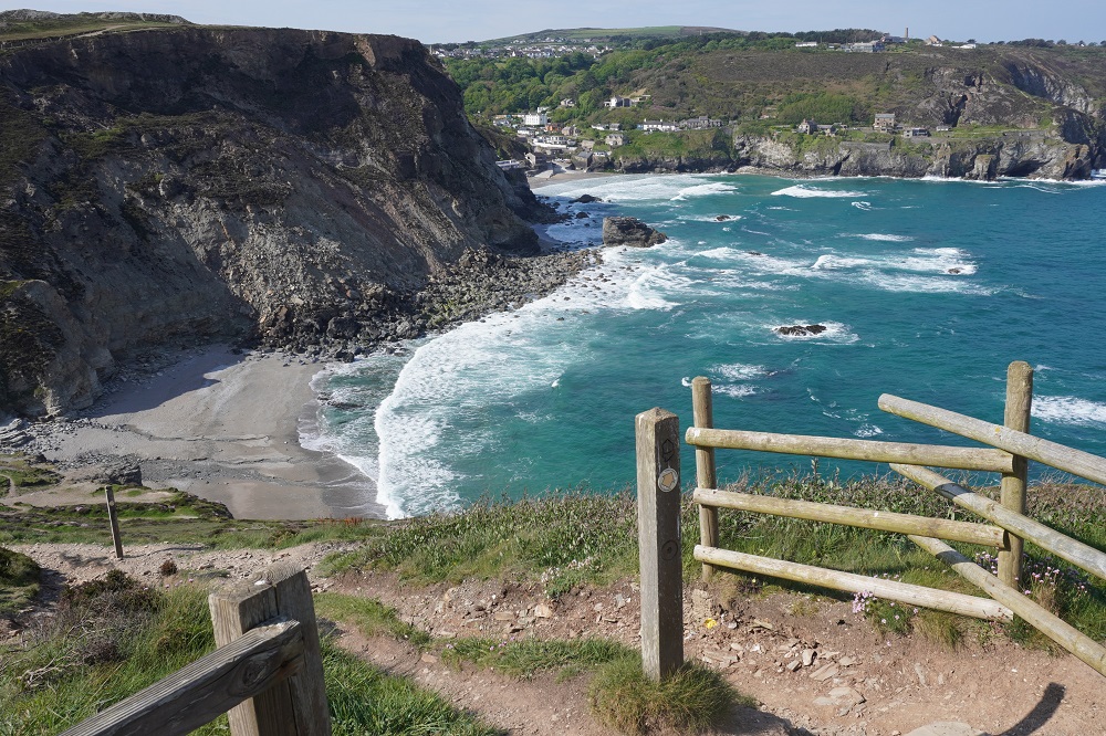
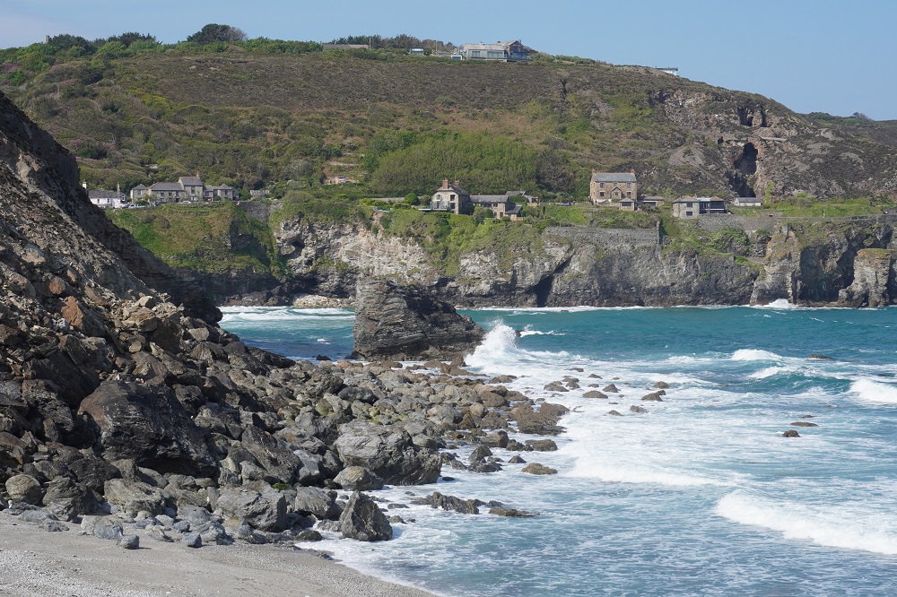
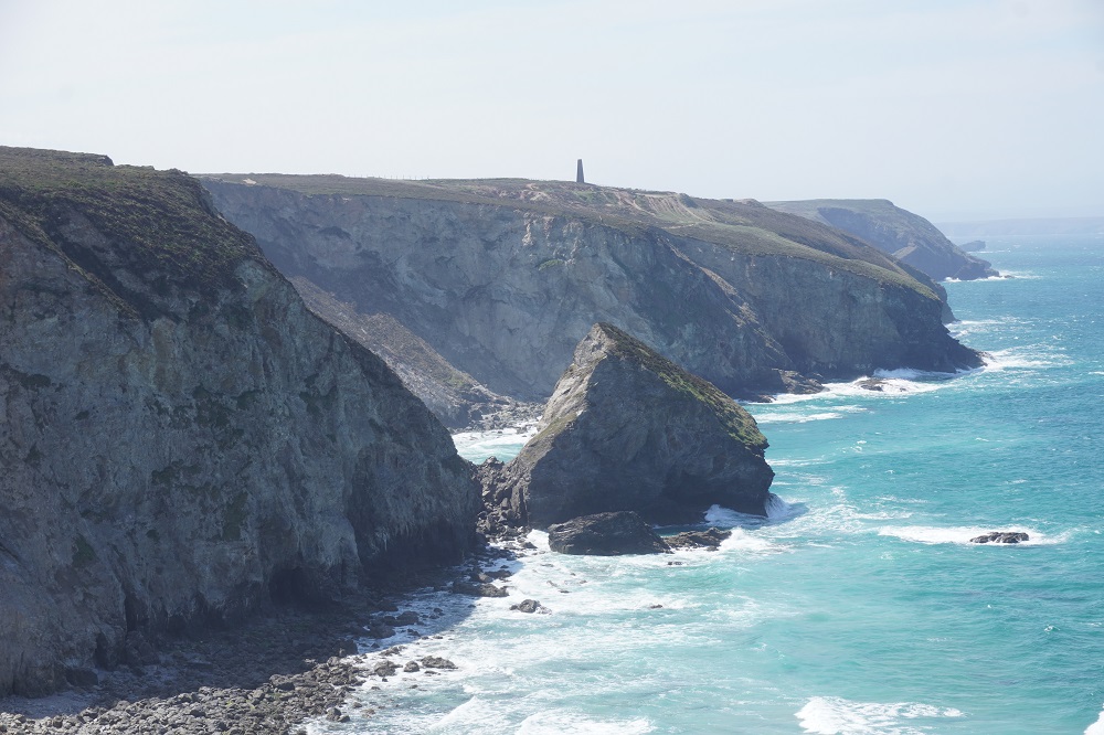
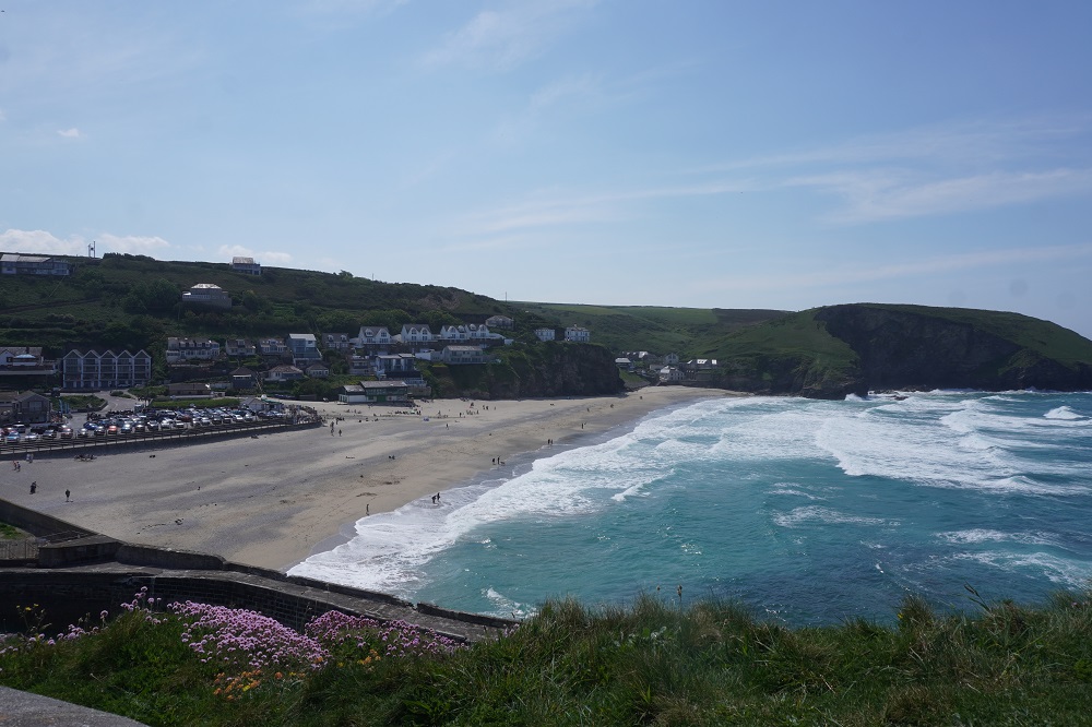
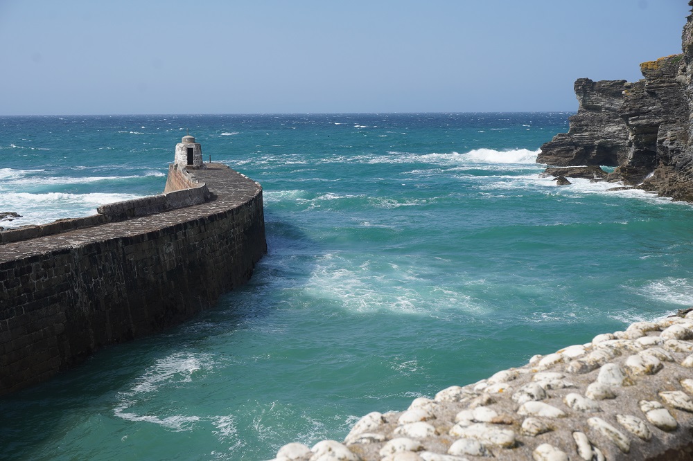
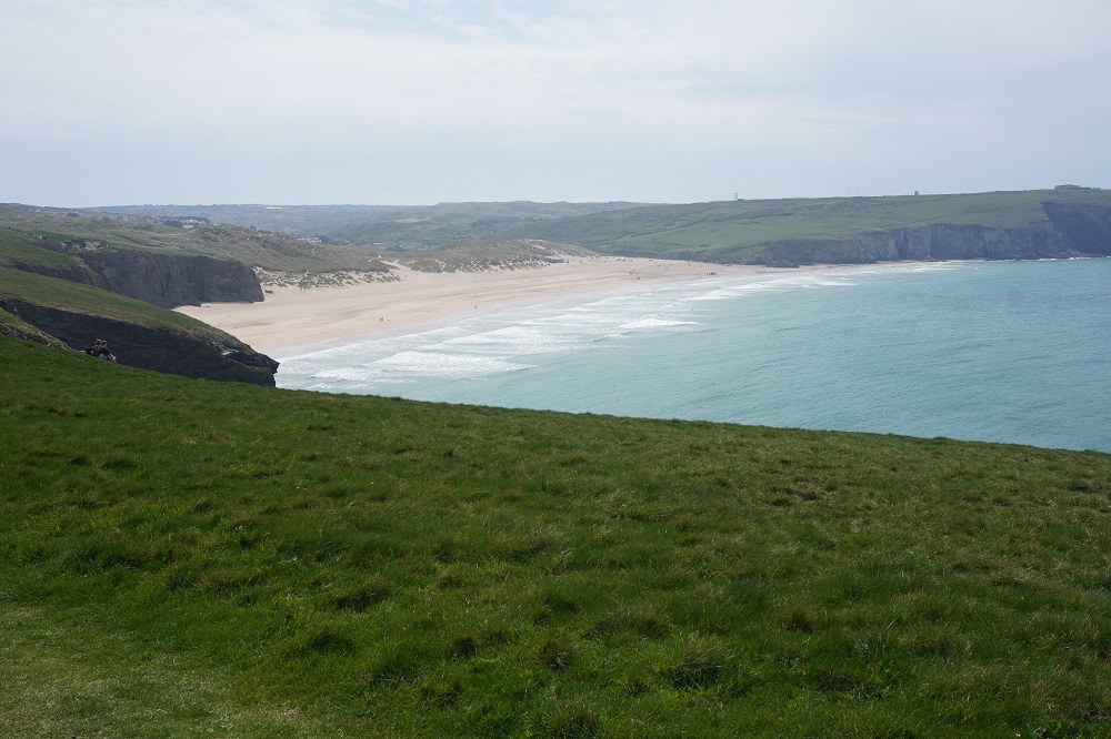
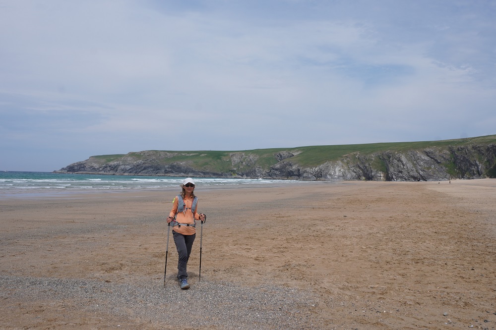
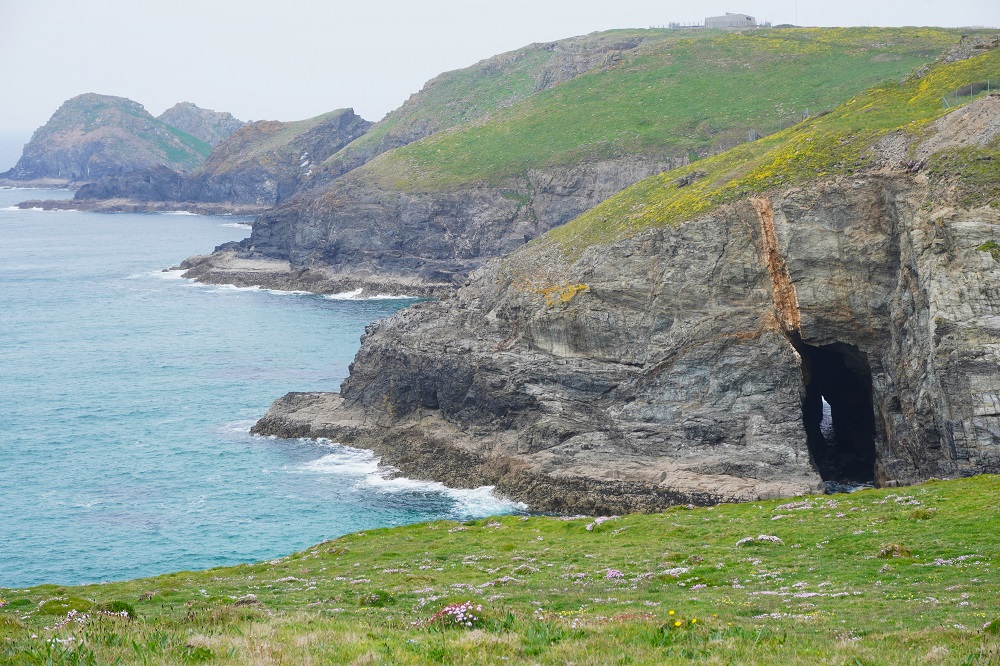
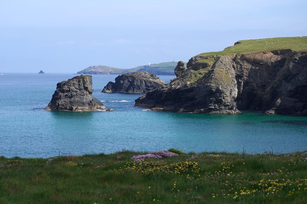
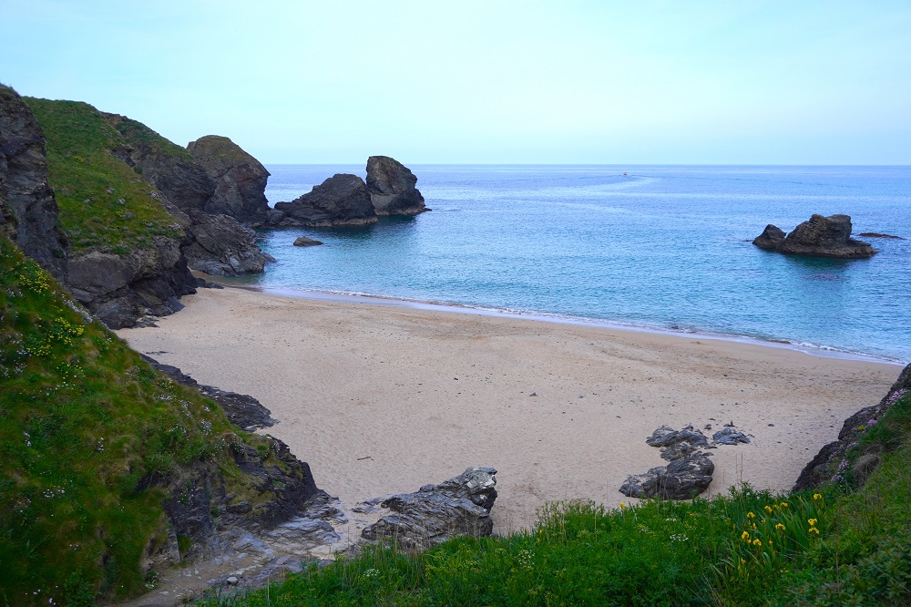
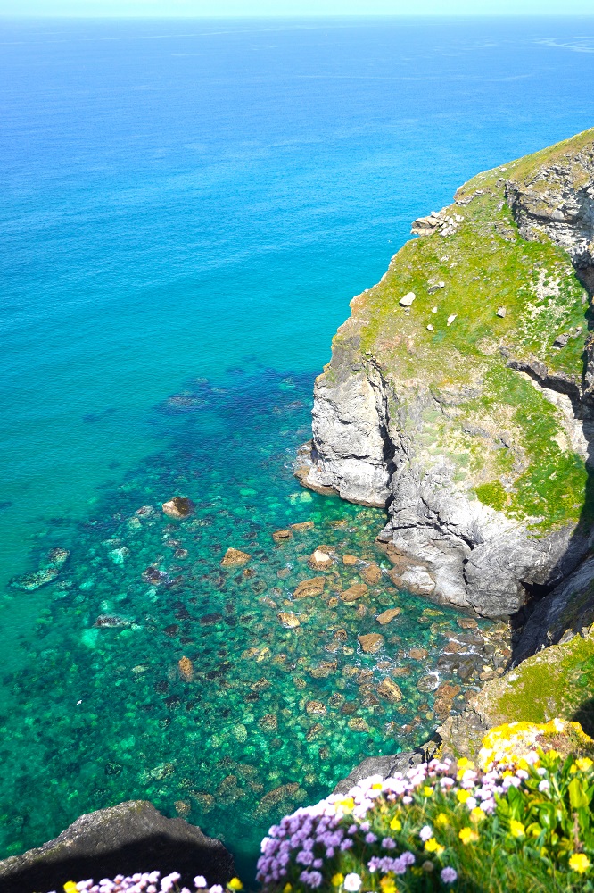
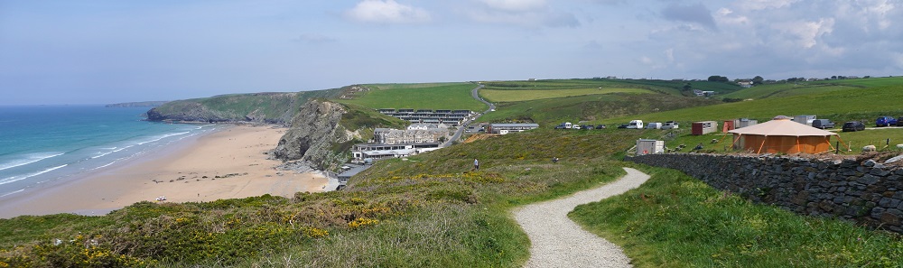
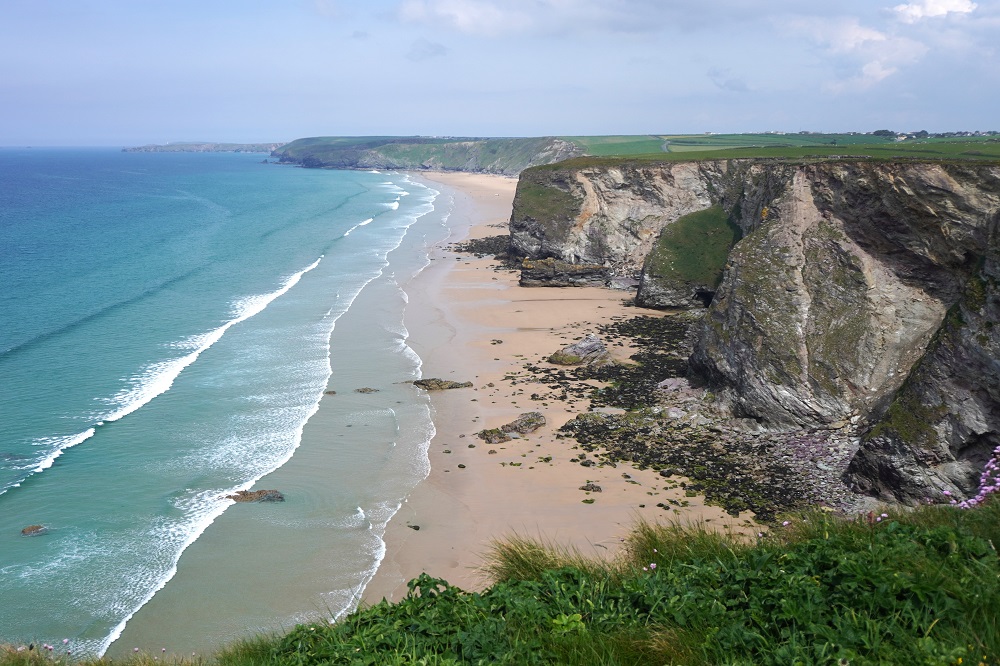
The cliffs are now full of caves and arches, granite headlands and massive rock outcrops with the occasional small cove with beautiful sea colours. Inland it is moor with low scrubby heather. This is an exposed area with almost no shelter in stormy weather. After passing the Coast Watch station at Gwennap Head we dropped down into the tiny hamlet of Portgwarra. There are only a handful of houses, a telephone box, a post box, toilets and a lovely little seasonal café. I think everyone walking the Coast Path takes a rest here for a coffee, cold drink, cake, ice cream or something. This was to be our main meal of the day so we had a very large traditional steak pastie each. Portgwarra also has a tiny beach and was once a busy fishing village. There is a tunnel in a rock outcrop through which boats were hauled to higher ground.

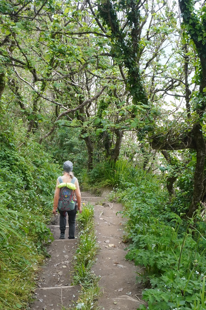
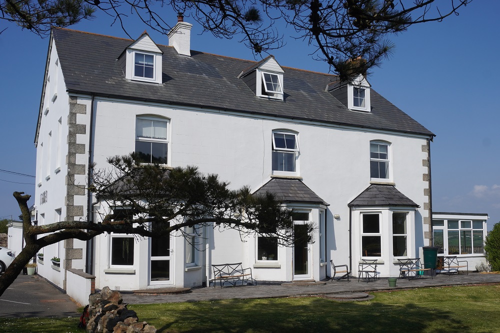
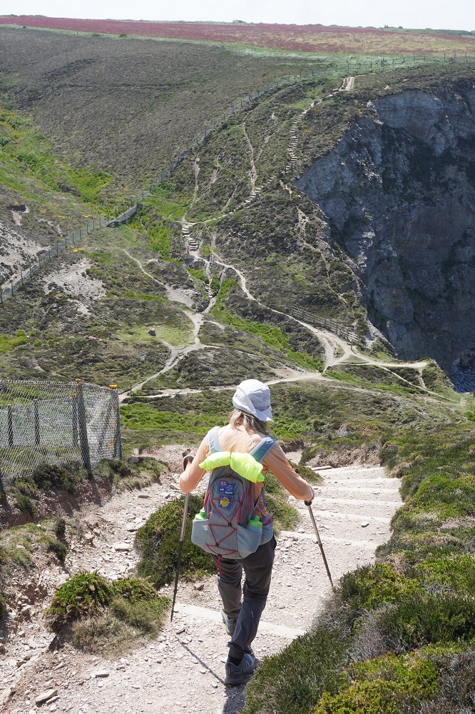
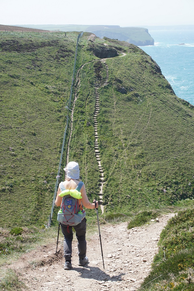
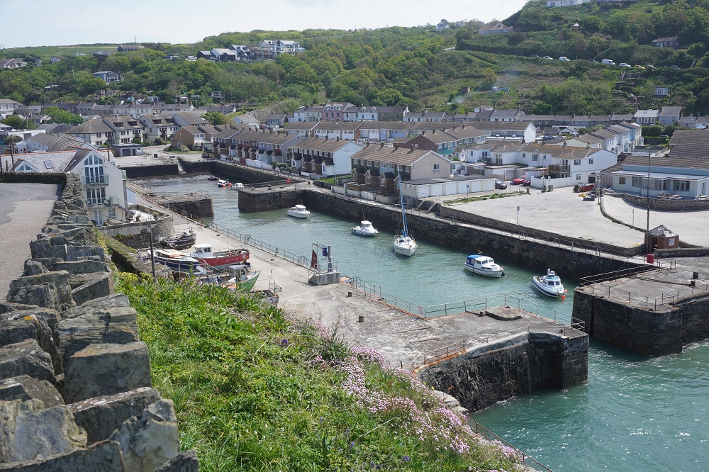
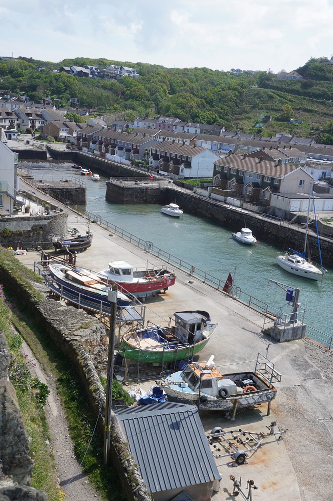
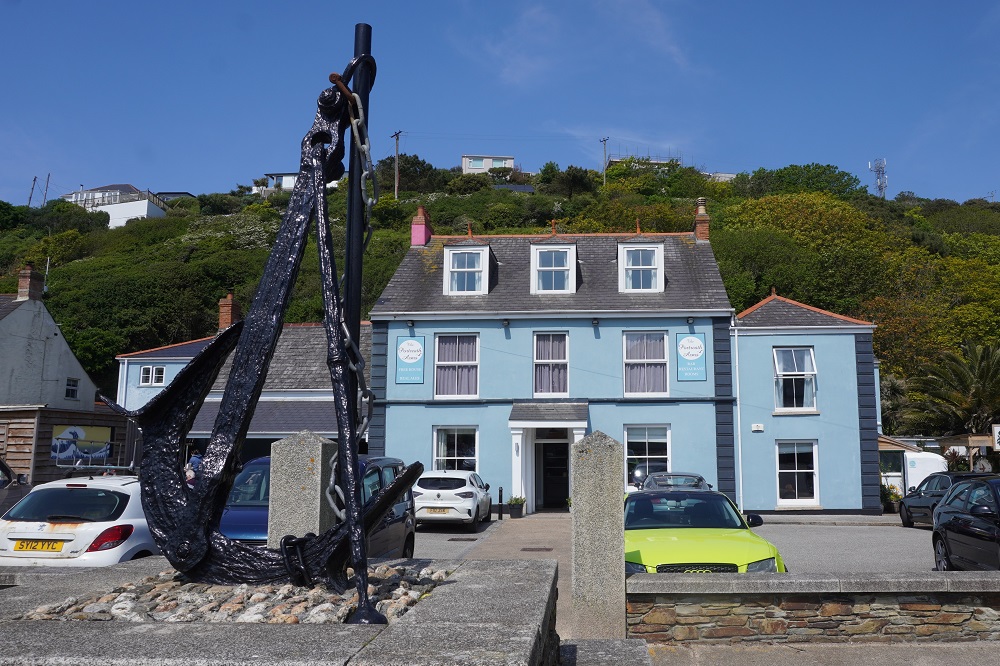
It was only a short walk then to the unique cliff face Minack Theatre. This is an extraordinary open-air theatre constructed above a gully with a rocky granite outcrop, perched above the Atlantic Ocean. It is the creation of Rowena Cade, who by hand, with two of her gardeners, moved endless granite boulders and earth to make terraces. The first performance was in 1932 in a much smaller theatre than it is today. The theatre continued to expand and improve until Rowena’s death in 1983. The theatre operates from May to September with children and adult, matinee and evening sessions. It operates rain or shine, bring your own cushion. We were there eight years ago and watched a rehearsal of Hamlet, although no one was in costume and scenes were repeated until they were right. It was £12 (NZ$30) to visit – not a performance. As we had spent a couple of hours there previously, we decided not to go into the theatre again. I will include a few photos from 8 years ago to show you what it is like. From the Minack Theatre you go down a very steep cliff face to Porthcurno and a short walk into the village. Besides its theatre and beautiful beach Porthcurno is famous for its historical role as a major hub for global submarine telegraph cables. In 1870 the first under ocean telegraph cable was landed here connecting the UK to India. Between WWI and WWII it was the largest international cable station in the world with 14 cables and received and transmitted up to two million words a day. There was also a college for training apprentices. The college is now the Porthcurno Telegraph Museum. We arrived at the Sea View B & B at 3.20 and the land lady was not so strict and let us in. Of course we are up in the attic again with a climb of 28 steps. Porthcurno only has a seasonal beach café so you can’t get an evening meal without walking a few kms inland to the nearest pub, hence our pastie earlier in the day. It will be basic rations of bread and cheese tonight.

The Minack Theatre 2018


Hard rocks breed hard men

Friday 15 May 2026

Day 22 of walking
Pendeen to Sennon Cove
Distance: 14.66
Total distance: 448.82
Climbing: 513m
Total climb: 14,456m

What a difference a day makes. A shorter day, only 15km, sunny, no rain, a cool wind but not nearly as strong, an easy path and a most interesting day. Breakfast this morning was an all antipodean affair –  us two kiwis, an aussie couple and an aussie guy walking on his own. We met up with the aussies yesterday and they stay and eat at the same places we do. They finish in Penzance so we will see them for a few days yet.

The first part of the day was all about Cornwall’s coastal mining heritage. From the hotel we walked through the remains of the Geevor Tin Mine. The mine closed in 1990 and is now a museum and café and has tours that go underground. The museum has a lot of the mining machinery preserved and explains the processes in extracting tin, copper, zinc and arsenic, and shows the life of the miners. They say “hard rocks breed hard men” but the miners who worked underground had a life expectancy of only 40 years. We were too early and didn’t want to wait for the museum to open so missed out on an underground tour which I think would have been so cool. The mine shafts are narrow, only wide enough for one person, twist and turn, and are unlined – just the bare rock. Very claustrophobic. The Geevor mine buildings are not very attractive being post-industrial and largely 20th century.

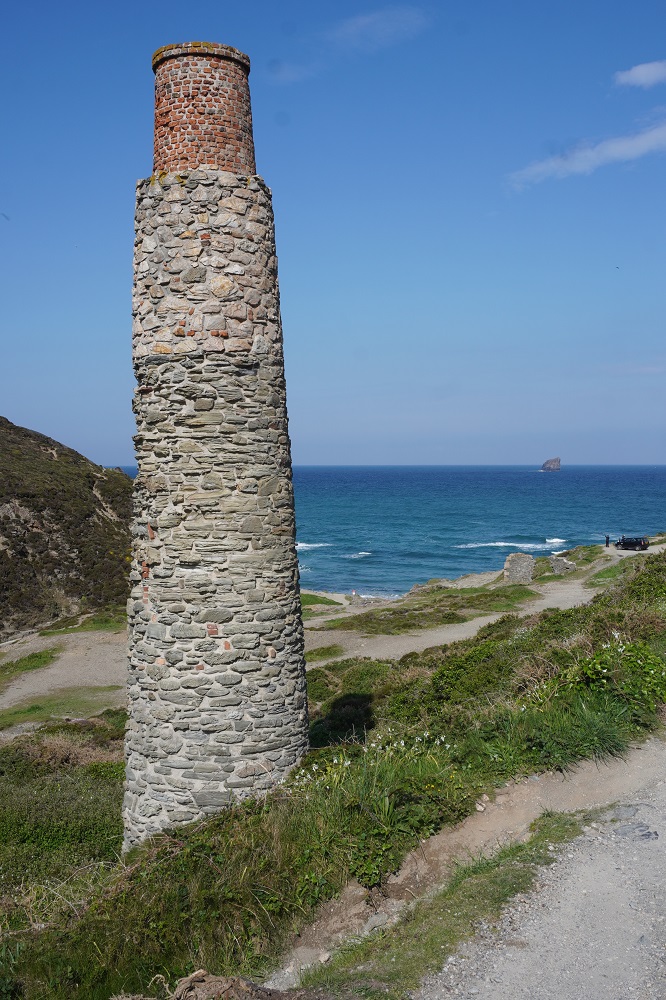
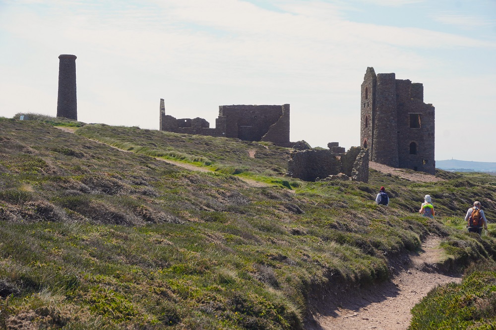
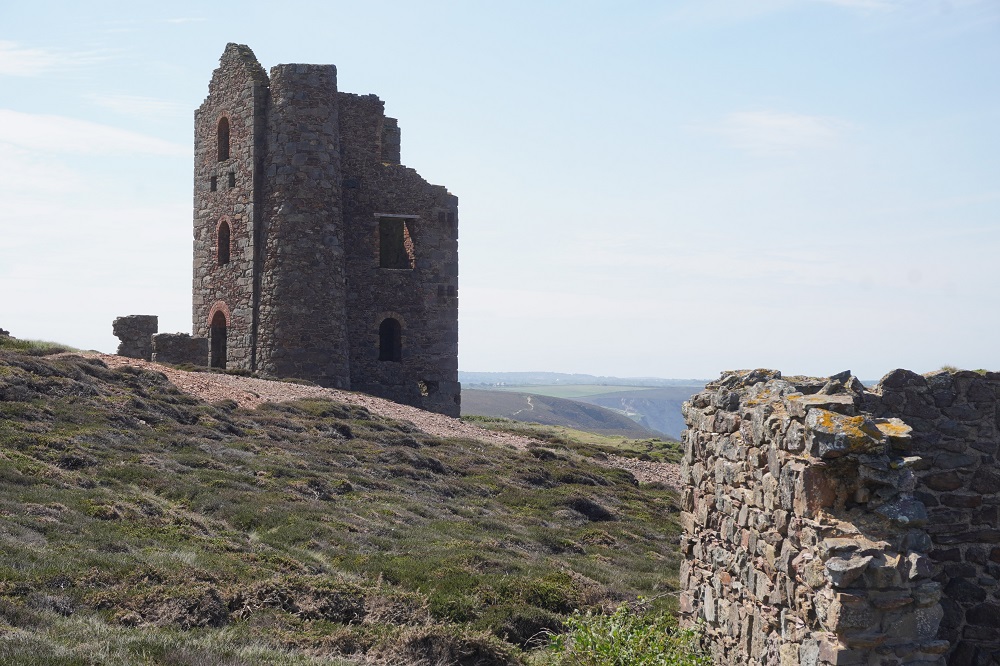
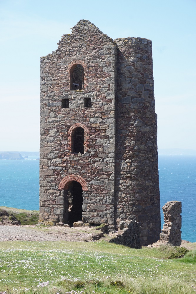
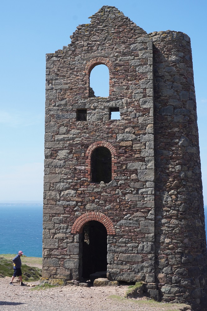
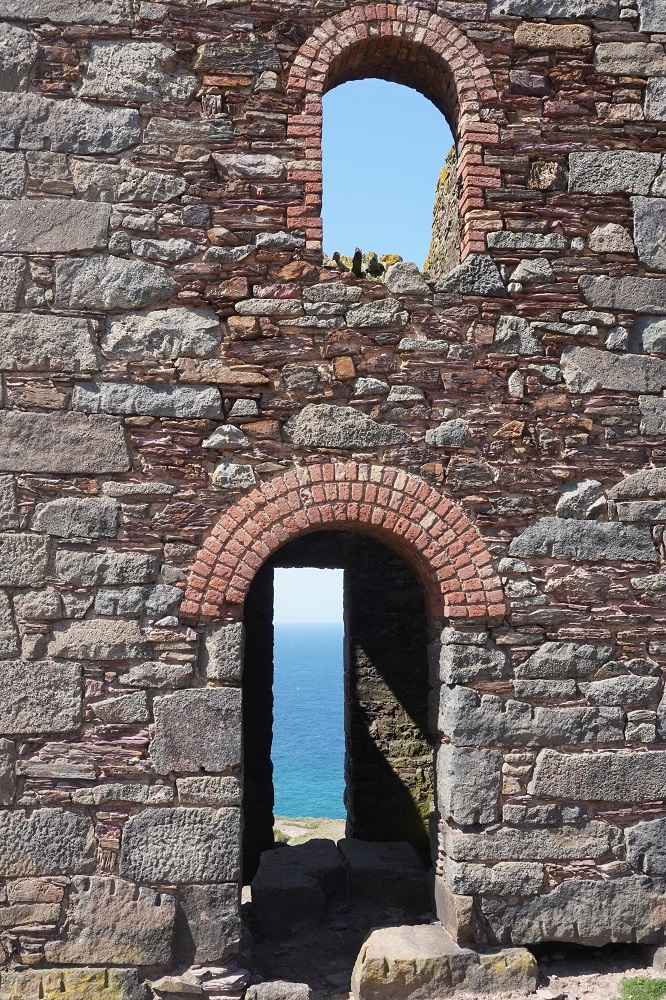
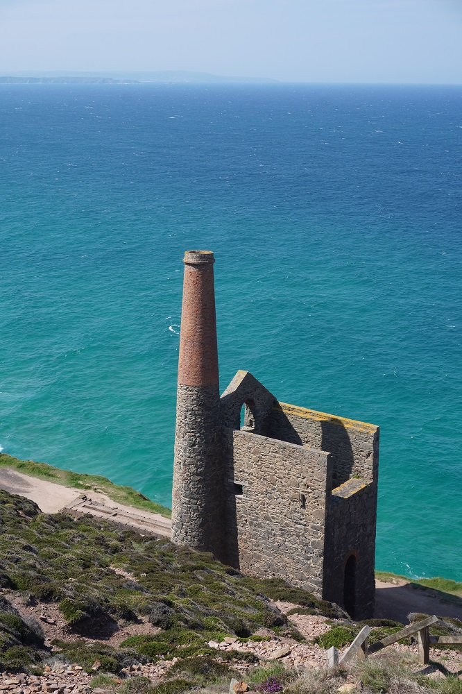
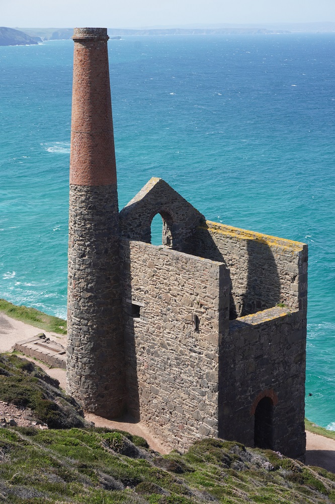
A short distance further on are the remains of machine rooms, chimneys and pump houses of the Levant and Crown Mines. These are much older stone-built romantic structures. At the Levant Mine the cliff top engine house and steam-powered beam engine have been restored to their former glory. It operated from 1840 to 1940 lifting copper and tin ore to the surface and is now occasionally steamed up for the public. The Levant Mine was the scene of a tragic accident in 1919 when the lift collapsed killing 31 miners. The Crown Mine is the most romantic with two machine houses perched right on a cliff edge very close to the sea. More engine houses and chimneys dot the cliff tops for about four kilometres.

As you leave the heritage mining area the headland Cape Cornwall appears. It was once thought to be the most westerly point in mainland England but that distinction belongs to Land’s End. It is often referred to as the “connoisseur’s Land’s End. More on the character of Land’s End tomorrow. The Cape is cone shaped and at the highest point is a chimney left over from a mine. Shafts extended from here right out under the sea. A cape is defined as a headland where two oceans or channels meet: in this case the English Channel and St George’s Channel.

As you leave the cape, high on a cliff, is the Ballowall Barrow, a bronze age burial site. It is difficult to visualise the funerary monument because you are forbidden from climbing the stone walls and walking on it. The centre of the barrow was a mound surrounded by two concentric drystone walls. Within these were five small stone-lined chambers known as cysts, some with Bronze Age pottery. Two more pits forming a T shape may have been graves. We saw dozens of these burial sites in Ireland, just left undisturbed in the farm fields.

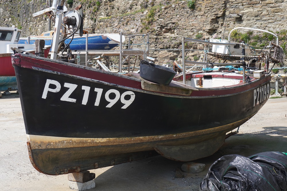
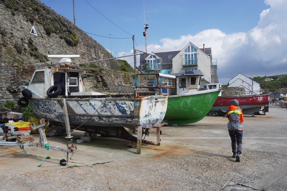
The last stretch to Sennen Cove was along the coast with curious large round stones, a scramble through rocky outcrops on headlands and finally some beach walking along Gwnver Beach. We arrived still feeling fresh and strong, unlike yesterday. Sennen Cove is a small beach-side community where fishing and tourism are the only source of employment. The winter weather is too wild for the boats to go out so from November onwards the quay is piled high with lobster pots and the fishermen spend their time maintaining their boats. Sennen Cove used to be the most important seine fishery (fishing just using one surrounding net) in Cornwall. In the 1900s as many as 12,000 fish could be caught in one catch.

We are staying in The Old Success Hotel. Originally a pair of granite cottages it became an ale house in 1671. The name was chosen to commemorate successful fishing catches, legal or otherwise. We ate in their restaurant tonight and for those still interested Barbara had Madras style curry: aromatic curry sauce, tomatoes, braised saffron basmati and wild rice, minted coconut yoghurt, roasted aubergine, courgette and chickpeas. I had Italian char-grilled chicken: grilled chicken breast, basil pesto, buffalo mozzarella, sun dried tomatoes, olive tapenade, herb salad (a token gesture!) and skin-on fries. As we arrived at the hotel this afternoon for the first time we saw the luggage transfer van that magically collects our luggage in the morning and has it waiting for us at our destination. For the second time our room had a Nespresso coffee capsule machine, and the room had a fridge with two complementary cans of beer.

Boldly over Boulders

Thursday 14 May 2026

Day 21 of walking

St Ives to Pendeen
Distance: 23.55km
Total distance: 434.16km
Climbing: 1.045m
Total climb:14,063m

We were well pre-warned about today’s walk from St Ives to Pendeen. The American couple the other day who took 12 hours. The waitress at breakfast this morning. When asked how far we were walking and we said Pendeen, there was one of those long intakes of breath as she eyed us up and down closely. She wanted to know how long we thought it might take and had we seen the weather forecast and did we know there are  no villages or refreshments along the way etc. She had obviously seen people bite off more than they could chew. As we stepped out of the hotel we were bailed up by a cabbie touting for a fare. When we said no thanks we were walking he wanted to know where to. When we said Pendeen it was another long stare. He wanted to give us his card and if we wanted a ride from somewhere along the way, just give him a call. I think they both just wanted us to know what was ahead of us. I felt confident, Barbara not so much. We are as fit as we are ever going to be and were rested after a day and a half in St Ives.

This section is lonely and remote and is also tough going on rough and rocky terrain and in some places it is boggy. A lot of climbing but only in short, not very steep bursts. The most difficult thing about today was the weather. Leaving St Ives it was a strong cold wind coming in off the sea. This got stronger as the morning wore on and in some places we could barely stand up. With the wind came showers, some very heavy with large rain drops that felt more like hail. We were soon soaked right through and although our bodies stayed warm with the walking our faces and hands were frozen. Before leaving home we had thought of throwing in gloves but thought nah, we are going to an English summer! There were almost no places where the path was smooth or flat, it was endlessly up and down and climbing over or around boulders. When it wasn’t boulders it was bog. This section is renowned for being boggy although the worst bits had large stones you could step on jumping one to the next. The path has been 95% hard and dry this trip. Southern England had a wet winter, as everyone likes to tell us, but a dry spring so the Coast Path is in good condition. This section is always boggy no matter what the weather does.

This section was amazing, stark cliffs, rock pinnacles, tiny coves, exposed headlands, the roaring of the wind and crashing of a wild sea smashing into the cliffs. We couldn’t appreciate the scenery much because you had to concentrate 100% of the time on where to put your feet. There were no shelters to get out of the rain and I think we found the only two places where you could huddle down behind rock formations to get out of the wind. The first for a coffee break and the second for a quick lunch.

There were some highlights, a stone circle, wild ponies, ruins of mining buildings and at the end of the day The Pendeen Watch Lighthouse.

Early in the day we came across a stone circle, similar to the many we had seen in Ireland. Cornwall does have an ancient history. Mesolithic nomadic hunters and gatherers settled after the Ice Age. Neolithic man arrived about 3500BC and they had the skills to rear crops and raise flocks and the art of building ’quiots’ – stone chambers used for communal burials. In 2000BC the Beaker Folk arrived and many believe it was they who erected the stone circles and standing stones in southwest England. Despite the prevalence of ancient monuments and standing stones in the area the one we saw is a more recent addition. Fable has it that these stones were once 13 old farmers, and one beautiful 19 years old virgin from St Ives (it is said that she was extremely difficult to find!) They were all caught dancing an ancient harvest fertility rite Morris Dance, on Feast Sunday, by the local Magistrate, and were immediately turned into stone forever! They say this was about 1947.

On reaching the Pendeen Watch Lighthouse we turned inland and followed a quiet road for a kilometre or two into the little village of Pendeen. We are staying at yet another lovely little country pub, The North Inn. We are in a chalet out the back at ground level, ie for only the second time no stairs to climb. They serve the usual bar meals, steaks, burgers, 5 curries etc but also a range of their own pies: steak and mushroom, chicken ham and leek, fish (monkfish, salmon,smoked haddock), game (rabbit, pheasant, partridge, pigeon), leek mixed mushrooms and kale. We chose a pie each as they were the only dishes that came with that rare commodity, vegetables – potatoes, carrots and broccoli.

We felt pretty good at finishing the walk today. We had a plan B. If we were just feeling too cold and miserable after 10kms, we could take a path inland to Zennor which is on the bus route to Pendeen. We decided to carry on, partly I think to show those Americans what Kiwis are made of.


St Ives

Wednesday 13 May 2026

Rest day number 3 St Ives

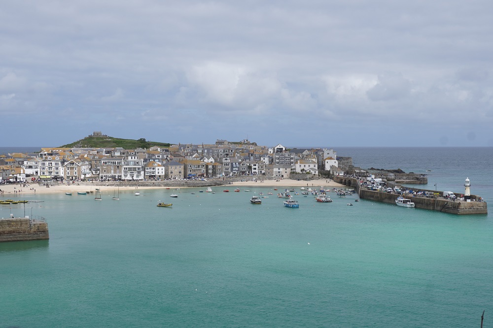
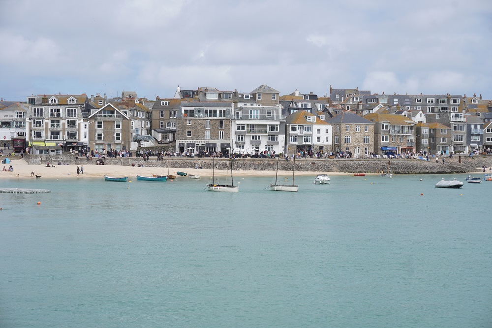
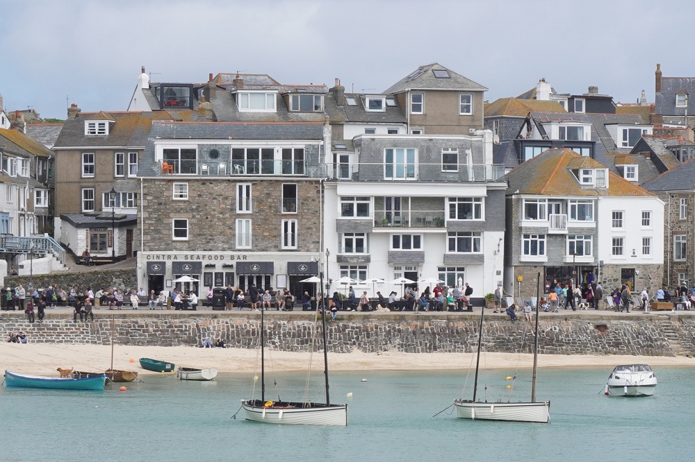
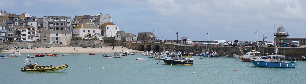
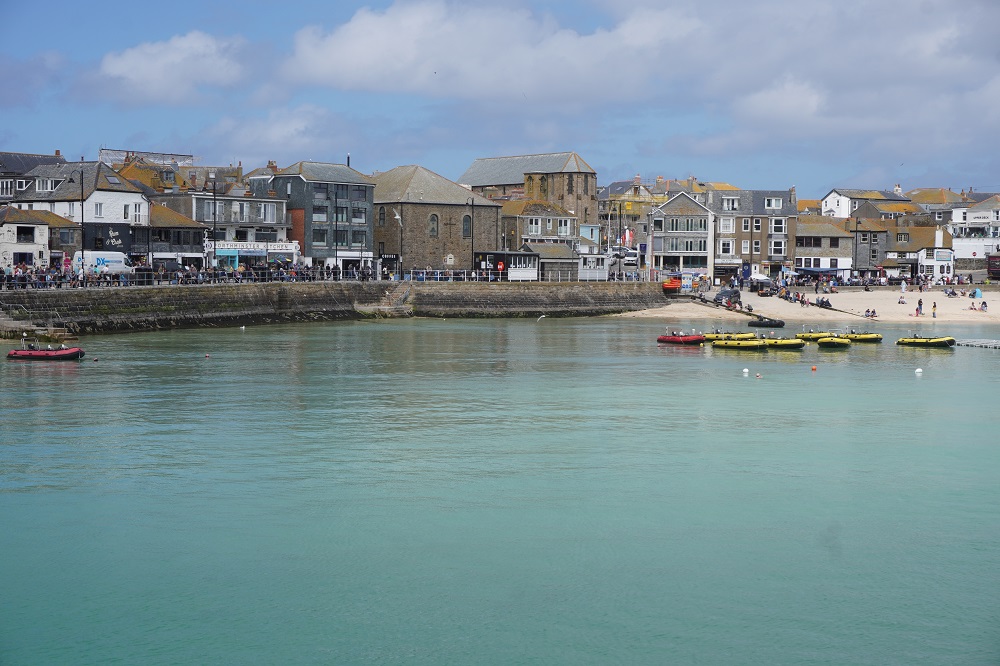
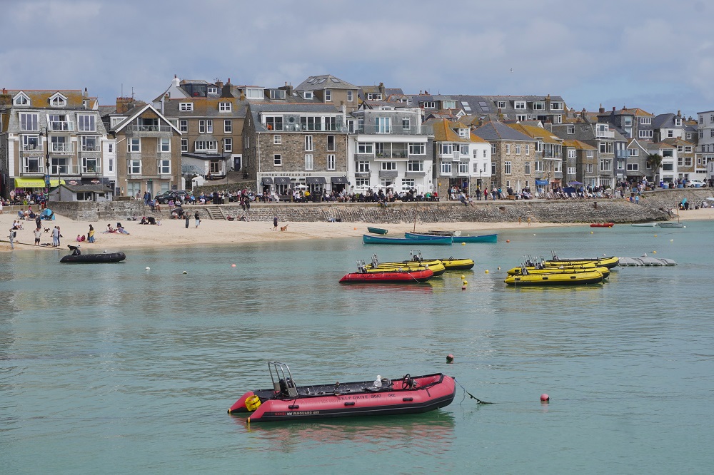
Pretty St Ives has attracted artists for years because of the clarity of its light. There are dozens of galleries and artists’ studios. The flagship gallery is the Tate St Ives under the same management as the Tate Modern in London. It exhibits work by modern artists with links to the St Ives area. They also manage the Barbara Hepworth Museum and Sculpture Garden in St Ives. Barbara Hepworth worked in stone and bronze and many of her works are very large. The museum is in her studio which has been left as it was when she died in the 1970s. In 2018 we spent a lot of time at her museum and the Tate St Ives so did not go back there this time. Both are absolutely superb.

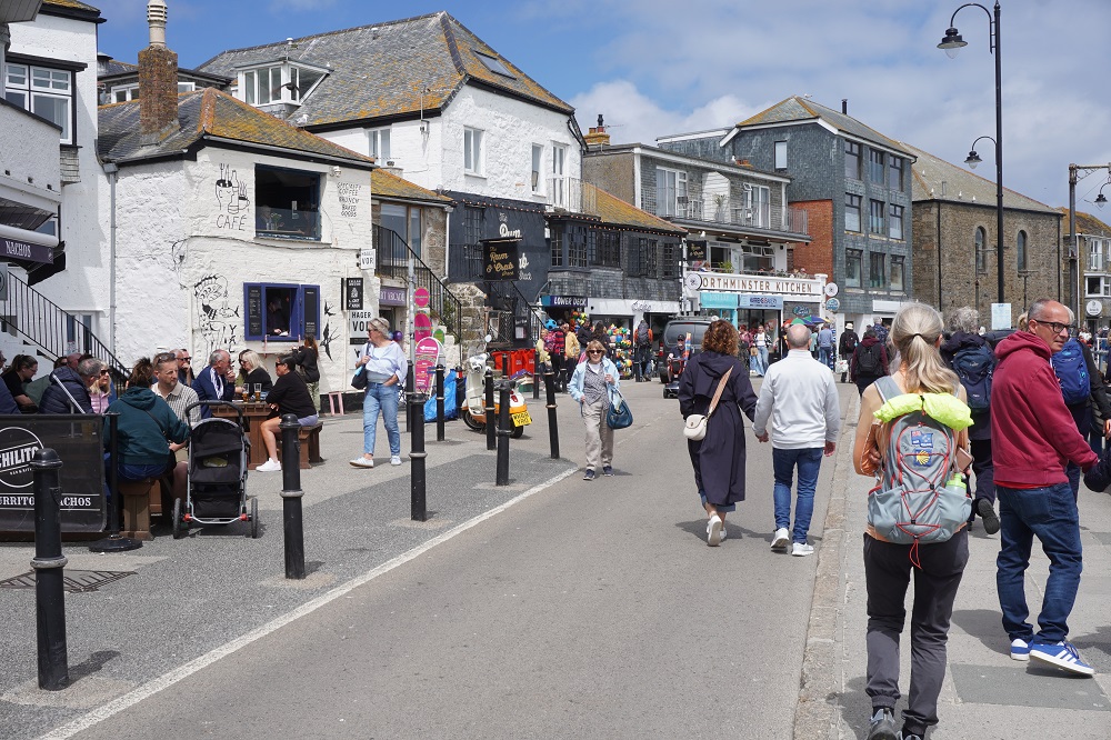
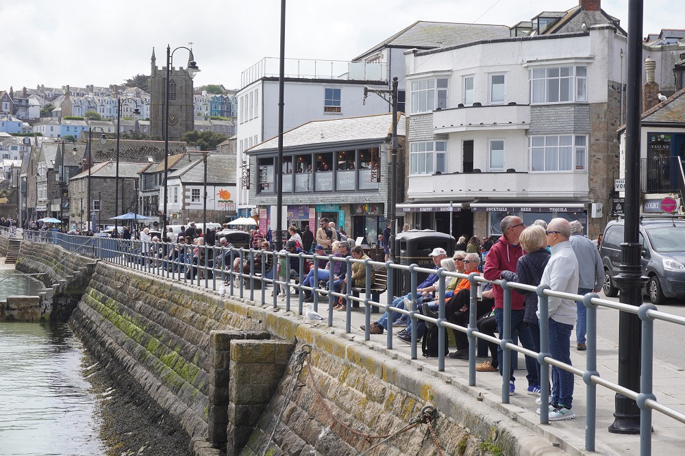
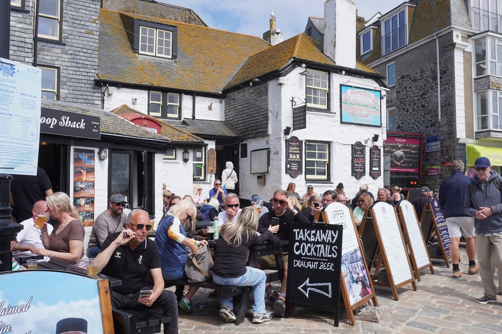
St Ives is very popular and even at this time of year and mid week it is crowded with visitors. We went out for a walk after breakfast but it was showery and very windy, gusting 62km/hr up on St Ives Head. It was also cold, about 10° feels like 1° in the wind. We checked out the route for leaving town tomorrow and retreated to our warm hotel room. By lunch time the showers were gone, the sun came out, the wind died and the narrow streets, cafes and bars filled with people.

Probably the most popular section of the South West Coast Path is from Padstow to St Ives. This takes about 6 days and has a lovely town at each end and in between a taste of pretty much all the SWCP has to offer but in a gentler version than the more strenuous stretches.  You get the rugged cliffs, steep valleys, tiny inaccessible beaches, cliff top walking, vast sandy beaches and dunes, little fishing villages, military areas, tin mining heritage, turquoise seas, seals, sea birds, cafes, bars, toilets and fellow walkers to make friends with.

After a lazy day today we are back to reality tomorrow. A 24km stretch, of rough rocky terrain, endless ups and downs, boggy fields, isolated with no villages or cafes along the way. We can’t wait to get into it.


Step by Step

Progress Report

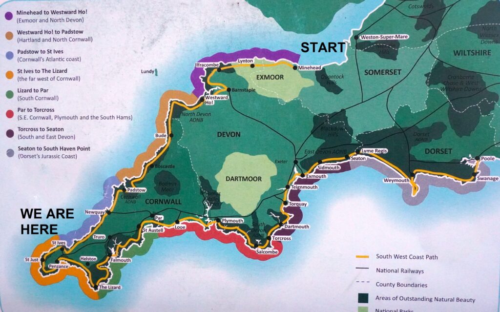
We have now walked 410 kilometres from Minehead to St Ives. This is 40% of the distance from Minehead to Poole. About 820,000 steps. Only about 1,200,000 steps to go!

Soon we will reach Land’s End, the most westerly point of mainland England and then The Lizard, the southernmost point of the British mainland.

Before you reach Land’s End you feel you are walking away from Poole which is true as the crow flies, but after, every step feels as though it is a step nearer to your goal.

We are loving it 95% of the time. There is always some part of the day when you just want to get there, by some magic to be transported to your hotel, have a hot shower and collapse.

The bodies are pretty good, not perfect but holding together so far. Fingers crossed this continues.

Out and Back

Tuesday 12 May 2026

Day 21 of walking
St Ives to Porth Kidney Beach and back
Distance: 10.43km
Total distance: 410.61km
Climbing: 376m
Total climb: 13,018

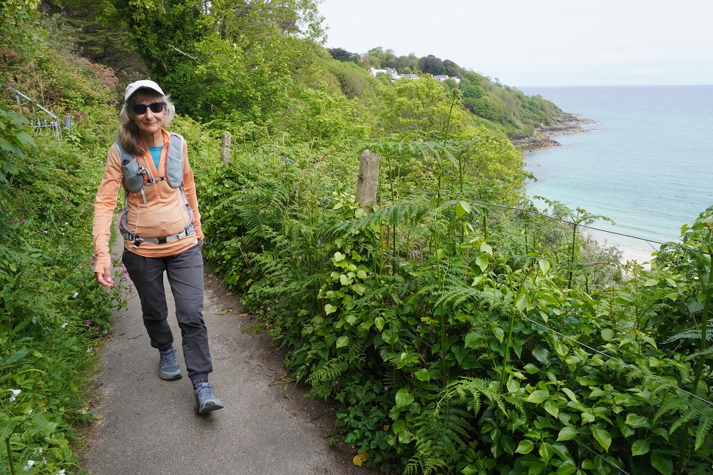
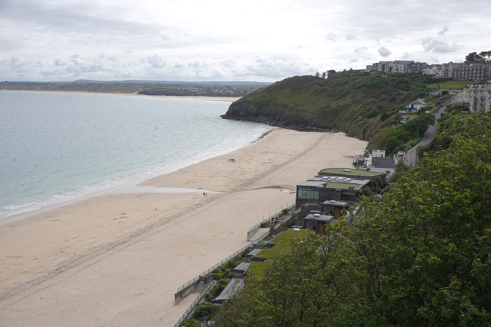
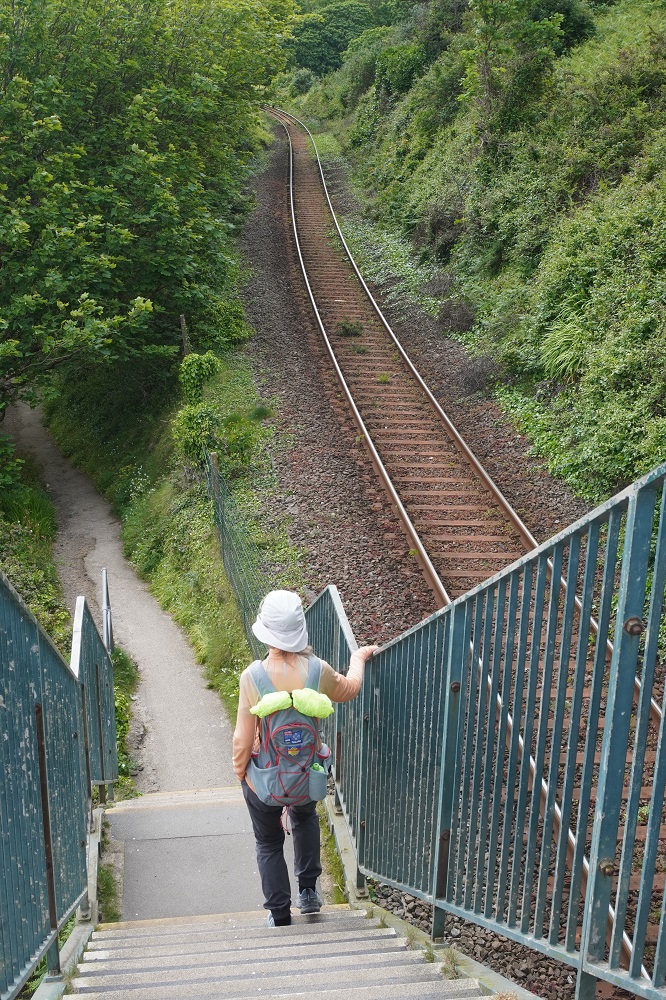
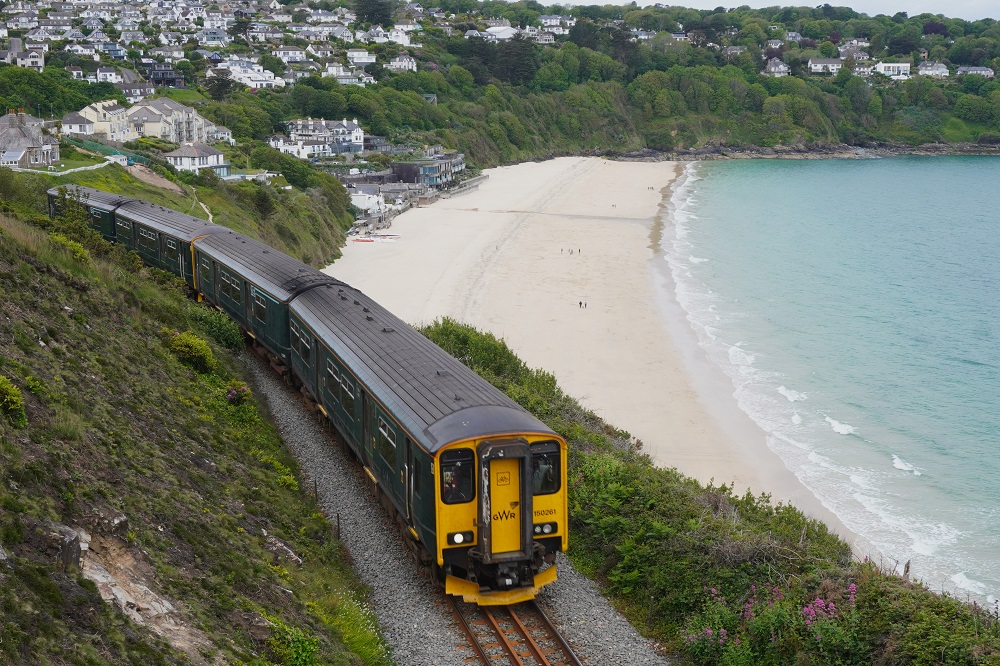
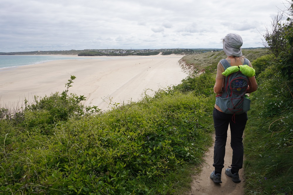
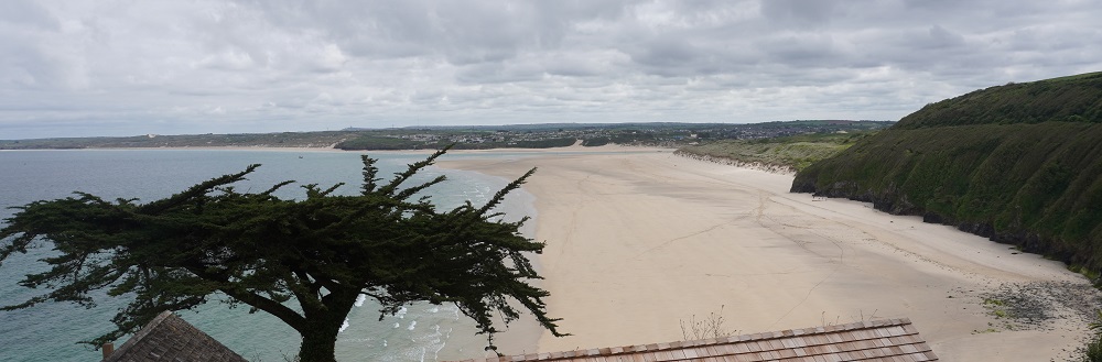
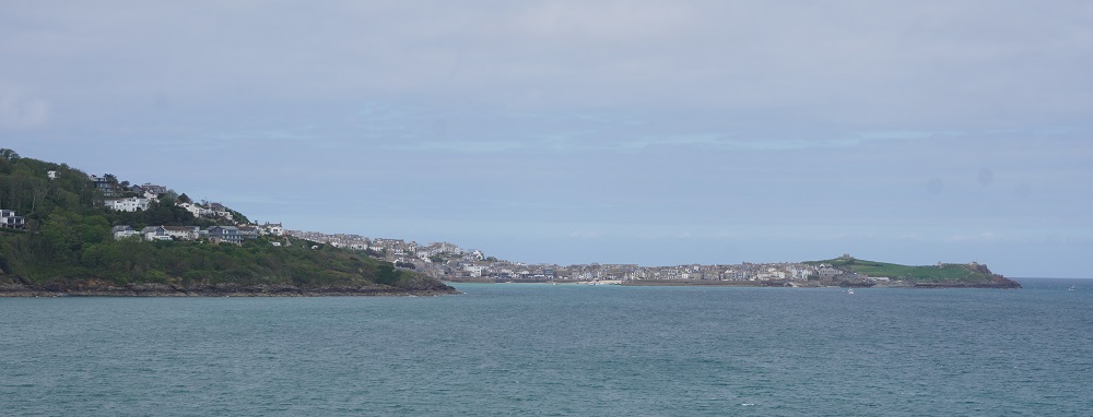
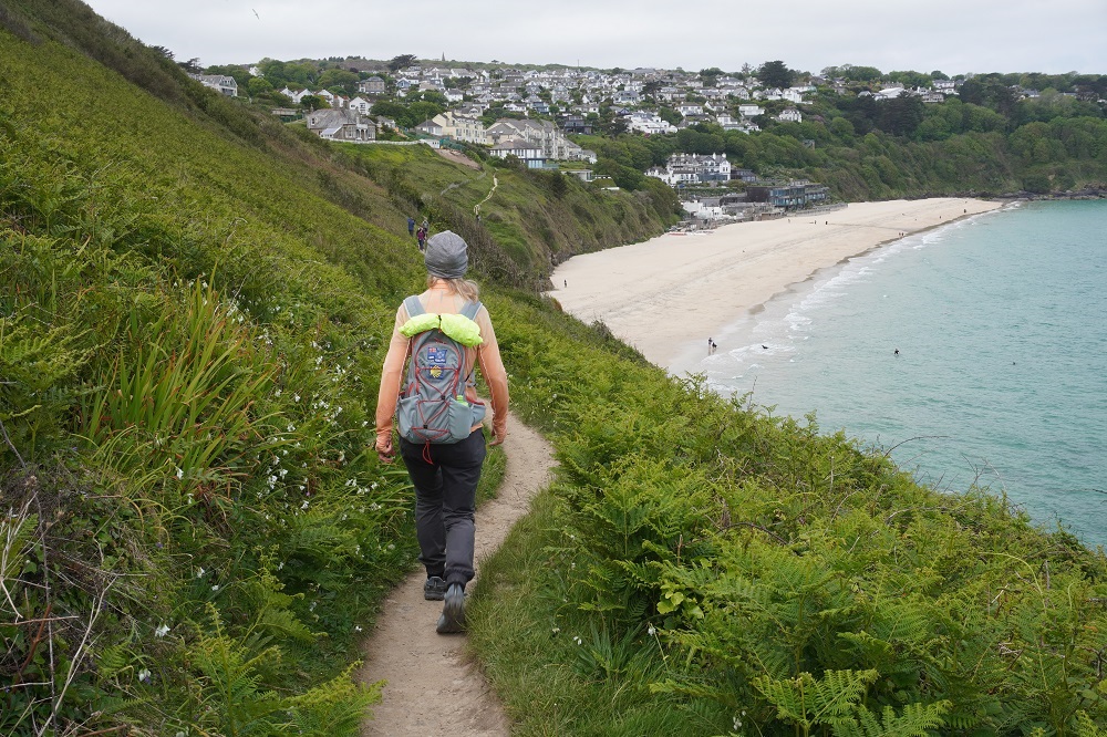
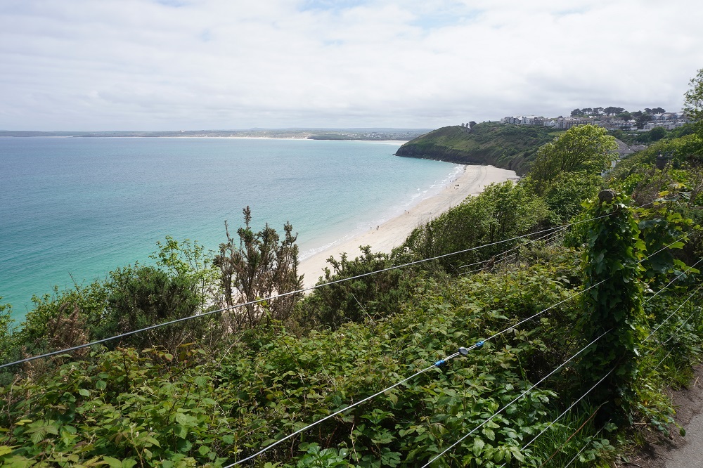
A very cruisy day. 8.30 breakfast and we didn’t get out the door until after 9.30. Our mission was to walk 5 of the 10 kilometres back toward Hayle and then to return to St Ives. This was to make up for the 10kms we didn’t walk from Hayle to St Ives yesterday. While the path was never far from roads and houses it does have good views over Porthminster, Carbis and Porth Kidney Beaches and to St Ives itself. It is also always close to the railway branch line to St Ives and several times you have to cross the tracks on pedestrian over bridges. The trains run every 30 minutes so we saw quite a few of them. Fortunately for about a third of the walk there is a high path and a low path option. Going out we took the high path and returned on the low path. The tide was coming in so we didn’t get a chance to walk on the beach.

One of the nice things about going back along the Coast Path is that you meet your friends coming toward you from Hayle. The first was an English lady who has lived in Switzerland for 40 years and has her family there although her relatives live in England. She did some of the Coast Path last year before having to abandon due to an injury. She is back this year and is walking to Falmouth. We have talked with her several times and she is always so outgoing and positive. She is not camping but she is carrying a big load – not using the luggage transfer service. The next were an American couple we first met back in Portreath. They have walked quite a few sections of the path and come back each year to fill in the gaps. They end this trip today in St Ives. They spent a lot of time telling us how difficult the next stage, St Ives to Pendeen, is. They have done it and it took them 12 hours, it was blisteringly hot, they ran out of water and there are no facilities along the way. It was the first day of their last trip here and we think they are just not very fit. We also have walked that section before, and it is a long, strenuous day, but if you start early and are prepared with food and water and pace yourself it is not too difficult.

Then we met the German couple from Berlin who were so enamoured with the seals yesterday. We have spoken with them a few times and they have stayed at some of the same hotels as us. They finish in St Ives today so we won’t see them again. We don’t meet people like us doing the full monty but lots are doing just say a week at a time. It is so easy for them to fly in from Europe or elsewhere in the UK and do a week or two.

Today was our shortest and easiest day yet, but then it was really only half a day. Tomorrow we have a rest (and washing) day here, so will go and have a look around the town and the other four beaches of St Ives.

To the Lighthouse

Monday 11 May 2026

Day 20 of walking
Portreath to Hayle
Distance: 19.98km
Total distance: 400.18km
Climbing: 415m
Total climb: 12,672m

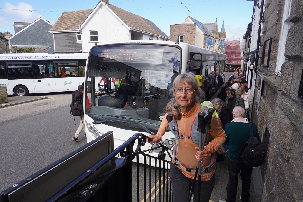
Our itinerary includes a 30km and a 34km day and we had decided before we left home that we would not walk days that long. Today was the 30km day from Portreath to St Ives. We decided we would walk the 20km to Hayle and get the local bus from there to St Ives. The buses are not very frequent, about one an hour and we had to wait about 30 minutes. £3 each for about a 20 minute ride that would have taken us at least 2½ hours to walk. The bus stop was right outside the hotel entrance so we didn’t waste even a second trying to find it. The walk out of Hayle is alongside a busy, noisy road for about 4 or 5 kilometres so we were not sorry to miss that. The remainder of the walk to St Ives is through the village of Lelant or at low tide along the estuary and beach at Carbis Bay and this part is very nice especially if you approach St Ives along the beach.

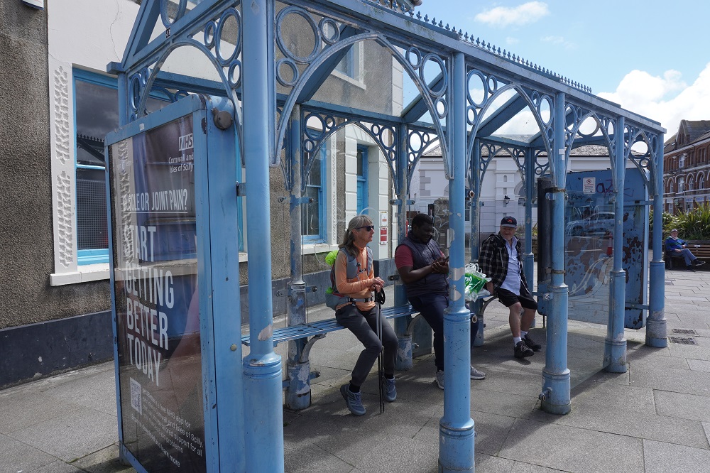
When we reached Hayle we had walked 19.98 km so Barbara walked twice around the bus shelter to tick over 20km. I didn’t so it is not in the “official” distance.

We have revised our itinerary as follows:

Tomorrow, May 12, our “rest day”, we will walk out and back from St Ives toward Hayle to do the best bits and knock off the required 10km.

The day after, May 13, was scheduled to be a short 10km day walking St Ives to Zennor and getting transferred back to St Ives. We will make this our rest day

The following day, May 14, was a transfer to Zennor and walking 14km to Pendeen.  We will combine the 10km and the 14km to walk 24 km from St Ives to Pendeen.

I hope you understand all that.

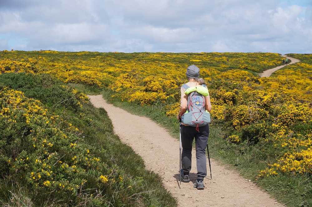
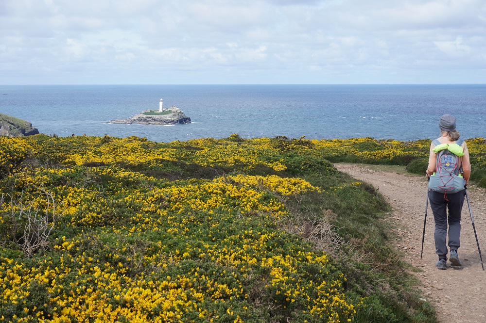
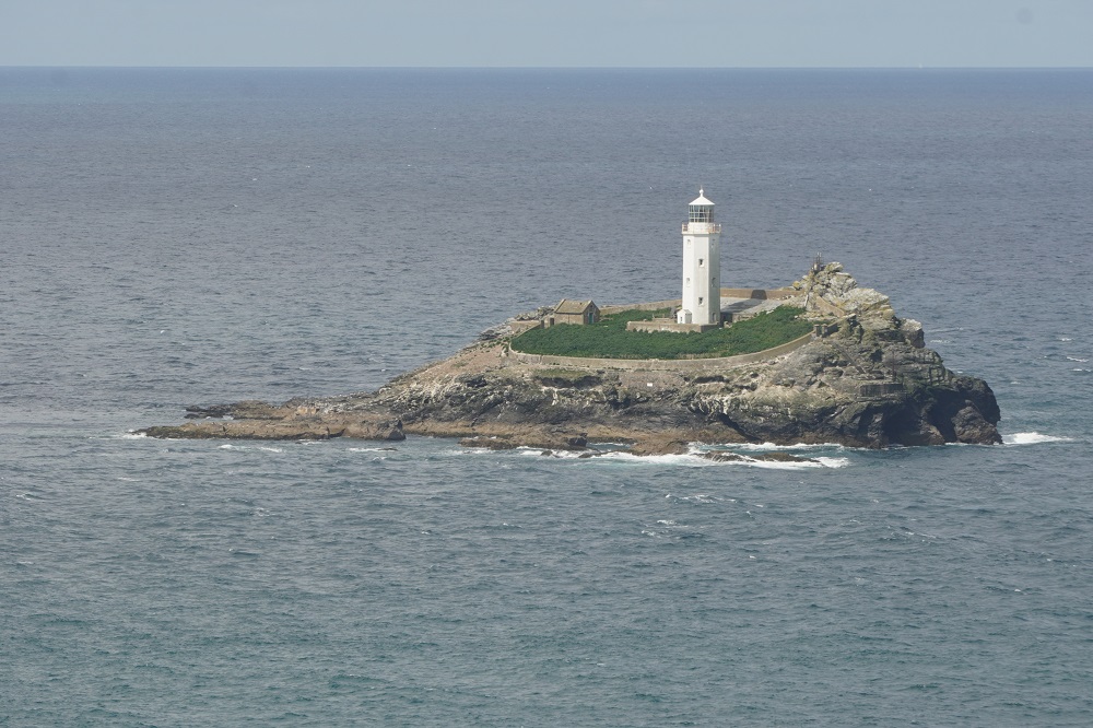
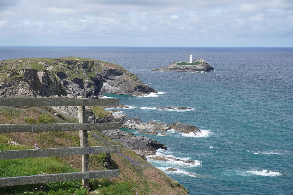
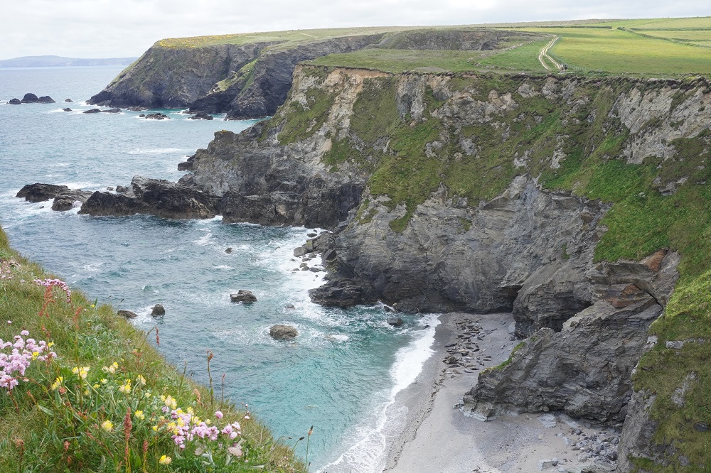
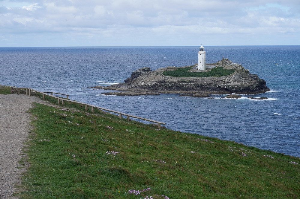
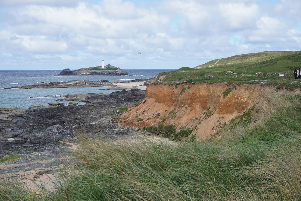
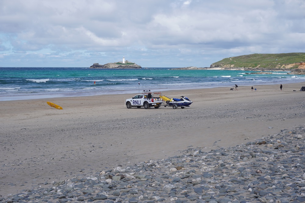
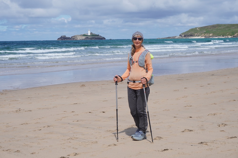
We were transferred from Perranporth back to Portreath in the hotel Tesla this morning but only with the man of the two young Germans. His wife had injured her ankle yesterday and was taking the bus from Portreath to St Ives. After a couple of stiff climbs and descents the rest of the morning was on level smooth cliff top among scrub and brilliant yellow gorse. This was fast easy going and most of it was a nature reserve as the cliffs are filled with nesting sea birds and at Hell’s Mouth grey seals breed in the caves below. We did not see any seals there today. The only major headland was at Godrevy Point which has an offshore lighthouse on a small island. This is the inspiration for Virginia Woolf’s classic 1927 novel To the Lighthouse. It draws on memories of holidays in St Ives with her parents. The lighthouse is merely a plot device for the development of the story.

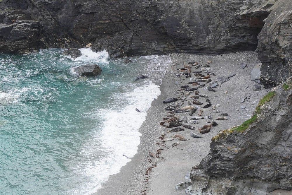
There were lots of people at Godrevy Point but not to see the lighthouse. Far below on the shore were dozens of grey seals. We do not see what all the fuss is about as it is nothing like as spectacular as the seal colony on the Kaikoura Coast or even Red Rocks. We didn’t want to say we can sometimes see seals up close  just a few metres away on the rocks at Queen’s Wharf in Wellington Harbour. Another young German couple we have met a few times told us seeing the seals had accomplished the purpose of her Coast Path walk as she was from Berlin and had never seen a seal before.

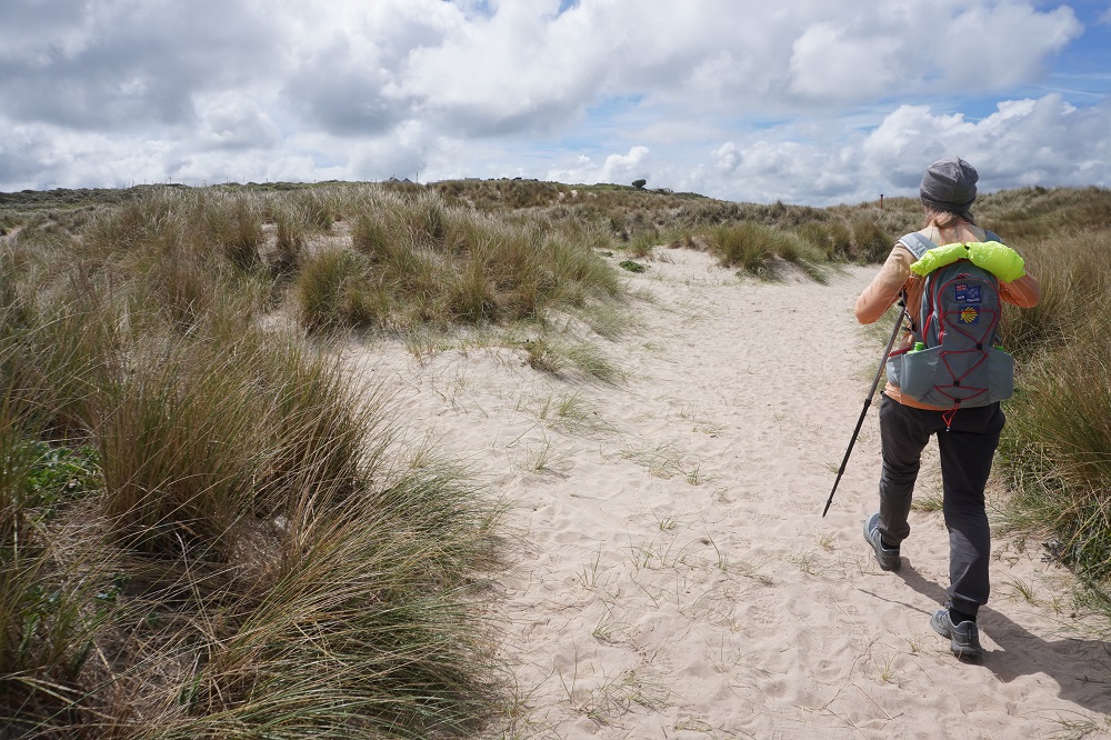
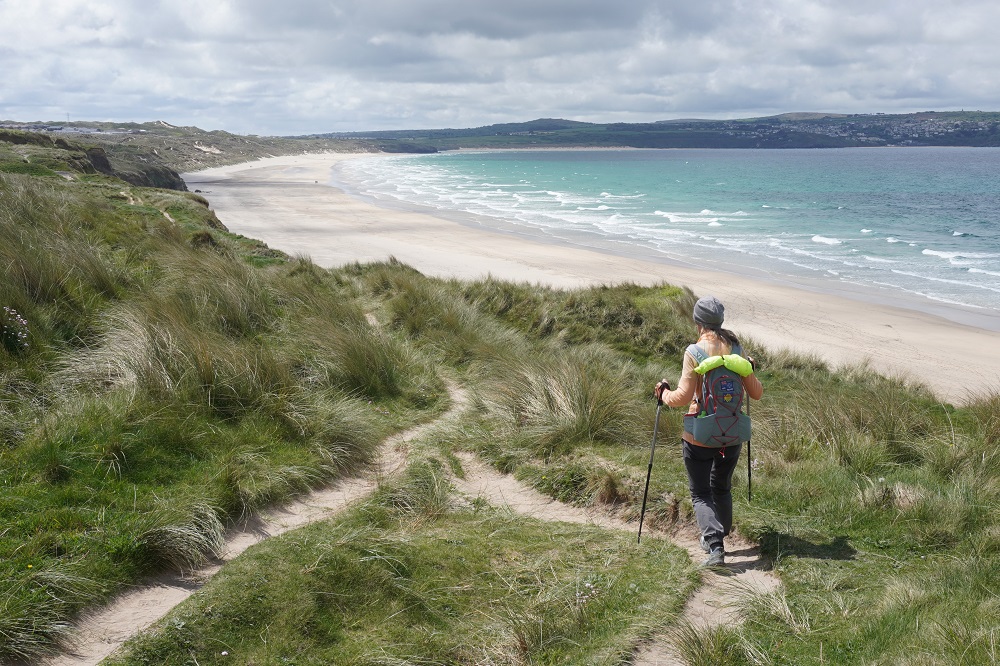
From Godrevy Point the next 6km is along St Ives Bay, starting at Gwithian and ending at Hayle. There is a choice of walking along the beach or following the official route through the dunes. We started off in the dunes and although it was quite interesting it was hard going and about ¼ of the way along we went down onto the beach. Another one of those vast empty beaches. The tide was coming in and we could see we would not be able to get around the low cliff at the end as you enter Hayle so at the ¾ mark we climbed a steep soft sand track back up into the dunes. Our shoes felt twice as heavy as they filled with sand.

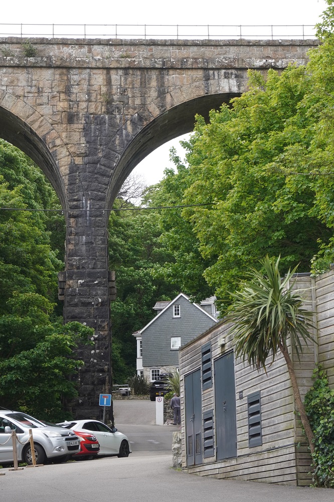
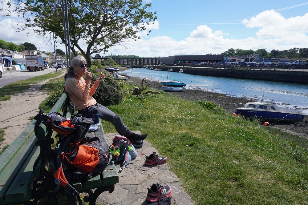
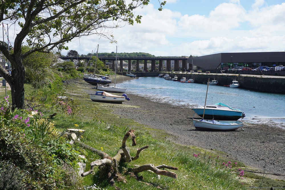
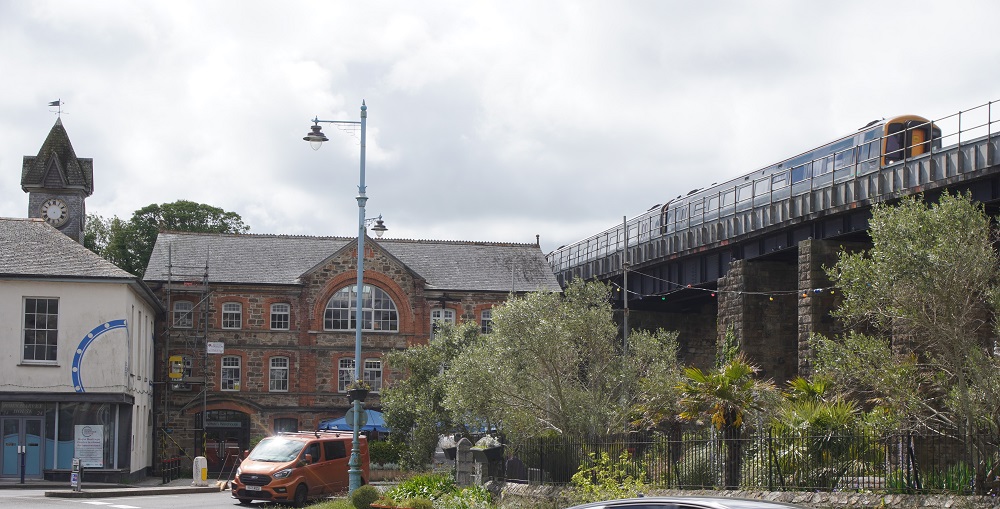
Hayle has been a port since about 1500BC and today the estuary is home to lobster boats and other commercial shipping. It is an unattractive but good-sized town with all the services: banks, post office, shops, library, commerce and industry. The Great Western Railway runs over the town on a high viaduct on its way from Penzance to Paddington London. We ate our lunch on the bank of the estuary and then went to wait for the bus. There is also a train from Hayle to nearby St Erth (on the main line) and from there a branch line to St Ives. The bus was a better option for us as it was a direct bus service (you had to change trains at St Erth) and it was half the cost.

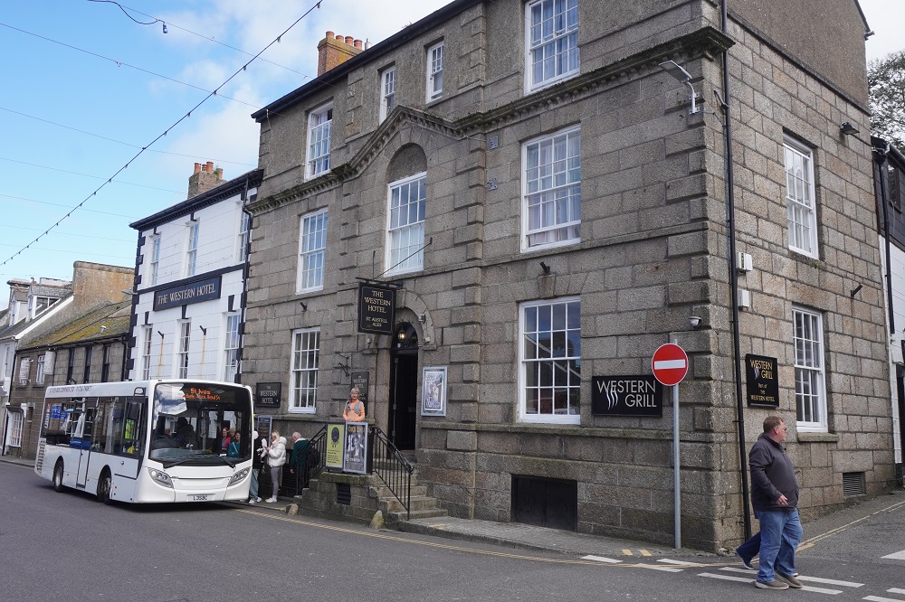
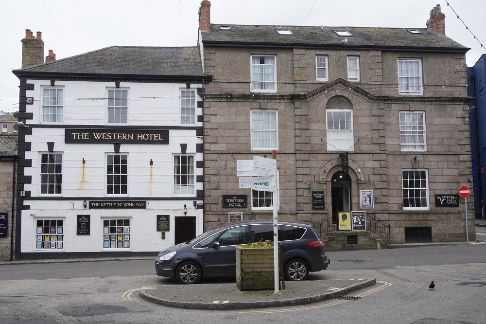
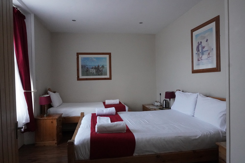
Tonight we are in the Western Hotel in one of the older parts of St Ives. The Western Hotel is one of St Ives oldest coaching houses and has been a St Austell brewery hotel from the nineteenth century. It is very comfortable and we are only up one flight of stairs! We are here for three nights.

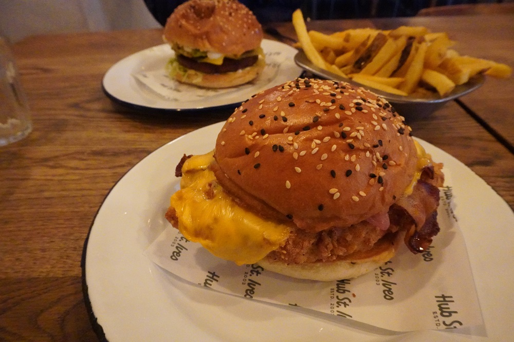
We were very, very tired at the end of the day and only went out to get a meal at The Hub down on the waterfront. It was a large menu and we decided that without looking, we would just take a stab and see what we got. Barbara ordered a “Betsy” (VE, GFA) and I a “Dirty Disco” (GFA). A Betsy turned out to have a Falafel patty, Applewood smoked cheese, mayo, chilli jam, guacamole, charred corn, pink pickled onion and lettuce. The Dirty Disco had crispy fried chicken, crispy bacon, American cheese, Guacamole. Charred corn, pink pickled onion and lettuce. They both turned out to be burgers, and very nice ones. The best so far.

Tin Mines

Sunday 10 May 2026

Day 19 of walking

Perranporth to Portreath
Distance: 18.86km
Total distance: 380.20km
Climbing: 686m
Total climbing: 12,257m

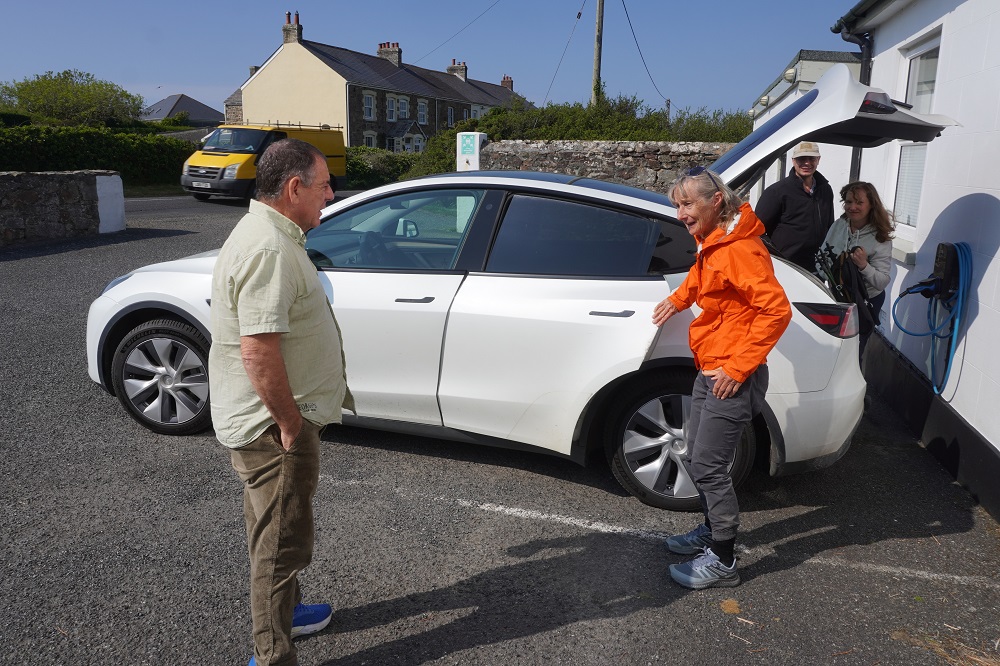
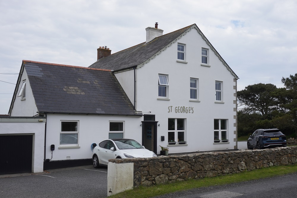
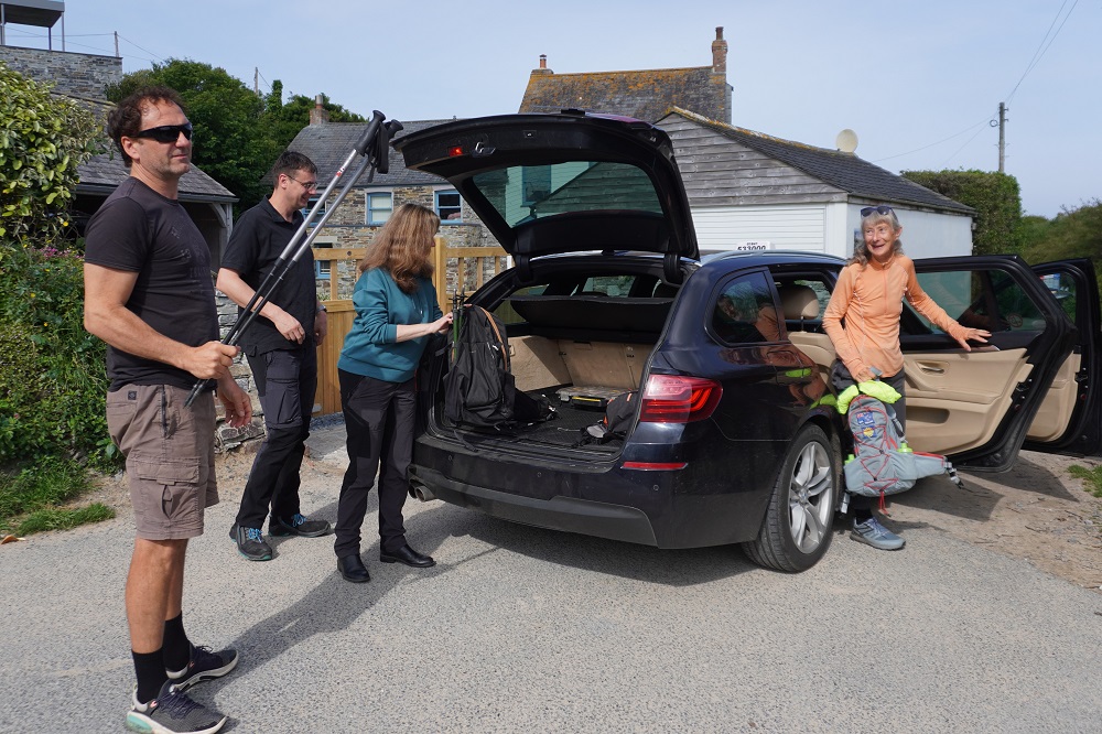
Today was the second time we have had a vehicle transfer. Last night we stayed at The St George’s Hotel Perranporth and today we walked from Perranporth to Portreath. The hotel then sent a car to Portreath and drove us back to Perranporth. Tomorrow morning they will drive us from Perranporth to Portreath and we will start walking from there. This was a better arrangement as we could agree on a pick-up time after breakfast this morning and no phone calls were required. We shared the car again with the same young German couple as last time and it was about a half hours drive. The car was a Tesla and I think this is the first time I have been in a Tesla. It was left hand drive which I thought would have been a bit unusual as the UK is right hand drive like us.

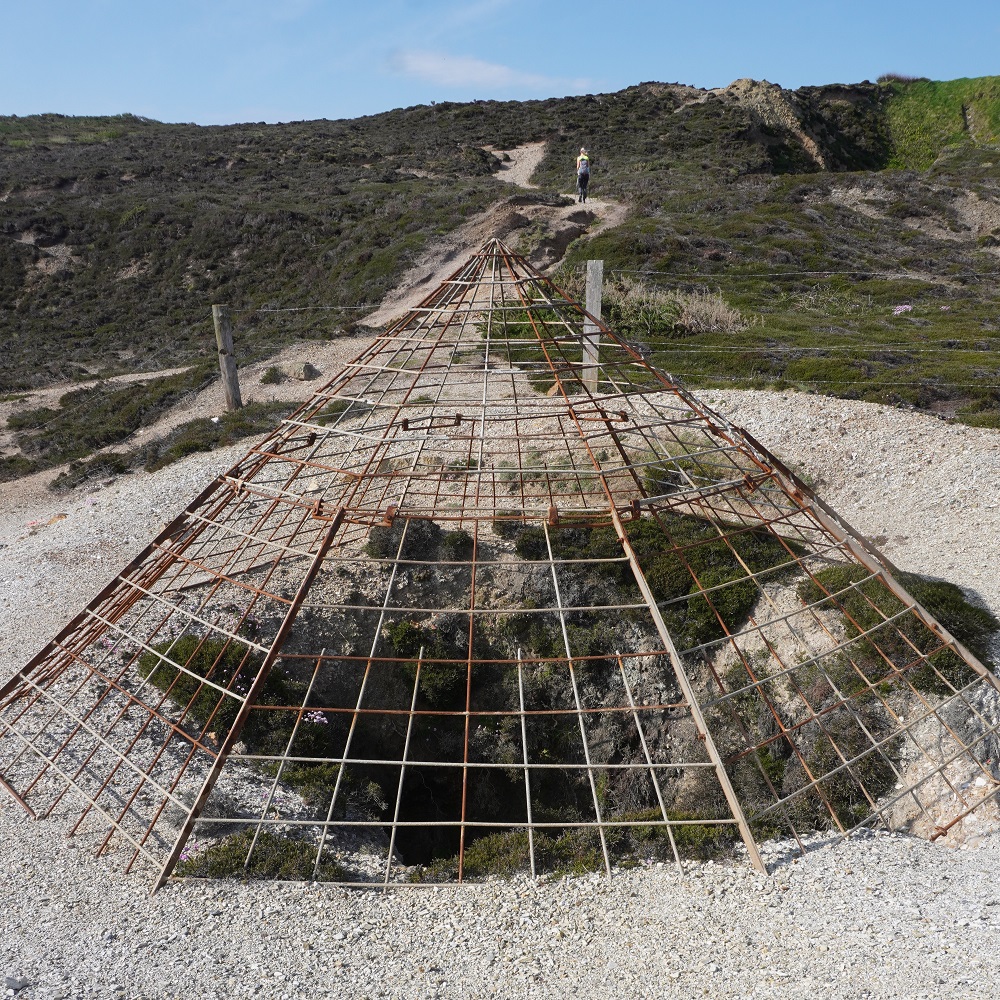
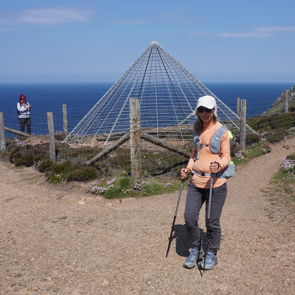
The day started with some cliff climbing and walking and then we began to see evidence of Cornwall’s coastal mining heritage. The first were mine shafts protected with conical metal grate tops to prevent people falling down them, and piles of not very attractive mine waste. Then at Blue Hills tin mine a stone chimney, a hint of what was ahead. But first the quaint Trevaunance Cove (St Agnes). It is a tiny rocky cove with a little sandy beach at low tide, popular with surfers and has a shop, toilets, surf school etc, and a handful of dinghies pulled up on the slipway.

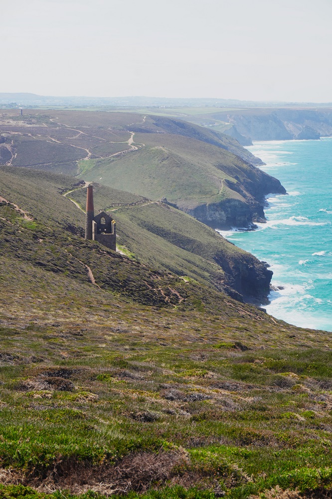
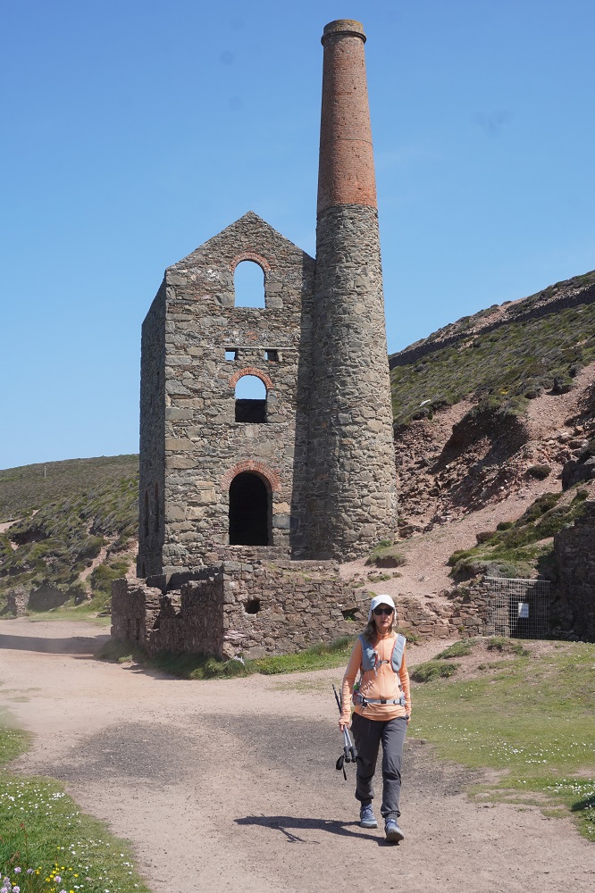
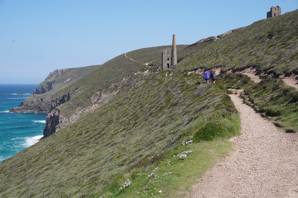
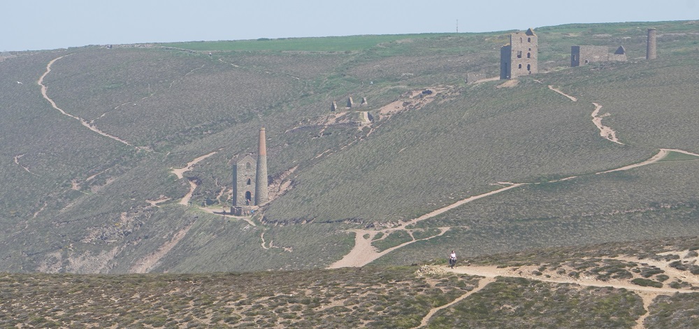
After climbing St Agnes Head we came to the mining areas of Wheal Coates and Towan Porth. There has been surface mining for tin here since the middle ages but the buildings standing today date from 1876 and later. They are mainly engine houses for the mine shafts, stamps and dressing floors. The ore was mined deep underground with shafts going far out under the sea. The ore was crushed with stamps and then roasted to draw off impurities like arsenic. This venture was not a great financial success and closed down in 1914. As well as tin small quantities of zinc, copper and arsenic were mined. The remaining engine house and chimneys are grand and imposing and show something of the scale of the activity here.

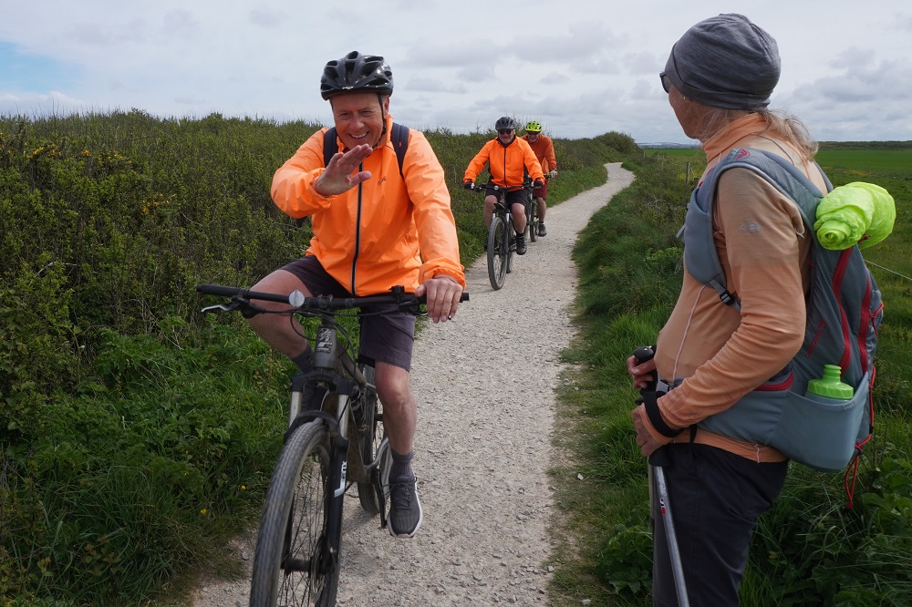
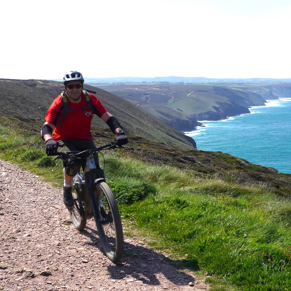
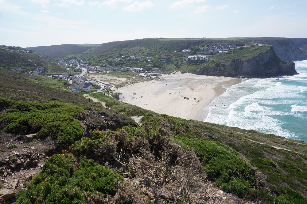
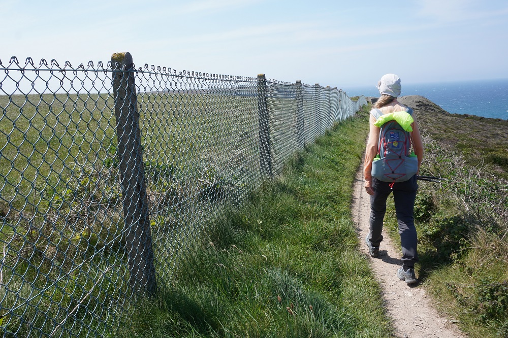
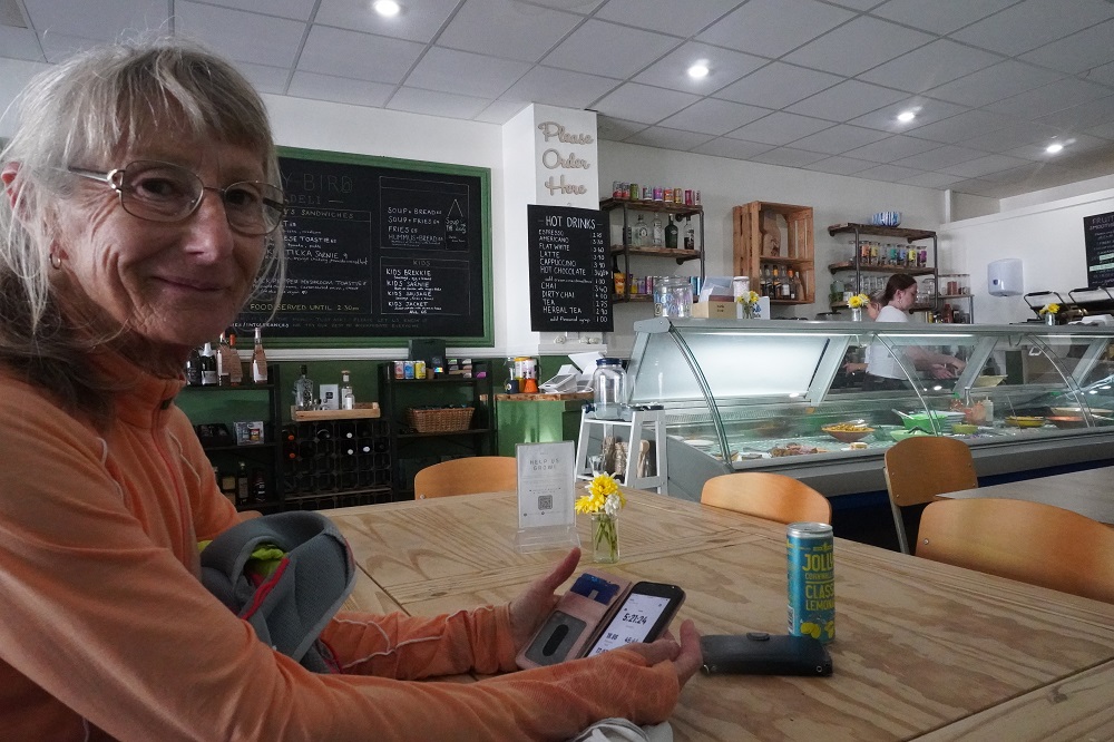
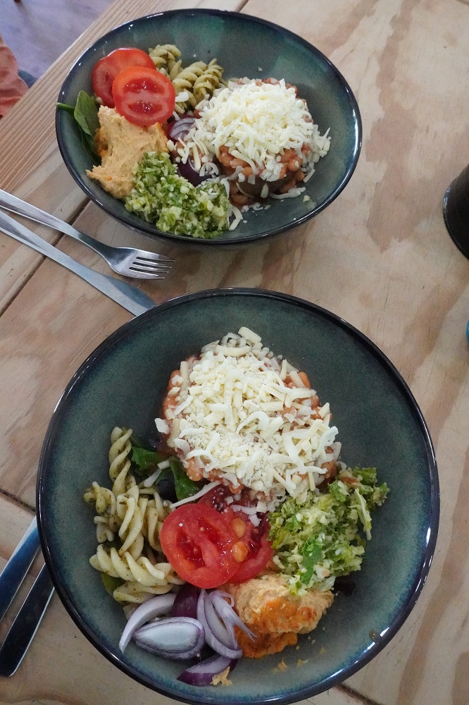
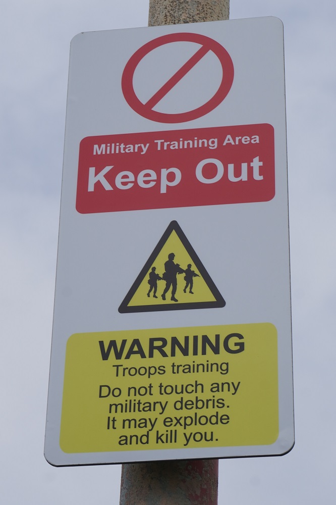
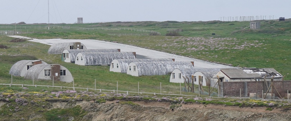
A roller coaster path then to a succession of coves and beaches, tiny Chapel Porth, middle sized Porthtowan, and the largest of them, our destination Portreath. Some steep descents and climbs and walking alongside the fence to a military area for about 5 kilometres. Some keen mountain bikers out as well today but the path would be extremely demanding for them. Generally cycling is banned on the Coast Path except in designated areas. A lot of the terrain with boulders, steps and very steep climbs are not suitable for most cyclists.Portreath is a small community and very untouristy. It has a nice pub, The Portreath Arms, post office, grocer, bakery, deli, toilets and a bus service. Today is Sunday and we had planned to arrive In Portreath for a late lunch of Sunday roast. However at the bar they informed us the kitchen is now closed on Sundays. They did point us in the direction of the deli and recommended it. We arrived there at 2.20, their closing time was 2.30, but they welcomed us in and said the kitchen would stay open for us. We each had a delicious Combi Bowl of ½ jacket potato with beans and cheese and salad bowl of mixed leaves, coleslaw, cajun hummus, crunchy rainbow veg (?), honey mustard cabbage, kale and queso pasta.

Another great day, sunny but with a strong cool wind, the highlight being the tin mining heritage area. The path was busy today, a sunny Sunday, the beach cafes and pubs packed, families enjoying the beaches, surfers enjoying the breaks and the tin mines always attracting visitors.Tomorrow is supposed to be a 30 kilometre day which is a bit much for us. 20 kilometres is comfortable but when it goes above that we tend not to enjoy it so much. The following day is a rest day in St Ives so we are going to do some creative thinking about how to shuffle the next three days around a bit.


All the extras

Saturday 9 May 2026

Day 18 of walking

Newquay to Perranporth
Distance: 25.16km
Total distance: 361.34km
Climbing: 579m
Total climb: 11,571m

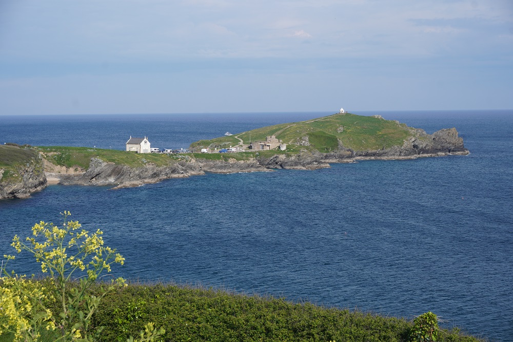
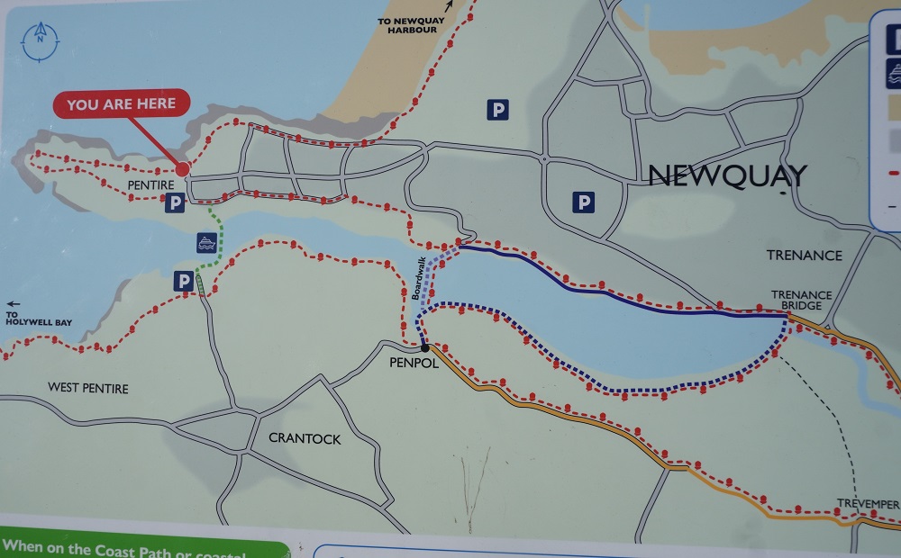
Today should have been about a 17km day but ended up being 25.16km when all the extras were added on. There were four of these. Firstly The Great Western Hotel was near the entry to Newquay so there were some extra kms to get onto the start of this section of the Coast Path. Secondly it is always more difficult following the path through cities and large towns. We were doing okay until the path was closed above Newquay Harbour and there were no signs indicating an alternative route. Our Macs App just had the washed out route. We followed our instincts which were sort of okay and got us back on the path at Fistral Sands which was way past the Huer’s Hut (more on that later) that we wanted to see. So some back tracking there. Thirdly at the crossing of the Gannel river it was high tide so extra kms were added there, more on that later. Finally The St George’s Hotel is a few kms past the end of this section in Perranporth and also inland about a kilometer. So what should have been a cruisy day turned into a frustratingly long one.

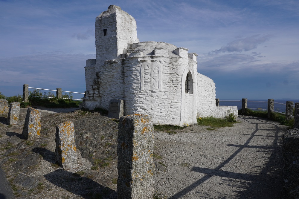
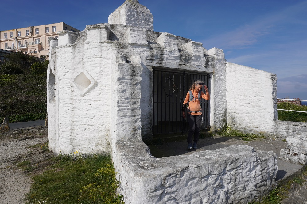
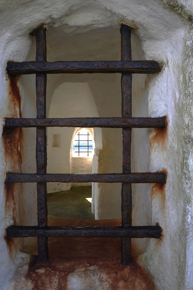
The Huer’s Hut is a little white building on a headland just outside Newquay. It dates from the 14th century and was used as a look-out by a huer. At the time of the year when shoals of pilchards were expected in the bay a call on his horn raised a hue and cry alerting the townsfolk to the arrival of the fish. By means of hand signals the huer enabled the fishermen to position their boats and encircle the shoals with their nets. Prior to its use by the huer this hut may have been a hermitage, the hermit being entrusted with lighting the beacon fire for the guidance of shipping.

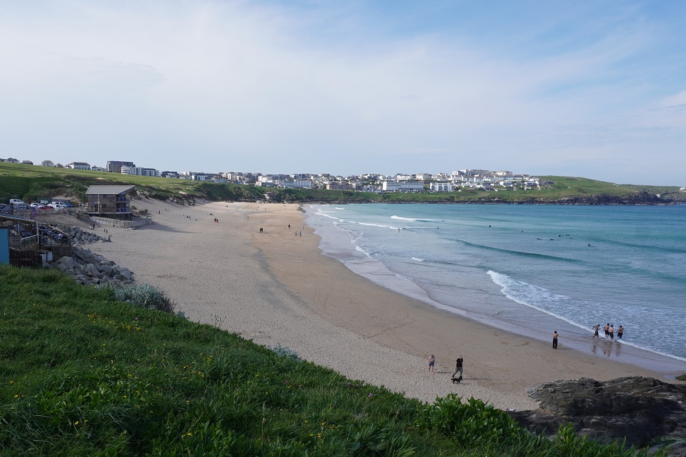
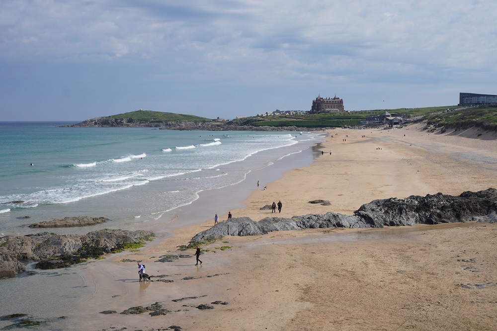
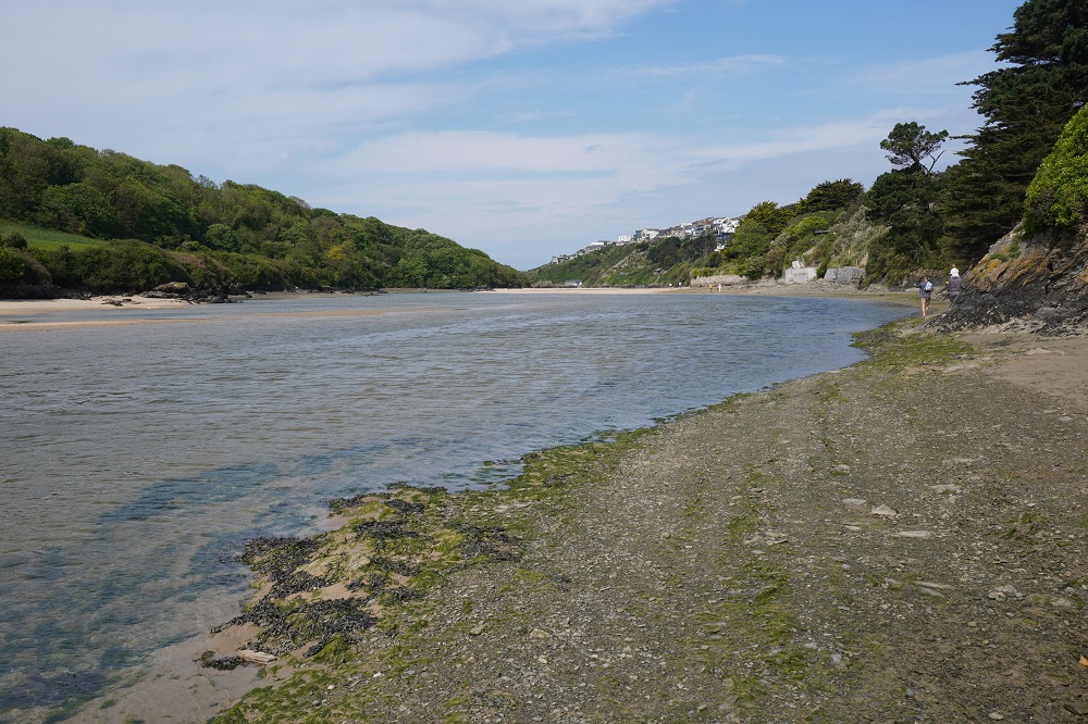
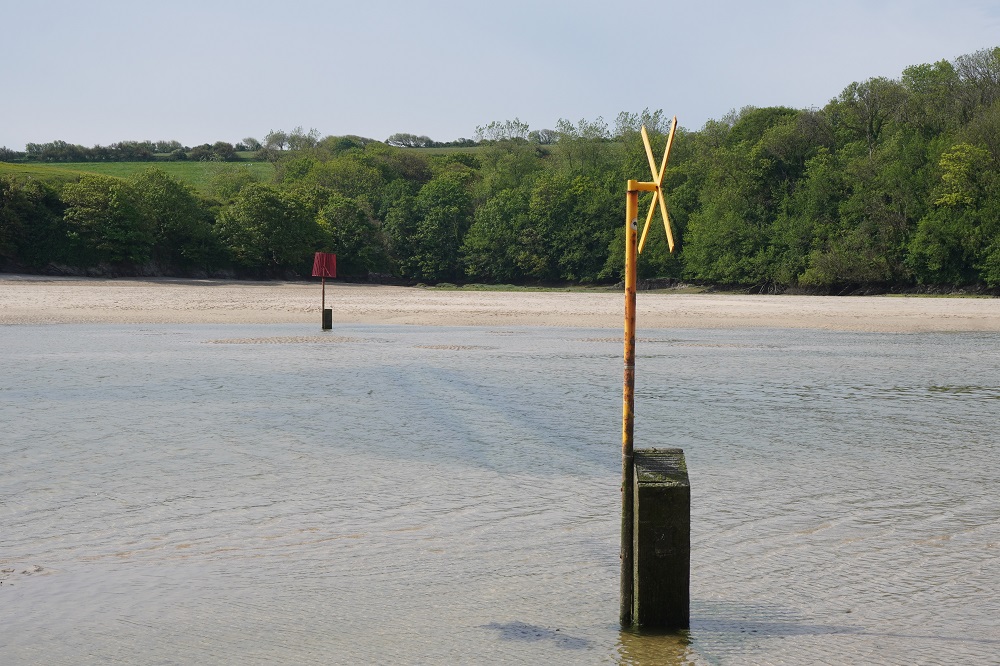
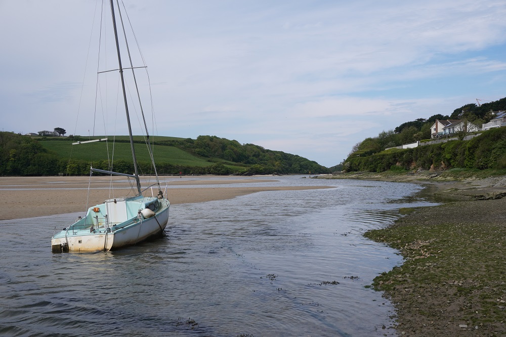
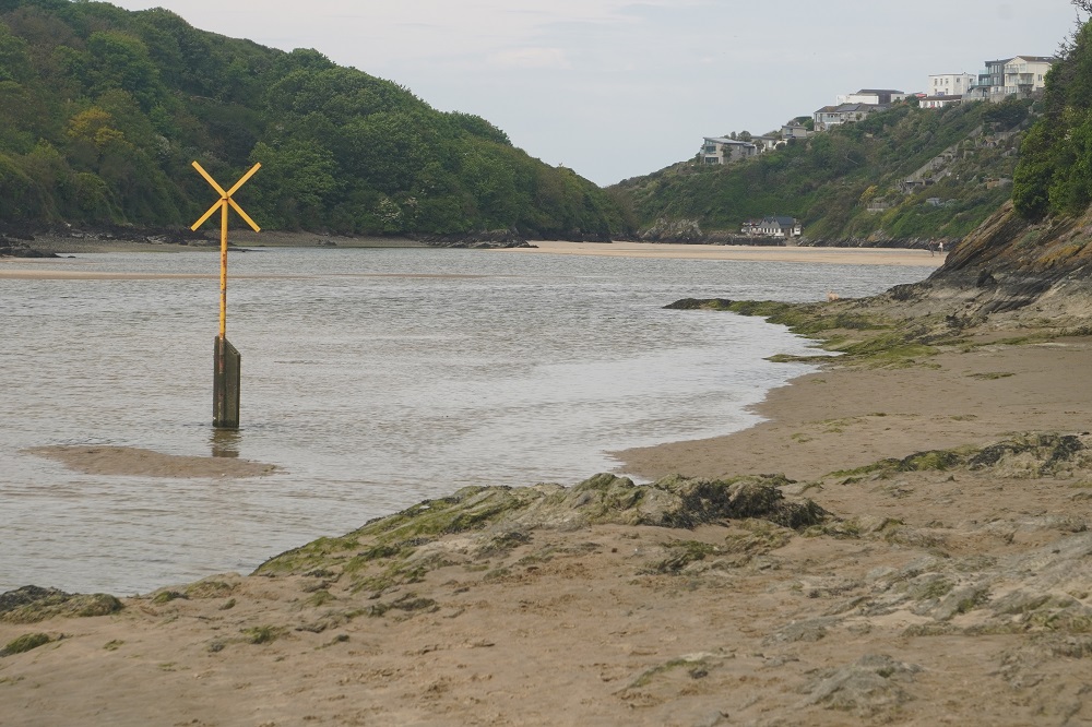
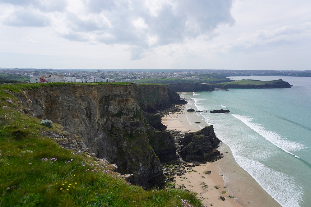
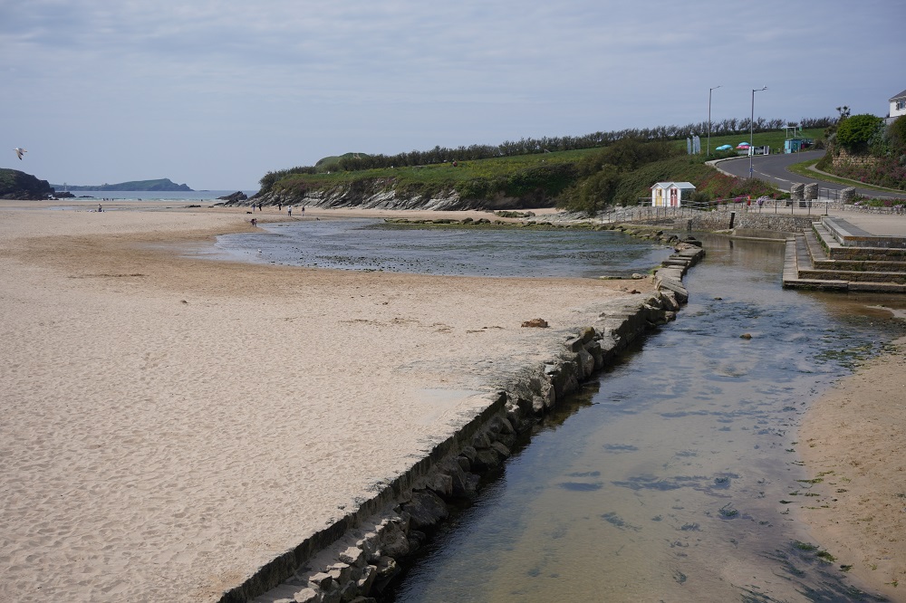
After Newquay is Fistral Beach, the premier surfing beach in the UK where international competitions are held. Not good surf today though. We enjoyed a walk along the beach avoiding the sand dunes. After the beach is the obstacle of crossing the tidal Gannel River. There are four options depending on the time of year and the tide. From mid-May to September there is a ferry service that crosses on the high tide. It starts service next week! There is also a “low tide bridge” at the ferry and one hour either side of low tide the bridge can be crossed, otherwise it is underwater. Further up the river is the “high tide bridge”. It is underwater at high tide but is exposed up to about an hour before or after high tide. Lastly you can walk even further inland to cross at a road bridge that is always crossable.

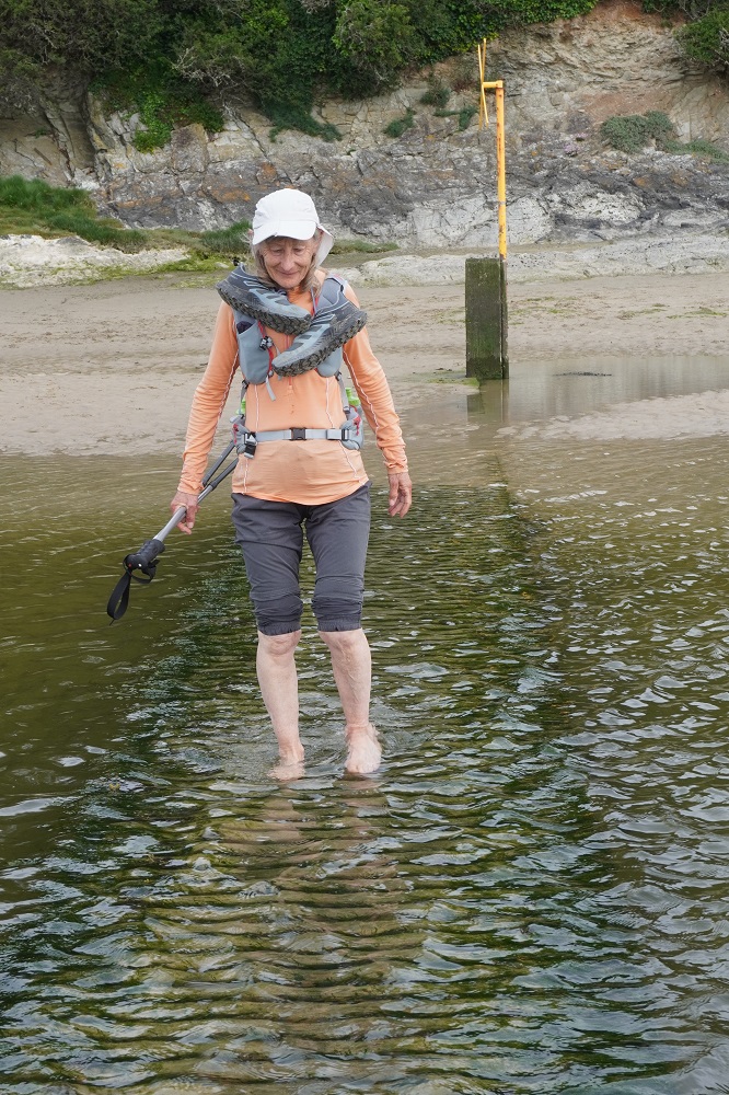
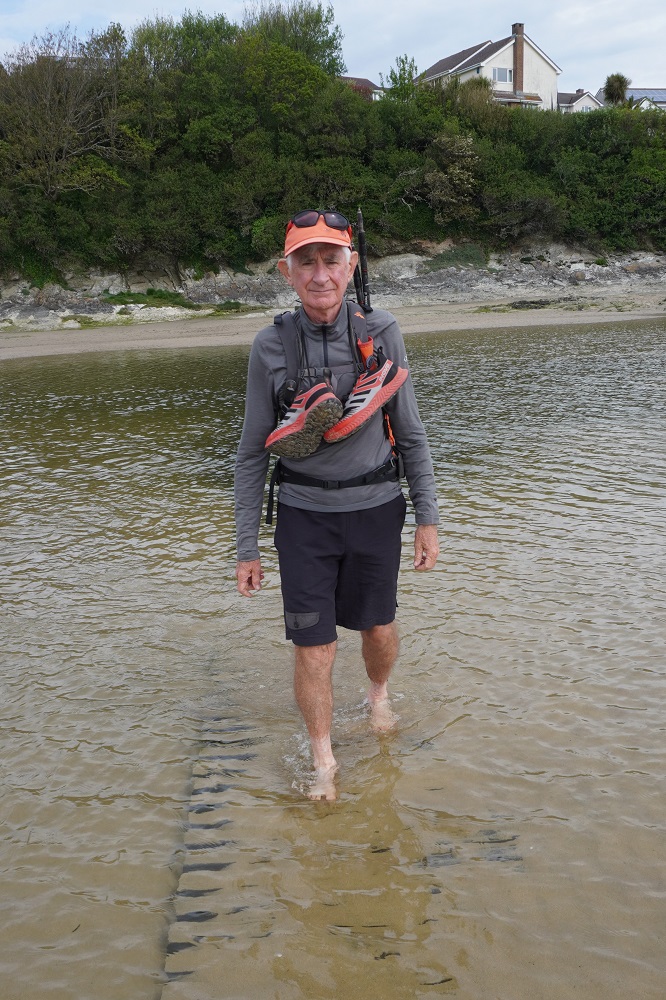
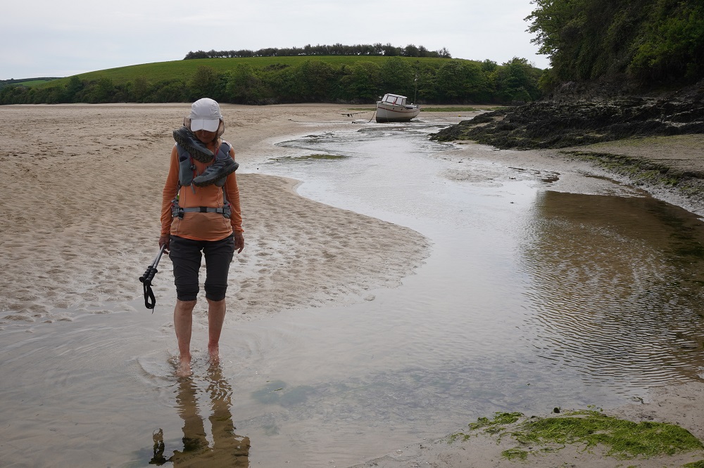
Our timing was abysmal. We arrived at the river at 10.30 and high tide today was 10.38. The “low tide bridge” couldn’t be seen under the water so we walked up to the “high tide bridge”. It also was underwater. We spoke to a few very helpful locals who said the tide dropped very quickly on the Gannel River and it was better to wait at the “high tide bridge” for the water to recede than to walk on to the road bridge. We settled down on the river bank and had our coffee break there talking to more friendly locals. After 45 minutes the water level had dropped significantly and so we decided to take off our shoes and socks and wade across on the submerged bridge. It was all fun and a nice little adventure for us. Our hot feet absolutely loved being freed from their shoes and being in the cold refreshing water.

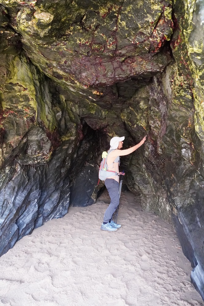
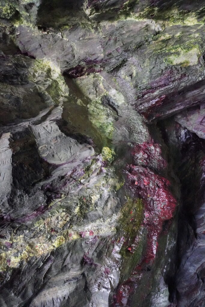
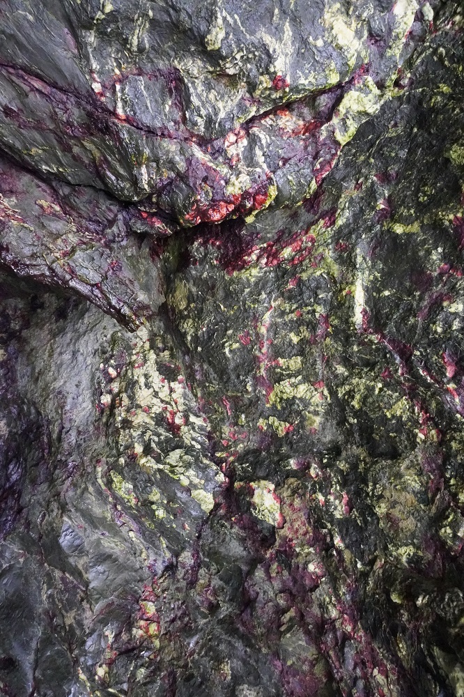
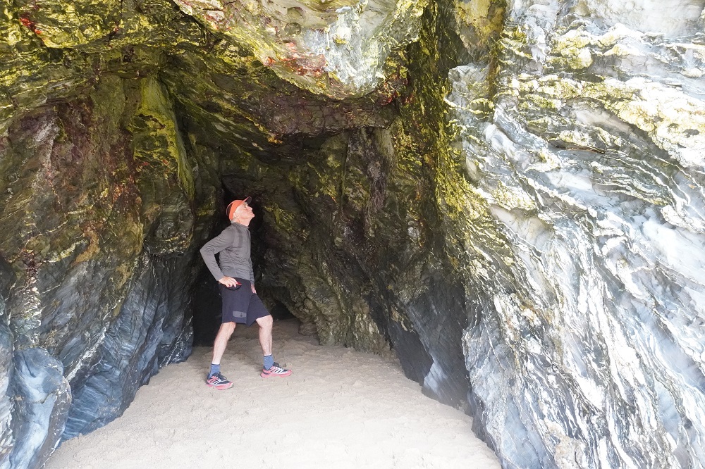
Today was much like yesterday, walking over low headlands separating sandy beaches, each larger than its predecessor. Fistral, Crantock, Hollywell and the mother of them all Perran Beach. The tide was now on its way out so we could walk along the beaches, much easier than walking in the sandhills. Before leaving home we had watched a series of Youtube videos by Simon and Elaine who were walking each section of the Coast Path. At Hollywell Beach they had raved about a cave, sometimes called St Cuthbert’s Well. It is only accessible at low tide and as the tide was going out we went and found it at the far opposite end of the beach. It was tiny and frankly underwhelming. It did have beautiful natural colours in the stone, greens, yellows, reds, oranges, blues. Worth a long walk to the end of the beach and back, not so sure.

Perran Beach is 3½ kilometres of golden sand bordered at first by dunes and later rugged black cliffs and caves. Another very popular seaside town and was buzzing on a Saturday afternoon. Such a change from the wild and desolate coast we had been on and we couldn’t wait to get out of there. First we had to buy something for dinner as the St George’s Hotel is about a further 2 km along the Coast Path and 1 km inland and except for breakfast has no dining, just a bar. There is a sign in our room saying PLEASE NOTE THAT TAKE AWAY FOODS CANNOT BE CONSUMED ON THE PREMISES. So no photos of our food tonight just in case they are used in evidence against us.

Sugar Hit

Friday 8 May 2026

Day 18 of walking
Portcothan to Newquay
Distance: 17.00km
Total distance: 336.18km
Climbing: 441m
Total climb: 10,992m

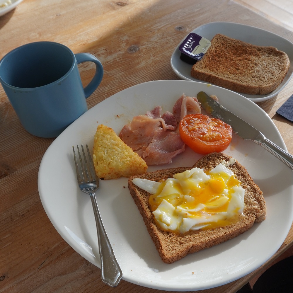
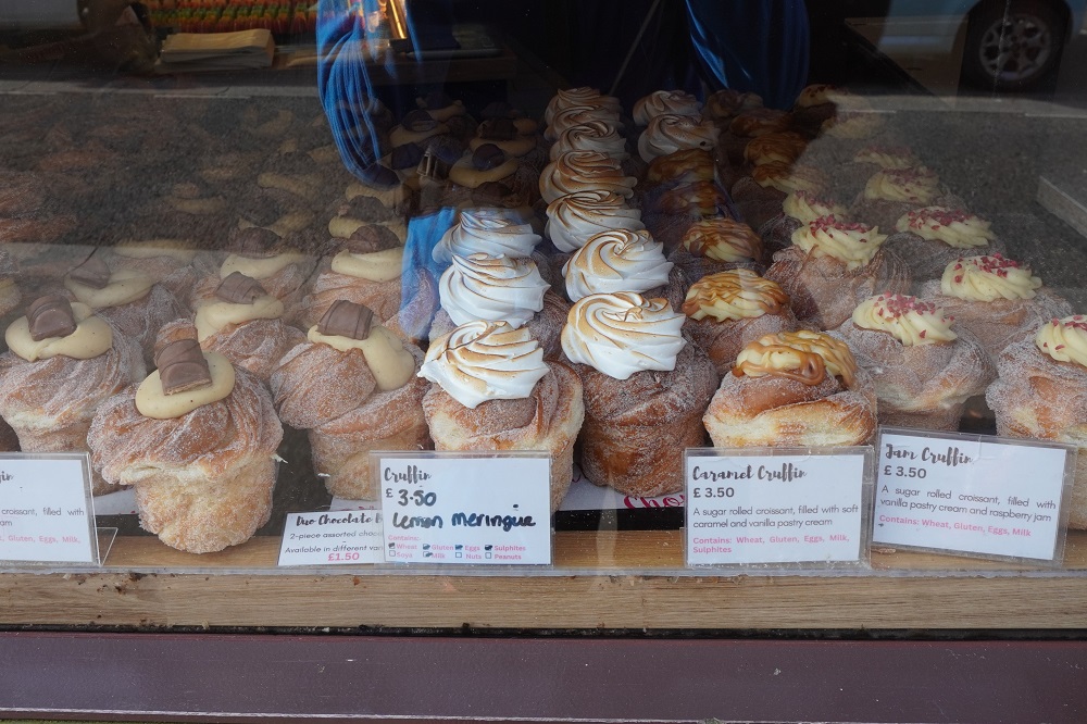
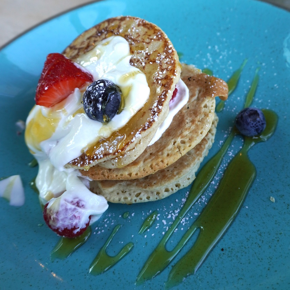
For breakfast this morning we thought we would have a rest from eggs, bacon, hash brown, tomato etc. Instead we chose a Pancake Fruit Stack: American style pancakes, strawberries, blueberries, raspberries, Greek Yoghurt, “maple flavoured” syrup and mixed nuts. Except they missed the good part, the mixed nuts. This choice turned out to be not a good one. It was probably about 90% refined carbohydrate. This gives you a sugar high then collapse. Not a good idea when you are walking all day.

Breakfast was from 7.30am so we took advantage of that but our taxi pick up wasn’t until 9.30. Right on time it turned up with a different male driver and our two young German friends from yesterday already on board. The driver was very chatty and at one point we asked him what the low tide time was as we have to cross a river tomorrow. He said he didn’t know but dived into his phone which was on a bracket on the dash board. Driving one handed at full speed on twisting country roads he was tap tapping with his other hand to find tide tables. We were thinking Yikes! Isn’t this illegal back home? Fortunately he found them quickly and got both hands back on the wheel and his eyes back on the road ahead.

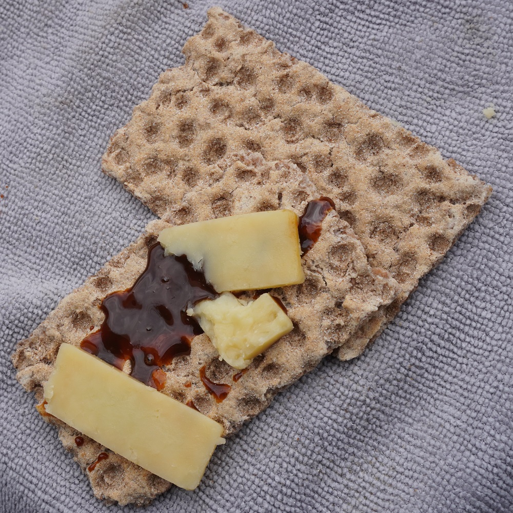
We didn’t get to start walking from Porthcothan until 10am and shortly after on the first little hill we both hit the wall and “bonked out”. Absolutely no energy. We stopped, had a Ryvita biscuit with aged cheddar and a handful of mixed nuts and after a while were back to our usual energy levels. I wasn’t as bad as Barbara as my metabolism doesn’t have the same insulin reaction as hers.

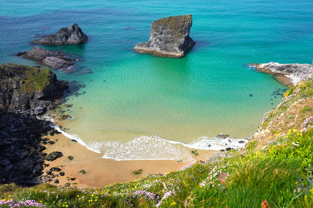
Today was another relatively easy day. No headlands of any great height but lots of cliff walking interspersed with attractive sandy beaches. The cliff walking was flat and on the ideal walking surface, short, dry, soft grass with no cow pats. The sea water was absolutely crystal clear and you could clearly see the sea bed. Many of the beaches are tiny with no access from the Coast Path. The only way of getting to them is by boat or maybe abseiling down a cliff.

There were also large beaches at Mawgan Porth and Watergate Beach. These are your full on beach resorts with all the usual life guards, surf schools, cafes, bars, hotels, car parks (you always have to pay) and toilets (you usually have to pay). This morning the kind lady running breakfast broke a 5 pound note down into 50 and 20 pence coins for us so we are now well prepared.

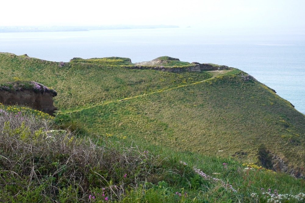
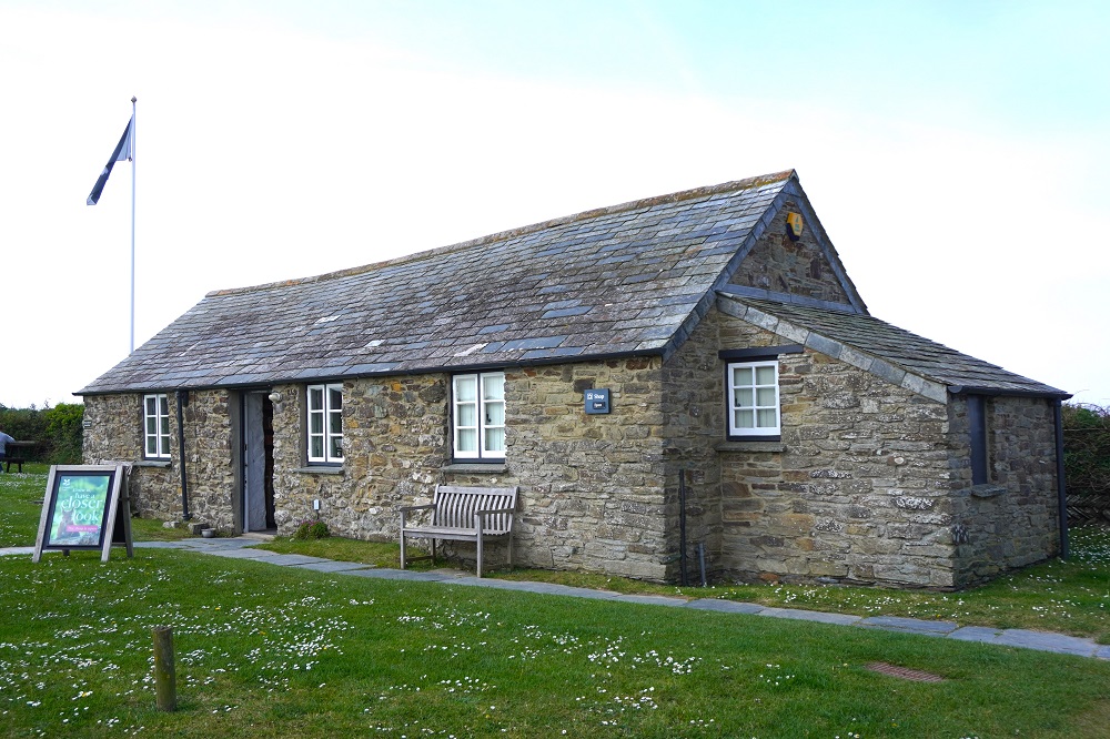
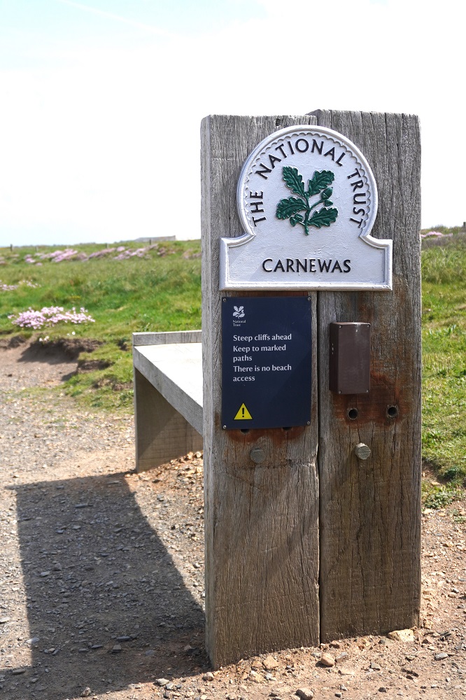
At Carnewas we were actually able to recognise an iron age fort before coming to the National Trust Information Centre, shop, café and car park. Usually we walk all over iron age forts without knowing it because they are now just lumps in the grass or covered in gorse. Just before the Carnewas fort are the Bedruthan Steps, these are massive stacks of rock on a beautiful beach.

Yesterday on leaving Padstow we caught up to a couple from Bribie Island Brisbane. They are here for a week walking Padstow to St Ives, so it was their first day. We met them again today, and maybe we will see them all week. They are good fun and like a bit of banter. All of our friends from the first two weeks are ahead of us, or behind us, or have gone home. We don’t meet many people doing the entire Coast Path but we meet lots doing a day walk or maybe up to a week. Parts of the path are quite busy but only for 2 kilometres either side of a car park, and all the walkers will have a dog.

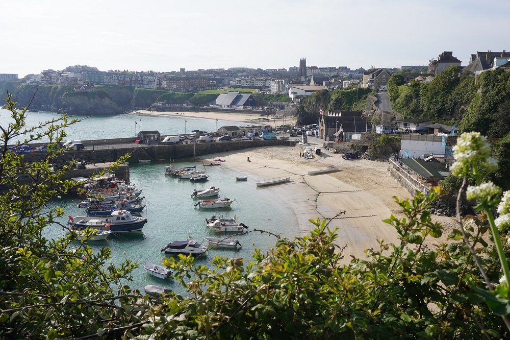
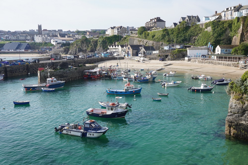
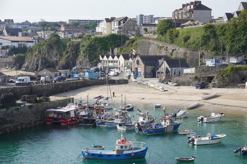
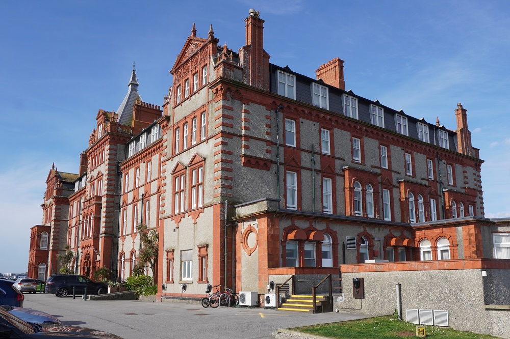
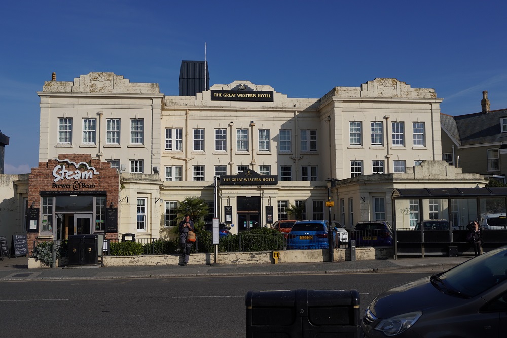
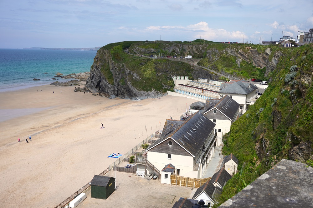
Tonight we are back at The Great Western Hotel in Newquay. This town is known as a destination for stag nights and hen parties. When we were here last there were groups of young people in outrageous attire staggering through the town. Tonight is Friday night so we will wait and see.

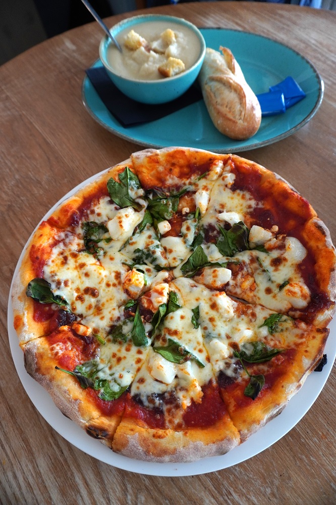
For those who are only interested in the food, we ate at the hotel tonight. Cauliflower soup and pizza of goat’s cheese, caramelised onion chutney, spinach and cheese.