Thursday 18 June 2026
Day 52 of walking
Swanage out and back
Distance: 10.60
Total distance: 1,007.07
Climbing: 156m
Total climb: 32,502m
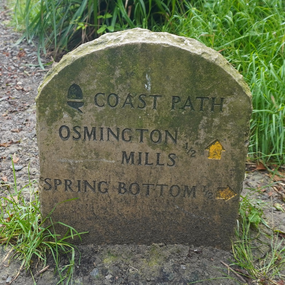
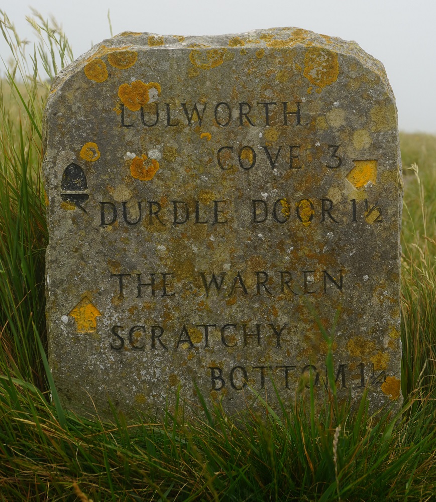
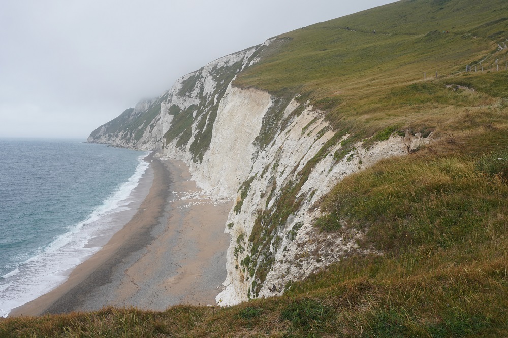
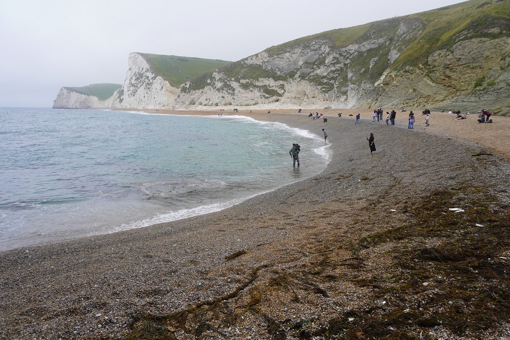
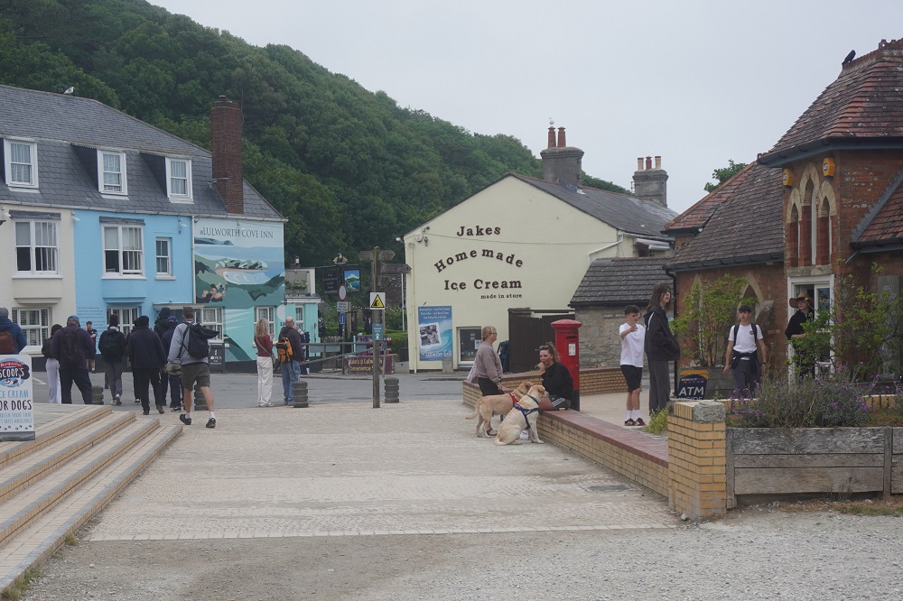
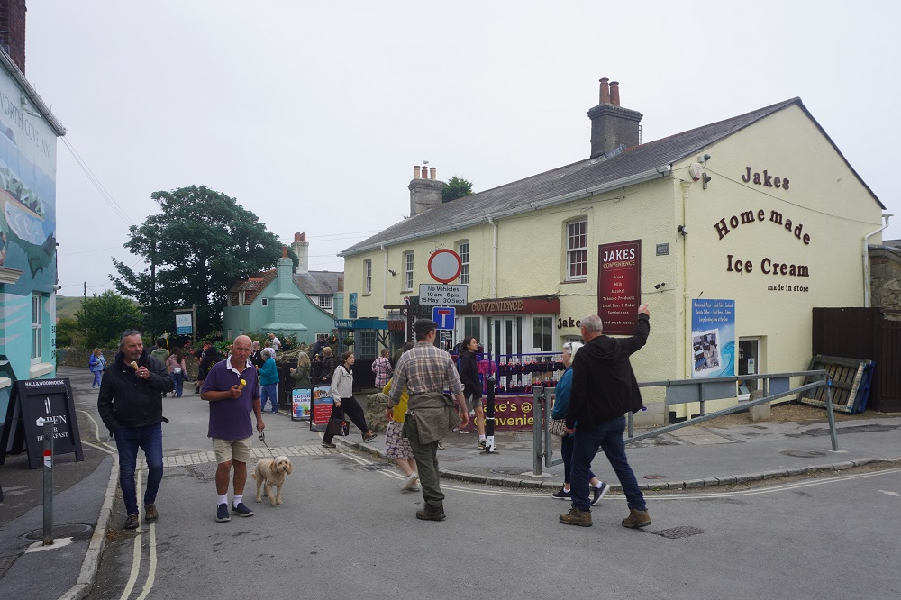
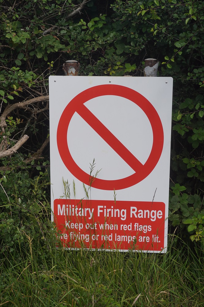
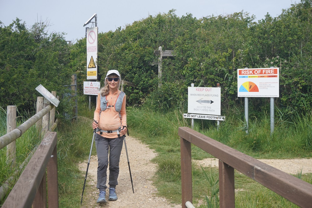
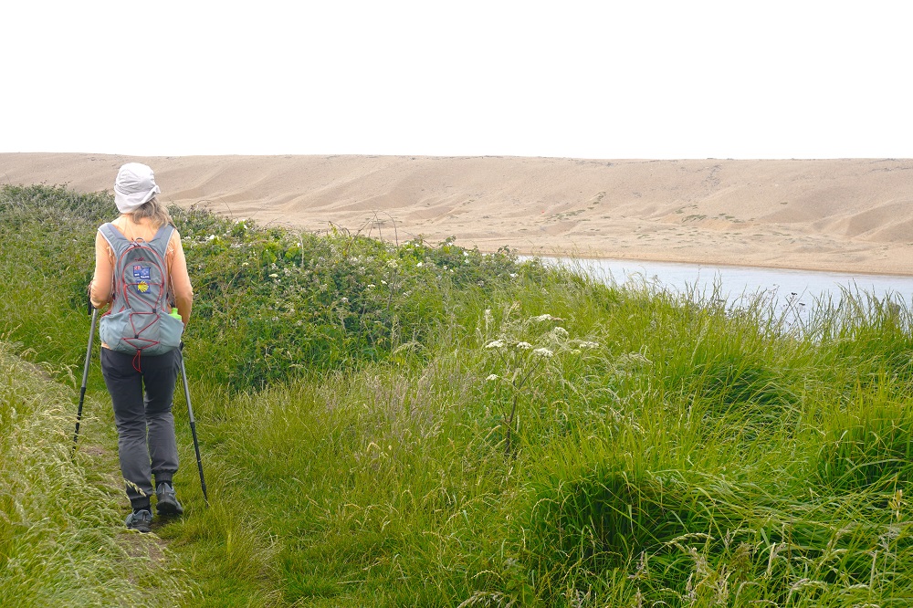
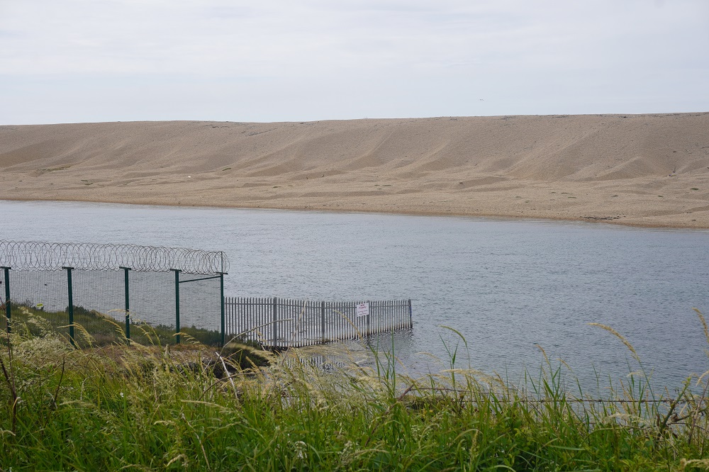
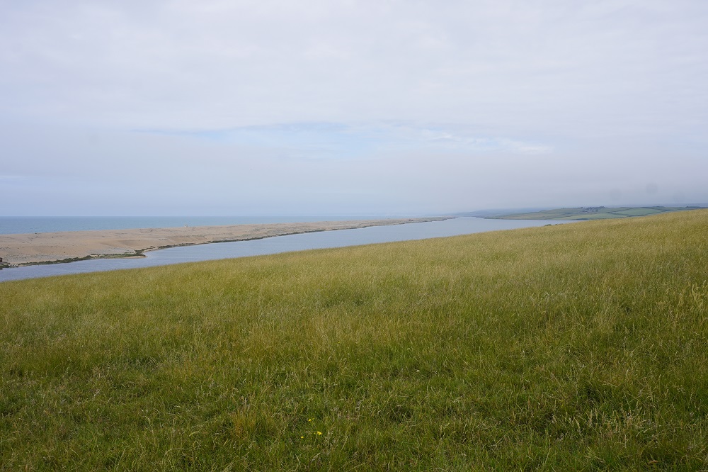
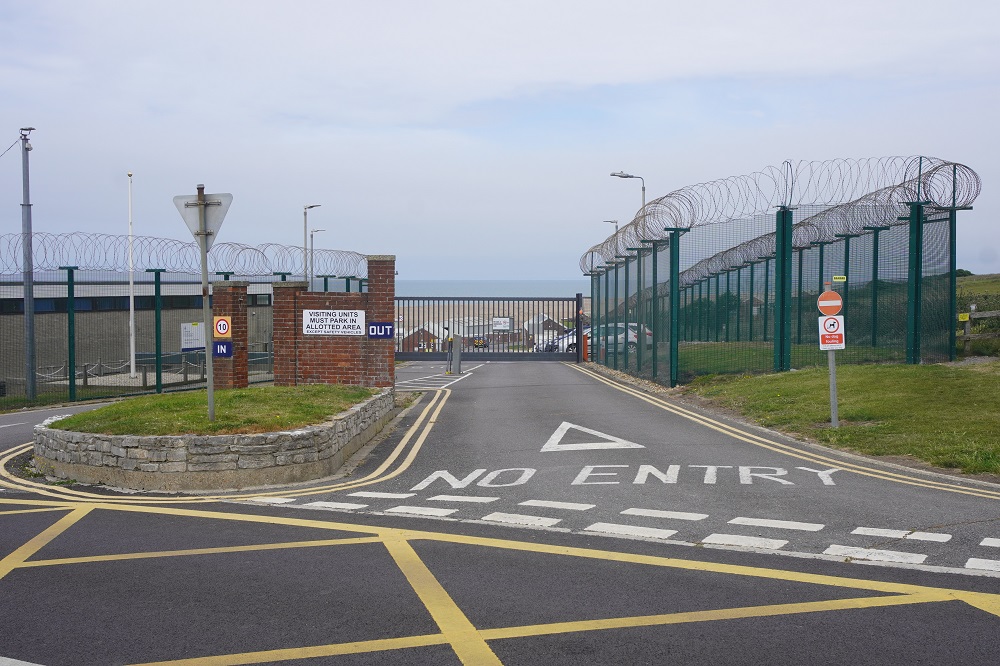
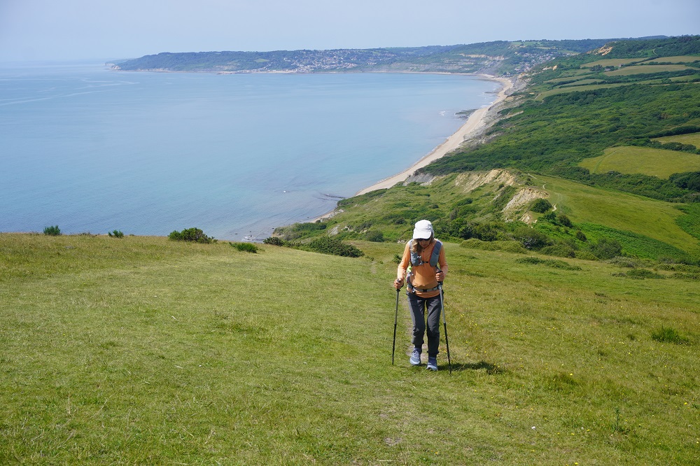
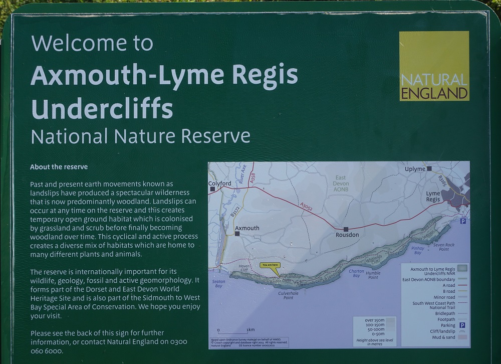
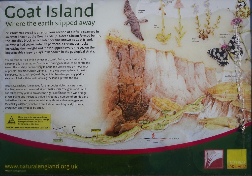
Today’s stage was always going to be a problem. Our Macs itinerary had us walking 34 kilometres from Lulworth Cove to Swanage which included going through the very active Lulworth Firing Range between Lulworth Cove and Kimmeridge. The Range is usually, but not always, open on weekends, usually closed week days but sometimes open in the peak summer months. You have to check before leaving Lulworth Cove if the range is open or not. Today was a Thursday and it was not.
There are alternatives. Alternative one is an inland route on public paths, fields and quiet back roads from Lulworth to Kimmeridge and is 21.75 kilometres. Alternative two is to walk on a relatively busy road, the B3070, to Kimmeridge and is 19.3 kilometres. When the range is open Lulworth Cove to Kimmeridge is 11.76 kilometres. So alternative one is 43.5 kms, alternative two is 41.05kms, compared to the range open, official route, of 34 kms.
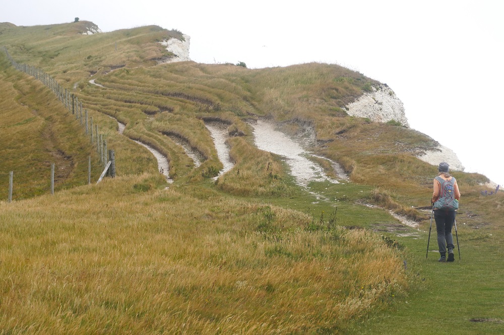
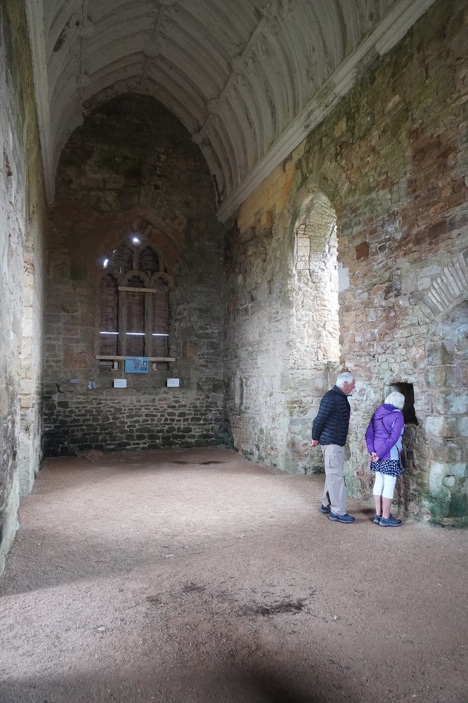
Macs suggested if the Range was closed we get the bus from Lulworth Cove to Corfe Castle, walk from there down to the Coast Path at Chapman’s Pool and carry onto Swanage. This is a walk of a total of about 21 kilometres. However it is very hilly, over 950 metres of climbing. Another option we considered was to bus to Corfe Castle and do the inland section of the Purbek Way from Corfe Castle to Swanage. This would have been a complete contrast to all the coastal walking we have done over the last nine weeks.
A further option was to get the bus to Corfe Castle, spend a couple of hours in the beautiful stone building village with its castle ruins of 1105, and get the heritage steam train from there to Swanage. Much as I love old steam trains we are here to walk.
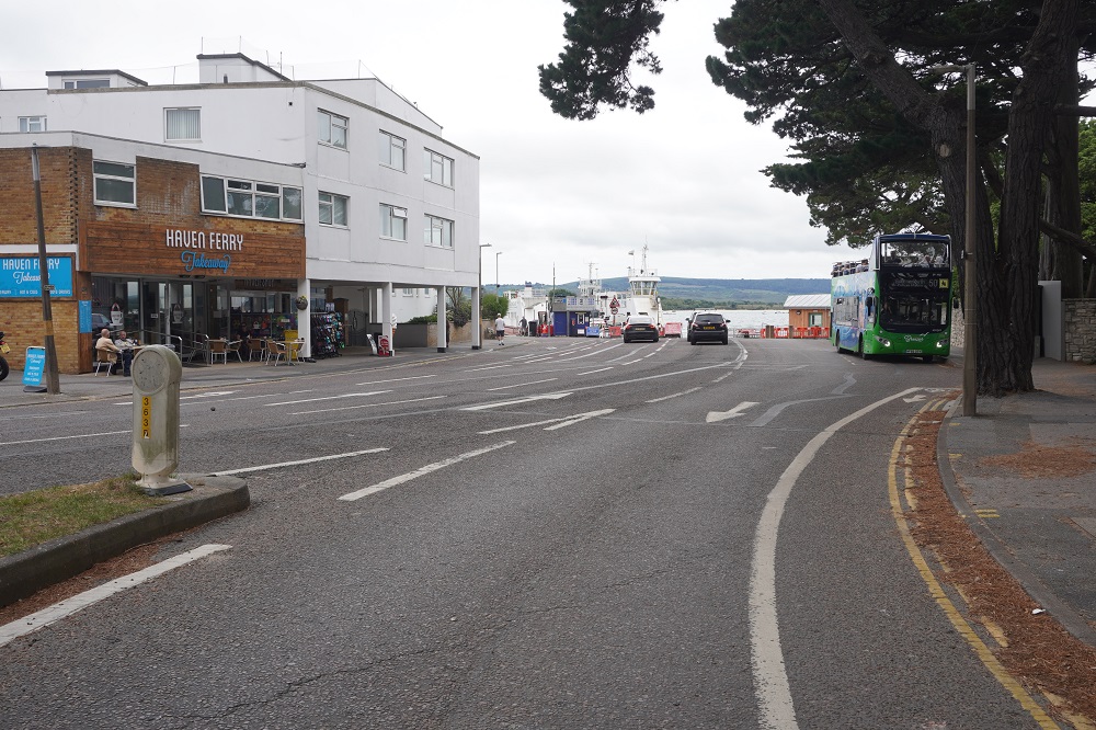
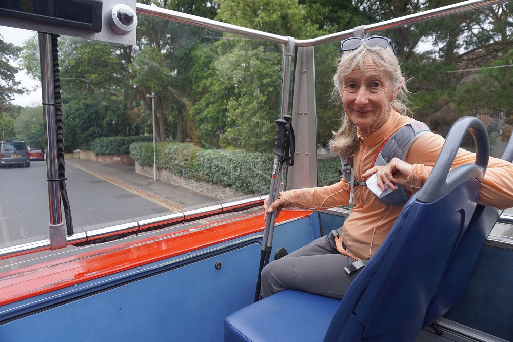
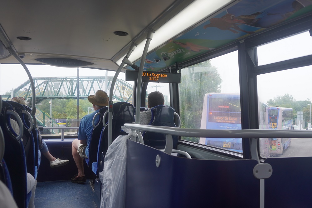
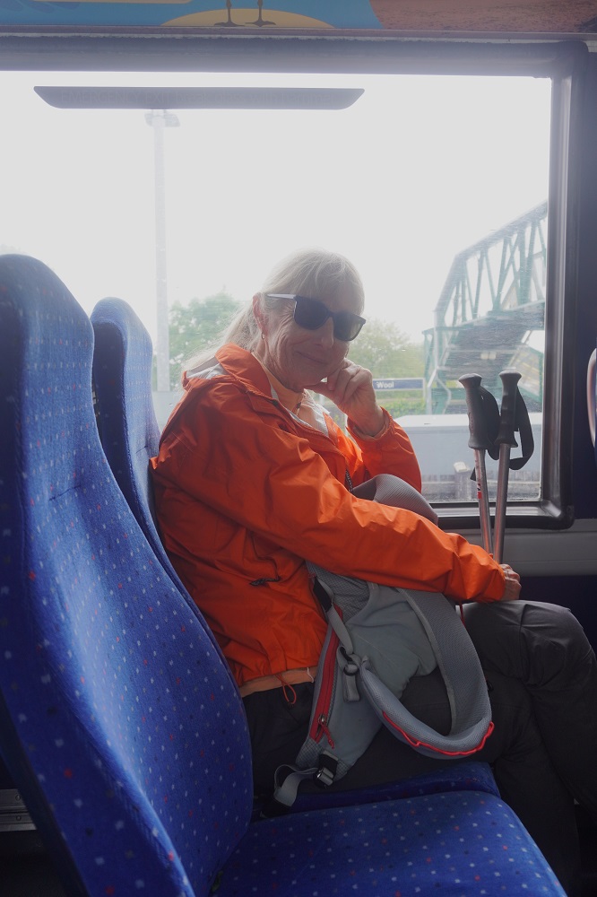
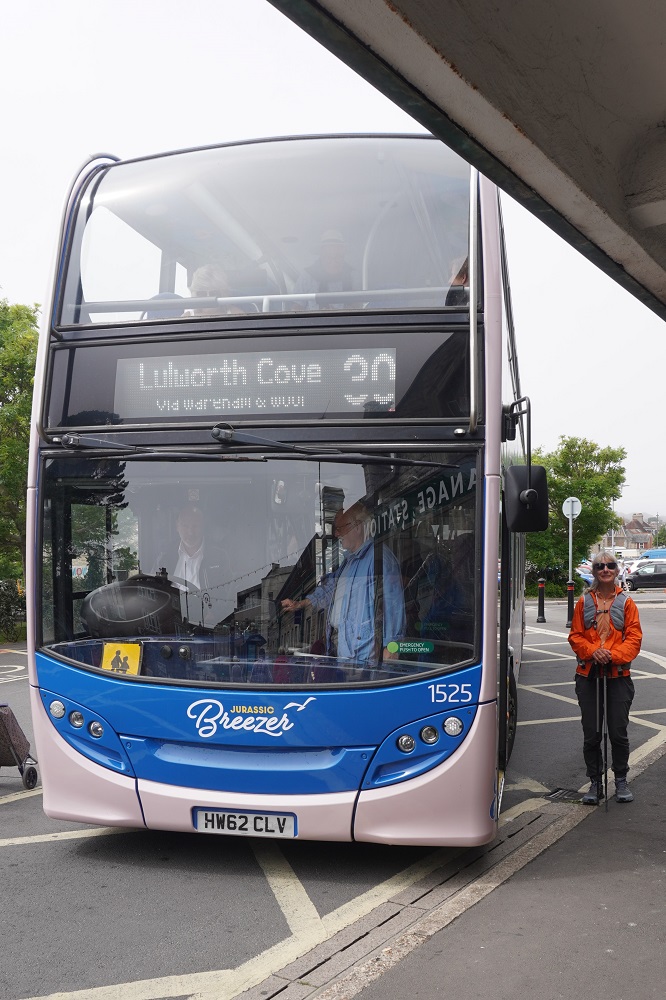
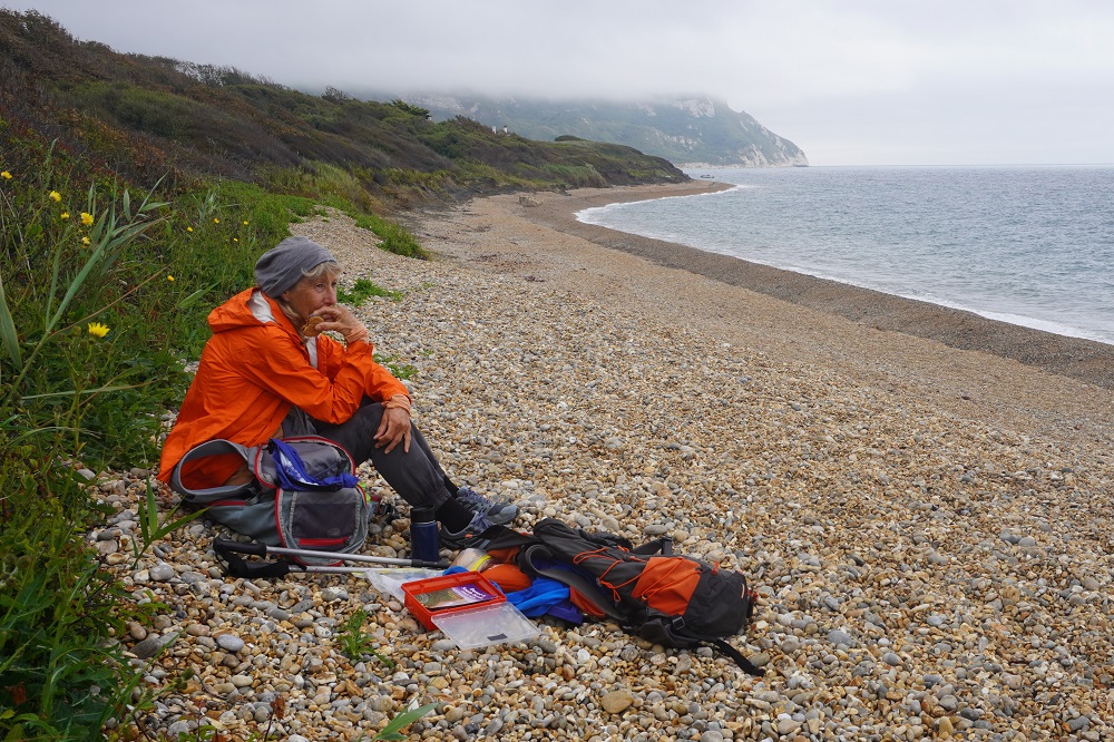
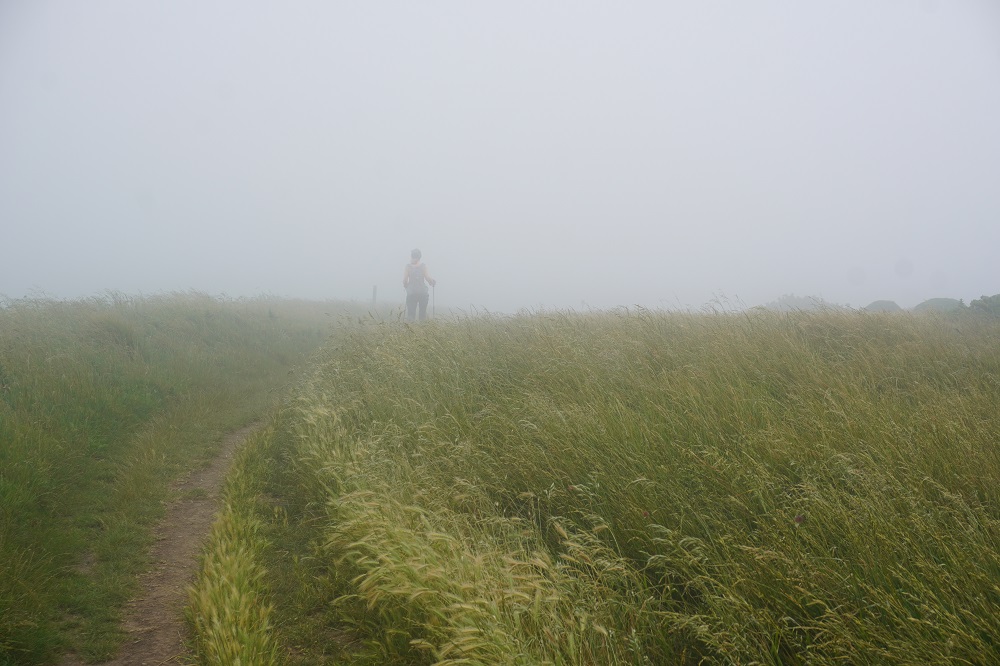
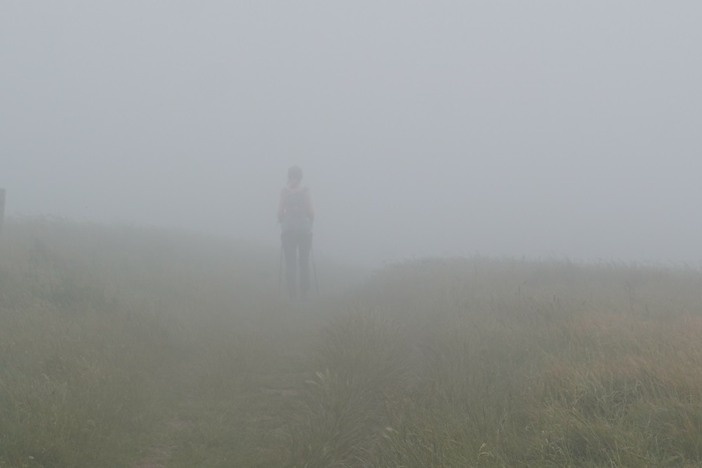
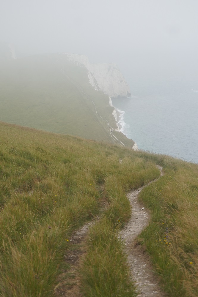
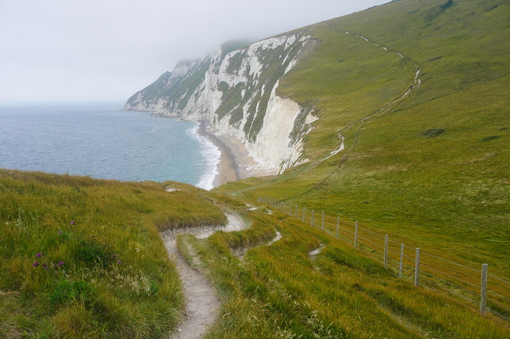
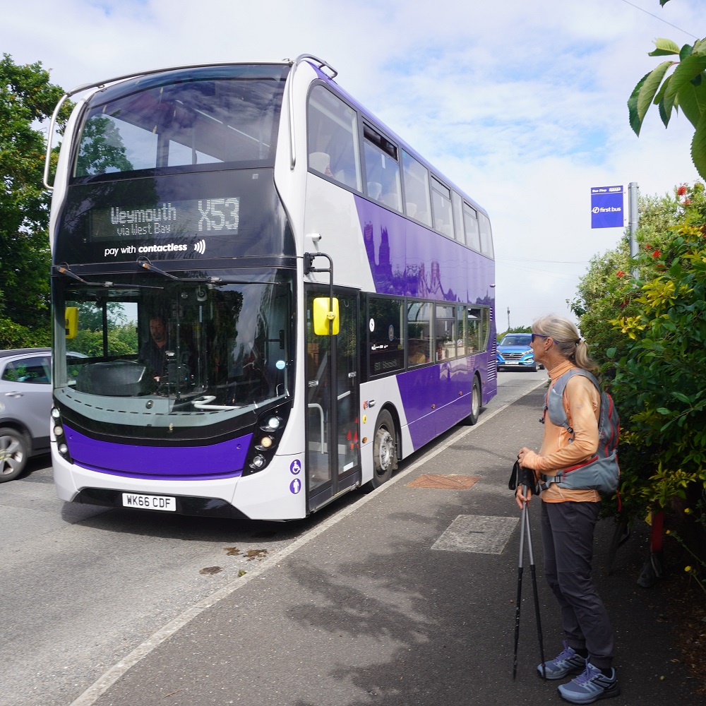
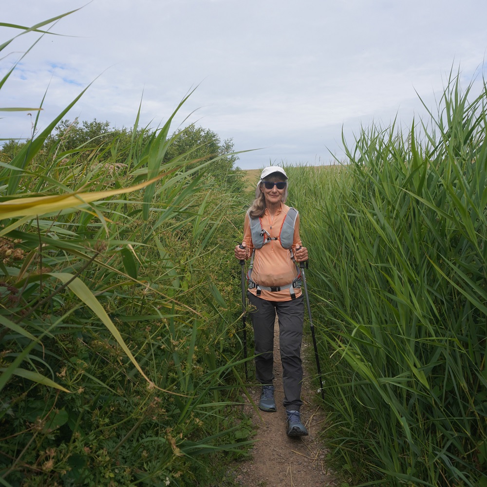
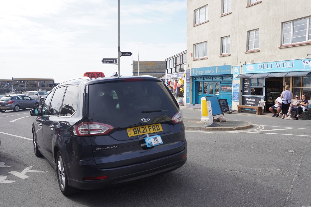
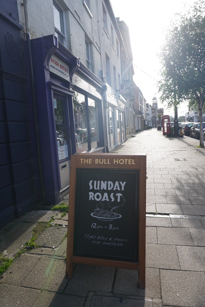
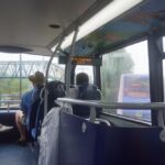
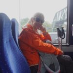
It was another misty, murky morning and we didn’t think we would see much on any of the above options and they were a bit long and hilly for us. We decided to get the bus all the way to Swanage, and then hoping the mist may have lifted, do an out and back walk from Swanage. There was a bus every hour, it cost £3 each, went on a circuitous inland route, and took an hour and a quarter. It seems that on suburban buses, no matter how far you go, it is always £3.
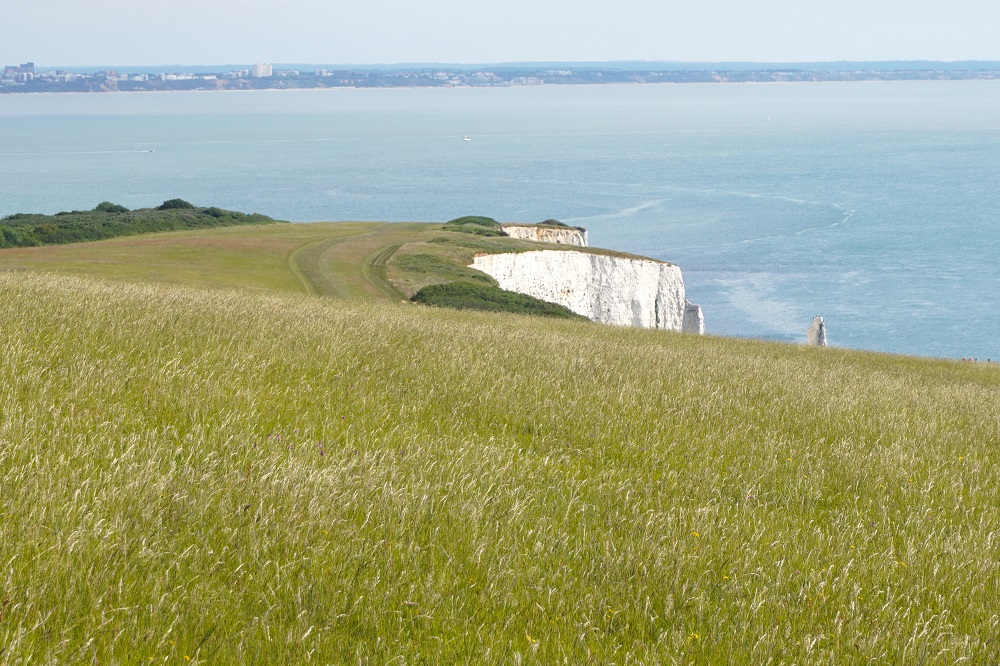
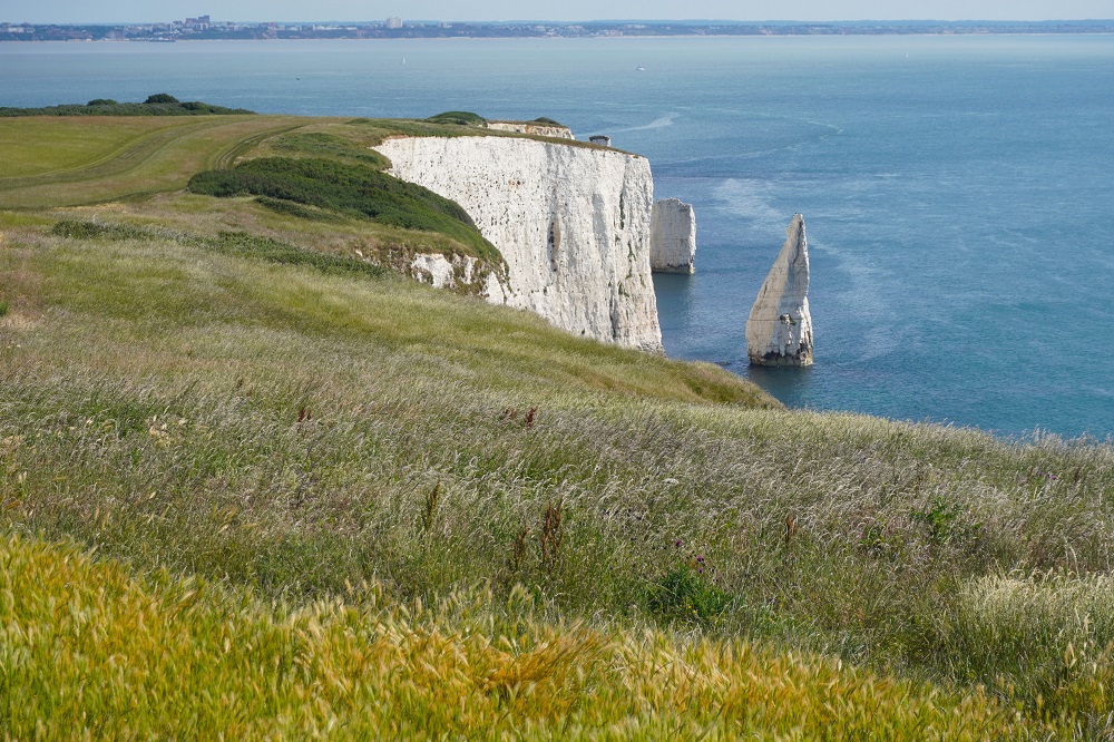
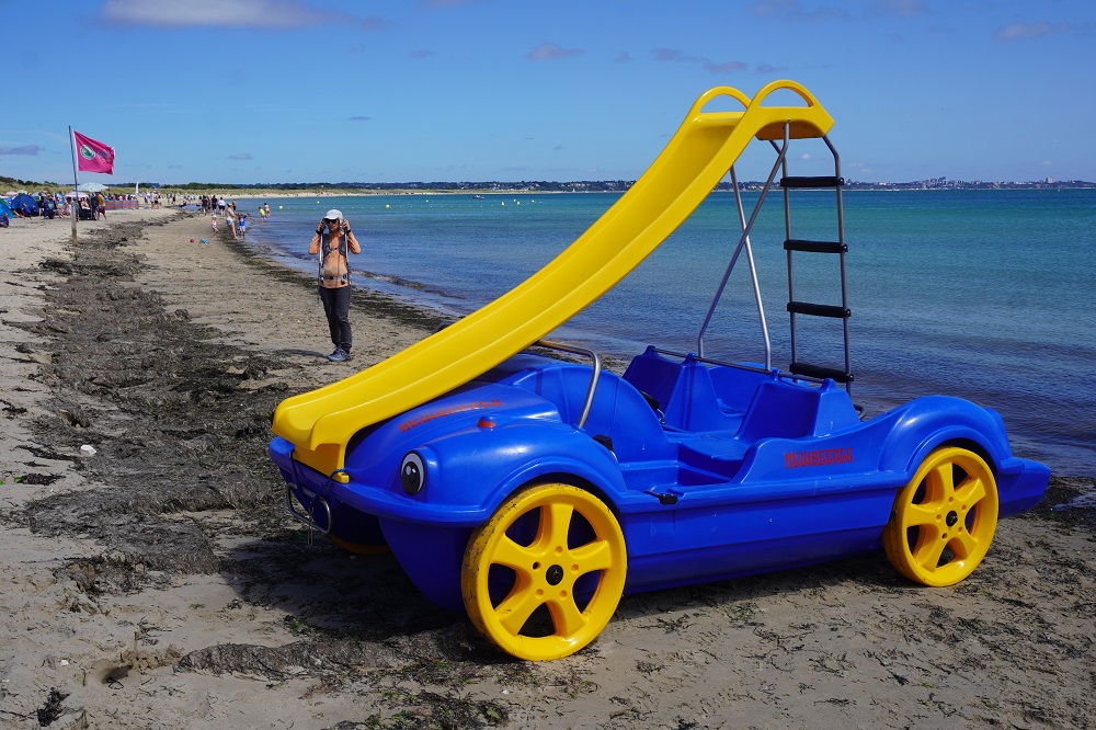
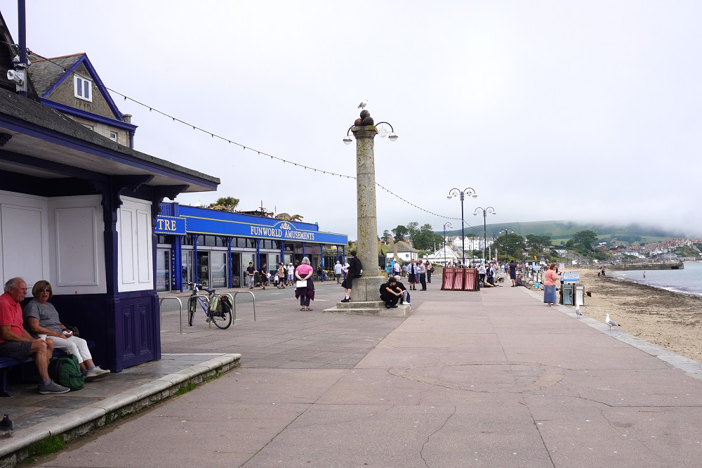
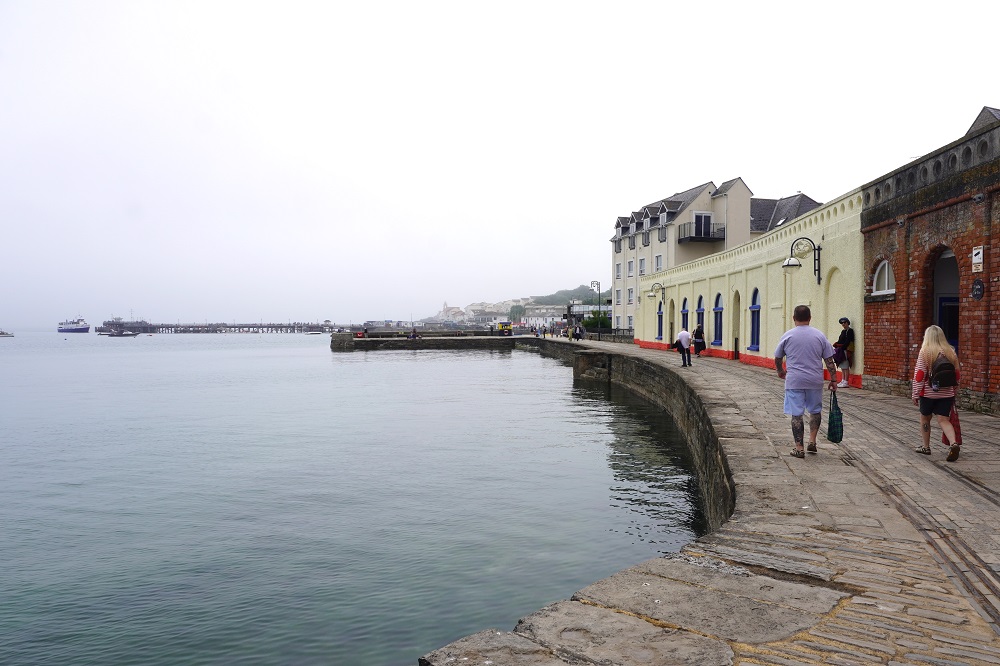
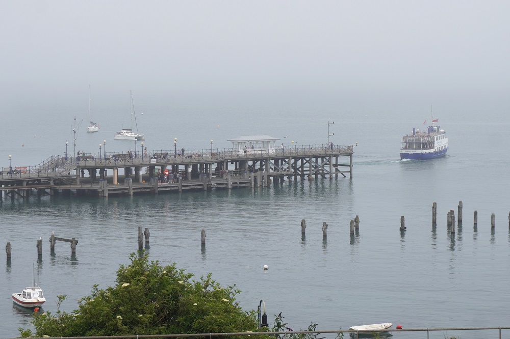
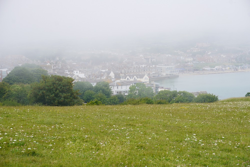
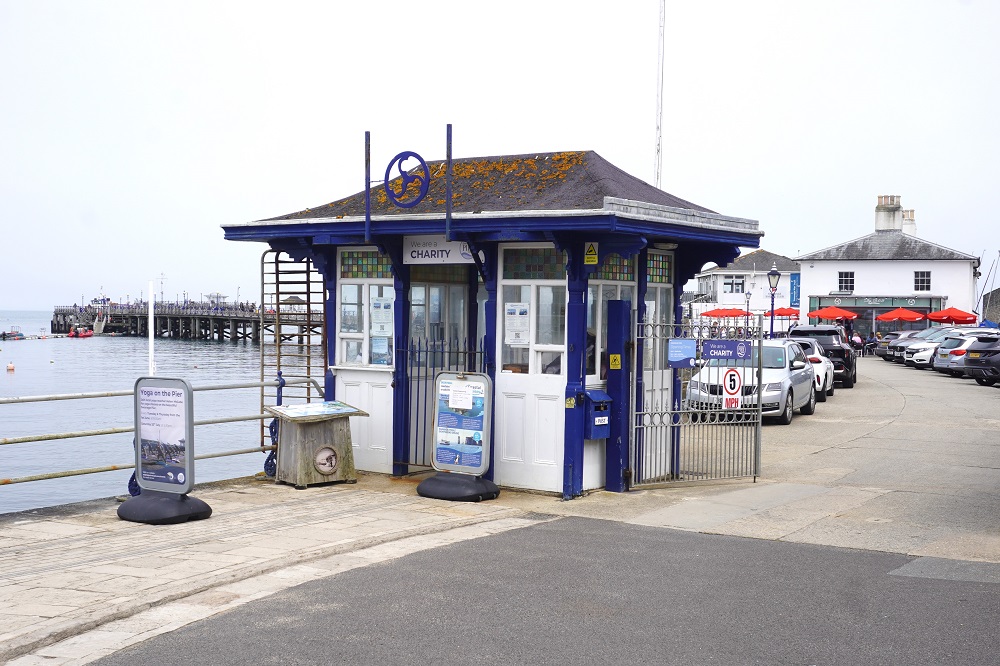
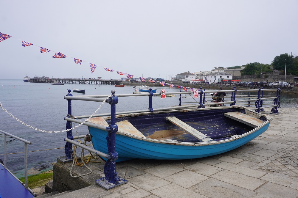
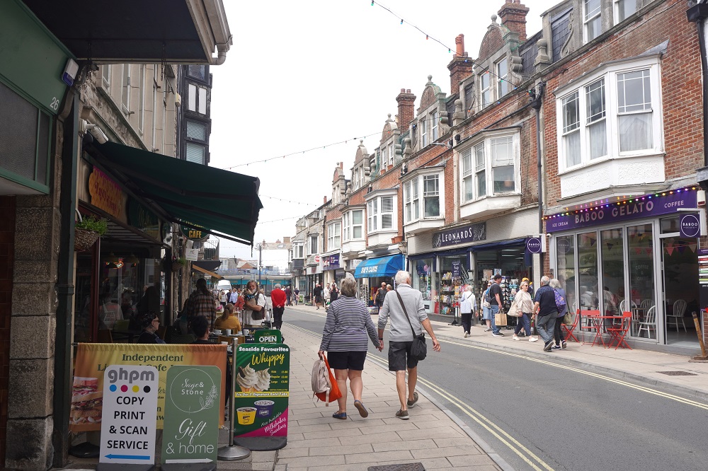
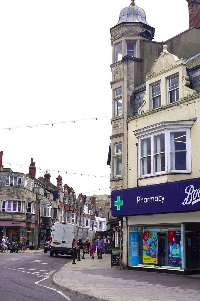
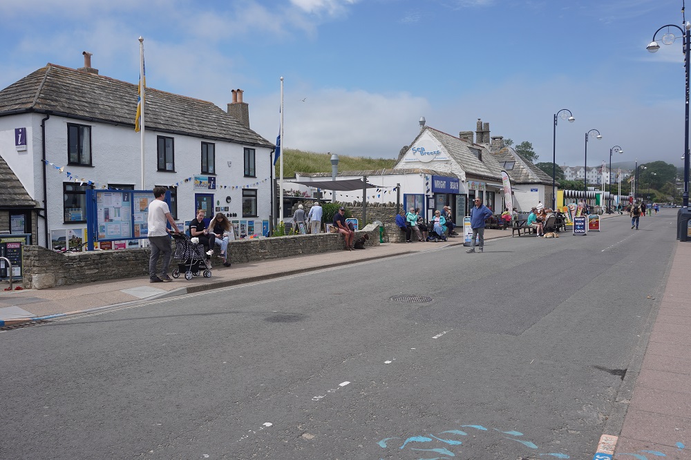
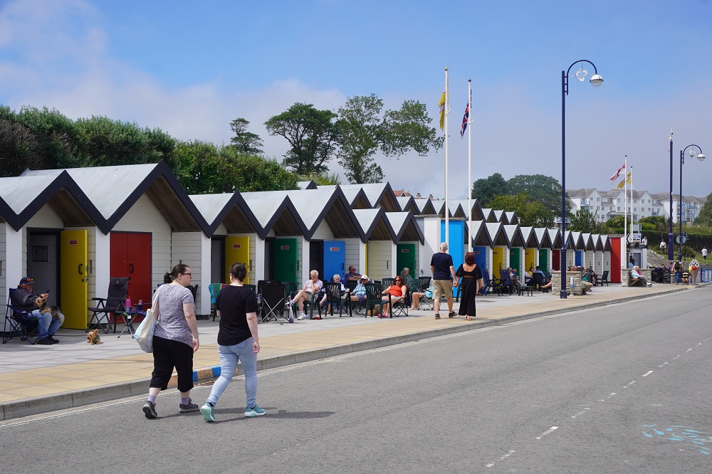
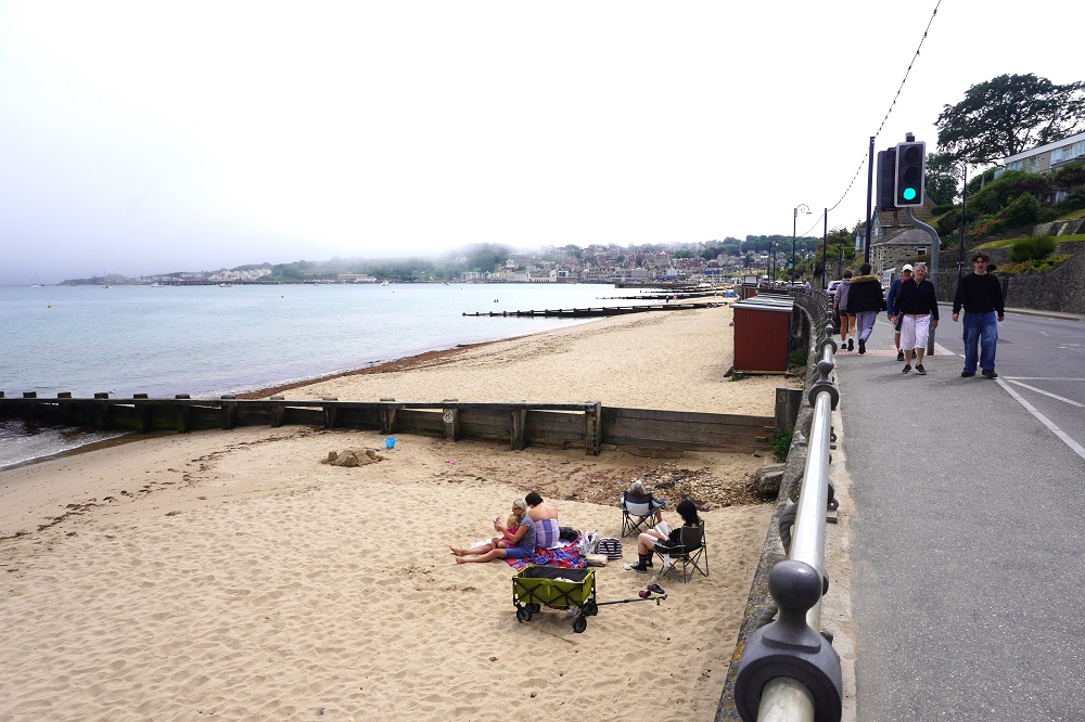
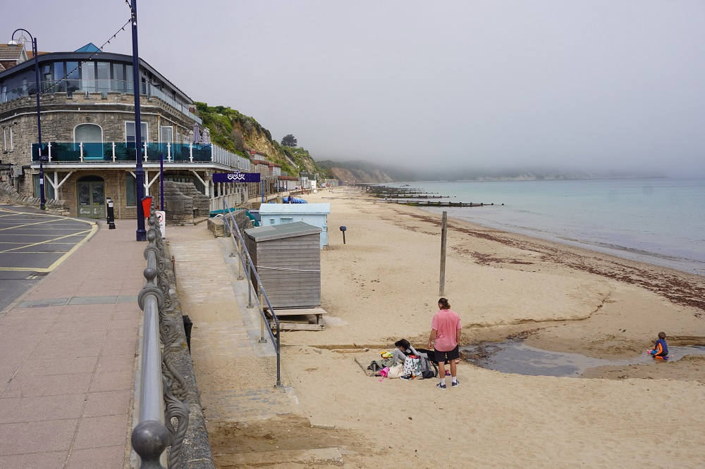
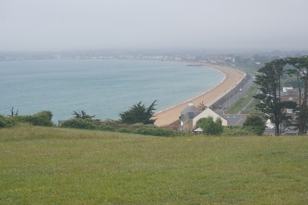
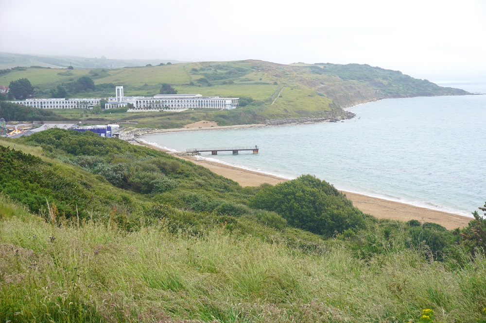
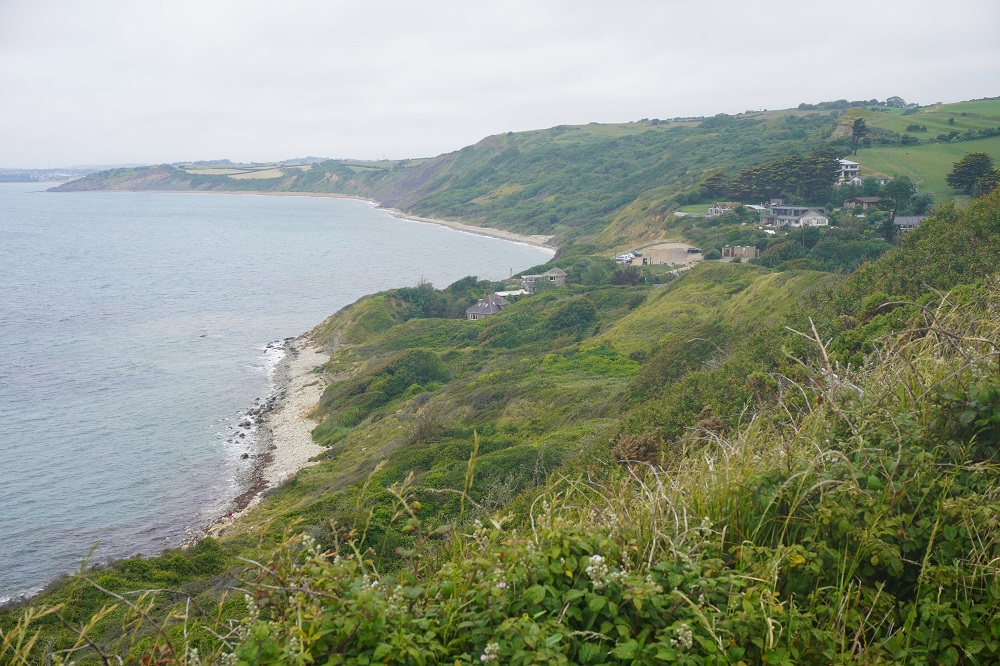
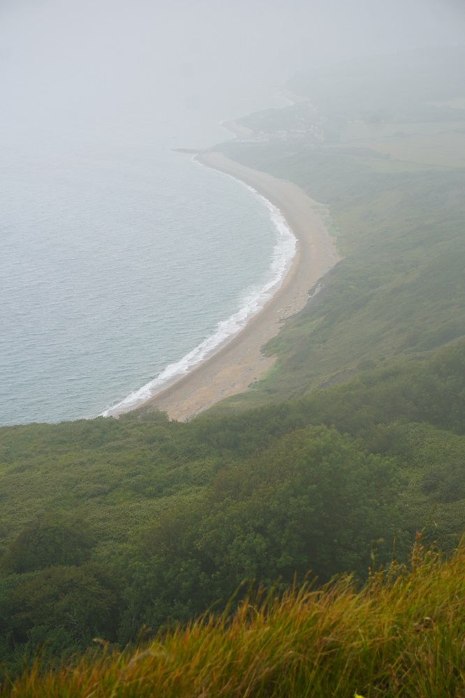
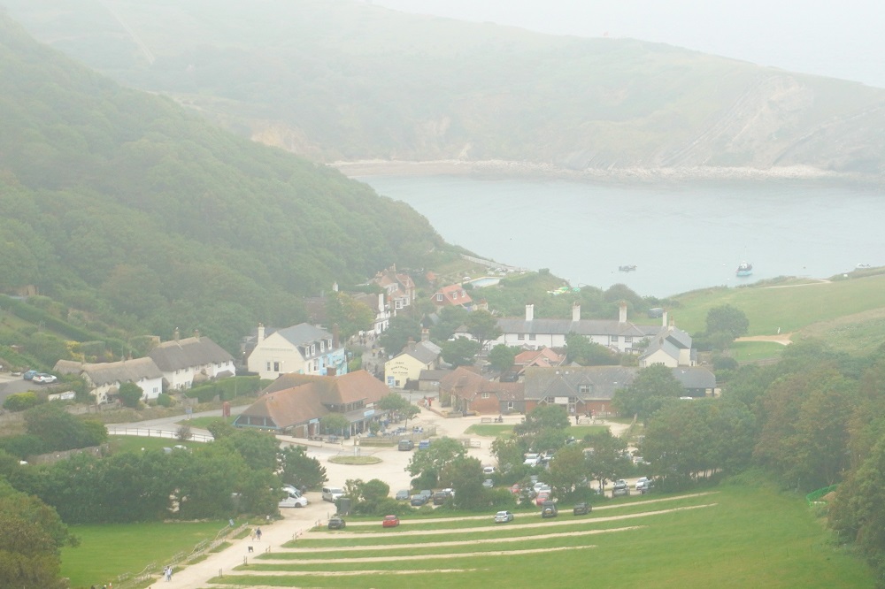
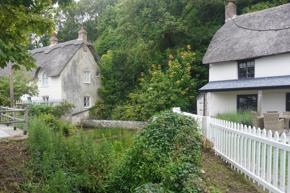
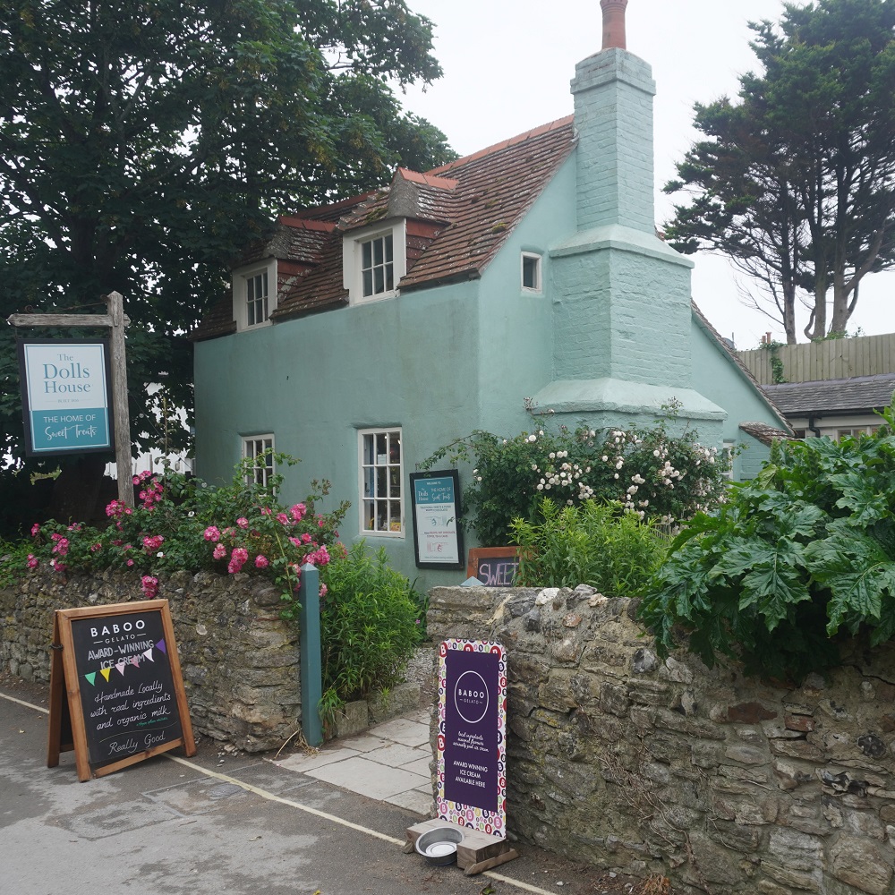
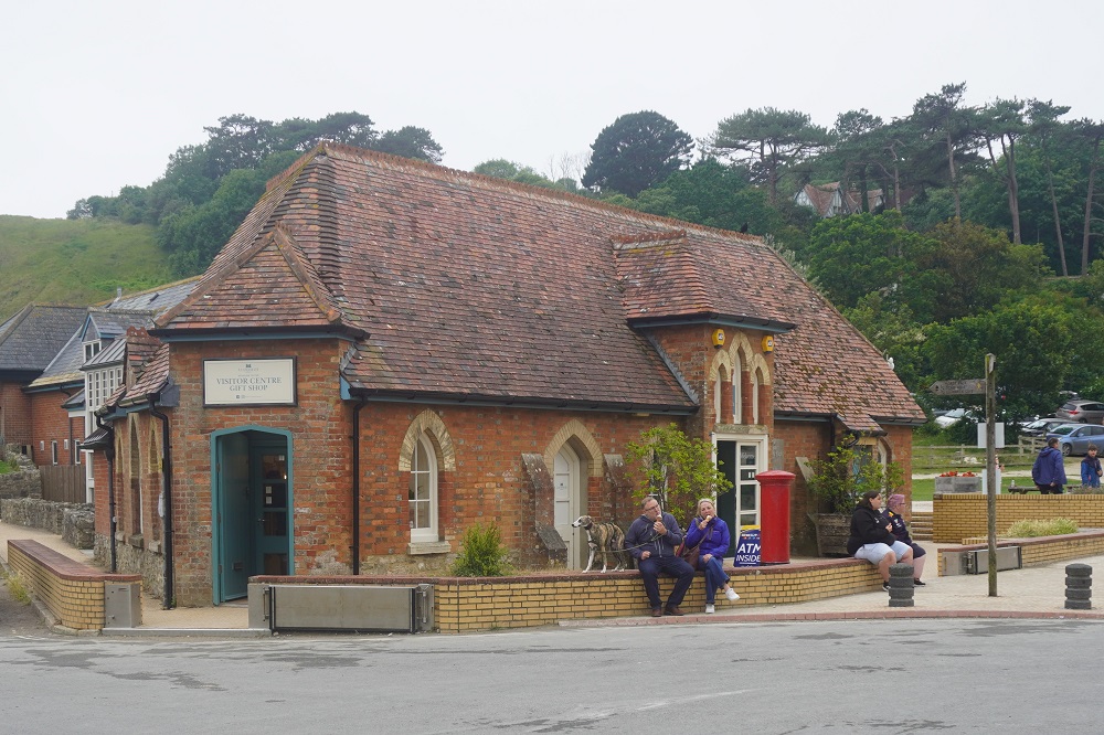
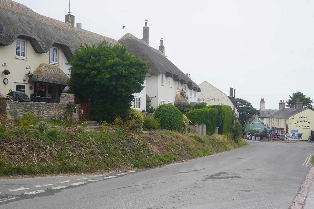
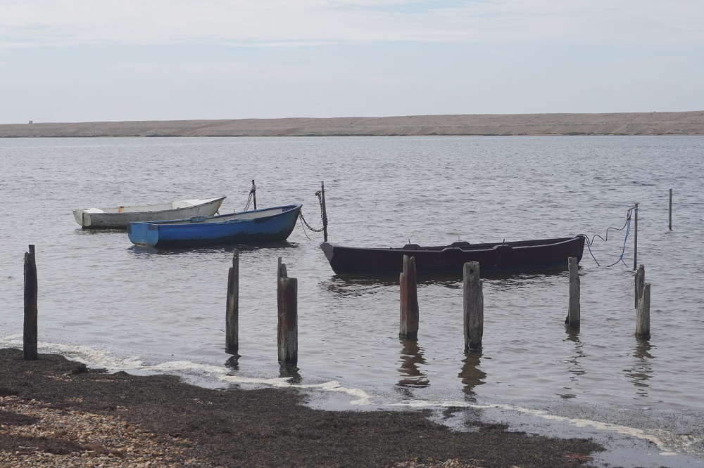
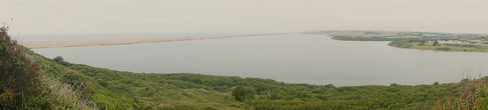
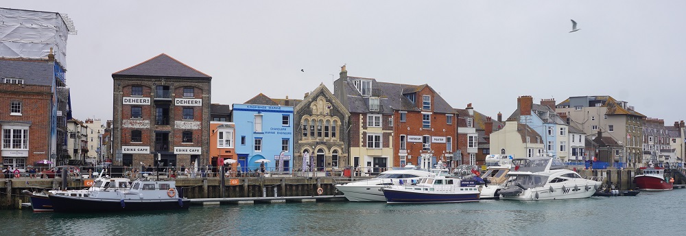
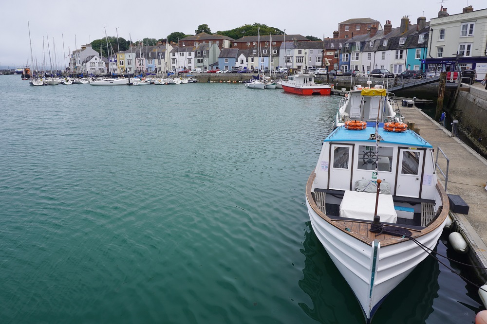
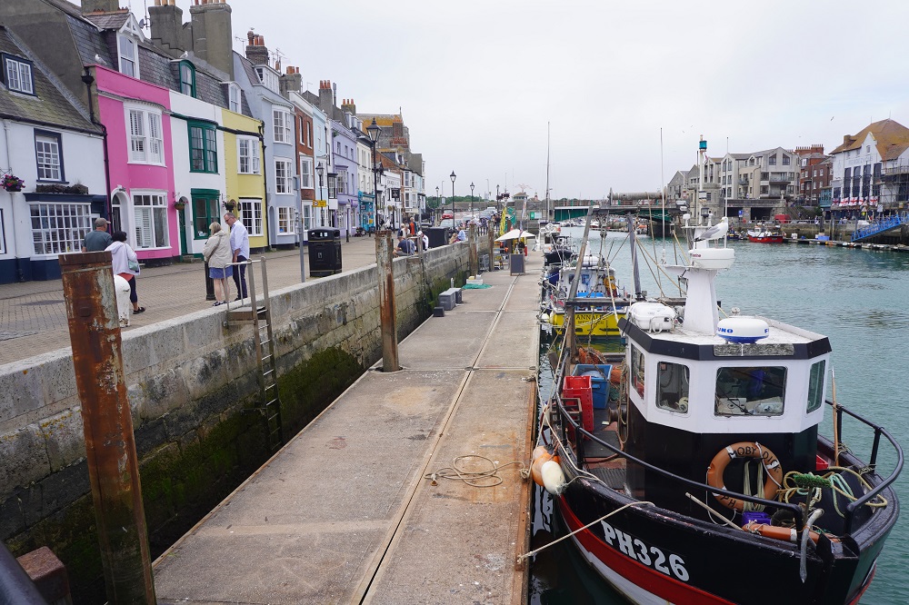
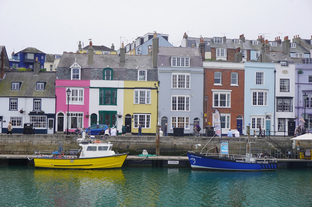
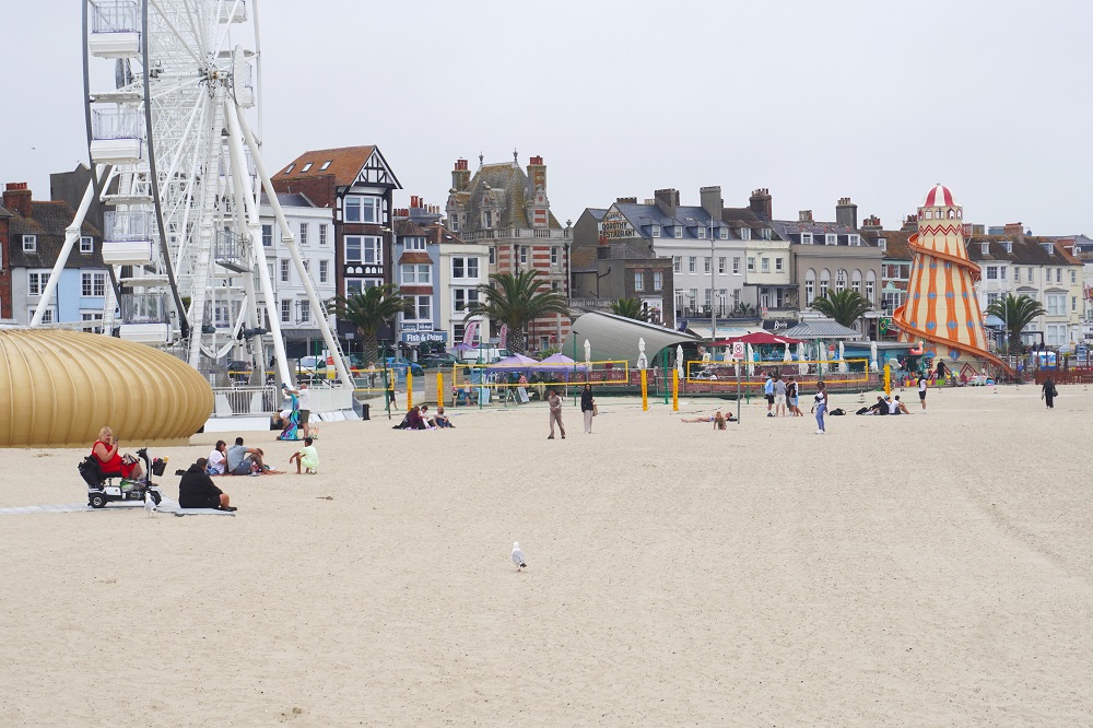
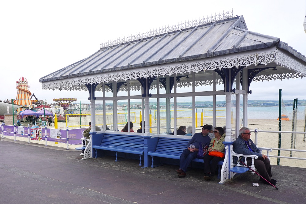
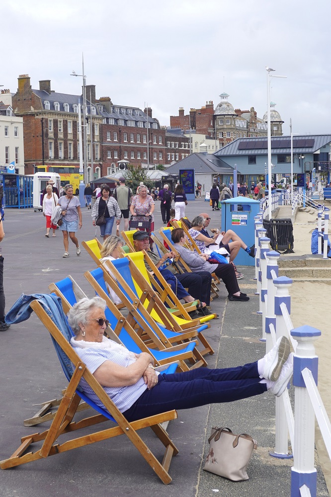
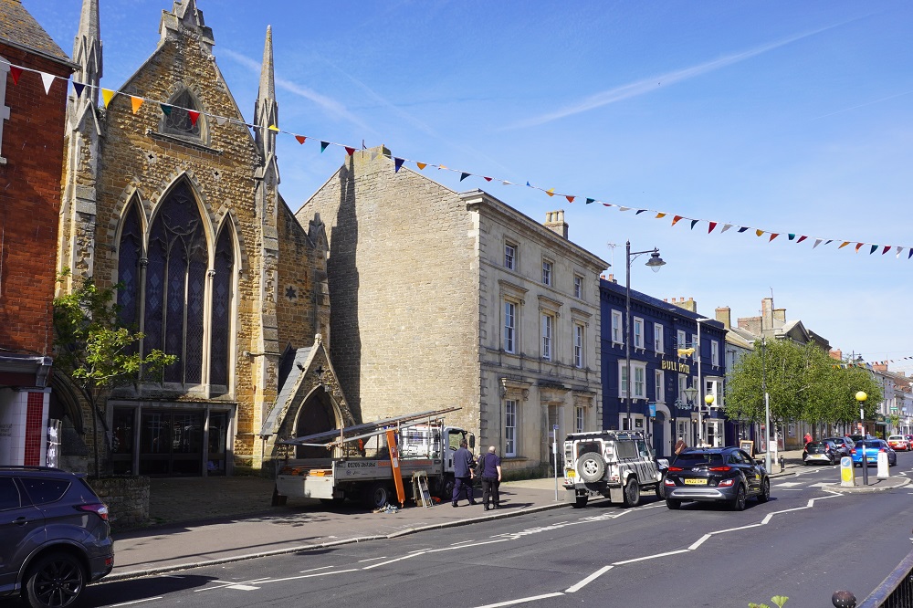
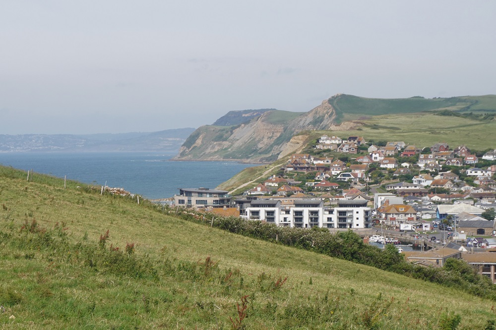
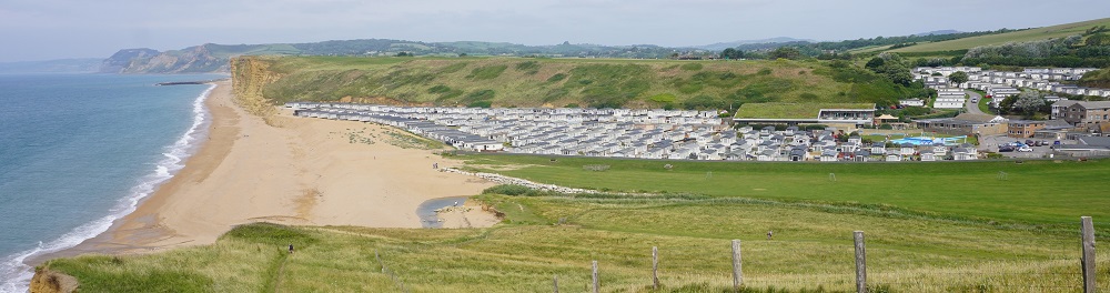
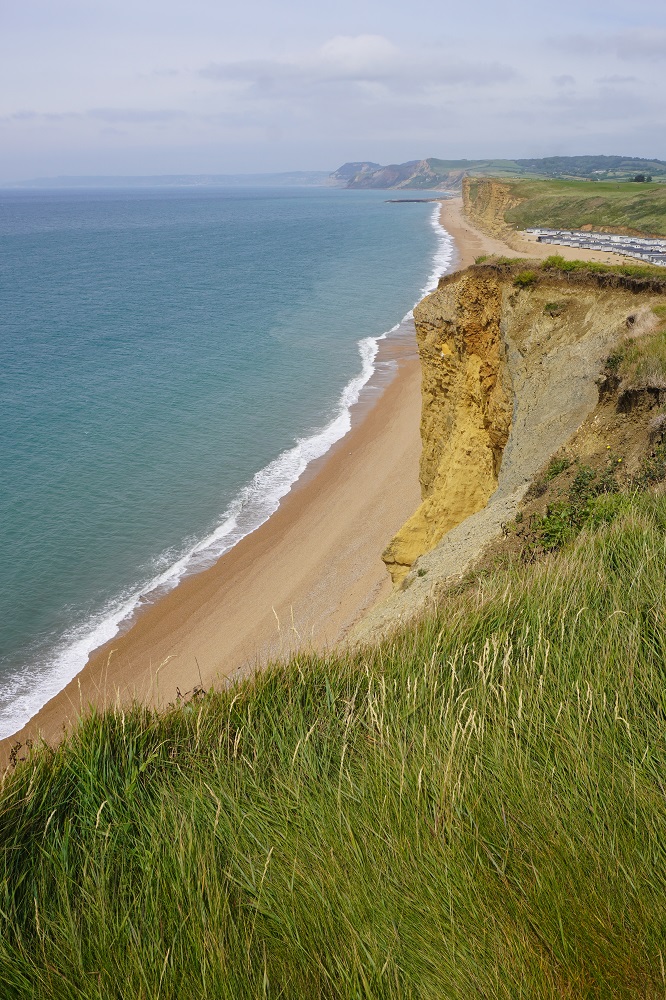
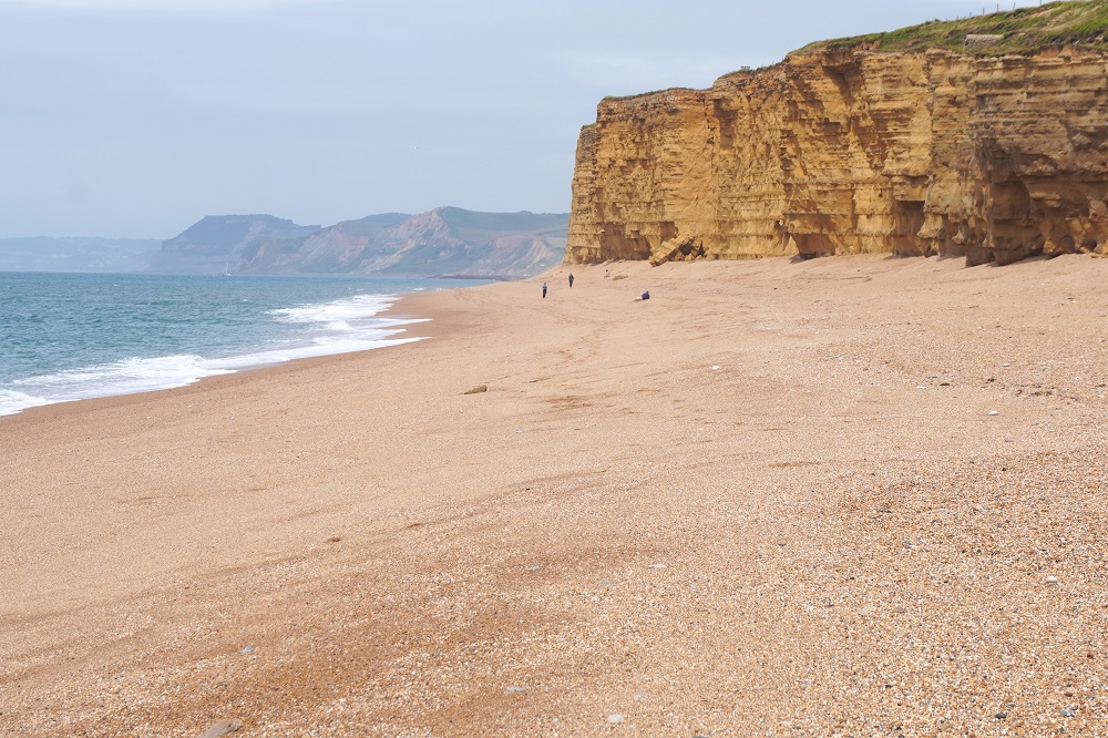
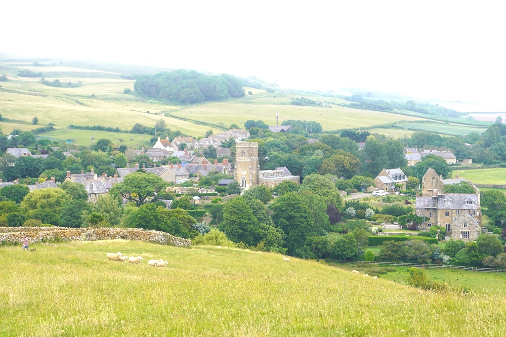
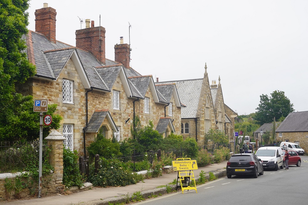
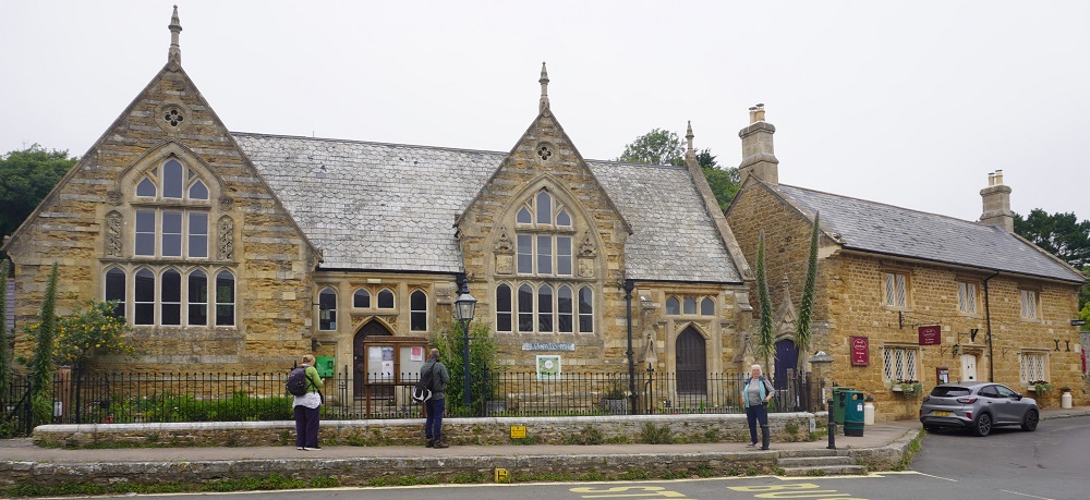
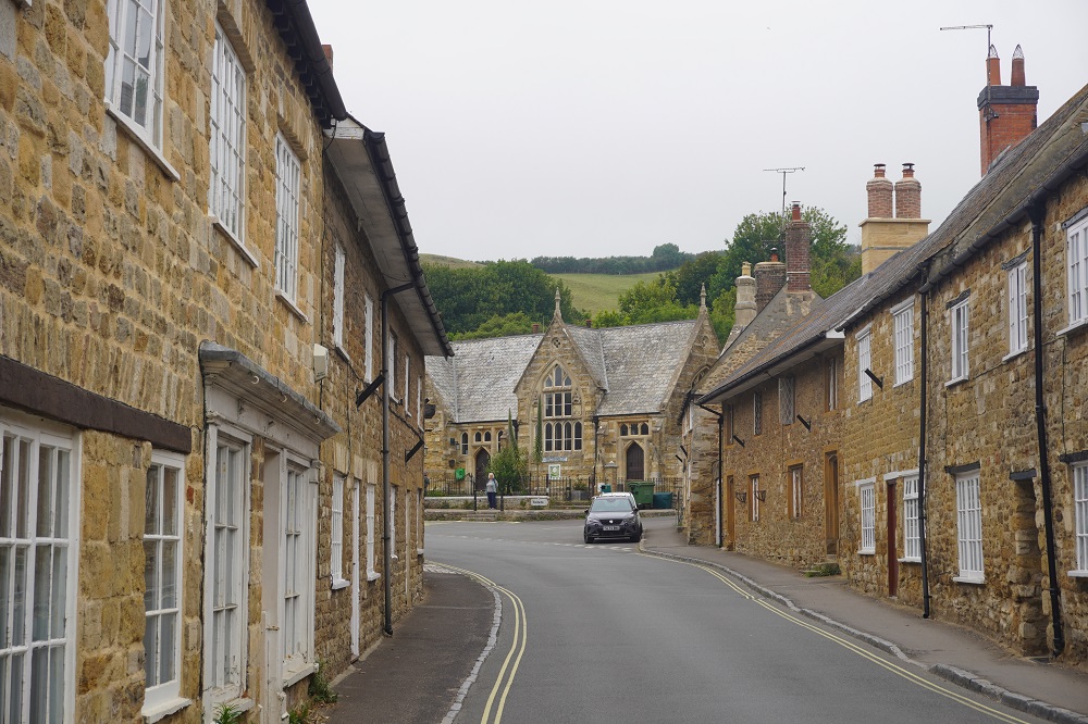
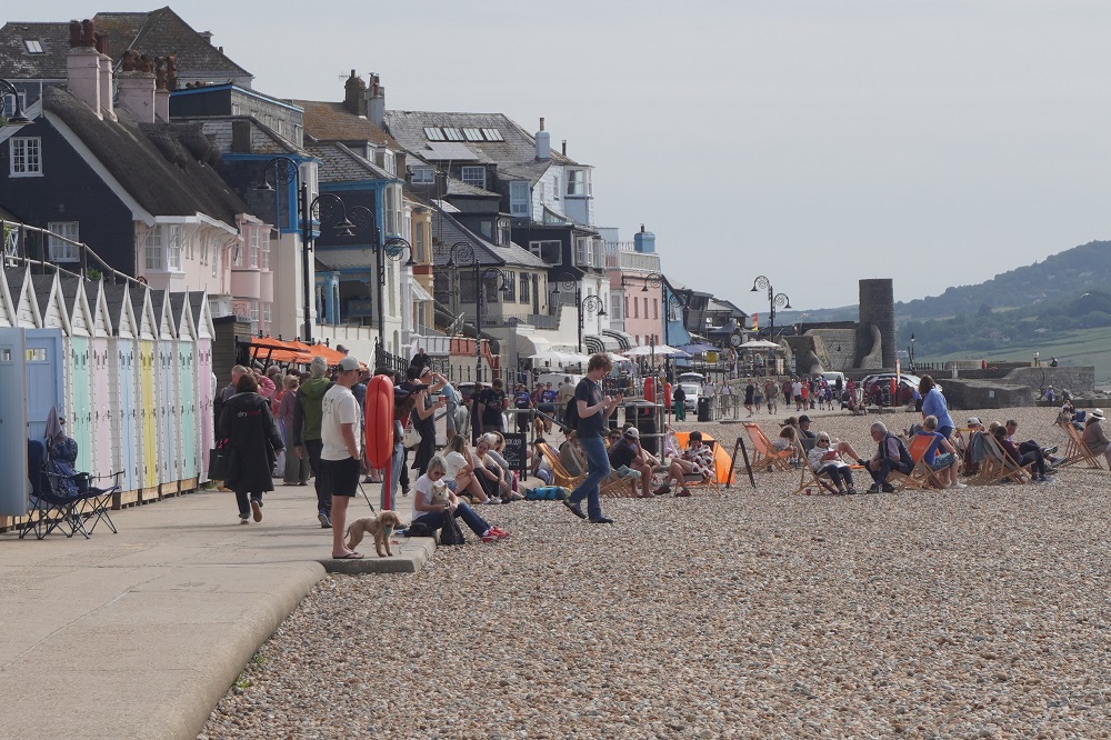
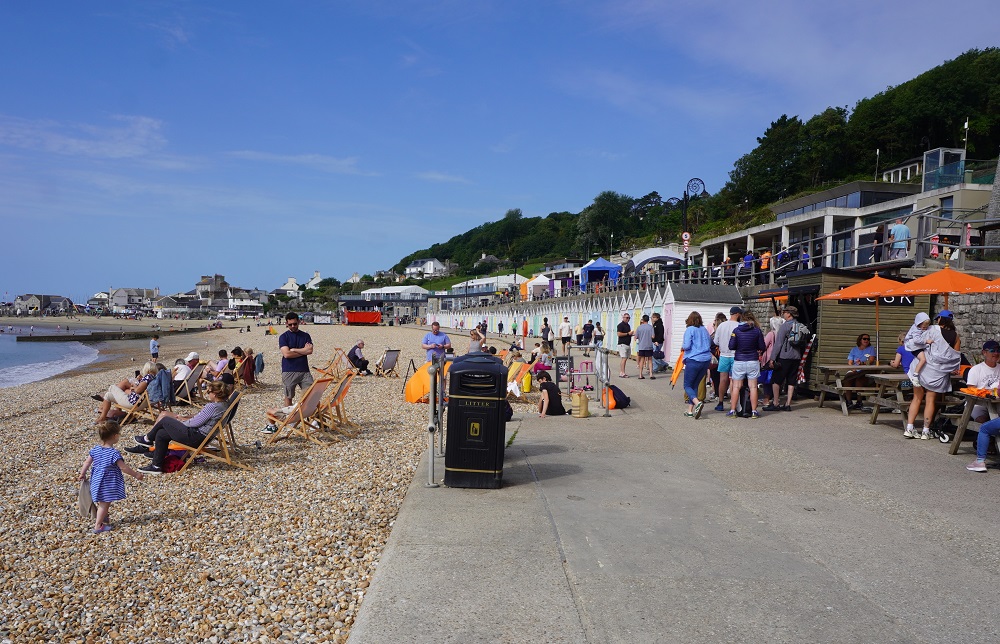
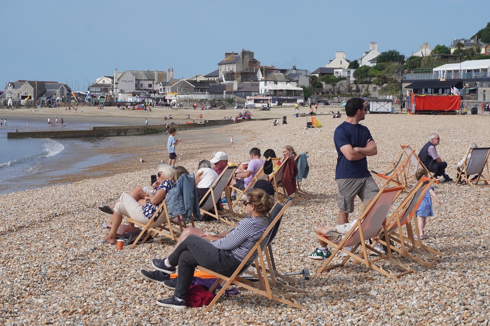
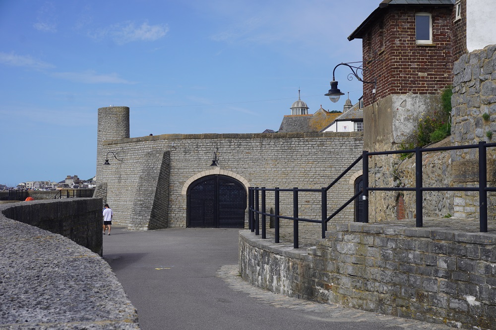
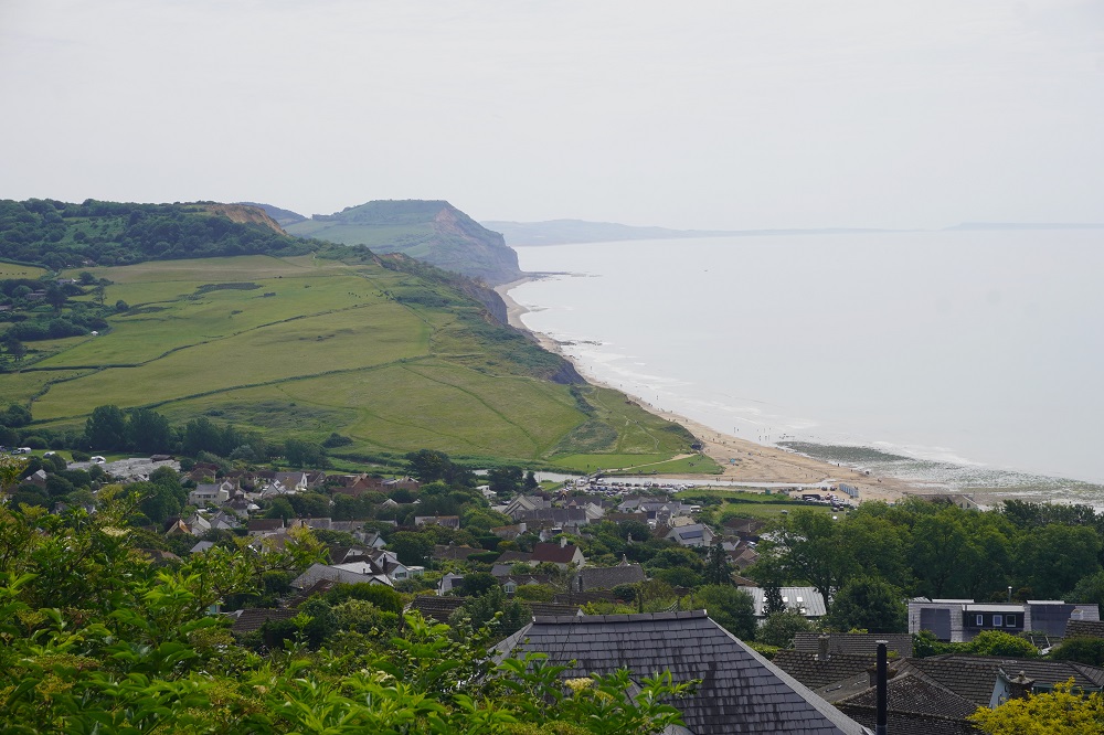
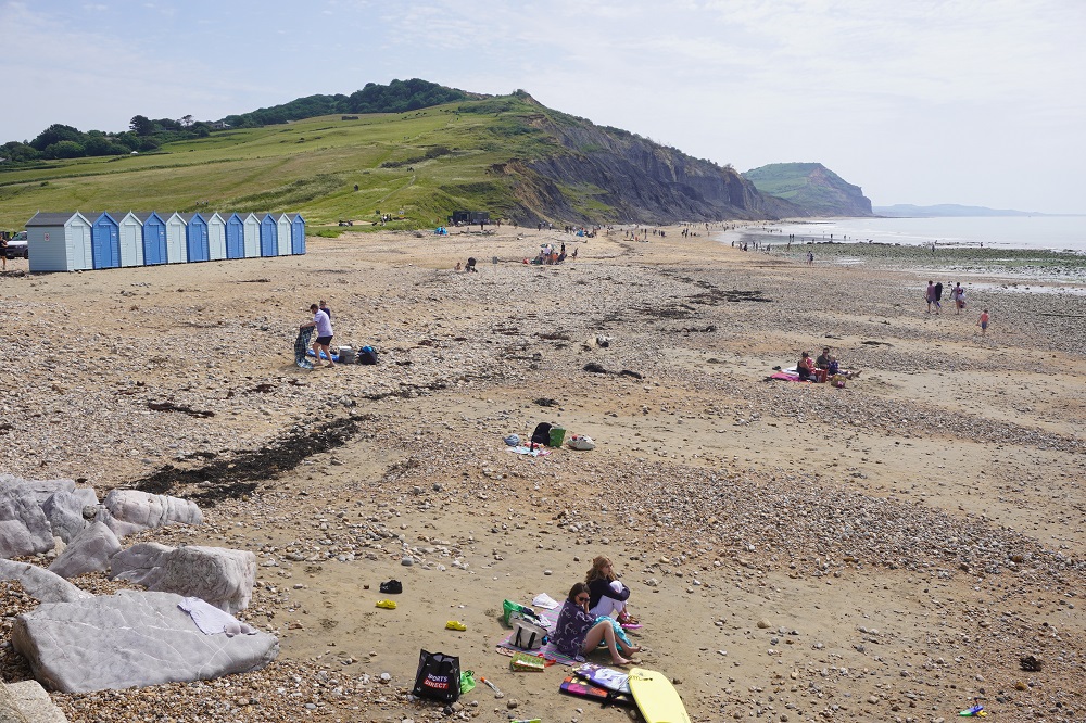
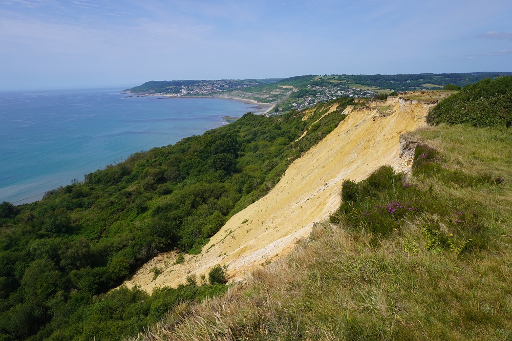
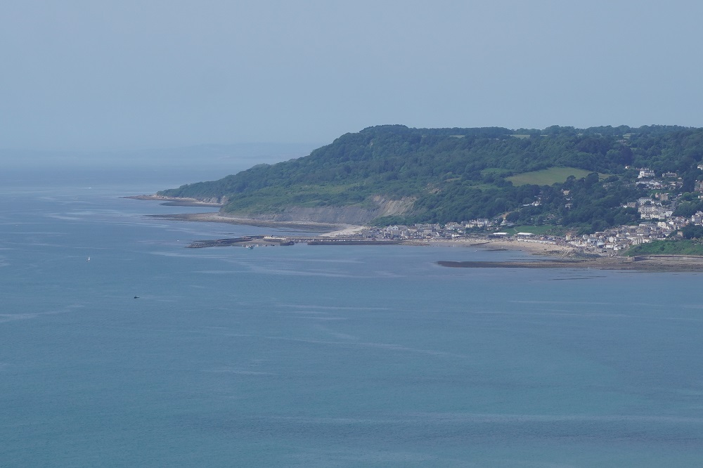
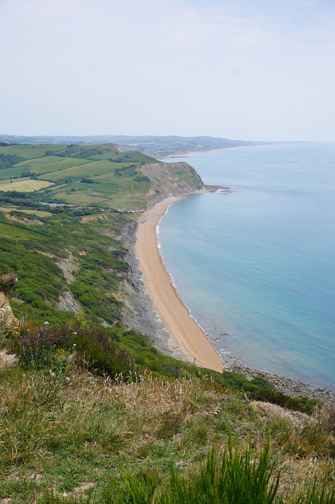
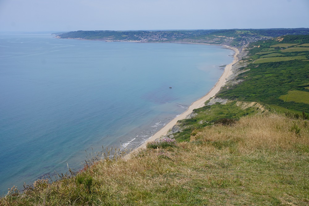
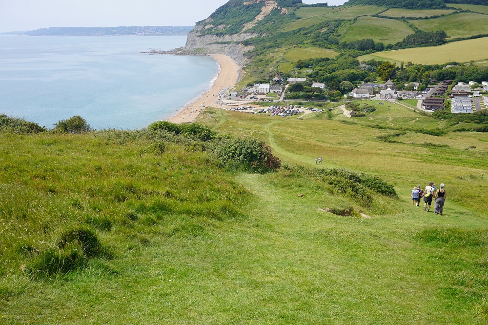
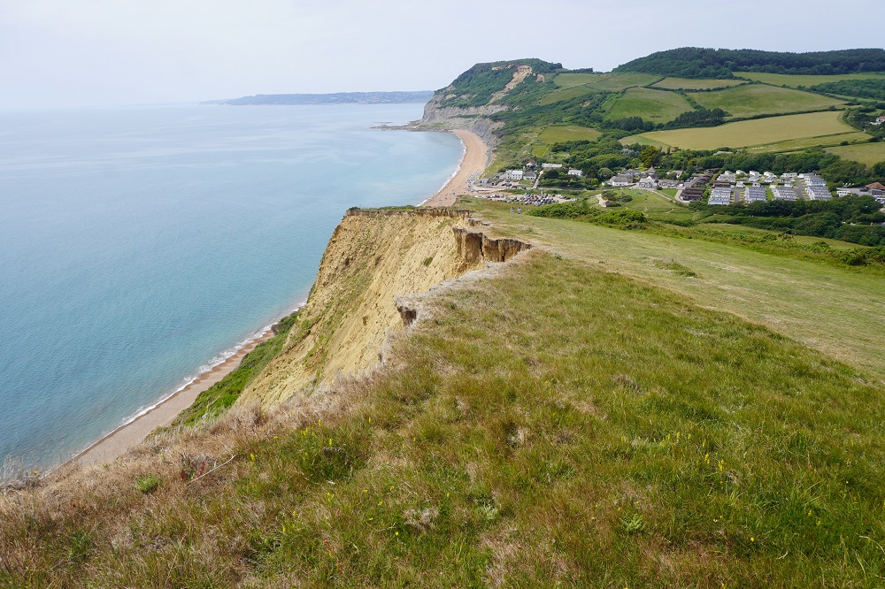
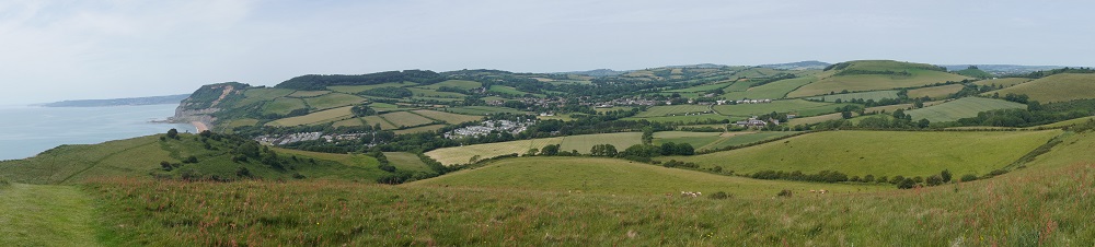
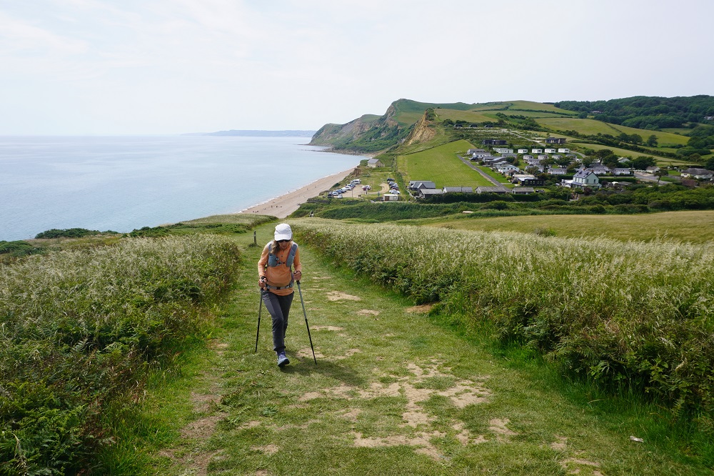
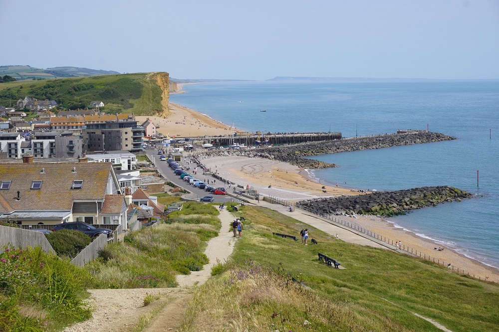
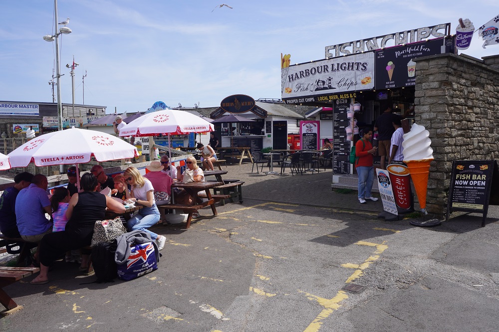
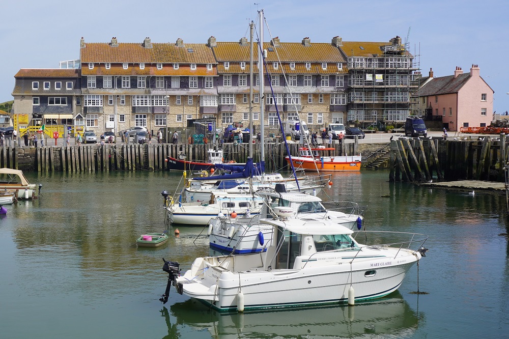
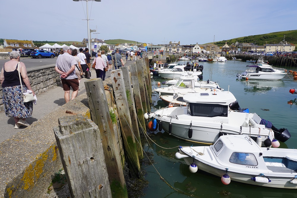
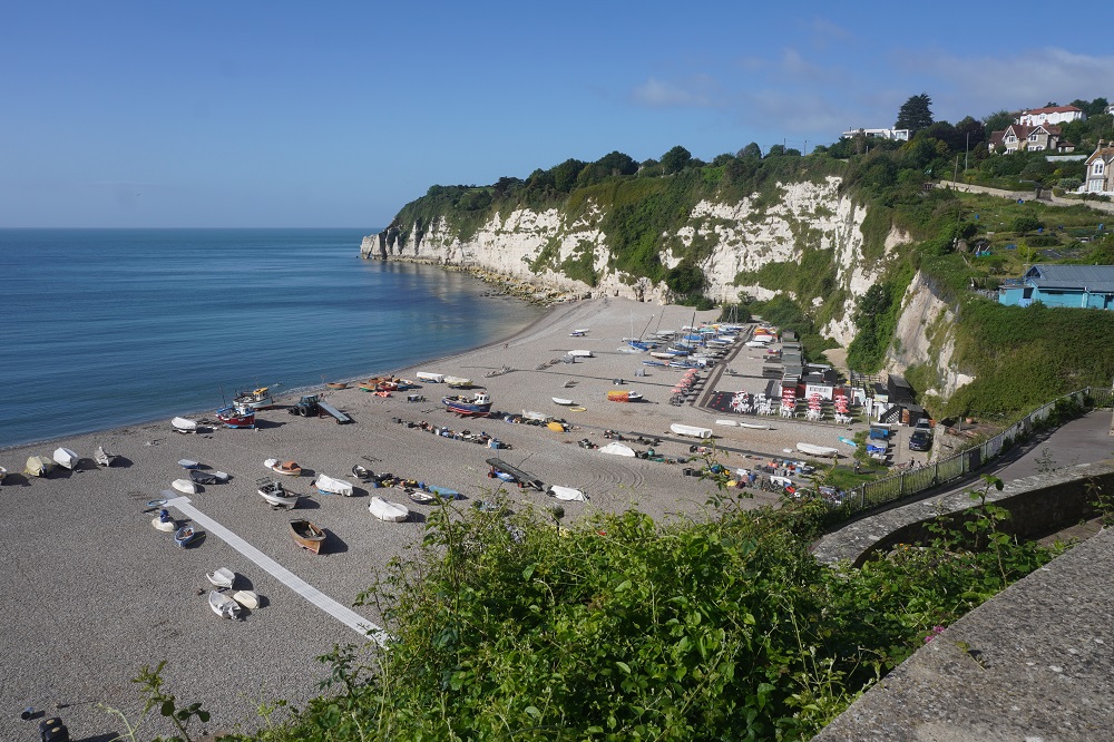
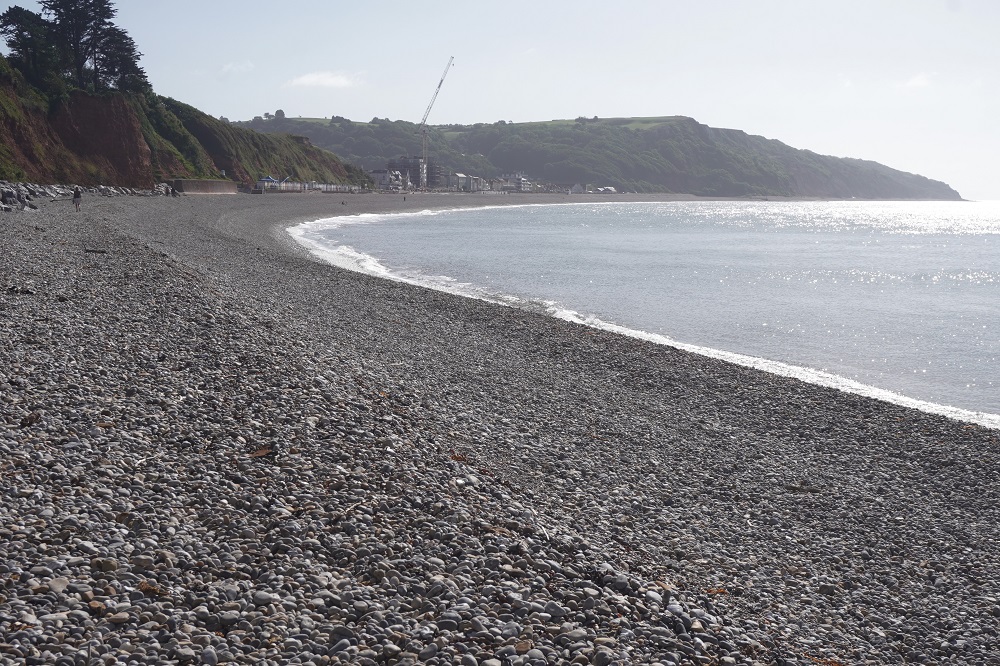
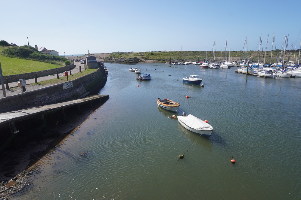
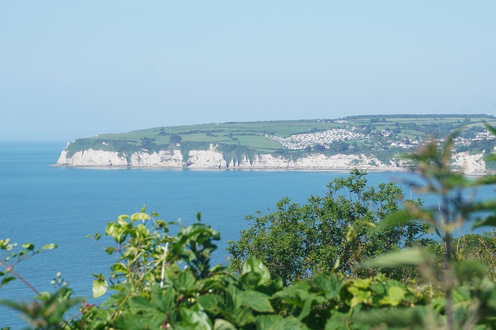
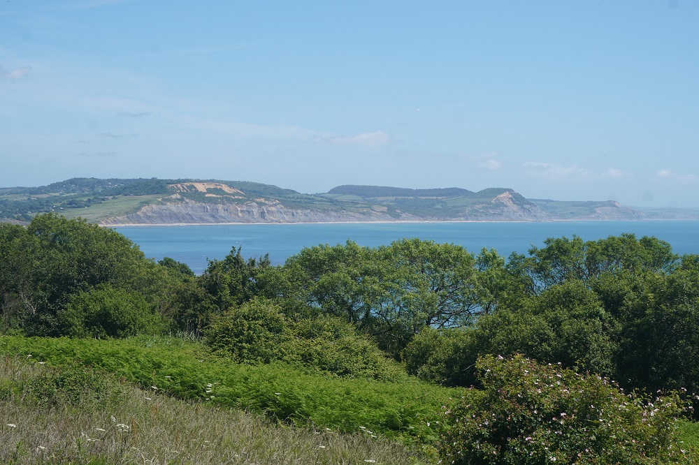
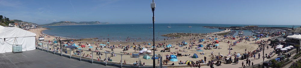
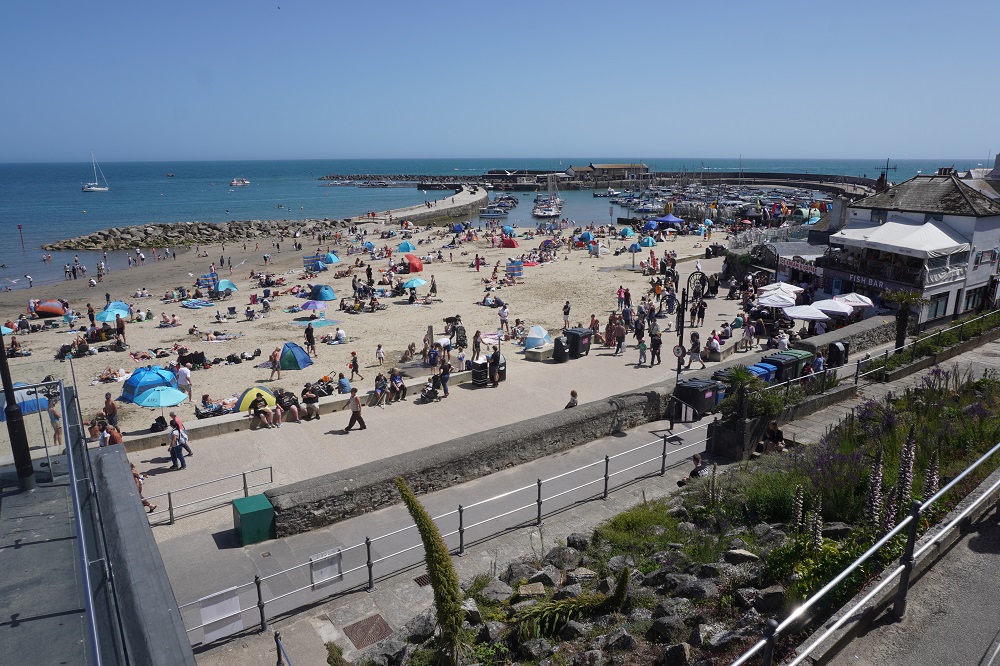
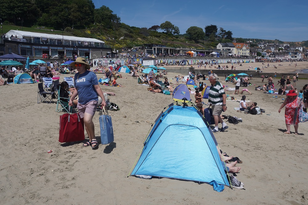
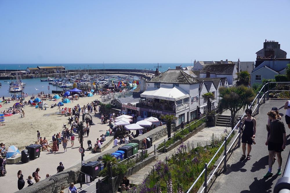
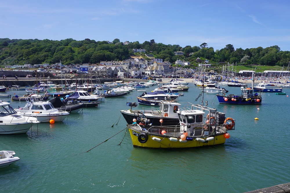
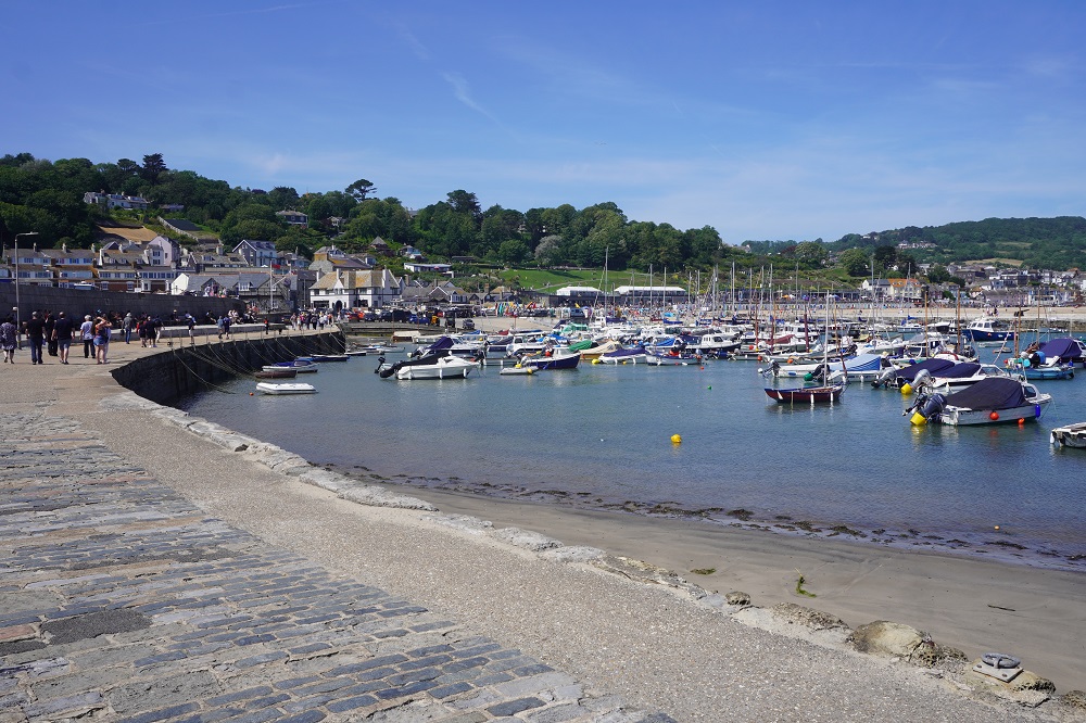
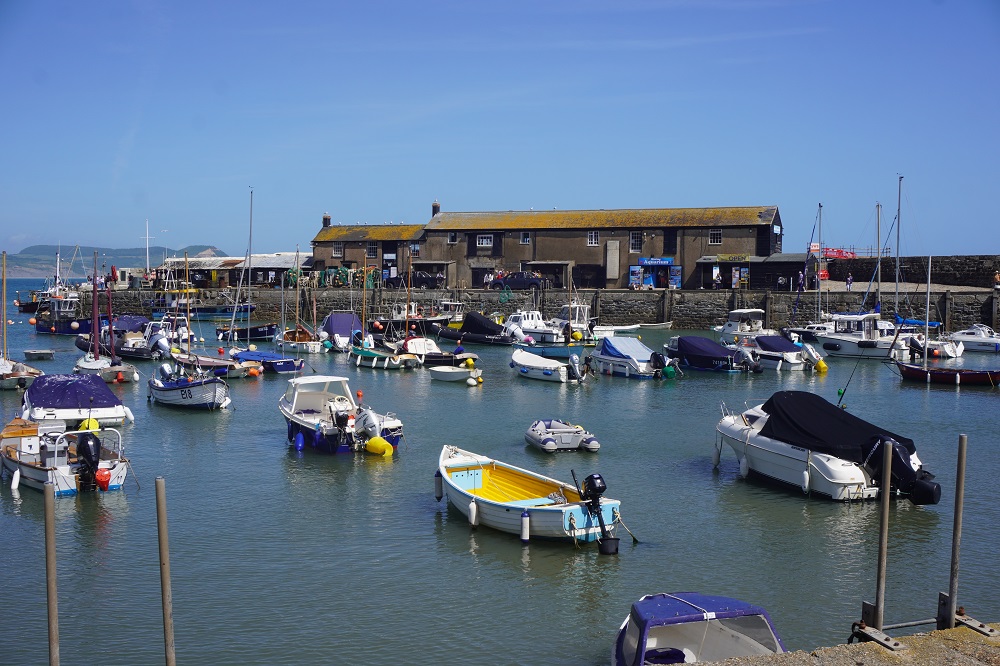
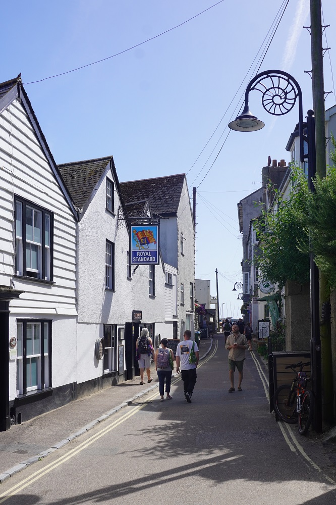
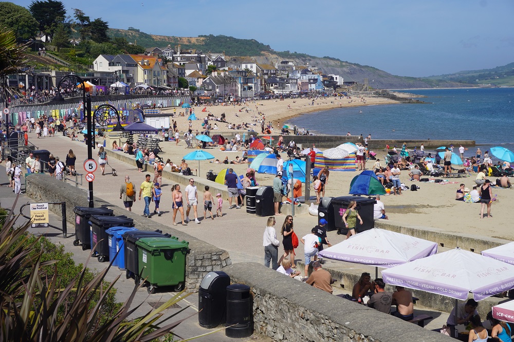
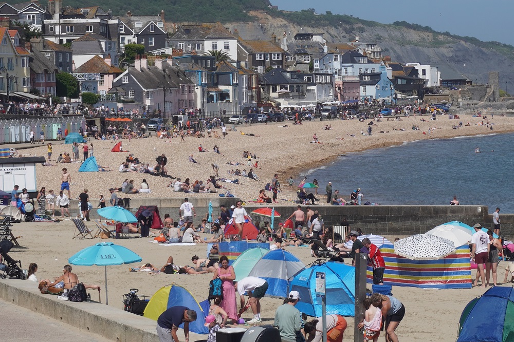
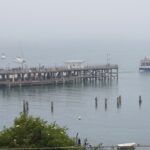
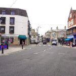
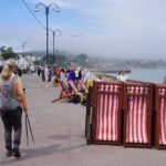
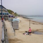
Swanage is a small and unassuming town of about 10,000. It is not very attractive in itself but does have a long sweeping sandy beach, is the terminus of the heritage Swanage Steam Railway which runs to Corfe Castle, and is located between Lulworth Cove and Durdle Door to the west and Old Harry’s Rocks to the east. It is basically the eastern end of the Jurassic Coast.
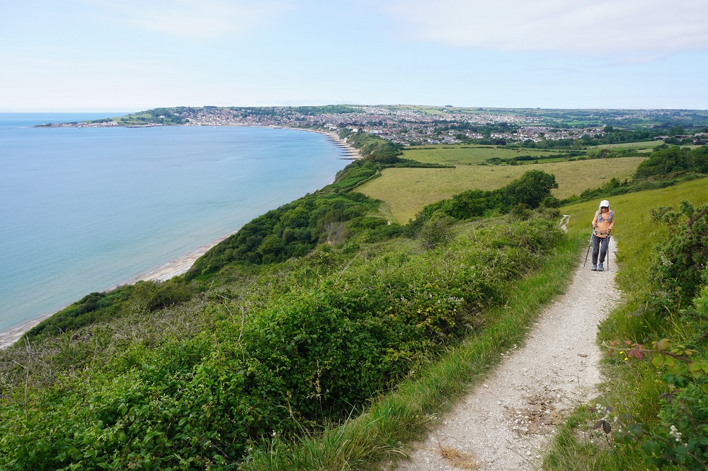
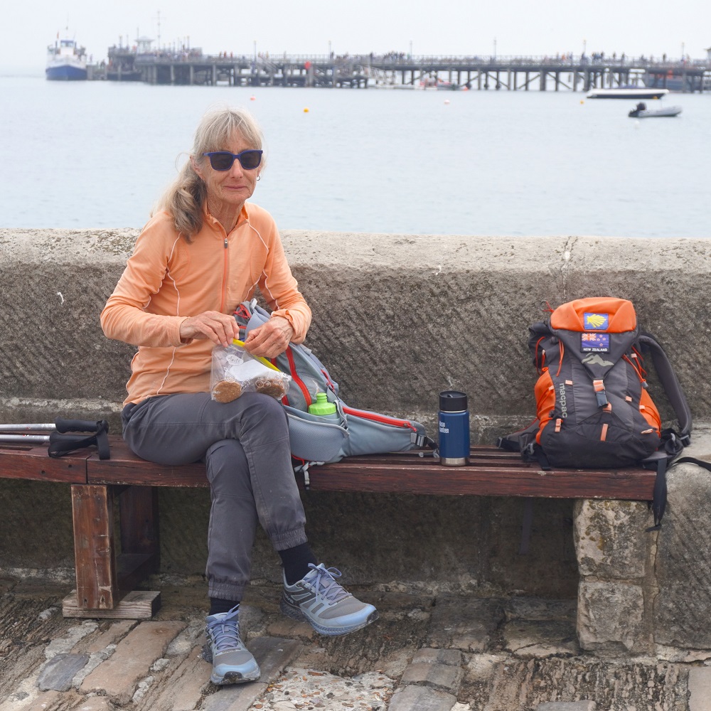
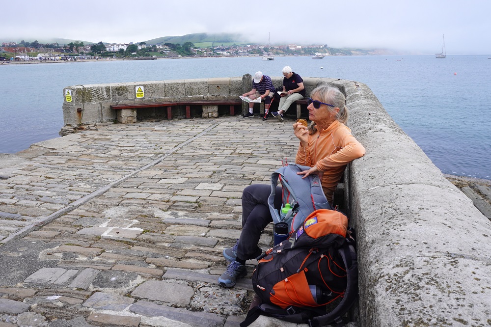
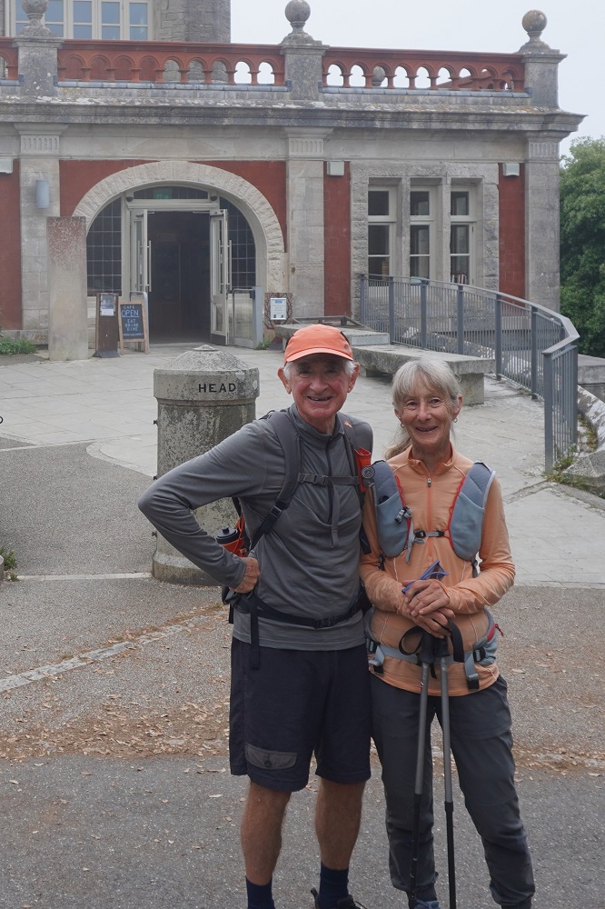
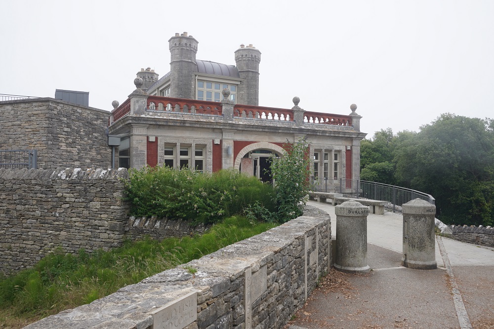
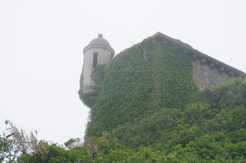
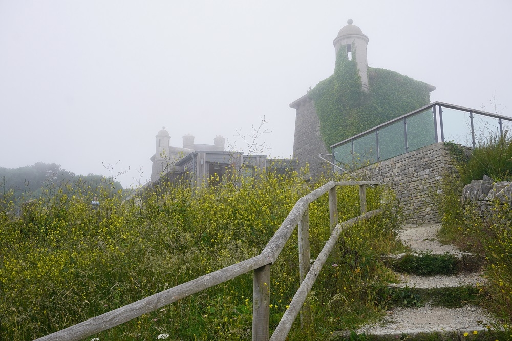
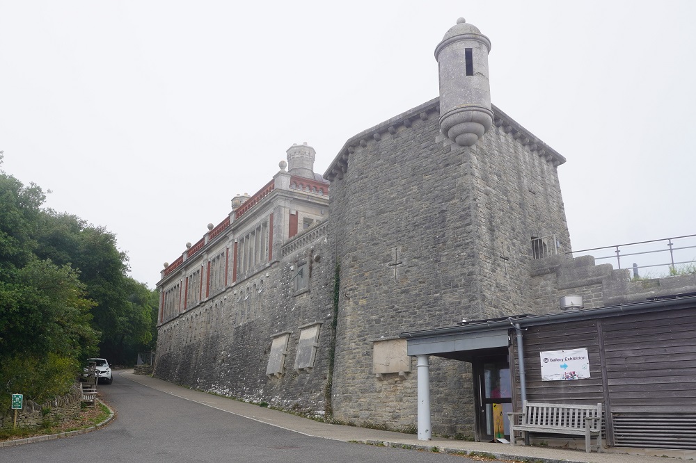
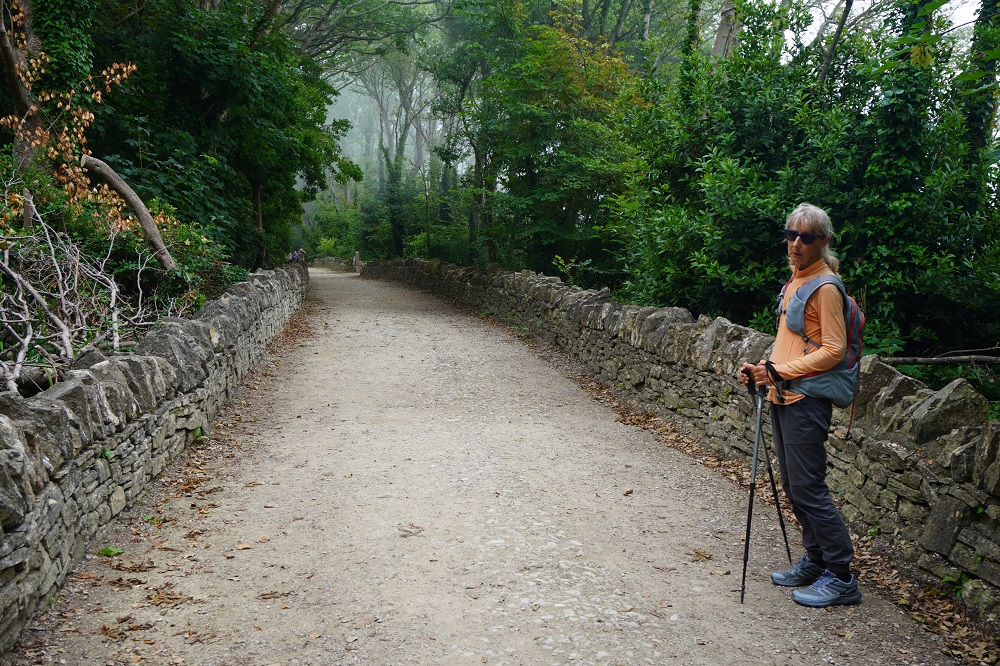
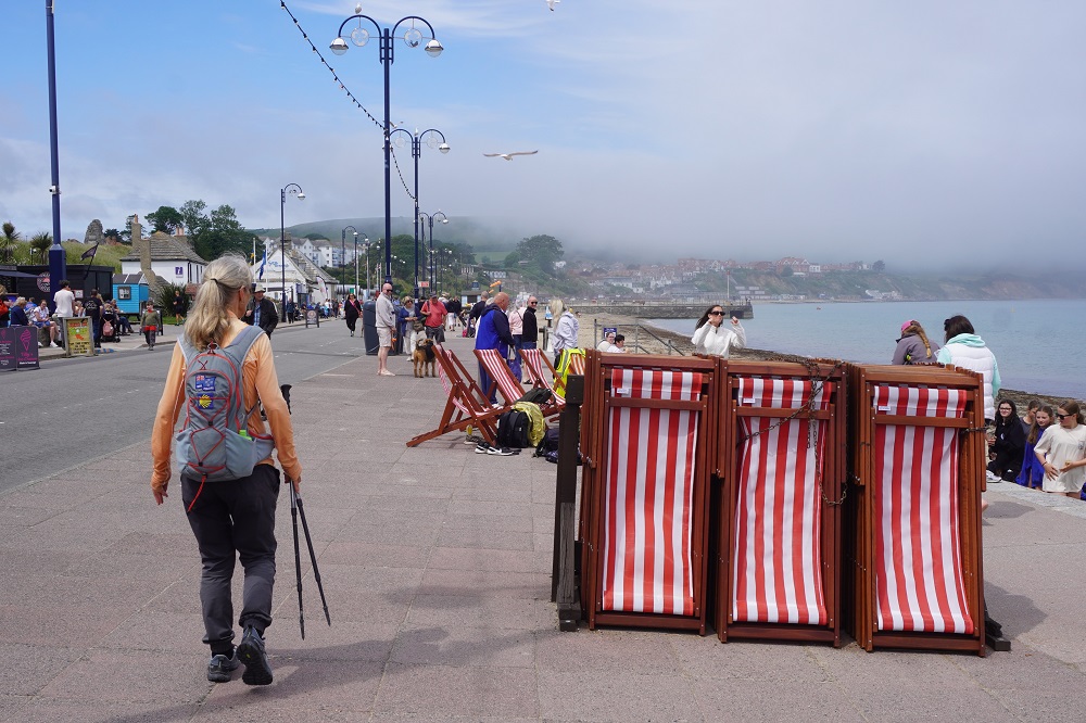
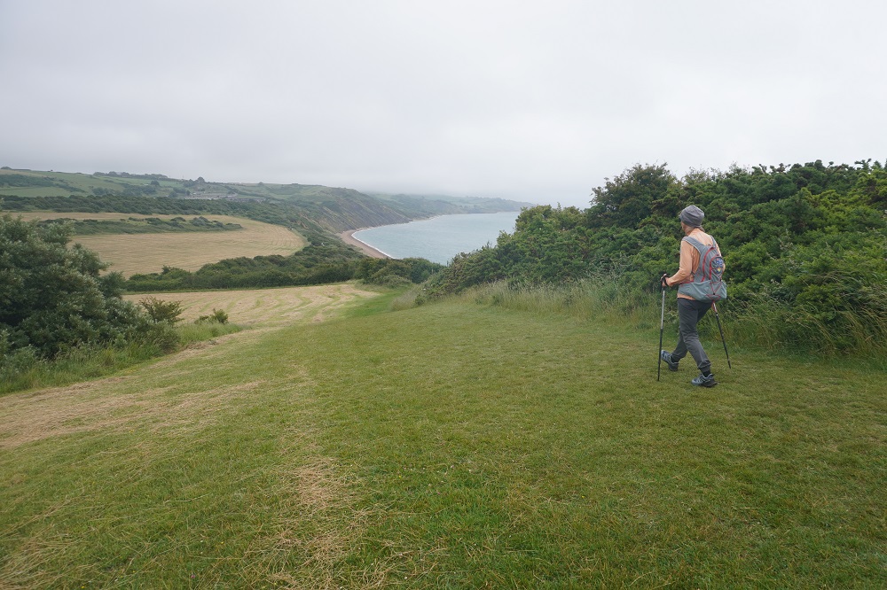
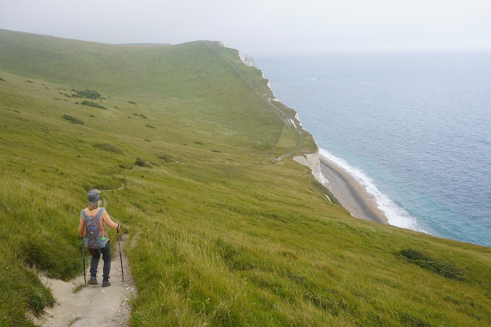
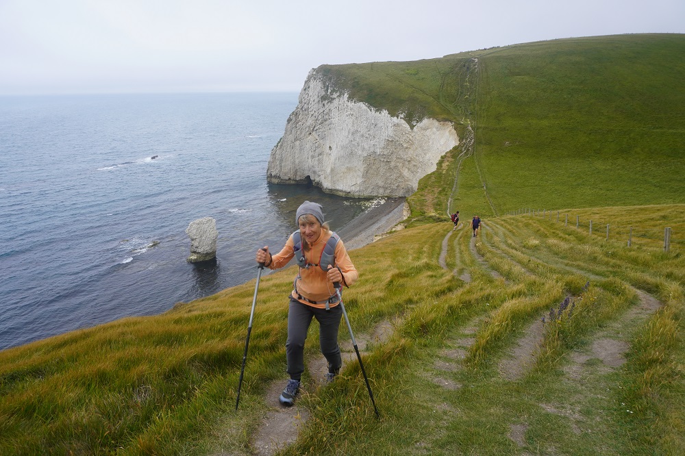
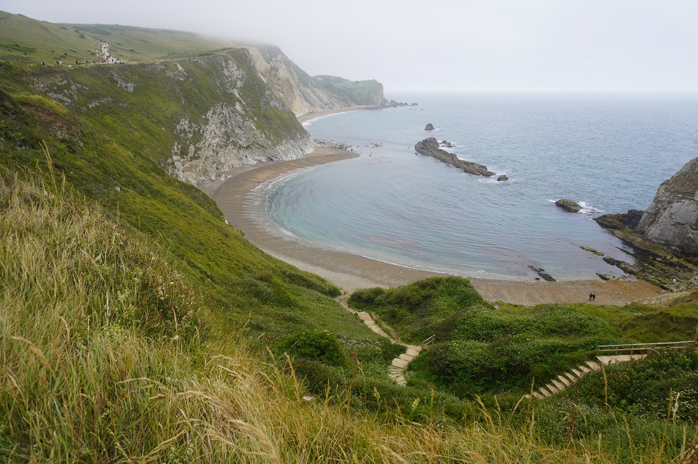
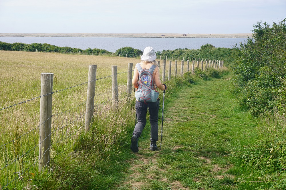
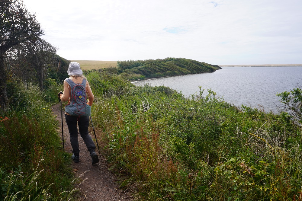
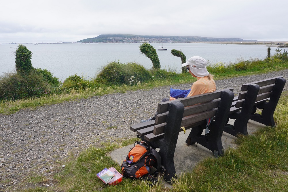
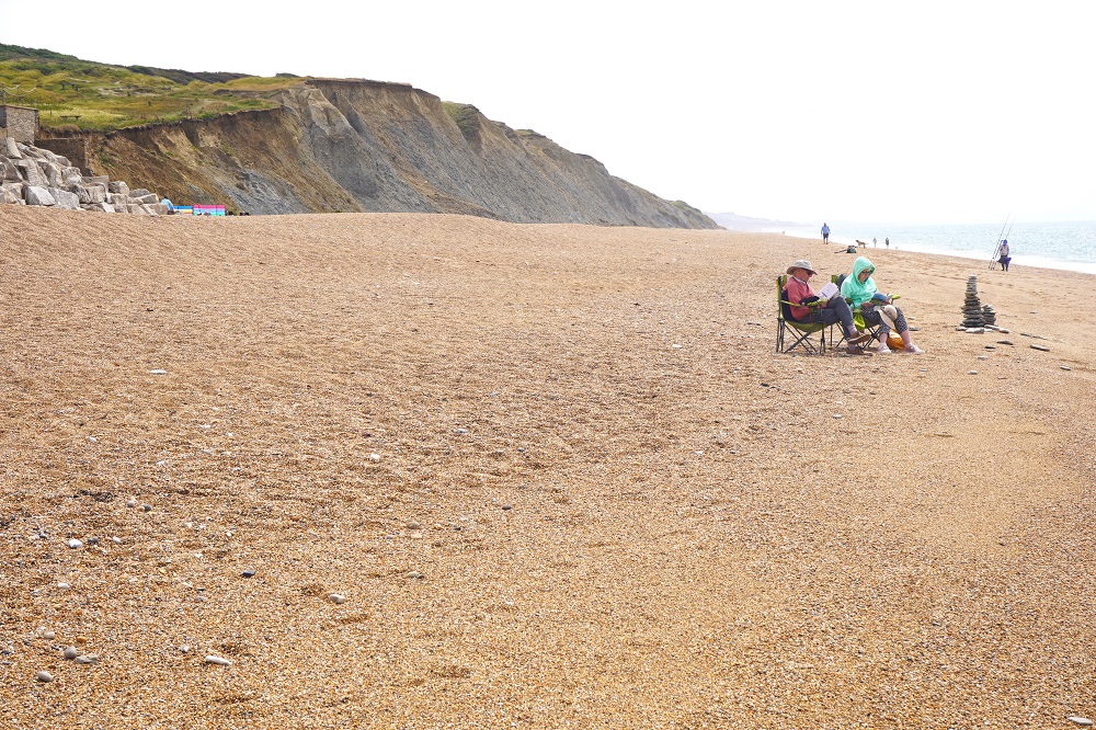
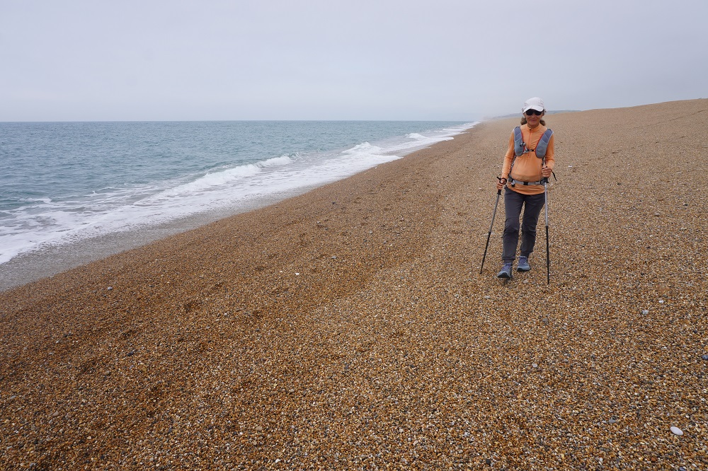
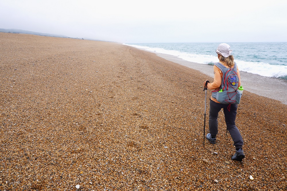
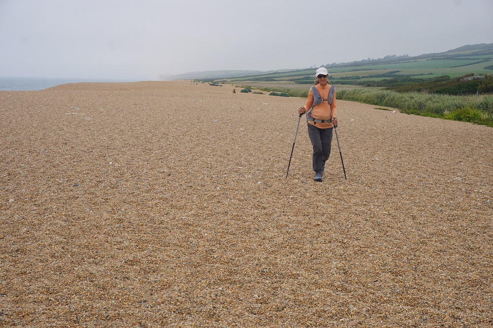
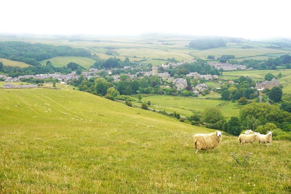
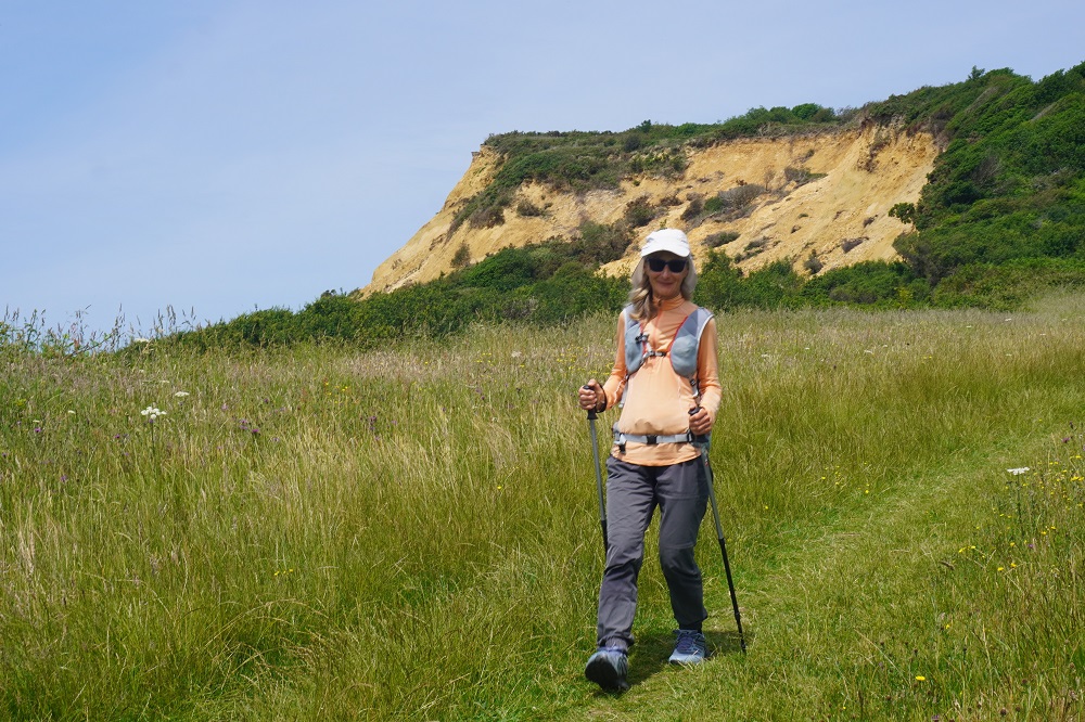
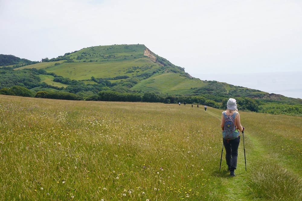
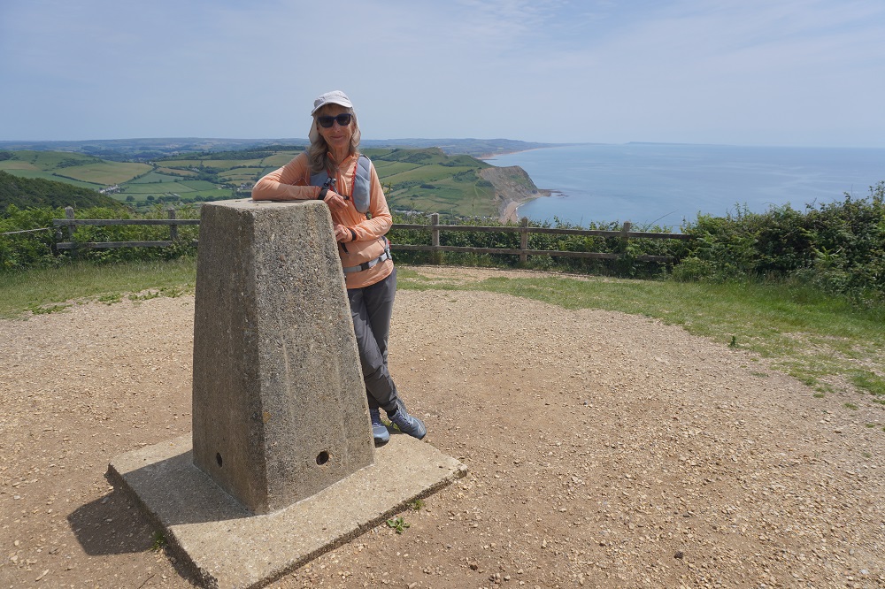
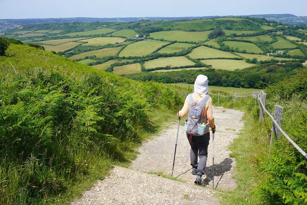
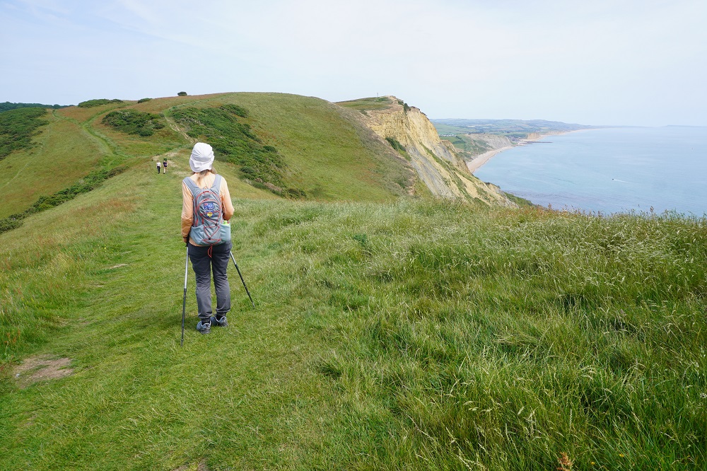
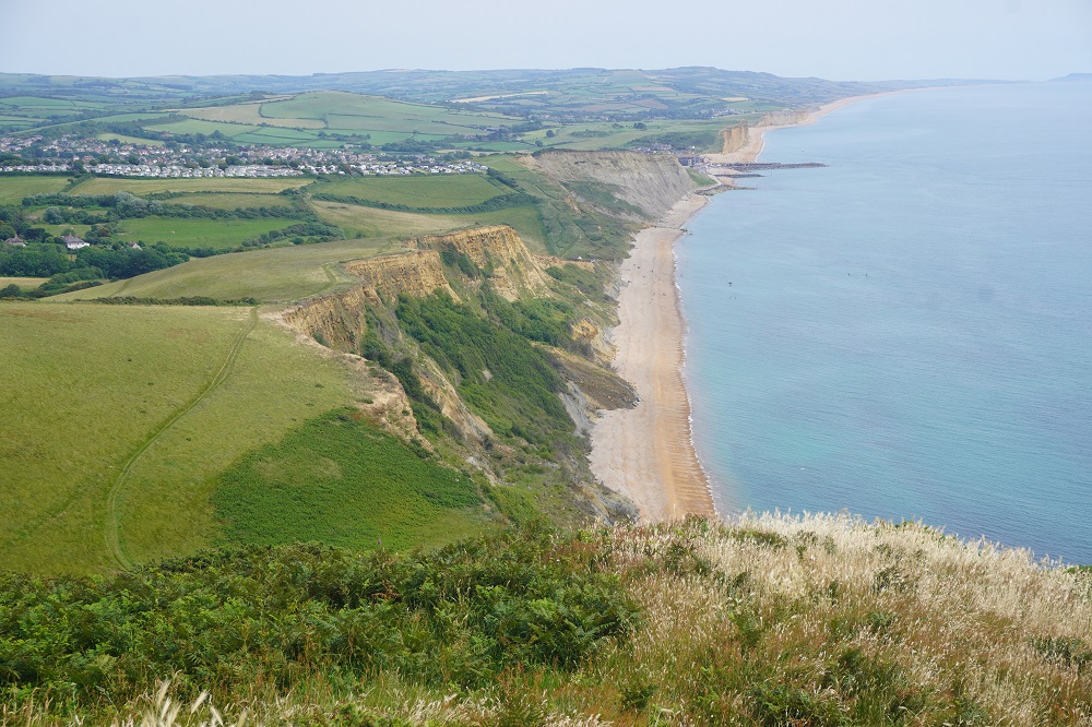
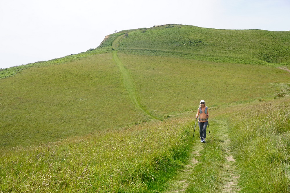
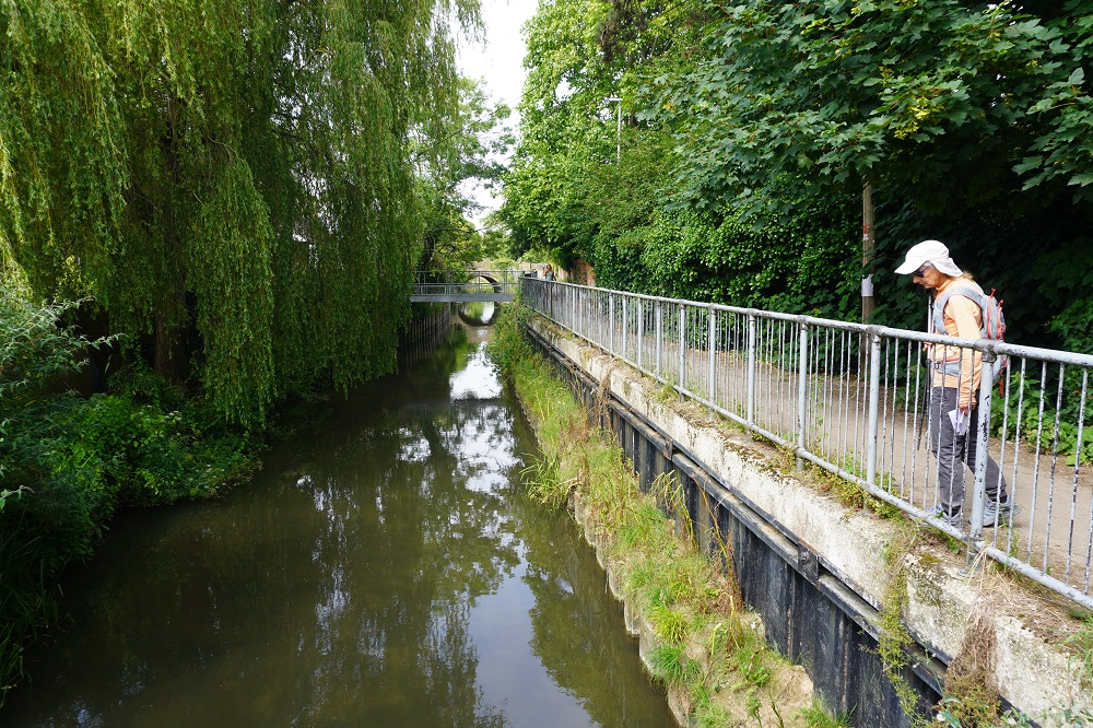
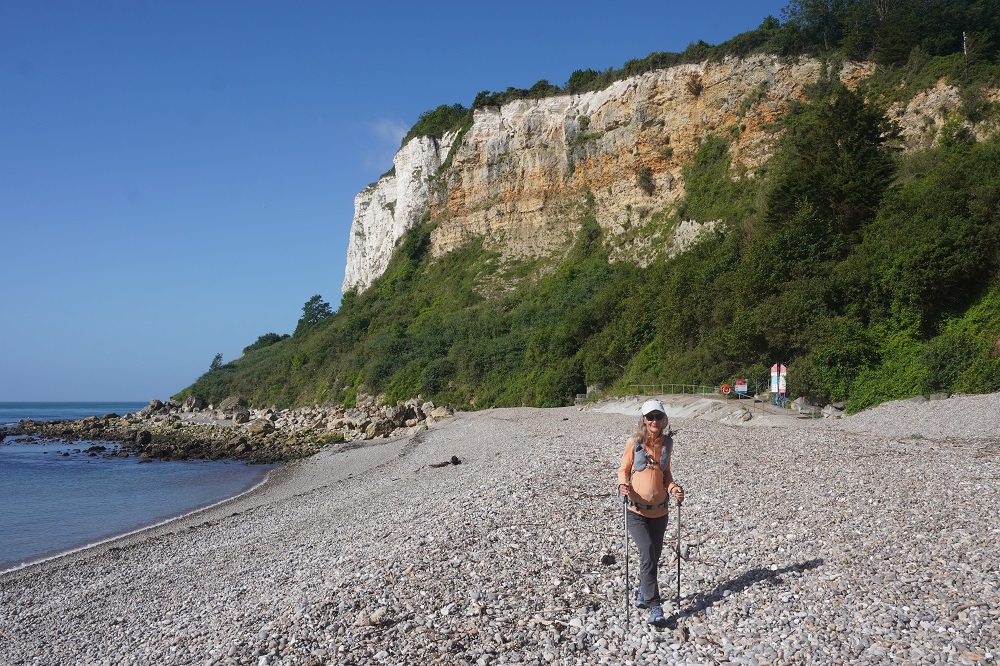
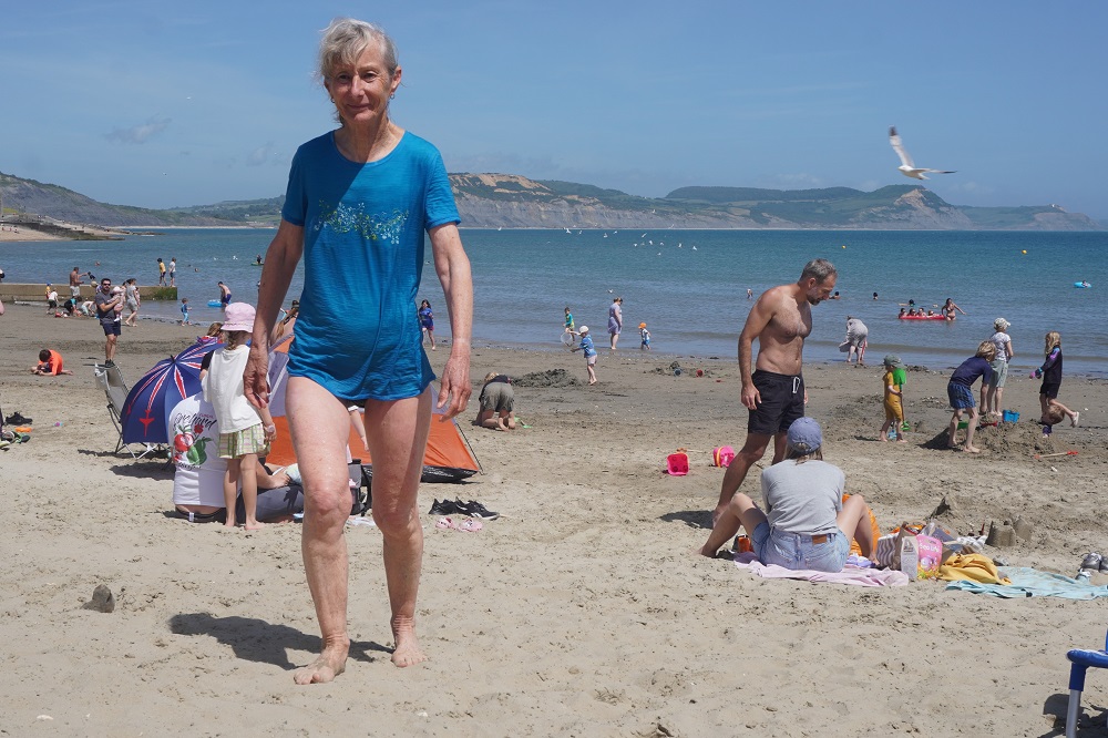
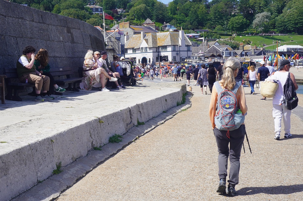
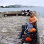
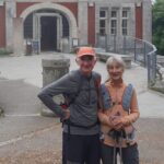
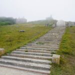
We located the Coast Path in Swanage and climb up around Peveril Point across the grassy Downs, through some woodland to Durlston Country Park. At Durlston Castle Maggie on MapMyWalk announced we had walked 4 kilometres which meant we had walked 1,000 kilometres. A high five and we asked a kind gentleman to take our photo. He and his friends were amazed two old geezers had walked so far.
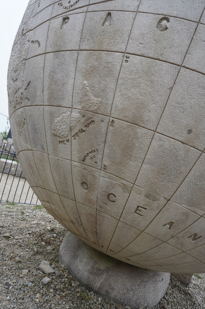
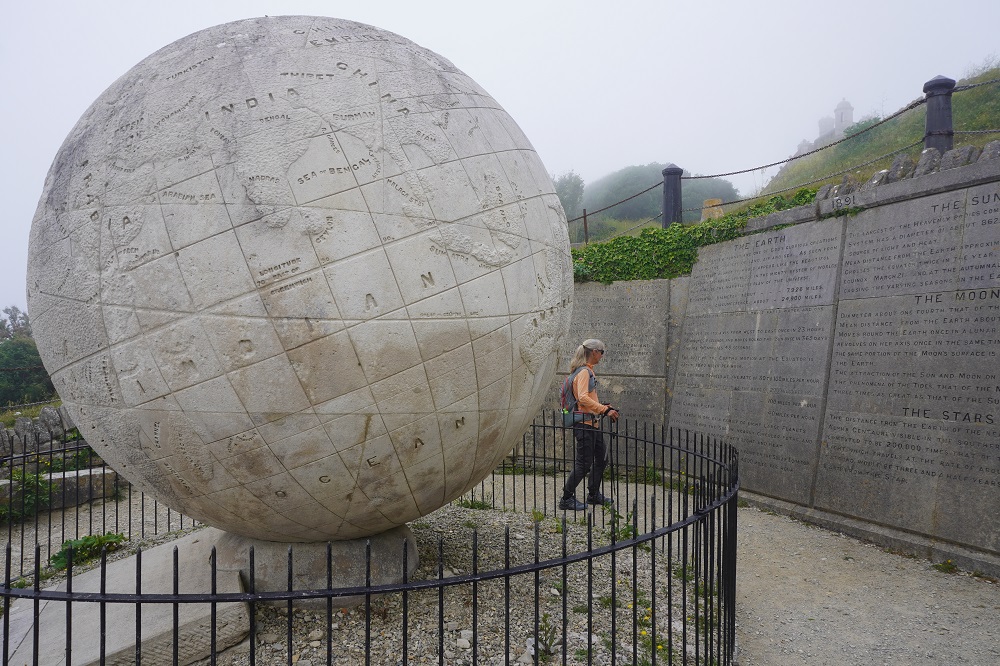
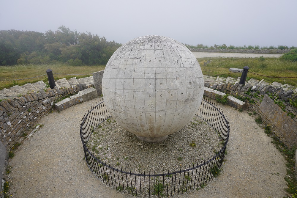
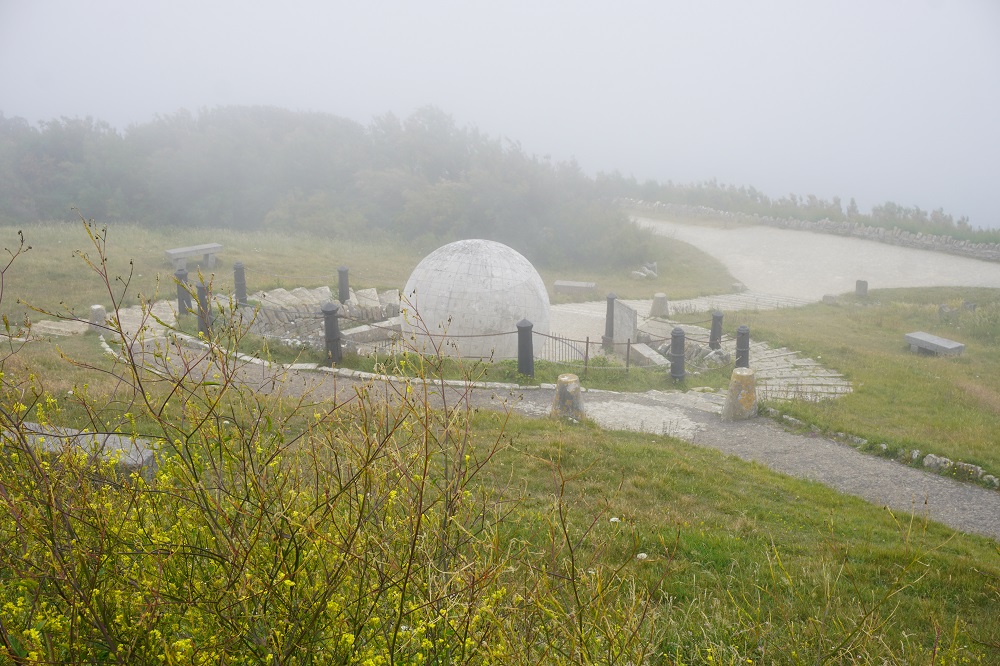
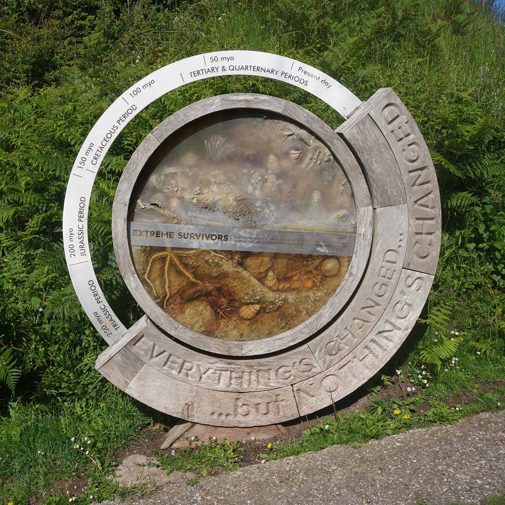
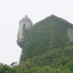
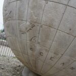
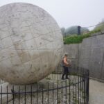
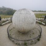
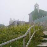
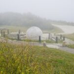
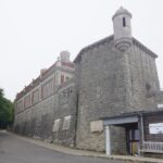
Also at Durlston Country Park overlooking the ocean, is a stone sphere sitting on a solid rock platform cut into the hill. It is one of the largest stone spheres in the world, is made of Portland Stone, weighs 40 tonnes, is 3 metres in diameter and was made in 1887. The surface is carved in detail and shows, continents, oceans and certain specific areas of the world. New Zealand is shown. Around the globe are plaques carved with verses from English and Roman poets, and the bible.
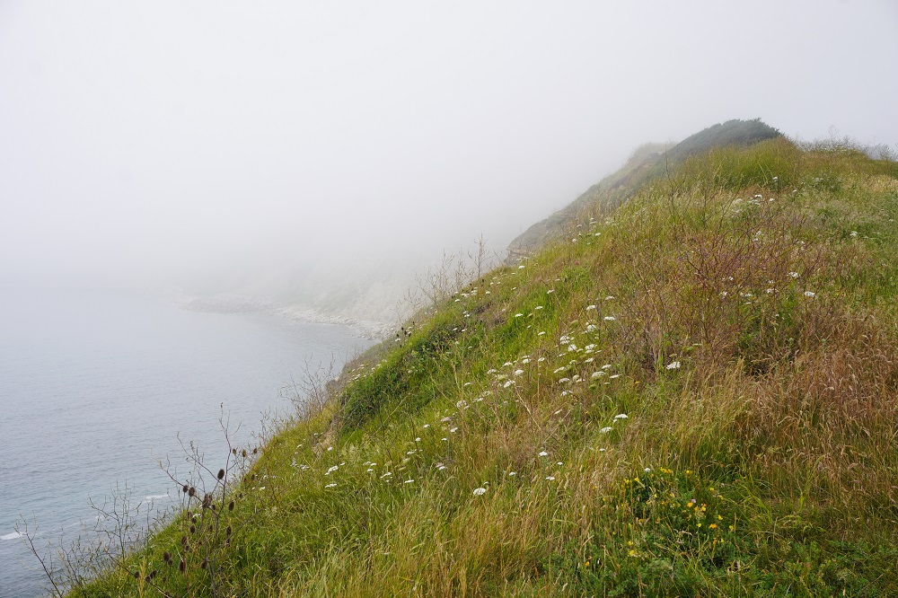
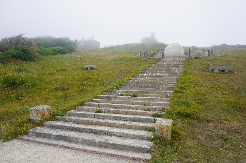
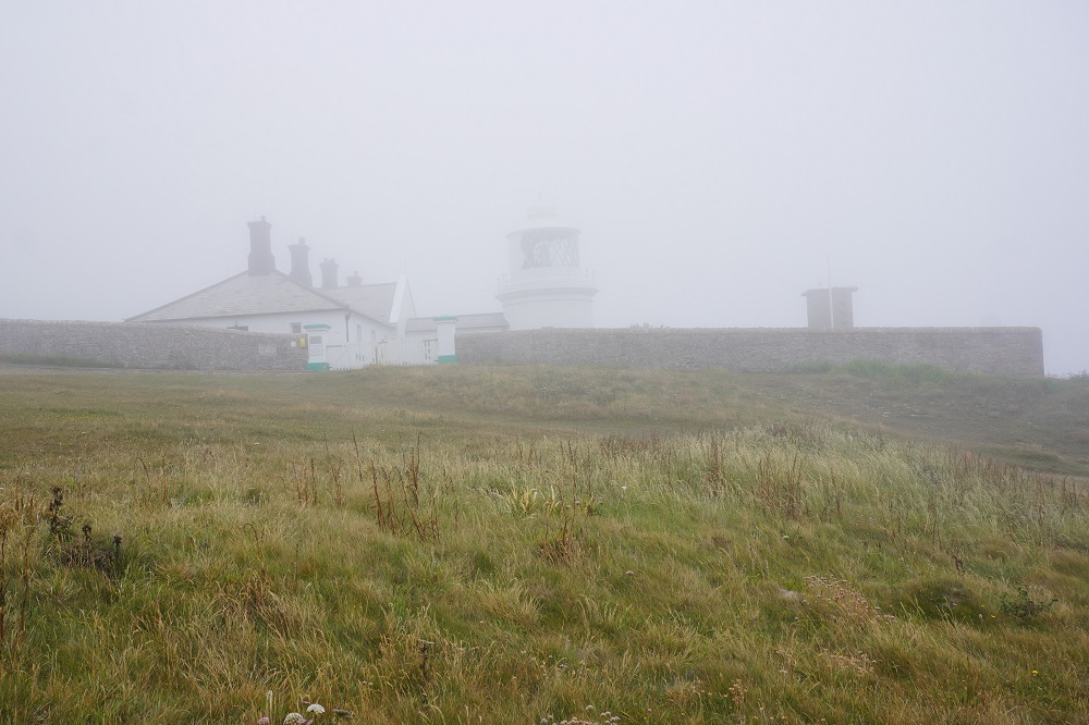
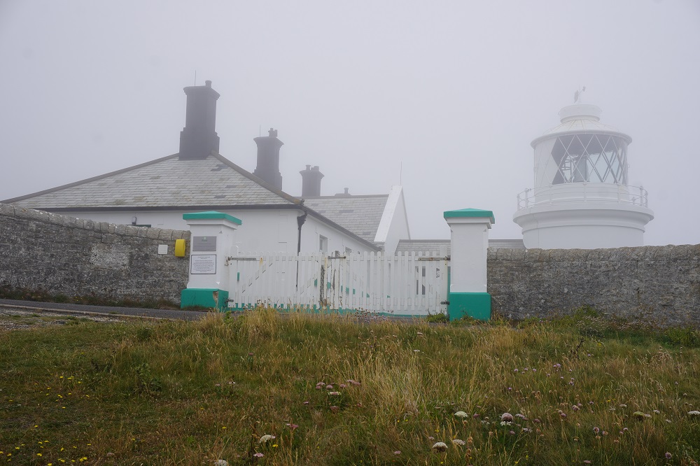
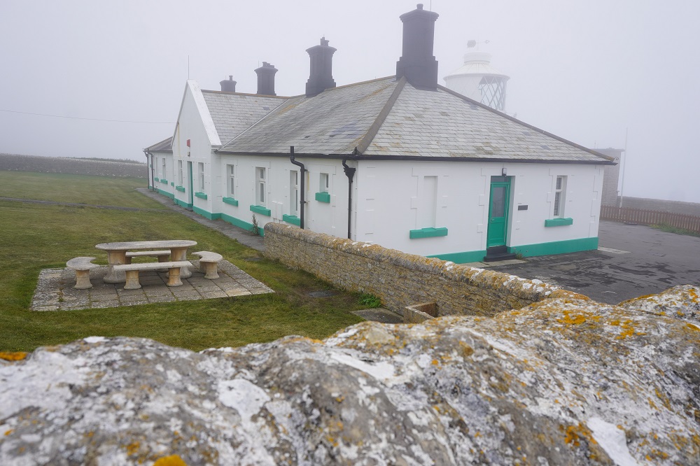
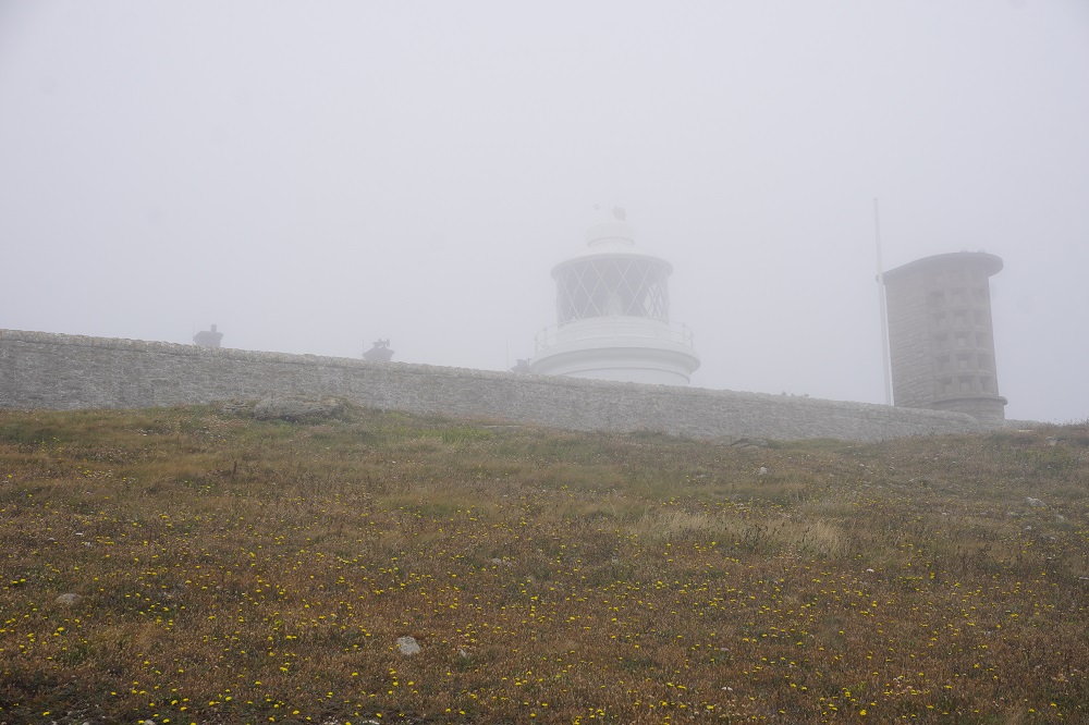
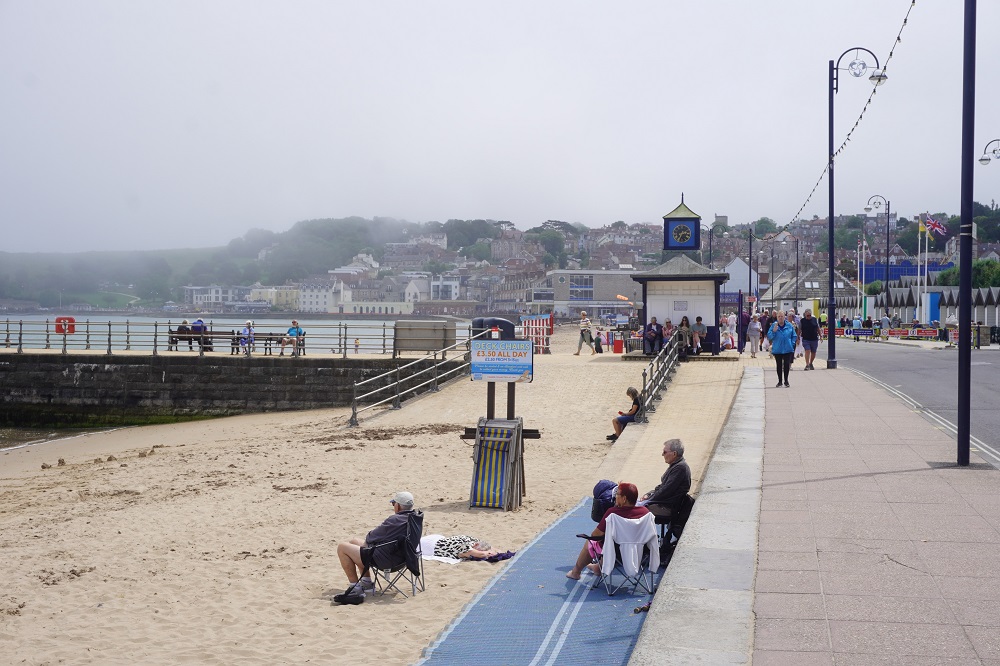
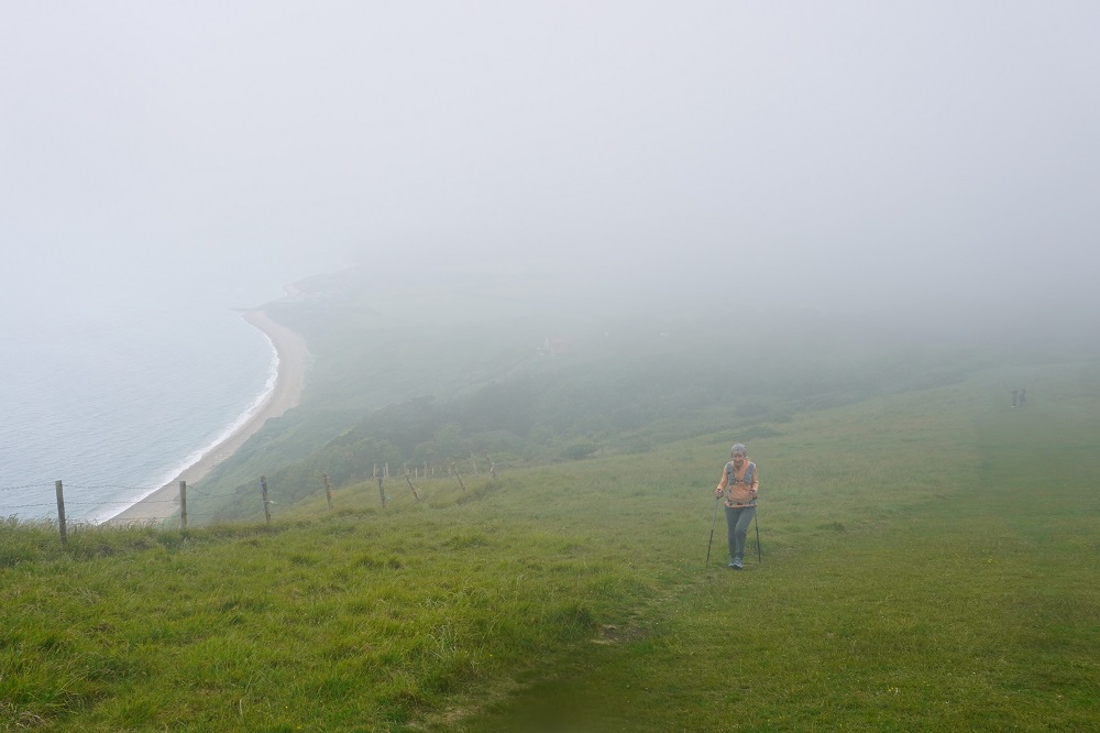
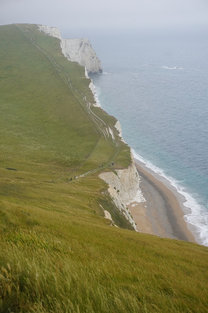
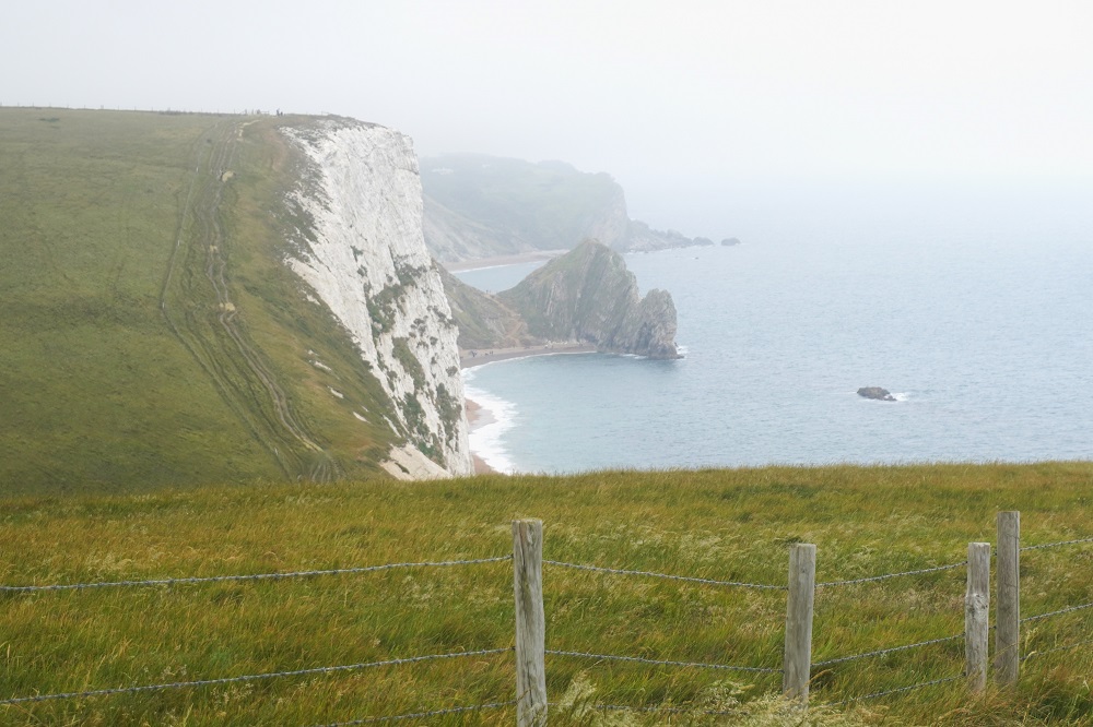
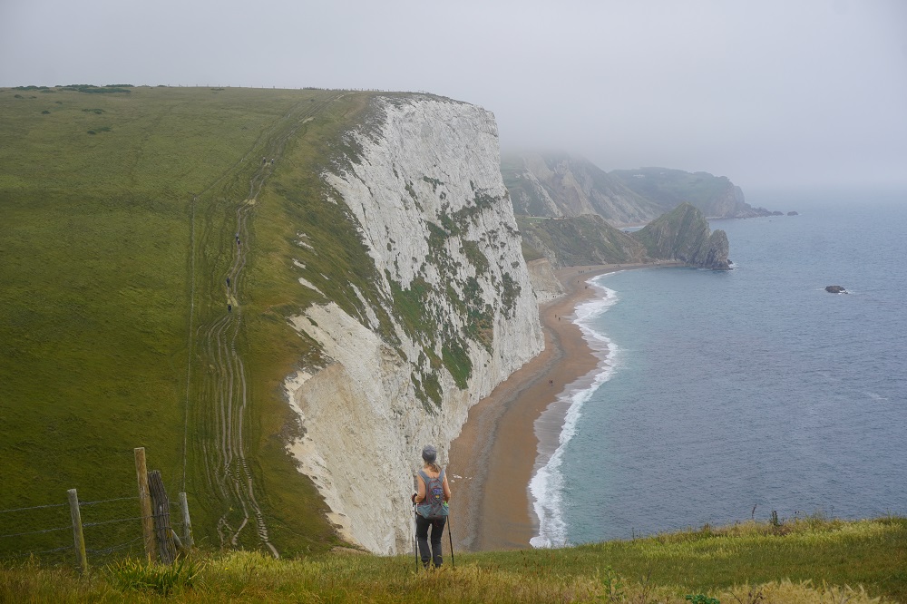
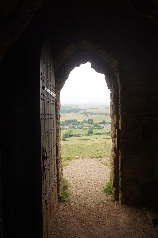
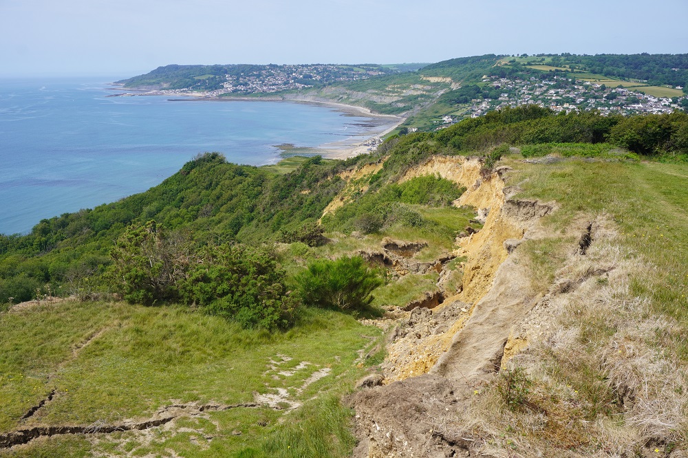
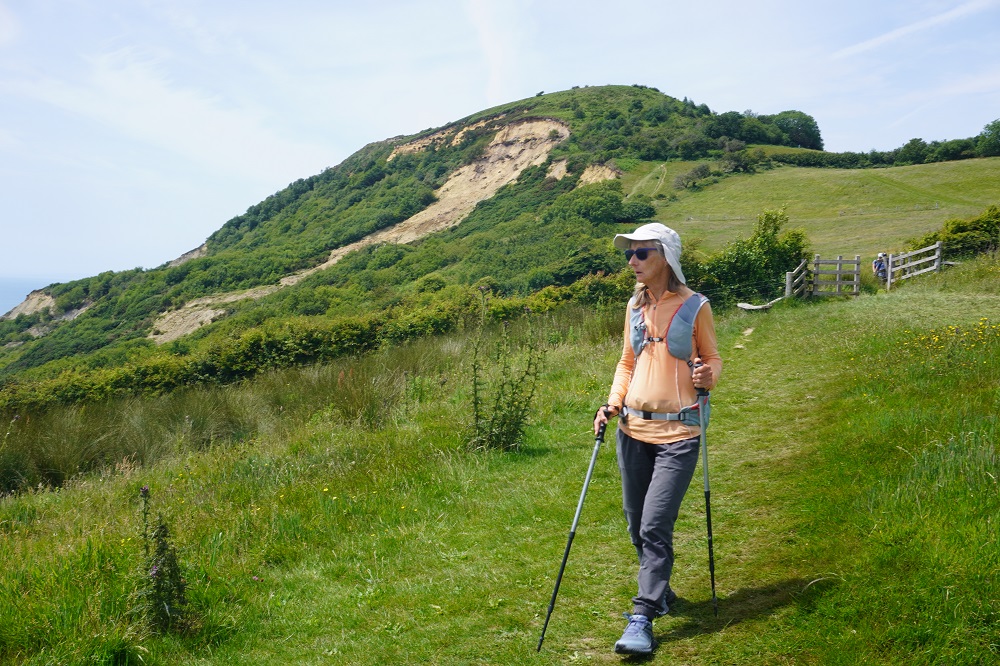
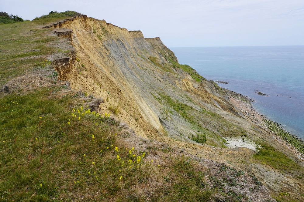
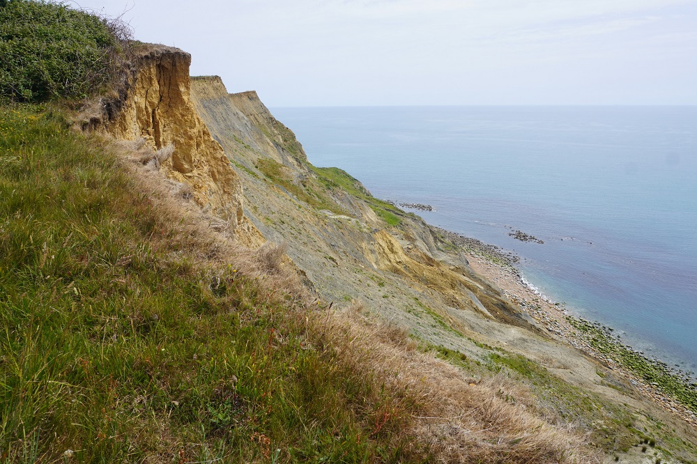
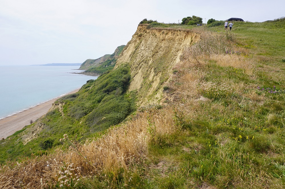
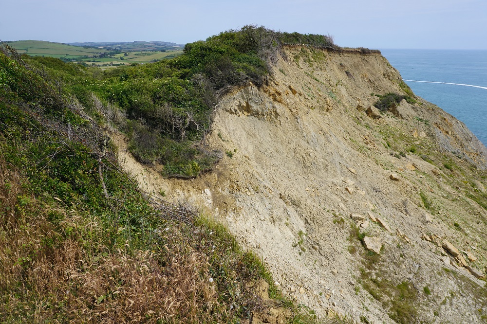
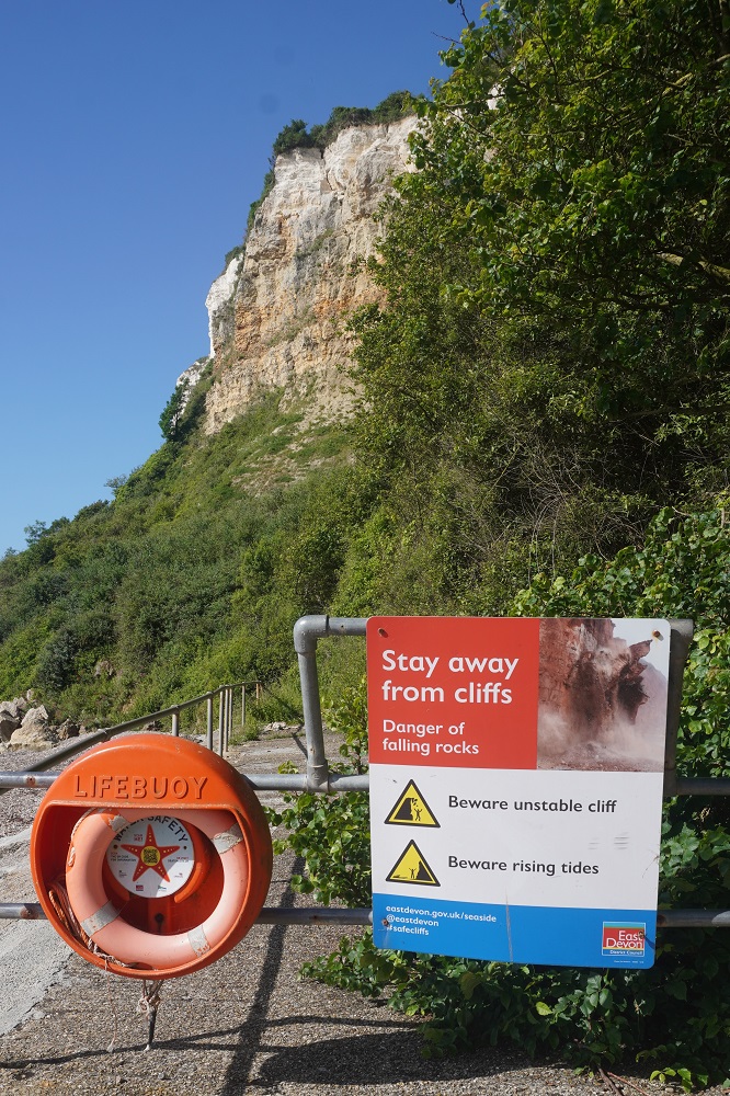
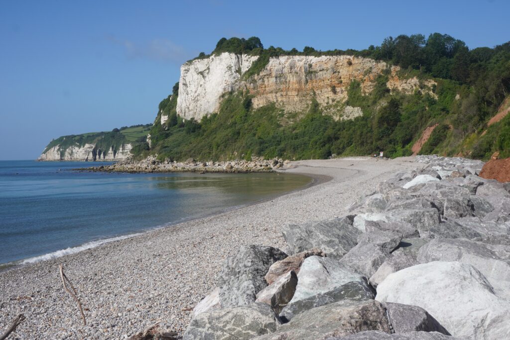
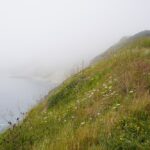
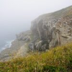
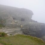
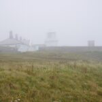
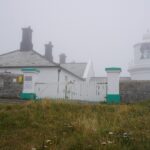
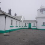
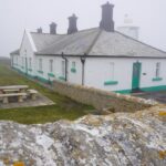
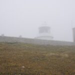
We walked on a bit further to Anvil Point to see the lighthouse. The mist had come in again and we couldn’t see the lighthouse until we almost tripped over it. It was built of local stone in 1881 and positioned as a waypoint for ships passing along the English Channel. We couldn’t see the cliffs ahead or the sea below so decided to turn around and head back to Swanage.
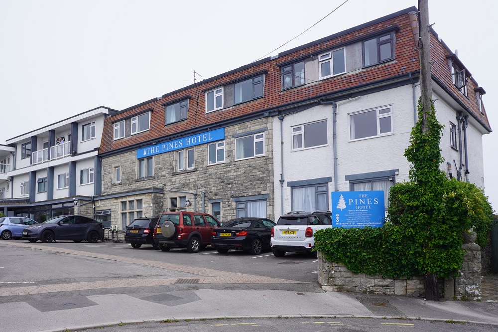
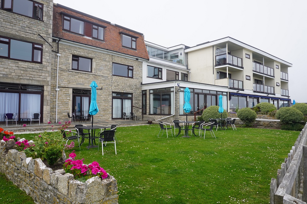
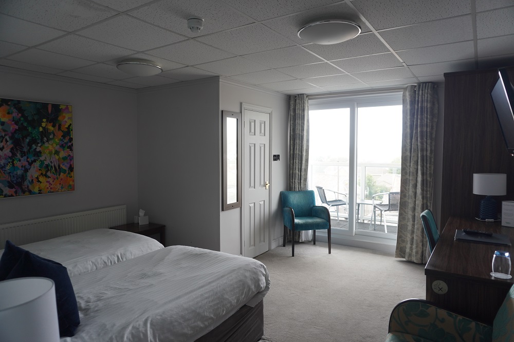
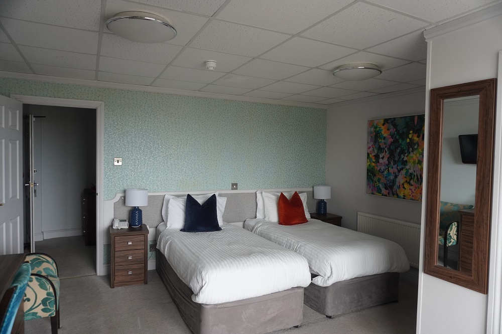
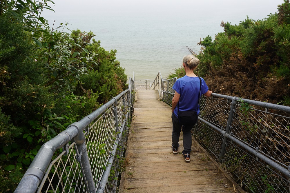
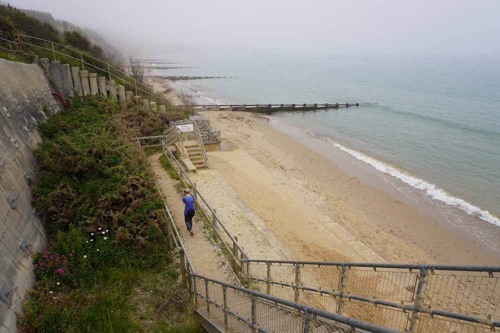
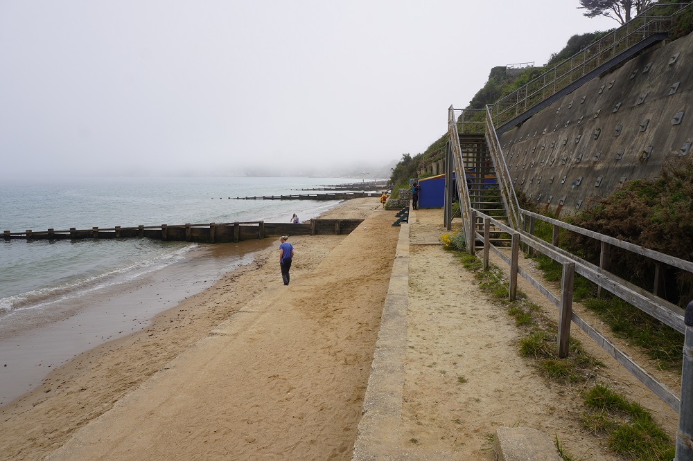
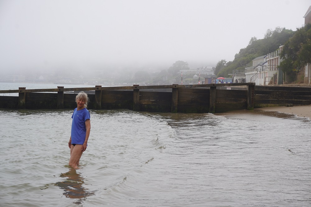
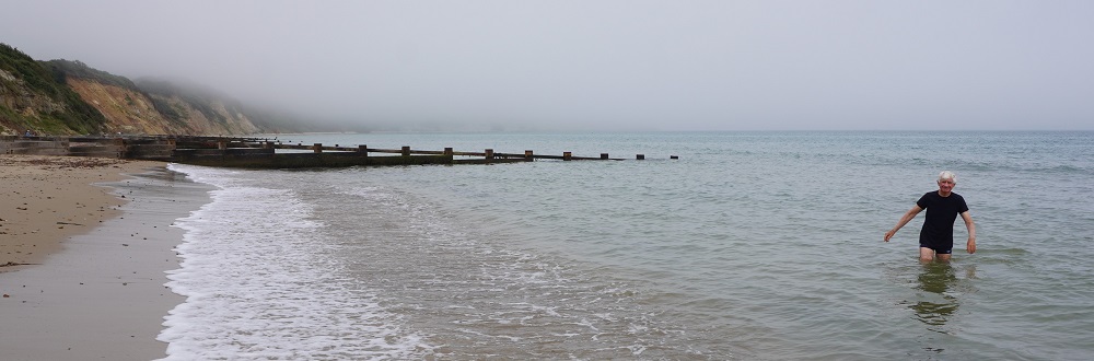
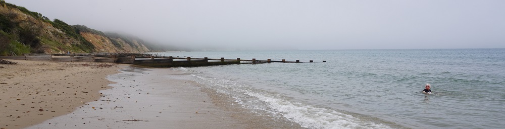
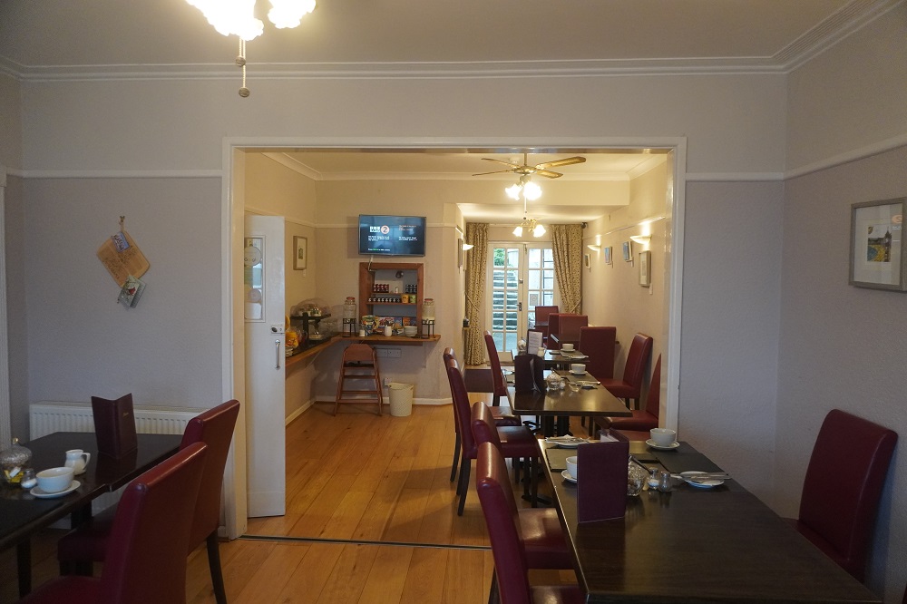
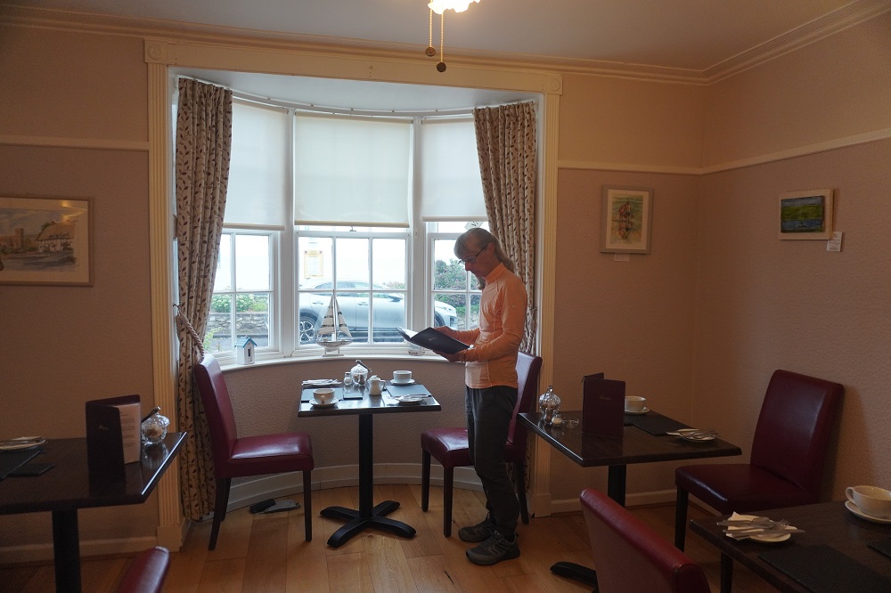
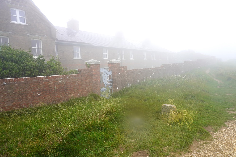
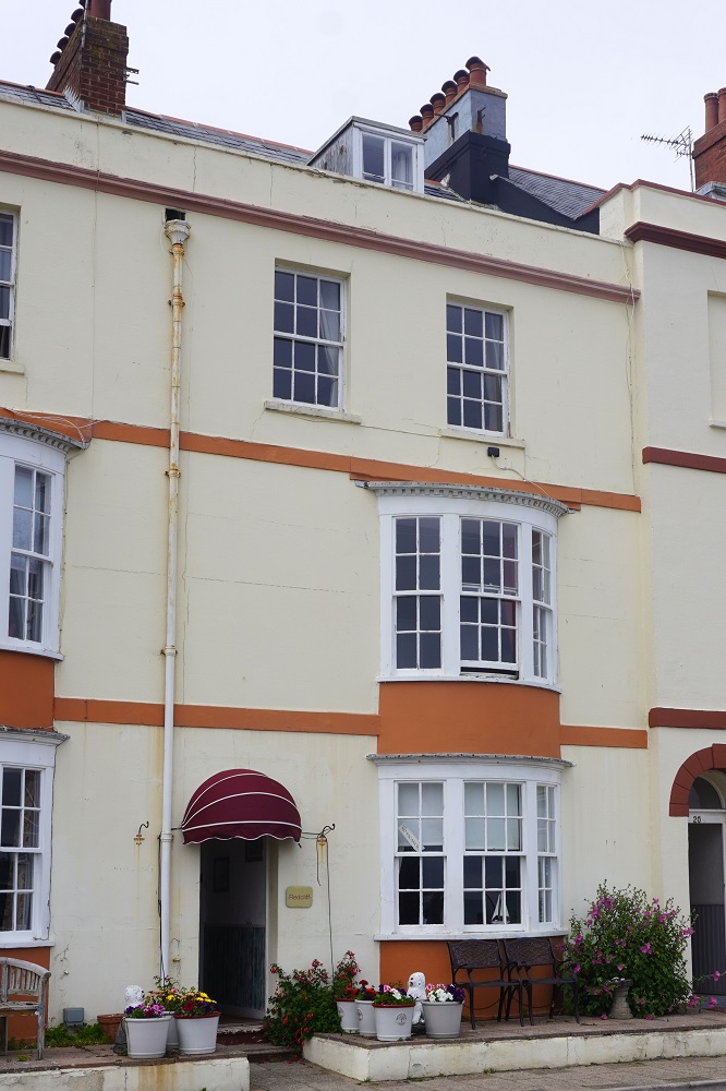
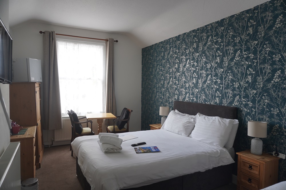
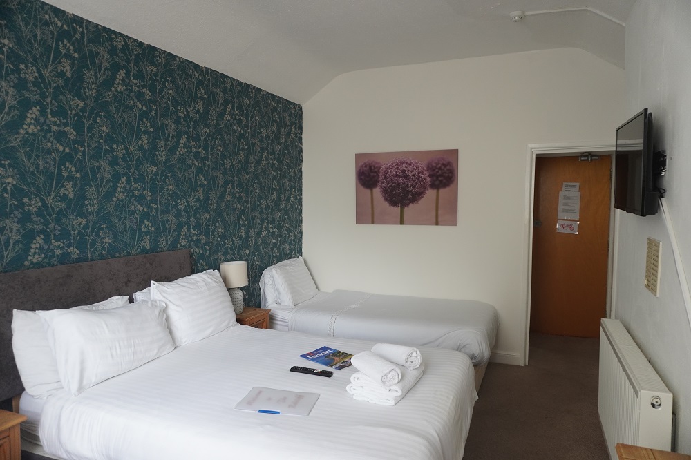
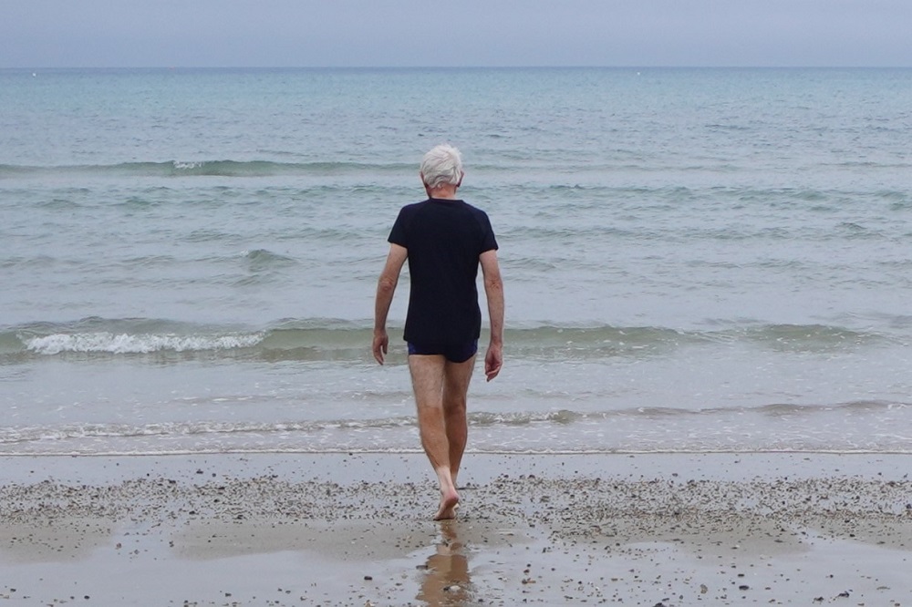
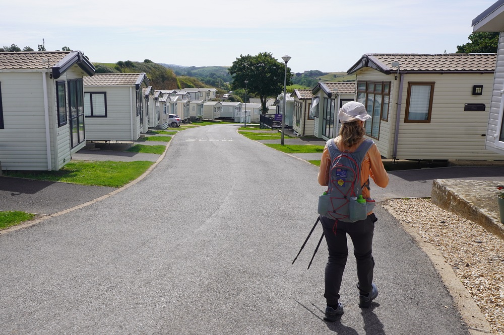
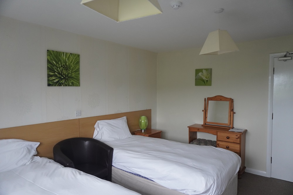
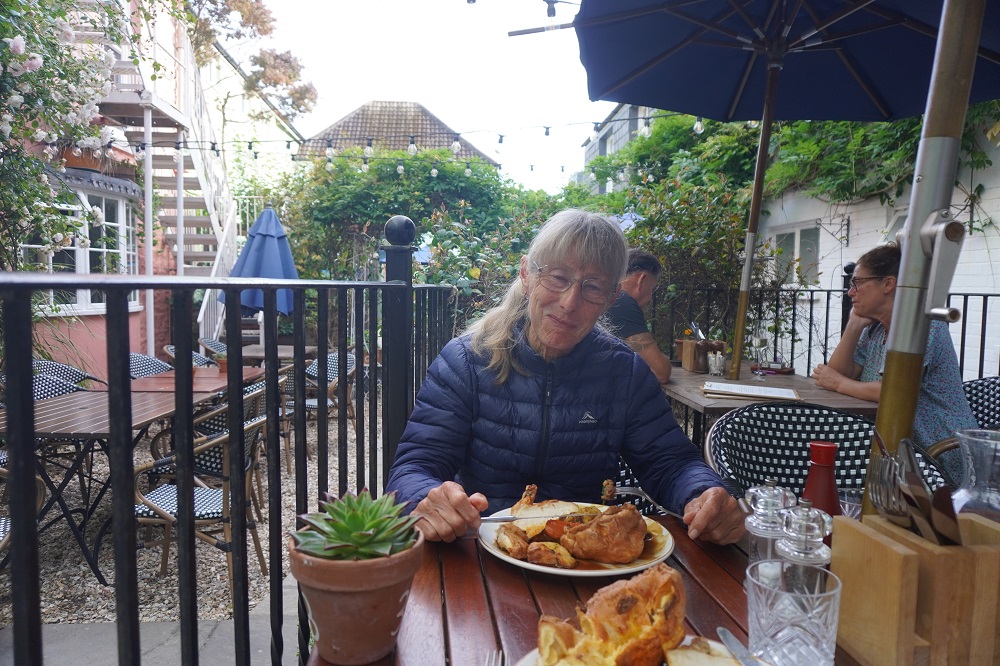
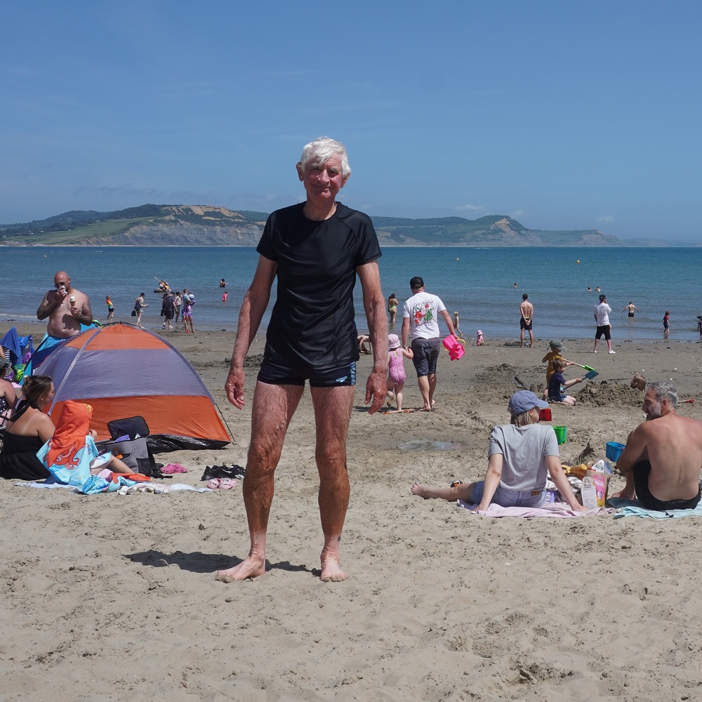
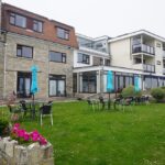
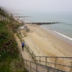
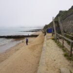
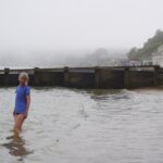
We are staying at the Pines Hotel, a fairly bland mid last century hotel in a great location on a cliff overlooking Swanage Bay. Except it is now total white out and there is nothing to see from the hotel rooms, terrace, lounge or dining room. It is only the third hotel we have stayed in that has a lift up to our second floor room. It is about a kilometre out of the town centre and a flat walk along the beach promenade and then up a hill. This is one kilometre we won’t have to do tomorrow. The hotel has 147 steps down the cliff to what is effectively their own private beach. Very few people would come this far out of Swanage to swim when they can swim anywhere in the bay, so it is used just by hotel patrons. After settling in we went down to the beach for a refreshing swim. Almost as warm as Oriental Bay in summer.
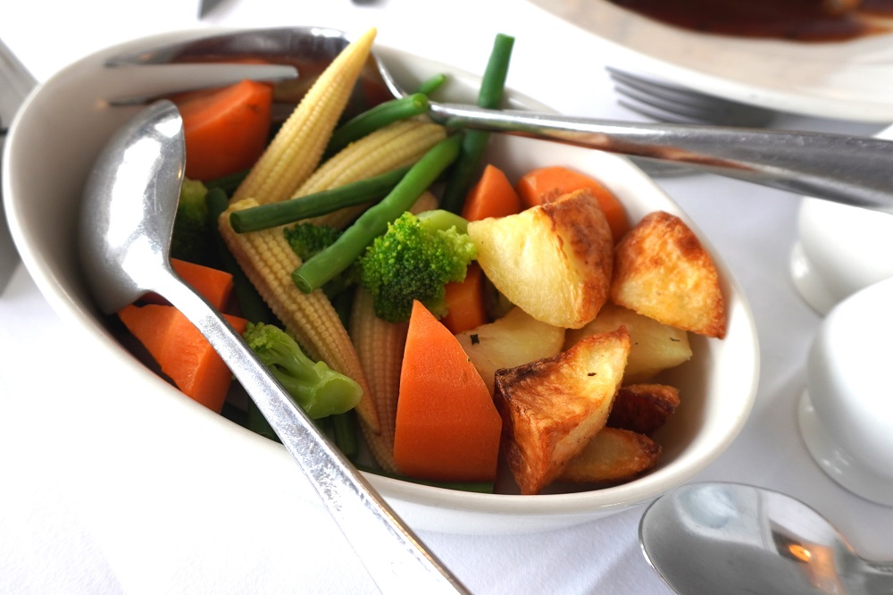
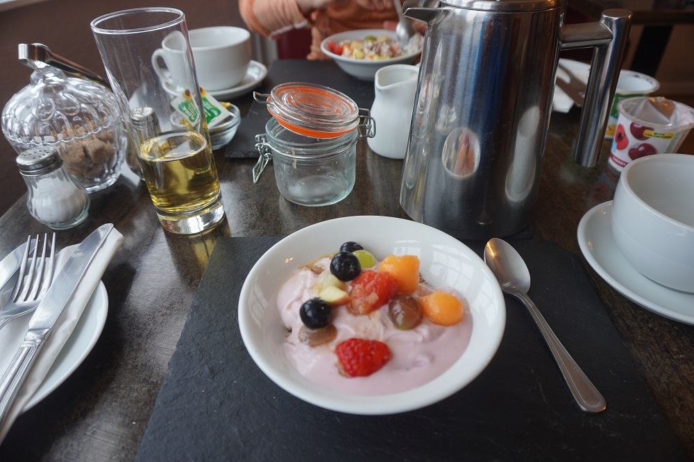
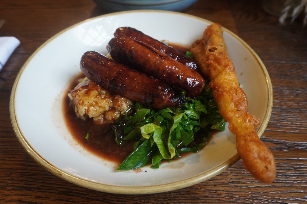
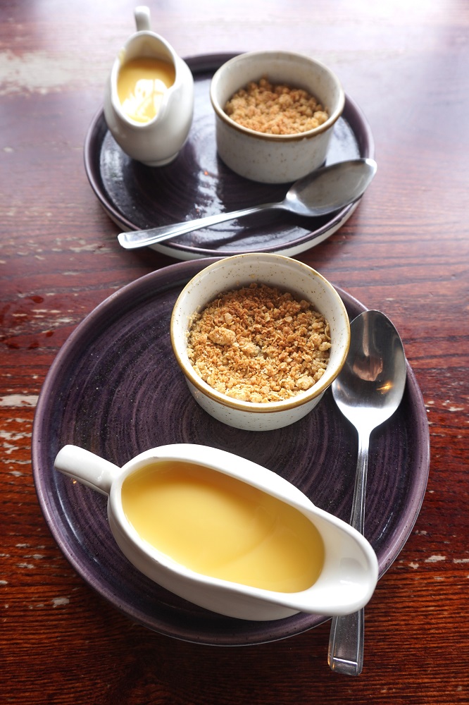
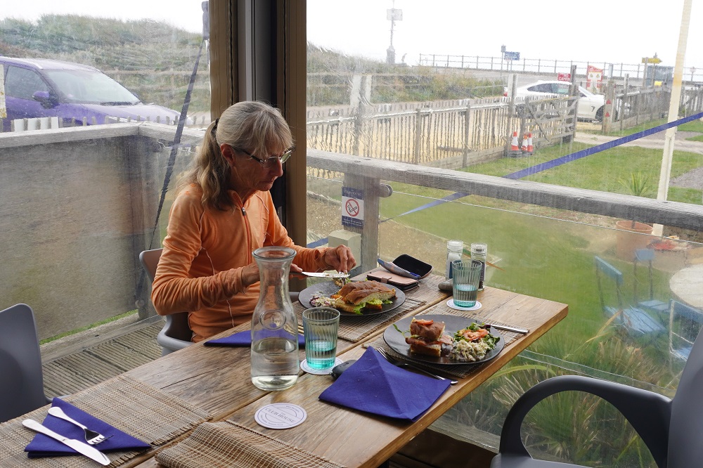
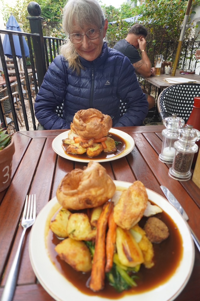
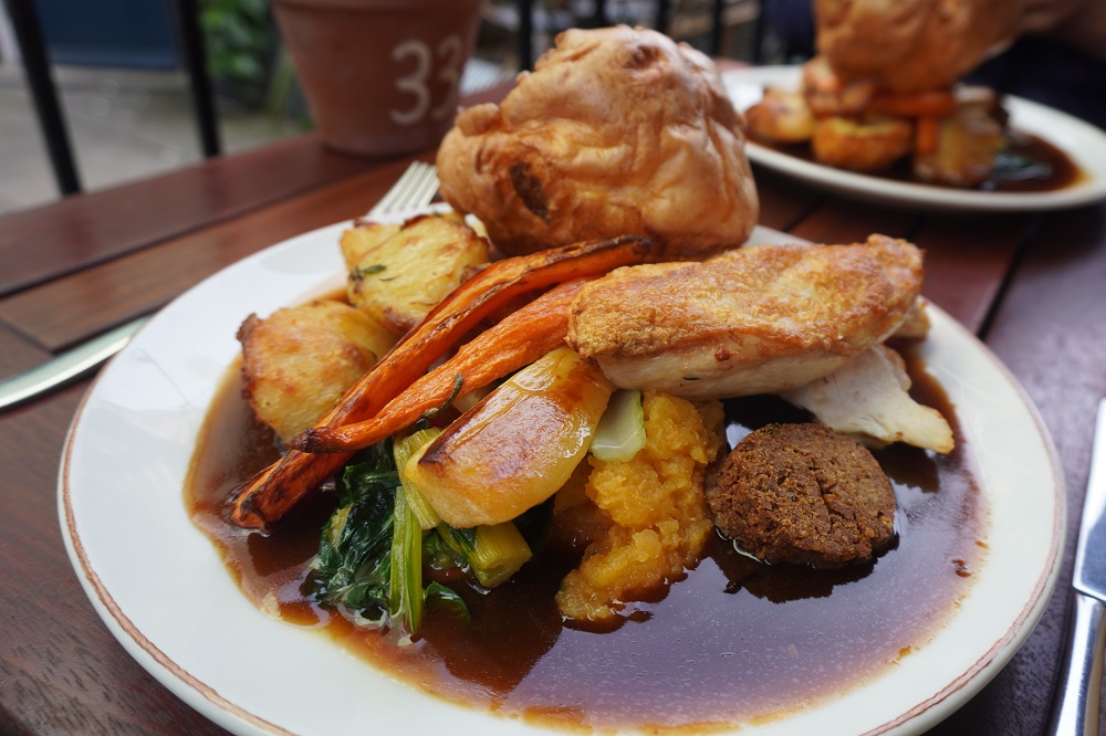
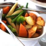
It is a long walk into town so we dined at the hotel. It is a bit upmarket for grubby walkers like us who just want a quick and simple meal. All the dining room staff were dressed in black and white like penguins and were very polite. All the diners looked incredibly old, but then we forget that we are just as old as they are. Barbara: pan fried chicken supreme, creamed potato, rosemary red wine sauce. Me: roast pork belly, apple puree, black pudding crumb, maple syrup, smoked paprika. They both came with roast potato, carrots, broccoli, corn and green beans.
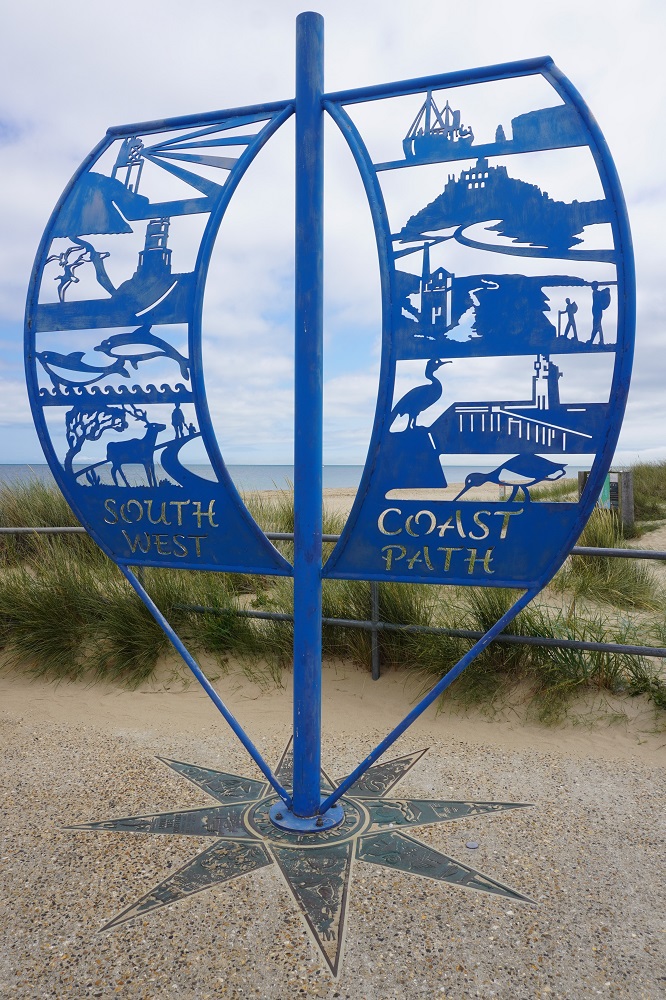
We can’t quite believe tomorrow is our last day of walking. A short, easy walk to Studland Bay and South Haven Point, photo at the sculpture at the end of the South West Coast Path, ferry across to Sandbanks and a bus ride into Poole. And that’s it, all done, back to the real world.
-

-
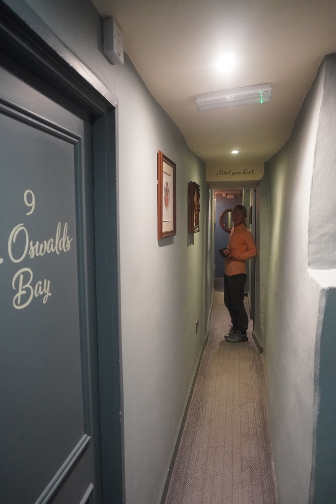
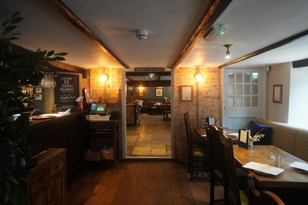
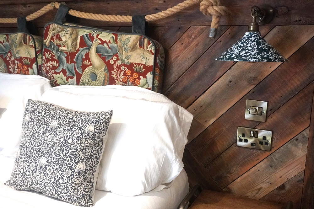
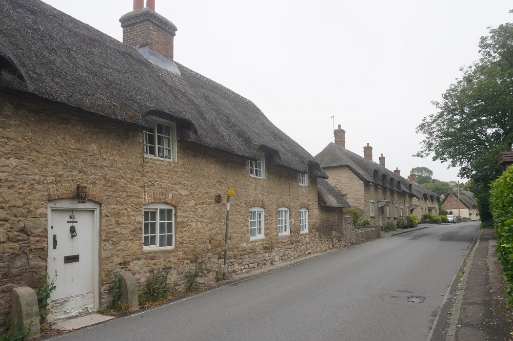
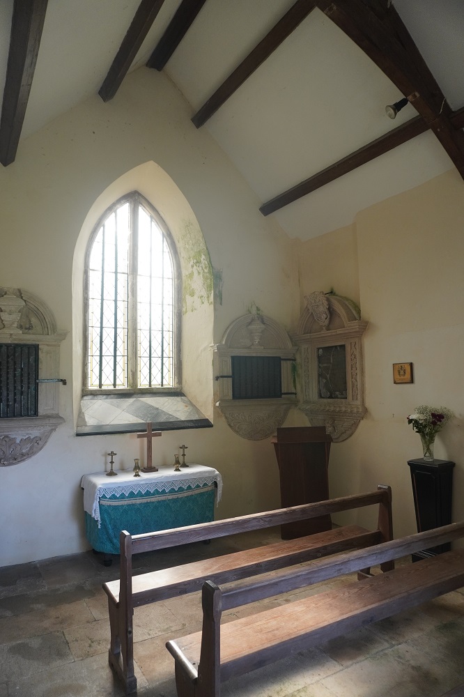
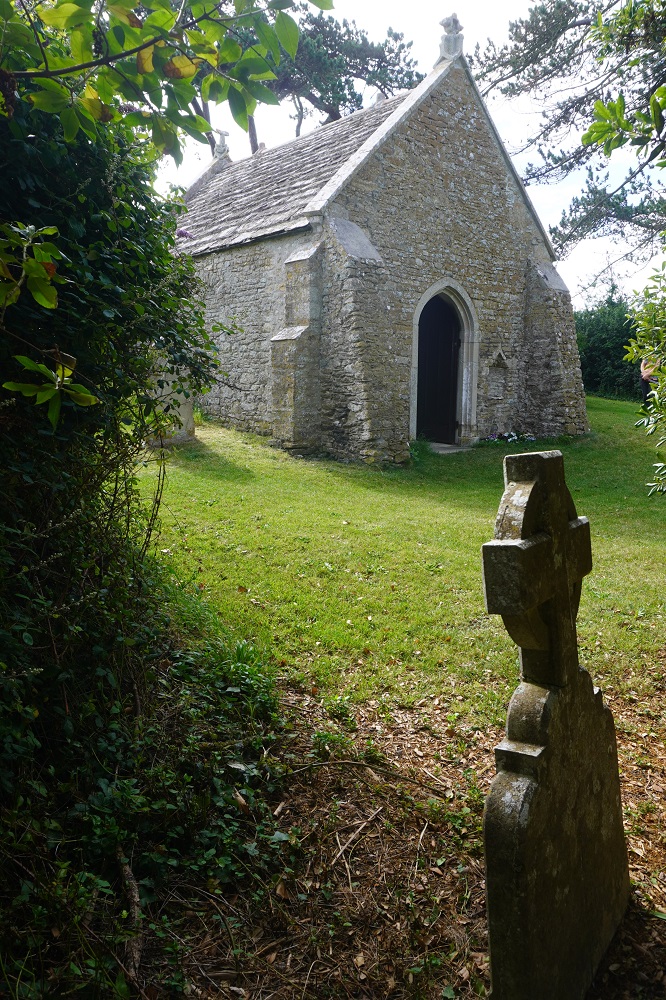
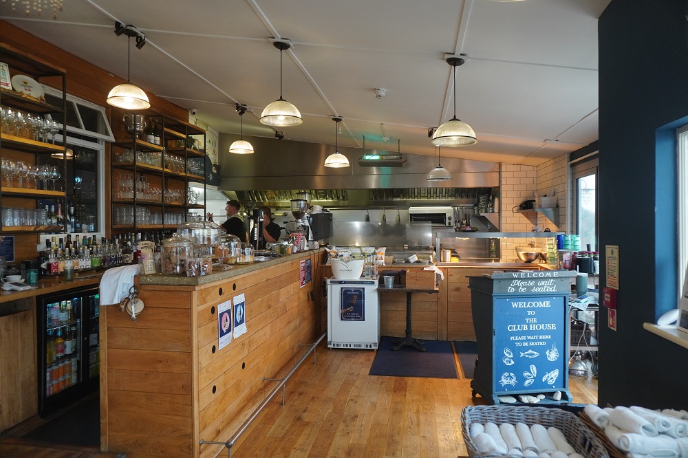
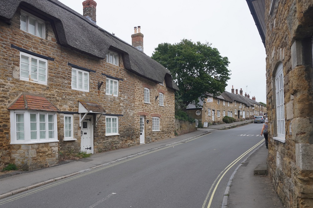
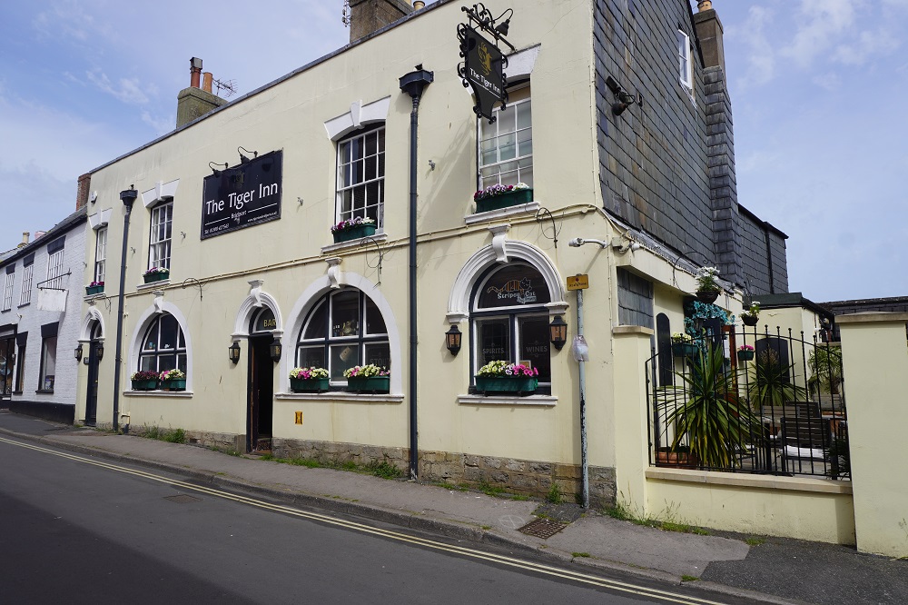
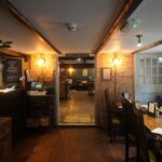
Narrow hallway, The Castle Inn, West Lulworth
-
-
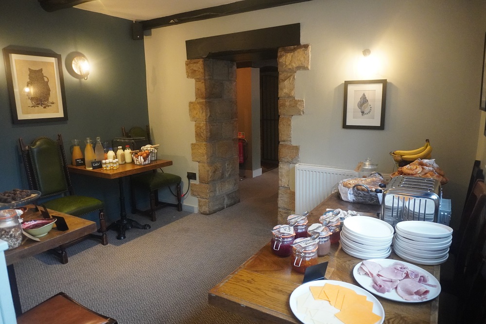
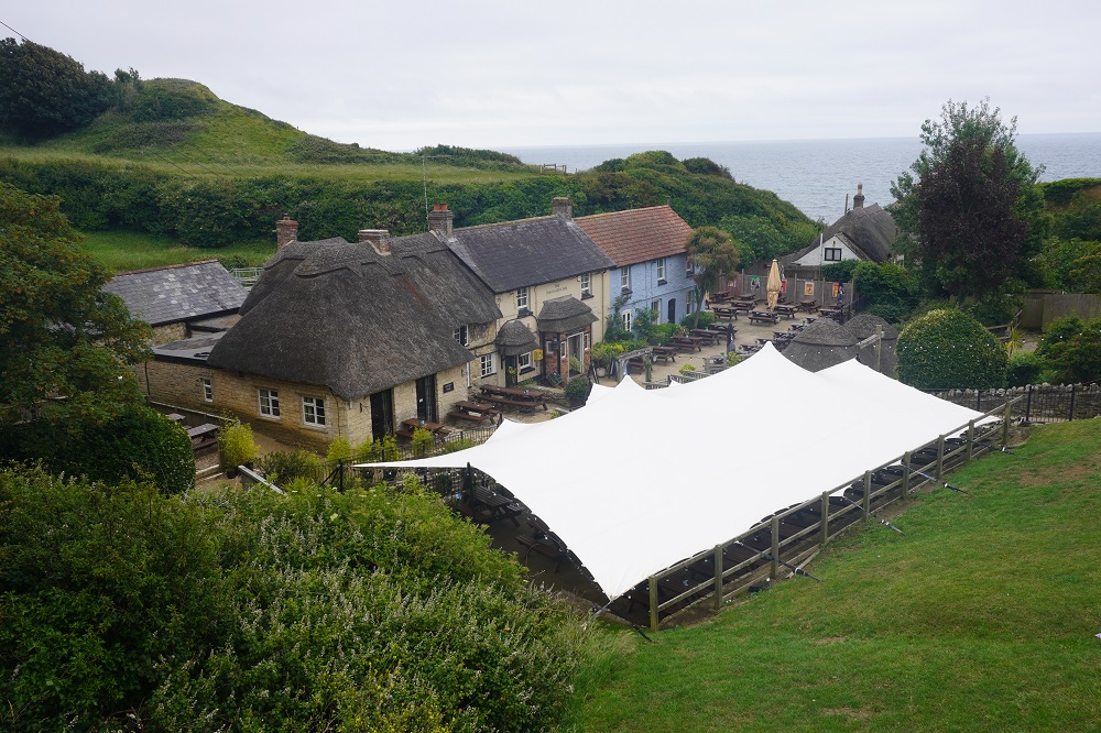
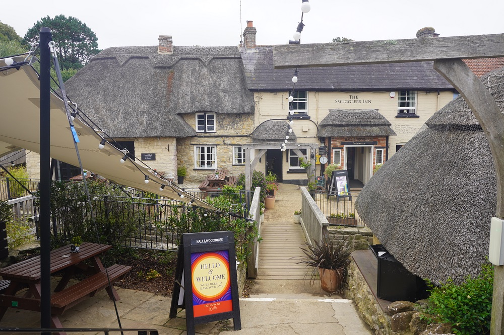
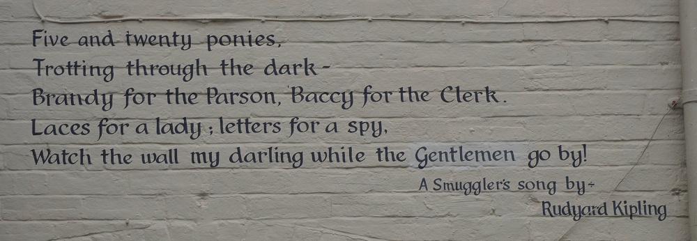
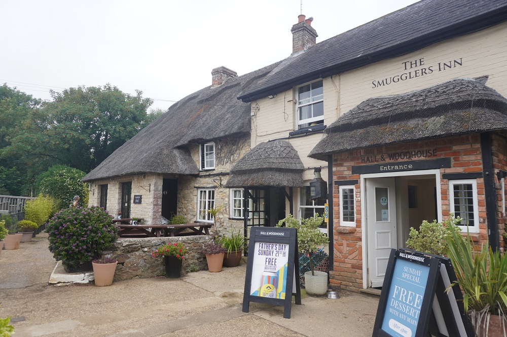
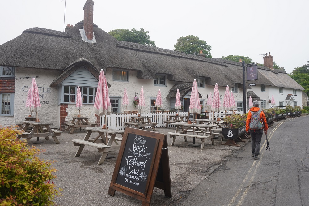
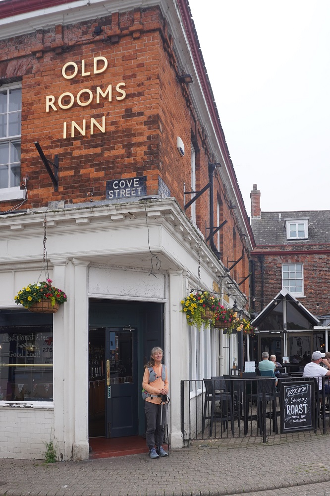
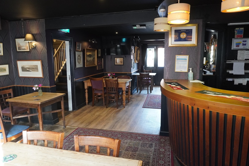
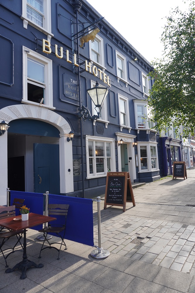
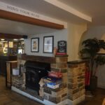
The Castle Inn, West Lulworth
-
-
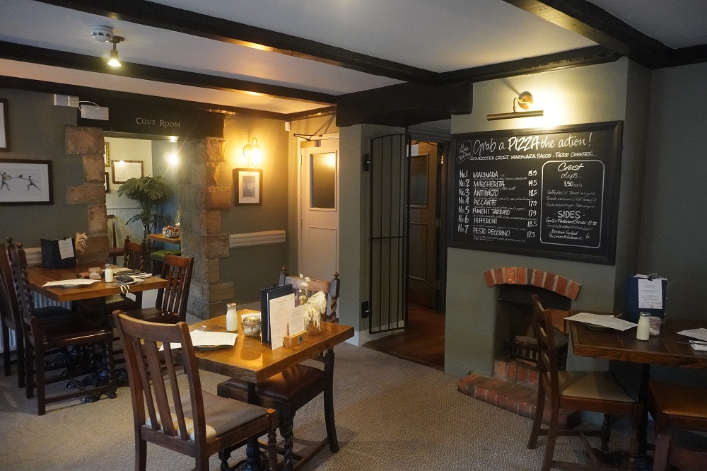
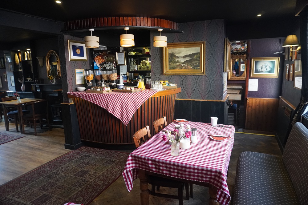
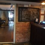
The Castle Inn, West Lulworth
-

-
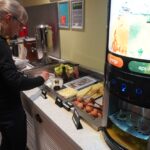
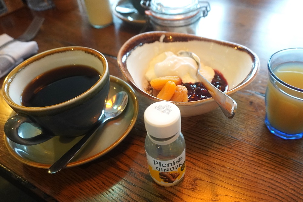
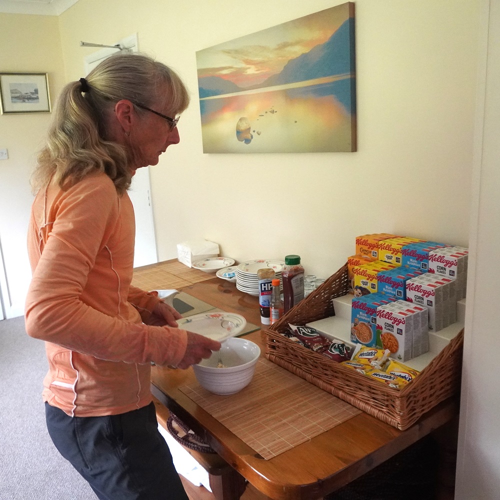
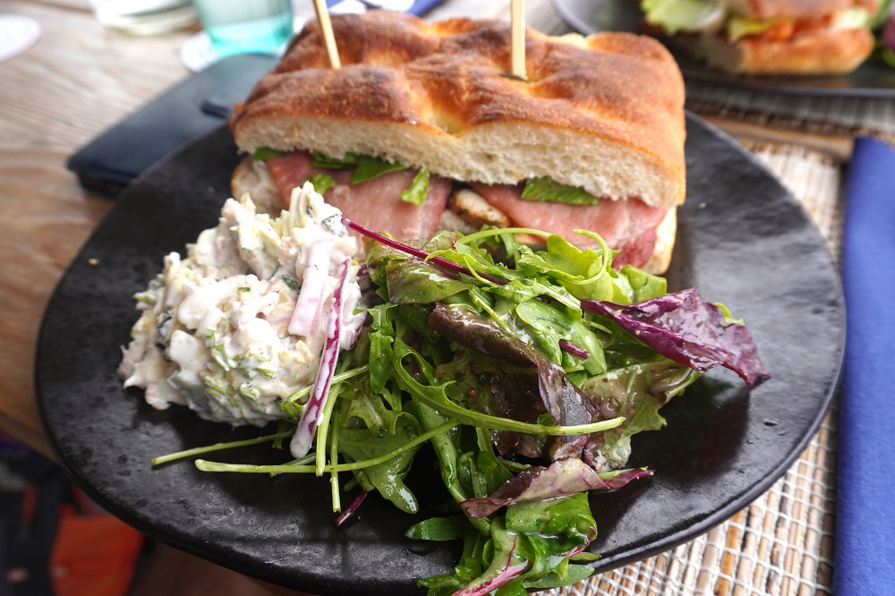
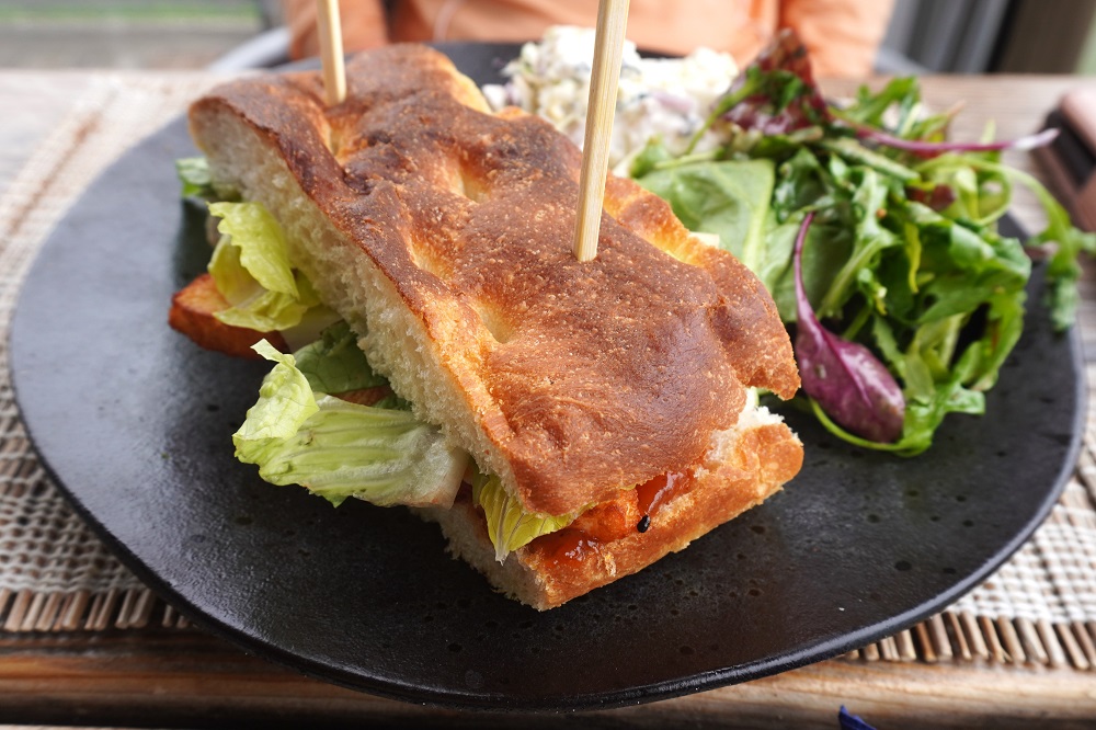
Coffee, ginger, apple juice, fruit and Greek yoghurt breakfast, The Castle Inn, West Lulworth
-
-
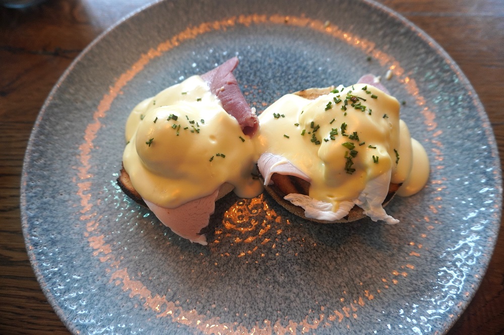
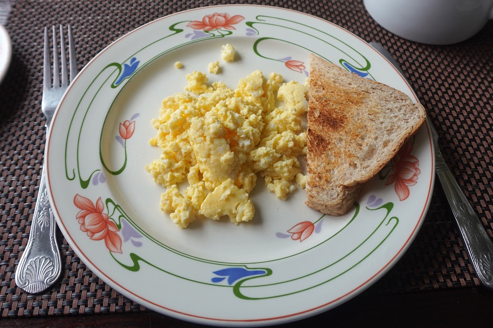
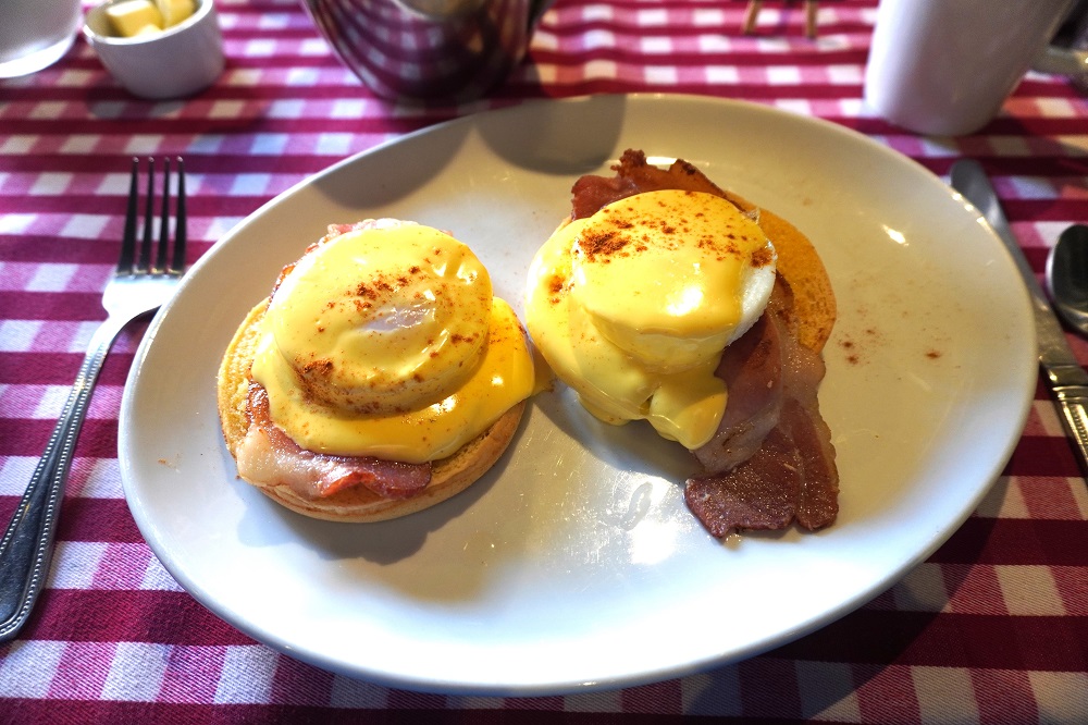
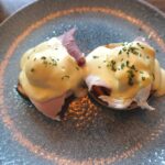
Eggs Benedict breakfast, The Castle Inn, West Lulworth
-

-
Hard boiled egg and ham breakfast, The Castle Inn, West Lulworth
-
-
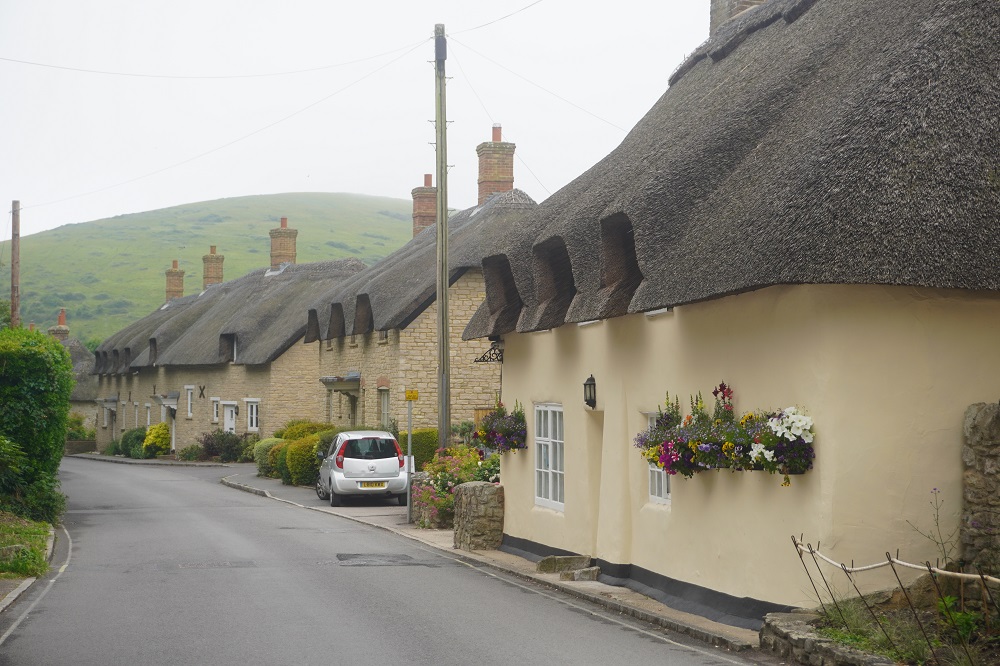
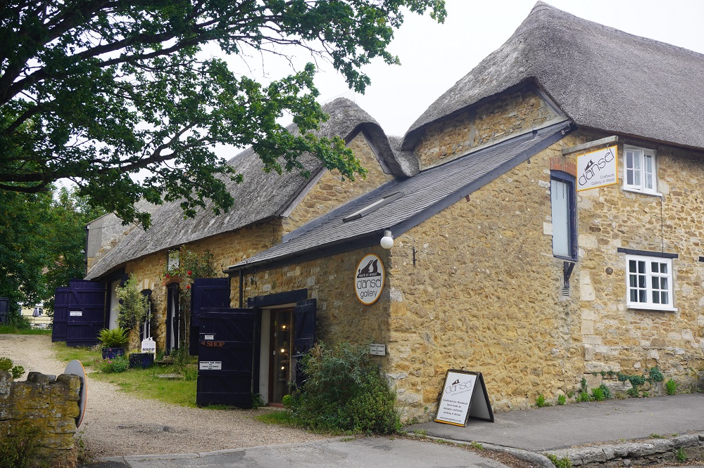
The Castle Inn, West Lulworth
-
-
The Castle Inn, West Lulworth
-
-
The Castle Inn, West Lulworth
-

-
Unusual decoration, The Castle Inn, West Lulworth
-
-
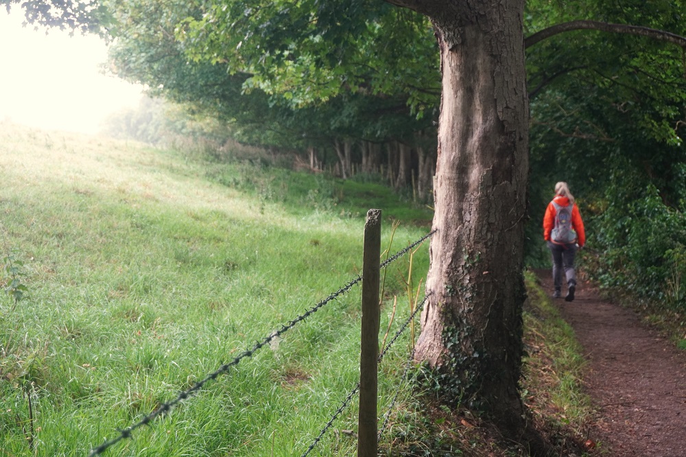
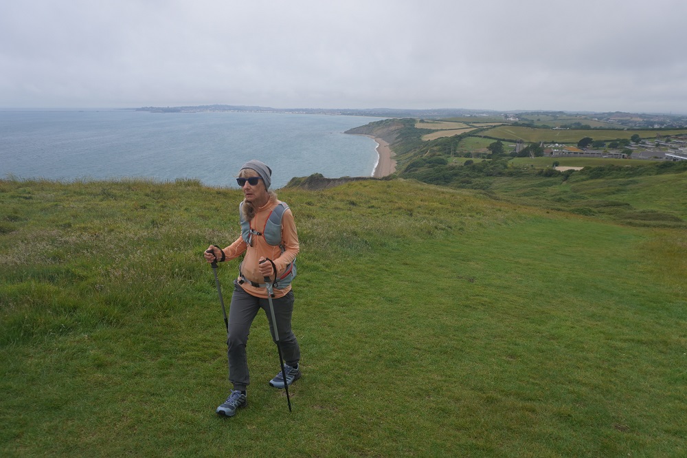
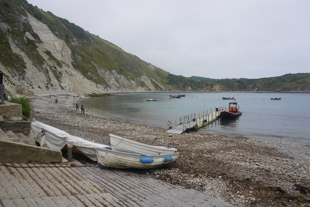
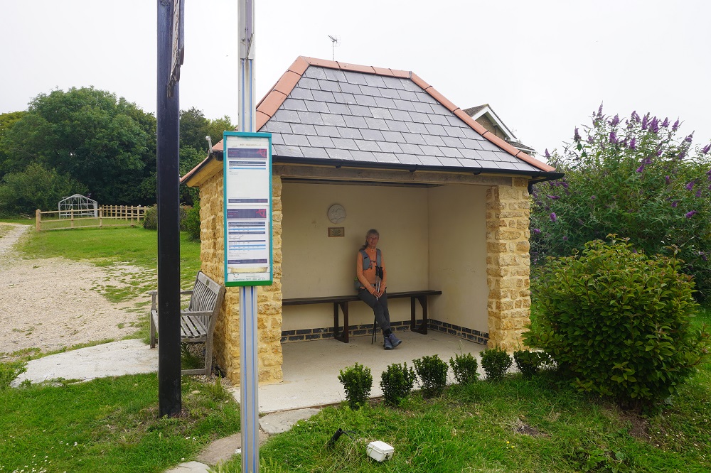
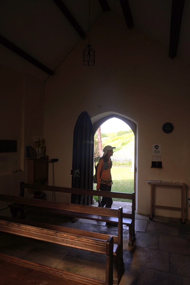
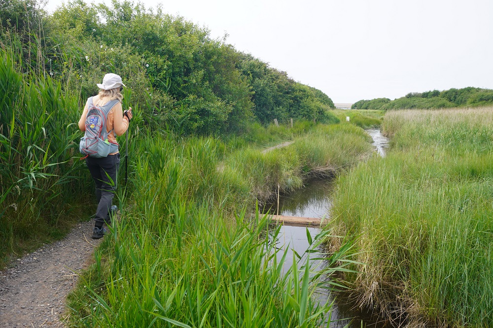
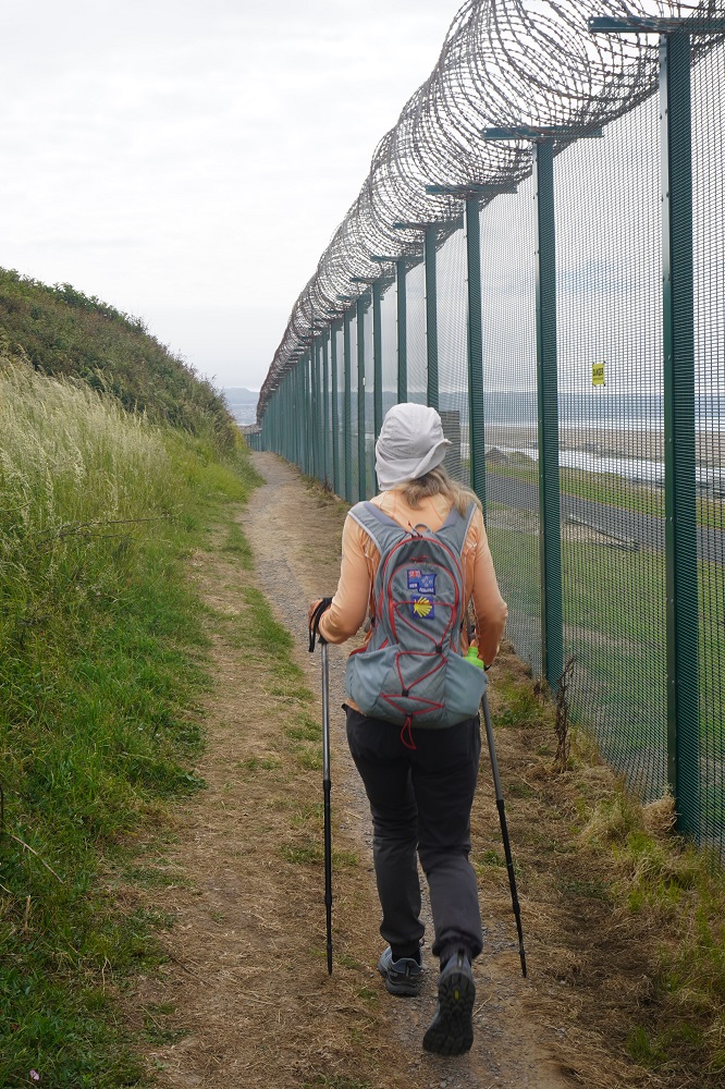
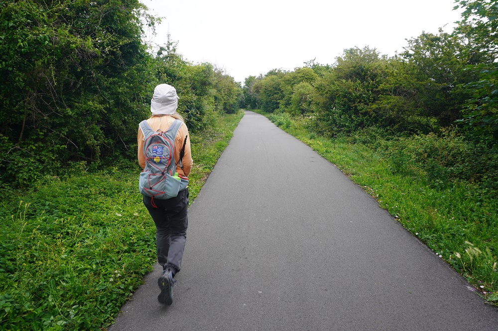
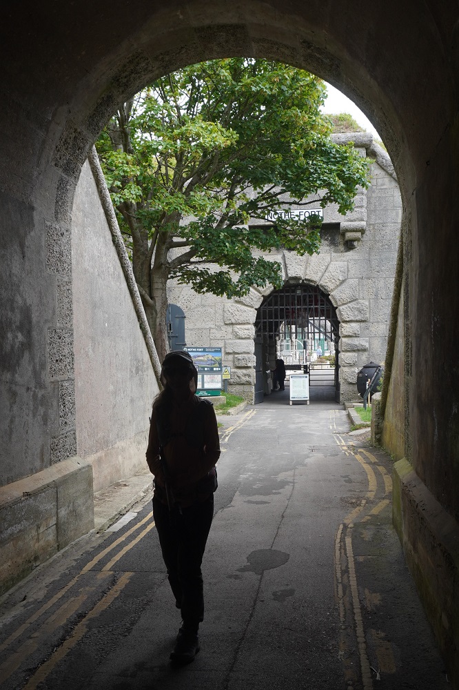
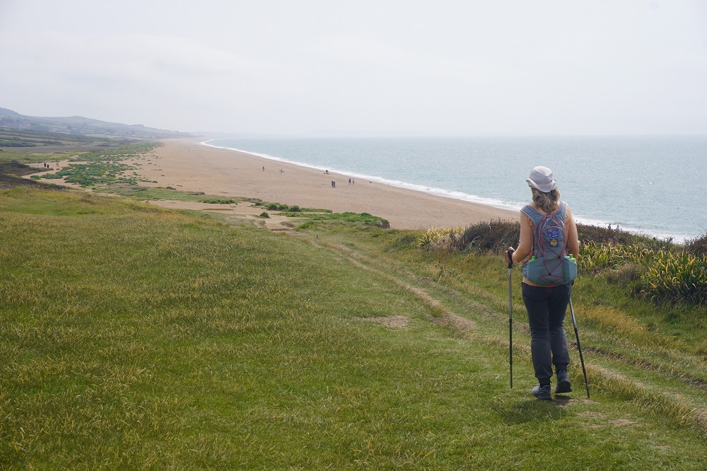
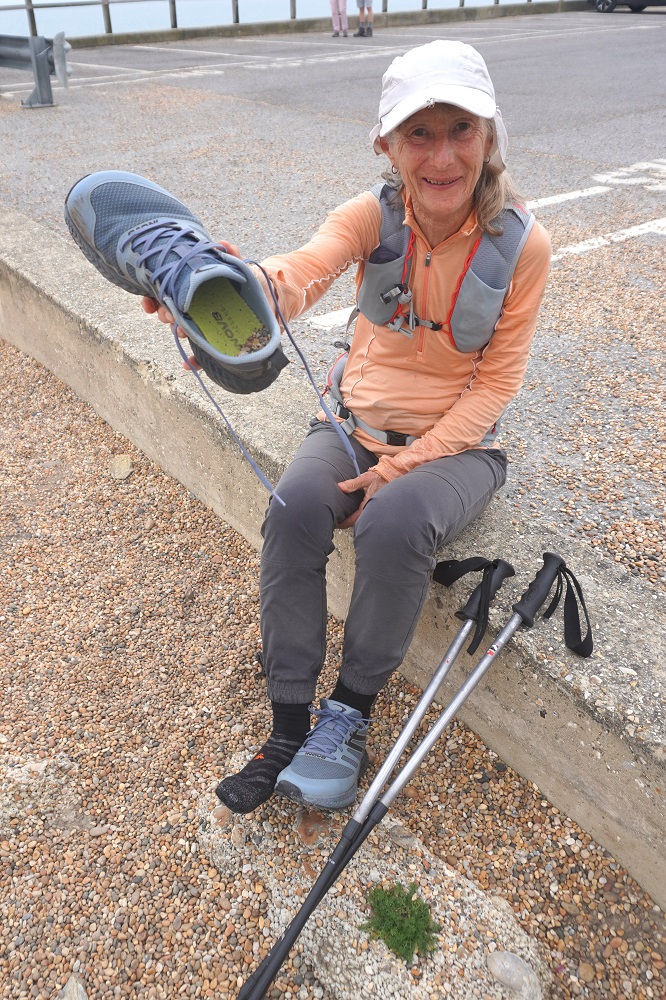
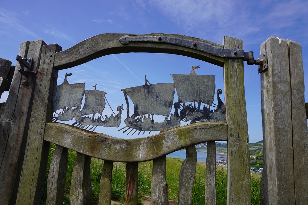
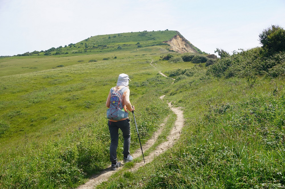
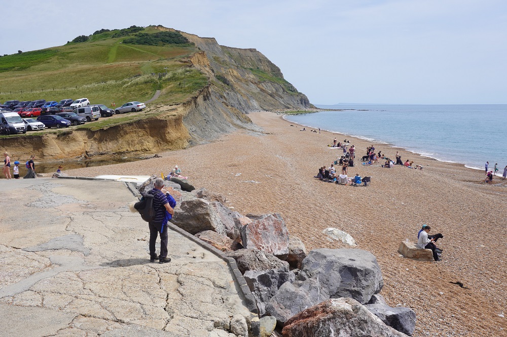
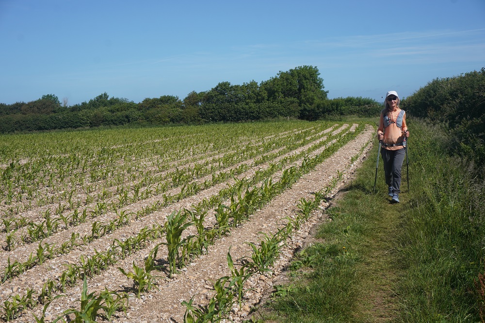
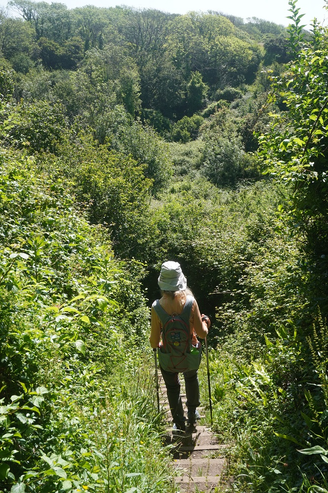
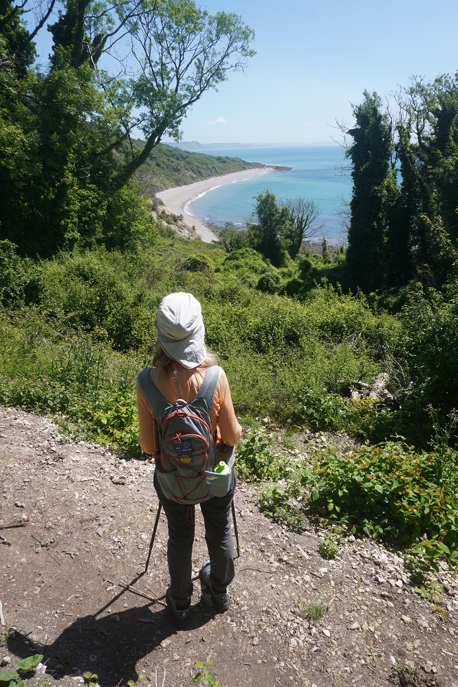
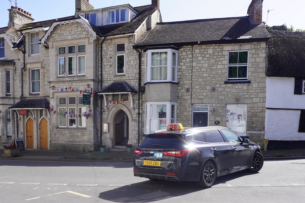
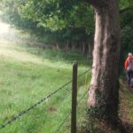
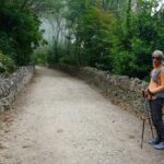
Walking from The Castle Inn West Lulworth to Lulworth Cove
-
-
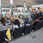
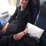
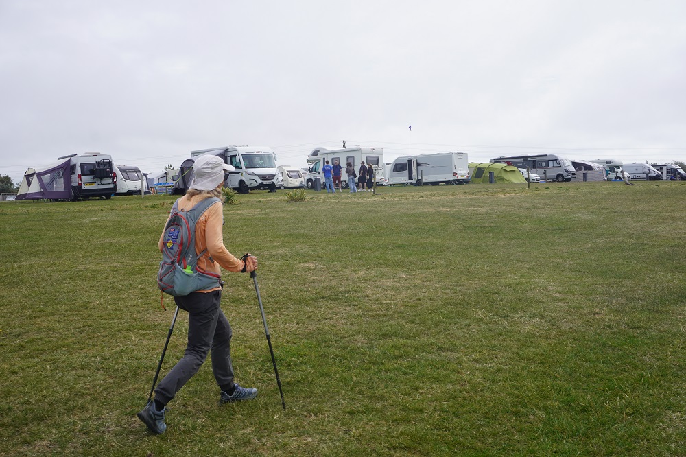
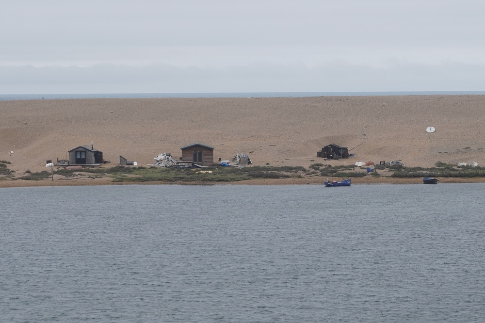
Lulworth Cove to Swanage route 30 bus
-
-
Lulworth Cove to Swanage route 30 bus
-

-
Lulworth Cove to Swanage route 30 bus
-

-
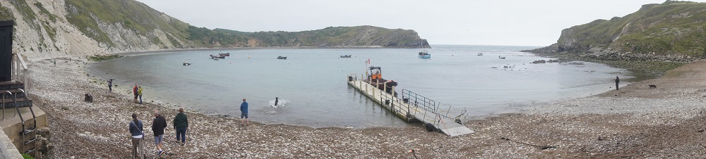
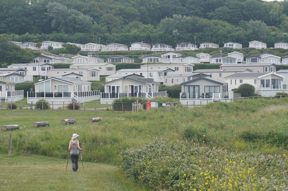
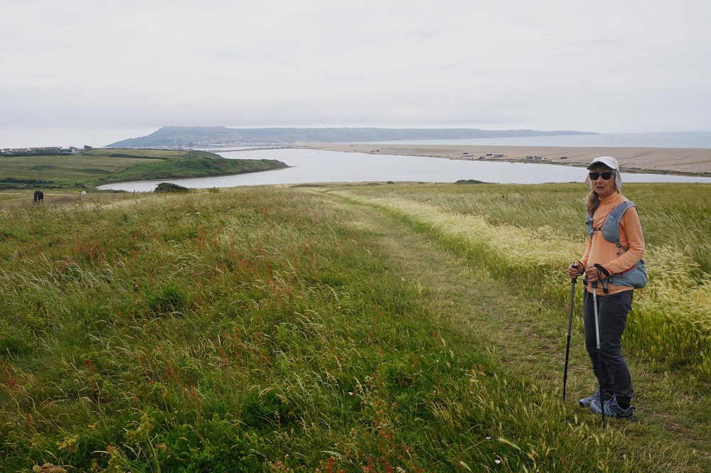
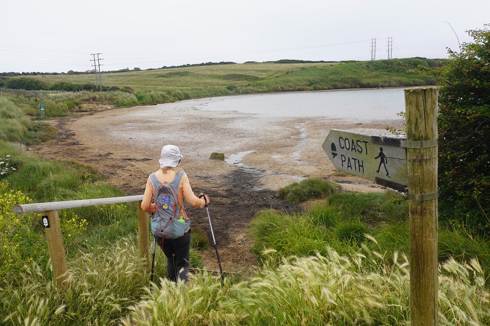
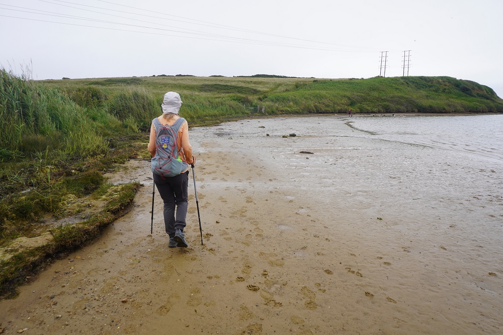
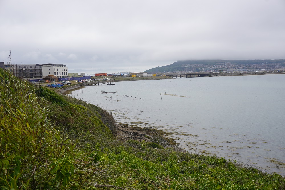
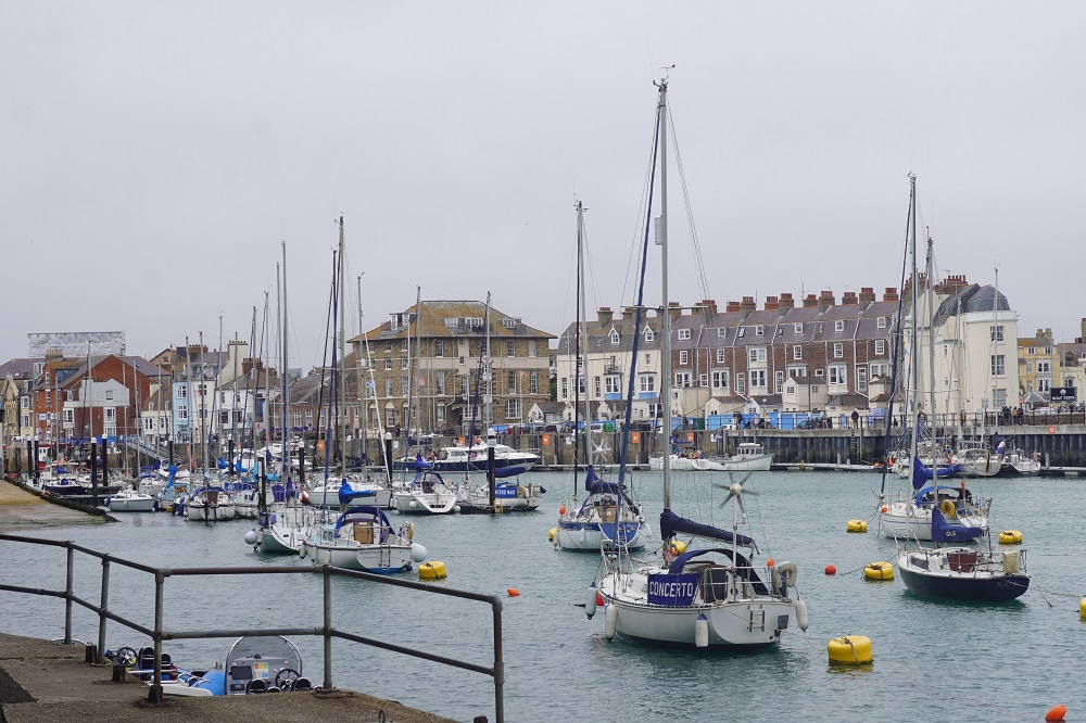
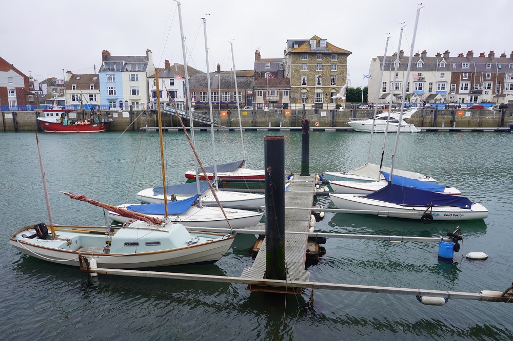
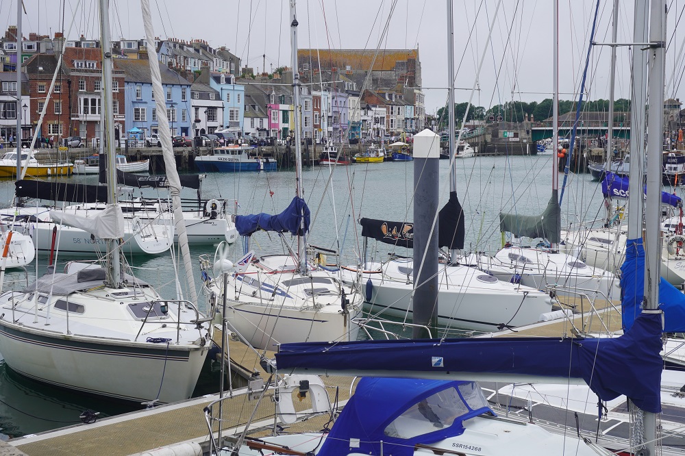
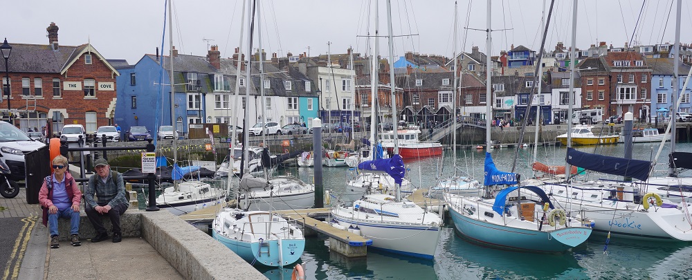
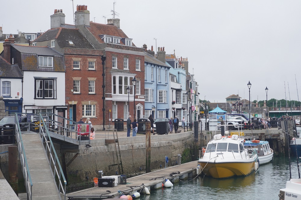
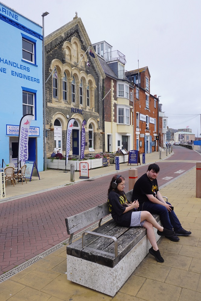
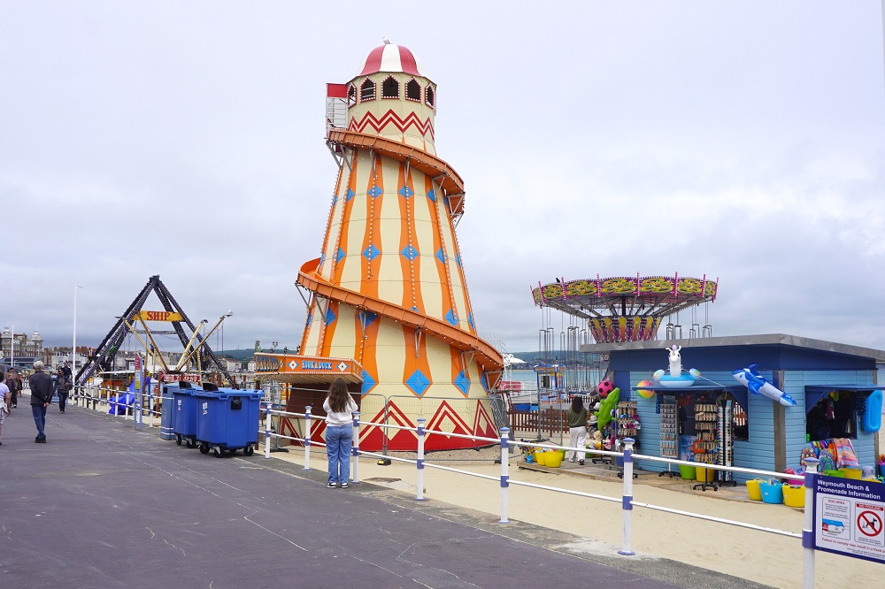
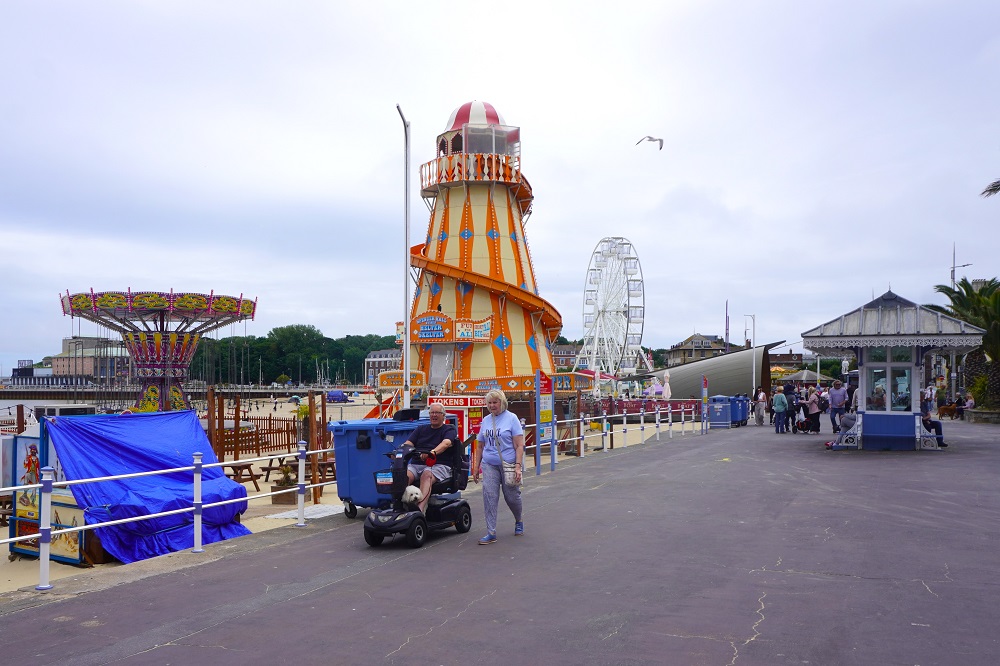
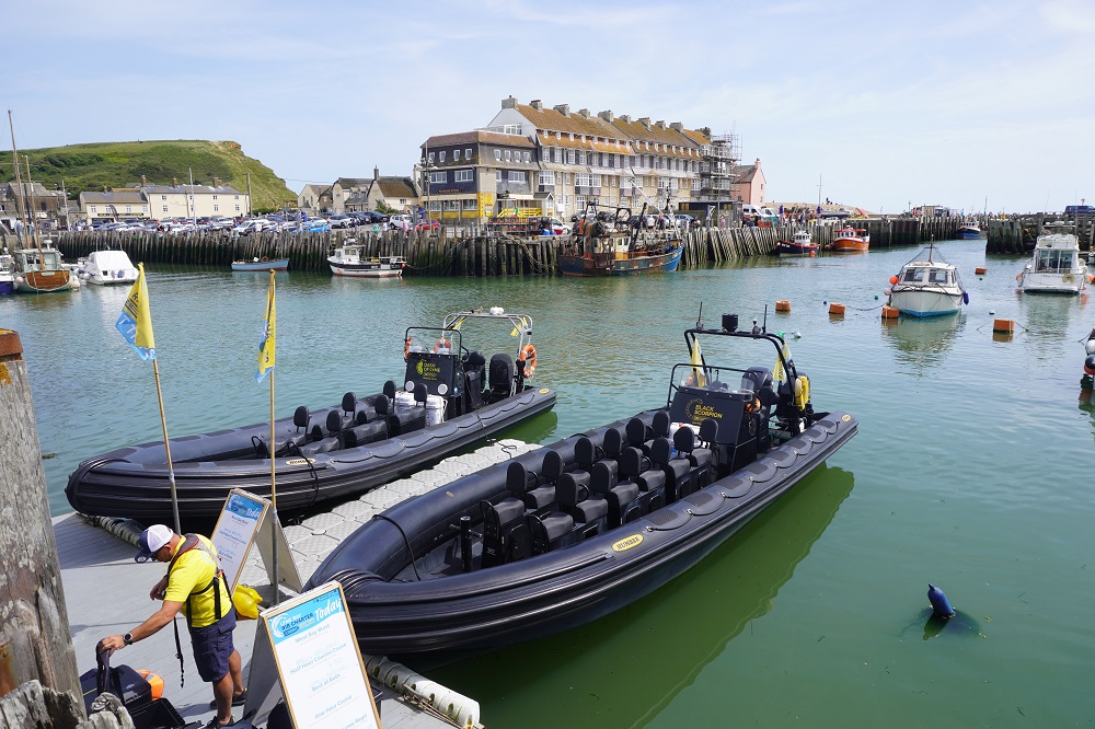
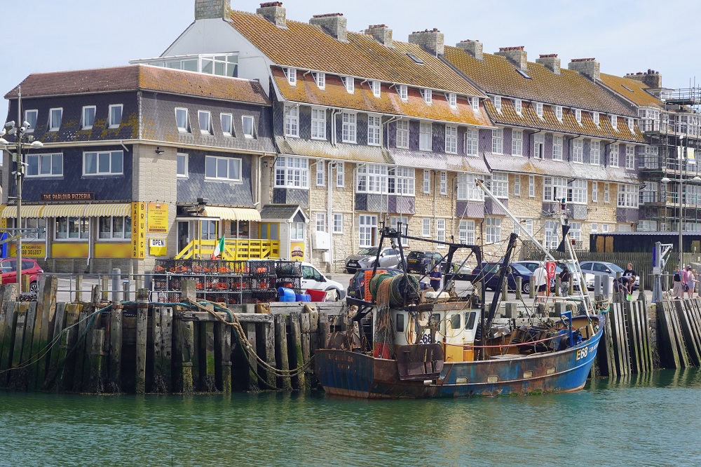
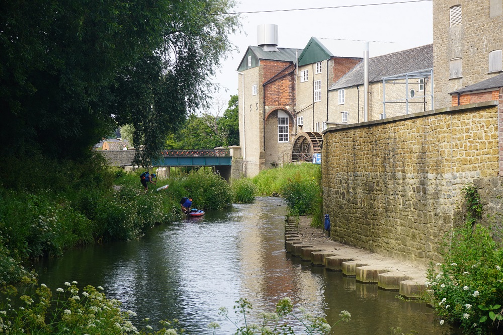
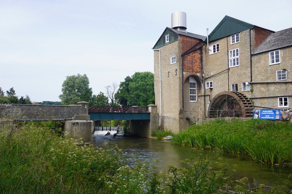
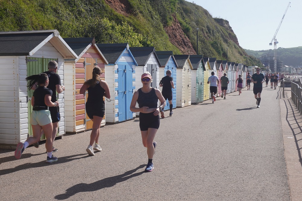
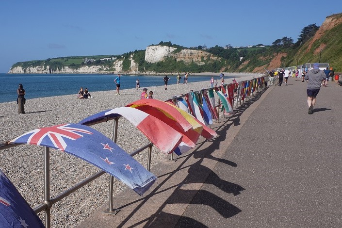
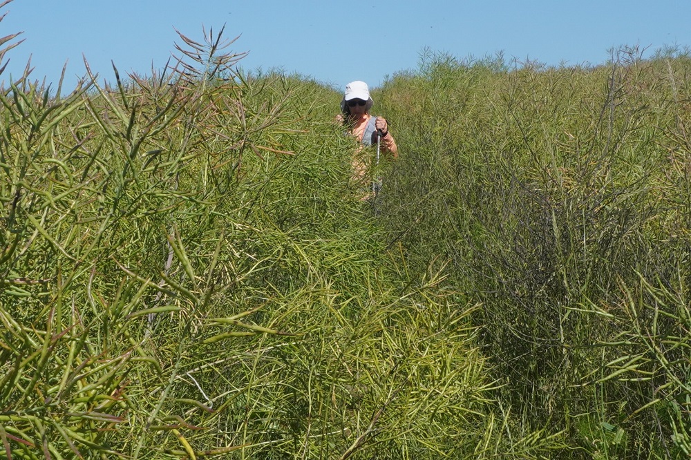
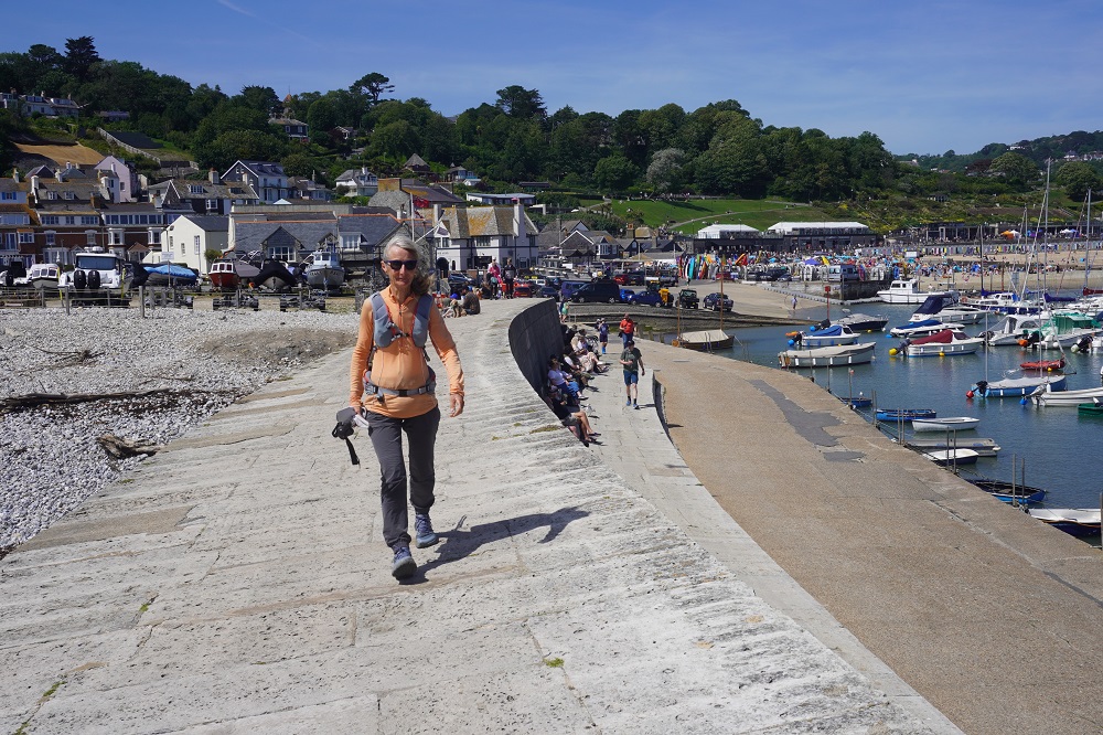
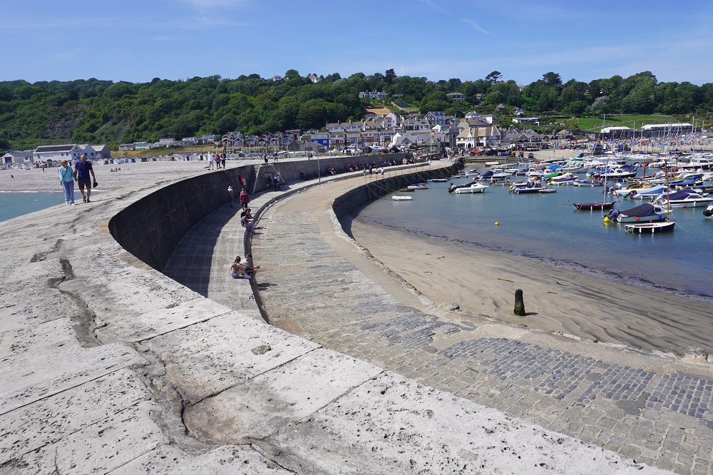
Swanage
-

-
Swanage
-

-
Swanage
-
-
Swanage
-
-
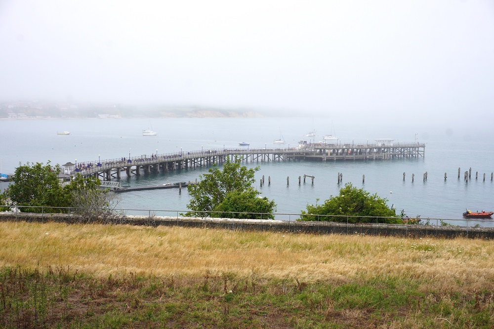
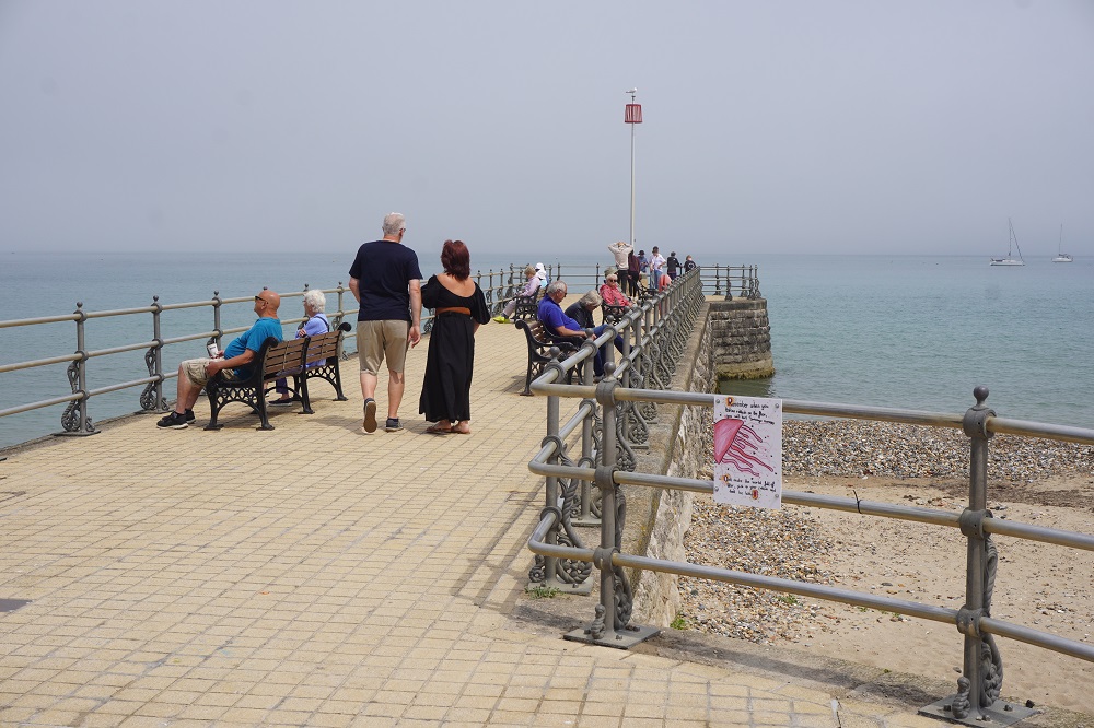
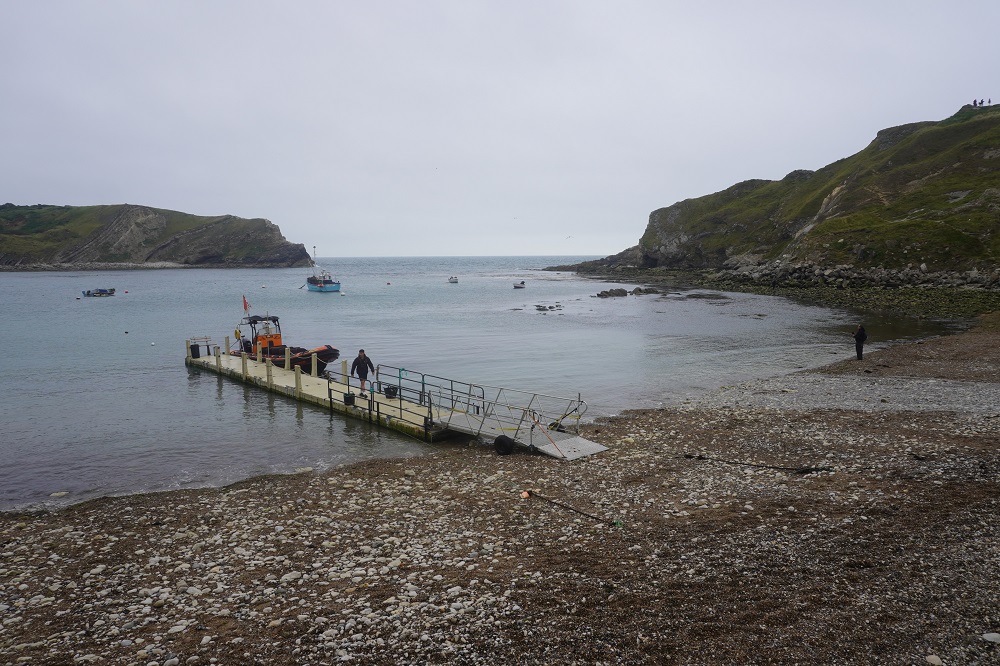
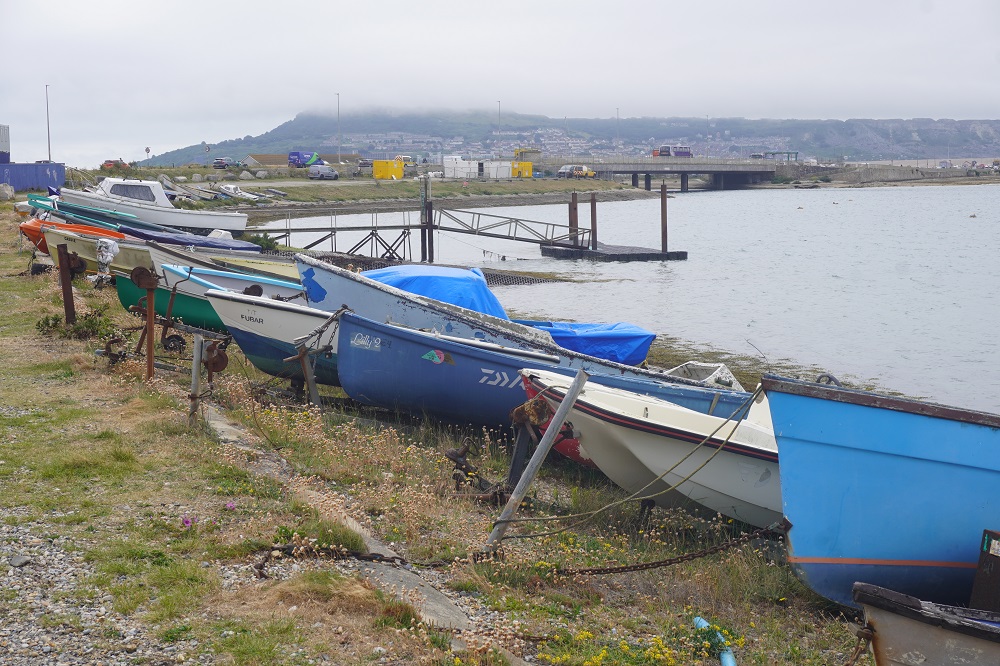
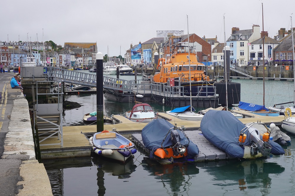
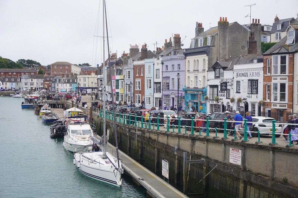
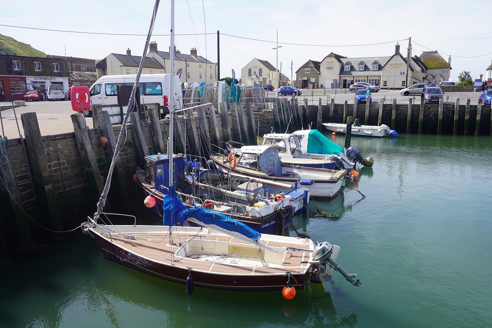
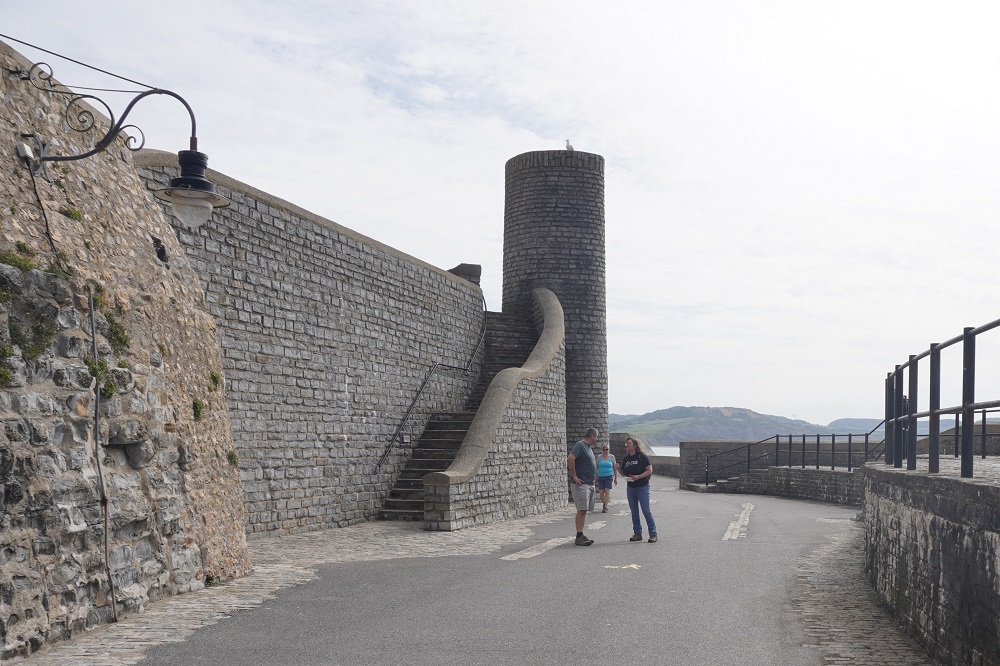
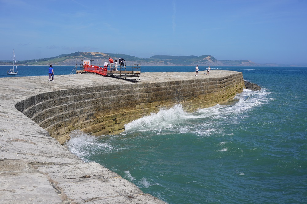
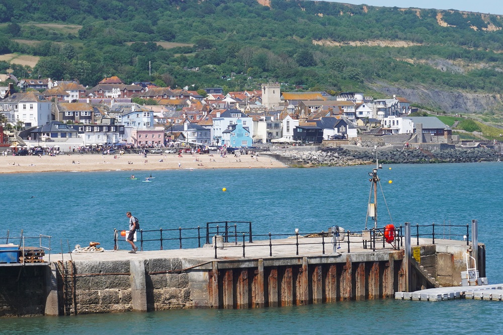
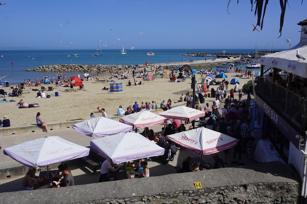
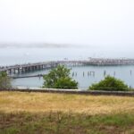
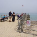
Swanage Pier
-
-
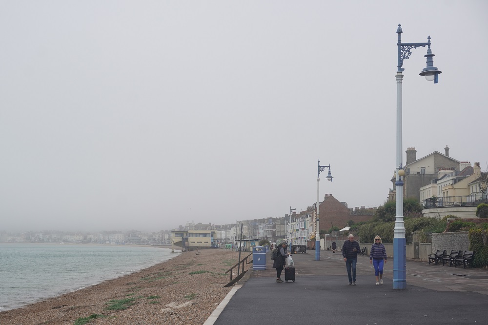
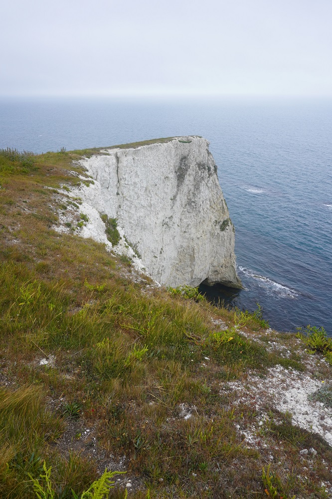
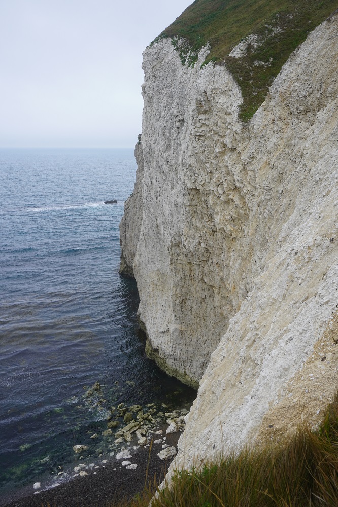
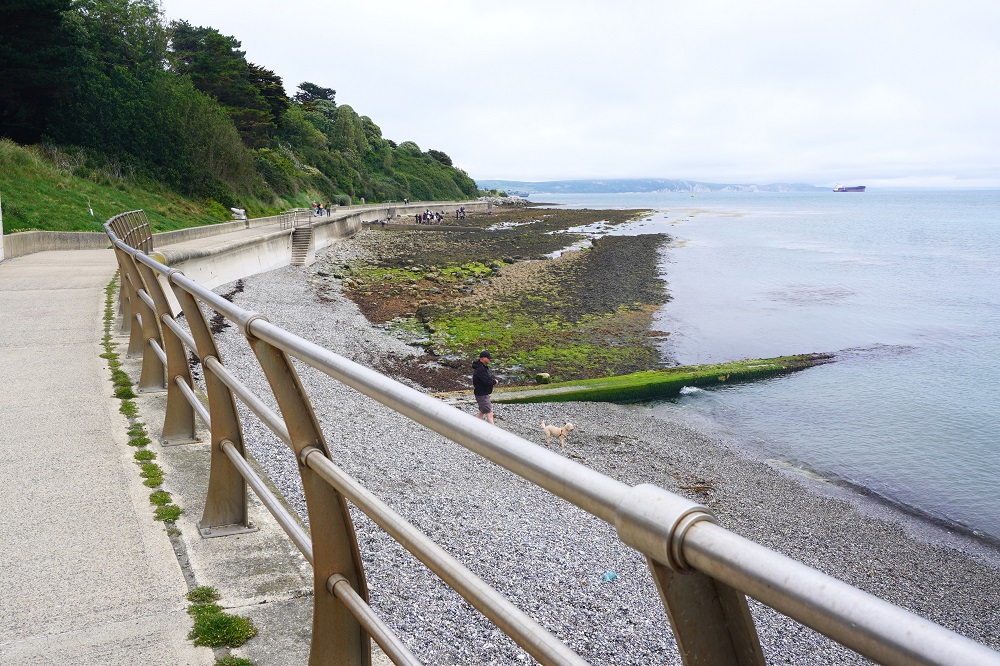
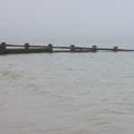
Can’t see the cliffs in the mist, Peveril Point
-

-
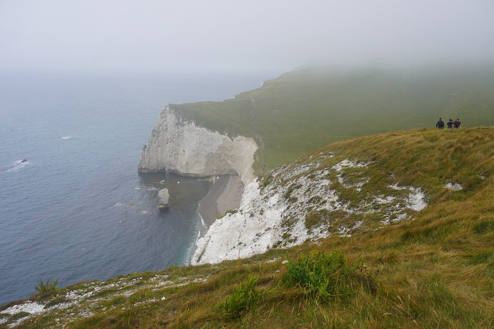
Swanage in the mist
-
-
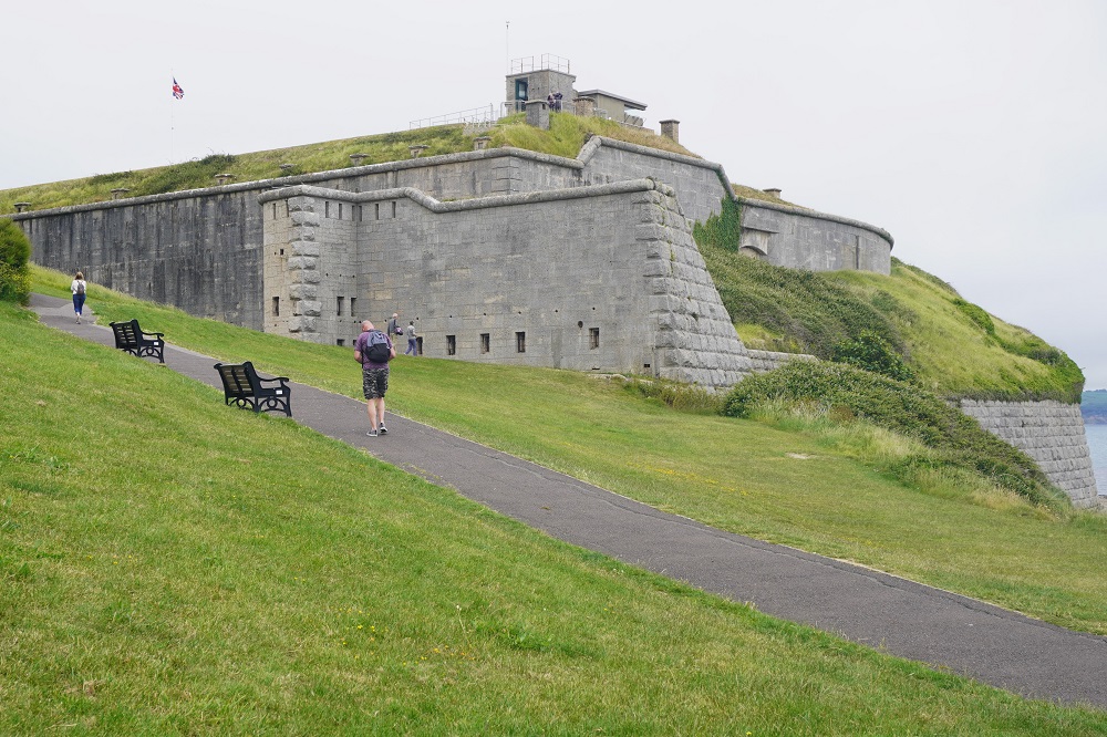
1000 kilometres walked, Durlston Castle
-

-
Durlston Castle
-
-
Durlston Castle
-
-
The Globe, Durlston Country Park
-
-
The Globe, Durlston Country Park
-
-
The Globe, Durlston Country Park
-
-
The Globe, Durlston Country Park
-
-
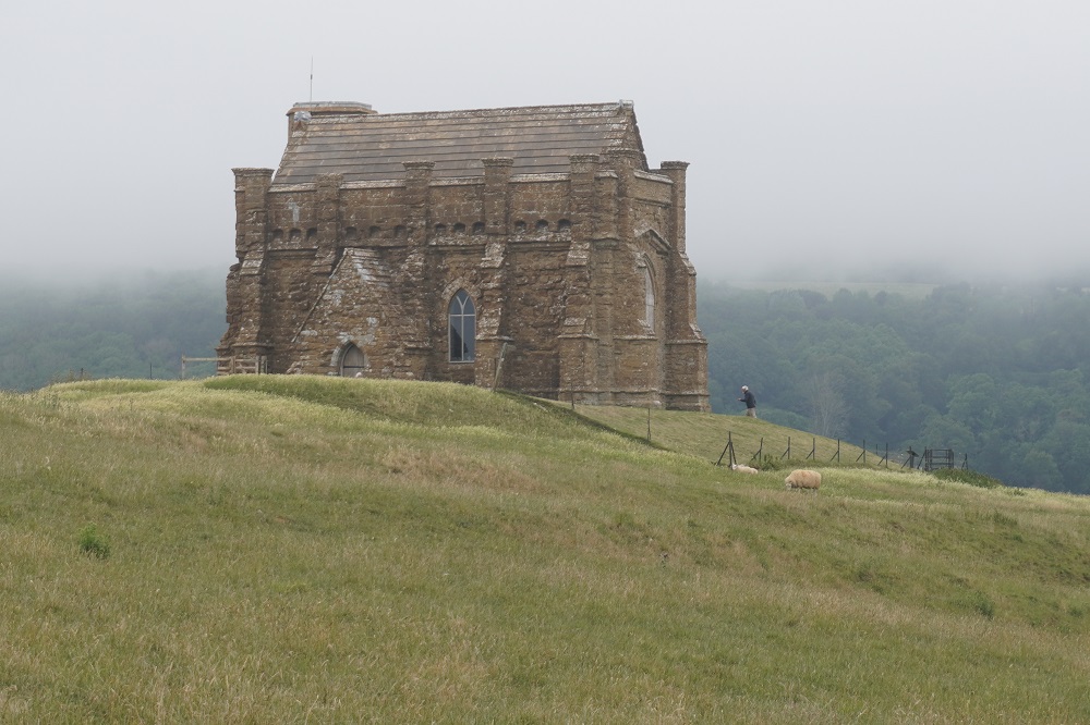
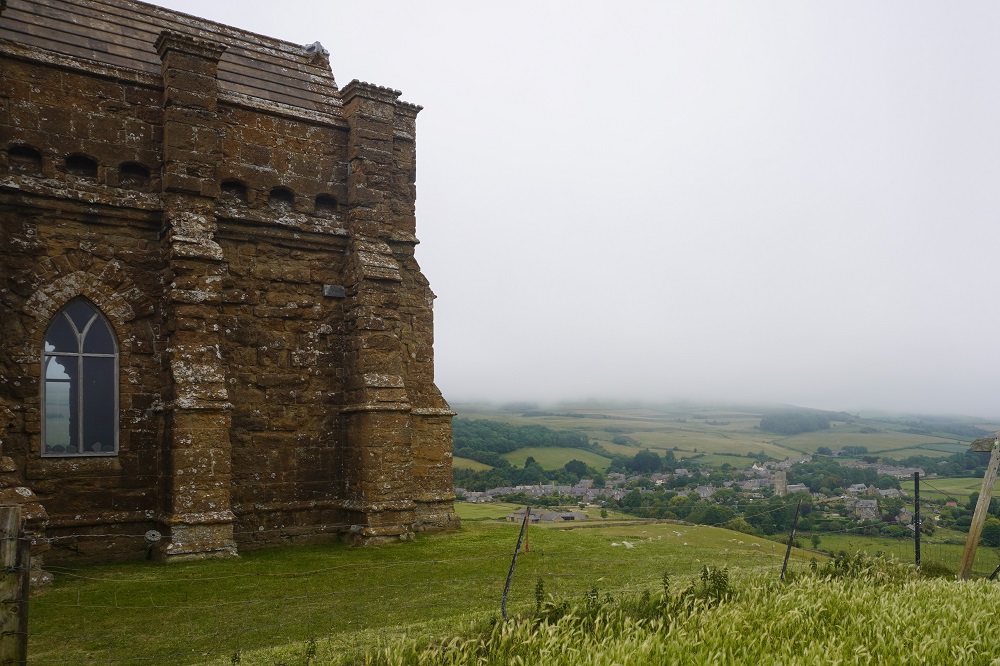
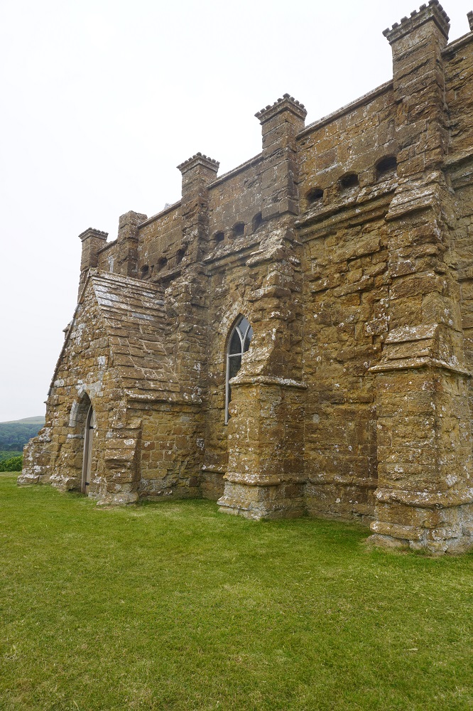
Durlston Castle
-
-
The Globe, Durlston Country Park
-
-
Durlston Castle
-
-
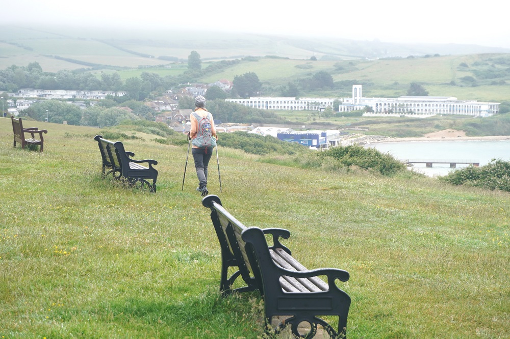
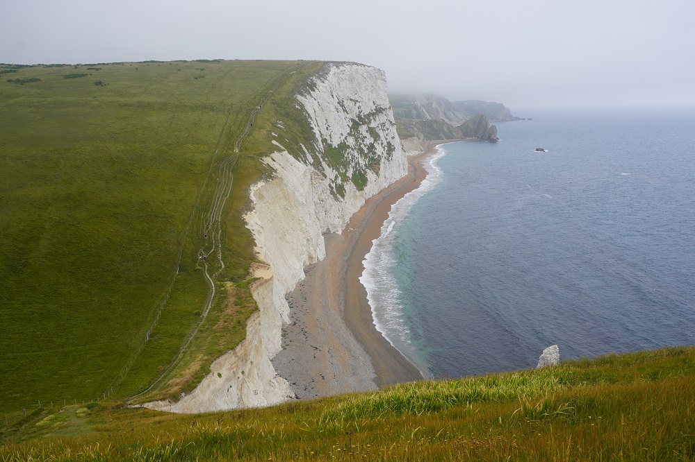
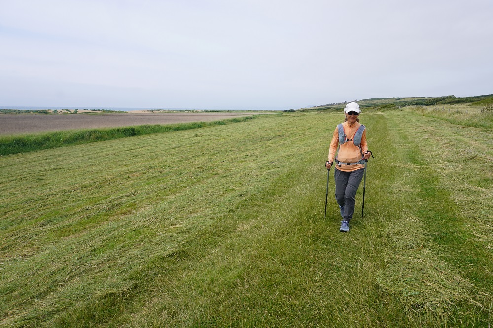
Durlston Country Park
-
-
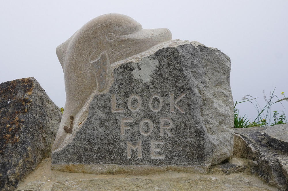
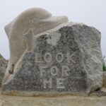
Looked but didn’t see you. Durlston Bay
-
-
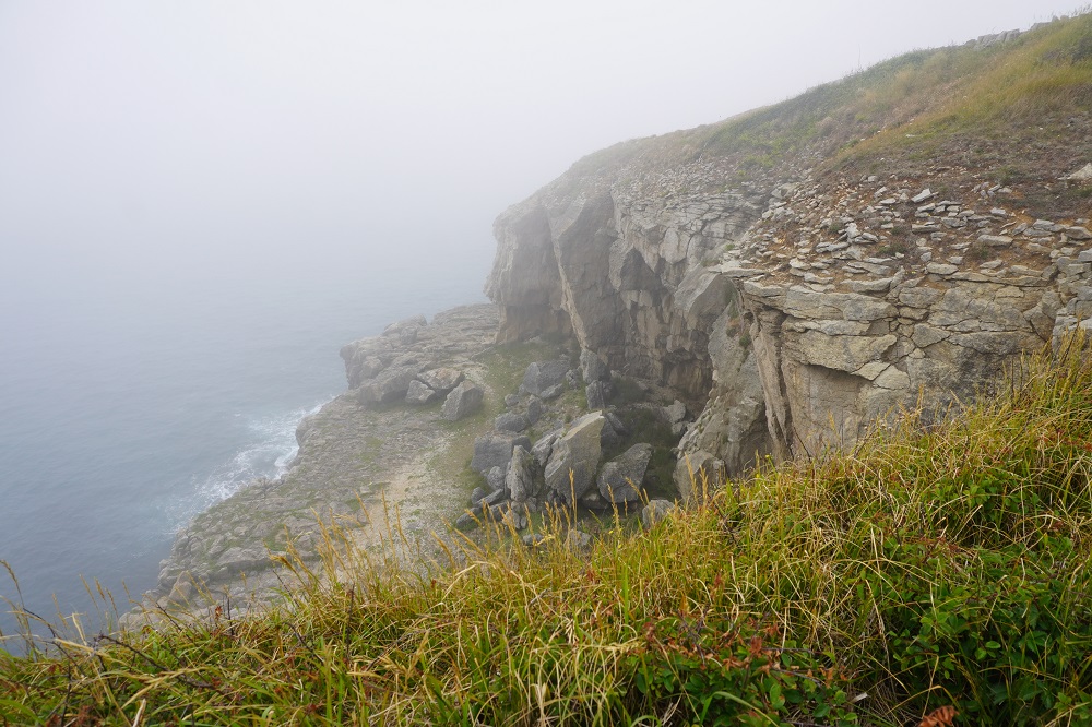
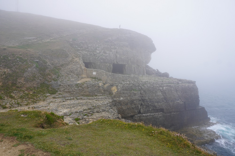
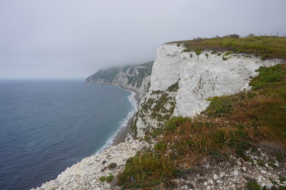
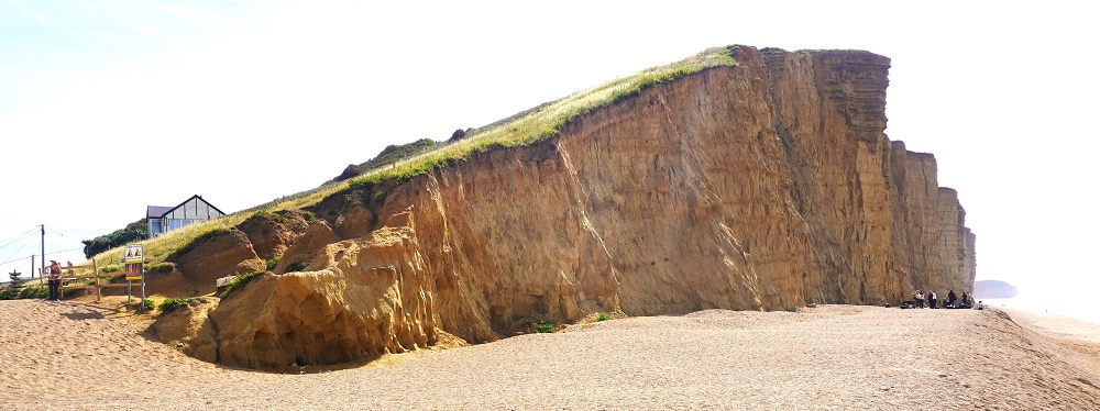
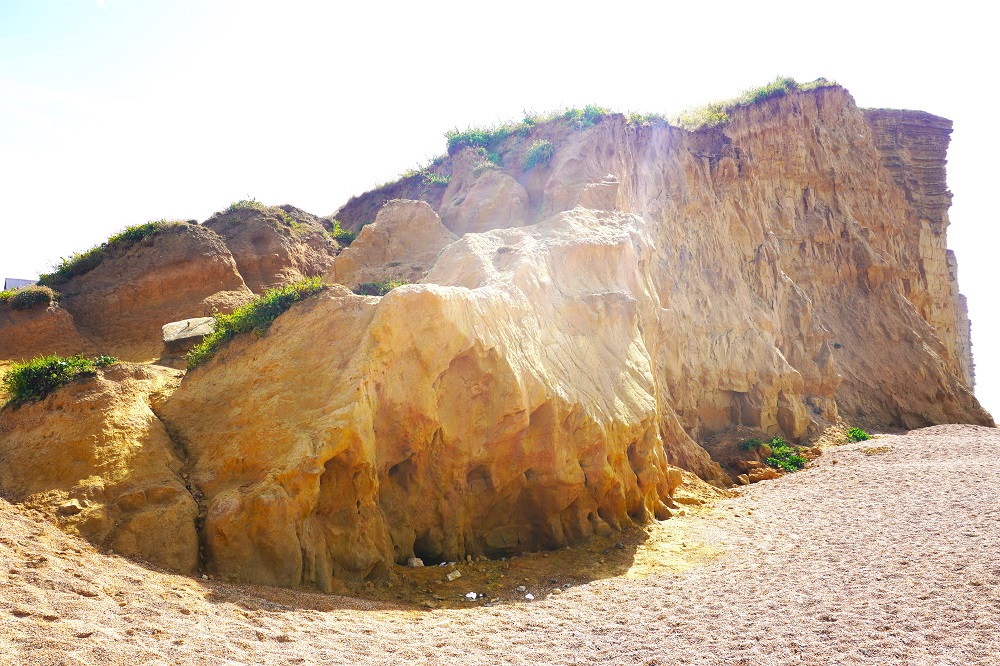
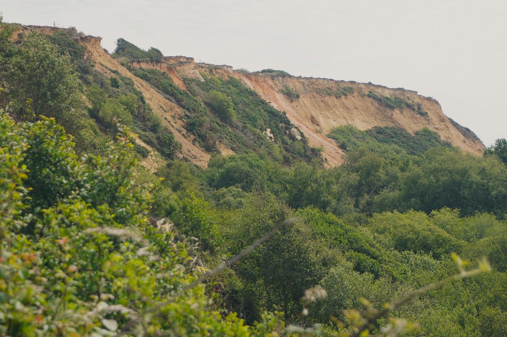
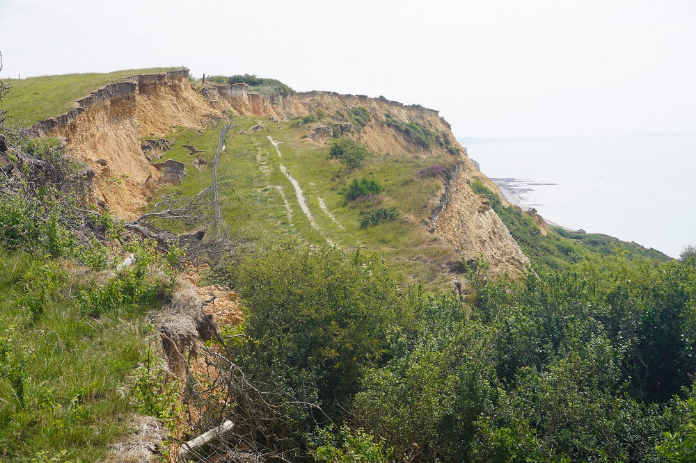
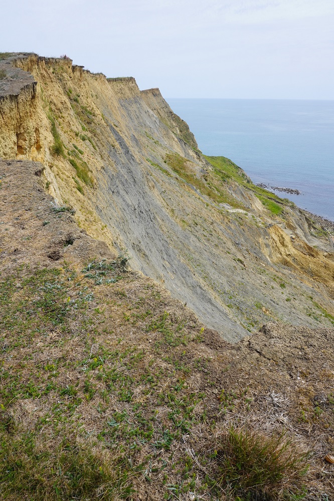
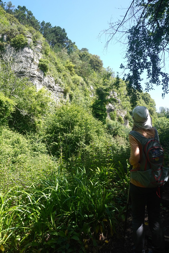
Quarries, Anvil Point
-
-
Quarries and caves, Anvil Point
-
-
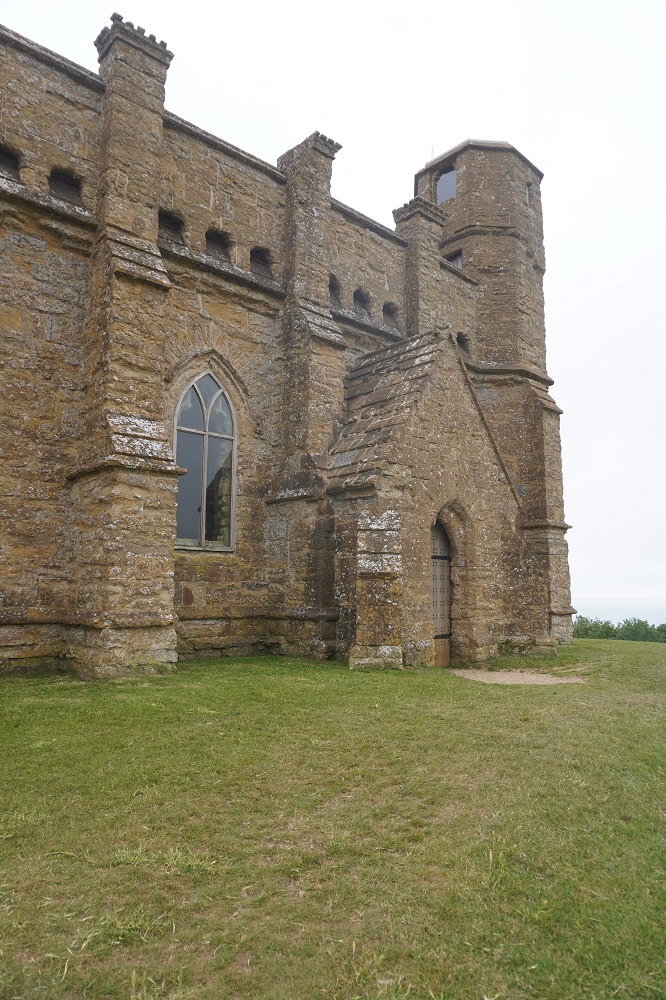
Anvil Point Lighthouse
-
-
Anvil Point Lighthouse
-
-
Anvil Point Lighthouse
-
-
Anvil Point Lighthouse
-
-
Anvil Point Lighthouse
-
-
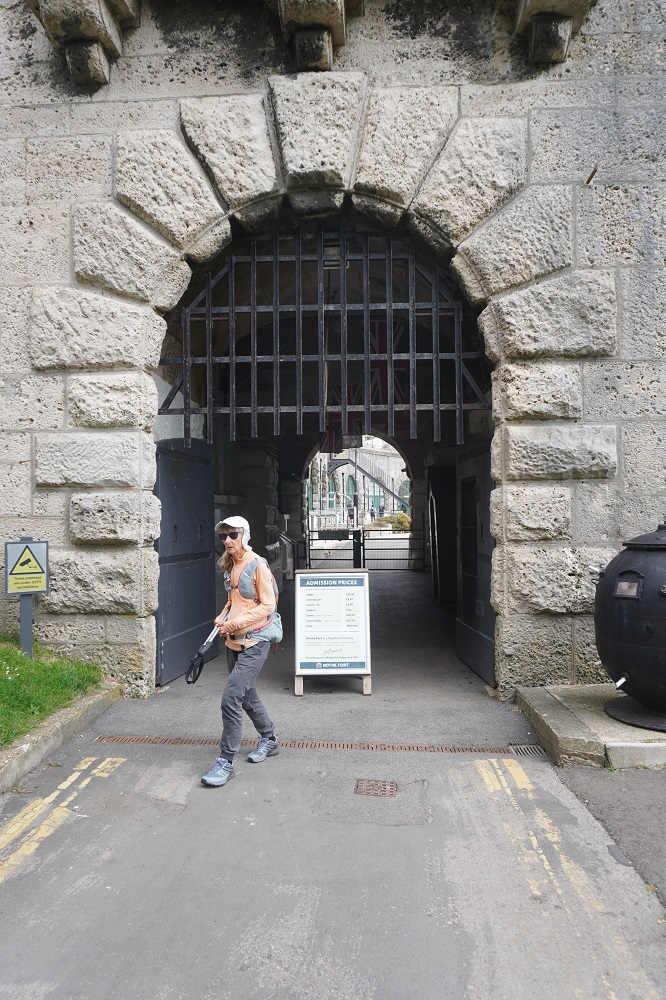
Durlston Country Park, Swanage
-
-
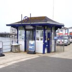
Swanage Pier
-
-
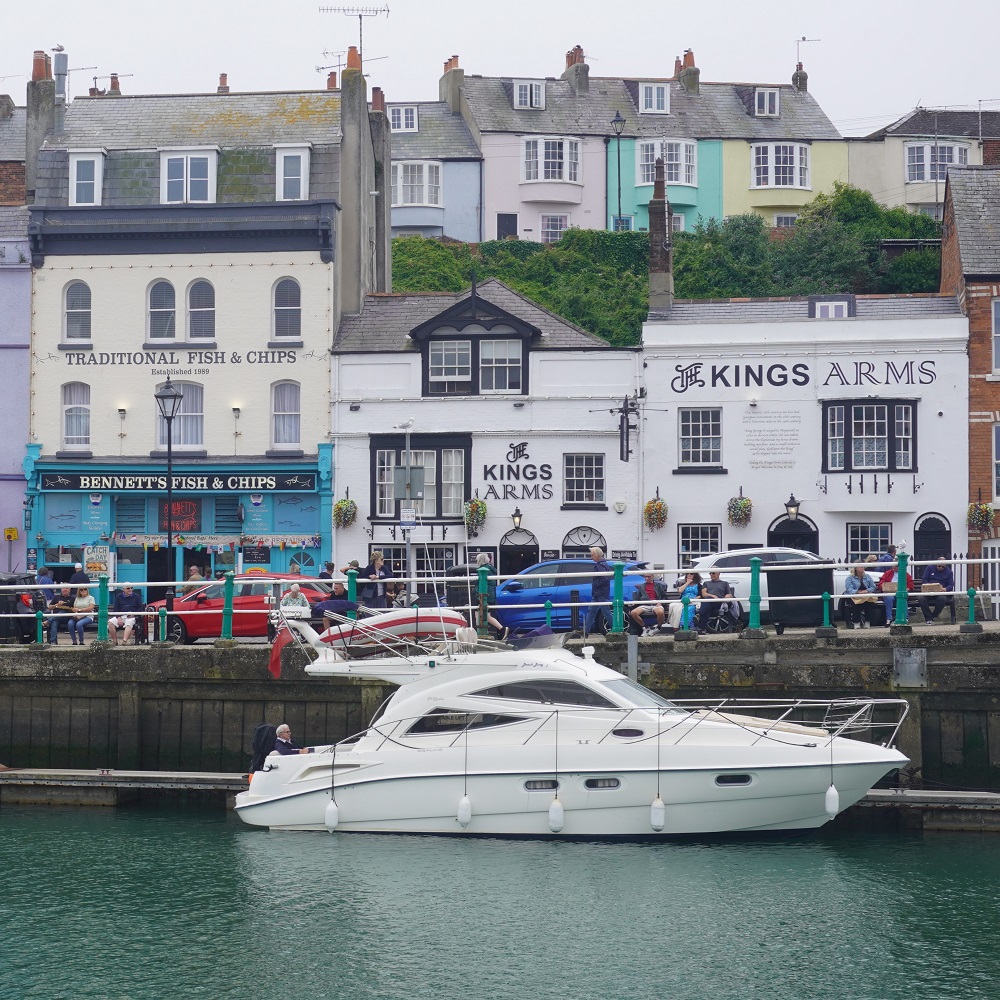
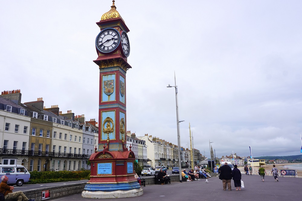
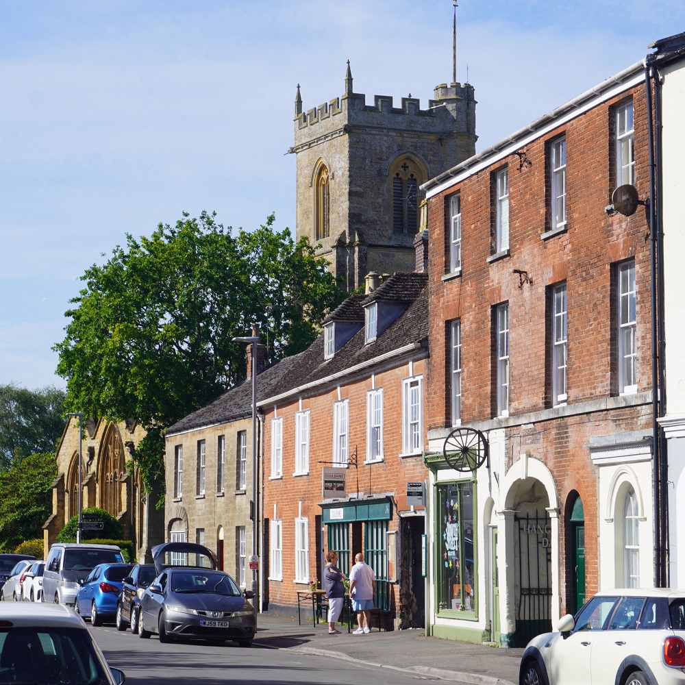
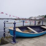
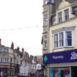
Swanage
-
-
Swanage
-
-
Swanage
-

-
Swanage
-
-
Swanage
-
-
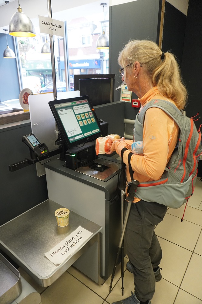
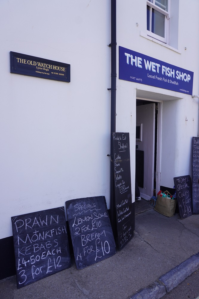
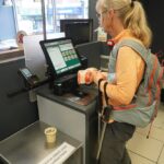
Self check out, grocery store, Swanage
-
-
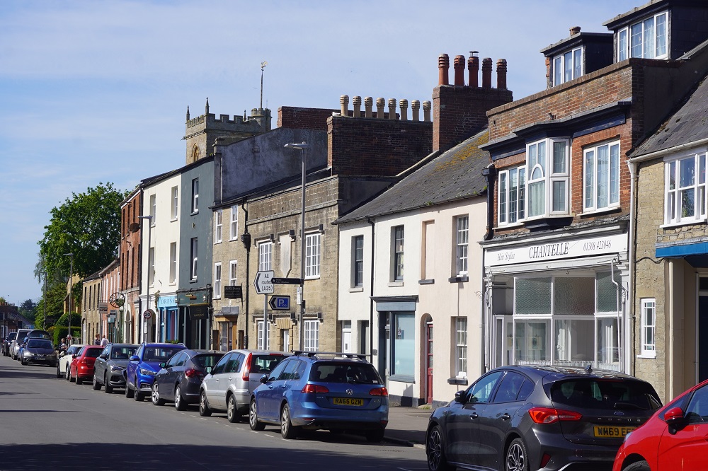
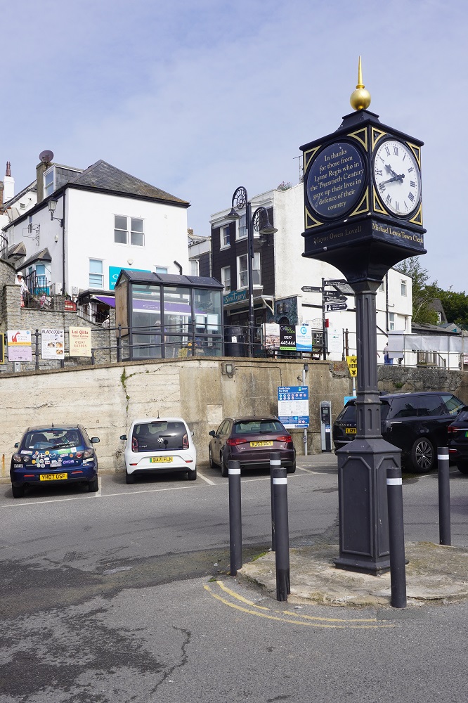
Swanage
-
-
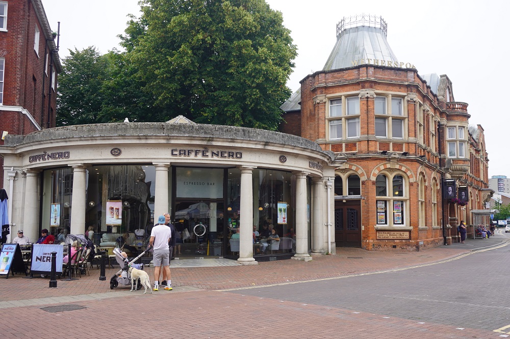
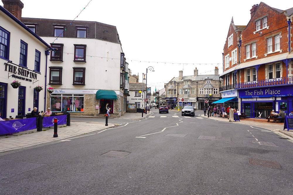
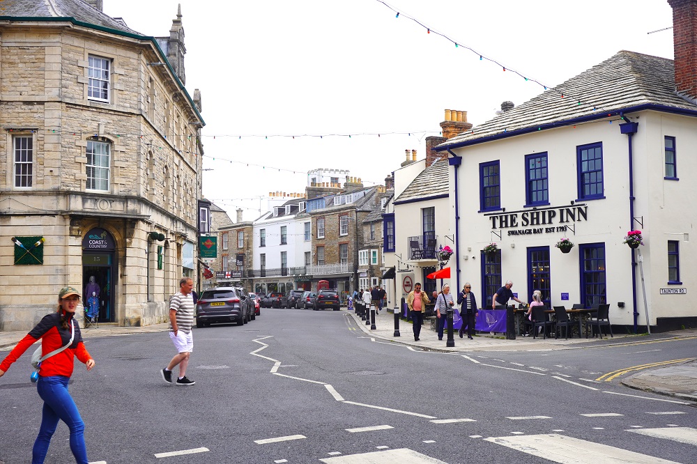
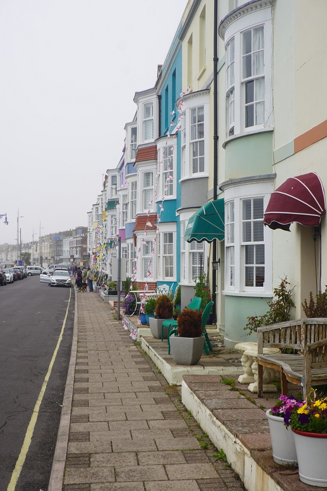
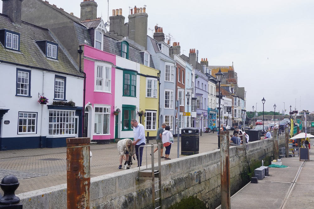
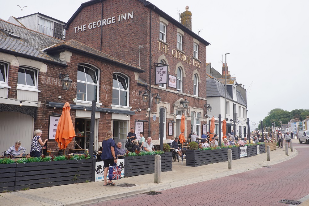
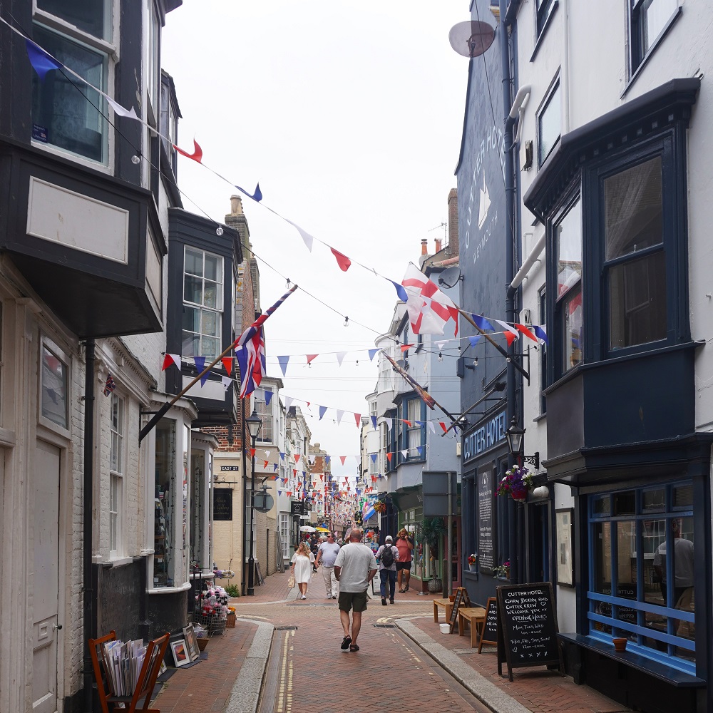
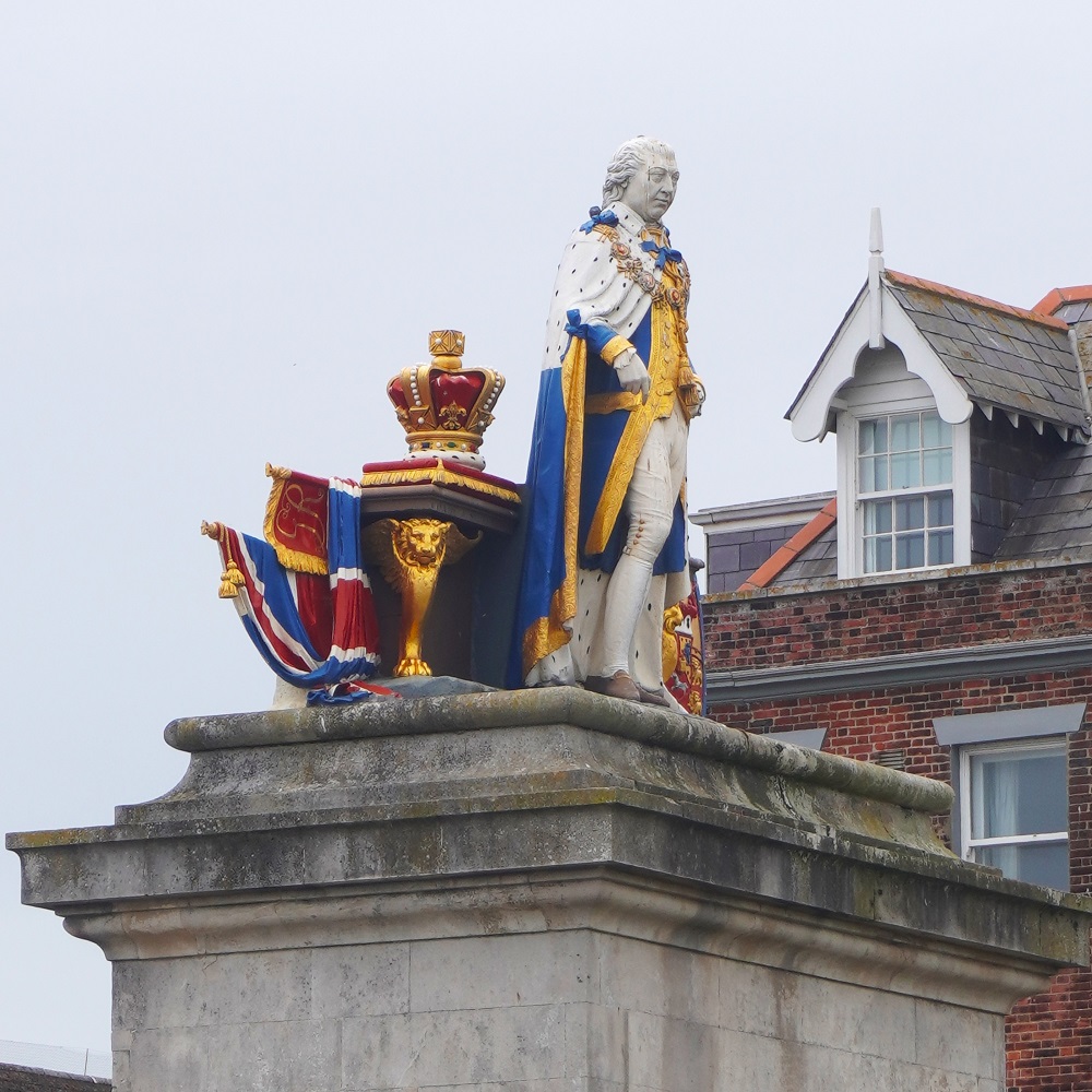
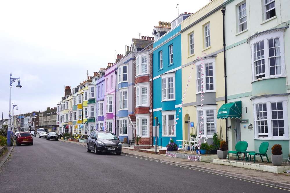
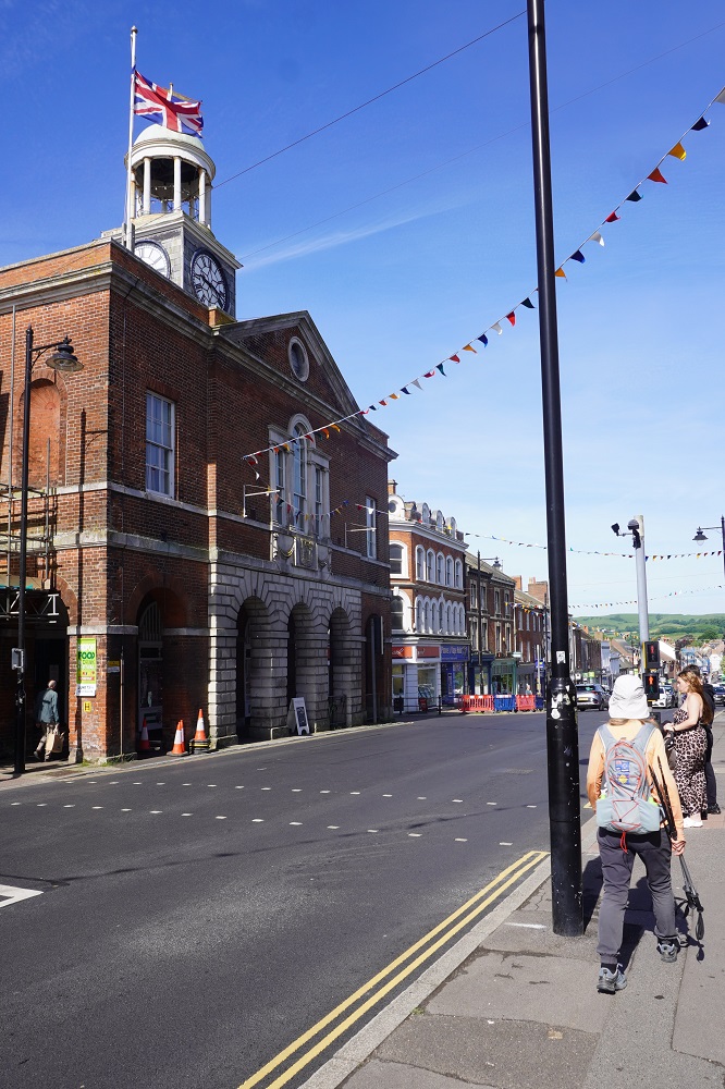
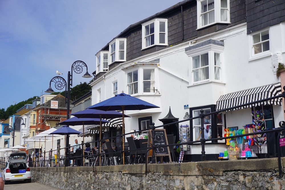
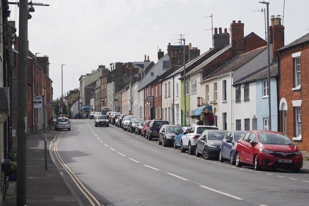
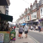
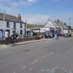
The Parade, Swanage
-
-
The Parade, Swanage
-

-
The Parade, Swanage
-
-
The Parade, Swanage
-

-
The Parade, Swanage
-
-
The Parade, Swanage
-
-
The Parade, Swanage
-
-
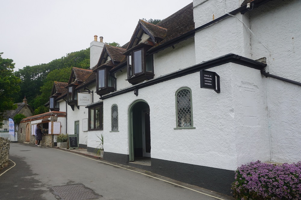
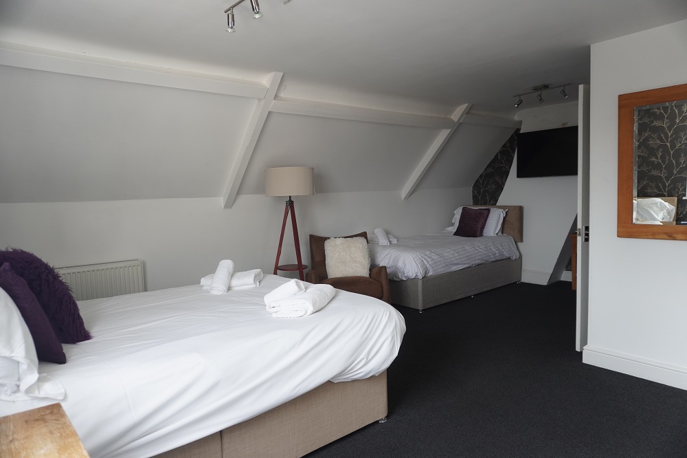
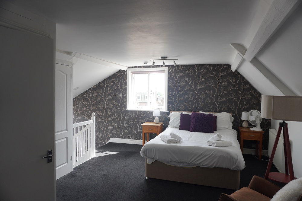
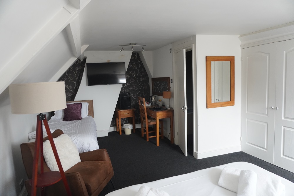
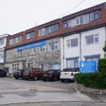
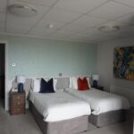
The Pines Hotel, Swanage
-
-
The Pines Hotel, Swanage
-

-
The Pines Hotel, Swanage
-
-
The Pines Hotel, Swanage
-
-
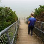
147 steps from The Pines Hotel down to Swanage Bay for a swim
-
-
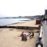
Swanage Bay
-
-
Swanage Bay
-
-
Swanage Bay
-
-
Swanage Bay
-

-
Swanage Bay
-

-
Swanage Bay
-
-
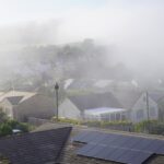
The mist over Swanage
-

-
Roast Pork Belly, The Pines Hotel, Swanage
-

-
Pan fried chicken supreme, The Pines Hotel, Swanage
-
-
The Pines Hotel, Swanage