Category Archives: SCWP 2026

At least I’ll get my washing done*

Monday 27th April 2026

Rest day number 1 Westward Ho!

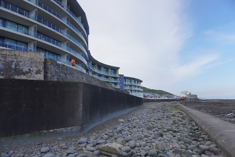
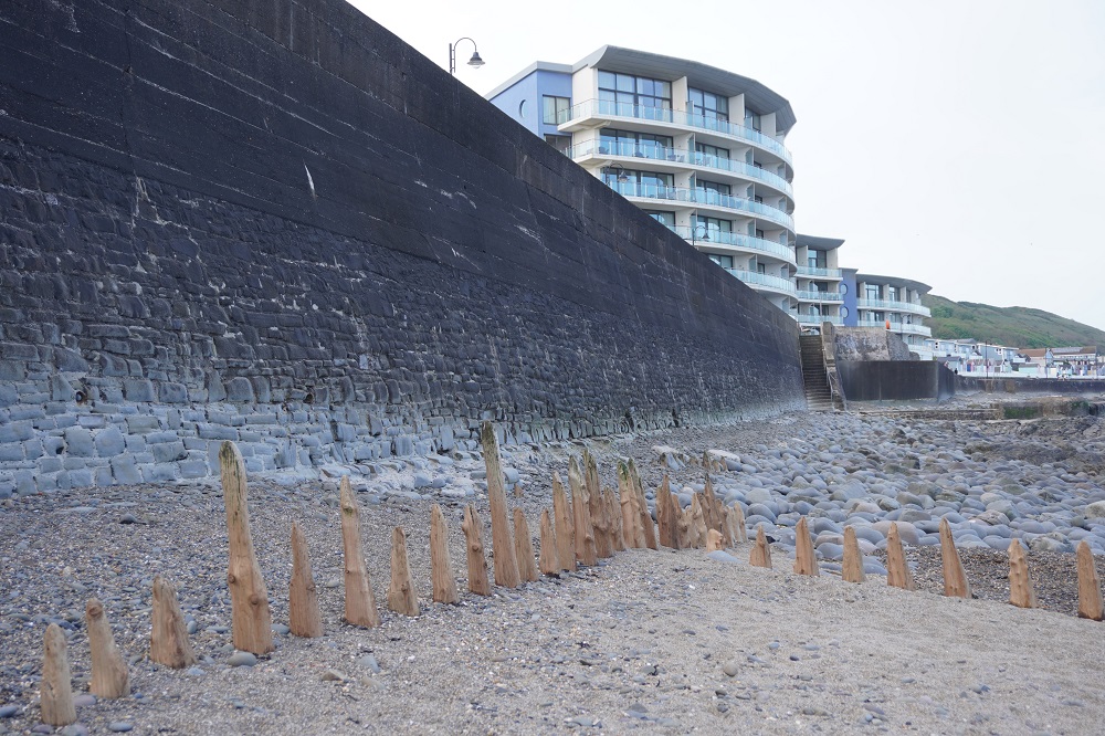
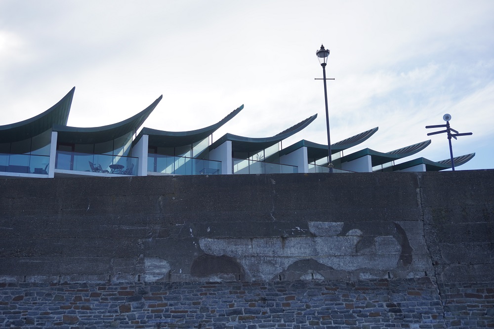
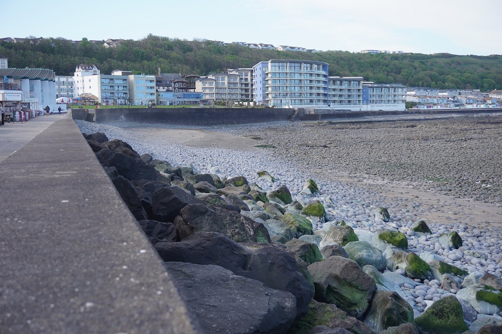
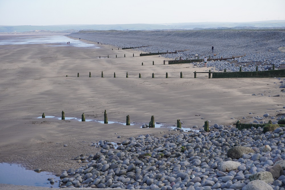
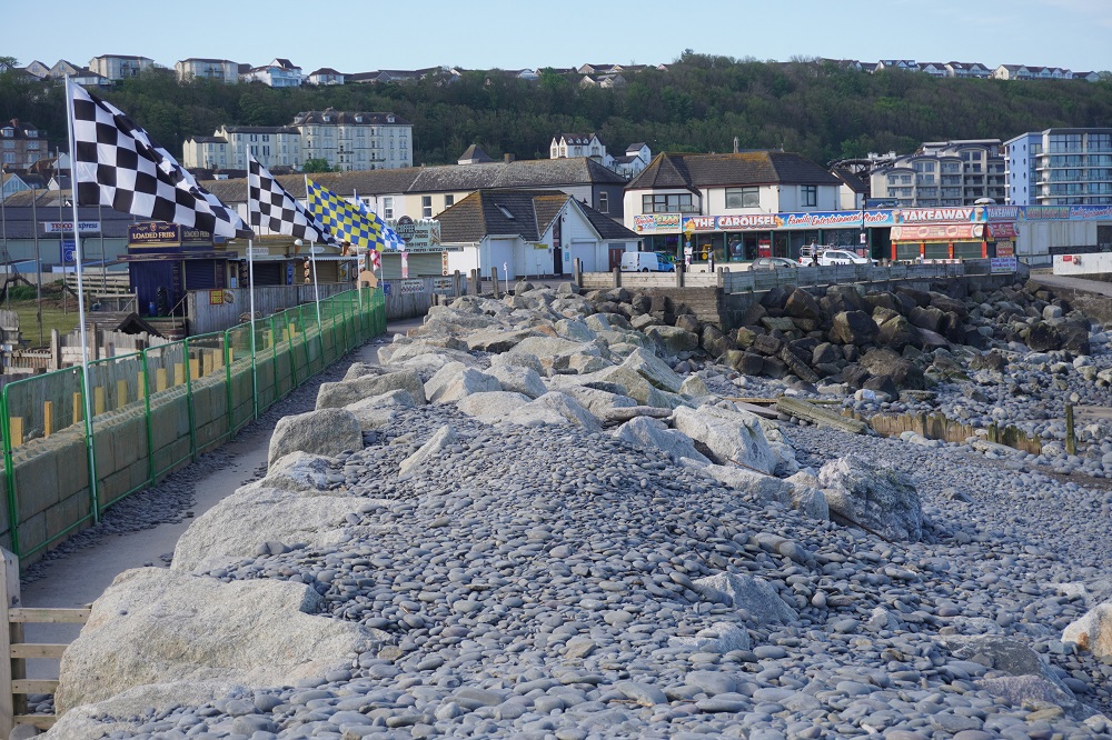
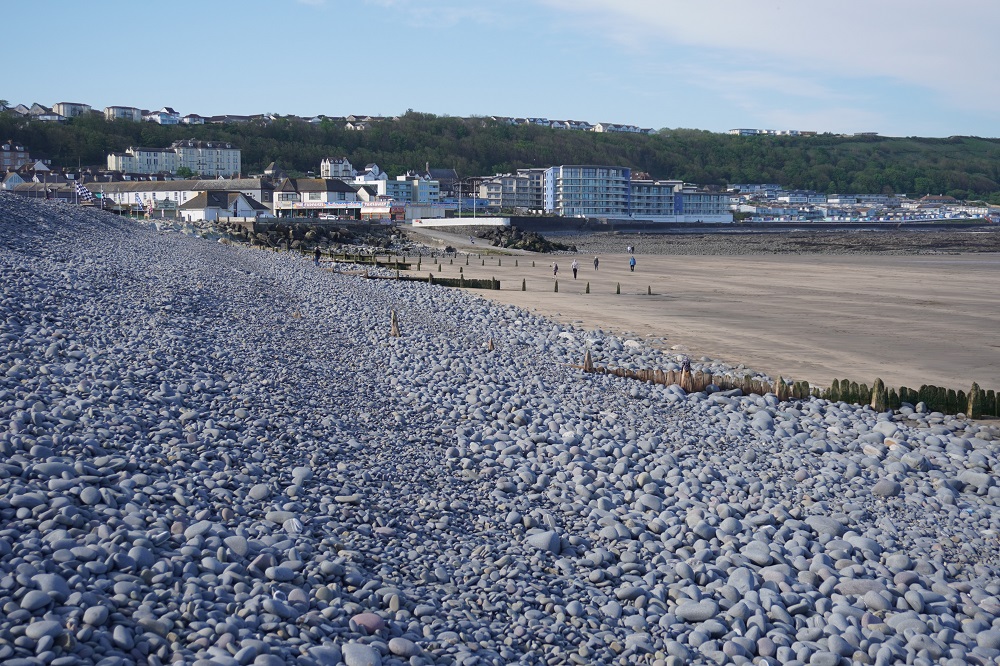
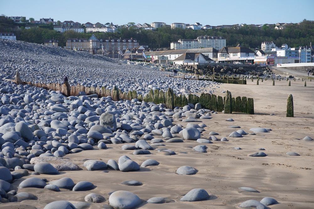
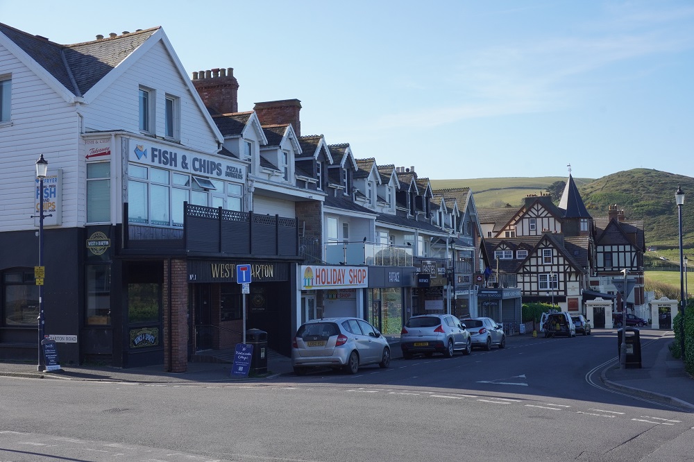
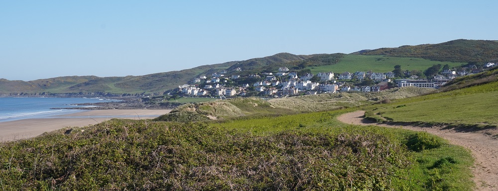
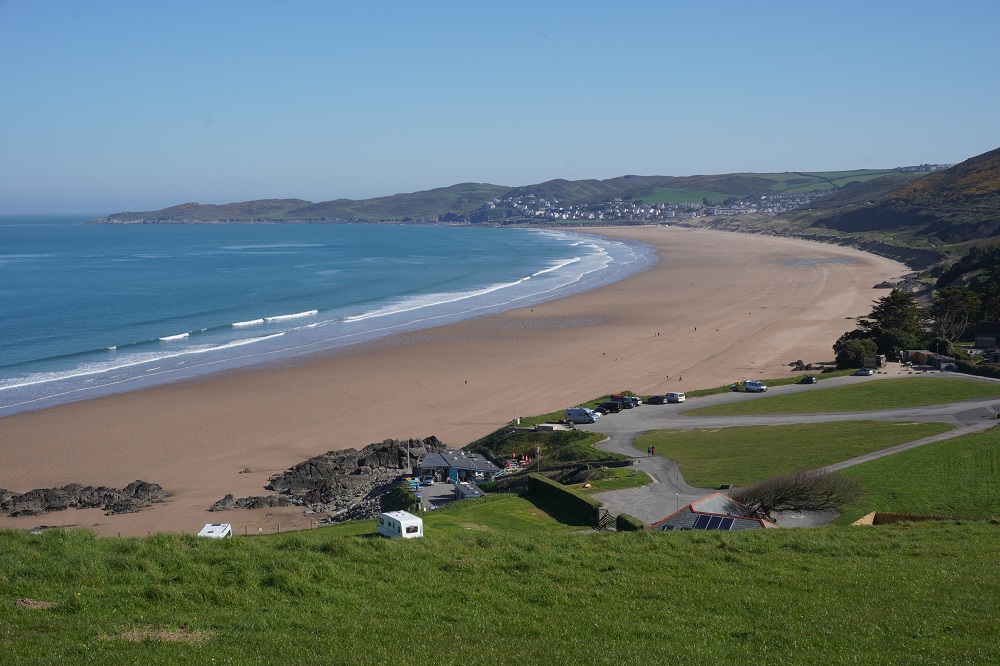
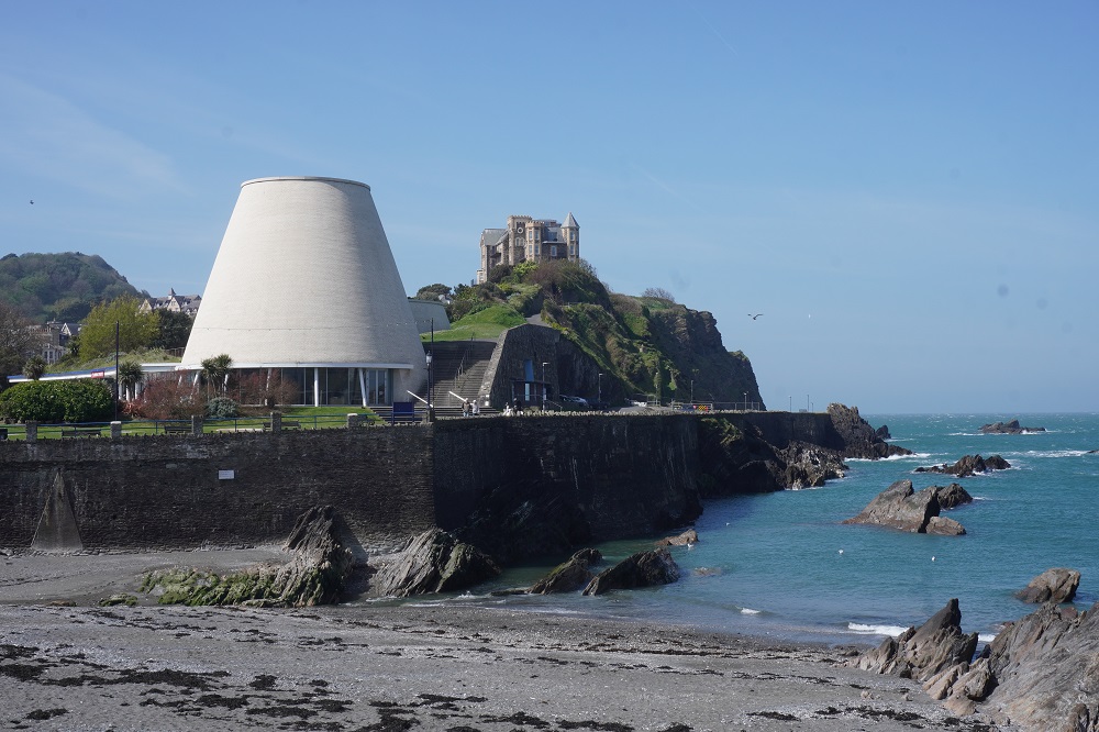
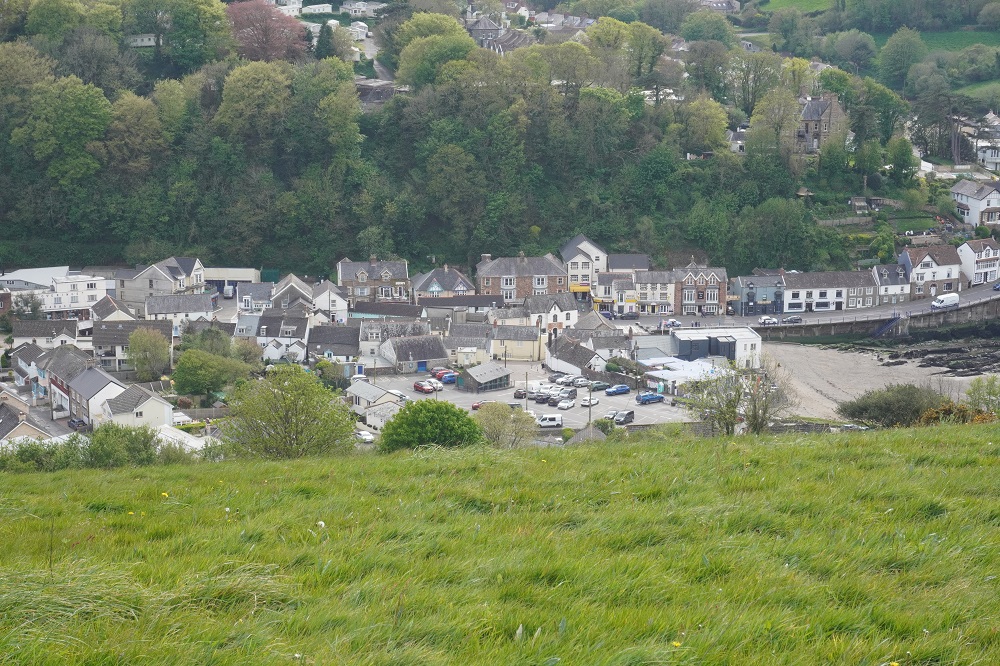
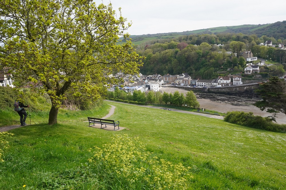
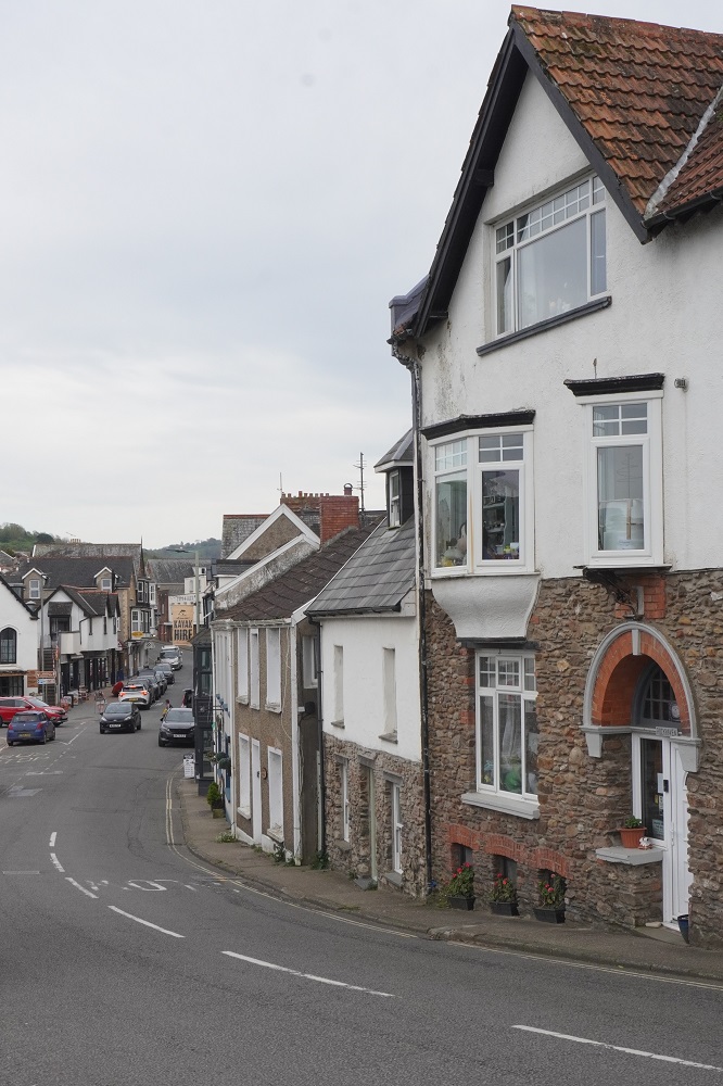
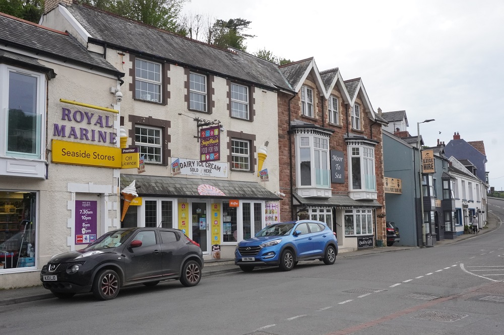
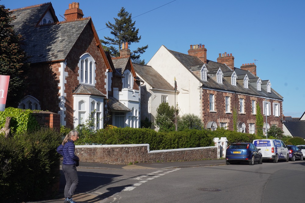
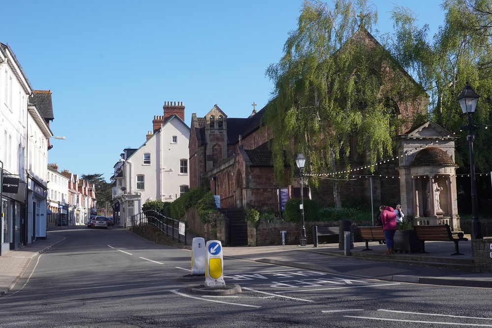
Westward Ho! will never come close to be in the running for prettiest village in Devon. It is known as a conglomeration of residential care homes and static caravan parks and has none of the history of other nearby towns.
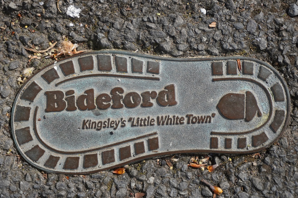
The village is named after Charles Kingsley’s novel Westward Ho! published in 1855, which was set in nearby Bideford. The novel was a bestseller and as the Victorians had a passion for seaside holidays, entrepreneurs saw the opportunity to develop tourism overlooking the Pebbleridge described in the book. In 1864 a hotel was built, named the Westward Ho! Hotel, and the expanding settlement also took on the name Westward Ho!

Westward Ho! is a historical novel set partly in Bideford during the reign of Elizabeth I. It is based on the adventures of a young man who goes to sea with Sir Francis Drake and Sir Walter Raleigh to the New World where they do battle with the Spanish. The title of the novel comes from the traditional call of boat-taxis on the River Thames which would call “Eastward ho!” or “Westward ho!” to show their destination. “Ho!” is a call to attract passengers meaning “hey” or “come”.

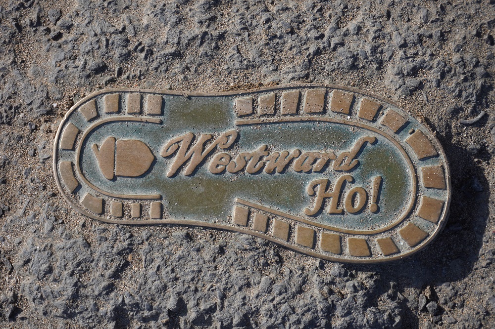
The village is the only place in the British Isles that intentionally has an exclamation mark as part of its name. It is also unique in being a town named after a novel rather than the other way around, ie a novel being named after a town.

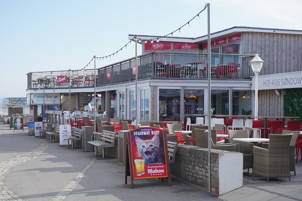
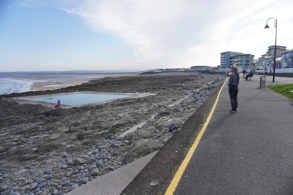
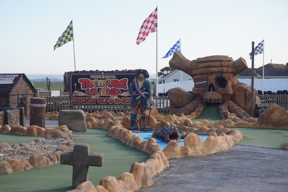
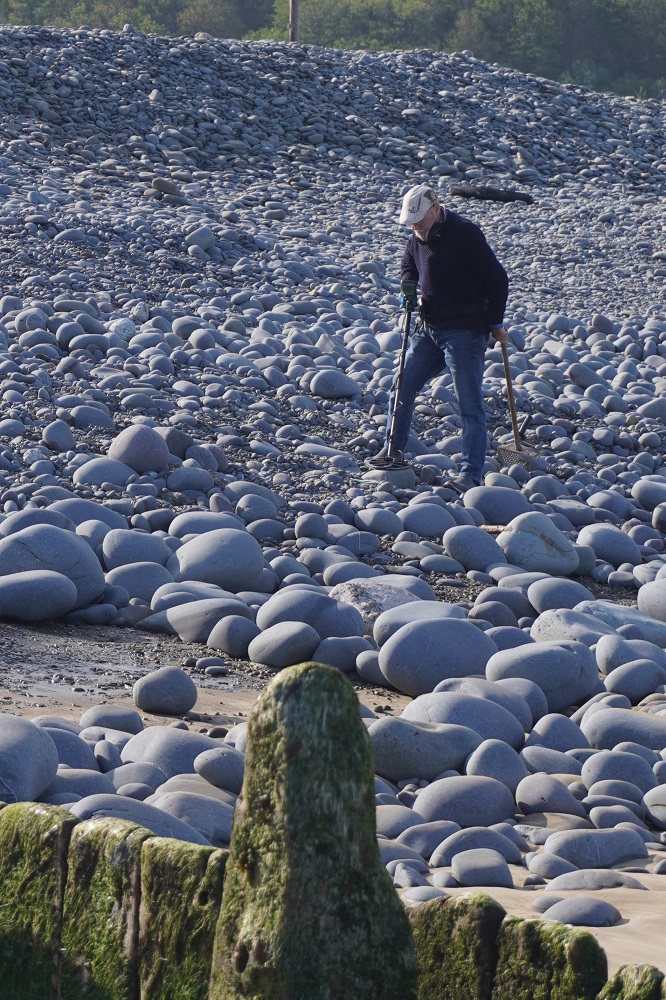
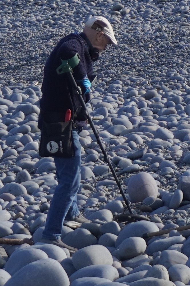
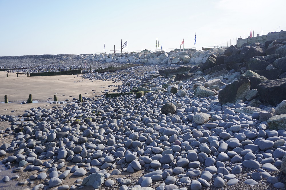
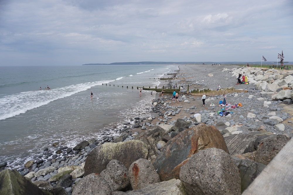
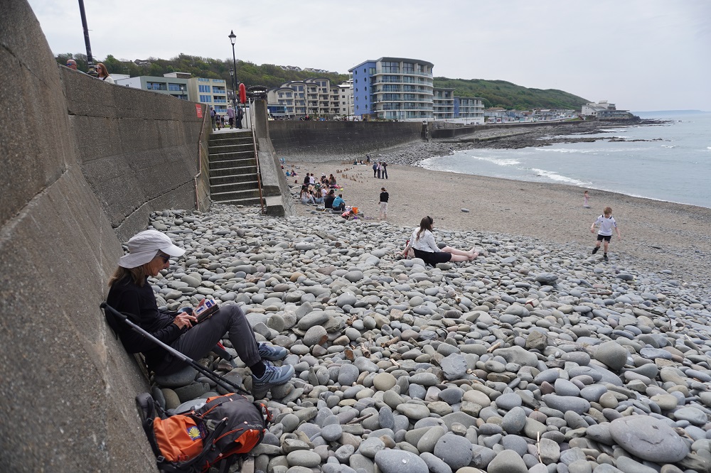
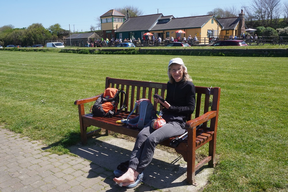
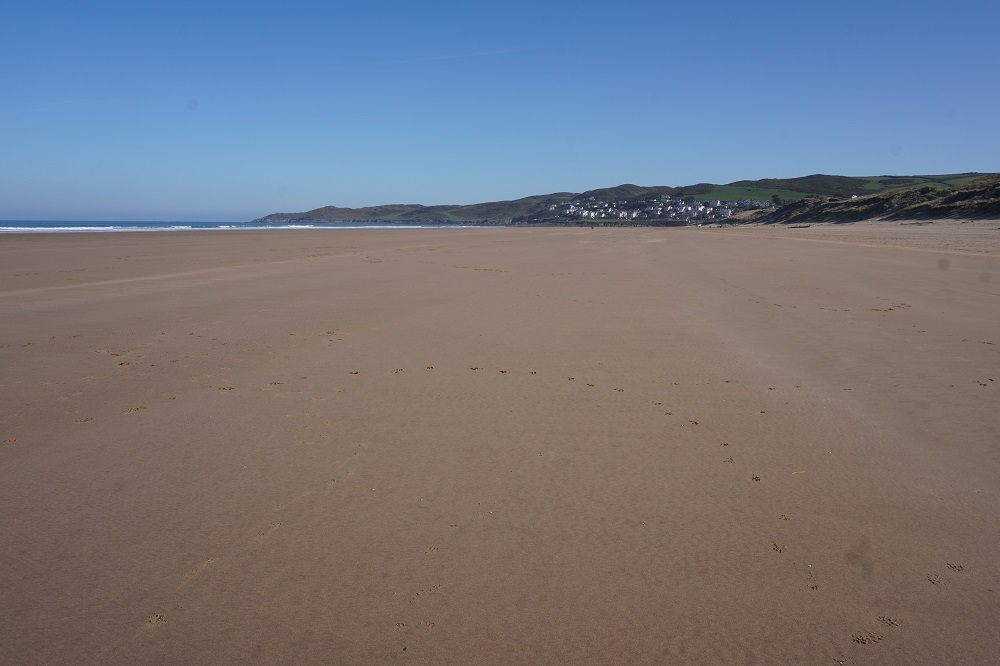
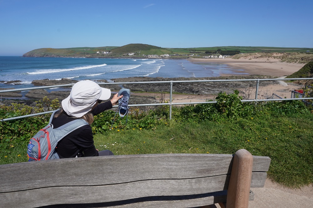
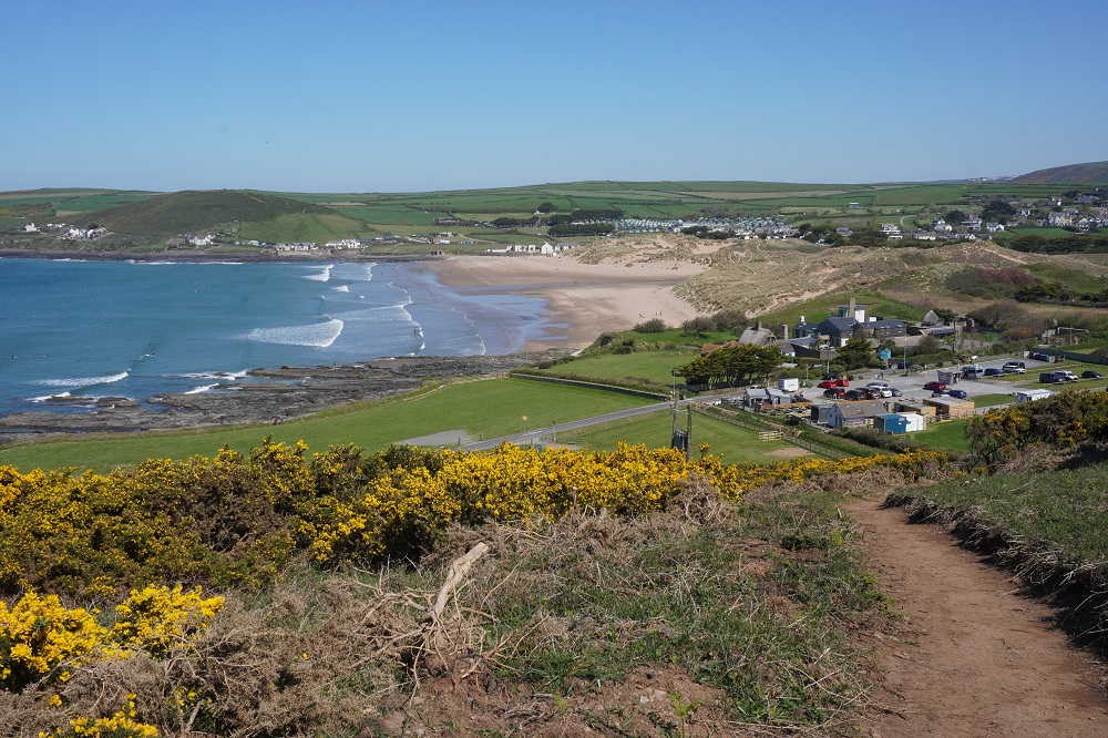
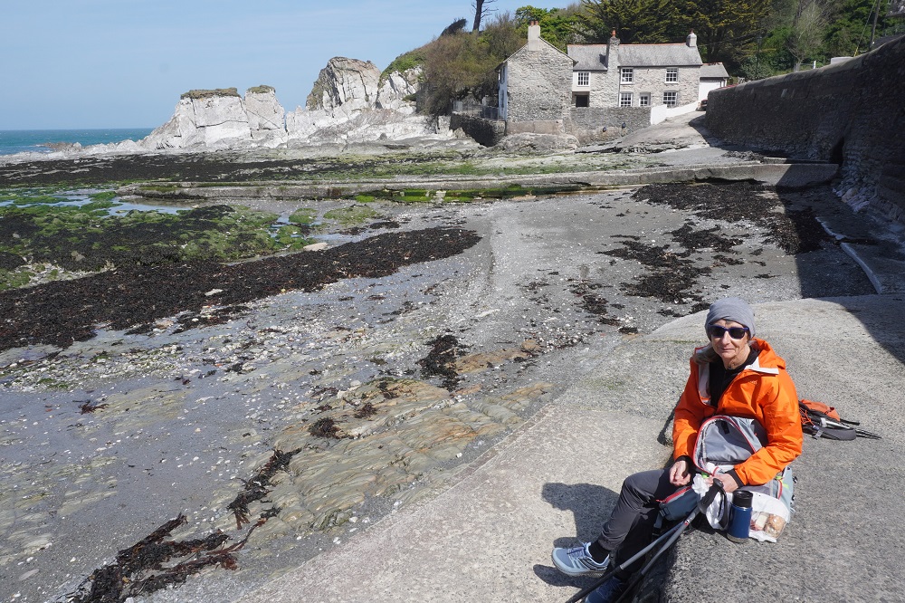
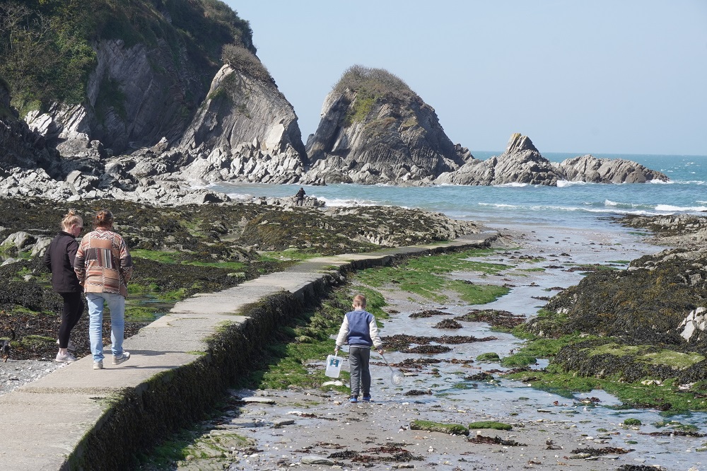
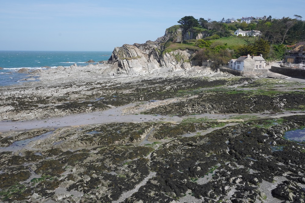
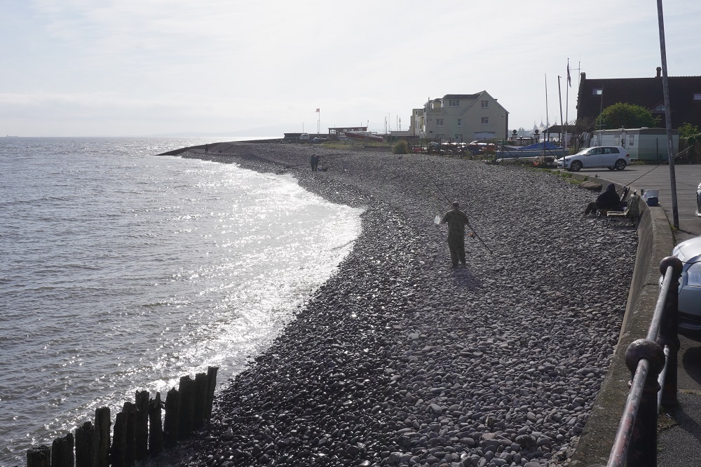
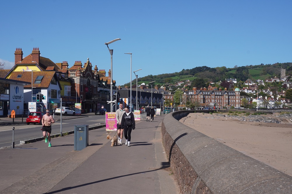
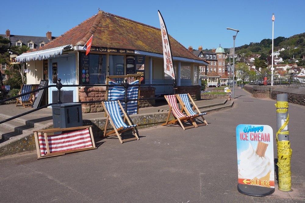
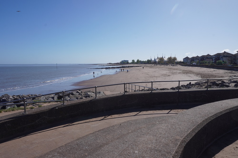
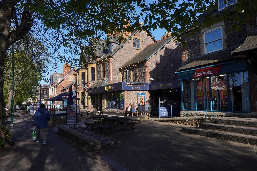
Today is a Monday and Westward Ho! is a totally different place to yesterday. Yesterday the mini golf, the dodgem cars, the pirate ships, candy floss sellers, the ice cream vans, the cafes, bars, pubs, amusement arcades were all teaming with people and dogs enjoying a warm sunny day at the seaside. Even the screeching sea gulls love Sundays with easy pickings of unguarded fish and chips and dropped candy bars. Today all is quiet and almost deserted. We went for an early walk and there were one or two dogs on the beach, two ladies swimming in the salt water pool on the rocks, a man with a metal detector beep beeping among the stones, a rubbish truck, and delivery trucks replenishing all the food and alcohol consumed yesterday. We liked it better today but then we are not good for business.
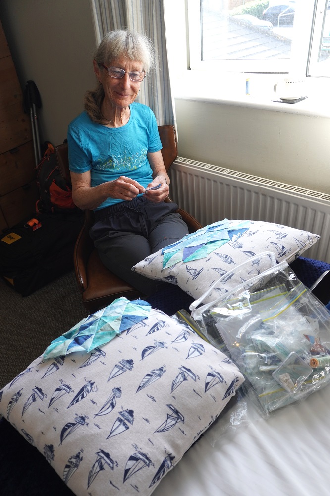
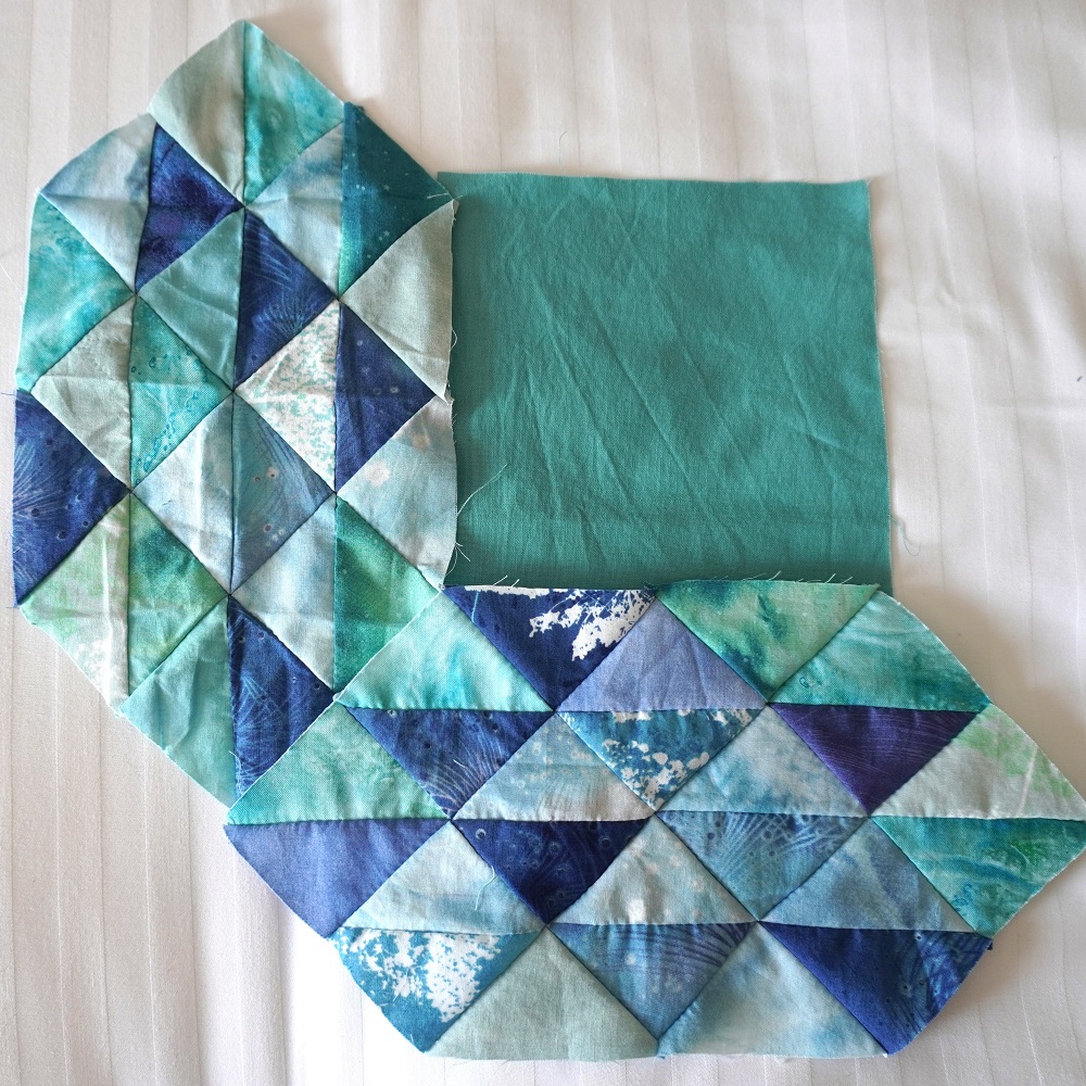
We have had a very quiet day. A short walk in the cool of the morning. Barbara has been piecing together triangles for a new “ocean waves” quilt. I have been getting up to date with the continuing disaster of Donald J Trump. Catching up on some sleep, doing some washing (we wash some clothes every day but more on rest days) and resting our tired old legs. This time we have deliberately made the “rest days” simple, even boring, so we are forced to relax and recover.

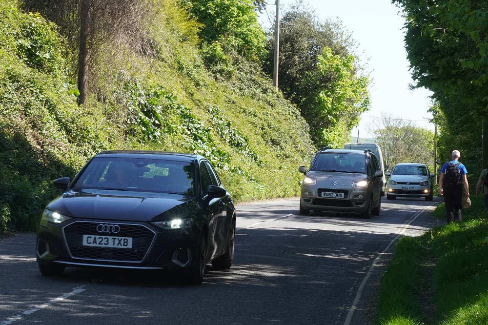
I had a near nasty incident when walking into Instow the other day. We were walking along a footpath and there was a car coming out of a narrow drive way, stopped across the path blocking it, while someone got in a rear door. I started to walk along side the car to go around its rear when it suddenly took off and turned sharply toward me. I had a nanosecond to get my foot out of the way before 2 tonnes of SUV would have run across my toes. We have been wondering what our plan B would be with me in plaster or a moon boot and on crutches.

We have walked 150 kilometres so far which is the equivalent of walking out our front door in Wellington and walking SH1 to Bulls. Not that we would ever want to walk to Bulls!

  • Substitute by The Who, 1966

(Chorus 2)
(Substitute) Me for him
(Substitute) My coke for gin
(Substitute) You for my mum
(Substitute) At least I’ll get my washing done

More trivia: Westward Ho! celebrates Rudyard Kipling, Nobel Prize for Literature, as he went to boarding school and wrote his first novel here.

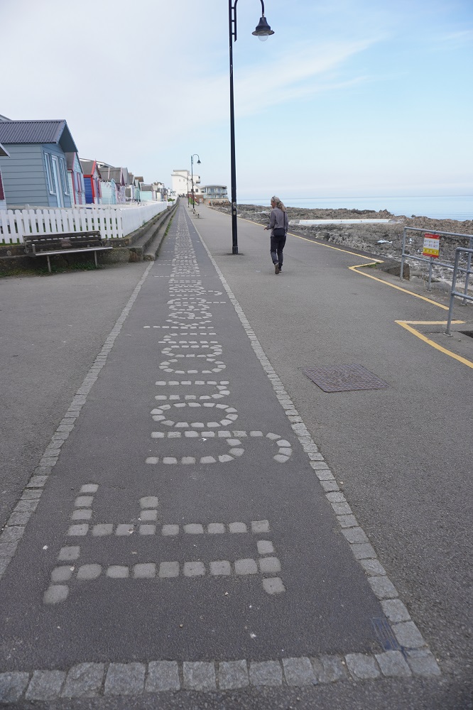
I have included a photo of some of the words of the Rudyard Kipling poem ‘If’ that are written in stone in the esplanade paving at Westward Ho! If anyone is interested here is the complete poem. It is an example of Victorian era ‘stiff upper lip’ self-discipline, a father giving advice to his son.

If you can keep your head when all about you
Are losing theirs and blaming it on you,
If you can trust yourself when all men doubt you,
But make allowance for their doubting too;
If you can wait and not be tired by waiting,
Or being lied about, don’t deal in lies,
Or being hated, don’t give way to hating,
And yet don’t look too good, nor talk too wise:

If you can dream—and not make dreams your master;
If you can think—and not make thoughts your aim;
If you can meet with Triumph and Disaster
And treat those two impostors just the same;
If you can bear to hear the truth you’ve spoken
Twisted by knaves to make a trap for fools,
Or watch the things you gave your life to, broken,
And stoop and build ’em up with worn-out tools:

If you can make one heap of all your winnings
And risk it on one turn of pitch-and-toss,
And lose, and start again at your beginnings
And never breathe a word about your loss;
If you can force your heart and nerve and sinew
To serve your turn long after they are gone,
And so hold on when there is nothing in you
Except the Will which says to them: ‘Hold on!’

If you can talk with crowds and keep your virtue,
Or walk with Kings—nor lose the common touch,
If neither foes nor loving friends can hurt you,
If all men count with you, but none too much;
If you can fill the unforgiving minute
With sixty seconds’ worth of distance run,
Yours is the Earth and everything that’s in it,
And—which is more—you’ll be a Man, my son!


Flat as again

Sunday 26 April 2026

Day 7 of walking

Instow to Westward Ho!
Distance: 20.71kms
Total distance: 156.79kms
Climbing: 160m
Total climb: 4033m

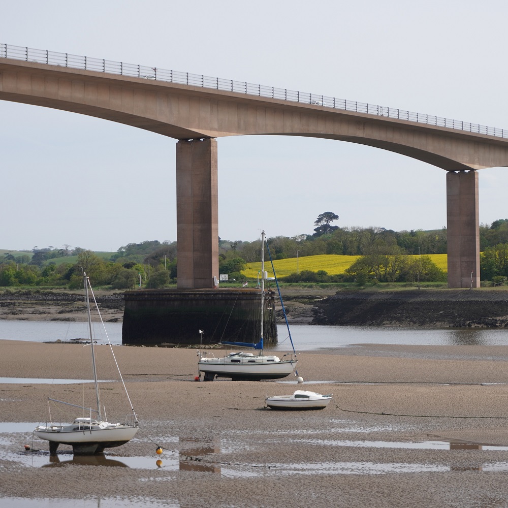
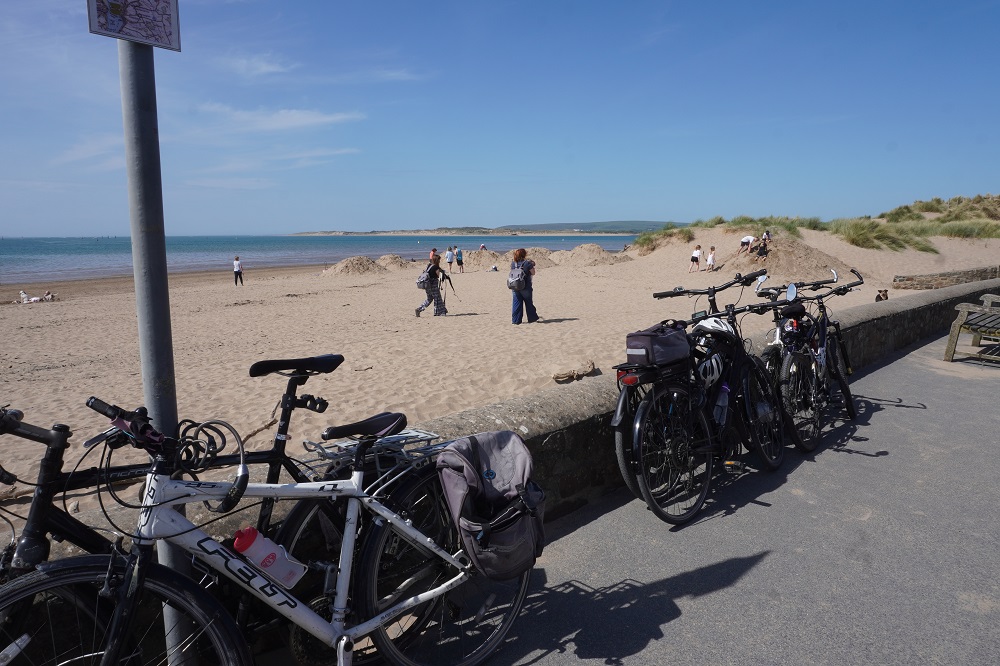
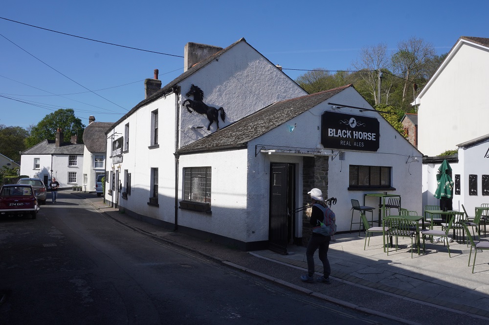
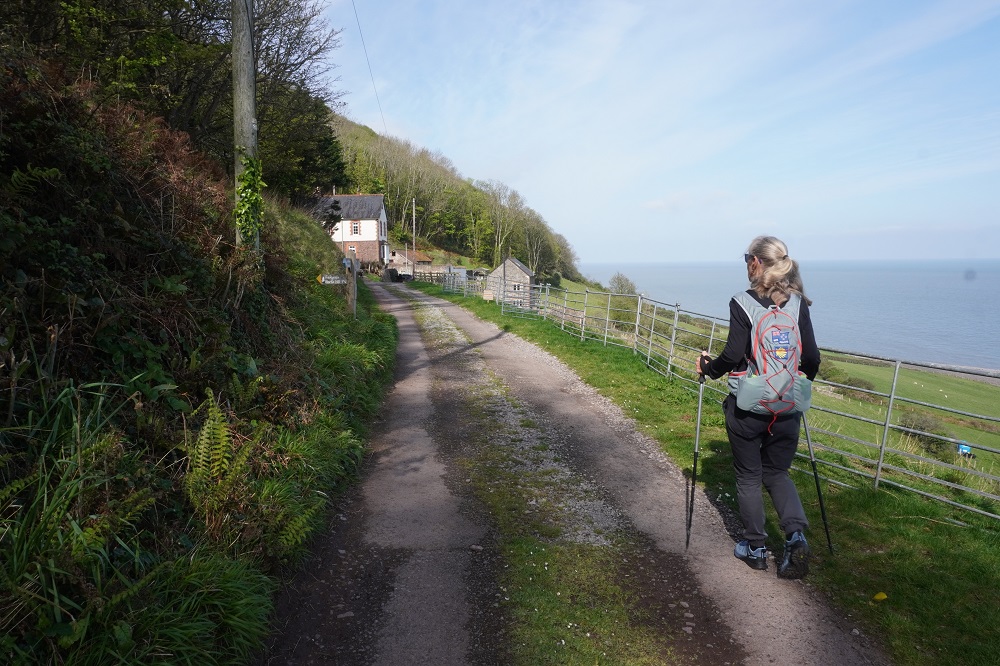
Today was sort of a repeat of yesterday. From Instow walk along one side of the River Torridge, cross the bridge at Bideford, walk all the way back along the other side of the river to Appledore, go round the corner to Westward Ho!

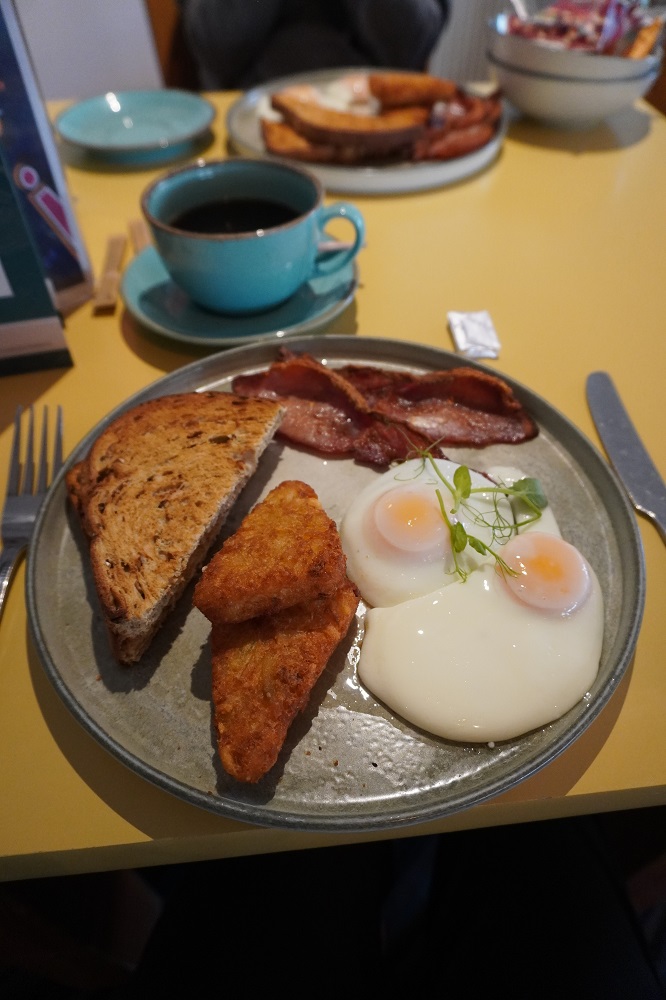
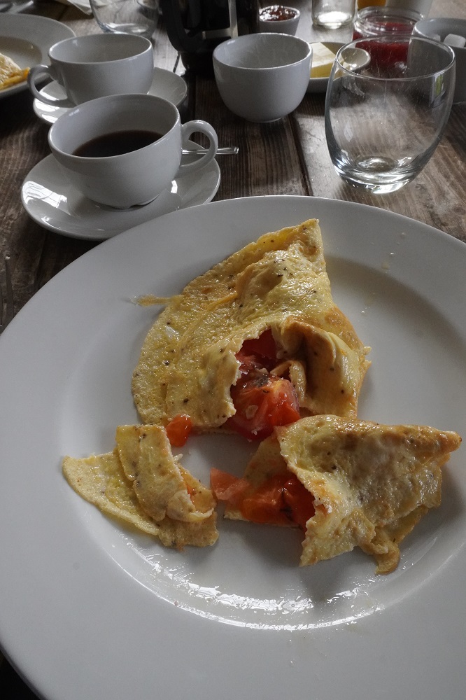
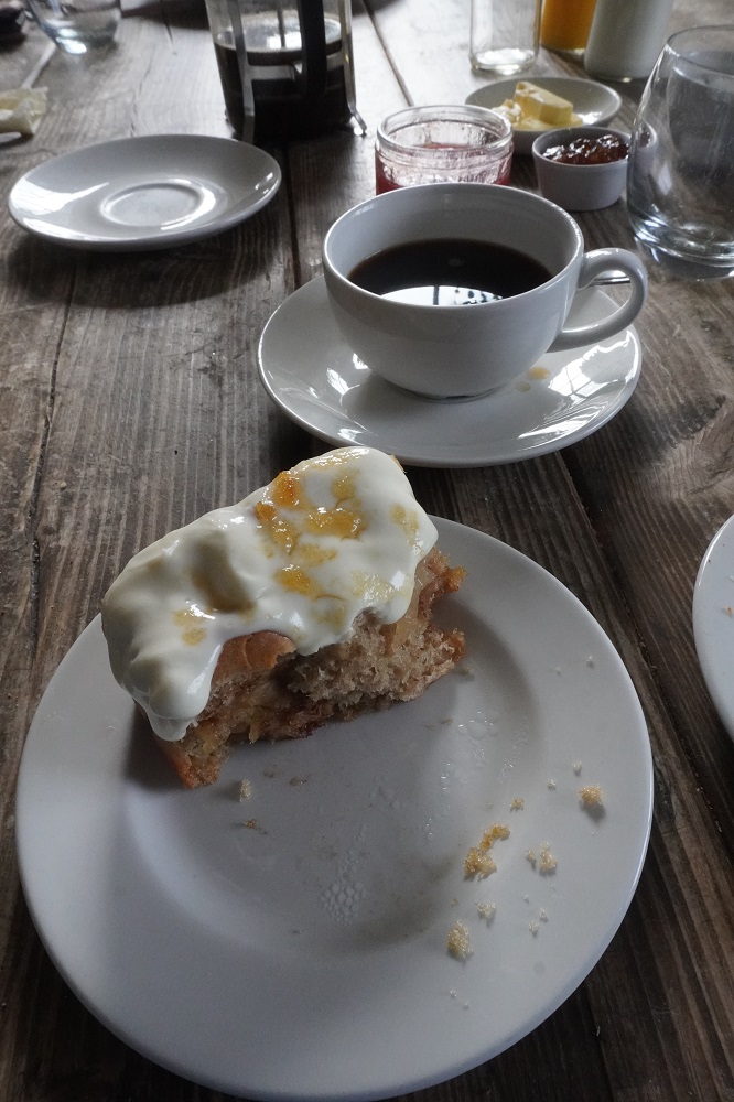
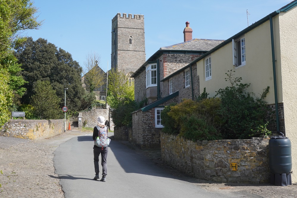
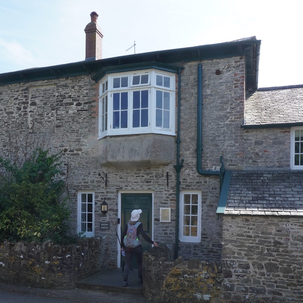
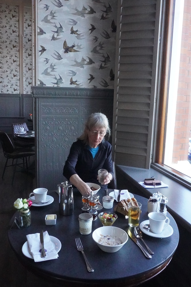
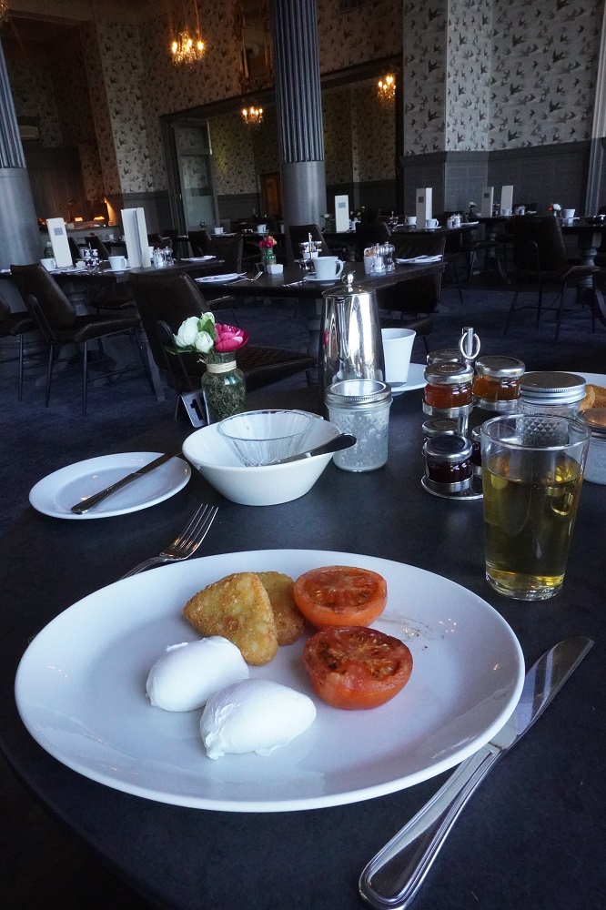
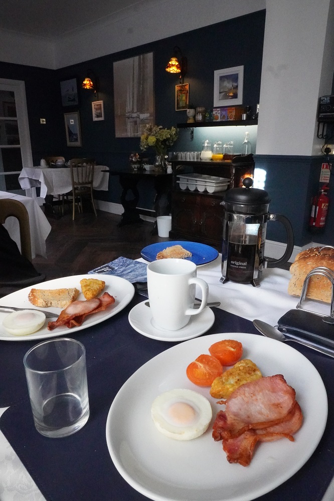
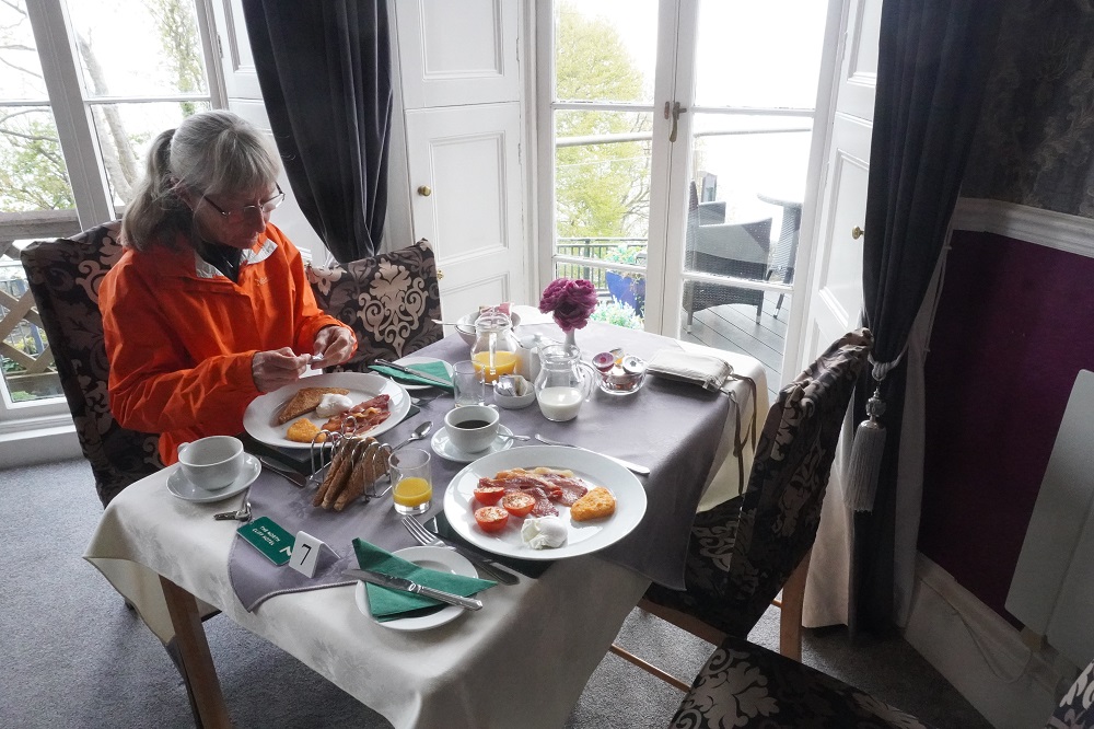
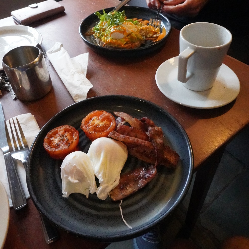
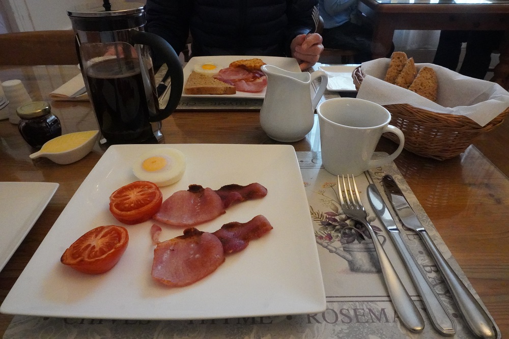
Caroline at Instow Barton provided a delicious breakfast. She had the option of having an omelette and we jumped at the chance of a variation from our usual poached egg with bacon, hash brown or tomato. When we arrived yesterday she gave us some of her home made cake and a hot drink. This morning at breakfast she gave us some of her home made cinnamon and apple roll with cream cheese icing. We asked her if this was an American tradition but she said not really, she had a bumper crop of apples this year and after making gallons of apple juice didn’t want to just feed the remainder to their horses. She peeled and pulped the apples to make cinnamon and apple roll for her guests.

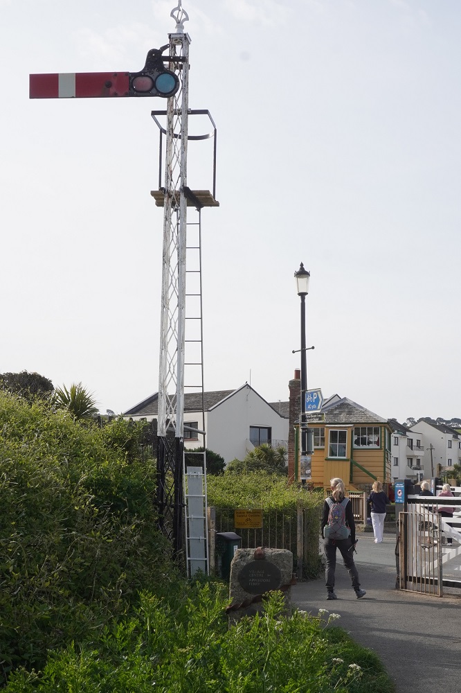
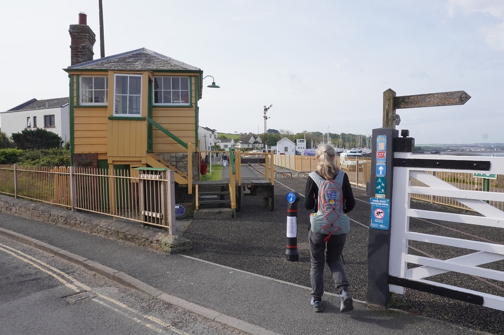
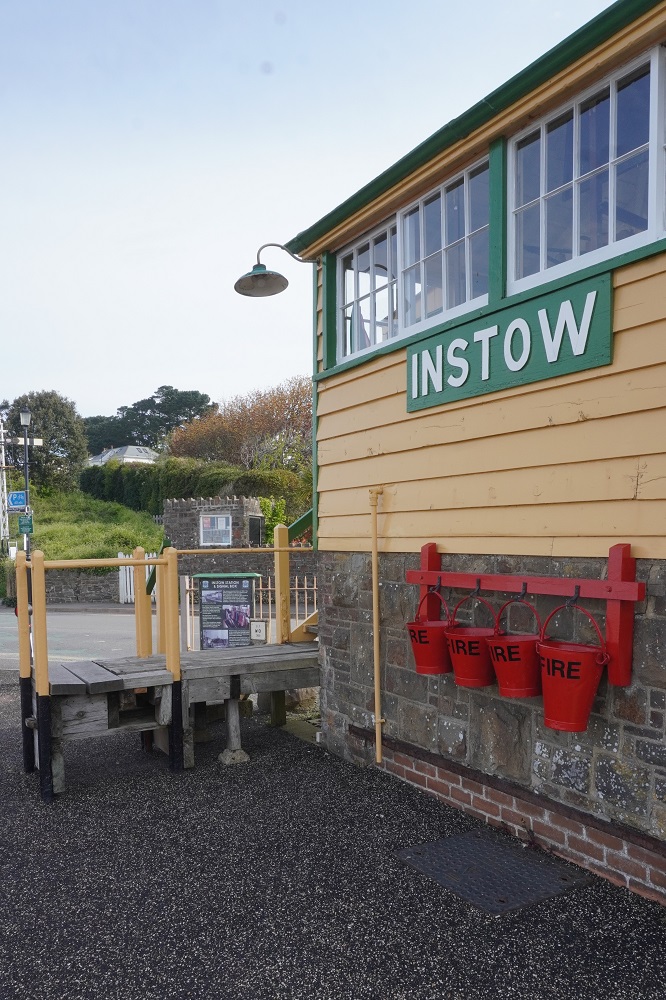
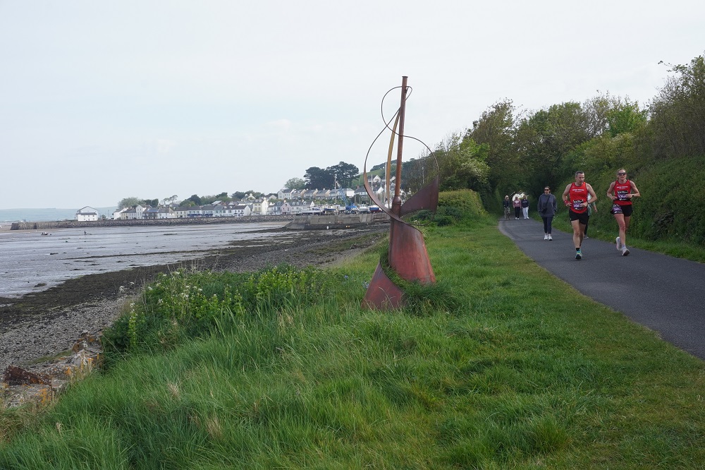
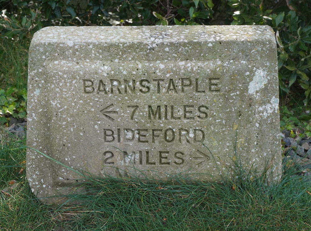
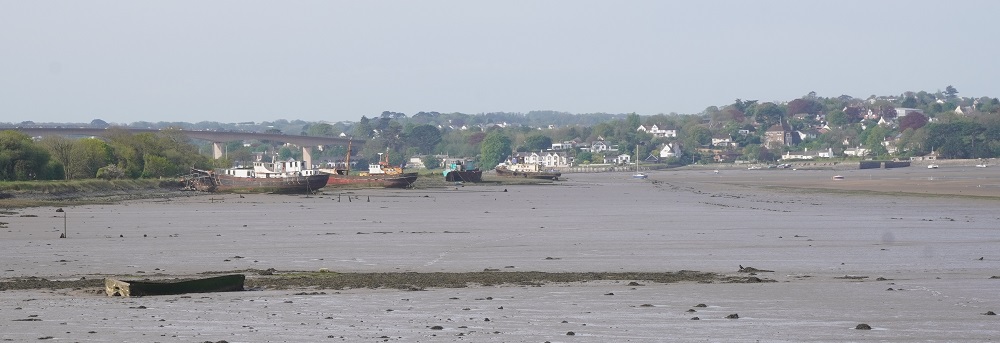
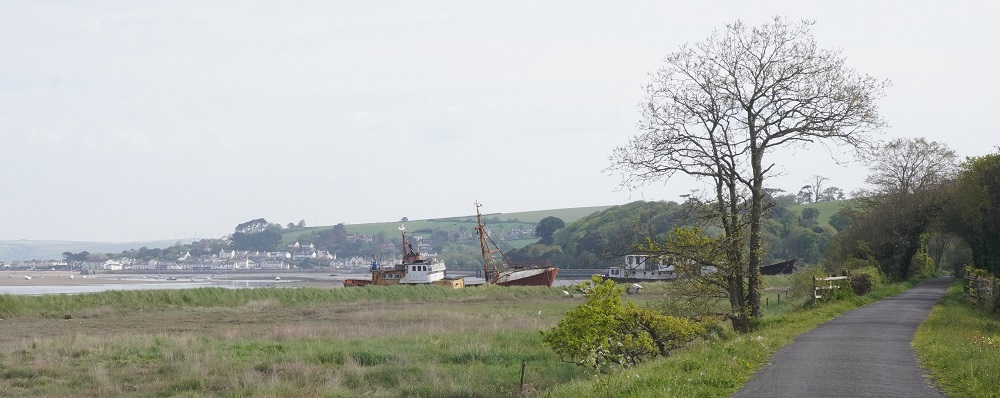
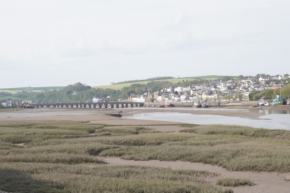
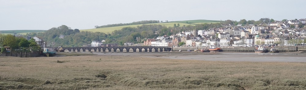
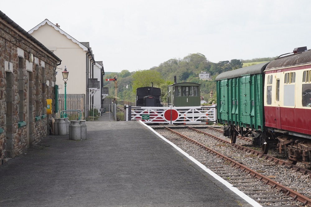
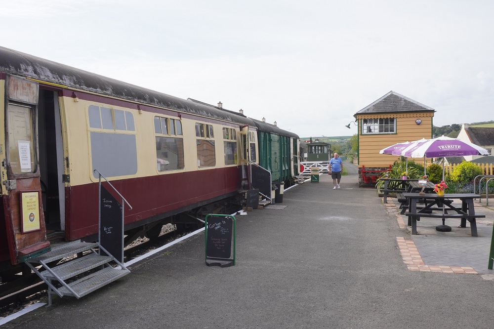
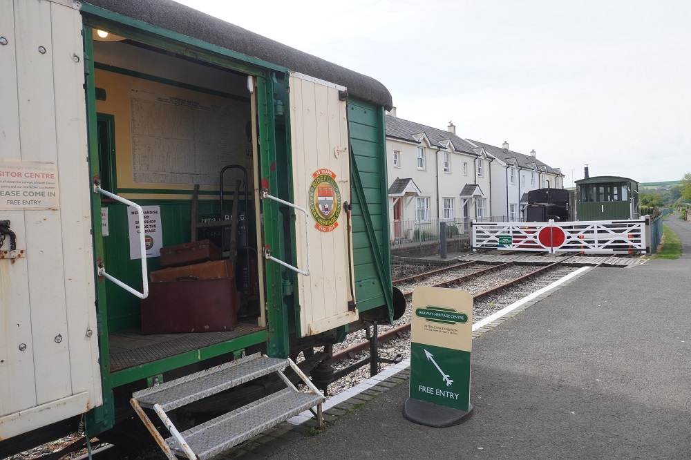
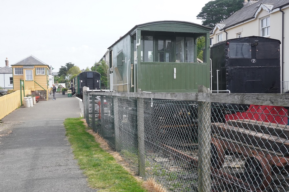
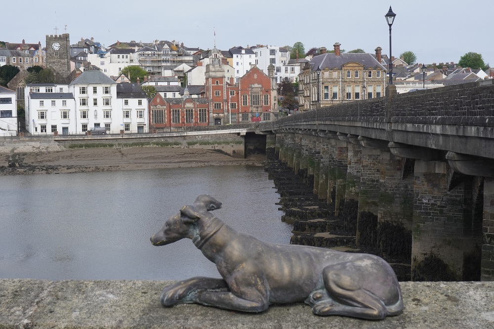
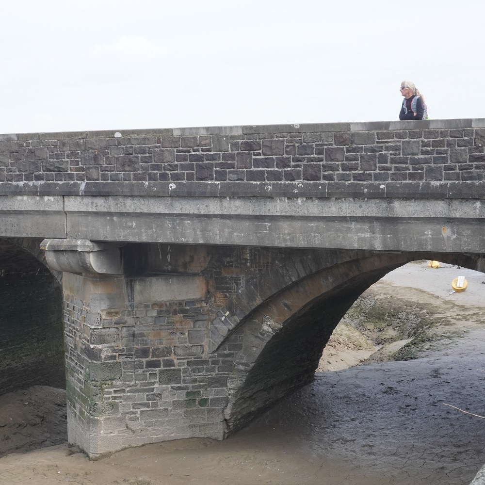
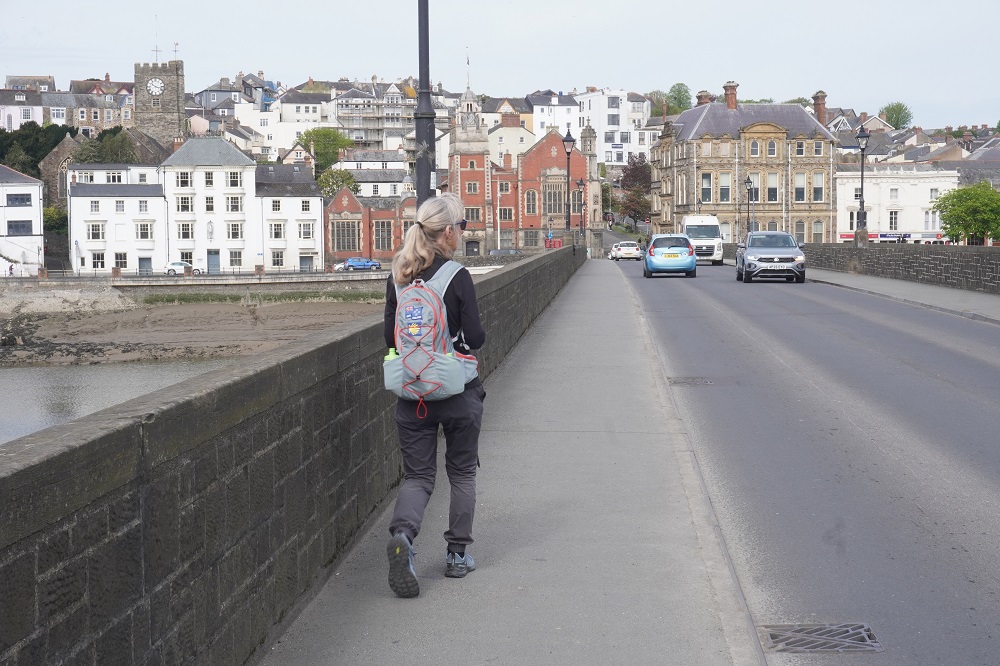
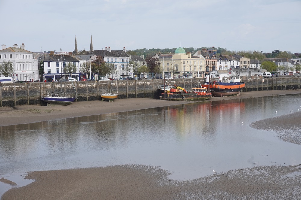
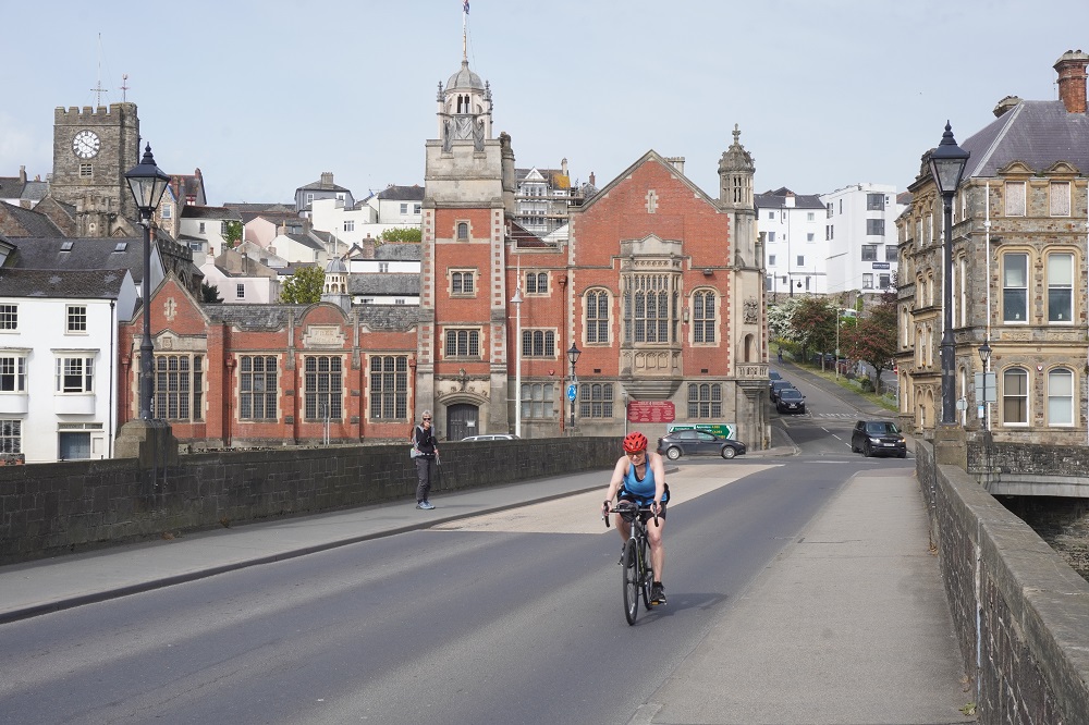
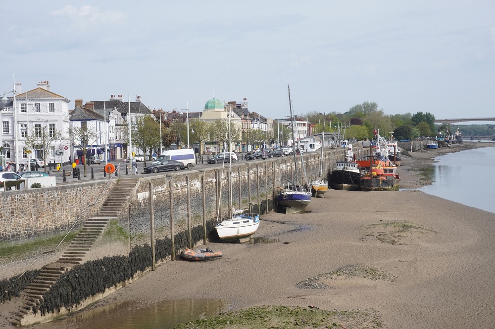
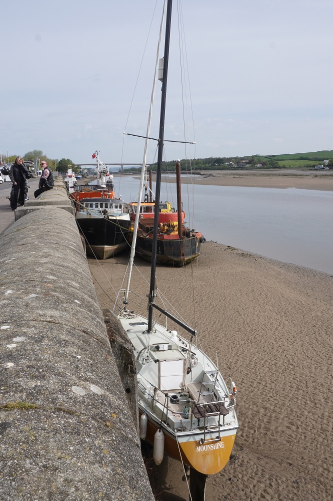
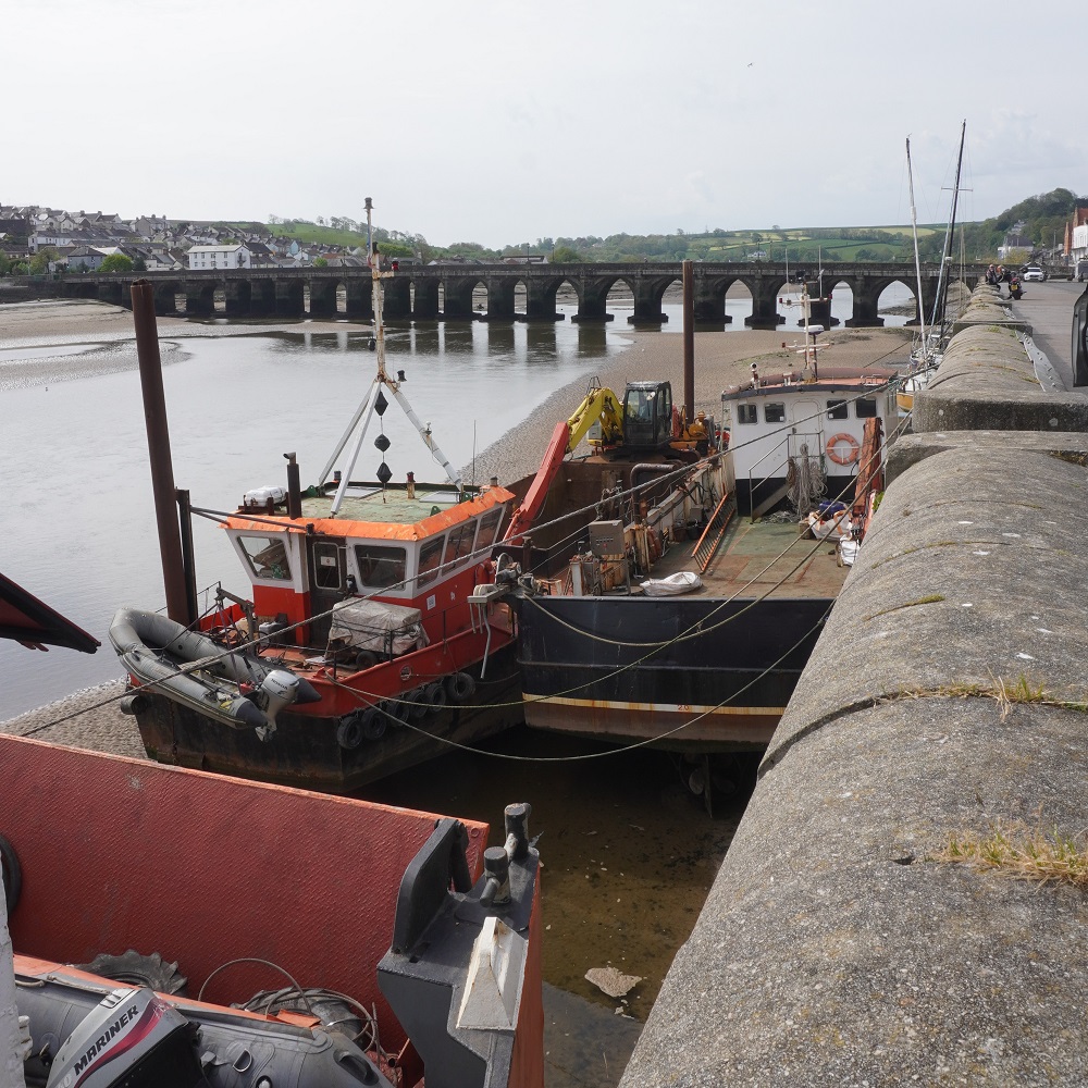
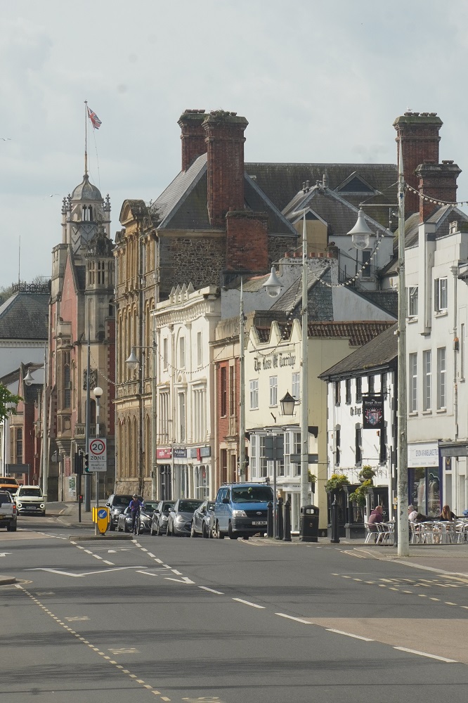
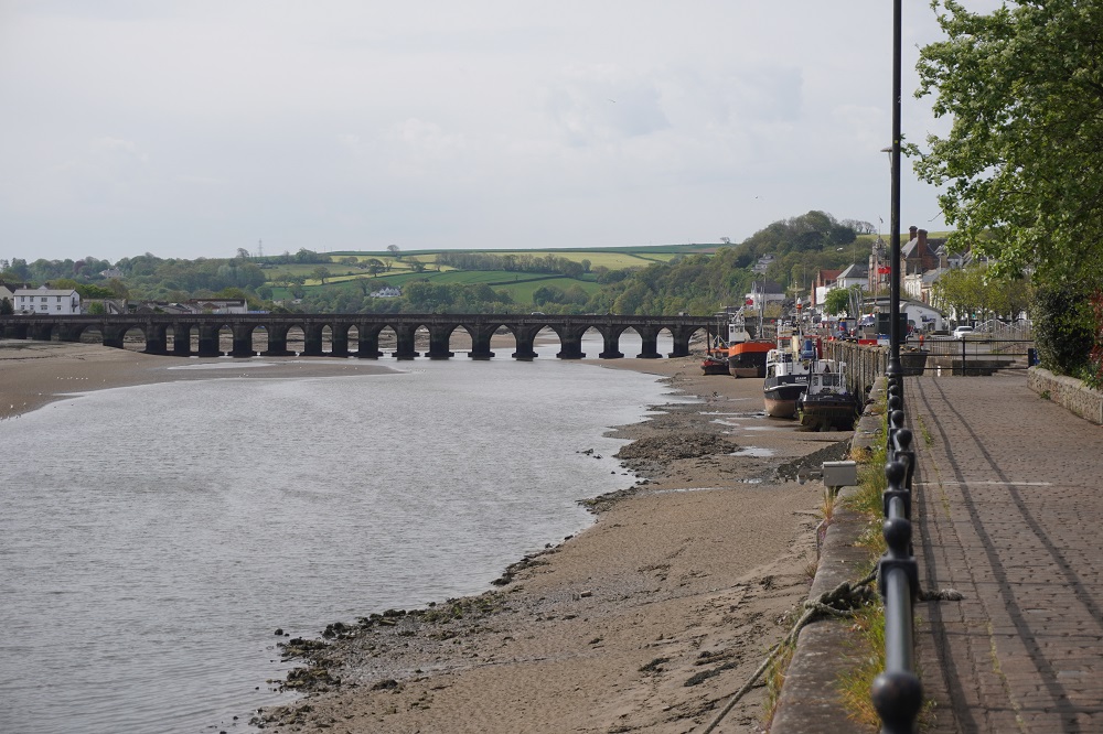
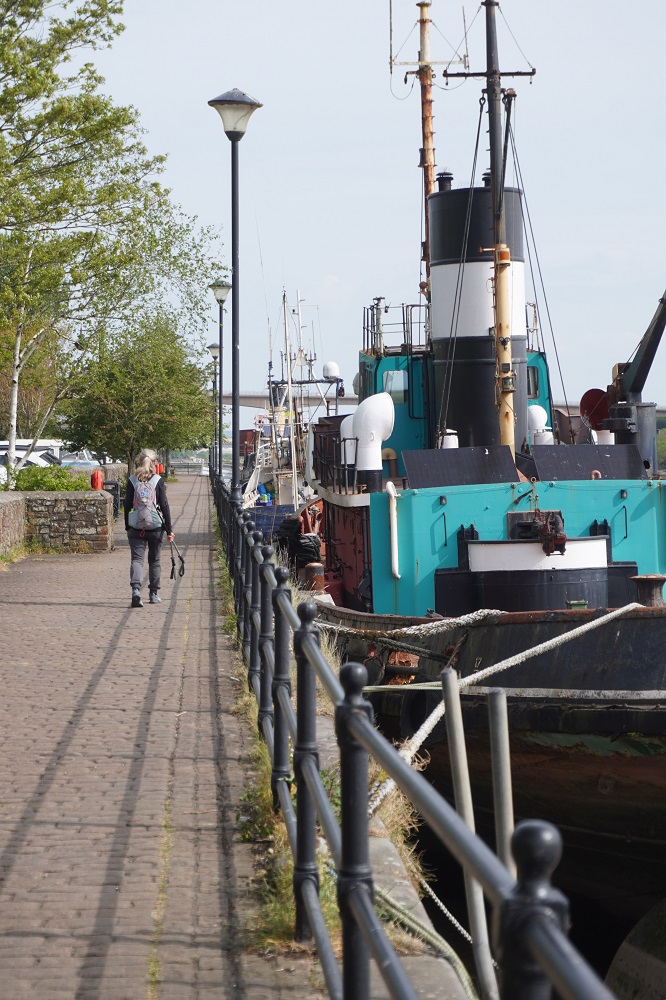
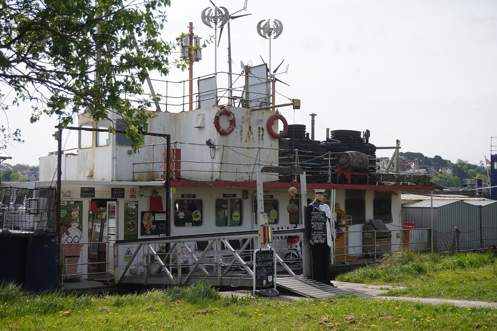
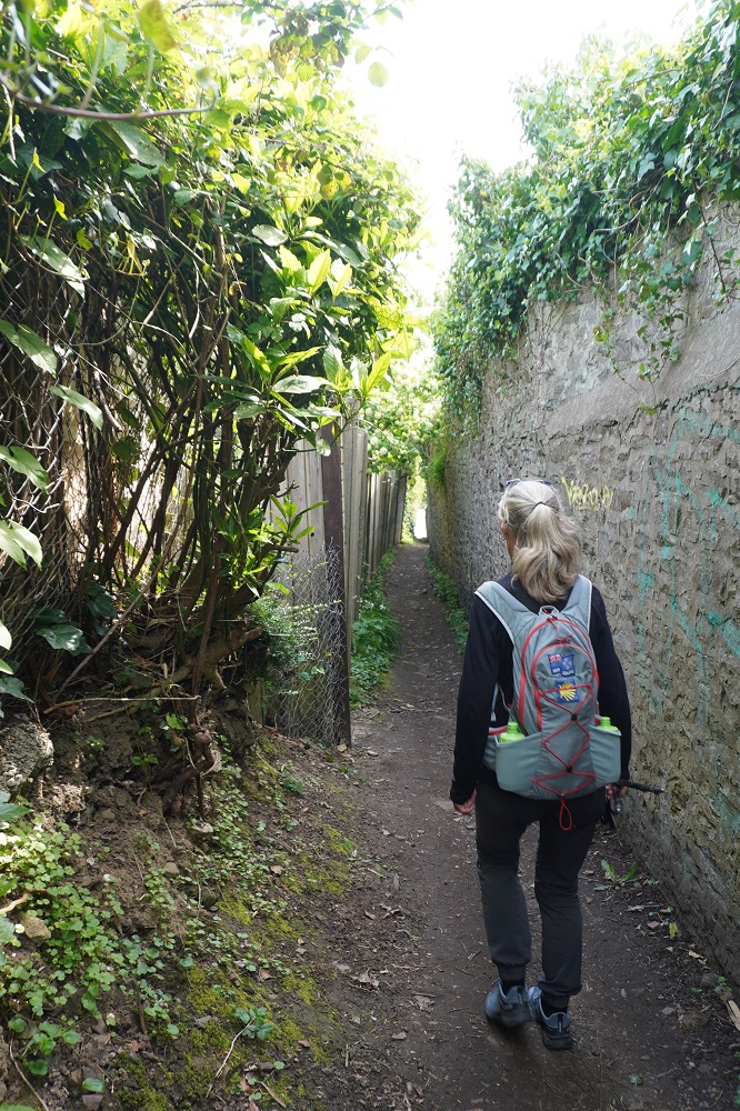
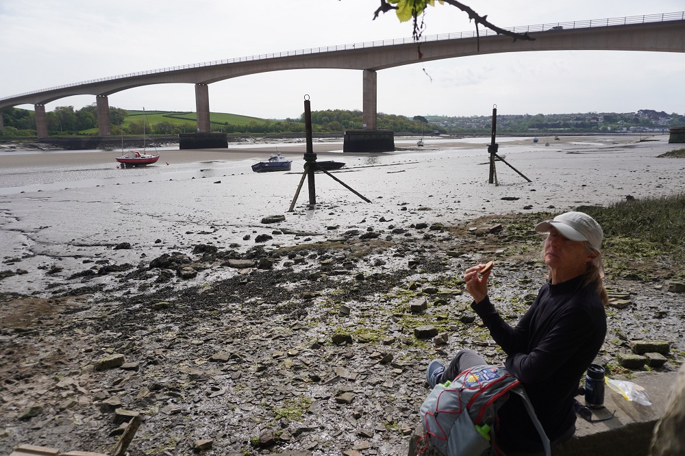
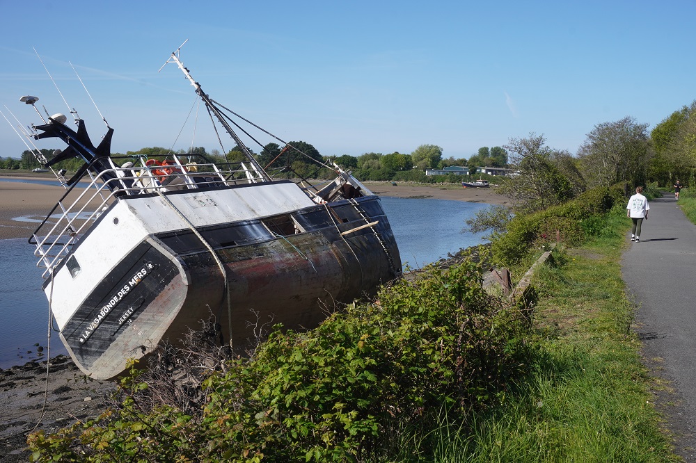
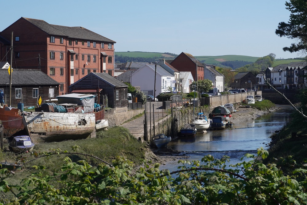
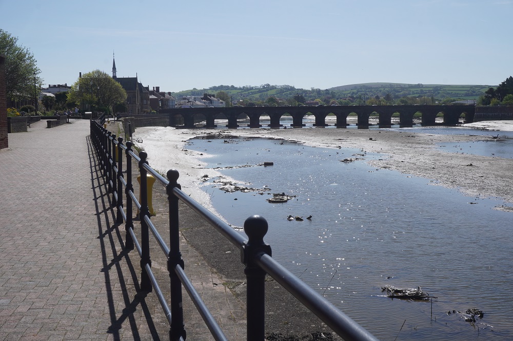
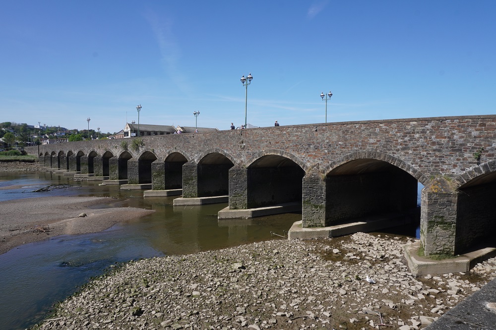
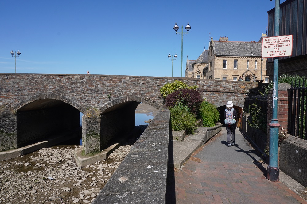
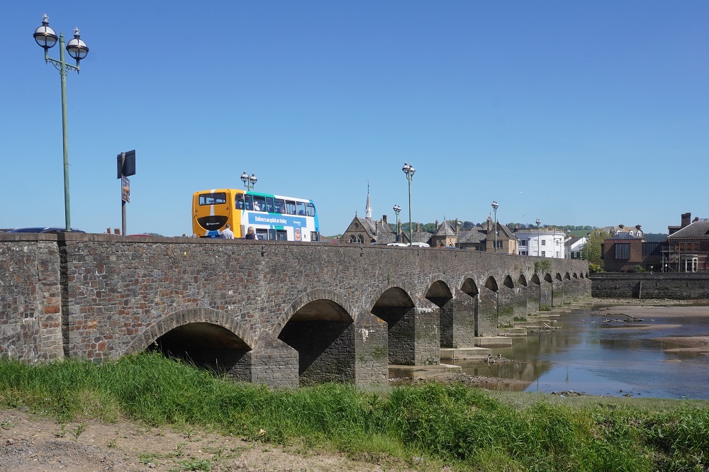
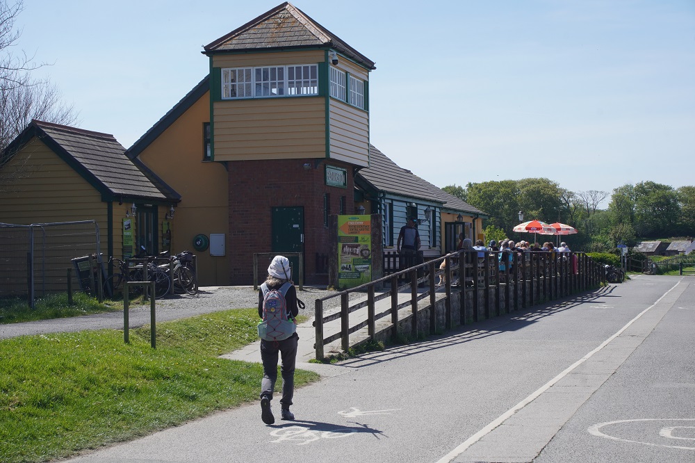
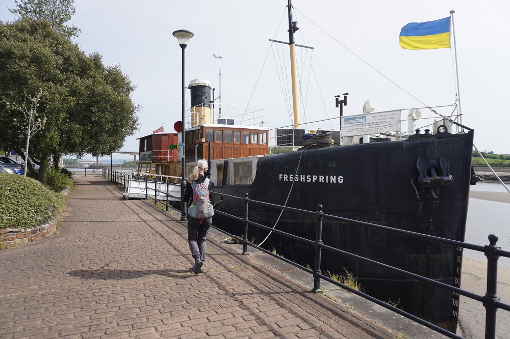
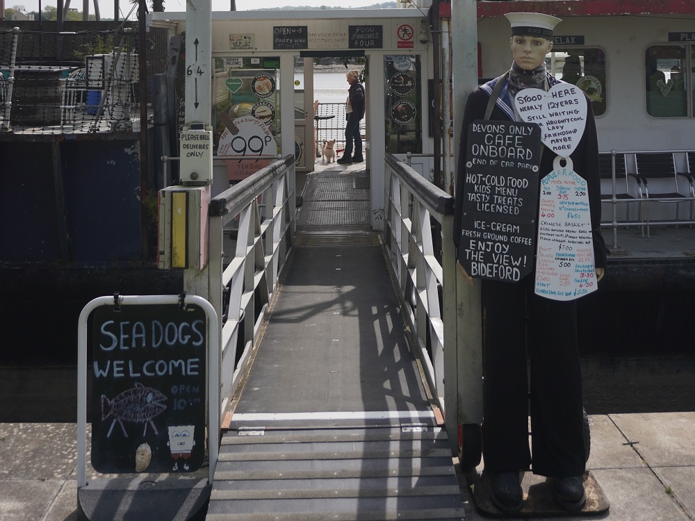
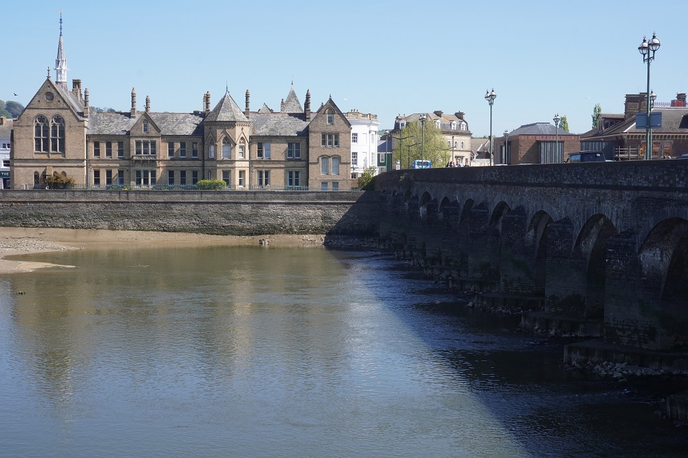
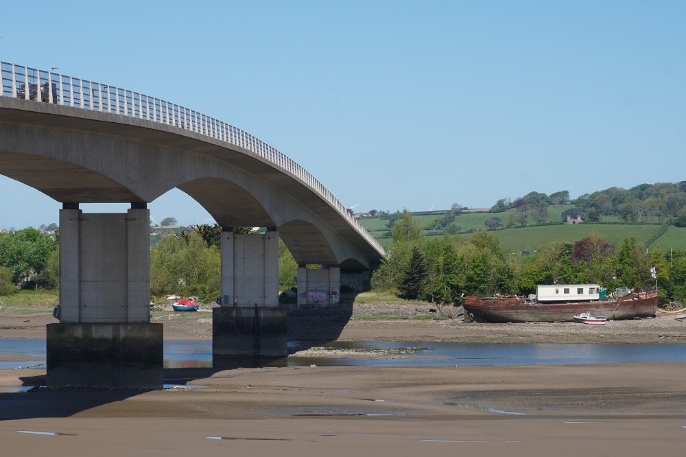
From Instow and its heritage railway signal box the flat path followed the east bank of the estuary of the River Torridge. This old railway line was again busy with runners and cyclistsThere were a lot of groups of runners coming towards us and eventually we asked a lady what it was all about. She happened to be an instructor at a local gym. In two weeks there is a 10km event here and these were her gyms members out on a traing run. At the Bideford end of the path there is a small heritage railway museum and café in some restored railway carriages. At this point you cross the River Torridge over one of the longest mediaeval arched bridges in England. Yesterday Barnstaple had an arched bridge over the River Taw called Long Bridge and today Bideford had an arched bridge over the River Torridge also called Long Bridge. Bideford is a charming old port town, once the third busiest port in England. On the west side of the river is a quay with many wrecks of boats tied up, some used for cafes and restaurants. There was no railway on this side of the river so the path meanders about, sometimes on the river bank, around residences, down some alleys, through woodland, around an industrial area, a ship yard, up and down a bit, to arrive in Appledore.

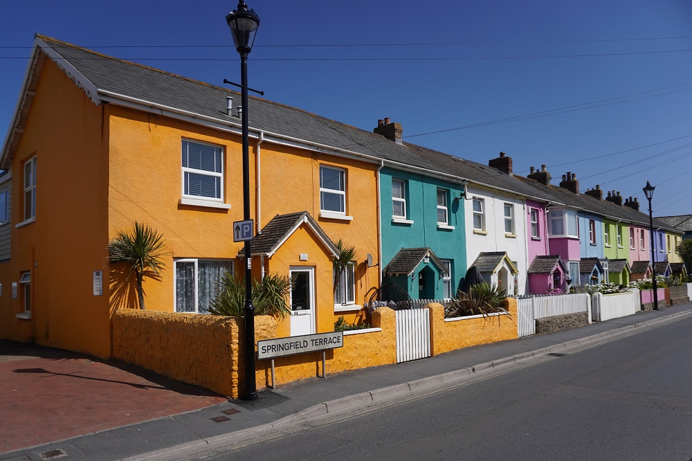
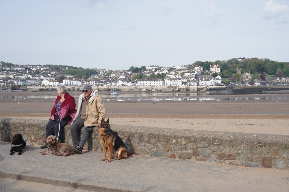
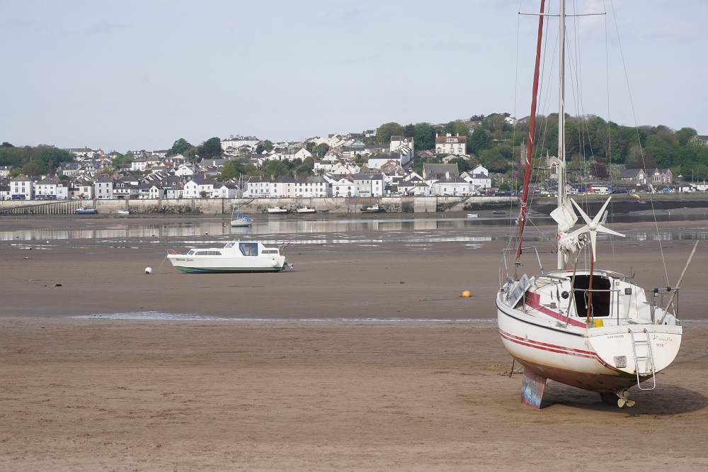
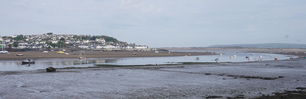
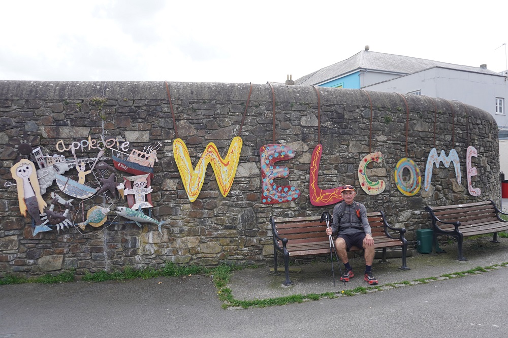
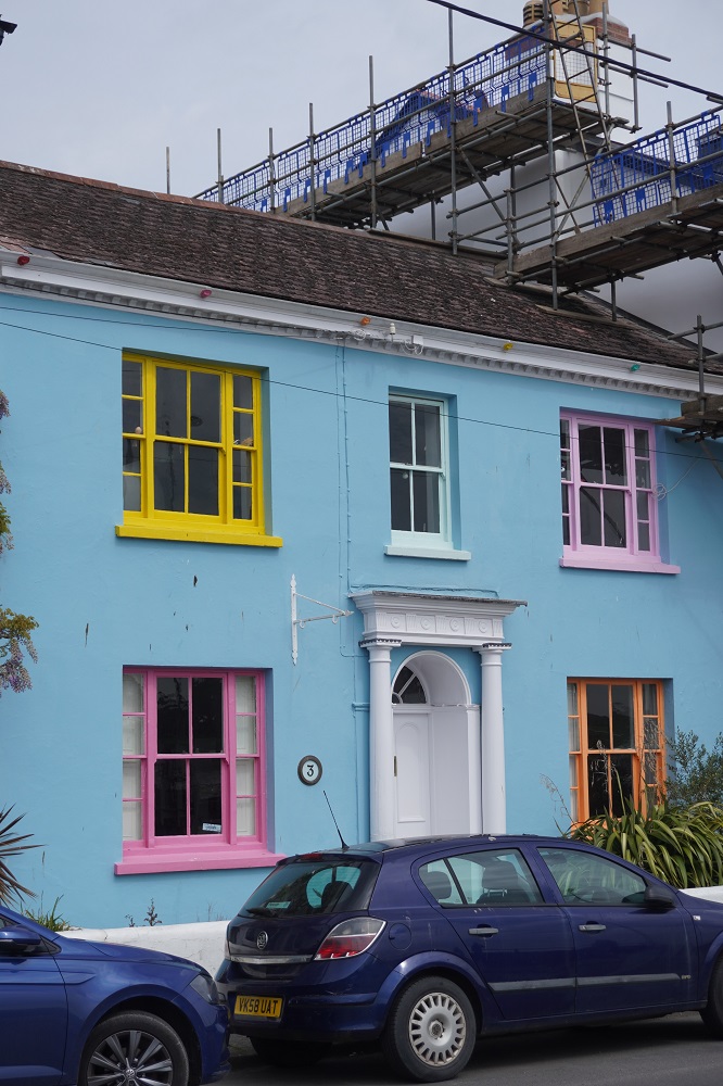
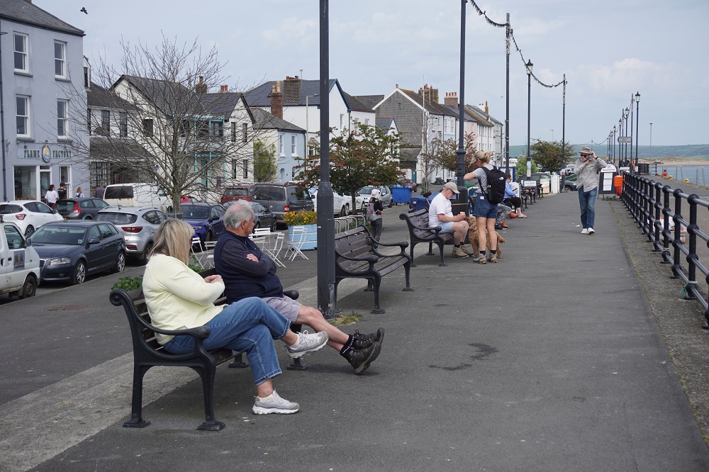
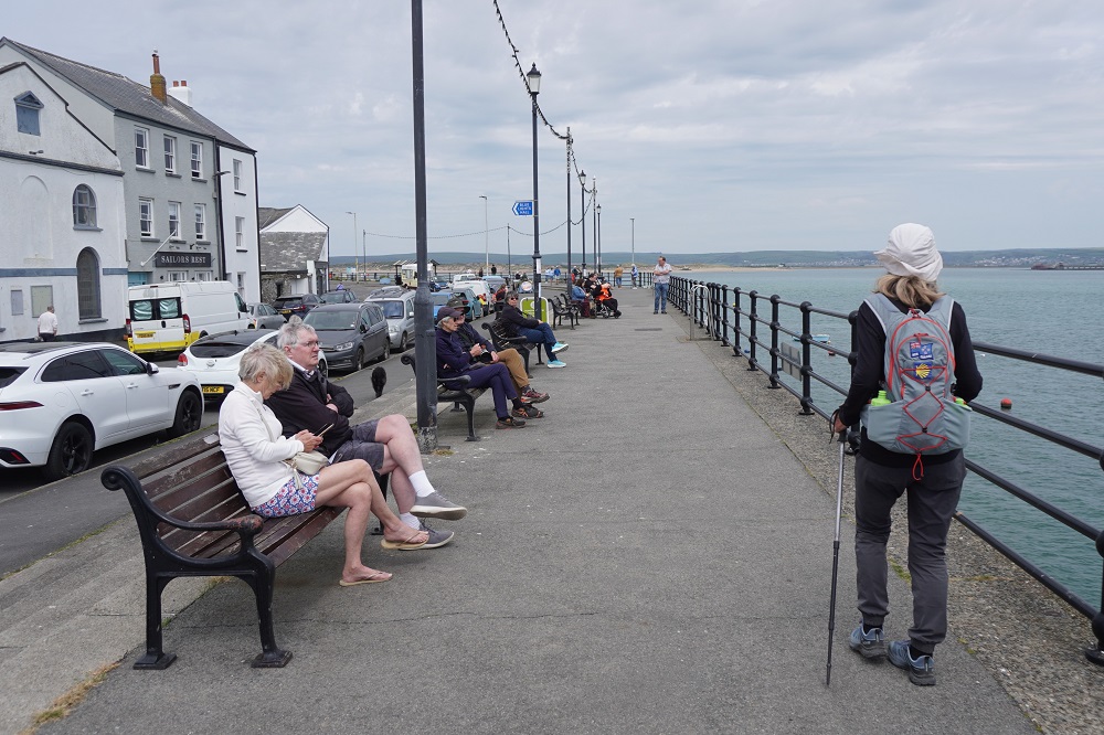
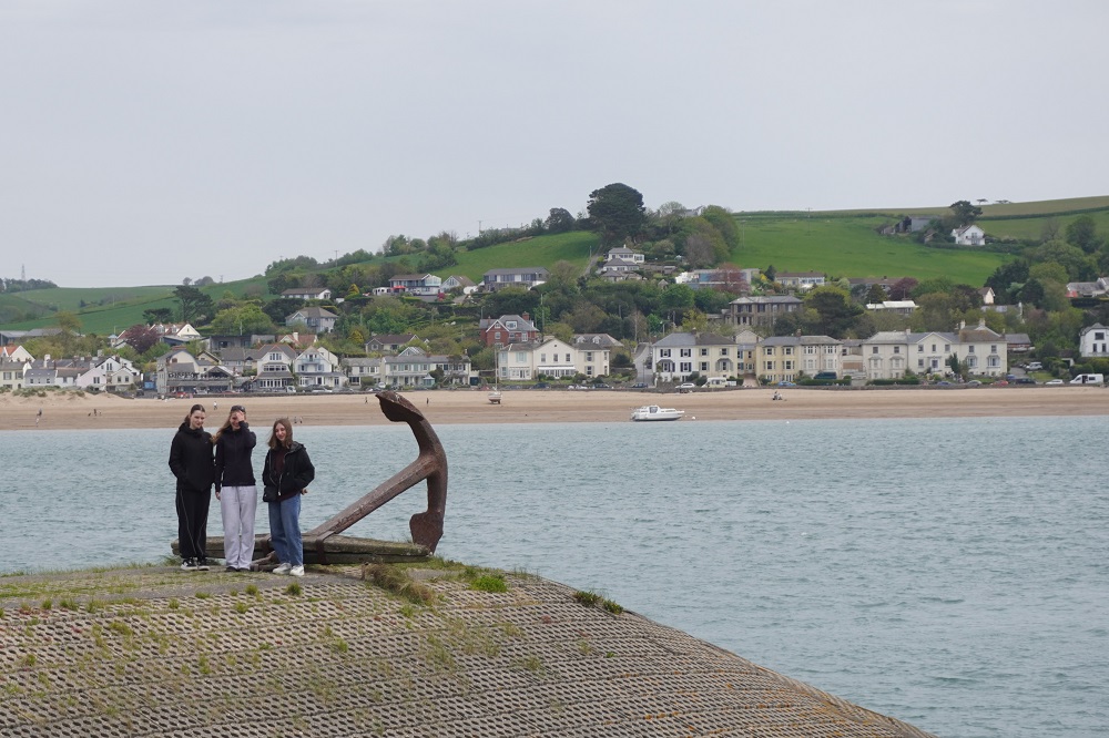
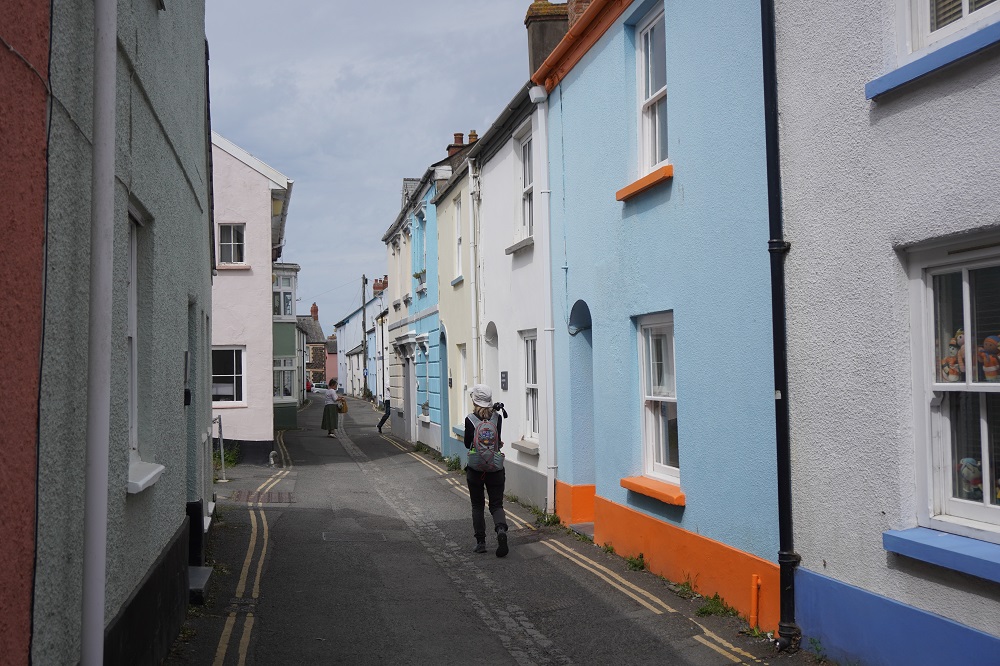
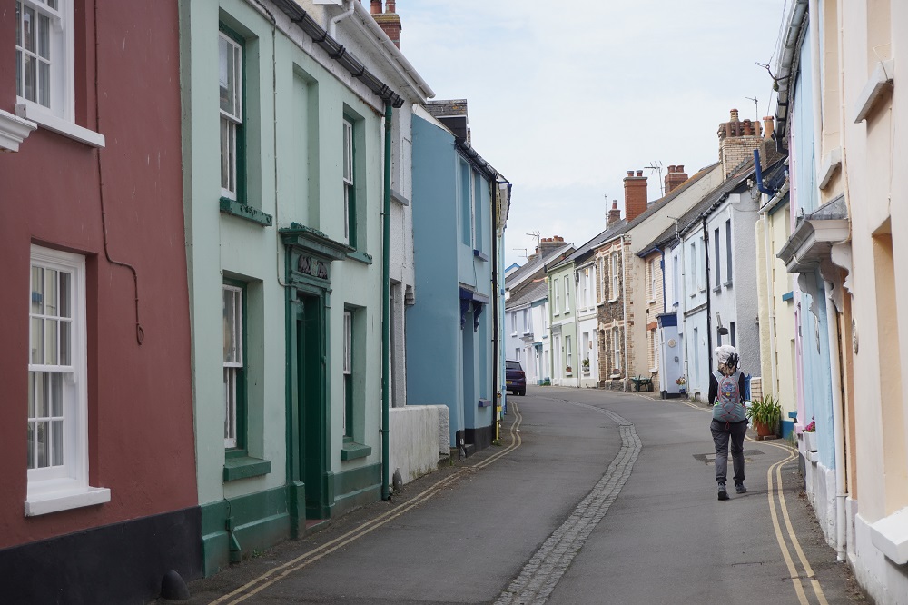
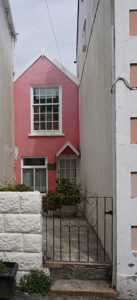
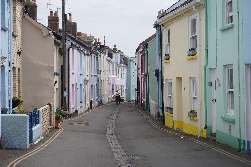
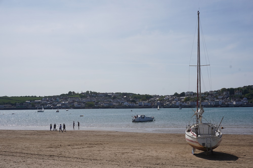
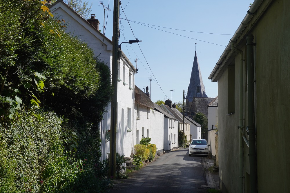
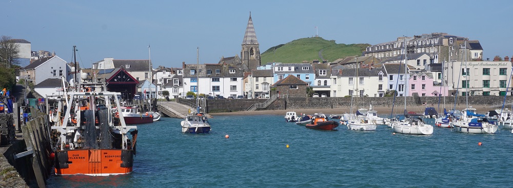
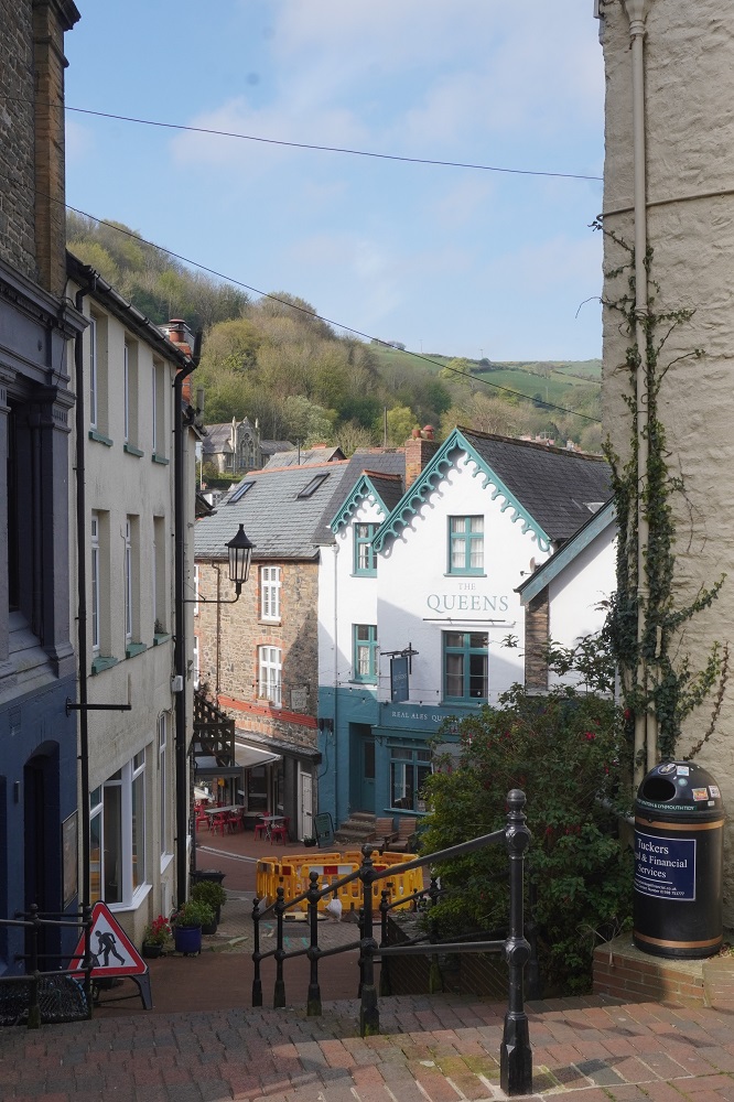
Appledore is a charming old fishing village with little cottages and narrow cobblestoned alleys that are much too narrow for vehicles. It is quaint and quirky with colourfully painted houses, artists, studios, workshops, two old pubs and a promenade looking out over the estuary to Instow. There is a seasonal (April to October) ferry from Instow across to Appledore but it is tide and weather dependent. It would take about 15 minutes to do what we took most of the day to walk. There was a ferry at 1.30pm today but we left Instow at 9am at low tide. Besides it was a beautiful morning, the walk was interesting and we don’t cheat – well not yet anyway.

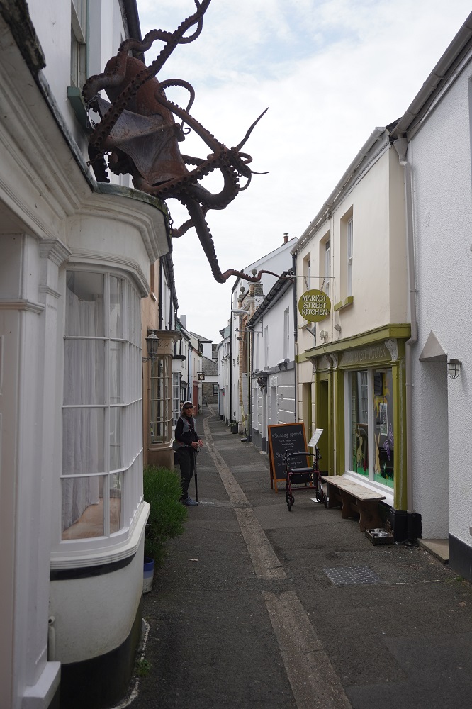
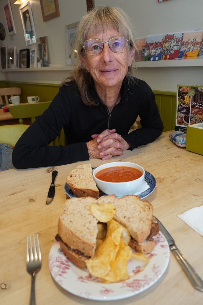
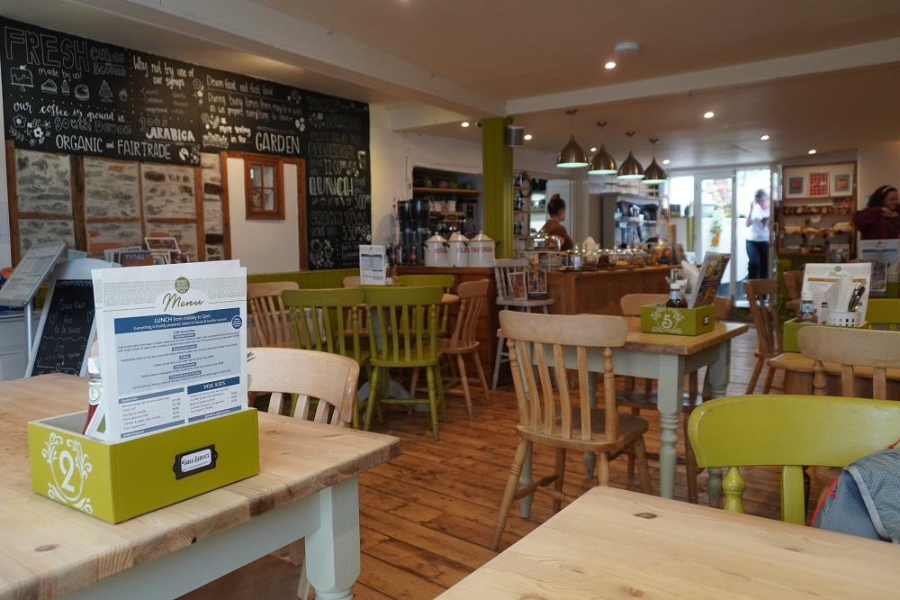
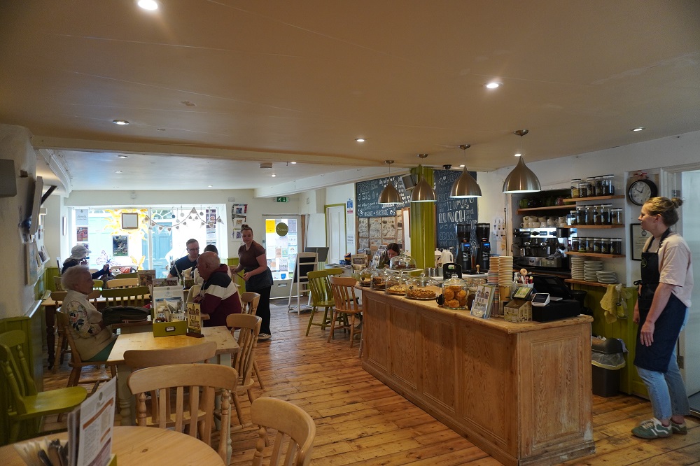
.Seven years ago we stopped in Appledore for lunch in a nice little café down a back street called the Market St Kitchen. Today is Sunday and our plan had been to get the Sunday Roast for lunch on Sundays. However we hadn’t worked much this morning and after Caroline’s breakfast we weren’t ready for a big meal. Our plans are always flexible so we decided to go and find the Kitchen and see what they had to offer. They had a Sunday special of beef with horse radish sauce and granary bread. This suited me and Barbara had tomato and lentil soup and granary bread. Seven years ago we both had the tomato and lentil soup. Granary bread, also called malted grain bread, is a brown bread made with malted wheat flakes giving it a nutty flavour, chewy texture and is high fibre. It could become a favourite.

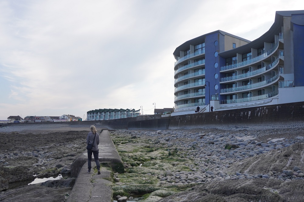
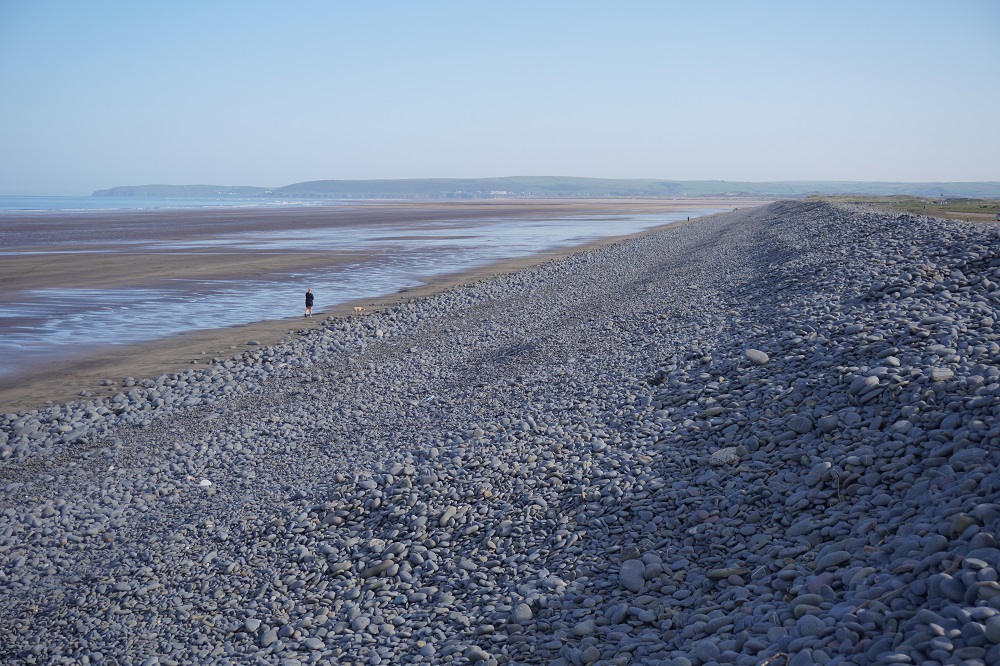
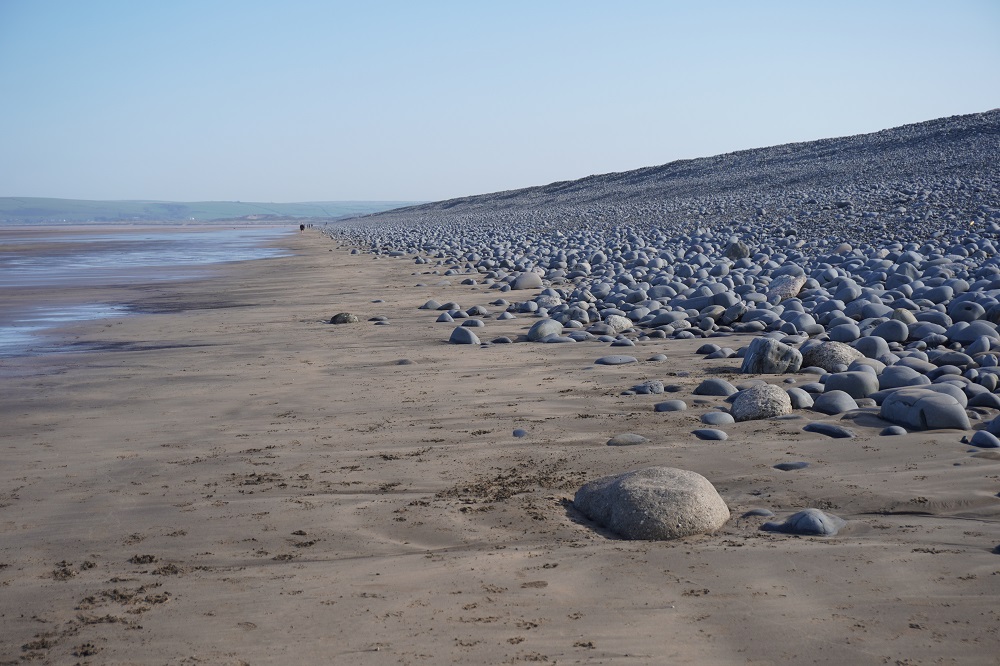
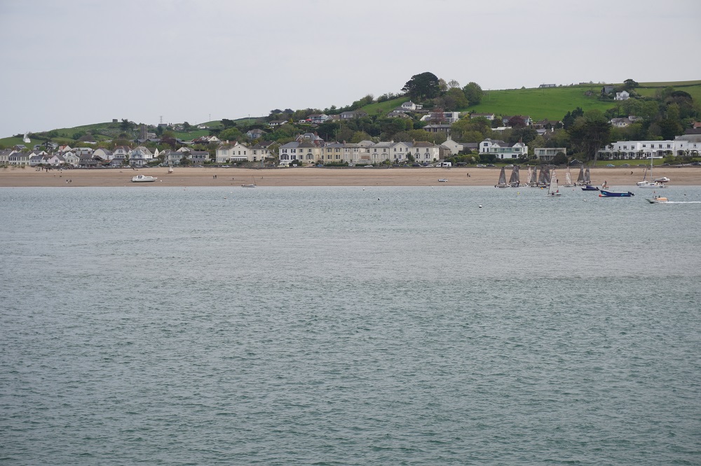
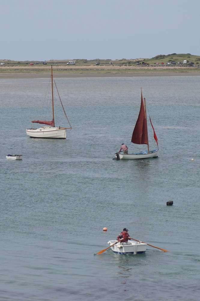
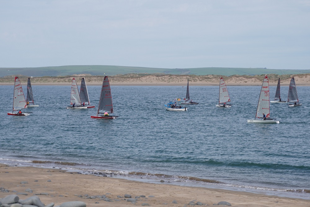
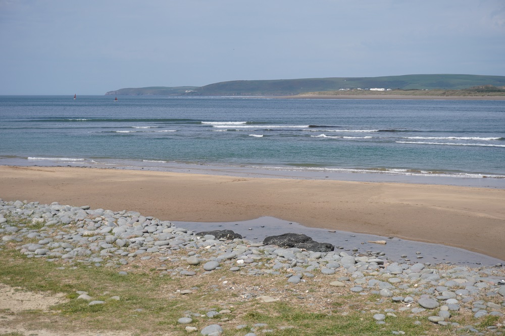
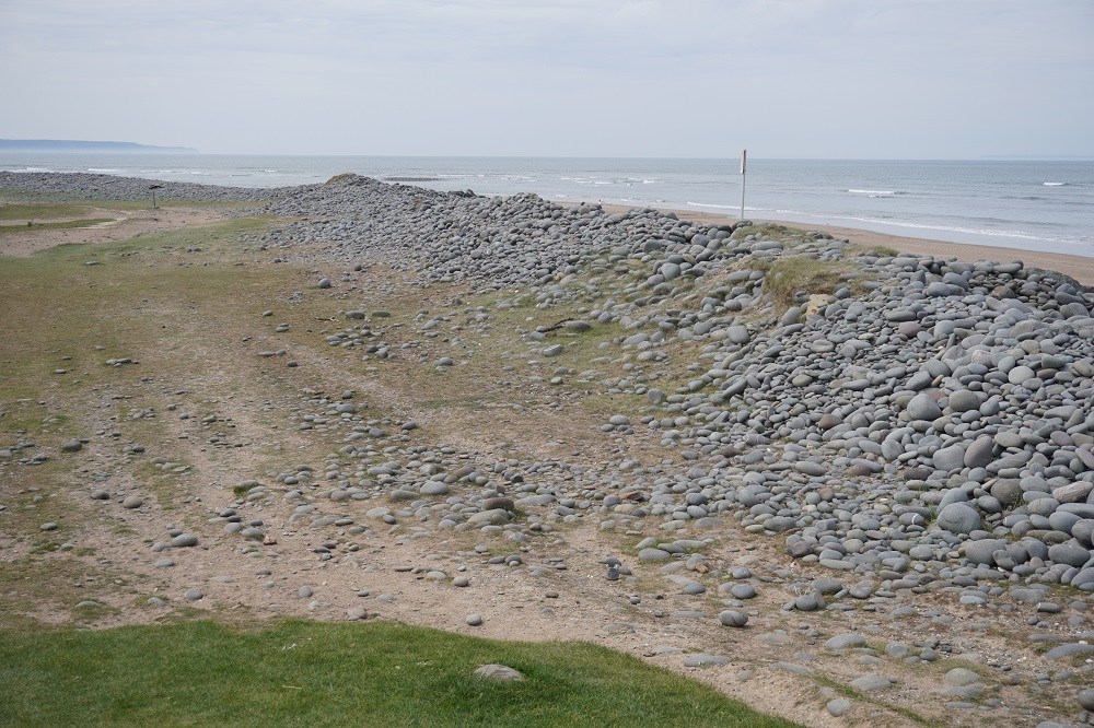
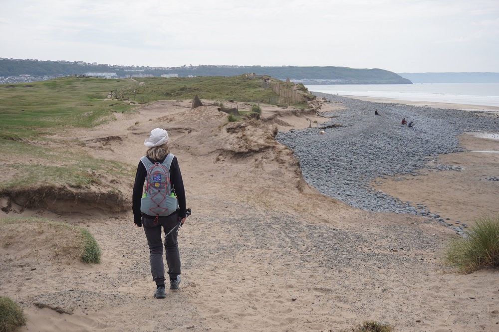
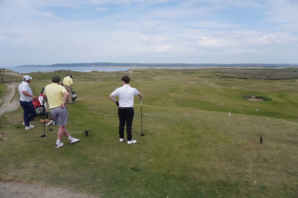
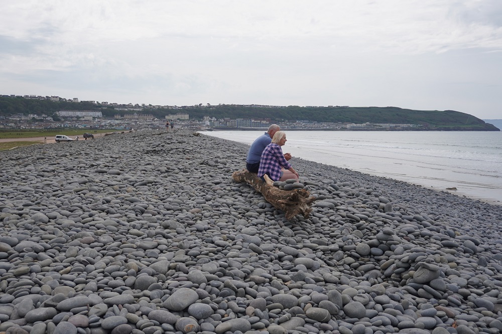
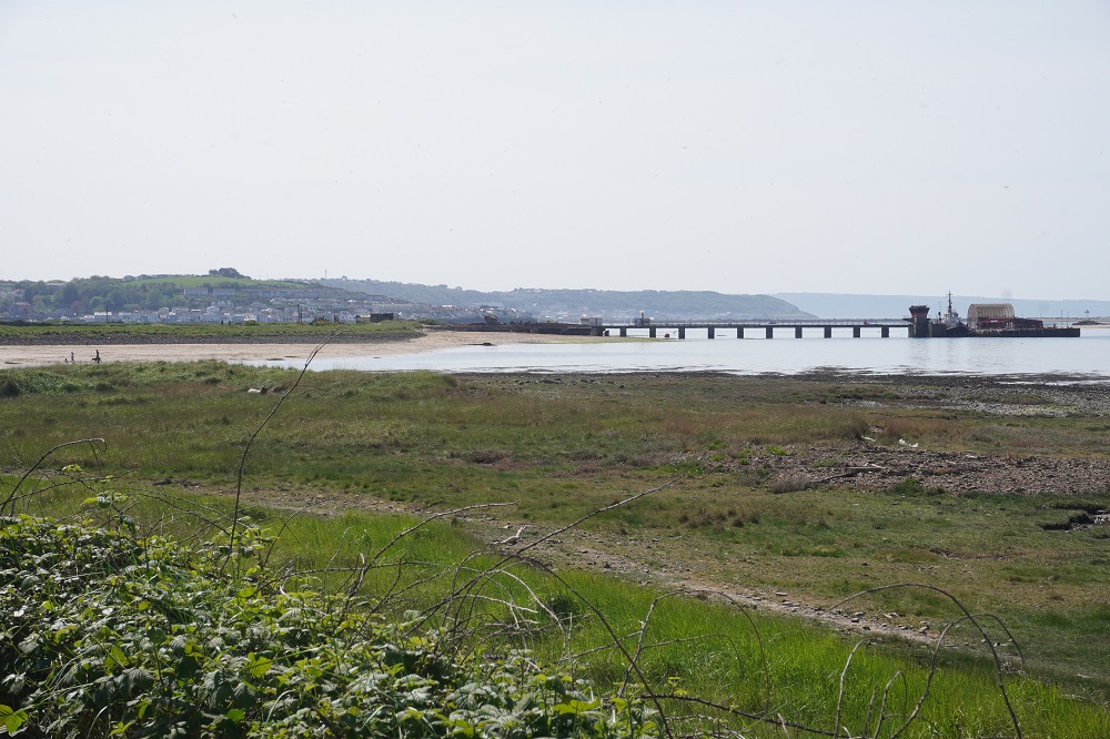
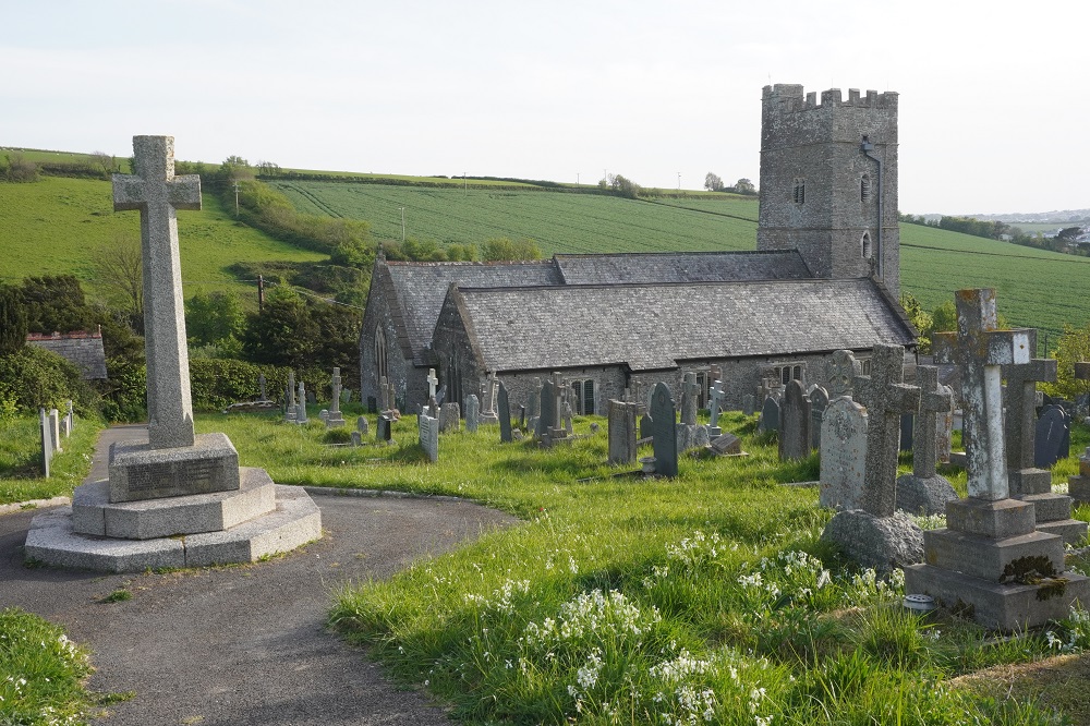
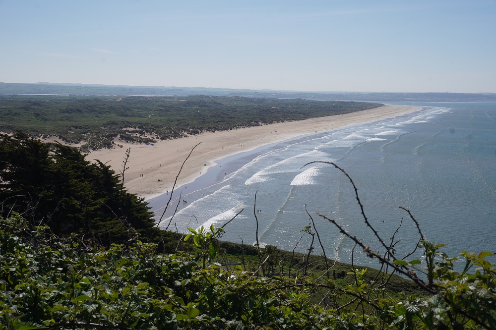
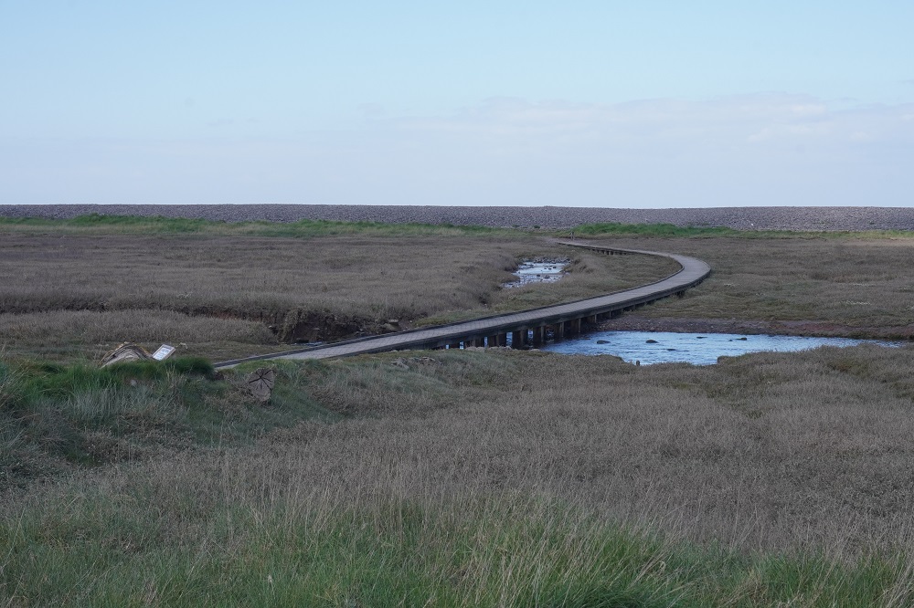
From Appledore you could walk about a kilometre into Westward Ho! but the South West Coast Path takes you the scenic route of five kilometres around a headland, the Northam Burrows Country Park. This is a large coastal plain of sand dunes separated from the sea by a shingle ridge. The Taw and Torridge Rivers converge at this headland and flow out into the Bristol Channel. There were lots of little yachts racing off the headland.  Spitting distance across the water were the Braunton Burrows and Saunton Sand where we walked three days ago. The Country Park also shares the headland with the Royal North Devon Golf Club so once again you have watch out for wayward flying golf balls. This is the oldest links golf club in England. I think a links golf course is just one by the sea but then I am ignorant of most things golf. You enter Westward Ho! on the shingle ridge and suddenly you are hit with a crowded sea side resort. More about that tomorrow.

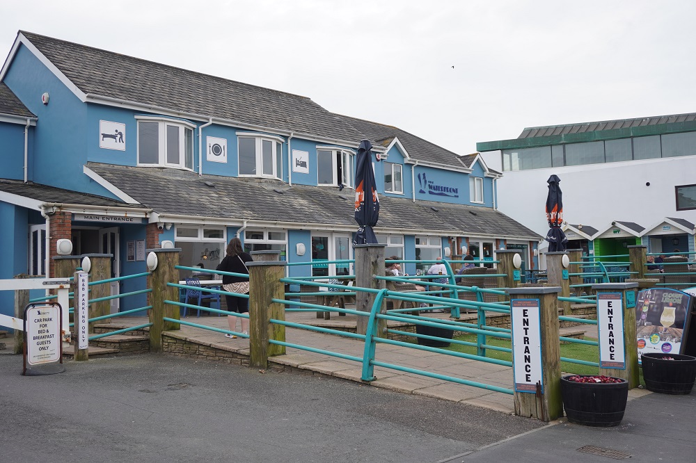
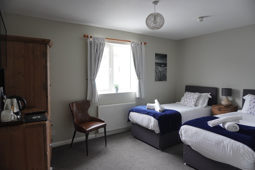
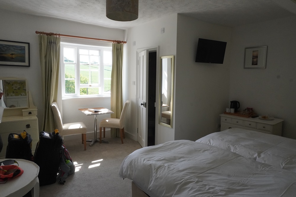
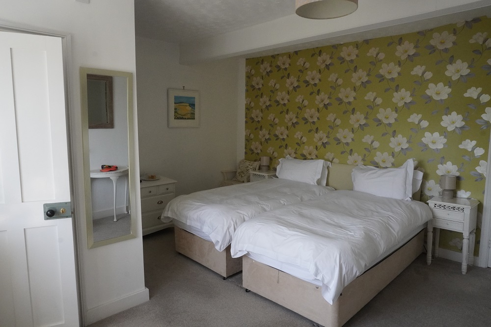
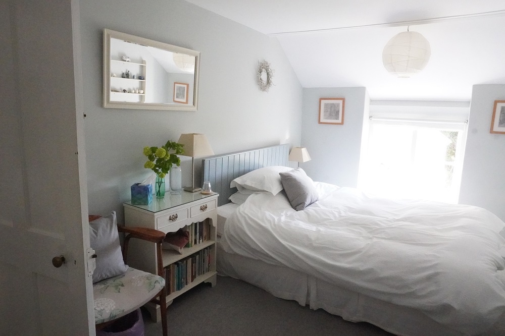
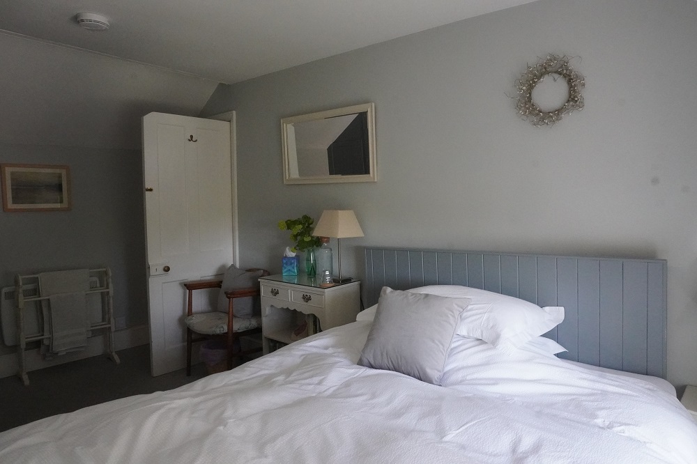
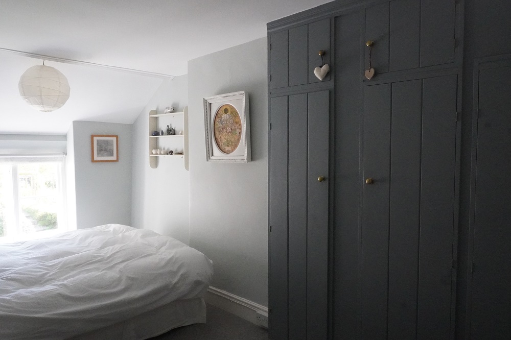
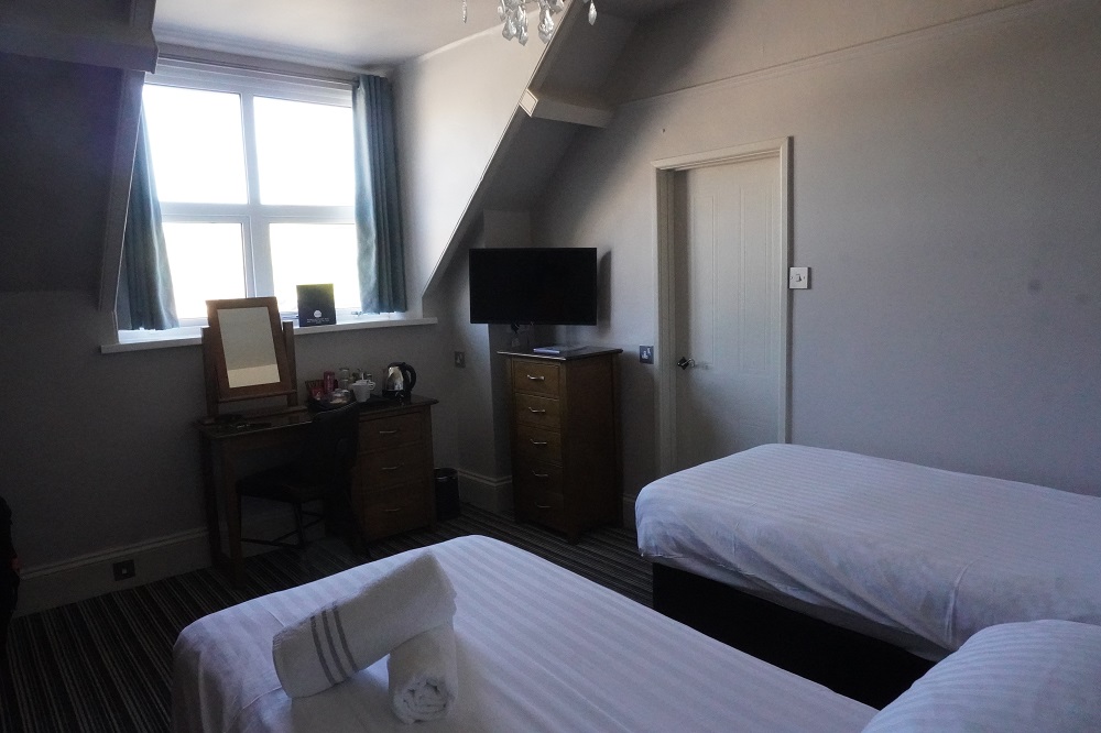
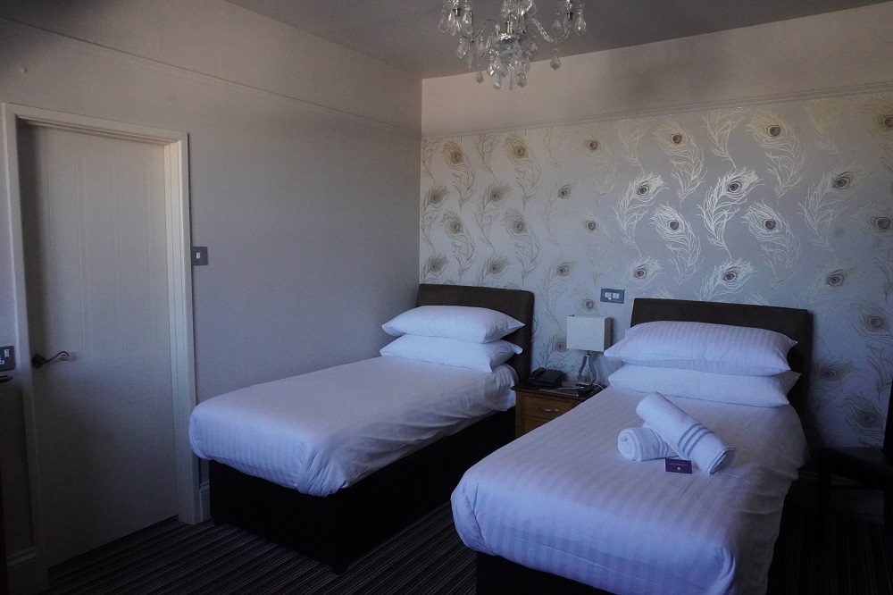
We are staying in the fairly characterless but comfy Waterfront Inn. We are here for two nights because tomorrow is the first of our “rest days”. What on earth will we do?

Flat as

Saturday 25 April 2026

Day 6 of walking
Braunton to Instow
Distance: 25kms
Total distance: 136.08kms
Climbing: 27m
Total climb: 3,873m

Another totally different day. No high cliffs and no sandy beaches.

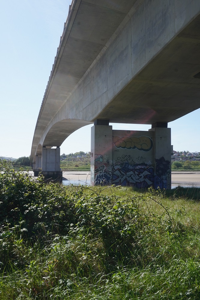
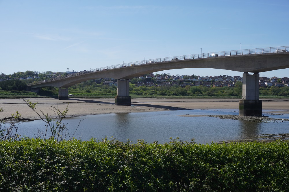
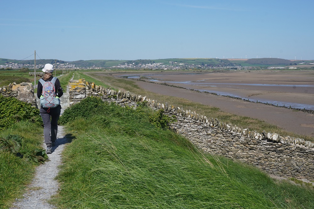
Today could be summarised thus: from Braunton walk 12kms along the north bank of the River Taw, cross the bridge at Barnstaple and walk back 12kms along the south bank of the River Taw to Instow. That was pretty much it.

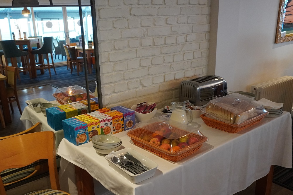
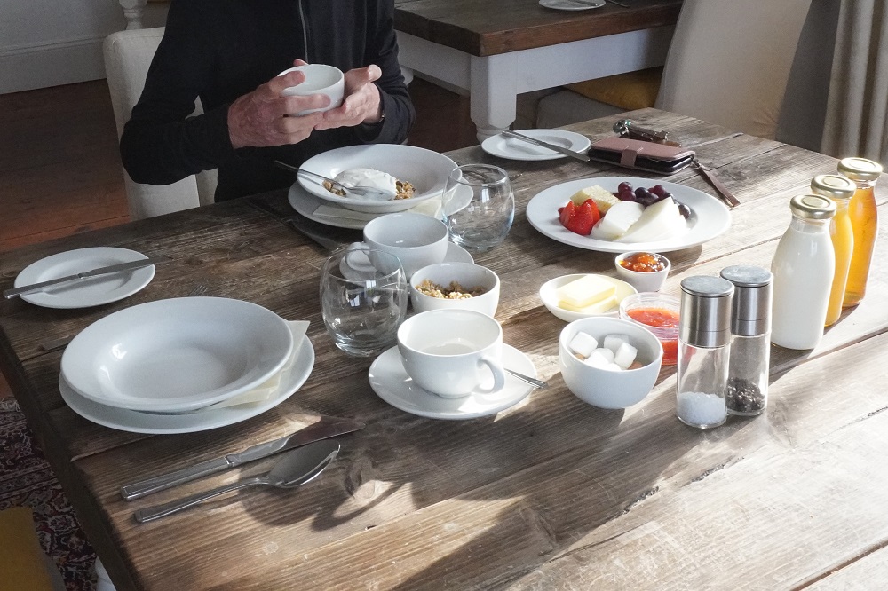
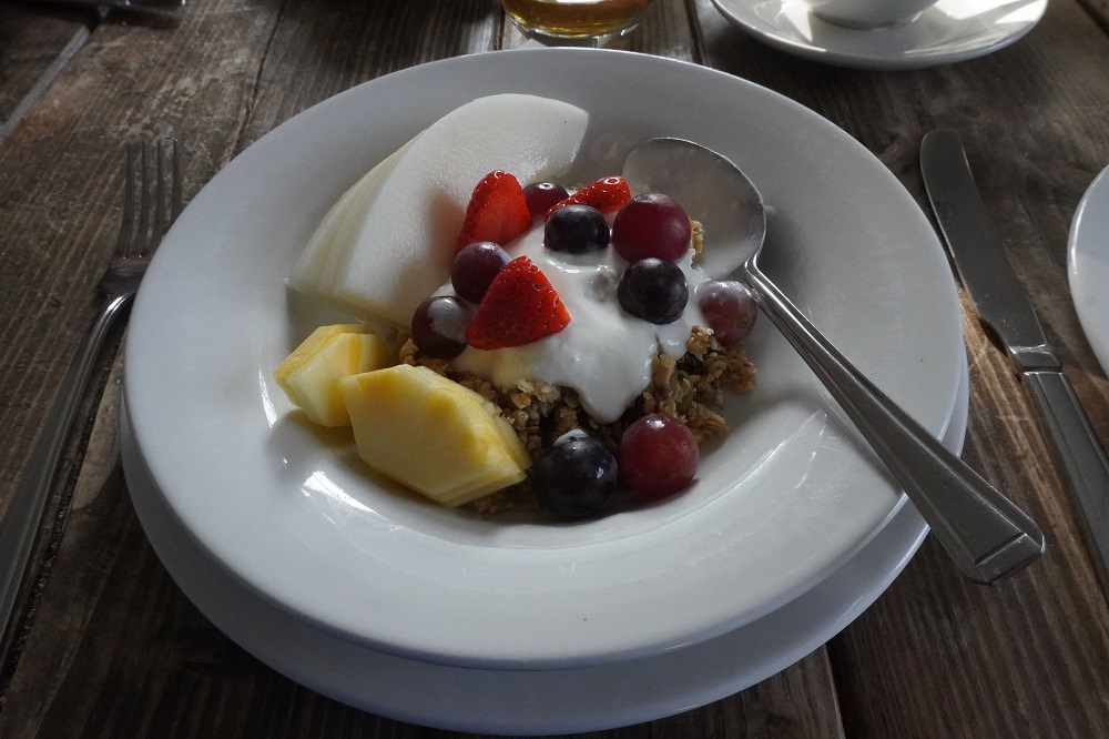
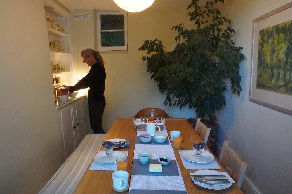
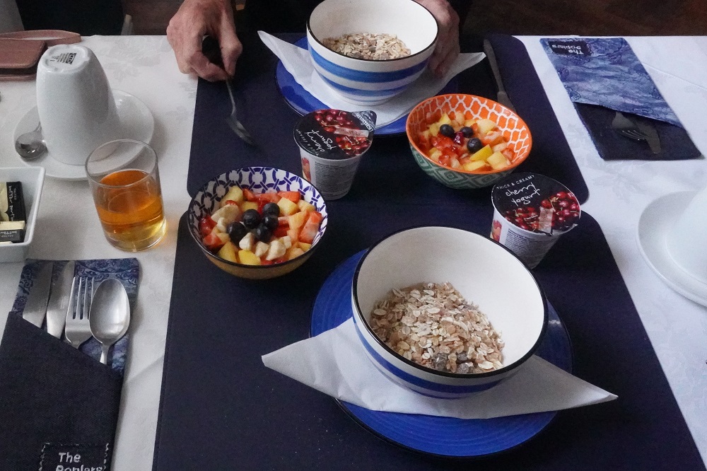
Sophie put on a wonderful continental breakfast this morning. Muesli, yoghurt, fresh fruit, sour dough bread, rhubarb compote (her own rhubarb), black currant jelly (her own black currants) and honey (from her own bee hives) and croissants. She took us outside to see her garden. She grew chard, kale, broad, runner and French beans, beetroot, celery, carrots, potatoes, corn, garlic, onions, peas, all the herbs you could imagine, cherries, plums, apples, oranges, lemons, grape fruit, rhubarb, blue berries, strawberries and black currants, tulips, roses, poppies, blue belles and heaps of other flowers, winter vegetables like cabbage, cauliflower, broccoli but they were all finished. She has a large stone shed and a small glasshouse in her garden. With a friend she shares an allotment further up the road where she has a tunnel house and keeps her bees. Her husband plays golf.

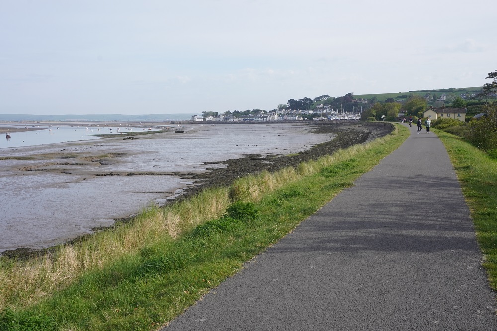
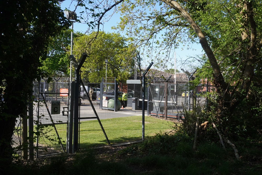
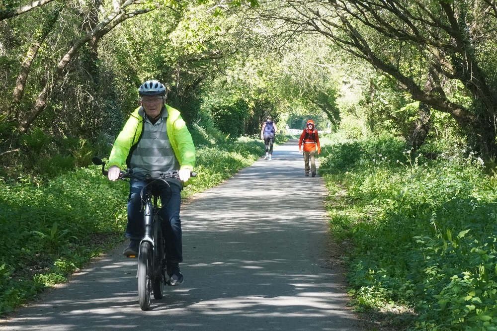
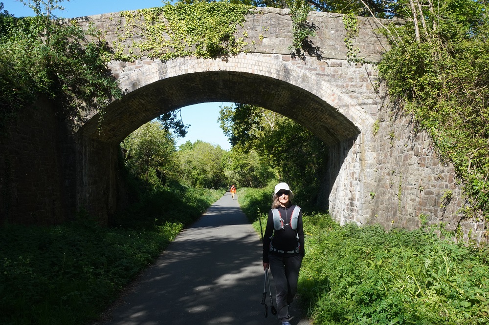
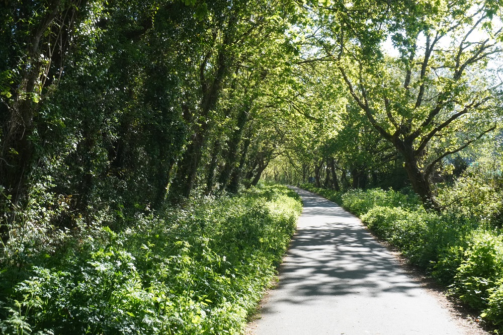
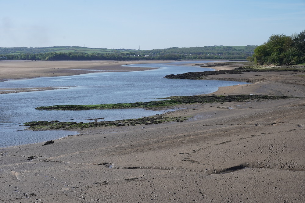
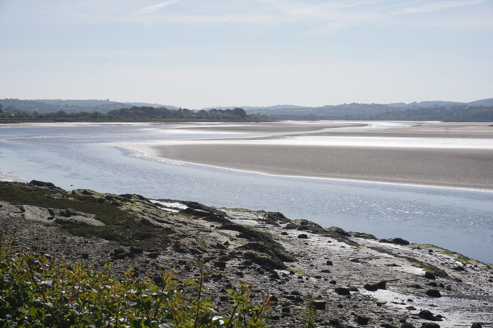
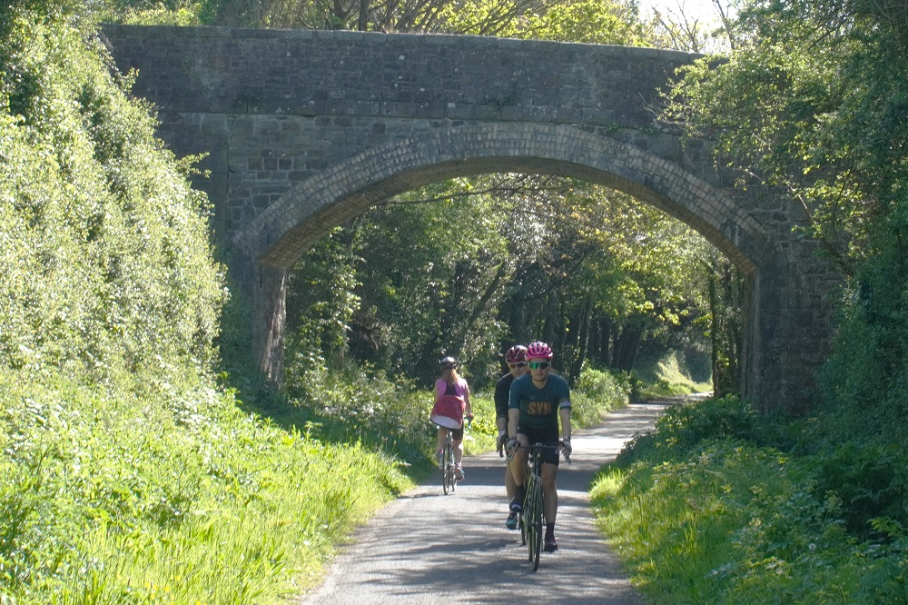
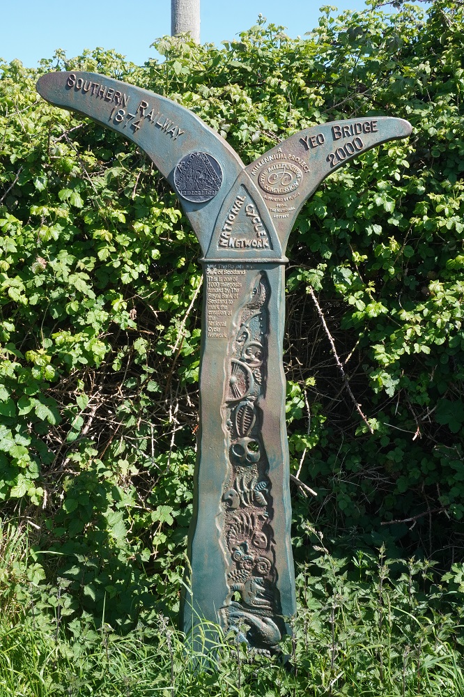
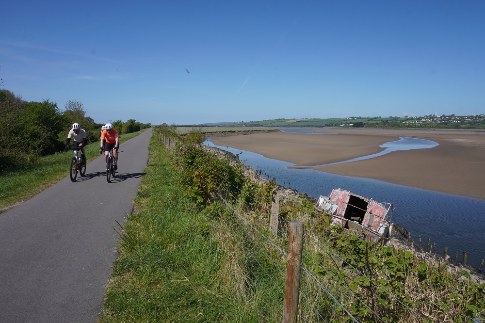
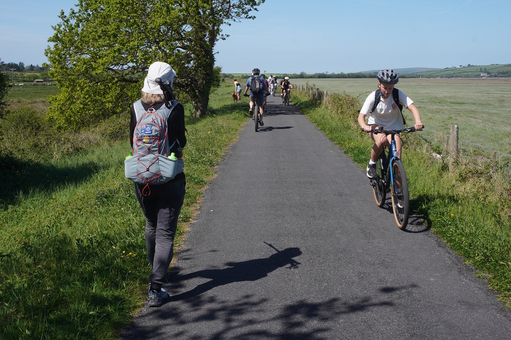
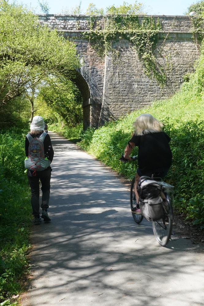
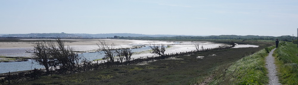
The walk from Braunton was easy. An abandoned railway line is now a shared bicycle and pedestrian path. Wide, nicely sealed and absolutely flat. It is part of a coast to coast cycle trail across Devon. At first it runs alongside the Chivenor Airfield of the Royal Marines, all secure behind coils of razor wire and armed soldiers at the gates. Then it runs alongside the estuary of the River Taw. The tide was out so it was all sand and mud and very little water. It was a beautiful morning, sunny, no wind and warm. It is also Saturday and the path was busy with cyclists from 3 years old to 83 years old. It made us wish we had our bikes. Lots of runners, dog walkers and families with buggies. The cyclists are all very polite and ring their bells or call out when coming up behind you. Some call out “passing by” which is okay but doesn’t tell you which side they are passing on. The more serious cyclists call out “on your right” as they flash by. They all thank you when you step aside and when it is busy we walk single file anyway.

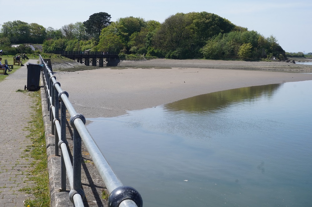
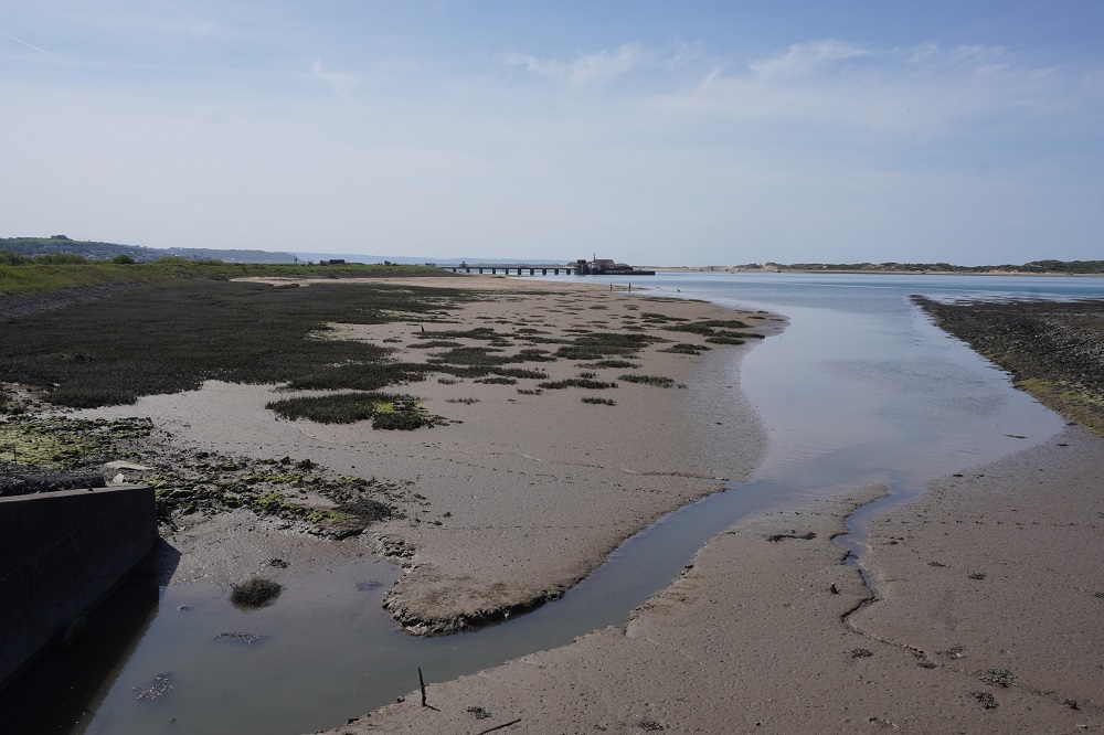
After about 12 kms you reach Barnstaple, a sizeable town, where you cross the River Taw on “Long Bridge” and head back from where you came on the other side of the river. This is also an old railway line, dead flat and even busier with cyclists. We wondered why until we reached Fremington Quay, a beautifully restored railway station and wharf, now a heritage centre, café, and best of all toilets. This was a thriving area for the first half of the 20th century with the importing of coal and exporting of local clay and pottery. After about 12kms you reach Instow our stop for the night. At Instow you are only about 1km across from Braunton Burrows where we were walking yesterday afternoon.

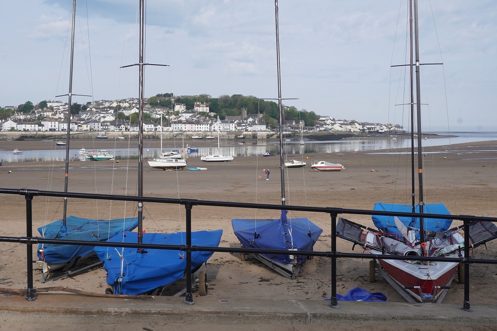
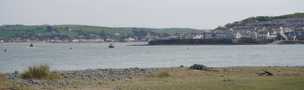
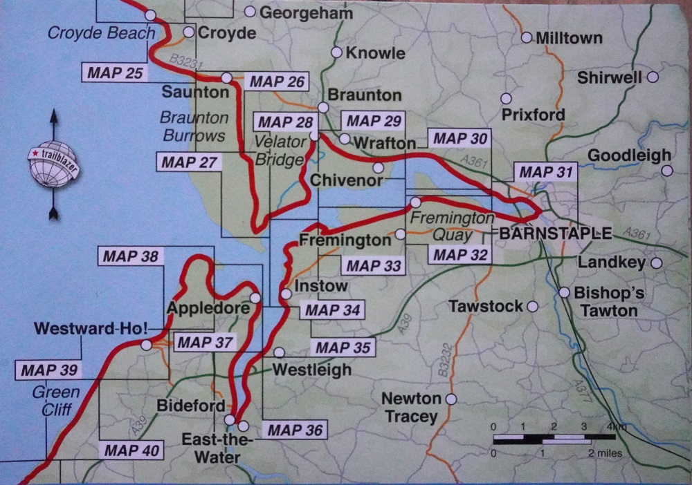
Instow is a pretty little village at the confluence of the Taw and Torridge Rivers. Its main attraction is its beach. About half a kilometre across The Torridge river is Appledore which we will walk through tomorrow afternoon. That is after walking a long way up one bank of the river, crossing a bridge at Bideford and walking all the way back. This is all a bit complicated so I have included a photograph of a map showing the route. If there was a ferry across the mouth of the Taw and Torridge rivers in 15 minutes we would do what will have taken us two days to walk.

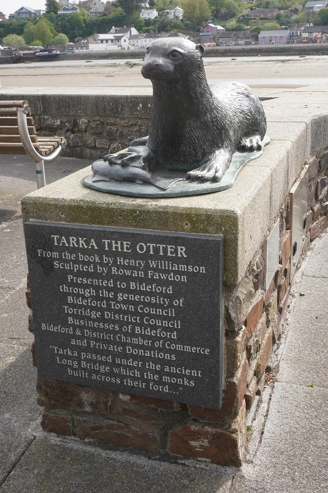
Over the last few days we have been on and off the “Tarka Trail”. This is a figure of eight looping trail for cyclists and walkers traversing Exmoor and Dartmoor in North Devon. It is UK’s longest traffic free cycle path and is inspired by the route travelled by Tarka the otter in the famous novel by Henry Williamson.

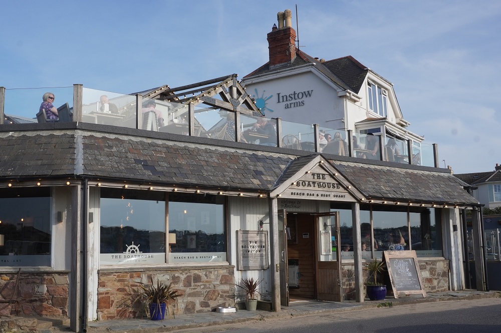
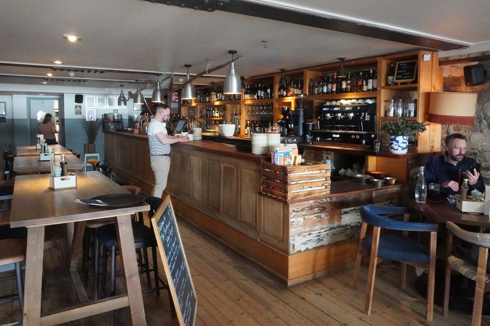
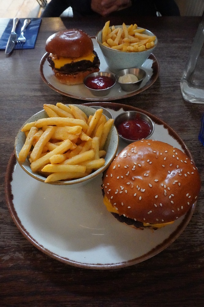
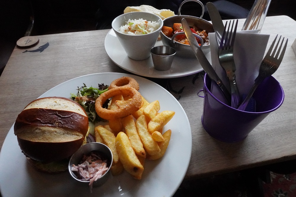
There are only two places to eat in Instow, The Instow Arms and The Boathouse. We went first to the Arms but it was packed and very noisy so instead moved on to The Boathouse. Only when we were sat down did we realise they “were proud to serve some of the finest seafood around”. The menu was basically oysters, cockles, mackerel, prawns, white bait, haddock, mussels, crab and on and on. We are not sea food people but fortunately saw down in the bottom corner of the menu you could order a burger. So now it is two burgers for me, one for Barbara on this trip.

Today the temperature got up to about 22°. In the morning we were under a canopy of trees but in the afternoon were out in the sunshine. Locals we talk to all say they have had a cold very wet winter and they are loving this spell of dry warm weather.


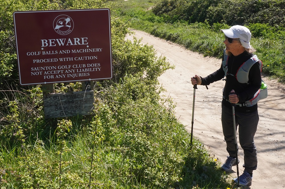
Beware Golf Balls

Friday 24 April 2026

Day 5 of walking
Woolacombe to Braunton
Distance: 27.11km
Total distance: 111.08km
Climbing: 171m
Total climb: 3,848m

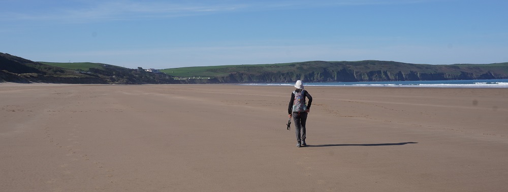
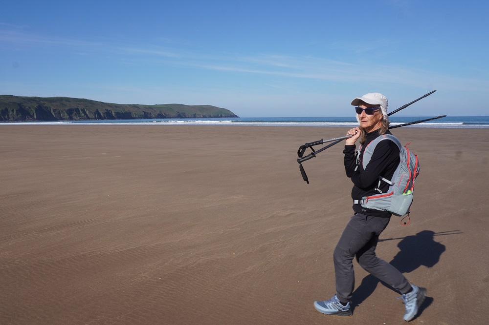
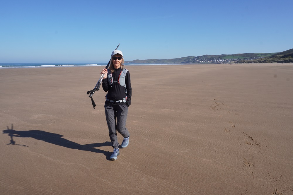
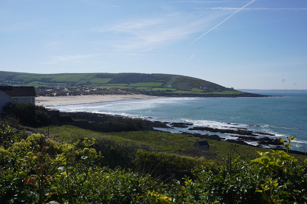
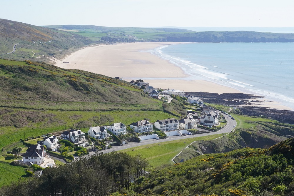
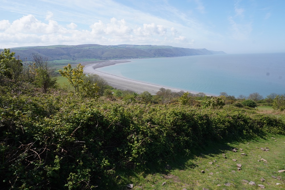
The landscape has now totally changed. The high exposed cliffs with a rocky coast have given way to beaches. Vast expanses of golden sand. Each beach is separated by a low grassy mound. The tide was out this morning and so Woolacombe Sand was a huge broad bronze plain stretching for 3½ kilometres to Baggy Point. The official route runs slightly inland behind the sand dunes but when the tide is out everybody walks along the beach. Walking on soft sand in the dunes is difficult but the hard sand is easy.

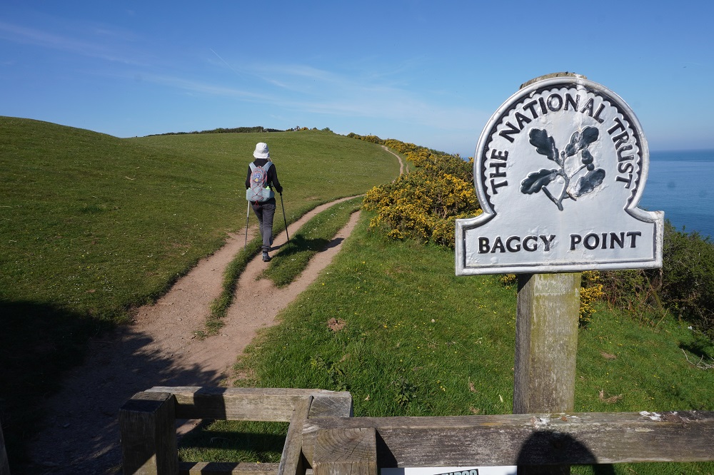
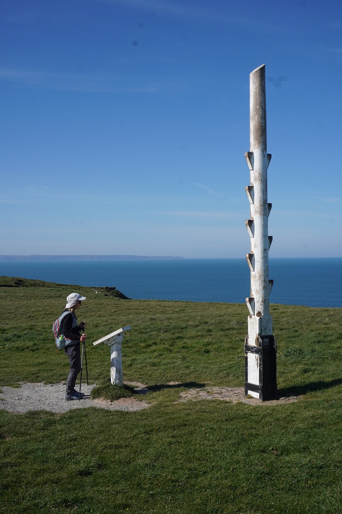
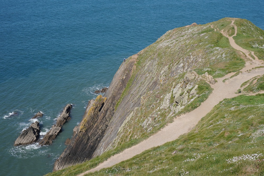
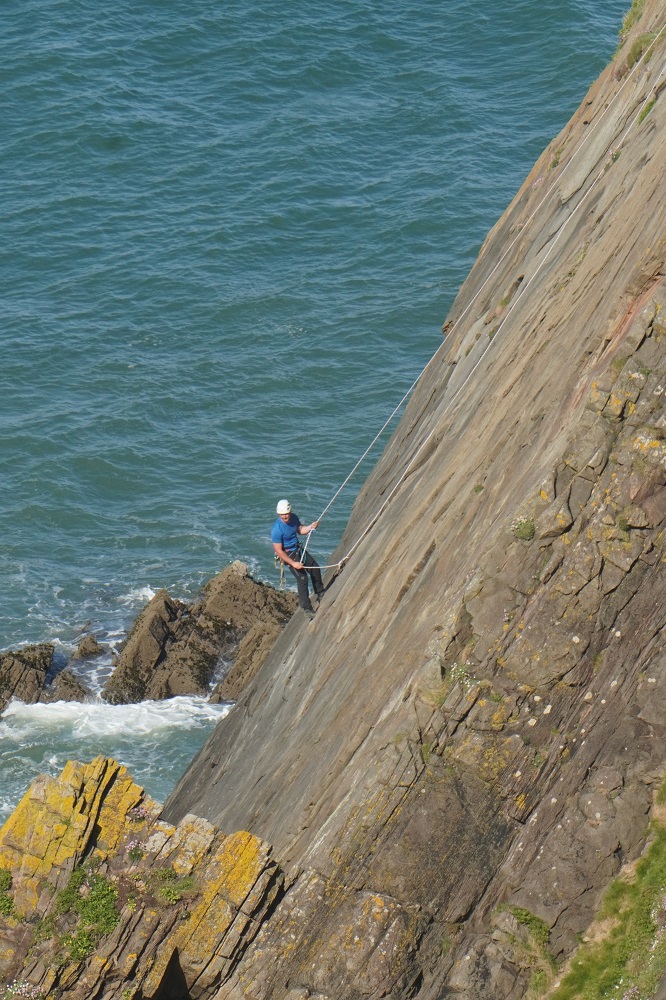
Baggy Point separates Woolacombe Sand from Croyde Sand and is quite low and an easy walk. At the point there is a high almost vertical slab of rock and we saw one guy abseiling on it. We passed several others coming up from Croyde carrying ropes, harnesses and other climbing equipment. Also at Baggy point is the Coastguard Pole. A tall notched pole. It used to be twice as high and is made to resemble the mast of a ship. It was used by coastguards to practise the dangerous business of rescuing crew and passengers from stricken ships. They would fire a rocket towards the pole and attach a breeches buoy so that those in trouble could climb in and be winched to safety. When we were here last time Barbara climbed to the top of the pole but this time we reckon those over 70, the pregnant and anyone even slightly inebriated should not climb the pole.

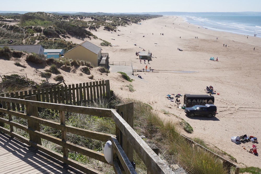
The second beach, Croyde Sand, is the smallest of the three but the busiest. It is trendier and more glamorous than Wollacombe and is favoured by families and surfers. It also has more facilities than the other beaches. There was a good surf running this morning and about 30 surfies out enjoying themselves. There is another small headland and the truly enormous length of Saunton Sands. Behind the beach is the large dune complex of Braunton Burrows.

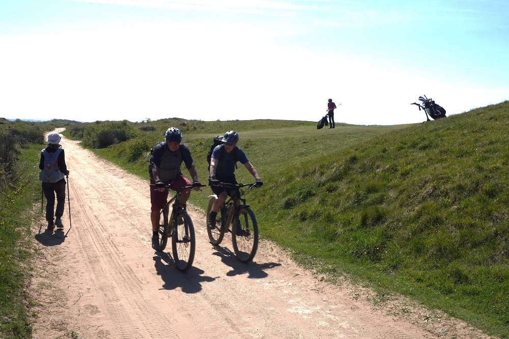
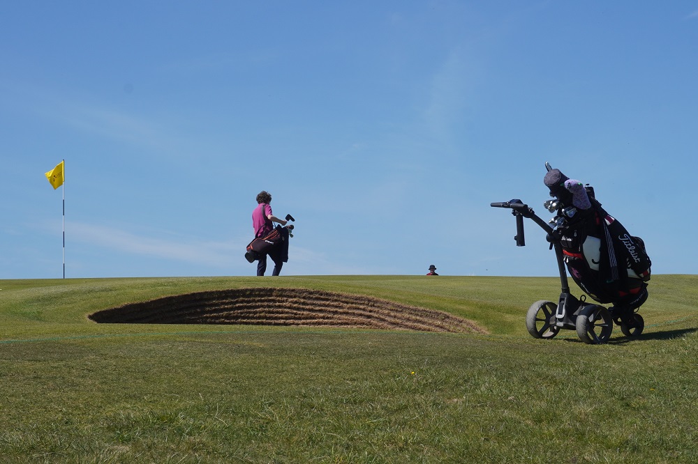
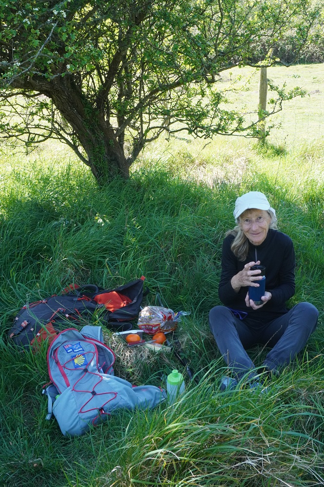
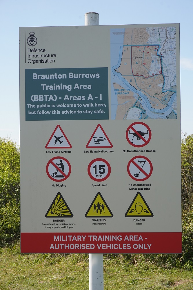
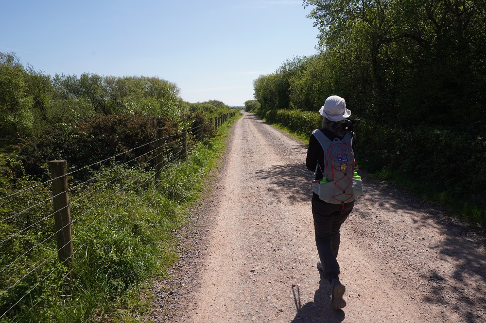
We walked through Braunton Burrows which is a UNESCO Biosphere Reserve. It is the largest sand dune system in England. After a scary section walking along a busy road with no shoulder it is a flat easy walk around the burrows. It includes going through a golf course and an army training ground, and an incredibly boring flat, straight section on a gravel road that took over an hour.

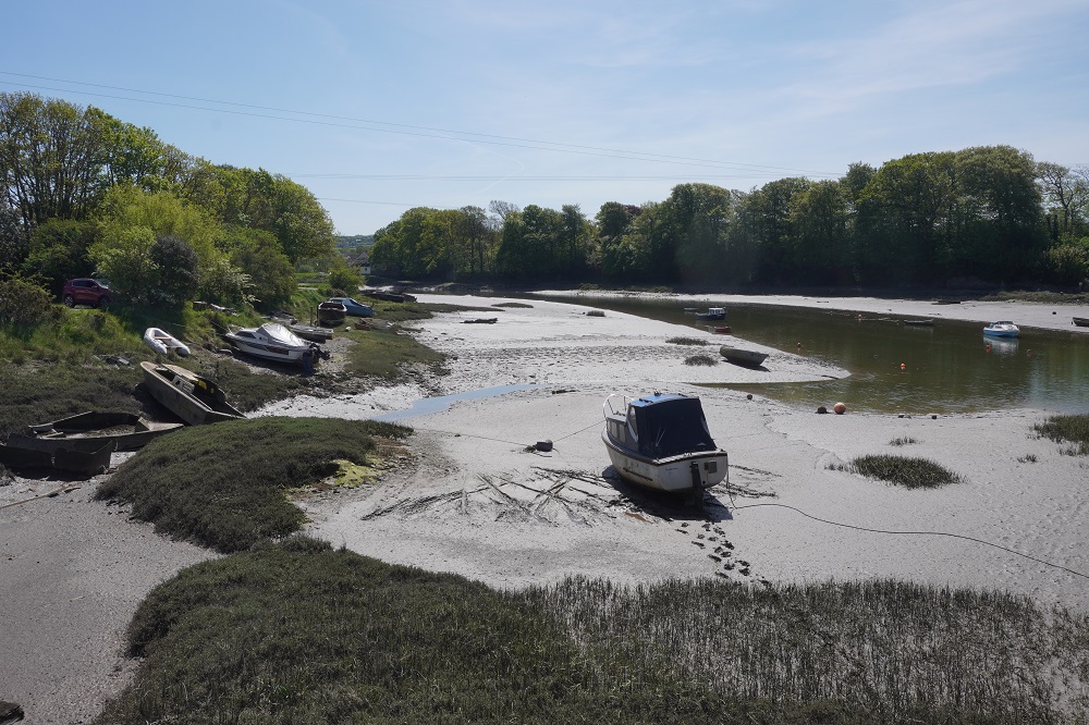
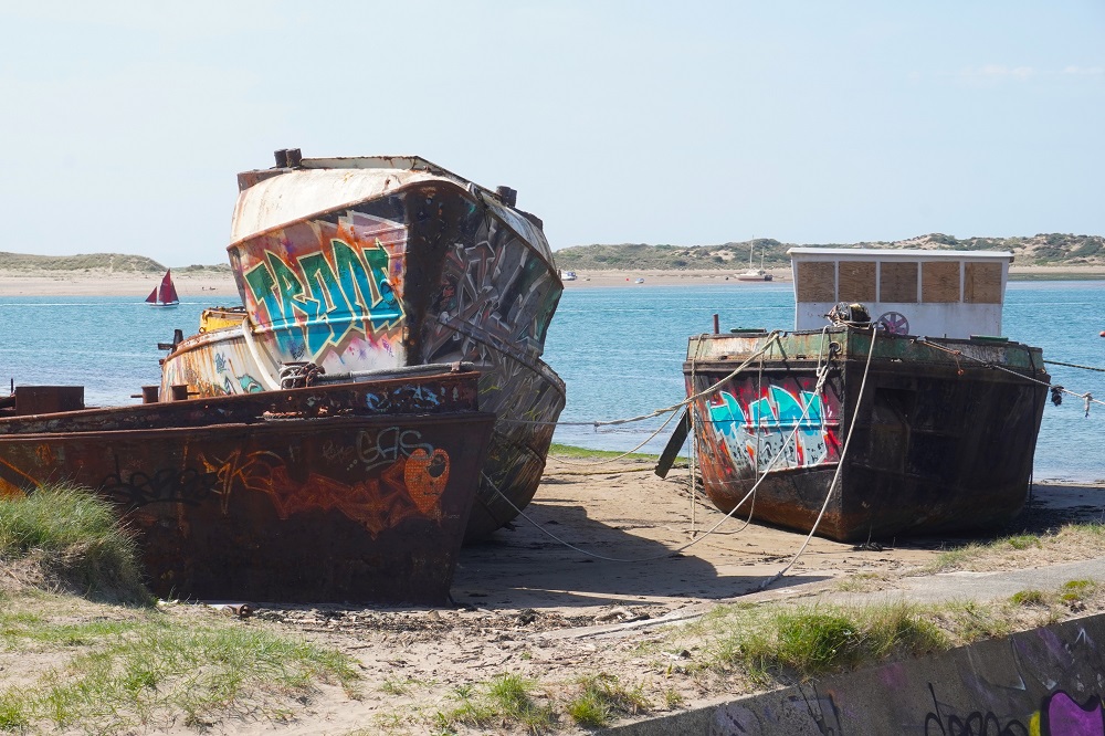
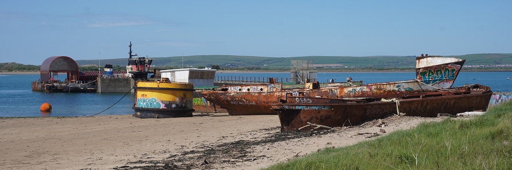
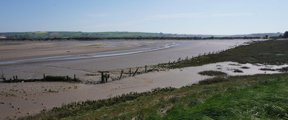
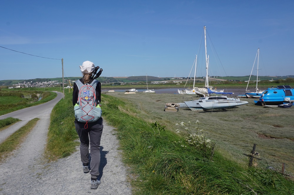
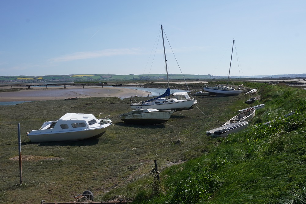
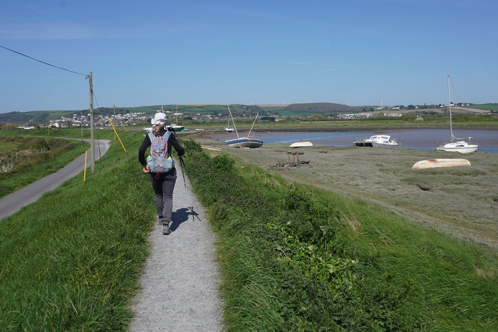
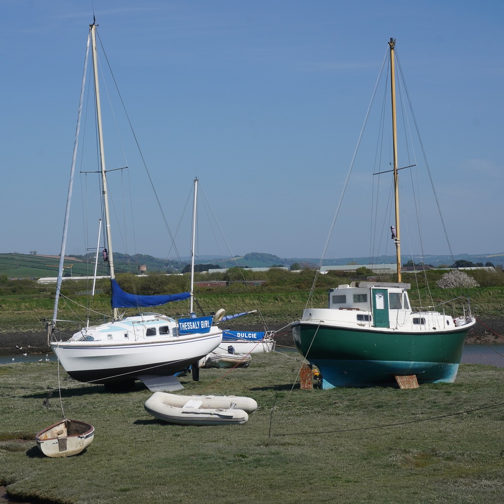
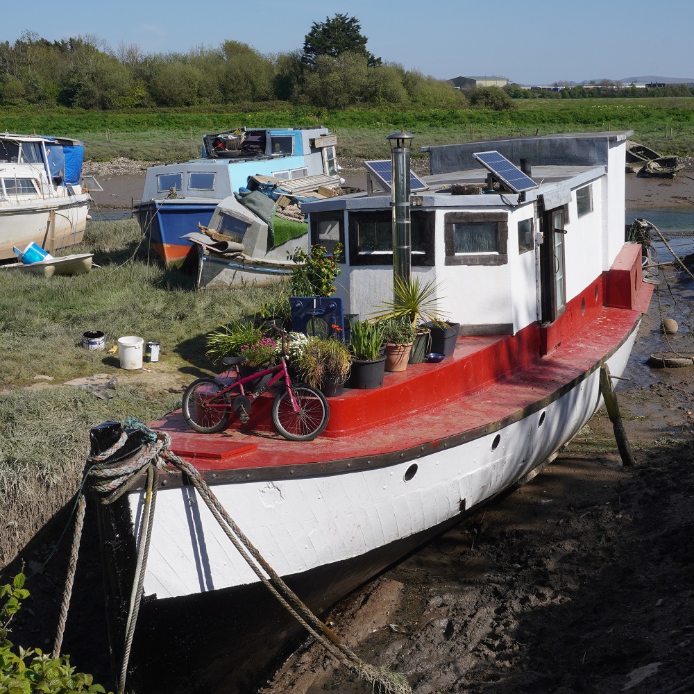
At the end of the Burrows we turned and walked all the way back through Braunton Marsh on top of a stop bank (The Great Sea Bank) that separates the Burrows from the estuary of the Rivers Taw and Terridge. The edge of the stop bank is dotted with wrecked boats and small fishing craft. The stop bank takes you right into the town of Braunton – and its Tesco Super Store.

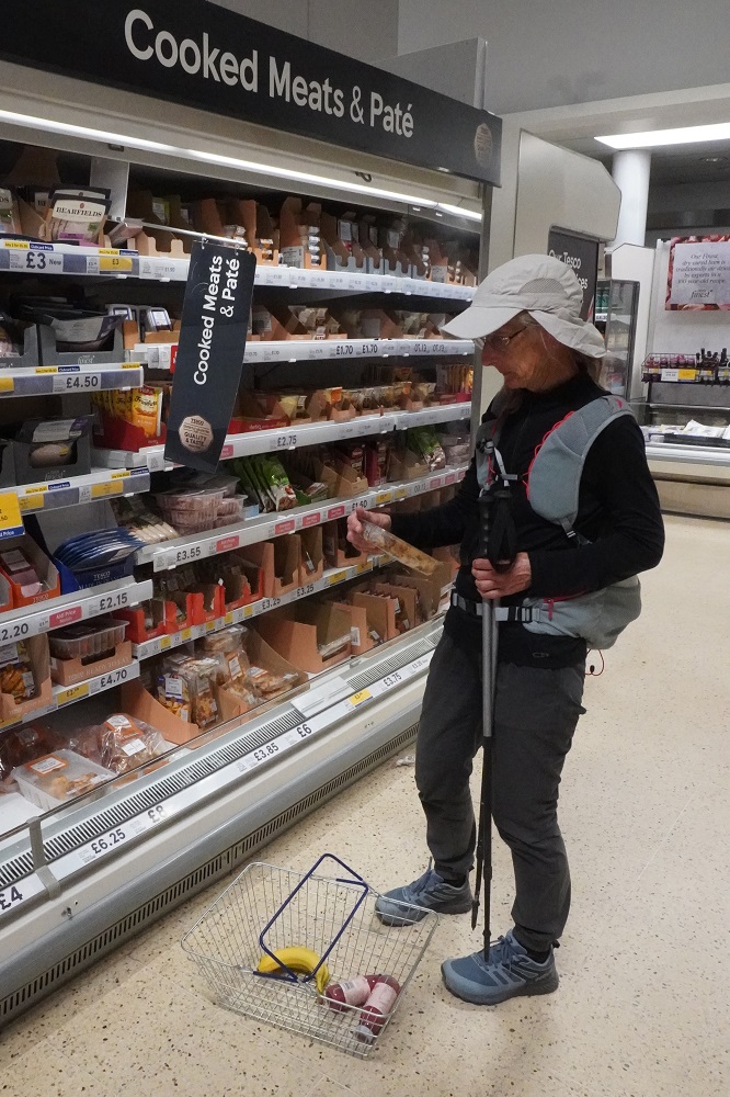
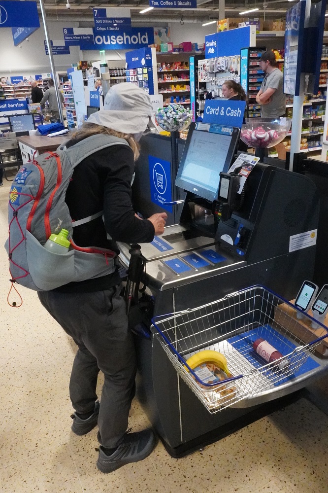
At Tescos we bought some food for dinner and a fruit smoothie. Our accommodation is inland so we didn’t want to do any extra kms to come back and find a pub. The fruit smoothie was to give us a sugar hit for the last slightly uphill section to Silver Cottage. The fruit smoothie is 250ml and guaranteed to contain 1 pressed apple, 5 crushed strawberries, ¼ of a banana, 3 pressed grapes, 4 crushed black currants, a splash of pressed beetroot and a squeeze of orange. We have had these before and they do seem to give you a lift near the end of the day.

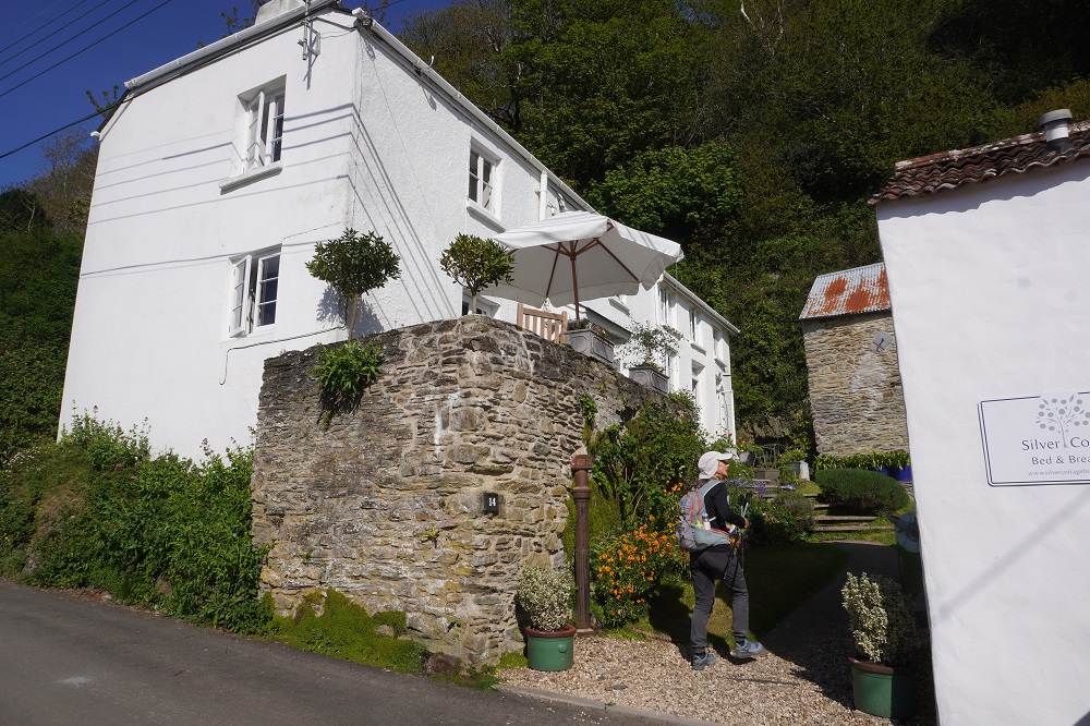
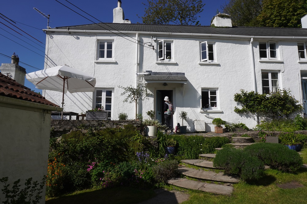
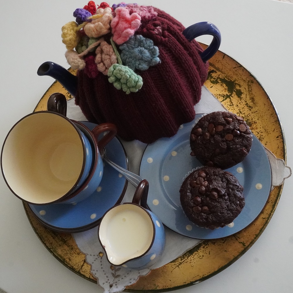
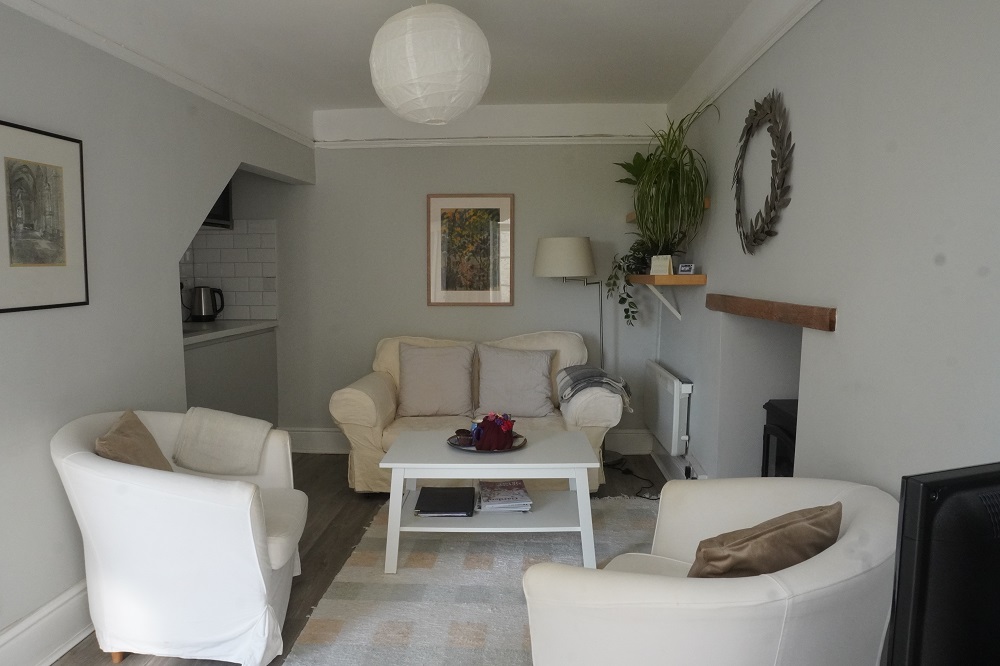
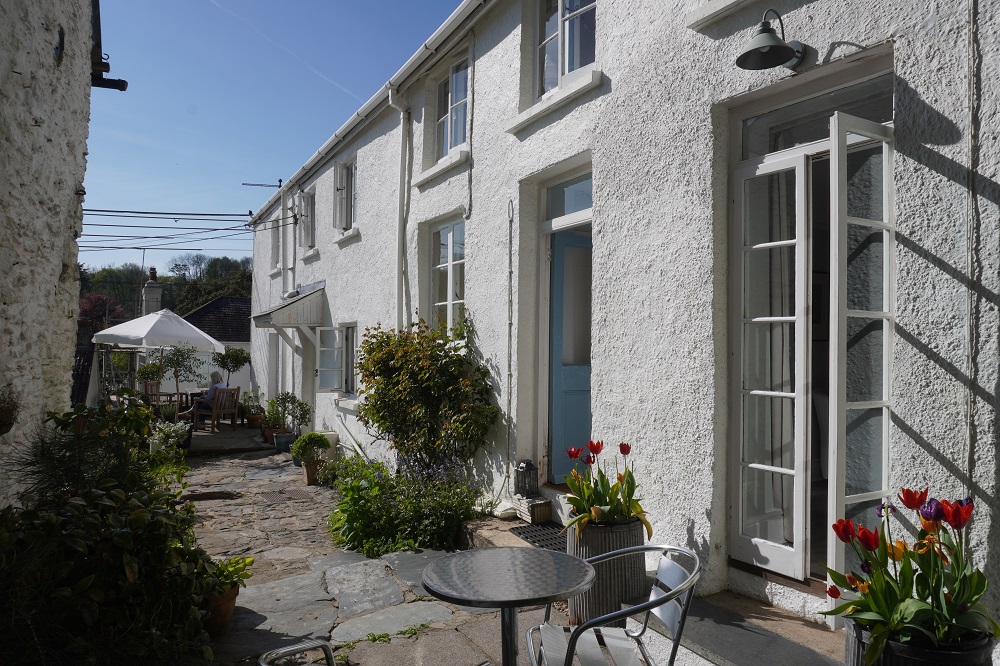
Silver Cottage is 1½km off the Coast Path and slightly uphill. So an extra bit of walking today and again in the morning. It is a beautiful cottage in a lovely garden. We were welcomed by Sophie who showed us around and made us a pot of tea which came with home made chocolate muffins. The cottage has a breakfast room and lounge/kitchen downstairs and two double bedrooms and bathroom up in the roof space. We are the only ones staying here tonight and had use of both bedrooms. She provides a continental breakfast which will be a nice change from the full English. They also make their own honey and jam and get non-homogenised milk from cows we would have passed in Croyde. I remember non-homogenised milk from when we had school milk and there was a thick layer of cream at the top.

Today was a magic day weather wise. Clear sunny sky, no wind and the temperature got up to 18°. A long day but fairly easy walking. We also reached the mile stone of having walked over 100 kilometres. We didn’t talk to so many of our new best friends today. Just the guy with the stents and a very cheerful couple we see most mornings but they walk faster than us so we never see them for the rest of the day.

No wool in Woolacombe

Thursday 23 April 2026

Day 4 of walking
Combe Martin to Woolacombe
Distance: 25.04kms
Total distance: 83.97km
Climbing: 1011m
Total climb: 3677m

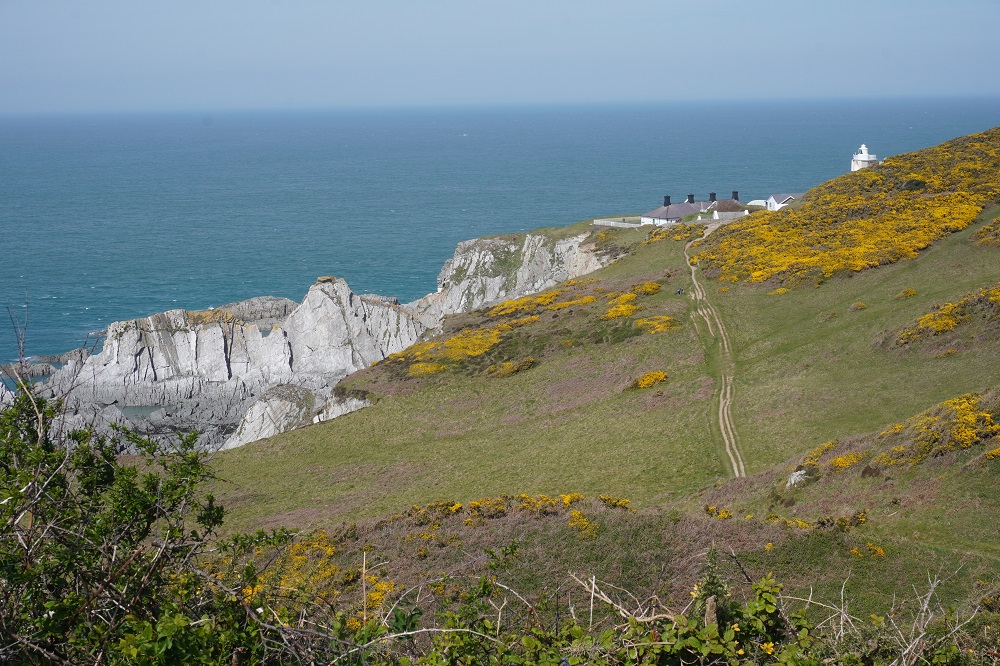
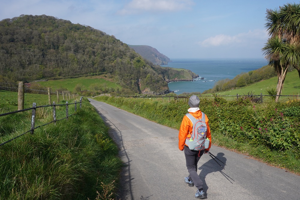
Today was an interesting day but a day quite different to yesterday. Gone is the splendid isolation of Exmoor. Combe Martin is a sizeable town so it takes a while to walk out and then you come to Watermouth Bay, a very sheltered bay with a large marina, then Hele, a sheltered beach with shops, cafes, toilets, changing sheds etc. Before you know it you come over a hill and there below you is Ilfracombe a town of about 12,000. It is a bit more remote from Ilfracombe to Lee Bay with a few houses and an ice cream shop. More isolation until Bull Point and the lighthouse, the large North Morte Farm Camping and Caravan Park and into Woolacombe.

Cold and windy again in the morning but sunny and we quickly warmed up. A lot of people (but not a Camino “lot” of people) out on the path today. At Hele we met our new best friends we have seen the last two days, who are camping. They now have names, Hazel and Mark. Mark had his 55th birthday yesterday. They live in Cawsand which is the last village in Cornwall before you reach Plymouth and Devon. Some time in the distant future we will walk through it. They are doing the SWCP as a charity fund raiser for youth mental health. A teenage girl in their small village took her own life recently. Barbara is teaching them some Maori – Kia Kaha – Stay Strong.

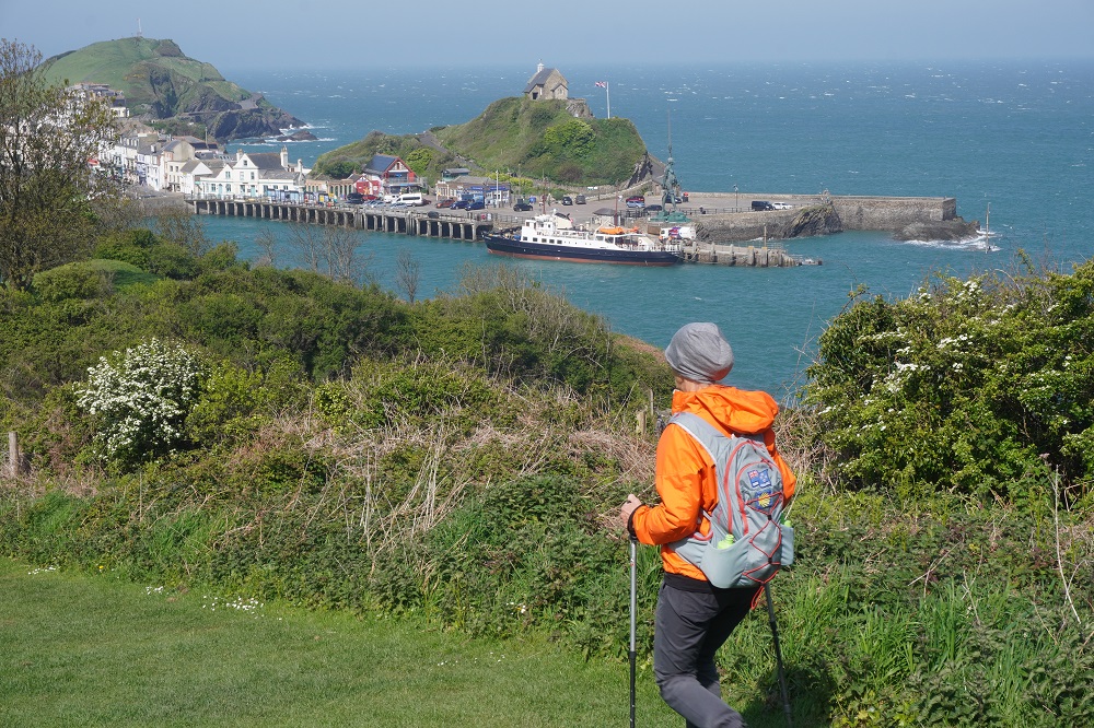
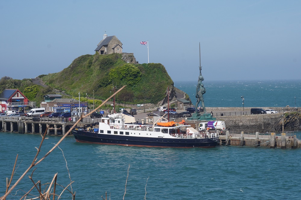
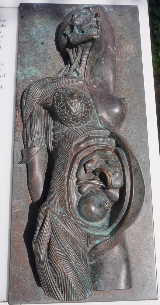
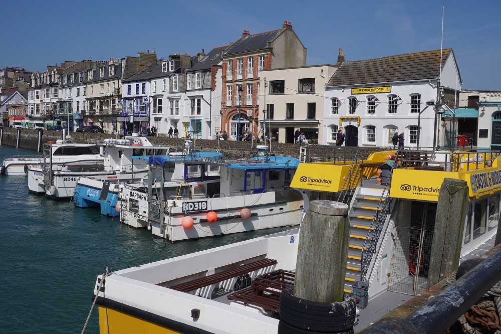
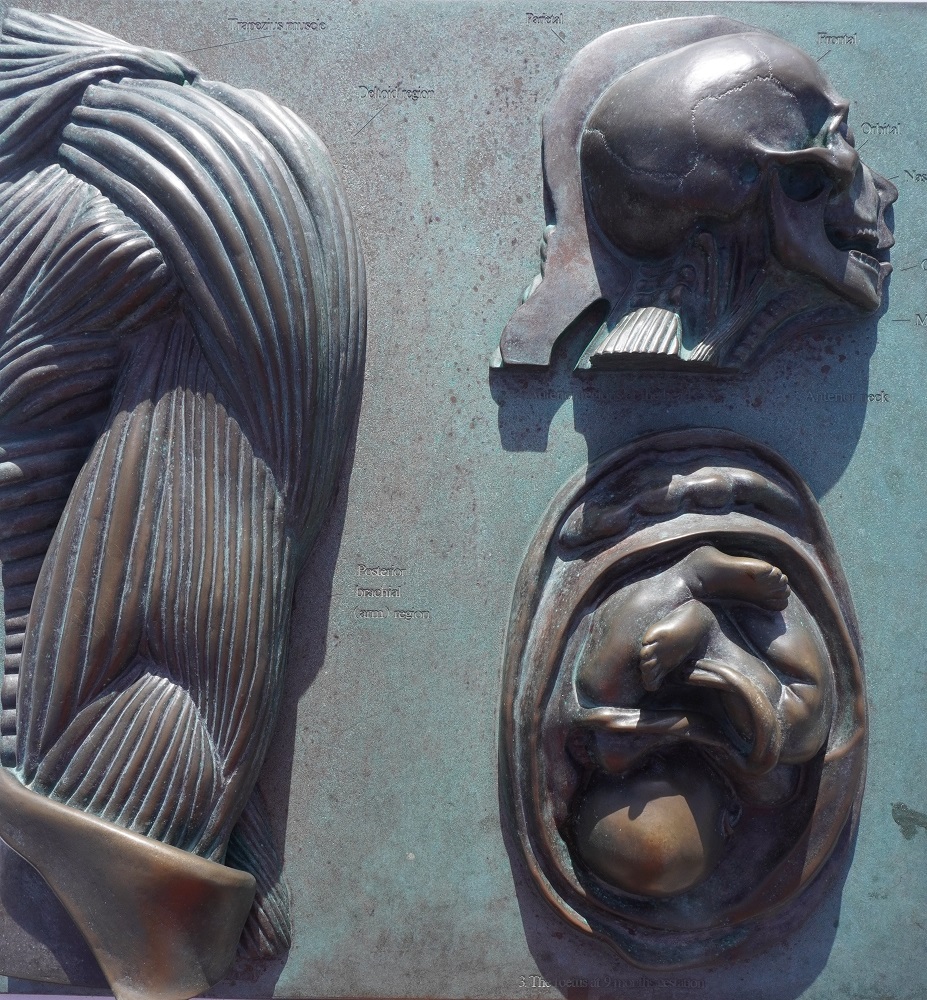
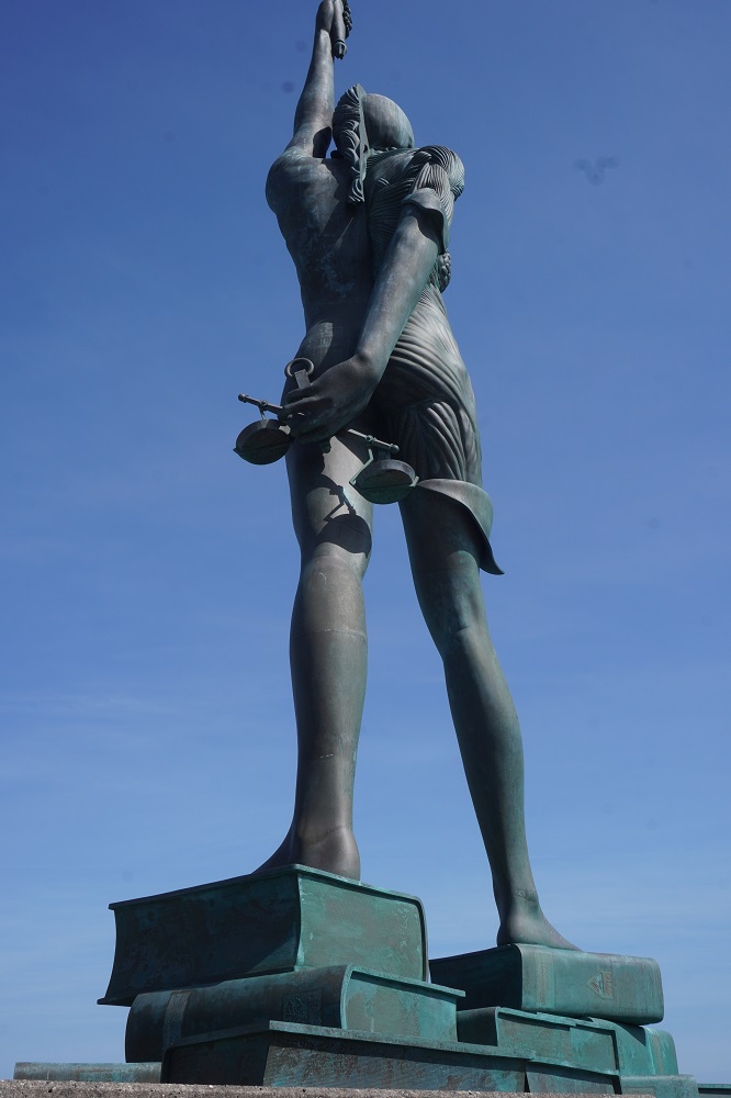
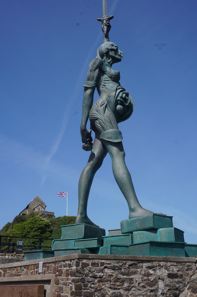
Ilfracombe has North Devon’s largest harbour and the world’s second highest tidal rise and fall. There are loads of activities based on the sea. The ferry to Lundy Island, coastal cruises to see seals etc, fishing trips, kayaking etc. Ilfracombe also has a controversial 20 metre tall 25 tonne steel and bronze statue on the waterfront named Verity. She is standing on a pile of books and holds a sword vertically above her and a set of scales behind her back. Half her body is skinless with her skull and womb (including a developing foetus) revealed. She is a “modern allegory” of truth and justice. We found her a bit unsettling and grotesque.

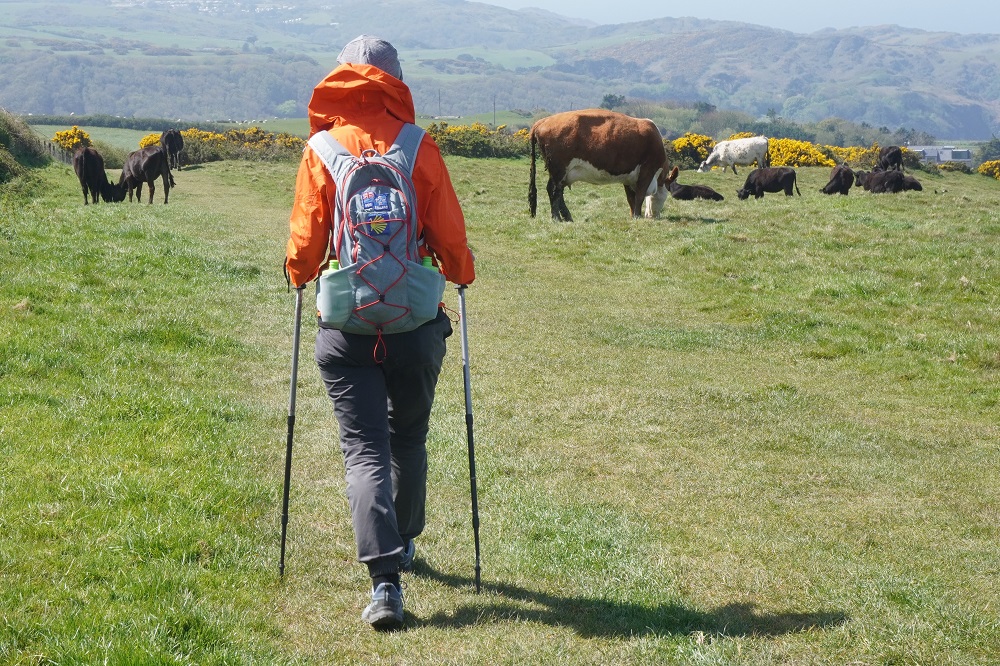
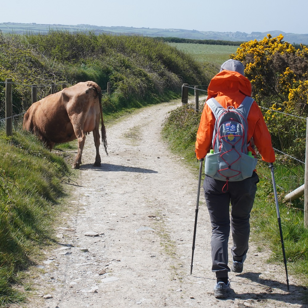
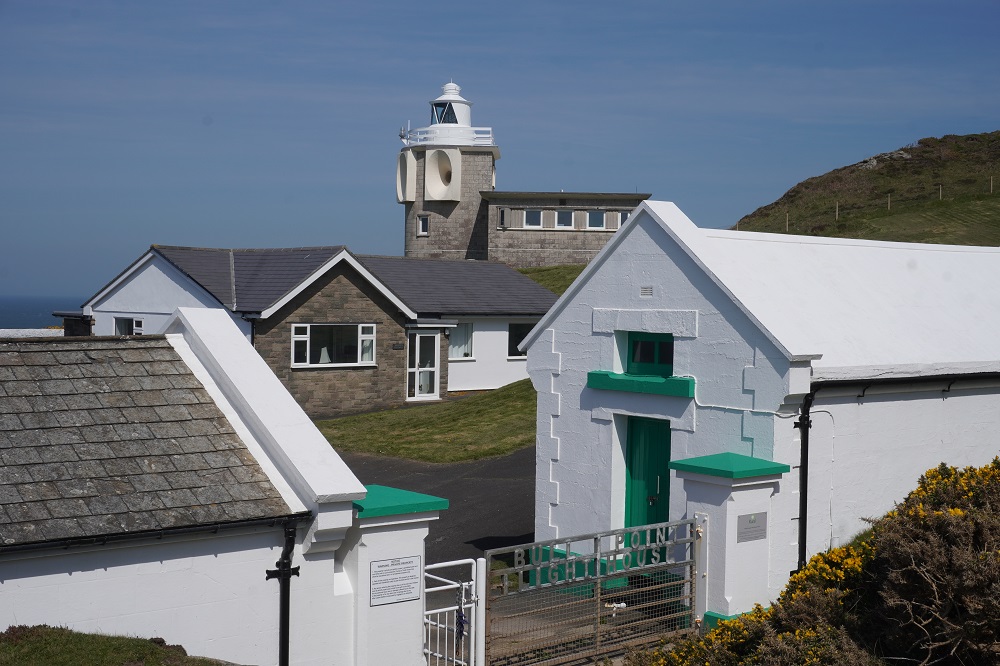
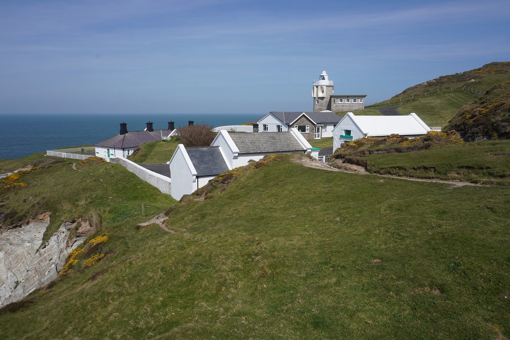
We had a few firsts today. First lighthouse (Bull Point), first paddock with cows. It was lunch time and they didn’t even look up at us, just kept munching their grass, first pasties, first seals, first vast golden sand beach, first unplanned diversion,first accommodation with a lift,  first flat battery.

A lot of climbing again but not as high as yesterday. Our longest day so far which we managed to extend to 25km by making a few mistakes. The signage is not good through towns and in Ilfracombe we had to use our Macs app a couple of times to find our way out of town. Between Bull Point and Morte Point an old disfigured sign sent us in a wrong direction for a while. The worst was entering Wollacombe. What should have been an short easy flat walk into town turned into a steep roller coaster of a grind of about 3 kms. We took a wrong turn and got a bit lost. The battery on my phone had gone flat so we couldn’t check the Macs app map. We were very tired at this stage when two trail angels happened along. Two guys we met on the first day out of Minehead came by. These were the guys who are going to walk some of the Camino. They had made the same mistakes as us. They definitely were a god send to us. They are such happy friendly guys. Both in their thirties they amused us all the way to the end with stories and laughter. It turned out to be the nicest part of the day. Unfortunately they were being picked up by one of their parents in Woolacombe and were going down to Fowey so we won’t see them again.

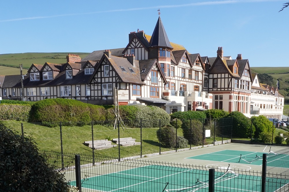
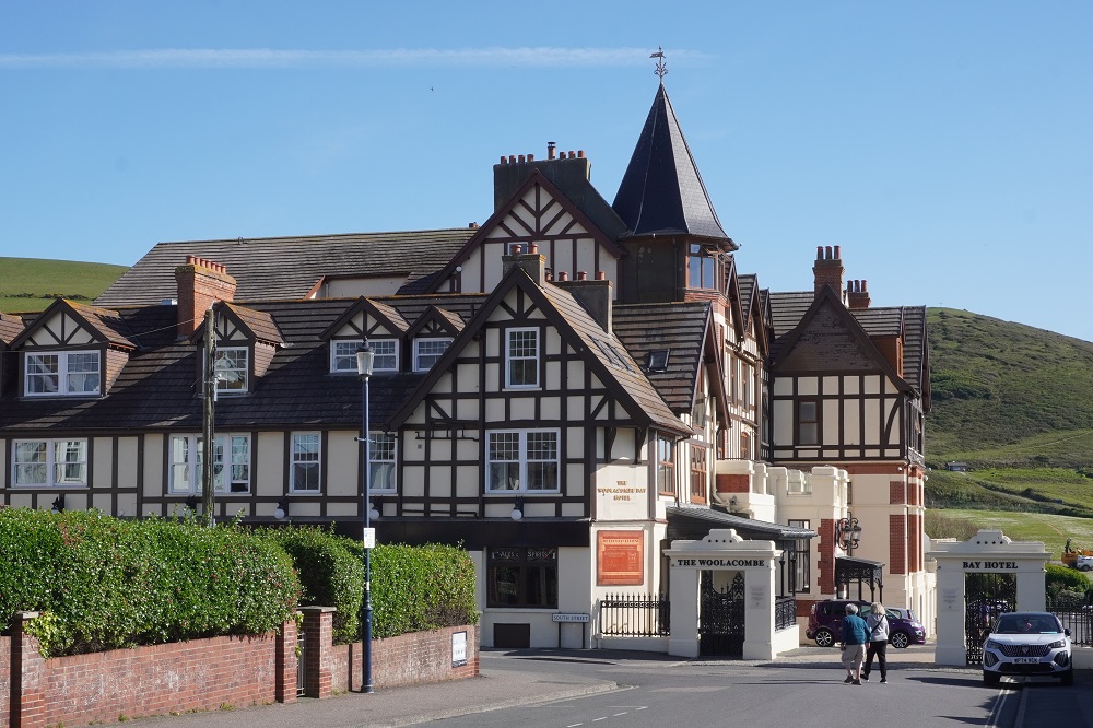
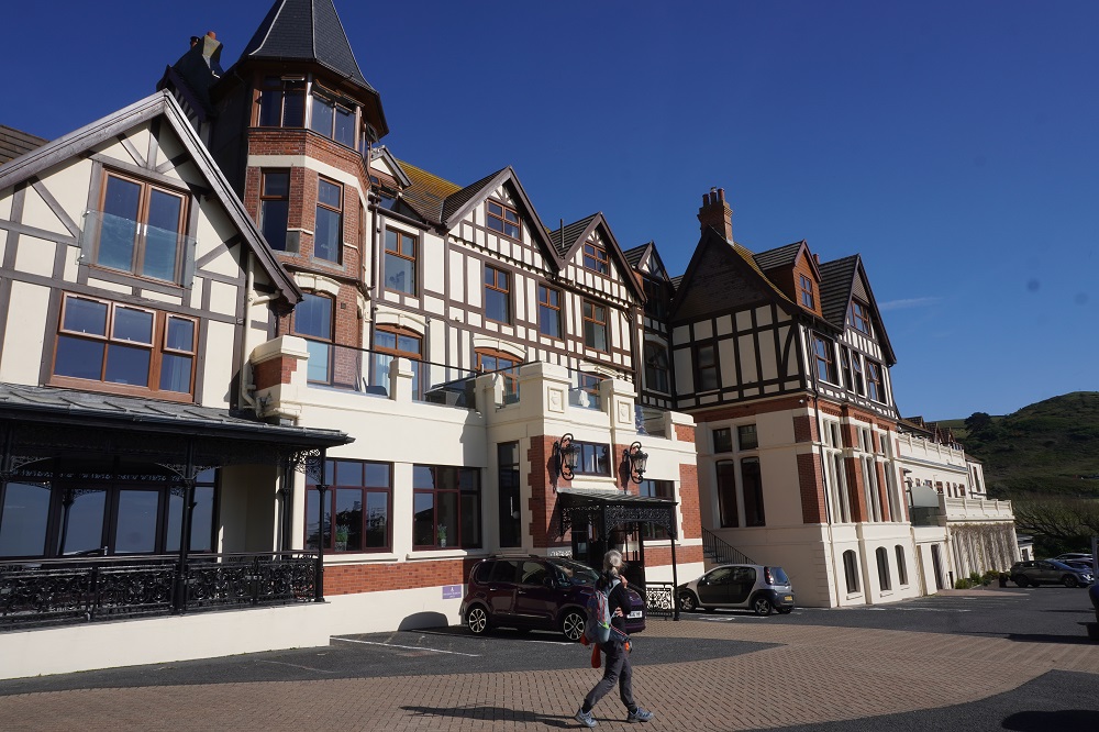
We set out at 9am and reached our hotel at 4.45pm, so a long day. The Woolacombe Bay hotel is a bit upmarket for us. Dating from the 1800s it dominates the bay and has bars, brasseries, lounges, a swimming pool, Alchemist spa, Salt Gym, Neo Cinema, ball room and all the usual conference facilities. The lady at reception was extremely kind and patient with us. We didn’t want to eat in their expensive dining room (had to book 48 hours in advance anyway) and were too tired to go back into town to find a pub meal, so on the way to the hotel we bought some pasties. A vegan one, a chicken and bacon one, and a rhubarb and custard one. These are weird modern concoctions. The traditional Cornish Pasty had beef, potato and swede. Maybe out of Cornwall they are just called pasties and in Cornwall they are Cornish Pasties.

Last bit of trivia for the day: even though we passed a lot of sheep today the name Woolacombe has nothing to do with wool. It comes from Wolmecoma, or “Wolves Valley”, referring to the large packs of wolves that lived in the woods long ago.

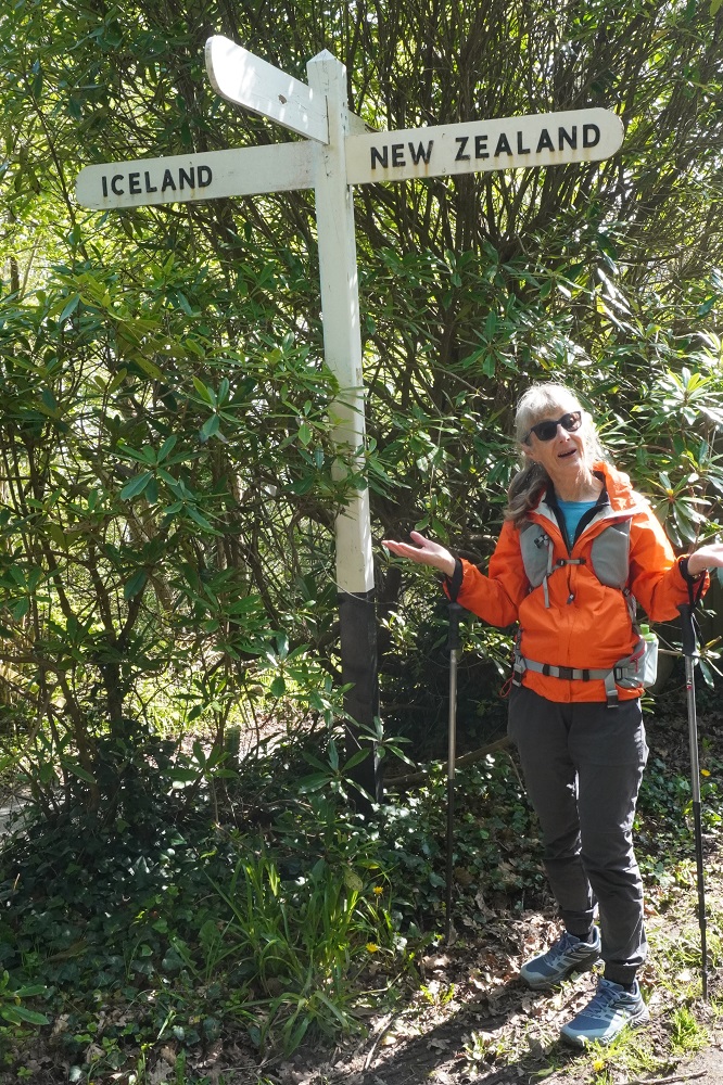
Iceland : New Zealand

Wednesday 22 April 2026

Day 3 of Walking

Lynmouth to Combe Martin
Distance: 20.52kms
Total distance: 58.93
Climb: 1148m
Total climb: 2666m

Today was a fun day. For a couple of reasons. It was also a tough day with a lot of steep climbing and descending.

It was fun because of all the people we talked with. Beginning at breakfast in Lynmouth we chatted with two English ladies who do lots of walks. They each had a car and today were leaving a car here, driving to Porlock Weir and walking back. Then driving back to get the car at Porlock. One of them had a son who is working in Wanaka. We talked to people just out walking their dogs. A very fit, tanned and toned American lady, presently living in NZ, who left Lynmouth to do a bit of a walk, decided to go on to Combe Martin and will get a taxi or bus back. We talked several times with an English guy who walked faster than us but stopped often, so we leap frogged all day. Last year he had been walking some of the SWCP with some mates but had to pull out, spent three days in hospital and had stents inserted. He was now walking the sections he had missed out on. We met a couple coming toward us. He was wearing an orange jacket and she had a blue top. Barbara was wearing an orange jacket and I my blue fleece top. The hue of the oranges and blues exactly matched. They stopped, pointed at us and burst out laughing, and we did the same. We were almost mirror images of each other. Not a word was spoken, we each went our happy way. An English couple now living in the Netherlands, out walking some hills. At home they can walk all day and climb about 2 metres. In Combe Martin we met the camping couple we had breakfast with in Porlok Weir. We hadn’t seen them for two days so it was great to catch up. They were looking for their camp site for the night. Everyone was very cheerful and positive even though we were all suffering a bit. Just people out enjoying the fresh air.

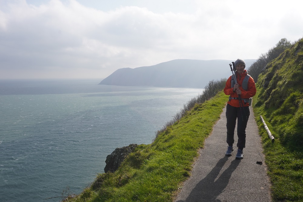
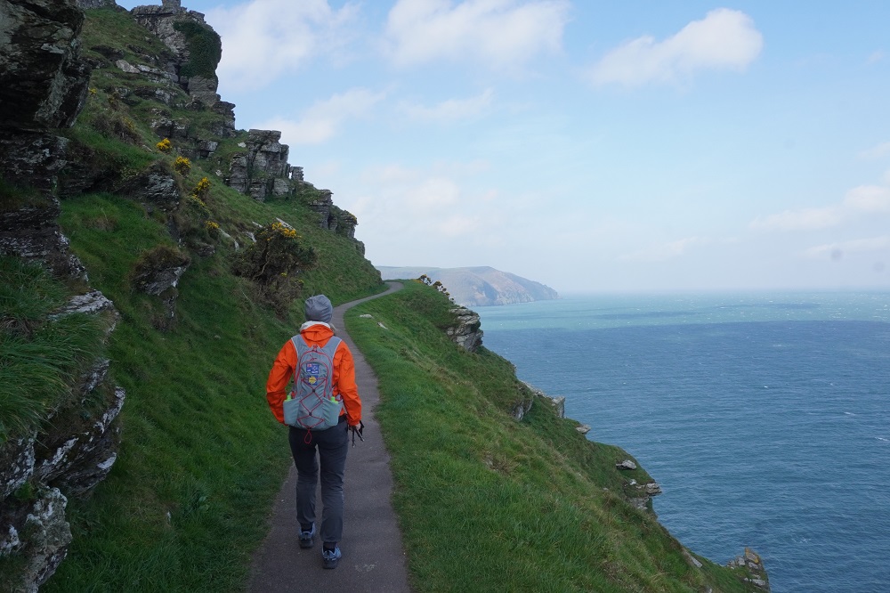
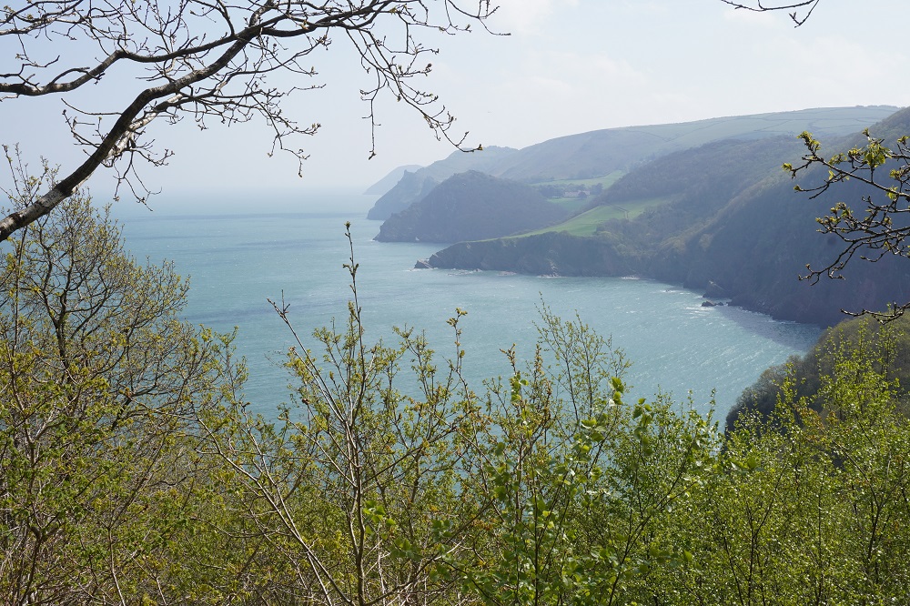
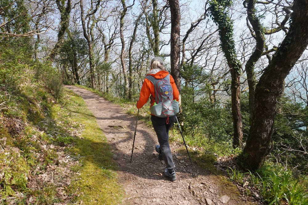
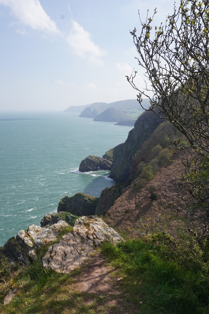
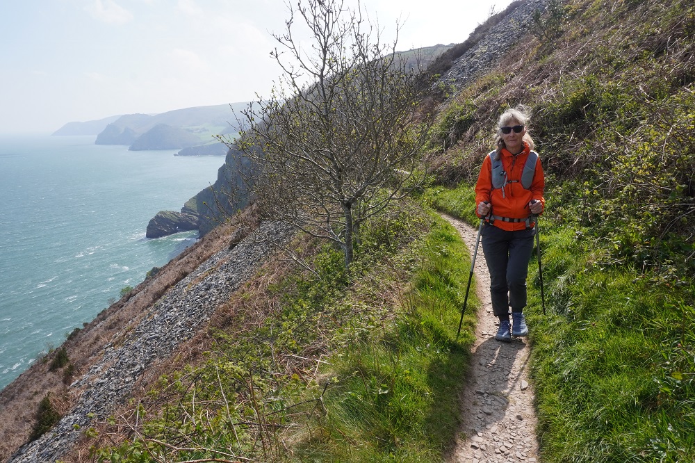
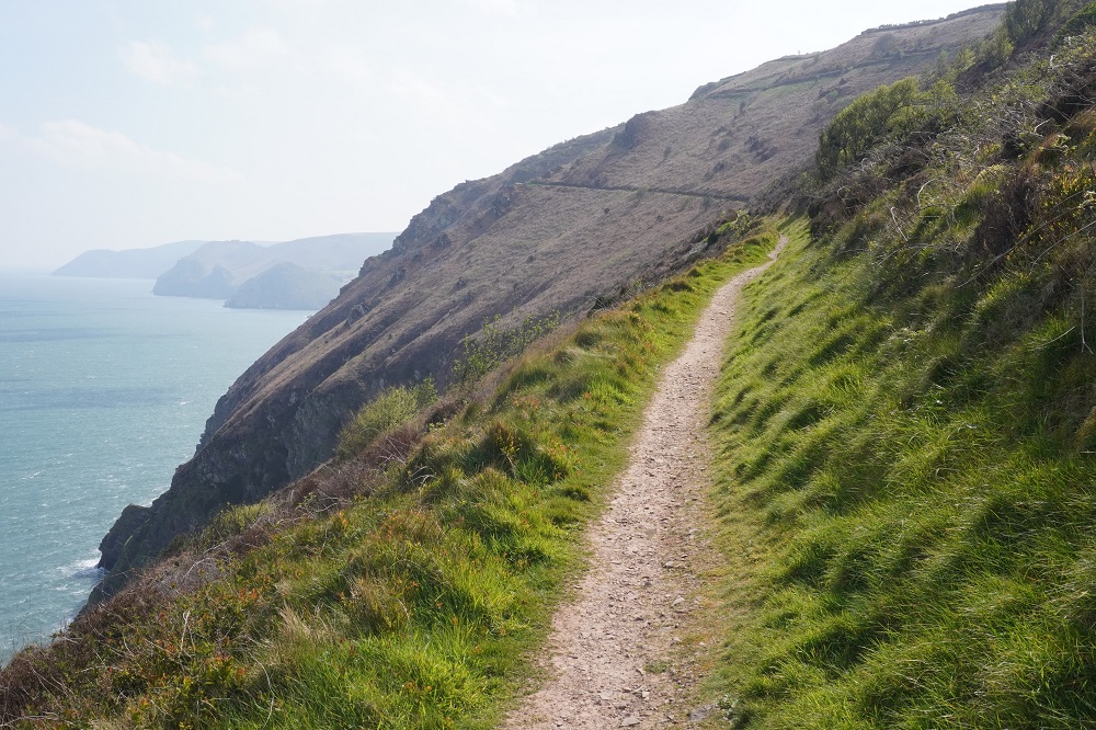
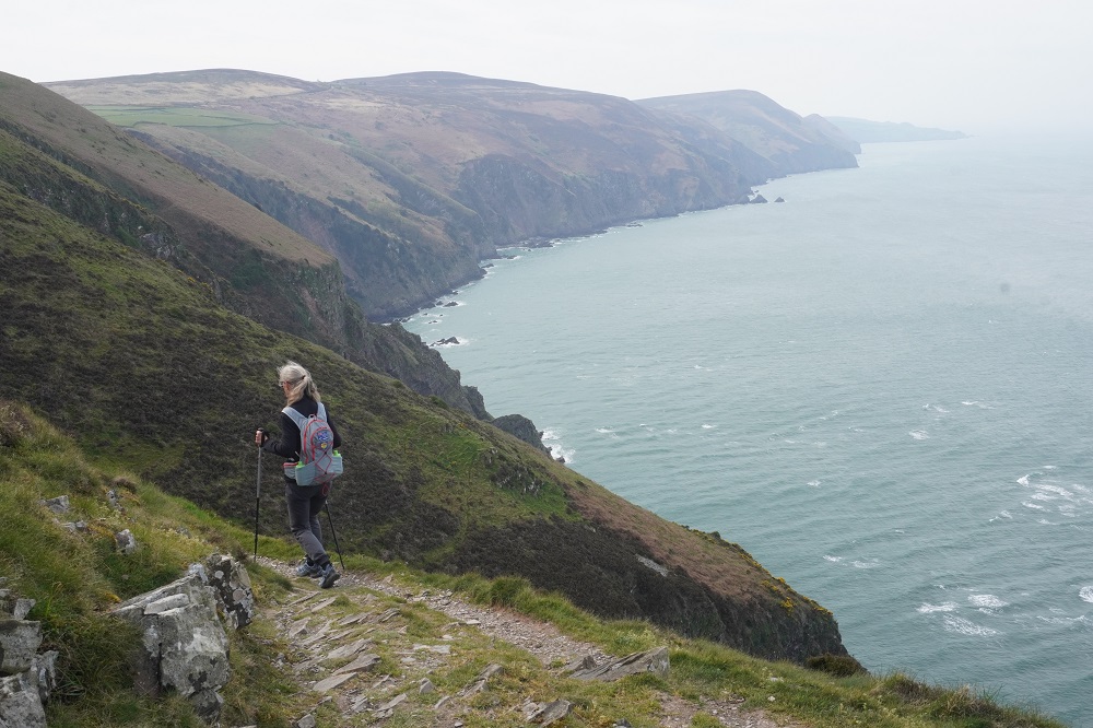
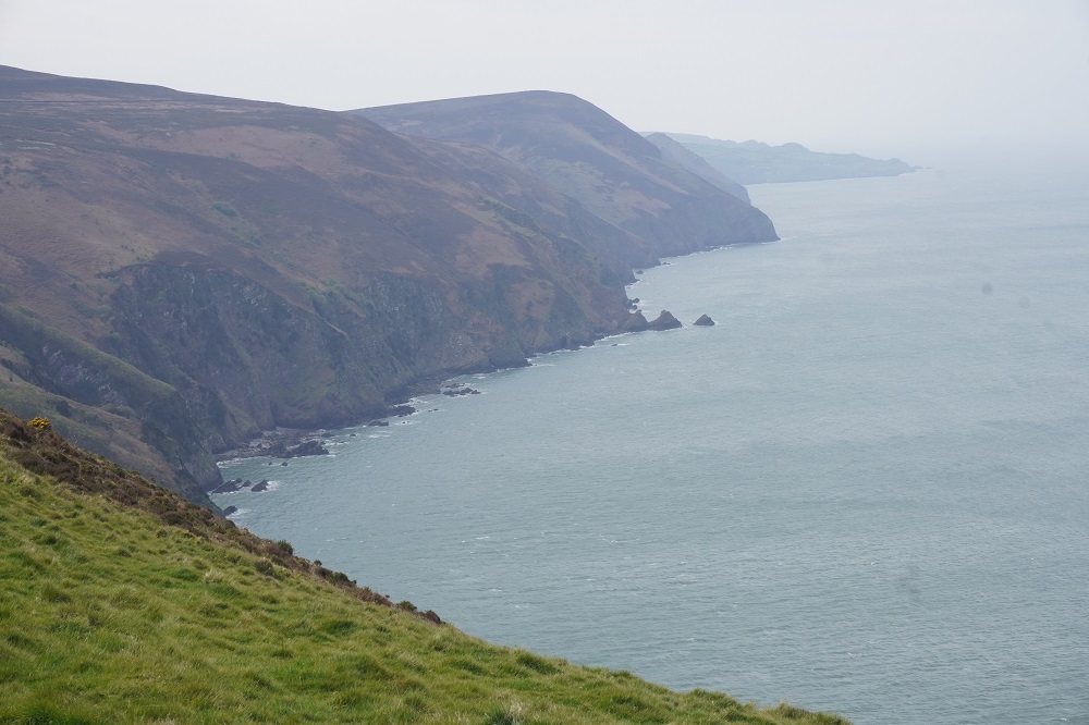
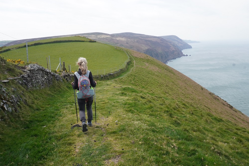
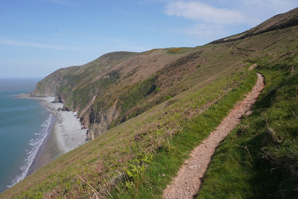
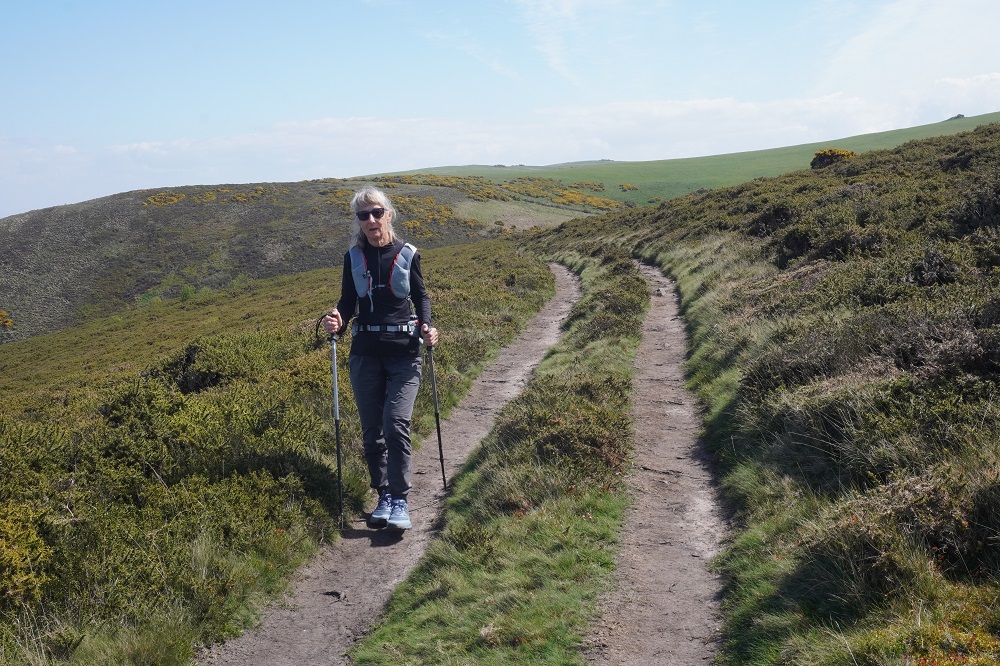
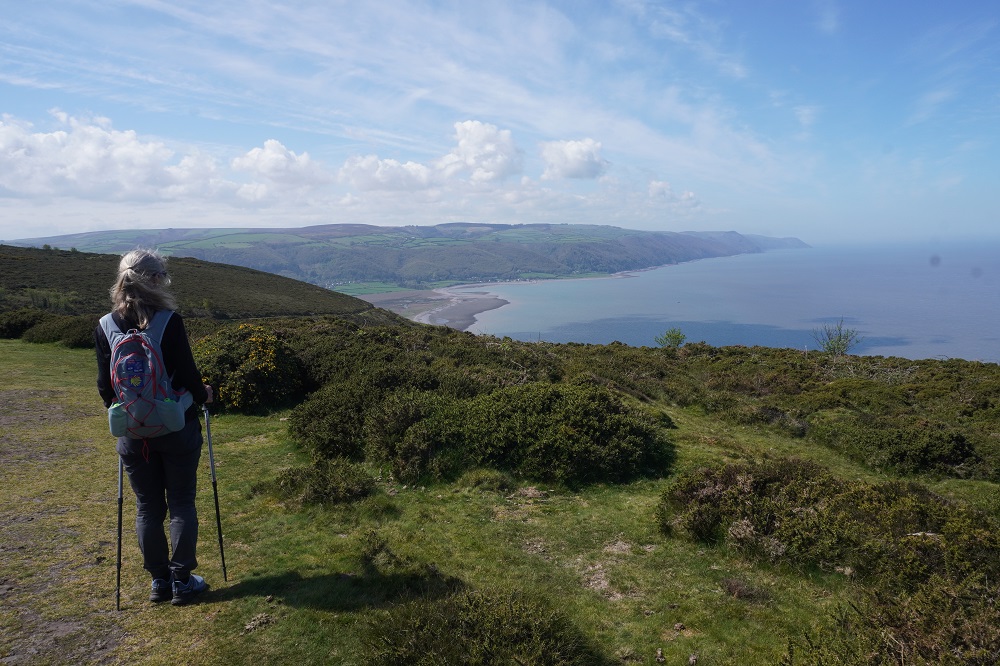
Today’s walk was also the most remote and isolated of the coast where Exmoor meets the sea. No villages, few farms, no harbours, no places to eat and drink – or loos. These are the parts of the walk we like the best. Barbara says it feels so wild and free. The cliffs, the rocks, the sea, the woodland, the sky, the wind, and the narrow path we faithfully follow.

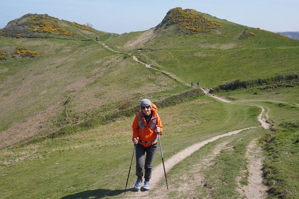
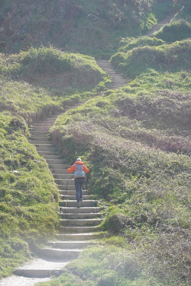
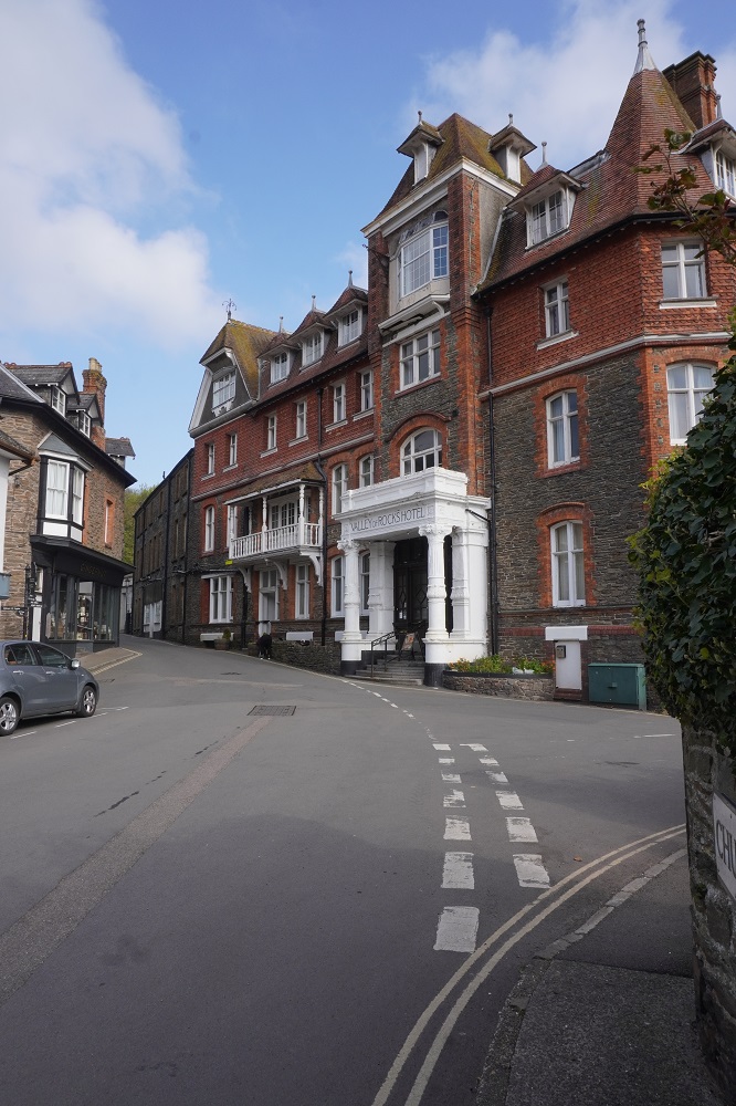
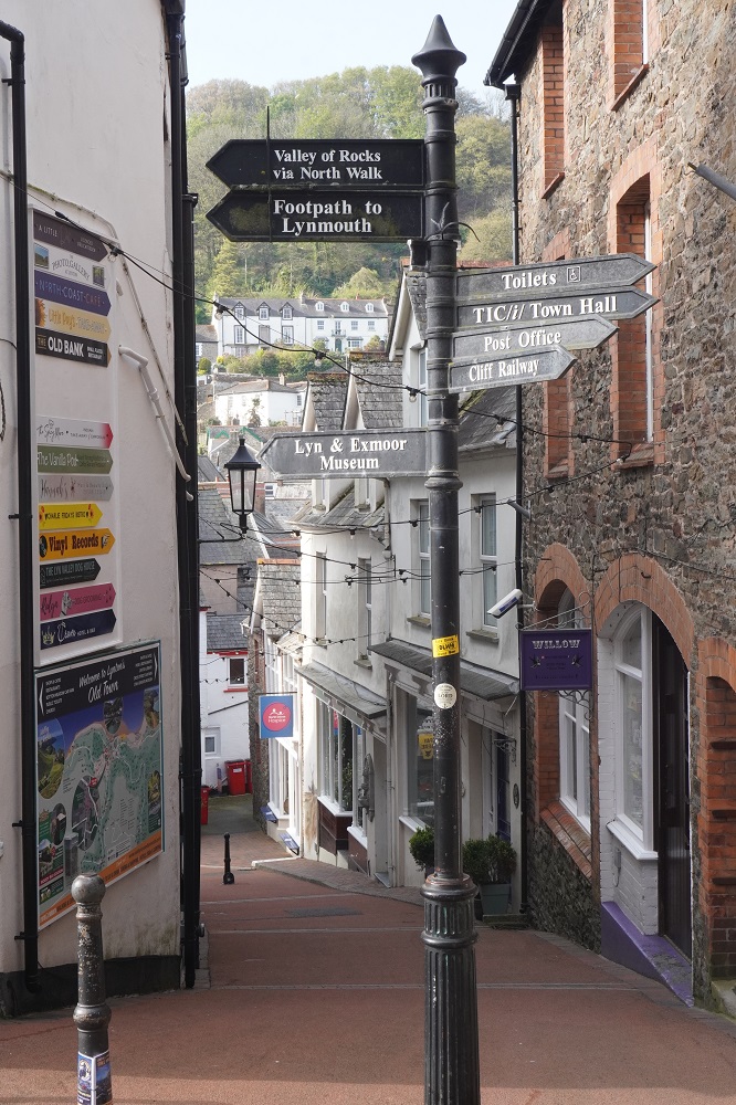
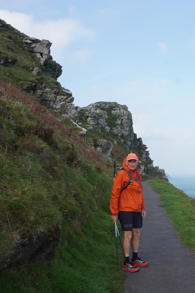
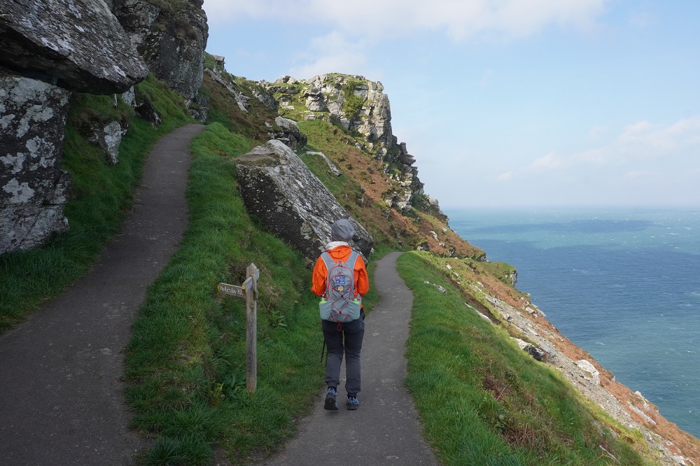
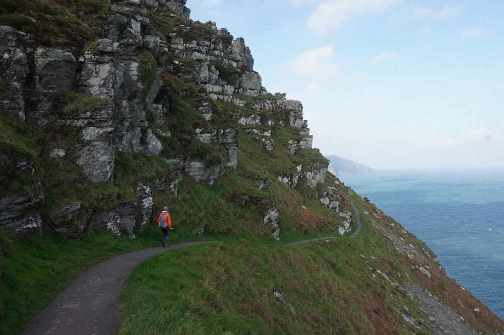
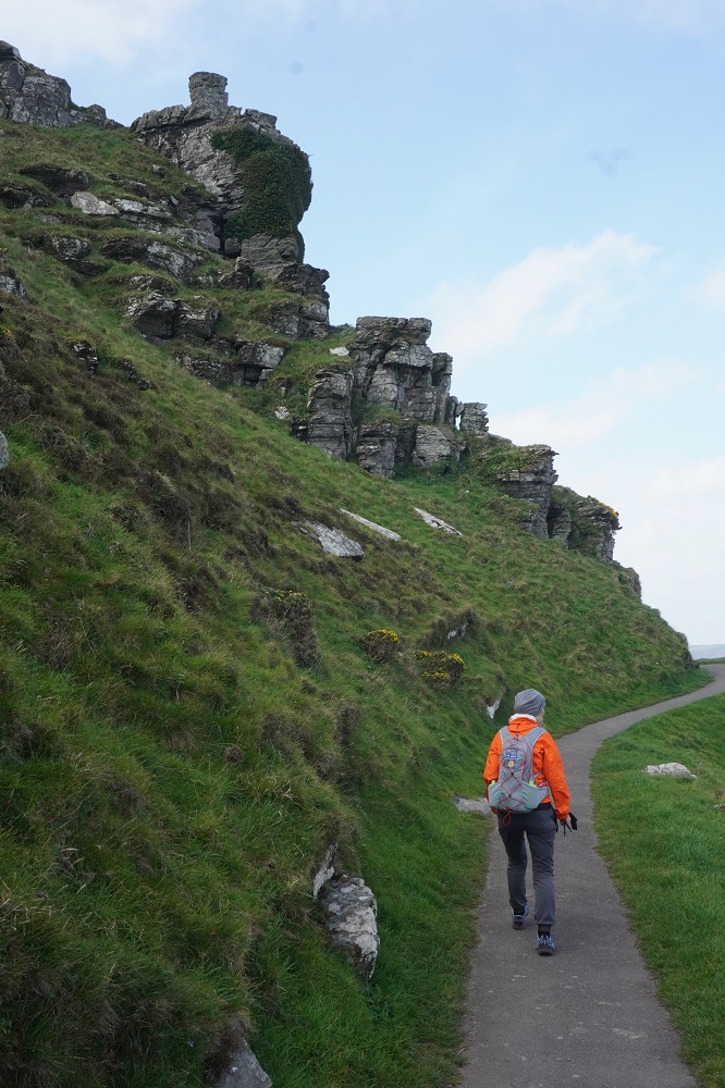
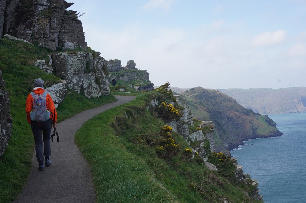
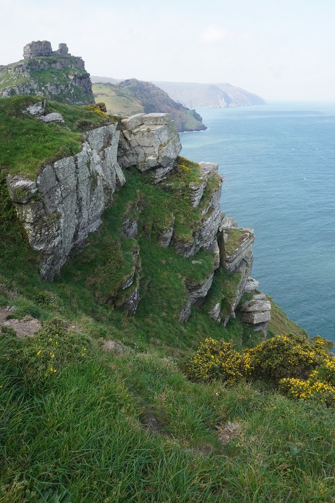
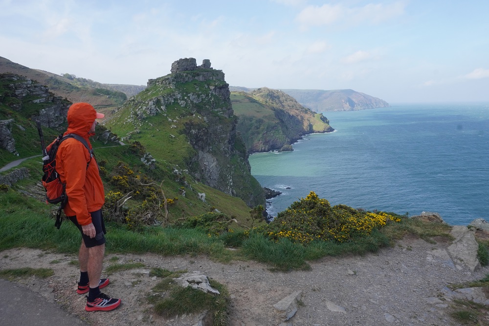
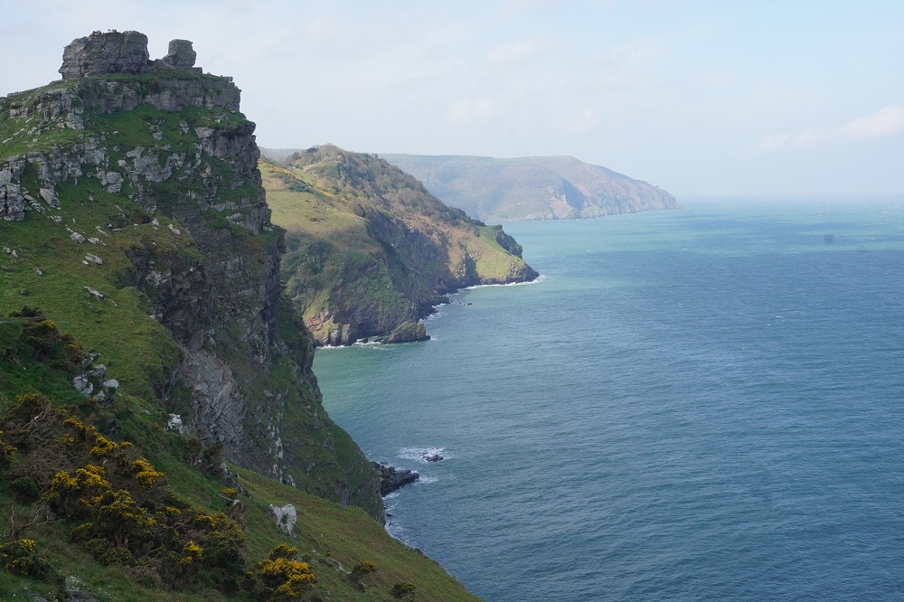
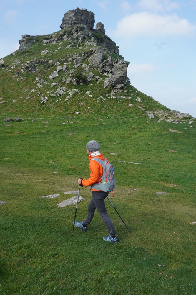
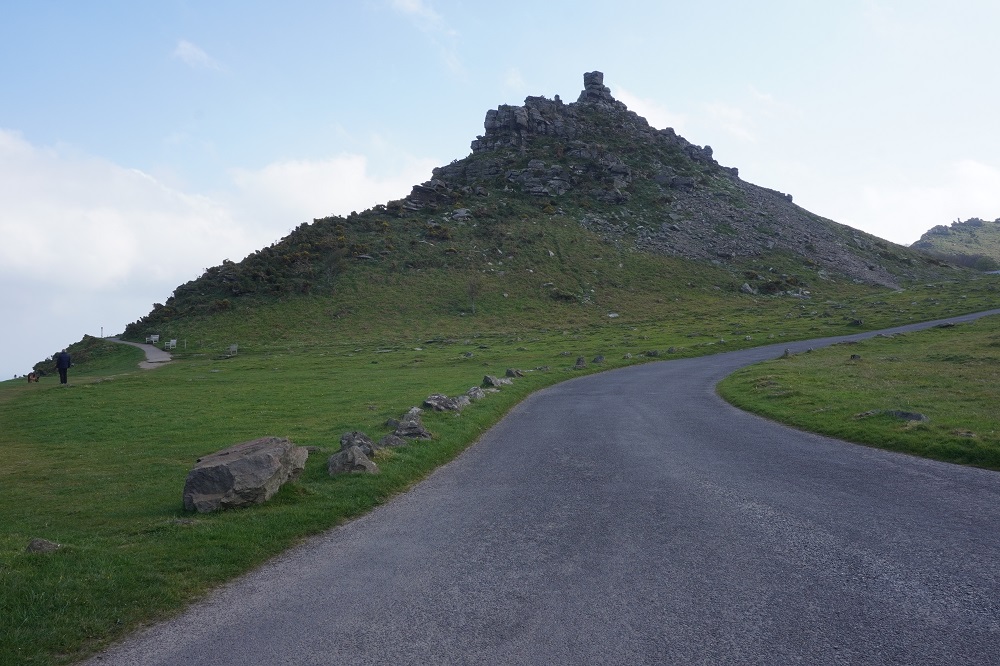
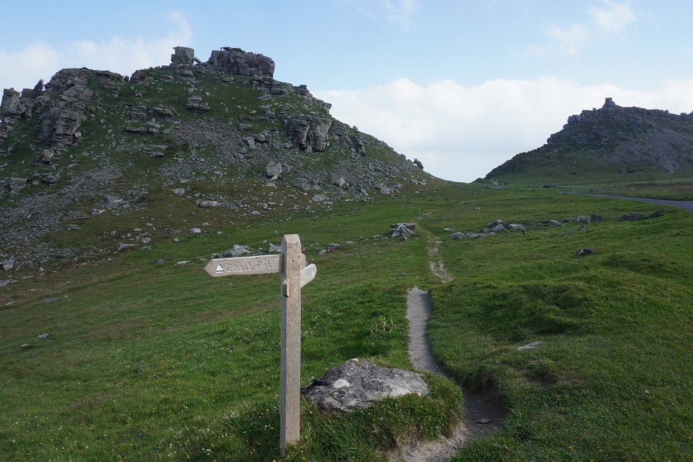
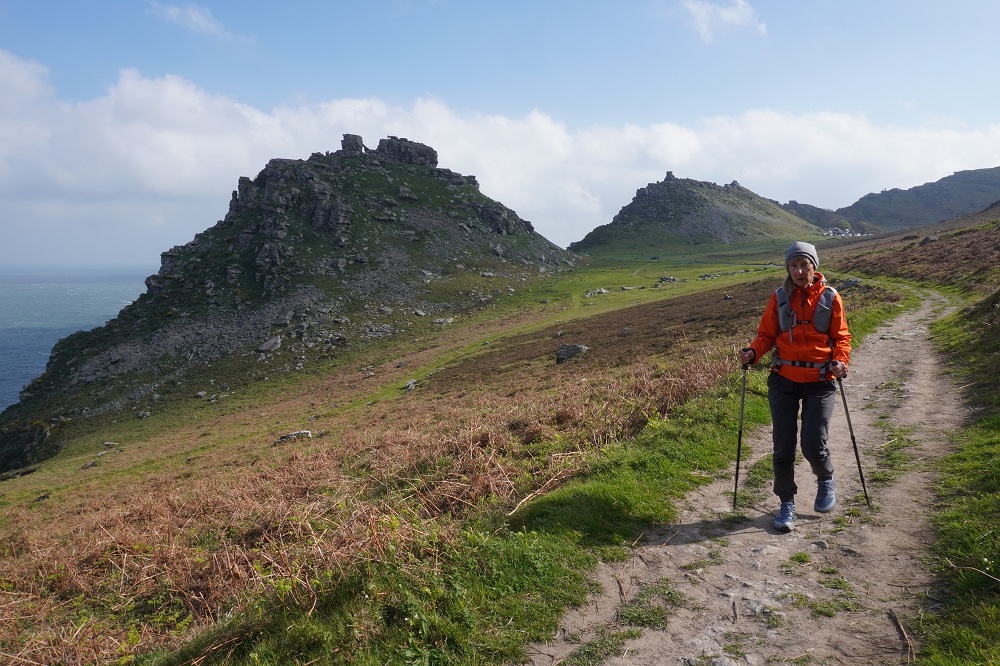
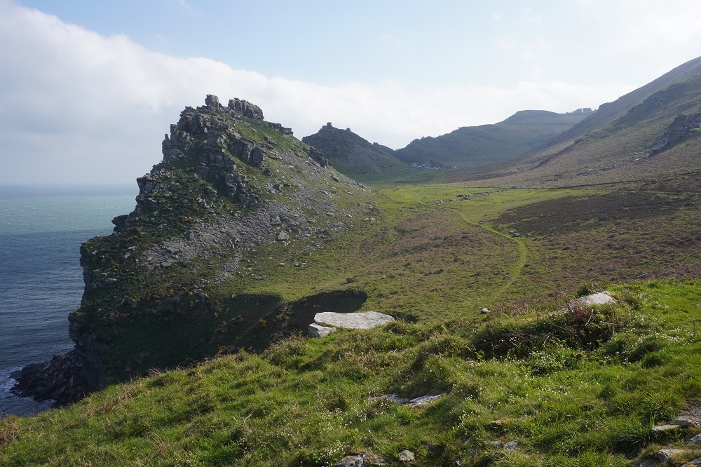
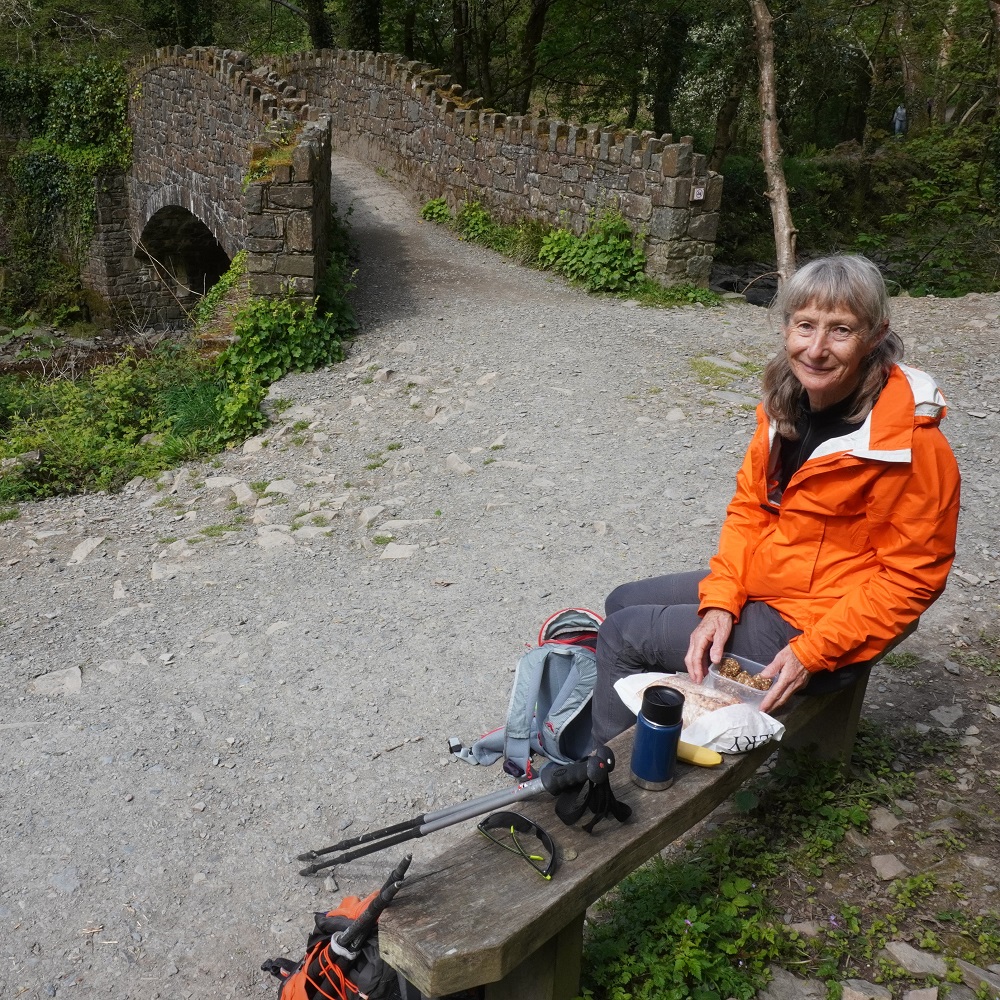
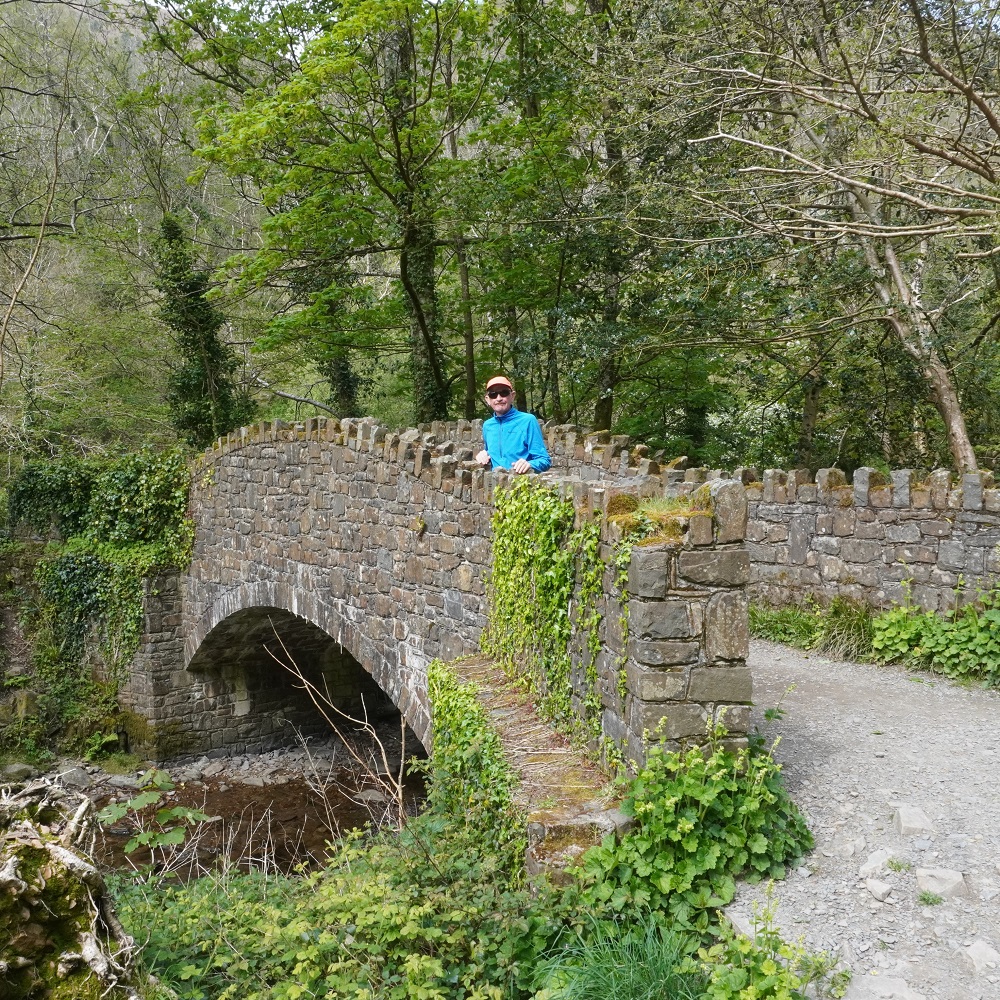
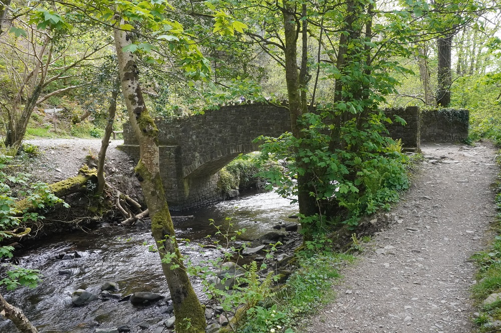
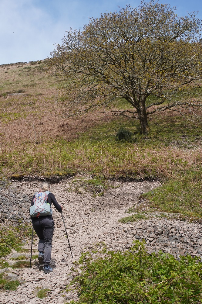
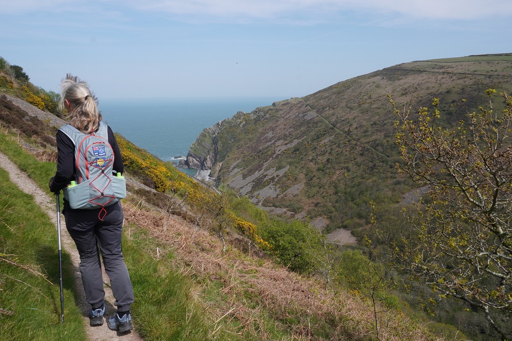
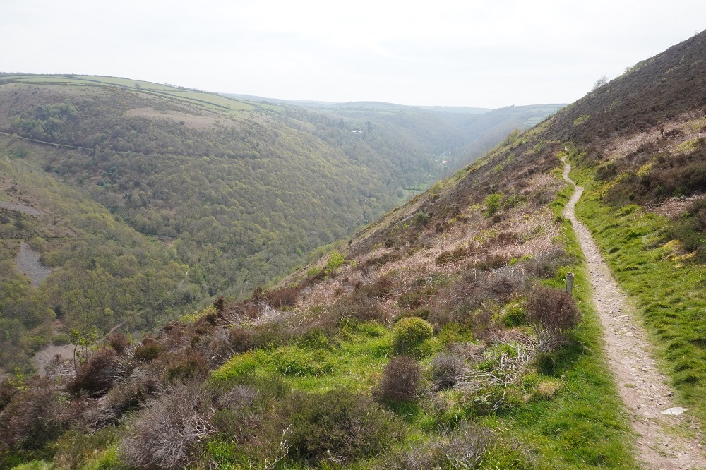
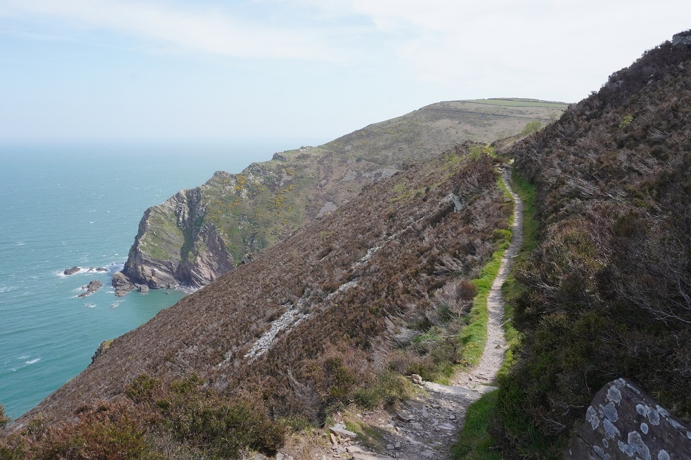
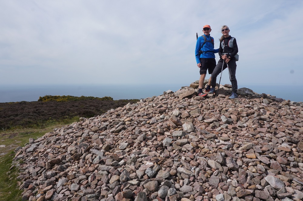
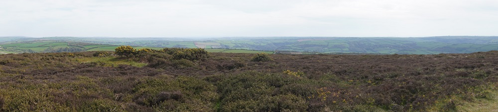
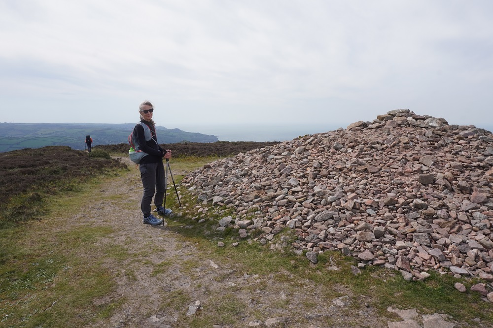
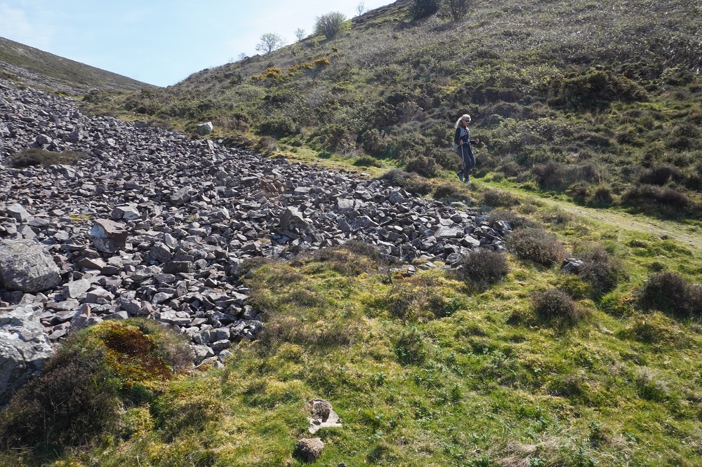
There were some spectacular coastal landscapes today, starting with the Valley of the Rocks. This is a group of peculiarly weathered rock formations formed by the last Ice Age and unlike any others in the South West. Most combes run at right angles to the sea but this runs parallel to the coast. The formations have names like Devil’s Cheesewring, Ragged Jack, Castle Rock. People have lived here since the iron and bronze ages but today the inhabitants are Exmoor ponies and feral goats. After some woodland walking at Woody Bay the next challenge was Heddon’s Mouth. This is a large valley and one of the steepest in England. There is a long diagonal walk down the side of the valley to a little stone arch bridge to cross the River Heddon. Then a very steep zig zag path on loose scree and many steps that are too tall to take comfortably. It seems to take forever to get back up to the tops again. The final challenge was Great Hangman, the highest point on the entire SWCP at 318m. Great Hangman does not look spectacular, it is a large very rounded hill, just a bit higher than other hills. Hence the climb is not steep. It just goes on for a long time. At the top there are good views inland over Exmoor and up and down the coast. There is also a large pile of stones. Maybe we were supposed to bring a stone from home to put on the pile, and to think of home and our loved ones. This is the sort of thing they are into on the Camino. A bit further on is Little Hangman, a much more dramatic looking peak, but only 218m high.

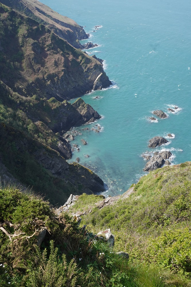
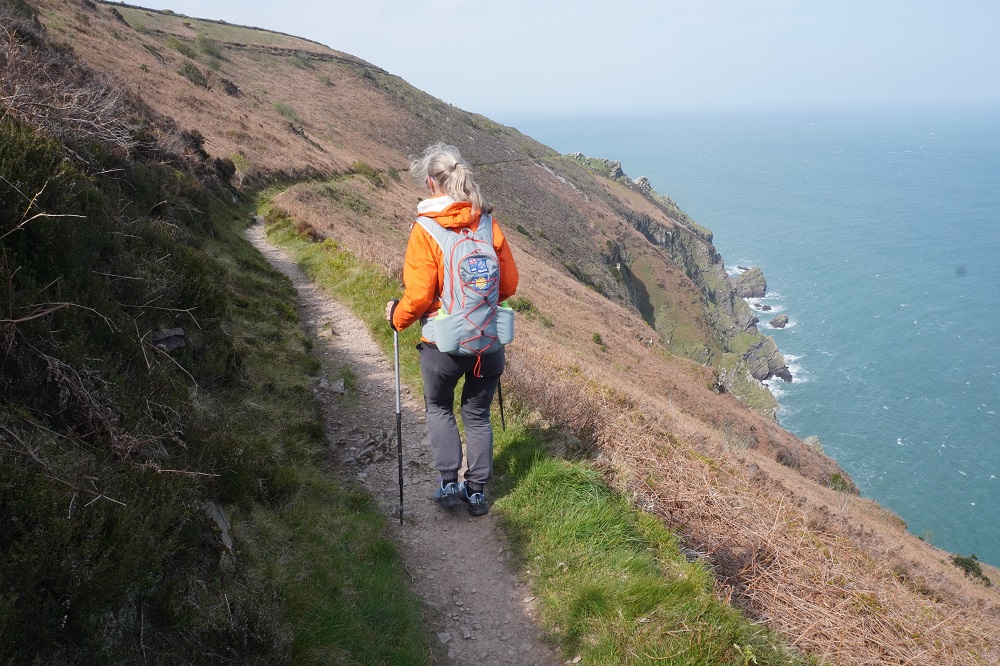
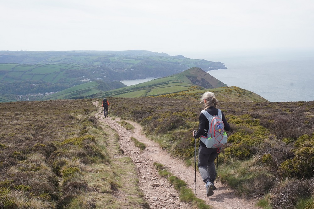
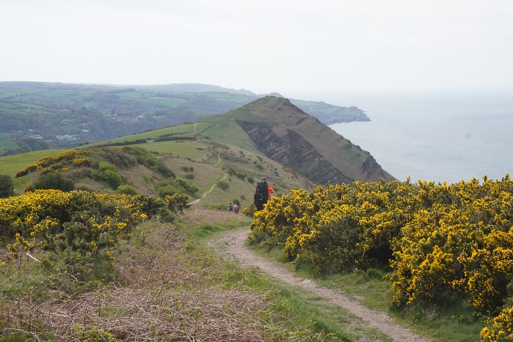
The forecast for today had been the same as yesterday so we set out with jackets on, beanies and warmer under layers. This was okay in the morning but it turned into a very sunny day and with all the climbing the extra layers came off. The wind was generally behind us, giving us a push up the climbs. We climbed up and around many high headlands with huge drop offs and a very narrow path. Here the wind accelerated and swirled every which way and it was always a relief to safely get round them.

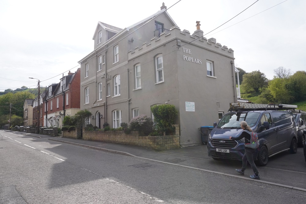
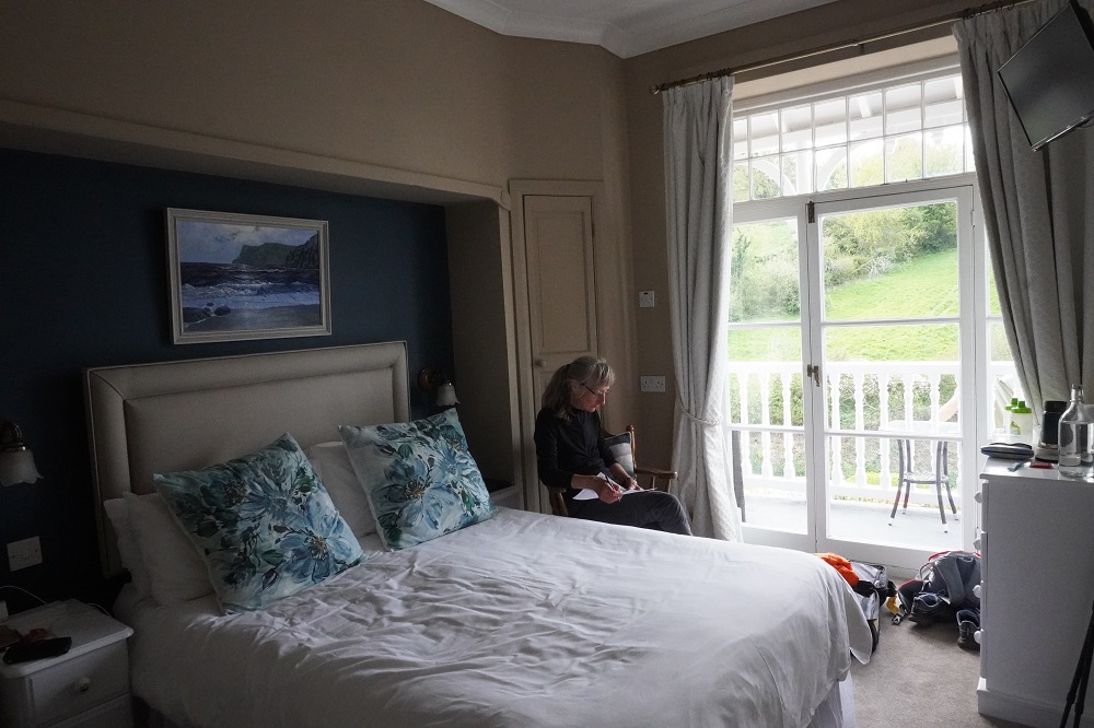
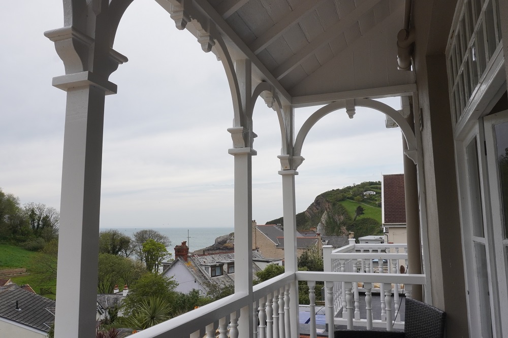
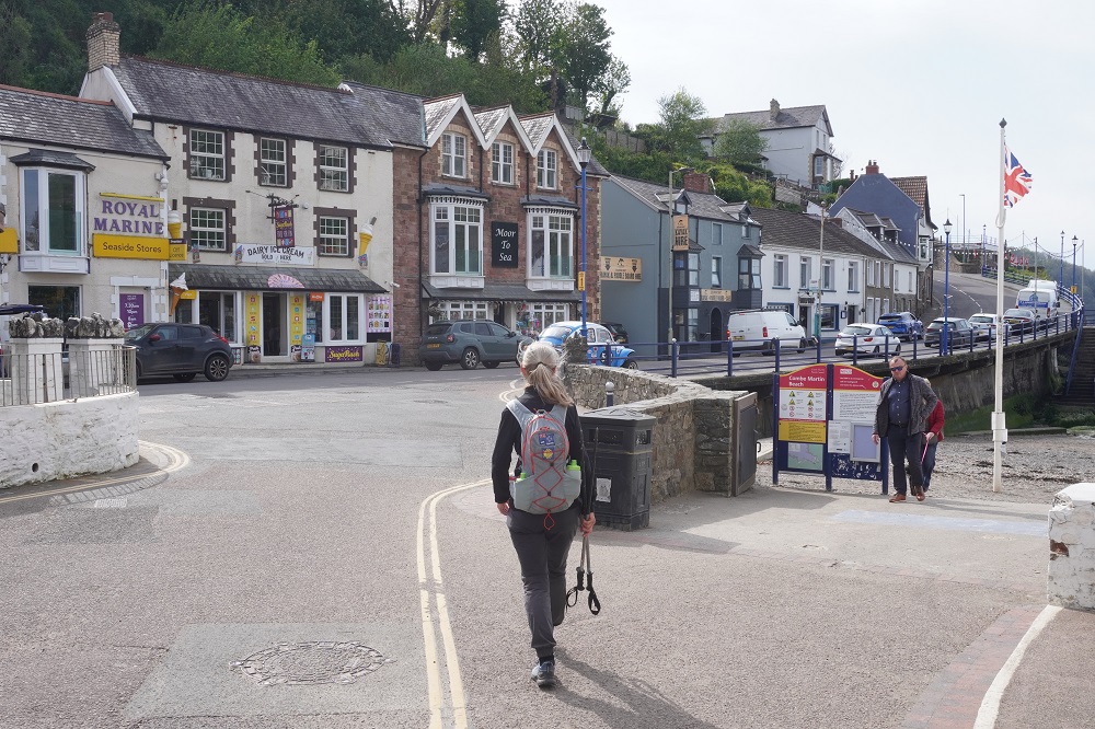
Overall a demanding day but very enjoyable. We are at The Poplars, a basic 3 star hotel, and we have a balcony with a view of the sea. Just a short walk into the village for dinner at The Dolphin. The menu wasn’t very exciting and I succumbed and had my first burger for this trip. Barbara is still holding out. Coombe Martin’s claim to fame is that they have the longest high street in England but this a bit dubious as the street is extremely long but mostly residential not commercial. They did once feature in The Guiness Book of Records for holding the longest street party. So it must be fun place.

Out of Somerset and into Devon

Tuesday 21 April 2026

Day 2 of walking
Porlock Weir to Lynmouth
Distance: 20.39kms
Total distance: 38.41kms
Climbing: 962m
Total Climb: 1,518m

Another great day of walking but conditions not quite as nice as yesterday. In the morning we got talking to the only other couple at breakfast. They also are walking the full South West Coast Path and they also started yesterday in Minehead. However there the similarities to us ended. They are quite a bit younger than us and are camping most of the way. Using motor camps most of the time but also freedom camping where they can. Freedom camping is banned in England but sort of tolerated if you leave no trace. So they are carrying a tent, cooker, fuel, clothes, some food, sleeping beds and mats etc. The guy said his ruck sack as he called it weighed 15kg.

There were quite a few people on the path today. We counted 17 doing all or some of it. We got talking to another couple who have been doing sections of the path over a few years and have two sections yet to do. They are coming out to NZ and were quizzing us on whether to do the Milford or Routeburn Tracks. We did the Milford 44 years ago but have not done the Routeburn. We talked about the Abel Tasman and tried to talk them into considering the Queen Charlotte Track. It is nice meeting other people doing long walks, especially in the long remote sections.

Today was cold and windy. Min 6°, max 12° and a cold wind gusting to 52km/hr coming off the Bristol Channel. It was also cloudy most of the day. We started off not wearing jackets thinking that after a short section of stony beach we would be into a steep climb in woodland and would warm up okay. However we just stayed cold and after a while put on our orange rain coats to stop the wind going through our fleece and merino tops. We both wished we had gloves and woolly hats. It wasn’t the best, but okay, and didn’t stop us enjoying some wonderful walking.

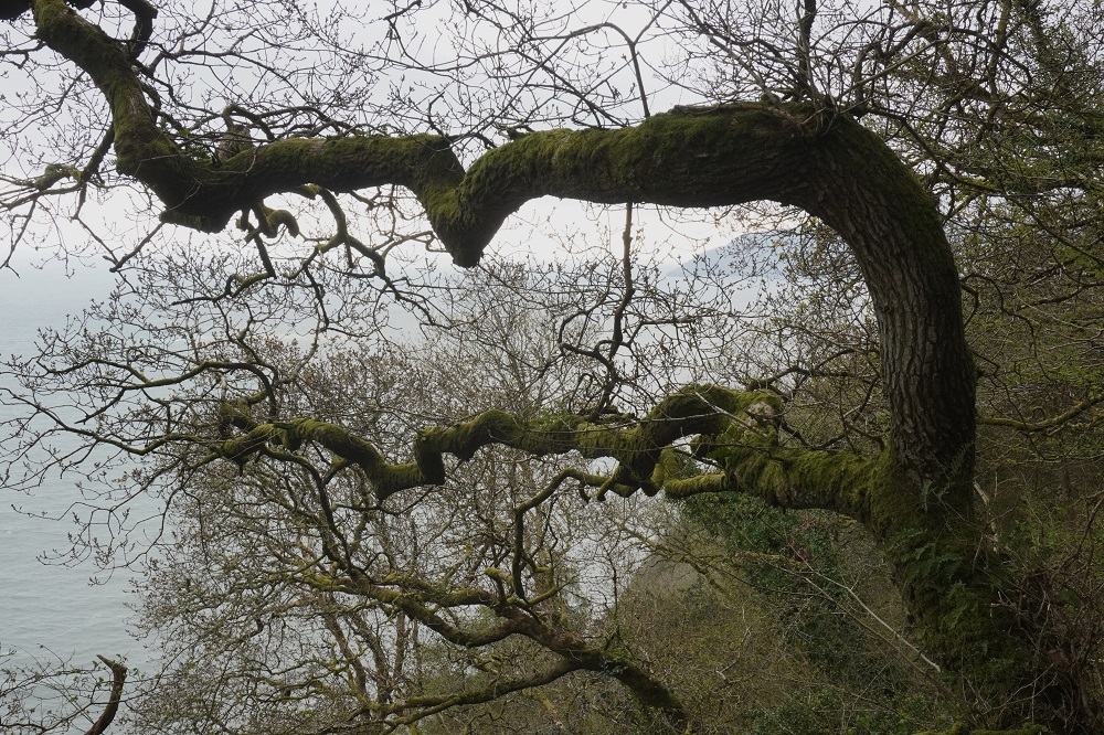
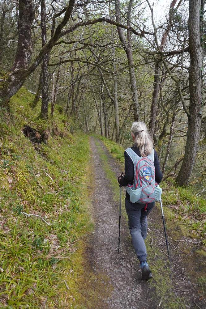
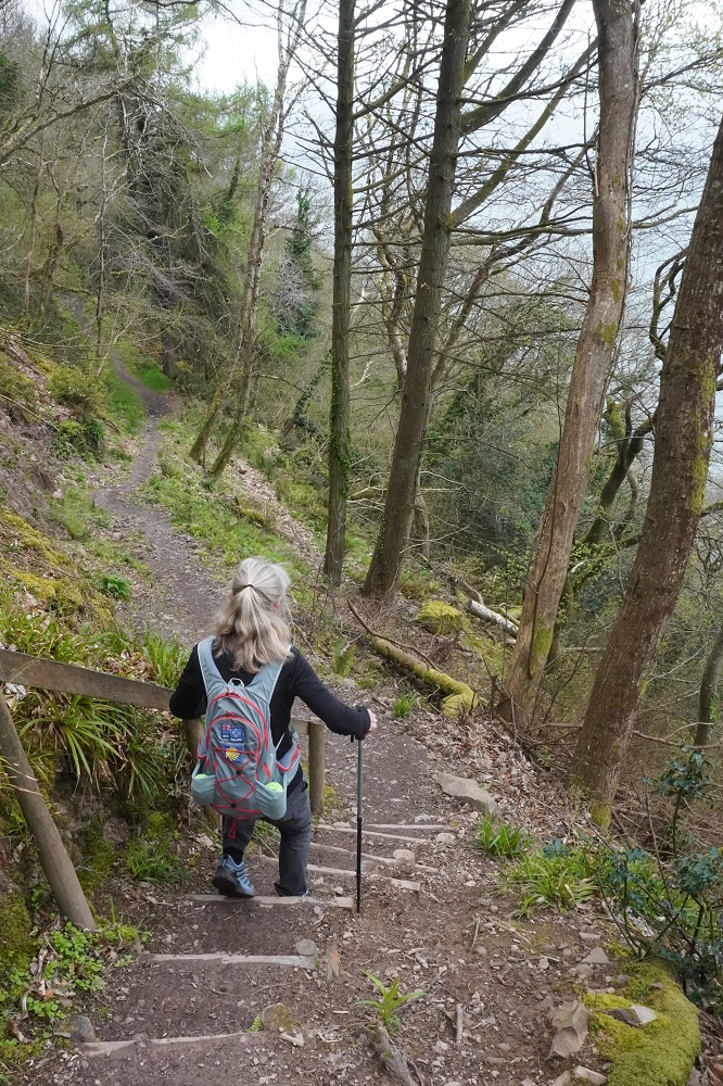
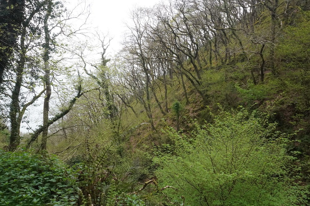
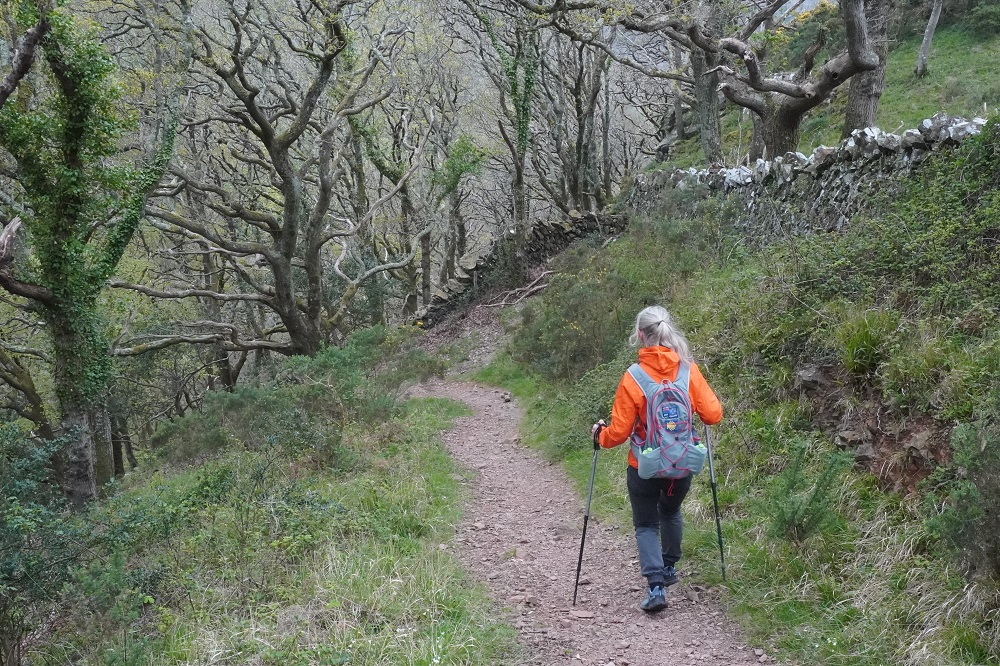
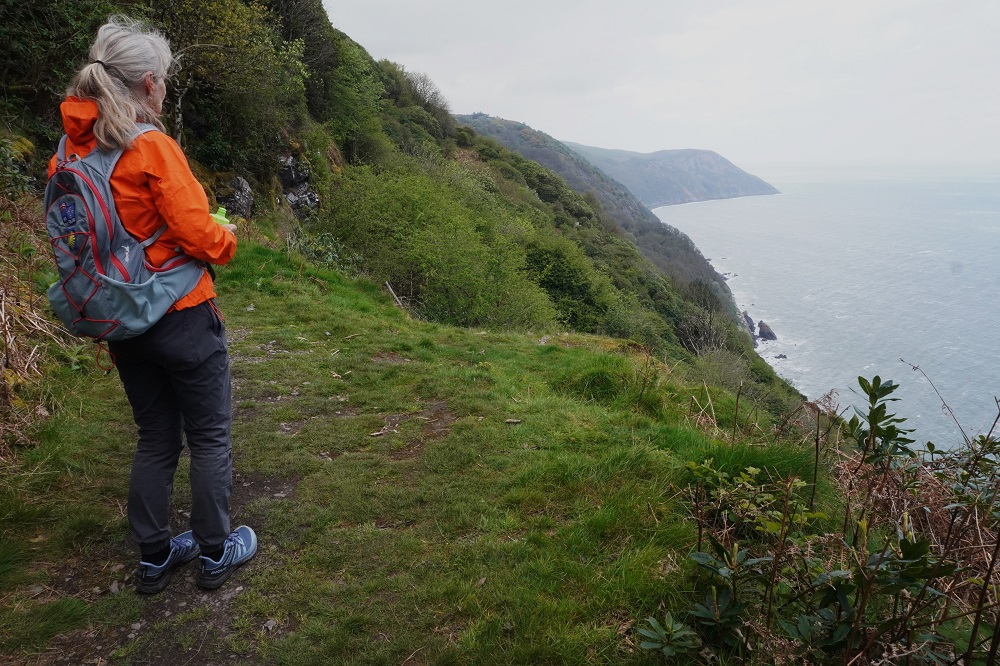
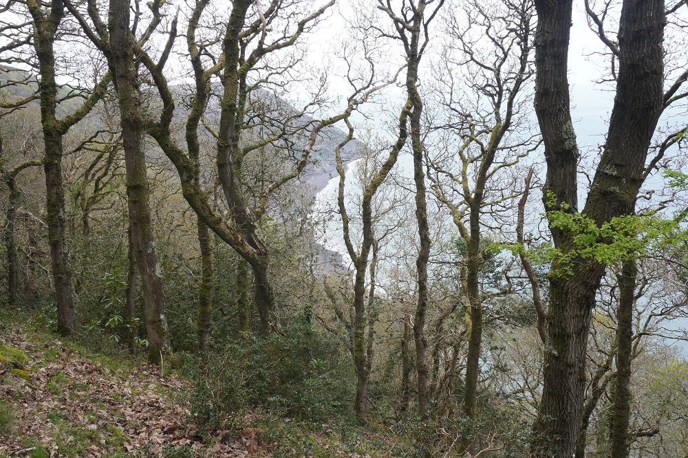
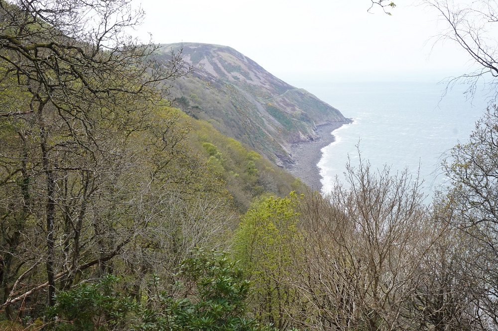
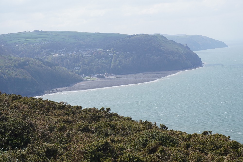
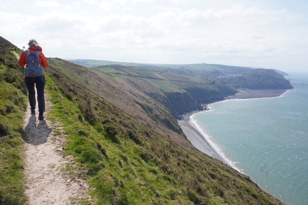
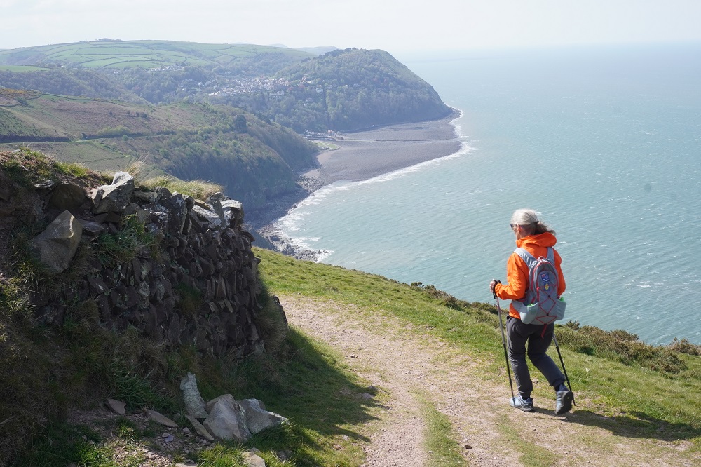
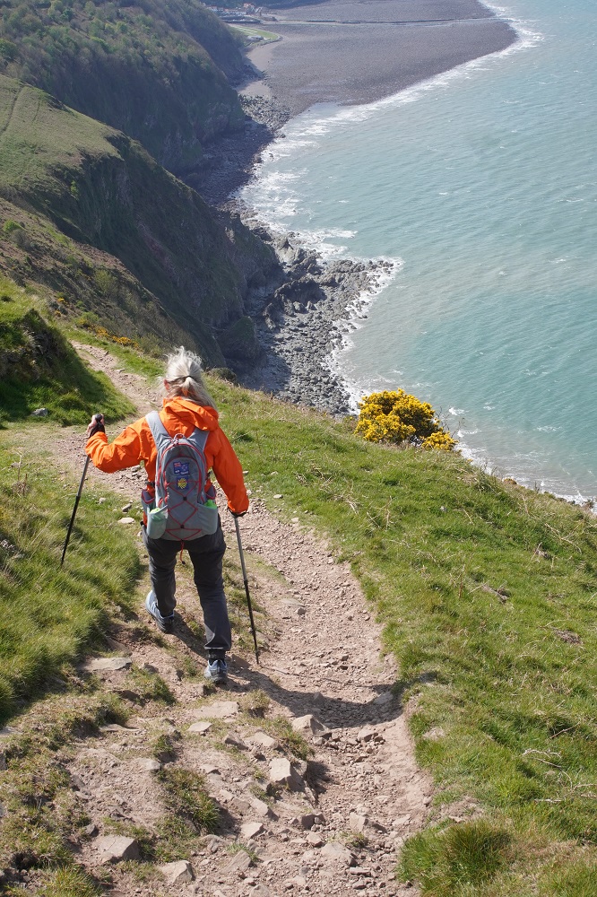
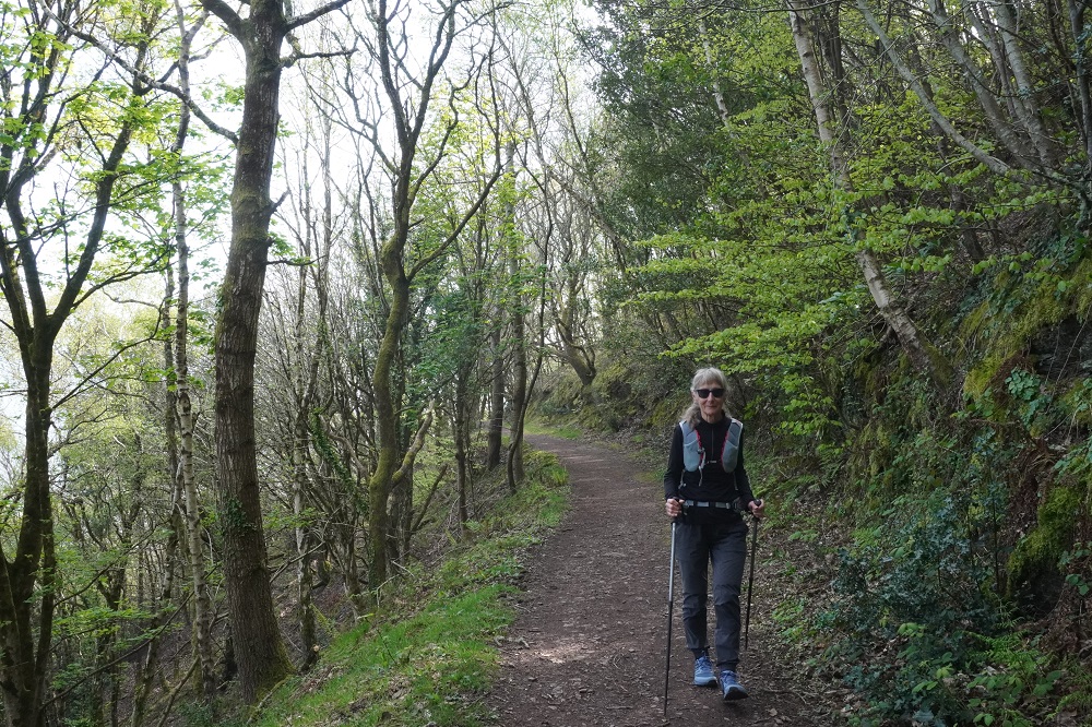
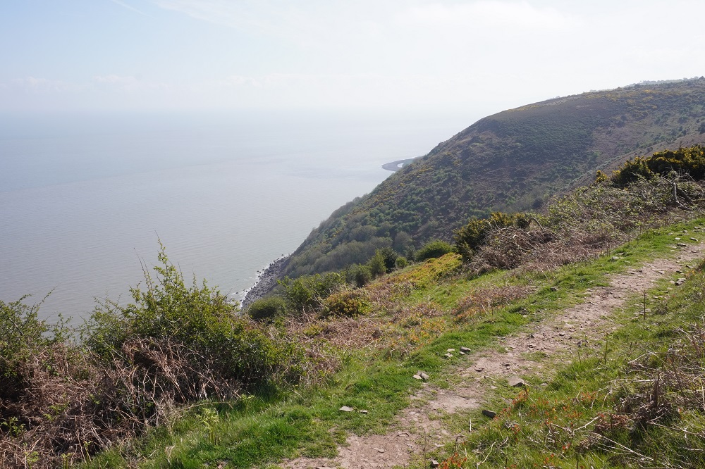
The first 15kms were all in woodland, a lot of twisted oak, rhododendron and some conifer, and bird song all the way. We were high above the water most of the time and only got glimpses of the shore and wind driven waves through the trees. It is still early spring so a lot of trees are only just starting to get foliage and so the overhead canopy is very transparent. The last 5kms were out in the open on windy exposed hills. The wind was mostly behind us so that was a nice assistance climbing up the steeper slopes. For the last section we were high on a hill with steep drop offs to the rocks far below, the wind buffeting you about but with spectacular views of Lynmouth and Lynton ahead. We  have to enjoy the woodland as probably only about 10% of the path has it.

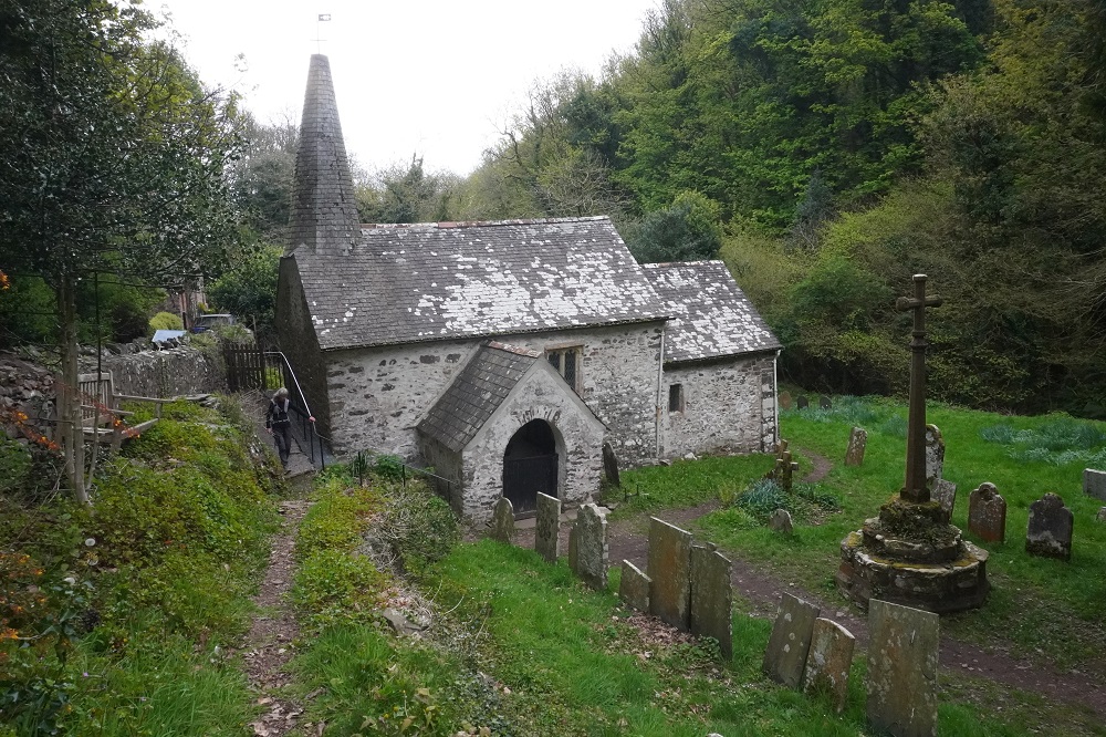
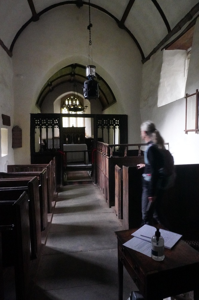
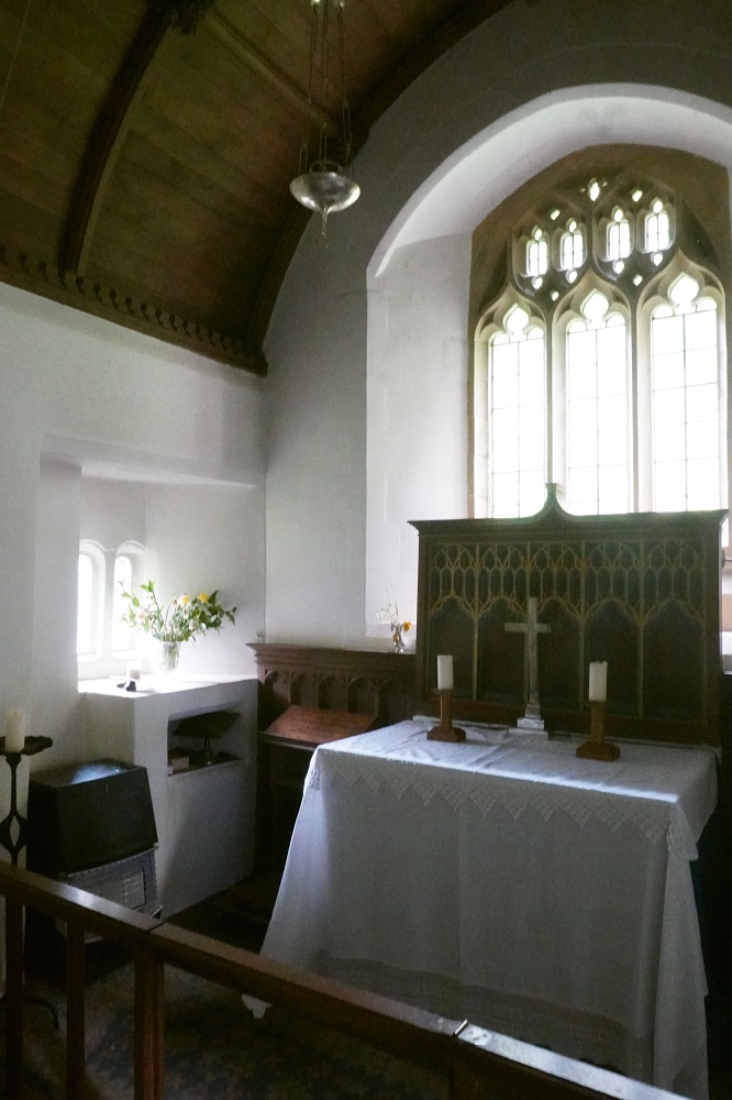
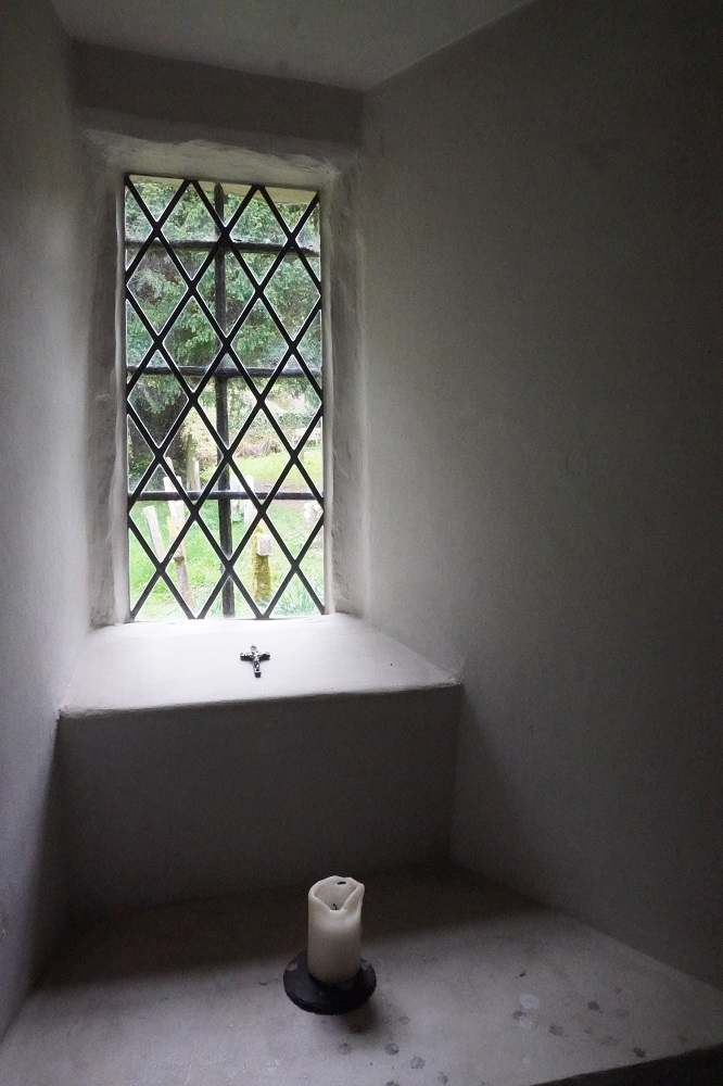
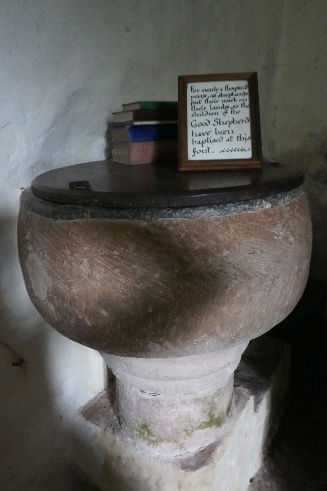
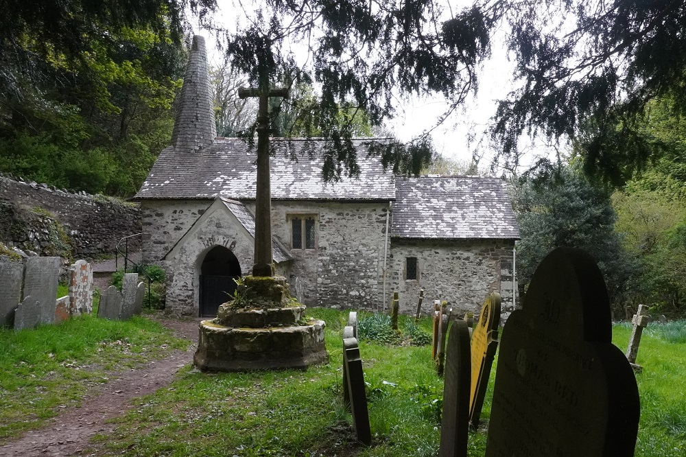
The highlight in the morning was the delightful little Culbone Church. It is said to be the smallest parish church in England and is dedicated to the Welsh saint Bueno. It is recorded in the Doomsday Book of 1086 so is probably pre-Norman (Battle of Hastings 1066 and all that). An entry porch was added in the 13th century and a larger nave added in the 15th. The nearby woods were a sanctuary for criminals and outcasts banished from Society. There was a leper colony from the 16th century and the church has a lepers’  window (a squint) so they could look in and watch services.

Somewhere along the way we passed from the county of Somerset into the county of Devon. There is no indication on the path as to where the county boundary is so we don’t know when or where it was. It does mean we can now have Devonshire cream teas. We must remember in Devon the clotted cream goes on the scone first with jam on top. In Cornwall the jam goes first followed by the clotted cream. We wouldn’t want to be seen as uncouth colonials.

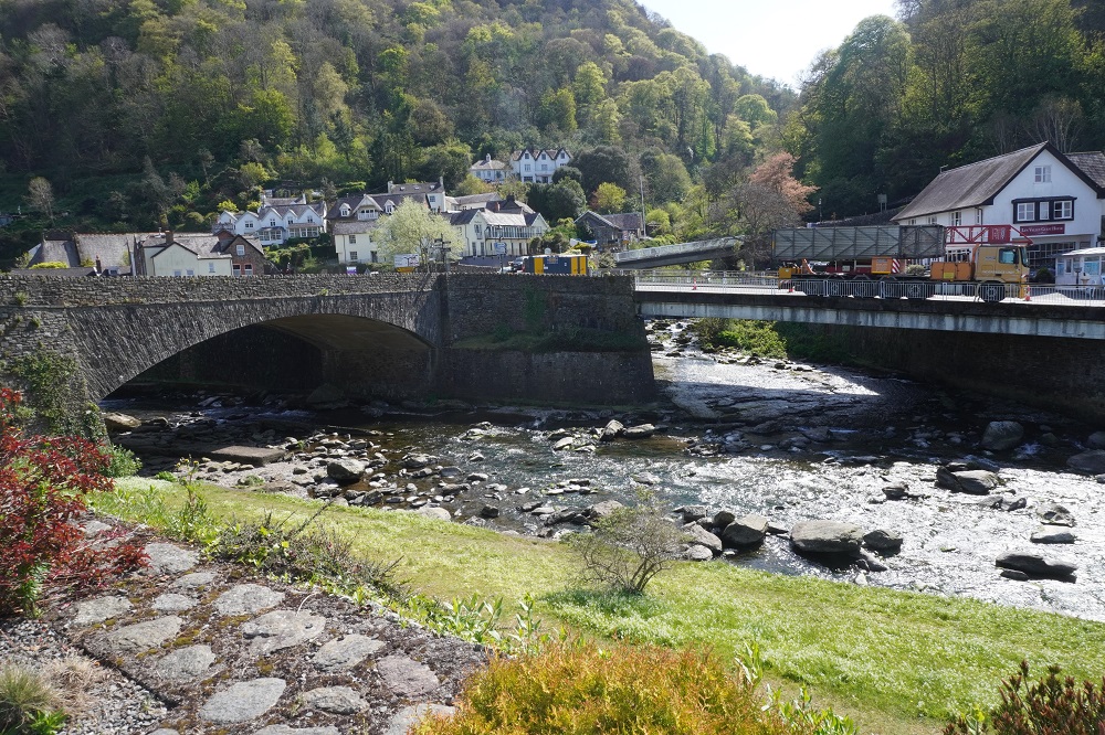
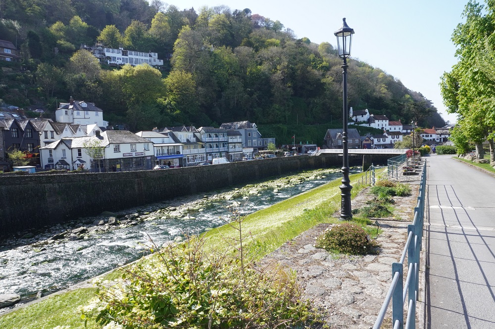
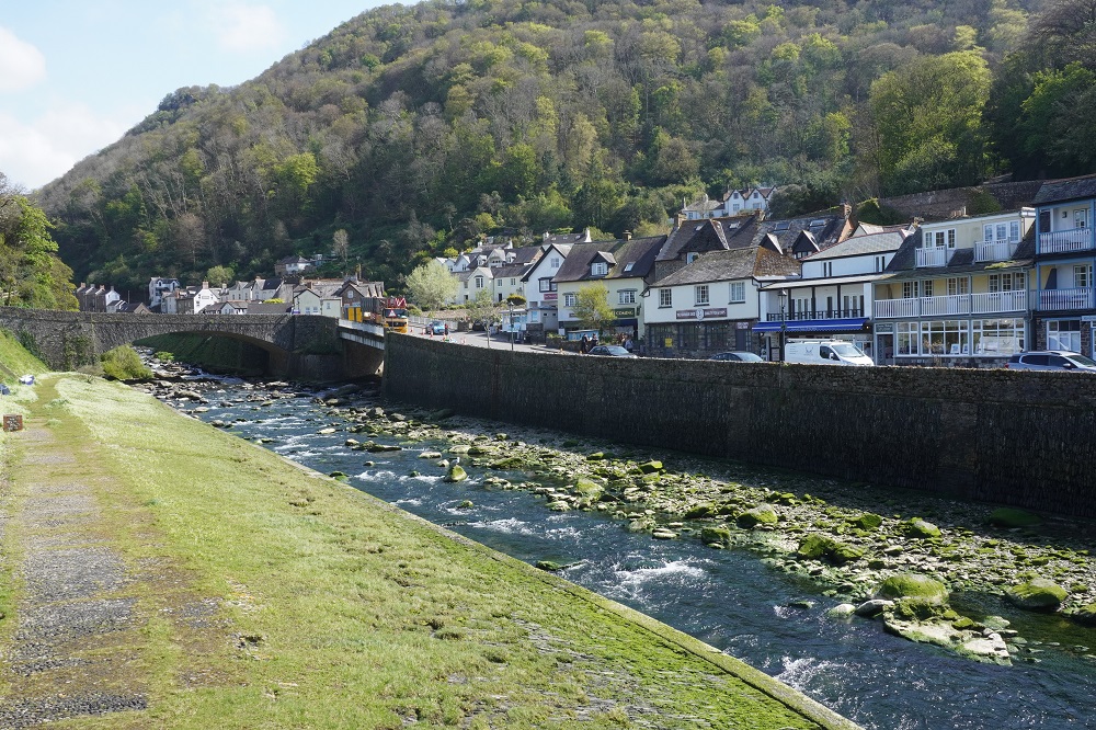
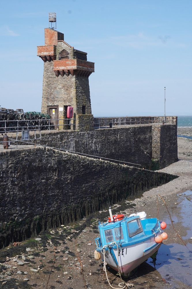
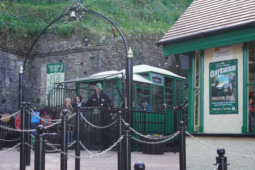
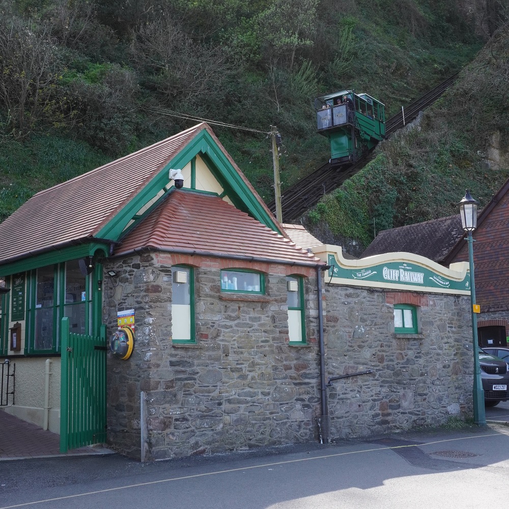
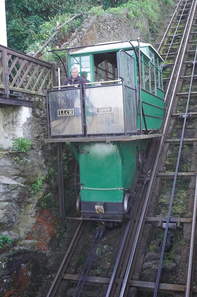
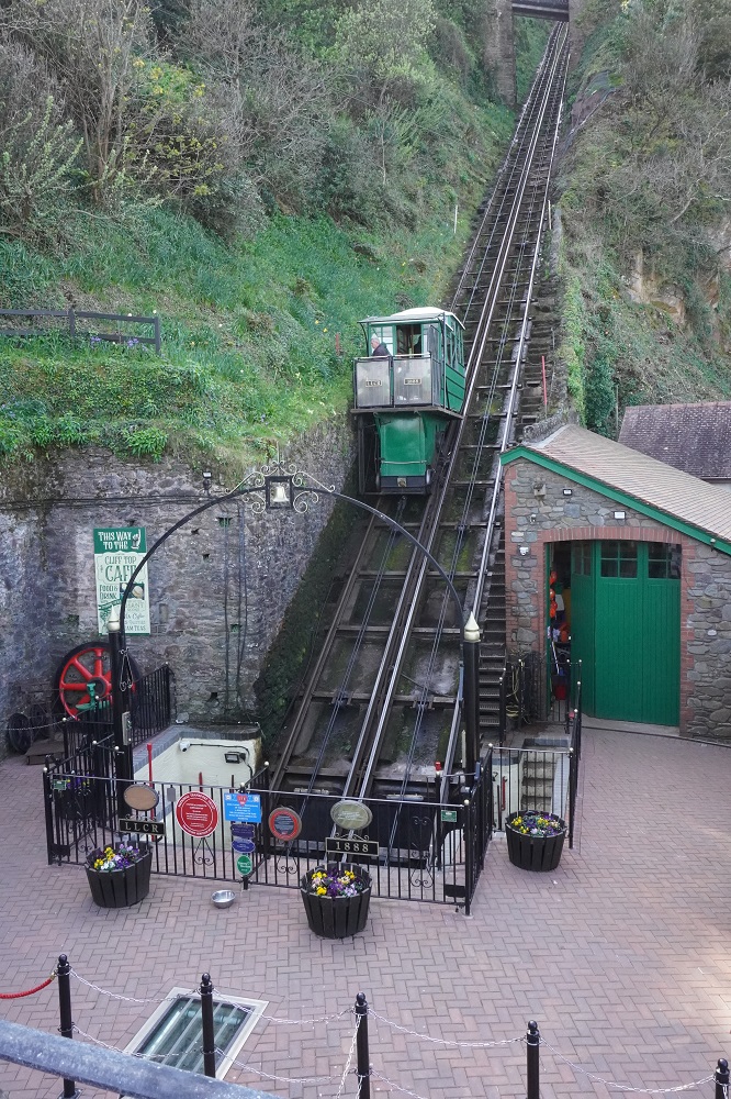
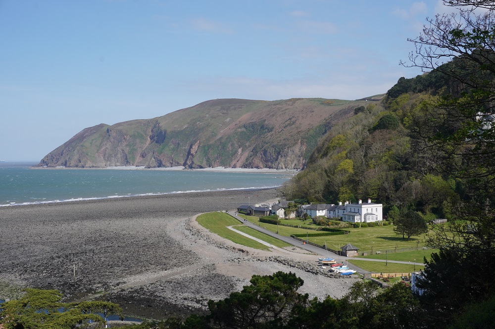
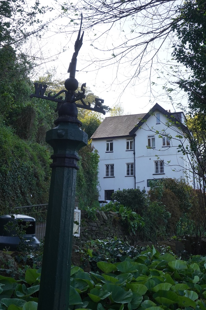
Tonight we are in Lynmouth, one of the twin villages of Lynmouth and Lynton. Lynmouth is down on the coast at the convergence of the East and West Lyn Rivers. Lynton is directly above Lynmouth and the two are connected by the Cliff Railway and/or a very steep zigzag path. Our hotel is located about half way up the cliff between the two villages and unfortunately the railway only has stations at the top and bottom so at the end of a long day we had to slog up the path.The Cliff Railway was built in 1888 by those wonderful inventive Victorian engineers. Two carriages are connected by a cable that runs around pullies at each end. Each carriage has a 700 gallon water tank under the floor. When water from the West Lyn River fills the tank of the upper car – at the same time water empties out of the tank of the lower car – the heavier top car starts to descend down the 862 ft railway, pulling the lighter bottom carriage up as it does so. Very cool.

One event dominates Lynmouth’s history. On Friday August 15 1952 when, following almost a fortnight of torrential downpours, a cloudburst unleashed 9 inches of rain on Exmoor that sent a wall of water cascading down on the unsuspecting village, dispersing boulders from the surrounding countryside onto the streets. 34 people lost their lives and 60 buildings were destroyed.

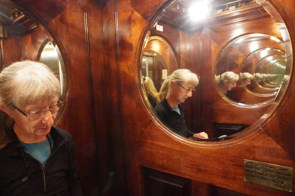
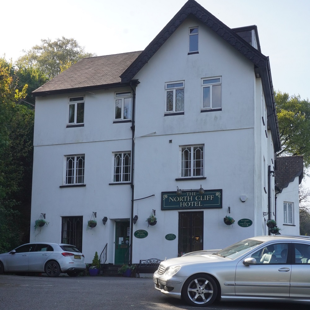
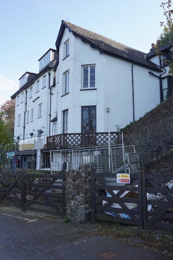
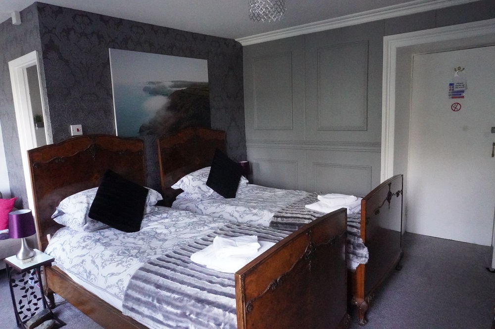
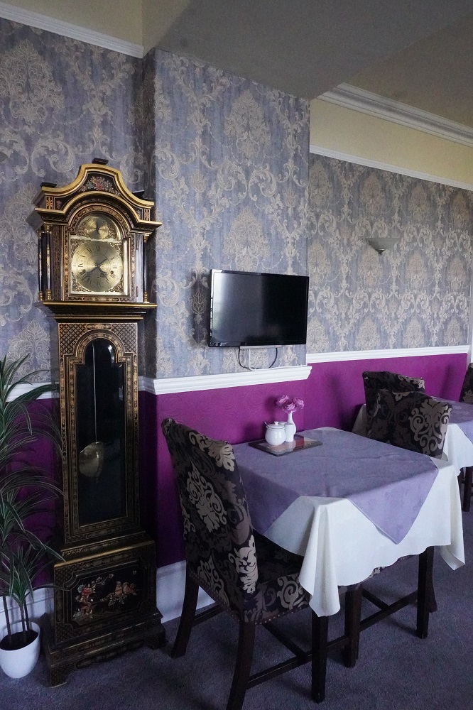
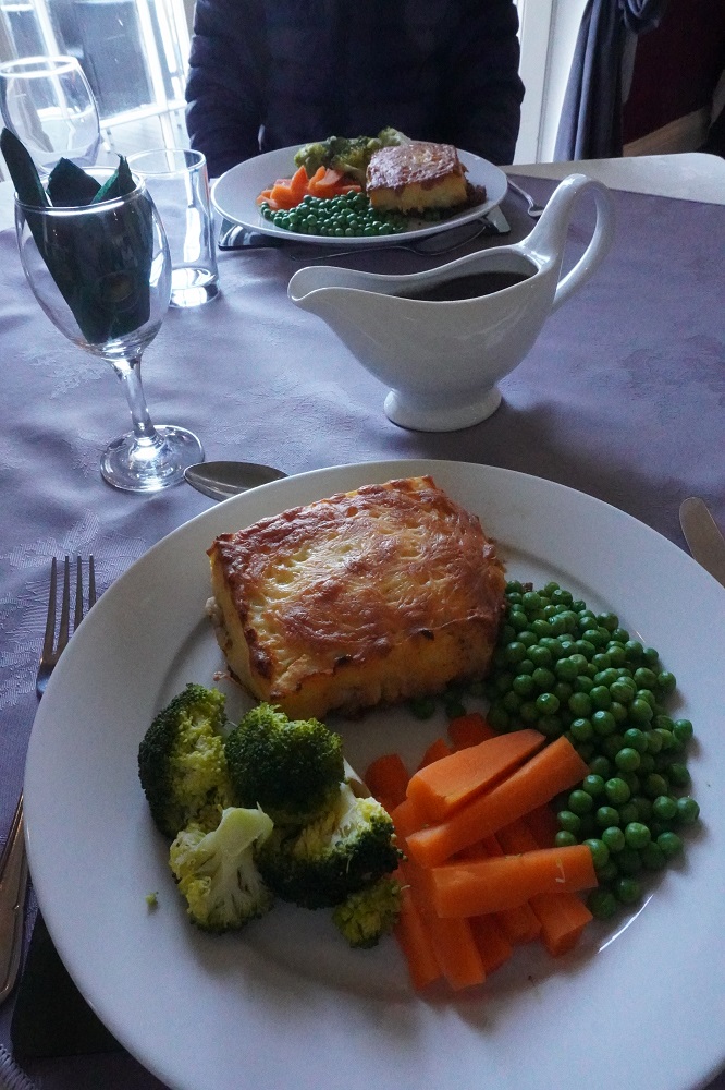
Tonight we are staying at the Edwardian North Cliff Hotel, a very comfortable 11 room with ensuites establishment. When we approached, the car park was full of late model Mercedes and BMWs and I thought we might be a bit out of place here with our sweaty walking clothes and dirty shoes. Josh made us feel very welcome and even carried our bags up to our first floor room. Being up on the cliff it has magnificent views down to Lynmouth and out over the bay. All the décor, furniture and fittings are in the period style and outside of museums I have never seen so many tall grandfather clocks. In the entry foyer, the two sitting rooms, the games room, the dining room, the breakfast room! We ate in their dining room as we were too tired to go back down to Lynmouth or go further up the cliff to Lynton.

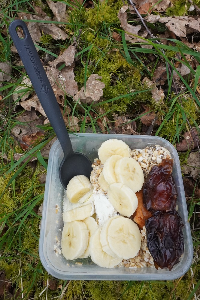
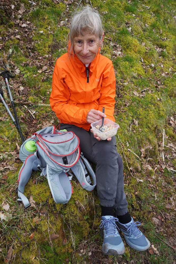
Yesterday and today there are no places along the path to get food or drink. We are trying to eat as healthily as we can and bread and cheese etc can get a bit tedious so we tried some “overnight oats”. Oats, milk powder, dates, nuts, seeds, peanut butter, banana and water. It was a success – tasty, easy to carry and a nice variation. Just have to remeber to carry a spoon!

We are feeling really good. A bit tired and sore at the end of each day but still getting into the rhythm of our new life. We seem to recover overnight and are keen to get going each morning. We have two more days with a lot of climbing and descending before a couple of days on near flat.


Ready, steady, go

Monday 20 April 2026

Day 1 of walking
Minehead to Porlock Weir
Distance: 18.02km
Total distance: 18.02km
Climbing: 556m
Total climbing: 556m

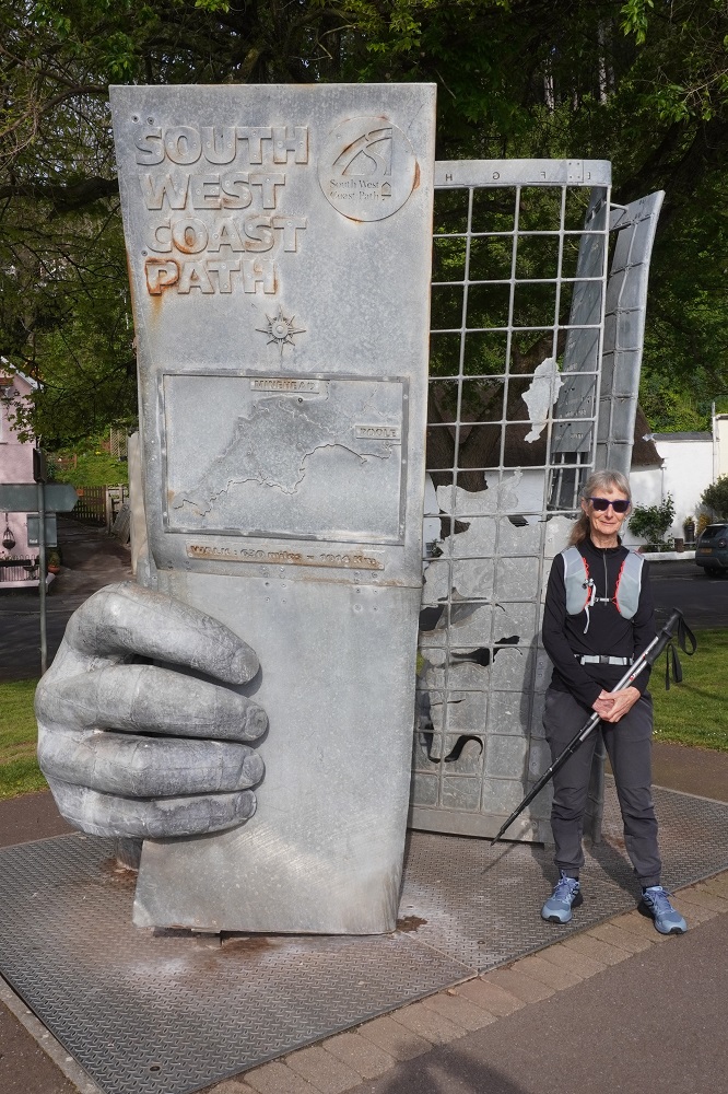
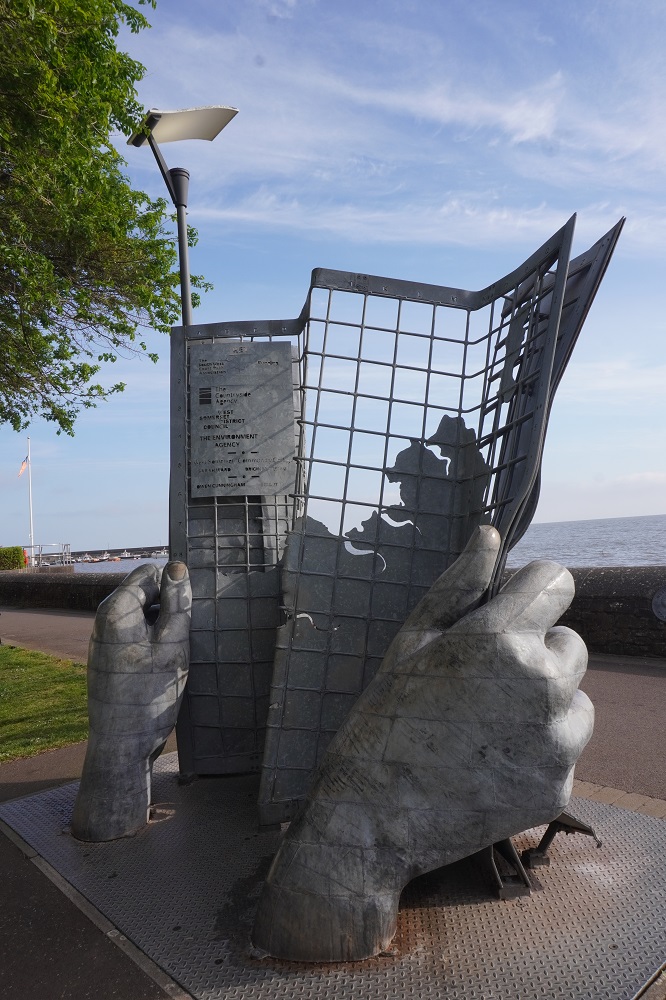
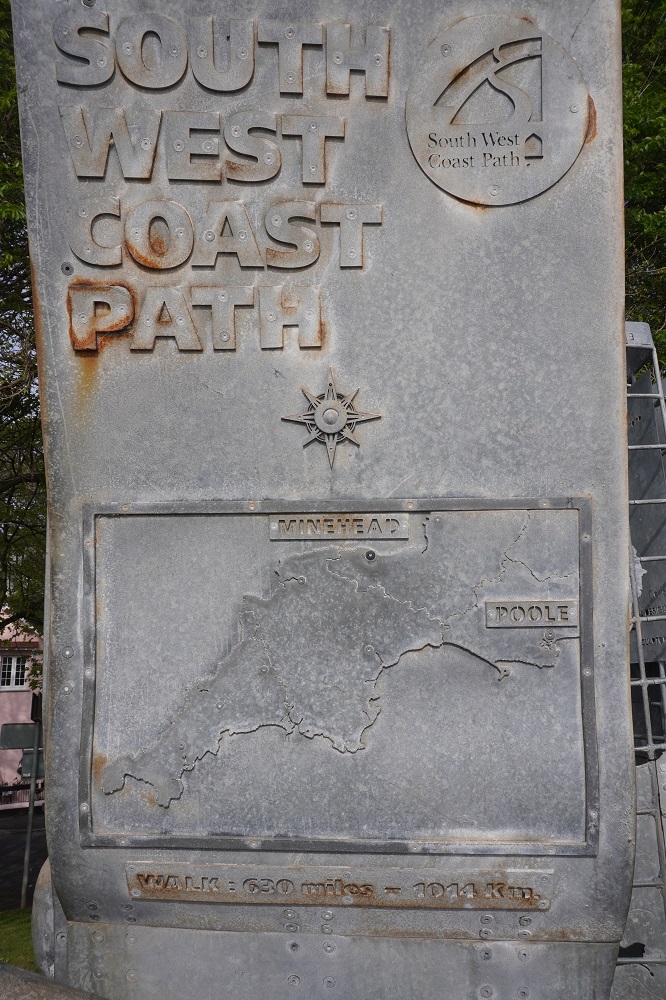
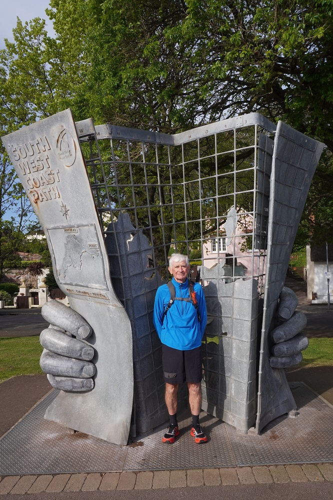
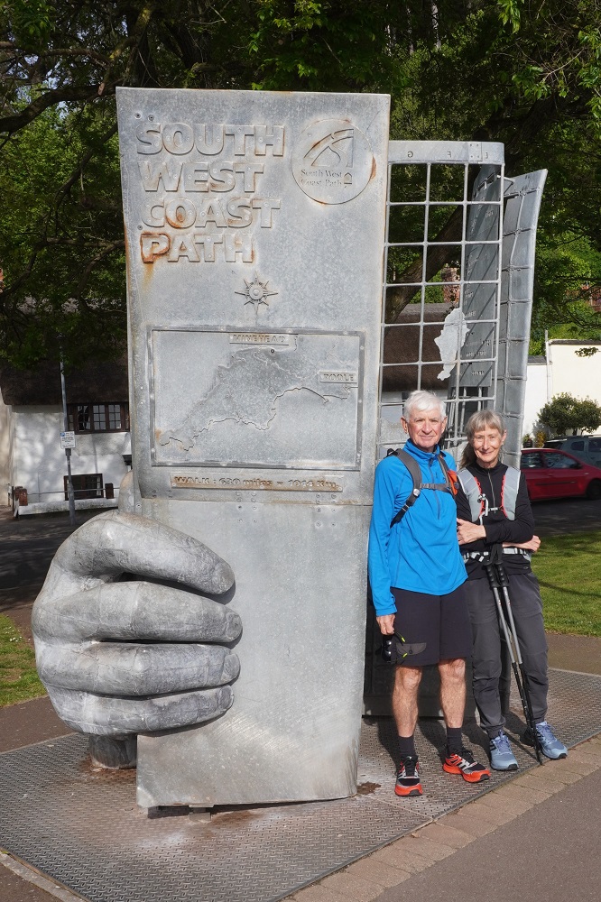
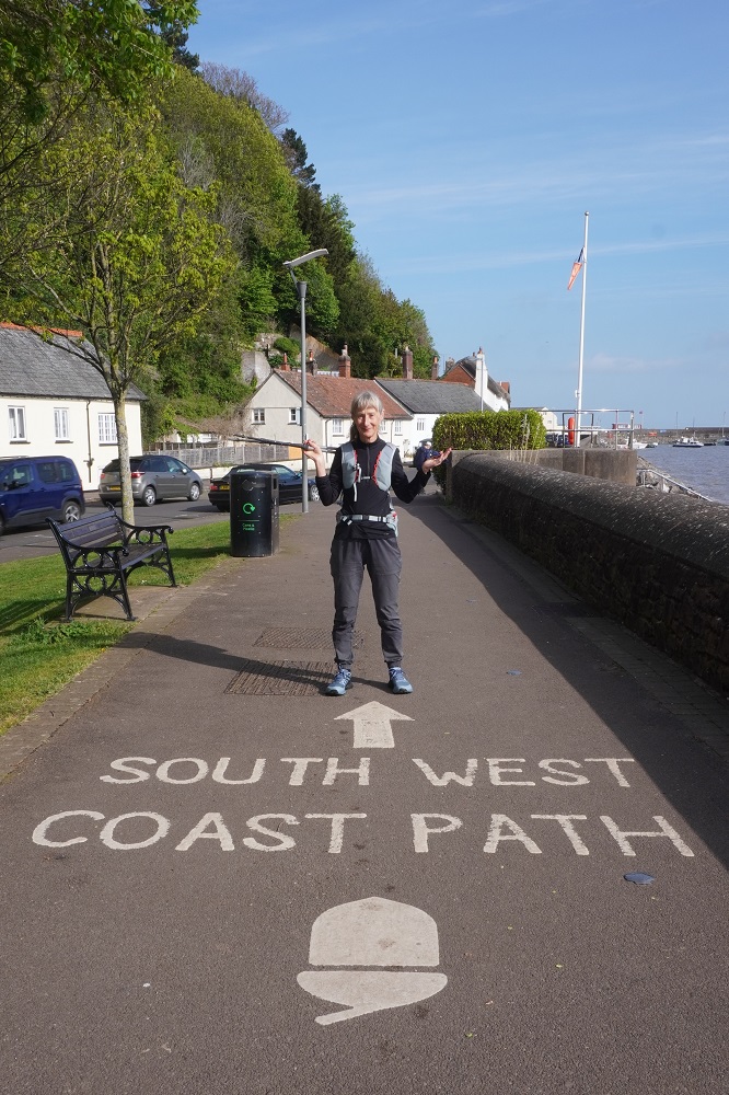
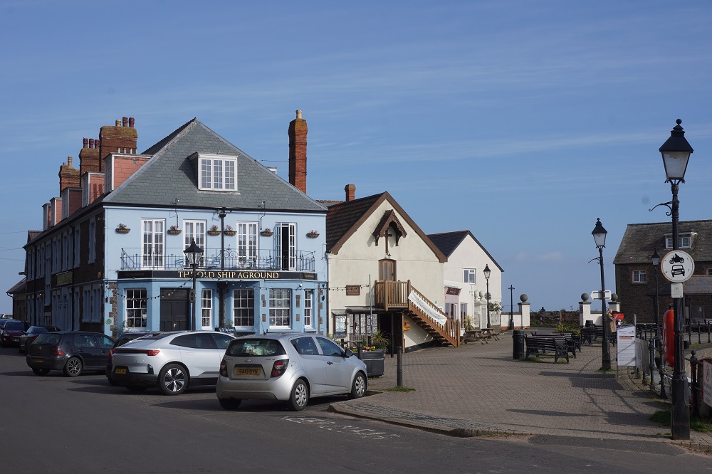
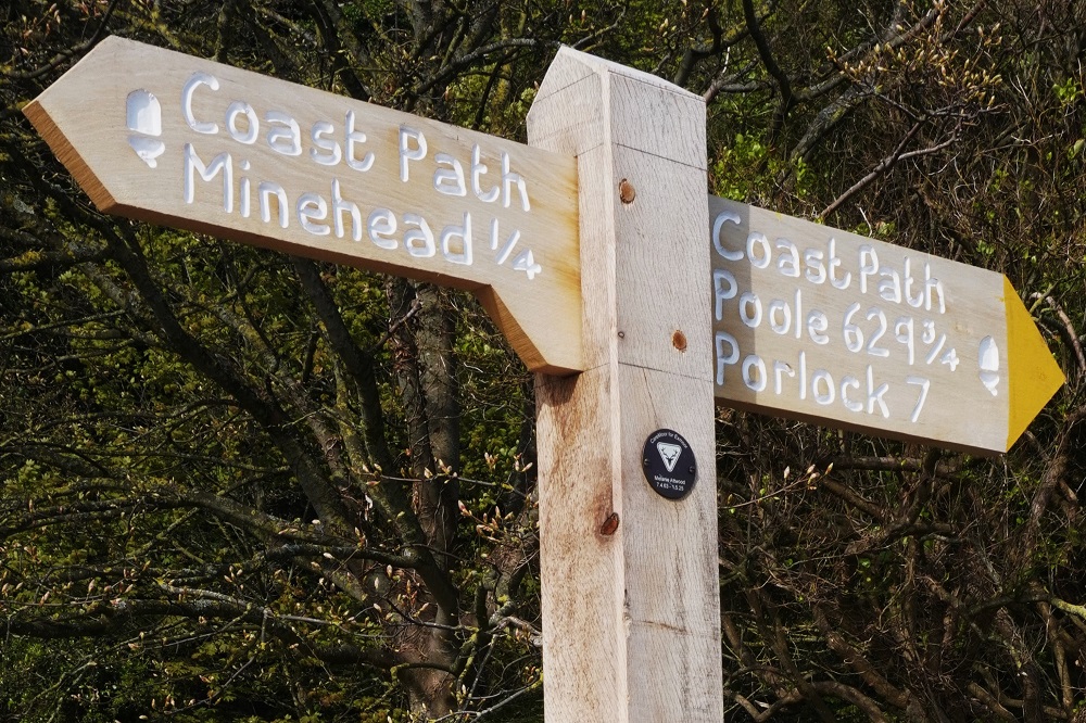
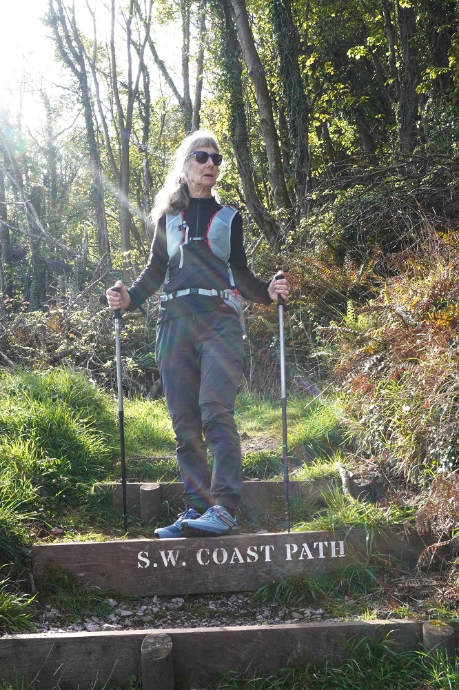
A perfect first day. Sunny, cool at first, 8° rising to about a high of 14°, a gentle wind at our back, very comfortable for walking. Breakfast wasn’t until 8.30 so we didn’t get away until just after 9. Straight down to the coast and along The Strand promenade to the South West Coast Path metal sculpture which marks the official start of the walk. Fortunately there was a kind gentleman who obliged by taking our photo. From there past The Old Ship Aground Pub, the road ends and you are on the path. The first sign helpfully informs you that you have walked ¼ of a mile and there are 629¾ miles to Poole. From there it is straight into the biggest climb of the day, about 150 vertical metres of North Hill. Quite steep, many switch backs and a bit tough when you haven’t really warmed up yet. All of this was in beautiful woodland with views down through the trees to the Bristol Channel.

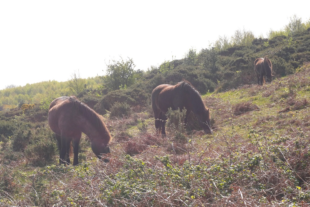
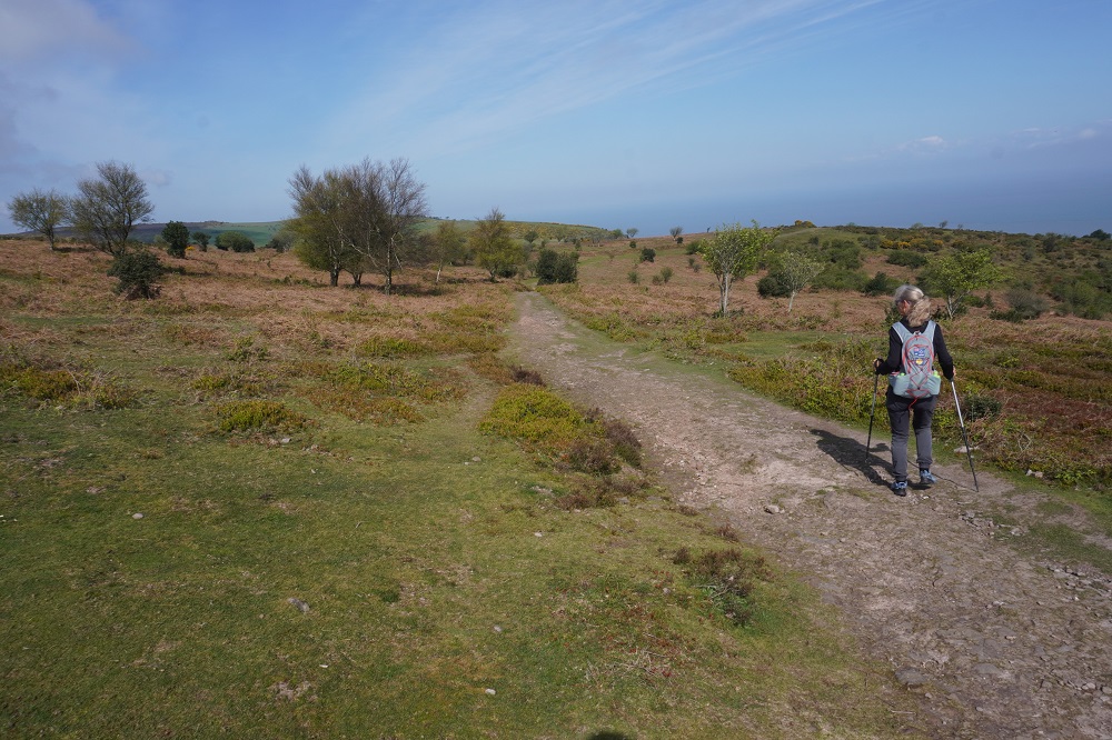
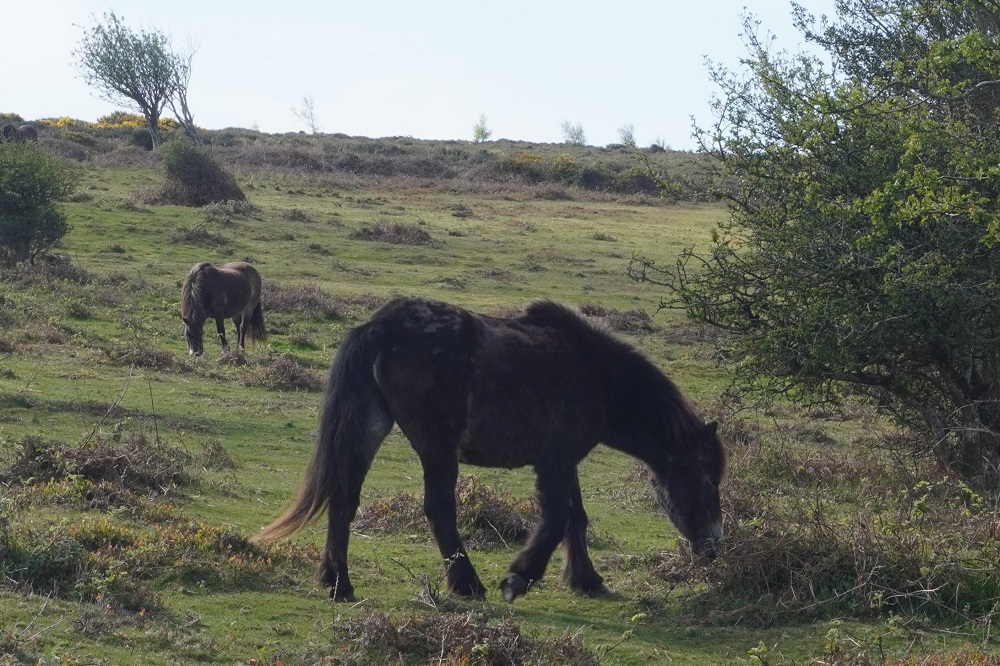
At the top of the climb and for the next four days we will be walking along the northern edge of Exmoor where it meets the sea. A park of 267 square miles, it contains everything from moorland to valleys, cliffs and farmland, and is known for the Exmoor Ponies and red deer. We did see the ponies and wild horses but no red deer. At the top of North hill in 2019 there had been a choice of routes. An undulating inland ”main” route across the moor or the “rugged” track going back closer to the coast and climbing and descending many coombes (steep sided valleys). This route is a bit longer and much slower because of all the climbing and descending. Since 2024 the former “main” path is now a bridle way for the many people who ride horses on the moor. The “rugged” path is now the official route. We had been hoping to do the easier route but stuck religiously to the official path.

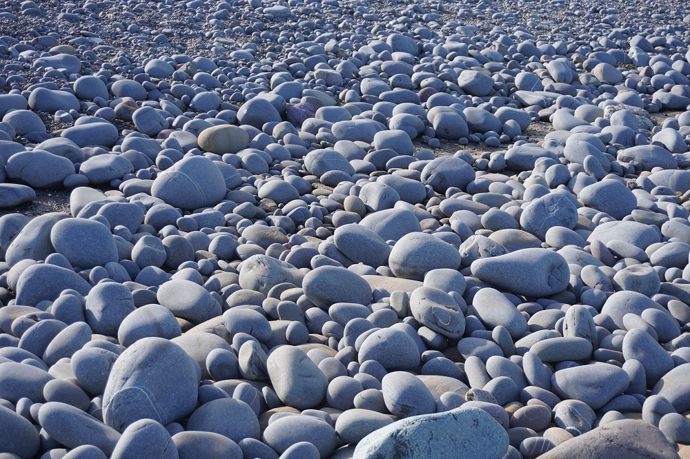
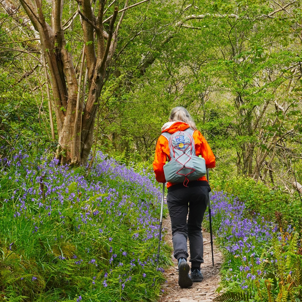
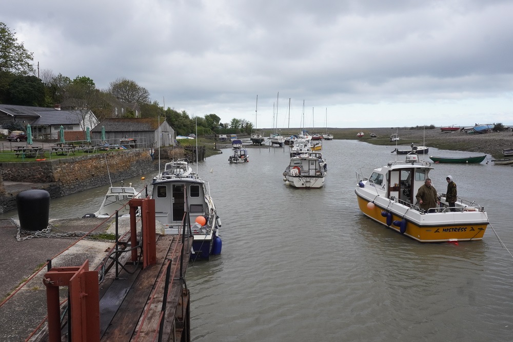
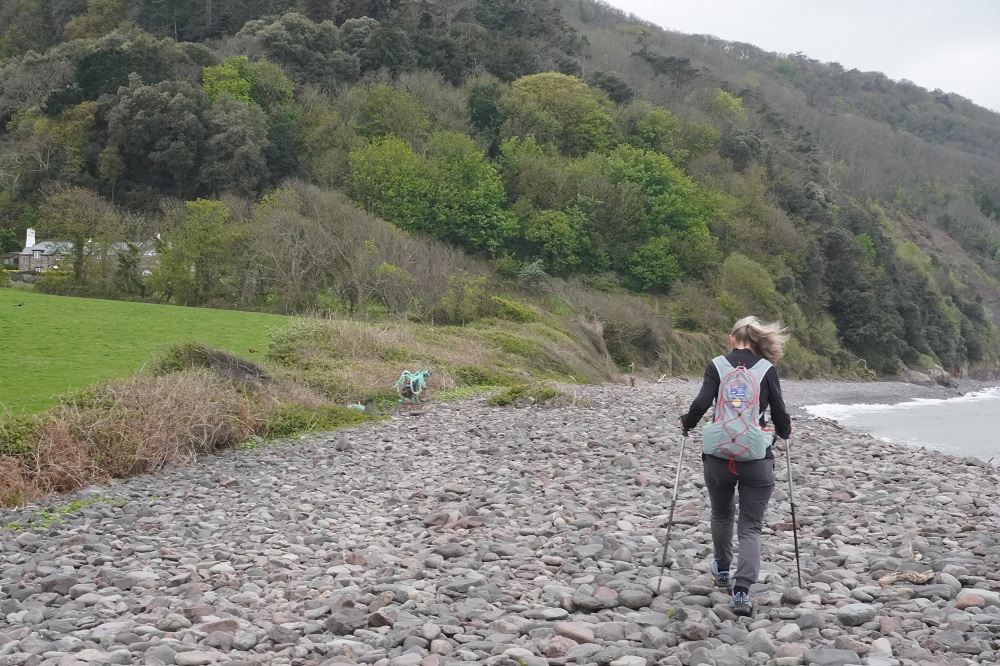
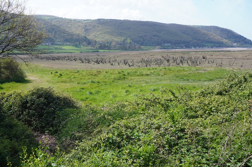
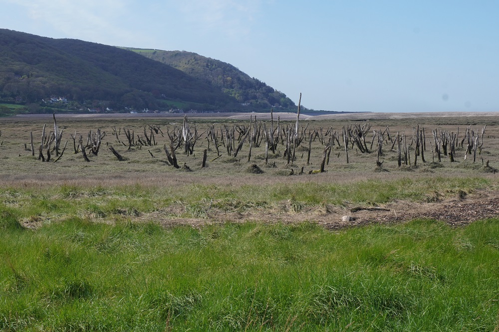
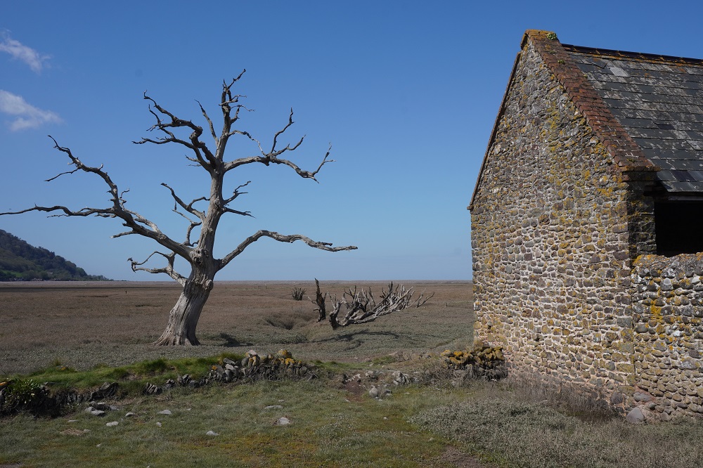
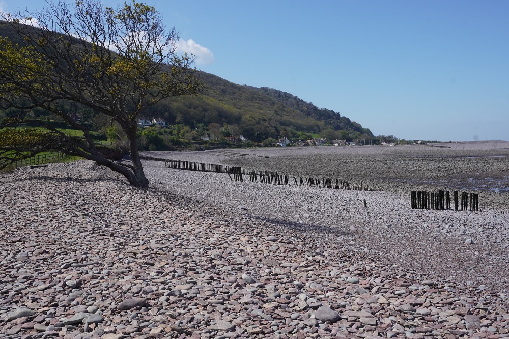
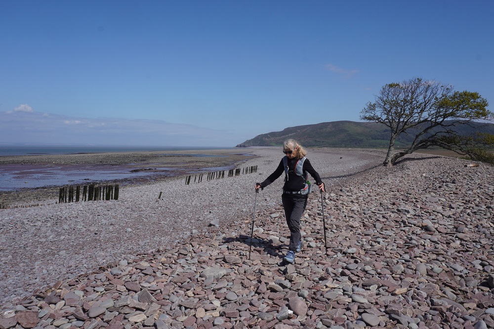
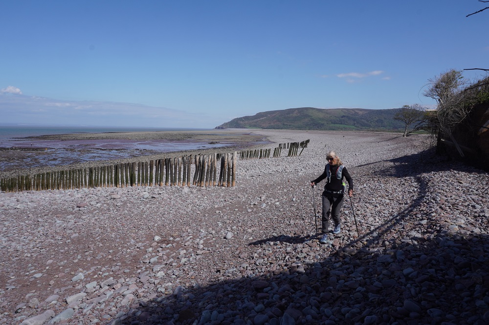
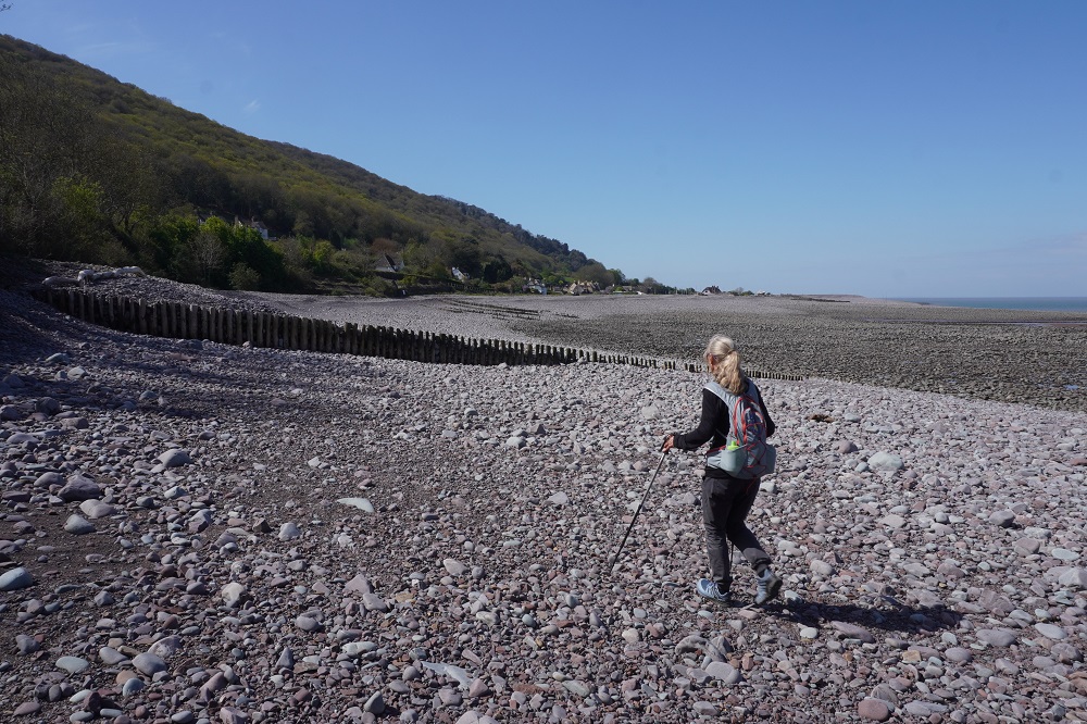
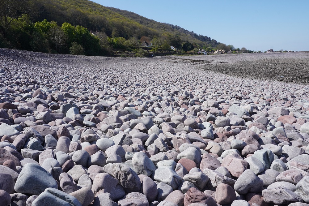
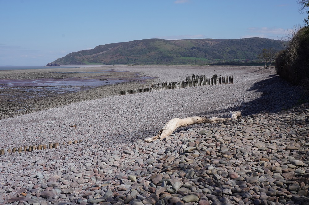
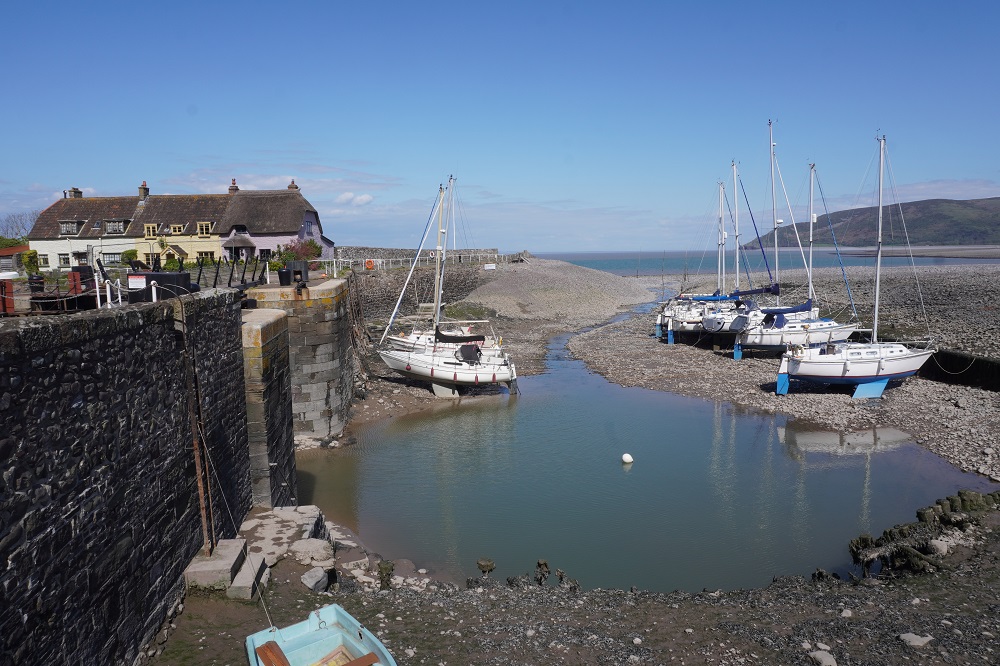
From the last headland the path descended through woodland full of spring flowers to the picture post card perfect hamlet of Bossington with its scattered thatched roof cottages. This hamlet is at the edge of Porlock Vale, an unusually wide flat valley in comparison to the narrow coombes. The vale is protected from the sea by a natural shingle ridge – a ridge that was breached in 1996 causing the farmland to turn into a salt marsh that receives a fresh inundation of salt every high tide. The salt has killed all the trees which now are just bare skeletons. The area is now a SSSI, a Site of Special Scientific Interest and nature reserve. From the vale the last half kilometre is along the beach to Porlock Weir. And what a beach! The stoniest beach I have ever seen. No sand, just millions of melon sized smooth stones. Very difficult to walk on as they move and slide under your weight. We moved very carefully not wanting to slip and sprain an ankle on the first day.

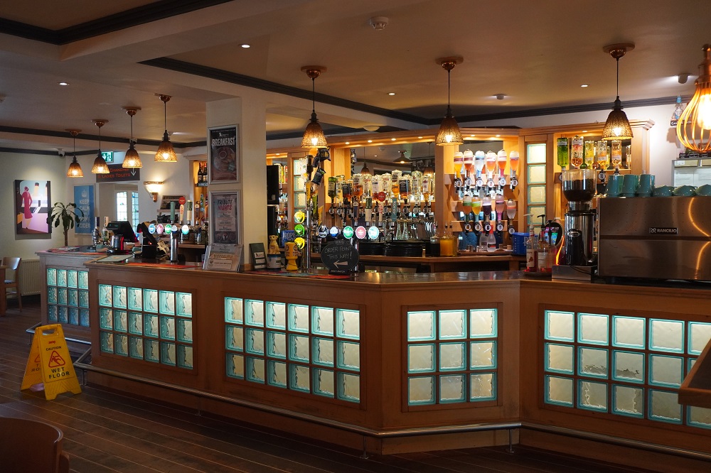
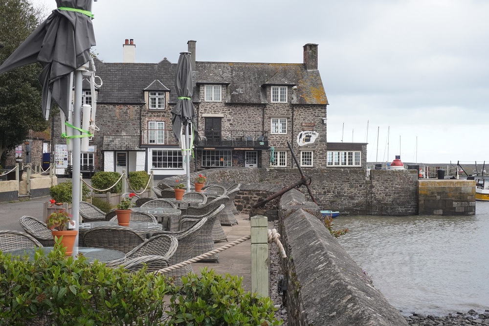
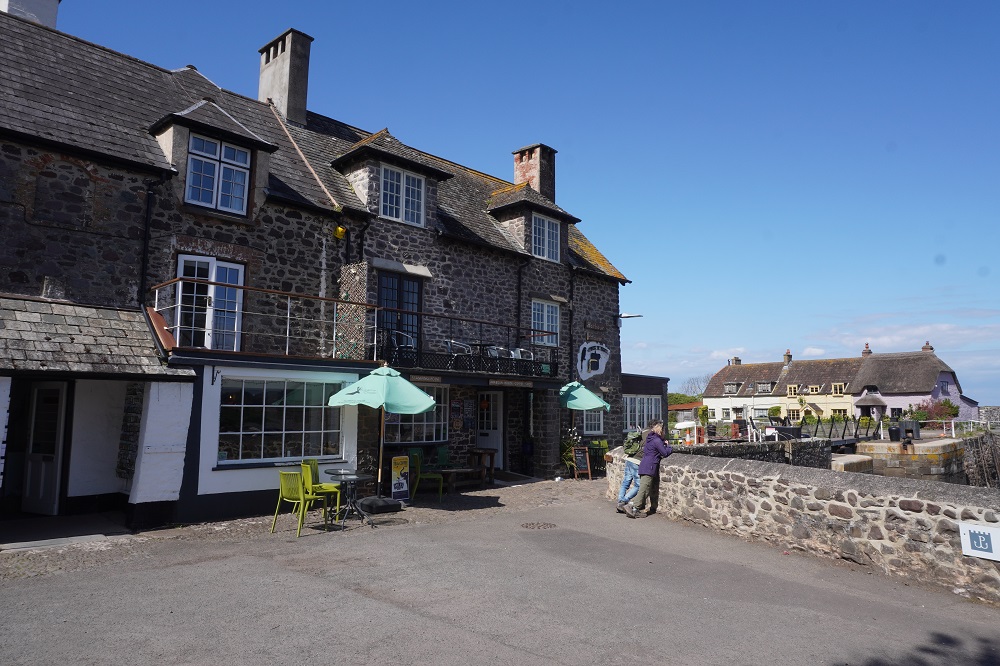
In 2019 we had stayed at Porlock, a 35 minute walk inland, but this year we are staying at Porlock Weir on the coast. Both Porlock and Porlock Weir have a Ship Inn, the one in Porlock known as Top Ship and the one in Porlock Weir known as Bottom Ship. Bottom Ship where we are staying serves breakfast and lunch seven days a week and dinner Tuesday to Sunday. Of course we are staying on a Monday. Our trip notes said lunch was served from noon till 2.20pm. We decided early in the day we could make it to Porlock Weir in time to get a lunch as our main mea of the day. We arrived at 2.15 but were informed by an abrupt and a bit rude young lady behind the bar that they had just finished meals for the day and the kitchen was closed. We said we were staying there that night and could they do anything for us. No way Jose.

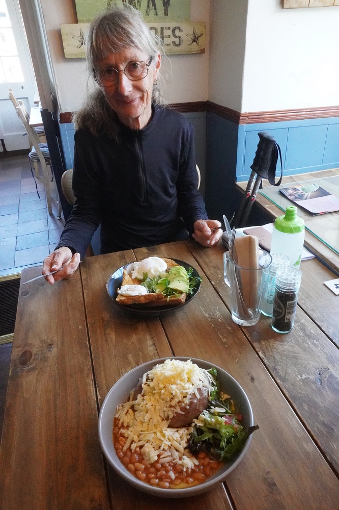
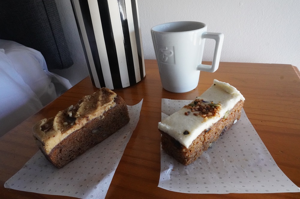
We were wondering what we could rustle up for the main meal of the day from the meagre supplies we had with us when we came across The Harbour Café. They were also near to closing but the very cheerful young lady said they would make us anything on the comprehensive menu. Barbara had eggs and avo on toast and I had a jacket potato with cheese and beans. She was very interested in where we were from, what we were doing and was amazed that we were walking the entire path to Poole. She was not a walker but she loved to ride horses on the moor and go swimming in the weir. As we were about to leave she gave us a paper bag with a carrot cake and a walnut cake, compliments of the café. She has restored our faith in young ladies serving behind the counter.

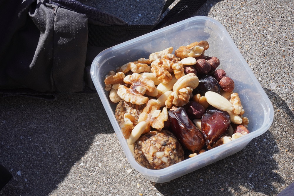
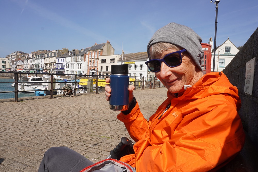
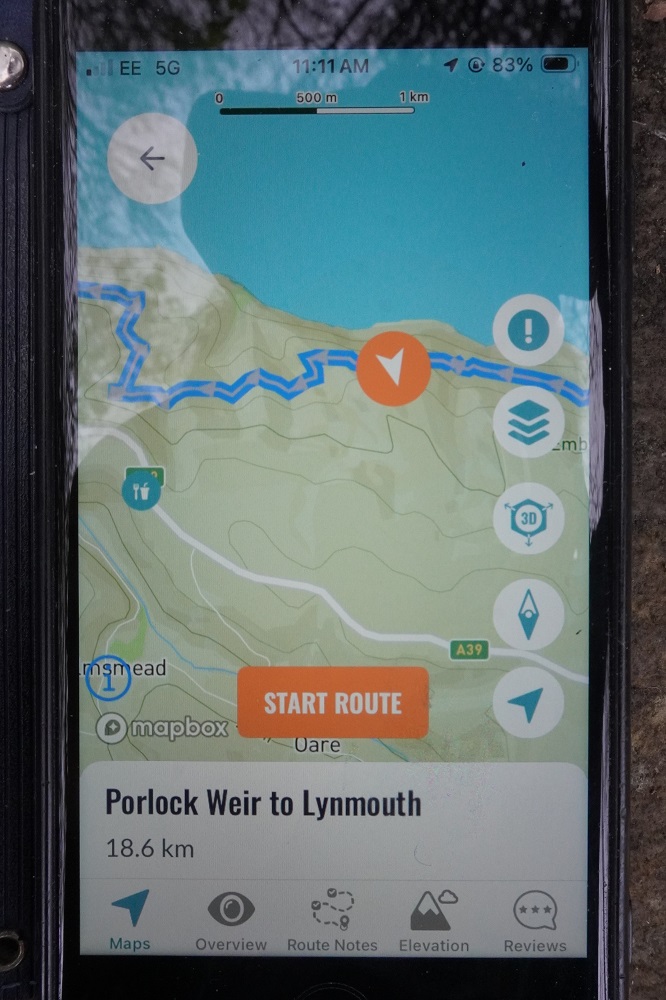
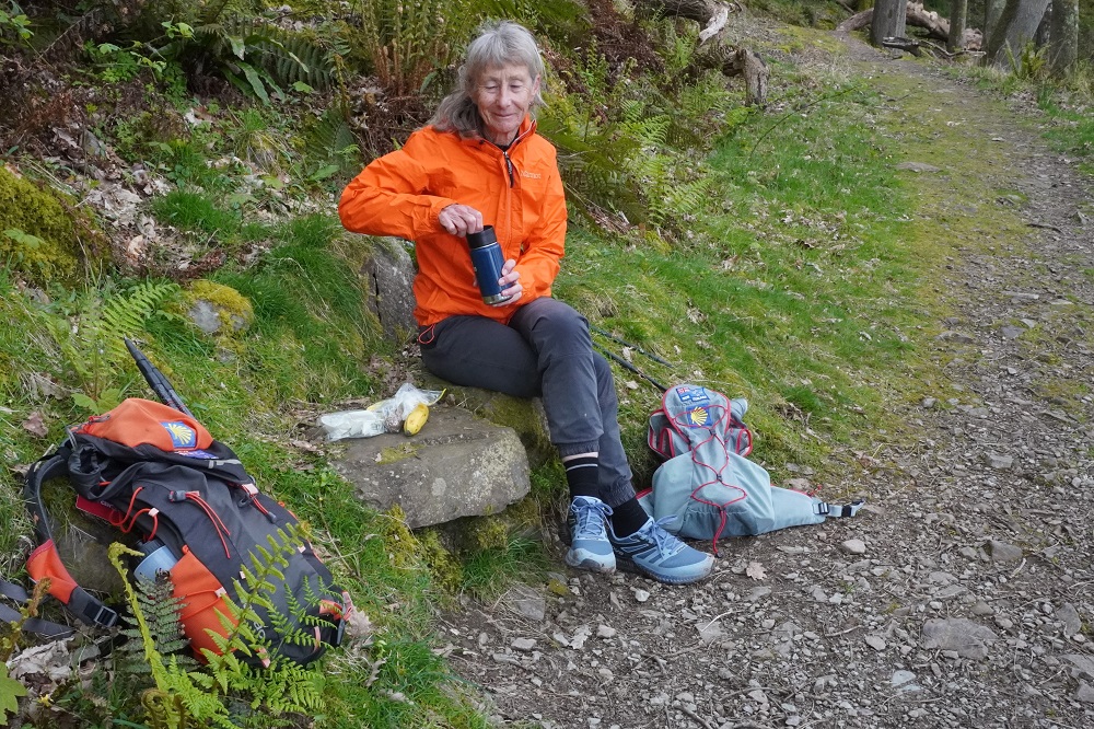
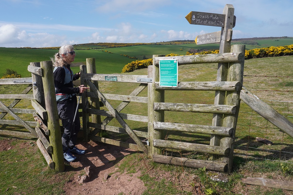
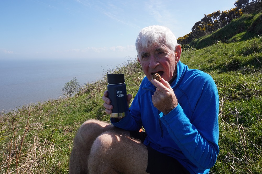
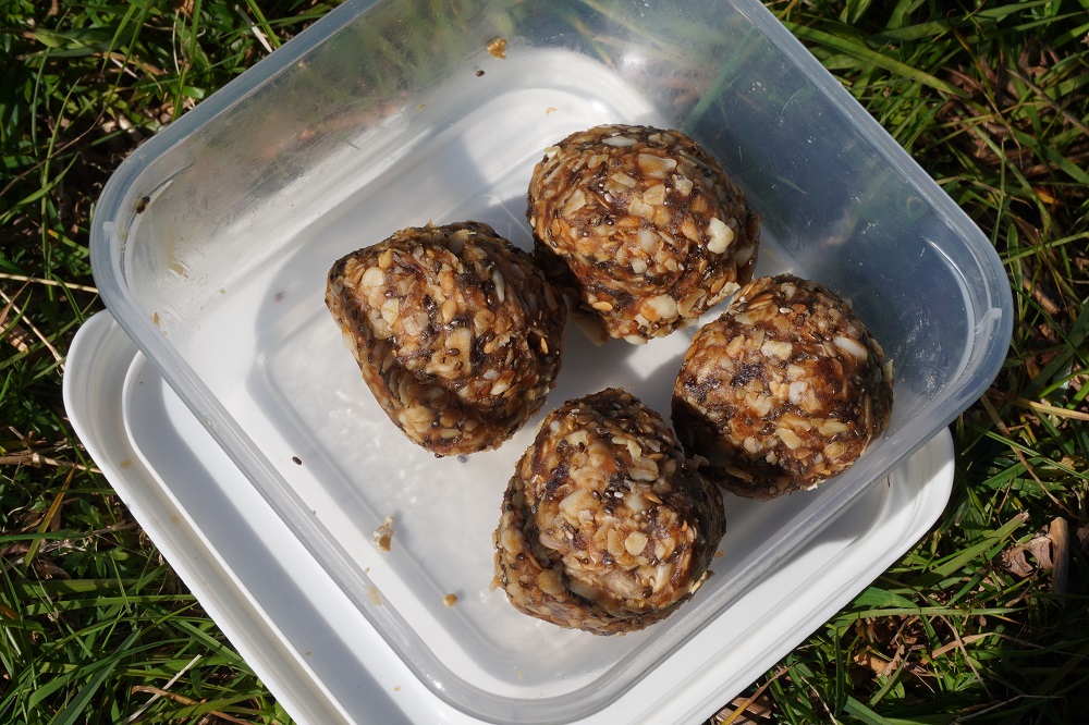
Today was a day of many firsts. Our first kissing gate, grass snake, huge caterpillar, narrow coombe, horse and pony, use of our Macs app to track our route, use of Map My Walk app to measure our exact distance, and best of all  Barbara’s energy grenades to have with our Kleen Kanteen coffee.

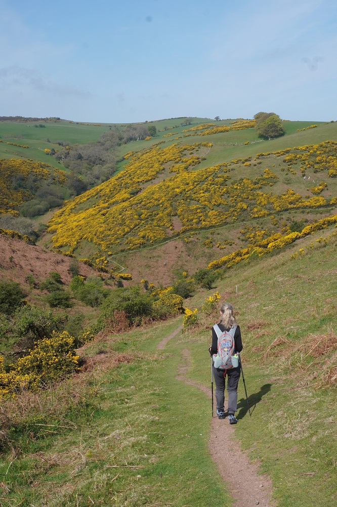
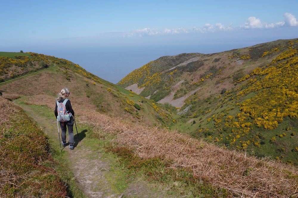
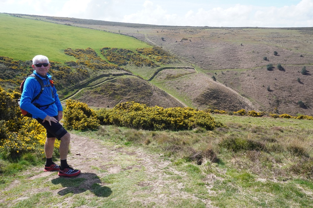
We are very happy. We were so keen to get moving. It was a varied day: the beach promenade in Minehead, the woodland of North Hill, the wild horses, the yellow gorse covered coombes, the spring flowers, cute little Bossington, the stark trees on the salt marsh and the ankle snapping stones of Porlock Beach. A lot of climbing for the first day and we were pretty tired by the end of it. Because we were trying to make lunch time at the inn we only had one stop, We will try and not make that mistake again.

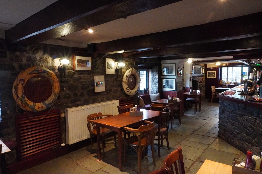
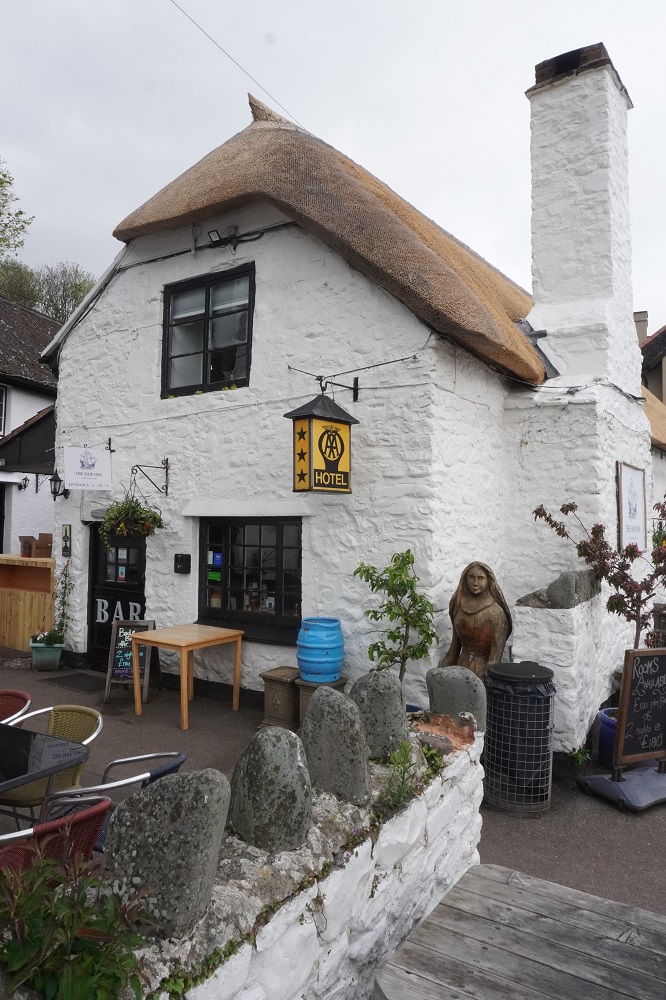
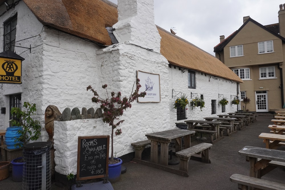
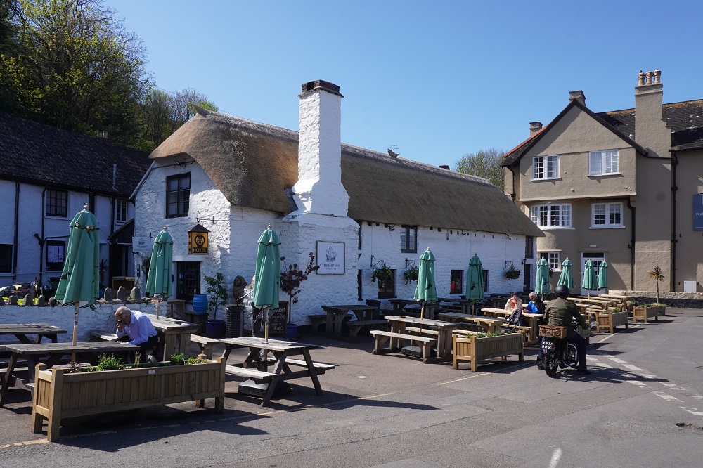
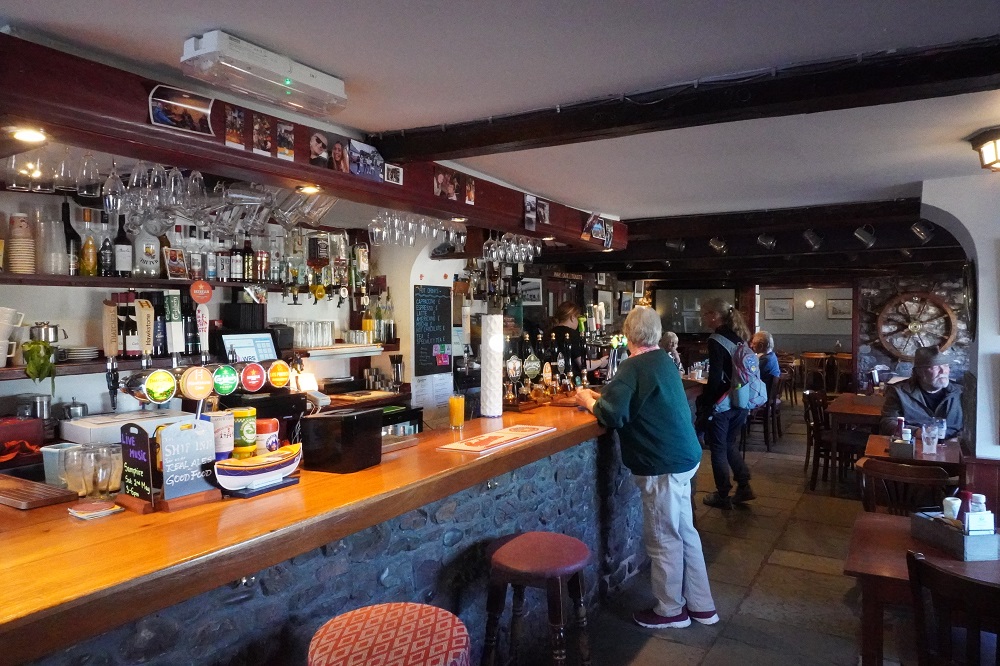
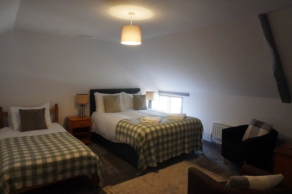
The seventeenth century Ship Inn is everything you imagine an old English inn to be. White painted plastered stone walls, a thatched roof, tiny windows, warm and dark and cosy inside with a large fireplace for the winter and hundreds of years of history. The inn has three bedrooms up in the attic and we are in one of them. Only up one flight of stairs and even better our bags had been put in our room. They also begin serving breakfast from 8am which suits us to get an early start in the lovely cool of the morning. A slight down side to staying in an inn or pub is the noise coming up from the bar until about midnight. It wasn’t music night, or quizz night and the Football World Cup hasn’t started yet, just the muffled sound of laughter and chatter. It didn’t bother us it just adds to the ambience. Barbara was sound asleep by 7pm and I wasn’t far behind her.


Mynedd

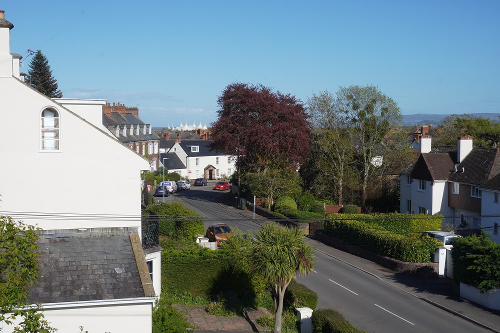
We both slept very well last night so we are hoping we have adjusted to the new time zone. Today was a relaxing one in the sleepy seaside town of Minehead. There is no mine here, the name derives from the Welsh word, Mynedd, meaning hill. At the west end of the beach is a hill, North Hill, which we will climb tomorrow. The town has Saxon origins and in Elizabethan times was a thriving fishing port. Today it is a quiet seaside holiday town with three main attractions: the beach, Butlins holiday camp and the West Somerset Railway.

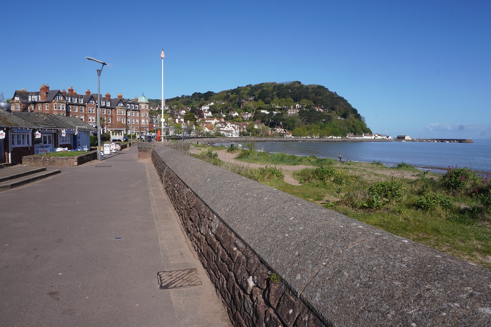
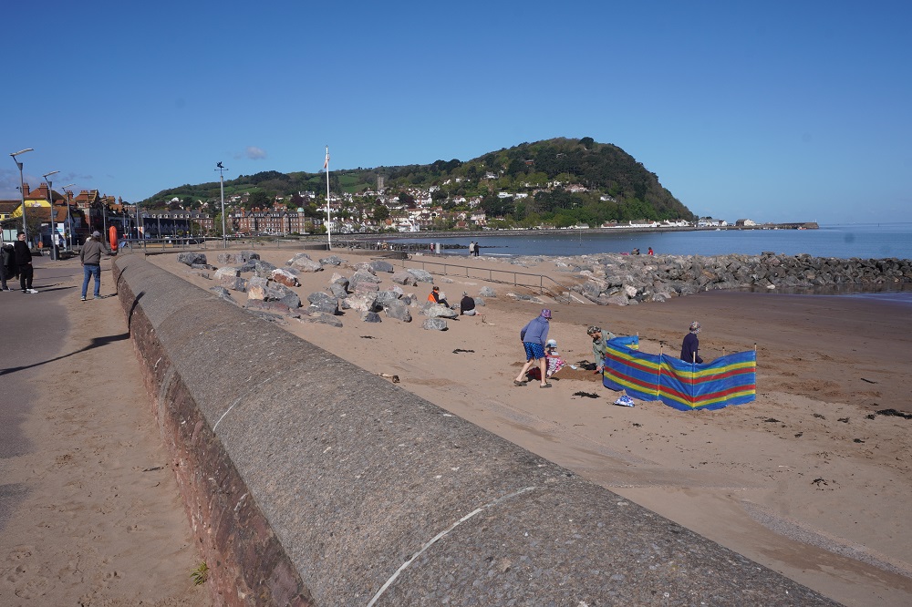
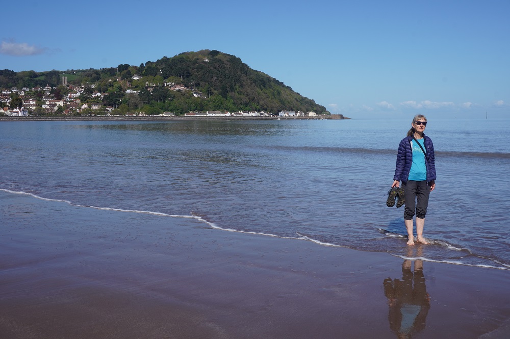
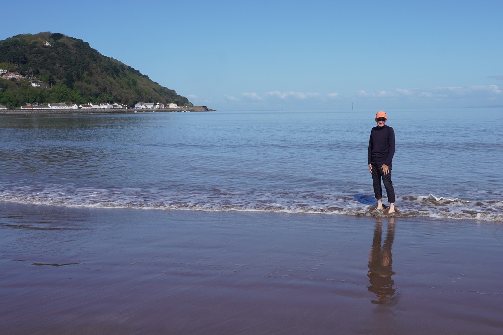
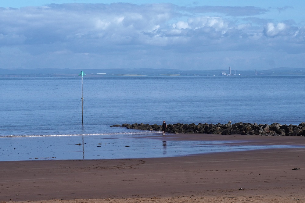
Minehead Beach is known as The Strand and is a wide expanse of sand with some shingle and pebble areas, a wide promenade and all the usual amusements. The beach is on the Bristol Channel and the whole coastline has a lot of silt in it which gives it an off-putting murky appearance. It does have great sand for making sand castles. When the tide is out, and it goes a long, long way out, you walk half way across to Wales to get a swim. It is recommended to wait for high tide to go swimming. The Bristol Channel has the second-largest tidal range in the world with a mean spring tidal range of 12.5 to 14 metres and strong tidal currents. I had hoped to have a swim here at the start of our walk and another at South Haven at the end, but there were signs warning of the water quality after rain, the tide was on its way out, and most of all the water was freezing cold. So we settled for dipping our toes in the water. Amazingly the public toilets on the promenade had piping hot water in the wash hand basins so we could wash the sand off our feet and get them back to normal body temperature.

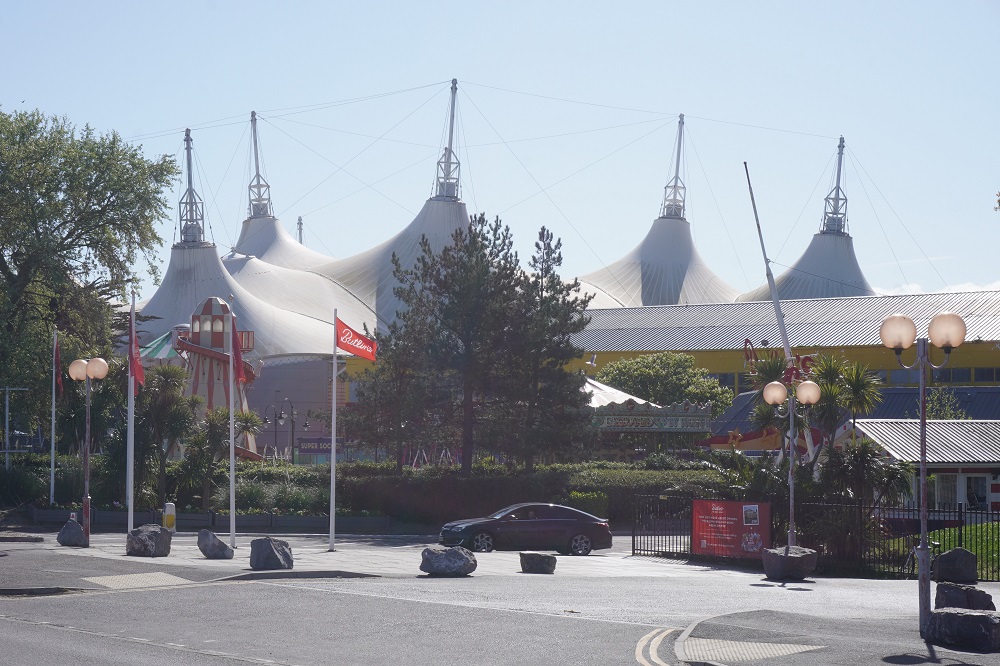
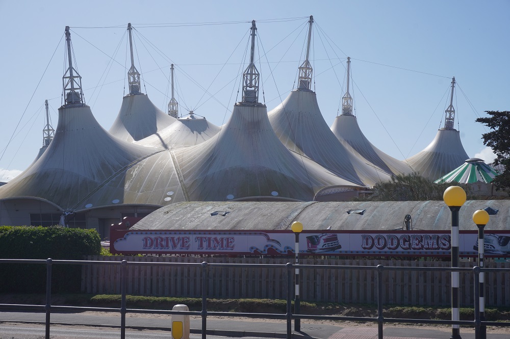
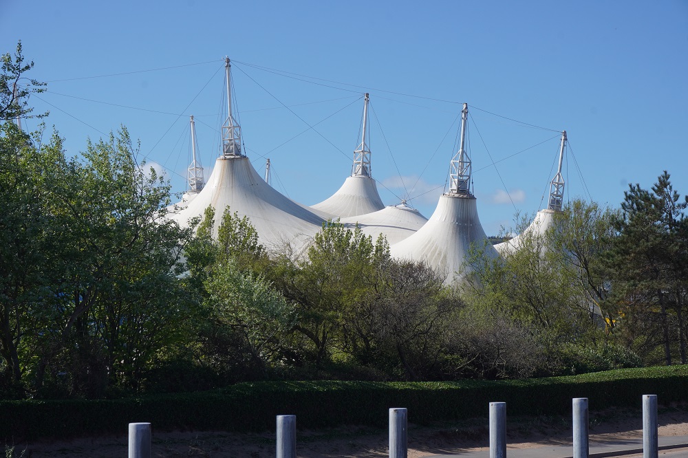
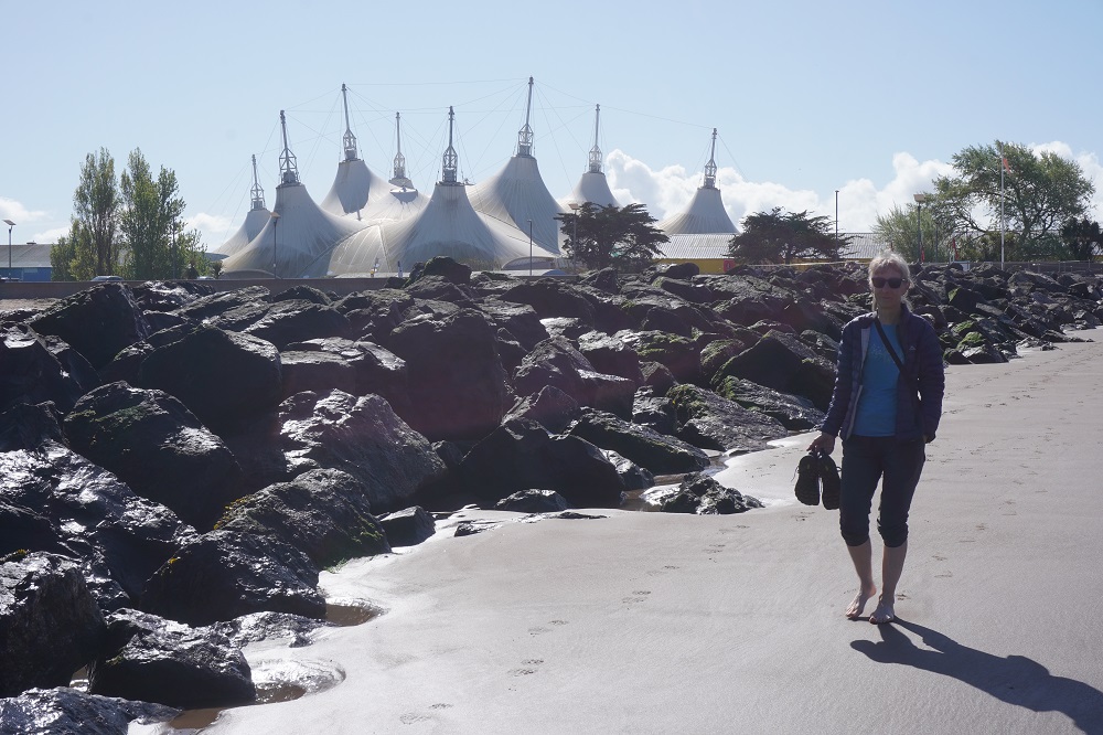
Butlins Resort Minehead is a huge holiday camp highly visible because of the large tent like white fabric tensile canopies. The camp was opened in 1962 and can accommodate 7,500 holiday makers. It has outdoor and indoor pools with water slides and water cannons, a miniature railway, a chairlift, monorail, amusement arcades, a stage for shows, shops selling souvenirs, groceries etc, restaurants, cafes and bars and a wide range of accommodation from luxury to caravans. The first Butlins Holiday Camp was built in 1936 and by 1966 there were ten but by the 1990s due to competition from overseas holiday packages, rising costs and changing holiday expectations only three remain including this one in Minehead.

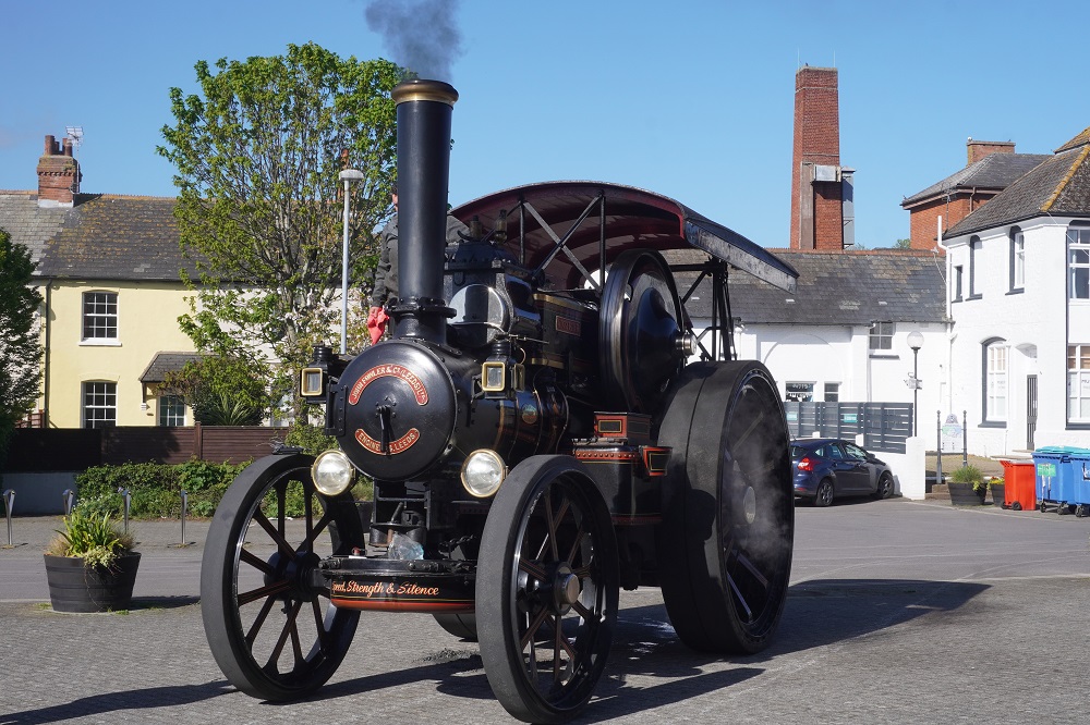
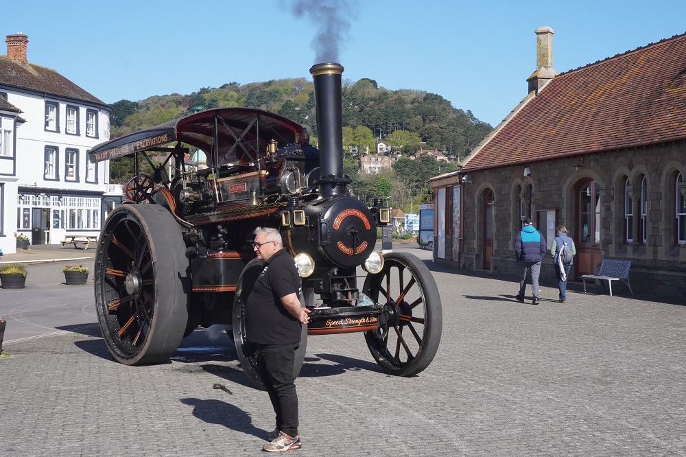
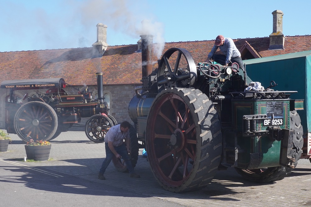
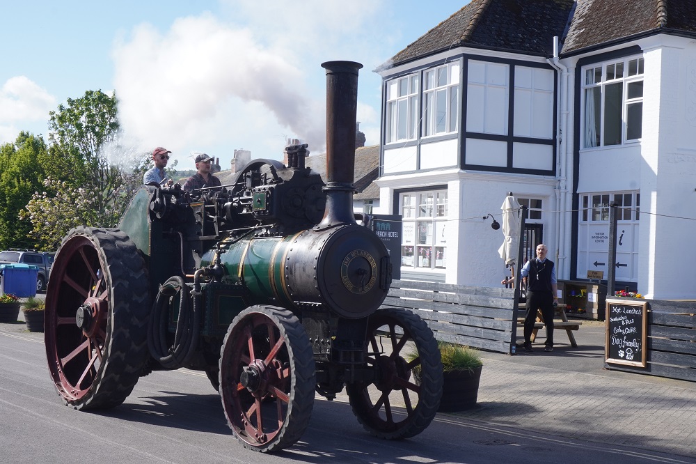
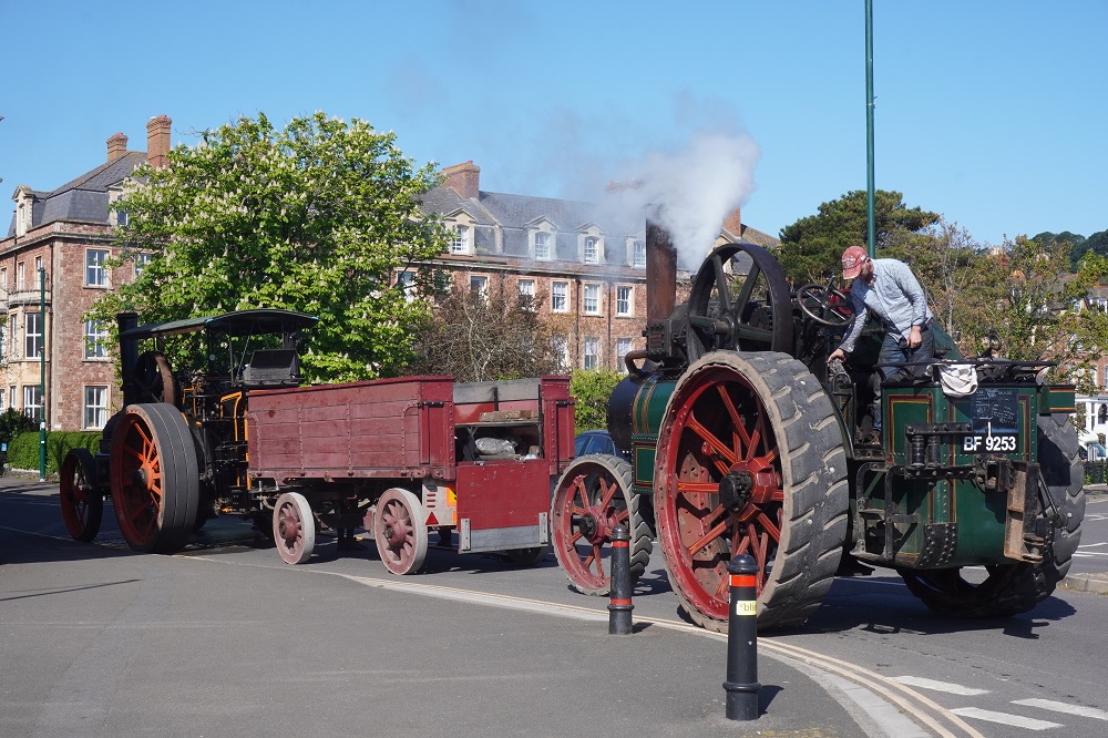
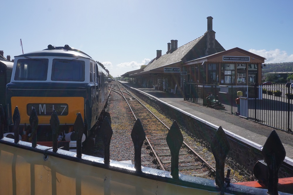
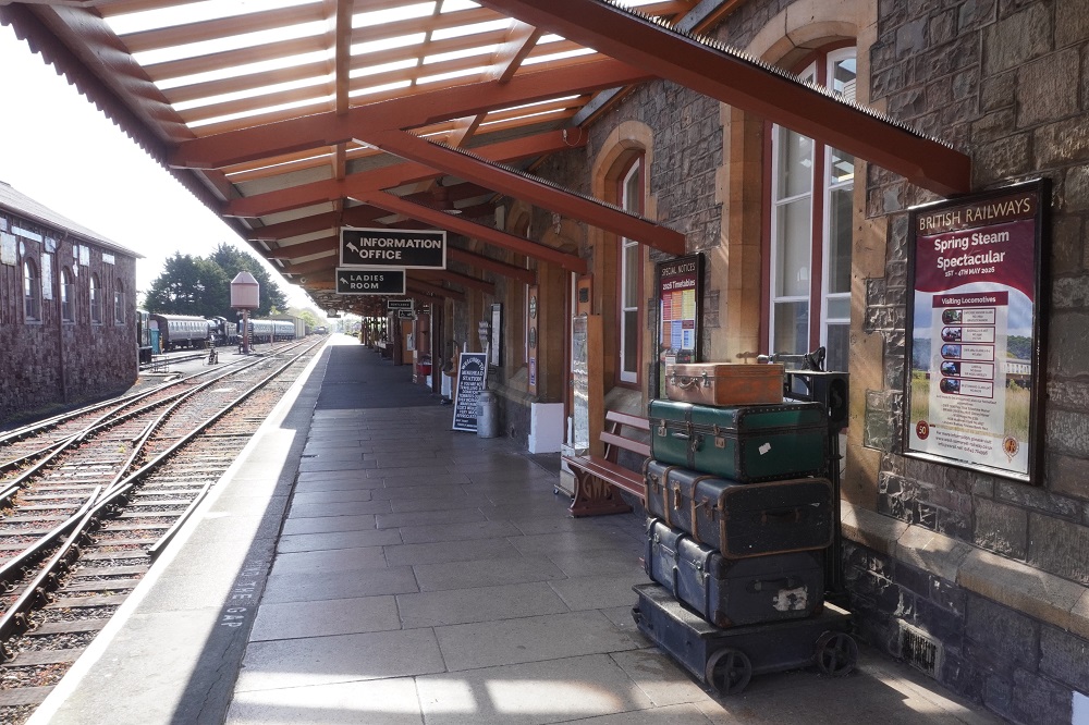
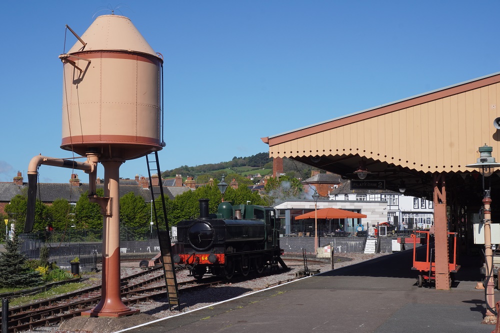
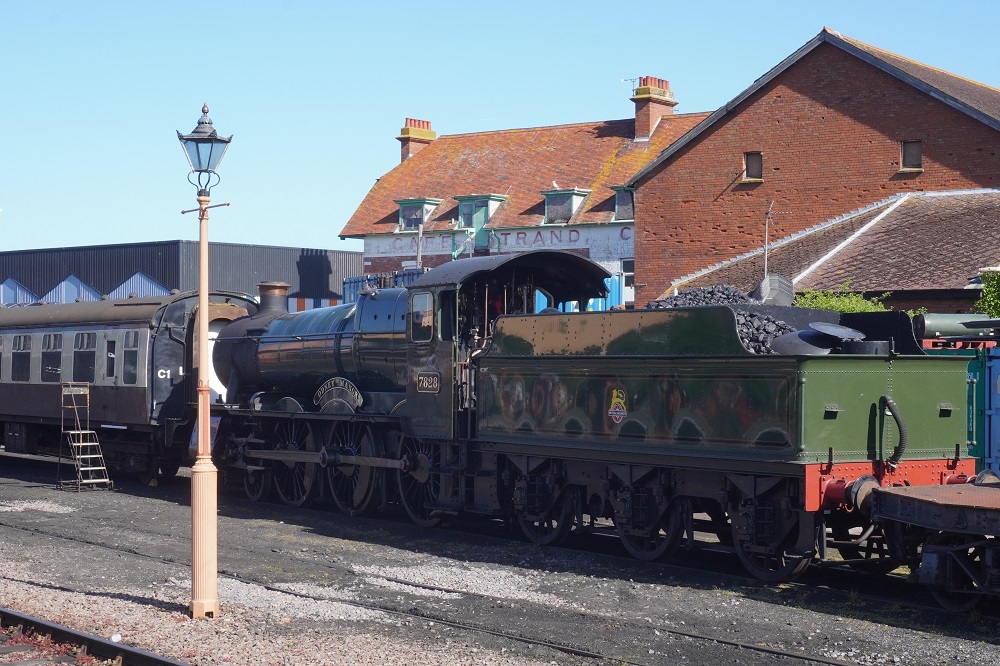
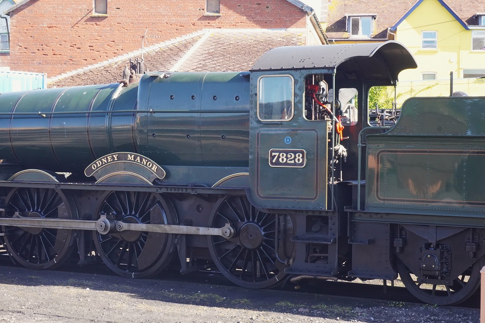
The West Somerset Railway is a 36km heritage railway with ten stations, running through the Somerset countryside and coast. The railway originally opened in 1862 as part of Great Western Railway and was closed by British Rail in 1971. In 1976 it reopened with the line and stations owned by the local council and the railway operated by a charitable trust. We heard there are 800 unpaid voluntary workers who keep the railway running. It is the longest standard gauge independent heritage railway line in the United Kingdom. Some more useless trivia: The Beatles visited the line in 1964 to film part of “A Hard Days Night”. There is a scene of George Harrison and Ringo Starr cycling on the platform alongside the train. There were no trains running today but outside in the carpark were three old steam traction engines firing up and getting ready for a trundle around the Minehead foreshore. They looked magnificent all polished up, snorting and hissing, belching steam and smoke and smelling of burning coal and hot oil.

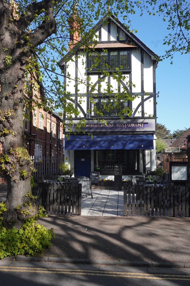
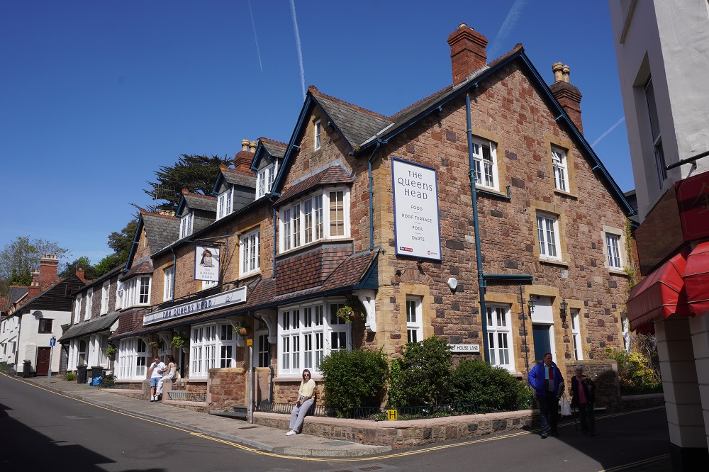
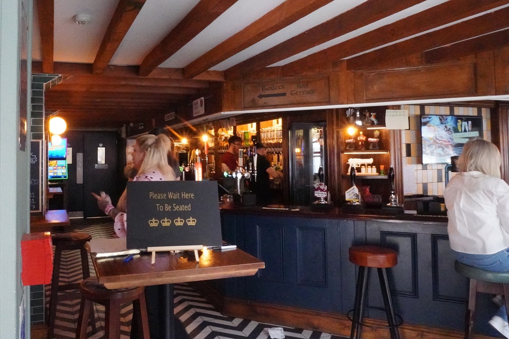
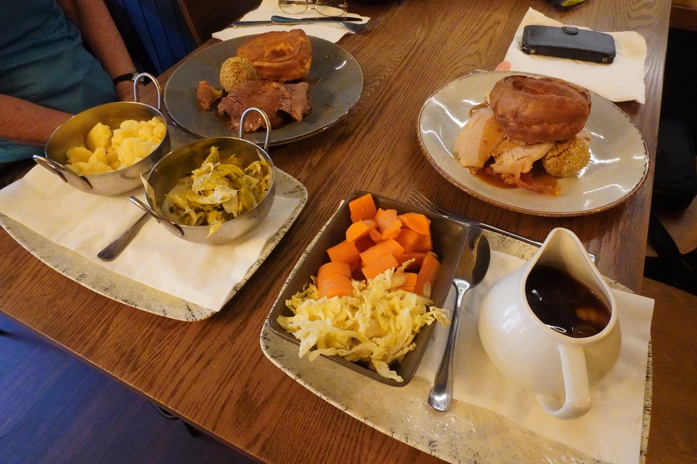
When we were here in 2019 we had a great meal at a restaurant called The Wheel House. For old times sake we called in to have lunch there today but unfortunately they were fully booked. We went further along the road to The Queen’s Head Pub and had a nice meal there instead. In England pubs and restaurants still have the tradition of a Sunday roast. Barbara had beef and I had pork along with roast potatoes, mashed potatoes, carrots, leaks, cabbage, onion, stuffing balls, gravy and Yorkshire pudding. A huge meal and all for £12 each and your first drink for £1. Being wowsers these days we didn’t have the drink. In future on Sundays we will track down a roast as they are an easy way to get vegetables – seemingly a rare commodity in meals in England these days.

Today was also a visit to Lidl’s supermarket. We bought dates, dried milk, sun flower seeds, flax seeds, mixed nuts, chia seeds, pumpkin seeds and oats to make our own healthy snacks. So much of the supermarket food is ultra high processed factory food, ie crap. It is hard to find the good stuff. Barbara spent the afternoon mixing the above ingredients into golf ball sized energy grenades.

Today was a perfect spring day. Cold at first but bright and sunny and no wind. By afternoon we were getting too hot. The air was also very clear. When we were here in 2019 Wales did not exist, shrouded in mist and rain showers, but today it was clearly visible across the channel. The weather forecast looks like we have of few more days of this ahead of us. Can’t wait to get walking!

Three Bus Day

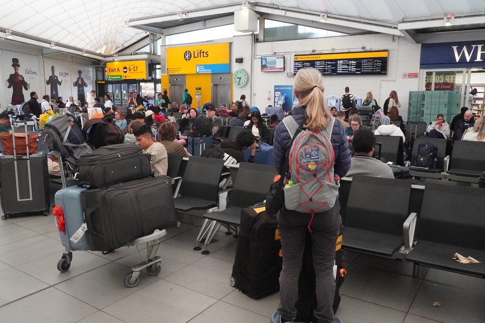
This was a three bus moving day, Heathrow London to Minehead Somerset.

The first bus was an easy 10min ride from the hotel to the Central Bus Station inside Heathrow Airport.

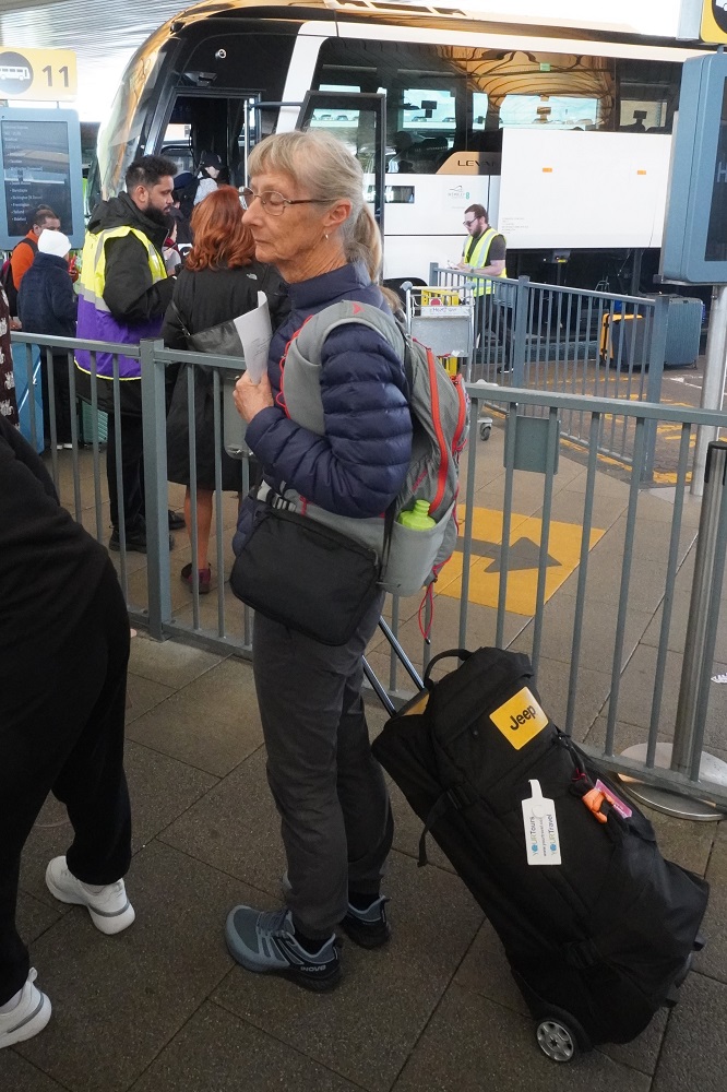
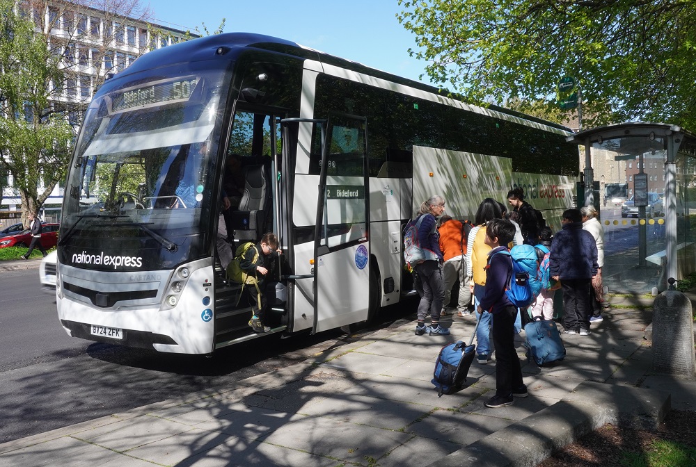
The second  bus was a National Express Route 502 coach from Heathrow to Taunton, way out west. We had pre-purchased tickets for this service a couple of months ago back in NZ. Most of this 3hr 20min journey was on motorways so it was a smooth fast ride. This coach was going on to Bridport and Taunton was its second stop.

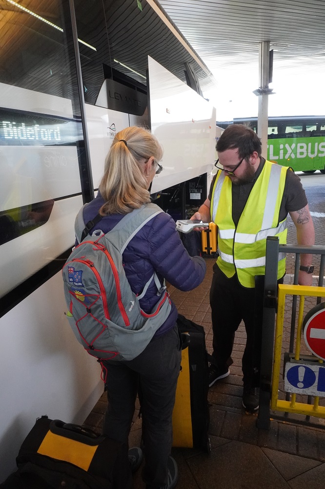
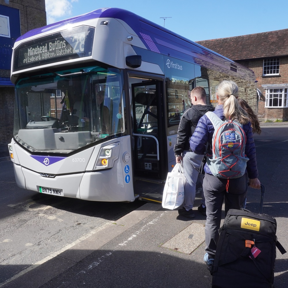
The third bus was a Route 28 First Bus of Somerset local service Taunton to Minehead. This took an hour and twenty minutes and cost £3. There are 63 bus stops on this route, fortunately we only stopped at about 25 of them. It was all on narrow twisty country roads, through small villages and the driver went like a bat out of hell. We were quite relieved to get off the bus in Minehead. This service did take cash but we used cashless paywave. I would hate to cycle on these roads. They are narrow, have little or no shoulder and no safe place to get off the road – often it is a bramble hedge.

We have stayed in Minehead before. In September 2019 we caught the train from Paddington London to Taunton and the same crazy bus ride to Minehead. We stayed here one night when we walked from Minehead to Westward Ho! on our second South West Coast Path walk.

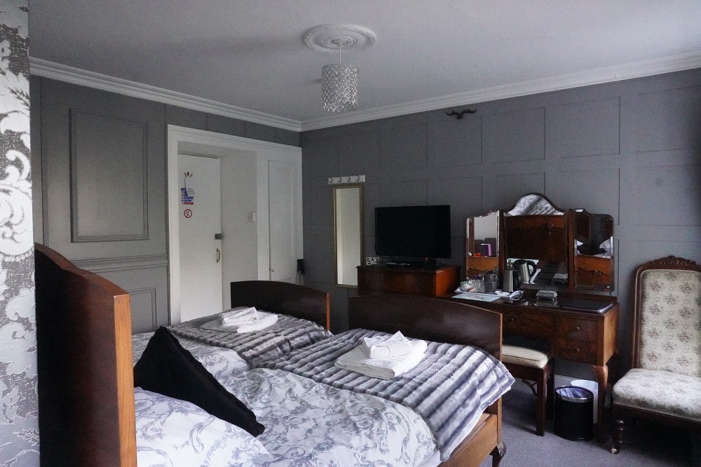
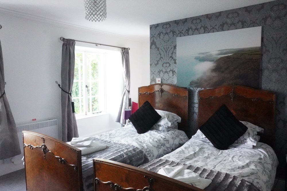
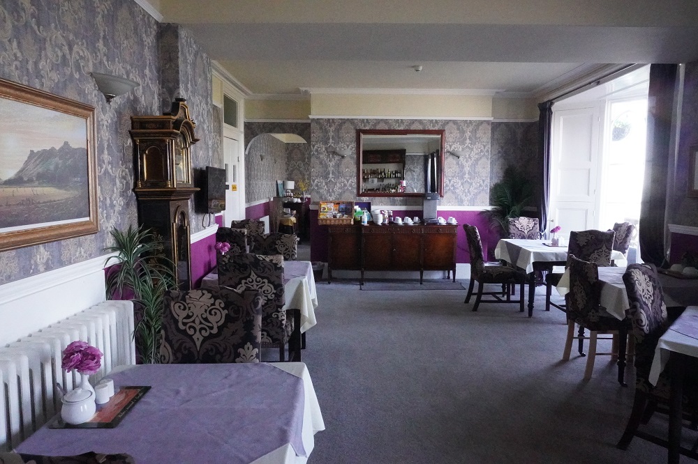
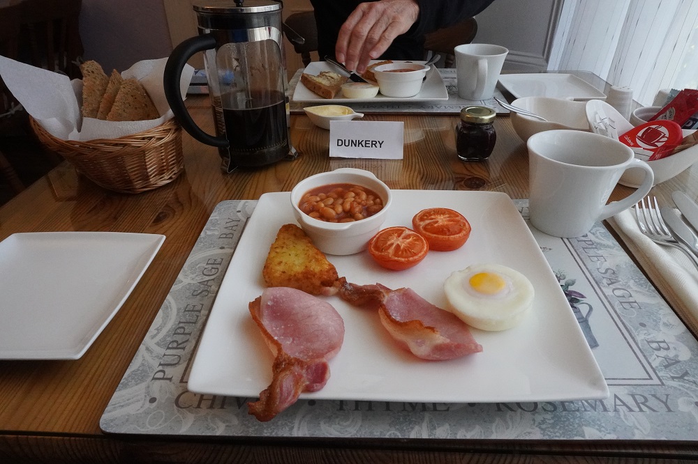
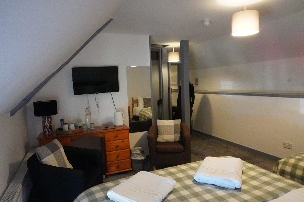
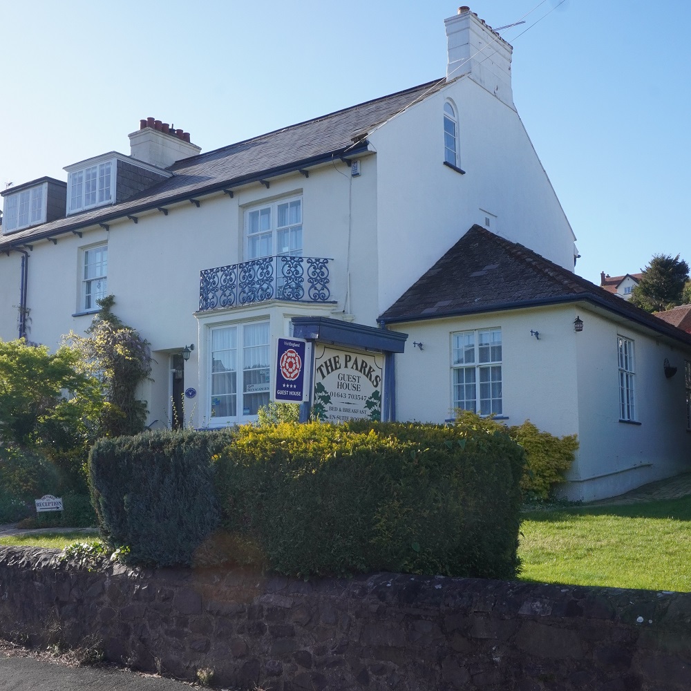
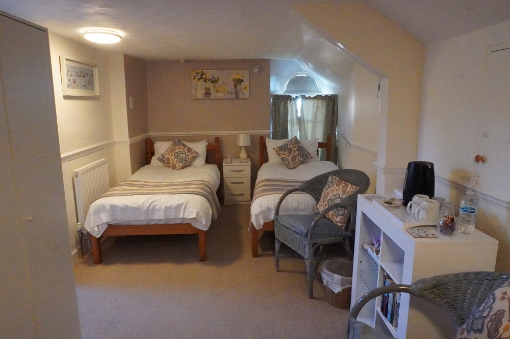
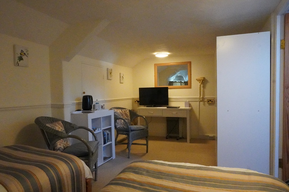
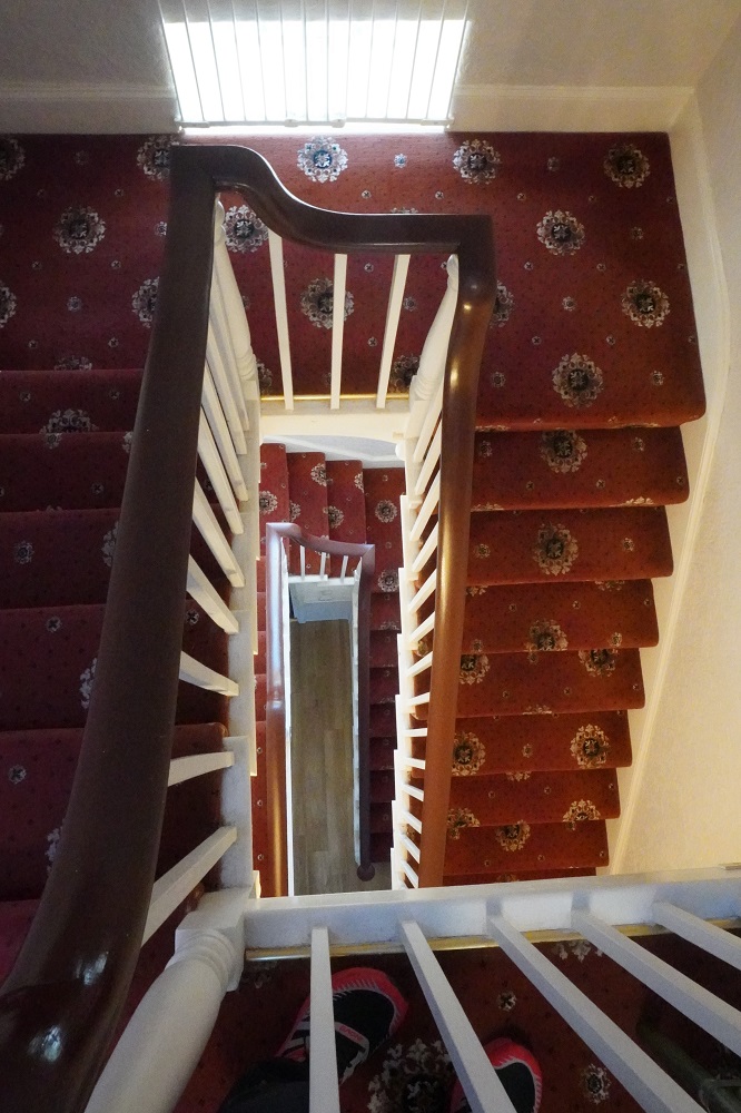
We also stayed in exactly the same accommodation, The Parkes Guest House. We remember it well, and not just because we are in an attic room, two stories up with no lift. The owners Sue and Chris are still here although they look as though they are well into their eighties. Sue seems very frail and looks like she has Parkinsons. They are very welcoming and positive. There are five rooms, two in the attic. The Dunkery Room and the Dunster Room. Last time we had the Dunster Room. There are only two couples here tonight and tomorrow night we are the only booking. We are having two nights in Minehead to get rid of our jet lag and also as insurance just in case our bags had gone missing. It may have given them a chance to catch up with us before we move on.