All posts by Paul Lenihan

St Ives

‘You have brains in your head, you have feet in your shoes, you can steer yourself any direction you choose’. Dr Seuss

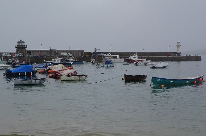
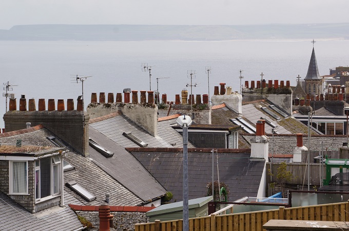
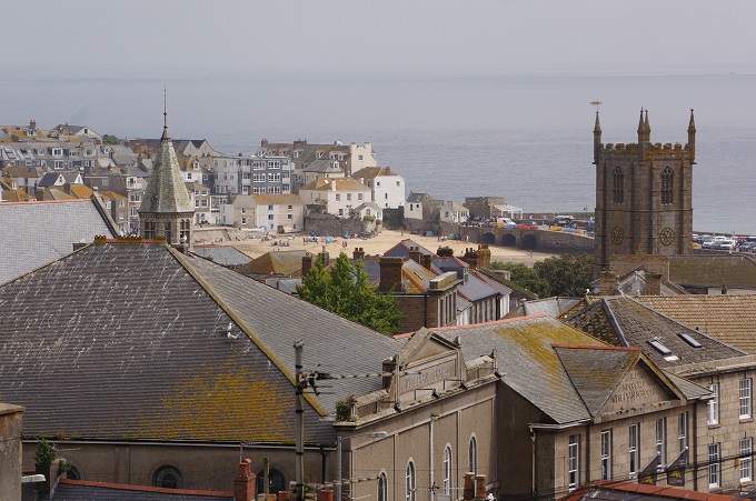
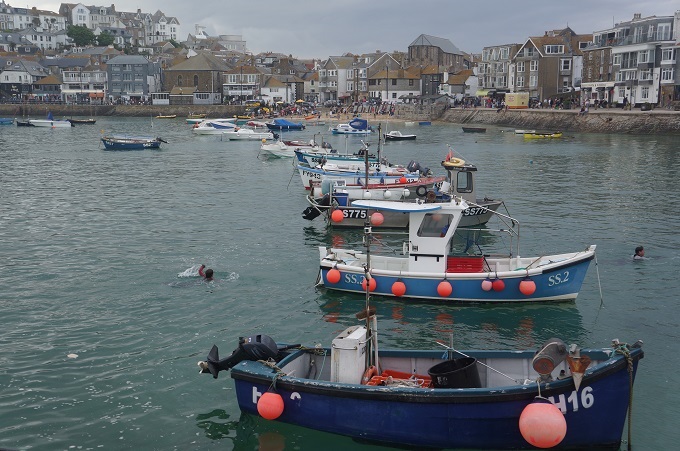
St Ives takes its name from the Irish princess and missionary, St Ia, who according to legend, sailed from Ireland to Cornwall in the 5th century on a leaf.

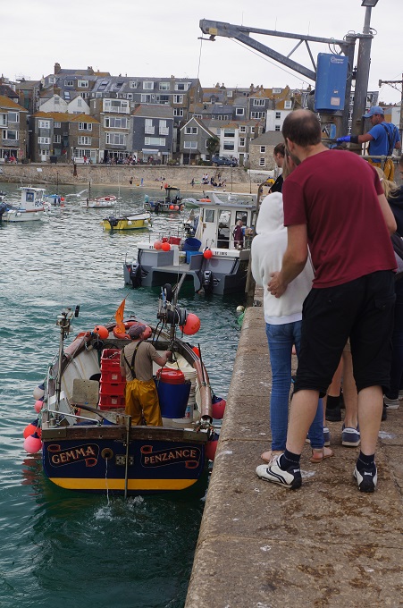
From the middle ages onward, St Ives was a small but thriving town based on the traditional trades of mining and fishing, reaching a peak in the 19th century with world-wide demand for locally caught pilchards (sardines) as well as tin and copper. At its peak about 300 boats operated from St Ives, netting millions of fish every year by the use of ‘seine’ nets.

It was the quality of the light and the landscape that first attracted artists to St Ives and is still inspiring them today. St Ives had been a destination for artists since the early 1800s but it was the arrival of the railway in 1877 which led to the biggest change the town had ever seen. The Great Western Railway invested heavily in tourism, marketing the ‘Cornish Riviera’. From this time artists flocked to St Ives, hiring a train once a year to transport their works to London in time for the Royal Academy exhibition.

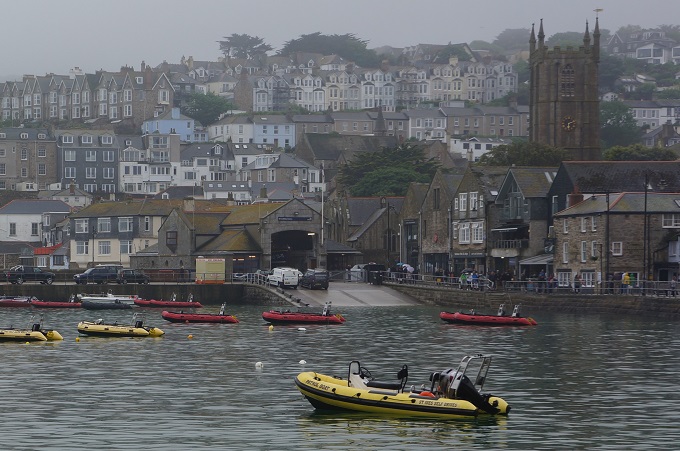
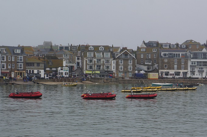
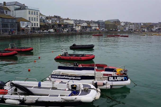
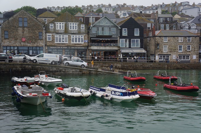
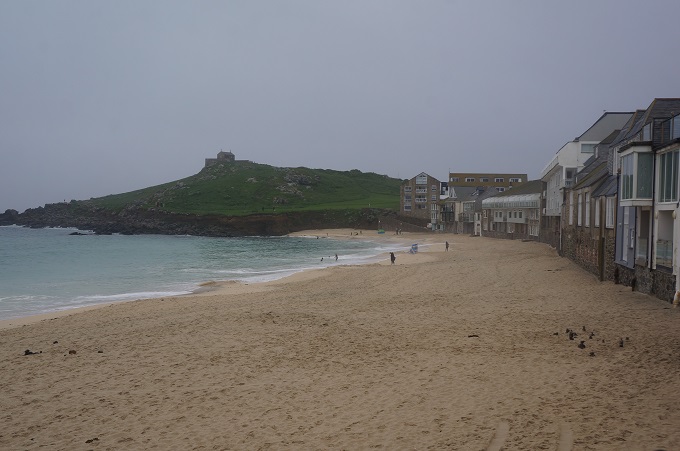
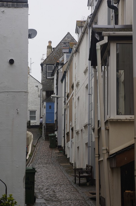
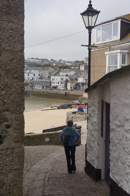
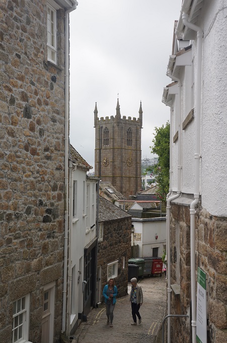
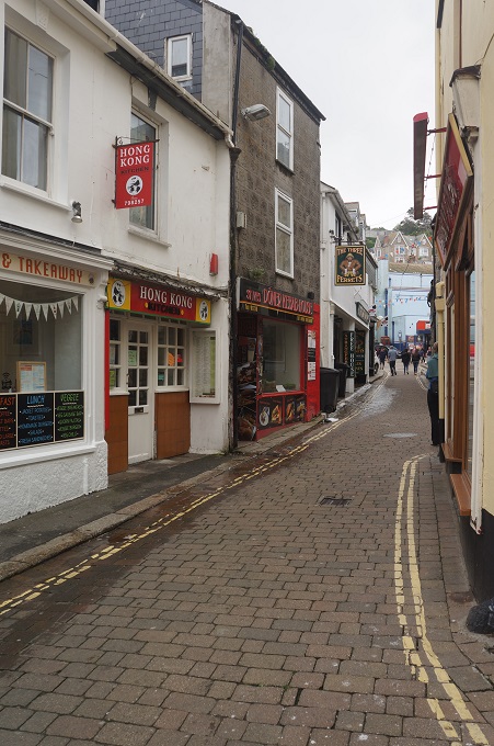
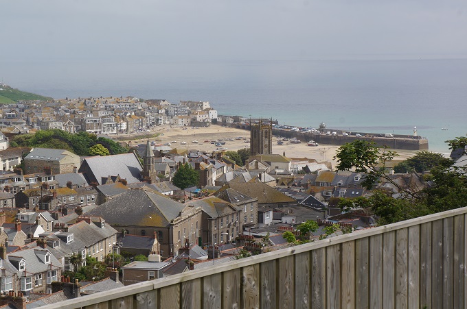
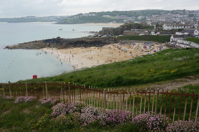
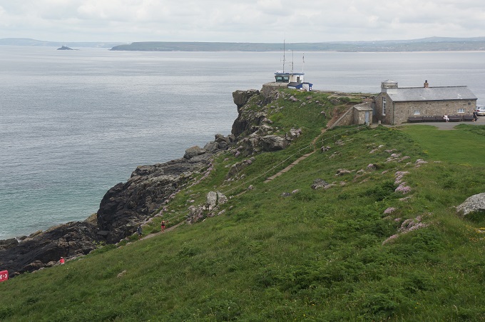
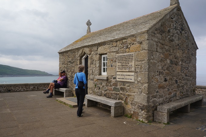
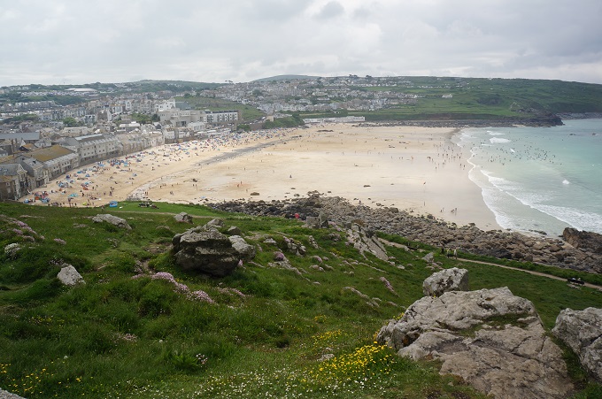
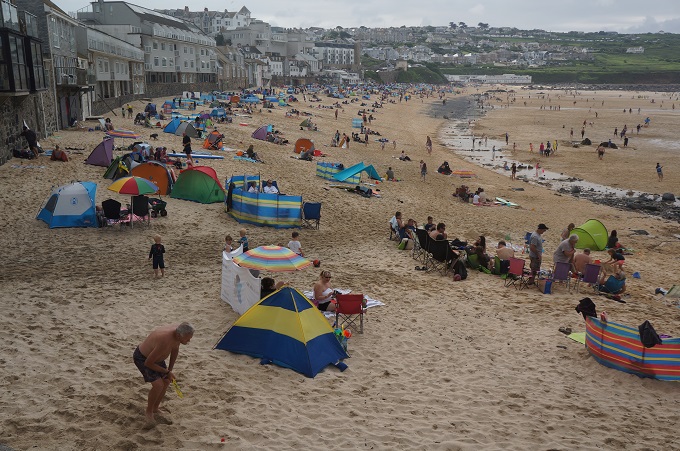
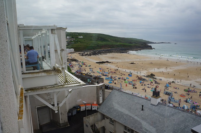
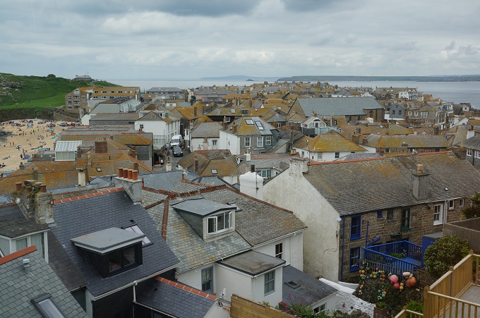
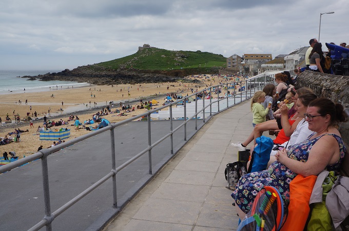
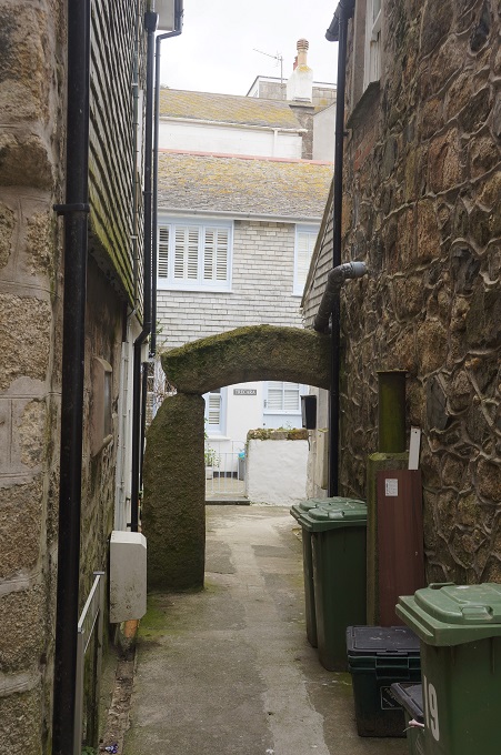
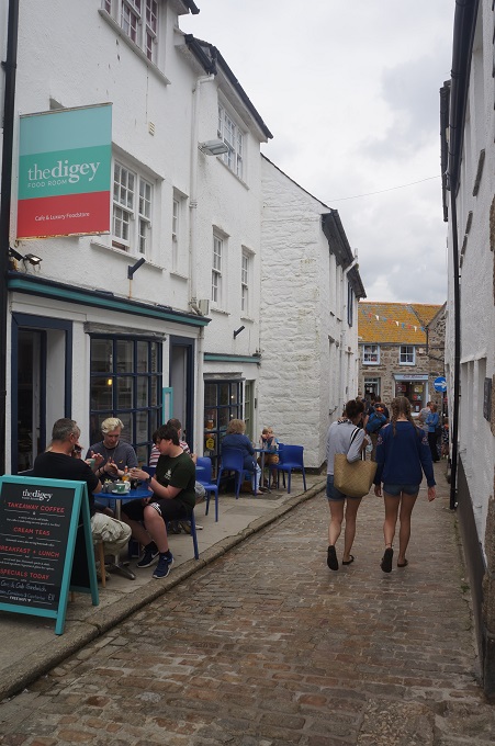
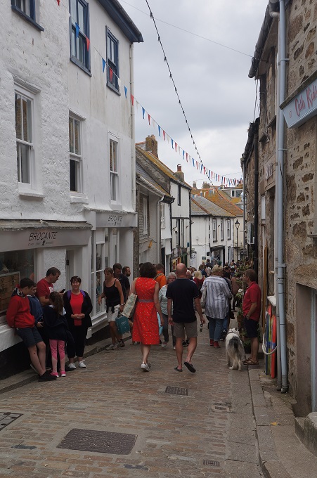
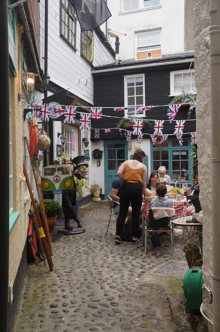
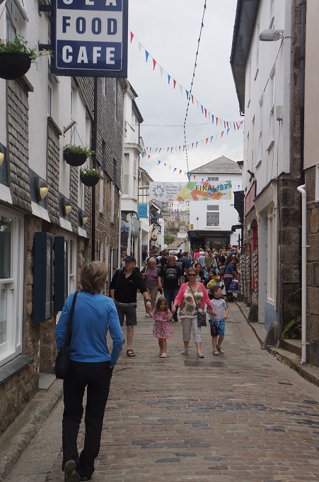
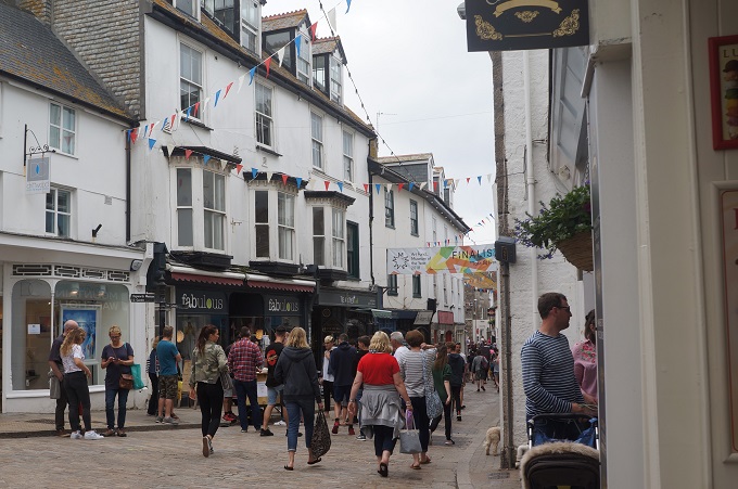
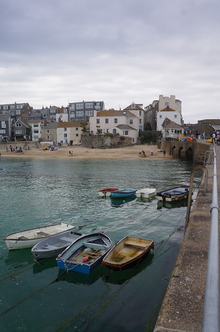
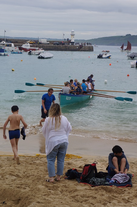
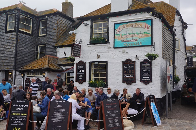
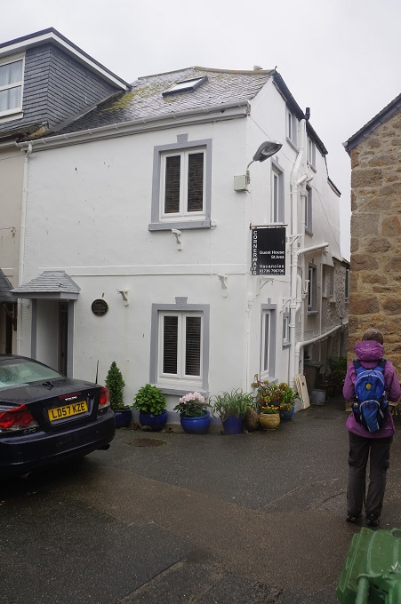
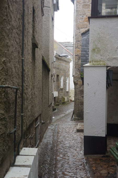
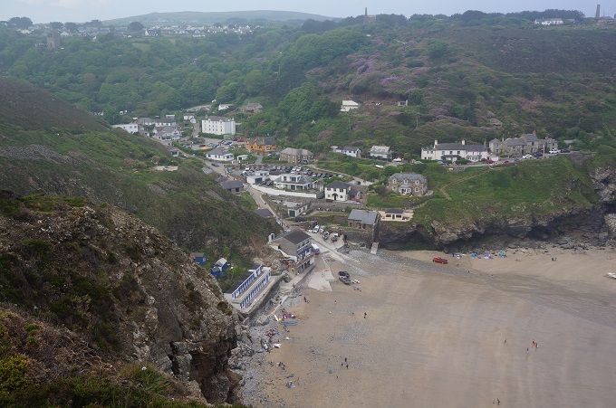
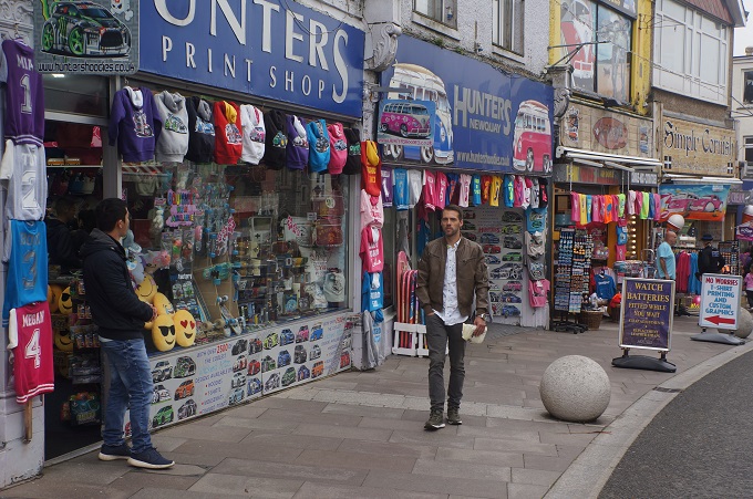
Today St Ives is a hugely popular holiday hotspot with four beautiful beaches, an historic and modern art scene, museums, galleries, festivals, a local colony of seals, fine dining and modern hotels. And of course it is gloriously picturesque with narrow cobble stone streets and fisherman’s cottages.

We had a very leisurely day exploring the town with a bit of culture thrown in at the Tate St Ives and the Barbara Hepworth Museum and Sculpture Garden. We needed a rest today but can’t wait to get on the path again.


Tate St Ives

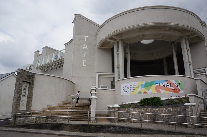
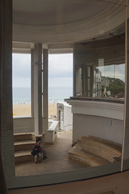
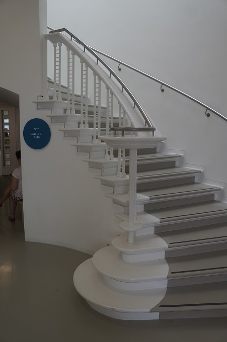
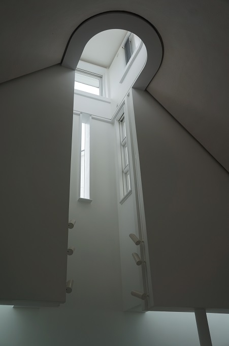
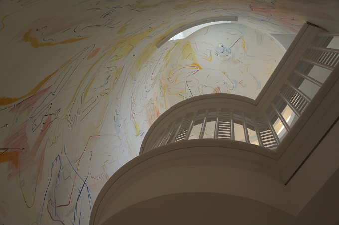
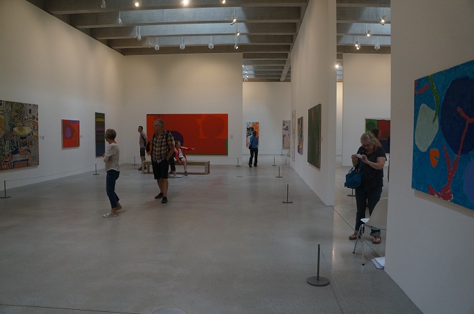
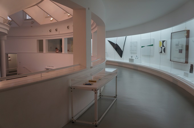
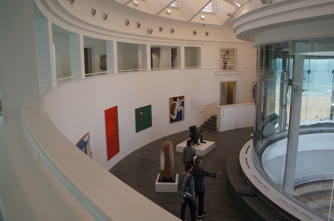
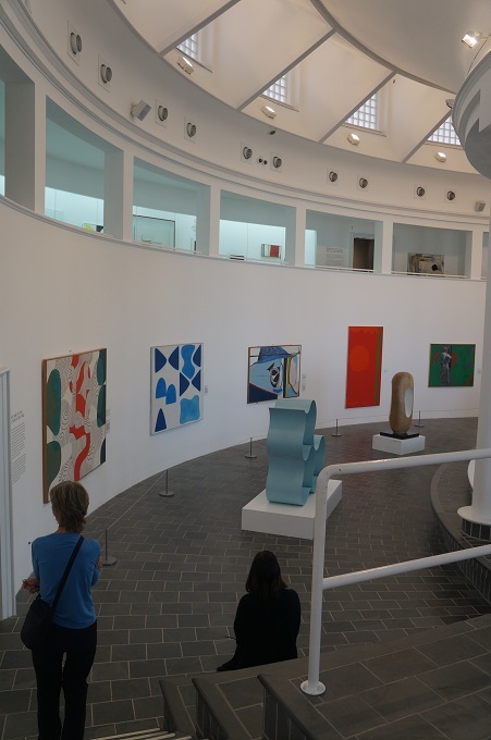
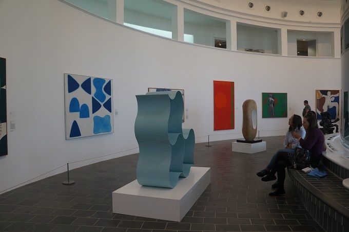
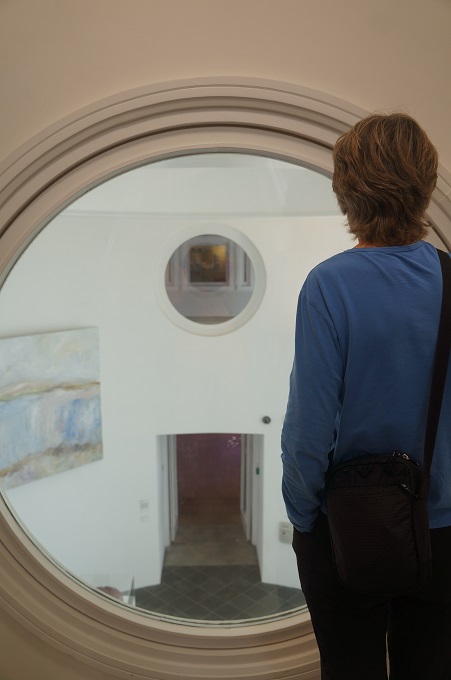
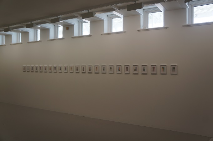
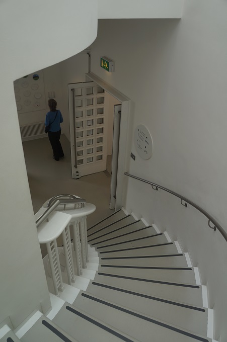
For our second dose of culture today we went to the Tate St Ives. This is an art gallery exhibiting work by modern British artists with links to the St Ives area. It was built between 1988 and 1993 on the site of an old gas works and from the outside the rotunda in the middle does sort of look similar to a gas works. It had major renovations and additions which were completed last year. This art gallery is one of a family of four, the others being Tate Britain (London), Tate Modern (London) and Tate Liverpool. As the architect of two art galleries in my past life, I guess I was as much interested in the building as I was in the exhibits.


Barbara Hepworth

(Jocelyn) Barbara Hepworth 1903 – 1975

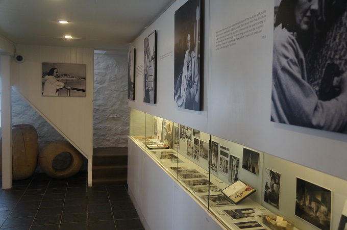
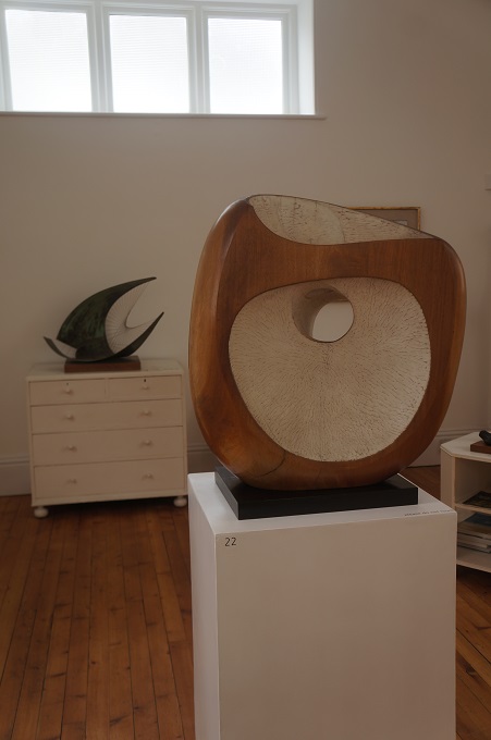
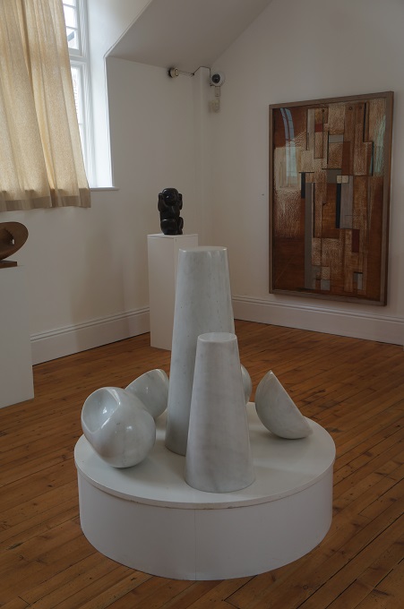
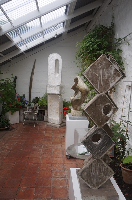
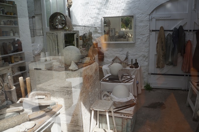
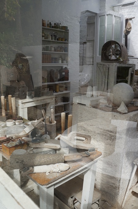
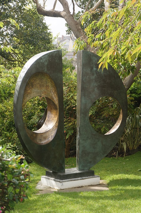
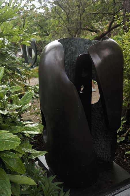
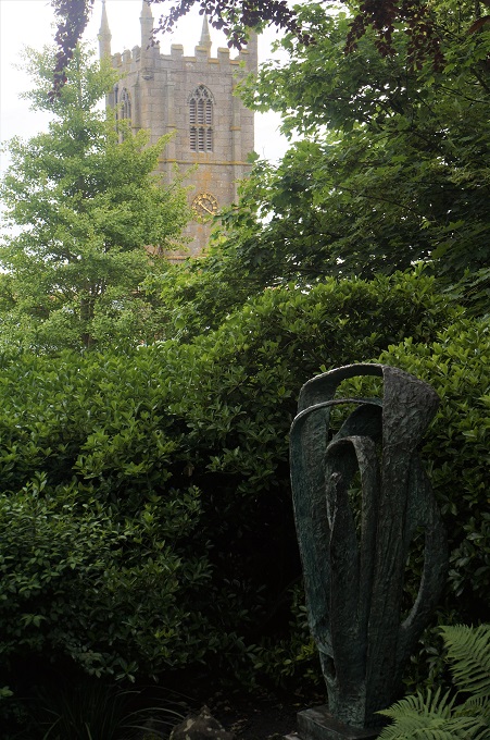
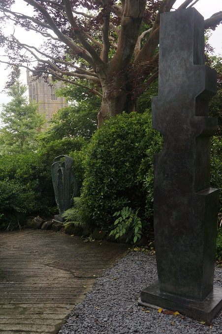
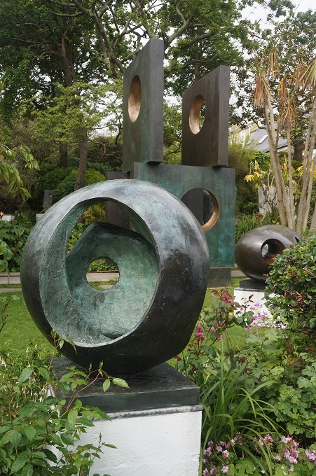
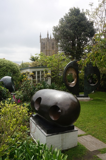
Today we visited the Barbara Hepworth Museum and Sculpture Garden. Barbara Hepworth was a well known sculptress who worked mainly in stone and bronze. The museum is on the site of her former studio which has been preserved exactly as it was when she died in 1975. Some of the sculptures are big enough to step inside and around so that you can study every angle. As well as the museum and her studio there is a collection of her sculpture in a very peaceful garden.


Talk to a Local

Hayle to St Ives, 9.5km + 3 km from accommodation, 188 metres of climbing

‘Some people walk in the rain, others just get wet’

We didn’t have great expectations for today. Our shortest day so far, the first 3 km a repeat of yesterday, walking through an industrial area, walking alongside a very busy road and not a great weather forecast. But as is often the case it turned out a great day.

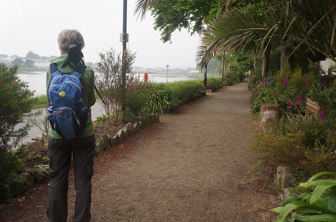
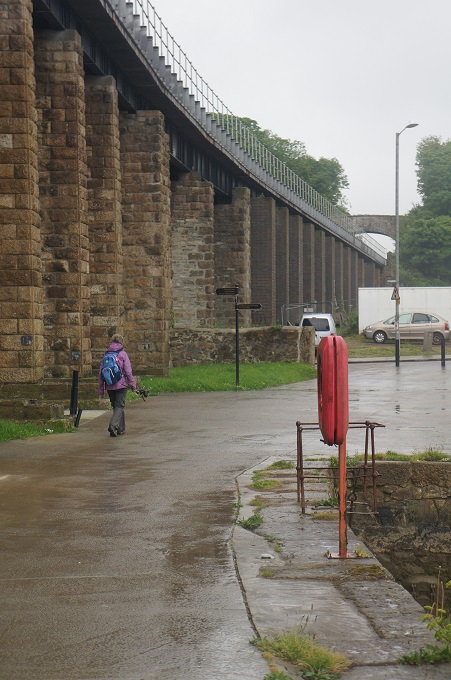
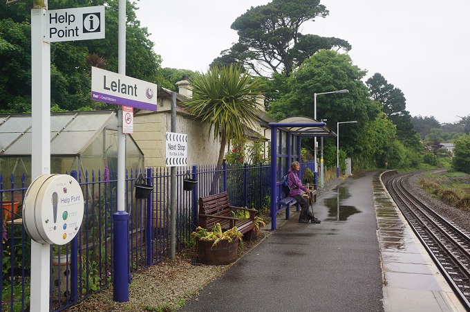
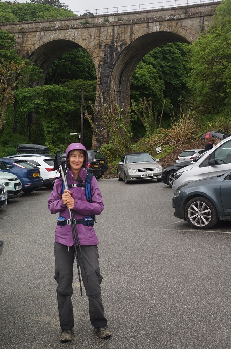
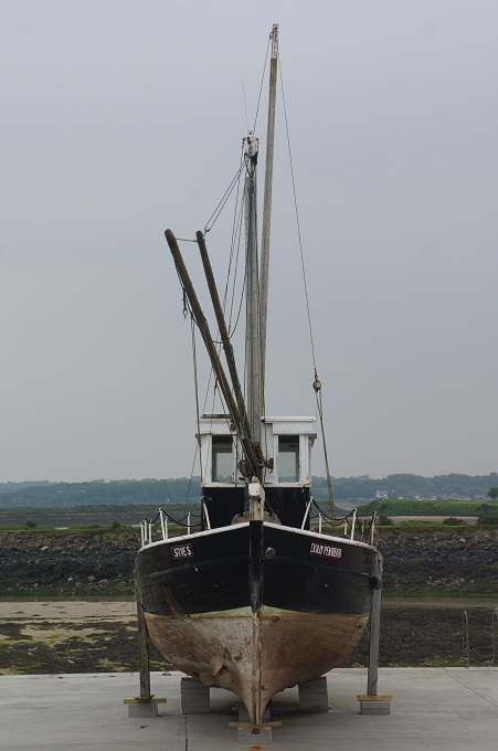
King George V Memorial walk was much more interesting when we were fresh this morning, than when we were tired yesterday afternoon.  The industrial area was a rundown section of the Hayle River but with lots of old boats and buildings, something I find quite interesting. There was an unpleasant couple of kilometres walking alongside the busy road and it was now raining. We managed to suss out a much quieter road to a ‘park and ride’ railway station at Lelant Saltings. This is a branch line from St Erth to St Ives.

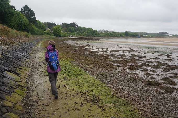
There we met and spoke to a local guy who had been in NZ last year walking the Abel Tasman and Queen Charlotte Walkway and toured the South Island in an RV. He put us onto a local path on the estuary side of the railway track which followed the Hayle River past Dynamite Point, around a golf course and onto yet another wide golden beach, Porthkidney Beach. Dynamite Point is a remote wharf on the river opposite Hayle where they used to unload dynamite to be used in the mines.

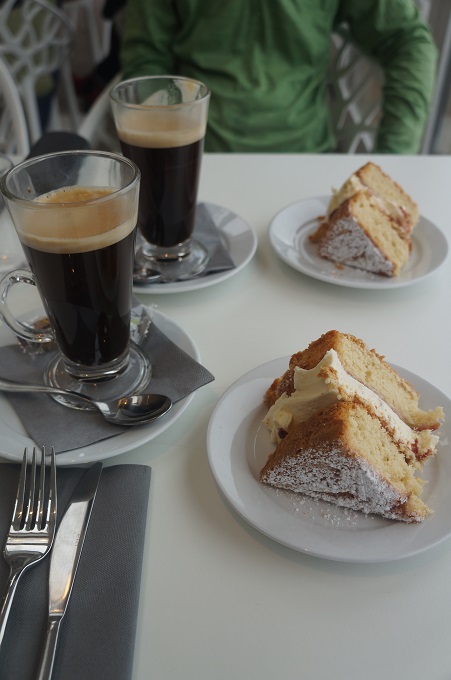
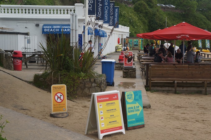
This was a thousand times better than the official route which followed the busy road. We were trying to walk slowly as we only had a few kms to go and checking in at our B & B was ‘strictly 4pm to 6pm’. At the next beach, Carbis Bay we stopped at the Carbis Bay Beach Club Hotel for coffee and cake. This was quite a snooty affair with uppity waitresses in white shirts and black trousers and waistcoats. Barbara gave them a detailed description of what we knew as a long black and which was not what they called an americano or a double espresso. Miraculously they delivered the best coffee we have had in England but let it down with sponge cake that was at least 3 days old.

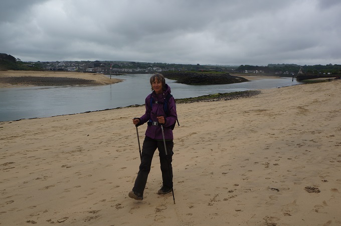
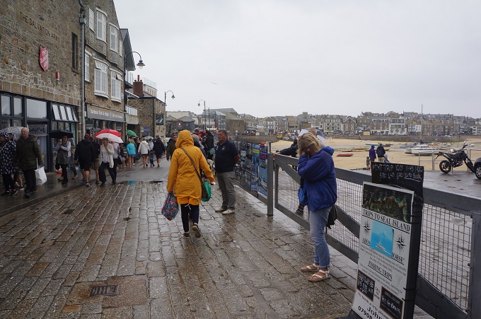
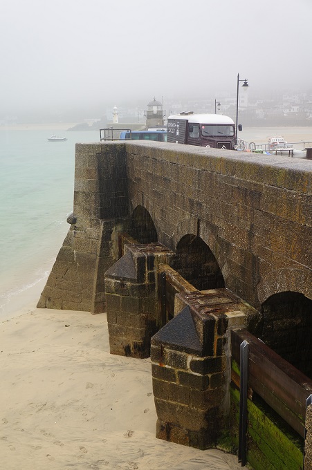
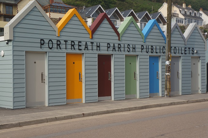
From here we walked on the beach all the way into St Ives, trying to walk more and more slowly. We thought it was interesting arriving in St Ives from the seaward side rather than the landward side by car or coach. The tedious part of the day was spending two hours watching the tide come in. It was now raining steadily and the only covered shelter we could find was outside the women’s toilets.

Another rest day tomorrow and we will explore the town.


May the Porth be with you

Portreath to Hayle, 19.9km + 3 km to accommodation, 415 metres of climbing

‘I love long walks, especially when they are taken by people who annoy me’. Fred Allen

Portreath, Porthtowan, Chapel Porth, Trevallus Porth, Perranporth, Mawgan Porth, Portcothan, so many porths! We can’t remember which one we are at. We often stop and talk to people and they ask where have you come from, and where are you going? It’s a bit embarrassing when we can’t remember. We can’t say we came from Porthwhat’sit and we are going to What’sitporth. They would look at us as if we have wandered out of an institution for the dazed and bewildered.

And then there were the ports: Port Quin, Port Isaac, Port Gaverne, Port Gennys. And now we are getting into the saints: St Agnes, St Ives, St Just, St Levan. I might start writing on my left hand where we set out from and on my right hand where we are going to.

There was a nasty start to the day and then two distinct characters to the coast for the rest of the day. Almost straight out of Portreath we had two gut buster rollercoaster climbs and descents through steep valleys. This was nasty because we had not yet warmed up and got into the rhythm of the day. From here to Godrevy Point it was walking on high level cliffs with the sea far below.

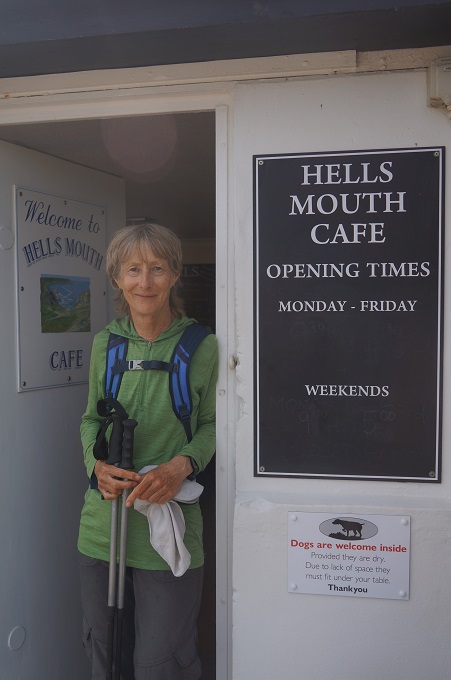
The highlights of this section were the Hell’s Mouth Café (opposite Hell’s Mouth Cove) where we had a cool drink, Shetland Ponies grazing at the side of the path, and seals on the rocks far below at Navax Point. At least a small crowd of people claimed to see seals but with our poor eye sight we couldn’t make out anything. We didn’t mind as twice we have practically stepped over seals on Paraparaumu Beach. The lowlight was that for a while the path was right alongside a busy road.

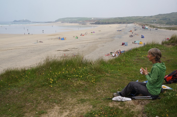
Off Godrevy Point is an island with an offshore lighthouse. This was the inspiration for Virginia Woolf’s classic novel, To the Lighthouse. Written in 1927, it drew on her memories of holidays with her parents in St Ives: the lighthouse in the book is merely a device for the development of the plot.

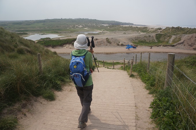
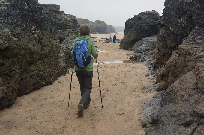
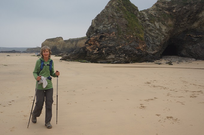
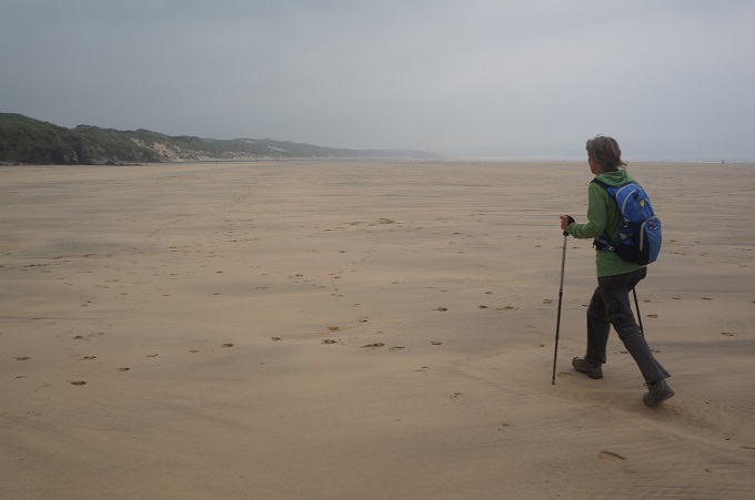
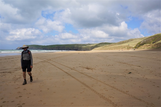
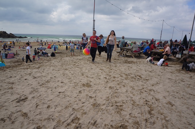
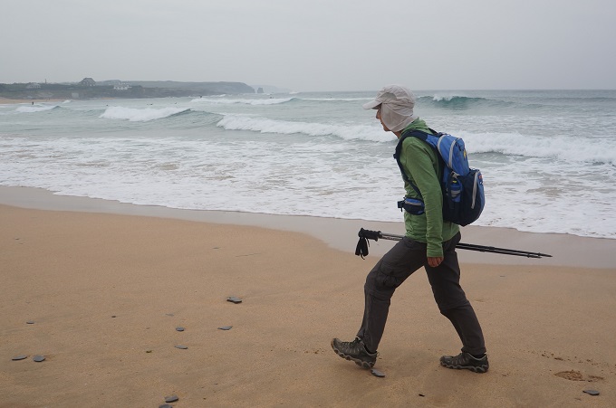
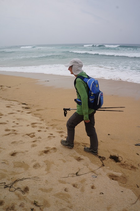
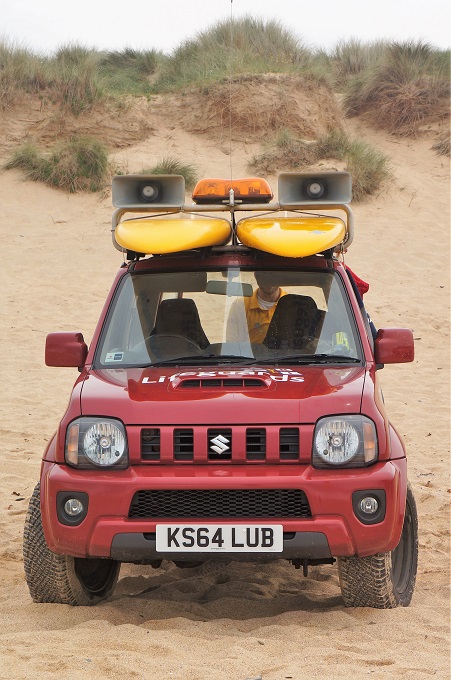
The second half of the day focused on sand, either dunes or beach, and the great colourful sweep of St Ives Bay. At Gwithian we trudged through the dunes for a while but soon decided it was far easier walking on the beach. It was only an hour past high tide so there was no chance of being trapped on the beach. St Ives Bay is 4 miles (6½ kms) long but we made really good progress. At about four locations along the beach there was a public car park, a life guard station, red/yellow flag swimming area and hence lots of families. This week is spring break for the school kids.

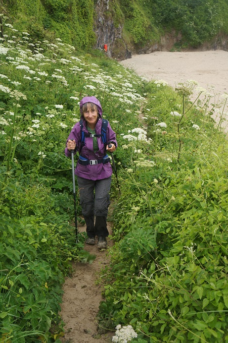
From the end of the beach the walk into Hayle was through a depressing industrial area. Our hotel is a further 2 miles inland but this was mostly along the King George V Memorial Walk which runs alongside Copperhouse Pool – a relic of Hayle’s industrial past. The walk is decorated with Victorian lamps, benches, ponds, fountains, a scent garden and hundreds, maybe thousands, of different species of plants.

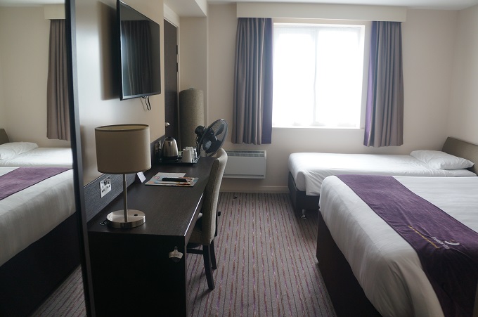
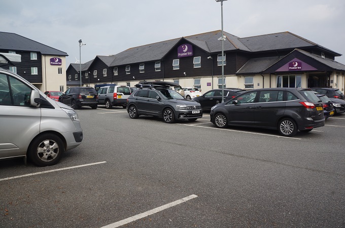
Our hotel, The Premier Inn, is large, modern and part of a chain. It is located in a commercial layby on a busy road. The layby is shared with a Marks & Spencer Store, Next, Boots, Castro Coffee, MacDonalds, a petrol station and acres of car parking. Pedestrians have to risk their lives crossing two large roundabouts to get here. Apart from us I don’t think anyone has ever walked here.


Where have all the flowers gone?

Perranporth to Portreath, 18km, 686 metres of climbing

‘I can walk the line if it ain’t too straight’

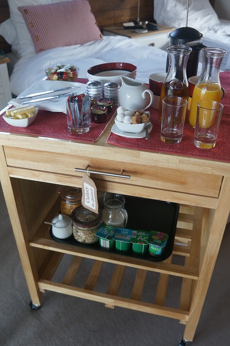
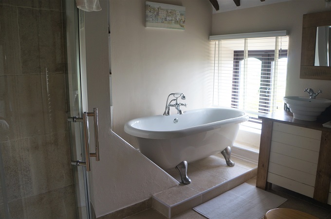
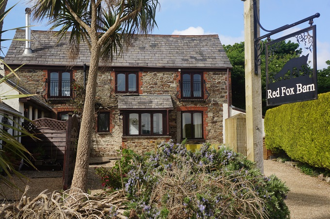
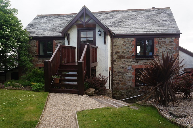
This morning was the next best thing to breakfast in bed. Red Fox Barn is quite luxurious and has just two hotel rooms and no dining room. Mike (from Seth Evrika) takes your breakfast order the night before and in the morning at your preferred time brings a trolley to your room, laden with tea, coffee, juice, yoghurt, cereals, fruit, milk, etc. Precisely 10 minutes later he arrives with your cooked breakfast, toast, more coffee etc. The only down side of this is you feel you should tidy up the room before he arrives. Our room usually becomes a tip about 10 minutes after we arrive and a Chinese laundry when we have showered and washed our clothes. Mike also gave us a ride in his car for the two miles back down to the path. Mike and his wife have a shop downtown and he was going down anyway to open up.

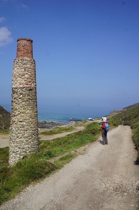
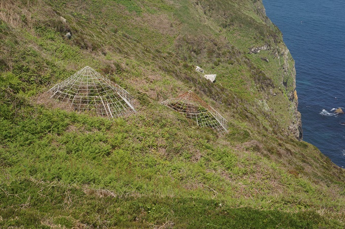
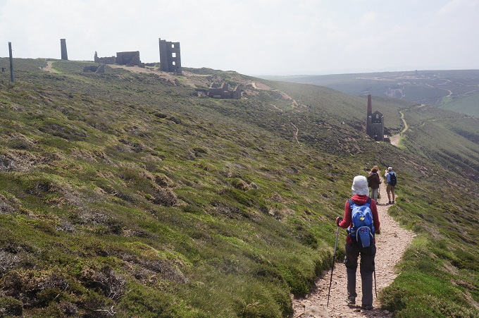
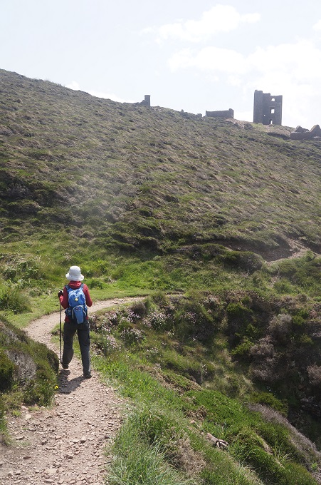
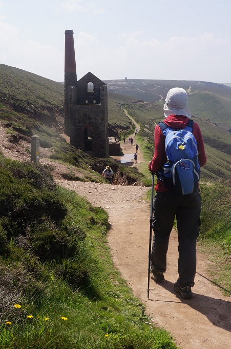
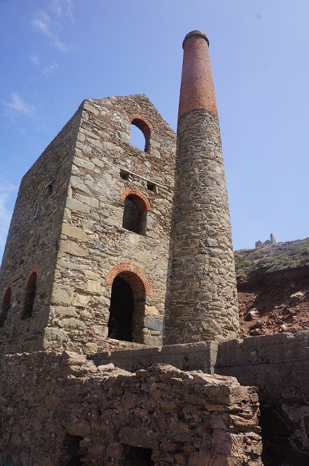
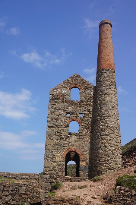
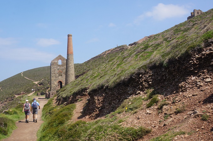
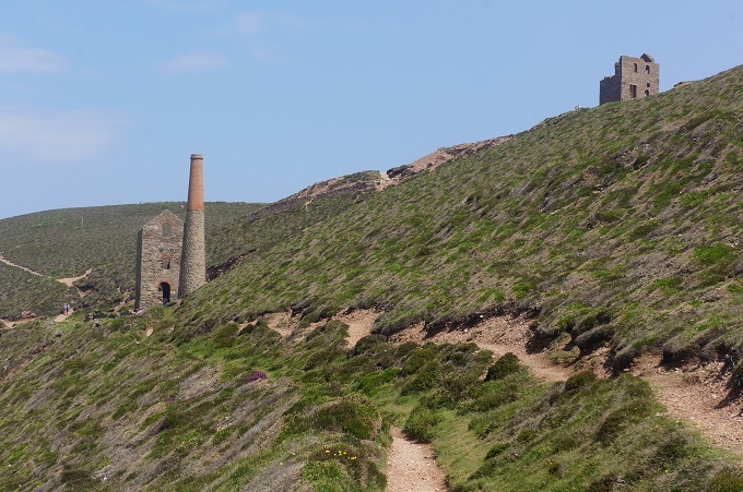
The walk today was all about Cornwall’s coastal mining heritage. There was a lot of evidence of former mining activity including stark moonscape areas of old quarries and spoil and slightly sad building relics. But there were also grand and imposing engine houses and large, lonely chimneys, sometimes almost perched on the edge of cliffs. Close to the path were the heads of many shafts, most of them fenced and in some cases topped with a steel wire cone shaped cage for safety. The shafts have become colonised by the endangered greater horseshoe bat but we didn’t wait for dusk to see these.

There has been mining in Cornwall since the bronze age (about 2150 BC) and the last mine closed in 1998. The most commonly extracted metals were tin and copper, but also a little silver, zinc and arsenic. The most obvious signs that we saw of the mining industry were at Wheel Coates on the cliff tops between Porthtowan and St Agnes. The buildings most visible are engine houses dating from the 1870s. This was when deep underground mining was carried out far under the sea and steam driven machinery was required to bring ore to the surface and to pump the shafts dry.

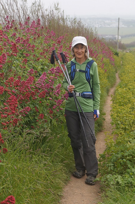
The walking today was fairly easy, mostly on heath covered cliff tops. There are now few of the wild flowers we used to see. There were descents to small settlements and beaches at St Agnes, Chapel Porth, Porthtowan and our destination today Portreath. All of them busy as today is a public holiday.

Early in the day we had a stretch of level walking past the Perranporth Aerodrome which seemed about the size of Paraparaumu Aerodrome and was having a busy day with microlights taking off and landing. These things never go very high and make an awful lot of noise for something that seems to fly so slowly. Late in the day we passed the Nancekuke Military area which is an RAF air defence radar station. All was quiet here but for about 5 km we walked beside a high fence. Luckily it was a nice stretch of coastline looking out the other side.

There are lots of walkers about, all of them day walkers or less. We haven’t met up with any new friends. It would be nice to see a few regular faces day after day.

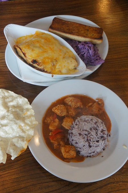
We are staying in a small family run hotel, five rooms above a bar and restaurant. It is right on the coast path and the food is excellent.


Never rub another man’s rhubarb

Newquay to Perranporth, 17.5 km, 579 metres of climbing

‘If we are facing in the right direction all we have to do is keep walking’. Buddhist proverb

The thunder and lightning and rain continued last night but by this morning it was long gone.

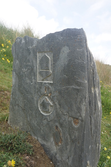
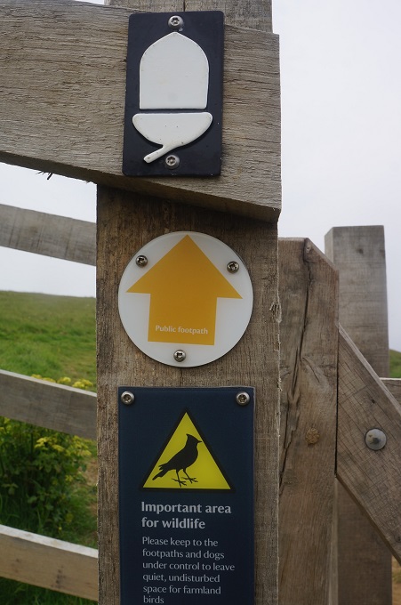
We often find it hard to find our way out of towns and back onto the Coast Path. Newquay was no exception and we wasted a bit of time and did some extra distance getting through the centre of town. The small subtle acorn signs of the Coast Path either just disappear or are overwhelmed by the proliferation of advertising, bill boards, road signs, traffic lights etc. And we are distracted by traffic, crossing roads etc. In Spain they did it much better with scallop camino signs set into the pavement.

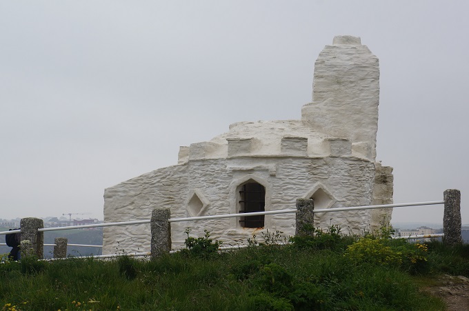
On the way out of town we came to the Huer’s Hut on Towan Head. This is a small white painted stone building with a disproportionately large chimney. Named after the Huer, an important figure in the pilchard fishing industry that once thrived in Newquay. The Huer would watch out from his high vantage point for the shoals of fish to arrive and then call out to the town ‘Heva, Heva’. Immediately the seine boats with their long nets would be launched but they had to rely on the Huer for directions. Holding ‘Furze Bushes’ in his hands the Huer would direct the boats first to locate and then surround the fish. Some sources put the origin of the hut as early as the 14th century but most of the hut today is 19th century.

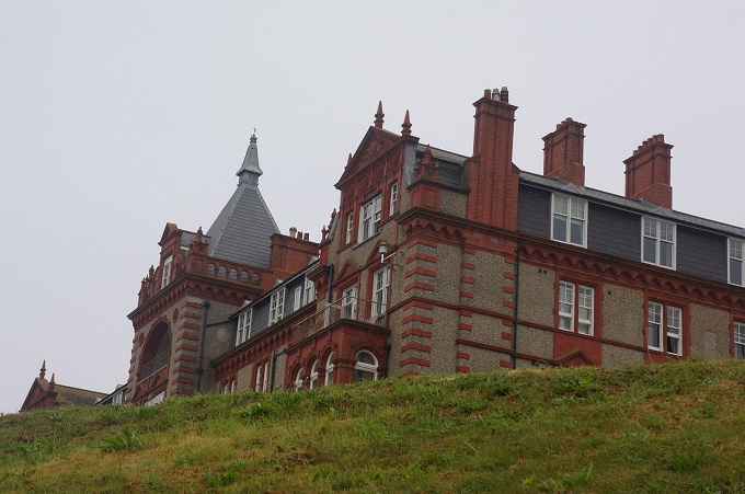
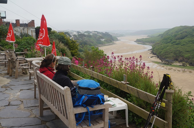
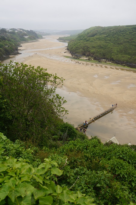
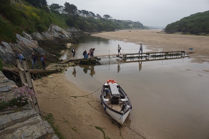
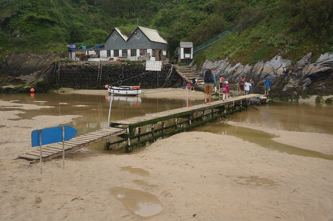
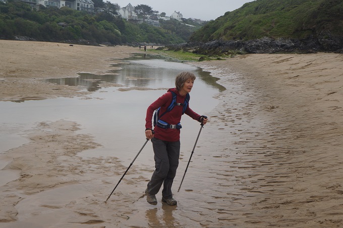
Leaving Newquay we had to cross the Gannel River and wanted to take the shortest route. We knew it would be low tide and the Fern Pit ferry would not be running but at the ferry jetty there was a footbridge just long enough to get you across at low water. From there it was an easy walk across the exposed sand.

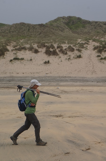
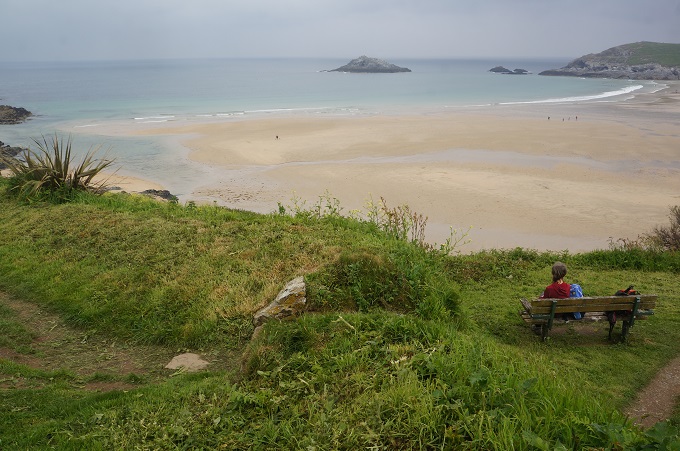
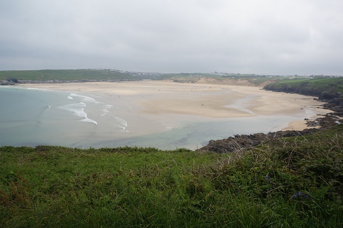
The theme for today’s walk was sand – both in the form of dunes and beaches. There were also headlands with superb views but at the end of the day we were emptying sand from our shoes. There was a succession of beautiful beaches: Fistral Beach, Crantock Beach, Holywell Beach, and the longest of them all Perran Beach. For the first three the path went behind the beaches in sand dunes and as anyone who has walked up and down sand dunes knows, this is hard going as there is nothing solid to put your foot on, just deep, soft sand sliding either forwards or backwards.

At Perran Beach we could get down on the firm sand and it was very easy going for a couple of miles into Perranporth. Our wonderful accommodation at The Red Fox Inn is about 2 miles inland from the coast and we were a bit confused getting out of a packed Perranporth absolutely teeming with thousands of holiday makers. Once we sorted ourselves out it was a very nice walk along quiet farm lanes among farm houses and meadows, away from the coast.

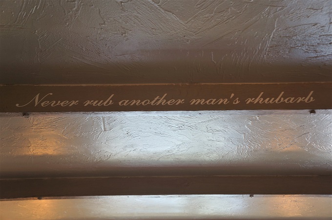
For lunch we stopped at the St Piran’s Inn at Holywell Bay. They had lots of sayings printed on the roof beams. One that caught my eye was ‘Never rub another man’s rhubarb’. I hadn’t heard this before but it comes from the first Batman movie in 1989. The Joker (Jack Nicholson) says to Batman ‘What you took her out last night? Never rub another man’s rhubarb’, I.e. don’t mess with another man’s girl.

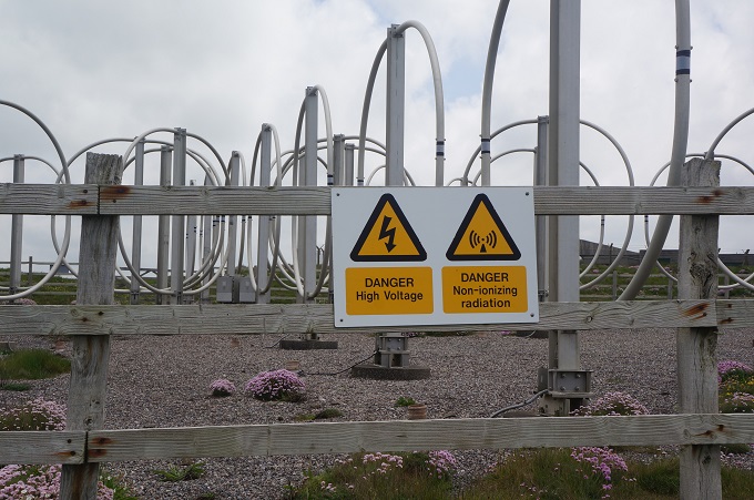
Part of the walk today was past the heavily fenced scattered installations of Penhale Camp, a Ministry of Defence property. You imagine you are being watched as you pass concrete barracks, communication masts and signs saying ‘Do not touch any military debris. It may explode and kill you’. Our trip notes also said don’t go past red flags, they indicate firing practice.


Happiness is watching the rain from inside your warm hotel

Porthcothan to Newquay, 16 km, 441 metres of climbing

‘I am learning to love the sound of my feet walking away from things not meant for me’

Today on reaching Newquay we have completed ⅓ of our walking days and a fraction under ⅓ of our theoretical total walking distance.

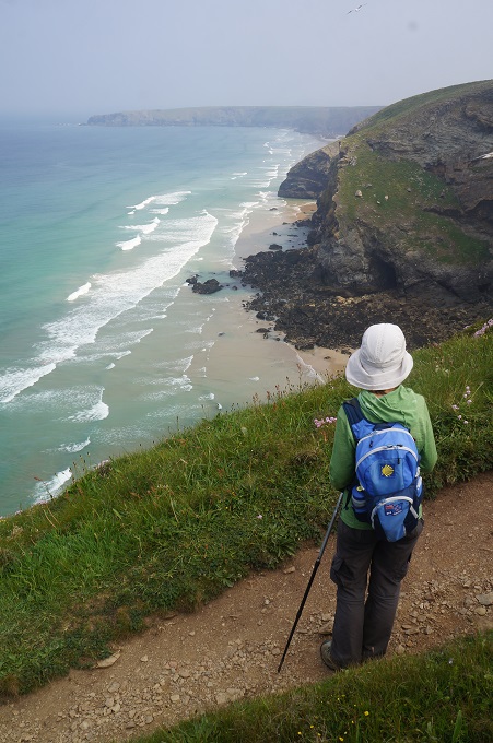
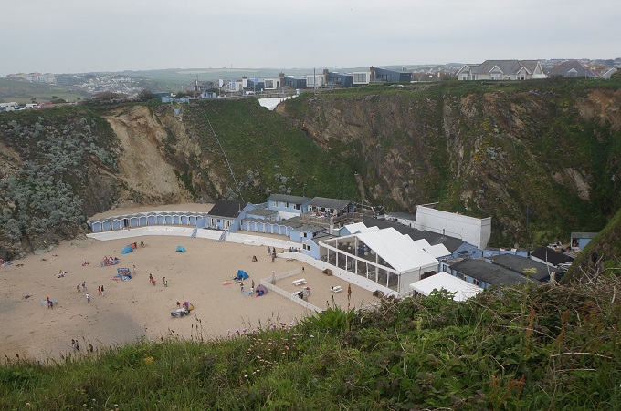
Today was a well walked section, especially as we got closer to Newquay. Almost the whole length was characterised by high, flat topped cliffs, sometimes with prominent headlands, which for long stretches form the back of attractive sandy beaches, many of them popular with surfers. Even though the beaches look so inviting the path sticks to the top of the cliffs as many of the sandy coves are completely cut off at high tide.

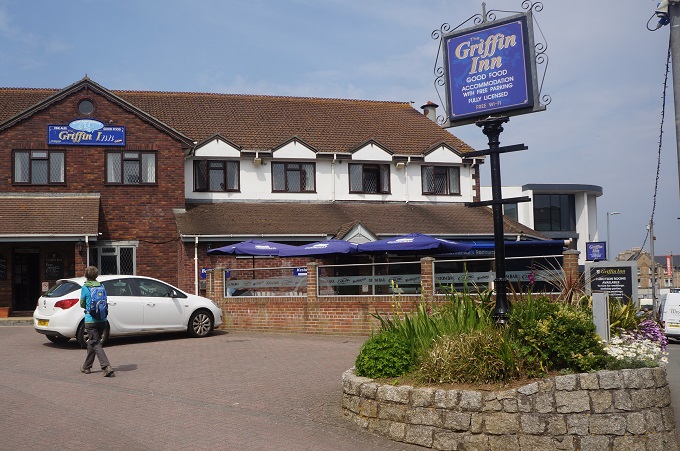
Today was the Saturday of a three day holiday weekend (Spring Bank Holiday) so the path, car parks and beaches were busier than we have previously seen. We made pretty good time today, not mucking around due largely to the weather forecast. It was warm and sunny as we set off but thunderstorms and isolated areas of torrential rain were predicted for the afternoon. We got to Newquay okay but now at 5.50 pm there have been huge claps of thunder and it is now heavily raining. Fortunately we don’t have to go out as the Griffin Inn has a bar and meals down stairs.

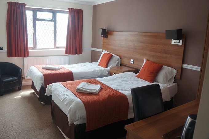
Another good thing about the Inn is that it is right on the path. Often we have to walk an extra couple of kilometres off the path to our accommodation. And of course, back again in the morning. This Inn is a pretty bland, middle of the road place, part of a chain, comfortable, warm, dry and very impersonal. Sometimes being impersonal is good. This morning at breakfast the landlady, Mary, who was very nice, wanted to talk about Brexit and all manner of things. Her son and daughter-in-law had lived in NZ for a year and somehow she had the idea we were a misogynistic society. I wasn’t sure what she was on about so didn’t get to tell her we had a very popular 37 year old woman prime minister who was about to give birth to her first child.

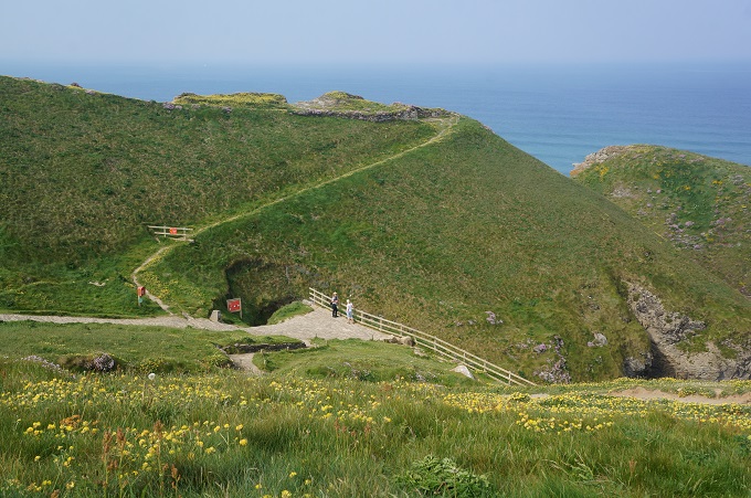
A feature of today were several headlands that had iron age hill forts. Lots of people come to look at these and there was even a National Trust Visitor Centre close to one of the forts. But honestly, if we hadn’t been forewarned by our maps and trip notes, we would have walked right over these without knowing. It was hard to pick which of the grass and flower bumps, lumps and cuts were part of a fort. The forts are very near the cliff edge and large chunks of some forts have disappeared into the sea with the crumbling cliffs.

Newquay is the largest town we have come to on the South West Coast Path, pop. 20,000. It is a fishing port, major tourism centre, and a regional centre for aerospace industries. It has an international airport which we were aware of all day as large passenger planes came low in over the cliffs on their landing approach.

Newquay is the surfing capital of Cornwall and this weekend one of the UK’s biggest surfing competitions is being held here. Newquay is also known as being the party town for graduations, stag parties and hen nights. We have been warned to expect groups of hairy, drunk males dressed as nurses wandering the streets.

We have to do research to get out of town tomorrow – it all depends on how to cross the tidal Gannel River. There are four options and which one to take depends on the time of year and the state of the tide.

The official route (3 km) is via the Fern Pit Ferry but it only operates from late May to mid-September daily 10am to 6pm.

Option 2 (5 km) is to cross the Penpol Footbridge which is tidal and you can cross about 2 hours either side of low tide.

Option 3 (8 km) is the Laurie Bridge which is also a bridleway. You can’t use this 1 hour either side of high tide.

Option 4 (10 km) is to follow the main road right around the channel.


Just a stroll

Padstow to Porthcothan, 21 km, 479 metres of climbing

‘Honestly, my biggest fear about becoming a zombie is all the walking’

We woke up this morning feeling a bit sore. Not the usual sore toes, feet, ankles, calves, knees, thighs. It was sore butts. The hybrid bikes from yesterday were quite good but typical of most hire bikes they had large, wide, very soft seats. After a while we found them very uncomfortable and by the end of the ride we were a bit sore. Give us our skinny, anatomical, harder seats any day.

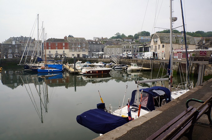
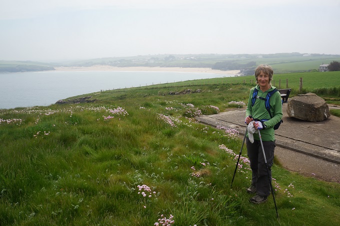
The first section of the path today is a very popular local walk around the Camel estuary with long sandy stretches as it was low tide. There is a very easy climb onto a picturesque length of cliffs with a coastguard look out and the 19th century Daymark Tower, an old stone navigation aid.

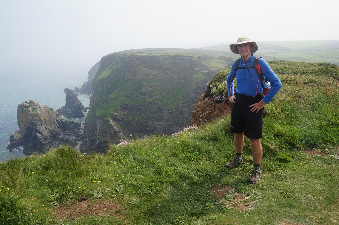
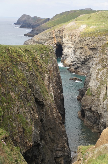
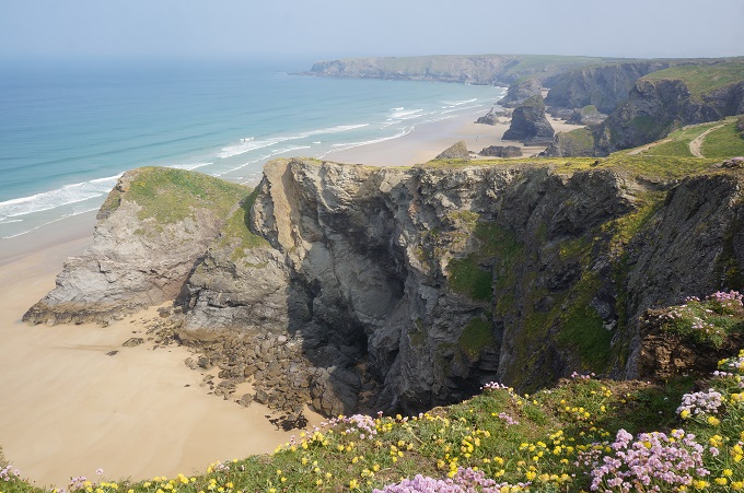
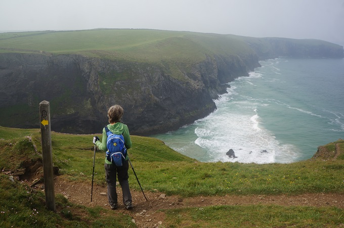
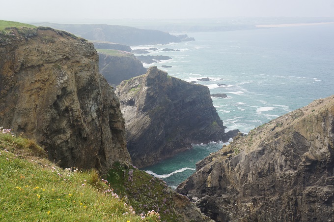
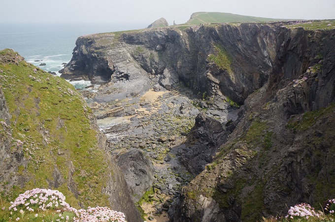
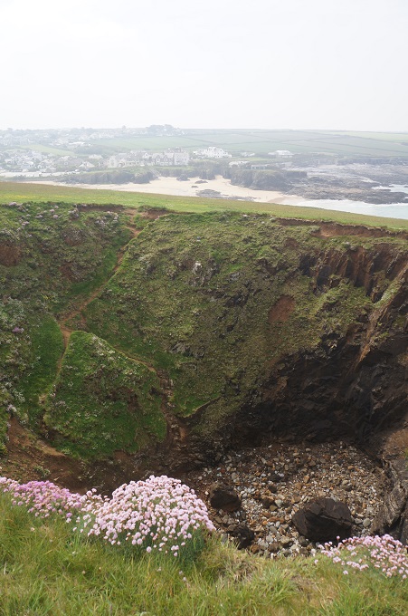
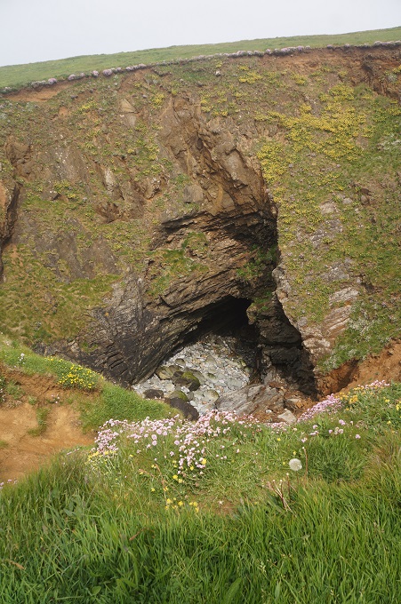
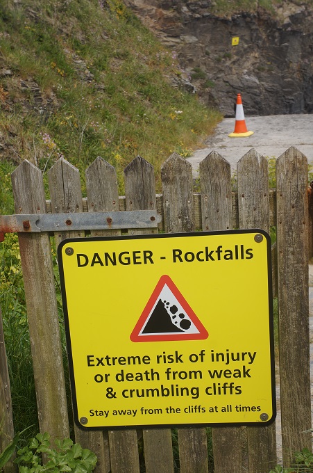
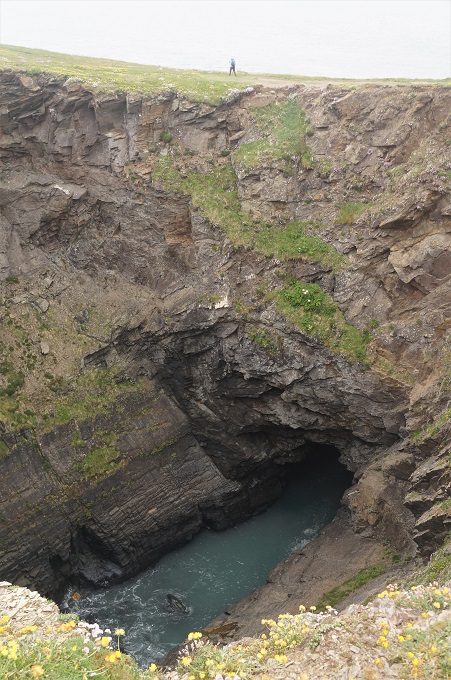
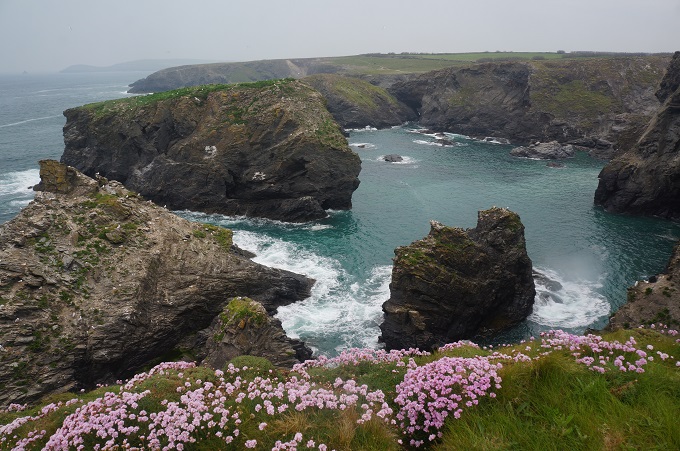
The path is now on the exposed Atlantic coast and there are precipitous cliffs and sheer drops down to the sea. There are huge chunks of rock that have split off from the mainland. Walking along the cliffs there were sudden gaping holes opening up in the turf – collapsed caves perhaps? Today we also noticed an increase of wild flowers, sea pinks, cornflowers, kidney vetch, reaching down the cliffs almost to the sea.

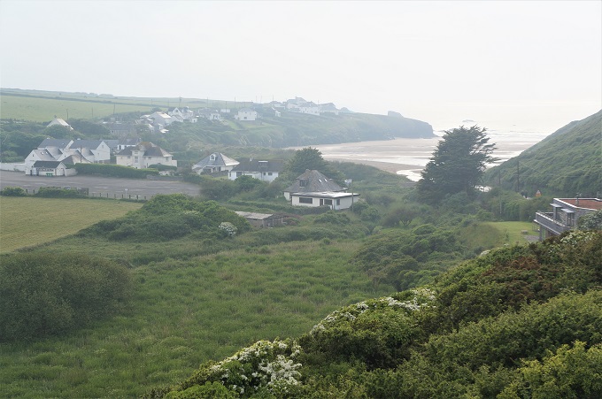
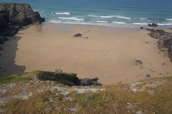
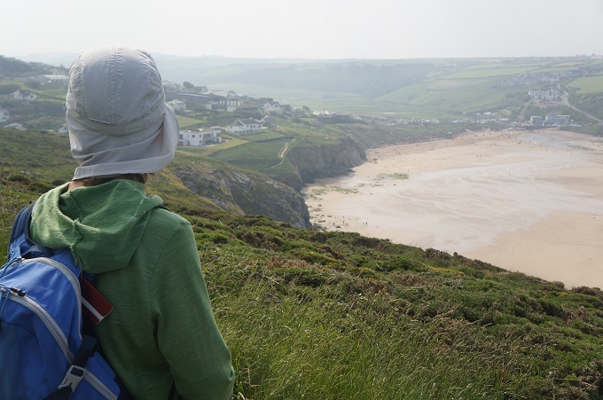
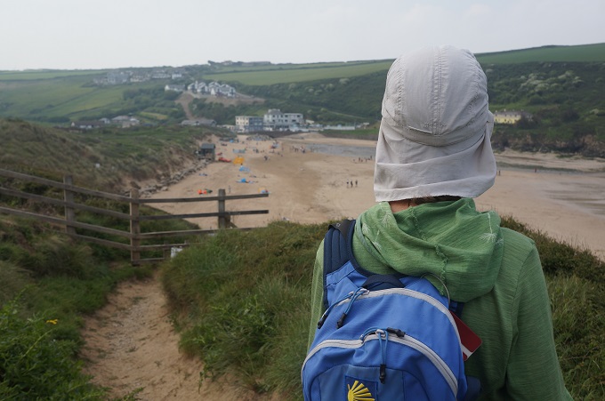
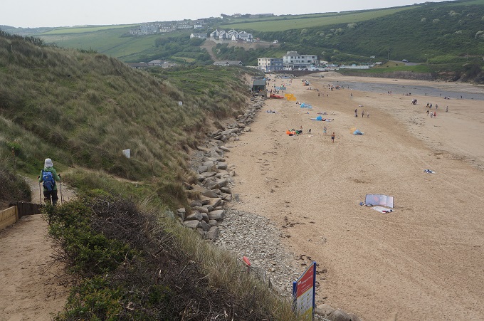
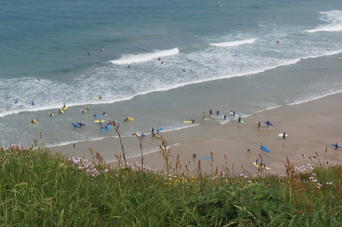
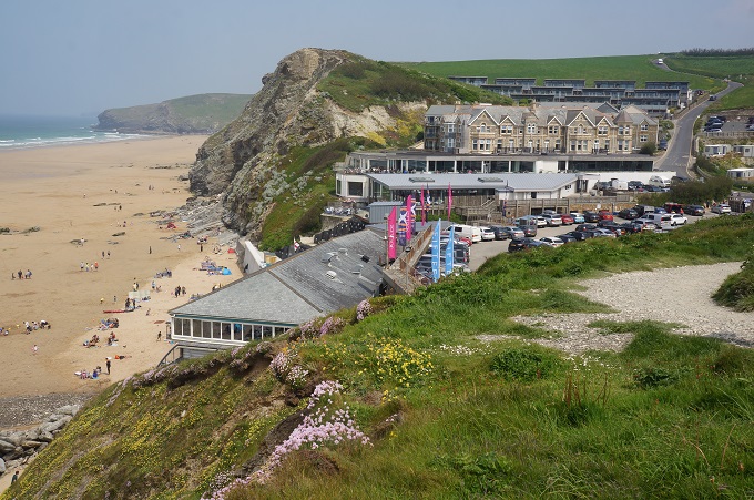
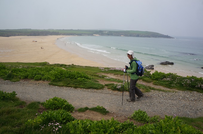
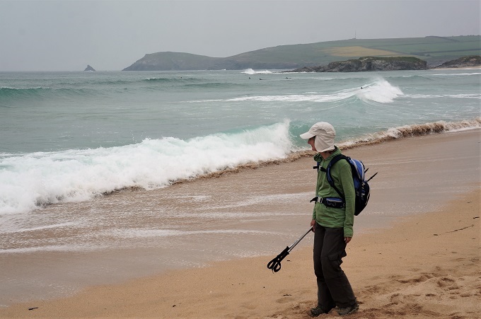
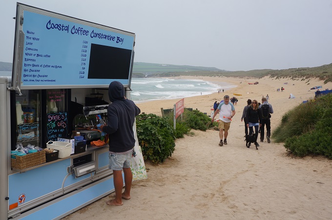
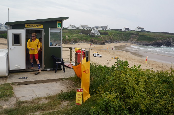
We then came to an easy walking section with golden sandy beaches between headlands. Trevone Bay, Harlyn Bay, Constantine Bay, Treyarnon Beach, are all very popular swimming and surfing beaches. All with life guards on duty, all the facilities, and surf schools and surf board hire. There was a bit of onshore wind today and the surf at most beaches was pretty boisterous. The air temp was 17°C and the water temp 11°C. Just about everybody in the water wore wet suits.

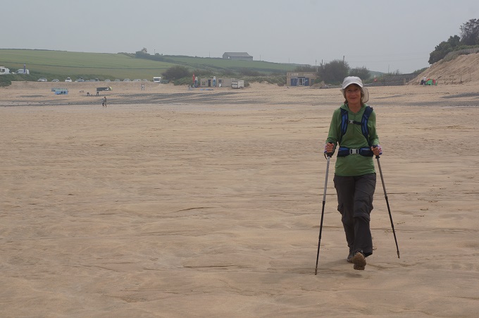
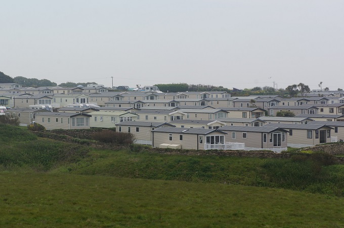
We walked across the sand on most beaches, which was a nice change, but the sand was soft and used up a lot more energy than walking on the clay or grass paths on the cliffs. This section of the path was quite busy, there are holiday parks, camping grounds, roads and car parks at all the beaches. For us this means there are facilities, ie toilets, food and drink. It is great walking on the lonely desolate cliffs but there are no facilities out there.

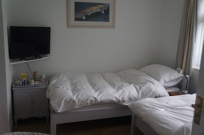
Today was the first time we came across our destination before we really expected it. Usually the last few kms of the day are a bit of a grind to get to the accommodation. We are staying in a 1930s bungalow with just two guest rooms. It was a 10 min walk to the only pub, the blandest, most characterless pub in all of Cornwall.