All posts by Paul Lenihan

Slow Walking

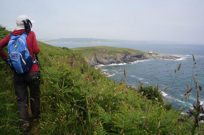
Mawnan Smith to Falmouth, 8 km, 158 m climbing

‘I’m a slow walker but I never walk back’. Abraham Lincoln

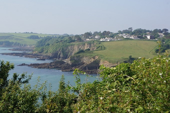
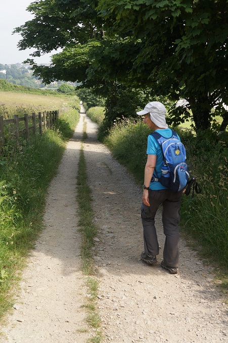
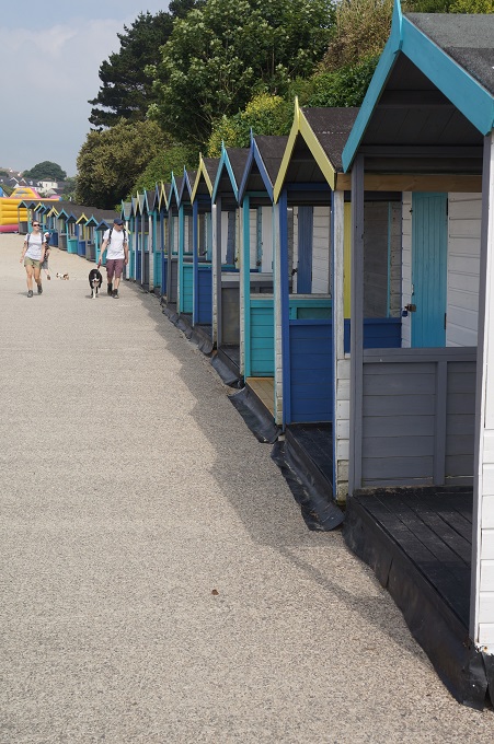
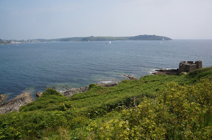
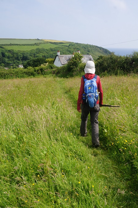
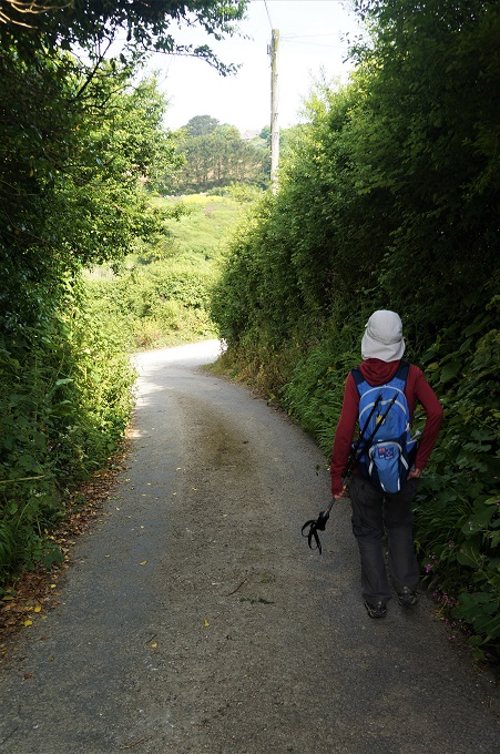
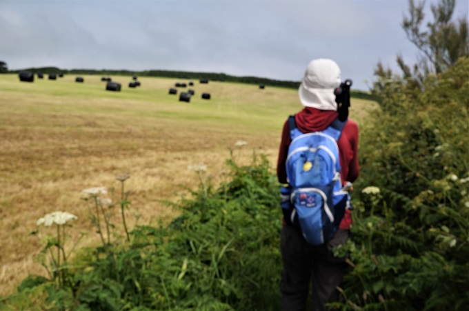
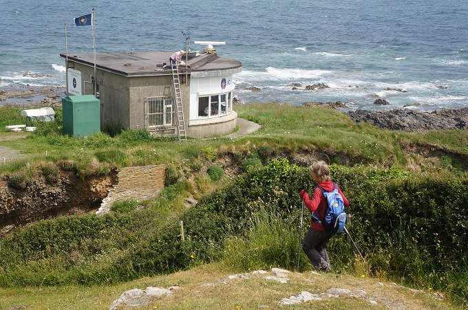
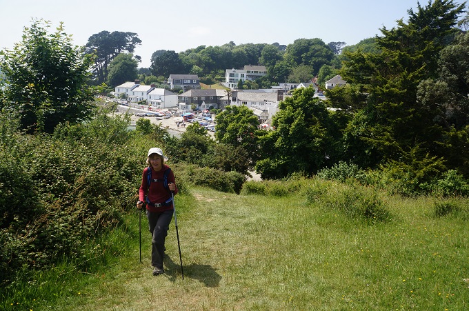
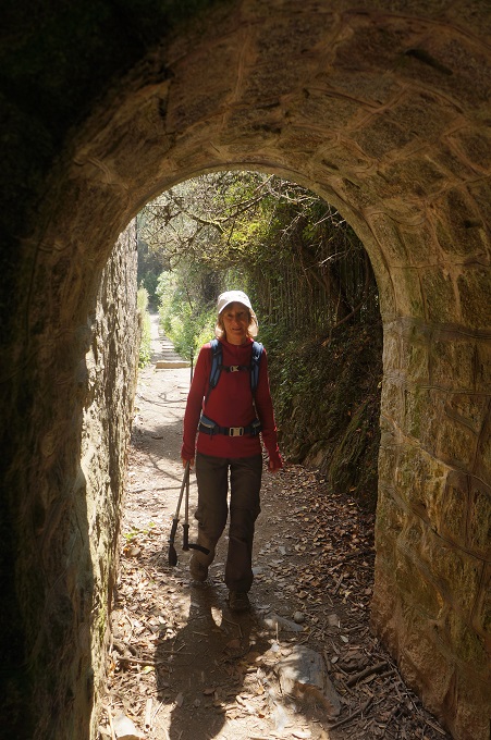
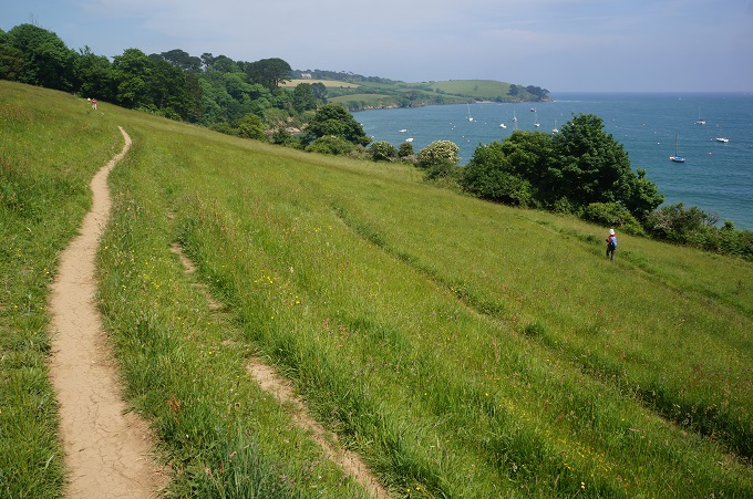
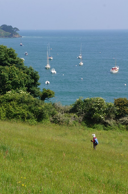
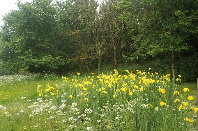
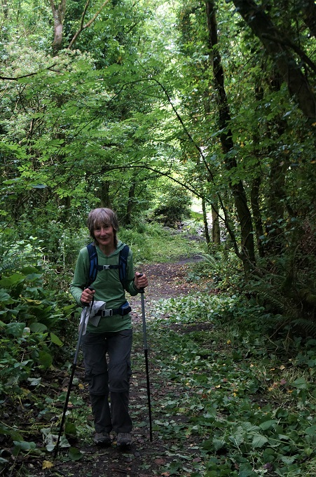
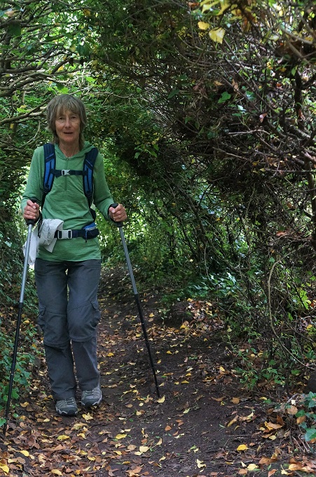
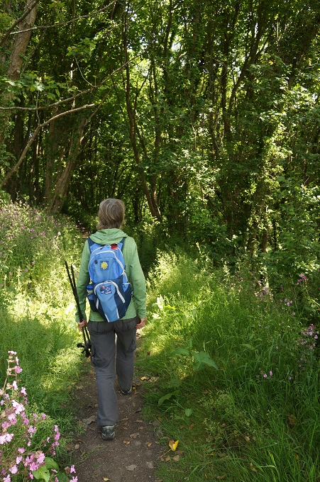
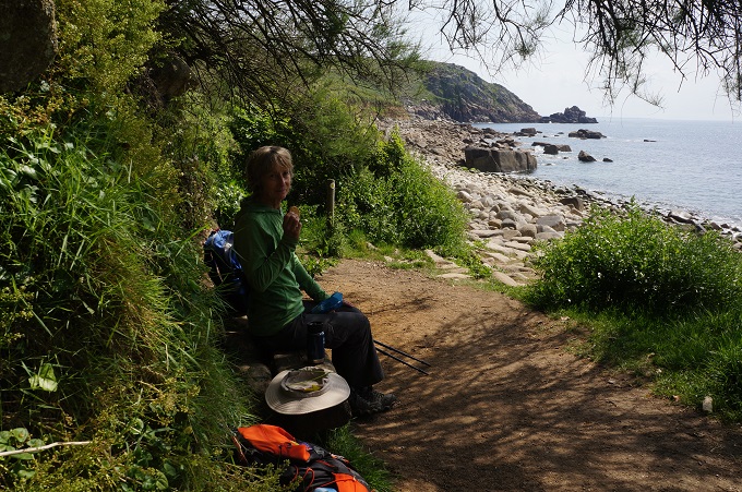
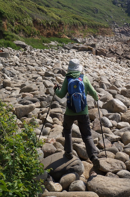
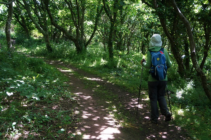
Today was our shortest day yet. 6 km! 6 hours to walk 6 km! Slow walking was the order of the day. We did manage to lengthen the distance another 2 km by walking the long route around Pendennis Head. After 22 days of walking we have a natural rhythm of walking, much nearer 4 km/hr than 1 km/hr. When you’re fit and healthy and the path is easy, slow walking is difficult. You almost have to stop and smell every flower.

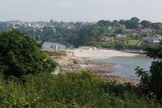
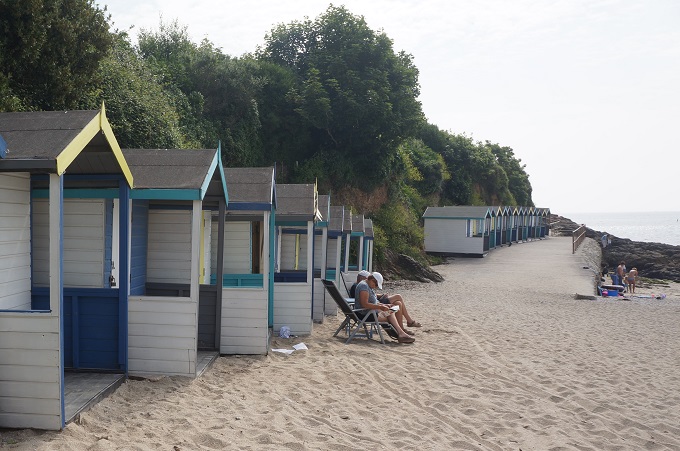
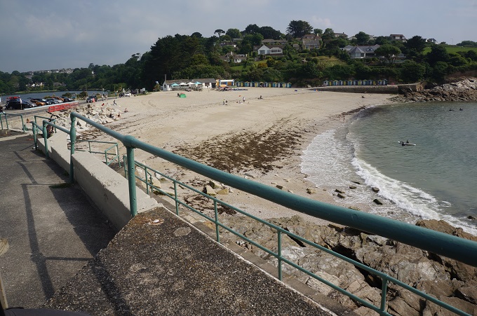
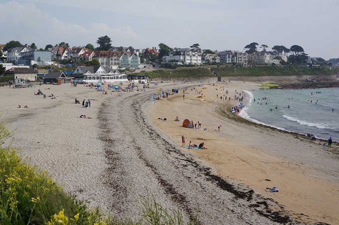
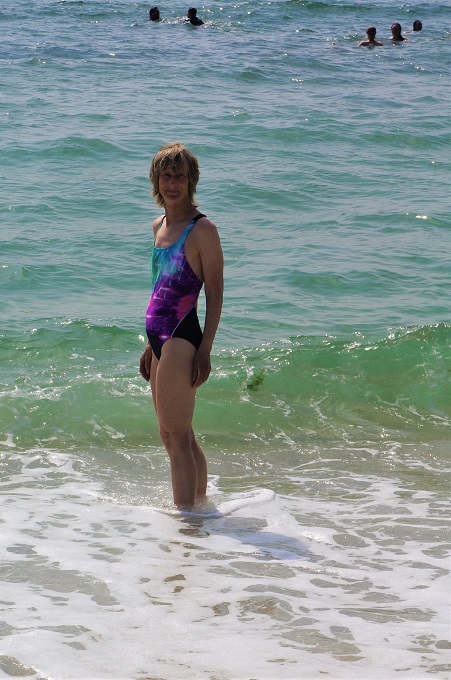
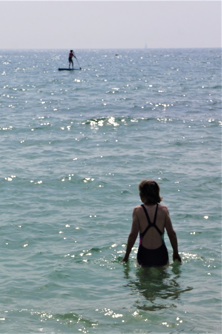
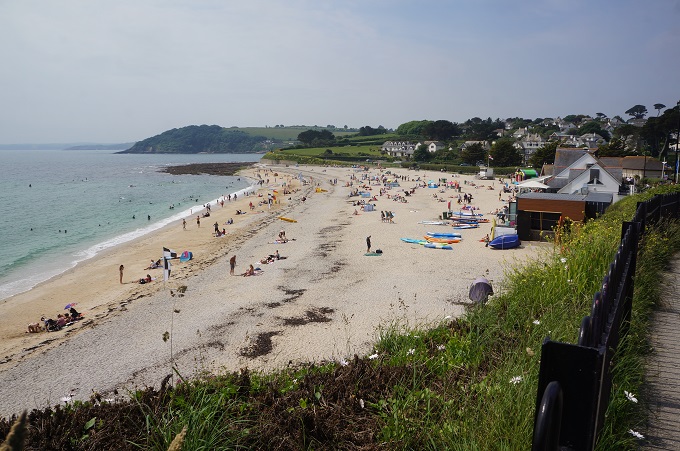
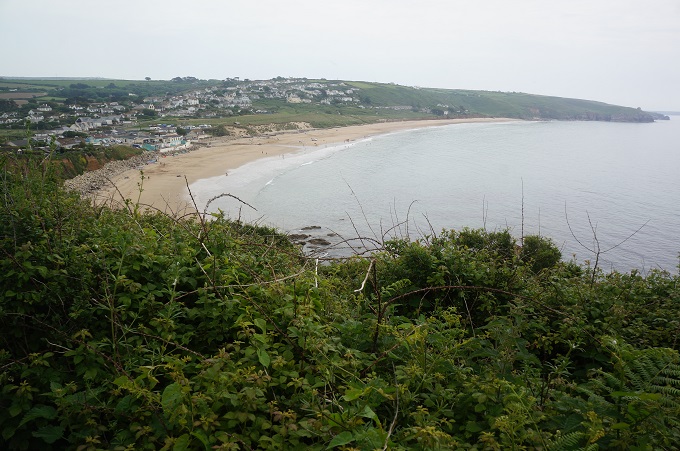
Falmouth has two good beaches and we knew we would be passing both of them today so we packed bathing costumes and towels to carry with us. The first beach was Swanpool but it didn’t look very inviting. Few people on the beach, only two people swimming, murky water and a stiff on shore breeze. We pressed on to Gyllyngvase which was much better. A much larger beach, sheltered from the wind, lots of people in the water, the sun was out and the water sparkled. After a bit of dithering about, Barbara decided, yes this was the day, we had to have a swim. We didn’t expect 26 degree water like the pool at home, and 13 degree water is pretty bracing, but it was very refreshing, even enjoyable in retrospect.

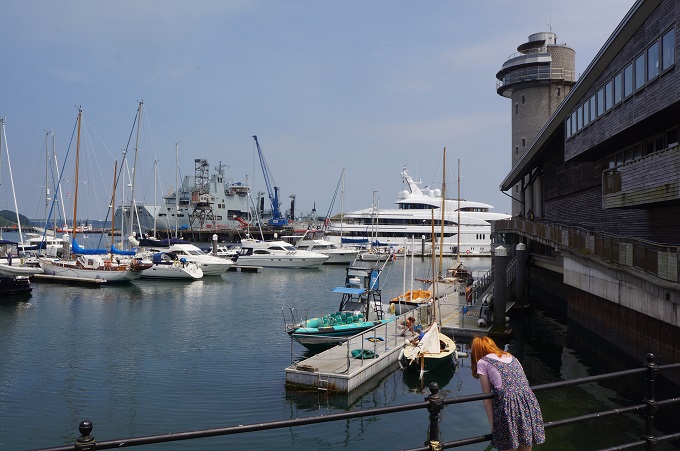
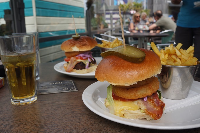
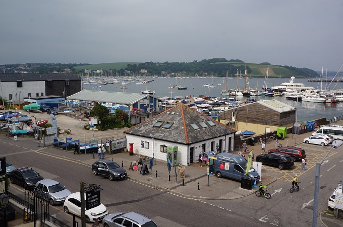
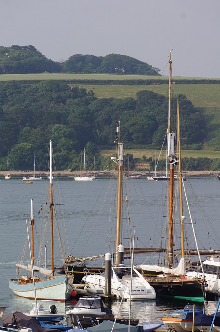
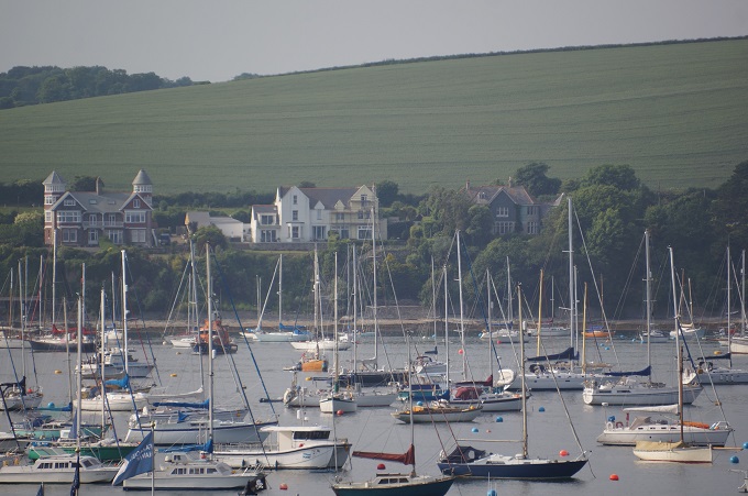
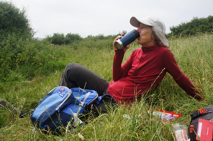
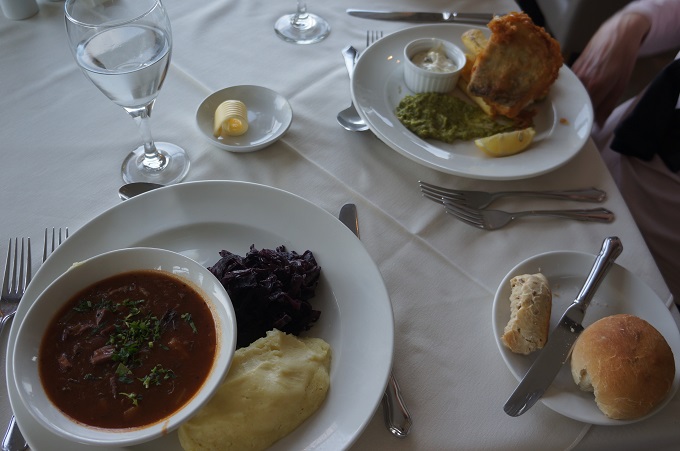
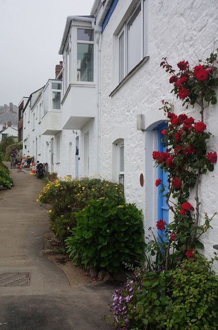
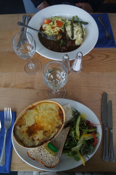
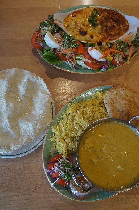
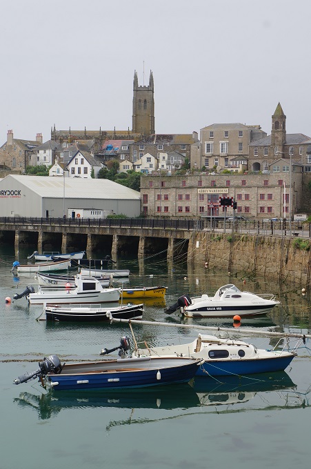
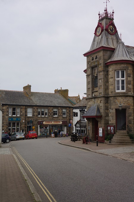
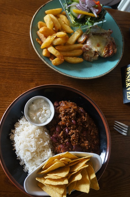
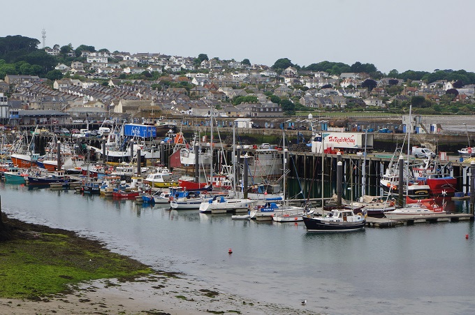
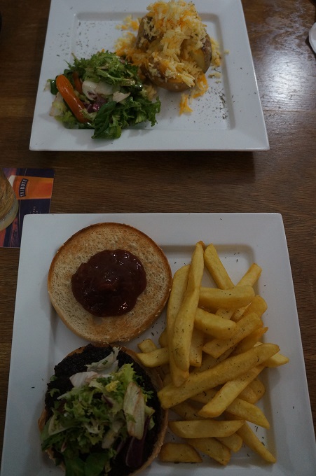
So we dawdled along, patted every dog, smelt every flower and still got to Falmouth with two hours to fill in before check-in time at 3pm. An extended lunch at The Shed on the waterfront boat harbour filled most of the time. Our latest resolution: no more hamburgers.

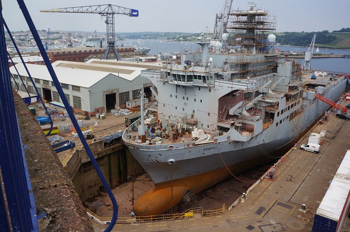
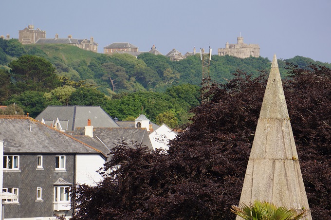
Although Falmouth is now primarily a tourist destination it has a long maritime history and still has an active docklands area with dry docks and heavy industry. It is located in the estuary of the River Fal and is the third largest deep water port in the world. The deep water port makes it popular with cruise ship companies. In 1540 King Henry VIII built Pendennis Castle on Pendennis Point at the entrance to Falmouth Harbour (called Carrick Roads) and a matching castle on the other side at St Mawes. These were built as protection from invasion by the French and Spanish.

Falmouth was just a small fishing village until the 17th century when it was developed by the Killigrew family who made their money from privateering and piracy, a lucrative trade in those days. For over 160 years between 1689 and 1851 almost all mail going to and from Britain’s expanding empire went through Falmouth using ‘packet’ ships. As the most south-westerly good harbour in Great Britain it was often the last departure point and first return point for ships going elsewhere in the world. It was faster to travel overland from here by coach than to sail on.

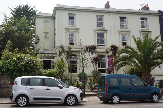
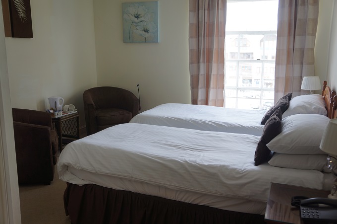
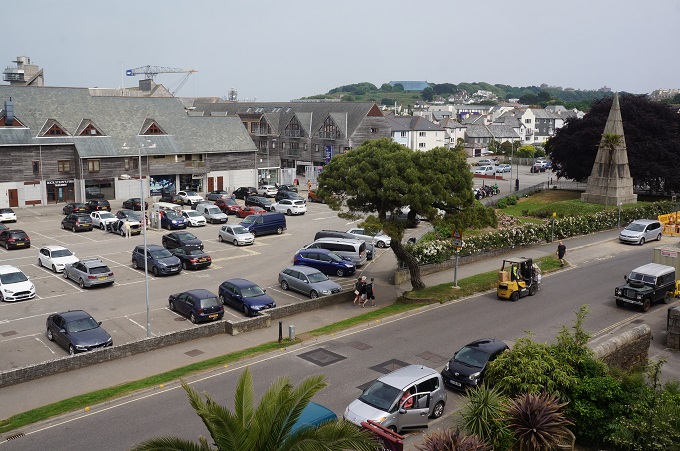
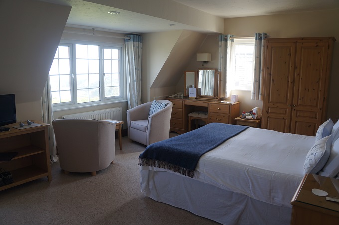
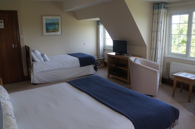
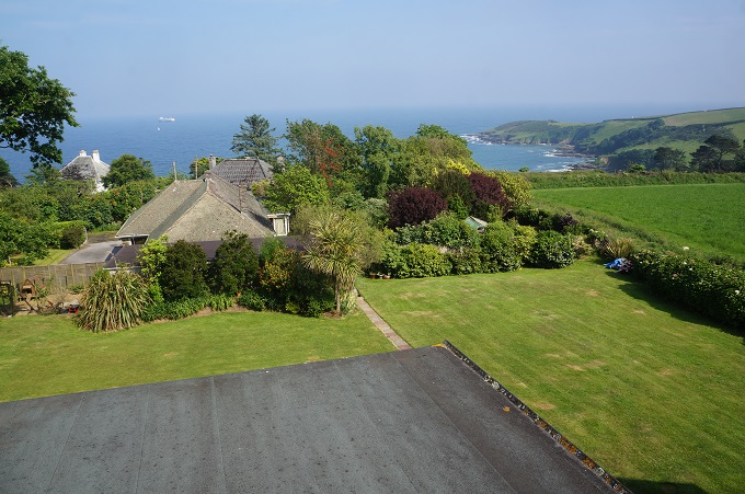
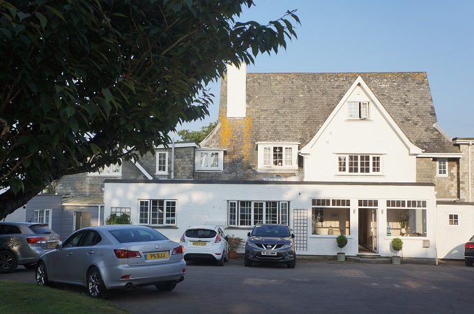
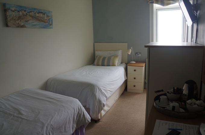
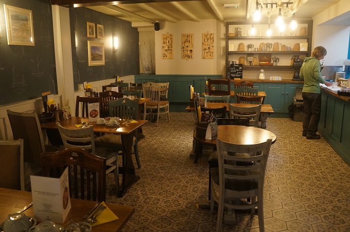
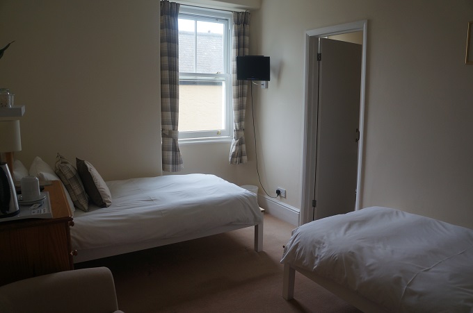
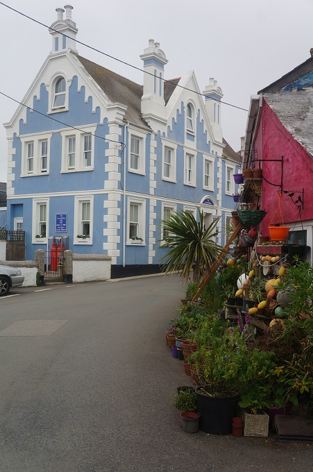
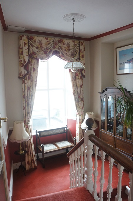
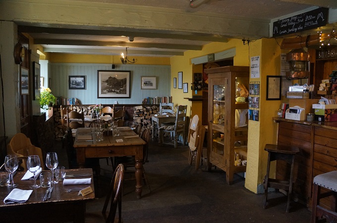
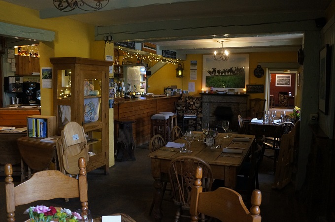
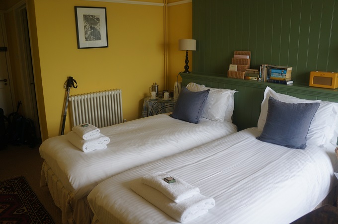
We are staying in The Grove Hotel located on the waterfront in the old part of town and we will be here two nights. No plans are in place for tomorrow but there seems to be a lot to see and do.


Two Ferries, Two Churches, Two Mishaps

Coverack to Mawnan Smith, 26 km, 468 m climbing

‘Thoughts come clearly while one walks’. Thomas Mann

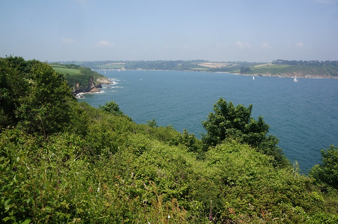
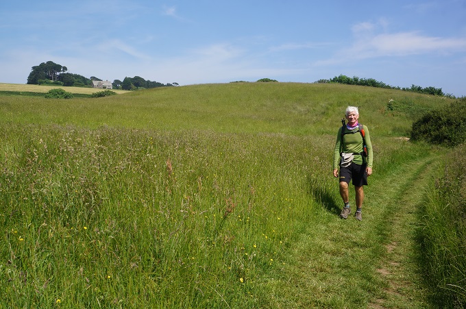
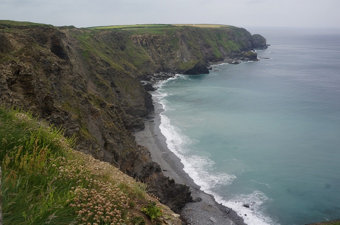
Today was not a day for dramatic coastline scenery, but it was a pretty day. The path included low cliffs (Lowland Point was only about 5 metres above sea level) facing away from the prevailing wind. There are two working quarries on the coast that the path has been diverted from so we went inland across pleasant rural fields of soft, soft grass, through woodland and along very quiet country roads.

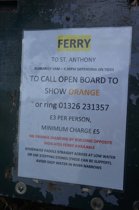
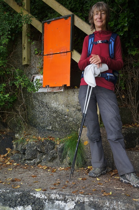
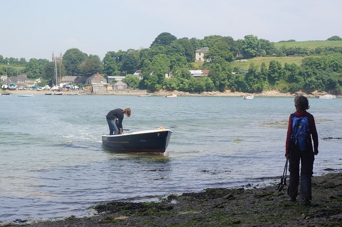
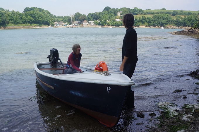
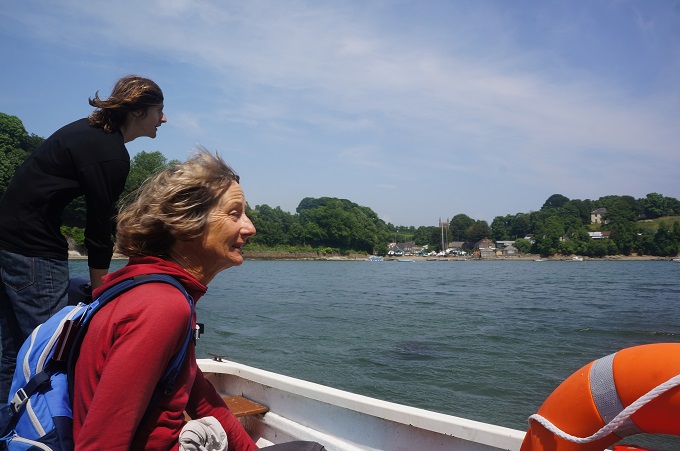
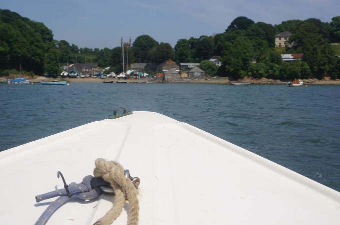
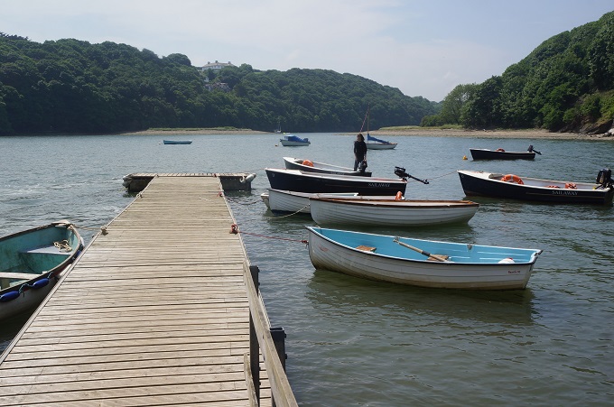
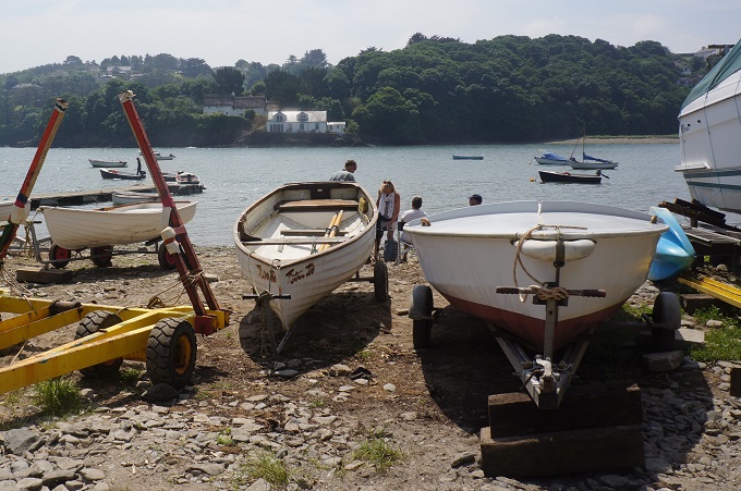
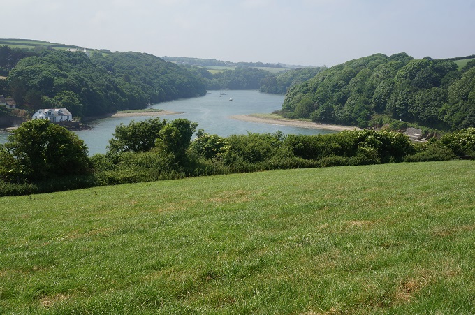
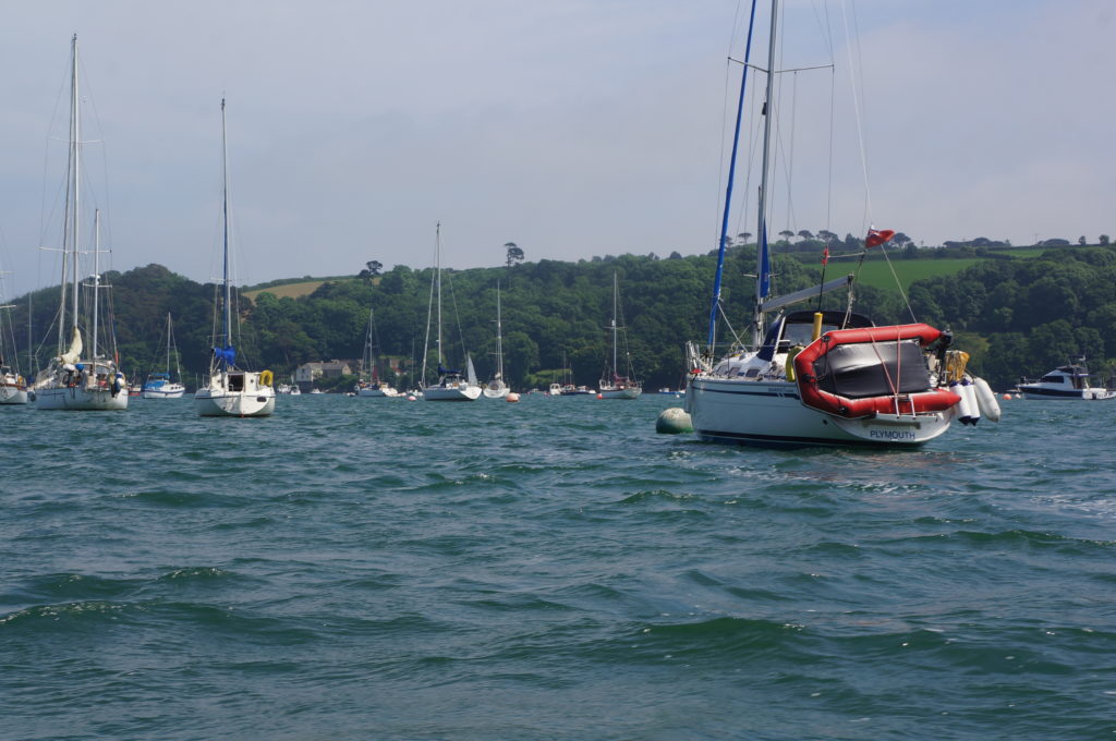
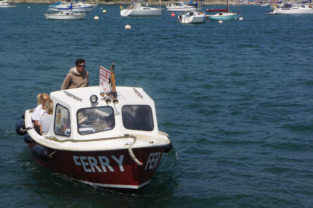
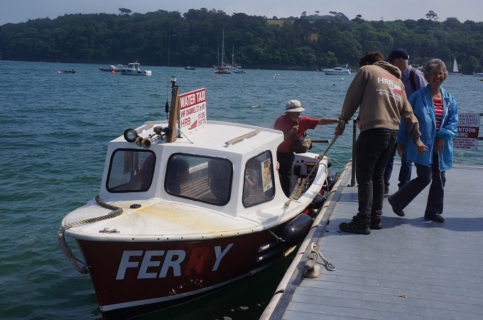
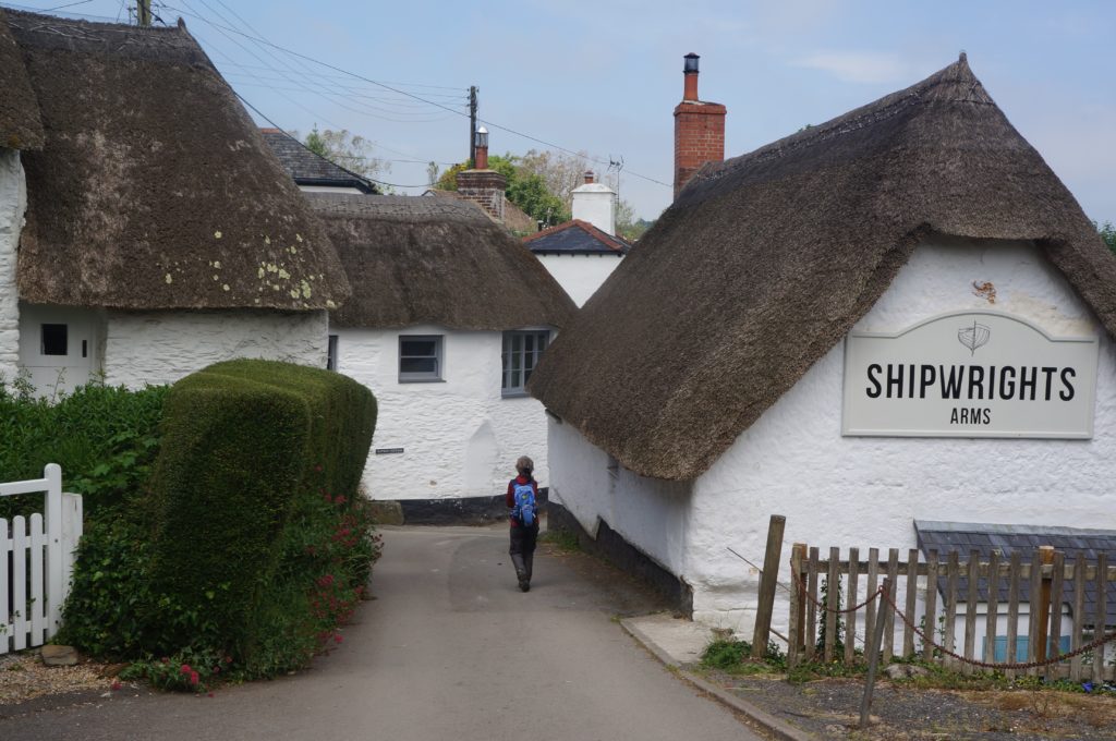
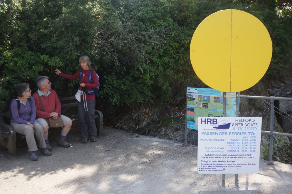
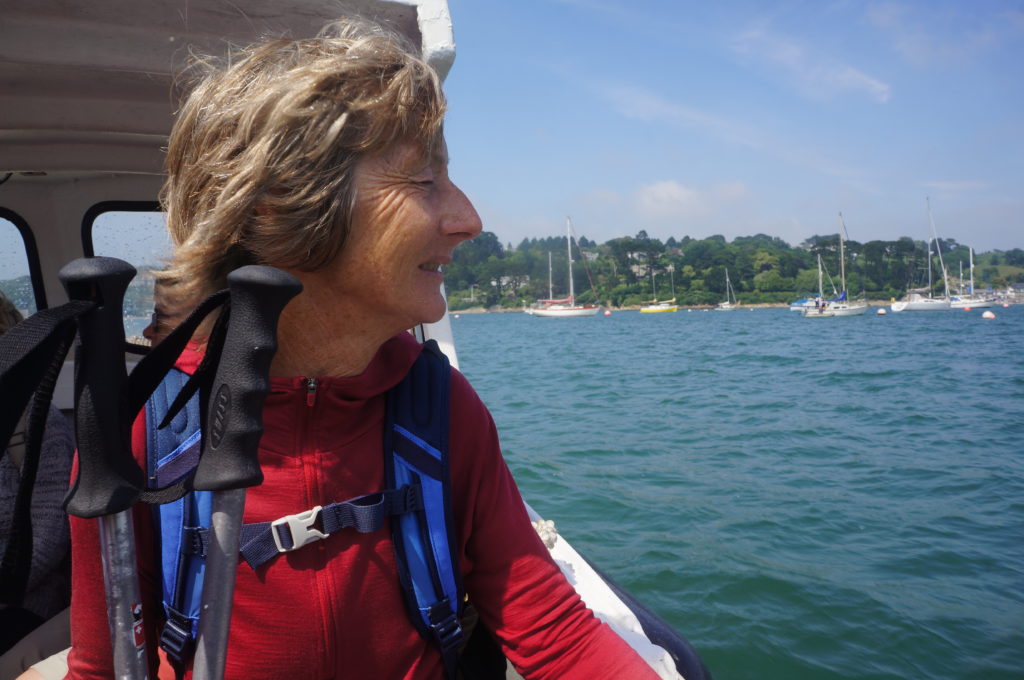
There were two rivers to cross. The Gillan Creek which can be crossed with wet feet at low tide and the larger Helford River. Both have ferries which you call for service. The system at each ferry is a large board – an orange square at Gillan, and a yellow circle at Helford, which you uncover and the ferryman can see from the other side of the river. He then knows someone needs to be picked up. At Gillan Creek it is a fairly casual operation; seasonal, tide and weather dependant, and the whim of the ferryman. At Gillan Creek the ferry saves a 4 km trek further up the river to cross by a bridge. Helford River ferry is a more commercial operation; operates every day, to a time table and is also a water taxi for transferring people to shore from the hundreds of yachts moored in the river. It saves a trek up the river of about 50 km. Both ferries were perfect for us today. £2.50 and £4 each well spent.

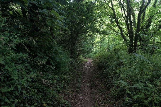
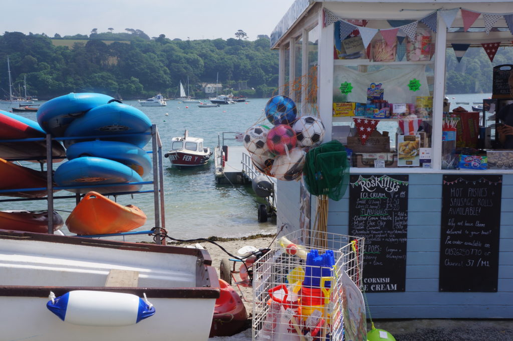
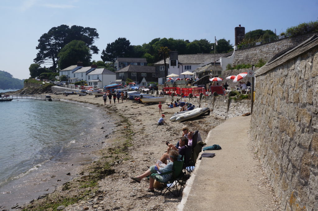
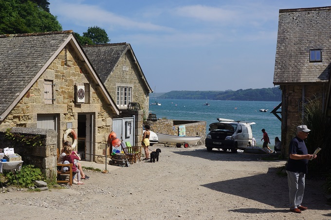
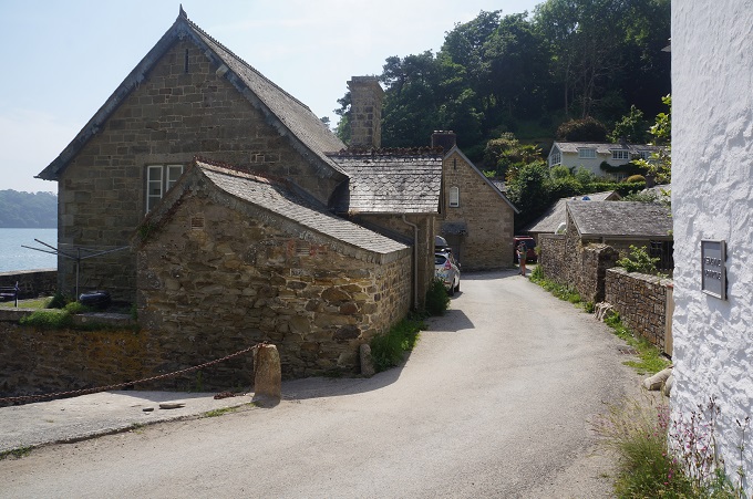
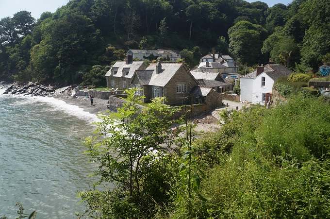
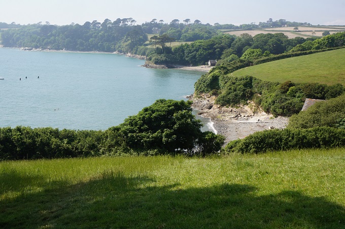
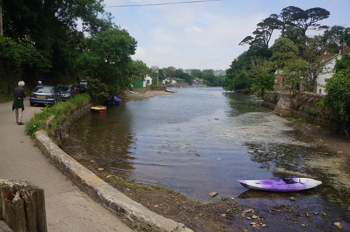
The ferries are located some way up each creek/river in narrow, sheltered locations, so in each case we had a walk up the side of the estuary. This part of the day was quite beautiful as the banks of the estuaries are wooded and you pass pretty beaches. The walking was also easy with no big climbs. There were quaint little villages at each of the ferry landings, mainly holiday lets, an ice cream shop and a pub. It was a sunny, hot day so walking in the shade of the wood for long periods was a blessing.

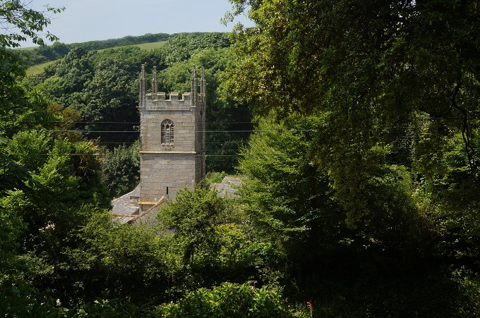
We stopped in at two little churches. The first was St Anthony-in-Meneage on the north side of Gillan Creek. The 15th century tower of the church is what you aim for if you are crossing the estuary on foot at low tide. It is a pretty mediaeval parish church in a lovely setting.

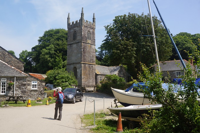
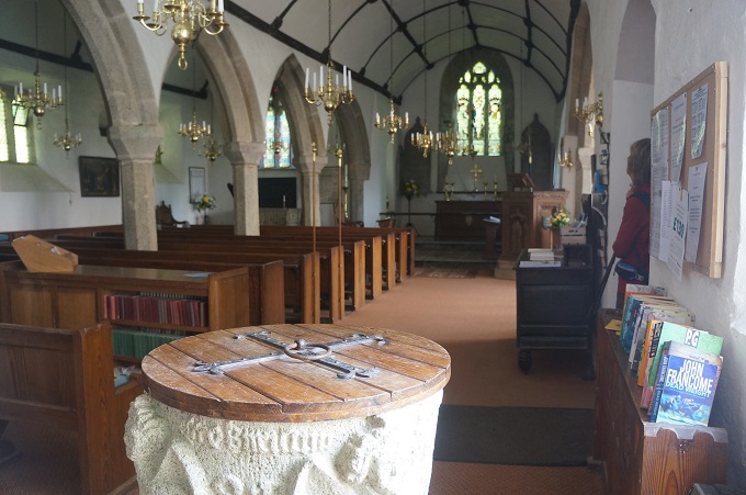
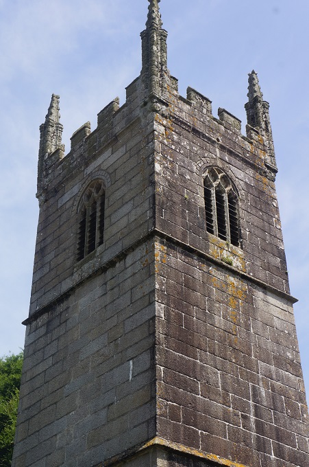
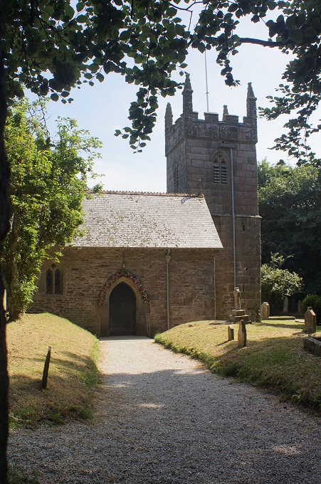
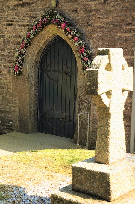
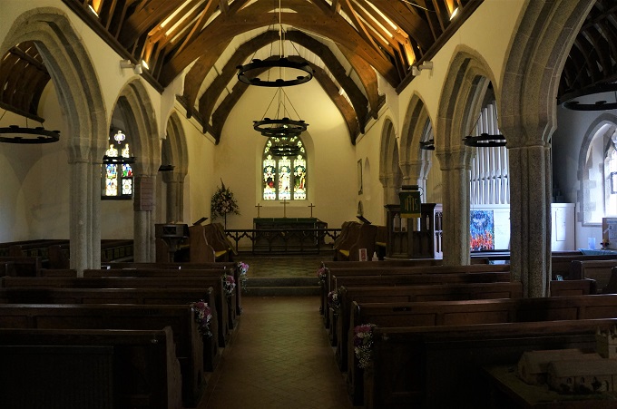
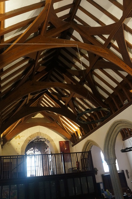
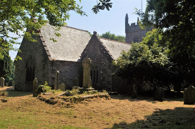
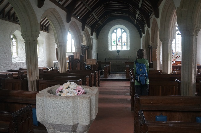
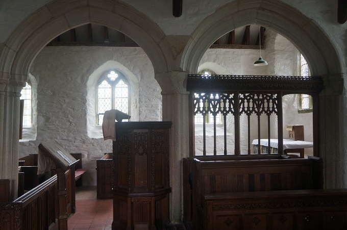
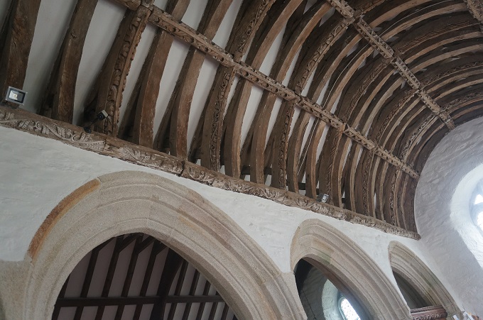
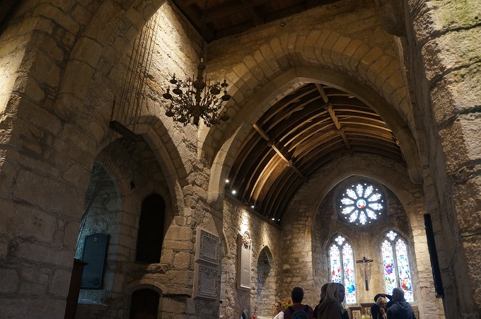
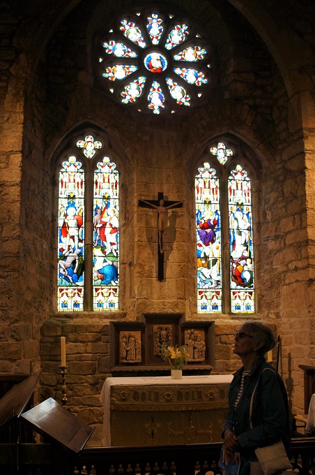
The second was the Church of St Mawnan and St Stephen located between the coast and our location tonight, Mawnan Smith. The 13th century church occupies a prime position overlooking the mouth of the Helford River. It is probably named after St Mauanus a Breton monk who landed here in the 6th century. The tower has been a navigation aid for sailors for centuries. A request from coastguards, in 1842, to paint the tower white was never followed up (thank God). The arch over the entrance and the ends of the pews were decorated in pink and white flowers – there had been a wedding here earlier in the afternoon.

Two mishaps today. The first at the very beginning of the day. We had stopped at a shop in Coverack to buy bread and cheese for lunch. Outside we put our purchases on a wall to stow them in our bags. We discovered we had chosen a place with great dolops of bird poop. Our lunch was now covered in it – yuk!

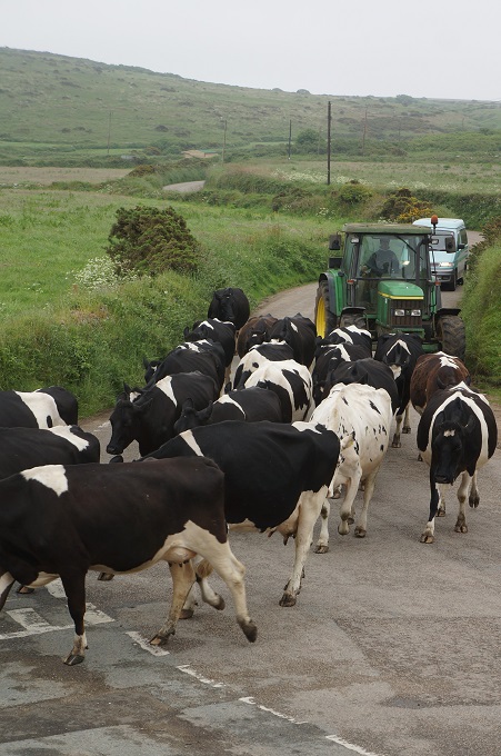
The second mishap was near the end of the day while crossing a field. I stepped and slid in a huge cow pat concealed in the long grass. While regaining my balance I managed to step in another cow pat – double yuk!


Not too day

Lizard to Coverack, 18 km, 699 m climbing

‘Truth walks bare feet, lies keep switching shoes’

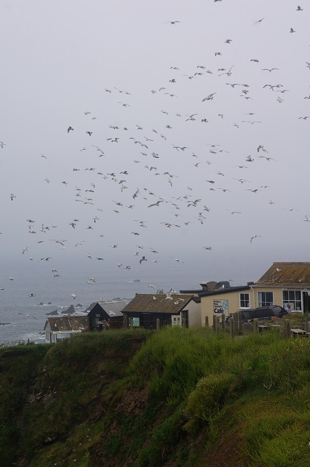
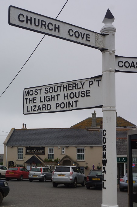
After buying some lunch (sandwiches, drinks and Reese’s peanut butter cups – yum yum) we went back down to Lizard Point. It was just us and the gulls as the coaches and cars bringing the hoards hadn’t arrived yet. Lizard Point is famed as the most southerly point of mainland Britain. There are a lot of offshore islands and these are 500 million years old, leftover crumbs of the collision between the super-continents Gondwanaland and Euramerica.

Lizard is named after the colourful serpentine rock found in this area. This gives the cliffs great streaks of green, reminiscent of a snake’s or lizard’s skin. Local sculptors carve ash trays and lighthouse ornaments from the serpentine rock, although they would be a bit heavy for us to carry. The rock is actually part of the earth’s mantle, which is normally about 20 km below the surface.

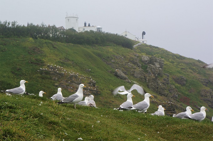
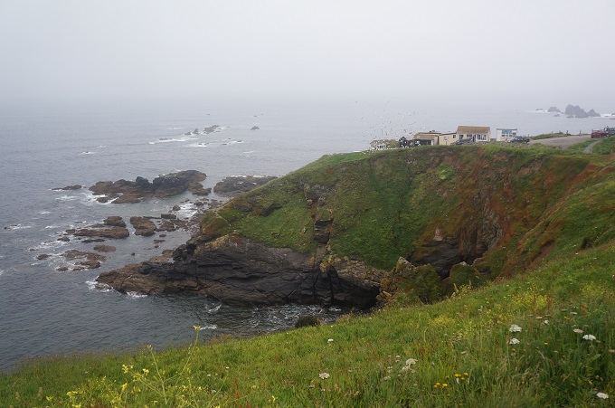
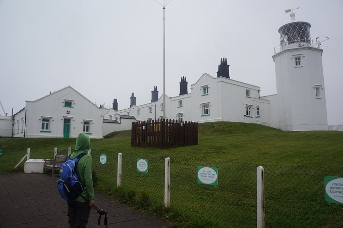
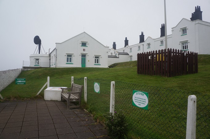
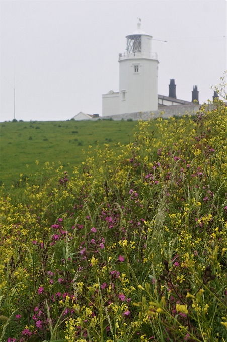
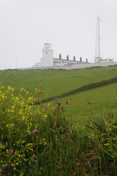
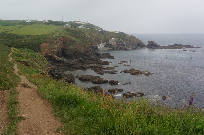
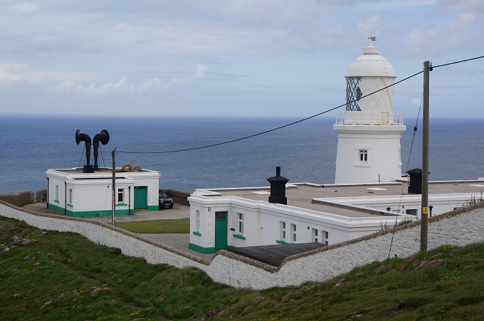
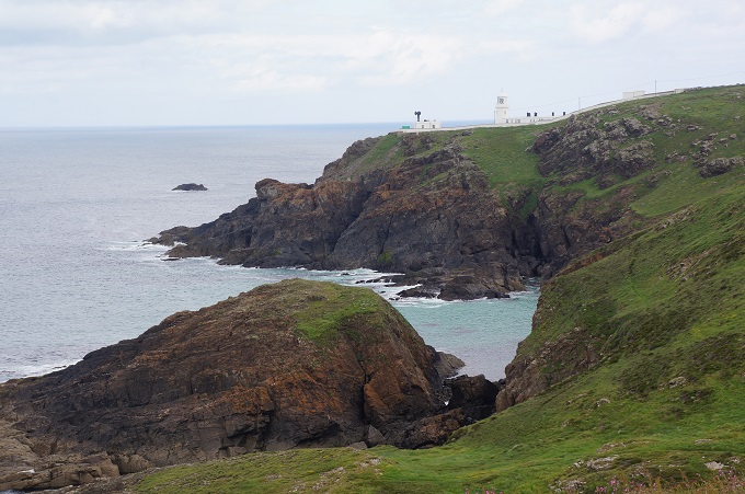
Lizard Point also has a lighthouse. The first light here was built in 1619, although it was opposed by locals as parts of their houses were made from material salvaged from wrecks. The current lighthouse was built in 1751 and has two towers (only one still used today) with cottages built between them. While still operating, the lighthouse is also a museum and interactive learning centre and you can climb to the top of the tower. Unfortunately we were much too early to wait and do this. The light on the tower was flashing and the fog horn blasted about every 25 seconds. Two hours later we could still hear it in the distance, long after the light had faded in the mist

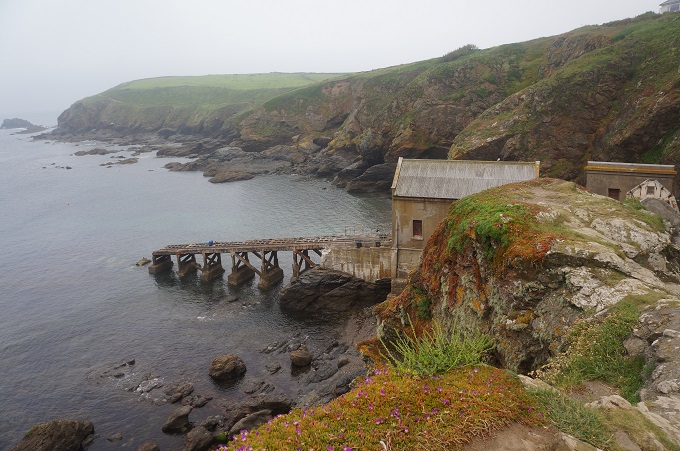
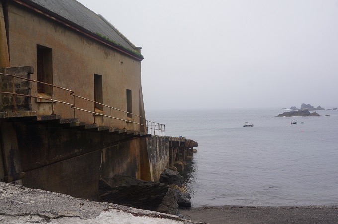
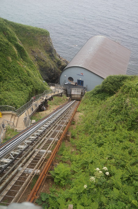
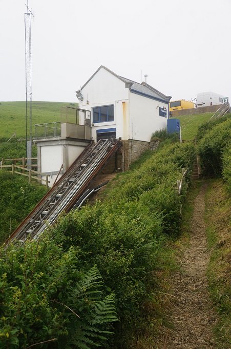
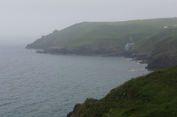
There have been three life boat stations in a cove at Lizard Point, the first in 1859. We had a quick look at the third edition, built in 1914 and closed in 1961. A little later in the morning we came to the location of the present station at Kilcobben Cove. This was edition number two at this site, built in 2010. There is a cable car on a steep track that takes crew and supplies down to the boathouse and then another steep ramp that the life boat runs down to the sea. It’s a pity we didn’t see it in action, it would be a spectacular sight.

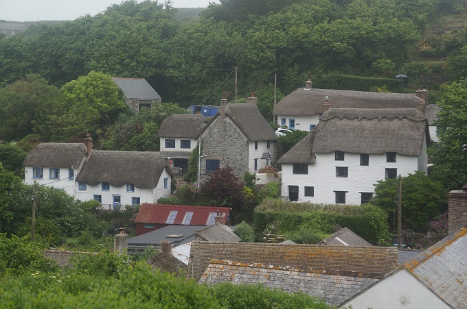
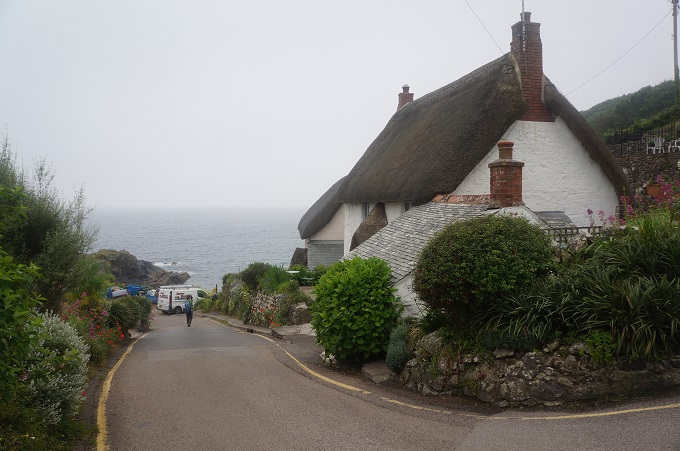
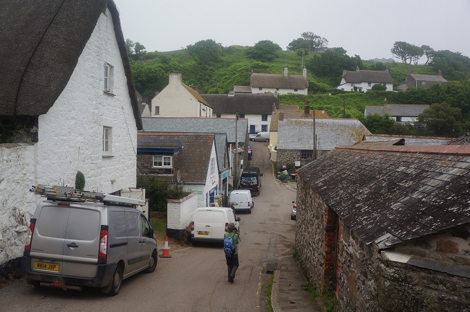
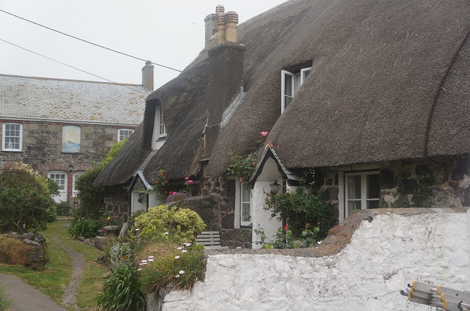
The only village we passed through today was Cadgwith, a collection of lobster pots, fishing floats and boats clustered around the one pub. On Fridays the Cadgwith Singers gather to work on their sea shanties but we didn’t hear a sound from the pub as we went by. At least half the houses in the village have thatched roofs and this looks like an un-touristy working fishing village.

We also passed a few sandy beaches, the biggest of which was Kennack Sands another beach popular with surfers. It had the usual ice cream shop, surf school and life guards. Nearby we came to the ruins of a serpentine works. There was once a thriving Victorian factory making mantlepieces, grave stones, shop fronts and polished ornaments from serpentine stone quarried on the site. 20 men and 3 boys were employed in the factory in 1883, which gained its power from a water wheel.

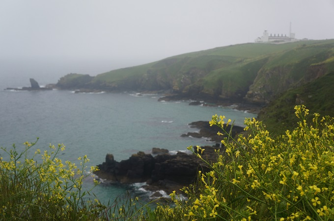
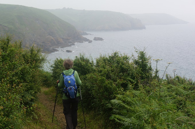
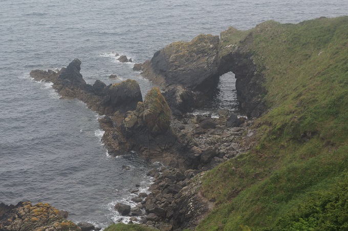
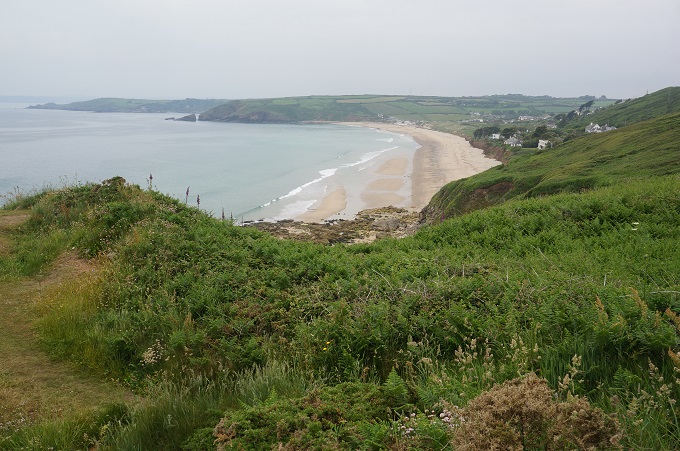
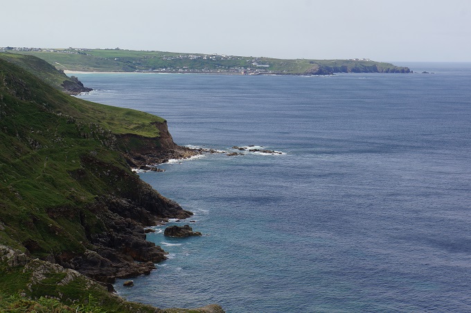
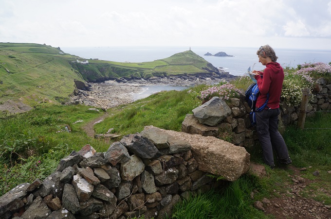
Today was again all about cliffs and coves, punctuated by headlands. If it had been clearer we would have had excellent views along the coastline. This part of the coast is largely sheltered from the worst of the prevailing winds and so it has a lush, well vegetated character. It also doesn’t have roads or car parks nearby so is relatively unfrequented by casual walkers and long stretches were quiet and remote.

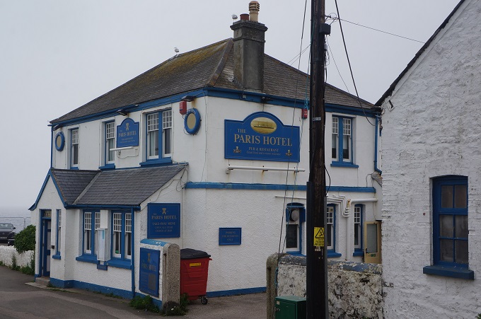
Tonight we are at the Paris Hotel. It is named after the S.S Paris that was wrecked off the point here in  1899. At dinner we were treated to a pod of dolphins passing in front of the dining room windows.
While walking along we decided today was a ‘not too’ day. Not too hot, not too much glare, not too difficult, not too far, not too short, not too much wind, not too many people, not too much mud, not too many steep climbs, not too many precipitous descents, not too much mist, not too cold, not too many diversions, not too many cows. And obviously not too much for us to think about!


Dot Dot Dot, Dot Dot Dot…

Porthleven to the Lizard, 27 km (with diversion), 584 m climbing

‘True rebels always walk alone’

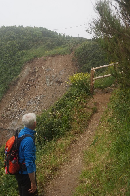
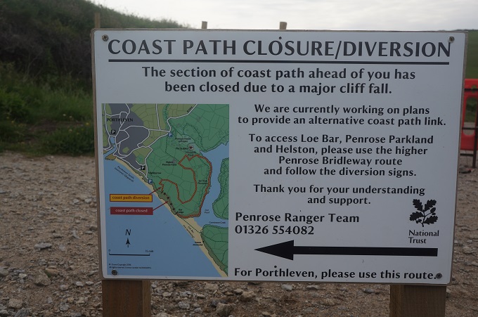
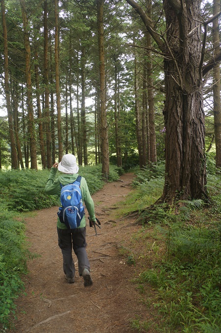
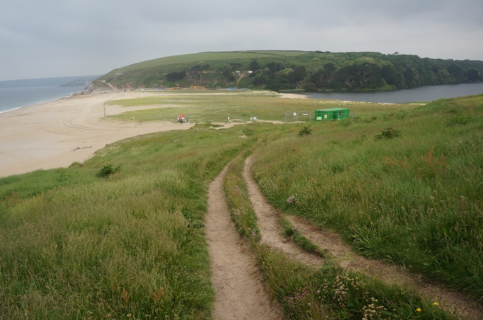
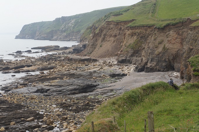
Today started with a diversion. Only about 15 mins out of Porthleven the Coast Path was barricaded off and there was signage pointing to an alternative inland route. About 50 metres of the path had disappeared in a large landslip. What should have been a 400 metre walk along the coast became a 4.5 kilometre walk around potato fields and then one bank of Loe Pool. This added about 50 minutes to the day but it was a beautiful walk partly through forest. Loe Pool is a freshwater lagoon and is separated from the ocean by a shingle bar, Loe Bar.

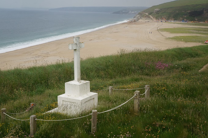
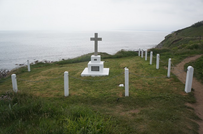
Just beyond Loe Bar we came to a large white painted cross. This commemorates the 100 officers and men who were drowned when the HMS Anson was wrecked on the bar in 1807. This tragedy had two consequences. Thomas Trengouse was so moved by the tragedy he invented the life saving rocket apparatus that has been instrumental in saving thousands of lives. In 1808 the Gryllis Act, drafted by the local solicitor Thomas Gryllis, was passed. This allowed bodies washed up from the sea to be buried in the nearest consecrated ground. Before this all bodies were buried on the cliff tops as it was not possible to distinguish between Christians and non-Christians.

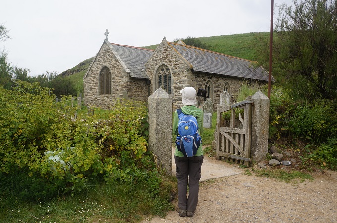
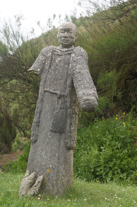
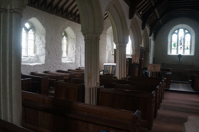
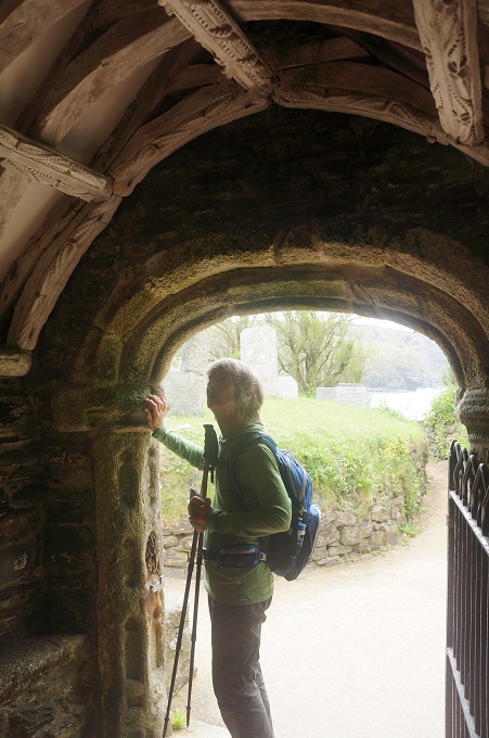
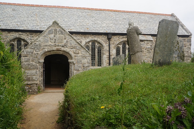
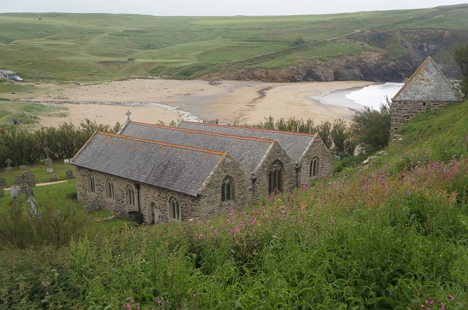
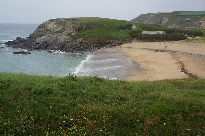
A little further on we came to the tiny beach of Gunwalloe. Huddled in the sand dunes is the small church of St Winwaloe. A statue of St Winwaloe greats you in the church grave yard. He was an abbot who came from Brittany in France in the 6th century, to found the first sacred place on this site. The present church dates from the 13th and 14th centuries and has been restored many times since then. It is also called the Church of The Storms.

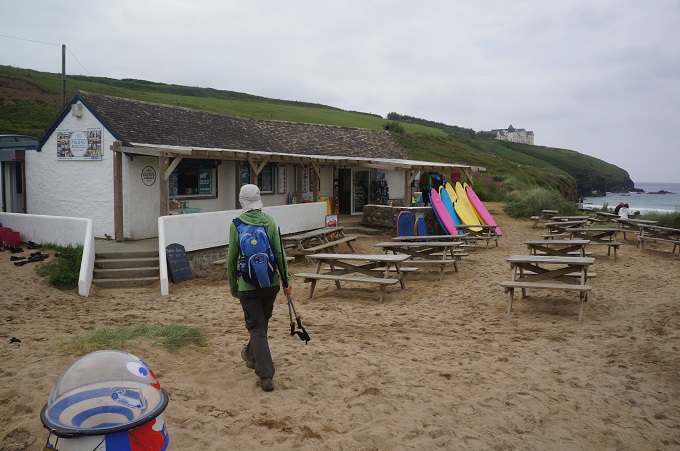
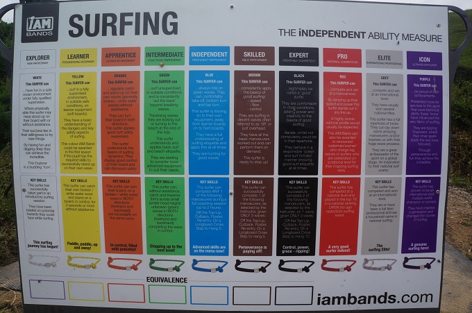
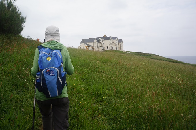
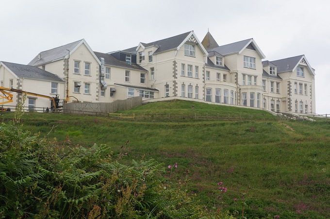
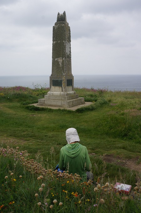
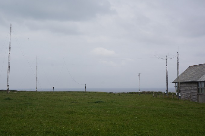
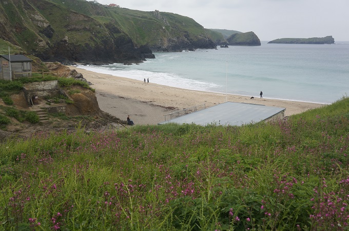
Next up was another little sandy cove complete with the obligatory surf shop. There was an interesting ‘Independent Surfing Ability’ poster where you could rate yourself as: explorer, learner, apprentice, intermediate, independent, skilled, expert, pro, elite or icon. Above the cove was an enormous nursing home dominating the skyline. Behind this were the Marconi Centre and the Marconi Monument. It was at this spot that Guglielmo Marconi transmitted the very first message ever to cross the Atlantic by wireless. A Morse signal sent from here was received by Marconi in Newfoundland. The signal was a repetition of the Morse code for ‘S’ which if I remember correctly from scouts is three dots. We had our lunch sitting at a bench by the Marconi Monument.

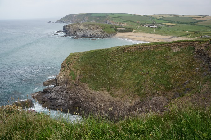
The morning had been mostly of low cliffs with cliff-face paths, long stretches above extensive beaches and the diversion through woodland beside a lake. The afternoon by contrast was on exposed, high, flat-topped cliffs with spectacular coves and bays, some unusual geology and fauna, and long stretches of almost dead flat walking. Looking down on the treacherous rocks you could see why so many ships have been wrecked here. In the afternoon a light drizzle set in so we didn’t get the full drama of the coast and the flat stretches across the high cliffs just became a tedious slog into the wind.

Just short of Lizard Point we decided to go straight to our accommodation in Lizard Village and come back in the morning to look at the point and the lighthouse when we are fresh and hopefully in better weather. Lizard Point is England’s most southerly point.


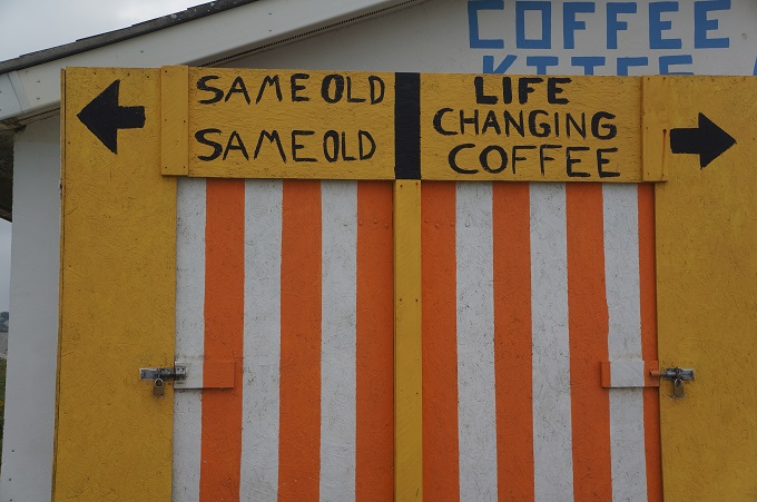
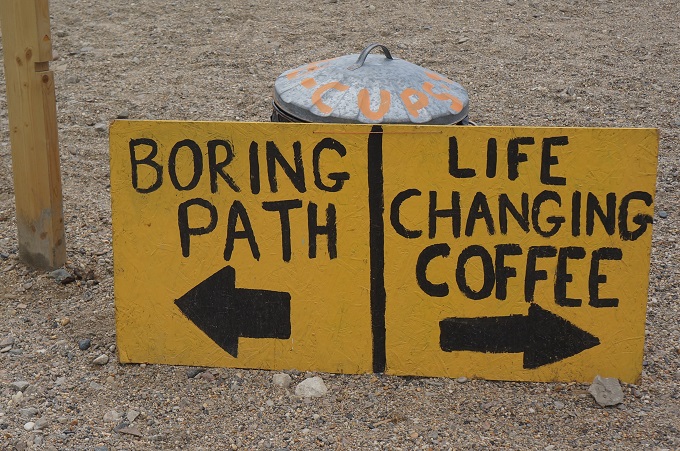
Life Changing Coffee

Penzance to Porthleven, 23 km, 584 m climbing

‘Walk as if you are kissing the earth with your feet’

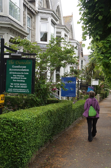
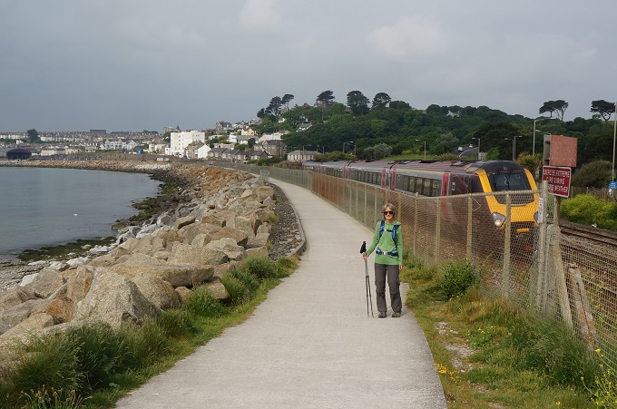
 We enjoyed our day on St Michael’s Mount but this morning we were itching to get going again. Our accommodation was at the eastern entrance to Penzance in an upmarket tree lined street full of very elegant three and four storey Victorian houses. Almost every house was now some form of accommodation. This morning we had to walk right through Penzance and out the other side to Marazion. 15 minutes in a bus yesterday, nearly two hours walking today. The walk was along Mounts Bay on a shared cycle/walk path on the water’s edge and separated from the town and traffic by a railway line. It was hot and frankly the worst part of the day.

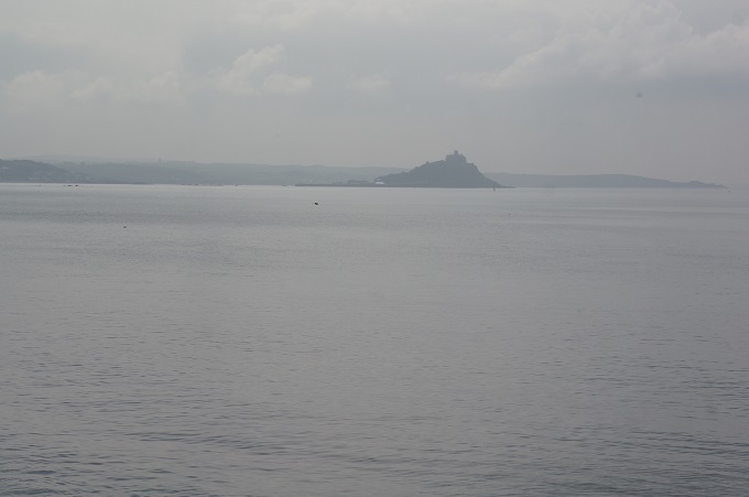
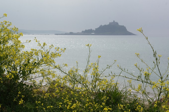
From Penzance to Marazion, and long past, the view is dominated by St Michael’s Mount. Only when we turned the corner at Cudden Point after 16 km did it disappear from view.  This section was of low cliffs and small fields of market gardens. After Cudden Point the landscape became craggy headlands, long sandy beaches and inaccessible coves. The biggest of the beaches, and the one we walked the length of to avoid the sand dunes, is Praa Sands – pronounced ‘Pray’ by the locals.

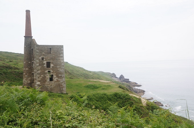
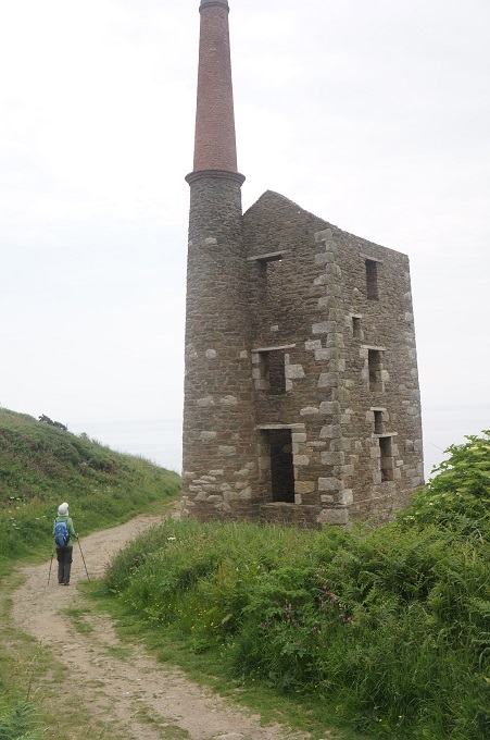
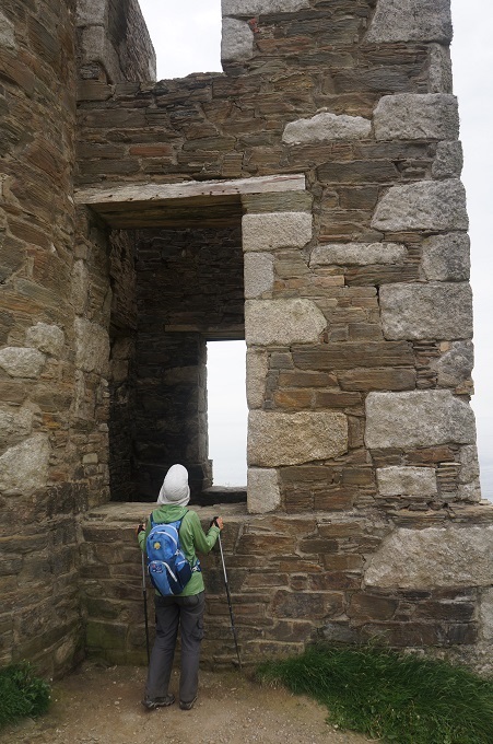
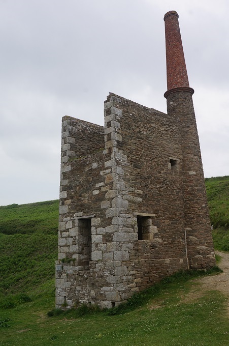
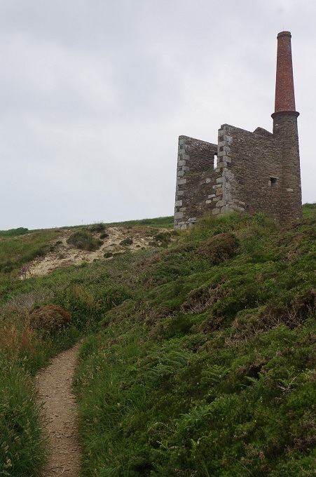
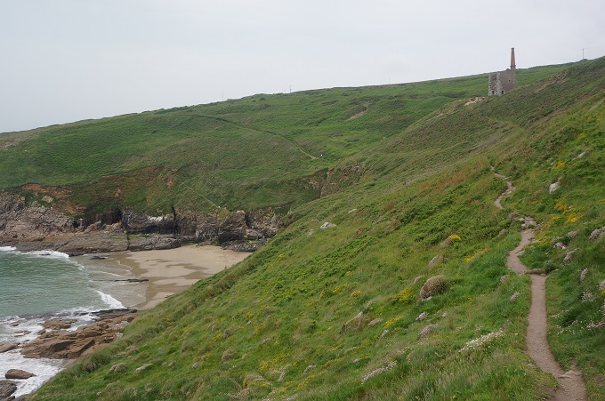
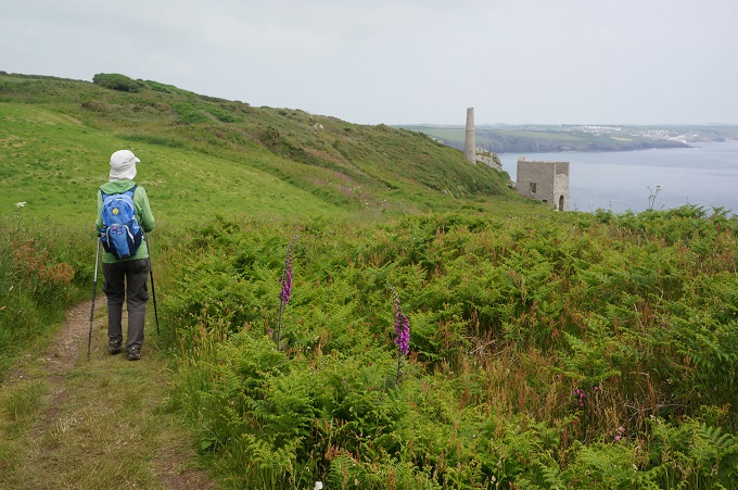
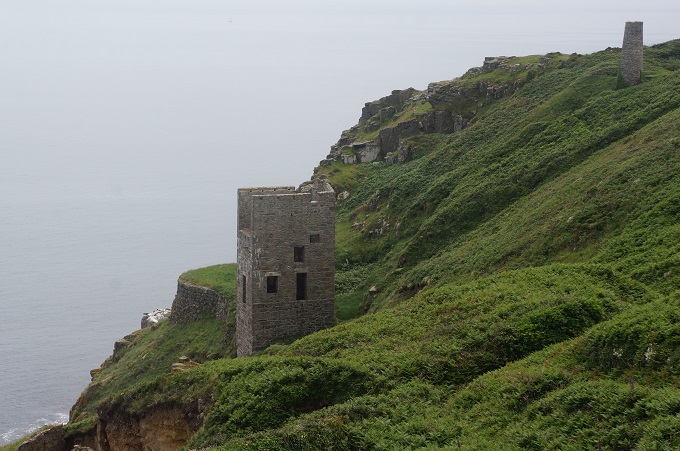
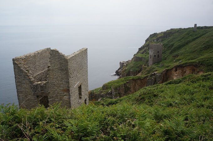
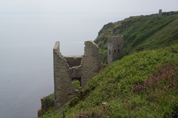
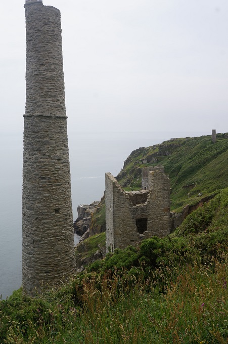
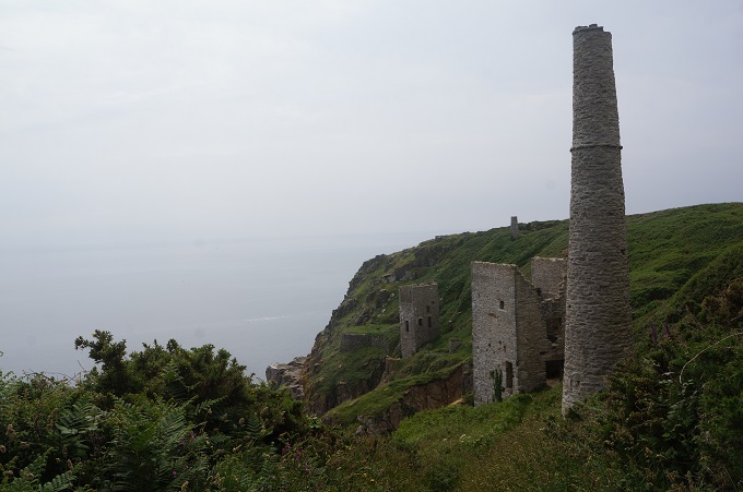
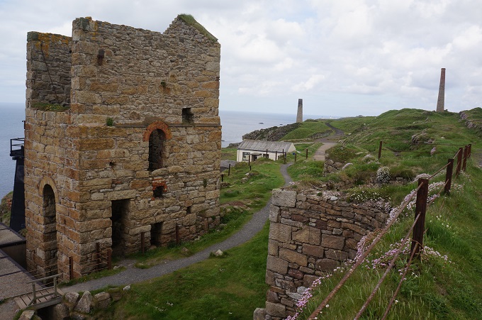
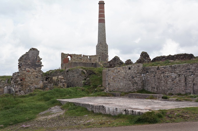
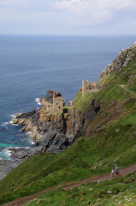
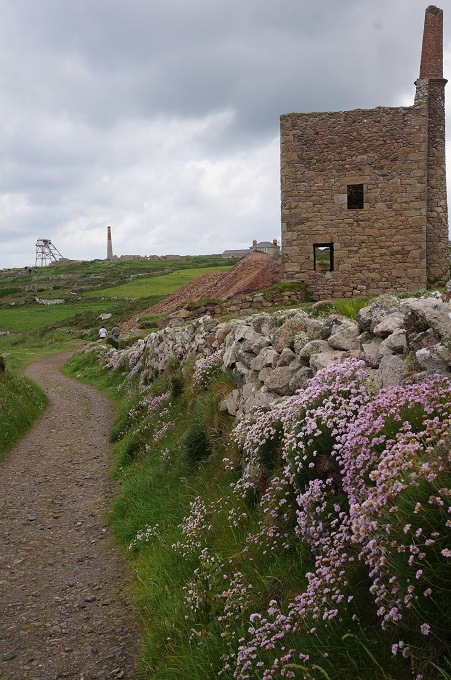
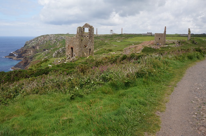
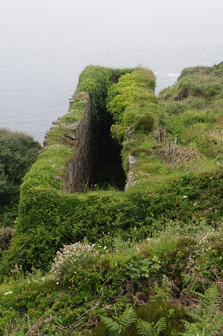
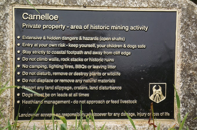
The last 5 km of the day was through another area of tin and copper mining with picturesque cliff-top engine houses. Some of the ruins are right on the cliff edge and shafts were up to 140 metres deep and extended far out under the sea. From the mines to Portleven we often had to make detours on temporary paths as the cliffs are subsiding and the original coast path has been fenced off.

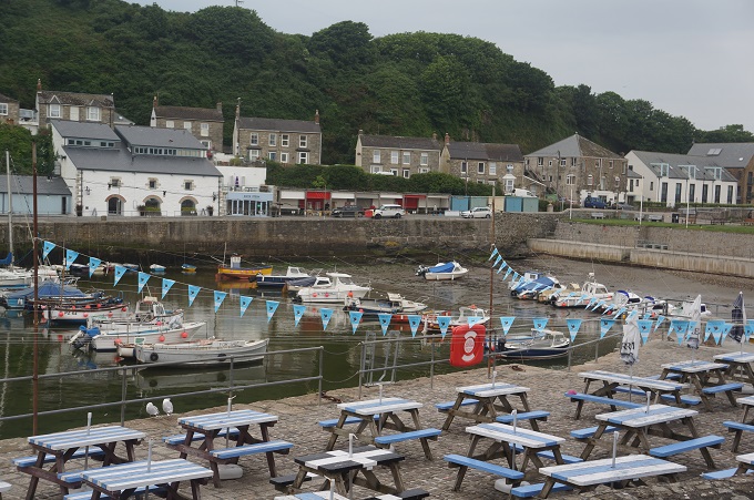
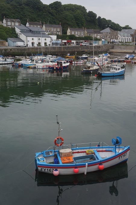
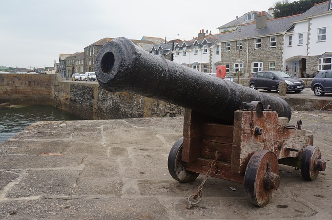
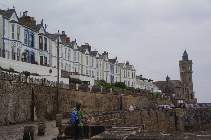
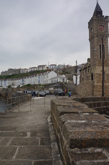
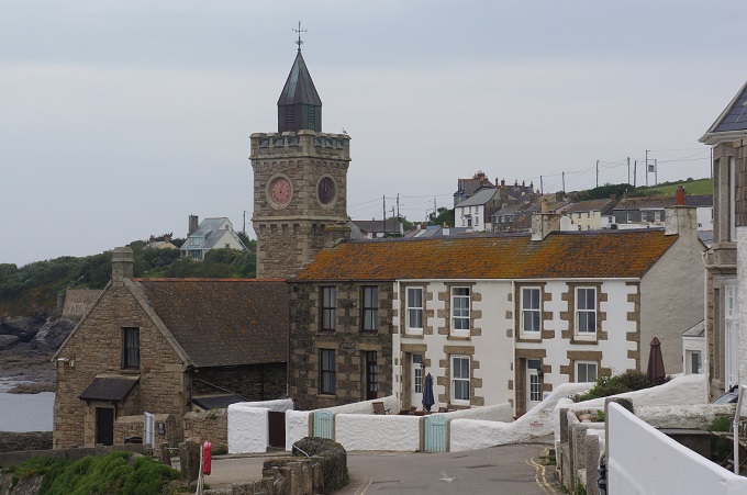
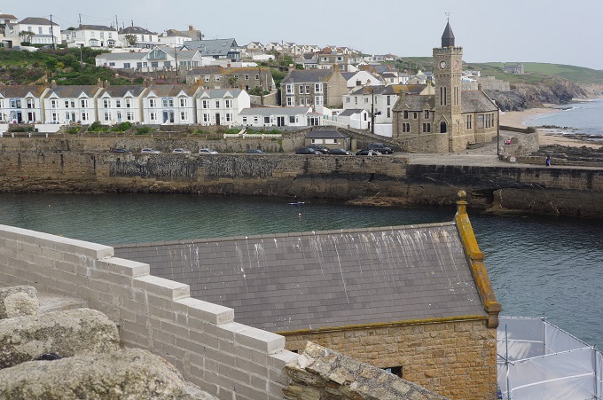
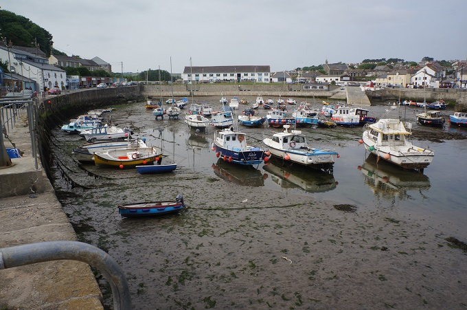
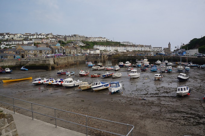
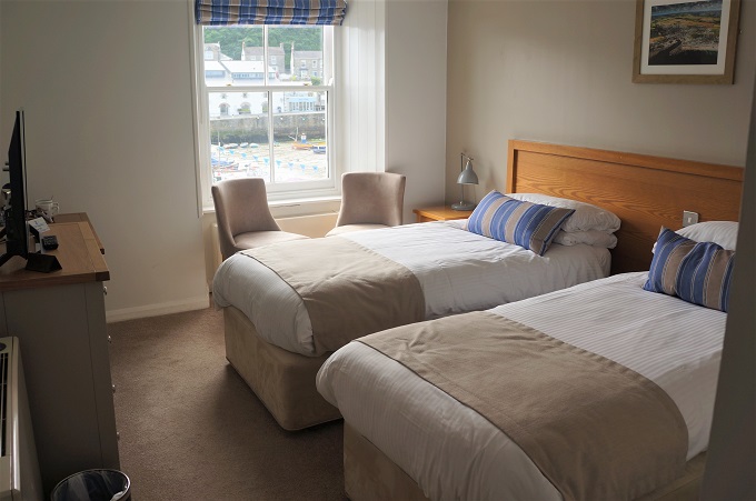
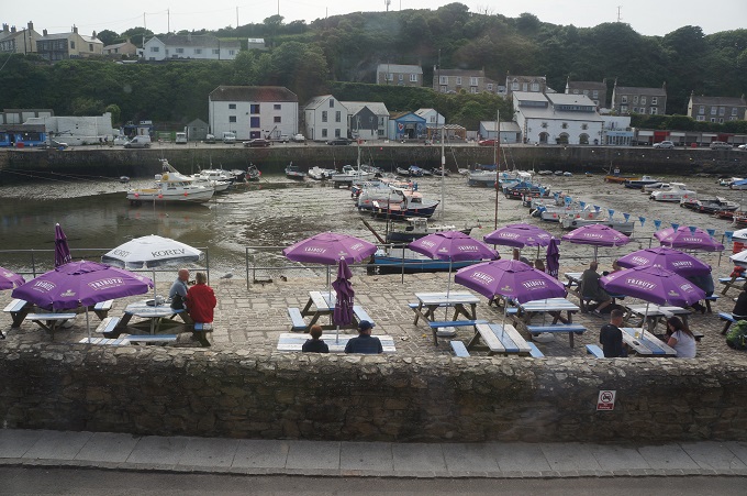
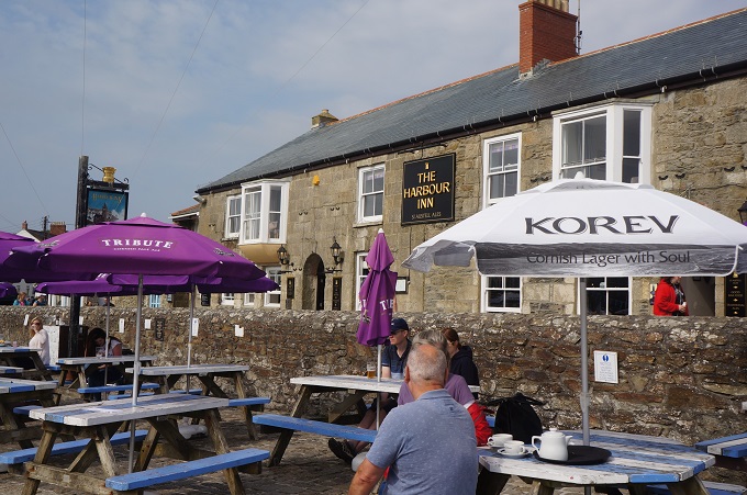
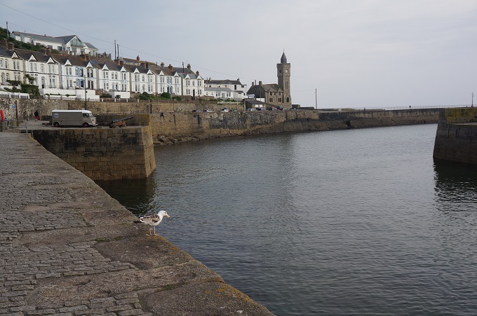
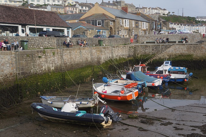
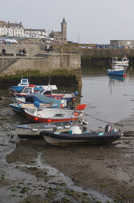
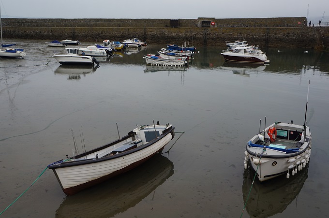
Tonight we are at The Harbour Inn which is right on the quay at Porthleven and from our window we look over the boats in the harbour. Porthleven Harbour was built using prisoners from the Napoleonic wars for manpower. It used to house a fishing fleet which harvested the huge shoals of pilchards and mackerel out in the bay. The few fishing boats that remain today work the local reefs for crab and lobster in the summer months. This part of the coast is subject to ferocious storms and waves have been known to crash right over the harbour wall to wreck the boats sheltering inside. Today the water is like a mirror.


Walk on Water

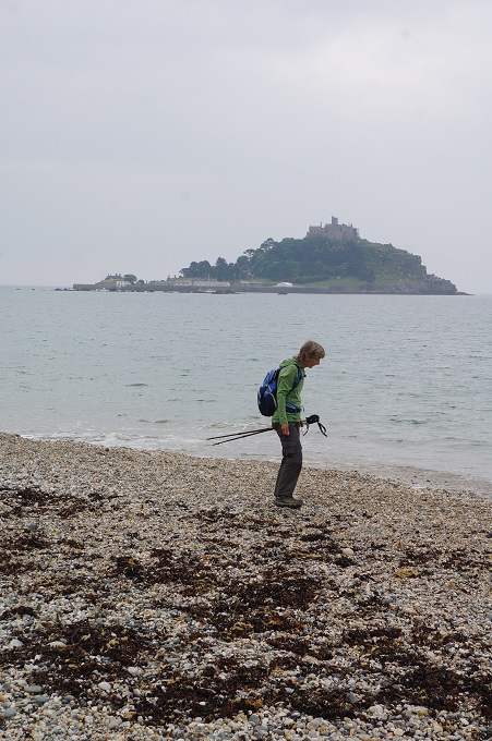
St Michael’s Mount

‘Walking is man’s best medicine’. Hippocrates

 Today in Penzance today we had the third of our rest days and of course went to St Michael’s Mount.

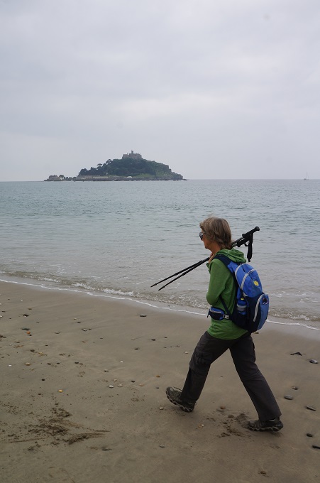
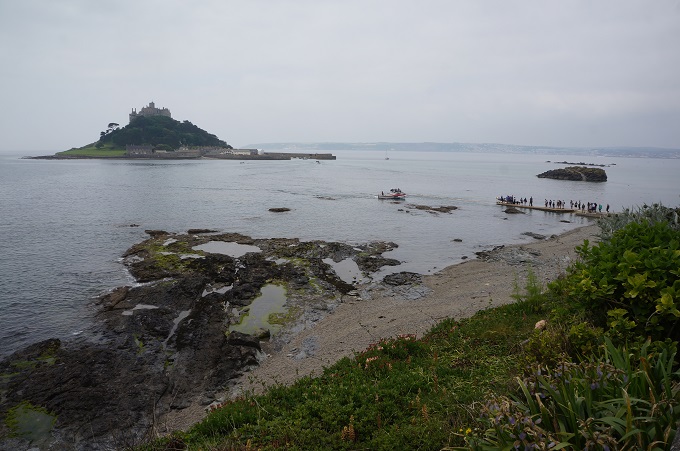
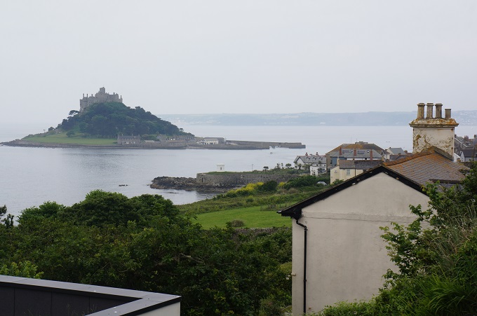
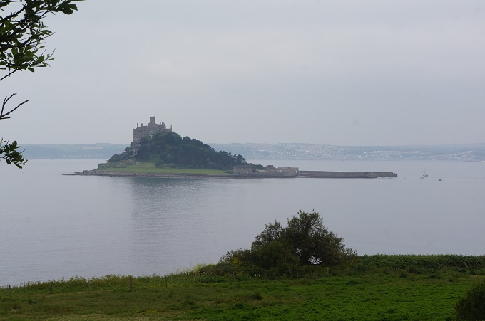
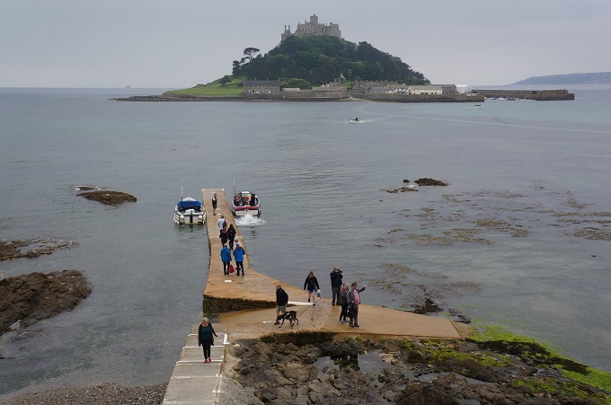
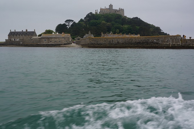
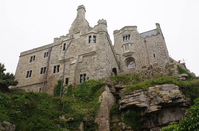
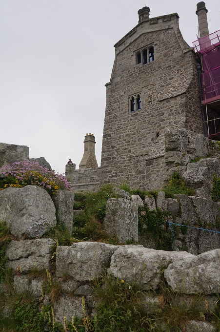
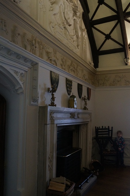
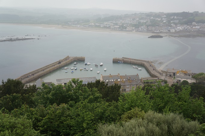
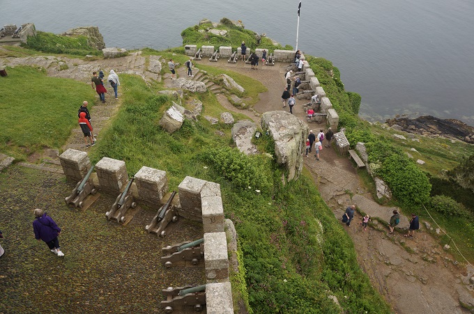
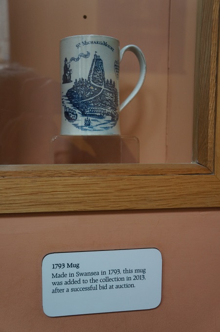
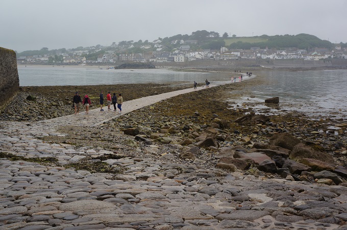
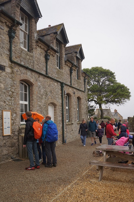
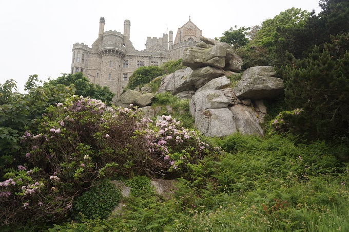
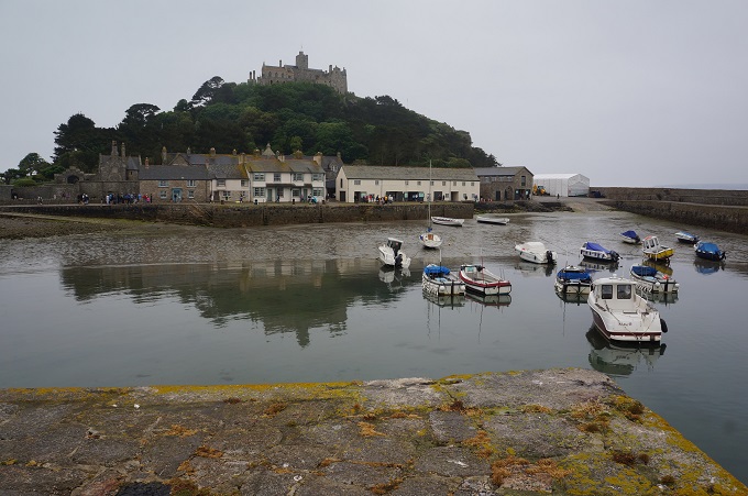
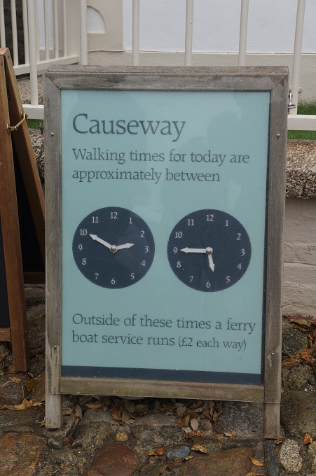
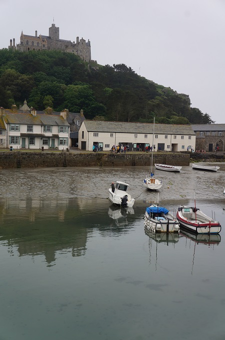
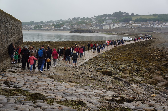
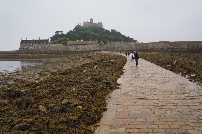
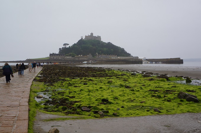
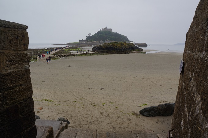
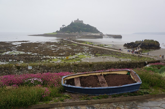
St Michael’s Mount is a small tidal island in Mounts Bay, just off shore from the town of Marazion. It is linked to the mainland with a man-made causeway of granite sets, passable about one and a half hours each side of low tide. At other times a fleet of small ferries take people to and from the island.

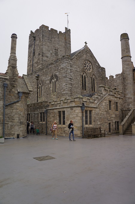
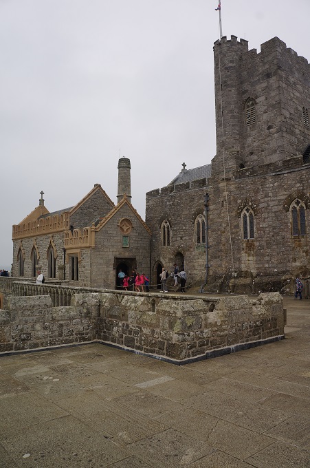
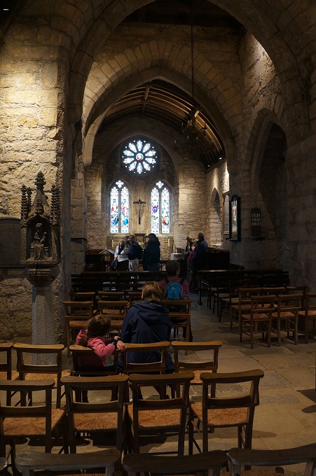
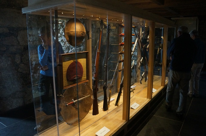
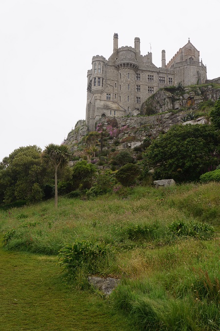
It may have been the site of a monastery from the 8th – 11th centuries but the earliest buildings on the summit today date from the 12th century. In the 11th century it was given as a sister island to the Benedictine religious order of Mont Saint Michel in Normandy, with which it shares the same tidal island characteristics. The island was seized and sold many times over the centuries until it was bought by the St Aubyn family in the mid 1600s. St Michael’s Mount is now owned and managed by the National Trust but the St Aubyn family still have a right to occupy and live on the island.

During the 6th century before the castle was built, according to legend, the island was home to an eighteen foot giant named Cormoran, who lived in a cave with his ill-gotten treasures obtained from terrorising local towns and villages. One day a young farmer’s son named Jack took on this gigantic menace, who had an appetite for cattle and children, and killed him by trapping him in a concealed pit, bringing down his axe upon his head. When he returned home, the villagers gave him a hero’s welcome and from then called him ‘Jack the Giant Killer’.

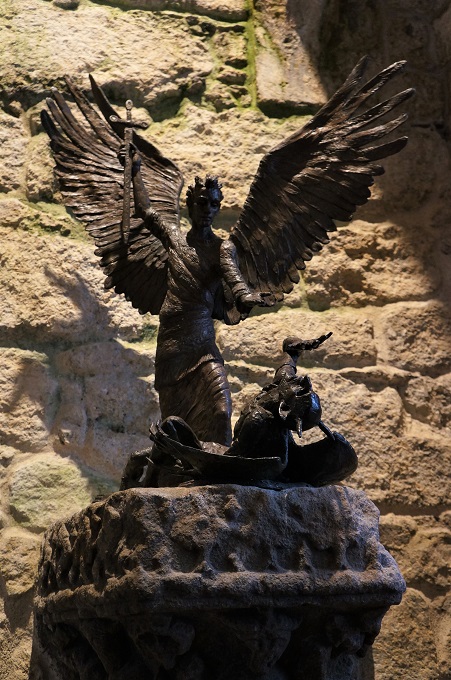
From as far back as 495AD, tales tell of seafarers lured onto the rocks by mermaids, or guided to safety by the apparition of St Michael, the patron saint of fishermen. It is said he appeared on the western side of the island to ward fishermen off from certain peril. This legend and four miracles said to have happened in 1262 and 1263 have bought pilgrims, monks and people of faith here ever since.

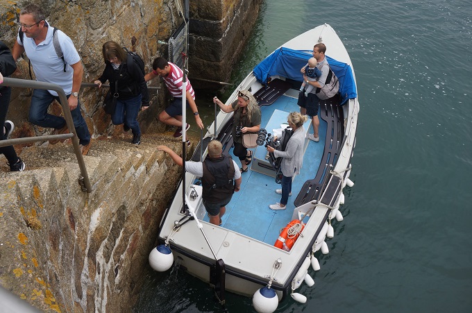
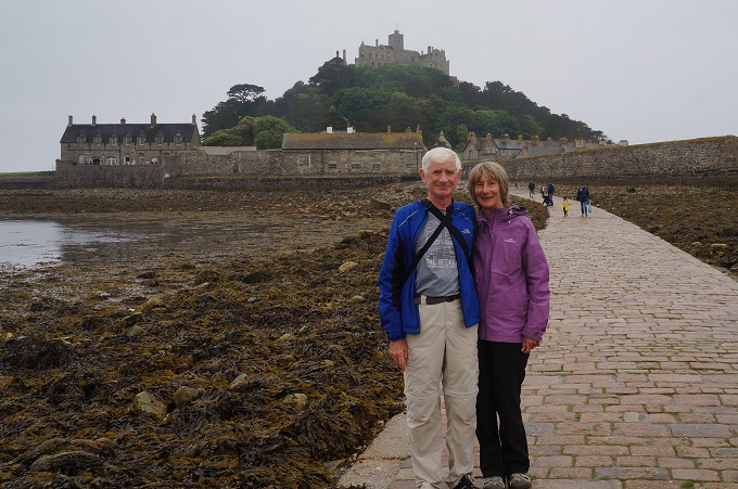
Access to St Michael’s Mount is at the village of Marazion which is about 7 kms from where we are staying in Penzance. As this is a designated ‘rest’ day we decided to take the bus both ways. We wanted to walk one way across the causeway which today was above water between 2.50pm and 5.40pm. We timed our visit to use one of the little ferries (£2) to get from the beach at Marazion to the harbour on the island and used the causeway to walk back.

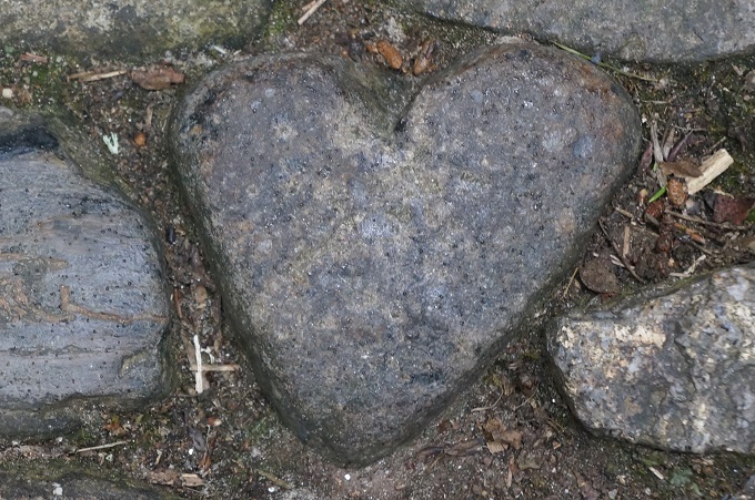
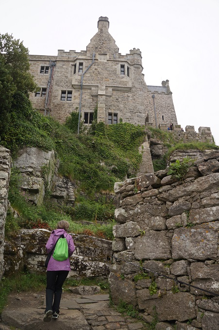
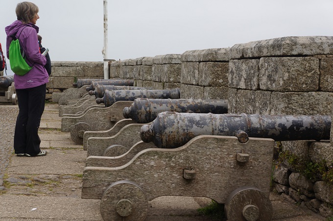
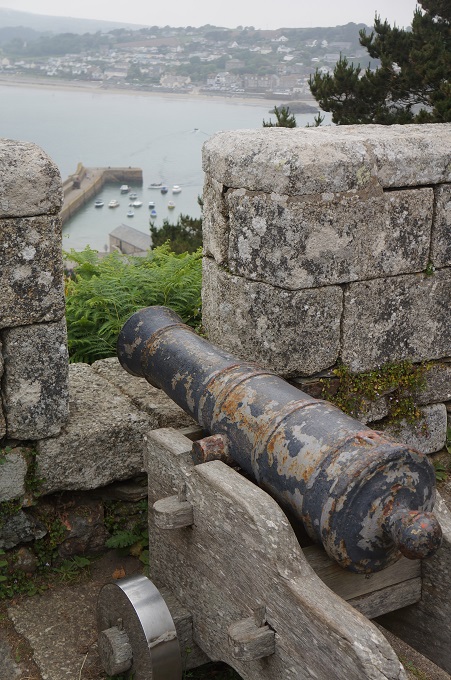
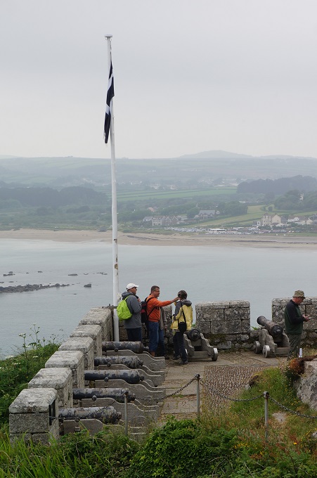
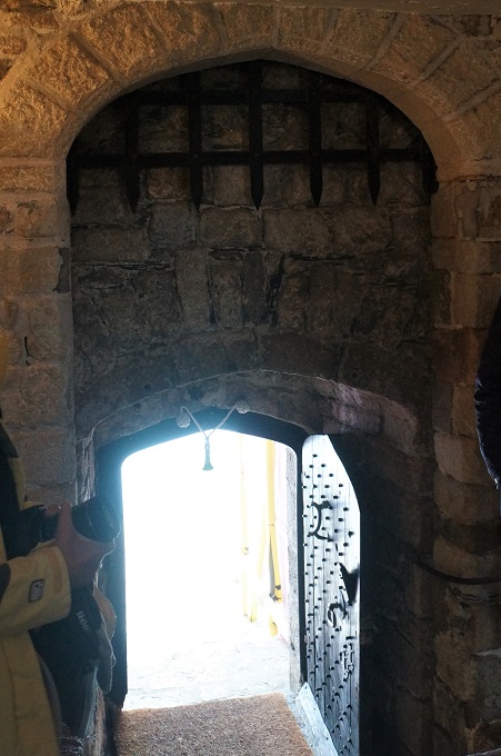
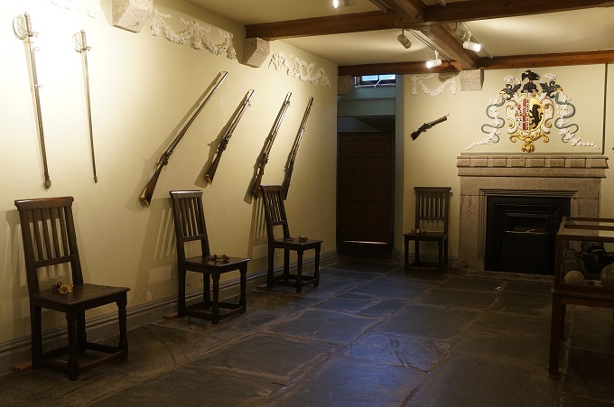
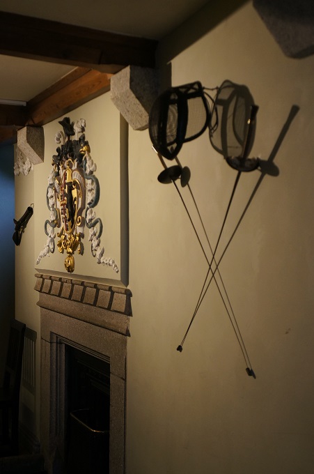
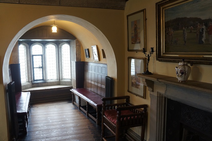
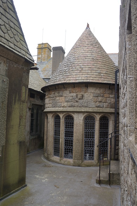
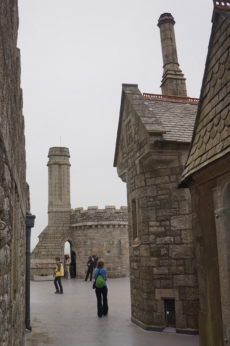
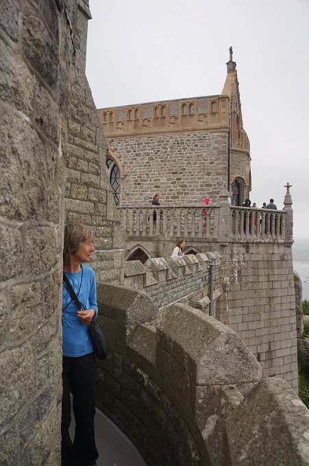
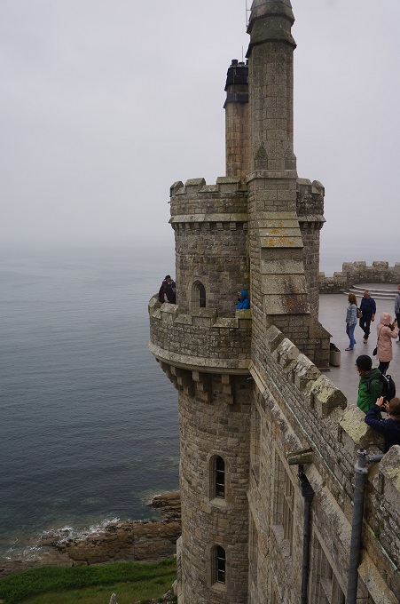
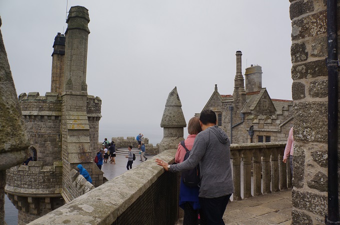
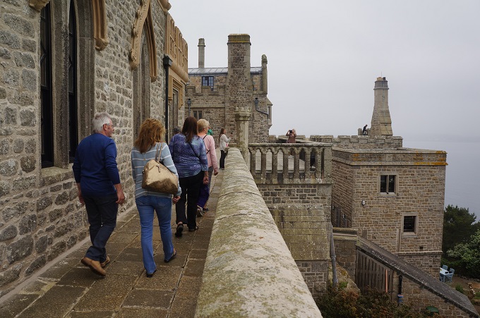
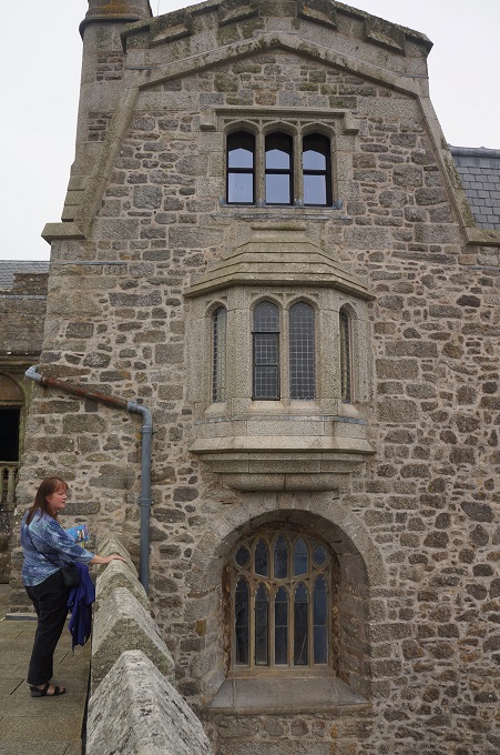
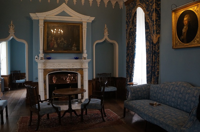
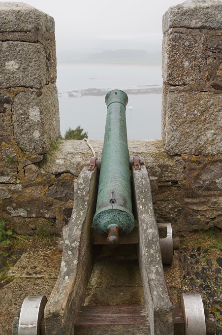
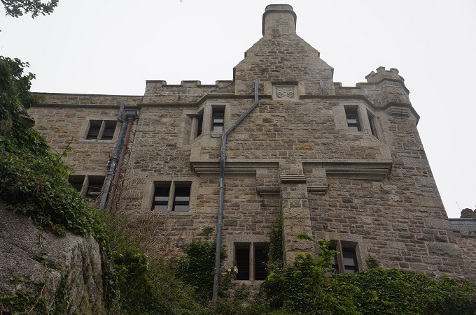
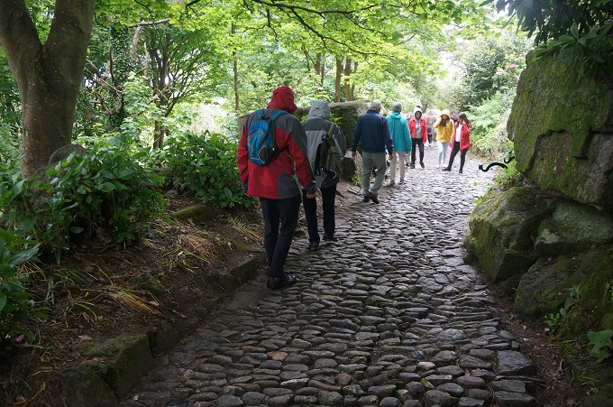
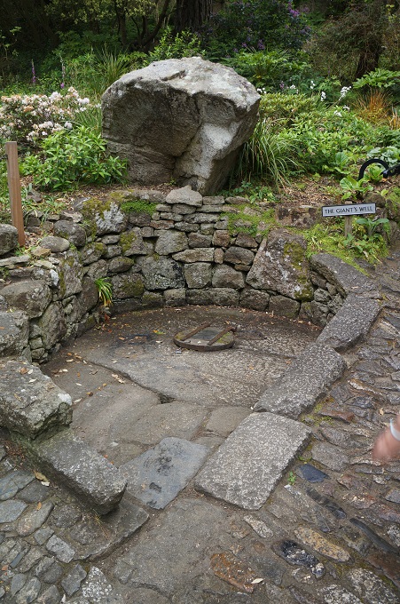
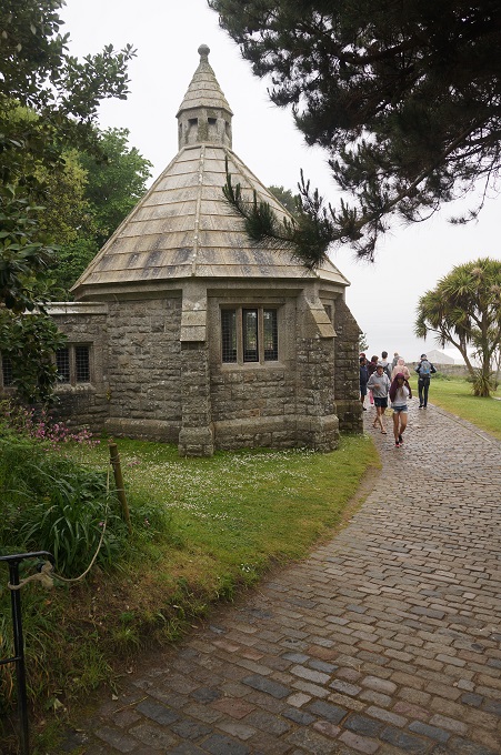
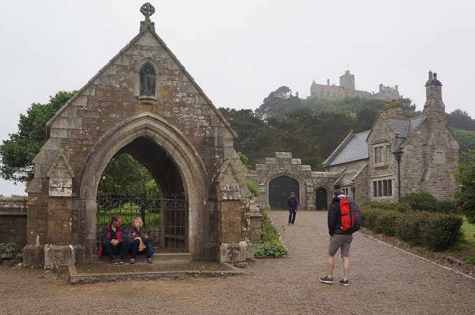
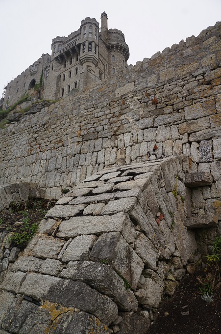
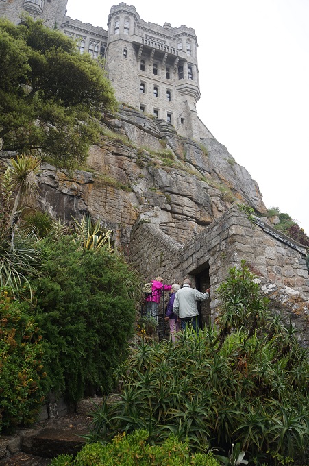
When you arrive on the island the castle seems to loom over you and the uniform grey granite makes it seem quite imposing and daunting. It is quite a steep climb on a cobblestone path (past the giant’s well and heart) up to the gun batteries and the castle entrance. Once inside it has more of a human scale. About a dozen rooms are open to the public and these are all quite intimate, cosy spaces. They feel well lived in and relate almost entirely to the occupation of the St Aubyn family.
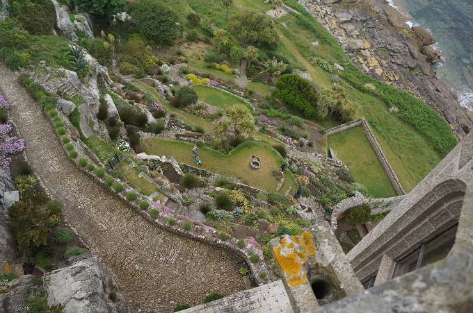
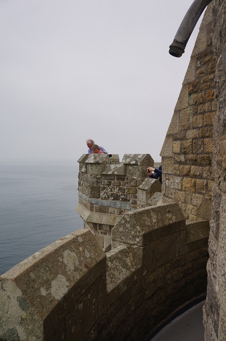
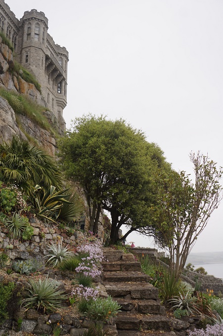
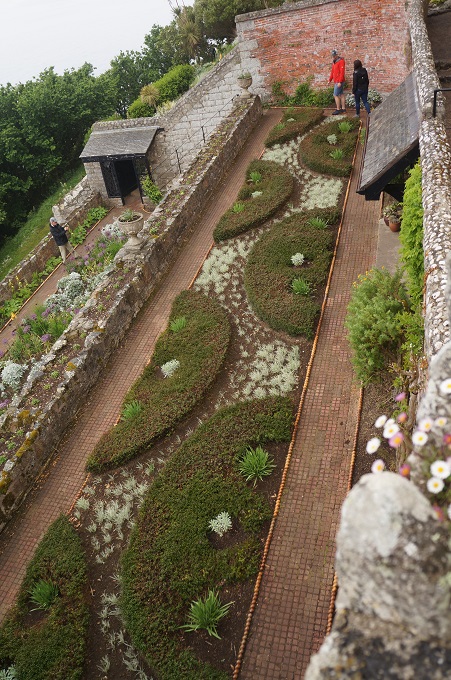
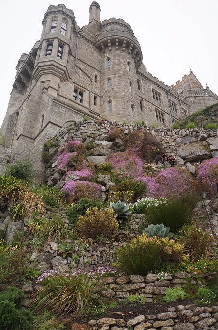
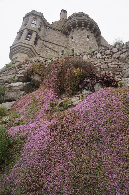
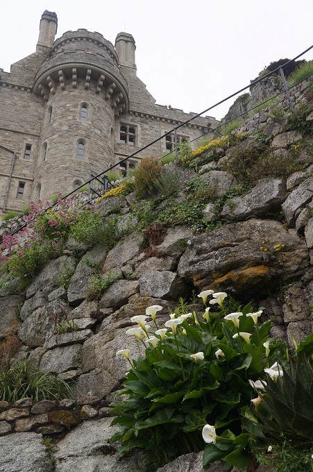
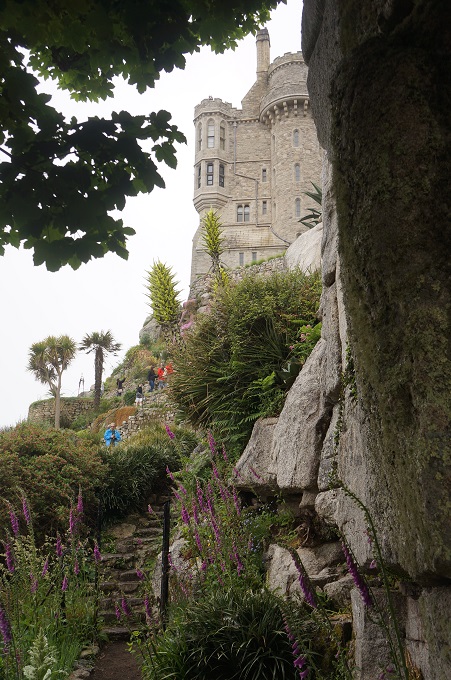
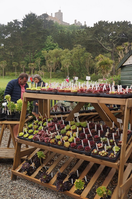
On the south-east side of the castle, capturing the warmth of the sun, is a garden first started in 1780. The sun’s heat is absorbed by the granite core of the island and released back in the winter, maintaining a frost-free climate. Many succulents as well as herbaceous and tender perennials are grown. The layout of the garden is such that you can enjoy it walking through it on the terraces but also from the battlements above for an aerial view. A lot of the succulents are damaged at the moment due to a heavy fall of snow earlier this year. The first snow on the island in 30 years.
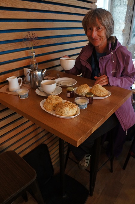
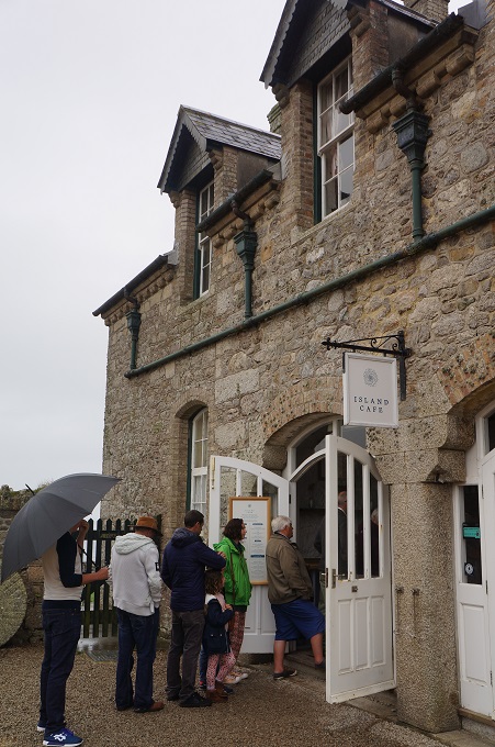
So it was another great day. Overcast and a bit hazy all day with some light drizzle while we retreated to the cafe for a cream tea. I think this just added to the atmosphere of the island and castle. Mid term break has finished and it is still early in the summer season so not too many people  about.
PS in Penzance we did not see one single pirate or the very model of a modern major general!


I See Red, I See Red, I See Red (The Great Split Enz)

Porthcurno to Penzance, 21 km, 642 metres of climbing

‘I took a walk in the forest and came out bigger than the trees’. Thomas Henry Thoreau

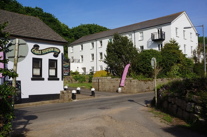
 Last night we stayed in Porthcurno which is a tiny village covering a small valley and a beach. It is unusually well known for its size because of its history as a major international underwater communications cable station. In 1870 the first cable was laid linking Porthcurno to India (then a British colony). Between the two world wars there were fourteen separate cables coming ashore at Porthcurno and it was the largest underwater cable station in the world. The old cable station is now an excellent museum but unfortunately we didn’t get to visit it. We arrived here at 5.00pm last night and left at 9.00 am this morning and the museum hours are 10.00 am to 5.00 pm. It was a toss up between the Minack Theatre and the Cable Museum and the theatre won. The oldest and largest building in Porthcuno is The Barracks, accommodation for the Cable & Wireless Engineering College. A little university by the sea.

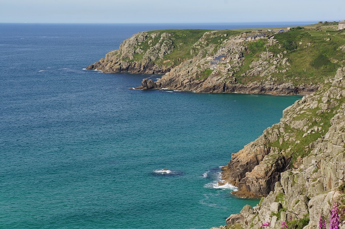
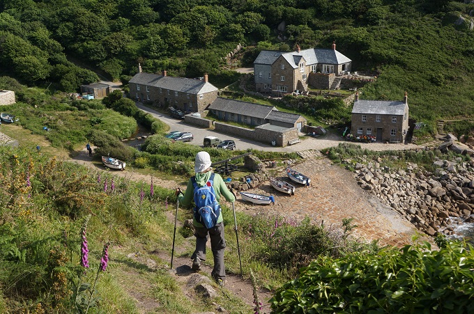
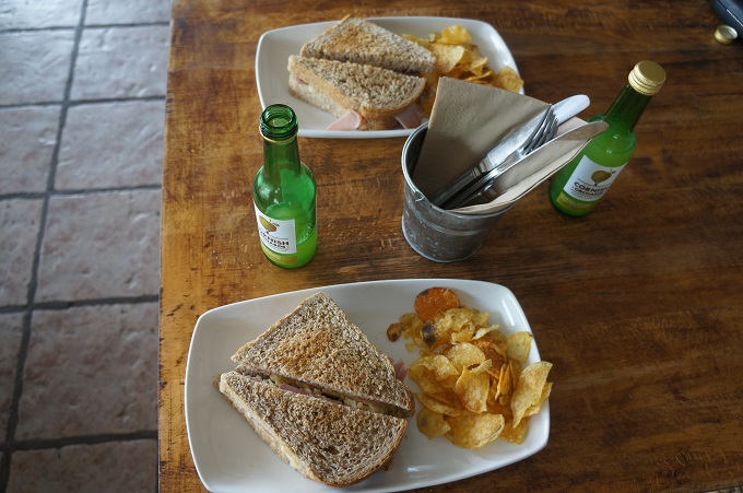
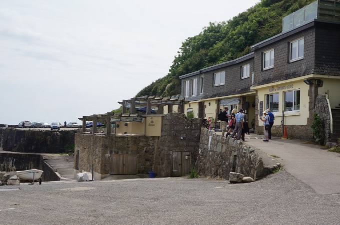
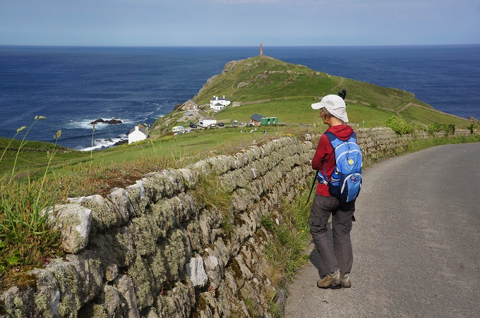
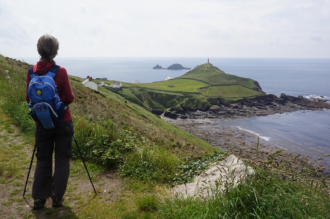
The first section today was quiet, remote and a very scenic section of cliffs and headlands, punctuated by some picturesque coves and a lighthouse. Penberth was entirely free of tourists (because they don’t allow dogs?) and passing through it seemed almost an intrusion on the people who make their living from the sea there. Lamorna Cove had a café so we could stop for some lunch of toasted sandwiches and apple juice.
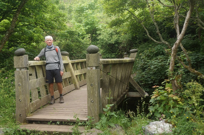
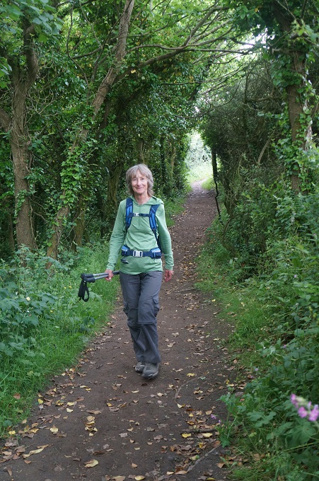
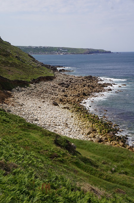
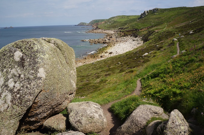
Since we turned the corner at Land’s End and are now heading east the landscape has changed and this part of the coastline is described as sub-tropical. The undergrowth is denser, in some places growing overhead to make a shady, cool tunnel. The wild flowers are back and in two places we walked through woodland of stunted oak and near the end of the day a pine forest. For most of the day progress was still slow over a stony, often muddy path. At one point we had to dance our way over large boulders on the beach.

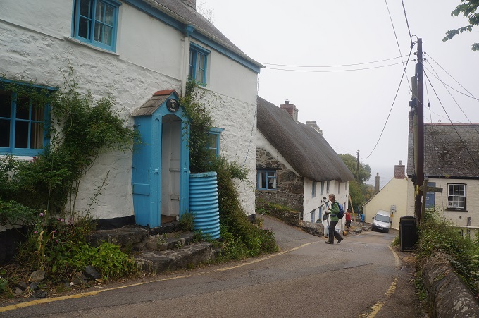
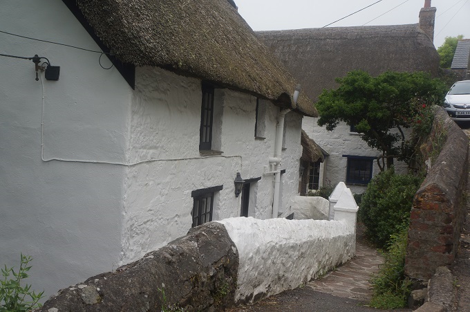
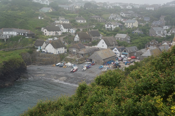
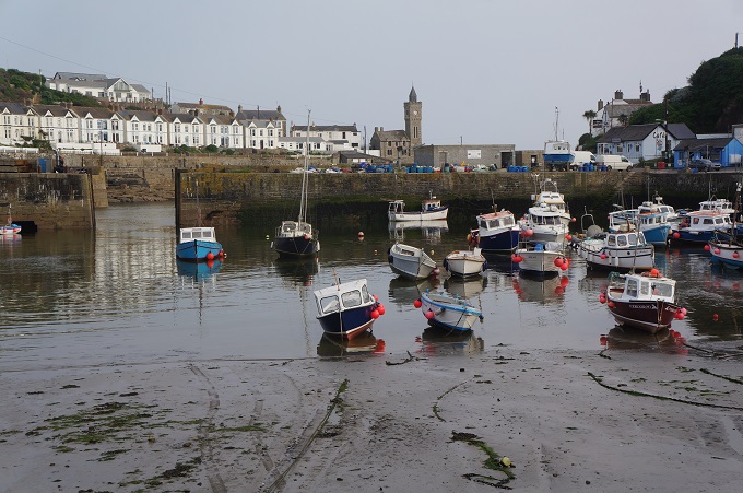
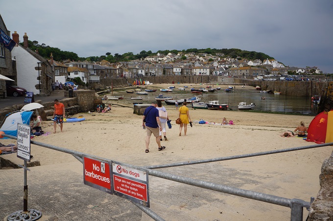
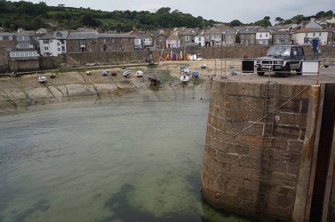
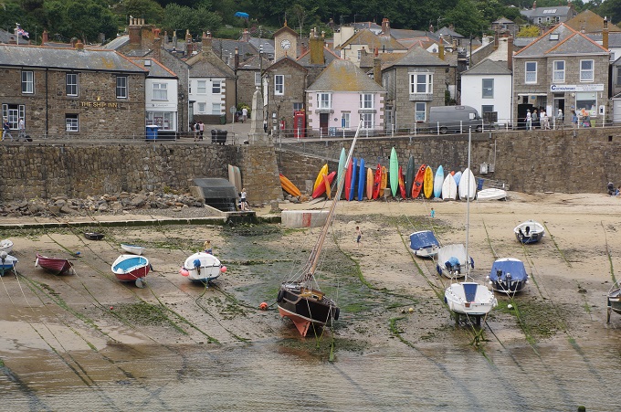
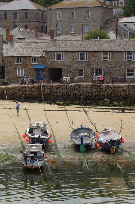
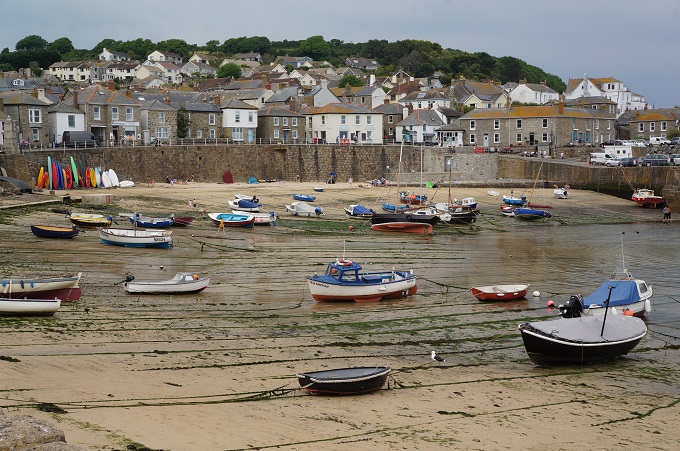
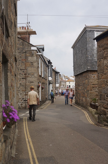
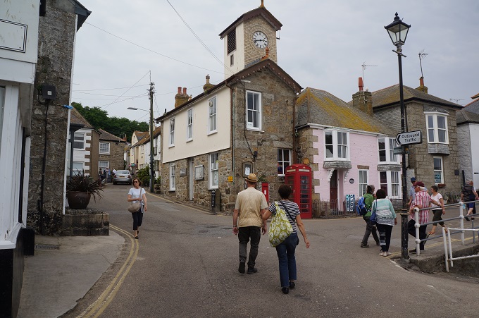
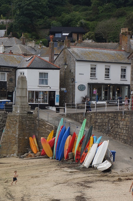
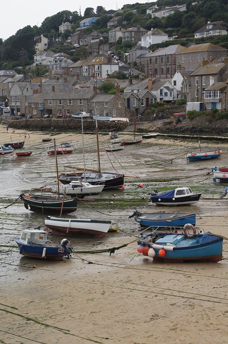
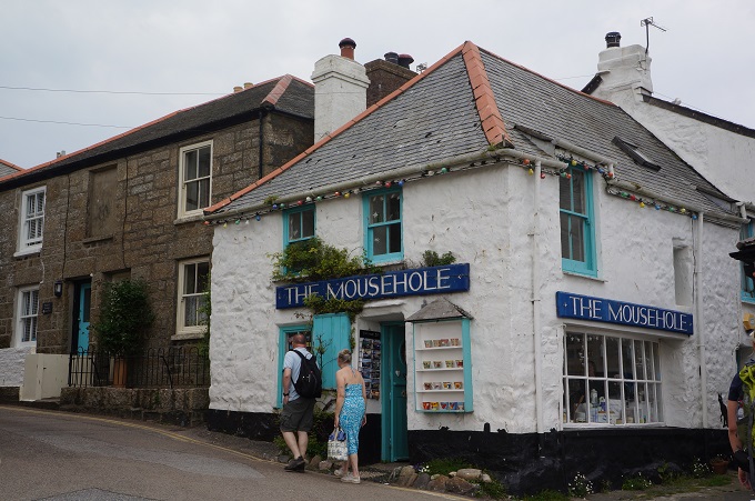
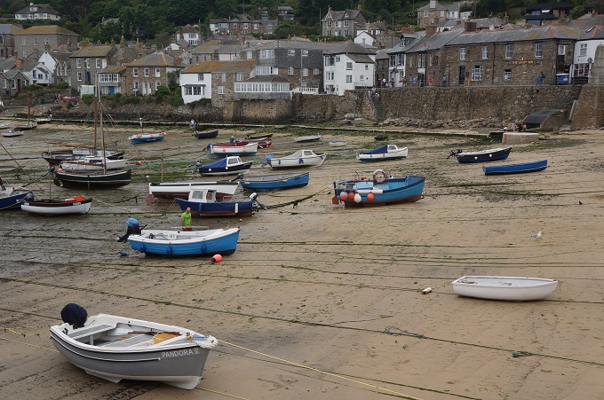
At the end of the day we passed through two contrasting fishing villages. The first was Mousehole – pronounced ‘mowzell’. This is a former pilchard-fishing village and is like a film-set. A romantic notion of what a Cornish village should look like and one of the most appealing we will see on the Coast Path. The tide was out and so it looked even better with all the boats lying stranded on the sand. We approached Mousehole from over a hill and then wound our way down to it through narrow streets, so it was all quite dramatic.
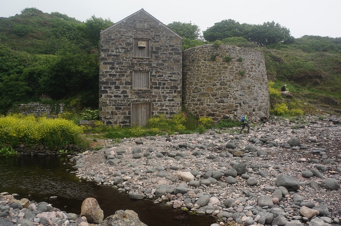
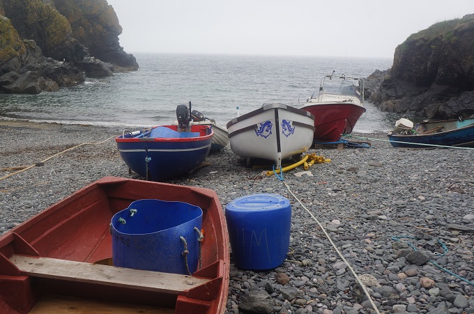
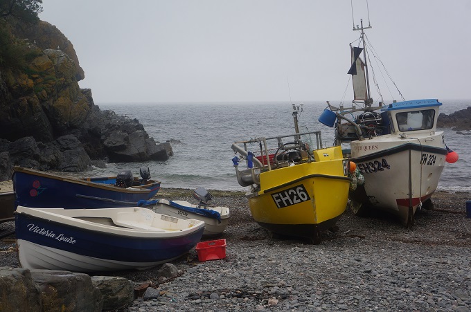
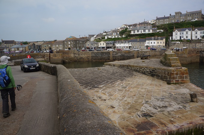
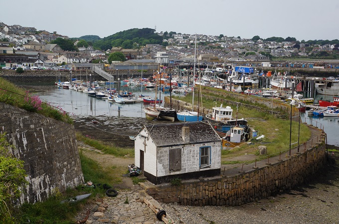
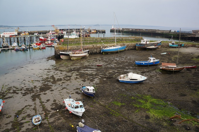
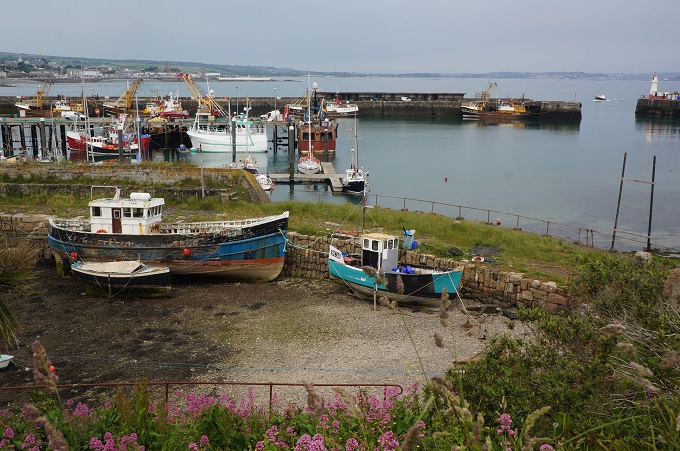
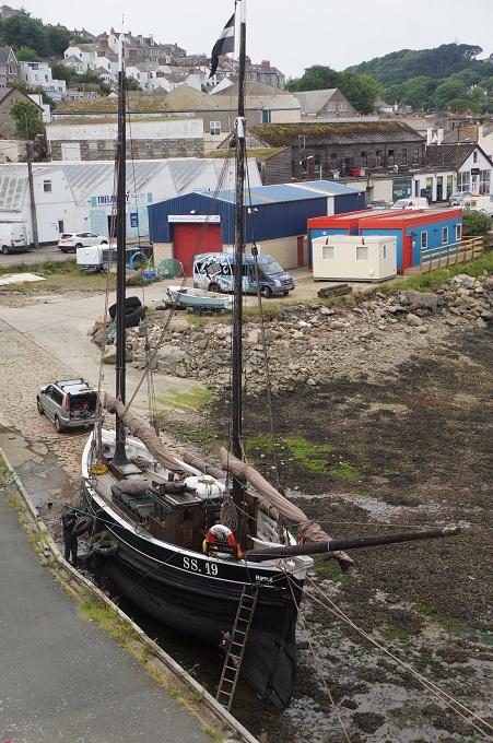
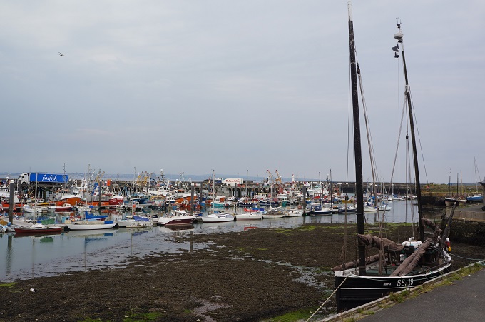
Between Mousehole and Penzance is the working fishing port of Newlyn. It steadfastly refuses to be turned into a nostalgic trip for the benefit of tourists. It has all the good, bad and ugly of a port just wanting to get on with business. For someone like me who likes to lean on the rail and watch boats, Newlyn is full of interest. At this point I would like to apologise for all the photos of boats.

We had our first instance today of getting a bit lost. This morning we were happily walking along when we realised the usual narrow path had become a wide gravelled farm road and we hadn’t seen any acorn signs for a while. It didn’t feel right. We decided to back track to find the last sign. After about half a km we met an elderly Dutch couple we were on nodding terms with, and they convinced us we had been on the right track and so we turned around and the four of us proceeded again. After about a km it was pretty obvious the farm road was going inland away from the coast. We all stopped and were consulting books, notes and maps, when a young Dutch couple came along behind us.  They had a map and confirmed this wasn’t the coast path, but it didn’t matter, this often happened to them. They never back tracked just kept going ahead until they found another road that went back to the coast. So the six of us joined up and soon enough we found a road to a camping ground that had access to the coast path. We probably did an extra three km which doesn’t matter for the young ones, but for us oldies every km tells at the end of the day.

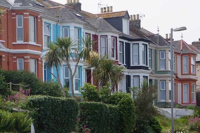
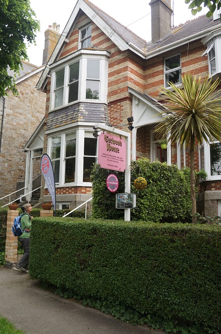
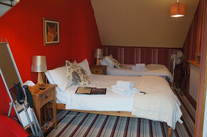
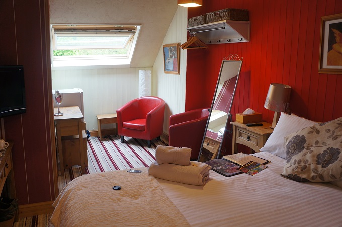
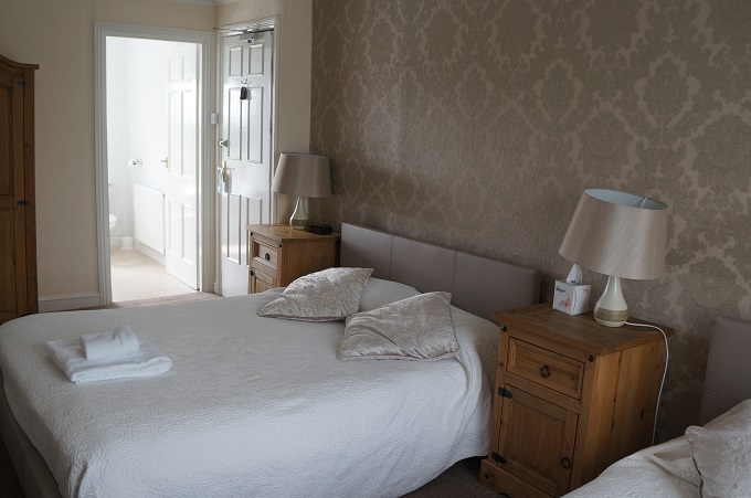
Tonight we are in the attic of a three story Victorian villa and the owners seem to have a thing for red. We have two red leather chairs, red striped carpet, red striped wall paper on one wall and screaming red paint on the other. We have to spend two nights here!!

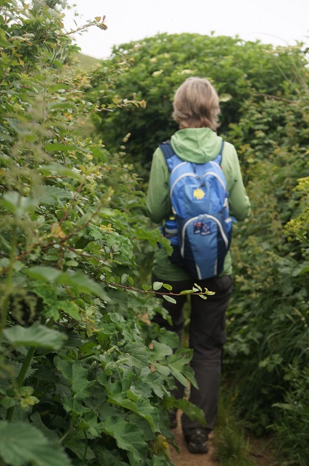
We didn’t enjoy today as much as previous days. It was hot and humid and we were often walking in narrow hedgerows with two metre high vegetation pressing in on us. The last five kms we walked on a sealed cycleway/footpath close beside the sea. A nice change.


The First and Last

St Just to Porthcurno, 20 km, 475 metres of climbing

‘All truly great thoughts are conceived while walking’. Nietzsche

 Today started out an easy walk along the cliffs, gradually flattening out to provide a gentle approach through sand dunes to Whitesand Bay (coffee stop) and Sennen Cove (loo stop). Not long after leaving Cape Cornwall we had come to the Ballowal Barrow, This is a bronze age funerary monument. In the centre of the barrow was a mound surrounded by two concentric drystone walls. Inside the ring of walls were five small stone lined chambers known as cists, some which had bronze age pottery and probably held cremations. Two pits forming a T shape may have been graves. This barrow was discovered in 1878 and the excavations and some alterations done at that time make the site difficult to understand today.

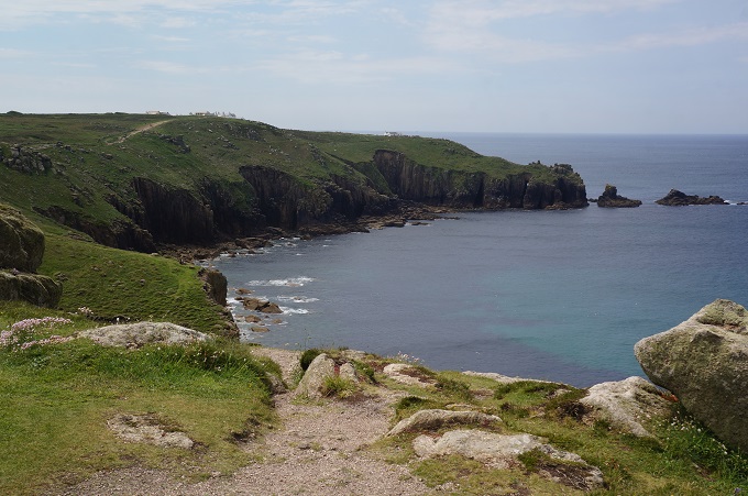
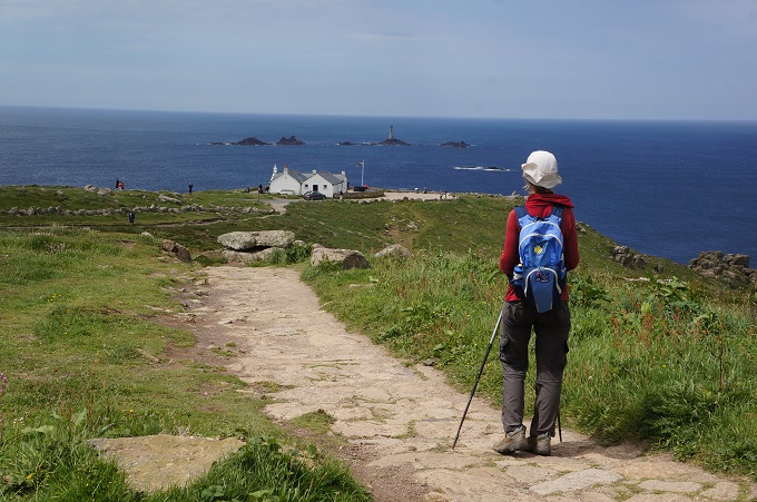
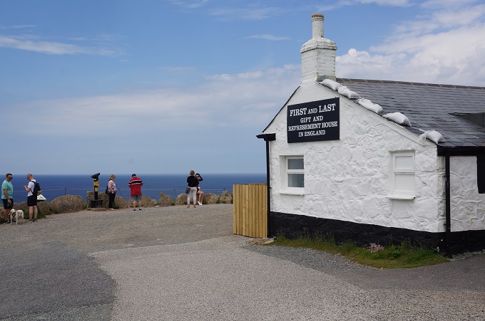
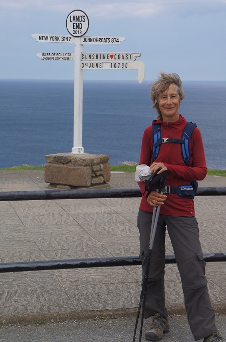
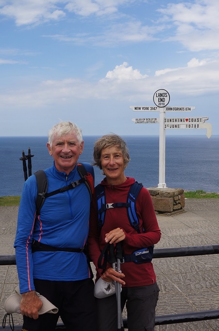
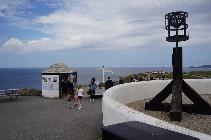
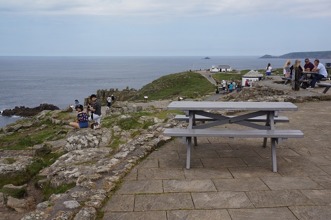
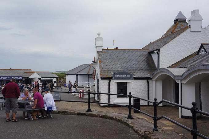
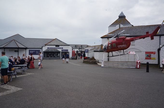
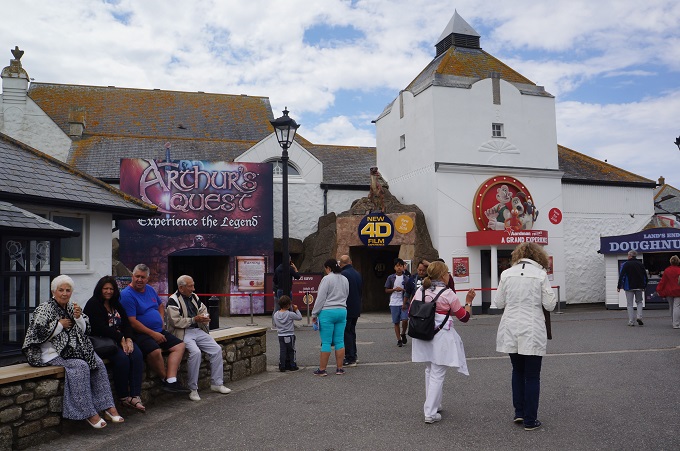
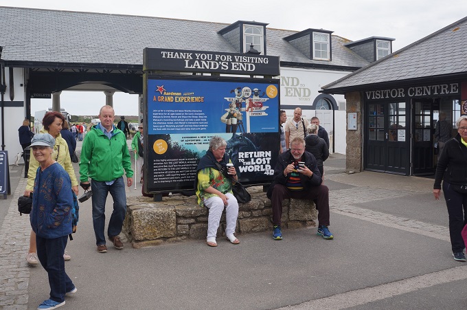
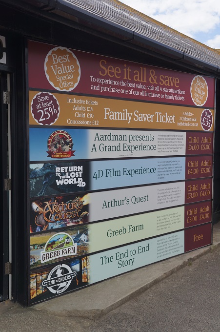
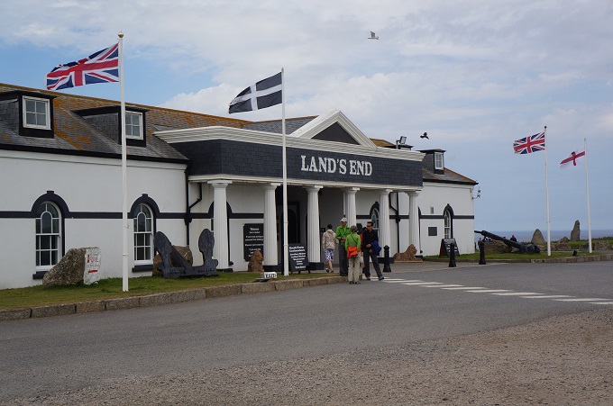
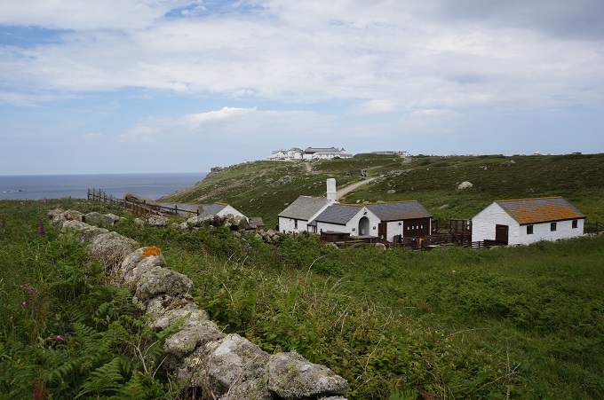
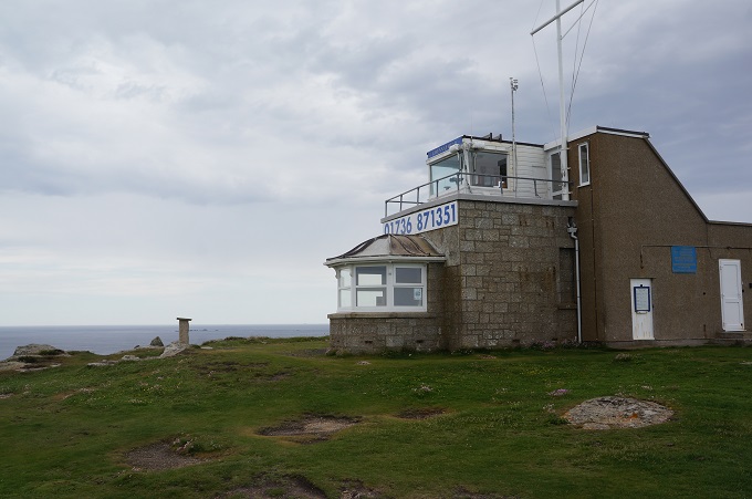
From the start this morning we had been able to see the headland of Land’s End. It took us about four hours to get there and we had mixed feelings about what to expect. We had read that the rugged beauty of the coastland was spoilt by a huge coach and car park, a massive hotel, bars and restaurants, a shopping village and masses of children’s theme park rides. It wasn’t too bad and had sort of been done ‘tastefully’. We had the obligatory photo taken in front of the Land’s End sign post with the distances to John O’Groats and New York. The sign post is inside a fence and by paying some money they will put up the distance to your home town and you get photographed in front of it. We didn’t bother –  it’s 11,796 miles from Land’s End to Paraparaumu in case you’re interested. We had a look at ‘The First and Last House’ and walked through the shopping village without buying anything, and got out of there. The path was busy for about half a kilometre and then it was back to the beautiful rugged isolation.

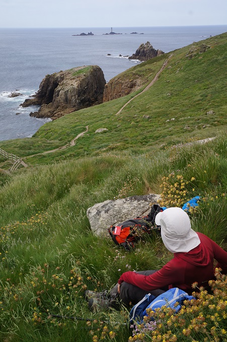
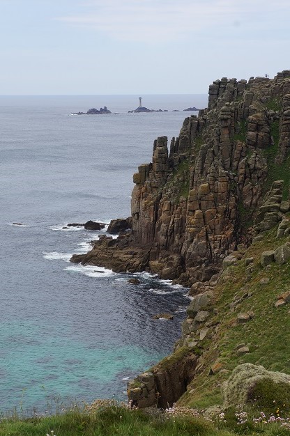
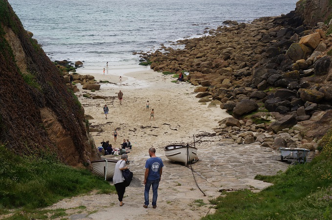
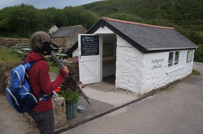
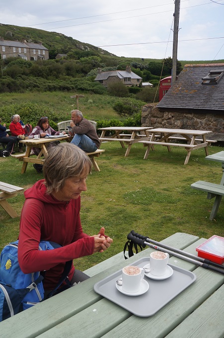
The next three hours were rugged and isolated. Great granite headlands and massive rock outcrops. It was quite windy and felt like it might rain. We were feeling pretty tired when we suddenly dropped down into the tiny cove of Porthgwarra which had a tiny café, The Cove Café.  A lovely hot chocolate revived us and we set out for Porthcurno. Just short of Porthcurno is the fabulous Minack Theatre.

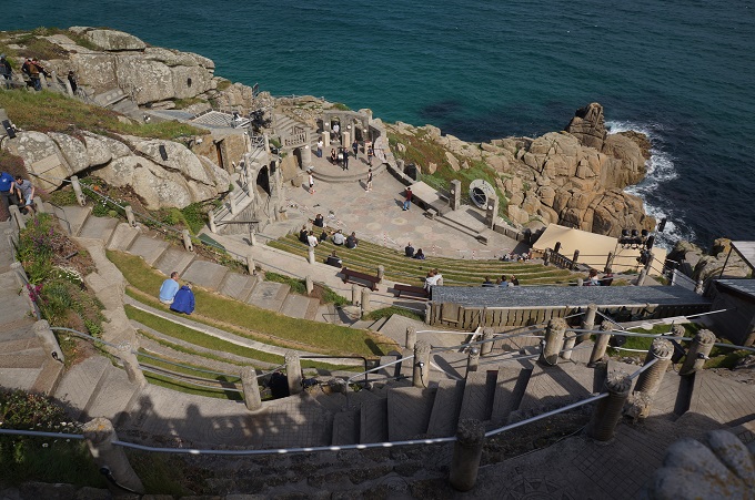
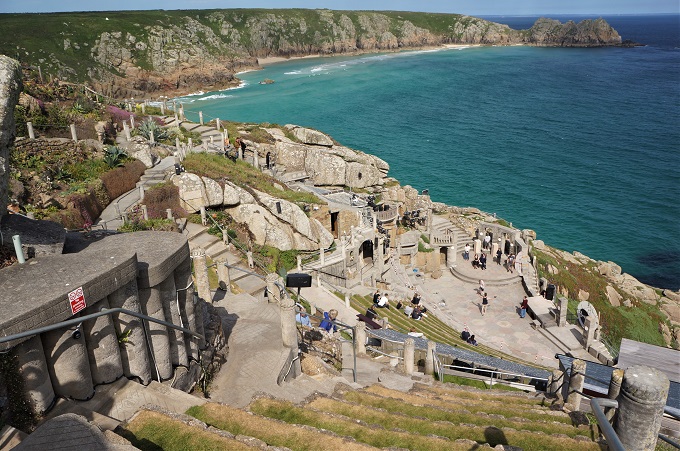
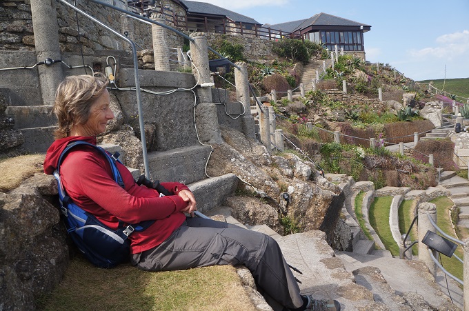
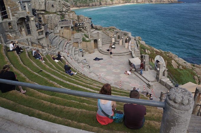
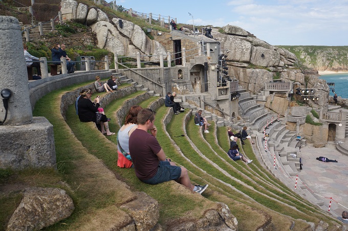
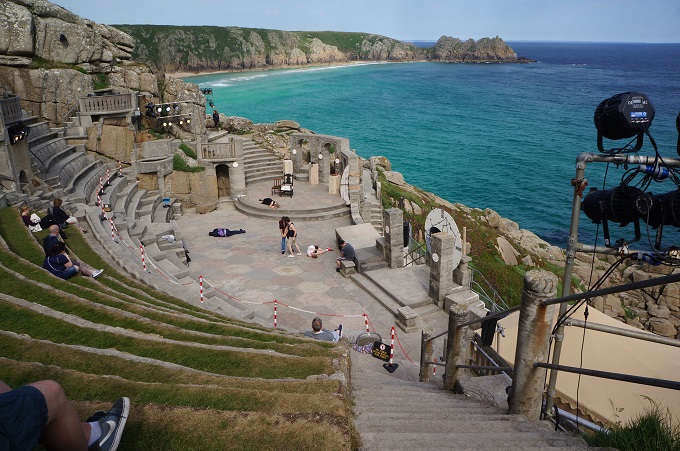
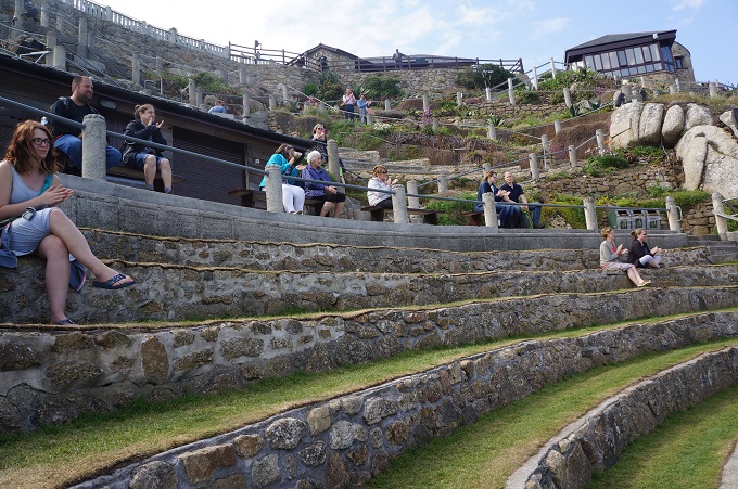
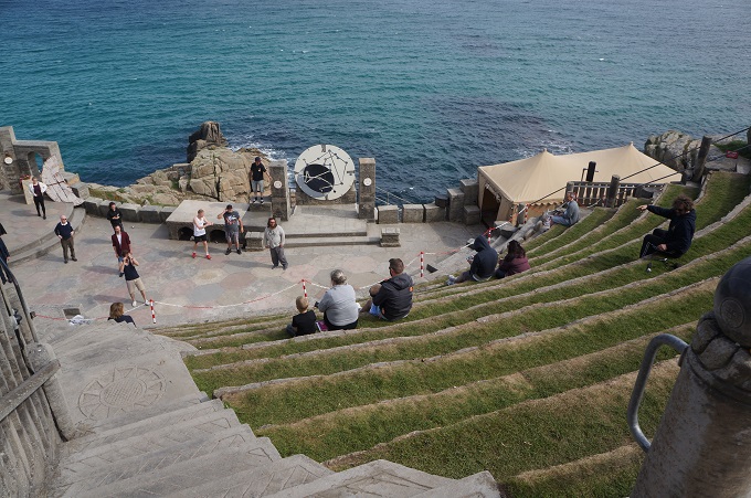
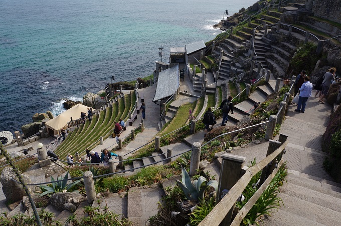
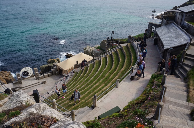
Minack Theatre is an extraordinary open-air theatre constructed above a gully with a rocky granite outcrop perched above the Atlantic Ocean. It is the creation of Rowena Cade, who by hand, with two of her gardeners, moved endless granite boulders and earth to make terraces. The first performance was in 1932 in a much smaller theatre than we saw today. The theatre continued to expand and improve until Rowena’s death in 1983. The theatre operates from May to September with childrens and adults, matinee and evening sessions. It operates rain or shine, bring your own cushion. We were there about four in the afternoon and a rehearsal of Hamlet was taking place, so we stayed and watched the last act.

Today was our 17th day of 34 on the South West Coast Path so we have reached our halfway point. We are slightly over half way for distance traveled. We are still full of energy and enthusiasm and enjoying every minute of it.  That’s not totally true, sometimes we are tired, hungry, thirsty, sick to death of stumbling over stones, climbing stiles and opening and closing gates. But not much.


The Old Boys

Treen to St Just, 17km, 475 metres of climbing

‘Don’t worry about walking a mile in my shoes. Just try a day thinking in my head’. Aunty Acid

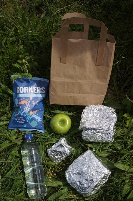
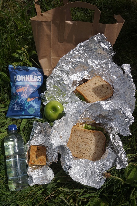
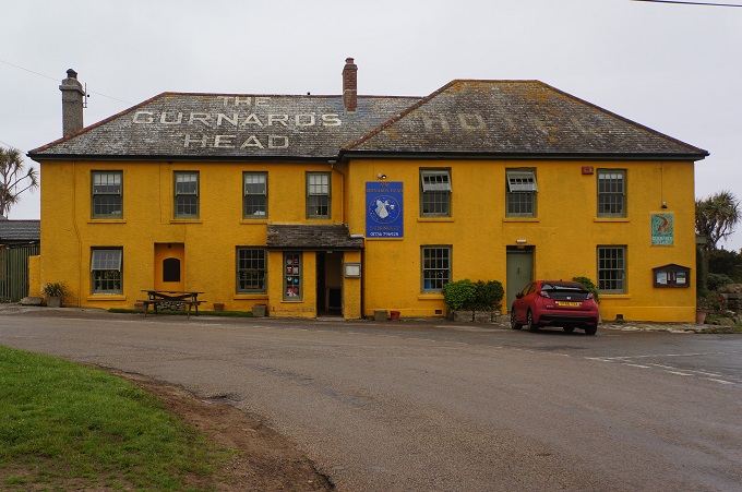
There were to be no places to buy any food or drink on the walk today so we bought a packed lunch at The Gurnard’s Head Inn. It looked quite big so we just got one to share. Two ‘huffers’ (sandwiches of cheese, lettuce and a yummy pickle), a flap jack, a bag of chippies, an apple and a bottle of water. All for just €10.50 – maybe a trifle expensive.

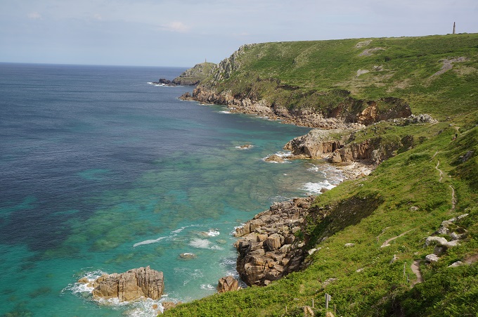
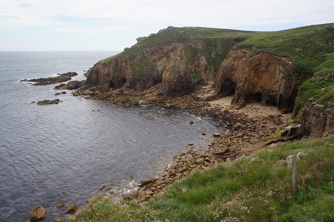
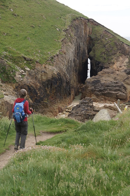
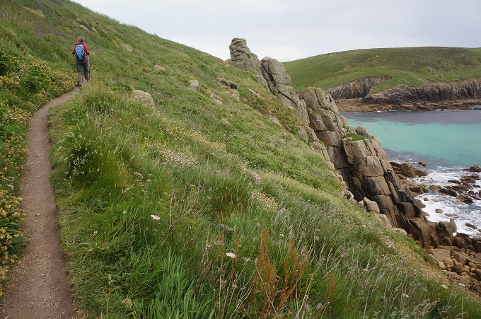
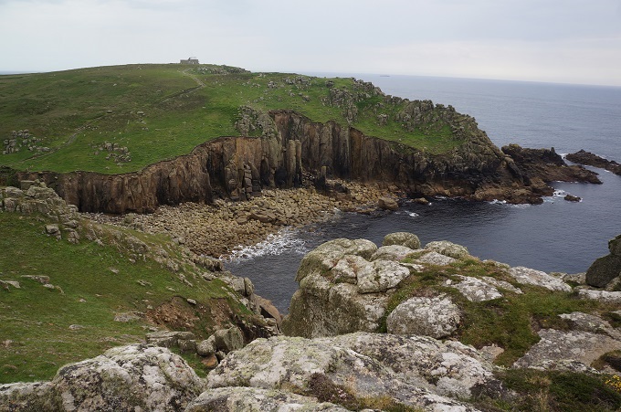
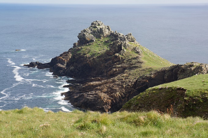
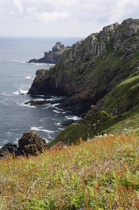
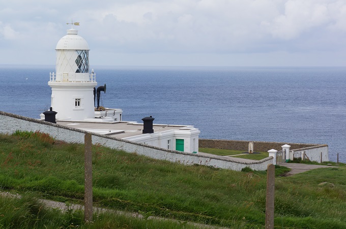
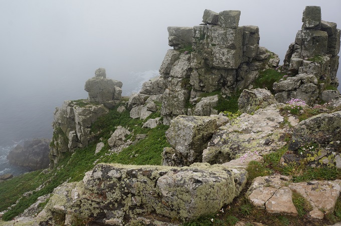
Today started off as a continuation of yesterday; stark cliffs, granite pinnacles, rugged exposed headlands and tiny scenic coves. Today we also had more sun so we had translucent emerald water. The going was a bit slow as the path had more boggy patches and boulder strewn hillsides. From the start we could see the Pendeen lighthouse far away in the distance, gleaming in the sun.

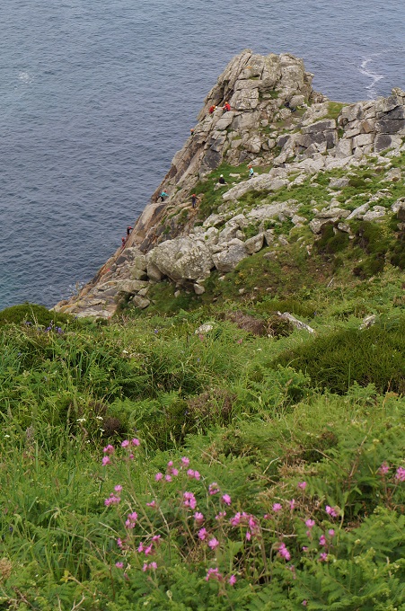
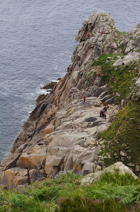
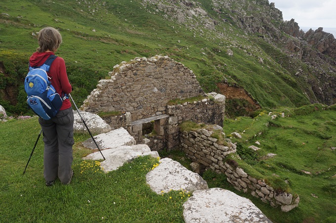
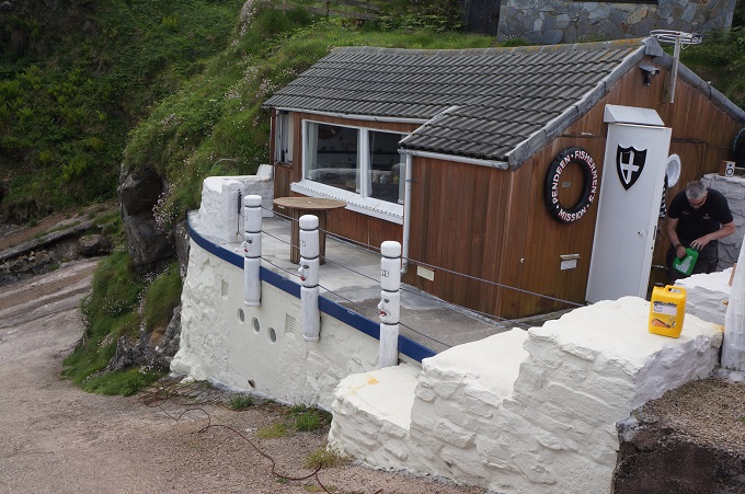
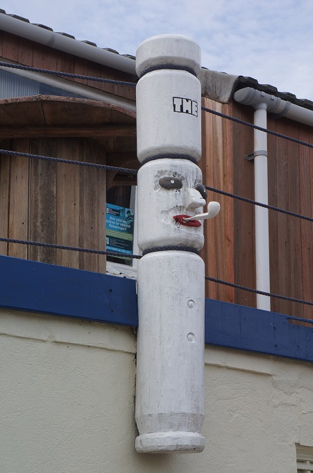
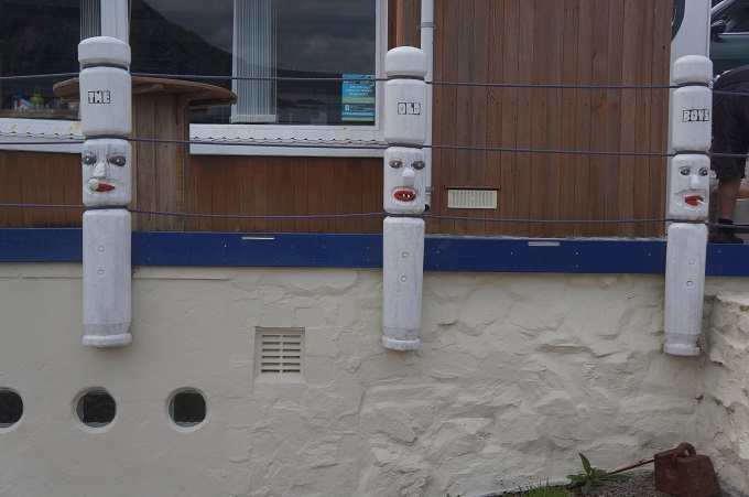
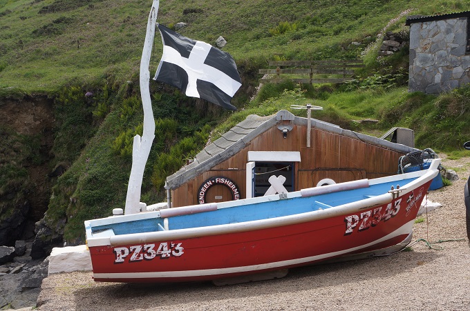
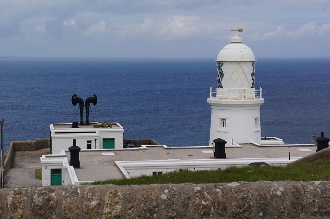
Things of interest this morning were ruins below an iron age fort at Bosigran and rock climbers suspended over the ocean on the cliff face of Bosigran. This is a popular spot for climbing and nearby was a car park full of cars at 9.30 in the morning. We had hoped to make it to the lighthouse for lunch but after four hours stopped at a small headland overlooking the lovely Portheras Cove. From this spot we could see a tiny white building on the cliff edge overlooking a tiny cove called Boat Cove. On inspection this was The Pendeen Fisherman’s Mission and the building was shaped like a boat, complete with port holes. There were three large balustrade posts to a deck, and these had been carved with the heads of sailors. They were called ‘The Old Boys’. From here it was a short walk to Pendeen Watch Lighthouse.

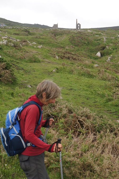
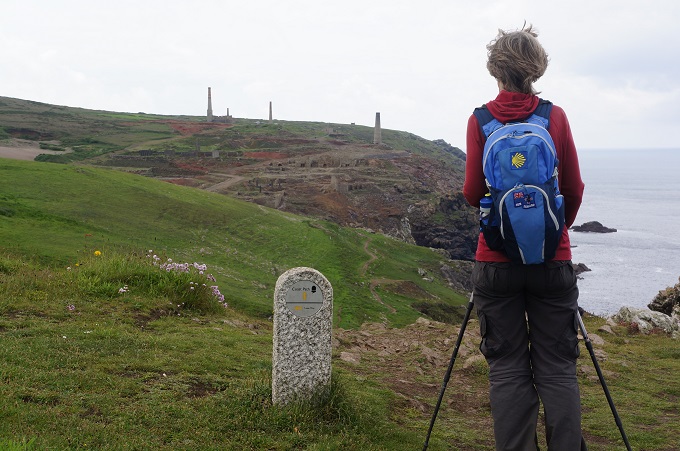
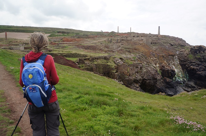
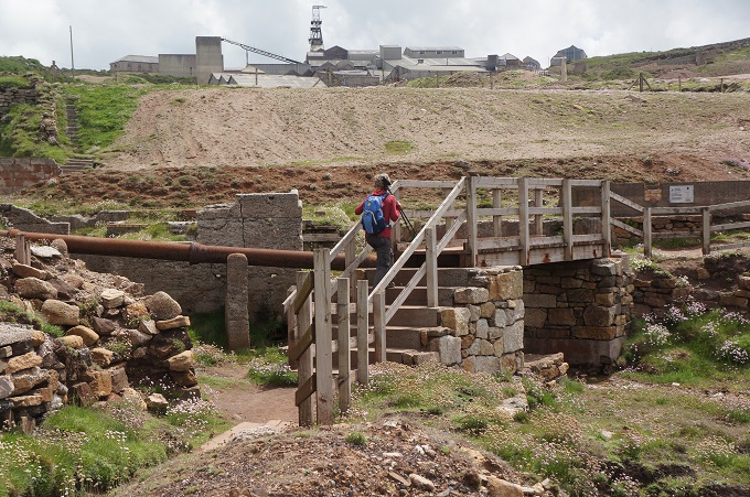
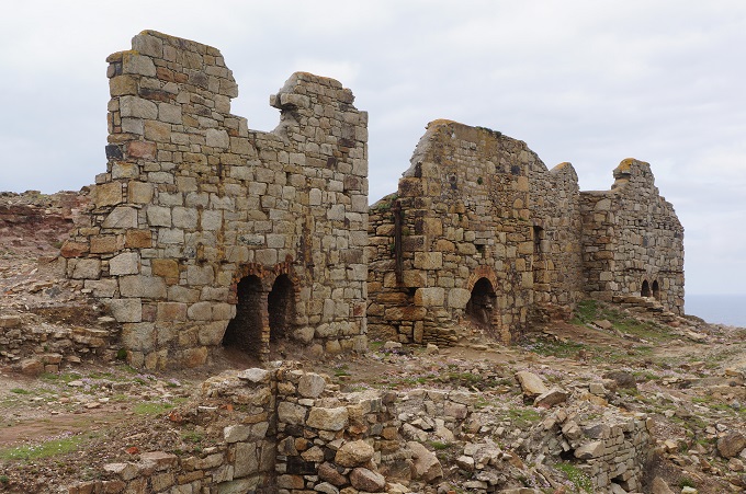
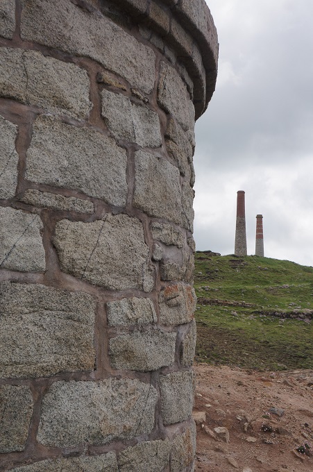
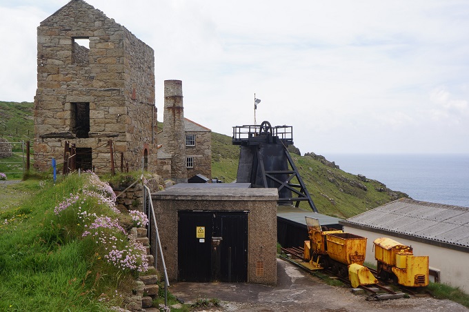
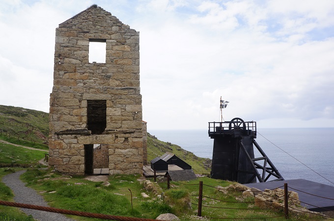
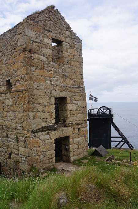
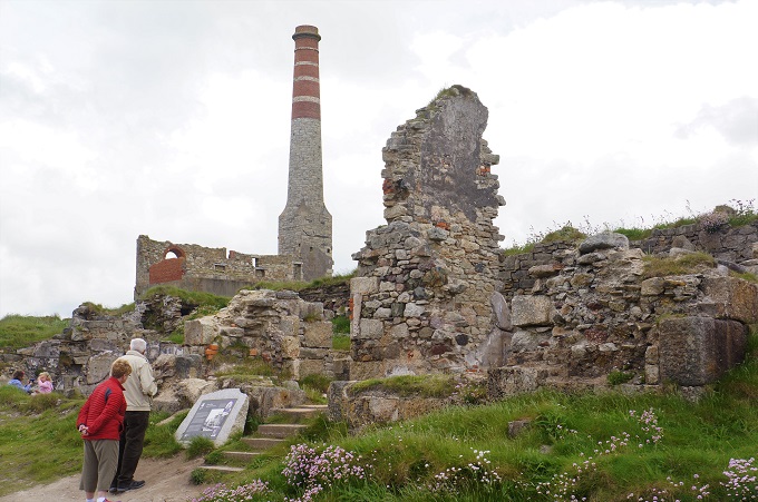
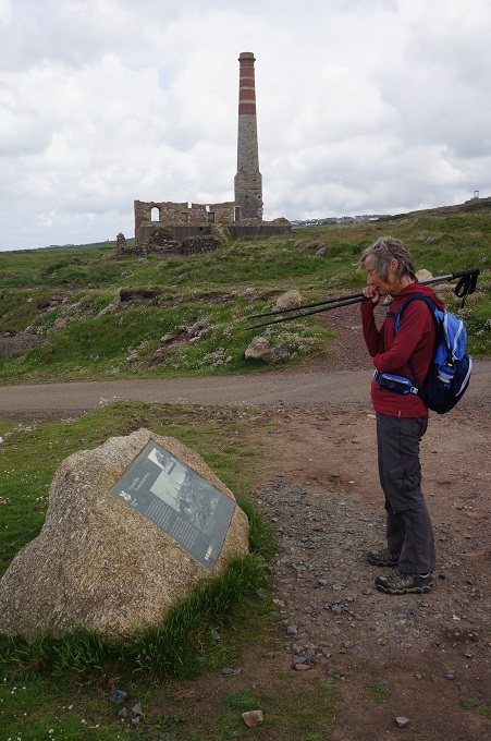
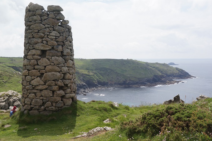
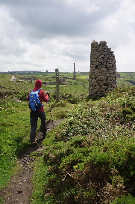
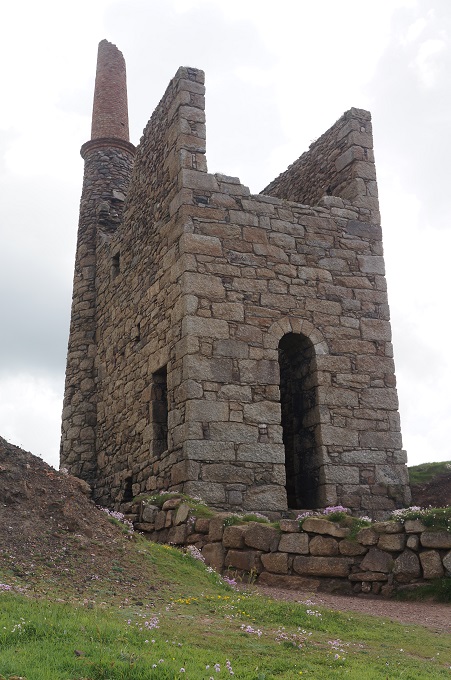
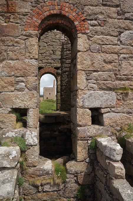
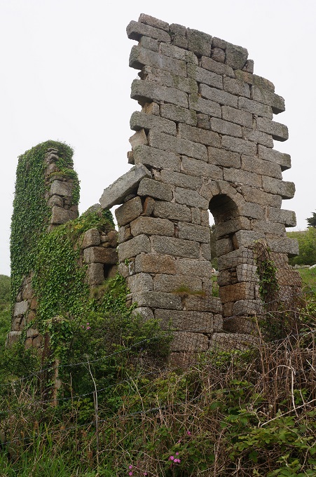
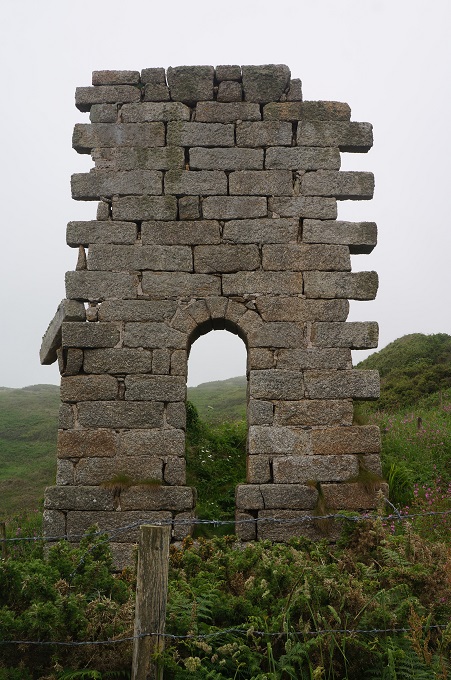
From the lighthouse to the end of our day at Cape Cornwall it was all about Cornwall’s coastal mining heritage. This ranged from unattractive 20th century industrial relics and slag heaps to romantic stone-built cliff-face engine houses. All in a state of ruin. At the old mining area of Geevor (which only ceased operations in 1990) there is a museum and at Levant the National Trust has a working steam engine in the Levant Beam Engine House. At both of these places there were tours down into the mines. There are hundreds of miles of underground galleries and shafts extending far out under the sea, all abandoned and forgotten. We didn’t have time to stay and take any of the tours and in any case Barbara thought the whole area looked ‘Grim’.

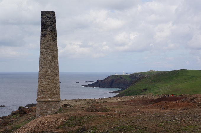
Apart from going inland 2 km to the village of St Just, our walk ended at Cape Cornwall. This is a striking conical headland once thought to be the most westerly point in mainland Britain. It was later determined that Land’s End had this distinction. Cape Cornwall is referred to as ‘the connoisseur’s Land’s End. A cape is defined as a headland where two oceans or currents meet; in this case the English Channel and St George’s Channel. At the highest point of the cape is a mining chimney dating from the 1850s. This has been left as a navigation aid.

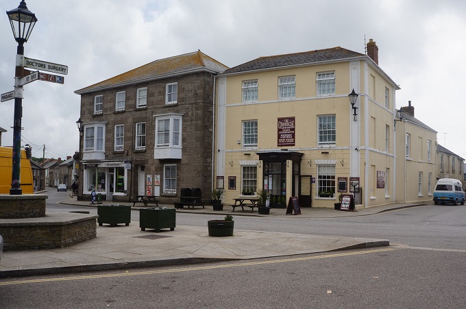
We are tonight in St Just, the most westerly town in mainland Britain. It is a lovely town, pop about 4,000 with a strong arts community. There are pubs and cafes centred around a tiny (triangular) square and most of the buildings are made of granite. Believe it or not, it is not known who St Just was!

St Just


Not as old as you think

St Ives to Zennor Treen, 14km, 525 metres of climbing

‘If you can’t figure out where you stand with someone, it might be time to stop standing and start walking’

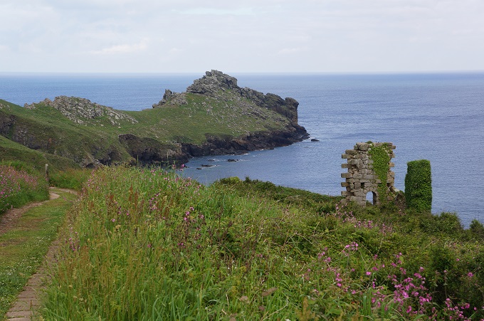
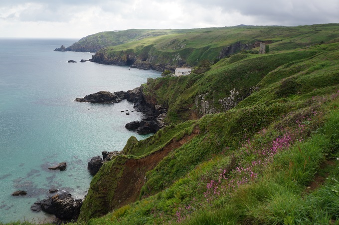
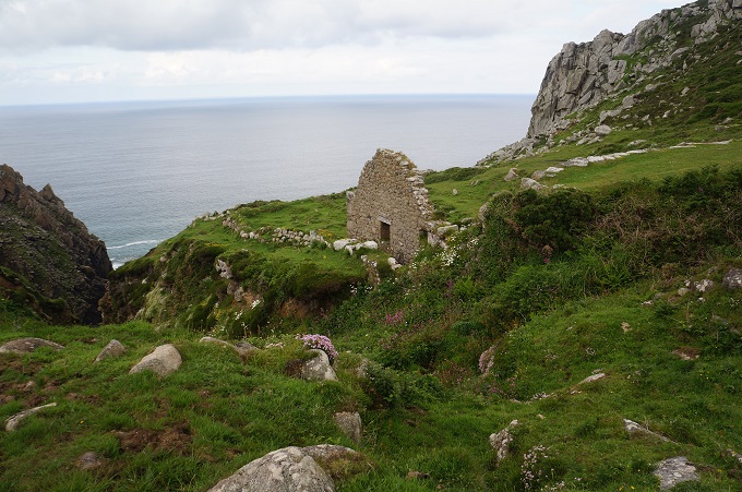
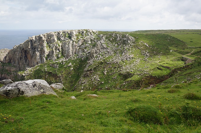
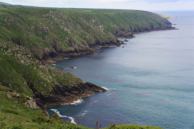
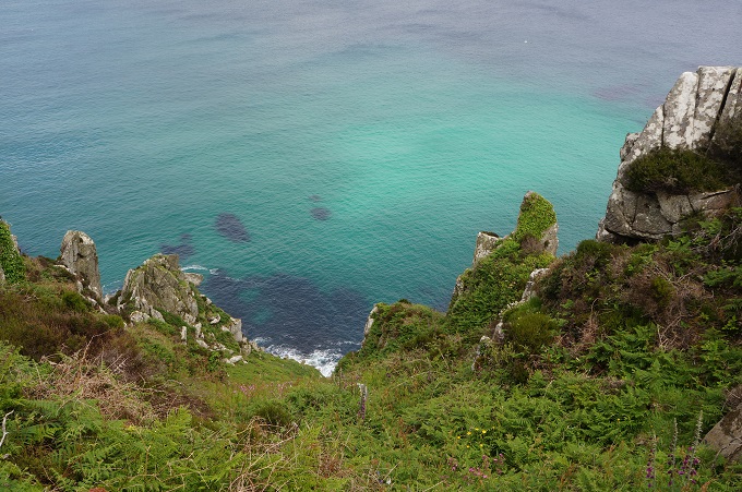
There were no settlements on the section today so its character was lonely and remote. It was supposed to be tough going with rocky scrambles and boggy lengths. It was described as a magnificent length with stark cliffs, rock pinnacles, tiny scenic coves with translucent water, rugged exposed headlands, ruins, inland views over empty moorland.

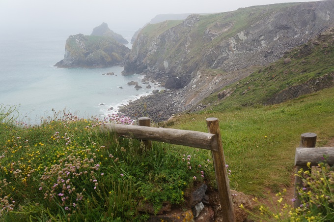
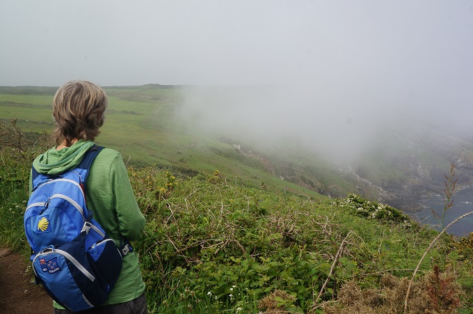
It was very good but we didn’t see it at its very best. St Ives was surrounded in mist as we left this morning and the mist hung around all day. Clearing occasionally but rolling in from the sea again. This made the temperature a bit cooler so it was excellent for walking without having the sun beating down on you.

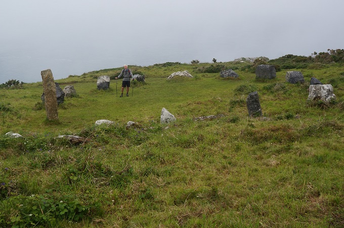
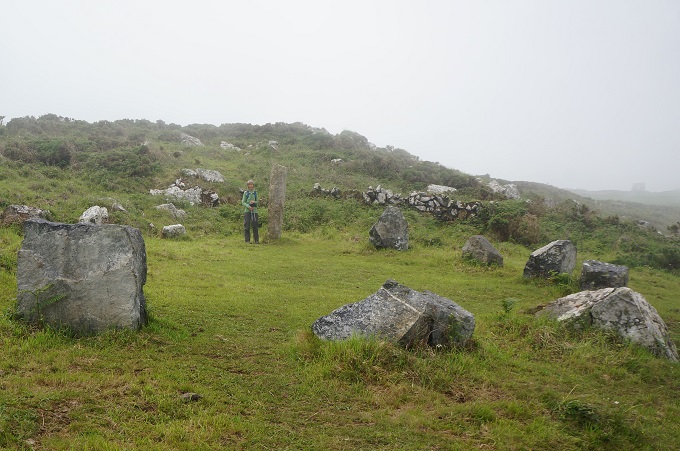
Early in the day we came across a stone circle, similar to the many we had seen in Ireland. Cornwall does have an ancient history. Mesolithic nomadic hunters and gatherers settled after the Ice Age. Neolithic man arrived about 3500BC and they had the skills to rear crops and raise flocks and the art of building ’quiots’ – stone chambers used for communal burials. In 2000BC the Beaker Folk arrived and many believe it was they who erected the stone circles and standing stones in southwest England.

Despite the prevalence of ancient monuments and standing stones in the area the one we saw is a more recent addition. Fable has it that these stones were once 13 old farmers, and one beautiful 19 years old virgin from St Ives (it is said that she was extremely difficult to find!) They were all caught dancing an ancient harvest fertility rite Morris Dance, on feast Sunday, by the local Magistrate, and were immediately turned into stone forever! They say this was about 1947.

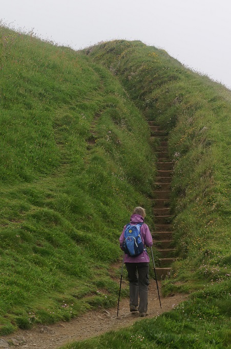
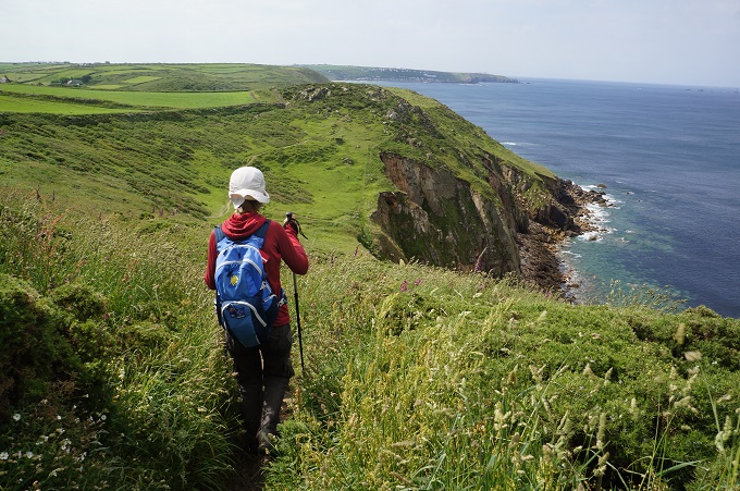
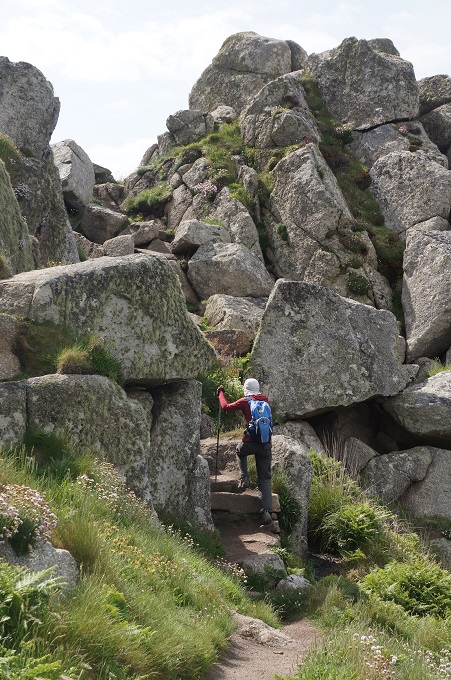
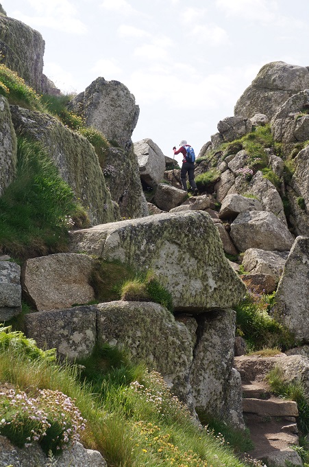
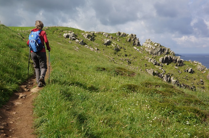
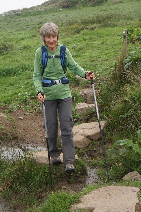
The path hugged the contours, sending us on an endless series of ups and downs but these were not as severe as those we did around Port Isaac. You had to keep your eyes on the ground all the time as it crossed boggy fields and rough and rocky terrain. This made for very slow walking.

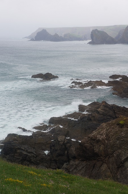
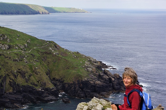
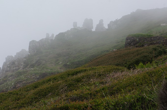
When the mist cleared the coast and off shore island were quite dramatic and there were some amazing granite rocky outcrops. When the mist closed in these looked as though we were being pursued by giants. There were seals far below hauled out on the rocks near River Cove and off shore we could see The Carracks, islands where the tour boats from St Ives go to see the seal colony.

Macs Adventures had made some complicated arrangements for us today. They had us walking about 11km from St Ives then going inland 1 km to Zennor where a taxi was booked for 5.30pm (???) to drive us about 3 km to The Gurnard’s Head Hotel at Treen. A return taxi was booked for 9.30 am tomorrow morning. But by continuing to walk on the coast path for another half hour there was a turn off and about a 1km walk inland to Treen. This is what we did and at the hotel rang up and cancelled both taxis.

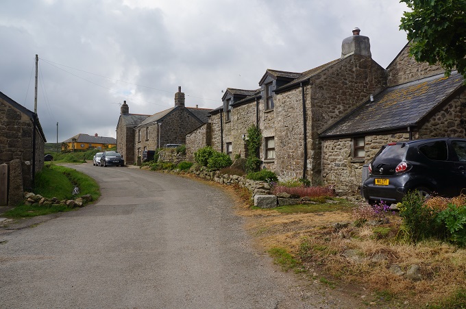
Treen has the hotel, a bus stop, a mail box and a stone farmhouse with a lovely stone barn. What a contrast to last night in St Ives!