All posts by Paul Lenihan

Happy and Sorry

Portwrinkle to Plymouth, 23 km, 661m climbing

‘Hope is the dream of a walking man’

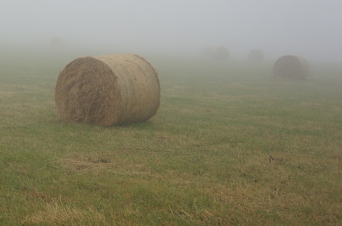
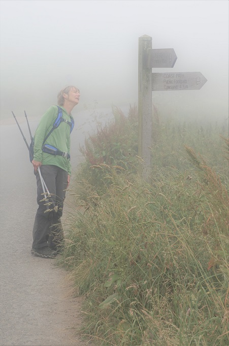
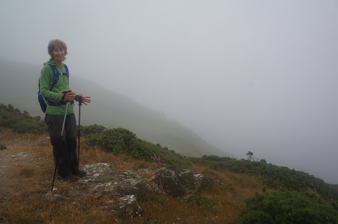
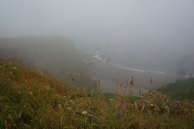
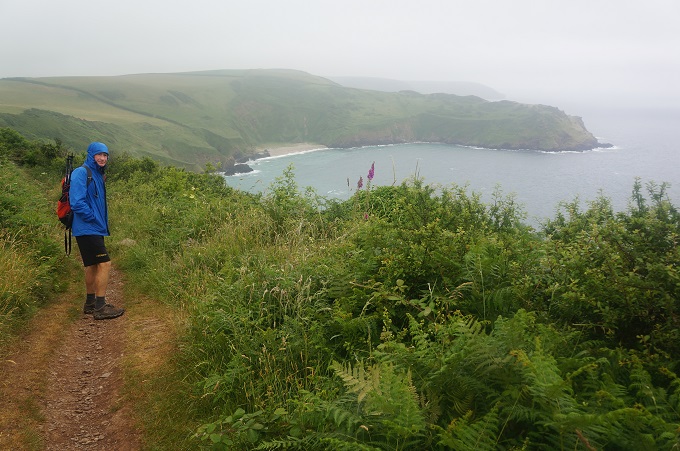
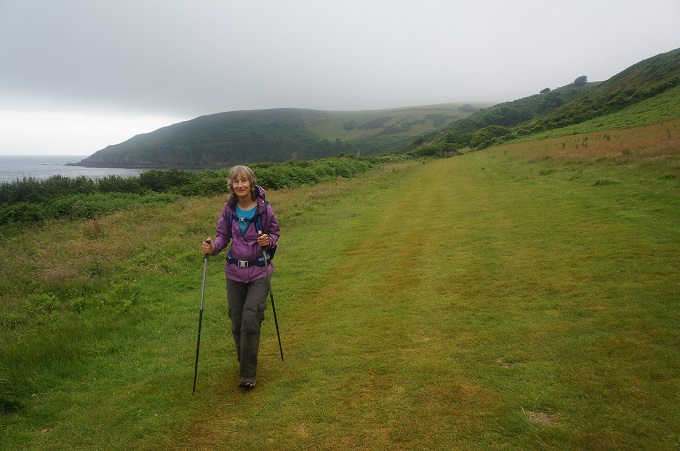
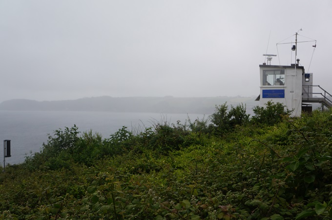
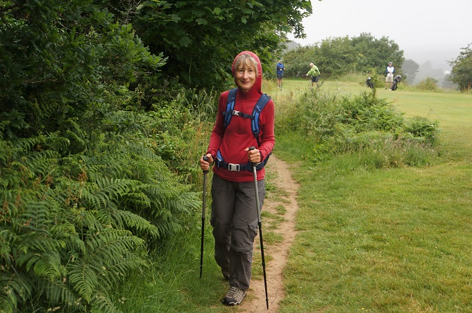
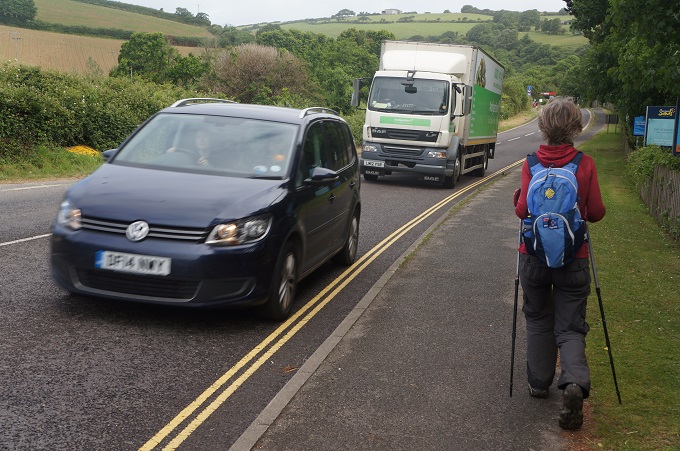
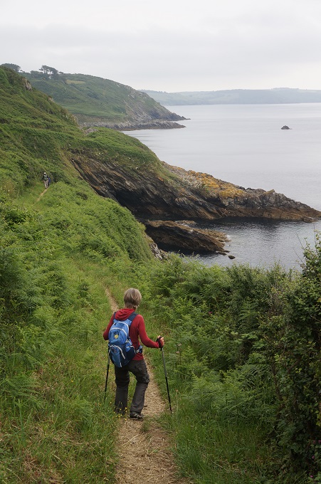
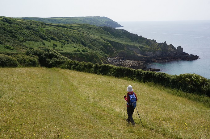
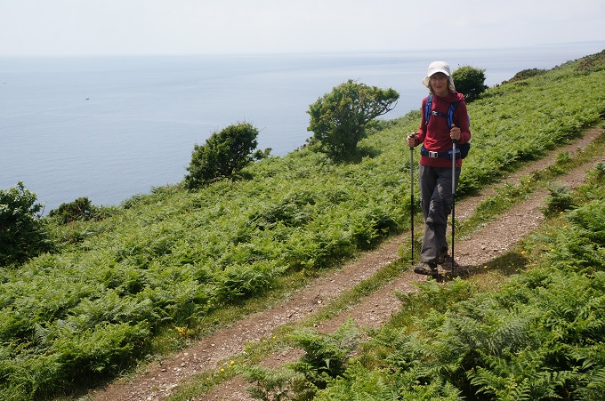
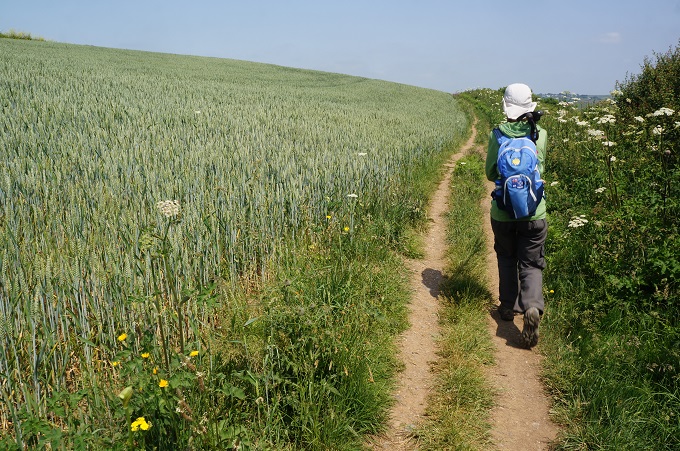
Our last day of walking started out not so good but got better and better as we progressed to our final destination, Plymouth. We woke to thick, low mist although the forecast was for this to clear later in the day. From the Little Fox we had to find our way back to the path, a distance of about 1km. This involved walking along a road then diagonally crossing a couple of fields. On a bright sunny day this would have been easy but in the whiteout mist I got a bit disorientated and was wandering around fields with bales of hale randomly emerging from the murk. Eventually we found a road, I wanted to go left, Barbara was sure we should go right. This time she turned out to have a better sense of direction than I did. Walking on the road was nerve racking in the white out. There was no shoulder or footpath and cars and trucks would come flying out of the mist. We could hear them coming long before they suddenly were in front of us.

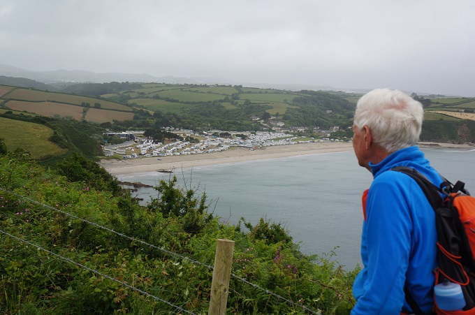
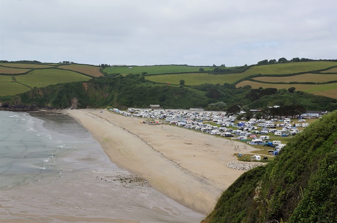
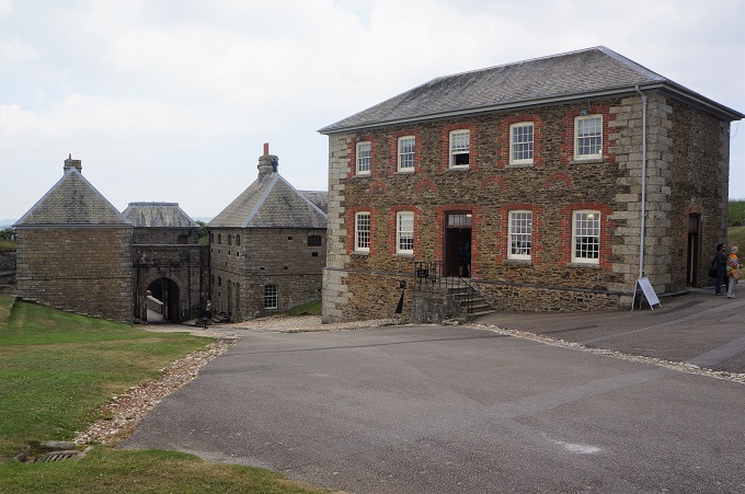
The next obstacle was the gunnery ranges at Tregantle Fort (military area). If a red flag is flying it indicates the ranges are being used, all the gates are locked and an alternative path along the road must be used. No flags were flying today so we could use the off-road path through the fort. From here the path flirted with minor tarmac roads and a cliff side trail past wooden holiday chalets.

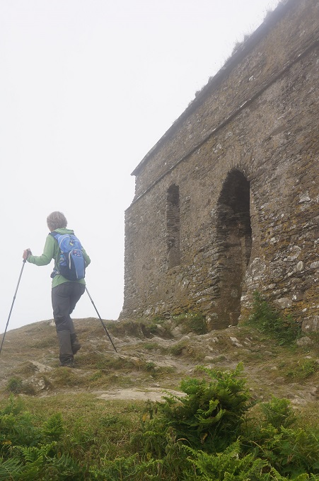
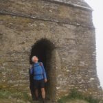
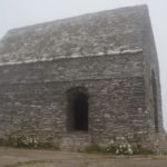
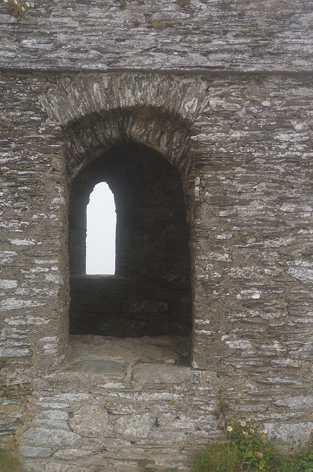
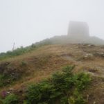
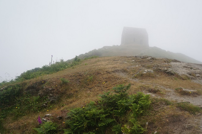
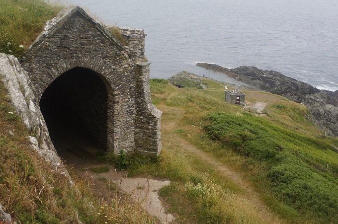
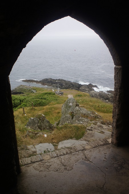
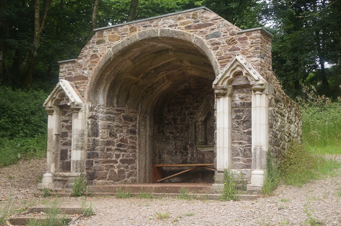
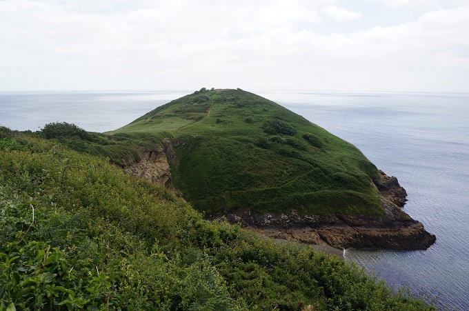
The highlight of the day came at Rame Head. This was the only climb of the day and was a gentle one. At the summit, emerging from the mist was a lovely little chapel, dedicated to St Michael. The building dates back to the 14th century and is built on the site of an even earlier Celtic hermitage. A priest would stay here and keep a beacon burning for passing ships.

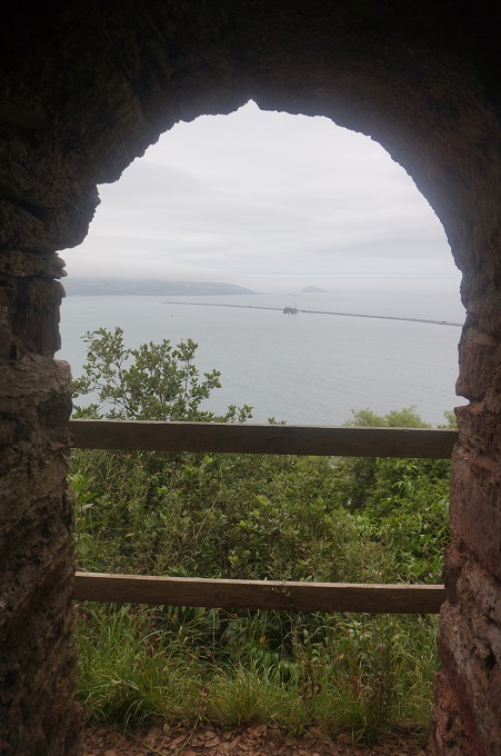
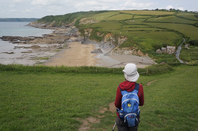
We knew we were getting closer and closer to Plymouth as more and more ships started appearing in the sea off to our right. Yachts, a tanker, a warship, ferries. The walk was very, very easy on a gentling sloping wide path, mostly through woodland. We passed a little grotto and chapel and a ruined Folly Tower – built in the 19th century for Princess Adelaide (wife of William IV, and the women after whom Adelaide in South Australia is named). The last section to Cremyll was through Mount Edgecumbe Park with its historic house and gardens and the national camelia collection.

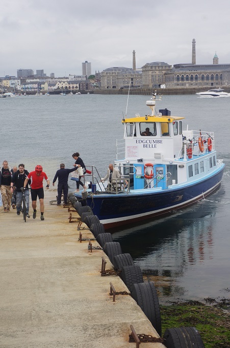
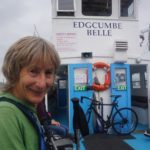
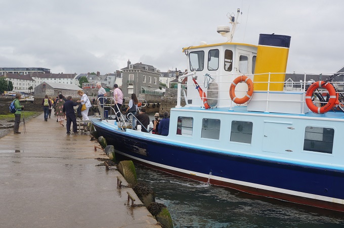
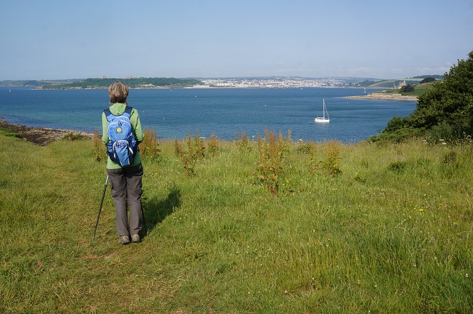
At Cremyll we caught the ferry across the River Tamar to Admiral’s Hard, Stonehouse, in Plymouth. This was a ten minute journey and half way across we passed from Cornwall into Devon. The river being the boundary. A ferry has been operating here since 1204. Presumably not the same boat.

So we have reached Plymouth and the walk is over. We always have mixed feelings at this stage. Happy to have accomplished our goal. Sorry it has ended. Happy to not have to put on our filthy walking shoes tomorrow. Sorry the simple rhythm of eat, walk, sleep is over. Happy to rest our weary bodies. And in about two days time sorry we can’t go and do it all over again.
It has been a really happy trip, a fun trip because we spent a lot of time doing things we really like. It was challenging at times but never too challenging. We feel quite proud to have completed over 500 km of a walk that has many sections classified as strenuous and some classified as severe.

Traditionally this section ends at the Mayflower Steps so tomorrow morning we will go and find them and then we will have officially finished. But we won’t be in our smelly shoes and walking clothes.


Last But One

Looe to Portwrinkle, 13 km, 599m climbing

‘There are some walks you have to take alone’

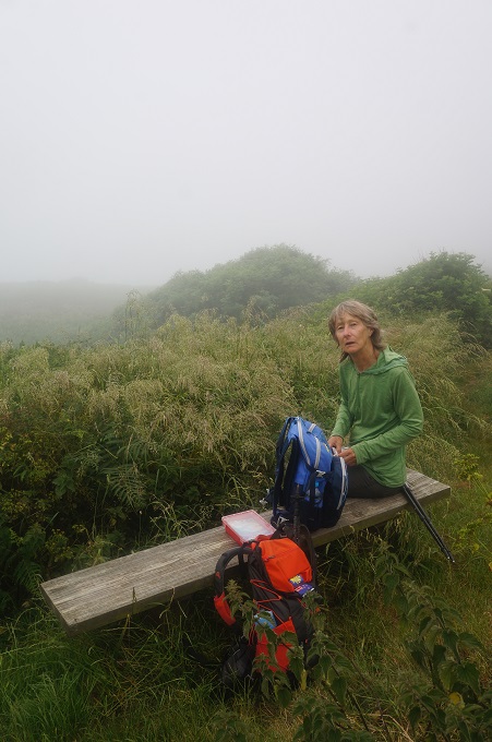
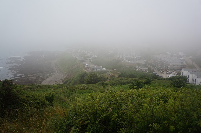
A short and uneventful day today. Not a great deal of interest and what was of interest we probably missed in the mist. The walking was sometimes a bit monotonous (maybe it’s just us, this was our 29th day of walking) and too much of it was done on roads, often narrow and without a shoulder or footpath.

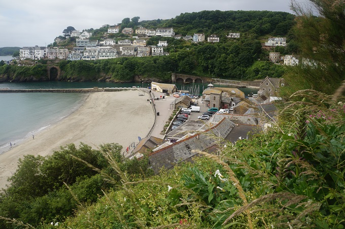
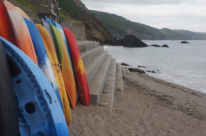
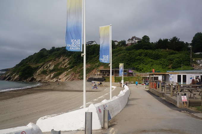
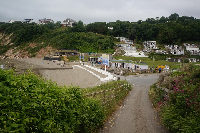
Leaving Looe we came to the rather strange seaside hamlet of Millendreath. It was once a thriving holiday village but for a few years was largely abandoned. Many of the homes are boarded up. It seems to be reviving with two new cafes on the beach and rebranding itself as Black Beach.

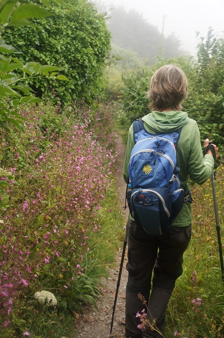
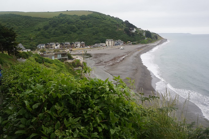
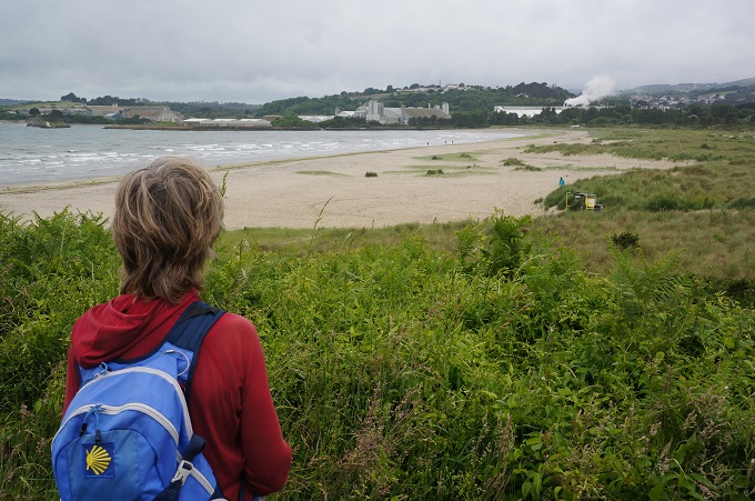
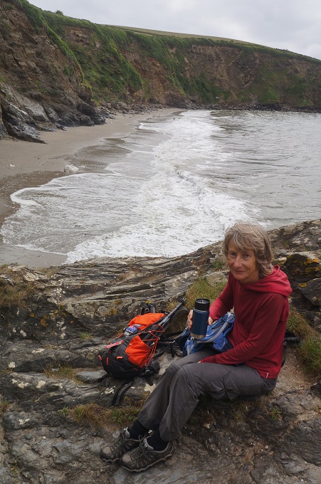
At this stage there wasn’t much walking near the coast, the path being diverted due to numerous slips. It wasn’t unpleasant, we walked along quiet roads, through woodland, across grassy fields and through a pine plantation. Eventually we came to the beach at Seaton and had a coffee from our Kanteen. At low tide you can walk on the beach for the next 2 km to Downderry but unfortunately it was nearer high tide so we had to walk along some very monotonous streets of bland modern seaside housing.

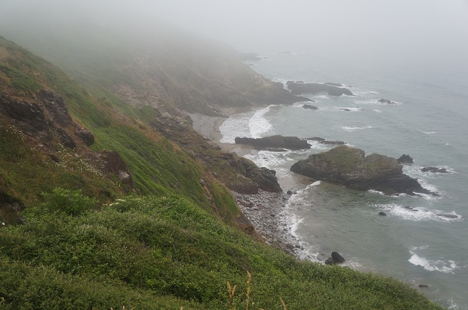
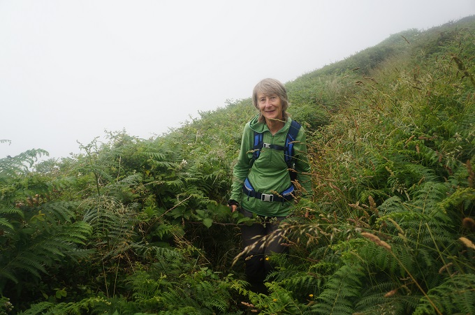
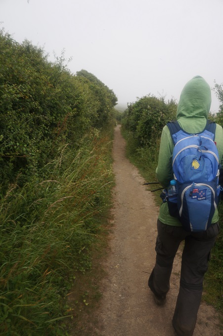
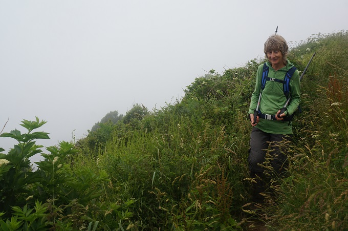
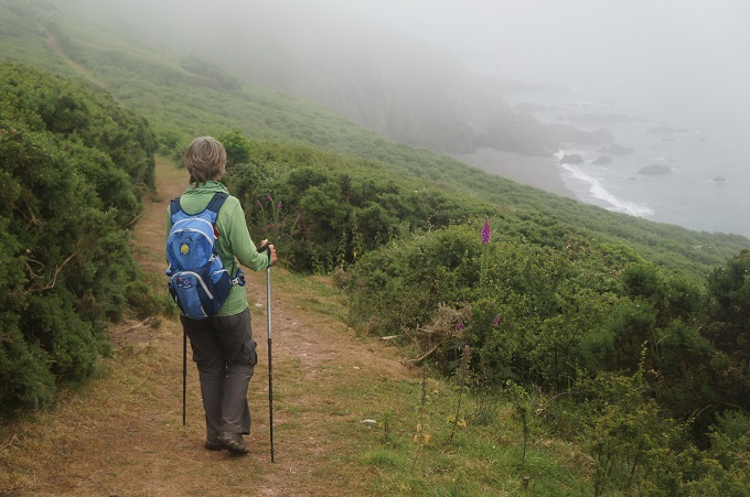
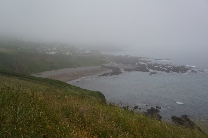
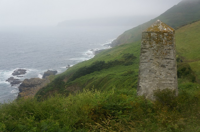
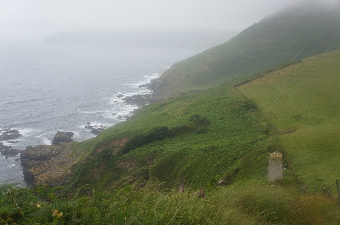
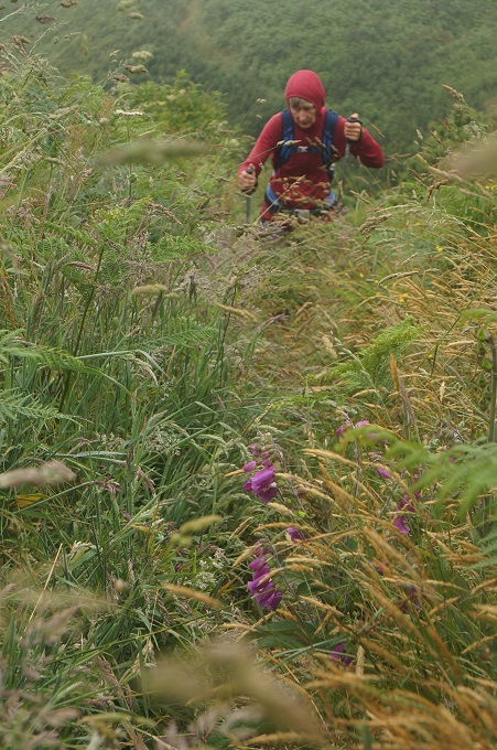
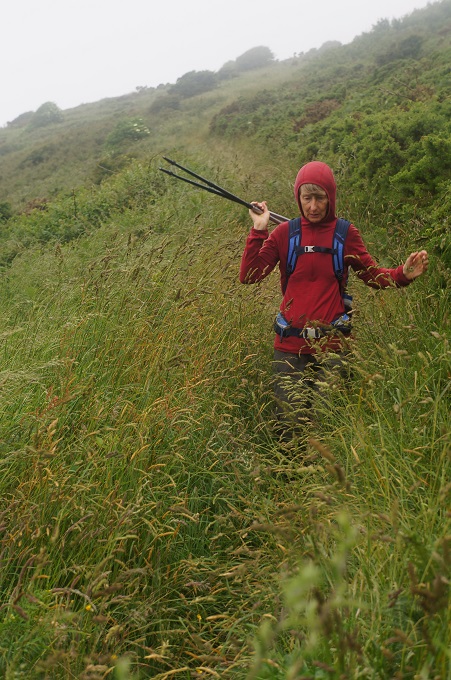
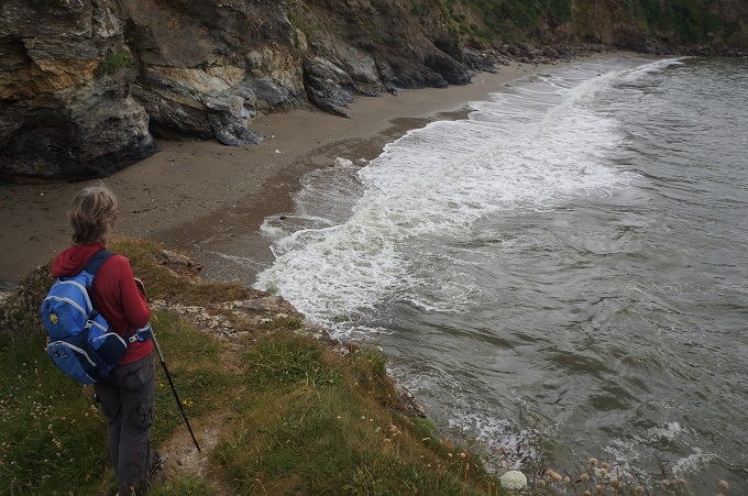
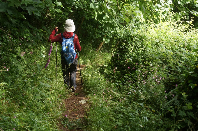
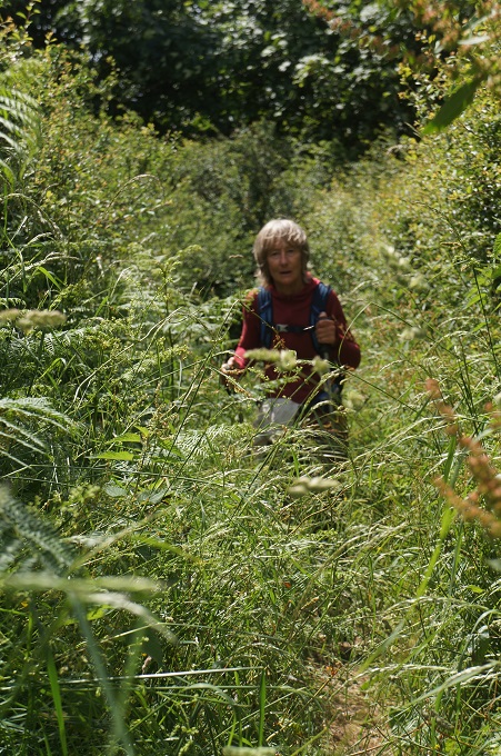
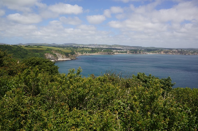
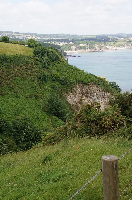
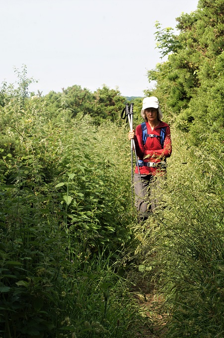
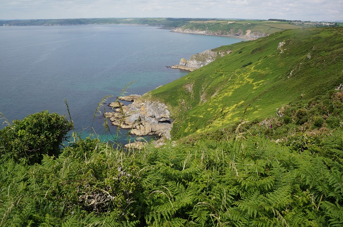
Off the road and back on the Coast Path we did the only real climb of the day up onto the cliffs. The vegetation was so lush it was often hard to find and follow the path. The hedgerows, bracken, brambles, nettles etc were up to our shoulders at times. The summit was covered in mist and what should have been great views along the coast were just whiteout. We could hear, but certainly couldn’t see, the waves crashing on the rocks below.

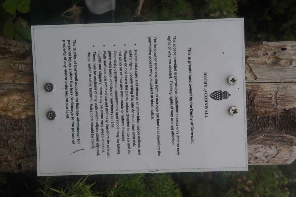
We did see a notice screwed to a fence, from the Duchy of Cornwall, ie Prince Charles. The guts of this is that this is their private land and the access they are providing is ‘permissive pedestrian access only’ and no new’ rights of way’ are created.

In the UK rights of way are theoretically established because the owner has dedicated them to public use. However, very few paths are formally dedicated this way. If members of the public have been using a path without interference for 20 years or more the law assumes the owner has intended to dedicate it as a right of way. If a path is unused for 20 years, it does not cease to exist, the guiding principle is ‘once a highway, always a highway’.

On a public right of way you have the right to ‘pass and repass along the way’ which includes stopping to rest, admire the view or consume refreshments. You can also take with you ‘natural accompaniment’ which includes a dog. Farmers must ensure that paths are not blocked by crops and if crops are growing over the path you have every right to walk through them.

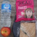
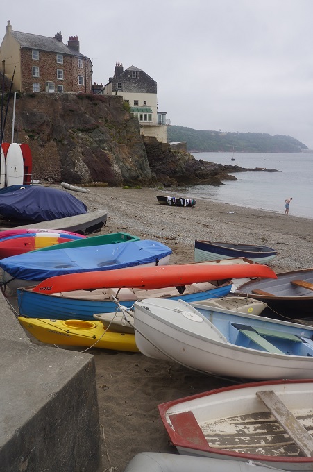
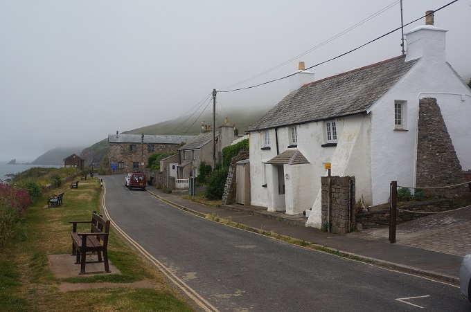
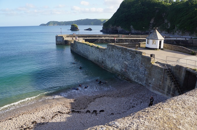
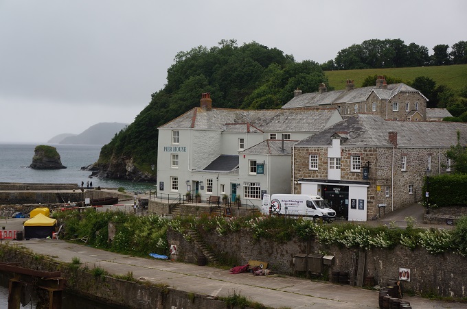
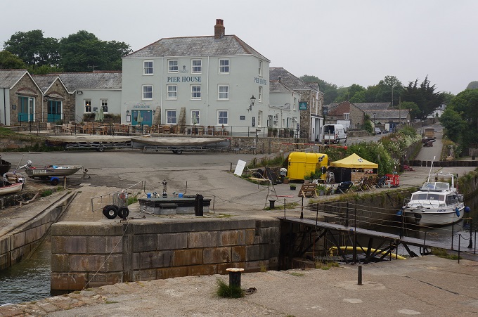
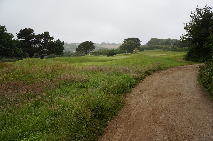
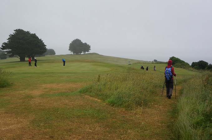
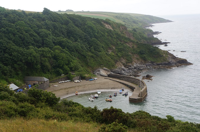
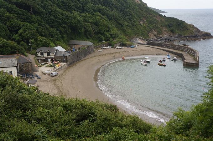
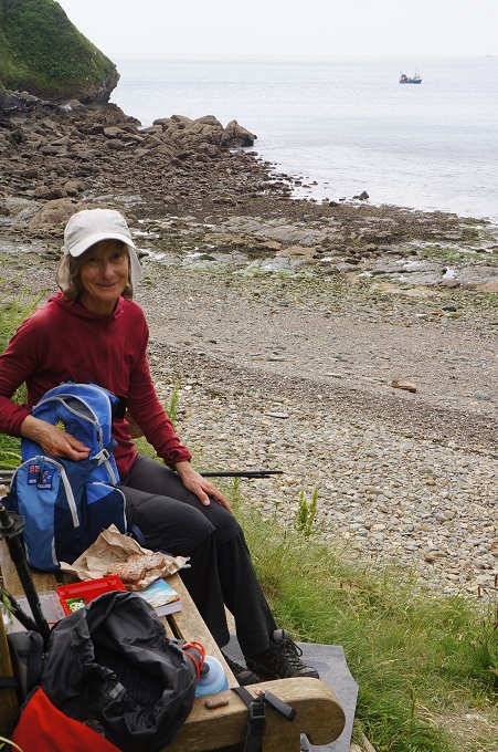
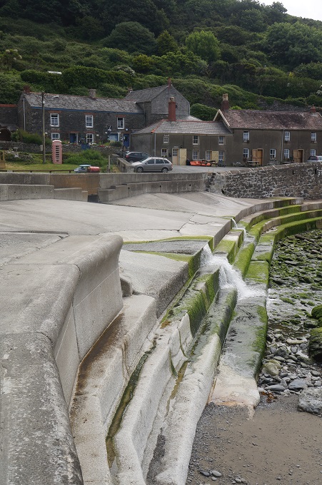
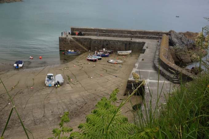
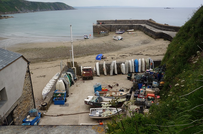
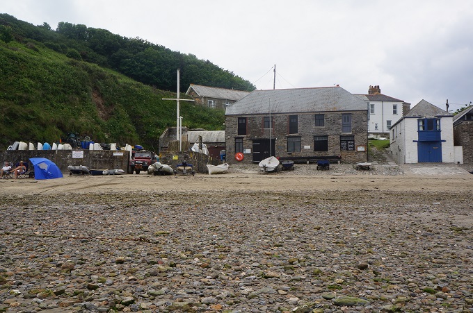
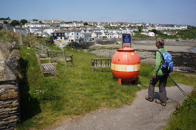
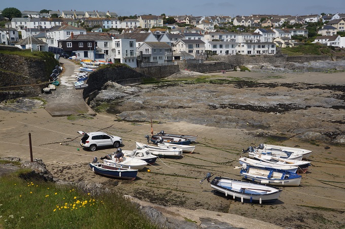
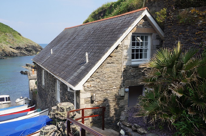
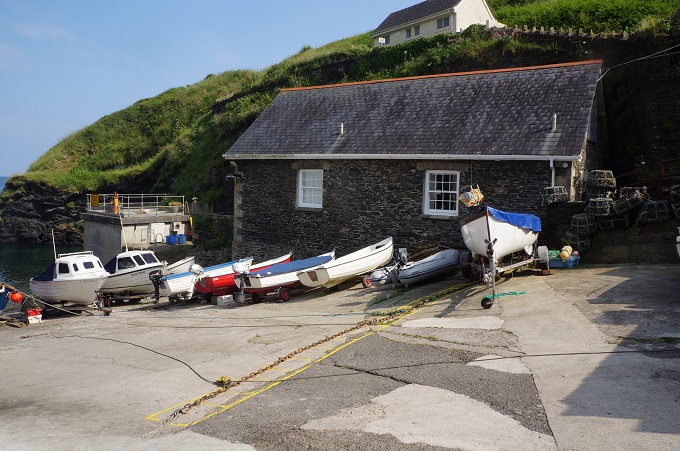
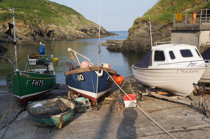
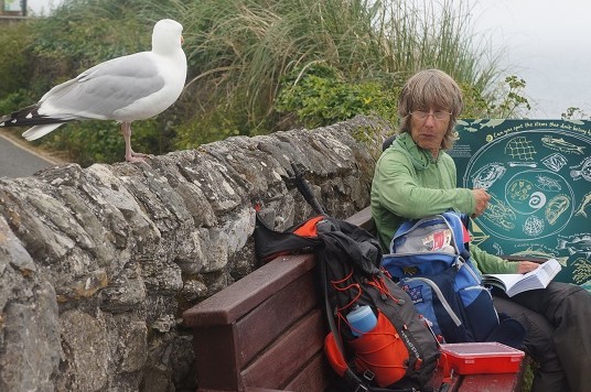
Having the permission of the Duchy we proceeded down to sea level and Portwrinkle. It has a little stone walled harbour empty of boats, a grand hotel (with ghost), a café, seaside houses, a bus stop, public toilets and a golf course. It has no charm and character at all. We stopped to eat our lunch and spent most of the time warding off a very pesky, determined gull.

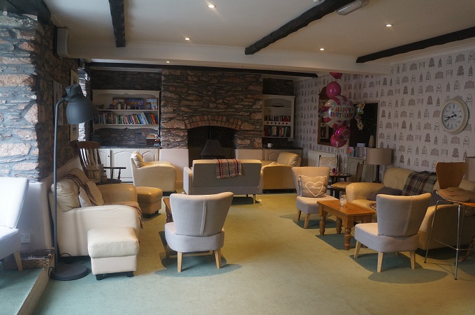
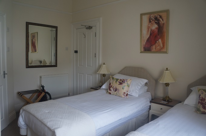
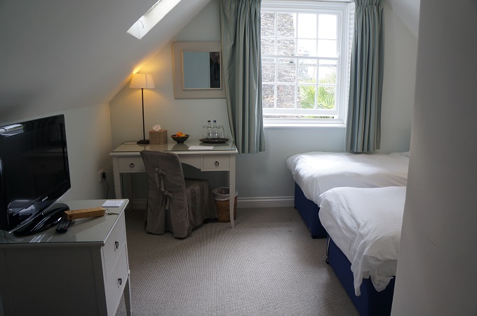
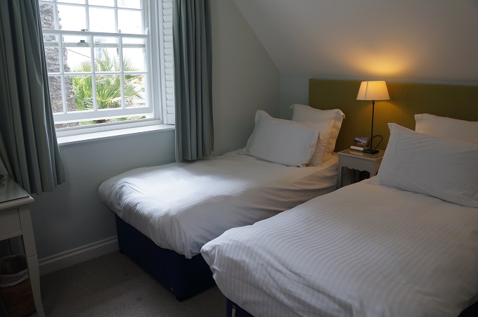
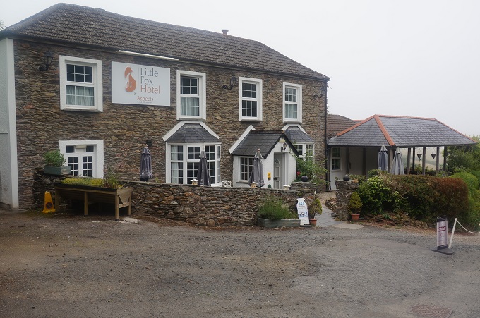
A walk along the side of the golf course and inland a bit and we are at The Little Fox Hotel. A very comfortable establishment standing alone among woodland and fields. Our room is in a very nicely converted stone stables and is the largest of the thirty we have used on this adventure so far.

Today was our penultimate day so we have mixed feelings about tomorrow. Feeling a bit flat.


Three Villages

Fowey to Looe, 19 km, 827m climbing

‘Maybe I can’t stop the downpour but I will always join you for a walk in the rain’

A damp day today. In Ireland they would call it a soft day. Just enough drizzle to make you damp so you put on a rain jacket. Then it clears a bit so you are too hot and take off the rain jacket. As you go around a headland it is windy and cold so on goes a warm layer. Up the next hill you get far too hot so off comes a layer. At the top it is misty and drizzly so the rain jacket goes on again. Costume changes all day.

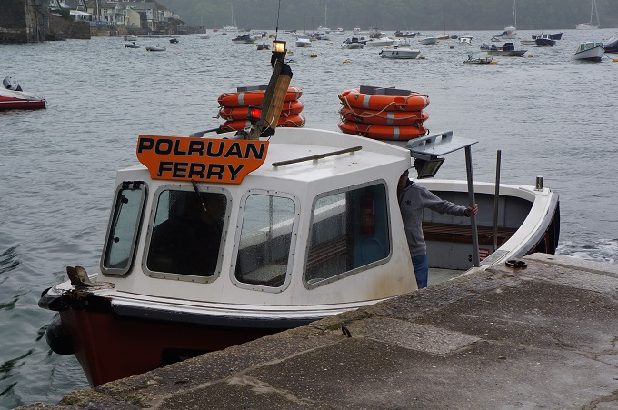
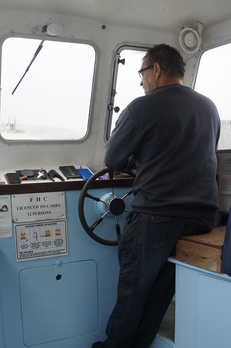
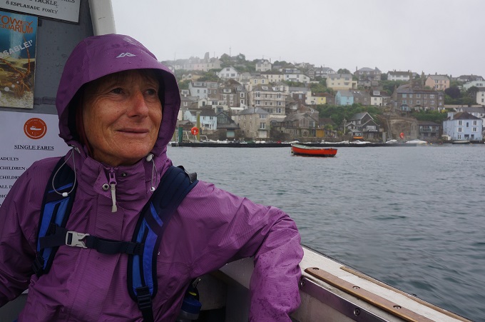
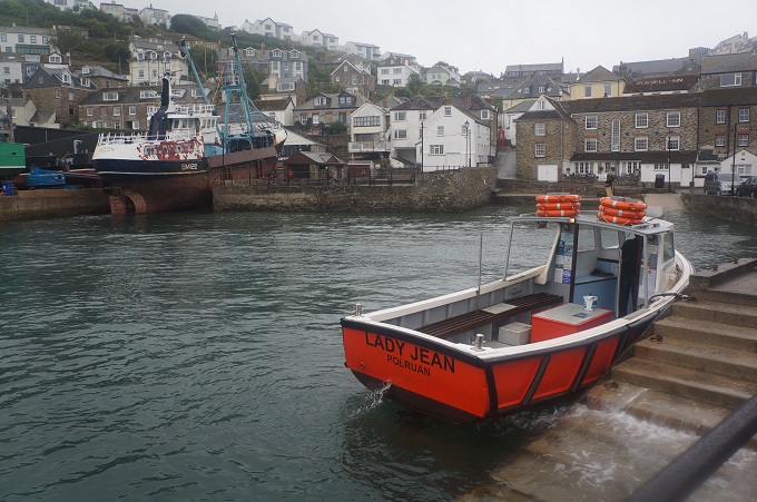
Today was a day of three villages separated by two quite different walks. At Fowey we caught the ferry over the river to Polruan on the other side, a ten minute crossing. The first scheduled sailing was at 9.45 am but as usual we were there just before 9 am. Almost immediately a ferry boat arrived and the ferryman said he would take us there and then. This was great as it put us ¾ of an hour ahead of schedule for the day.

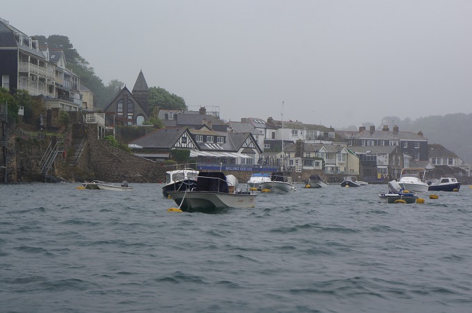
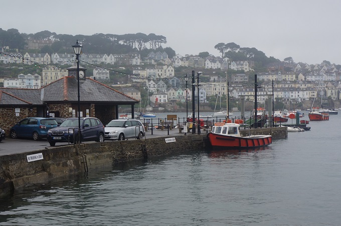
Polruan is a much quieter and serene version of the bustling and touristy Fowey even though they are so close and face each across the river. A couple of kilometres upstream there is a car ferry linking the two villages. It was a bleak and breezy morning and the crossing was quite choppy. On a clear sunny morning the view back to Fowey would have been fantastic but today it almost disappeared in the murk.

The walk to Polpero was hard work with a lot of climbing up impressive headlands. Again it wasn’t looking its best in drizzle. This part of the path was very overgrown and you couldn’t look at the views much as you had to concentrate on where to put your feet down there somewhere in the foliage.

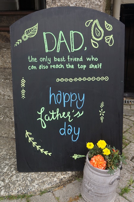
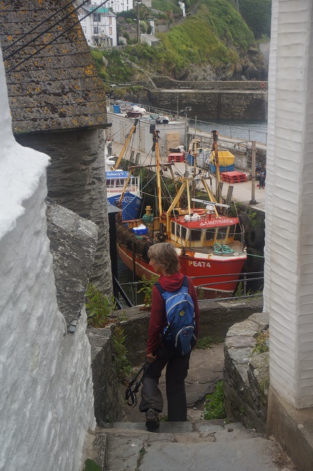
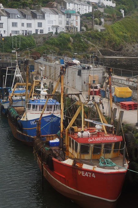
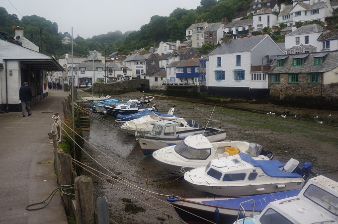
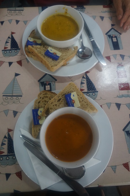
Polpero is yet another picturesque town, squeezed between two high hills clad in pine forests. The layout is unusual as the town is strung out along two parallel roads stretching inland for about a mile. It survives on fishing and tourism and was very busy today as it was Fathers’ Day. It’s another village you come across unexpectedly. Walking around a quiet and remote headland you suddenly come across a high stone harbour wall and behind it tiers of white houses stacked up on the sides of the valley. We stopped for some lunch of soup and bread.

After lunch the walk was gratifyingly gentle on ever reducing low headlands. This weekend, Sat and Sun, there was a Coast to Cove event on – running or walking – and the path was freshly mown and a dream to walk on. This was the easiest walking in 4 weeks. Nearing Looe you pass Looe Island (aka St George’s Island) which you can actually walk to a couple of times a year when the tide is particularly low. According to local legend, Jesus of Nazareth visited Looe Island with Joseph of Arimathea in order to buy tin – though presumably he didn’t need to wait for the tide in order to walk out.

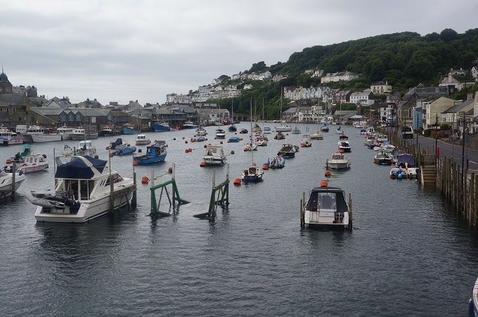
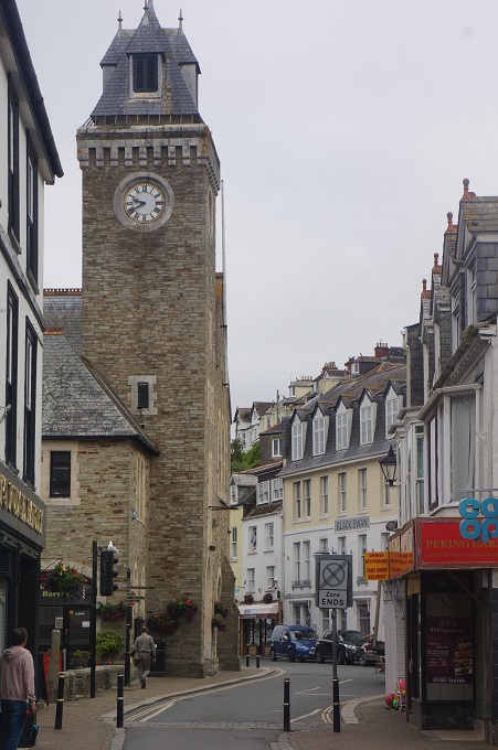
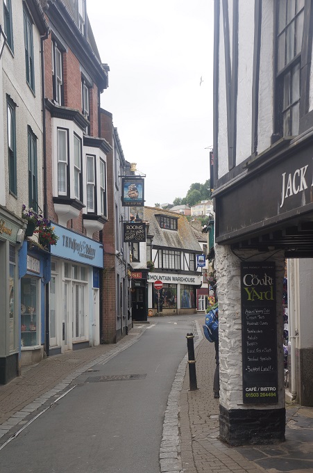
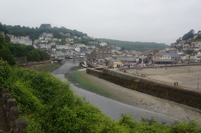
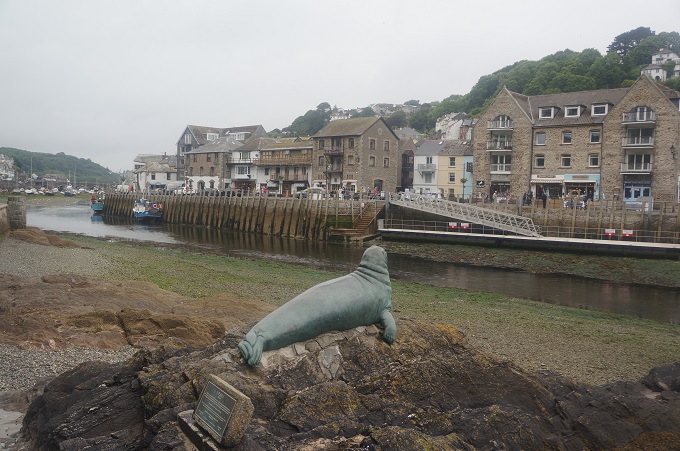
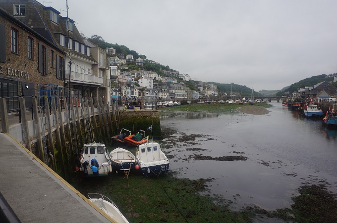
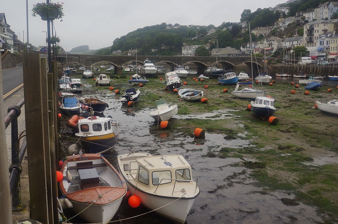
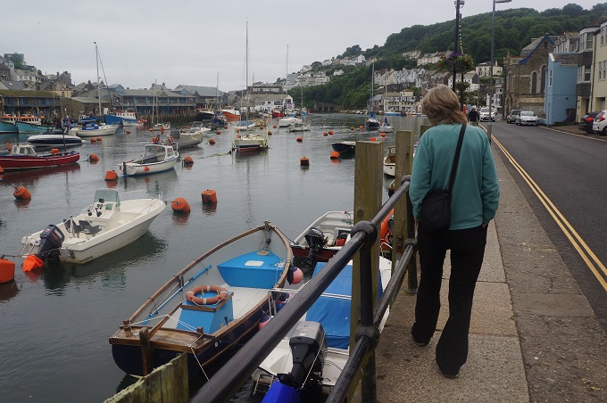
Loee (pronounced loo) is a medium sized coastal town divided into two halves – East and West Looe –  by the river of the same name. The river is crossed by a stone arched bridge. The town has a long history as a commercial port and boatbuilding town, but only really grew in the 19th century with the Victorians’ insatiable appetite for seaside holidays. It still has a fishing industry and a tourism industry. We are staying here tonight and found it a bit odd. All the accommodation is in West Looe but all the entertainment, pubs, cafes etc are in East Looe.


Separate Ways

Charlestown to Fowey, 19 km, 345m climbing

‘I’m walking my own path, your approval is not needed’

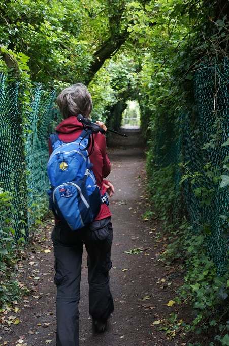
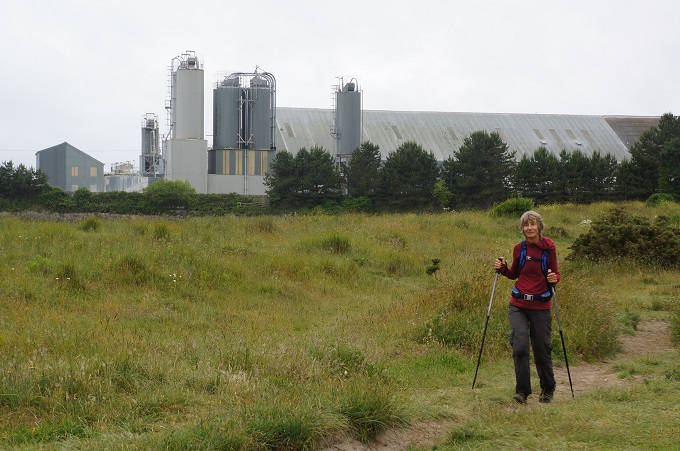
Our trip notes described today as being positively gentle with the price to pay for this leniency being a walk around a golf course, then around the back of a large china clay works and walking alongside a section of busy road.

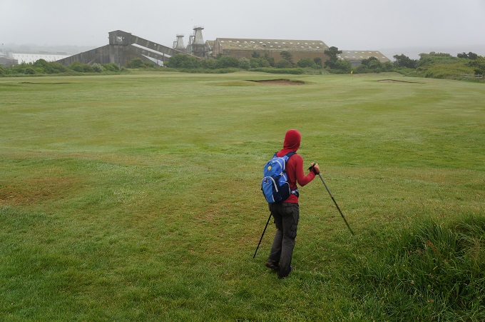
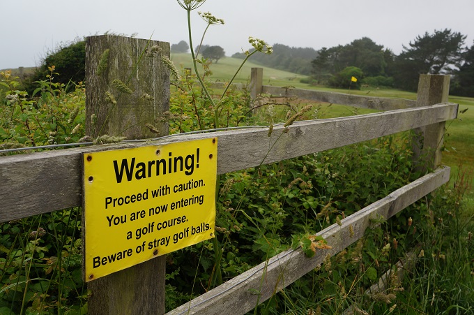
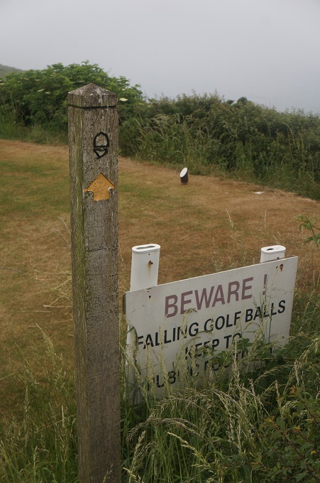
It was a bit murky and very slightly drizzly as we left Charlestown and after a climb onto some low cliffs we were soon walking around the edge of the Carlyon Bay golf course. Walking actually on the edge of the fairways. There were lots of signs warning us of stray golf balls and despite the weather there were a lot of golfers out on a Saturday morning. It seemed like we walked the length of all eighteen holes and survived without being hit by any hooks or slices.

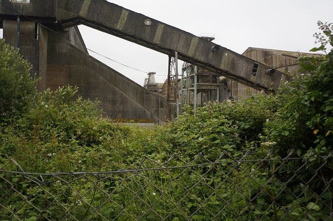
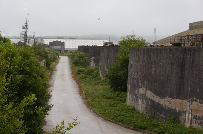
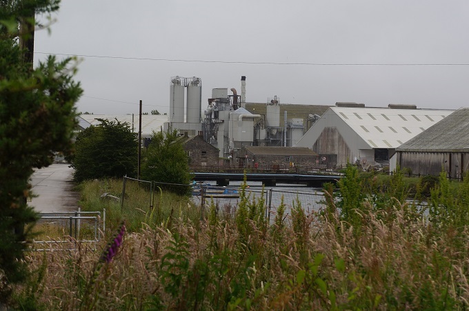
Immediately after the golf course the path took us inland around a large china clay works. It is on the coast and has its own harbour and wharfs and the whole area it occupies is out of bounds. We passed huge derelict warehouses, conveyor belts and industrial machinery from the first factory set up in the 19th century. Then past the present operating factory with even larger modern buildings. This was all quite interesting in its own way even if not very attractive. It did remind us that we are still in the real world even while walking the beautiful, wild and remote coast.

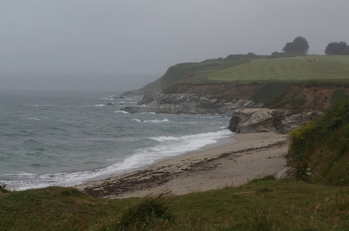
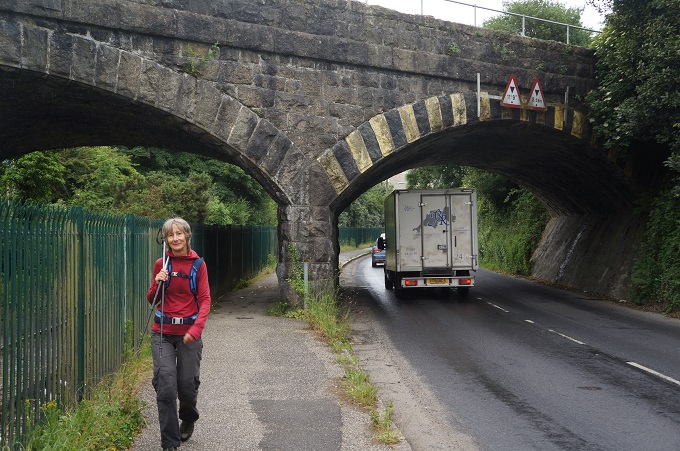
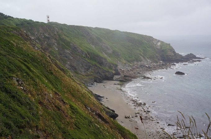
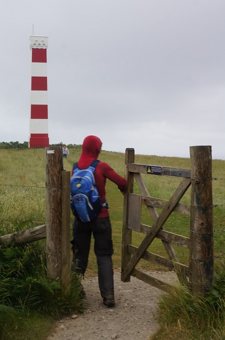
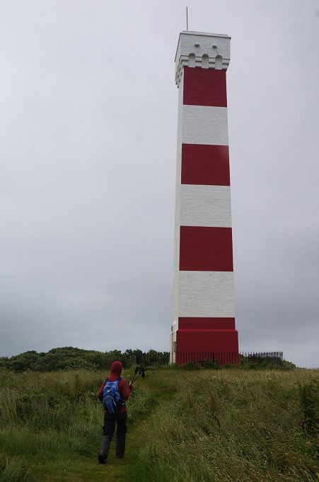
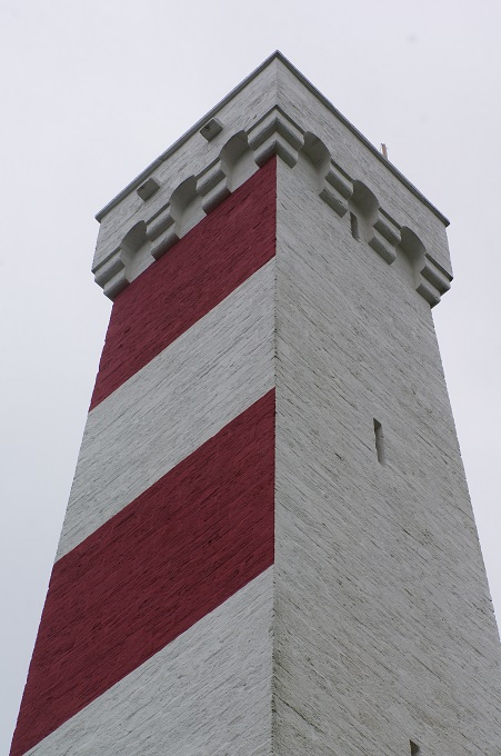
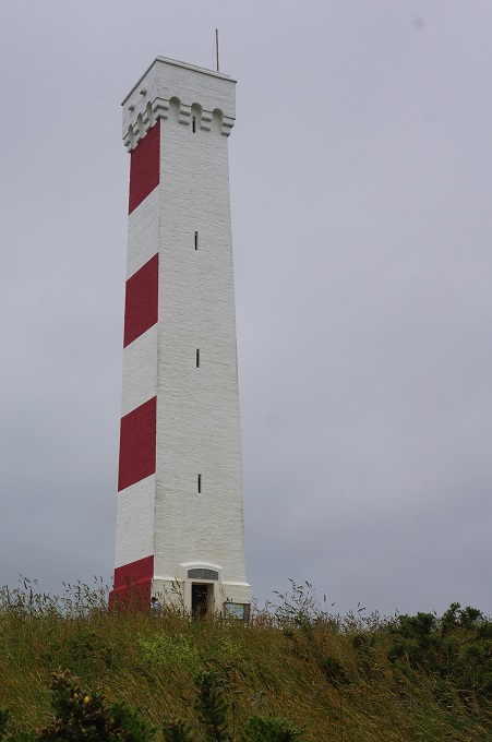
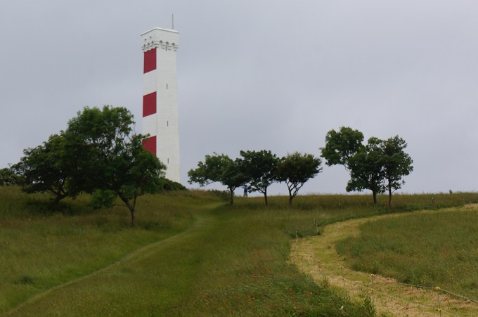
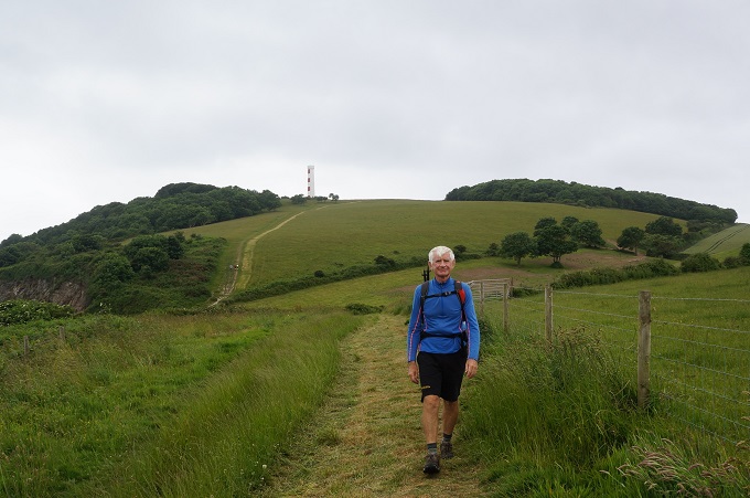
To get around the china clay works we had to walk alongside some busy roads, under two railway viaducts and through some streets of pretty mundane workers’  housing. Eventually we got onto a nice beach and then up onto some low cliffs. After passing through Polkerris and its lovely little enclosed beach we tackled the only real climb of the day up to Gribbin Head. On the summit is a red and white painted tower, or daymark, built in 1832 as a navigation aid to sailors to pinpoint the entrance to Fowey Harbour. It is described as a ‘handsome Greco-Gothic Square Tower’, well maybe.

In WW2 this area, and a headland we had climbed just outside Falmouth, were used as decoy sites to lure enemy bombers away from Falmouth and Fowey. Special effect systems were scattered strategically across the headlands and controlled from bunkers. The effects were designed by British film studios to simulate lights from docks, railway tracks and stations, and fires caused by exploded bombs. As enemy bombers approached, the bunker crew switched on the lights. Flying at night the air crew were fooled into thinking they had spotted Falmouth or Fowey. As the bombs were dropped the bunker crew triggered fires and explosions to give the impression of successful bomb strikes.

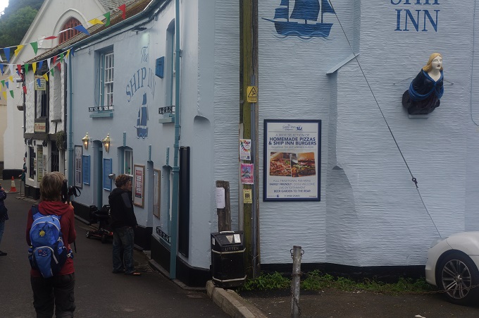
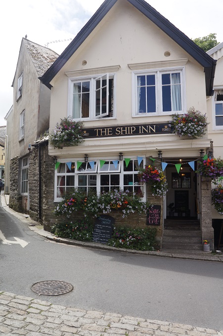
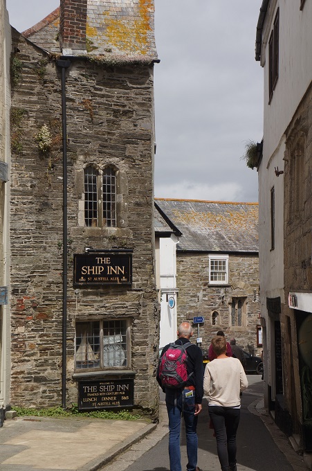
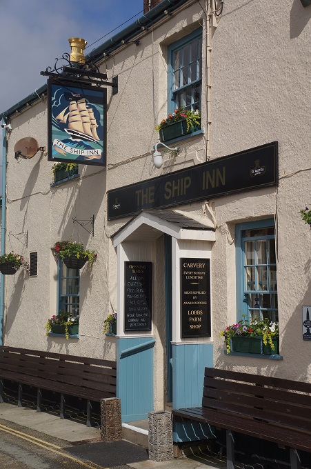
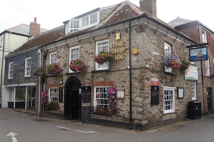
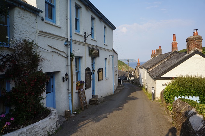
Next a descent from the head to another sheltered beach with a pond and a lovely stone house – the inspiration for the beach house in Daphne du Maurier’s novel Rebecca. Then into Fowey – pronounced ‘Foy’ (as in toy). An incredibly quaint, laidback and serene little Cornish town, one of the most attractive on the whole of the coast path. Once a major trading port, the fortunes of Plymouth expanded at Fowey’s expense, and the locals returned to fishing and smuggling, and now tourism to make a living. We arrived in Fowey quite early so went to a pub to have some lunch and guess what, it was a Ship Inn. Our third Ship Inn in four days.

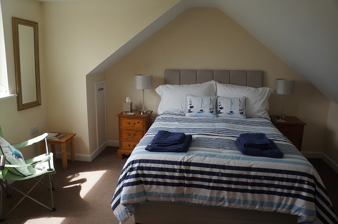
Our bags were on a different holiday today. They went to one place, we went to another. Our hostess Doreen tracked them down and they were delivered within half an hour in a perfectly restored VW Kombi van. About 10 days ago Max Adventures emailed us to advise our proposed accommodation in Fowey (Wellington’s Guesthouse) was double booked and we could either stay a third night in Charlestown (and shuttle by taxis) or change to a standby B & B in Fowey, which we chose to do. However our bags went to Wellingtons while we went to 4 The Windmill. The luggage transfer company hadn’t been advised of the change by Max! All ended well and we have been able to have a shower and change into relatively fresh clothes.


The Eden Project

The Eden Project

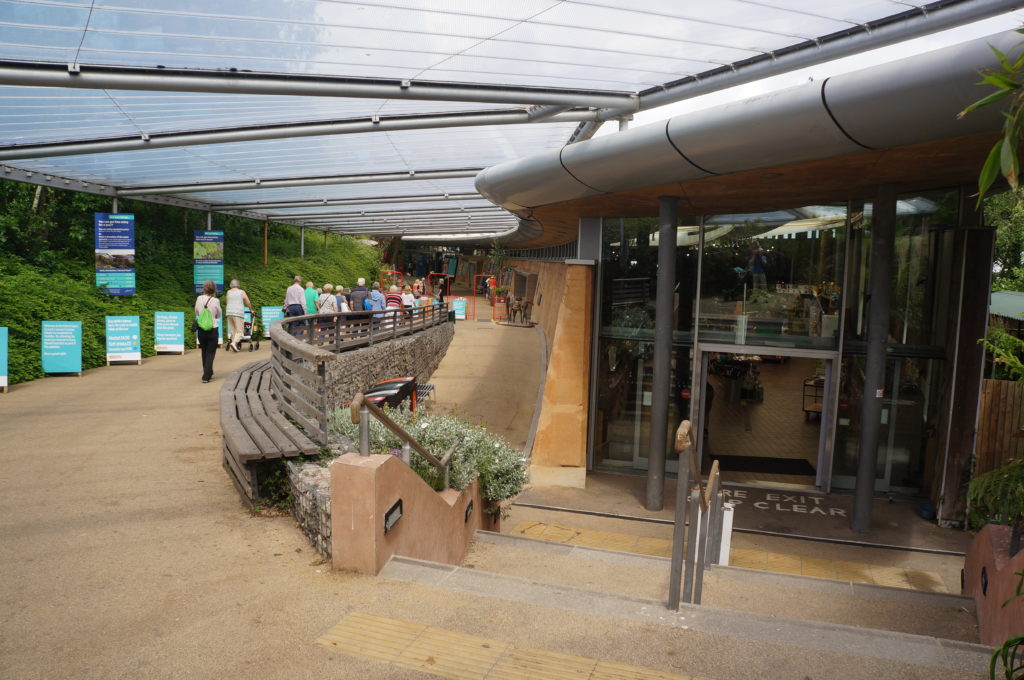
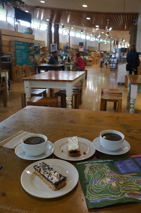
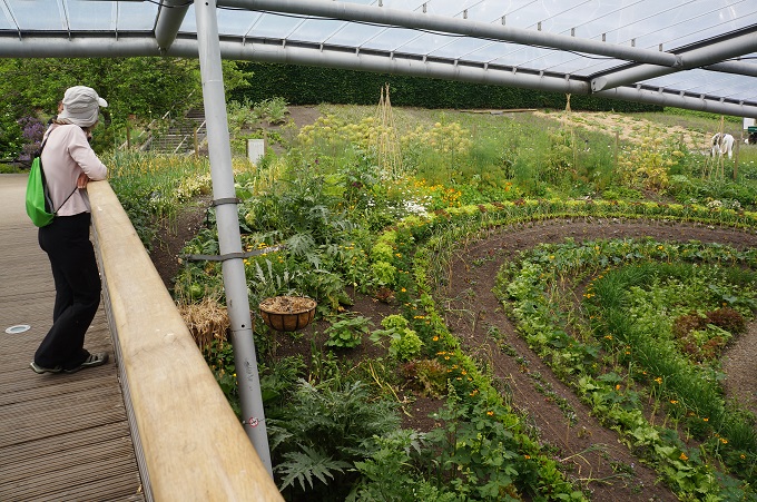
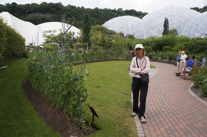
Today we went to the Eden Project. This a little distance away from Charlestown so we walked about two and a half kilometres to the St Austell railway station and caught a local bus that takes you right to the entry. If you go there by train, bus, cycle or walk there is a discount of 10% on the entry fee. This is pretty common throughout England.

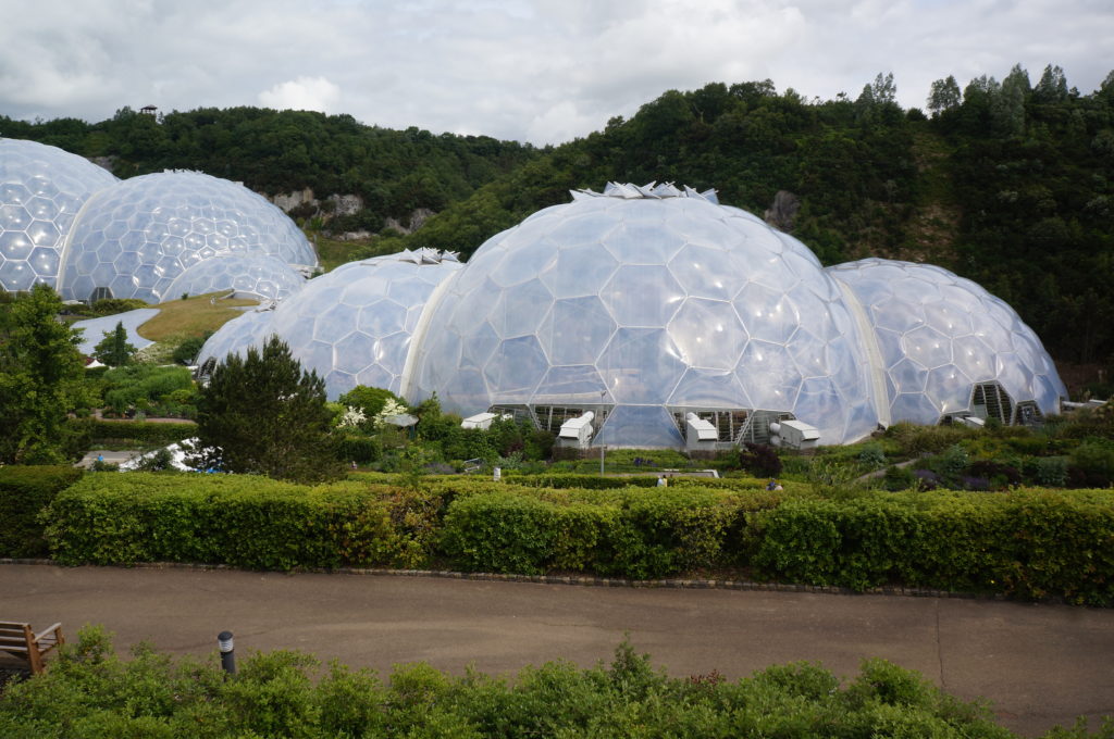
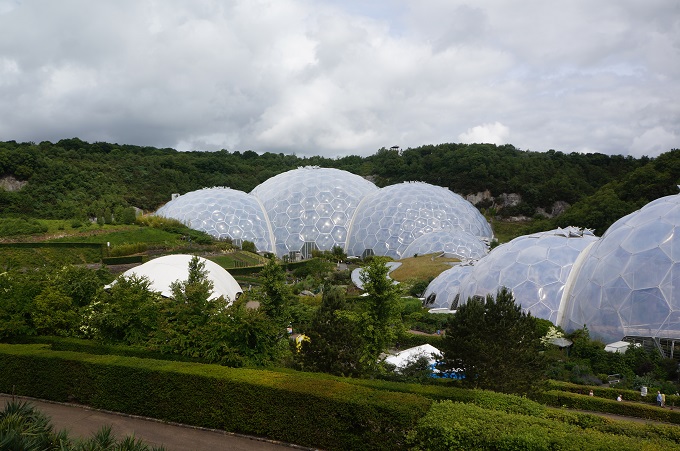
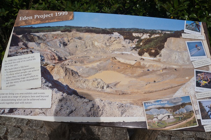
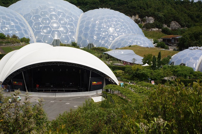
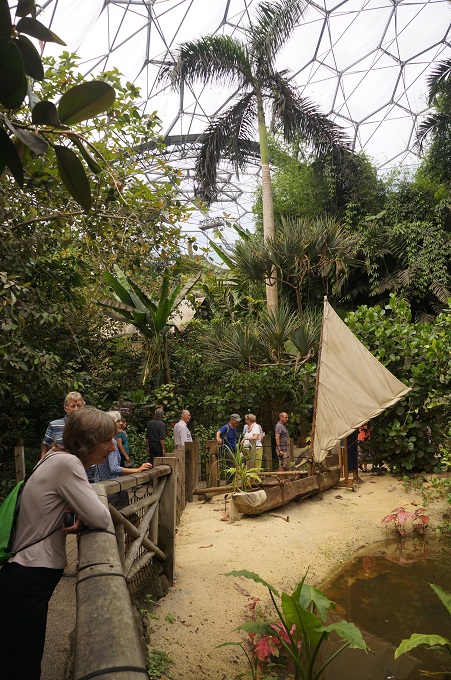
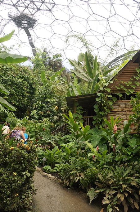
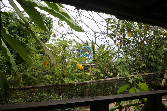
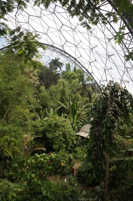
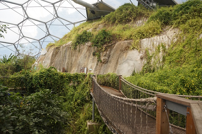
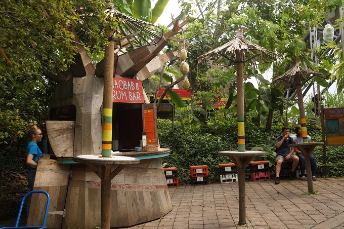
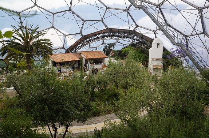
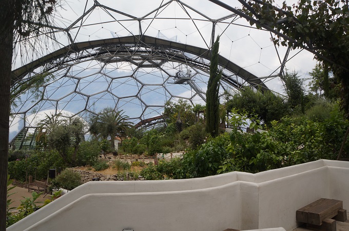
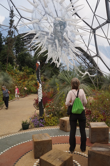
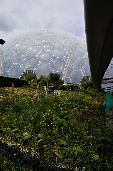
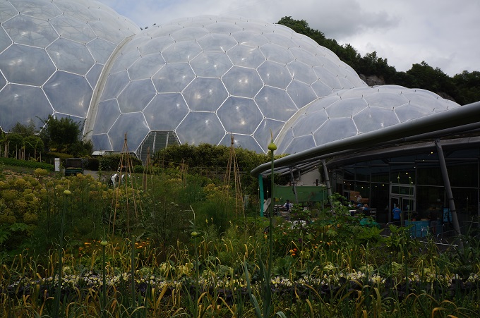
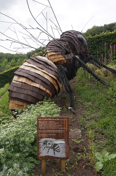
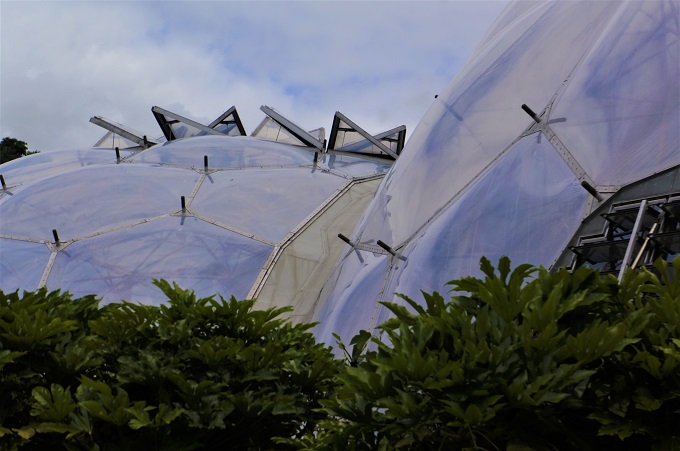
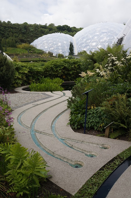
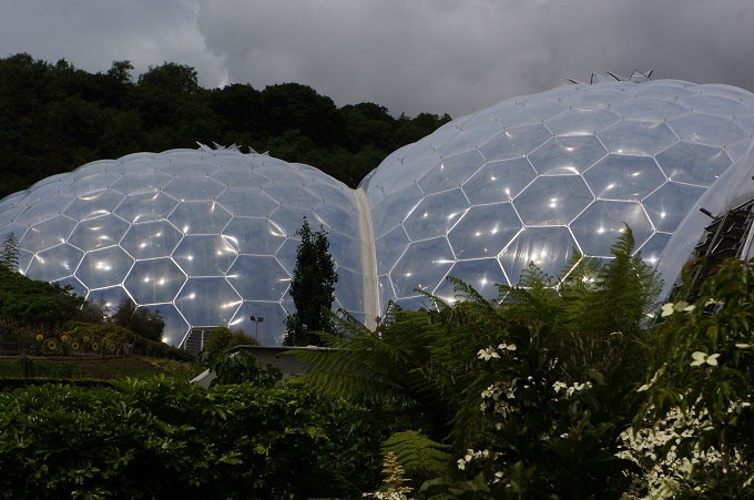
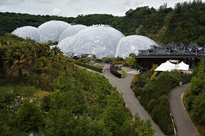
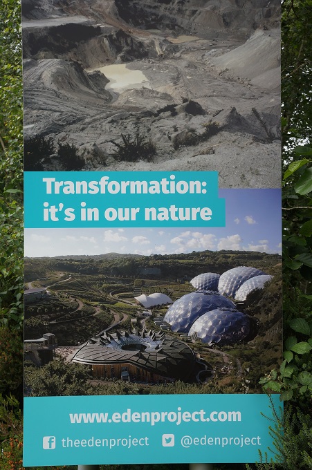
The Eden Project is a huge garden located inside an abandoned china clay quarry. As well as acres of outdoor gardens and landscaping there are two ‘biomes’, the larger one a rainforest environment and the other a Mediterranean environment. The biomes consist of hundreds of hexagonal and pentagonal inflated plastic cells supported on tubular steel frames. From a distance they look like interconnecting soap bubbles made of bubble wrap. The architecture and engineering is pretty amazing.

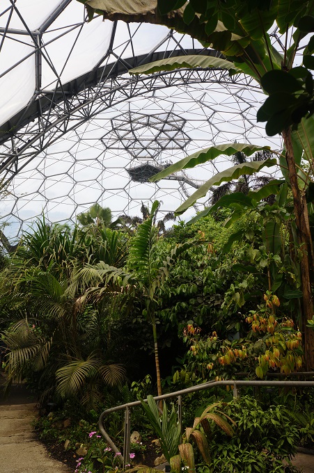
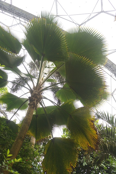
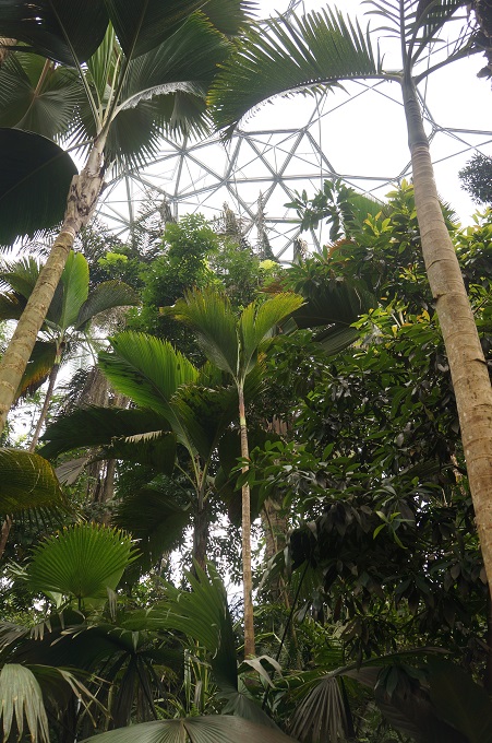
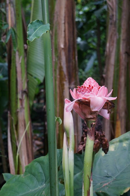
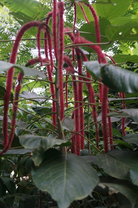
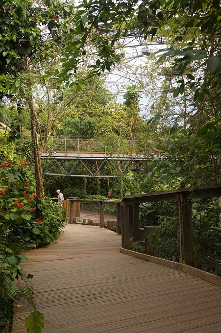
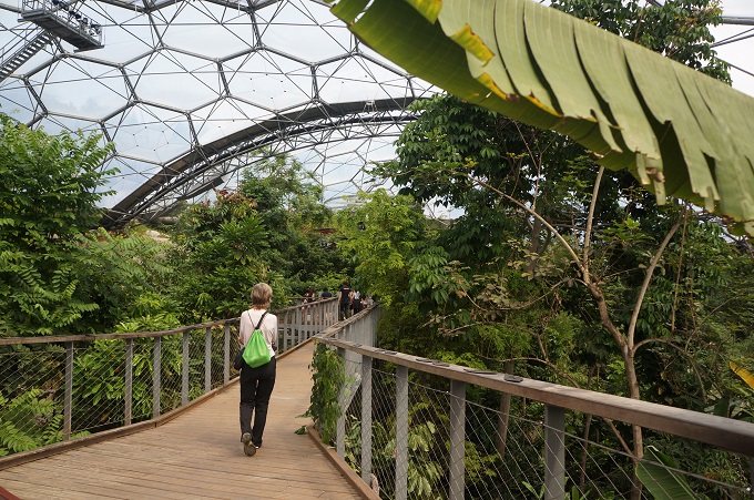
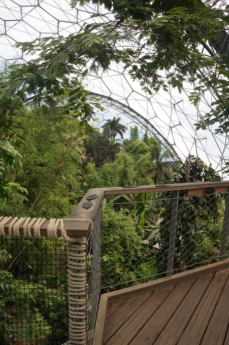
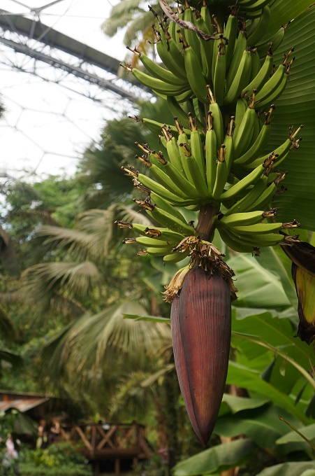
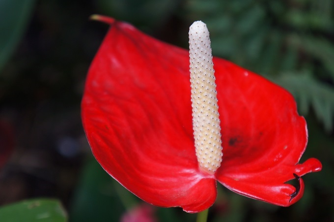
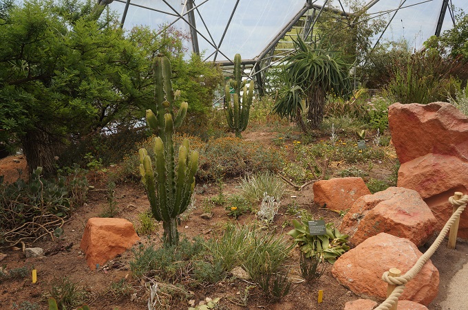
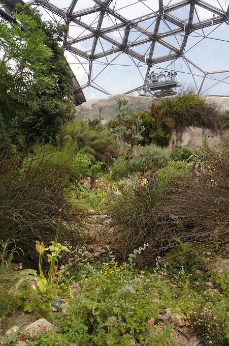
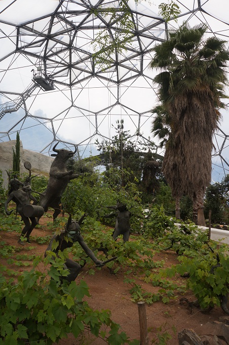
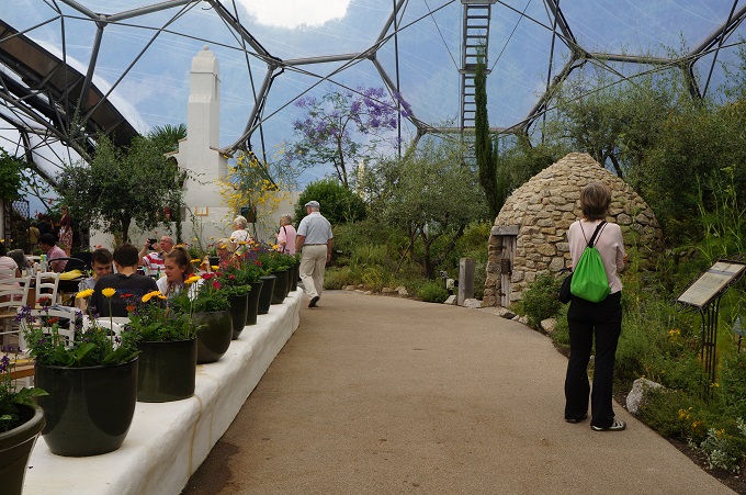
The Project is basically an education and learning centre focusing on the interdependence of plants and people. The rainforest biodome is the largest green house in the world and contains thousands of species from rainforests in Africa, Asia and South America. It is hot, steamy and humid and explores how rainforests feed us and keep us alive. It has waterfalls, pools, and a forest canopy walkway The Mediterranean biodome is a bit cooler and drier like California, Western Australia, South Africa and the Mediterranean. It has citrus groves, gnarly vines, cacti, olive trees and wild flowers.

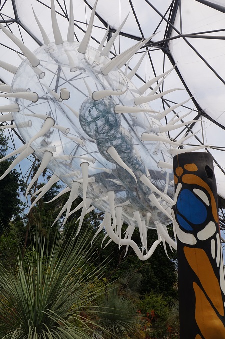
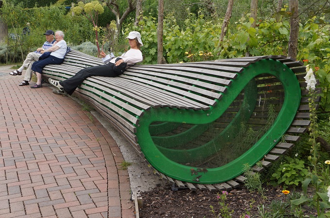
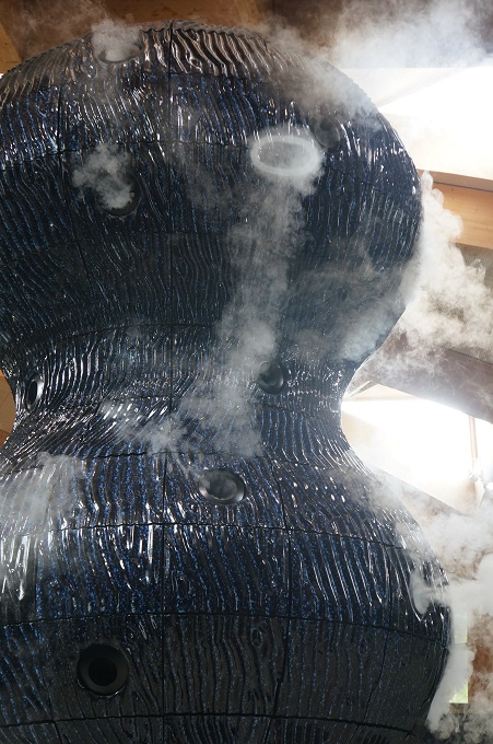
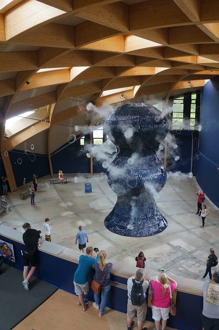
A third new attraction is The Core. This has an exhibition on ‘invisible worlds’ – things that are beyond our senses – too big, too small, too fast, too slow, too far away in space and time. It also has permanent and temporary art works –  as do the outside gardens.

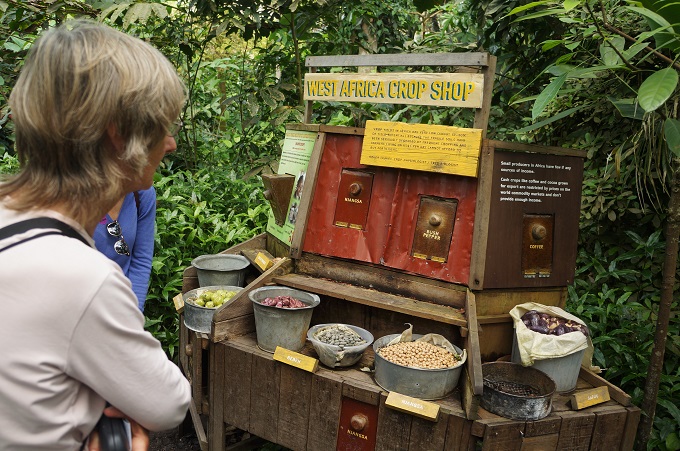
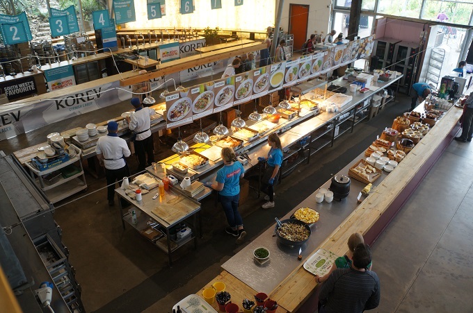
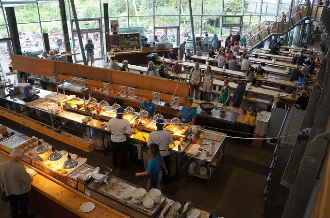
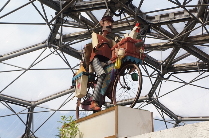
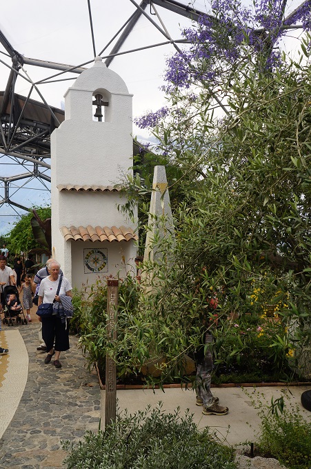
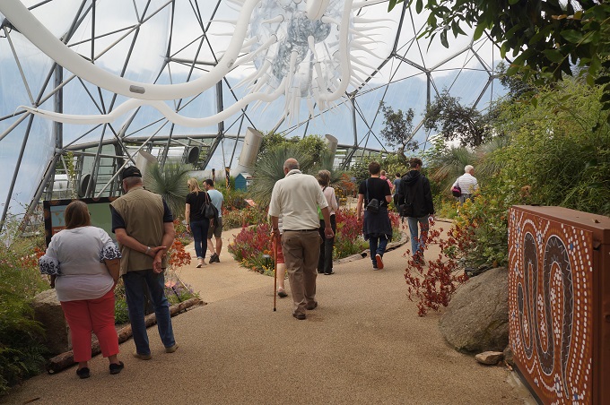
Since it opened in 2001 this has been a huge visitor attraction and is a great day out. There are guided tours, five cafeterias and two large gift shops. This is not the traditional botanic garden with avenues of trees and a green house. This is much more like a theme park and zoo for plants with a food court and lots of interactive things to do. It is maybe a bit too ‘Disneyesque’ with bamboo jungle huts, Polynesian outriggers on a pond, adobe Mexican bell towers, etc. but it has to compete in a tough entertainment market.

After a few hours we were suffering from stimulus overload. This wasn’t helped by us timing our arrival to coincide with that of about fifty 9 and 10 year olds. Despite our best efforts we kept meeting up with them. Really, they were lovely, all so keen and eager, doing little drawings and filling in their activity sheets. The teachers were the ones who seemed to be stressing out over all the enthusiasm.

So a very good day out. For both of us The Eden Project has been on the list of places we would really like to see.


Just for Cath

This post is just for Cath.

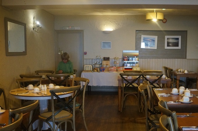
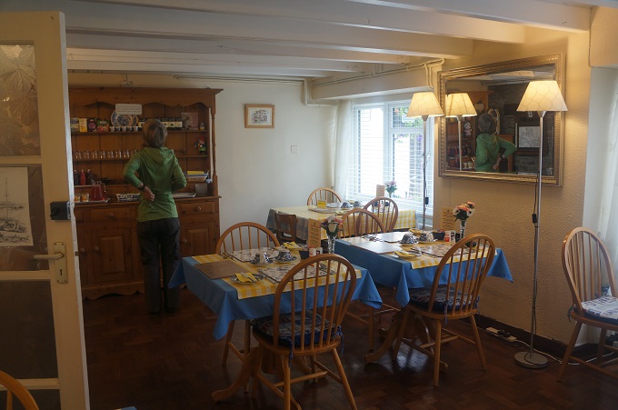
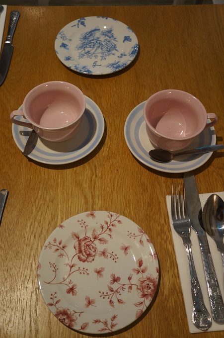
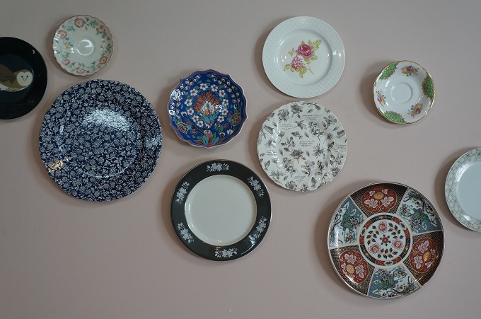
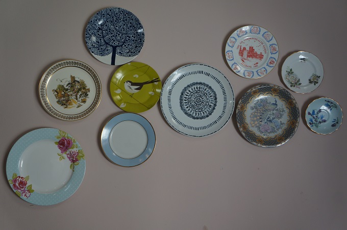
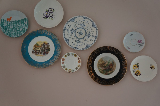
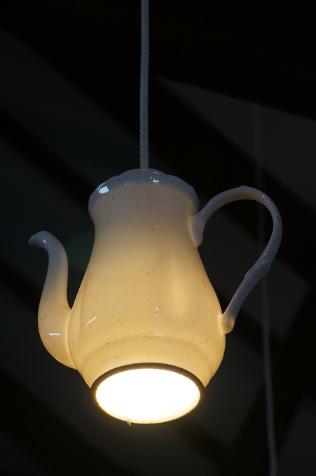
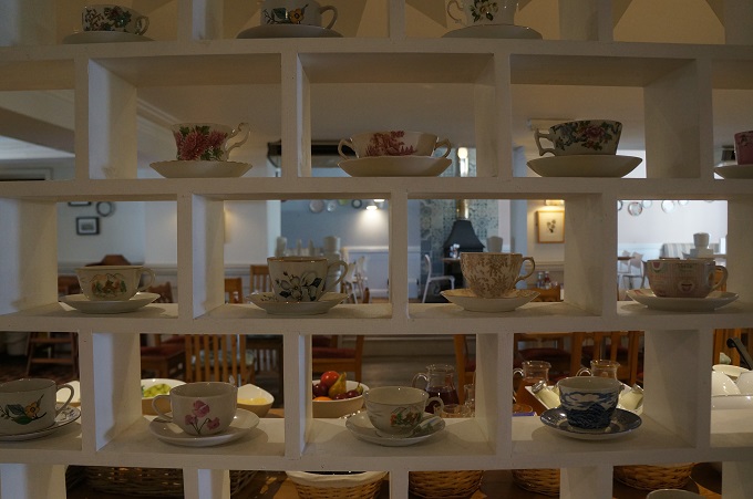
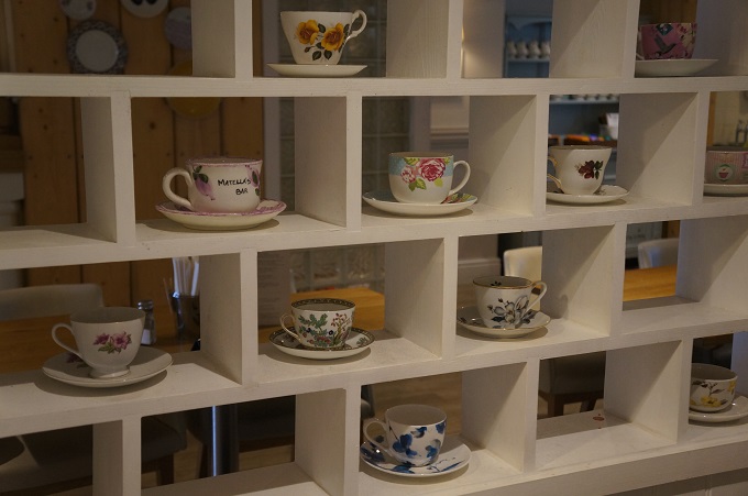
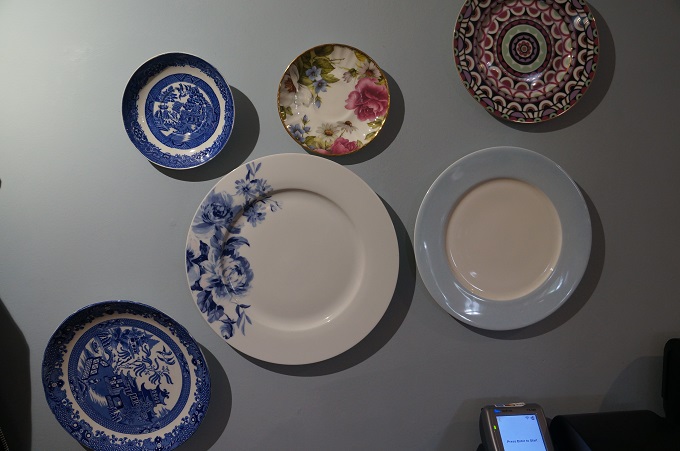
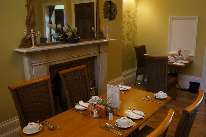
We think she might like it here at the Rashleigh Arms Hotel in Charlestown. They like to put their china up on the walls and they have a great collection of tea cups and saucers. We’re not sure if you’re allowed to pick your own tea cup and saucer off the display for your coffee. Might try this tomorrow at breakfast and see what happens.

Thank you Cath for all the  comments on the blog.  When we are a bit worse for wear at the end of the day it always gives a lift to get your positive feedback.


Wet feet and tingling hands

Mevagissey to Charlestown, 13 km, 542m climbing

‘Walk towards the good in life and one day you will arrive’. Leviticus

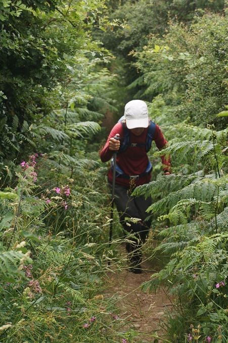
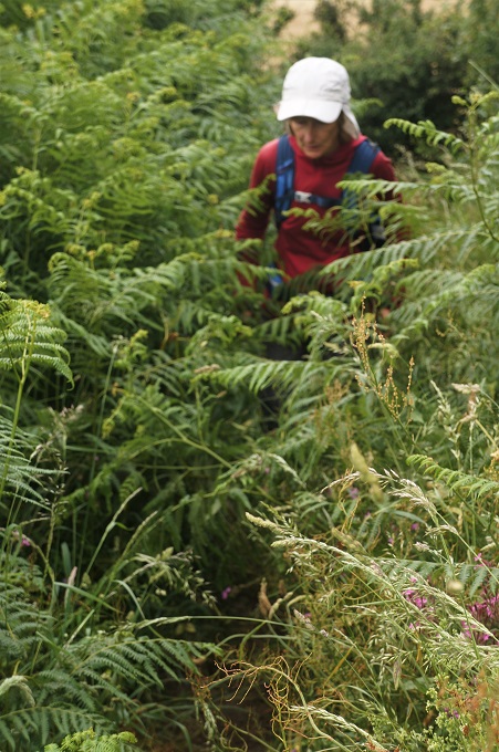
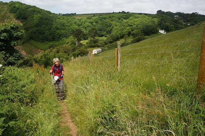
There was rain overnight and a shower just before breakfast but by the time we started it was all over and blue sky was on its way. It is very lush on the south Cornish coast and often the path is overgrown thigh high with bracken, thistles, nettles, ferns, grass, rape seed, wild flowers etc. The path is given a haircut by volunteers armed with petrol driven edge trimmers and most of it is very good for walking. The barber was overdue on today’s section and all the thigh high foliage was wet from the rain. It didn’t take long for us to have saturated shorts/trousers, socks and shoes, Squelch, squelch, squelch. We have been very lucky. Today is only the second day I can remember having wet feet.

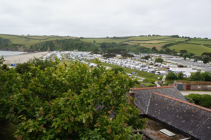
Mevagissey to Charlestown, although short, is considered one of the toughest on the south Cornish coast (ie from about The Lizard east) but we found it pretty comfortable going. After a few undulations the first obstacle was getting around a huge beachside holiday park, The Sands, at Pentewan. The beach is beautiful but it is owned by the park and so we had to walk inland on a busy road to get around it. Only rarely on the whole South West Coast path have we had to walk alongside a busy road and we had become blasé to the pleasure it is to walk completely isolated from the noise and smell of traffic. Pentewan is a small and unassuming hamlet squashed hard by the coast and the caravan park.

From Pentewan the path did get decidedly more dramatic with a series of sharp ascents and descents leading to Black Head. Whoever set out the route seems to have taken a perverse pleasure in seeking out gradients to climb rather than easier crossings of cliff top fields. Black head is the location of another iron age hill fort and is probably one of the easiest to imagine as being a fort. Another few ups and downs including two with 90 very high steps and we were entering Charlestown.

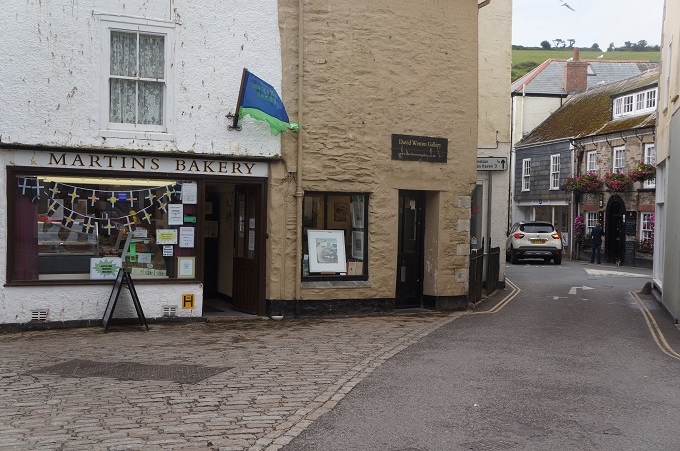
On our way out of Mevagissey this morning we stopped at Martins Bakery (no apostrophe?) and bought two pieces of bread pudding. This is not to be confused with bread and butter pudding which is an almost soufflé-like dessert. Bread pudding is more like a dense, soft cake or slice and can be picked up by hand. Bread and butter pudding is soft and custardy. They both have basically the same ingredients: stale bread, spices, sultanas, milk, egg, sugar and other fruit, sherry, brandy etc as you like. You can’t eat too much bread pudding – it is pure stodge – a great comfort food. We had to eat our two slices in two sittings about 2 hours walking apart.

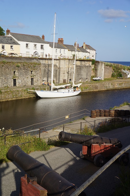
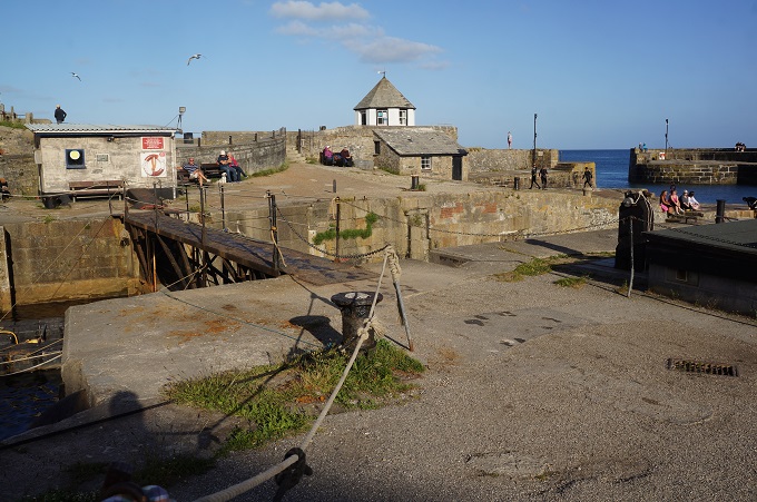
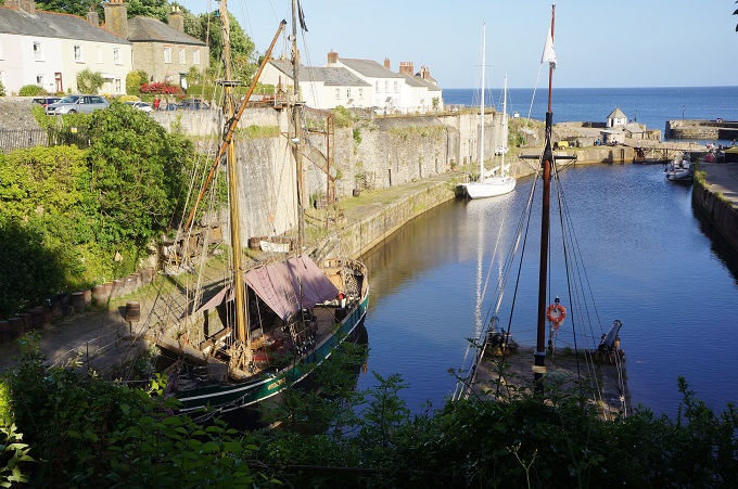
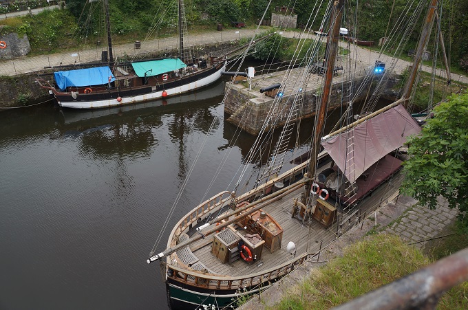
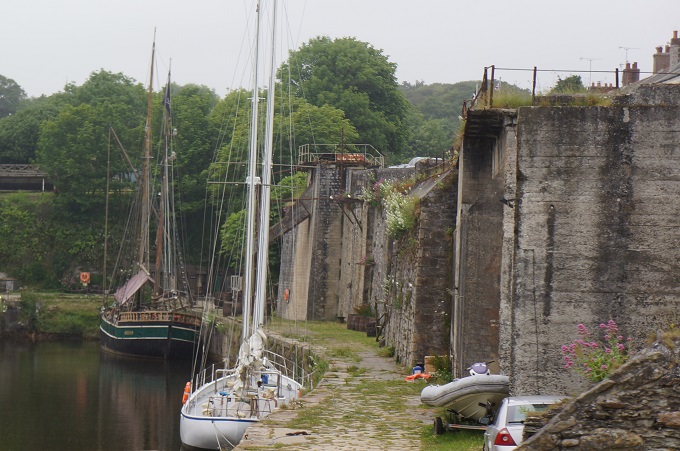
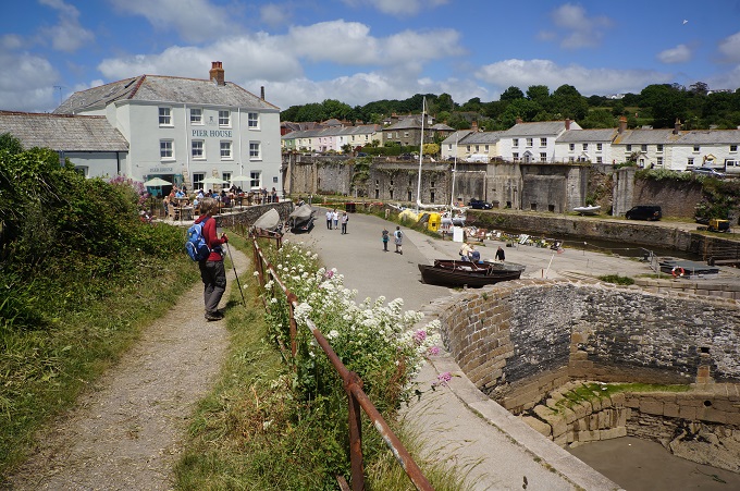
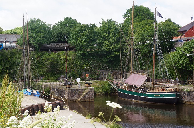
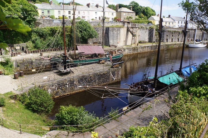
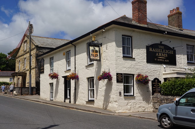
We are now in the unspoilt harbour town of Charlestown and staying for two nights in the Rashleigh Arms Hotel. The town is named after a local landowner, Charles Rashleigh, who partly developed it in the late 18th century as a port for the booming china clay industry. Its once thriving dock is now a Shipwreck, Rescue and Heritage Centre. Upon completion, Charlestown was a model Georgian ‘new town’ and to this day the town retains much of this character and is a popular for film and television locations eg Poldark. Charlestown capitalises on its past by harbouring a few square rigger sailing ships.

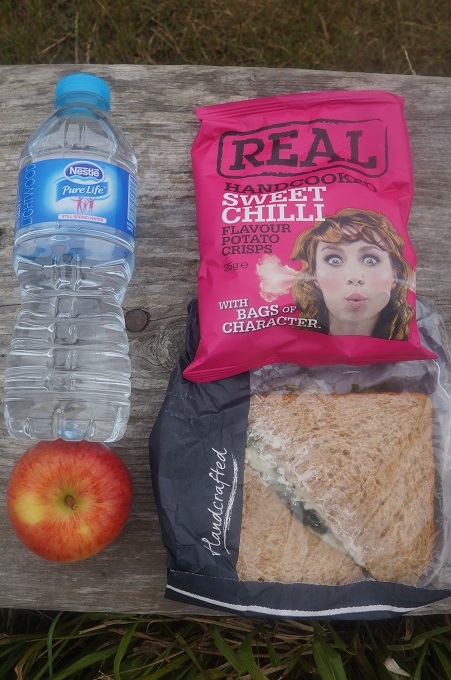
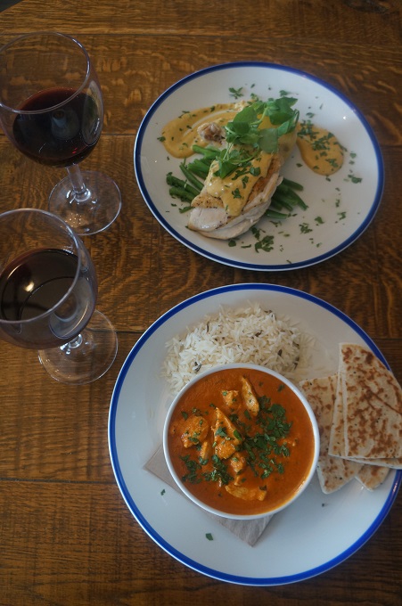
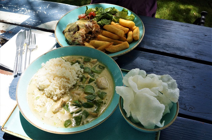
We arrived in Charlestown about an hour before check-in time so had a late lunch (Hunter’s Chicken for B, green Thai curry for P) under the trees in the Rashleigh Arms garden. A very nice end to the day. The only down side is our hands and legs are still tingling from all the nettles we pushed through today. Not painful but just a strange sensation.

Tomorrow we go to see the nearby Eden Project.


Day 25 of 30

Portloe to Mevagissey, 19 km, 866m climbing

‘The person who dances with you in the rain will most likely walk with you in the storm.’

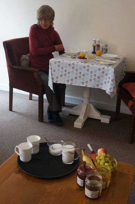
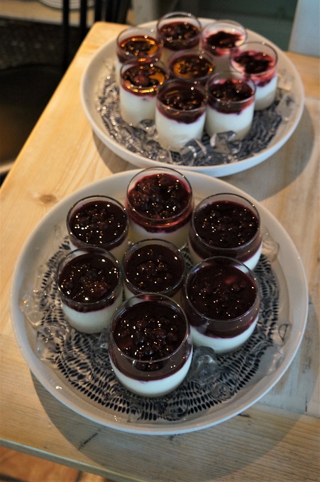
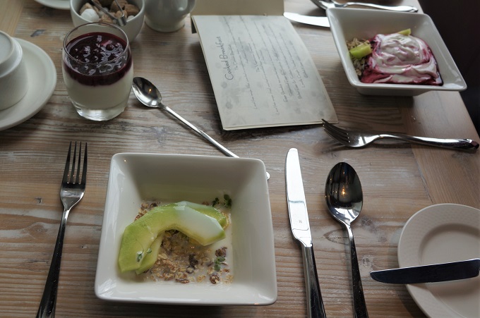
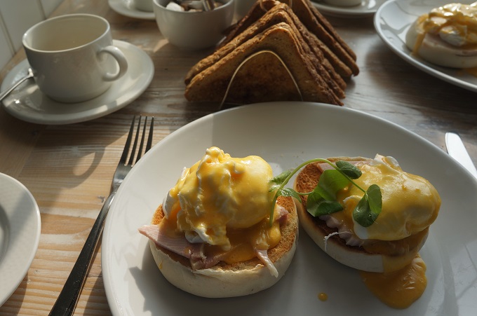
We both had good, long sleeps last night in a room that was cool and quiet, so we set off feeling much more refreshed. The Lugger put on an excellent breakfast with freshly squeezed orange juice, Cornish yoghurt with berry compote and divine eggs benedict.

Straight out of Portloe the path was a bit nasty. Three stiff climbs before we had warmed up and got into the rhythm of the day. From there it was a fairly uneventful stretch along cliff tops on a lovely grass track to the twin hamlets of West and East Portholland both facing a sheltered beach.

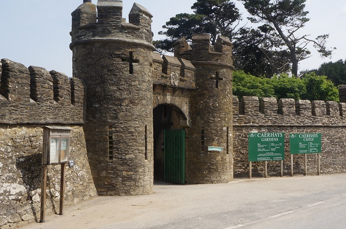
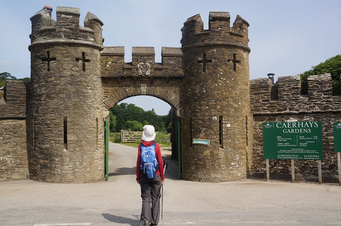
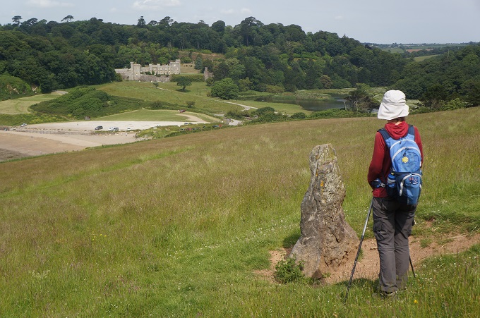
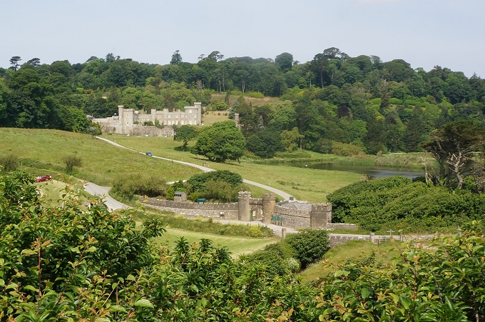
Just past East Portholland we came across Caerhay’s Castle. This is in fact a castellated manor house dating from 1810. The design was by Georgian architect John Nash, most famous as the architect of Buckingham Palace, Marble Arch and much of Regency London. The castle is well known and visited for its 120 acres of gardens. Apparently it has the largest collection of magnolias in England.

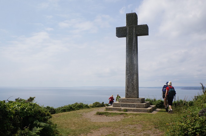
Next up was the main challenge of the day, ascending Dodman Point from sea level to the cross 114 metres above at the top. This is the highest headland in southeast Cornwall but we had climbed headlands twice this height a couple of weeks ago. The cross was built in the 19th century as a navigation aid. From the point, far to the west in the haze we could make out The Lizard. Four and a half days walk away.

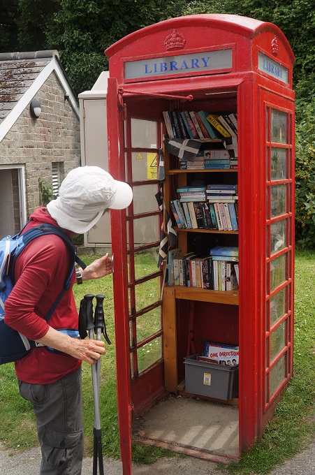
From there it was a gentle descent to the peaceful village of Gorran Haven for lunch at the Mermaid Café. Gorran Haven had a classic telephone booth housing the local library! Then some ambling along clifftop to Bodrugan’s Leap. This a cliff edge named after Sir Henry Bodgrun who is said to have successfully leapt off the cliff to a waiting boat in the cove below in his efforts to evade his pursuer, Sir Richard Edgcumbe, during the War of the Roses in the 15th century.

An easy downhill walk and we arrived at Mevagissey.

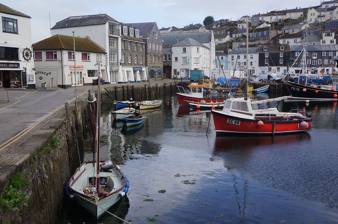
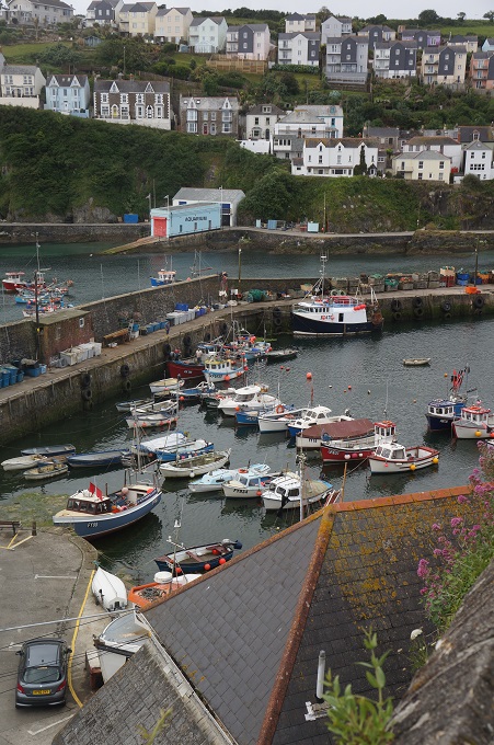
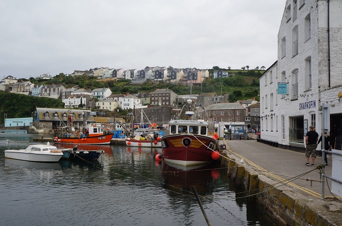
This is a busy, bustling, working harbour and one of the highlights of the south Cornish Coast. It is named after two saints, Meva and Issey. The town thrived with the rise of the pilchard industry. The fish provided both a source of nutrition and a source of power, a power station having been built in 1895 that ran on pilchard oil. As a result, Mevagissey claims to be the first village in England to have electric street lighting.

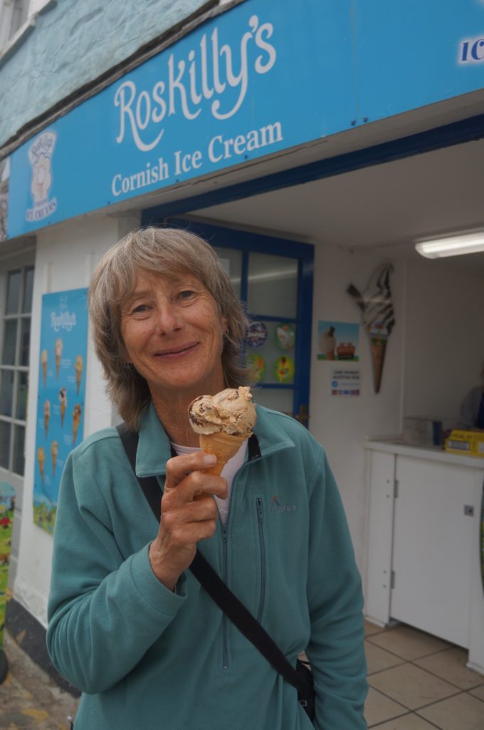
We arrived in good shape, much better than yesterday. We really like having accommodation on the path and not about a kilometre away. For the second night in a row we ate at a pub named The Ship Inn. I wonder if we can make it a trifecta in Charlestown tomorrow night. We also had our first Cornish ice cream tonight. We won’t bother again, NZ makes ice cream as well as anyone in the world.


Green Slime

Falmouth to Portloe, 22 km,807 m climbing

‘It’s your road and yours alone, others may walk it with you, but no one can walk if for you’. Rumi

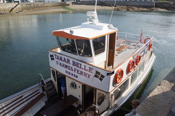
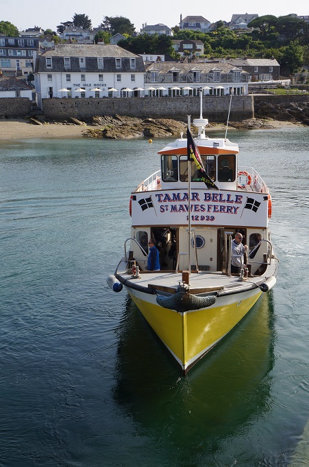
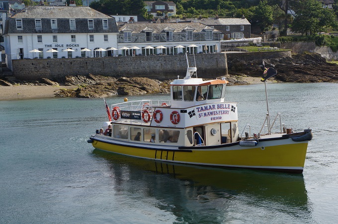
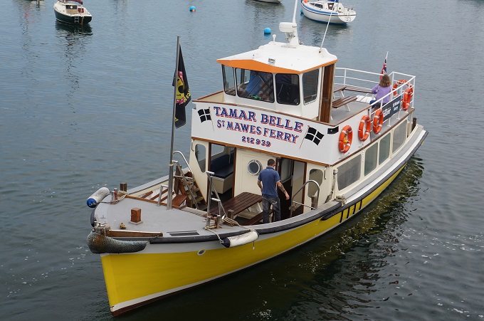
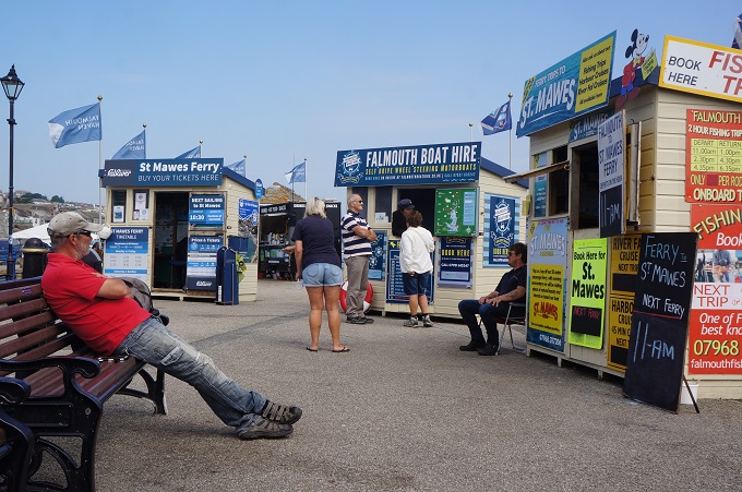
This morning we wanted to make sure we were on the first ferry over to St Mawes so we were down to the dining room at 7 am for breakfast. There were already ten people eating! No matter, we had plenty of time and in true Barbara style we were waiting on the wharf at 8.05 for an 8.30 sailing. It was an exciting start to the day, a 20 minute crossing of the Fal River estuary to the little village of St Mawes, on a passenger only ferry that would take maybe 50 people. There were eight of us on the first sailing. The ferry went incredibly slowly and I’m sure in my prime I could have kept up with it in my kayak.

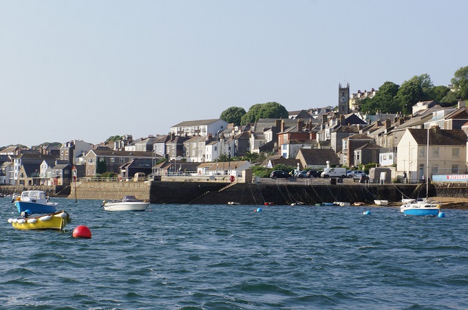
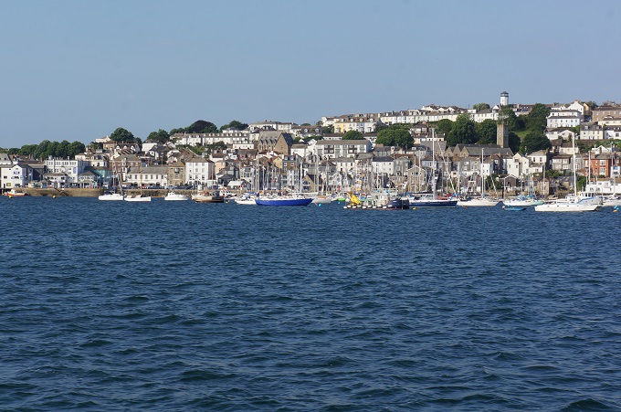
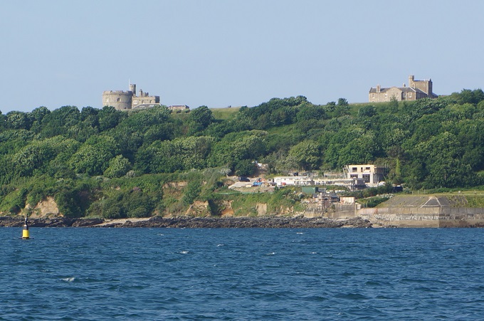
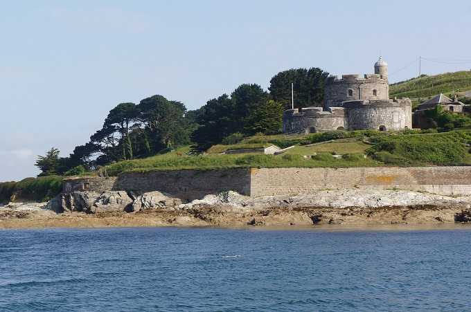
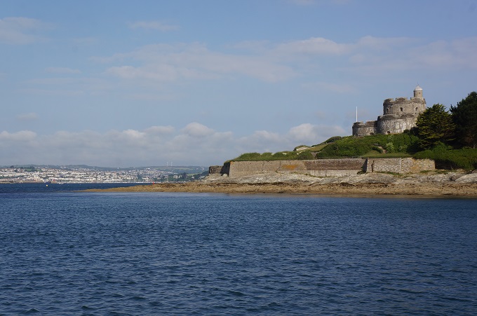
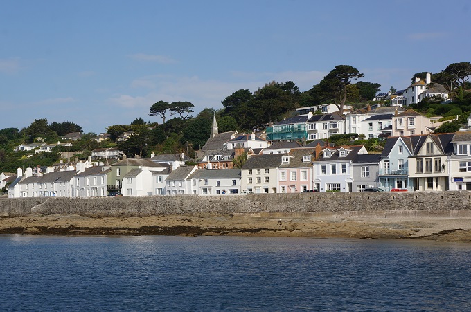
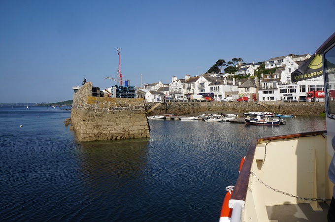
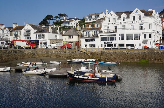
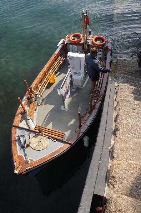
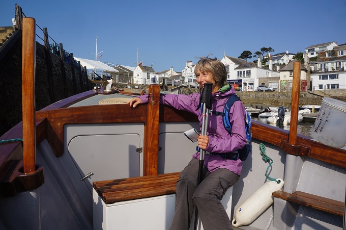
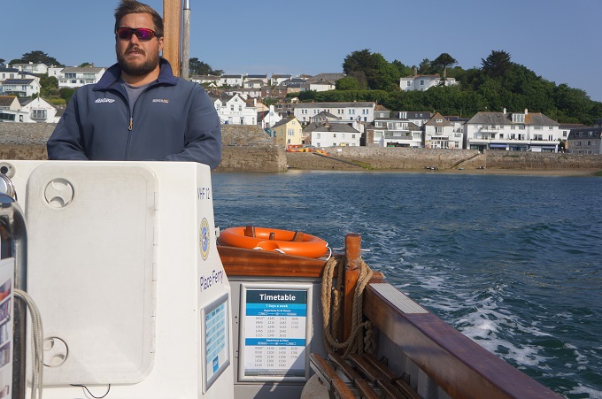
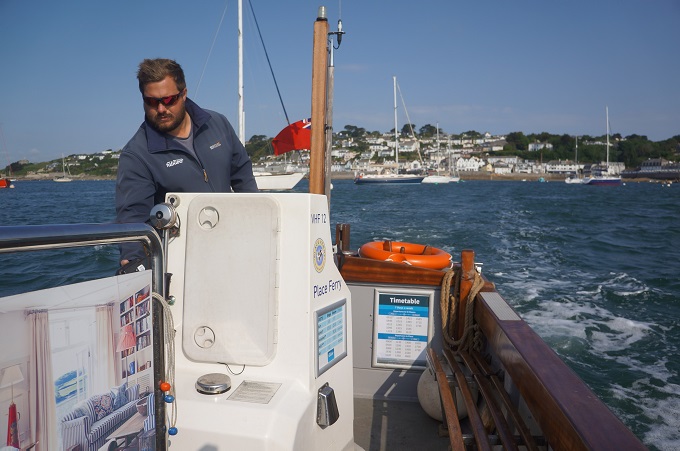
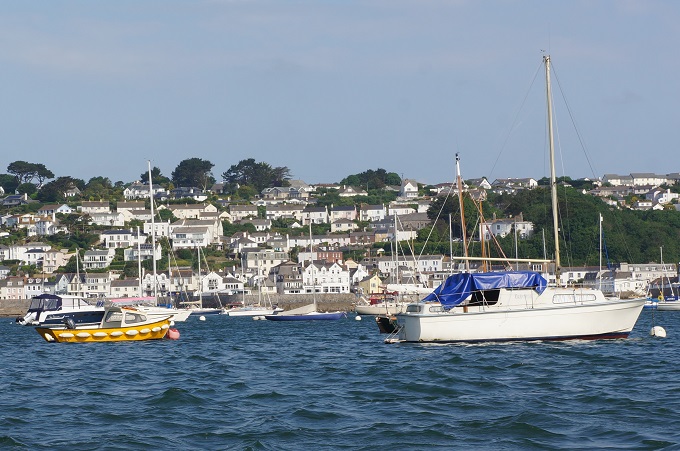
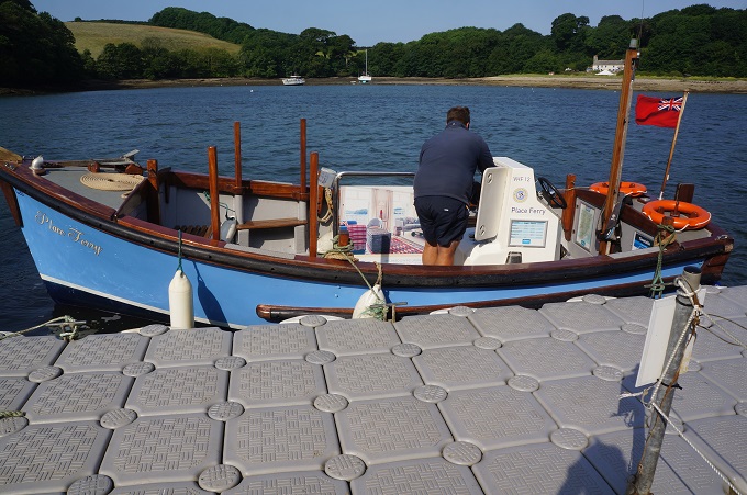
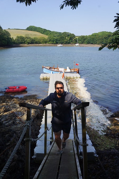
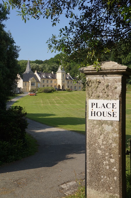
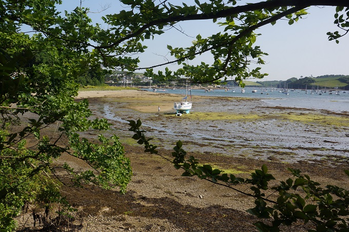
The crossing was interesting, looking back on Falmouth and threading our way through hundreds of anchored pleasure boats. We had good views of the castle on Pendennis Point and the castle on St Mawes. The ferry entered a tiny stone wall lined harbour and let us off at a very slippery set of stone steps that seemed to reach up to the sky. There was a 10 minute wait for the summer time only ferry to take us to Place,which turned up at the same steps. This was a tiny boat, open, ie no cabin, and could take maybe 12 passengers if everyone was very friendly. It was less than 10 minutes to Place, which is not really a place. Place has a pontoon jetty, a large house and a church. That’s it. It is however the place that the South West Coast Path starts again on the north side of the Fal estuary.
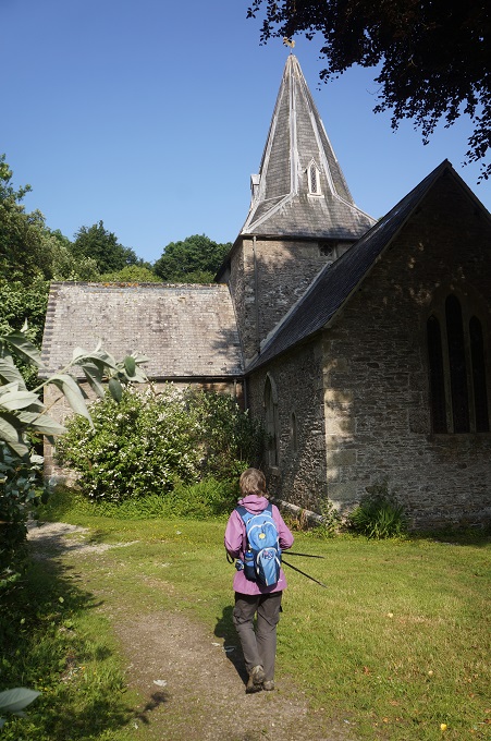
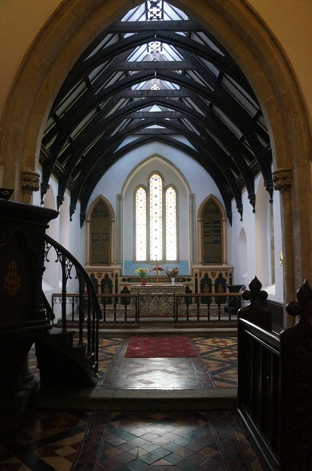
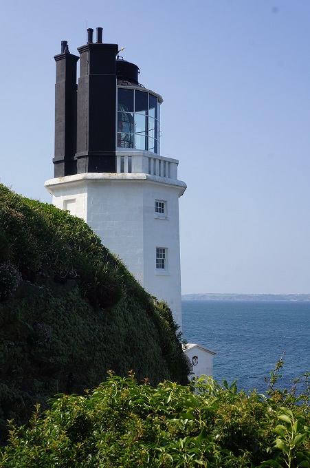
We had a quick look in St Anthony’s Church. It is unusual in that it has a medieval cruciform plan. It is probably from the 12th century but has been ‘restored’ a few times since then. The path took us around the estuary which was a beautiful way to start the day. It then went around St Anthony Head which has old gun emplacements, a lighthouse and views back to Pendennis Point and Falmouth. The rest of the morning was easy walking on a charming path over low cliffs with small sandy beaches and excellent views up and down the coast. There was one village, Portscatho, typical of this part of Cornwall. Once a fishing village that survived on the seemingly endless supplies of pilchard but now dependant on tourism.

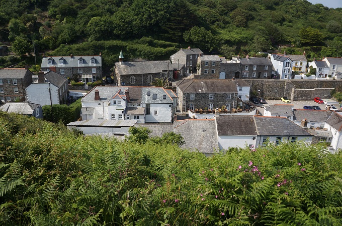
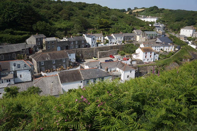
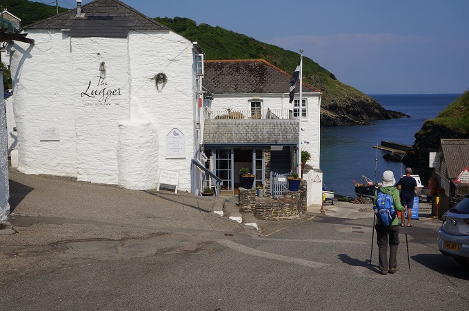
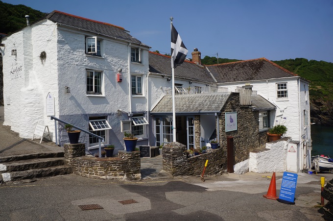
It was sunny today and possibly the hottest we have experienced here. At Pendower Beach we found a shed being used as a small summer café and bought out the entire stock of apple juice, ie  four little 200 ml boxes. From here things got a little trickier. The low cliffs grew and grew until we had to climb the great promontory of Nare Head. The long sandy beaches were replaced by isolated and inaccessible rocky coves. From here the path became a bit kinder, not too severe ups and downs until we came to yet another pretty little fishing harbour, Portloe, which is where we are tonight. This village is tinier and even more tranquil than most. We are staying at the upmarket Lugger Hotel which has a lovely location on the water’s edge. We are not actually in the main hotel building but in a next door renovated boat house. This is very comfortable.

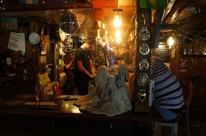
A maid has just knocked on the door and asked us if we wanted to have our beds turned down – I said no as Barbara was asleep on one – but she did leave us tomorrow’s weather forecast and two hot chocolates in tall glasses. We couldn’t afford to eat in the hotel restaurant (and didn’t have the appropriate clothes) so walked up the road to the village’s only pub, The Ship Inn. This is in fact the centre of life in Portloe and we had a great meal in there.

It was a slow 100 metre walk up the road, we are suffering from the effects of the high, steep cliffs this afternoon, and the heat. More of both are forecast for tomorrow.


Reloading

Falmouth
Today was a rest day so we rested, and we needed it. I think we are getting quite weary. Even after a short day yesterday there wasn’t much in the tank this morning. I guess after 23 days and about 380 km of often strenuous walking we are getting a bit worn out.

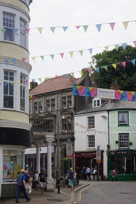
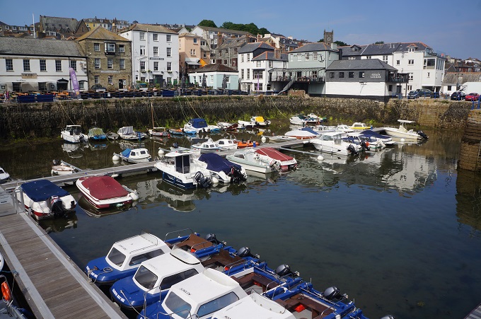
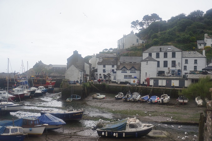
We walked through the old town of Falmouth to check out the ferry for tomorrow. We get two ferries in the morning, a twenty minute trip from Falmouth across the harbour to St Mawes and then a short ride from St Mawes across Percuil creek to Place. It was a very casual walk that involved quite a bit of sitting on benches just looking at the boats.
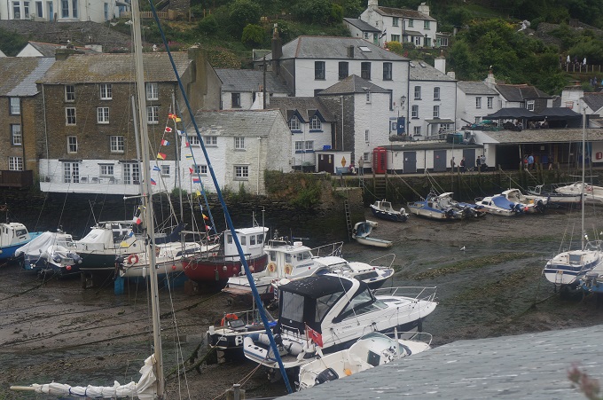
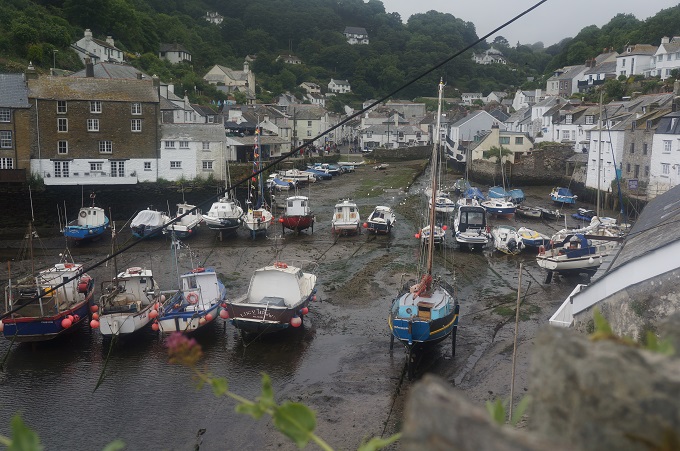
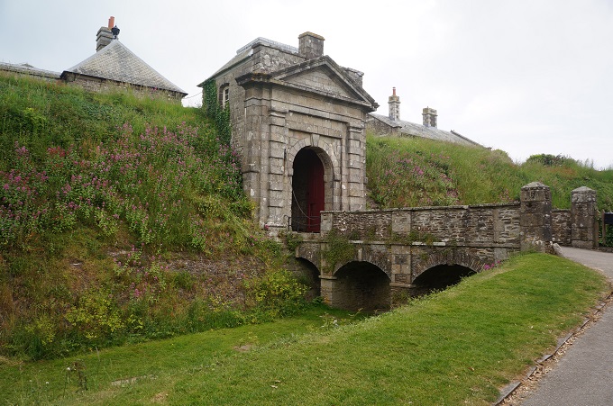
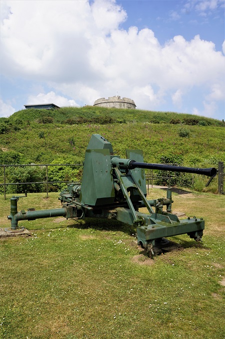
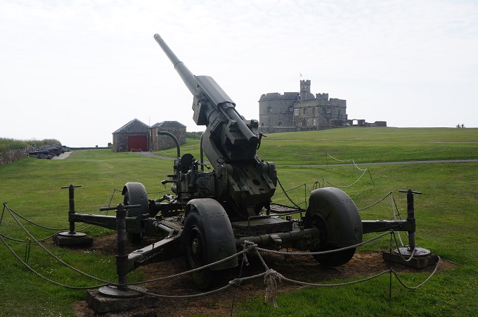
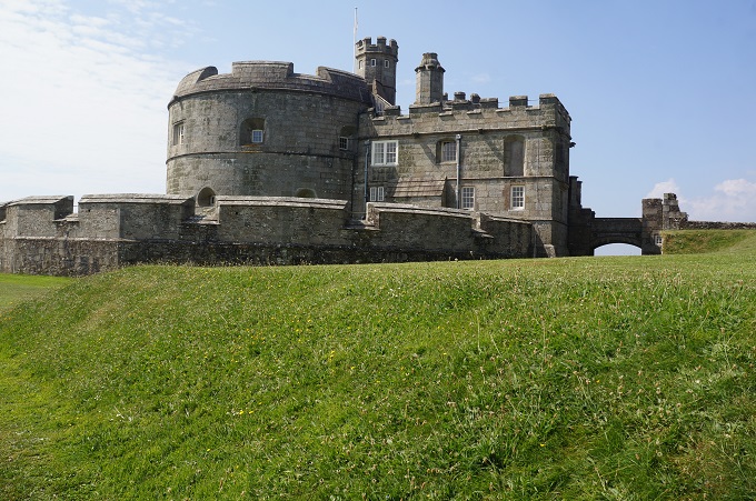
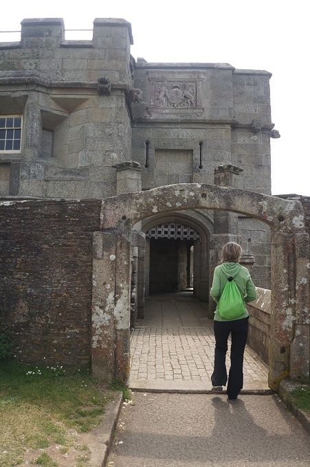
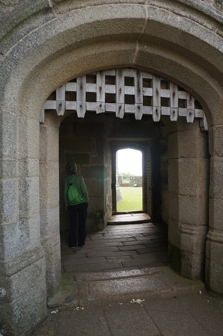
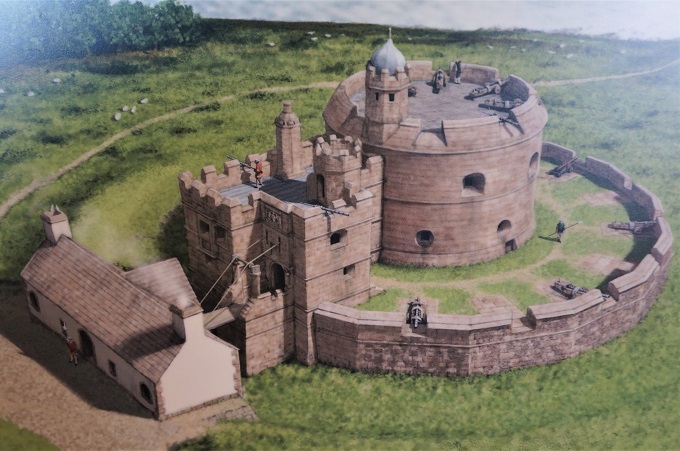
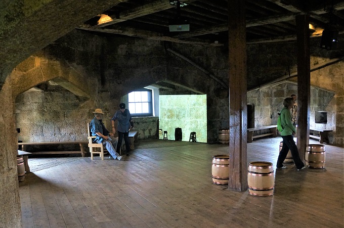
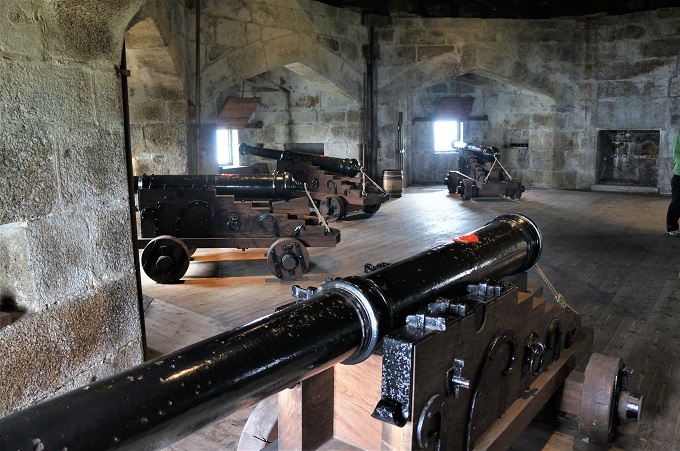
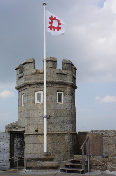
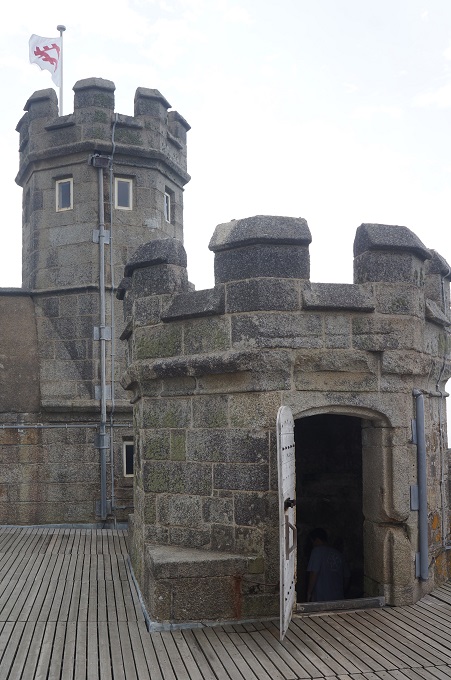
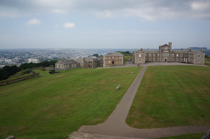
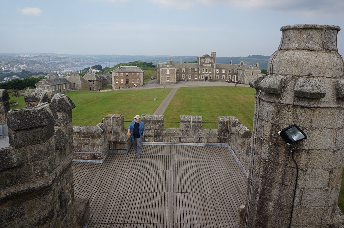
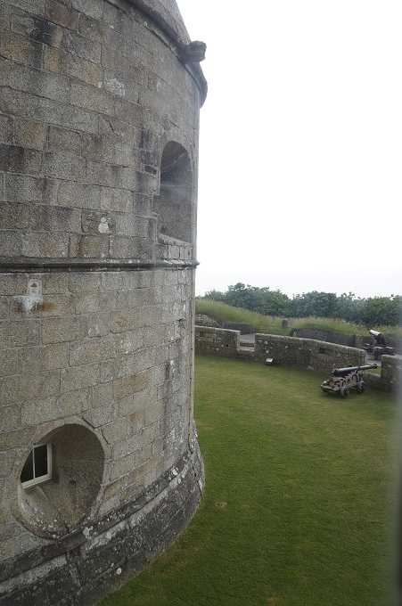
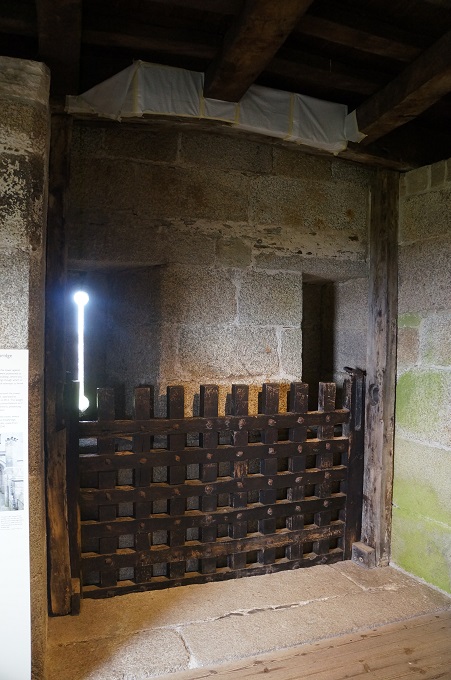
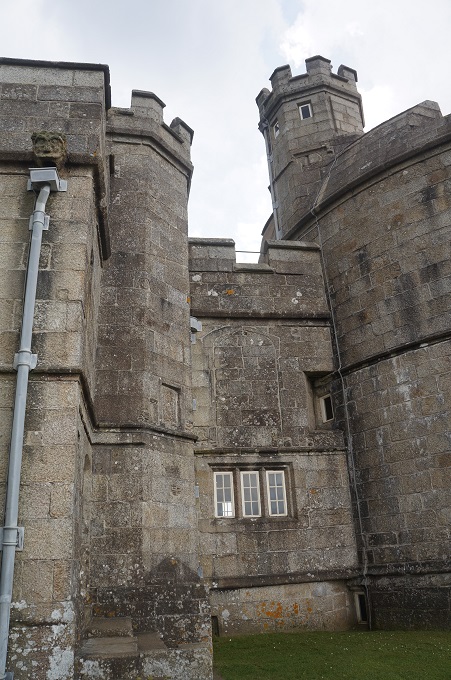
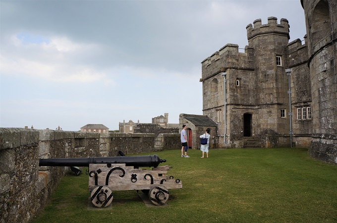
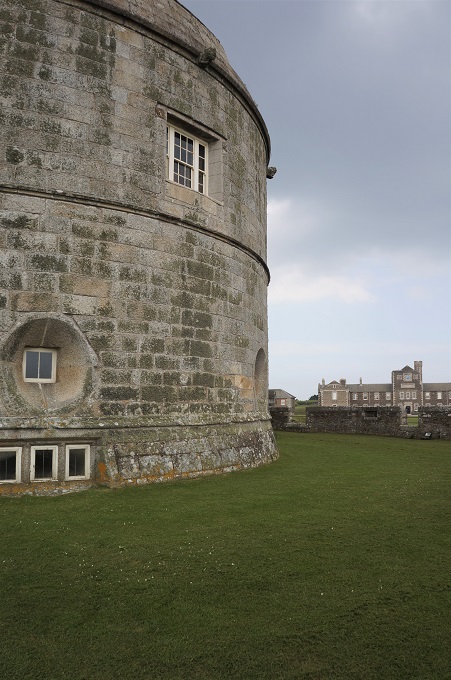
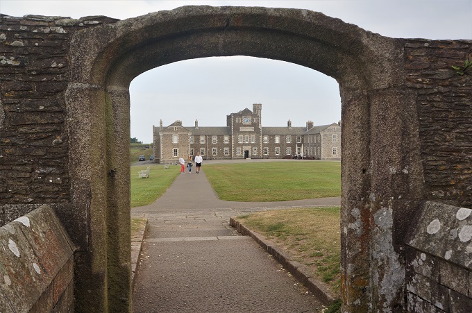
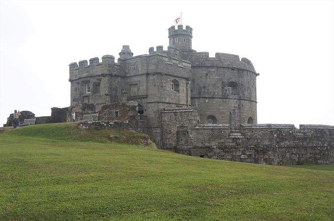
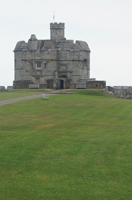
From there we climbed the hill to Pendennis Point to have a look at Pendennis Castle. This was quite a surprise. It was constructed in 1540 and is one of Henry VIII’s finest coastal fortresses. The Tudor Gun Tower is a circular keep with four levels of gun platforms (one on the roof, two inside, one on the ground) enabling artillery fire in any direction. There is a sister gun tower on the other side of the harbour. The defences were regularly upgraded and expanded during Elizabethan times, the Civil War, the Anglo-French Wars, The Napoleonic Wars, WW1 and WW2.
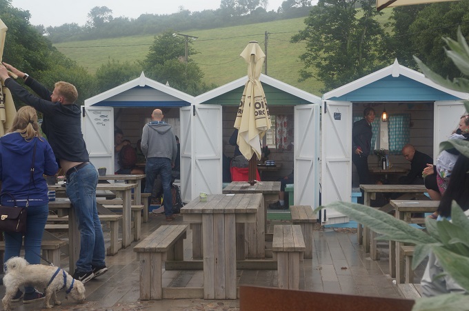
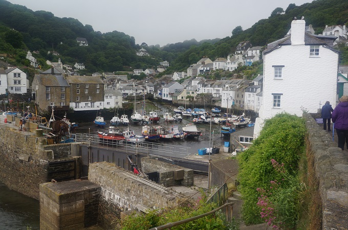
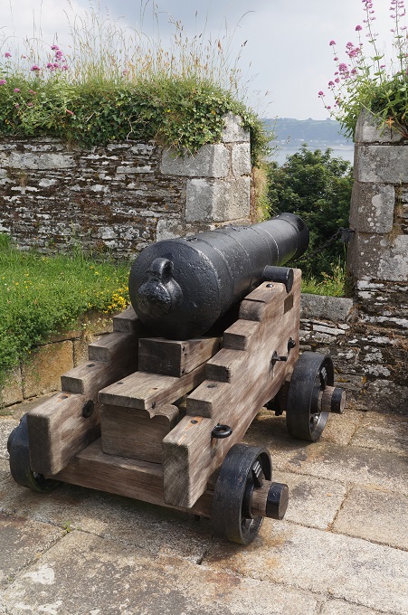
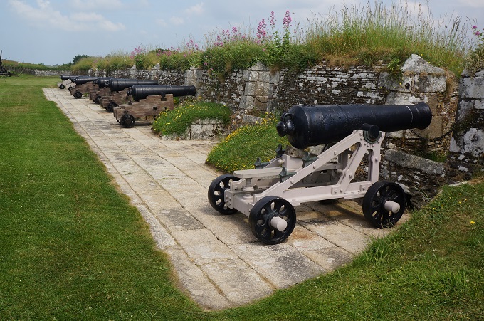
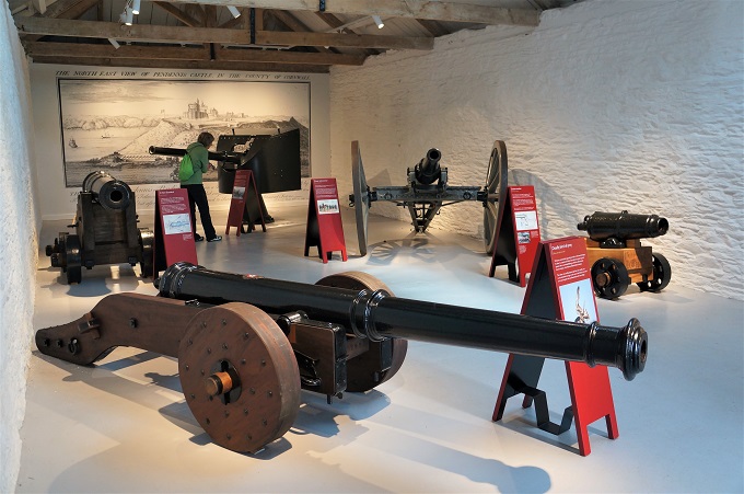
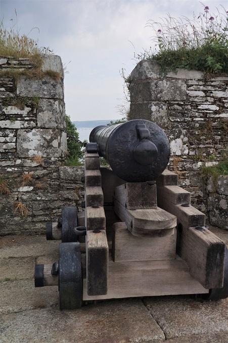
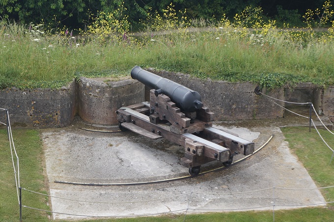
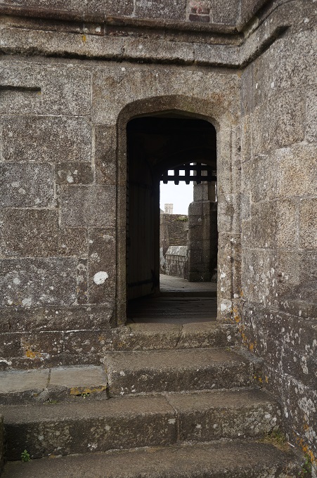
It was continuously used to defend Cornwall for 400 years up until the end of WW2. Consequently it has good examples of moats, ramparts, tunnels, underground bunkers and magazines, barracks, guard houses and a large collection of artillery from very old to WW2. It is all amazingly well preserved and in good condition. At 2 pm each day they fire a canon and at festival times have jousting tournaments etc.

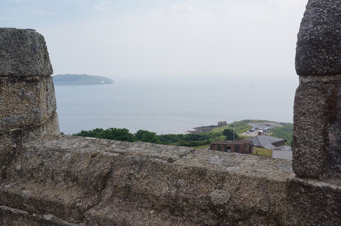
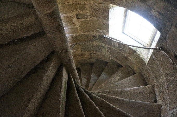
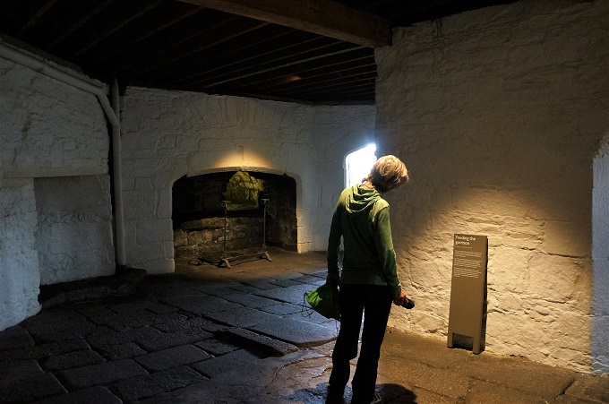
For me the two best parts were the Tudor Gun Tower and Half Moon Battery. In the Gun Tower you can crawl over every inch, up and down narrow stone spiral stairs from the kitchen in the cellar up to the gun platform on the roof. The roof has great views out to the English Channel and all around Falmouth Harbour. There are also audio/visual presentations on the firing of guns in Tudor times.

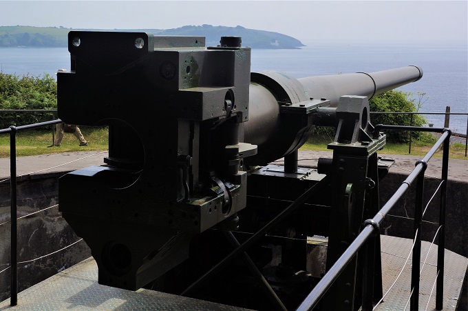
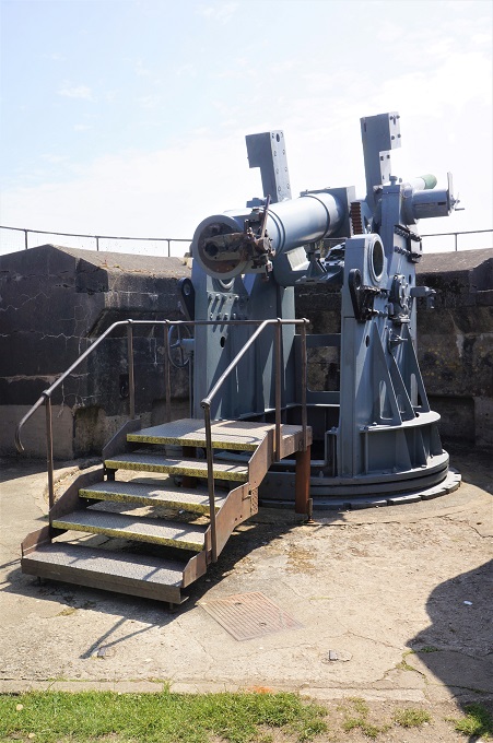
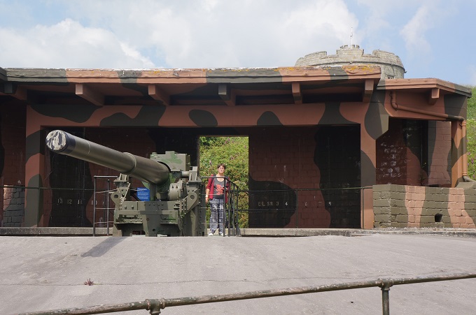
The Half Moon Battery (because the guns are set out in a half crescent) was built for WW2 and is approached through a tunnel under the Elizabethan ramparts. Here we were lucky to catch a guided tour. Underground there are the magazines where cordite cartridges and the shells were stored. Of course while down there the lights went out (regular generator problems during WW2 apparently) and they simulated the firing of the guns overhead, which was deafening. Outside it had been warm and muggy but down there under 3 metres of concrete it was refreshingly cool.

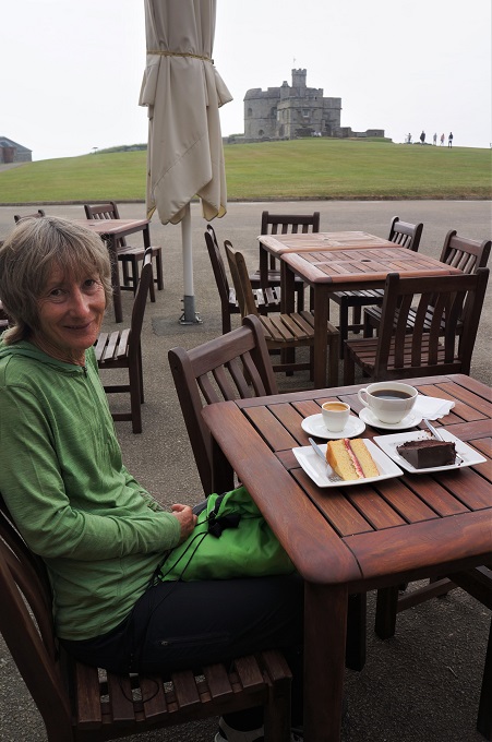
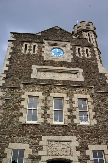
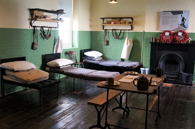
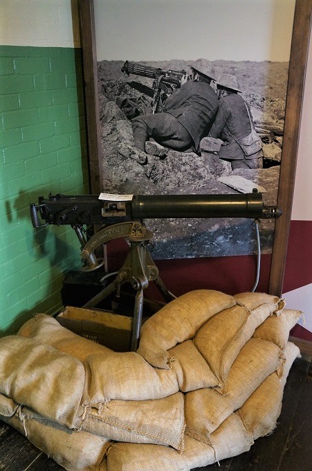
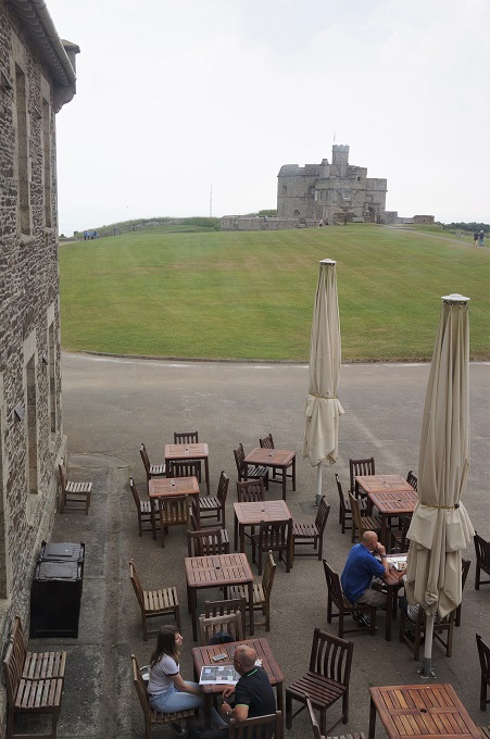
There is also the Royal Artillery Barracks, built in 1901, that has displays concentrating mainly on WW1. We didn’t spend a lot of time there as we have seen a lot of WW1 100 years commemorative stuff over the last four years. The Barracks had a very good tea rooms where we reloaded with some high calibre coffee and cake.

In the ticket office/ souvenir shop there was an exhibition of the war time (1939 – 1945) newspaper cartoons of George Butterworth. His political cartoons during this time were so successful both nationally and internationally that he was put on the ‘death list’ of both Adolf Hitler and Benito Mussolini. It did seem appropriate to have this permanent exhibition in a place that has had such a significant military function for so long. In WW2 Pendennis Castle itself was never attacked or bombed but Falmouth town and its harbour installations were bombed many times.

We were at the castle about three hours and then just came back to the hotel and had a very lazy afternoon.