All posts by Paul Lenihan

But what about the carbon footprint?

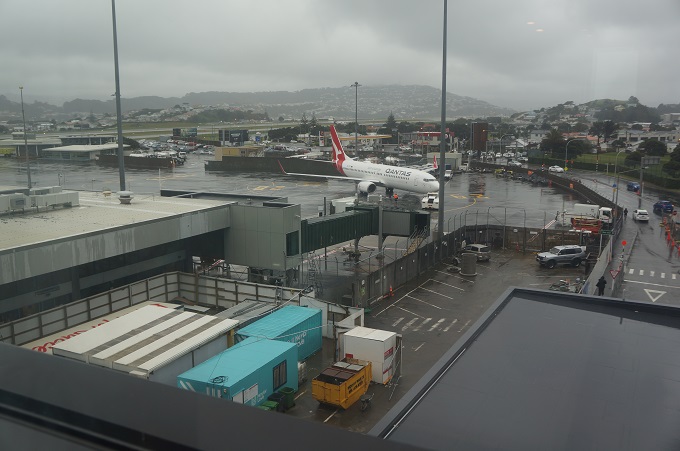
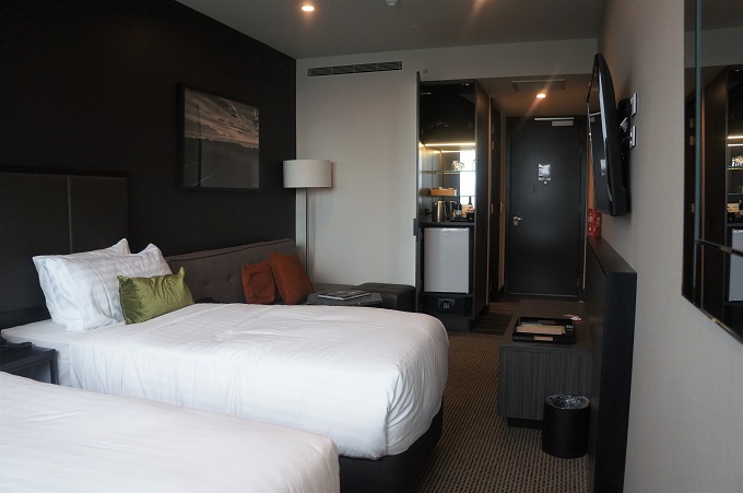
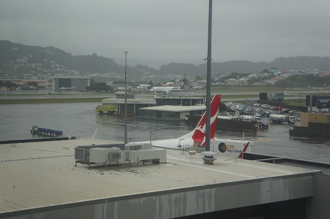
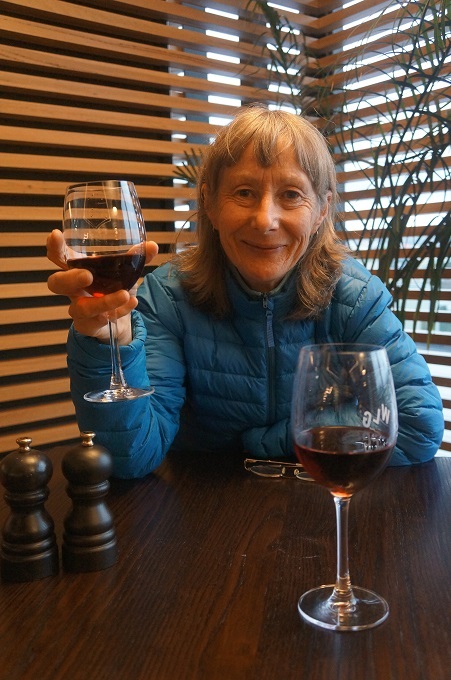
Staying at the Rydges Hotel at Wellington Airport was a new experience for us. It certainly makes for a relaxed and stress-free departure for flights leaving very early in the morning. And it came with one complimentary drink (to share !!) at the bar, always a good way to start a new adventure.

The hotel is a strange modern version of Art Deco, done almost exclusively in black and white. The bathrooms especially are an eye-popping contrast of black and white tiles in a zig zag pattern and matt black plumbing fittings.

It was extremely quiet, the best noise insulation I have ever experienced in a hotel, has very, very comfy beds, and it is only a couple of minutes lift and escalator ride from your room down to the check-in kiosks.

There were a lot of artworks about and for me the best were three beautiful bikes on display. They originally wanted a classic car but couldn’t get it through the doors so the next best thing for cycling enthusiasts and non-art lovers was a display of the finest road bikes on the planet.

The first was a Pinarella Dogma F10, currently the fastest road bike in the world, ridden by Team Sky to three Tour de France titles in 2016, 2017 (Chris Froome) and 2018 (Gerrant Thomas).

The second was a Greg LeMond Team Z from 1991. Hand made with a CrMo frame. Lemond won three Tour De France Tours and two Road Race World Championships.

The third was a Factor O2 Disc, built with no compromises of carbon fibre, disc brakes and blue tooth wireless gear changes. It is only for the fastest riders in the peleton, and The Wobbly Wheelers!

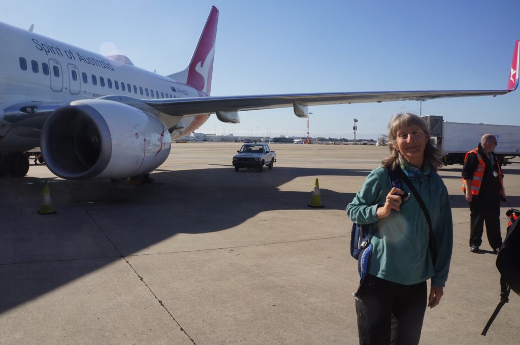
It was a smooth and uneventful flight from Wellington to Sydney except that we now know why New Zealand and Australian soldiers were called ‘diggers’. On a perfect sunny, calm Sydney morning the aircraft landed with an almighty jolt, the pilot seemingly trying to dig a trench the length of the runway. Everyone was tossed violently forward and I had to grab hold of the back of the seat in front.

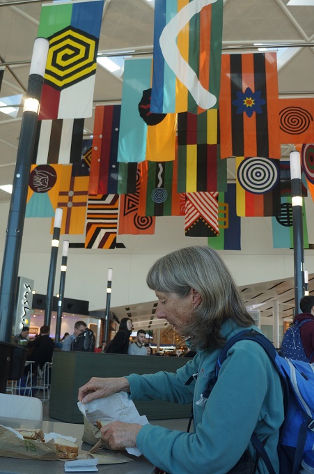
The least said about waiting around for seven and a half hours in Sydney Airport the better. The flight from Sydney to Heathrow was surprisingly good and the time passed quite quickly. An 8hr 20mins leg to Singapore where all 474 passengers had to disembark for an hour and a half while the plane was refuelled and reprovisioned, then a 13hr 30min leg to London. Qantas was exactly on time all the way and the only snag was when we got to Heathrow there was some congestion so we flew in circles for about 20 mins.

We arrived at Heathrow at 6.30am all well and with all our bags. We were at our hotel by 8.30am but couldn’t check in until 2.30pm so dropped off our luggage and set off to find something to do for 6 hours. More on that in the next post.

As usual we arrived in London with a guilty conscience. A return flight Wellington to Heathrow produces emissions of 5.71 tonnes of carbon dioxide equivalent per person. The average yearly emissions for New Zealanders are 16.9 tonnes of carbon dioxide equivalent so we have used a huge chunk of our share in just these flights. We’ll be planting hundreds of trees in QE Park next winter. Our little 1300cc Suzuki Jimny produces 0.21 tonnes of carbon dioxide equivalent per 1000kms so we’ll have to cut back our driving drastically as well.


2019

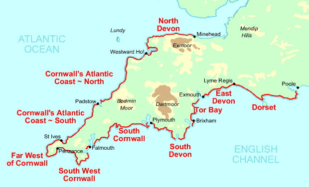
Last year we walked 500 km of the South West Coast Path from Westward Ho! to Plymouth. At 1000 km the South West Coast Path is the longest of the United Kingdom’s National Trails.

We enjoyed the walking so much we have decided to return and walk a further 300 km approximately.

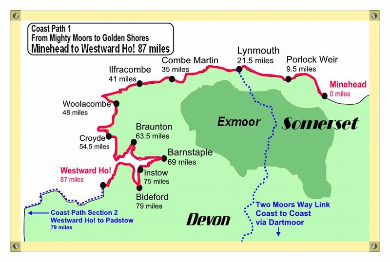
This year’s walk is in two stages. The first stage is from Minehead to Westward Ho!

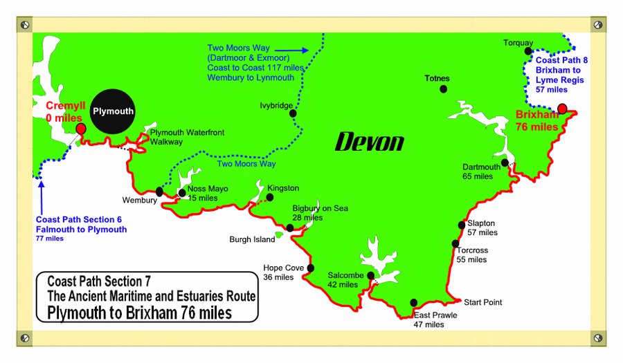
The second stage is from Plymouth to Brixham.

Before and after walking the South West Coast Path we will have a few days in London. On the way home we will stop over in Perth Western Australia for six days for the wedding of our son Simon and his fiance Dezaray on Rottnest Island.

SCWP Overview

South West Coast Path – An Overview

We walked over 500 kilometres of the SWCP, starting in Westward Ho! (Devon), walking the entire coast of Cornwall and finishing in Plymouth, back in Devon. This is about half the1000 km of the total SWCP which starts in Minehead and finishes in Poole.

The walk is classified as strenuous and from our experience for the section we walked we would say it is 5% easy, 45% moderate, 40% strenuous, 10% severe. The coast is not flat and every day, several times, you climb from sea level to the top of cliffs and headlands, and back down again. The highest cliff we climbed was 230 metres above sea level.

We walked for thirty days at an average of about 17 km per day. Our longest day was 27 km and our shortest day was 8 km. There are many, many places to get accommodation and food so you can vary the length of each day to suit your ability and the time you have.

We walked in late spring and early summer and had very good weather most of the time. Very little rain and a few days of mist and low cloud. Not too hot with temperatures in the late teens and no strong winds just gentle sea breezes. There had been very little rain in early spring so the track was mostly dry and areas that would be muddy and boggy in the wet were hard and bone dry.

This is a well- formed path mostly on dirt but also on sandy and stony beaches, sand dunes, tarmac roads, farm roads, grassy fields, cobblestones, concrete paths, rocky outcrops, and boardwalks. The path gets a lot of use and so it is clearly visible. The confusing thing is that there are also many other public paths joining and criss-crossing the SWCP so you have to keep your wits about you to stay on the correct route. There are also hundreds of farm gates, kissing gates, bridges and stiles to negotiate and thousands of steps to climb.

A lot of the path runs along the edge of cliffs and in many places the cliffs are crumbling or unstable and have slipped away. In most cases there are signs and temporary fences and the path is diverted, often only a few metres, inland around the dangerous area. Some diversions are longer and the longest we had added an extra 4 km to the length of the stage. The path does tend to religiously follow the coast and many times a short cut could have been taken to bypass a headland.

Signage is generally very good. The SWCP is a National Trail and has been a continuous path since 1978 so it is well established. Signs are usually timber, pointing in the direction to go, say ‘Coastal Path’ and give the miles to the next village. In addition, at junctions or where there are other public paths crisscrossing there are timber posts with a yellow arrow and an acorn (the National Trail symbol) showing the way. Inevitably a few signs or posts are missing or buried in hedgerows but if you always keep the sea on one side of you (left or right depending on whether you are going north to south or vice versa) and take the path closest to the coast (but not the one-way paths down to isolated beaches), you will never get lost. The hardest places to navigate through are the large towns and cities.

We used two volumes from the ‘Trailblazer’ series: Exmoor & North Devon Coast Path, SWCP Part 1 Minehead to Bude, and Cornwall Coast Path SWCP Part 2 Bude to Plymouth. These are very detailed with large scale maps (1:20,000) showing almost every gate, bench, set of steps, stone wall, etc for every inch of the path.  They also contain walking times, info on tricky junctions, places to stay, places to eat, points of interest and detailed public transport information. They only show what is happening right on the coast path and maybe a kilometre inland.

We also used two Harvey National Trail Maps: SCWP 1 Minehead to St Ives and SWCP2 St Ives to Plymouth. These are 1:40,000 and also have a ton of information but give a much bigger picture of where you are in relation to roads, inland towns etc, away from the coast.

We didn’t take smartphones but you can use GPS to track exactly where you are and where to go. The Trailblazer books have way GPS marker points you can tick off as you go.

The SWCP is maintained by volunteers and the local councils so the standard varies quite a bit. For us the biggest issue was from Lizard to Plymouth which has a subtropical climate and very lush vegetation. Some of the track was freshly trimmed with an edge trimmer but other parts were shoulder high in grass, wild flowers, bracken, brambles, thistles and nettles. When this is wet from dew, mist or rain you get saturated and stung.

The SWCP also uses rights of way over farms so you often will be sharing a field with sheep, cows or steers, horses and ponies. This is not an issue and they seem content sharing their territory with lots of walkers. We didn’t encounter any mosquitos, sand flies, biting ants etc.

Everyday there are interesting things to see, including  iron age hill forts, castles, ruins, churches and chapels, lighthouses, coastguard watch lookouts, lifeboat stations, memorials, plaques, statues, fortifications (ancient, old and new), mines, mining engine houses, holiday parks, houses, cafes, pubs, radar installations, navigation towers, military areas, airports, golf courses, harbours (large and small), villages, beaches, estuaries, rock stacks, rock arches, sink holes, emerald seas ,seals, dolphins, sea birds, etc.

We had been hoping this would be a social walk like the Camino in Spain but we met nobody who was doing a walk on the SWCP as long as us. We became friendly with a few people who were walking for a few days or up to about a week. Occasionally there are a lot of people on the path but these are day walkers or dog walkers and are usually close to beaches, towns or villages or at car parks near particular points of interest. There are more people about on weekends, bank holidays and school mid term breaks. Usually we walked in splendid isolation.

There are lots of swimmable beaches and all the ones near villages or car parks have life guards. Surfing and swimming is hugely popular in Cornwall. Dangerous beaches are clearly sign posted. In late spring/early summer the water is cold, about 11°C and almost everyone in the water wore a wet suit. We swam only once, on our shortest walking day. We didn’t get hot enough to think it was worthwhile to stop, get changed, swim, get dried, get sand off everything, and carry on.

We had to research each day to see if we would be able to get food and drink along the way. Usually there were several options but a few days nothing was available. In this case we bought supplies at a shop before we left in the morning or if we couldn’t do this the B & B or pub owner would make us a packed lunch (£5 – £8 each). Many villages and beaches have seasonal cafes set up only  for the summer. All the villages and most popular beaches had clean, well maintained, male and female (not all gender) public toilets. At about two thirds of these you have to pay to pee, so keep a stash of 20 pence coins.

All the SWCP we walked was well serviced by public transport. Just about every village was on the route of either one or both of two bus companies that operate in Cornwall. A lot of walkers we met would drive to a village, walk say 10 or 20 kms then catch a bus back to their car. The bigger towns like Newquay, St Ives, Penzance, Plymouth are also on the train system. Pretty much everywhere you could get a taxi. The nature of the SWCP means that many ferries must be used to cross estuaries. The smaller ferries are often seasonal (end of May to mid Sept) and dependant on the weather and tides. The landing points for some ferries also changes with the state of the tide. Information on trains, buses and ferries was readily available.

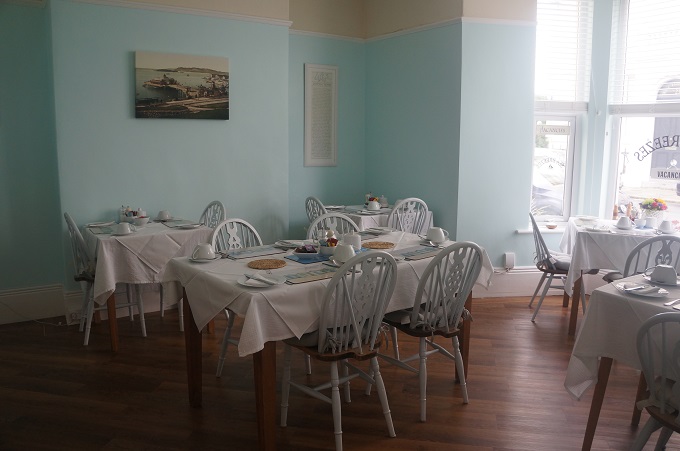
We stayed in B & Bs and small three star hotels. These had all been pre-booked by Macs Adventure and varied from homes with two guest rooms to hotels or inns with up to ten guest rooms. All were very comfortable, some luxurious. Locations were often good, very close or sometimes right on the path, but a few were about 2 or 3 kms away which made for some extra walking each day. They all had excellent breakfasts of juice, cereal, porridge, yoghurt, tea, coffee, toast and a choice of cooked breakfasts – you didn’t have to eat ‘full English’. Of the 33 places we stayed only one did not have excellent free wifi.

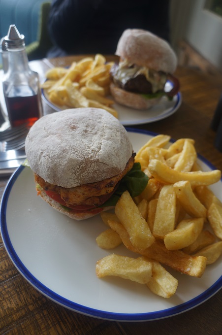
Food on the SWCP is great if you eat fish or sea food. Menus dominated by fish are natural for an area whose history and livelihood is so tied to the sea but for us who are not so keen on sea food the alternatives were a bit limited – burgers, lasagne, curries, steak and ale pie.  Vegetables were hard to come by, everything came with mauve cole slaw or insipid salads, and chips. Sunday was the best day, everywhere there was a carvery and vegetables.

Overall this is a fantastic walk. Hard work but very rewarding, on a superb coastline with a huge variety of history, wildlife, geology and scenery.

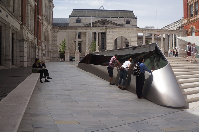
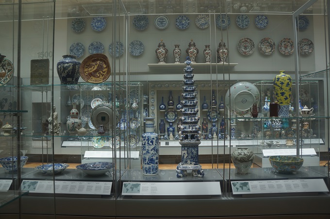
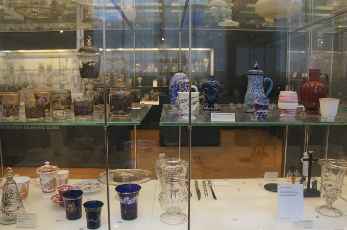
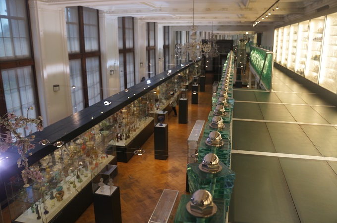
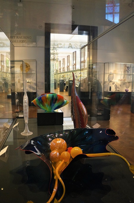
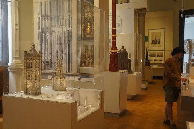
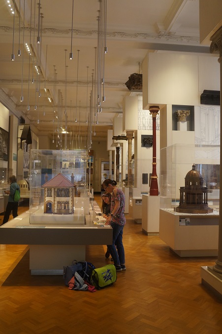
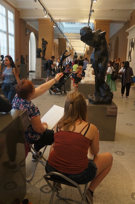
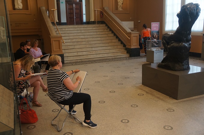
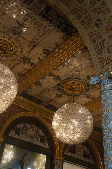
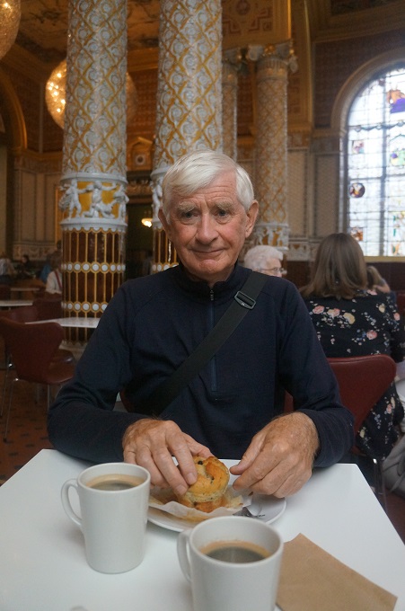
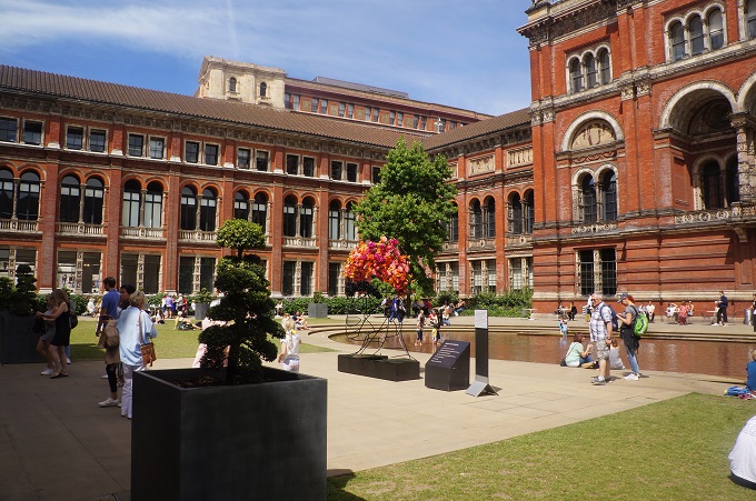
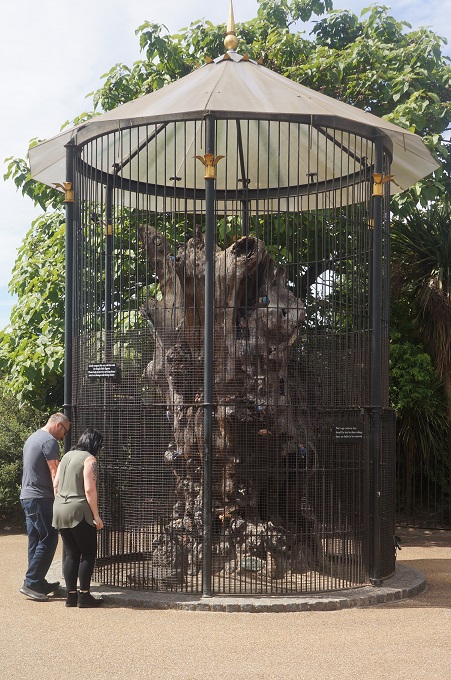
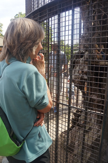
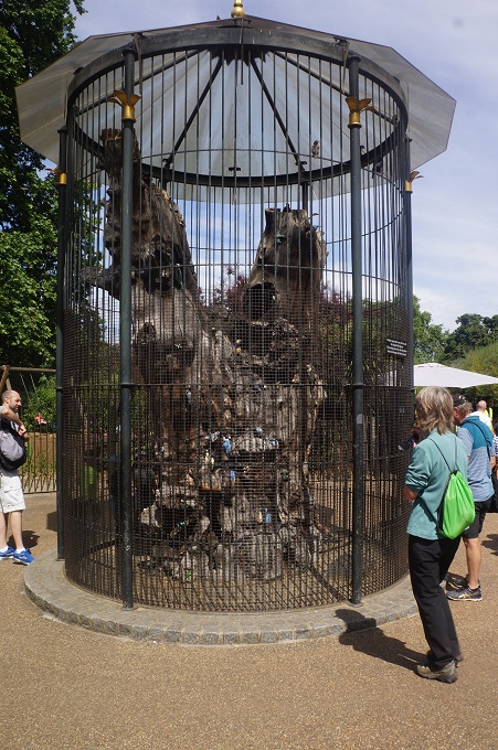
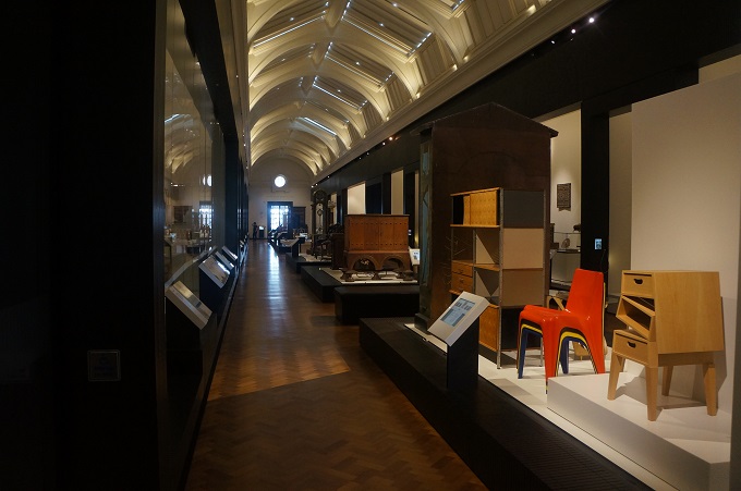
V & A Museum and The Elfin Oak in Hyde Park


London Stuff


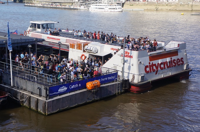
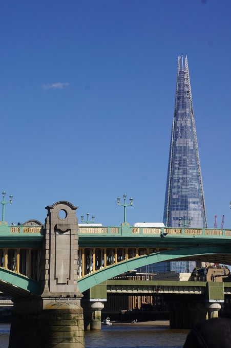
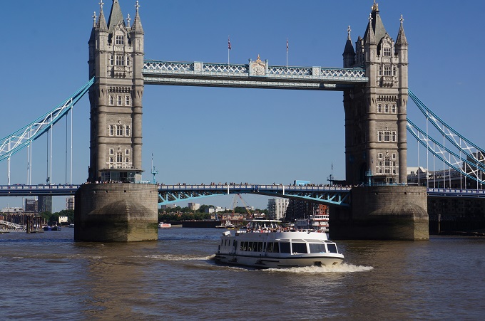
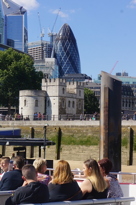
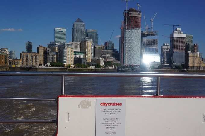
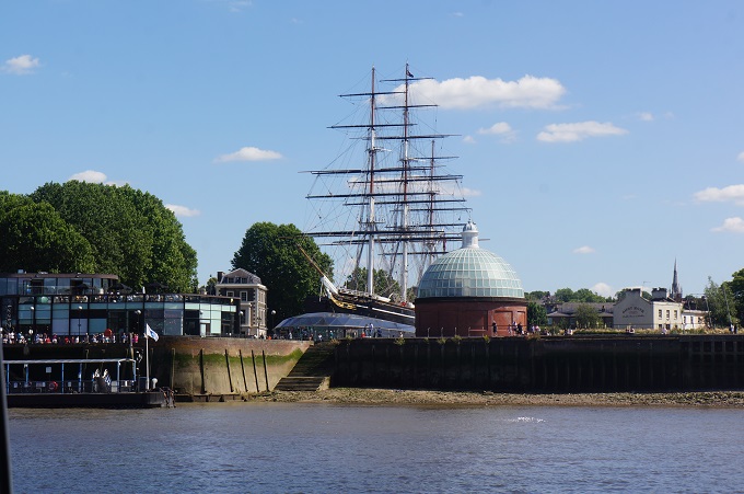
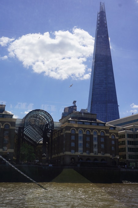
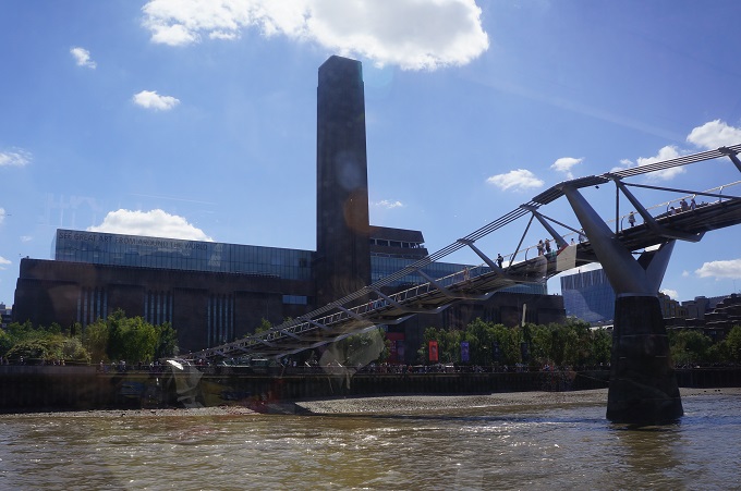
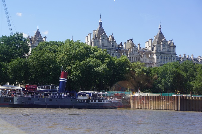
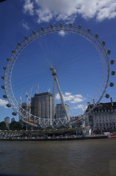
London River Cruise


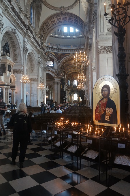
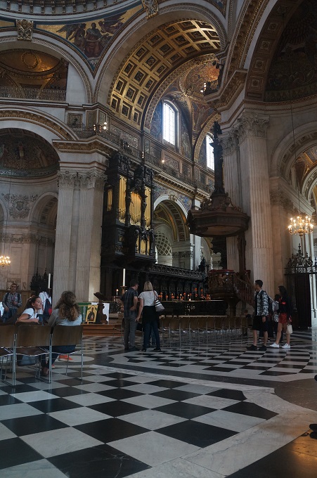
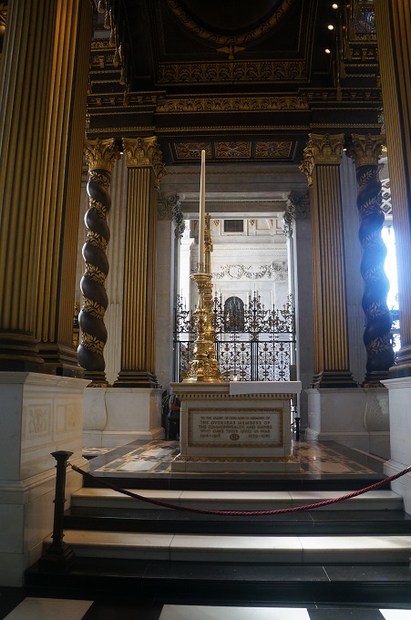
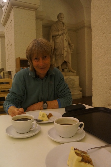
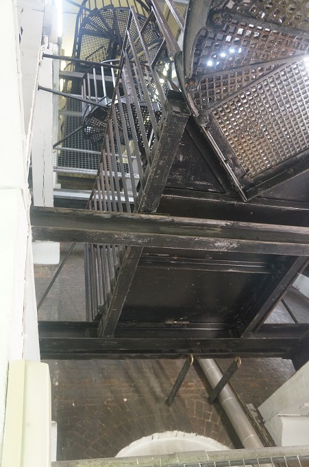
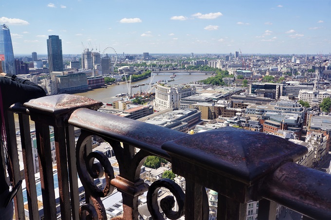
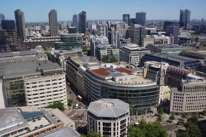
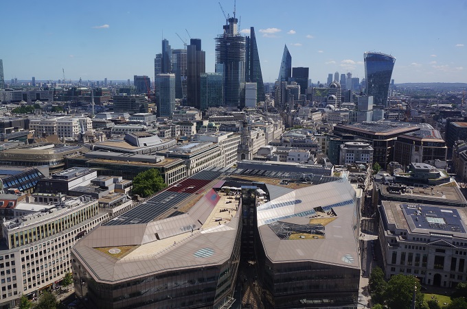
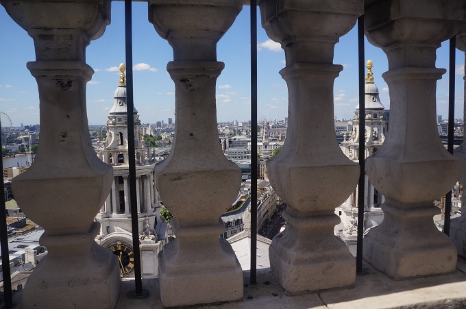
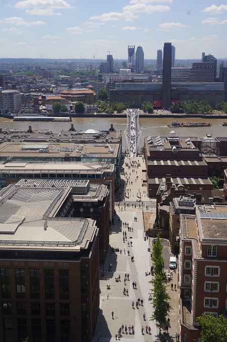
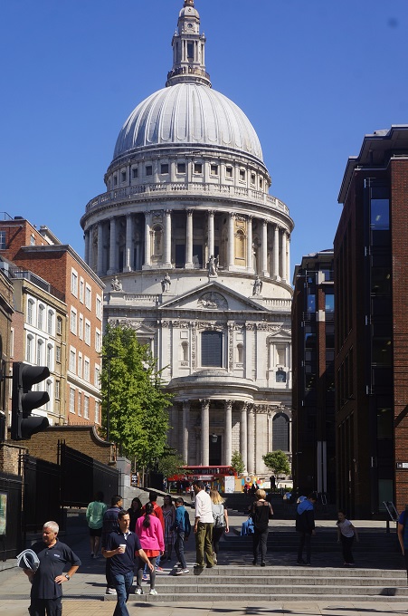
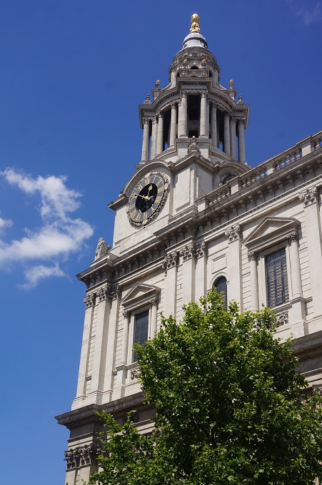
St Paul’s Cathedral


To London, To London

Plymouth to London

Awoke to a lovely sunny day in Plymouth after two days of low cloud and mist. We couldn’t stay to enjoy it unfortunately.

We had about a forty minute walk from the guest house through Plymouth City Centre to the train station. The centre of Plymouth was destroyed by bombing in WW2 and so all the main shopping/commercial centre is relatively new. There is a long wide pedestrian mall running right through the shopping precinct. Almost every building is designed in what would have been the height of 1950/1960s modernist architecture. Sixty years on it all looks slightly depressing. Every façade is perfectly composed and proportioned, simple geometric shapes, no decoration, little colour, mostly white or grey, refined detailing, the ultimate ‘less is more’. It’s interesting as a snapshot in time but it all looks so serious. I think it desperately needs some whimsey and idiosyncrasy. Some one to poke some fun at the rules.

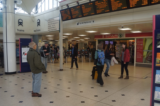
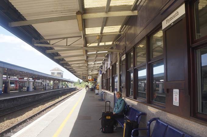
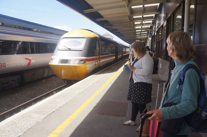
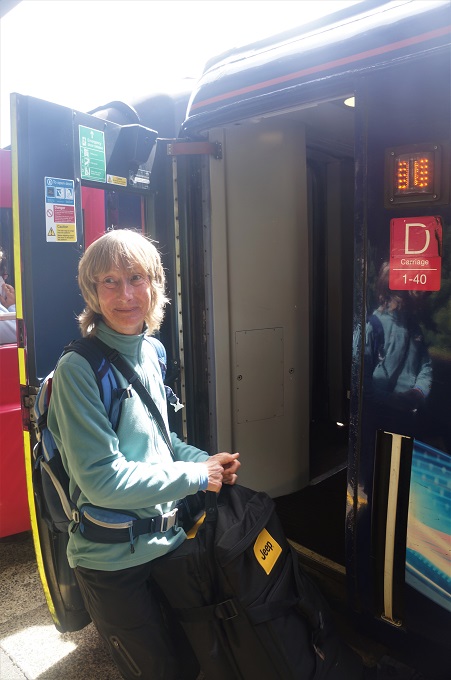
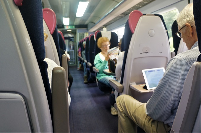
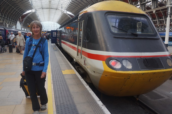
From Plymouth we took ‘The Cornishman’ Great Western Railway train to Paddington London. About a 230 mile journey in 3 hours twenty minutes. An eight coach train, including a first class coach at the rear and a restaurant car. It was very comfortable, quiet and punctual. Five stops along the way, four near the Plymouth end of the line and the fifth at Reading about half an hour from London. It took about half the time of our bus trip from London to Westward Ho! but then it cost a bit more than twice as much.

We had booked and paid for train tickets before leaving home but had to collect the tickets at the train station. This involved inserting the same debit/credit card used to pay for the tickets into a machine, typing in a seven digit code that had been emailed to us, and hey presto out popped our tickets. And we got the credit card back!

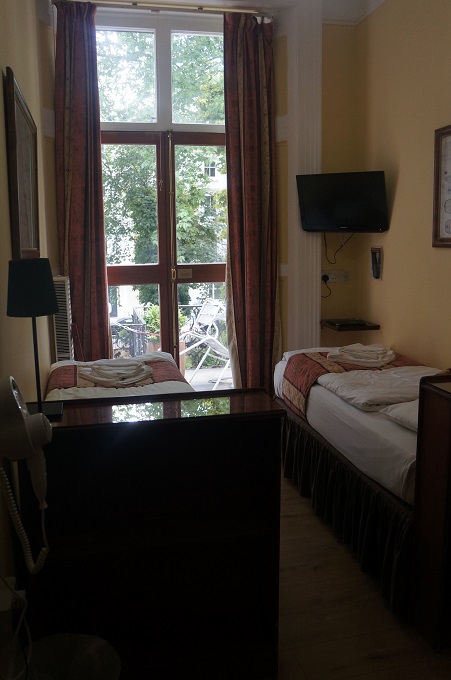
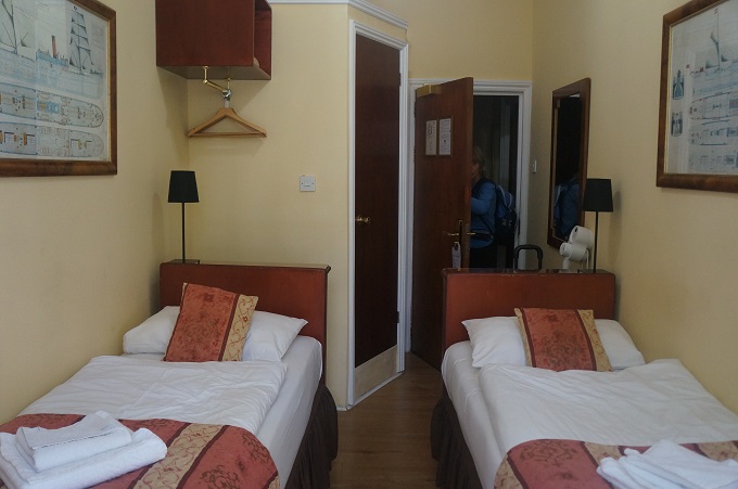
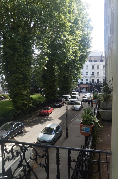
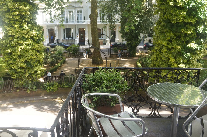
After five and a half weeks away we are back at the Shakespeare Hotel in Norfolk Square. A different room, this time on the first floor. A room that makes us smile. The largest dimension is the height! It is tiny but we love it as it has large French doors onto our own little balcony overlooking the trees and gardens in the square. We can still imagine we are out in the English countryside not in the heart of one of the biggest cities in the world.


Plymouth

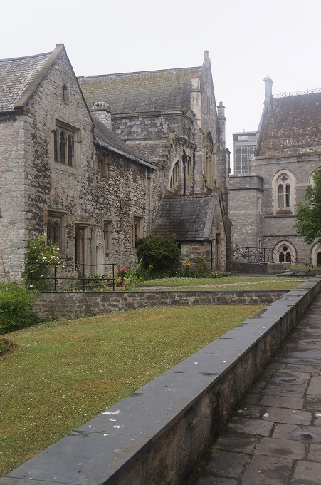
A quiet day wandering around the historic city of Plymouth. Although highly recommended we didn’t get to the Plymouth Gin Distillery.

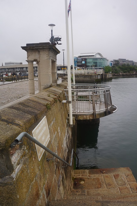
We made our way to the Mayflower Steps to ‘officially’ complete our walk. I reckon the finish should be at the Cremyll ferry where you ‘officially’ move form Cornwall into Devon.

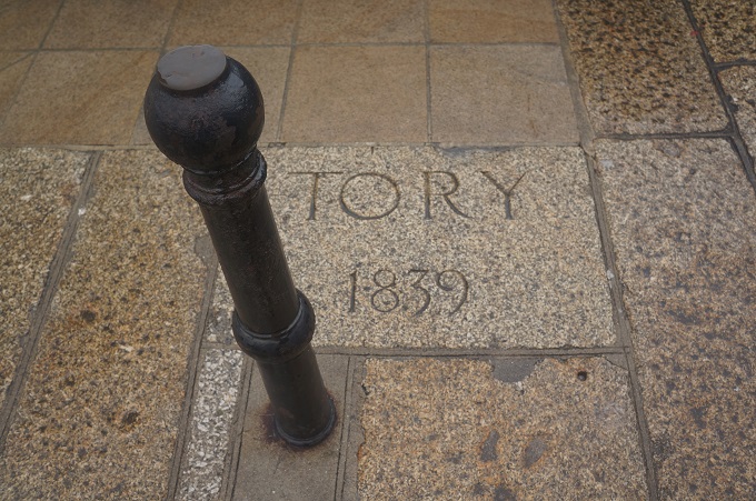
The Mayflower Steps are a bit of an anti-climax. There is a memorial but the causeway of 1620 was destroyed long, long ago and the present steps are only from the 1890s. Amazingly we were the only ones there. No coach loads of American tourists, just two Kiwi tourists admiring a far more important memorial. This same quay is where the New Zealand barque Tory set sail in May 1839 for Port Nicholson, now Wellington, to start the settlement of New Zealand.

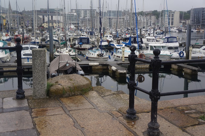
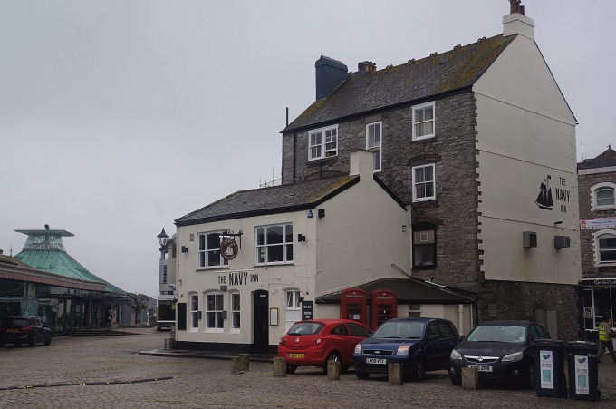
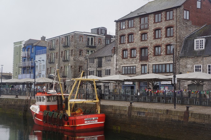
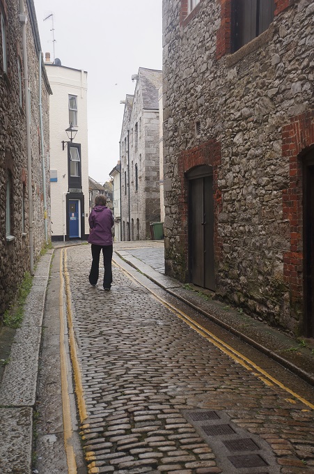
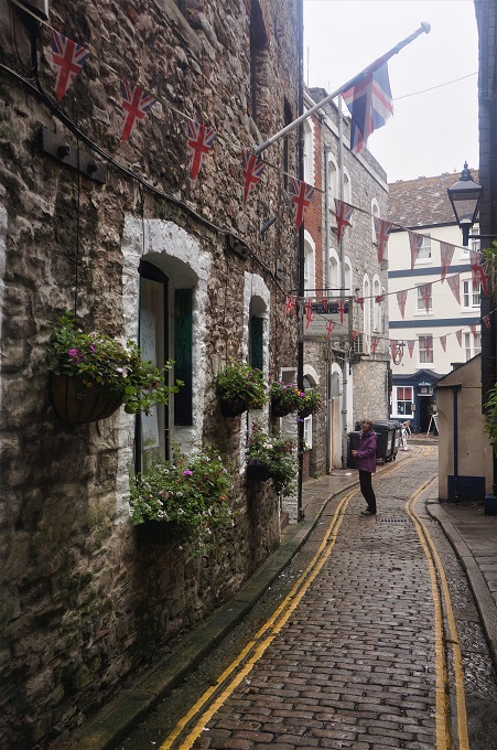
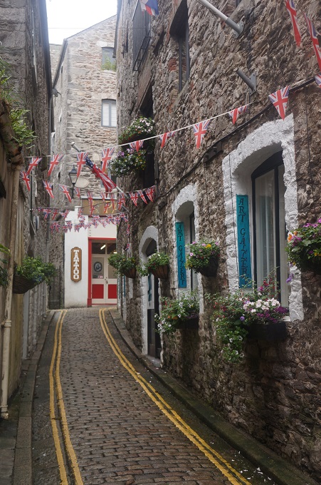
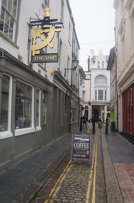
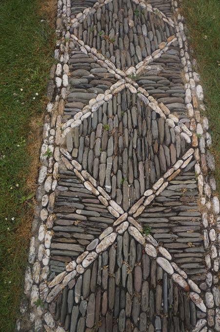
We had a look around Barbican. Barbican is the ‘old town’ area around Sutton Harbour, the original harbour of Plymouth. It is one of the few parts of the city to escape destruction during the bombing of WW2. A few of the streets and alleys still have the character of an old fishing port. It is said to have the highest concentration of cobbled streets in England.

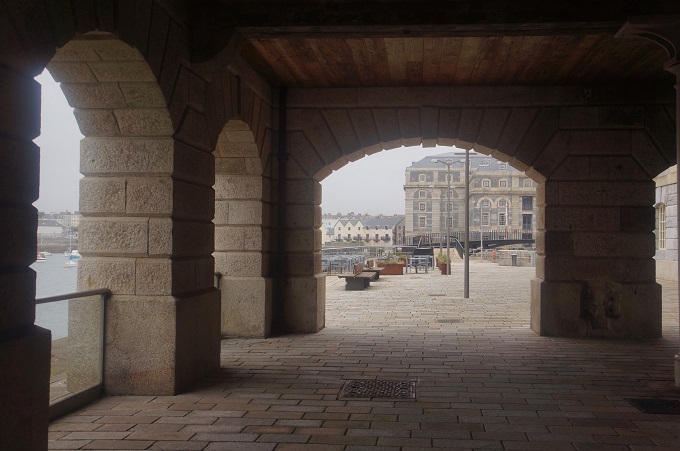
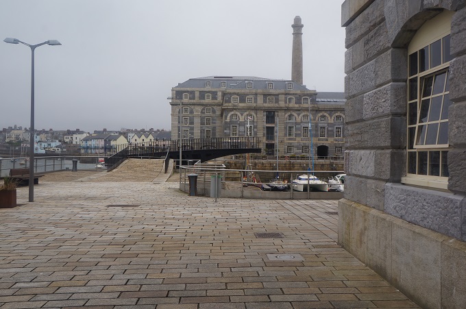
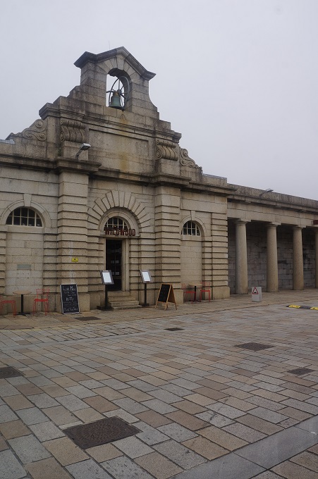
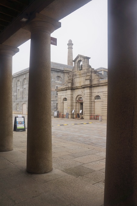
In the afternoon we walked back to Stonehouse (where the Cremyll ferry dropped us yesterday) and had a look around Royal William Yard. This is a huge complex that was the major victualling depot for the Royal Navy. It was built in 1826 – 1835 and is named after King William IV. It had slaughterhouses, bakeries, a brewery, a biscuit factory, coopers for making barrels and vast storehouses for food, clothing and equipment. The navy moved out in 1993 and now it is a mixed-use development of residences, restaurants, cafes, shops, a marina, a ferry terminal, etc. It was all looking very quiet and empty while we were there.
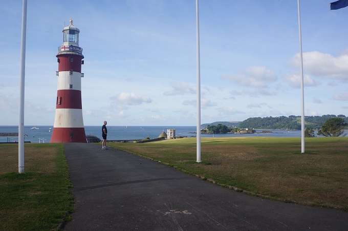
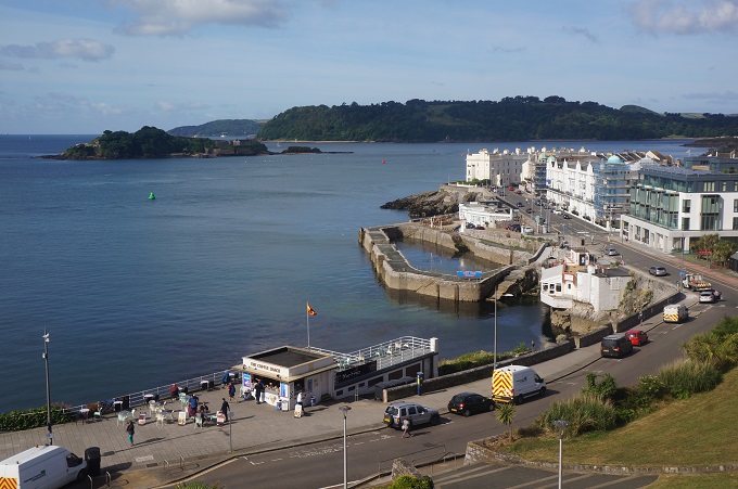
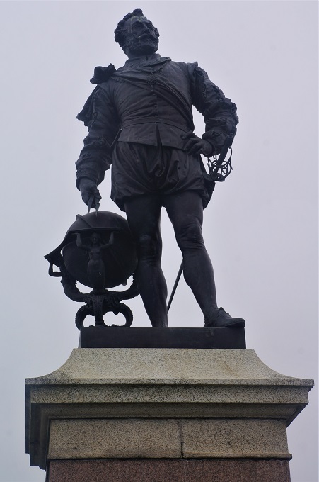
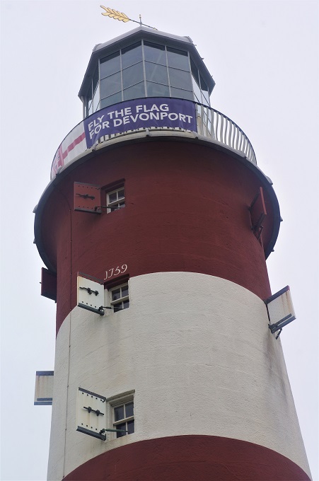
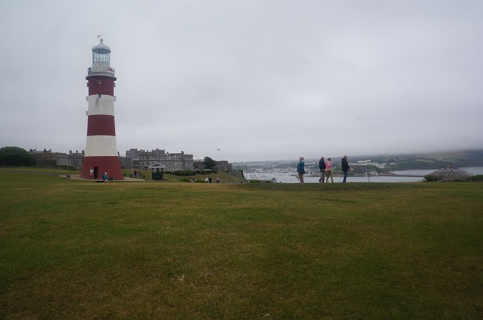
We also visited The Hoe. This is a green expanse on a hill that separates the city of Plymouth from the sea. It is most famous for being the site of Francis Drake’s game of bowls in 1588. With the Spanish Armada fast approaching he resolved to finish his game and wait for the tide to turn before engaging with the enemy. There are a lot of other memorials and statues on the green including Smeaton’s Tower. Originally the third lighthouse to be put on Eddystone Rocks ( 14 km southwest of Rame Head where we were at the chapel yesterday), it was dismantled in 1882 and the upper portions rebuilt on The Hoe. Smeaton was the original builder of the tower in 1759.
Tomorrow we catch the train back to London. What a shock that will be. The thing we loved most about the South West Coastal Path was its quietness, remoteness and isolation.

For those who are interested: Plymouth lies on two rivers, the Tamar and the Plym, hence its name, the mouth of the Plym.


Lies, Damn Lies and Statstics

Number of walking days: 30
Number of rest days: 5 (Padstow, St Ives, Penzance, Falmouth, Charlestown)
Number of kilometres walked: over 500 (not including rest days)
Number of steps taken: 666,879
Number of signposts: 1236
Number of bridges crossed: 151
Number of ferries: 8
Number of gates opened and closed: 327
Number of stiles climbed: 461
Number of steps climbed: 13,395
Number of swims: 1
Number of metres climbed: two Mt Everests
Best breakfast: Red Fox Barn
Best dinner: Roast Loin of Pork, Coombe Barton Inn, Crackington Haven
Smallest breakfast: Port Gaverne Hotel
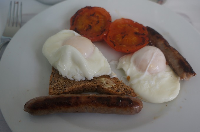
Number of poached eggs eaten: 58 each
Most expensive packed lunch: Little Fox, £8
Prettiest town: Clovelly, Port Isaac, Polpero, so many others
Ugliest town: Portreath
Longest day: Porthleven to The Lizard, 27 km
Shortest day: Mawnan Smith to Falmouth, 6 km
Place I’d like most to go back to: Polpero
Place I will never go back to: Lands End
Number of beds slept in: 30
Narrowest bed slept in: Mevagissey Bay Hotel
Most comfortable bed: the one at the end of a tiring day
Least comfortable bed: the ones on rest days
Number of times we got lost: 2
Number of places with no wifi: 1
Number of days until we got sick of Full English Breakfast: 3
Number of Cornish Pasties eaten: 4, went off them quickly – too much salt and pepper
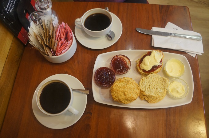
Number of Cornish Cream Teas: 3, scones too crumbly, what a mess to eat
Number of glasses of wine/beer/cider: 5 (a very dry walk!)
Number of desserts eaten: 1 (and it was shared!)
Number of times food stolen by a sea gull: 1
Number of things we lost: sun glasses
Number of things we left behind in hotel rooms: 0 – not bad for us
The most luxurious accom: Red Fox Barn, Little Fox Hotel
The squeakiest floors: Coombe Barton Inn Crackington Haven
Number of kisses Paul got at a kissing gate: 0 (cows and sheep don’t count)
Number of kisses Barbara got at a kissing gate: lost count
Number of boat harbours we passed through: 49
Number of nettle stings: how many grains of sand on a beach?
Number of Iron Age Hill Forts we crossed: 37
Number of Iron Age Hill Forts we actually recognised: 2
Number of photographs taken by Paul: 2988
Number of photographs taken by Barbara: 101