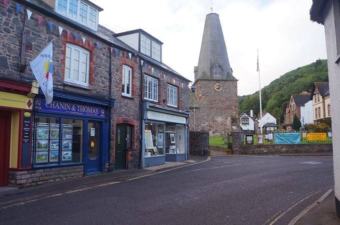
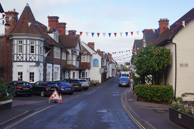
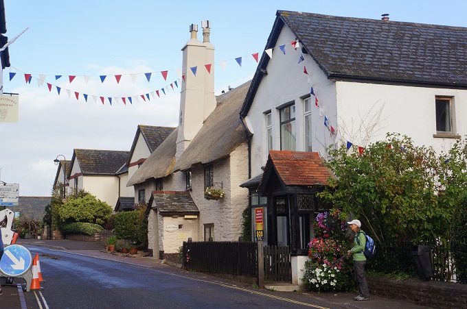
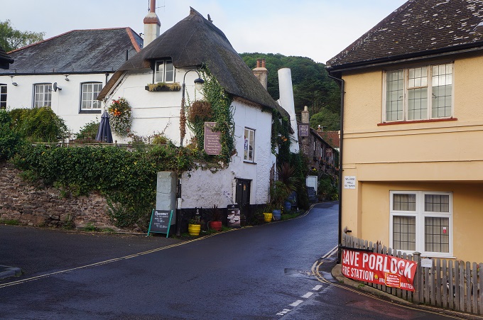
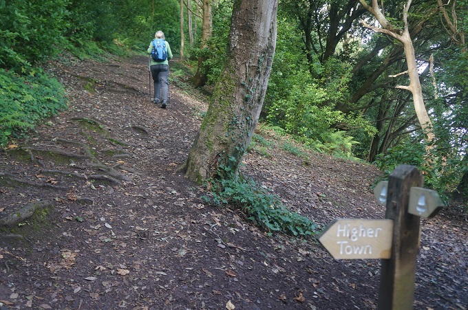
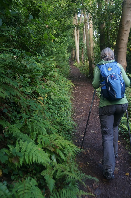
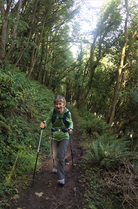
All posts by Paul Lenihan

On the straight and narrow

Braunton to Instow, 21 km, 17m ascending, 4,228m accumulative ascending

That’s right only 17metres of climbing over 21 kilometres, 5 metres of climbing this morning and 12 this afternoon. After a while walking on the flat becomes a bit tedious and hard on the feet when it is on concrete or asphalt. Also it is more comfortable over a long distance when you can vary your stride going uphill, downhill, on steps, over stiles etc.

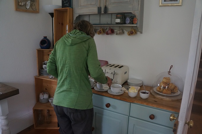
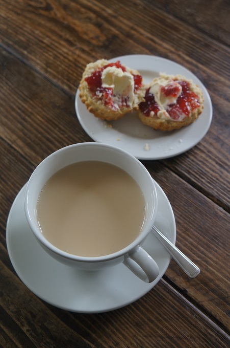
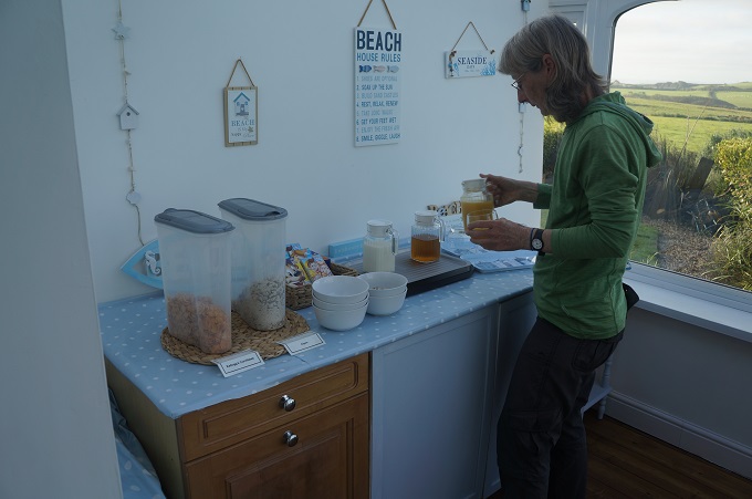
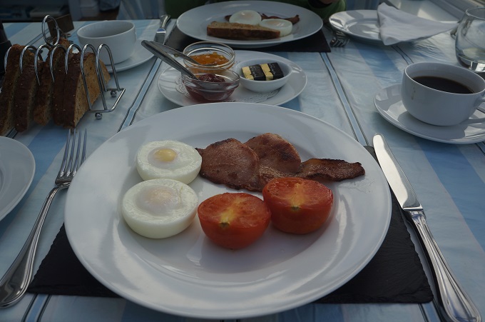
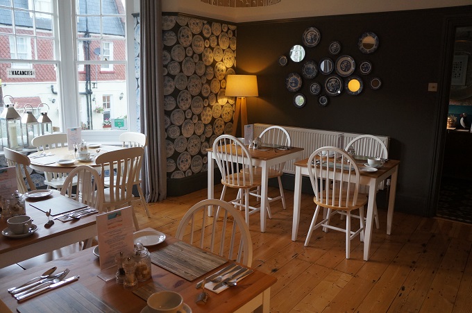
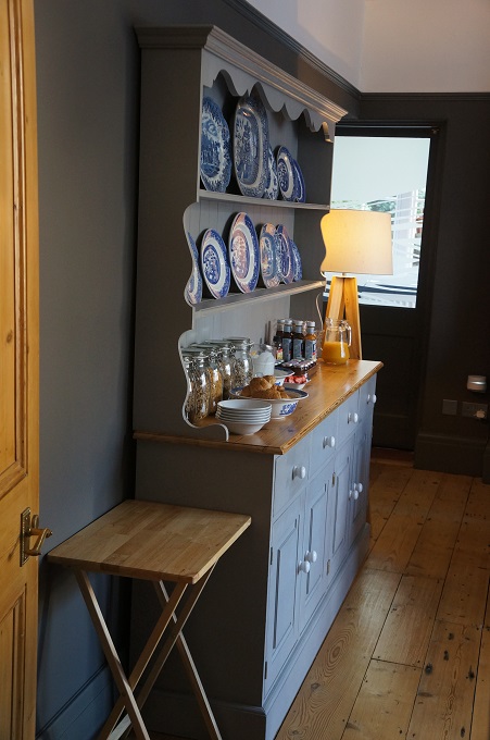
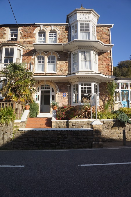
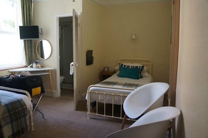
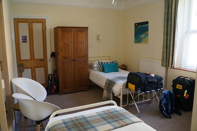
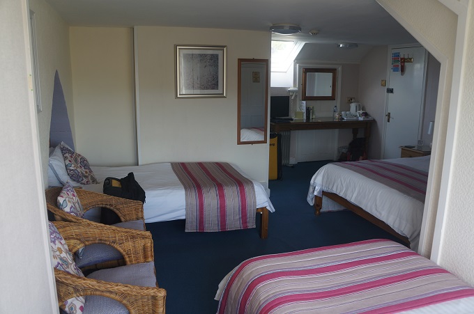
When we set off in the morning we usually rate the accommodation we are just leaving. They are mostly all very good and automatically rate an 8 or 9 out of ten. We are usually just nit-picking over whether they get a nine and three eighths or a nine and seven sixteenths. That is – was the fruit at breakfast just melon or was it blueberries and strawberries, were they feather pillows, did we get a cup of hot tea and scones when we arrived, etc. All very much first world issues.

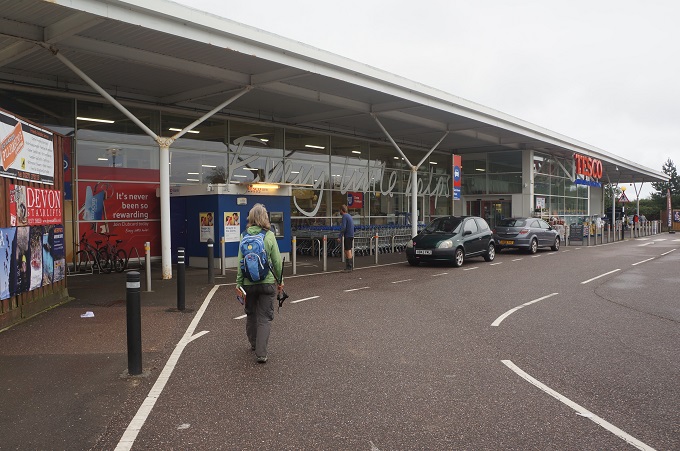
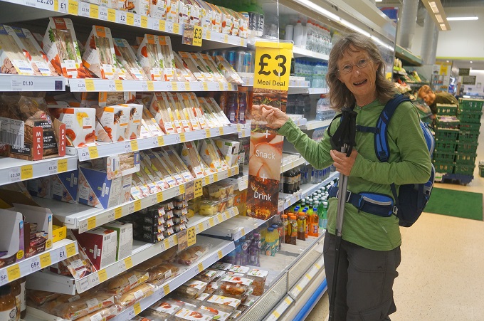
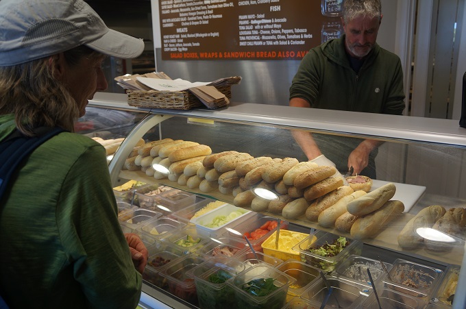
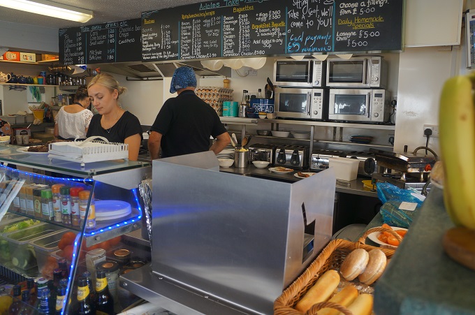
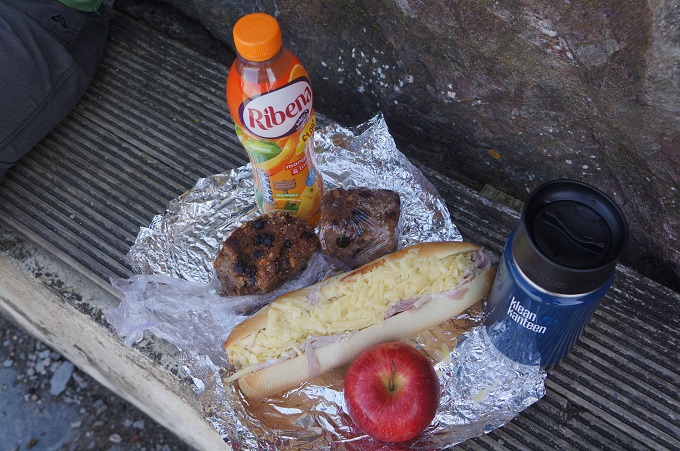
Also when we set off in the morning to look for a bakery to get a fresh sandwich but failing this we go to a Boots or Tesco for a three pound meal deal. With these you get a main (sandwich, pasta, wrap, salad etc), a drink (juice, smoothie, water, cola etc) and dessert (fruit, crisps, cake, choc bar etc). They are a good deal but you wonder about the degree of processing to make meat, fruit etc last several days in the cabinet.

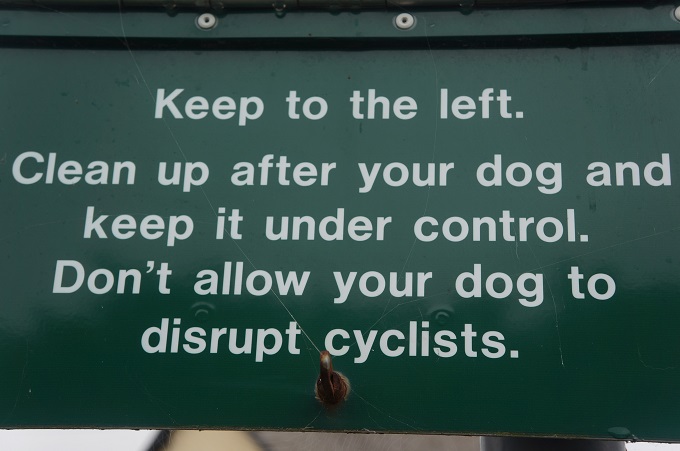
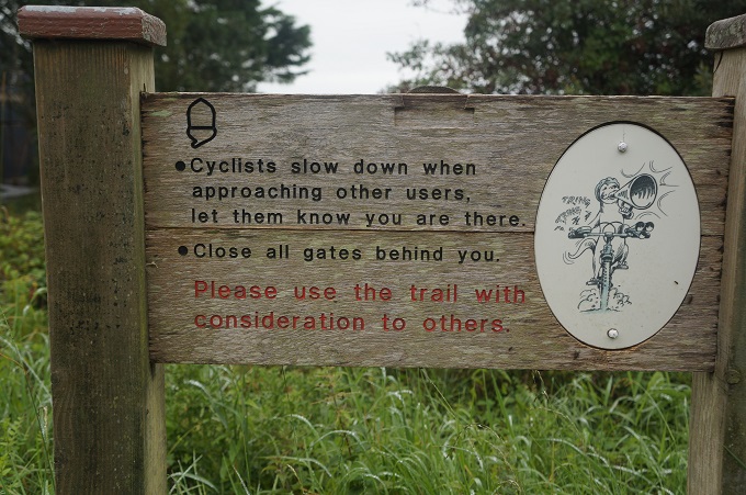
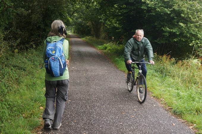
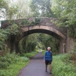
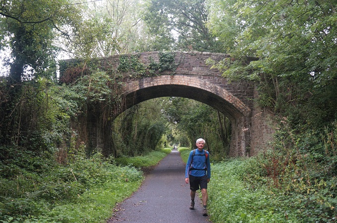
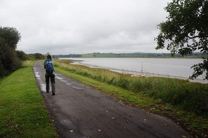
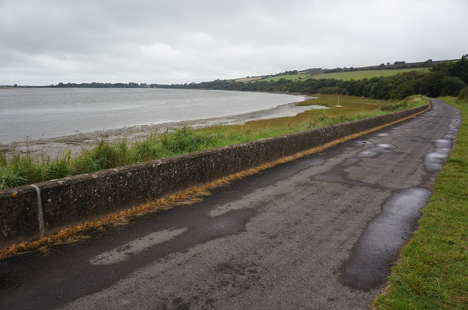
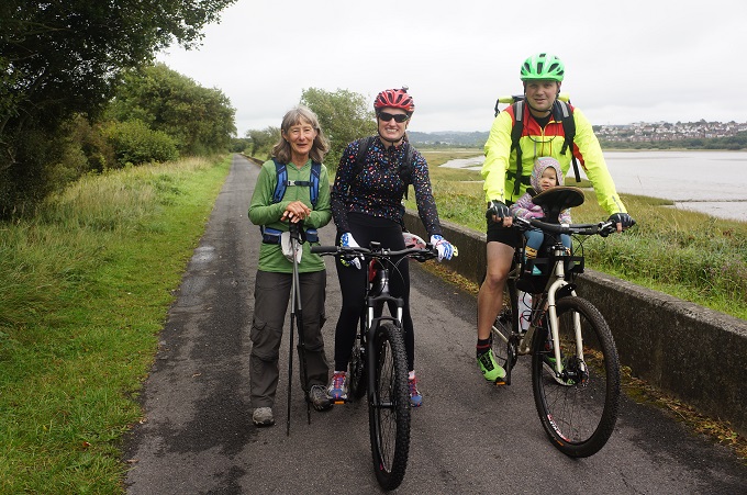
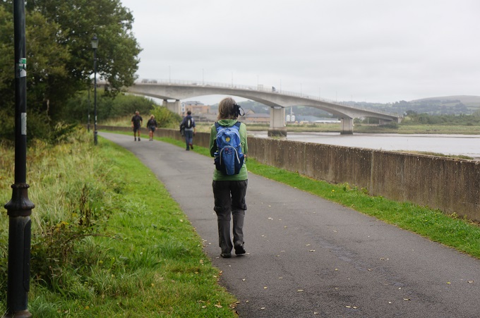
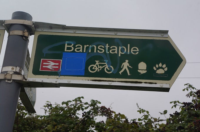
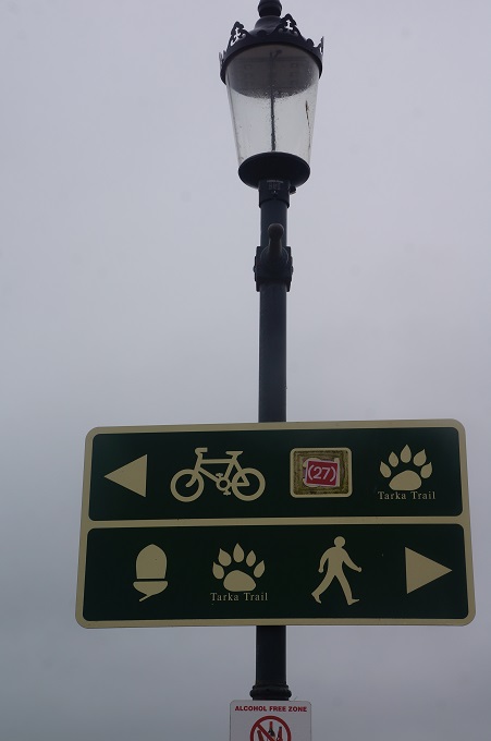
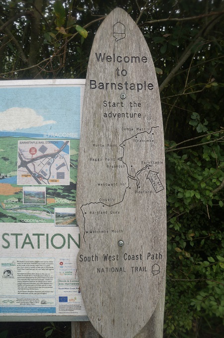
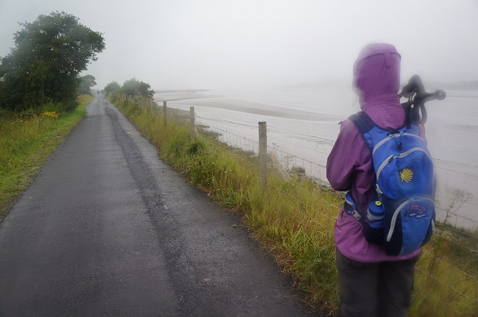
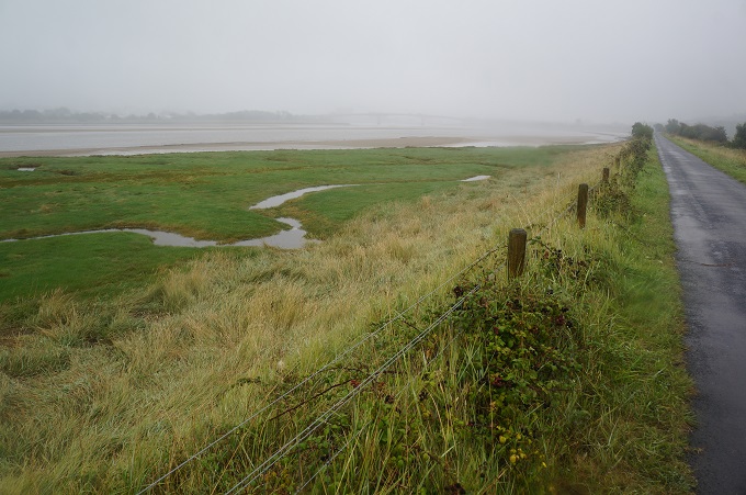
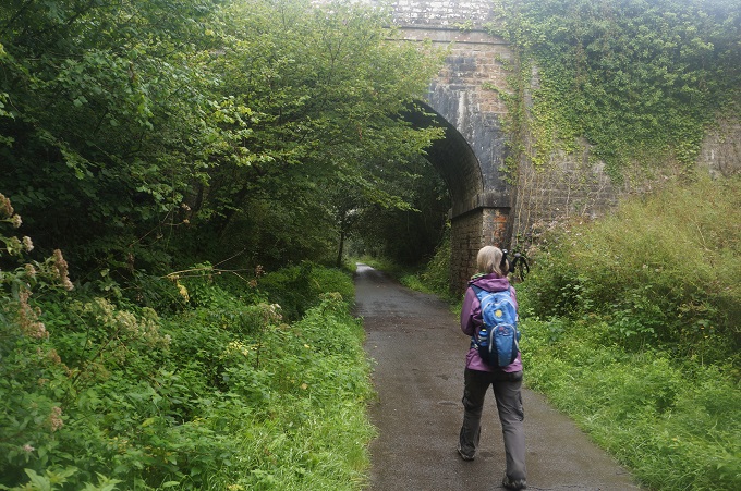
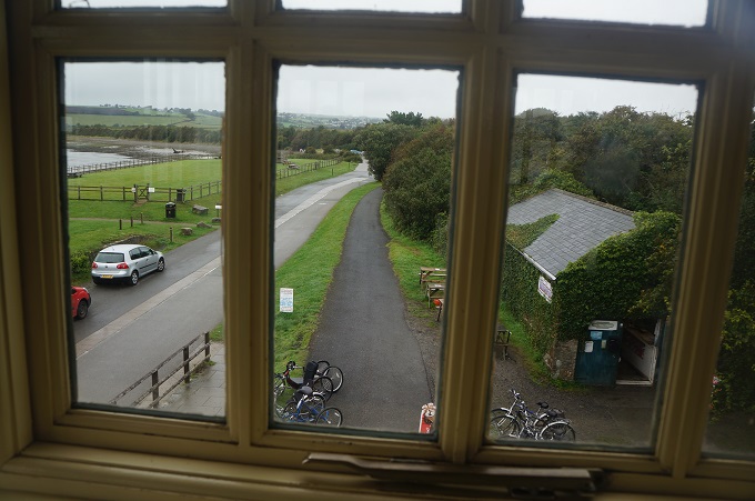
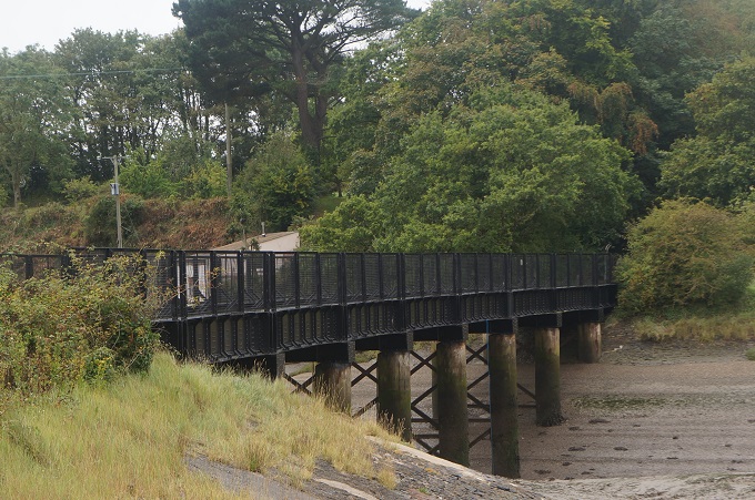
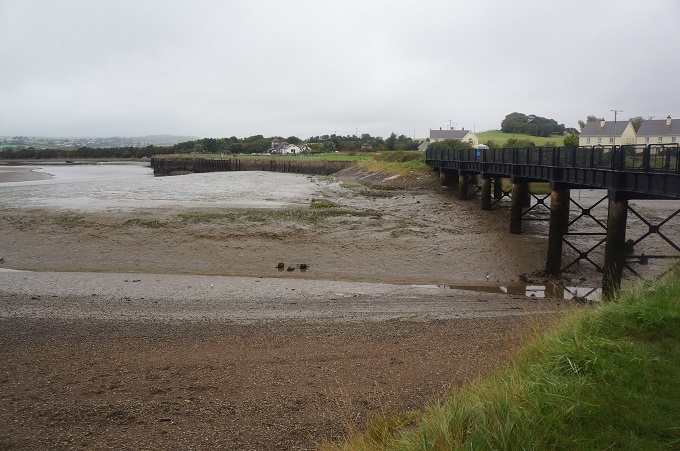
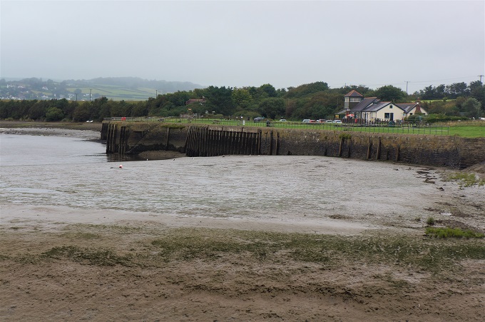
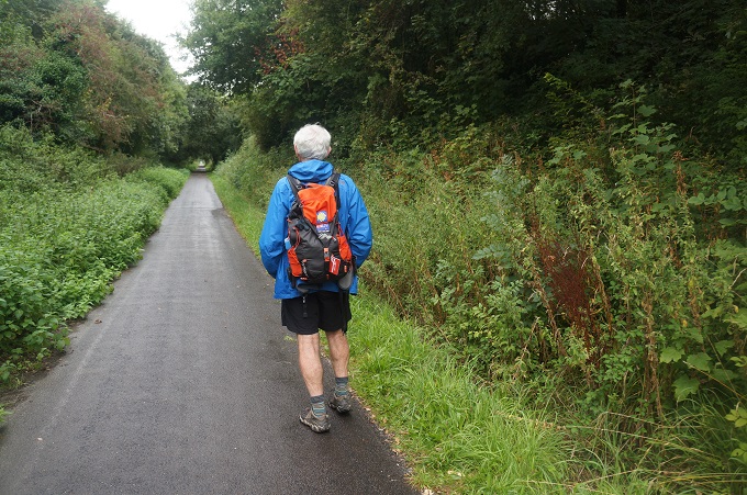
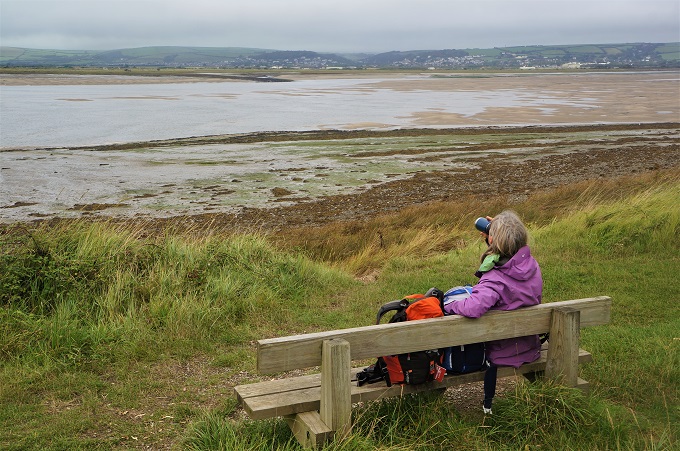
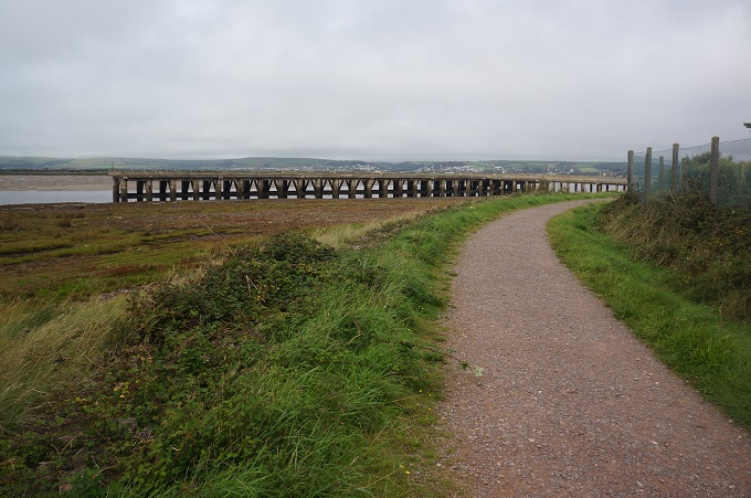
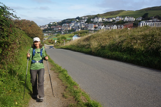
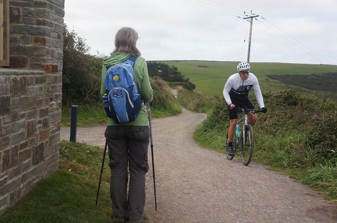
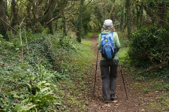
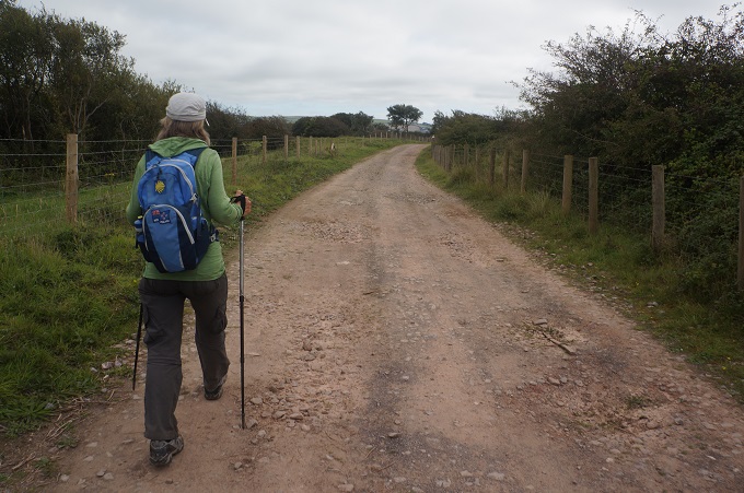
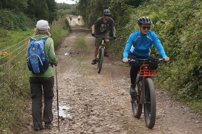
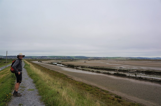
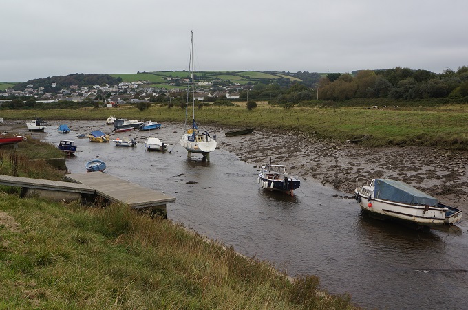
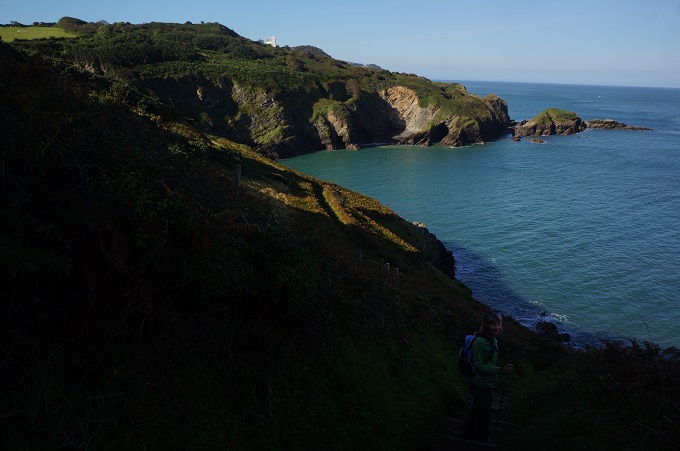
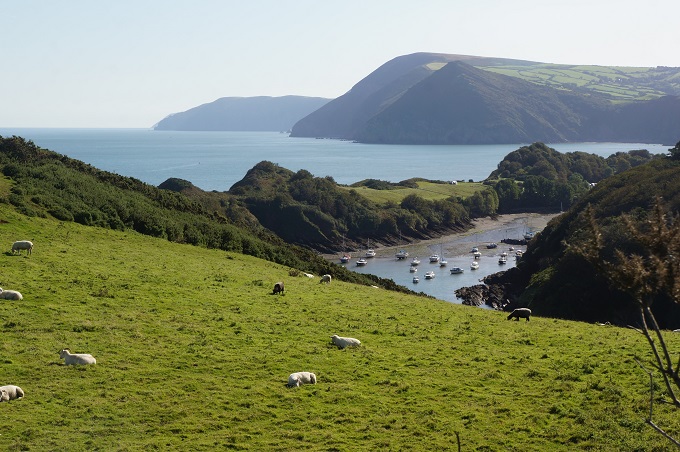
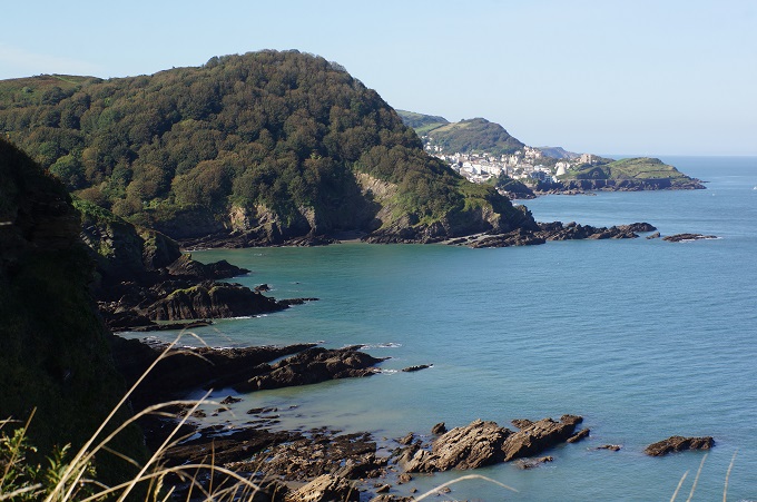
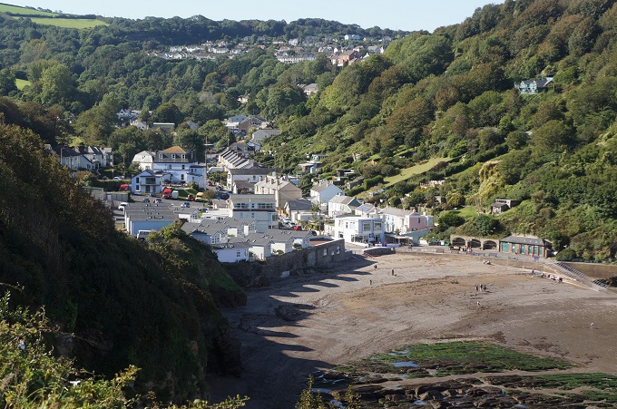
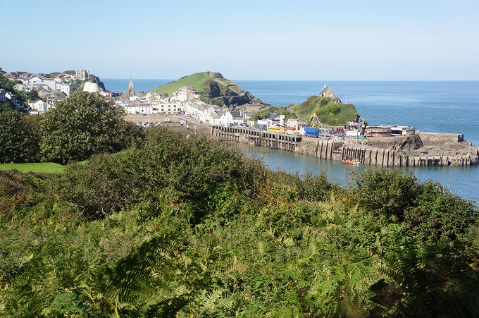
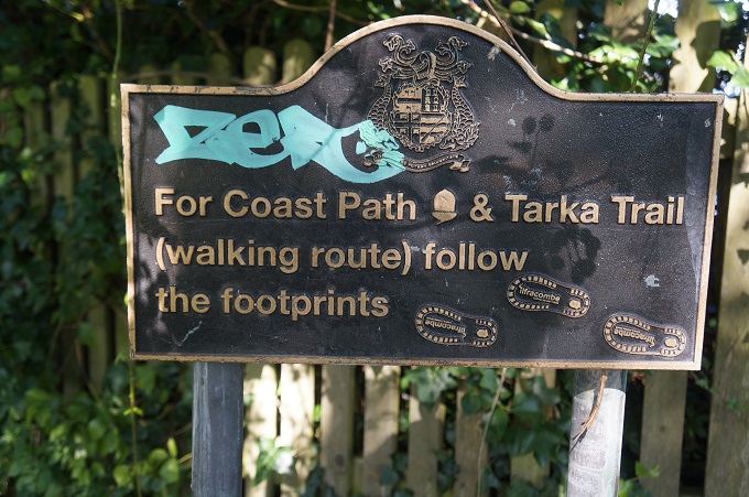
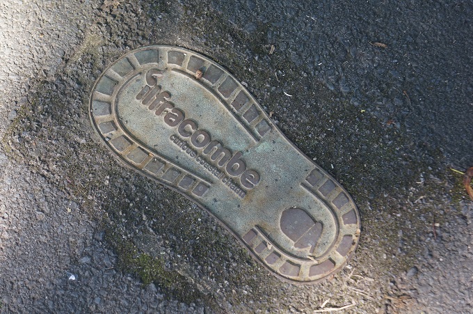
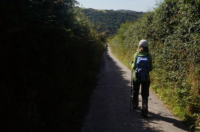
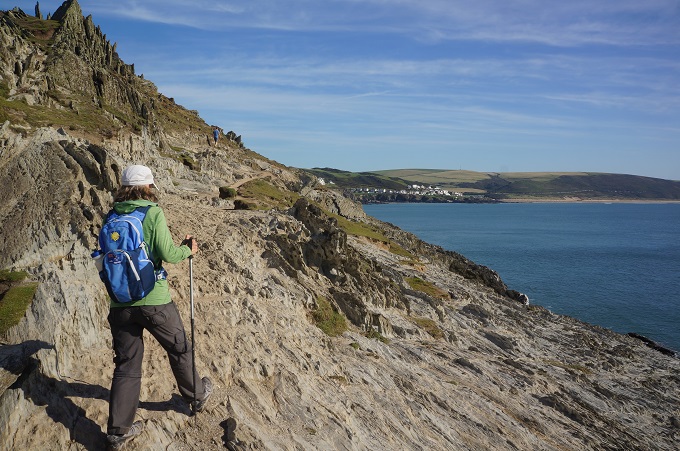
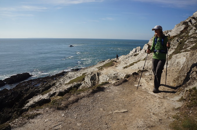
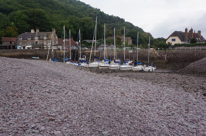
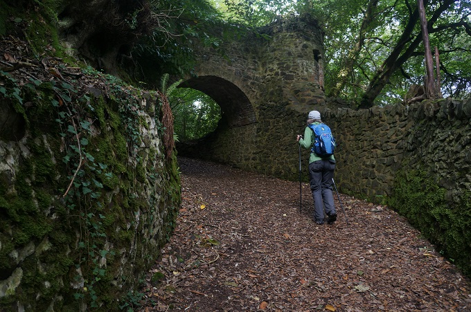
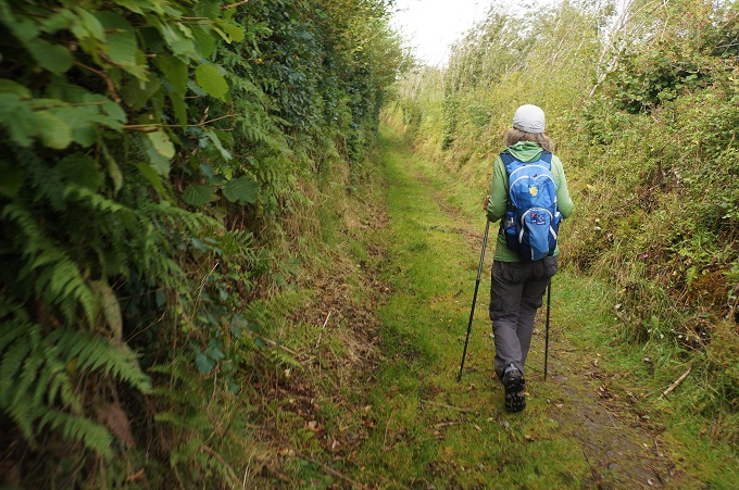
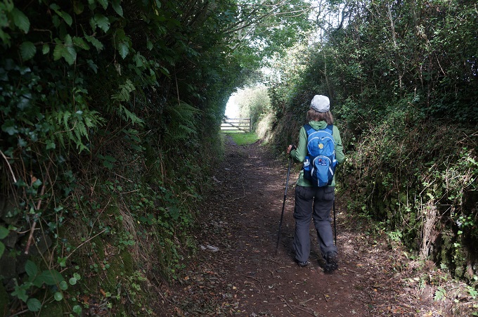
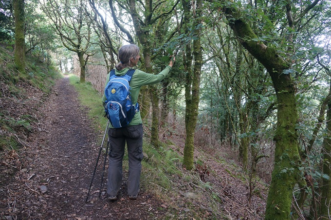
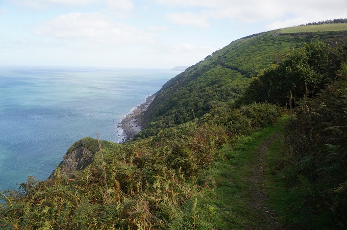
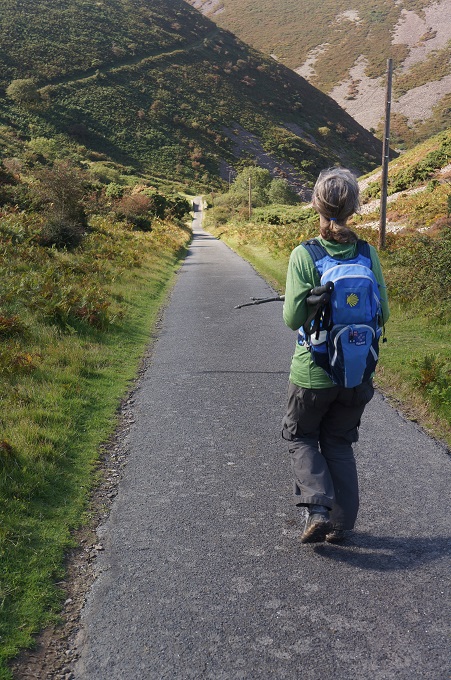
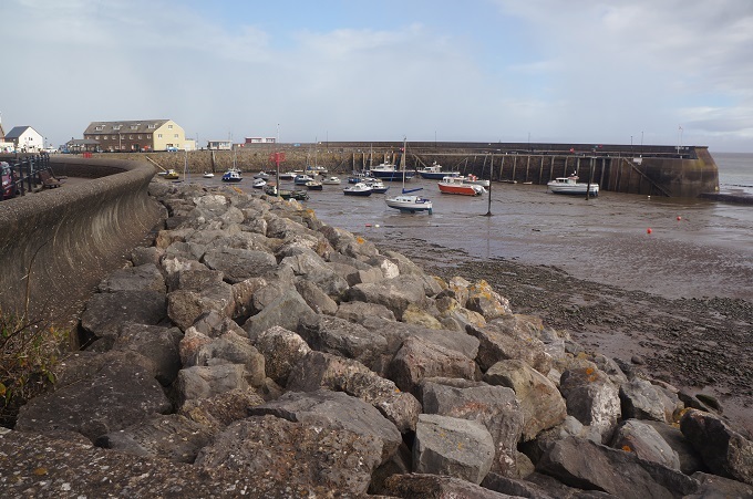
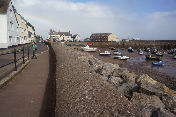
The route today was very simple. From Braunton walk up the Taw River for 10 kilometres, cross the bridge at Barnstaple and walk back down the other side of the river for 10 kilometres to Instow. A flat, mostly straight walk. The path both sides of the river is the line of the former railway track once used by the Atlantic Coast Express – hence its flatness and straightness. As well as our Coast Path it is part of Devon’s Coast to Coast Cycle Path and the Tarka Trail. The latter is a 52km trail from Braunton to Meeth following the journey of Tarka the otter in the classic tales written by Henry Williamson. We hadn’t ever heard of them!

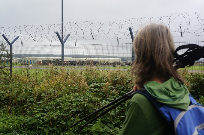
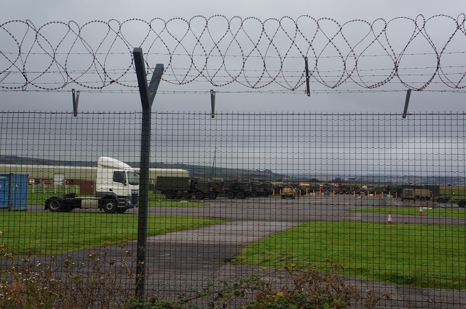
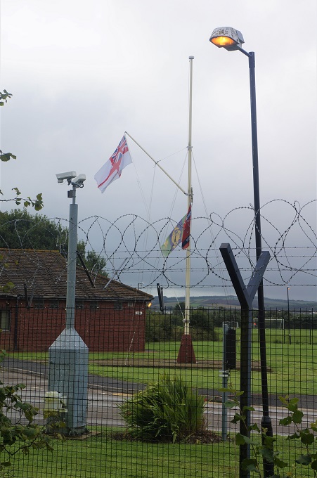
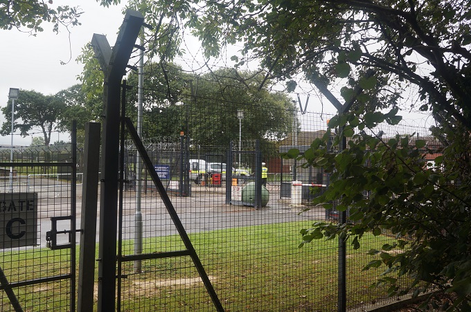
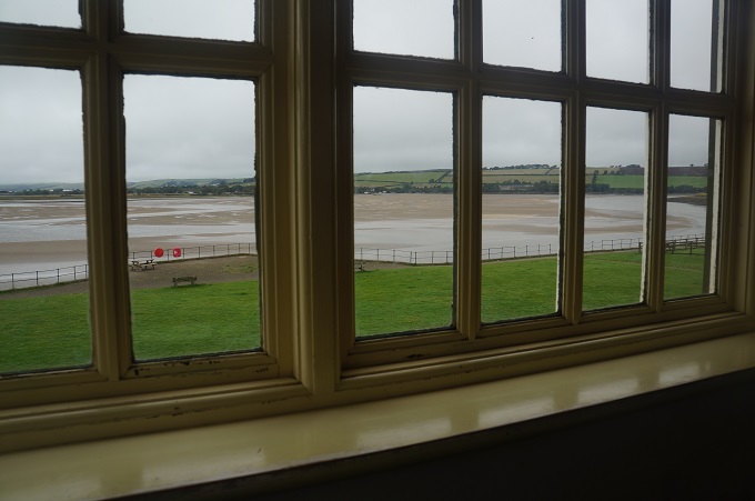
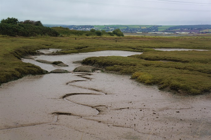
This morning we walked alongside several kilometres of barbed wire fence surrounding the Royal Marines base at Chivenor Airfield, then past a sewerage treatment plant, but mostly alongside the estuary of the Taw River, with its interplay of water and sand and mud banks. This was very pleasant. The weather was overcast, warm, little wind but very humid. As we neared Barnstaple there was a light drizzle so it was raincoats on for the first time.

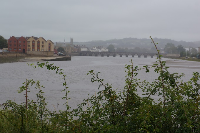
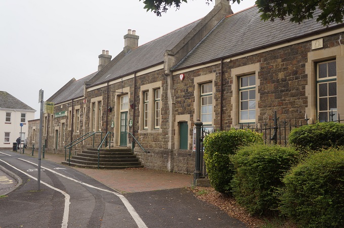
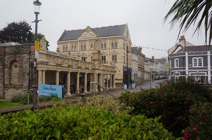
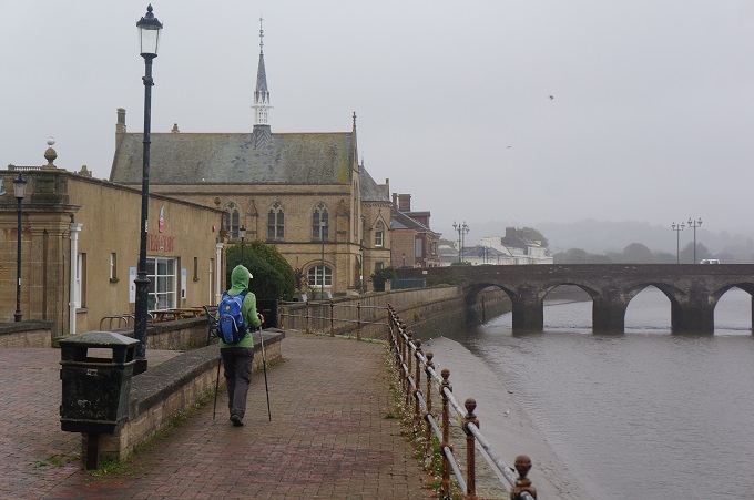
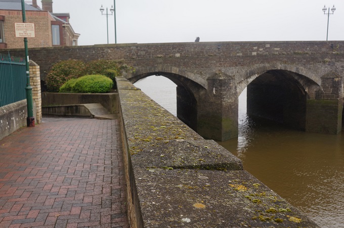
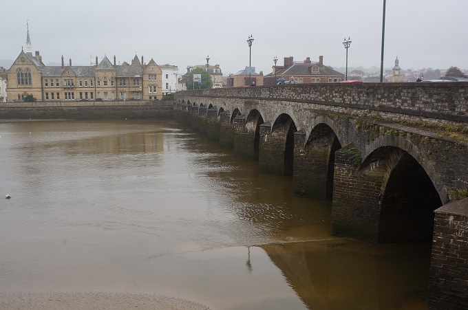
We crossed the Taw River on the Barnstaple Long Bridge, a stone bridge of sixteen arches, originally dating from the 13th century but widened several times, partly destroyed and rebuilt, and probably lengthened over the years. Barnstaple was a bit dreary and grey looking today but from what we saw it has many fine works of architecture.

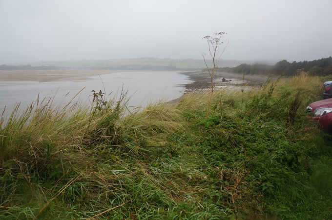
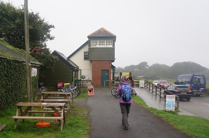
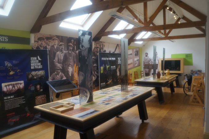
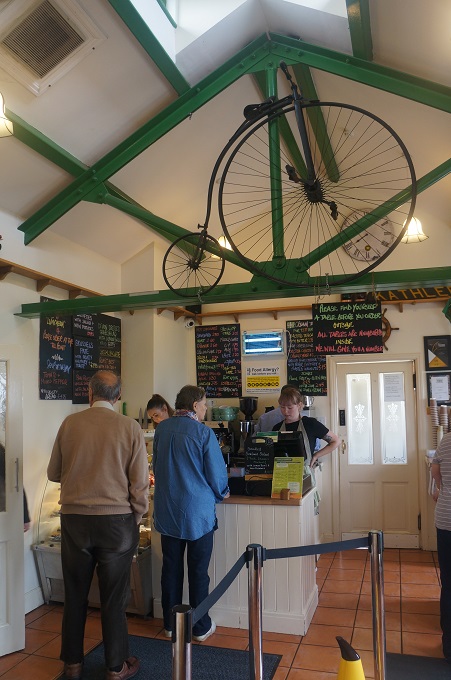
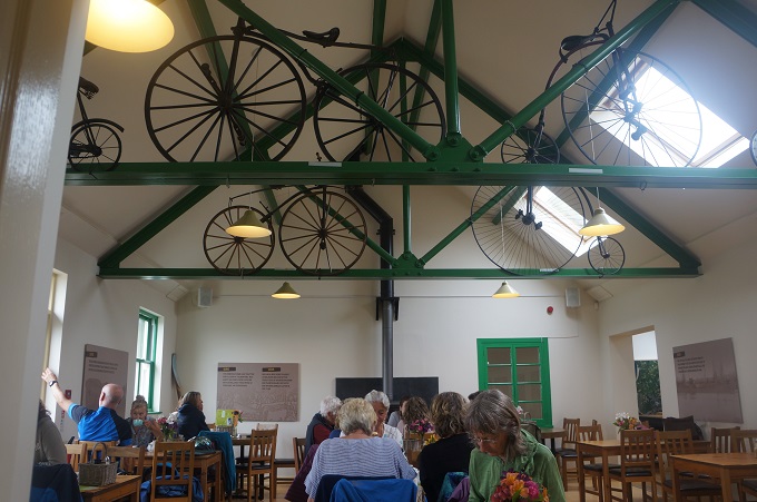
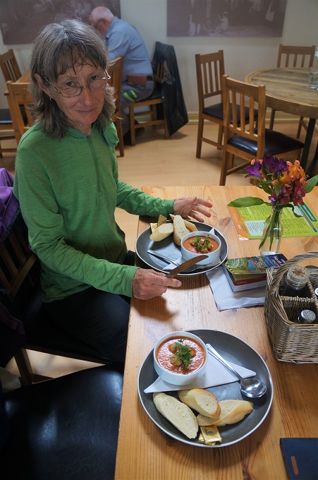
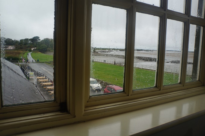
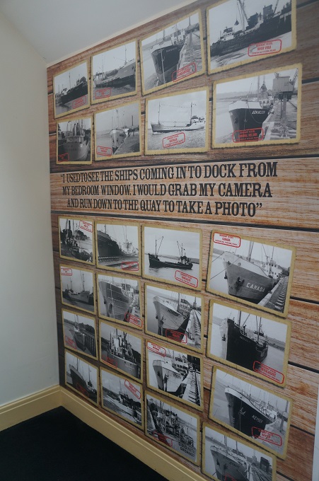
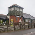
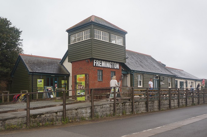
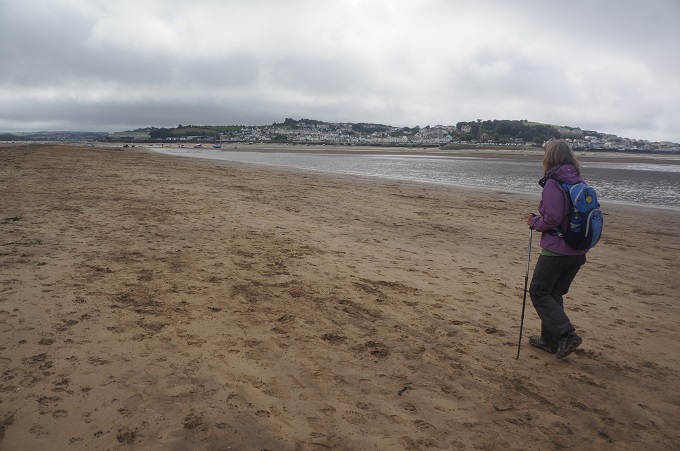
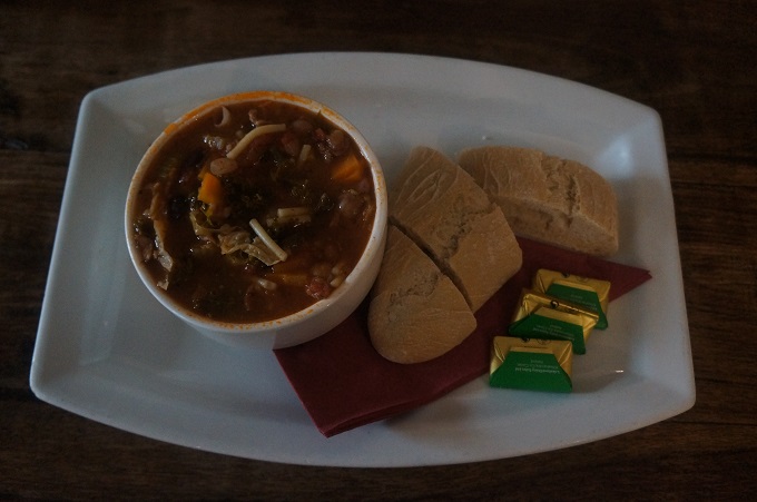
Starting back on the south side of the estuary the landscape on one side of the path is marshland and pasture, and on the other the tidal expanses and sand banks of the river. Flat, with long, long straights. We came to a lovely tranquil spot at Fremington Quay, once a busy port thriving on the import of coal and export of clay and pottery. The port closed in 1969 and the buildings are now used for a small museum, bike rental, public toilets and café. We made use of the latter two. We wanted to sit out the drizzle so had some delicious roasted red pepper and tomato soup.

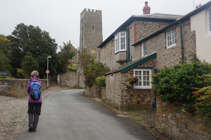
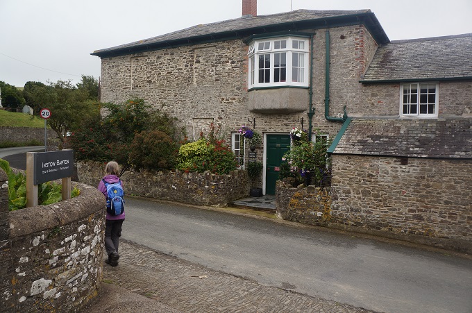
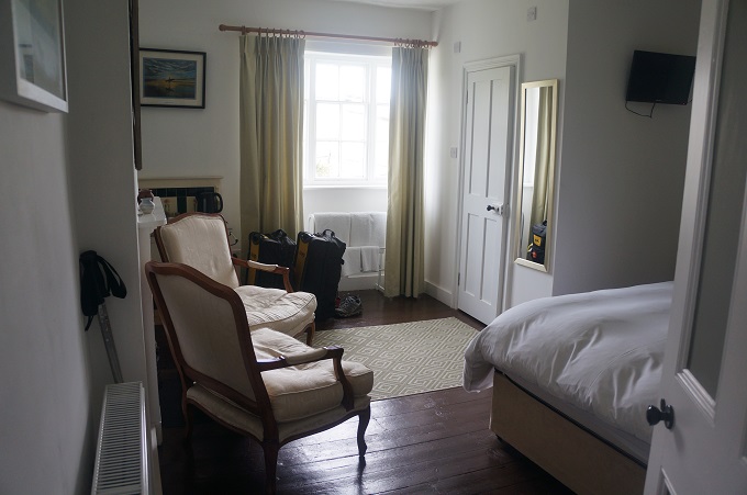
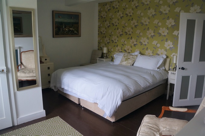
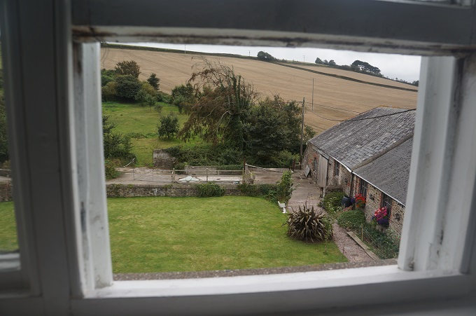
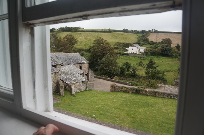
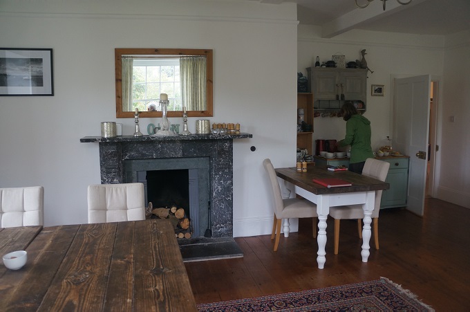
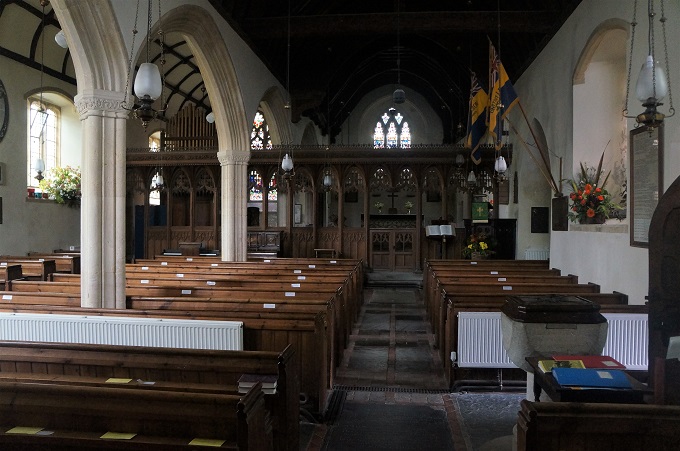
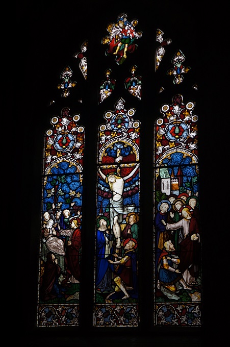
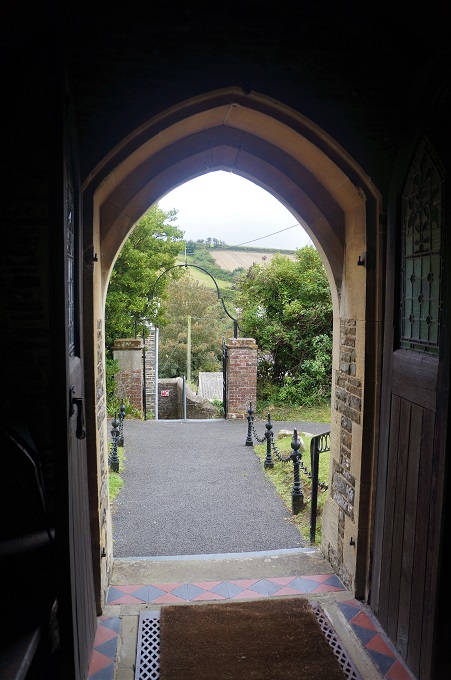
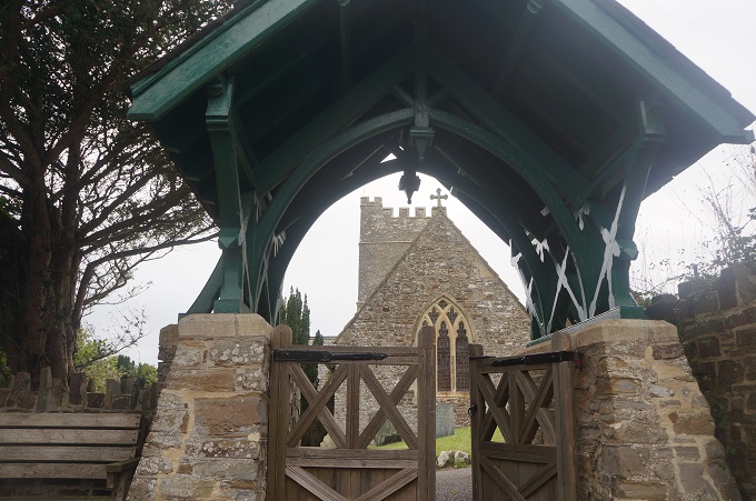
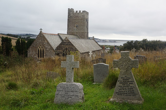
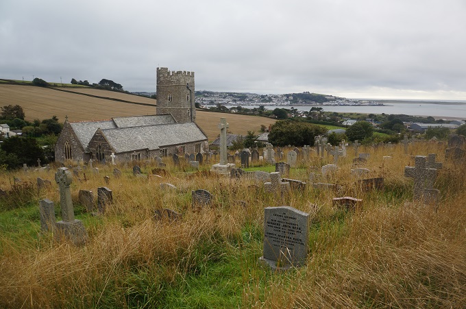
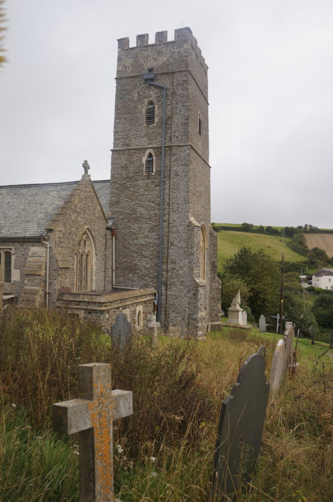
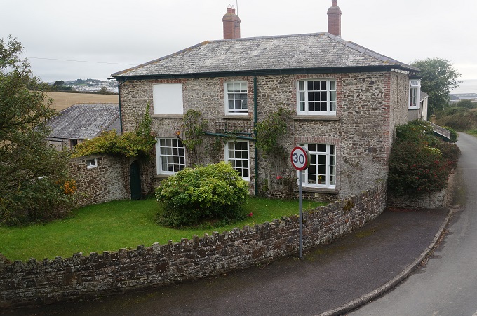
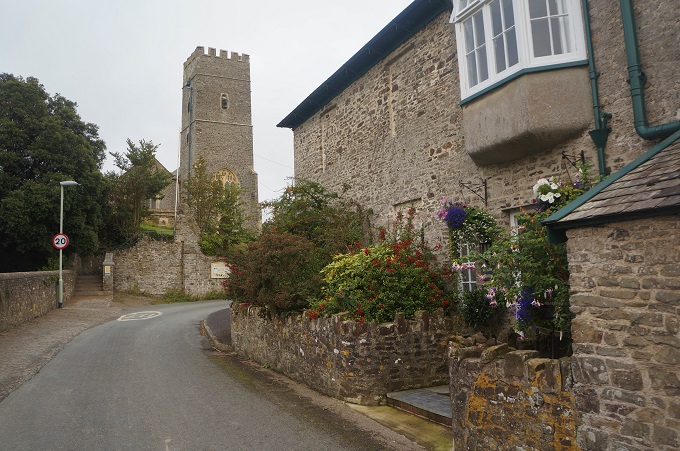
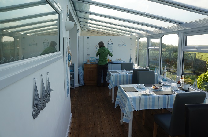
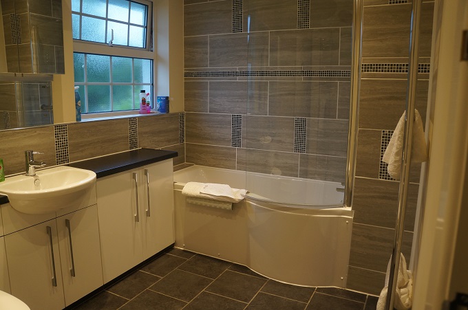
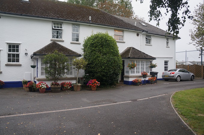
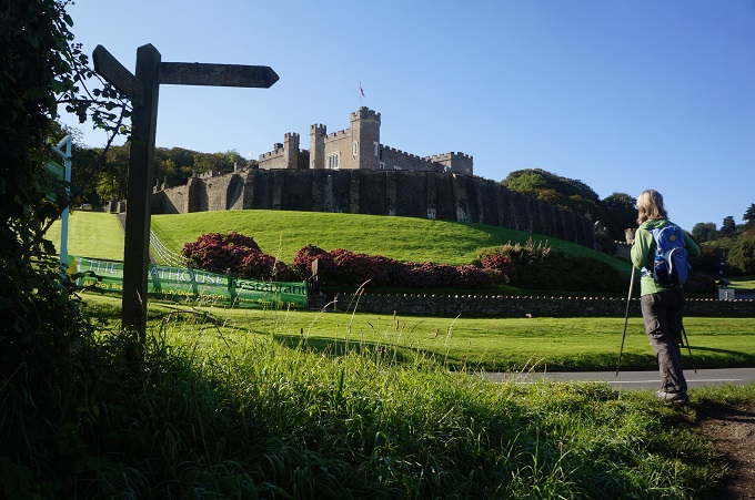
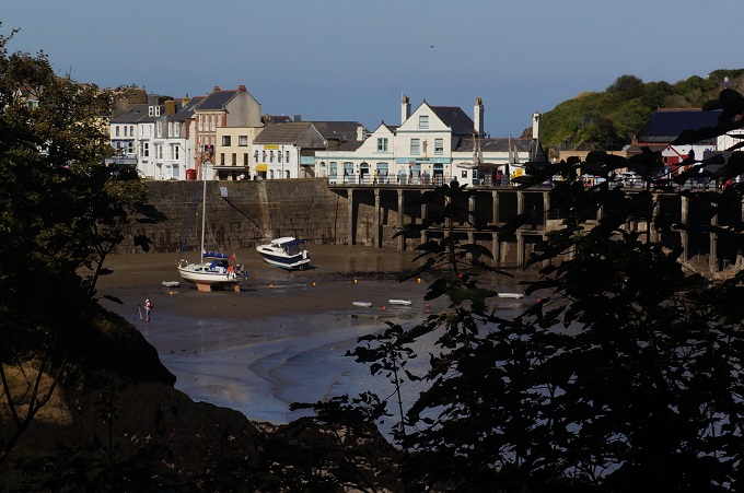
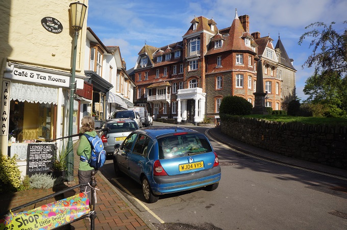
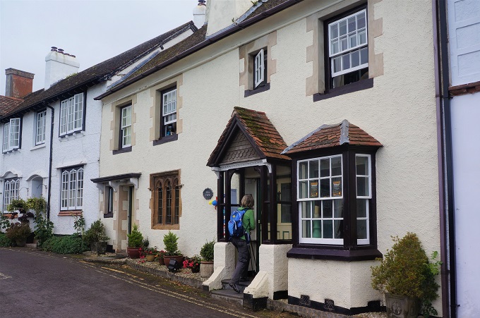
More long flat straights then an amble around the Home Farm, East Yelland and Instow Barton Marshes, past two large jetties on the river, a short stretch of sand and we were in Instow. Our accommodation, Instow Barton B & B, is a converted farmhouse. Barton just means farmyard. Over the road is a very nice little church, St John the Baptist, where I spent some time looking around the grave yard and in the church.

Tomorrow is our last day on this part of the Coast Path when we walk around another estuary to Westward Ho!


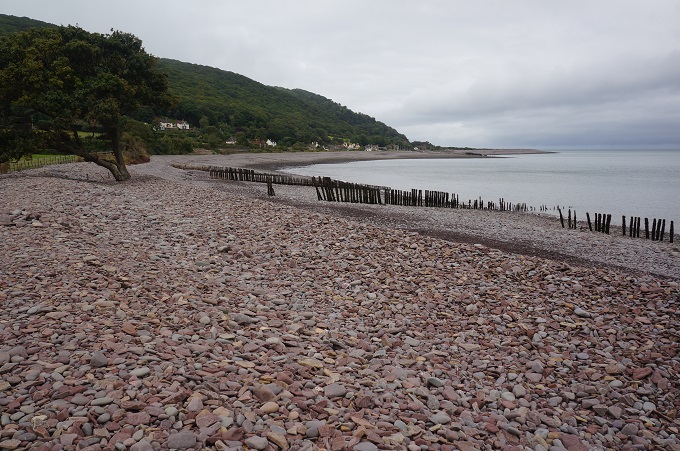
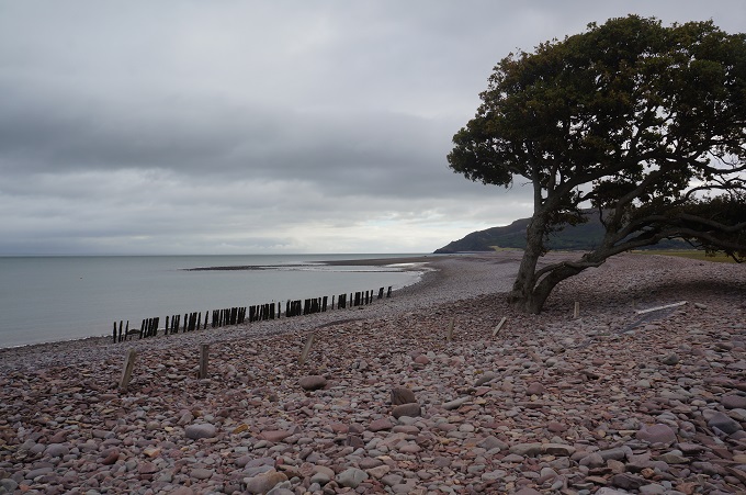
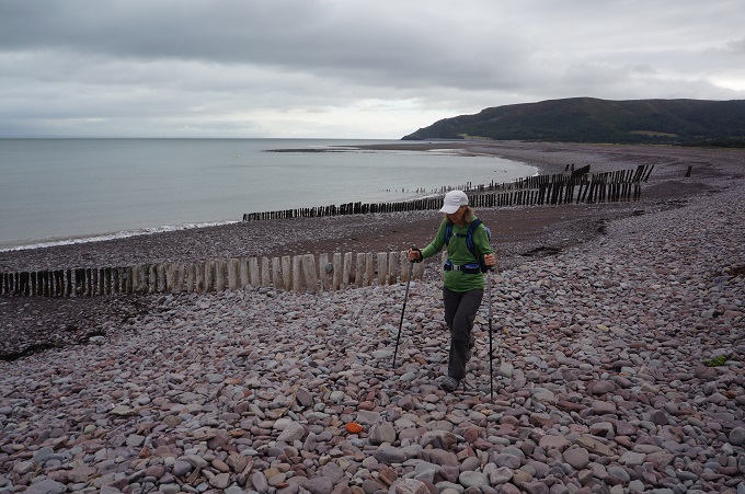
Life is a beach

Woolacombe to Braunton 27km, 375m of ascending, 4,052m accumulative ascending

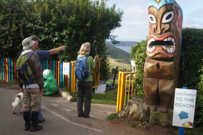
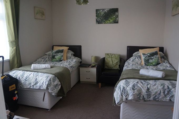
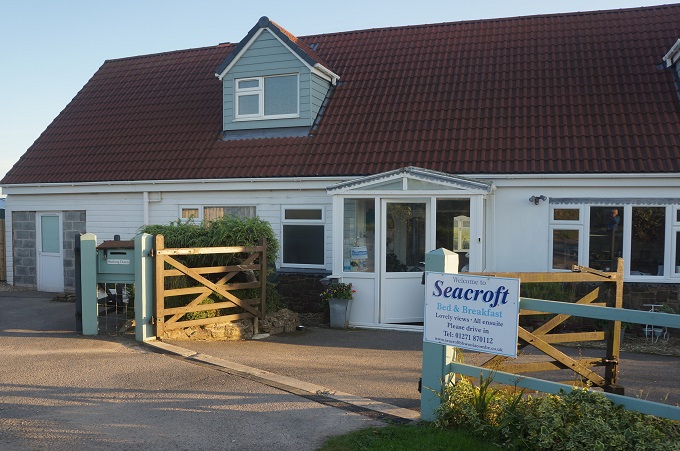
A late start today. Breakfast didn’t begin until 8.30 and we had to get back down to Woolacombe from the Seacroft farmhouse. Kim and Michael provided a ride to get up to their place but not a ride to go back down in the morning. We could have ordered a taxi but decided to walk. It was a complicated route across fields, through backyards, through a holiday camp, around a mini golf course and down some lanes. Michael and his dog Millie took us some of the way so that we wouldn’t get hopelessly lost. Another walker we have befriended over the last few days, Alec, came with us.

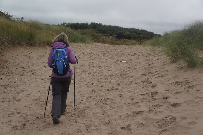
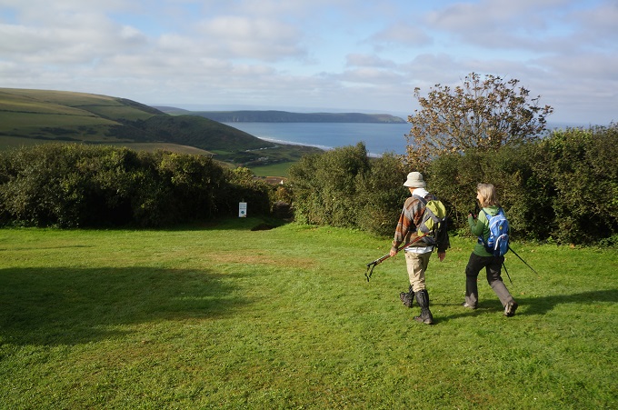
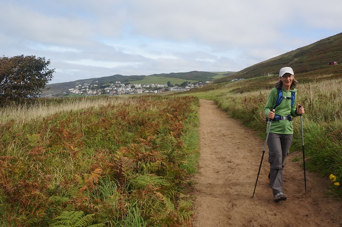
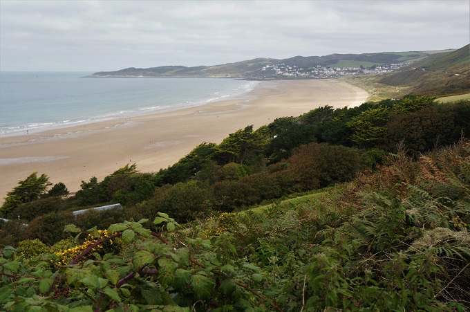
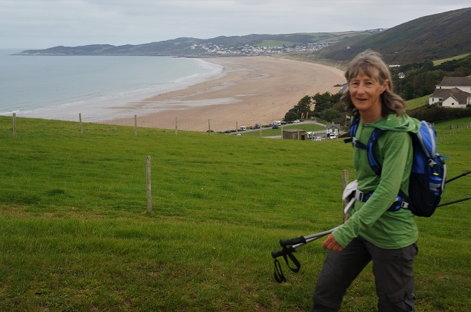
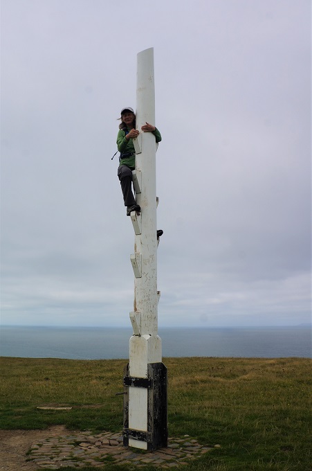
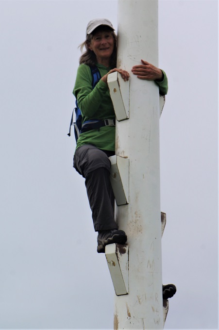
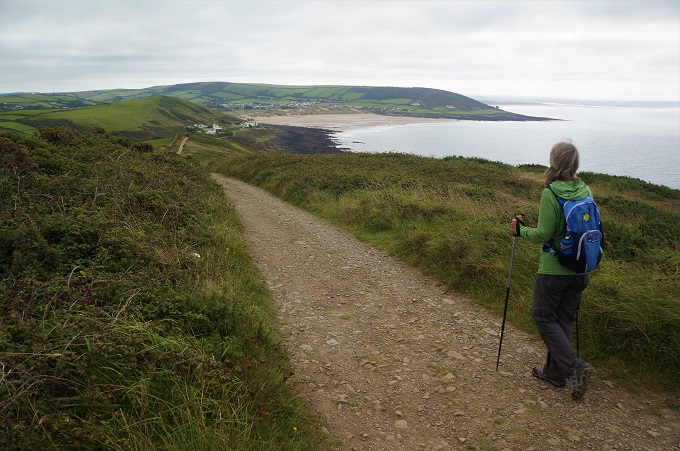
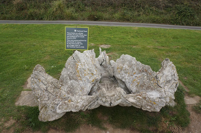
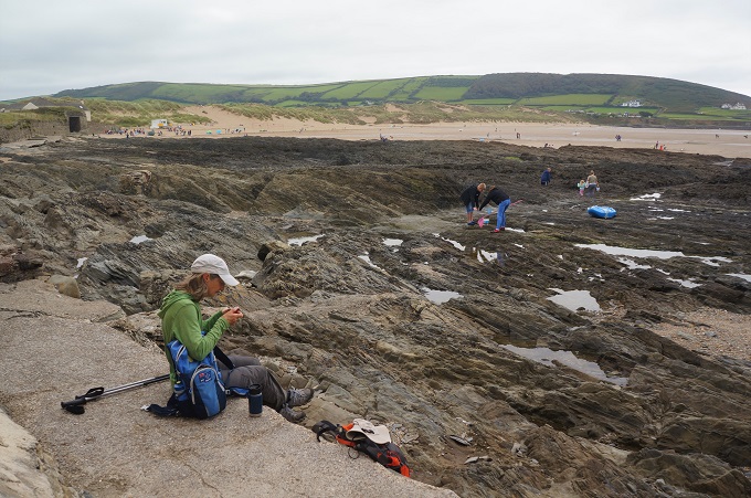
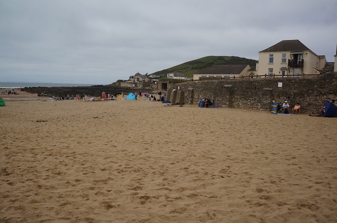
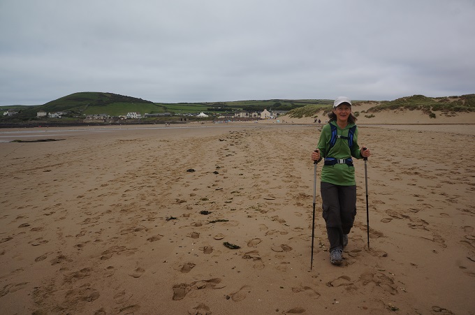
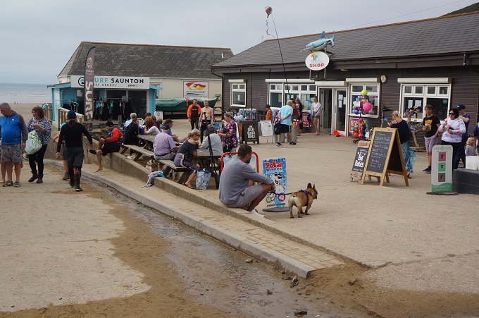
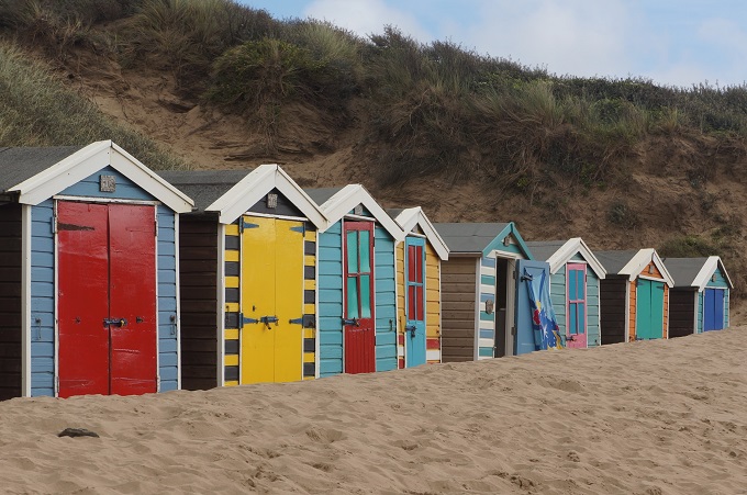
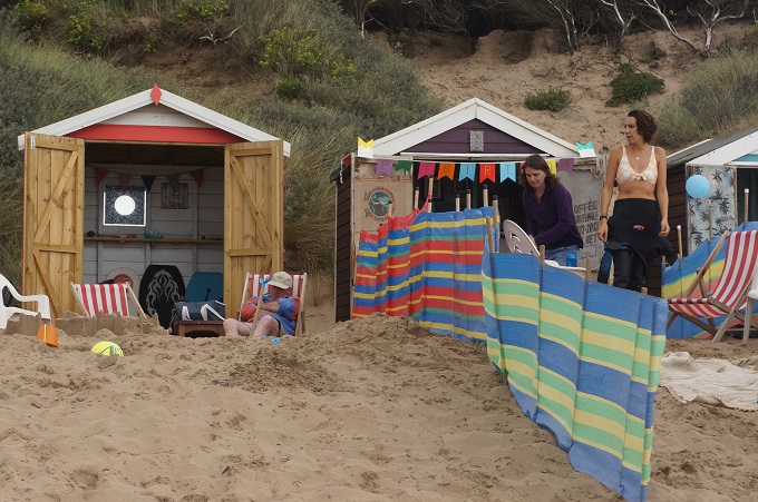
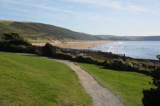
By the time we had purchased a fresh baguette it was 10 am when we left Woolacombe. High overcast cloud today and a bit cooler with the hint of a sea breeze so lovely walking conditions. Woolacombe Sands is vast and busy with families and surfers close to the town but quickly becomes surprisingly empty as you move away from facilities and car parks. Our path took us behind the beach and into the dunes which were very hard to walk in with soft sand. Beyond the beach was the headland of Baggy Point, a contrast to the beach with steep cliffs and broad, grassy top. At the point was a recreation pole which it is obligatory to climb apparently, so Barbara did the honours to show off her pole dancing skills.

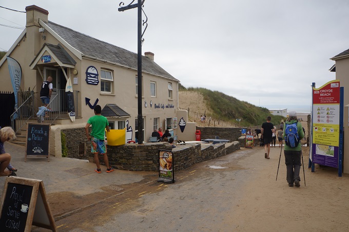
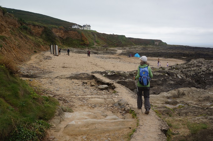
Baggy Point was the last of our climbs. This afternoon and all the next two days are dead flat. From the point we could see our final destination Westward Ho! but between us and it is a deep estuary which will take two days to walk around. After Craggy Point was the smaller sandy bay of Croyde Beach, busy with Sunday surfers and families.

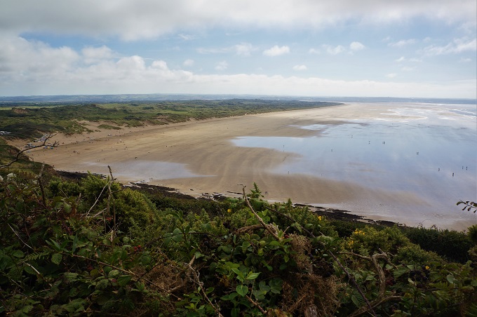
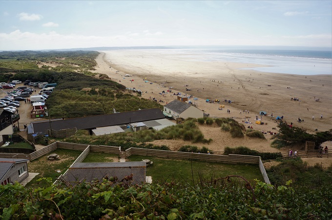
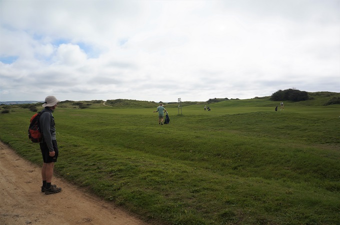
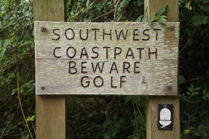
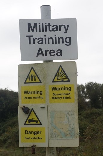
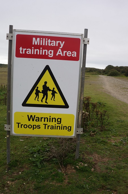
Immediately after Croyde there is a low cliff from which there are stunning views of the truly enormous Saunton Sands with the dune complex of Braunton Burrows behind. The path took us behind the beach, through the Saunton Golf Club and around a military training area and into the Burrows. This is a UNESCO Biosphere Reserve which according to the United Nations contains a ‘world-class environment’ rich in wildlife and containing a mix of extraordinary landscapes. This the largest dune system in England with a wide variety of flora and fauna including 500 species of flowering plants and 33 species of butterfly. As well as the dunes there is the Braunton Marsh and the tidal estuaries of the Taw and Torridge Rivers.

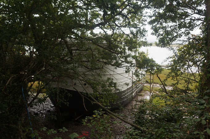
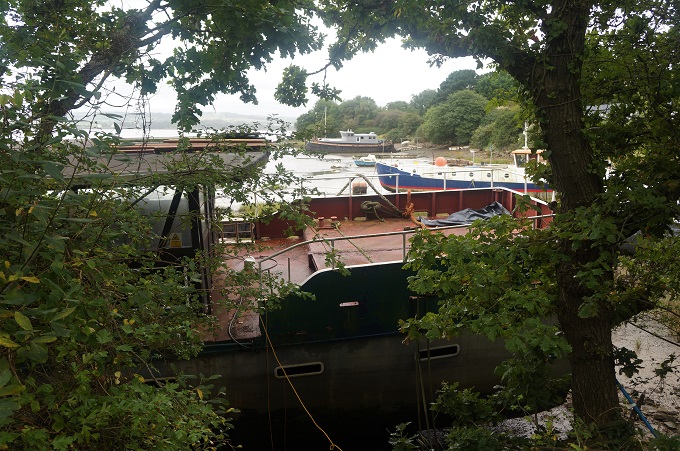
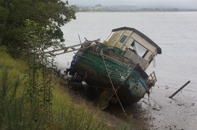
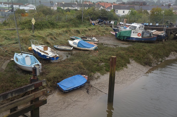
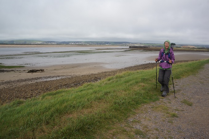
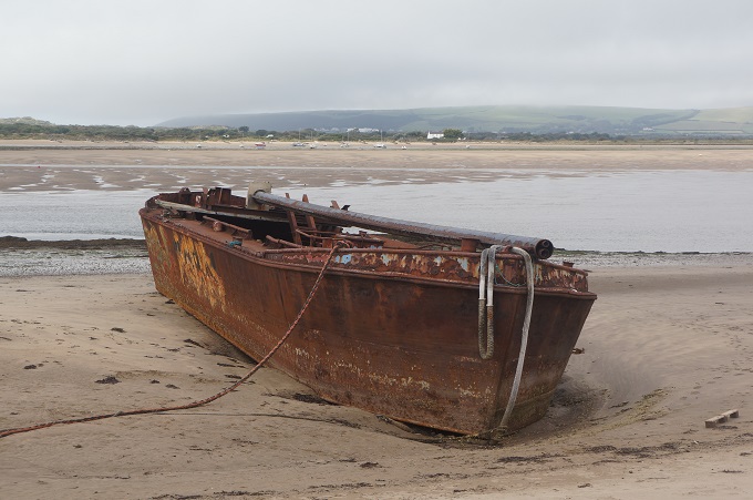
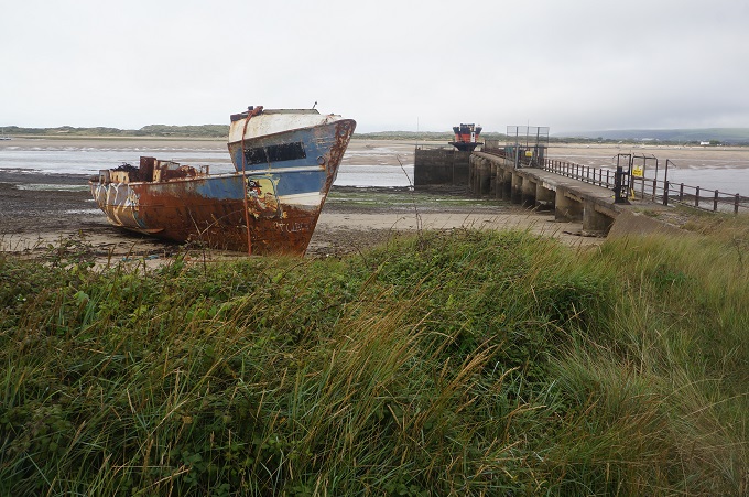
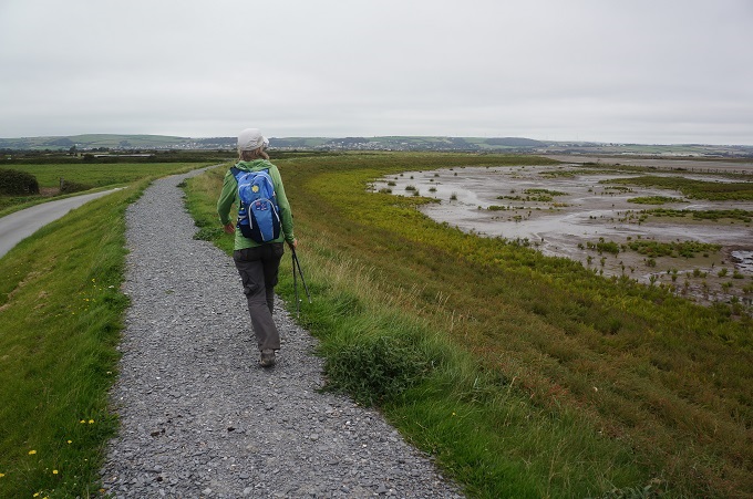
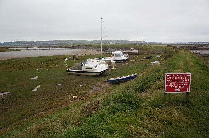
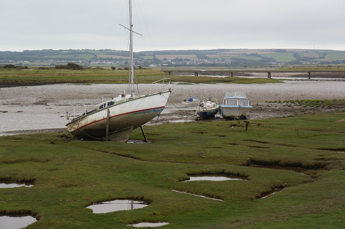
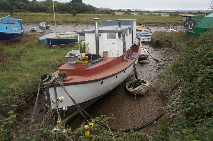
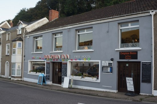
Leaving the Burrows we walked for about an hour long the top of an earth embankment built in 1857 to keep marsh, estuary and river apart. During WWII the marshes were turned into a dummy airfield in the hope of distracting the enemy’s attention away from a nearby air base. It was low tide when we walked by today and wrecked boats and small fishing craft were dotted about in the sand. We followed the River Caen right into Braunton where we had some casual pub food before walking another kilometre through the town to our accommodation at Homesleigh.

A long day today, our longest at 27km, but not very physically demanding and we had ideal walking conditions.  It was a very diverse landscape today with cliffs, the Biosphere Reserve, dunes, marshes and the tidal estuary but the dominant feature was the beaches. Three vast stretches of golden sand.


Verity what are you?

Coombe Martin to Woolacombe, 22.4km, 1011m of ascending, 3,677m accumulative ascending

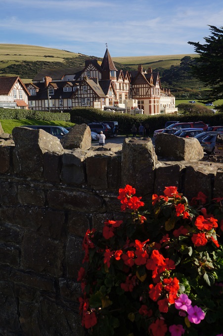
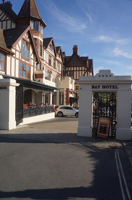
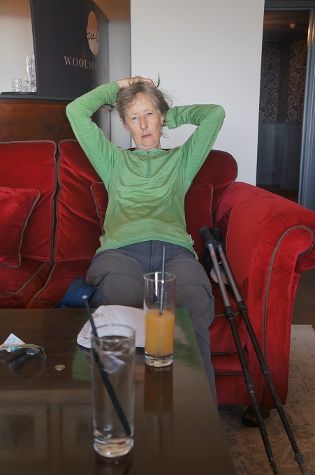
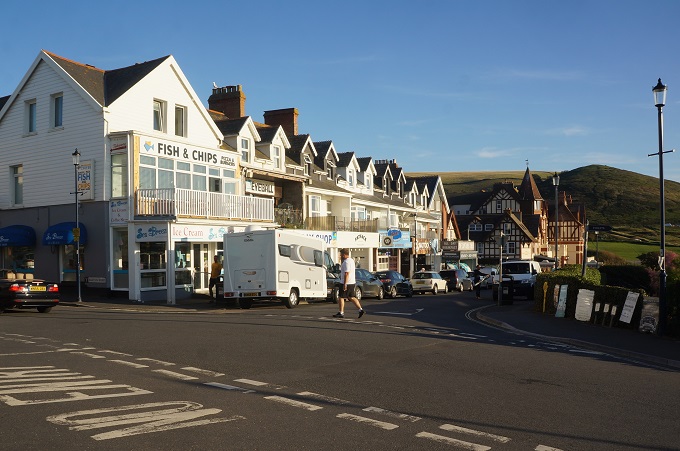
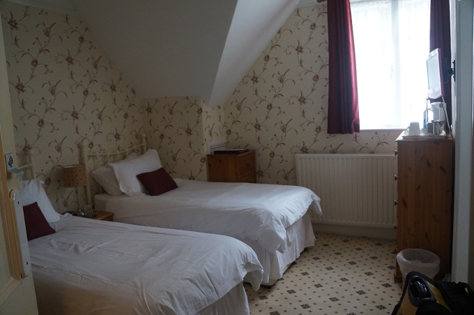
Another blue sky day, about 20 degrees, no wind so very hot climbing many steep cliffs. Ran out of water near the end of the day so we are dehydrated tonight. Our accommodation, Sea Croft, is about a 30 minute walk, off the path, up a hill out of Woolacombe which is a bit of a bummer after a long hot day. The arrangement was that our host would pick us up in a car park in Woolacombe at 7pm and drive us to Sea Croft. We arrived in Woolacombe about 4.45pm and considered walking the extra 30 mins but quickly decided against it and went into the flash Woolacombe Bay Hotel for a cool drink instead. We were easily the dirtiest, smelliest people in the bar. Went to a café for something to eat and about 6.00pm rang the Sea Croft people to come and pick us up, which they did very promptly.

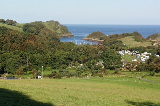
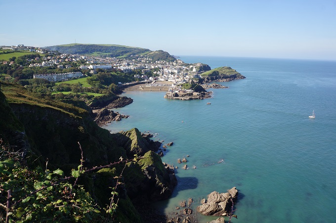
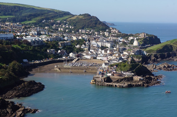
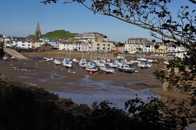
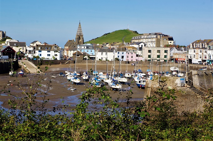
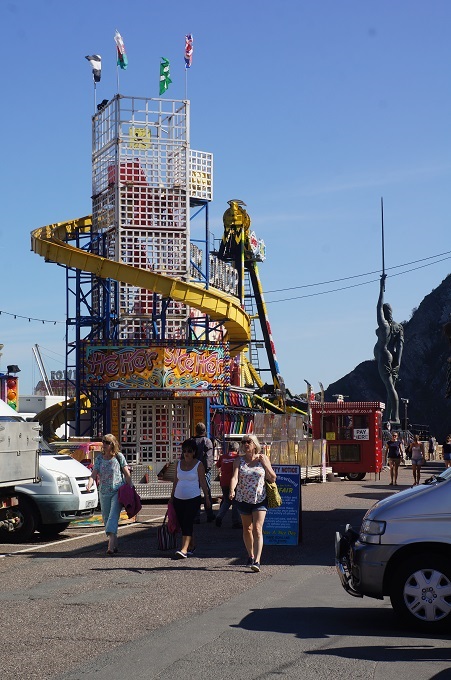
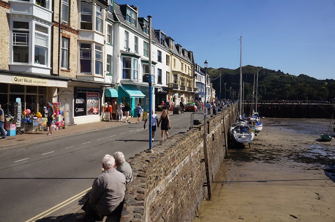
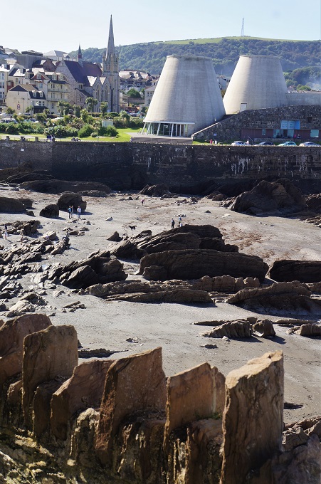
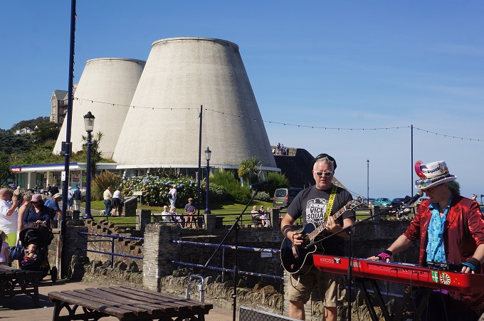
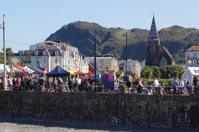
This morning was a section of rocky inlets separated by rugged headlands. One of the inlets, Watermouth Bay is large enough to moor many boats, has a large holiday camp and has a great view back to Great Hangman and Little Hangman which we climbed yesterday. Soon we reached Ilfracoombe which has a nice old part of town and a pretty harbour. It was also teeming with people, everyone out enjoying the sun on a beautiful Saturday morning. The harbour part of town also is overrun with every conceivable form of tourist tatt and garbage. Not a pleasant place for us coming off the quiet remote cliff tops.

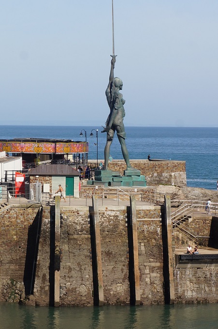
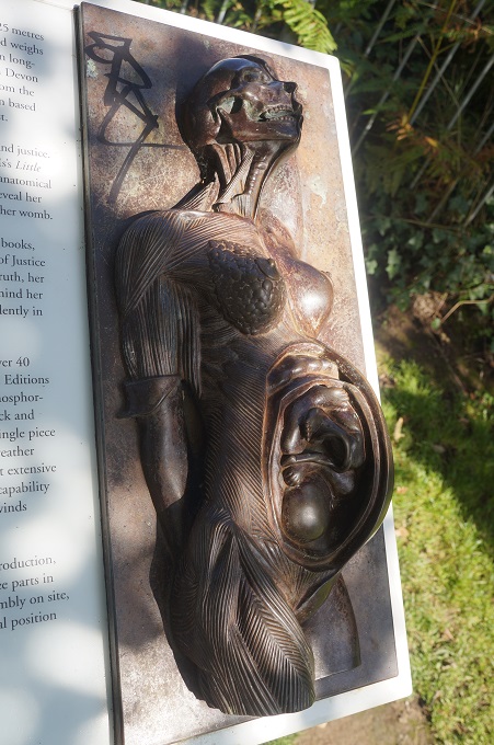
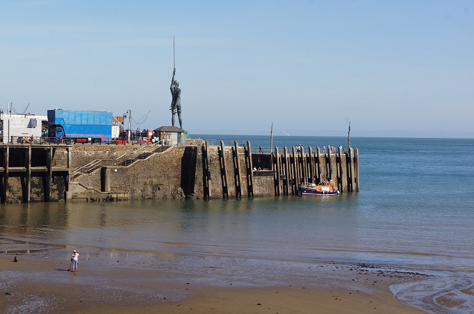
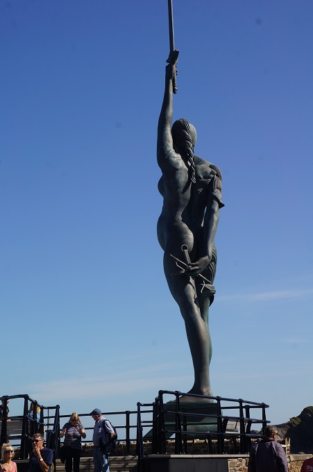
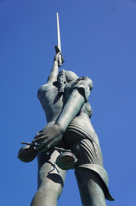
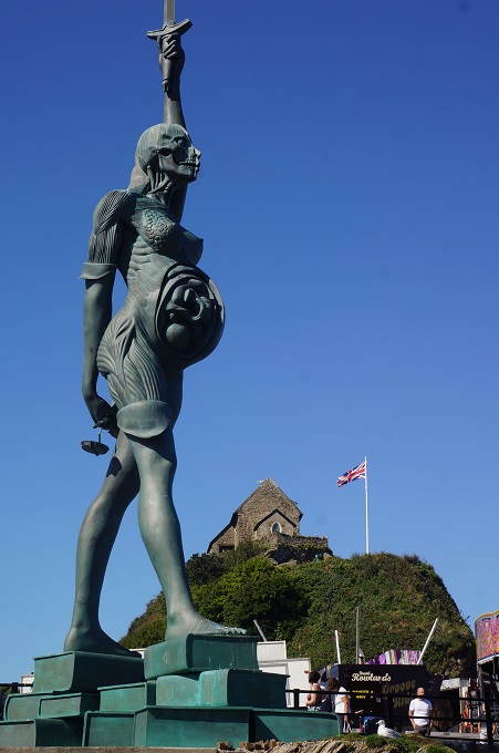
Ilfracoombe has a controversial steel and bronze stature on the harbour pier. It is the tallest statue in England and is the work of Damien Hirst. The statue is of a woman, Verity, with half of her body skinless, the skull and womb (including a developing foetus) revealed.  She stands on a pile of books, holds a set of scales behind her back and a sword pointing to the sky. So what is it all about? A ‘verity’ (Veritas) is ‘the quality of being true’ and Hirst describes the statue as a modern allegory of truth and justice. It all seems a bit puzzling and a bit unsettling.

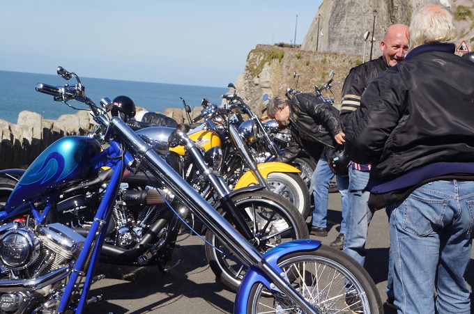
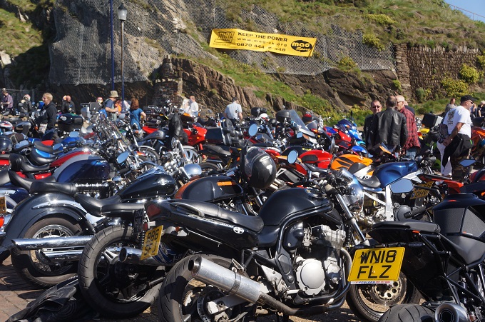
Also in Ilfracoombe this morning were hundreds of motor cycles, all makes models and sizes, and their proud owners encased in their leathers. It was quite a carnival atmosphere with much revving of engines and loud music. All a bit much for us so we went to a bakery and had them make us a nice fresh baguette and we headed for the hills – literally.

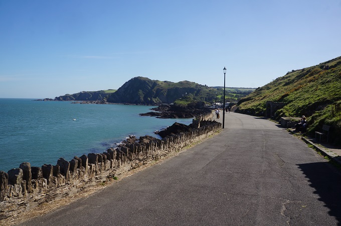
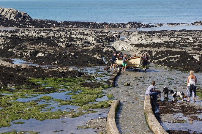
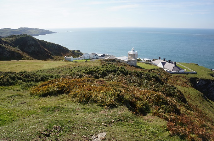
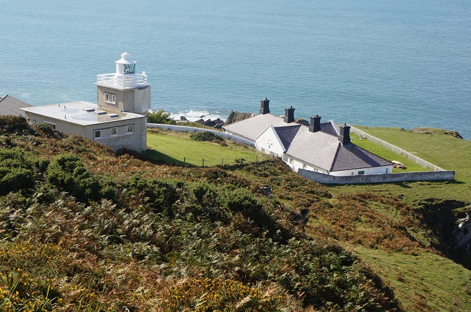
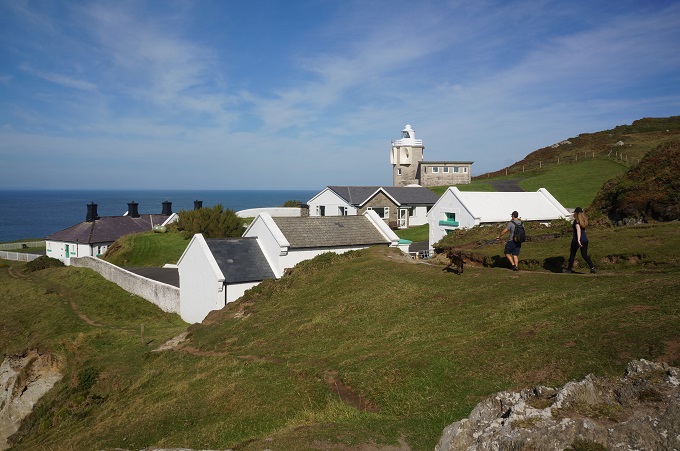
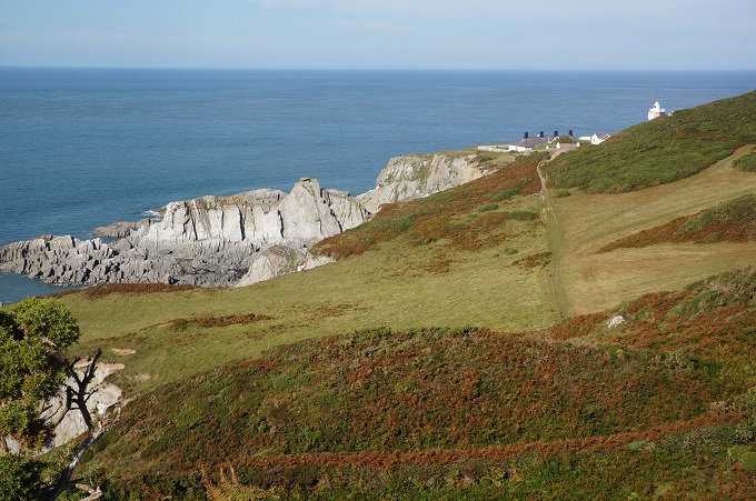
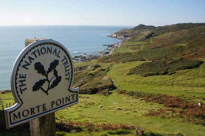
After Ilfracoombe the path meandered through the greenery of Torrs Park, past the lovely little Lee Bay, where a group were struggling to bring their dinghy in over the rocks, and up onto the cliffs for a roller coaster ride from the tops down into valleys and up again. Past the Bull Point Lighthouse and the seals at Morte Point. Morte Point is a place so wild it was once referred to locally as ‘the place God made last and the devil will take first’. Morte is the French for death.

Rounding Morte Point suddenly Woolacombe is before you and it is dominated by the vast Wollacoombe Sands. A long beach we will tackle tomorrow.


Those inventive Victorians and a Hangman

Lynmouth to Coombe Martin, 23km, 1,148km ascending, 2,666m accumulative, highest point 318m

Today was day three of our walk and it always takes us three days to get to find our rhythm. Sure enough we felt good today and had a wonderful day. Many highlights today including a Victorian engineering delight, rocky crags and pinnacles, deep and steep valleys, dark forests, wide open spaces and a high climb.

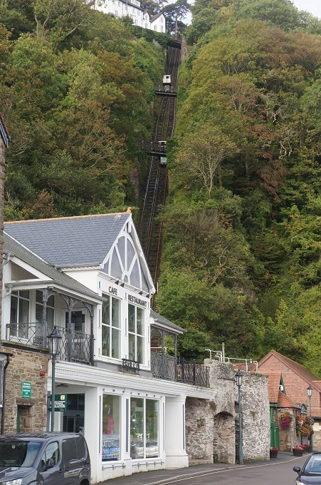
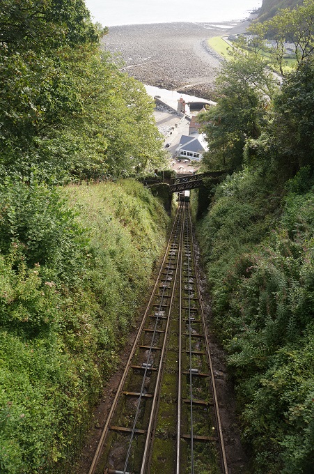
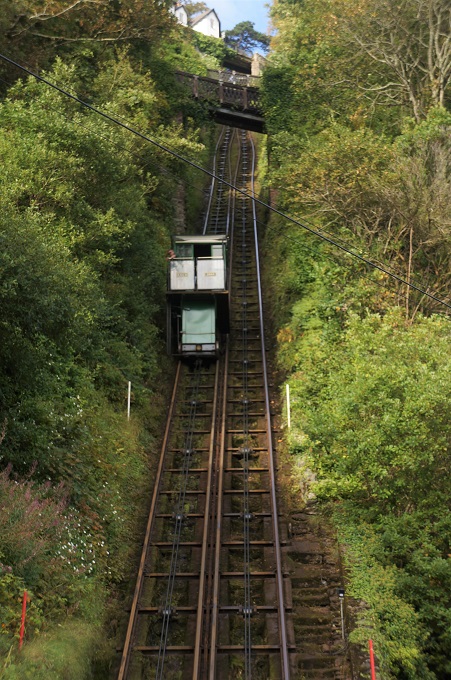
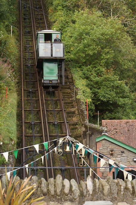
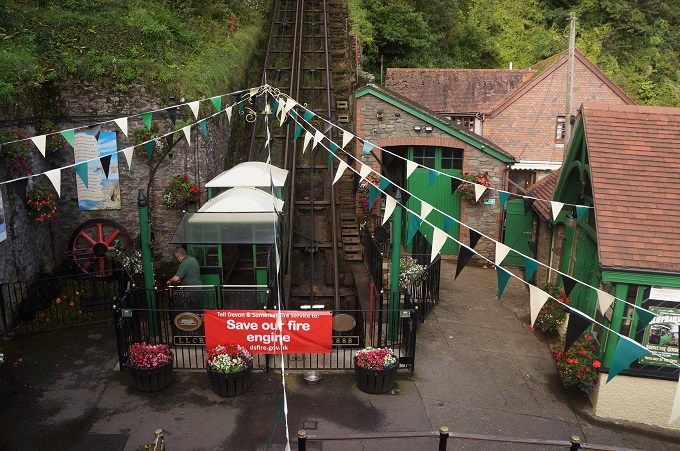
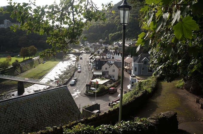
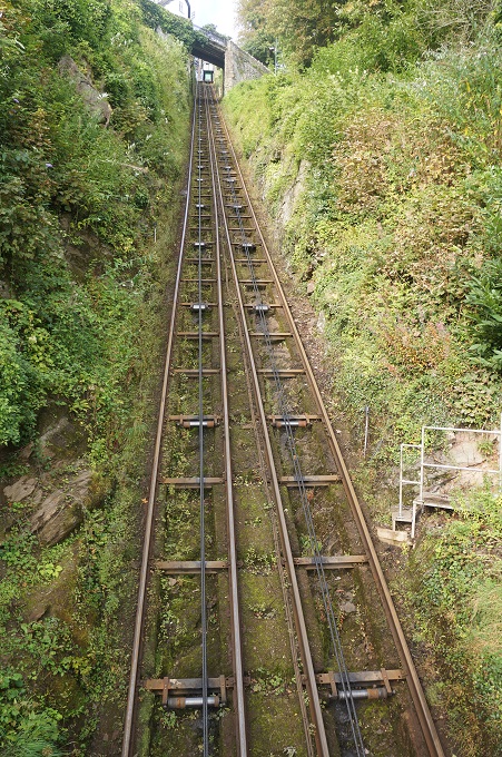
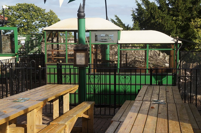
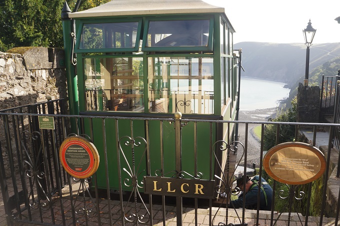
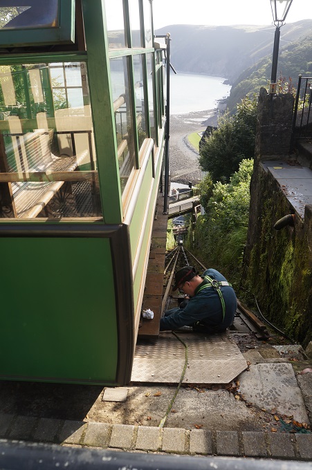
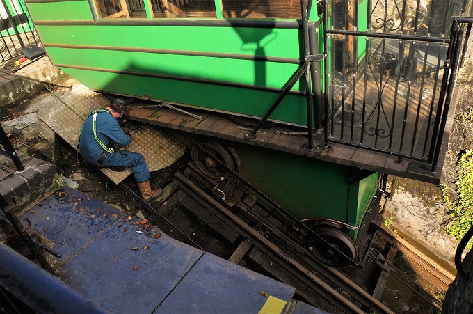
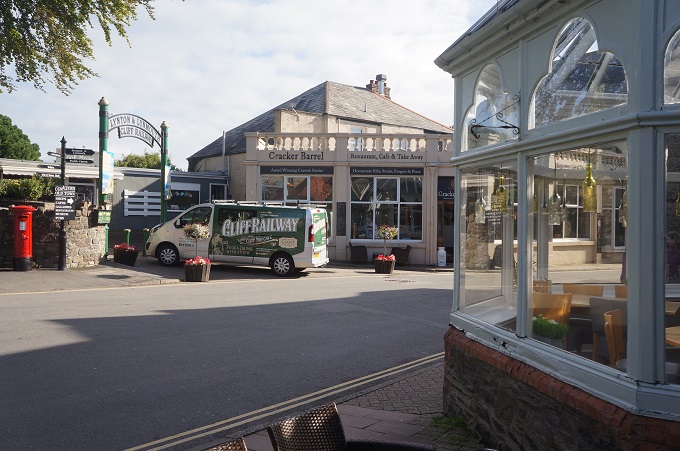
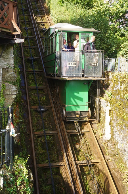
Connecting Lynmouth village with Lynton town above it is the Lynton and Lynmouth Cliff Railway. The highest and steepest fully water powered railway in the world. This funicular railway was built in 1888 and rises 500 feet on 862 feet of steep track, with a gradient of 57%. The two cars are connected by a continuous cable and operate on a simple balancing principle. Each car has a 700 gallon water tank. The tank on the top passenger car is filled and the tank on the bottom car is emptied until the heavier top car descends and pulls the lower car up the incline. Speed is controlled by each driver using the Deadman’s Handle, a braking system engineered and patented for this railway. This is a great example of Victorian engineering ingenuity and entrepreneurial prowess.

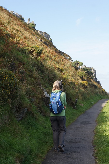
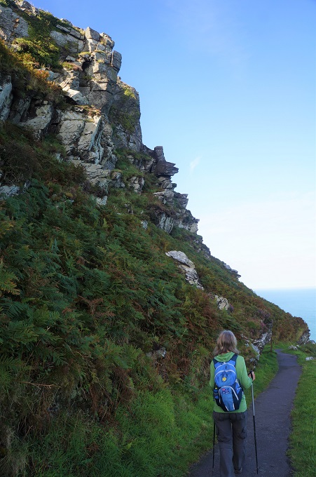
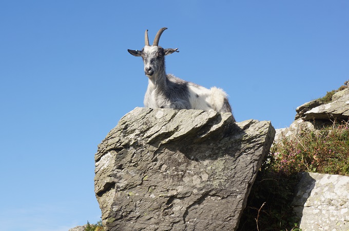
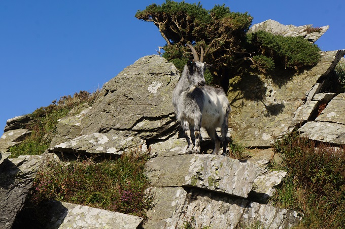
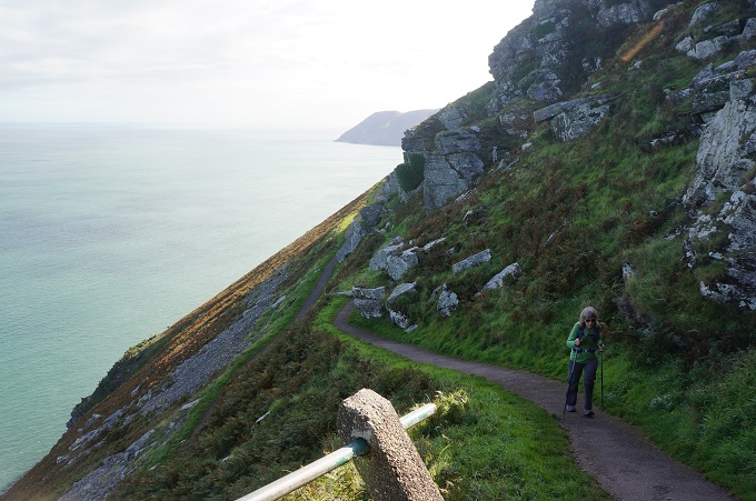
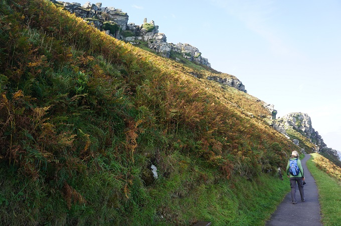
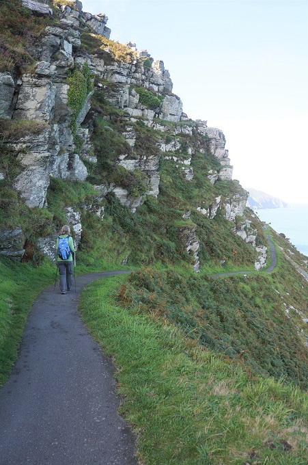
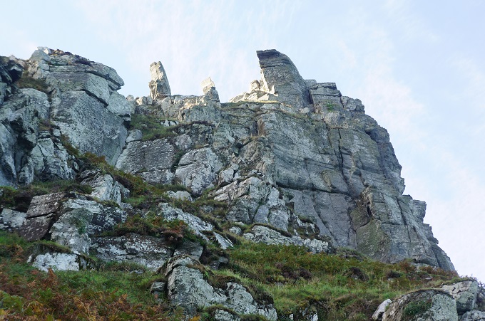
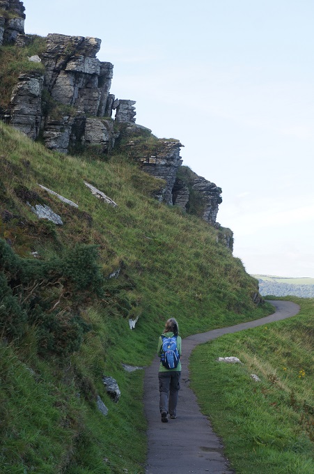
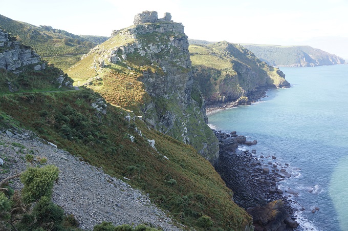
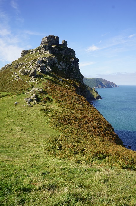
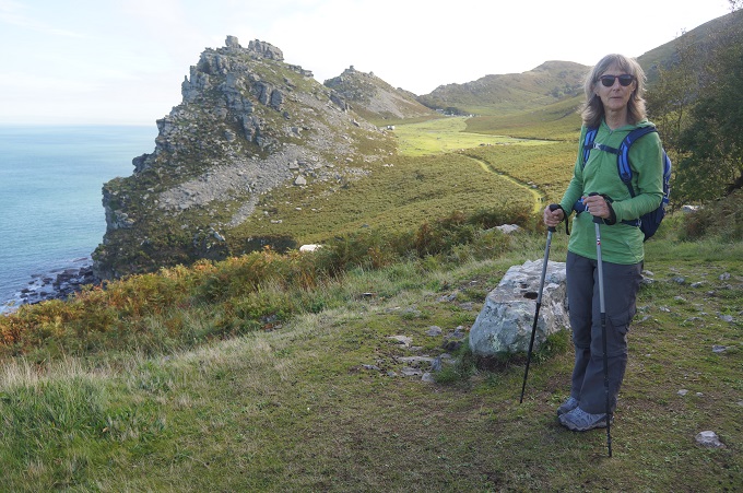
After only a few kilometres we came to the weird and mysterious landscape of the Valley of Rocks. This is a group of peculiarly weathered rock formations formed by the last Ice Age. It is unusual for Devon and Exmoor in that it runs parallel to the coast rather than perpendicular. There are many myths and legends related to the rock formations with stories about strange inhabitants, including the devil. The names given to some of the rocks hint at the myths – the Devil’s Cheesering, Ragged Jack and Castle rock. Today the inhabitants are huge birds of prey that soar and swoop over the cliffs and feral goats who have lived here as far back as Neolithic times.

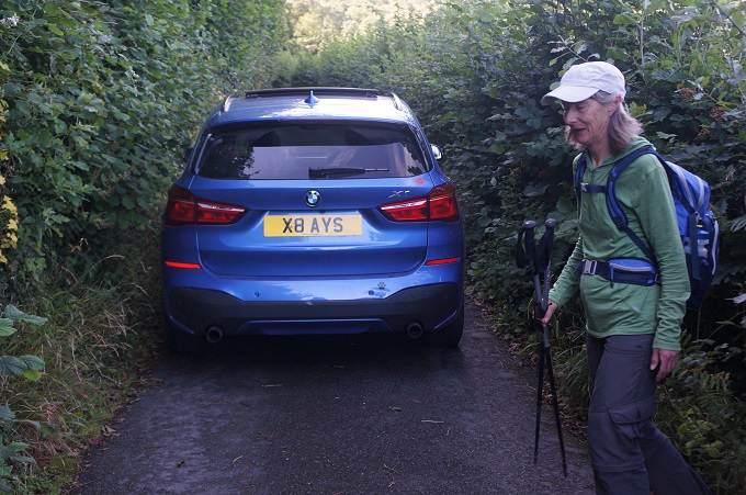
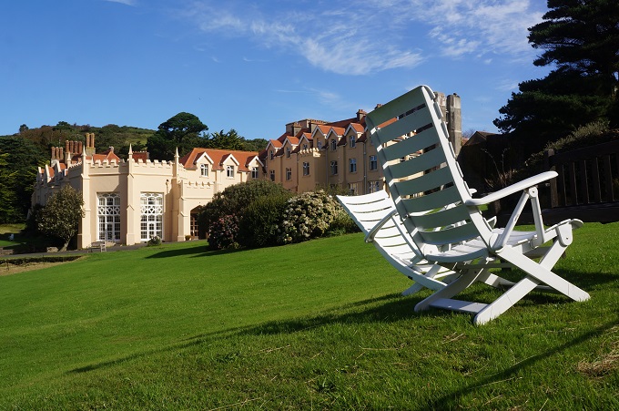
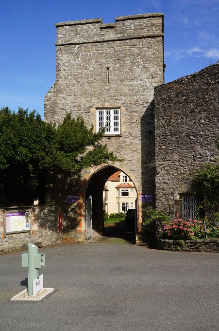
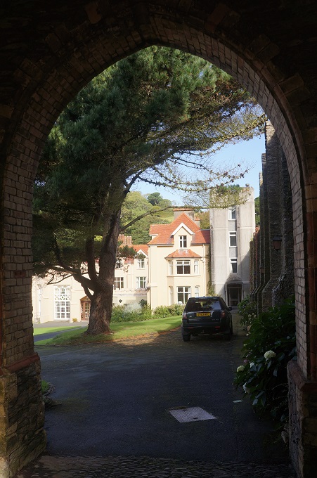
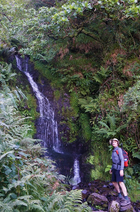
Passing by Lee Abbey, built in 1850, and an evacuated boys school in WWII, it is now a Christian conference centre, we entered a long stretch of cool dark woodland. Very nice on a day that was warming up. The only issue was we were on a minor but quite busy road and there was little room for cars to pass and for us to jump out of the way. Along the way was the quite impressive Hollow Brook Waterfall.

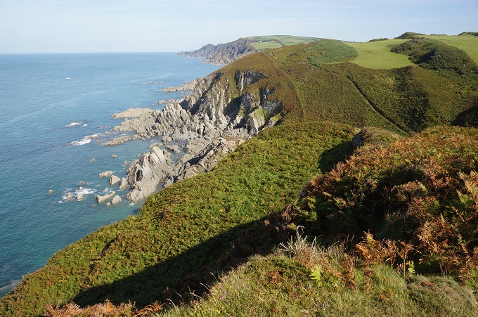
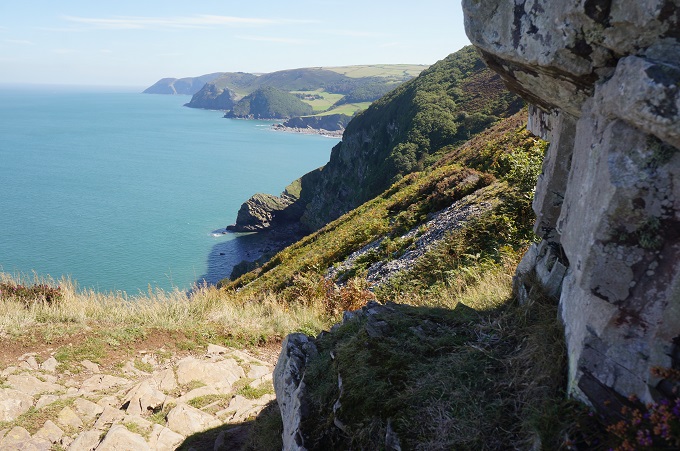
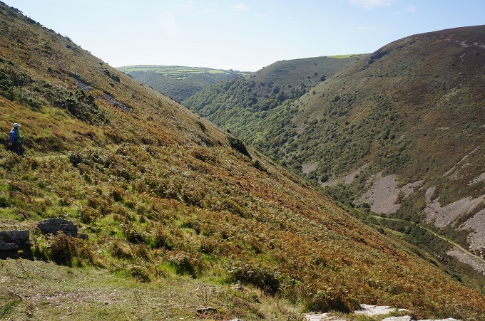
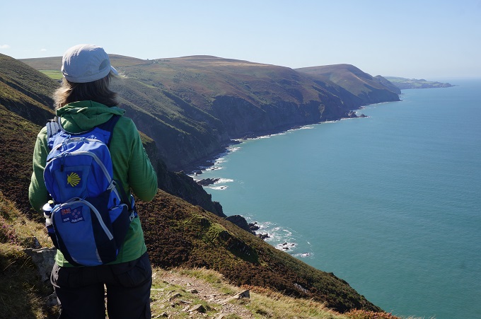
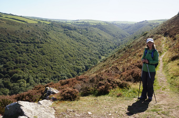
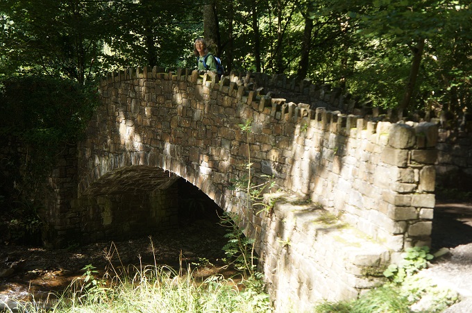
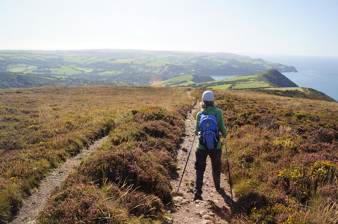
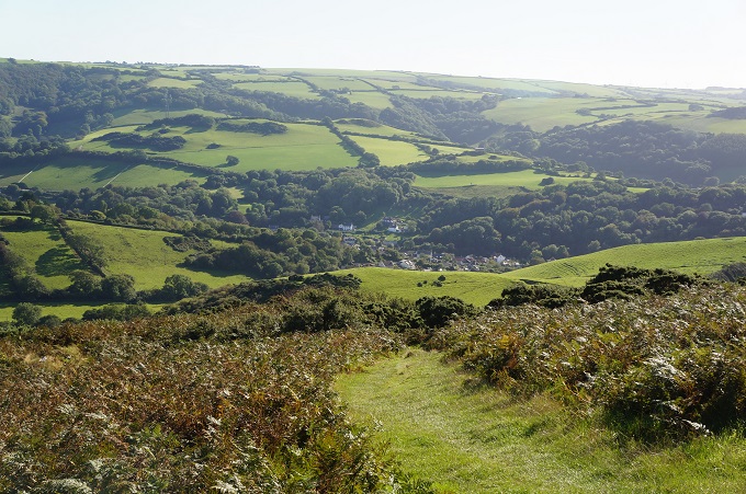
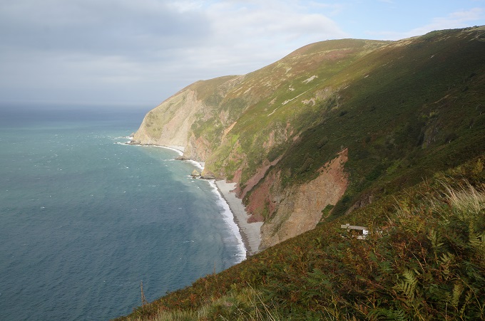
Leaving the woods and coming out on the cliffs we came to the dramatic Heddon’s Mouth valley, a deep and steep crevice carved through the cliffs. A long climb down through woodland to a stone bridge over the river and a long climb back up the other side, this time out in the open. It is one of the steepest valleys in England. Some more spectacular cliff top walking before crossing the wide open spaces of Holdstone Down. Bare and scrubby with gorse, heather and bracken and nowhere to sit down for lunch and get out of the sun. Fortunately the path was wide and flat and grassed which made it a joy to walk on.

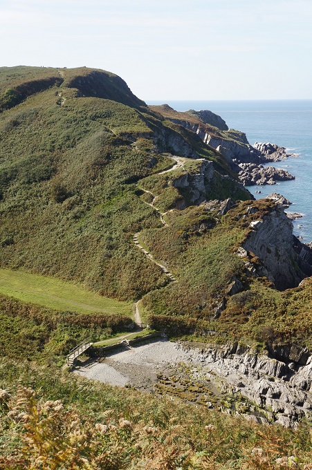
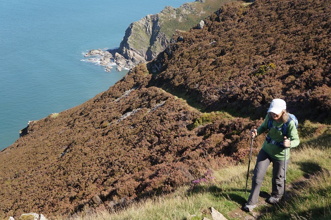
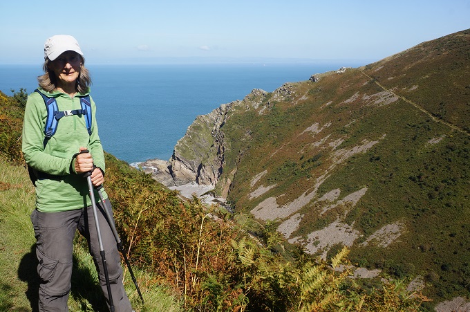
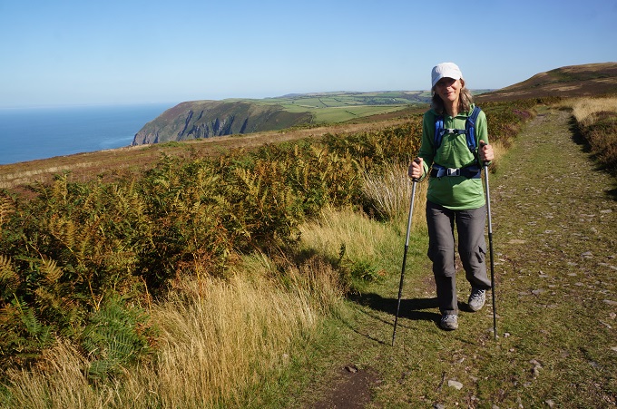
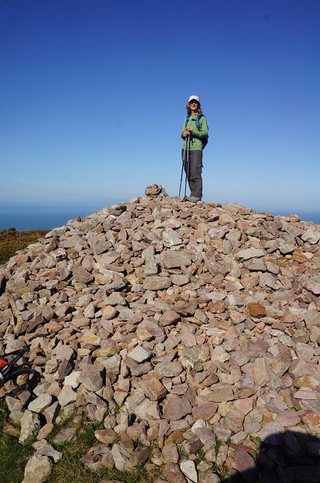
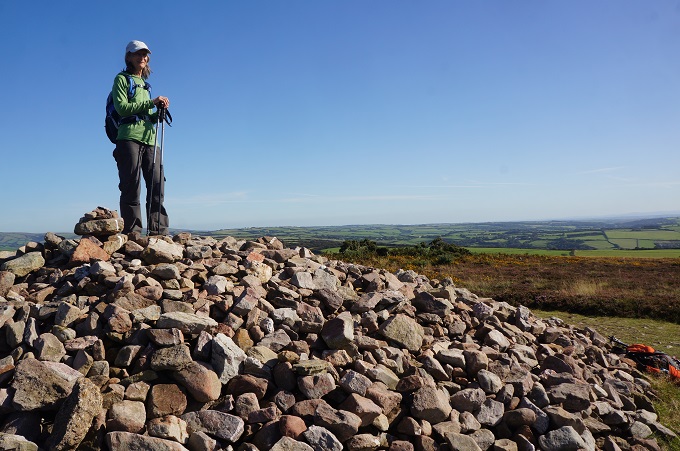
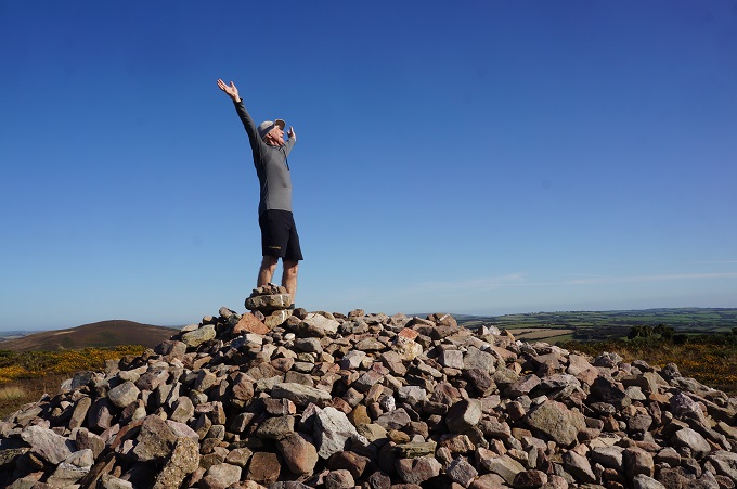
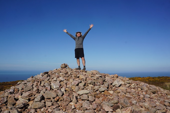
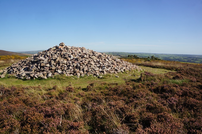
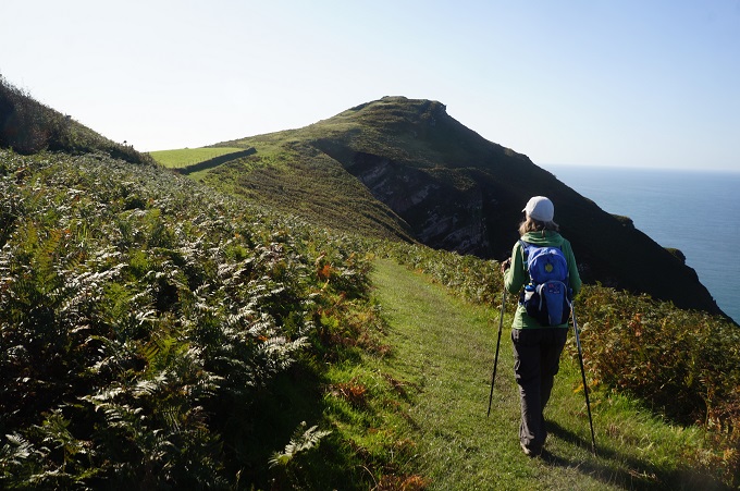
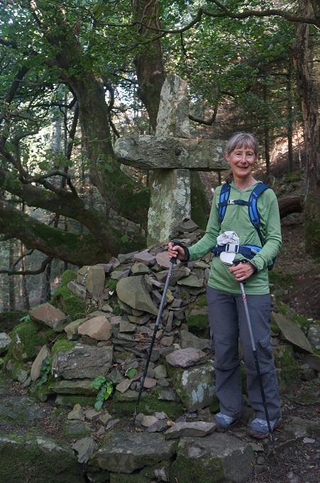
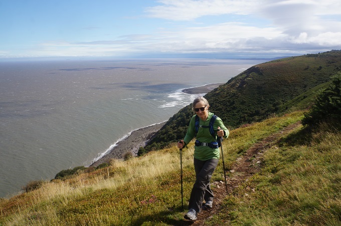
After another deep plunge into a valley we started the biggest climb of the day to the top of Great Hangman. This the highest point on the whole 1000km of the South West Coast Path at 318m. The climb starts at 140m so we weren’t doing the full height from sea level. On its northern side it is Britain’s highest sea cliff, with a vertical face of 250m. The climb started steeply but eased off to a long gentle gradient, all out in the open, but not a breath of wind. At the top was a stone cairn, more a pile of stones really, and wide views out over the sea and inland over Exmoor. From here downhill all the way, past Little Hangman to the Channel Vista Guesthouse in Coombe Martin.

There are many places that include ‘coombe’. This a steep sided, narrow valley. It is sometimes used to mean a small valley through which a watercourse does not run.

I forgot to mention yesterday that we passed from Somerset into Devon although there was nothing to indicate you had crossed the county line. Of the 1000km SWCP only about the first 20km are in Somerset.

After walking 800km across Spain, 500km around Ireland and 500km on the SWCP last year, I have developed my first blister. Same shoes, same socks, but you are never safe from getting blisters. Thankfully after using some of Barbara’s wool-it and ‘magic cream’ today it was okay and is mending nicely.


Double decker towns

Porlock to Lynmouth 20km, 962m ascending, 1518m accumulative, highest point 310m

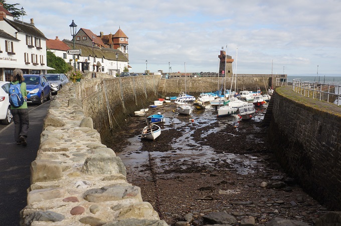
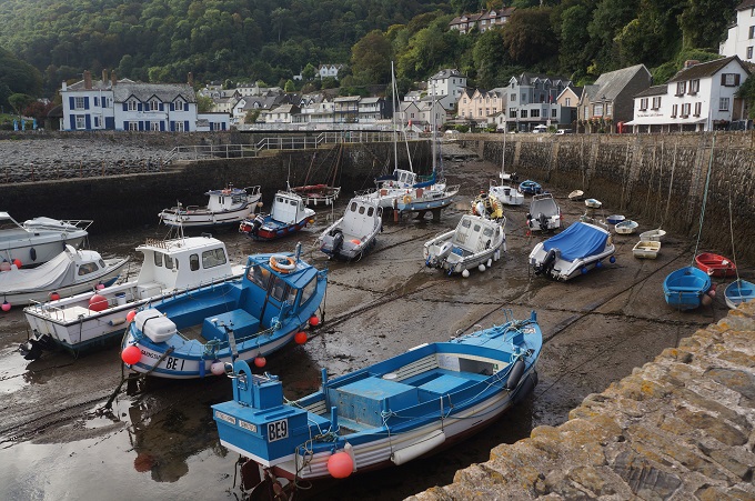
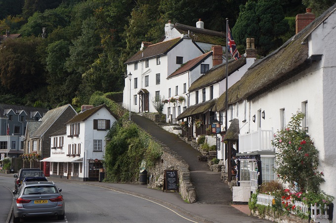
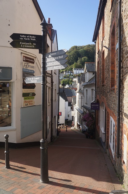
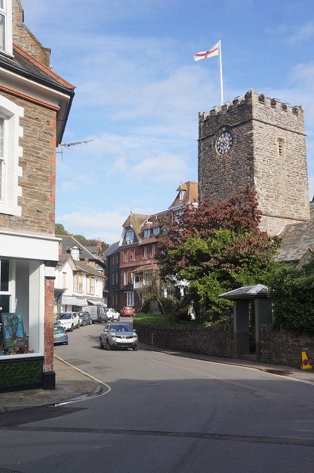
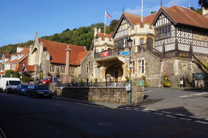
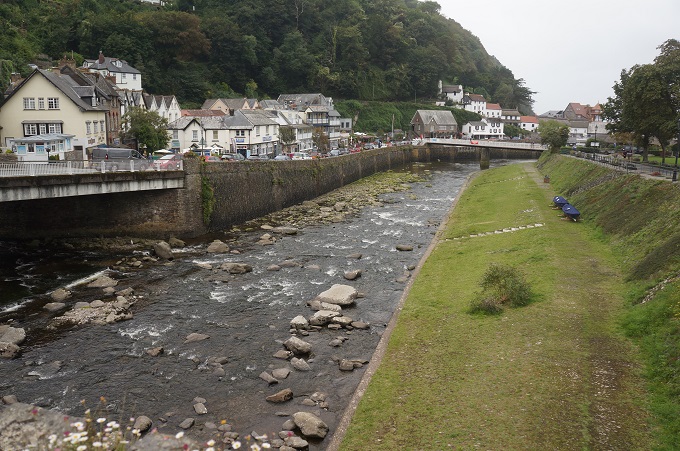
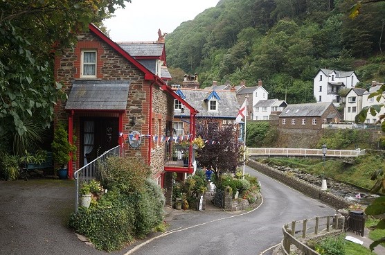
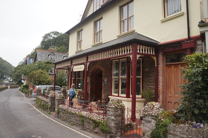
We have reached the double decker towns of Lynmouth and Lynton. Lynmouth is on the coast at the mouth of the River Lyn and has a little harbour. Lynton is at the top of a 500 foot vertical cliff overlooking Lynmouth. We are staying at the Lorna Doone Guesthouse in Lynmouth. Lorna Doone is a romantic novel published in 1869 about a group of historical characters set in the 17th century in Devon and Somerset, particularly the Lyn Valley area.

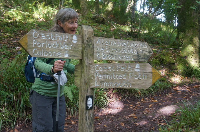
Our B & B for last night was about a kilometre off the SWCPath and so this morning we had to retrace our steps from Porlock down to the coast past the yummy blackberry bushes. To get to Porlock Weir, a tiny hamlet with a tiny boat harbour, we had to walk along the shingle ridge that I mentioned yesterday. This was hard work on boulders the size of large grapefruit that moved when ever you put some weight down on them.
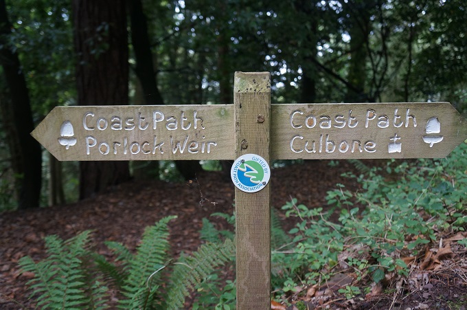
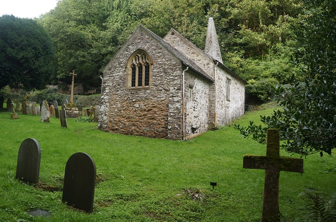
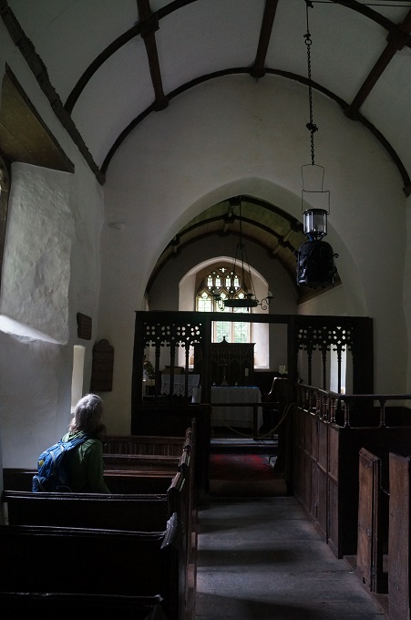
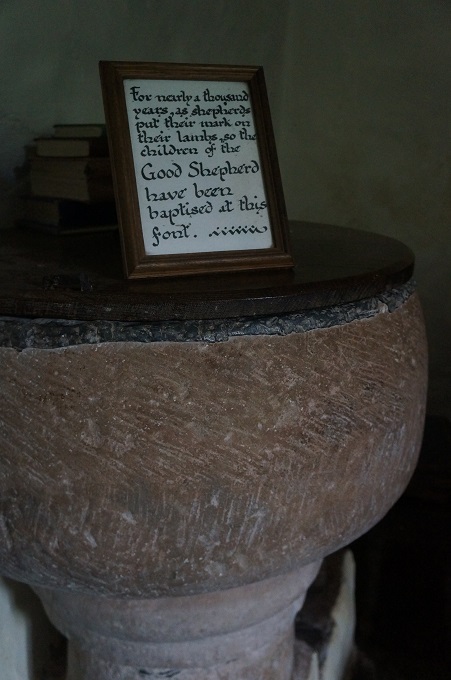
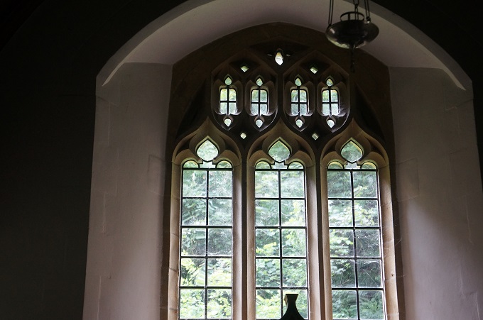
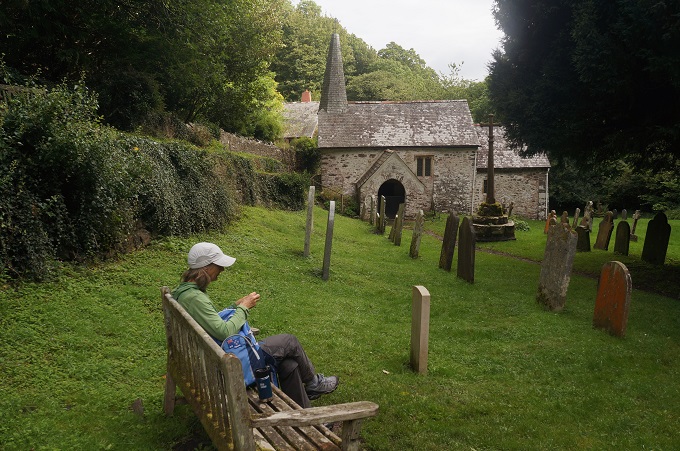
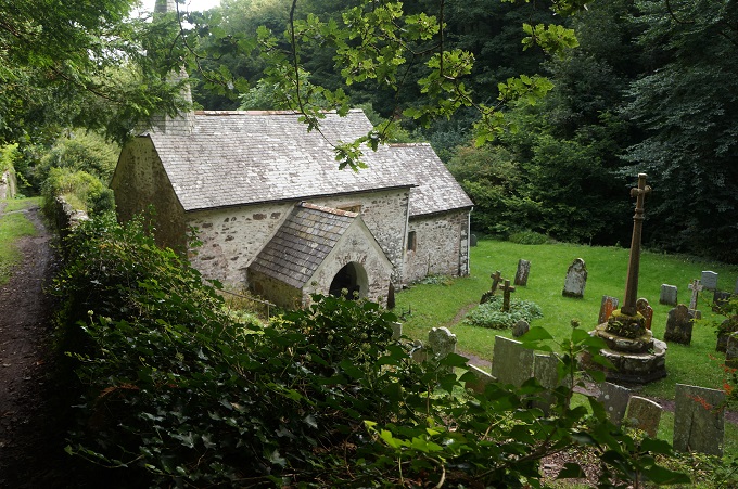
From Porlock Weir we turned inland and some big climbs to the top of high cliffs where Exmoor meets the sea. The path was through dense woodland with only occasional glimpses of the sea. The first highlight was the charming tiny church of Culbone. It is the smallest complete parish church in England and seats a congregation of 30. It is extremely old and is one of the few churches in The Doomsday Book of 1086. One of the noticeable things about the church is the high number of headstones with the surname ‘Red’. Nicholas Red was a churchwarden in 1856 and it is his descendants that populate the grave yard. It is believed the name Red is the inspiration for the Ridds in the novel Lorna Doone.

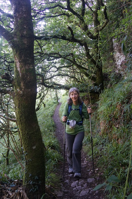
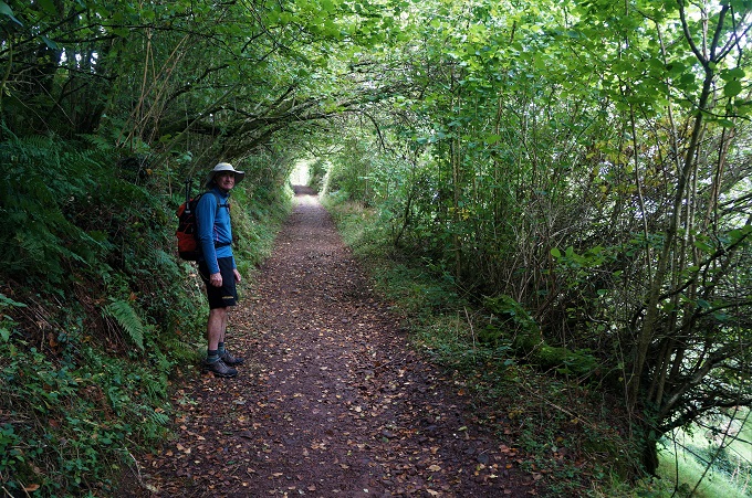
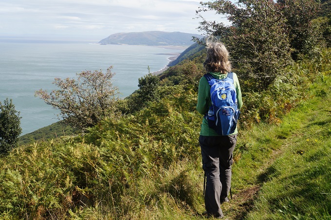
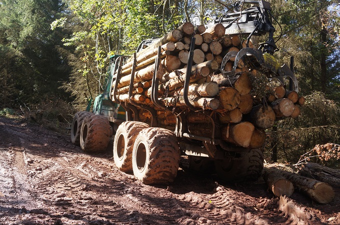
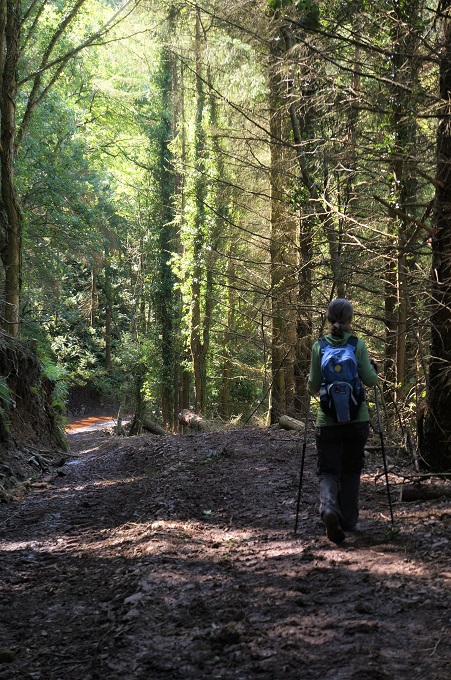
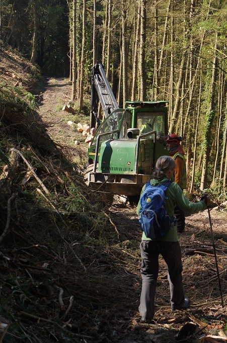
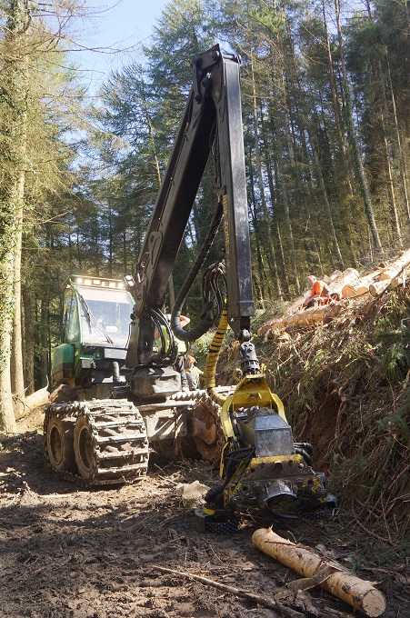
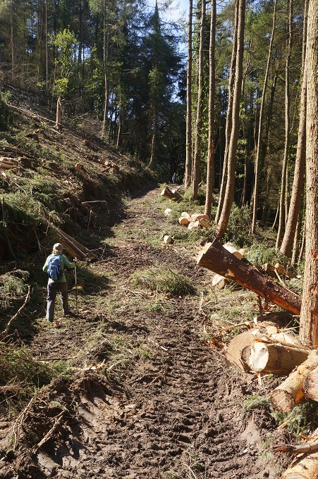
After the church we again had a choice going uphill inland near farmland, with good views or downhill hugging the coast. Both paths were largely through woodland and today we went for the inland path. It was very pretty through twisted oak and then rhodendron trees and after yesterday getting sun burned we were happy to be out of the sun. For about a mile the path was extremely muddy and cut up as big machinery was being used logging the large trees at the side of the path. Whenever walkers approached all the machines stopped to let them by. We seemed to have the right of way. The last two hours were out in the open climbing steep hills that gave spectacular views back to Porlock Weir and ahead to Lynton and Lynmouth. We were tired by now and fortunately the last couple of kilometres were all downhill on a nice soft track.

Lynmouth suffered a major disaster in 1952. The river and town are in a steep sided valley and following a fortnight of torrential downpours, a cloudburst unleashed nine inches of rain on Exmoor that sent a wall of water cascading towards the unsuspecting village. Thirty four people lost their lives and sixty buildings were destroyed.

It was warm again today. Overcast to start with but sunny most of the day and very windy on the high cliffs. Just as we got into Lynmouth the weather changed and now it is light drizzling rain.

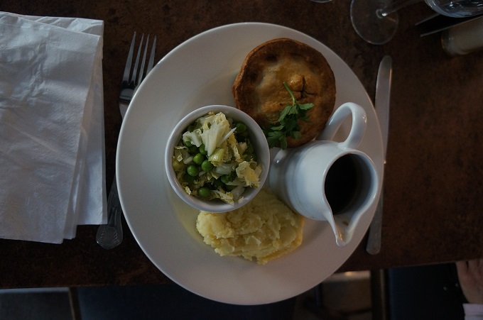
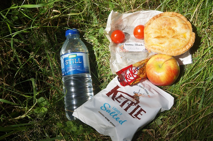
There was no where on the route today to buy food so we ordered a packed lunch at the Sea View B & B. At six pounds each we at first though it was expensive but the home made chicken pie was delicious – chock full of vegetables as well as meat. I don’t know why all packed lunches seem to include salty chippies. These are about the last thing you want on a long hot walk.
 

Somewhere over the rainbow………. is Wales

Minehead to Porlock, 18.0kms, 556m ascending (accumulative), highest point 280m

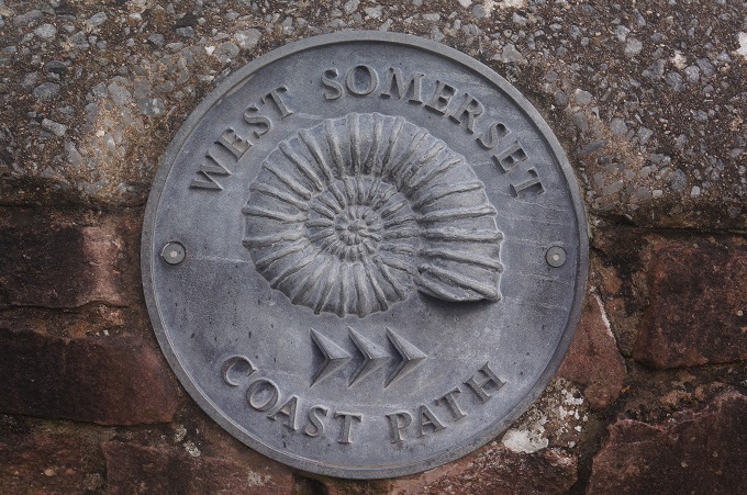
Yeah, we are on the South West Coast Path again. The best thing about today was just being in the outdoors and being on the move.

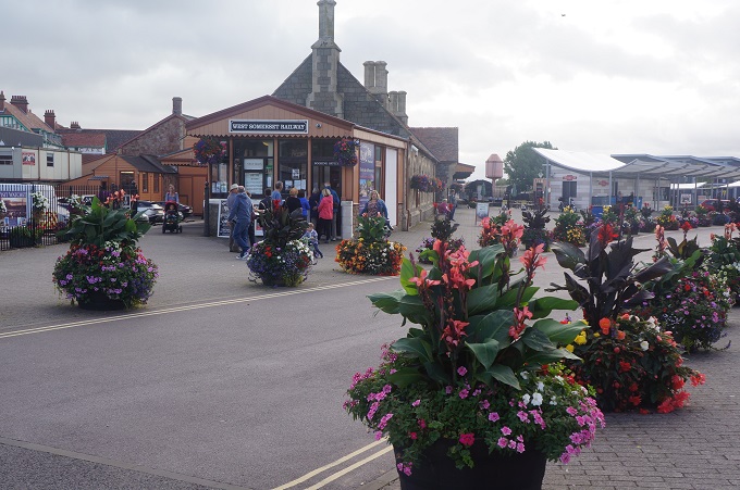
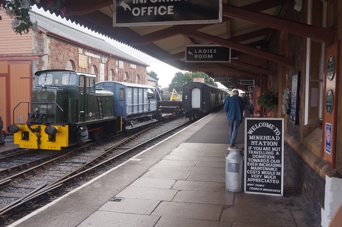
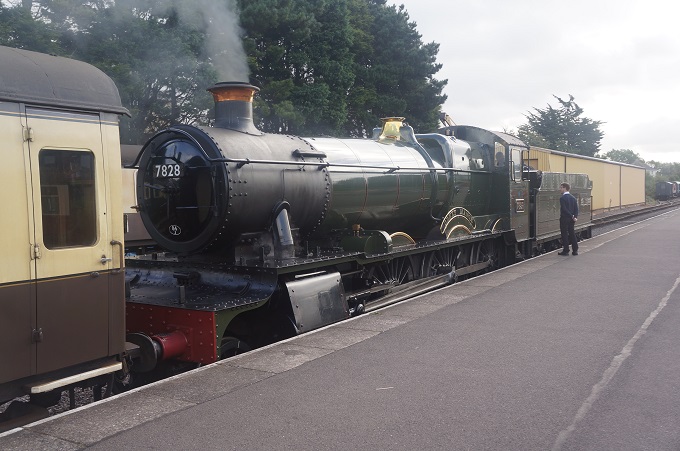
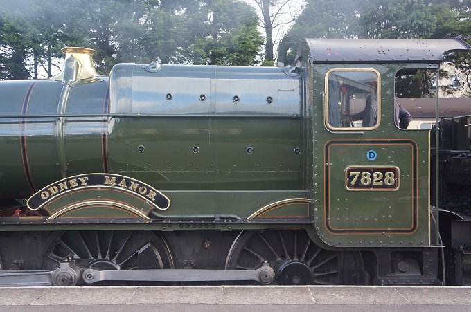
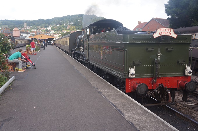
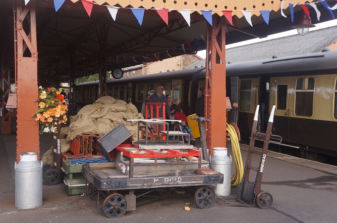
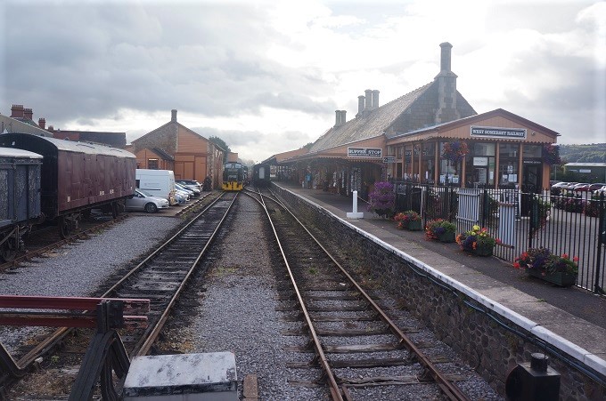
A late departure because breakfast didn’t start until 8.30am. Then we spent some time in Minehead at the railway station where an excursion train of the West Somerset Railway complete with steam engine was about to leave. It runs 20 miles from Minehead to Bishops Lydeard, the longest independent heritage railway in the United Kingdom.

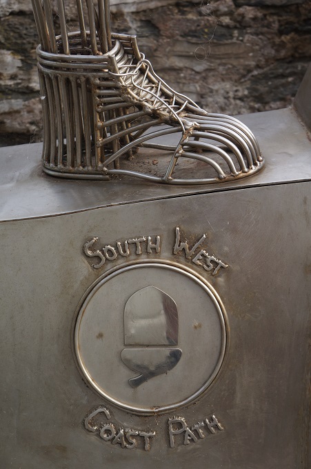
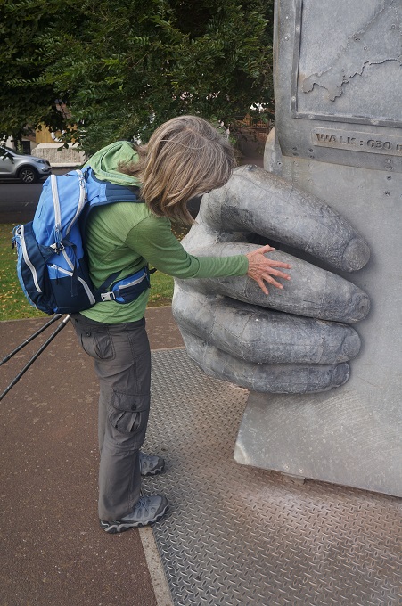
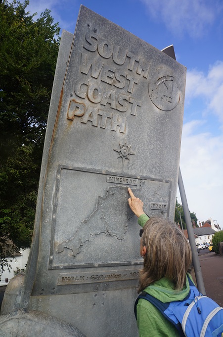
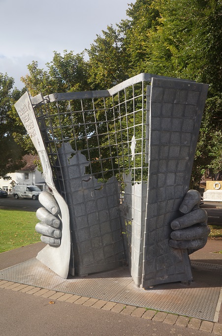
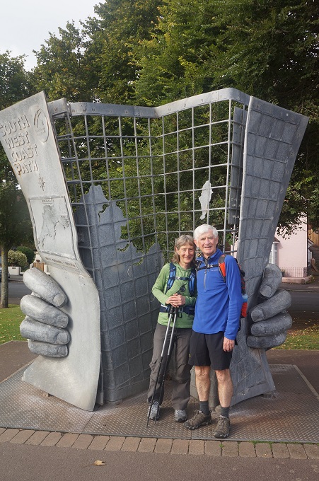
From there we walked around the waterfront to the official start of the SWCP at what is popularly called the ‘Hands Sculpture’ or the ‘Map Sculpture’. It was erected in 2001 and it is pretty much obligatory to have your photo taken next to it. Which of course we did. From here you continue along the waterfront, past the The Old Ship Aground Hotel, leaving the last vestiges of Minehead and the dog walkers behind and plunge into deep dark woods and hit a steep climb to the top of North Hill.

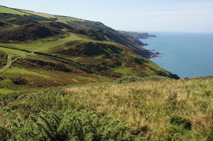
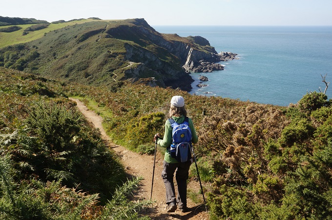
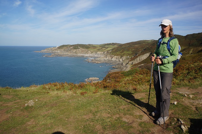
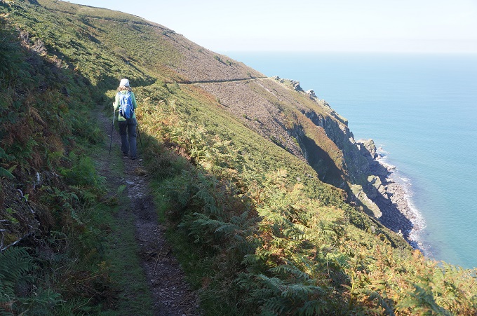
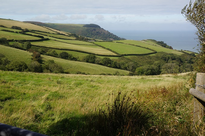
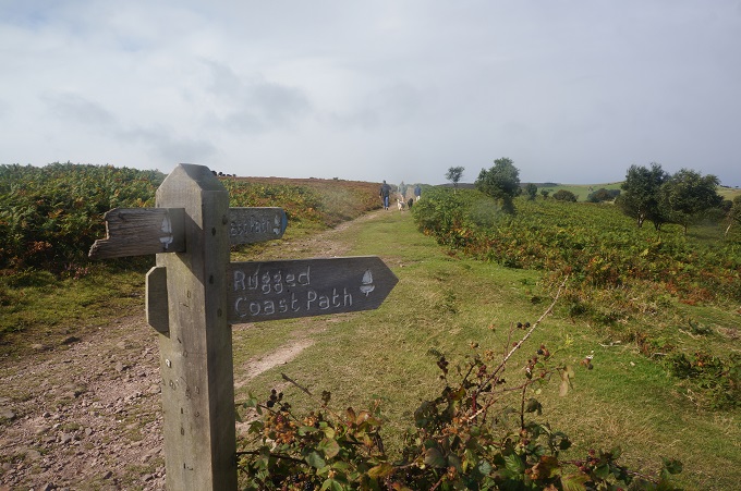
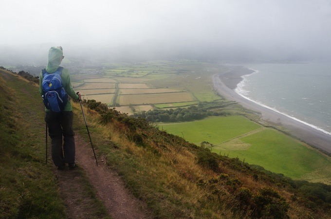
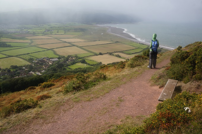
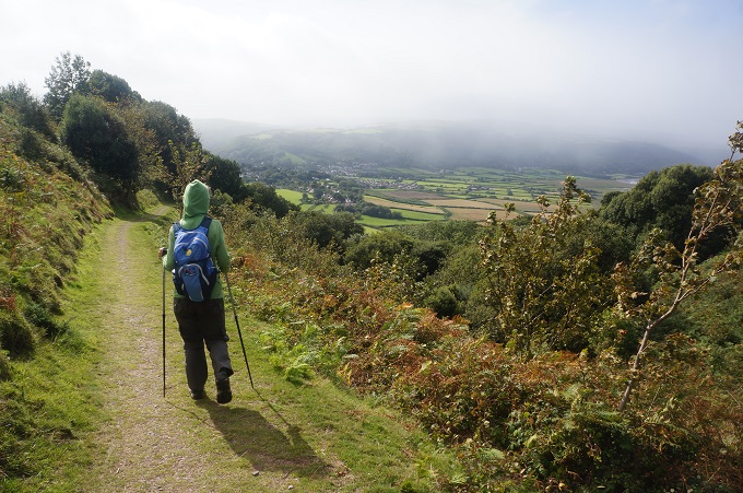
At the top of the hill you are faced with the first choice of the day. The ‘official’ route which goes inland across gently rolling meadows, or the ‘Rugged’ route which stays closer to the coastline, has a lot more ups and downs and gives splendid views over the Bristol Channel toward Wales. Not that we could see Wales in the mist. After wine with dinner last night we were feeling a bit rugged so decided we had better take the rugged route. I think we made the right choice. This was a lonely and remote section of the path far away from roads and settlements where the high expanse of Exmore rolls down and meets the Bristol Channel.

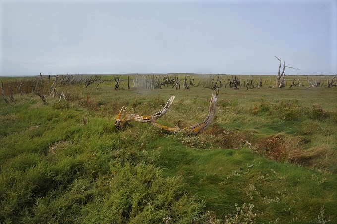
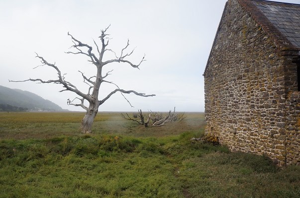
From the hill you look down into the Porlock Vale a wide flat floored fertile valley of farmland. The area is interesting because standing between the valley and the sea is a shingle ridge. The sea has breached the ridge causing the farmland nearest the sea to become a salt marsh with a fresh inundation of salt at every high tide. This has caused large trees to die and become skeletons.

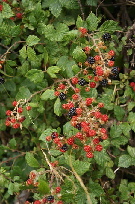
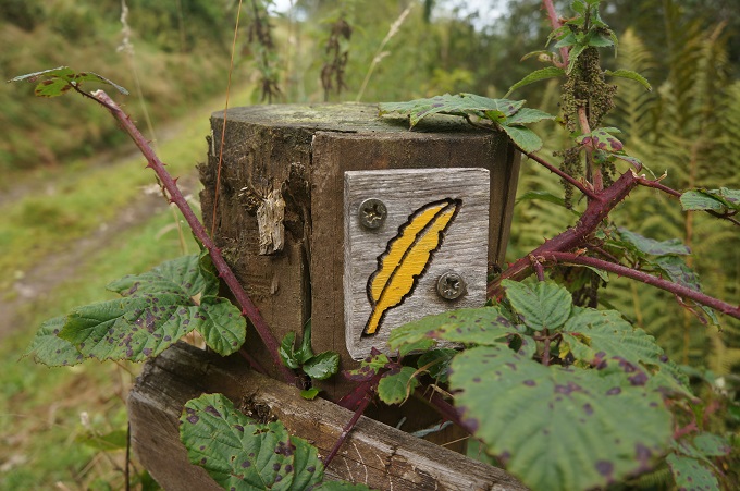
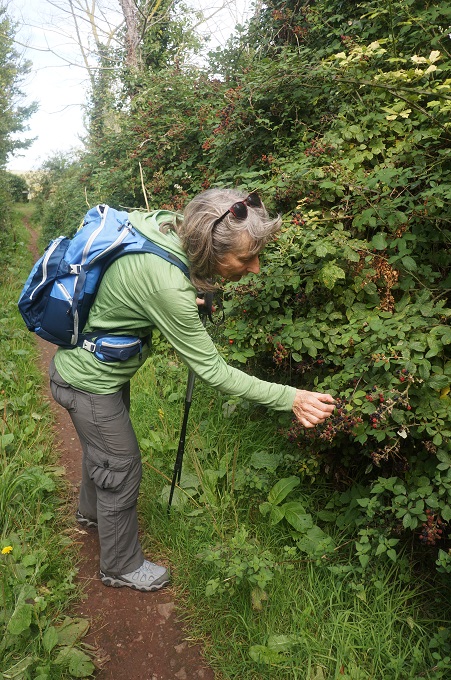
The path across the Vale was hedged with brambles (blackberries to us) and we were able to gorge ourselves on the berries. They were smaller than the ones at home but just as tasty.

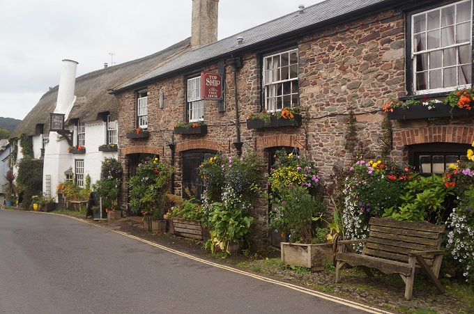
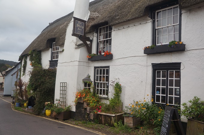
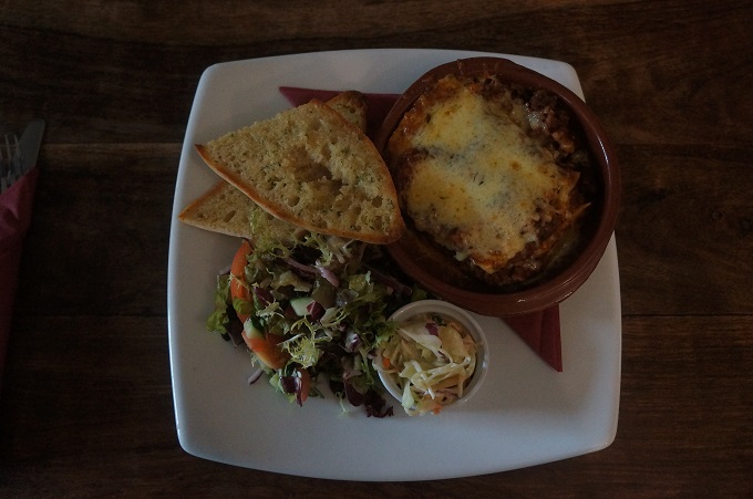
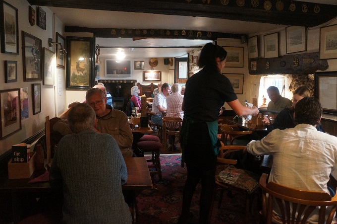
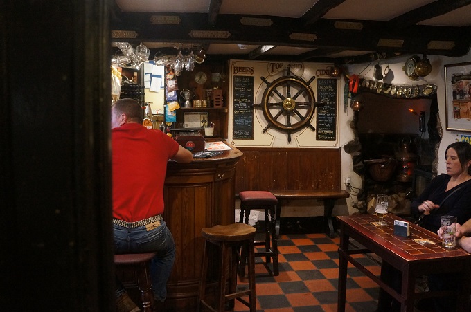
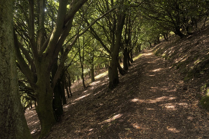
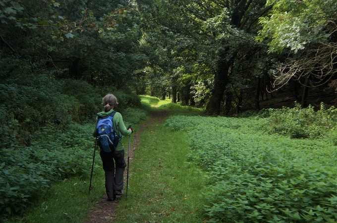
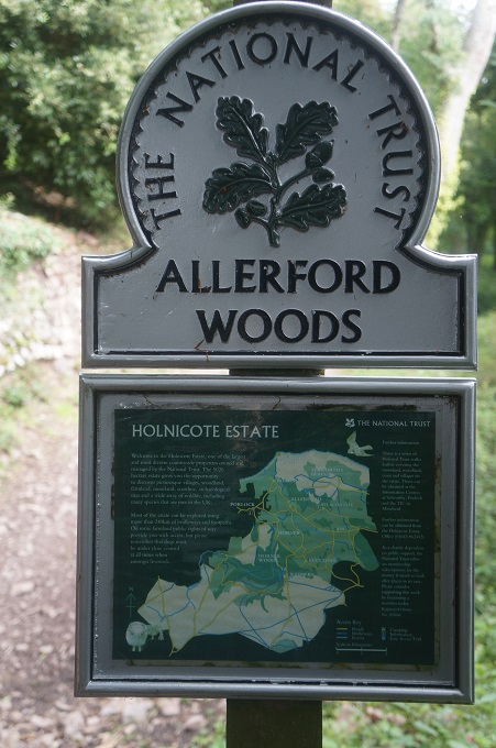
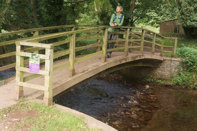
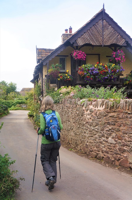
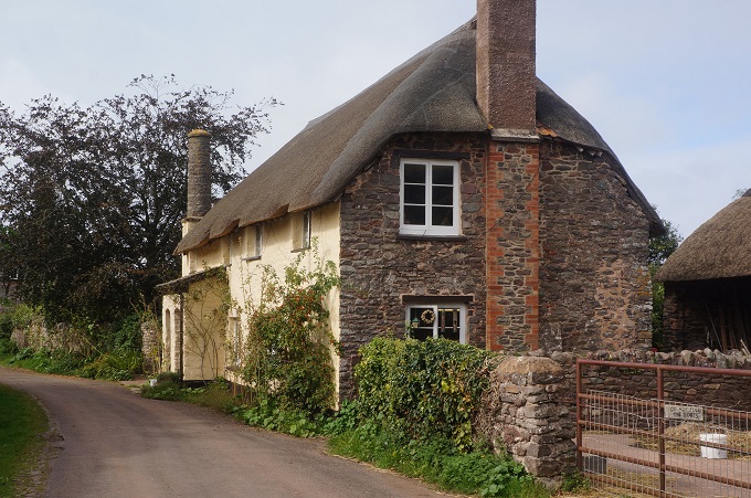
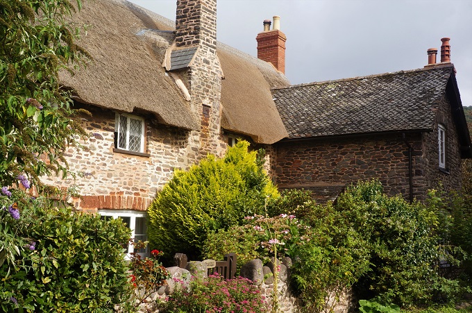
To get down to the valley and the tiny hamlet of Bossington we had a beautiful walk through the Allerford Woods and then a flat walk across the edge of the salt marsh, among the skeleton trees, to the village of Porlock where we are tonight. Porlock is mentioned in the Doomsday Book of 1086 and some of the buildings are only slightly younger. Many of the buildings have thatch roofs and The Ship Inn where we ate tonight dates from the 13th century.

Porlock has long been a favourite place of poets, romantics and dreamers. Samuel Taylor Coleridge and William Wordsworth were frequent visitors and wandered (as lonely as clouds presumably) the surrounding hills and beach.

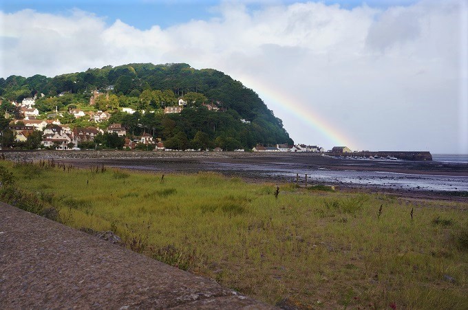
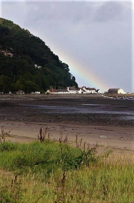
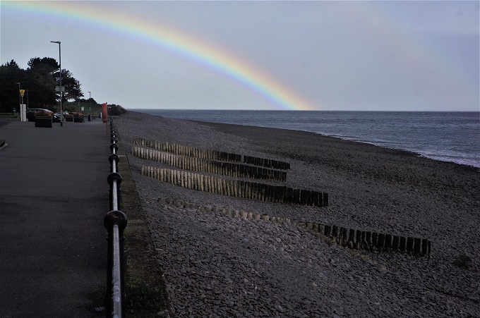
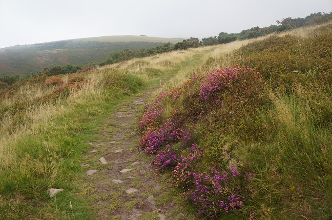
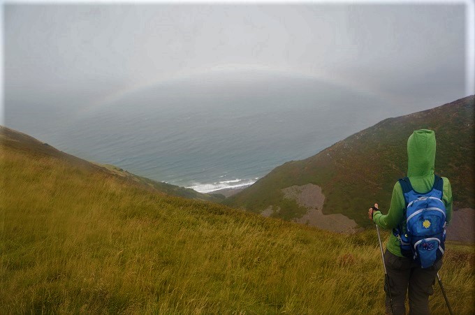
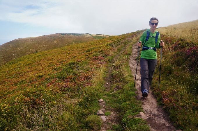
The weather was warm, quite windy and with very, light misty rain on and off interspersed with periods of bright sunshine. This meant we had lots of rainbows and for about the first hour walked with a rainbow directly ahead of us. There was nice contrast between the dark shelter of the woods and the open windy moor with its carpet of yellow gorse and purple bell heather flowers.

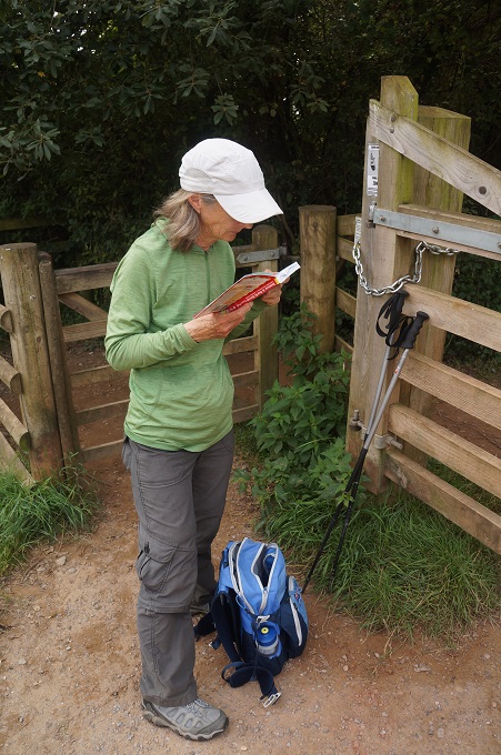
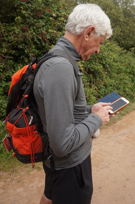
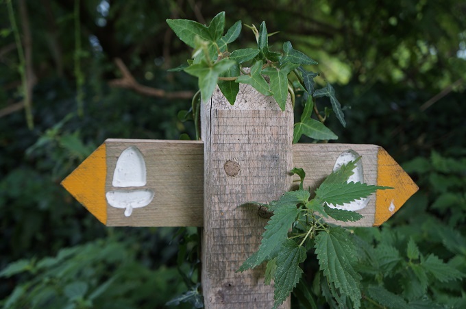
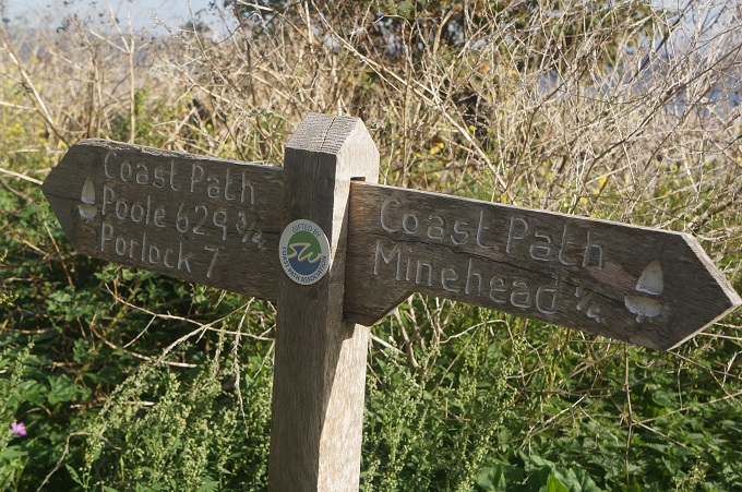
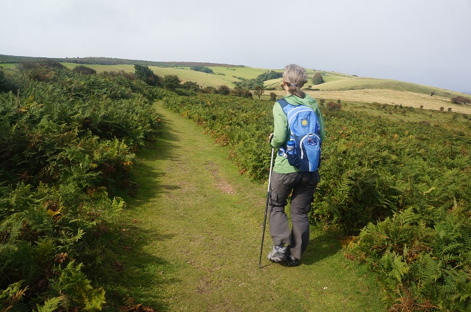
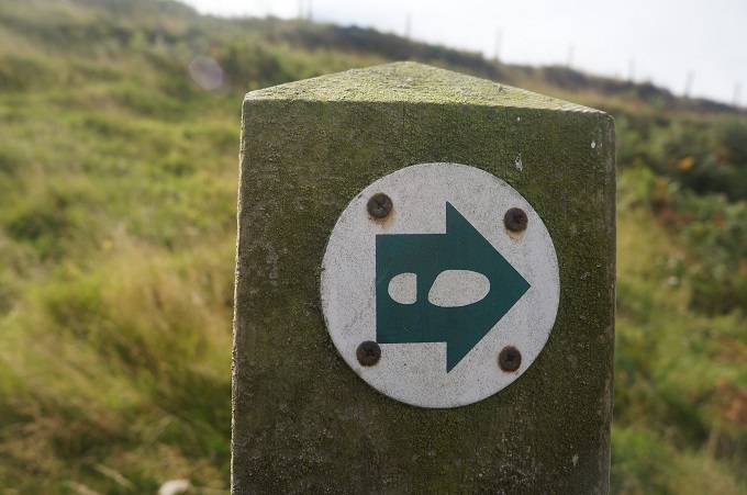
The path is well sign posted but there are so many paths criss-crossing and going to places we have never heard of, and are not on  the maps, that it is easy to end up on unnecessary diversions. This year we have an app loaded on our phone with maps of the SWCP and with GPS you can see exactly where you are when apparently ‘lost’.

Overall a really good first day, bring on tomorrow.


Paddington to Minehead

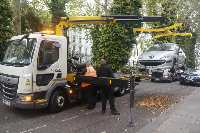
We woke this morning to a truck working outside in the street and looking down from our window saw two trucks removing illegally parked cars. Seems they didn’t have the requisite residents permit. See the photo.

Today was just a transition day. A two hour train trip west on Great Western Railway from Paddington to Taunton, half an hour wait at Taunton for the bus, one and a half hours on the Buses of Somerset to Minehead where we are staying at The Parks Guesthouse. Modern technology is wonderful. Four months ago we booked and paid for the train online and were given a code. This morning at the ticket machine it recognised us and our code and printed out the required tickets.

The train trip was very smooth and uneventful in an almost empty train. Just five stops in two hours and it was pretty fast but not nearly as fast as the TGV train we took from Paris in 2015.

‘Some towns inspire. They have an air of adventure and a sense of urgency. They are mysterious and just a little frightening. You know as soon as you walk into them they are special places. Minehead isn’t one of them’. Mark Wallington, 500 mile Walkies.

This is being a bit harsh on Minehead. It is a charming, unpretentious, sleepy seaside town. Such a contrast to hectic London and the sort of place we much prefer.

It has three claims to fame. At the eastern end of town is the ginormous Butlins Holiday Camp. In the centre of town is the terminus for the restored steam trains of the West Somerset Railway. At the western end of town is the official start of the 1000km South West Coast Path. The later of most importance for us. Minehead doesn’t even have a mine – the origin of the name is from the Celtic word, Mynedd, meaning ‘hill’.

And we are going to experience some of those hills starting tomorrow. We are a little apprehensive as we haven’t done as much preparation as we have done in previous years and we Know there is a lot of climbing and descending in the first three days. Still we can’t wait to get going!


An indoors day

After two sunny days the weather didn’t look so good today with a high probability of rain, so we decided to go and do something indoors.

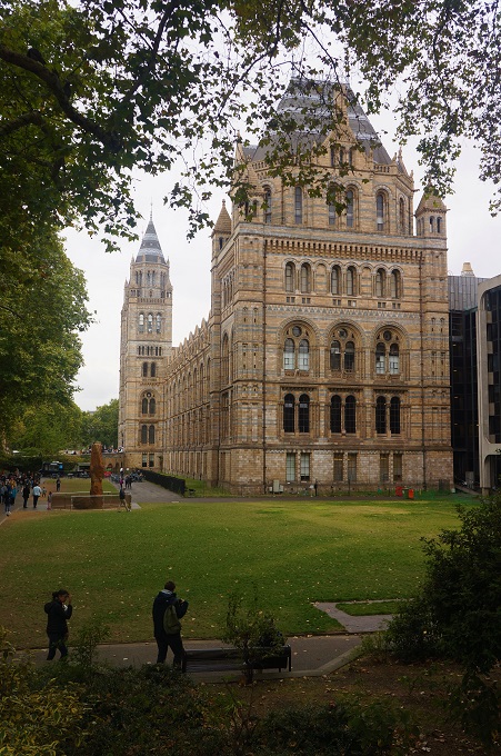
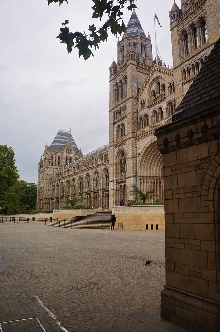
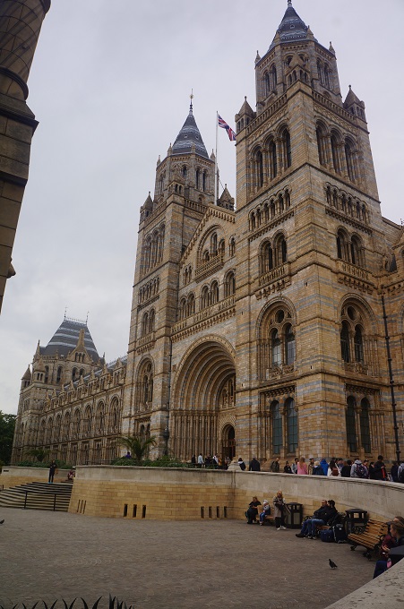
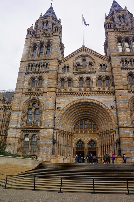
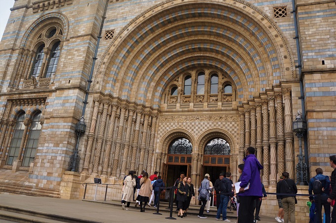
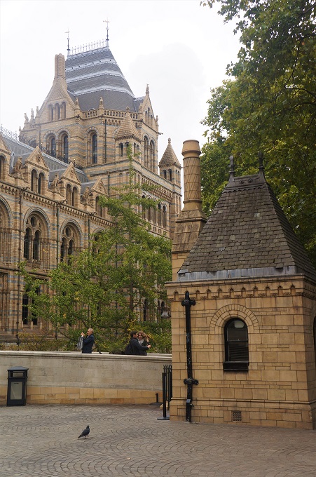
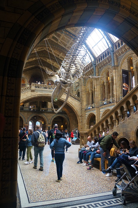
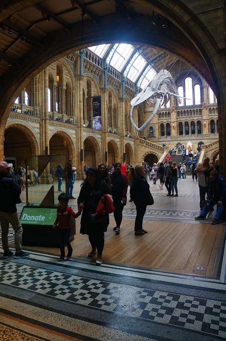
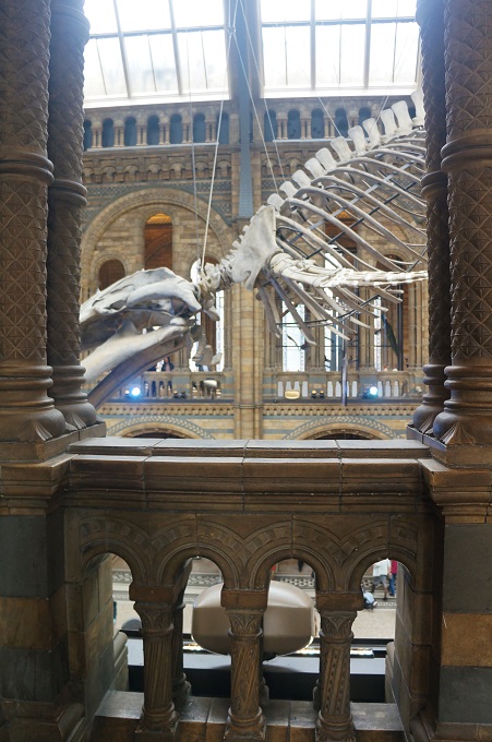
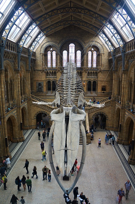
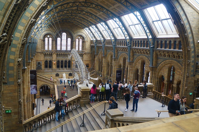
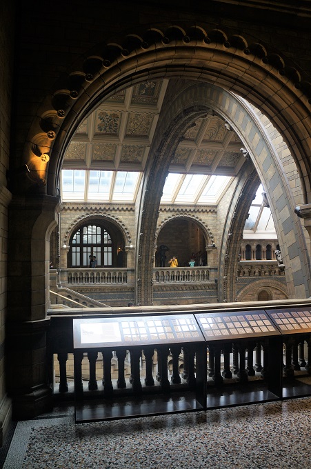
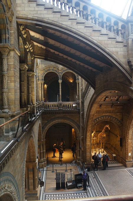
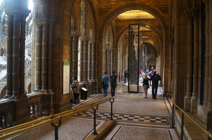
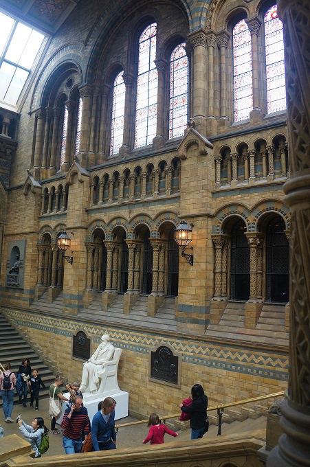
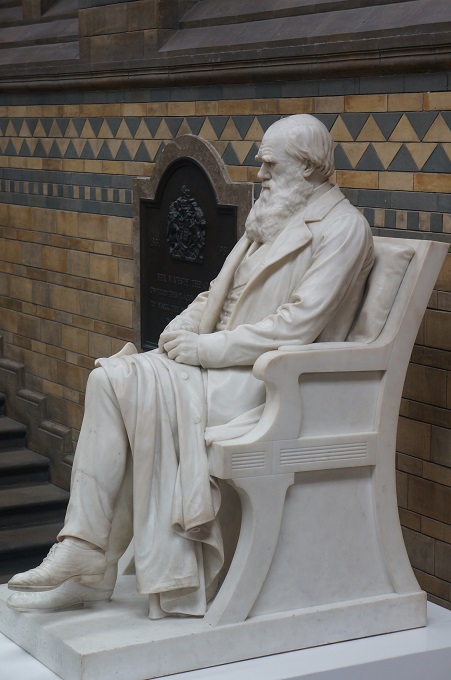
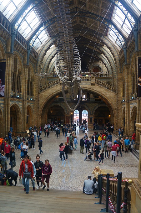
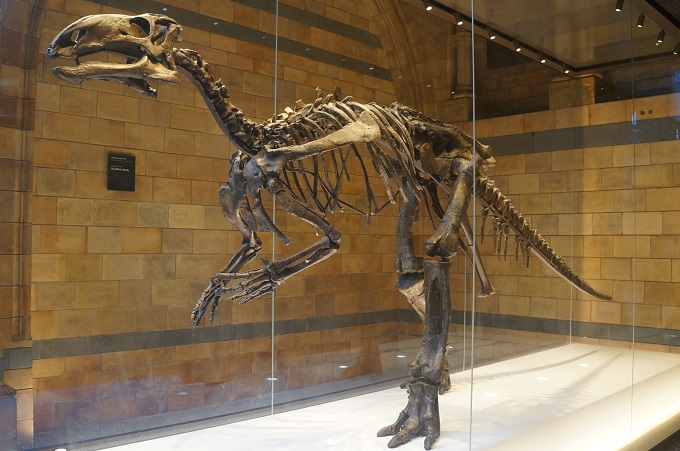
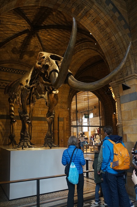
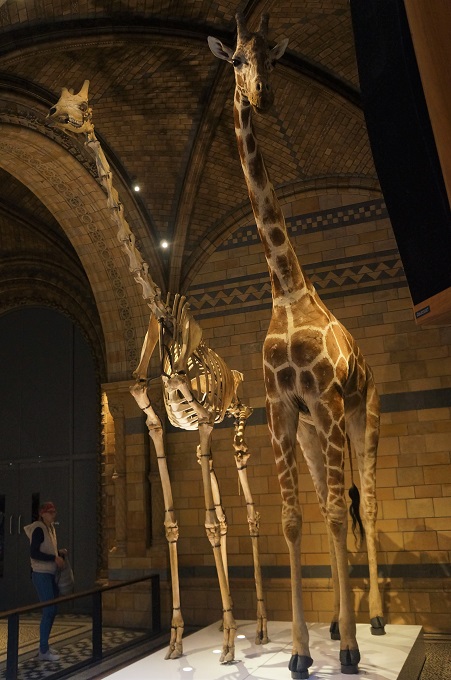
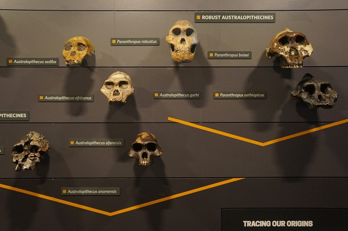
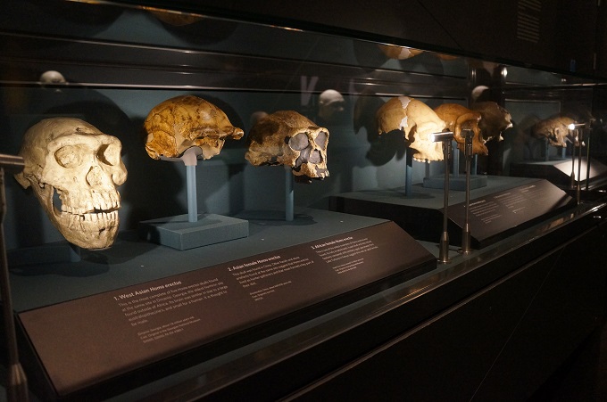
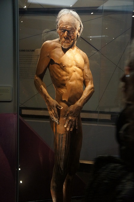
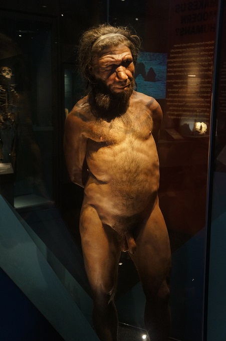
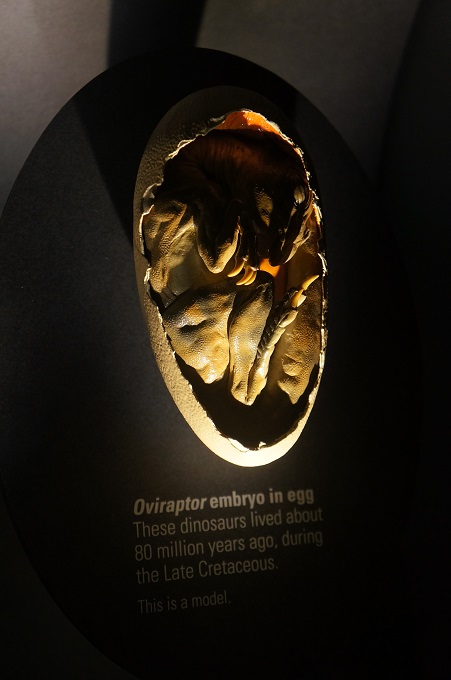
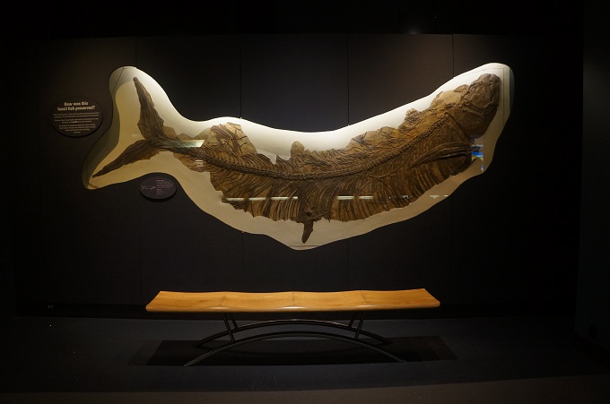
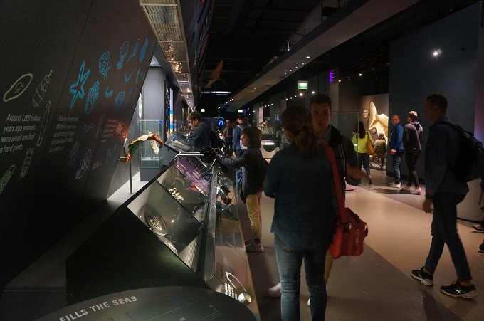
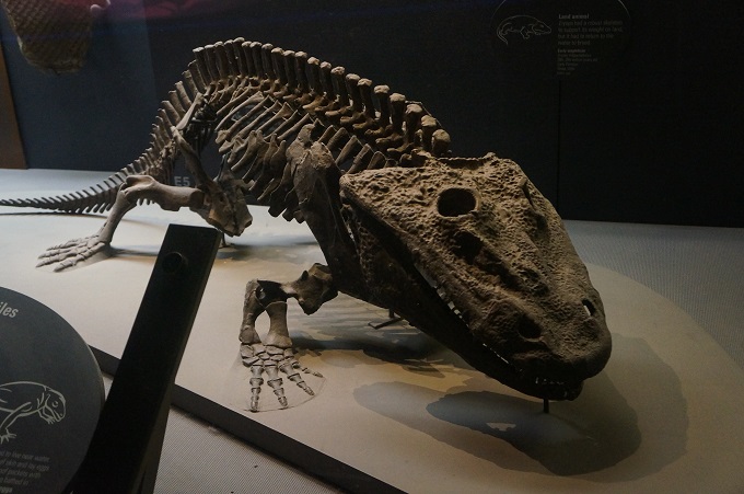
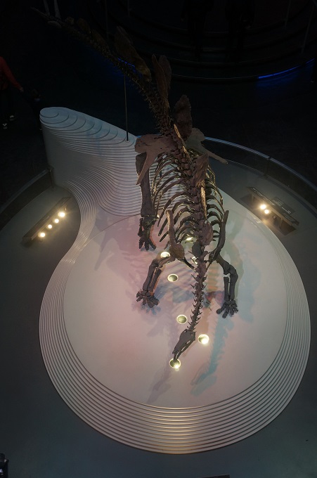
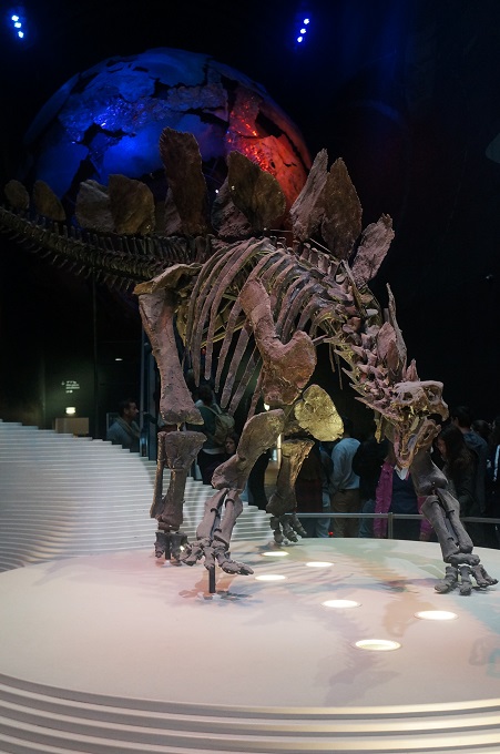
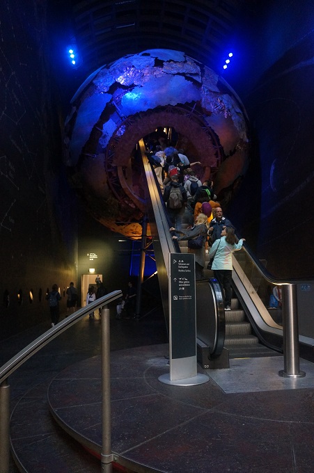
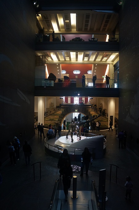
We chose the Natural History Museum mainly because I was interested in the architecture. The building is often called ‘a cathedral of nature’ because of the magnificent main hall and was opened in 1881 to house 80 million items in five main collections: botany, entomology, minerology, palaeontology and zoology. The museum is most famous for its collection of dinosaur skeletons but has many important collections including specimens collected by Charles Darwin on the voyage of the Beagle.

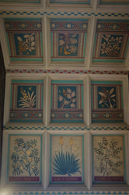
The building is clad in terracotta tiles inside and out, chosen to resist the sooty atmosphere of Victorian London. The tiles have intricate relief sculptures of flora and fauna and their colour gives the building a lovely warm feeling.

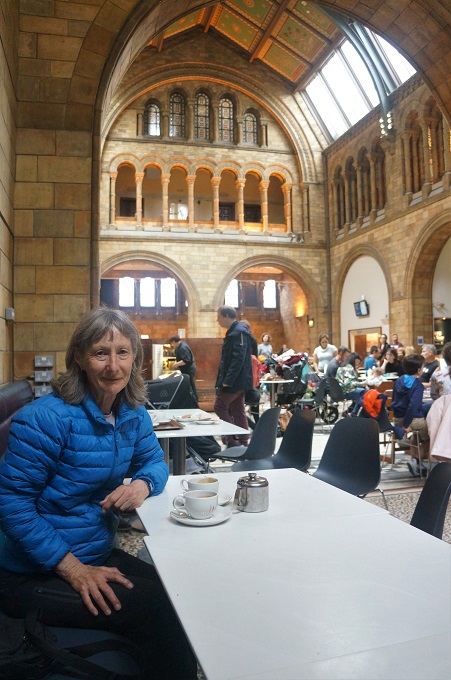
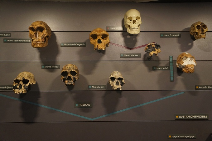
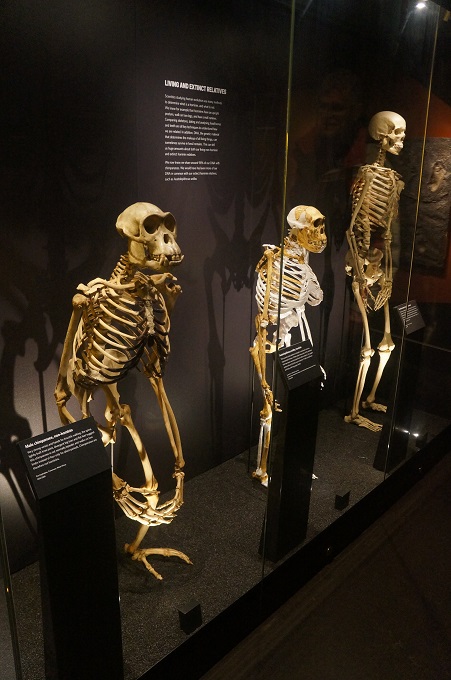
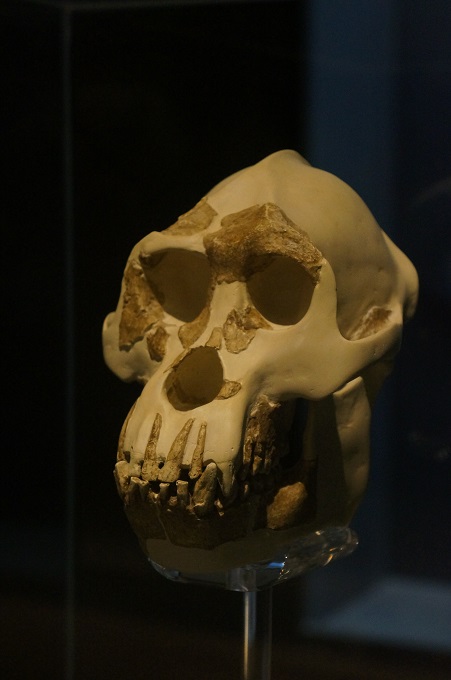
There is no hope of trying to absorb all the museum has to offer, even with multiple visits so we decided just to go to the volcanoes and earthquakes, and the evolution exhibits with a coffee break in between as information saturation sets in quite quickly these days. We kept away from the most popular exhibits which were way too crowded and were full of groups of primary and secondary students.

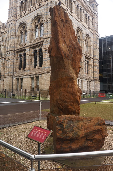
The museum at first seems overwhelming but it is divided into four zones, red, green, blue and orange.  The red zone is themed around the changing history of earth, the beginning of the universe, plate techtonics, volcanoes and earthquakes, human evolution etc. The green zone has fossils, birds, creepy crawlies, the main hall with the blue whale skeleton and section of an 1,335 year old sequoia tree. The blue zone has dinosaurs, fish, marine invertebrates, mammals, and human biology. The orange zone has a wildlife garden and the Darwin Centre – the collection of millions of preserved species. So the signage and colour coding make it pretty easy to get your way around.

So that was our day. It is about a 20 minute walk from our hotel, across Hyde Park to the museum and while there were a few spits every now and then it didn’t really rain. Tomorrow morning we pack our bags and head way out west to Minehead and the beginning of our walking.


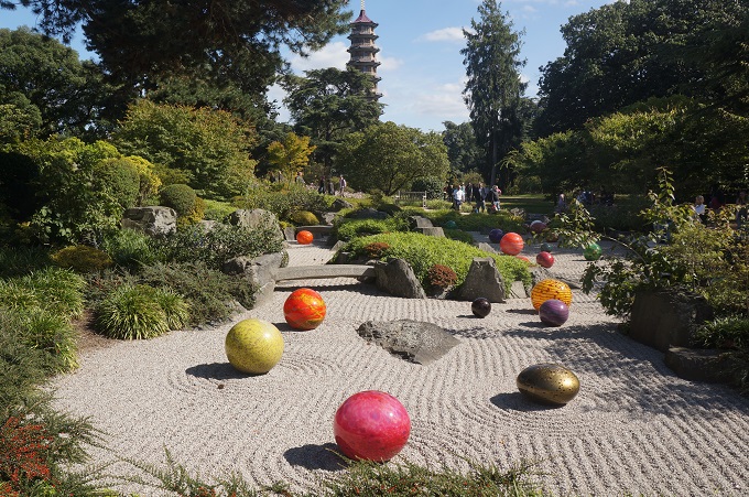
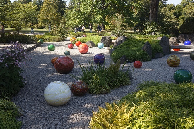
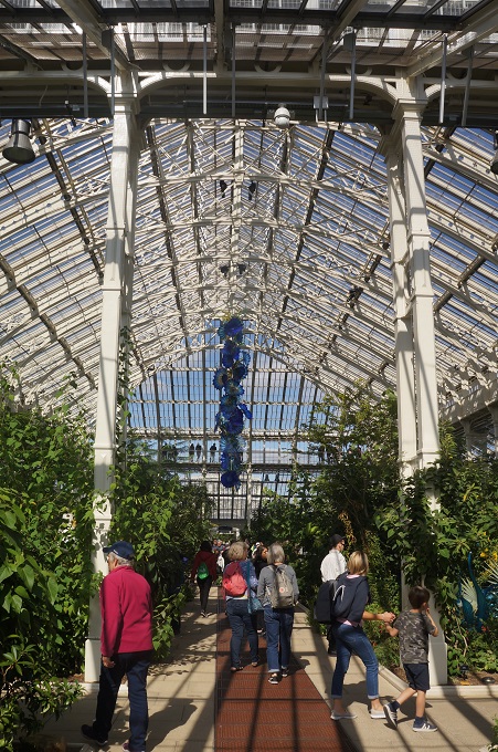
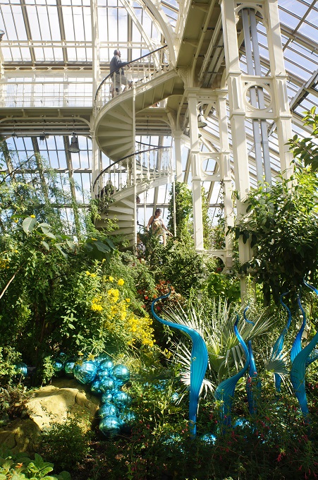
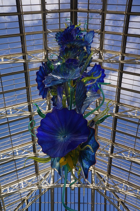
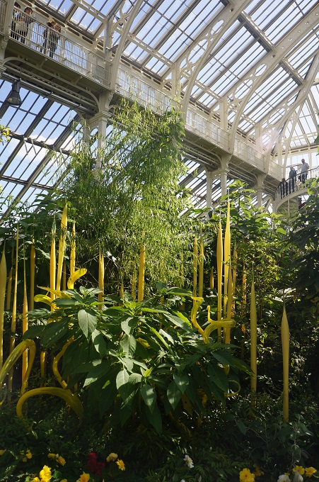
Chihuly at Kew

‘The best friend on earth of man is the tree……’ Frank Lloyd Wright

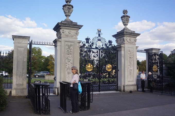
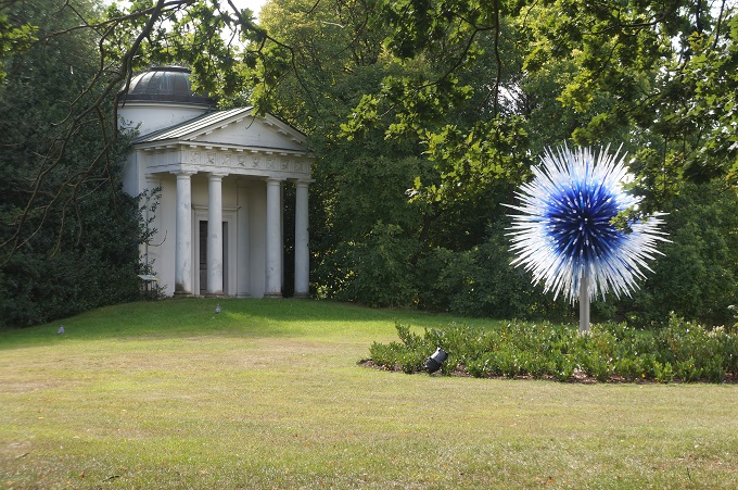
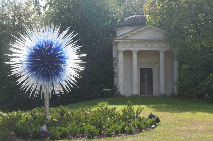
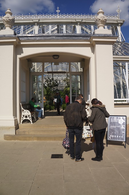
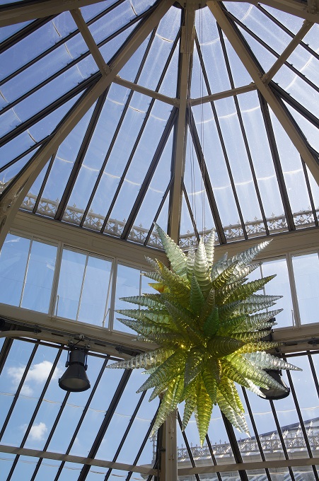
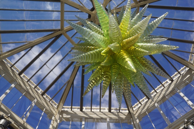
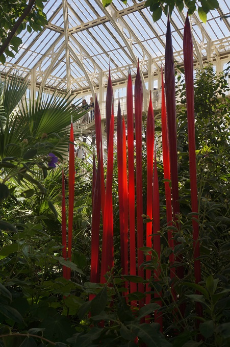
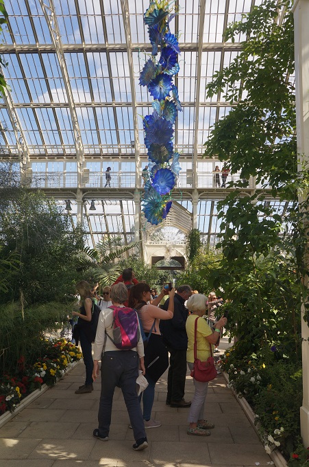
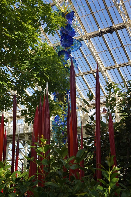
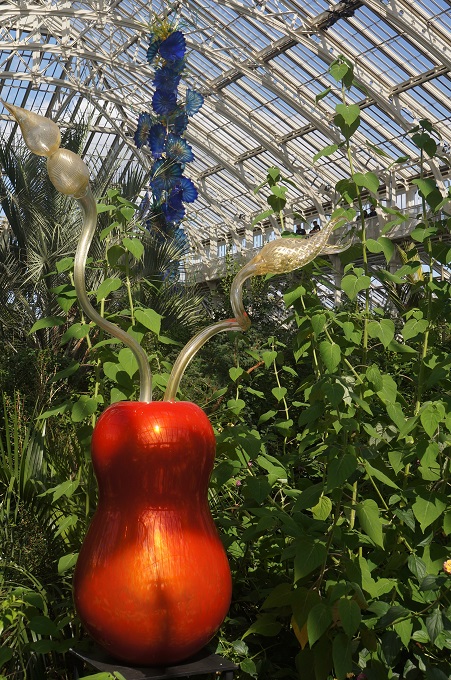
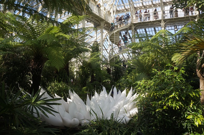
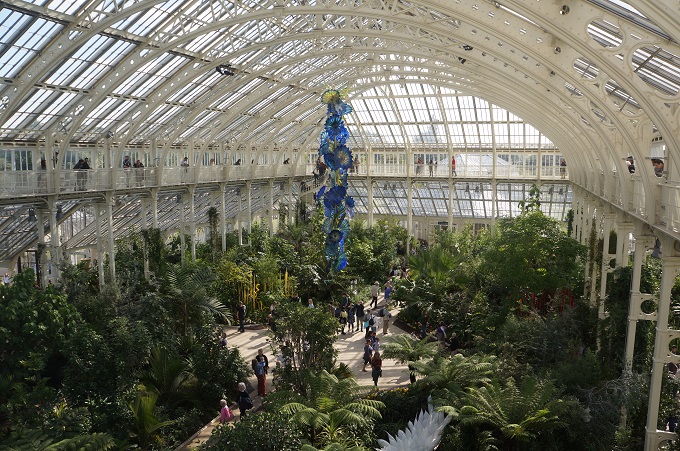
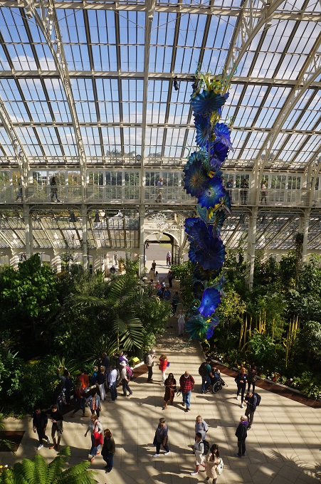
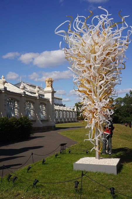
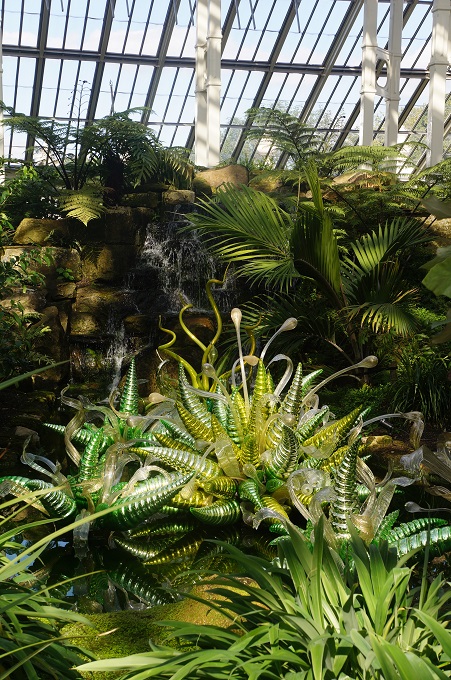
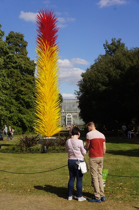
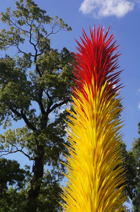
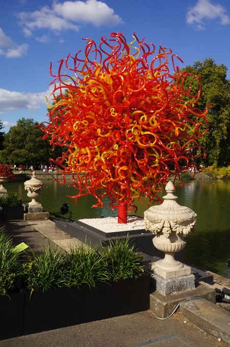
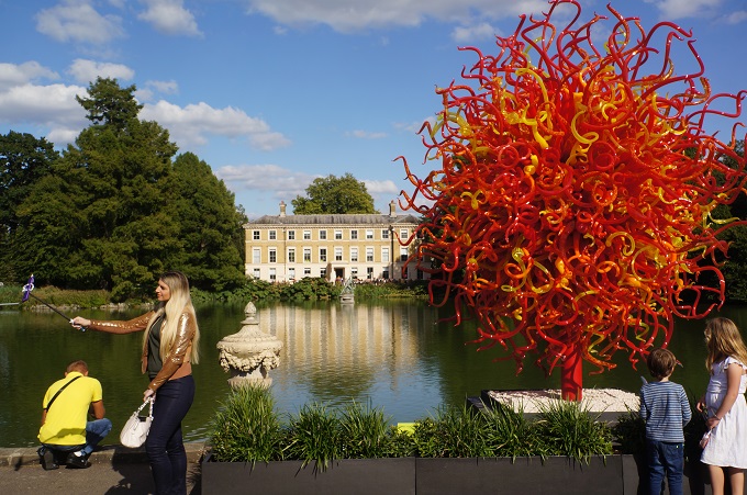
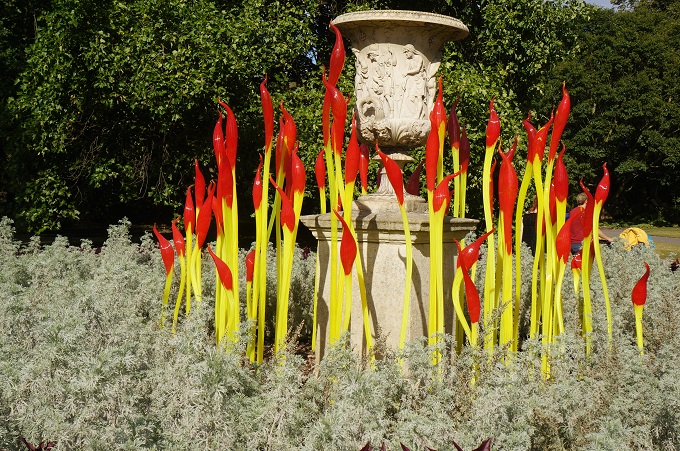
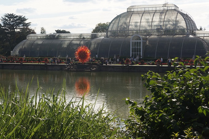
What a difference a reasonable night’s sleep and a decent breakfast make. We woke up pretty much recovered and ready to go. Neither of us had ever been to the Royal Botanic Gardens Kew and we had read that Dale Chihuly had a selection of his work exhibited in the gardens, so we decided to go there for the day.

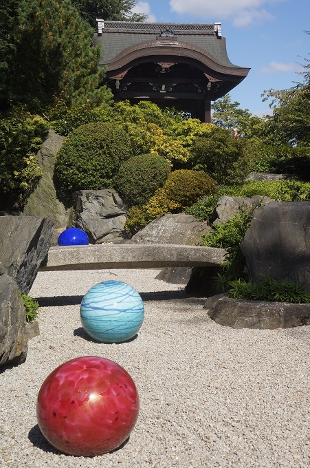
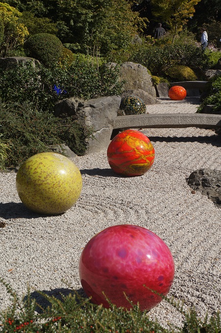
Chihuly is one of the world’s most daring and innovative artists working in glass. In Seattle, where he lives and works, we had visited the Dale Chihuly Garden and Glass, a stunning museum and garden exhibiting his dazzling work. When in Seattle it is a must see. To see some photos of his work you can visit: www.flickr.com/photos/psyclistpaul/albums and scroll down through the albums until you see Chihuly Garden and Glass 2015.

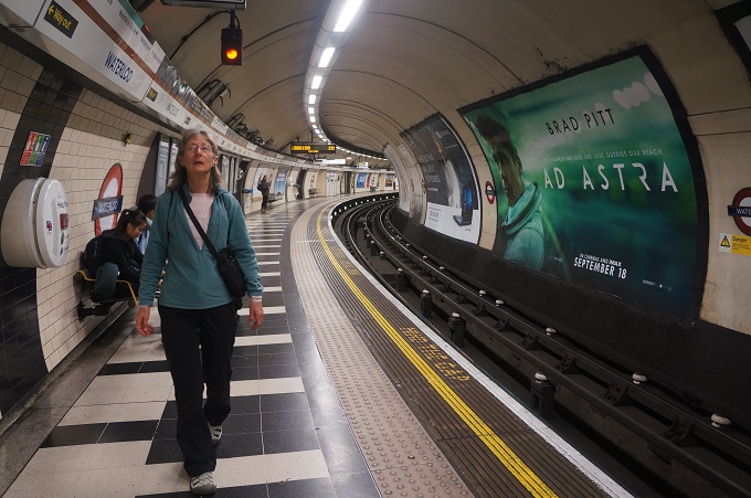
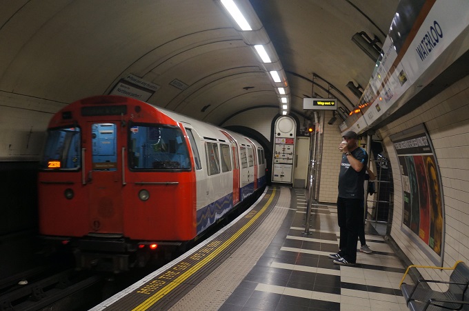
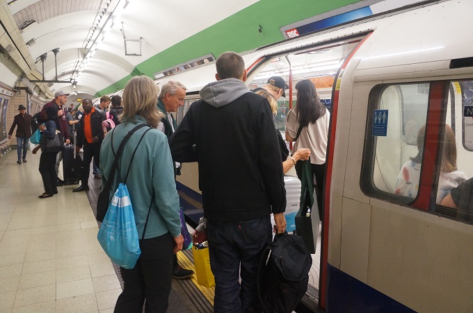
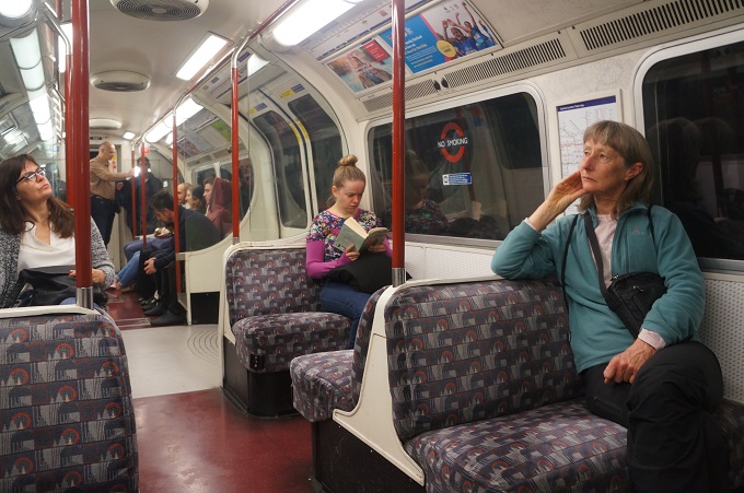
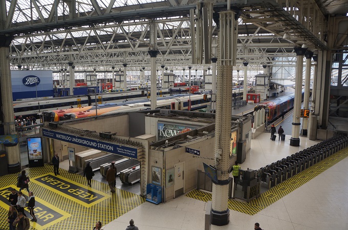
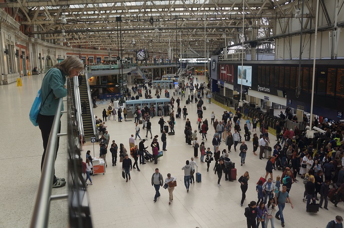
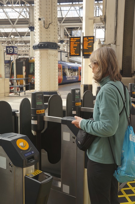
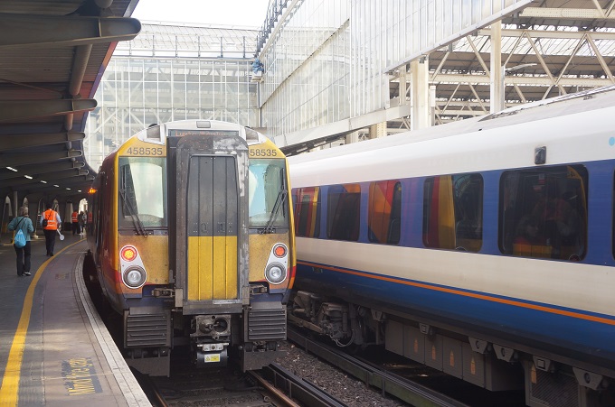
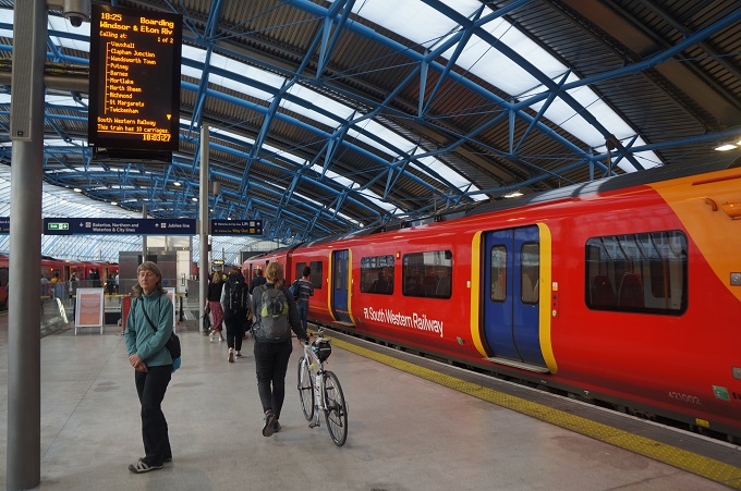
For us to get to Kew it is a 30 minute trip on the underground Bakerloo Line from Paddington to Waterloo and then another 30 minute trip on the aboveground South Western Railway to Kew Garden Station.

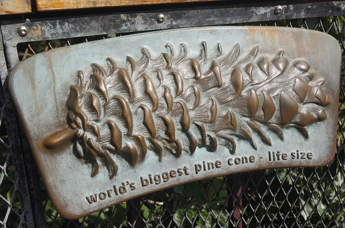
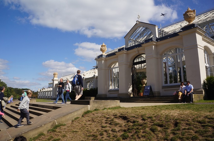
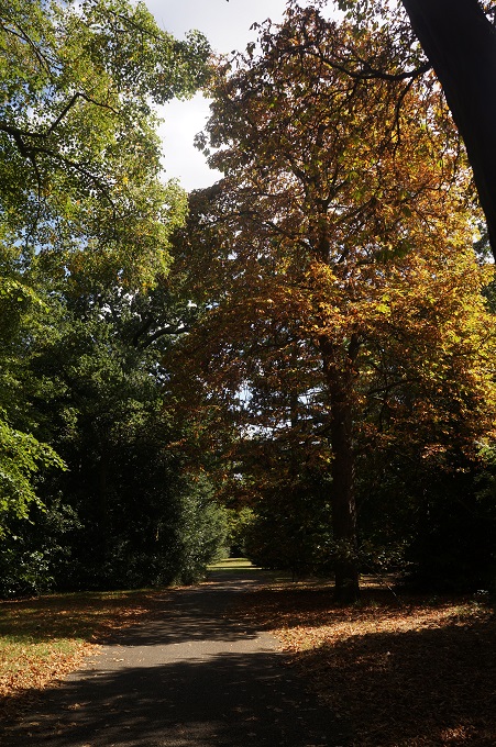
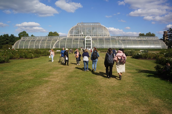
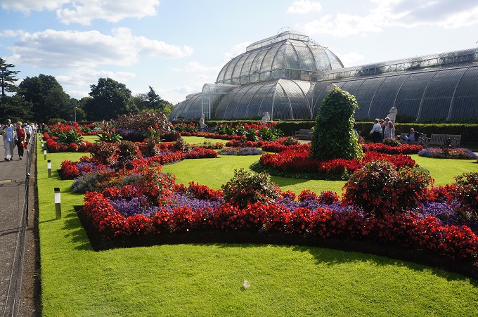
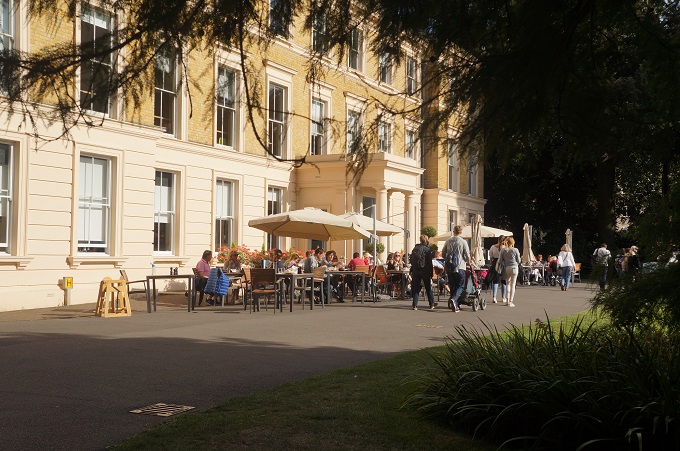
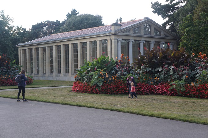
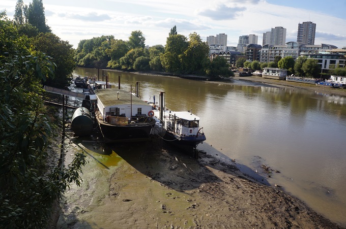
Kew Gardens contains the largest and most diverse plant collection in the world. It has been dated as formerly starting in 1779, beginning as an exotic garden and being enlarged by the merging of royal estates. We didn’t go to view the plants so much as to see Chihuly’s works, visit the buildings and just enjoy being outdoors on a sunny day in beautiful surroundings.

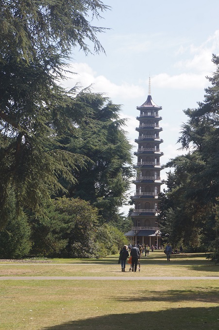
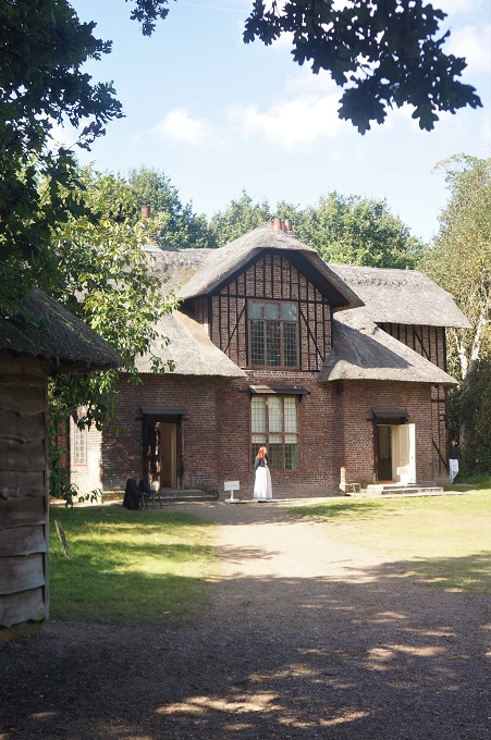
There are many notable buildings and structures and although we didn’t see them all some of the most interesting were:

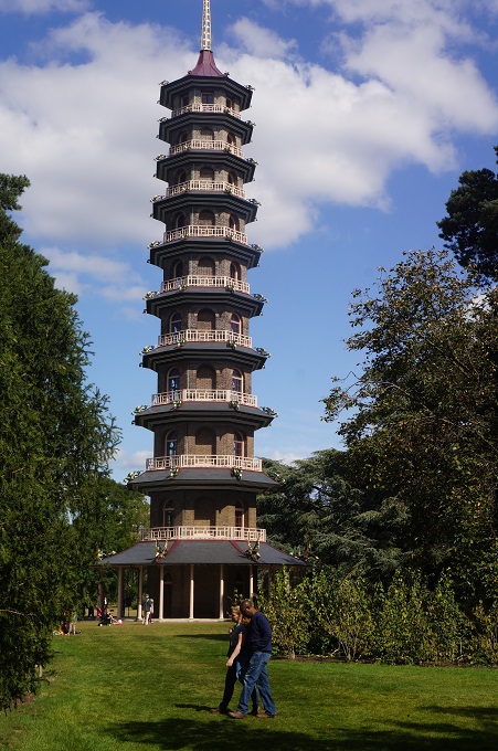
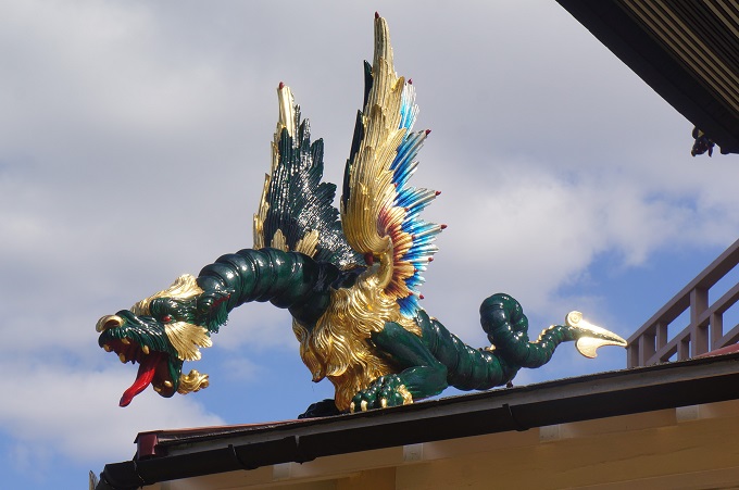
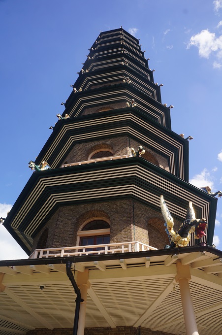
The Chinese Pagoda erected in 1762 and decorated with large colourful dragons.

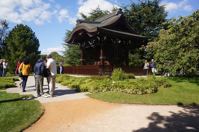
The Japanese Gateway, moved to Kew in 1911, it is a four fifths  scale replica of a temple gate in Kyoto.

Queen Charlotte’s Cottage built about 1771 for Queen Charlotte and her husband George III on day visits to Kew.

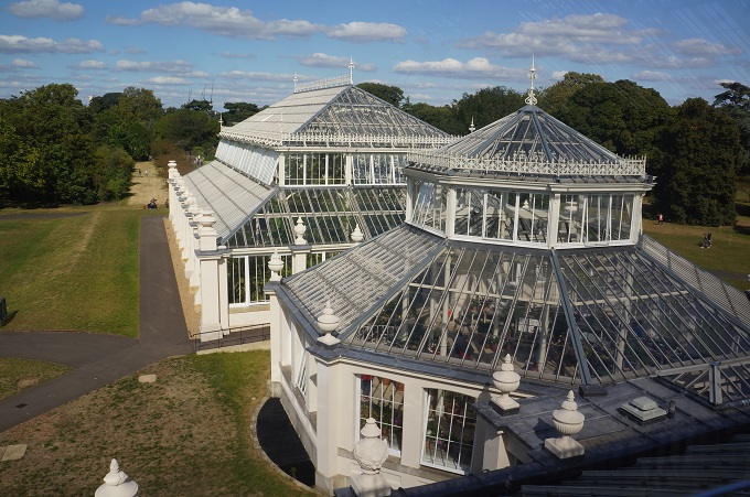
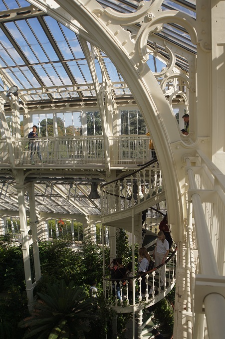
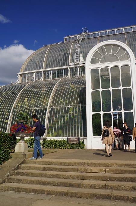
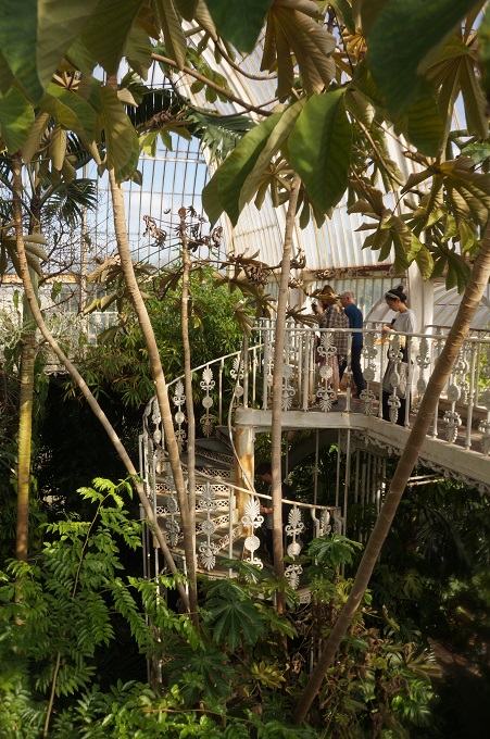
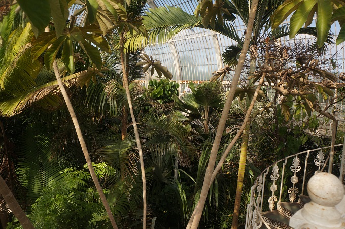
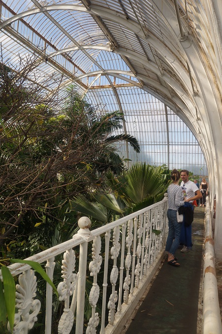
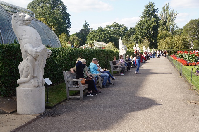
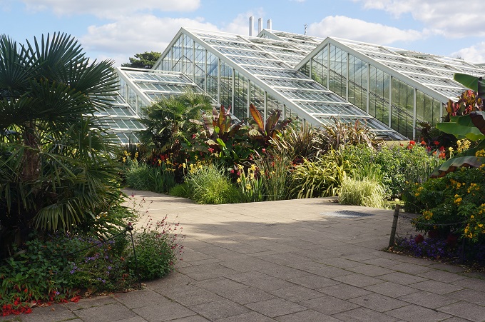
The Palm House and Parterre of 1844 – 1848, a fabulous structure of wrought iron, tubes, prestressed cables and glass with a walkway 9m above the ground to view the tops of the palms. In front of the house are ‘The Queen’s Beasts’, a row of 10 animals bearing shields.

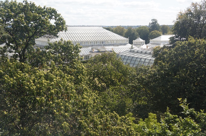
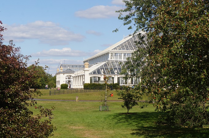
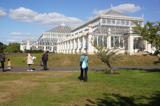
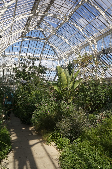
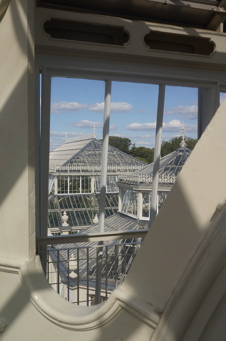
The Temperate House started in 1859, took 40 years to build and is the world’s largest Victorian glass structure.

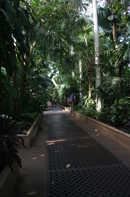
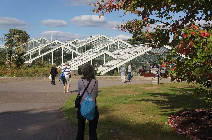
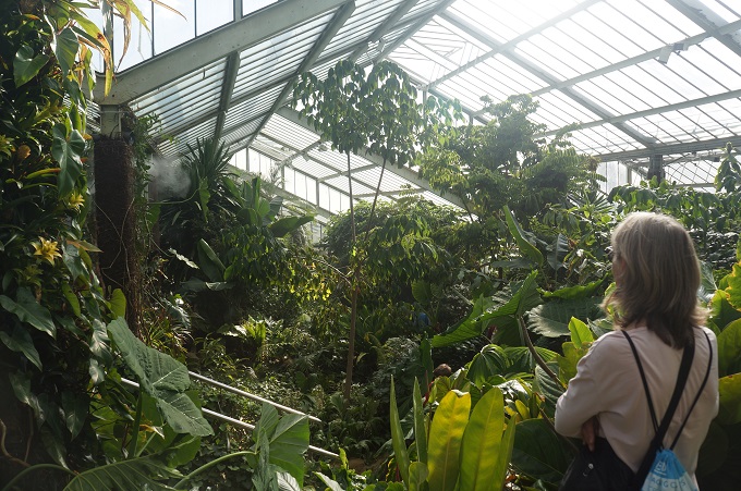
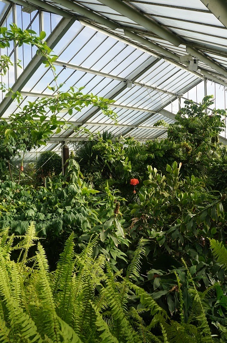
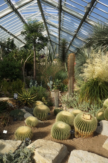
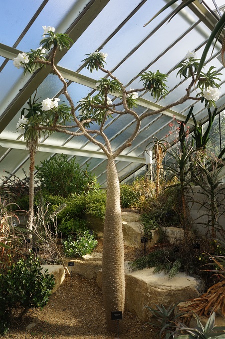
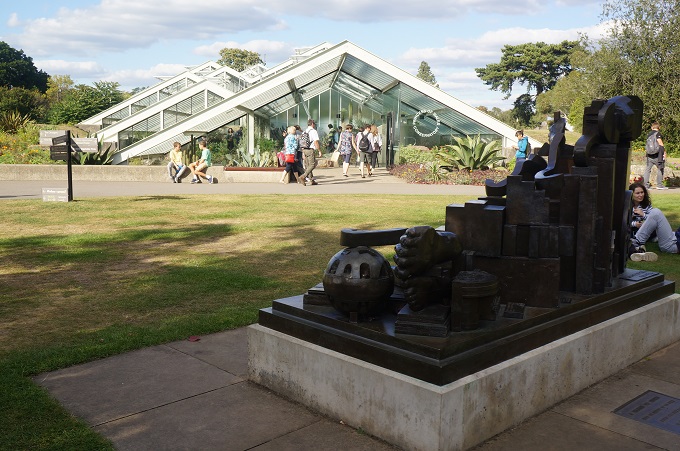
Princess of Wales Conservatory opened in 1987 by Diana Princess of Wales in commemoration of one of her predecessors Augusta Princess of Wales. It contains 10 computer controlled micro-climates of hot, cold, wet, dry, temperate, tropic, etc.

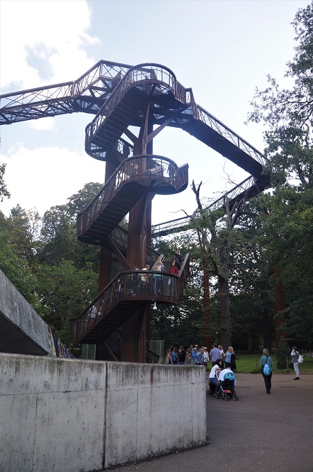
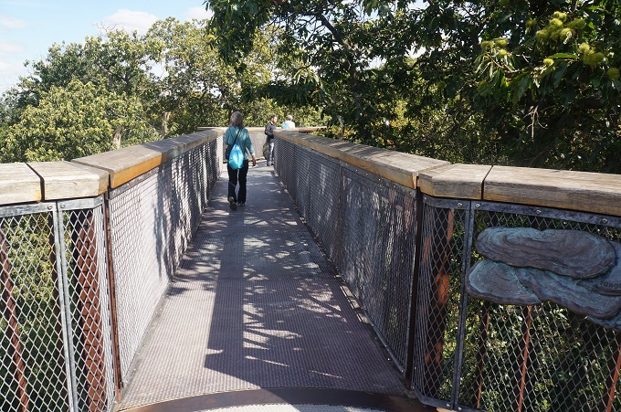
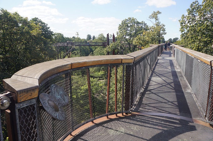
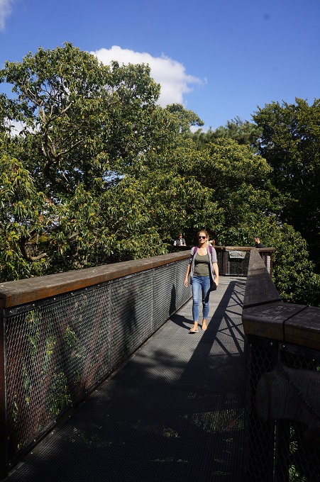
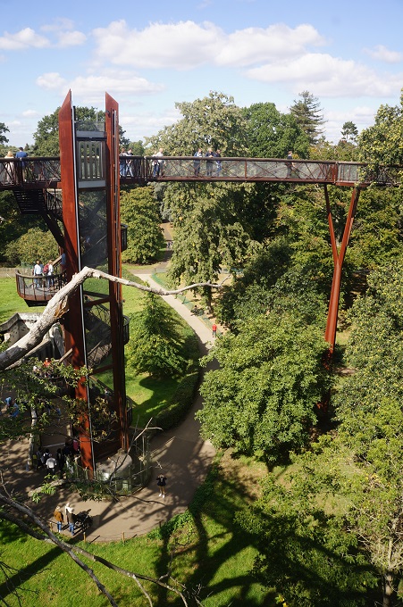
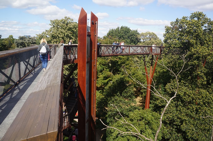
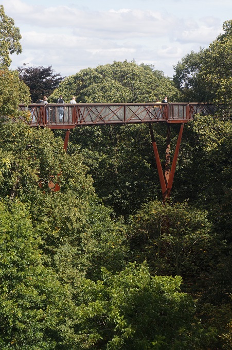
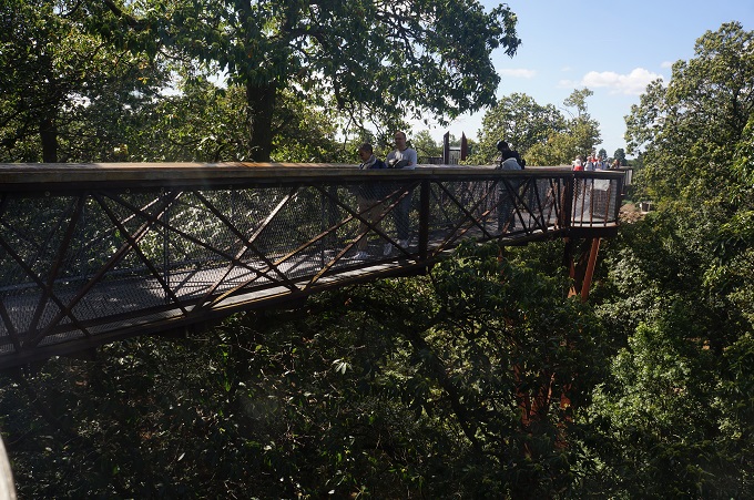
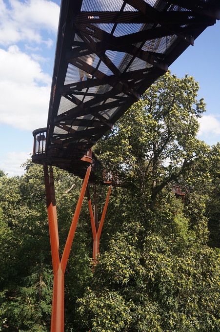
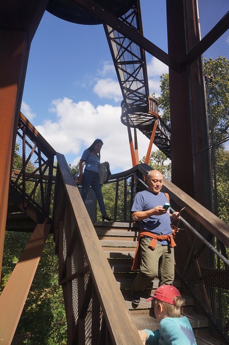
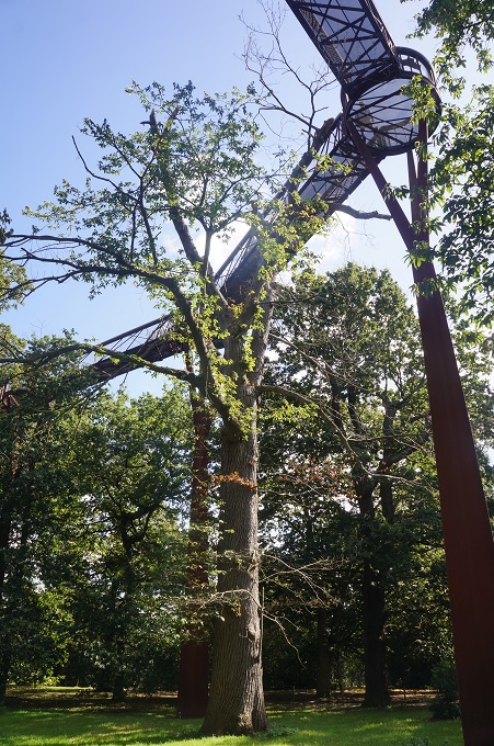
Treetop Walkway, 2008, a 200 metre walk 18 metres above the ground in the tree canopy. When you stop walking it wobbles and sways a lot, caused just by people moving about.

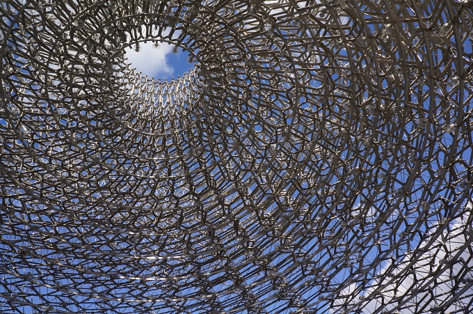
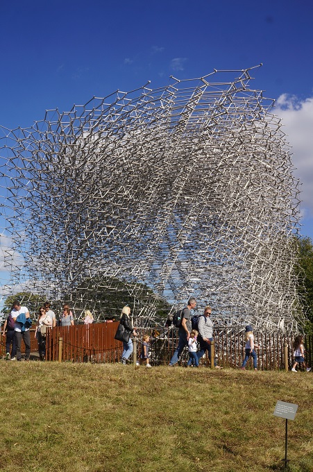
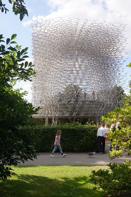
The Hive, 2016, a multi-sensory experience highlighting the extraordinary life of bees.

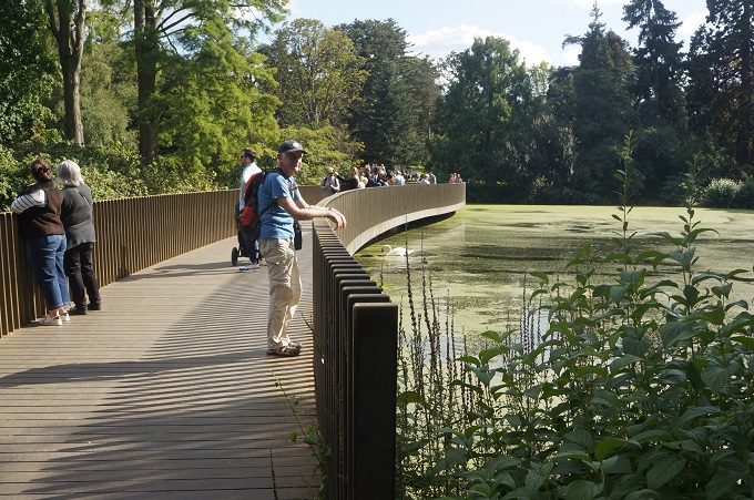
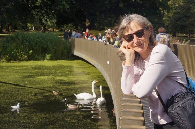
The Sackler Crossing Bridge, 2006, an elegant sweeping double curve bridge of black granite and bronze.

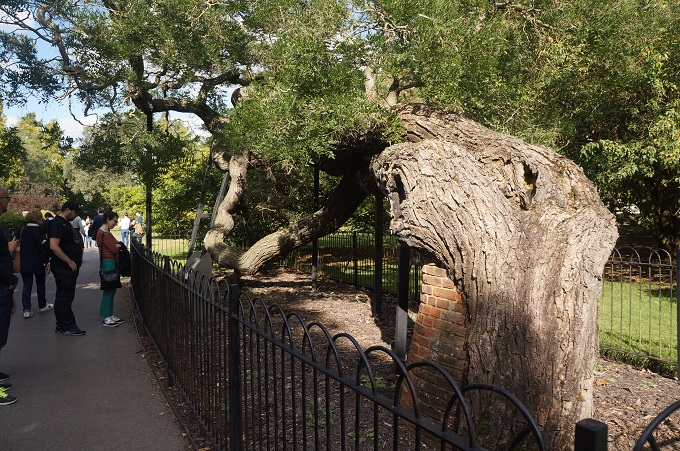
And much, much more and all the time the amazing work of Dale Chihuly popping up in this wonderful, if slightly artificial, landscape. We took it all pretty slowly and had a very relaxing day. Kew gets 1.9 million visitors a year, which is about 5000 per day but it is so big it never feels crowded.

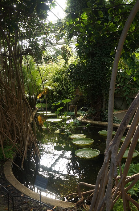
We didn’t spend a lot of time examining the plants but one I was interested to see was Victoria amazonica, a genus of water-lilies from the shallow waters of the Amazon River Basin. It has leaves that float on the water and are up to 3 metres in diameter and can support up to 32 kilogrammes. In a past life I designed additions to the Begonia House in the Wellington Botanic Gardens so that these lilies could be grown in Wellington. We did succeed for a while but the lilies were very sensitive to water and air temperature and humidity and it was very demanding to keep these in a narrow range all year round.

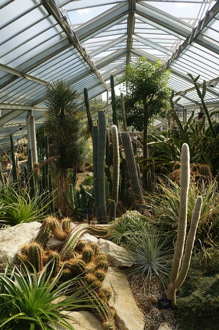
In the desert section of the Princess of Wales Conservatory Barbara found an unusual cactus that looked exactly like an illustration from a Dr Seuss book. So it is now the Dr Seuss Tree.


Knackered in Notting Hill

So we arrived at the hotel at 8.30am but couldn’t get our room until 2.30pm. We are at the Shakespeare Hotel in Paddington, the same hotel we used last year and in the same room. It is an easy train ride from Heathrow to Paddington on the TFL trains using our newly topped up Oyster Cards. We left our luggage at the hotel bag store and set off for a stroll in Hyde Park and to find a coffee.

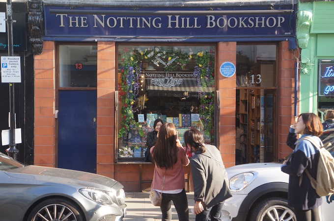
We picked up a brochure on walking tours of London and saw there was an interesting one not far away in Notting Hill starting at 10.45am. This company was called London Walks and they have hundreds of different themed walks. To go on a London Walk you just turn up, no need to book. You meet you guide and the rest of your group outside the designated Tube stop near the area of your walk. Pay in cash £10 for adults, £8 for seniors. The walks last 2 hours. Our guide was Clare, a true Londoner aged in her sixties who lived for a long time in Notting Hill. There were about 20 in our group. We ended up doing the tour twice, but more of that later.

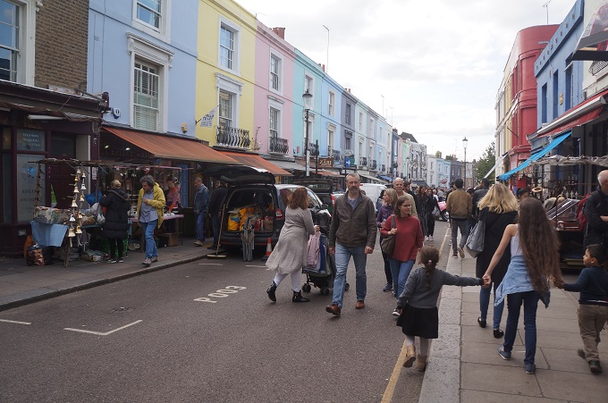
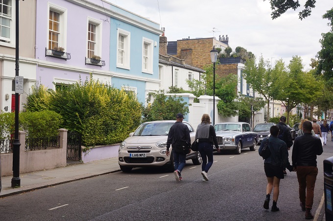
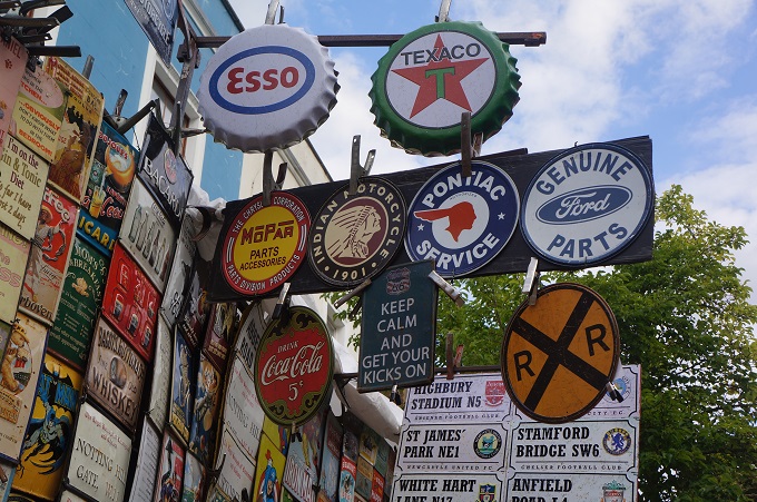
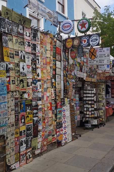
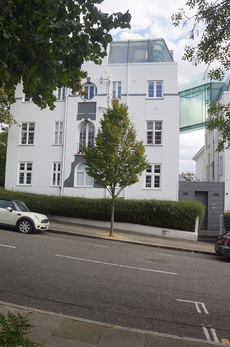
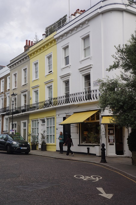
Notting Hill is an affluent, cosmopolitan and multi-cultural district in the Royal Borough of Kensington, West London. It is known for an annual carnival, Portobello Road Markets (Saturdays) and most recently as the setting for the1999 romantic comedy starring Julia Roberts and Hugh Grant, although it has been the setting for more than a dozen other films.

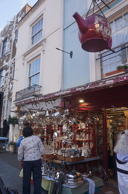
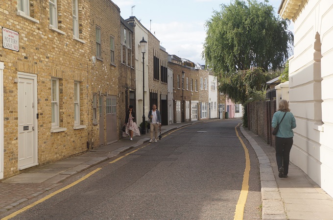
The walk is a pretty leisurely amble through the most interesting streets with Clare stopping every few hundred metres and talking about the history, culture, significant buildings and significant people associated with the district.

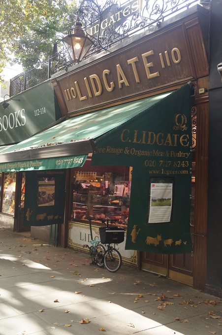
We started at C. Lidgate a butchers founded 150 years ago and now run by the fifth generation of the same family. It is claimed to be the most expensive butcher in the UK with fillet steak at £80 per kilo. They sell meat supplied by the estates of Prince Charlies and on the occasion of the 100th birthday of his grandmother, the Queen Mother, they sent her 100 sausages.

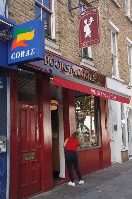
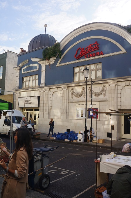
Along the way we saw the Electric Cinema, operating since 1910, one of the first theatres designed specifically for movies. We finished at a shop called Books for Cooks selling exclusively cook books formerly owned by the now deceased Clarissa Dickson Wright and Jennifer Paterson, the two eccentric cooks from the ‘Two Fat Ladies’ television series who drove around on a motorbike and sidecar.

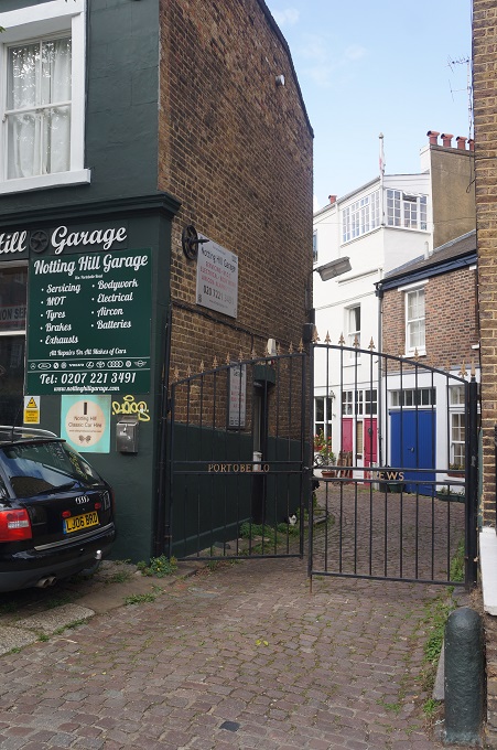
It becomes a bit of a walk past of houses of notable people e.g. Shirley Bassey, Ginger Spice, Annie Lennox, clarinet player Acker Bilk etc. We did see the Samarkand Hotel where Jimi Hendrix died in 1970 where he overdosed on sleeping pills and died of suffocation through vomit. We saw Portobello Hotel where Johnny Depp made a bath of champagne for Kate Moss to bathe in when they were a hot couple.

Notting Hill was rural land outside the City of London up until about 1800. At that time it had a large gypsy encampment and many potteries. The area had good clay for making tiles and pipes. Piggeries were forced out of Marble Arch in London and set up in Notting Hill. The pig slurry filled the pits dug for the clay and formed a foul area of pig slurry called ‘the ocean’. About a thousand gypsies lived in squalor in the ocean.

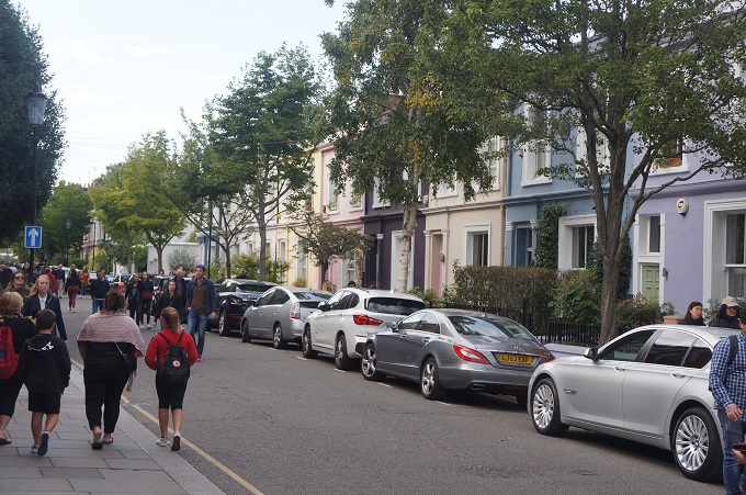
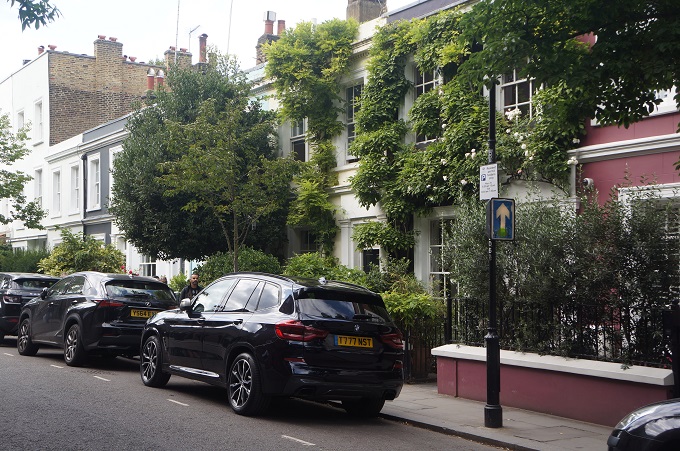
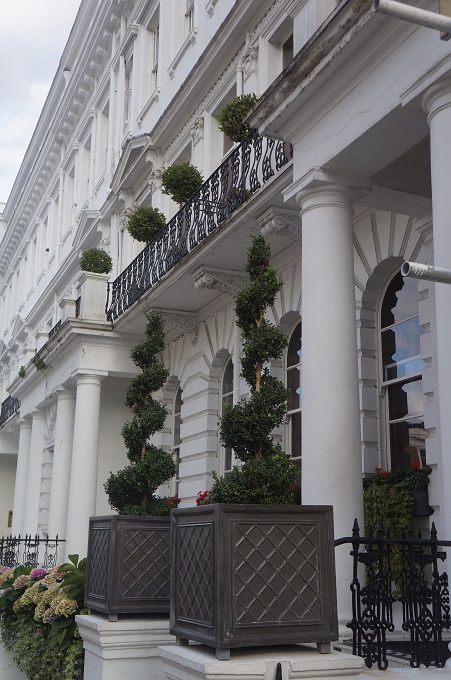
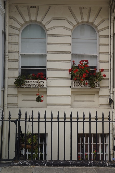
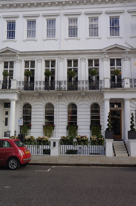
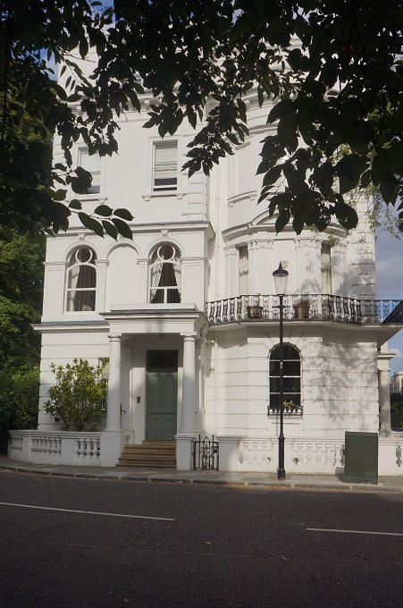
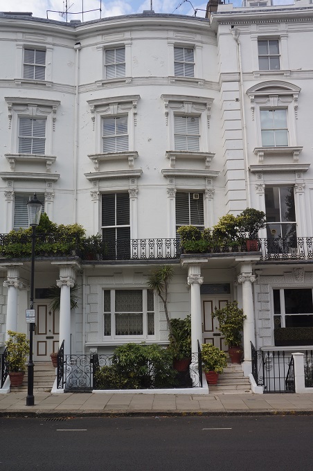
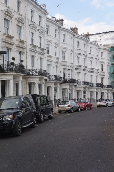
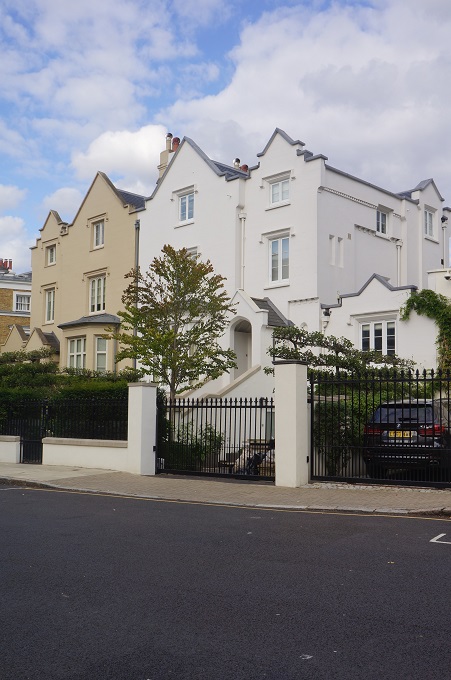
In the 1800s developers moved into the district and built large expensive houses. The developments were terraces or crescents built around private communal gardens or ‘paddocks’. This affluent area also had for a short time its own exclusive race course – ‘The Hippodrome’. By the twentieth century the area had lost its market value and most of the large house were sub-divided into small tenancies and after WWII it became an area for the down at heel in cheap lodgings. Labourers were brought in from the West Indies to help with a labour shortage after the war which led to racially motivated riots in the 1950s. From the 1980s gentrification has seen property prices soar and the houses converted back into large homes.

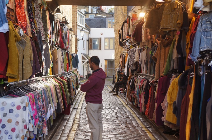
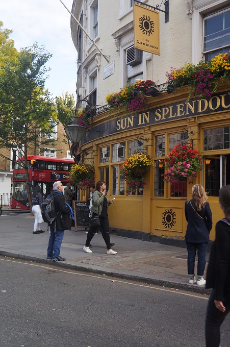
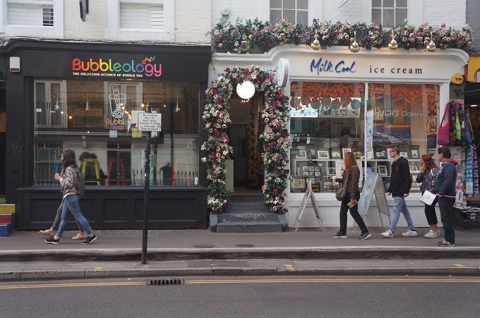
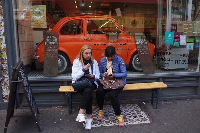
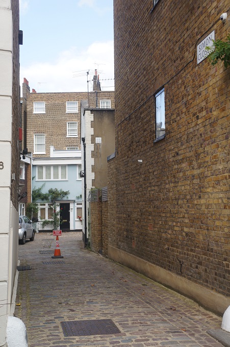
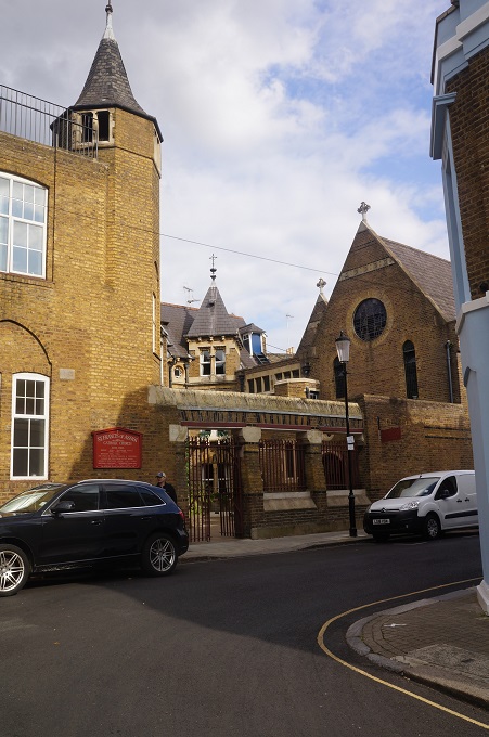
We thought the walk was pretty good value and Clare was quite entertaining. The walk finished bang on two hours in the Portobello Market. At the start of the walk I realised I had not put the memory card back in my camera after downloading photos at one of our stopovers. So I couldn’t take any photos. We decided to go to our hotel, check in, have a shower and then come back and quickly go around Notting Hill again taking photos of where we had been. This sounded good in theory but was a bit of a disaster in practice. By now we had been about 30 hours without any decent sleep and we couldn’t quite remember where Clare had taken us so we often got lost and there was much back tracking and going around in circles.  Eventually it got too much and two very weary zombies trudged back to their hotel absolutely knackered. We didn’t even eat dinner before collapsing into bed.