All posts by Paul Lenihan

Refreshed and Connected

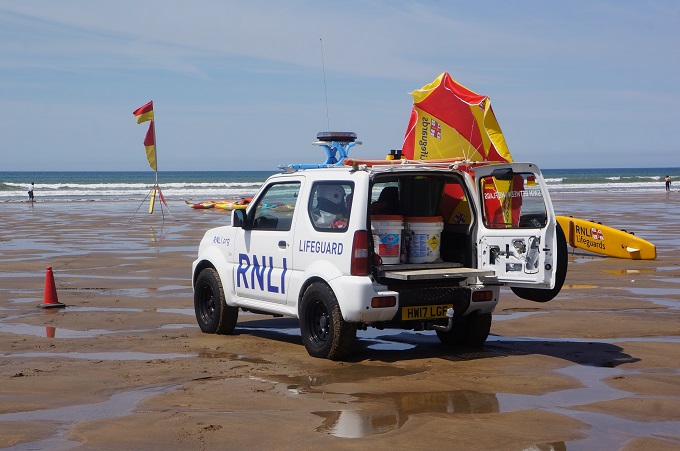
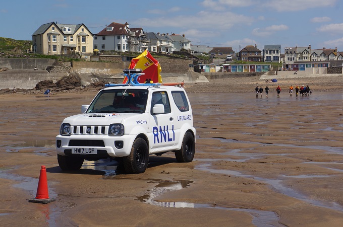
In Padstow, 56 km, 2 metres of climbing

‘There is no wifi in the forest but I promise you will find a better connection’

After eight days of strenuous walking we had a rest day in Padstow – yeah right!
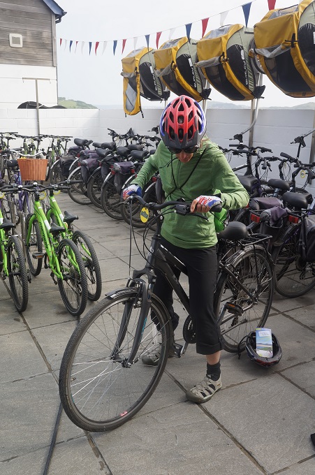
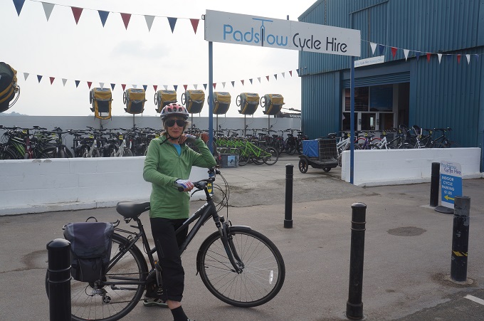
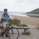
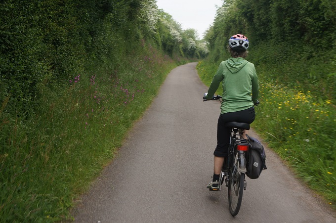
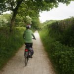
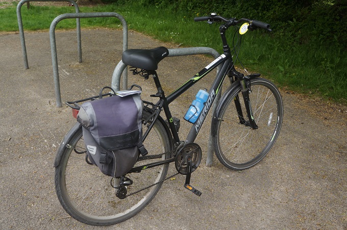
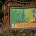
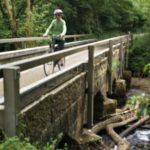
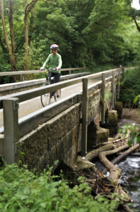
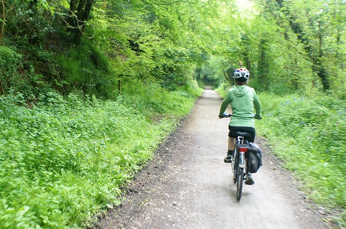
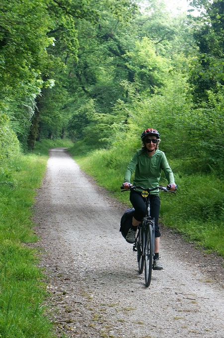
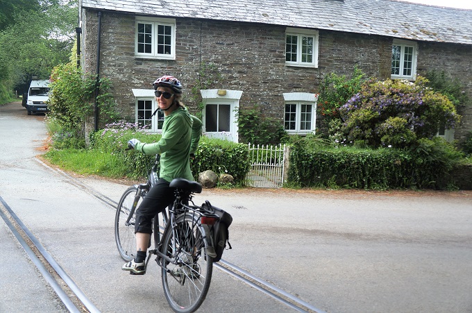
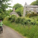
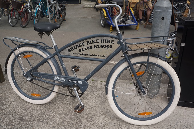
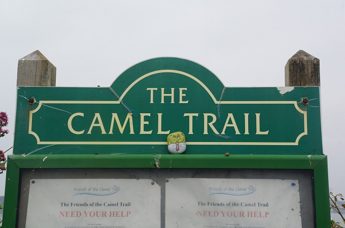
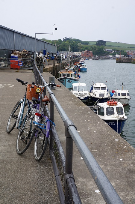
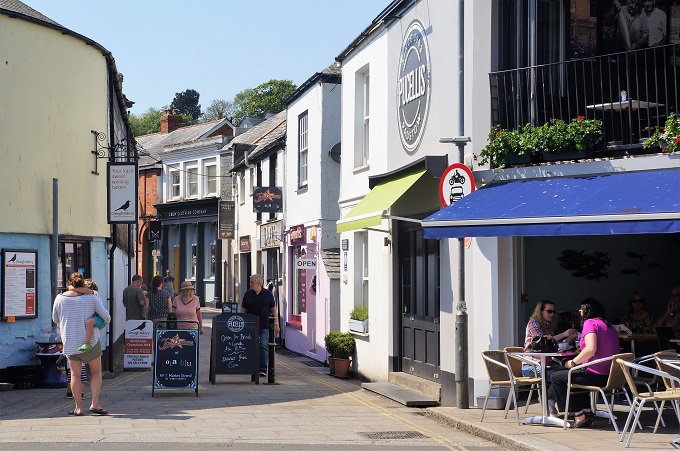
Bright and early we were down at the quay hiring bikes. £17 each for the day. Padstow has a wonderful traffic free cycling/walking/horse riding/dog walking trail called The Camel Trail. This is a former railway line that runs 18 miles from Padstow via Wadebridge and Bodmin to Wenfordbridge and is virtually flat. The first part of the railway was opened in 1834 to carry sand inland to be used on farms as fertiliser. It was later expanded to carry slate and china clay from inland quarries to ships at Padstow. The last passenger trains ran in 1967 and freight trains in 1983. The Cornwall Council bought it for £1 in 1983 and turned the railway line into The Camel Trail.
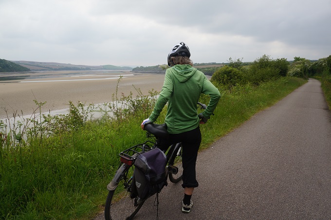
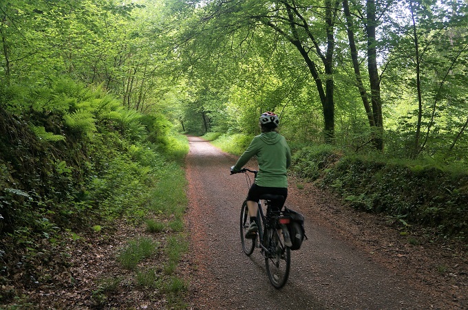
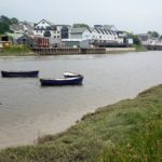
The first part of the trail is out in the open and hugs the edge of the Camel estuary, at low tide a vast area of golden sand. On this section you cross a side estuary on a worryingly named bridge called Weak Bridge. After 5½ miles, at the end of the estuary, you come to the village of Wadebridge and from here the trail follows the Camel River through the deeply incised and beautifully wooded Camel Valley in a delightful green tunnel of trees to Bodmin (at 11¼ miles) and Wenfordbridge (at 17½ miles). There are still signs and platforms for the old stations: Shooting Range, Grogley Halt, Nanstallion Halt and Boscarne Junction. The last is a working station and there is a heritage steam train that runs from there to Bodmin.

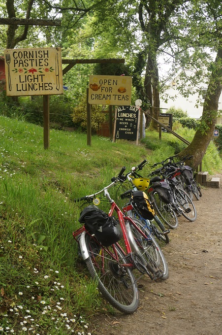
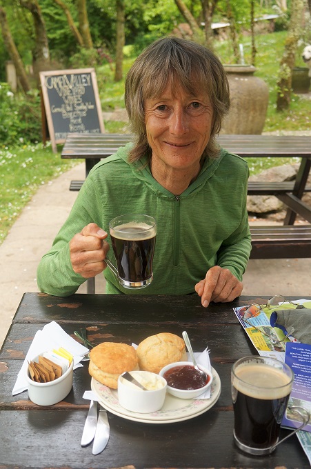
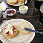
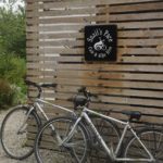
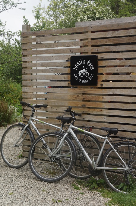
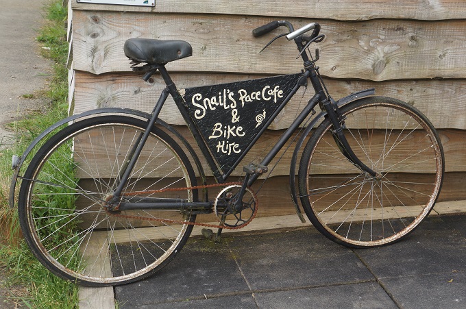
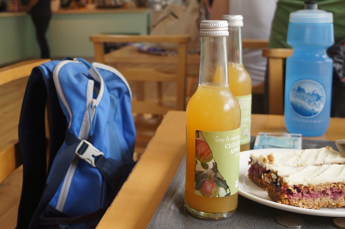
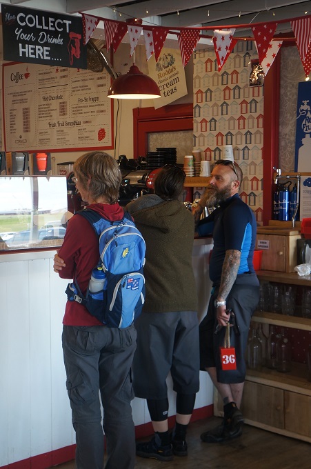
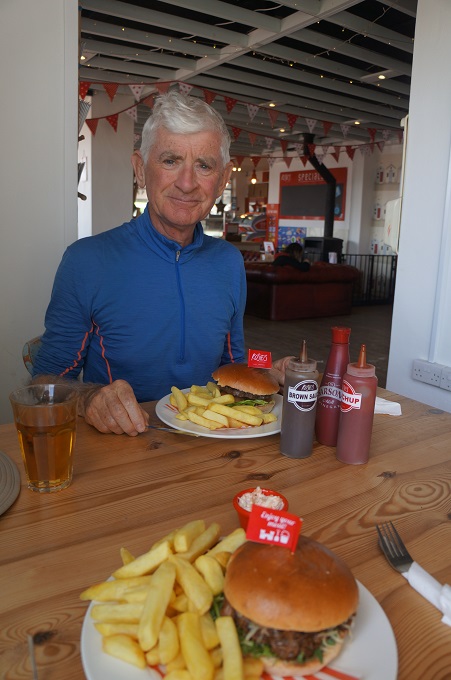
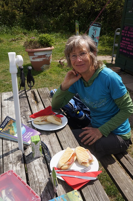
Just short of Bodmin we stopped at The Camel Trail Tea Garden for Cream Tea – actually we had coffee with the scones, jam and clotted cream. On the way out we bypassed Bodmin and went directly to the end of the line where there is a shed and garden cutely called the Snail’s Pace Café and Bike Hire. Also at the end are acres and acres of abandoned warehouses with huge chimneys called the Westford Dries. Clay slurry was piped to this former china clay factory.

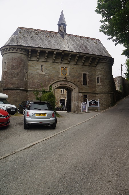
On the way back we stopped in at Bodmin, best known for its jail. The jail was built in 1779 and was the first British prison to hold prisoners in individual cells. There were over 50 hangings at the jail and the executioner was paid £10 per hanging. During WWI some of Britain’s national treasures including The Dooms Day Book and the Crown Jewels were kept in the prison. The jail closed in 1927. It is now largely ruins but there is a small museum and tourist office and of course loads of ghost stories.

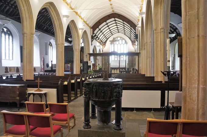
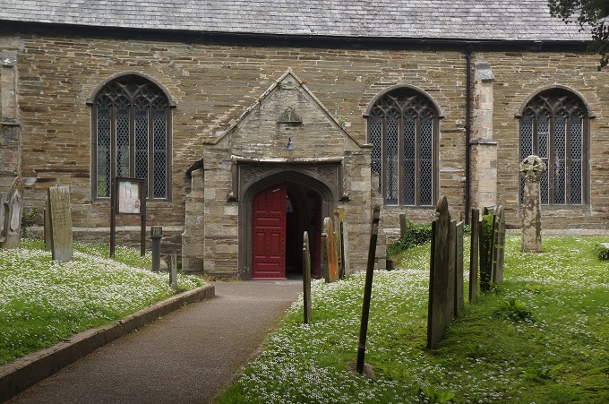
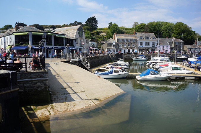
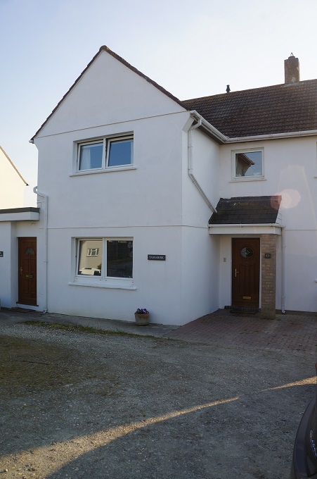
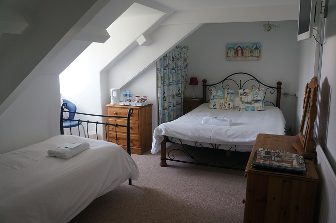
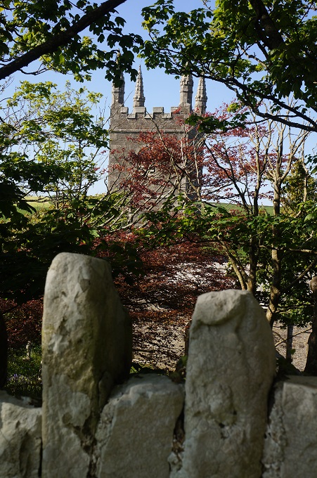
When we arrived in Padstow yesterday we walked up the very busy and noisy A389 for about a kilometre to our B & B. Betty our hostess showed us a much nicer path through some allotments and the churchyard of St Petroc’s Parish Church down to the quay. We were keen to have a look inside this church, built between 1425 and 1450, as the pulpit is decorated with carved scallop shells to honour pilgrims to the shrine of St James in Santiago, Spain. Another connection with our walking of the Camino Frances.

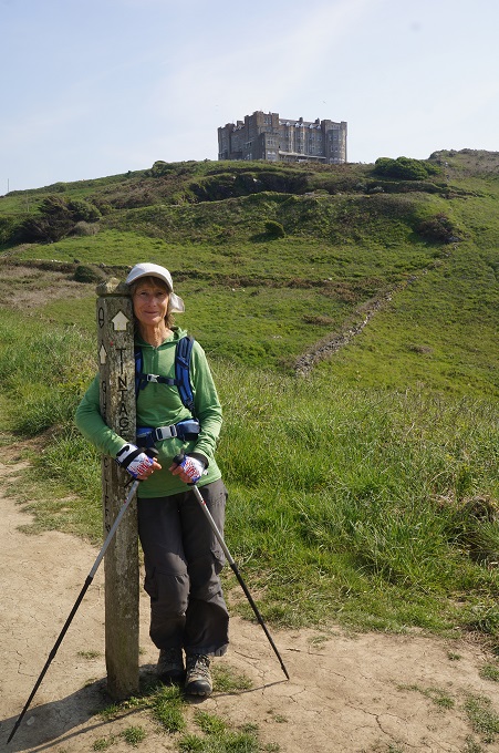
This church is the start of ‘The Saints Way’, a 27 mile route across Cornwall to Fowey on the south coast. It is the route taken by early Christians from Ireland and Wales to Brittany or Santiago de Compostella in Galicia, Spain. If we took this route we could take about 25 days off our coastal walk.

So we now need a rest day from our rest day, but we are refreshed, and it was great to get out cycling on what really is a magical trail.


Who Pays the Ferryman?

Port Gavern to Padstow, 19 km, 691 metres of climbing

‘My FitBit died. Now all my steps are pointless until it charges’

Today was our easiest day so far. Partly because we are now strong and right into the rhythm of walking but also because the terrain was much gentler with easier undulations. Right at the start there was a rollercoaster of a path, closely following the ups and downs and ins and outs of the energy-sapping coast. But we avoided it by taking an official alternative route which went inland over meadows, still crossing a lot of valleys but just not as vicious.

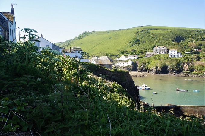
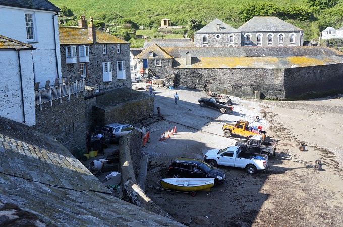
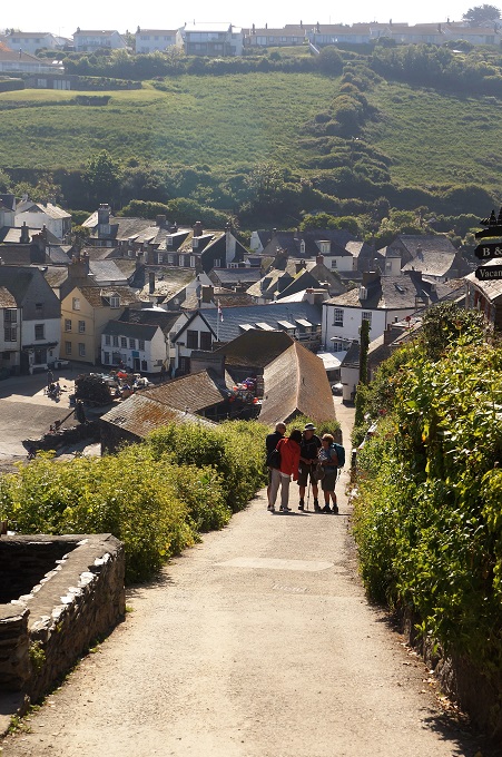
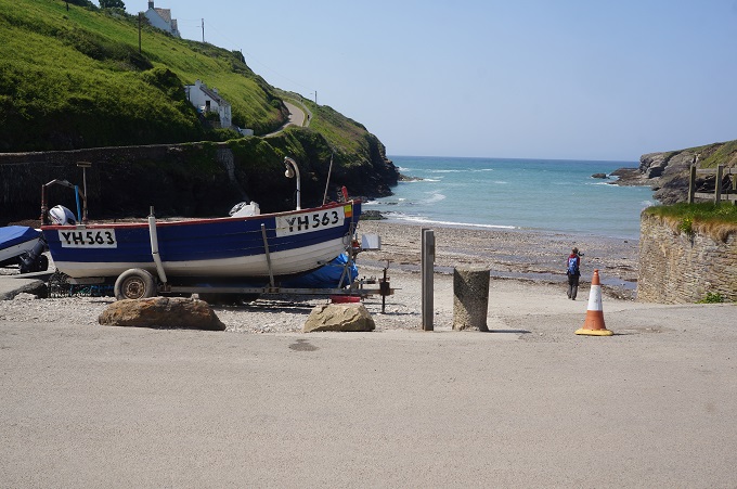
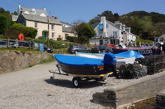
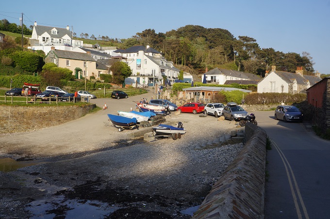
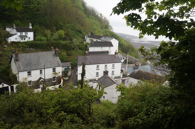
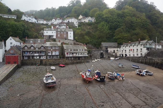
Our first stop this morning was after only 1 km at the very picturesque Port Isaac, a village of cobbled alleyways and white washed houses clustered around a little harbour at the head of a sheltered bay. As I said yesterday it is the setting for the popular tv programme Doc Martin. The programme started in 2004 and is in about its 9th series. Hordes of tourists now visit to see the sets and watch filming. Hoteliers, restaurateurs and shop keepers are making a nice profit and trendy boutiques and smart art galleries have muscled in, but the locals living there have become a bit disgruntled with constant blocked roads and traffic stoppages, film crew basically taking over the town and doing whatever they want. It was all quiet when we passed through at 9 am.

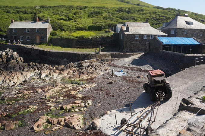
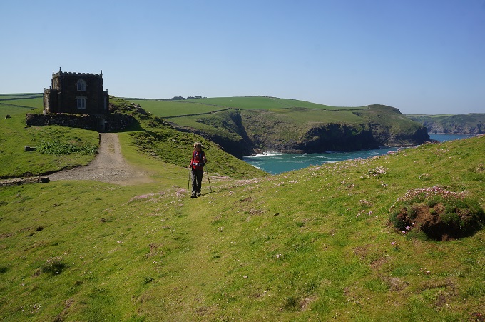
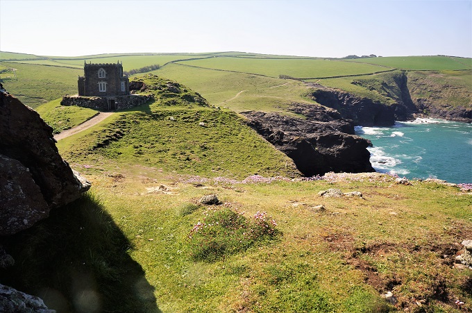
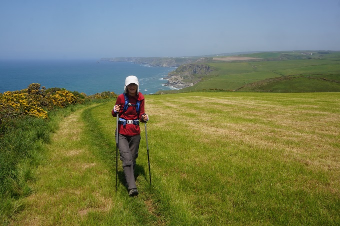
From Port Isaac to Port Quin we went inland over fields of freshly cut hay. This was a nice change from being constantly on the coast with an endless blue horizon off to our right. Port Quin is yet another beautiful little fishing village and was once a busy pilchard port but there are no remains of that industry now. Just after Port Quin we came to the tiny folly of Doyden Castle, perched on a promontory with commanding views up and down the coast. We climbed up to have a closer look and discovered a woman there sitting outside with a cup of coffee. It is now a National Trust holiday let!

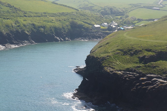
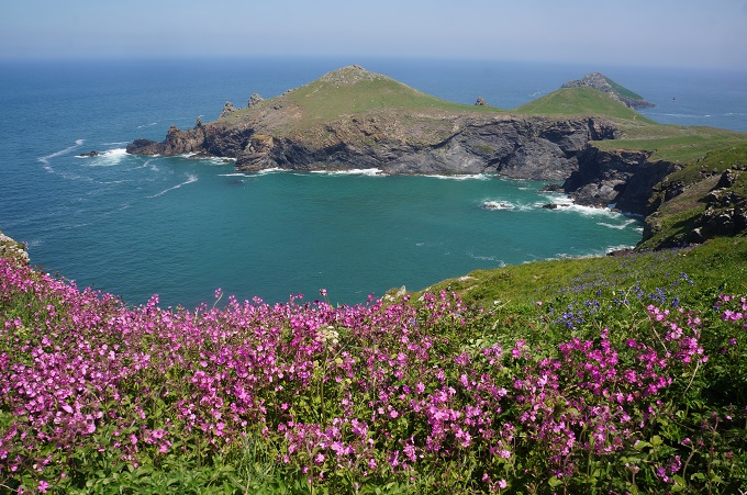
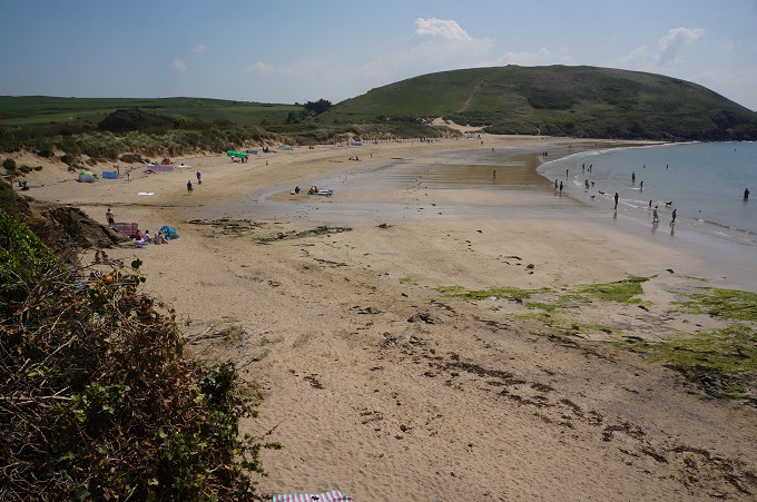
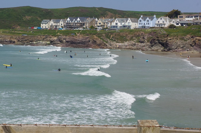
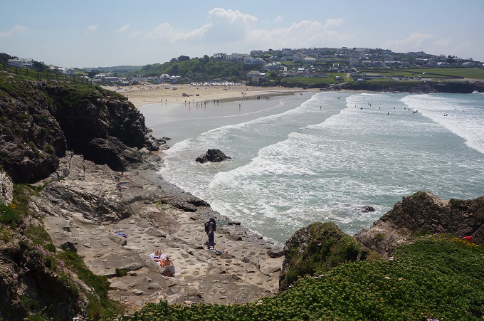
The path continued around cliffs and dramatic headlands (called The Rumps) until at Pentire Point you turn a corner and suddenly in front of you is the holiday town of Polzeath and acres and acres of sand filling the Camel Estuary. Polzeath is your typical holiday town with swimming, surfing, buckets and spades, sun burn, ice cream, and surprisingly busy for a mid-week afternoon.

At Pentire Point there was also a plaque commemorating the moving war poem For the Fallen, written somewhere near there by Lawrence Binyon in 1914 at the start of WWI. We all know the fourth stanza:

They shall not grow old, as we that are left grow old
Age shall not weary them, nor the years condemn
At the going down of the sun and in the morning
We will remember them.

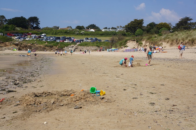
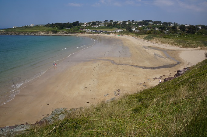
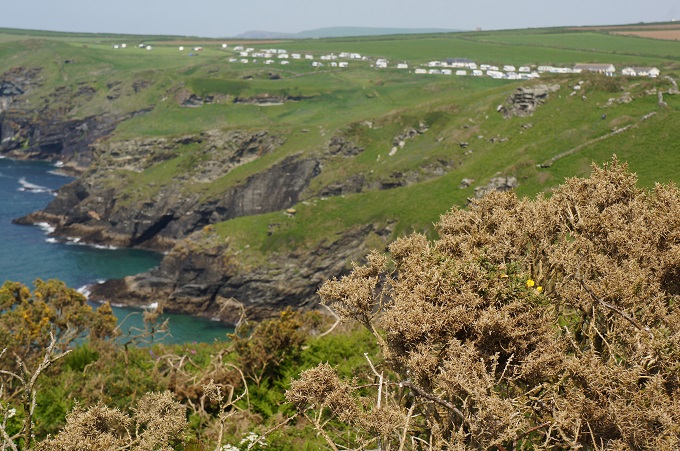
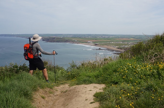
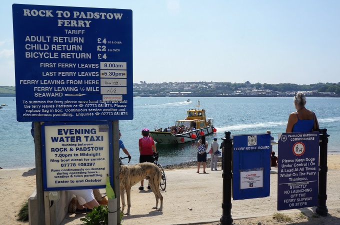
The coast has now changed from dramatic, rugged, steep, dark cliffs to a tamer, sandier, more estuarine landscape. More domesticated with housing and tourist developments. The last part of our walk today was several kilometres over sand dunes. The Camel Estuary is huge and instead of walking about a hundred kilometres around it, there is a 10 minute ferry service (£2) from Rock across to Padstow.

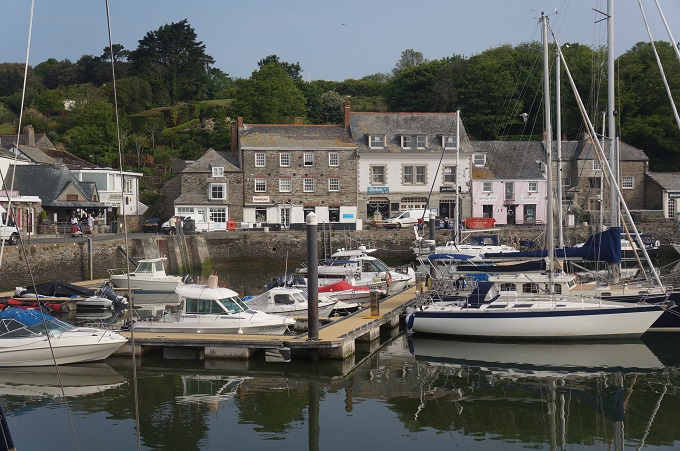
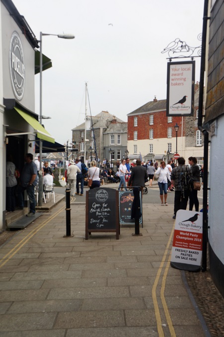
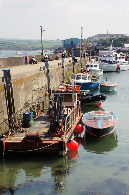
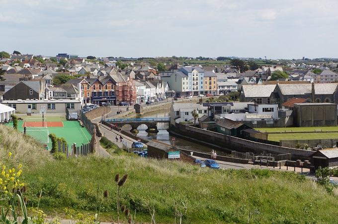
Padstow (pop 3,000) is a working fishing port, popular tourist town and ‘foodie’ destination. After 8 days of walking we have a ‘rest’ day here tomorrow. Think we will go for a bike ride.

Note: ‘Who Pays the Ferryman ‘was a hit TV series 40 years ago when we first came to England.


What’s up Doc?

Tintagel to Port Gavern, 14.7 km, 789 metres of climbing

‘Everything is within walking distance if you have the time’

Another wonderful day of walking with lots of interest along the way. I think we are getting used to the knee wrenching descents and lung bursting ascents.

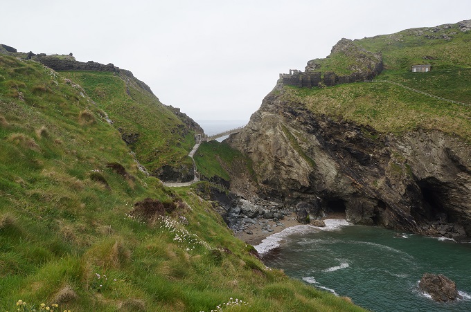
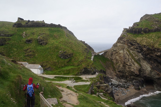
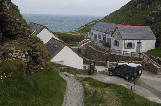
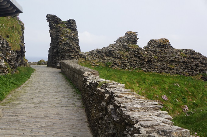
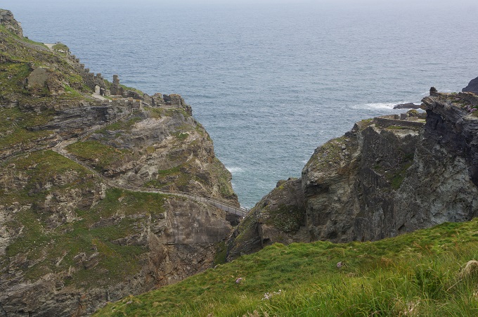
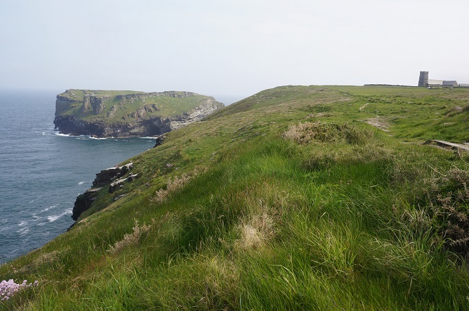
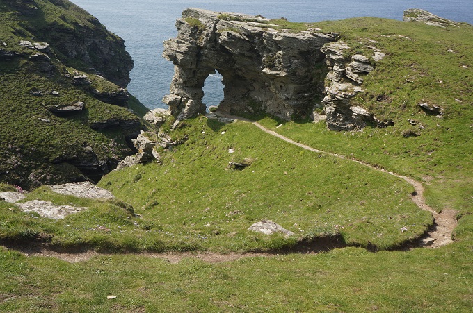
From Tintagel we passed the remains of the medieval castle perched on its isolated headland. Pottery, coins and two inscribed pillars suggest there was Roman activity on this site in the 3rd and 4th centuries. From 450 to 650 AD it was an important trading site. In 1138 Geoffrey of Monmouth writes his History of the Kings of Britain. His legendary King Arthur is said to have been conceived at Tintagel. From 1225-33 Richard 1st Earl of Cornwall builds the castle and buys the land. From this time ‘King Arthur’s Castle’ become a tangled mixture of local folklore and literary legends. Today the site is owned by Charles, Prince of Wales as part of the landholdings of the Duchy of Cornwall.

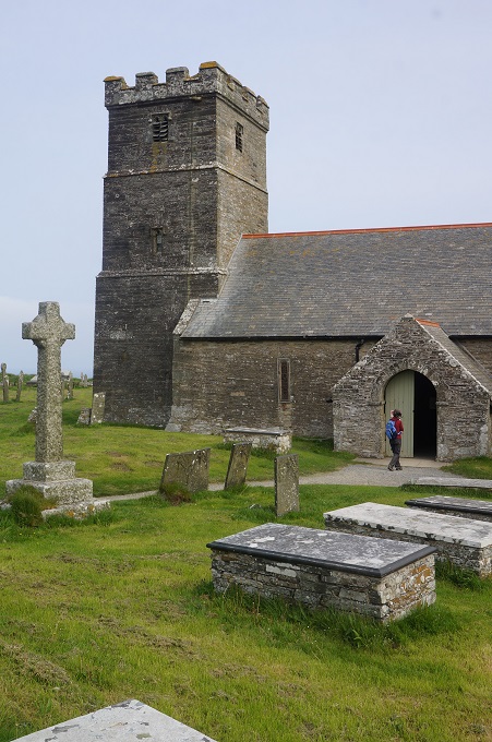
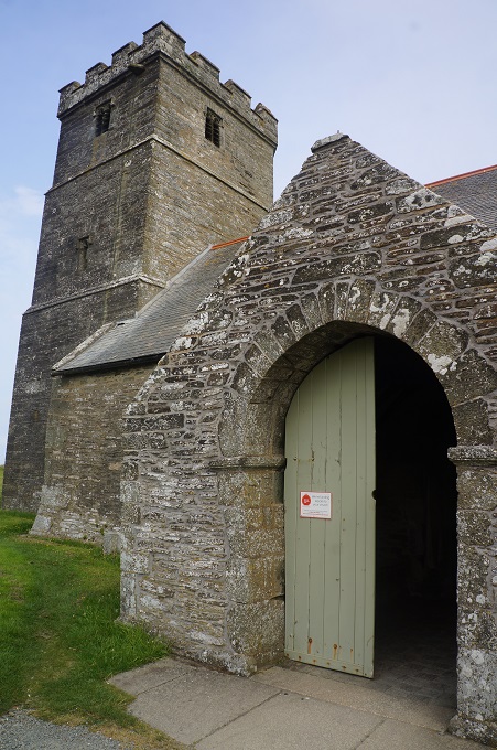
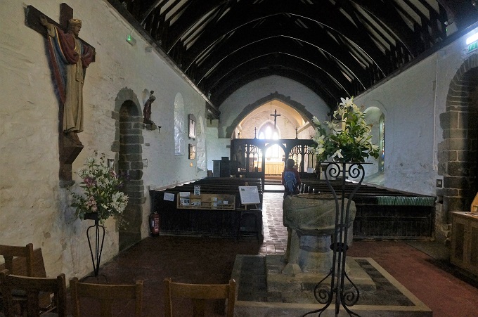
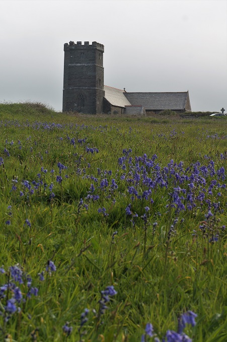
A little further on was the atmospherically located St Materiana’s Church perched on a cliff top. This church may go back to the 11th or 12th century while the tower was added in the 14th century and the battlements on the tower in the 15th century. The parish registers begin for burials in 1546, for baptisms in 1569 and for marriages in 1588.

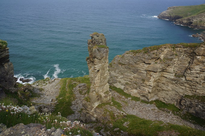
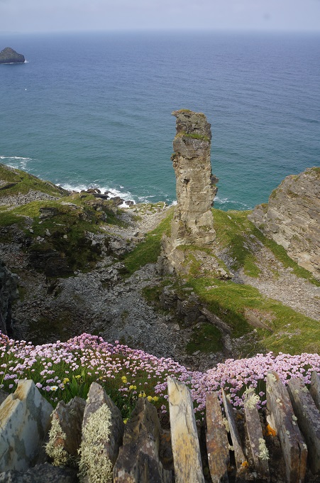
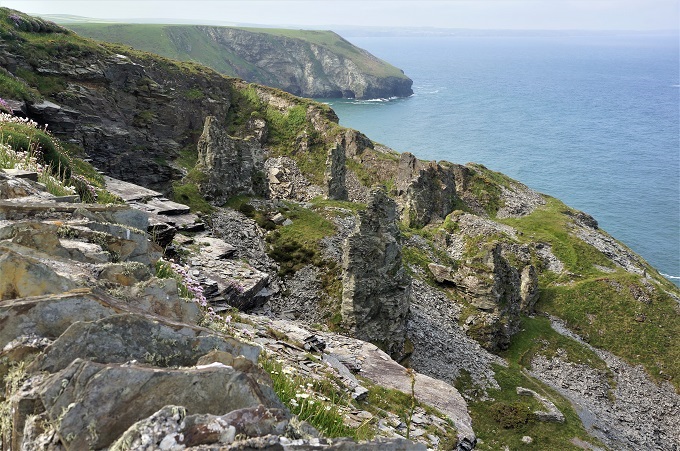
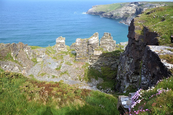
Another point of interest was the remains of slate quarries in the cliffs. Slate was extracted from here for 300 years. There were two ways of getting the slate. The first was by digging a hole in the ground in the area of known deposits and winching it to the surface. The other was by getting at the slate that had been exposed by cliff erosion. There is an isolated pinnacle that is thought to have been left as the fixing point for a cable necessary for winching the slate out of the cliff workings although another explanation is that it contains inferior slate and left as not worth the effort to extract.

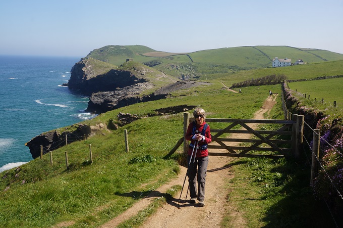
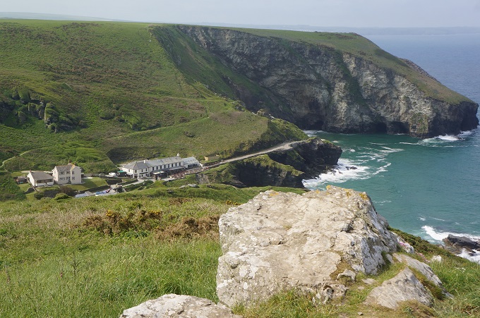
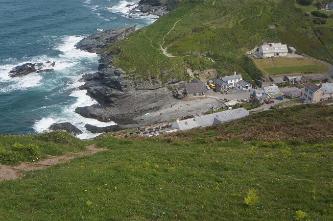
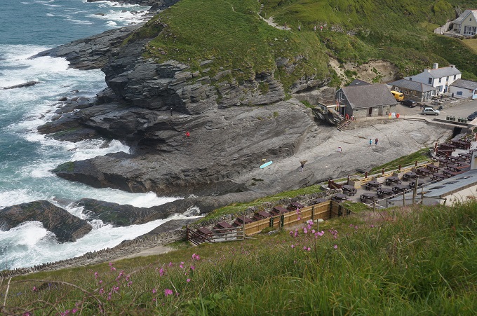
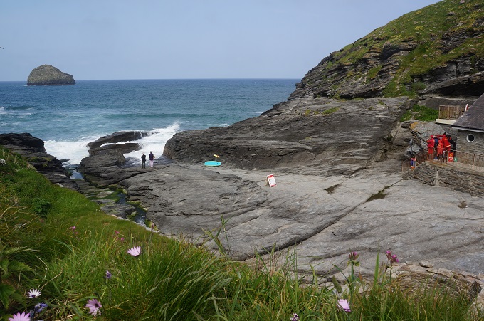
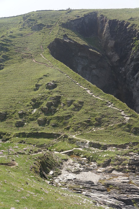
We then came across Trebarwith Strand, a tiny settlement squeezed into a narrow valley, with two life guards tending a very dangerous looking beach. After climbing back out of this valley there was a nice level patch for a mile or so. Our trip notes then innocently said ‘first of four deep valleys signalling the start of punishing ascents and descents’. And they were punishing. By the time we reached our hotel at Port Gaverne we were more than a little tired.

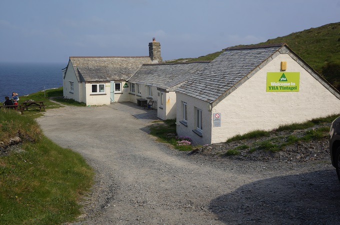
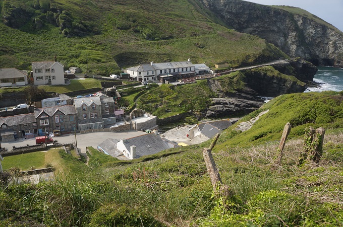
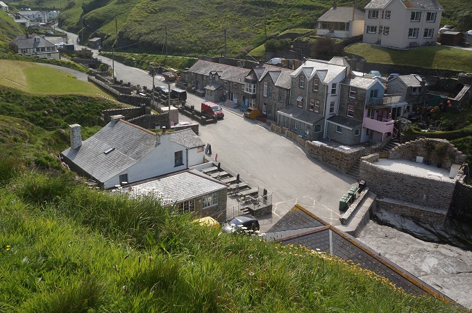
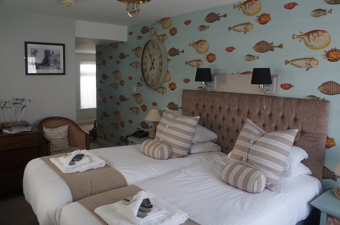
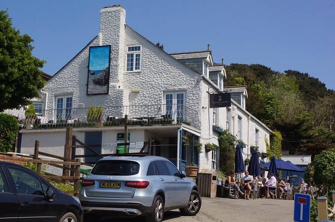
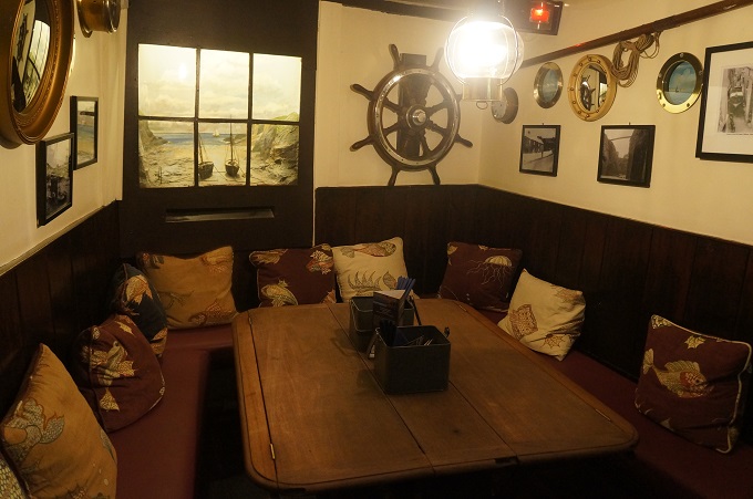
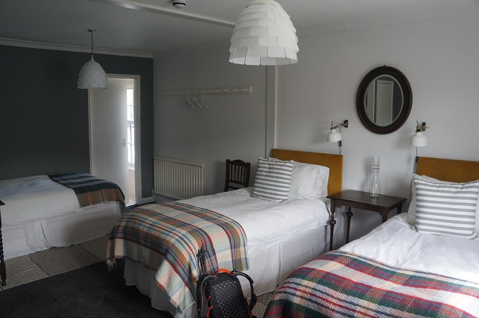
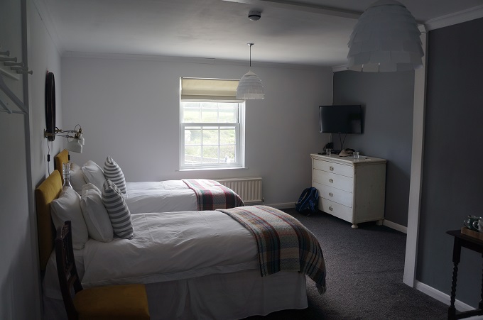
Port Gaverne is a charming spot and the hotel we are staying at dates from the 17th century and although it is fitted out to a very high standard it is still in keeping with the atmosphere of a traditional fishing village. Just half a mile over the hill is the bigger fishing village of Port Isaac where the outside filming of the tv series Doc Martin takes place. In the series Port Isaac is known as Portwenn. We will pass through it first thing tomorrow morning.

We saw very few people on the path today but hundreds of seabirds soaring and diving on the air currents off the cliffs.  Many times we wished we also could soar from cliff top to cliff top and avoid all those deep valleys.


High Cliffs, Myths and Legends

Crackington Haven to Tintagel, 19 km, 1065 metres of climbing

‘One step at a time is good walking’

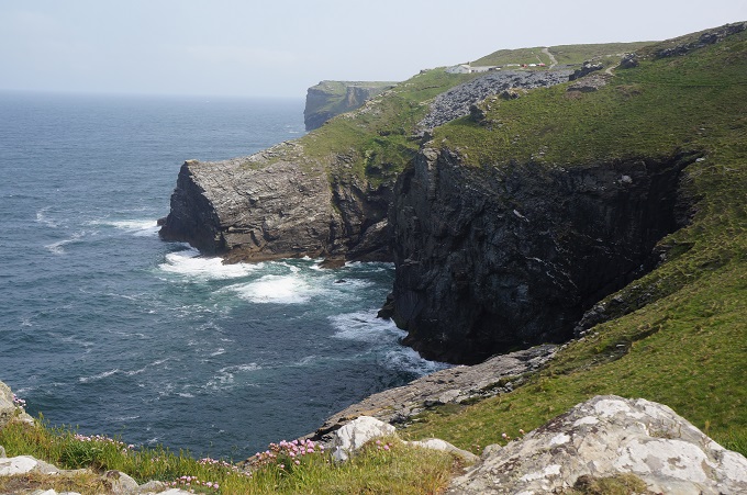
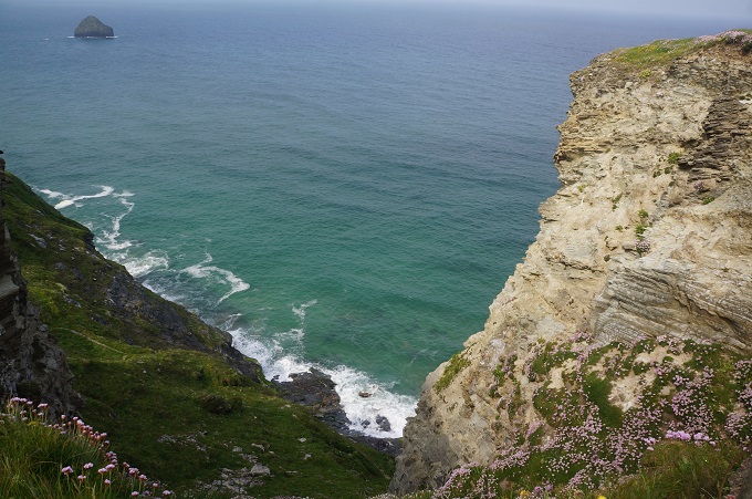
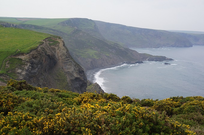
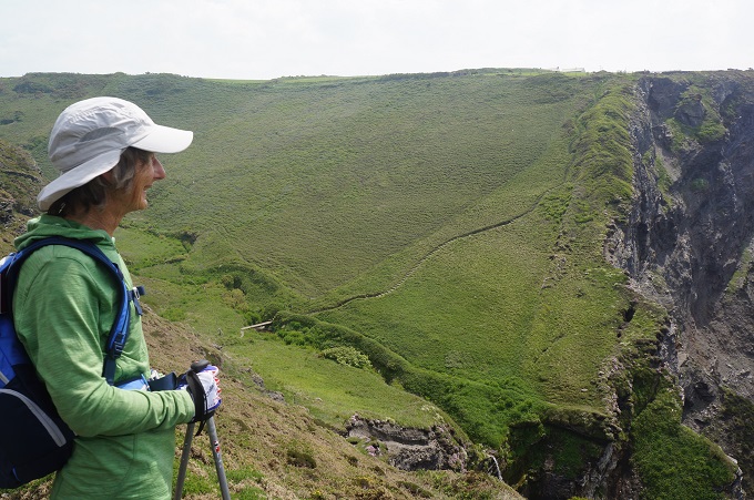
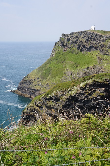
This morning was a section of high cliffs. In fact the highest cliffs in Cornwall and the highest of them all was appropriately named High Cliff. 223 metres above sea level. The approach was the usual up and down, up and down, twisting around the coast. before a final long steady ascent to the top. Almost immediately there was a very steep descent and another climb to Rusey Cliff, only slightly lower than High Cliff. This part of the coast had quite an imposing character as the cliffs seemed really massive and we didn’t see anyone else so it seemed quite lonely.

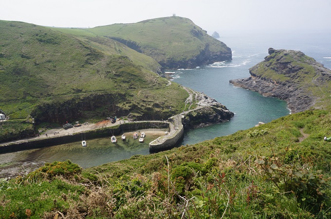
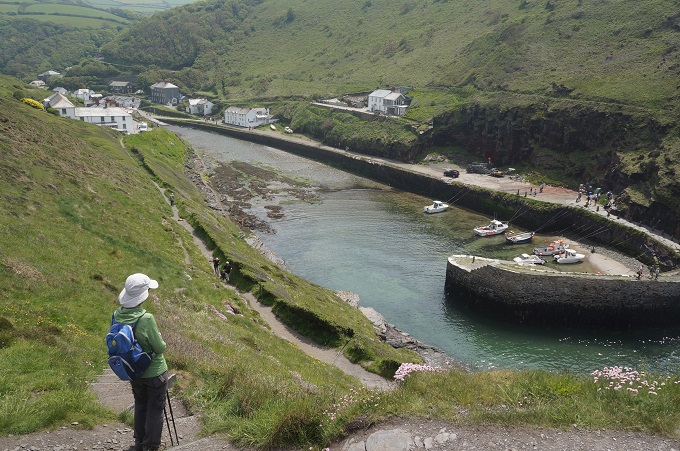
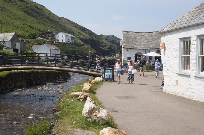
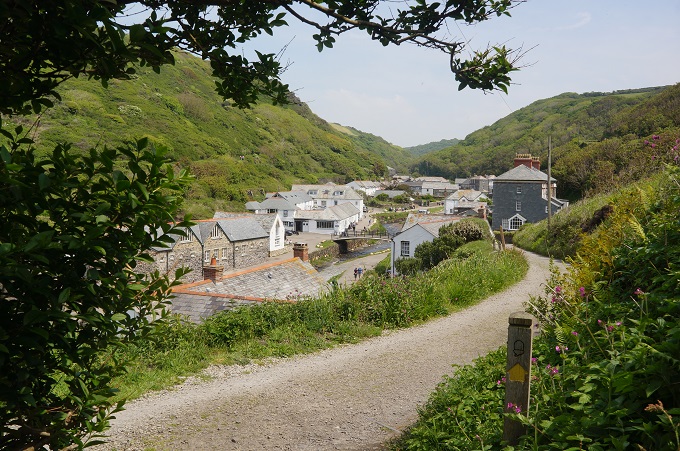
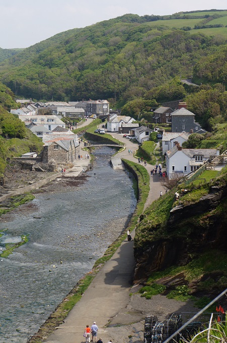
Many more hard climbs and descents before the path eased off and we entered the beautiful harbour inlet of Boscastle. Boscastle is tucked into a small but deep green valley that ends in a sheltered natural harbour. The village made headline news in 2004 when a spectacular and devastating flash flood swept through the streets carrying away houses and cars and creating chaos. Miraculously there were no fatalities. Most of the buildings have been faithfully restored to their original state and today the village looks smart an spruce.

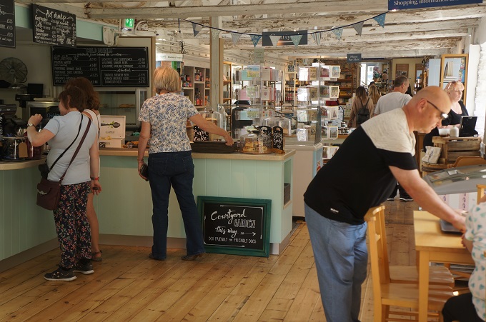
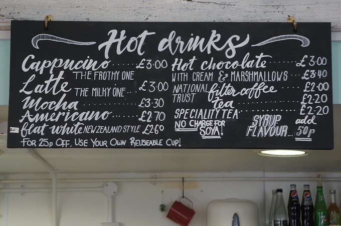
After what had been a pretty tiring morning we stopped at a café for some lunch to recharge for the afternoon. On the drinks menu we noticed you could buy a flat white – New Zealand Style. We didn’t go to The Museum of Witchcraft and Magic.

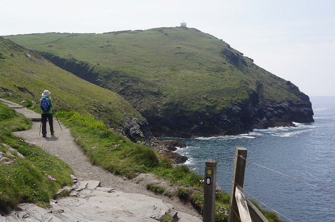
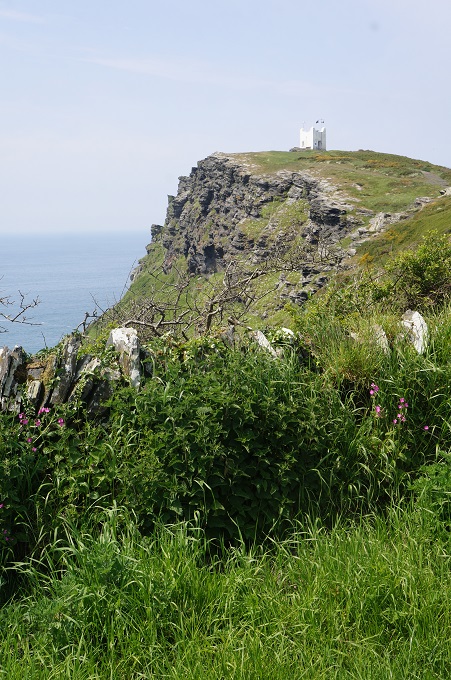
The section from Boscastle to Tintagel is a great local favourite, as it combines all the best bits of the Coast Path – headlands, sandy bays, steep valleys, waterfalls, historic features, and it is not too taxing. It is served at each end by car parks and a bus service, and there is also a camp ground and holiday park close to the path. This area is also popular with bird watchers as there are many rocky off shore islands important for breeding seabirds.

Here in Tintagel are the ruins (really only the foundations) of Tintagel Castle that is reputed to be the birthplace of the legendary King Arthur. Somewhere back in the 6th century a real king called Arthur did actually exist but all the sagas from the 12th century till today, about knights, round tables, Merlin the Wizard, etc are fiction. This hasn’t stopped the name of King Arthur being purloined for pubs, pizzas and pasties and just about everything else in the village.

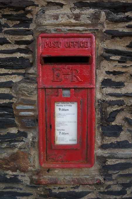
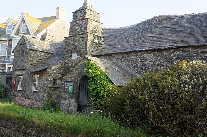
However Tintagel does have a great little treasure, the old post office. This stone building dates from around 1380 it is a rare surviving example of a Cornish manor house (a hall house). Over the centuries it has had many uses and from the 1870s it became a letter receiving house for the village. We were too late to go inside and have a look at the five rooms and the traditional garden.


Cracking Up

Bude to Crackington Haven, 16.4km, 760 metres of climbing

‘Don’t walk behind me; I may not lead, don’t walk in front of me; I may not follow, just walk beside me and be my friend’. Winnie the Pooh

Barbara set a cracking pace out of Bude this morning and Paul had cracked up long before we reached today’s destination of Crackington Haven. [Editor Barbara says that is so corny].

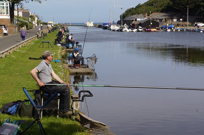
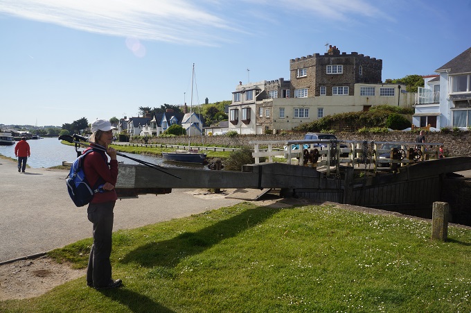
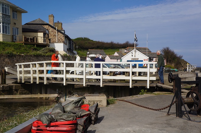
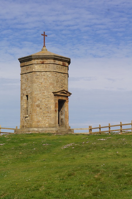
The path started at the sea lock on the famous Bude Canal. A lot of anglers were out this morning, all evenly spaced at about 20 metre centres along the edge of the canal. A gentle climb to Compass Point where there is a small compass beacon. It has the eight points of the compass around its fascia. Locally it is called the pepper pot.

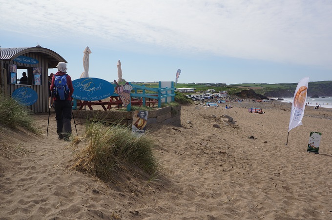
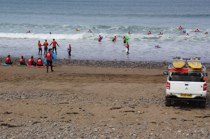
The first section was an easy cliff top grassy path to Widemouth Bay (pronounced Widmouth), a popular beach. Lots of people there on a nice Sunday morning. Surfers, swimmers, sun seekers, life guards, cafes, a pub, general store, campers, a bus service and the last public toilets until Crackington Haven 15 km away.

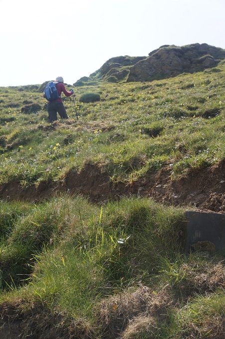
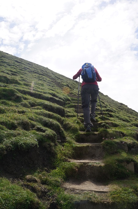
From here the hard work began with a succession of punishing climbs.  The highest cliffs gave some superb viewpoints. This coastline was even higher and more rugged than yesterday but you knew it would inevitably be cut by deep and steep valleys. Some of the valleys had road access down to the shore so we met a quite a few people doing short walks to one or two of the high points. The path today was like the Paekak Escarpment track on steroids.

We have trying to think of the words in English that describe the simple act of walking. So far we have come up with:

Stride, stomp, saunter, stroll, amble, jaunt, march, meander, wander, hike, lope, wend, promenade, roam, prowl, ramble, plod, tramp, strut, stagger, swagger, skip, hop, limp, shuffle, prance, tiptoe, traipse, gambol, slink, totter.

We do a lot of these in a day.

As we start out we march, stride, strut or swagger (like Jagger?).

As the day goes on we stroll, amble, and wander.

When we are lost we roam, wend and prowl.

When we are sore we tip toe and limp.

Near the end of the day we plod and stagger.

Going down to dinner in the evening we traipse, shuffle and totter.

But in our dreams as we imagine tomorrow we prance, skip, gambol and lope along.


We are listening

Morwenstow to Bude, 11.5km, 223 metres of climbing 312 metres of descending

‘Long is a mile to he who is tired’. Buddha

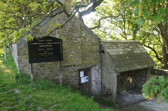
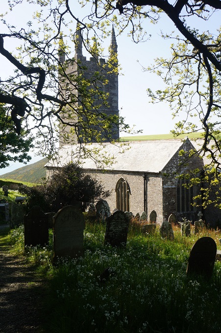
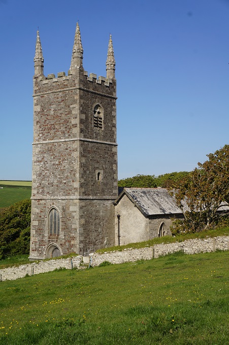
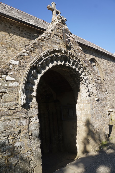
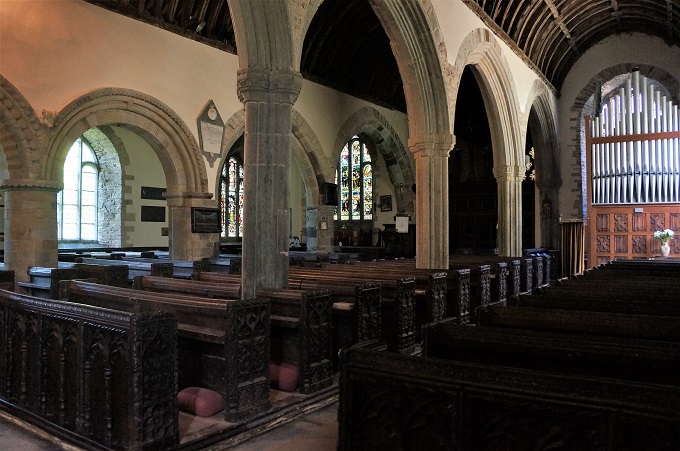
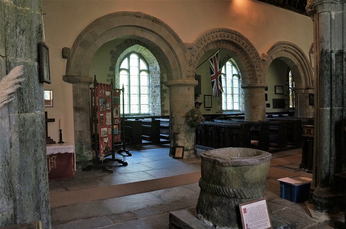
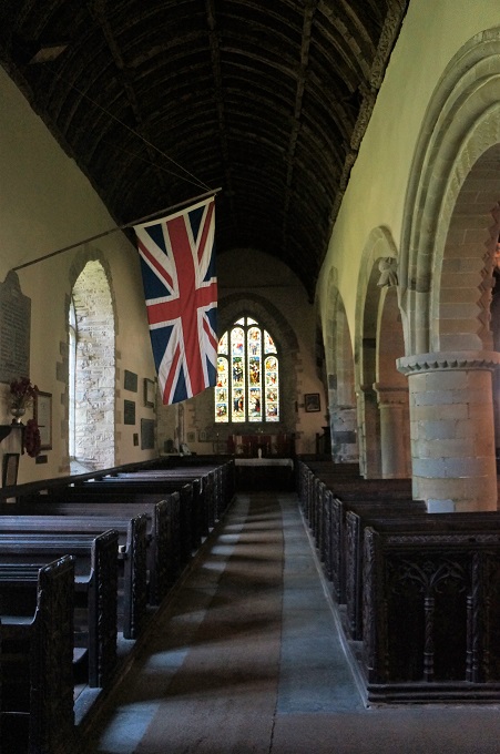
Before hitting the path today we had a look inside the parish church of St Morwenna and St John the Baptist. For such a small settlement this is quite a large and intricately decorated church with four stained glass windows, an organ, Romanesque arches down one side of the nave and Gothic arches down the other. It dates from 1145 and on the wall is a list of all the vicars from that date until the present.

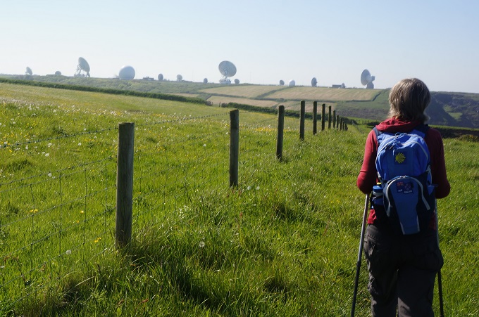
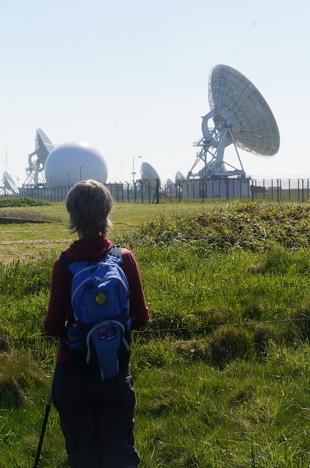
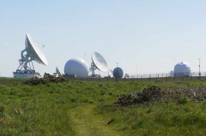
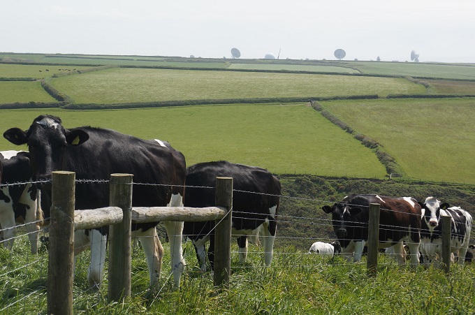
Today was a continuation of yesterday, relentless gradients as we clambered in and out of the valleys of Tidna Shute and Stanbury Mouth (the steepest of all the climbs). At this point you are rewarded with the huge complex of GCHQ Bude. Government Communications Head Quarters Bude. This is a UK satellite receiving station and eavesdropping centre.

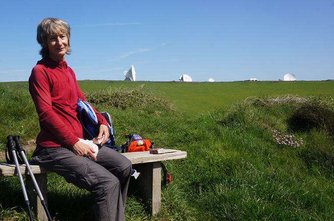
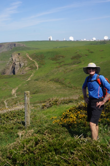
There are 21 satellite antennae three of which are 30 metres (100 feet) in diameter. The station is a UK and USA co-operative spying site. It is a bit eerie because you see the giant dishes ahead from miles away and when you look back after passing them they are still there staring at you.

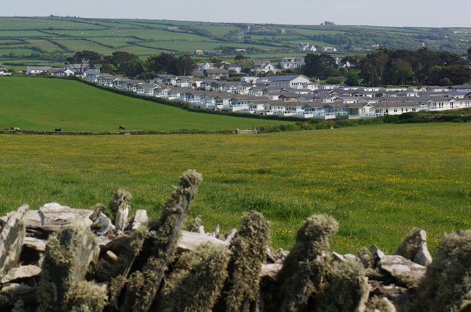
There was one more steep challenging valley, Duckpool, and then the gradient finally relented and mercifully the path became gently undulating into Bude. Approaching Bude cafes, tearooms and caravan parks started to appear, and there was a significant increase in the number of people out jogging or walking, with or without dog.

The coast has also changed and it is now the long sandy Cooklets and Summerleaze Beaches, with surfing, swimming , life guards and families out enjoying a beautiful sunny day. Bude is a compact, charming seaside town with everything you would expect including a small castle and a canal. The canal was dug to transport sand from the seashore inland to be spread on the poor soil. Part of this has been restored and there is a very pleasant walk along the tow path.

We fare welled two sets of new friends today. Sue and Len who are locals from Devon and the two laughing Norwegian lads. We have walked with them and had breakfasts, coffees and dinners with them on and off for the last four days.

We are now getting into the rhythm of the walking. It always seems to take four days. It is great!


Kernow

Hartland Quay to Morwenstow, 13km, 1271 metres of climbing

‘Obstacles do not block the path, they are the path’

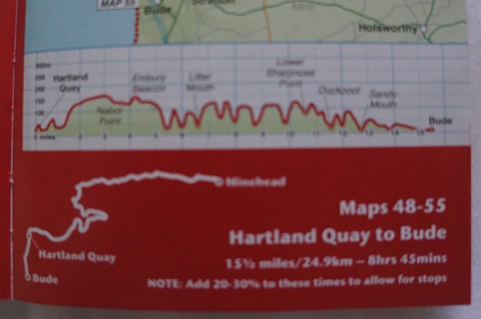
Hartland Quay to Bude is acknowledged as the hardest stage on the entire South West Coast Path. It is a slog across soaring summits and plunging coombes and has ten major ascents and descents as you scramble across valley after valley. The young, fit and hardy do this 25 km stage in one day but the older (and wiser?) ones like us, choose to do it in two days with a stop at Morwenstow.

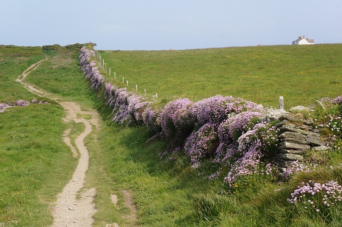
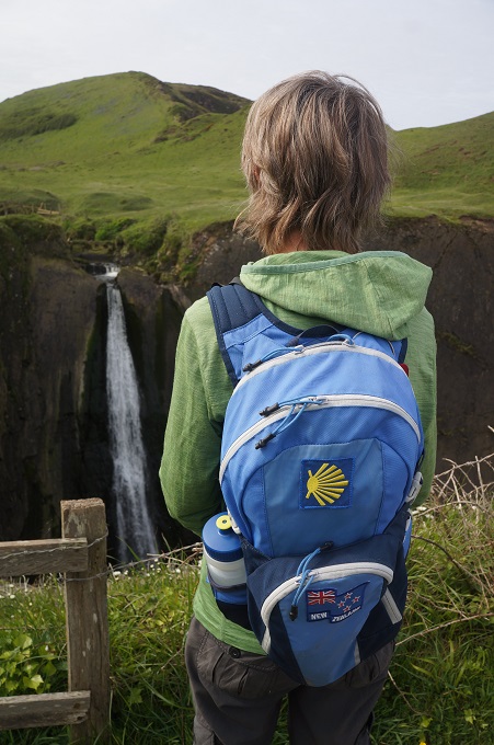
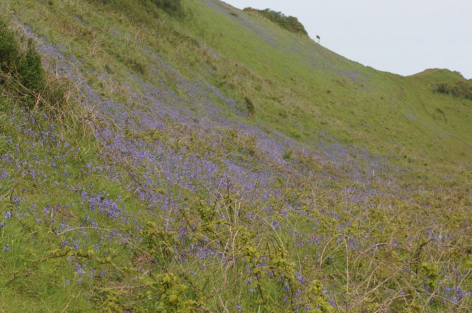
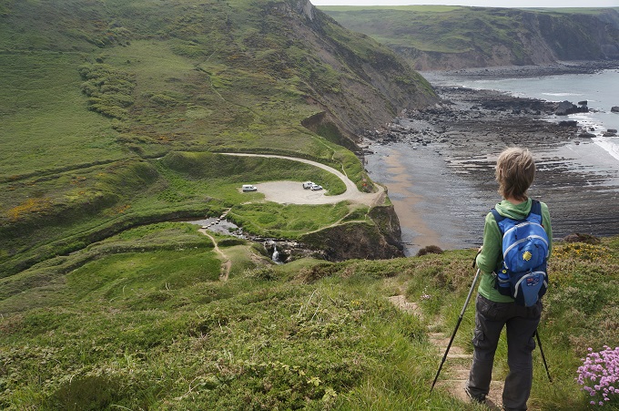
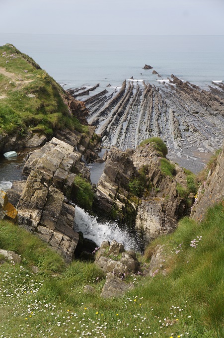
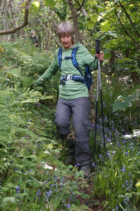
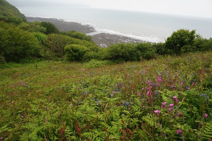
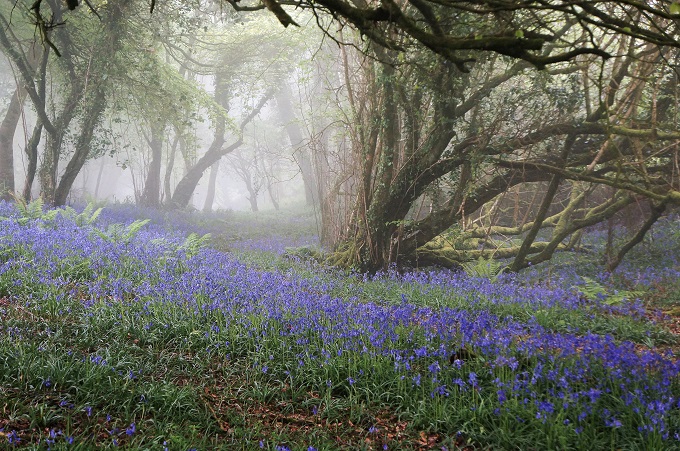
We both slept really well last night and felt fresh and ready to get into it this morning. The start was surprisingly gentle across grassy meadows and hill sides of blue bells. The first point of interest was an impressive waterfall at Speke’s Mill Mouth.

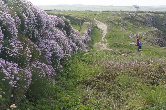
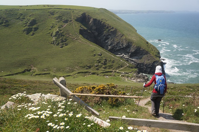
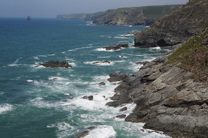
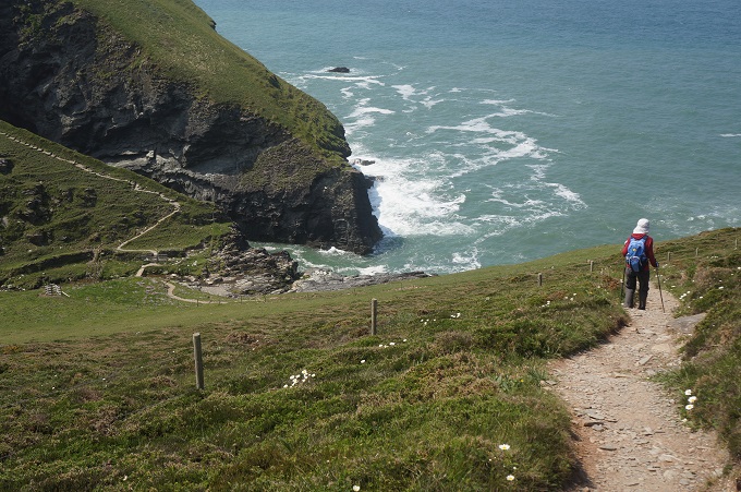
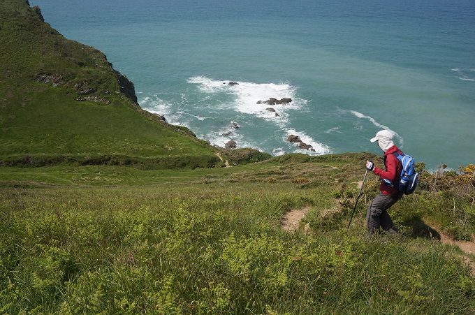
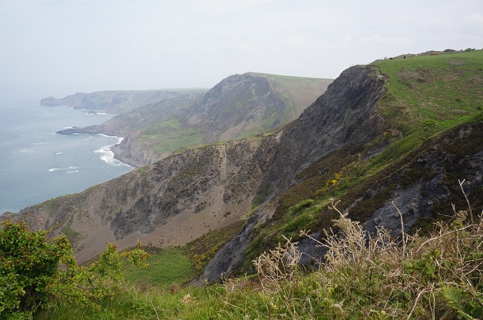
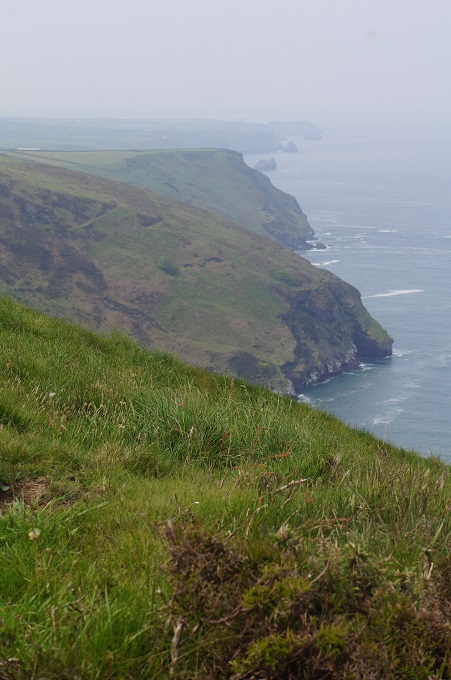
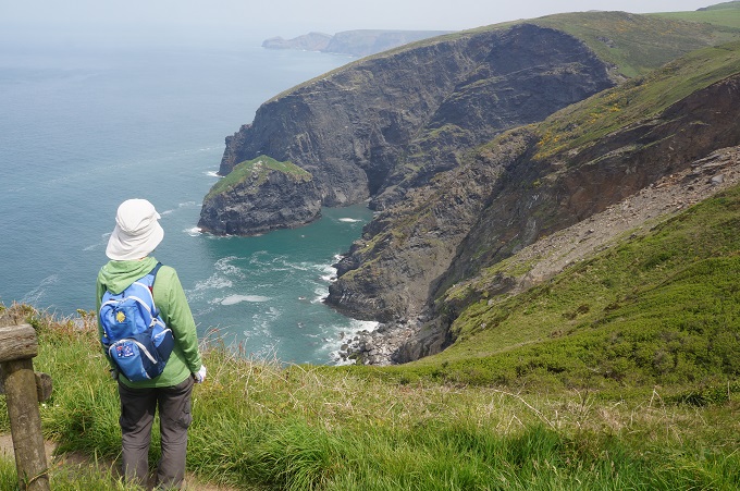
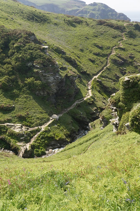
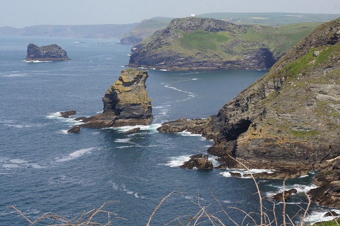
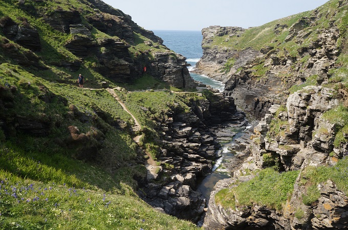
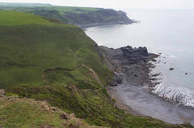
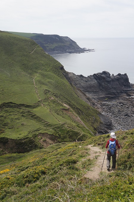
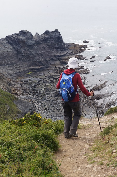
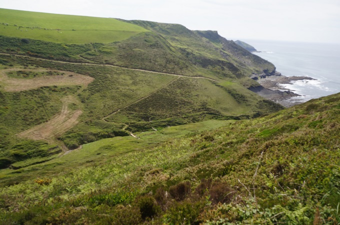
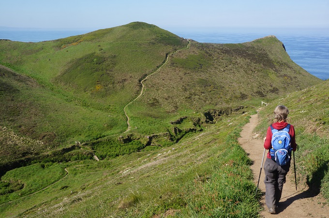
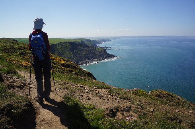
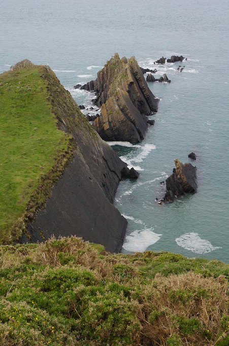
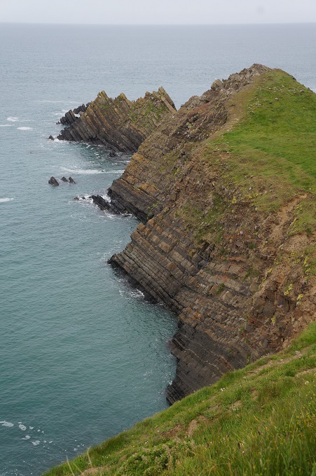
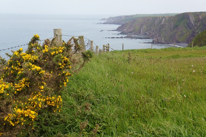
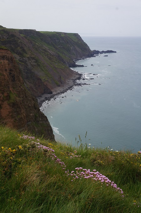
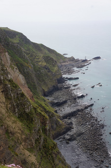
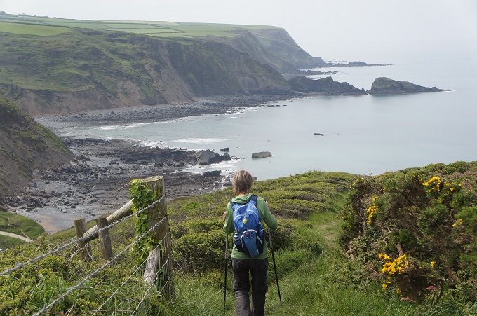
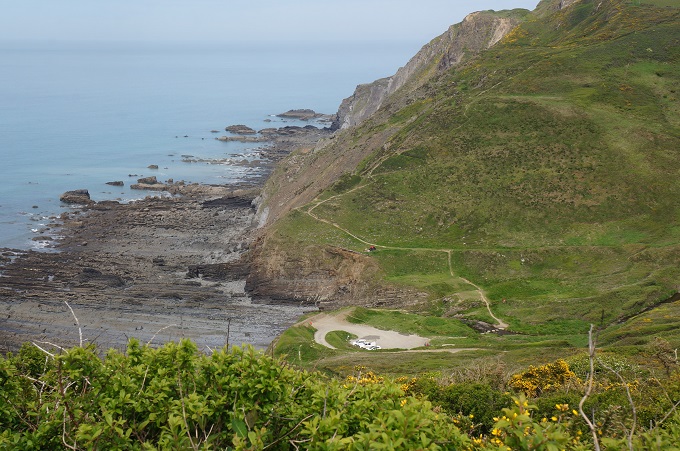
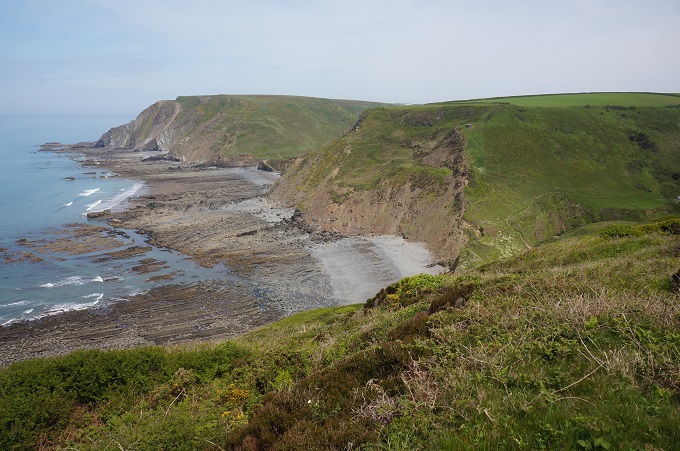
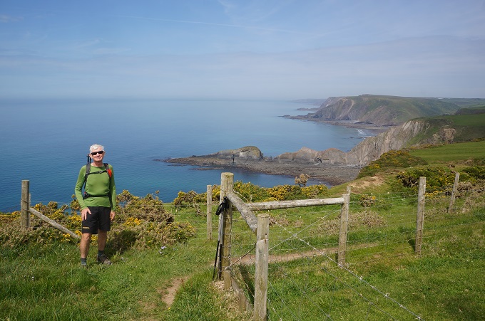
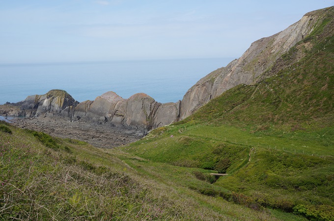
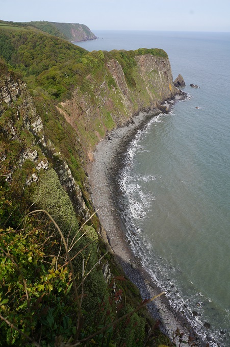
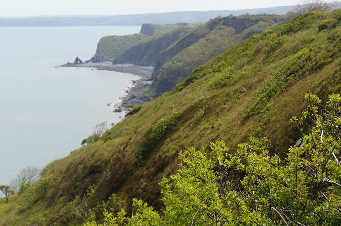
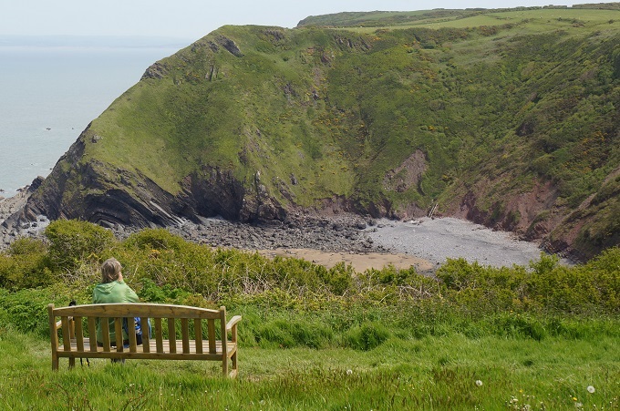
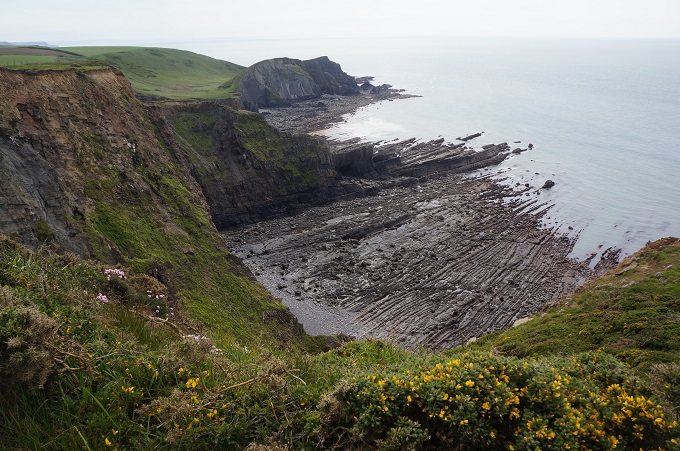
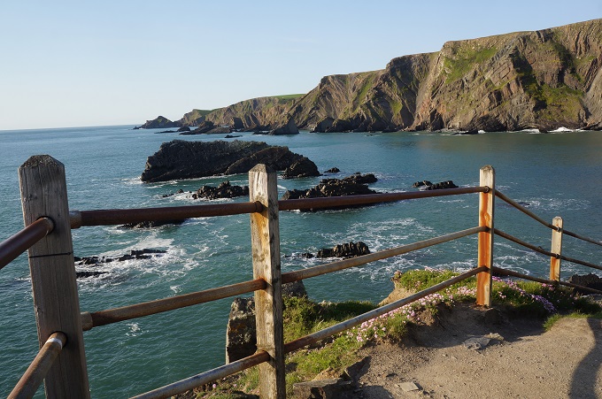
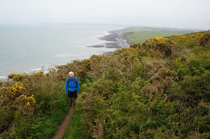
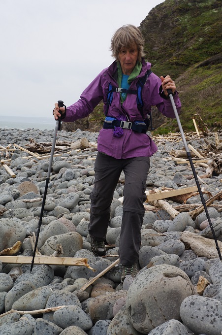
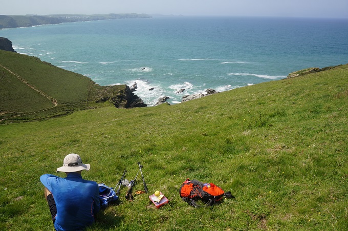
From there it was five calf-popping ascents and knee wrenching descents, but the views of the dramatic coastline were awe-inspiring. Great ragged ridges of rock stretched out into the Atlantic Ocean, backed by high surf fringed cliffs. The coast is punctuated with high jutting headlands and tiny, often inaccessible beaches.

Some highlights of the day:

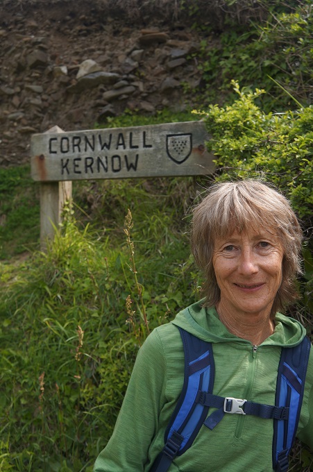
We crossed over from Devon into Cornwall. Called Kernow round here. We can now have a Cornish pastie. It would not have been right to have one while still in Devon. Devon also has a tradition of pasties and they don’t put swedes or parsnips in theirs.

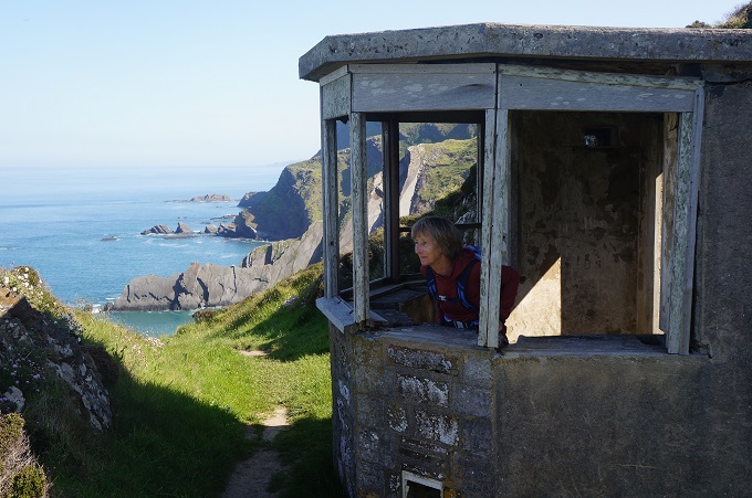
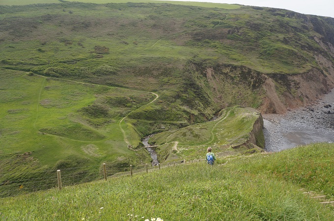
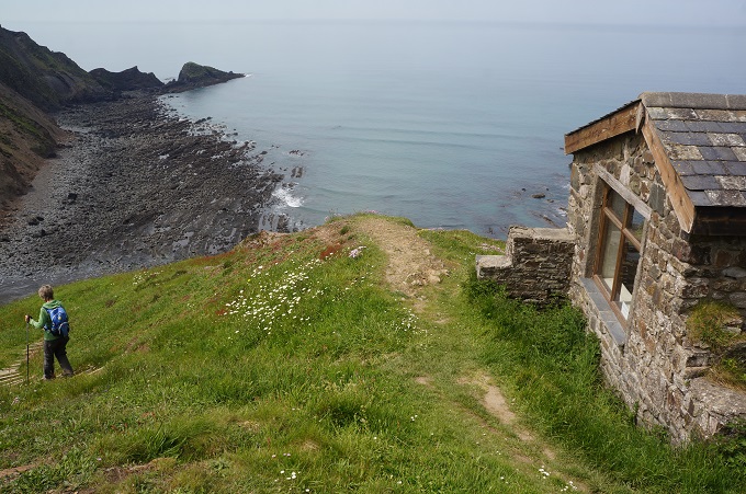
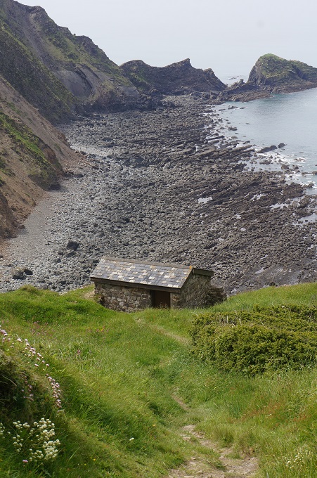
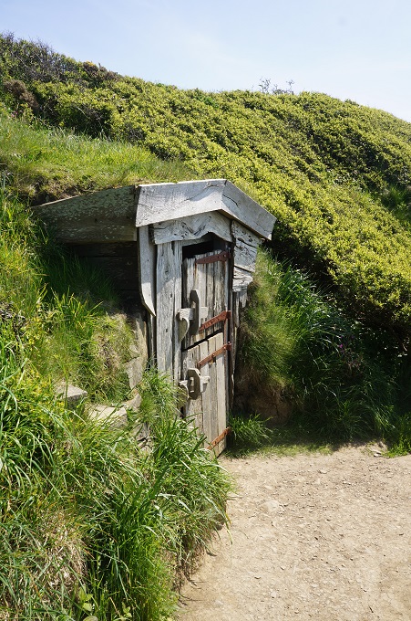
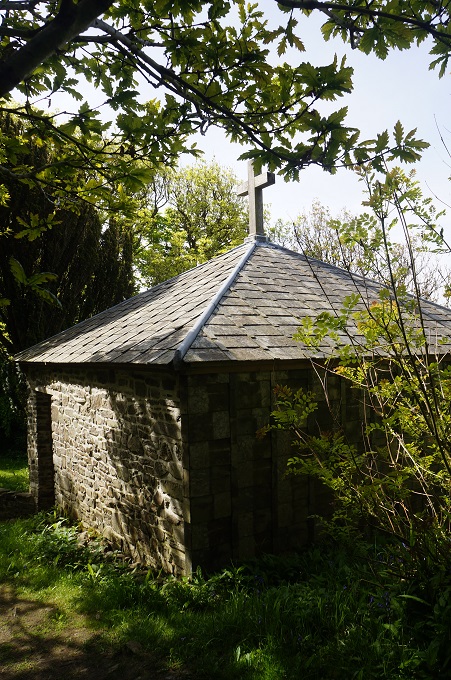
High on a cliff above Marsland Valley is a small stone hut. It was constructed by the author, poet, playwright and pacifist Robert Duncan so that he could have views out over the sea while he was writing.

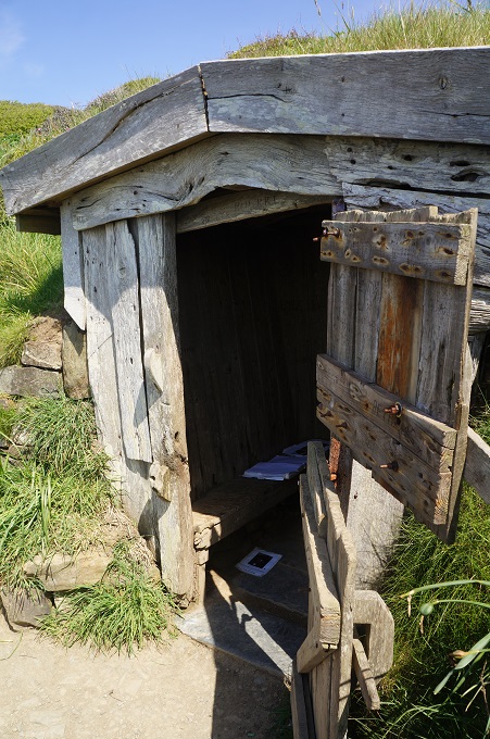
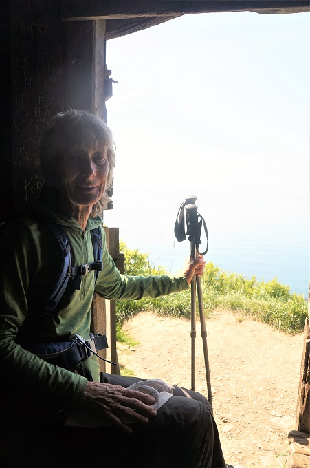
Further along on Vicarage Cliff we came to another tiny hut made of drift wood and timbers salvaged from ship wrecks. This was the hut of Robert Hawker, clergyman, writer, maverick and saviour of ship wrecked sailors. He used the hut, sometimes under the influence of opium, for writing and watching out for ships in trouble.

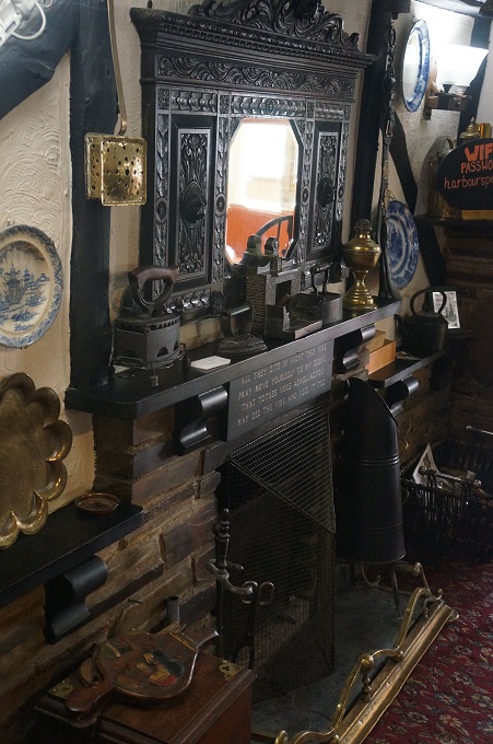
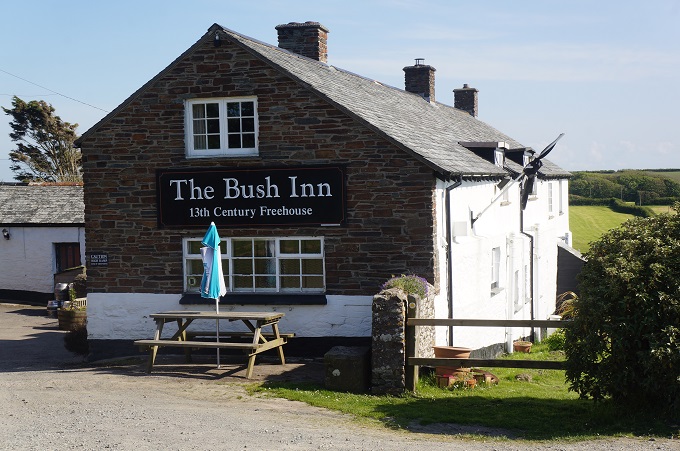
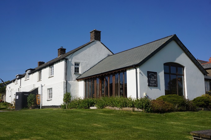
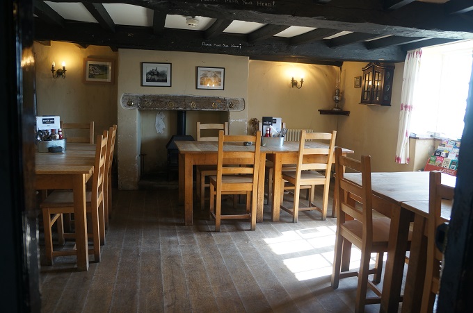
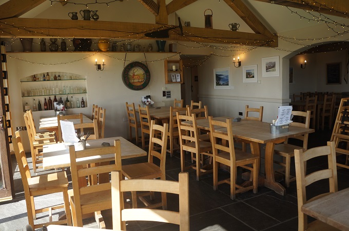
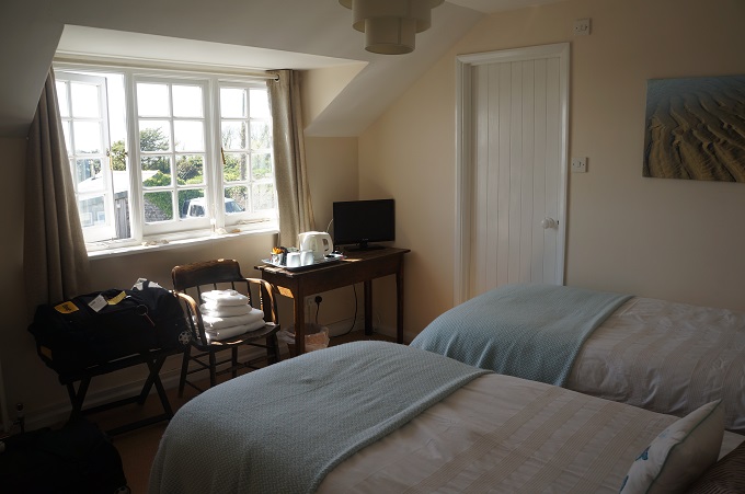
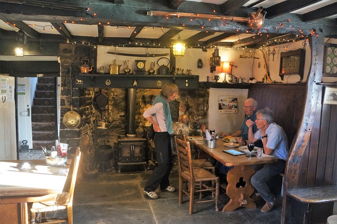
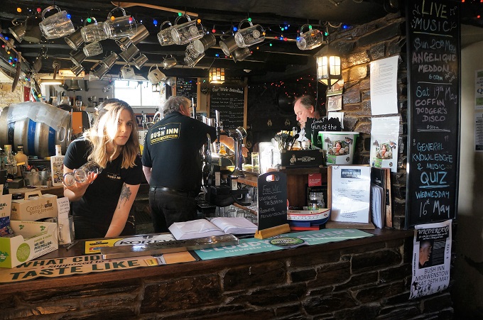
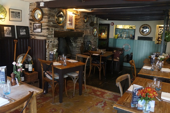
Tonight we are staying in The Bush Inn in Morwenstow. It is the most northerly inn in Cornwall and claims to be the second oldest in the country, dating from the 13th century. The name of the inn is said to derive from when an actual bush was hung outside the inn to signify a new batch of ale had been brewed.

The inn has a religious past. Behind the end of the counter in the lower bar is a piscina carved from serpentine stone where monks prepared the sacraments for holy communion. Also In the lower bar is a ‘leper’s squint’, a small window from which poor unfortunates could observe the service without having to enter the building. In the middle bar is a crude celtic cross carved into a flagstone, although it could actually be the imprint of the bottom of an ancient cheese press.

Morwenstow also has a delightful medieval Anglican church, Saint Morwenna and Saint John the Baptist. The church yard contains many un-named head stones for the bodies of sailors plucked from the sea and given a Christian burial.

A hot, sunny day today, perfect walking conditions, great scenery. What more could you want? We are starting to feel strong and in another day will be right into the rhythm of the walking.


A Retreat for the Wrecked

Clovelly to Hartland Quay, 18km, 725 metres of climbing

‘Walking is the answer. Who cares what the question is’

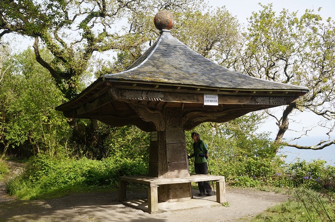
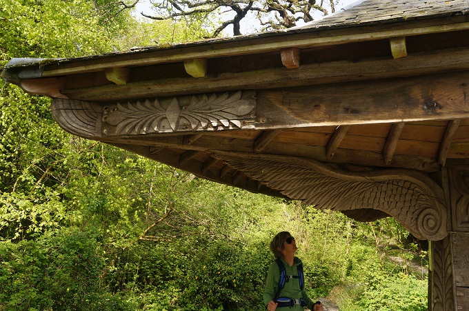
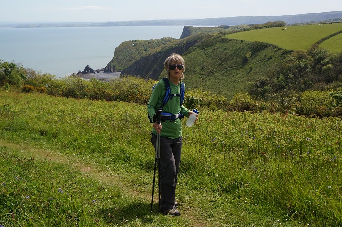
Today started off gently enough. A continuation of yesterday with a stroll through the woods of the Clovelly estate. Walking through a tunnel of rhododendrons we came across an ornate wooden pagoda-style structure known as Angel’s Wings, which was carved by a former butler of the estate.

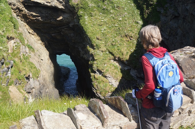
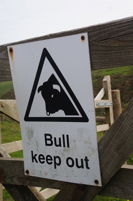
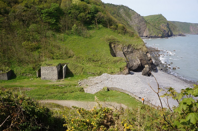
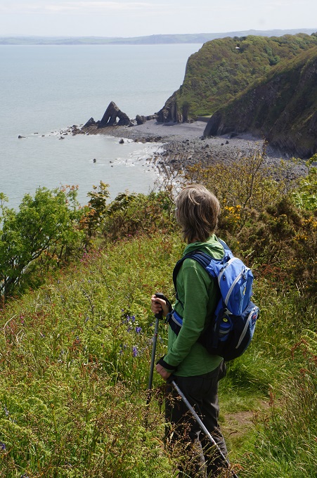
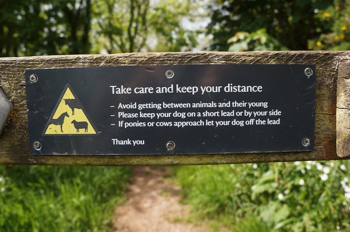
More wandering through woodland and across open fields, avoiding the scary-looking (but presumably benign) steers of the estate. These ones were sitting down and just ignored us. Then a steep descent to Mouthmill Beach. This was once the haunt of smugglers but is now home to a ruined lime kiln, and, just off shore, Blackchurch Rock with its two sea-sculpted ‘windows’.

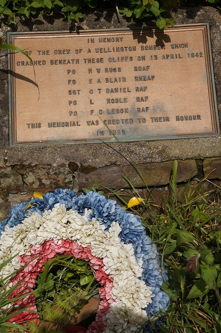
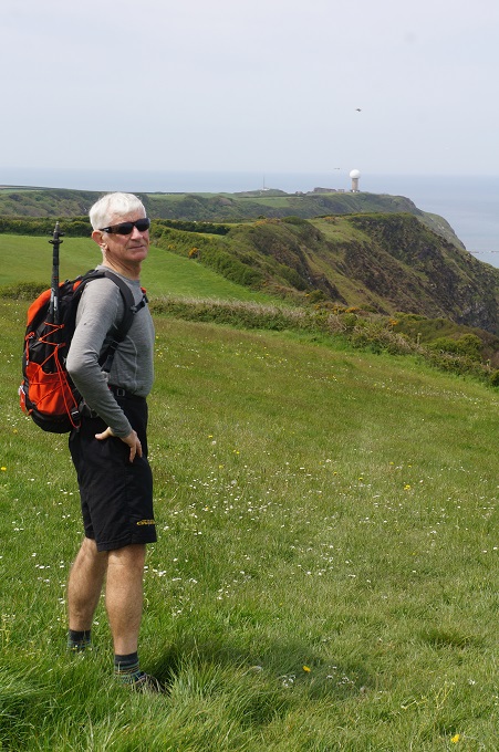
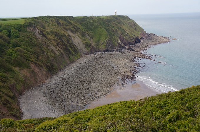
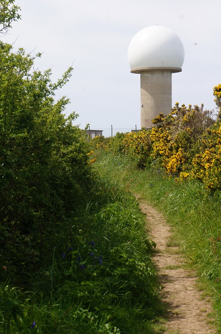
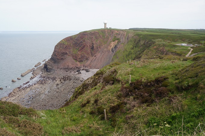
A steep climb back up to the top of the cliff and then, grassy field, gate, grassy field, gate, on and on for ages. In one field was a memorial to the crew of an RAF Wellington bomber that crashed at the foot of the cliff in 1942. One of the crew was from the RNZAF. Far off in the distance we could see a giant white golf ball on a tee. As we got closer it turned out to be the Hartland radar station.

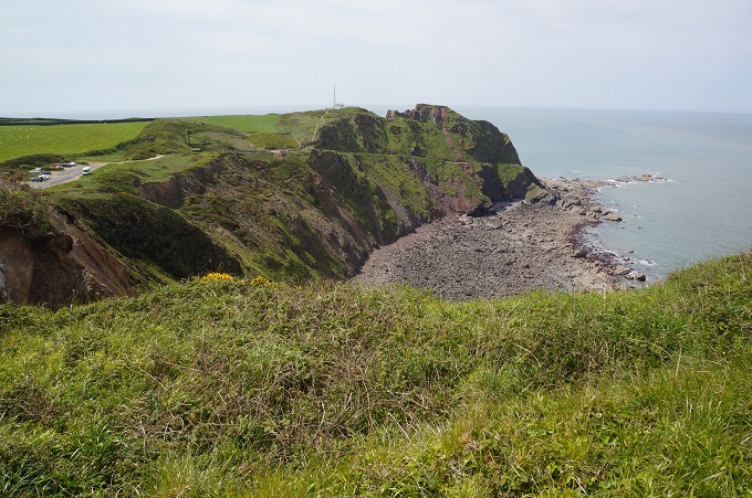
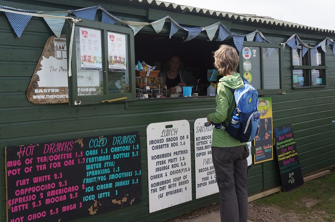
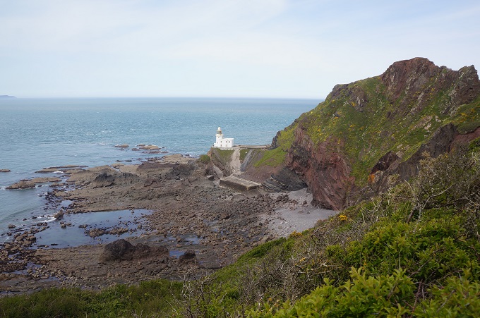
Near the radar station was a temporary summer café so we stopped for refreshments. From here at Hartland Point (with an 1874 lighthouse) the coast turns south and the landscape changes to dark brooding cliffs with jagged fingers of rock stretching into the Atlantic Ocean.

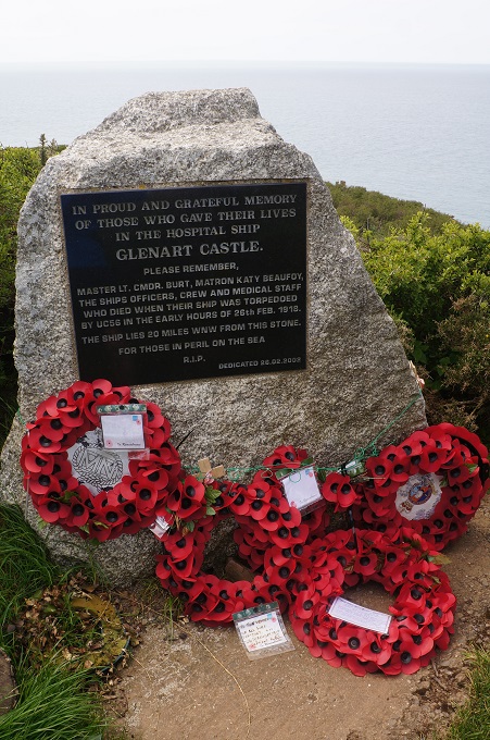
More walking along the cliffs. We passed a memorial to the Glenart Castle, a hospital ship torpedoed by a German U-boat in 1918.  Of the 186 on board, 153 were lost.

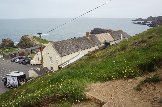
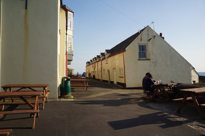
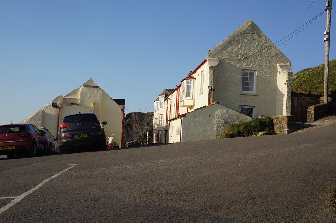
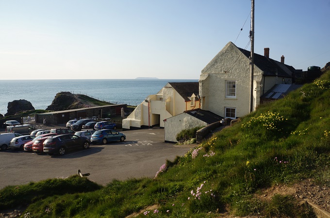
The day was hot and sunny and by this time we were getting tired. The last 5 km were the toughest of the day with a succession of steep climbs and descents until we at last came to Hartland Quay, a lonely out post with car park, toilets, refreshments, and best of all, our hotel.

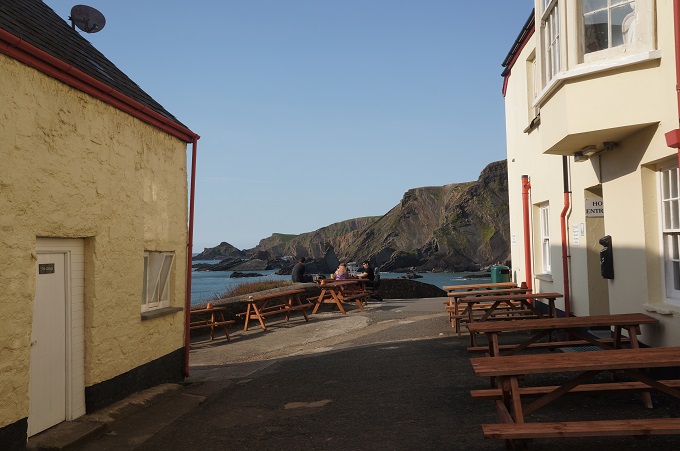
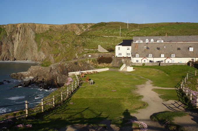
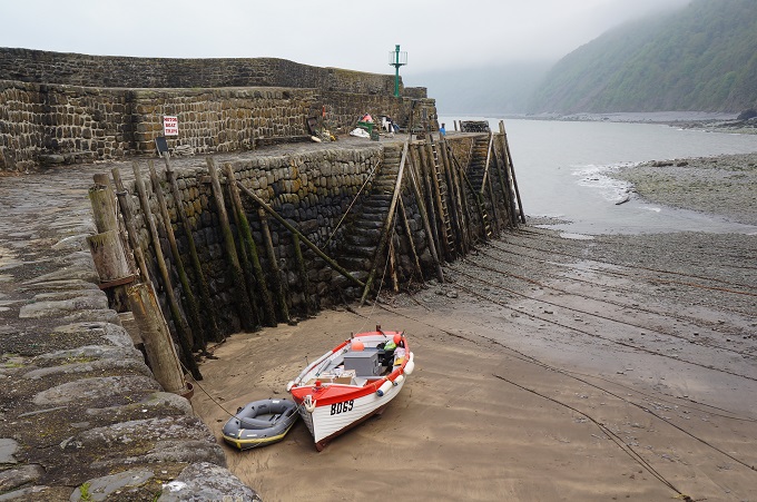
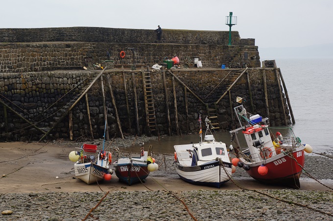
The hotel, converted from what were once stables and customs houses hints at the importance of this spot as a major port in the past. It had a quay like the one at Clovelly (see yesterday’s photos) but this was destroyed in a storm in 1887. They have a great bar for meals, The Wrecker‘s Retreat. They say this coast has approximately 10 ship-wrecks per mile.

So, are we now seasoned walkers? Acclimatised to our new way of life, our feet hardened, our backs strong, our legs like two solid tubes of steel? Not bleeding likely!

Legs tired, eyes heavy, more walking tomorrow: up hills, downs hills, up hills, down hills repeat.

Another couple of days and we will come right.

If

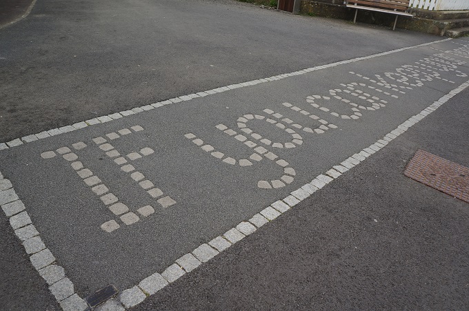
In my post yesterday I included a photo of some of the words of the Rudyard Kipling poem ‘If’ that are written in stone in the esplanade paving at Westward Ho! If anyone is interested here is the complete poem.

If you can keep your head when all about you
Are losing theirs and blaming it on you,
If you can trust yourself when all men doubt you,
But make allowance for their doubting too;
If you can wait and not be tired by waiting,
Or being lied about, don’t deal in lies,
Or being hated, don’t give way to hating,
And yet don’t look too good, nor talk too wise:

If you can dream—and not make dreams your master;
If you can think—and not make thoughts your aim;
If you can meet with Triumph and Disaster
And treat those two impostors just the same;
If you can bear to hear the truth you’ve spoken
Twisted by knaves to make a trap for fools,
Or watch the things you gave your life to, broken,
And stoop and build ’em up with worn-out tools:

If you can make one heap of all your winnings
And risk it on one turn of pitch-and-toss,
And lose, and start again at your beginnings
And never breathe a word about your loss;
If you can force your heart and nerve and sinew
To serve your turn long after they are gone,
And so hold on when there is nothing in you
Except the Will which says to them: ‘Hold on!’

If you can talk with crowds and keep your virtue,
Or walk with Kings—nor lose the common touch,
If neither foes nor loving friends can hurt you,
If all men count with you, but none too much;
If you can fill the unforgiving minute
With sixty seconds’ worth of distance run,
Yours is the Earth and everything that’s in it,
And—which is more—you’ll be a Man, my son!

It is an example of Victorian era ‘stiff upper lip’ self-discipline, a father giving advice to his son.

On the road again

Westward Ho! to Clovelly, 18km + 2km to accom, 913 metres of climbing

‘Walking outside in the fresh air is better than trudging around inside your brain’

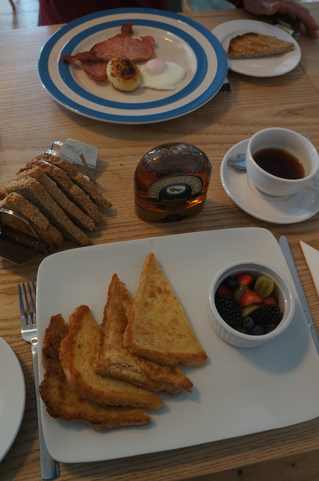
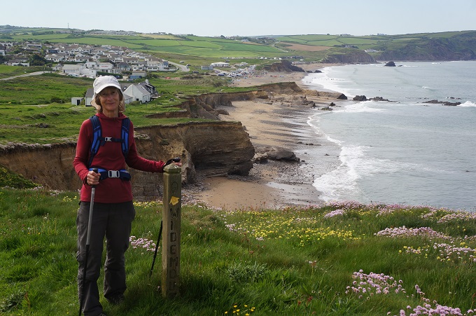
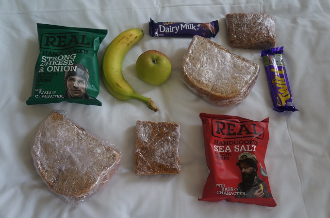
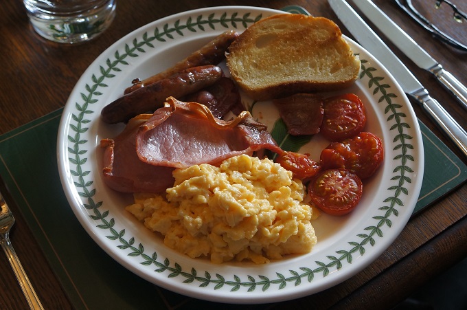
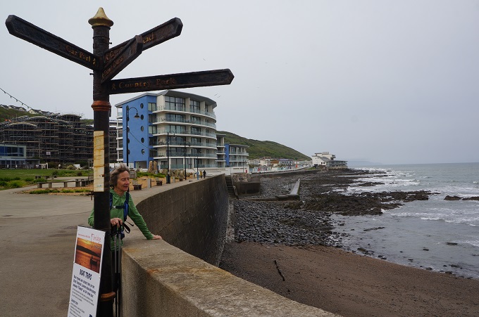
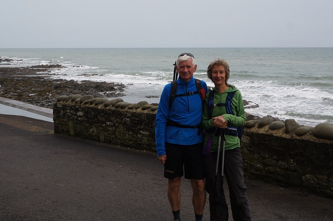
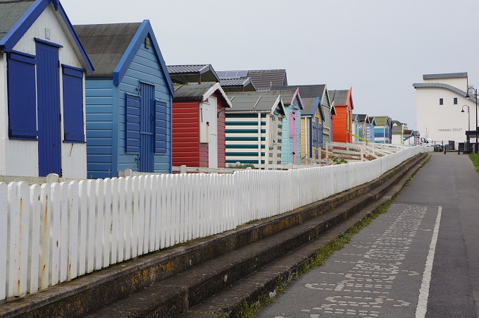
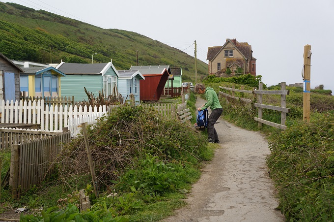
We were so happy to be underway at last. A full English breakfast at The Village Inn and then we picked up some food for the day from the local co-op. After getting a local guy on the Esplanade to take our photo we made our escape from Westward Ho! past some bathing huts and holiday chalets along the path of a disused railway. We were almost lulled into a false sense of confidence.

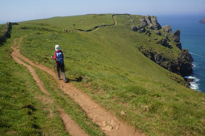
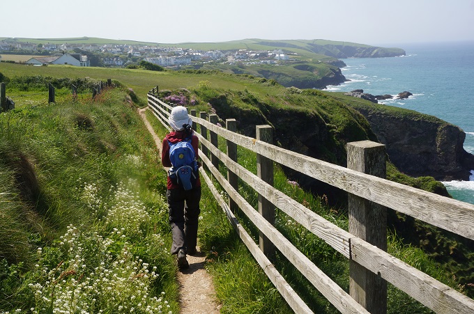
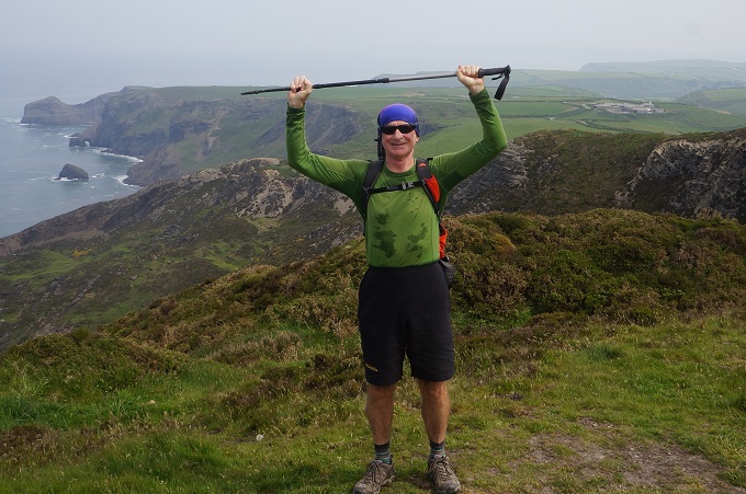
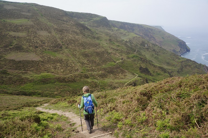
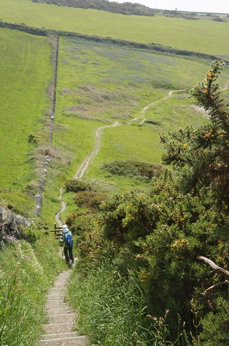
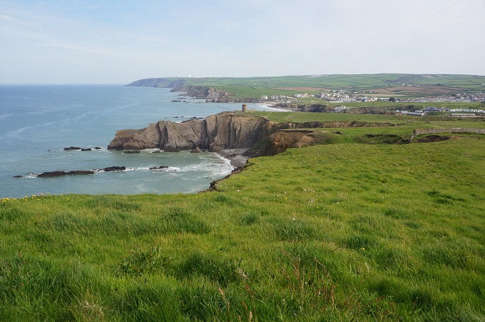
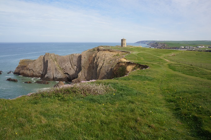
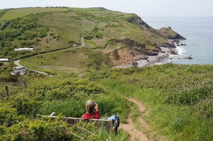
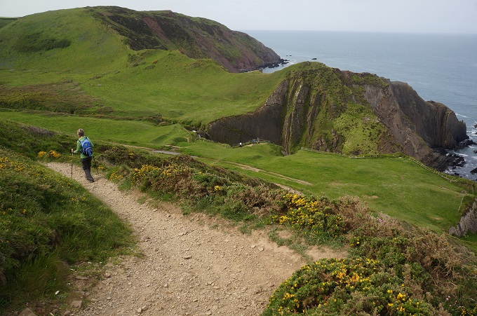
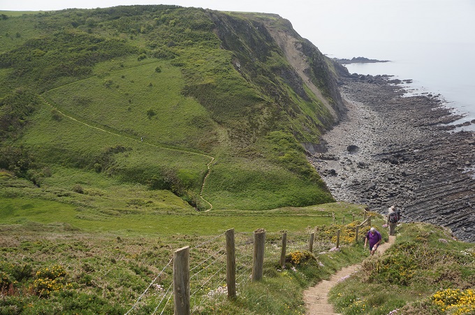
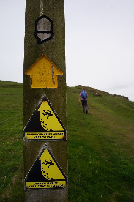
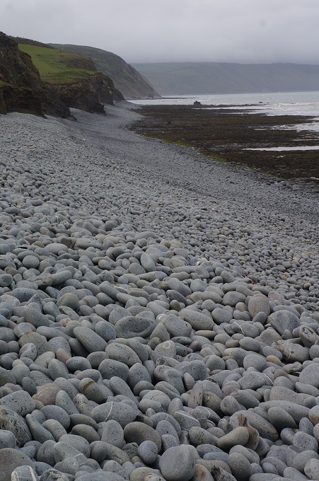
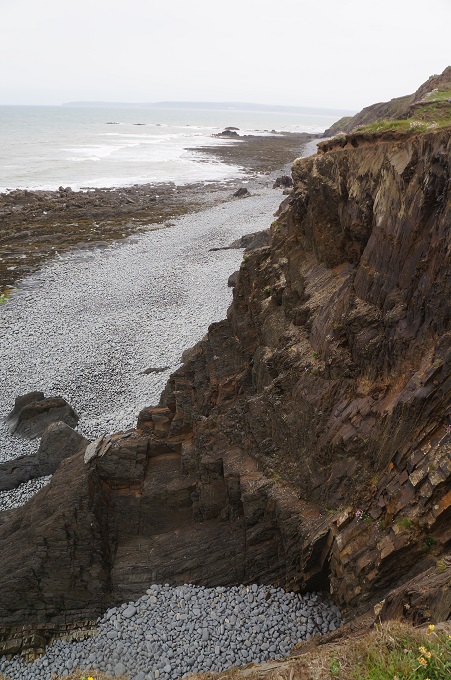
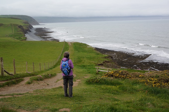
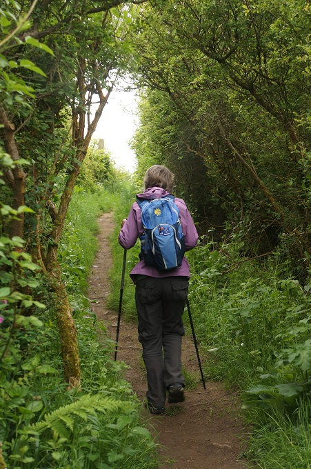
The grassy path climbed up onto undulating cliffs above a pebbly beach. There were steep descents into substantial valleys (coombes) and we had several testing climbs to the cliff tops again. The cliffs themselves are very crumbly and signs warned us not to get near the edge. This continued for the first half of the day, strenuous walking out in the open.

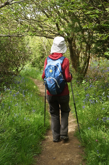
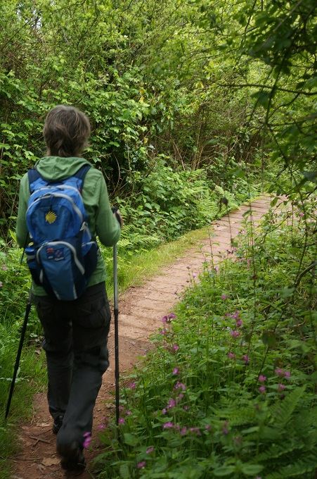
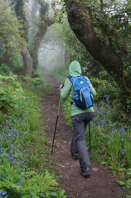
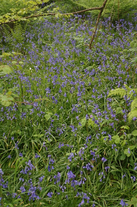
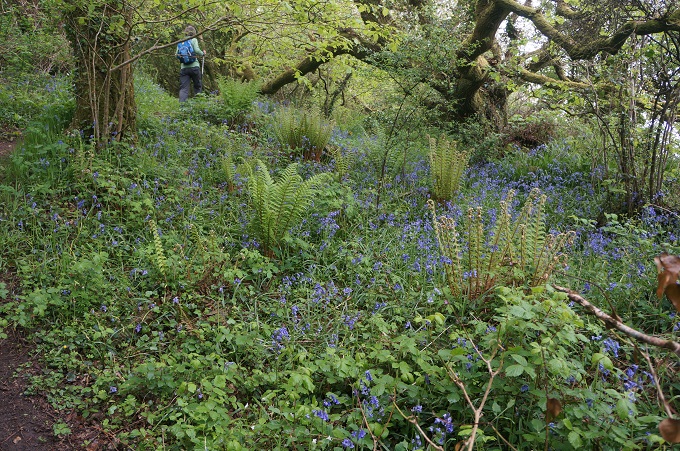
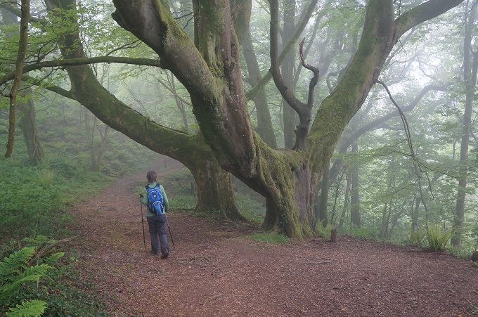
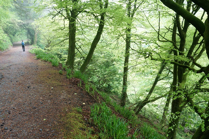
For the second half of the day the path changed from a cliff top clamber to a woodland walk. This was quite beautiful with some huge beech trees and gigantic rhododendron bushes. The ground was covered in Blue Bells, sometimes whole meadows of them. The trees would give welcome shade on a sunny day but today they kept us dry. Leaving Westward Ho! it had been overcast but dry with no wind. By midmorning a sea mist had rolled in we were getting wet in light drizzle.

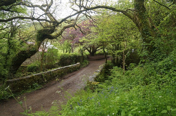
For the last 5 km into Clovelly the path joined ‘Hobby Drive’ a 19th century ‘bridleway’ that snaked its way along the cliff side. A wide path surrounded by trees and at a nice gradient.

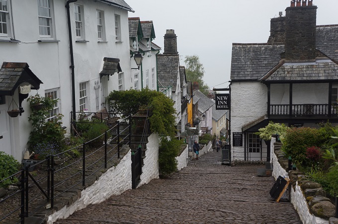
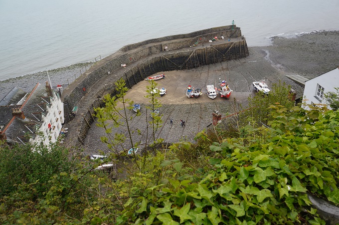
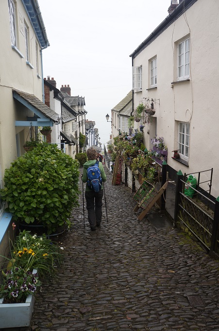
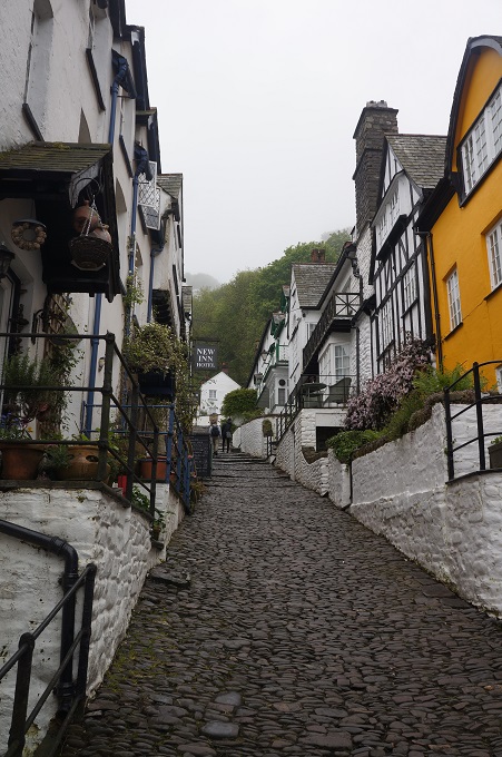
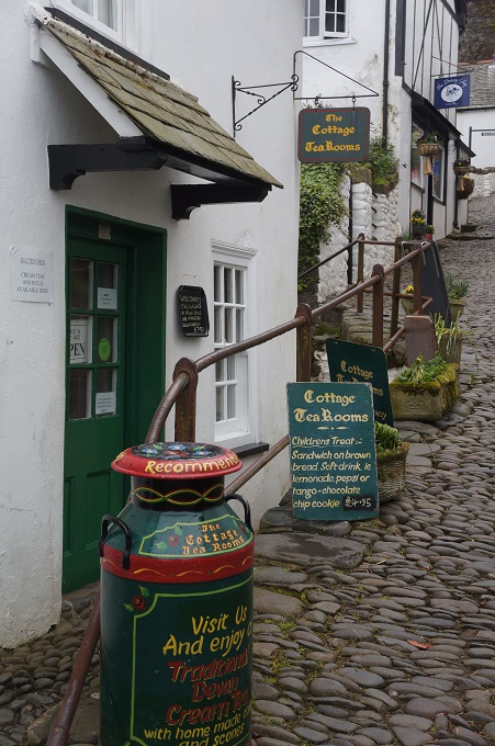
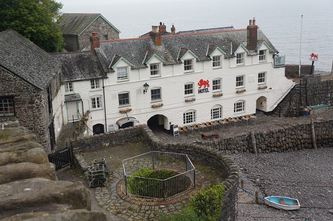
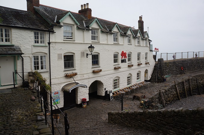
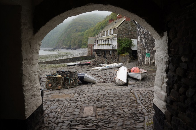
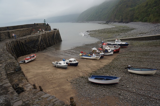
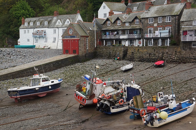
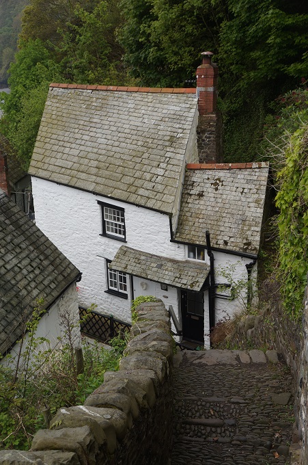
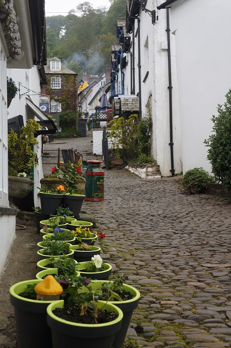
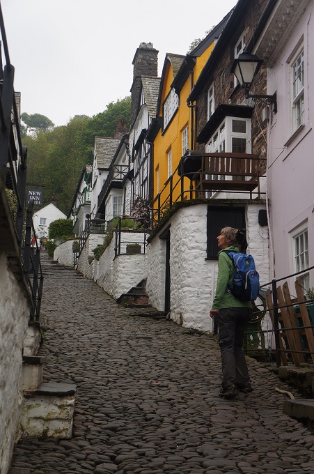
Clovelly is one of the loveliest villages on the entire South West Coast Path. Four hundred feet of cobbled street rolling down a narrow cleft in the coastline to a tiny harbour, lined on either side by wonderfully preserved cottages.  The gradient of the main street (named Up-a-Long and Down-a-Long) is enough to prevent traffic from using it. Instead goods are brought in by sled from the top and rubbish is taken to the bottom and removed by boat. There is a road linking the harbour at the bottom with the car park at the top which is used by Land Rovers to shuttle the elderly and the lazy.

Clovelly is actually privately owned. The Hamlyn family acquired the fishing village as part of their purchase of the entire Clovelly Estate in 1738.

We passed many people on the path today and got to stop and chat with a few of them. Mostly locals and one guy who was on day 5 of a walk from Land’s End to John O’Groats. He expected to finish in late July.

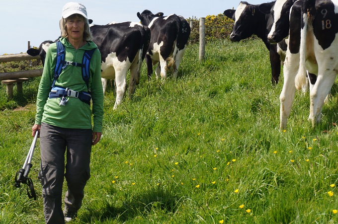
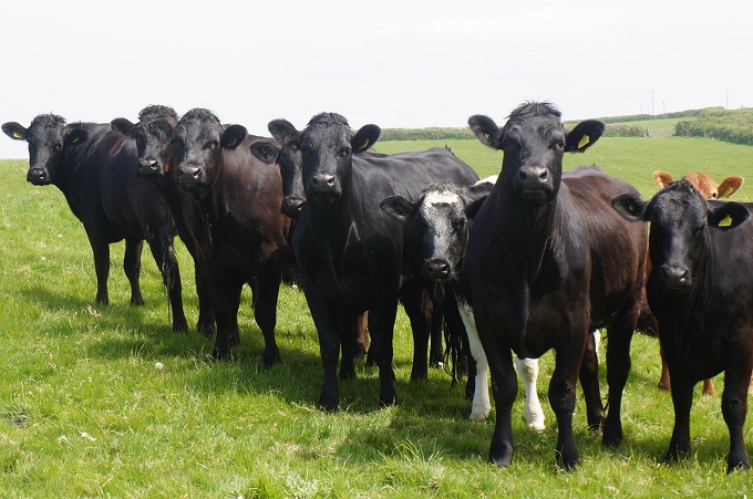
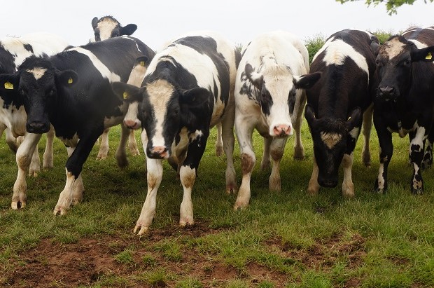
Going from Clovelly to our accommodation, our route notes had us taking a short cut crossing two paddocks. In the second paddock twenty cows took offence at our invasion of their territory and ran to surround us. We beat a hasty retreat and walked the long way around on the road. Every year in the UK several people get trampled to death by herds of cows. Not us this time.

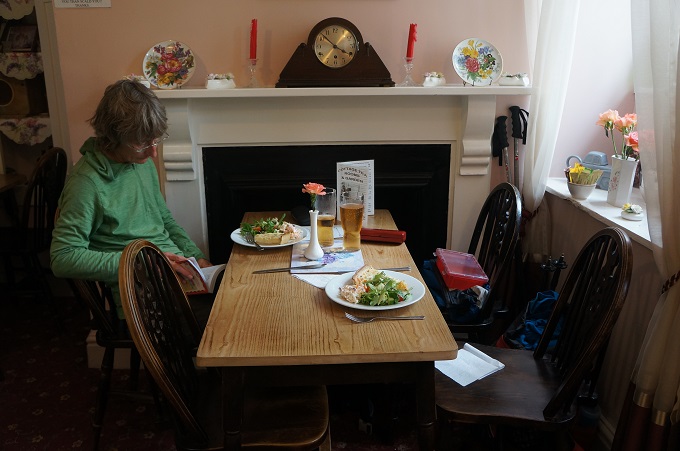
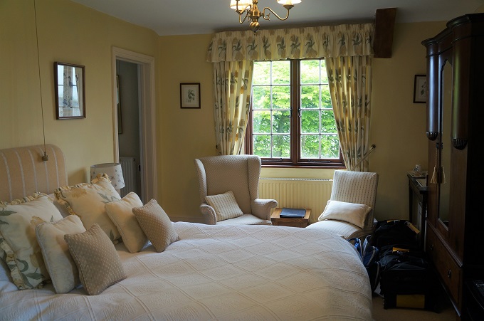
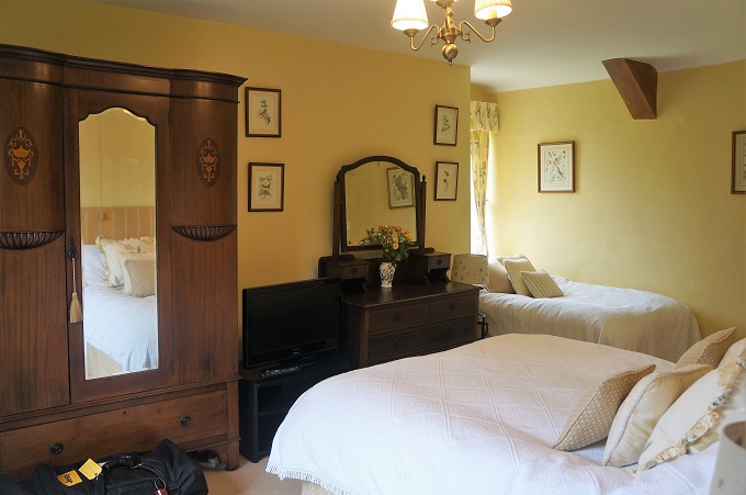
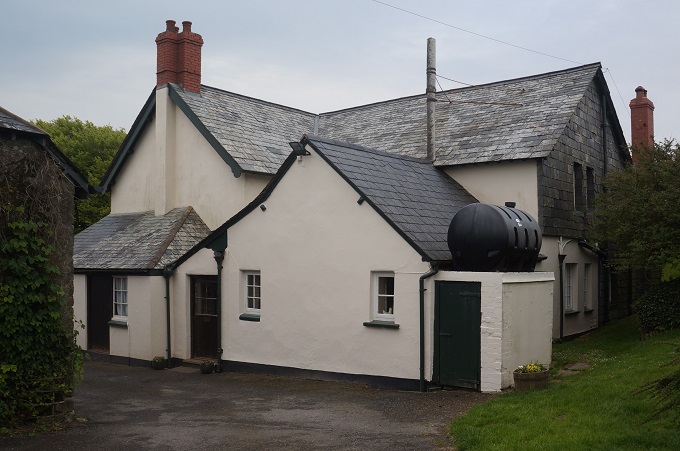
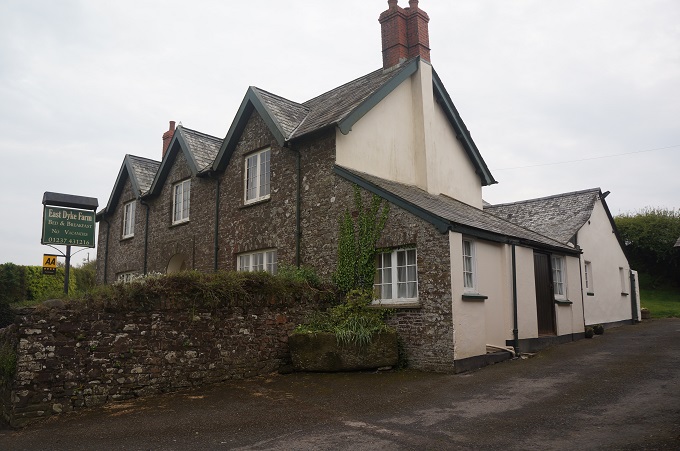
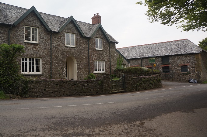
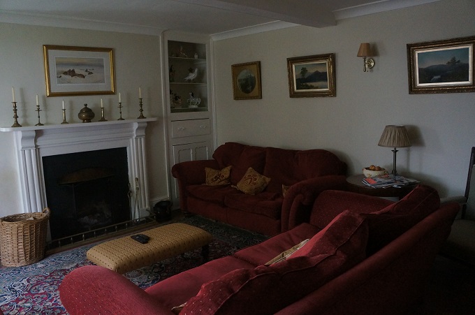
Tonight we are staying at East Dyke Farm. This is a working farm and we might get some lessons from the owners on how to handle cows. It is a bit upmarket for us and is very, very comfortable. We had a late lunch/early dinner at The Cottage Tearooms in Clovelly and for supper ate the food we had purchased at the co-op.

Today was the same distance as we often walk – home to the Waikanae cinema and back, but today we climbed up and down 500+ metres rather than about 10. We did it okay but it will be interesting to see how our legs and knees feel in the morning.