All posts by Paul Lenihan

Heads in the clouds

Lyme Regis to Bridport 20km
Ascension 874m  Accumulated ascension 3969m

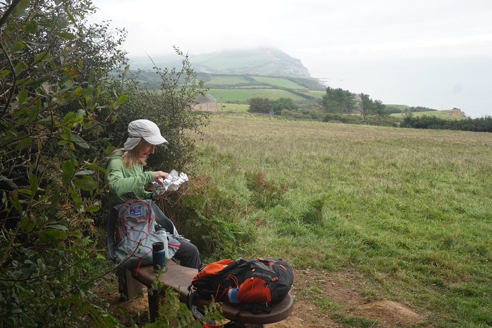
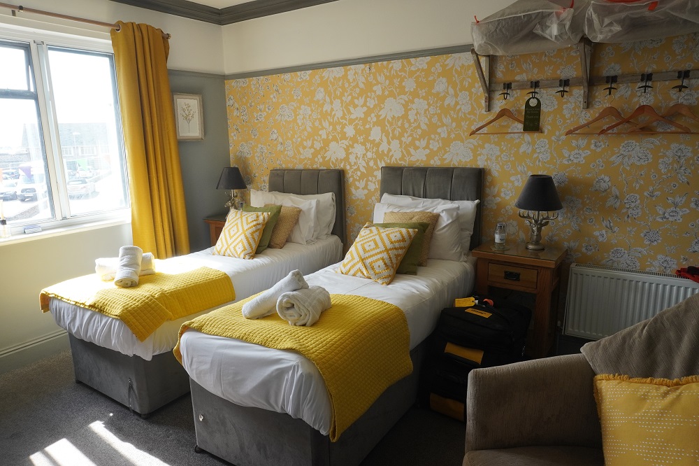
We got away early this morning at 7.50 am. The promised sandwiches were in the fridge so we could leave when we wanted. There were no staff at all in the hotel when we left and all the bars downstairs were locked up, so we didn’t really know what to do with our key. The only guy around was a fish monger out the back of the kitchens making his delivery of fresh fish and he didn’t want to know anything about keys.

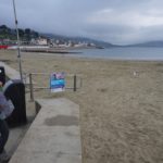
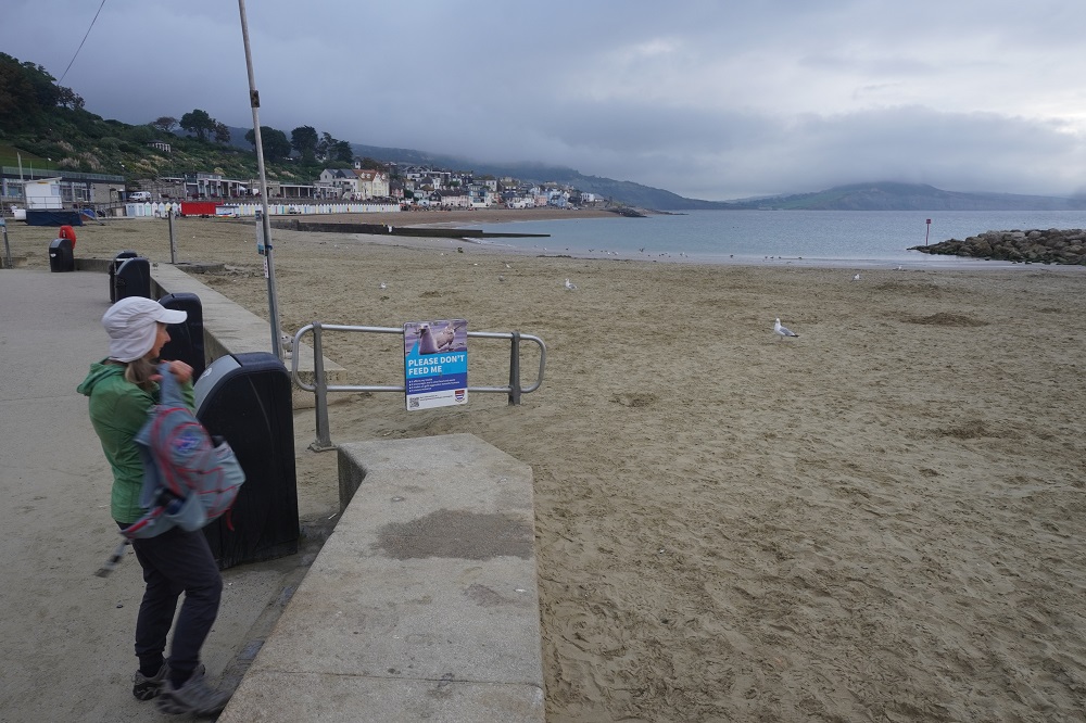
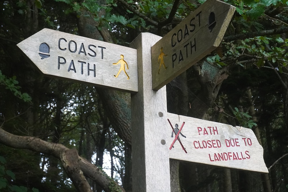
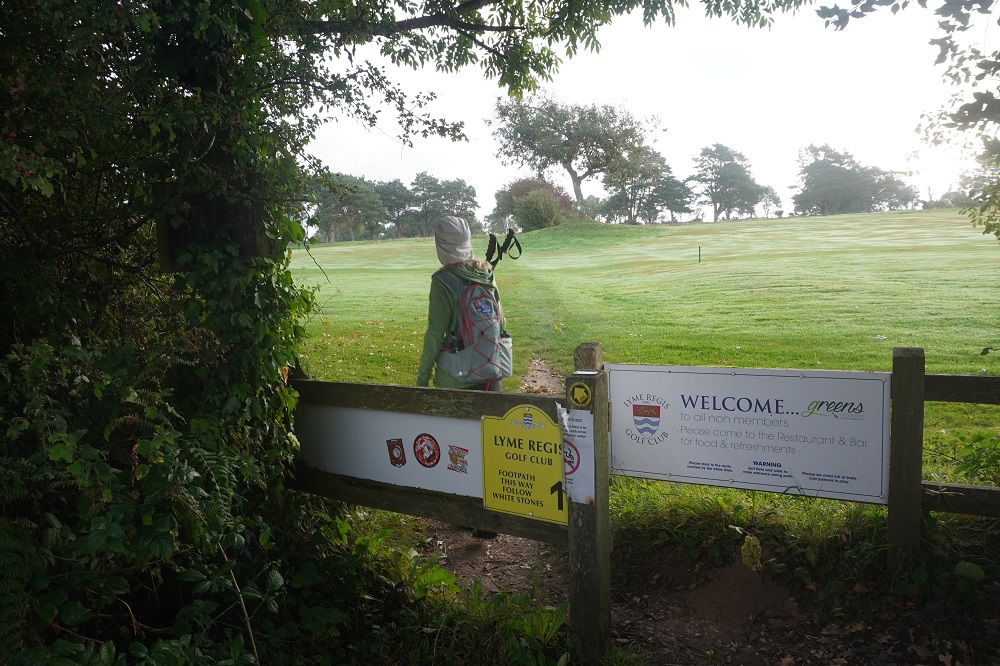
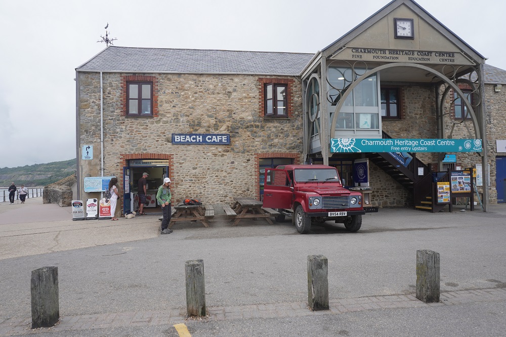
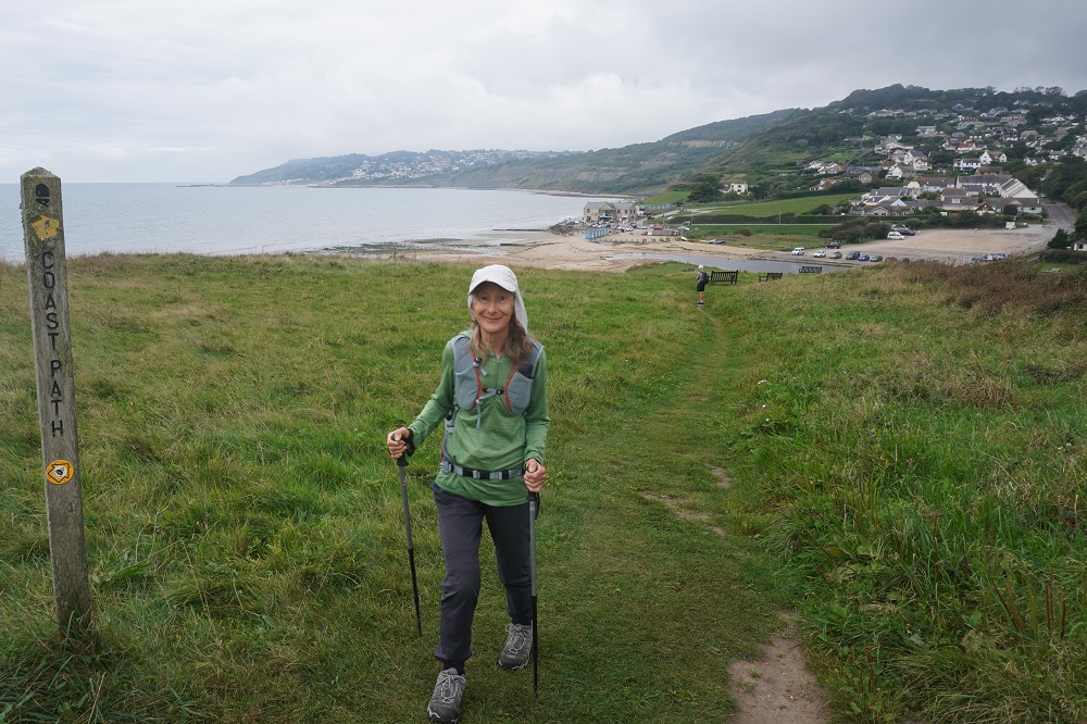
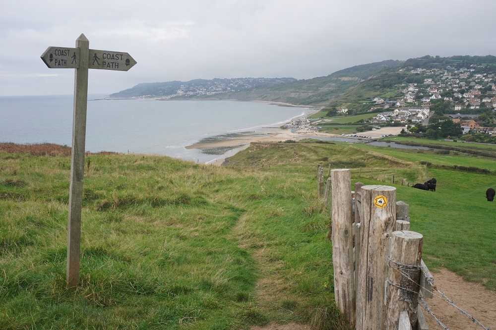
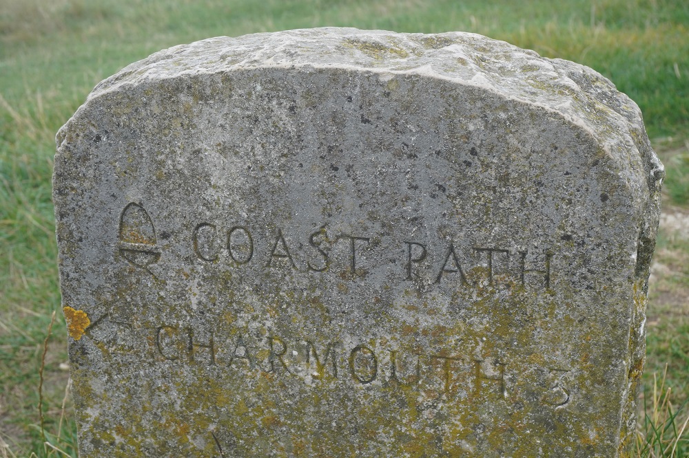
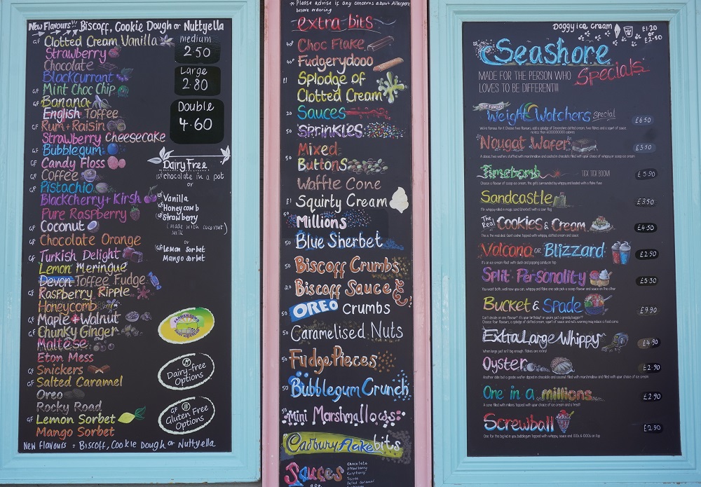
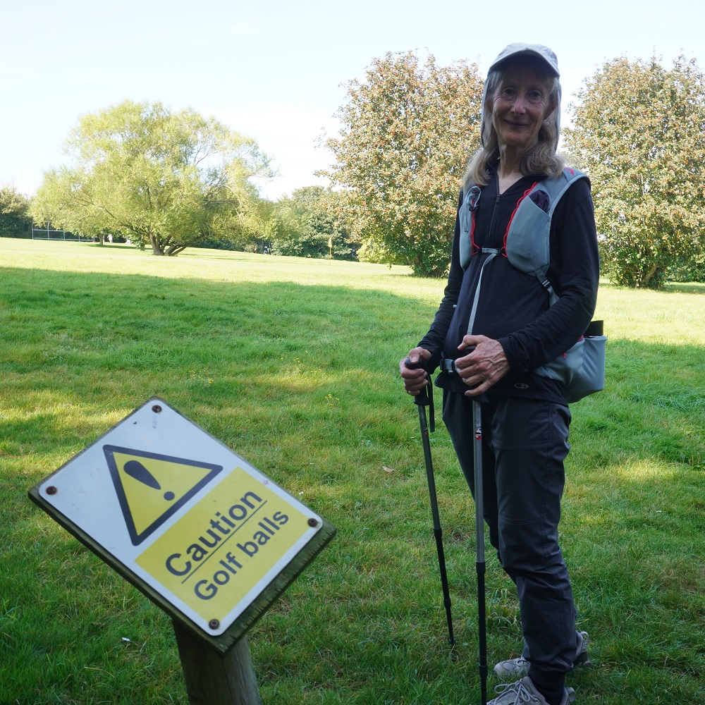
The Cobb Beach was empty this morning not a soul on the beach or in the water. It took a long time to get out of Lyme Regis. We followed the route we sorted out yesterday but further on there were more diversions due to unsafe cliffs. We went through yet another golf course following white stone markers across about five fairways. Only the mowers were out this early in the morning. We did see golfers arriving in cars and going to the club house to pad up or do whatever golfers do before heading out for a round. The 4.5 kms from Lyme Regis to Charmouth seemed to take forever with all its diversions. We bought a coffee to share at what was a pretty crummy ice cream shop attached to the Charmouth Heritage Coast Centre. £3.50 ($8!!!) for an average espresso in less than average surroundings. Maybe we are just getting very picky.

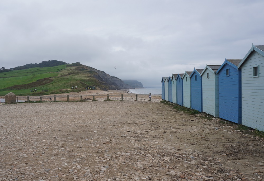
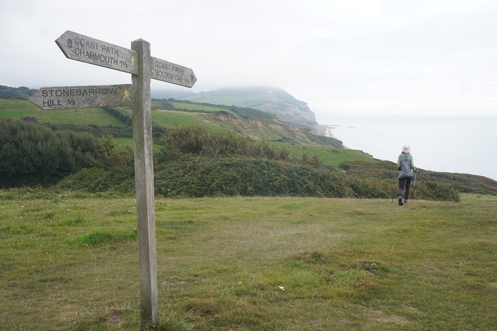
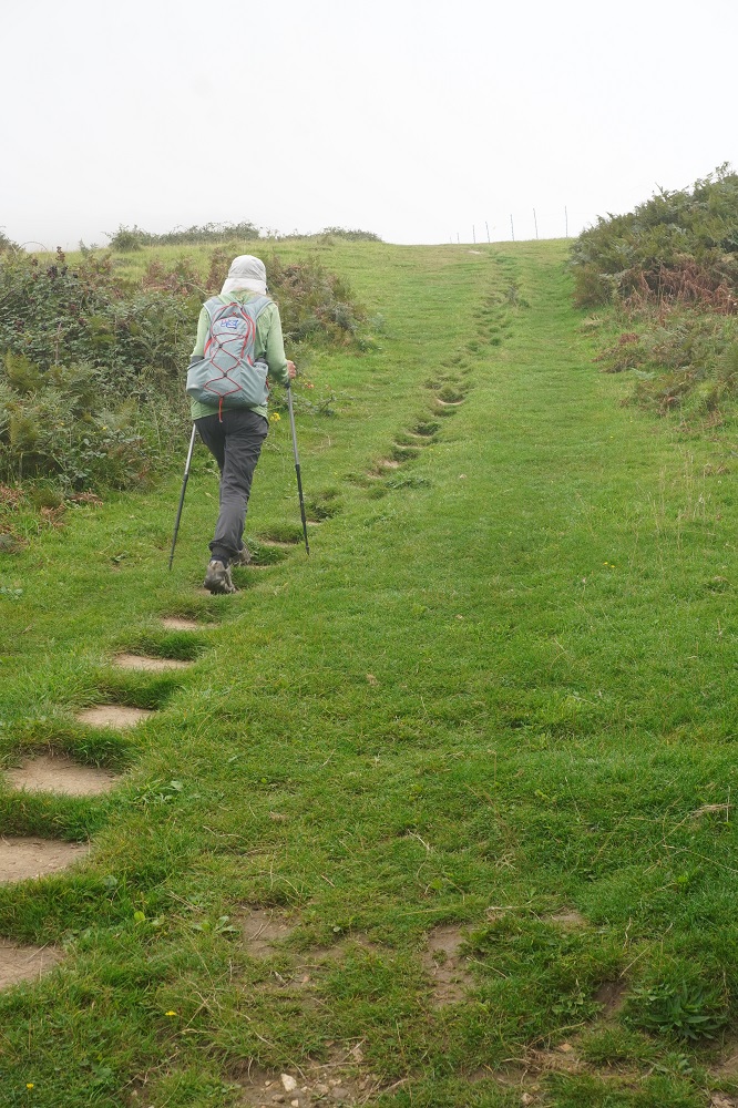
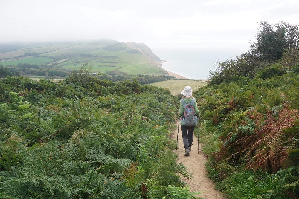
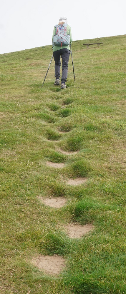
From Charmouth the work for the day really began. Two massive climbs from Charmouth to Seatown, the second being Golden Cap.

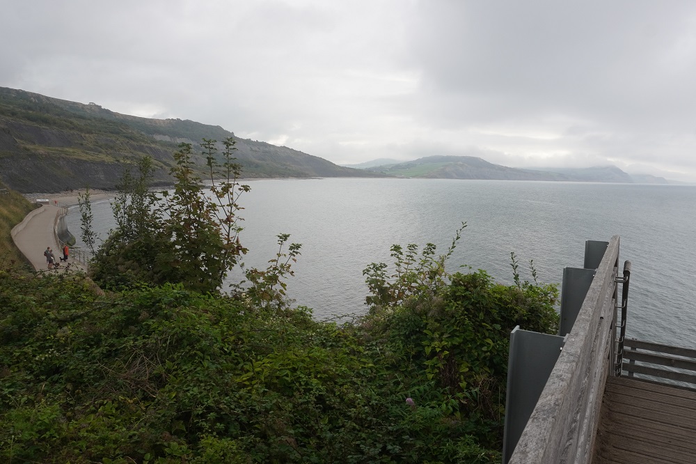
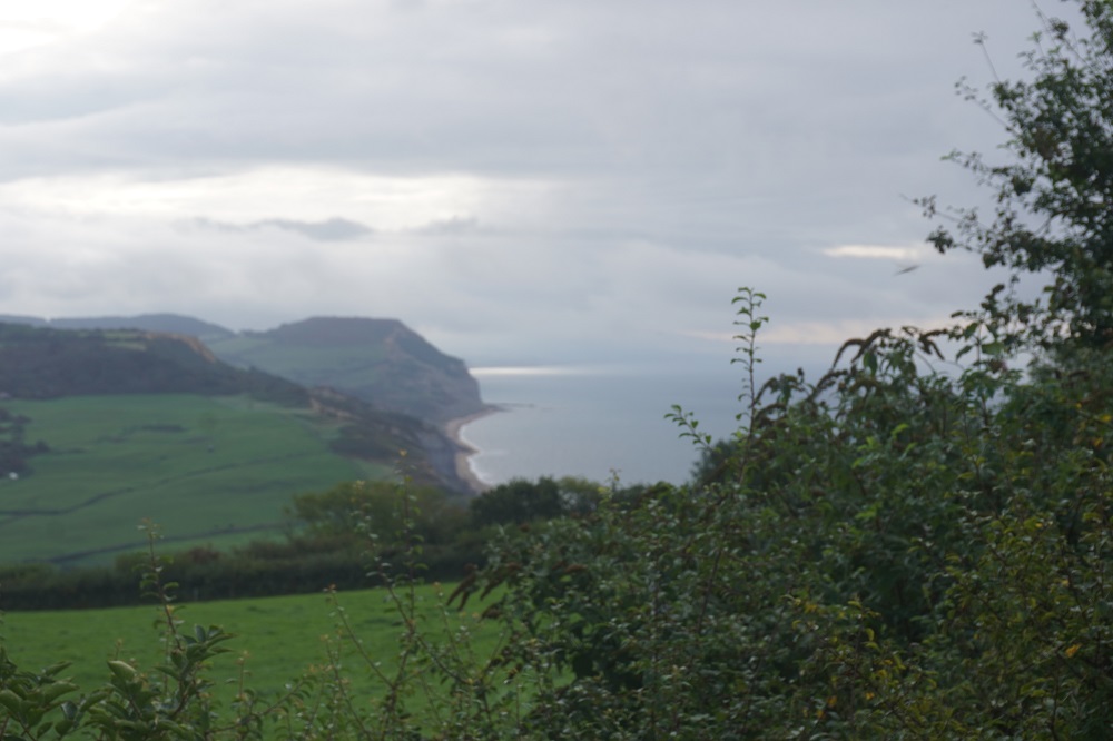
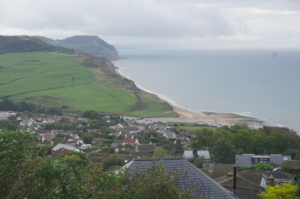
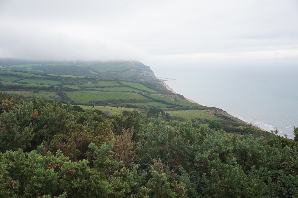
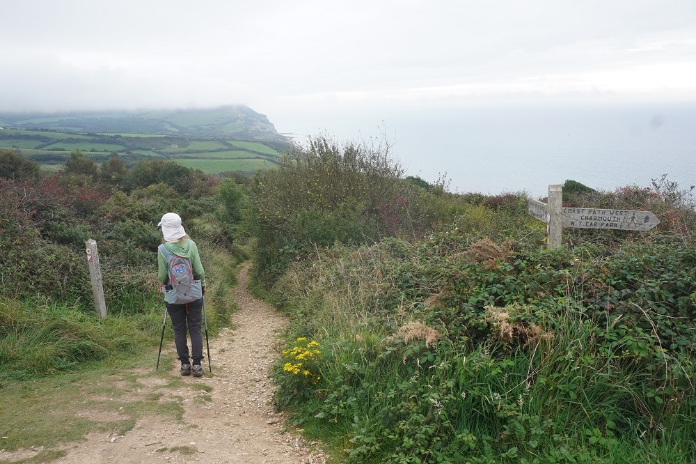
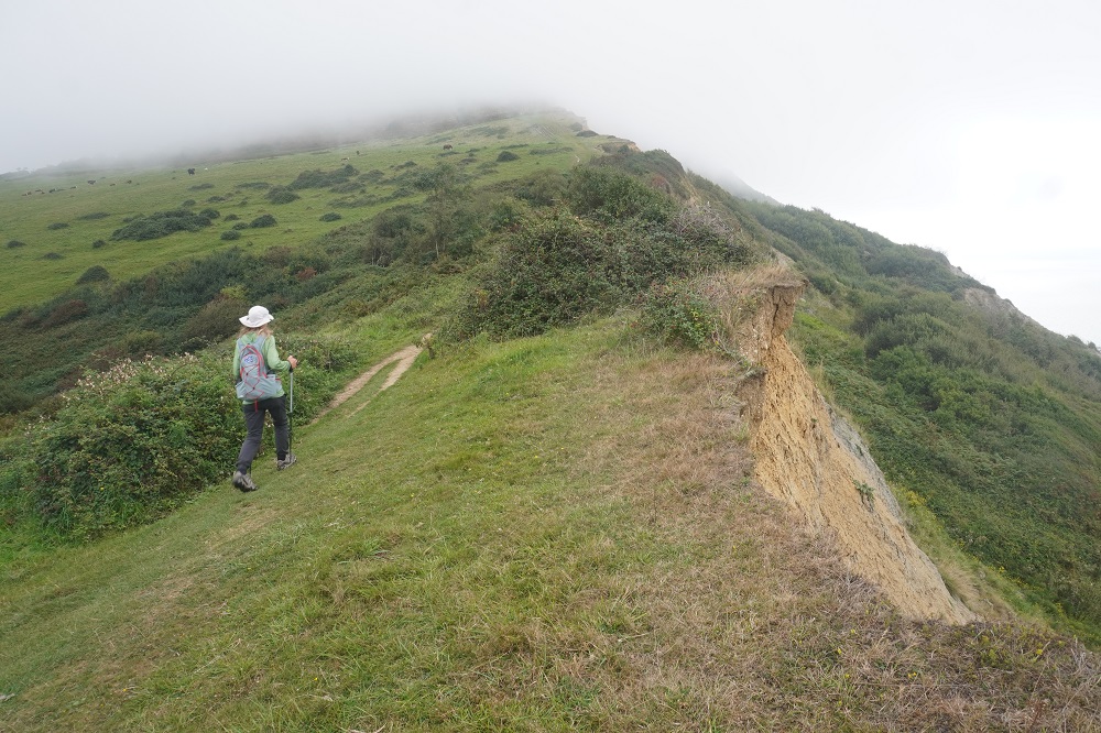
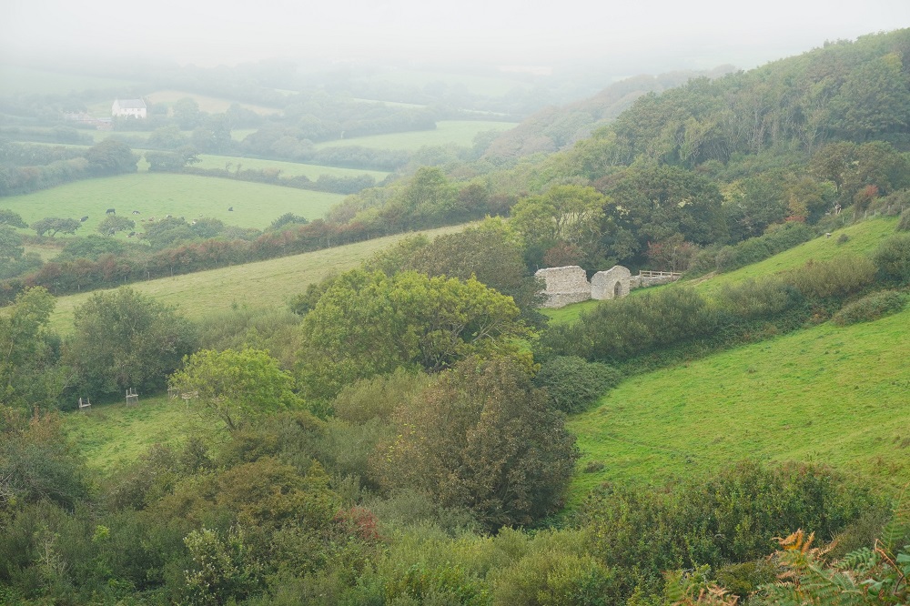
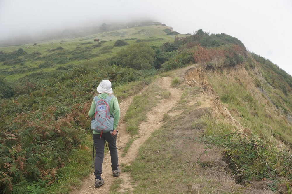
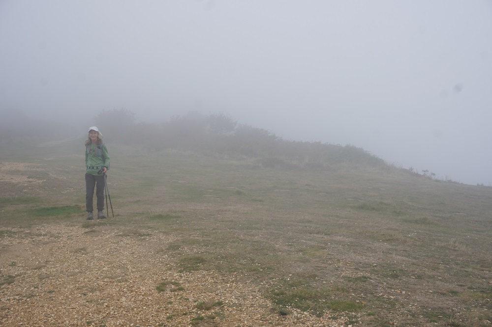
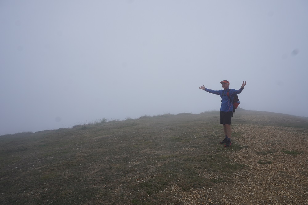
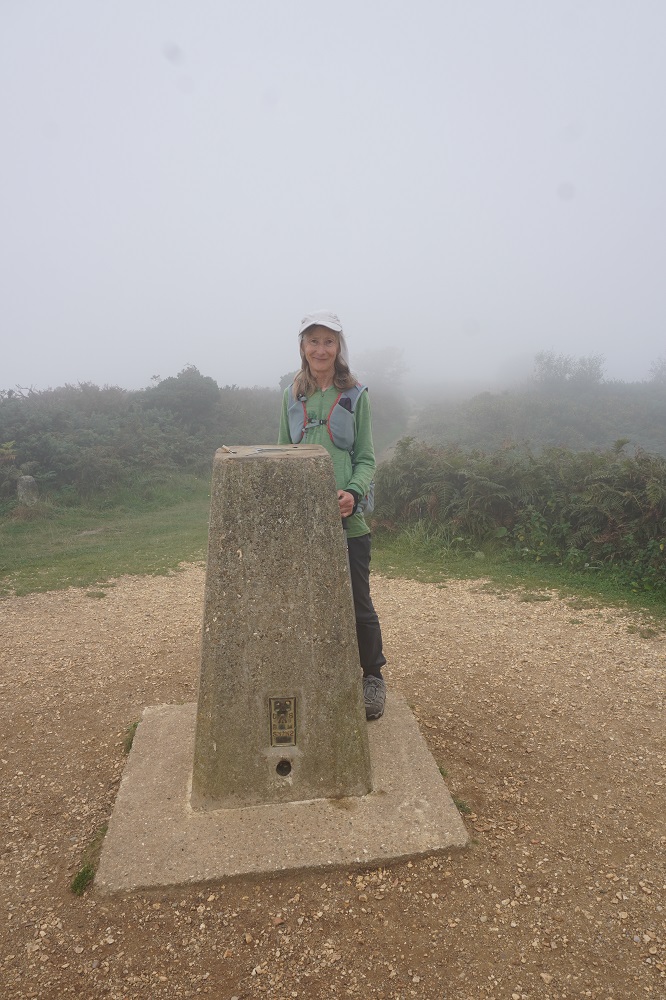
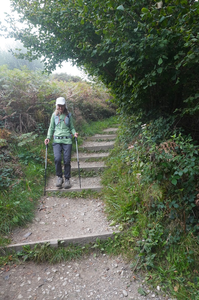
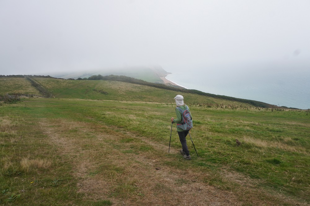
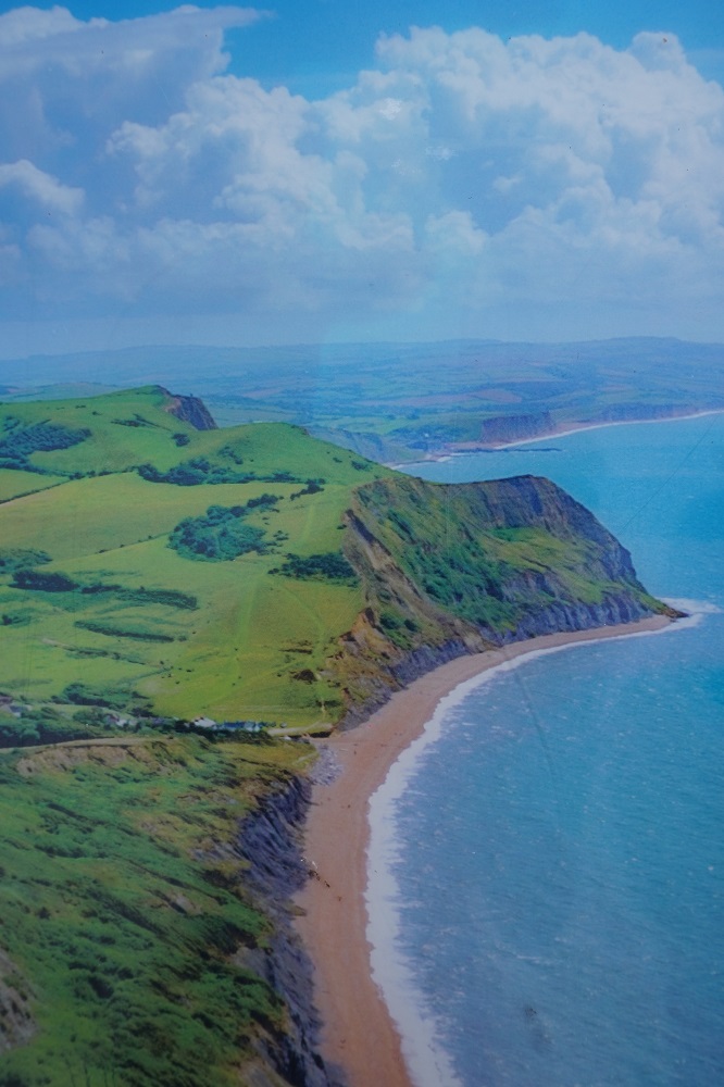
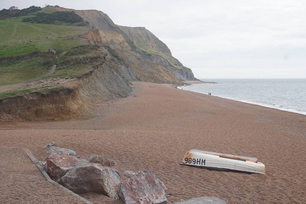
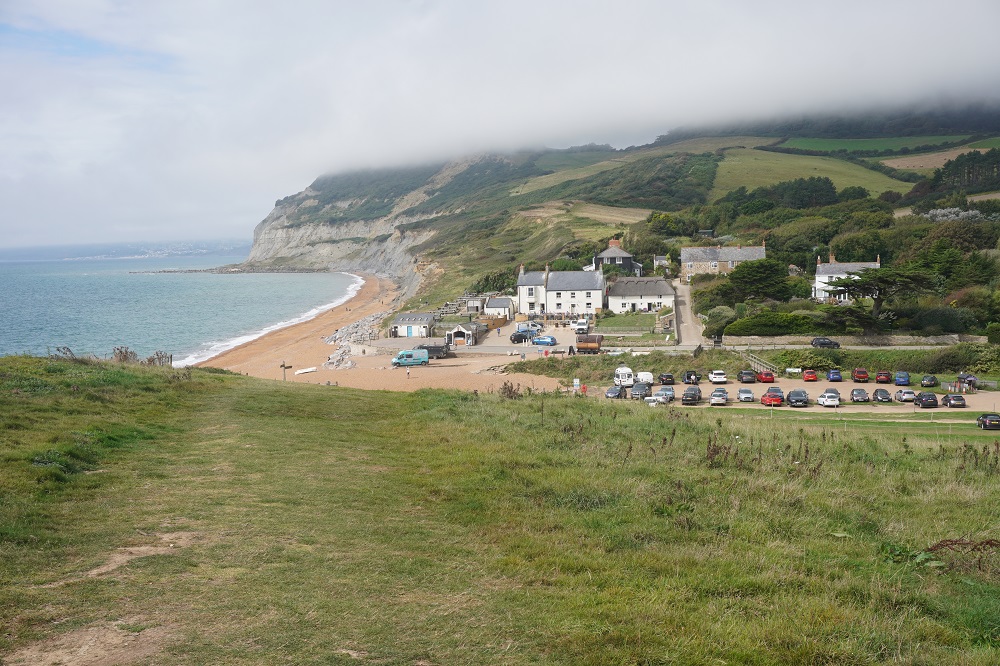
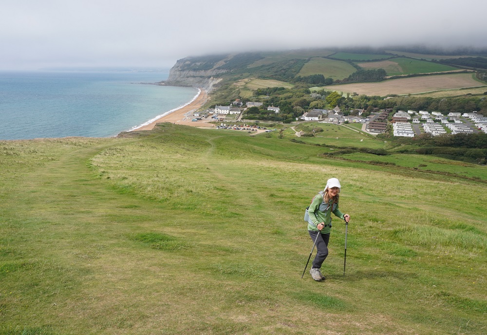
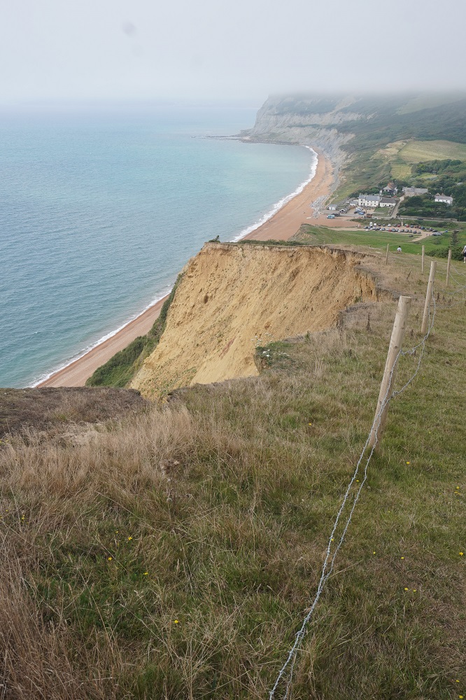
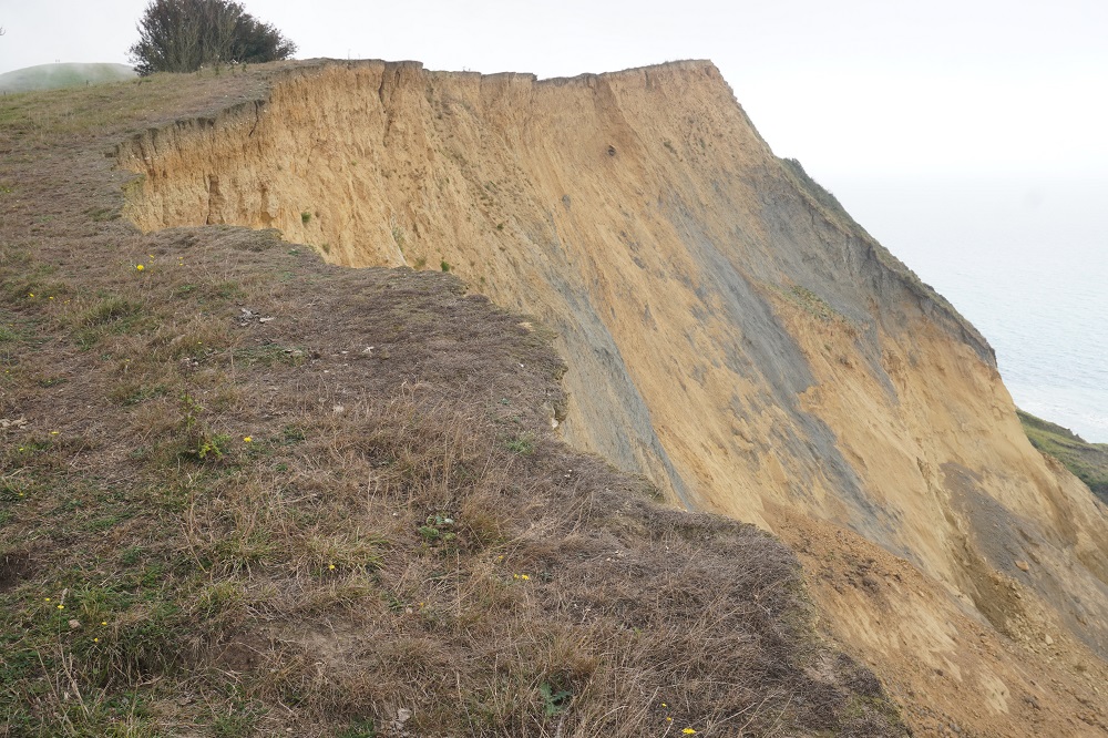
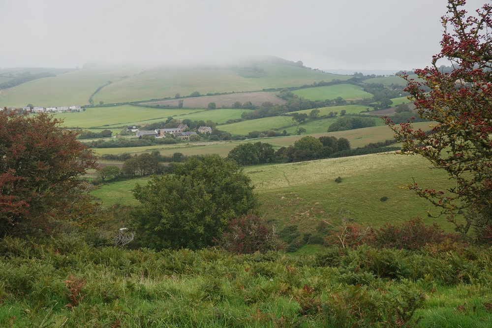
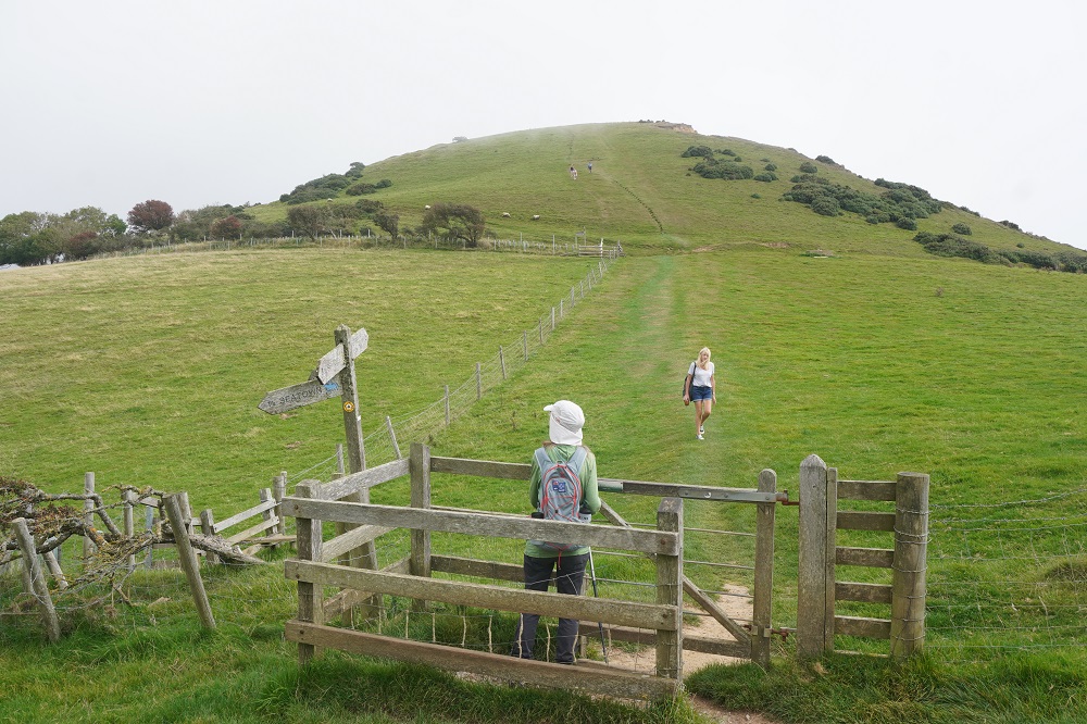
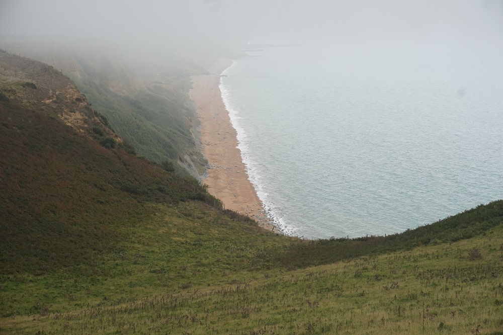
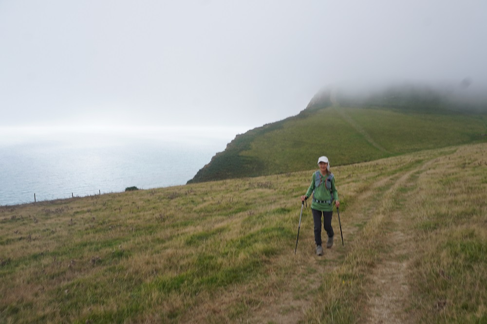
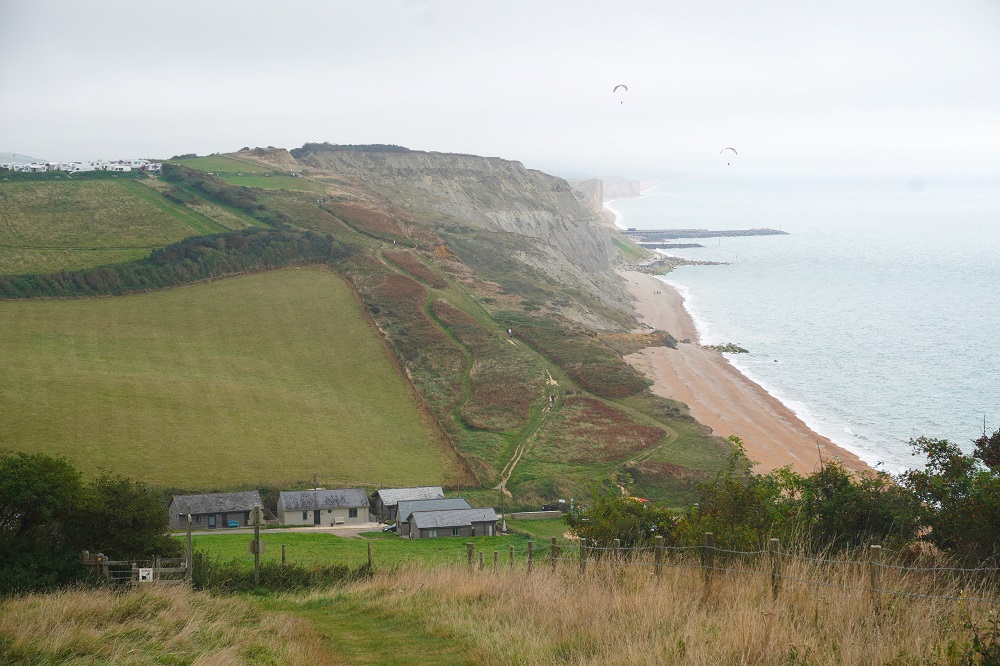
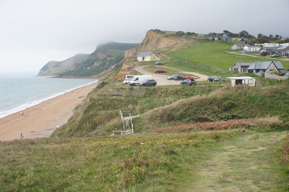
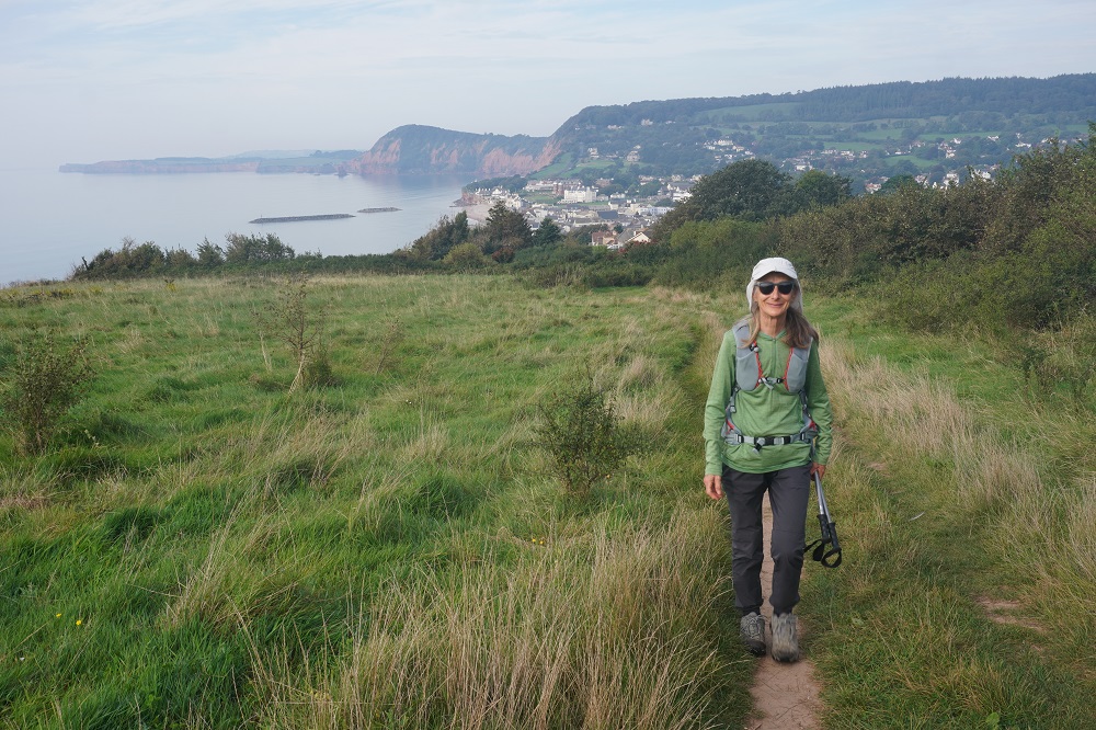
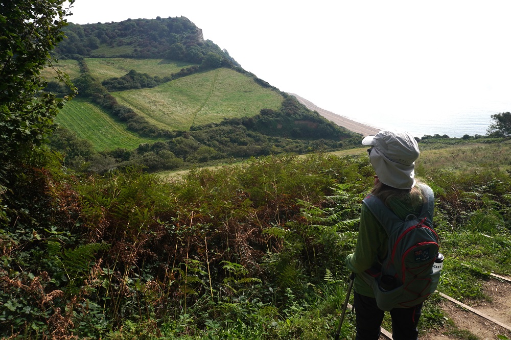
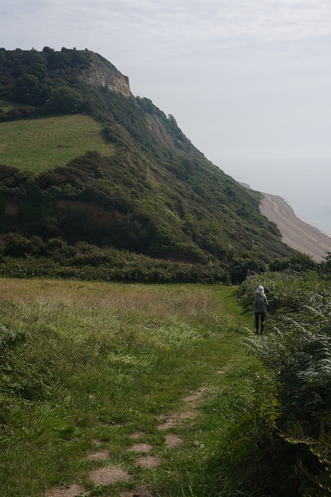
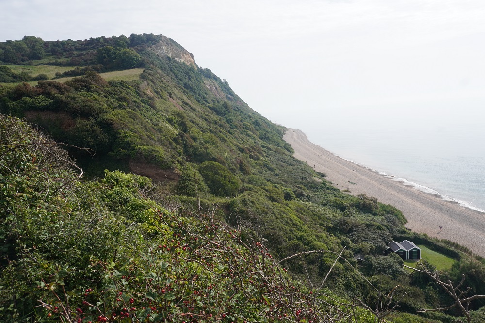
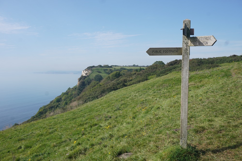
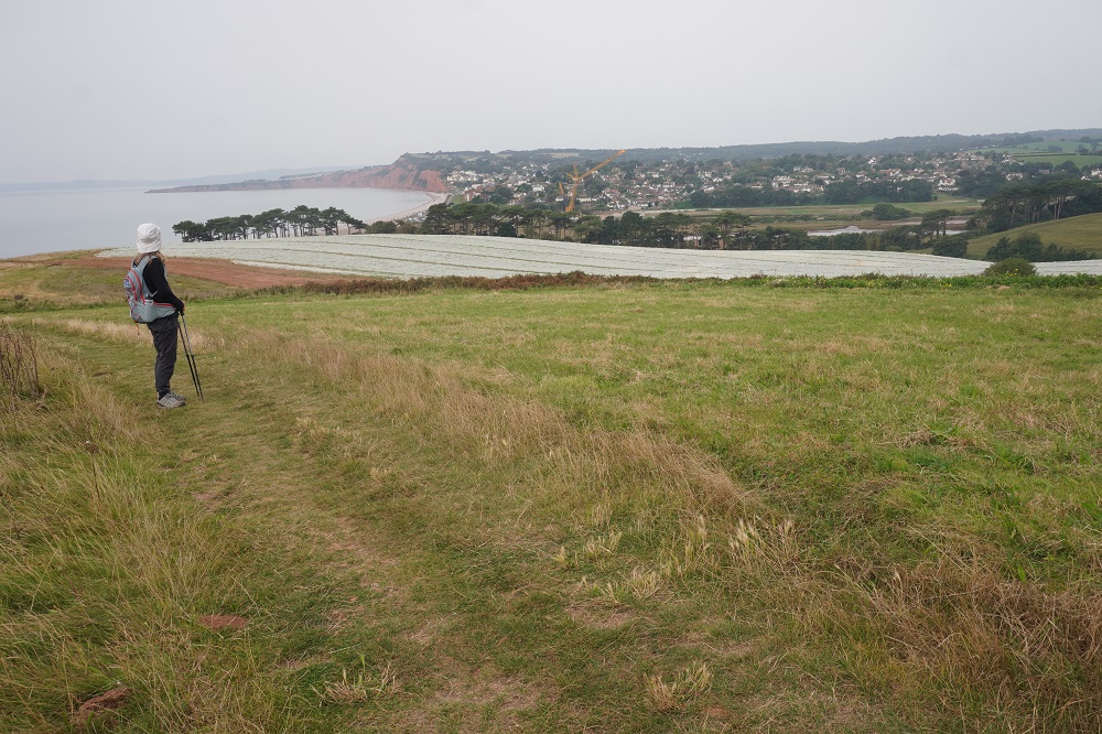
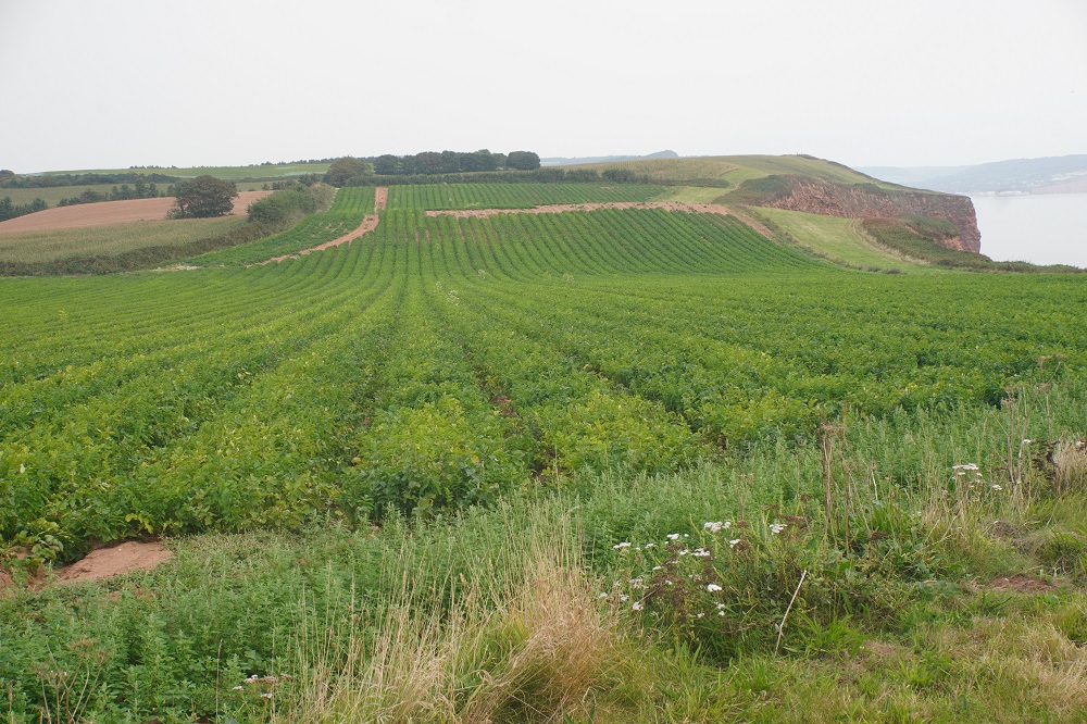
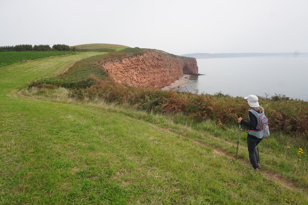
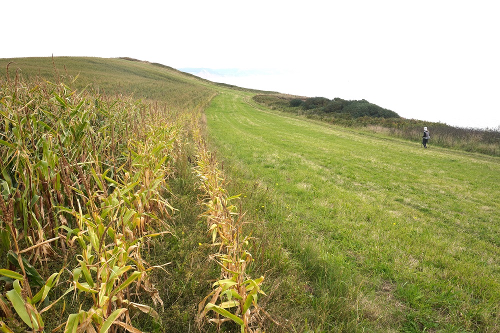
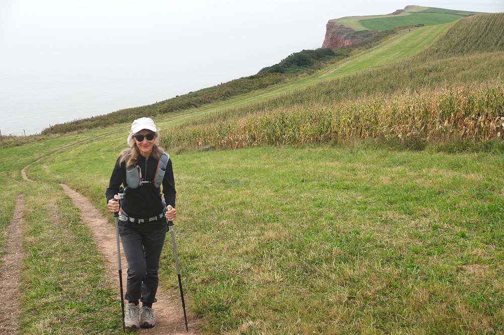
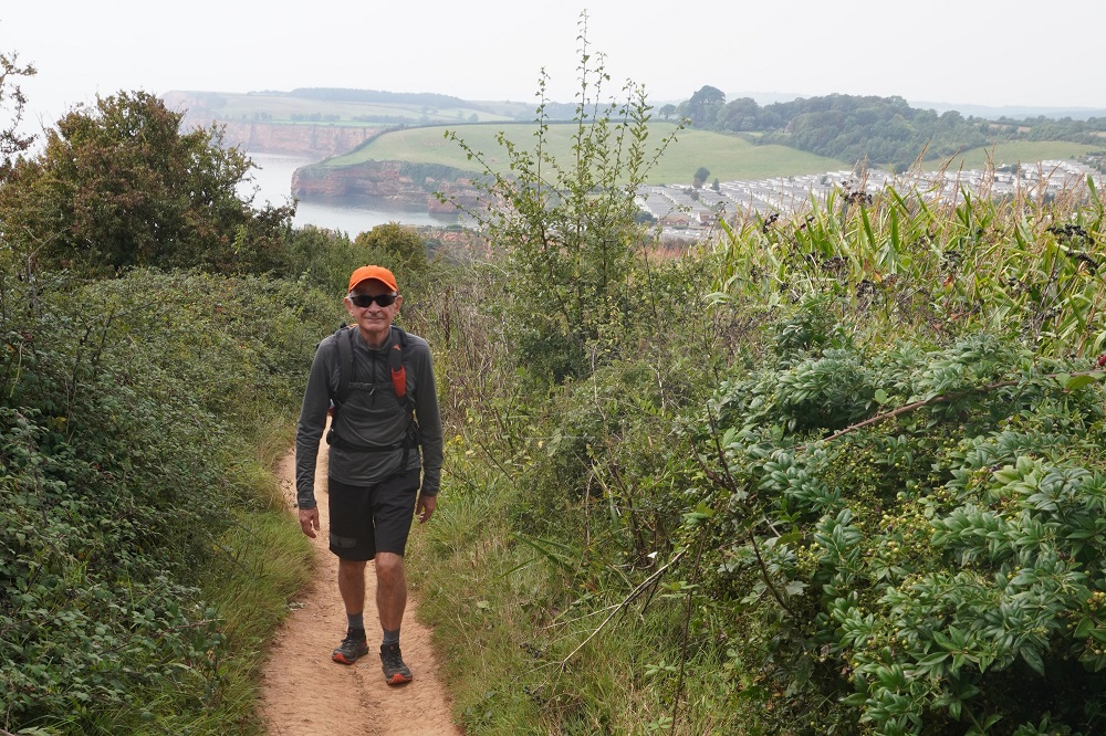
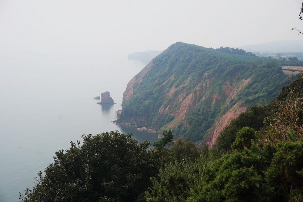
Golden Cap is the highest point on all the south coast of England at 197m. Not the highest point on the South West Coast Path. This record is held by Great Hangman at 318m but this is on the west coast and we climbed it in 2019. We were promised spectacular views from Golden Cap to the east but we saw zilch, nada, nothing. All morning as we approached we could see the top of Golden Cap covered in cloud and at the top it was white out. A bit disappointing and a bit like the “spectacular” views we regularly missed out on in Ireland. However the climb up and down was great and had the heart and lungs really working.  We have pretty good aerobic fitness with all our cycling, especially cycling over Paekakariki Hill most Fridays. The name Golden Cap derives from the distinctive outcropping of golden greensand rock present at the very top of the cliff.

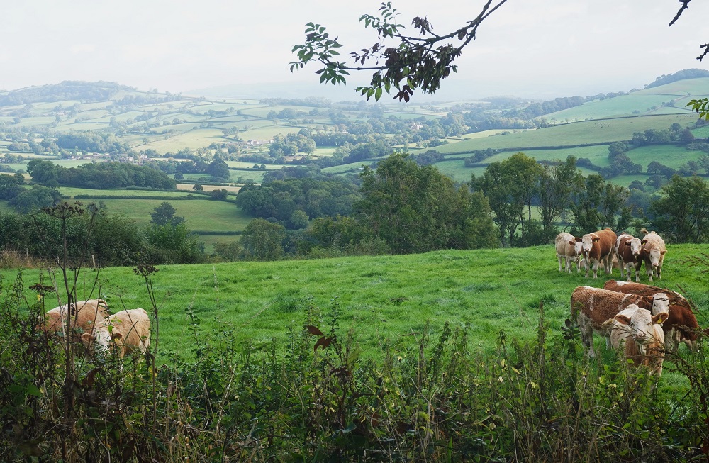
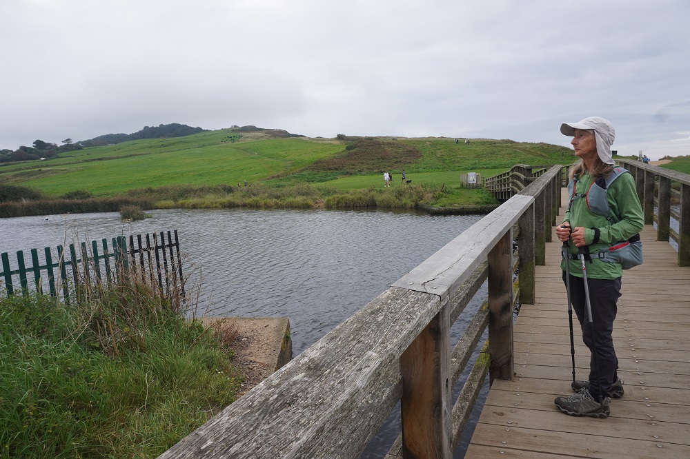
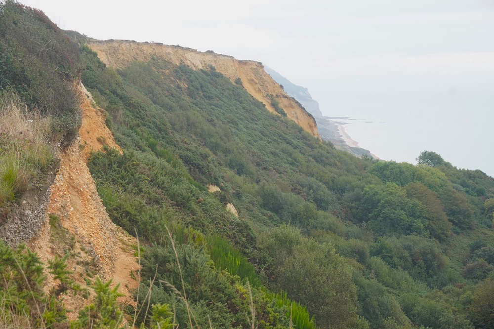
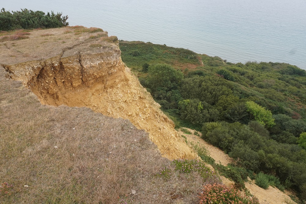
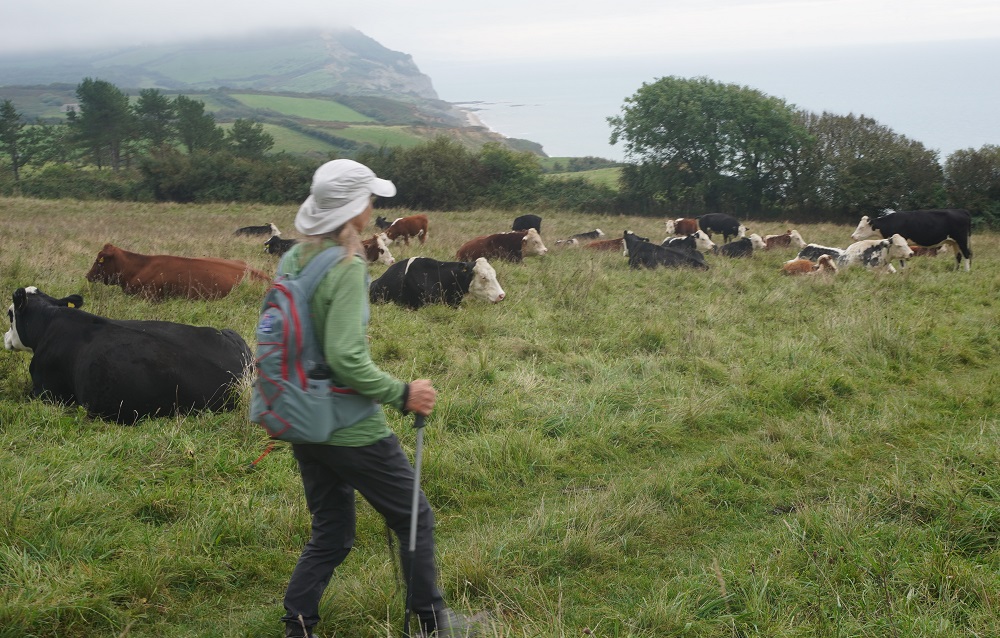
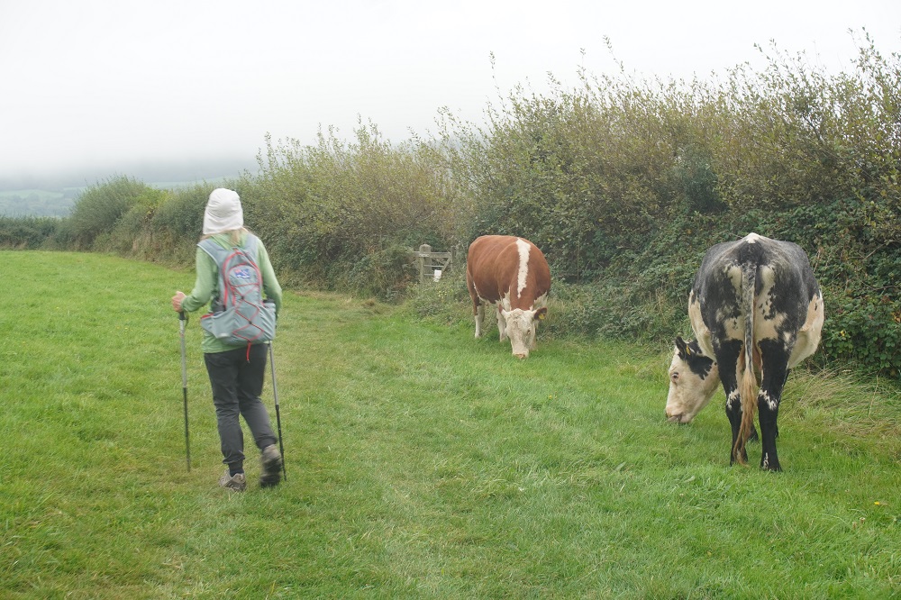
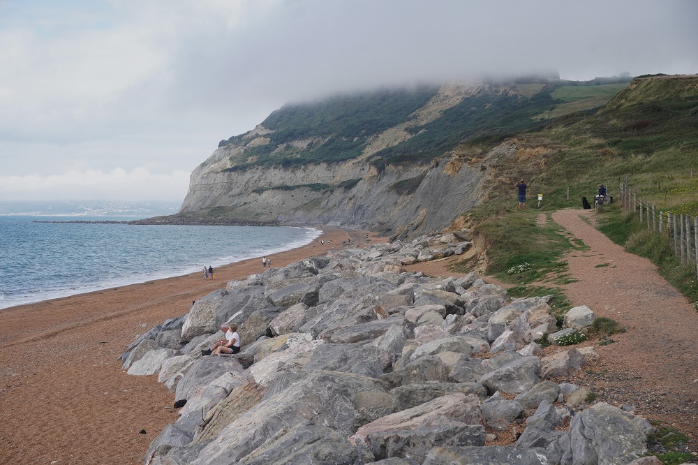
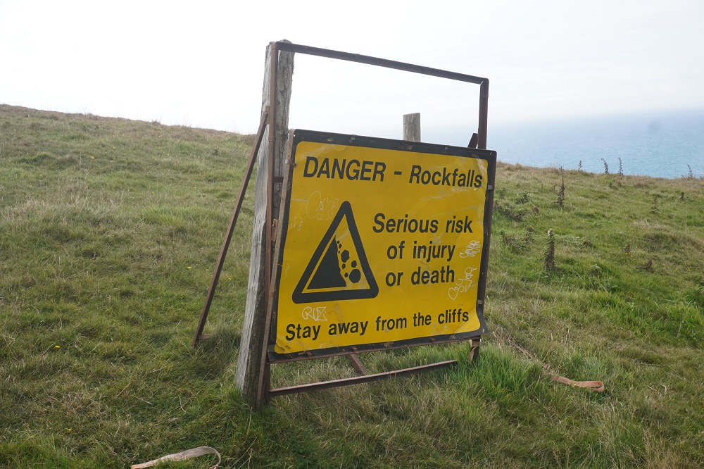
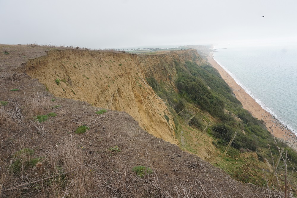
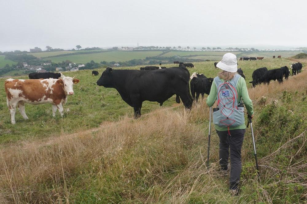
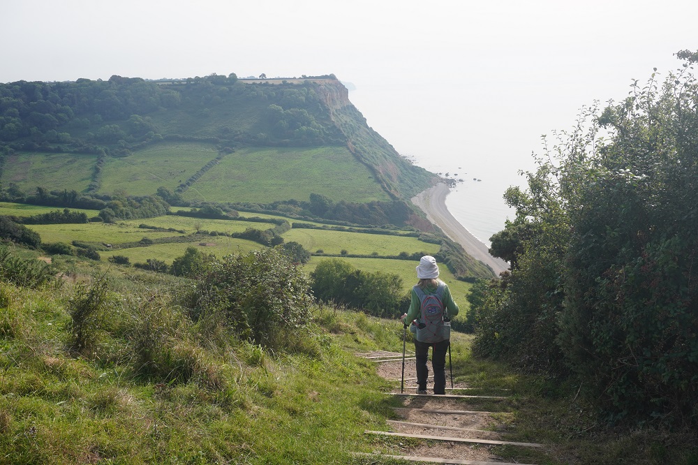
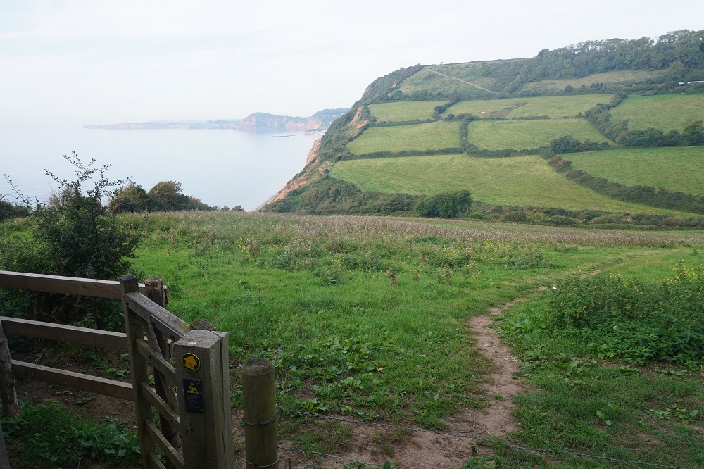
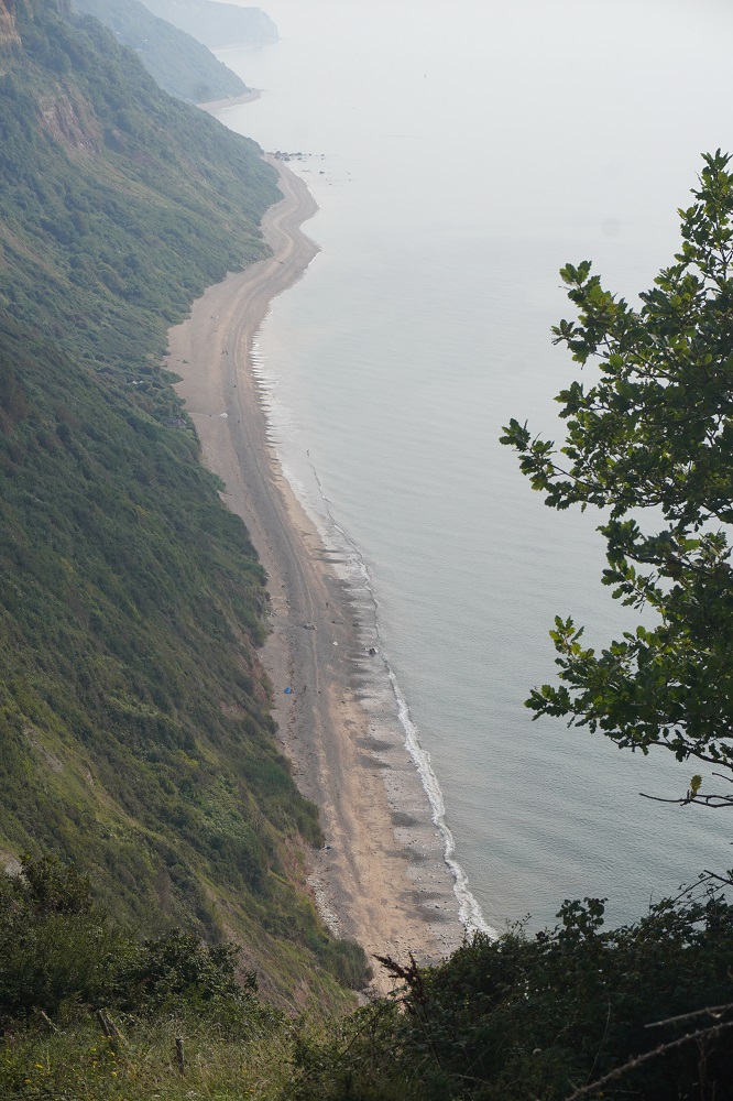
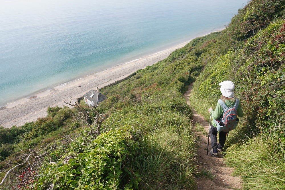
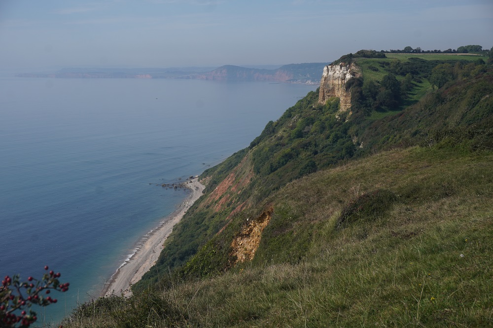
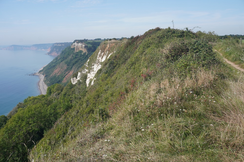
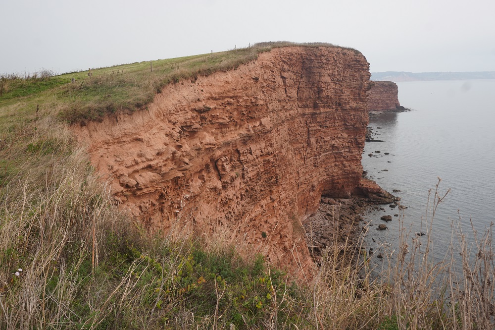
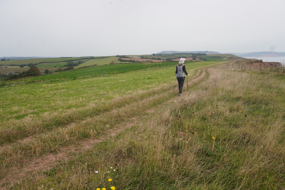
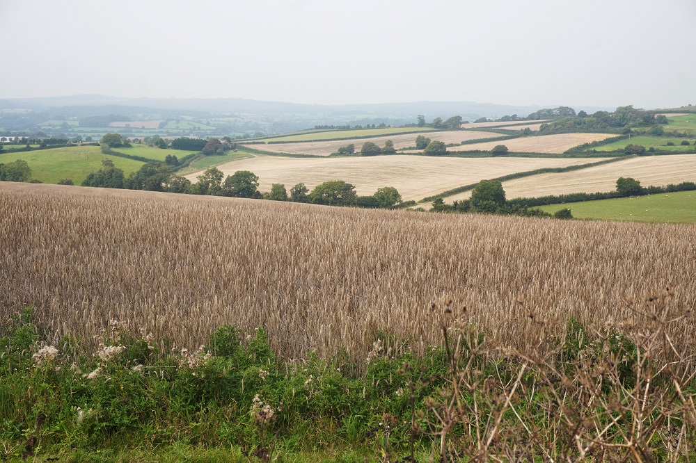
The path was kept well back from the cliff edge with dozens of warning signs and lengths of the edge roped off. I went close a couple of times and you could see massive landslides and vertical drops all the way down to the water. From Seatown to West Bay a further roller coaster of steep and high cliffs but also nice views inland over farm land. We also passed through several fields of sheep and cows. Being city slickers we are always a bit nervous around cattle having been “crowded” by herds of steers in the past.

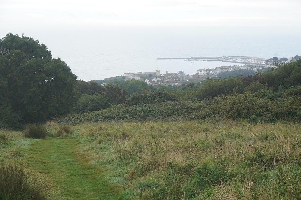
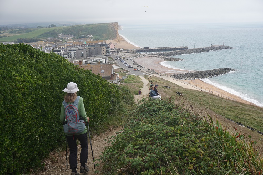
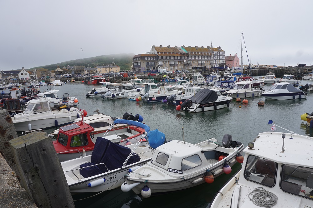
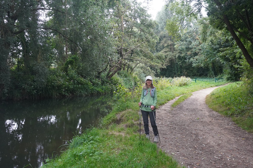
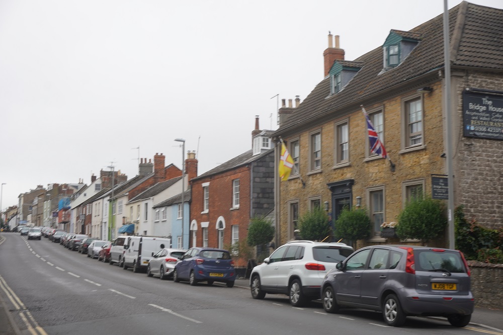
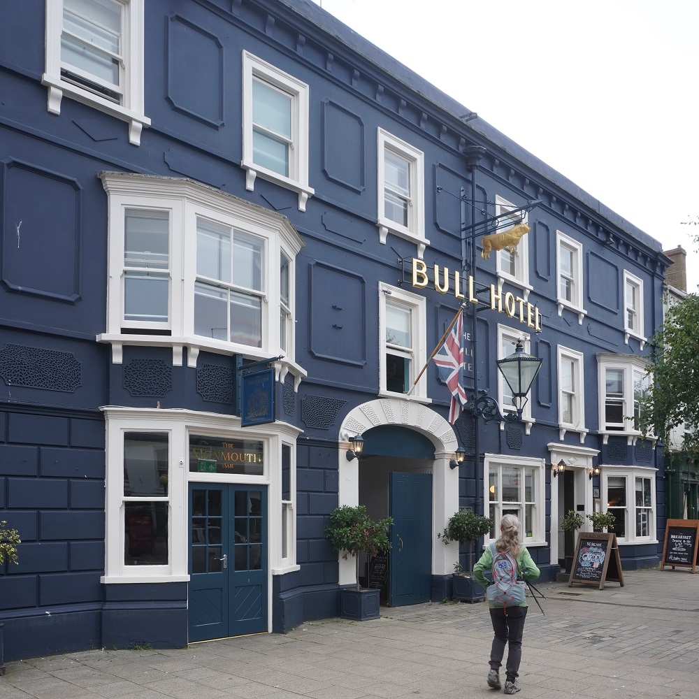
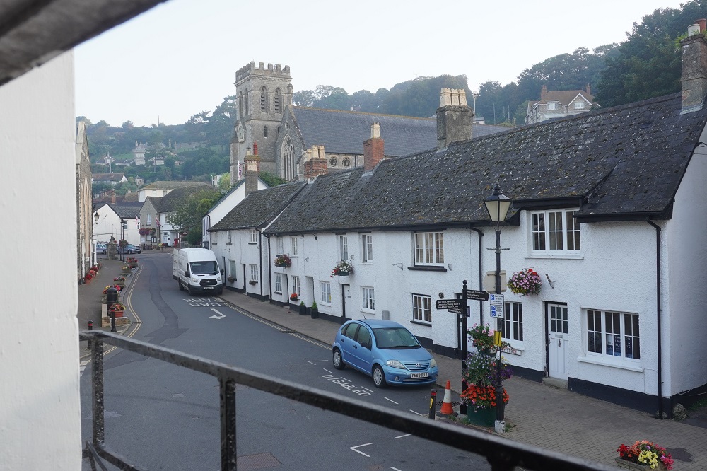
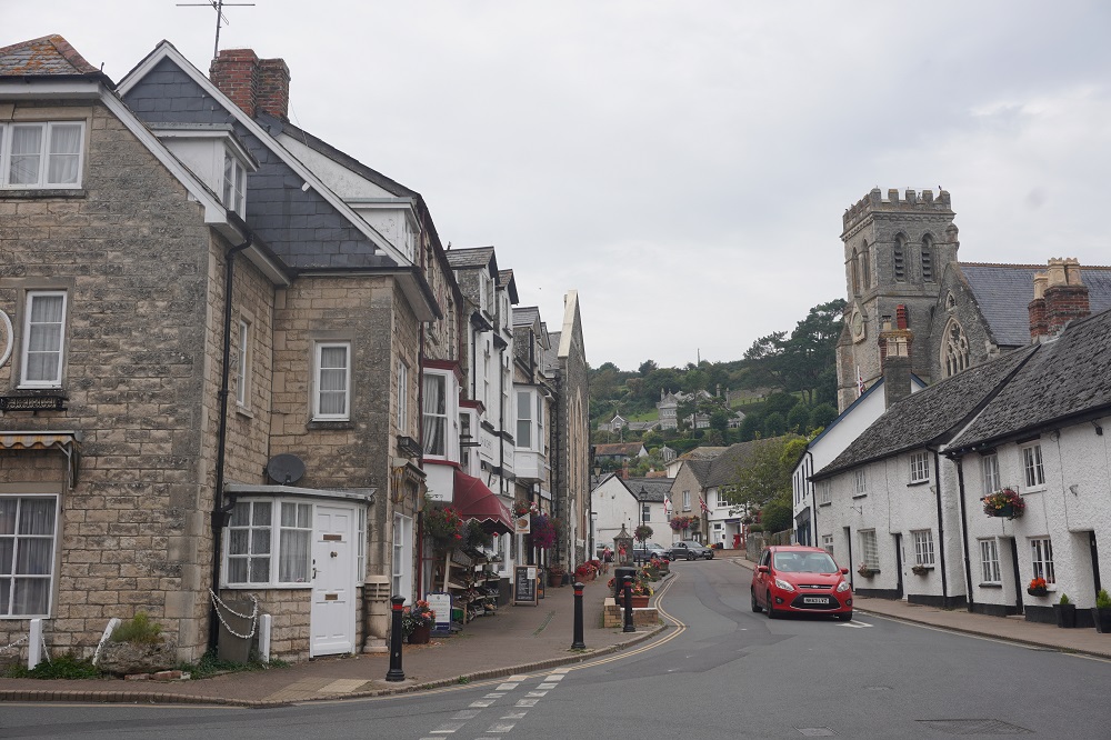
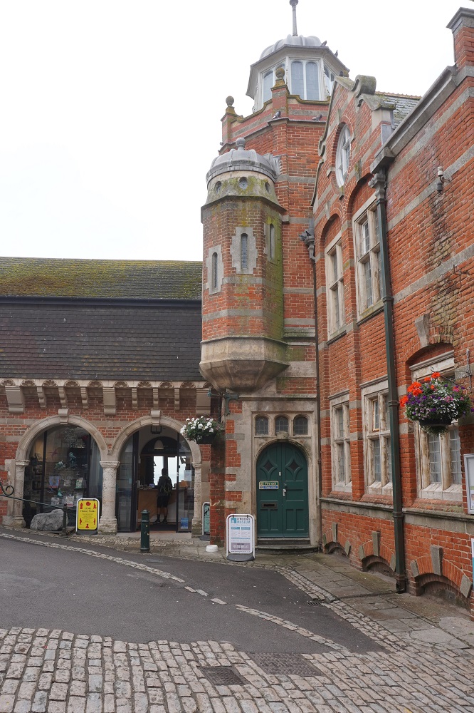
We don’t much like the day to end like it did today. At West Bay we left the Coast Path and trudged 3.5 km inland up the River Brit which became the River Asker to the village of Bridport. It was a pleasant walk on a public footpath well away from traffic but it adds 3.5 kms today and another 3.5 kms tomorrow morning back to the path at West Bay. And none of these extra kms count in completing the South West Coast Path. However The Bull Hotel in Bridport is superb and we only have to go downstairs for a meal.
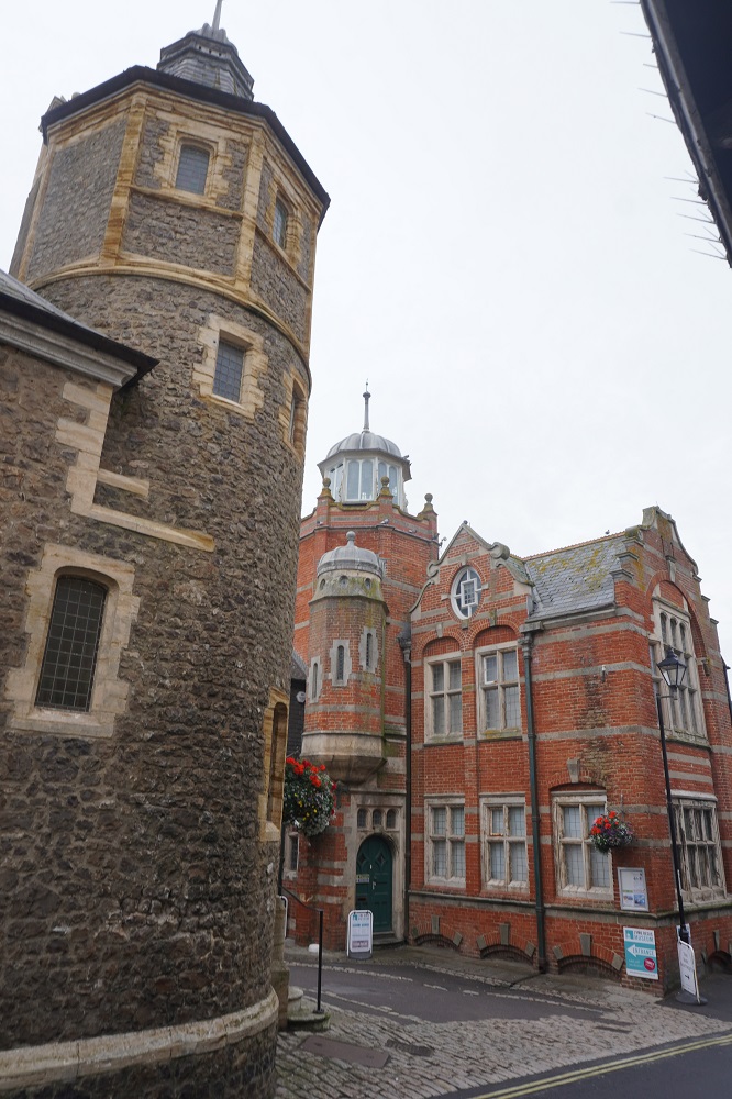
Historically Bridport was the port but over time as boats got bigger and the River Brit silted up a new port was built on the coast at what was originally called Bridport Harbour but when the railway came, in an early example of rebranding, the name was changed to West Bay.
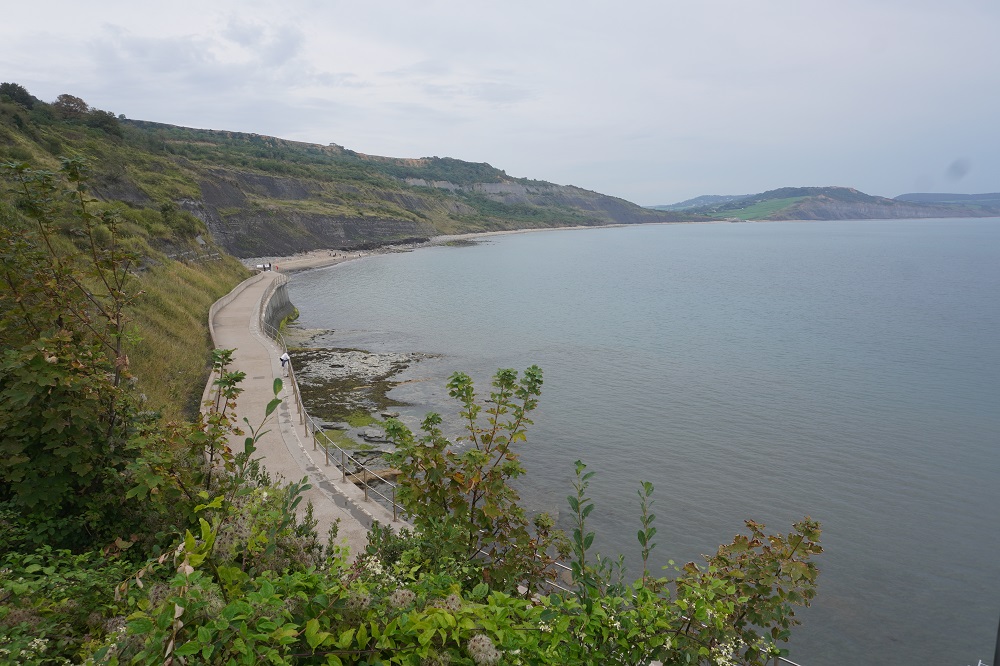
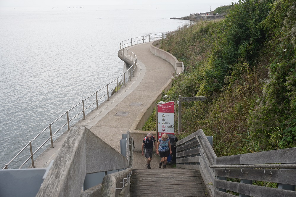
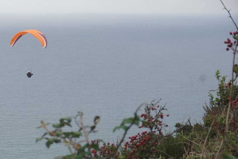
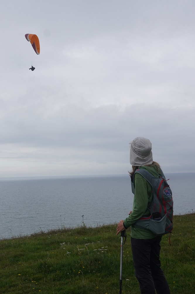
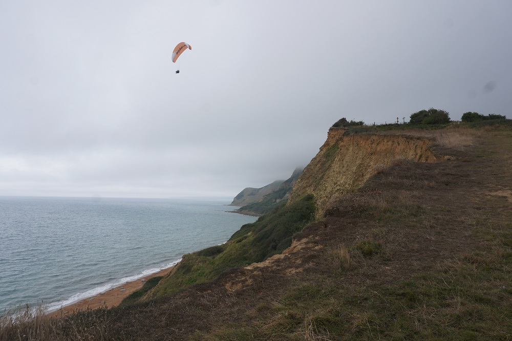
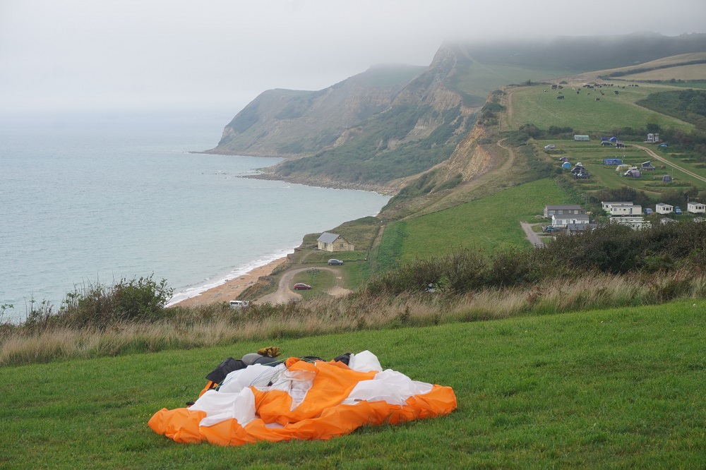
It was much cooler today, maybe up to 20° and with a nice breeze coming in off the sea. As well as the usual sea birds we were accompanied by paragliders today. They had a take off point on a plateau above Eype Mouth and were able to soar for miles and miles on the updrafts at the cliffs.

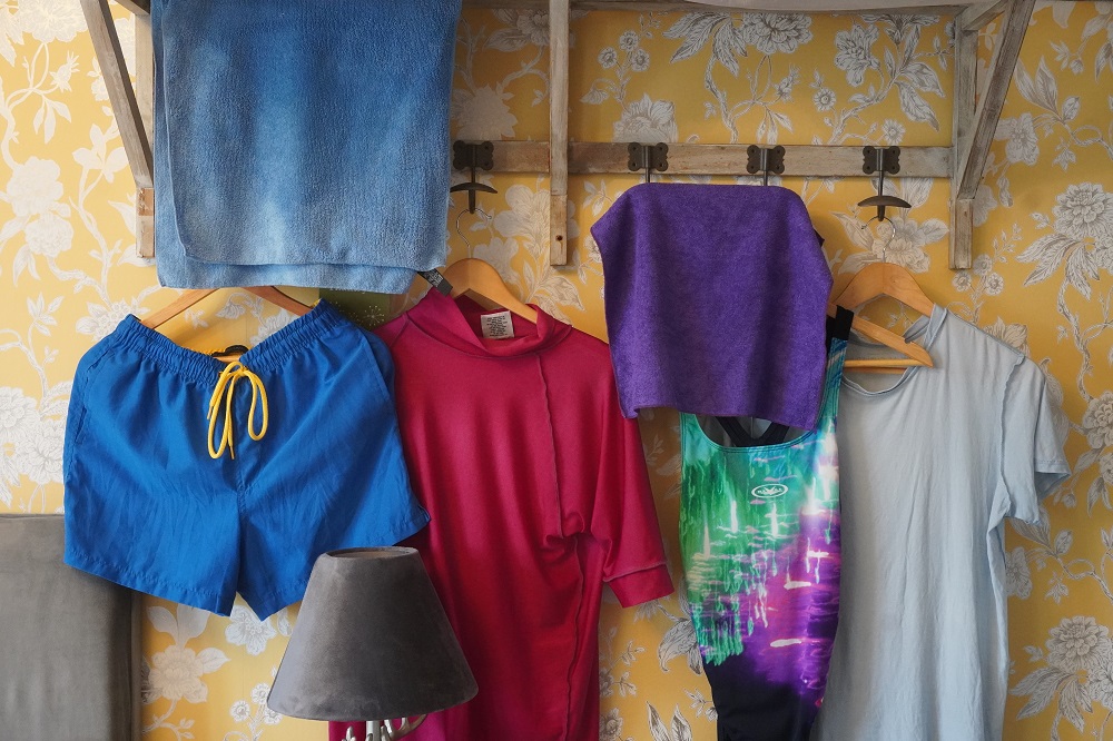
Fans of classic television comedies may want to stand on the beach at West Bay and take all their clothes off and walk into the sea in homage to the memorable opening scene  from The Life and Times of Reginald Perrin, which was shot here. We didn’t do this today, maybe when we go back down the West Bay in the morning.

She sells sea shells on the sea shore

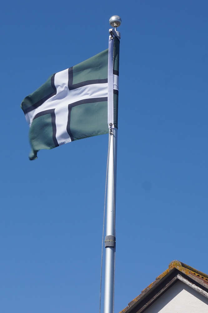
Without realising it near the end of yesterday’s walk we crossed from Devon into Dorset. This is the last of the four Counties that make up the South West Coast Path: Somerset, Devon (twice), Cornwall and Dorset. There was absolutely nothing to indicate we had crossed a county line. We will now have to look out for a Dorset Flag

Long ago Lyme Regis was just plain Lyme. In 1284 King Edward I granted the town a royal charter and so the term “Regis” was added – “regis” merely signifying that it has some sort of royal endorsement or connection. There are 19 towns in England with regis added to their name. Lyme Regis is sometimes called The Pearl of Dorset, this is what alerted us to the fact that we were now in Dorset.
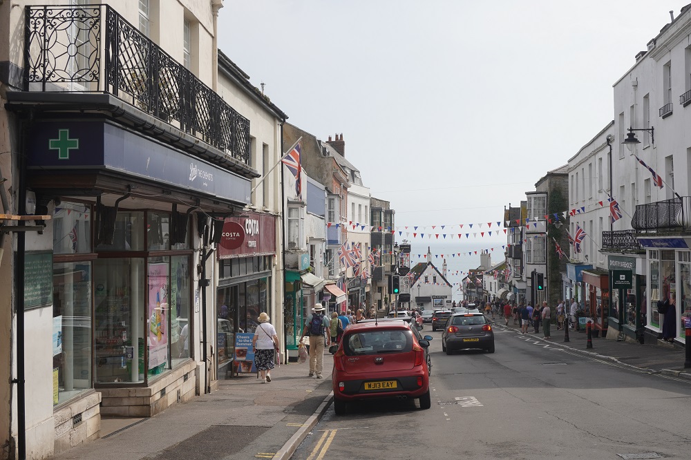
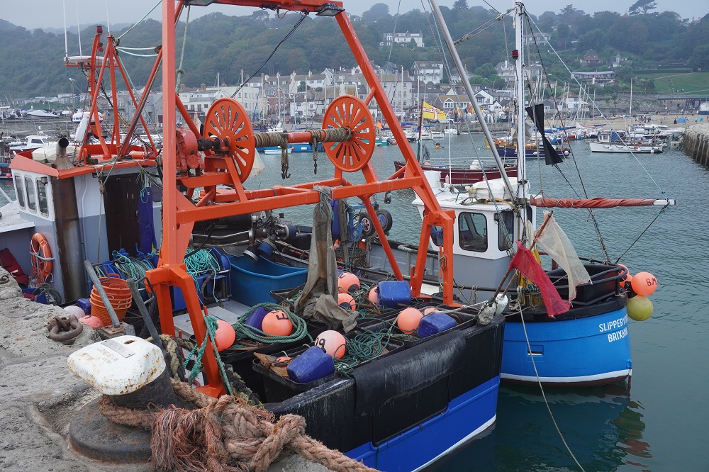
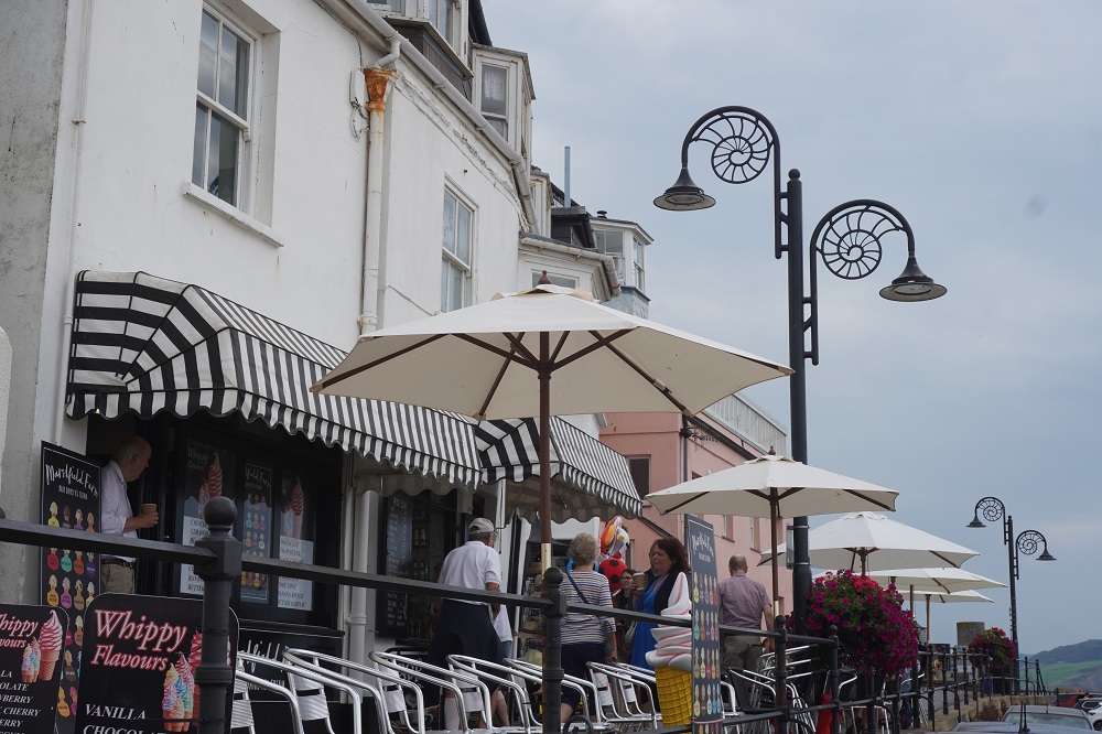
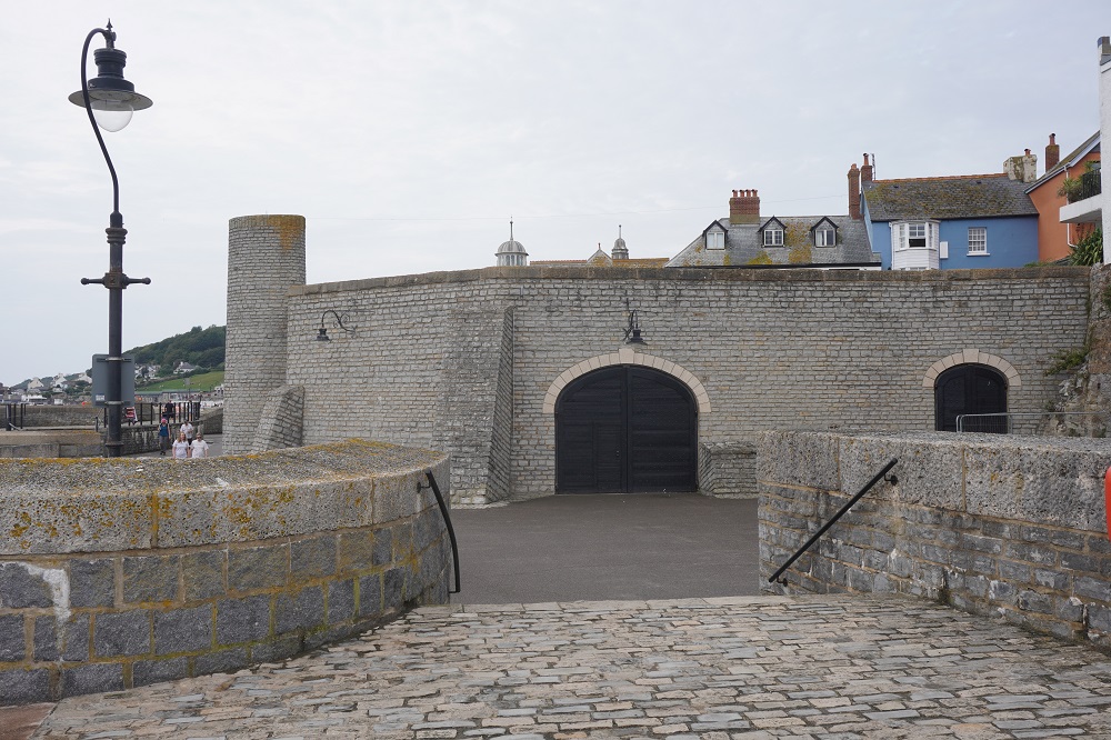
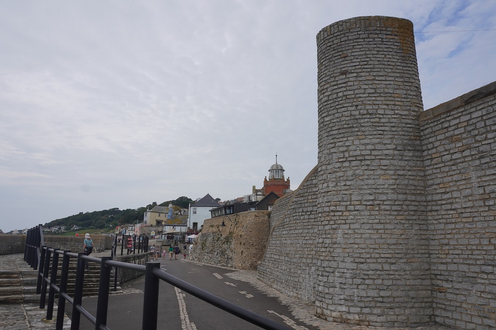
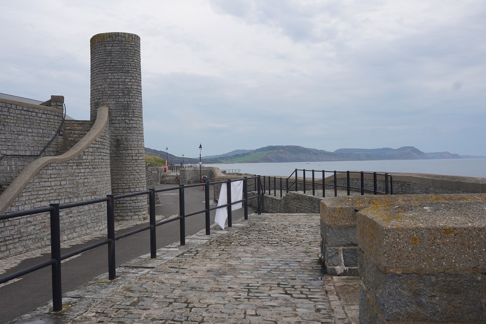
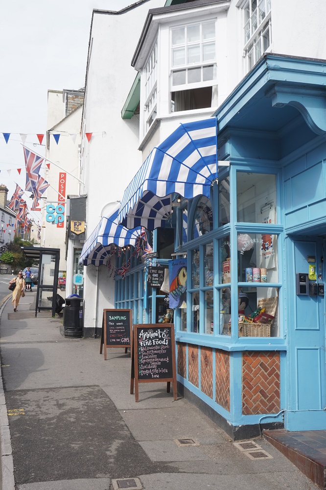
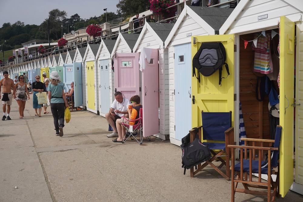
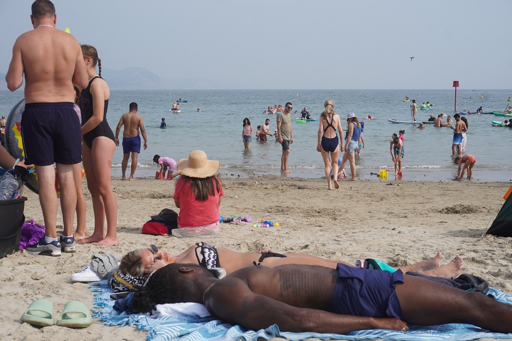
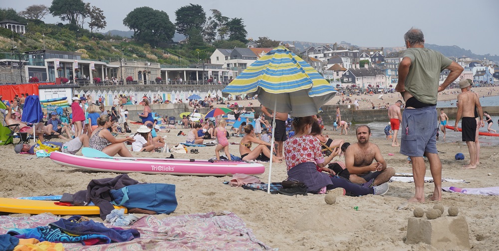
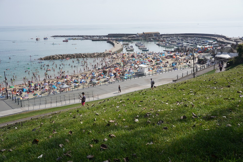
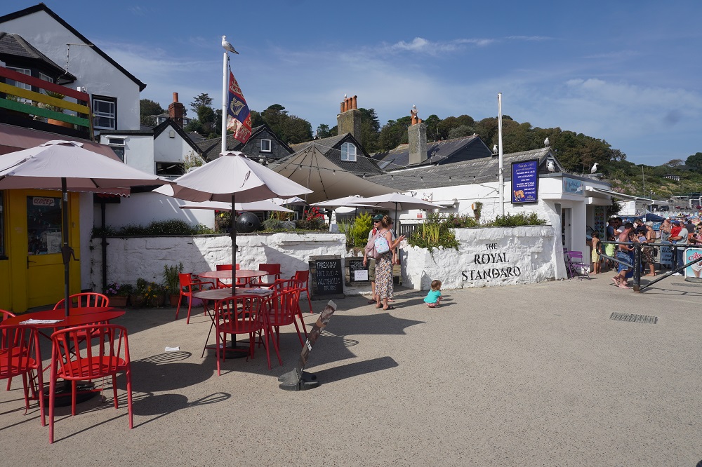
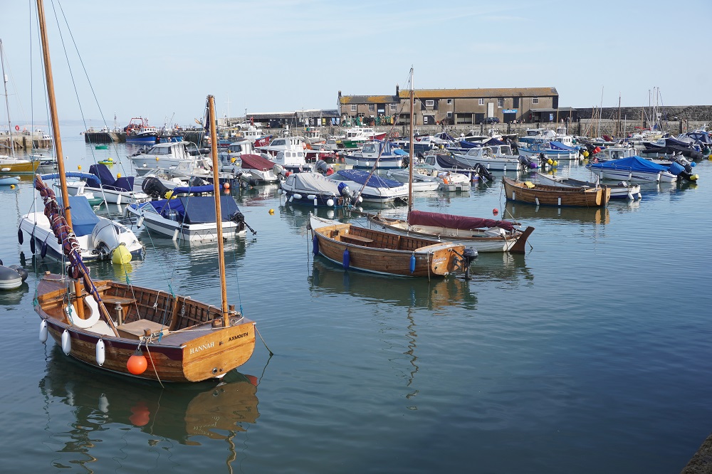
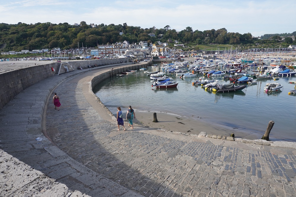
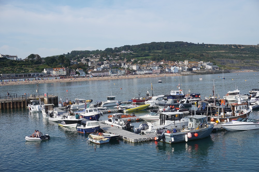
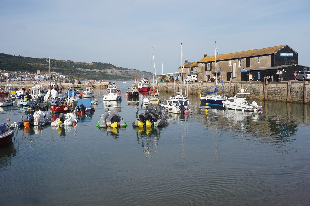
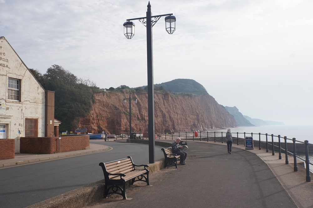
It was a bit of a shock entering Lyme Regis yesterday. For four hours we had been walking through the Undercliffs in an English “jungle”. Very still with only the song of the many birds. We met very few people and it was very peaceful. Suddenly you entered a jammed car park with many cars cruising around looking for a spot and you were looking down on The Cobb, the beach and boat harbour of Lyme Regis. A seething mass of humanity. It looked like every inch of sand was occupied and the noise was incredible. The promenade was full of minimally clad over-weight people and there were chip shops, ice cream parlours, fresh fish shops, cafes and bars everywhere. We felt like retreating to the serenity of the Undercliffs. The Cobb is a curved stone sea wall constructed in the thirteenth century to protect the fishing boats in the harbour. The Cobb is famously featured in Jane Austen’s novel Persuasion, and for film buffs in John Fowles book and movie The French Lieutenant’s Woman, starring Jeremy Irons and the fabulous Meryl Streep.

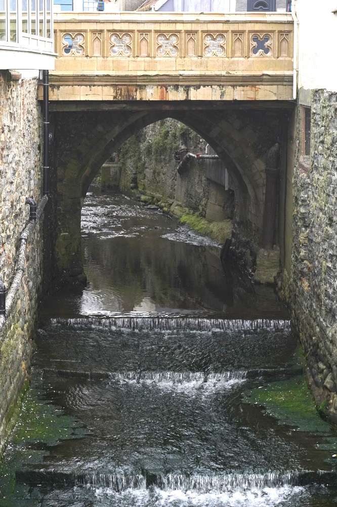
Lyme Regis is nestled on the banks of the River Lim with yesterday’s walk The Undercliffs National Nature Reserve to the west and tomorrow’s walk the fossil- rich Blue Lias cliffs to the east. Today we have a “rest” day in Lyme Regis and boy do we need it.

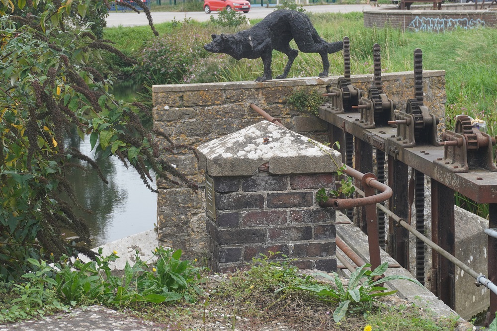
Those of us of a certain age, ie old, will remember books, films and tv shows about Lassie a collie dog who saved hapless humans from the bottom of wells/cliff faces/disused mine shafts etc, usually by barking at her owner who somehow managed to understand exactly what the problem was and help Lassie to effect a rescue in the nick of time. Local legend has it that the collie was based on a real life rough-haired crossbreed whose owner was the landlord of a Lyme Regis Inn. In WWI a battleship was torpedoed off the South Coast of Devon with the loss of many lives. Eventually a life raft washed up at Lyme Regis and it was thought all those inside were dead. However the curious crossbreed licked one of the supposed cadavers which responded and the occupants of the life raft were revived.

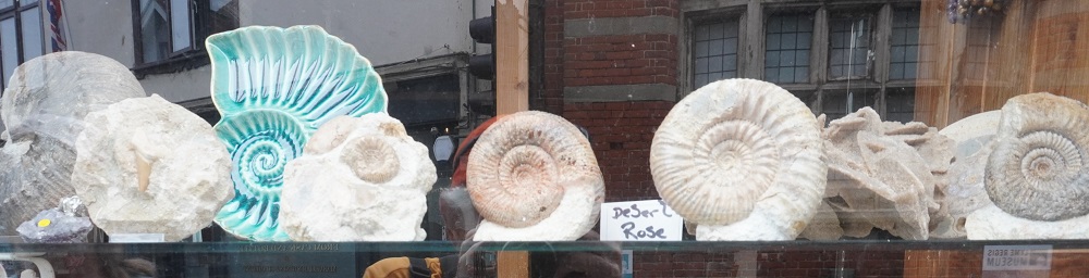
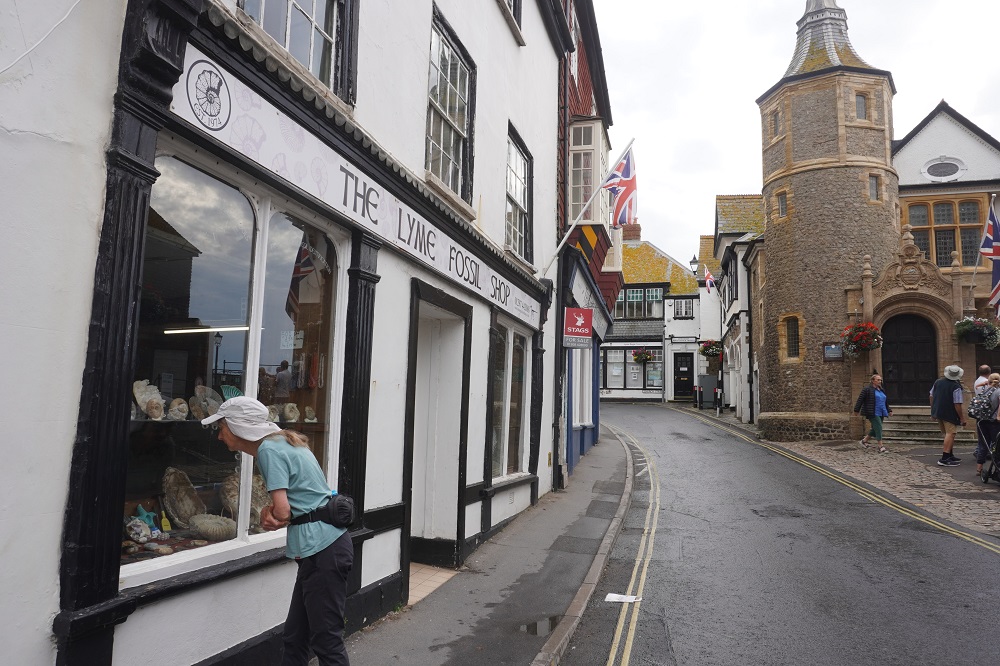
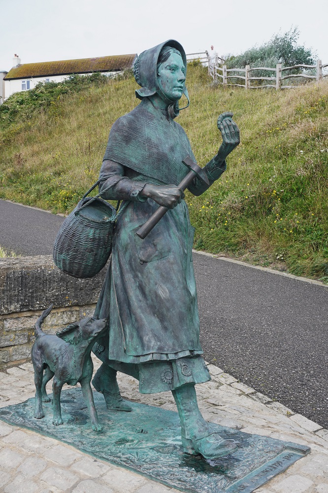
Perhaps the most famous daughter of Lyme Regis is Mary Anning who rose from a poor and uneducated background to become one of the world’s leading and most revered fossil collectors and palaeontologists. She was introduced to fossil hunting by her father who unfortunately died at an early age. She had an extraordinary ability to make significant discoveries and her increasing knowledge on the subject coincided with the 19th century’s fledgling obsession with geology and evolution. Mary collected her fossils along the cliffs that surround Lyme Regis. In 1811 at the age of 12 she unearthed a 17 ft long ichthyosaurus (fish lizard) the skull of which is today in the Natural History Museum in London. Mary’s reputation grew with each new discovery. She discovered a complete plesiosaurus (near lizard) and the first pterodactyl skeleton found outside of Germany. She opened Anning’s Fossil Depot and geologists from around the world visited her and bought her finds. Unfortunately the great social inequality of the time meant that a woman of her background was never going to be given the plaudits she deserved and many of her finds were credited to male palaeontologists who had purchased the items from her. At long last in 2010 she was included in the list of the 10 British women who have most influenced science. She is thought to be the inspiration for the tongue twister: She sells sea shells on the sea shore.

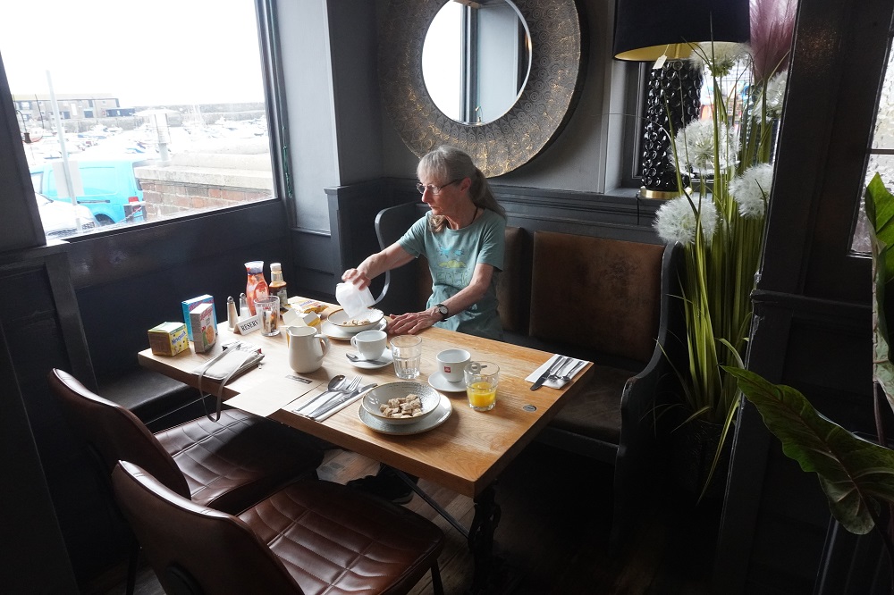
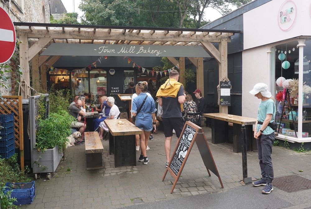
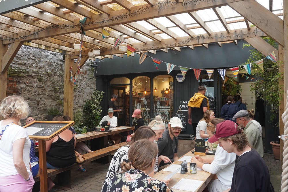
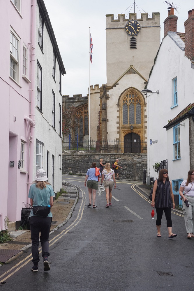
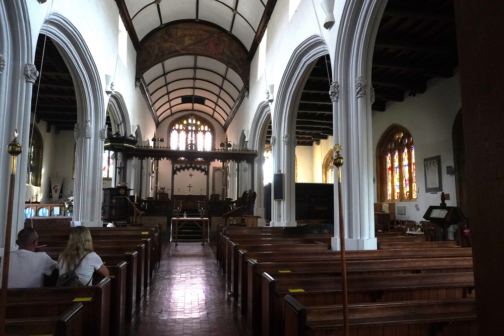
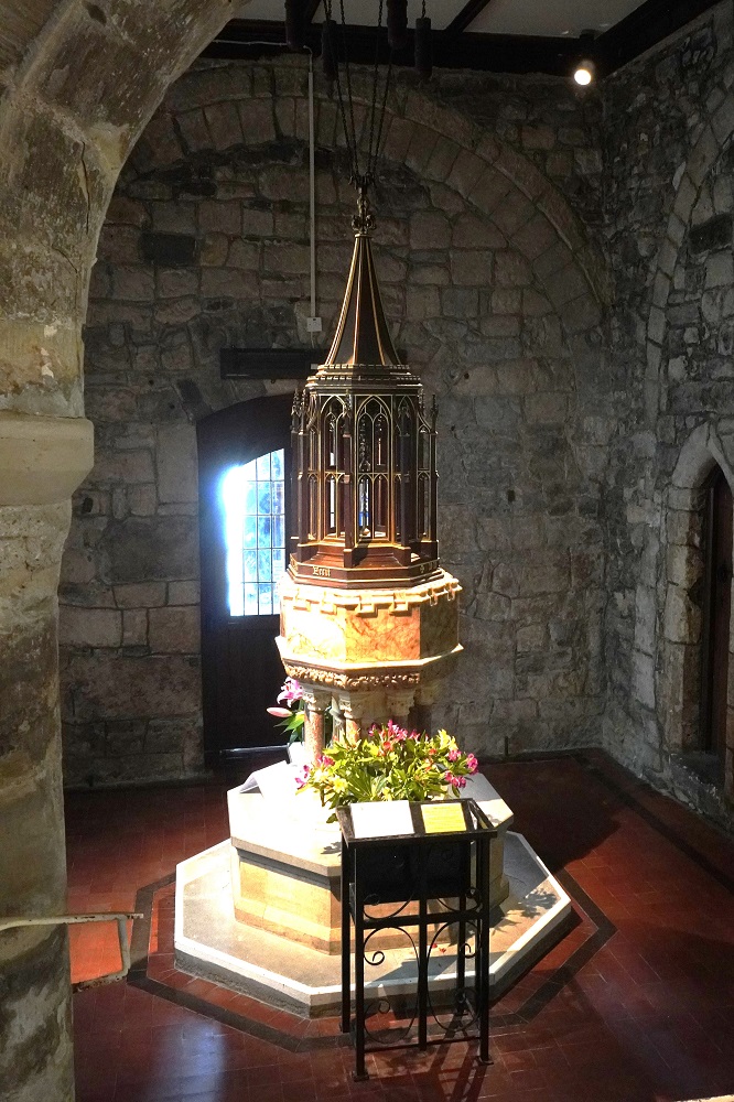
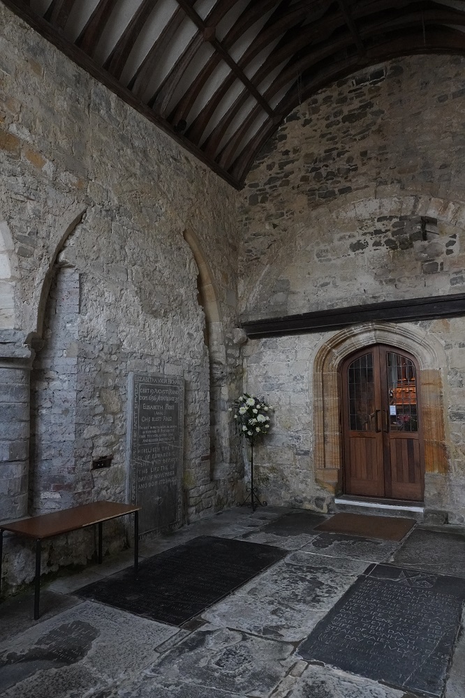
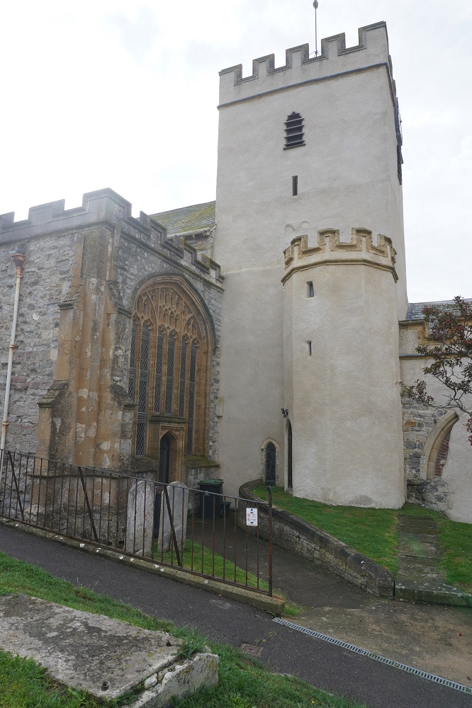
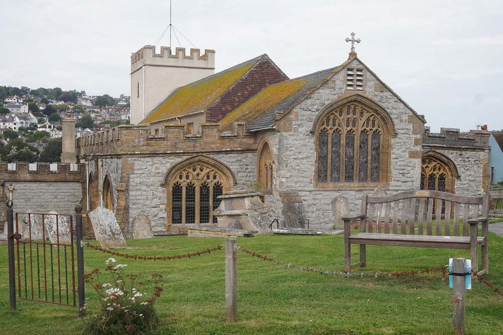
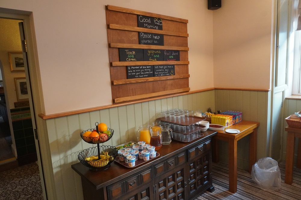
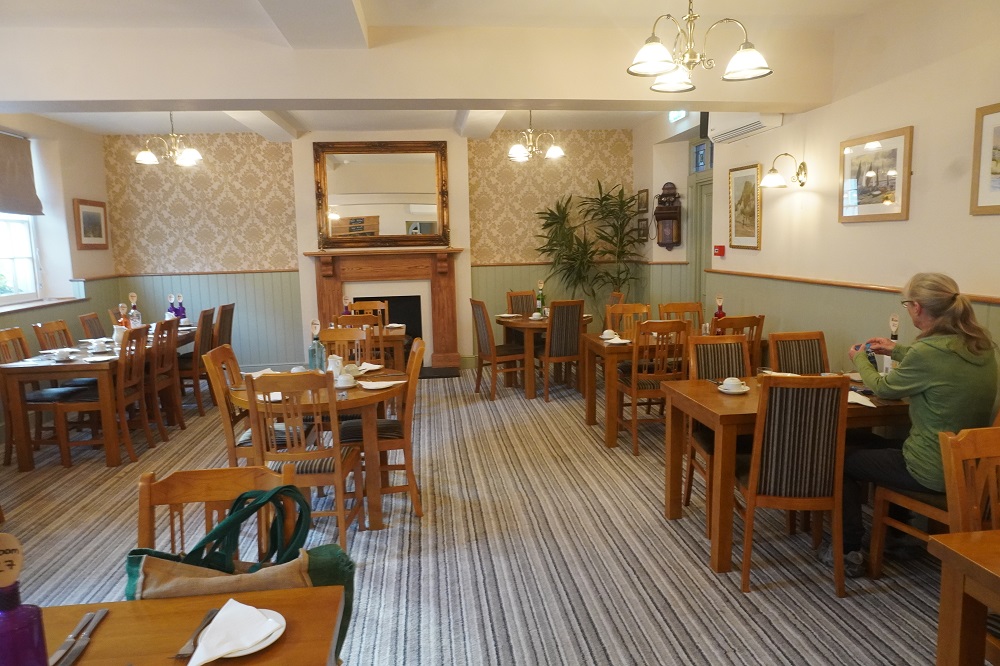
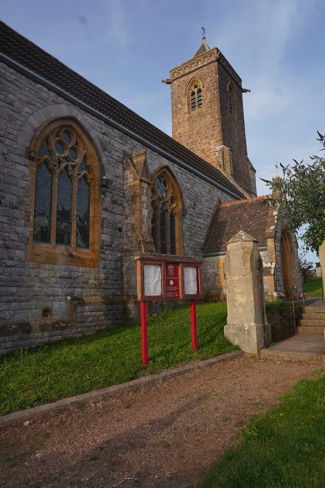
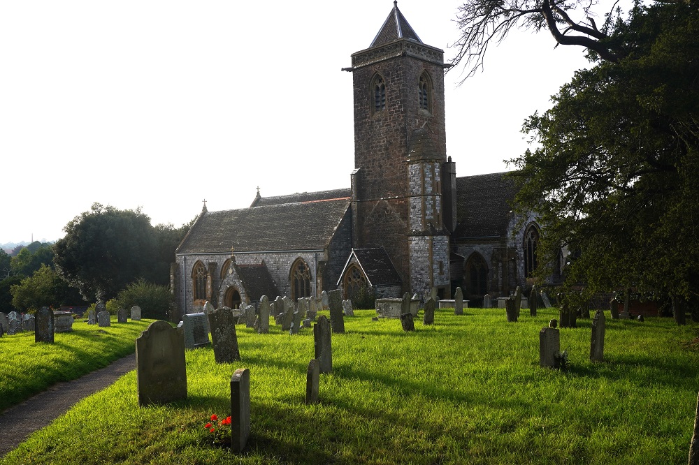
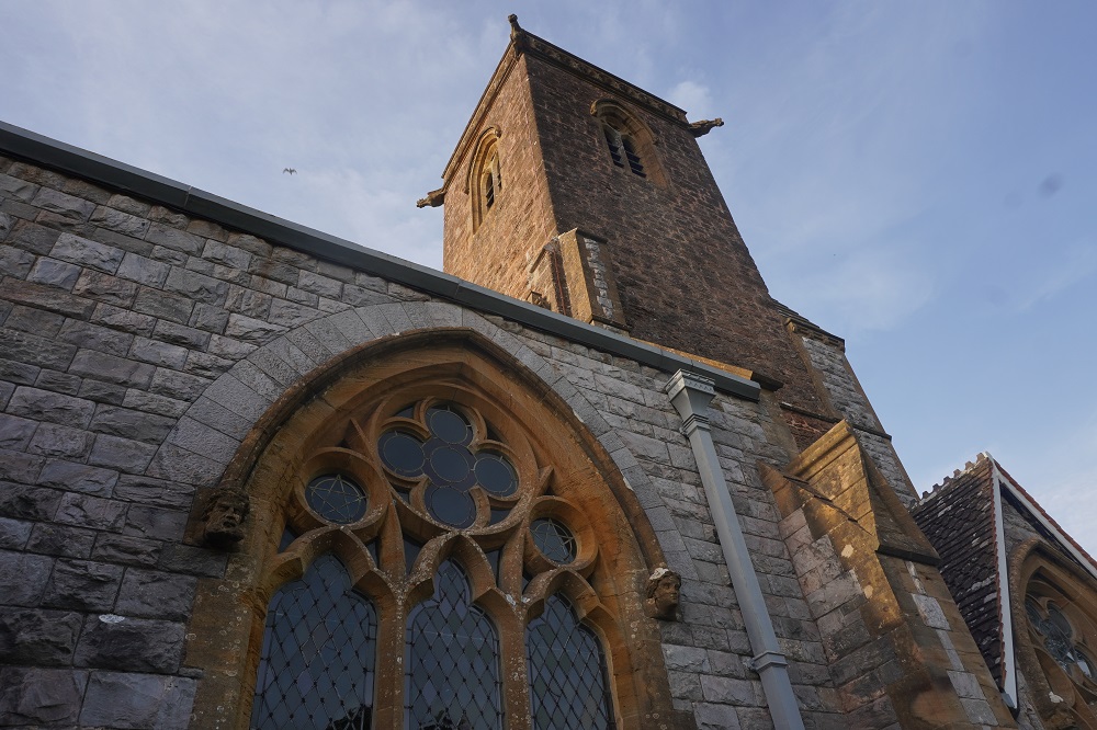
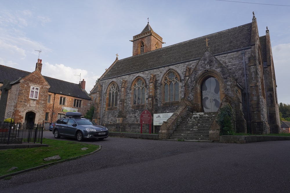
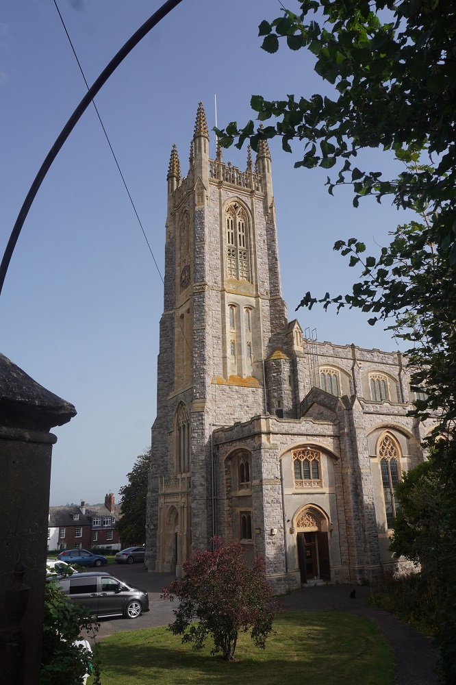
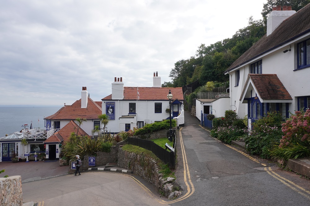
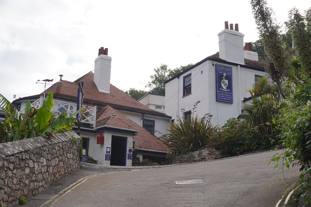
Today was a quiet day, a Sunday so we visited a church, St Michael Archangel the tower of which dates from a thousand years ago. We found Town Mill Bakery, recommended by our good friend David but being Sunday morning it was very busy with a wait to get a table. Besides we had had a late breakfast at the Cobb Arms Hotel. Breakfast at the hotel started at 9.00am and was the slowest breakfast ever. We didn’t escape until 10. We asked it we could get an early breakfast tomorrow as we wanted an early start on what was going to be a long day. The answer was no but they would make us some sandwiches and leave them in the fridge at the bar so we could leave as early as we liked. Very thoughtful.
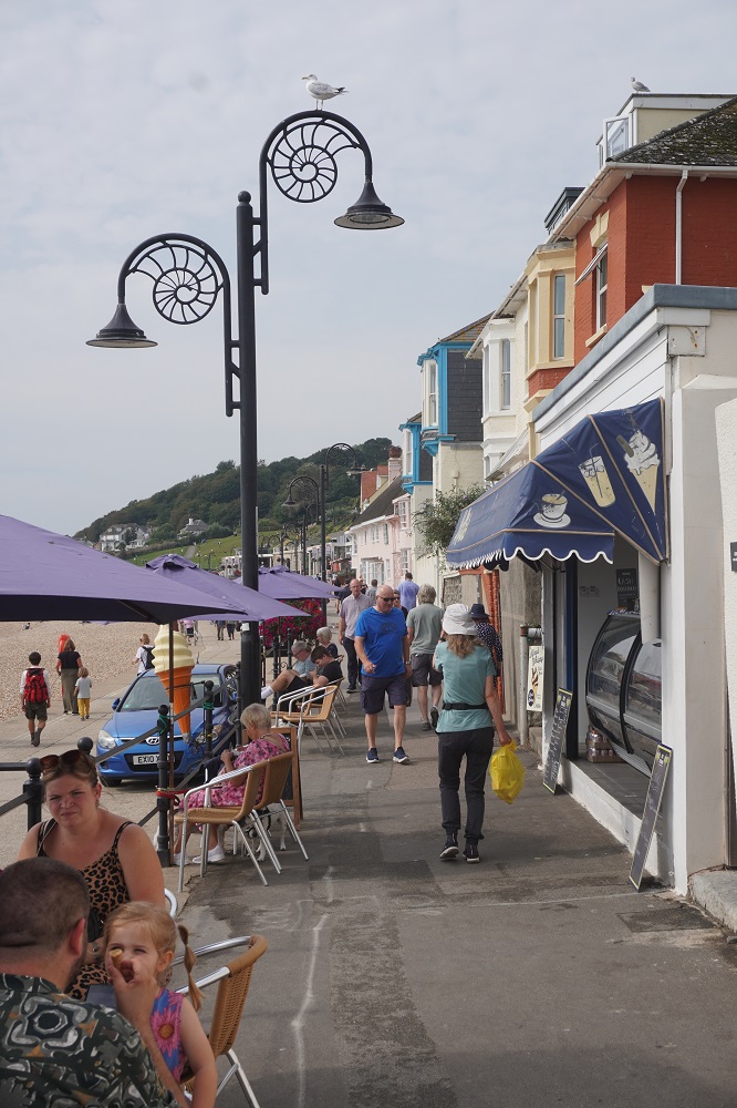
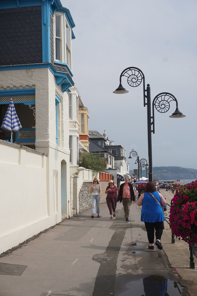
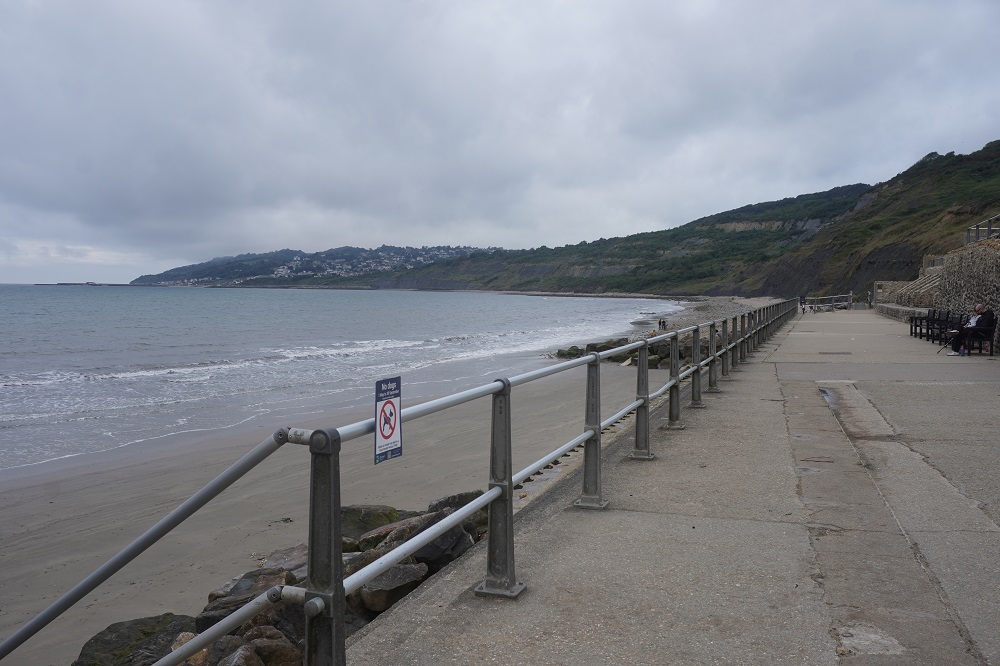
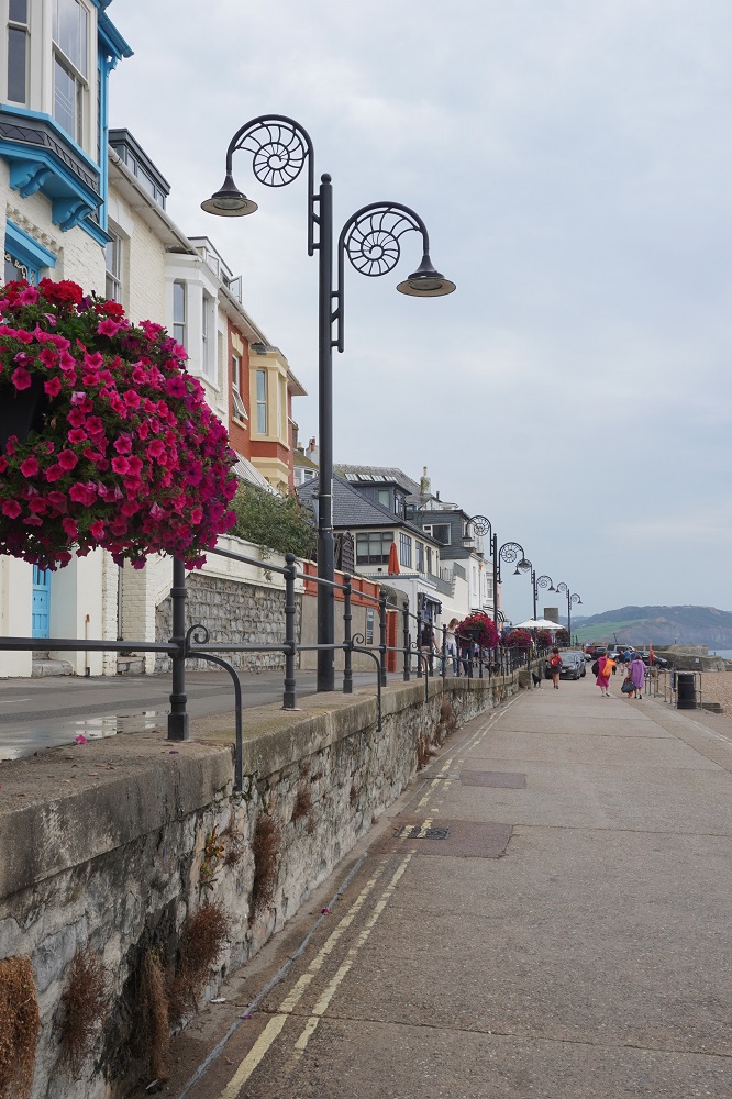
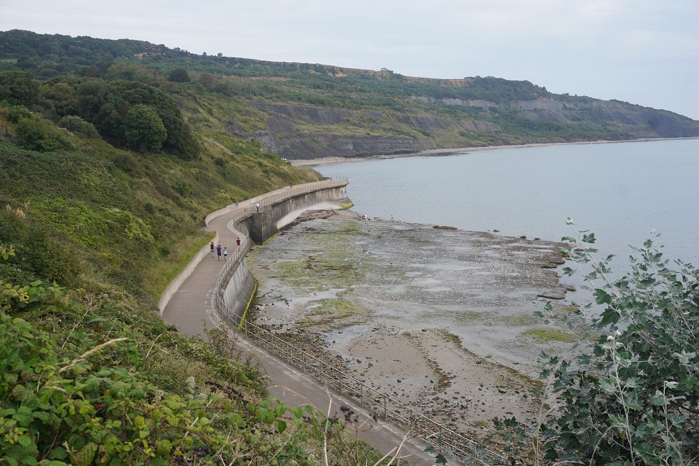
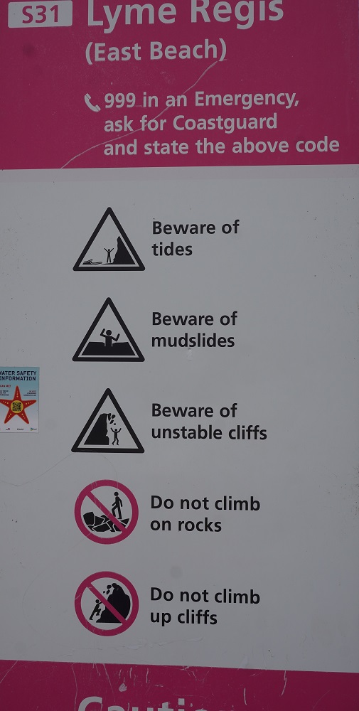
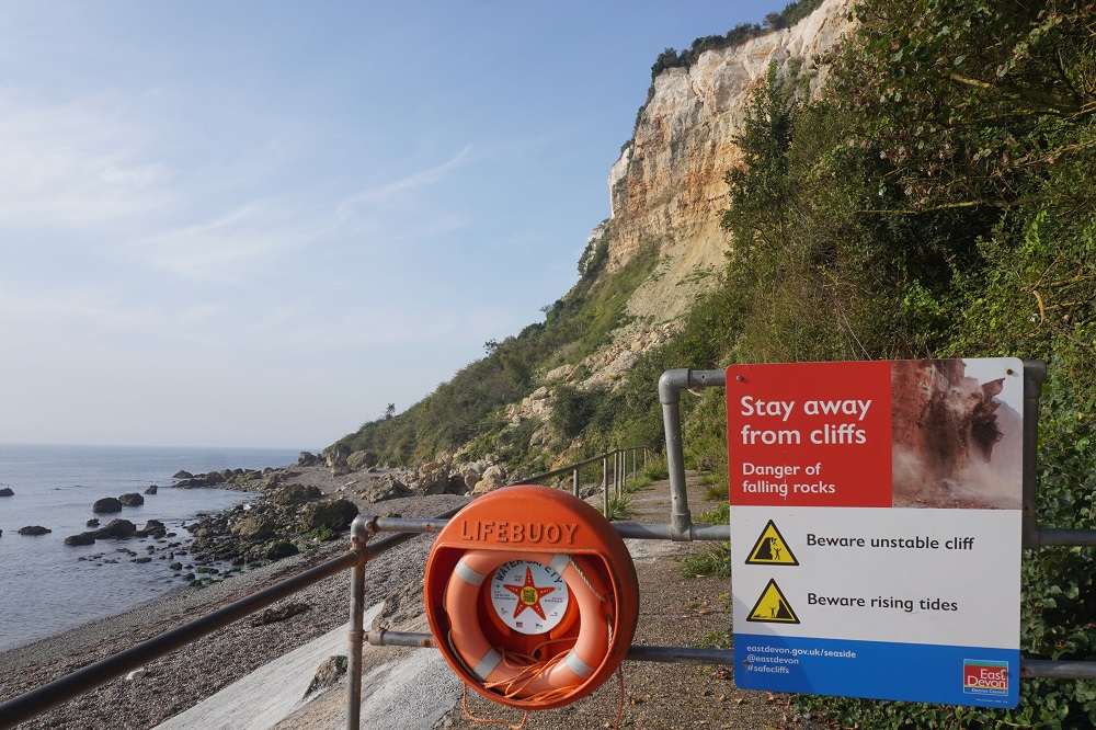
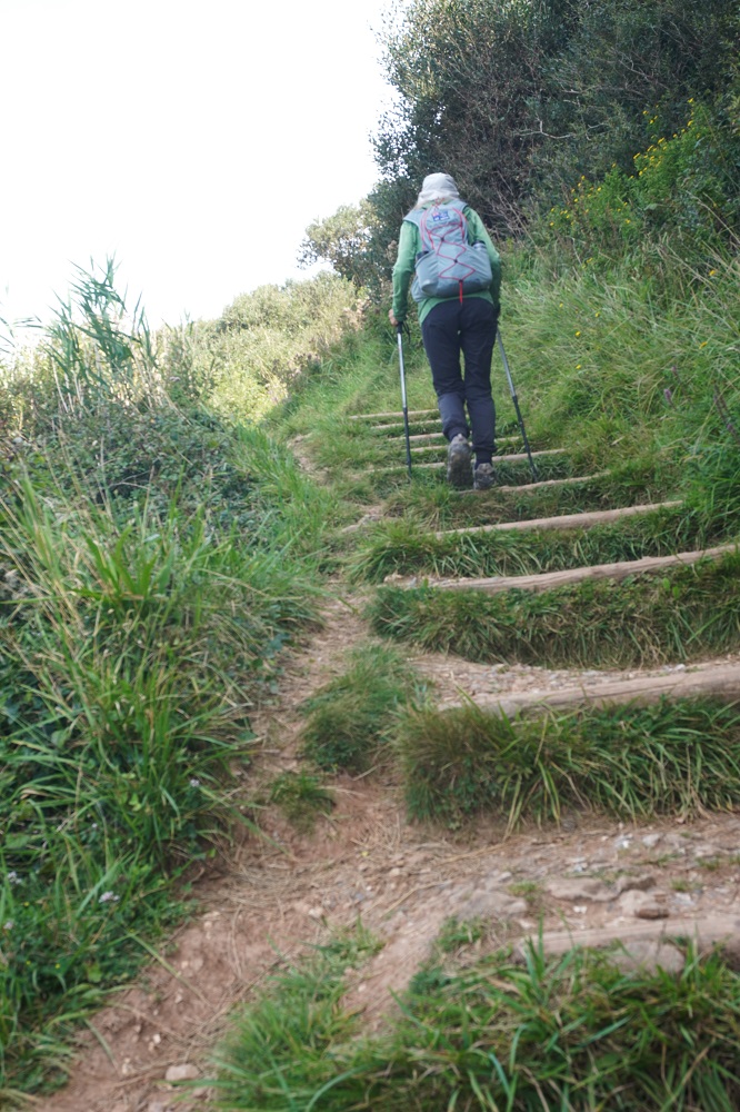
We also checked out the beginning of the route for tomorrow. The cliffs between Lyme Regis and Charmouth are very unstable and the path has to be regularly re-routed to safe areas. One option is to go along the beach but it must be done on a low ebbing tide as it is impassable at high tide and many people have had to be rescued when stranded on rocks out in the sea. Also you shouldn’t walk close in under the cliffs due to rock falls. The Council has sign posted a route that goes inland along suburban streets but this is long, noisy and tedious. We found the current official Coast Path route which uses the beach promenade then climbs up 114 steps to behind the cliffs with a little street walking near the end to get into Charmouth.

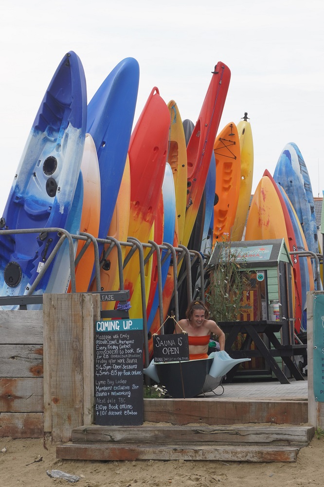
This afternoon we joined the throngs in their thongs and went for a swim at The Cobb Beach. Very nice but not a refreshing as when you have been walking on the coast path. Not as warm today only the low twenties.


Sir and Ma’am

Beer to Lyme Regis 17km
Ascension 461 Accumulated Ascension 3095

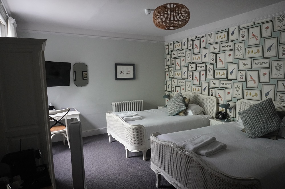
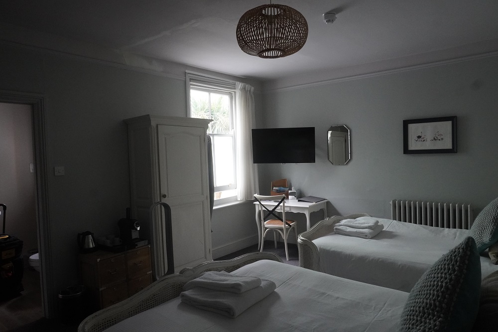
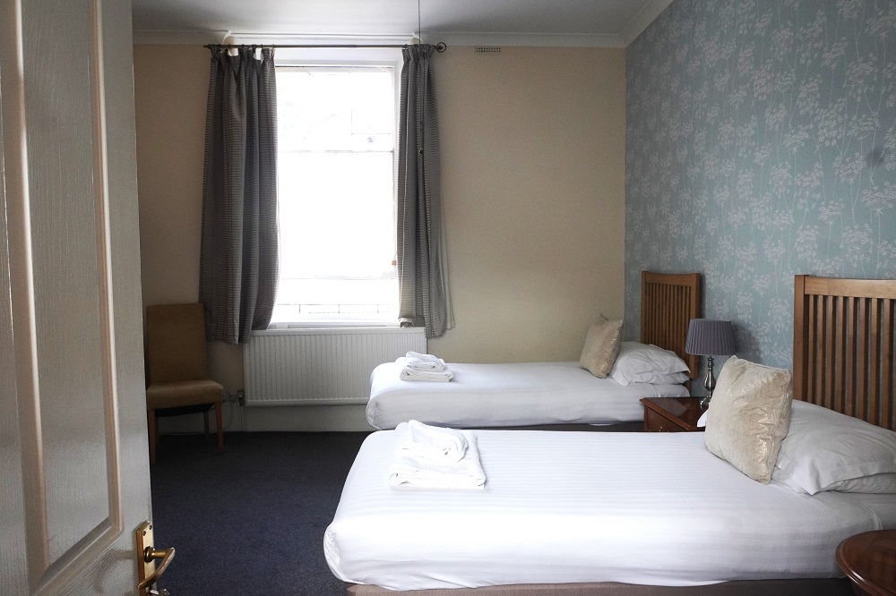
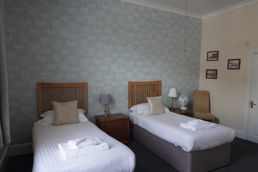
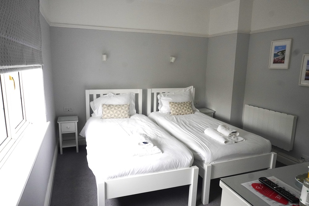
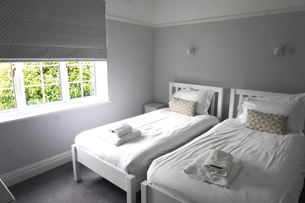
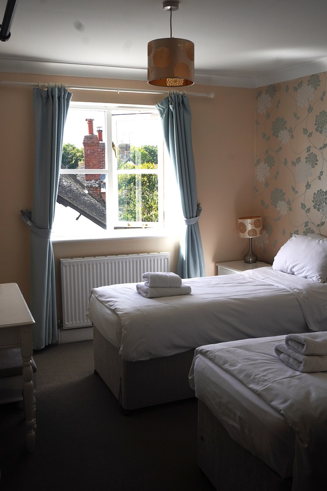
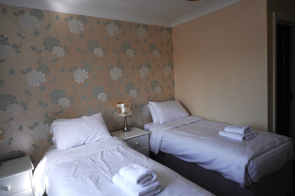
We were very tired at the end of yesterday so hit the sack early and even the wake couldn’t wake us up. We are finding it difficult to sleep at night because the rooms are so warm. The B & Bs and small hotels are all made of thick walls of stone or brick. In the heatwave these absorb heat all day and then radiate the heat out all night. None of the accommodation has air conditioning or a heat pump but some do provide a portable fan. The bedding also seems to be heavy winter weight. We often have to sleep with the curtains drawn back and the windows wide open. Still we mustn’t complain we absolutely appreciate a soft comfortable bed each night for our tired old bodies.

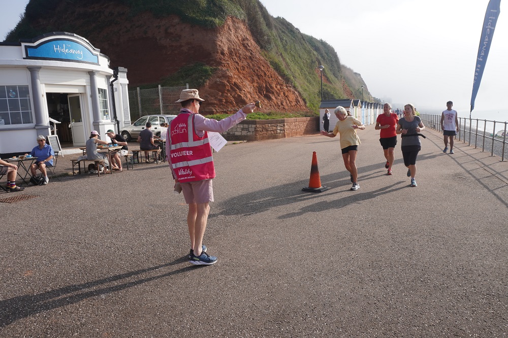
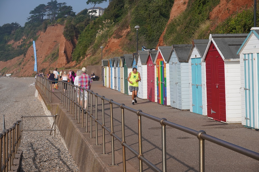
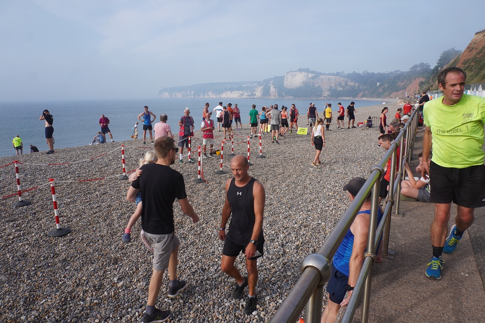
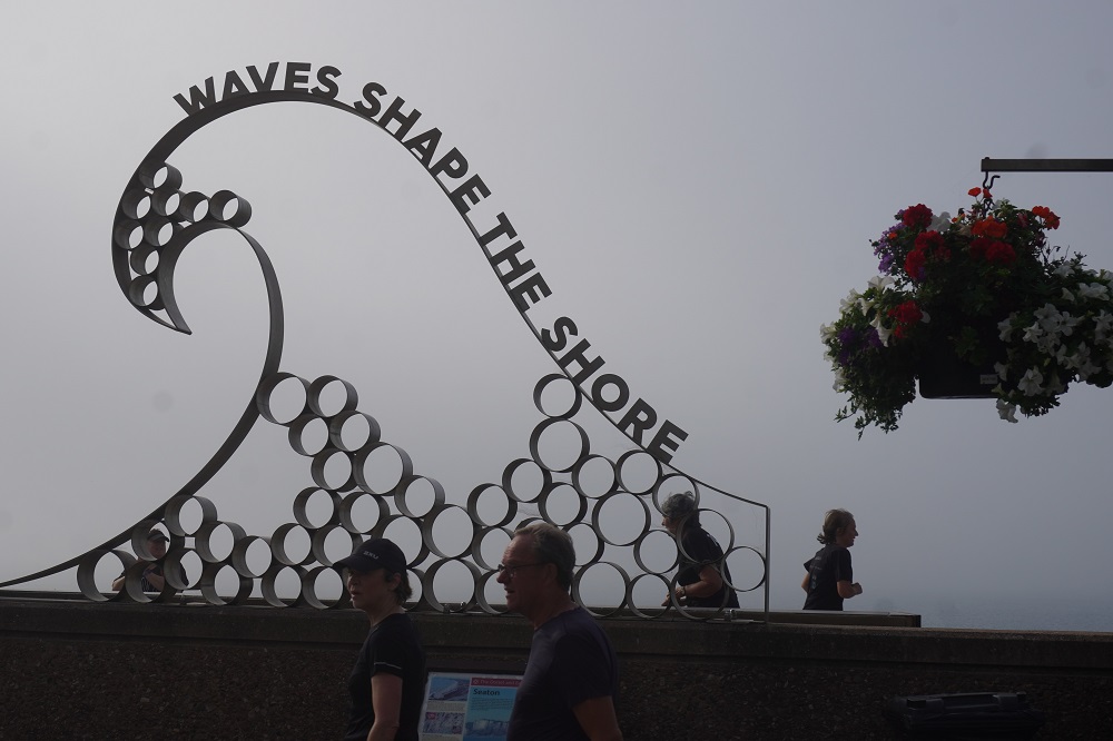
Leaving Beer this morning we climbed over one little head land and then had two options. Our preferred option one if the tide was out, was to walk along the beach to Seaton. Option two was to go inland over a hill via a road. We checked the tide times with the ice cream seller at the beach and he said low tide had been 7.30am so we were good to go. The beach was loose pebbles and very difficult to walk on. It was only about a kilometre but you could feel the energy being sucked out of your legs with each step. Eventually we got to Seaton and off the beach and onto a promenade. There were a lot of people running about and we realised it was a Park Run. We spoke to one of the marshalls and it was exactly the same format as the Park Runs Barbara did at Otaihanga Domain. Every Saturday, 9.00am a 5km run.

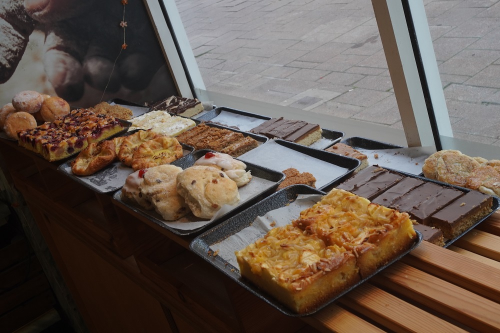
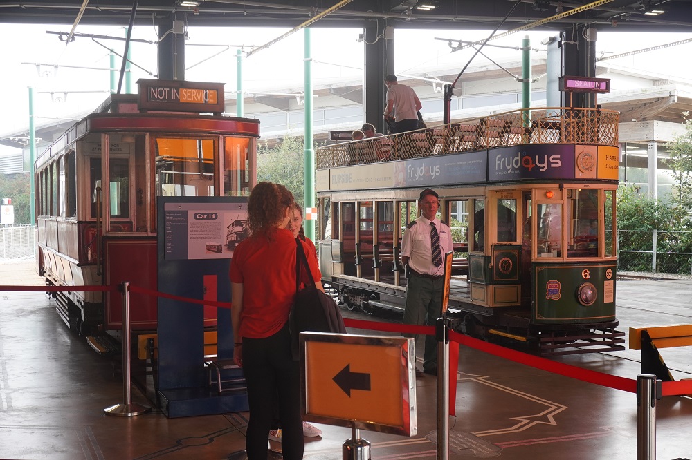
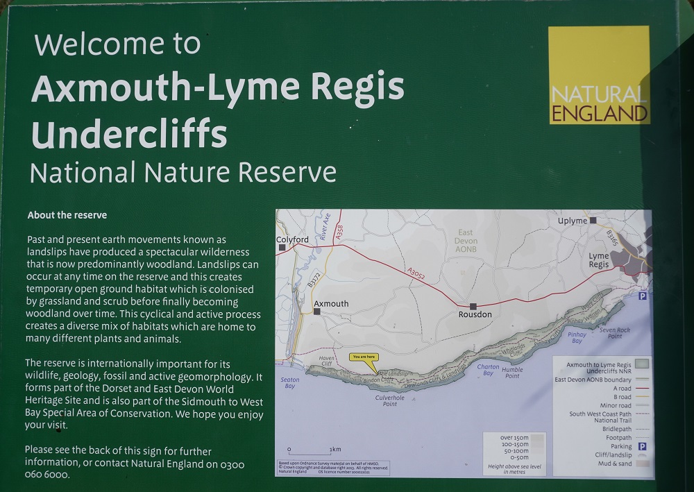
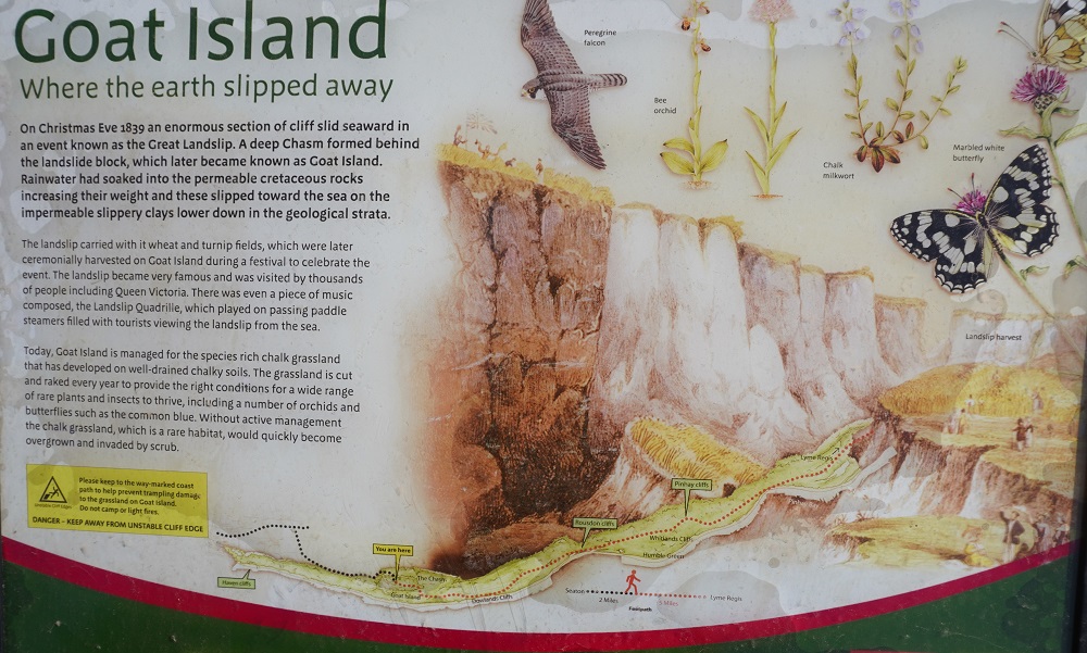
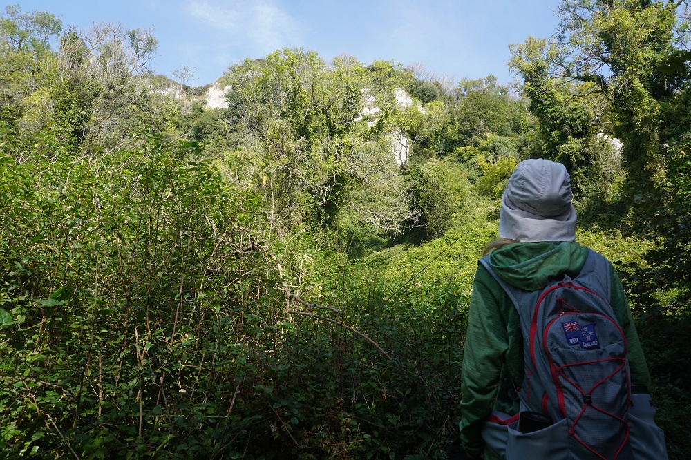
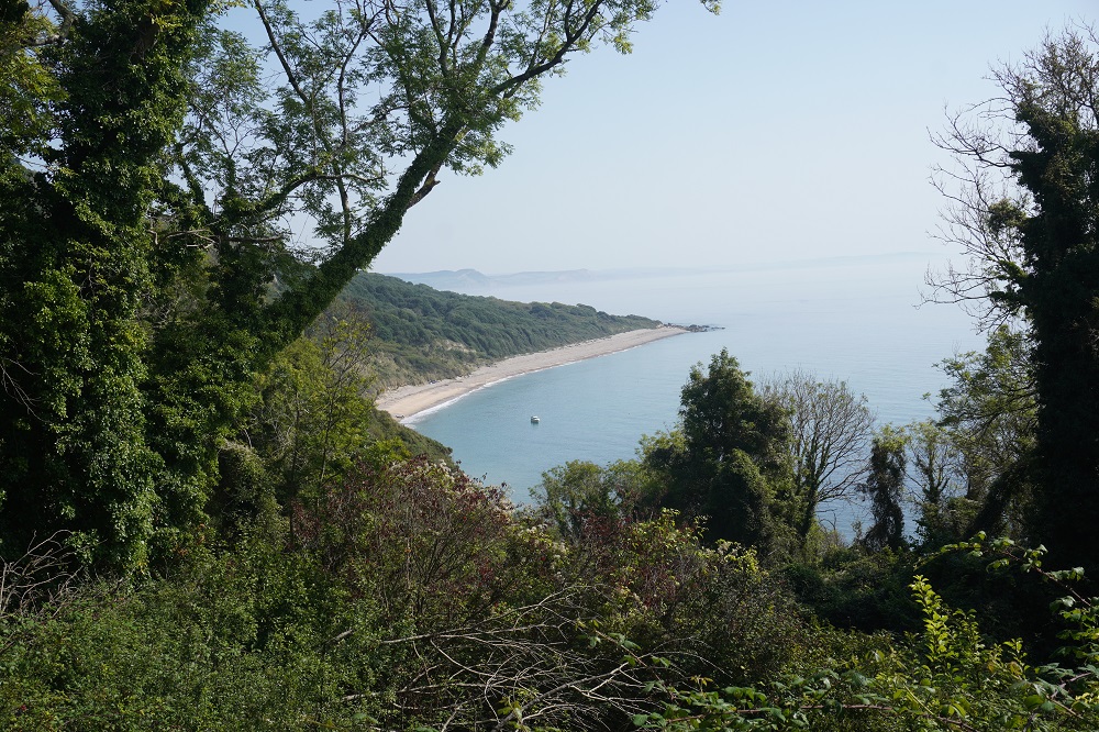
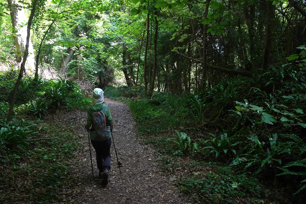
At Seaton we bought some lunch and had a quick look at the historic tramway they have. There are 14 trams in the fleet and the ones we saw were very cute and one a double decker. As we left Seaton at Axmouth we had to cross the River Axe and the only real climb of the day up Haven Cliff. On this climb we got talking with a woman who was in the army, Ellie, and her Nepalese companion, a Gurkha, also in the army. He didn’t give us his name but I will call him Tensing. They were very friendly and chatty and the funny thing was Tensing kept referring to us as Sir and Ma’am. He said the secret to climbing hills was to distract the mind and so he chatted and asked questions all the time. And it worked. After going through yet another golf course we entered the Axmouth – Lyme Regis Undercliff, a National Nature Reserve. There was a truly massive cliff fall on Xmas Eve 1839 and the ground was considered so unstable it has not been farmed or changed since. It is effectively a wilderness area of virtually virgin woodland and dense scrub often with an almost eerie character.

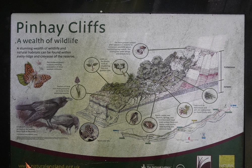
With no sheep, cattle or rabbits it has become a safe habitat for much flora and fauna, many birds, flowers, butterflies and small animals thrive there. The geology of the Jurassic Coast makes the area very susceptible to landslides. Long spells of wet weather saturate permeable Cretaceous rocks. These rocks sit on an impermeable clay, they eventually give way due to the pressure exerted on them by the sheer volume of water and break away from the cliffs, leading to great scars on the landscape called undercliffs. Geology lesson for the day.

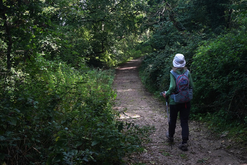
The walking through the undercliff was surprisingly hard. The track was narrow and sharply twisted and turned left and right and up and down. There were rocks and tree roots everywhere and you had to concentrate all the time on where to put your feet. Over 10km of this and it made for slow progress. It was more like walking through some rugged NZ bush. The good thing was it was almost all under the tree canopy so a lot cooler than the 26 degrees out in the sun.

Except at Seaton and at the end at Lyme Regis we didn’t see the sea all day. We are now in Lyme Regis and more about that tomorrow.

Beer is like Otter

Sidmouth to Beer 14km
Ascension 704m  Accumulated ascension 2634

When you look at the route map in the morning and you see a lot of names ending in combe you know you are in for a strenuous day. A combe is a narrow valley usually without a water course, on the south coast running from an inland plateau down to the sea and often with steep sides. What this means for the coast path is climbing to the top of a cliff going down to the bottom of a combe and climbing up the other side to the next cliff top. Repeat for each combe. Our route today included Salcombe, Dunscombe, Lincombe, Branscombe and just for fun finished off with West Cliff and East Cliff. It was a magnificent coastal landscape but a testing one to walk. The most climbing we have done in a day so far, 704m, but the legs are strong and we handled the steep paths and steps okay. What we struggle with is the heat. Another mid- twenties day, a bit hazy again, no wind and we are sweaty blobs at the top of each climb.

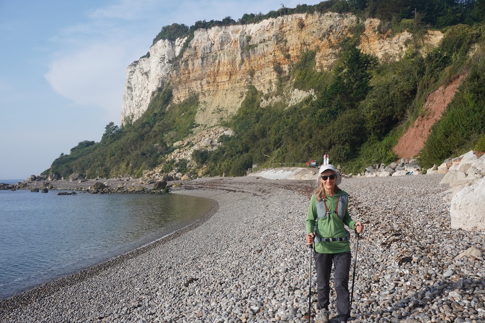
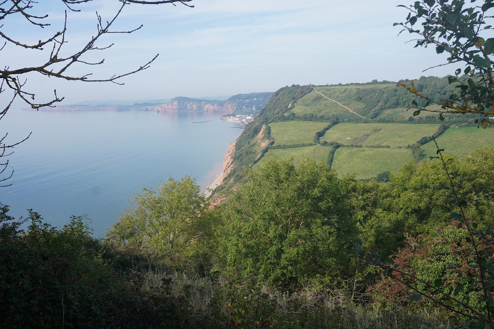
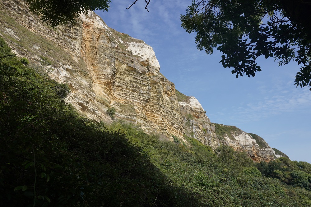
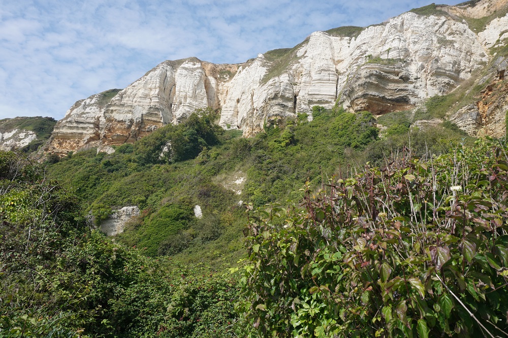
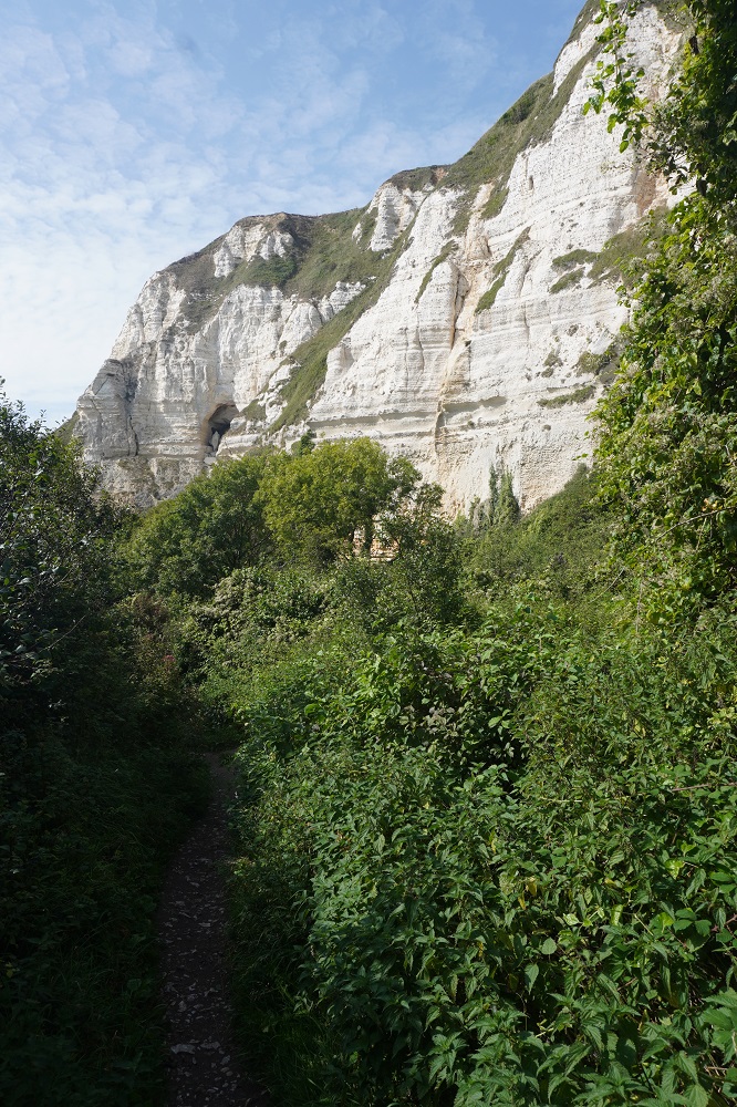
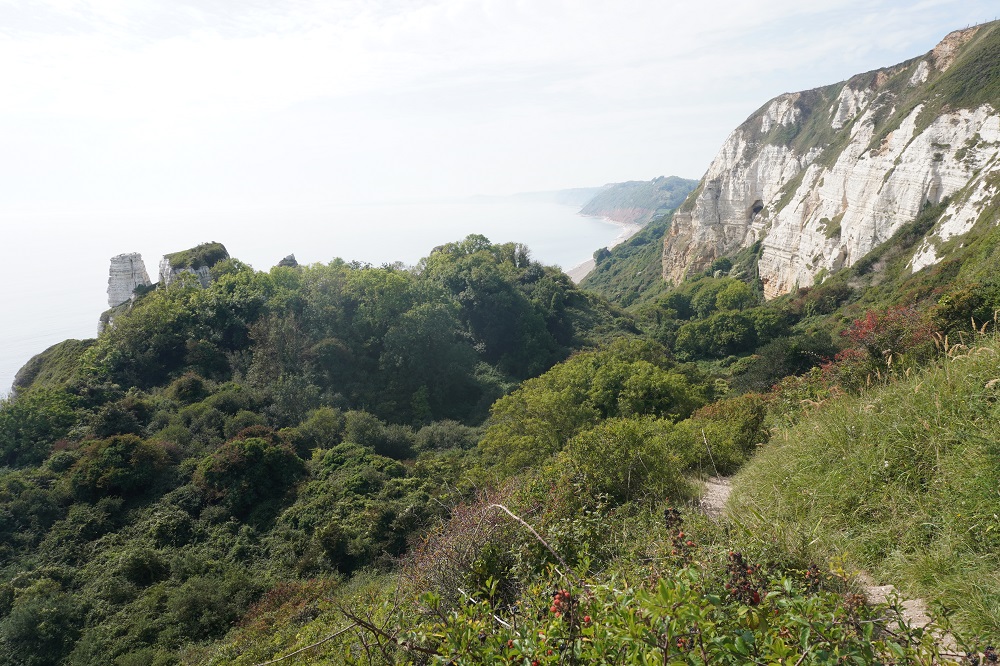
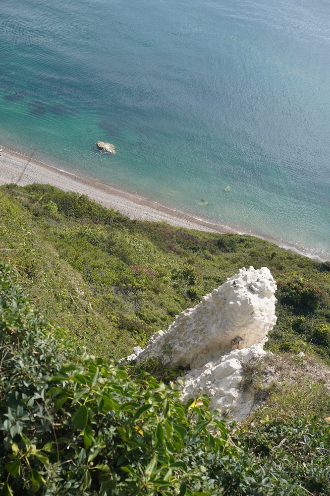
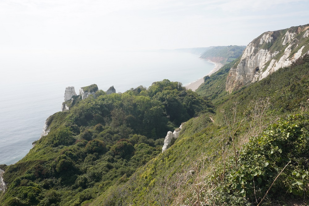
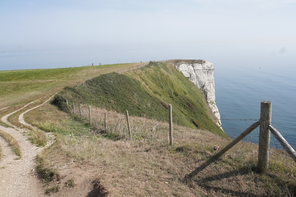
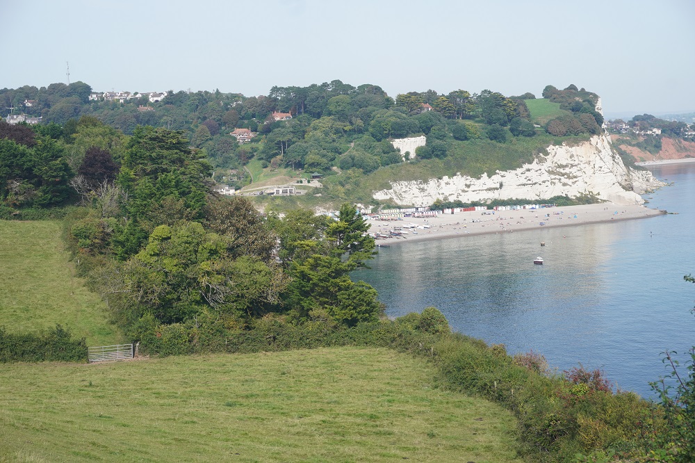
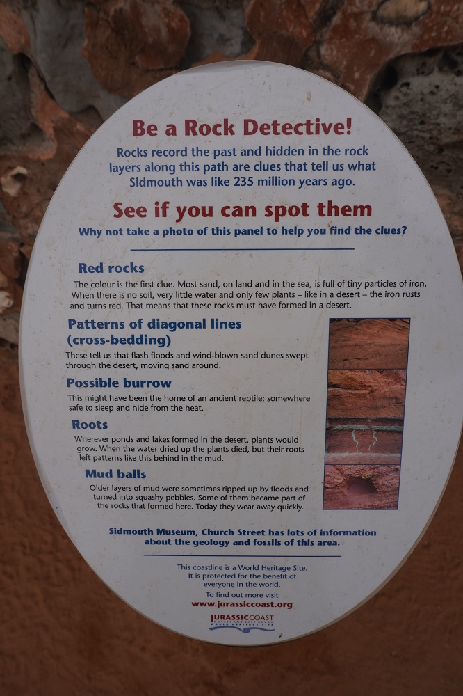
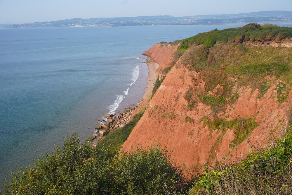
When we started at Sidmouth the cliffs were characteristically red but this changes abruptly during today’s walk. The colour of the cliffs with the pastel reds and dirty oranges of the Triassic era topped occasionally with the lighter-hued Cretaceous Upper Greensand – the Jurassic era rock having been eroded away entirely. A process geologists call an “unconformity”. Near the end of the day at Beer Head we came to the most westerly white chalk (limestone) cliffs  in England and a collection of chalk pinnacles. All appropriately bright white .By the end of this walk we will be amateur geologists boring you all to tears.

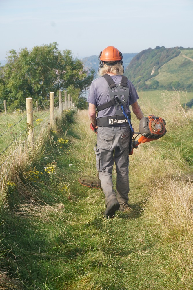
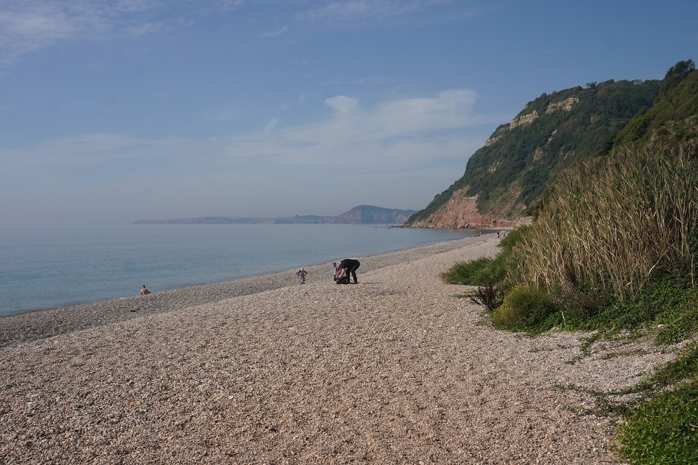
At Branscombe Mouth we stopped for our third swim this trip. Once again hugely refreshing and the water here was quite warm. Again this was a pebbly beach but had a narrow strip of sand just at the water edge. Where a combe comes down to the sea there is often a beach and if there is no road down the combe these beaches are deserted and pristine.  This morning we met two guys on the path who look after maintenance. The first had a line trimmer and was cutting back the grass and the nettles along the edge of the path. I hope it wasn’t his job to mow all 1003 kilometres. The second was a guy with a tablet who was inspecting all the kissing gates, stiles, steps, signs etc and reporting back to the National Trust on any thing that needed repair. We talked to this guy a couple of times and at Branscombe Mouth he was helpful in showing us which of several paths was the correct Coast Path route by the chalk pinnacles which a lot of people miss.

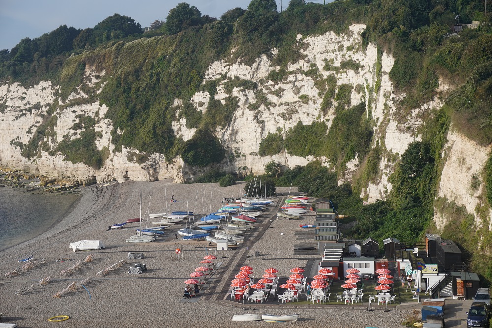
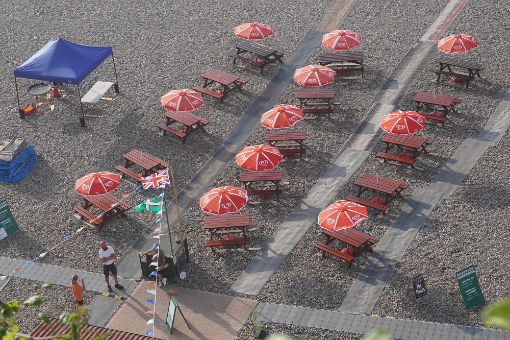
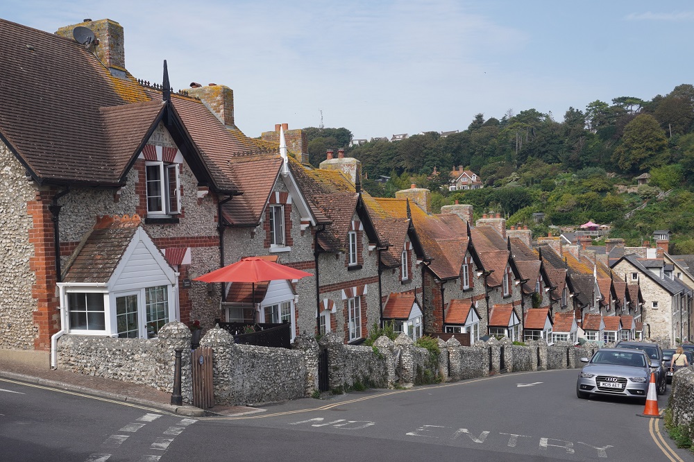
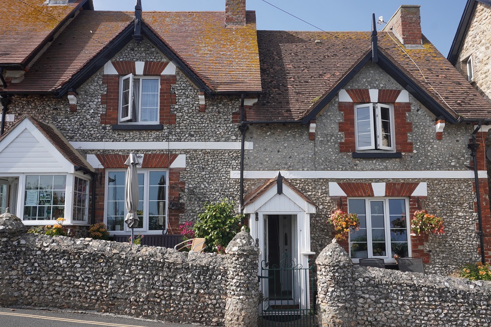
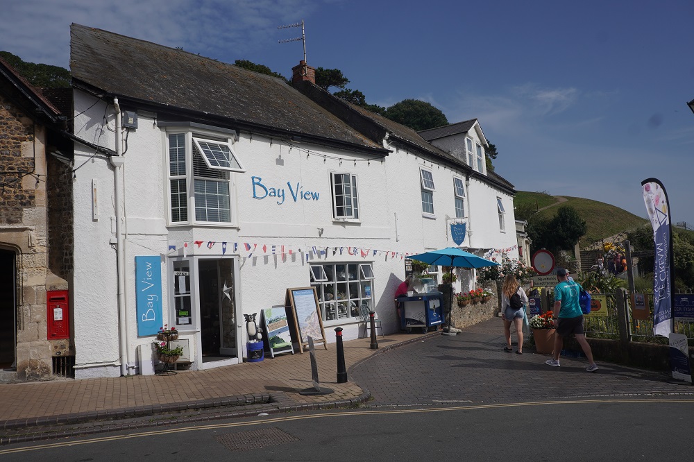
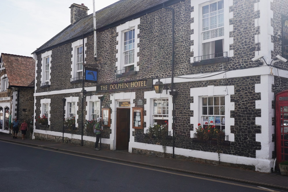
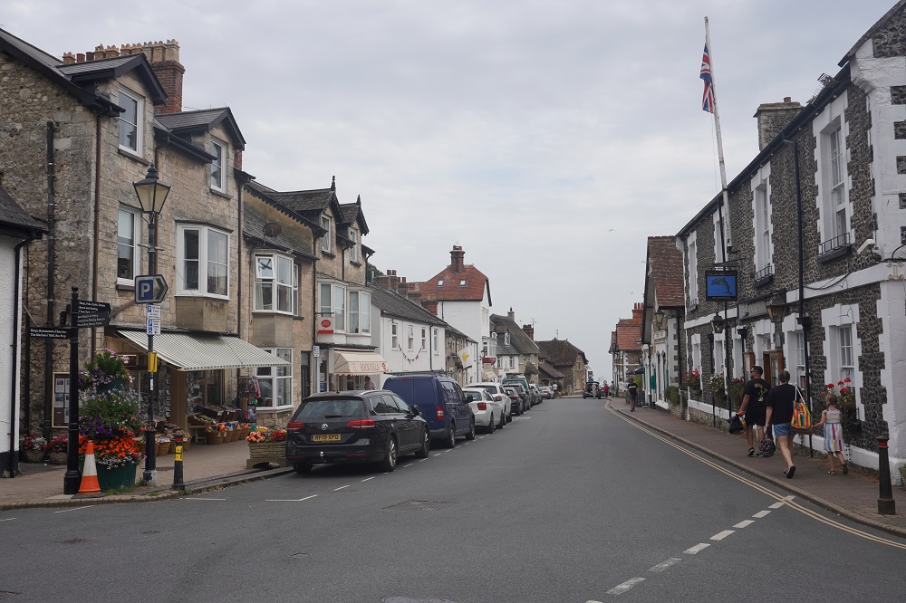
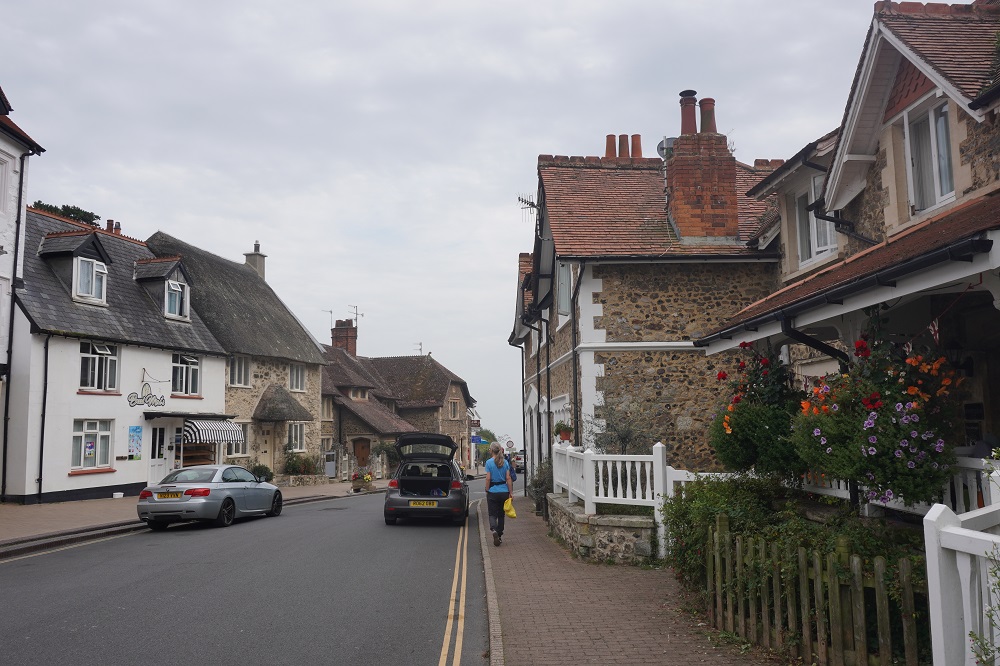
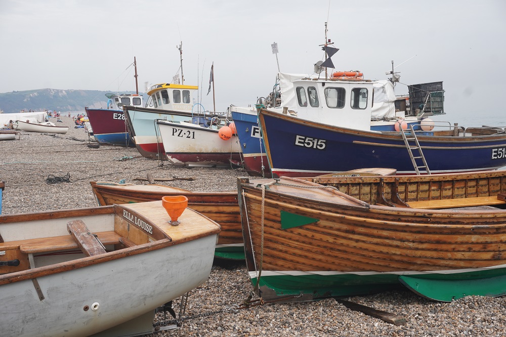
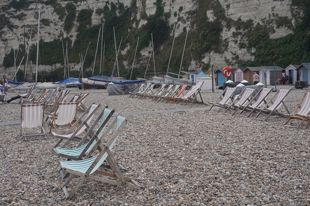
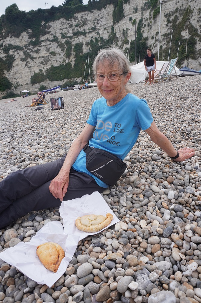
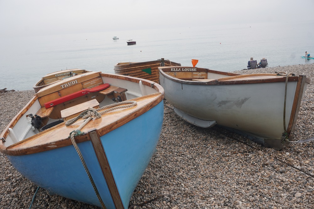
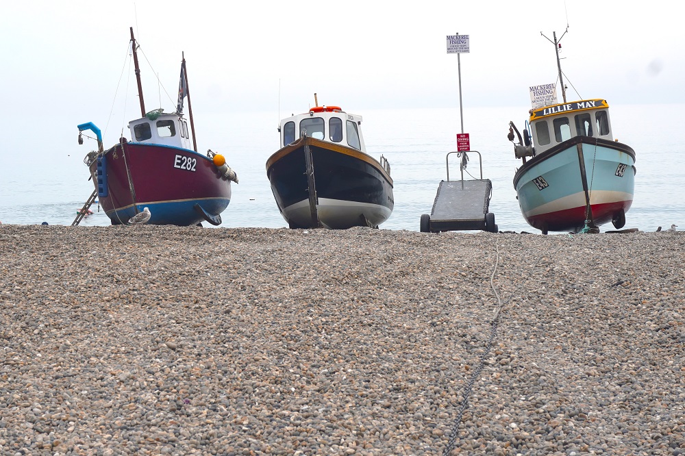
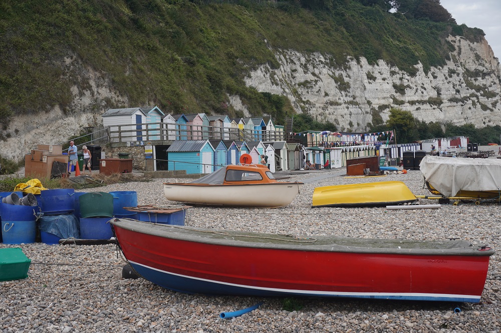
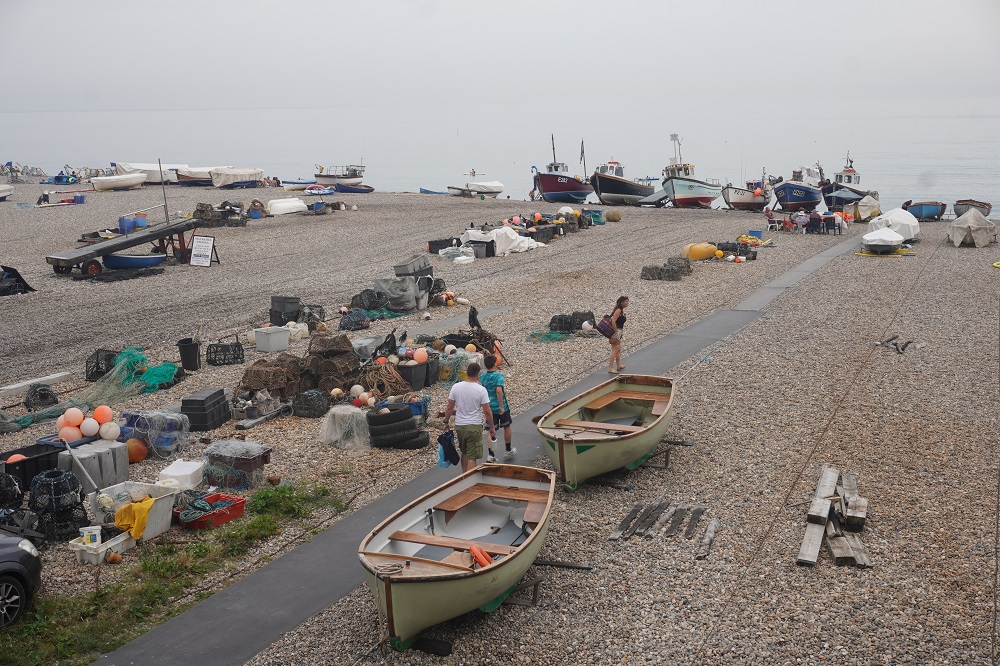
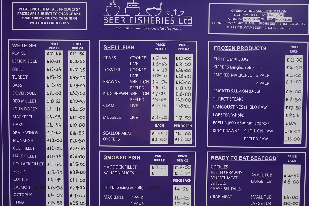
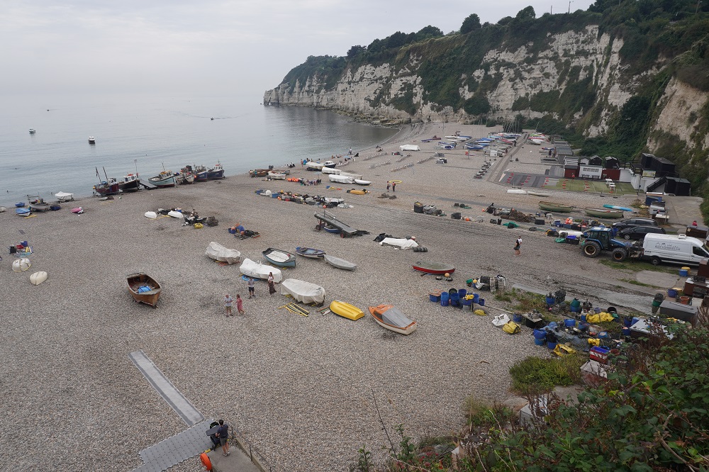
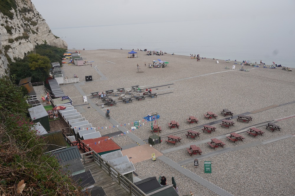
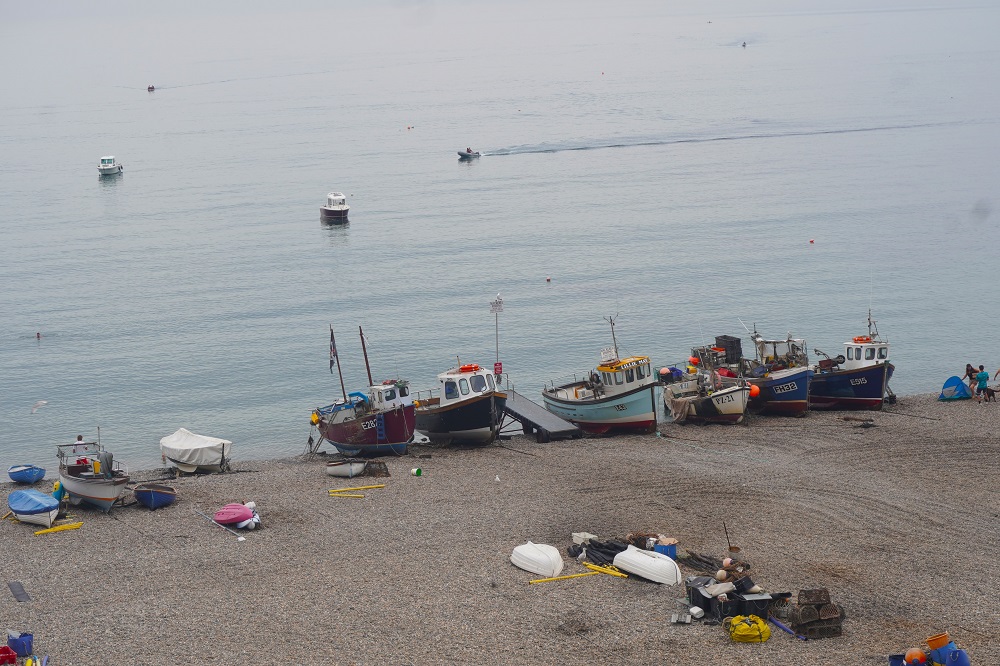
Tonight we are at The Dolphin Hotel in Beer. When we arrived the bar was full and we were told there was a wake in progress. We hope it doesn’t go all night. Devon fishing villages don’t come much more quintessential than cute and cosy Beer. It has a busy working fishing fleet although it doesn’t actually have a harbour just a very safe pebbly beach protected from the prevailing westerly weather by Beer Head. The boats are hauled up onto the beach by motor driven capstans and cables.

Beer is like The River Otter in that just as the Otter is not named after the animals, Beer is not named after the alcoholic beverage. Beer comes from the old Anglo-Saxon word Bearu, meaning Grove, referring to the woodlands that used to surround the village.

A Strange Swim

Otterton back to Budleigh Salterton to Sidmouth 13kms
Ascension 316m  Accumulated Ascension 1930m

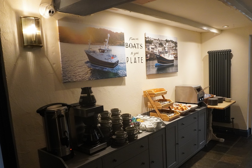
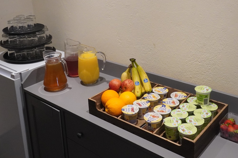
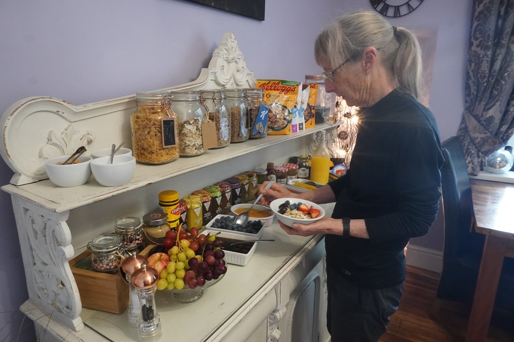
Our room rate at the Kings Arms did not include full English Breakfast, so for the first time we just had a continental breakfast. This was fine so we had cereal, yoghurt, toast and coffee. We could have had croissants and Danish pastries but we resisted the temptation. We could have paid extra for a cooked breakfast but we were feeling a bit tight.

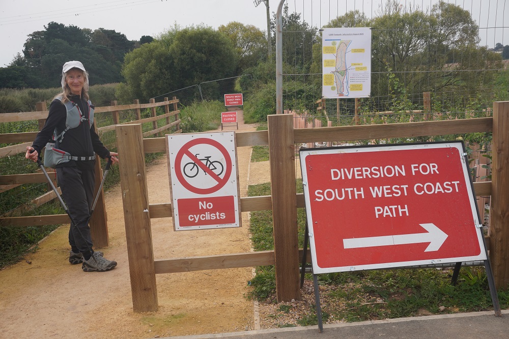
First thing on today’s walk was to retrace our steps 3km back to the road bridge that crossed the Otter River. There we were greeted with signs saying the Coast Path we had come up yesterday was closed. We had seen a huge crane down the path and some locals we met this morning told us the path was closed today so they could put some concrete spans on a new bridge being built. It was supposed to be closed from the 4th Sept but the contractors are a little behind schedule, Luckily we got through yesterday as it would have been a long diversion on a road otherwise. Today we were not affected as we were going down the other side of the river.

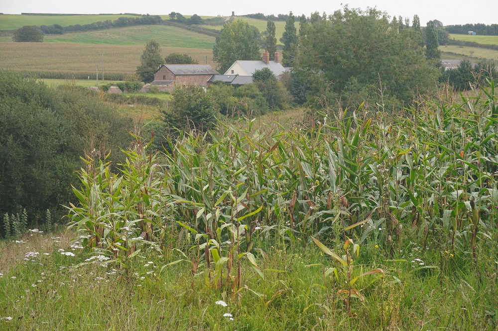
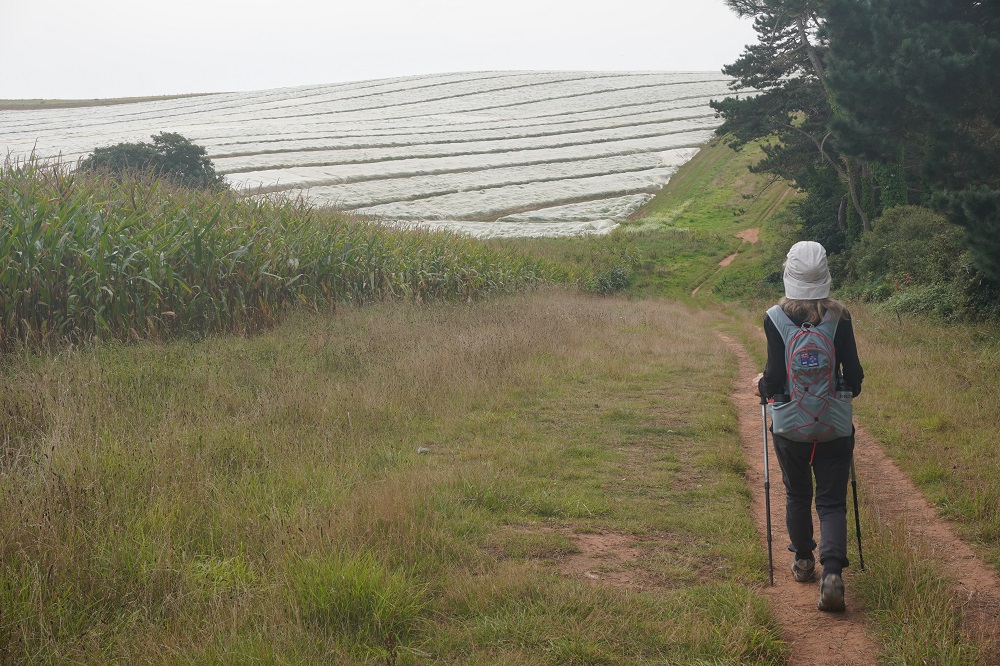
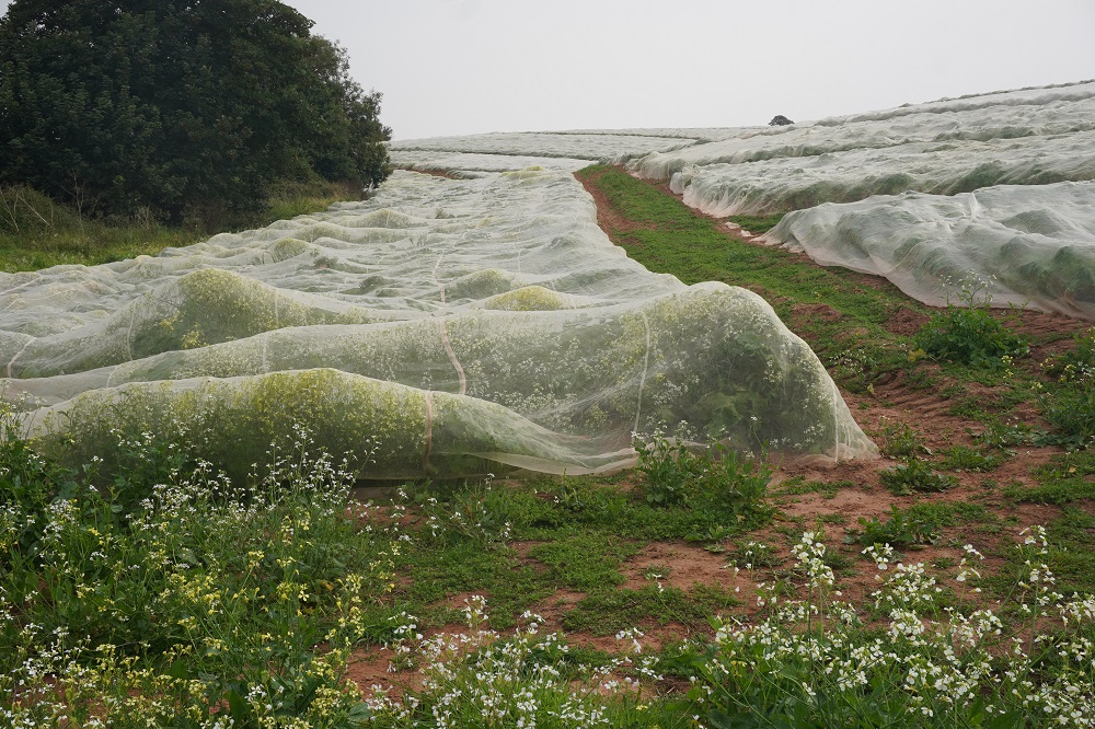
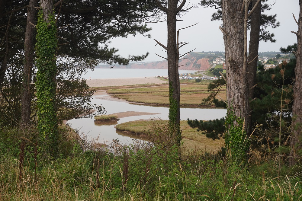
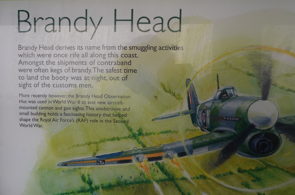
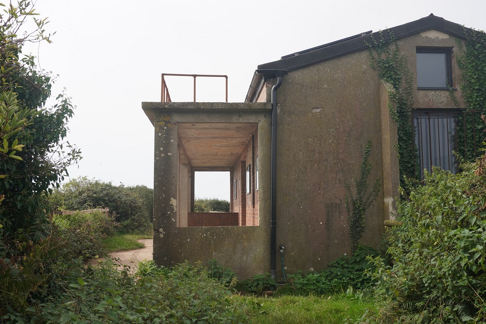
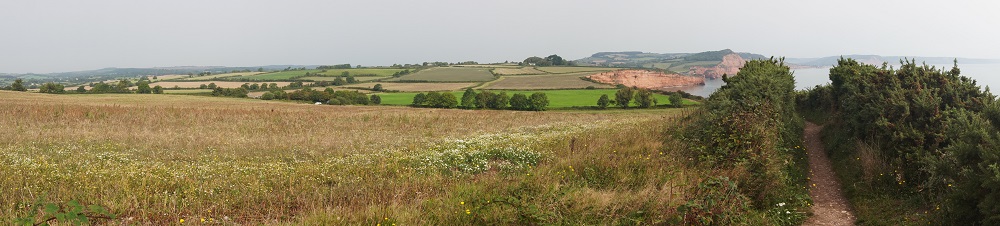
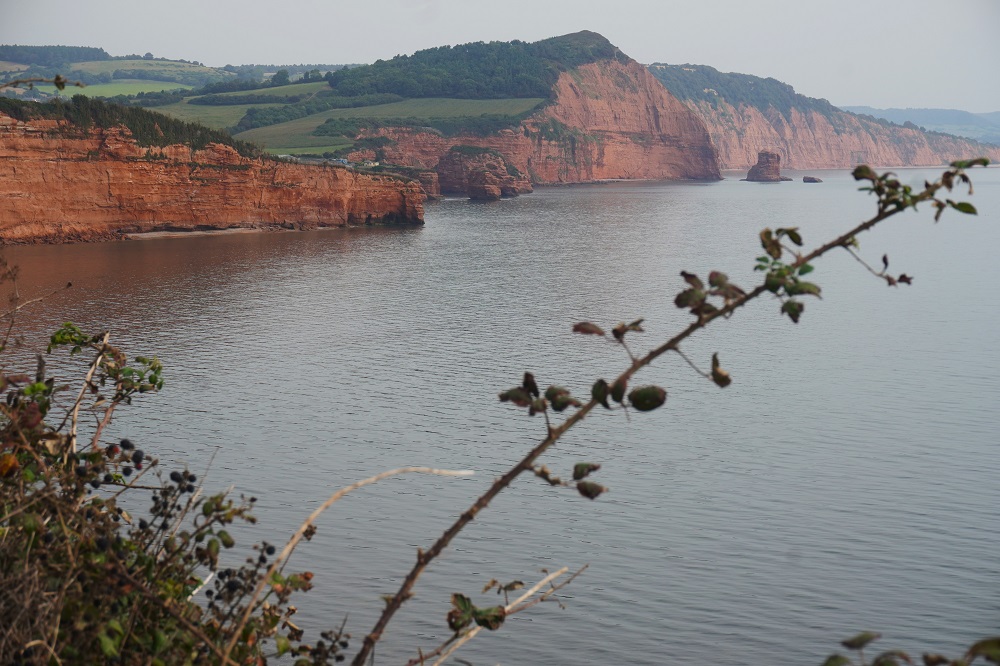
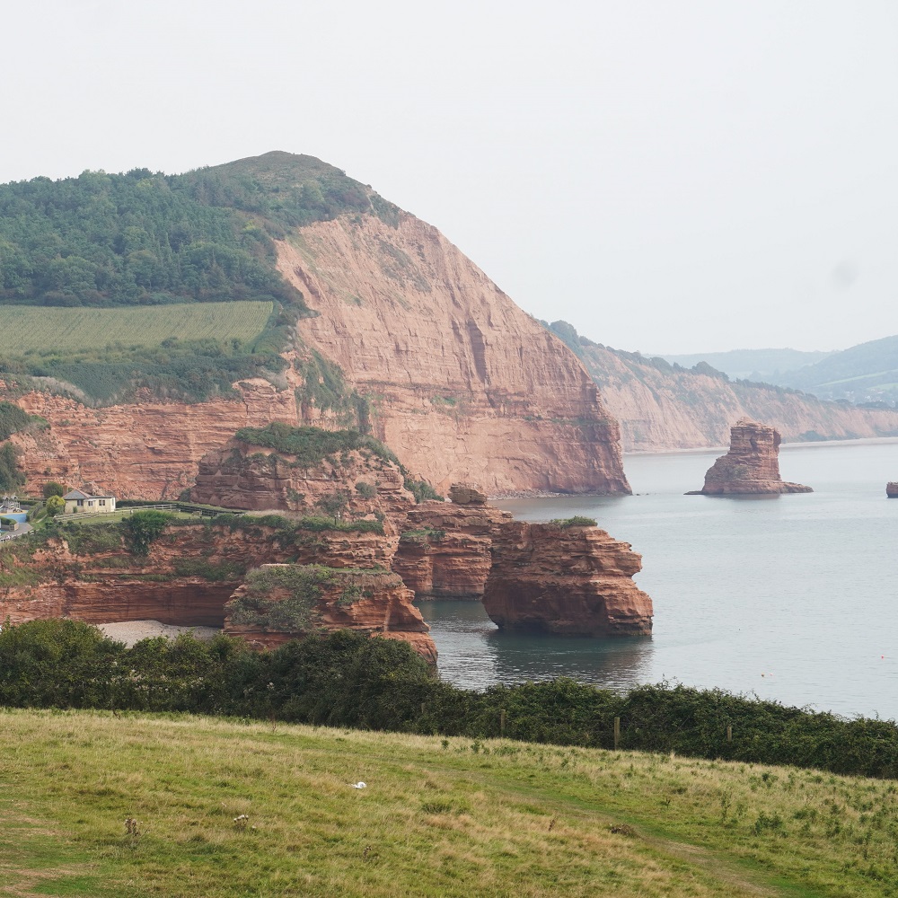
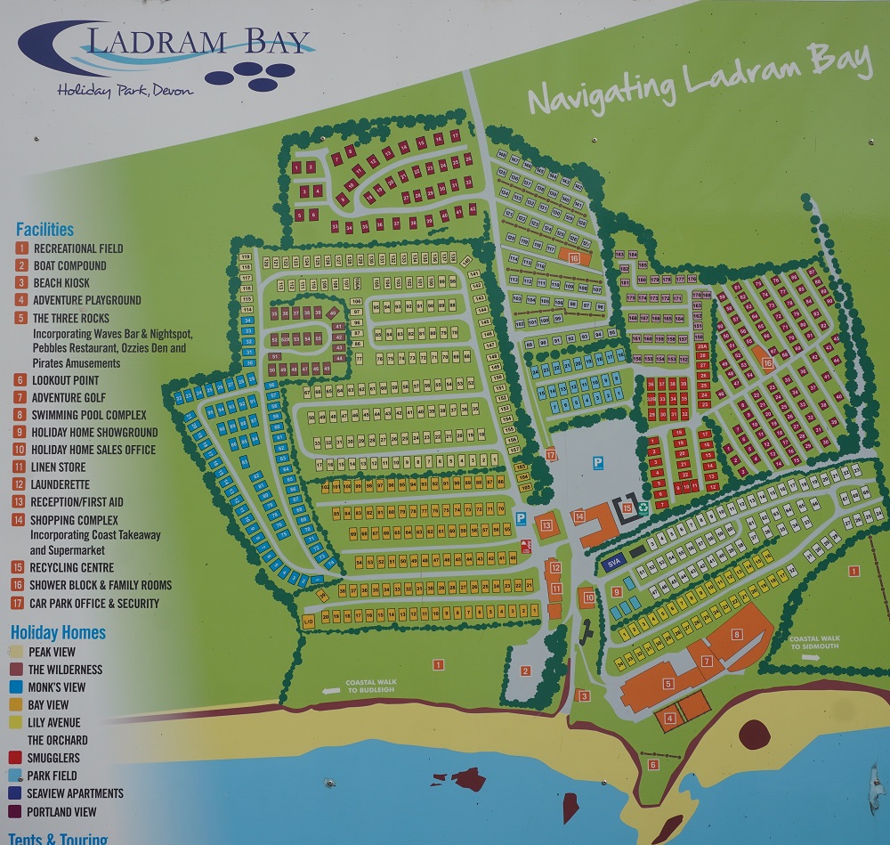
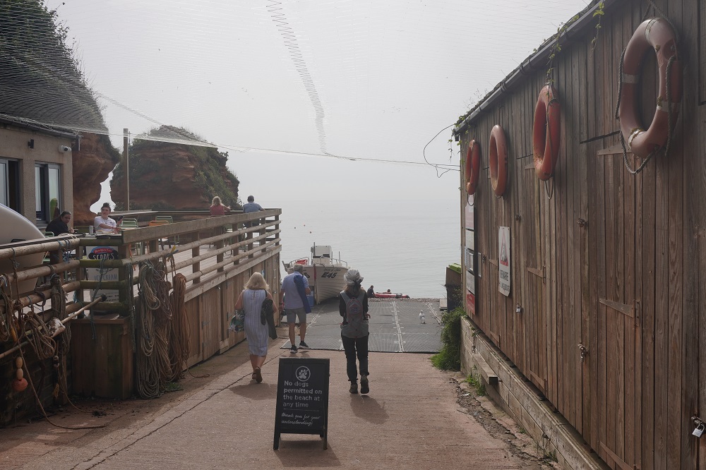
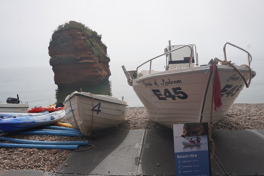
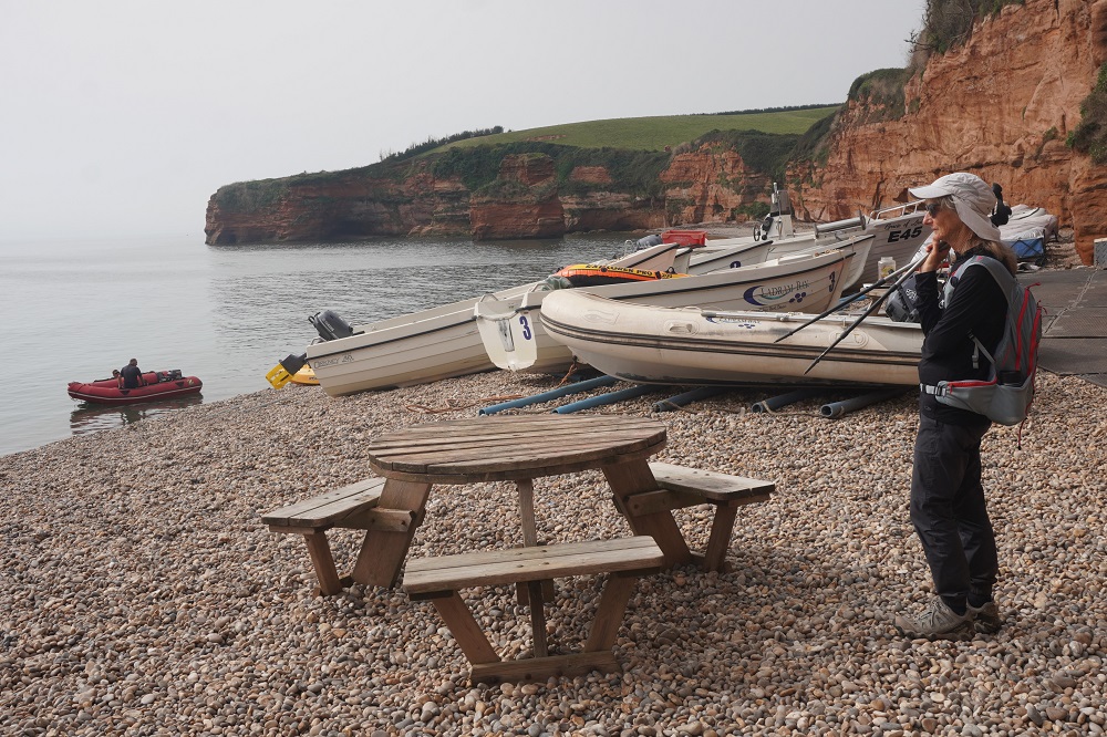
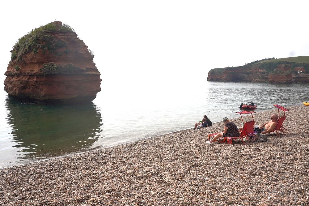
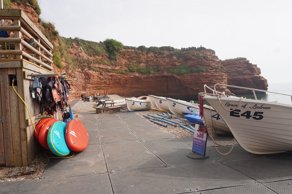
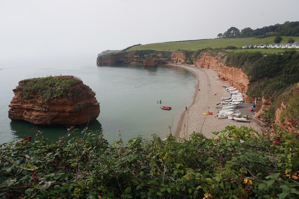
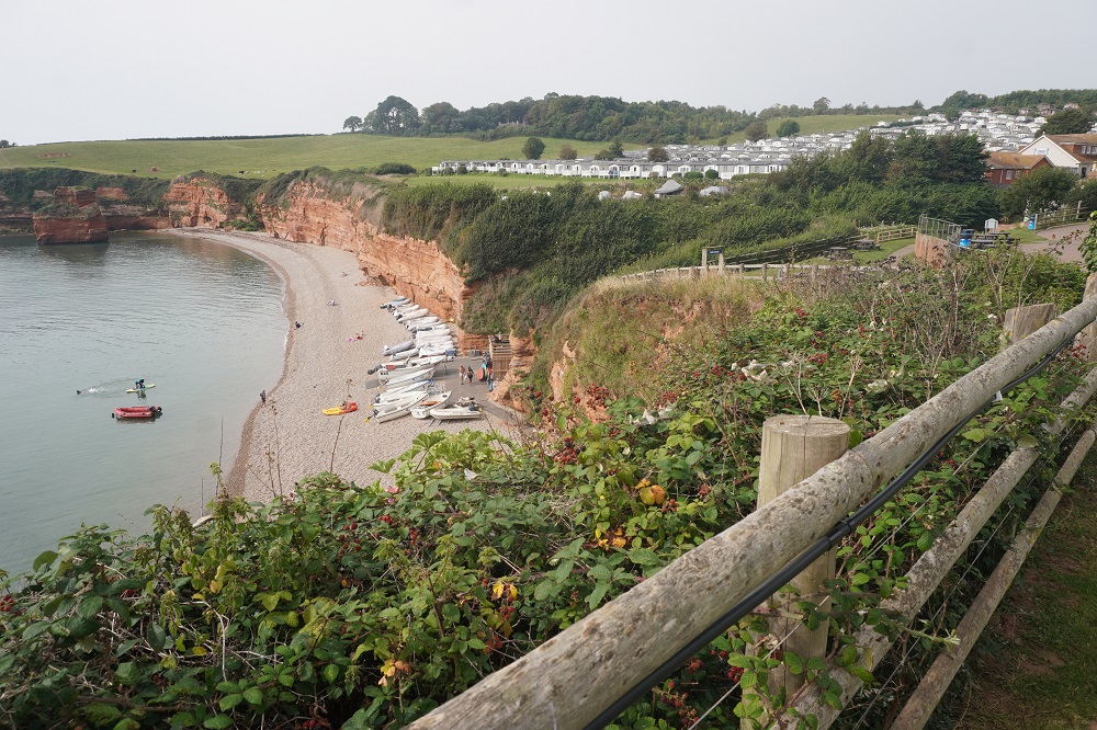
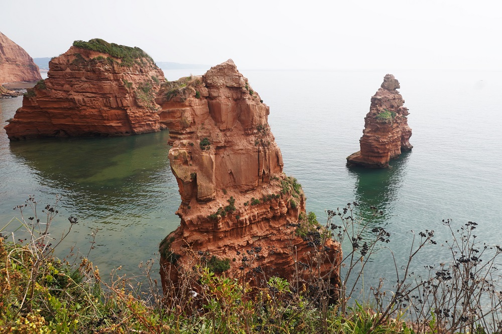
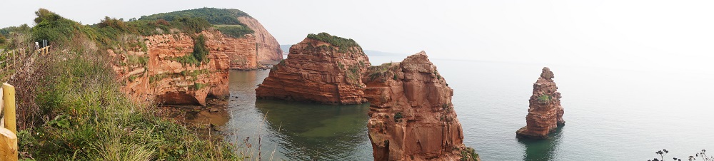
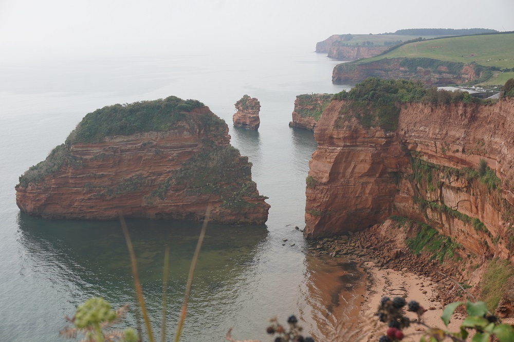
Quite a varied walk today. A flat section along the pretty River Otter then some cliff walking and climbing with shear red cliffs on one side and typical English pastures on the other, more corn and a crop we couldn’t identify in a huge field all covered in fine white netting. At Brandy Head was an observation hut from WW II.  This was the range observation post for the top secret Gunnery Research Unit, based at RAF Exeter where among other things gimbal gun sights and cannon for aircraft were designed and tested. The observation hut has now been restored as quite luxurious accommodation for up to 6. From the hut through another large holiday park at Ladram Bay which had its own little beach with some sea stacks.  From there  the big climbs of the day to High Peak and Peak Hill and a fast descent through woodland into Sidmouth

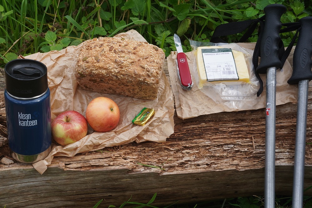
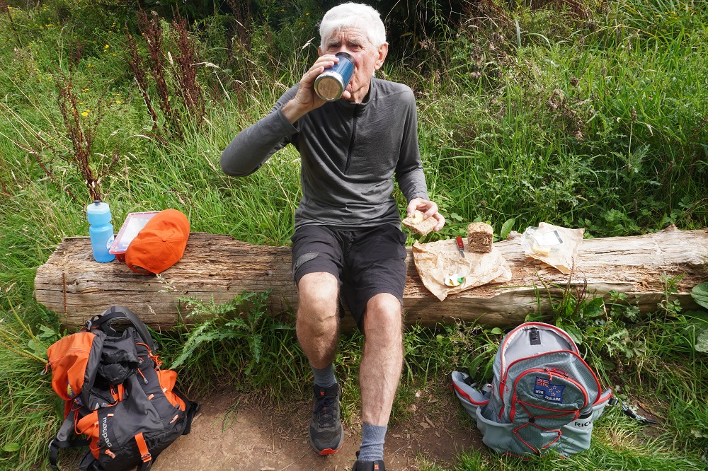
At High Peak we had lunch part one of artisan bread, cheese and apples bought yesterday at the Otterton Mill Farm Shop. Washed down with coffee from our Kleen Kanteen.

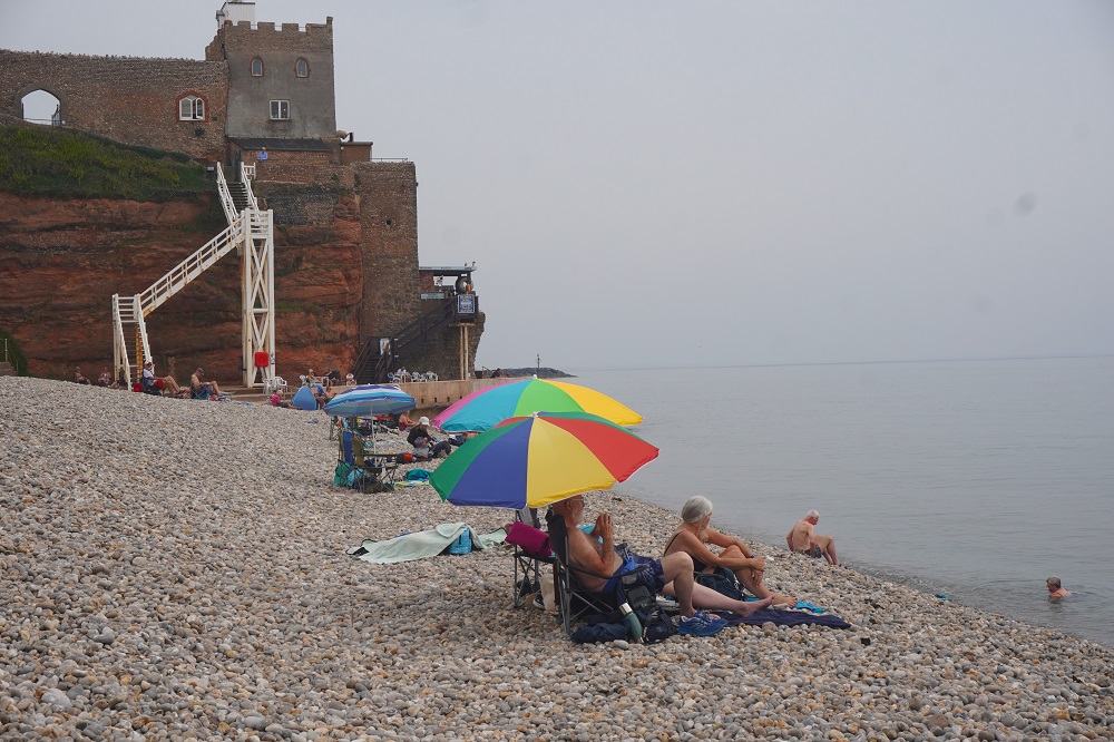
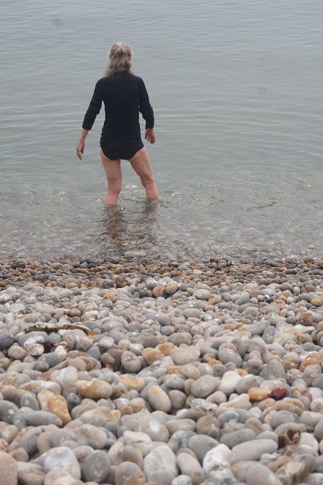
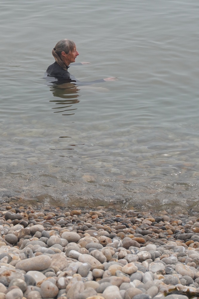
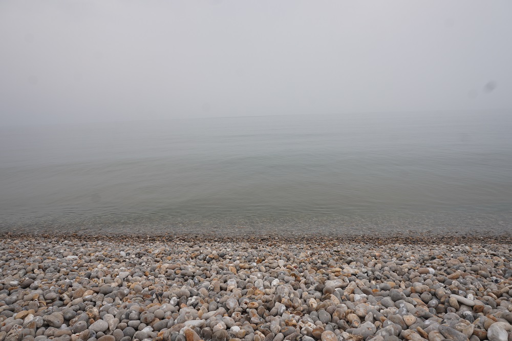
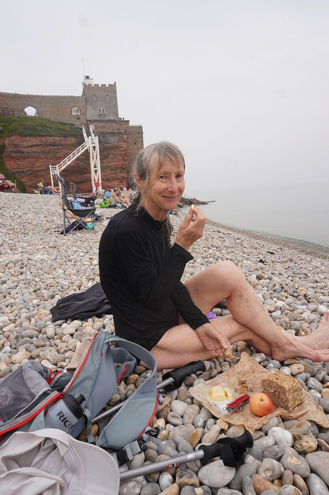
When we descended down to Sidmouth the first beach we came to was Jacob’s Ladder Beach. which looked just so inviting we had to have a swim. We were very hot and sweaty after over 300m of climbing this morning. Like most of the beaches on this part of the coast it is of pebbles – 400 million year old pebbles. The pebbles are very loose and difficult to walk on. The beach is quite steep and once in the water gets very deep very quickly. The only way to get down the beach was to move on all fours like a crab and when we tried to stand up in the water immediately fell over and got dunked. We didn’t have our togs with us so Barbara took off her walking trousers and swam in her walking top and undies and I took off my walking top and swam in my walking shorts and undies. The water temp was 18 – 19″ and wonderfully refreshing. The strange thing was the water looked like it had vapour coming off a hot pool. The morning had been very hazy and at the beach you could not discern a horizon. The sea just blended into the cloudy sky. After our swim we sat on the beach to allow our clothes to dry out a bit and had lunch part 2 finishing off the bread, cheese and apples. Barbara reckons it would be so much easier to swim without clothes and in fact we later in the walk pass through some naturist beaches.

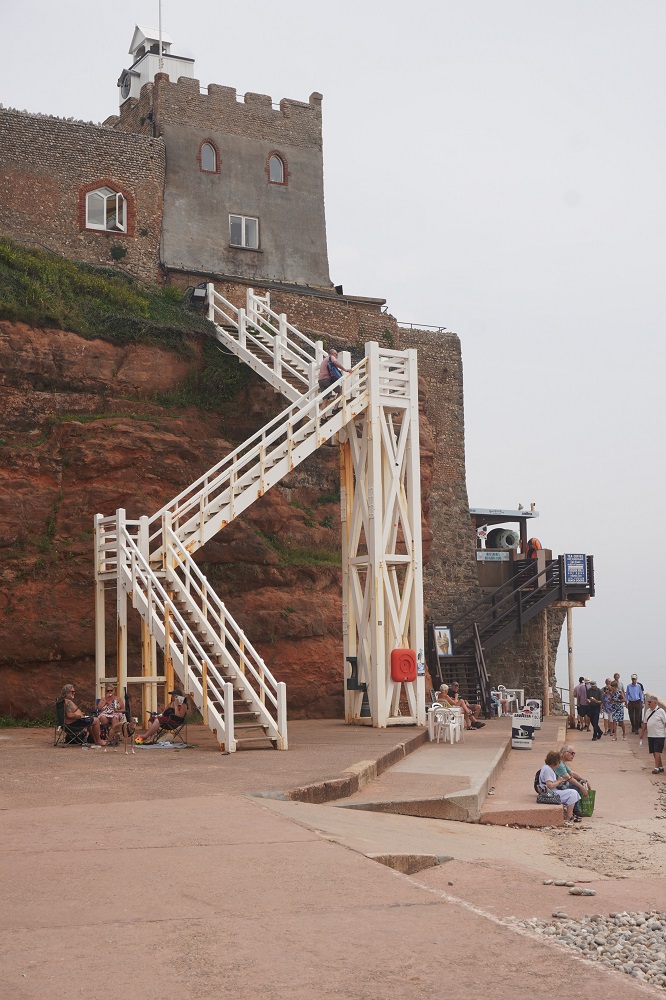
Jacob’s Ladder Beach has a stair structure from the beach up to a headland where there is a clock tower observatory, a restored 17th century lime kiln and a pseudo fort. At the base of the headland is the Clifton Walkway which takes you at sea level round the headland to the main beach at Sidmouth. Sidmouth is another seaside resort town similar in size to the others we have been through: Teignmouth, Dawlish, Exmouth, and Budleigh Salterton.
It didn’t get quite as hot today due to the hazy cloud and a slight sea breeze up on the cliffs. We felt so good all day. Our legs are now conditioned to walking every day and although we are tired at the end of each day we recover overnight to be raring to go again in the morning.

Hit the Road Jack

Exmouth to Otterton 17.5km
Ascension 230m  Accumulated ascension 1,614m

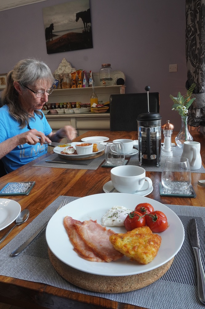
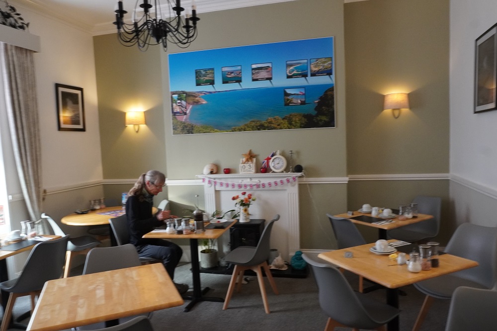
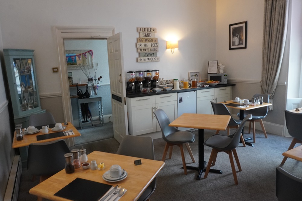
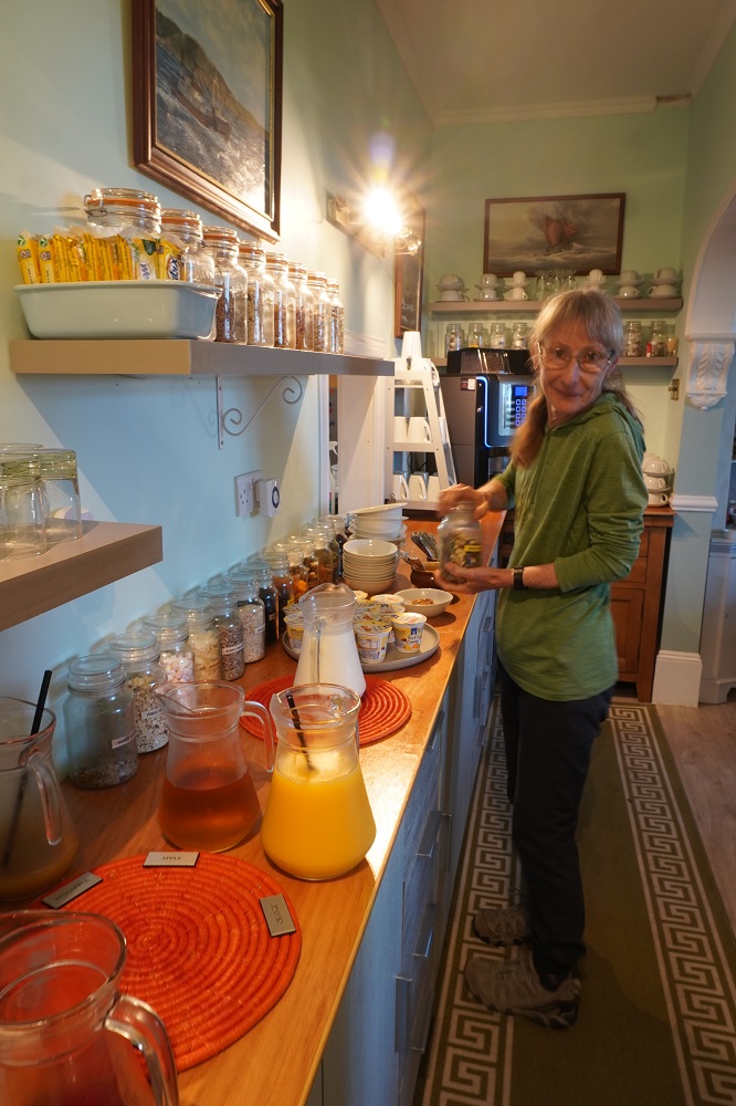
At breakfast our host Ian played some background music and I’m sure he tailors the playlist for his guests. We had an early breakfast this morning and were on our own in the dining room. We had a sound track including Led Zeppelin, Procul Harem, The Moody Blues, White Horse and Ray Charles singing Hit the Road Jack. I hope Ian wasn’t trying to give us a message. In the rooms he had the largest selection of herbal teas I think I have seen. At breakfast there were fifteen different spreads for your toast.

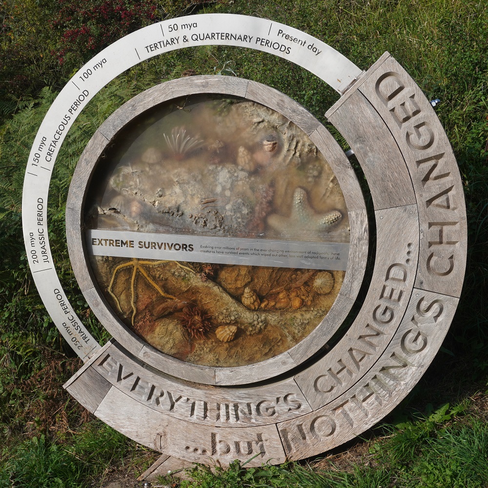
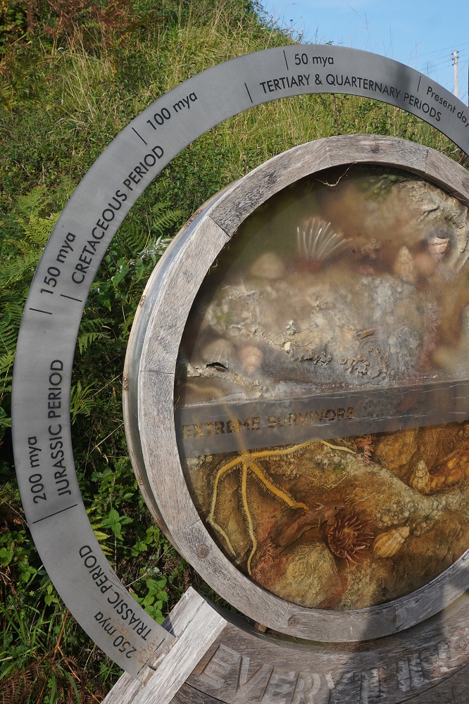
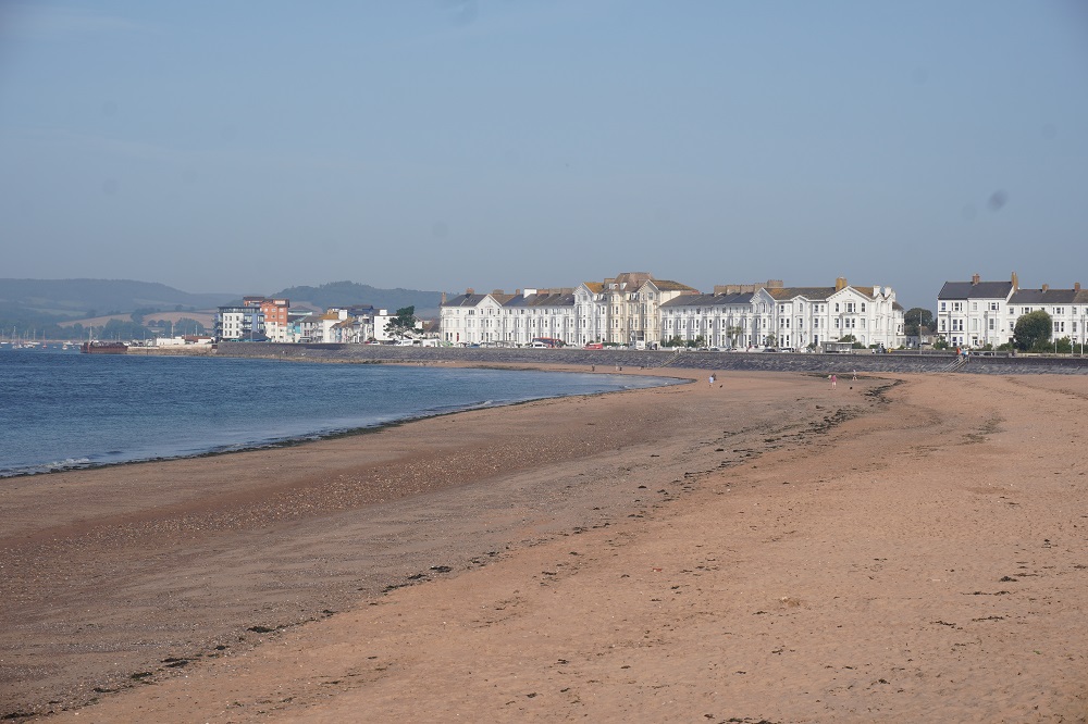
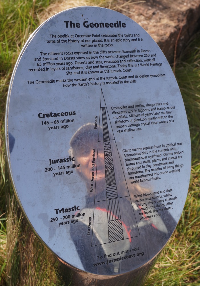
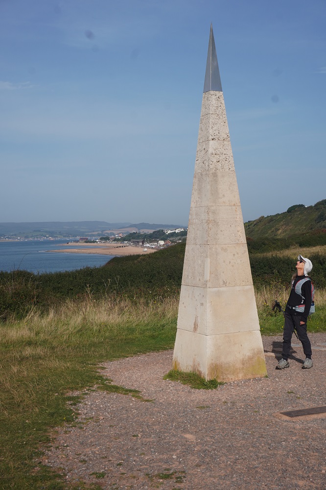
Exmouth has a sandy beach 2 miles long, the longest in Devon and we had to walk the length of it on the promenade as we left town. There was then a climb up to Orcombe Point. Here there is a strange Geoneedle obelisk that marks the beginning of the Jurassic Coast World Heritage Site that stretches for 155kms and we will walk every inch of it. This coast was designated England’s first UNESCO World Heritage Site in 2001 due to its incredible and very visible geology. As we walk from west to east the rocks we walk on get younger, starting with the red rocks of the Triassic Period (250 million years old), then the Jurassic Period (from 200 million years old) and finally the Cretaceous Period (145 to 65 million years old). It is a bit more complicated than that but for we non-geologists  this is good enough.

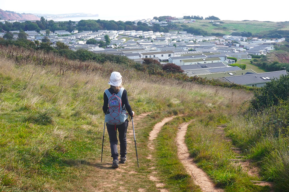
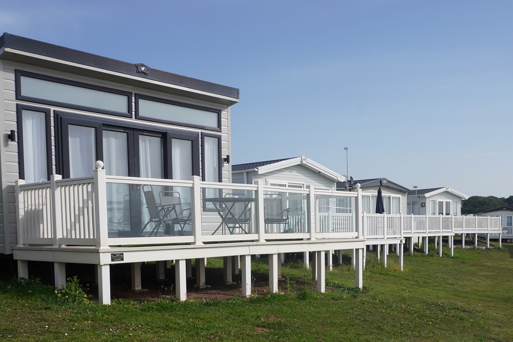
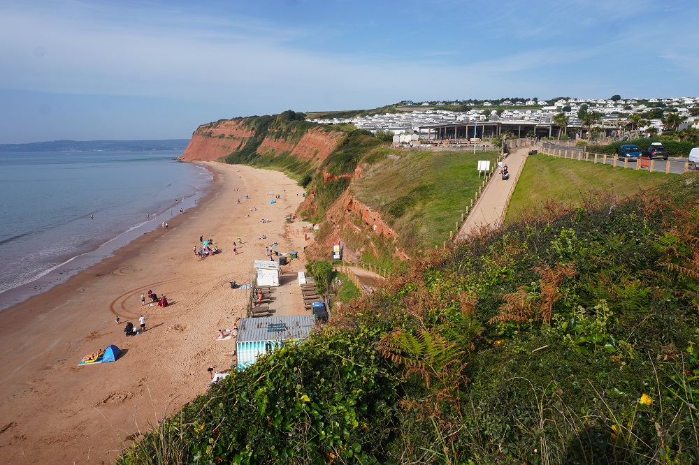
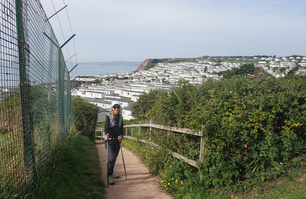
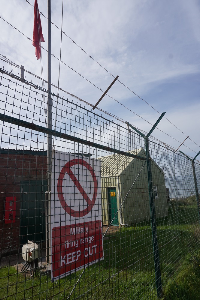
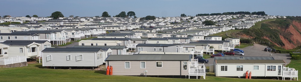
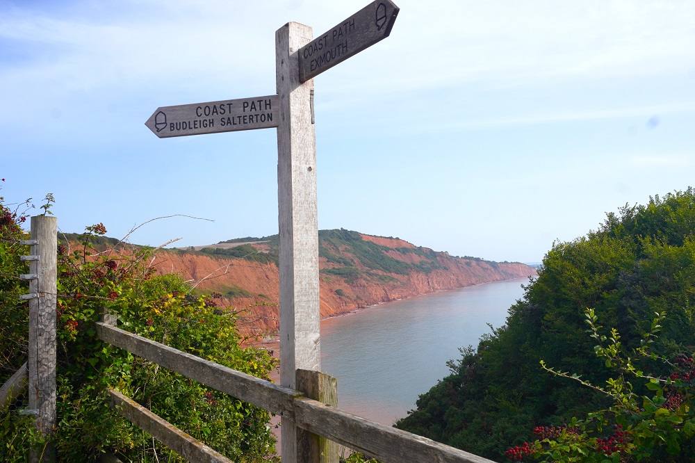
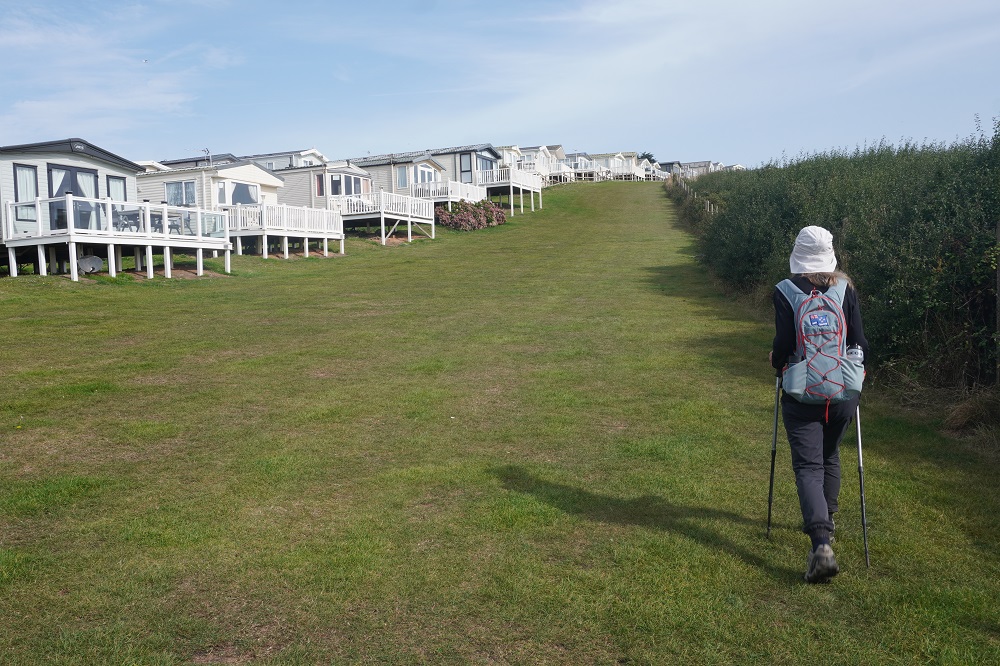
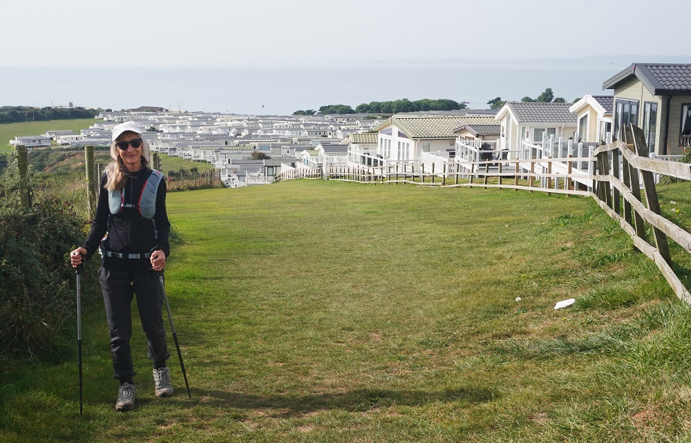
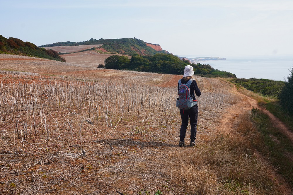
From the obelisk we climbed quite steeply along the edge of a corn field (the corn harvested some time ago I would say) and for ages went past the largest holiday park we have ever seen. It was a small city in its own right. It had a large cafe where you could only buy something if you had downloaded their app. They even had their own very nice little beach. As we passed Straight Point there was the sporadic pop, popping of gun fire as we passed the military rifle range. Some more climbing and two hours after starting out we had reached West Down Beacon and it was down hill all the way to Budleigh Salterton and the end of climbing for the day.

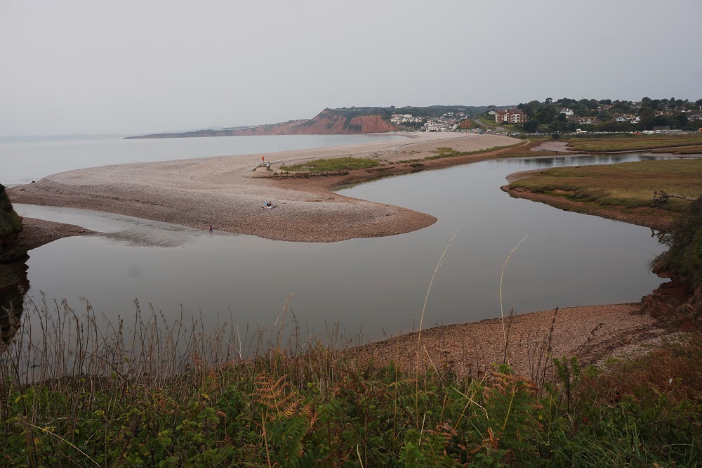
Budleigh Salterton is a small seaside town at the mouth of the Otter River. It was originally called Ottermouth but the name was changed to Salterton to reflect the town’s primary industry of salt panning. It has a very pebbly beach –  no sand. The pebbles are known as Lower Triassic Pebbles, 400 million years old. For thousands of years they have been spilling out of the cliffs as sea and time take their toll. The pebbles are oval shaped and extremely hard being made of hard quartz.

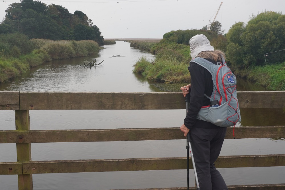
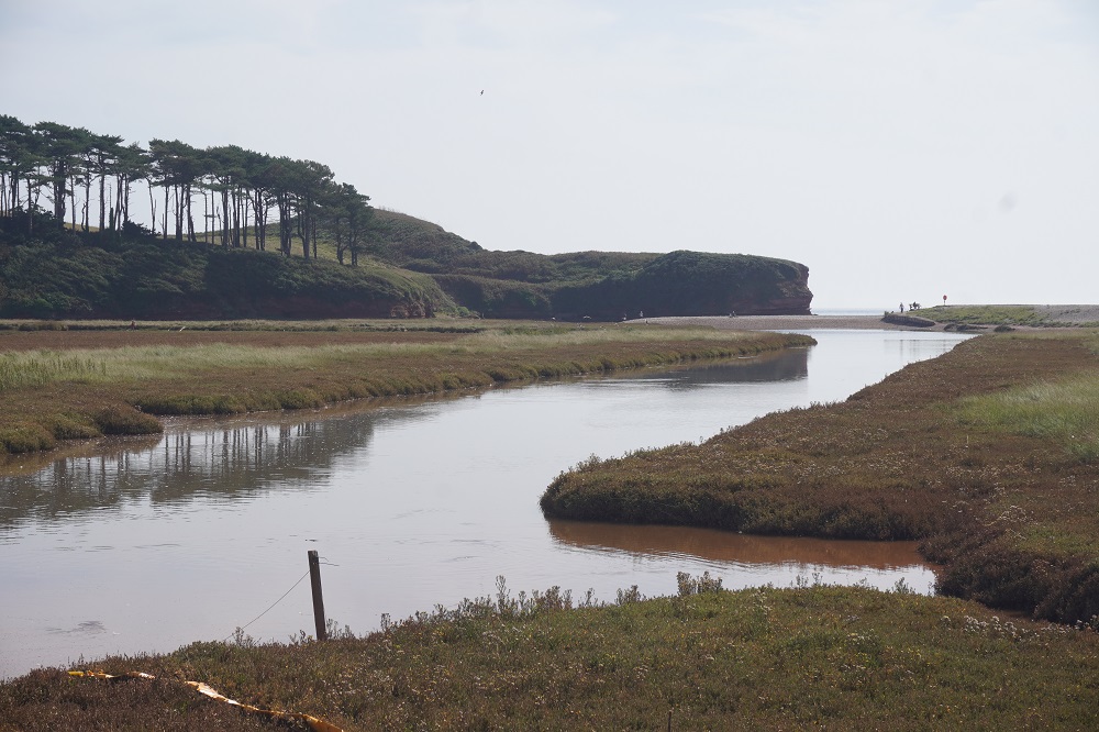
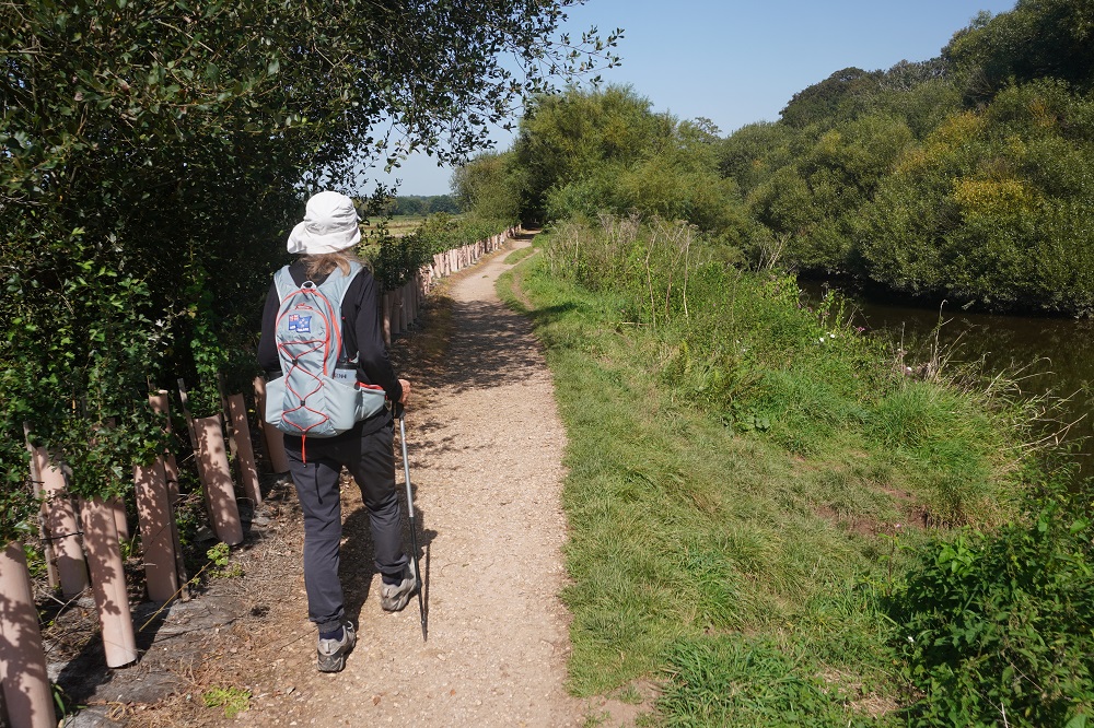
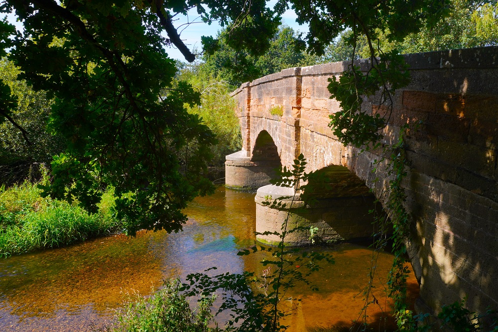
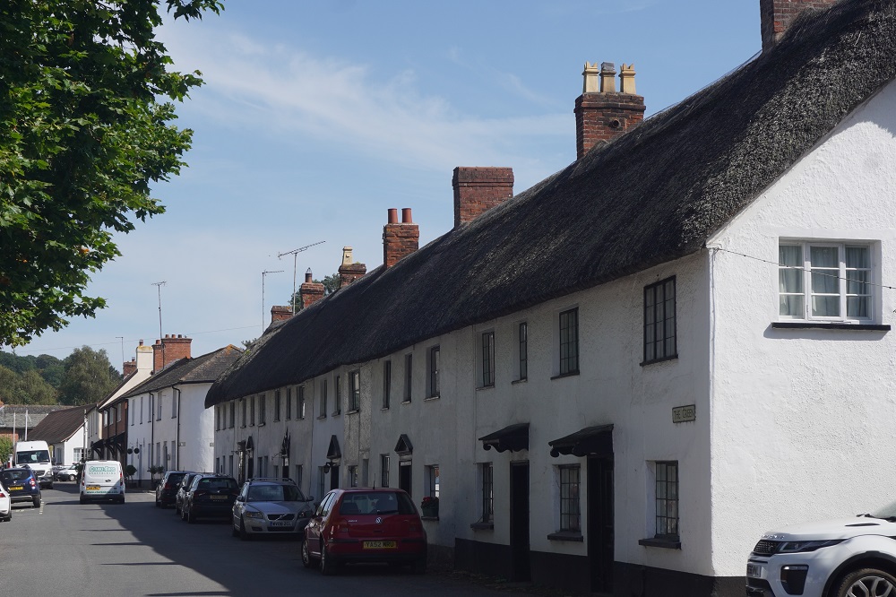
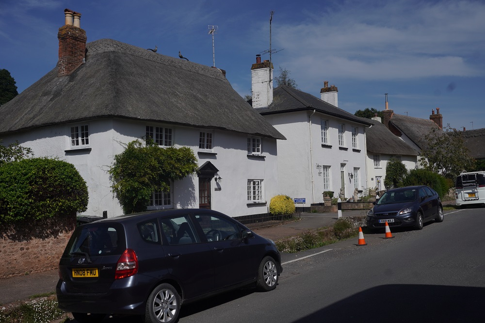
The Otter river has no bridge or ferry at its mouth as it is a protected nature estuary reserve. You have to walk one and a half kilometres inland to the nearest road bridge and walk back down the other side of the river to the coast  Absolute Escapes had not been able to get us suitable accommodation on the coast so we had to walk a further three and a half kilometres inland from this road bridge to the delightful little Devon village of Otterton.

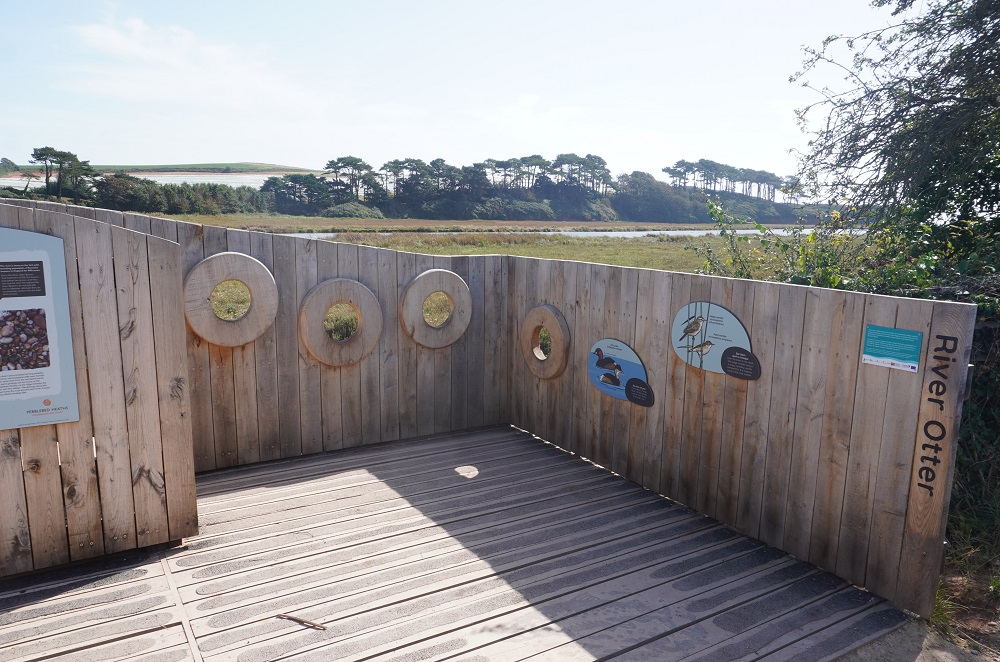
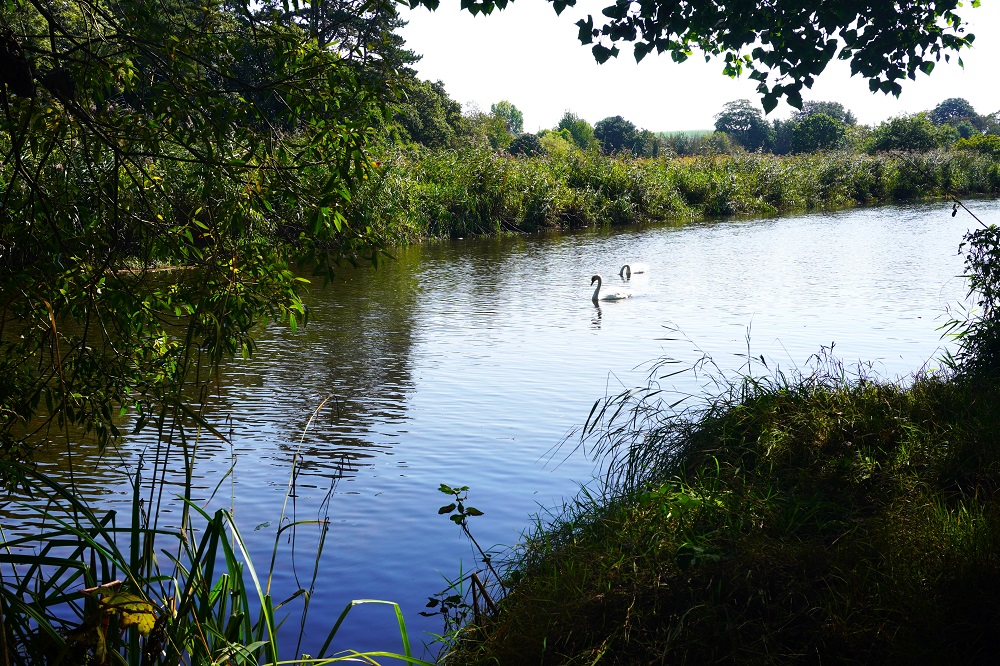
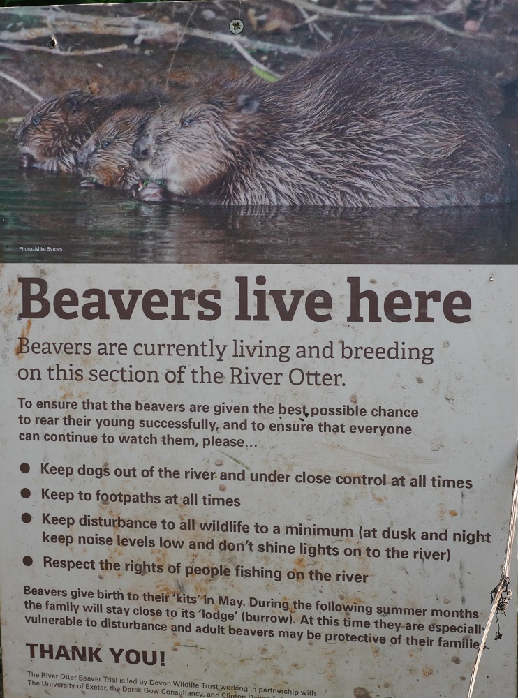
We got a bit confused about otters and beavers today.  At the museum in Budleigh Salterton there is a log, apparently gnawed by a beaver, that washed up on the banks of the Otter River. This was a mystery as there were no beavers in the river at the time. The most plausible explanation is that on a nearby private estate, on a tributary of the Otter, they did have beavers and the log must have washed down from there. So what’s with beavers and otters. Although they look similar and share similar habitats they are quite separate animals. It turns out the Otter River has nothing to do with otters the mammals. Otter is an ancient English word for water. On the walk along the river we saw two signs saying that beavers are living and breeding in this section of the Otter River. I think we are off our heads on otters and beavers.

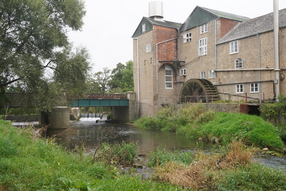
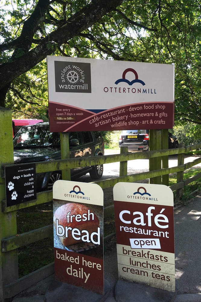
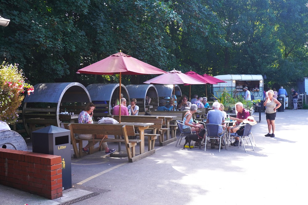
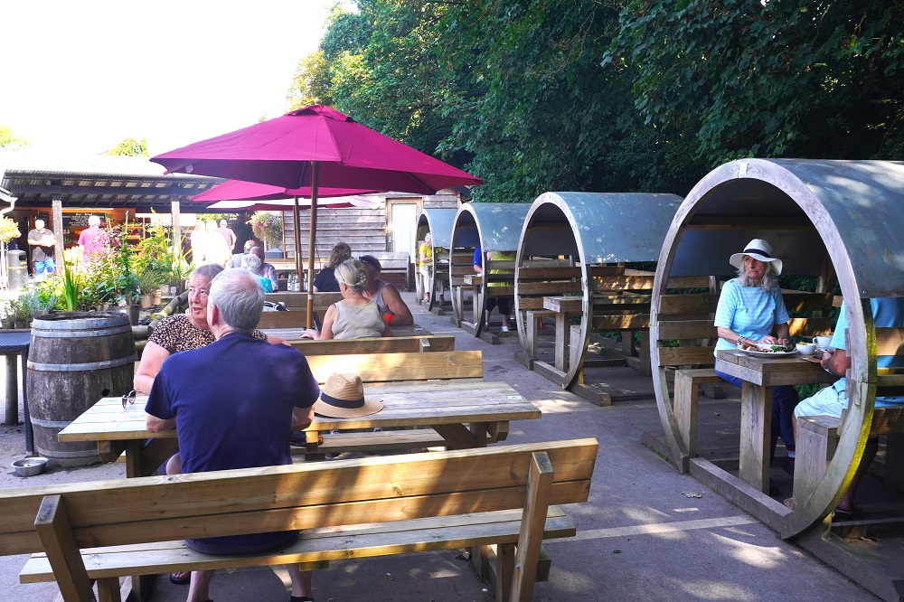
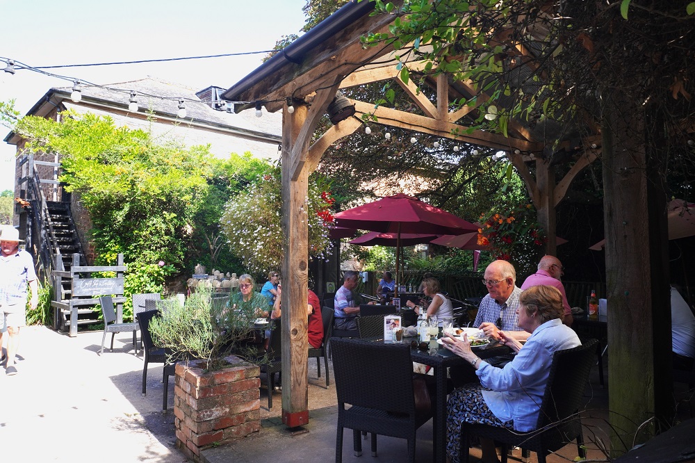
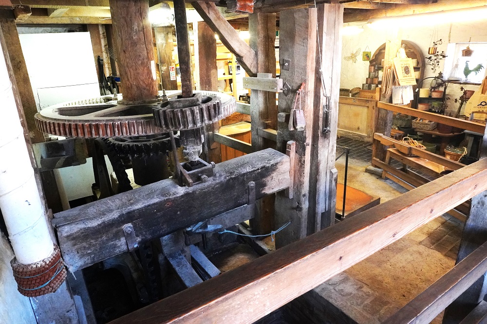
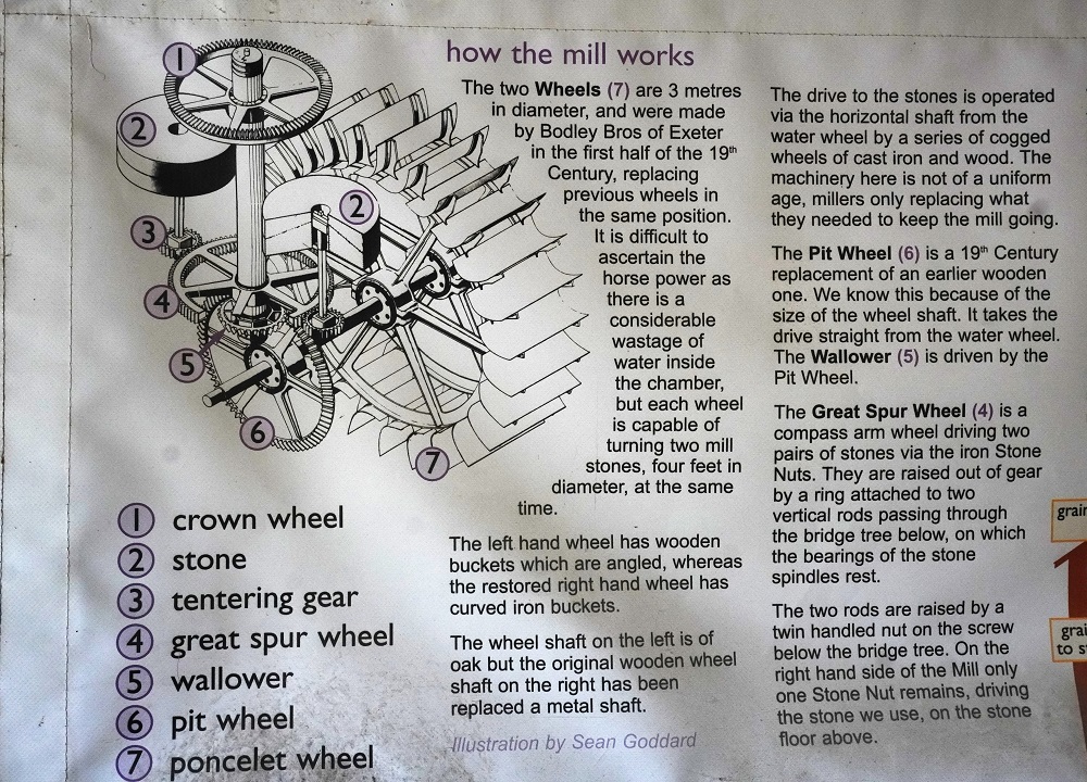
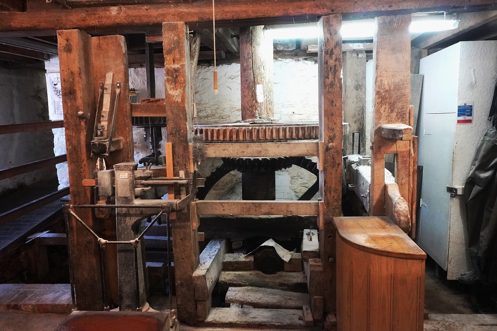
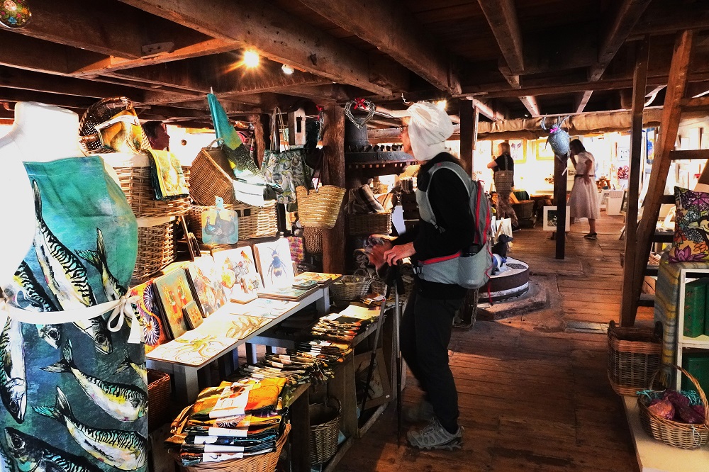
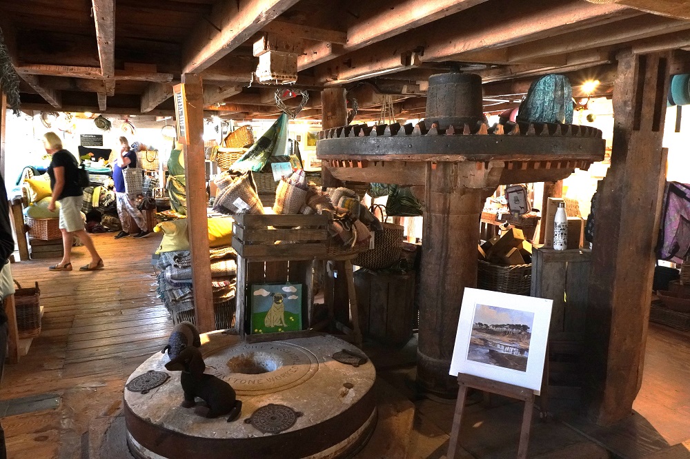
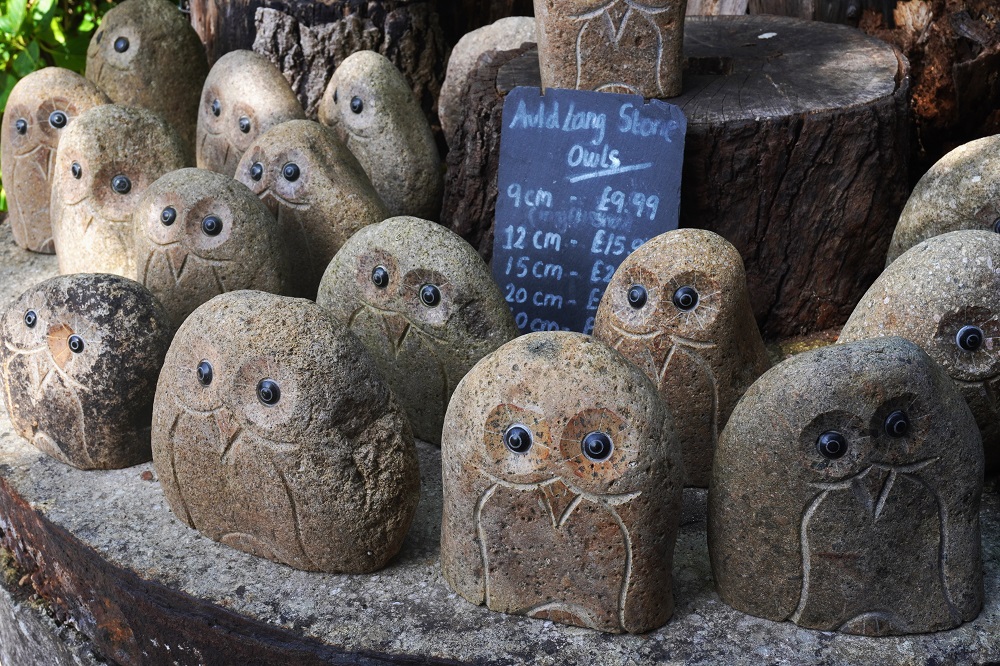
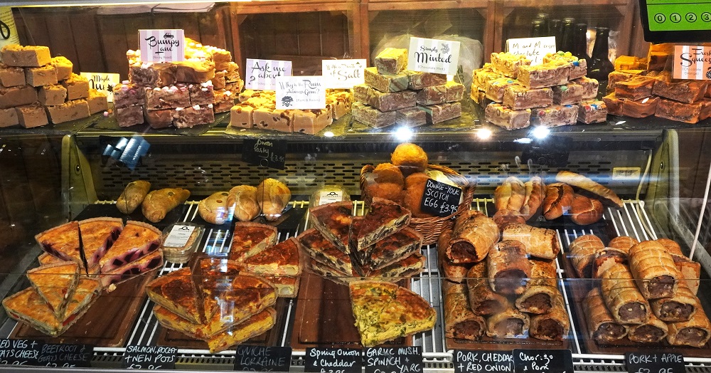
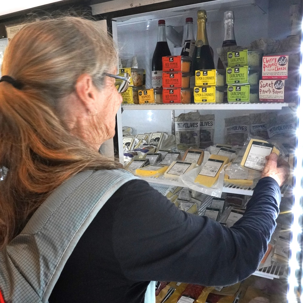
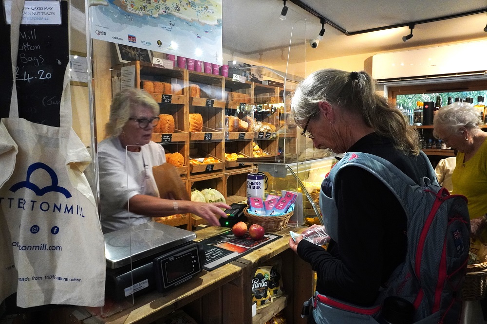
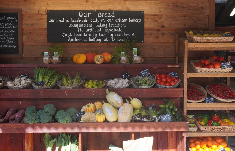
Otterton has an old mill, still operating, that is also now a museum, cafe and restaurants, art gallery, gift shop and farm shop. We spent a good hour there looking around and bought some apples, local Devon cheese and spelt wholegrain flour bread for our lunch tomorrow.
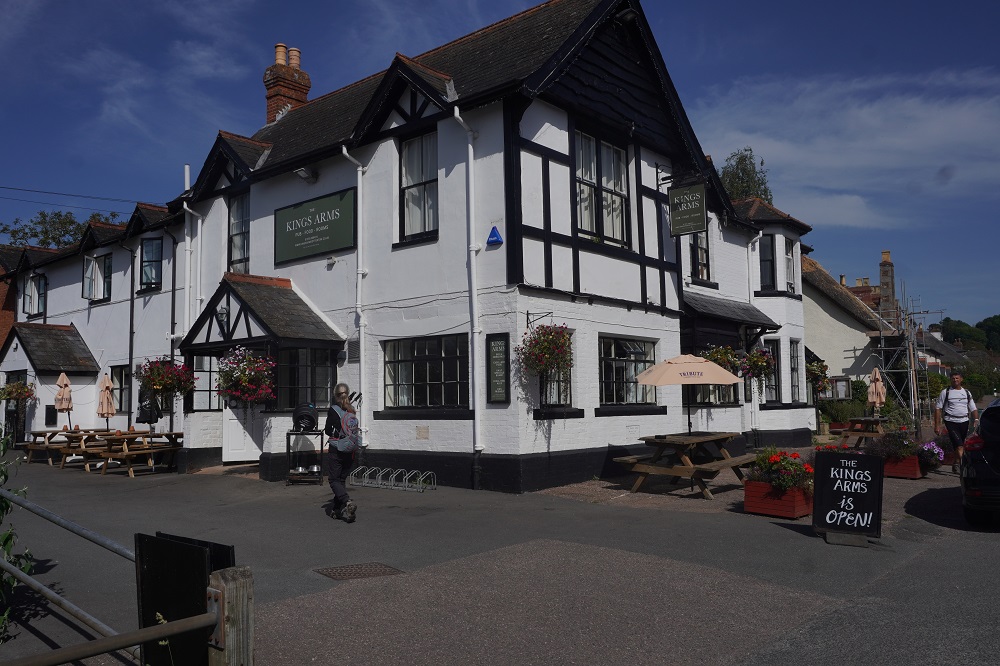
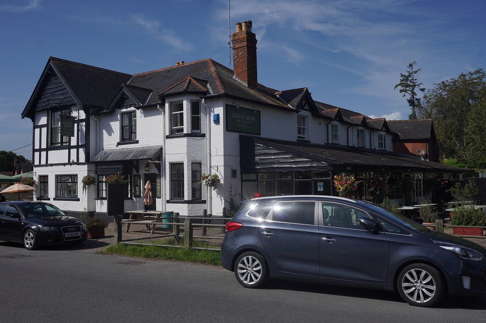
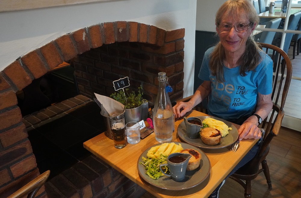
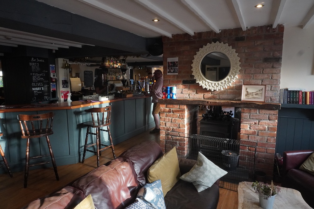
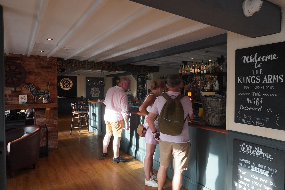
We had a good walk today. We were rested and our heads were in the right space. All the hill climbing was done early in the day and when it got up to 26° we were  mostly in shade alongside the delightful river. Tonight we are in the charming Kings Arms Hotel and had good old traditional steak pie, mash and gravy for dinner.

Sinners and swimmers

Two new firsts today. For the  first time we went to church and the first time we went for a swim We have two nights in Exmouth and so today was a “rest day”.

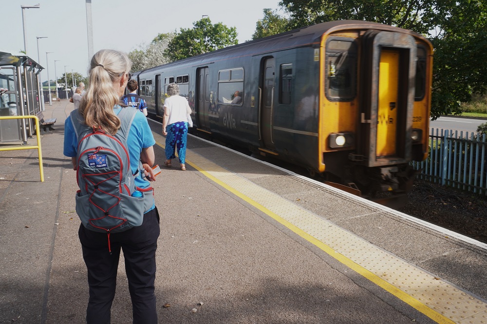
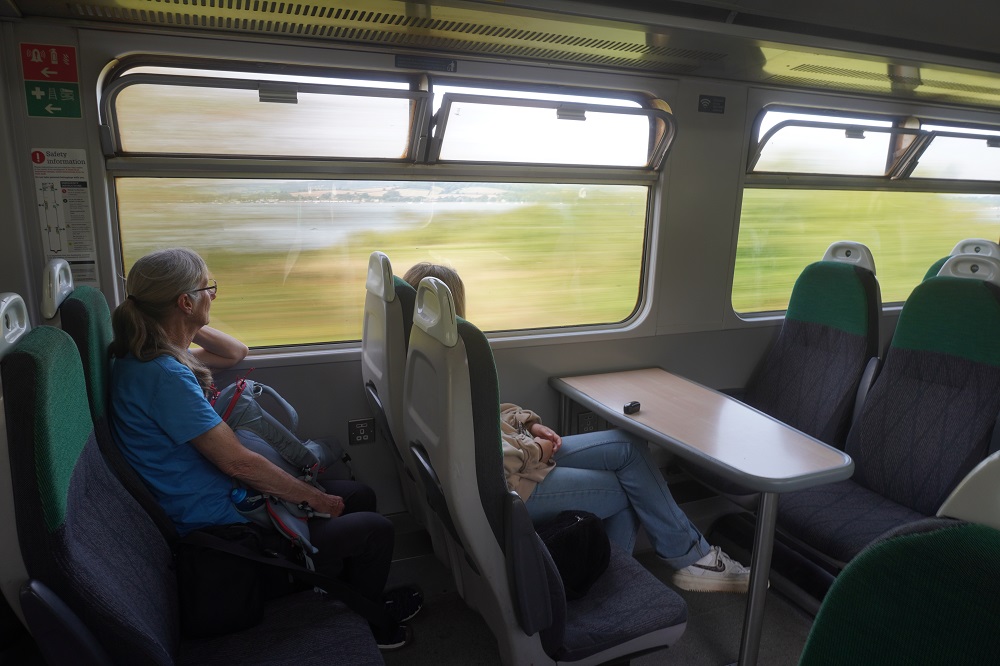
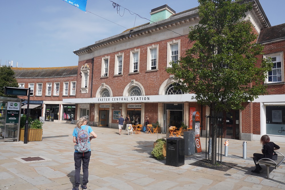
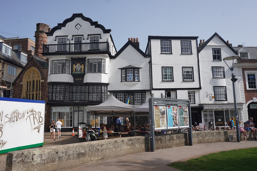
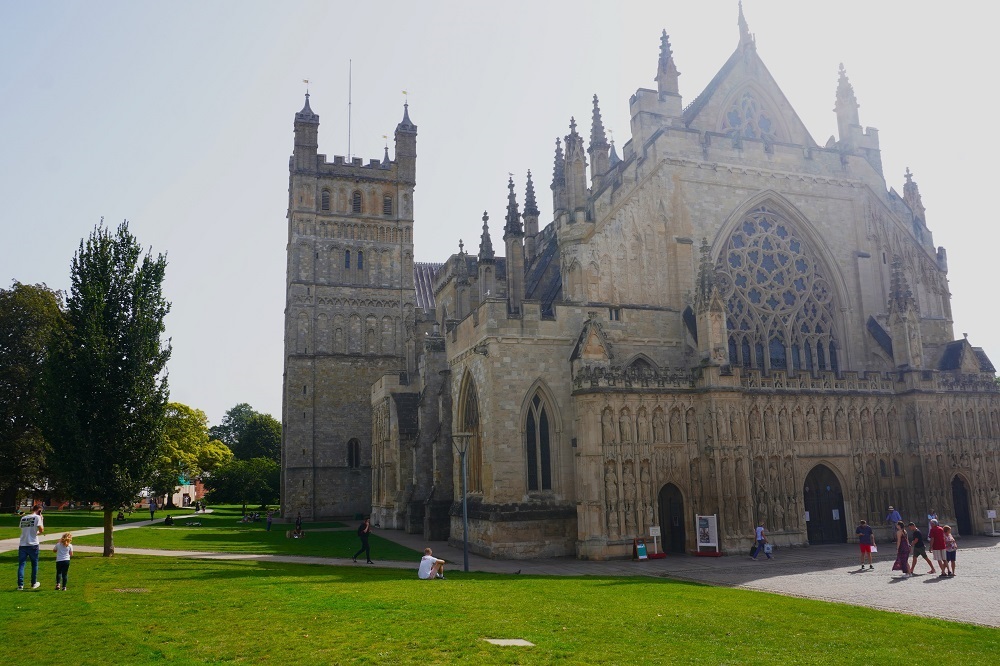
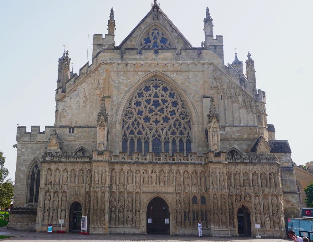
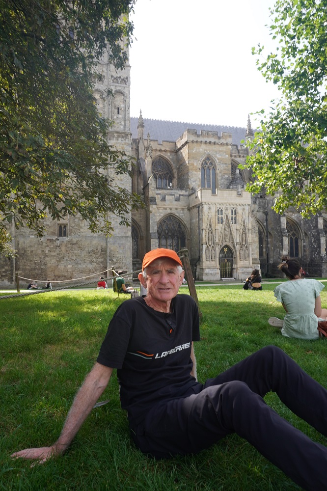
I was keen to go inland to Exeter to see their magnificent cathedral and Barbara was keen to go to the beach for a swim. So we did both. A suburban train runs from Exmouth to Exeter, £6.10 return each for a trip of about 30 minutes. All the tourists sit on the left hand side of the carriage to see the view going up the Exe River. All the locals sit on the right as they have seen it many times before. Exeter is a medium sized city of 130,000 dating from at least Roman Times. It became a religious centre in the middle ages. Like most of the cities in southern England it was heavily bombed in WWII and much of the city has been rebuilt since then.

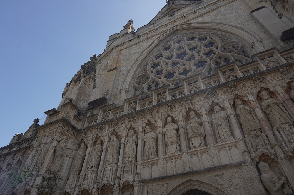
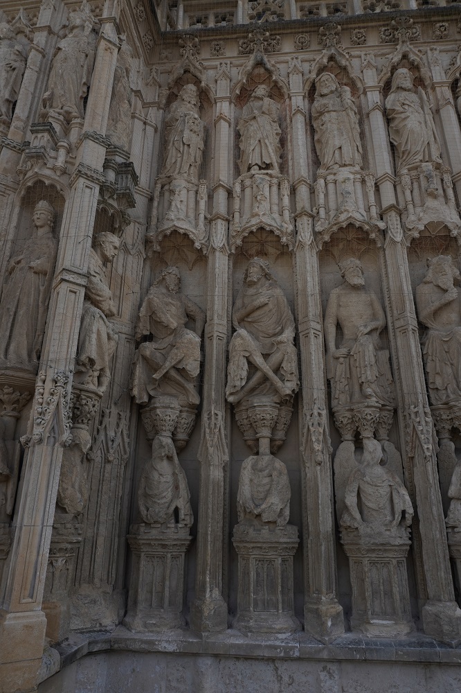
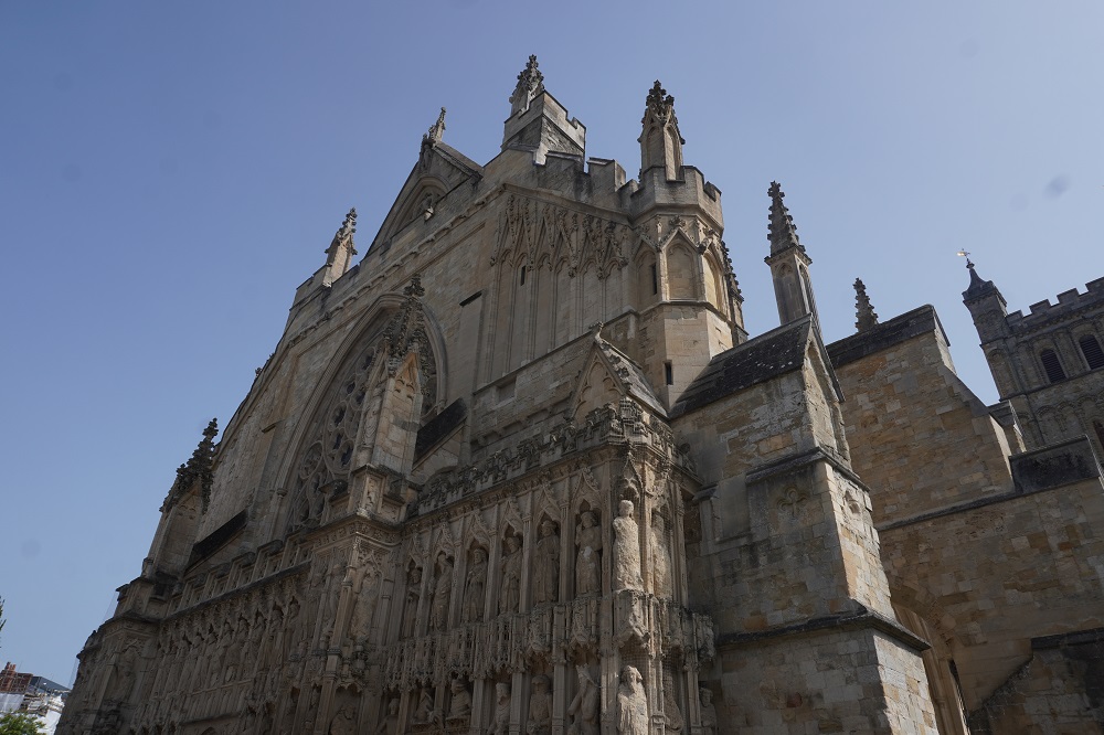
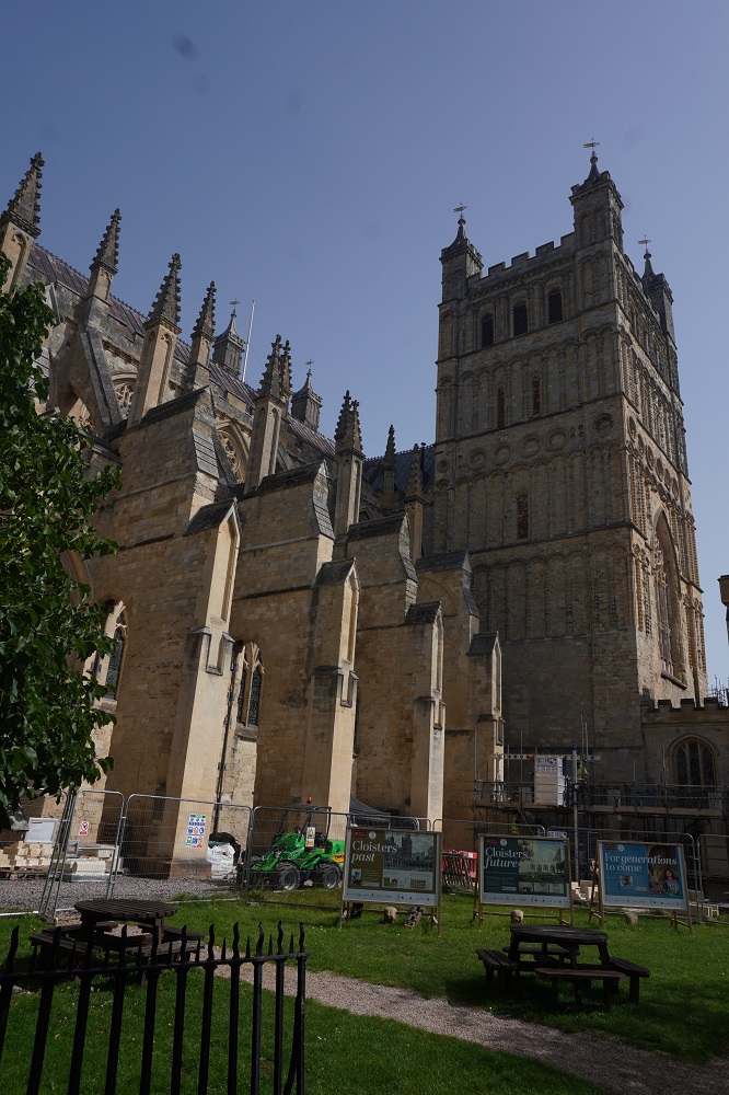
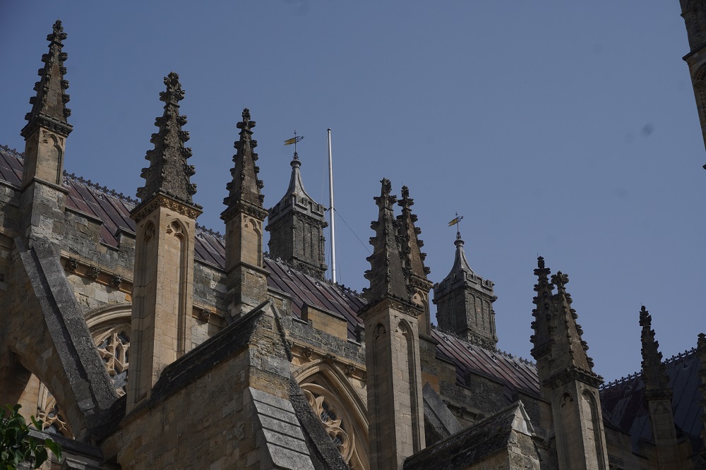
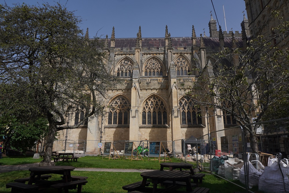
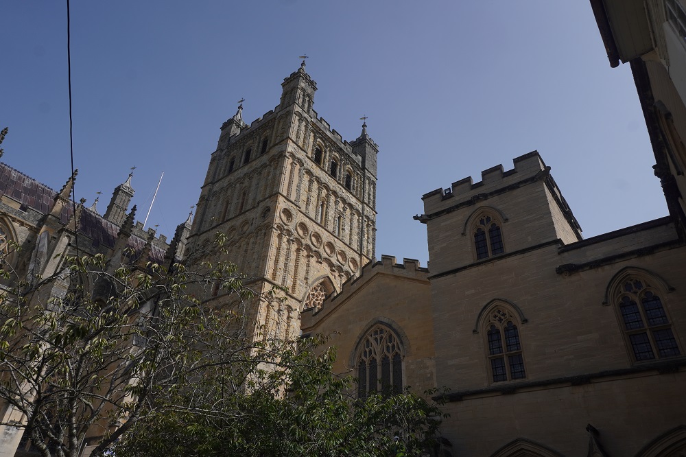
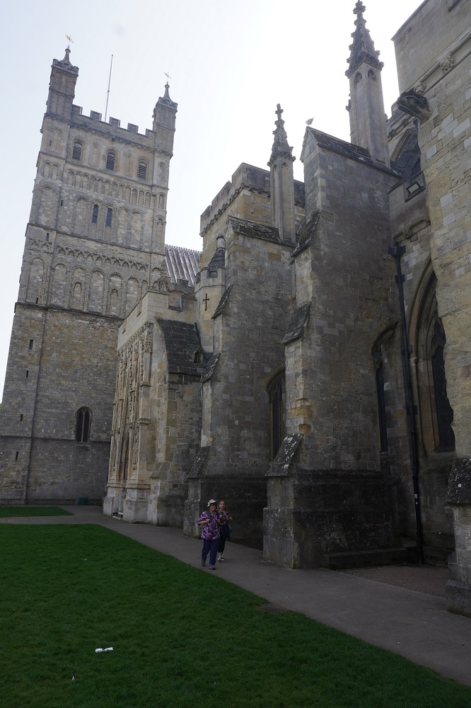
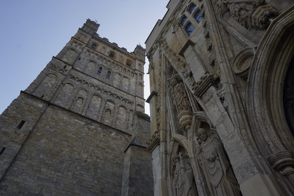
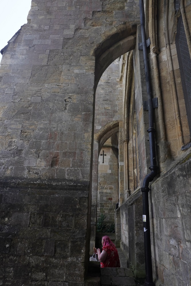
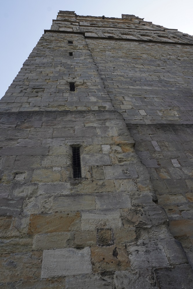
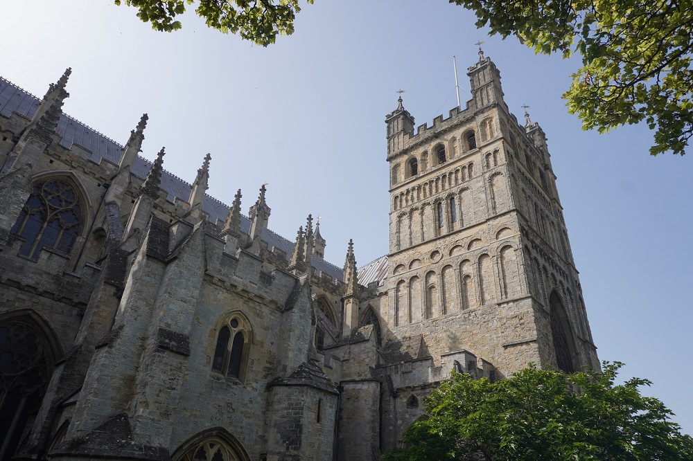
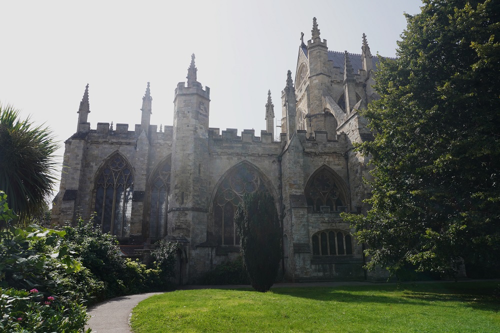
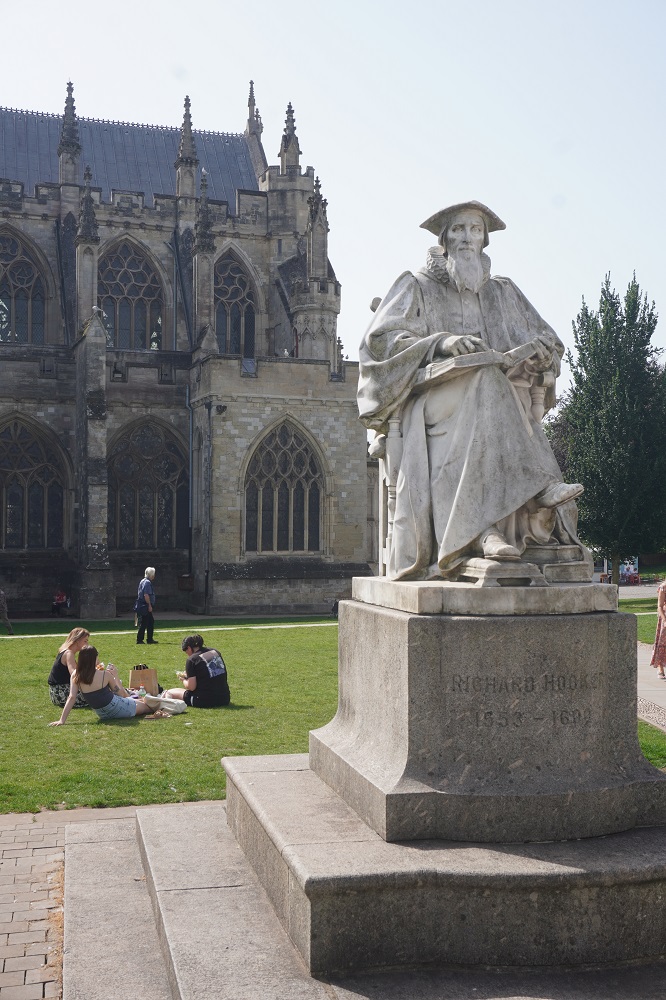
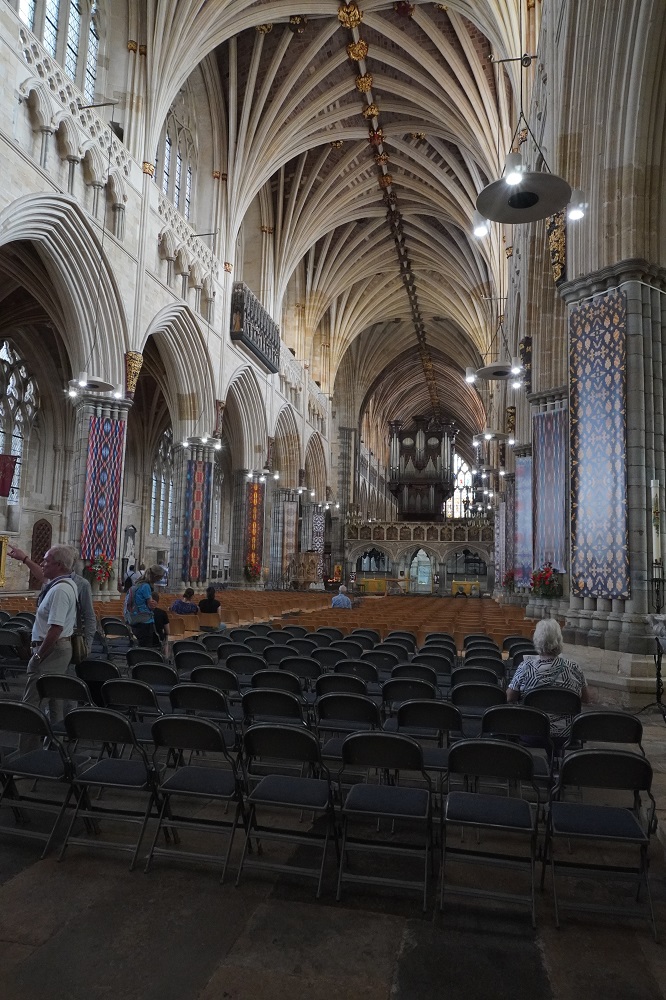
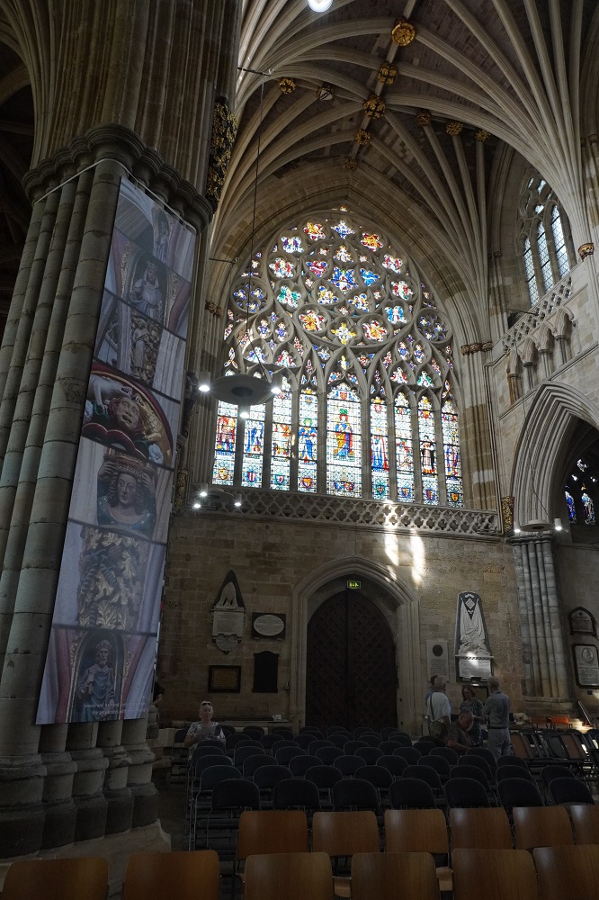
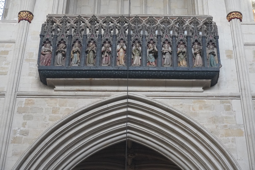
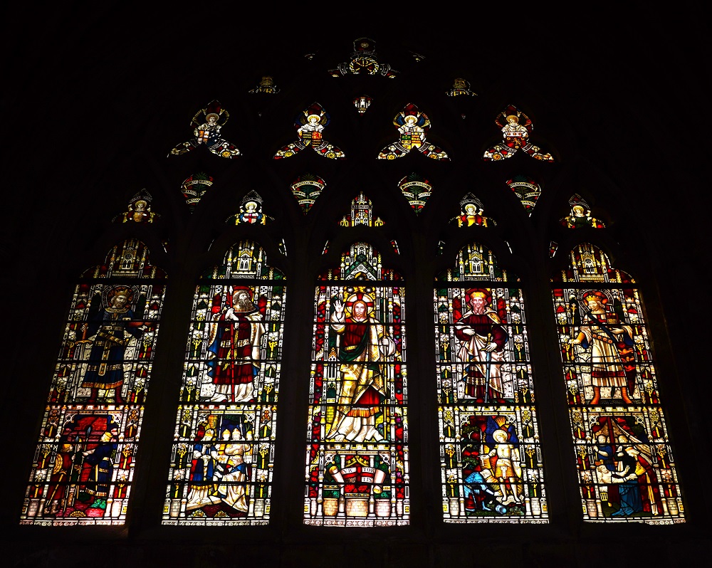
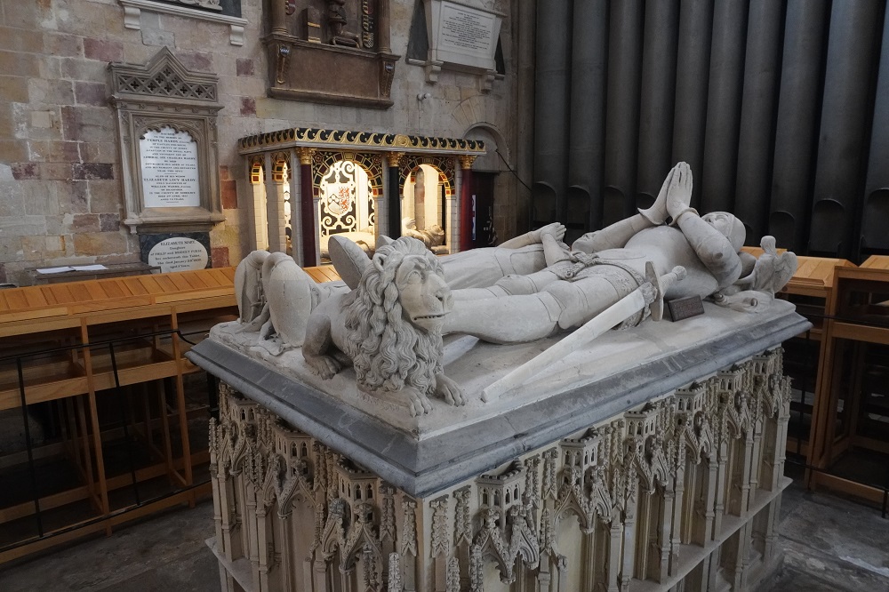
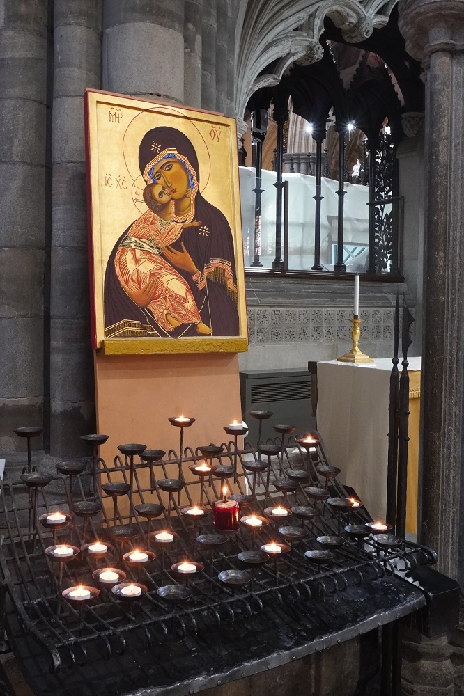
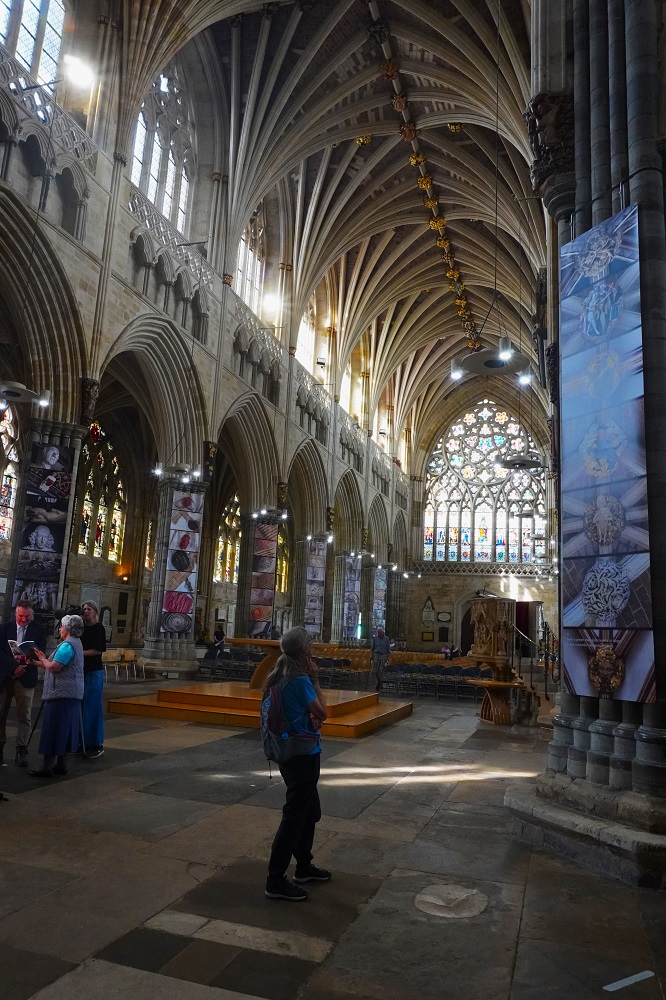
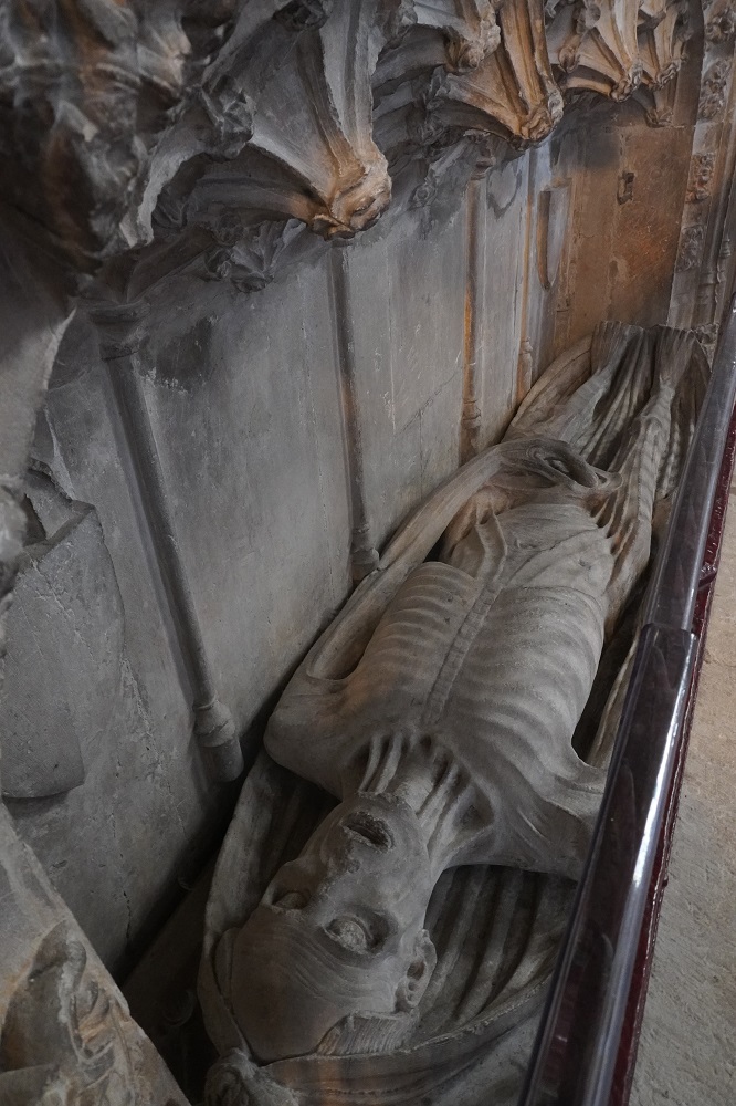
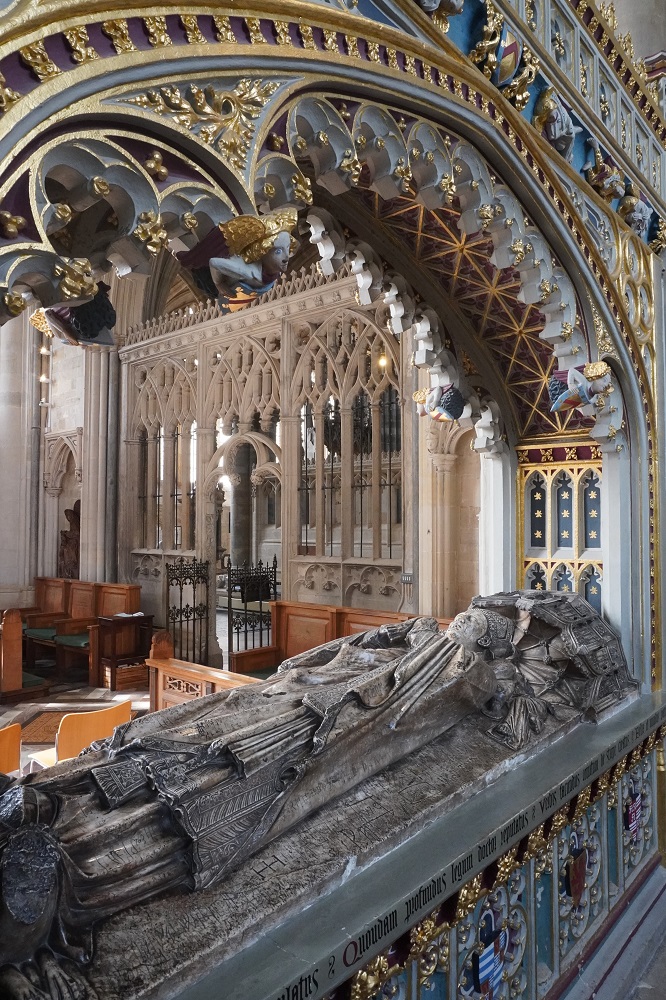
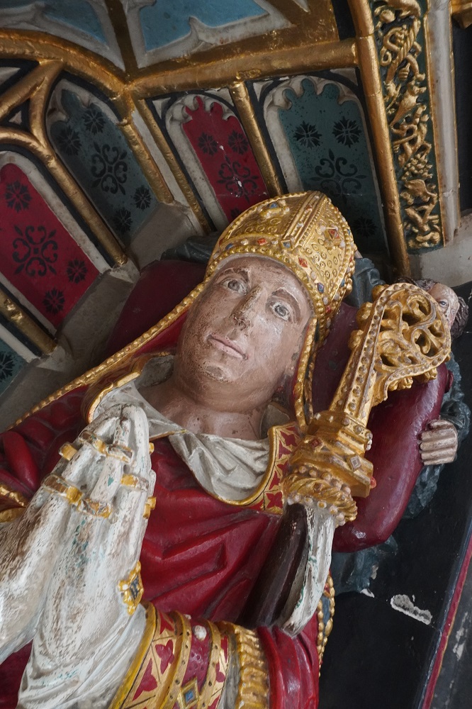
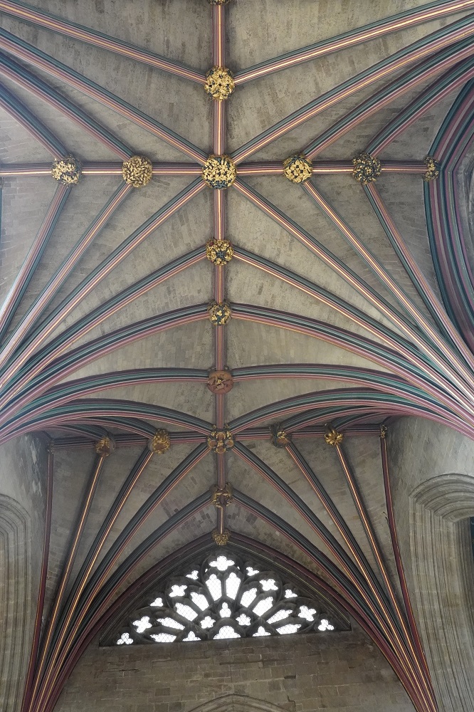
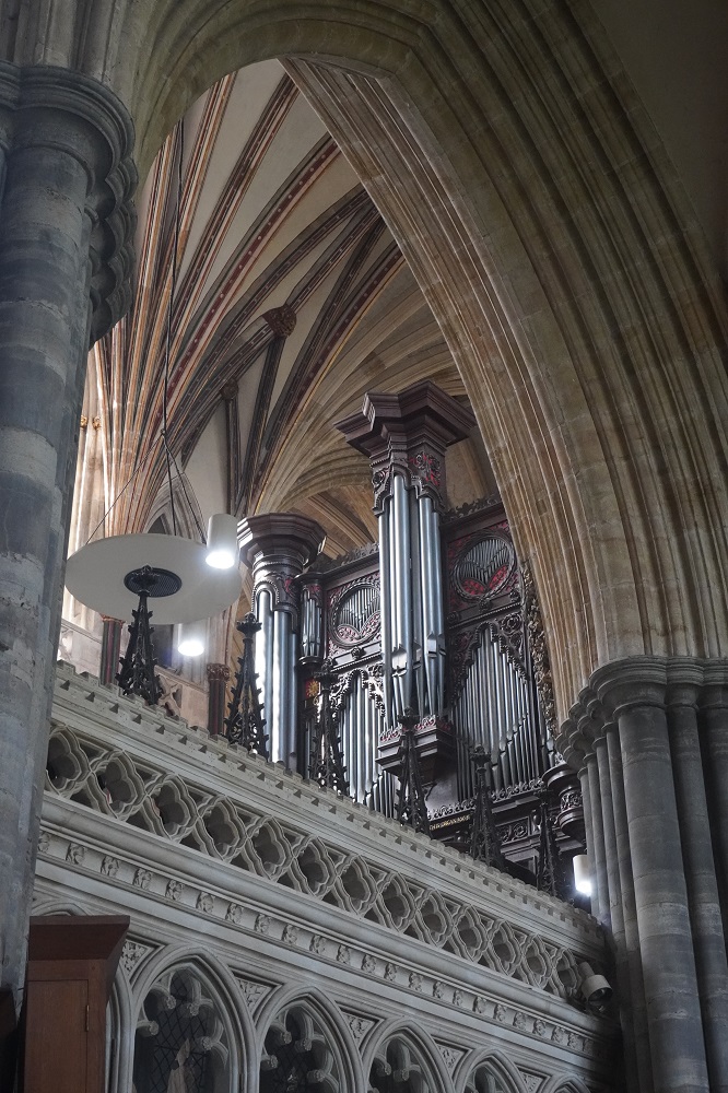
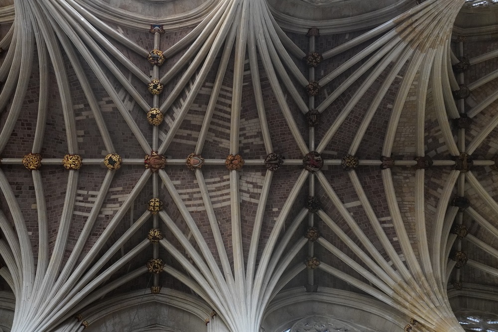
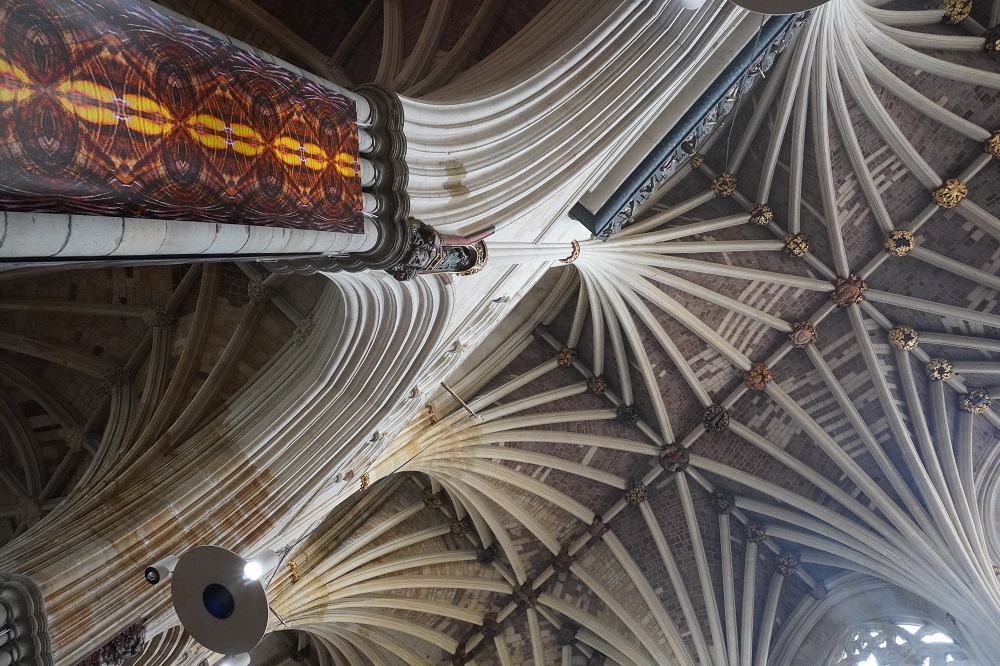
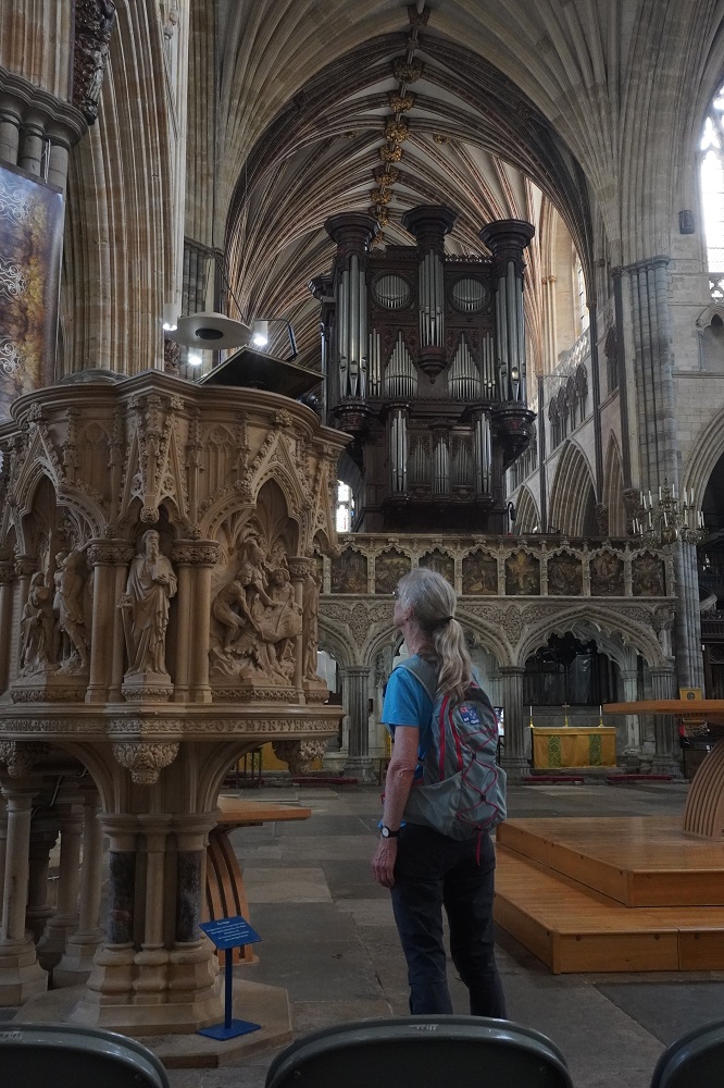
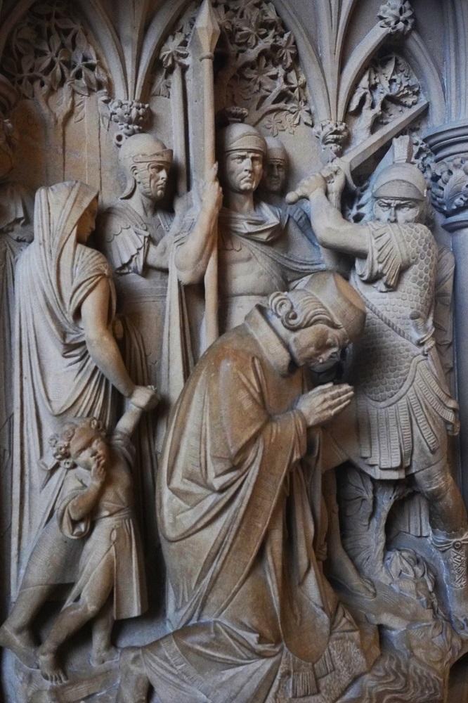
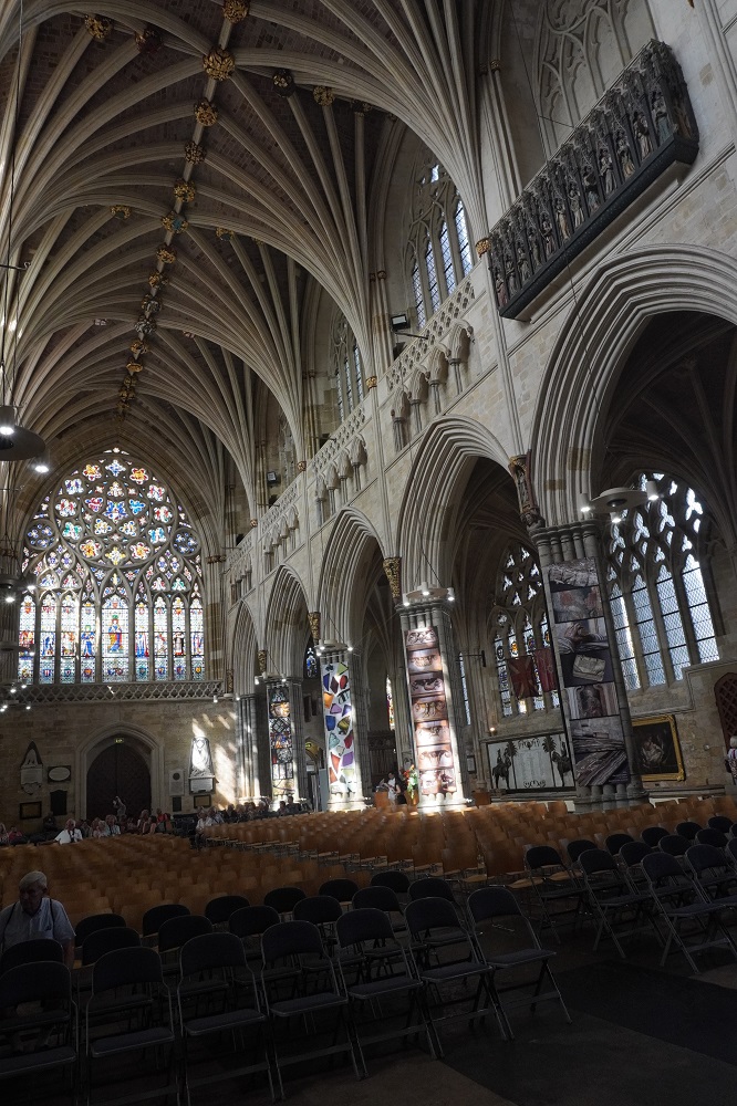
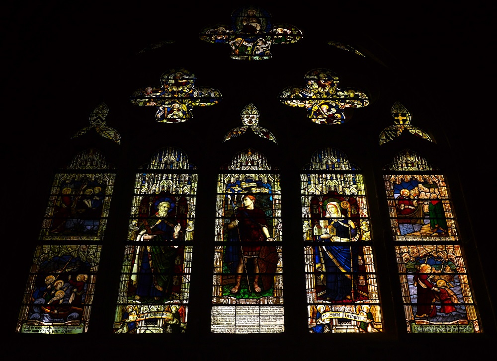
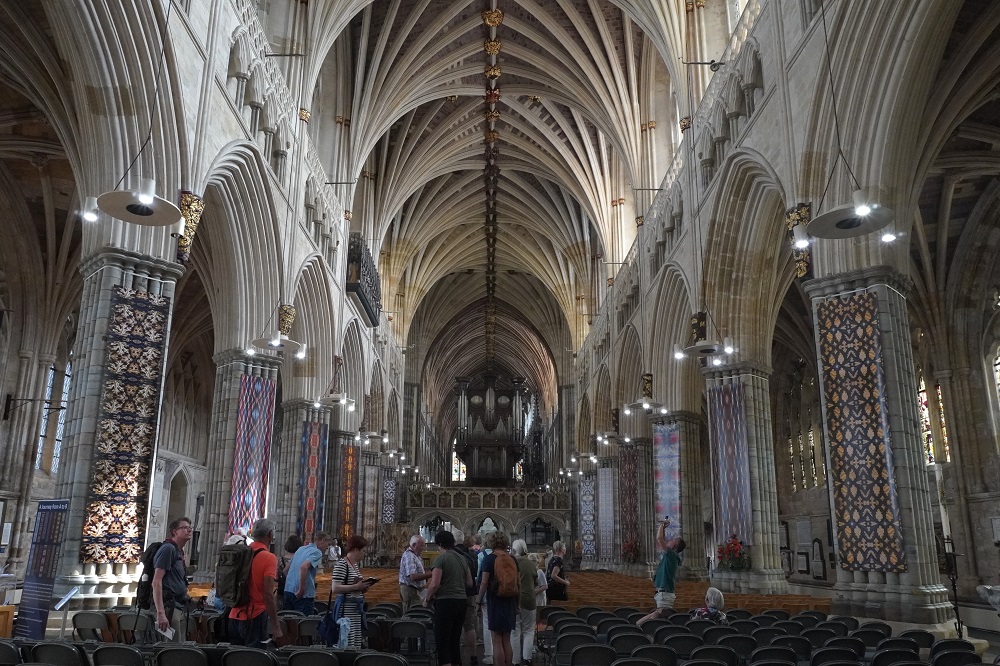
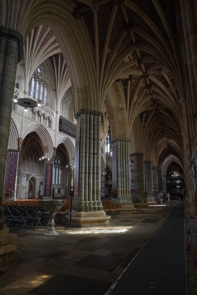
The cathedral was started in 1112 and the present building was complete by about 1400 over two hundred and fifty years later. The cathedral started with the building of the two towers, the choir, transept and part of the walls of the nave. The cathedral was completed in the Decorated Gothic style. It was originally a Roman Catholic cathedral but after the Dissolution of the Monasteries it became Church of England.  Because there is no centre tower, Exeter Cathedral has the longest uninterrupted medieval vaulted ceiling in the world at about 96m. I love visiting these magnificent spaces. Over 50 years ago when studying architectural history at the School of Architecture these places could only be imagined from text and pictures in books. We could only access part of the nave today as there is major restoration being undertaken. We read it takes £6,000 a day to run the cathedral (includes long term maintenance) and it cost us £6 each as seniors to enter, so 1000 seniors per day! They get no funds from the government and no funds from the Anglican Church.

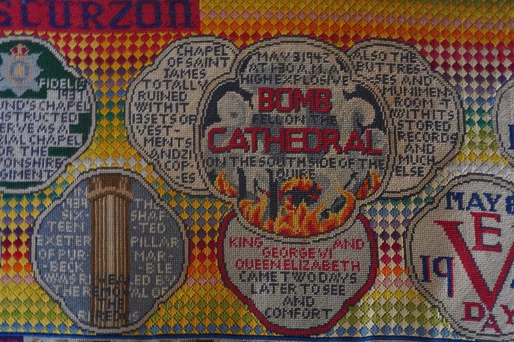
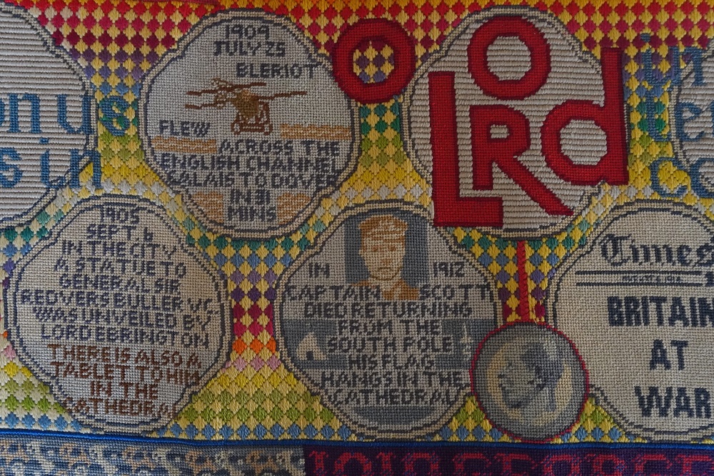
Barbara is not really into large cathedrals. She finds them a symbol of an elite class oppressing the masses (her words not mine). She does like the small village churches and chapels because they are more intimate and on a human scale so you can relate to them more. She did like the Exeter Rondals we saw today.  These are embroidered tapestry cushions located on the edges of the nave and there are dozens of them tracing the history of Exeter and its Cathedral from its beginnings. Its proper name is the Cathedral Church of Saint Peter in Exeter.

They must have had a different sense of time in medieval times. Can you imagine your great grandfather starting work on a project, then your grandfather, father, you, your son, grand son and great grandson continuing the work and it is still not finished! In Wellington we bitch and moan about Transmission Gully Motorway taking a year longer than planned.

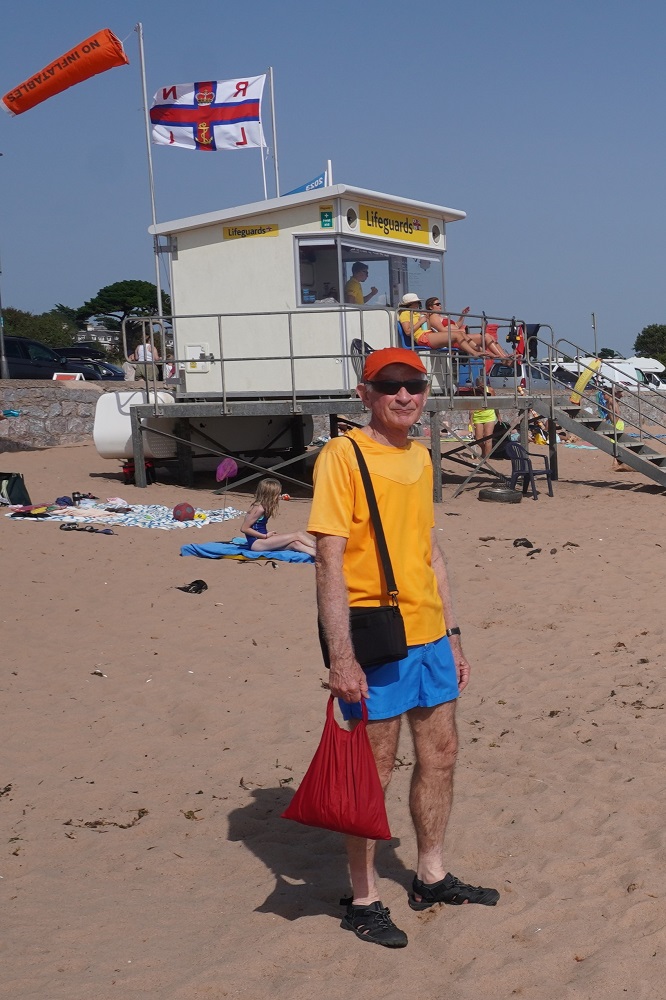
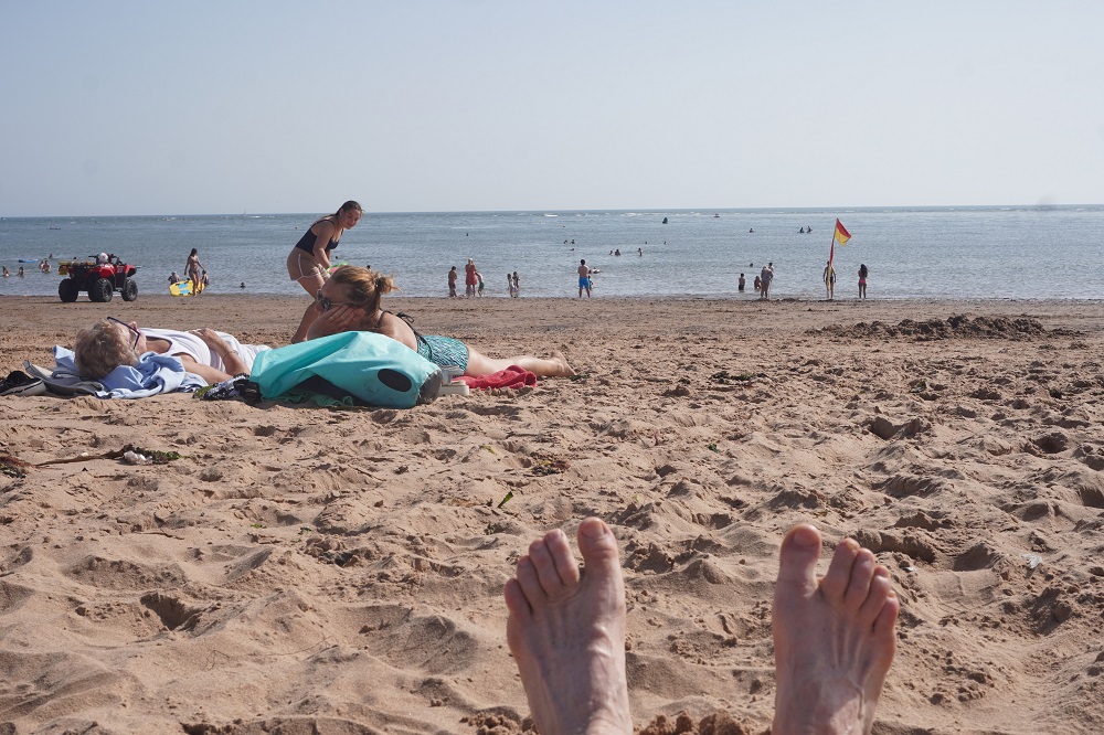
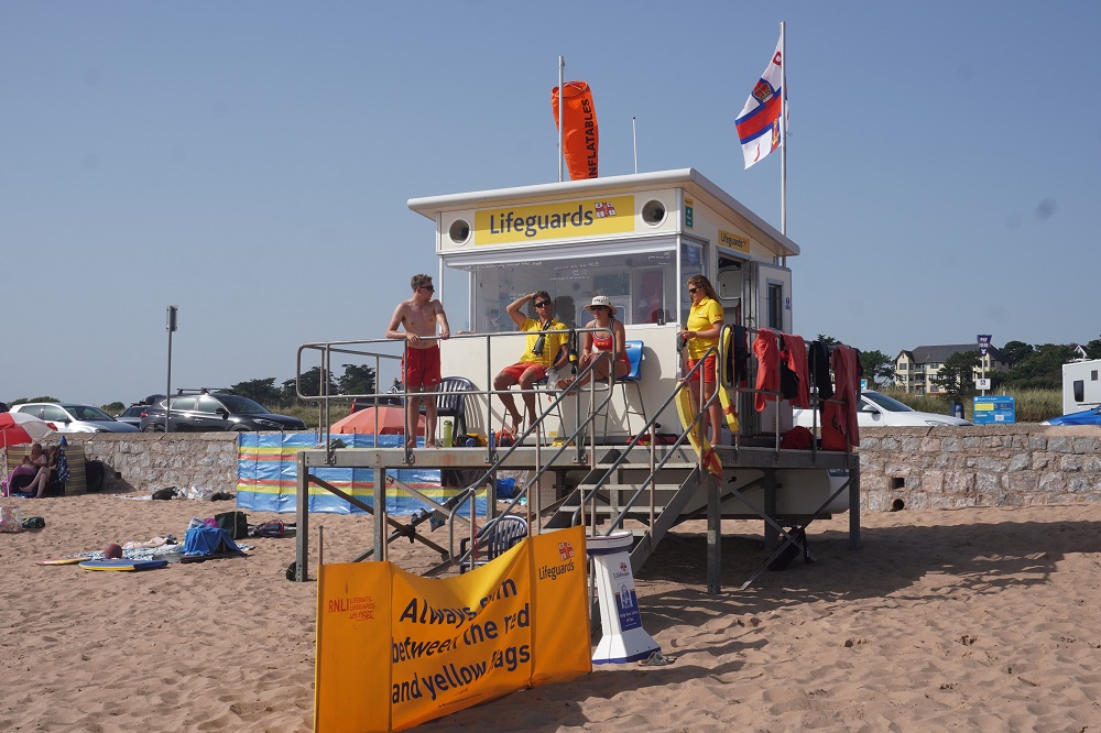
We only came to Exeter to see the cathedral but there is a lot else to see and do there. It was another hot day and we were supposed to be “resting” so got the train back to Exmouth. In the afternoon we went down to the beach. Although the beach is several kilometres long it is only safe to swim in one area (where the life guards are) due to rips. Ian our host at the guest house told us where to go. He swims every day in summer and said the water temp was 15 degrees. It sure did feel colder than the water in Paraparaumu but it was super refreshing though.

Tomorrow it is back on the path, theoretically refreshed.

Back in the Groove

Teignmouth to Exmouth  13km
Ascending 148m  Accumulated ascending 1384m

We are back in the groove. As in our previous long distance walks it takes until the third day to really relax and get into the groove of knowing all you have to do each day is walk from A to B. Keep the sea on your right and follow your nose. The days become very simple: eat, walk, sleep, repeat. Actually eat, walk, shower, sleep, repeat!

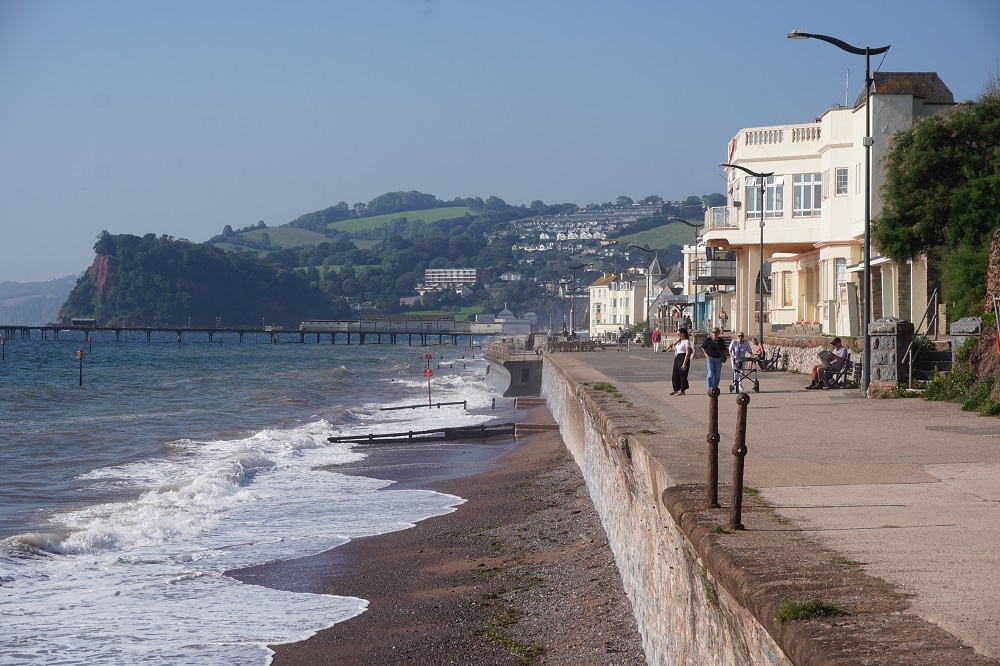
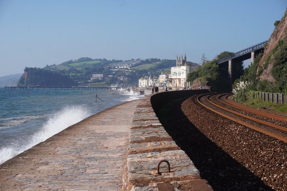
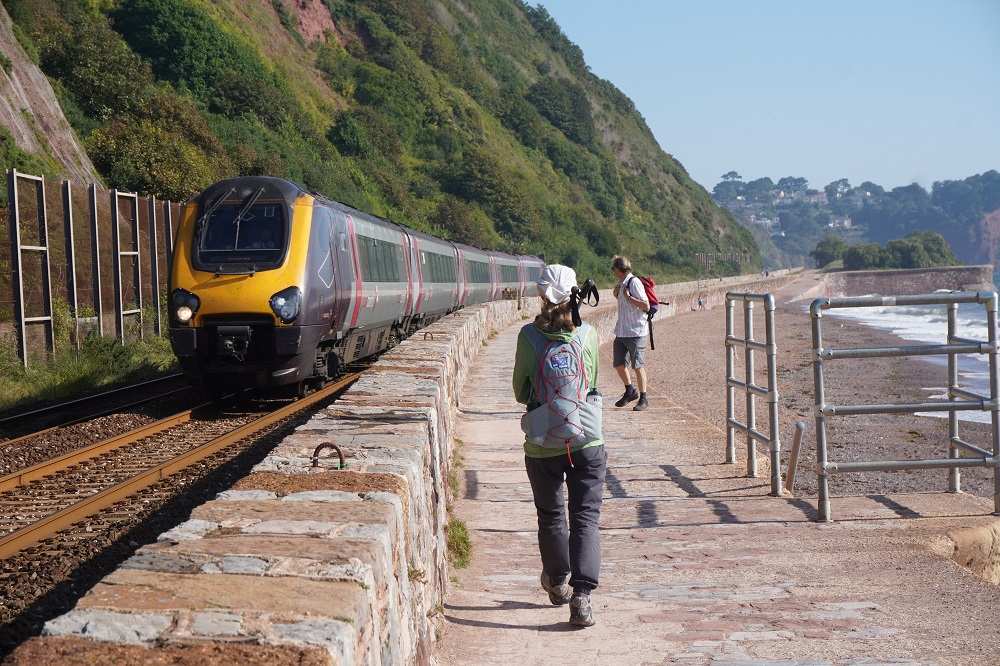
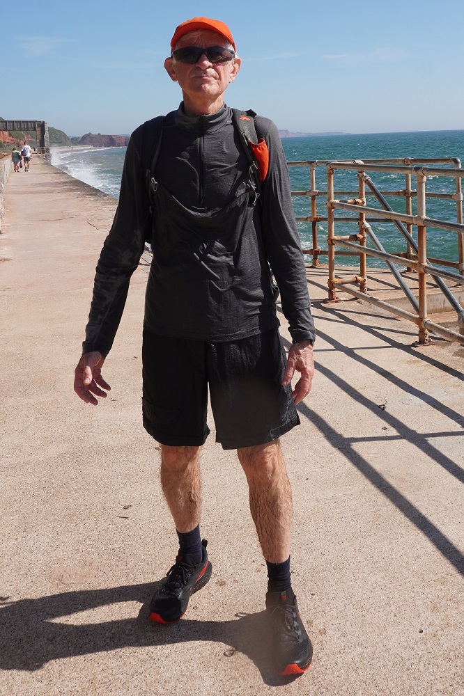
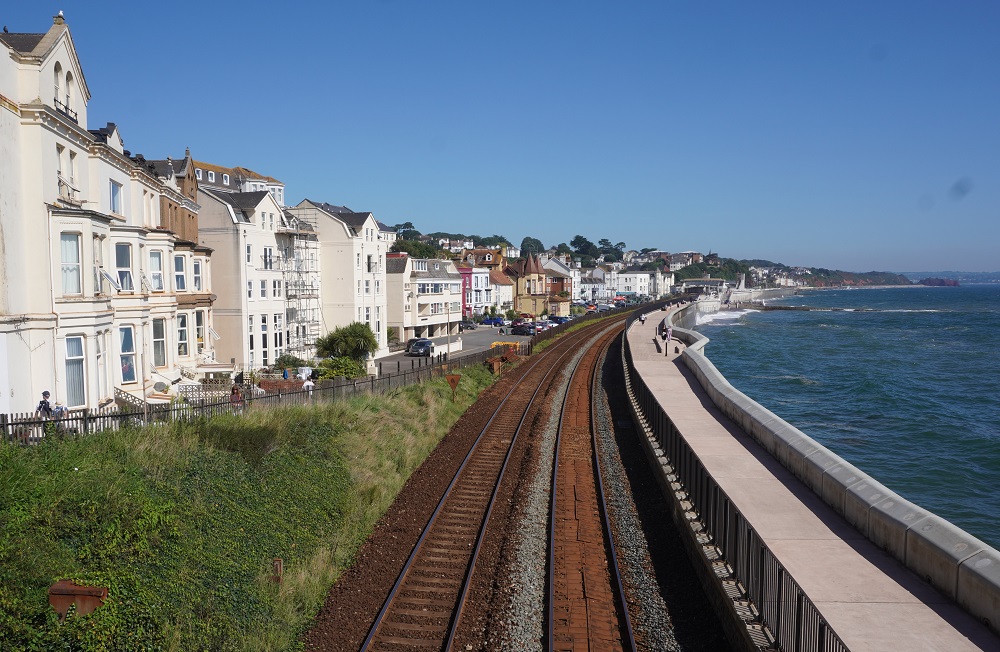
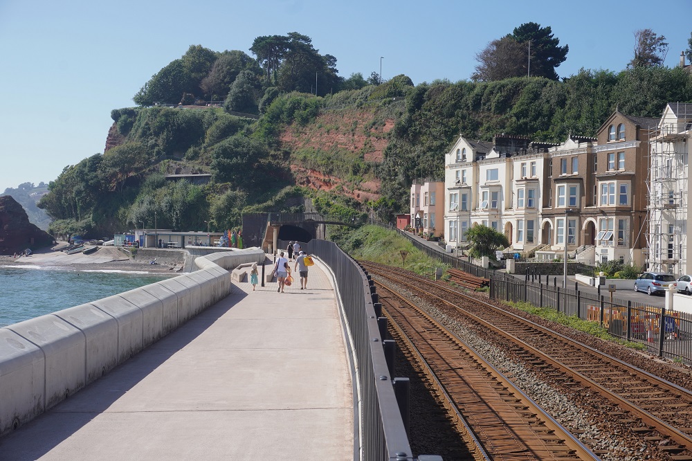
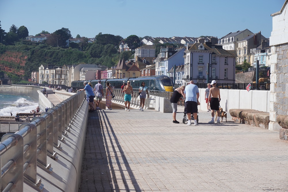
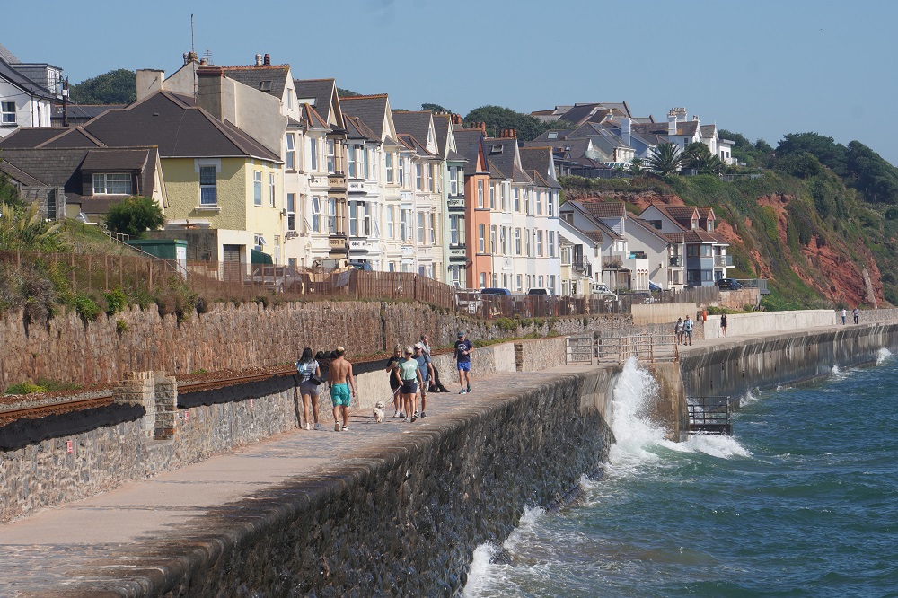
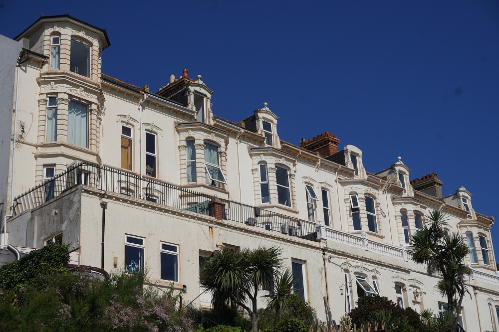
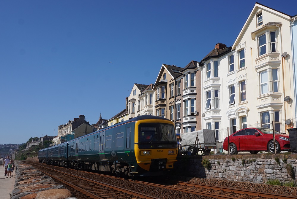
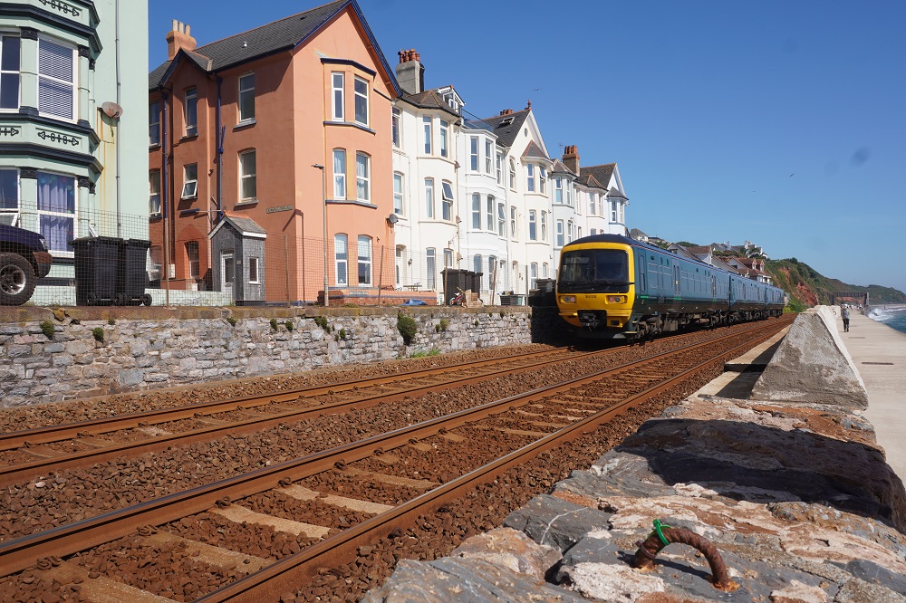
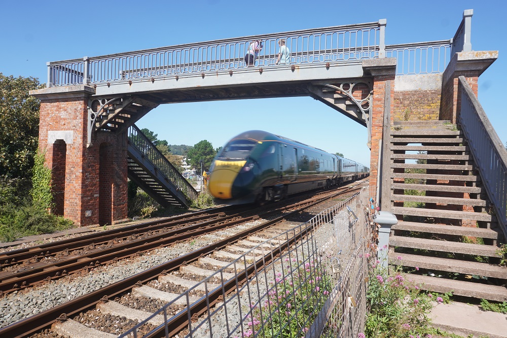
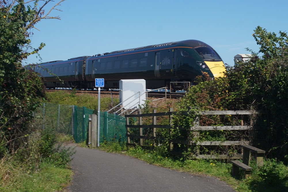
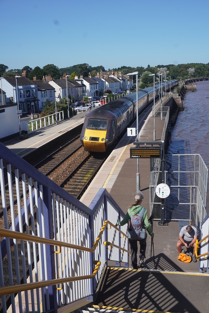
Today was an easy day compared to yesterday.  A couple of steepish climbs between Teignmouth and Dawlish but the rest was absolutely dead flat. It was all on hard paving so a bit tough on the feet. Basically we were moving between two fairly large seaside towns flanked by a coastline of high red cliffs at one end and a marshy sand bar at the other. Often we were walking alongside possibly the most scenic part of Brunel’s Great Western Railway from London to Penzance. The railway embankment forms the sea wall on which we walked for much of the way, Isambard Kingdom Brunel was the greatest of the 18th century Victorian English civil and mechanical engineers. He built bridges, steamships, tunnels, viaducts and railways.

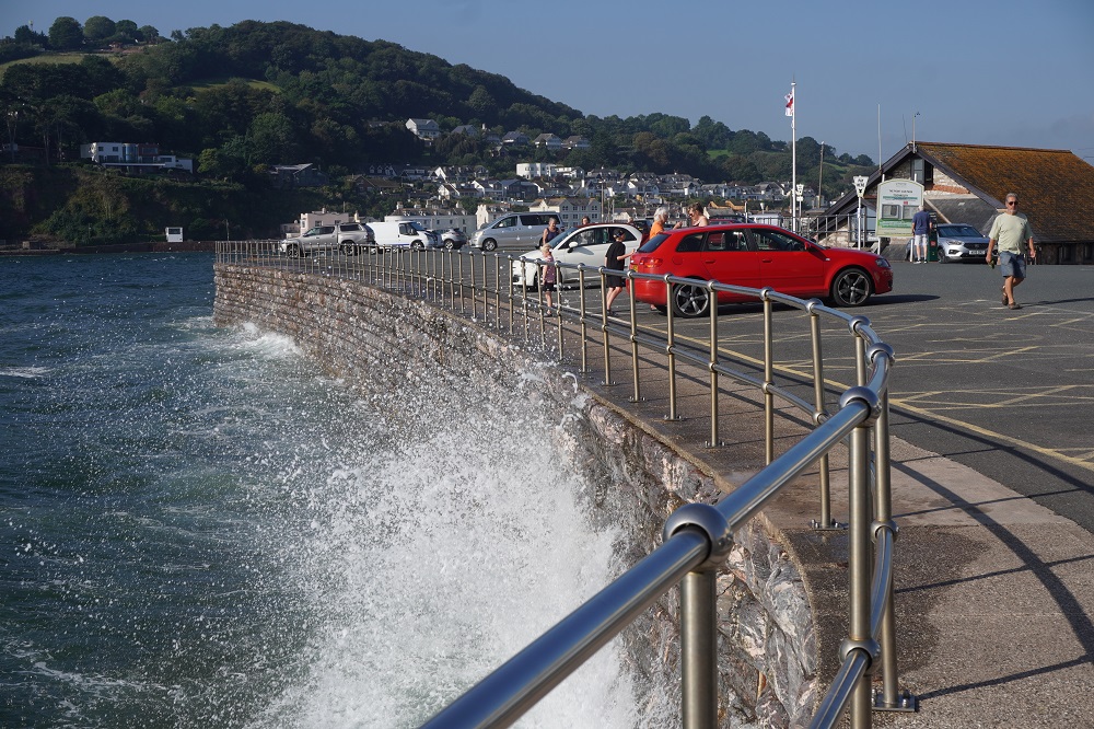
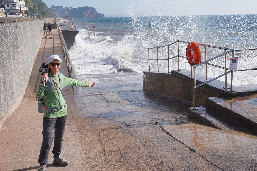
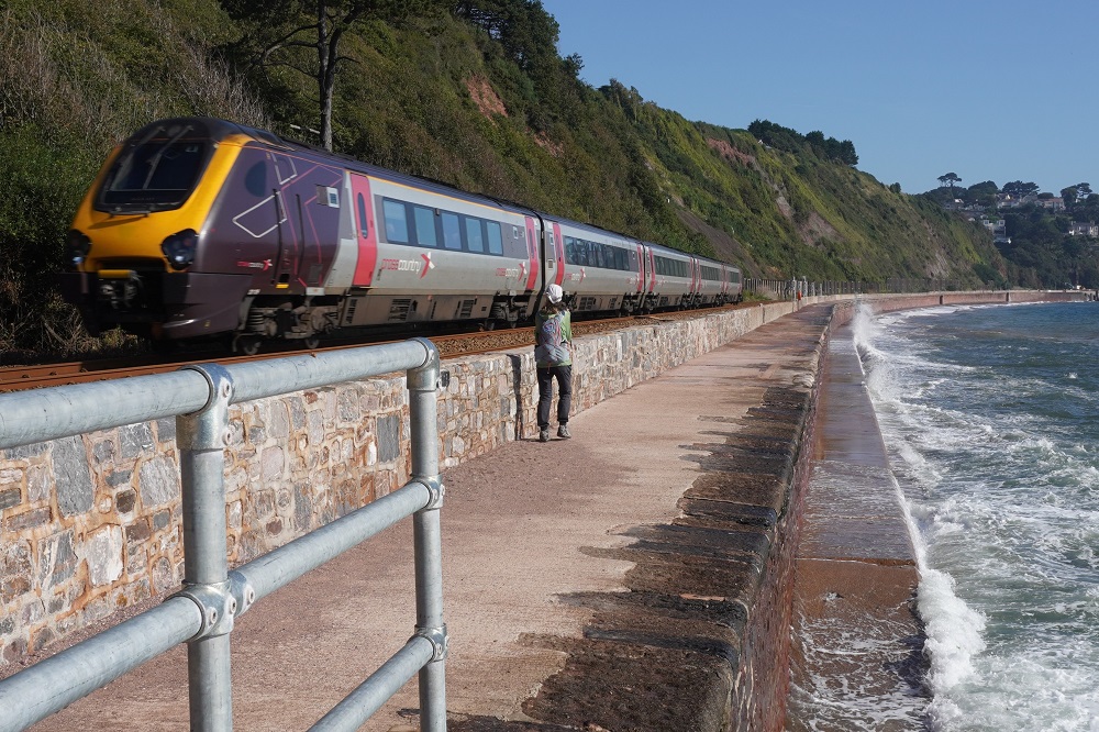
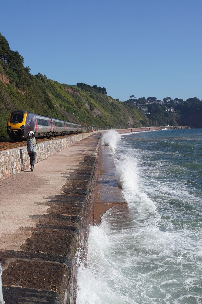
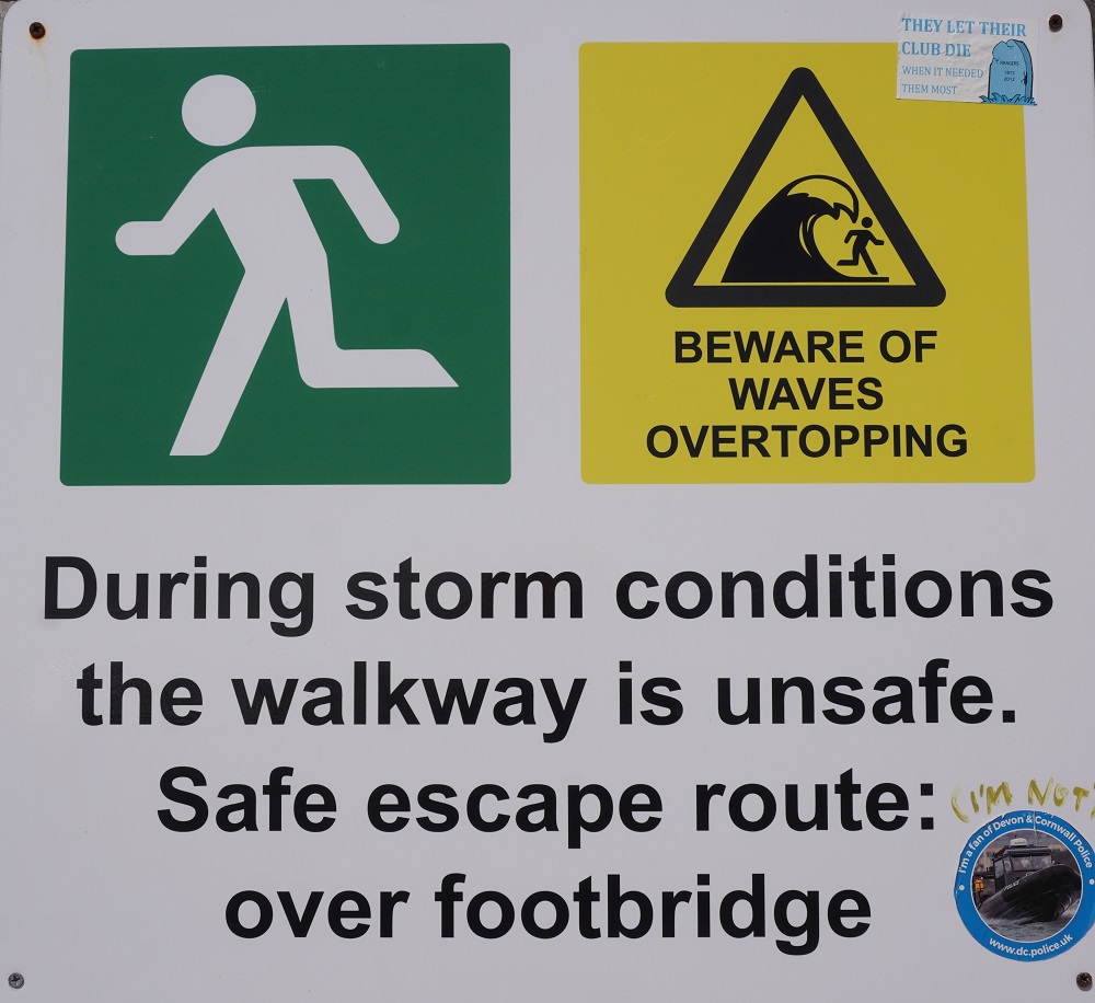
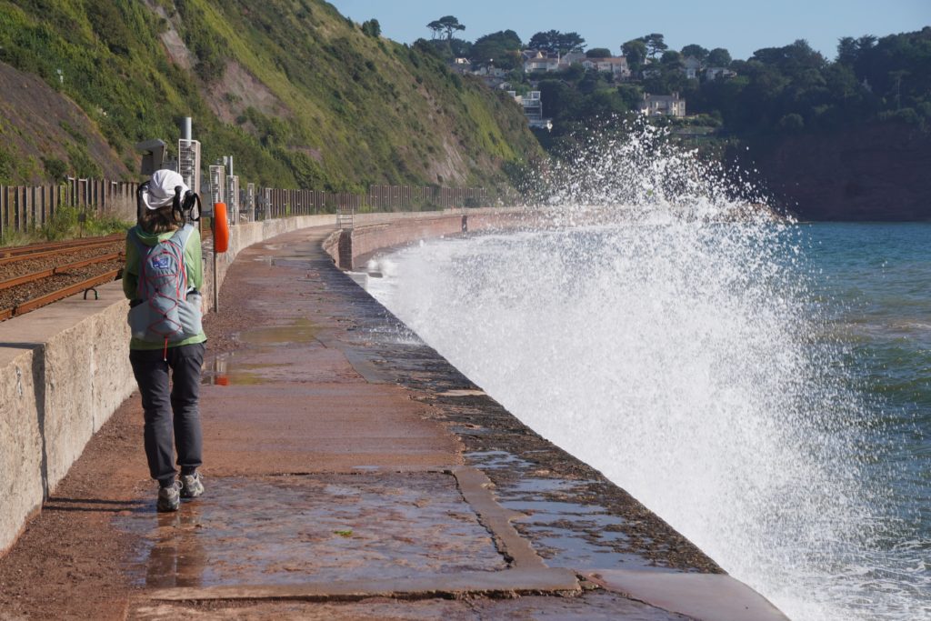
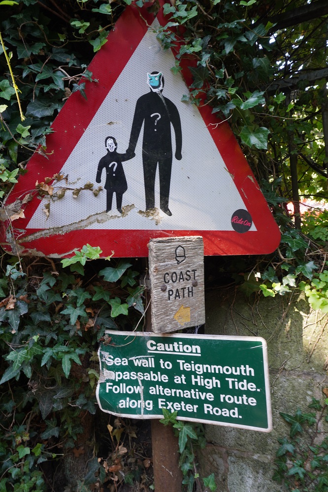
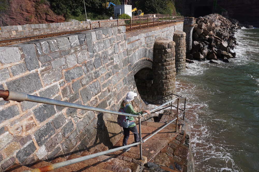
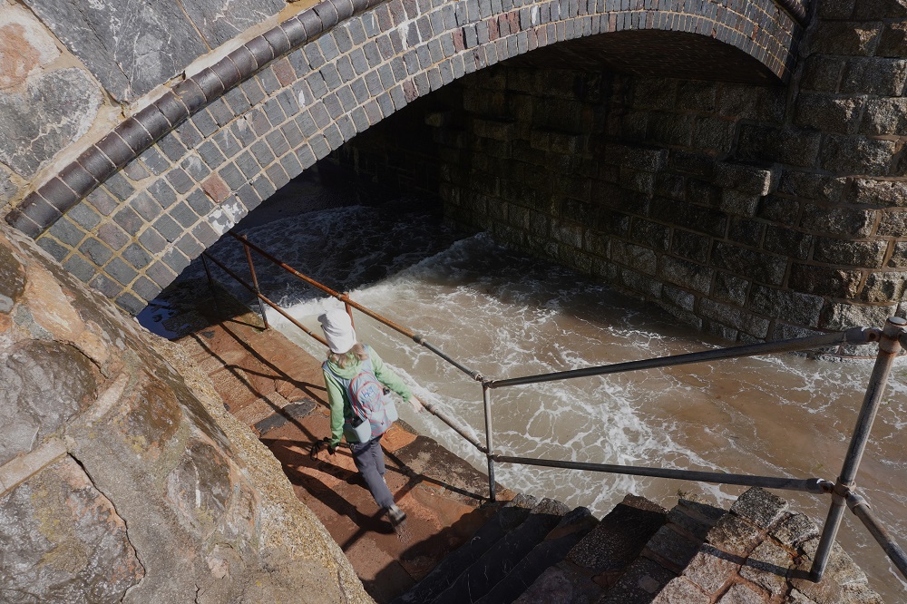
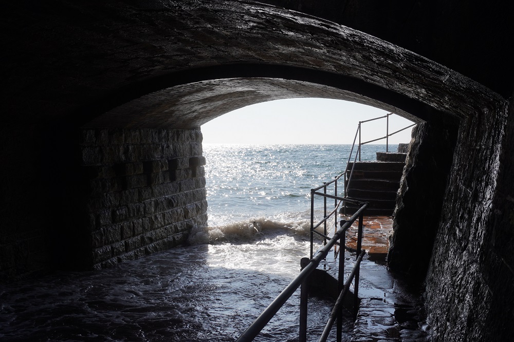
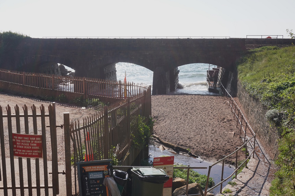
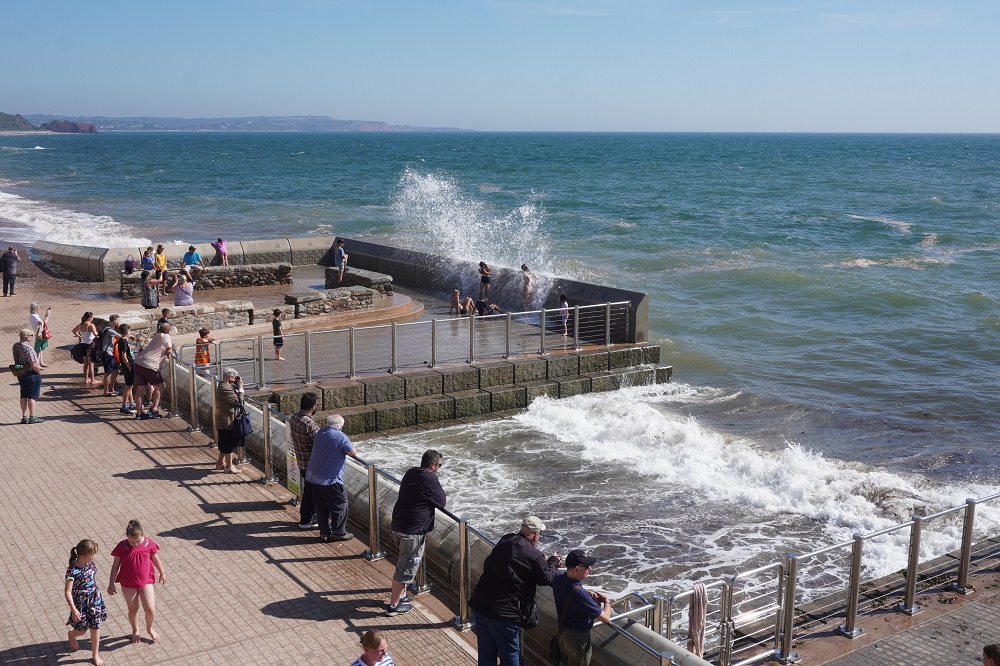
At high tide and with an onshore wind the embankment we walked on can be very wet  with waves crashing into the seawall and up and over the promenade on which we walked. There are signs warning of this and there is an alternative inland route through suburbia. High tide this morning was 10.30am, not good timing, but we decided to give it a go anyway. At one end of the promenade the path descends steps to pass under the railway and then up Smugglers Lane. For an hour either side of high tide these steps become impassable.

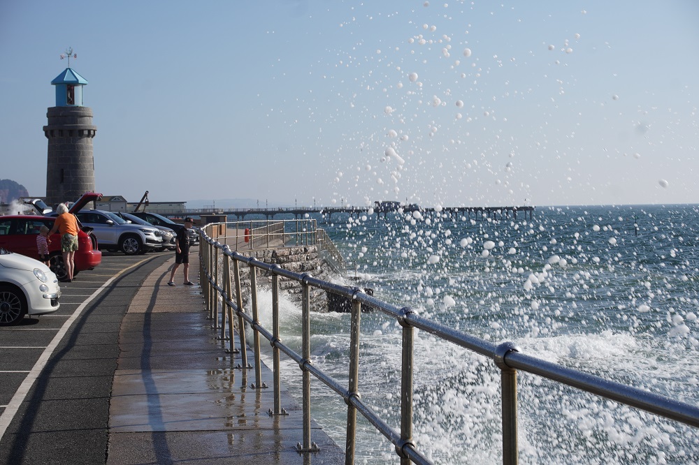
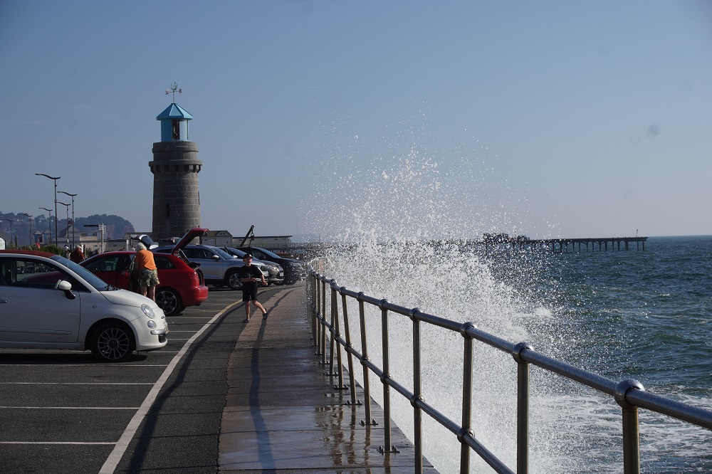
We made good progress along the embankment. High speed trains whooshing past us at regular intervals on our left and dodging the spray coming from the wave on our right. We were a bit smug until we got hit by the spray of a monster wave that drenched us right through from head to foot. All we could do was laugh although I was a bit worried because my camera was soaked in salt water. It was another hot sunny day so eventually we did dry out.  At smugglers Lane the tide had turned just enough for us to time our  run through the passage under the railway.

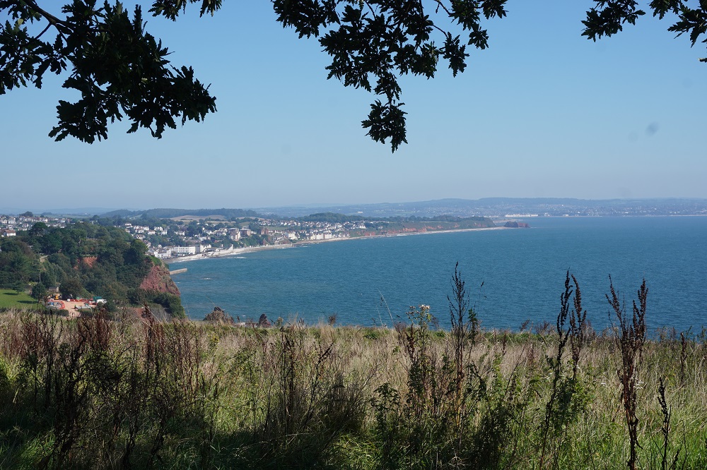
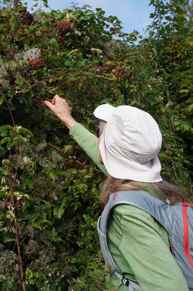
From Smugglers Lane there was one of only two climbs today and while walking along a lane we met an elderly lady collecting blackberries. We stopped to have a chat and she was very friendly, telling us she was out this morning collecting berries for a blackberry and stewed apple crumble. She directed us to a seat at the top of the climb where there was a great view looking down into Dawlish.

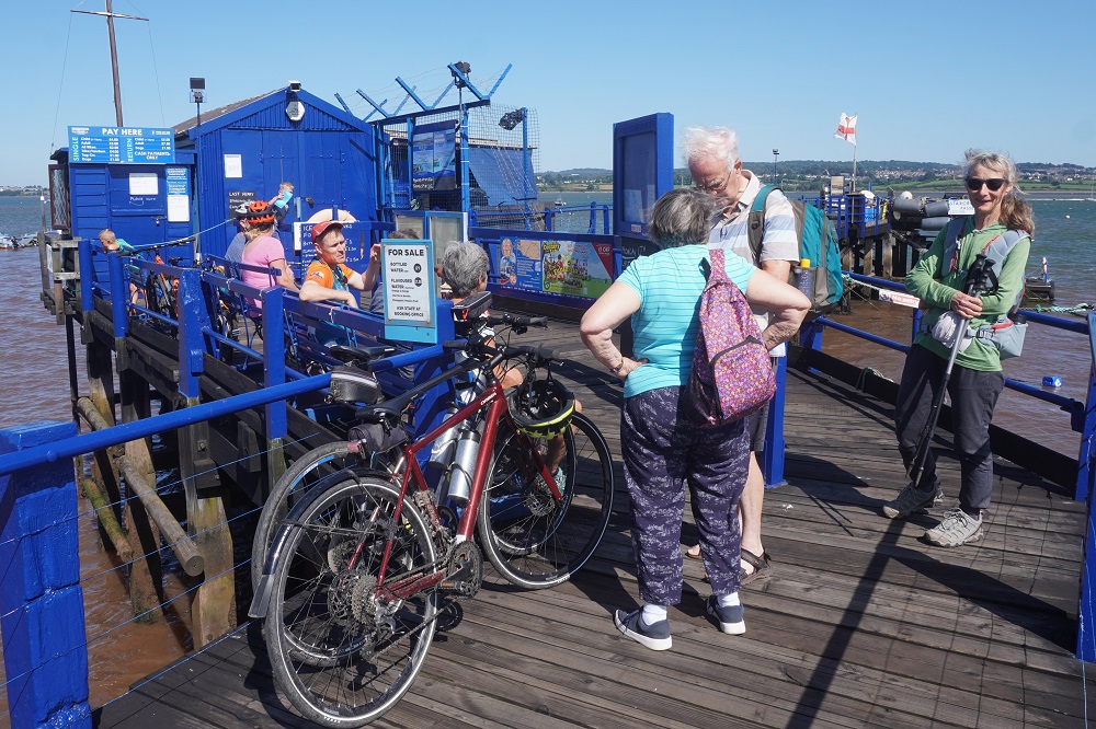
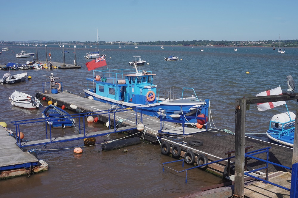
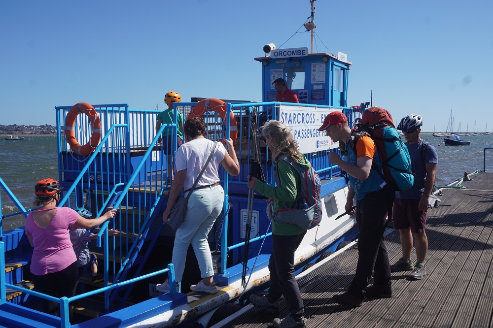
The red cliffs we have been walking under today are from the Triassic Period (from 250 million years old) and as we move further east the rocks will get younger and younger, unlike us who each day just feel older and older. Near the end of today’s walk we reached Dawlish Warren at the mouth of the River Exe and the cliffs had flattened out to a wide marshy estuary with large sandbanks. At the river there was another cute ferry to catch and it was important to get this ferry. The ferry is seasonal, doesn’t run October to April , and runs every hour at ten past the hour. We had made good time and comfortably made the 2.10 ferry. The last advertised ferry today was 4.10 but due to the tides this had been cancelled so the last ferry was 3.10. If you miss the ferry there are two options. Option one an additional 25km walk via the first road bridge. Option two catch public transport, train or bus,  inland to Exeter and get another train or bus back down the river to Exmouth.

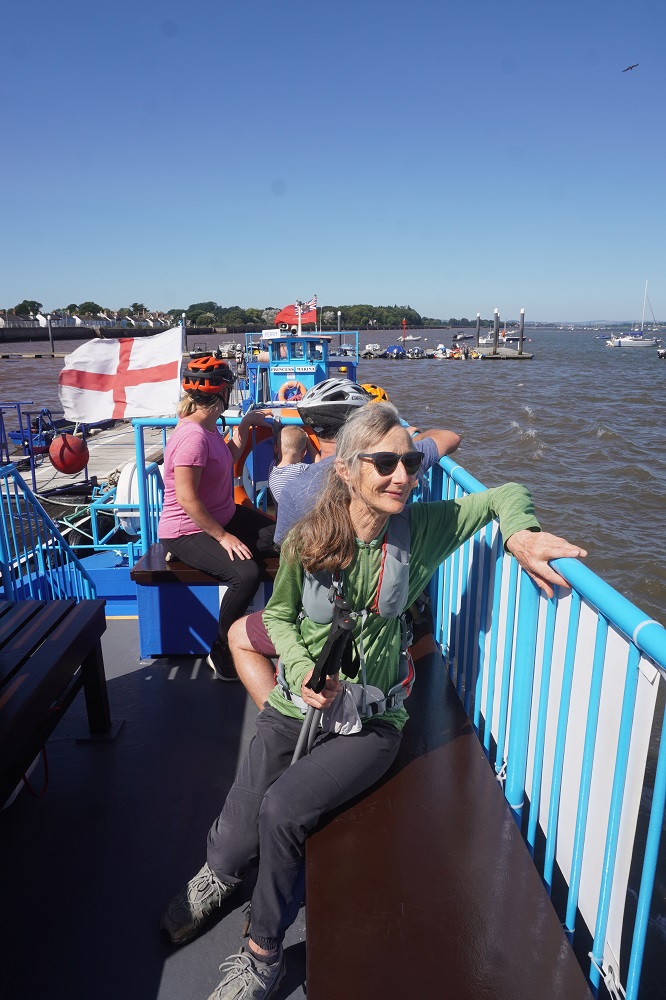
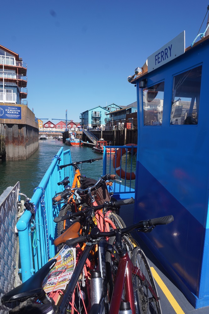
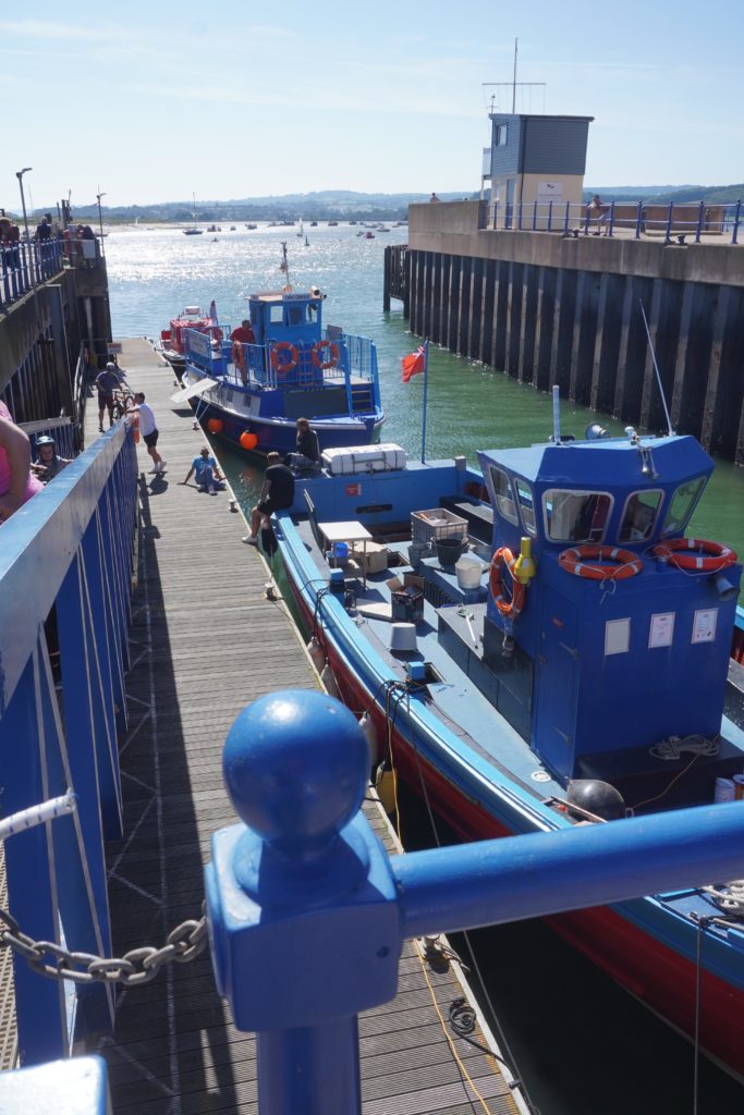
The little blue ferry was very cute and was £5  each for about a twenty minute crossing. It wasn’t a straight crossing but snaked around shallow channels between sand banks. From the Exmouth side of the Exe we had about a 15 minute walk to our guest house. We hate it when the B & B has the word Hill in its address and today the Swallows address was Carlton Hill Road, but only number 11 so not too far up the hill.

PS for Owen. I looked up yesterdays City to Sea results.
Half marathon 105 finishers, 8 hour cut off time, fastest time 2:05, slowest 6:25.
Marathon 175 finishers, 10 hour cut off, fastest time 3:24, slowest time 10:15

For each race the last 10km was more like mountain running and they had a few extra rules. Every entrant had to carry a phone with emergency number of race organiser. Every entrant had to start with 1 litre of fluid and it was cupless, which means if you want a drink at the drink station you had to bring your own cup.

Up and Down and Up and Down …..

Babbacombe tp Teignmouth  11km+
Ascending 637m+  Accumulated ascending 1236m

This was a tough section of almost constant ups and downs. A roller coaster path. It was very strenuous but compared to yesterday was a quiet section. Apart from the village of Babbacombe at the start and the village of Shaldon at the end, the entire day was rural cliff walking.

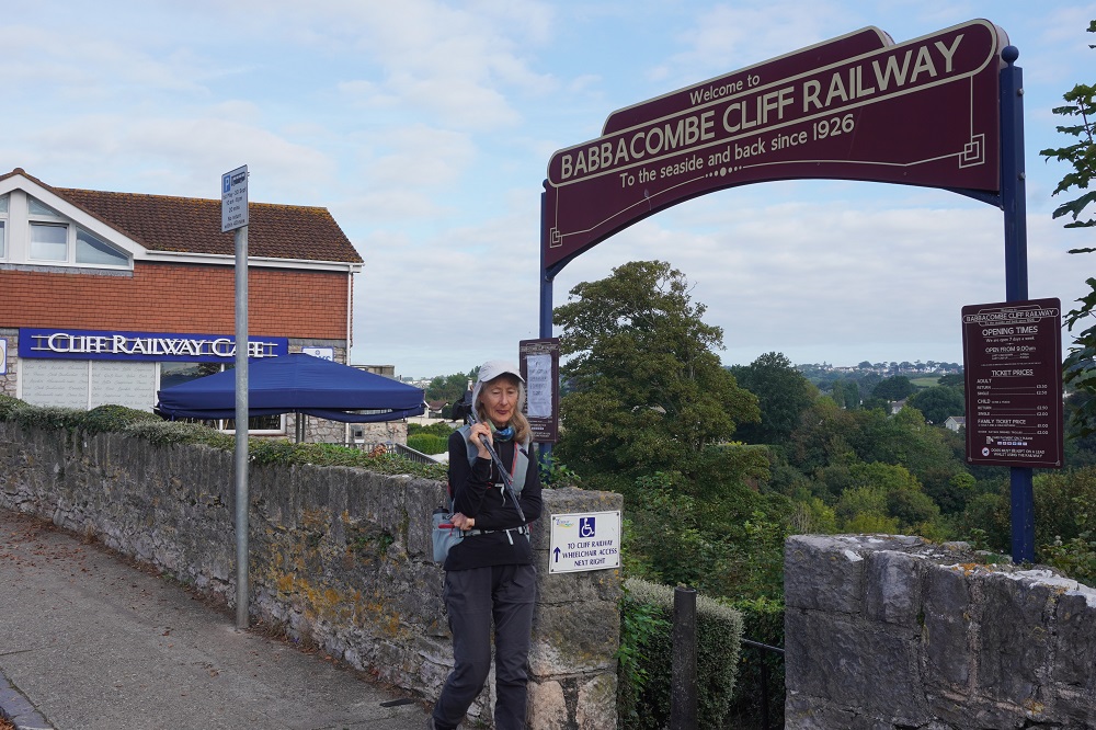
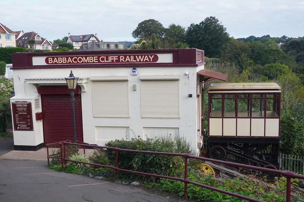
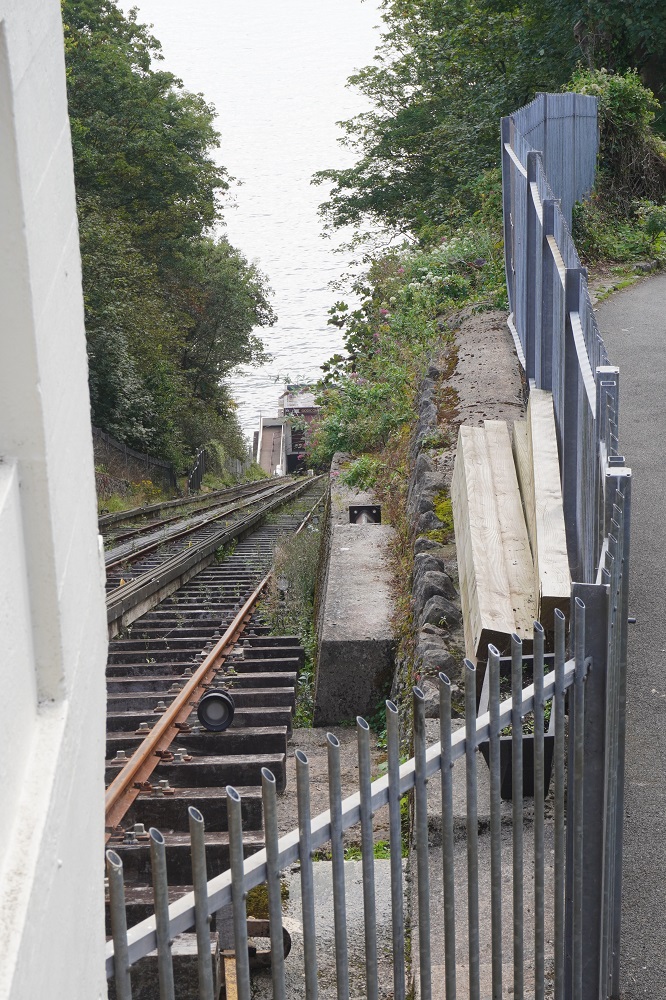
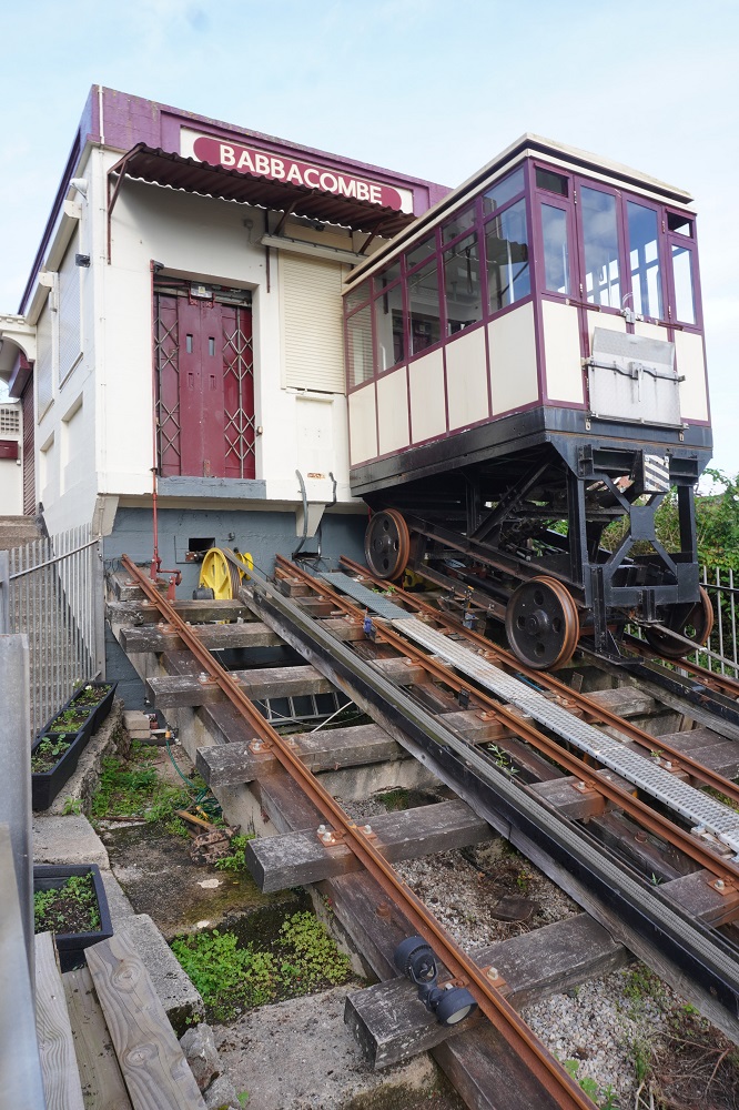
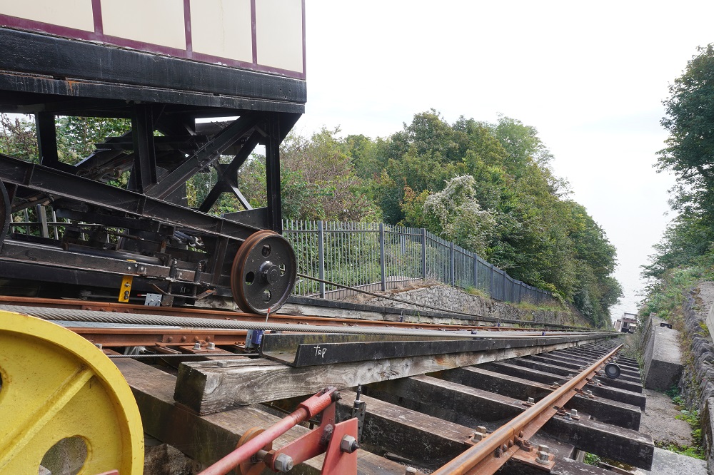
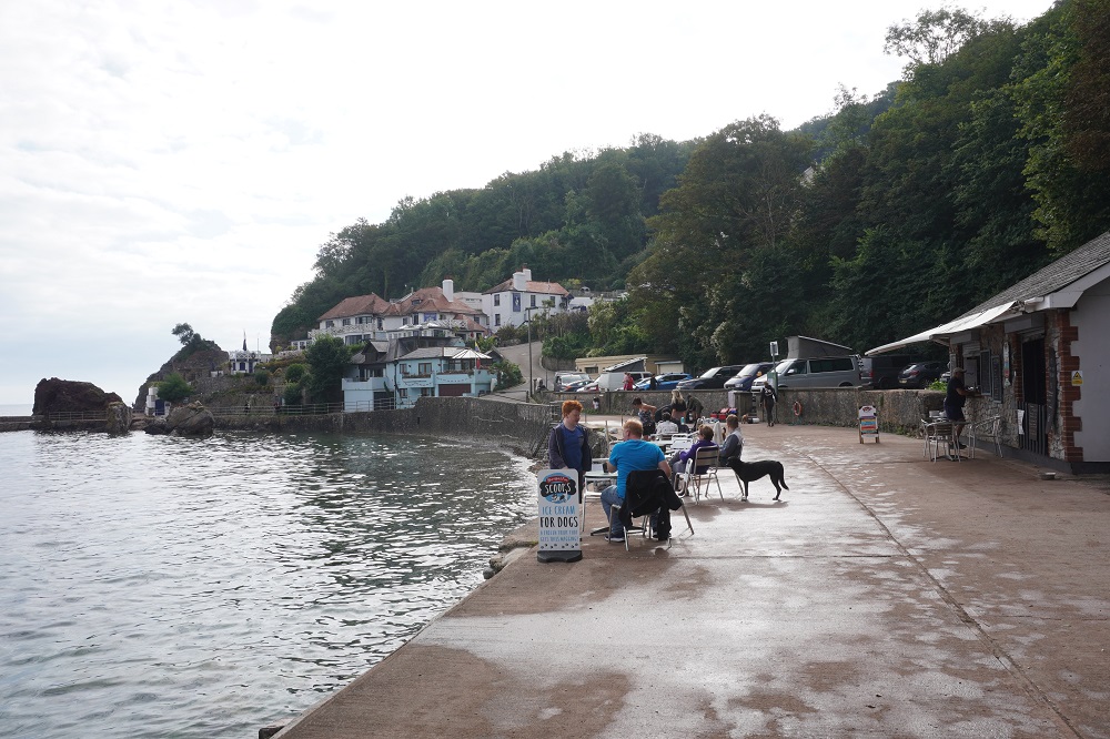
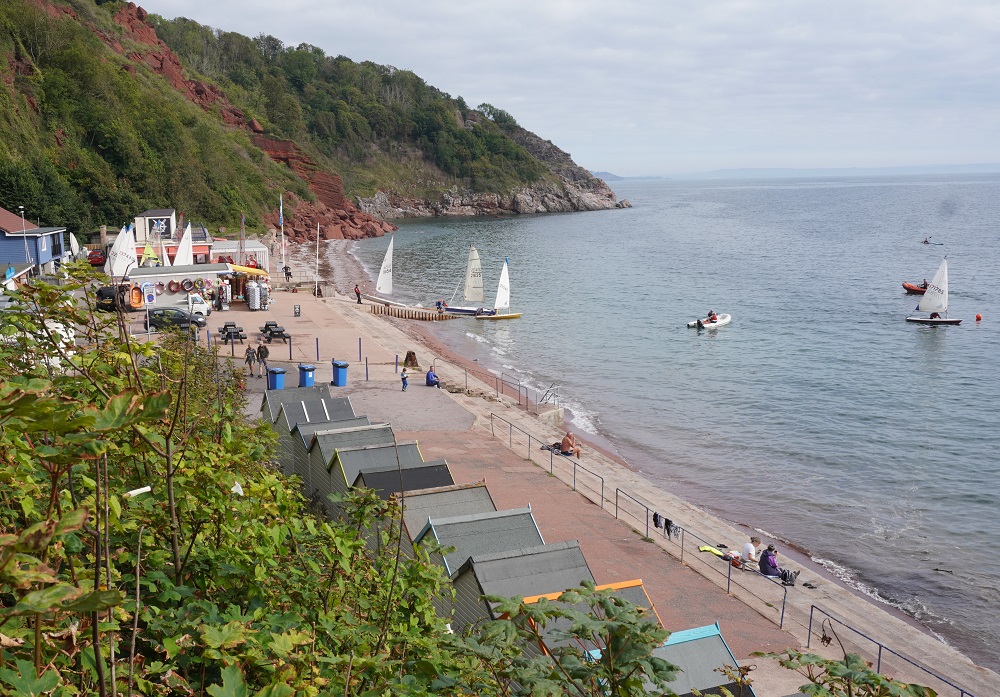
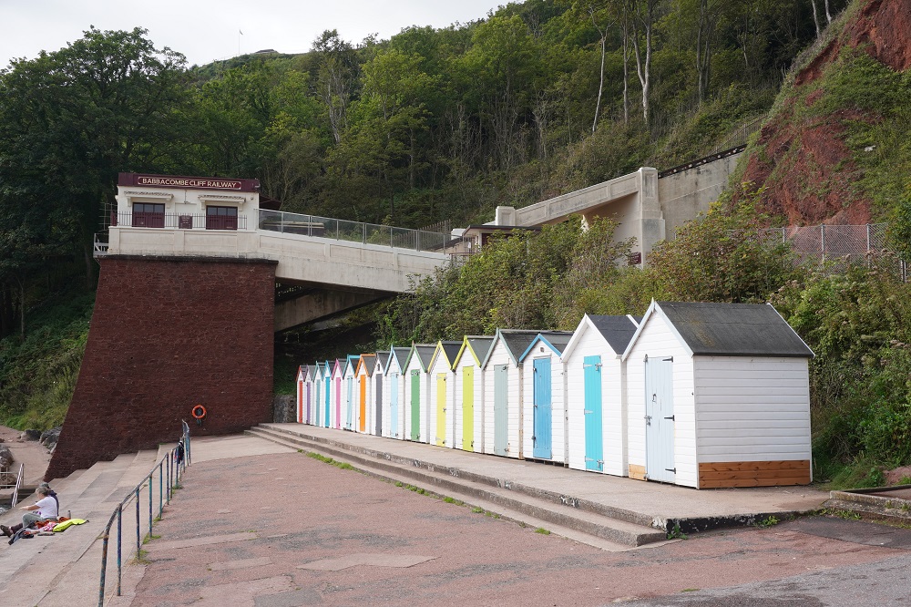
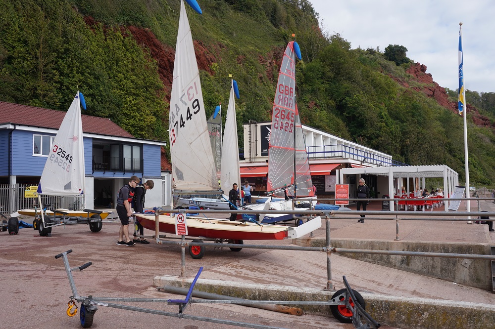
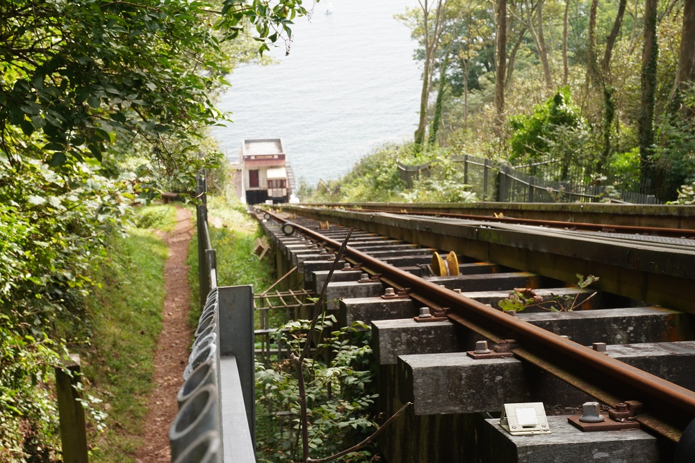
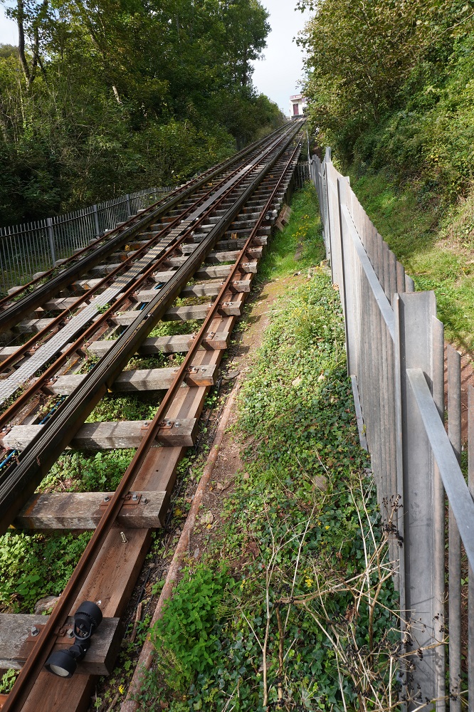
We were very tired by the end of the day and didn’t help ourselves by turning an 11km day into about a 15km day. Babbacombe has a Cliff Railway, a cute rail cable car that goes from Babbacombe Beach up to Babbacombe village, a vertical rise of about 200m. The top of the railway was close to our Guest House so when we left at 9am we went to see the top station. It wasn’t running today but was interesting to look at anyway. We then walked back into the village to buy some food for lunch from Tesco Express. From there we had to go back to the Coast Path at the cricket ground on the outskirts of the village because that was where we had left the path yesterday to get to our accommodation. We found this without too much trouble and re-joined the path and went to Babbicombe and Oddicombe Beaches.

From here we went astray partly our fault and partly others. At Oddicombe Beach there had been a major cliff fall and the path was diverted inland through some suburban streets but not very well sign posted. Also today there was a major running event on (more on that later) and they had put up temporary signs to tell the runners the course and we confused these with the Coast Path signs. We also came to a split in the path that had no indication which way to go and of course we took the wrong option and got hopelessly lost in suburbia. We climbed from the beach up to the village and back down again before re-finding the split in the path and taking the other option. It was now 11am and for two hours walking we hadn’t made any progress at all. You readers are probably as confused as we were.

Today was the City to Sea Marathon and half marathon, organised by Winding Paths, that ran from Exeter and finished at Babbacombe. The course was on the Coast Path from Shaldon to Babbacombe. The same path we were walking but the runners were coming toward us. All day we were stepping off the path to let the runners past. It was all very amicable but after a while we ran out of variations of wishing them well and giving encouragement. This was a brutal run for them (some were running an ultra-marathon). lots of steep climbs and descents, hundreds of steps, a pretty rough track most of the time, and it was blisteringly hot. We were suffering just walking so I don’t know how they could run. In fact a lot were walking on the worst sections. They all had an app on their phone so they knew their elapsed time, where they were and how far to go. There was only one drink station on the 10km from Shaldon to Babbacombe. Judging by the outfits the runners were wearing they had come from all over Devon, Cornwall and Dorset. I even saw a guy in an All Blacks top.

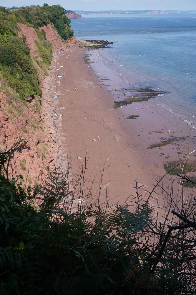
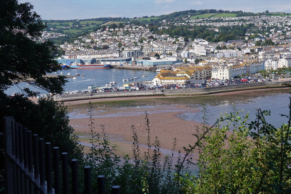
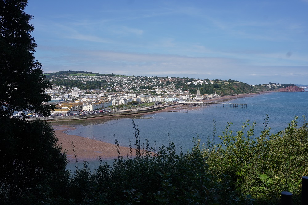
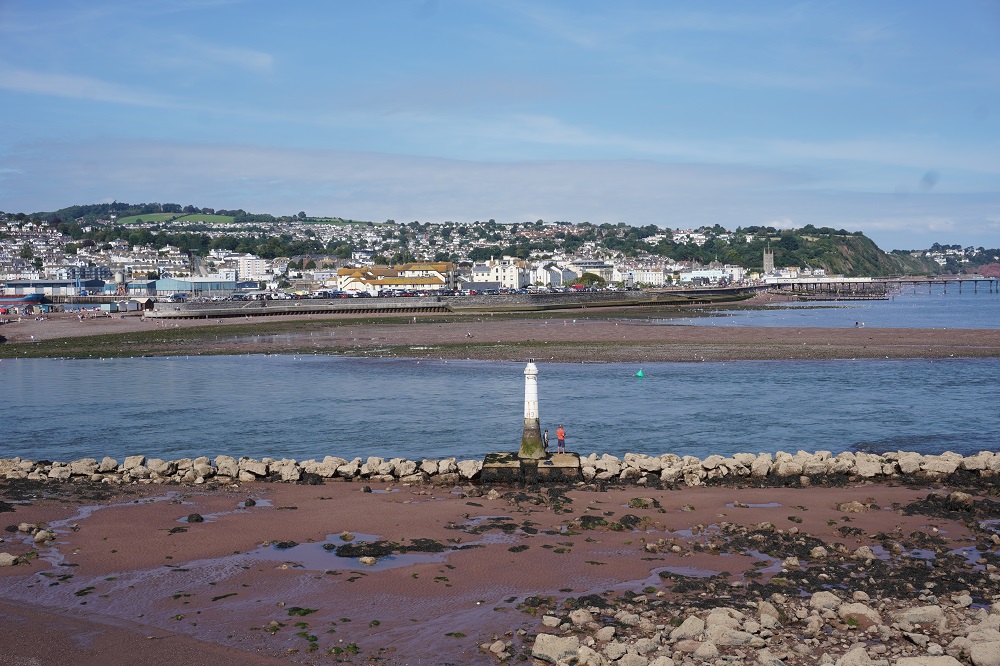
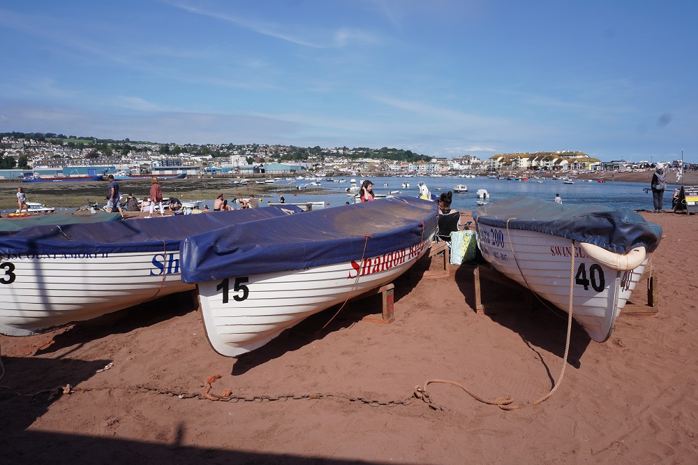
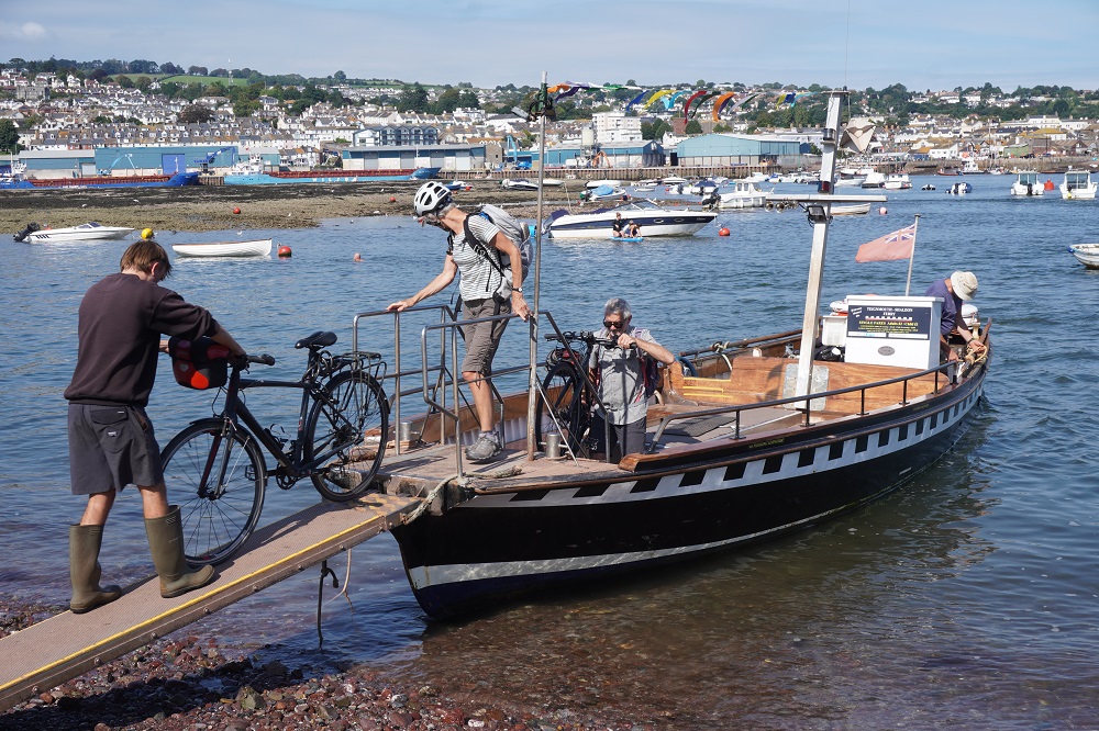
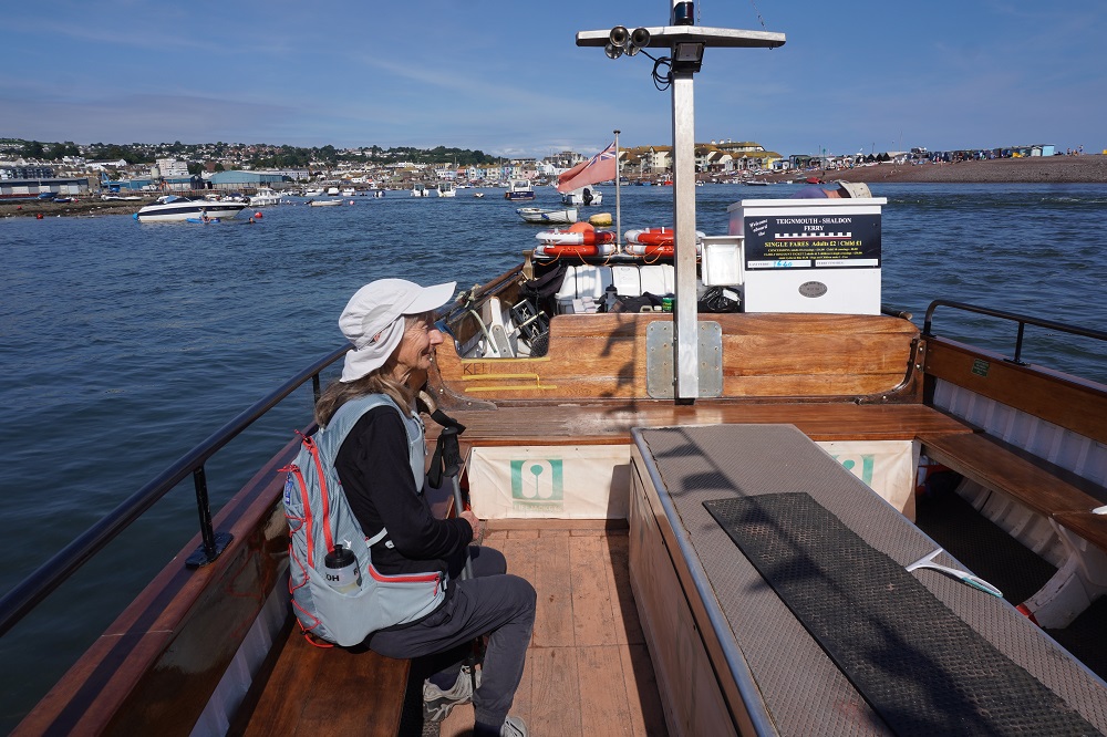
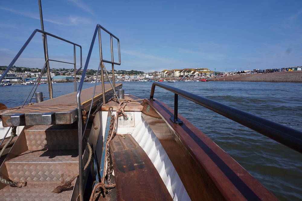
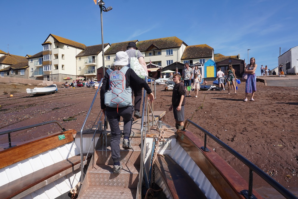
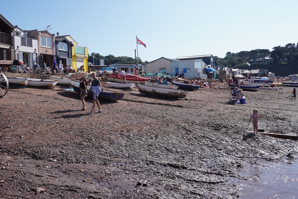
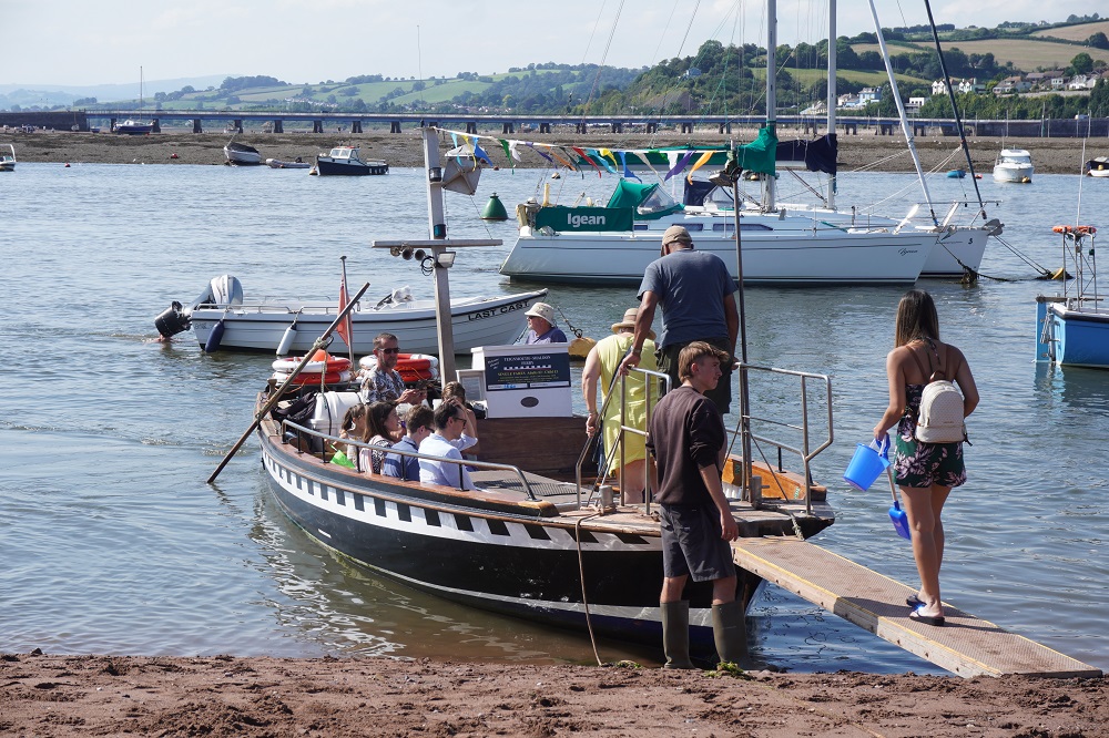
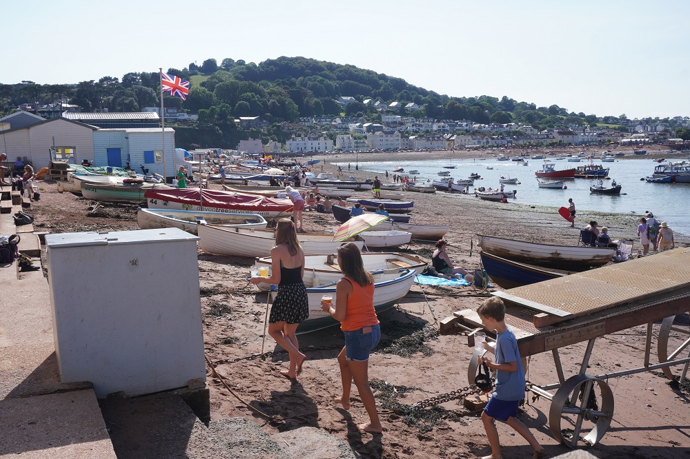
The morning started out cloudy, humid and a bit hazy. By mid morning it was sunny and hot. Except for the two beaches at the beginning the path was entirely on the top of cliffs and thankfully 80% was in woodland so although the sea was very close to us we seldom got to see it. Near the end there were spectacular views down to Shaldon and across the River Teign estuary to Teignmouth. The last descent to the estuary was very steep and would have been treacherous in the wet. At Shaldon we caught a little ferry for a 5 minute ride, £2 each, across to Teignmouth where we are staying tonight. The guest house is only a five minute walk from the ferry and right in the middle of shops, bars, cafes etc.

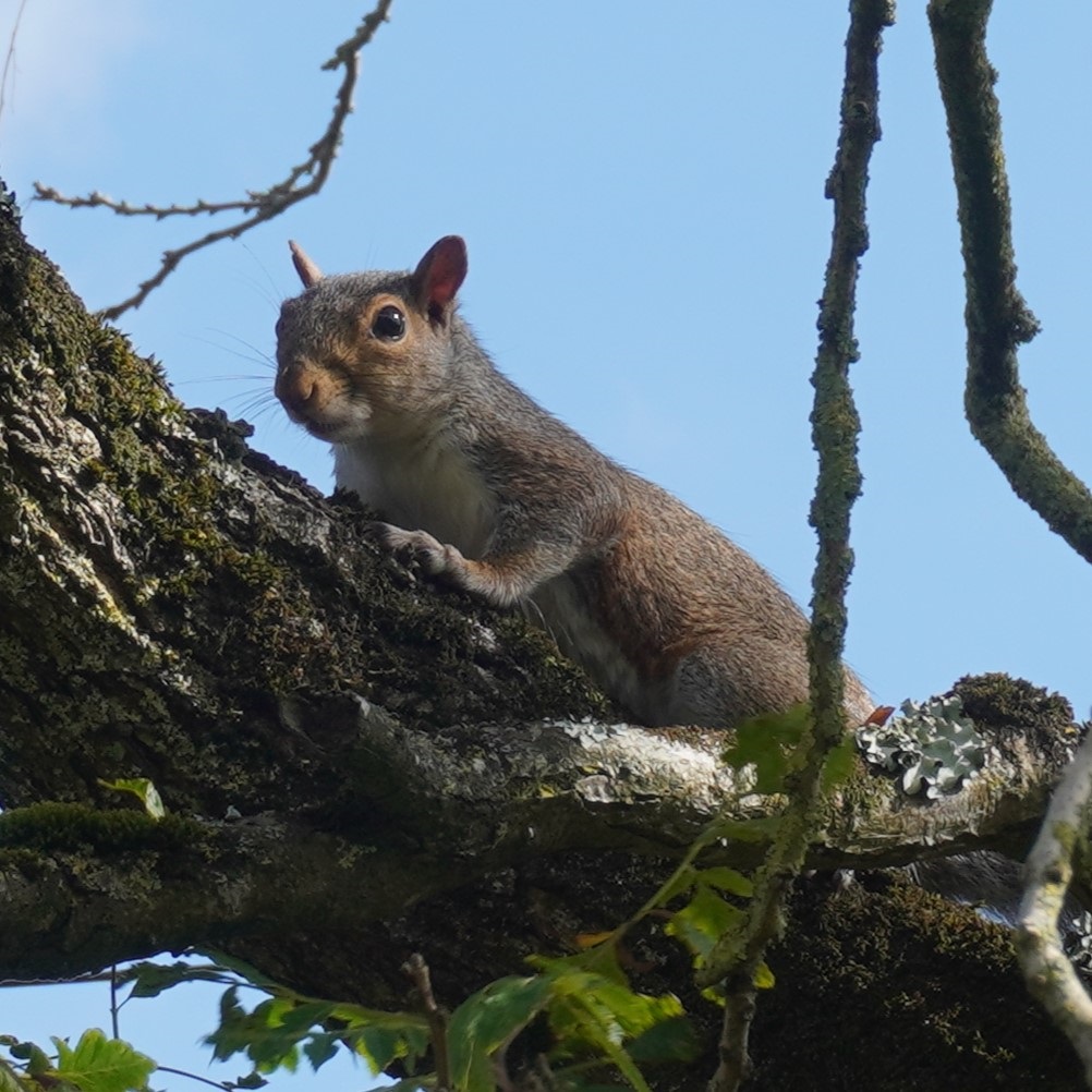
Two new firsts today. We saw our first squirrel and had our first ferry crossing (another one tomorrow). Also a first I missed from yesterday. For the first time on the path every where you wanted to go it was 30p for a pee.  We didn’t have any ill effects from yesterday’s walk but our bodies are very tired tonight. Tired but very happy. Tomorrow is supposed to be much easier than today.


Oh I do like to be beside the Seaside

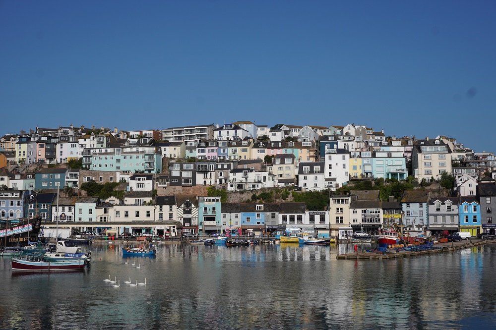
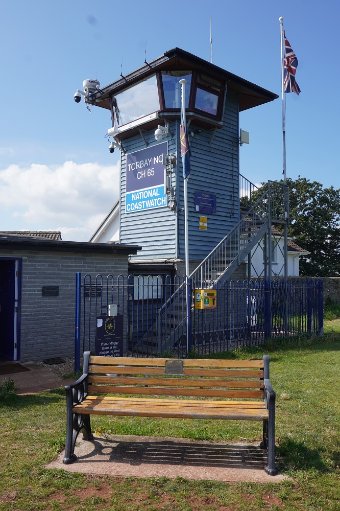
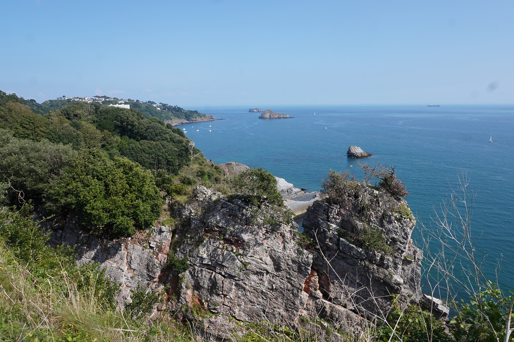
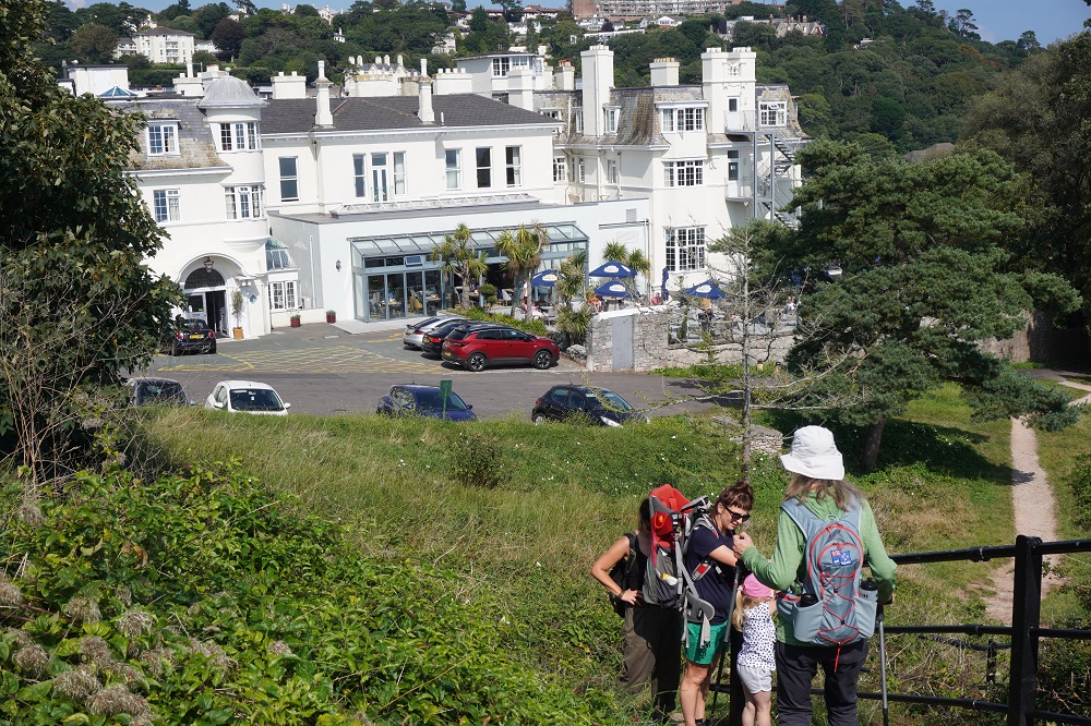
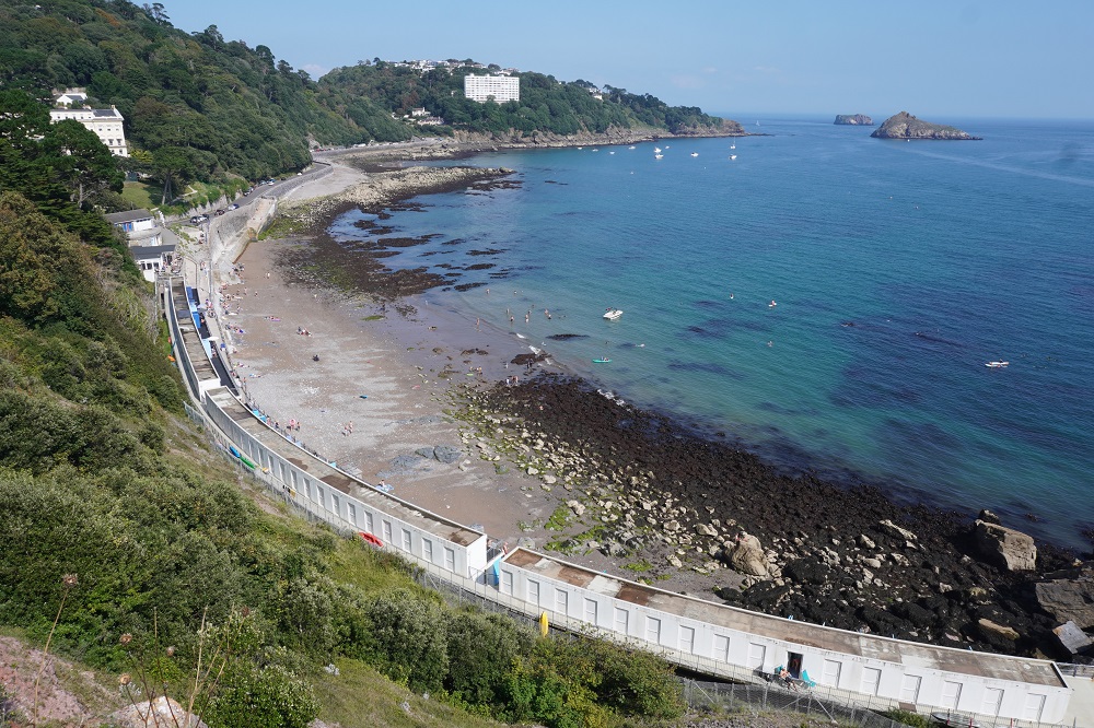
Day 1 Brixham to Babbacombe along the “English Riviera”                        22.5km        601m ascending

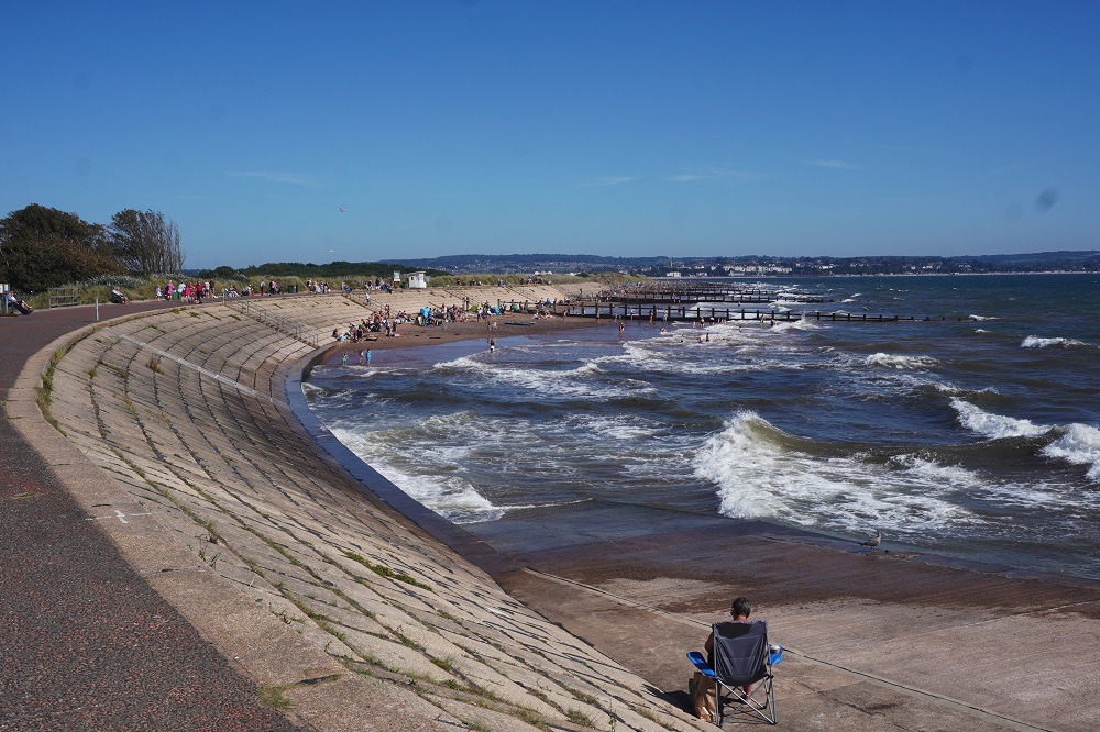
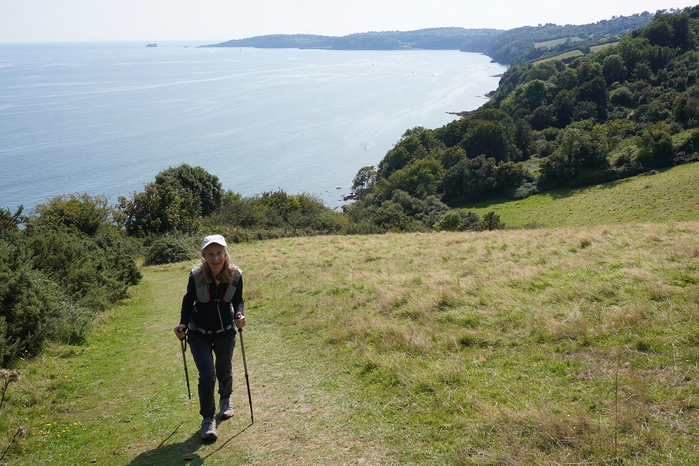
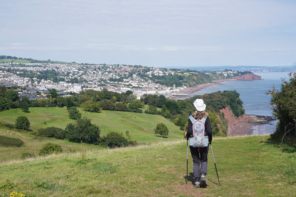
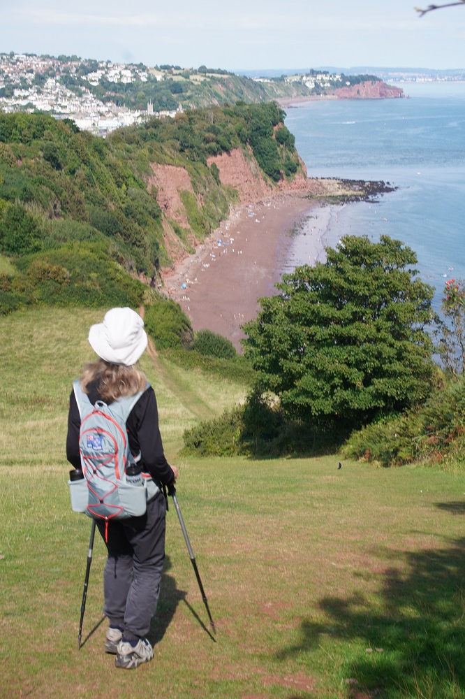
Barbara thought it was a perfect days walking and loved every minute of it. I approached it with a bit of trepidation as we haven’t done a walk over 15km in four years and we don’t do many walks with 600m of climbing. But we were fine, took it fairly slowly and the old legs felt strong all day. They may not feel so good tomorrow morning. We have four more days of over 20 km but all the rest are a much more comfortable length. A lot of people don’t like this section of the coast path because it is largely “urban” walking along the shoreline of two of England’s largest and most popular seaside towns Paignton and Torquay that both front onto Torbay. Also about 80% of the walking is on hard surfaces of concrete or asphalt which makes it hard on the feet in comparison to the relatively soft surface of a natural earth or grass track.

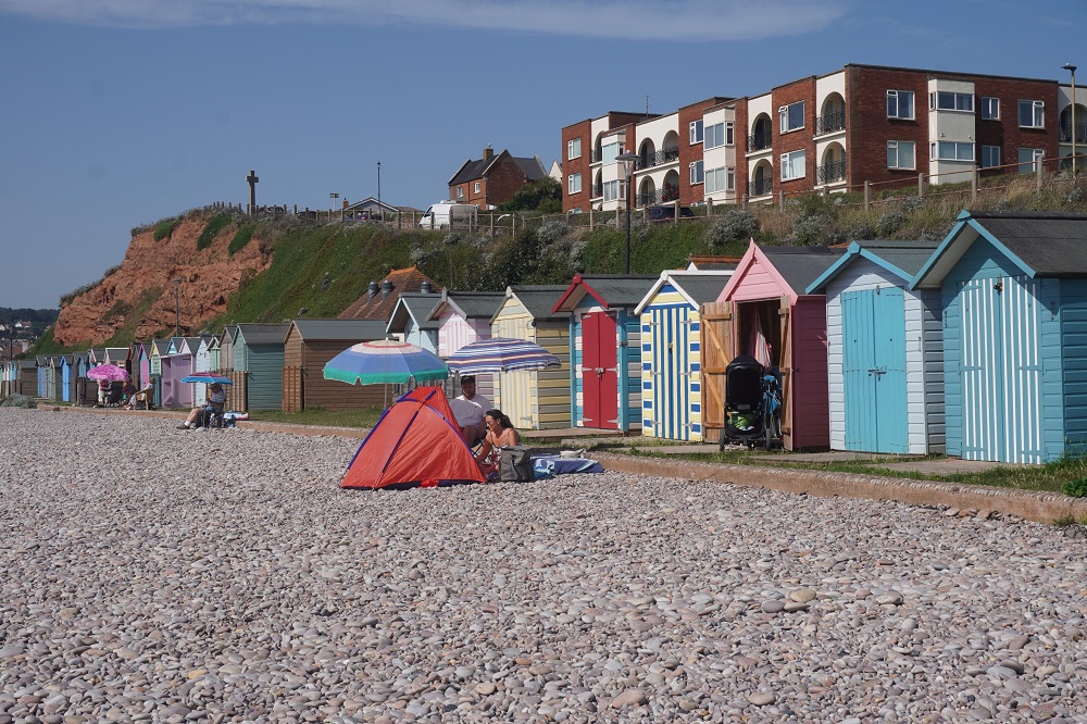
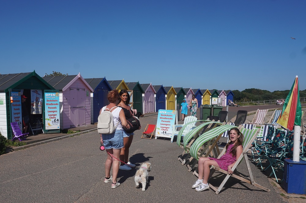
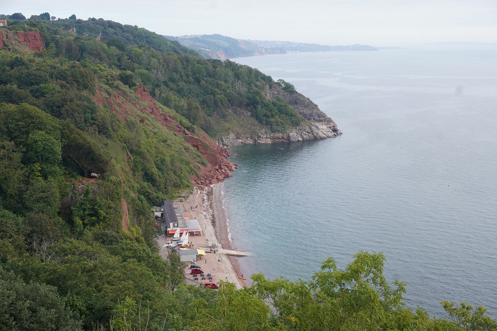
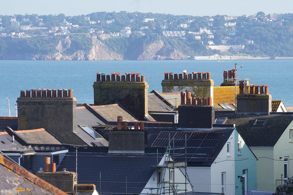
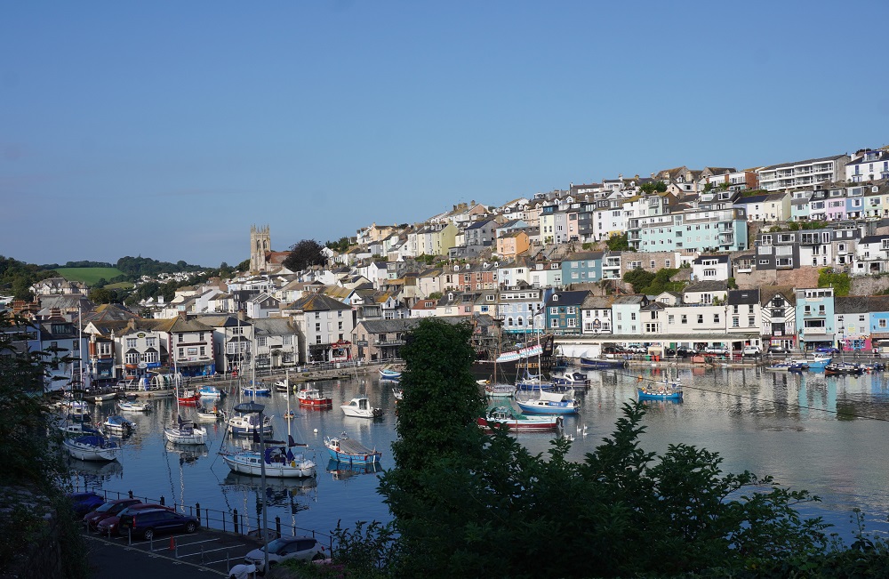
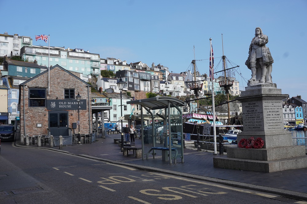
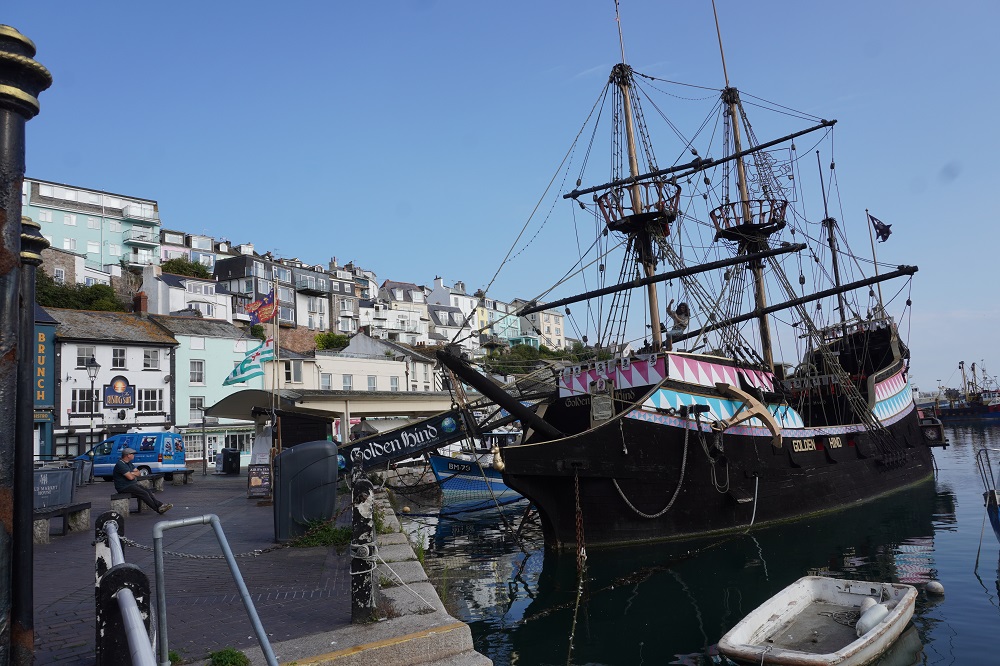
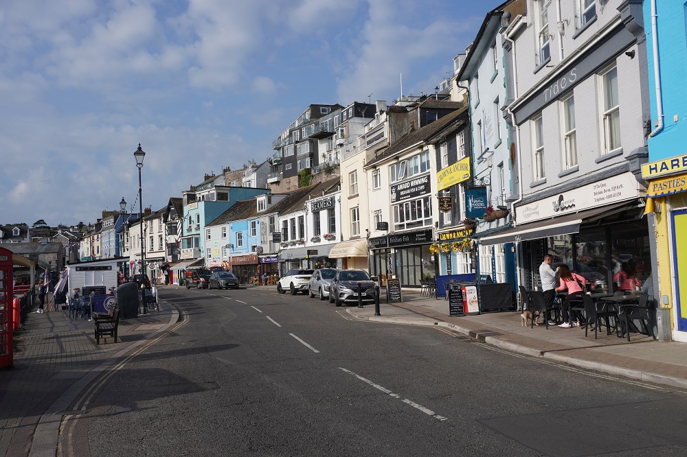
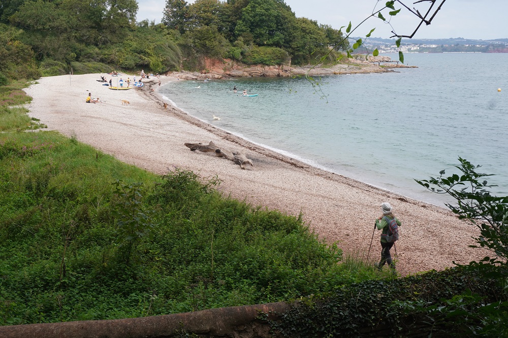
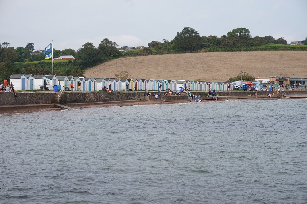
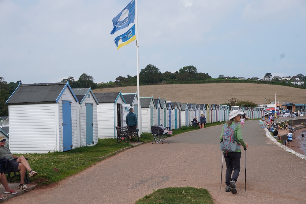
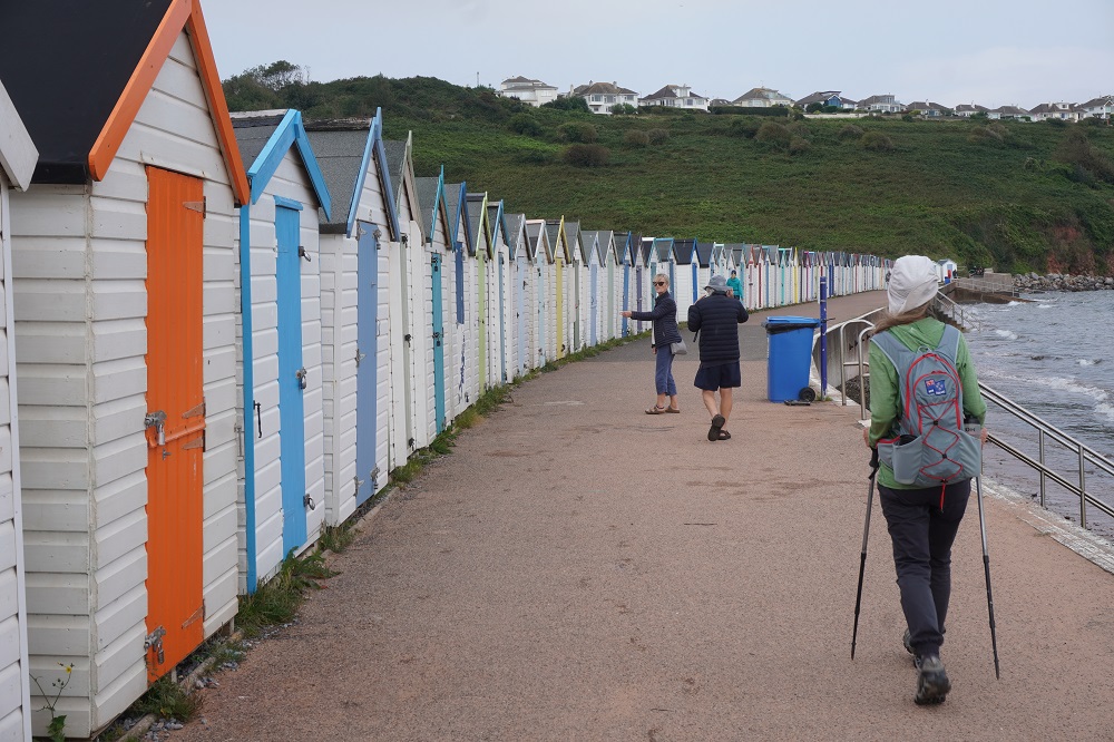
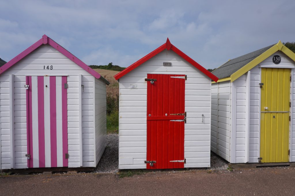
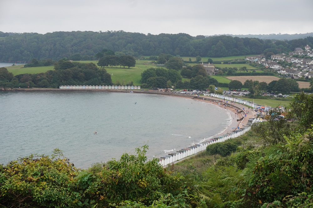
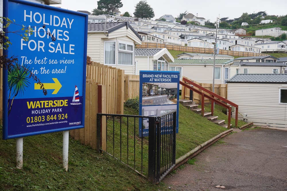
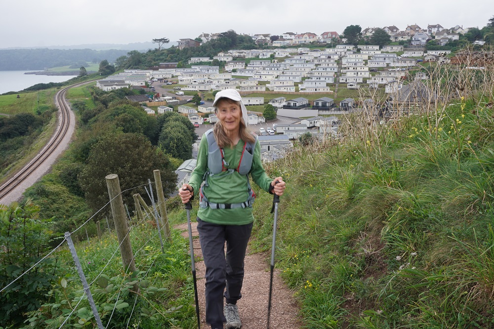
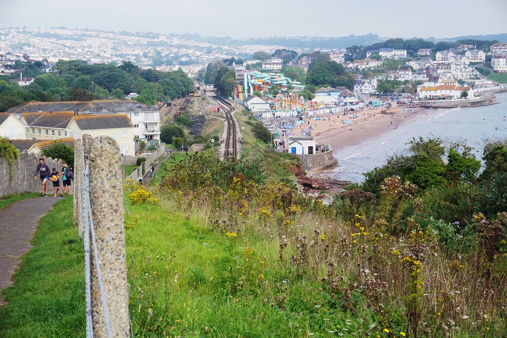
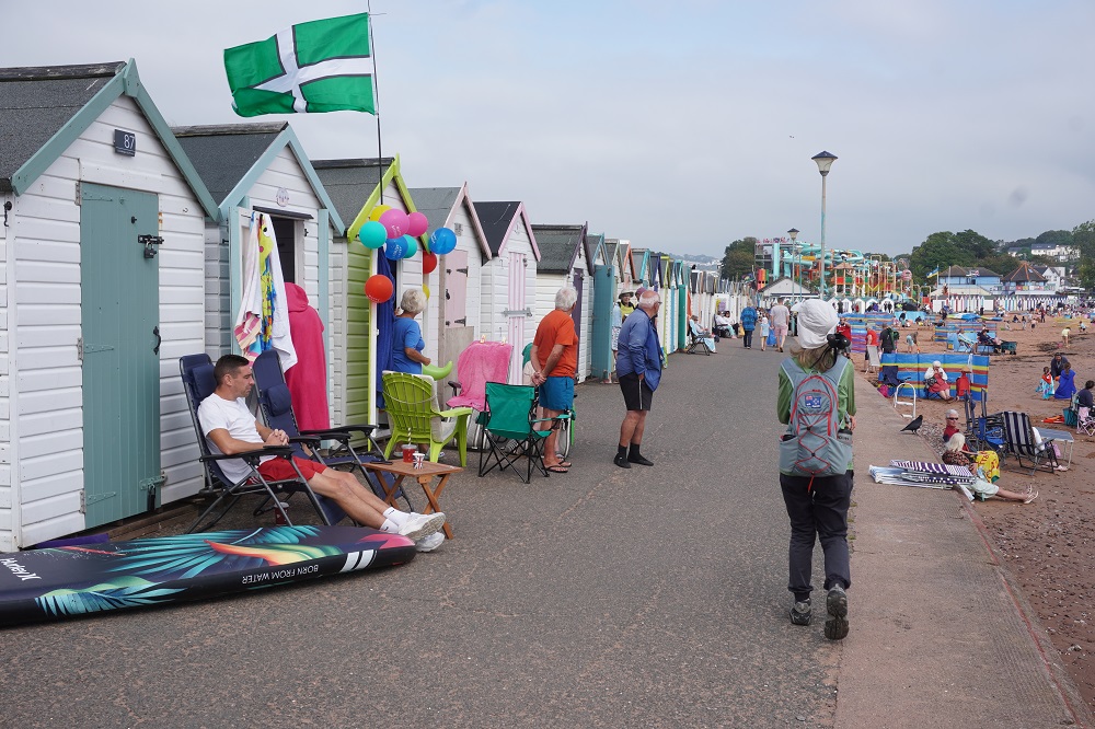
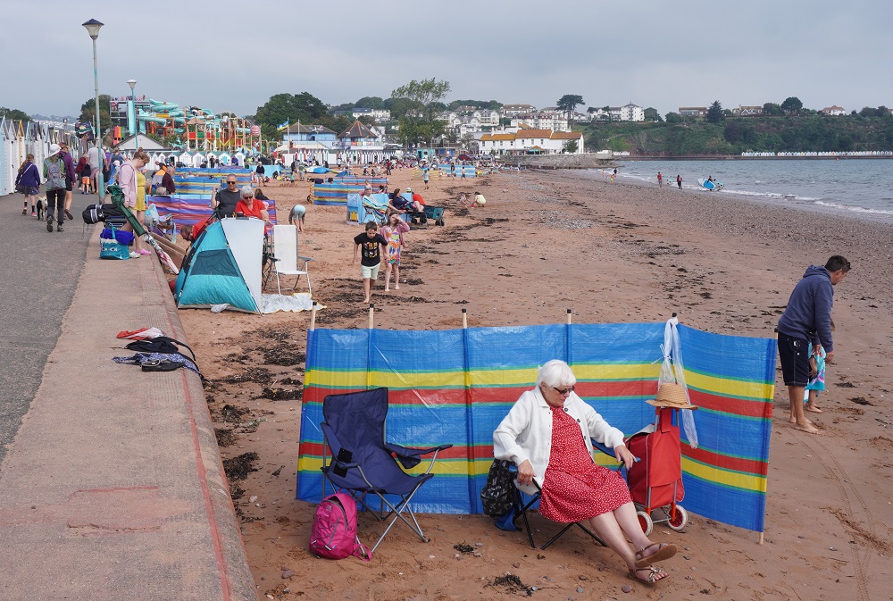
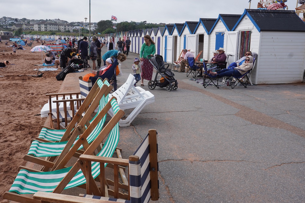
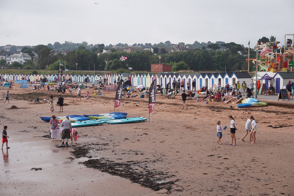
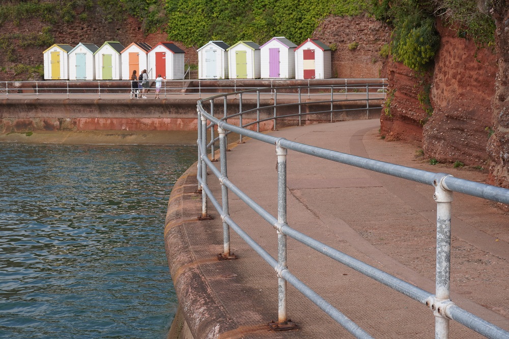
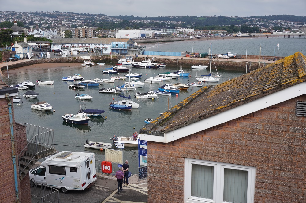
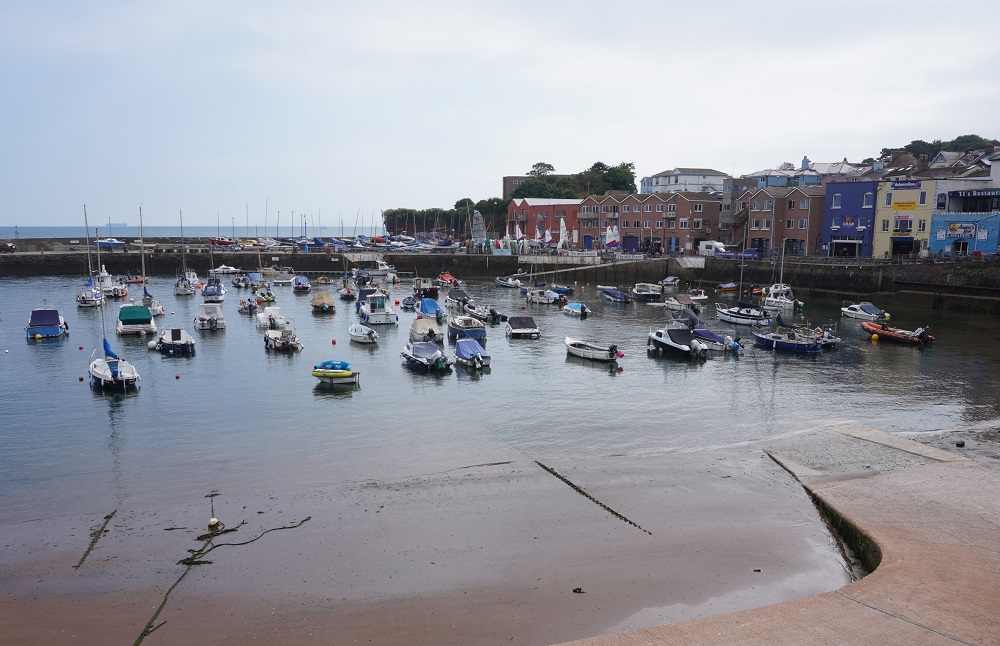
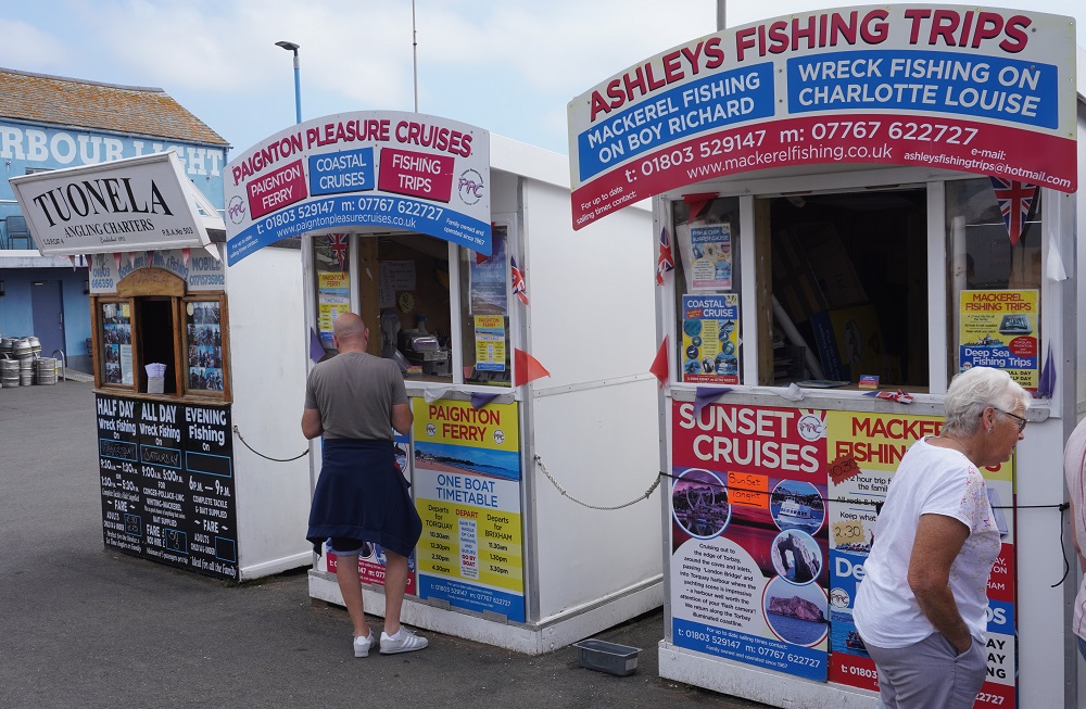
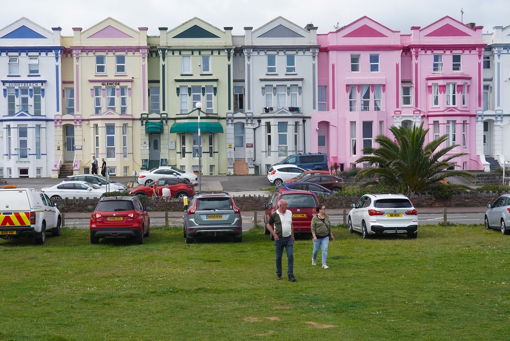
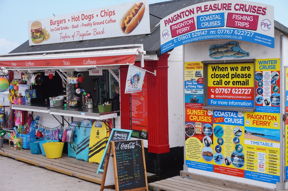
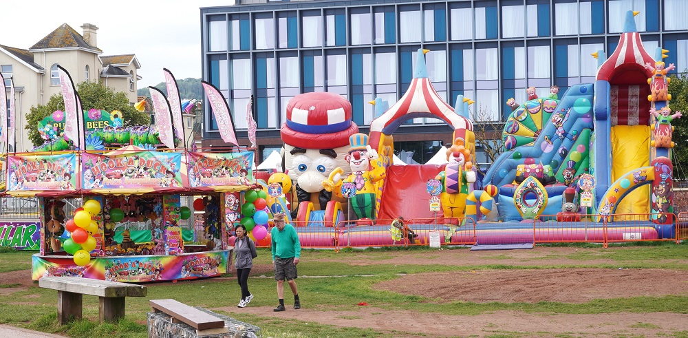
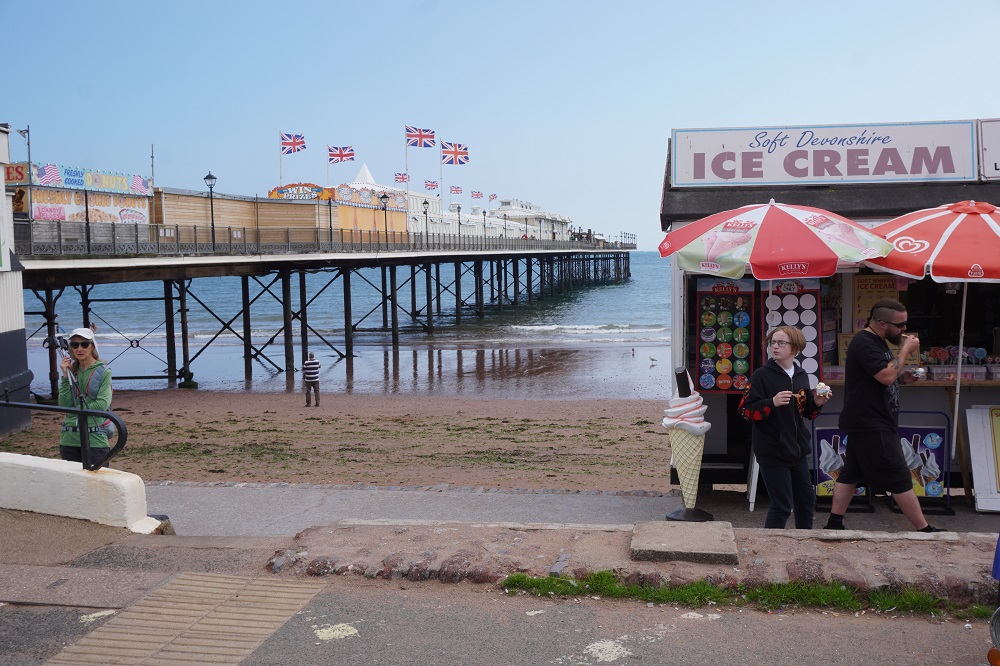
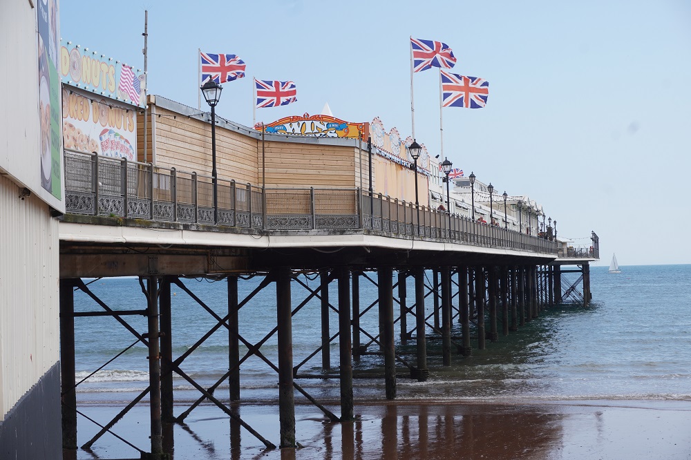
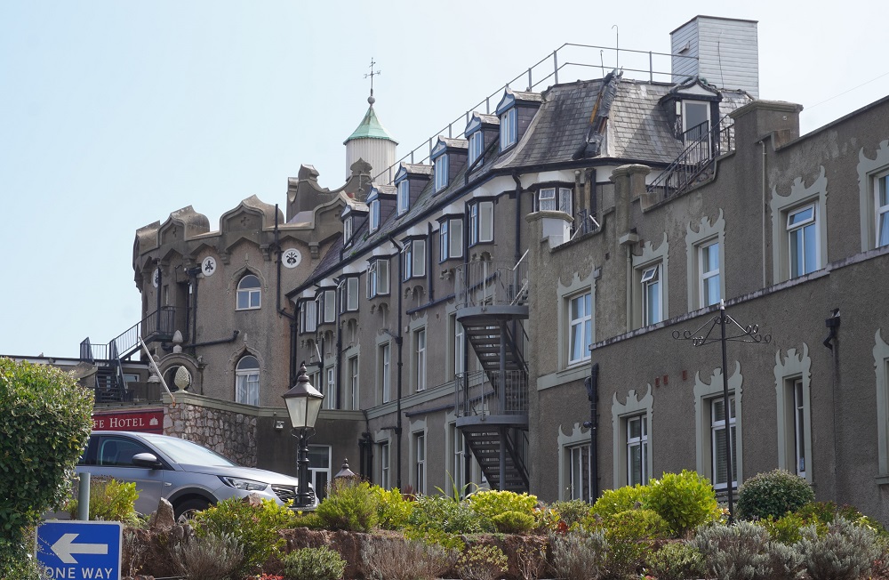
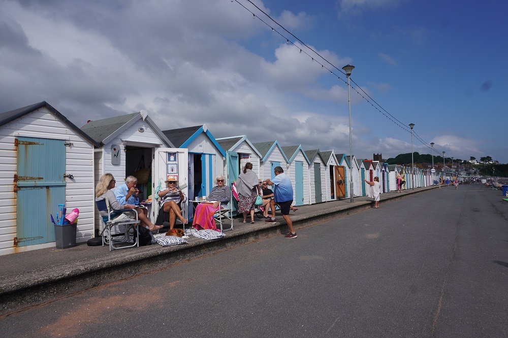
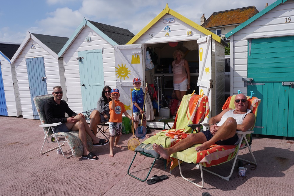
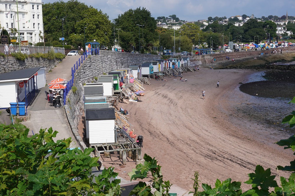
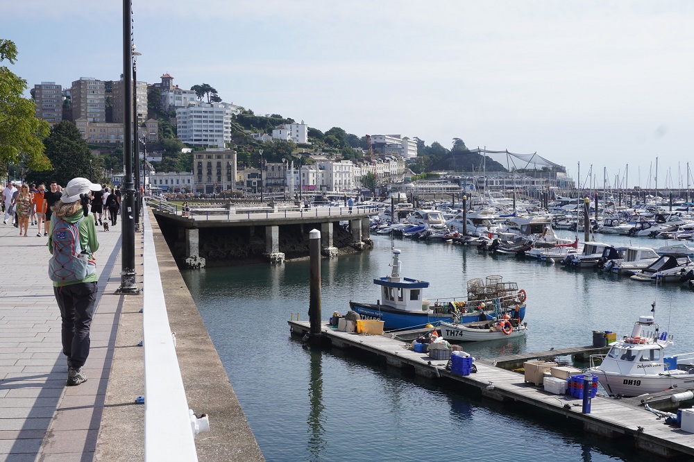
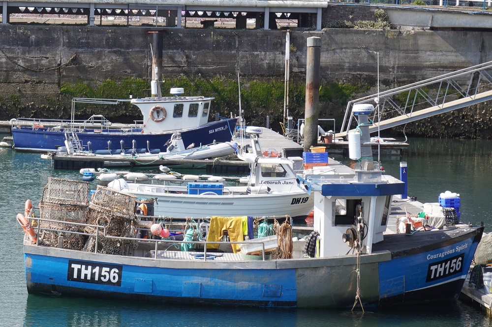
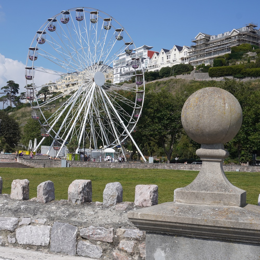
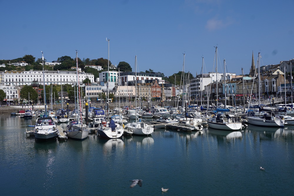
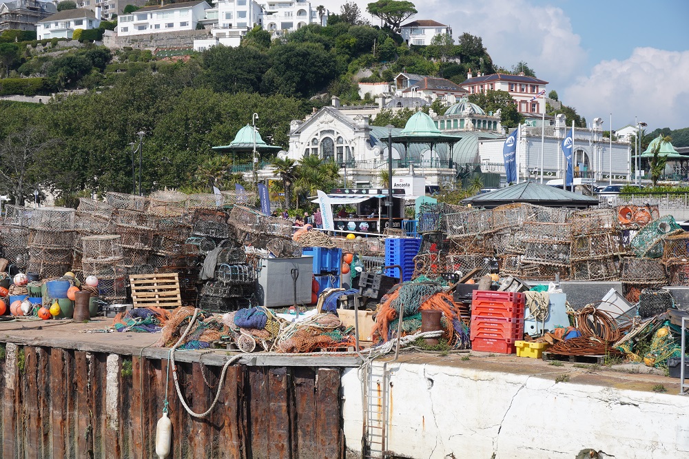
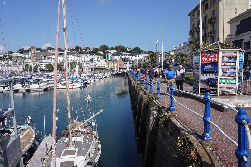
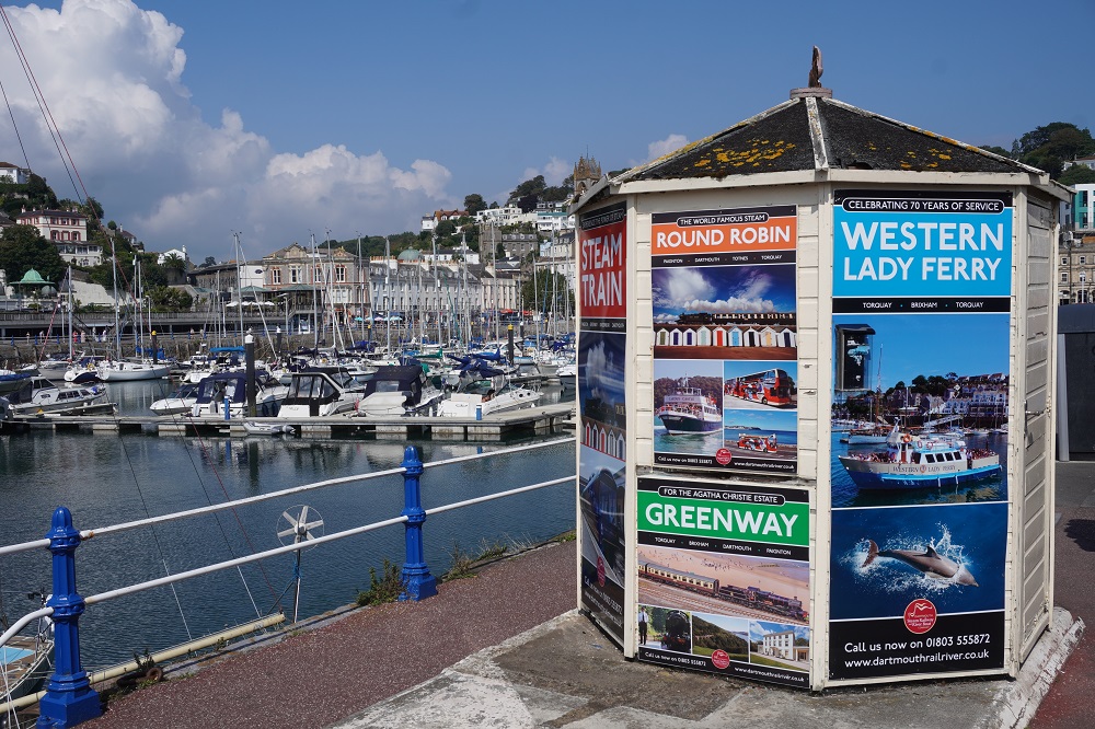
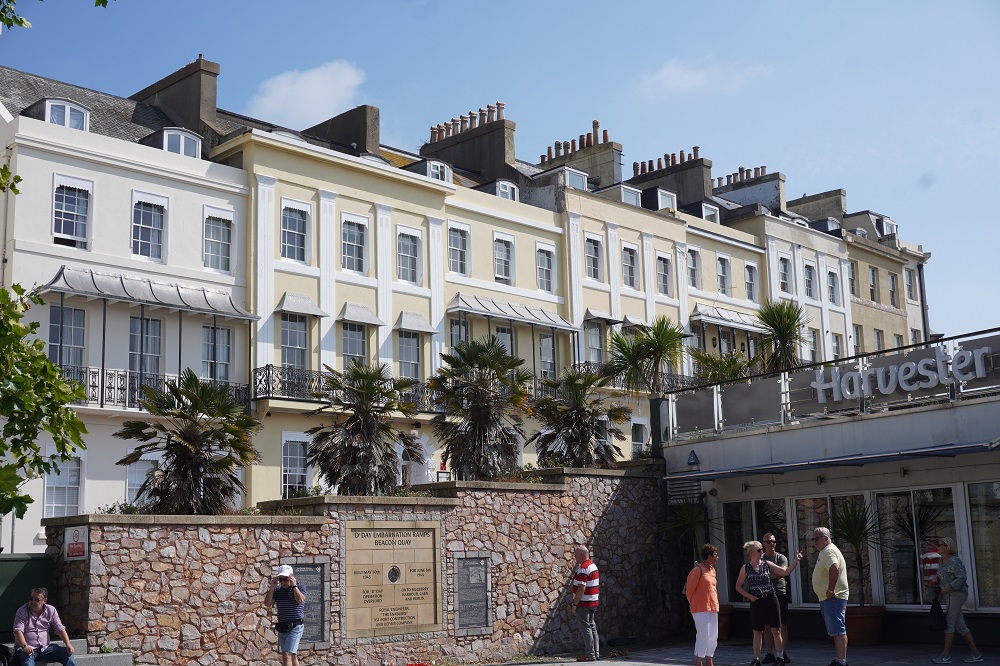
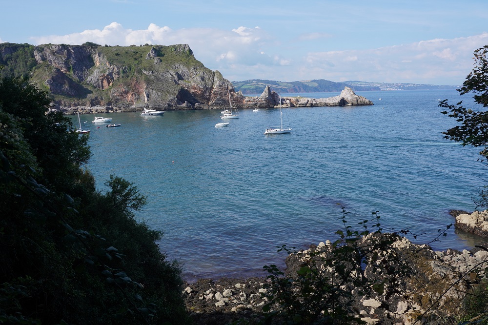
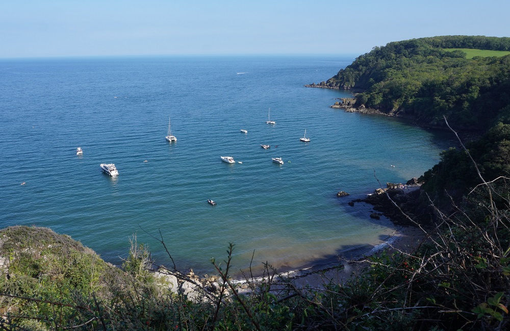
The walk was very diverse, starting in the old fishing town of Brixham, climbing over several headlands covered in mature woodland that made them feel almost rural, passing amusement parks, thousands and thousands of brightly coloured beach huts, huge holiday parks, luxury hotels, marinas full of million dollar pleasure boats, grand terraces, a pier at Paignton, secluded little beaches with only boat access, open green parkland, hundreds of tacky souvenir shops, thousands of junk food outlets, and masses of people mostly with dogs.

I had a bad case of ear worm today and just couldn’t get this song out of my head:

Oh I do like to be beside the seaside
Oh I do like to be beside the sea
Oh I do like to stroll along the prom prom prom
Where the brass bands play tiddly-om-pom-pom

Just let me be beside the seaside
I’ll be beside myself with glee
There are lots of girls beside
That I’d like to be besides
Beside the seaside beside the sea

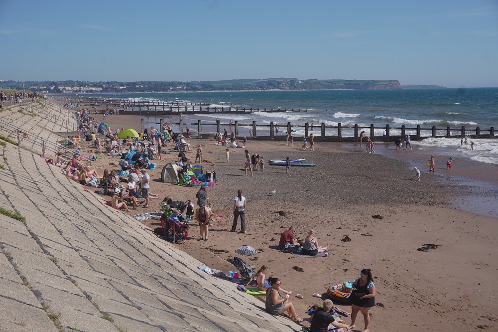
It was very busy on the path today especially around all the seaside resorts. The south of England has had a wet summer and a lot of people wanted to make the most of a beautiful day. I think I said yesterday it is the last weekend of the school holidays and also the first weekend of Autumn. Today it started out misty cloudy, but warm and no wind. By lunch time the cloud had gone and it was a hot sunny day, about mid 20s I would guess. It was nice and cool in the shade in the few bits of woodland but we wilted a bit out in the hot sun. Still mustn’t complain we certainly don’t want rain. Torbay has a mild  microclimate with higher than average England temperatures and mild wet winters. It started out as a fishing village but from Victorian times it attracted wealthy holiday makers due to its climate hence the name English Riviera.

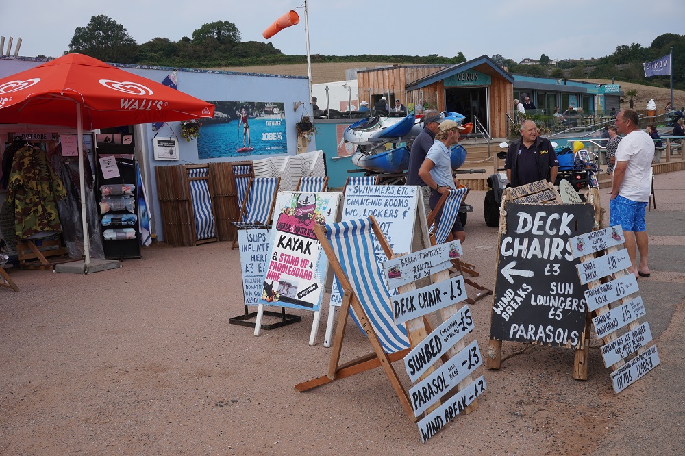
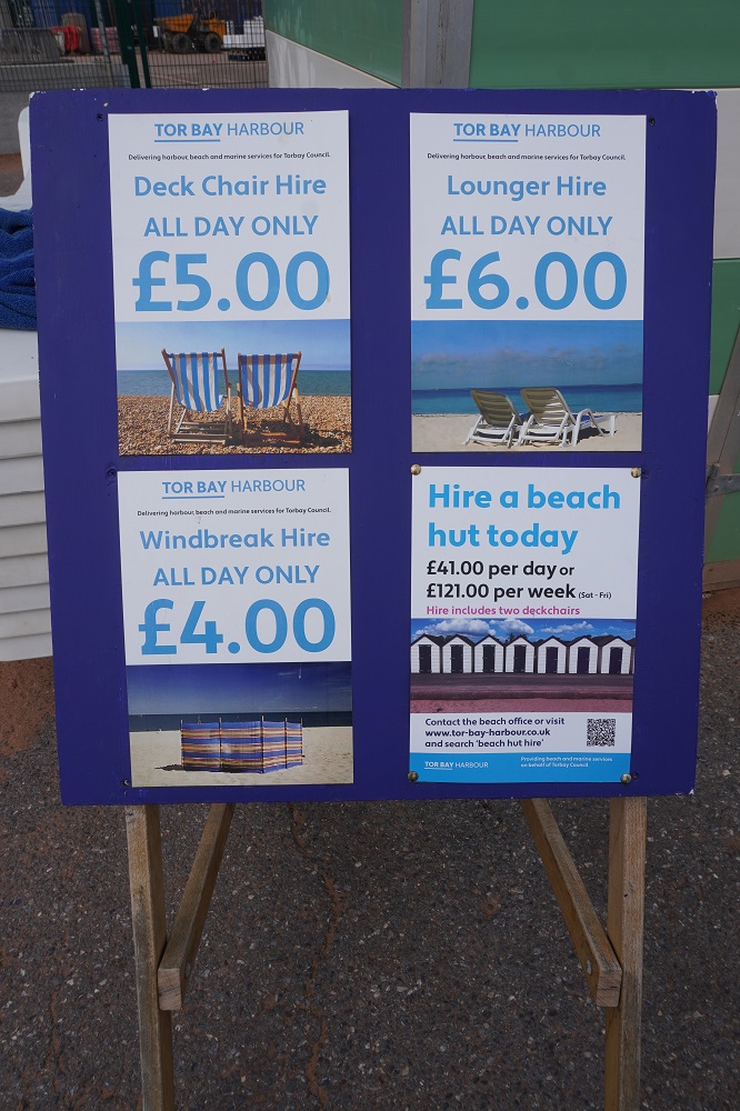
When the English go down to the seaside it is a major logistical challenge, Buckets, spades, wind shelters, deck chairs, picnic baskets, ice boxes, fishing lines, gas stoves, umbrellas, flutter boards, picnic hampers, beach balls, food hampers etc, etc. Lots of people on inflatable paddle boards and canoes but very few people actually in swimming. We spoke to a couple of ladies at Brixham who had just had a swim and they said it was lovely – 16 degrees. Our pool at the Pier is 26 degrees so I don’t know about that. We will take our togs from now on as on short days we can fill in time with a swim. Barbara should have packed her wet suit. You see a lot of them at the beaches here.

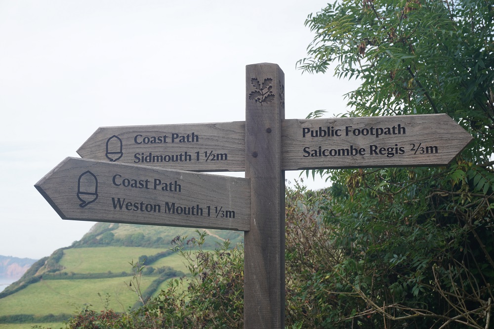
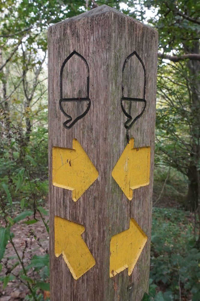
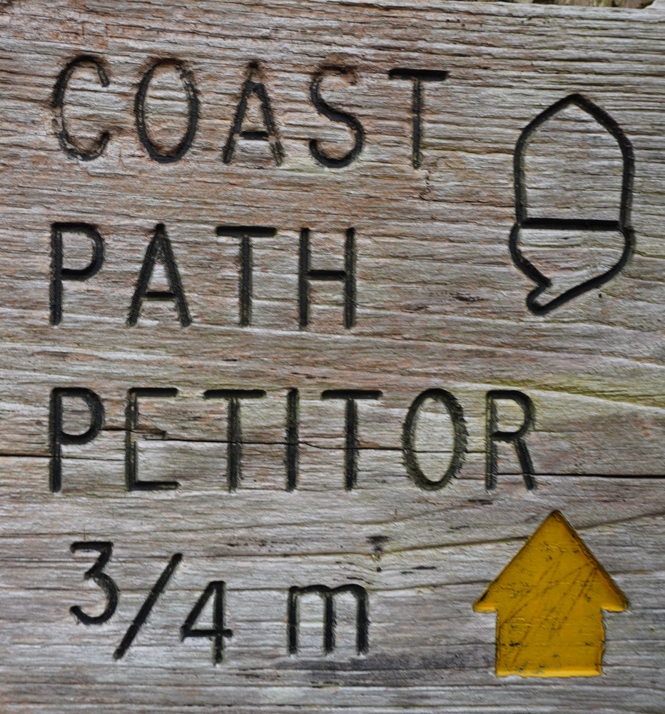
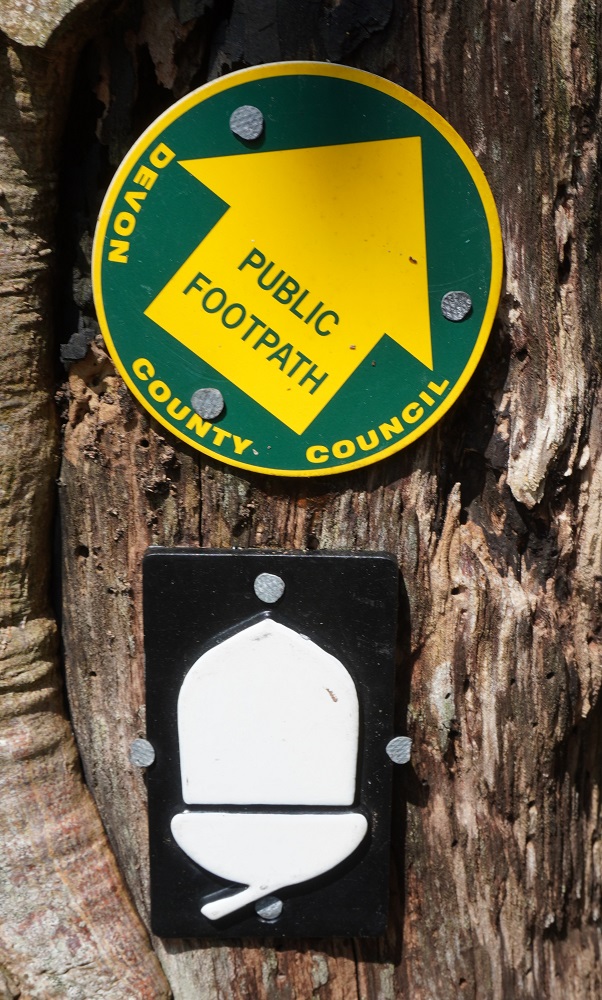
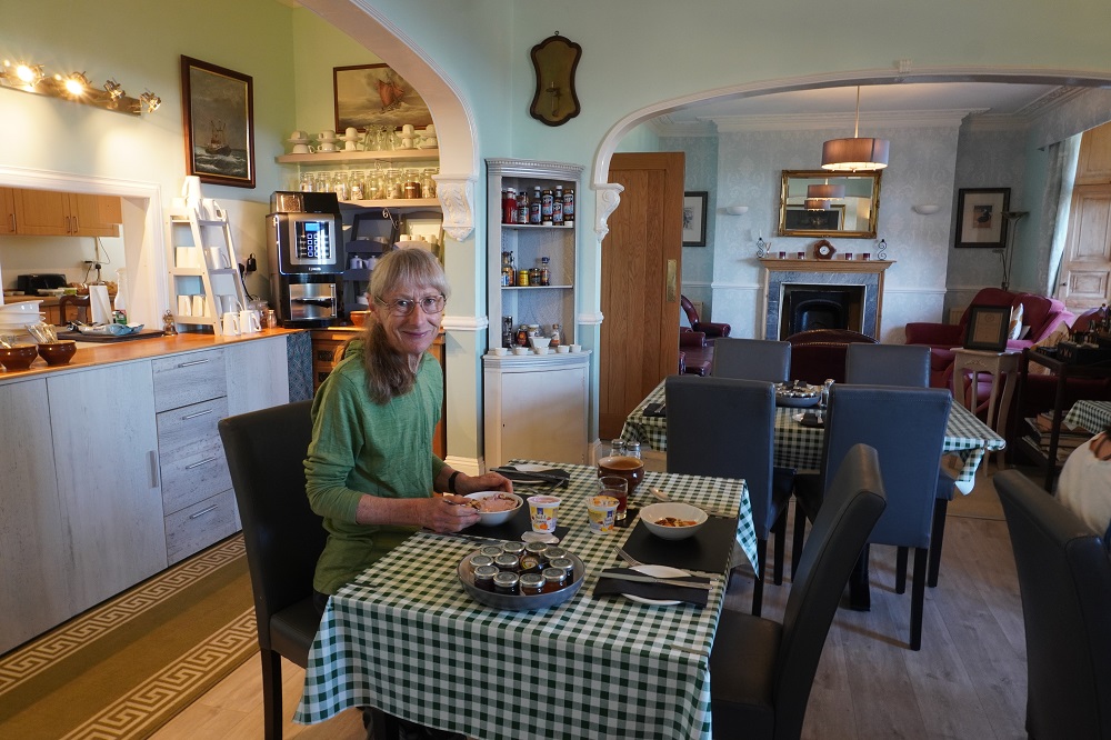
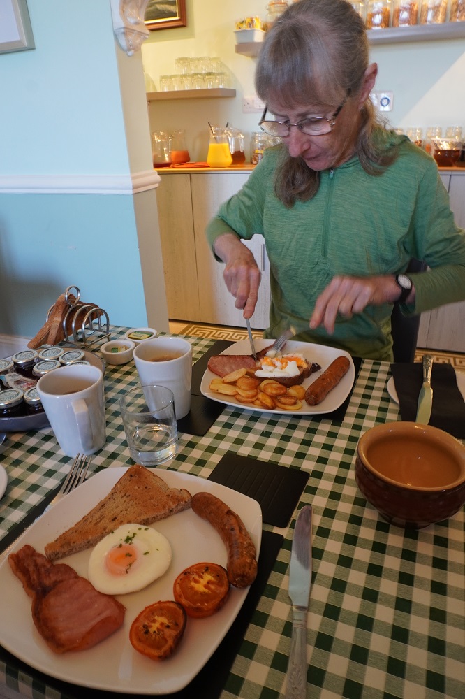
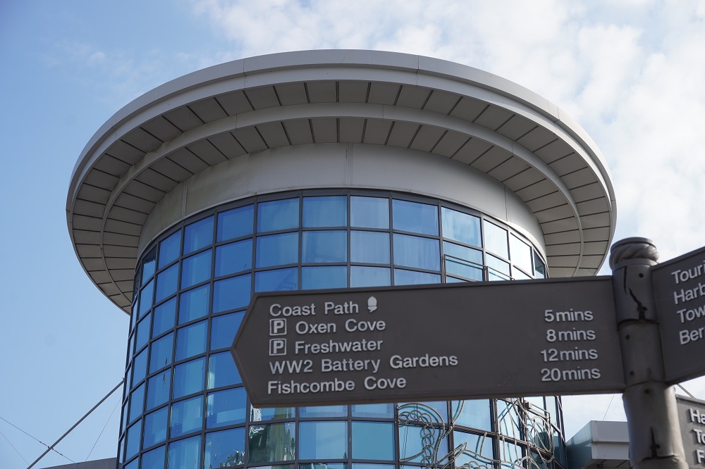
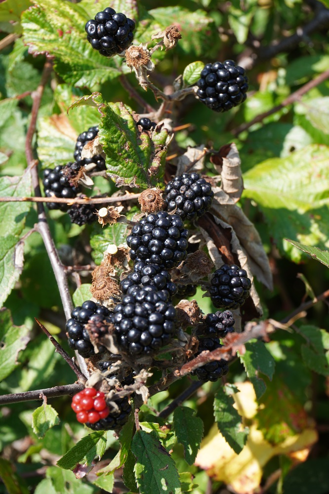
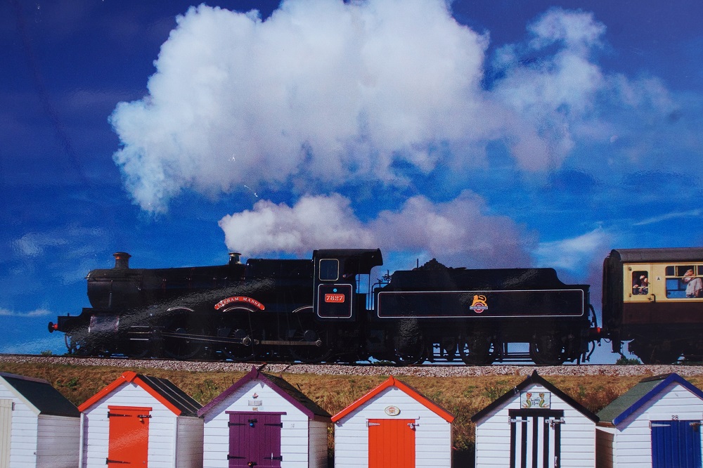
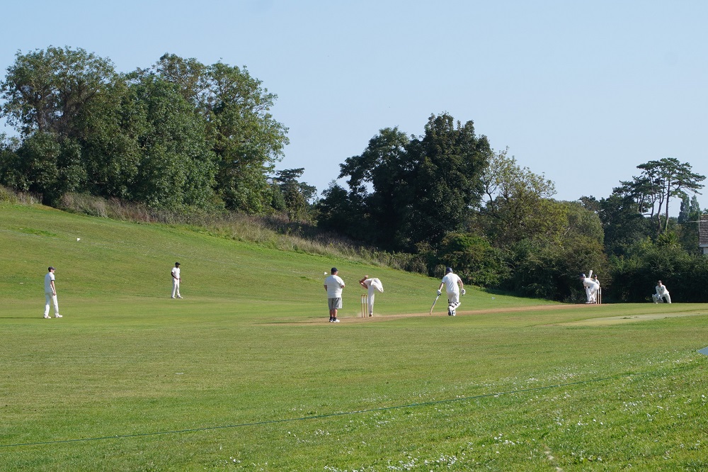
We started the day with our first full English breakfast, the first of about 25 if we have one every day until we go back to London. Some other firsts today: first wild blackberries to eat, first acorn sign, got lost for the first time (not really just took a wrong turn), saw our first vintage steam train, saw our first game of cricket on the village green, first hot spot on a foot (maybe blister forming?).

So overall a very good first day with lots of variety.