All posts by Paul Lenihan

Every fr**cking inch

Swanage to South Haven 12 km + 2km back tracking
Total kilometres walked 262.5, average per day 17.5
Ascension 150m  Accumulated ascension 6764m

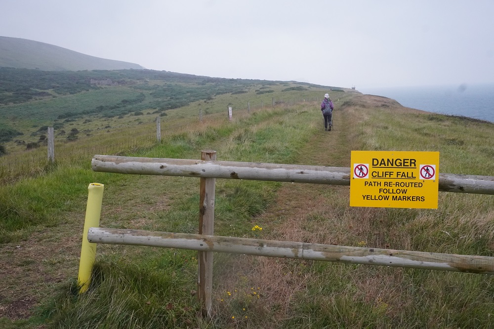
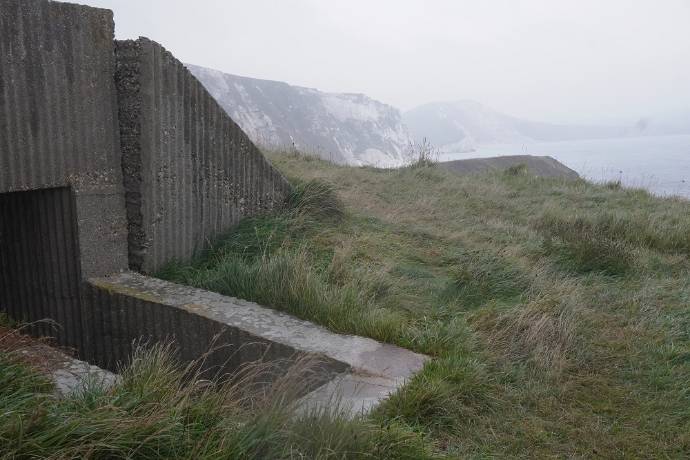
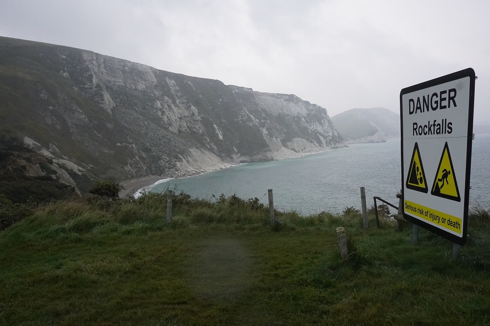
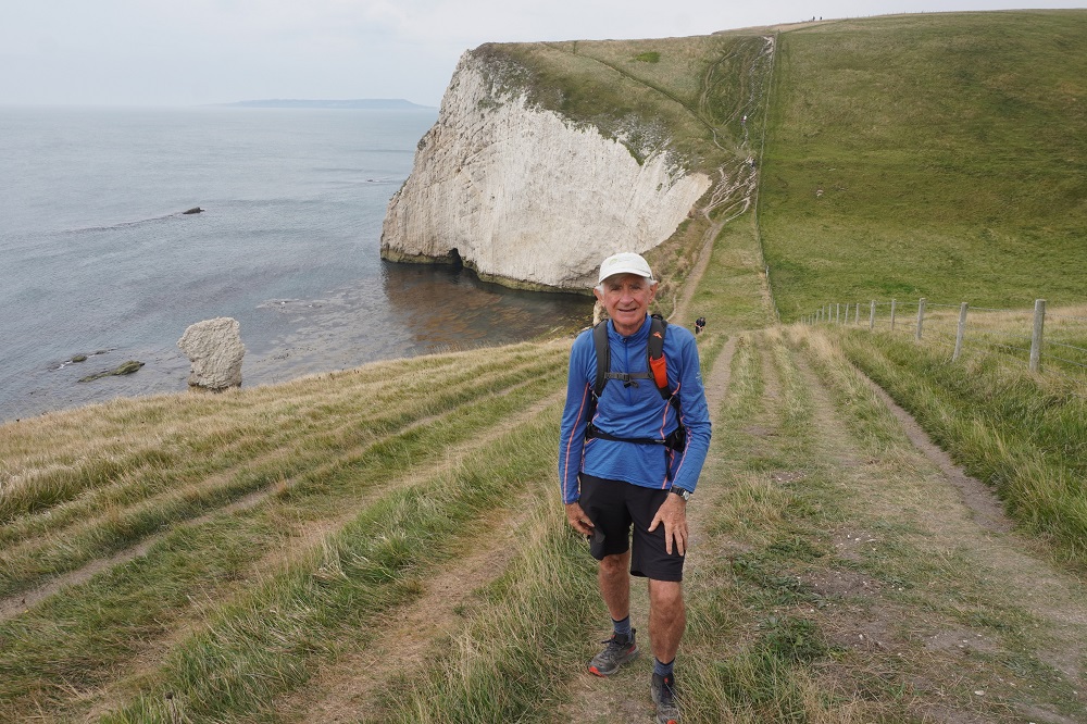
So we have done the South West Coast Path. There is a real feeling of satisfaction in completing something we started in 2018. It is four years since our last long walk so I wasn’t sure how our bodies would stand up to the challenge this time. Doing a shorter daily average certainly helped us. The heat wave in the first week and the steep cliffs in the second made it hard work, but we survived each day, and every morning felt fresh and eager to get out on the path. When we reached the monument at the end today I wistfully thought well why not turn around and walk all the way back to Minehead. NOT! That would be a two month ordeal going against the prevailing weather and into winter.

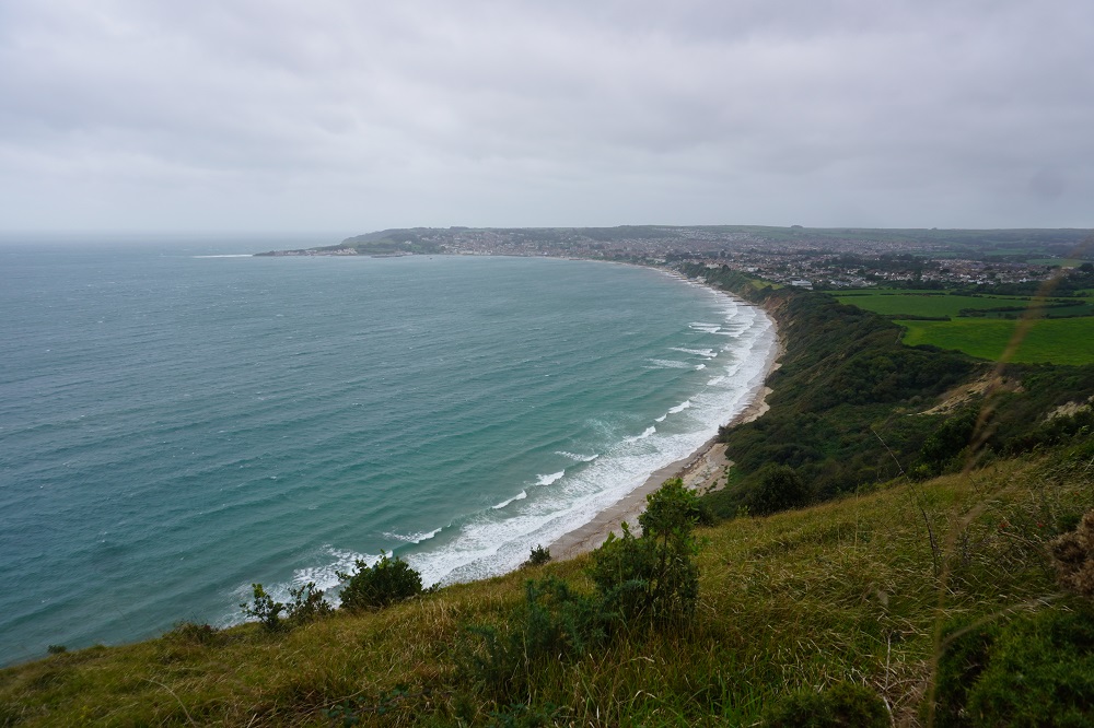
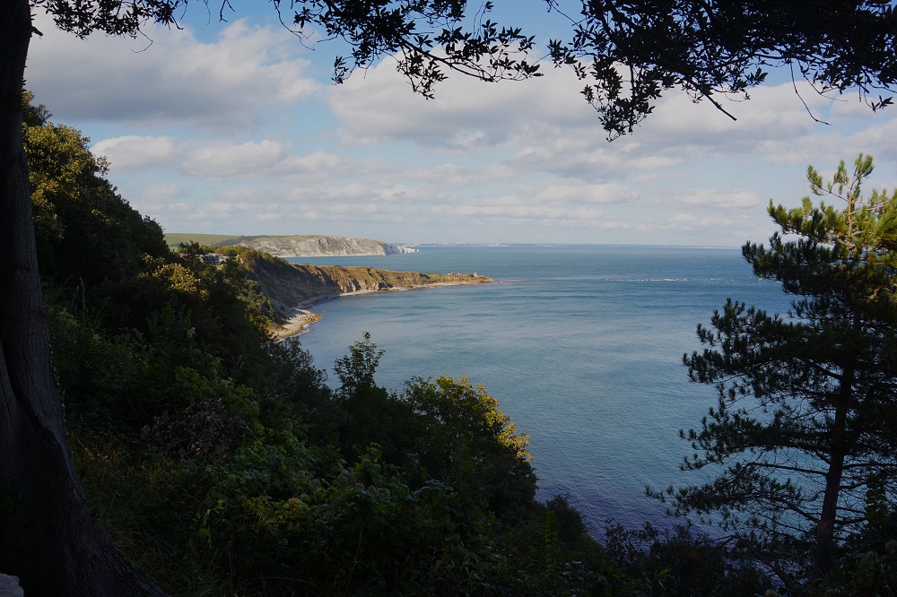
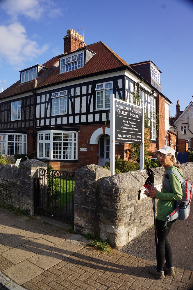
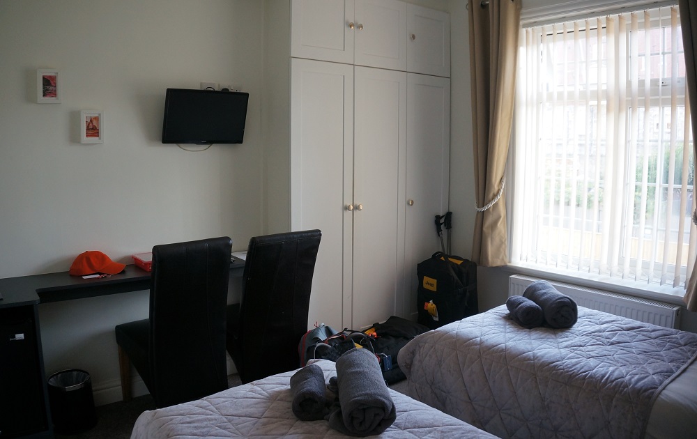
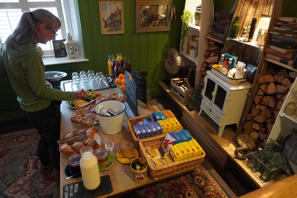
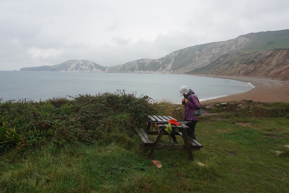
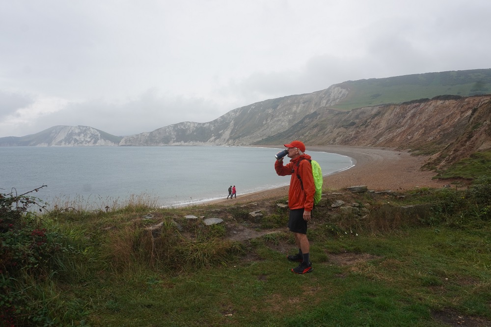
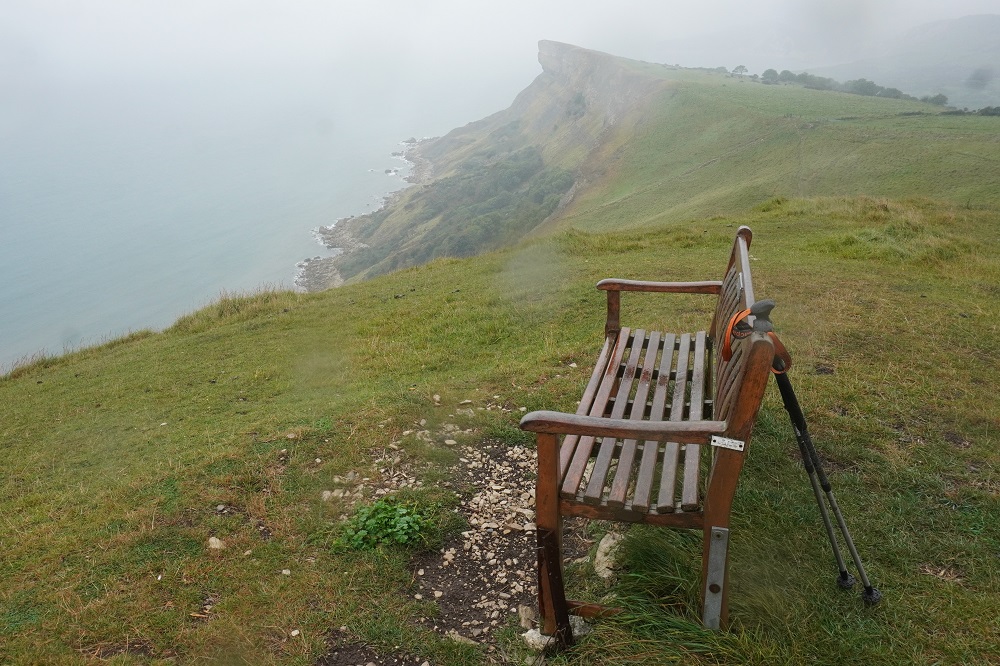
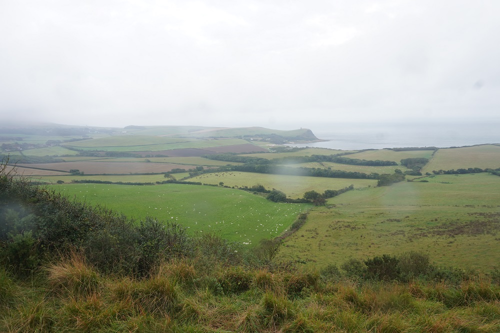
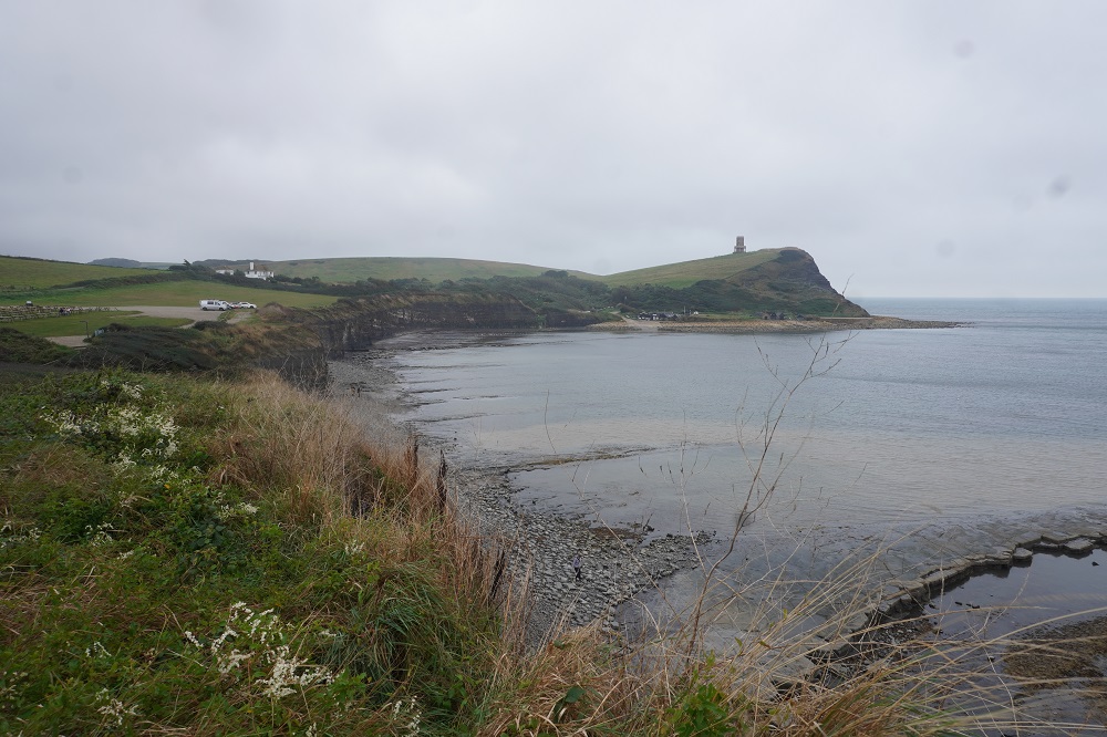
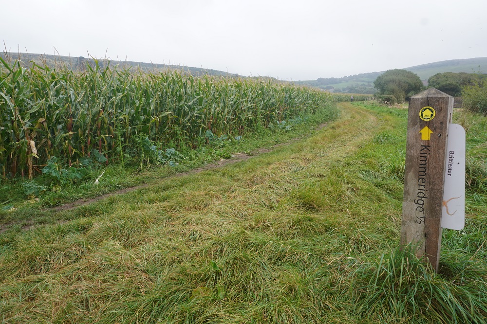
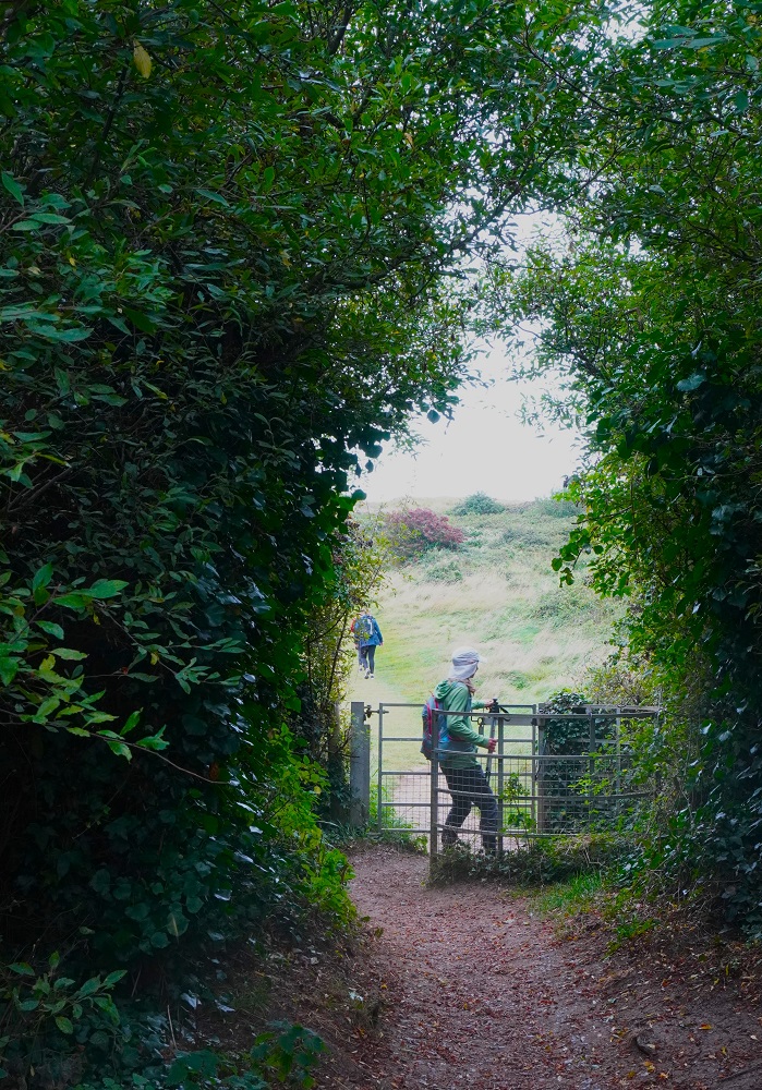
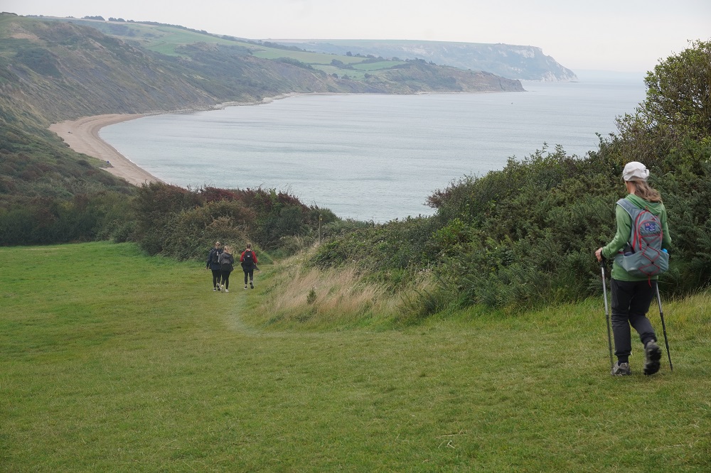
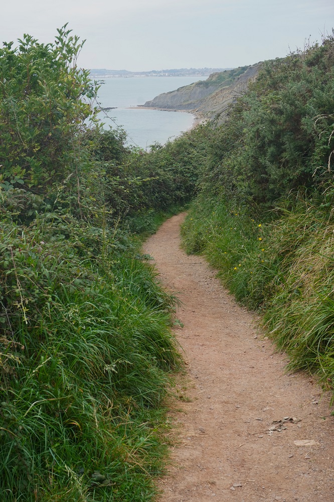
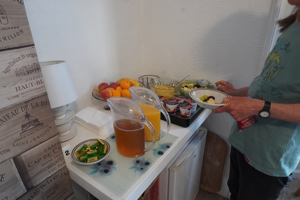
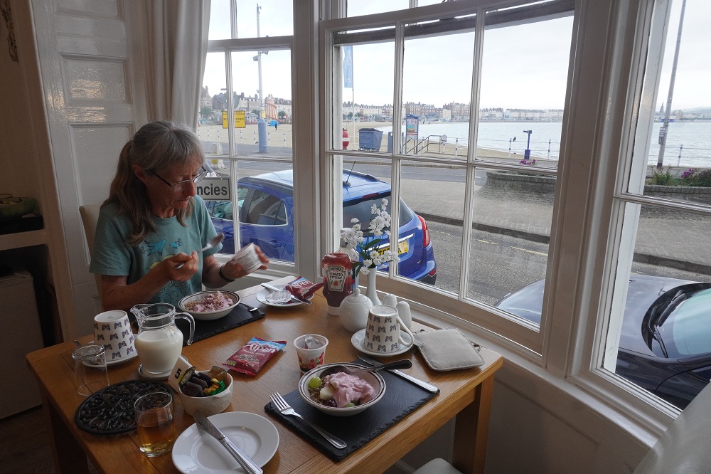
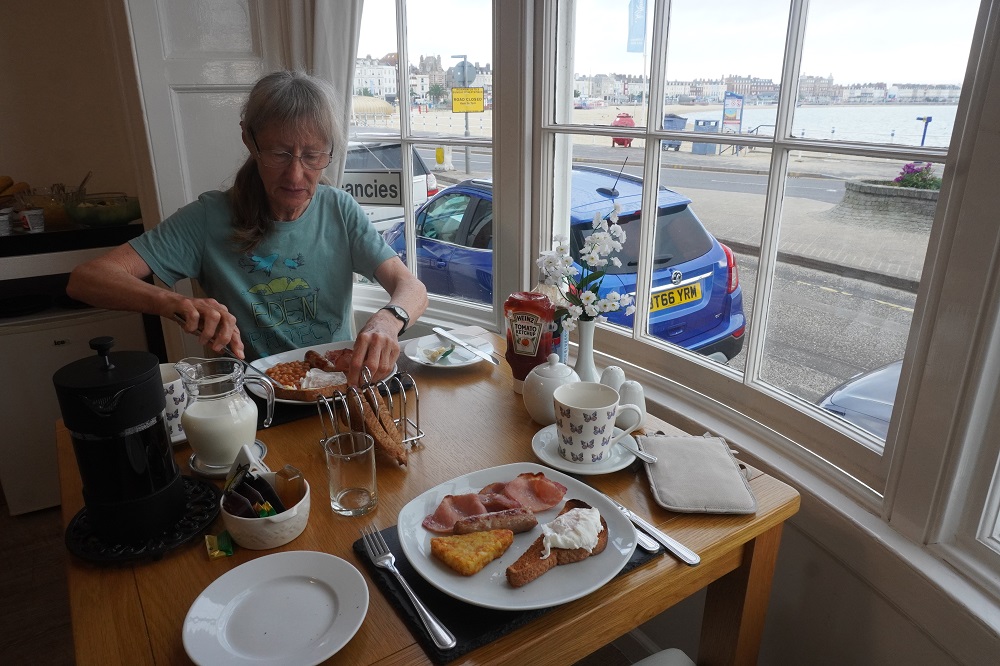
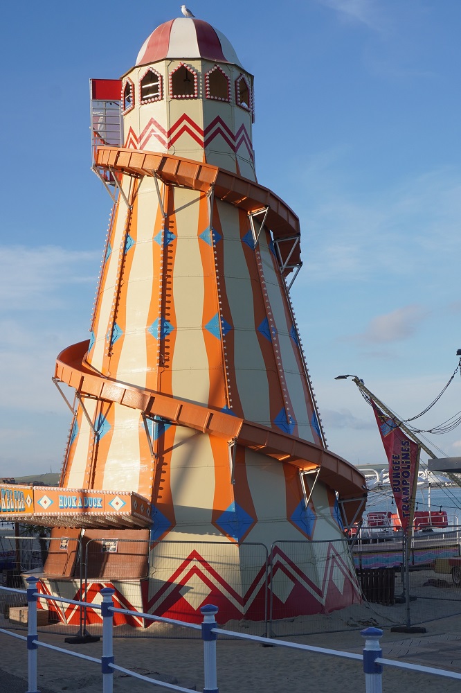
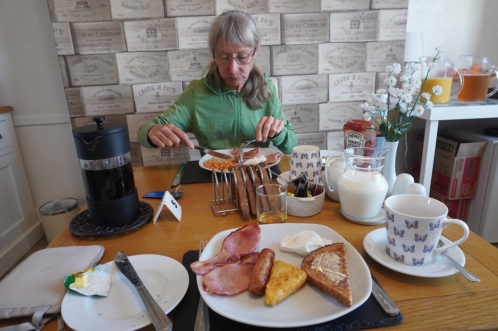
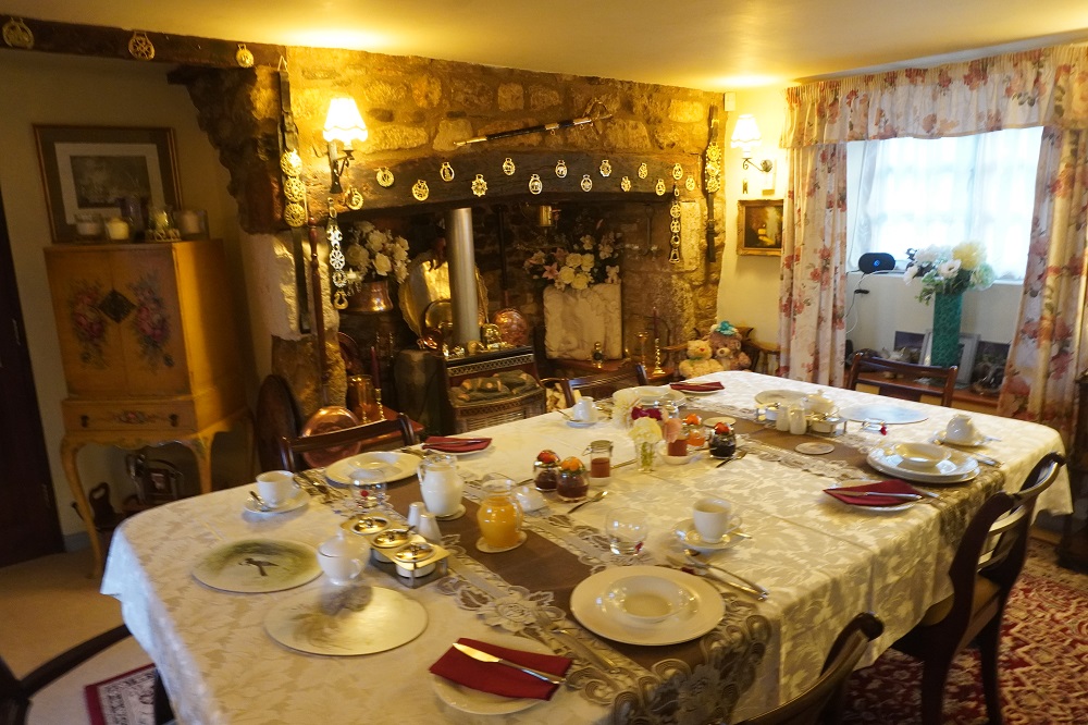
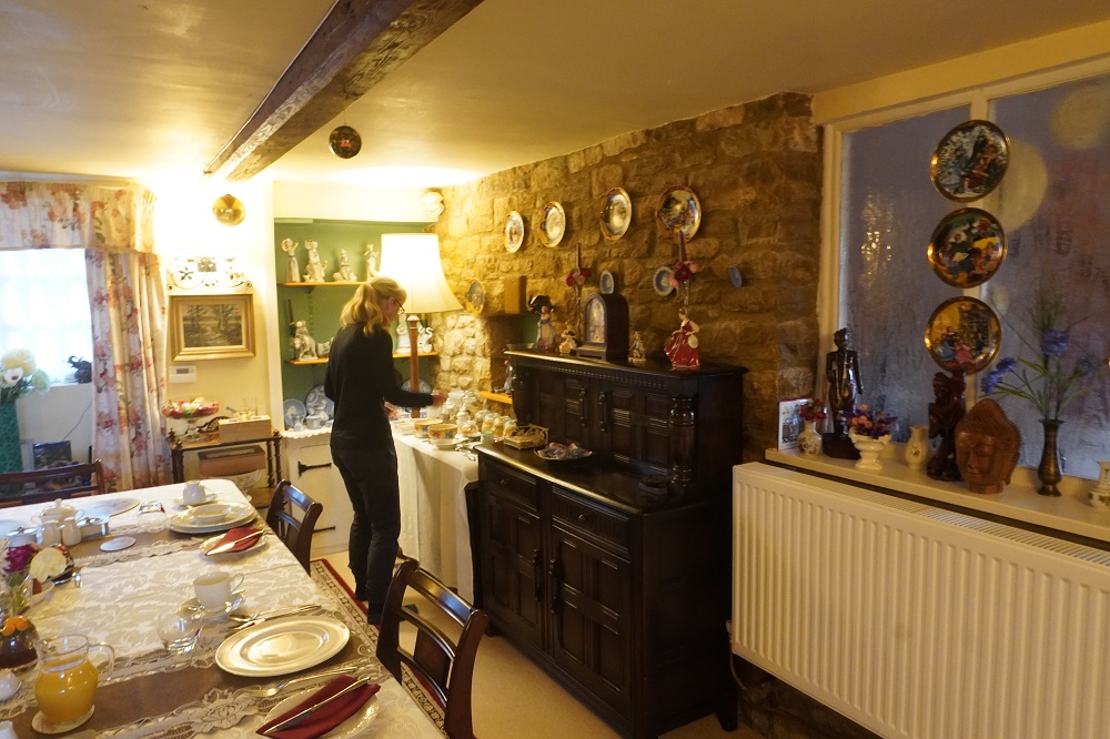
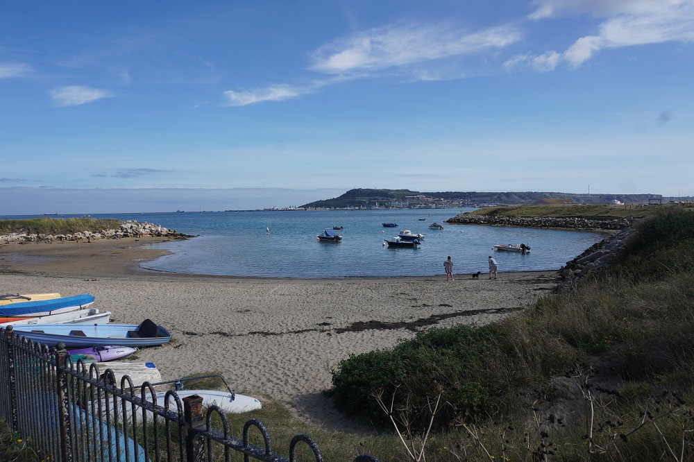
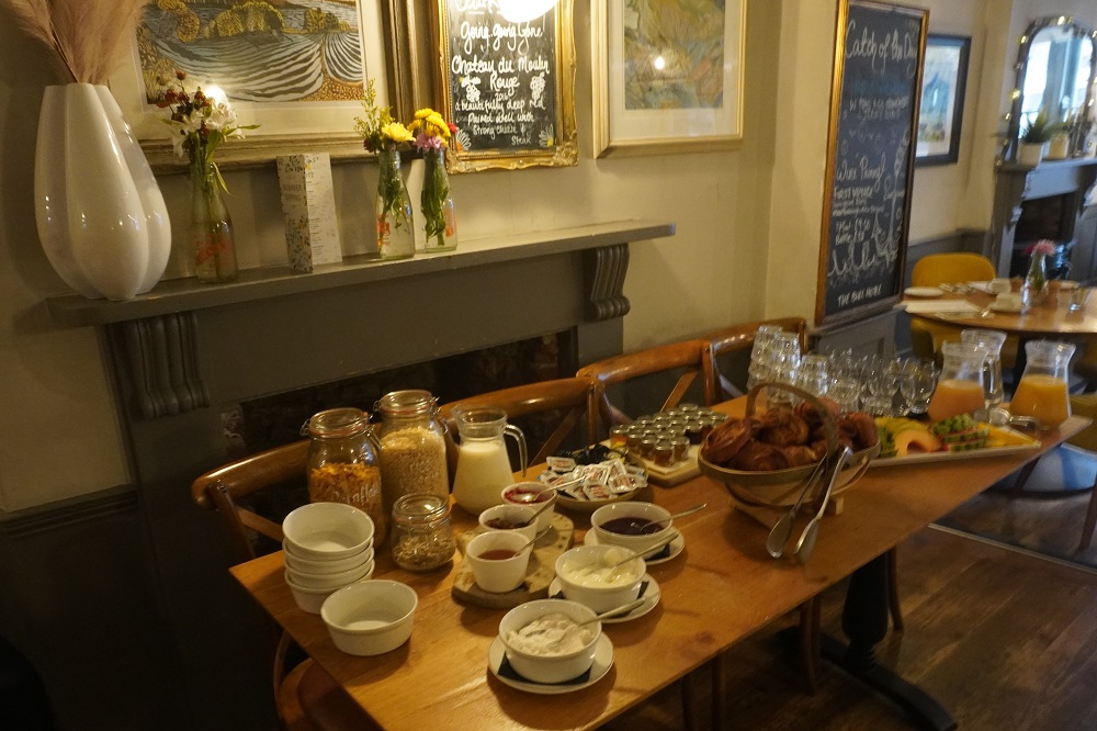
Things didn’t start off so well today. Our guest house did not serve an English Breakfast just a sort of continental breakfast delivered to your room. A hang over from Covid we think. The breakfast was okay, packet of juice, make it yourself filter coffee, cereal, one fruit (banana) yoghurt and a bacon buttie. Then when we had checked out and were a kilometre into the day’s walk I remembered I had left my damp tramping towel and a pair of merino socks in the wardrobe to dry. So we back tracked to the guest house and of course the cleaner had found the items and left them with our bags – which fortunately had not yet been collected and moved on to Poole. So we started off again and on the way out of Swanage I took a few photos. At the top of the only climb of the day I realised I had not put the memory card back in the camera, so no pics of the first part of the day. Not an auspicious start.

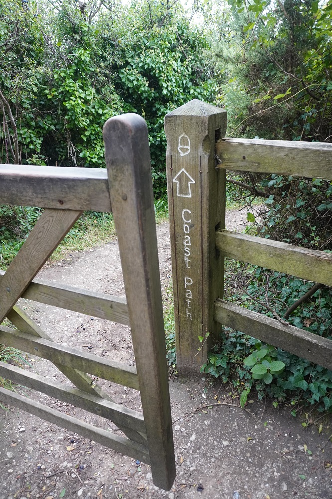
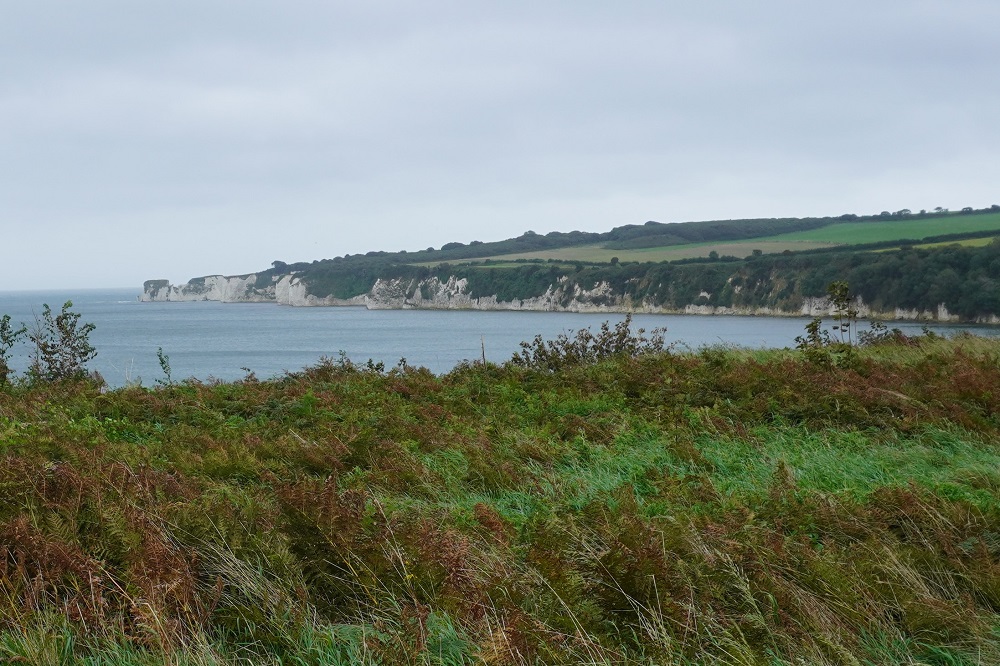
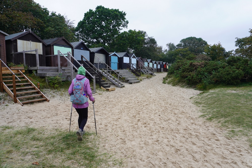
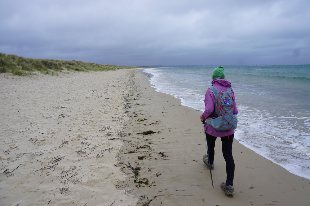
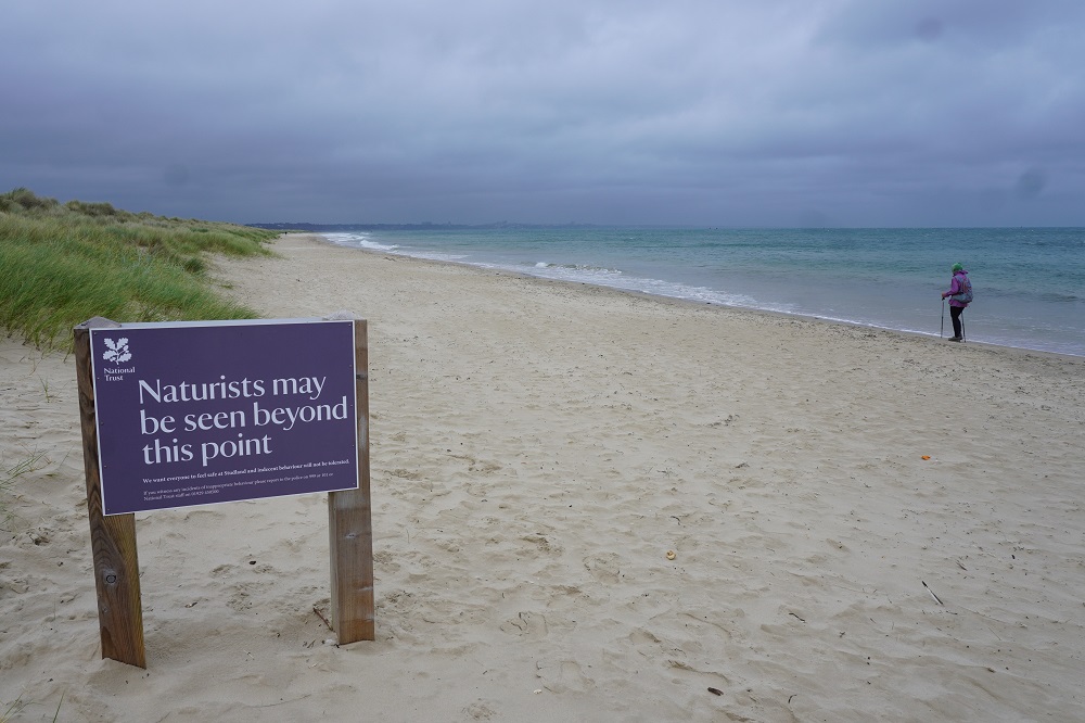
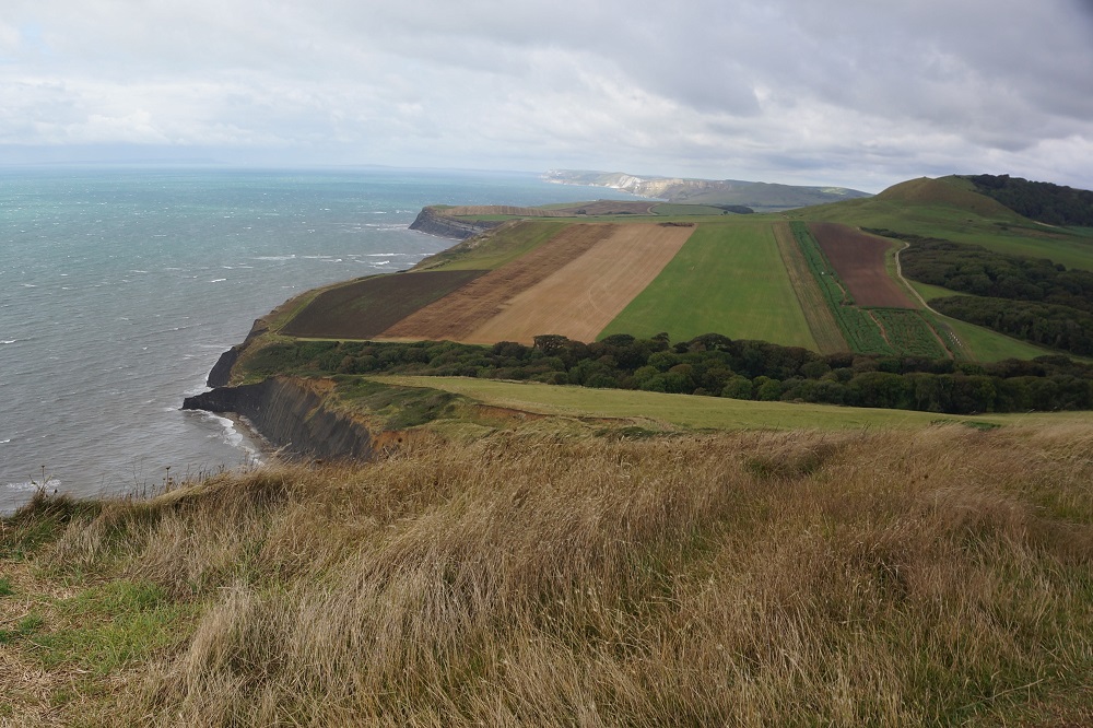
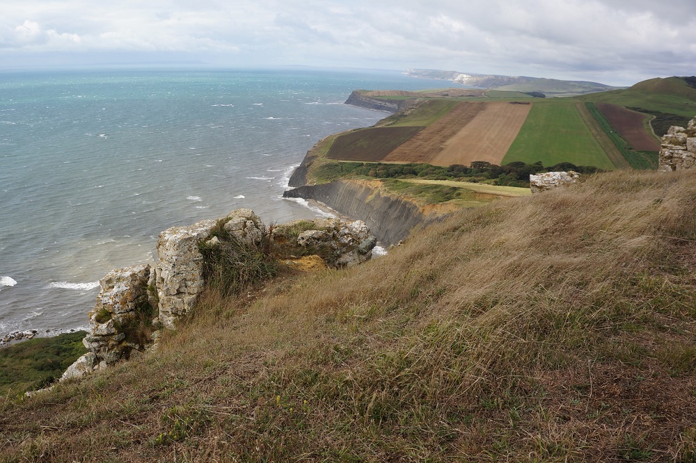
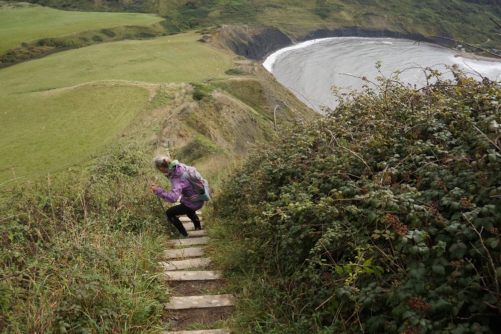
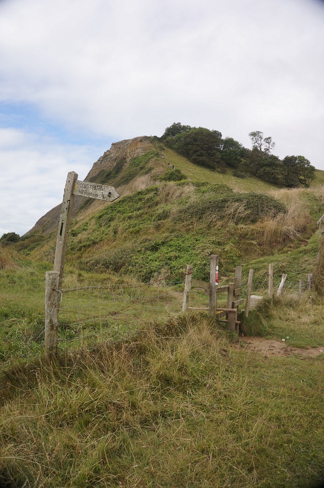
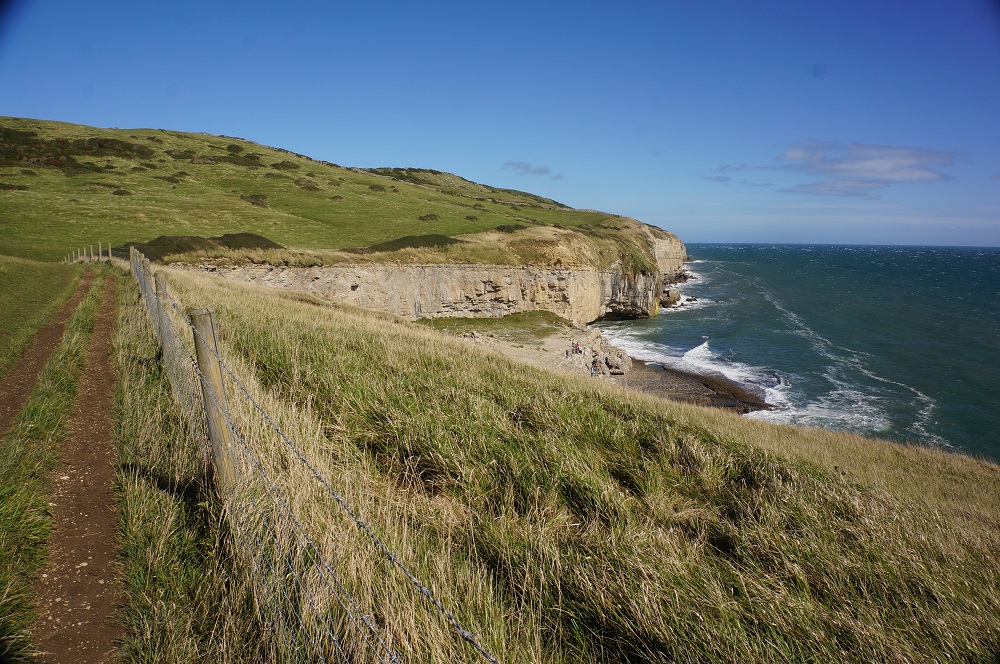
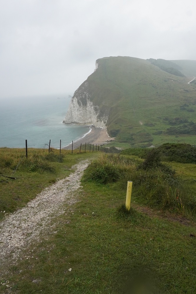
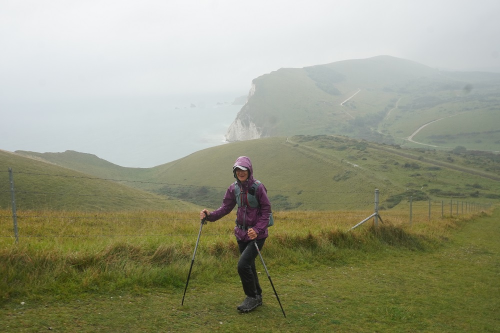
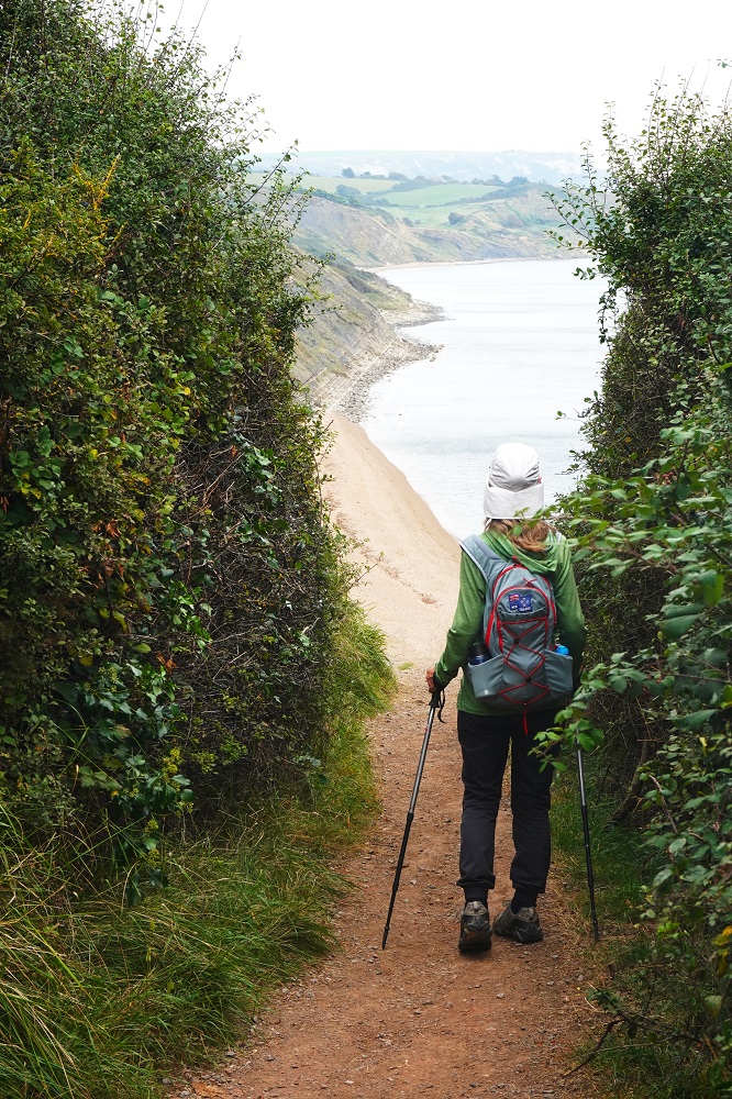
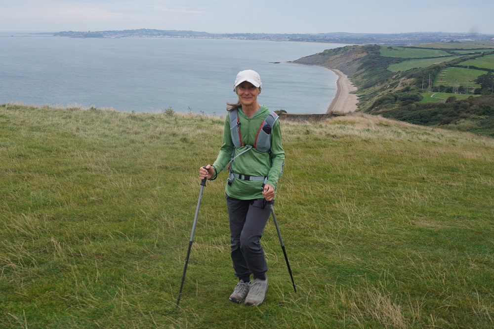
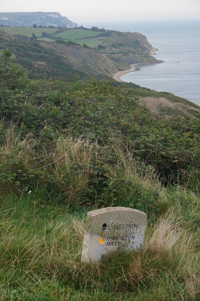
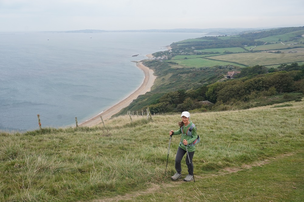
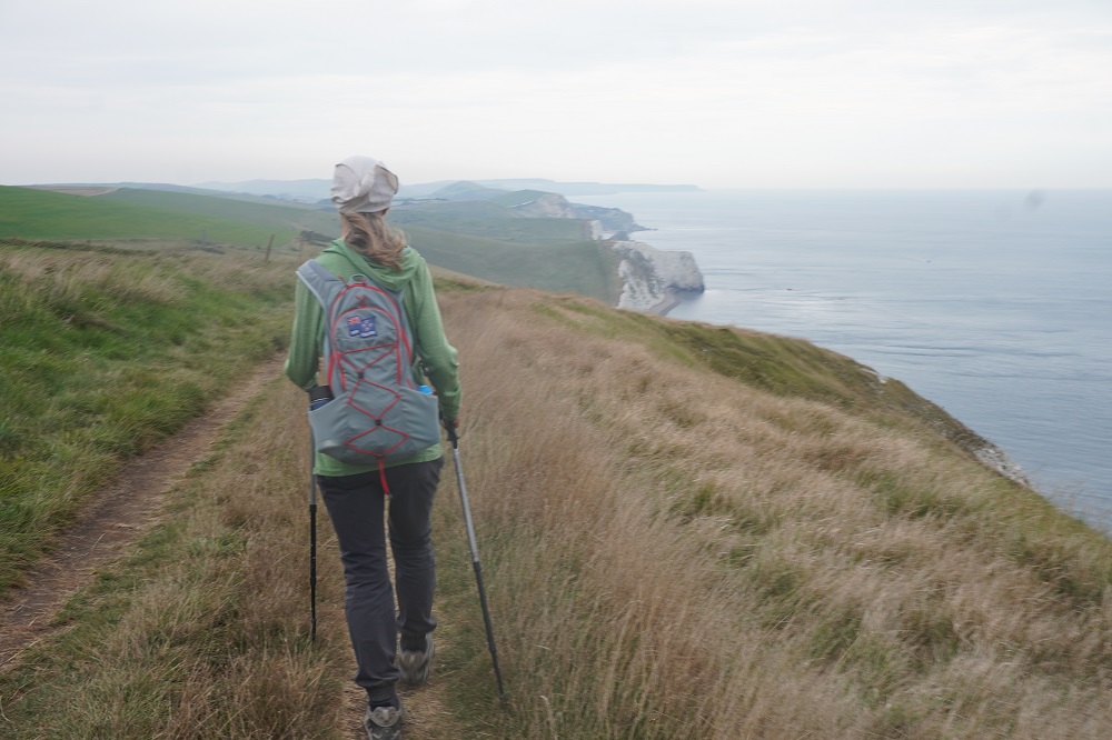
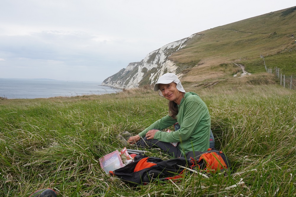
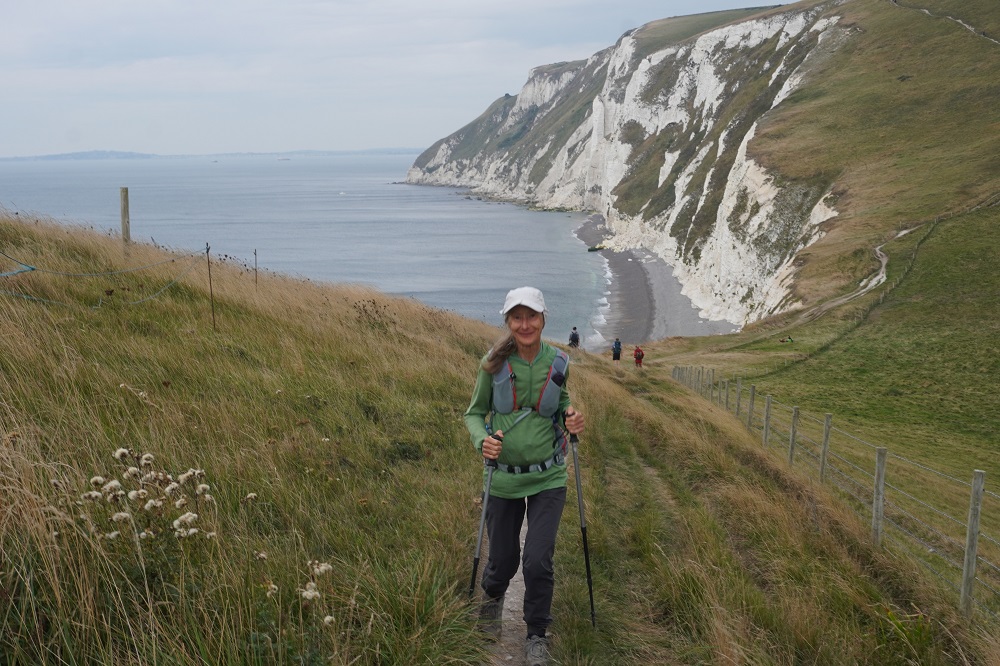
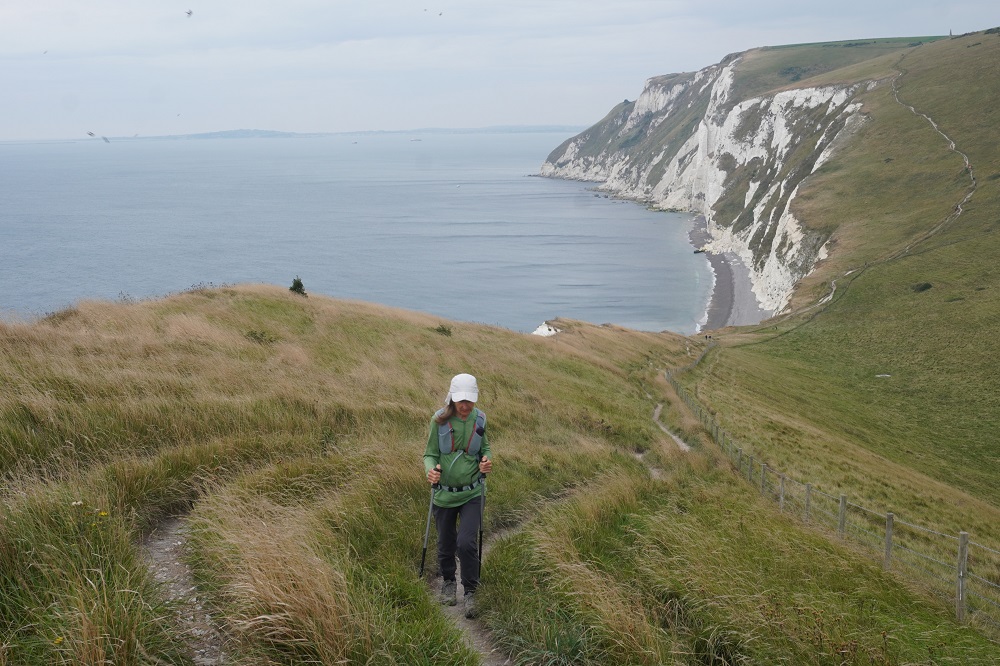
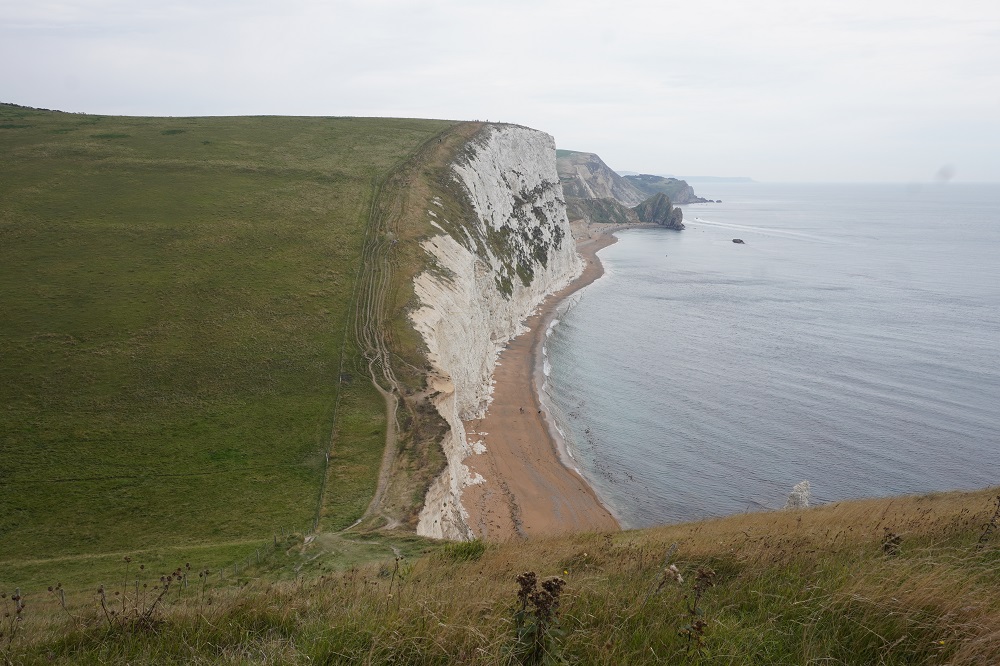
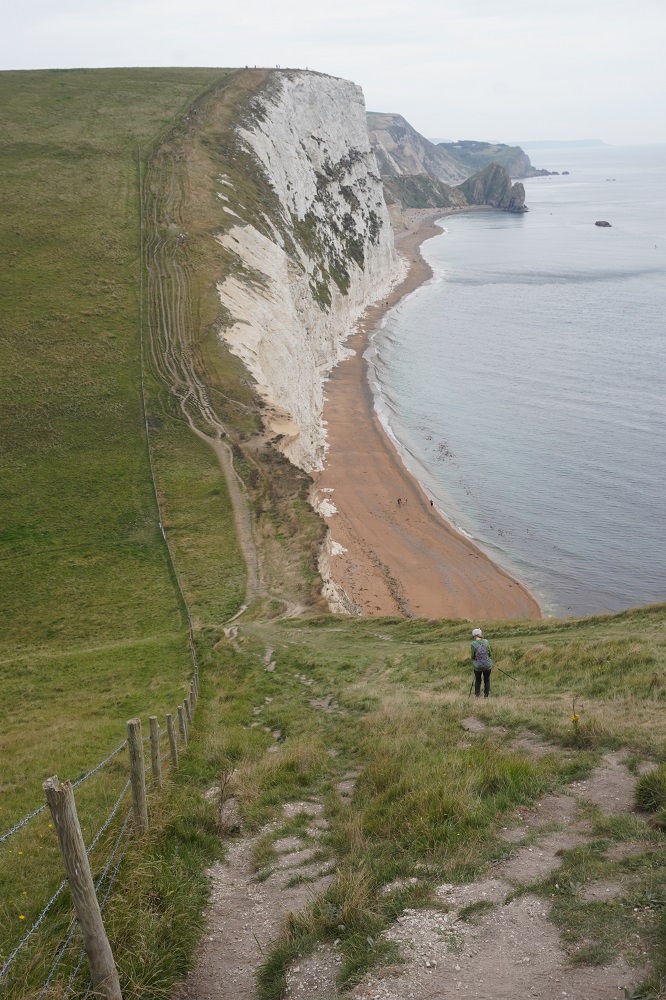
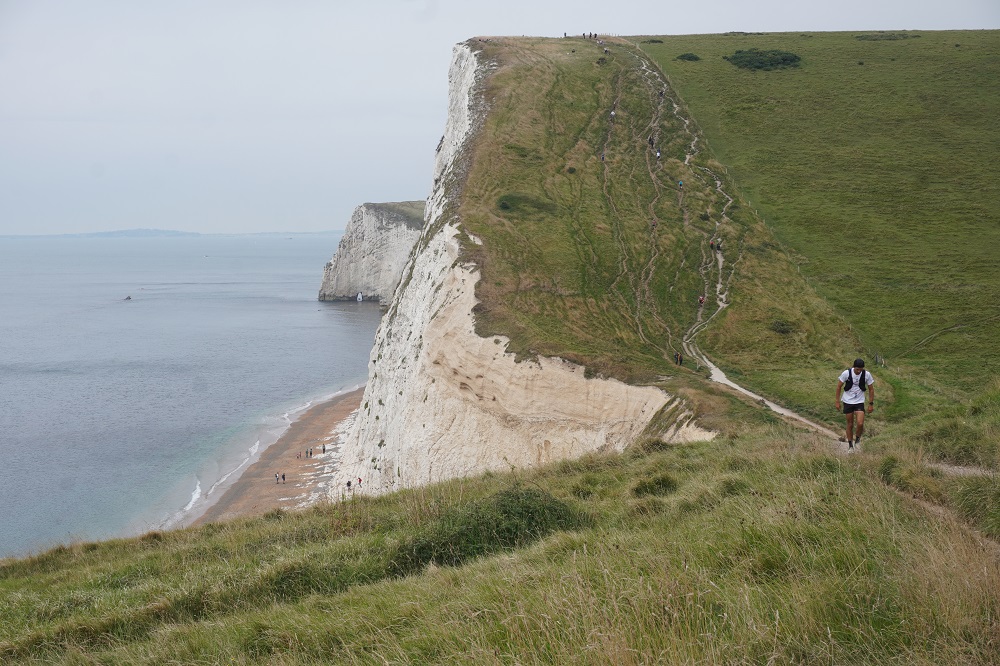
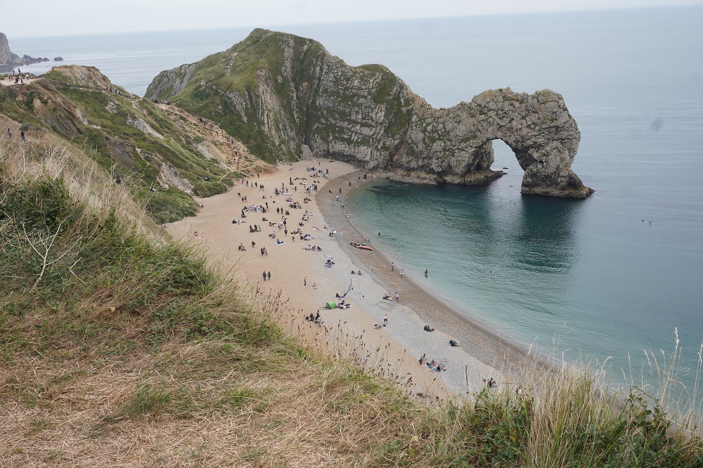
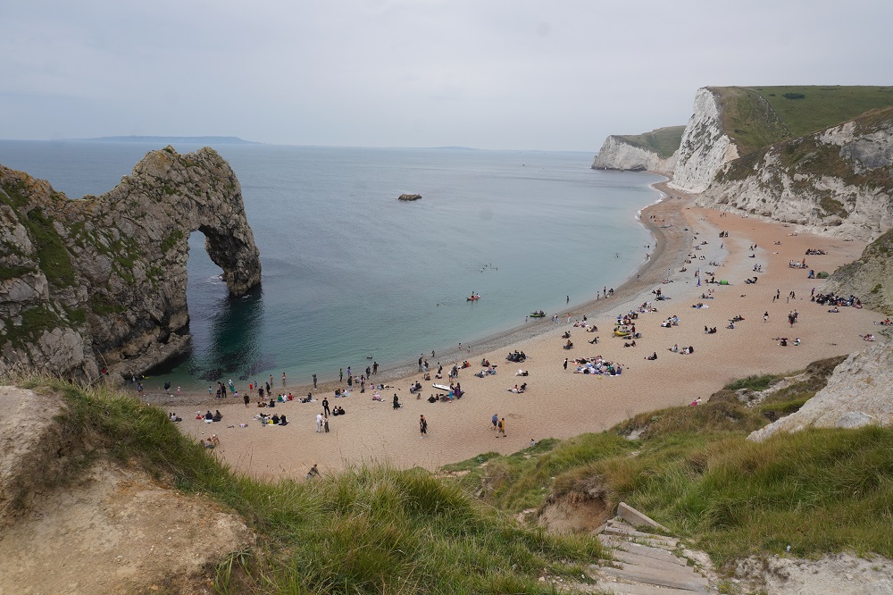
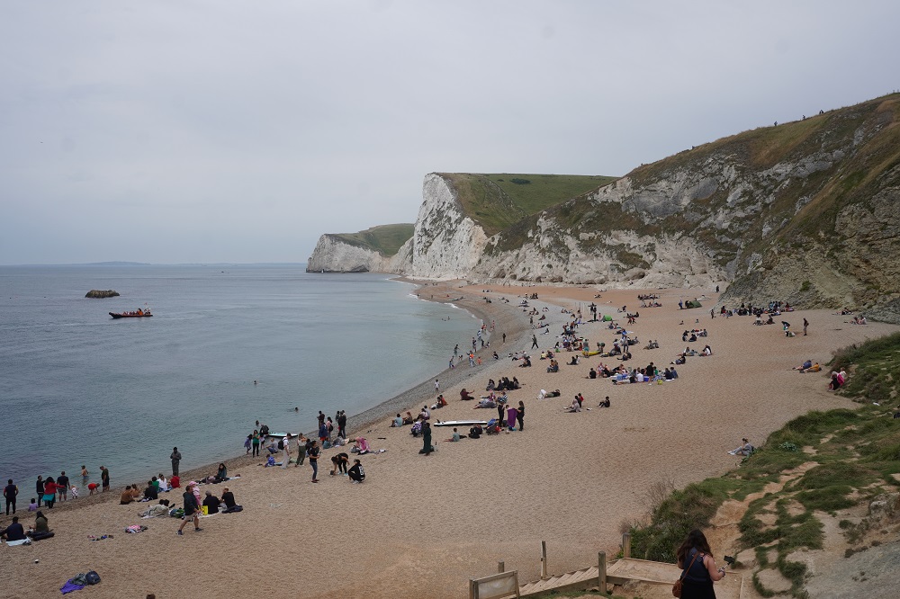
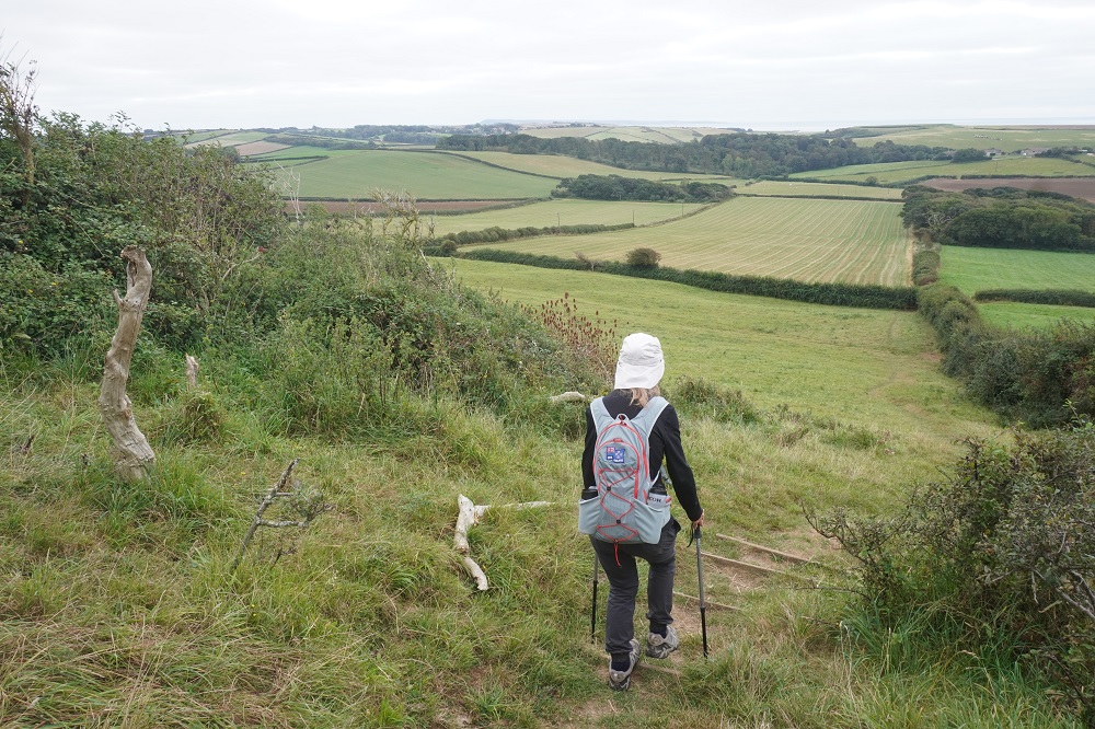
Today was the easiest day of this trip. A walk out of Swanage on the promenade, one moderate climb, soft walking on grass, one of the Dorset’s natural wonders, a 3½ kilometre walk along a naturist beach, a free ferry ride and a bus ride into Poole. It was overcast all day but did not rain. The wind was very strong again, 45km/hr. Mostly behind us but also often a cross wind, thank God pushing us inland and not toward the cliff edge.

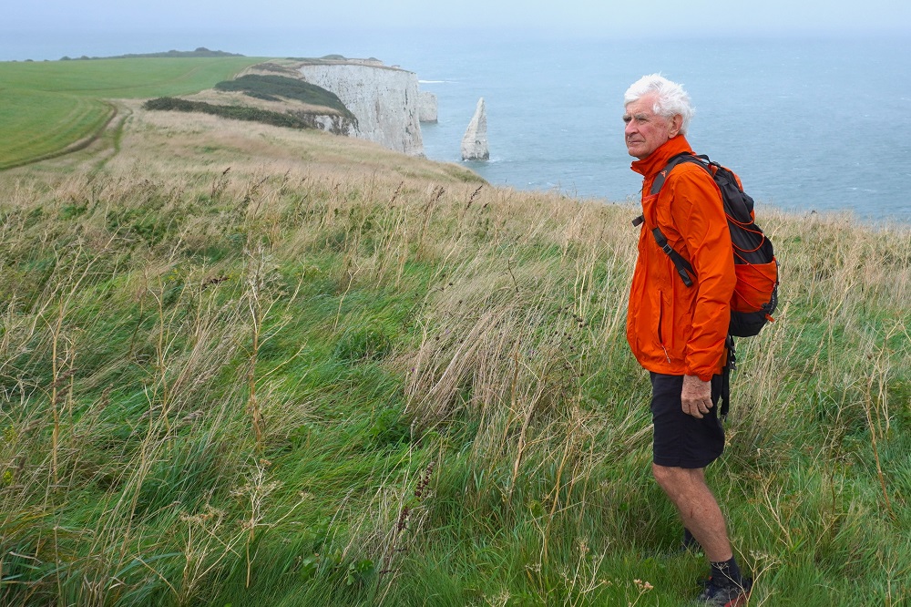
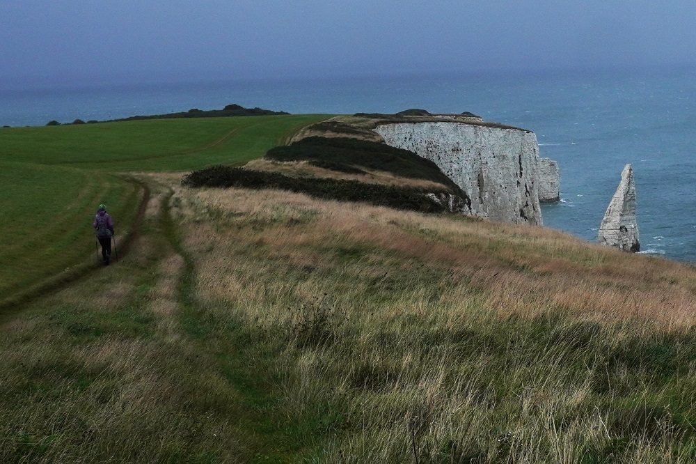
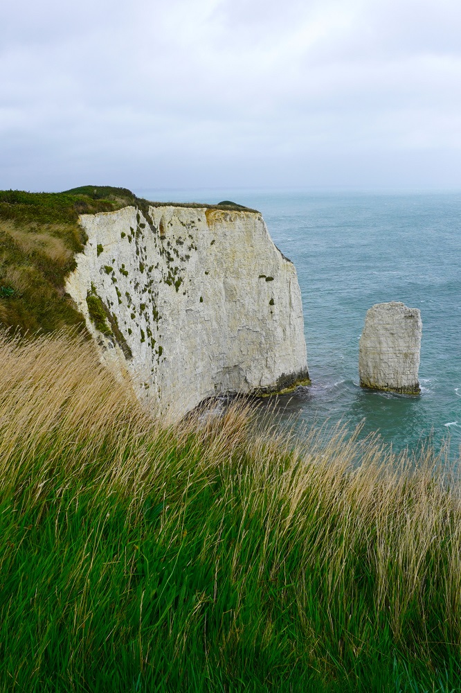
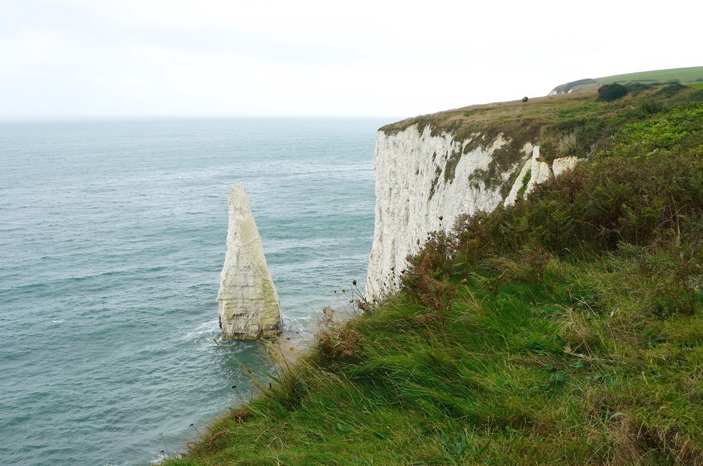
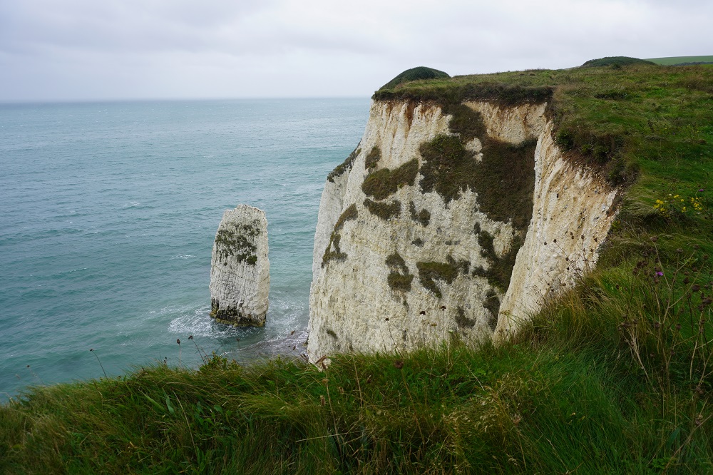
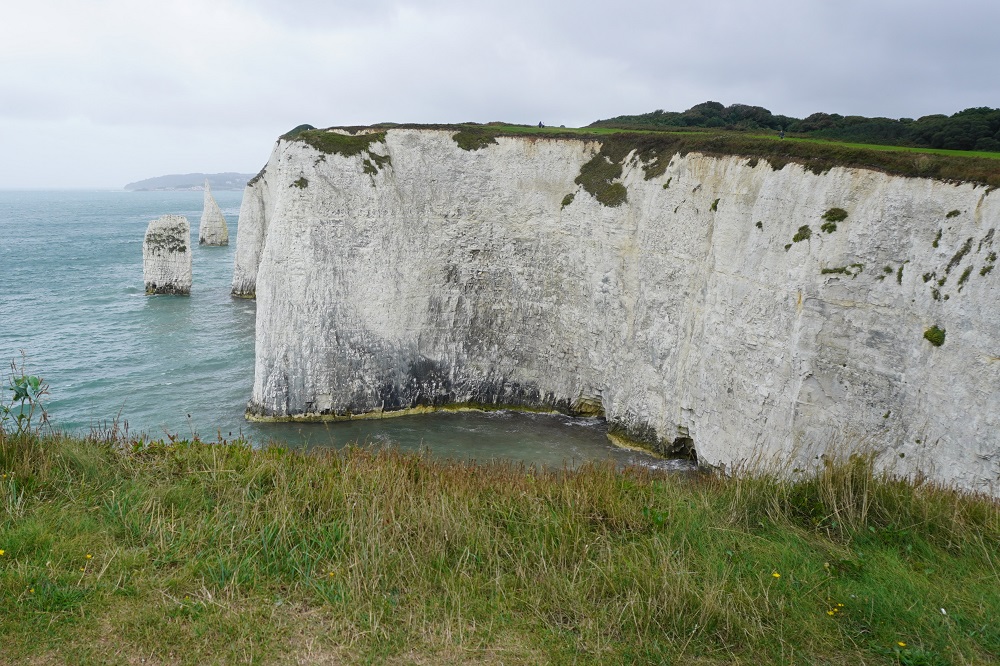
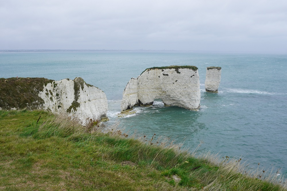
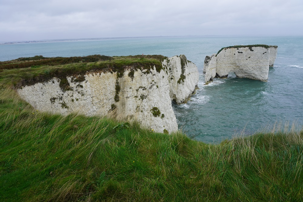
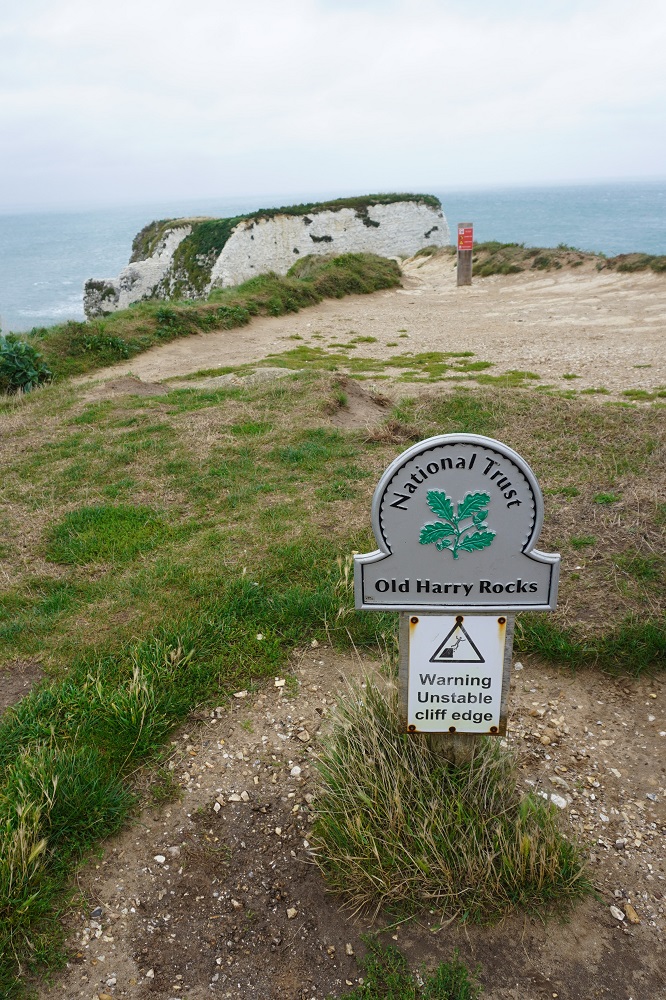
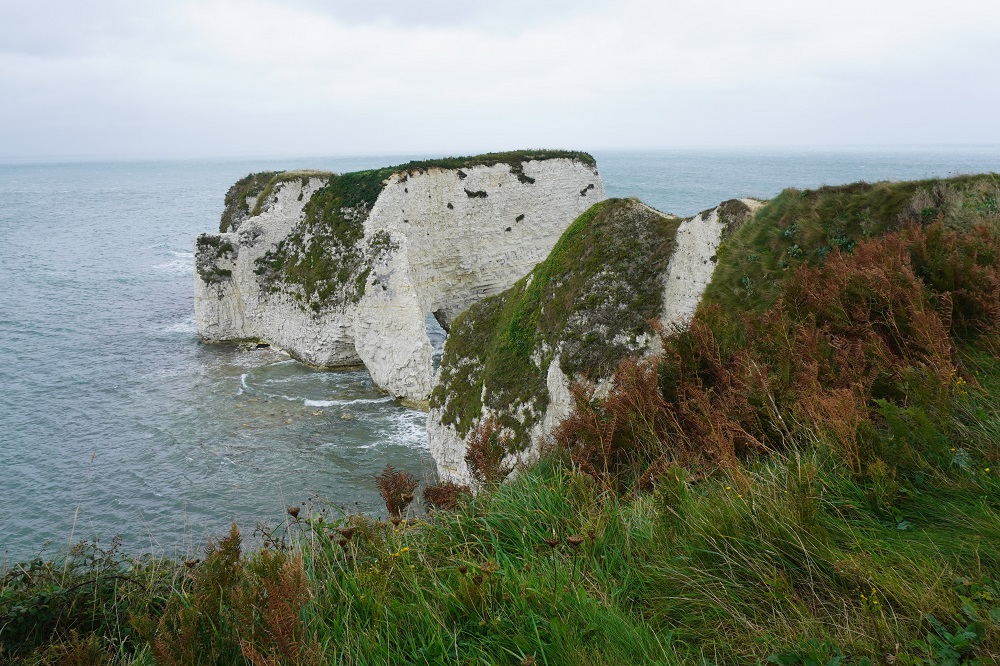
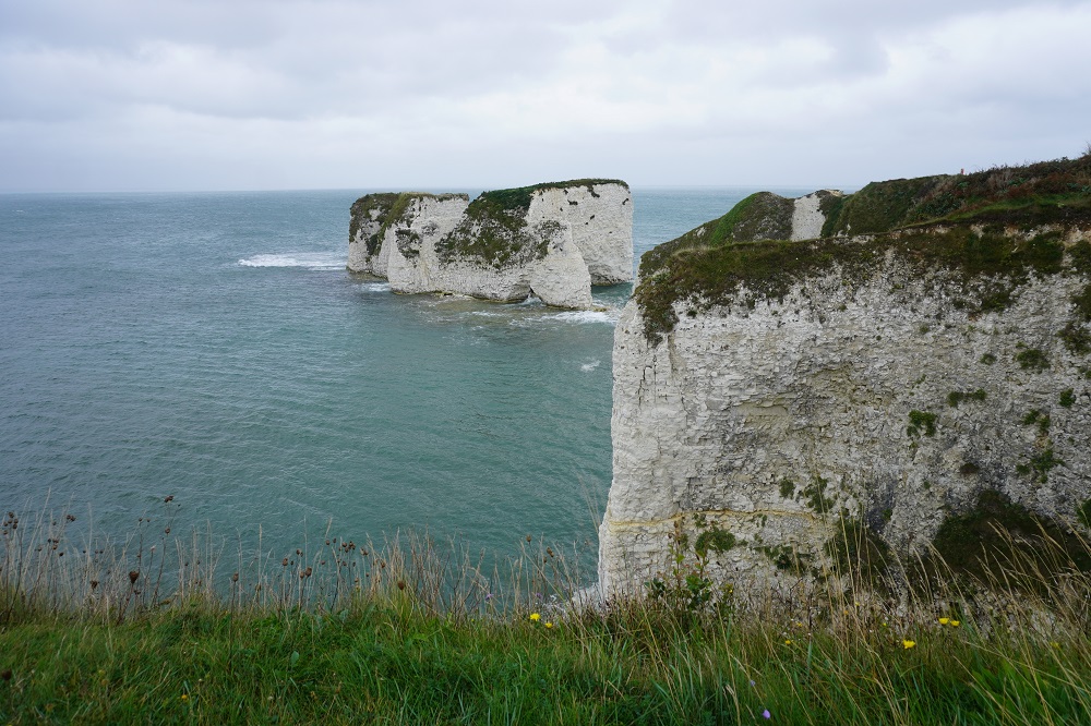
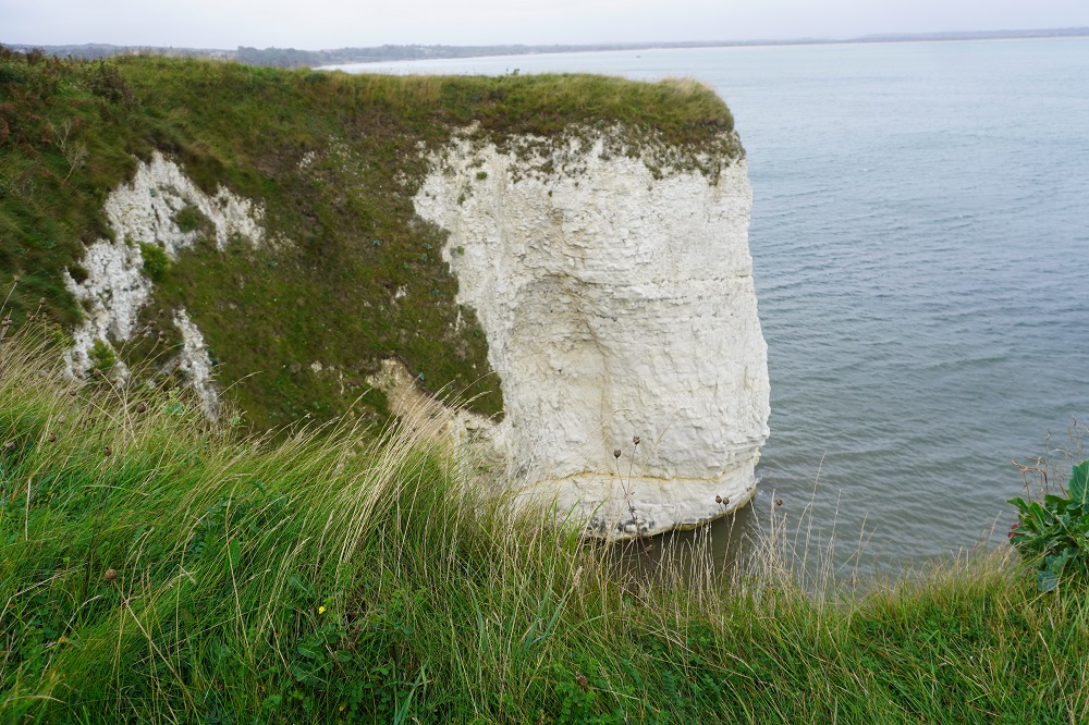
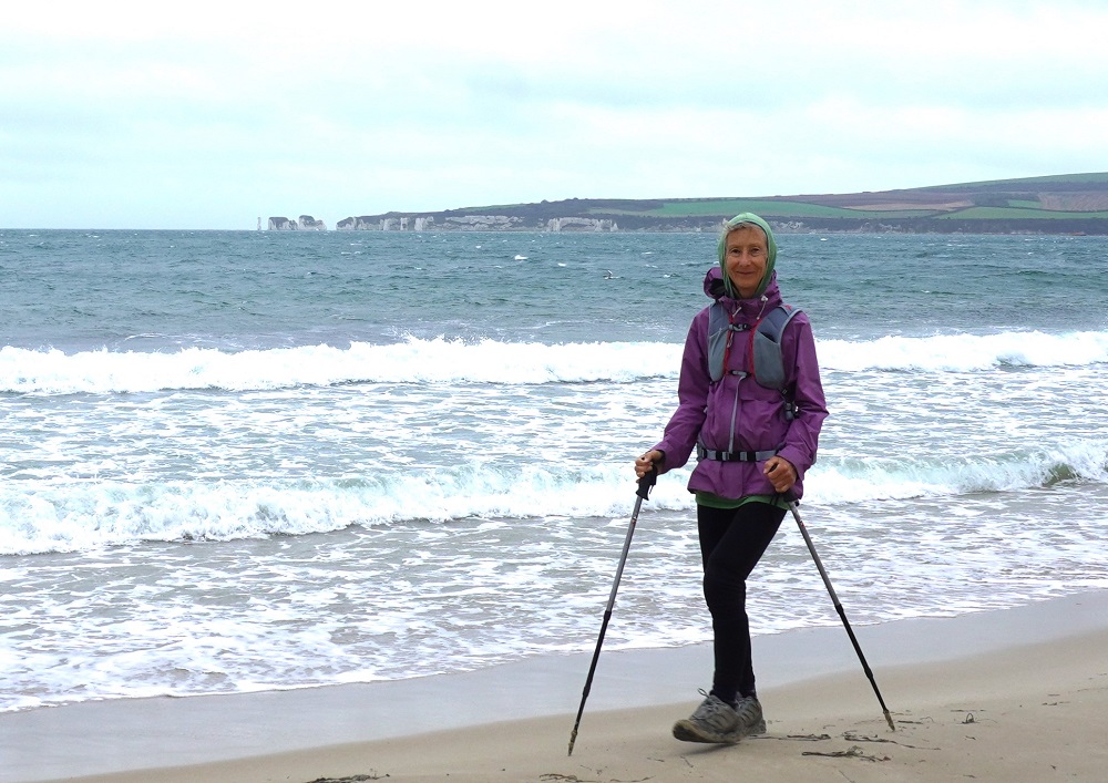
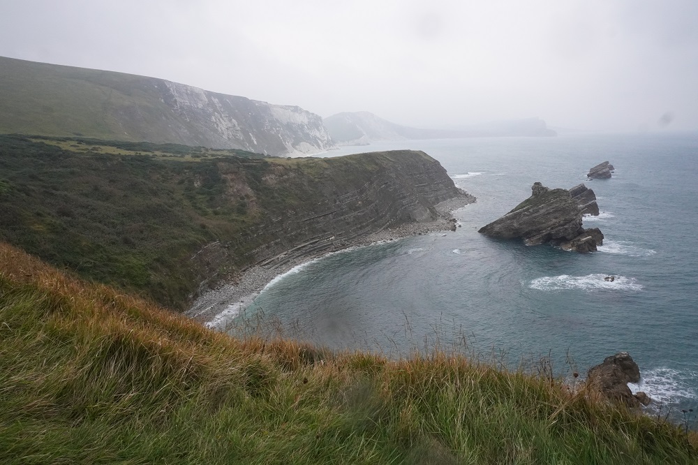
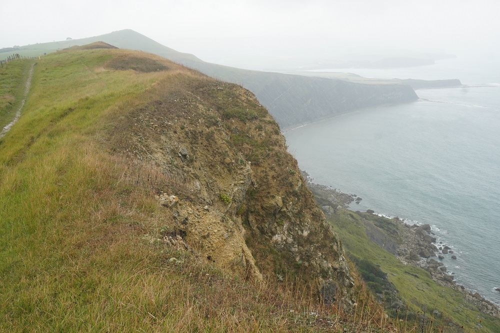
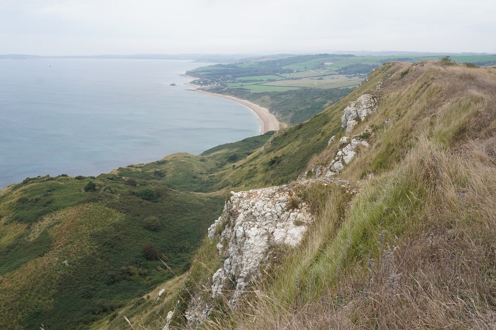
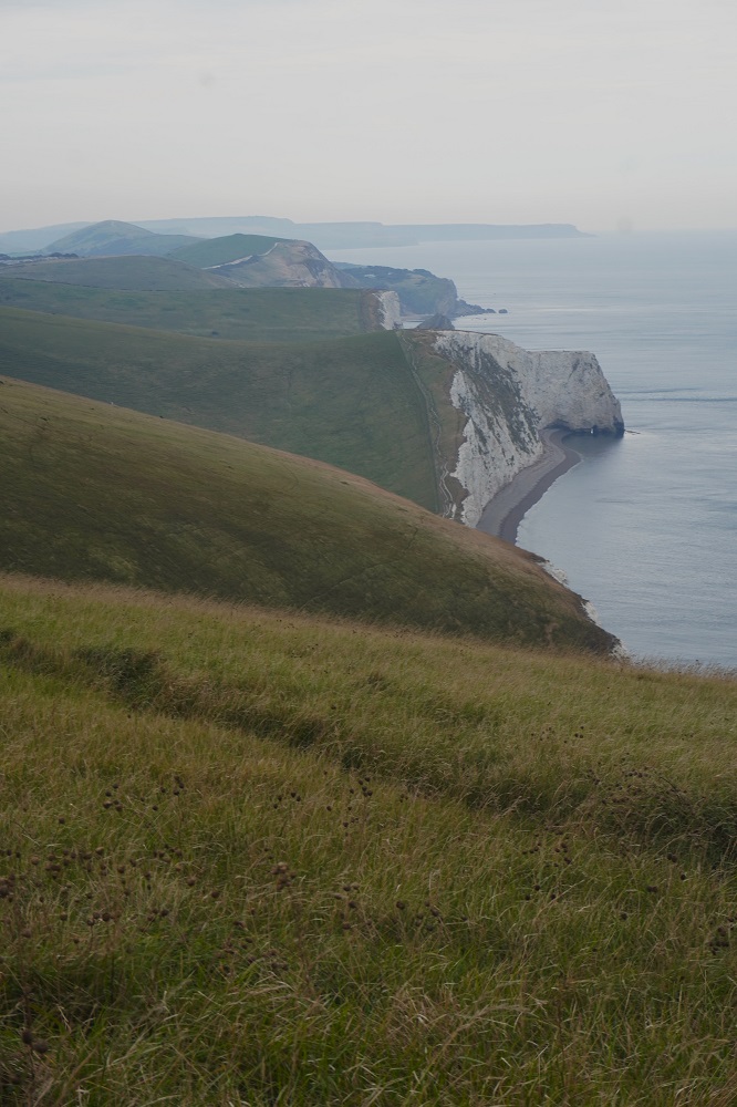
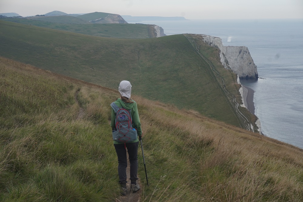
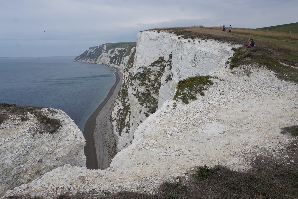
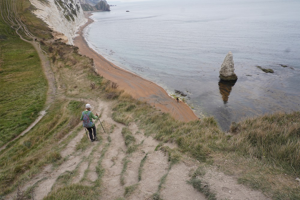
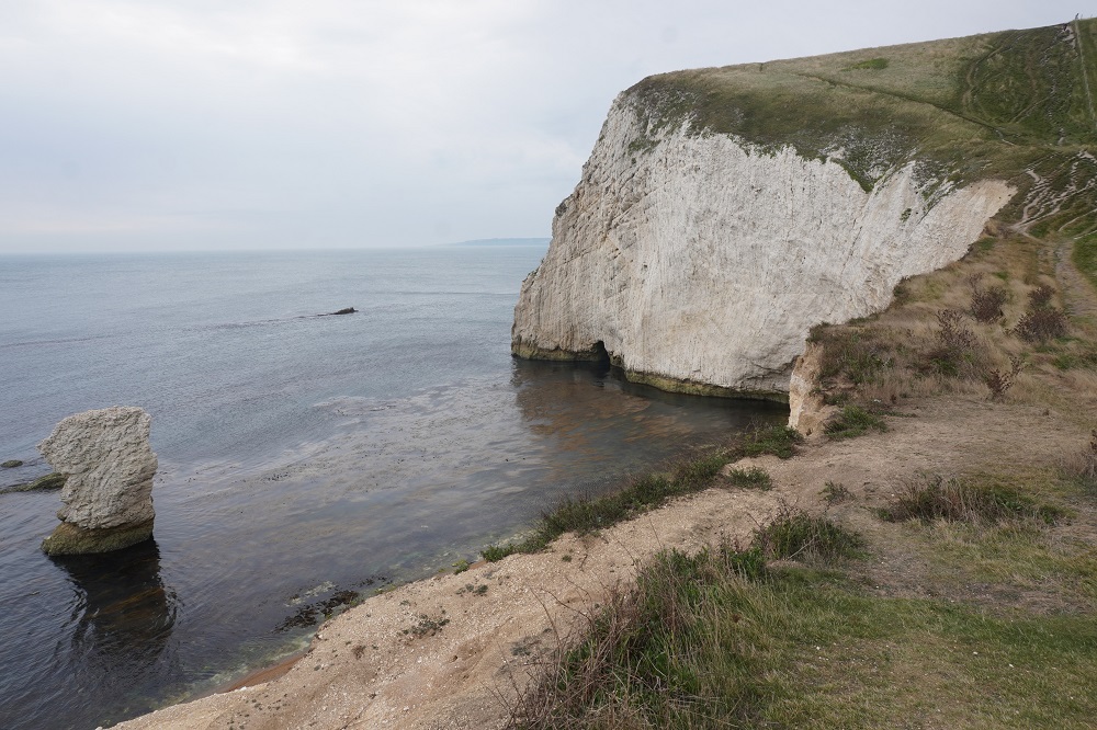
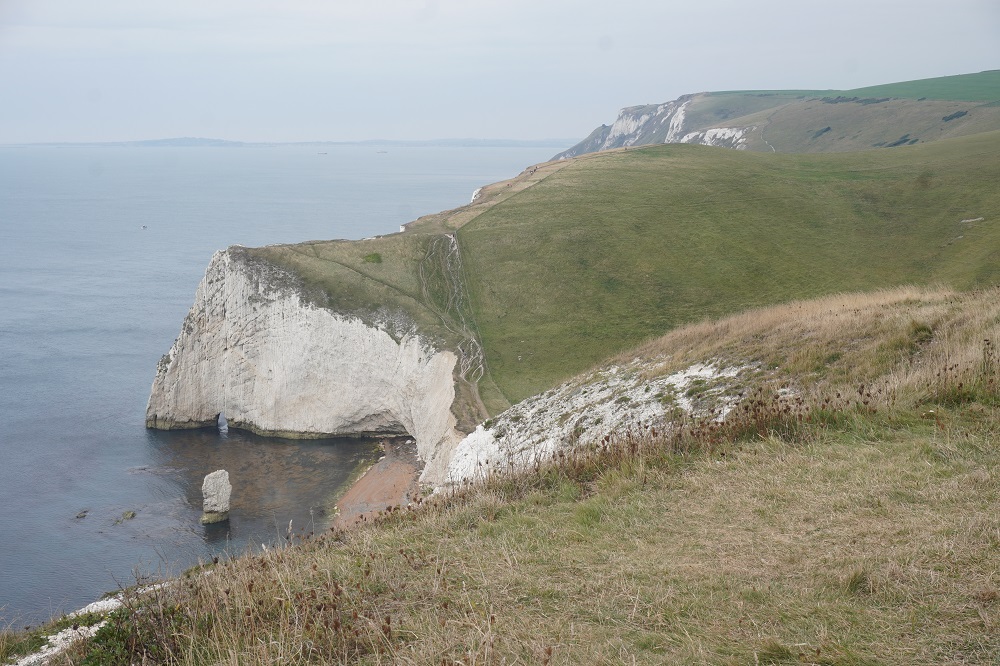
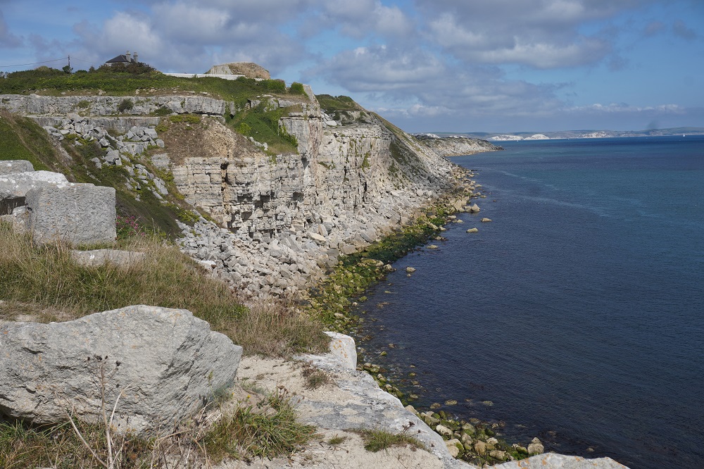
The highlight of the day would have to be the offshore stacks at Ballard Point and Old Harry Rocks. These are pretty impressive with sheer white chalk cliffs down into the sea. One of them is called Old Harry and the others are Old Harry’s Wives. Because of the strong wind we dared not go anywhere near close to the edge.

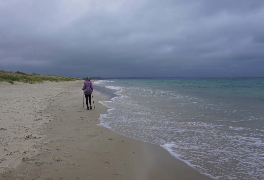
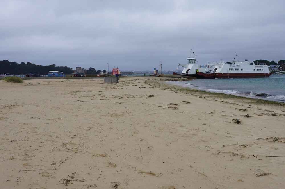
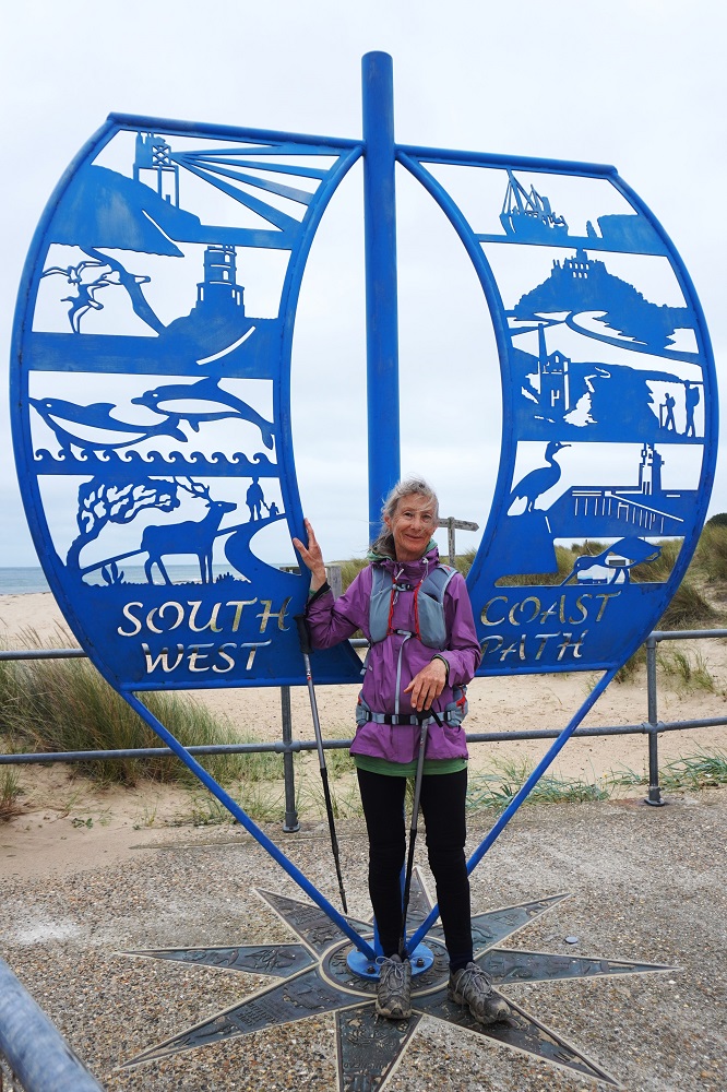
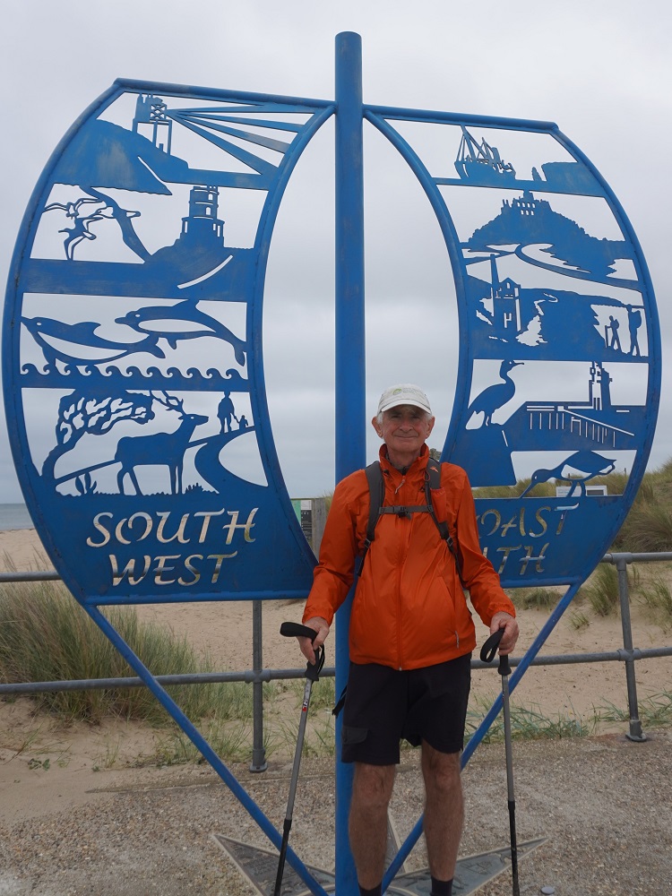
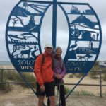
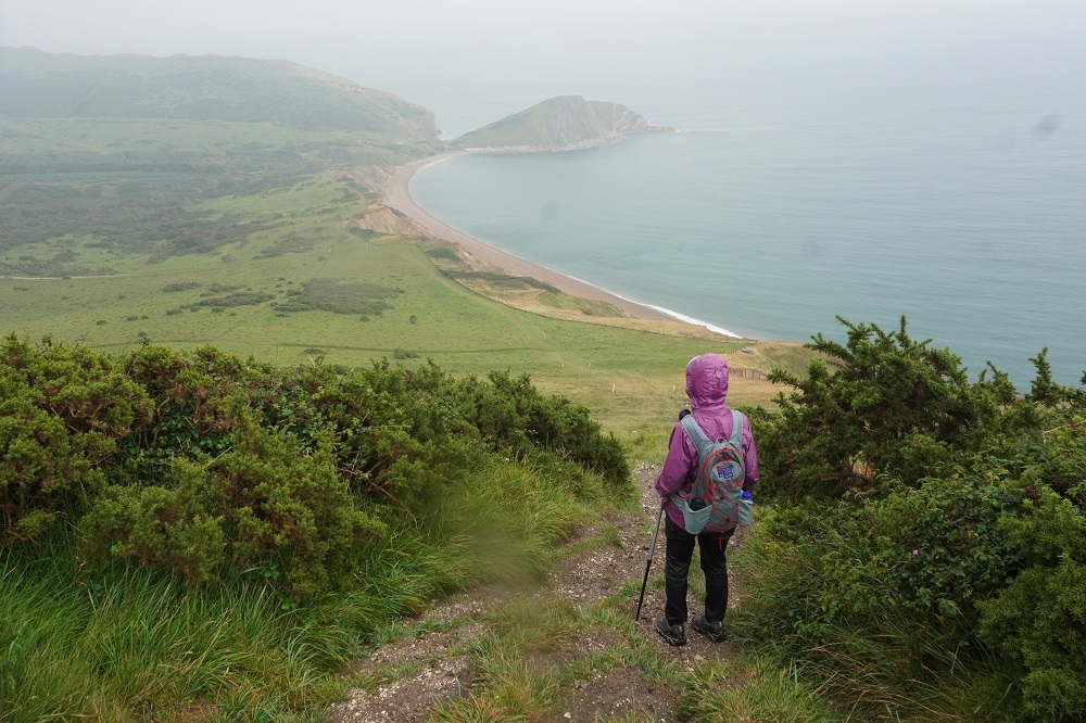
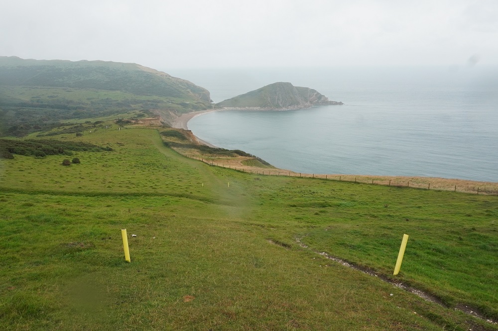
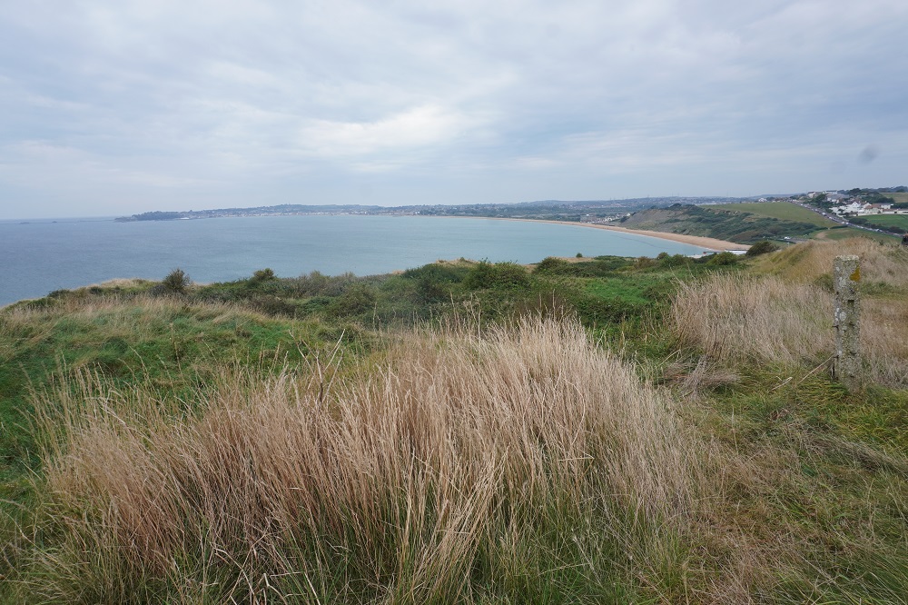
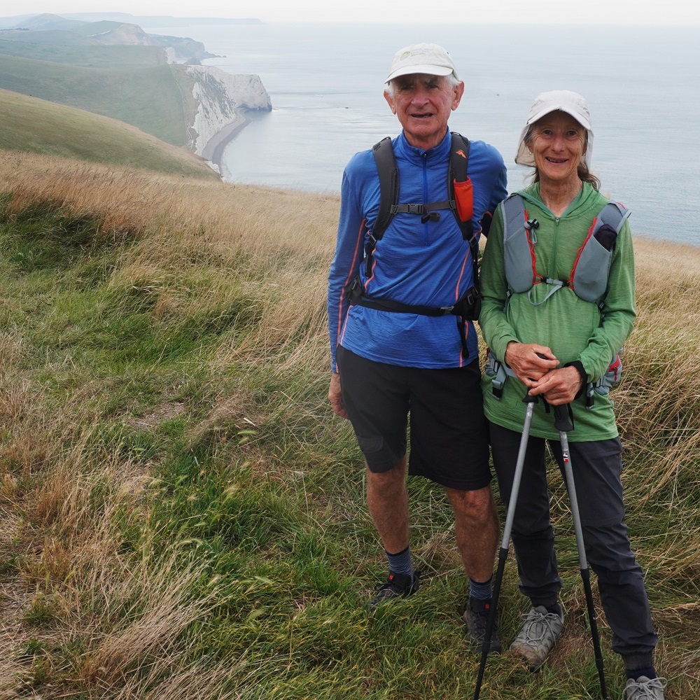
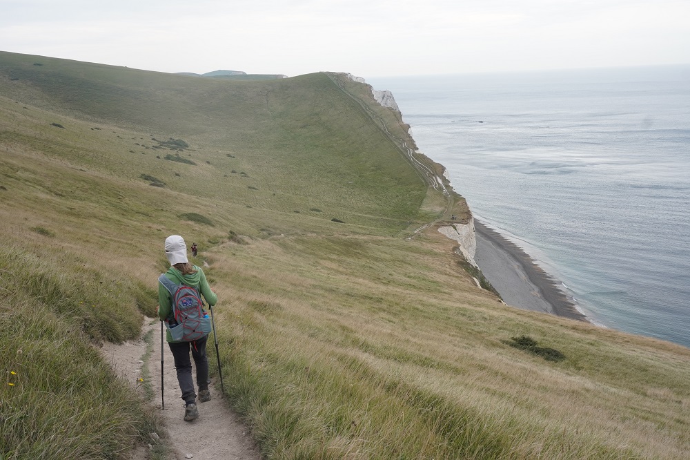
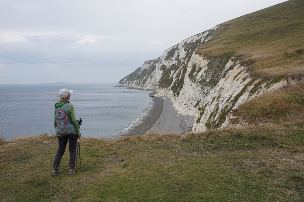
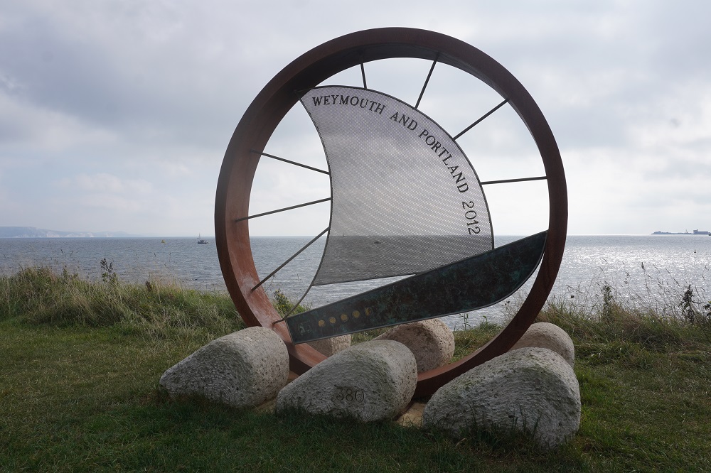
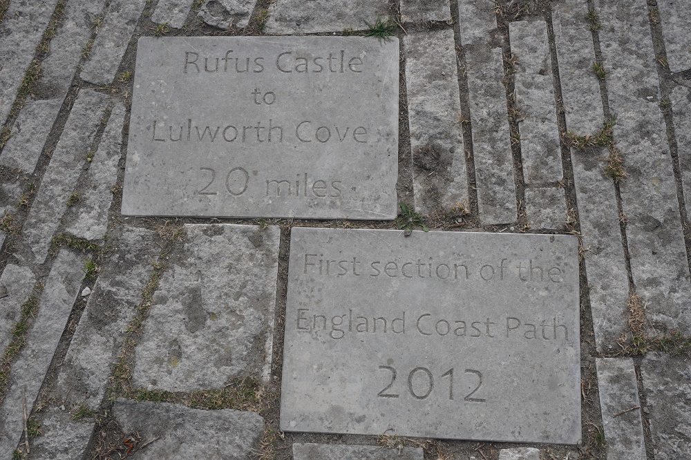
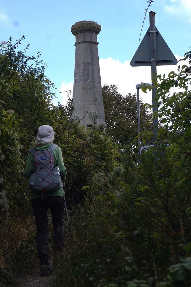
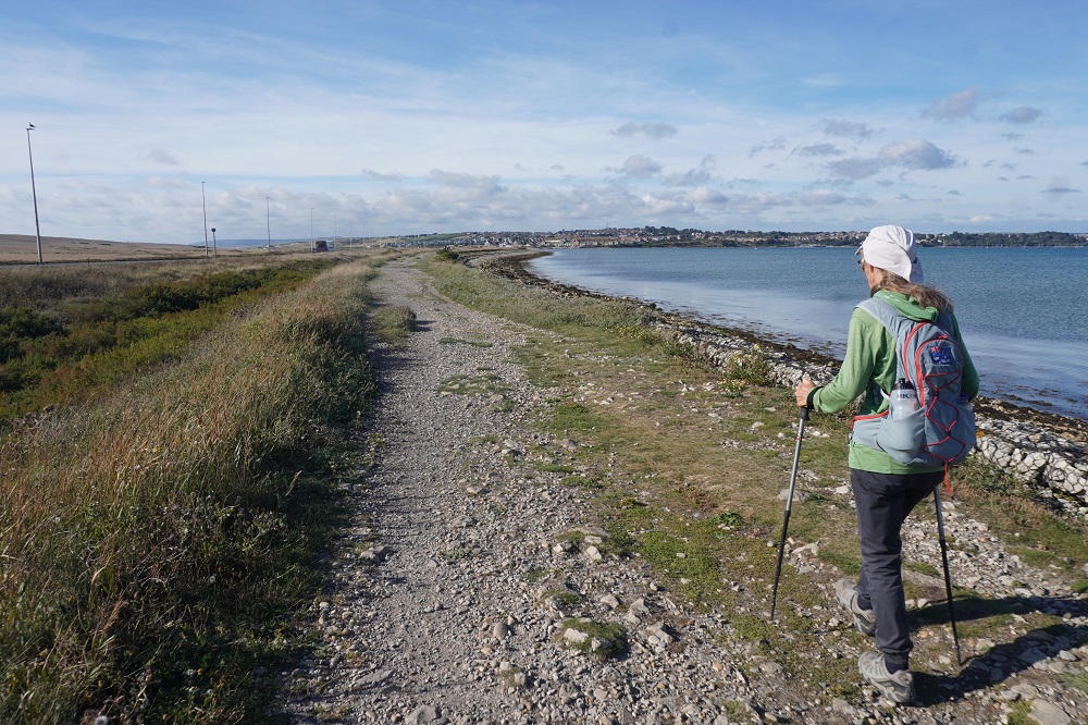
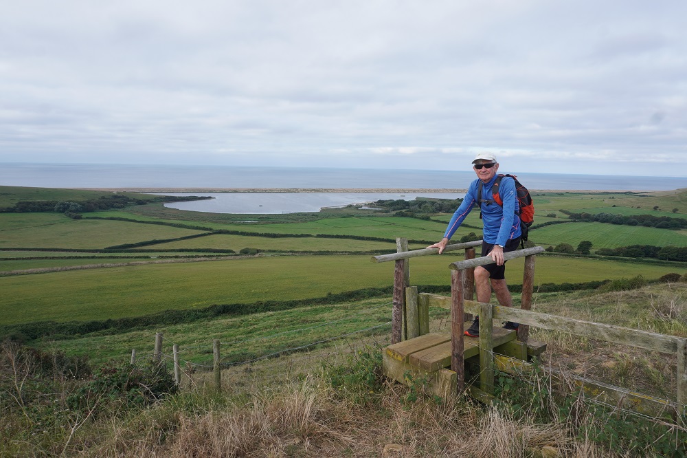
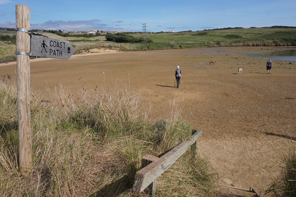
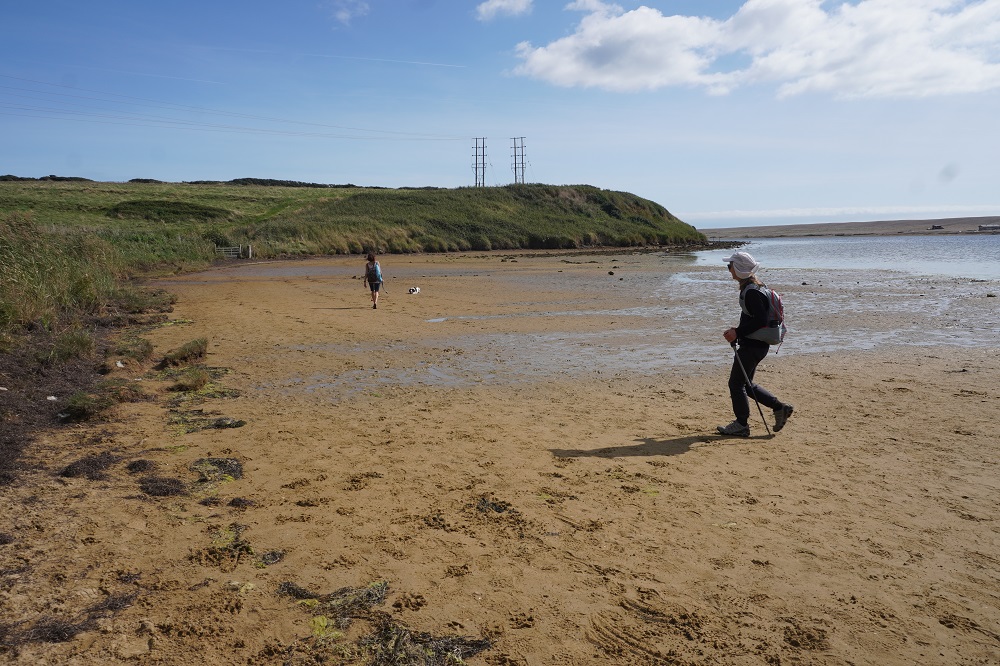
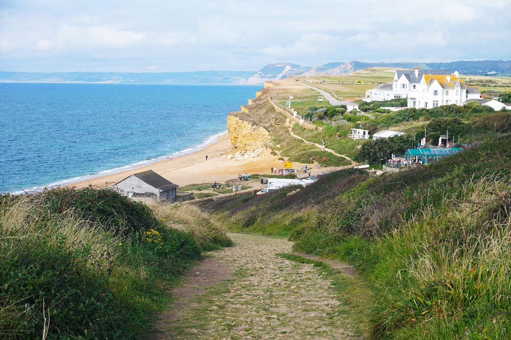
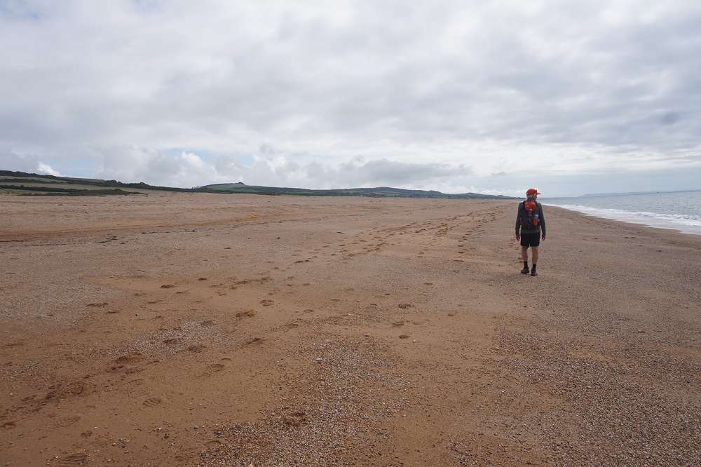
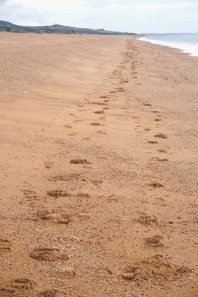
The beach at Studland Bay and then Shell Bay was empty and very peaceful with just some low waves breaking on the shore next to us. After the energetic roller coaster cliffs of the last two days this was a gentle unwind down to the end. The end of the 630 mile, 1003 kilometre South West Coast Path soon came at South Haven Point. A fairly low key blue metal monument alongside a line of cars waiting to get onto the ferry. Not nearly as impressive as the monument at the start in Minehead. In a way a bit of a let-down. We were on our own but in a few minutes an elderly couple came walking off the ferry and offered to take our photo.

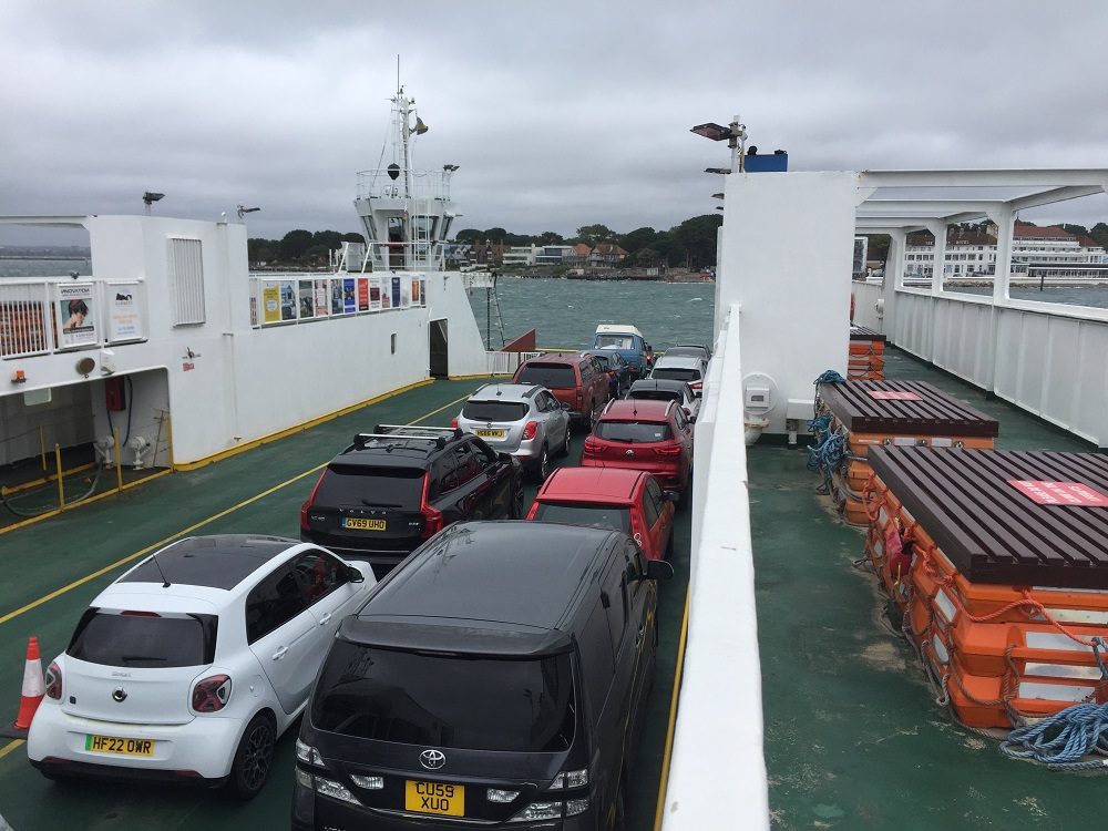
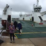
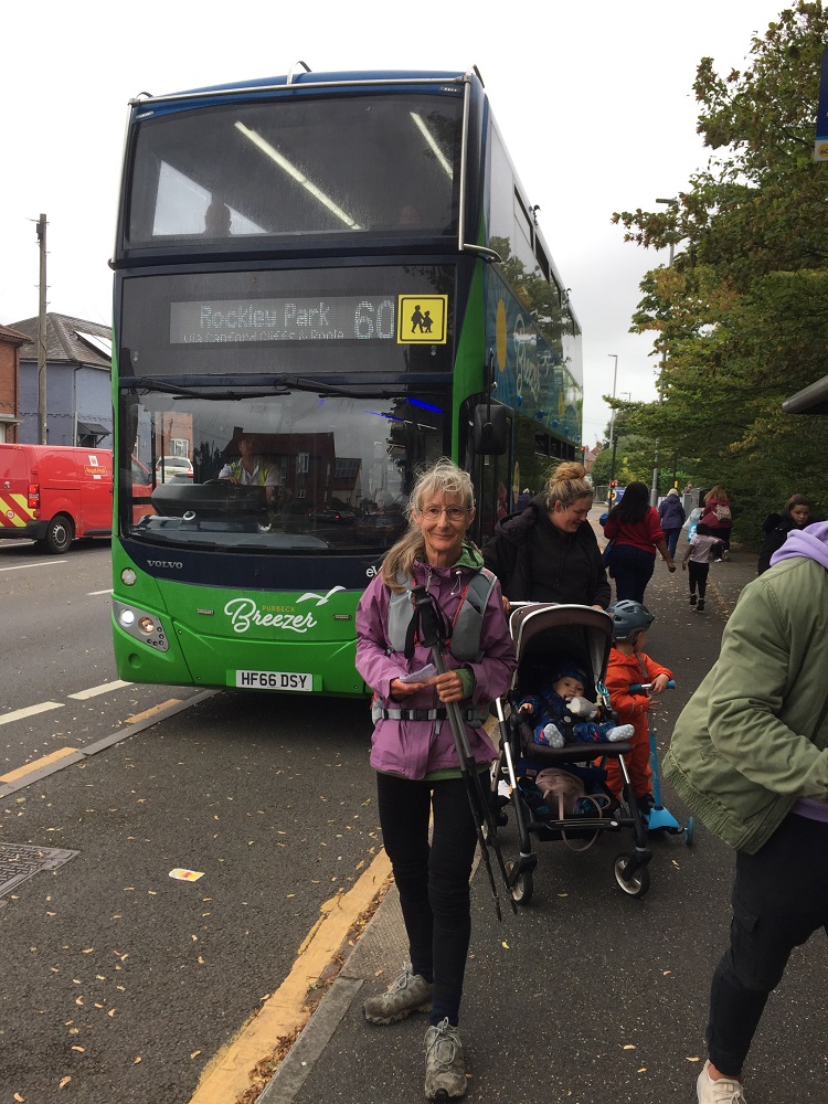
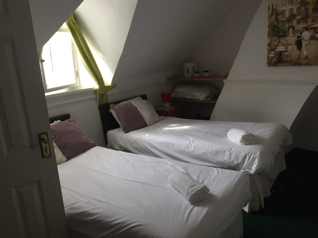
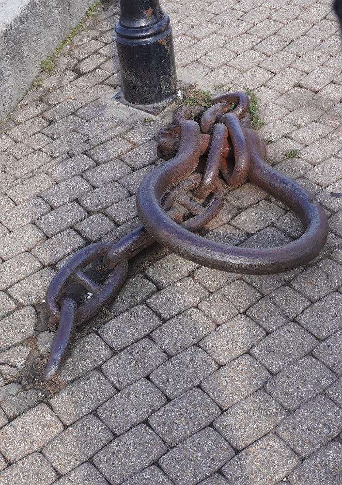
The ferry is vehicle and pedestrian and is a chain ferry pulled back and forth across the 200m channel by two chains. The ferry runs every 20 minutes and each trip takes about 4 minutes. For pedestrians doing a return journey the fare is £1, for pedestrians just going one way – free. At Sandlands where we got off the ferry the Breezer 60 bus (£2) took us on a 40 minute trip to Poole Quay where our B & B is located in the old part of the town. At the B & B a minor let down to end the day. It is now just a B. The new owners no longer do breakfast. But that is okay, it will be nice to get out on the quay and find a nice little breakfast café, no need to hit the trail tomorrow.
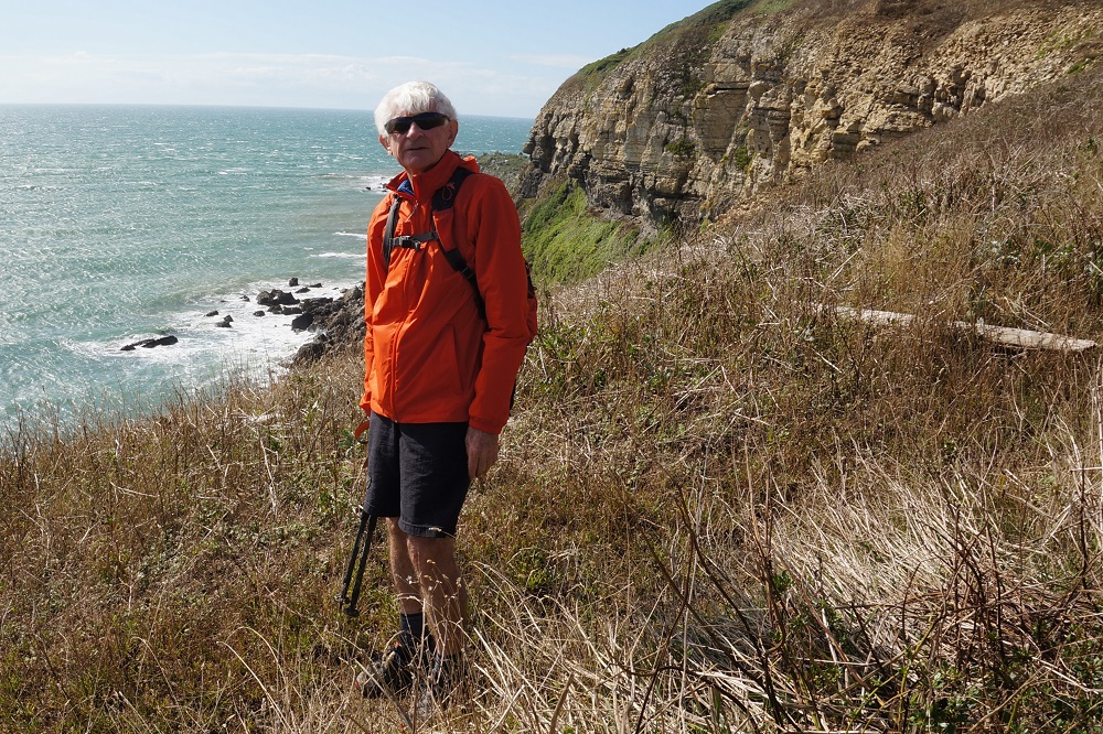
Barbara’s thoughts.  Slow tourism has many advantages. You see different stuff but in bite size pieces. You get to talk to the locals. Walking is meditative. Being physically tired each day means you sleep very well. Walking the SWCP takes you away from the tourist hot spots, so no crowds. It is satisfying being on a journey from A to Z stopping at different places but moving in one direction. Your fellow walkers are just as knackered as you, and all support each other with kind words and helpful suggestions. There is a definite satisfaction in achieving something which at times is challenging or too hard, but you just keep going. You can eat lots of chocolate because you need the energy.

Tomorrow we have a relaxing day looking around Poole and then move on to the Isle of Wight for 3 days of R and R.
The Penultimate Day

Kimmeridge Bay to Swanage 21km
Ascension 627m Accumulated ascension 6614m

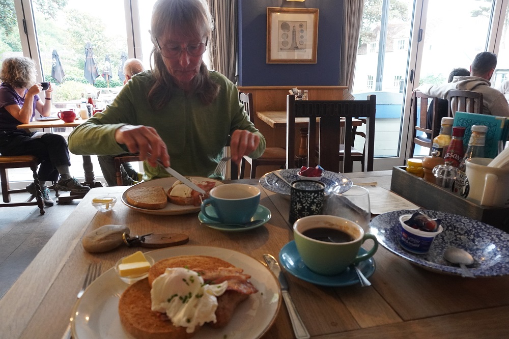
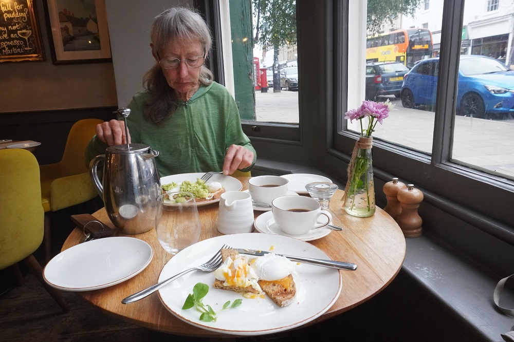
It rained heavily in the night and we heard a few bursts of thunder. At breakfast (eggs Benedict for a change) it was still steady drizzle. Our taxi was due at 9.30am and I would have liked to look at the vintage steam train station. I didn’t want to be soaking wet before we had even started walking for the day so waited in the hotel. Our taxi arrived exactly on time and at Barbara’s request we were taken to Kimmeridge Bay not back to Clavell’s Café. This saved us about a mile of repeating a walk we did yesterday. It took twenty minutes in the taxi to get to the bay and when we arrived the drizzle had stopped and it was clearing quite nicely.

Our Stratford upon Avon friends were at breakfast this morning. They now have names -Jane and Brian. They have done most of the Coast Path, just some sections to go and do in Cornwall. They are staying at The Bankes Arms in Corfe for a few days, using it as a base and using a taxi to go out and walk different sections. Yesterday they walked what we walked today. They were able to warn us of the mud.

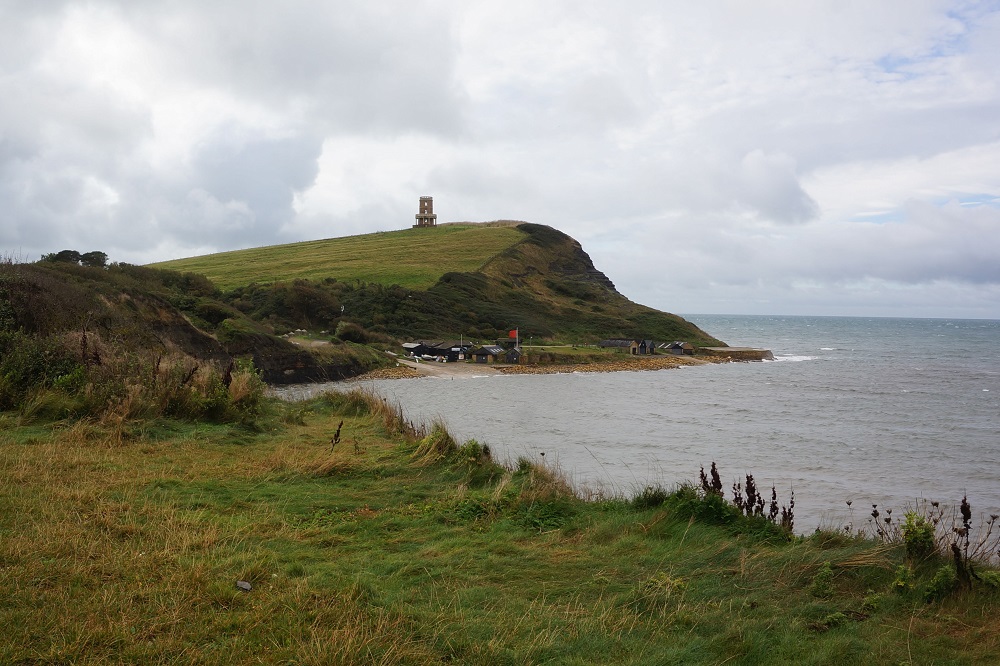
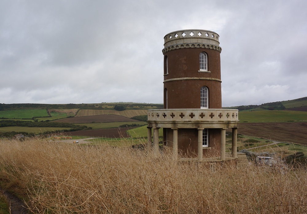
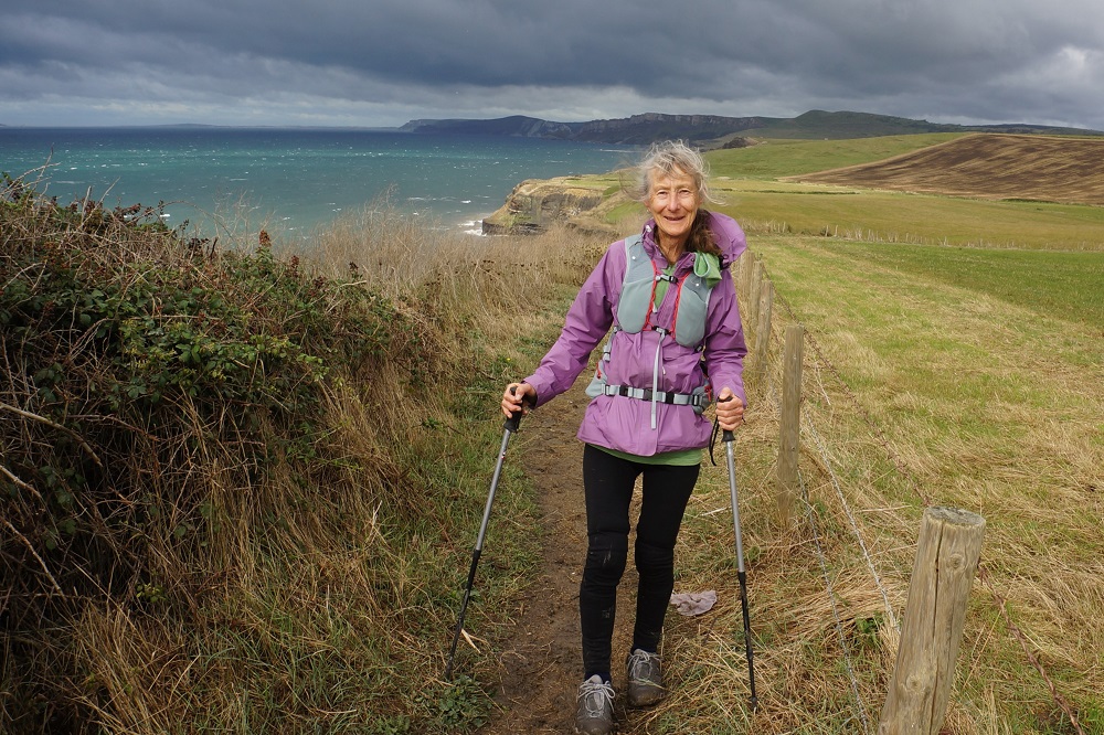
The path out of the bay climbed gently and once past Clavell Tower (a folly built in 1830, now expensive accommodation) it became narrow, wedged between a barbed wire fence on our left and brambles and the cliff edge on our right. The rain of yesterday and the overnight rain had turned the dirt path to black, squelchy, slippery, sticky mud. The fence and the brambles meant there was no escape. We have never seen such sticky mud. It quickly formed a thick layer under your shoe so you were about 25mm taller and it clung to the perimeter of your shoe so it looked like you were wearing black clown’s shoes. On the mown grass sections it picked up straw and grass to bind it all together. It was very slow walking and we had to stop often to prise the muck off with our walking poles. We had about 3 km of this before the path steepened and became steps or more rocky.

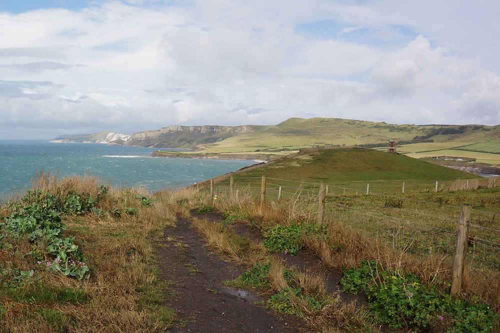
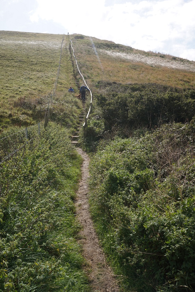
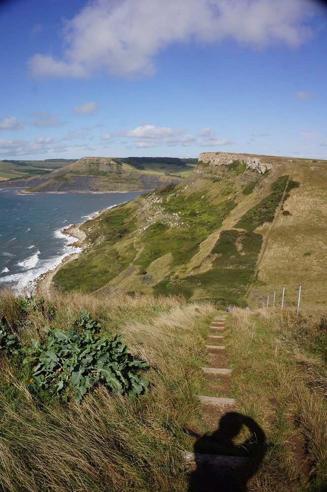
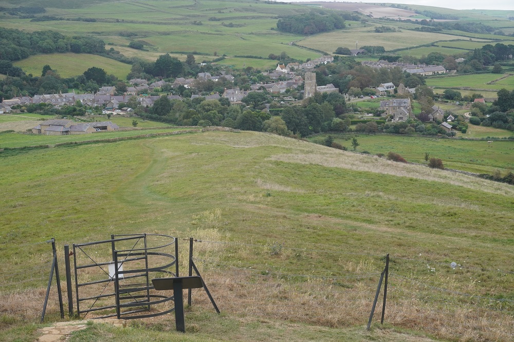
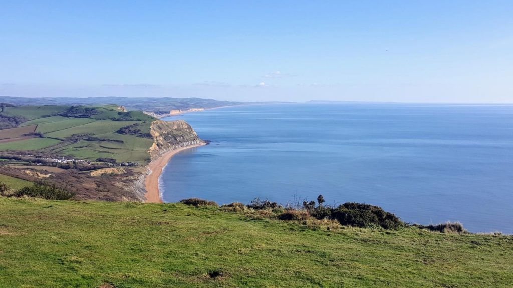
This morning there were three massive, very steep, hamstring hammering and calf creaking climbs. The first Houns Tout Cliff, then Emmetts Hill and finally St Aldhelm’s Head. These were as steep as any we have seen anywhere on the Coast Path but they did give great views up and down the coast. All morning there was a very strong wind blowing, thankfully from the west so a tail wind for us. On some of the head winds it became a cross wind and we could hardly stand up. Fortunately the cross wind was blowing us inland away from the cliff edge.

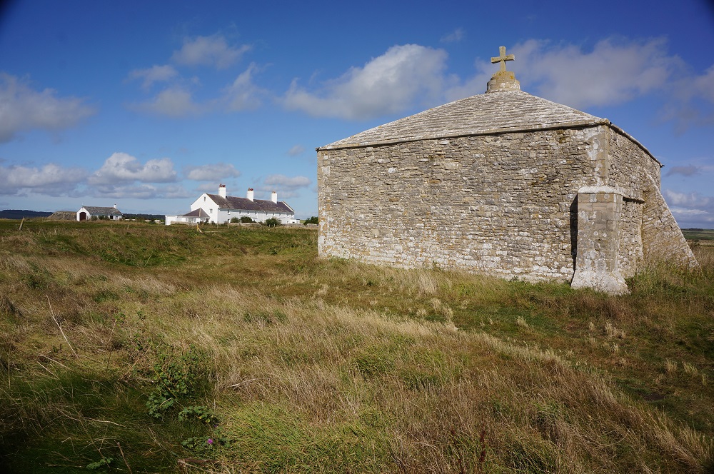
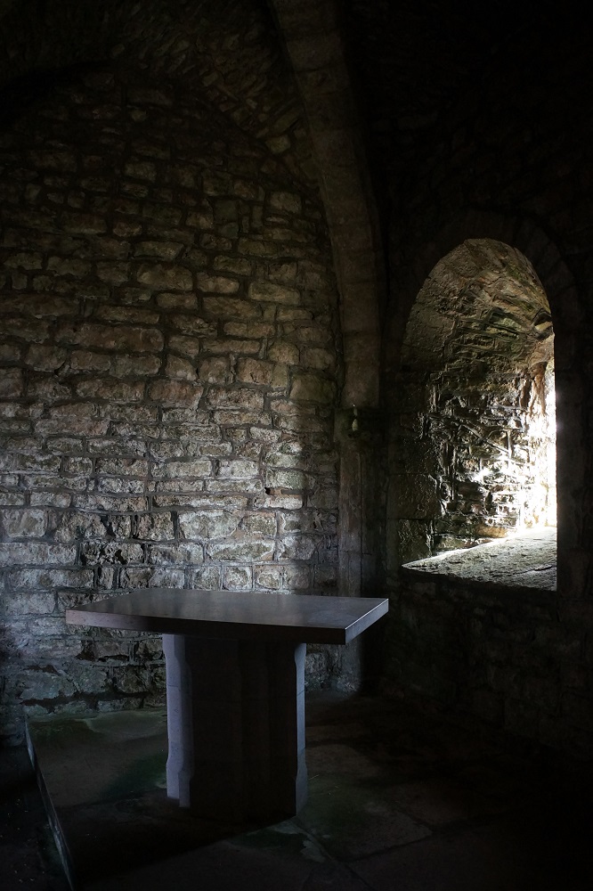
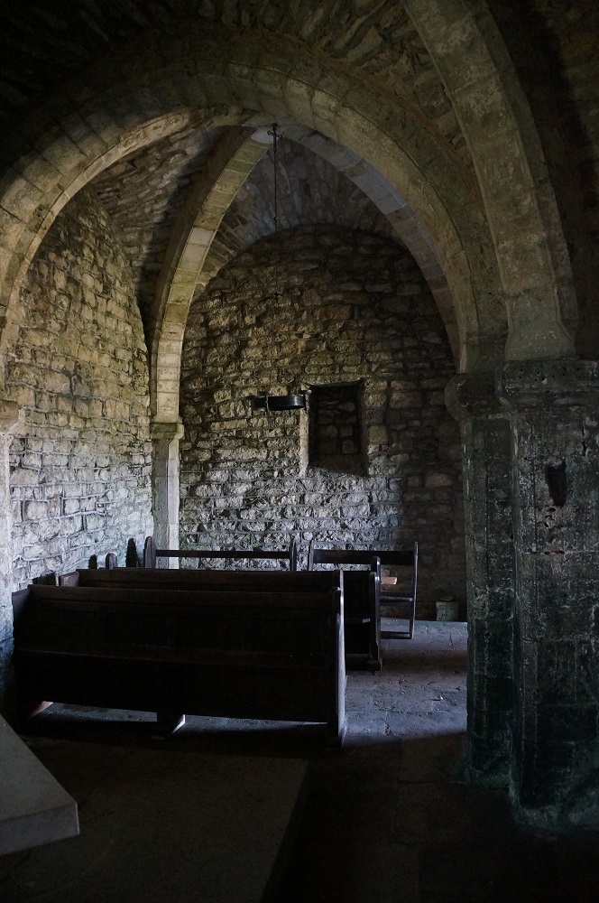
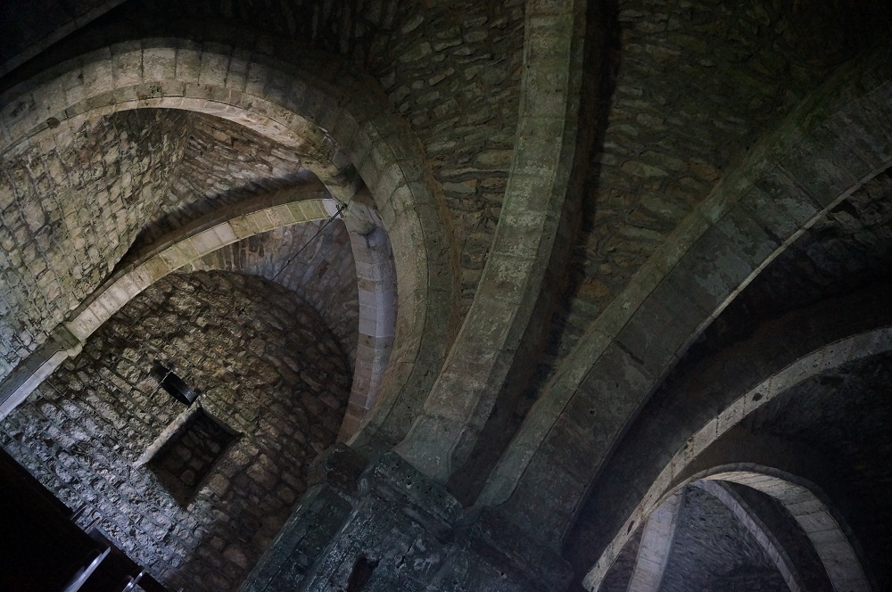
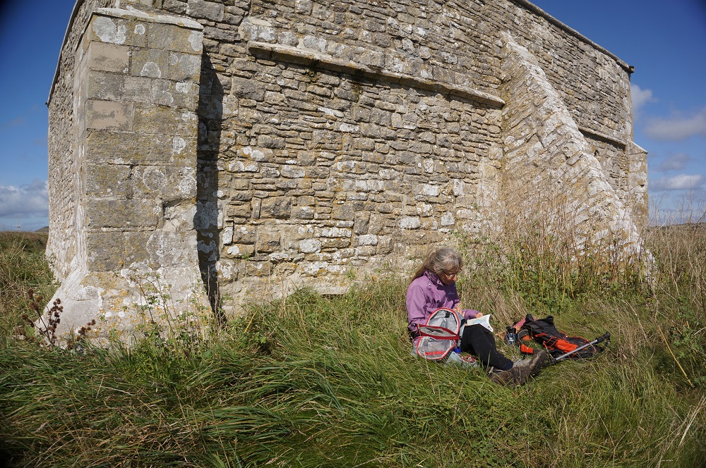
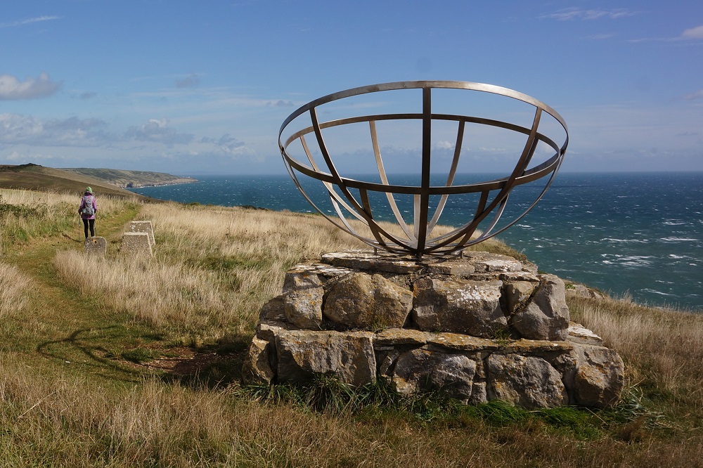
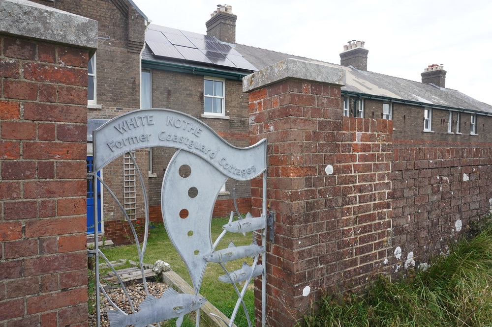
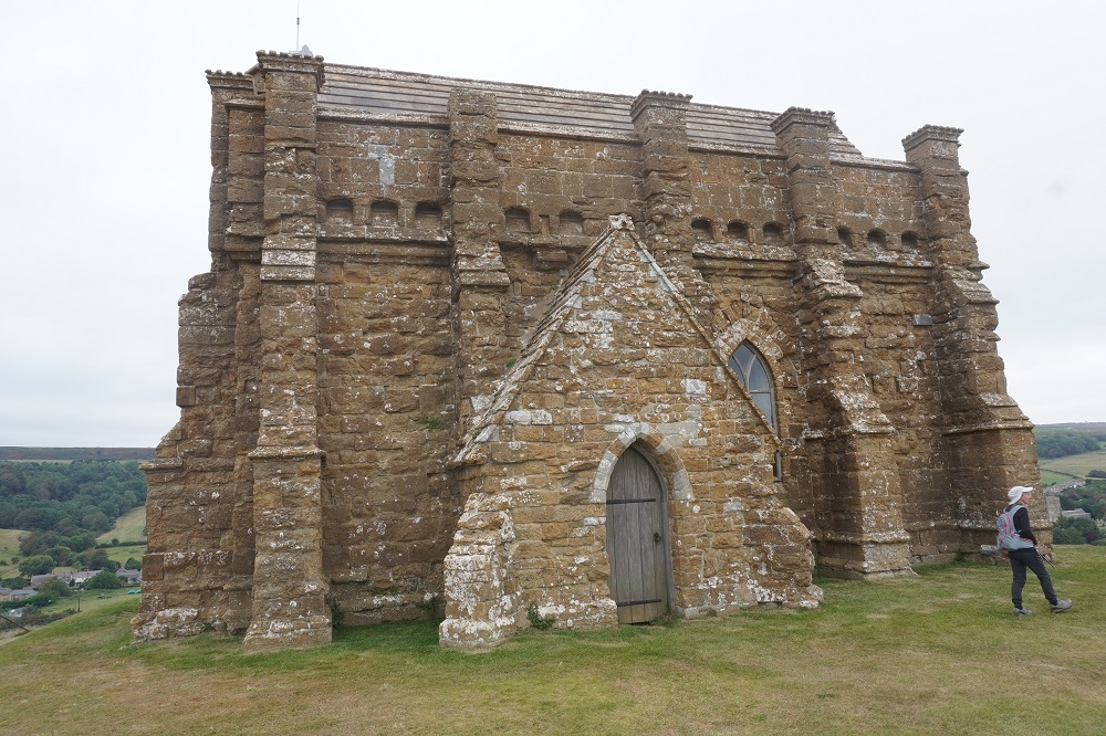
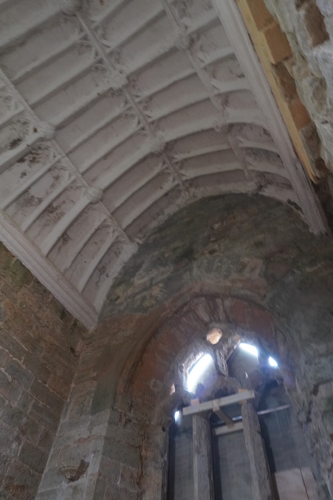
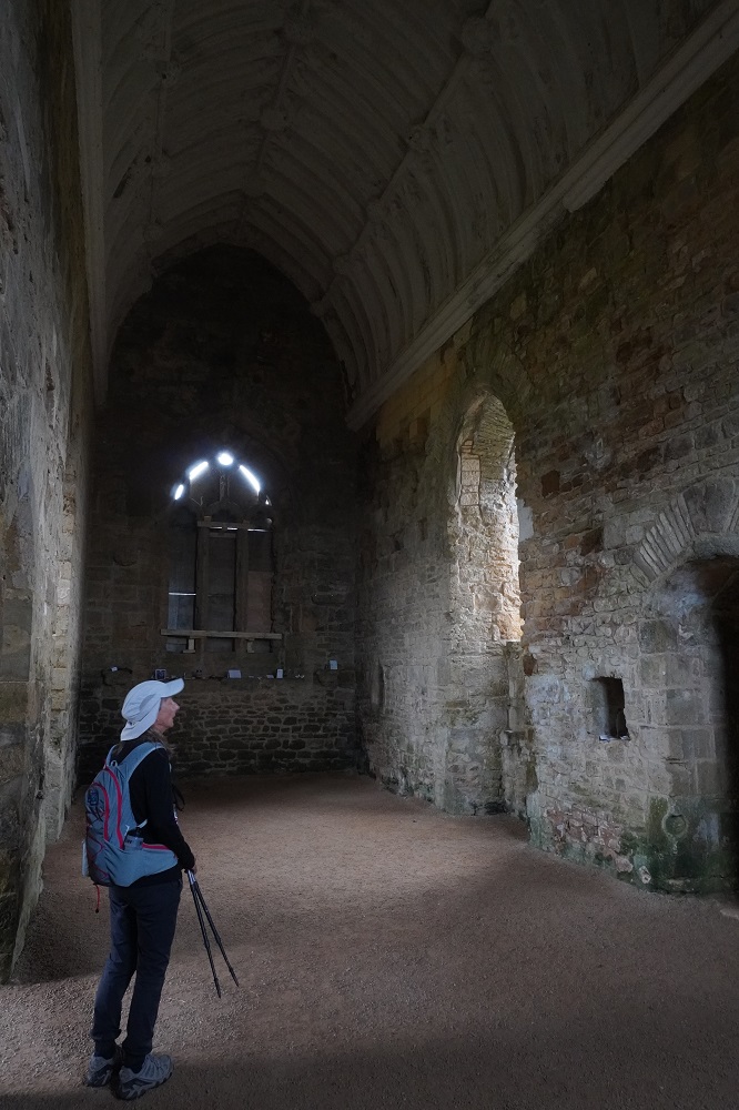
At the top of St Aldhelm’s Head there was a beautiful little 800 year old stone chapel, dedicated of course to St Aldhelm. From the outside it looked a simple square building with some buttresses and a pyramid roof. Inside the roof was in fact formed with elaborate interconnected stone arched vaults. Absolutely amazing for such a small chapel. It was as if the chief mason working on one of the great cathedrals, York or Lincoln, had come down to the coast on his holidays and done a little private job for the local congregation. Also at the top of this hill was a monument to radar research, some coast guard houses and a coastguard hut. It took us 3 hours to get to this point about 8kms. We were pretty tired so stopped for a rest and some lunch.

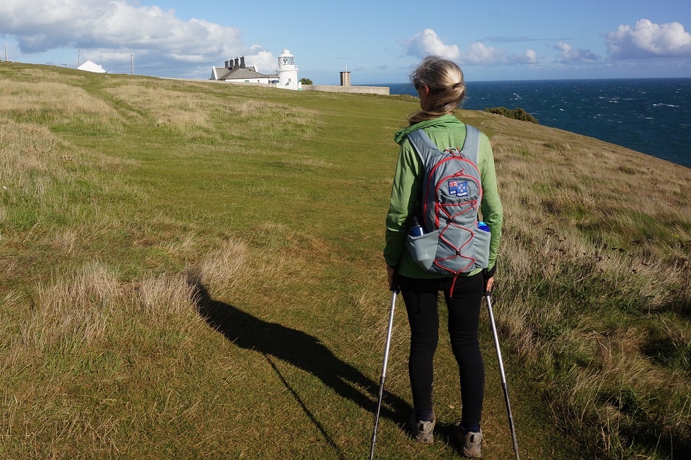
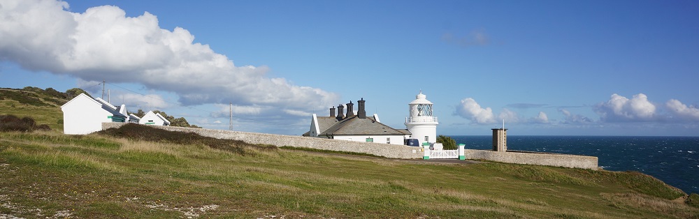
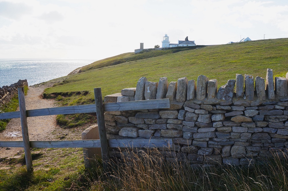
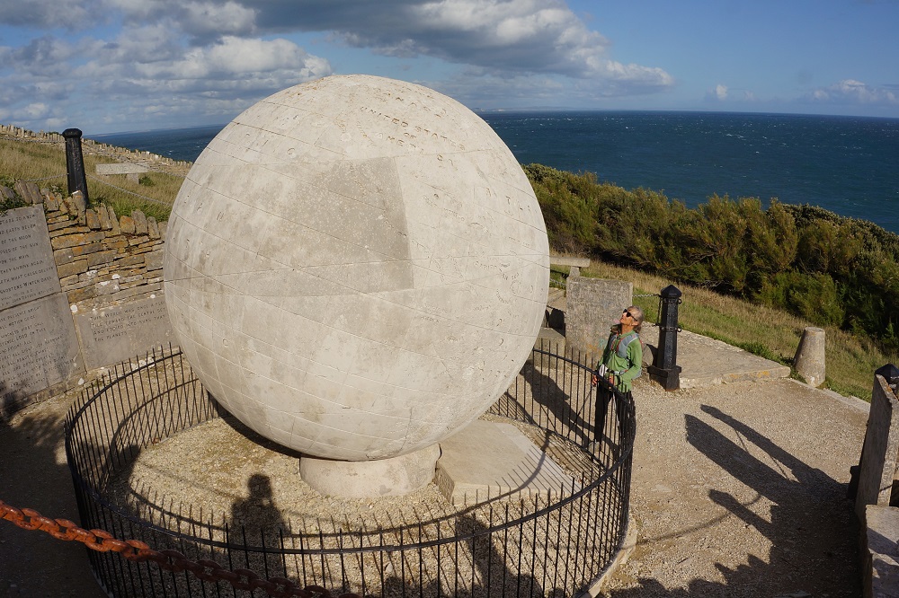
After lunch we still had 13km to go but the steep cliffs were over. It was much gentler on a grass path, although it did take another 4 hours. This section of the path had many old abandoned quarries, a lighthouse at Anvil Point, a castle and a Great Globe at Durlston Head. The Globe was made in 1891 from Portland Stone and is one of the largest stone spheres in the world. It seemed to take forever but we got into Swanage about 5pm and after some shopping we arrived at our guest house at 5.30pm, the latest we have finished any day on this trip.

Tomorrow is our last day on the South West Coast Path and we should complete all 1003 km of it. Not sure how we will feel about it, we will find out tomorrow.

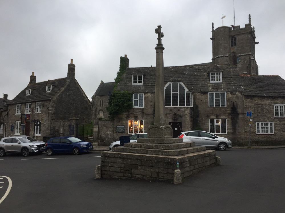
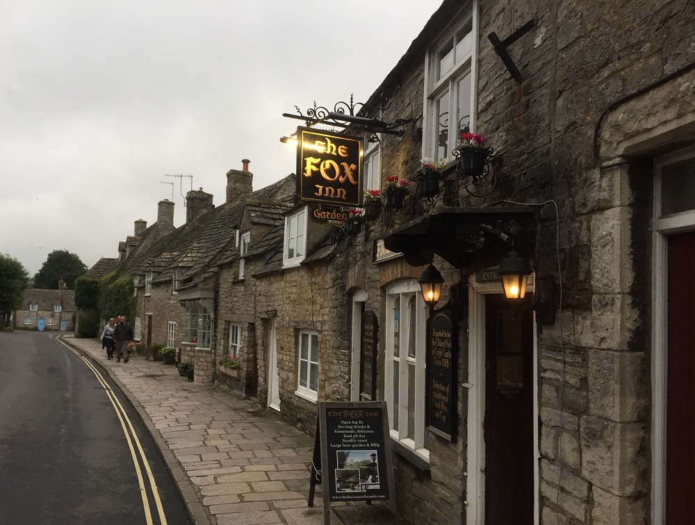
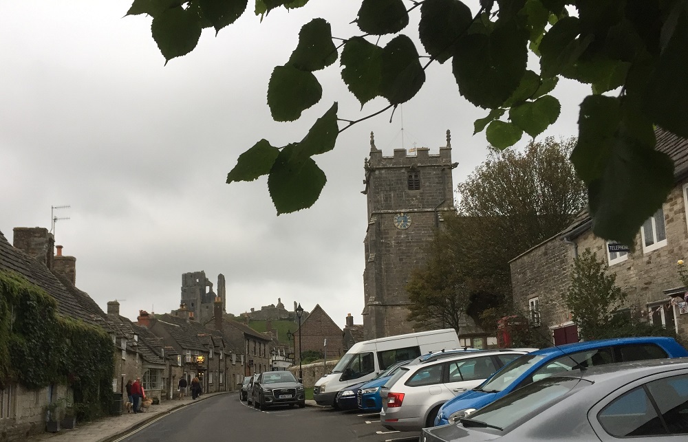
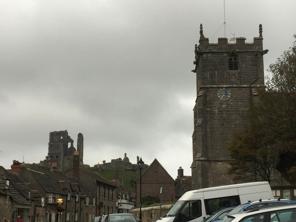
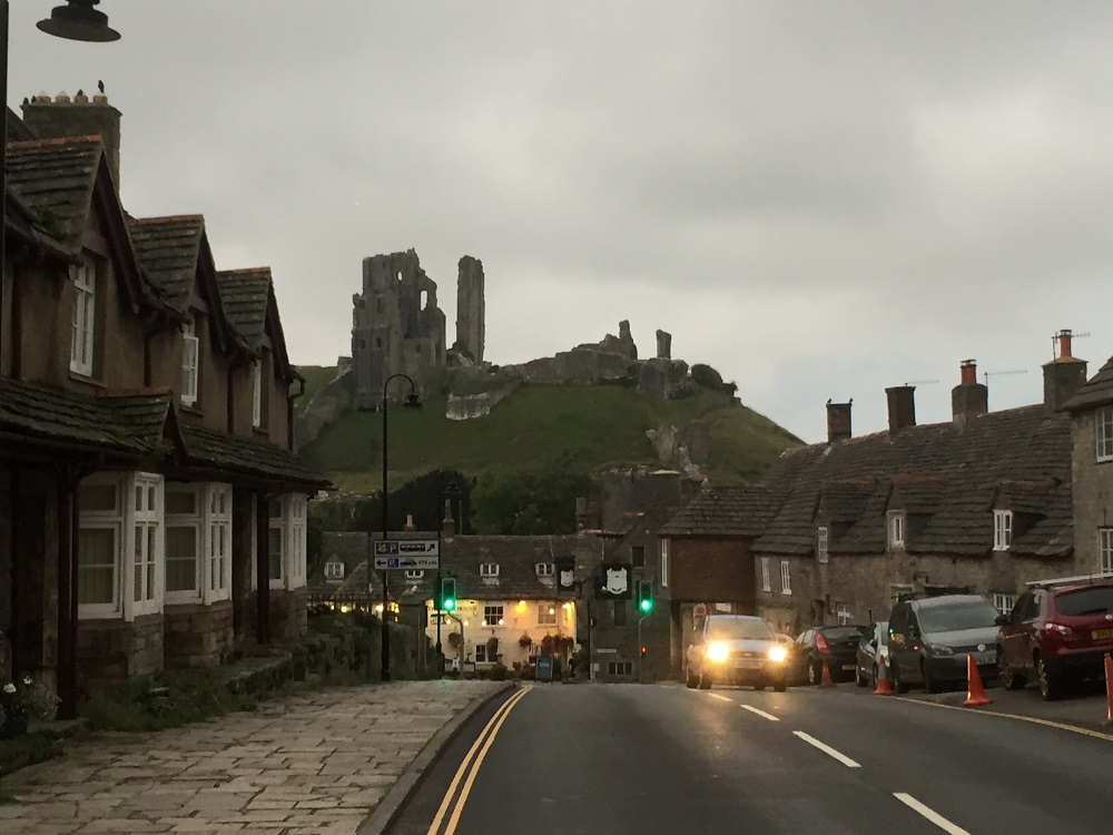
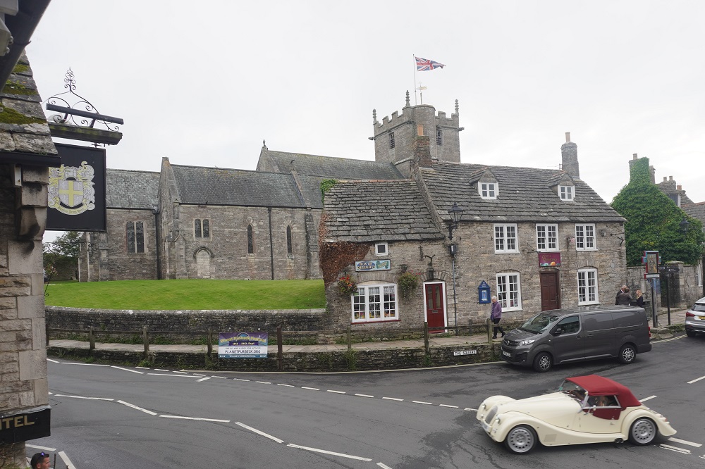
Corfe Castle

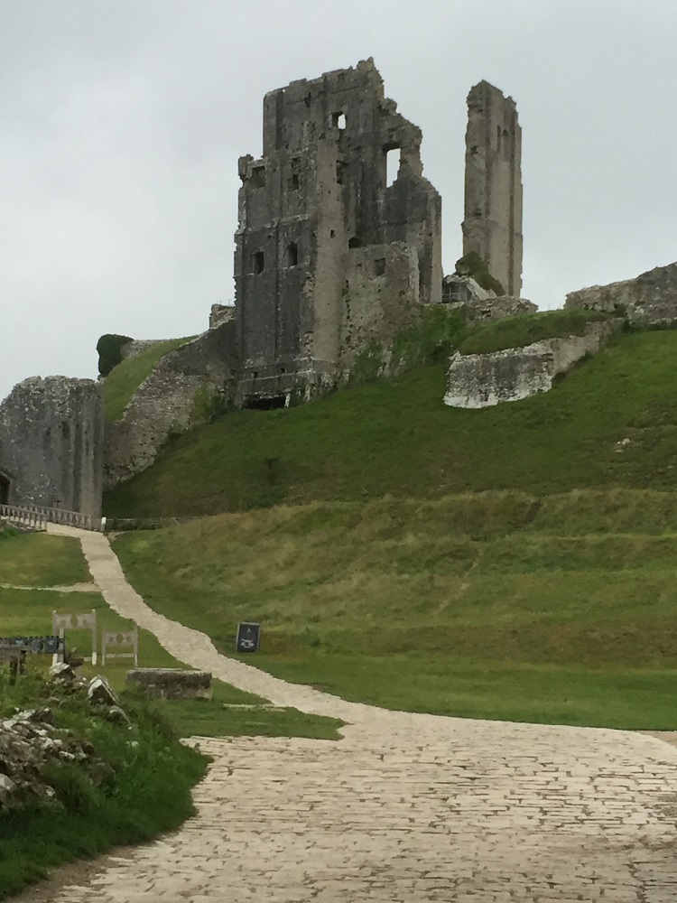
Corfe Castle is the name of a village and is the site of a ruined castle of the same name. Burial grounds around the village suggest the area was occupied from 6000 BC with later Celtic and Roman occupation.

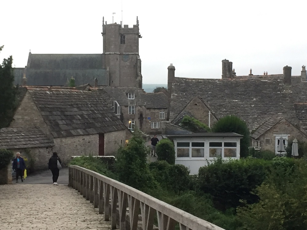
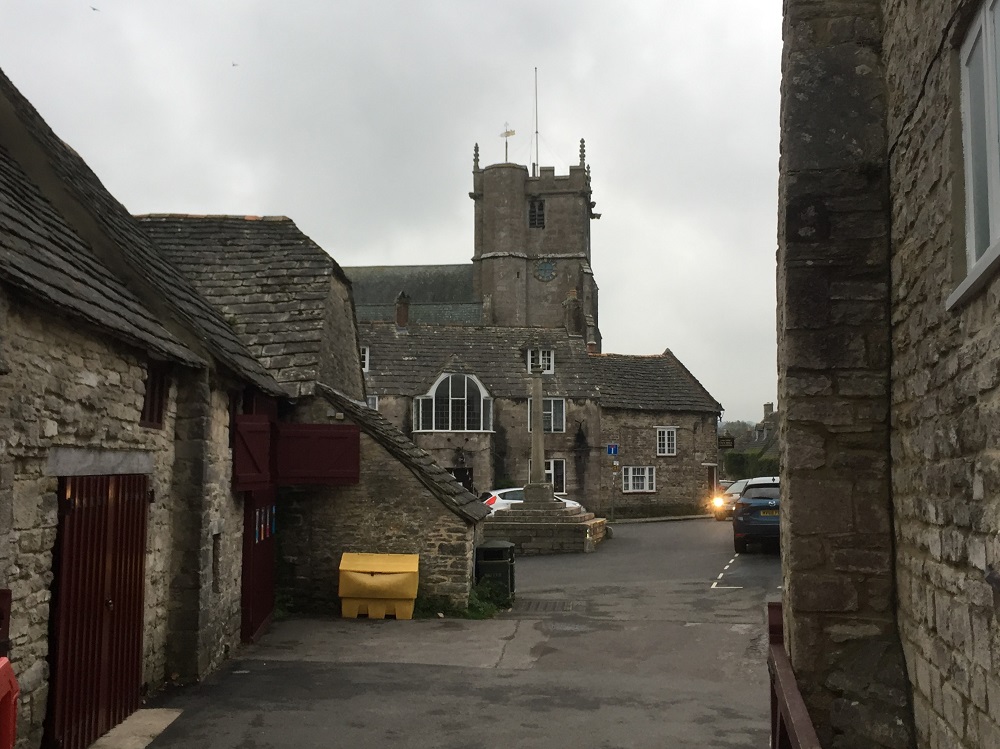
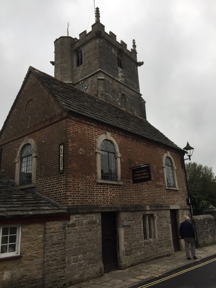
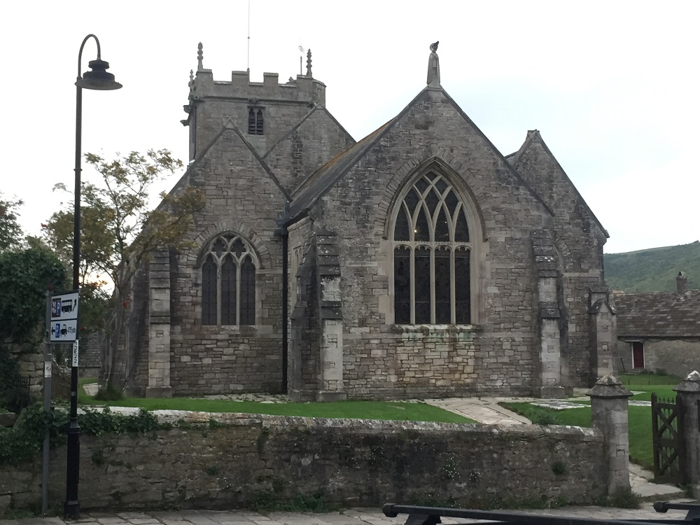
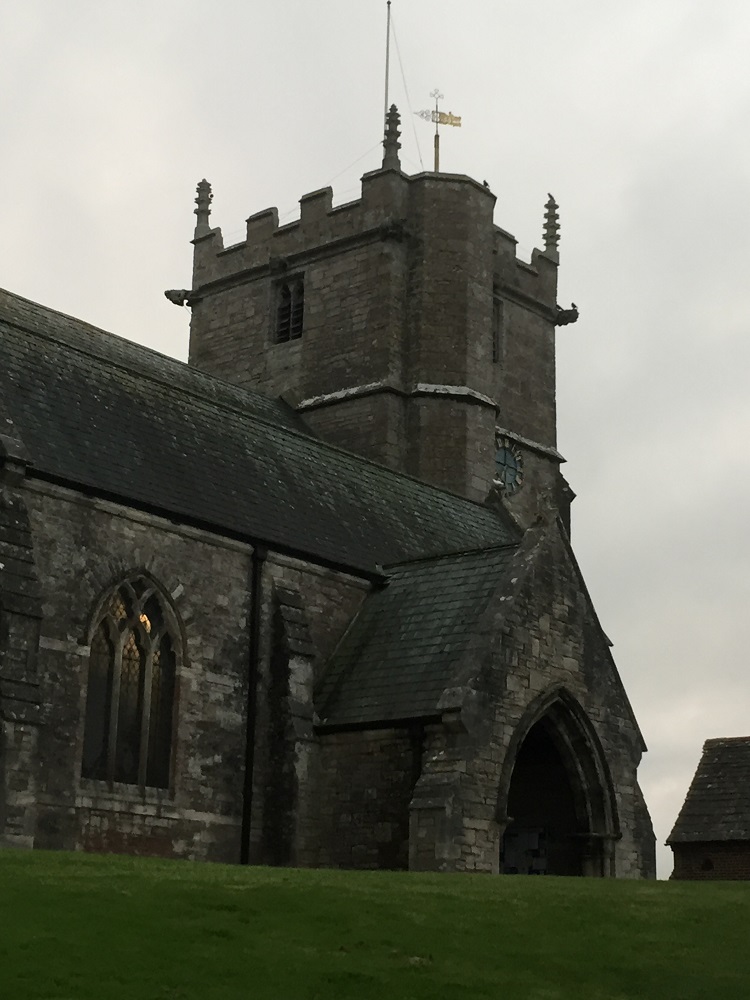
Corfe Castle has a church dedicated to St Edward King and Martyr. Edward, known as the martyr, was king of the English from 975 until he was murdered in 978 in Corfe. Edward was the eldest son of King Edgar but was not the acknowledged heir. Some supported him and others his half brother Æthelred. Civil war almost broke out until Edward’s reign came to an end with his murder. A number of lives of Edward were written in the centuries following his death in which he was portrayed as a martyr, generally seen as a victim of the Queen Dowager  Ælfthryth mother of Æthelred. He is today recognised as a saint in the Catholic Church,

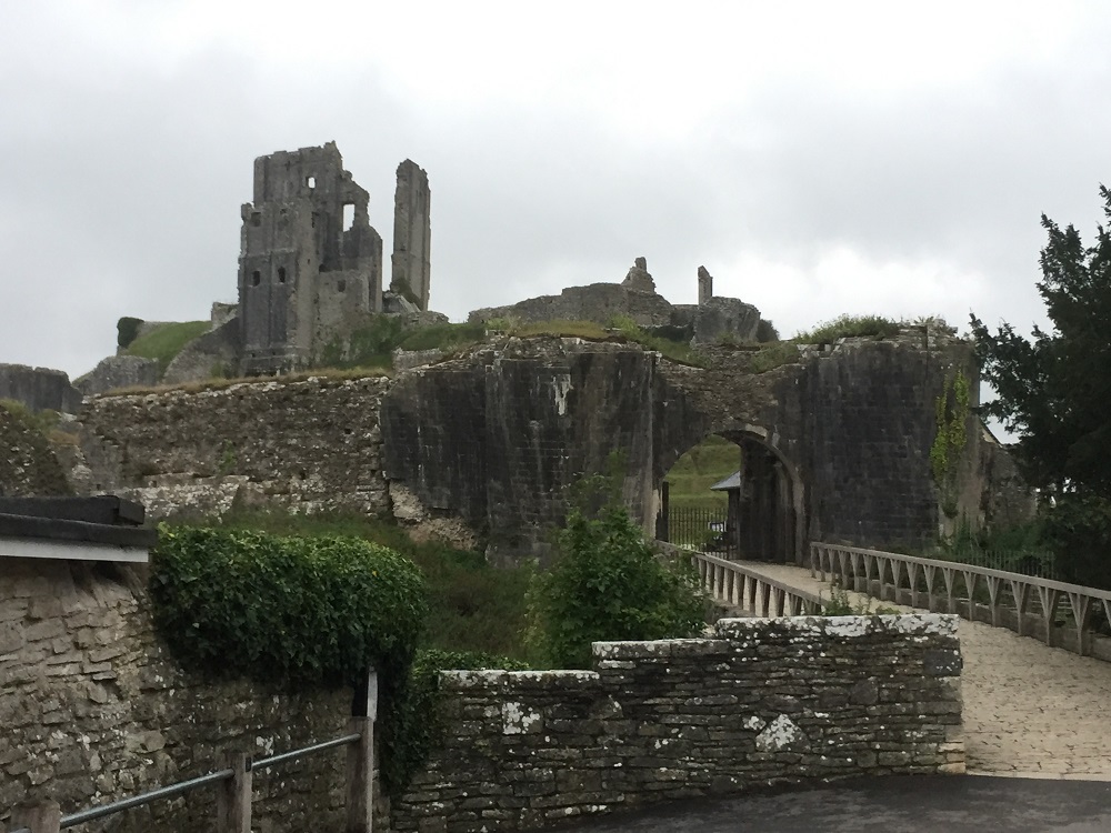
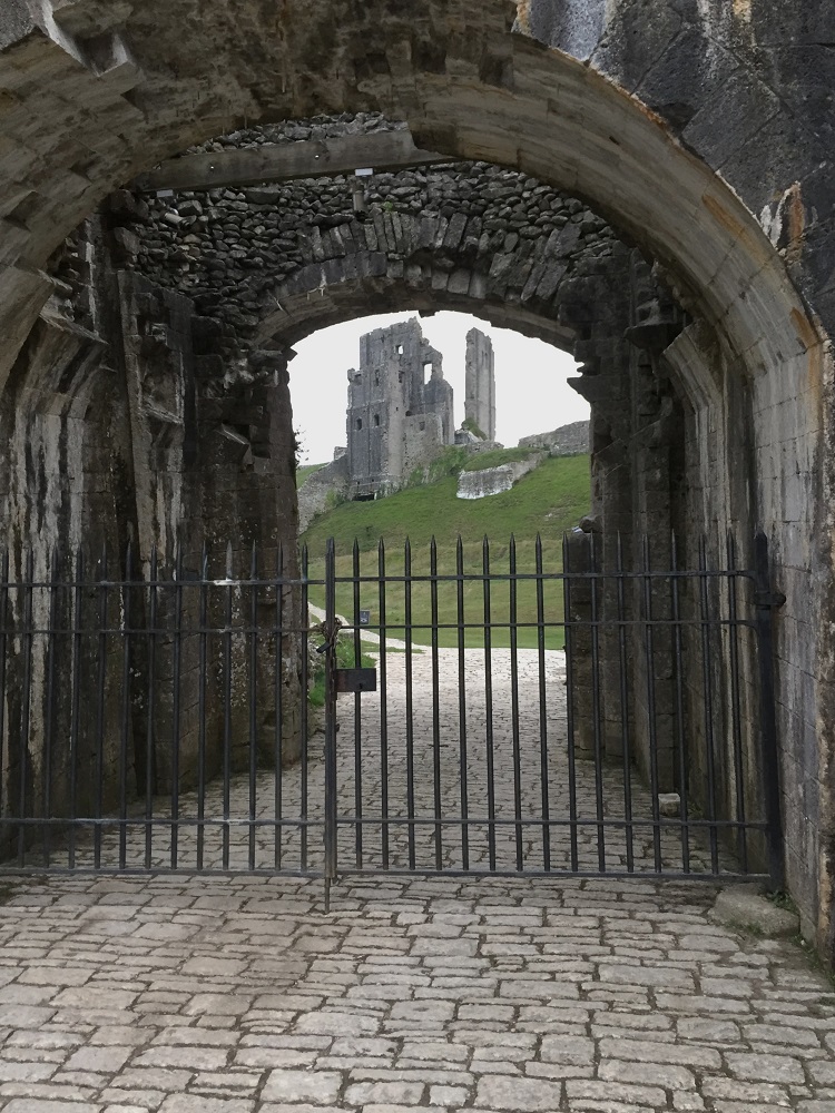
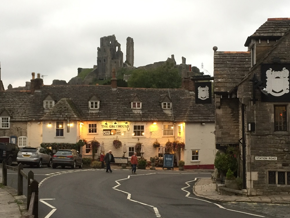
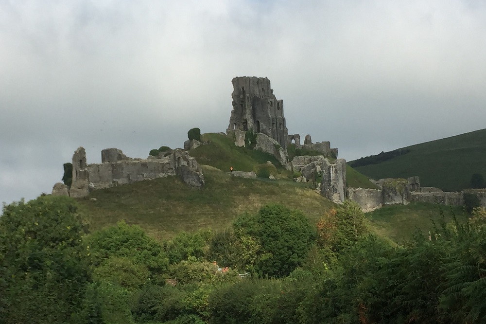
The Corfe Castle fortification stands above the village and was built by William the Conqueror in the late 11th century. It is one of the earliest castles built in stone (local Purbek stone) when castles were usually wood and earth. The castle remained a royal possession until Elizabeth I sold it and it eventually came into the Bankes family. They were the owners during the English Civil Wars in the 17th century.  Ther Bankes were Royalists when the rest of Dorset was controlled by the Parliamentarians of Cromwell. The castle withstood two sieges but due to treachery was finally captured by the parliamentarians in1645.

In the same year Parliament voted to “slight” (destroy) the castle and it was blown up giving it its appearance of today.

Corfe is a very popular destination in Dorset. There is a vintage steam railway that runs between Swanage and Corfe Castle. It is a great day out to take the train from the seaside town of Swanage to Corfe Castle, spend the day there and get the train back.

We arrived in Corfe Castle about 4pm, tired, wet and muddy so went to the hotel to clean up. The castle closed at 5 so didn’t have time to visit and it opens at 10.30 in the morning when we will be long gone. Still you have to leave something not done as an excuse to come back.

And the rain came

Lulworth Cove to Kimmeridge Village 17km
Ascension 610m   Accumulated ascension 5987m

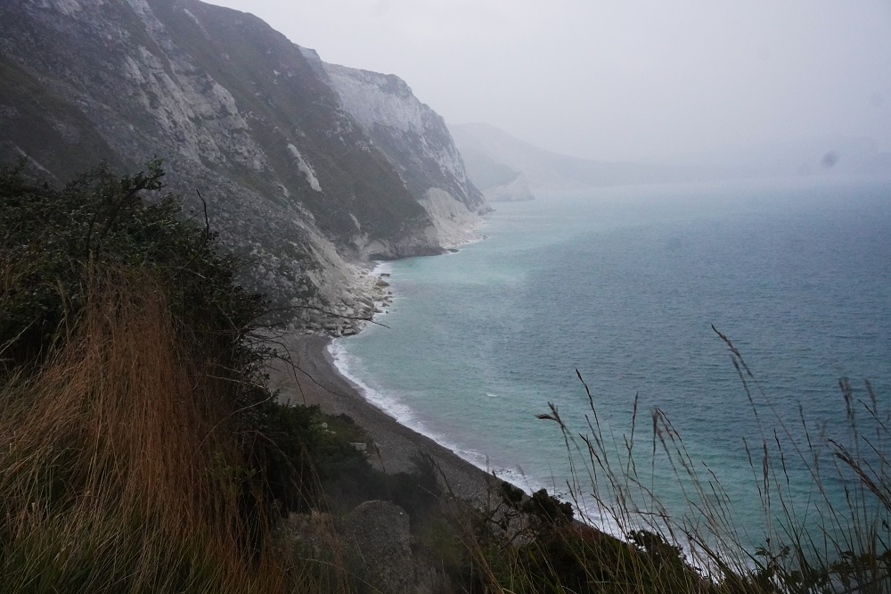
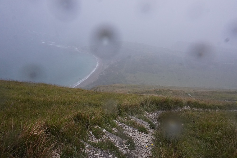
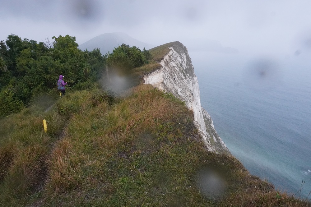
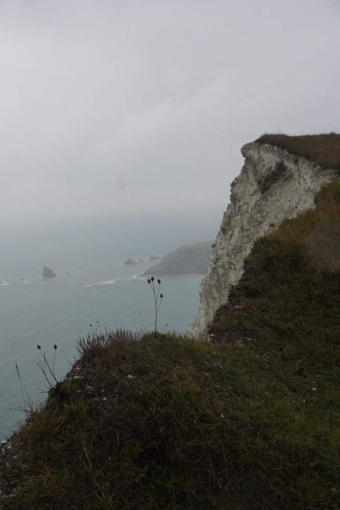
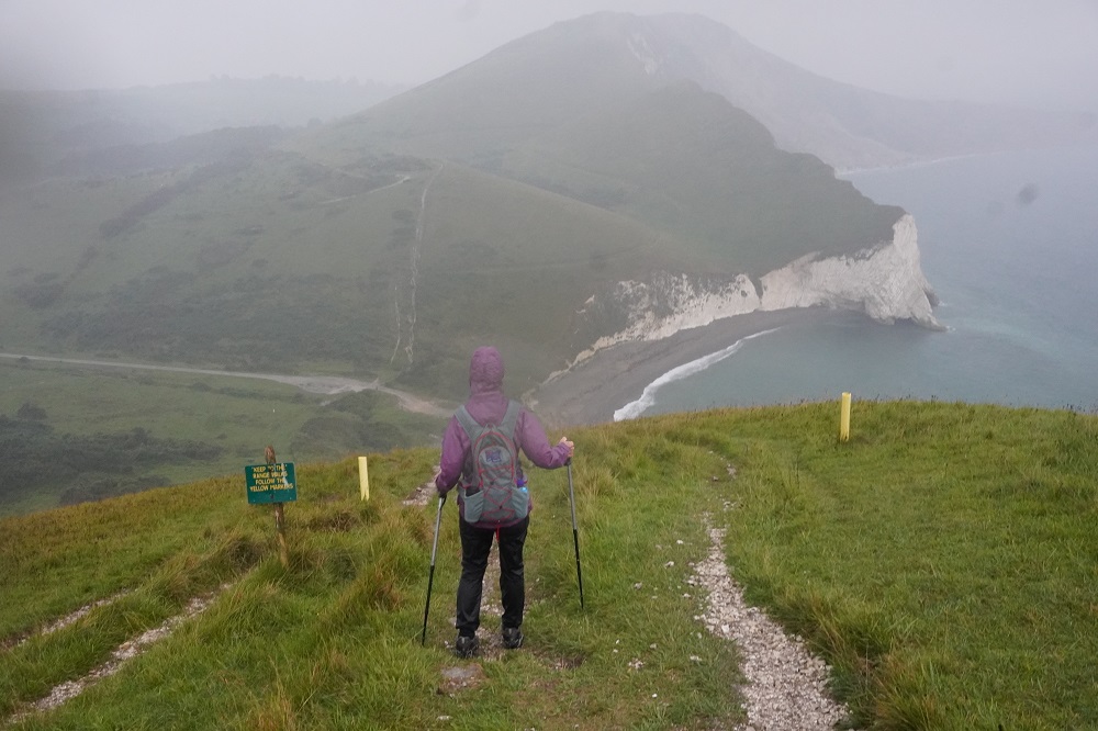
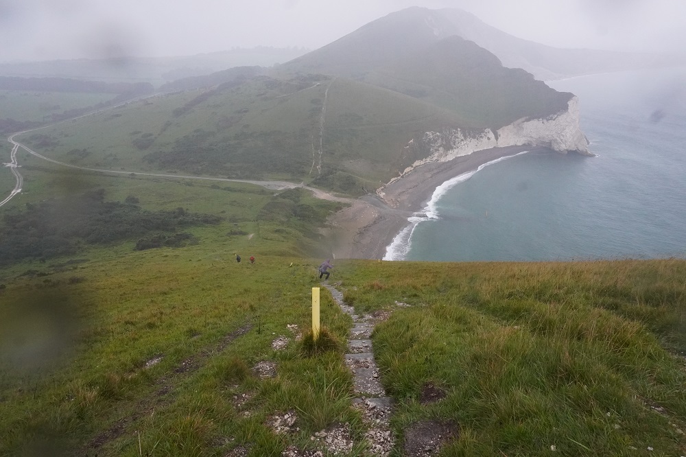
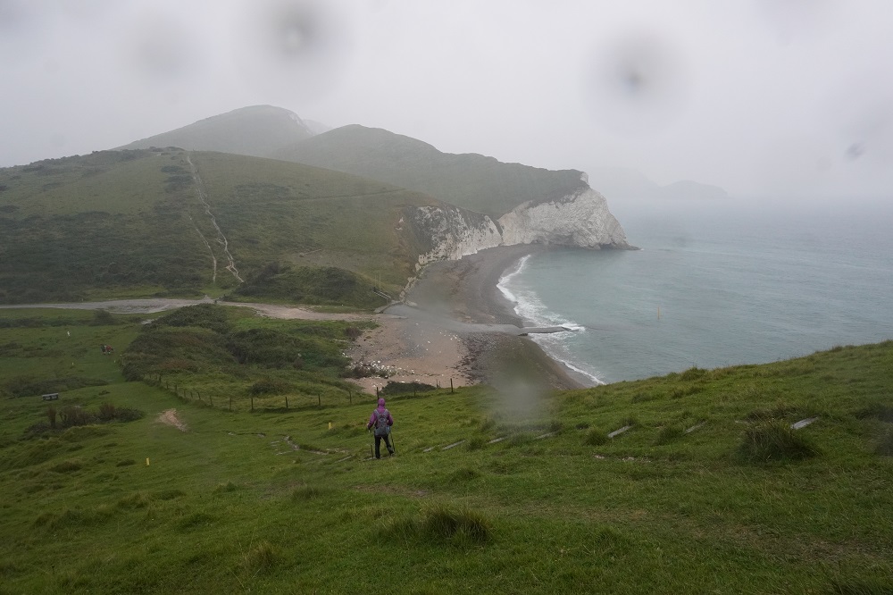
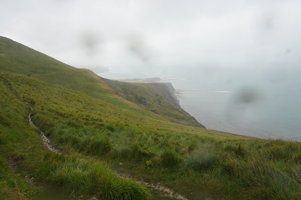
This should have been another spectacular day of cliff top walking, but the rain gods had other ideas. For the first time in 23 days out of NZ and 16 days on the south coast it rained. It still was an outstanding day in a way. It rained for about 4 hours, often heavily and for half an hour was accompanied by loud claps of thunder. Apologies for the photos that have blurry blobs of rain on them, it was impossible to keep the lens dry. Another roller coaster day, the climbs and descents were very steep and on the wet slippery ground walking poles were essential. On the up-hills it was like walking up a stream of milk as the rain flowed over the limestone path. We were both soaked to the skin but it wasn’t cold, except where it got quite windy on the tops.

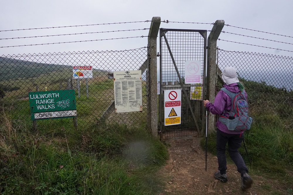
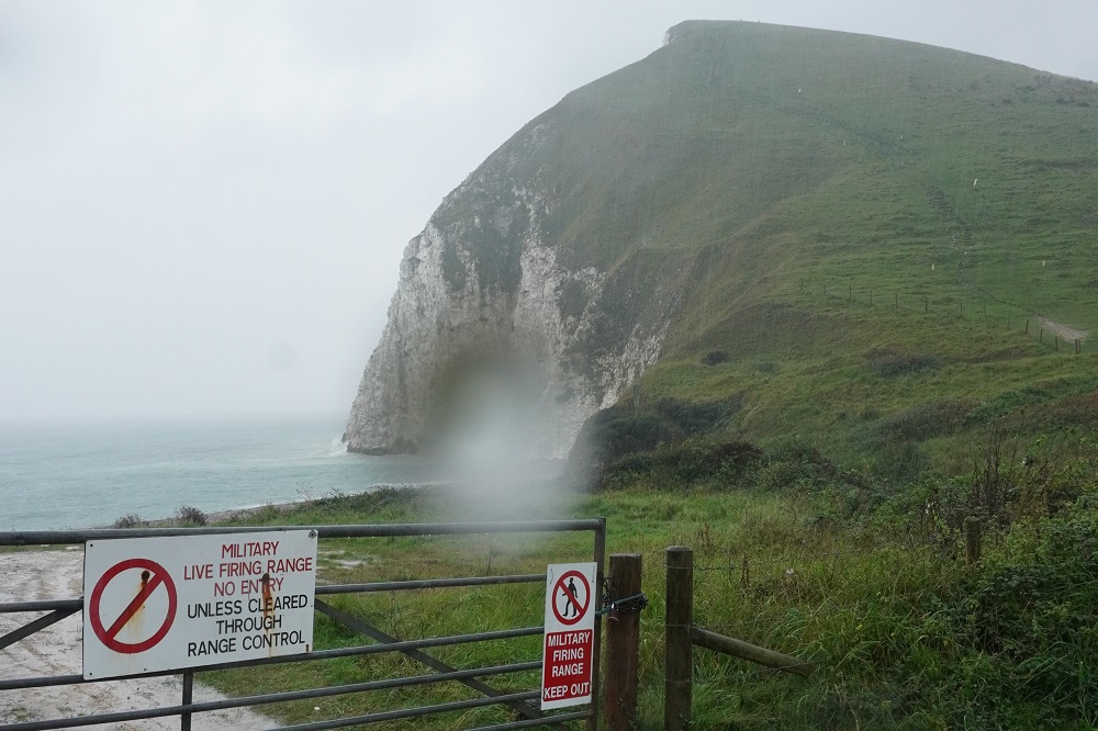
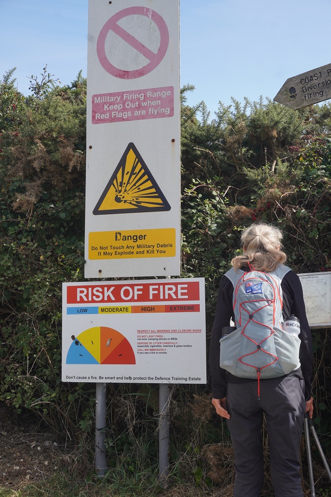
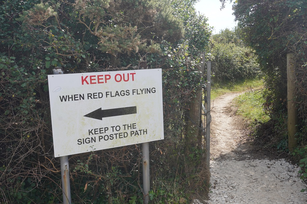
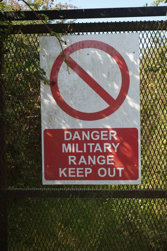
Almost all of todays walk went through the Lulworth Army Firing Range. The path is only guaranteed to be open on Sundays. During the week and sometimes on Saturdays the path is closed. We had timed our Coast Path walk to be here on a Sunday, otherwise there is a diversion which adds 10km to the distance.

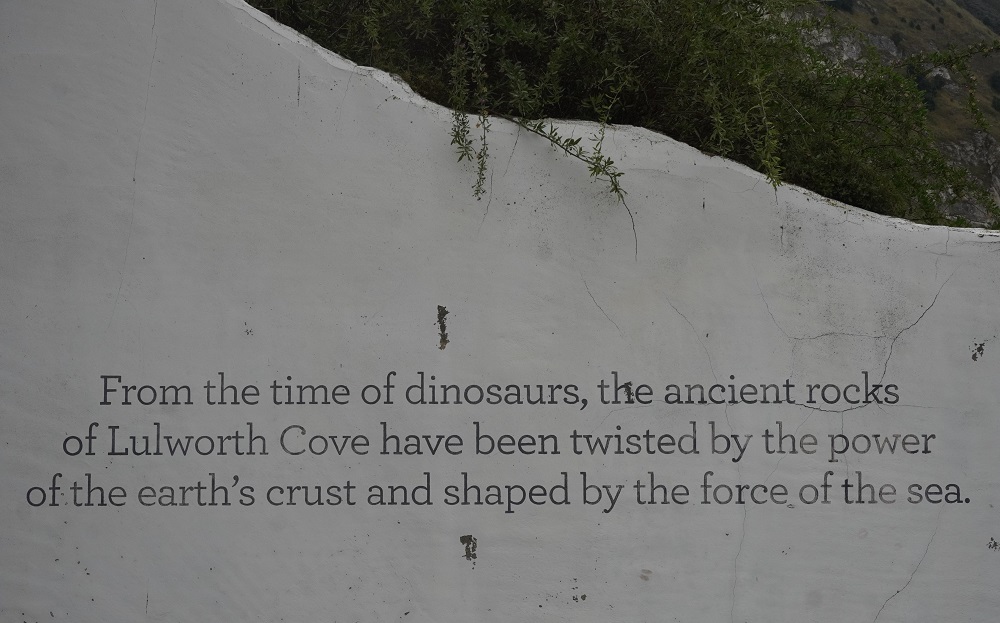
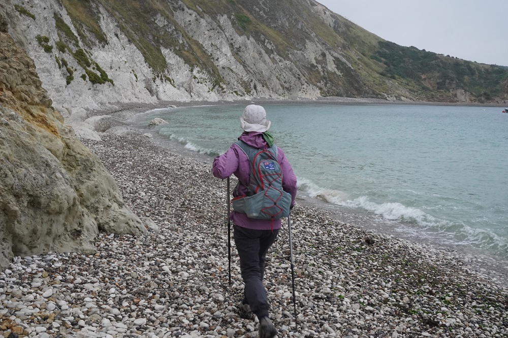
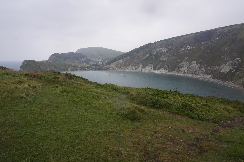
The path out of Lulworth Cove this morning started with a walk around the cove. It was high tide and there was only about a metre of pebbly beach between the sea and the cliff. As we got off the beach the rain started and stayed with us almost all the way to Kimmeridge Bay. There were a few of us as we left West Lulworth Village but some gave up and decided to get the bus as soon as the rain started. Others gave up on the steep descents as they didn’t have walking poles. It would have been so easy to slip and do an injury, so for most of the day it was just the two of us.

Our accommodation tonight is at Corfe Castle village which is seven and a half kilometres inland from the Coast Path at Kimmeridge. Absolute Escapes had organised a taxi to pick us up at Clavell’s Café in Kimmeridge and take us to Corfe Castle. Tomorrow morning the taxi will deliver us back to Kimmeridge to continue the walk. We were making great progress despite the weather until we came to a marker stone with an arrow downhill to Kimmeridge Bay and an arrow straight ahead along a ridge to Kimmeridge Village. We walked along the windy ridge for twenty minutes until we came to the perimeter fence of the firing range. There were two information boards there but neither of them showed Kimmeridge Village and there were no signs at all. We hummed and hahed for a while consulting maps and looking down into the valleys. One path went down to the coast where we could see Kimmeridge Bay and the other went inland down to a valley which looked like it had more houses. We knew Clavell’s Café was not on the coast so we went down the steep inland path. After half an hour it was obvious this was going nowhere so we retraced our steps up to the ridge and took the route down to the bay. At the beach we met some people in a car park and they had just come from lunch at Clavell’s. They showed us the road to the village which was about a mile away. We could have got there by our original path off the ridge but it was a long and convoluted route along farm tracks and across fields.

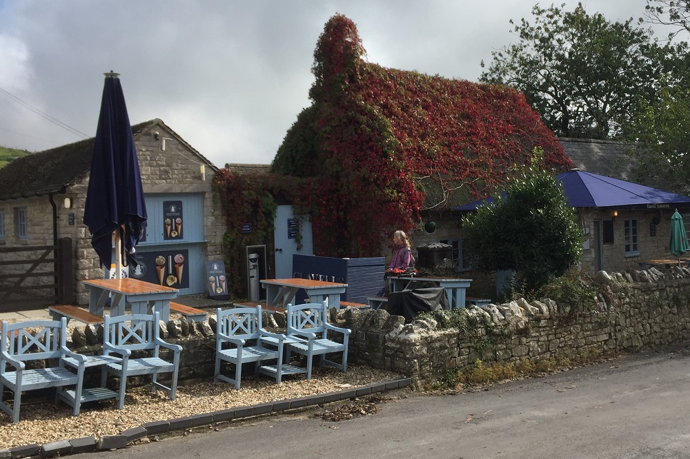
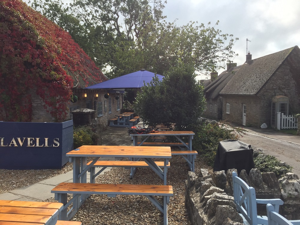
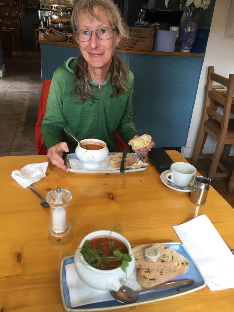
Our taxi pick-up was 3.30 and we arrived at the café at 2.30, time enough to have a delicious bowl of Isle of Wight tomato soup with basil, pesto, water cress and sour dough bread. I ordered a double shot espresso with some extra water. I didn’t realise until I had added some of the water that it was cold water! Every other time you get a little container of boiled water. And it cost me £3.50.

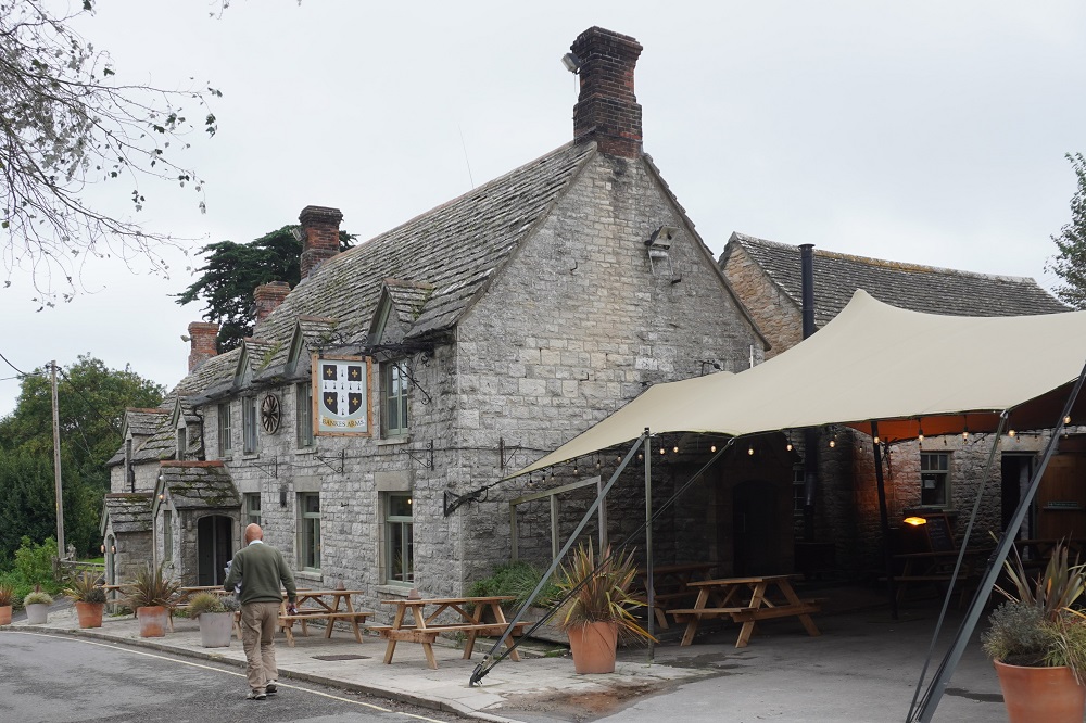
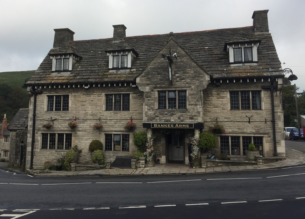
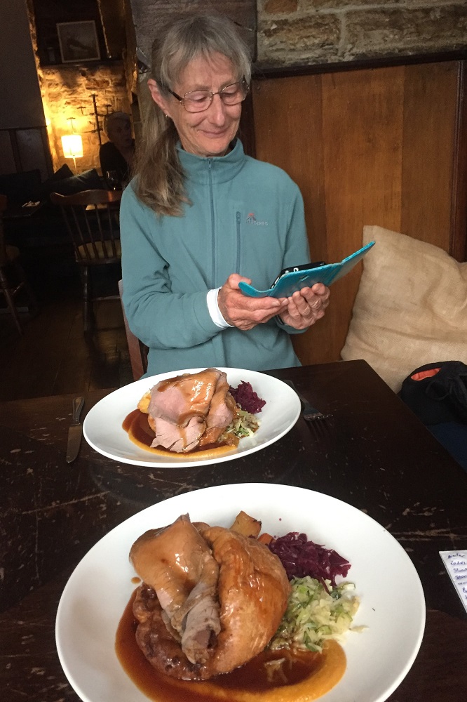
The taxi met us on time and delivered us to the Bankes Arms Hotel. This is another charming village pub, very comfortable and with meals. We have been desperate to get some vegetables for a while now and being a Sunday they had a beef roast with potato (cooked in duck fat), parsnip, carrot, red cabbage, green cabbage, cauliflower cheese, gravy and Yorkshire Pudding. Scrumdiddlyumptious as they would say in West Bay.

Corfe Castle is another beautiful village and it does have a castle. More on that in another post.

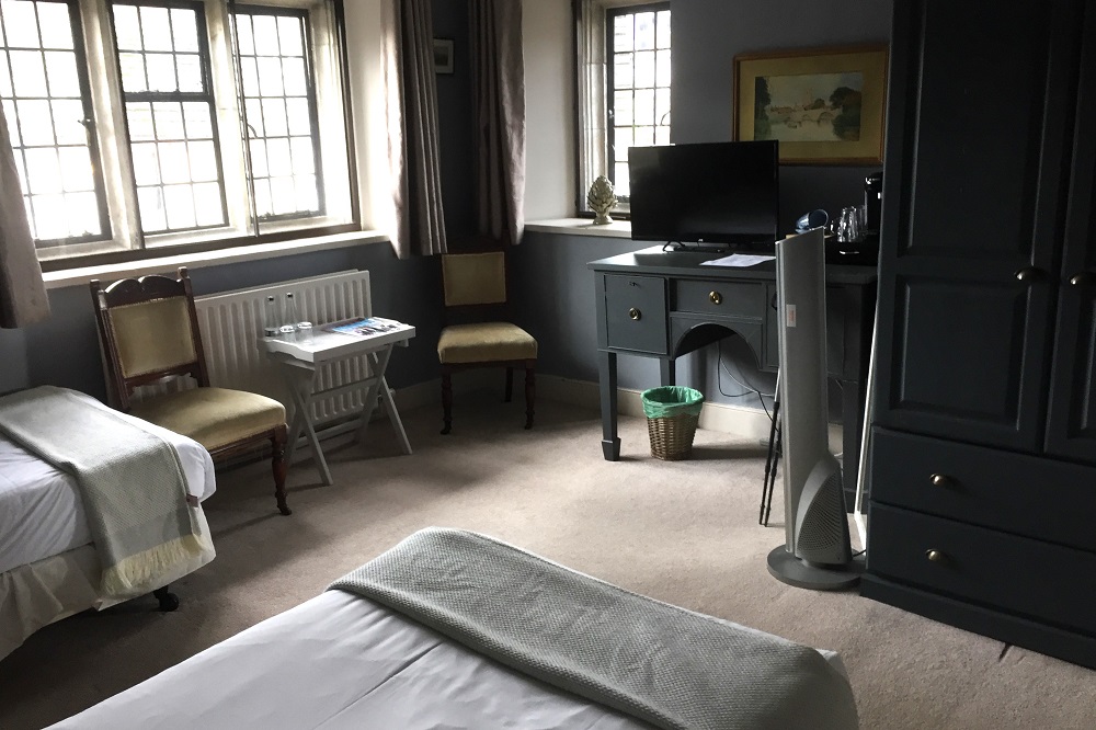
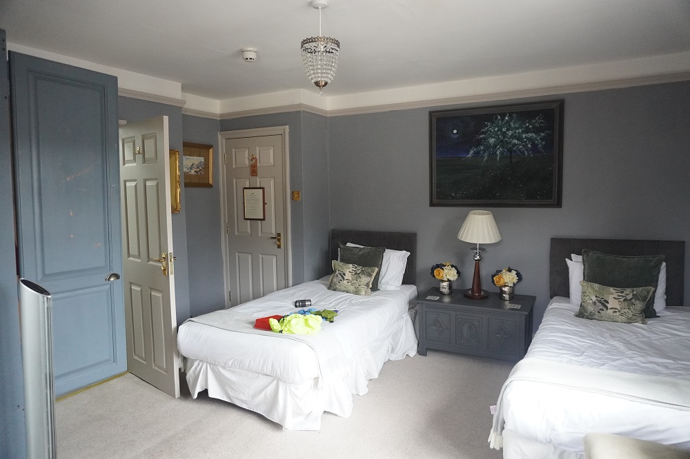
Not an easy day but we actually enjoyed being out in the wild weather on the cliffs and toughing it out. Everything we had with us is saturated so tonight we are trying to dry it all out. The room smells a bit like wet dog.

Scratchy Bottom and Durdle Door

Weymouth to Lulworth Cove 17.5km
Ascension 727m  Accumulated ascension 5377m

Today started as a gentle stroll then changed to a gut busting roller coaster before coming to what is probably Dorset’s most popular natural attraction.

At breakfast we talked to one of the entrants in the Ironman 70.3 as he had his bike propped up against the wall in the dining room. It was an £8000 Canyon Speedmax CFR. His wife said it was worth more than her car.

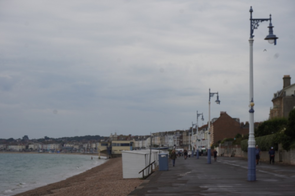
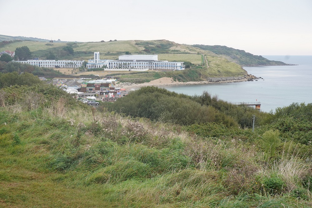
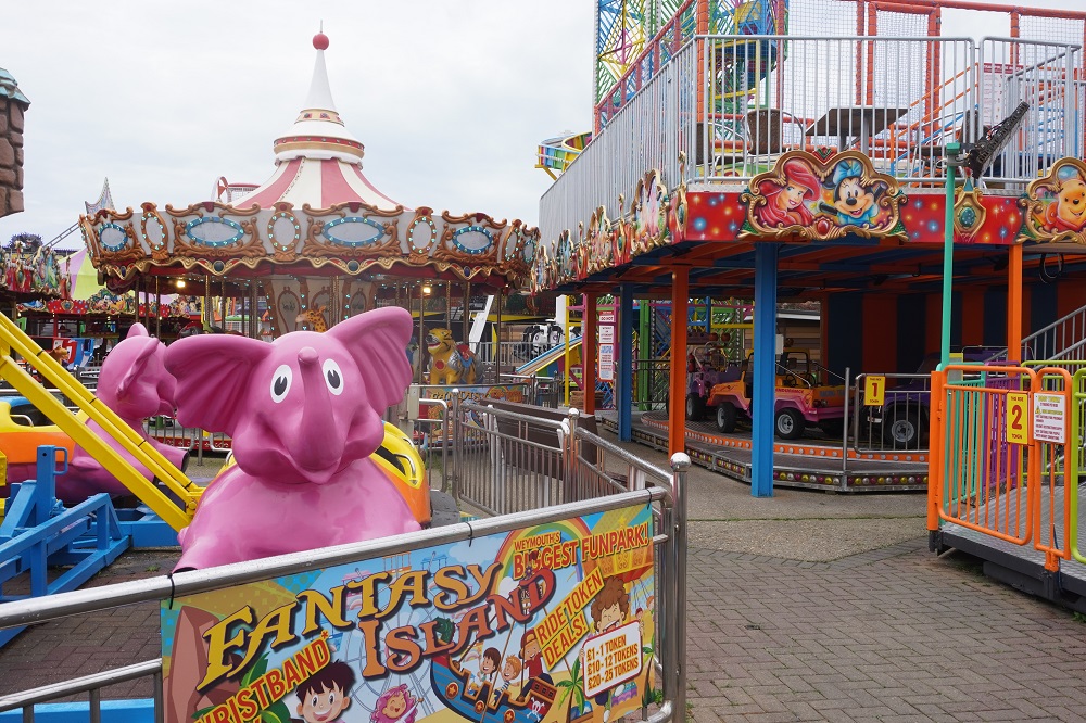
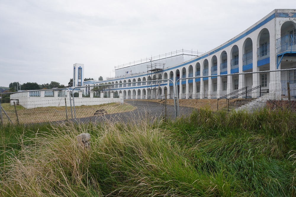
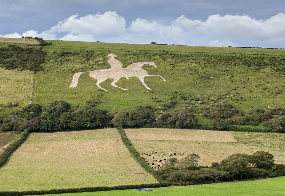
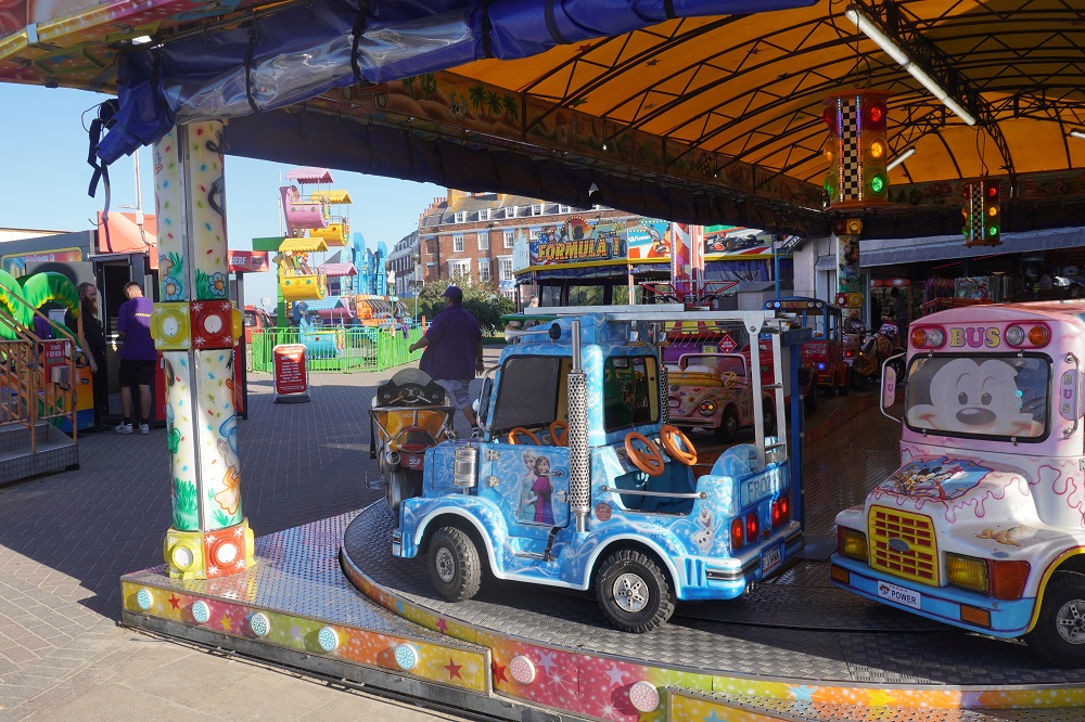
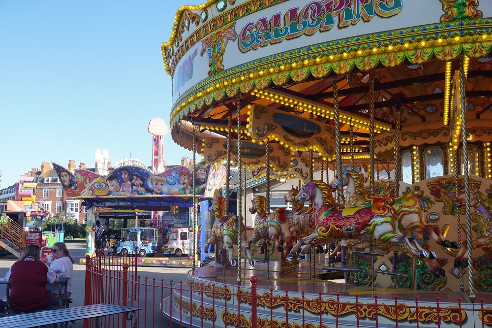
It was a 2km walk around the Weymouth Bay on a dead flat promenade past the attractive Georgian sea front. At the end there was a gentle hill then through a leisure centre with all the usual fair ground rides and past the huge abandoned Riviera Hotel. Just beyond this point we should have been able to see the Osmington White Horse, a hill figure that was cut into the hillside in 1888. The figure depicts King George III on his horse. There was a side path to a viewing point but we missed it which pissed us off a little and by the time we realised, we were too far along the coast to make it worthwhile going back. I have downloaded a photo off the internet so you can see what it would have been like.

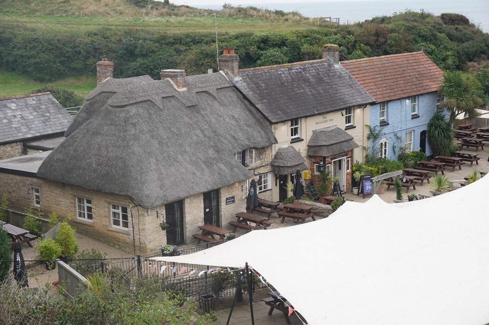
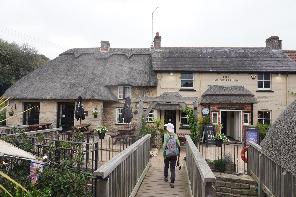
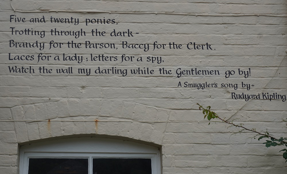
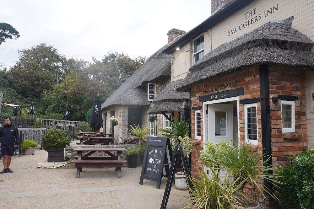
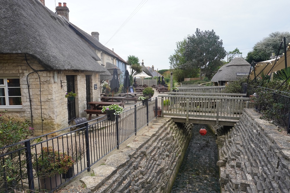
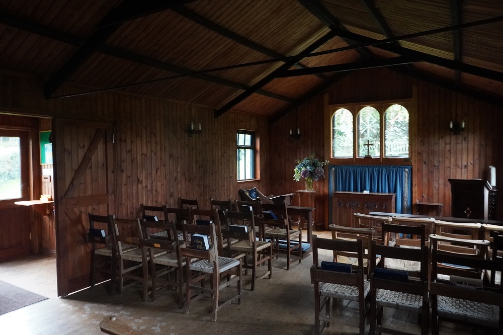
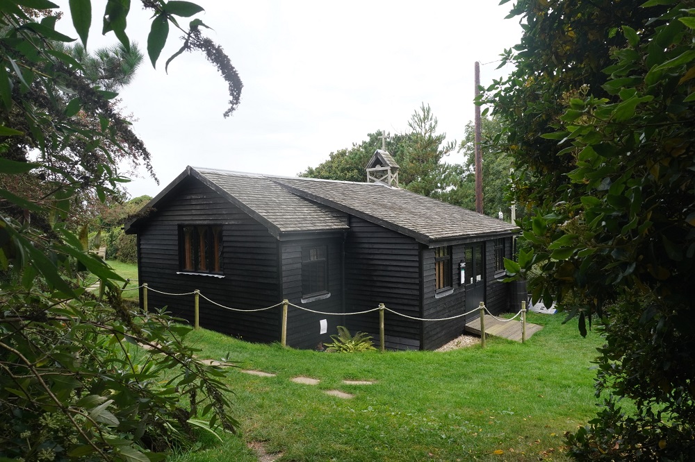
At Osmington Mills we came across the lovely thatched Smugglers Inn pub and after some gentle climbing on a grass path, squeezed between fence and cliffs. Our notes talked of a cute wooden church but on the south west England cuteness scale we would give it a two out of ten. The church is dedicated to St Catherine. I guess the spinsters who missed out on a husband at St Catherine’s Chapel in Abbotsbury can try again here.

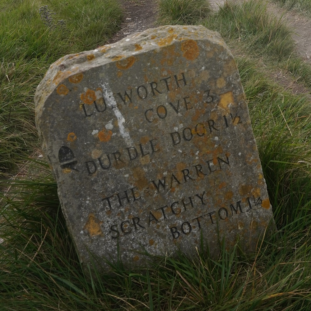
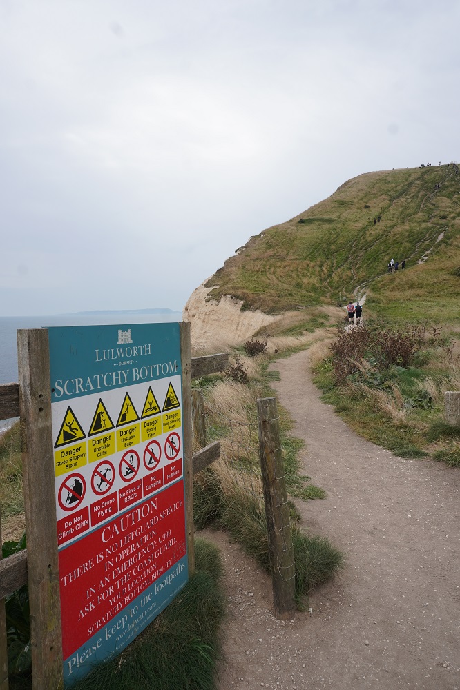
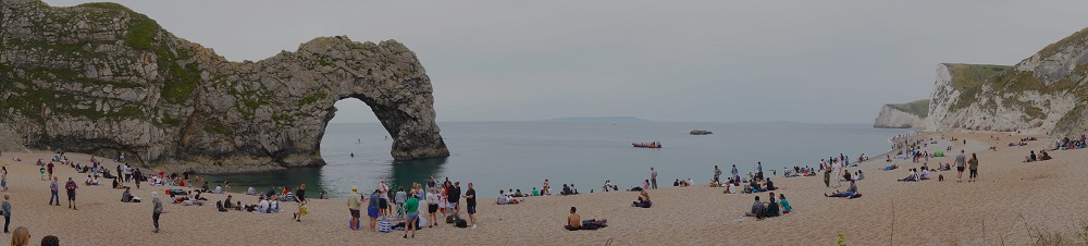
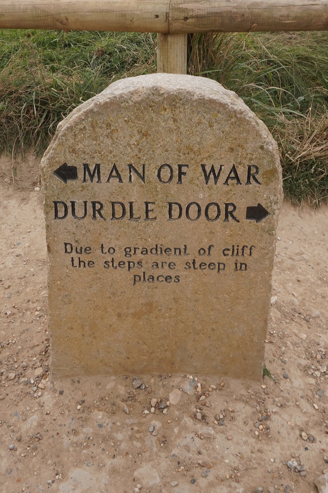
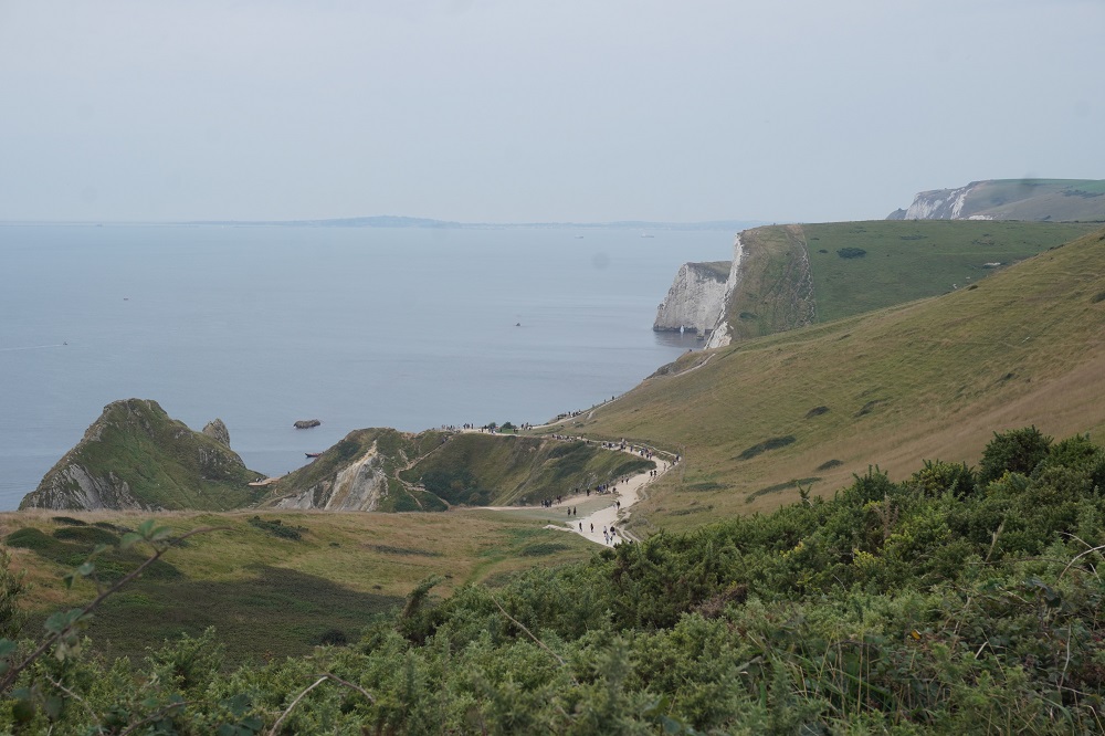
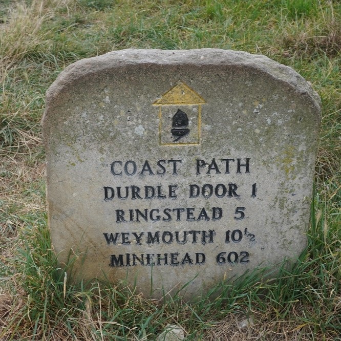
Then the rough stuff really began. The geology had changed to white chalk vertical cliffs. The path made several lengthy and steep climbs through places wonderfully named West Bottom, Middle Bottom and Scratchy Bottom. The sign to Scratchy Bottom is one of the most photographed on the South West Coast Path. It was not a hot day and there was a cooling sea breeze so the climbs were not too bad, but the steep descents were very difficult, tough on the feet and knees and slippery on the limestone pebbles. Eventually you are rewarded with the first glimpse of the famous natural arch at Durdle Door.

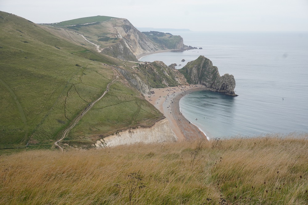
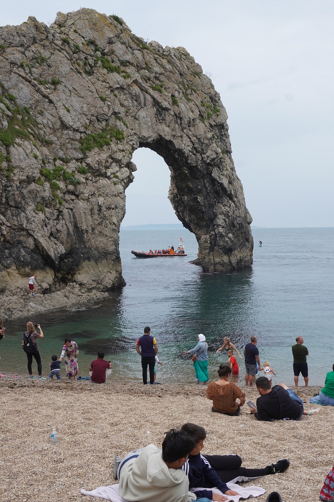
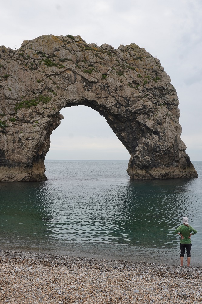
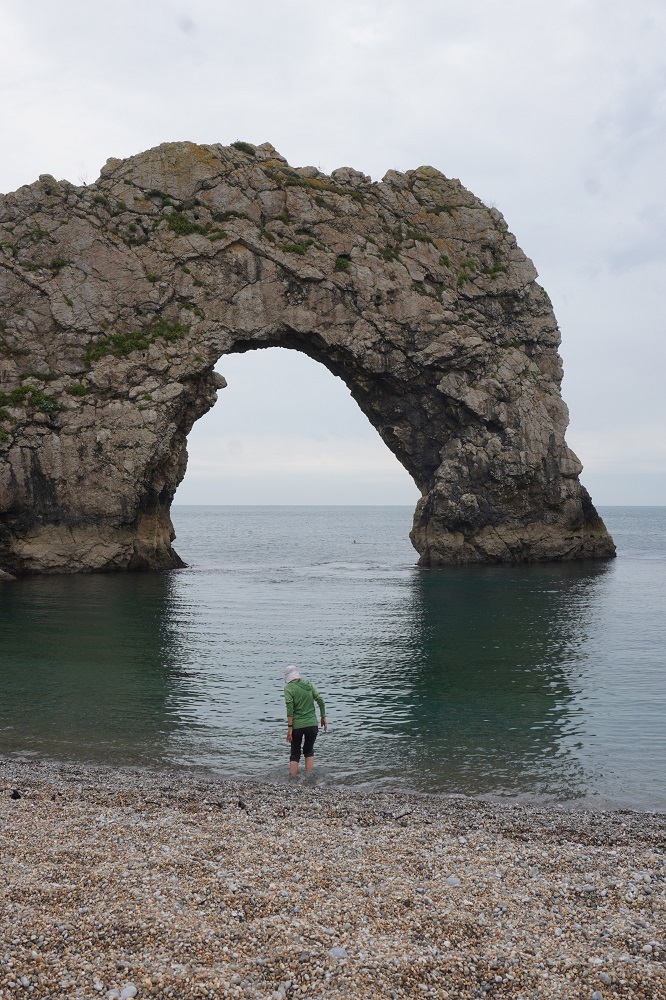
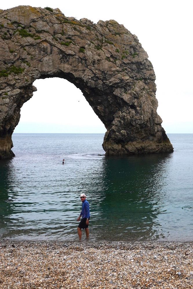
Geologically speaking Durdle Door is nothing more than an arch of limestone rock set out at sea but joined to the mainland by a narrow sliver of land or isthmus. Though it appears to have been there forever, it has of course been formed by the tides eating the rock away – the same force that will eventually destroy it. There was a big crowd at Durdle Door, it having road access, a large car park and a holiday camp.

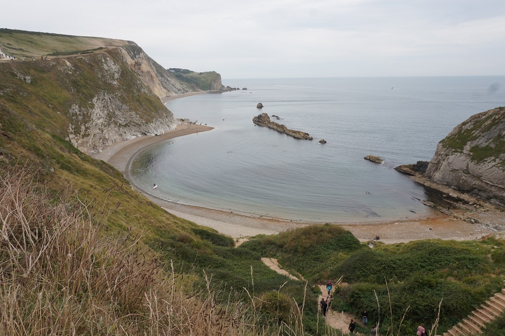
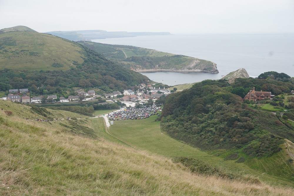
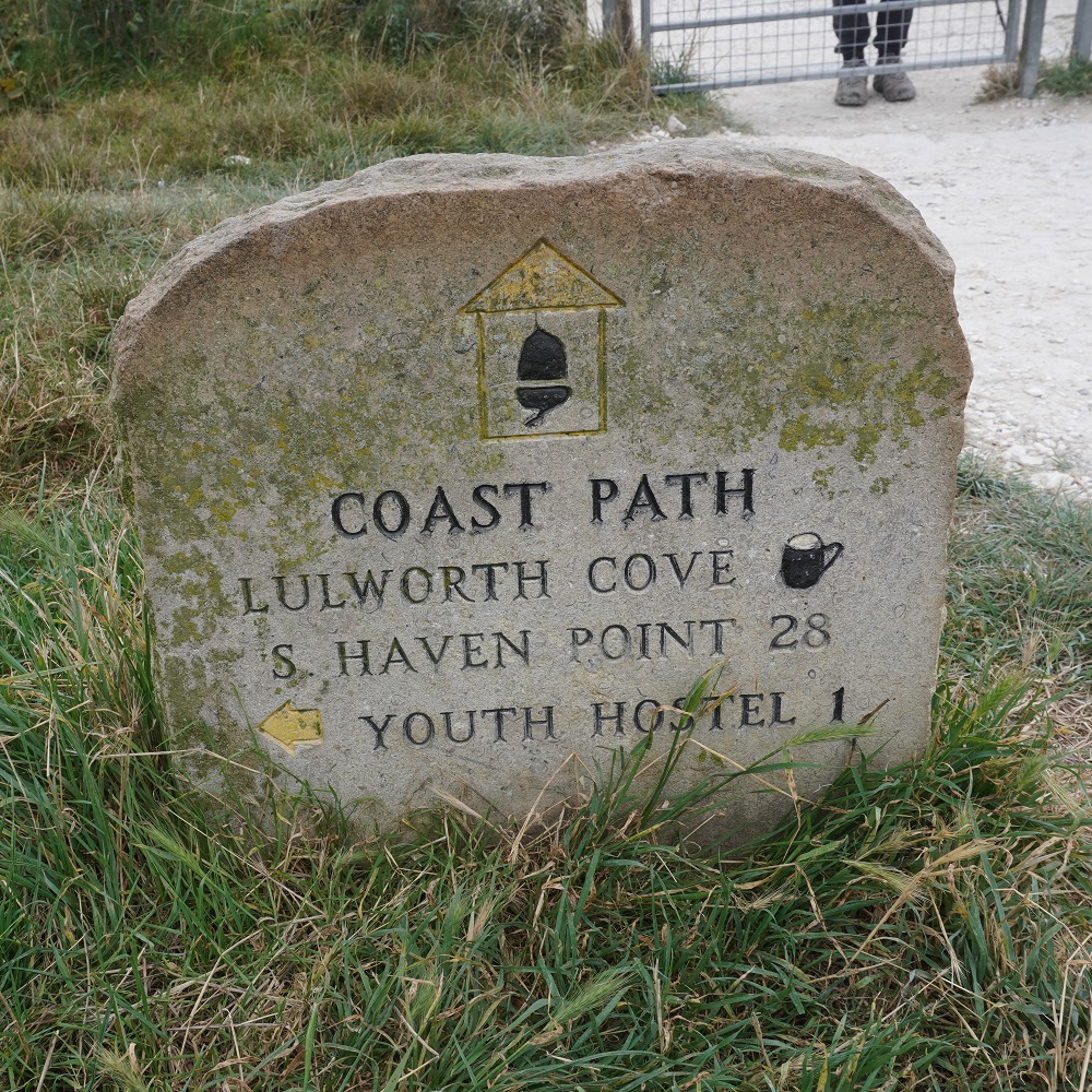
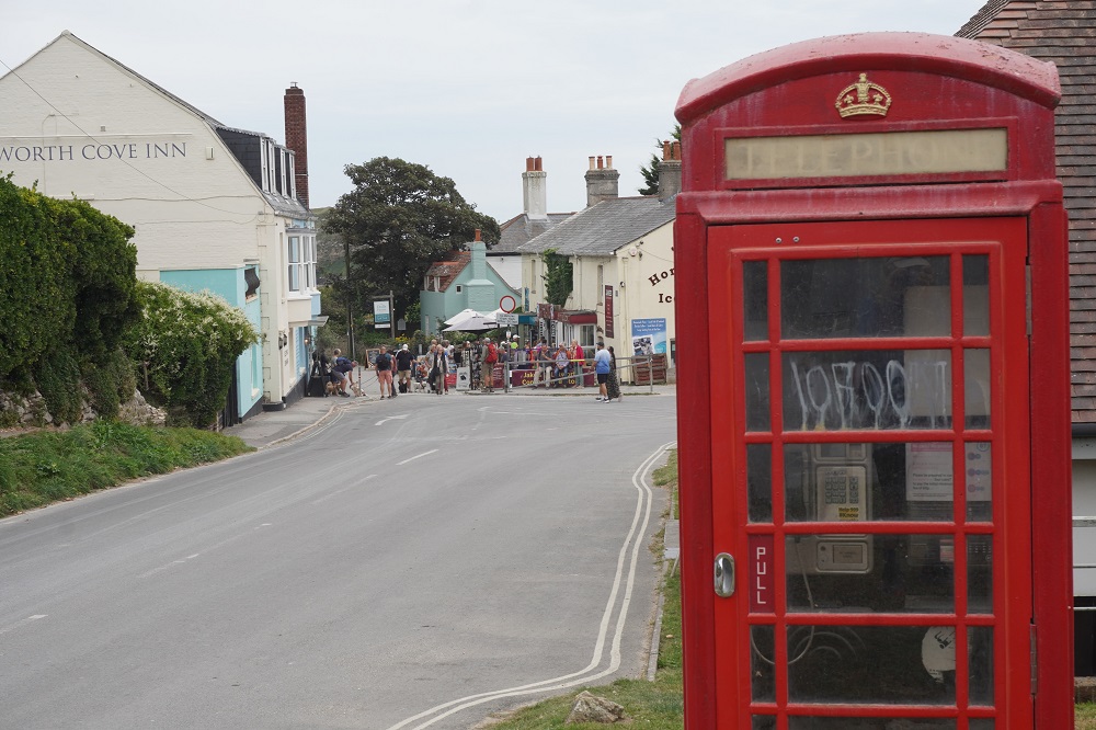
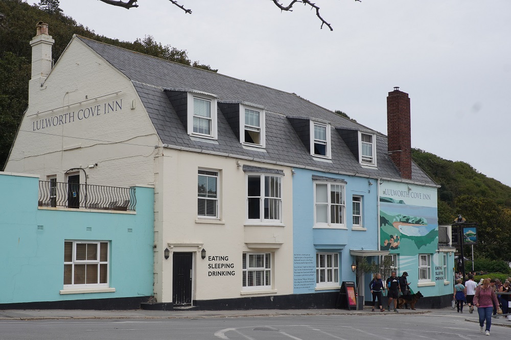
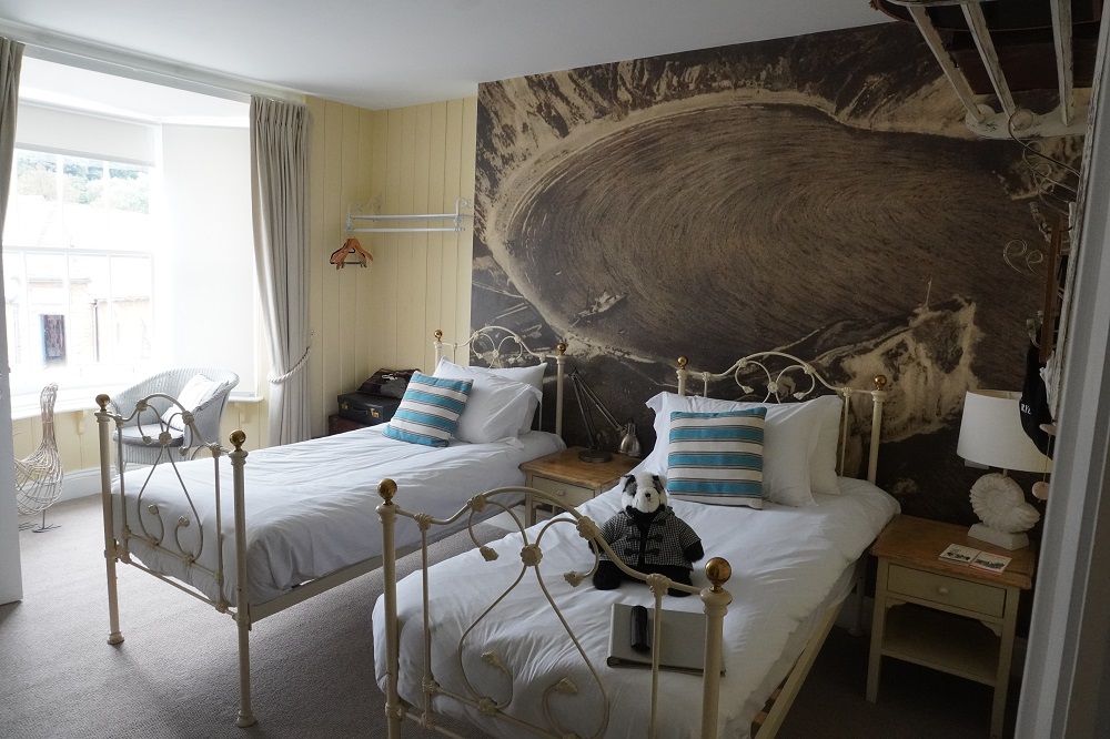
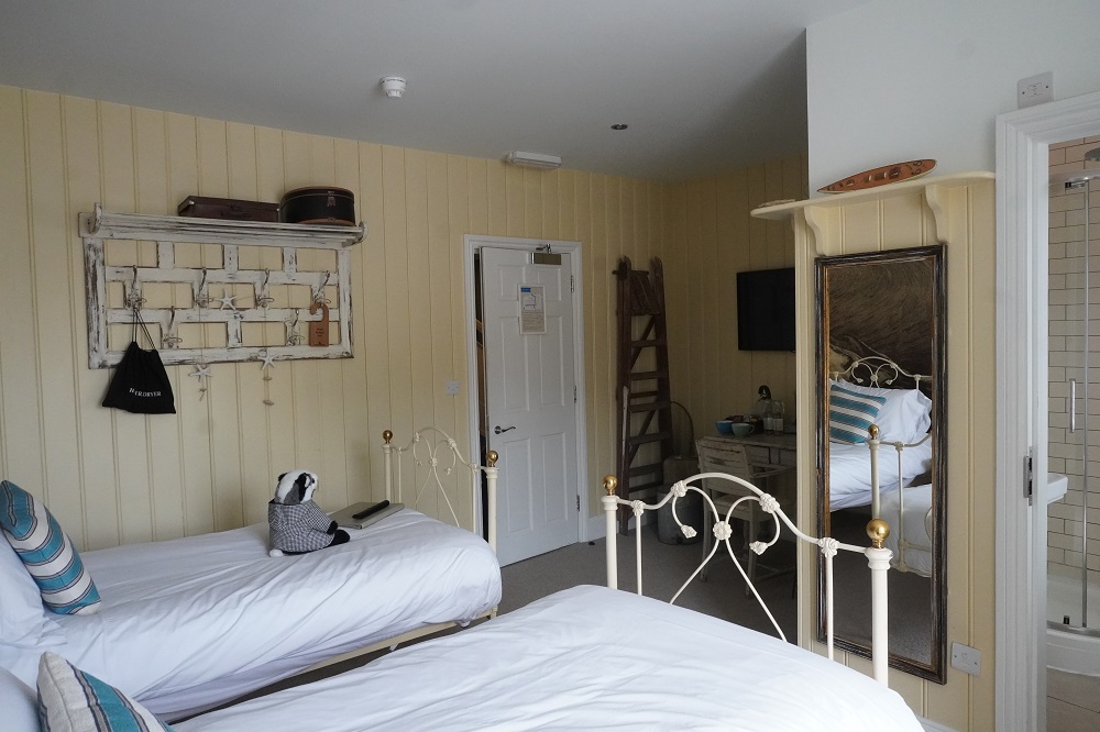
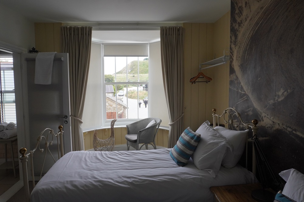
From the arch it was a quick walk to the next cove, Lulworth Cove, one of the most picturesque coves on the south coast. Adjacent to this was one of the Coast Walk’s most idyllic villages, West Lulworth. We are staying at the very smart Lulworth Cove Inn and after the roller coaster walk over the cliffs this afternoon we are lucky we just have to go downstairs for a pub meal and a beer.

The Ironman Cometh

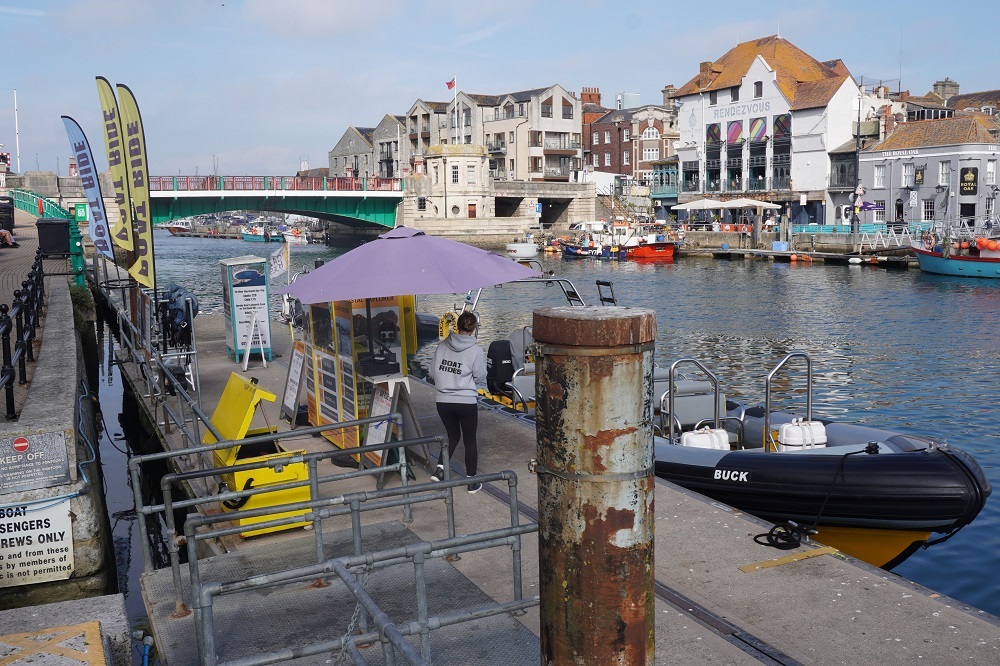
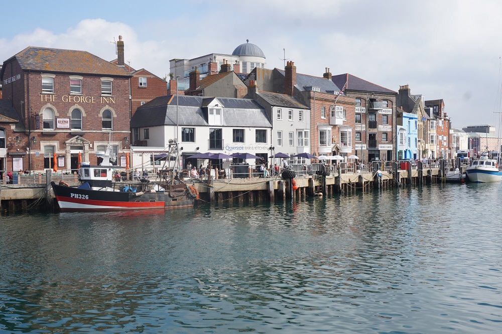
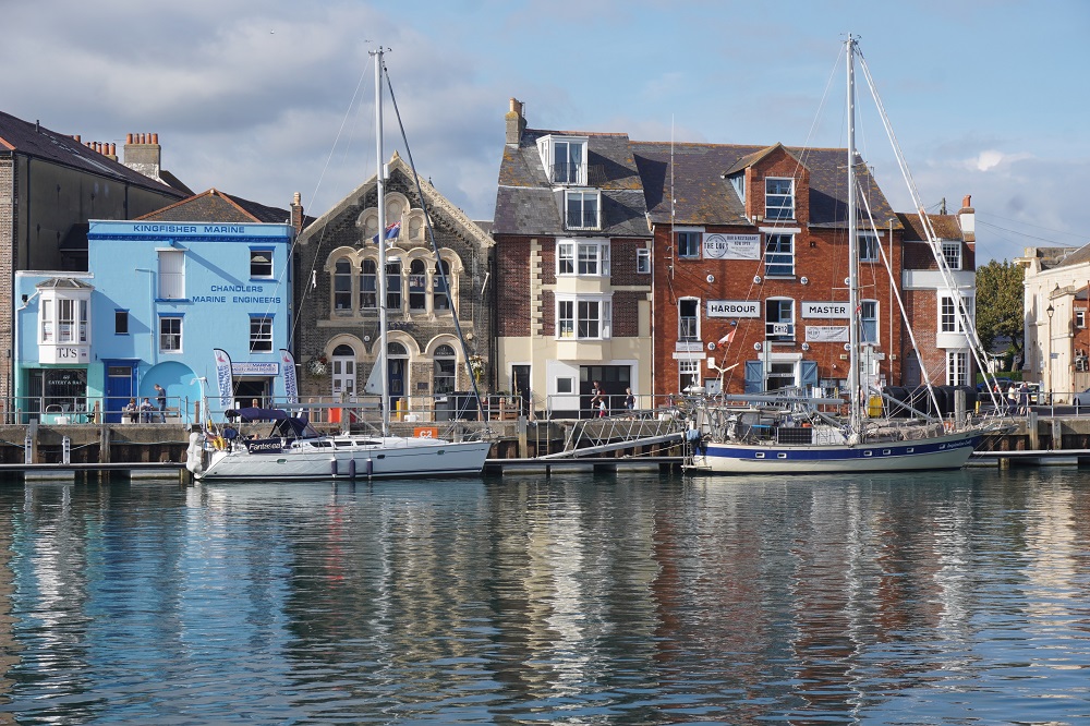
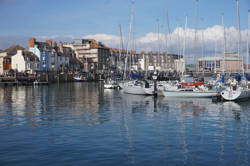
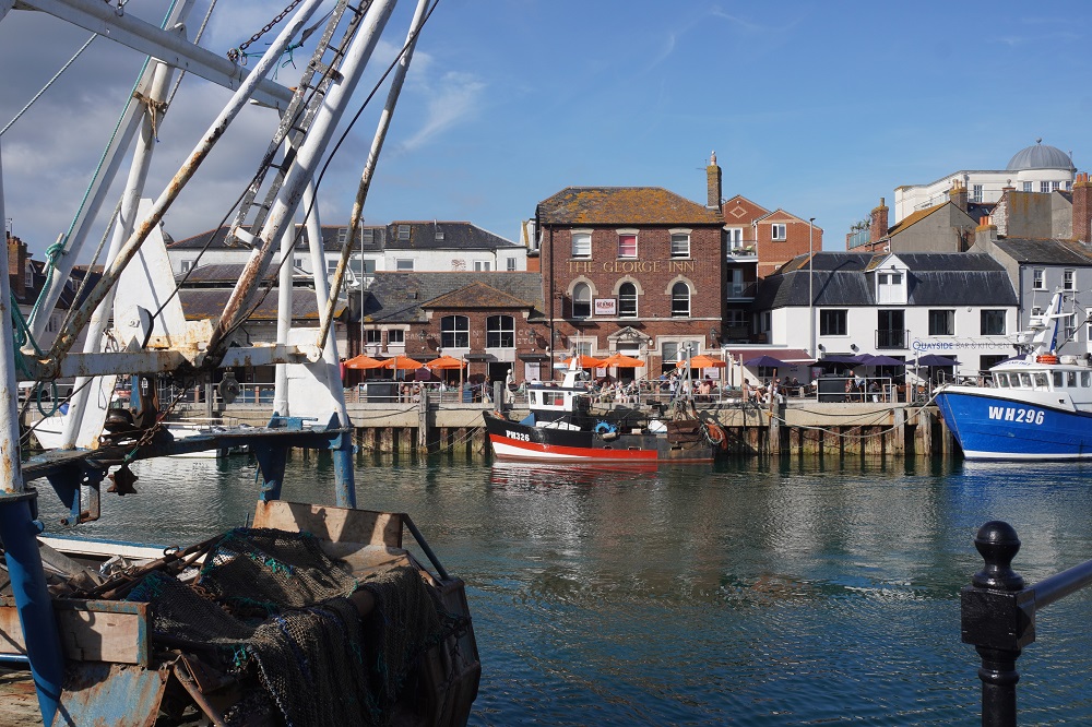
Weymouth

A lazy day for us. A recovery day. In 2016 on the Camino Frances we walked 800km in 32 days, an average of 25 km/day. We had 4 or 5 days when we did 30-32 kms. Now seven years later we are walking 240kms in 15 days at an average of 16km/day. Our longest day was 25km. So we are slowing up as we get older. Not sure how many more of these long distance walks we have in us.

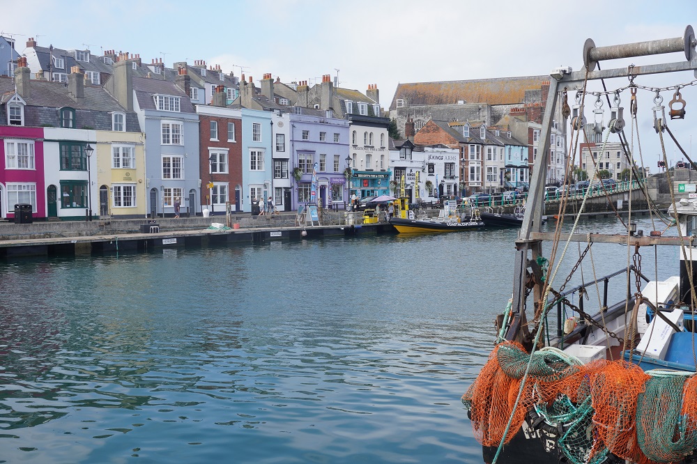
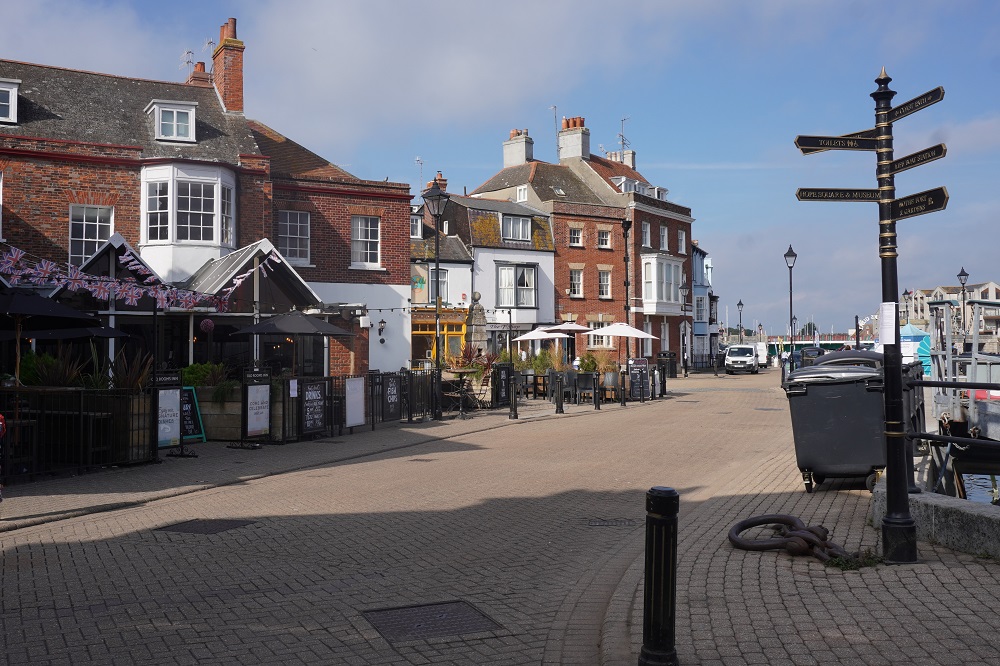
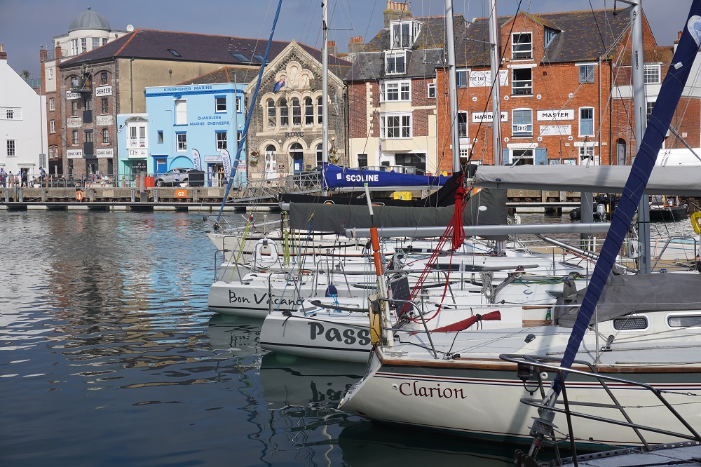
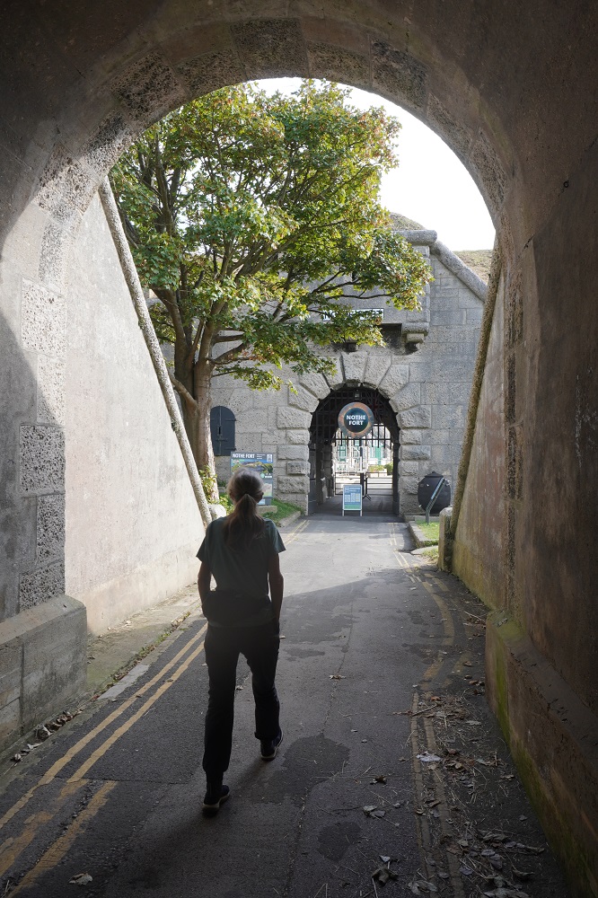
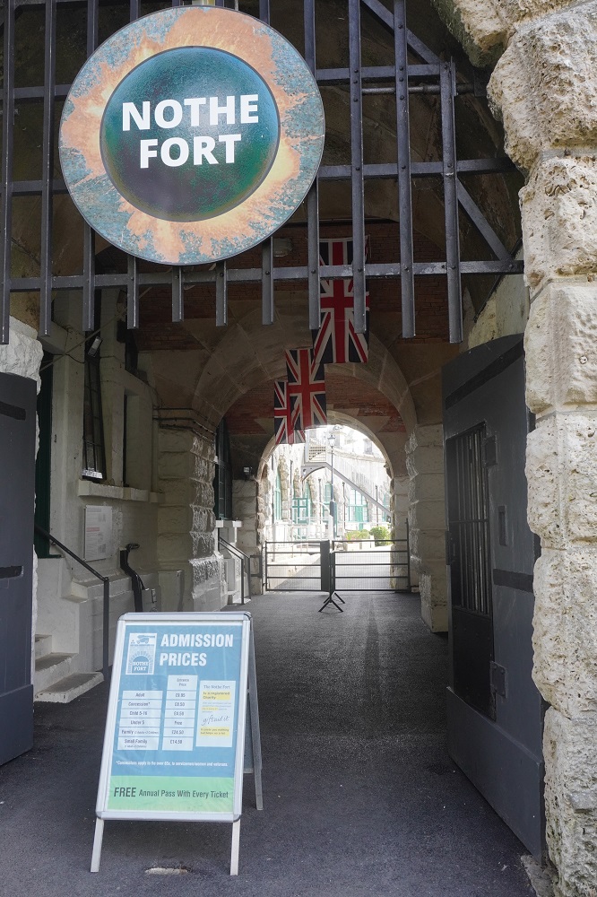
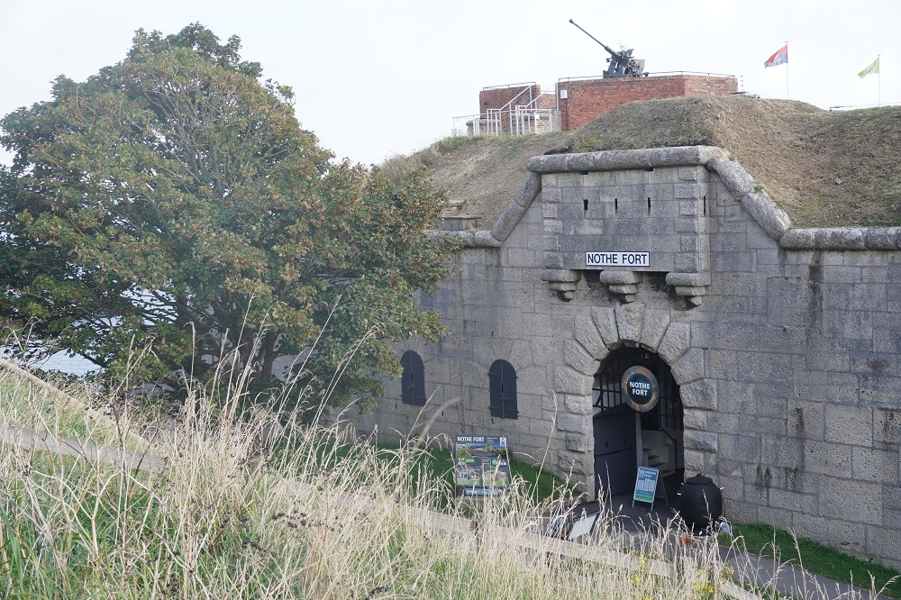
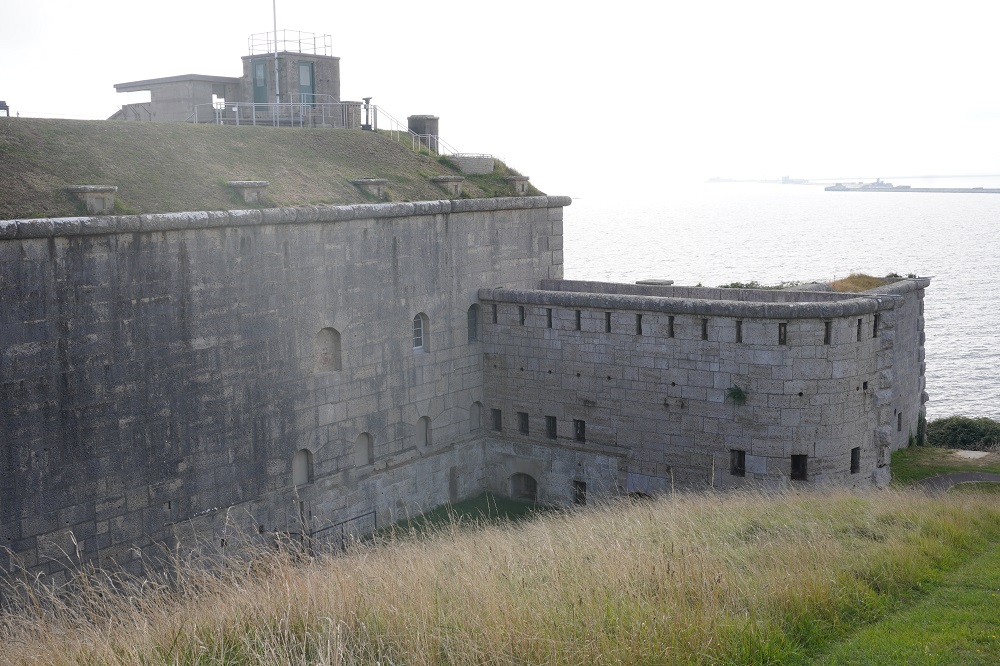
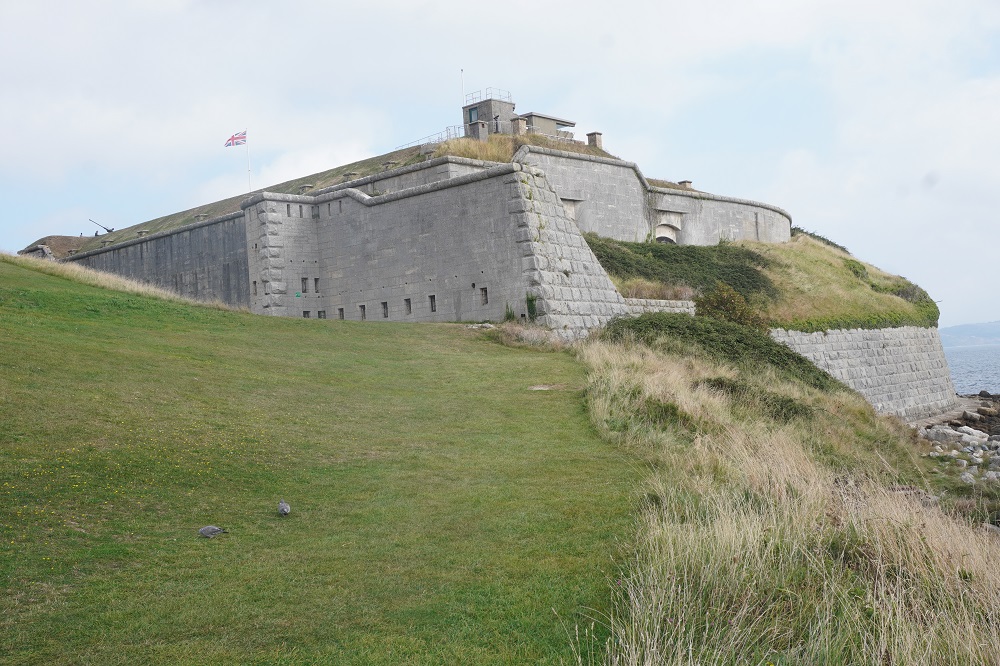
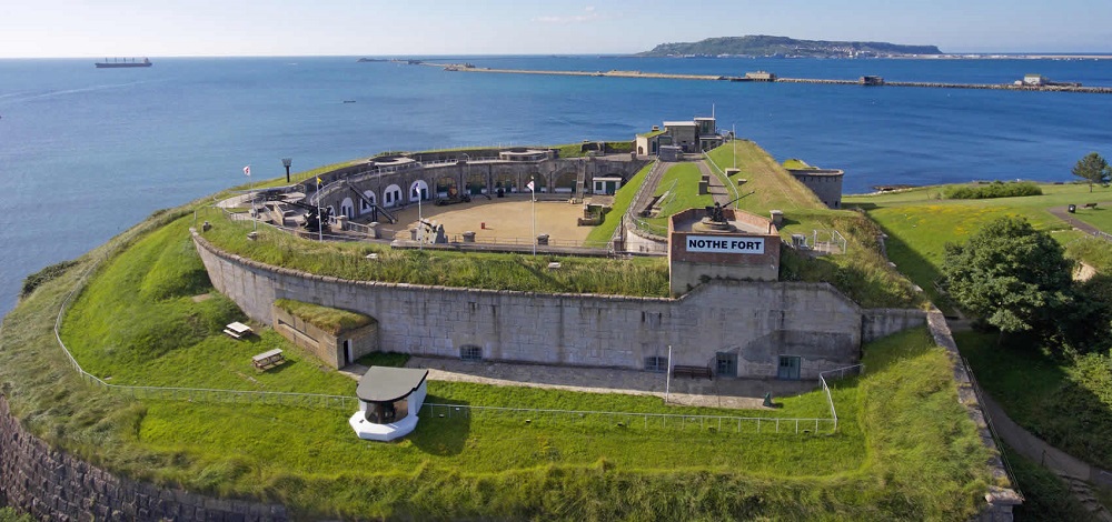
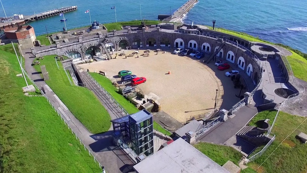
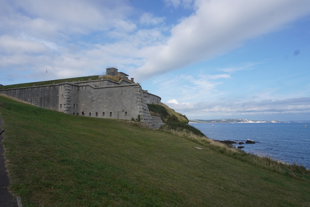
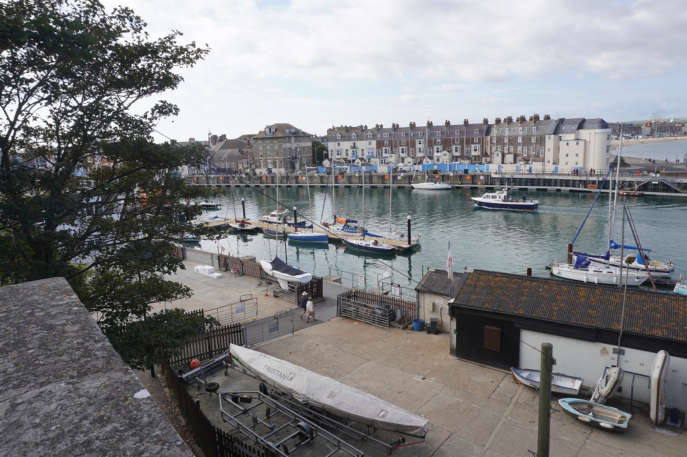
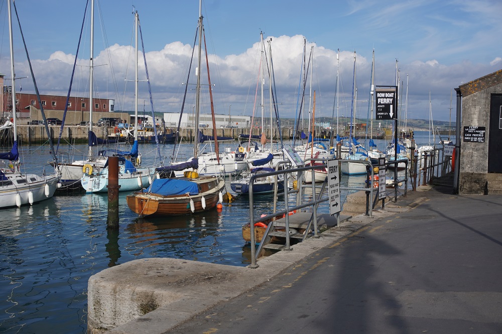
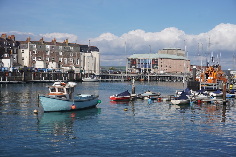
We didn’t leave our room until 10.00am and slowly walked around the harbour and back up to the historic Nothe Fort on the headland. The fort is a coastal defence built between 1860 and 1872 by the Royal Engineers. The fort was abandoned by the military in 1956 and purchased by the local council to become a visitor attraction.

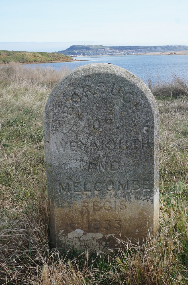
Weymouth was known as “England’s Bay of Naples”. What is known today as Weymouth, the beach and town centre, is in fact Melcombe Regis. They were once two separate places, their boundary being the harbour, with Weymouth on the south side and Melcombe Regis on the north. There was much feuding between the two and so in 1571, Elizabeth I granted a royal charter to unite them as the borough of Weymouth and Melcombe Regis.

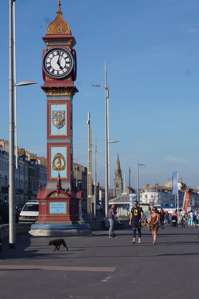
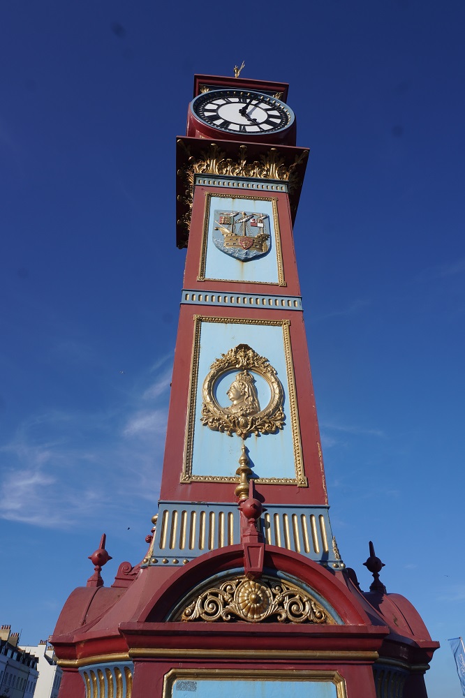
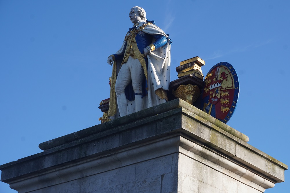
Weymouth has a royal connection in that it was once the favourite holiday destination of King George III and there are plenty of plaques and place names commemorating his visits. They also have a rather gaudy statue of him in Victoria Square. More of him tomorrow. Speaking of Victoria they have a Queen Victoria Jubilee Clock (1887) commemorating her reign.

Melcombe Regis has a claim to fame as the port where the bubonic plague, known as the black death, entered England in 1348. It was brought ashore by the fleas of the black rats from a ship that had come from the continent. The plague had devastating effects on the population of England. It is estimated that at least half the population was wiped out in the two years that it lingered. Those in Dorset were the first to suffer and people fearing that they would catch it moved away, unsuspecting that they too might be carriers of the spread.

There is a River Wey but it is only 12km long and is more of a stream. At the coast it flows into Radpole Lake, now a suburb of Weymouth, and then into Weymouth Harbour. It was an important water source from Roman times. The river was important for milling during the 18th and 19th centuries, when there were five water mills based along it. All five of the millers needed to carefully co-ordinate their activities to ensure a reliable flow of water.
Like most cities on the south coast, Weymouth was heavily bombed during WWII . It featured prominently in the D-Day landings in Normandy with many British and American soldiers having left the shores of England from here. A memorial on the esplanade records that 517,816 troops and 144,093 vehicles embarked at Weymouth between June 1944 and May 1945.

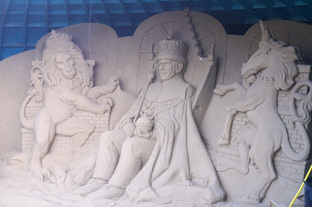
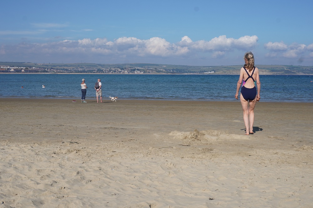
In the afternoon we went for a swim in the warm clear water of Weymouth Beach. I don’t think I have ever seen sea water so clear. The water was very shallow. One of those beaches where you walk out 50 metres and it is mid-calf deep, walk another 50 metres and it is mid-thigh deep, walk a further 50 metres and it is back to knee deep. At that stage you give up and just sit down in the water. The sand is golden and extremely fine. Maybe this is why sand sculptures are a big thing in Weymouth.  Professional sand sculptors use sand originating from fluvial deposits (river sand) that has angular grains mixed with a fraction of silt and clay. These characteristics enable the sand to bond better.
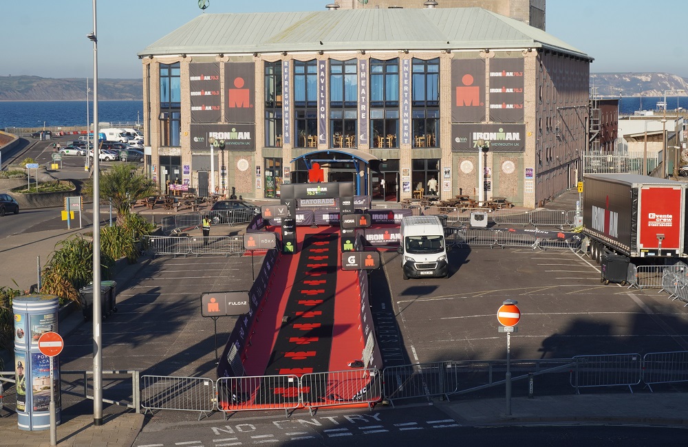
This Sunday Weymouth is holding an Ironman 70.3 (half ironman) and the town is filling up with very fit and healthy looking athletes. The finishing chute is right next door to our guest House and looking out our second floor window we would get a great view of about the last 200 metres. Sadly we will be gone tomorrow.

Tomorrow back to our routine: eat, walk, shower, sleep, for four more days.

Lost and Found

Isle of Portland 23km
Ascension 339m  Accumulative ascension 4650

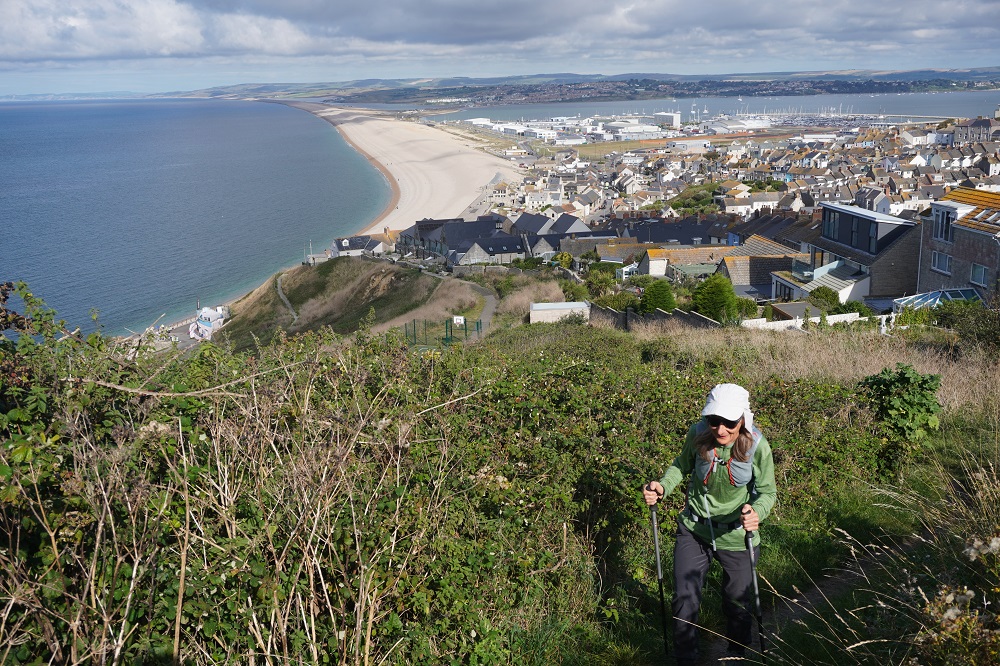
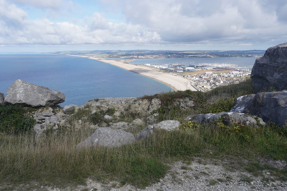
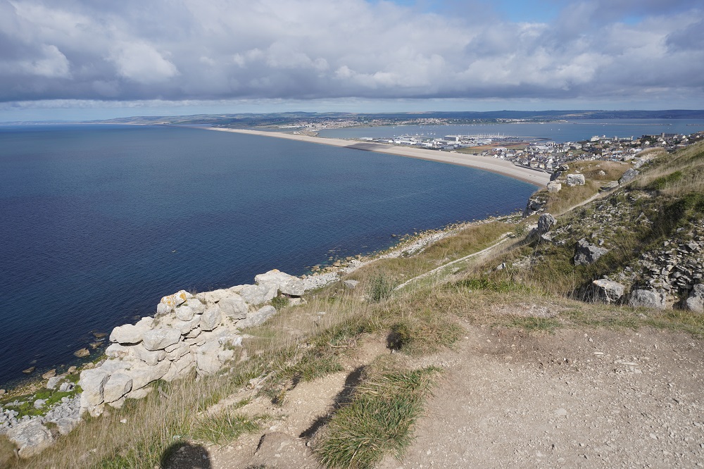
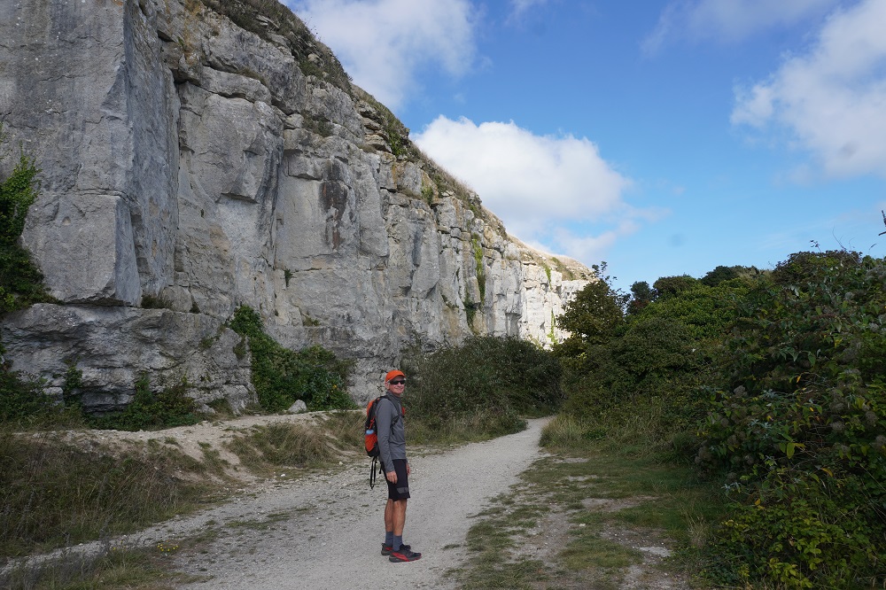
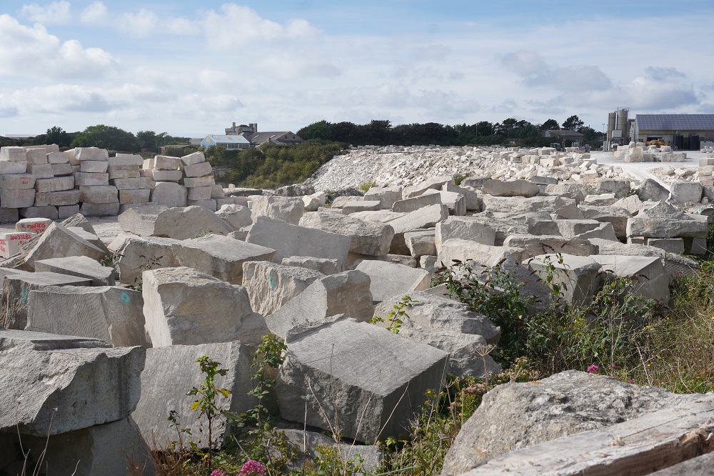
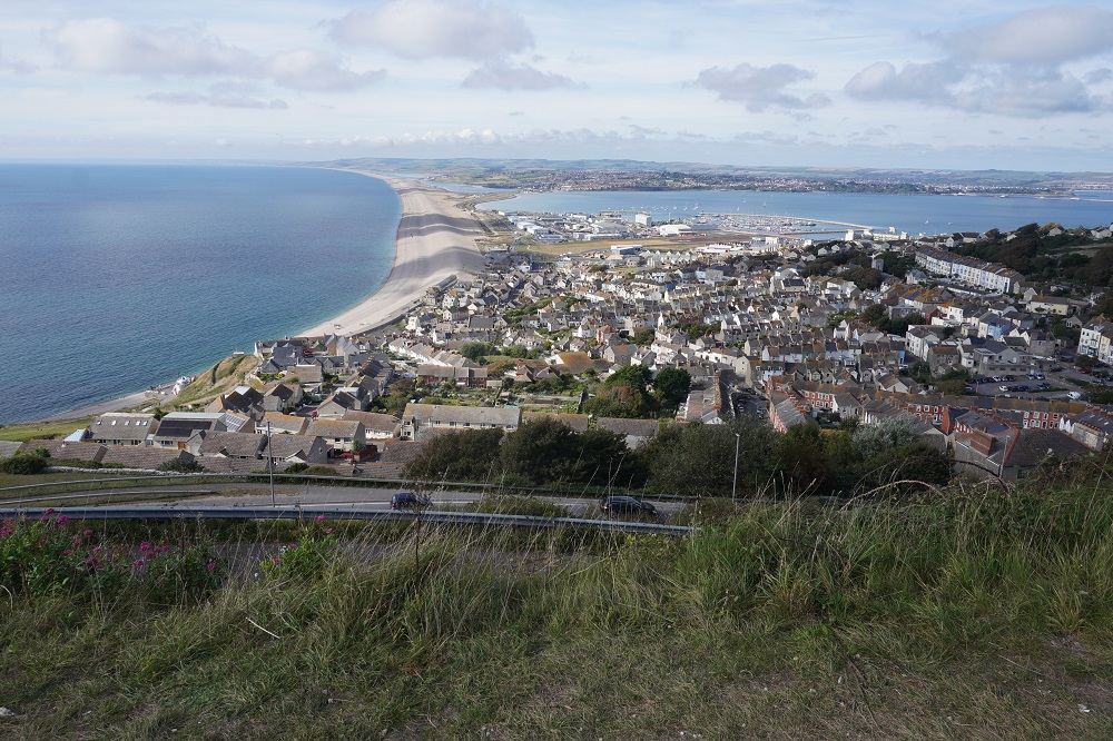
Today was a walk around the Isle of Portland. As I said yesterday an almost island, jutting out into the English Channel, tethered to the mainland only at the end of Chesil Beach. Six kilometres long and two and a half kilometres wide and basically a big block of limestone. The island is most famous for Portland Stone, a durable good-looking stone used in the building of St Paul’s Cathedral and Buckingham Palace. In New Zealand the Auckland War Memorial Museum is made from imported Portland Stone. The stone was also used for thousands of gravestones during the two world wars. The stone is sufficiently cemented to be resistant to weathering but not so compact that it can’t be carved and cut by stonemasons.

At breakfast this morning we were chatting with an English couple who knew the area well and they explained to us where and what bus to catch, the route number, the cost, the frequency. Everything we needed to know. As yesterday we had walked in from the island causeway into Weymouth, we decided not to repeat it each way again today, so took the bus instead. On the bus we met a Canadian lady from Nova Scotia who was doing the same as us, a circuit of the island. She had walked the Camino Portuguese and the Dingle and Kerry Peninsulas in Ireland, like us, and so we had a lot of stories to share. She was doing just parts of the Coast Path not the full 630 miles.

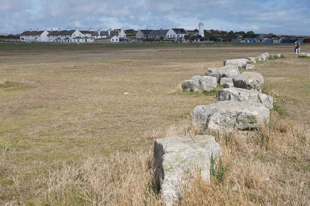
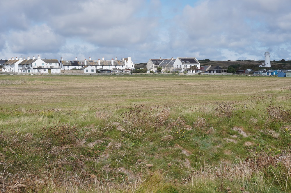
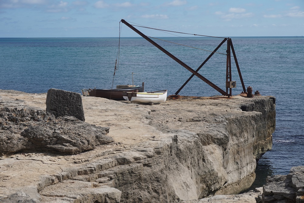
As well as many old quarries and some still operating ones, the island has three castles, three lighthouse, two villages, eight settlements, half of Britain’s butterfly species, a HM Prison, a HM youth detention facility, an industrial estate, a nature sanctuary, a Ministry of Defence compound, a sculpture garden, a thirteenth century church, and kilometres of lonely cliff tops. Way too much to see in one day. One thing the Isle of Portland did not have was a beach suitable for swimming.

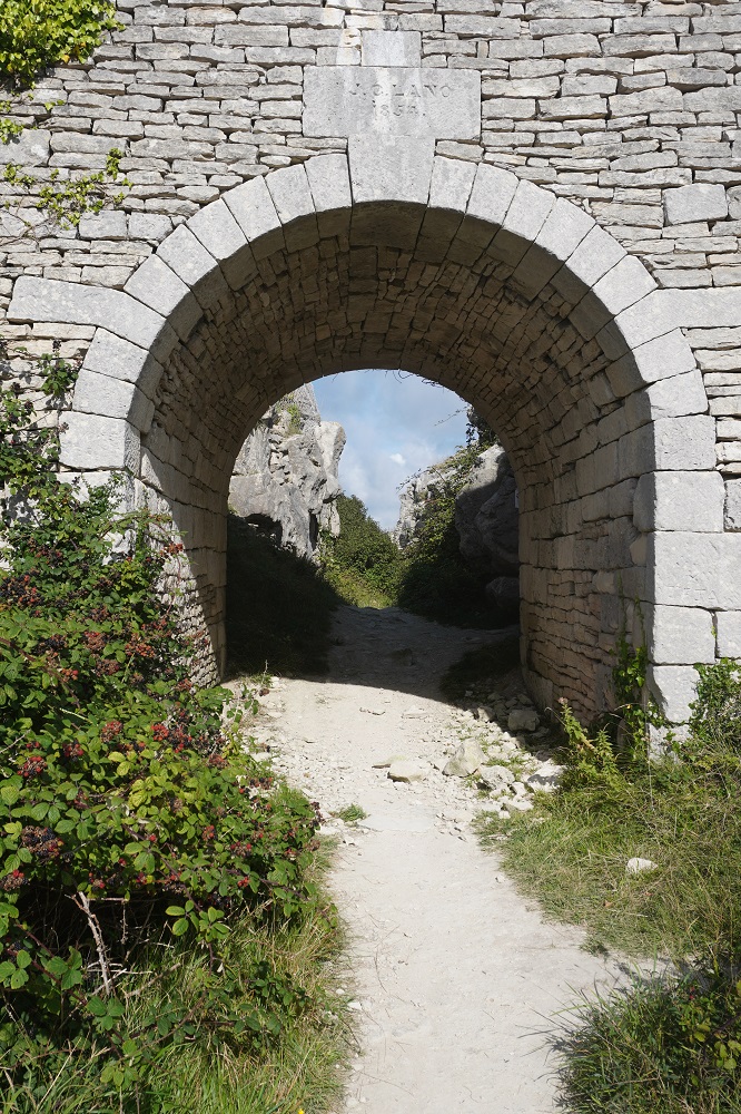
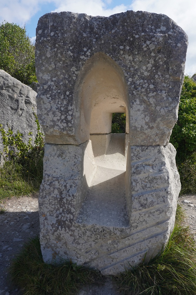
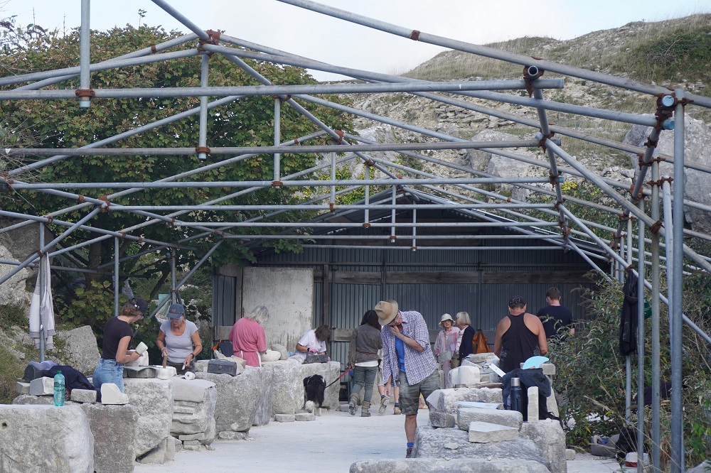
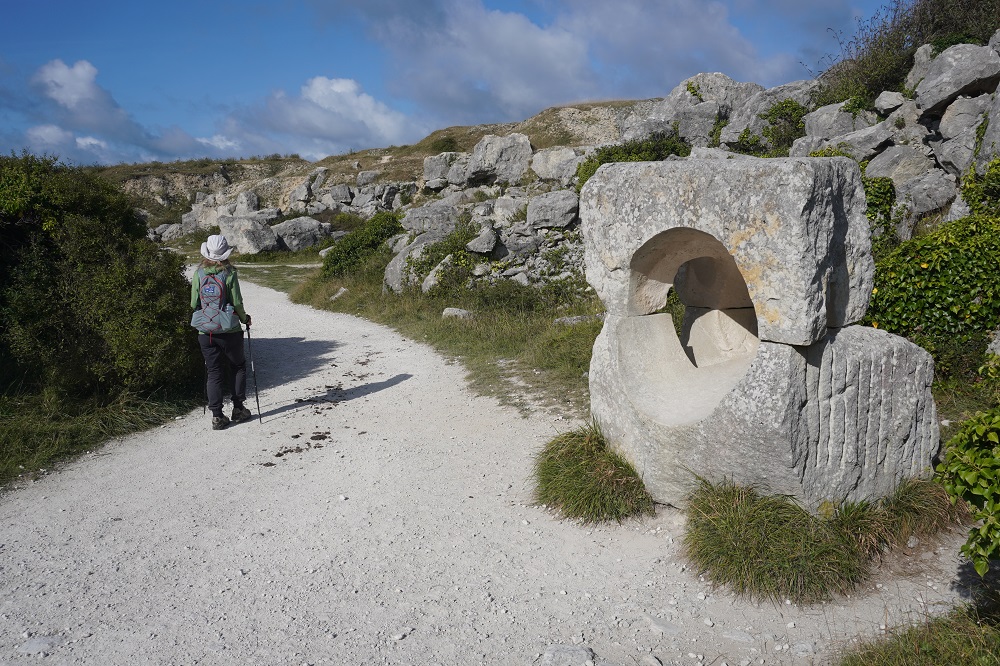
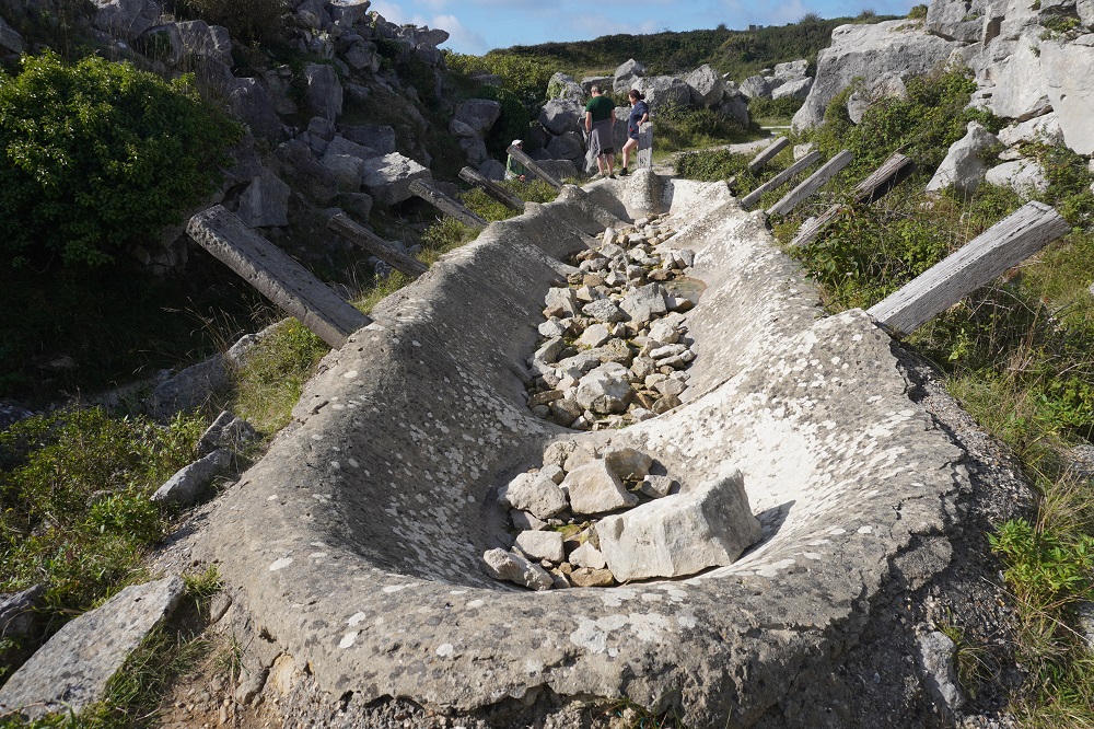
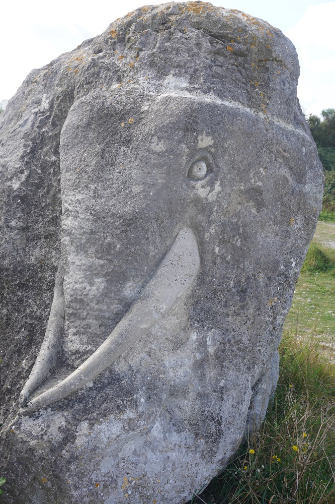
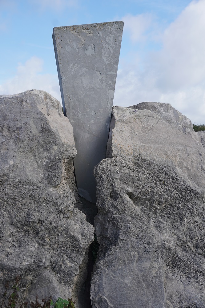
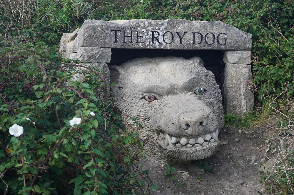
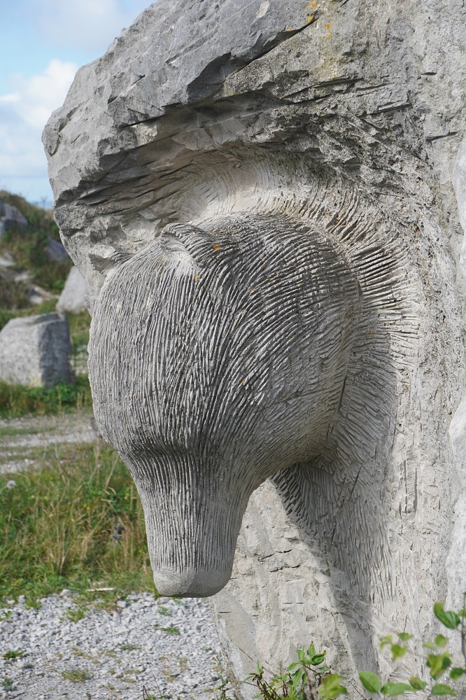
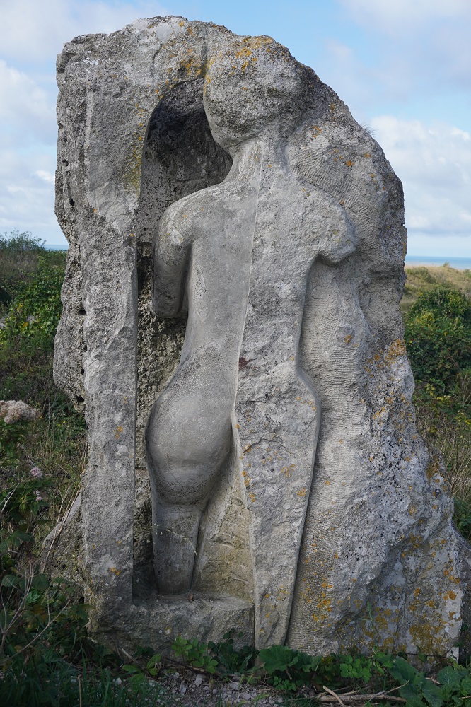
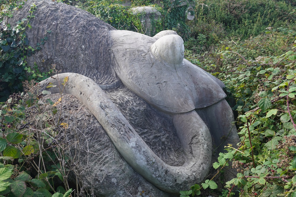
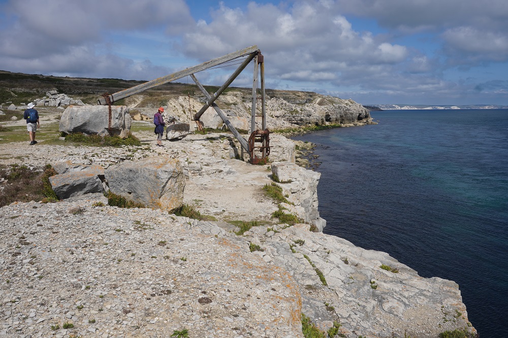
Immediately you arrive on the island you have a steep climb. The island is 167m high at the mainland end and tapers down to sea level at the English Channel end – this end is called Portland Bill. At the top of this first climb, in a disused quarry, is the sculpture garden. The Coast Path goes under a stone arch and meanders thru the huge limestone slabs in the quarry and every now and then one of them has been sculptured into something. There was also an area where about half a dozen artists were working away with hammers and chisels on their creations.

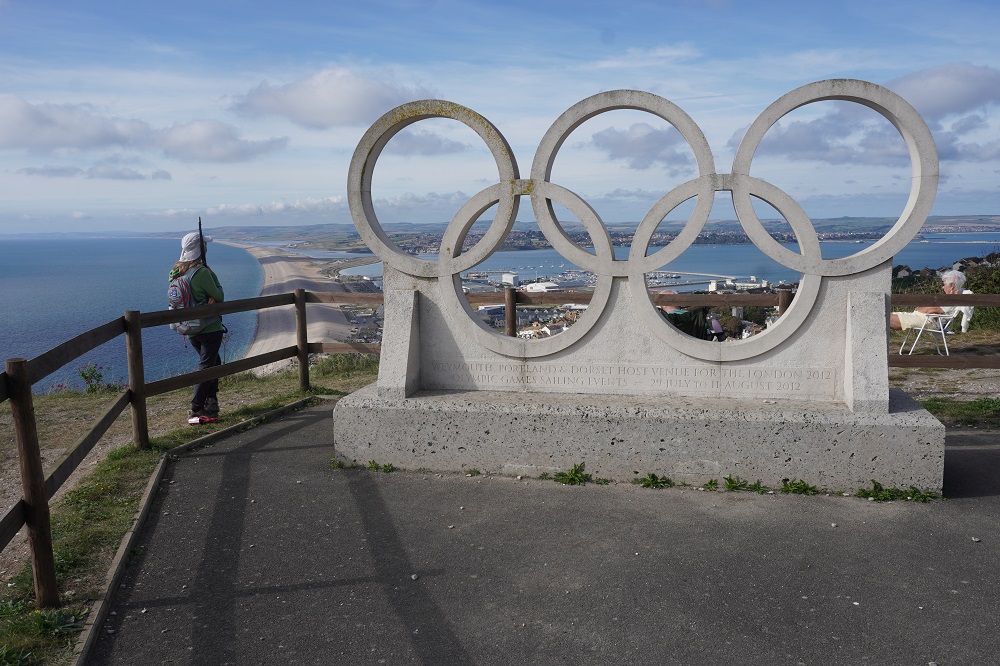
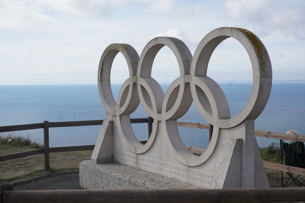
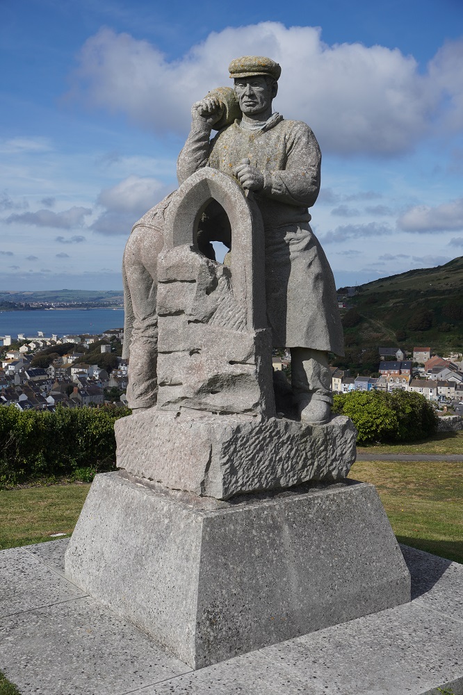
Outside of the sculpture park there are two other notable sculptures. The spirit of Portland, a memorial to stone masons and a sculpture of the Olympic Rings. At the 2012 Olympics and Para-Olympics the sailing was held at Weymouth.

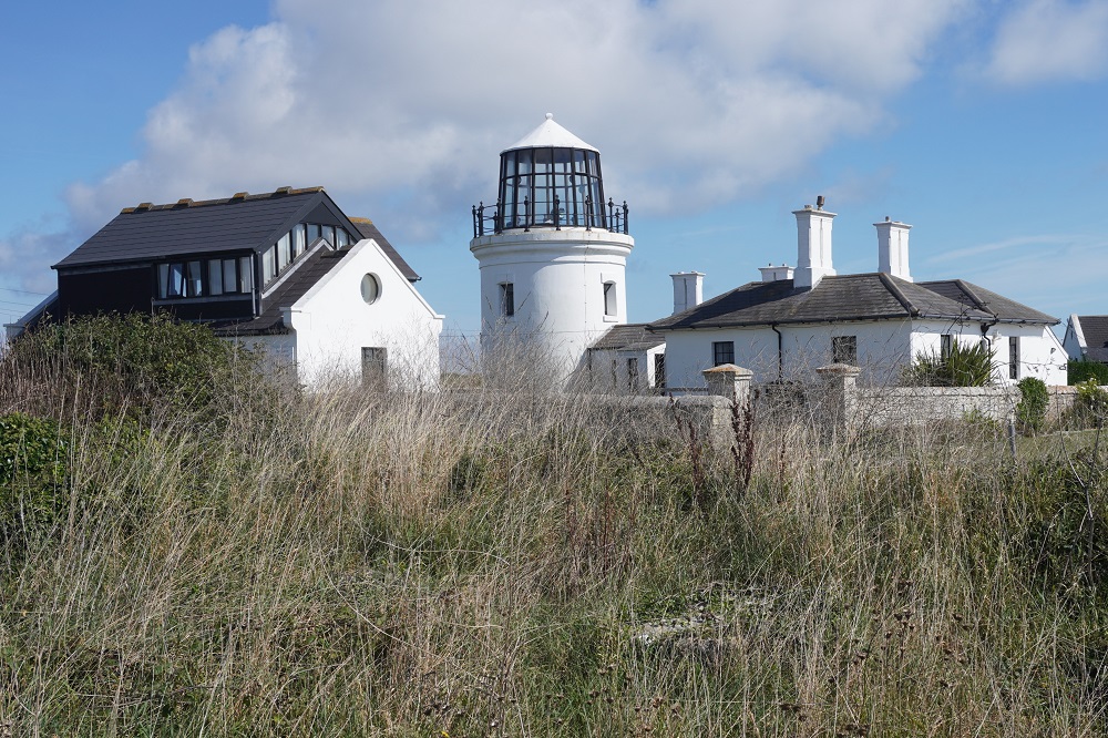
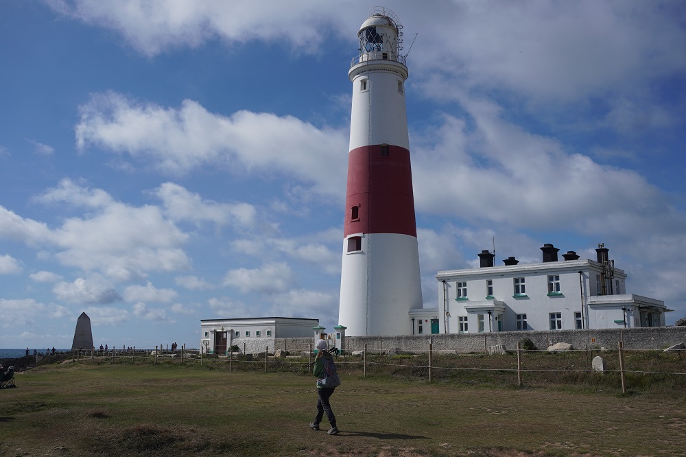
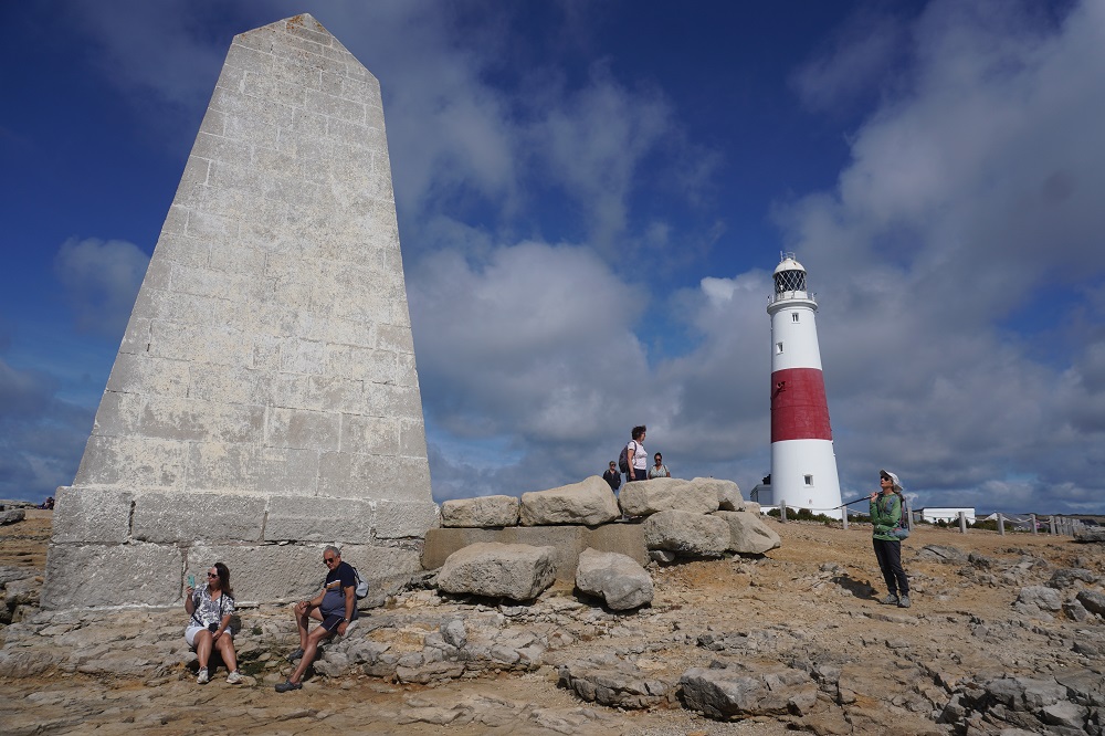
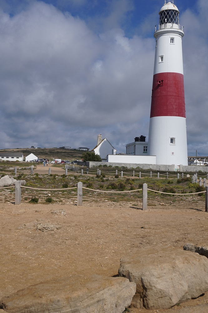
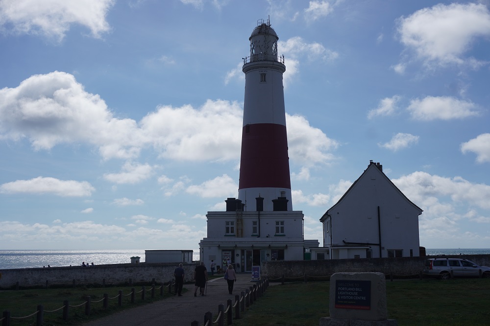
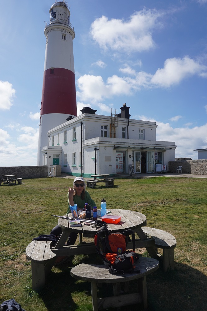
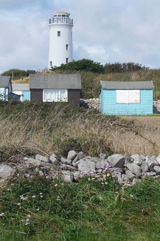
There are three lighthouses and the first you reach is Old (Higher) Lighthouse, the light from which first guided sailors in 1716. Further on is the striking, red and white painted Portland Bill Lighthouse. The focal point of most people’s visit to the island. This lighthouse was built in 1905 – 06 and is still operating. You can pay for a guided tour and climb 136 steps to the top. A little further on is Old (Lower) Lighthouse, also built in 1716, and is now used as a bird observatory.

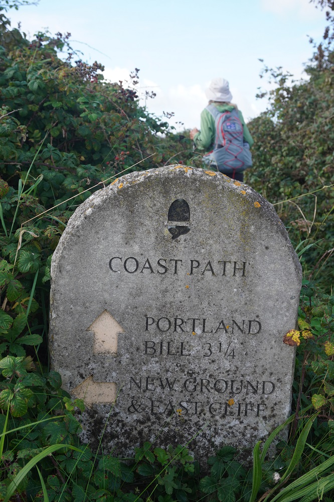
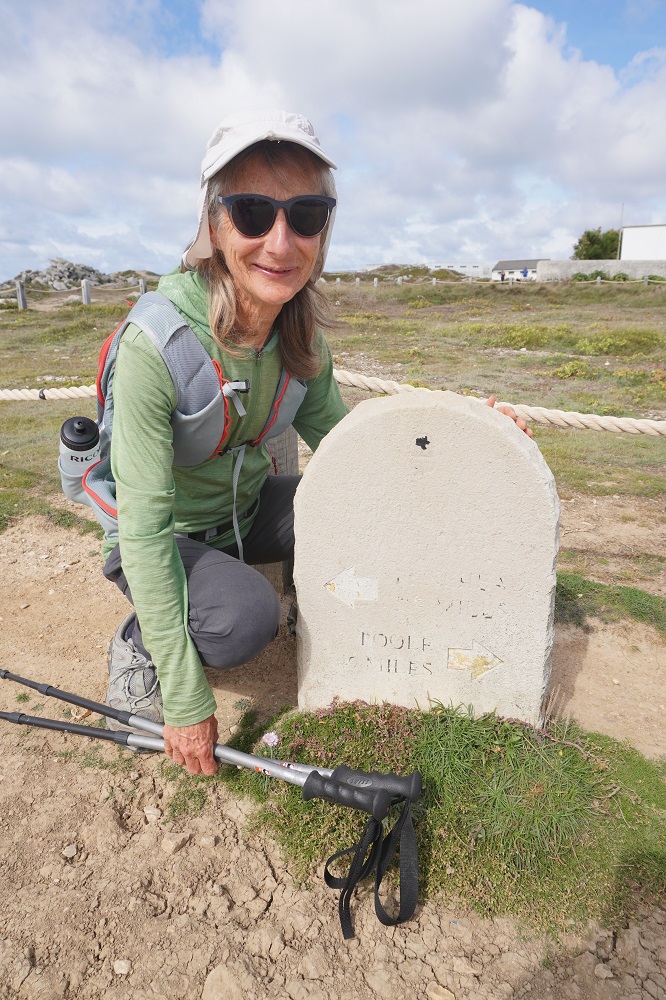
At the Portland Bill Lighthouse is a Coast Path stone marker stating that it is 581 miles to Minehead and 49 miles to Poole.  We have walked all 581 miles and only have 49 miles to go.

At the lighthouse we also caught up with a couple from Stratford upon Avon whom we first met two days ago on Chesil Beach and then again yesterday walking to Weymouth. They stayed on the Isle of Portland last night and we had another good chat with them today comparing experiences. For us it was a very sociable day, first the helpful breakfast couple, then the friendly Canadian and finally the Stratford couple.

This morning we had taken the bus over the causeway right to the base of the first climb. This afternoon we decided that in order to say we had walked the entire Coast Path we had to walk back over the causeway. It was 4 in the afternoon, we were hot and tired and the walk is 2 miles of mind numbingly boring trudging alongside a busy noisy road. But we did it and can sleep with a clear conscience tonight. We had a bit of trouble with the path today and lost it many times. Not a lot of signage, diversions due to rock falls, quarry operations and security areas. And quite a bit of sloppiness by us. We always seemed to find it again with some good guess work and the help of locals.

Tomorrow a quiet day in Weymouth and hopefully a swim.

England’s Green and Pleasant Land

Abbotsbury to Weymouth 25kms
Ascension 291m  Accumulative ascension 4311

At breakfast this morning I asked our host Kevin what was the significance of the name of our accommodation: Coward’s Lake Farm House. His explanation was that it was indeed a farm house and the “lake” in old English could also mean a stream and there was a stream next to the house. There were two explanations of the word Coward. One was that centuries ago a sea captain named Coward lived in the area. This was not very convincing as there were no parish records of a Coward. The second explanation is that even longer ago villagers had gardens along the stream and grazed cows there. Coward is just a bastardisation of cow herd and so Coward Lake could be Cow Herd Stream. Personally I think he should come up with a new legend of cowards, lakes, damsels and heroes.

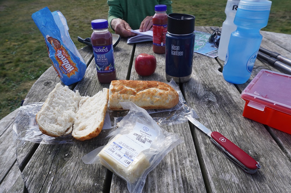
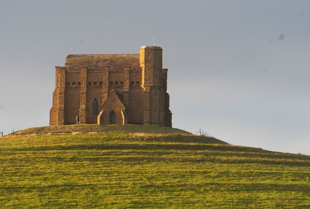
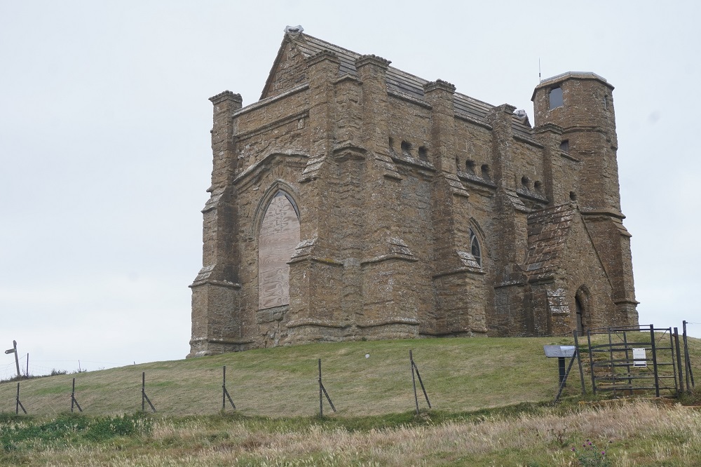
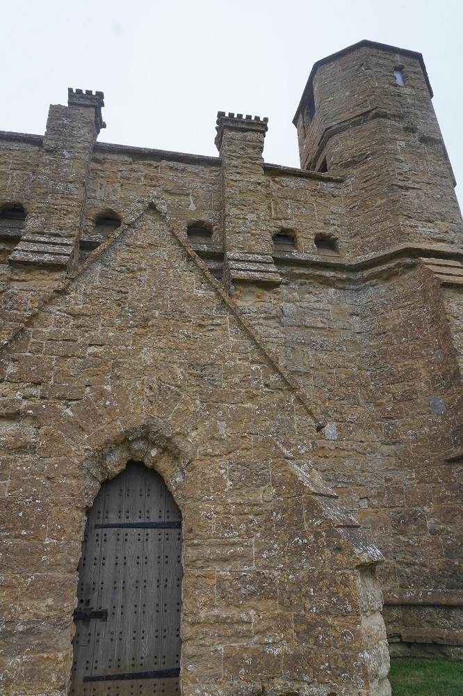
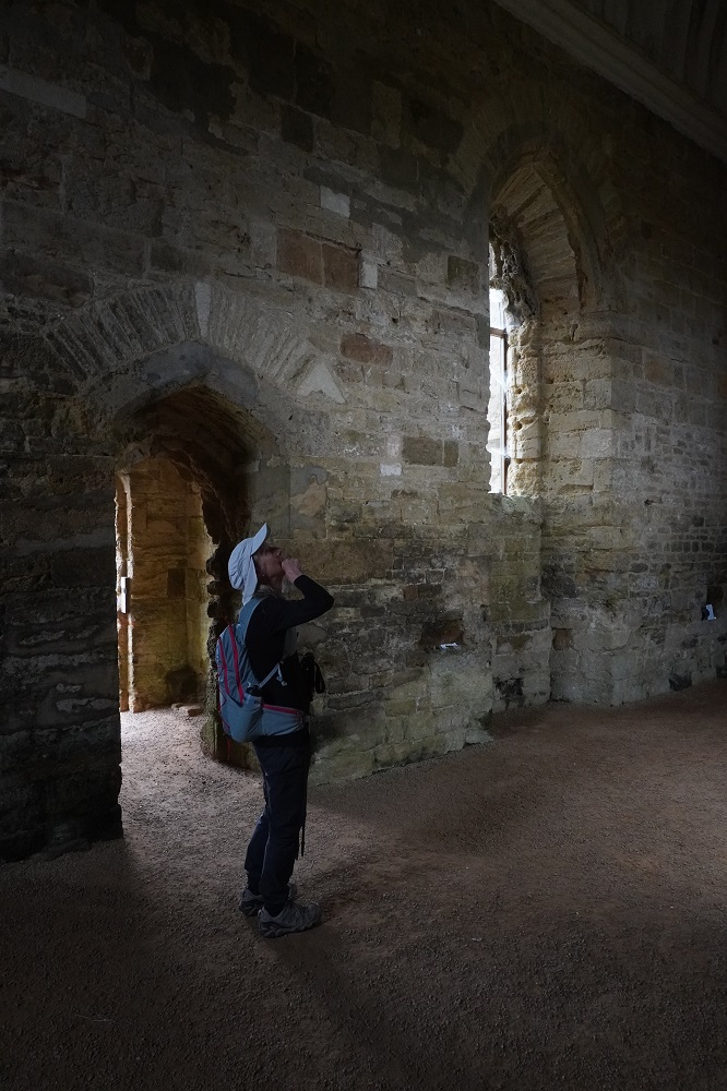
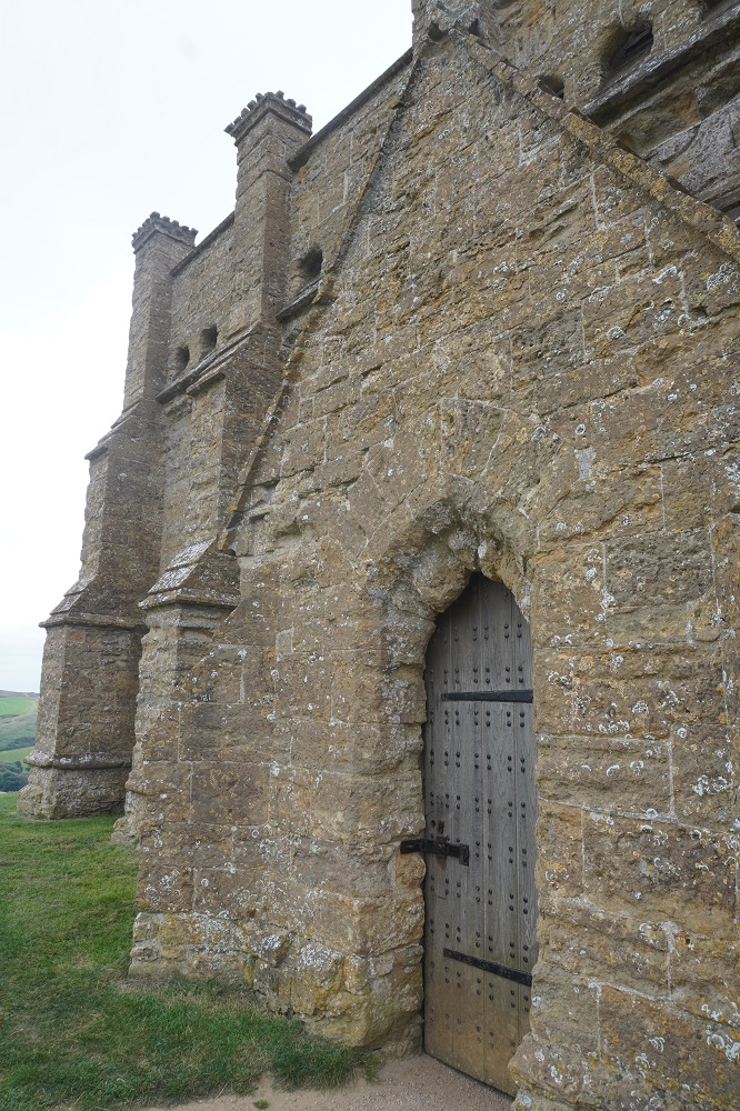
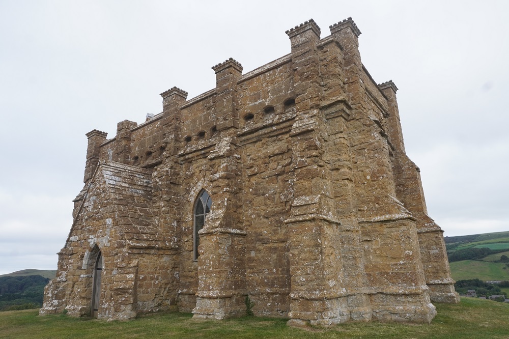
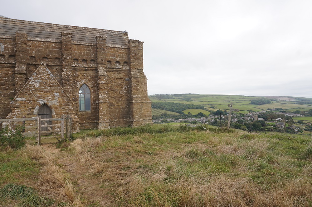
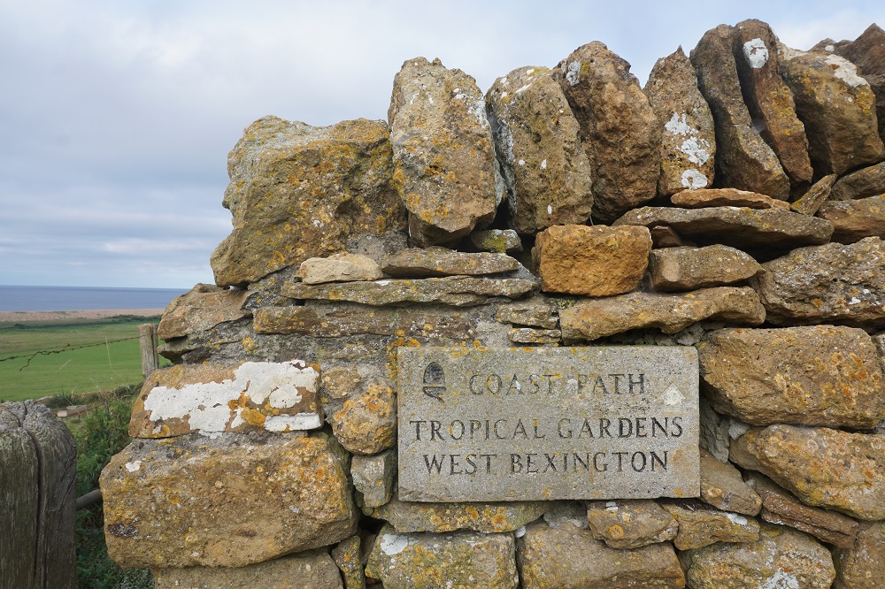
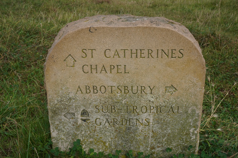
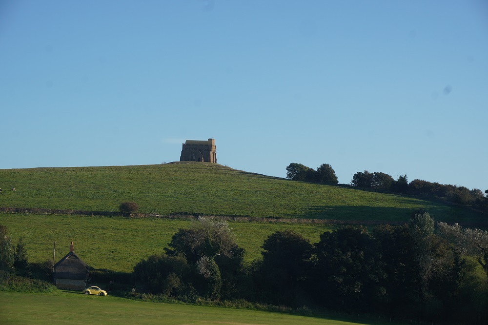
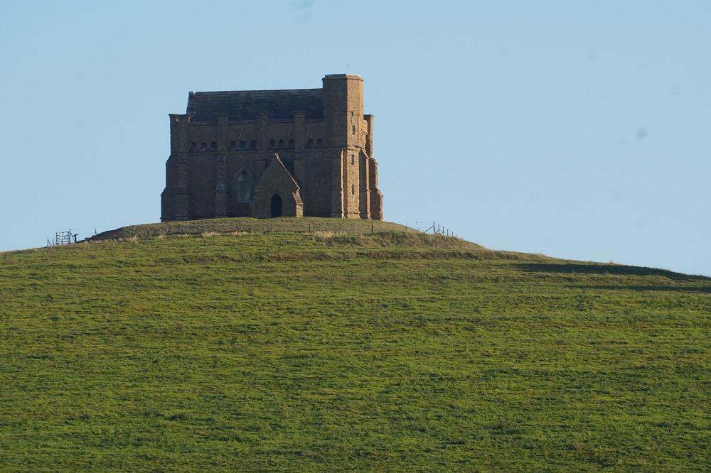
After buying cheese, buns and apples for lunch from the village shop we headed off up the hill to visit St Catherine’s Chapel. The Chapel was built in the late fourteenth century by Abbotsbury Abbey, and was dedicated to St Catherine of Alexandria, one of the most popular saints in late medieval England. The hill top location recalls the monastery of St Catherine on Mt Sinai and suggests that the chapel was a place of pilgrimage. Overlooking the sea, the chapel was used as a beacon by shipping. This ensured its survival after Abbotsbury Abbey was destroyed by Henry VIII during the Dissolution of the Monasteries. St Catherine is the patron saint of spinsters and women are said to visit the chapel in desperate search of husbands.

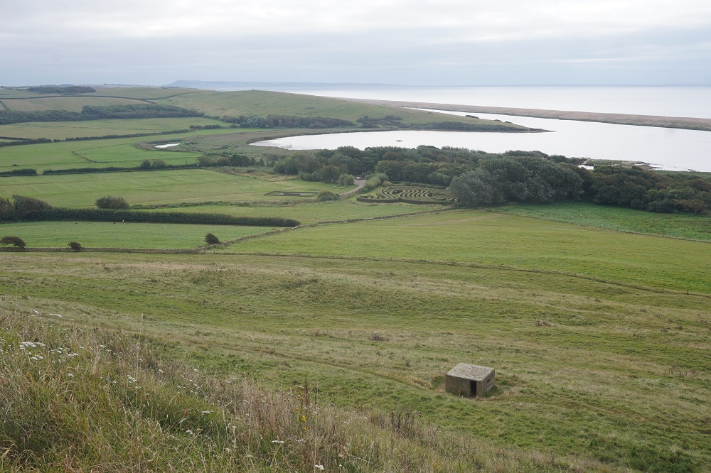
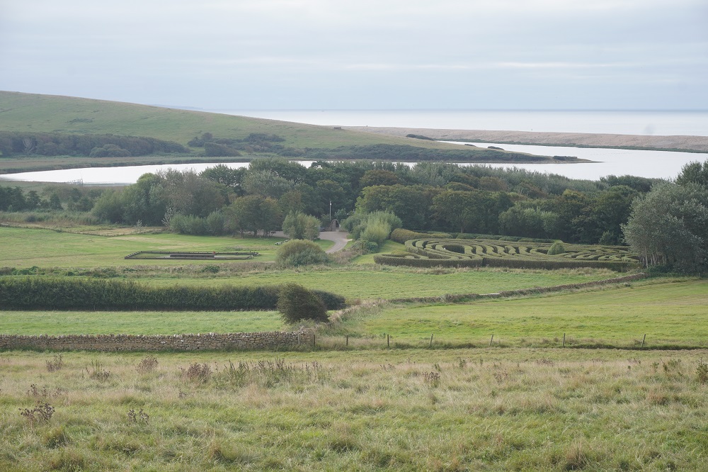
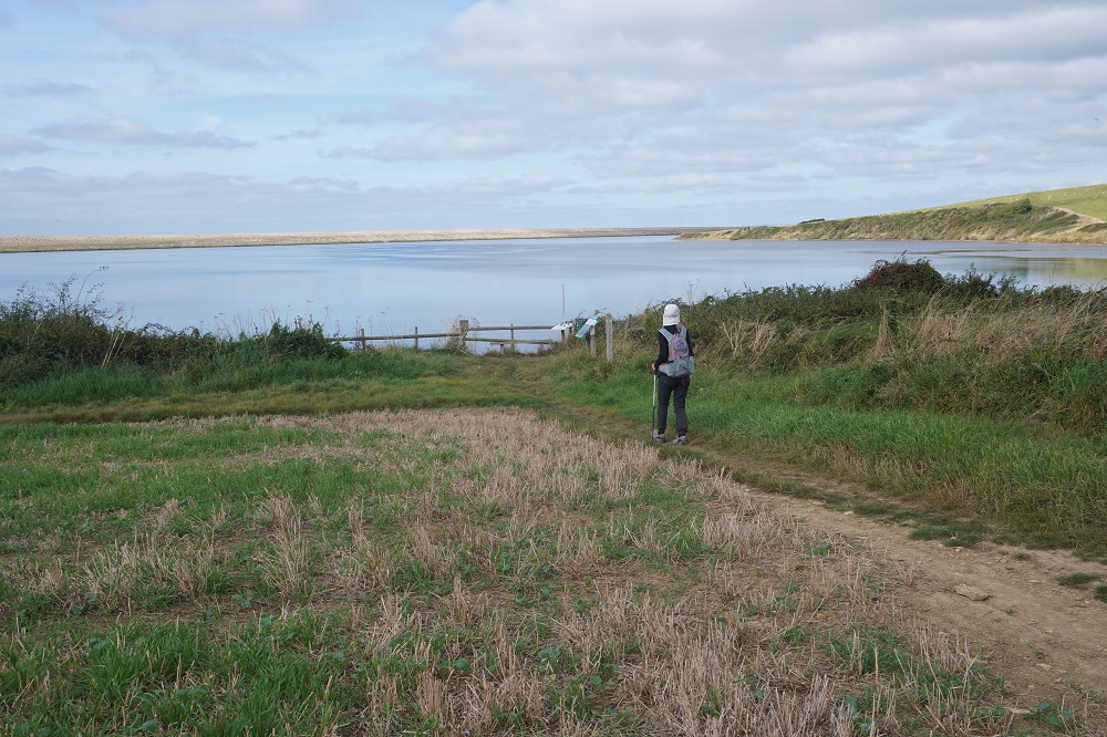
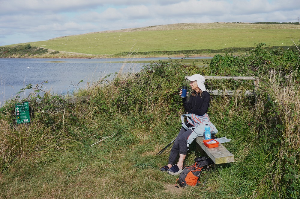
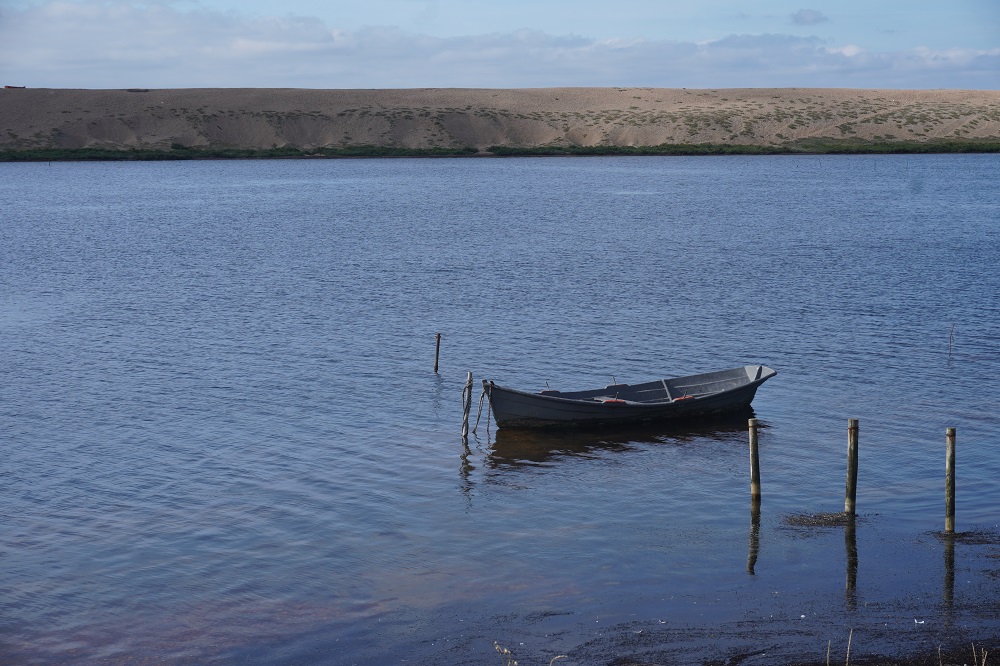
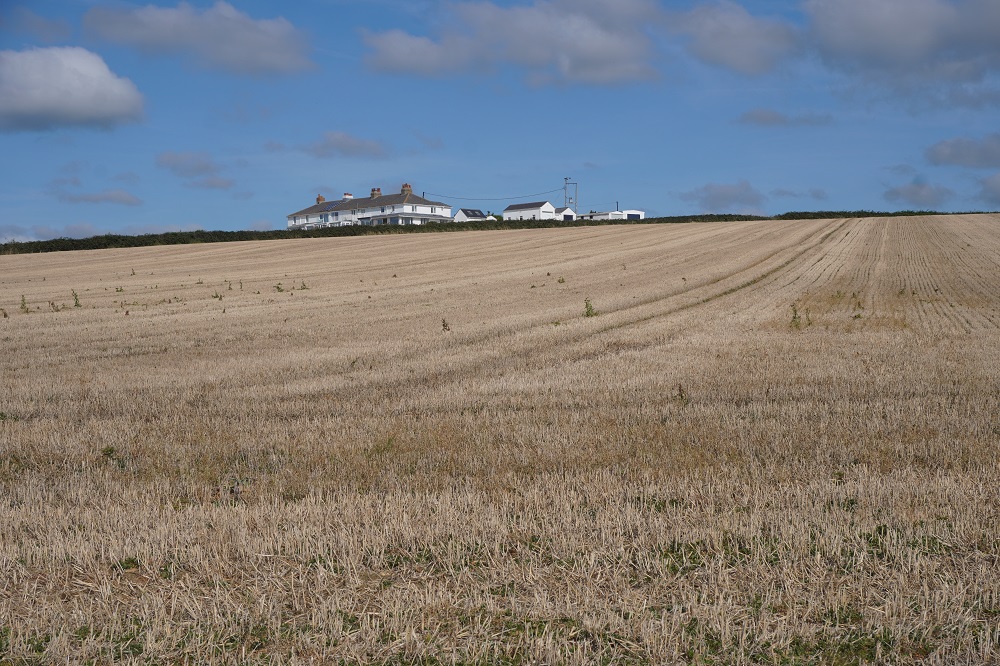
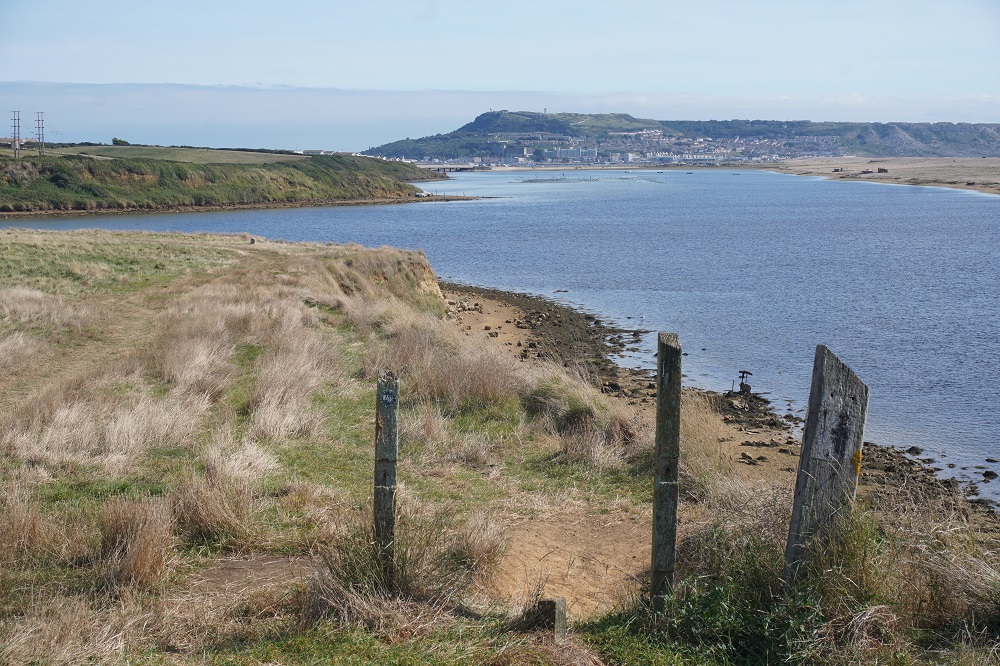
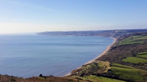
The first part of today was along a ridge through fields that made us feel a long way from the sea. It was easy walking on grass and earth paths with great views of the surrounding countryside. We really felt we were in “England’s green and pleasant land” (Jerusalem by William Blake). Eventually we came down to the western end of the Fleet Lagoon and walked around the inland  edge of this until we reached the outskirts of Weymouth. On our left was farmland and on our right the tranquil waters of The Fleet. Beyond The Fleet was the high shingle bank of Chisel Beach which blocked any view of the sea.

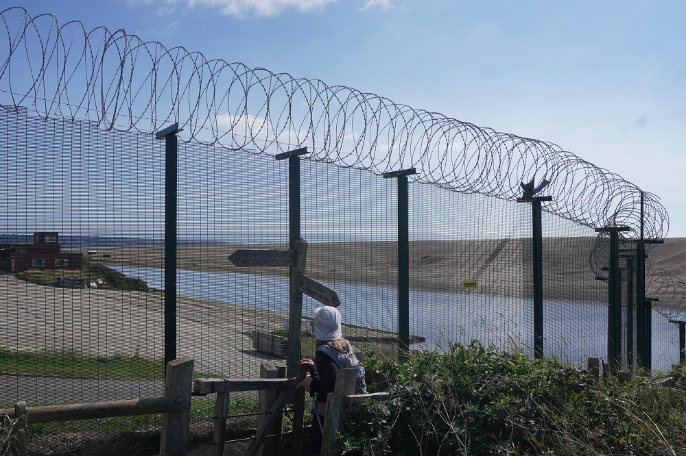
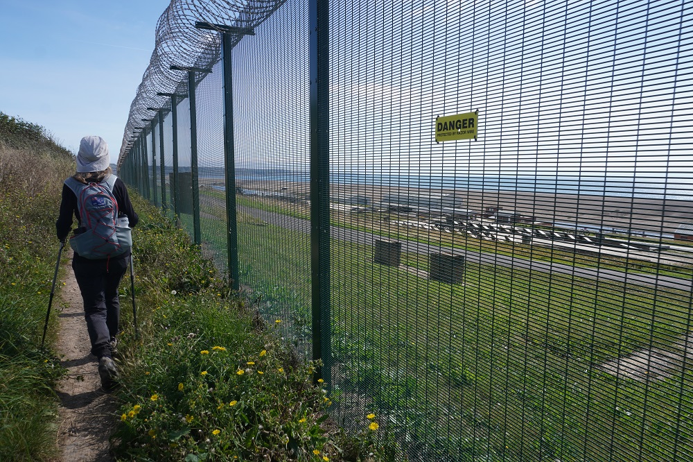
No golf courses today but we did walk through two huge holiday parks, a military firing range (there were no red flags so we didn’t have do the diversion) a military training ground surrounded by a high fence topped with razor wire and a horse racing course.

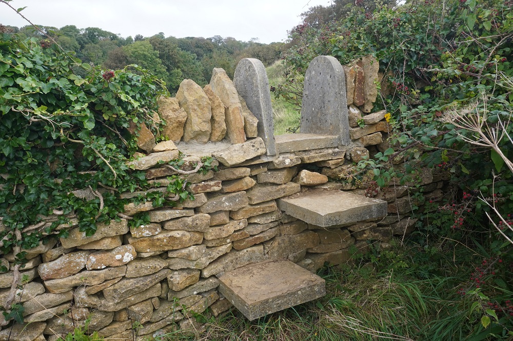
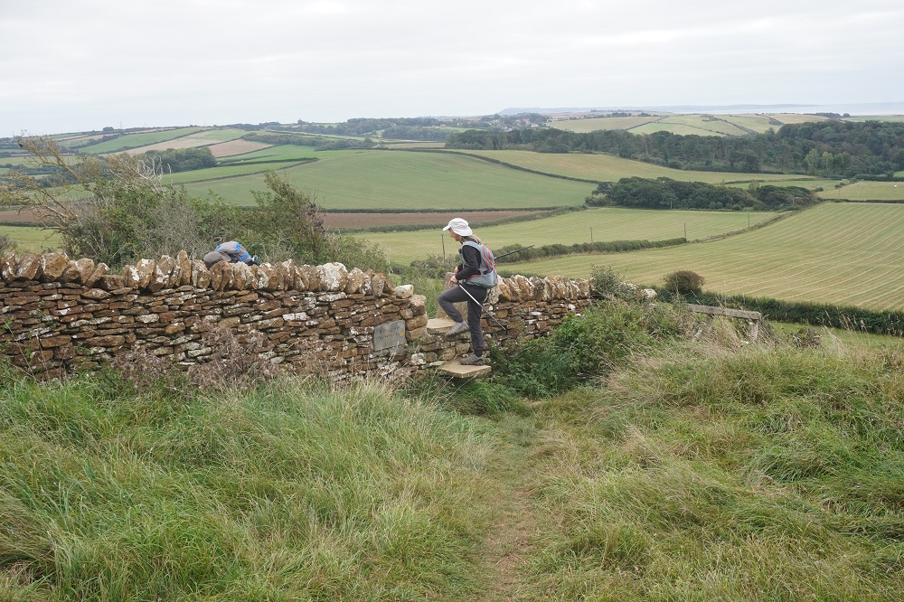
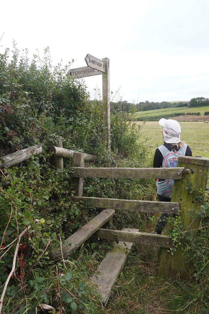
Two minor things of interest today. Usually when going through fences or walls on the Coast Path they have kissing gates and we will go through at least 20 of these per day. But today no kissing gates, they were all stiles. Some beautifully built in stone walls but most old rickety timber ones. For us it is a lot more effort to climb over a stile than to go through a kissing gate. In Ireland it was always a stile. They haven’t invented kissing gates there yet.

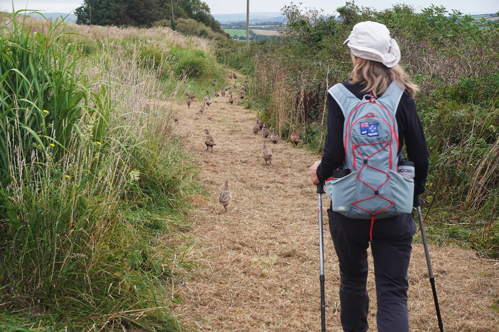
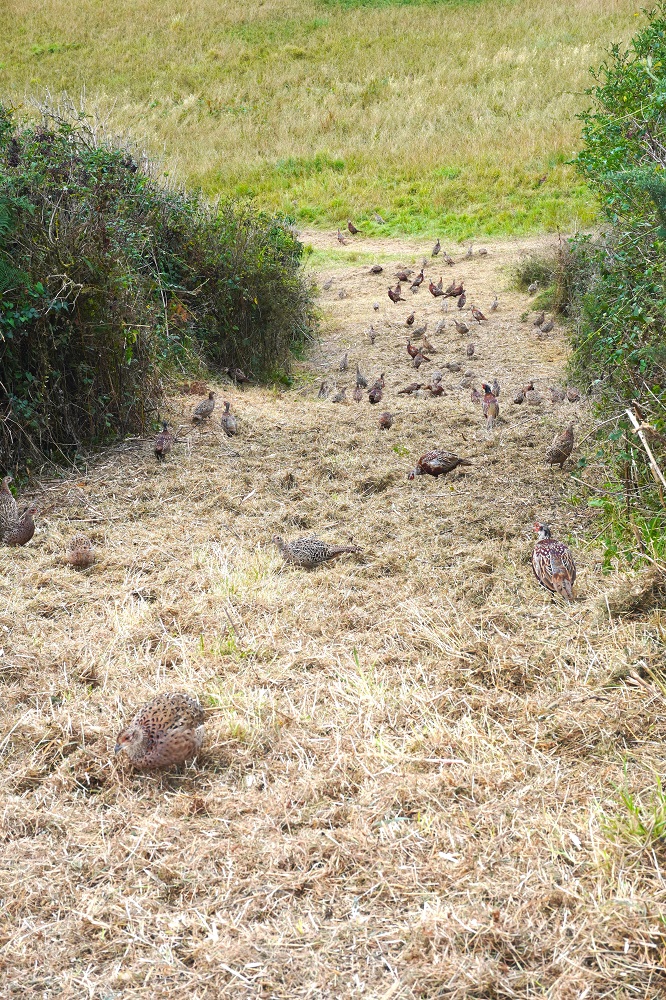
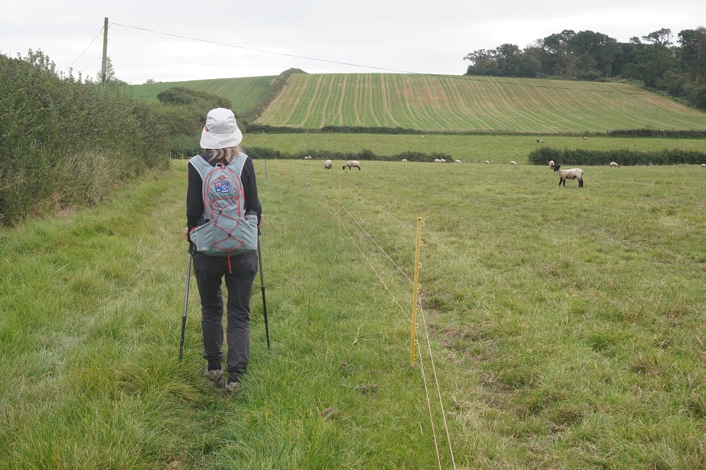
The other interesting thing was pheasants. A lot of the path in the farmland was freshly mown and there were dozens of pheasants pecking about in the grass. As we walked along they scurried along in front of us. They seemed about as clueless as sheep.

It started out refreshingly cool at the chapel this morning but by lunch time it was uncomfortably hot and there was little woodland to get protection from the sun. It was a long day and we had made good progress to Ferrybridge where the Isle of Portland is connected to the mainland. The Isle of Portland is what is known as a tied island, connected to the mainland with a sandbar or tambolo. In this case the sandbar is now a four lane road. At Ferrybridge the Coast path was closed and there was a diversion inland through suburbia. The signage was terrible and we got some bad advice from a local who I guess was only trying to help. We found the path again coming into Weymouth but this is one of those towns which instead of a nice 10 minute direct walk into town you get the 45 minute scenic route through leafy suburbs, a cliff walk, some botanic garden, a headland fort, a rose garden etc. We were over it and didn’t get to our guest house until 4.30pm.

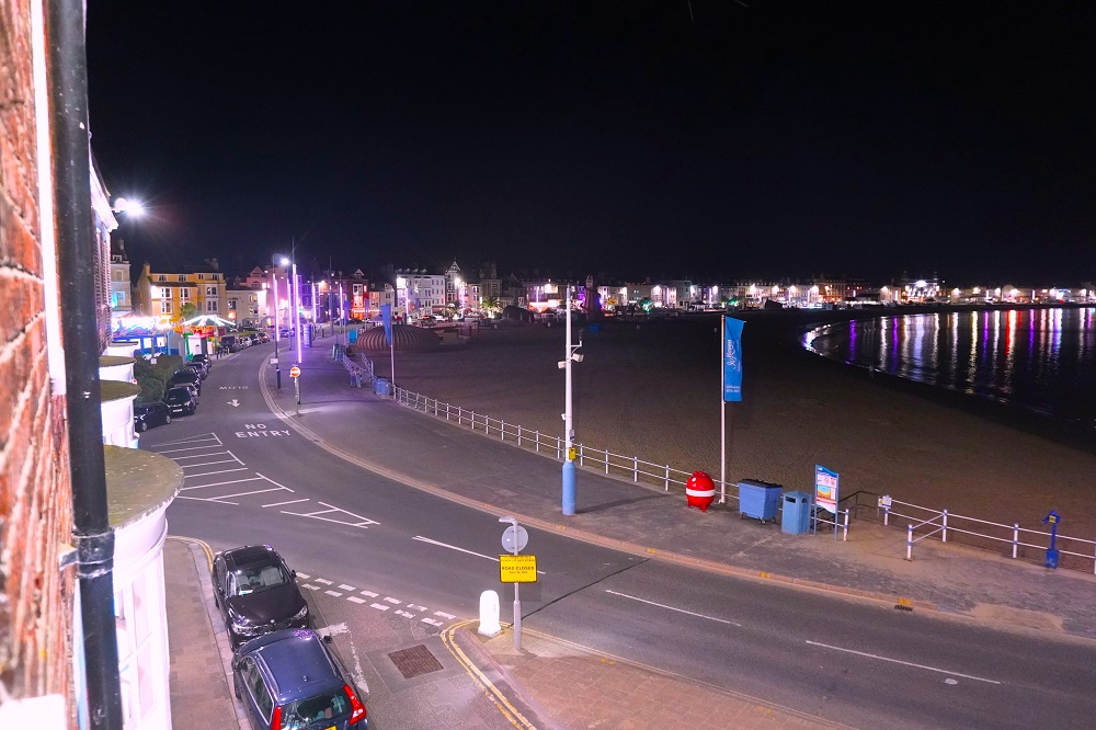
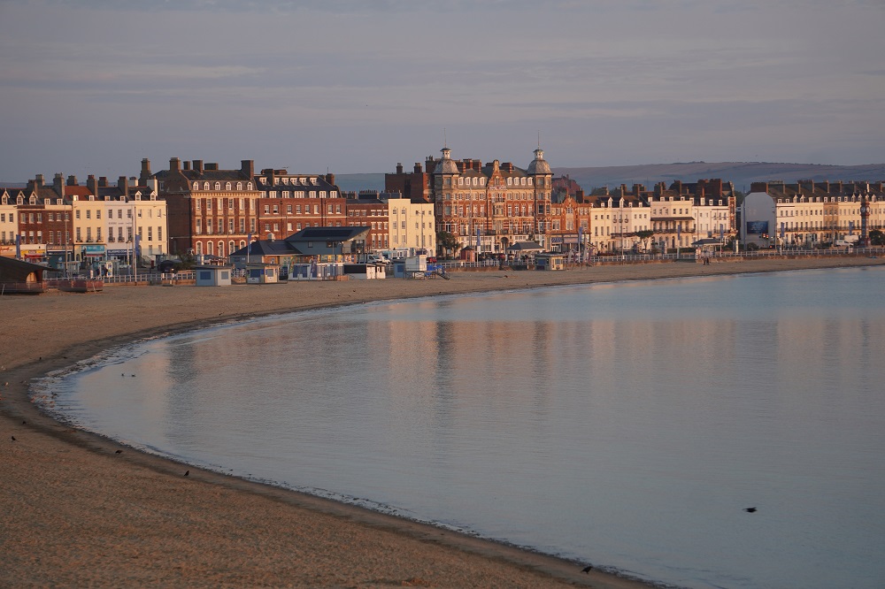
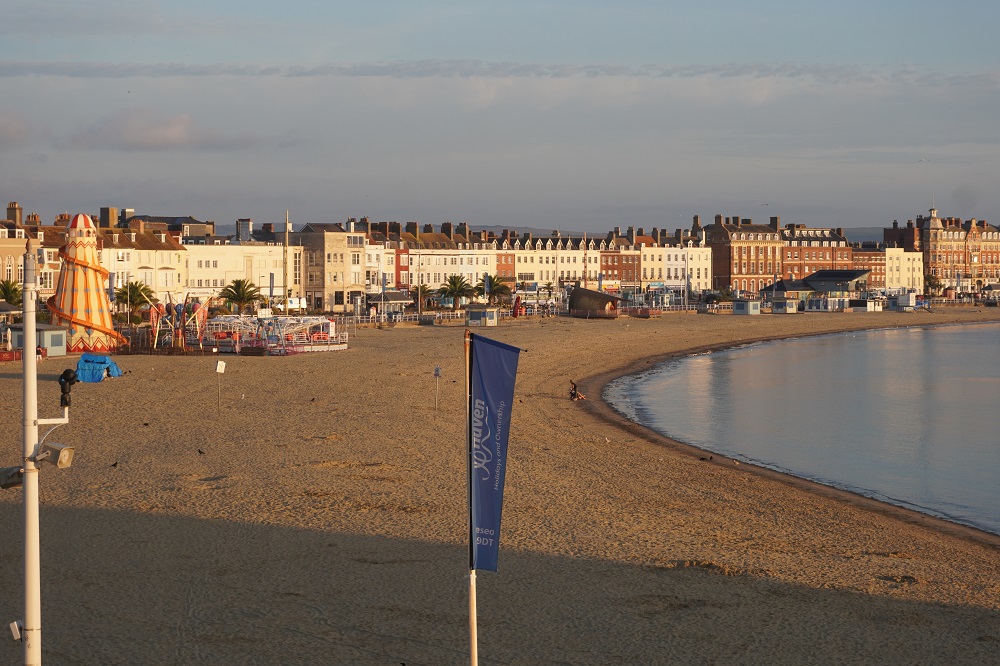
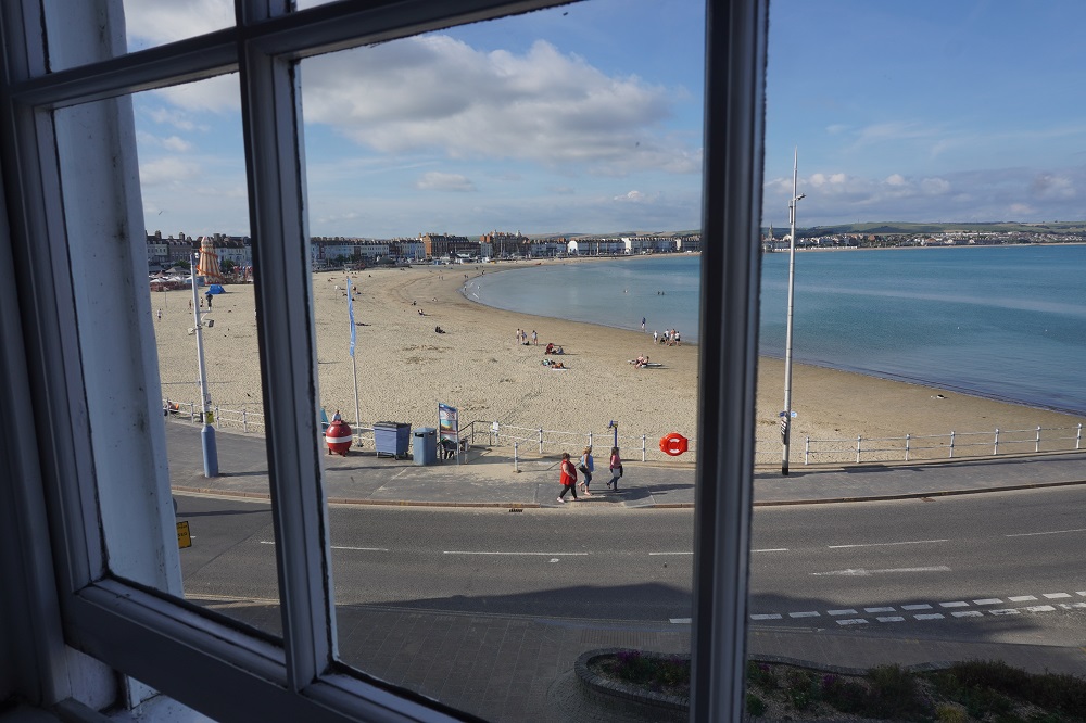
But the guest house is stunning. We are on the second floor looking out over the huge expanse of Weymouth Beach. After a shower, a drink and something to eat we feel much better. We are here for three nights. Tomorrow we walk around the Isle of Portland which will take all day and the following day is a “rest day” – ha ha!

PS I will put captions on the photos tomorrow when I am not so tired.

Honey I shrunk the pies

Bridport to Abbotsbury  17km
Ascension 51m  Accumulated ascension 4020m

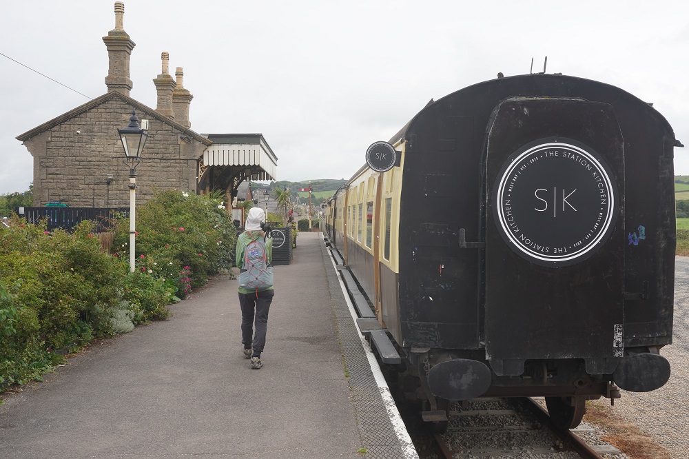
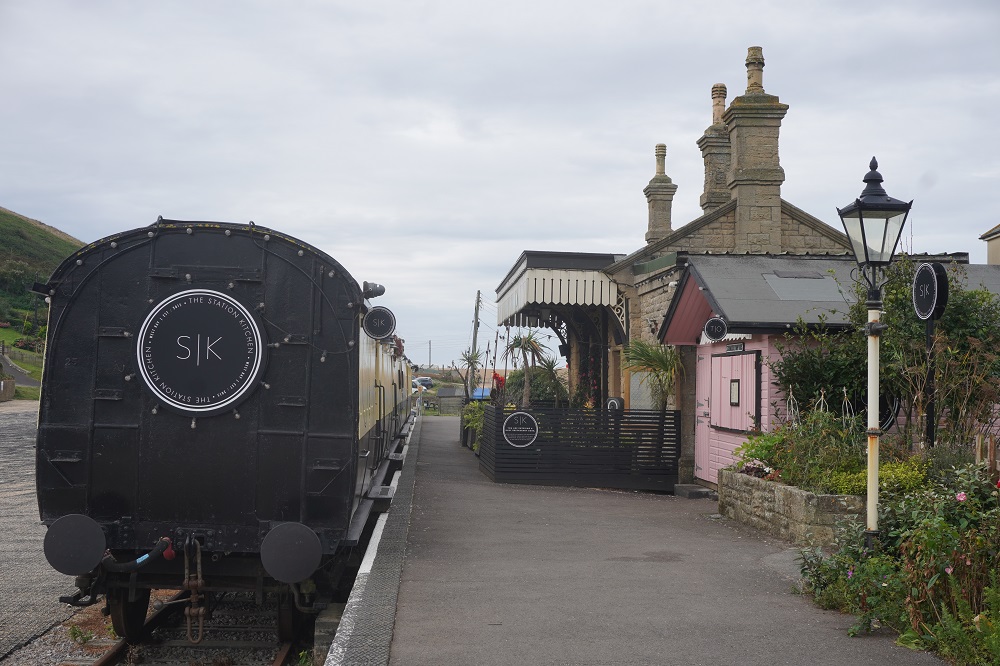
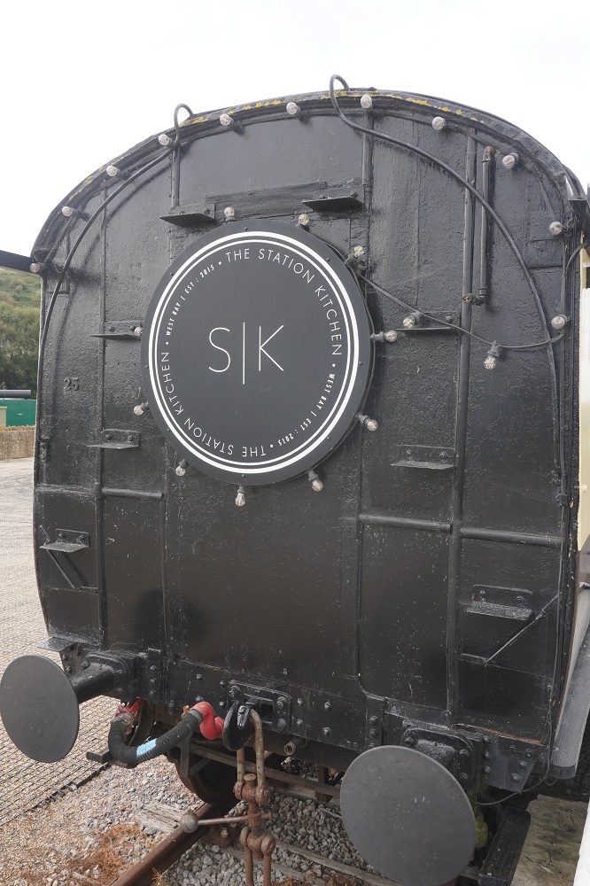
7.30 Breakfast and a good early start. Retraced our steps back to West Bay stopping at a large Morrison’s store to buy some lunch provisions. At West Bay we discovered The Station Kitchen. This a cafe/restaurant in a quaint little railway station and two railway carriages used as dining cars. There is only about 50 metres of track left of what was once a branch line serving the port.

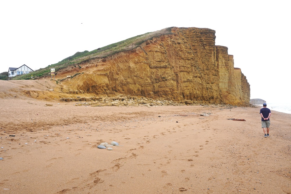
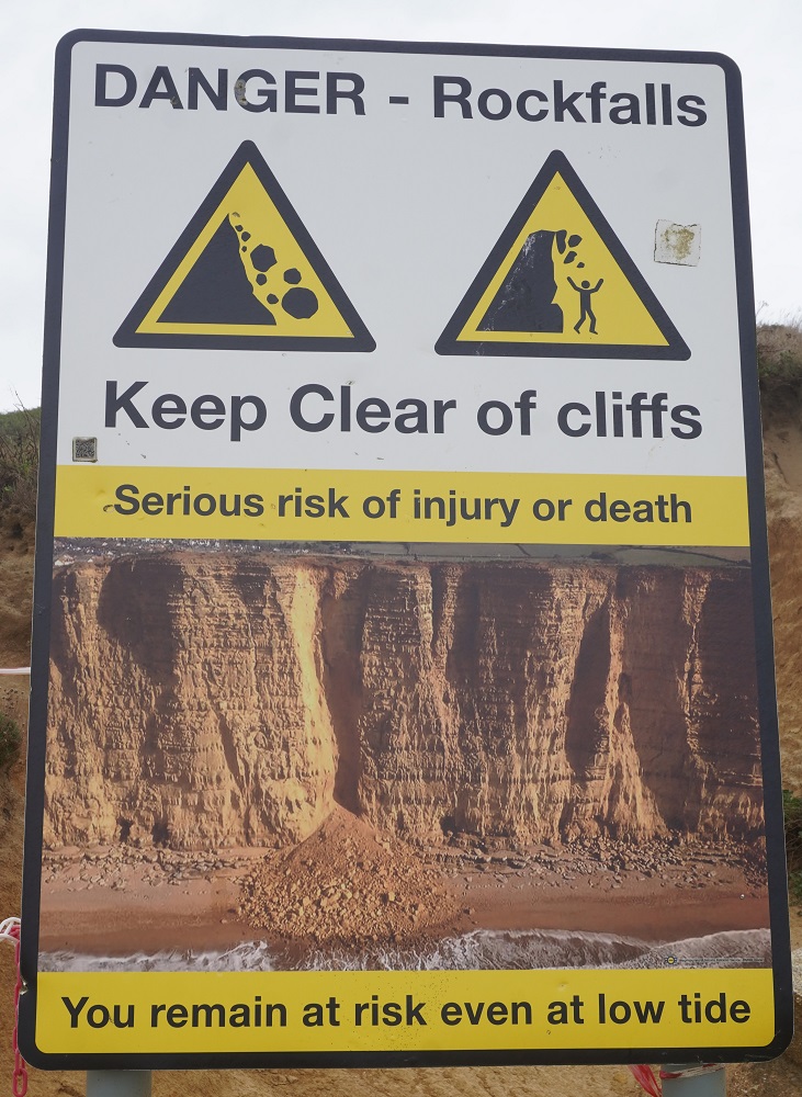
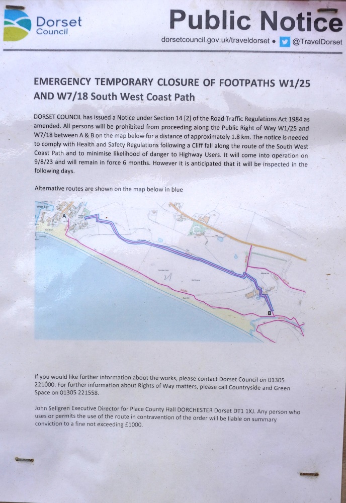
The Coast Path was to go up East Cliff from the beach at West Bay but of course we came upon the usual Public Notice; Emergency Temporary Closure of Footpath. This order only came into force on the 9th August but is in force for 6 months. Helpfully they included a map which showed the diversion route. Usually this means extra distance and often using public roads. Not too bad this time a little on the road, then up a field and across yet another golf course and down to Hive Beach. That was the climbing and descending done for the day. We thought from there the walking would be easy but the hard work had only just begun.

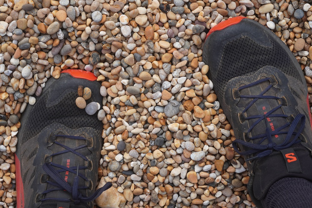
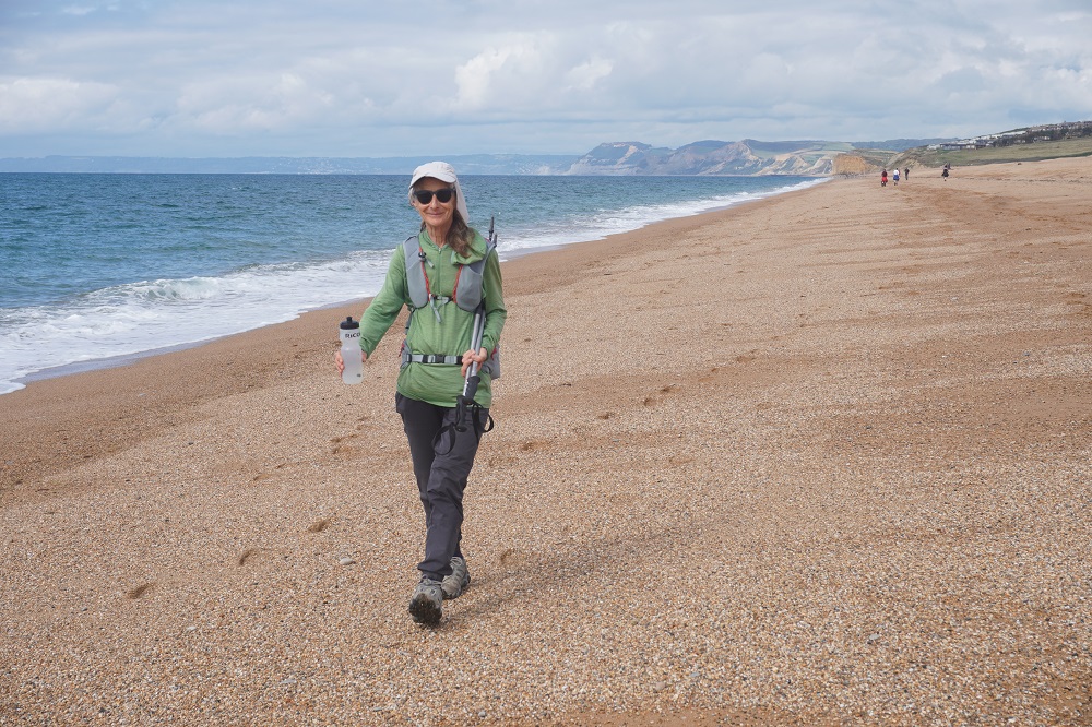
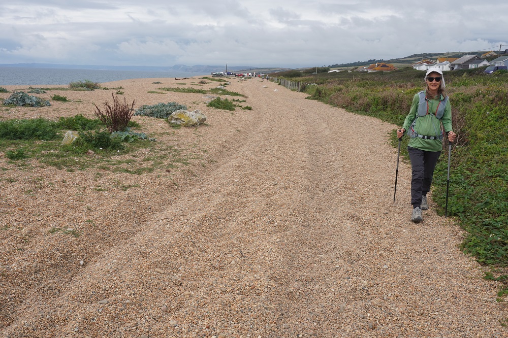
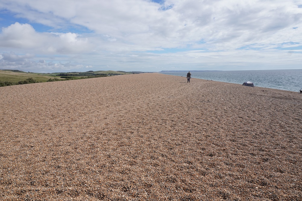
The cliffs petered out to gentle ups and downs and the path now continued along the back of the beach. The beach was quite steep with a wide mound of shingle and then the path behind this. The walking was very tiring, the shingle was made of pebbles about marble sized, polished and loose so that every step sank into them with no grip. We struggled on this for about an hour then went down to the water’s edge where you walk the magic line. This is a line in the sand between high on the beach where it is too dry and soft, and low on the beach where it is too wet and soft. If you can keep on this the going is good and we made great progress to West Bexington where we took a break for lunch.

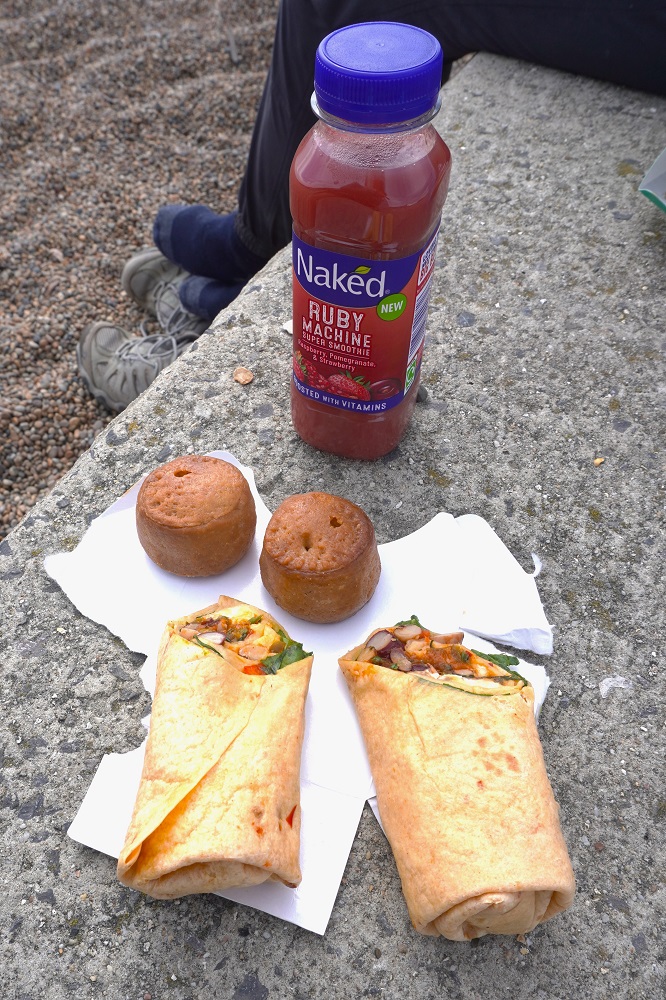
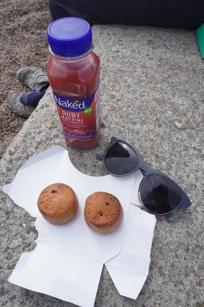
Sometimes for lunch we have been buying “Meal Deals” which most grocery stores have. You get a main, snack and drink for about £3.40 – £3.90. The main can be sandwiches, wraps, pasta etc, a snack can be chips, choc bar, fruit,  scotch egg etc and the drink can be water, soda, juice, smoothie etc. The Meal Deal price is much cheaper than buying three things individually. Today for my snack I chose the option of two pork pies. As pork pies go they weren’t too bad, nice pastry and a tasty filling but boy were they small. About the size of a meat ball, one mouthful and they were gone.

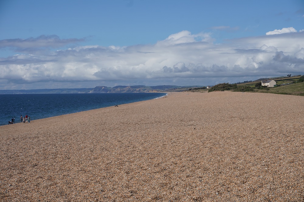
From Hive Beach we had been walking on Chesil Beach. This is a massive simple linear shingle beach 29km long, up to 15m high and up to 200m wide stretching from West Bay to the Isle of Portland. Behind the beach is a shallow tidal lagoon, The Fleet. It is said to be the finest example of a barrier beach in the world. The beach is famously said to comprise of more than 180 billion pebbles, which gradually reduce in size as you travel along the beach, from around 5 cm long at the Chiswell end to pea-sized at West Bay. People landing on the beach at night having been fishing, or smuggling, are said to have been able to work out their location based on the pebbles’ size. The sorting of the pebbles is due to the difference in wave height and direction along the beach. Even though there are 180 million pebbles it is illegal to take even one!

After lunch we struggled on the shingle beach for about half an hour before mercifully it went inland a bit to a dirt track then four wheel drive track, then narrow tarmac road as we arrived in Abbotsbury.

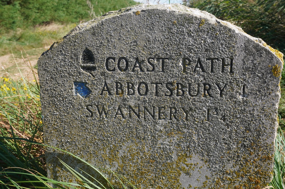
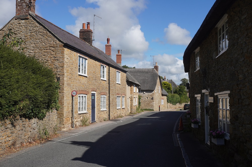
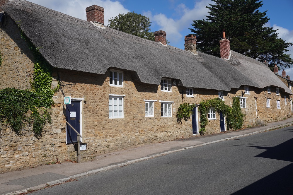
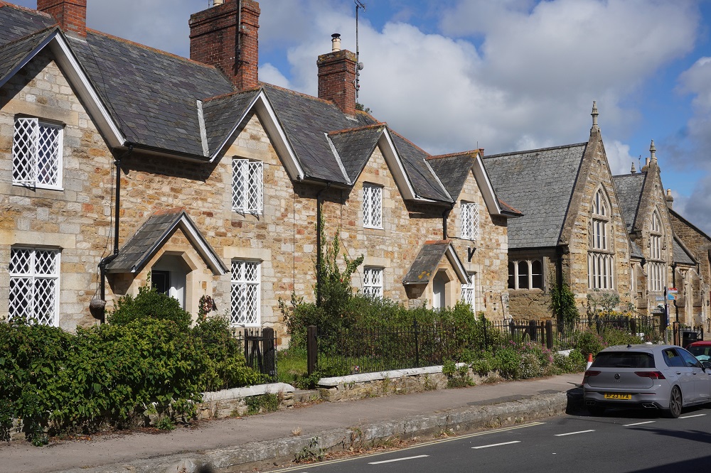
Abbotsbury is a picture post card pristine village with a rich history going back 6000 years. It is set among rolling hills and is only a mile inland from Chesil Beach. It has many historic buildings but is best known for its swannery, the only managed colony of nesting mute swans in the world. The swannery was set up by Benedictine Monks in 1393.

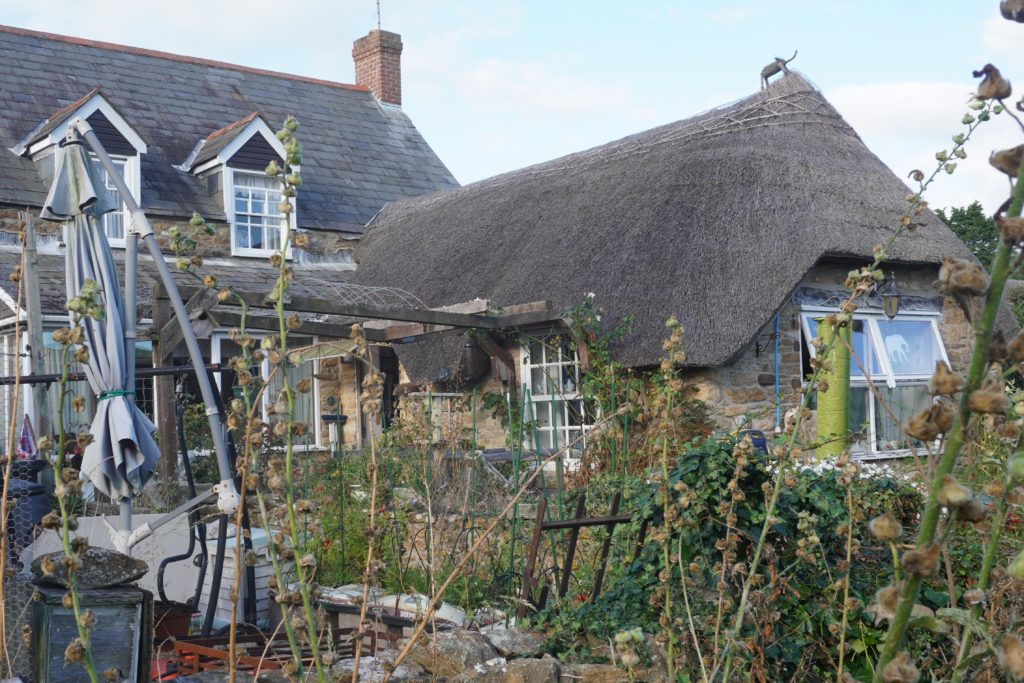
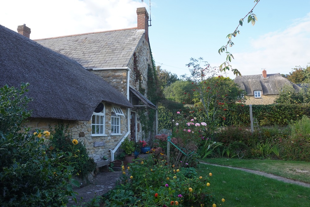
From our window at the 300 year old thatch roofed Coward’s Lake Farm House we can see the late 14th century St Catherine’s Chapel standing alone on the top of Chapel Hill. We will walk out that way tomorrow and take a closer look.