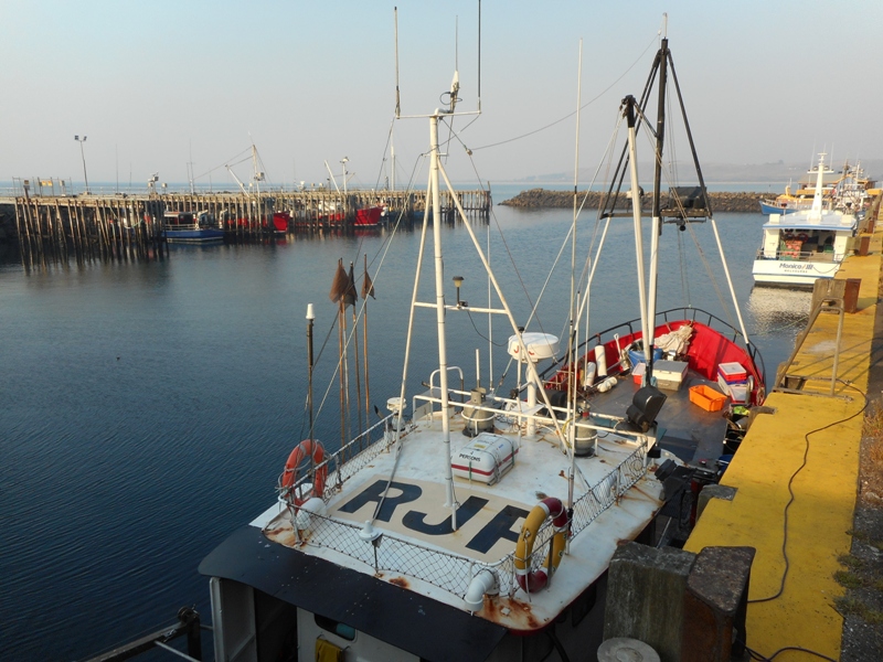
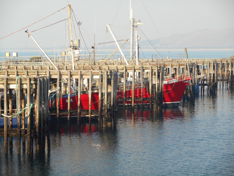
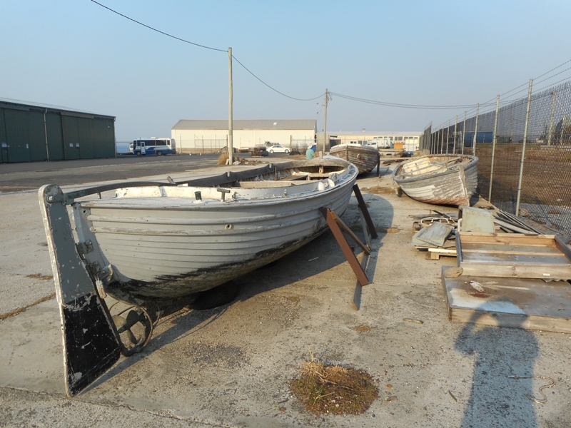
Orford to Port Arthur

A cruisey day today with not far to go,  about 100km. Stopped in Sorell and used the free wifi at Banjo’s cafe and bakery to upload some photos and read emails.  Have had no internet for about five days now.

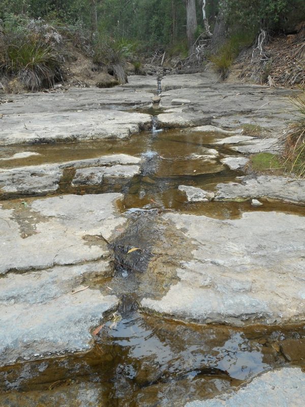
From Sorell drove out onto the Tasman Peninsula, over the man made Denison Canal and had a look at the Tessellated Pavement near Eaglehawk Neck. The pavement is a rock landform of horizontal rectangular patterns caused by fractures in the surface and the wetting and drying action of salts. A rectangular version of the hexagonal Giant’s Causeway in Ireland.

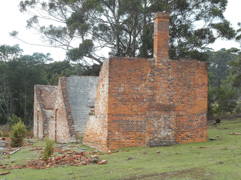
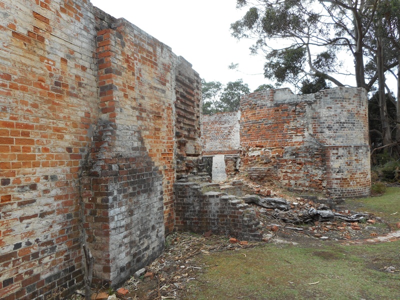
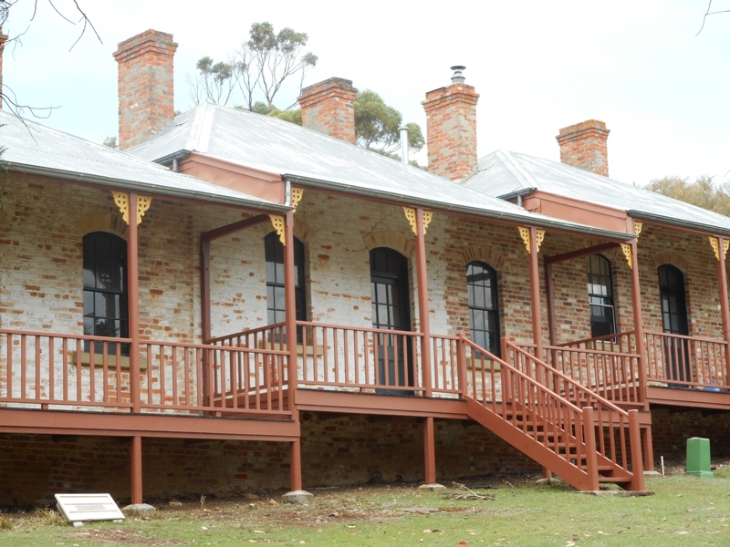
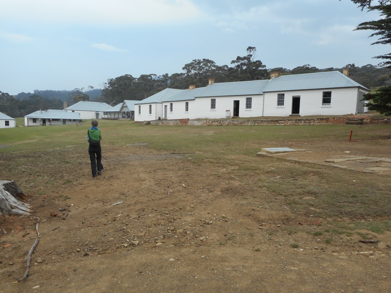
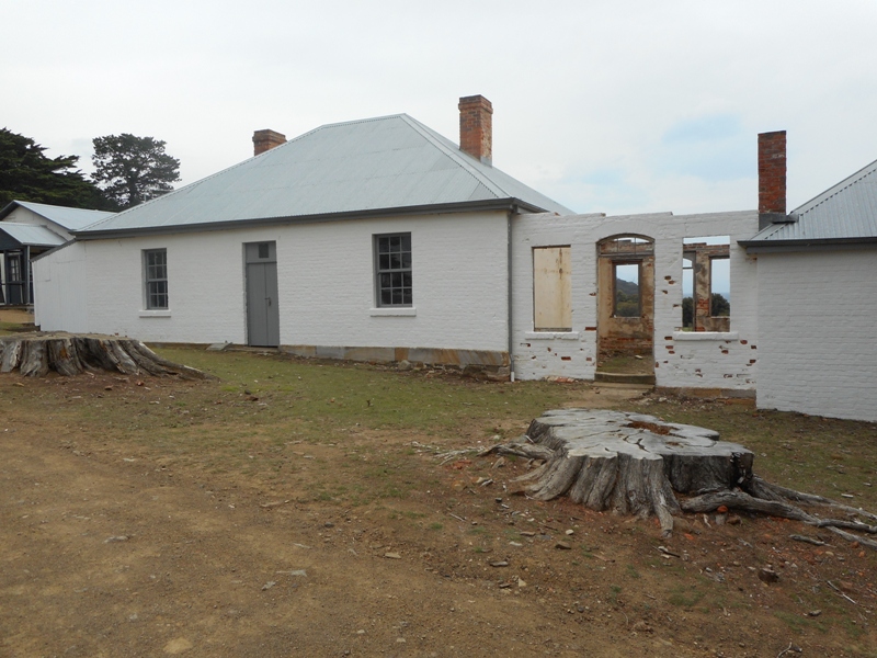
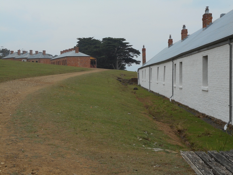
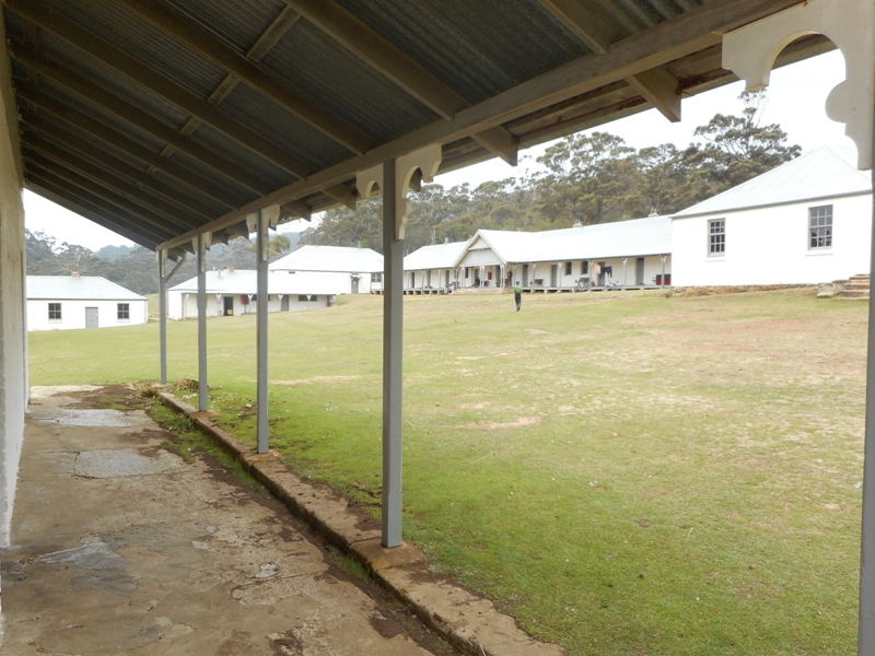
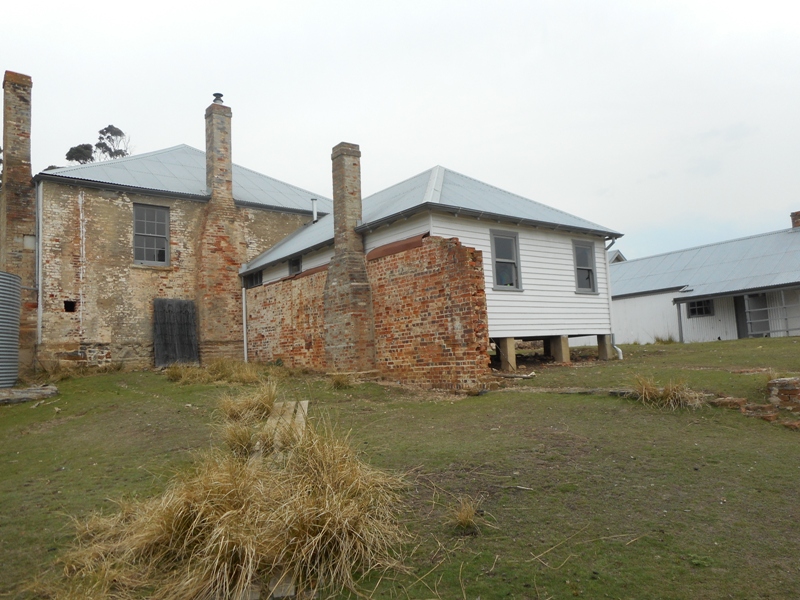
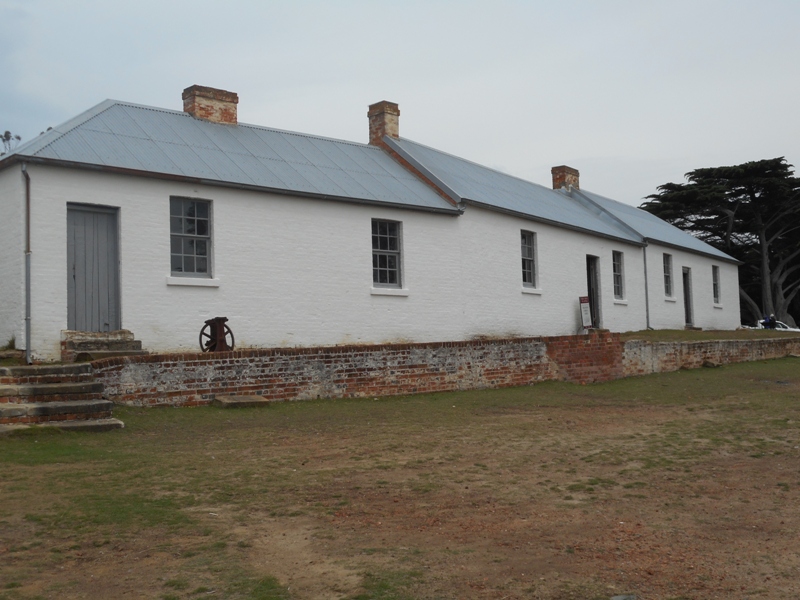
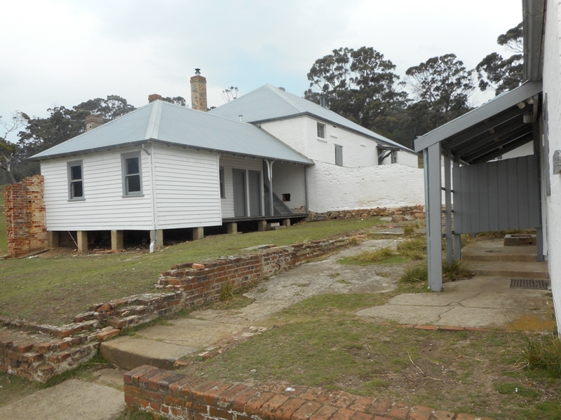
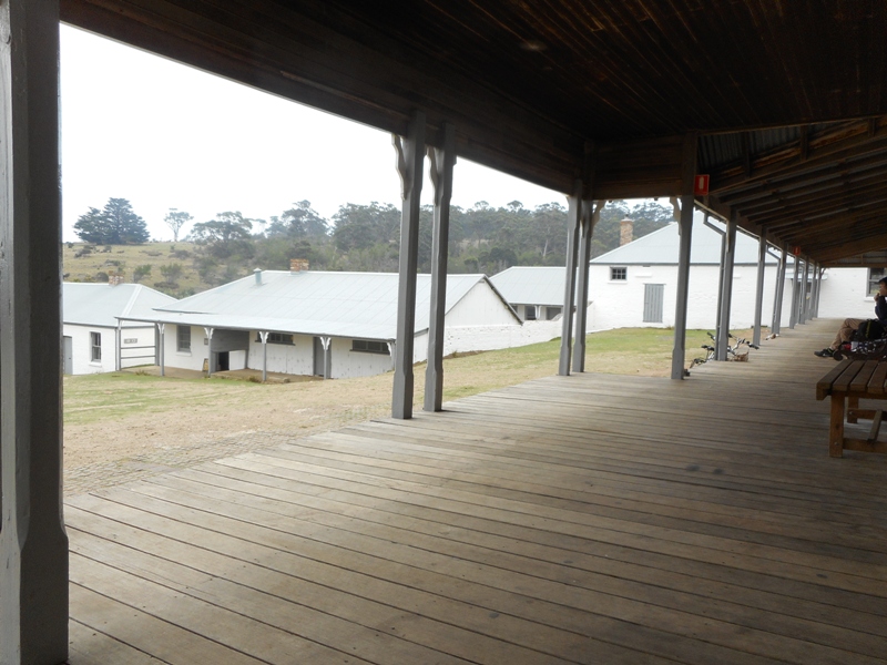
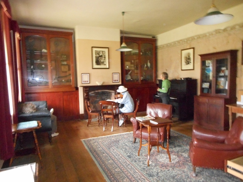
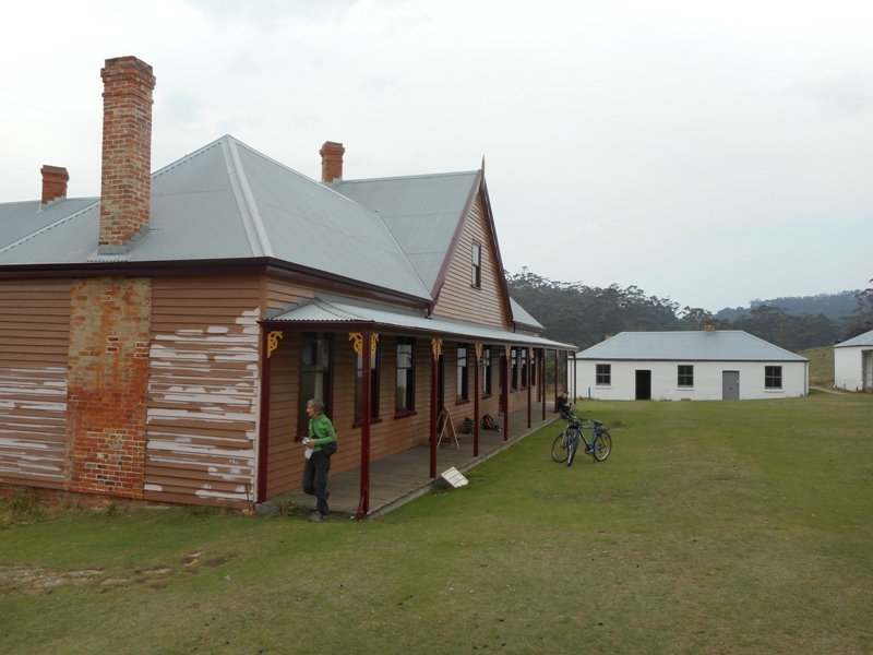
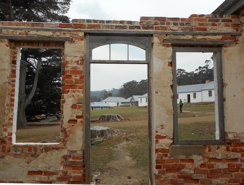
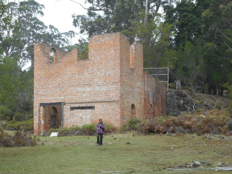
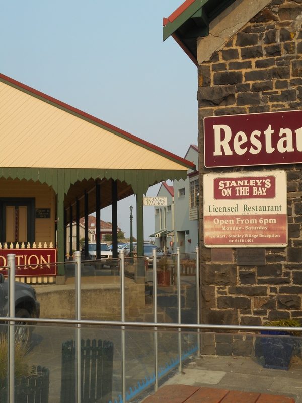
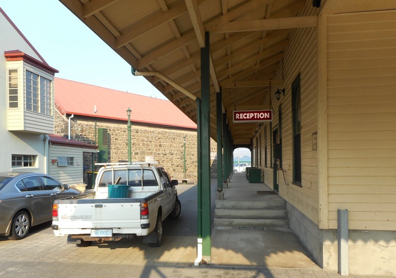
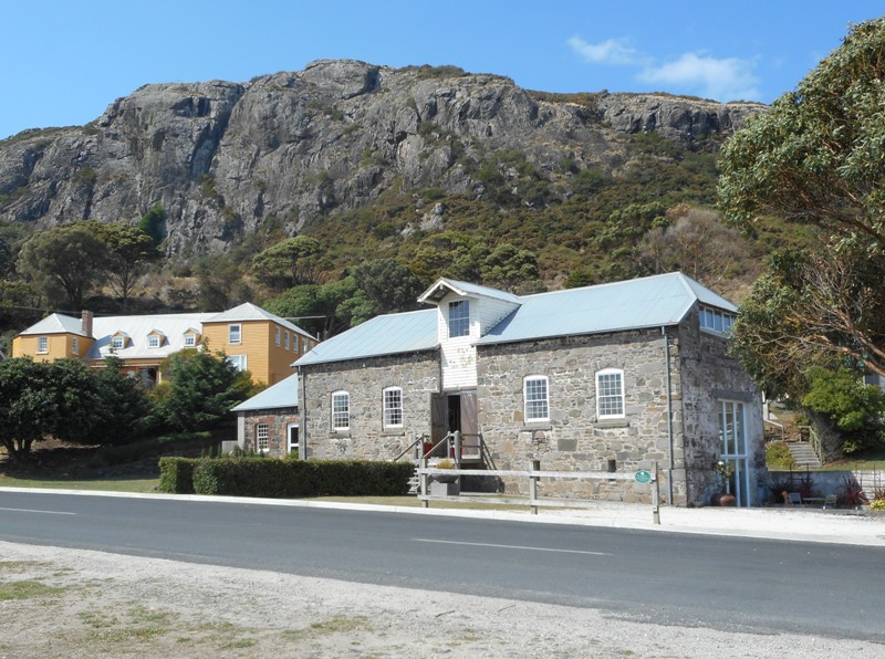
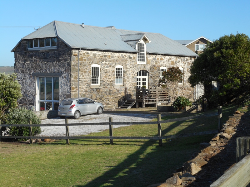
We were far too early for check-in at the Big 4 Port Arthur Holiday Park so went to check out how the parking,  entry etc worked at the historic site. Our booking was good for two days and before we knew it we were ticketed in, had our identity lanyards and were reserved on a 1.30pm 40min. introductory walking tour and a 20min boat harbour cruise at 3pm. We used this to get a feel for the place, which is huge with over 30 buildings, and will come back and look in more detail tomorrow.

The weather wasn’t good, a strong, cold wind and frequent heavy showers with bright sunshine in between. About half the thousands of visitors were clad in blue $5 throwaway ponchos.  We also took in a “live” theatre performance in the penitentiary which was excellent. After the boat ride we were both cold and a bit wet so went and checked into our little cabin. We found Jan and Brian who are also staying here – glamping! They are in what is called a Safari Tent, really quite cool compared to our basic cabin. The tent has a solid floor and solid walls around the bathroom but the rest including all the roof is canvas, and very fancy at that. It has kitchen appliances inside but the sink and a bbq are outside on the deck.

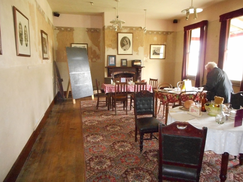
Even though Port Arthur has thousands of visitors each day there is very little accommodation and few eating places. It is only 90mins from Hobart and the vast majority of people are day trippers. After driving around with Brian and Jan for a bit the only place we could find for a meal was the restaurant /cafeteria at the historic site visitors’ centre. The restaurant was fully booked so it was fish and chips and a glass of wine in the caf. 

Managed to get a little internet before we used up our (meagre) allocation. Tonight it is very windy, a bit rainy and friggin cold. There is a heat pump in the cabin but it is only programmed to cool and no other heating. Still we have electric blankets – ah,  Tasmania in the summer!
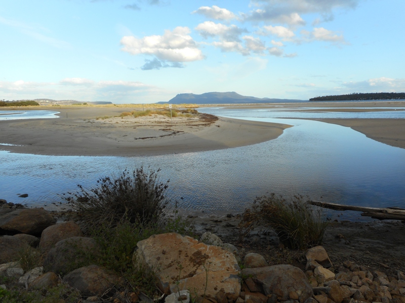
 

Maria Island

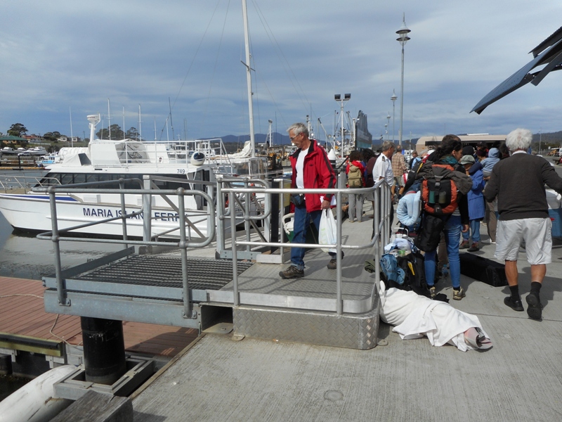
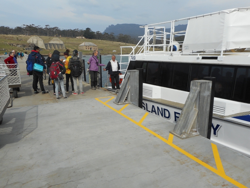
For a start we had the pronunciation of Maria wrong. It is not as in the Sound Of Music: “I just met a girl named Maria”. It is as in the song “the wind they call Mariah”. The “i ‘is pronounced as in mice, not as in merino. Having got that straightened out we had a great day on Maria Island. Got the ferry from Triabunna,  A$37 for ferry and A$12 for park pass. About a 45min crossing in a choppy sea.

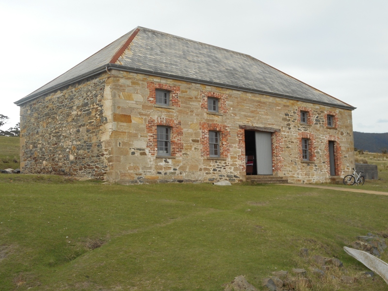
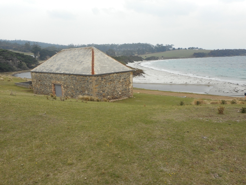
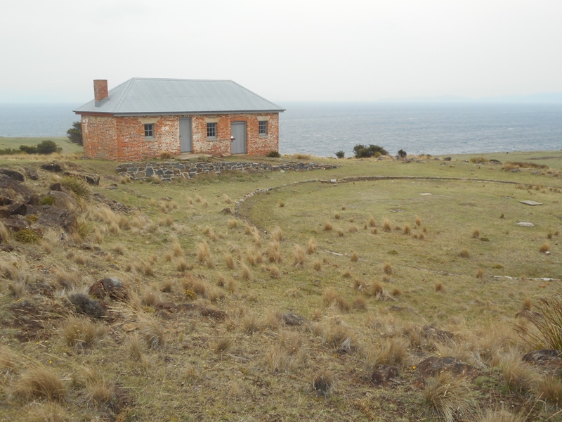
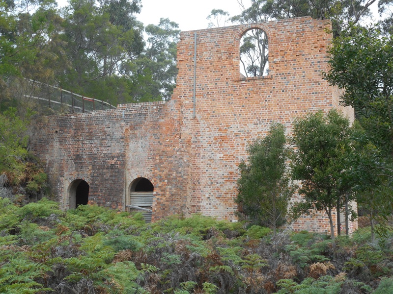
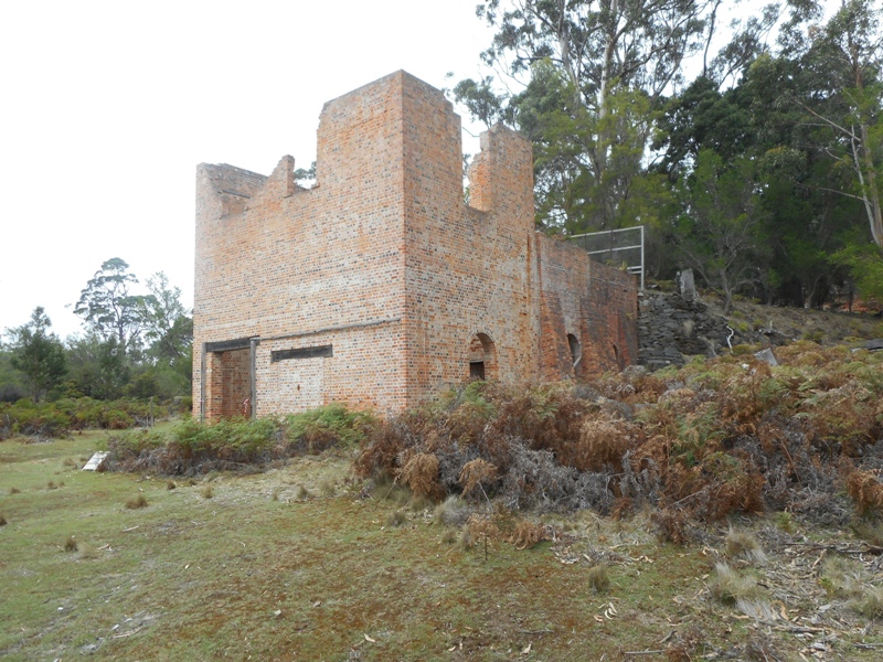
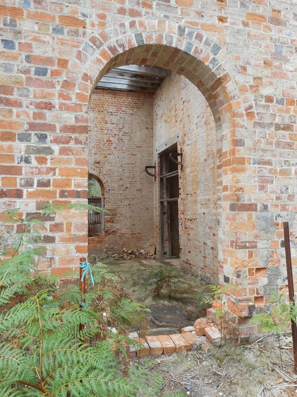
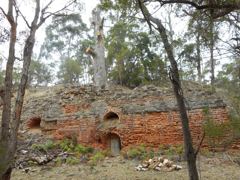
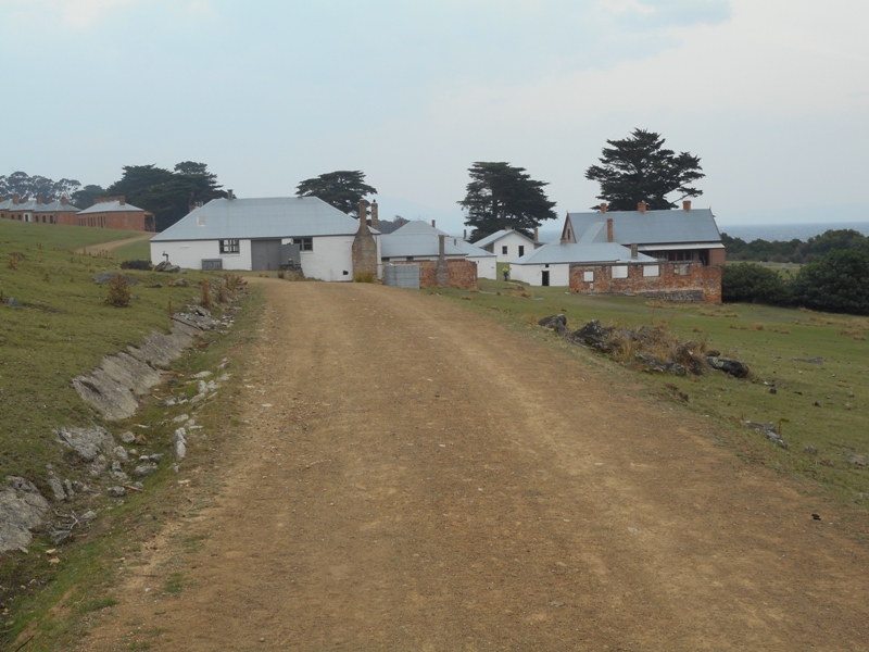
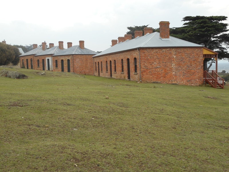
The island was a convict punishment station from 1825 until 1832 but changes to penal policy and a number of escapes saw it closed down. It reopened as a convict probation station in 1842 and closed again in 1850. The policy of probation was punishment and reform by hard labour, religious instruction and education. At its peak it housed 500 convicts. From 1850 it has been farmed, had a Portland cement works and now a national park.

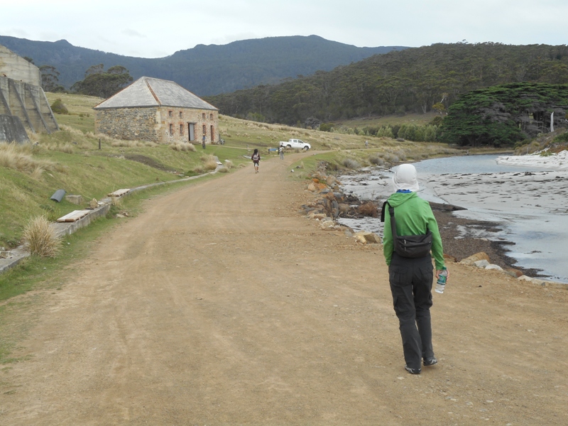
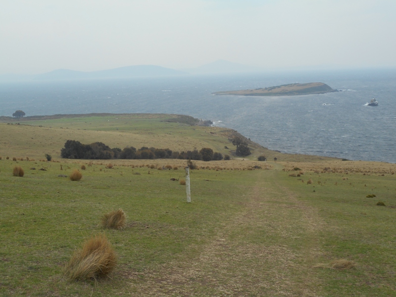
Maria Island is a remarkable place with painted cliffs, fossil cliffs,historic ruins, an abandoned village, sweeping bays, steep rugged cliffs and mountains. There are no shops or transport on the island but plenty of paths to explore by foot or mountain bike. You can stay on the island and either camp or stay in some of the historic buildings with communal kitchens and bathrooms. You have to bring in all your food though.

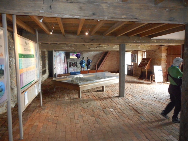
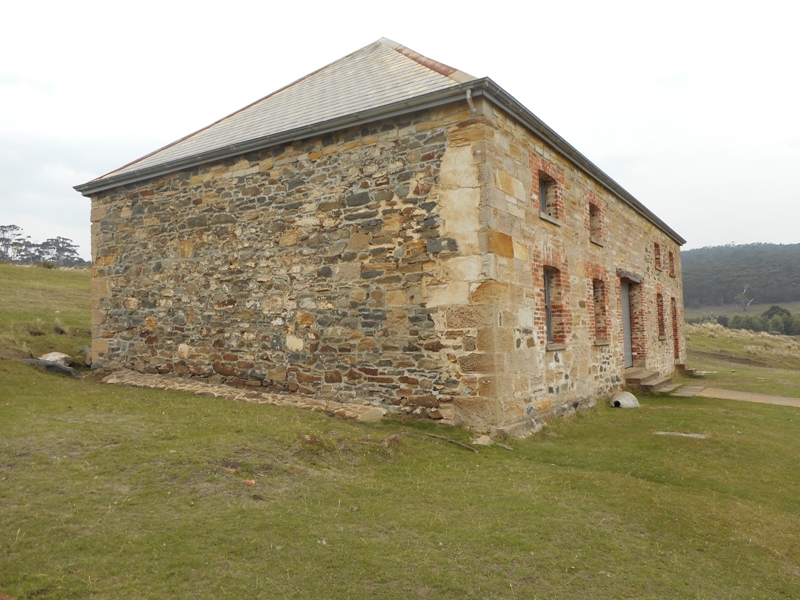
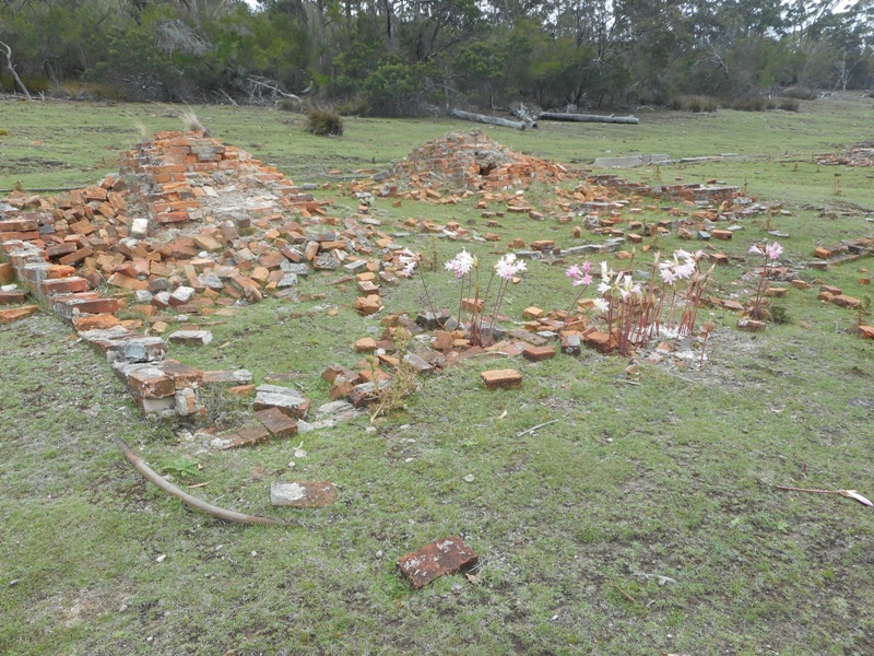
Like Richmond Gaol the penal buildings are remarkable as they are largely unchanged from the convict era.

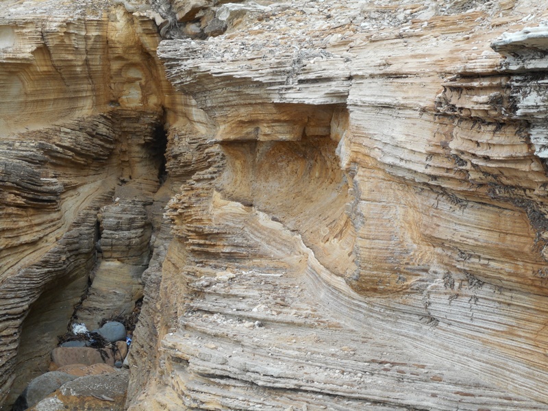
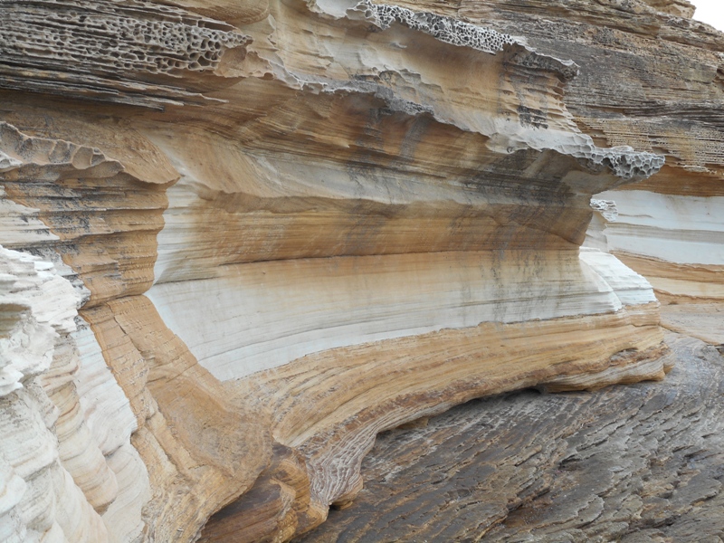
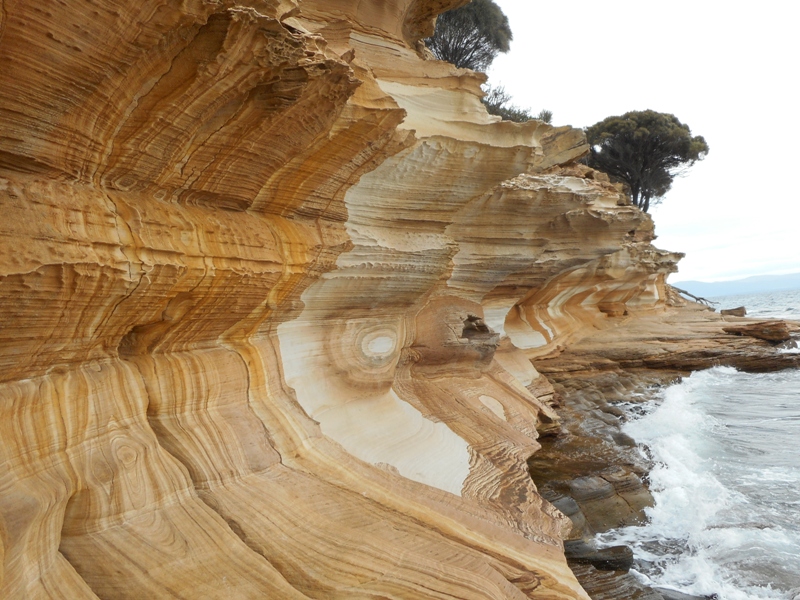
On the west side of the island are the painted cliffs. These have exquisite multicoloured patterns caused by groundwater percolating through the sandstone, leaving traces of iron oxide.  They can only be accessed 2 hours either side of low tide. We were lucky with our timing.

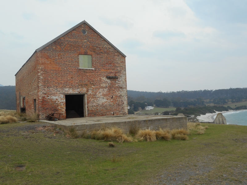
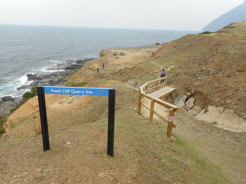
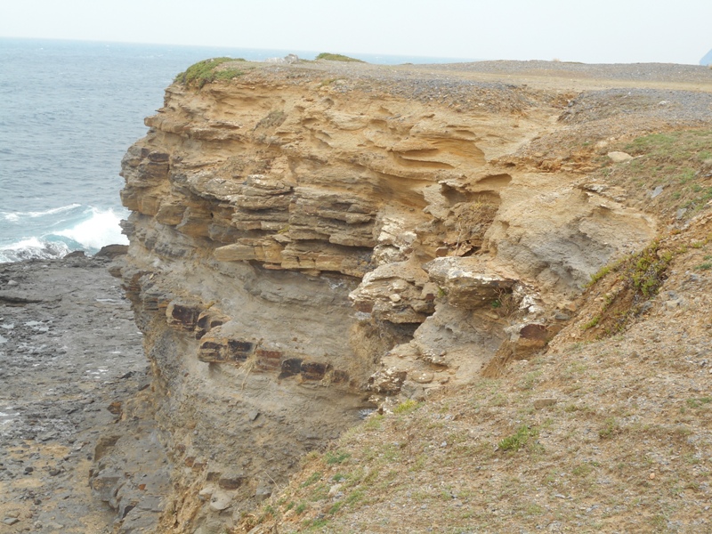
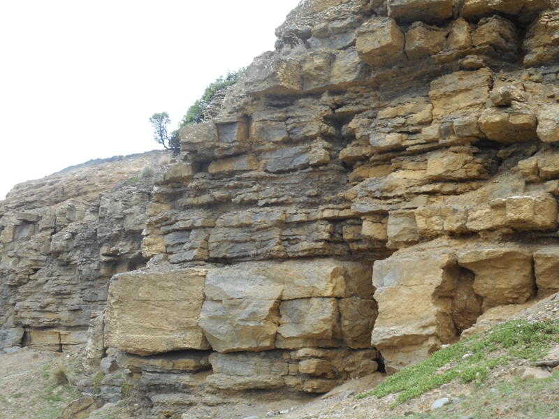
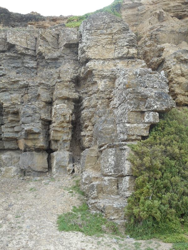
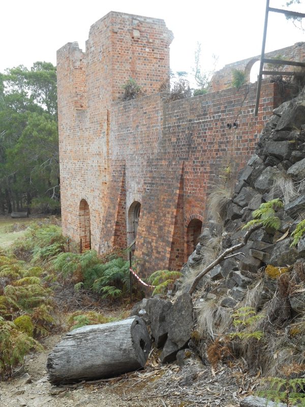
On the East side are the fossil cliffs, 230million years old containing fossilised sea creatures. In the 1920s the limestone fossils were mined and transported by tramway to a cement works near the island’s only jetty.

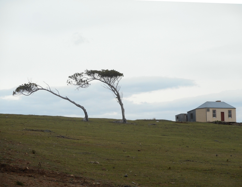
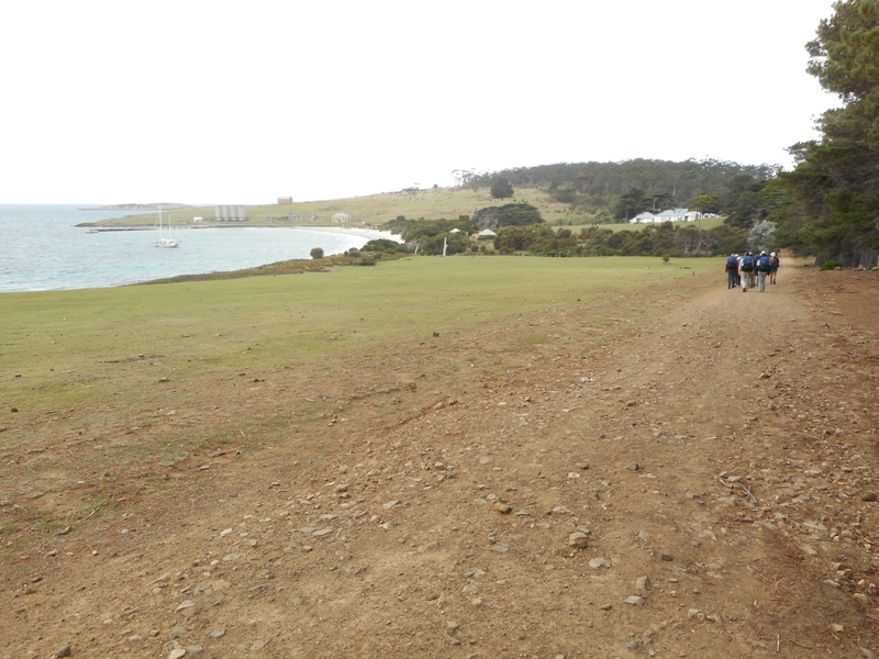
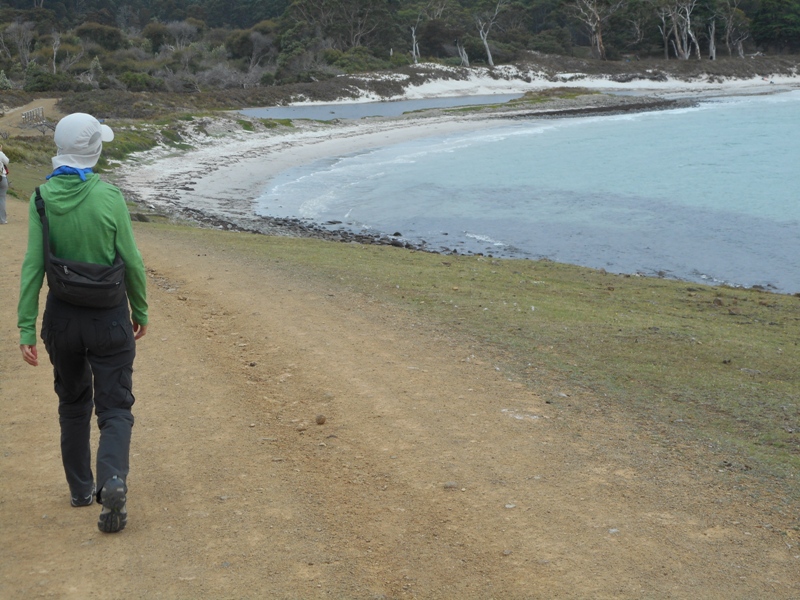
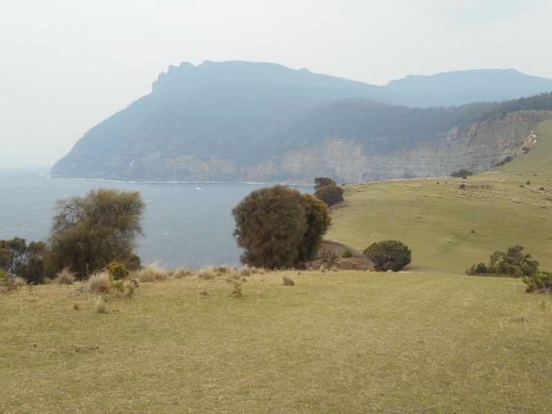
The island is rugged and barren where exposed to the prevailing weather with huge steep cliffs that plunge shear into the sea. The sheltered side is forested and has beautiful white sand beaches. We had a great day walking several of the “circuits” that are set out from the interpretive centre. The weather was warm but overcast with a strong wind in exposed areas.

The strong wind gave us a roller coaster trip back with the ferry being tossed around and large waves crashing right over the roof. The engines roared when the props came out of the water and there was a slightly nauseous smell of diesel. Everyone was a bit tense and the captain who had been joking with the passengers on the way over, was concentrating very hard on manoeuvring the boat. About half an hour after we got back to the resort it really bucketed down so we were lucky not to get that out on the island.


Cradle Mountain to Orford

It rained in the night and was a bit showery and windy in the morning. The parks people will be praying for more rain. Only 8 degrees when we left and expected high of 14. Today was a big driving day to get from Cradle Mountain over to Orford on the East Coast. We had two options, clockwise or anticlockwise around Cradle Mountain – Lake St Clair National Park. Each about the same distance and partly over roads we had cycled three years ago.

We decided clockwise through Mole Creek,  Deloraine (Andy’s Cafe again), Perth, down route 1 to Campbell Town, across to Swansea and down the coast to Orford. From Cradle Mountain we were going in the opposite direction that we had cycled. Kevin and Owen will remember the big downhill and uphill either side of the bridge over the Forth River. The roads around Mole Creek were great. Quiet country lanes, Sunday morning so no traffic, climbing over ranges, through forests and down farmed valleys. From Deloraine it was along busier roads and from Perth to Campbell Town on the very busy highway 1, the main road between Launceston and Hobart.

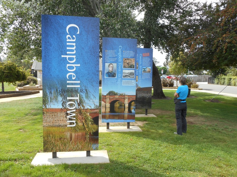
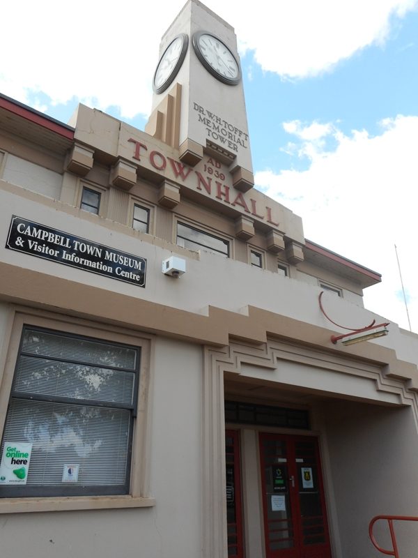
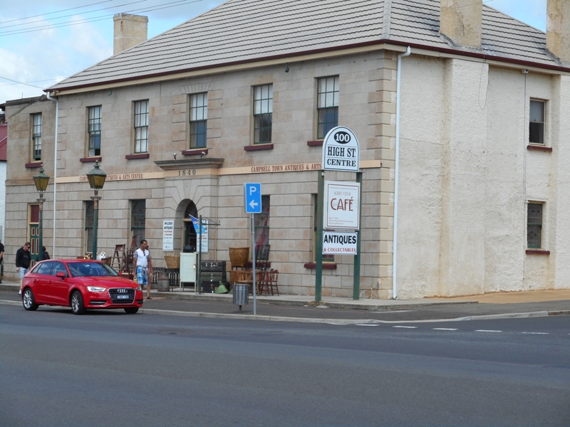
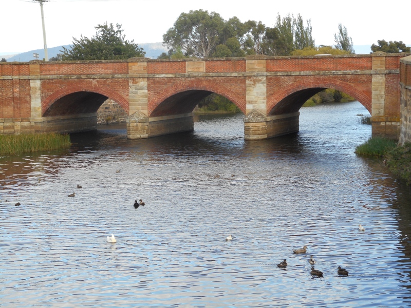
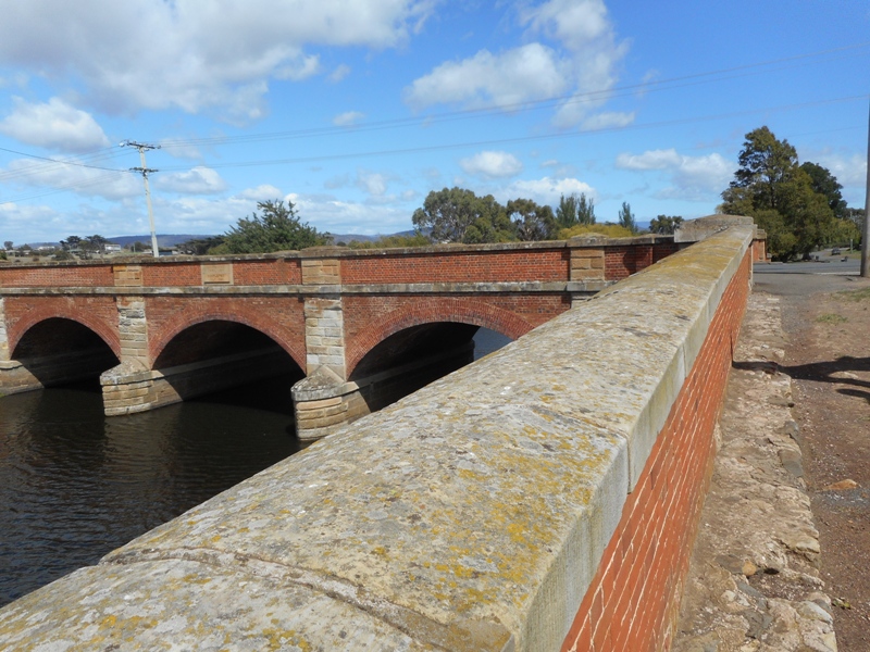
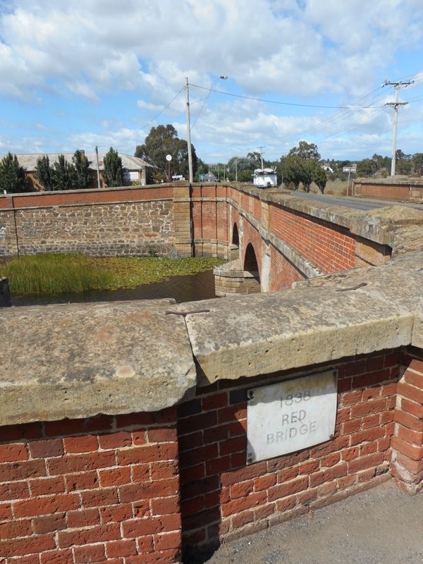
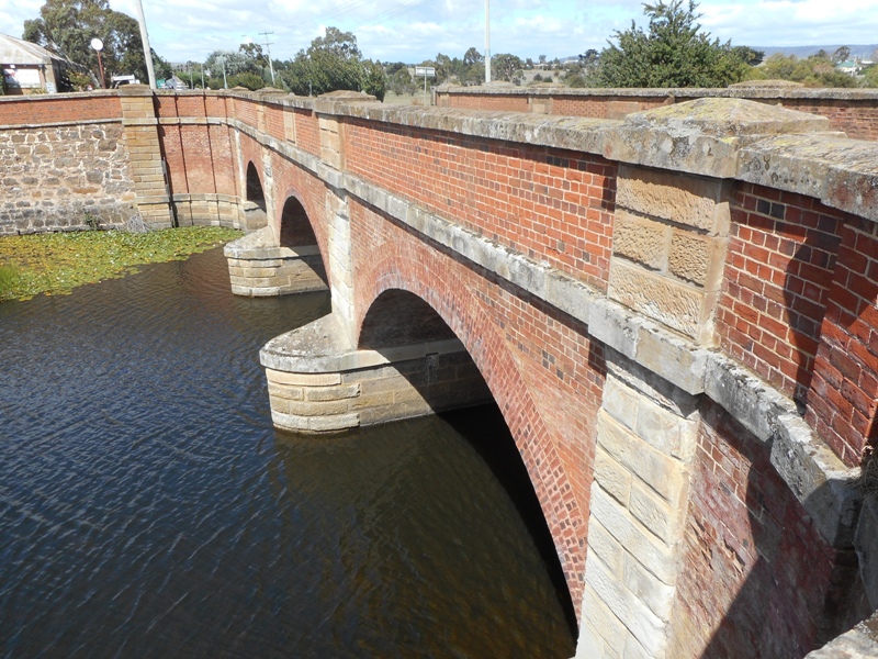
CampbellTown was an interesting historic village with a red brick bridge built over the Elizabeth River, dating from 1832/34. So a little newer than the bridge at Richmond but also built by convicts. The old bridge still carries main highway traffic so has lasted well. The Richmond bridge looks quainter because years of floods and droughts have made the centre piers settle and the whole thing has a wonky appearance.

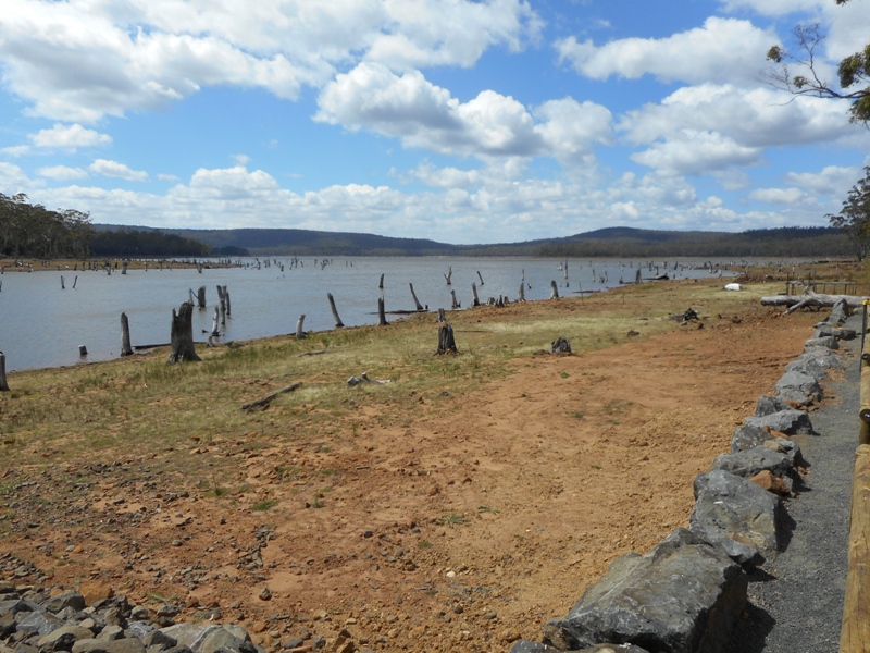
The road from Campbell Town to Swansea is a quiet rambling road that climbs over a couple of ranges. We took a small 4km side road to Lake Leake to eat our lunch.  The Elizabeth River was damned in 1883 to form the lake and provide a fresh water supply for Campbell Town. The lake had lots of tall dead tree trunks sticking out of the water which made it look as though there had been some recent disaster.

Also walked the headland at Swansea which I had missed doing with Barb and Brian as I soaked my bruised body in the bath.

We are staying two nights in a comfortable but jaded resort from the seventies. It does have excellent facilities for swimming: a spa, an indoor pool, an outdoor pool and a beach. We were feeling a bit jaded ourselves after driving for 5 hours (and a million gear changes to get the Barina over the hills) and had a lovely swim in the outdoor pool.

Warm and sunny in Orford but a strong wind. Hope the wind dies a bit for tomorrow as we have booked the ferry to go to Maria Island.

Cradle Mountain National Park

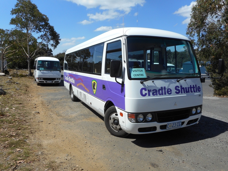
Spent the whole day in the park and did not use the car at all. Walked from the cabin down to the Visitor’s Centre where we bought a park day pass A$16.50/adult, which included the hop on/hop off park shuttle bus. The number of cars allowed into the park is restricted because of the narrow and winding road and to protect the fragile environment. Shuttle buses provide transport on the 6.5km road up to Dove Lake, with four intermediate stops. Up to 15 buses can be operating at one time in busy periods.

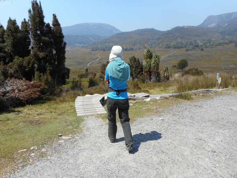
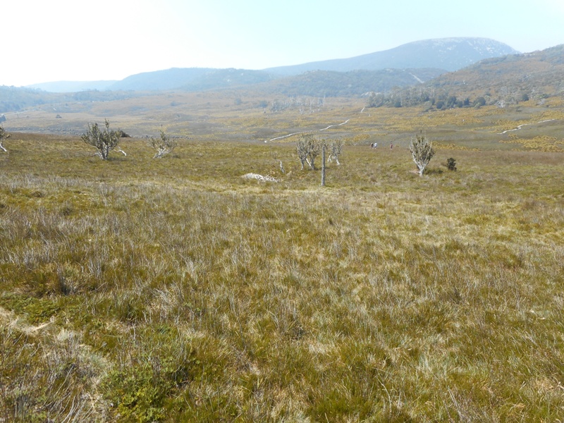
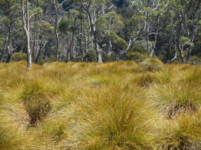
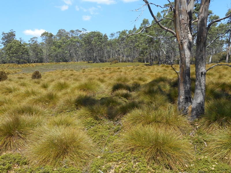
The park has impressive sculptured land forms that were made by recent glaciers about 500 years ago. There is an abundance of glacial features -rugged peaks, rounded land forms, glacial lakes, tarns, cirques, U shaped valleys and moraine. Down near the park entrance there is forest with King Billy pine, pencil pine, celery top pine and an undergrowth of flowering shrubs and bright berries. Further up there is open moorland with sphagnum and bottle grass. The bottle grass gives a distinctive golden glow to the landscape. Higher still there are alpine forests of Fagas (deciduous beech) and Myrtle beech with herb fields, delicate daisies and cushion plants.

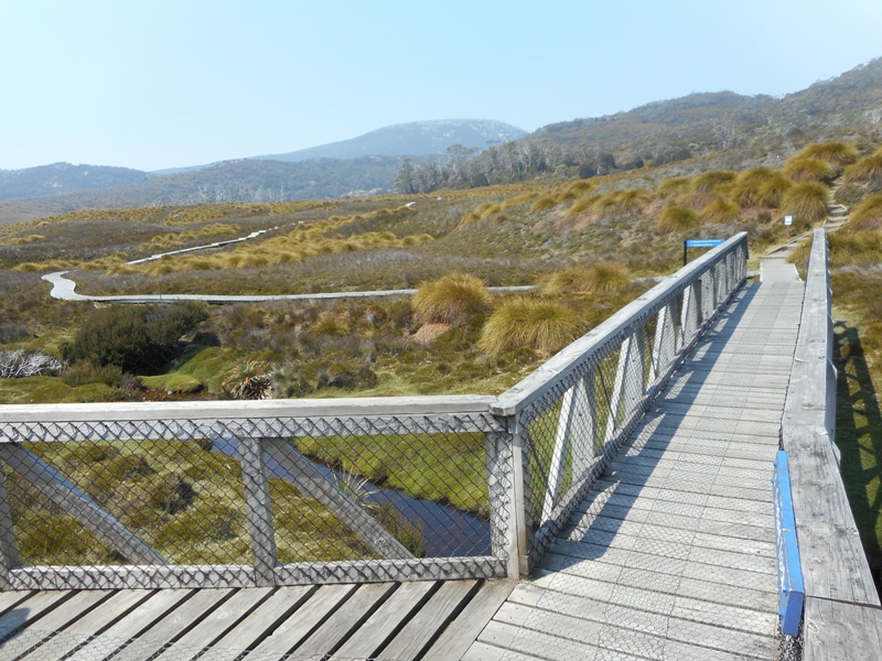
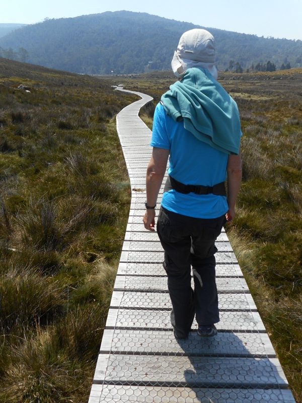
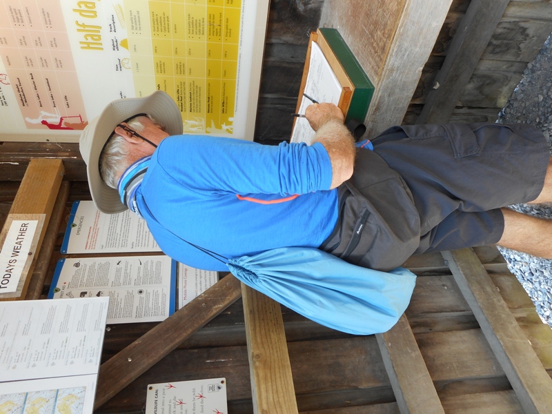
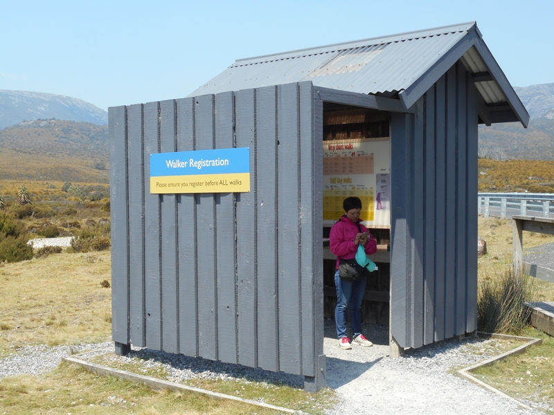
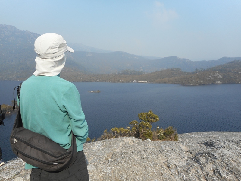
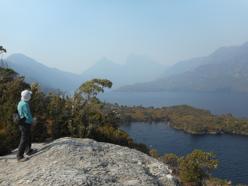
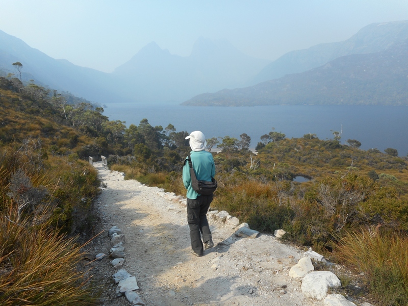
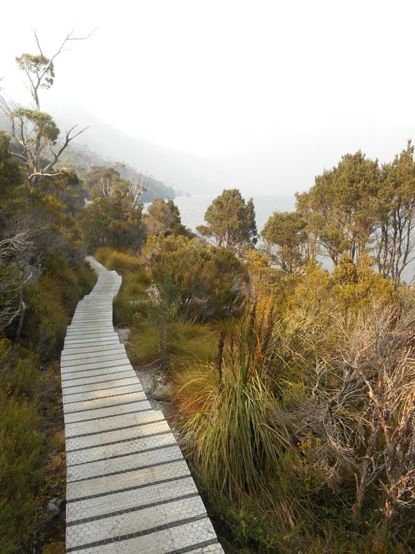
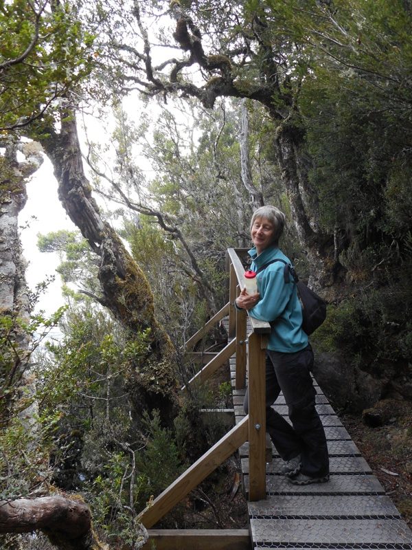
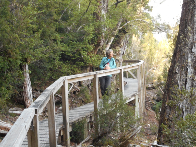
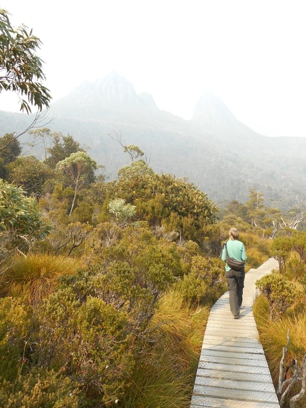
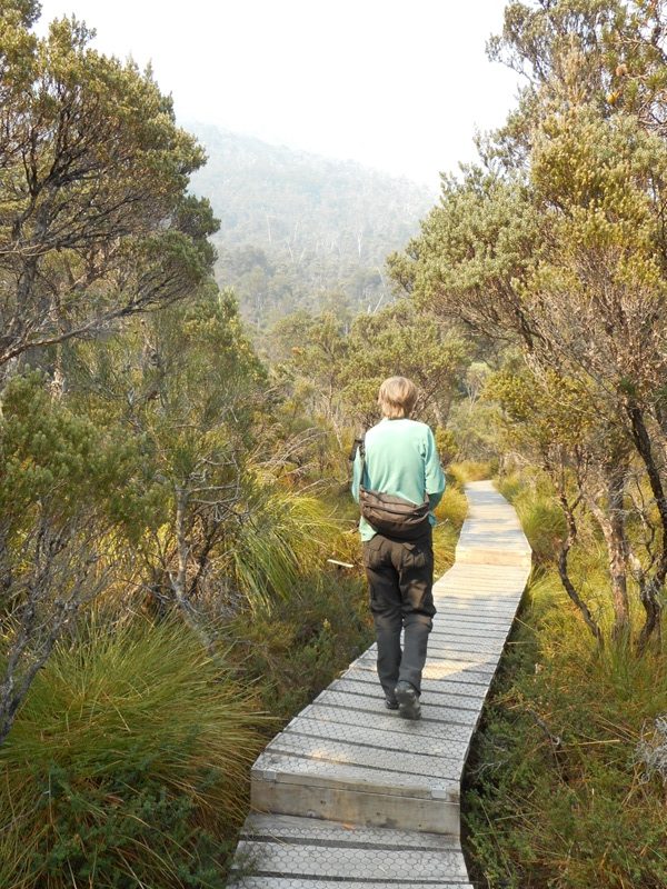
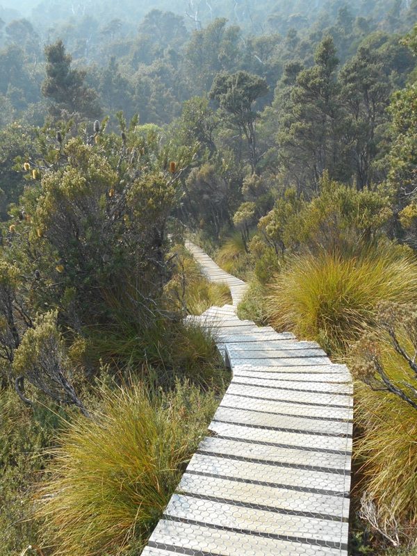
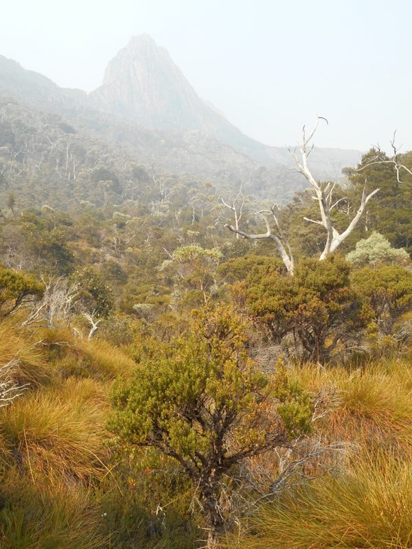
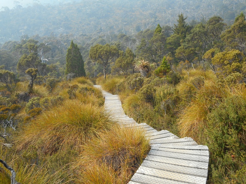
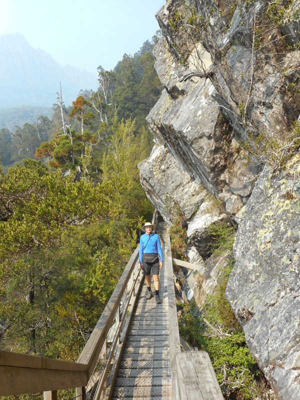
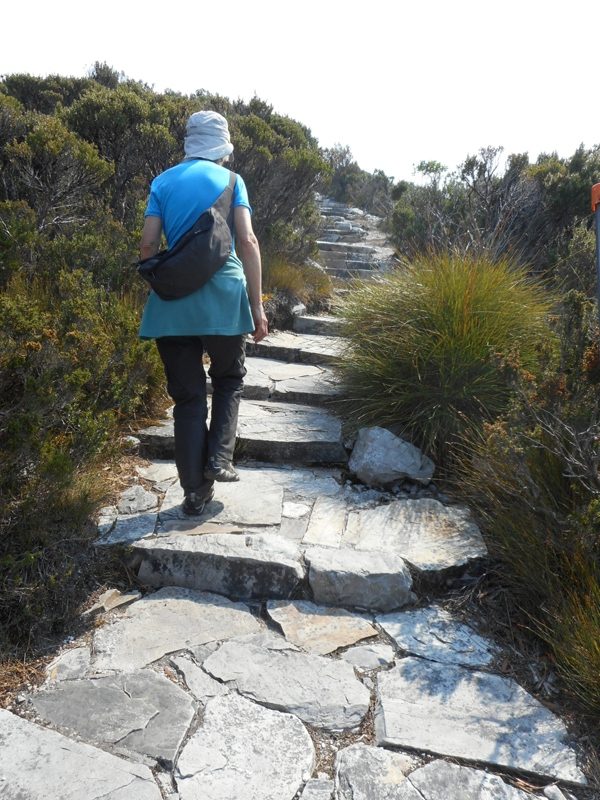
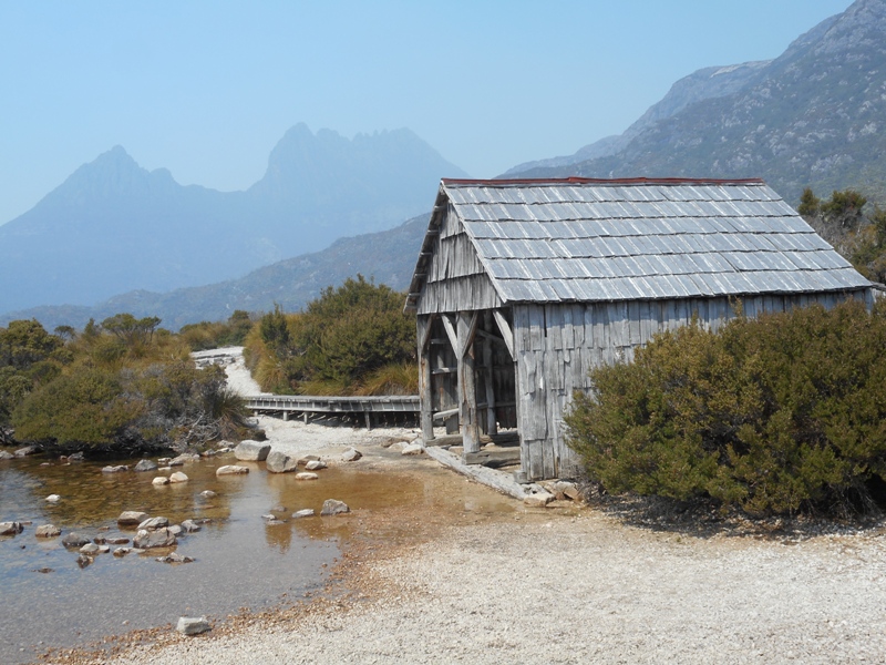
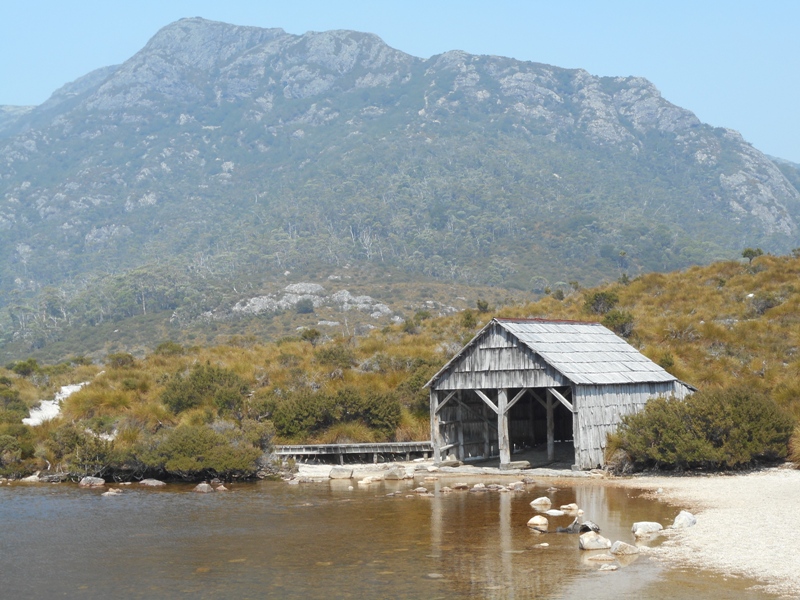
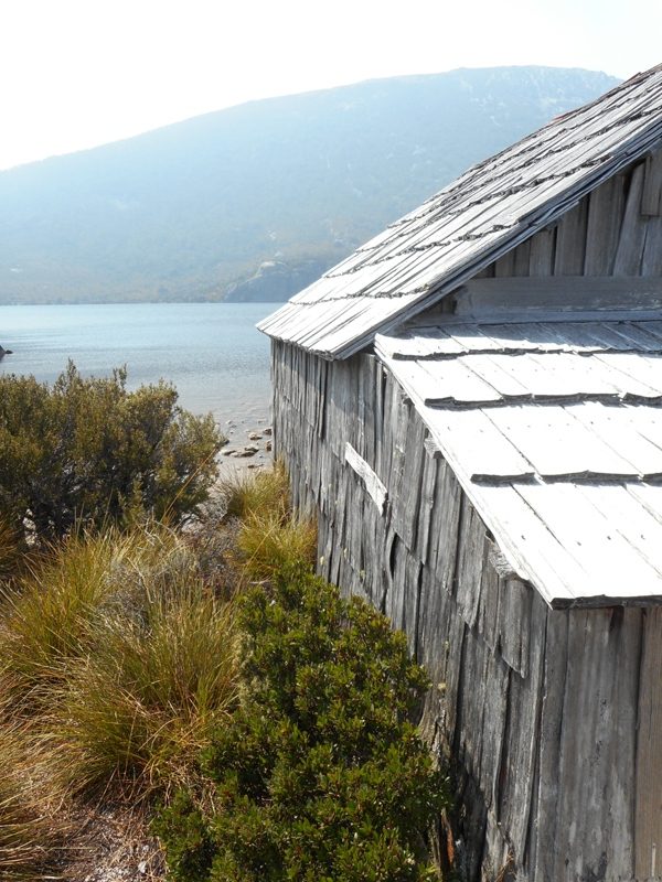
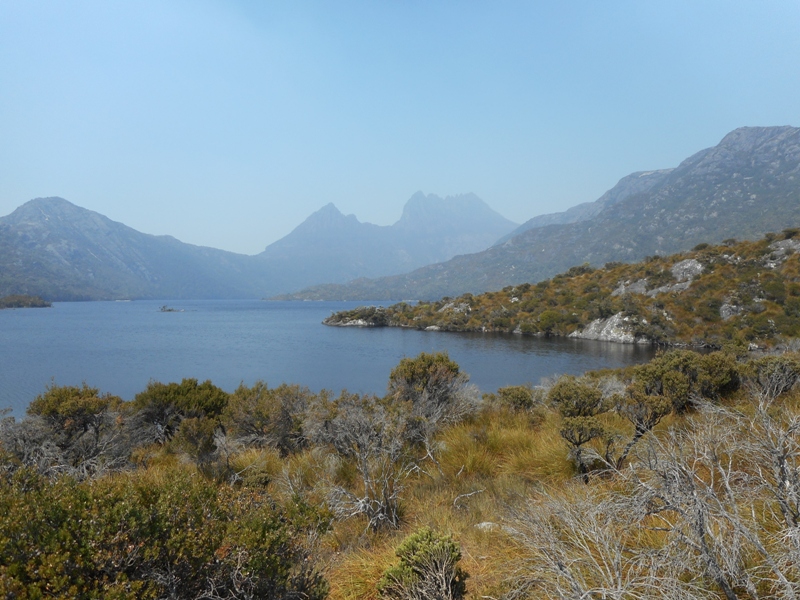
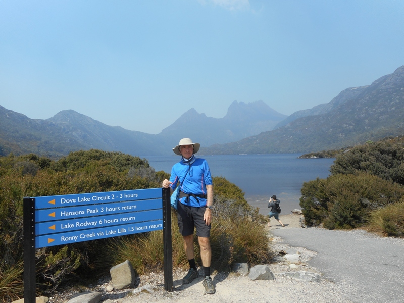
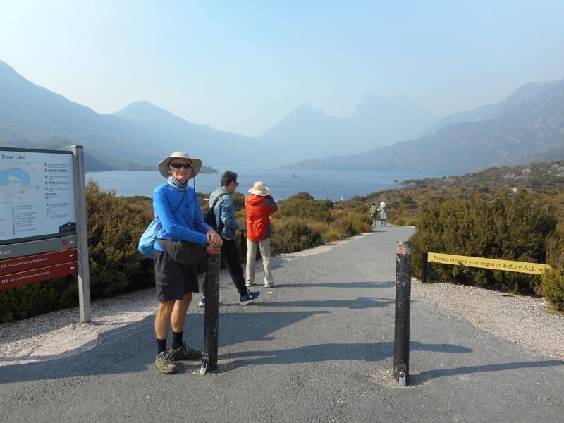
We took the shuttle to Dove Lake and walked the 6km circuit. There was still a lot of smoke in the air so everything looks as if it is in a dirty haze. The walk is fabulous, mostly flat with only a couple of small climbs over headlands. They try and get everyone walking in the same direction so you don’t meet people coming toward you. The path is narrow so continual passing is a hassle. Mostly close to the water with changing views of the mountains and out over the lake. 80% of the path is on timber boardwalk. You also have to sign in and out so that nobody is left out in what could be a very harsh environment.

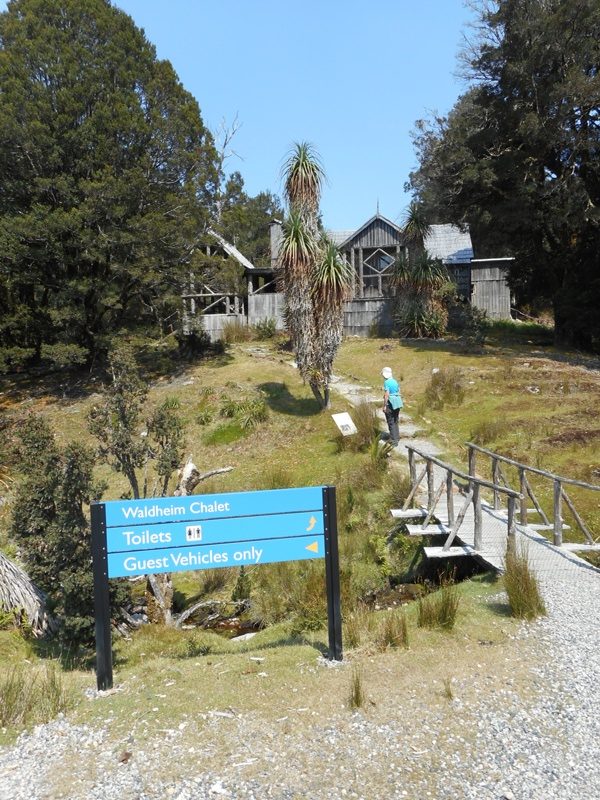
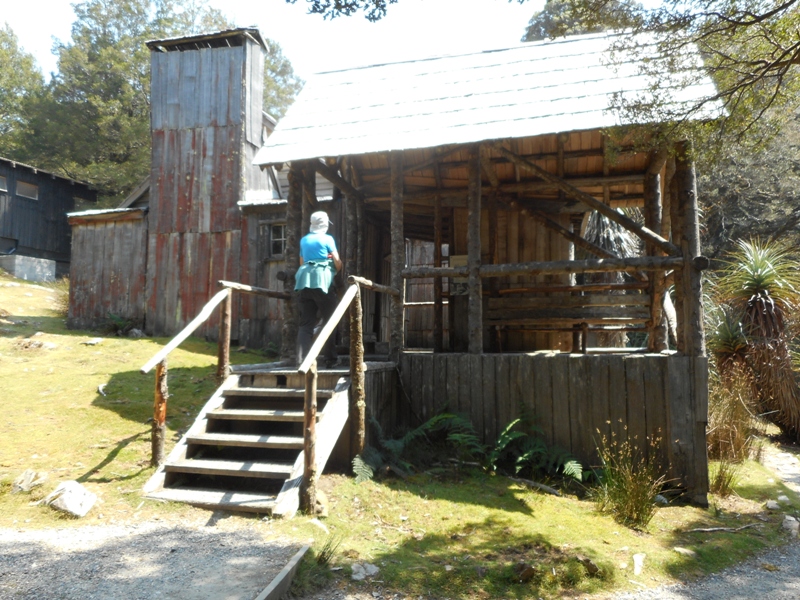
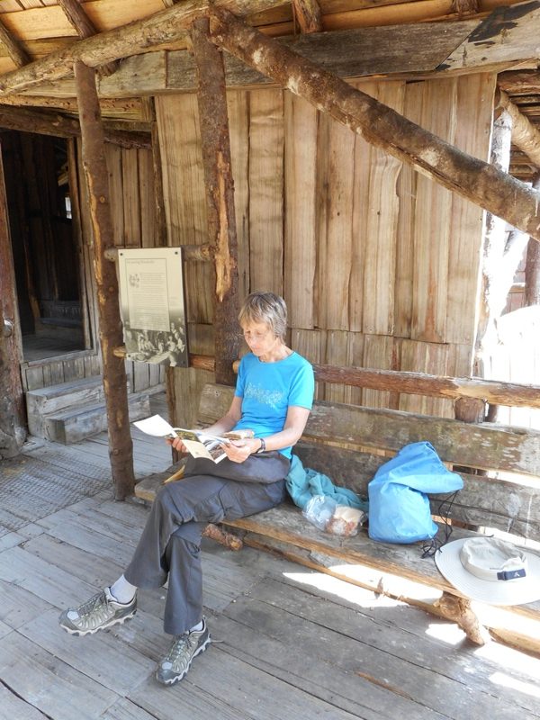
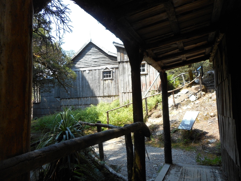
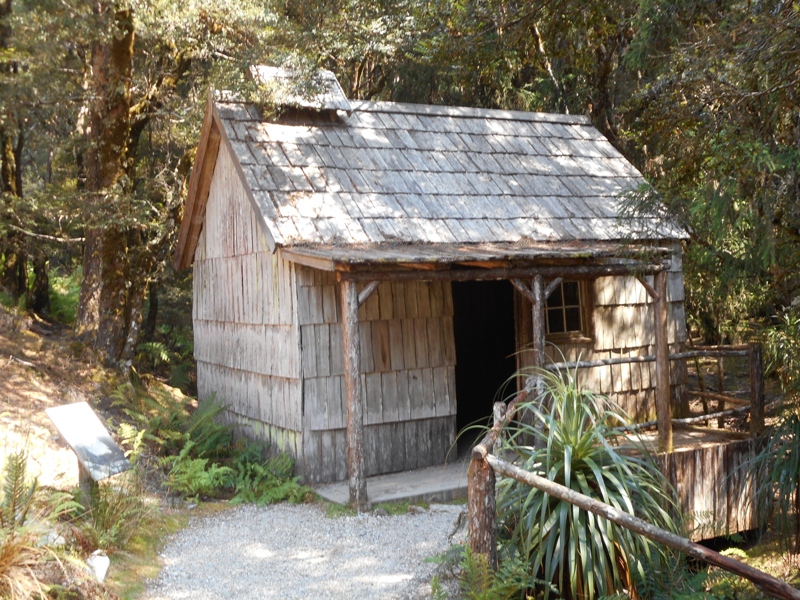
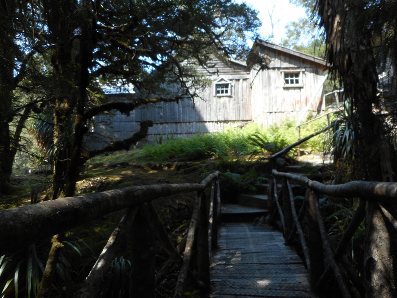
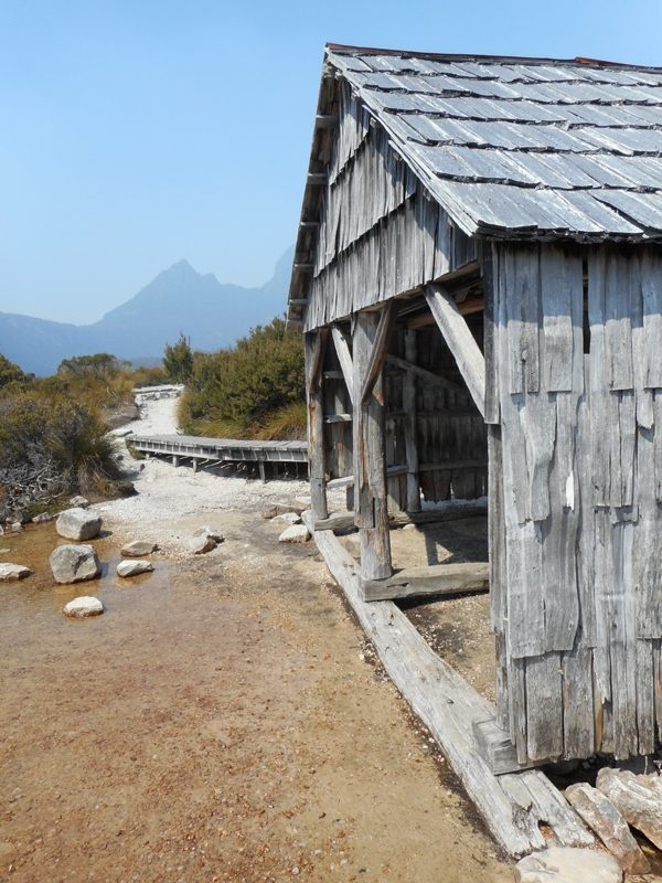
From Dove Lake we hopped on the bus down to Ronny Creek.  There did a 2km each way walk, again on boardwalk up to Waldheim Chalet. In 1912 Gustav and Kate Wieindorfer built a rustic 3 room home and guesthouse here after falling in love with what is now Cradle Mountain – Lake St Clair National Park. The chalet was named Waldheim meaning forest home in German. Gustav and Kate encouraged visitors to their remote guesthouse to share in the marvels of Cradle Mountain. In 1922 64,000 hectares were gazetted as a scenic reserve, and by the eighties the unique value of the area was recognised with proclamation by UNESCO of the Tasmanian Wilderness World Heritage Area.  It is now 1.4million hectares. The chalet was used for accommodation until 1974 when it was severely damaged by fire. The present building is a replica from 1974 using traditional bush carpentry techniques of split timber slabs and shingles from King Billy pin.

The it was back on the shuttle to the interpretive centre which frankly is looking tired and dated but is packed with information. Here we did the Pencil Falls Walk  and the Enchanted Walk, both of which we did last time. For some reason we decided to walk from there back to the Visitor’s Centre but it was hot and tedious and had to walk on the edge of the road as there was no path. It should have been 2km but seemed to go forever. At the Centre we were a bit frazzled so had the worst coffee so far but the best muffins as they were from a refrigerated cabinet and were cool and moist.

Last night in the kitchen there was also a large group of noisy but friendly asians from Melbourne, doing a huge meal of vegetables and rice. One of the ladies had bailed up one of the cleaning staff and tonight we had a new set of 6 pans all with lids and handles!
 

Stanley to Cradle Mountain

A transition day most of it spent in the car. Before leaving Stanley we went for a walk to the commercial end of town where there is quite a substantial fishing fleet, fish processing plant, huge cool store etc. This is not the picturesque part of town.

From Stanley drove back through a smoke laden atmosphere to Wynyard where we stocked up on groceries for the next few days. Carried on to Somerset where we fuelled up the car. Here they still have forecourt attendants! Very nice ladies in smart uniforms who fill your car, wash the windscreen, take your money and bring you back the change. You don’t even have to get out of the car, the whole transaction done out the carwindow. Just like the olden days. Here in Tasmania that’s the present days.
From Somerset turned inland to go to Cradle Mountain.  This was a nice quiet road winding through farmland then bush then plantation forest. It would make a great cycling route with plenty of undulations but no big hills. In fact the trip from Launceston to Stanley and on to Smithton would be a good cycling trip. You can by-pass the main road using the old highway, coastal route and secondary roads. Plenty of small towns along the way.

We were following the A10 and stopped at a rest area in Hellyer Gorge. This is a beautiful rainforest and we did a 15min walk to a sparkling river. While eating our lunch a car pulled up beside ours and 4 hippie looking young people got out. We had seen them before in Stanley camped next to a “No camping sign”. One of the girls in a billowing skirt and purple bikini top lazily gyrated with a hula hoop to the sound of Billie Holiday singing Strange Fruit.  Very alternate.

On the other side of us was one of those cheap camping vans, with a quote from Madonna on the side: “Sometimes you have to be a bitch, just to get things done”. Three guys on bikes in leathers and thigh high boots arrived, all snorting and hissing and dust -the bikes, not the guys, who were very friendly. Even in a little rest area in the middle of nowhere life is interesting if you just wait and watch.

Carried on along the A10 until it intersected with the C132. Kevin and Owen will remember Brett waiting for us here with hot drinks. They will also remember the top of “Cradle Mountain Development Road Highest Point 930m”. This time we walked up the 200m to the lookout over the Vale of Belvoir. Arrived at Cradle Mountain mid afternoon and checked into the Discovery Holiday Park. We are in a family cabin which is just a room with a double bed and a set of bunks. Communal kitchens and bathrooms. Quite different from the last few nights.

The Holiday Park is located just outside the national park and across the road from the visitors ‘ centre. It is large with cottages, cabins, bunkhouses, powered and unpowered sites, all in a forest setting. While cooking our canned chunky beef with beans and frozen cubed vegetables, in a pot with no handle, we got talking with a couple from Melbourne. Neville was 74 and Helen about the same. They were pretty spry and had been to NZ and walked all the main tracks. Anyway it turned out he had walked the last 100km of the Camino de Santiago last year, so we had much to talk about.

Somehow our talking mentioned the ease of getting around Europe on buses and trains. A Belgian woman with short pink hair who had until then been engrossed in her iPhone suddenly burst into our conversation. Complaining about there being only one bus per day to Launceston and it was early in the morning which was not suitable. She didn’t get any sympathy from Neville who explained Tas was a large island with a widely dispersed population of only half a million. The Belgian humph went back to her iPhone, probably scowling over bus timetables.

Nb in the kitchen there is only one pot with a handle and there is a sort of competition as to who gets in first to claim it.