Monday 15 June 2026
Day 49 of walking
Bridport to Abbotsbury
Distance: 21.17km
Total distance: 960.77km
Climbing: 170m
Total climb: 31,328m
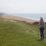
Our first mission today was to retrace our steps from Bridport 3.2 kilometres back to West Bay. This is a nice quiet walk along the river bank and all of it away from traffic. About half way to West Bay is a large Morrisons supermarket so we called in there to get some supplies for dinner tonight. Our destination Abbotsbury has two pubs but one had a fire in January and is closed for rebuilding and the other does not serve meals on Mondays, and today is a Monday. We decided to have our main meal at lunchtime and just get something cold to eat in our room this evening. On past trips we used to buy ‘Meal Deals’ quite often but not this trip. A meal deal is a combo price for a main (sandwiches, wraps etc), a drink (smoothies, juice, soda, water) and a snack (crisps, choc bar etc). One of each for a total of £3.75. If you bought a smoothie on its own it was £2.80, so overall it is a good deal. These meal deals are in all the main supermarket chains and even some Boots the Chemist.
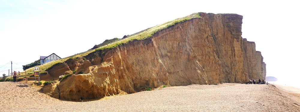
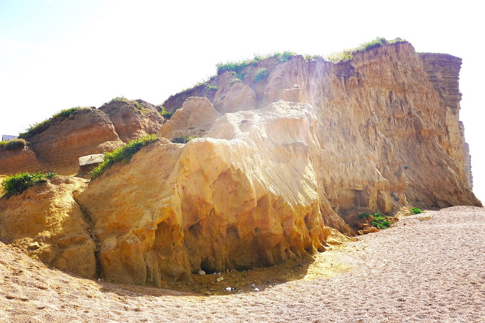
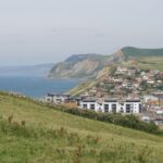
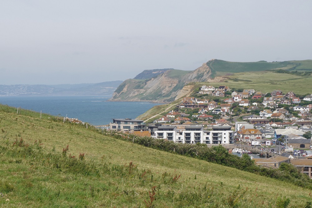
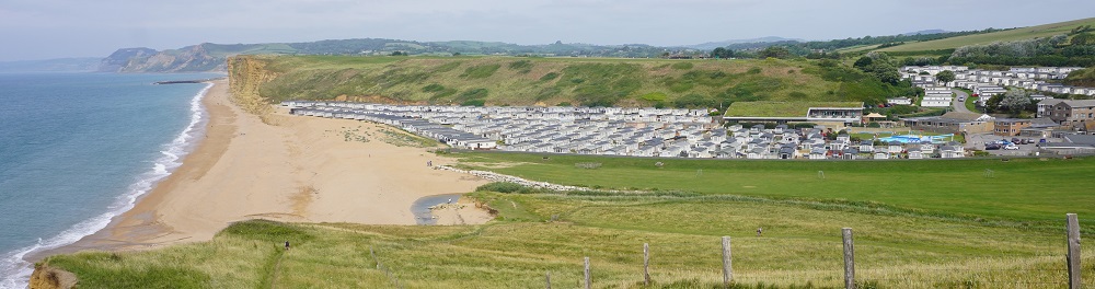
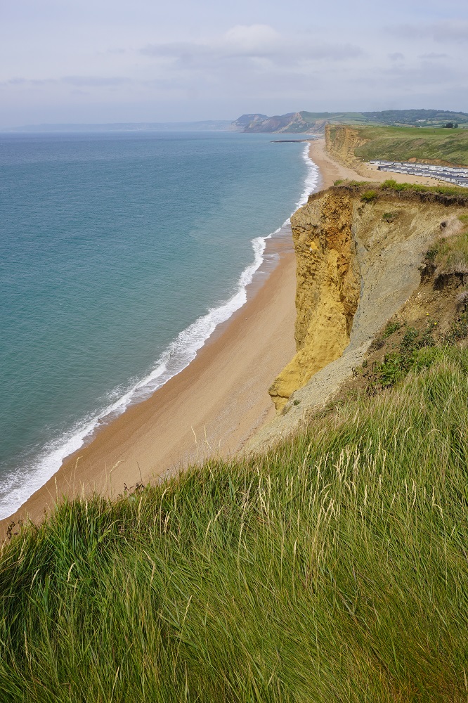
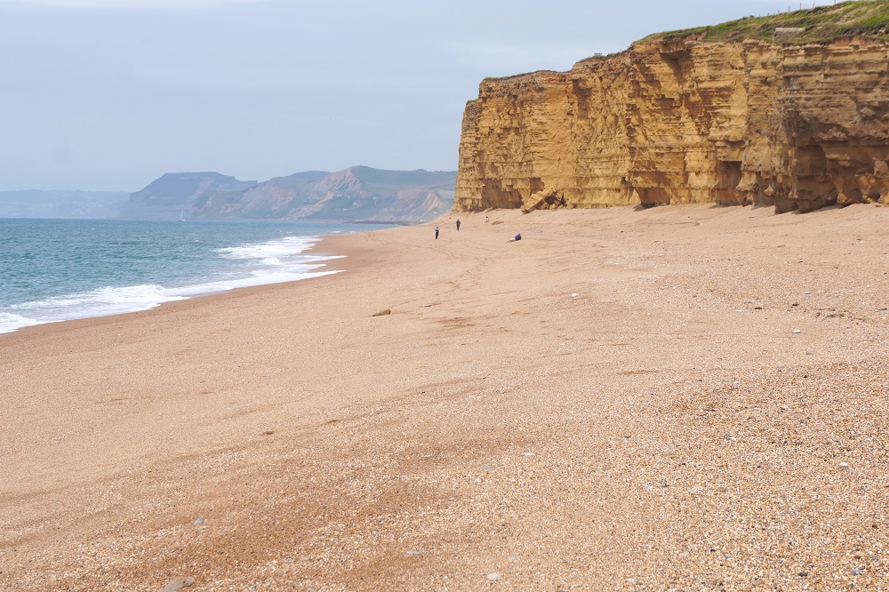
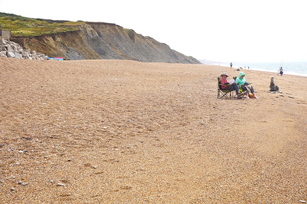
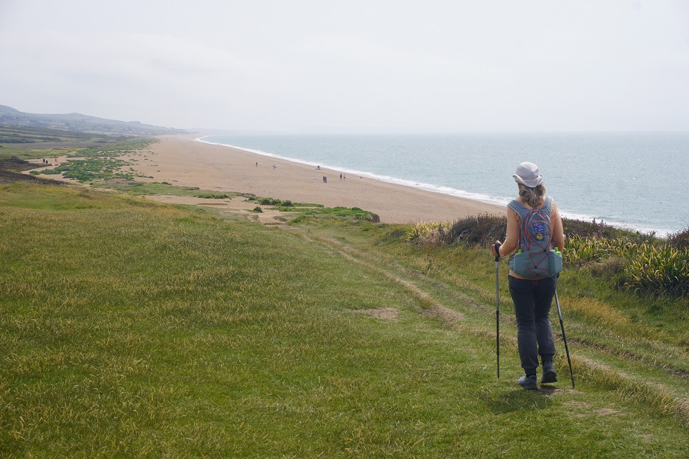
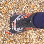
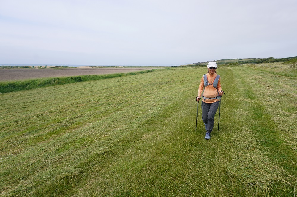
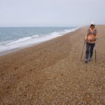
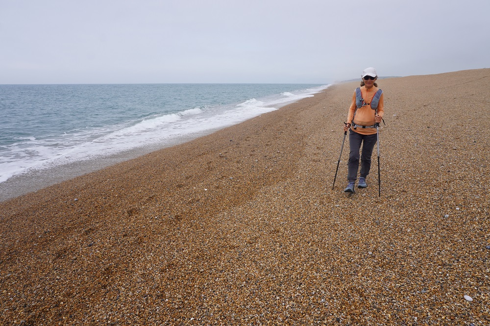
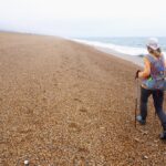
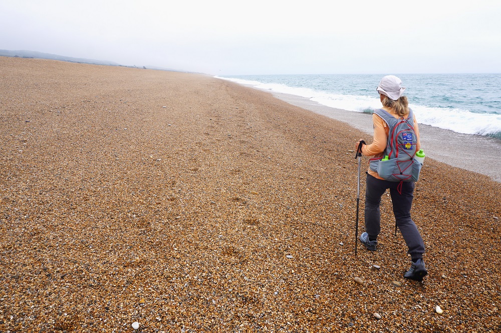
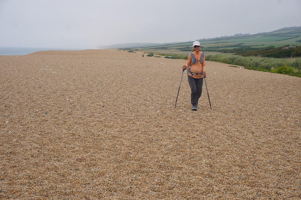
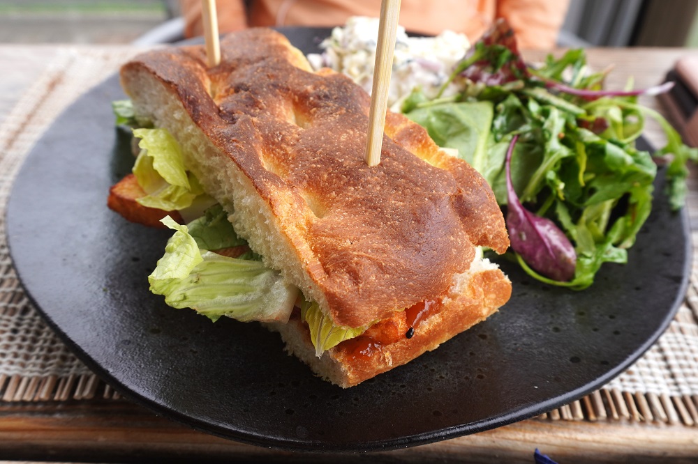
At the east end of West Bay is East Cliff, an imposing, orange, vertical cliff towering over the beach. The Coast Path used to go up the edge of the cliff but a dramatic landslide in 2017 means the path is diverted inland, across some fields, through yet another golf course and comes down to the beach at Burton Freshwater through the massive Freshwater Beach Holiday Park. A small climb over Burton Cliff to Hive Beach where we stopped for our coffee break. The cliffs then flatten out and there is no more climbing for 10 kilometres until the climb up to Abbotsbury Village. This does not make the walking easier as sections of it are on pea sized round pebbles on a shingle ridge separating the sea from the fields. The walking is hard on the legs, slow and tiring. Your feet sink in the shingle which moves every time you try and step forward. You feel as though your feet are slipping and sliding in all directions. At first this is Cogden Beach which turns into Chesil Beach.
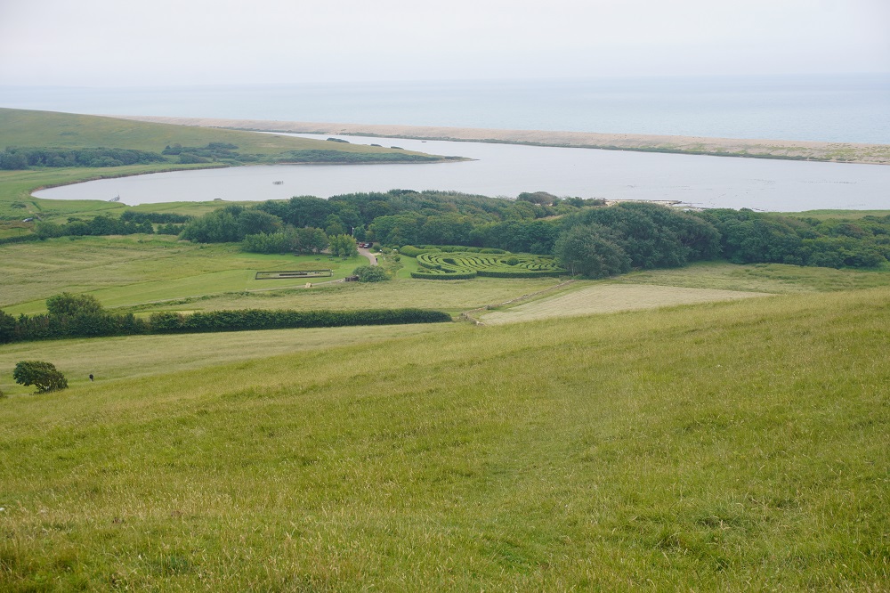
Chesil Beach is 29 kilometres long, up to 15 metres high and is made of 100 million tonnes of pebbles. It is a ‘storm beach’ and is still moving inland about 5 metres a century due to storm overwash. The pebbles grade from pea size in the west to potato sized cobbles in the east. Chesil Beach is one of the finest storm beaches in the world. It was formed in the Holocene Period 6000 years ago and was pushed on shore by rising sea levels and now protects the Weymouth lowlands and the Fleet, one of the most important lagoons in Europe.
About half way along our walk on the beach was the tiny hamlet of West Bexington, some beach houses, a car park, toilets and The Club House Restaurant. This is where we planned to have our main meal at lunch time. It was open and doing a good trade. We both had Focaccia sandwiches served with salad and a summer slaw. Barbara had a ‘Veggie’: fried halloumi, guacamole, spiced tomato chutney, pickled red onion, tomato and lettuce. I had ‘The Club House’ sliced roast chicken, bacon, lettuce, tomato and aioli. We didn’t add the skinny fries. The sandwiches were huge and we should have ordered just one and shared.
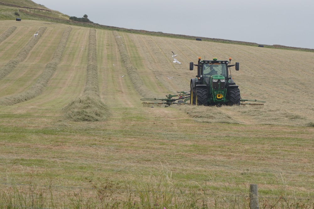
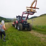
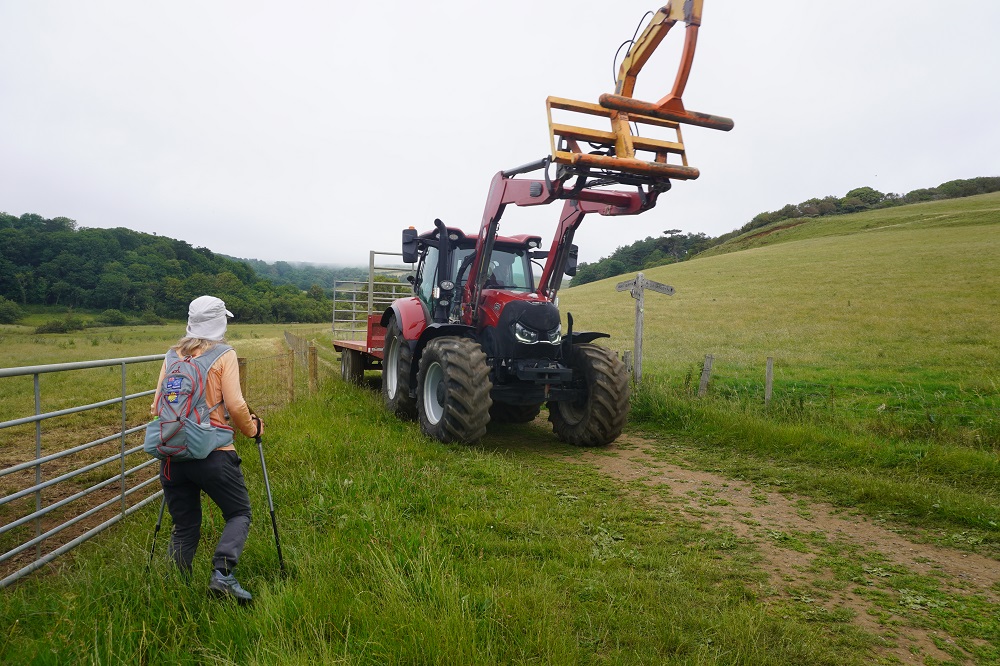
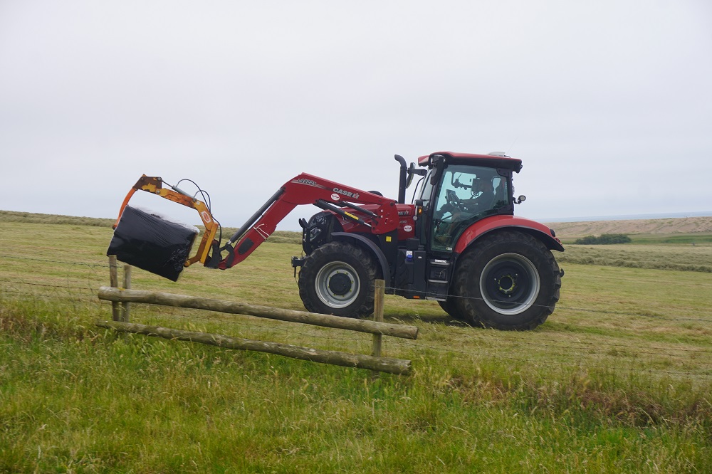
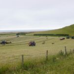
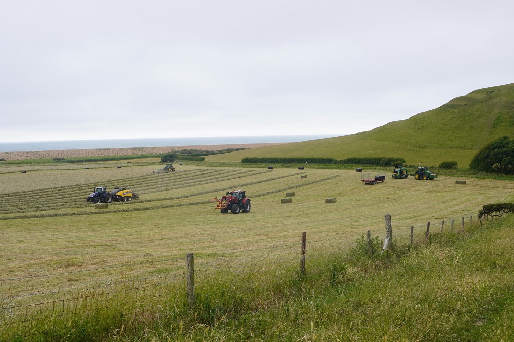
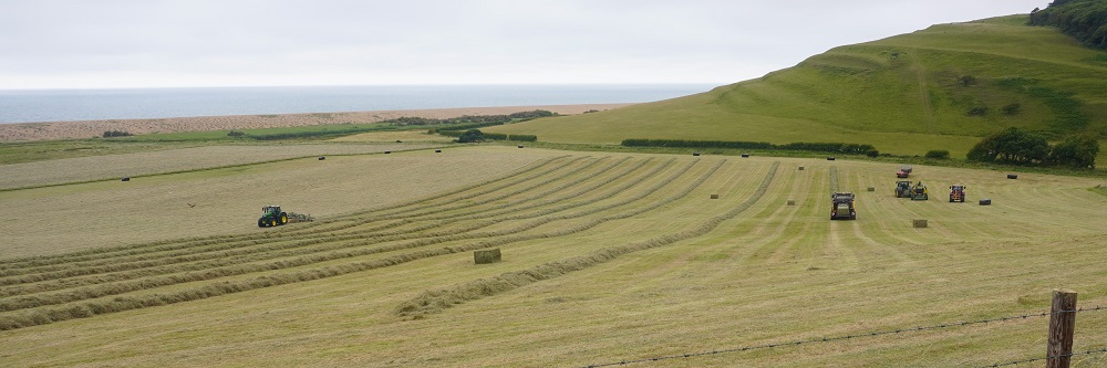
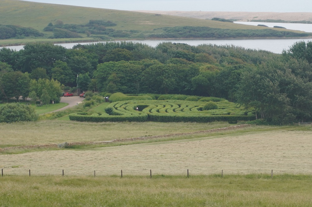
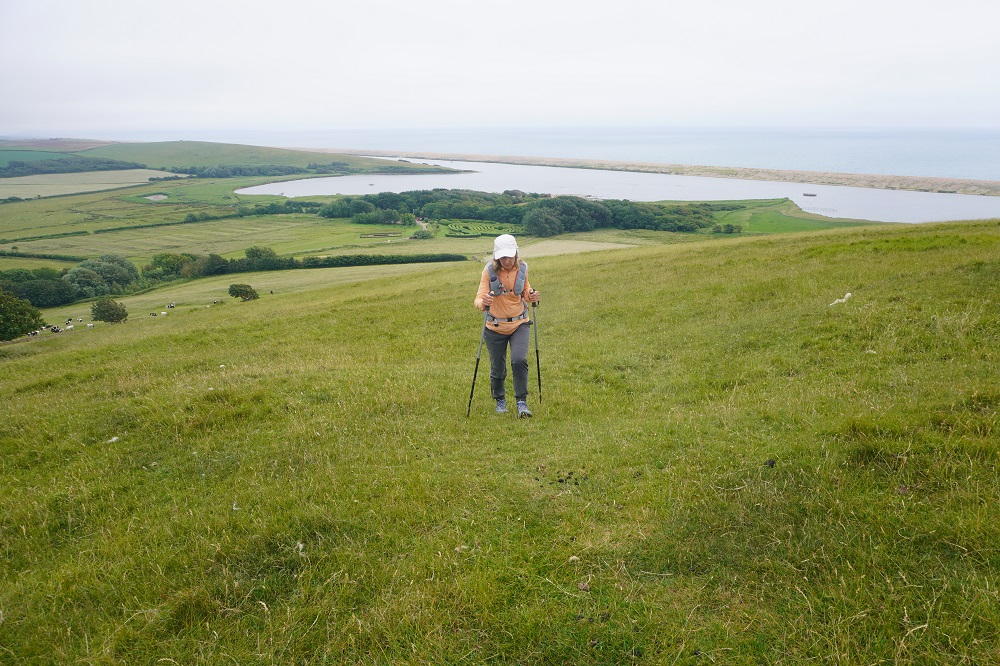
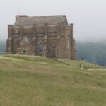
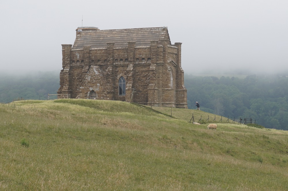
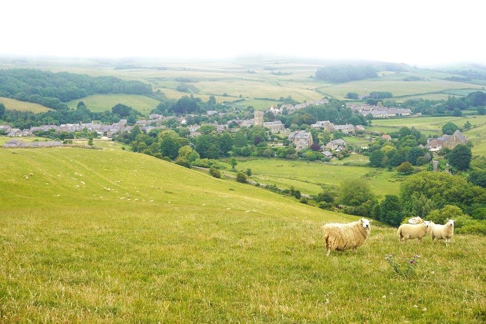
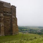
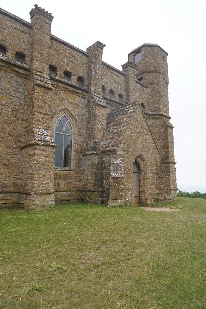
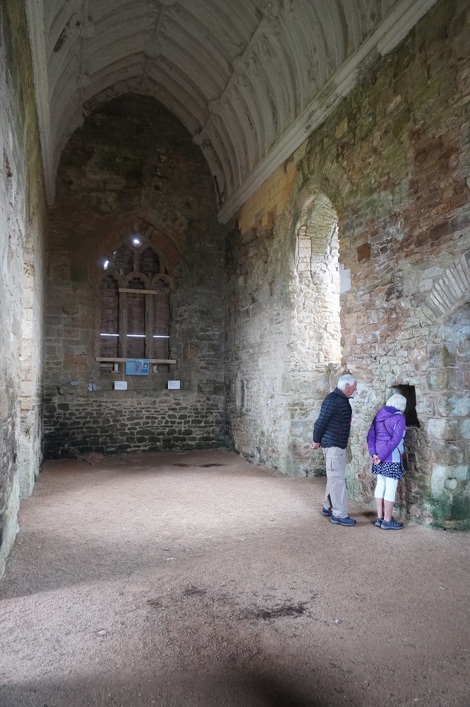
After lunch we were able to get off the pebbles and make much faster progress on a service road behind the beach. After a couple of kilometres we reached a car park, toilets and a seasonal café (closed Mondays and Tuesdays). Here the path turns inland for about 2 kilometres to Abbotsbury. The path was on grass and went around and through a few fields. In one field five tractors were tedding, collecting, baling and plastic wrapping hay and loading the bales onto a trailer. All a very slick operation. We were following the route on our Macs app and it took us up a steep grass slope to the highest hill around, to St Catherine’s Chapel. The chapel was built in the late fourteenth century and is dedicated to St Catherine of Alexandria, one of the most popular saints in mediaeval England. The hill top location recalls the monastery of St Catherine on Mt Sinai and suggests it may have been a place of pilgrimage. From the hill we could look down on the Fleet (lagoon inside Chesil Beach), also the maze that is part of the Abbotsbury Swannery.
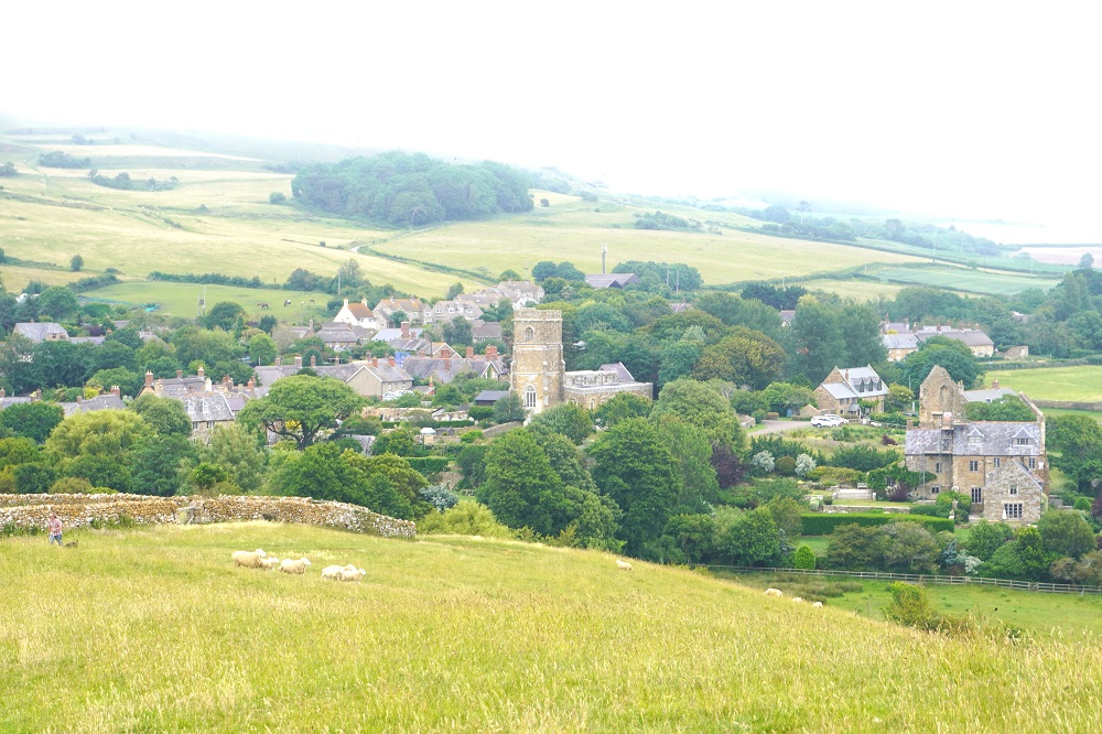
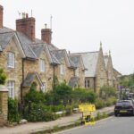
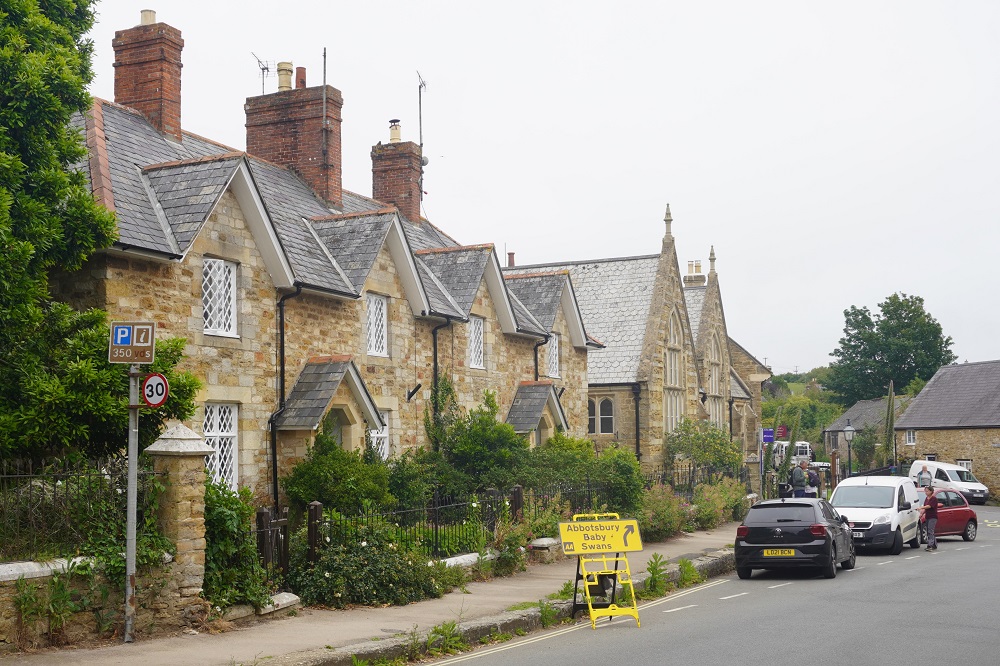
Abbotsbury is a pristine little village of stone with lots to interest. The 11th century remains of the Benedictine Abbey of St Peter, the longest Tithe Barn in England, St Catherine’s Chapel, the Swannery where swans are bred, subtropical gardens, a children’s farm (where they farm children?), a Clock Work Shop where dozens of elegant and rare antique clocks are displayed.
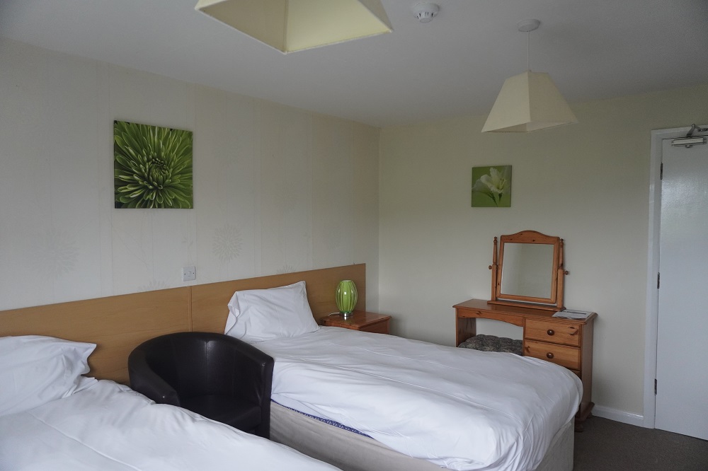
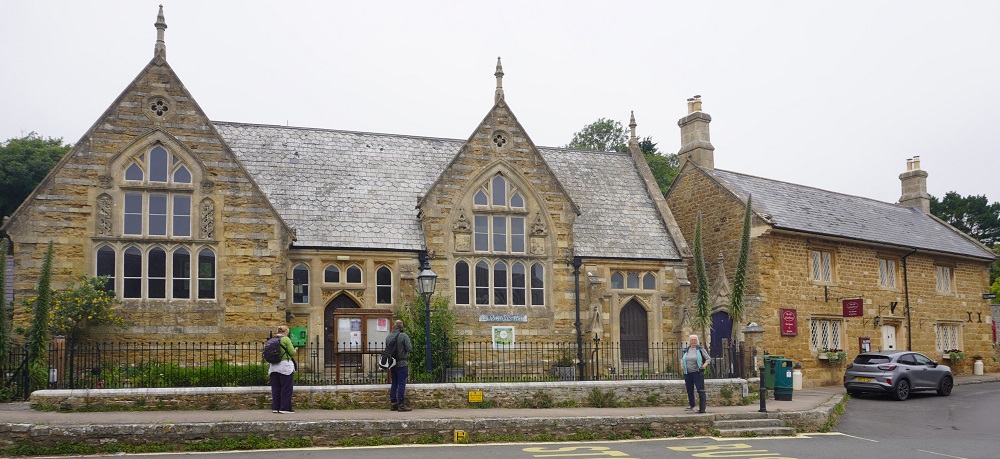
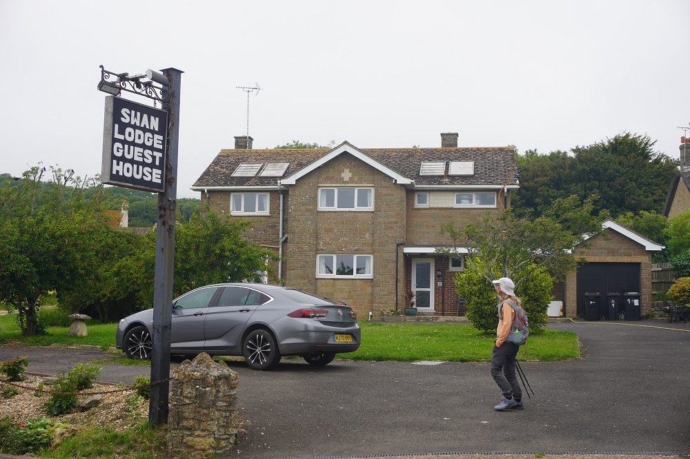
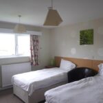
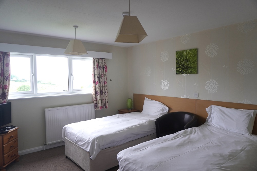
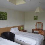
We are staying at The Swan Lodge, possibly the least interesting building in the whole village. Just an ordinary house converted into an ordinary B & B. When we arrived there was no one here, the front door was unlocked and our bags were in the hall. Macs had a phone number in their notes so we gave it a call. Turns out the Swan Lodge is run by the Swan Inn over the road. This is the Inn that had the fire in January. A lady in her old painting clothes came running over to get us settled in. She and her husband are working frantically to get the Inn opened as soon as possible.
Tomorrow is supposed to be a 25km day from Abbotsbury to Weymouth. Anything over 20km is getting to be a bit too much for us at this stage of our walk. 90% of the path is not on the coast but goes across endless fields until you get down to the Fleet and then it follows the inland side of the Fleet almost into Weymouth. Outside the Swan Lodge is a bus stop, so in the morning we will catch a bus to the next village down the road, Chickerell, and from there, using farm lanes and public paths, get back onto the Coast Path, bypassing the boring fields. There are very few busses, we need to be on the 9.05am otherwise there is hours of waiting for the next one.
-
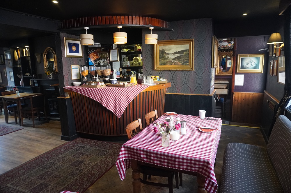
- Breakfast Room, The Tiger Inn, Bridport
-
- Breakfast Room, The Tiger Inn, Bridport
-

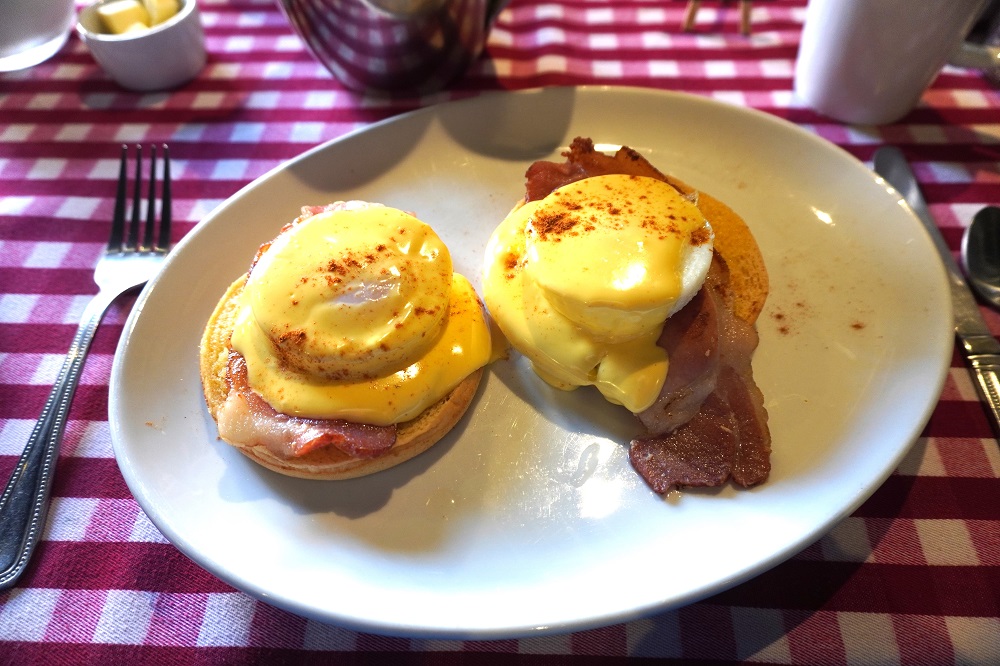
- Eggs Benedict breakfast, The Tiger Inn, Bridport
-

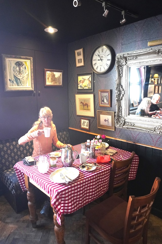
- Breakfast The Tiger Inn, Bridport
-
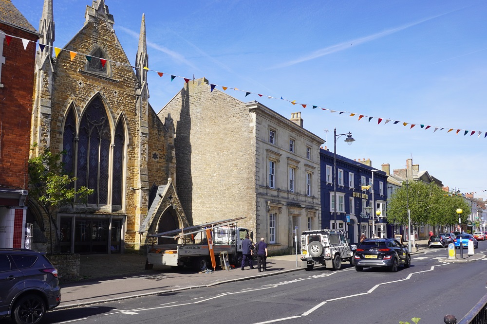
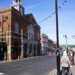
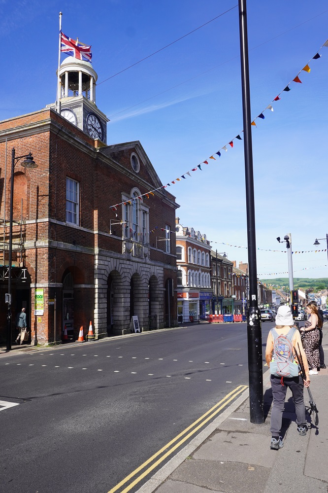
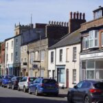
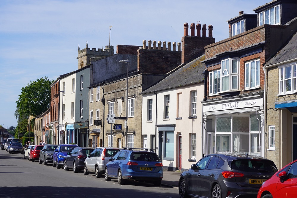
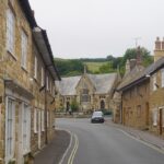
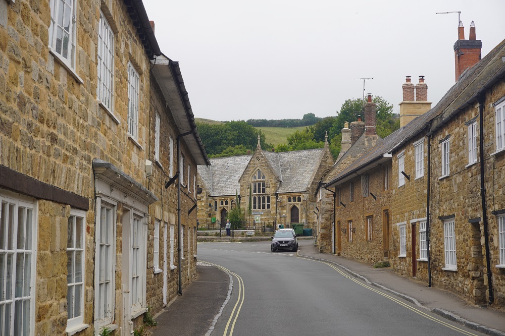
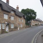
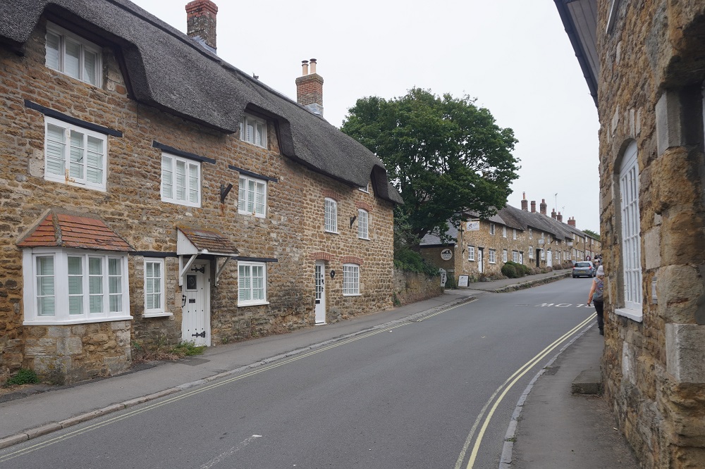
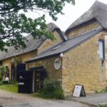
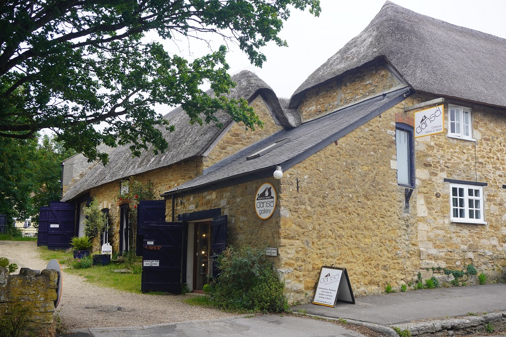
- Bridport
-
- Bridport
-
- Bridport
-

- Bridport

-
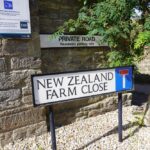
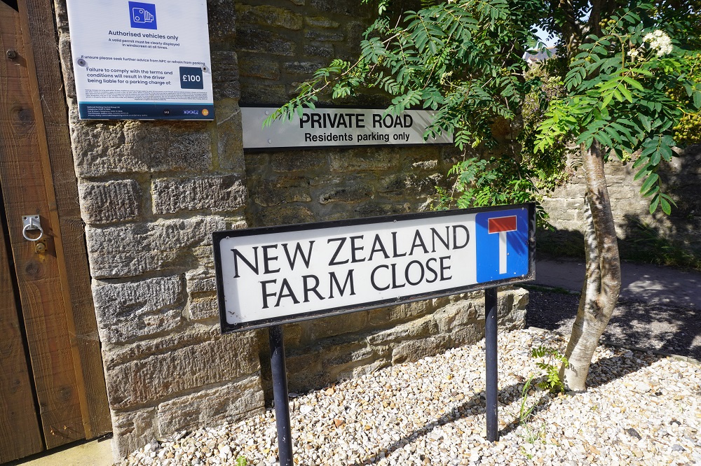
- New Zealand Farm Close, Bridport
-

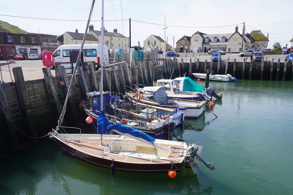
- West Bay
-
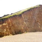
- East Cliff, West Bay
-
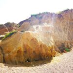
- East Cliff, West Bay
-
- Leaving West Bay
-

- Another golf course – Bridport and West Dorset Golf Club

-
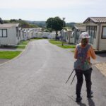
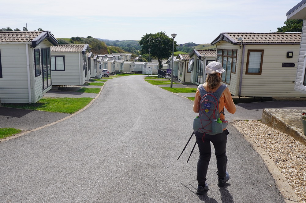
- Another holiday park – Freshwater Beach Holiday Park
-

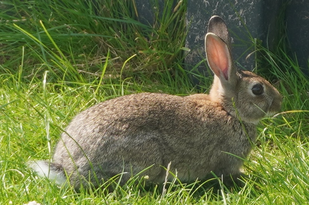
- Animal of the day
-
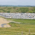
- Freshwater Beach Holiday Park at Burton Freshwater
-

- Cliffs between Freshwater Beach and Hive Beach
-

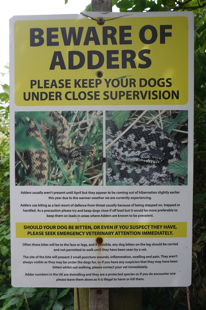
- They are very shy, we haven’t seen any
-
- Vertical cliffs at Hive Beach
-
- Hive Beach
-
- Cogden Beach and the pebble ridge ahead
-
- Very hard to walk on this stuff
-
- Finding a short cut from Chisel Beach inland to an easier path
-
- So much easier to walk on grass than on the beach
-
- Tough walking on Chisel Beach
-
- Tough walking on Chisel Beach
-
- Tough walking on Chisel Beach
-
- The Club House Restaurant, West Bexington
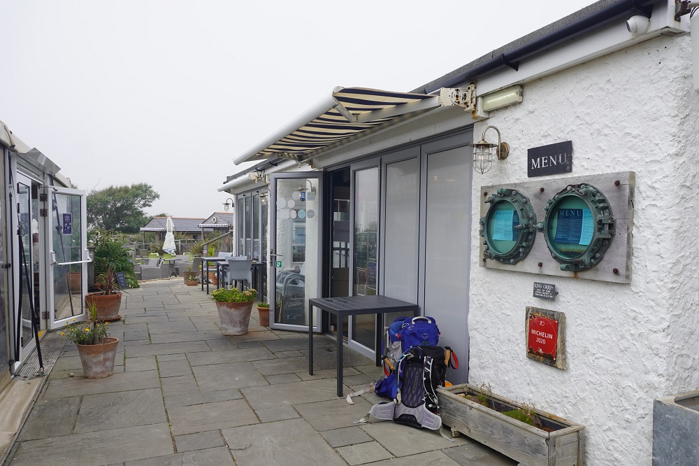
-

- The Club House Restaurant, West Bexington
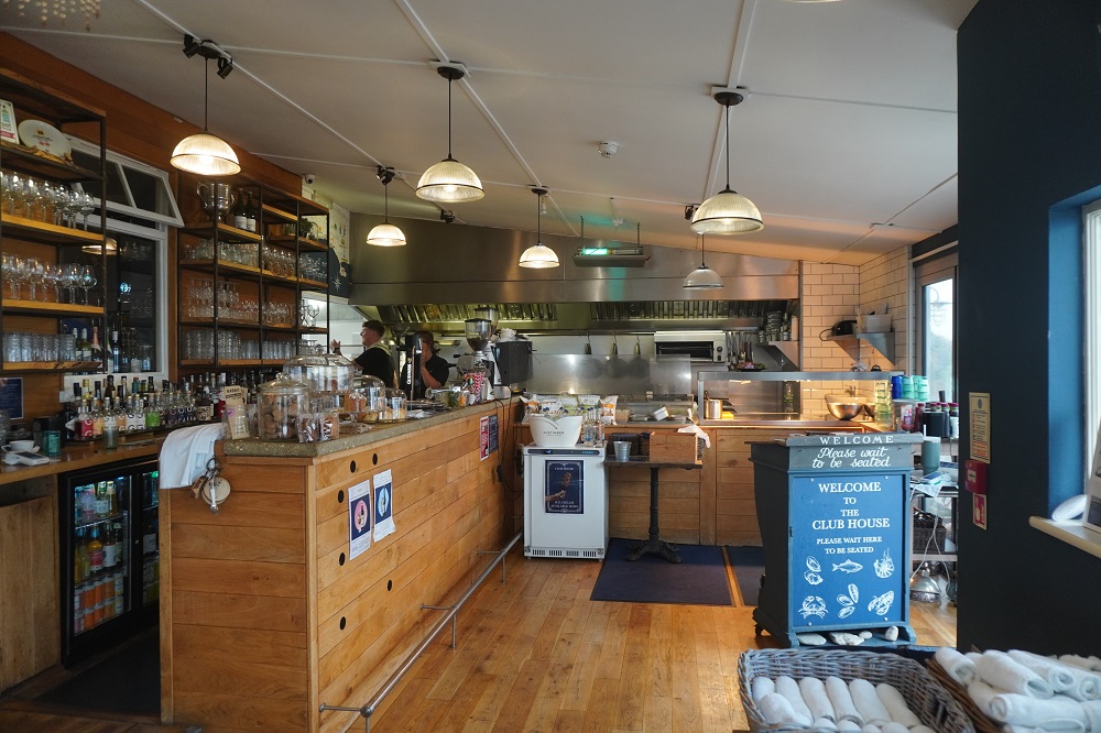
-
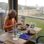
- The Club House Restaurant, West Bexington
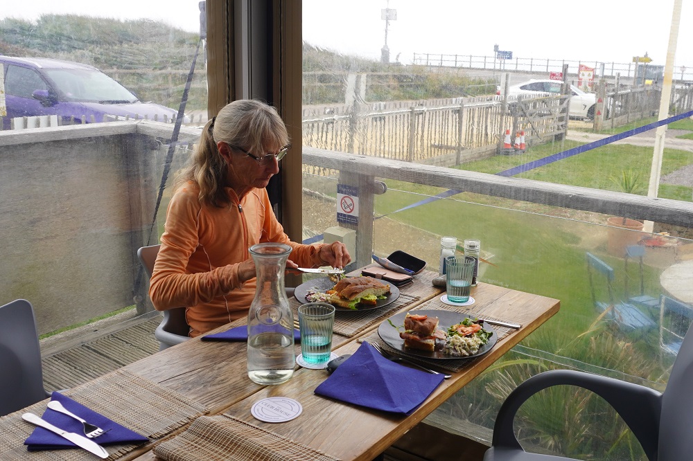
-
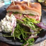
- The Club House Restaurant, West Bexington
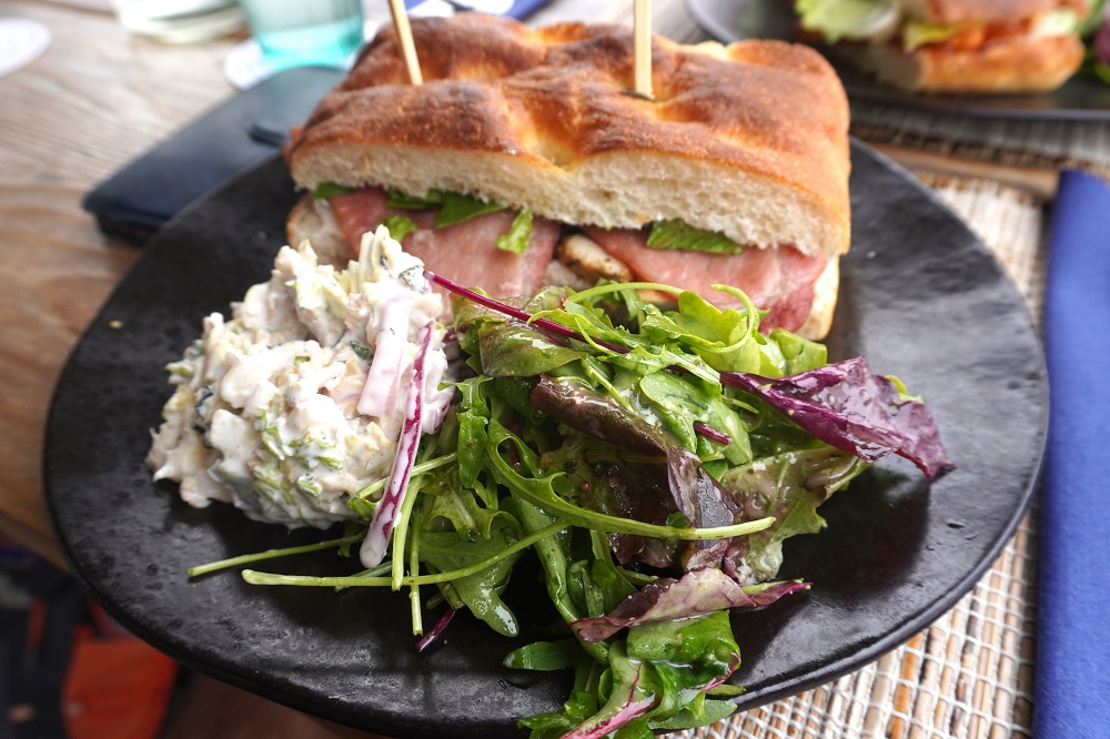
-

- The Club House Restaurant, West Bexington
-
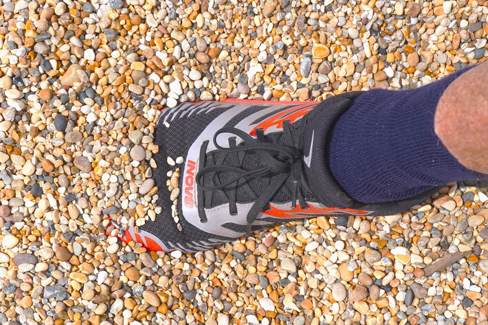
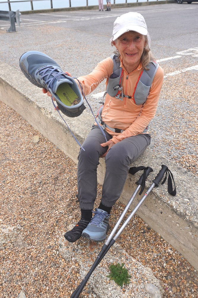
- Getting the pebbles out of the shoes, West Bexington
-
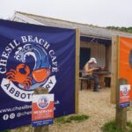
- Chisel Beach Cafe, closed today, Monday
-

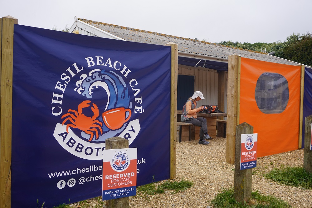
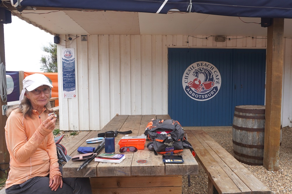
- Using their table, Chisel Beach Cafe
-
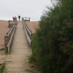
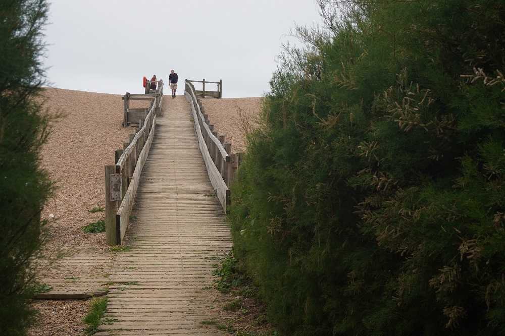
- Boardwalk, Chisel Beach
-
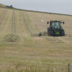
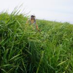
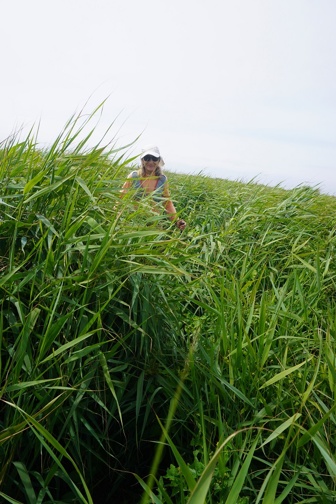
- Working the fields, Abbotsbury
-
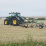
- Working the fields, Abbotsbury
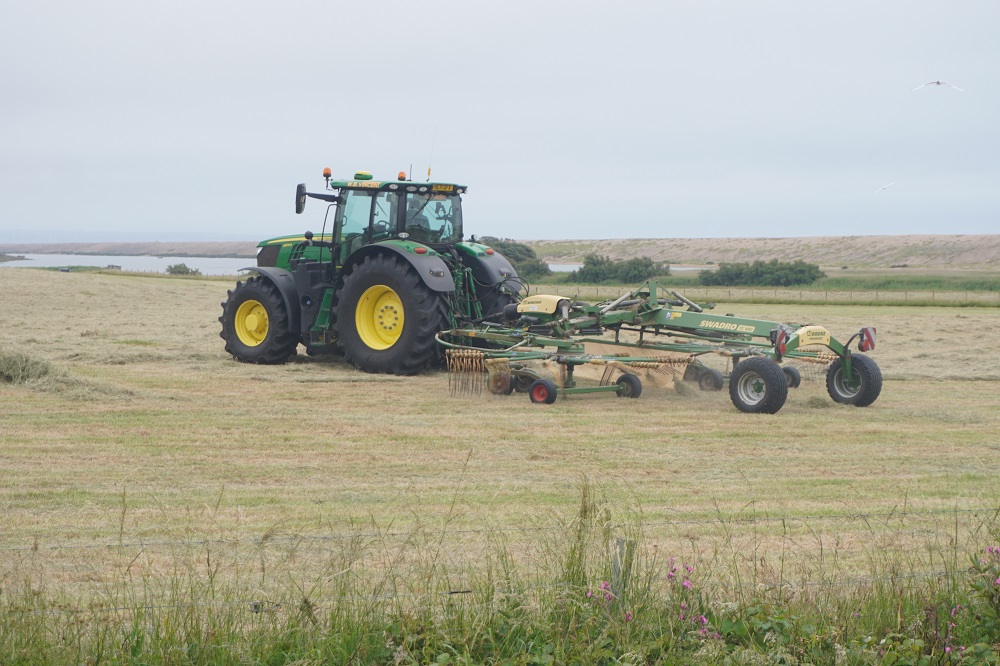
-
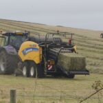
- Working the fields, Abbotsbury
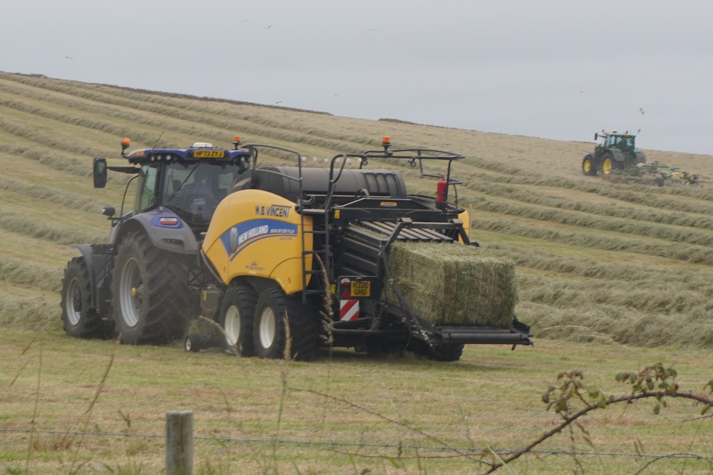
-
- Working the fields, Abbotsbury
-

- Working the fields, Abbotsbury
-
- Working the fields, Abbotsbury
-

- Working the fields, Abbotsbury
-
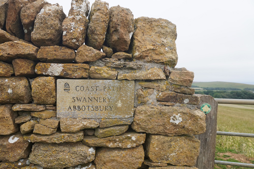
- Stone signage in a stone wall, Abbotsbury
-
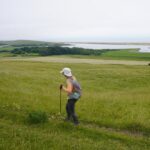
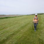
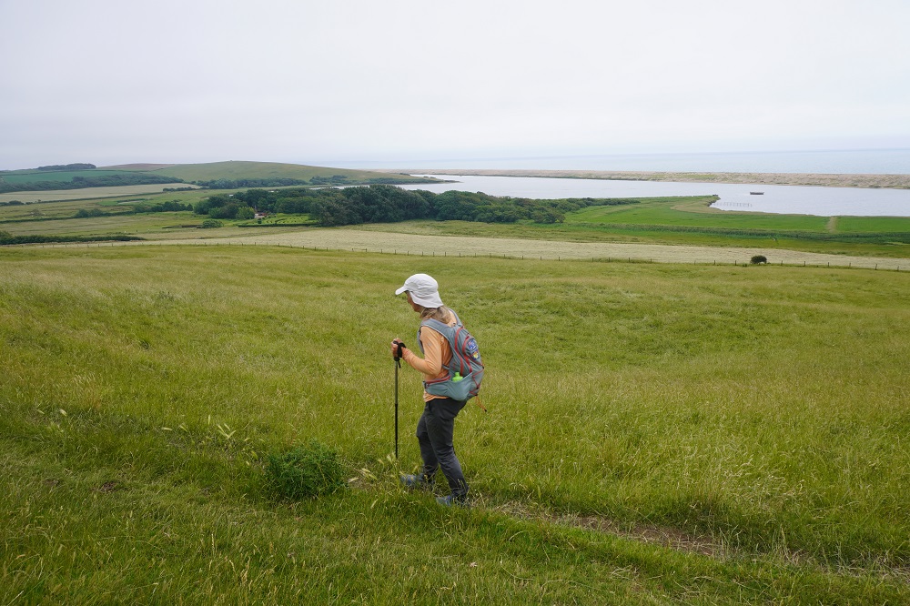
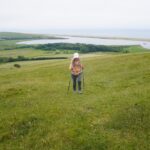
- Crossing fields on the way to Abbotsbury, The Fleet and Chisel Beach in the distance
-
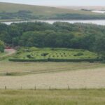
- The maze at The Swannery, Abbotsbury
-
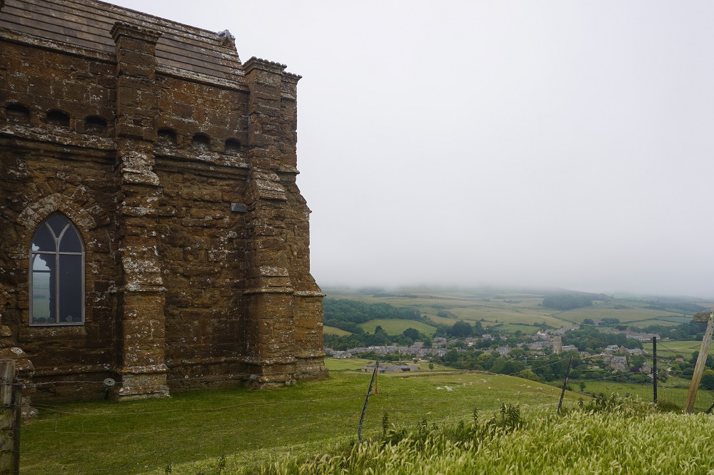
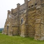
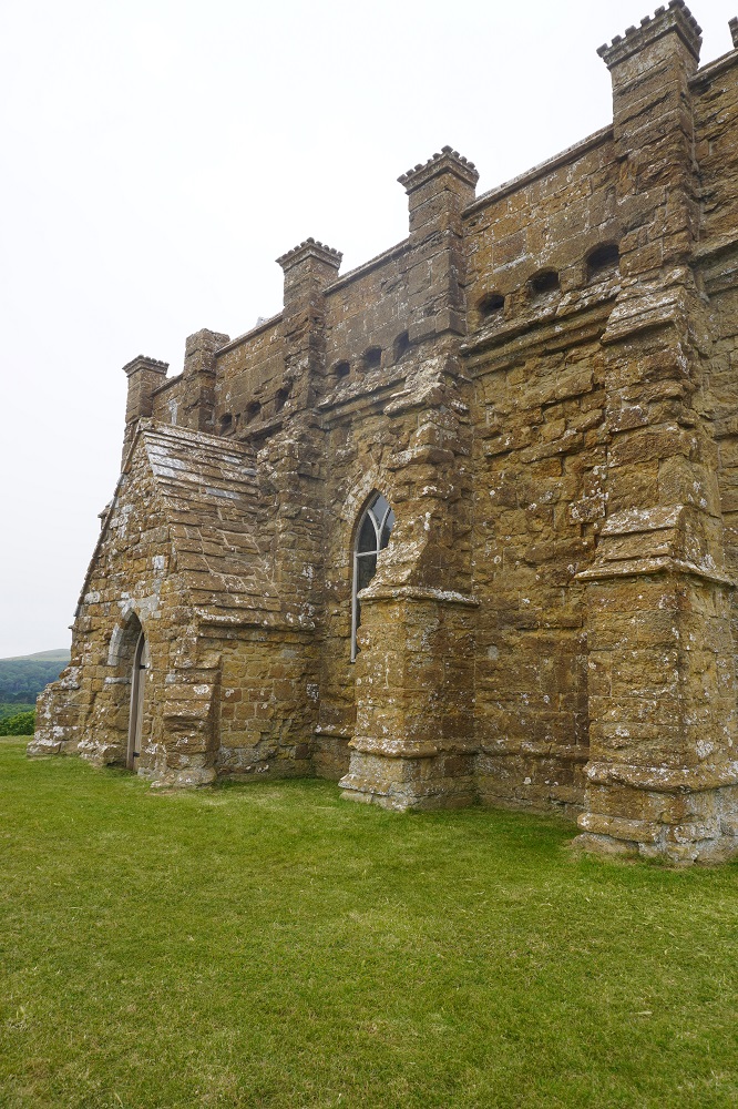
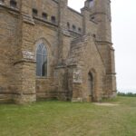
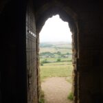
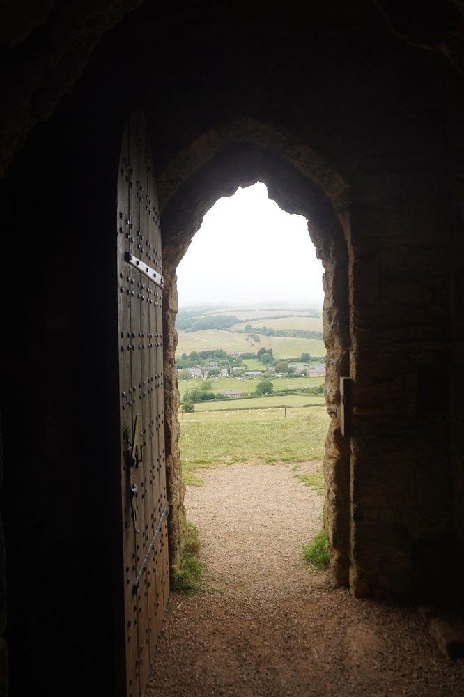
- Climbing up to St Catherine’s Chapel, Abbotsbury
-

- The Fleet and Chisel Beach
-
- St Catherine’s Chapel, Abbotsbury
-
- Abbotsbury
-
- St Catherine’s Chapel, Abbotsbury
-
- St Catherine’s Chapel, Abbotsbury
-
- St Catherine’s Chapel, Abbotsbury
-
- St Catherine’s Chapel, Abbotsbury
-
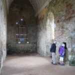
- St Catherine’s Chapel, Abbotsbury
-
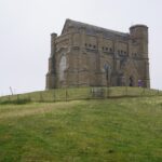
- St Catherine’s Chapel, Abbotsbury

-
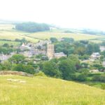
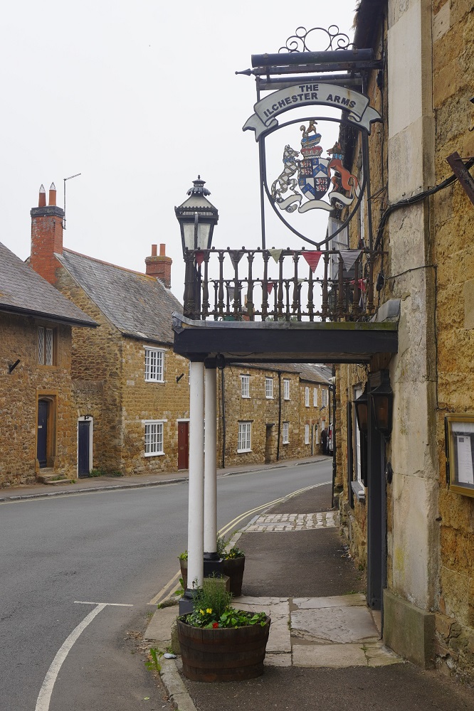
- Abbotsbury
-
- Abbotsbury
-

- Abbotsbury
-

- Abbotsbury
-
- Abbotsbury
-
- Abbotsbury
-
- Abbotsbury
-
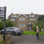
- Swan Lodge Abbotsbury
-
- Swan Lodge Abbotsbury
-
- Swan Lodge Abbotsbury