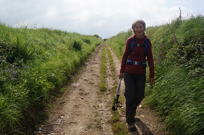
Perranporth to Portreath, 18km, 686 metres of climbing
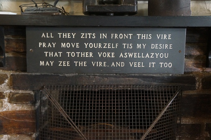
‘I can walk the line if it ain’t too straight’
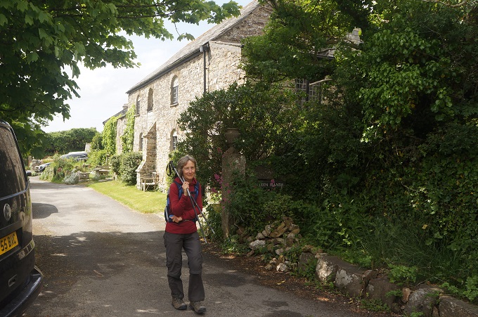
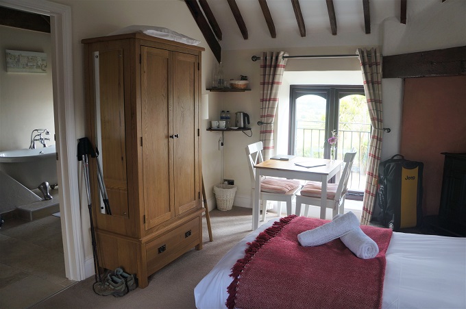
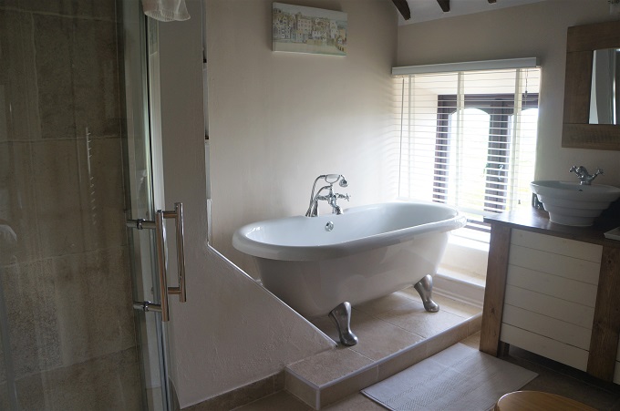
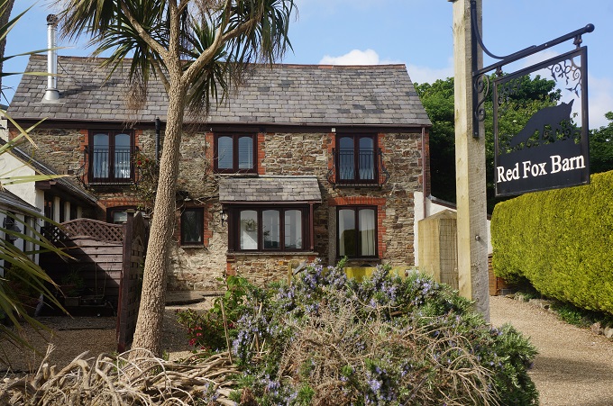
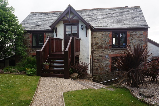
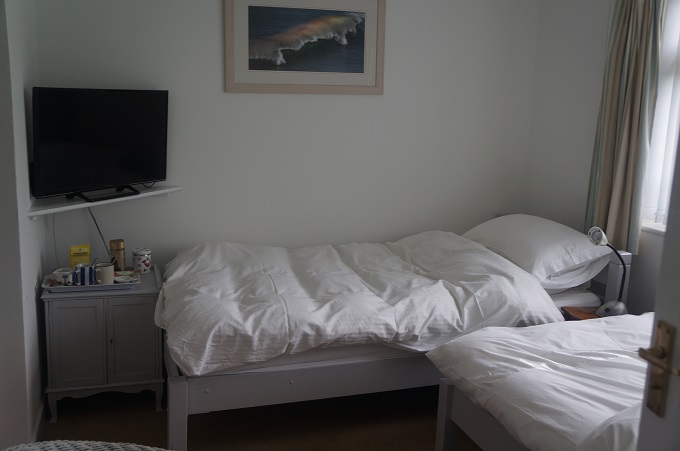
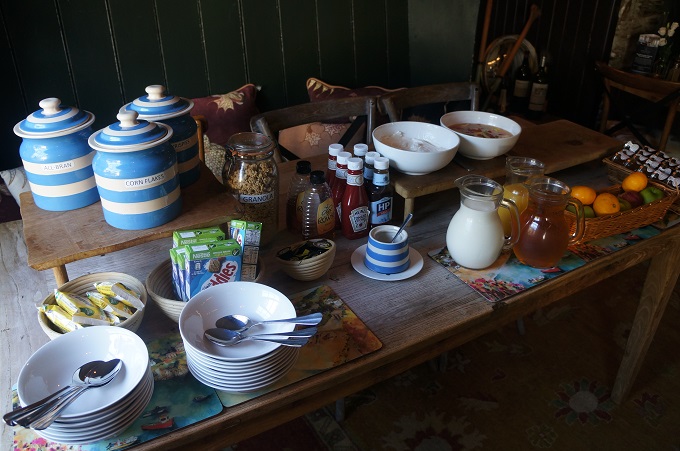
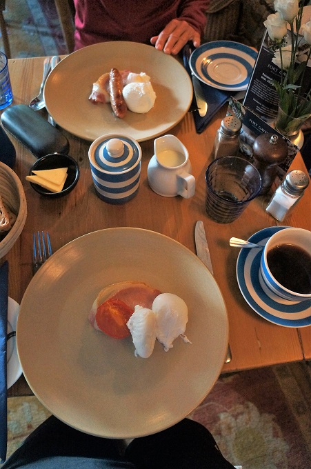
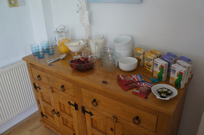
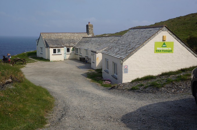
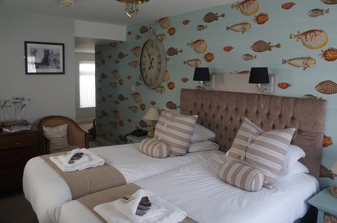
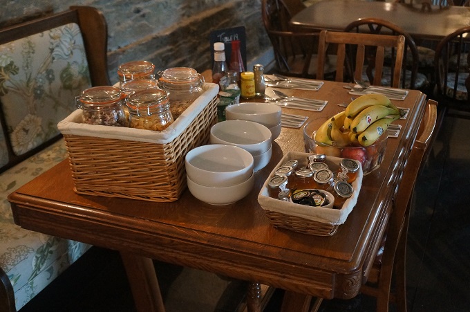
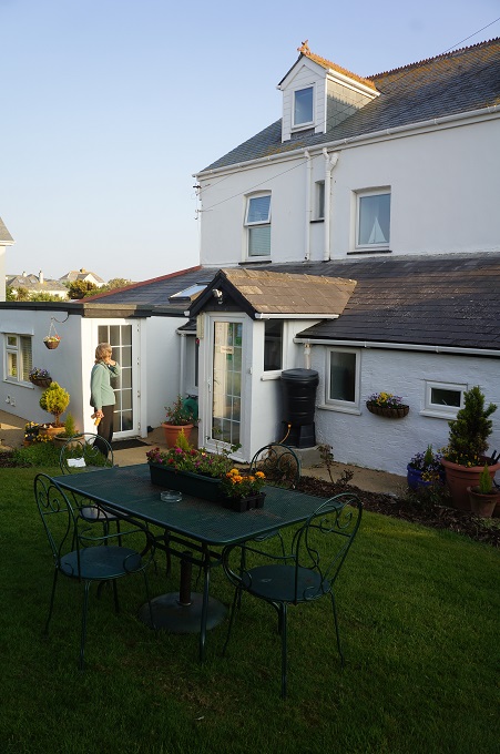
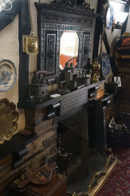
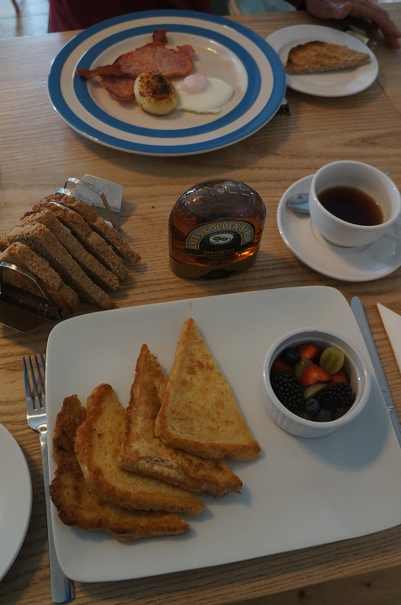
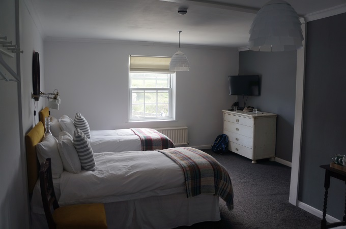
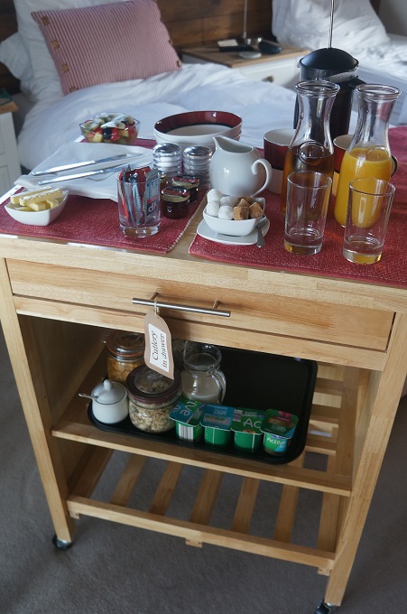
This morning was the next best thing to breakfast in bed. Red Fox Barn is quite luxurious and has just two hotel rooms and no dining room. Mike (from Seth Evrika) takes your breakfast order the night before and in the morning at your preferred time brings a trolley to your room, laden with tea, coffee, juice, yoghurt, cereals, fruit, milk, etc. Precisely 10 minutes later he arrives with your cooked breakfast, toast, more coffee etc. The only down side of this is you feel you should tidy up the room before he arrives. Our room usually becomes a tip about 10 minutes after we arrive and a Chinese laundry when we have showered and washed our clothes. Mike also gave us a ride in his car for the two miles back down to the path. Mike and his wife have a shop downtown and he was going down anyway to open up.
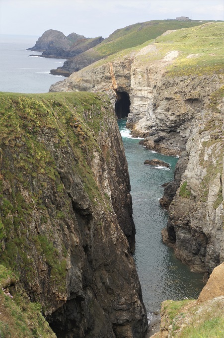
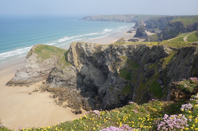
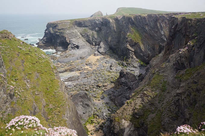
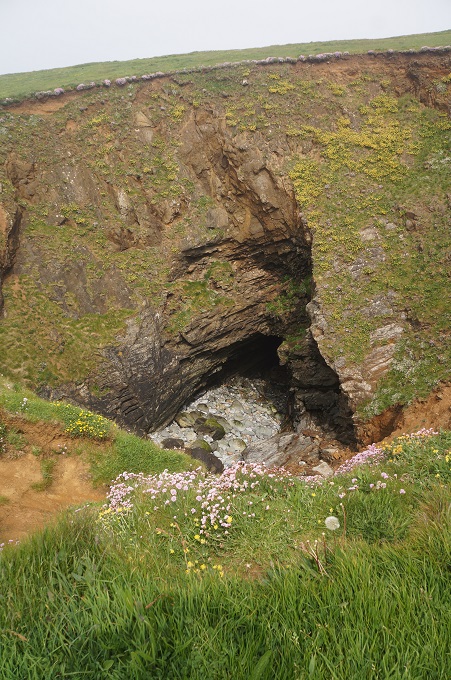
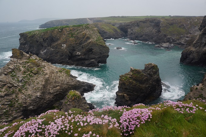
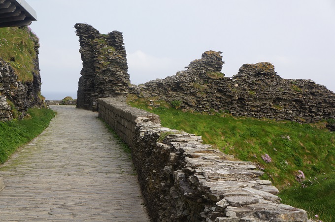
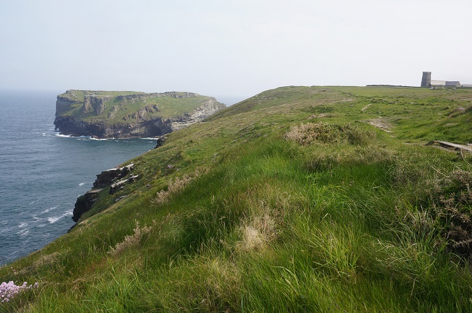
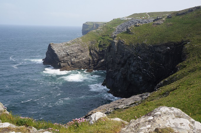
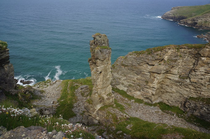
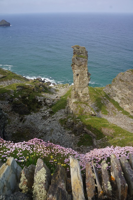
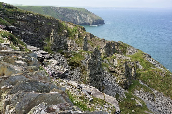
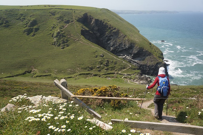
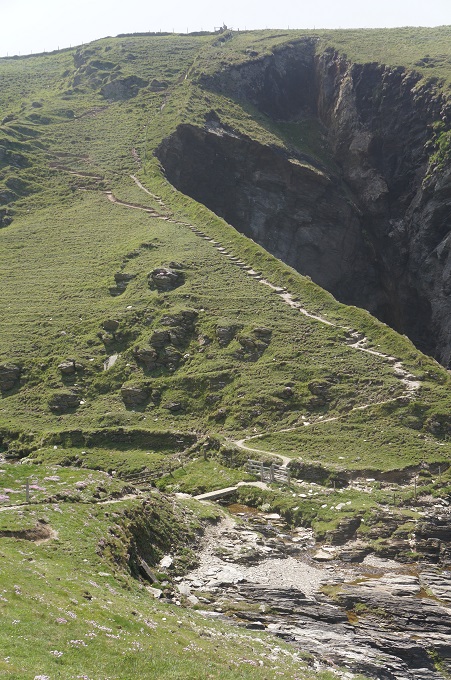
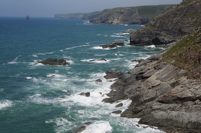
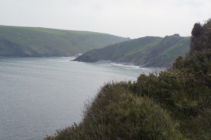
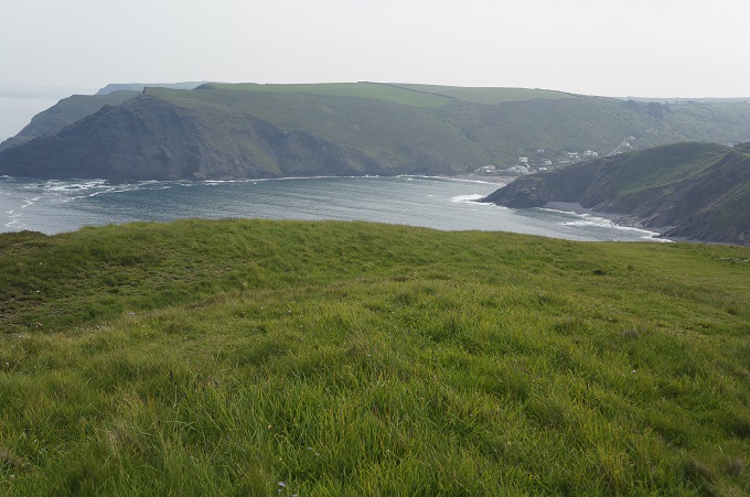
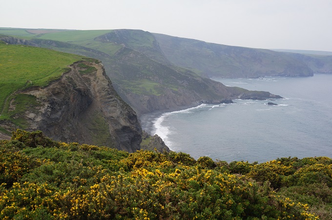
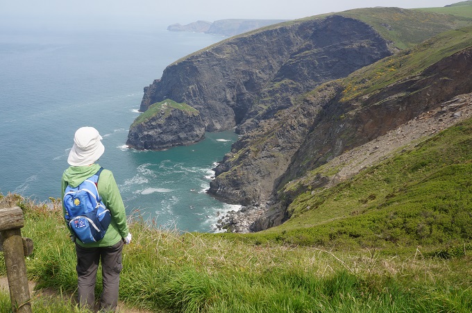
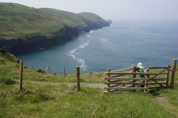
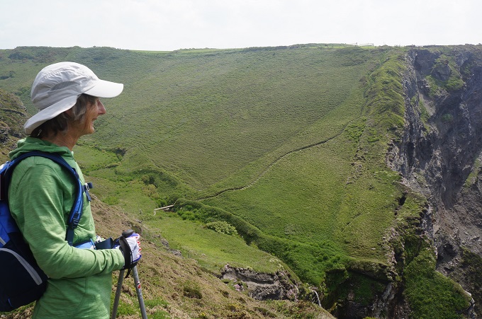
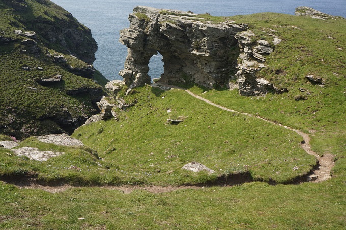
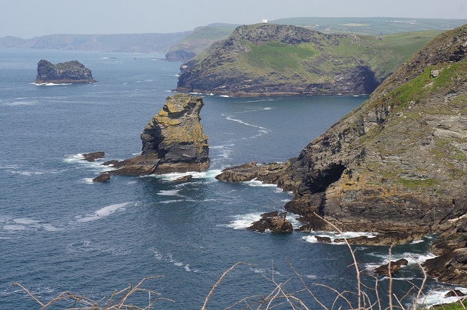
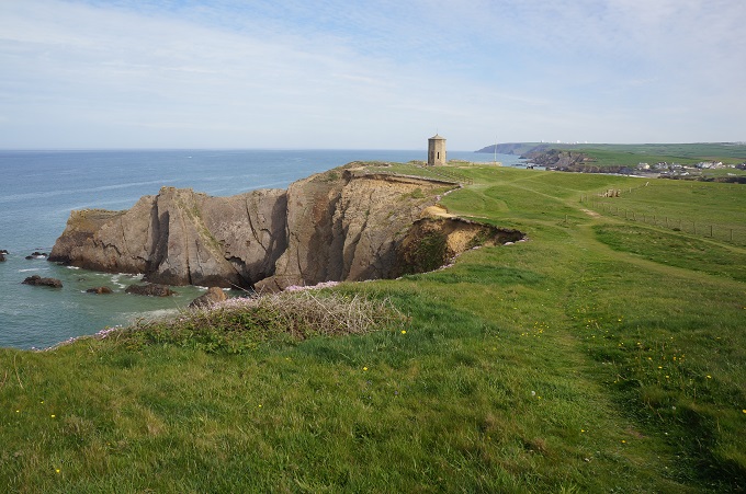
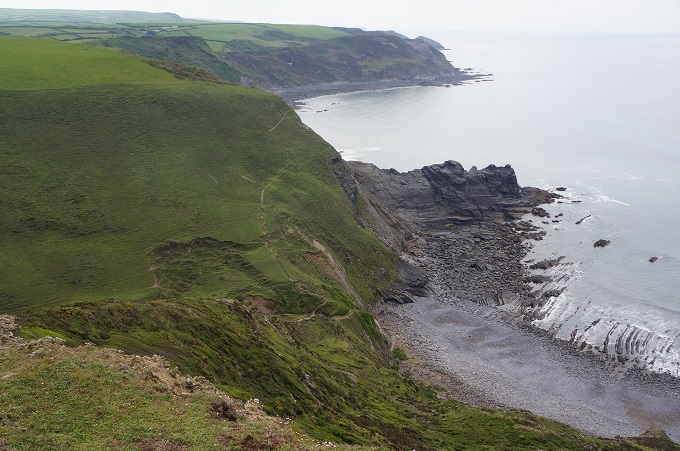
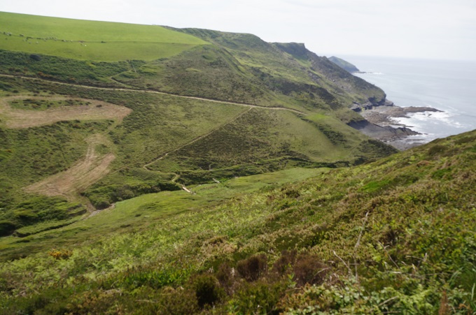
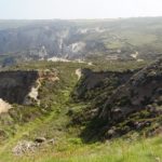
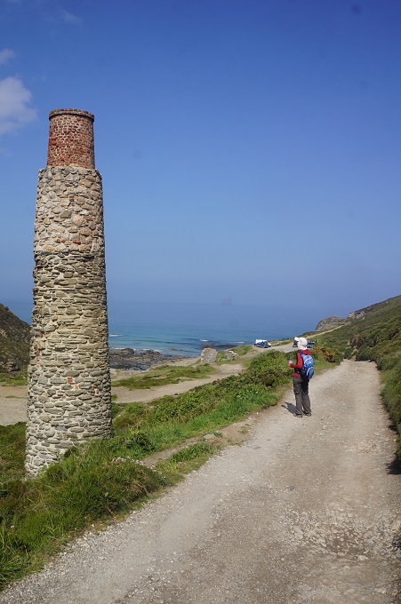
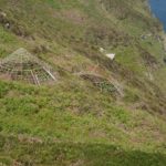
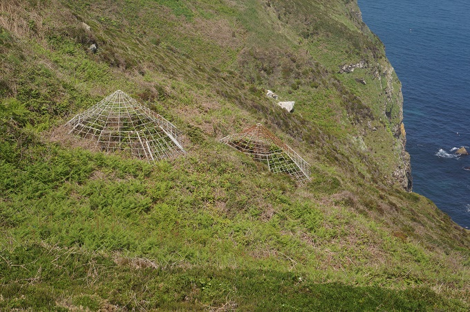
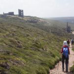
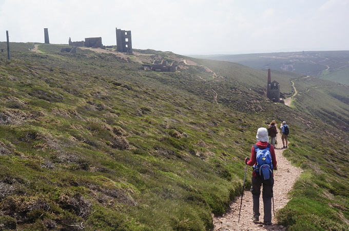
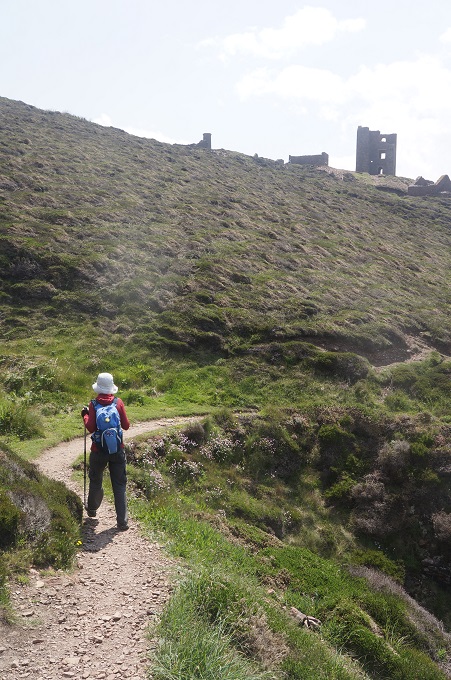
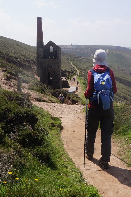
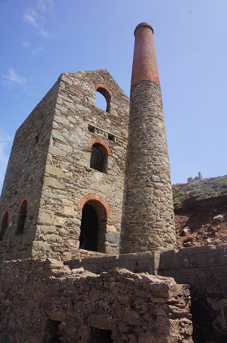
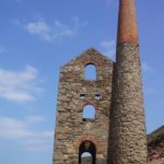
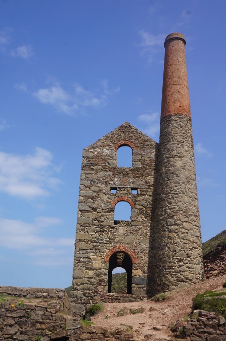
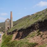
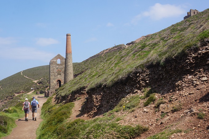
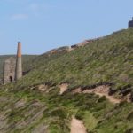
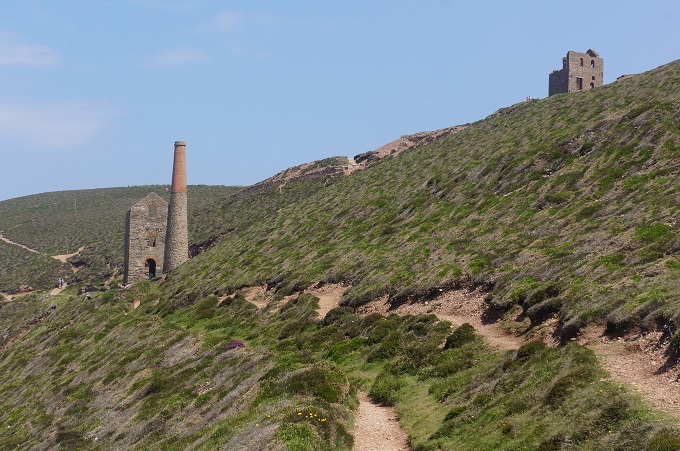
The walk today was all about Cornwall’s coastal mining heritage. There was a lot of evidence of former mining activity including stark moonscape areas of old quarries and spoil and slightly sad building relics. But there were also grand and imposing engine houses and large, lonely chimneys, sometimes almost perched on the edge of cliffs. Close to the path were the heads of many shafts, most of them fenced and in some cases topped with a steel wire cone shaped cage for safety. The shafts have become colonised by the endangered greater horseshoe bat but we didn’t wait for dusk to see these.
There has been mining in Cornwall since the bronze age (about 2150 BC) and the last mine closed in 1998. The most commonly extracted metals were tin and copper, but also a little silver, zinc and arsenic. The most obvious signs that we saw of the mining industry were at Wheel Coates on the cliff tops between Porthtowan and St Agnes. The buildings most visible are engine houses dating from the 1870s. This was when deep underground mining was carried out far under the sea and steam driven machinery was required to bring ore to the surface and to pump the shafts dry.
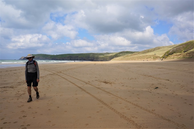
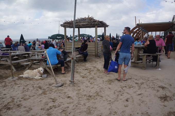
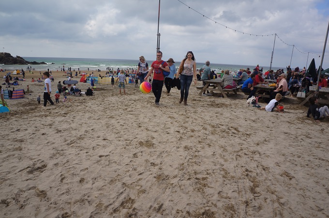
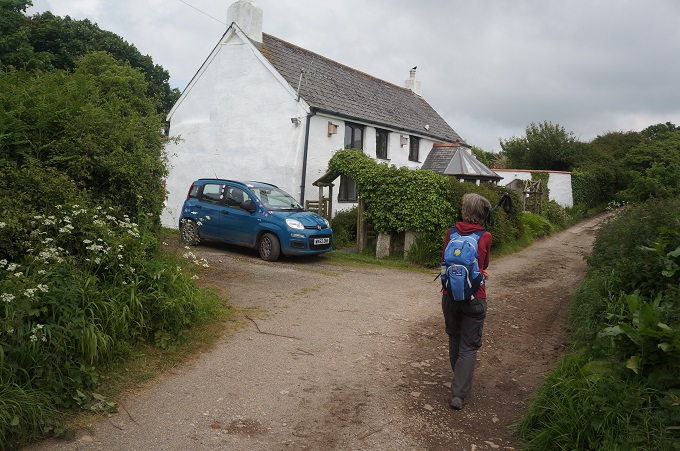
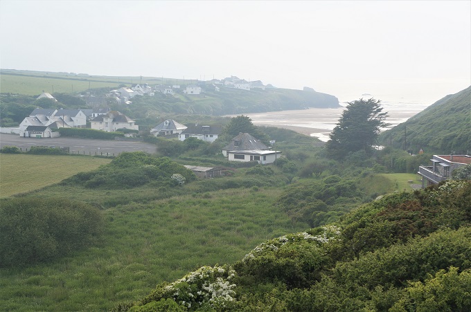
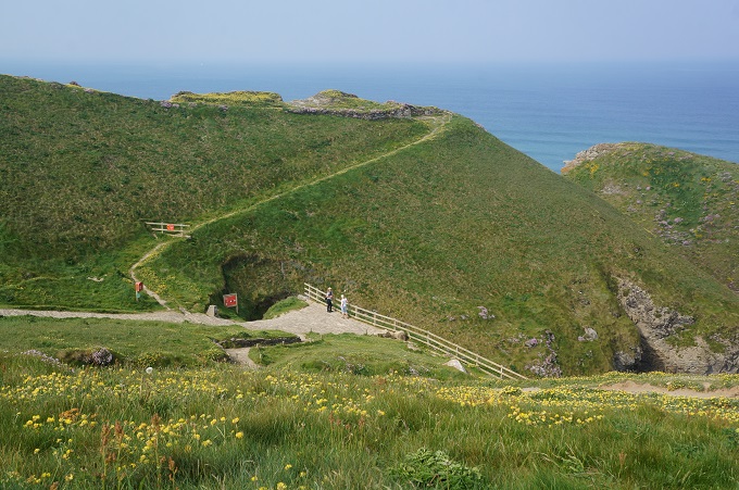
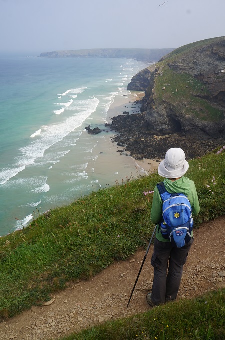
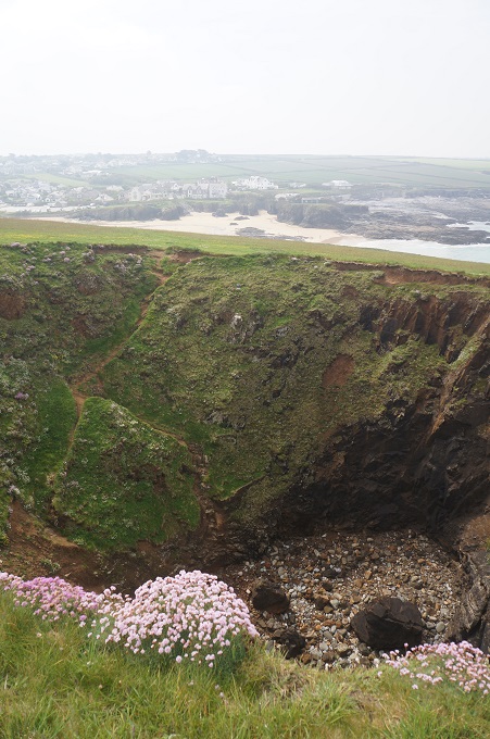
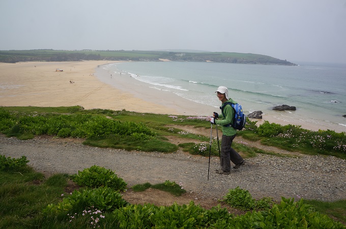
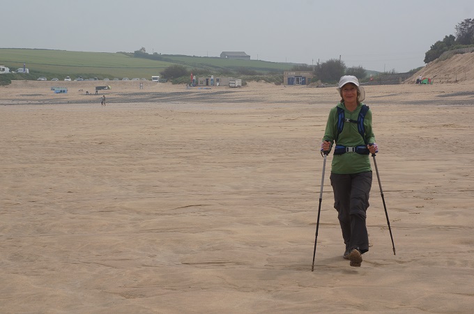
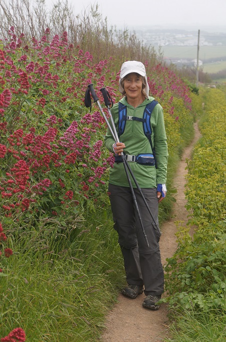
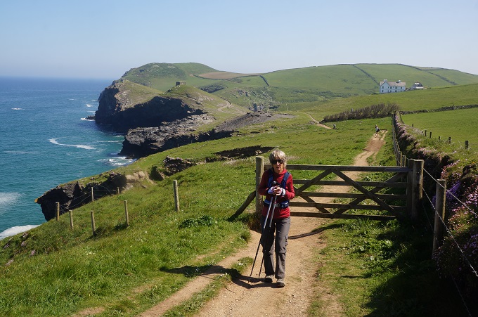
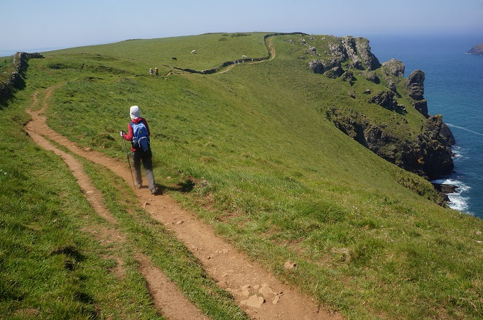
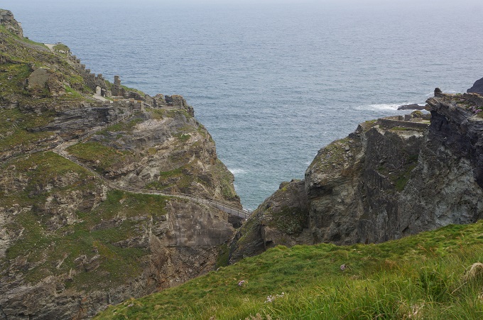
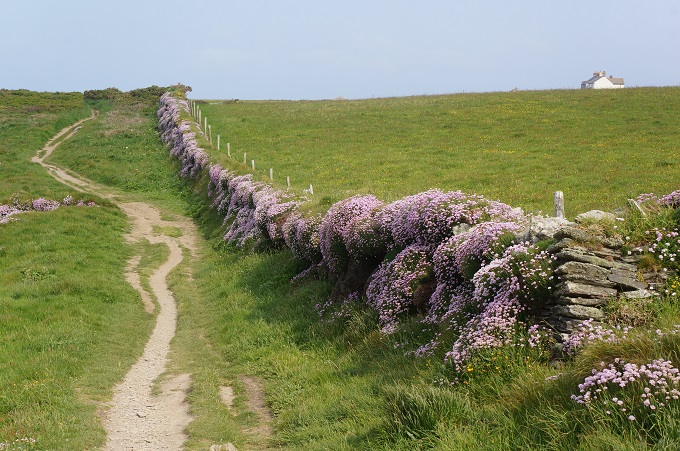
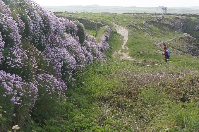
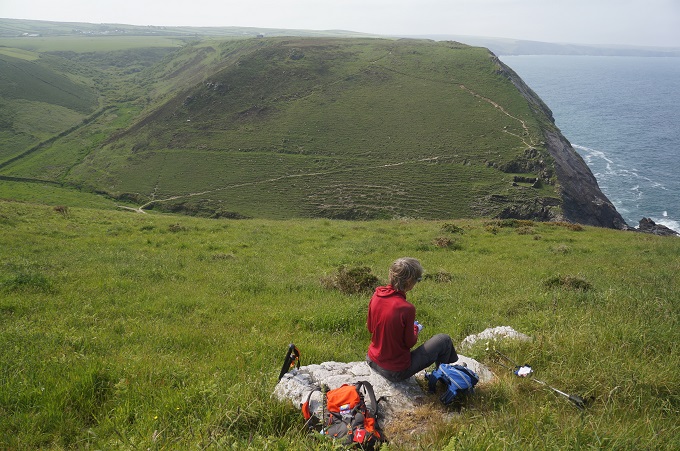
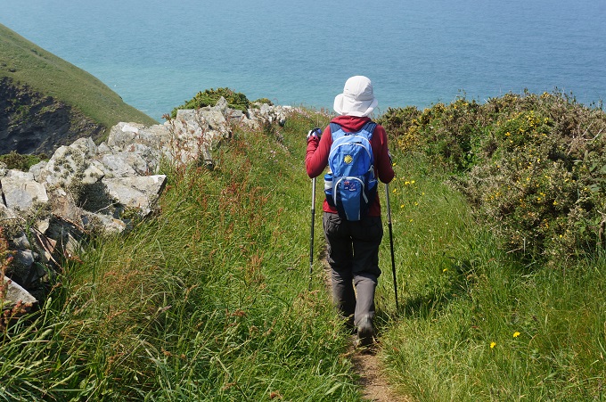
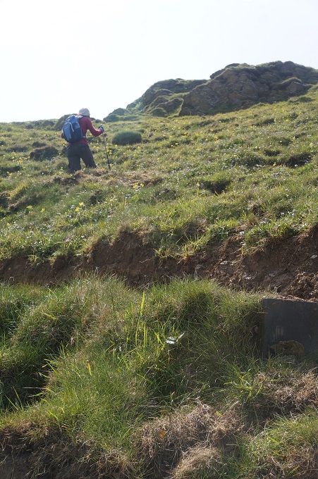
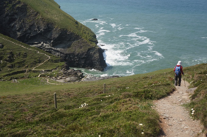
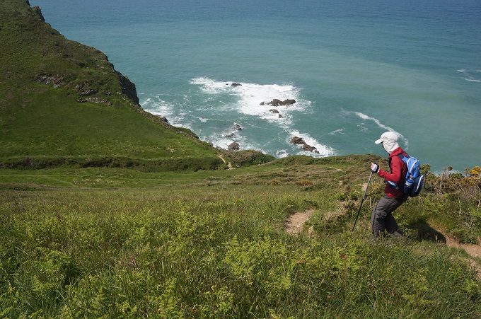
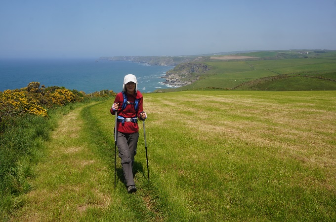
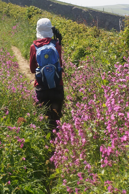
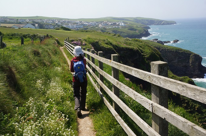
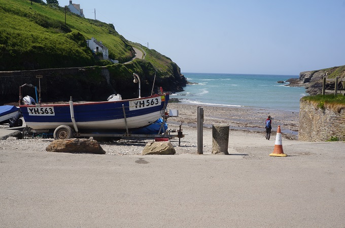
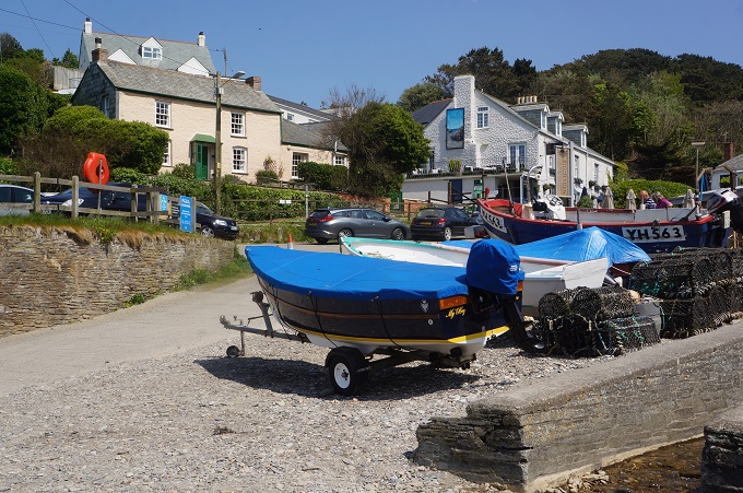
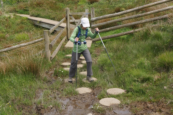
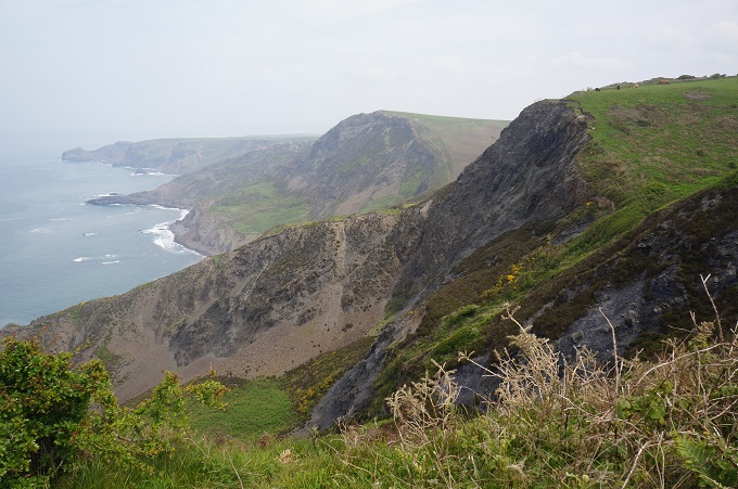
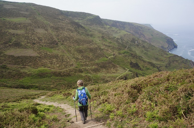
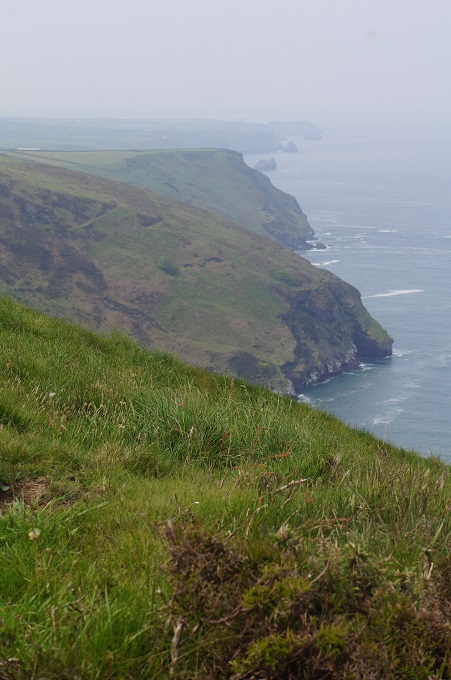
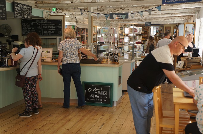
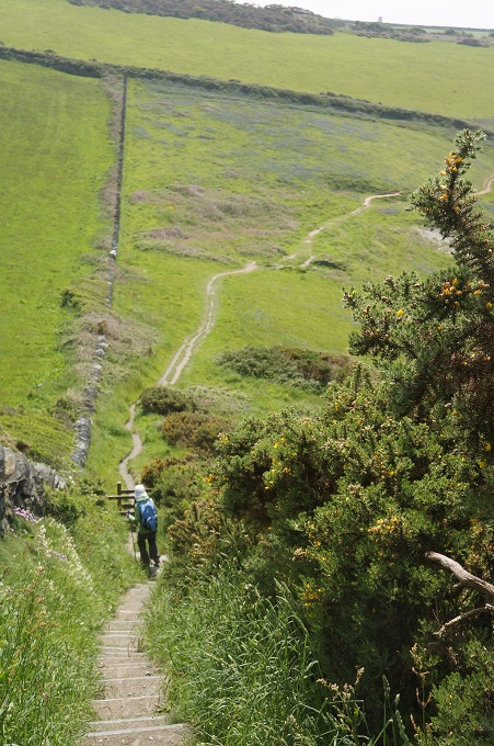
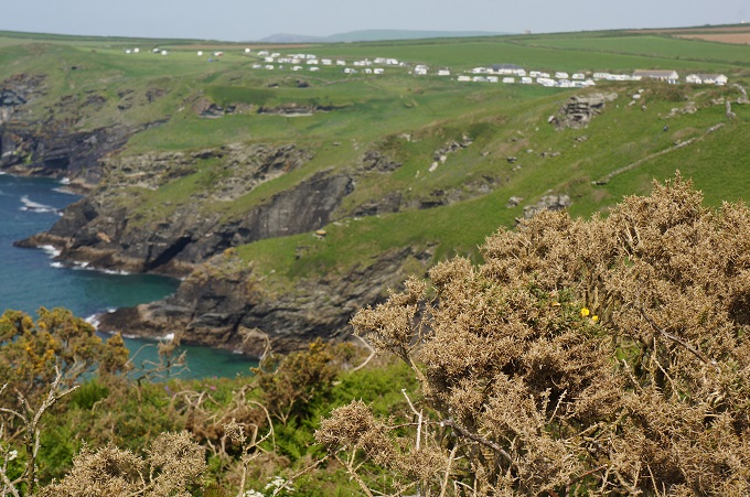
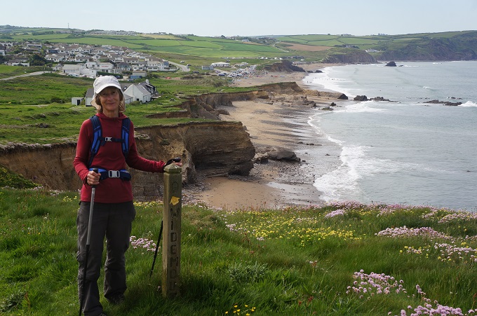
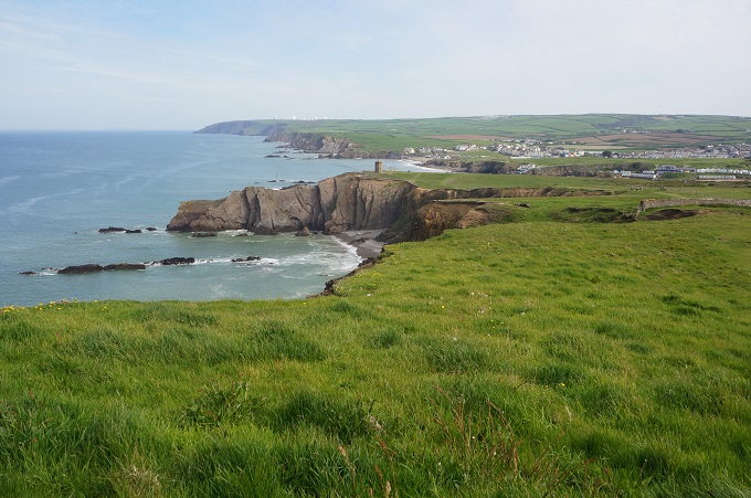
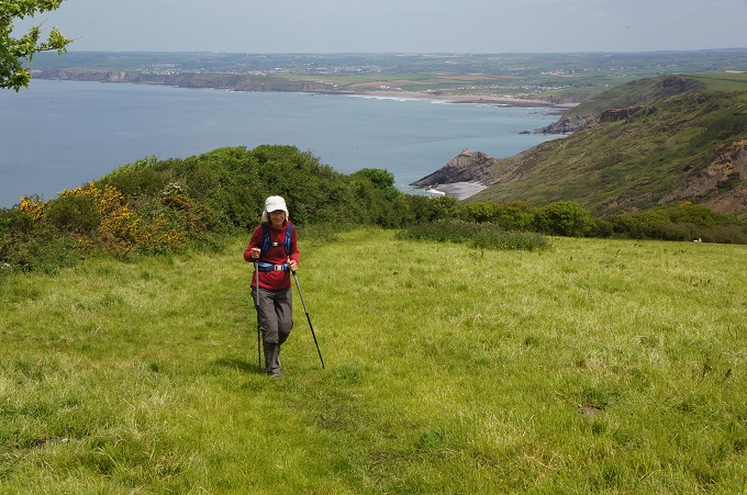
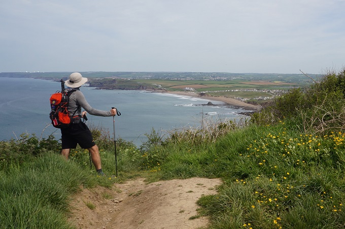
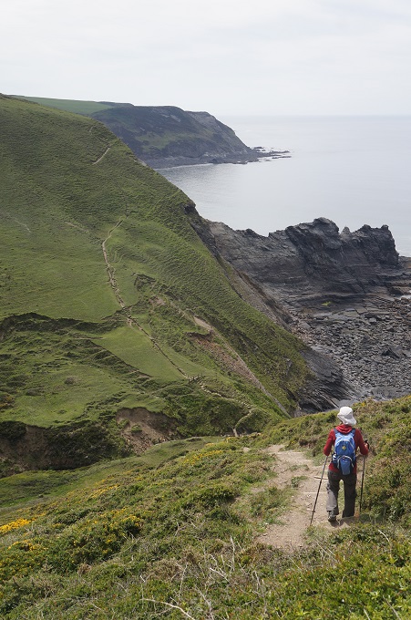
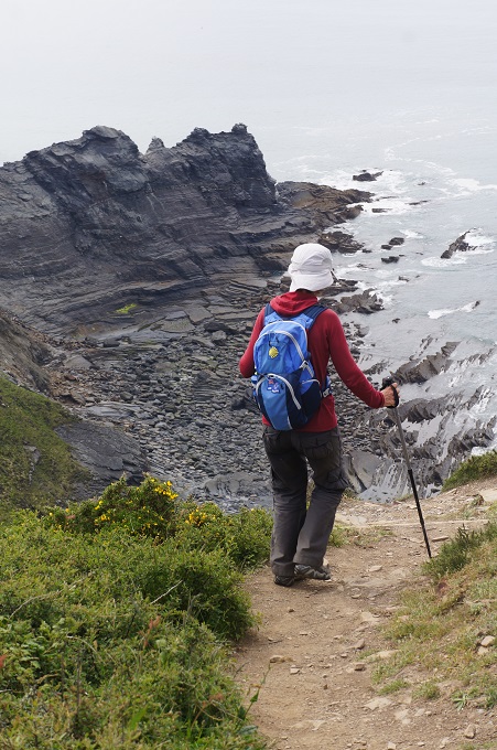
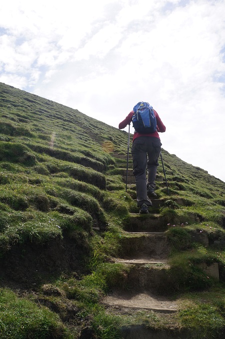
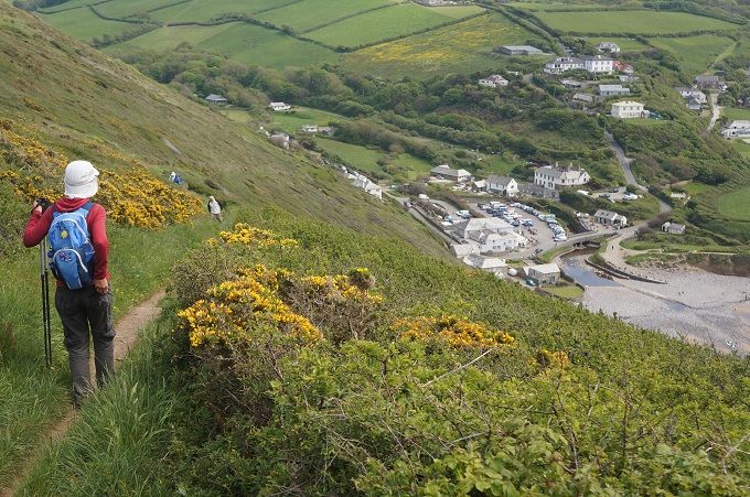
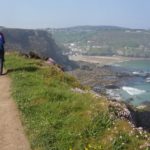
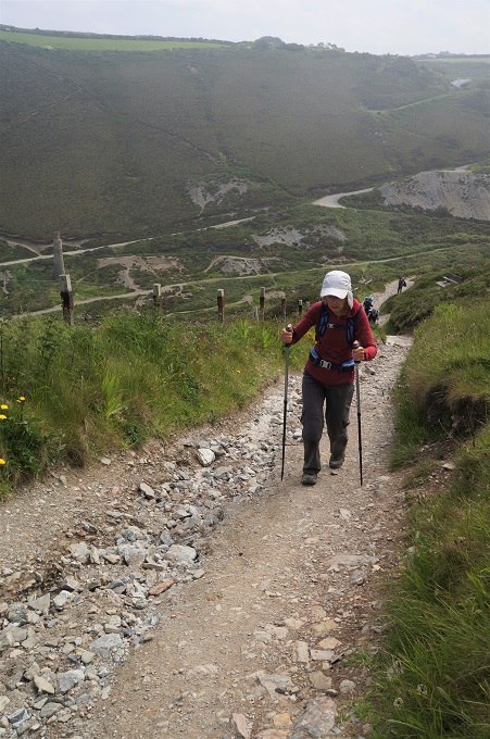
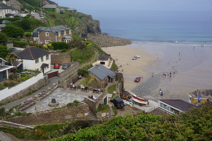
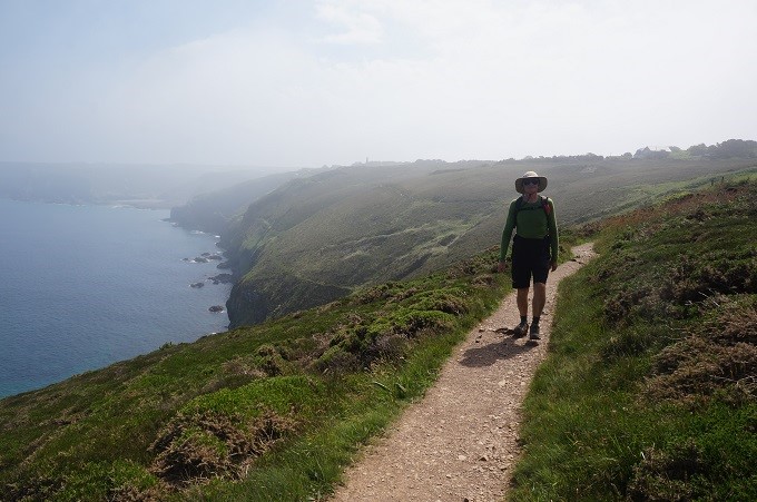
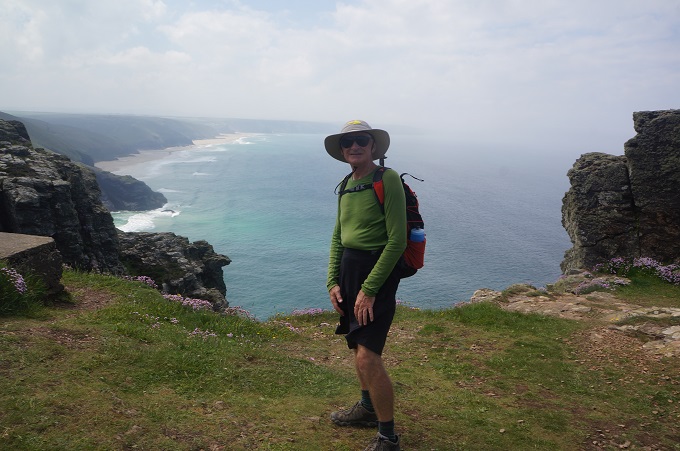
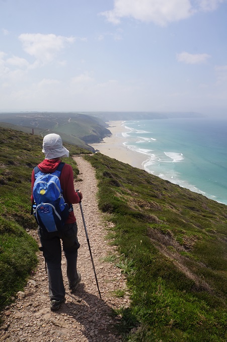
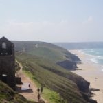
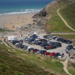
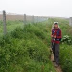
The walking today was fairly easy, mostly on heath covered cliff tops. There are now few of the wild flowers we used to see. There were descents to small settlements and beaches at St Agnes, Chapel Porth, Porthtowan and our destination today Portreath. All of them busy as today is a public holiday.
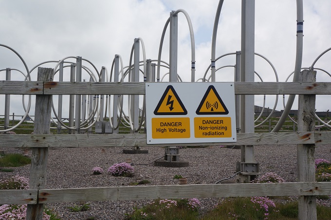
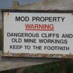
Early in the day we had a stretch of level walking past the Perranporth Aerodrome which seemed about the size of Paraparaumu Aerodrome and was having a busy day with microlights taking off and landing. These things never go very high and make an awful lot of noise for something that seems to fly so slowly. Late in the day we passed the Nancekuke Military area which is an RAF air defence radar station. All was quiet here but for about 5 km we walked beside a high fence. Luckily it was a nice stretch of coastline looking out the other side.
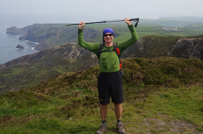
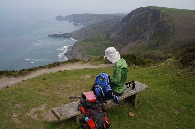
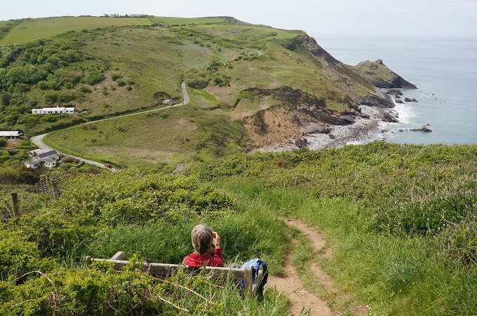
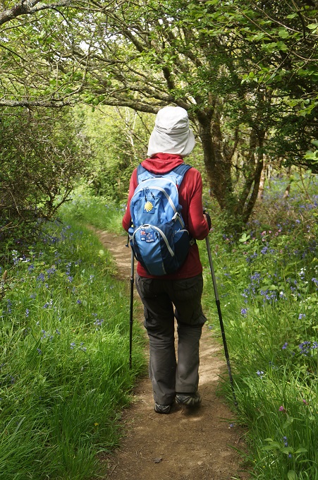
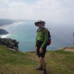
There are lots of walkers about, all of them day walkers or less. We haven’t met up with any new friends. It would be nice to see a few regular faces day after day.
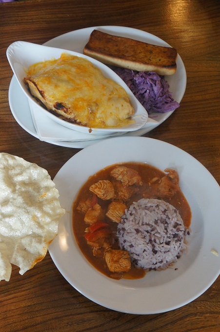
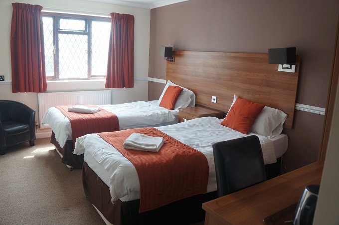
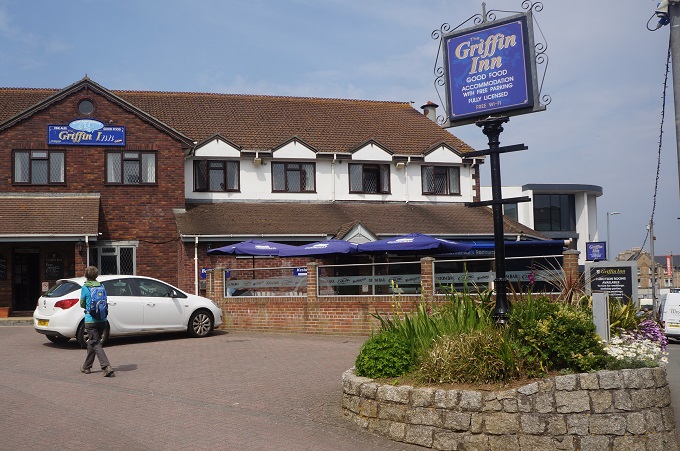
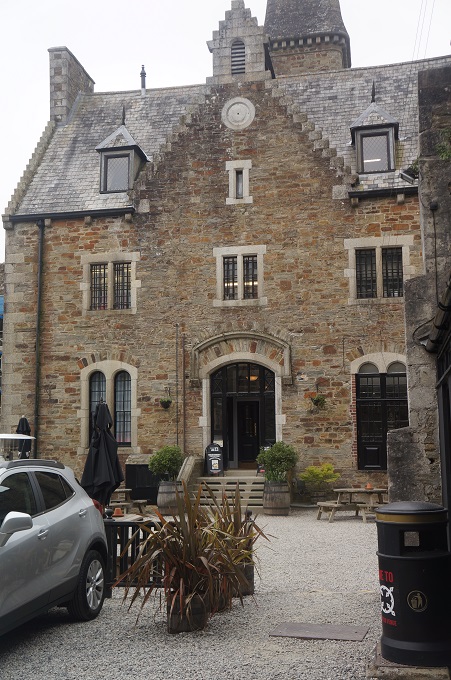
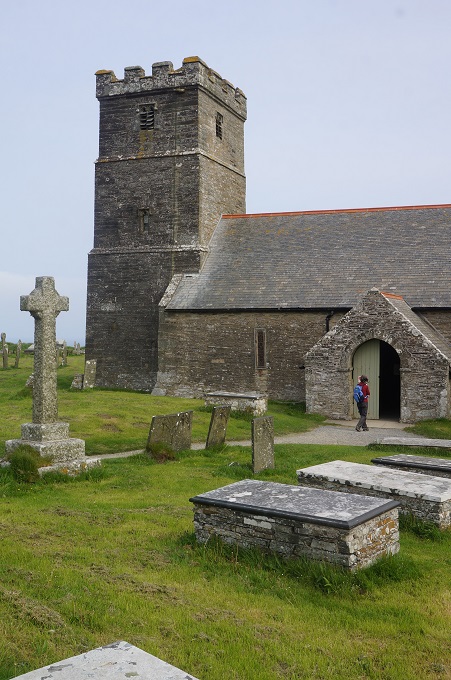
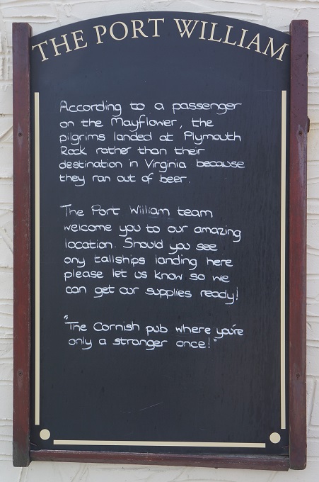
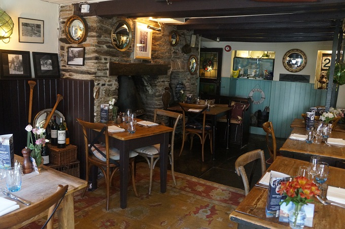
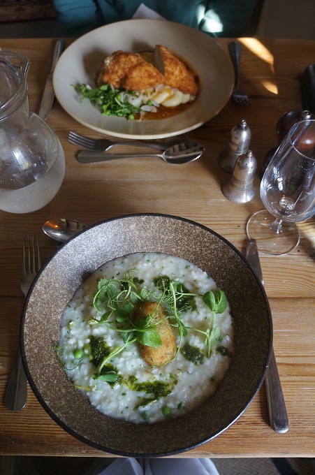
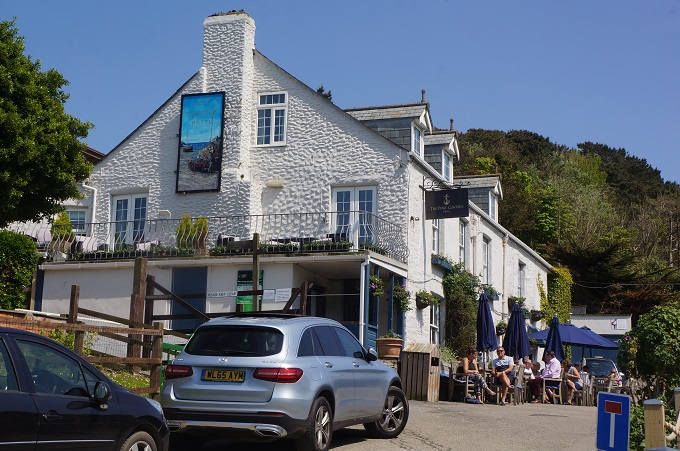
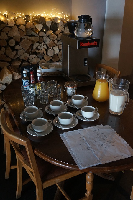
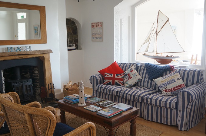
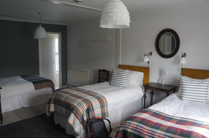
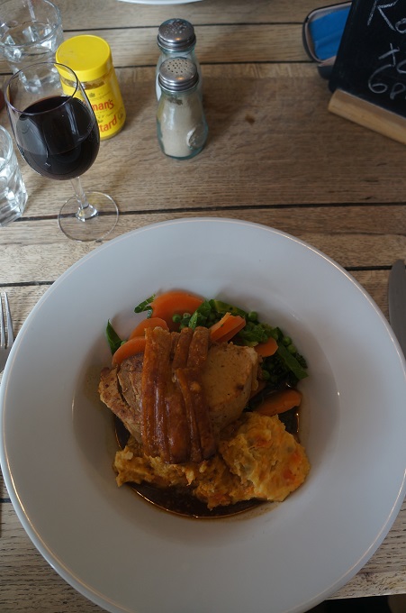
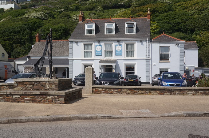
We are staying in a small family run hotel, five rooms above a bar and restaurant. It is right on the coast path and the food is excellent.
-

- Breakfast trolley, Red Fox Barn
-

- Eggs Benedict Red Fox Barn

-
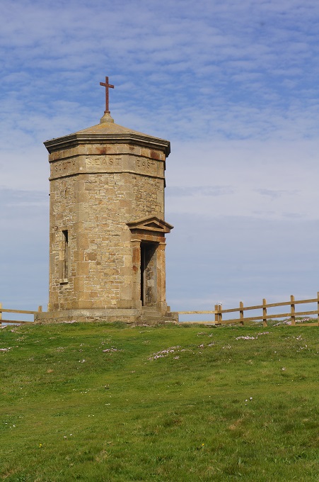
- Sun dial Perranporth

-
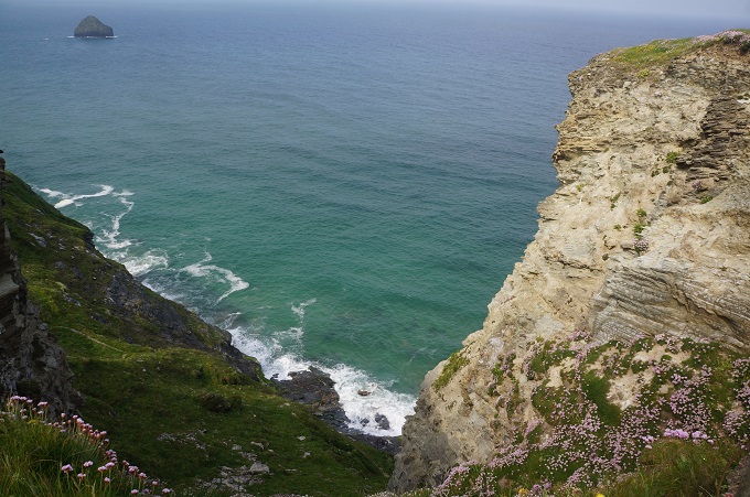
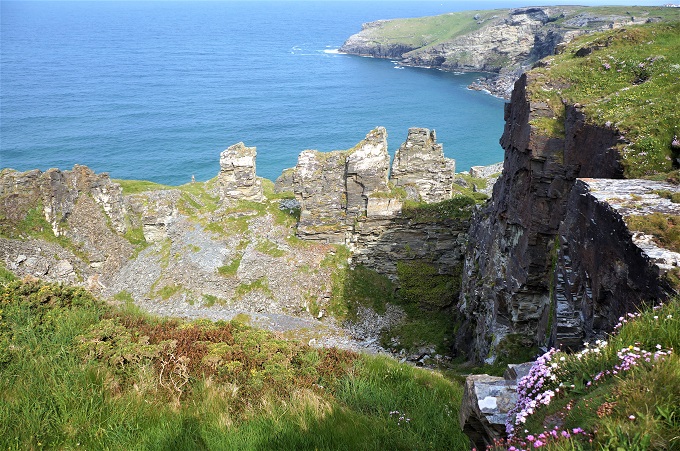
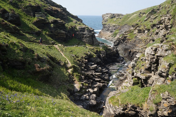
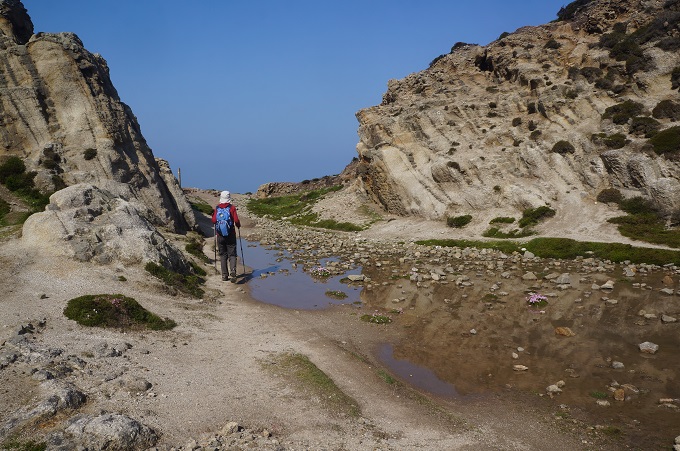
- Mine shafts Shag Rock

-

- Mine shaft, Shag Rock
-

- Old quarries, Cligga Head
-

- Old quarry workings
-

- Old mine shaft

-
- Old quarries

-
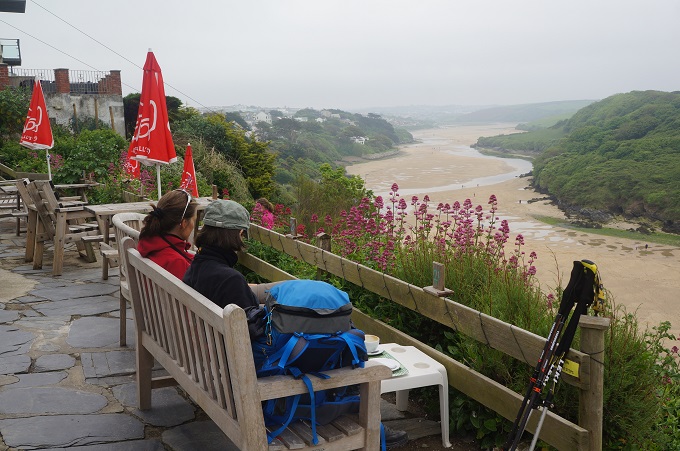
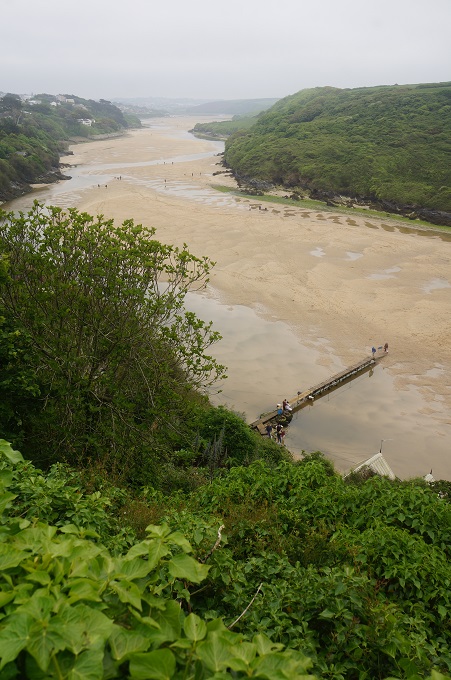
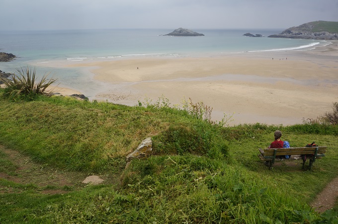
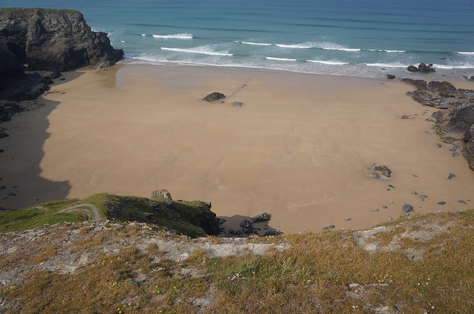
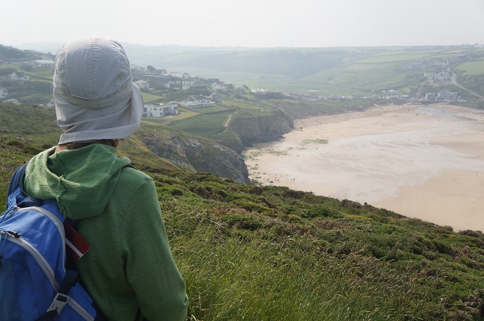
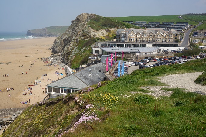
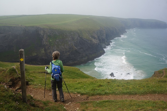
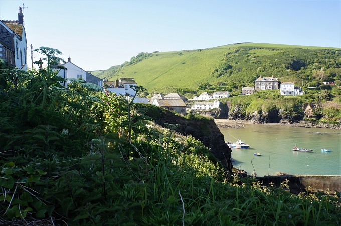
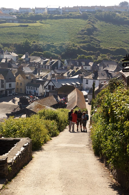
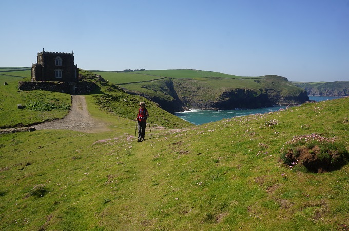
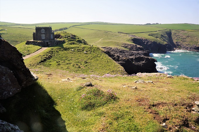
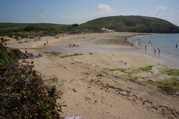
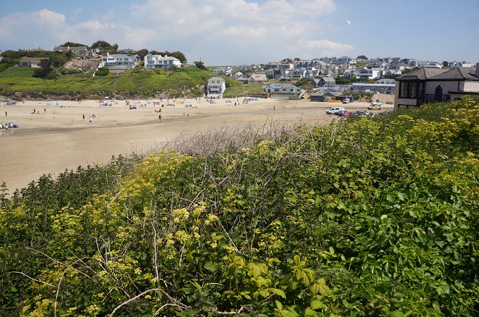
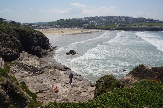
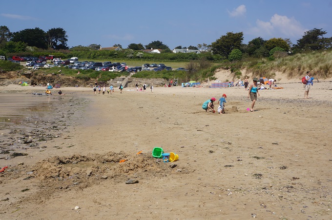
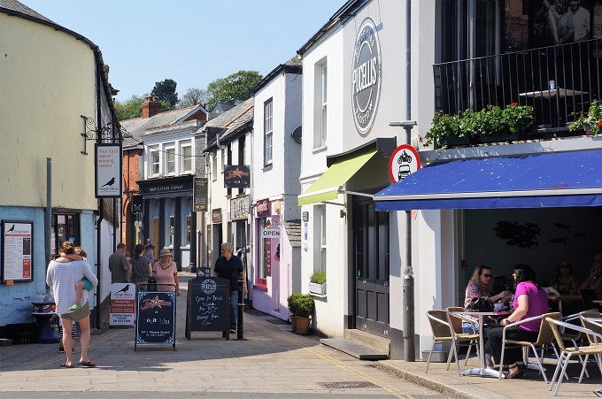
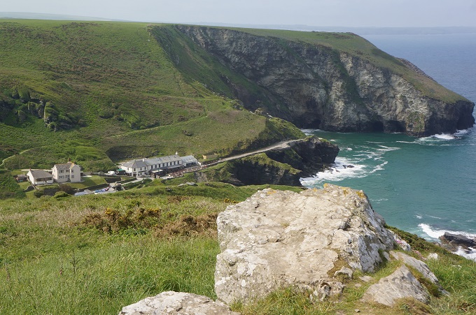
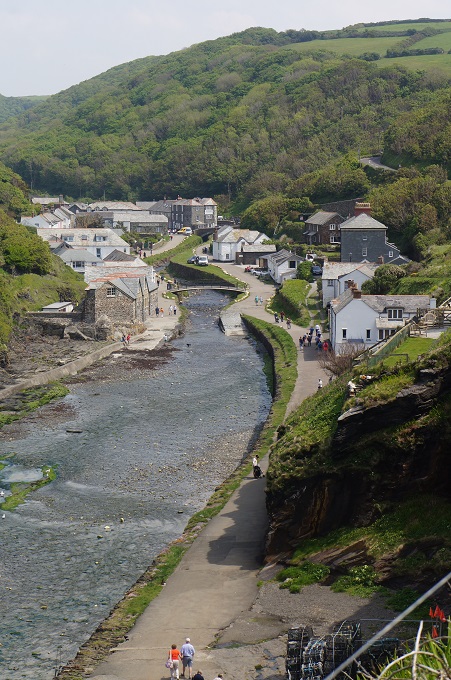
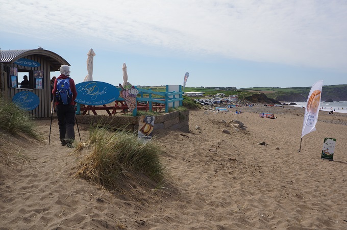
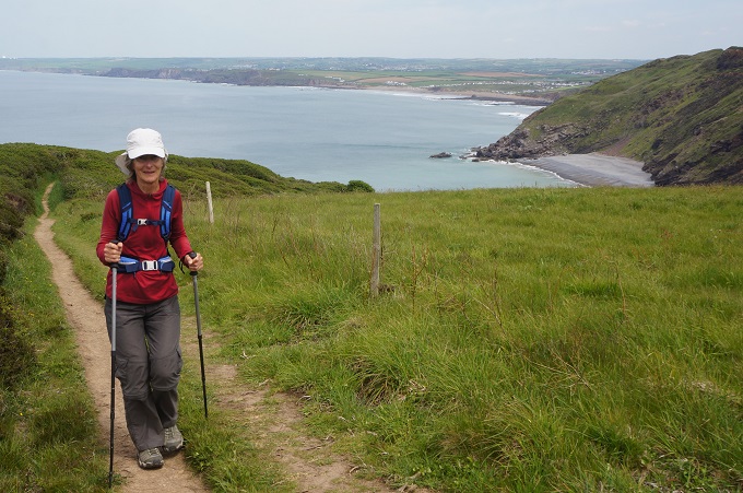
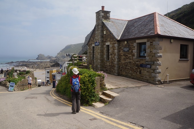
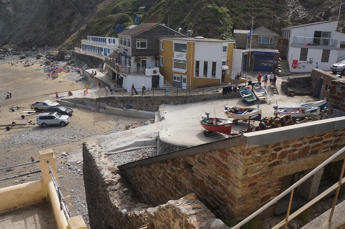
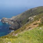
- Approaching St Agnes ( Trevaunance Cove)

-
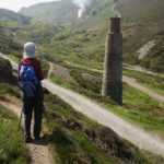
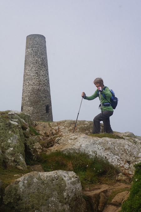
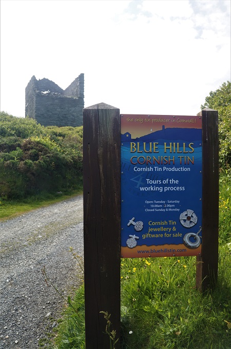
- Blue Hills Tin Mine chimney

-
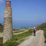
- Blue Hills Tin Mine chimney
-
- Blue Hills Tin Mine
-
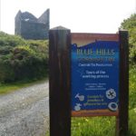
- We used their track

-
- Old tin mine buildings, St Agnes

-
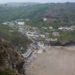
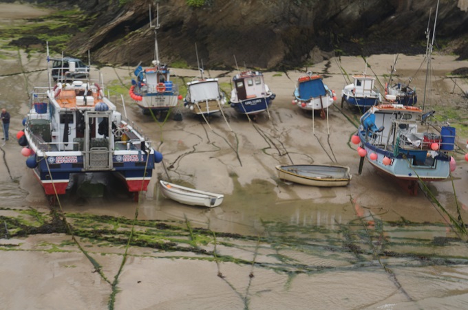
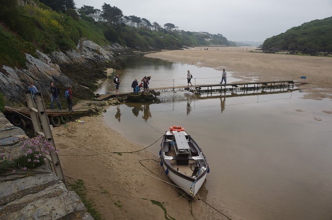
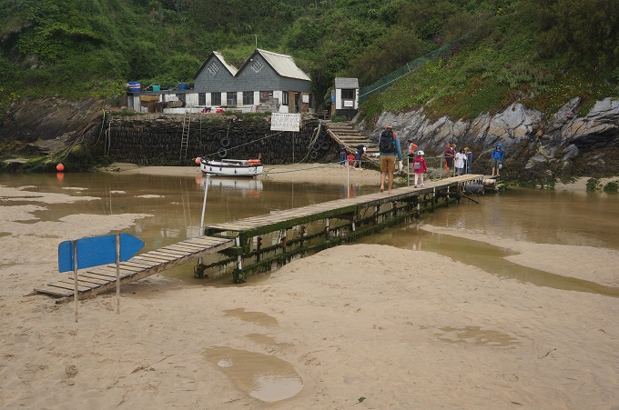
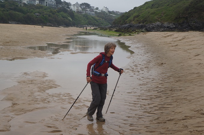
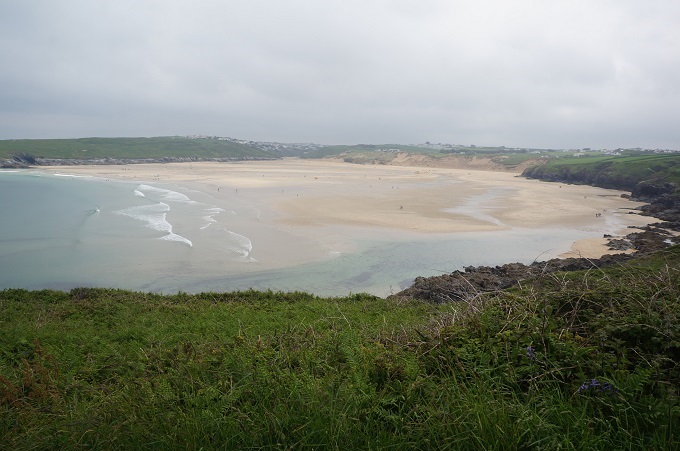
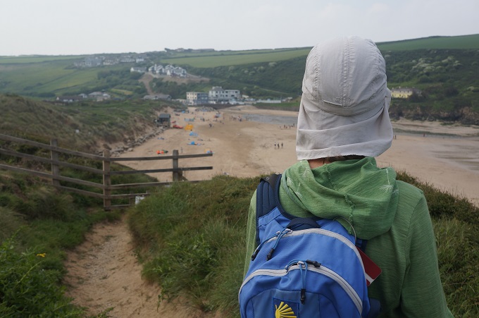
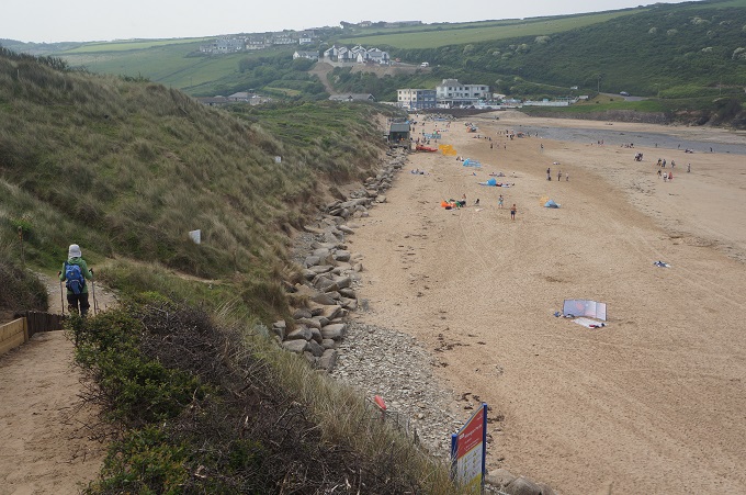
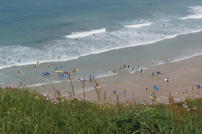
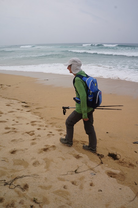
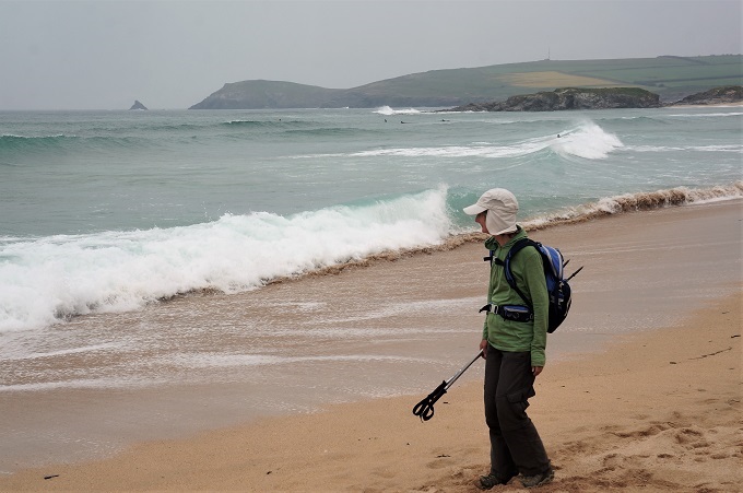
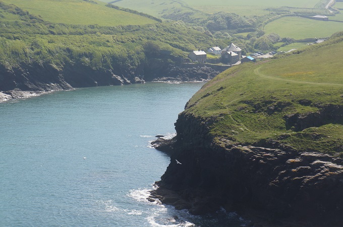
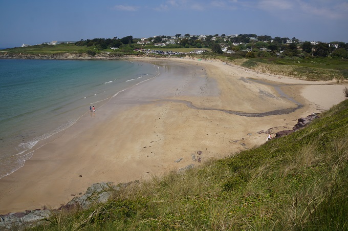
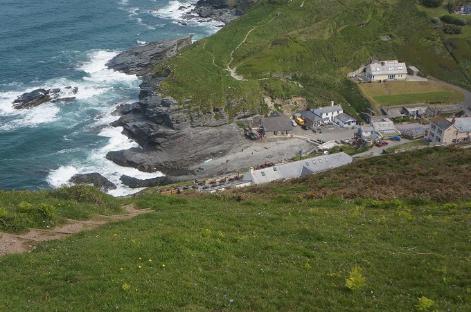
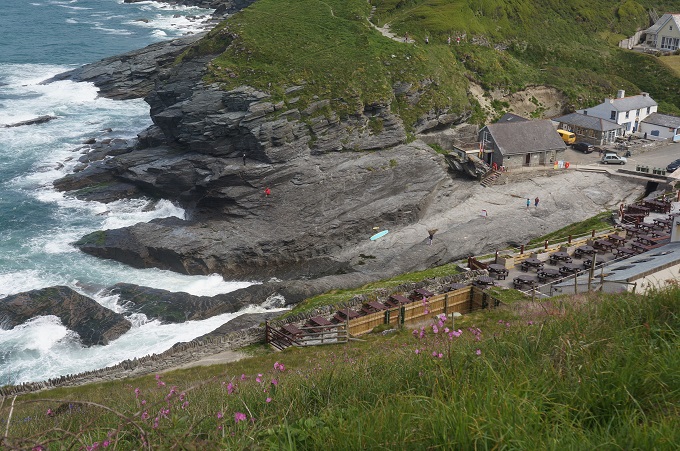
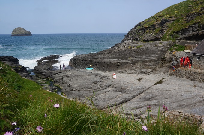
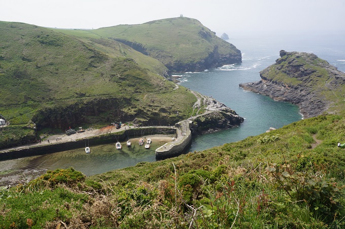
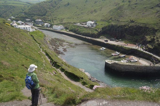
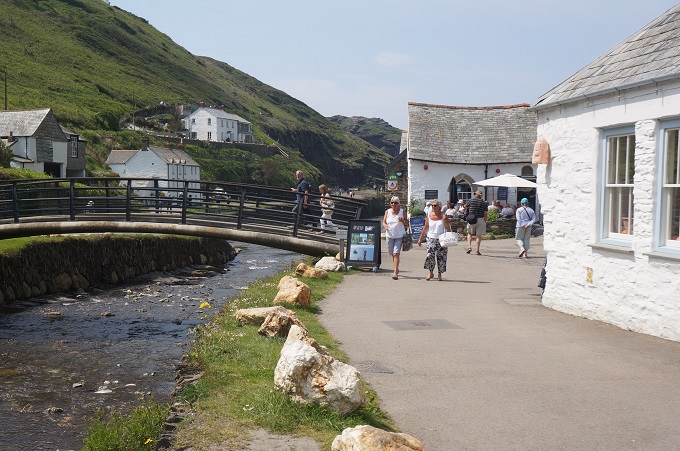
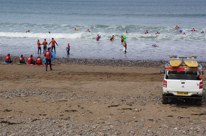
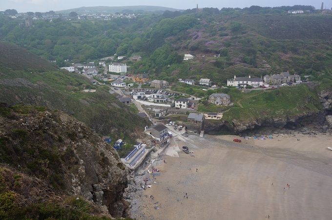
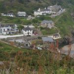
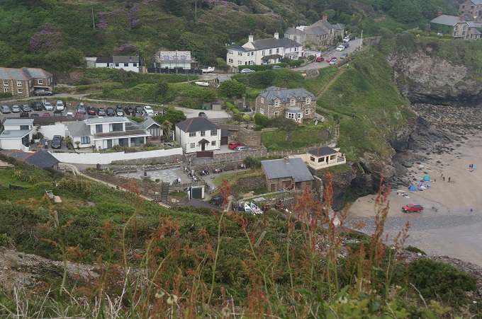
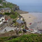
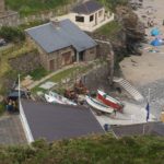
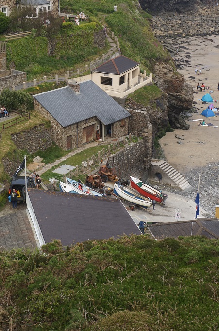
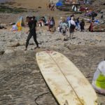
- Trevaunance Cove (St Agnes)
-
- Trevaunance Cove (St Agnes)
-
- Trevaunance Cove (St Agnes)
-
- Trevaunance Cove (St Agnes)
-

- Trevaunance Cove (St Agnes)

-

- Trevaunance Cove (St Agnes)
-

- Trevaunance Cove (St Agnes)

-
- Trevaunance Cove (St Agnes)
-
- Trevaunance Cove (St Agnes)
-
- Trevaunance Cove (St Agnes)

-

- Trevaunance Cove (St Agnes)

-
- Trevaunance Cove (St Agnes)
-
- Trevaunance Cove (St Agnes)
-
- Mine Shafts, Newdowns Head
-

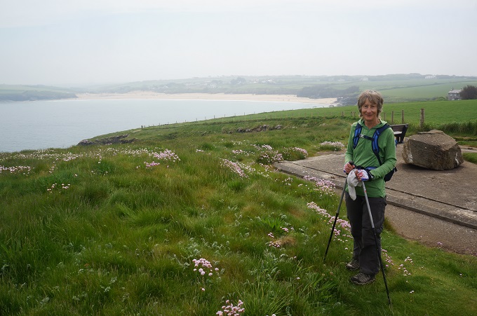
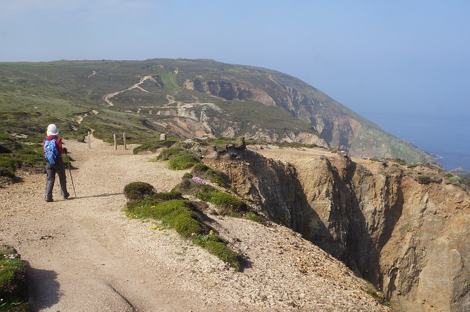
- Pleasant walking on a nice day
-
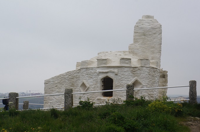
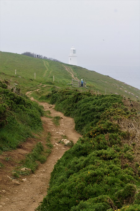
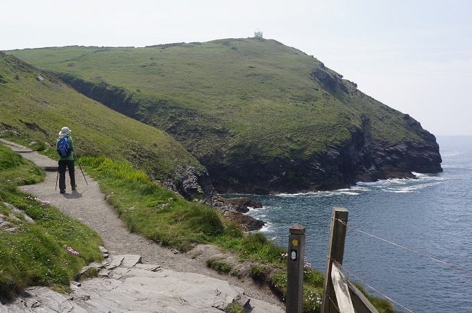
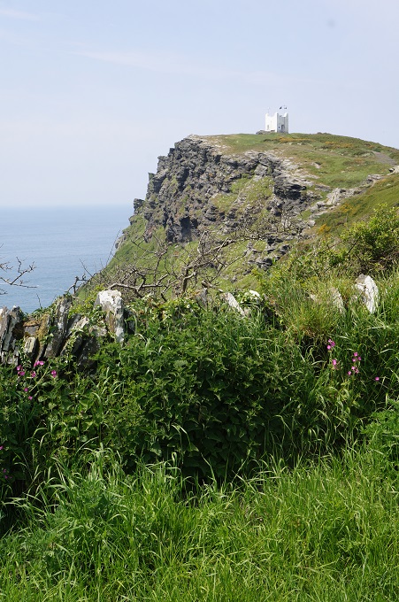
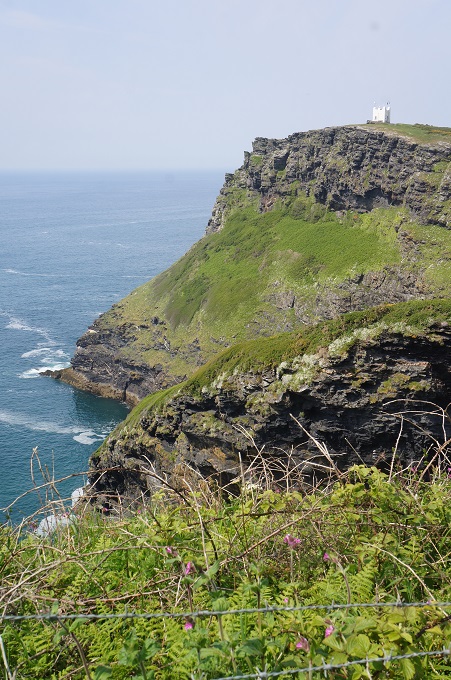
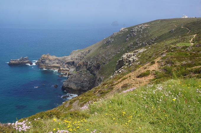
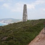
- Coastguard Lookout (on right hand top) at St Agnes Head
-
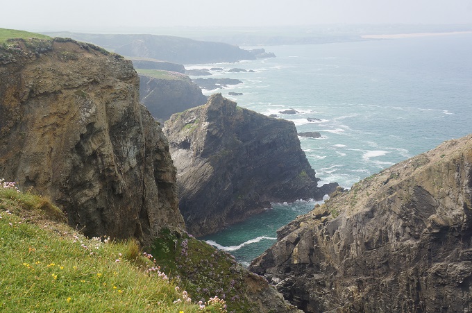
- St Agnes Head
-

- Carn Gowla
-
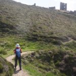
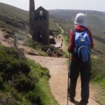
- Remains of tin mines, Wheal Coates
-
- Remains of tin mines, Wheal Coates
-
- Remains of tin mines, Wheal Coates
-
- Remains of tin mines, Wheal Coates

-

- Remains of tin mines, Wheal Coates
-
- Remains of tin mines, Wheal Coates
-
- Remains of tin mines, Wheal Coates
-
- Remains of tin mines, Wheal Coates
-
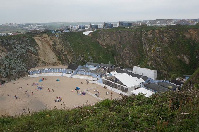
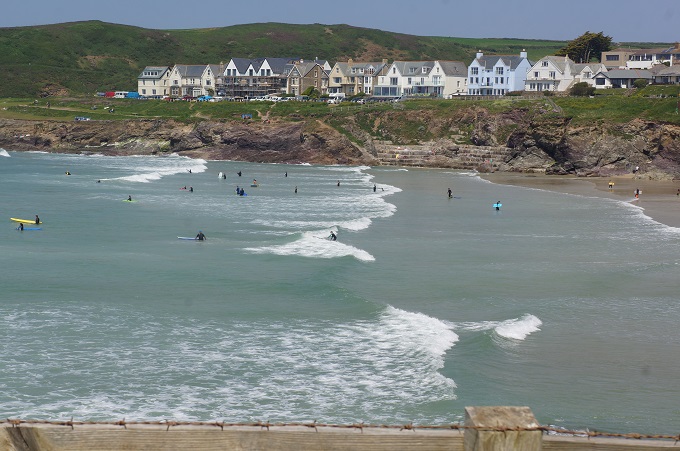
- Porthtowan

-
- Porthtowan


-
- Chimney

-

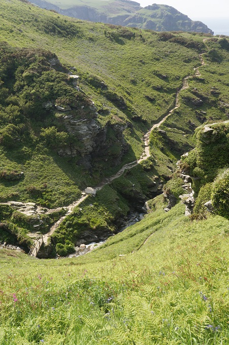
- More friggin’ steps

-
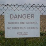
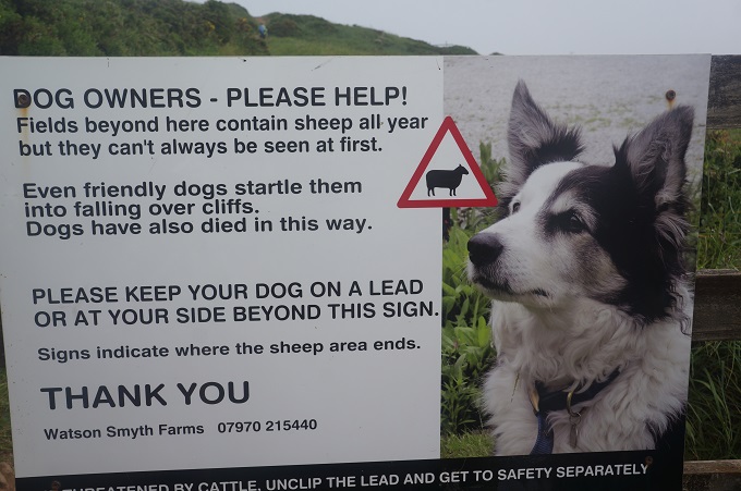
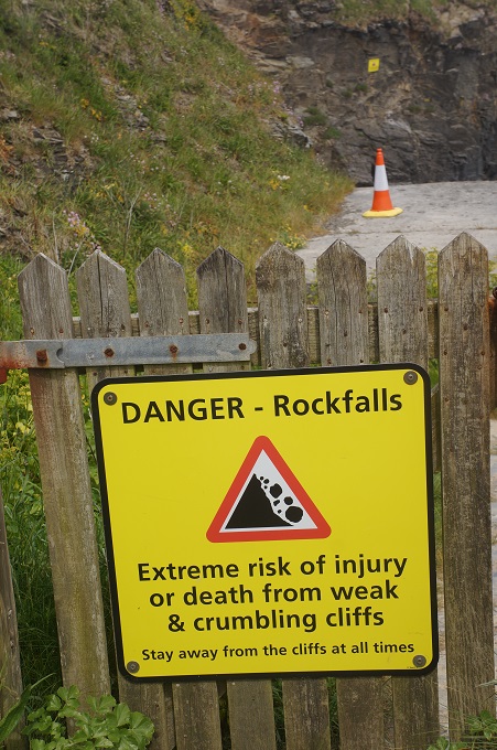
- Danger

-
- Danger

-
- Ministry of Defence Fence

-

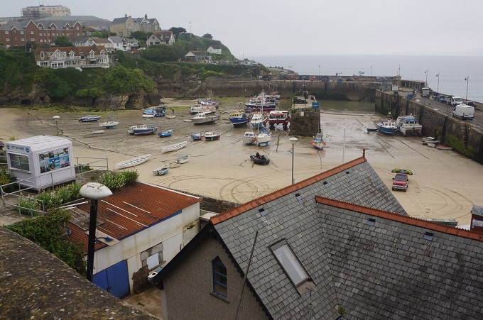
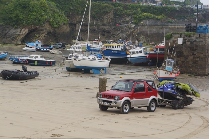
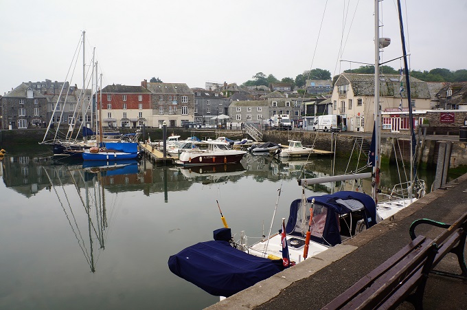
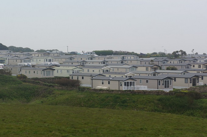
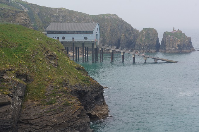
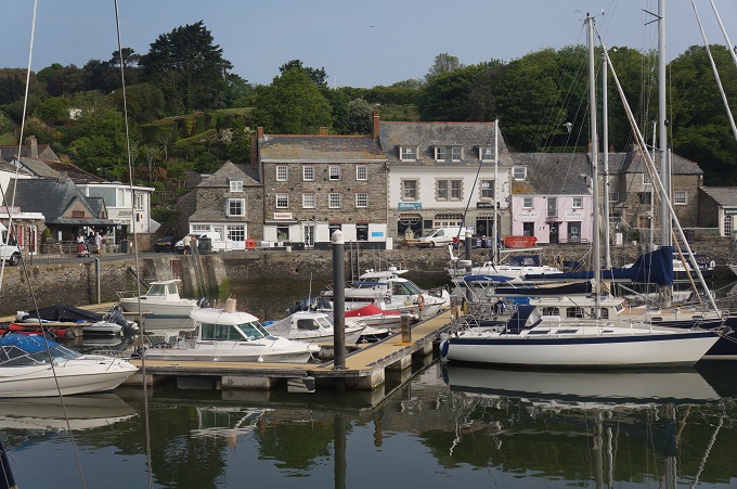
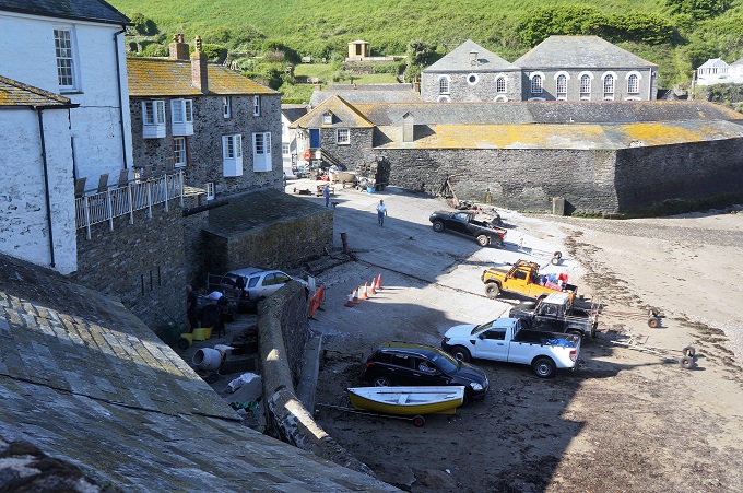
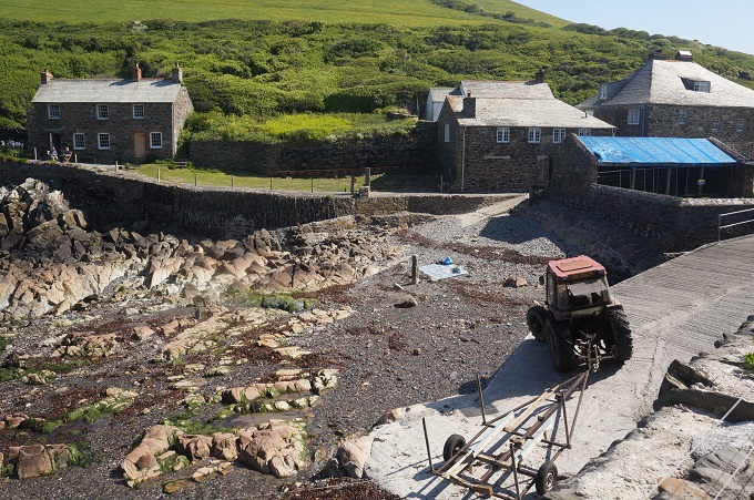
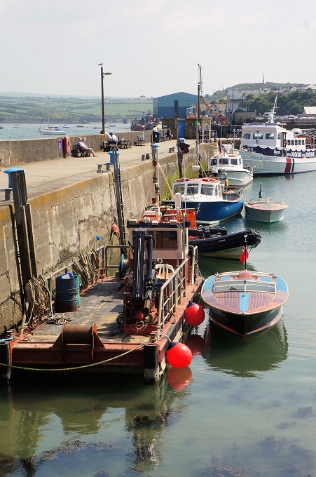
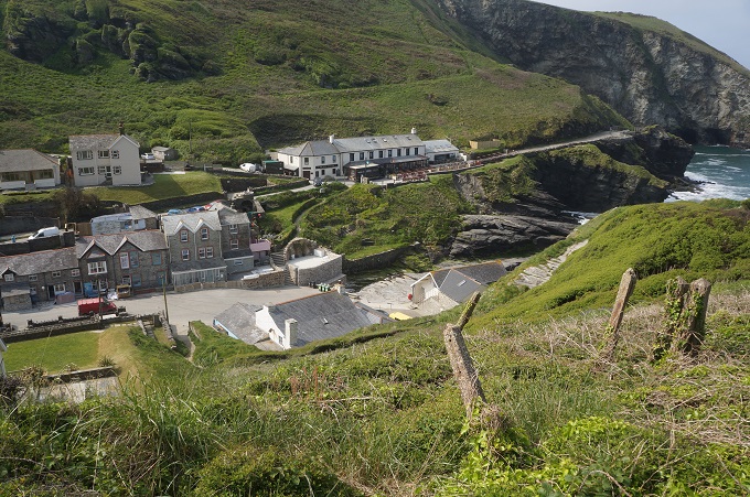
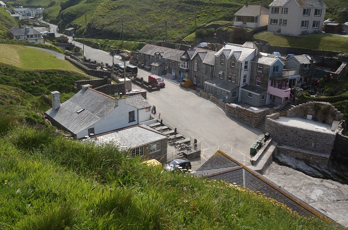
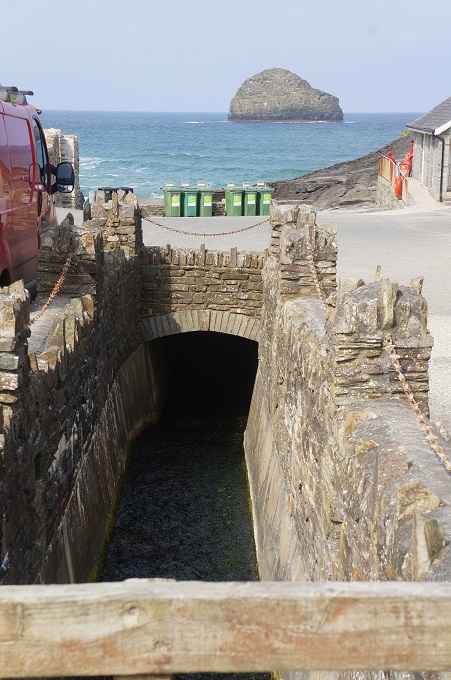
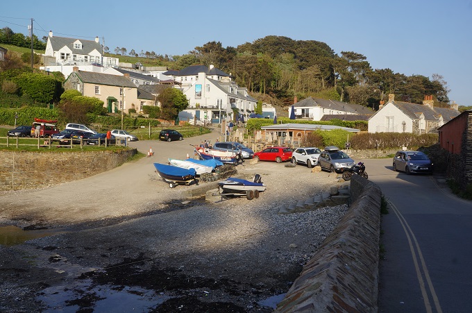
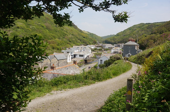
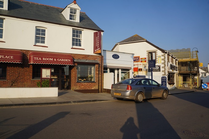
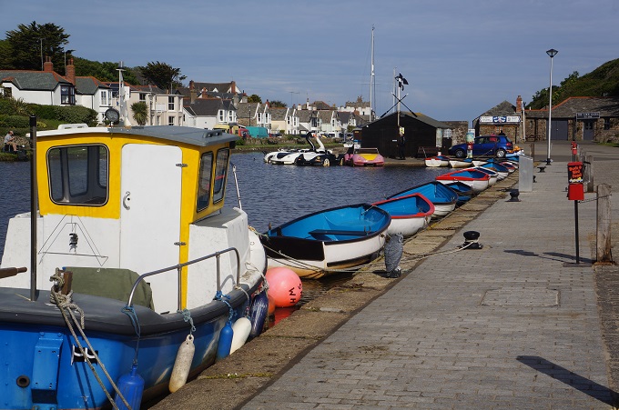
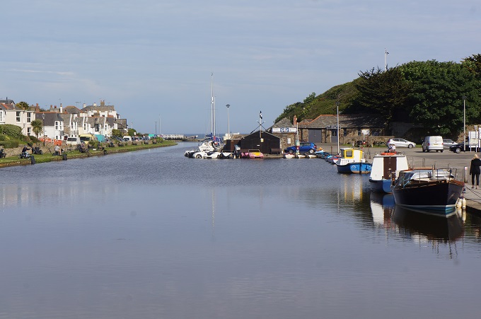
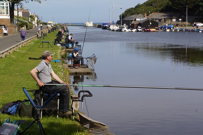
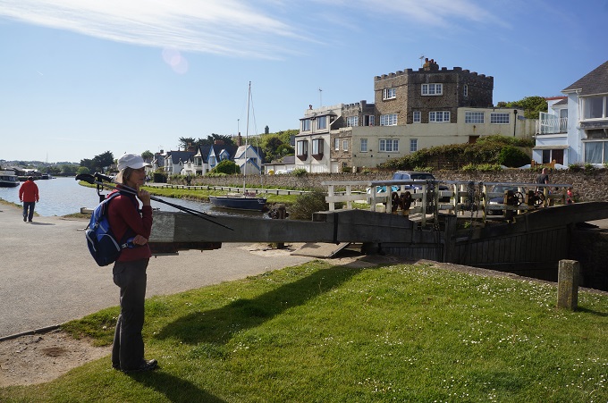
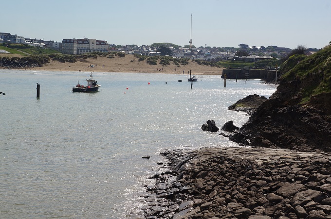
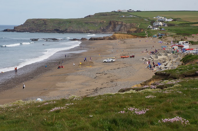
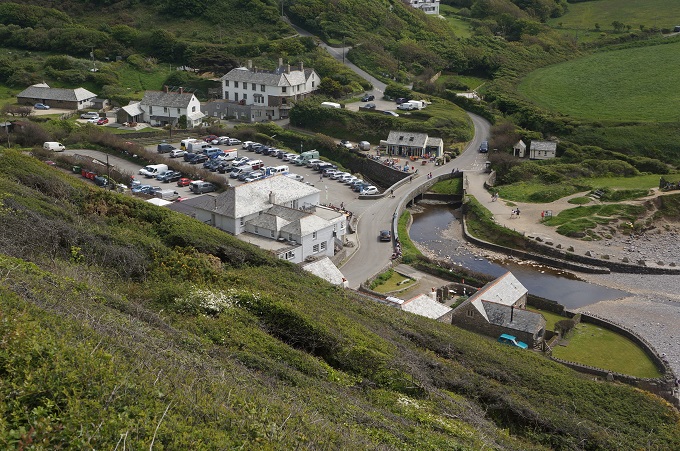
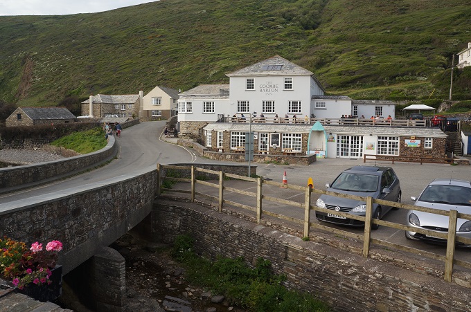
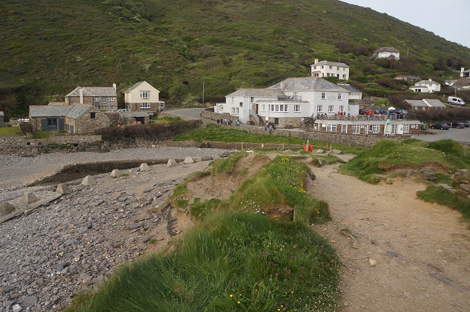
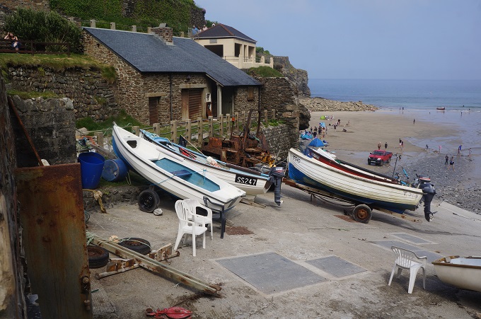
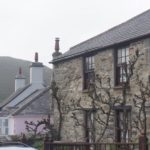
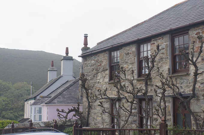
- Portreath

-
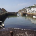
- Portreath

-
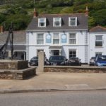
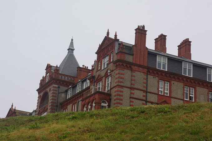
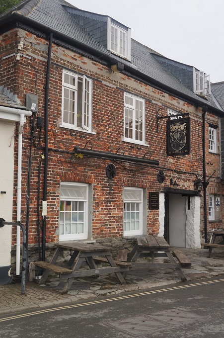
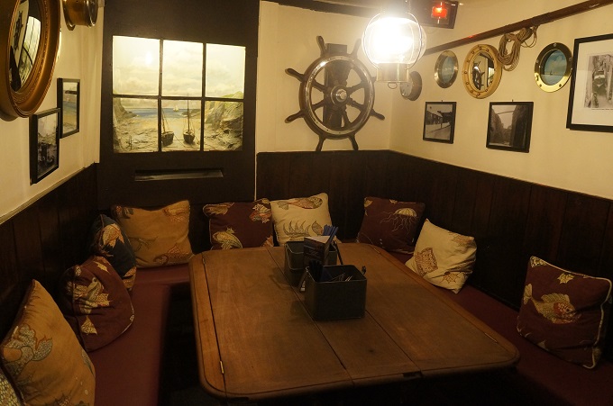
- The Portreath Arms Hotel
-

- The Portreath Arms Hotel

-

- Do it yourself burrito