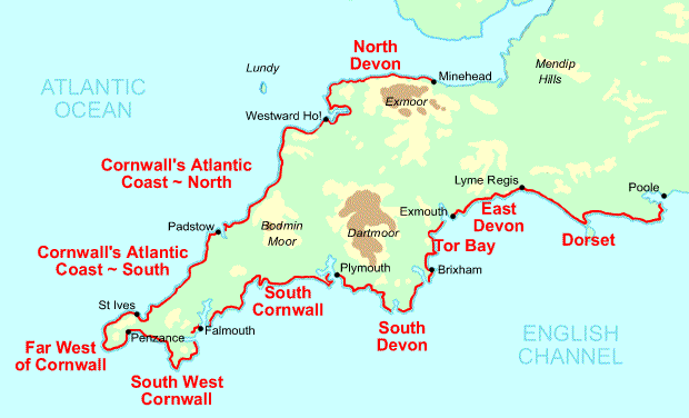
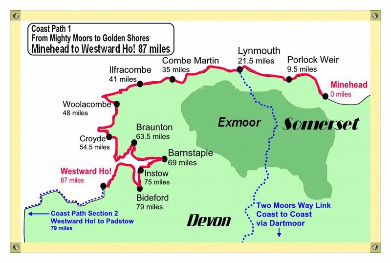
Minehead to Porlock, 18.0kms, 556m ascending (accumulative), highest point 280m
Yeah, we are on the South West Coast Path again. The best thing about today was just being in the outdoors and being on the move.
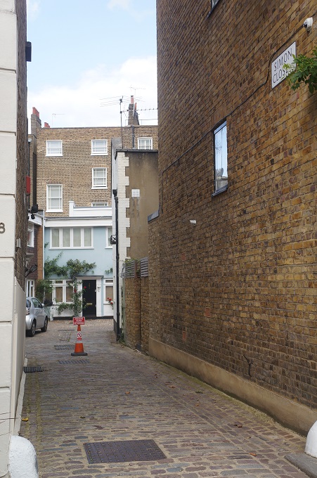
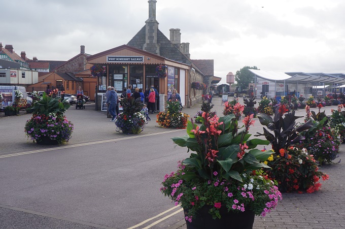
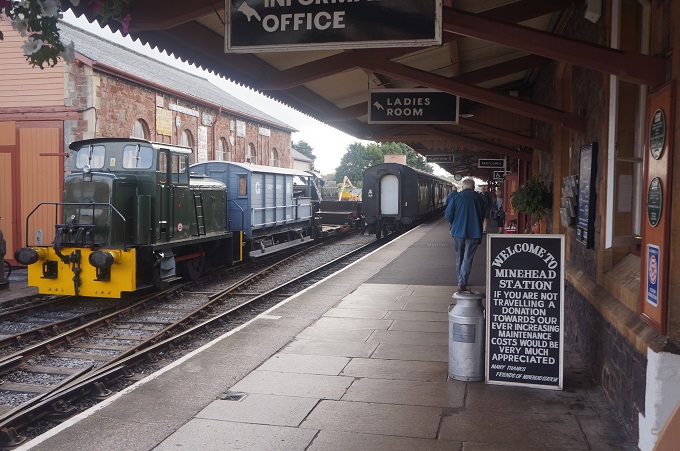
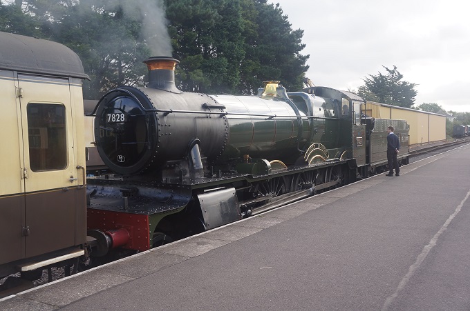
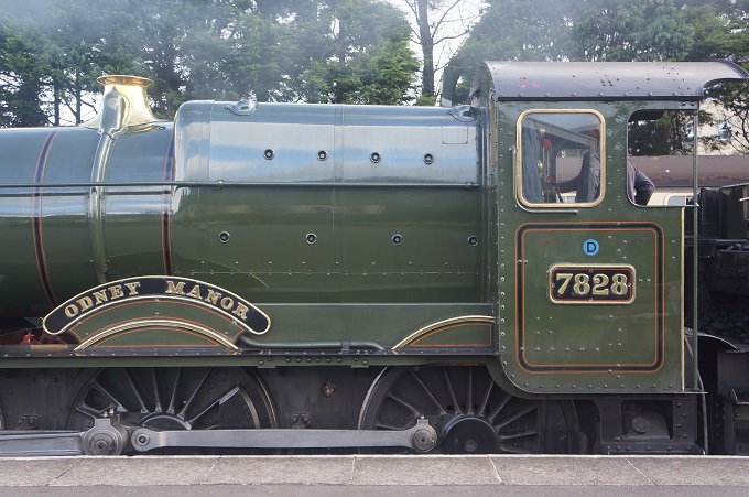
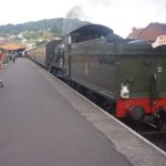
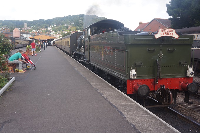
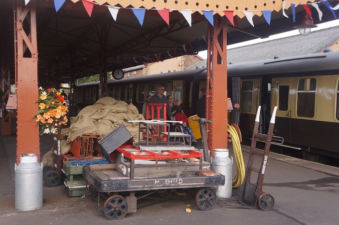
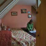
A late departure because breakfast didn’t start until 8.30am. Then we spent some time in Minehead at the railway station where an excursion train of the West Somerset Railway complete with steam engine was about to leave. It runs 20 miles from Minehead to Bishops Lydeard, the longest independent heritage railway in the United Kingdom.
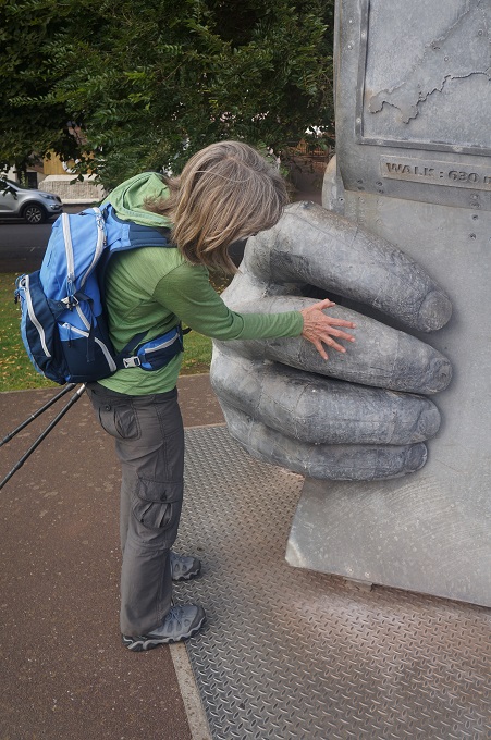
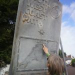
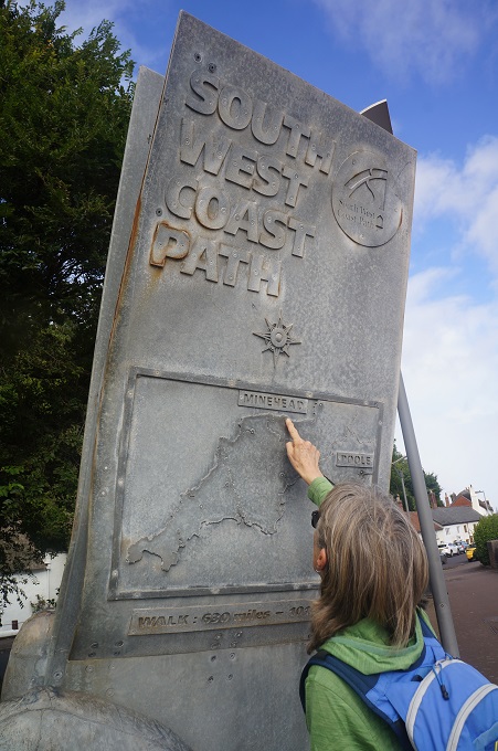
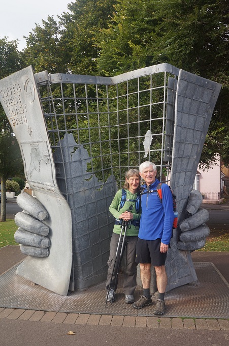
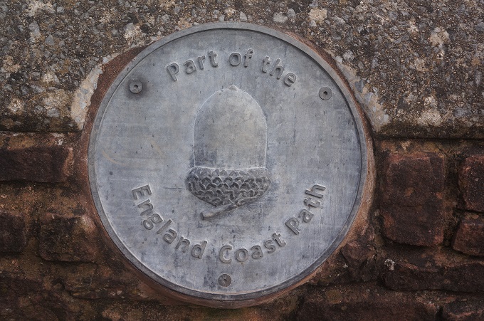
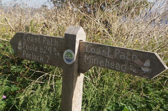
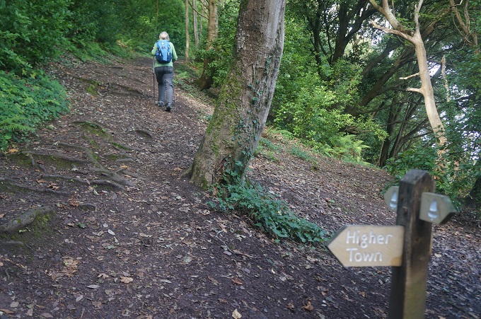
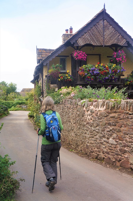
From there we walked around the waterfront to the official start of the SWCP at what is popularly called the ‘Hands Sculpture’ or the ‘Map Sculpture’. It was erected in 2001 and it is pretty much obligatory to have your photo taken next to it. Which of course we did. From here you continue along the waterfront, past the The Old Ship Aground Hotel, leaving the last vestiges of Minehead and the dog walkers behind and plunge into deep dark woods and hit a steep climb to the top of North Hill.
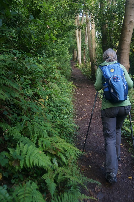
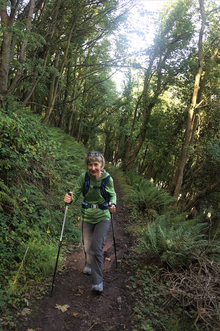
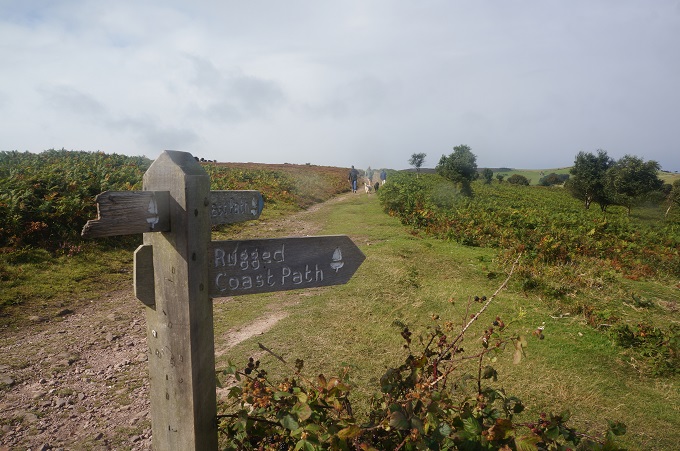
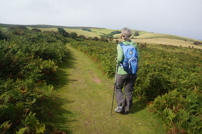
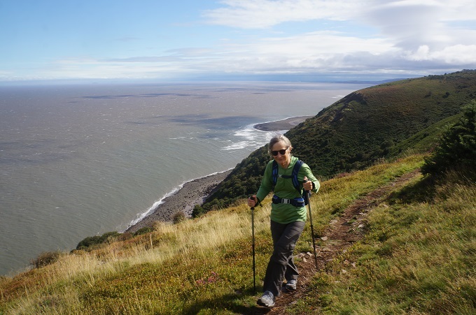
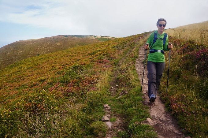
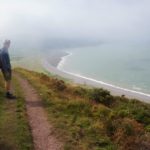
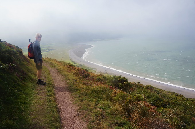
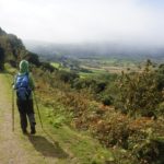
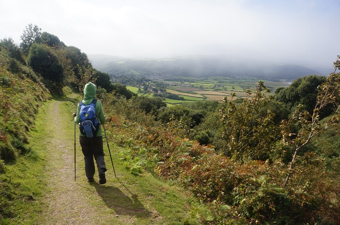
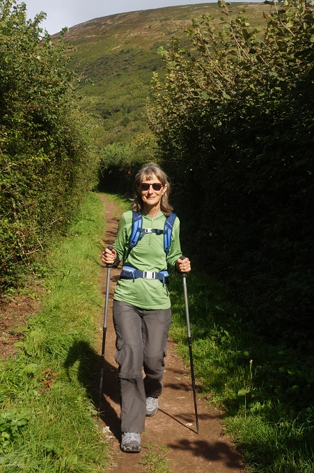
At the top of the hill you are faced with the first choice of the day. The ‘official’ route which goes inland across gently rolling meadows, or the ‘Rugged’ route which stays closer to the coastline, has a lot more ups and downs and gives splendid views over the Bristol Channel toward Wales. Not that we could see Wales in the mist. After wine with dinner last night we were feeling a bit rugged so decided we had better take the rugged route. I think we made the right choice. This was a lonely and remote section of the path far away from roads and settlements where the high expanse of Exmore rolls down and meets the Bristol Channel.
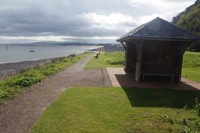
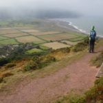
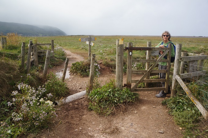
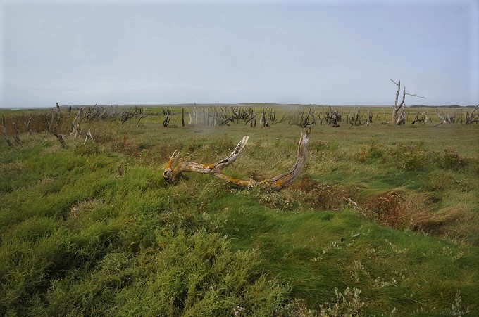
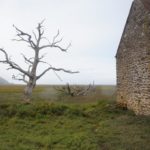
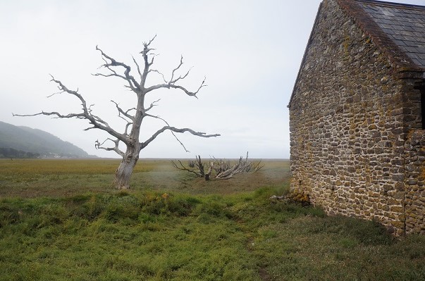
From the hill you look down into the Porlock Vale a wide flat floored fertile valley of farmland. The area is interesting because standing between the valley and the sea is a shingle ridge. The sea has breached the ridge causing the farmland nearest the sea to become a salt marsh with a fresh inundation of salt at every high tide. This has caused large trees to die and become skeletons.
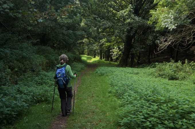
The path across the Vale was hedged with brambles (blackberries to us) and we were able to gorge ourselves on the berries. They were smaller than the ones at home but just as tasty.
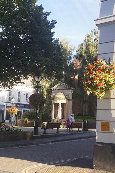
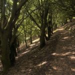
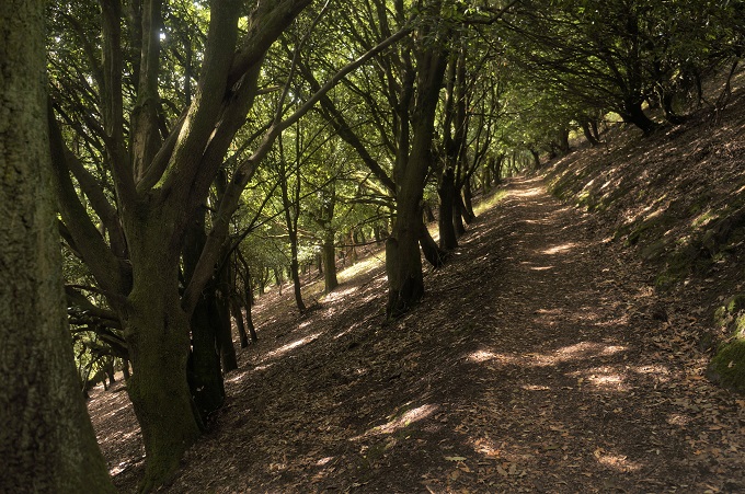
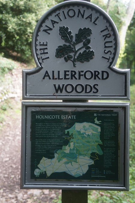
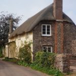
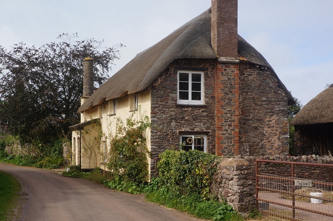
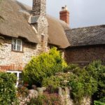
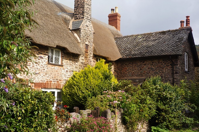
To get down to the valley and the tiny hamlet of Bossington we had a beautiful walk through the Allerford Woods and then a flat walk across the edge of the salt marsh, among the skeleton trees, to the village of Porlock where we are tonight. Porlock is mentioned in the Doomsday Book of 1086 and some of the buildings are only slightly younger. Many of the buildings have thatch roofs and The Ship Inn where we ate tonight dates from the 13th century.
Porlock has long been a favourite place of poets, romantics and dreamers. Samuel Taylor Coleridge and William Wordsworth were frequent visitors and wandered (as lonely as clouds presumably) the surrounding hills and beach.
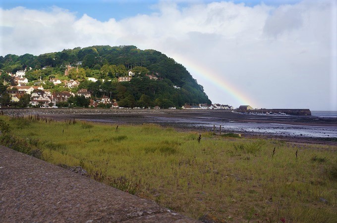
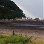
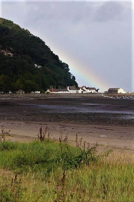
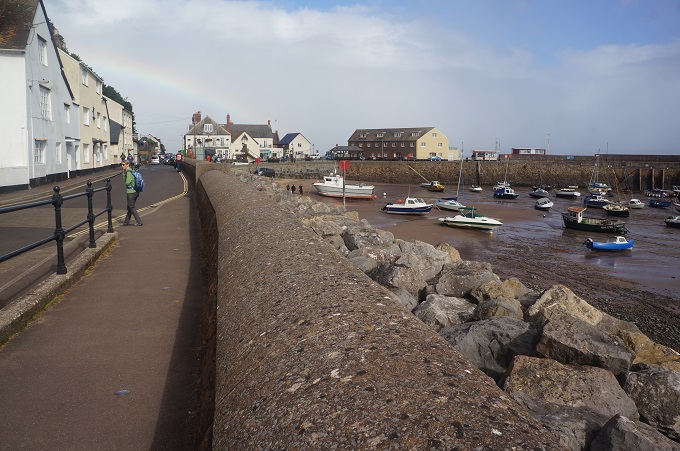
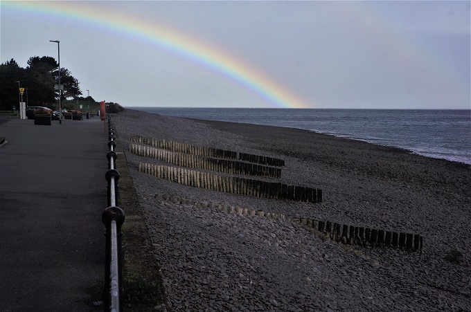
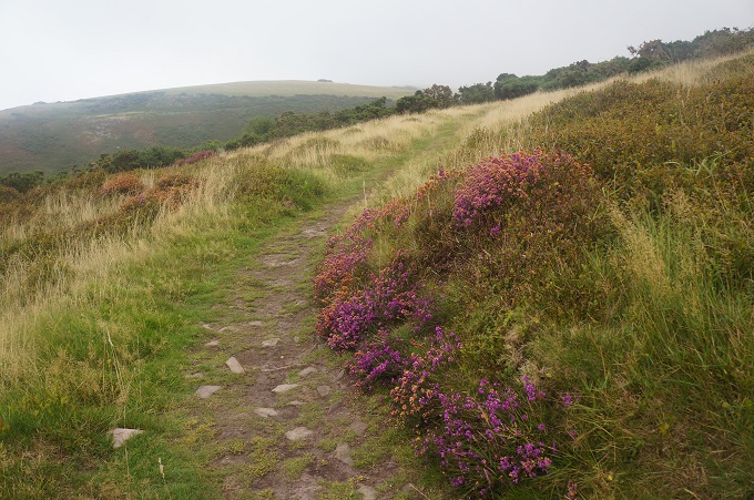
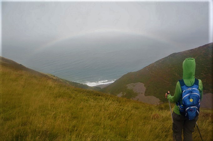
The weather was warm, quite windy and with very, light misty rain on and off interspersed with periods of bright sunshine. This meant we had lots of rainbows and for about the first hour walked with a rainbow directly ahead of us. There was nice contrast between the dark shelter of the woods and the open windy moor with its carpet of yellow gorse and purple bell heather flowers.
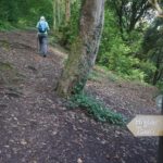
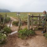
The path is well sign posted but there are so many paths criss-crossing and going to places we have never heard of, and are not on the maps, that it is easy to end up on unnecessary diversions. This year we have an app loaded on our phone with maps of the SWCP and with GPS you can see exactly where you are when apparently ‘lost’.
Overall a really good first day, bring on tomorrow.
-
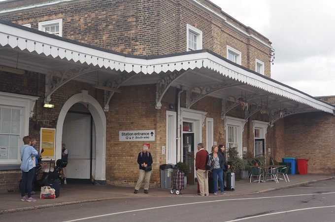
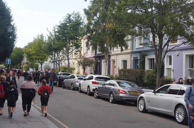
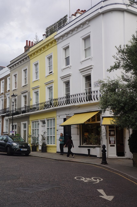
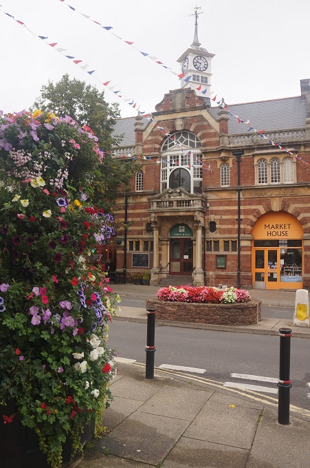
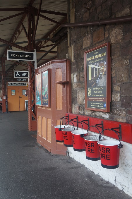
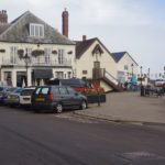
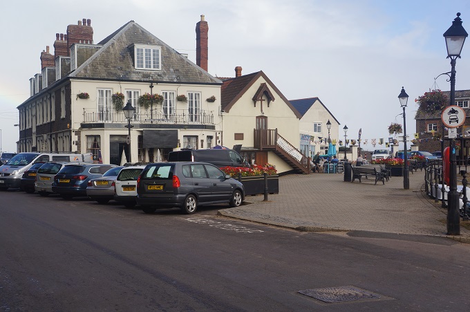
- Minehead
-
- Minehead
-
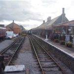
- West Somerset Railway
-
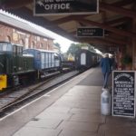
- West Somerset Railway
-
- West Somerset Railway
-

- West Somerset Railway
-

- West Somerset Railway
-
- West Somerset Railway
-

- West Somerset Railway
-
- West Somerset Railway
-

- West Somerset Railway
-
- West Somerset Railway

-
- Leaving Minehead
-
- Leaving Minehead
-
- Leaving Minehead
-

- Official start of SWCP
-
- Official start of SWCP
-

- Official start of SWCP
-

- Official start of SWCPObligatory photo
-
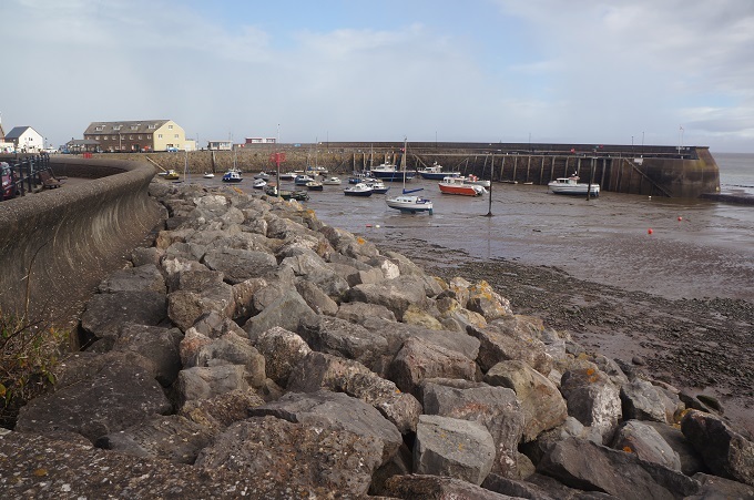
- On the seawall, Minehead
-
- On the seawall, Minehead
-
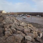
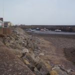
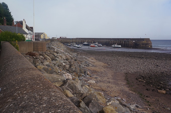
- Minehead Harbour
-

- Minehead Harbour
-
- The Old Ship Aground Hotel
-
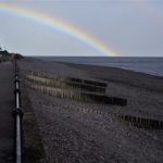
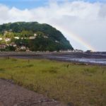
- Follow the rainbow
-
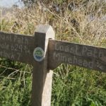
- Typical signage
-

- Leaving Minehead
-
- North Hill
-

- North Hill
-

- North Hill
-
- Rugged Route
-

- Edge of Exmoor
-

- Footprint sign

-

- The Rugged Route
-
- The Rugged Route
-

- The Bristol Channel
-
- The Rugged Route

-

- Yellow gorse and purple bell heather
-
- Porlock Vale
-

- Porlock Vale

-
- Porlock Vale

-
- Descending to the Vale
-
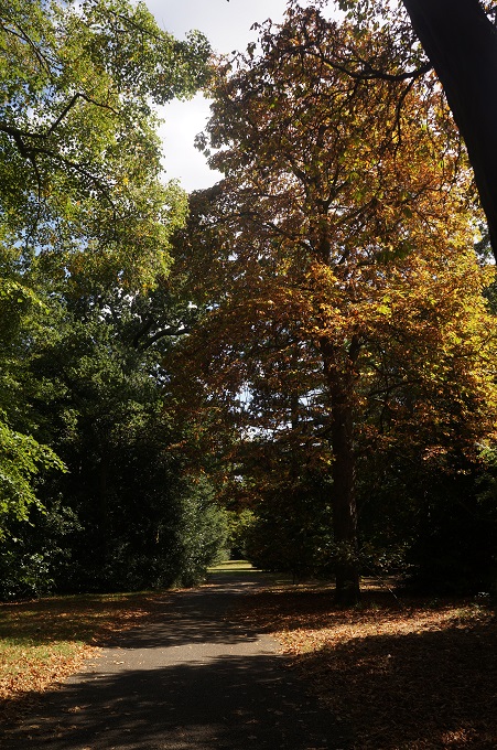
- Allerford Woods
-

- Allerford Woods
-
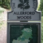
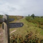
- National Trust sign
-
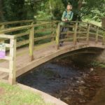
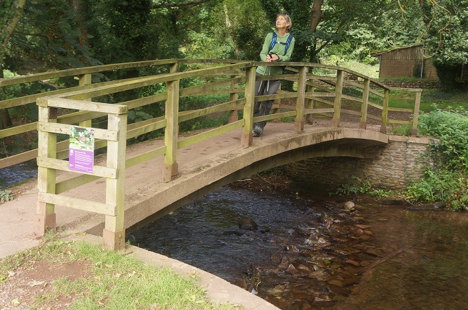
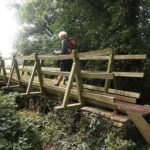
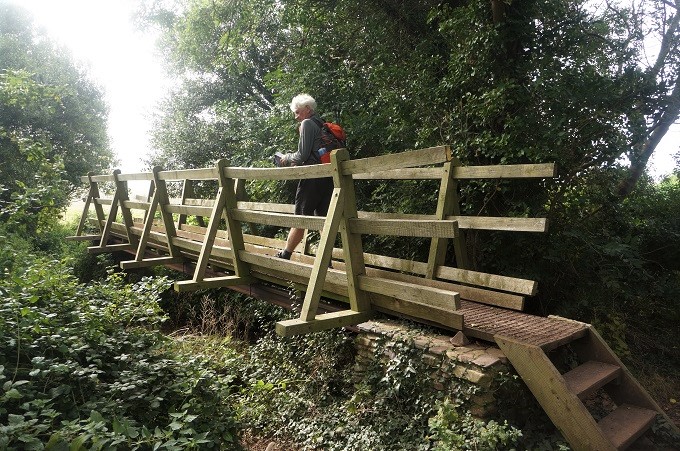
- Crossing a bridge into Bossington
-

- Bossington
-
- Bossington
-
- Bossington
-

- Crossing the Vale
-
- Crossing the Vale
-
- Crossing the Vale
-
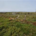
- Skeleton trees in the salt marsh
-
- Skeleton Trees in the salt marsh
-
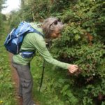
- Picking berries
-
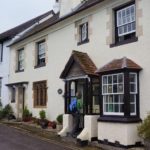
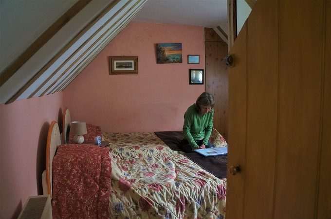
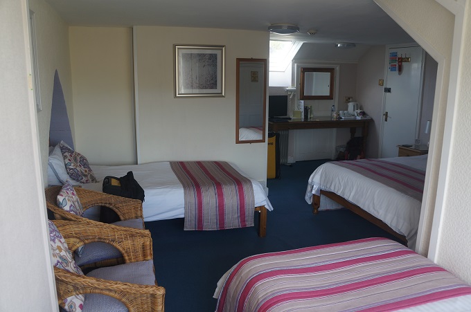
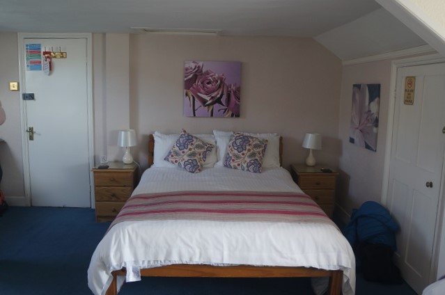
- Seaview B & B, Porlock
-
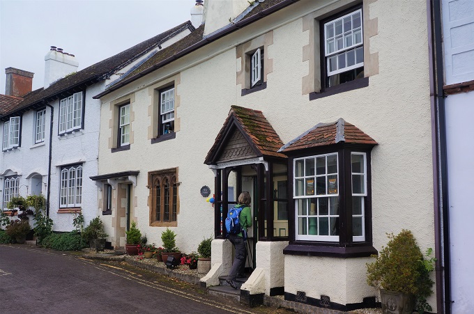
- Seaview B & B, Porlock
-
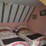
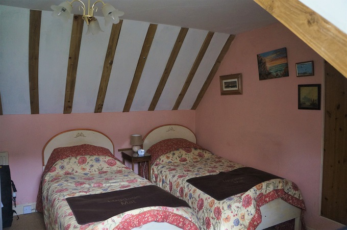
- Seaview B & B, Porlock