Step by Step

Progress Report

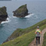
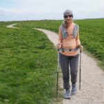
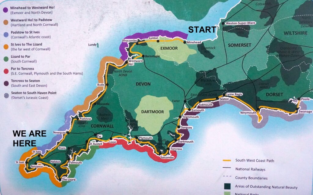
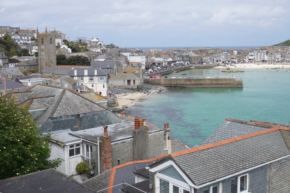
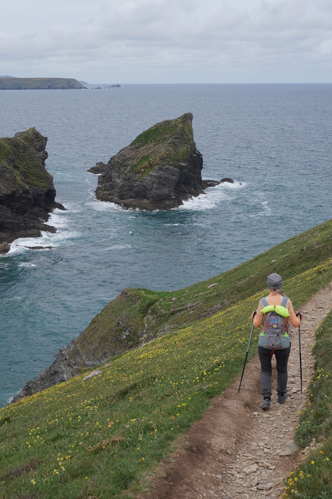
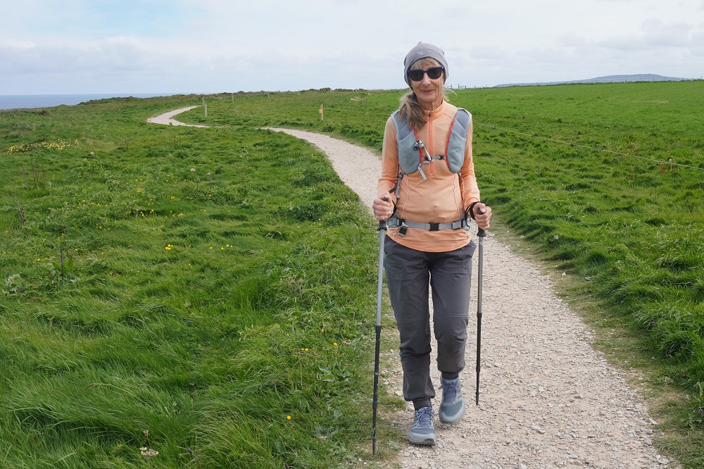
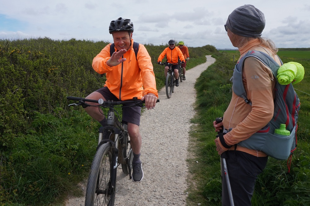
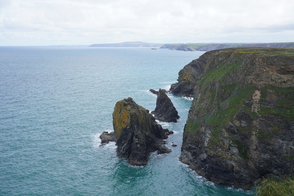
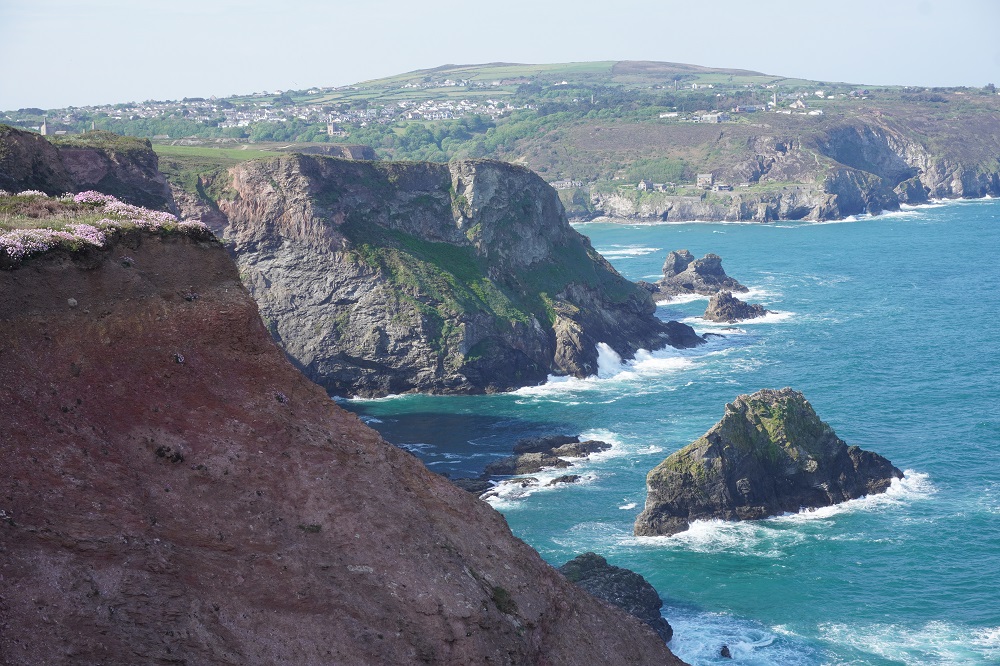
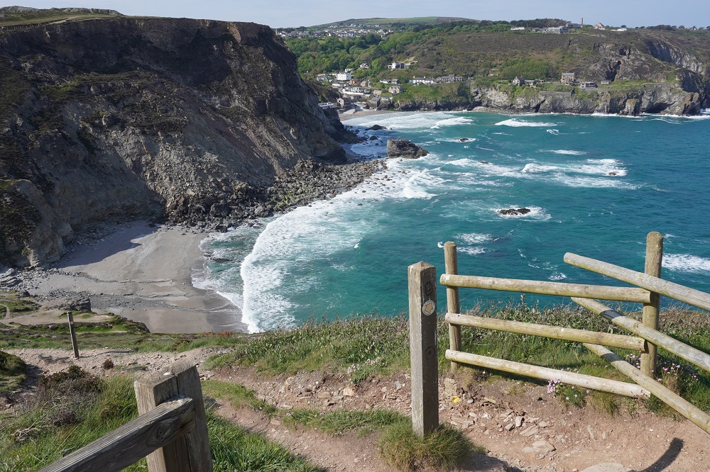
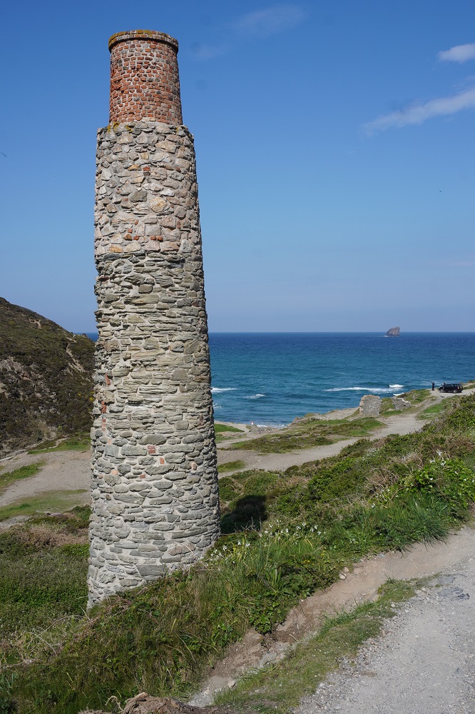
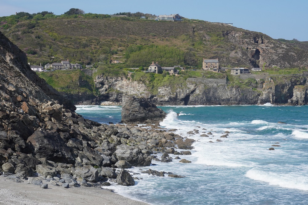
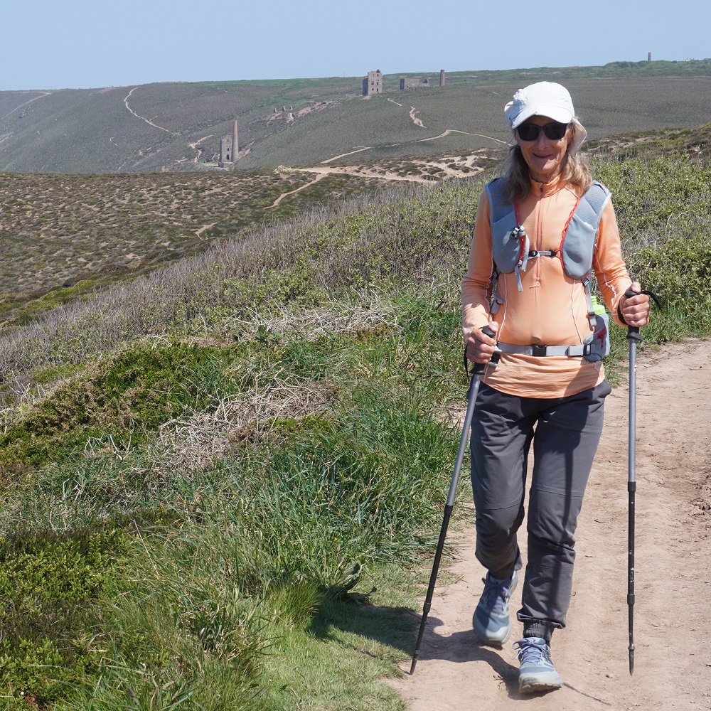
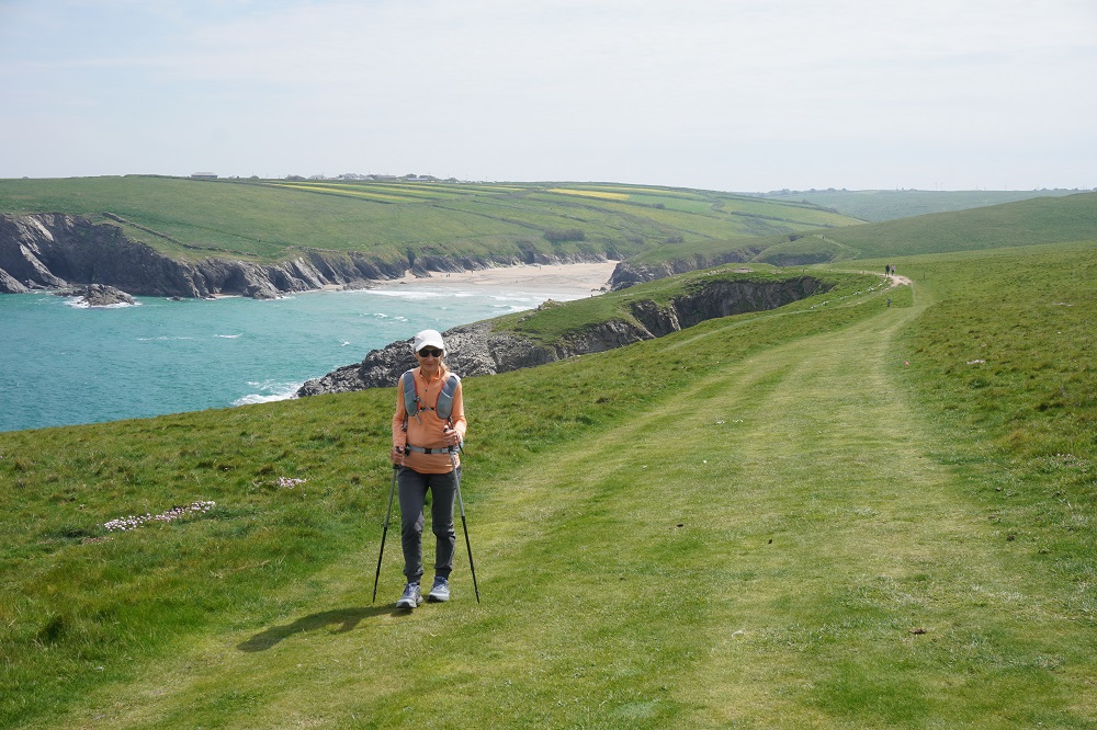
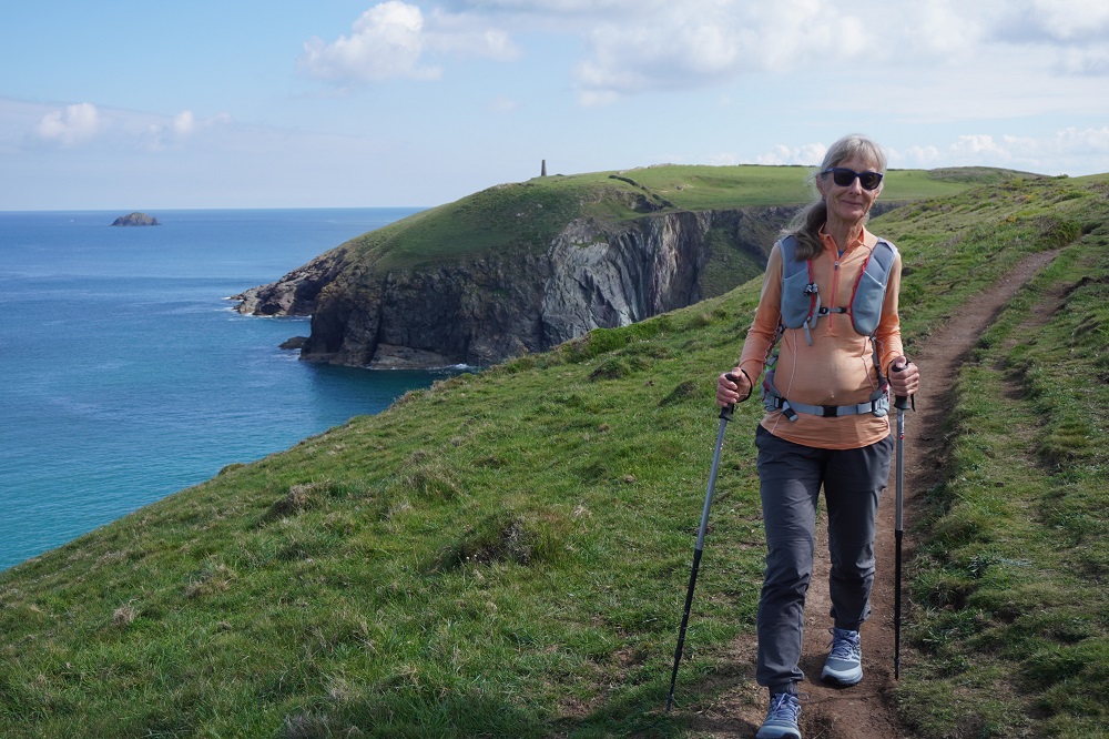
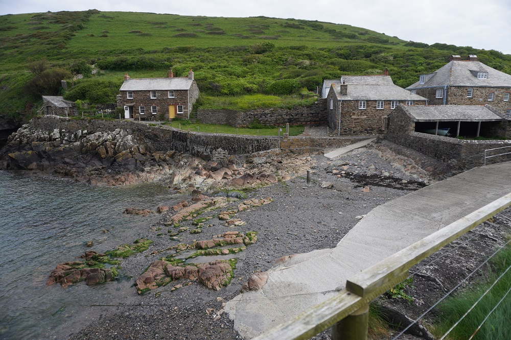
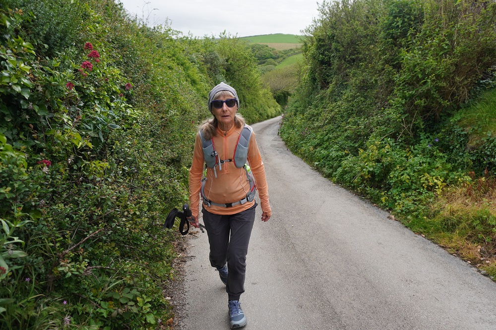
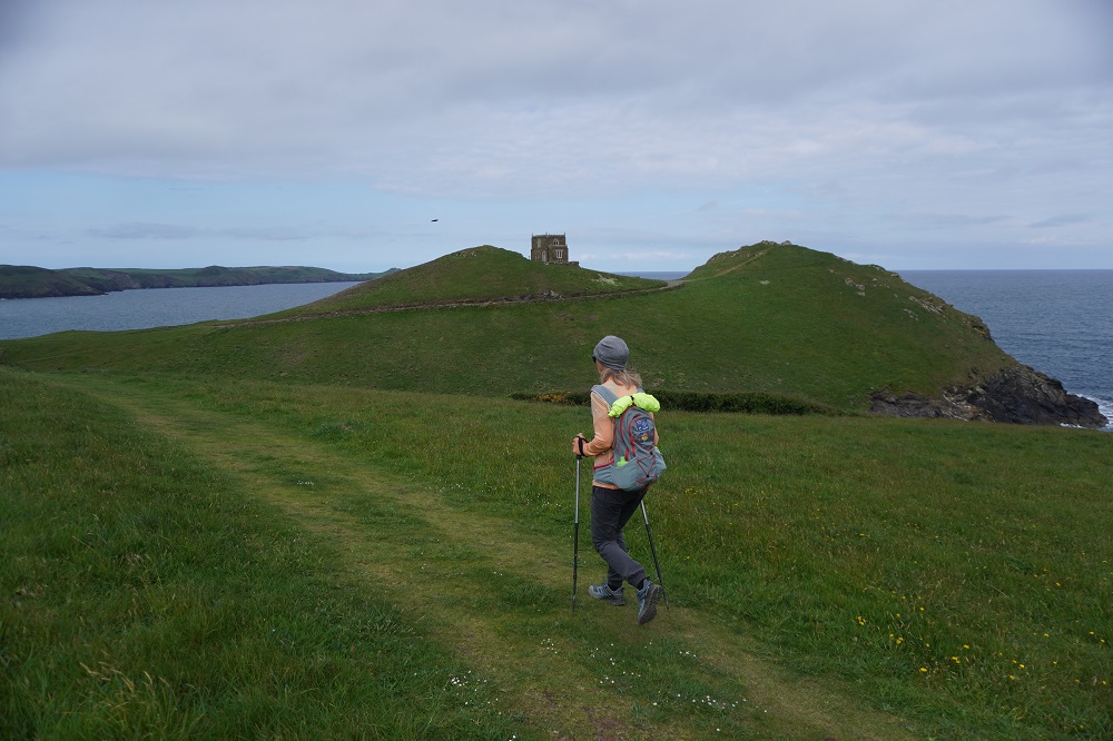
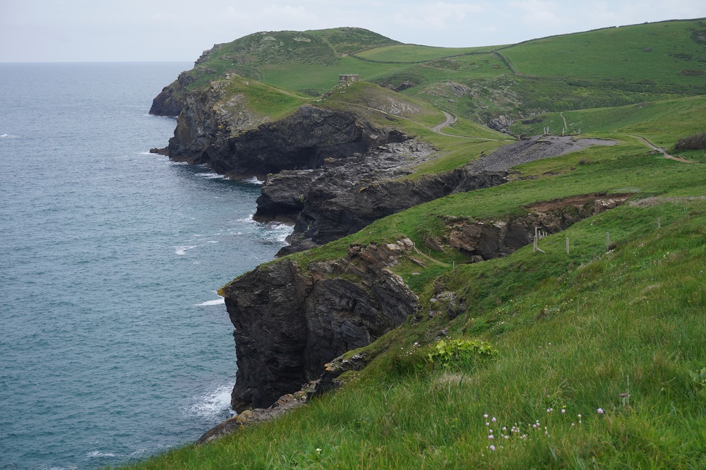
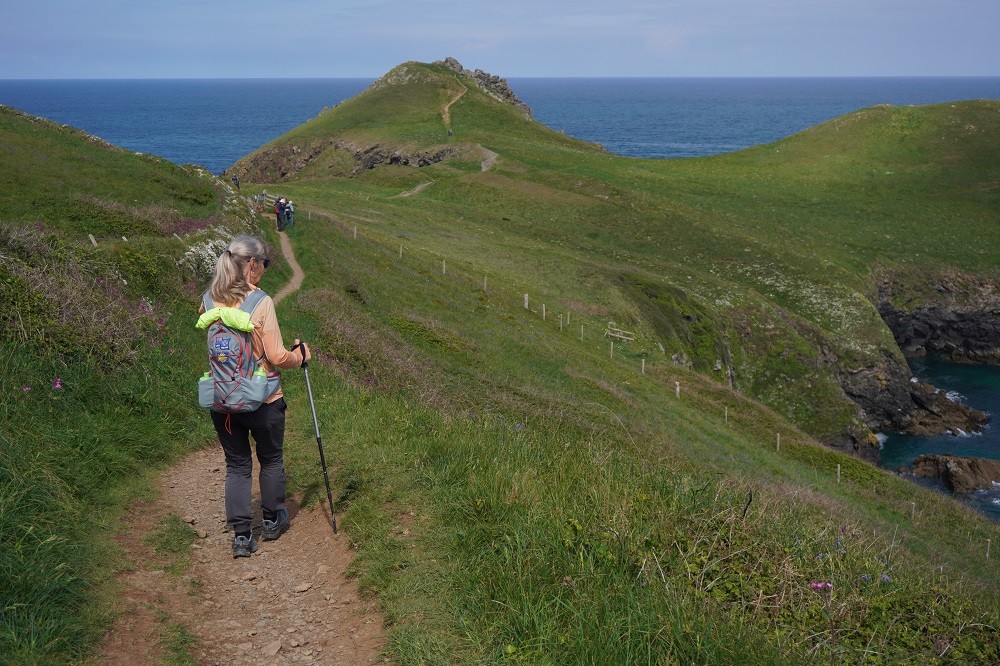
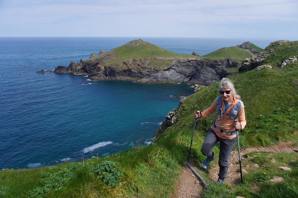
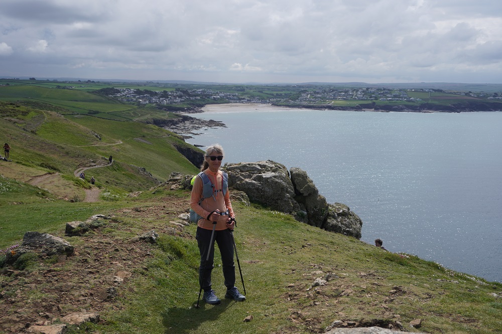
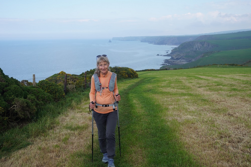
We have now walked 410 kilometres from Minehead to St Ives. This is 40% of the distance from Minehead to Poole. About 820,000 steps. Only about 1,200,000 steps to go!

Soon we will reach Land’s End, the most westerly point of mainland England and then The Lizard, the southernmost point of the British mainland.

Before you reach Land’s End you feel you are walking away from Poole which is true as the crow flies, but after, every step feels as though it is a step nearer to your goal.

We are loving it 95% of the time. There is always some part of the day when you just want to get there, by some magic to be transported to your hotel, have a hot shower and collapse.

The bodies are pretty good, not perfect but holding together so far. Fingers crossed this continues.

Out and Back

Tuesday 12 May 2026

Day 21 of walking
St Ives to Porth Kidney Beach and back
Distance: 10.43km
Total distance: 410.61km
Climbing: 376m
Total climb: 13,018

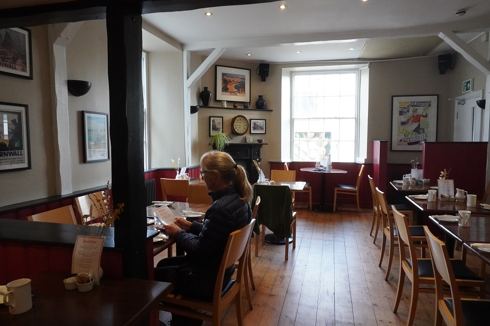
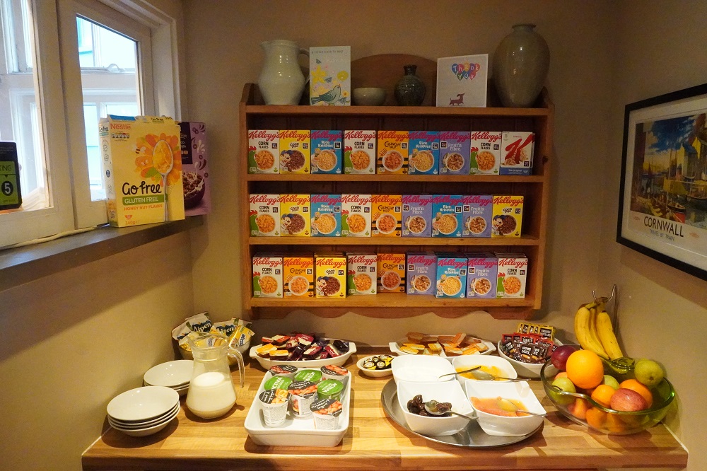
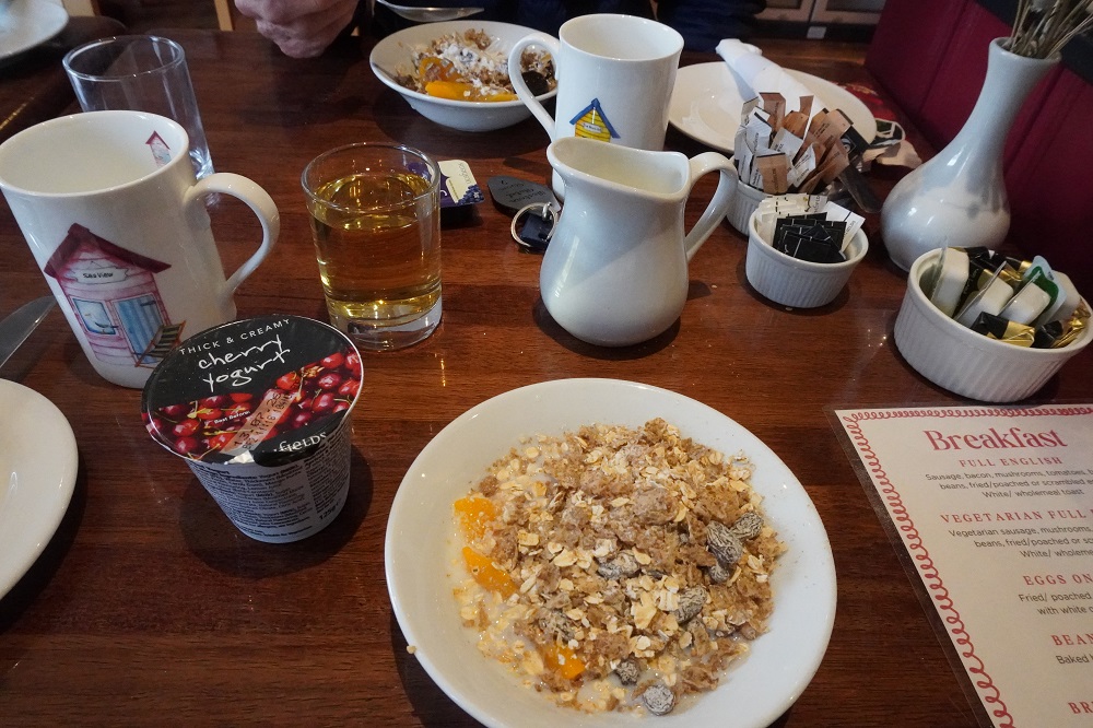
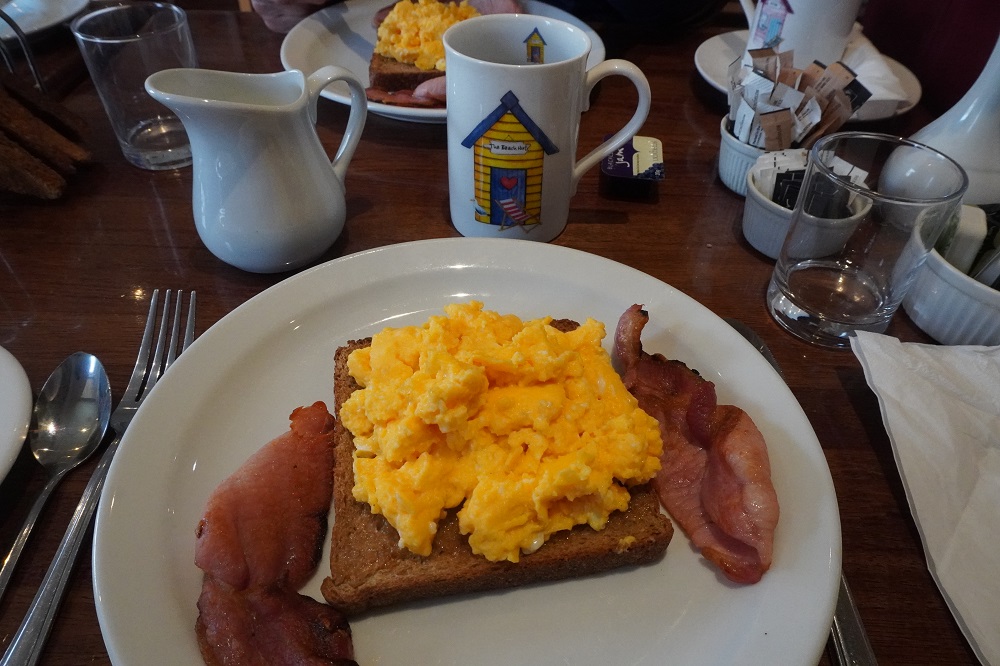
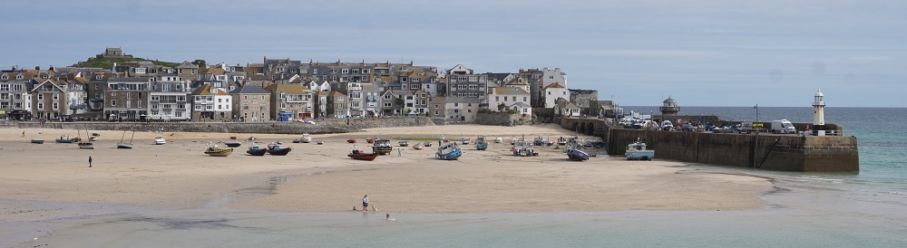
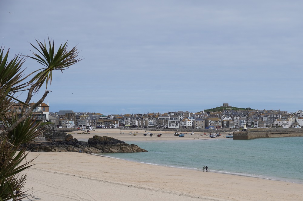
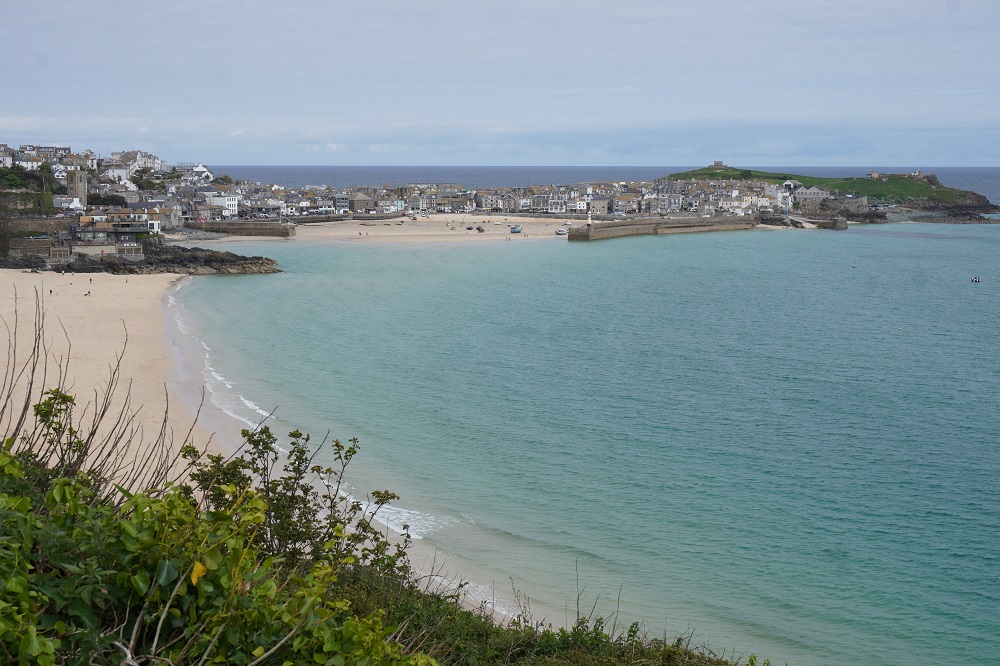
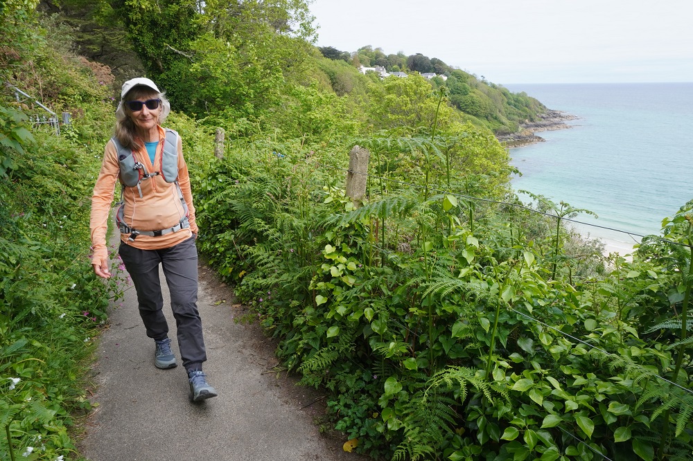
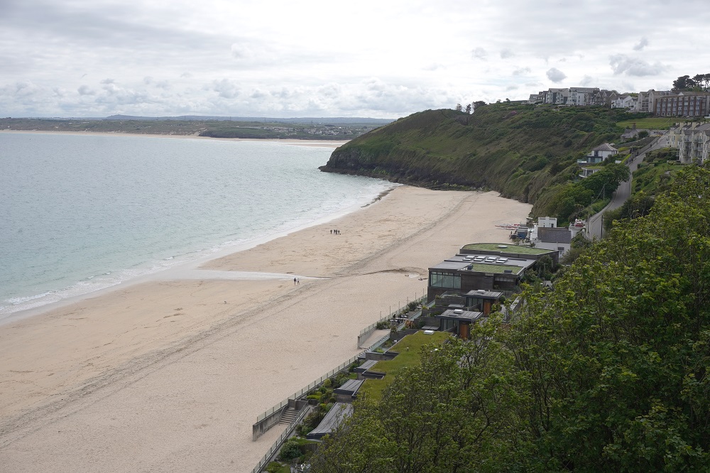
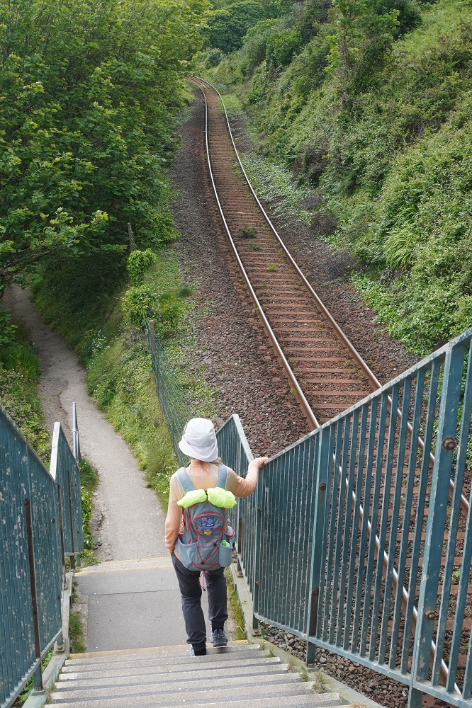
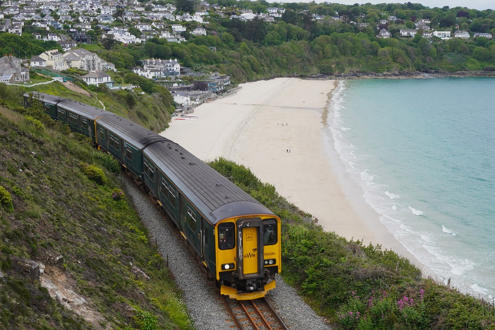
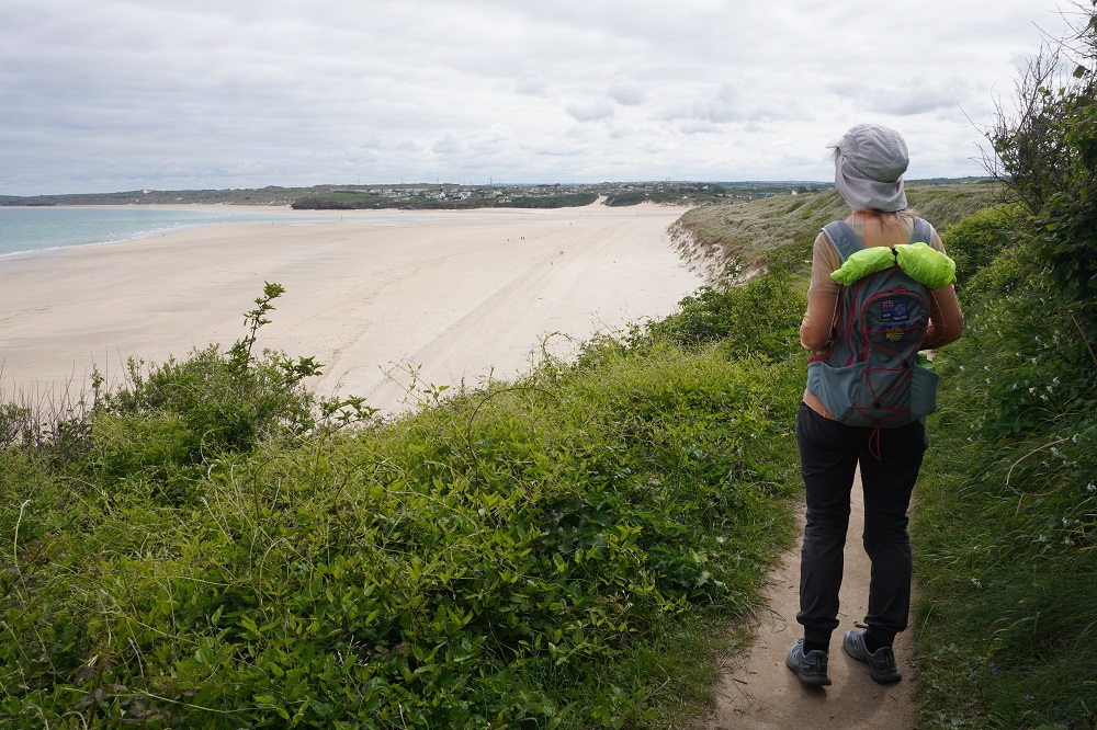
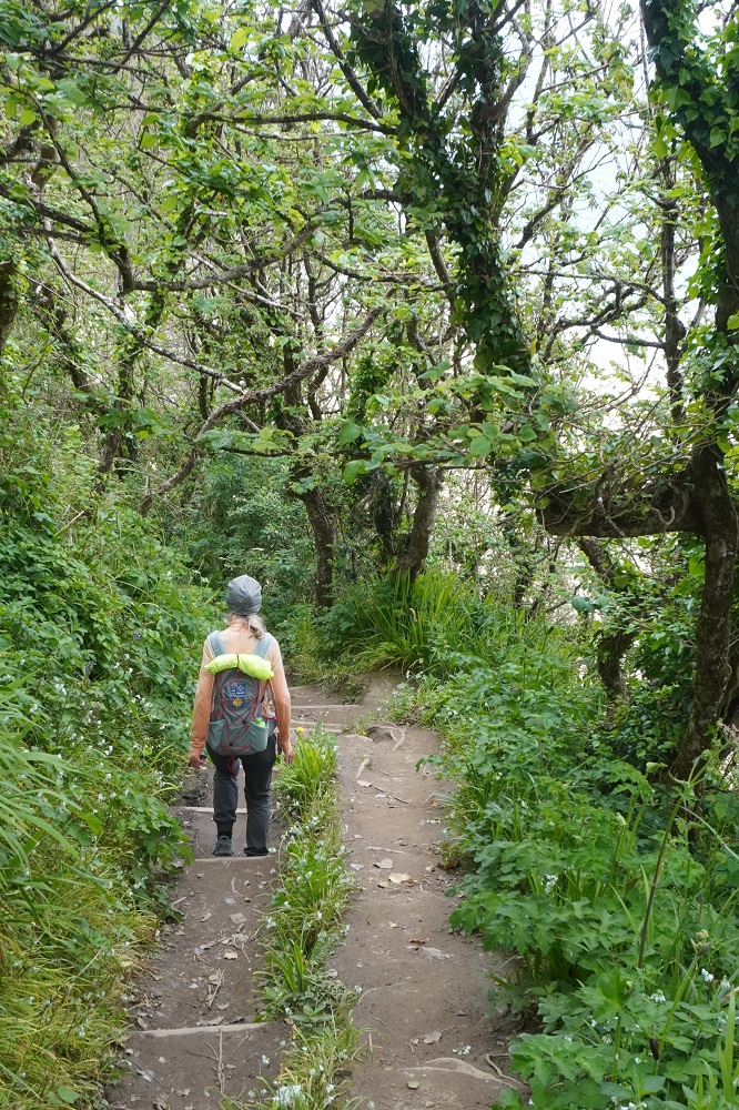
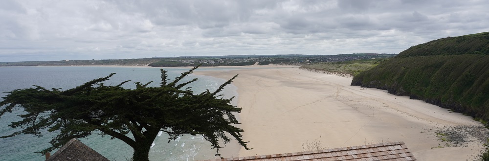
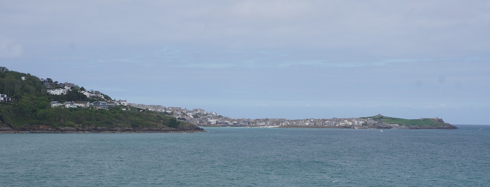
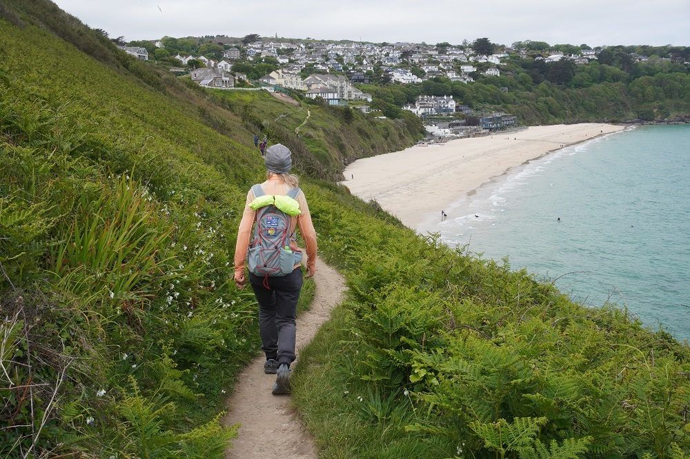
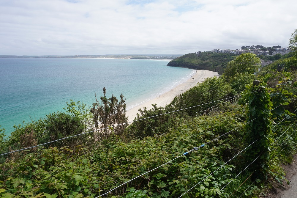
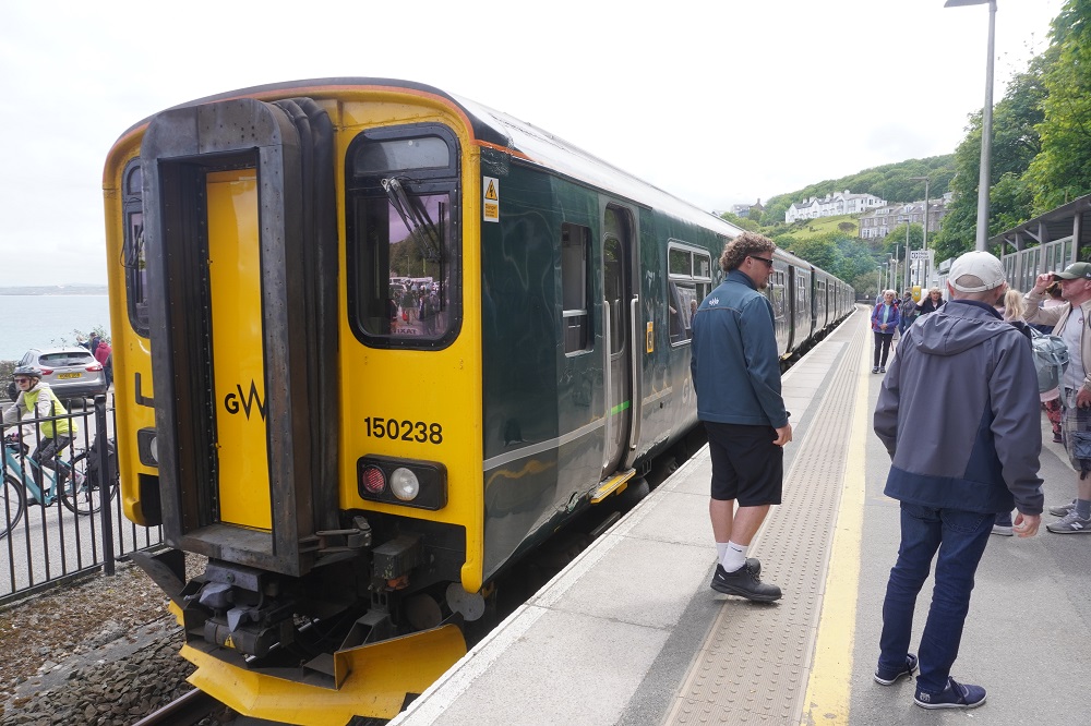
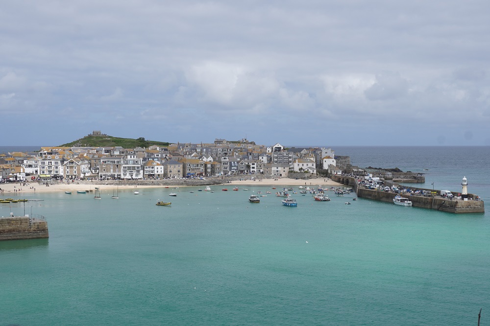
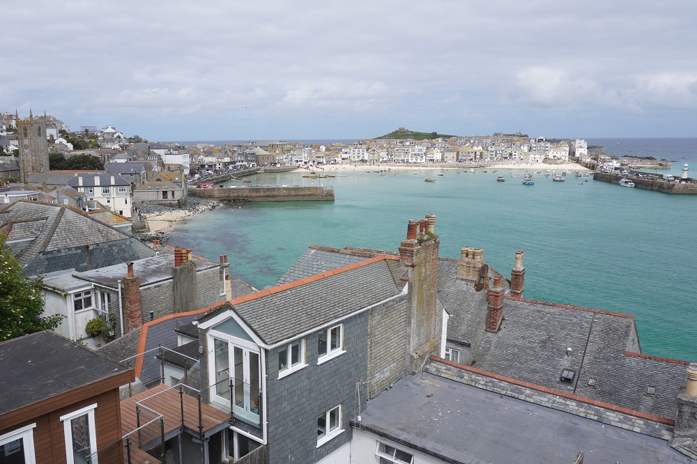
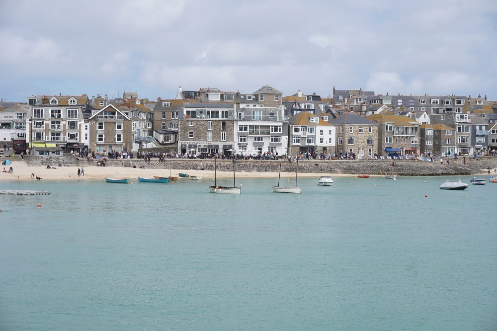
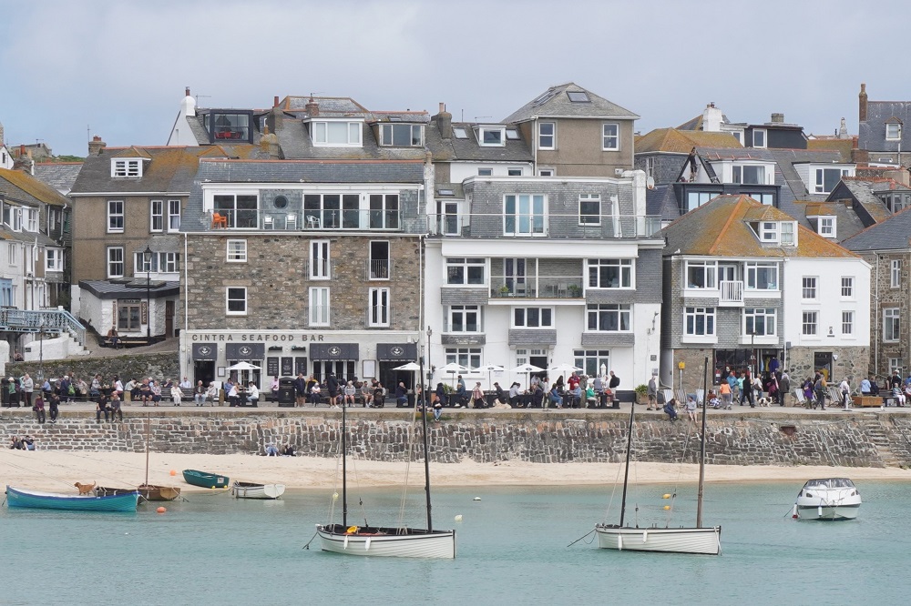
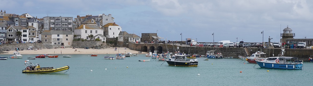
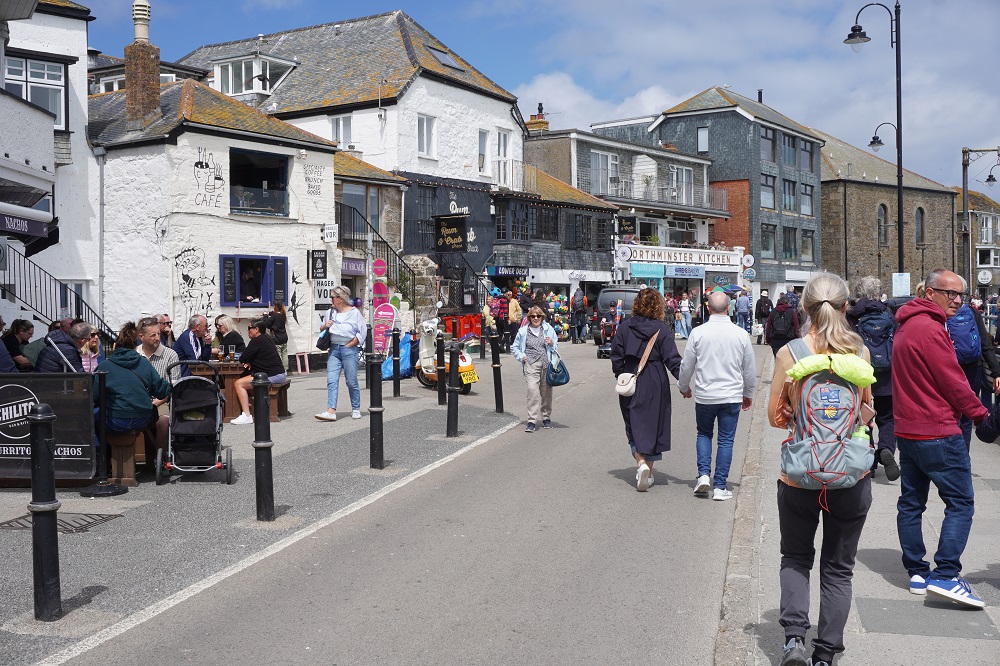
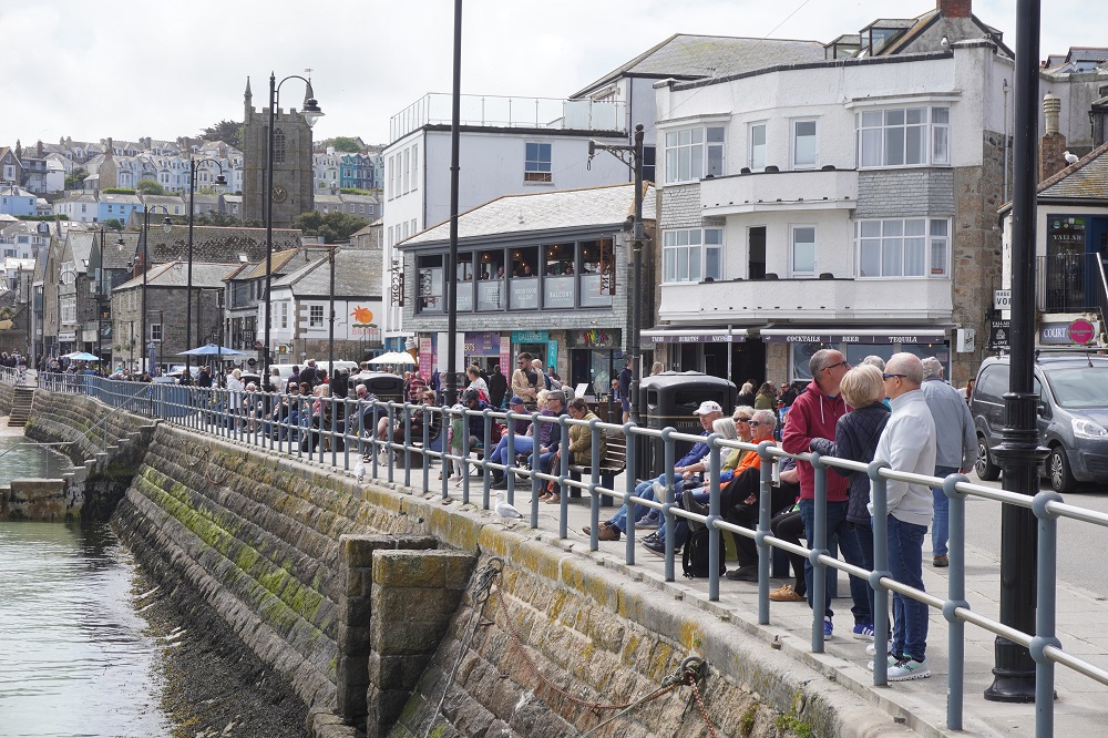
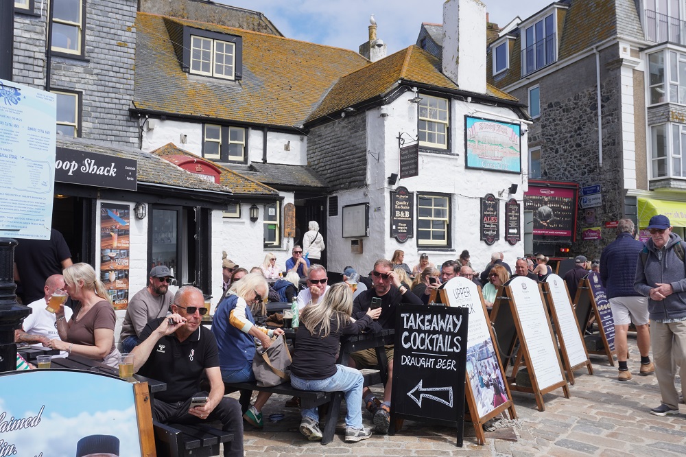
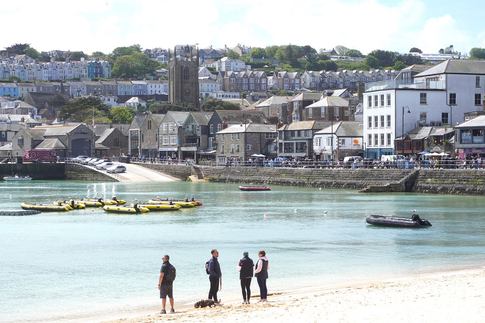
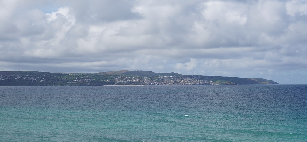
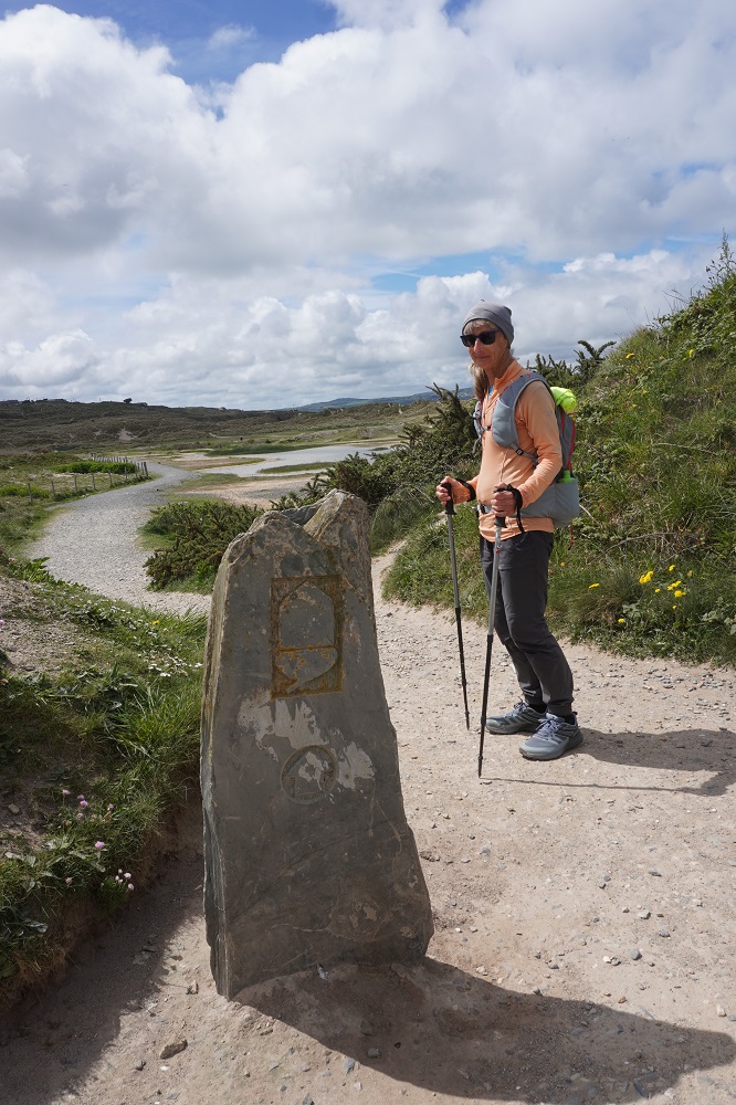
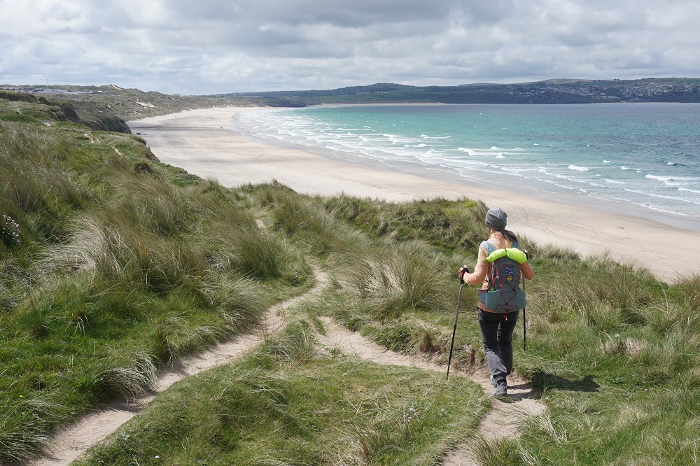
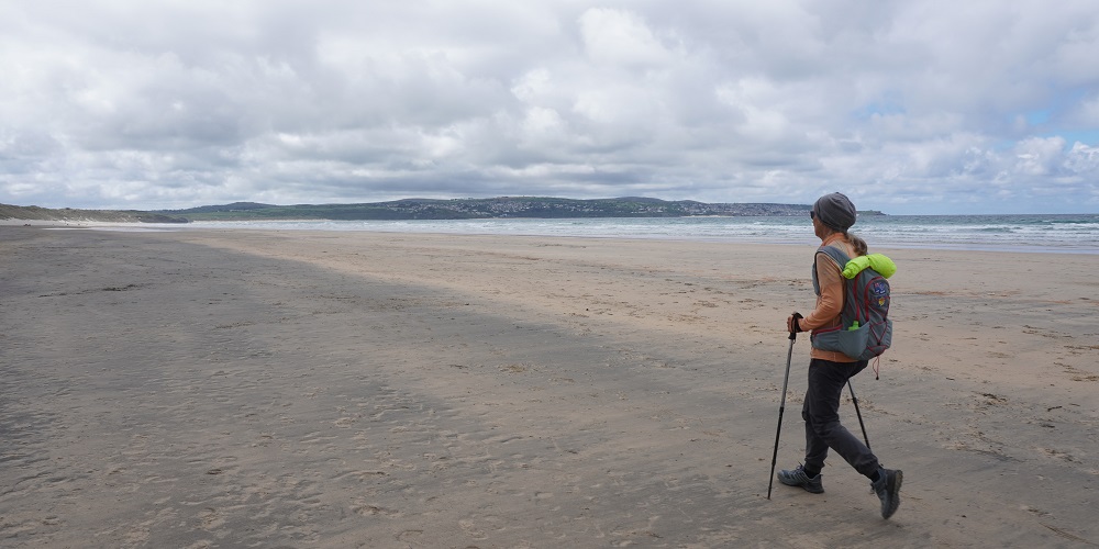
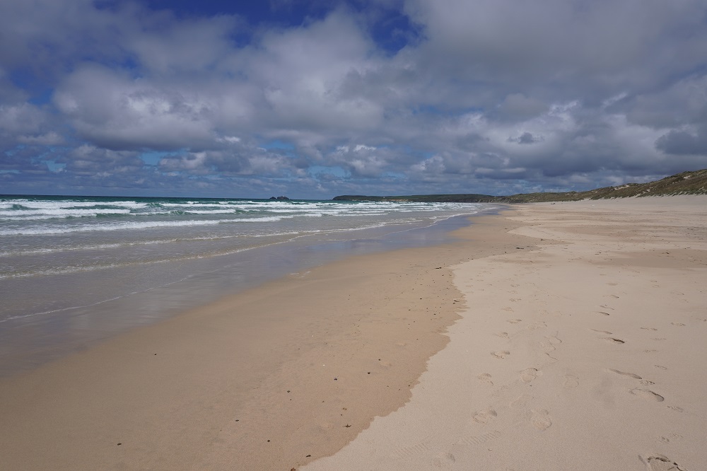
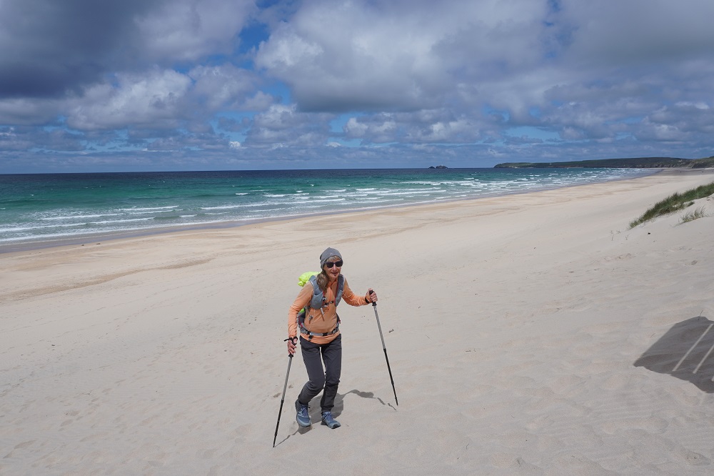
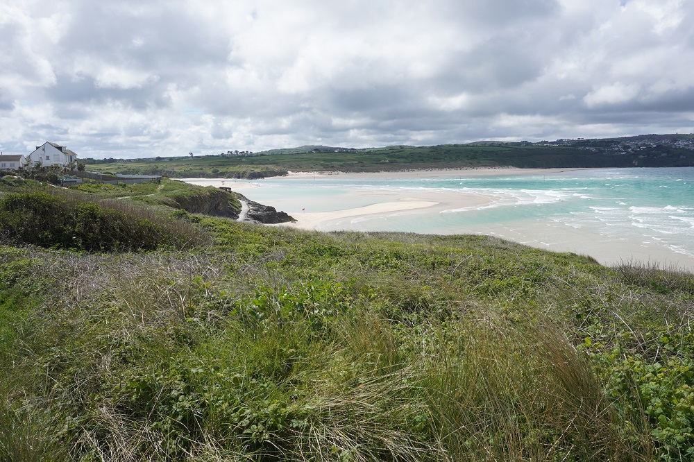
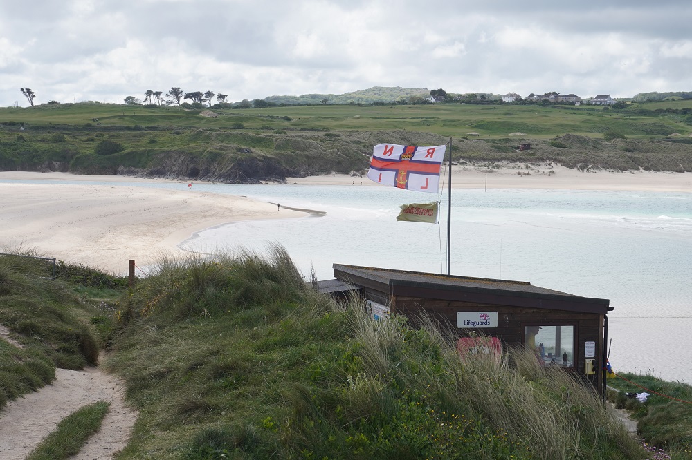
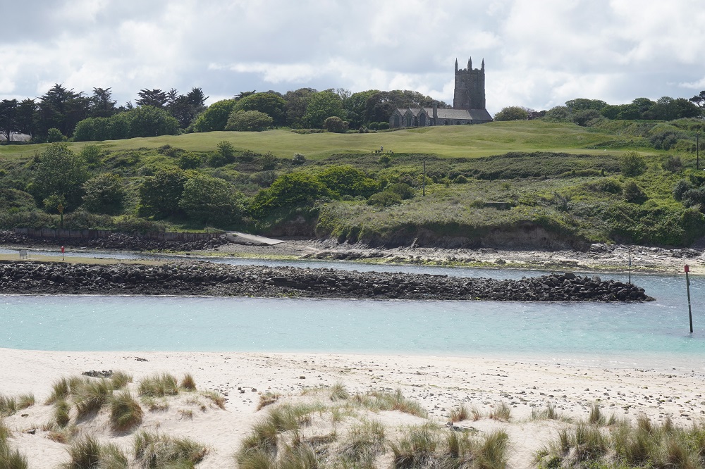
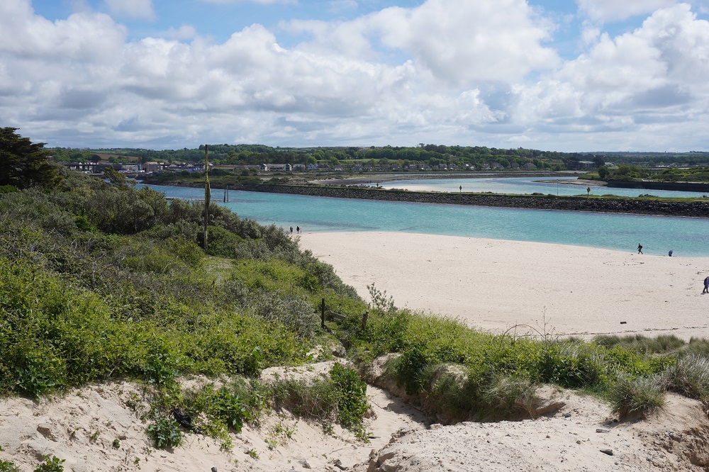
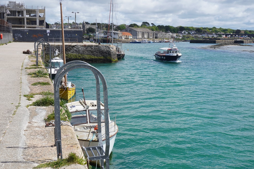
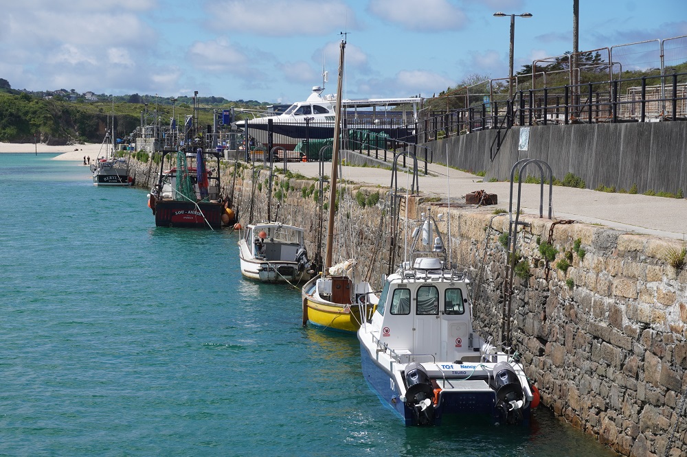
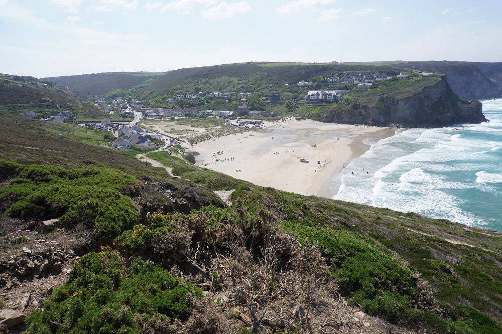
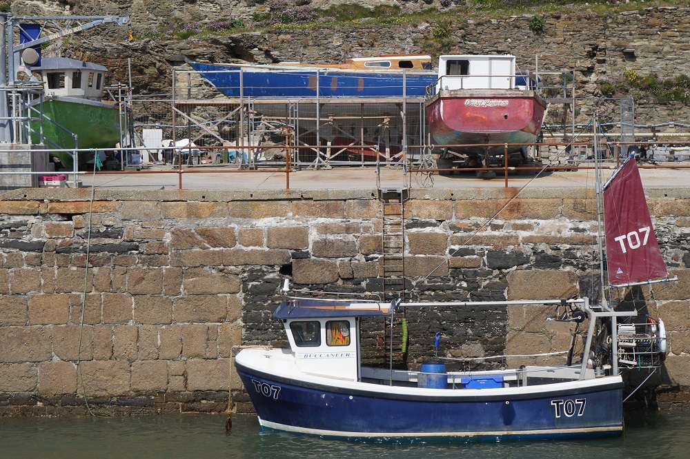
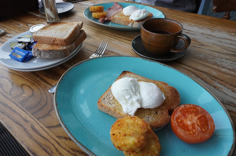
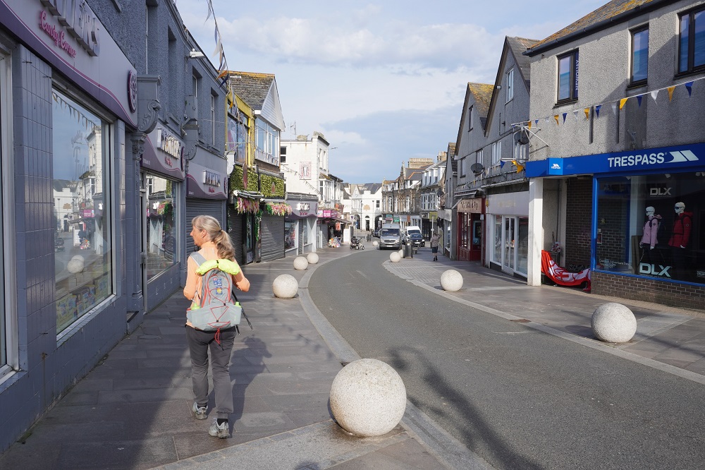
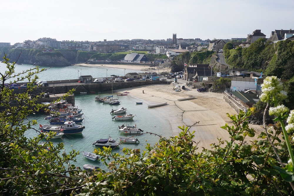
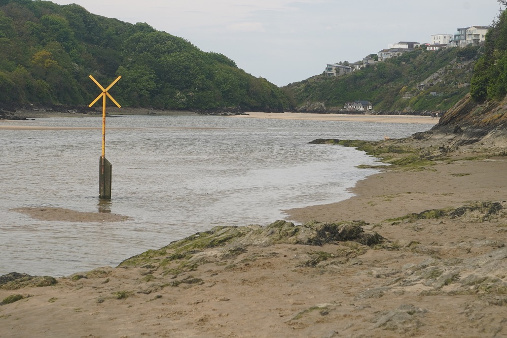
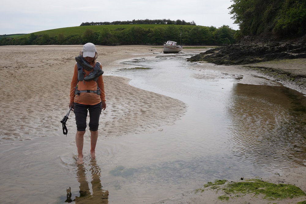
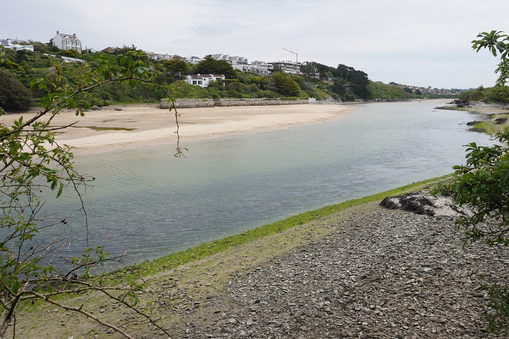
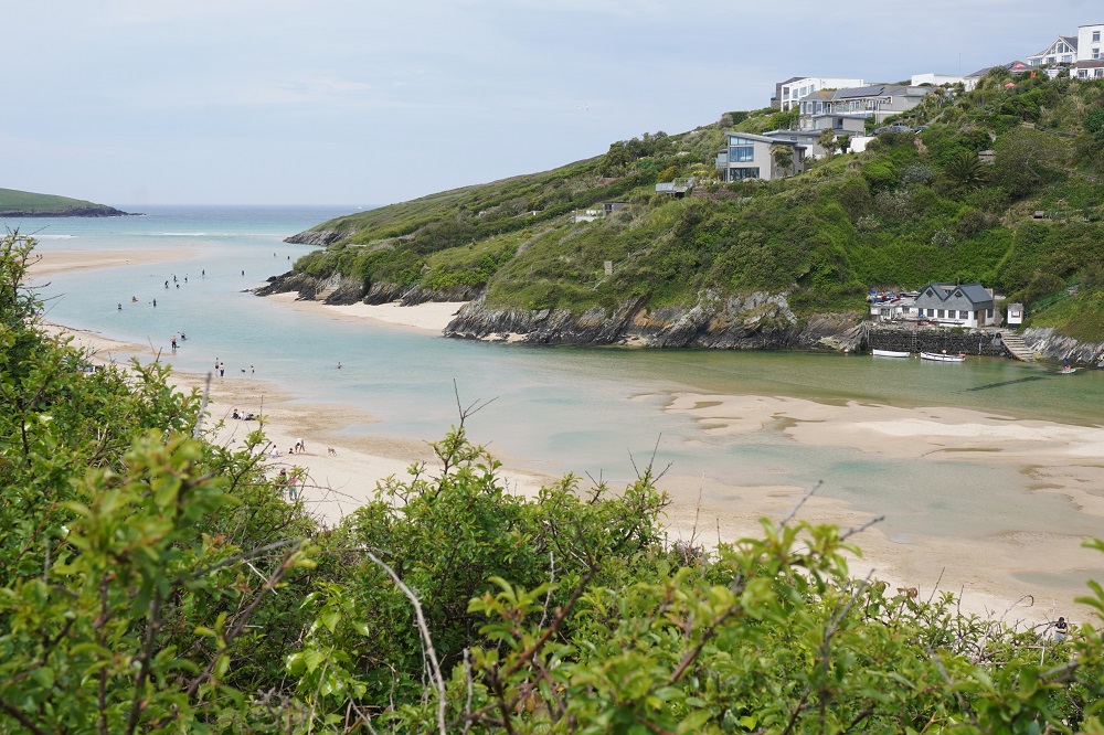
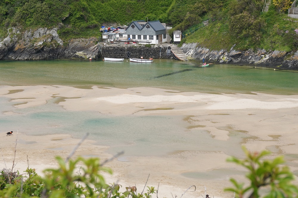
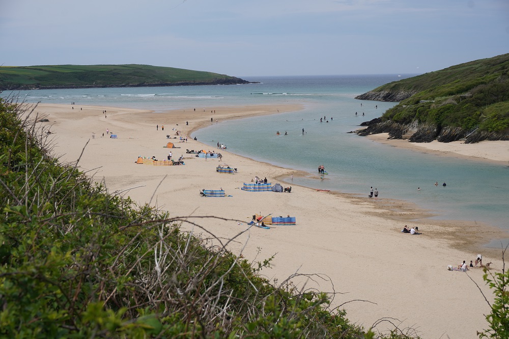
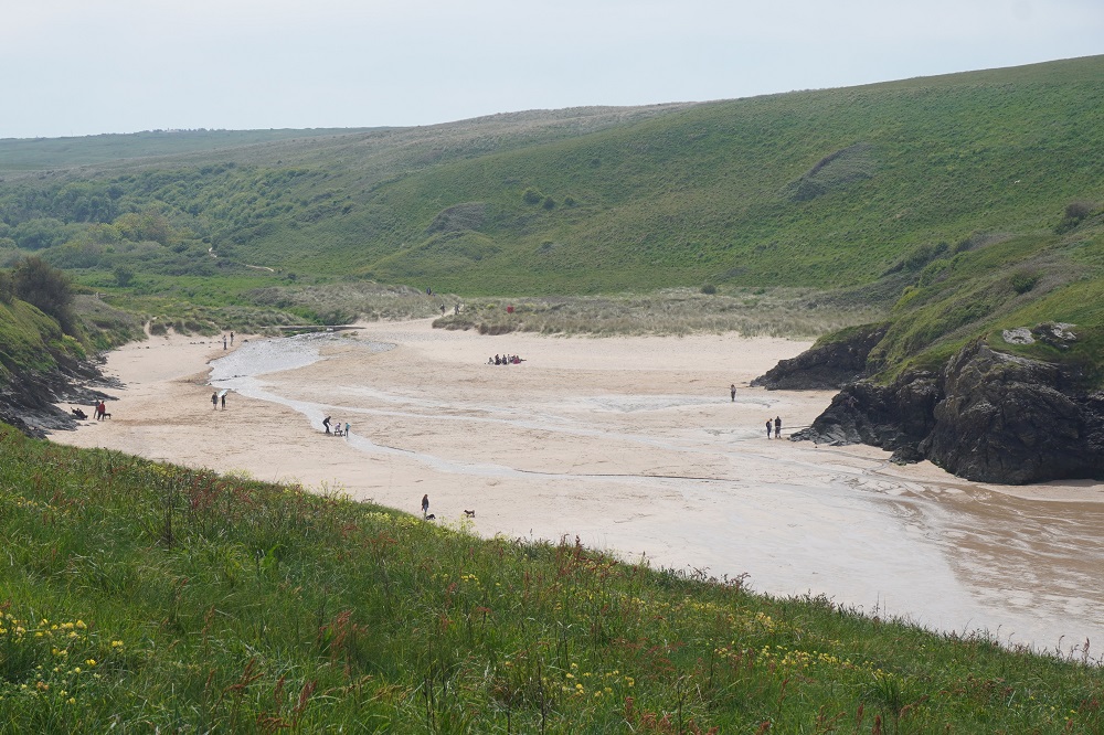
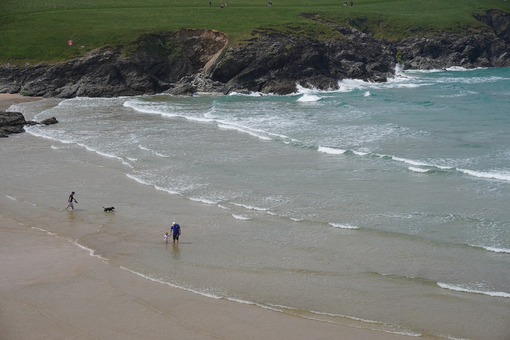
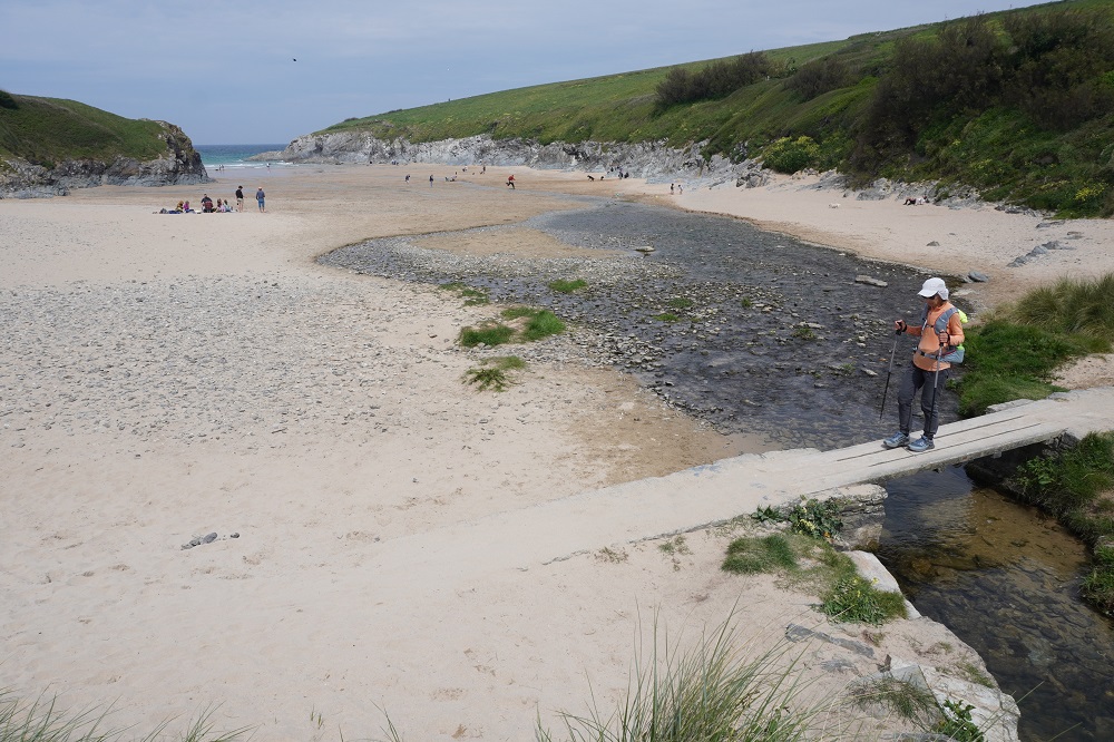
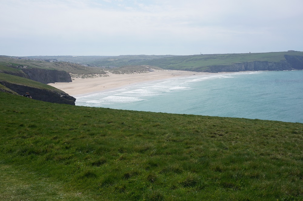
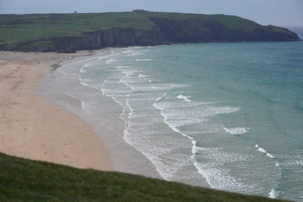
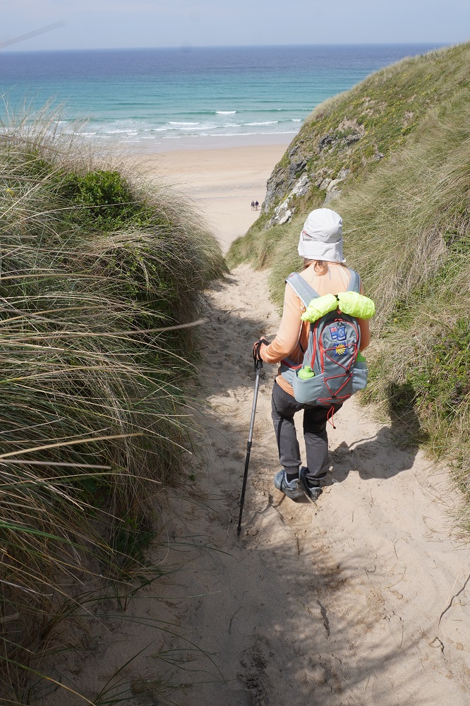
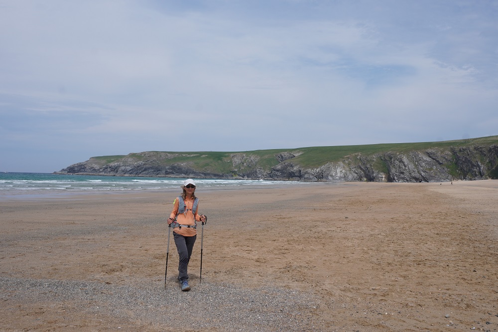
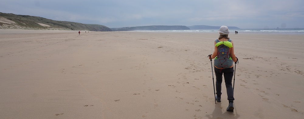
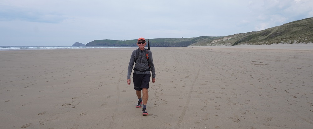
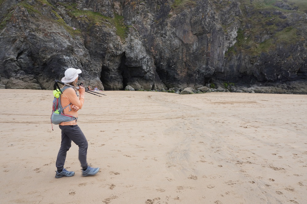
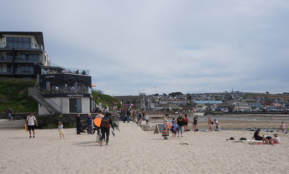
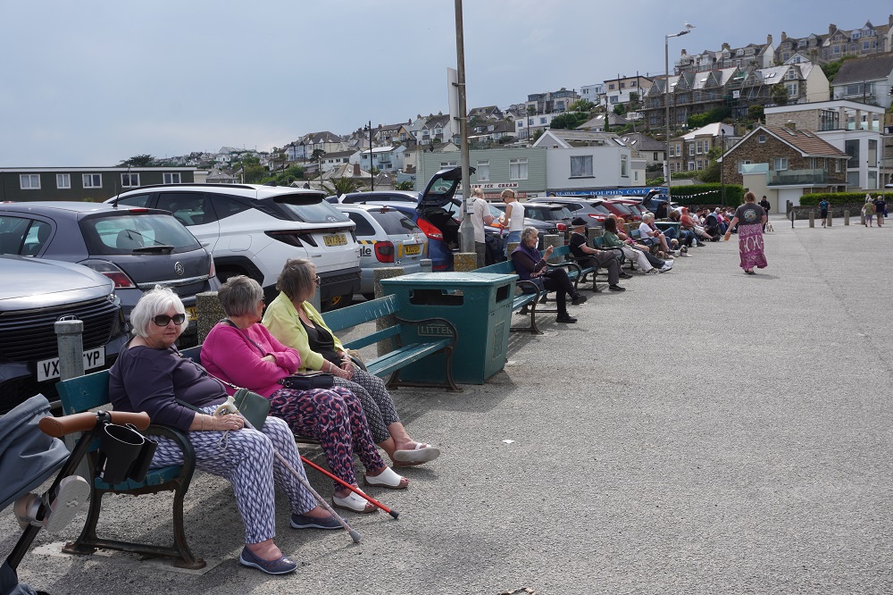
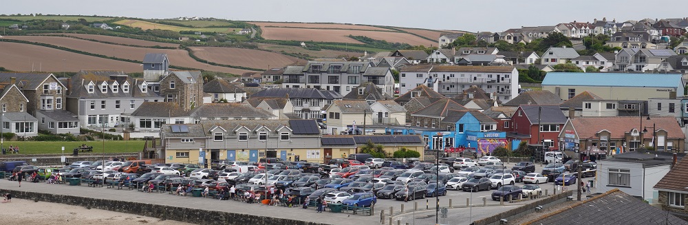
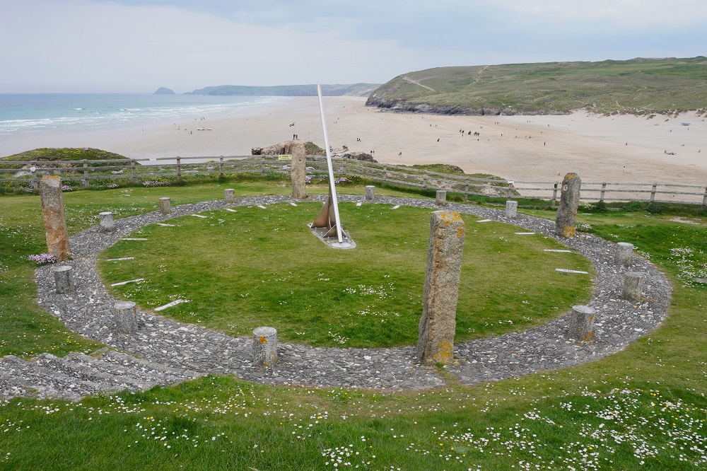
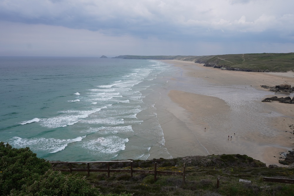
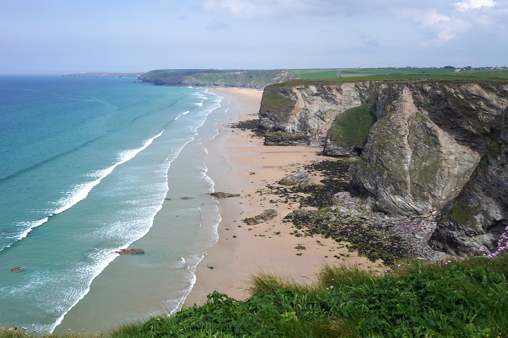
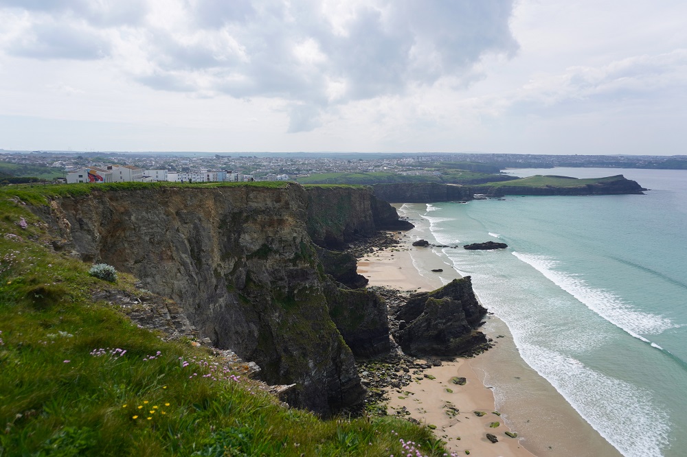
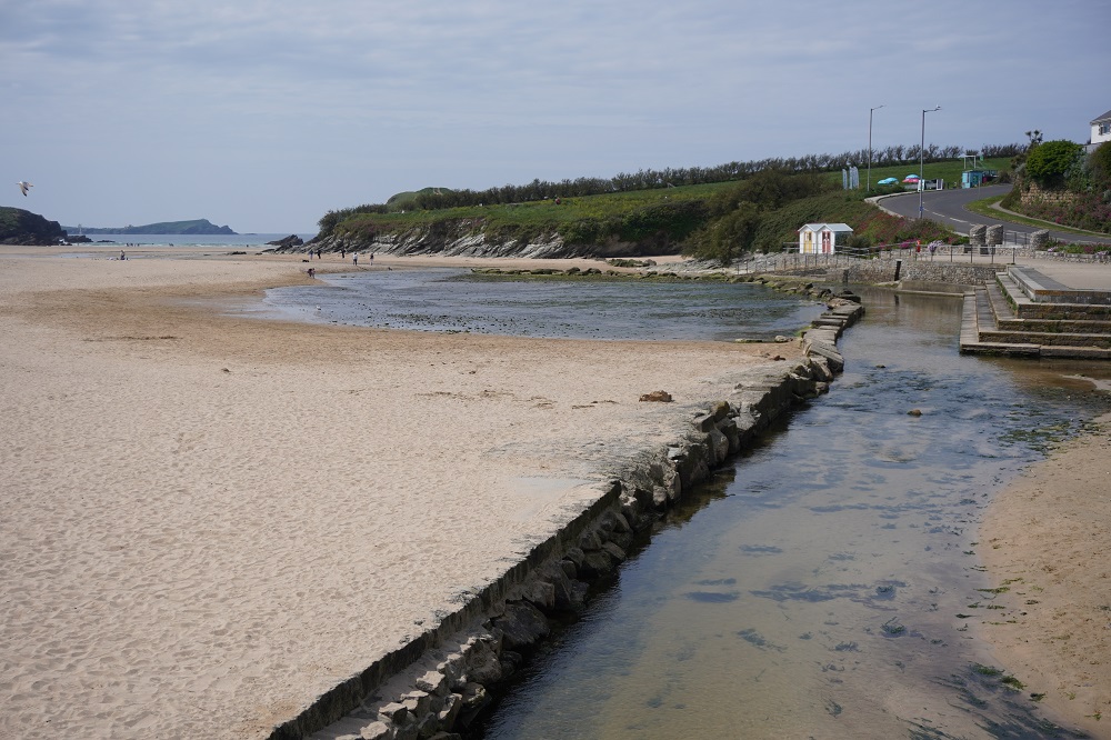
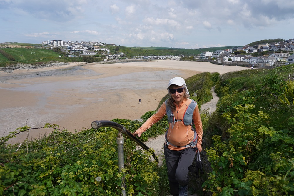
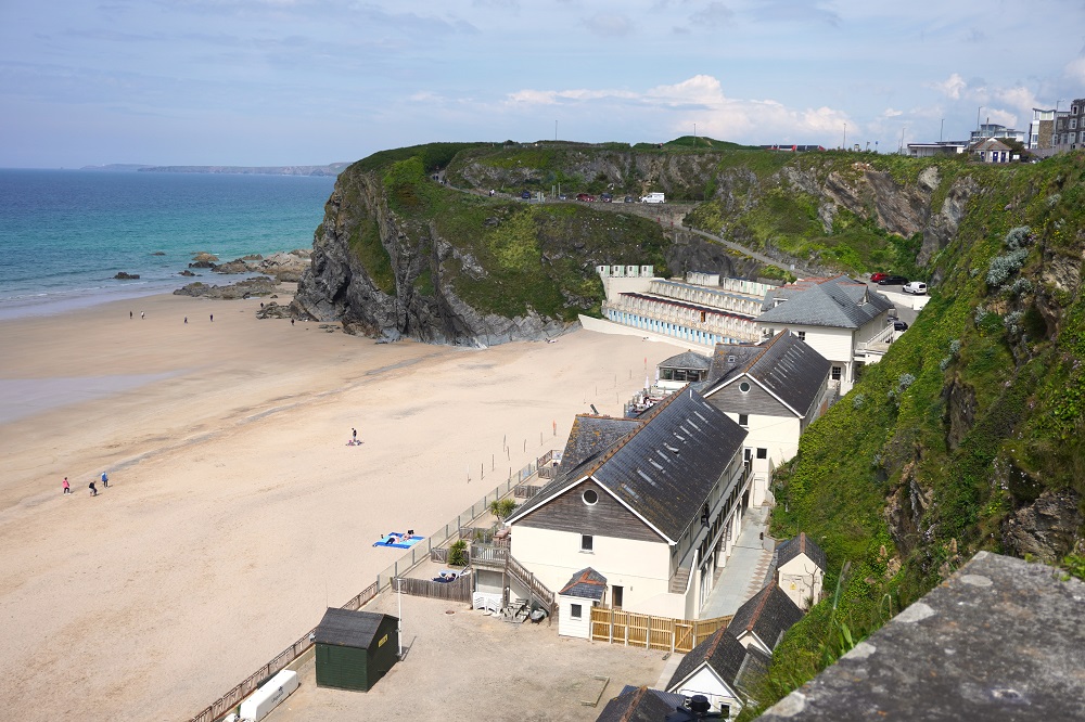
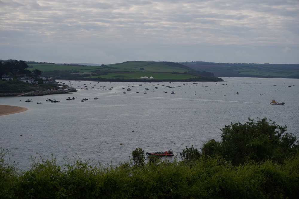
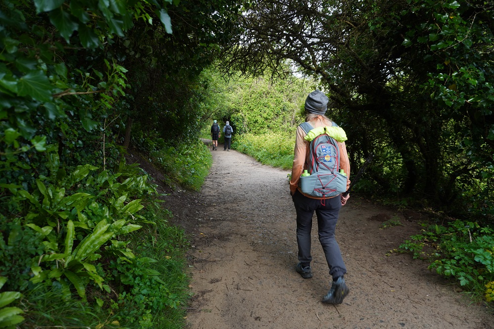
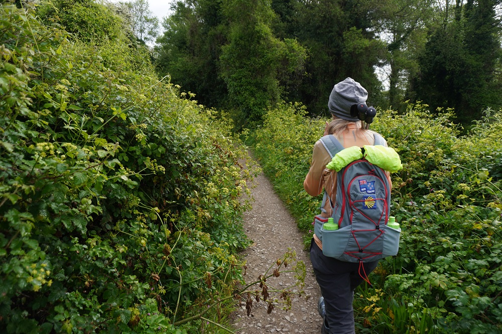
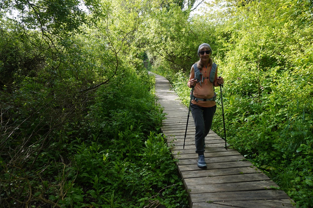
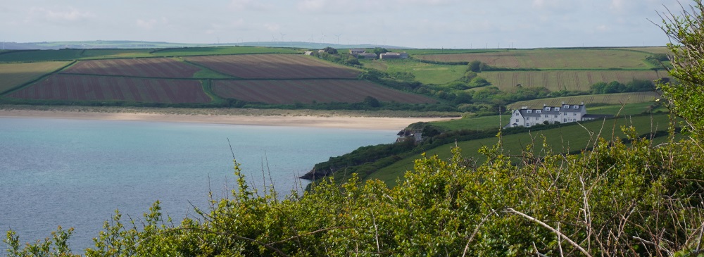
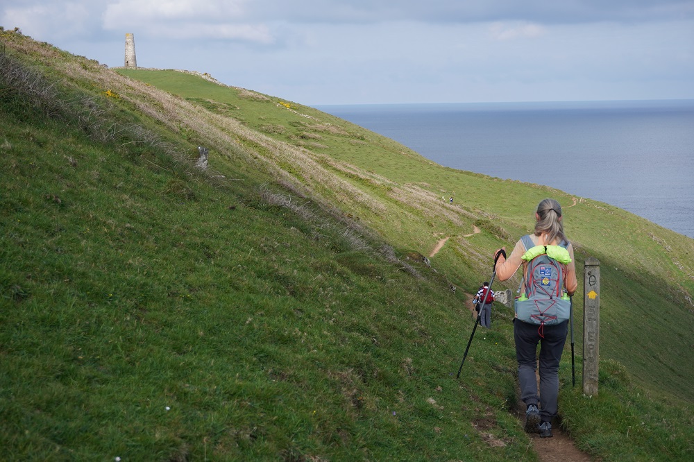
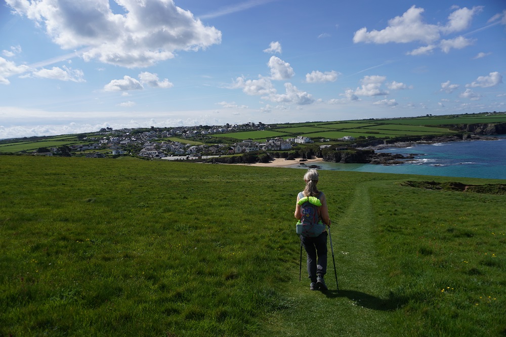
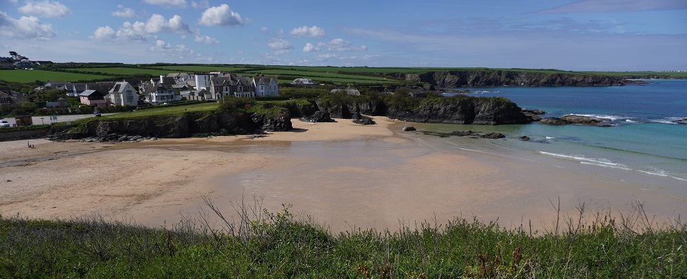
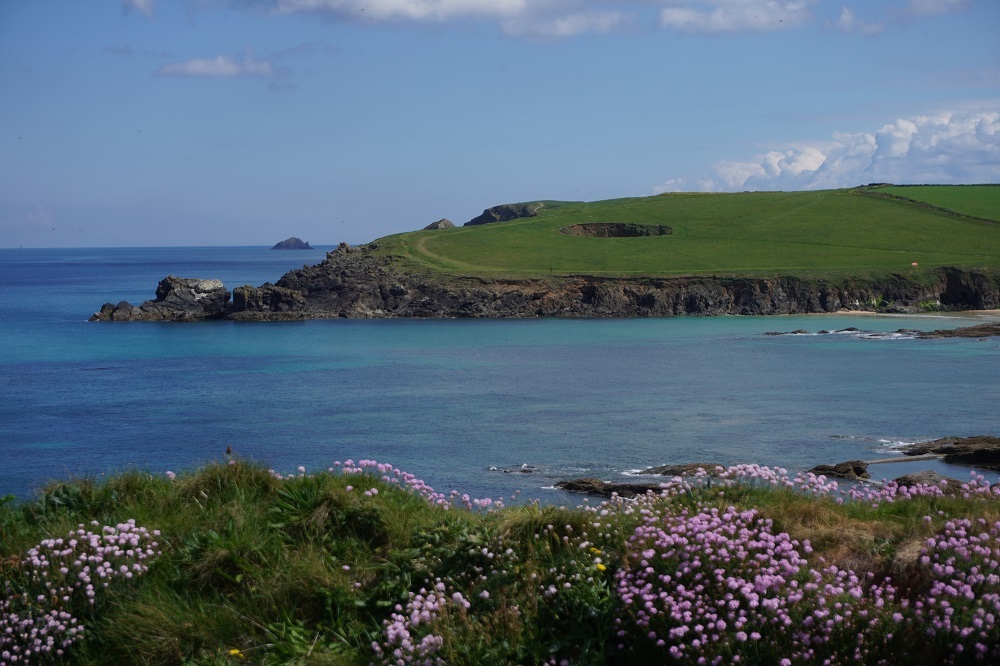
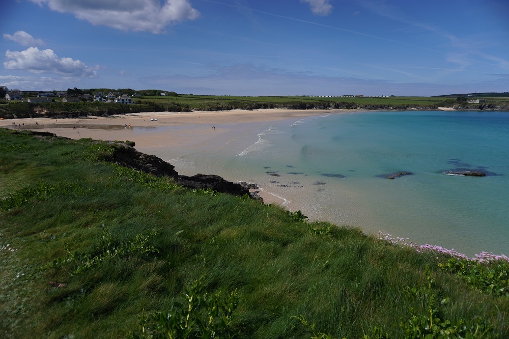
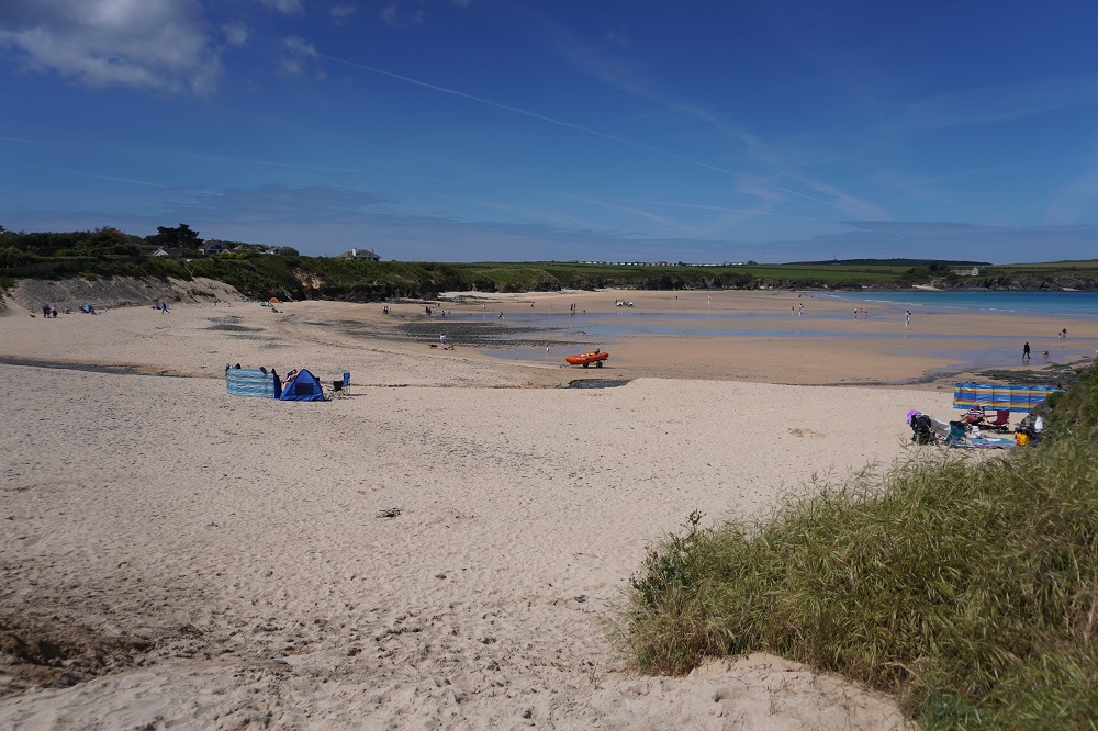
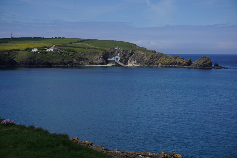
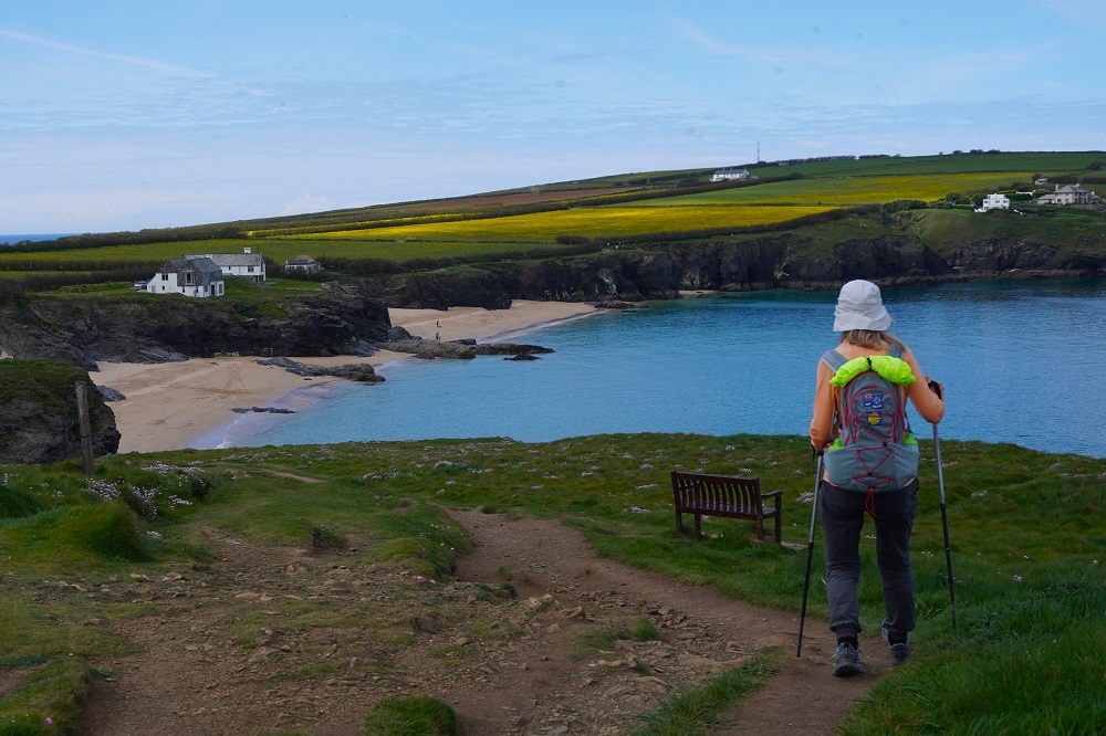
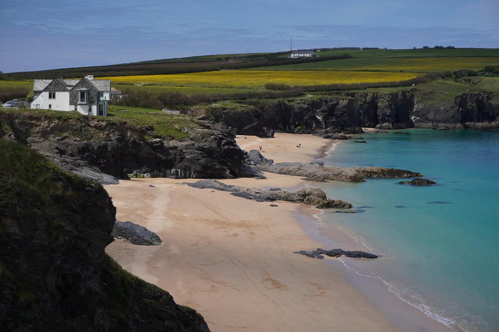
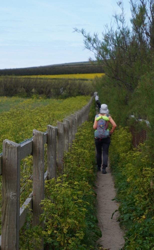
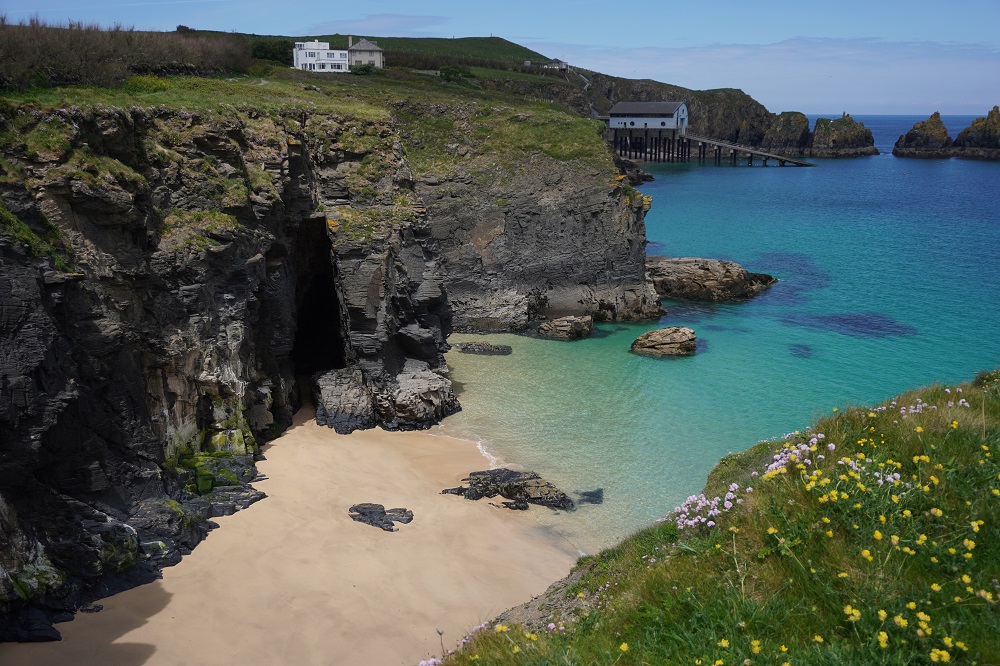
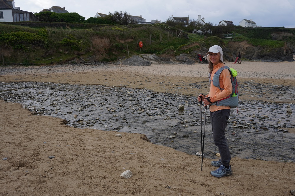
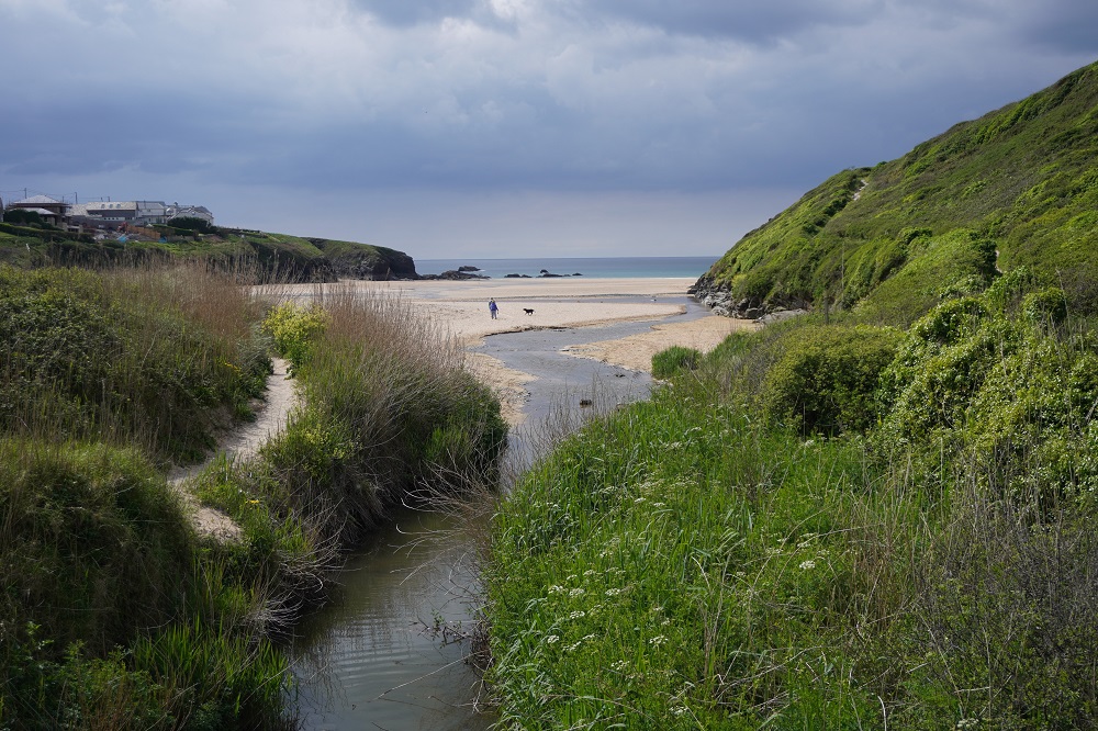
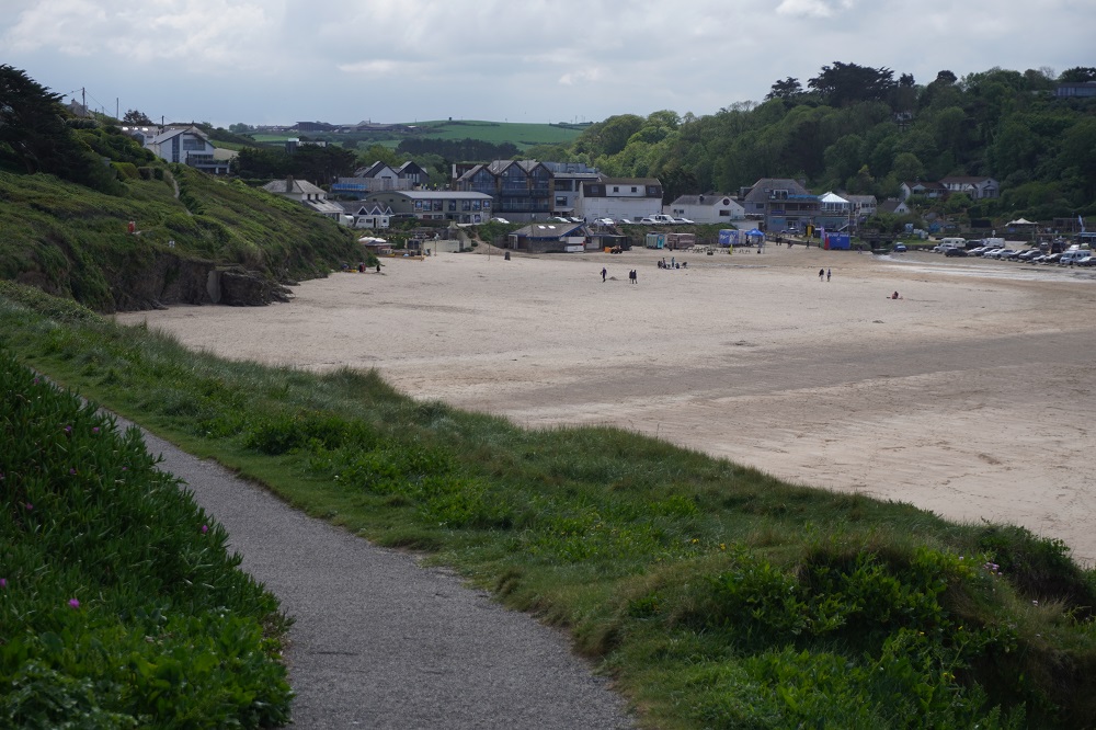
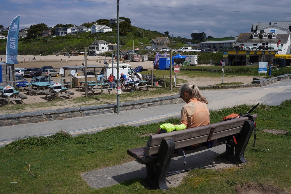
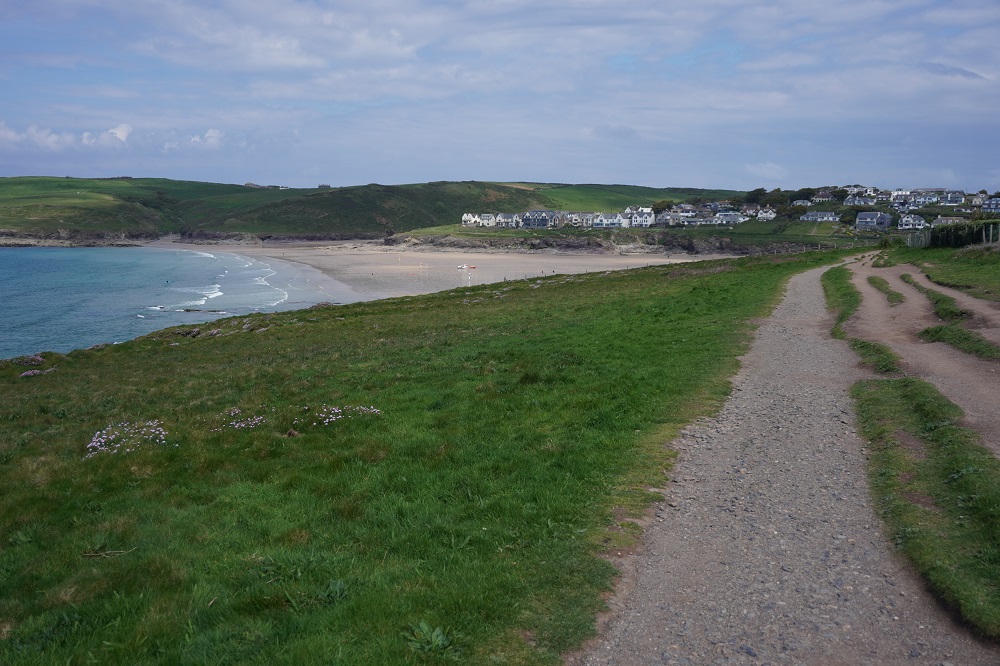
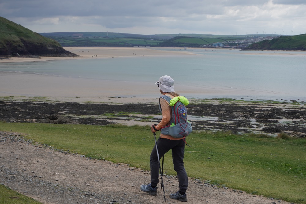
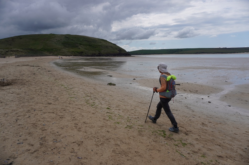
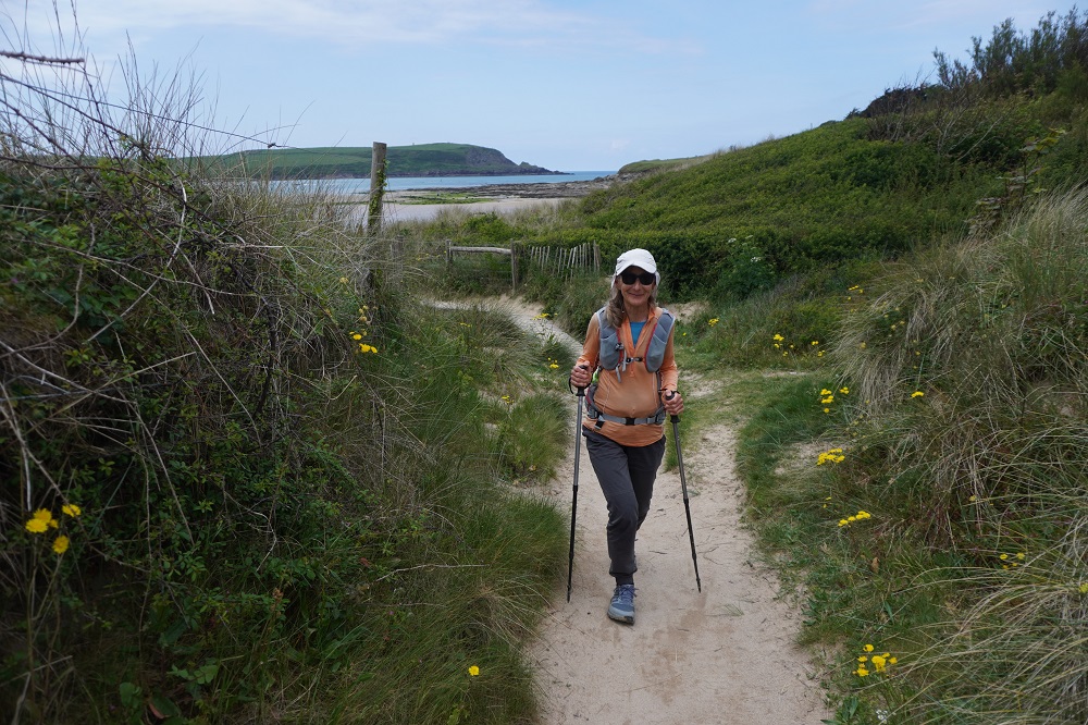
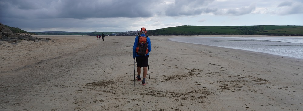
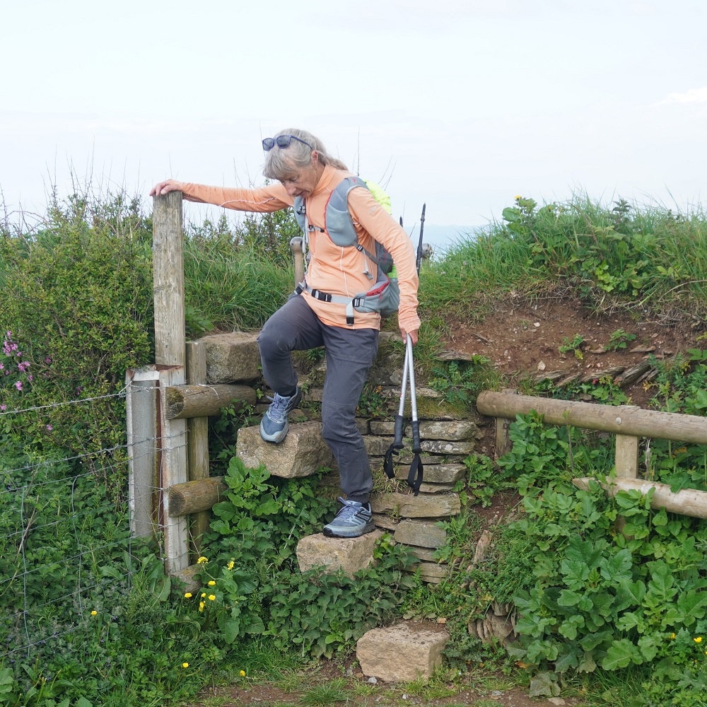
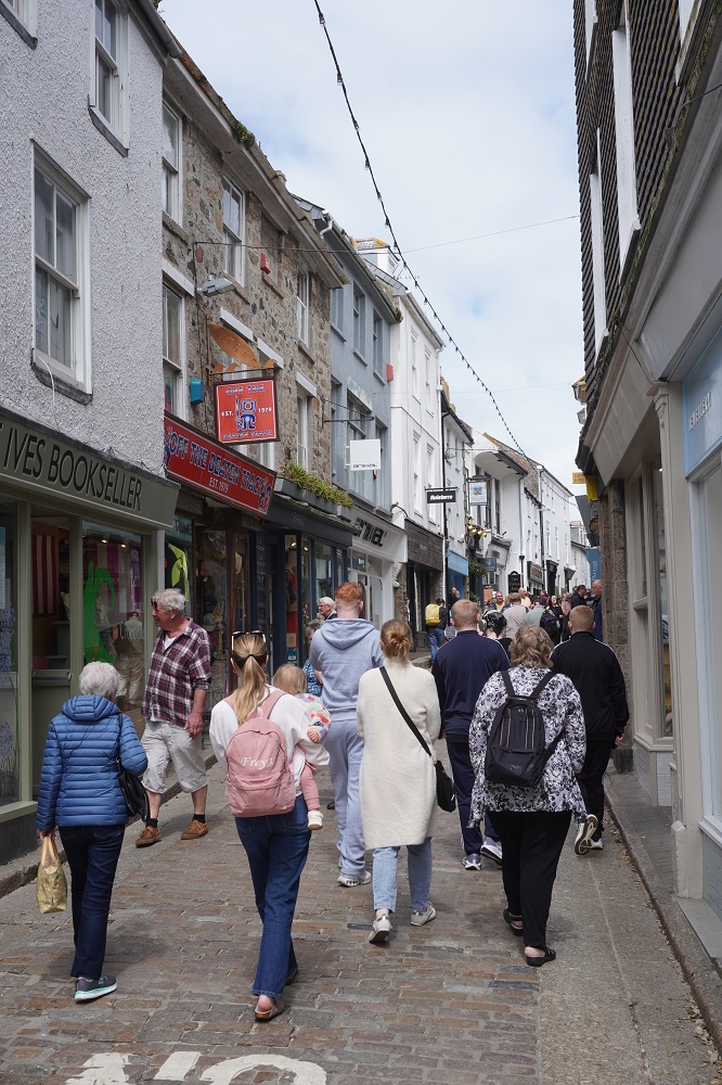
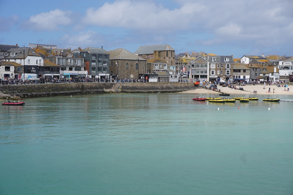
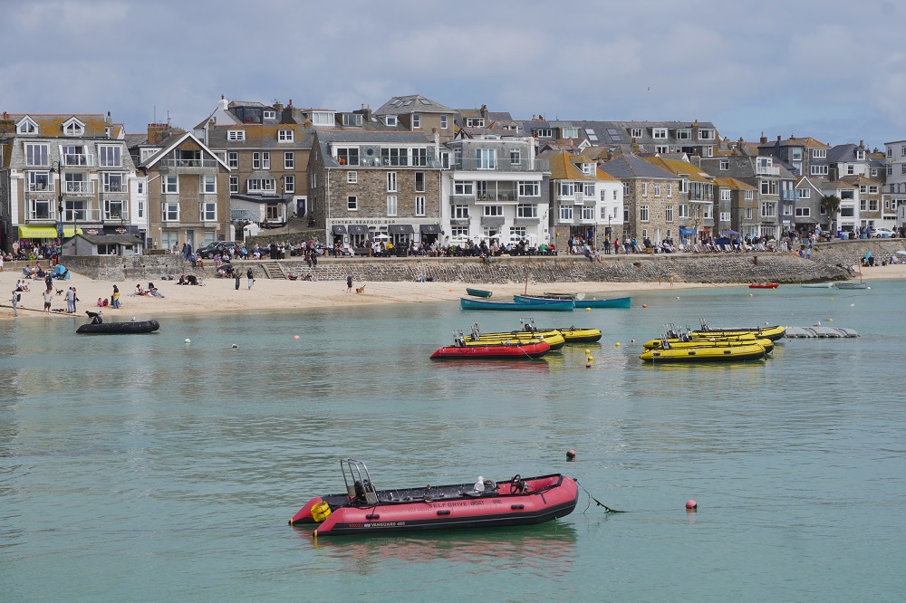
A very cruisy day. 8.30 breakfast and we didn’t get out the door until after 9.30. Our mission was to walk 5 of the 10 kilometres back toward Hayle and then to return to St Ives. This was to make up for the 10kms we didn’t walk from Hayle to St Ives yesterday. While the path was never far from roads and houses it does have good views over Porthminster, Carbis and Porth Kidney Beaches and to St Ives itself. It is also always close to the railway branch line to St Ives and several times you have to cross the tracks on pedestrian over bridges. The trains run every 30 minutes so we saw quite a few of them. Fortunately for about a third of the walk there is a high path and a low path option. Going out we took the high path and returned on the low path. The tide was coming in so we didn’t get a chance to walk on the beach.

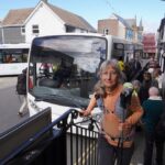
One of the nice things about going back along the Coast Path is that you meet your friends coming toward you from Hayle. The first was an English lady who has lived in Switzerland for 40 years and has her family there although her relatives live in England. She did some of the Coast Path last year before having to abandon due to an injury. She is back this year and is walking to Falmouth. We have talked with her several times and she is always so outgoing and positive. She is not camping but she is carrying a big load – not using the luggage transfer service. The next were an American couple we first met back in Portreath. They have walked quite a few sections of the path and come back each year to fill in the gaps. They end this trip today in St Ives. They spent a lot of time telling us how difficult the next stage, St Ives to Pendeen, is. They have done it and it took them 12 hours, it was blisteringly hot, they ran out of water and there are no facilities along the way. It was the first day of their last trip here and we think they are just not very fit. We also have walked that section before, and it is a long, strenuous day, but if you start early and are prepared with food and water and pace yourself it is not too difficult.

Then we met the German couple from Berlin who were so enamoured with the seals yesterday. We have spoken with them a few times and they have stayed at some of the same hotels as us. They finish in St Ives today so we won’t see them again. We don’t meet people like us doing the full monty but lots are doing just say a week at a time. It is so easy for them to fly in from Europe or elsewhere in the UK and do a week or two.

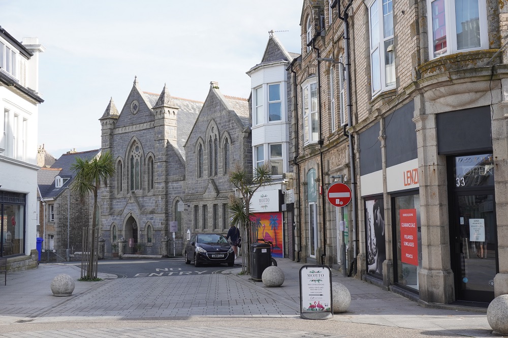
Today was our shortest and easiest day yet, but then it was really only half a day. Tomorrow we have a rest (and washing) day here, so will go and have a look around the town and the other four beaches of St Ives.

To the Lighthouse

Monday 11 May 2026

Day 20 of walking
Portreath to Hayle
Distance: 19.98km
Total distance: 400.18km
Climbing: 415m
Total climb: 12,672m

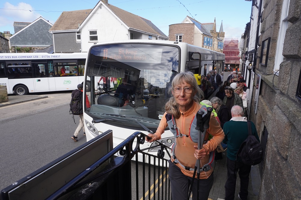
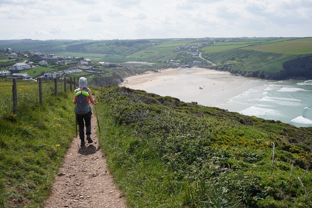
Our itinerary includes a 30km and a 34km day and we had decided before we left home that we would not walk days that long. Today was the 30km day from Portreath to St Ives. We decided we would walk the 20km to Hayle and get the local bus from there to St Ives. The buses are not very frequent, about one an hour and we had to wait about 30 minutes. £3 each for about a 20 minute ride that would have taken us at least 2½ hours to walk. The bus stop was right outside the hotel entrance so we didn’t waste even a second trying to find it. The walk out of Hayle is alongside a busy, noisy road for about 4 or 5 kilometres so we were not sorry to miss that. The remainder of the walk to St Ives is through the village of Lelant or at low tide along the estuary and beach at Carbis Bay and this part is very nice especially if you approach St Ives along the beach.

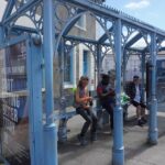
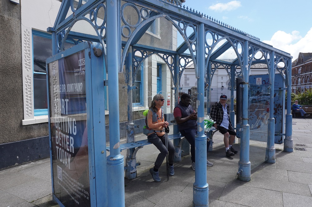
When we reached Hayle we had walked 19.98 km so Barbara walked twice around the bus shelter to tick over 20km. I didn’t so it is not in the “official” distance.

We have revised our itinerary as follows:

Tomorrow, May 12, our “rest day”, we will walk out and back from St Ives toward Hayle to do the best bits and knock off the required 10km.

The day after, May 13, was scheduled to be a short 10km day walking St Ives to Zennor and getting transferred back to St Ives. We will make this our rest day

The following day, May 14, was a transfer to Zennor and walking 14km to Pendeen.  We will combine the 10km and the 14km to walk 24 km from St Ives to Pendeen.

I hope you understand all that.

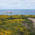
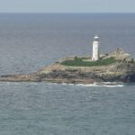
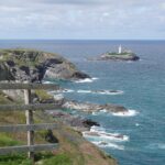
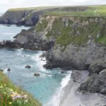
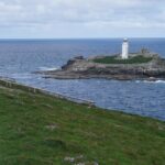
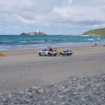
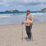
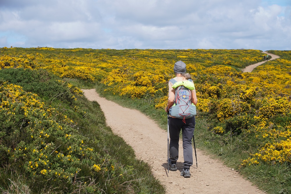
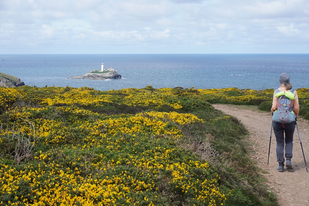
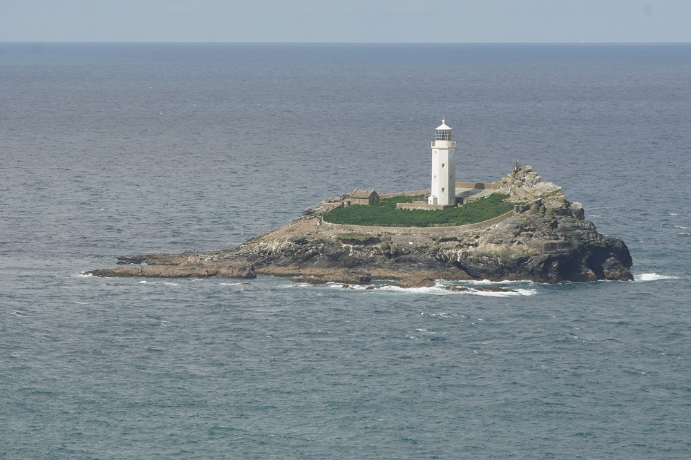
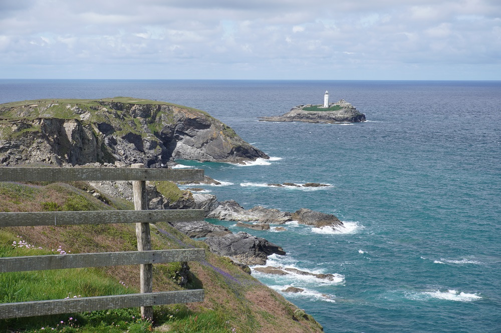
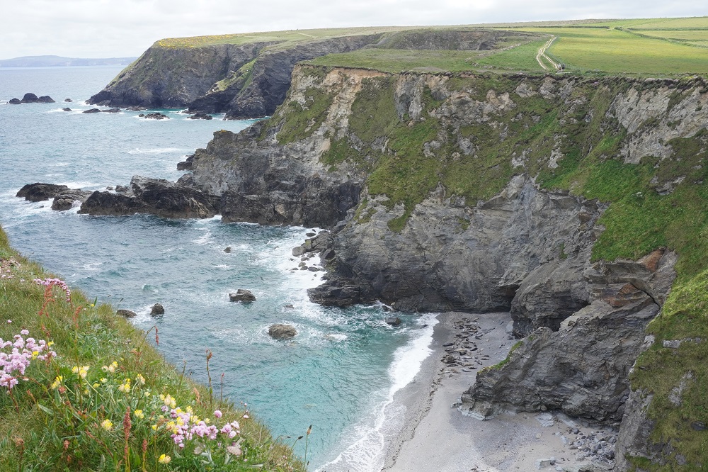
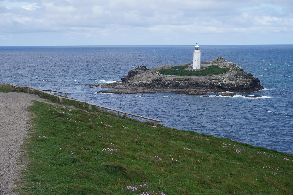
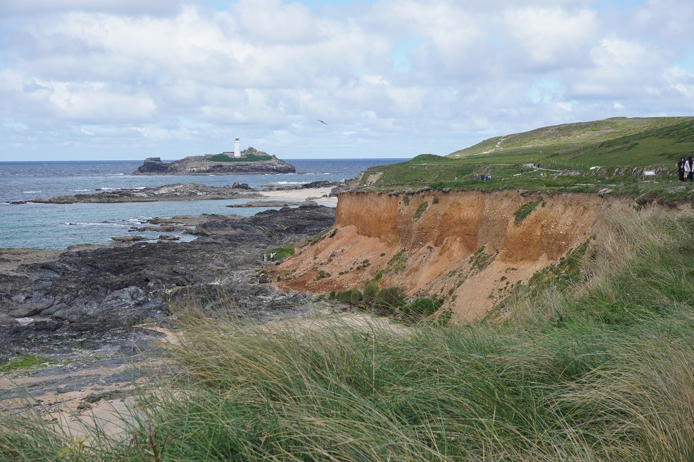
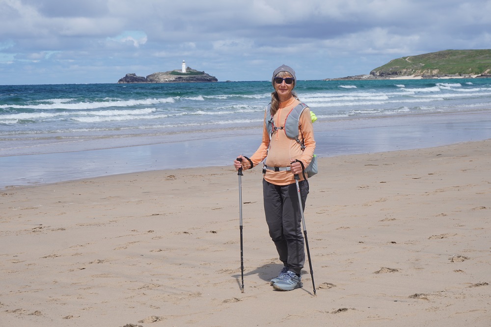
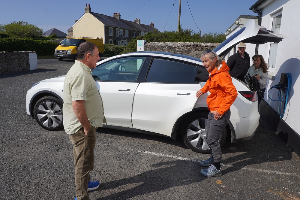
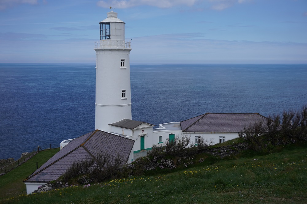
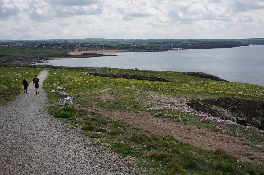
We were transferred from Perranporth back to Portreath in the hotel Tesla this morning but only with the man of the two young Germans. His wife had injured her ankle yesterday and was taking the bus from Portreath to St Ives. After a couple of stiff climbs and descents the rest of the morning was on level smooth cliff top among scrub and brilliant yellow gorse. This was fast easy going and most of it was a nature reserve as the cliffs are filled with nesting sea birds and at Hell’s Mouth grey seals breed in the caves below. We did not see any seals there today. The only major headland was at Godrevy Point which has an offshore lighthouse on a small island. This is the inspiration for Virginia Woolf’s classic 1927 novel To the Lighthouse. It draws on memories of holidays in St Ives with her parents. The lighthouse is merely a plot device for the development of the story.

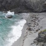
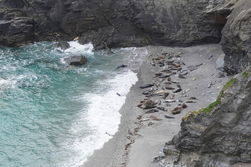
There were lots of people at Godrevy Point but not to see the lighthouse. Far below on the shore were dozens of grey seals. We do not see what all the fuss is about as it is nothing like as spectacular as the seal colony on the Kaikoura Coast or even Red Rocks. We didn’t want to say we can sometimes see seals up close  just a few metres away on the rocks at Queen’s Wharf in Wellington Harbour. Another young German couple we have met a few times told us seeing the seals had accomplished the purpose of her Coast Path walk as she was from Berlin and had never seen a seal before.

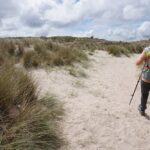
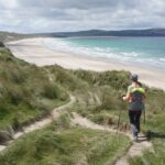
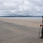
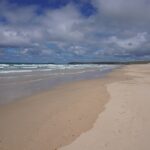
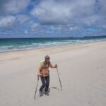
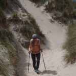
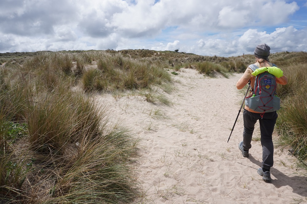
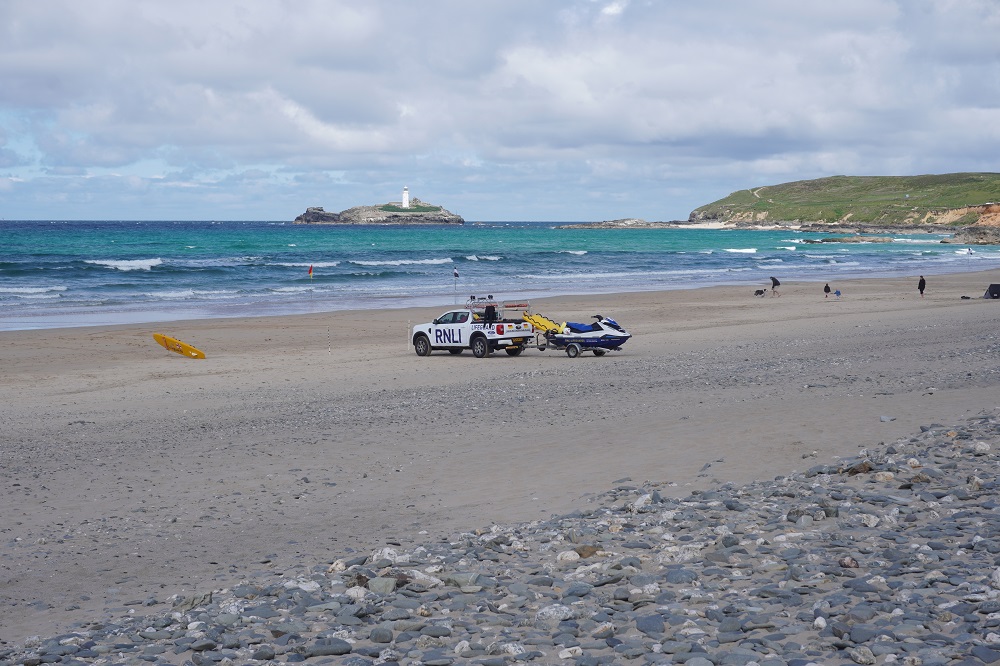
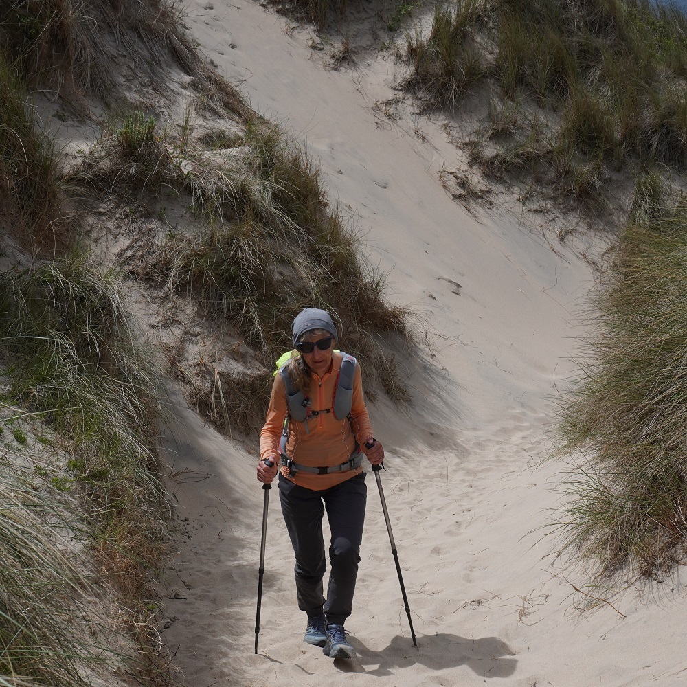
From Godrevy Point the next 6km is along St Ives Bay, starting at Gwithian and ending at Hayle. There is a choice of walking along the beach or following the official route through the dunes. We started off in the dunes and although it was quite interesting it was hard going and about ¼ of the way along we went down onto the beach. Another one of those vast empty beaches. The tide was coming in and we could see we would not be able to get around the low cliff at the end as you enter Hayle so at the ¾ mark we climbed a steep soft sand track back up into the dunes. Our shoes felt twice as heavy as they filled with sand.

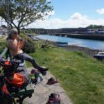
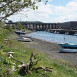
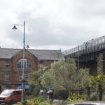
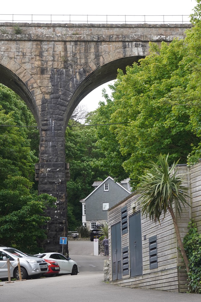
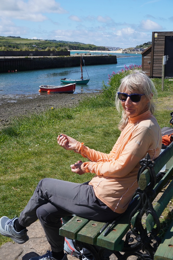
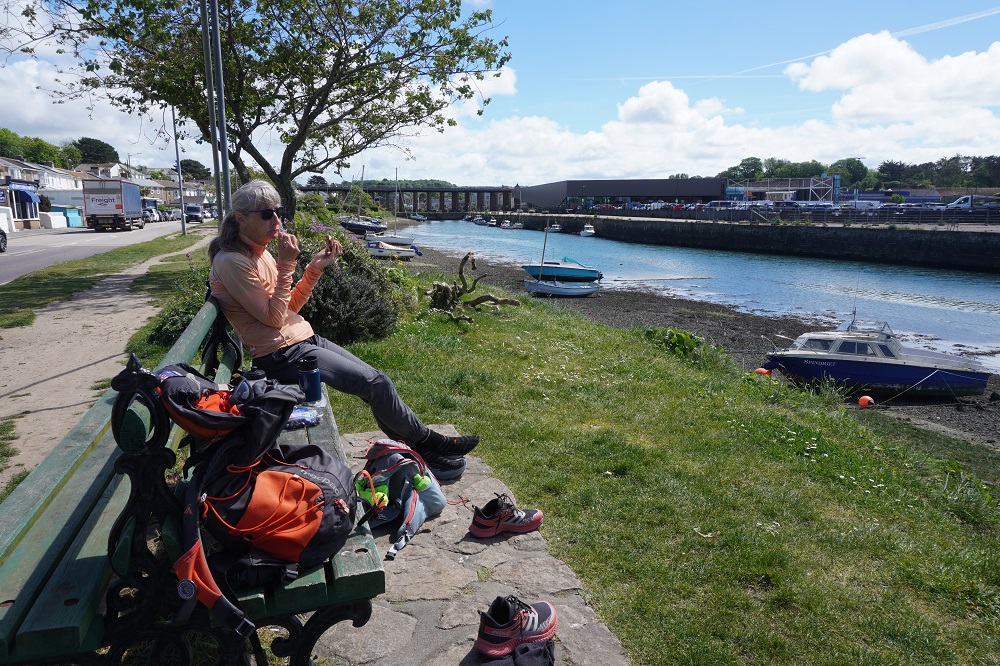
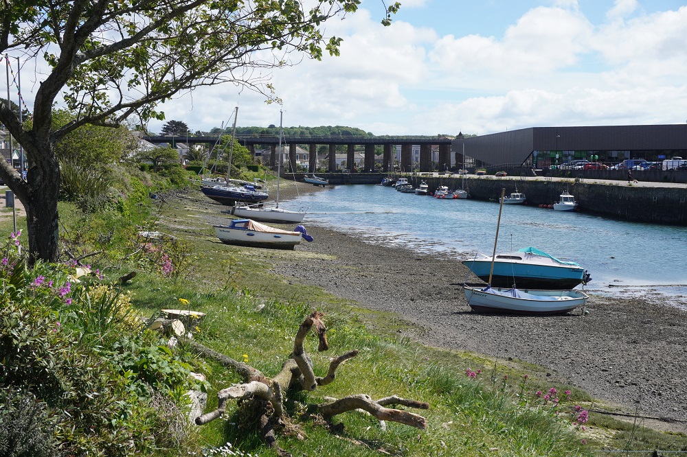
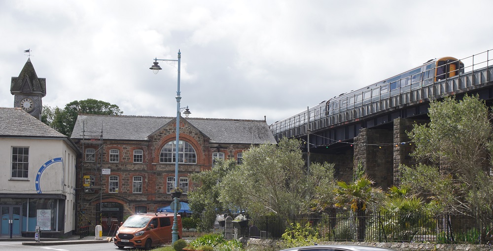
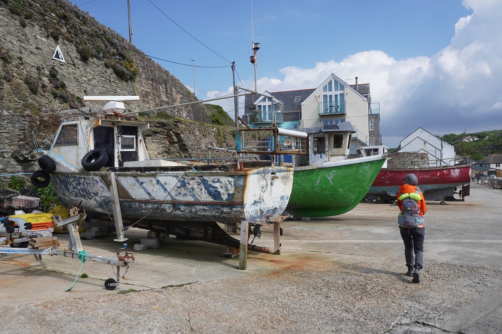
Hayle has been a port since about 1500BC and today the estuary is home to lobster boats and other commercial shipping. It is an unattractive but good-sized town with all the services: banks, post office, shops, library, commerce and industry. The Great Western Railway runs over the town on a high viaduct on its way from Penzance to Paddington London. We ate our lunch on the bank of the estuary and then went to wait for the bus. There is also a train from Hayle to nearby St Erth (on the main line) and from there a branch line to St Ives. The bus was a better option for us as it was a direct bus service (you had to change trains at St Erth) and it was half the cost.

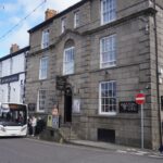
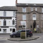
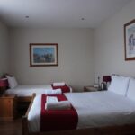
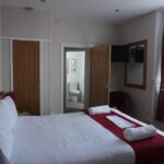
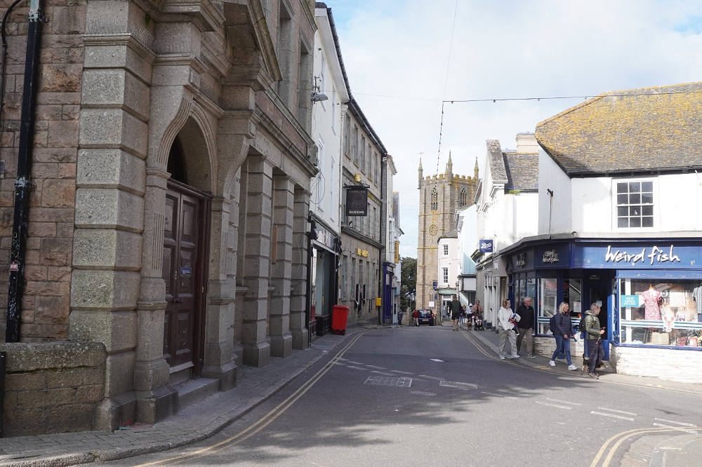
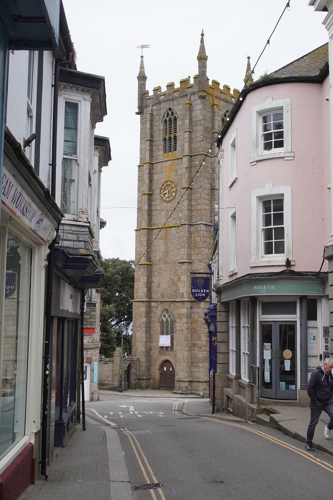
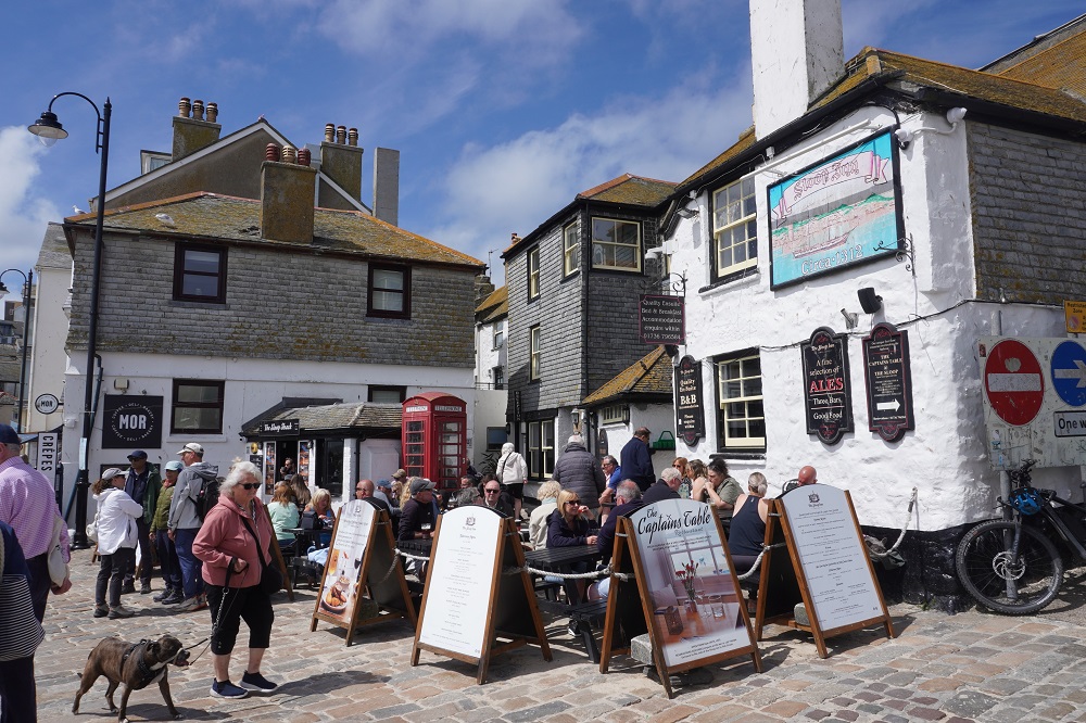
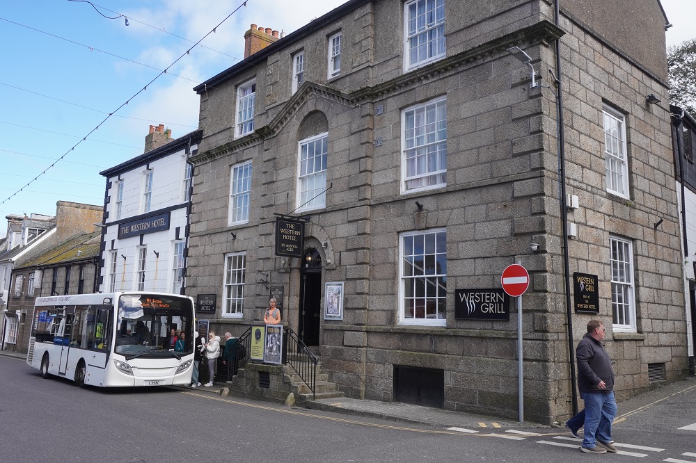
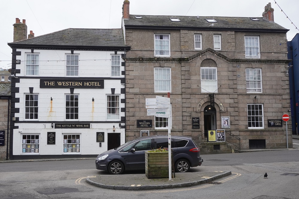
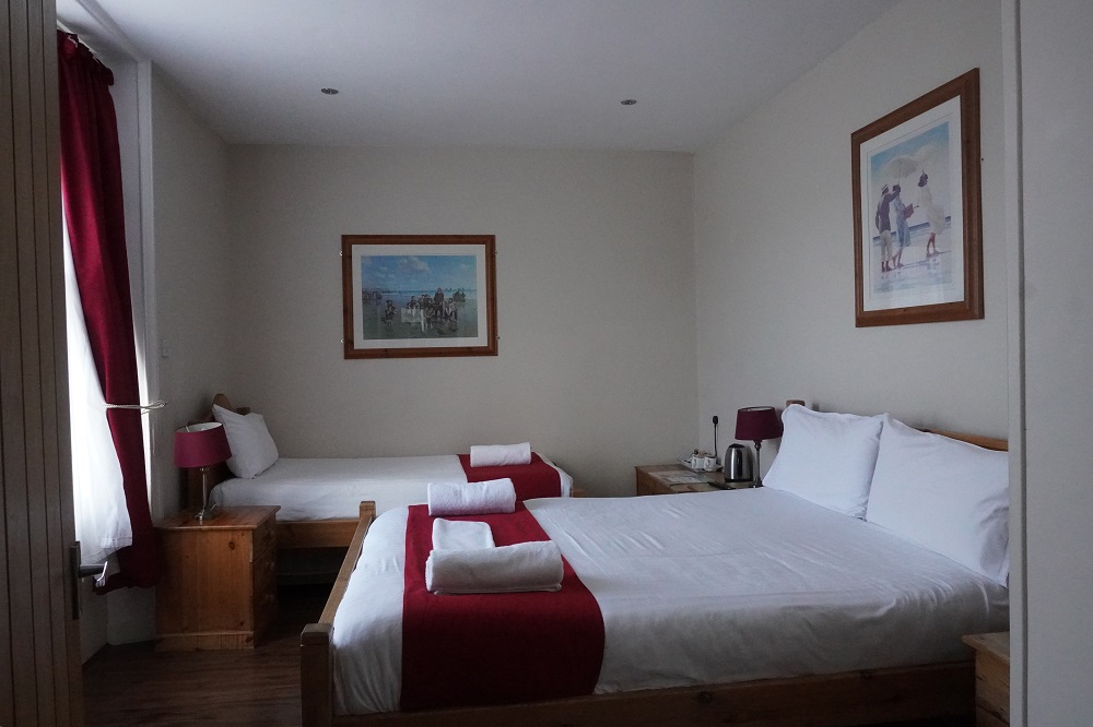
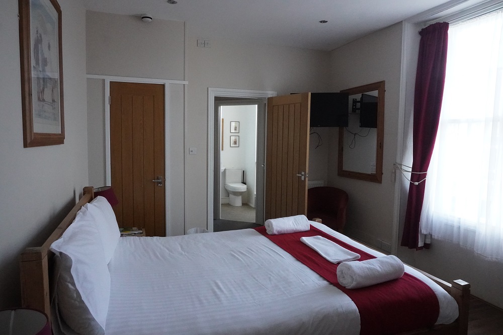
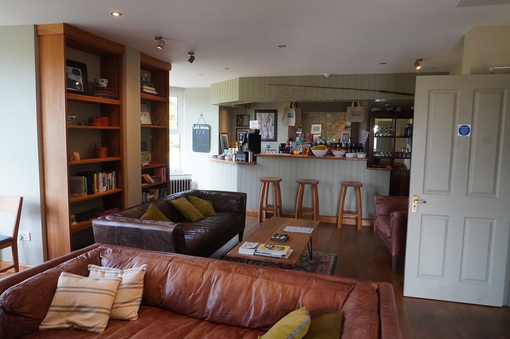
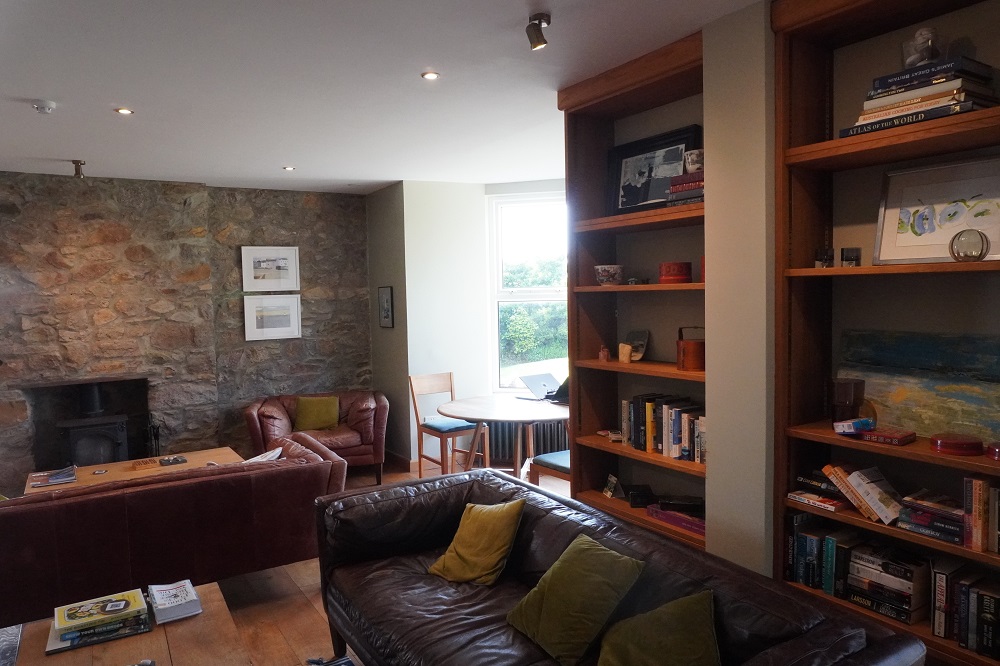
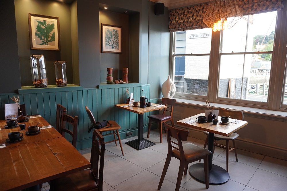
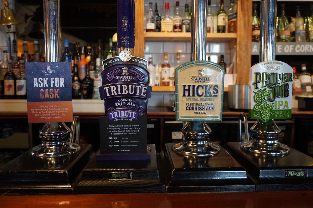
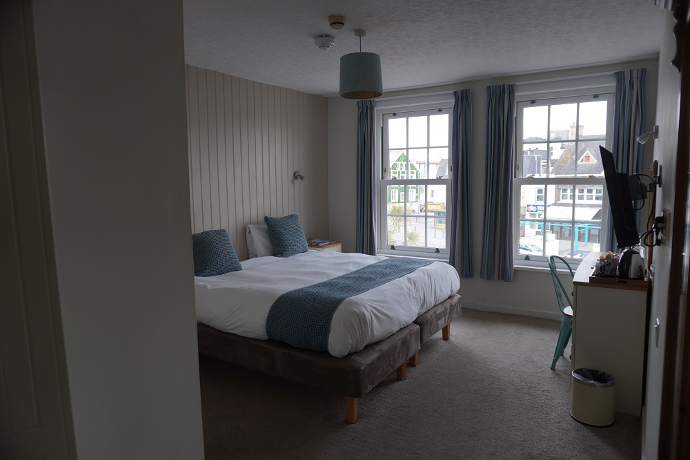
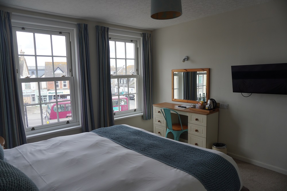
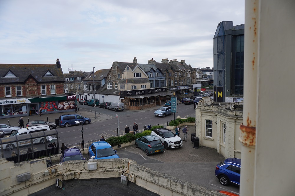
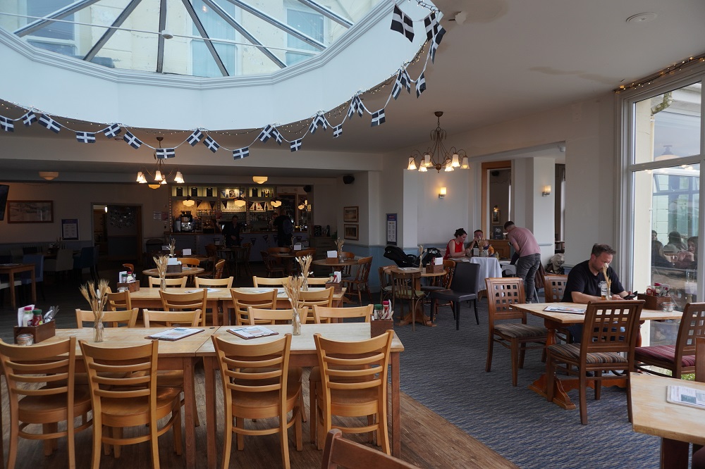
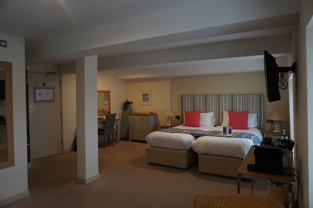
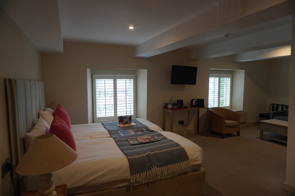
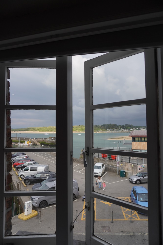
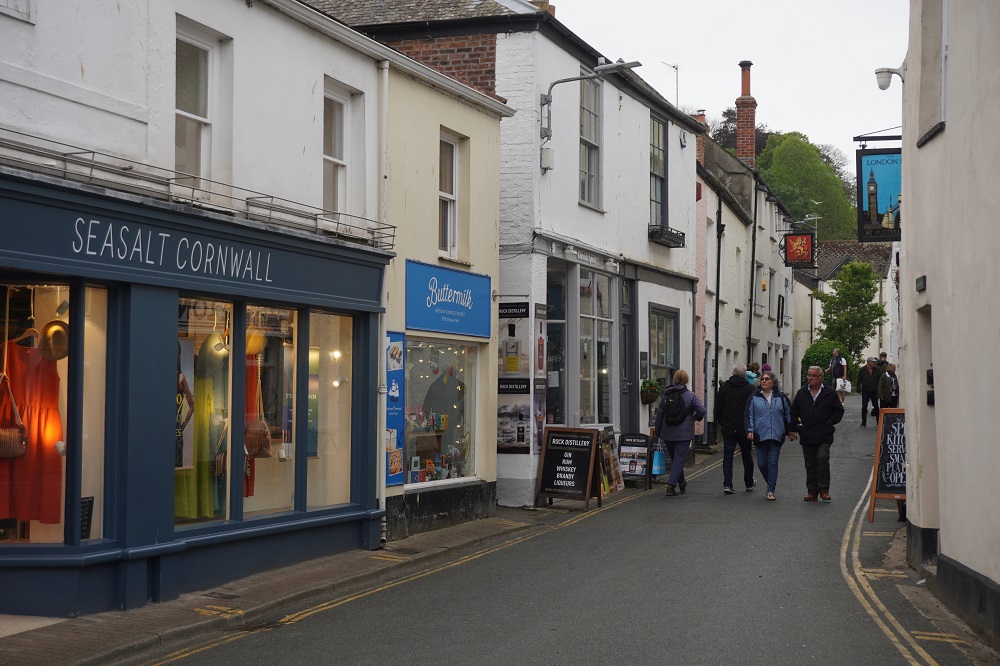
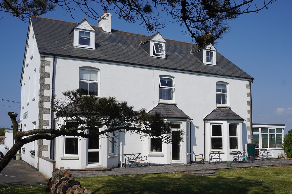
Tonight we are in the Western Hotel in one of the older parts of St Ives. The Western Hotel is one of St Ives oldest coaching houses and has been a St Austell brewery hotel from the nineteenth century. It is very comfortable and we are only up one flight of stairs! We are here for three nights.

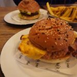
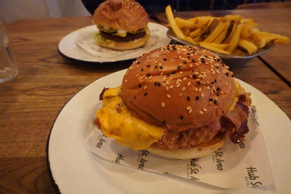
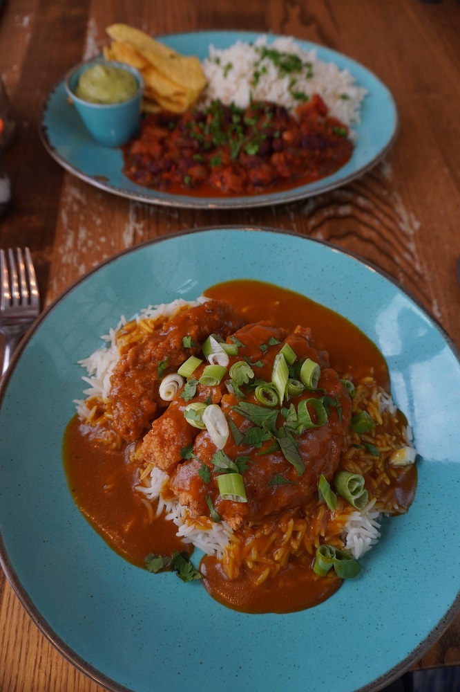
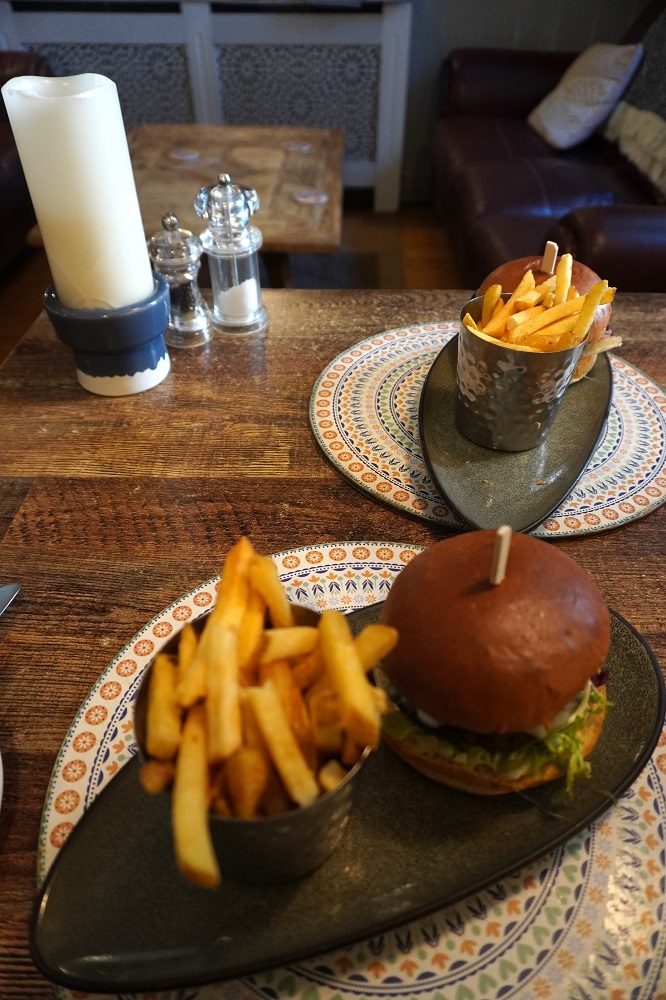
We were very, very tired at the end of the day and only went out to get a meal at The Hub down on the waterfront. It was a large menu and we decided that without looking, we would just take a stab and see what we got. Barbara ordered a “Betsy” (VE, GFA) and I a “Dirty Disco” (GFA). A Betsy turned out to have a Falafel patty, Applewood smoked cheese, mayo, chilli jam, guacamole, charred corn, pink pickled onion and lettuce. The Dirty Disco had crispy fried chicken, crispy bacon, American cheese, Guacamole. Charred corn, pink pickled onion and lettuce. They both turned out to be burgers, and very nice ones. The best so far.
Tin Mines

Sunday 10 May 2026

Day 19 of walking

Perranporth to Portreath
Distance: 18.86km
Total distance: 380.20km
Climbing: 686m
Total climbing: 12,257m

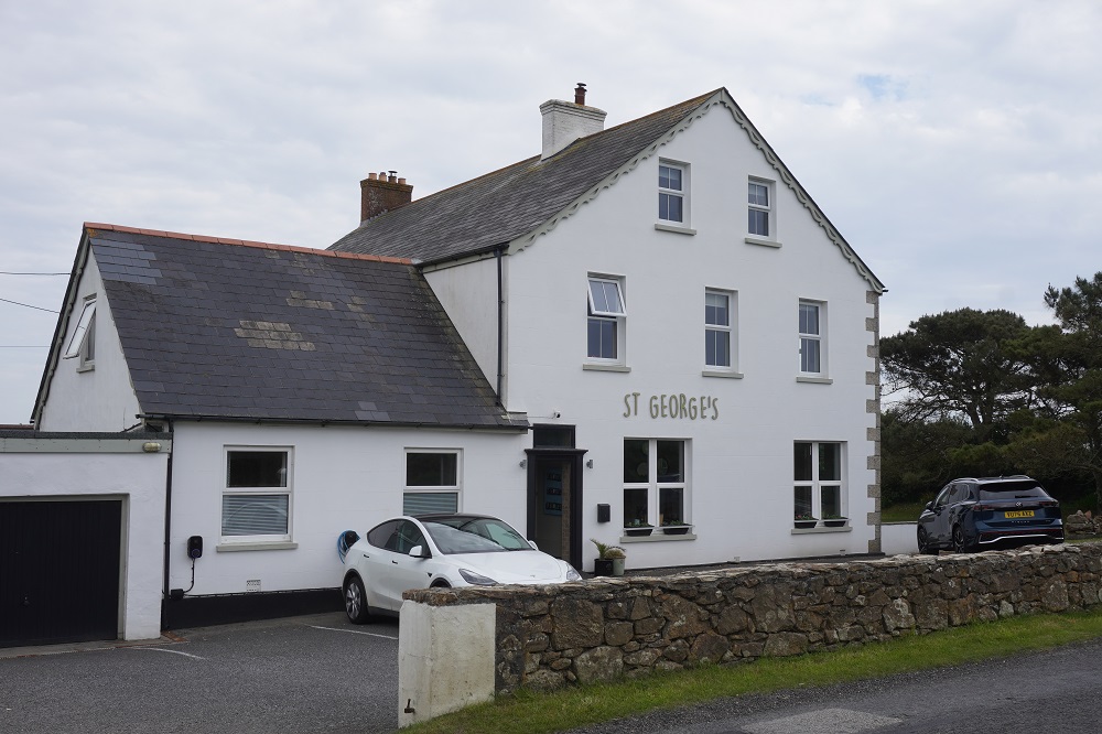
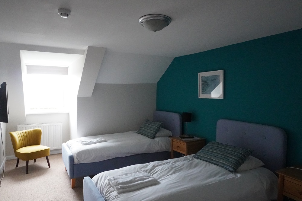
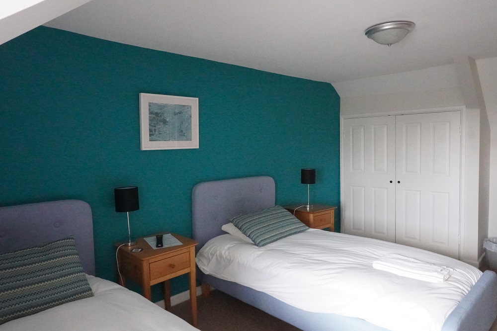
Today was the second time we have had a vehicle transfer. Last night we stayed at The St George’s Hotel Perranporth and today we walked from Perranporth to Portreath. The hotel then sent a car to Portreath and drove us back to Perranporth. Tomorrow morning they will drive us from Perranporth to Portreath and we will start walking from there. This was a better arrangement as we could agree on a pick-up time after breakfast this morning and no phone calls were required. We shared the car again with the same young German couple as last time and it was about a half hours drive. The car was a Tesla and I think this is the first time I have been in a Tesla. It was left hand drive which I thought would have been a bit unusual as the UK is right hand drive like us.

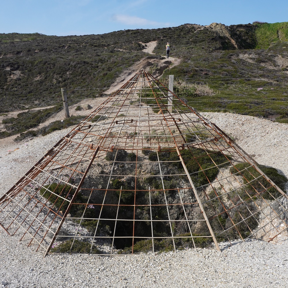
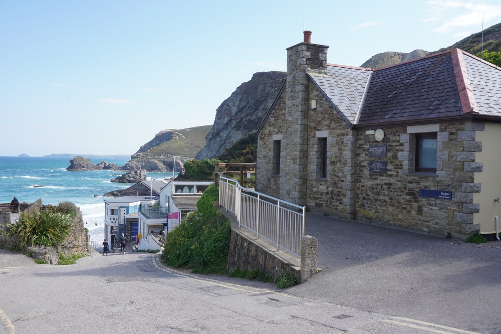
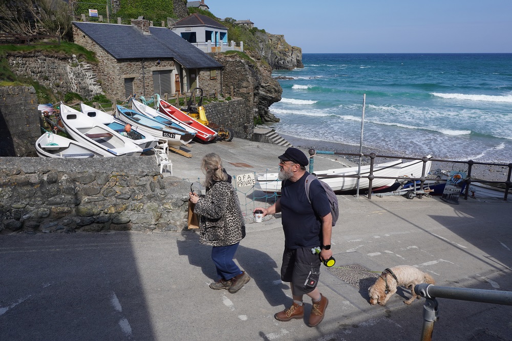
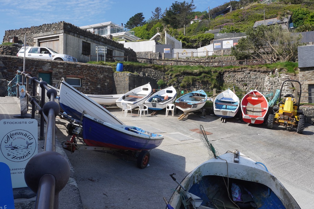
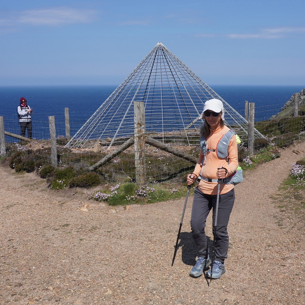
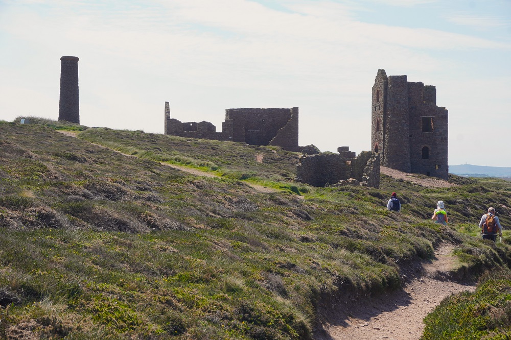
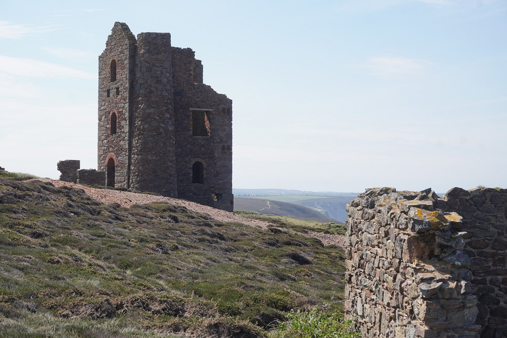
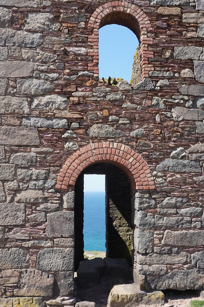
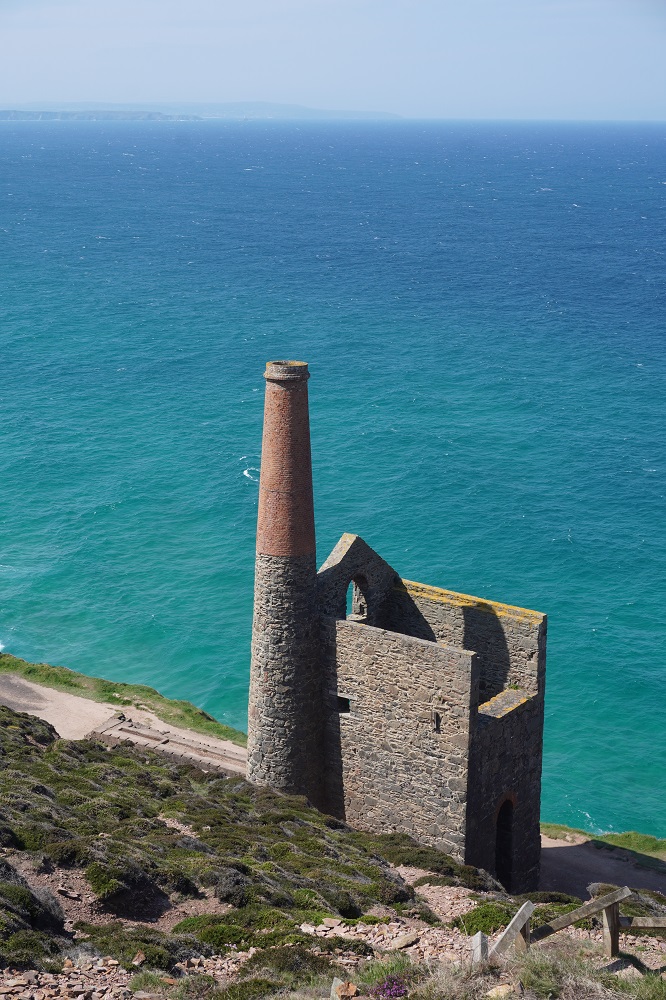
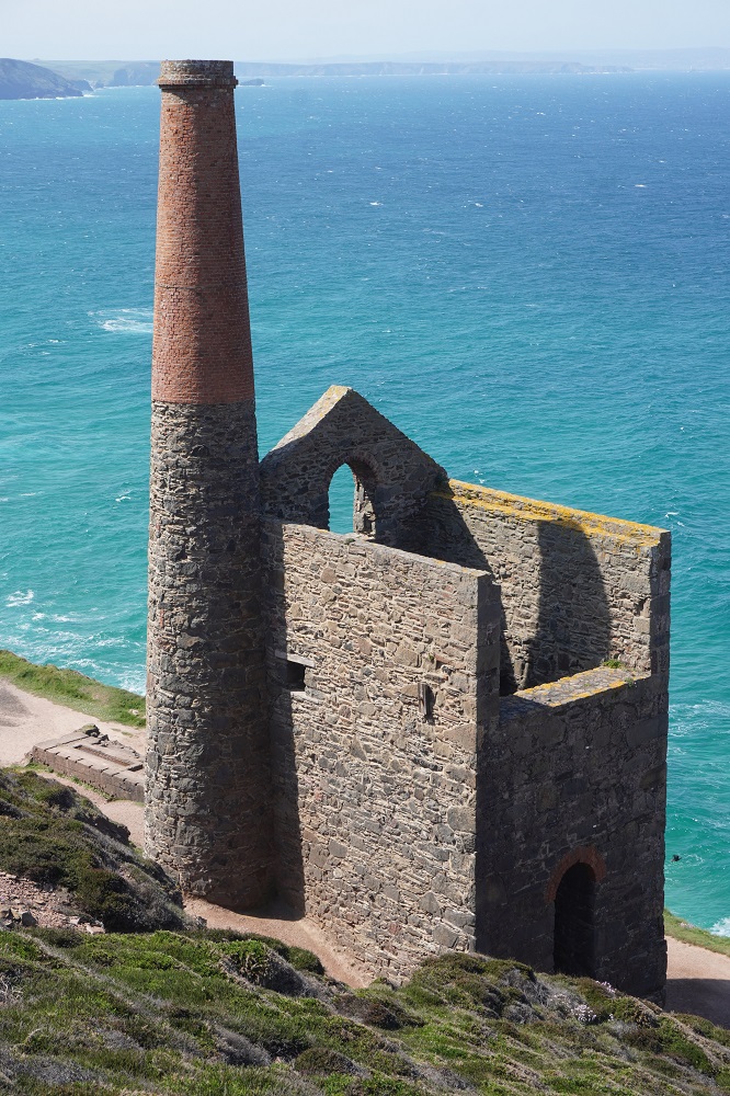
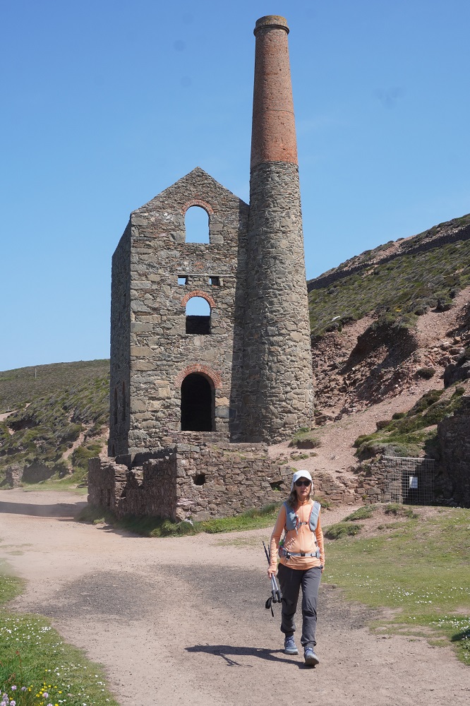
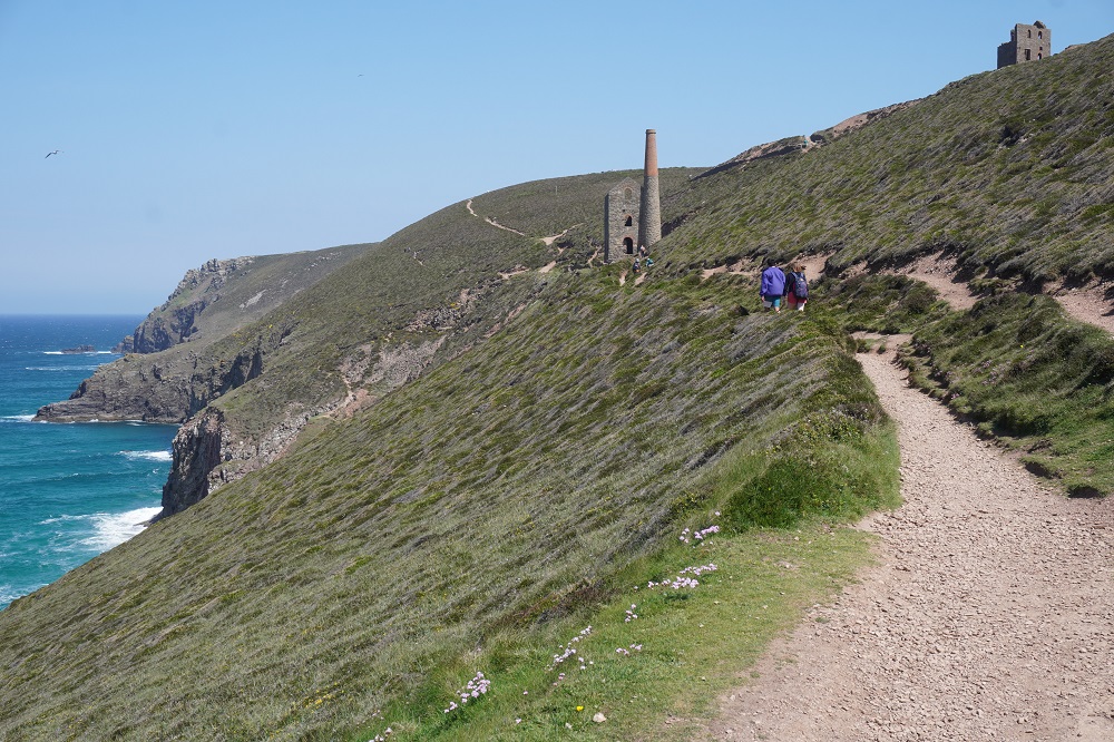
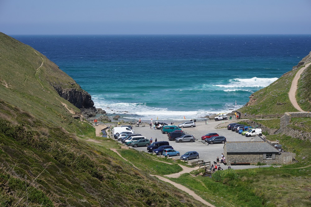
The day started with some cliff climbing and walking and then we began to see evidence of Cornwall’s coastal mining heritage. The first were mine shafts protected with conical metal grate tops to prevent people falling down them, and piles of not very attractive mine waste. Then at Blue Hills tin mine a stone chimney, a hint of what was ahead. But first the quaint Trevaunance Cove (St Agnes). It is a tiny rocky cove with a little sandy beach at low tide, popular with surfers and has a shop, toilets, surf school etc, and a handful of dinghies pulled up on the slipway.

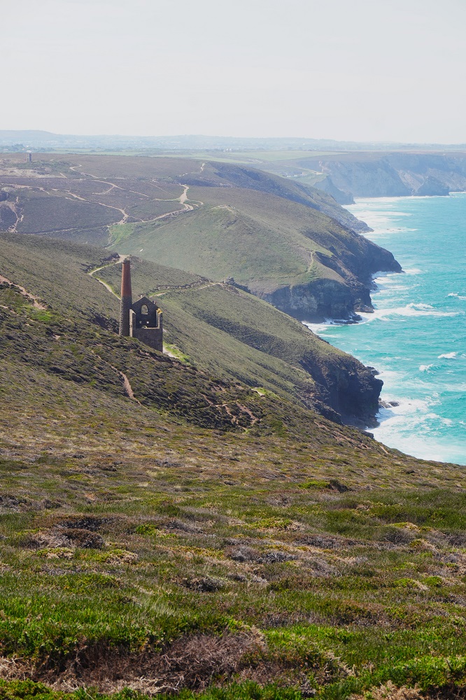
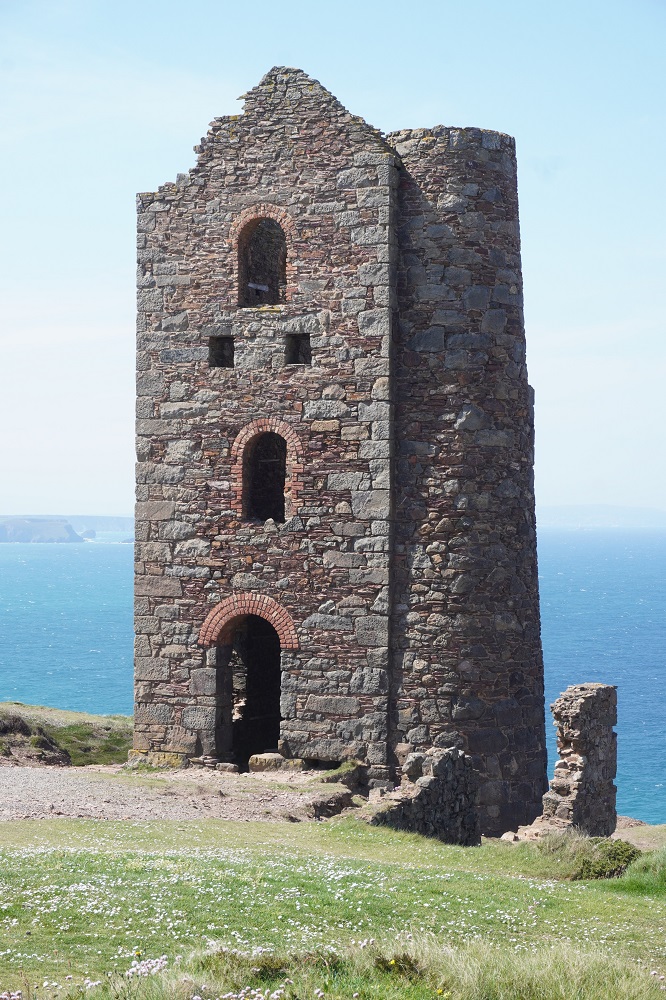
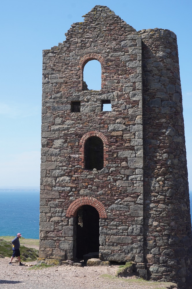
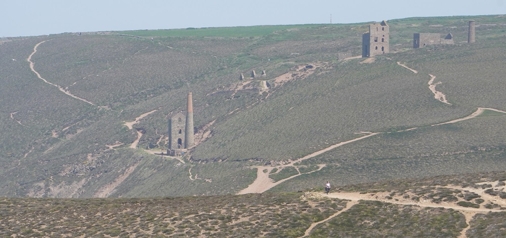
After climbing St Agnes Head we came to the mining areas of Wheal Coates and Towan Porth. There has been surface mining for tin here since the middle ages but the buildings standing today date from 1876 and later. They are mainly engine houses for the mine shafts, stamps and dressing floors. The ore was mined deep underground with shafts going far out under the sea. The ore was crushed with stamps and then roasted to draw off impurities like arsenic. This venture was not a great financial success and closed down in 1914. As well as tin small quantities of zinc, copper and arsenic were mined. The remaining engine house and chimneys are grand and imposing and show something of the scale of the activity here.

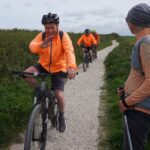
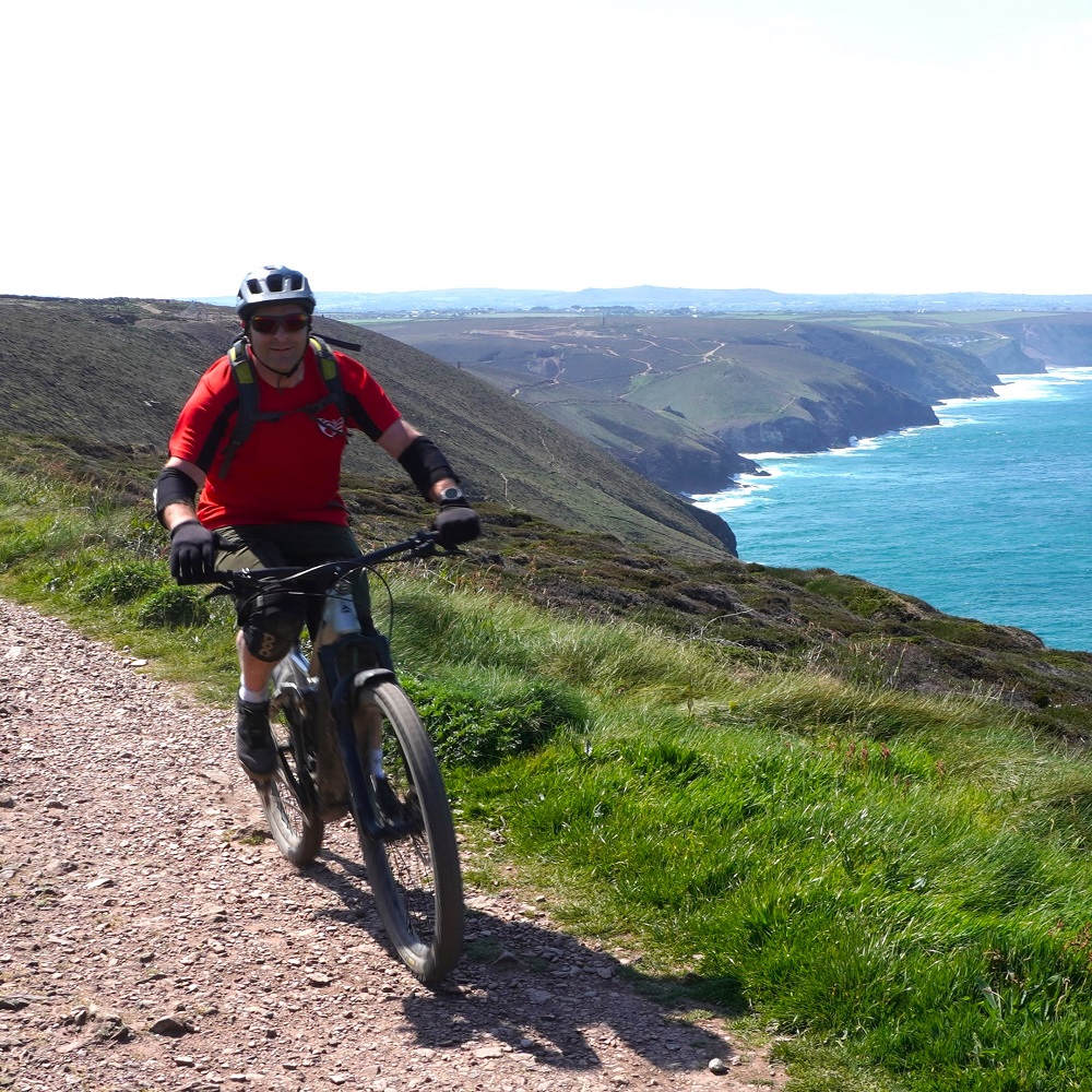
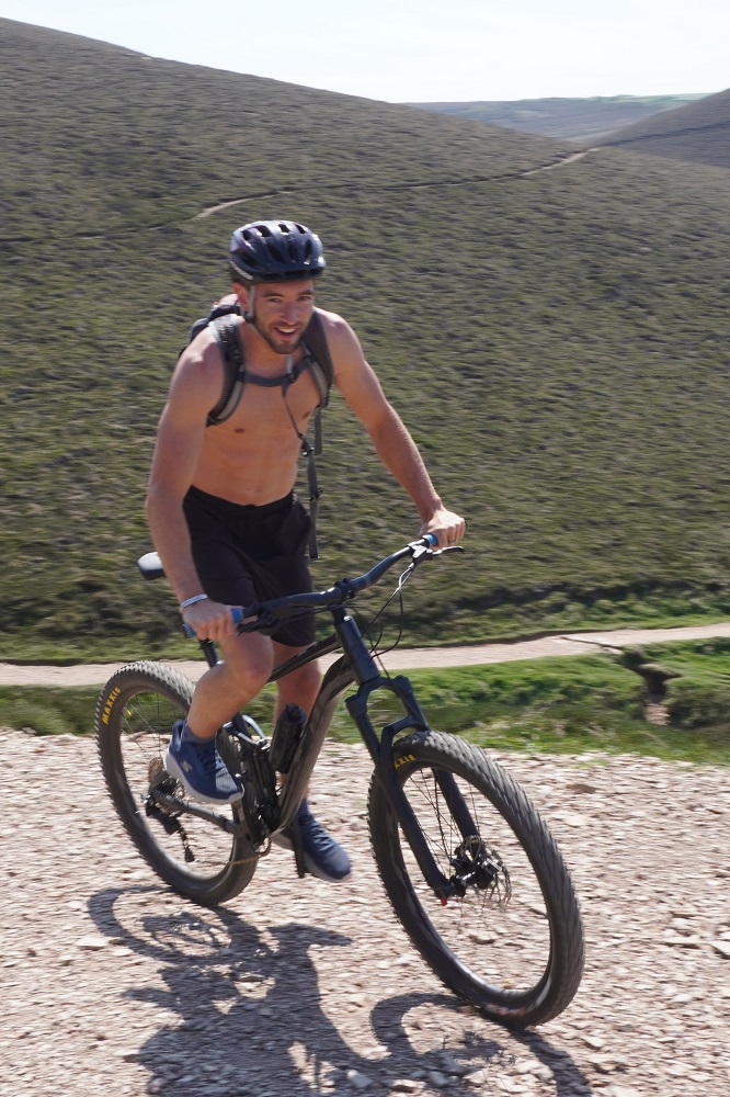
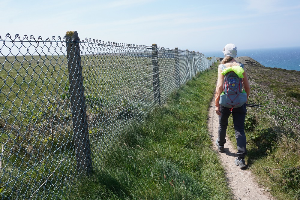
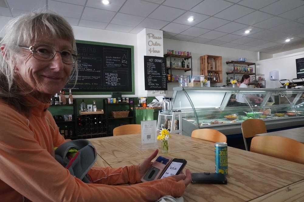
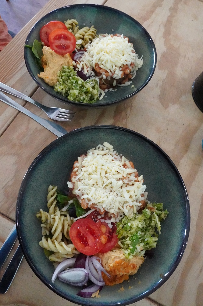
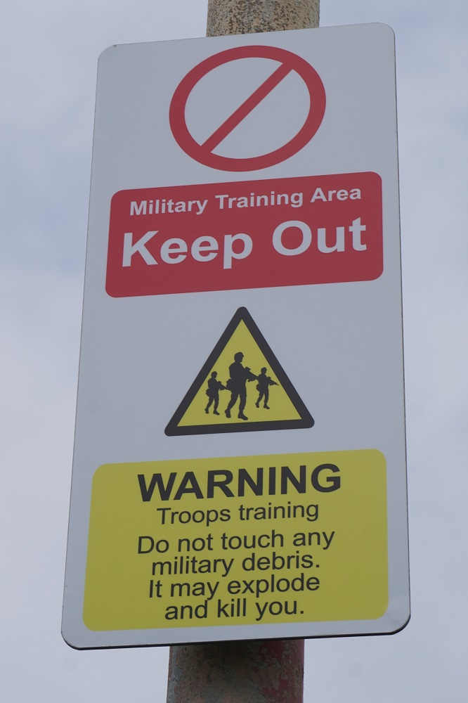
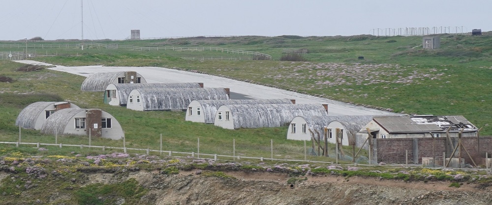
A roller coaster path then to a succession of coves and beaches, tiny Chapel Porth, middle sized Porthtowan, and the largest of them, our destination Portreath. Some steep descents and climbs and walking alongside the fence to a military area for about 5 kilometres. Some keen mountain bikers out as well today but the path would be extremely demanding for them. Generally cycling is banned on the Coast Path except in designated areas. A lot of the terrain with boulders, steps and very steep climbs are not suitable for most cyclists.Portreath is a small community and very untouristy. It has a nice pub, The Portreath Arms, post office, grocer, bakery, deli, toilets and a bus service. Today is Sunday and we had planned to arrive In Portreath for a late lunch of Sunday roast. However at the bar they informed us the kitchen is now closed on Sundays. They did point us in the direction of the deli and recommended it. We arrived there at 2.20, their closing time was 2.30, but they welcomed us in and said the kitchen would stay open for us. We each had a delicious Combi Bowl of ½ jacket potato with beans and cheese and salad bowl of mixed leaves, coleslaw, cajun hummus, crunchy rainbow veg (?), honey mustard cabbage, kale and queso pasta.

Another great day, sunny but with a strong cool wind, the highlight being the tin mining heritage area. The path was busy today, a sunny Sunday, the beach cafes and pubs packed, families enjoying the beaches, surfers enjoying the breaks and the tin mines always attracting visitors.Tomorrow is supposed to be a 30 kilometre day which is a bit much for us. 20 kilometres is comfortable but when it goes above that we tend not to enjoy it so much. The following day is a rest day in St Ives so we are going to do some creative thinking about how to shuffle the next three days around a bit.
 

All the extras

Saturday 9 May 2026

Day 18 of walking

Newquay to Perranporth
Distance: 25.16km
Total distance: 361.34km
Climbing: 579m
Total climb: 11,571m

Today should have been about a 17km day but ended up being 25.16km when all the extras were added on. There were four of these. Firstly The Great Western Hotel was near the entry to Newquay so there were some extra kms to get onto the start of this section of the Coast Path. Secondly it is always more difficult following the path through cities and large towns. We were doing okay until the path was closed above Newquay Harbour and there were no signs indicating an alternative route. Our Macs App just had the washed out route. We followed our instincts which were sort of okay and got us back on the path at Fistral Sands which was way past the Huer’s Hut (more on that later) that we wanted to see. So some back tracking there. Thirdly at the crossing of the Gannel river it was high tide so extra kms were added there, more on that later. Finally The St George’s Hotel is a few kms past the end of this section in Perranporth and also inland about a kilometer. So what should have been a cruisy day turned into a frustratingly long one.
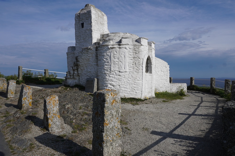
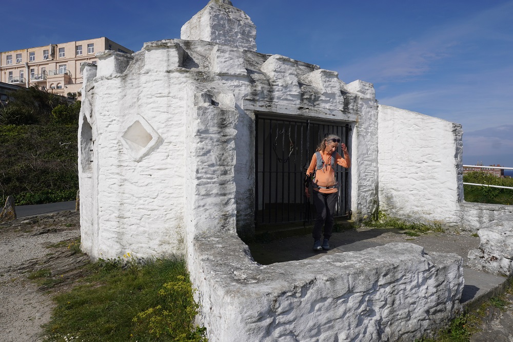
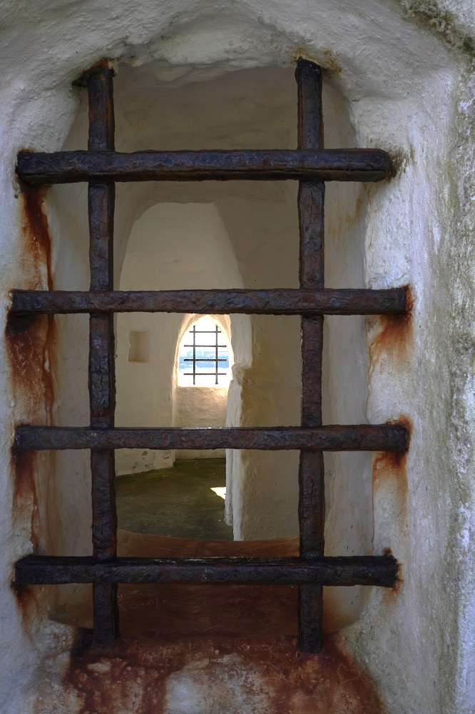
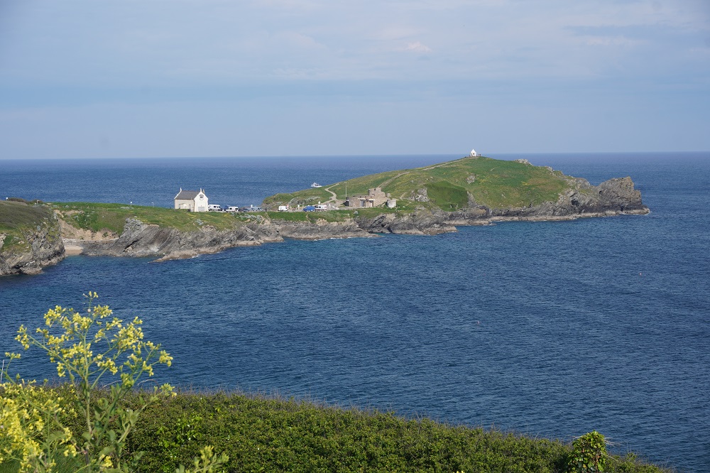
The Huer’s Hut is a little white building on a headland just outside Newquay. It dates from the 14th century and was used as a look-out by a huer. At the time of the year when shoals of pilchards were expected in the bay a call on his horn raised a hue and cry alerting the townsfolk to the arrival of the fish. By means of hand signals the huer enabled the fishermen to position their boats and encircle the shoals with their nets. Prior to its use by the huer this hut may have been a hermitage, the hermit being entrusted with lighting the beacon fire for the guidance of shipping.

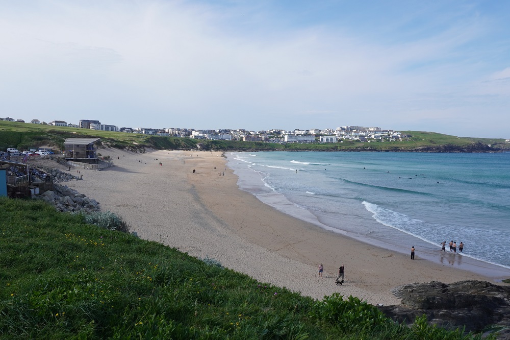
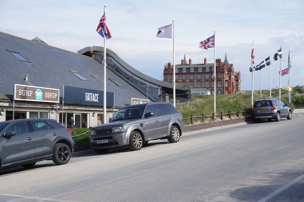
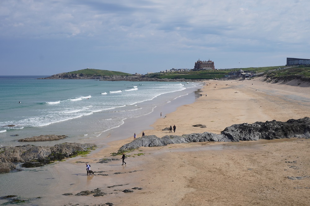
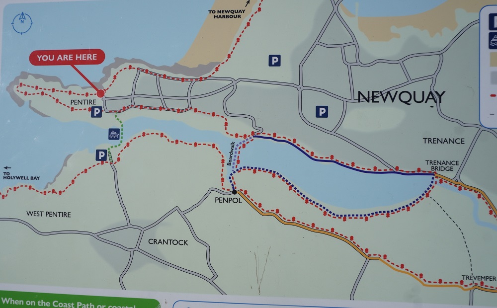
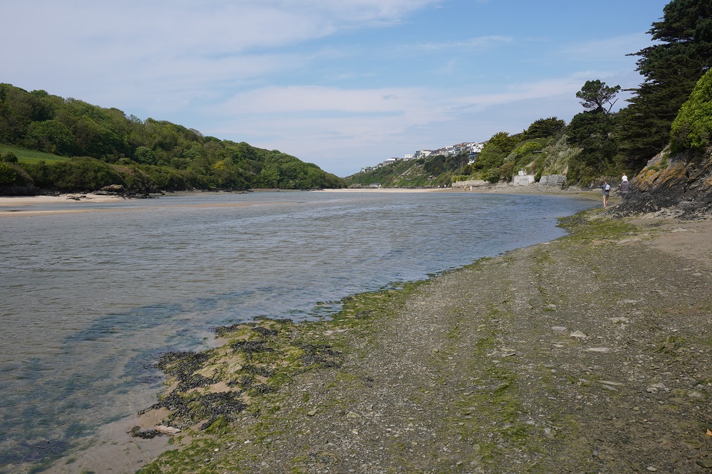
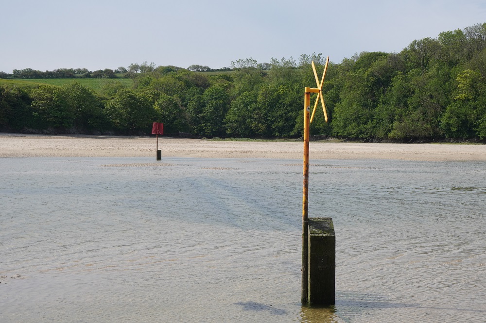
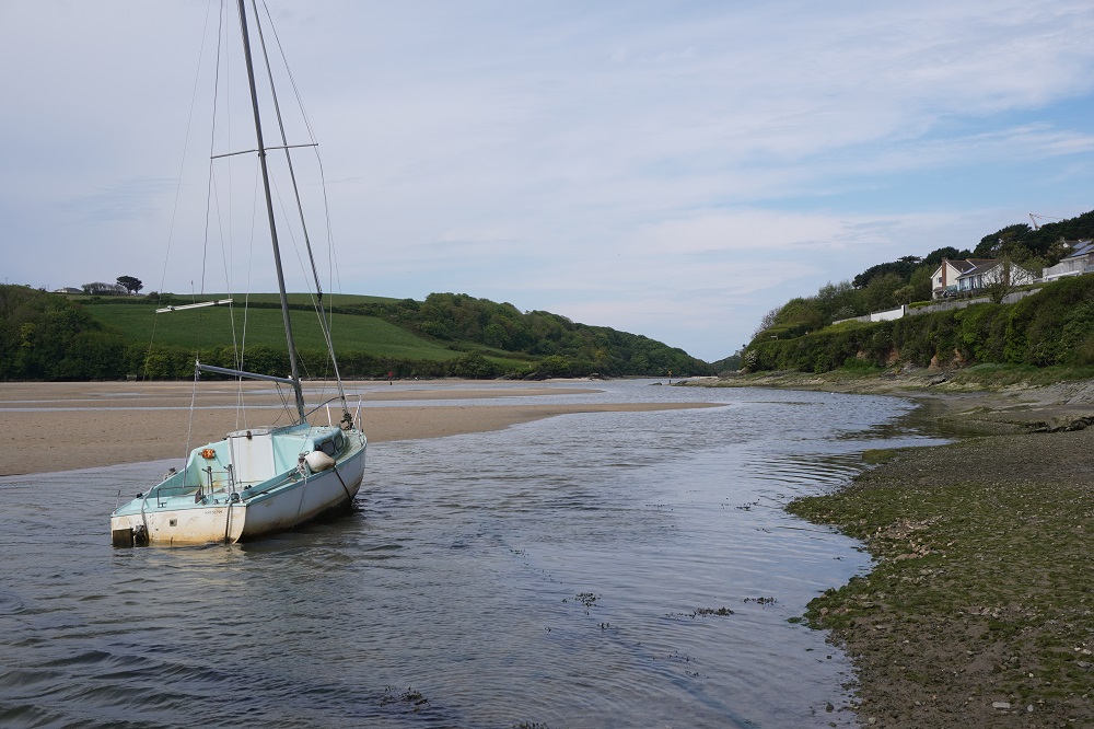
After Newquay is Fistral Beach, the premier surfing beach in the UK where international competitions are held. Not good surf today though. We enjoyed a walk along the beach avoiding the sand dunes. After the beach is the obstacle of crossing the tidal Gannel River. There are four options depending on the time of year and the tide. From mid-May to September there is a ferry service that crosses on the high tide. It starts service next week! There is also a “low tide bridge” at the ferry and one hour either side of low tide the bridge can be crossed, otherwise it is underwater. Further up the river is the “high tide bridge”. It is underwater at high tide but is exposed up to about an hour before or after high tide. Lastly you can walk even further inland to cross at a road bridge that is always crossable.

Our timing was abysmal. We arrived at the river at 10.30 and high tide today was 10.38. The “low tide bridge” couldn’t be seen under the water so we walked up to the “high tide bridge”. It also was underwater. We spoke to a few very helpful locals who said the tide dropped very quickly on the Gannel River and it was better to wait at the “high tide bridge” for the water to recede than to walk on to the road bridge. We settled down on the river bank and had our coffee break there talking to more friendly locals. After 45 minutes the water level had dropped significantly and so we decided to take off our shoes and socks and wade across on the submerged bridge. It was all fun and a nice little adventure for us. Our hot feet absolutely loved being freed from their shoes and being in the cold refreshing water.

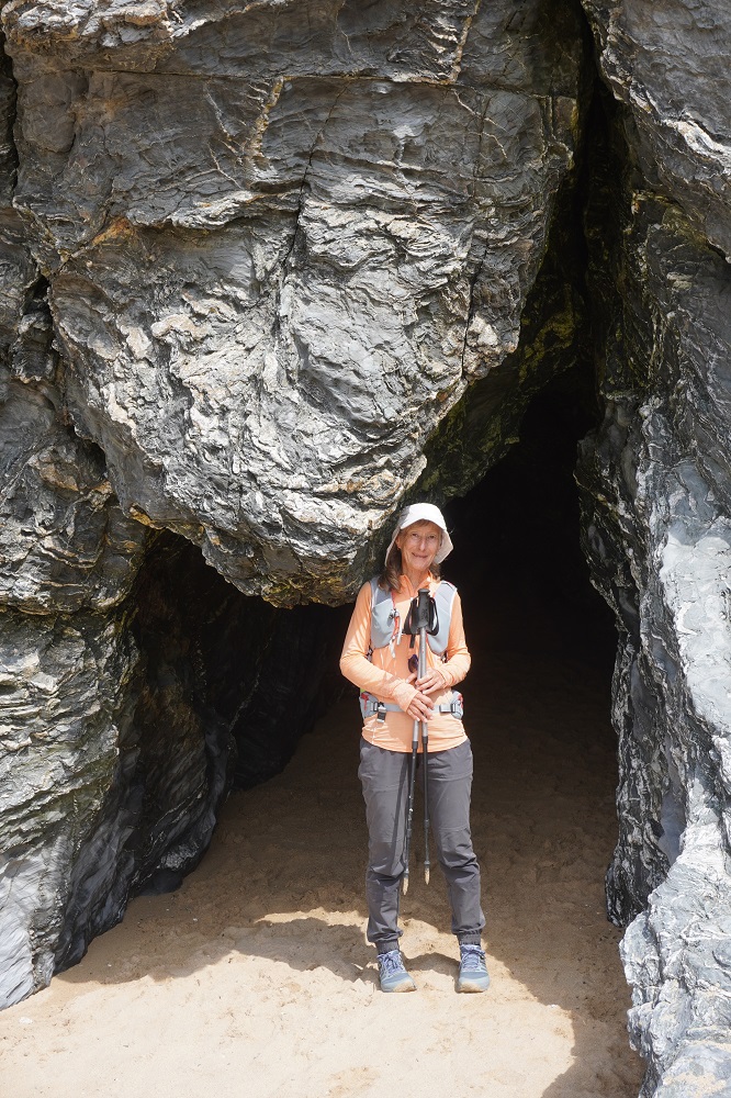
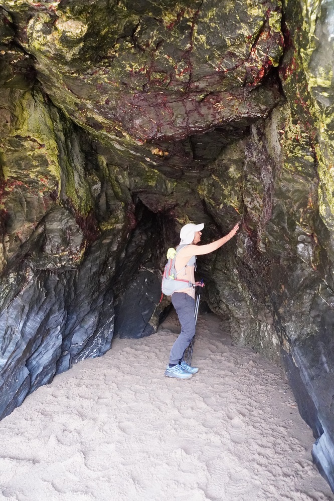
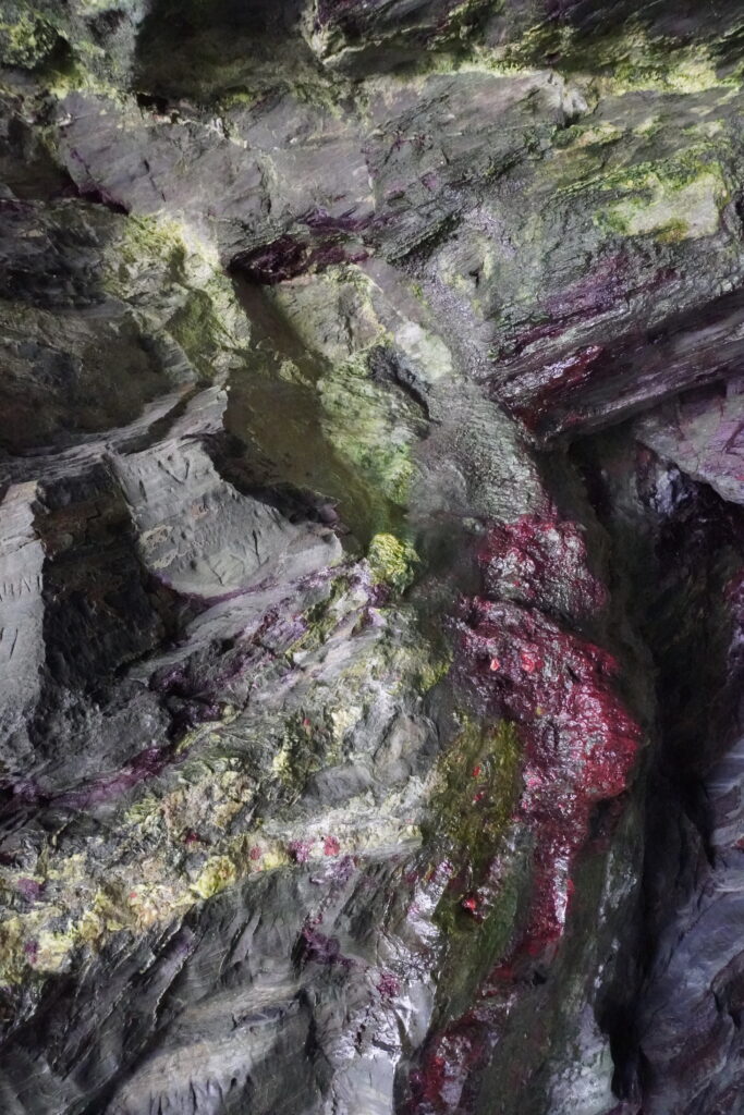
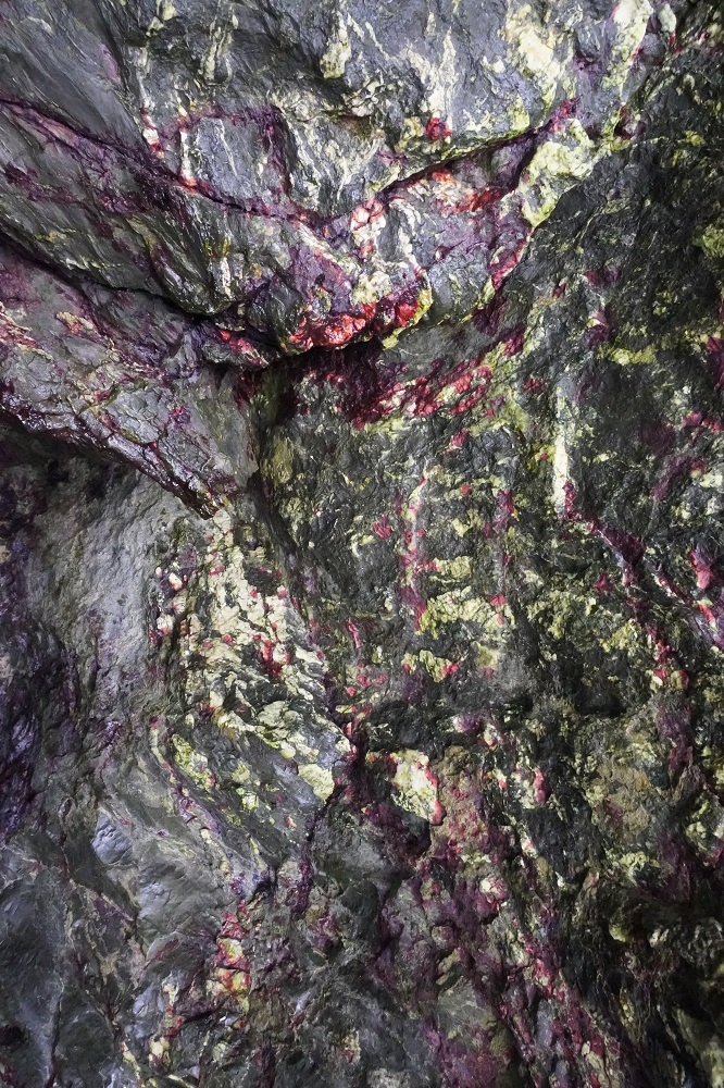
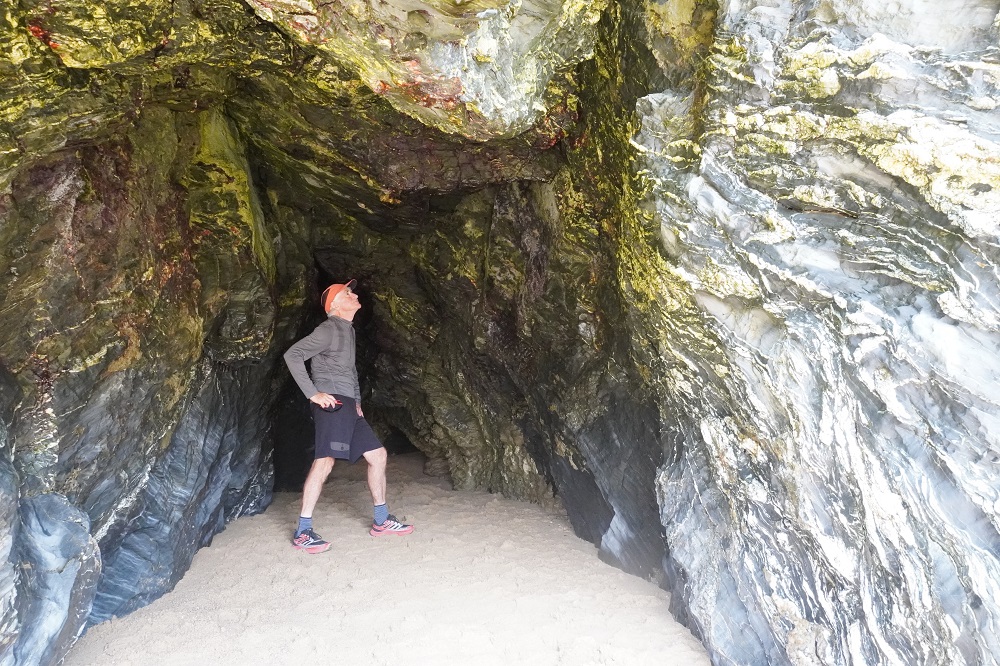
Today was much like yesterday, walking over low headlands separating sandy beaches, each larger than its predecessor. Fistral, Crantock, Hollywell and the mother of them all Perran Beach. The tide was now on its way out so we could walk along the beaches, much easier than walking in the sandhills. Before leaving home we had watched a series of Youtube videos by Simon and Elaine who were walking each section of the Coast Path. At Hollywell Beach they had raved about a cave, sometimes called St Cuthbert’s Well. It is only accessible at low tide and as the tide was going out we went and found it at the far opposite end of the beach. It was tiny and frankly underwhelming. It did have beautiful natural colours in the stone, greens, yellows, reds, oranges, blues. Worth a long walk to the end of the beach and back, not so sure.

Perran Beach is 3½ kilometres of golden sand bordered at first by dunes and later rugged black cliffs and caves. Another very popular seaside town and was buzzing on a Saturday afternoon. Such a change from the wild and desolate coast we had been on and we couldn’t wait to get out of there. First we had to buy something for dinner as the St George’s Hotel is about a further 2 km along the Coast Path and 1 km inland and except for breakfast has no dining, just a bar. There is a sign in our room saying PLEASE NOTE THAT TAKE AWAY FOODS CANNOT BE CONSUMED ON THE PREMISES. So no photos of our food tonight just in case they are used in evidence against us.

Sugar Hit

Friday 8 May 2026

Day 18 of walking
Portcothan to Newquay
Distance: 17.00km
Total distance: 336.18km
Climbing: 441m
Total climb: 10,992m

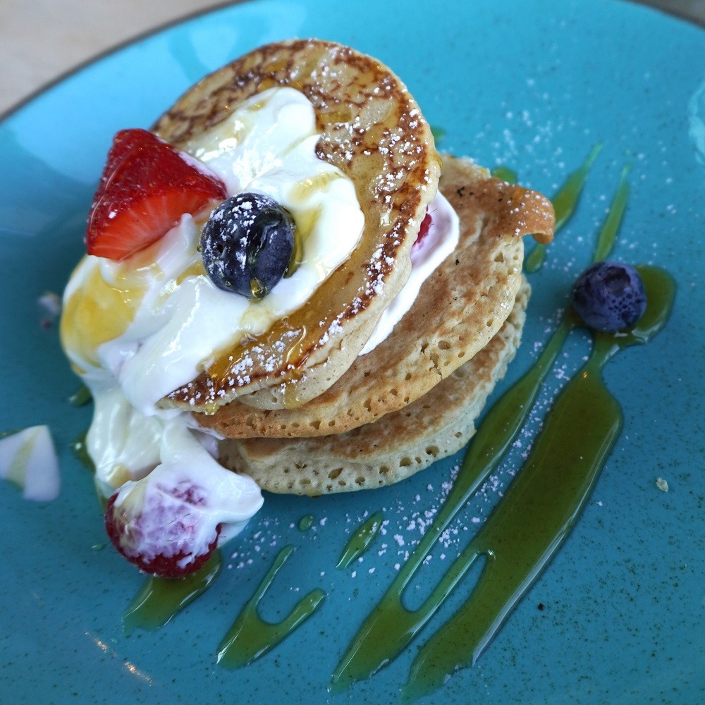
For breakfast this morning we thought we would have a rest from eggs, bacon, hash brown, tomato etc. Instead we chose a Pancake Fruit Stack: American style pancakes, strawberries, blueberries, raspberries, Greek Yoghurt, “maple flavoured” syrup and mixed nuts. Except they missed the good part, the mixed nuts. This choice turned out to be not a good one. It was probably about 90% refined carbohydrate. This gives you a sugar high then collapse. Not a good idea when you are walking all day.

Breakfast was from 7.30am so we took advantage of that but our taxi pick up wasn’t until 9.30. Right on time it turned up with a different male driver and our two young German friends from yesterday already on board. The driver was very chatty and at one point we asked him what the low tide time was as we have to cross a river tomorrow. He said he didn’t know but dived into his phone which was on a bracket on the dash board. Driving one handed at full speed on twisting country roads he was tap tapping with his other hand to find tide tables. We were thinking Yikes! Isn’t this illegal back home? Fortunately he found them quickly and got both hands back on the wheel and his eyes back on the road ahead.

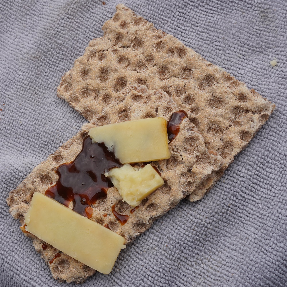
We didn’t get to start walking from Porthcothan until 10am and shortly after on the first little hill we both hit the wall and “bonked out”. Absolutely no energy. We stopped, had a Ryvita biscuit with aged cheddar and a handful of mixed nuts and after a while were back to our usual energy levels. I wasn’t as bad as Barbara as my metabolism doesn’t have the same insulin reaction as hers.

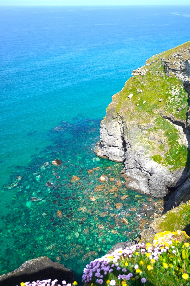
Today was another relatively easy day. No headlands of any great height but lots of cliff walking interspersed with attractive sandy beaches. The cliff walking was flat and on the ideal walking surface, short, dry, soft grass with no cow pats. The sea water was absolutely crystal clear and you could clearly see the sea bed. Many of the beaches are tiny with no access from the Coast Path. The only way of getting to them is by boat or maybe abseiling down a cliff.

There were also large beaches at Mawgan Porth and Watergate Beach. These are your full on beach resorts with all the usual life guards, surf schools, cafes, bars, hotels, car parks (you always have to pay) and toilets (you usually have to pay). This morning the kind lady running breakfast broke a 5 pound note down into 50 and 20 pence coins for us so we are now well prepared.

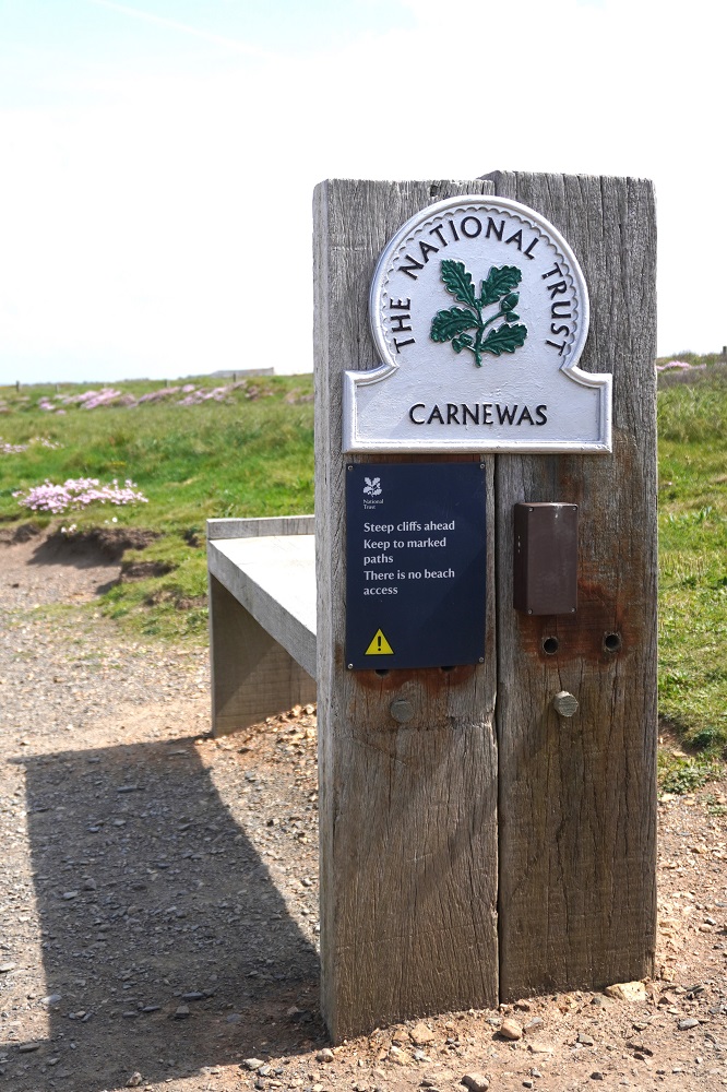
At Carnewas we were actually able to recognise an iron age fort before coming to the National Trust Information Centre, shop, café and car park. Usually we walk all over iron age forts without knowing it because they are now just lumps in the grass or covered in gorse. Just before the Carnewas fort are the Bedruthan Steps, these are massive stacks of rock on a beautiful beach.

Yesterday on leaving Padstow we caught up to a couple from Bribie Island Brisbane. They are here for a week walking Padstow to St Ives, so it was their first day. We met them again today, and maybe we will see them all week. They are good fun and like a bit of banter. All of our friends from the first two weeks are ahead of us, or behind us, or have gone home. We don’t meet many people doing the entire Coast Path but we meet lots doing a day walk or maybe up to a week. Parts of the path are quite busy but only for 2 kilometres either side of a car park, and all the walkers will have a dog.

Tonight we are back at The Great Western Hotel in Newquay. This town is known as a destination for stag nights and hen parties. When we were here last there were groups of young people in outrageous attire staggering through the town. Tonight is Friday night so we will wait and see.

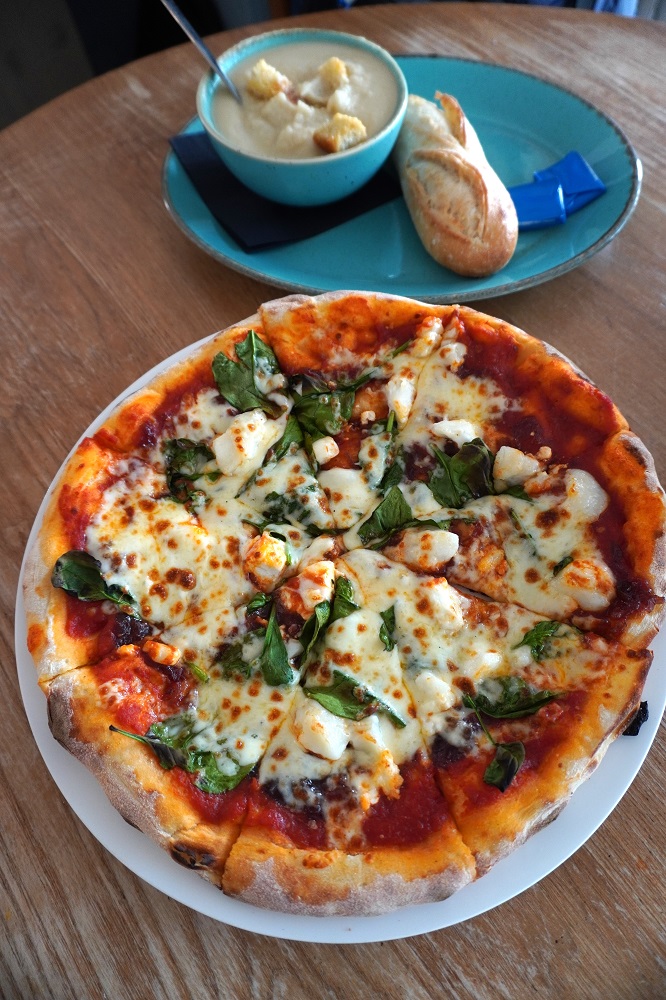
For those who are only interested in the food, we ate at the hotel tonight. Cauliflower soup and pizza of goat’s cheese, caramelised onion chutney, spinach and cheese.

Keep calm and Taxi on

Thursday 7 May 2026

Day 16 of walking
Padstow to Porthcothan
Distance: 22.51km
Total distance: 319.18km
Climbing: 476m
Total climb: 10,551m

Today was the first day where we had a taxi transfer. We walked to Porthcothan, but there is no accommodation there, so Macs Adventure booked and prepaid for a taxi to pick us up at Porthcothan and take us forward to Newquay. We spend the night at the Great Western Hotel there and tomorrow morning a taxi will take us back to Porthcothan and we walk from there to Newquay and spend a second night there. This happens about half a dozen times on this trip. It is a bit messy but it works. We much prefer to just walk forward each day to our hotel at our own pace in our own time and not have to co-ordinate with pick ups. Today we could have had to wait 2 hours for the taxi pick up and it could have been cold, wet and miserable.

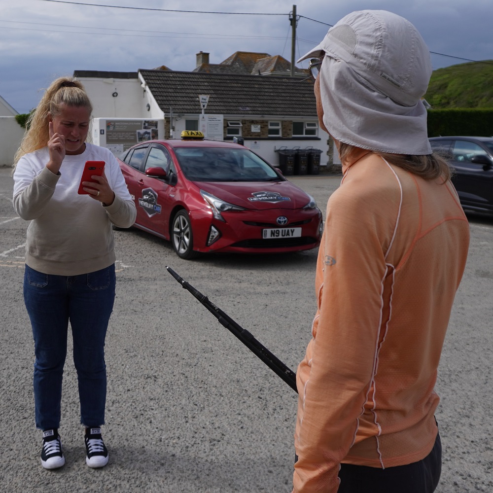
The taxi was booked to pick us up in a public car park at 5pm but we arrived at 3pm. Barbara was able to phone the taxi company and ask them to come and pick us up earlier, which they did, arriving at about 3.45pm. As it happened a young German couple turned up at the car park shortly after us and they also had a taxi booked with the same company for 5pm pick up. All four of us piled into the one cab saving the taxi company having to send out a second car. It was a half hour drive from Porthcothan to Newquay in a cosmopolitan taxi – two Germans, two Kiwis, a Hungarian driver in a Japanese Toyota Prius.

In order to be able to make local calls, to for example taxi companies and hotels, we had purchased and downloaded eSims to our phones. These are apps that have superseded having to buy a physical local sim card and putting it into your phone. There are dozens of companies offering dozens of options for the number of days and amount of data. Most plans are for data only which was not what we wanted. We get unlimited data at our hotel each night but do want to be able to call and text. Our plans have a small amount of data and unlimited calls and texts. Barbara activated her eSim in Port Isaac and today was the first time we have used it. It worked a treat even in Porthcothan which the taxi driver informed us has appalling connectivity. The only slight hiccup was that Macs had given us 4 telephone numbers. The first two said “this number is not available” but the third went straight to Newquay Cabs. Phew.

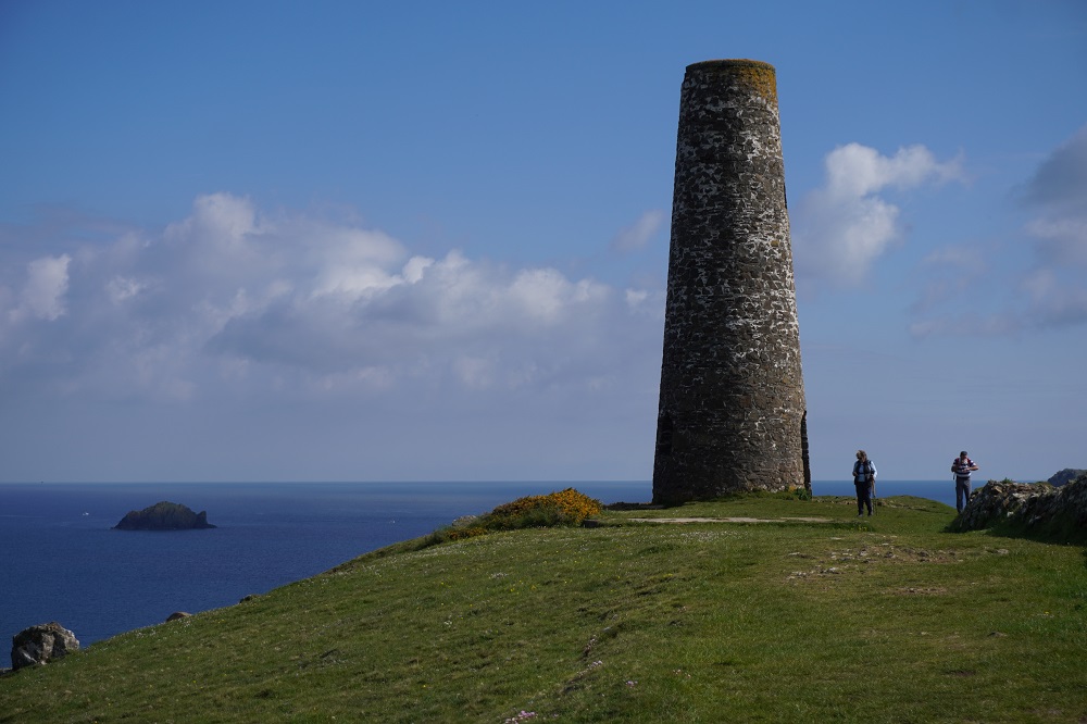
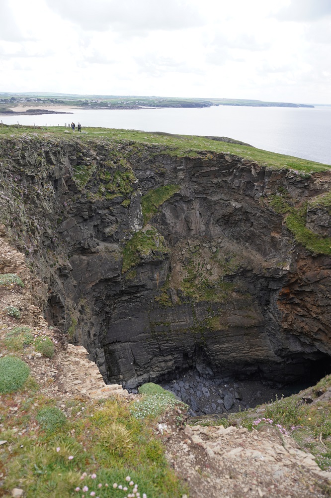
Today was quite long but pretty undemanding. It is rated easy/moderate which is a nice change from strenuous/severe of a week ago. The Coast Path leaves Padstow and proceeds around the sandy coves of the estuary of the Camel River. As you leave the estuary there is a little climb up the Stepper Point which has a 19th century stone Daymark Tower, an early aid to navigation. The path is now on the exposed Atlantic Coast and the cliffs are now low and rugged with little islands of rock that have split away from the mainland. There are also great holes in the grassy turf where caves have collapsed and sea water rushes in and out through the caves.

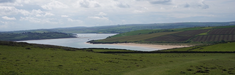
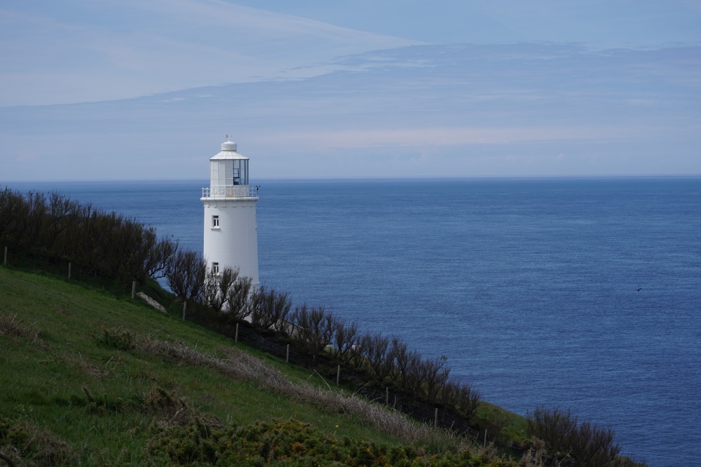
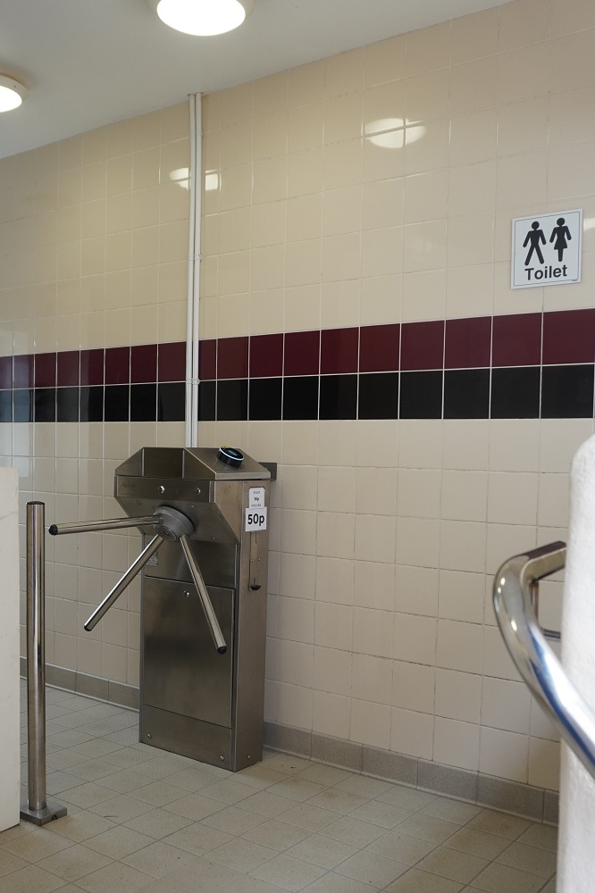
After an easy climb to Trevose Head with its lovely lighthouse there are then a series of little bays with sandy beaches, cafes, life guards and a few people making the most of a beautiful day by going to the beach. All the toilets at these beaches were 50p or 20p. We haven’t used a penny of cash yet on this trip and don’t have any coins, the smallest cash we have is a 5 pound note. Tomorrow our mission may be to get some change. Some relatively easy cliff top walking gets you to Porthcothan.Yesterday when I talked about getting from Rock to Padstow I said we, and everybody else, use the ferry. The alternative is a 20km walk up one side of the estuary and back down the other, some of it on busy roads. Absolutely nobody chooses this alternative.

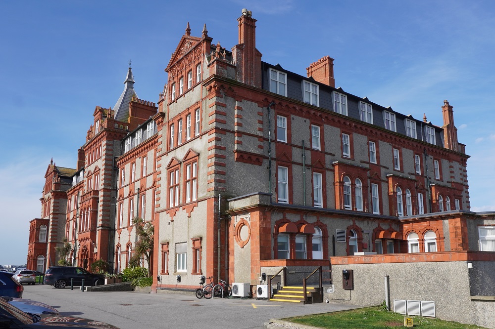
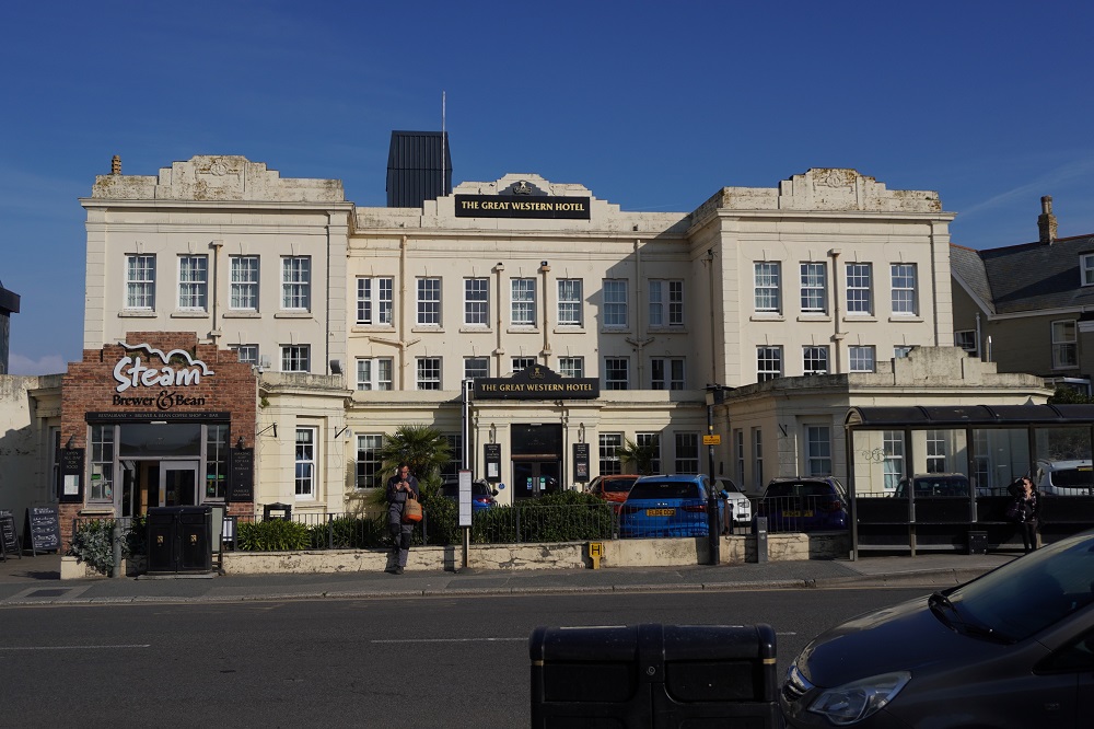
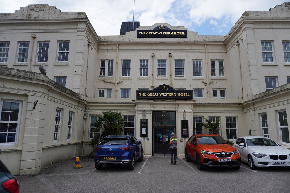
Tonight we are in the Great Western Hotel, the oldest purpose built hotel in Newquay. It is built in a prominent position overlooking Great Western Beach (formerly Borthwick Sands). The railway came to Newquay in 1876 and the hotel was opened in 1879. The hotel was the first of a string of hotels designed to promote Cornwall as a winter resort for the middle classes. The principal shareholder was The Great Western Railway Company. It was once grand but is now very tired, the present owners are starting a major refurbishment. It is a reminder of the days when the railways ruled.

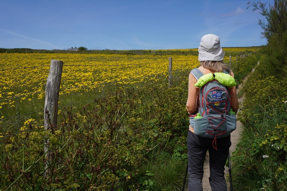
It was a perfect day for walking today. Nice cool morning, sunny, not a breath of wind and the air was very clear. Colours seemed very intense today, the sand very golden, the water turquoise, a bright yellow field which turned out to be dandelions, blue sky and white puffy clouds.

Who Pays the Ferryman?

Wednesday 6 May 2026

Day 15 of walking
Port Isaac to Padstow
Distance: 18.29km
Total distance: 296.67km
Climbing: 520m
Total climb: 10,075m

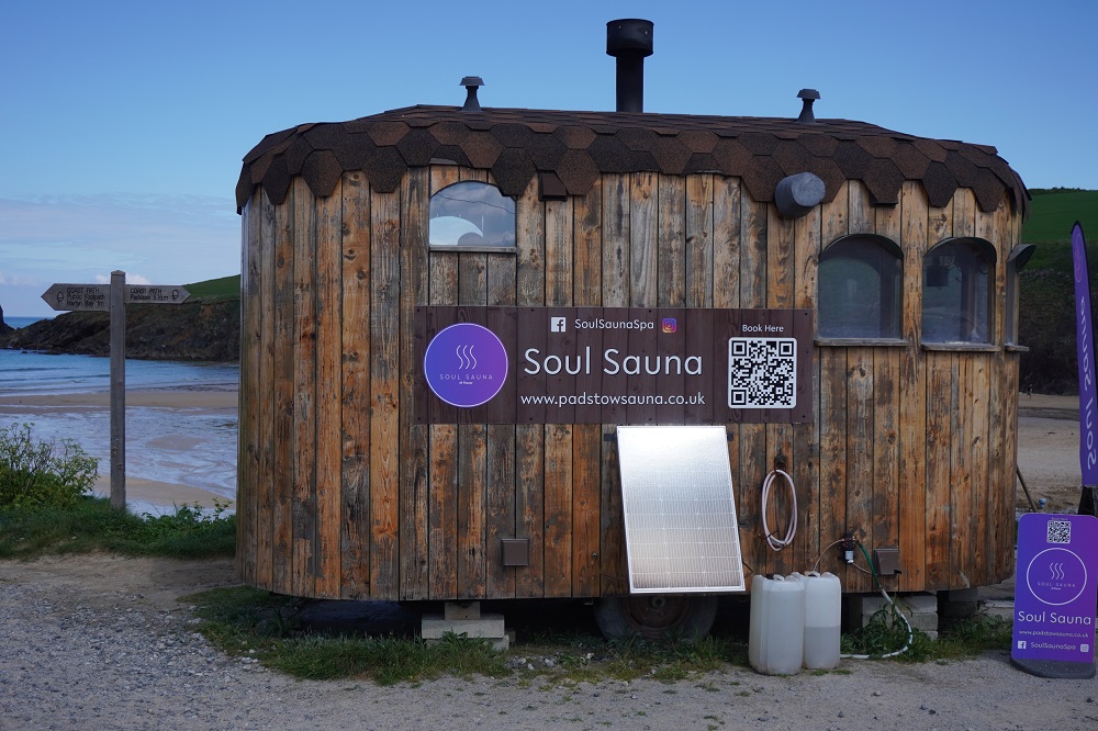
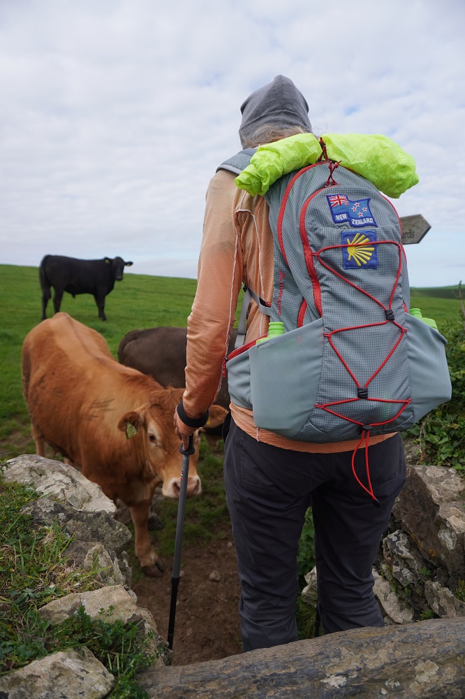
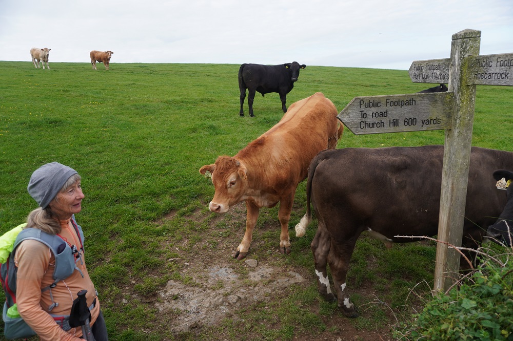
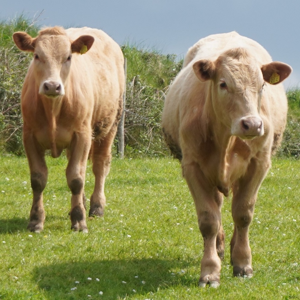
Today was our easiest day so far. The first 3 miles were supposed to be a winding tough section to Port Quin but there was an alternative path that went inland and after an initial climb was easy, going over farm land for 1¾ miles to Port Quin. The hardest part was getting over a stile where the cows were blocking our way and weren’t prepared to move. Barbara is now an experienced old cow hand and soon had them scattered. Port Quin is a tiny little former pilchard fishing village with a small beach and just a few houses. No refreshments or amenities but did have a sauna.

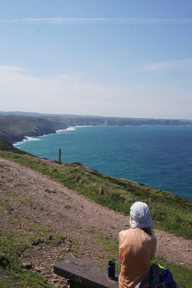
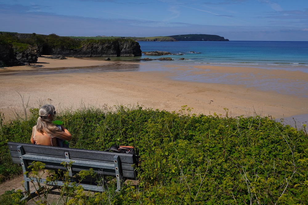
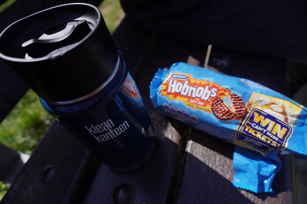
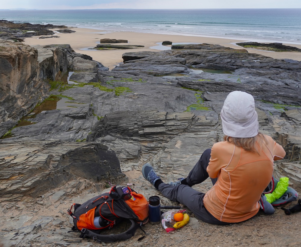
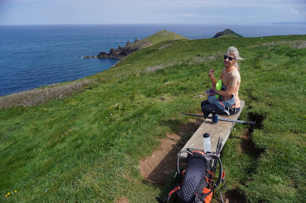
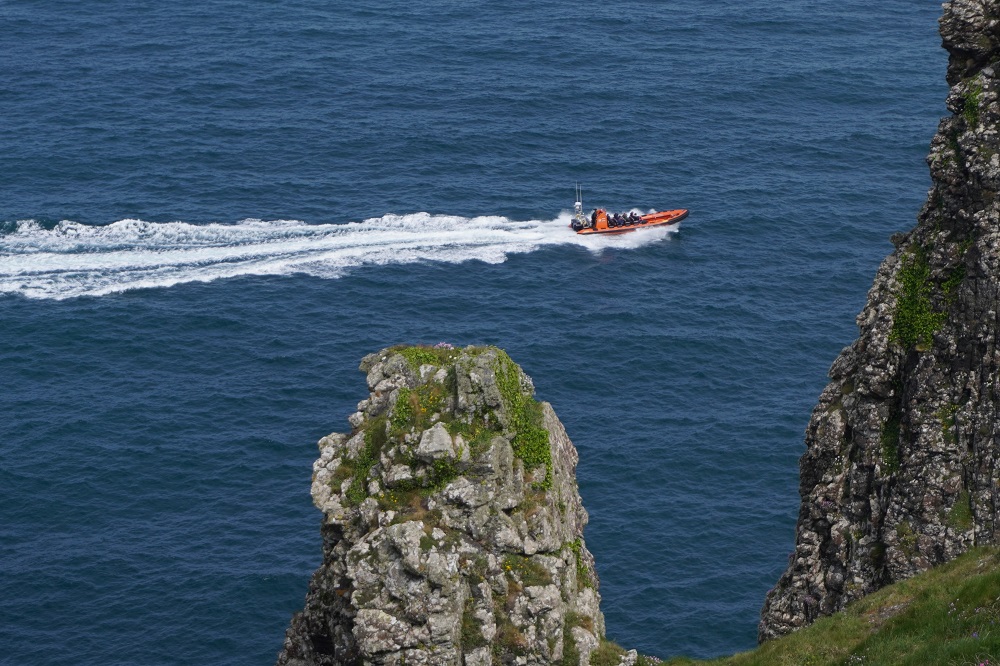
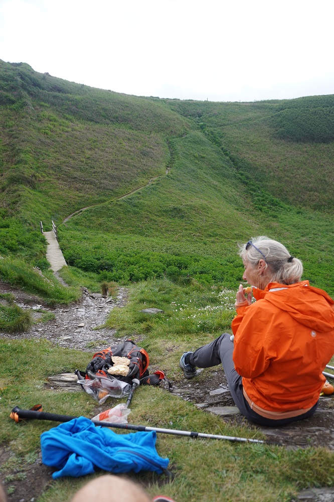
From Port Quin it was fairly easy walking over the windswept and beautiful headland called The Rumps – an iron age hill fort. We sat on a bench there and had our coffee break. We could see all the way back to Tintagel and below us high powered speed boats taking tourists out for a blast down the coast. We have a routine of walking for about two hours, having a coffee break from our Kleen Kanteen flask, walking another two hours, have lunch (usually something we have brought with us) and then walking to the end of the day. The underlying theory is: drink before you get thirsty, eat before you get hungry and rest before you get tired. Of course there isn’t always a waiting bench, or it is exposed, windy, cold or raining, so sometimes it gets pushed out to three hours or more before stops.

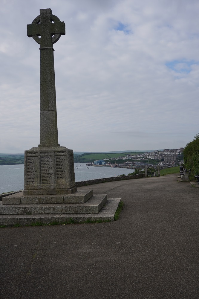
A gentle walk around Pentire Point and the vast Padstow Bay comes into view, this is the estuary of the Camel River. On Pentire Point there is a plaque commemorating the moving war poem For the Fallen written somewhere on this point by Laurence Binyon in 1914 at the start of WW1. We all know the famous last stanza:

They shall not grow old, as we that are left grow old
Age shall not weary them, nor the year’s condemn
At the going down of the sun and in the morning
We will remember them.

Binyon was too old to serve in WW1 but he enlisted as a hospital orderly and was inspired to write his poem after seeing the staggering numbers of wounded and dead soldiers after the Battle of Verdun.

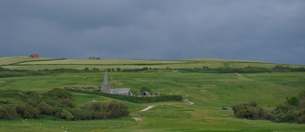
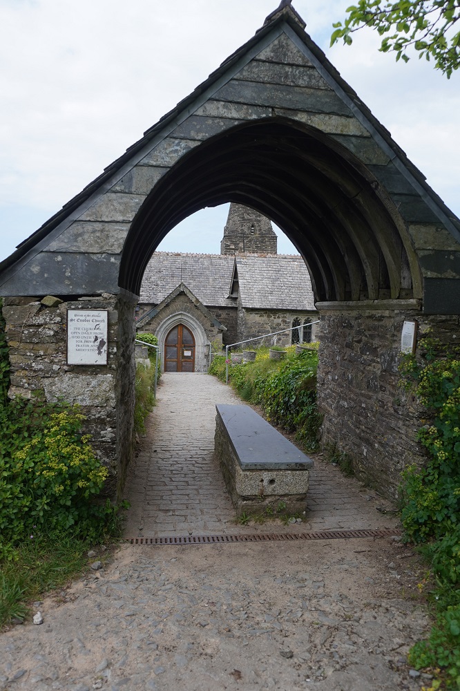
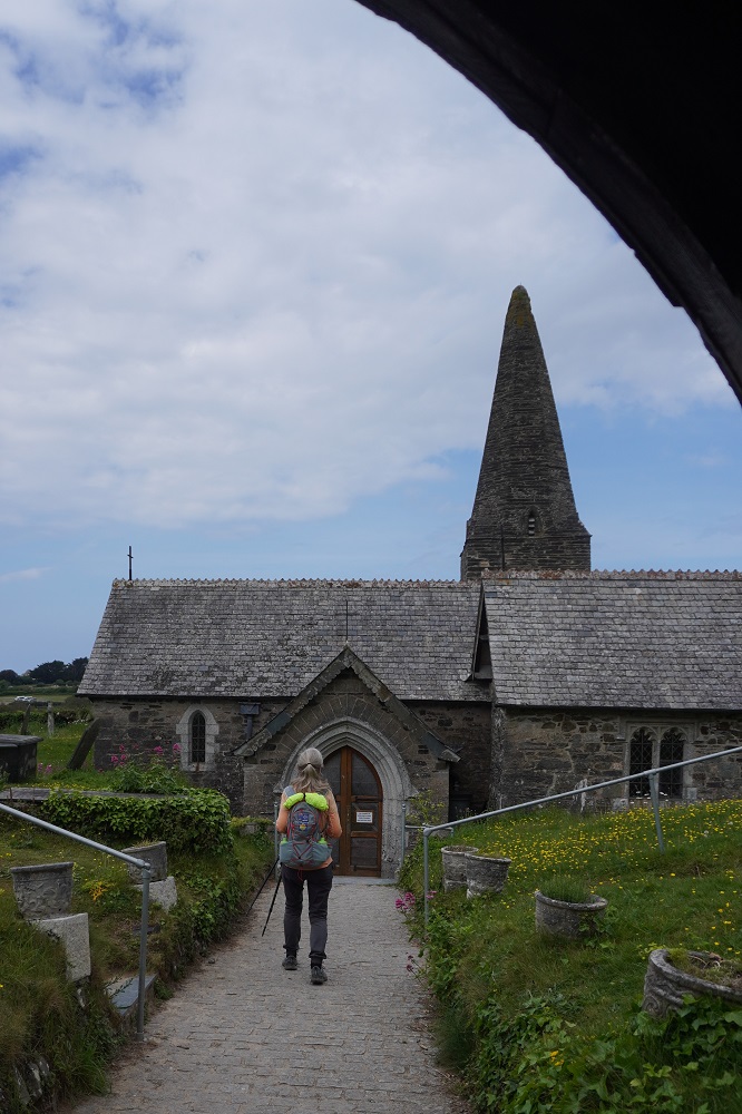
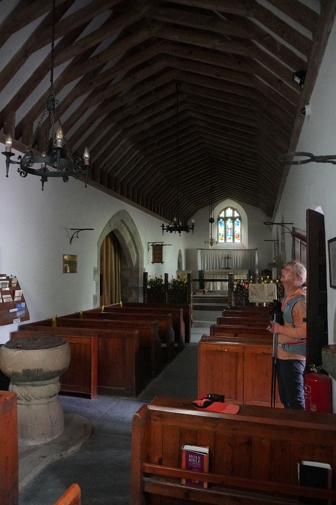
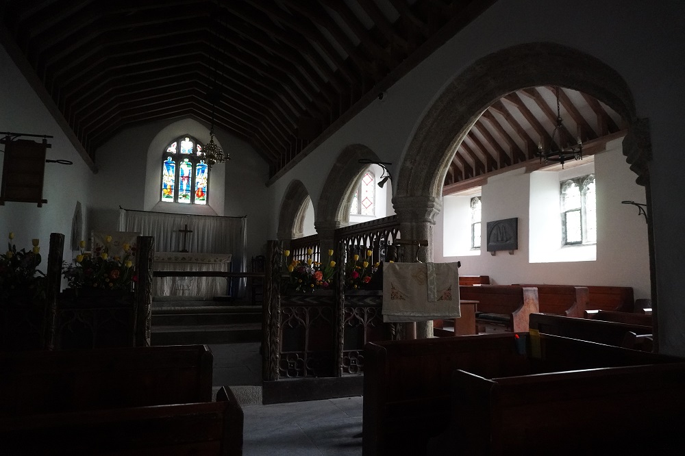
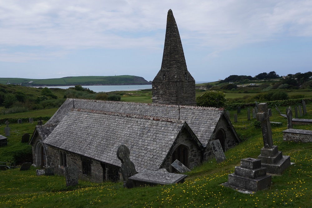
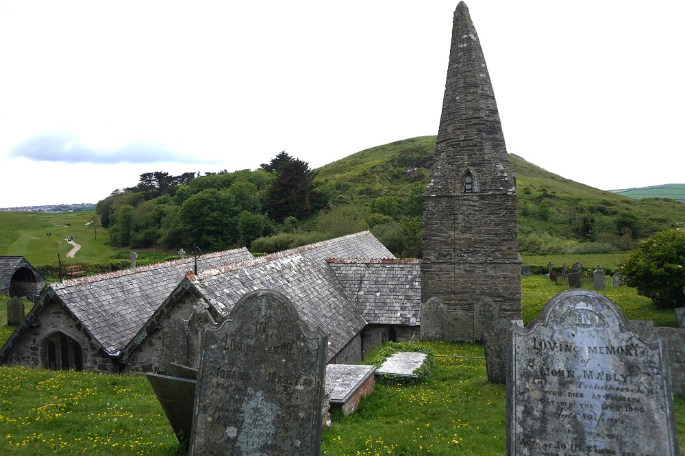
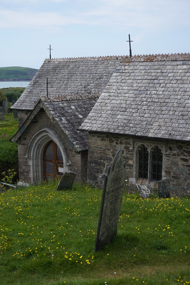
Before entering Padstow Bay we had to pass through the seaside resort of Polzeath, a popular holiday destination for families and surfers. Even what had been low cliffs were now left behind and it was easy flat walking behind the dunes and across the beach to Rock. Before reaching Rock we did a little side trip through a golf course (watch for flying golf balls and keep to the path marked by white stones) to the 12th century Church of St Enodoc. Enodoc was an obscure Celtic Saint. We love these little ancient churches. This one was left to rack and ruin by the 1800s but in the 19th century was faithfully restored using mostly the original materials. It has a distinctive bent spire which looks like it has been battered by storms. It does have working bells and ropes inside.

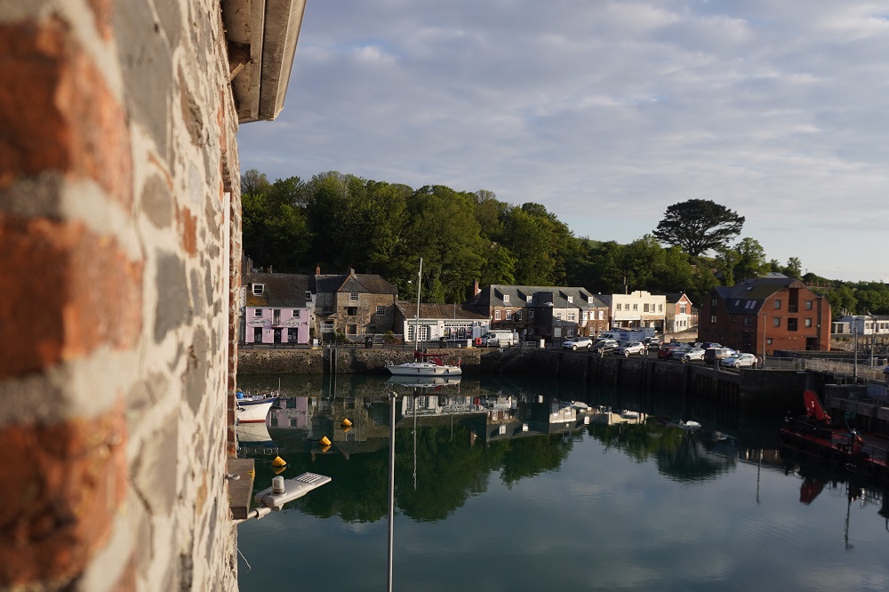
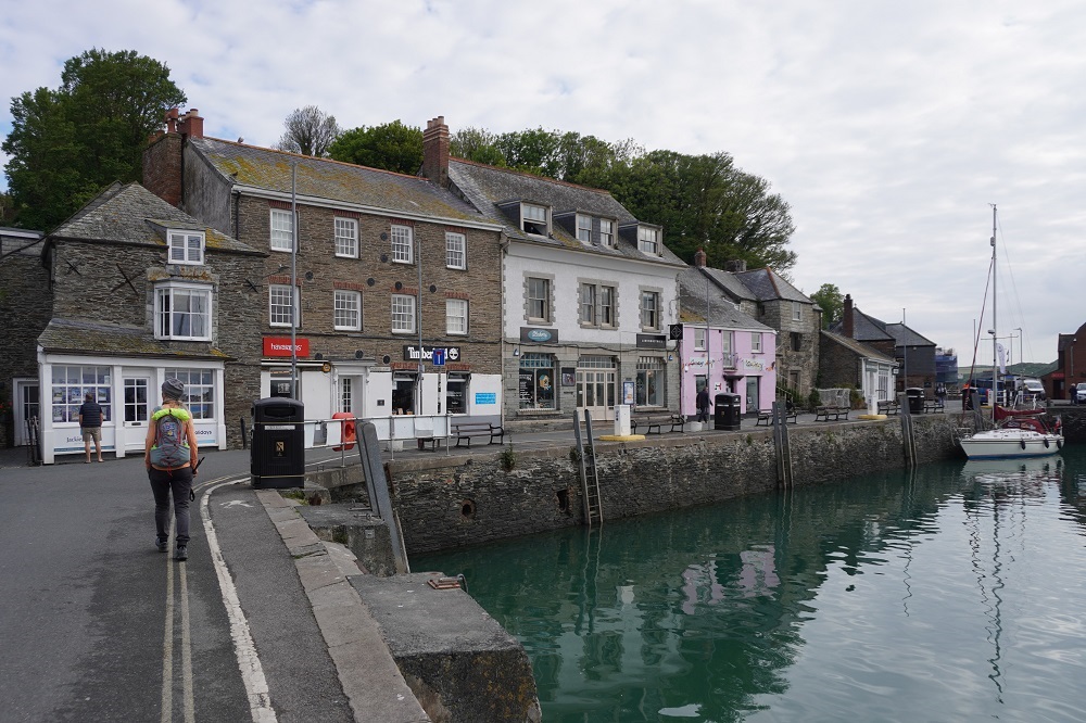
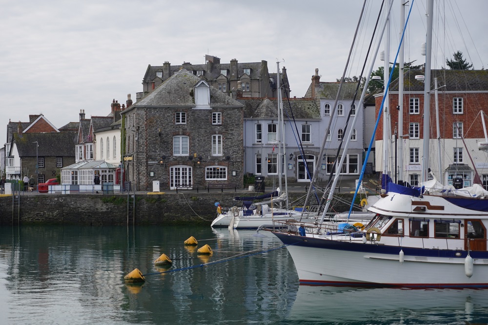
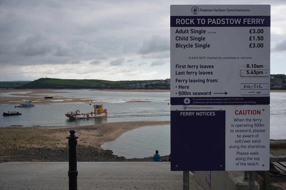
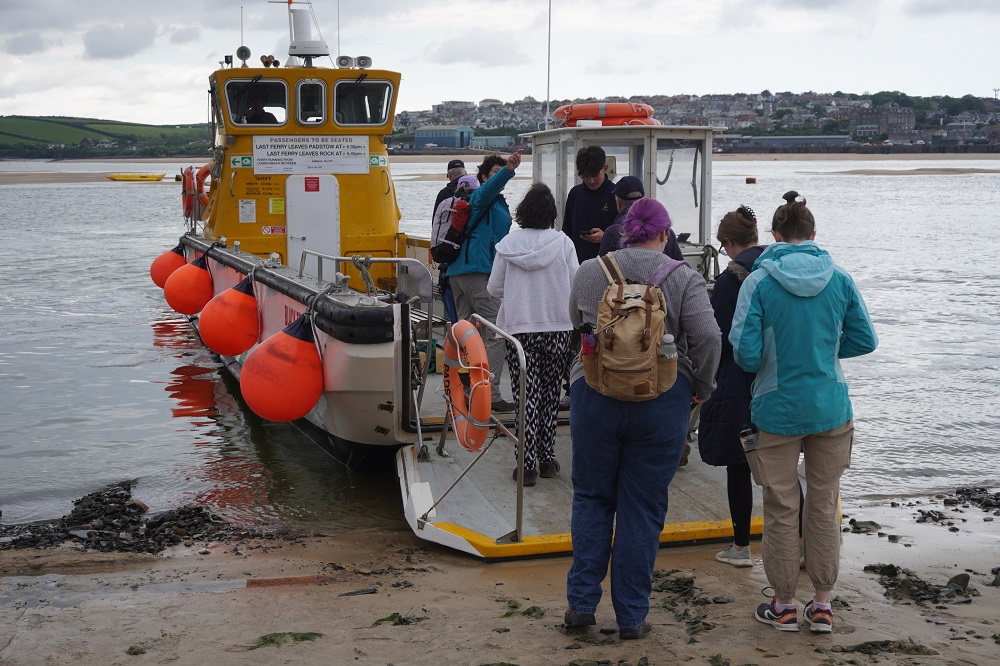
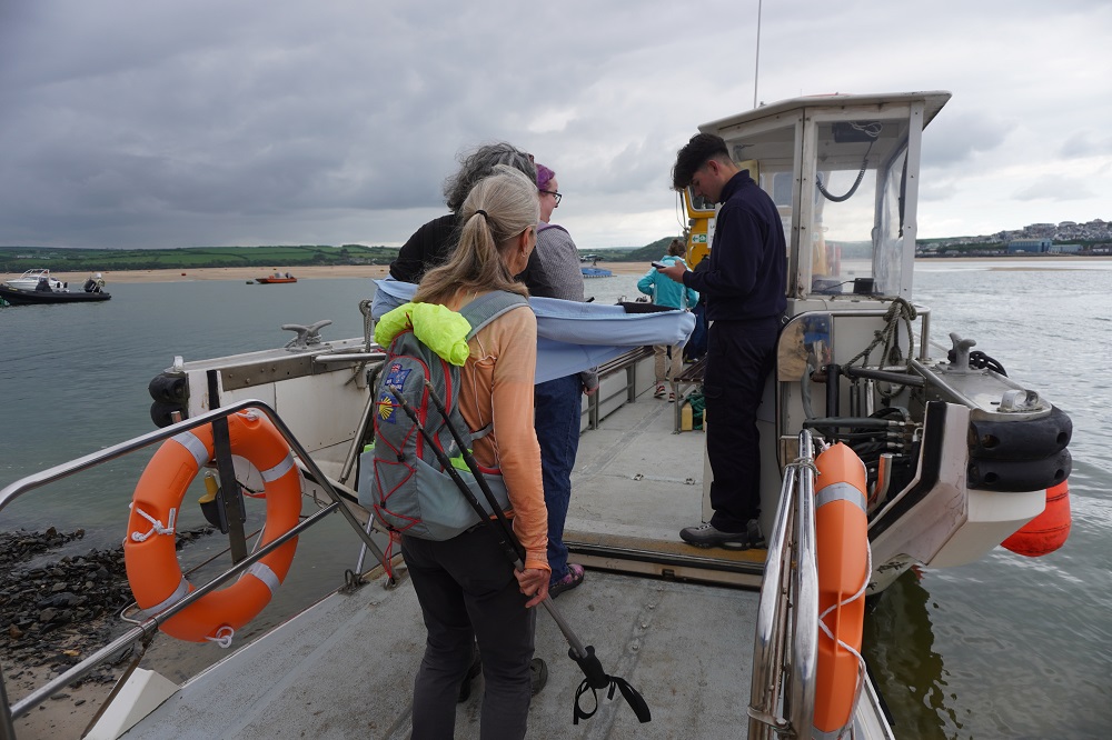
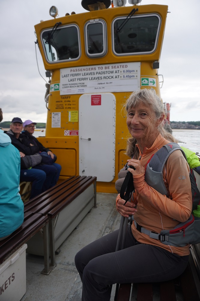
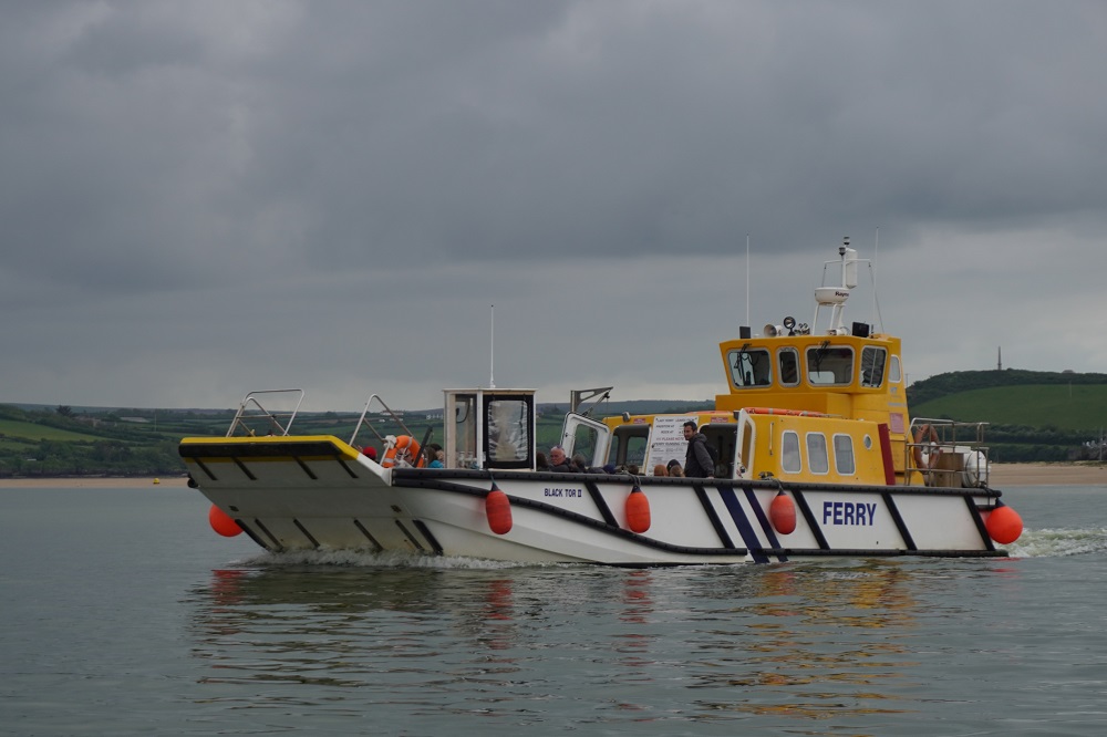
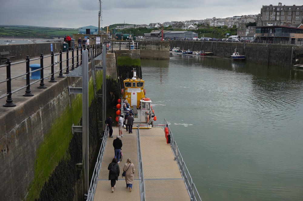
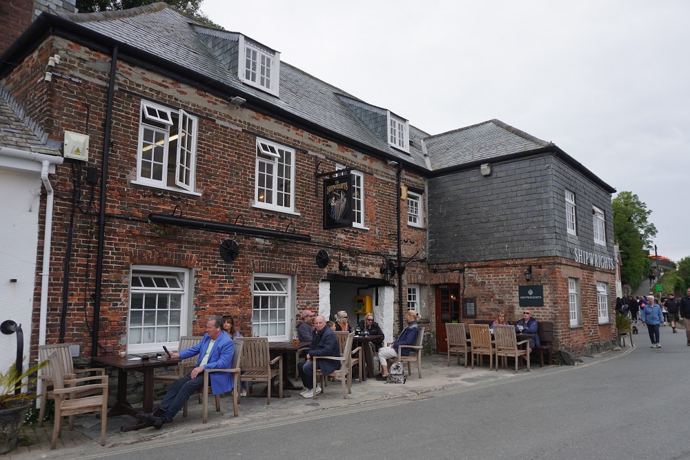
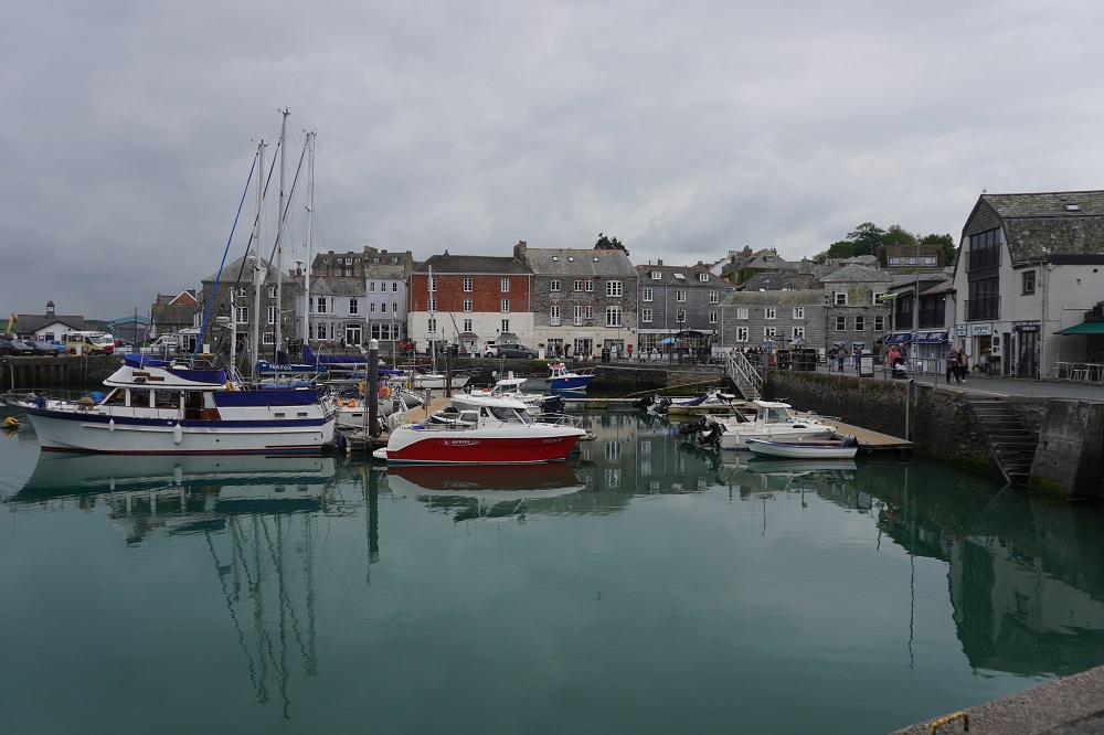
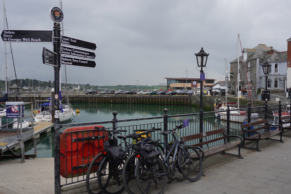
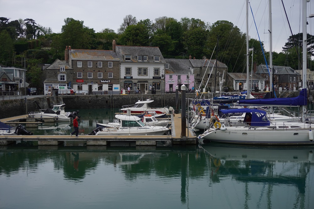
The tide was out so we left the path and walked over the wide beach to Rock. Rock is directly over the River Camel estuary from Padstow. The ferry from Rock is a regular year round service and the first of 13 ferries we will use on the Coast Path. £3 each for a 10 minute crossing. We though we may have to use some cash for the first time on this trip but even this little ferry was cashless, card only. The ferry takes you right into the heart of Padstow in its harbour. It is then just a few minutes walk to our accommodation.

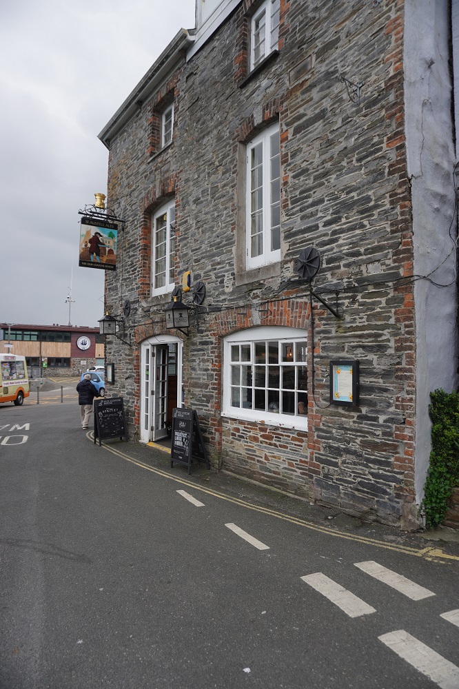
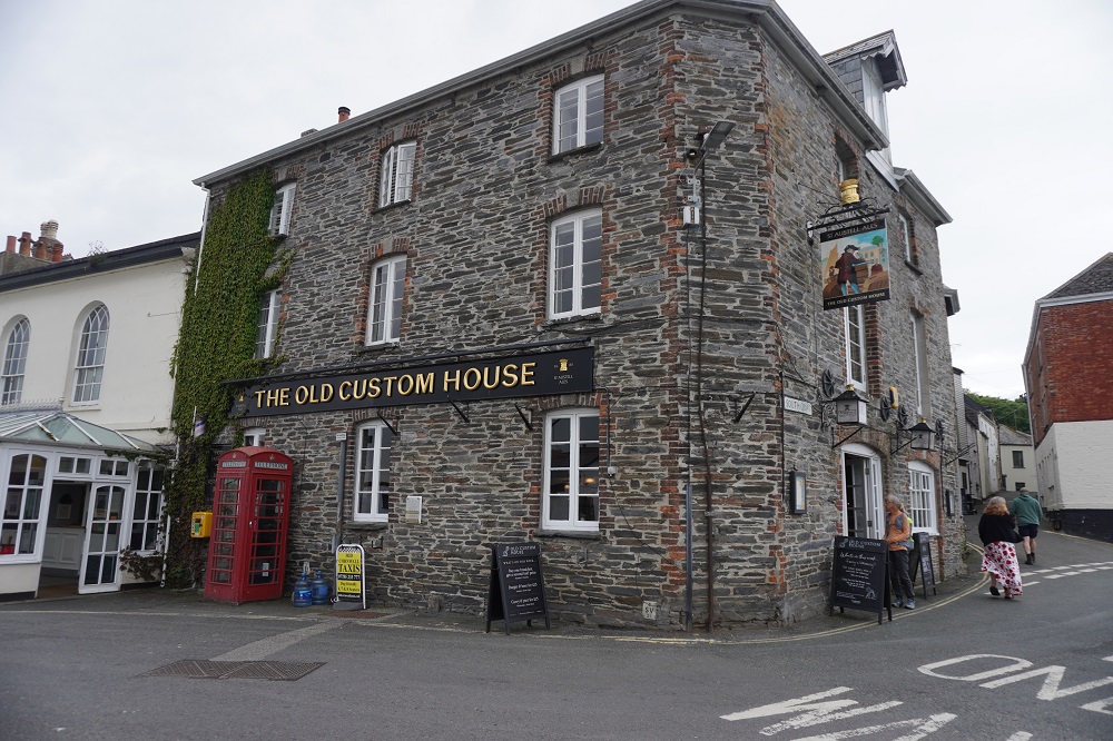
We are staying in The Old Custom House and as its name suggests was once the home of Revenue and Customs in Padstow. It was built in the 18th century and is right on the water’s edge overlooking the harbour. It has lots of charm and character, we have a huge room but are up two flights of stairs on the top level. Last time we were in Padstow we had a “rest day” and hired bicycles and went 18 miles up the Camel River on a beautiful flat ride. This time we are here one night and move on tomorrow.

Note: Who pays the ferryman was a hit TV show when we first visited England in 1978.

What’s up Doc?

Tuesday 5 May 2026

Rest day number 2 Port Isaac

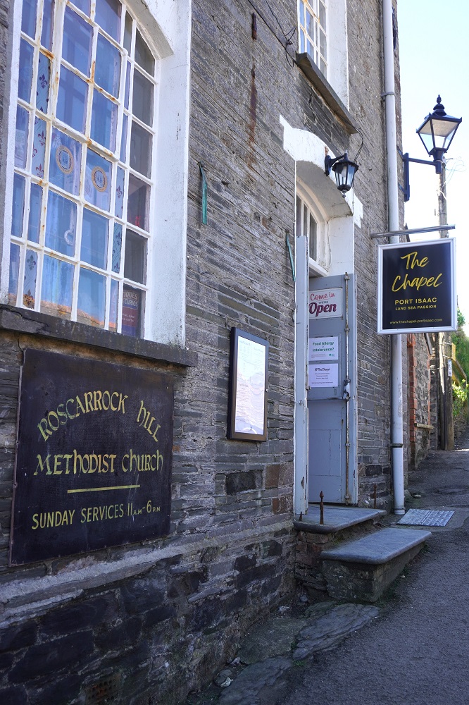
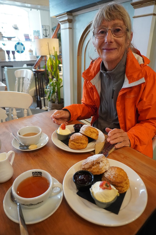
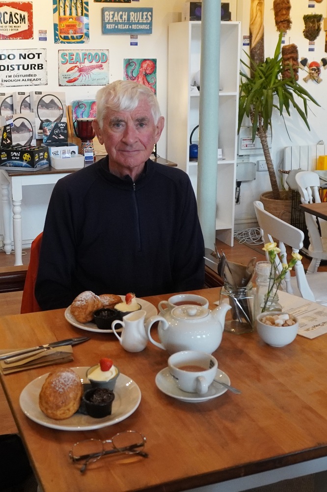
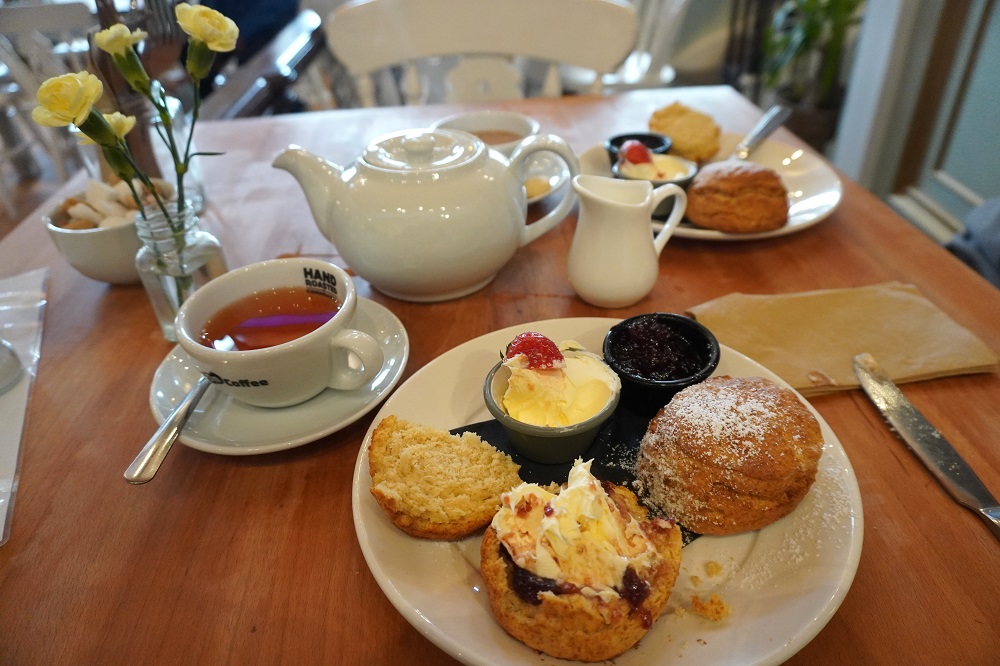
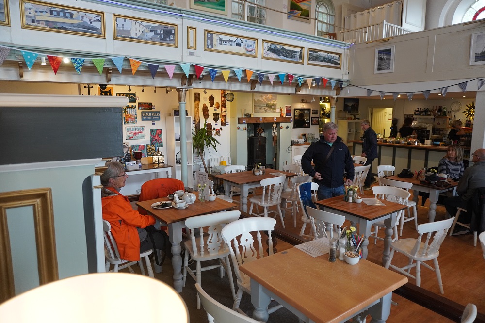
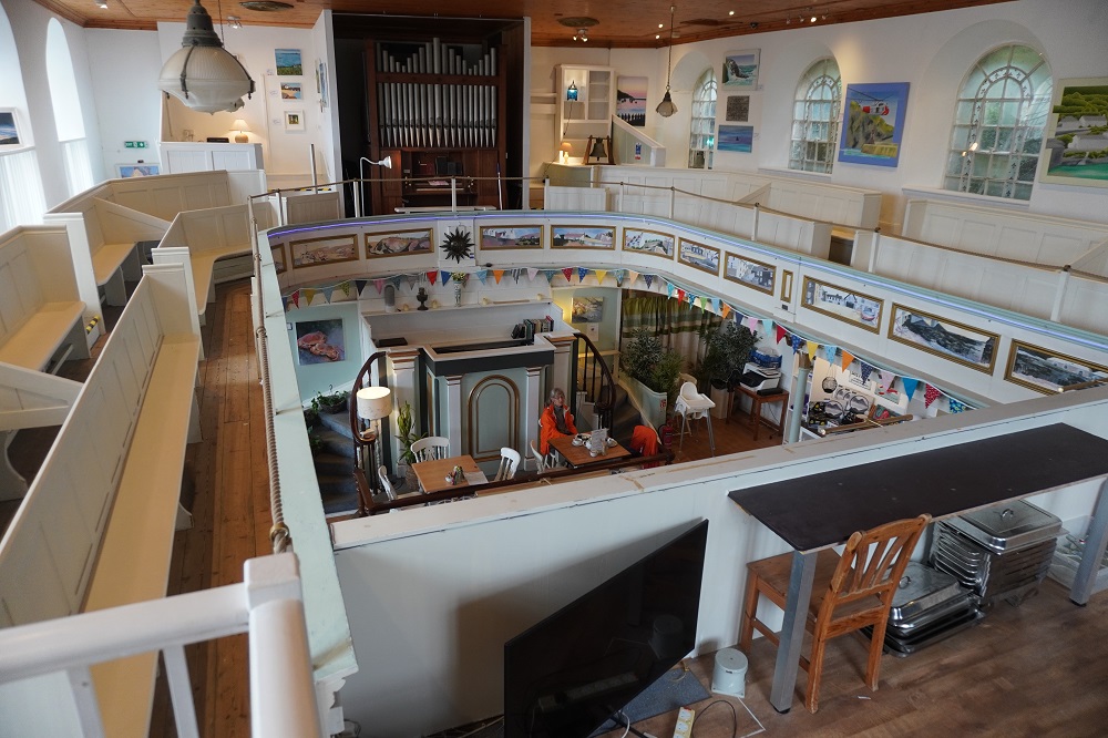
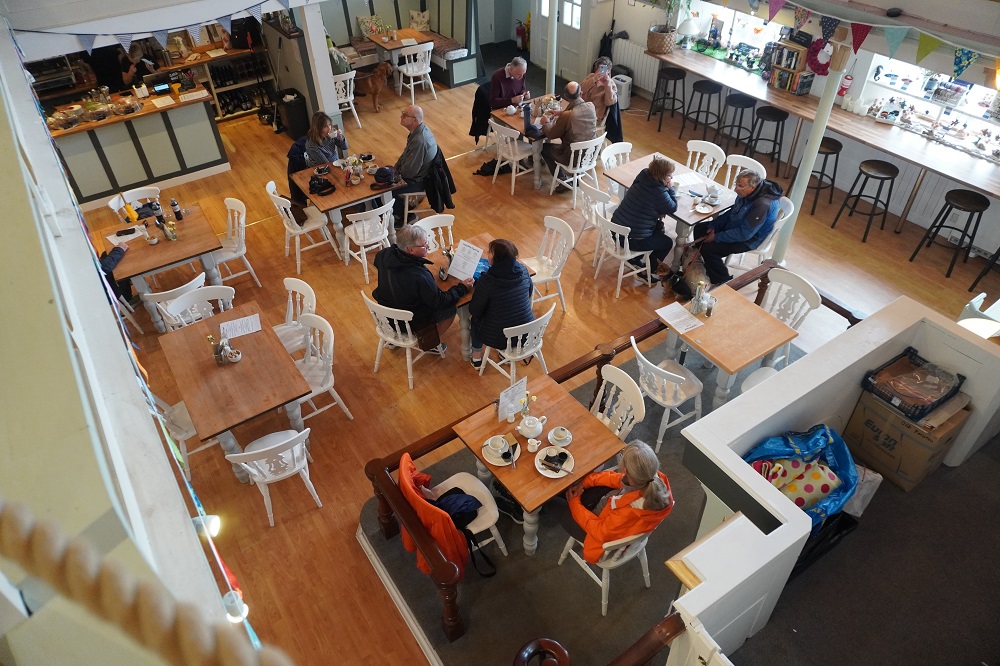
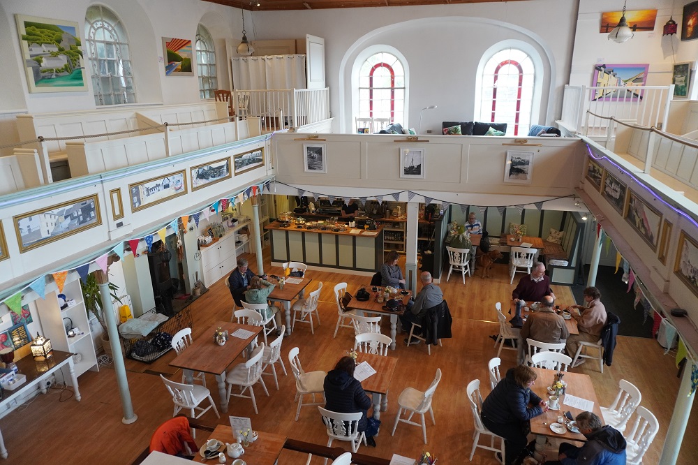
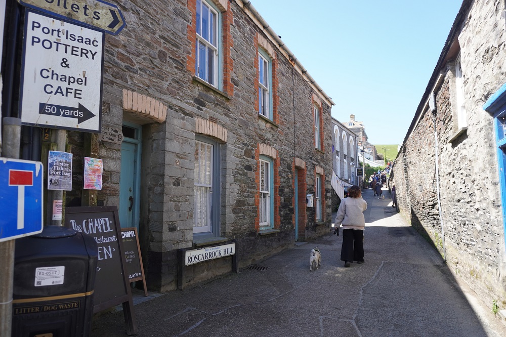
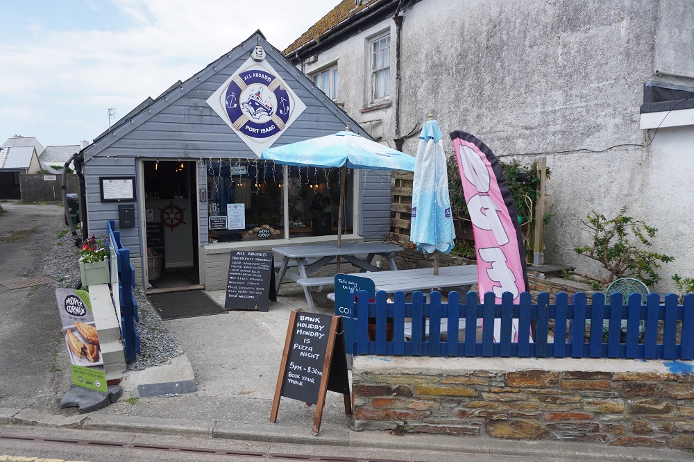
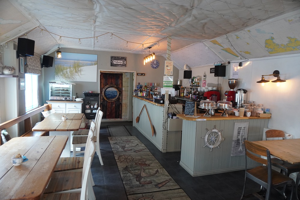
A very relaxed day. The only highlight was a Cornish cream tea at “The Chapel”, the former Rosscarrock Hill Methodist Church. A tearoom/cafe, gallery and shop all in one large space that still contains the church organ and pews on the upper floor. I’m not sure what music the Methodists would have had, but the background cafe music didn’t quite set the right atmosphere. We had tea with our cream tea, not coffee, and two scones with lashings of jam and clotted cream. It is very filling. That was my birthday treat.

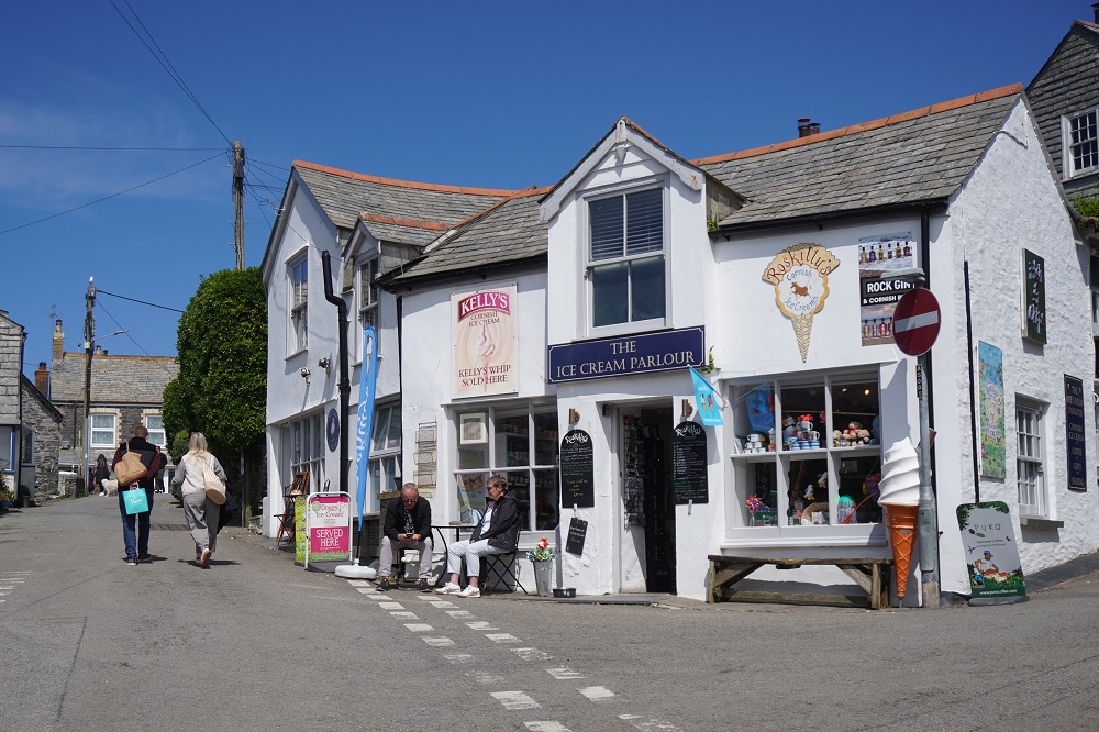
For TV drama watchers Port Isaac is the setting for Doc Martin, starring Martin Clunes and Caroline Catz. It ran for 10 series, 79 episodes, over 18 years from 2004 – 2022. Port Isaac is called Portwenn in the series with exterior scenes filmed on location here and interior scenes in a converted local barn. After initial enthusiasm a lot of locals got fed up with their village being a film location. Hoteliers, restaurateurs and shop keepers made a nice profit and trendy boutiques and smart art galleries muscled in, but the locals living here became a bit disgruntled with constant blocked roads and traffic stoppages, film crew basically taking over the town and doing whatever they wanted. Now it is busy with “TV location tourists” being led around by guides pointing out the locations of various scenes.

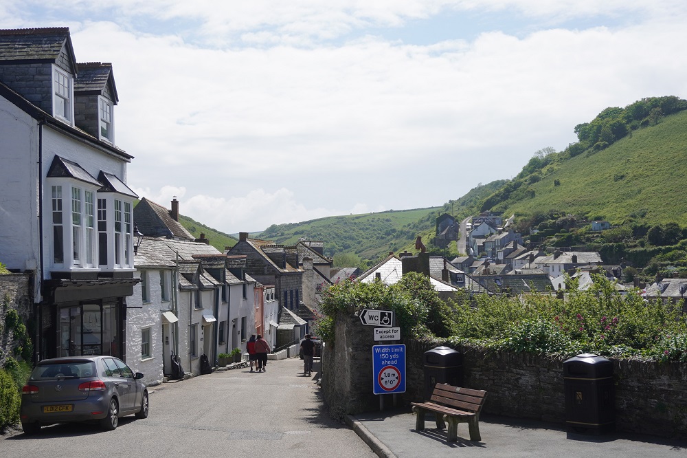
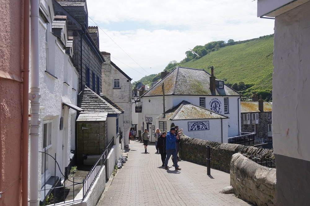
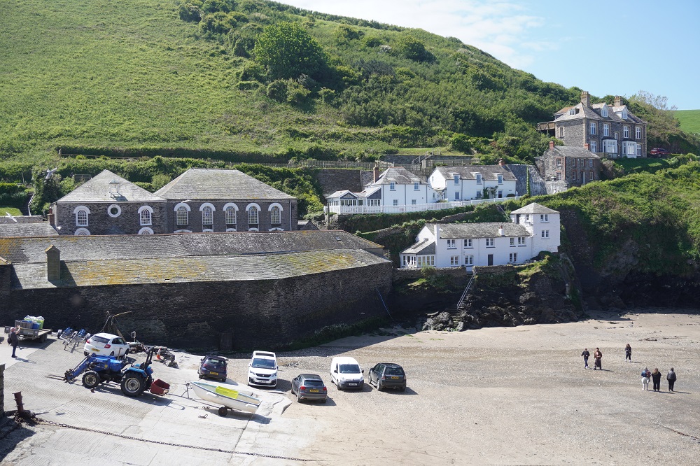
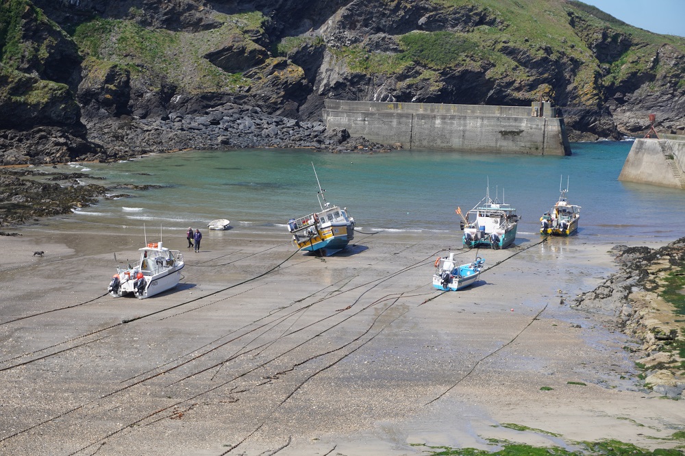
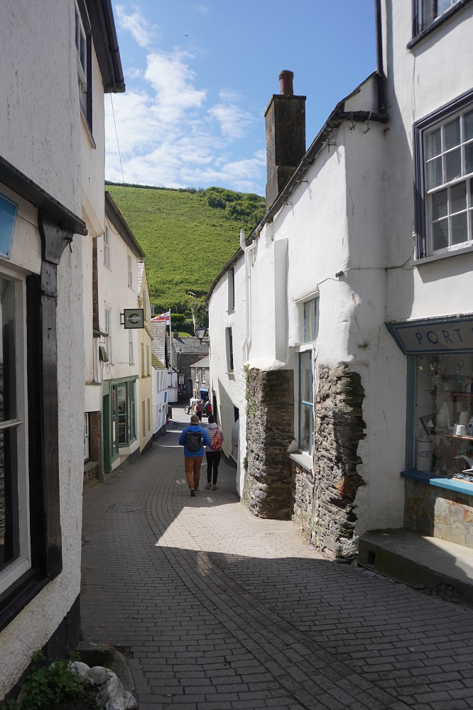
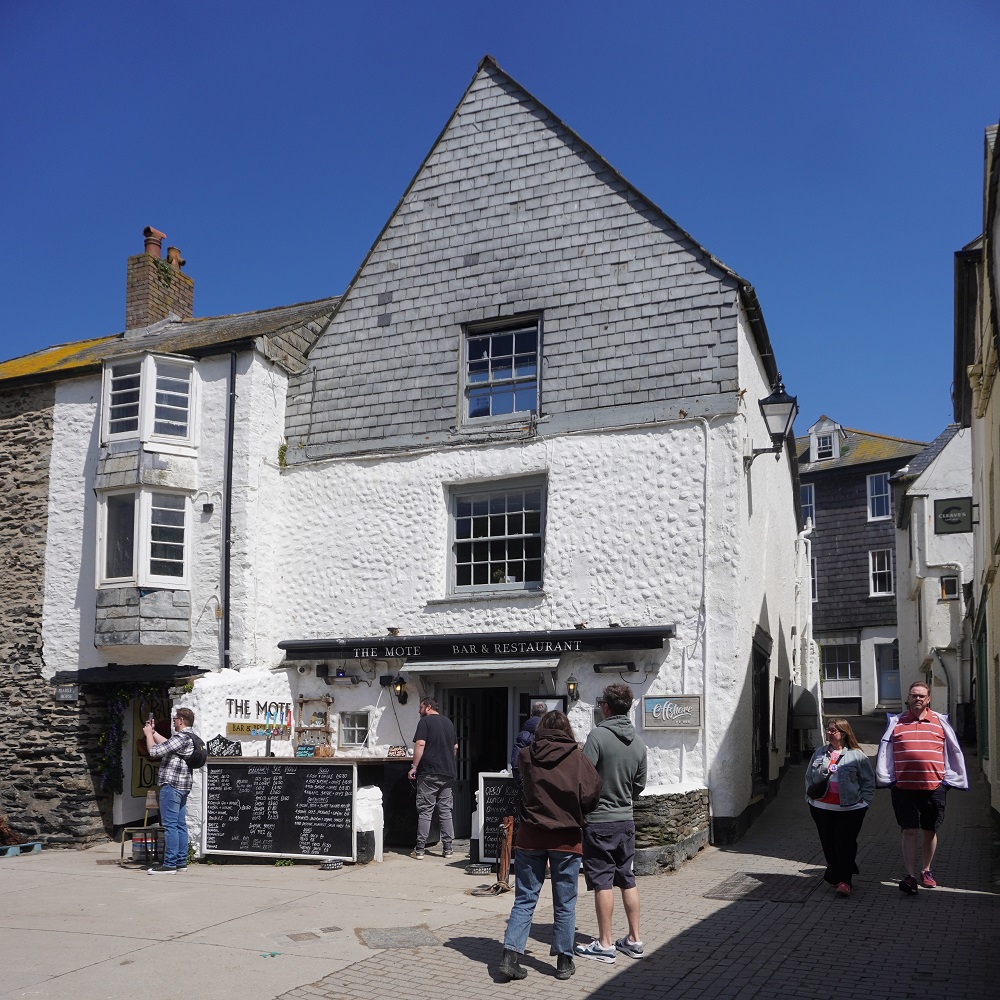
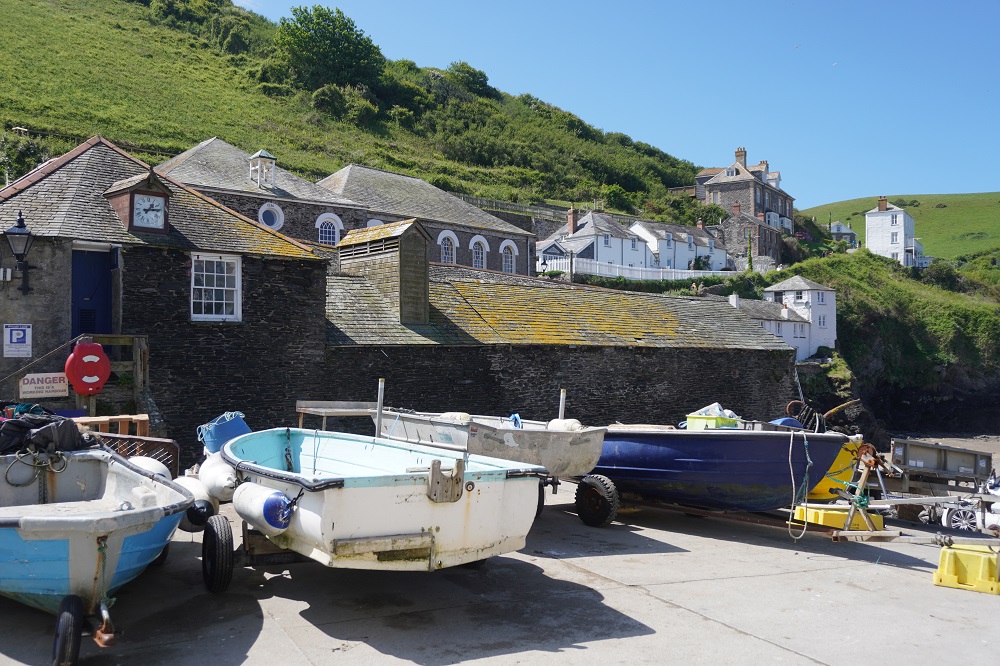
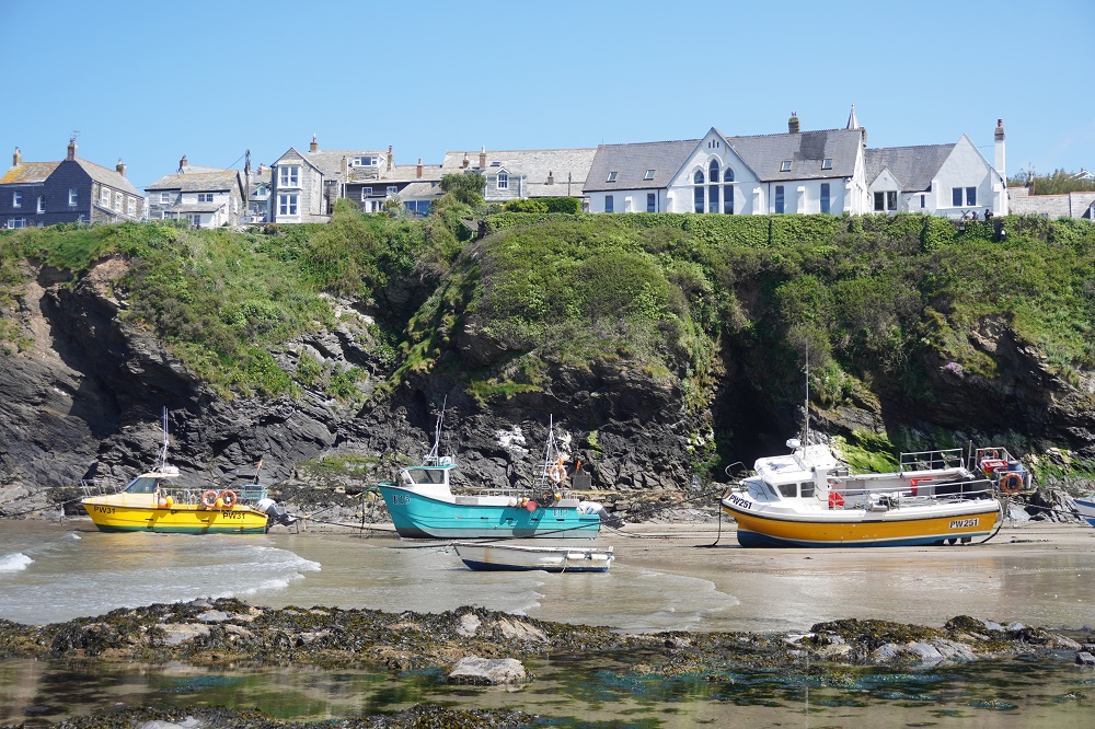
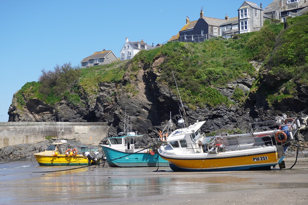
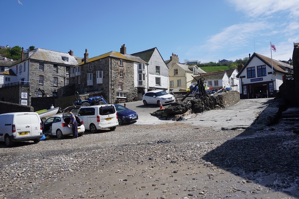
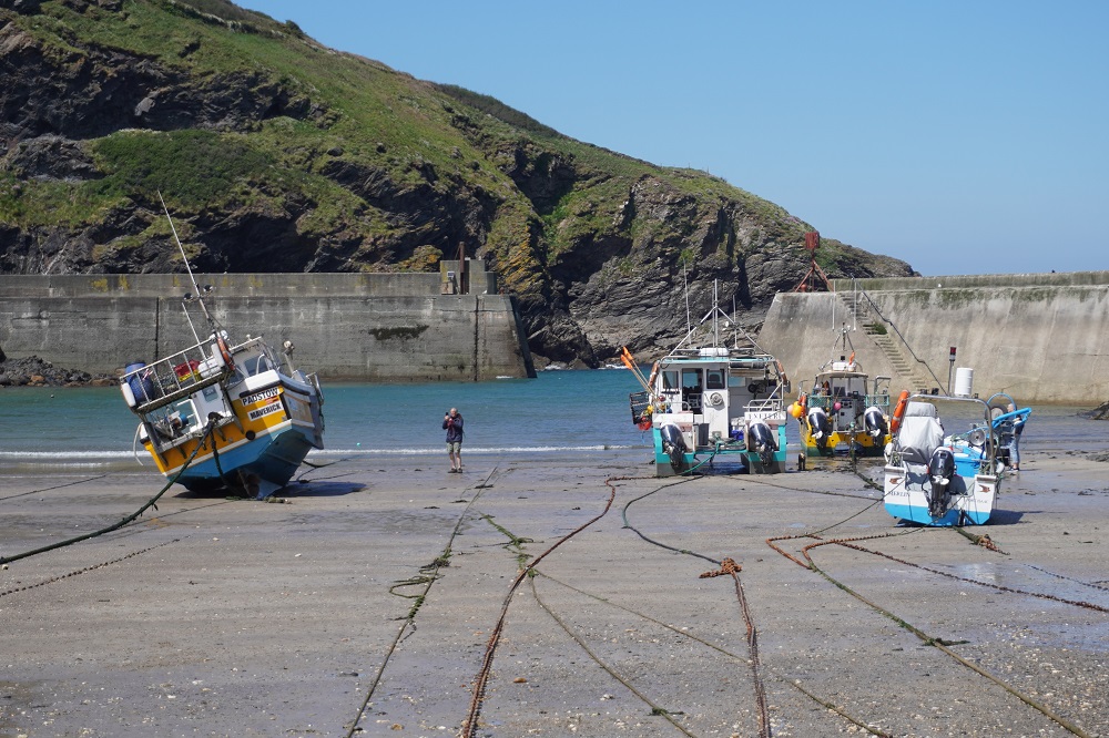
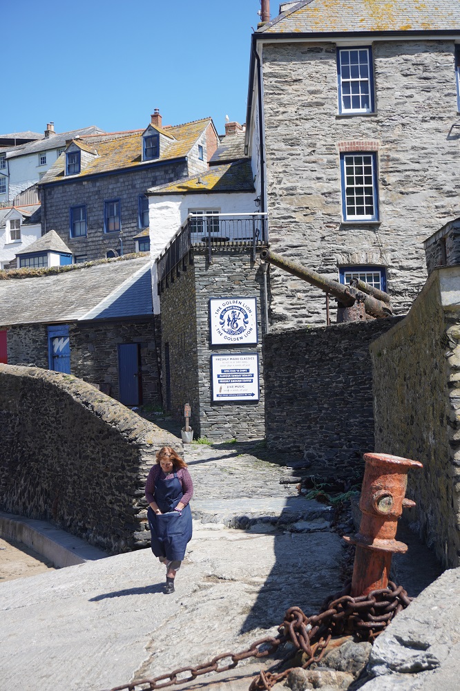
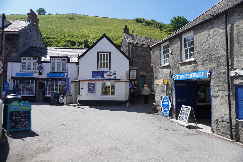
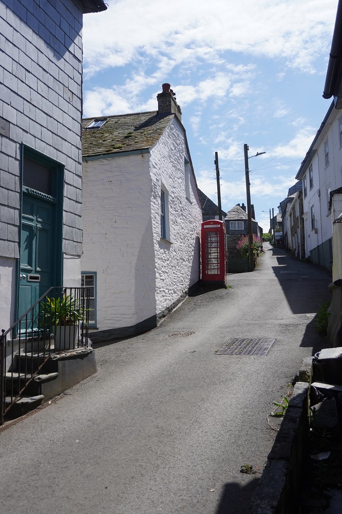
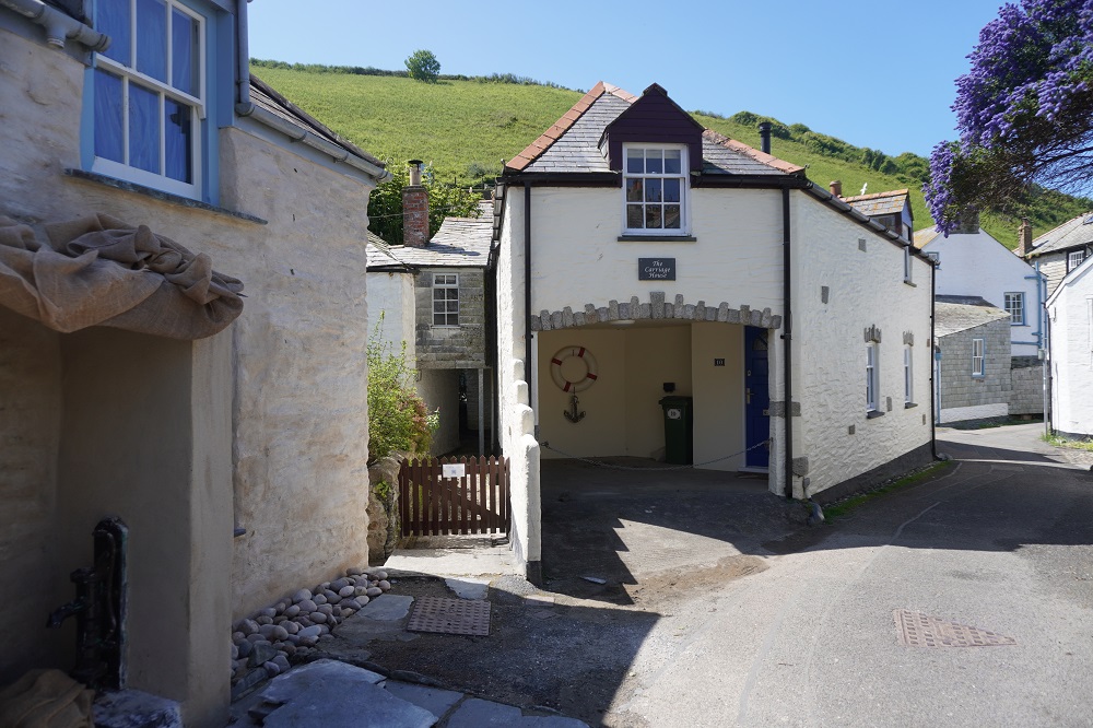
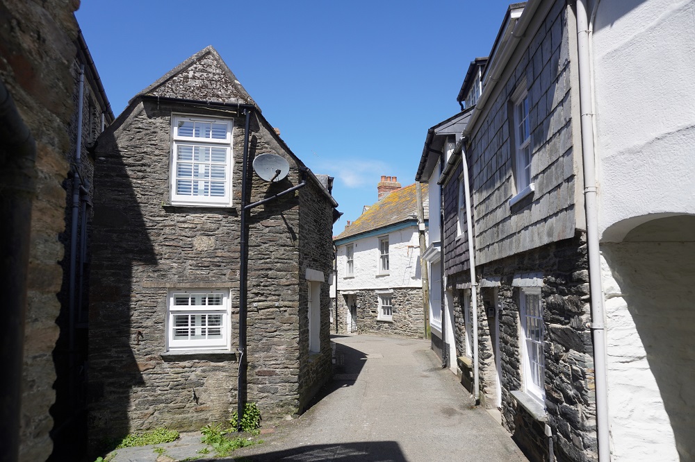
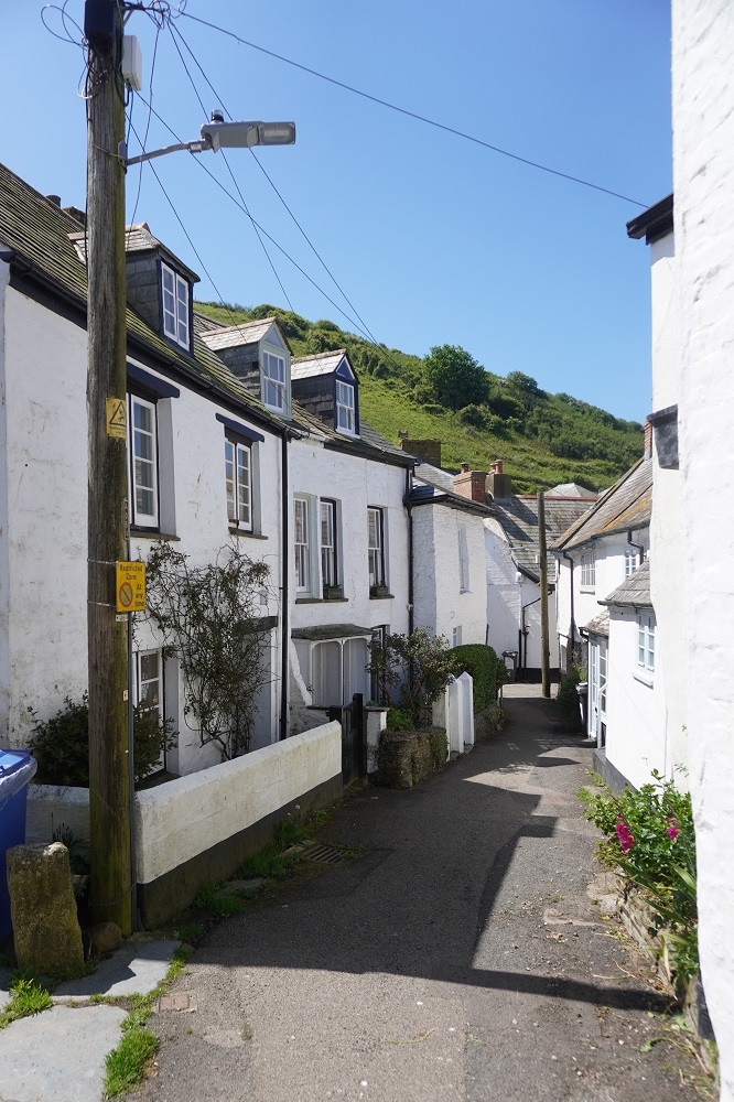
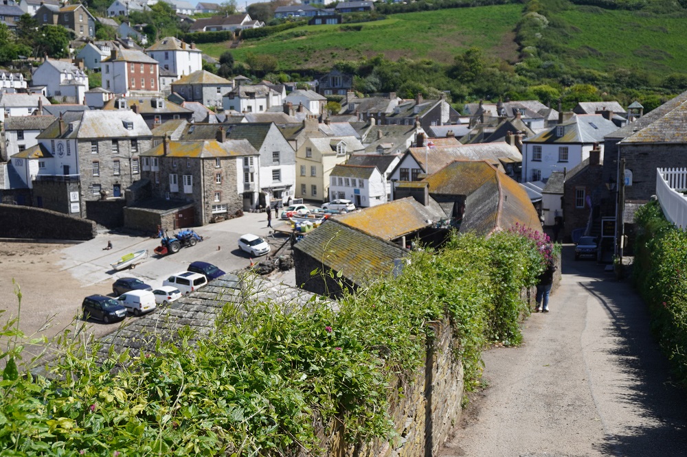
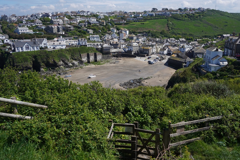
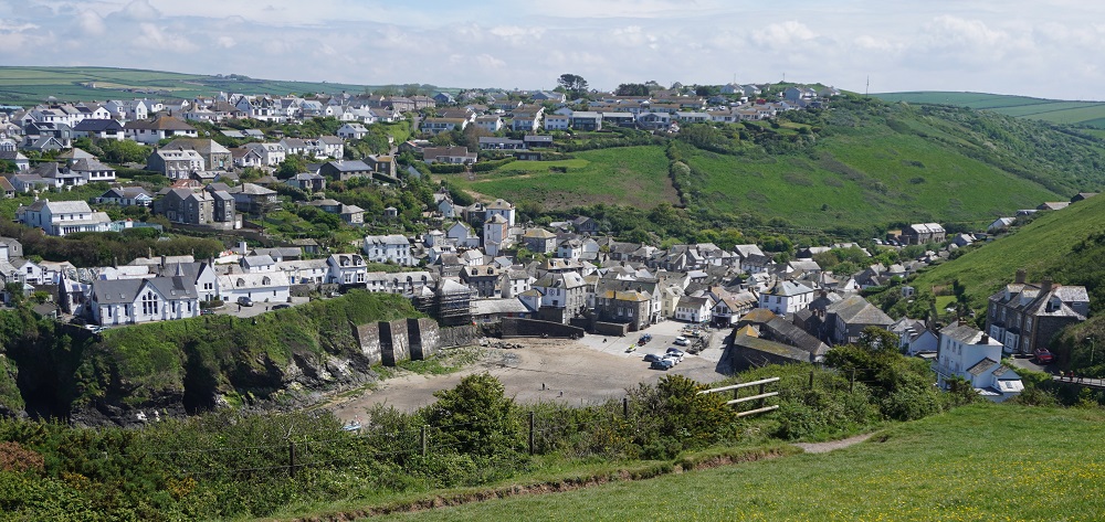
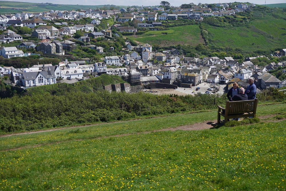
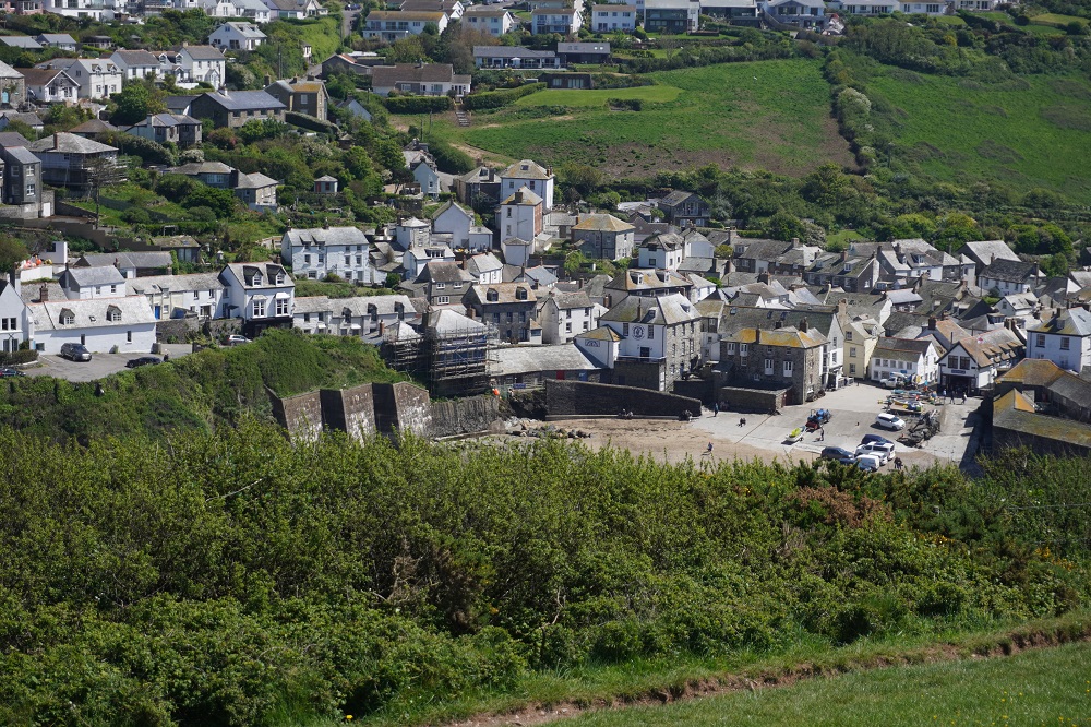
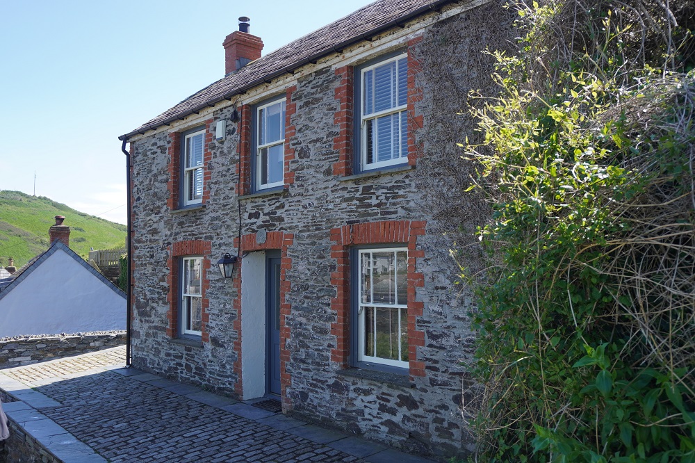
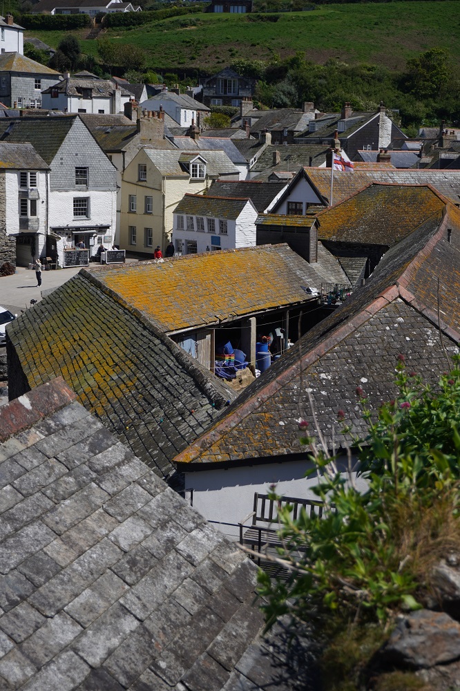
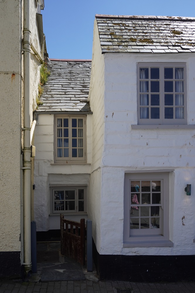
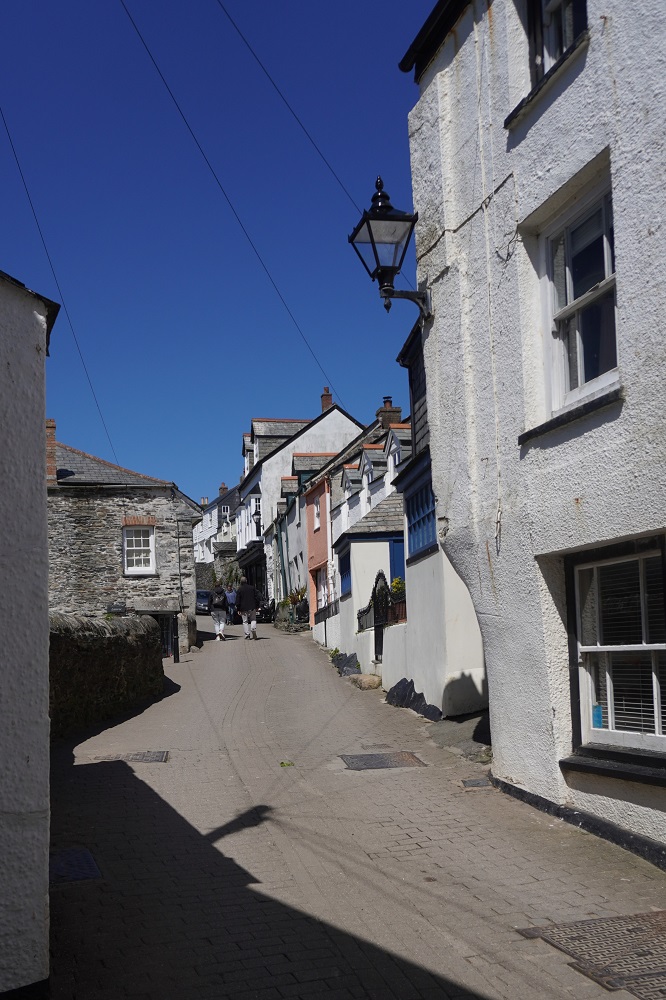
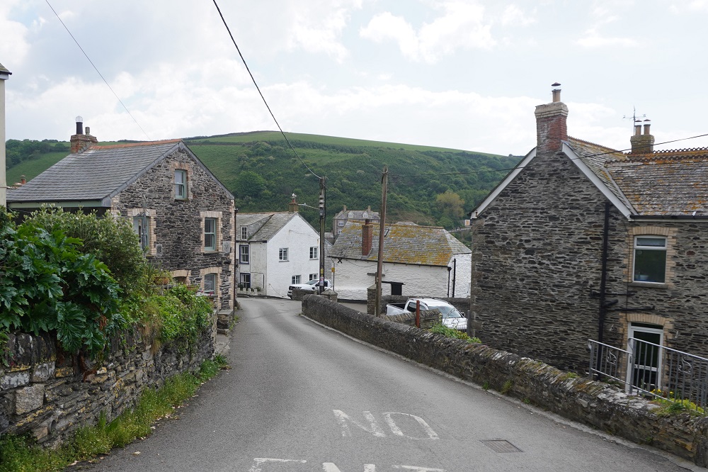
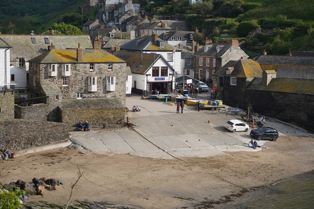
Port Isaac  was not named after anyone named Isaac, it comes from the Cornish Porthysek meaning “port abundant in corn” indicating a trade in locally grown corn. The pier was built during Henry VIII’s reign and there has been fishing here since the 14th century. Apart from corn the port also handled, coal, wood, stone, ores, limestone, salt, and pottery. It is still a working fishing port but it is now mainly a tourist destination. It has lovely white painted, slate roofed cottages and narrow winding streets. The old part of the village is quite small and compact with newer development on the surrounding hills.

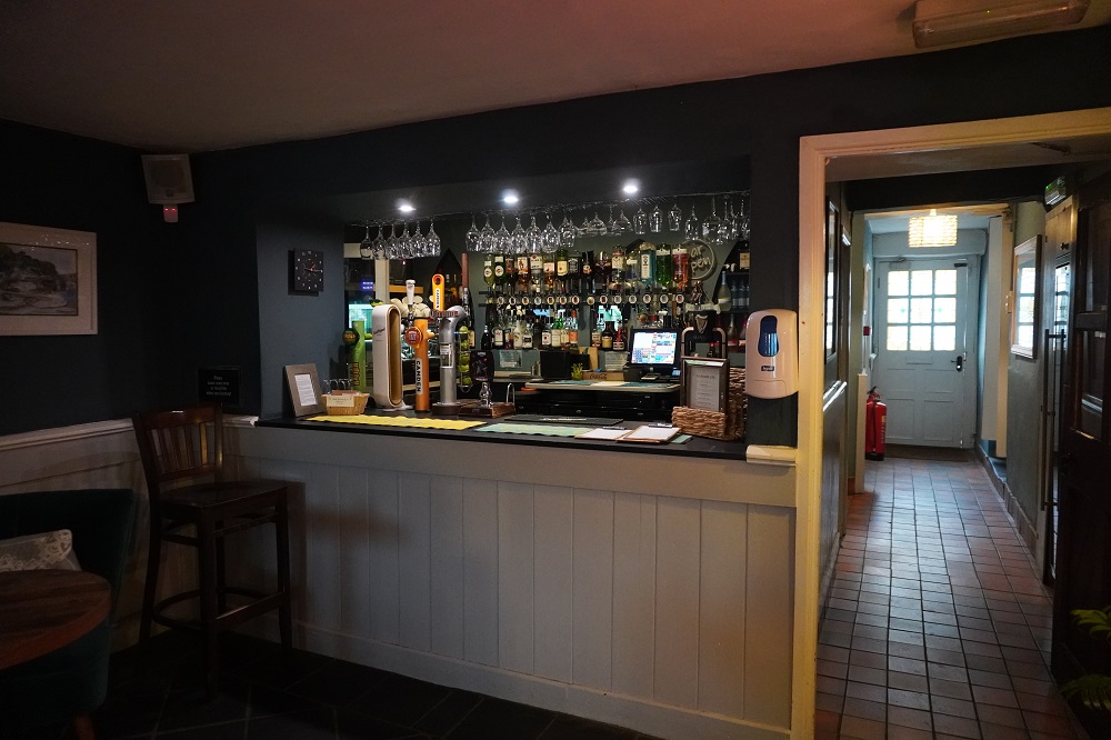
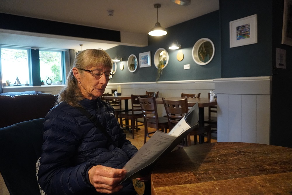
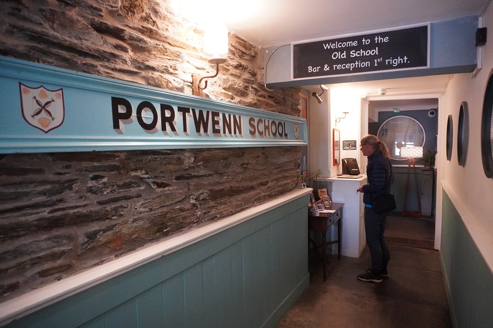
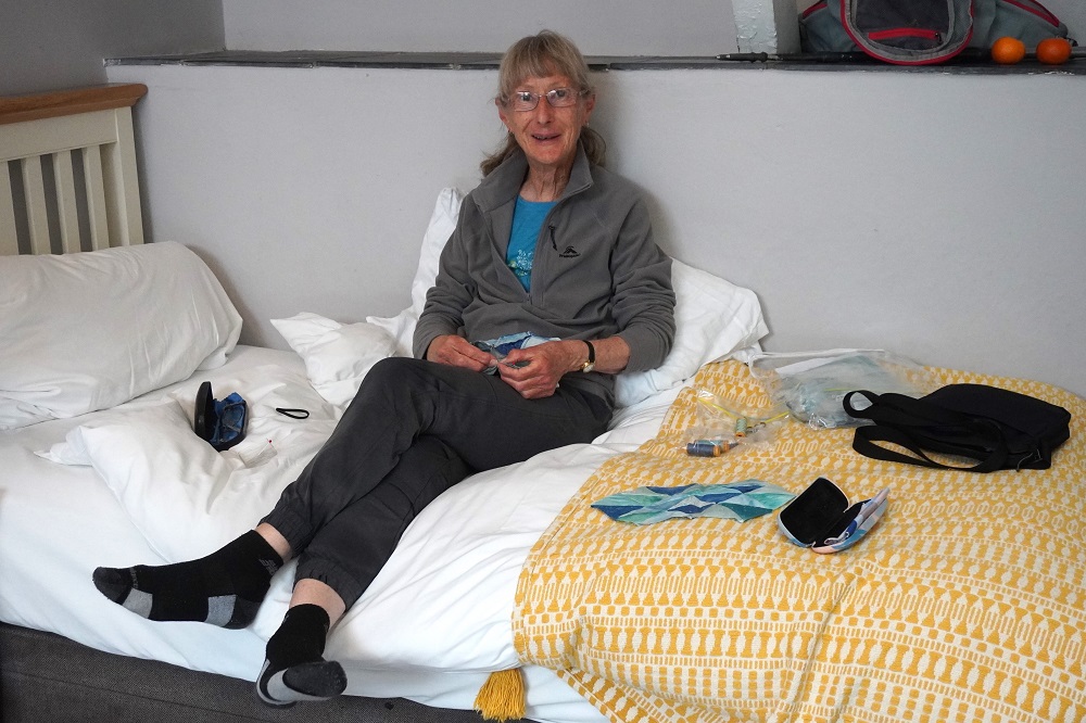
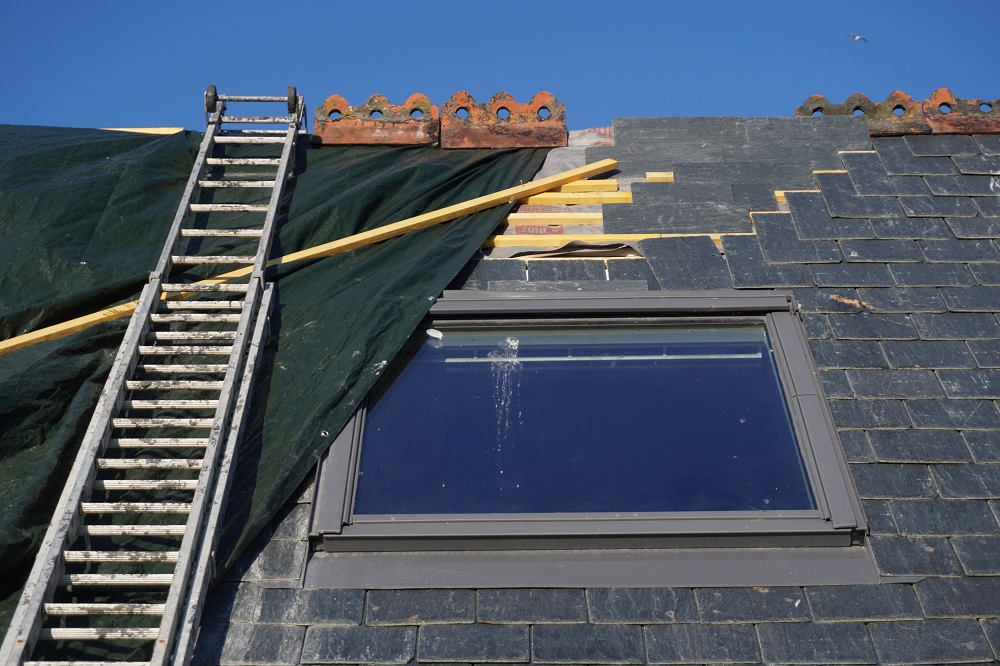
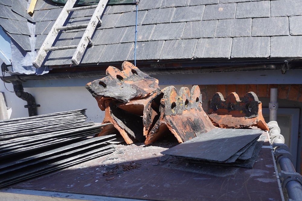
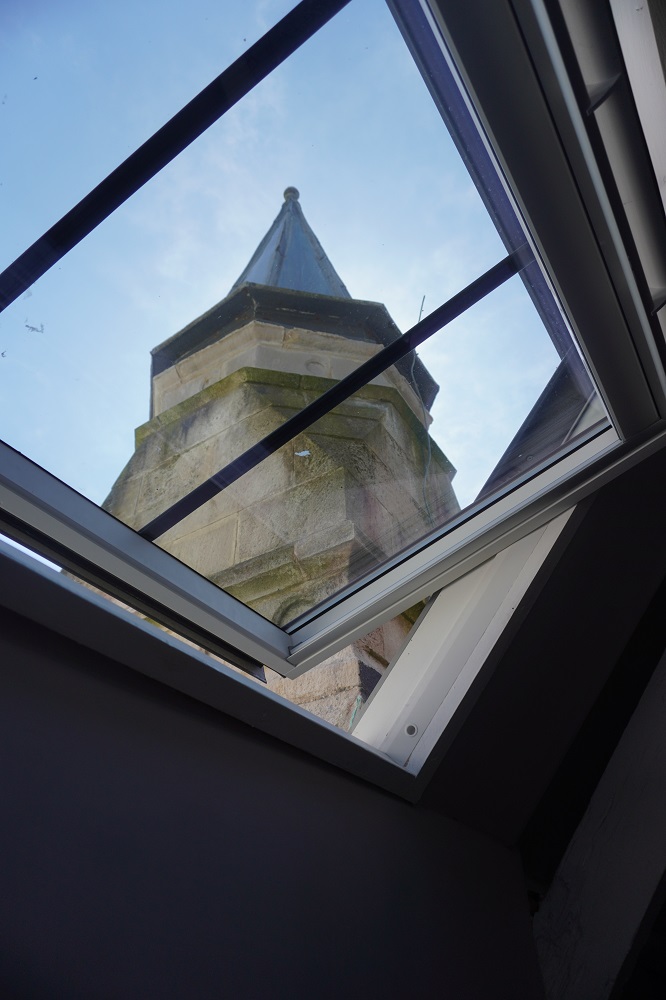
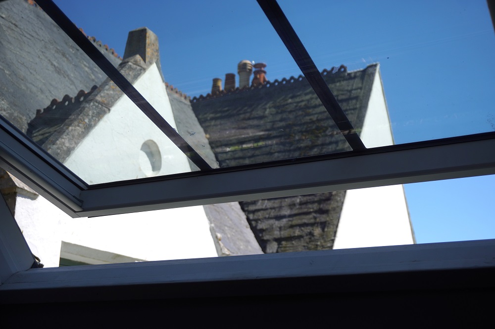
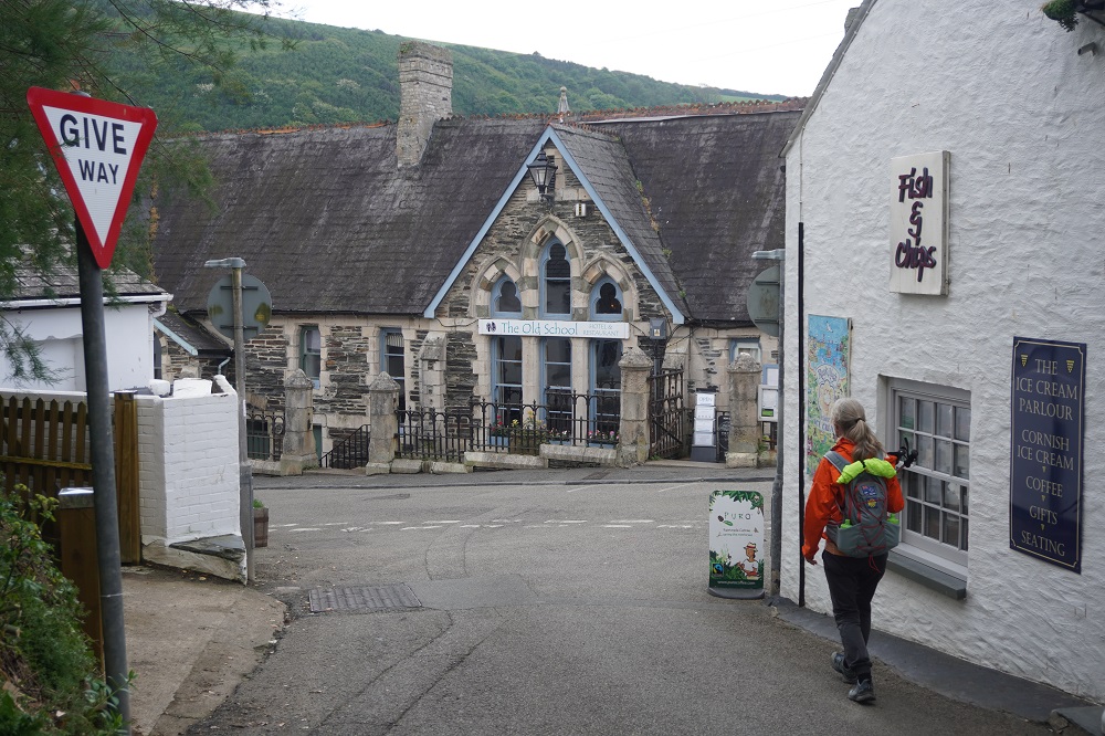
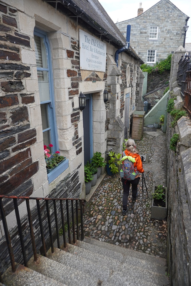
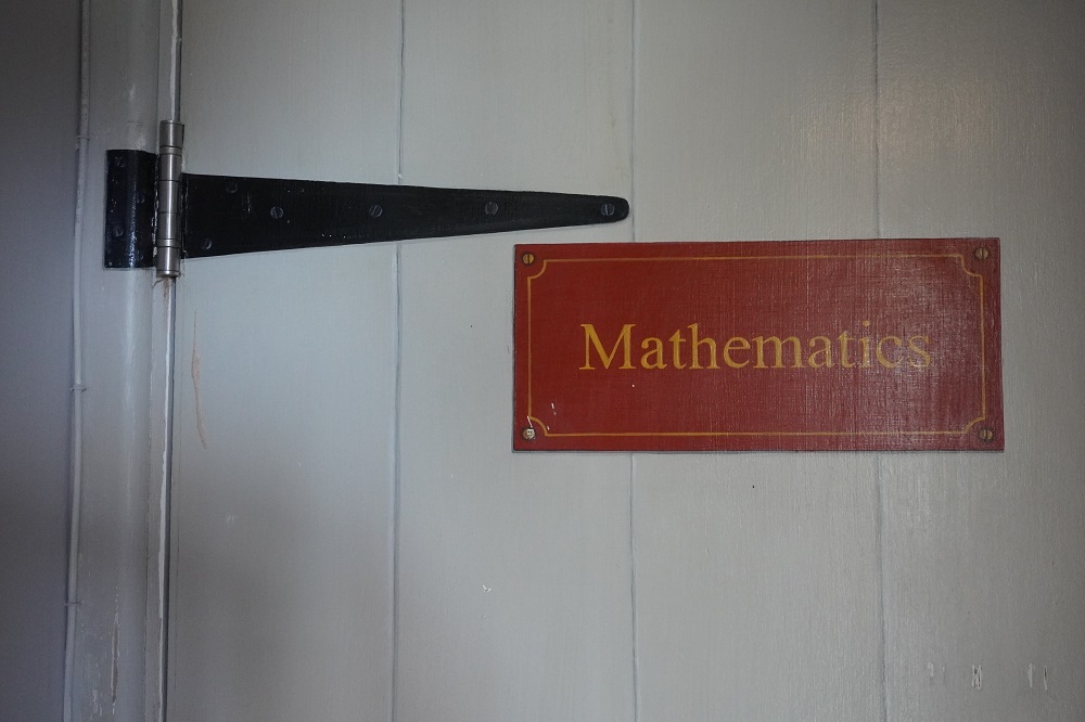
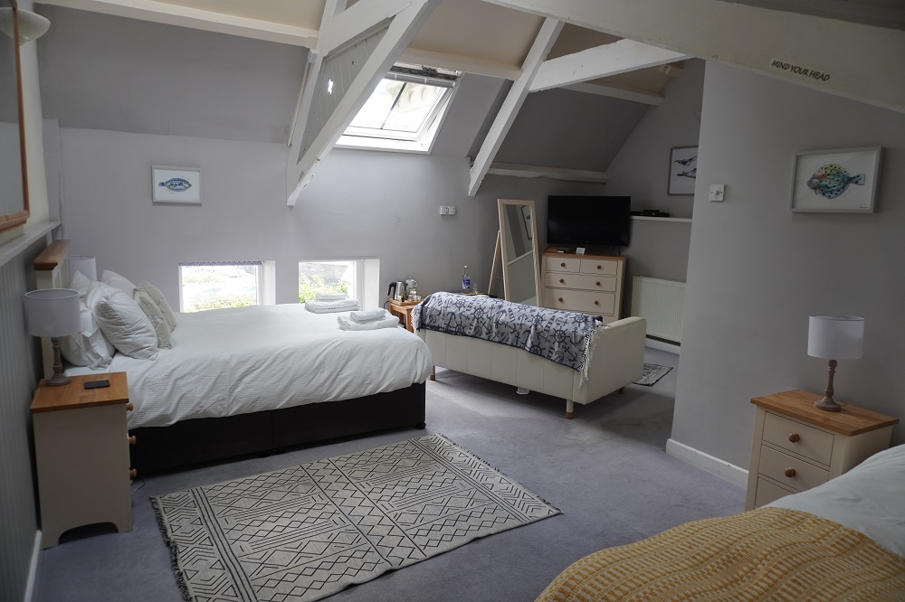
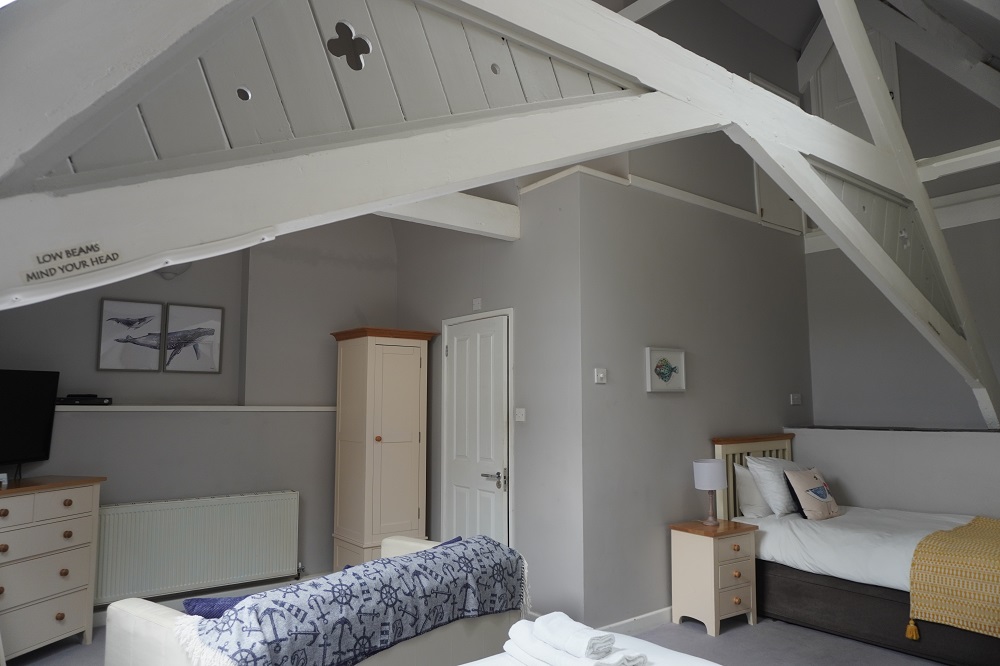
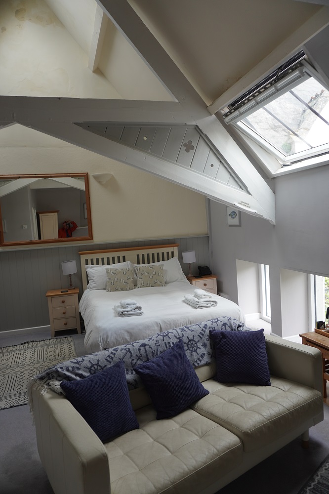
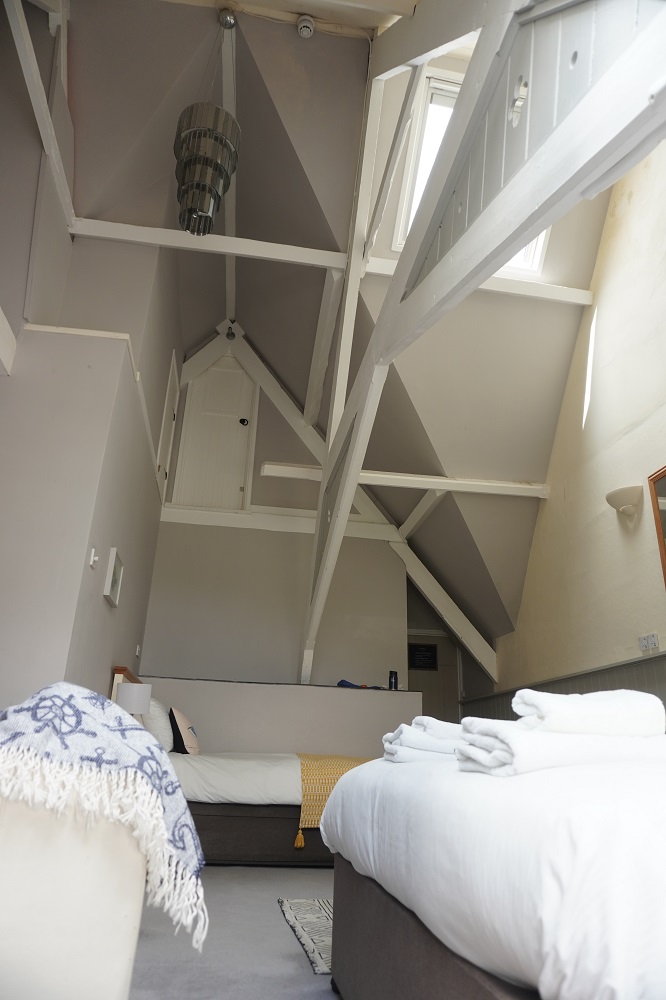
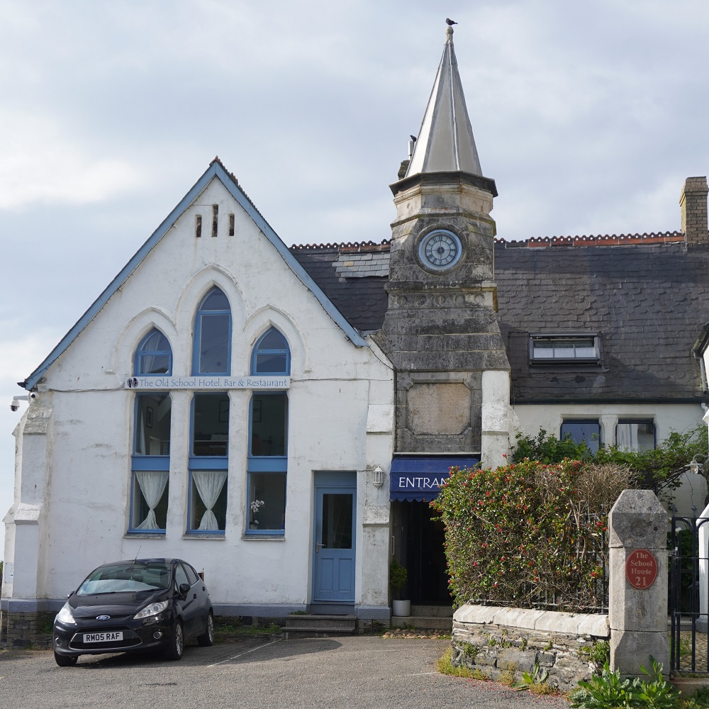
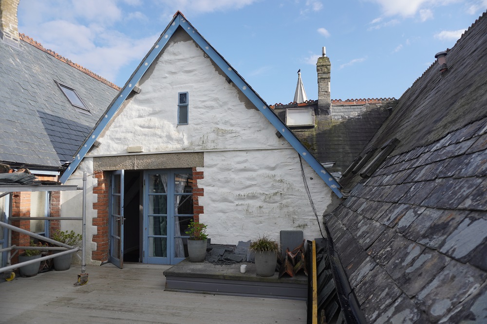
We are at The Old School Hotel which was a primary school built in 1875 and operated until 1977 with a roll of up to 238 local children. As I said yesterday our room is called Mathematics and there are also rooms called Latin, History, Geography etc. The door to the kitchen is appropriately named Domestic Science. Our room is double height and there are two large skylights, one right up at the ridge. The skylights are electrically controlled so you open and close them for ventilation, and open and close their blinds, at the push of a button. All very cool. Part of the roof is now being re-slated and it has been interesting (at least to me) to see the process of stripping off the old slate tiles and installing new. The tiles are very thin, only about 4mm. thick.

Back on the Coast Path tomorrow. One rest day is enough, we are restless (?) to be on the move again.

77 Sunset Strip

Monday 4 May 2026 – I’m 77 today

Day 14 of walking
Tintagel to Port Isaac
Distance: 17.14km
Total distance: 278.38km
Climbing: 789m
Total climb: 9,555m

“Hey, hey it’s my birthday
Happy birthday to me
Having such a good time”

Apologies to Lennon McCartney, The White Album 1968

For those who know Bingo, when the number 77 comes up the call is 77 Sunset Strip. This is in reference to a very popular American TV crime series in the late 1950s/early 1960s called 77 Sunset Strip. Sometimes at Bingo they even start singing the theme tune which is very catchy and only has 4 words followed by two clicks and lots of Ahs, Doos, Dahs. You can listen to it on Youtube. Only people older than me in their 80s will will know anything about this.

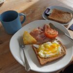
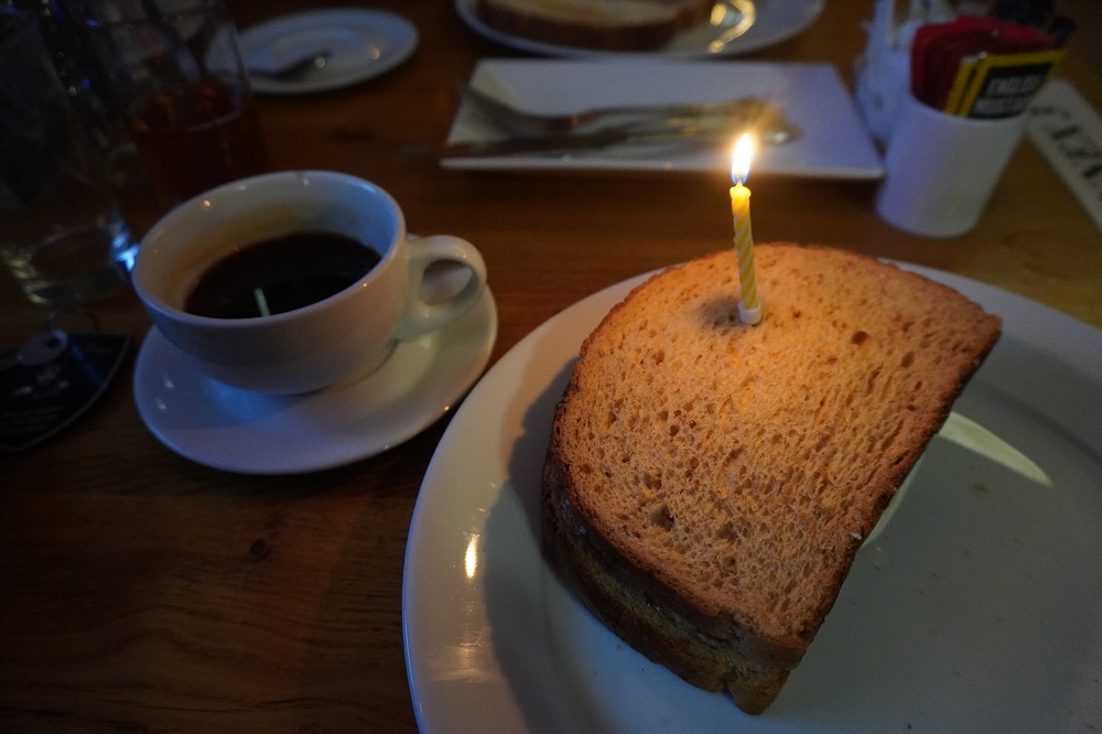
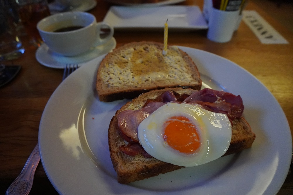
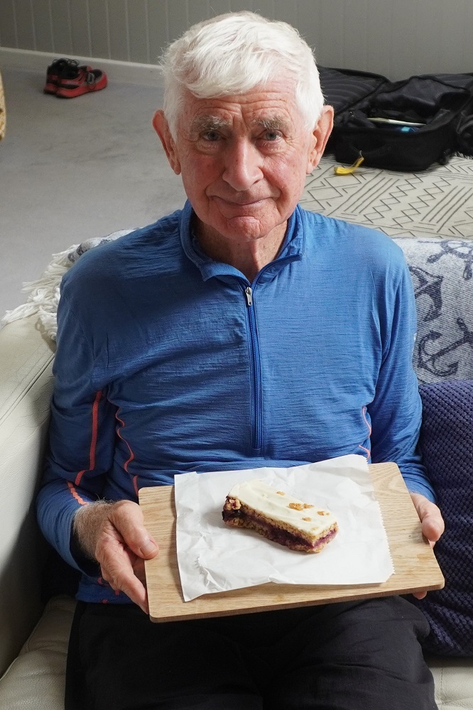
I have had a great birthday. While ordering breakfast this morning Barbara  mentioned it was my birthday and when the waiter brought out my bacon and egg bloomer it had a lit candle in it. So nice, and it meant I could make a wish.  No, they didn’t sing happy birthday! This afternoon in Port Isaac we decided to buy our first “true” Cornish pasties. In the bakery I decided to also buy some cake and when the lady heard it was for my birthday it was “on the house”. Tomorrow we will find the quaintest tea house in Port Isaac and have a Cornish Cream Tea to celebrate my birthday

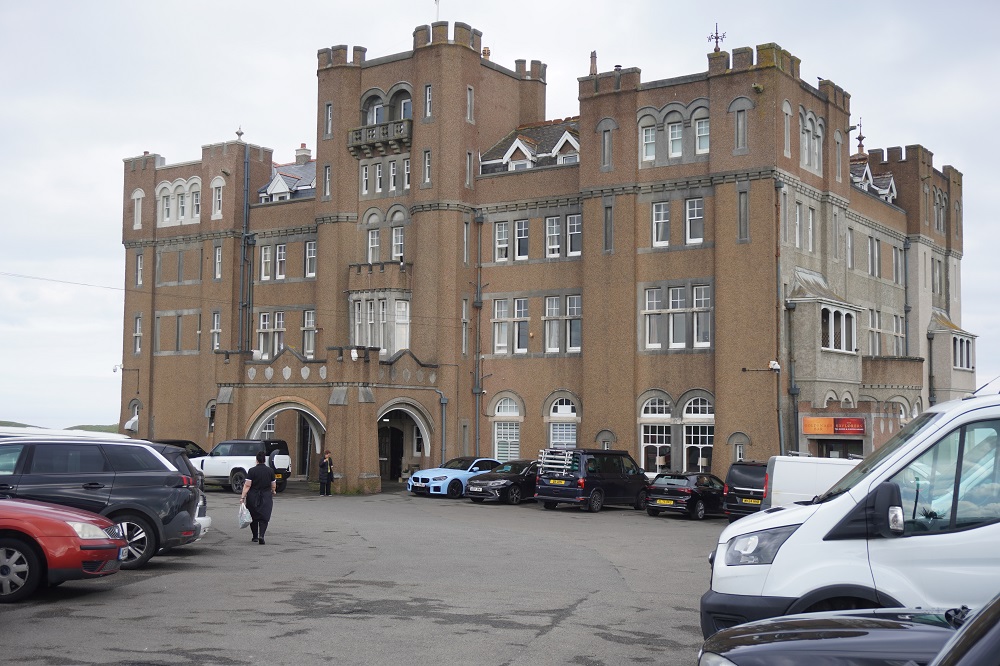
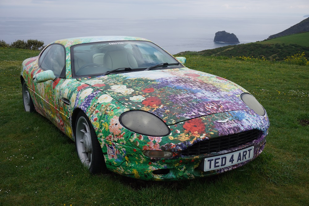
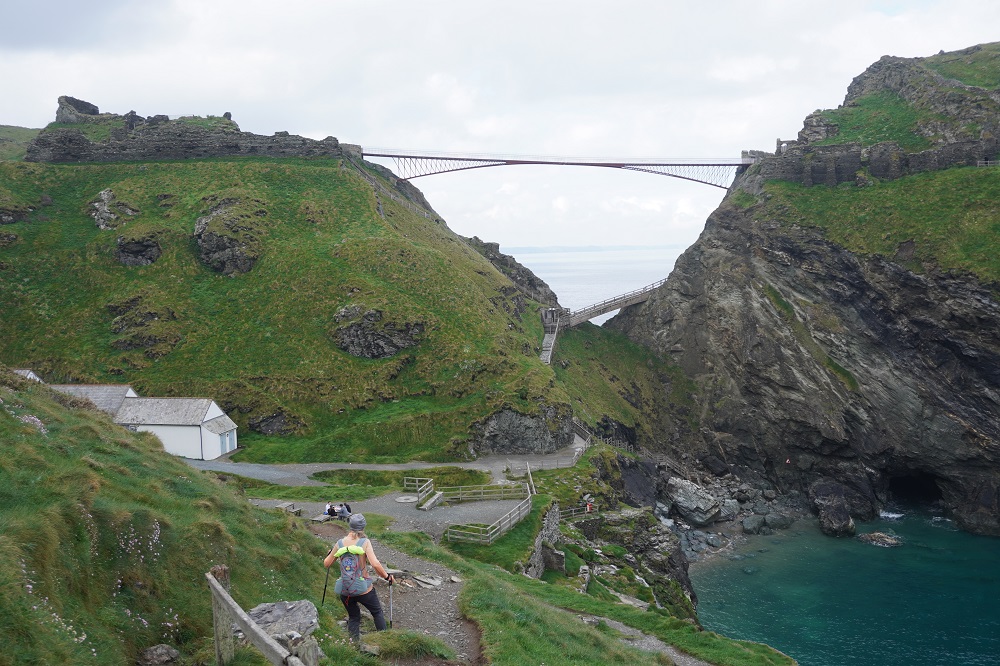
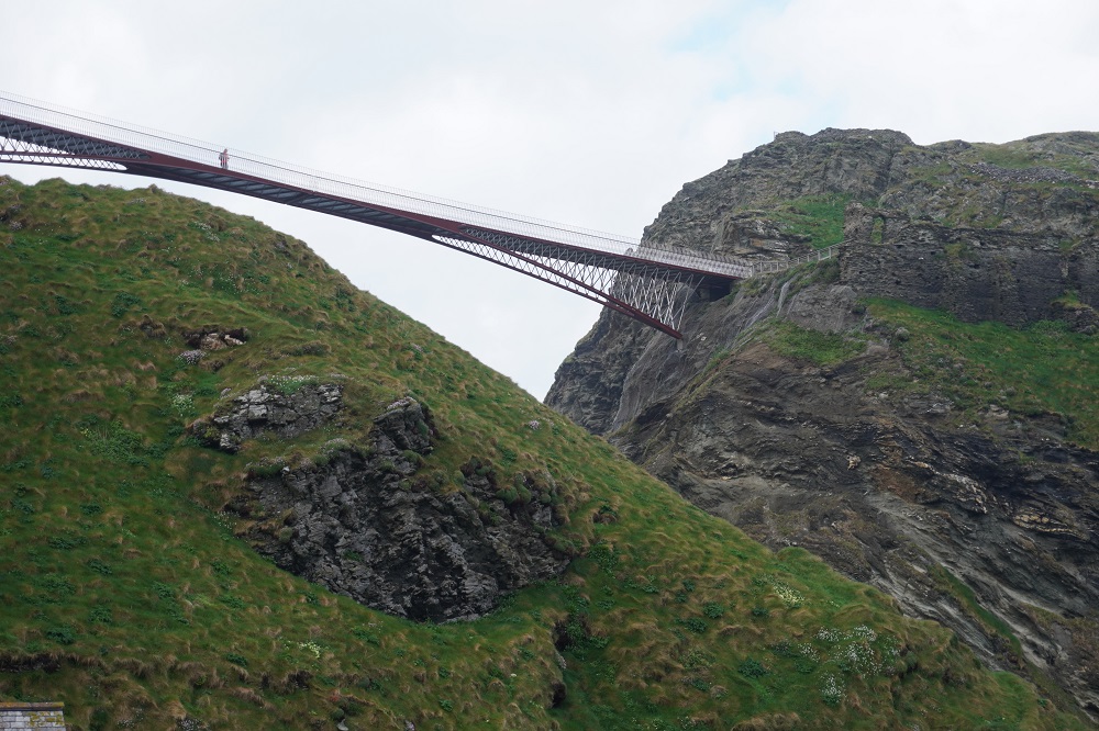
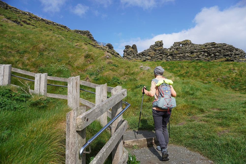
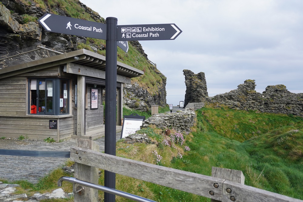
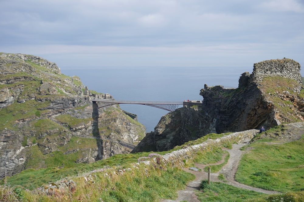
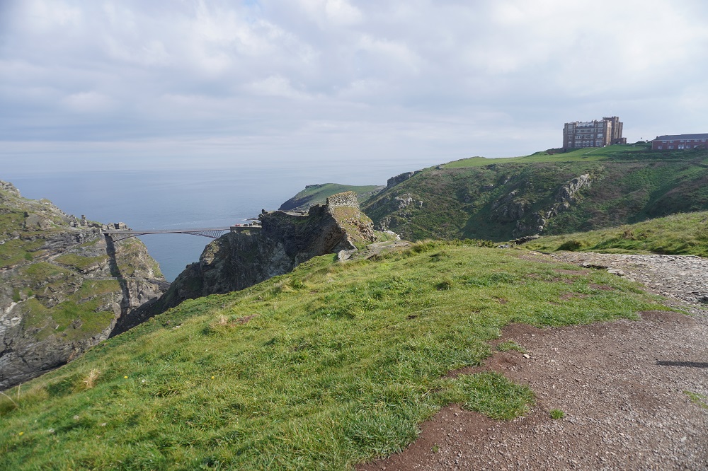
We back tracked a bit this morning to get back on the Coast Path and walked around the Camelot Castle Hotel, a huge Victorian structure on top of a headland. It has a focus on art and holds  art exhibitions in the hotel. On the lawn outside the hotel is an art installation of an Aston Martin car by Ted Stoughton, a blend of artistic imagination and engineering excellence. From the hotel you climb past the entrance to Tintagel Castle on Tintagel Head. Since we were here in 2018 an elegant high level bridge has been constructed linking the mainland with the Head. Previously there were steep steps down to near the water, a little bridge, and a steep climb back up. Now it is a level walk across, but only if you have a head for heights. An adult entry to the castle is £22 about NZ$55 each which we didn’t bother to do as there is very little of the castle remaining to see. It does have a cool sculpture, lots of interpretive material and fabulous views up and down the coast.

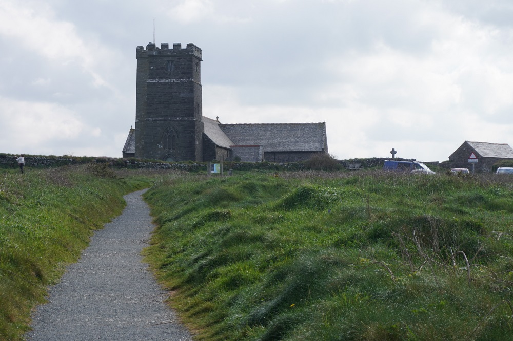
Just past the Castle is the lovely medieval (11th or 12th century) St Materiana’s Church. It has a high tower and is perched on a high dramatic cliff top. It was to be our reference point all day and even from the headland approaching Port Isaac it was visible about 17km away.

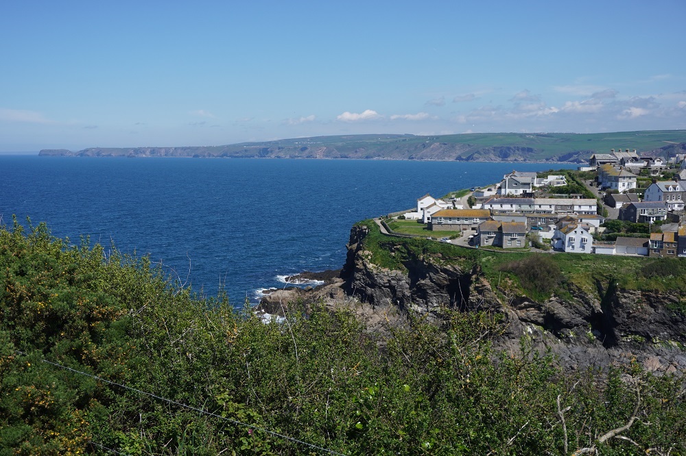
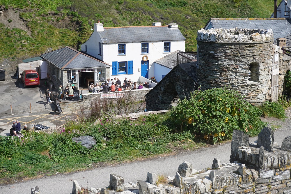
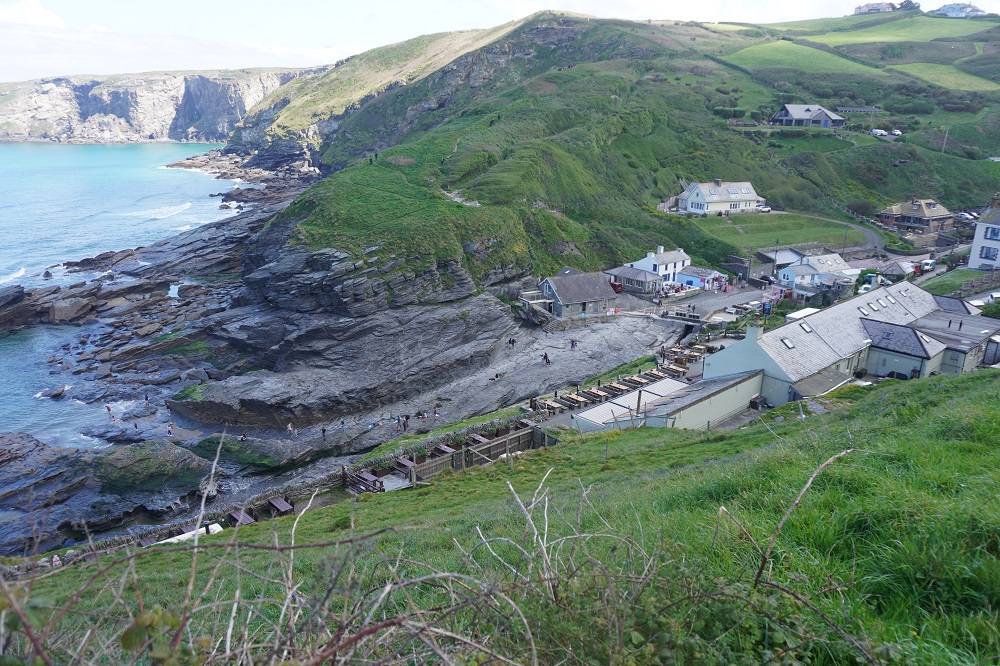
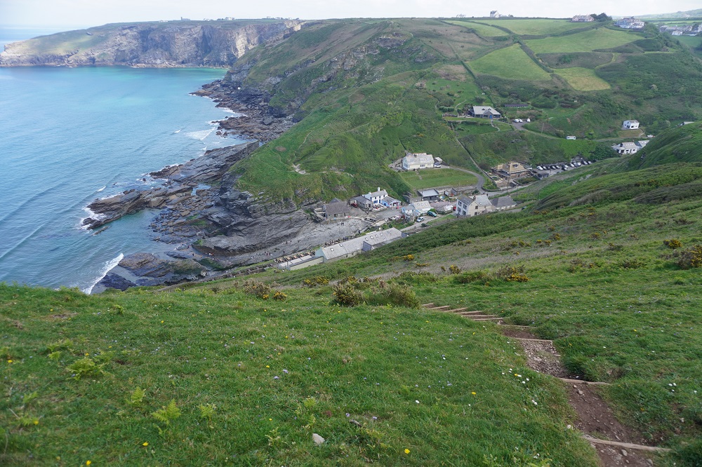
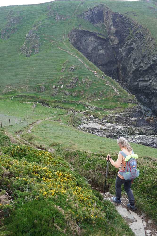
Another tough day of high cliffs cut by precipitously steep valleys. It was an empty, remote, arduous and dramatic coastline. At about the halfway point, squeezed into a steep valley was the hamlet of Trebarwith Strand, a tiny little settlement with a sandy little beach, The Port William Inn, a shop, cafe and most important of all, public toilets. Being a Bank Holiday Weekend Monday it was busy and there were a few hardy souls in swimming.

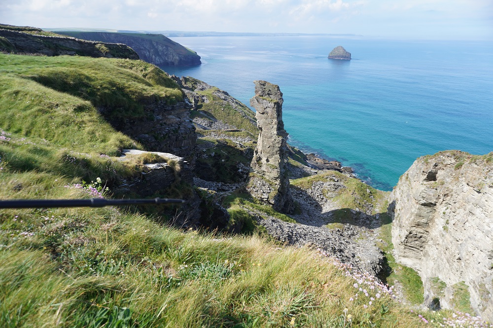
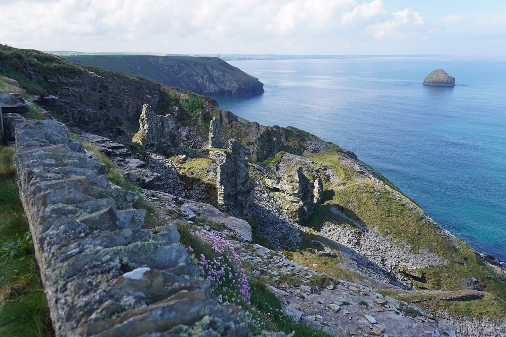
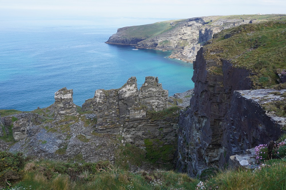
We passed through an area of once thriving slate quarries on the cliffs. This area was worked for slate for over 300 years. There were isolated pinnacles left in the quaries. One theory is that these were the fixing points for cables lowering the slate to ships below. The other theory is that they are inferior slate not worth the effort to extract.

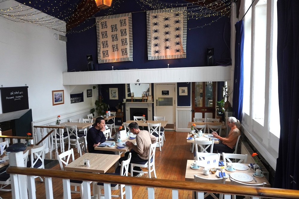
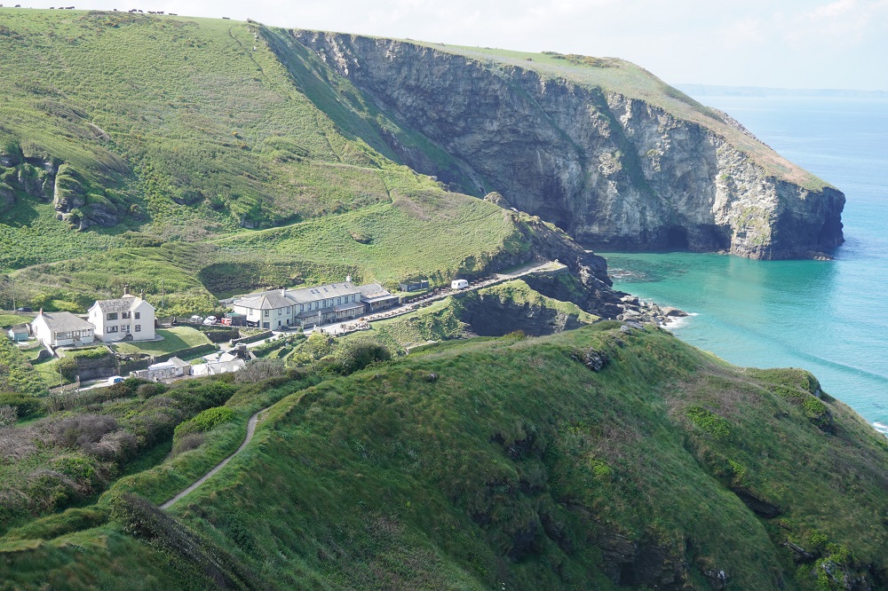
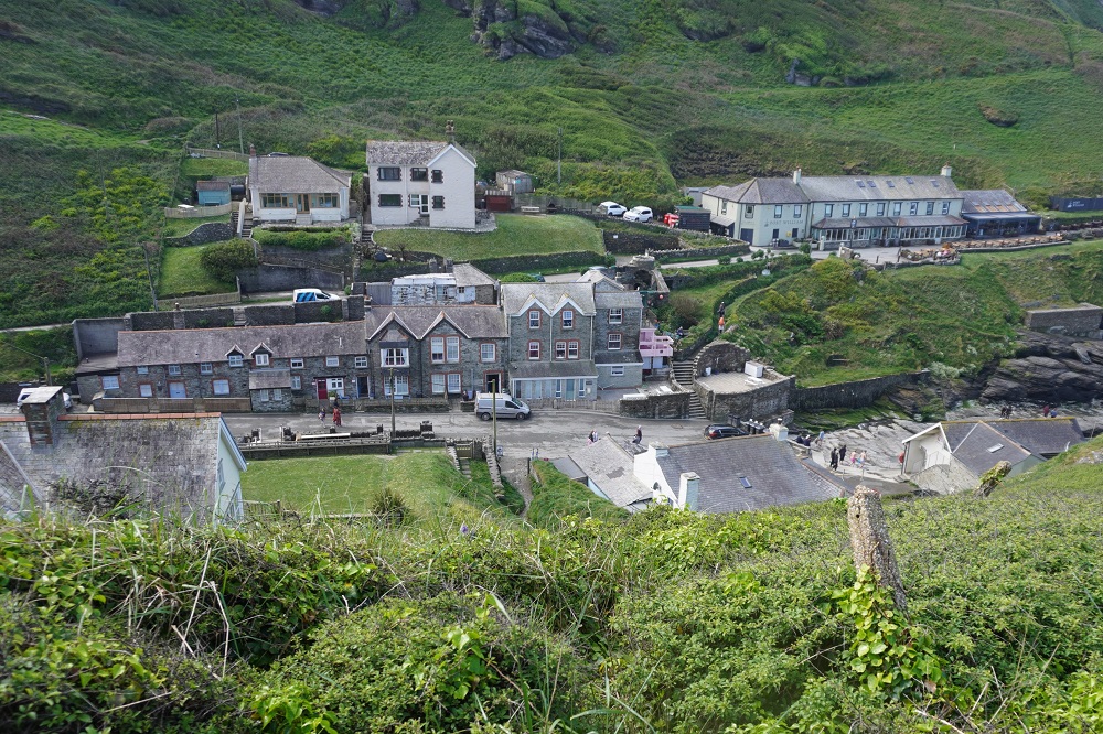
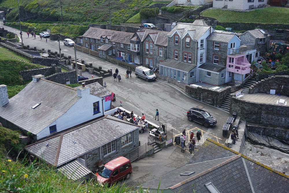
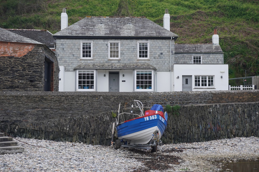
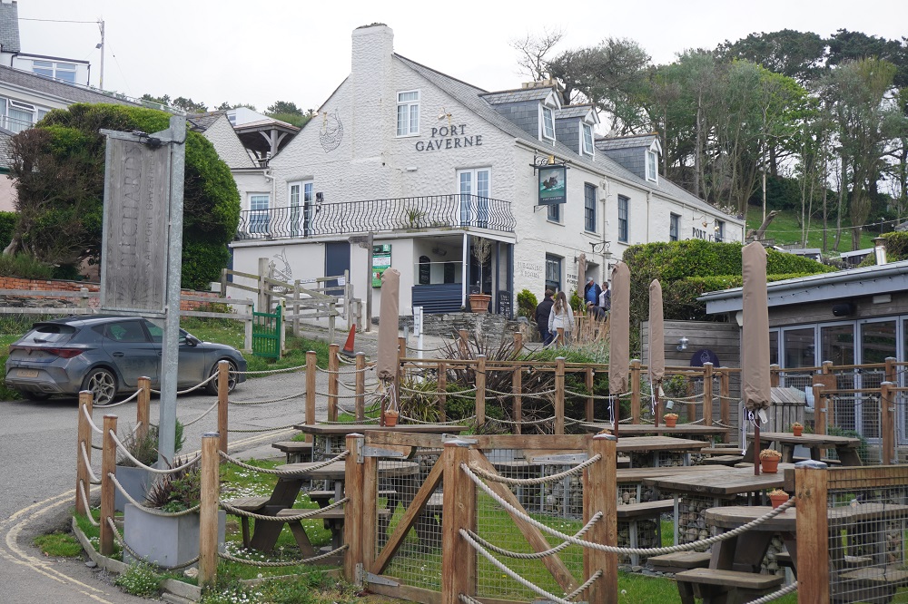
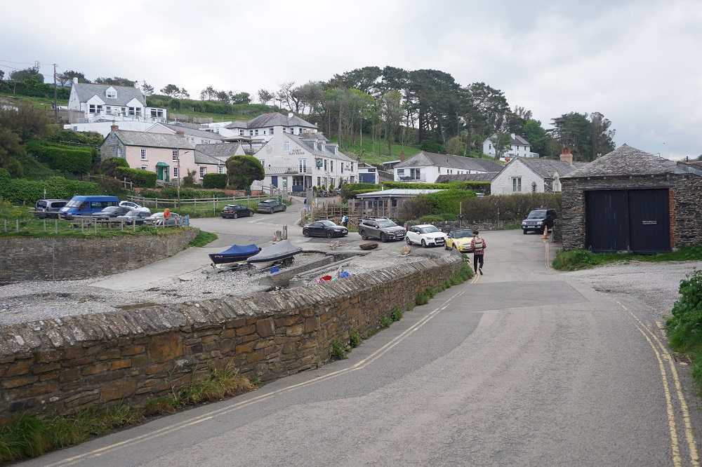
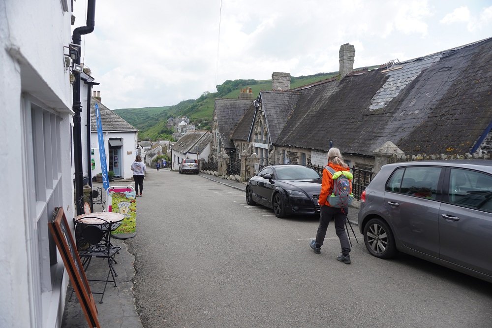
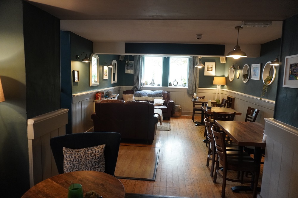
Just before reaching Port Isaac we passed through Port Gaverne which has a very nice hotel (we stayed there in 2018), a slipway and a few cottages. It is only 1km further on to Port Isaac where we are staying for two nights. Our accommodation is The Old School Hotel a gorgeous 1875 building formerly a school with a restaurant, very nicely fitted out rooms and a view down to the the harbour. We are up in the roof space again. You have to exit the main building, climb some outside stairs, cross over a flat section of roof, re-enter the roof space where we are among some very interesting old timber trusses. It is a very generous room and currently holds the record for the biggest room we have slept in. The rooms all have school subject names. Ours is Mathematics, and next door is Music.

Tomorrow is a rest day here in Port Isaac, and we need it. The last week has seen the steepest sections of the entire Coast Path. We have now walked the equivalent of our Vivian St apartment to about 10kms short of Waiouru.