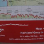
Morwenstow to Bude, 11.5km, 223 metres of climbing 312 metres of descending
‘Long is a mile to he who is tired’. Buddha
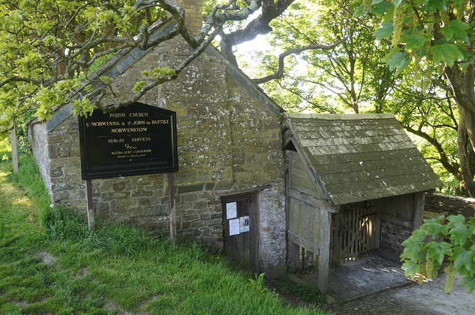
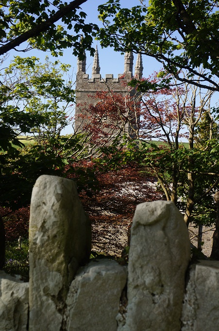
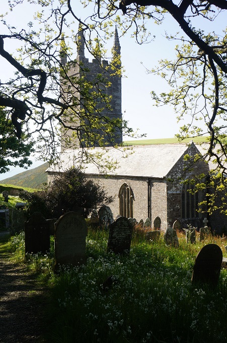
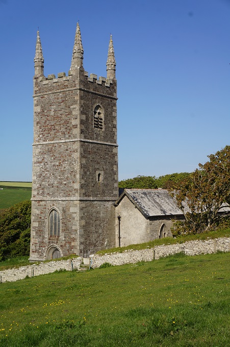
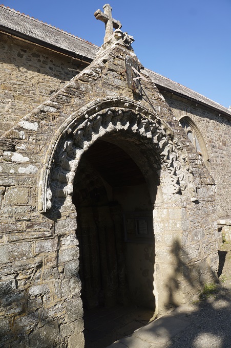
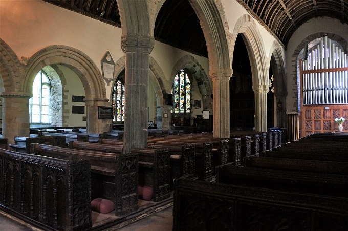
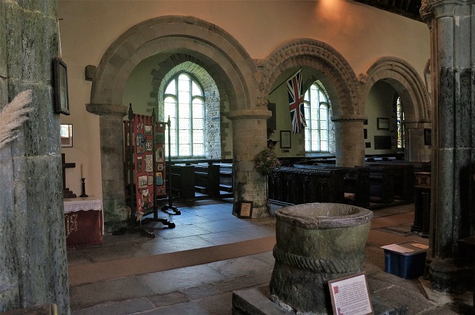
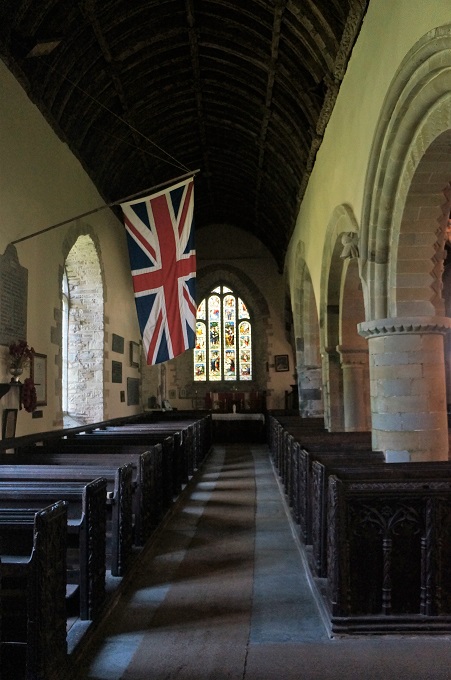
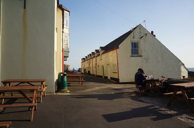
Before hitting the path today we had a look inside the parish church of St Morwenna and St John the Baptist. For such a small settlement this is quite a large and intricately decorated church with four stained glass windows, an organ, Romanesque arches down one side of the nave and Gothic arches down the other. It dates from 1145 and on the wall is a list of all the vicars from that date until the present.
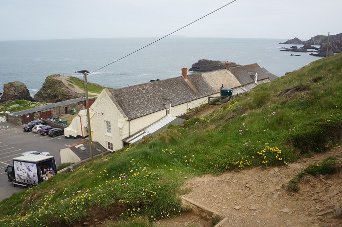
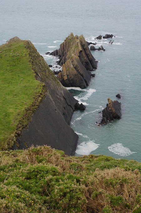
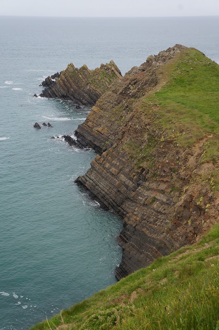
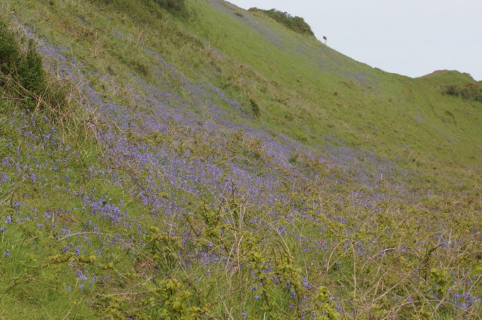
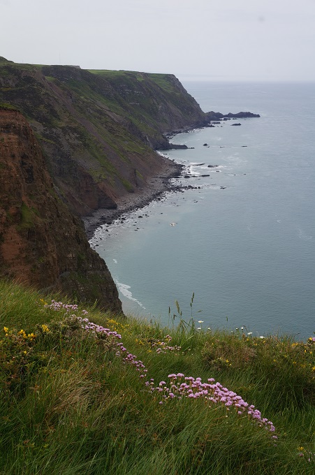
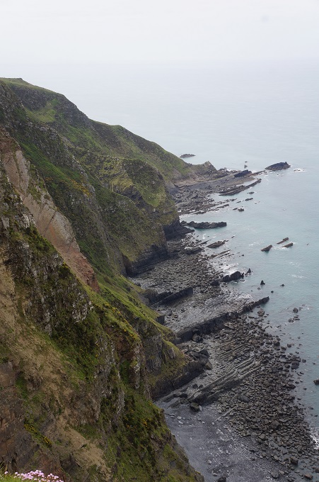
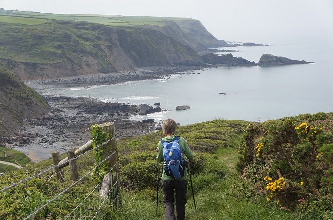
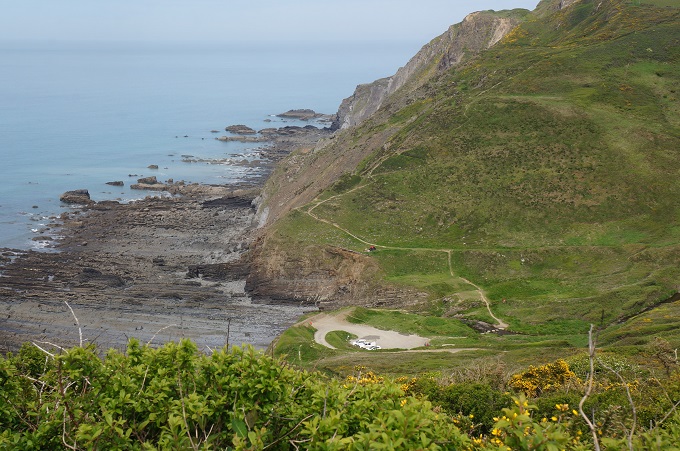
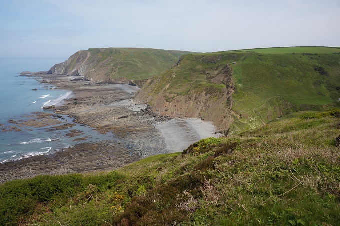
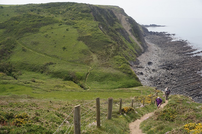
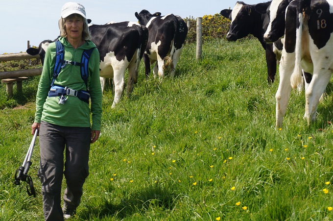
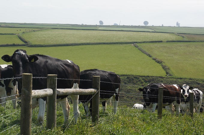
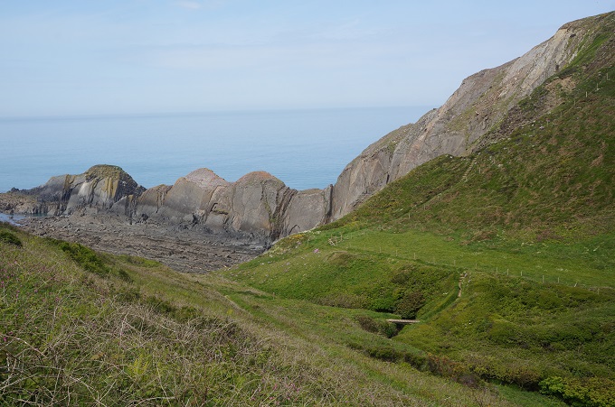
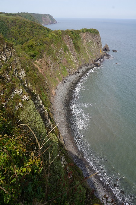
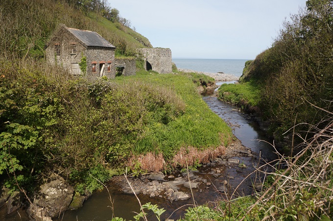
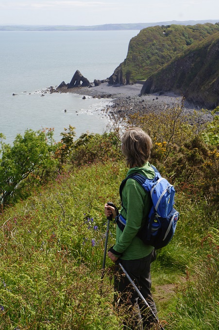
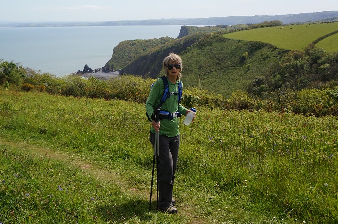
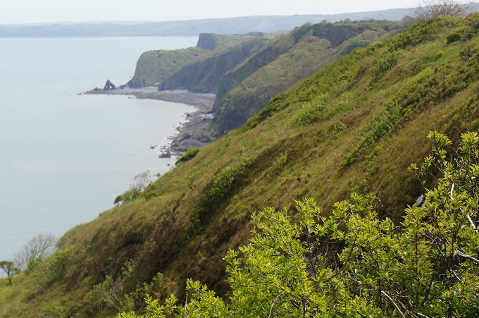
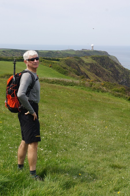
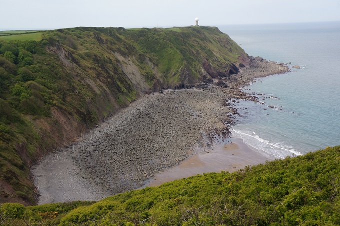
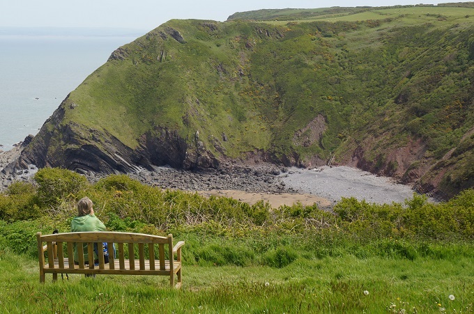
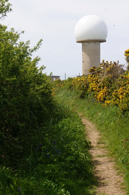
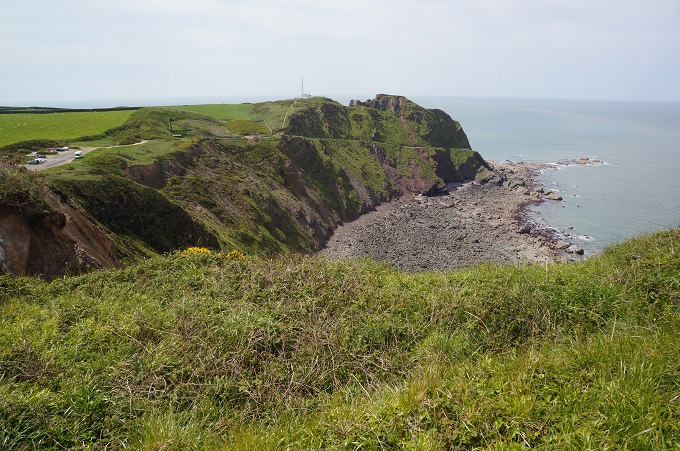
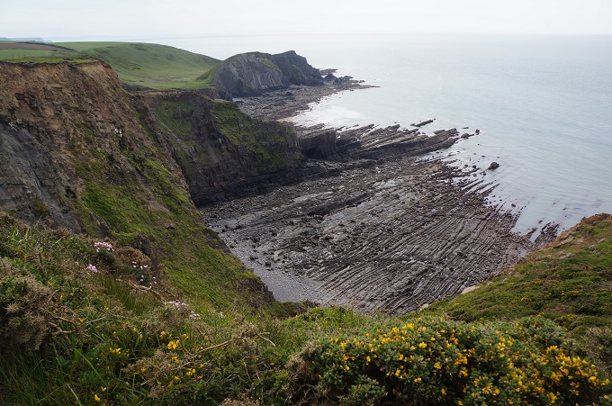
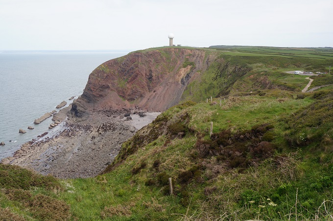
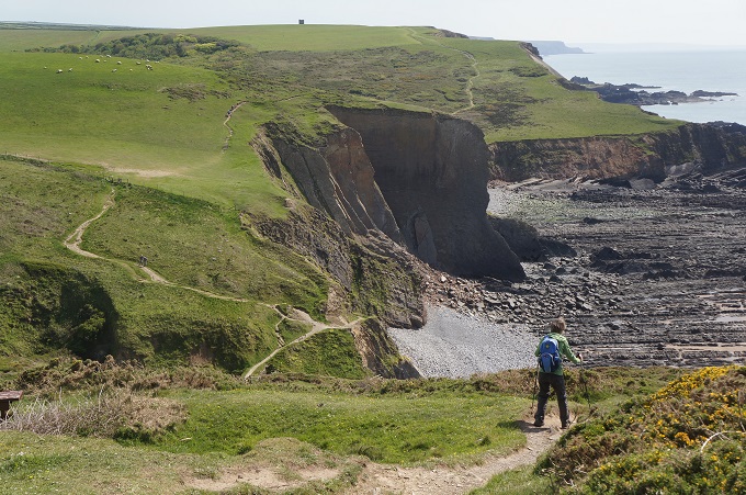
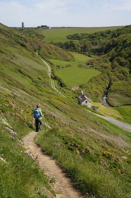
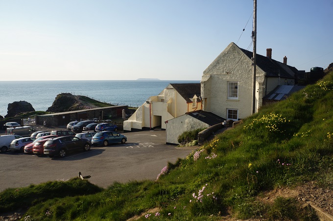
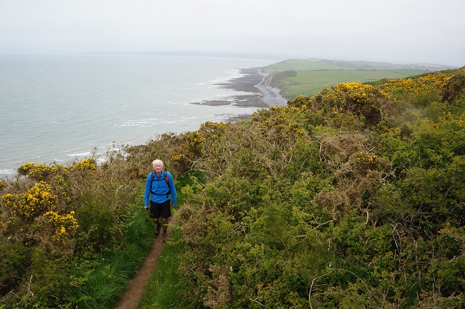
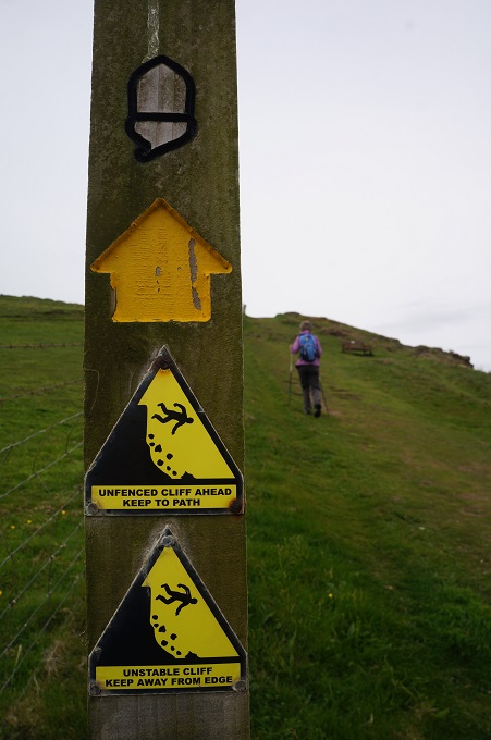
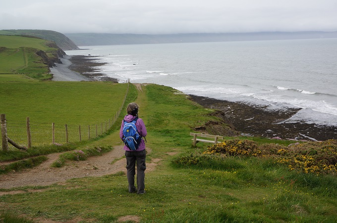
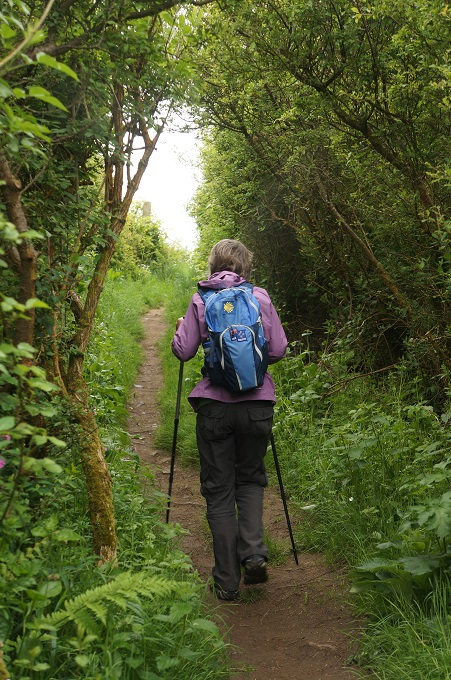
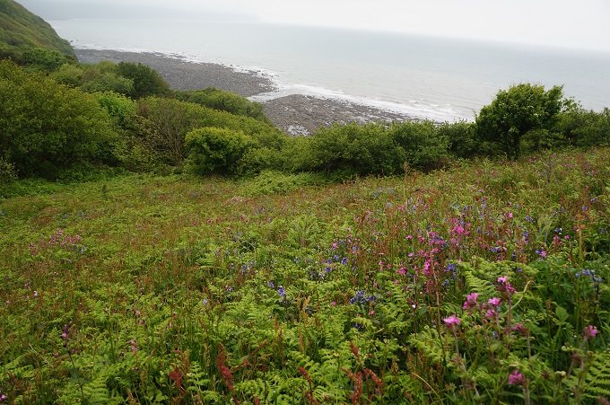
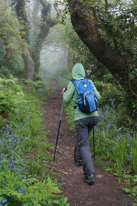
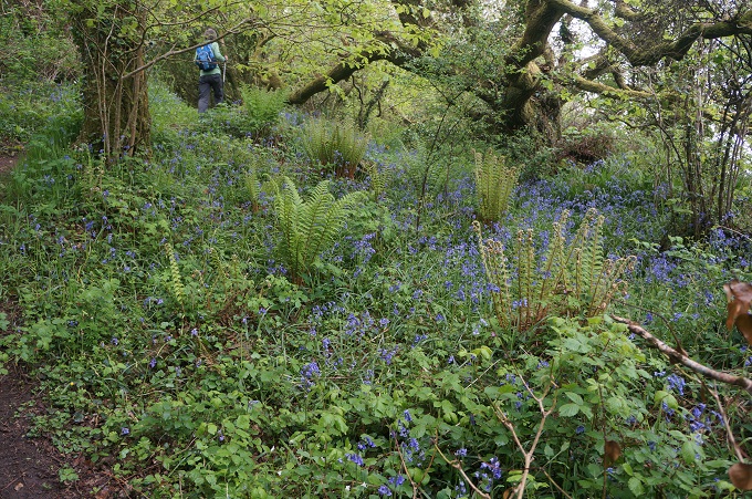
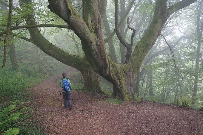
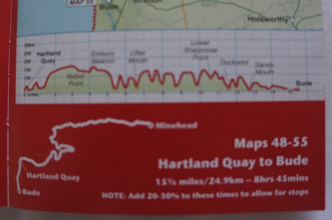
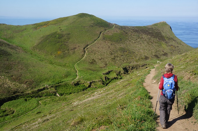
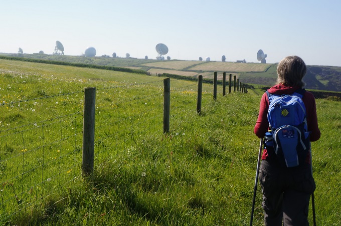
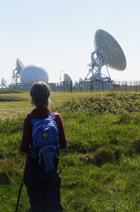
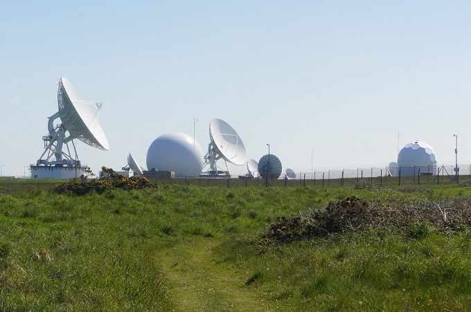
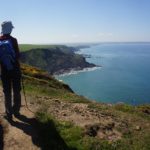
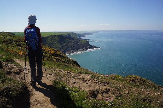
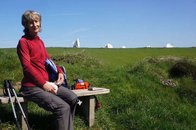
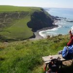
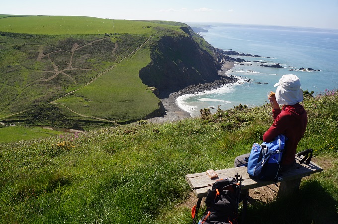
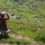
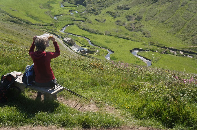
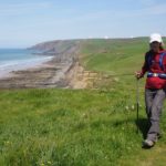
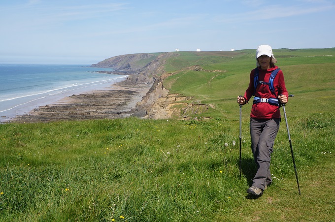
Today was a continuation of yesterday, relentless gradients as we clambered in and out of the valleys of Tidna Shute and Stanbury Mouth (the steepest of all the climbs). At this point you are rewarded with the huge complex of GCHQ Bude. Government Communications Head Quarters Bude. This is a UK satellite receiving station and eavesdropping centre.
There are 21 satellite antennae three of which are 30 metres (100 feet) in diameter. The station is a UK and USA co-operative spying site. It is a bit eerie because you see the giant dishes ahead from miles away and when you look back after passing them they are still there staring at you.
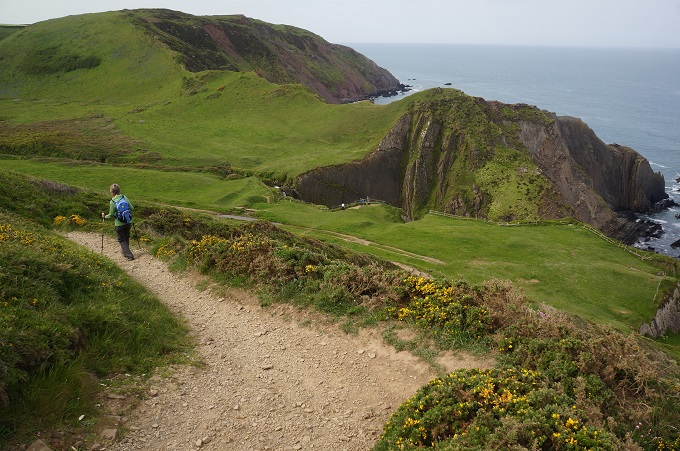
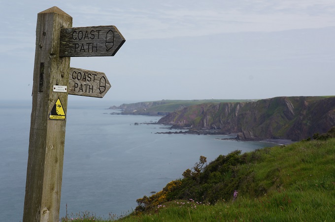
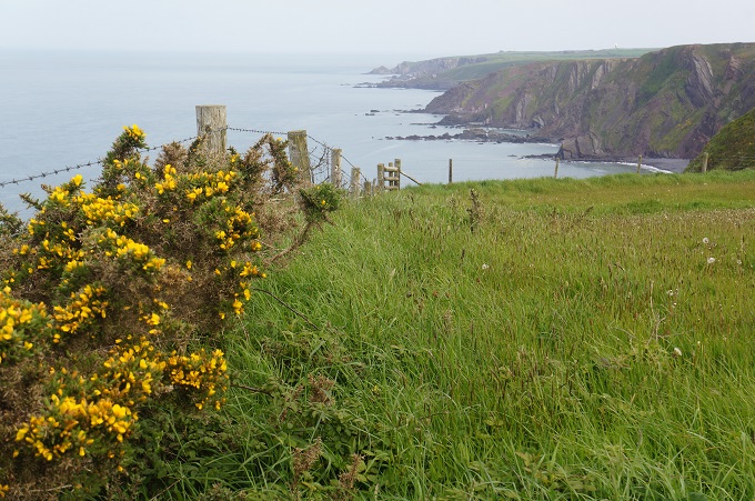
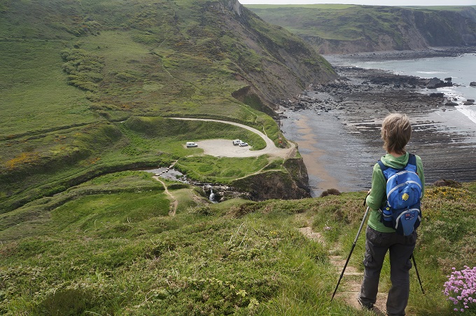
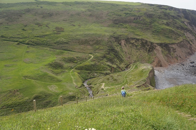
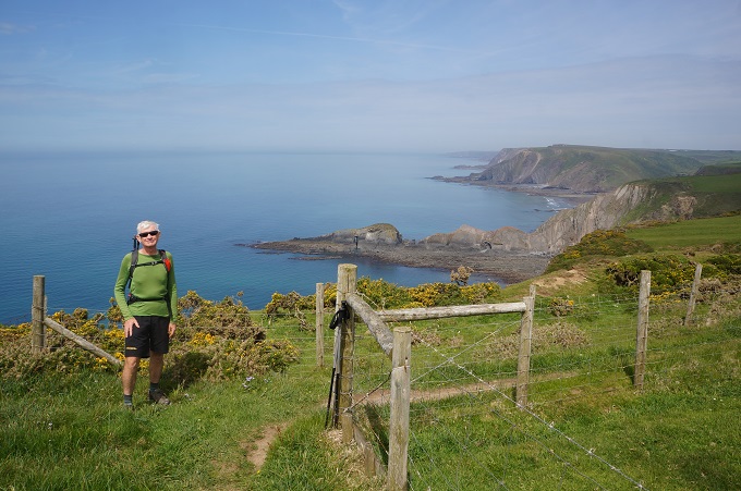
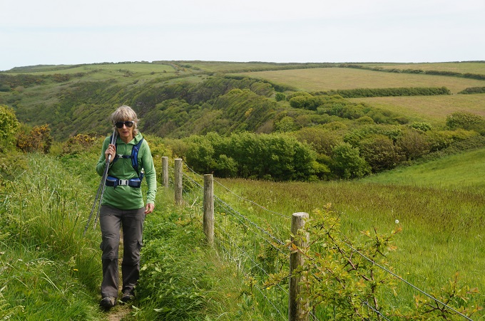
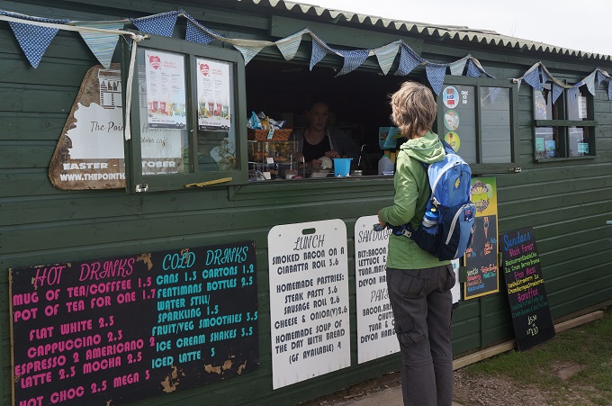
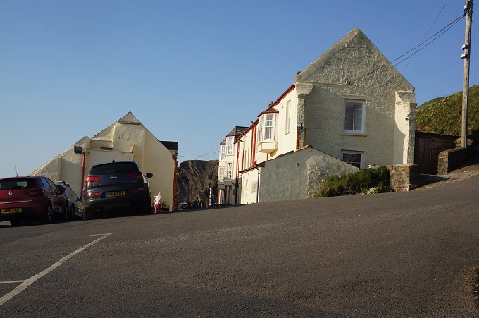
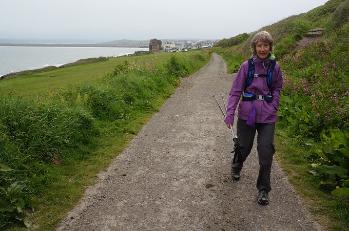
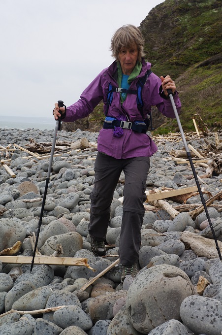
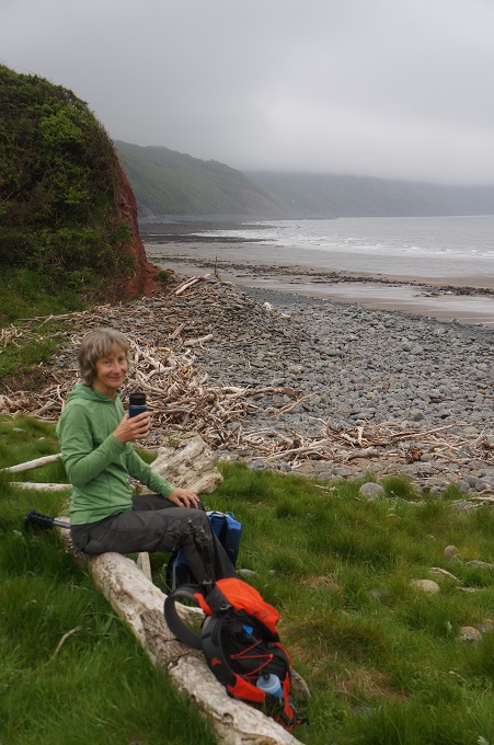
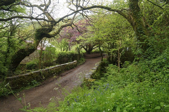
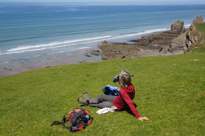
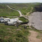
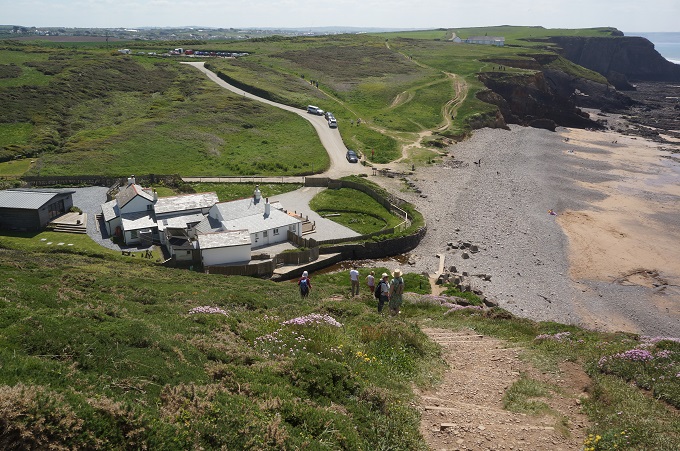
There was one more steep challenging valley, Duckpool, and then the gradient finally relented and mercifully the path became gently undulating into Bude. Approaching Bude cafes, tearooms and caravan parks started to appear, and there was a significant increase in the number of people out jogging or walking, with or without dog.
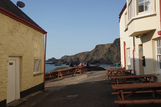
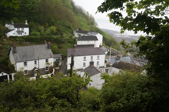
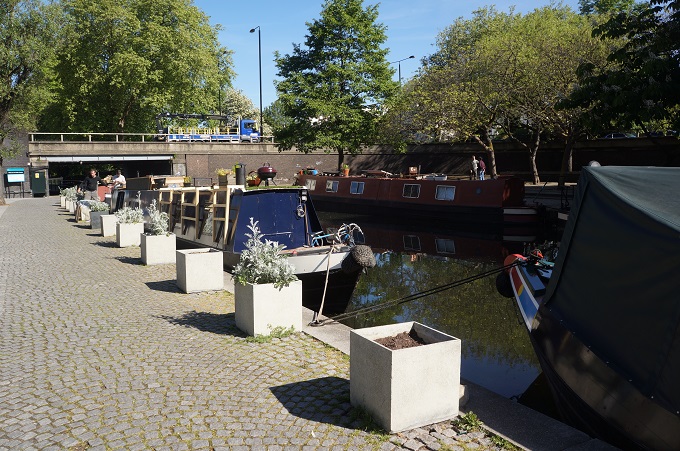
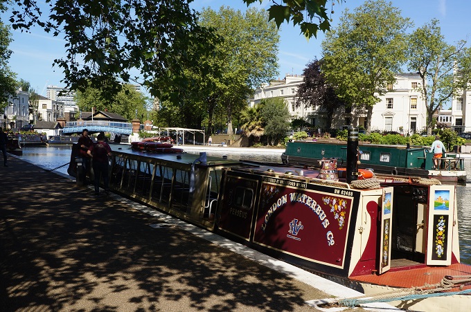
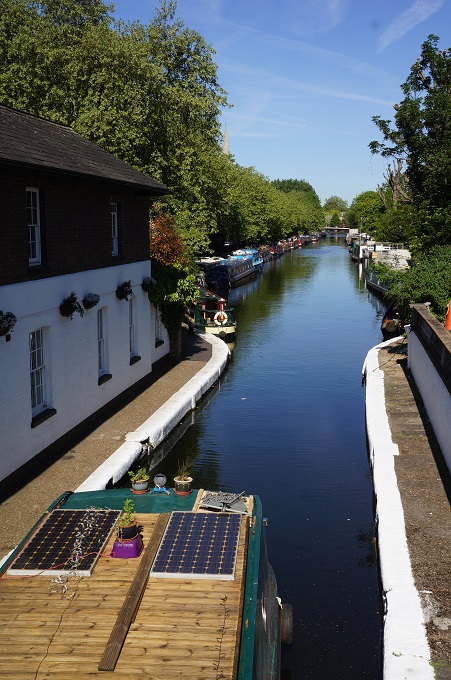
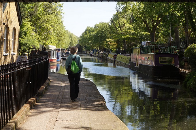
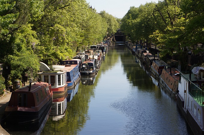
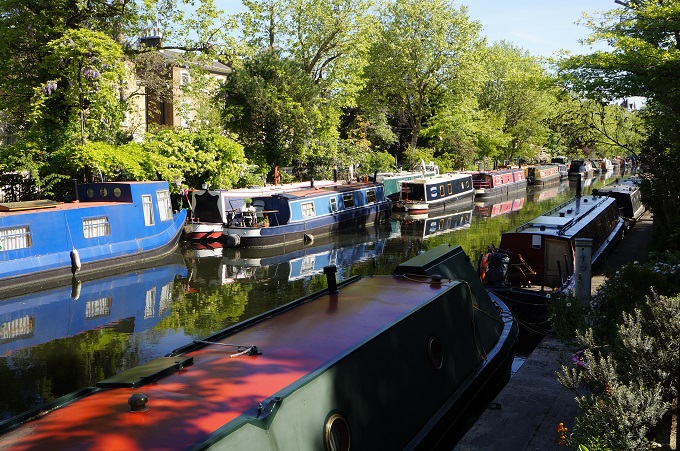
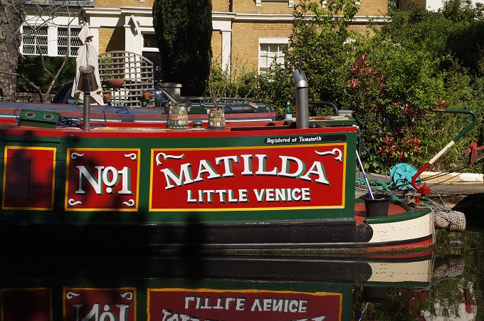
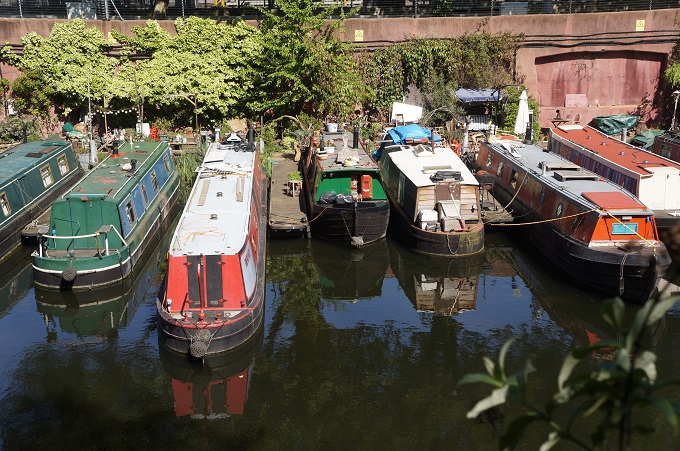
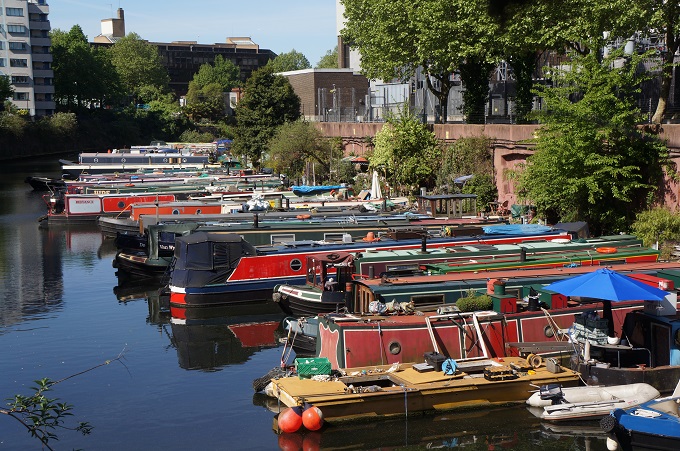
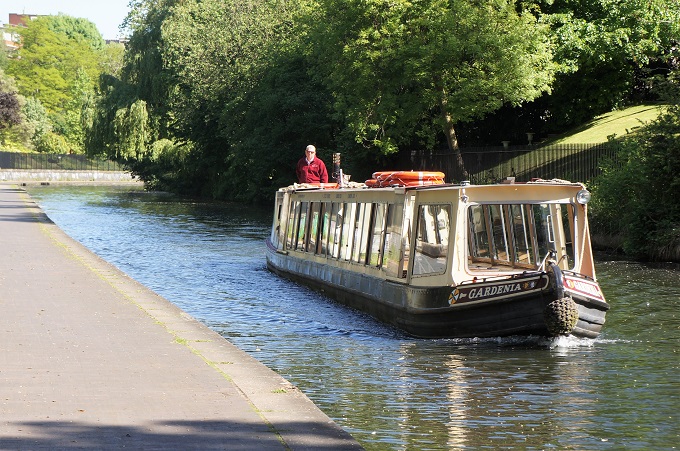
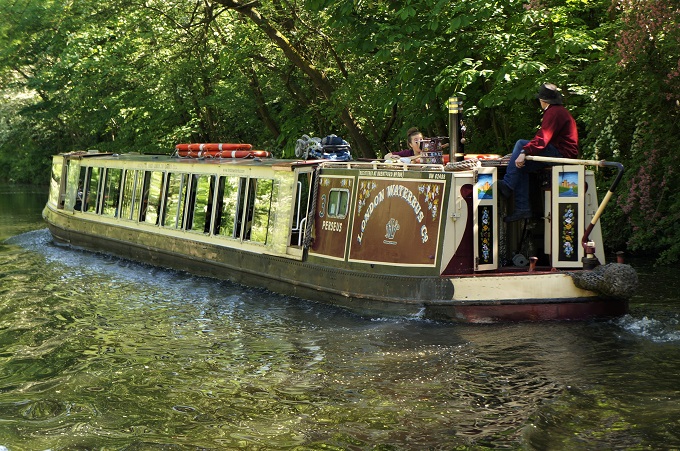
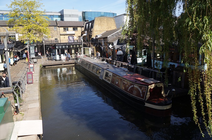
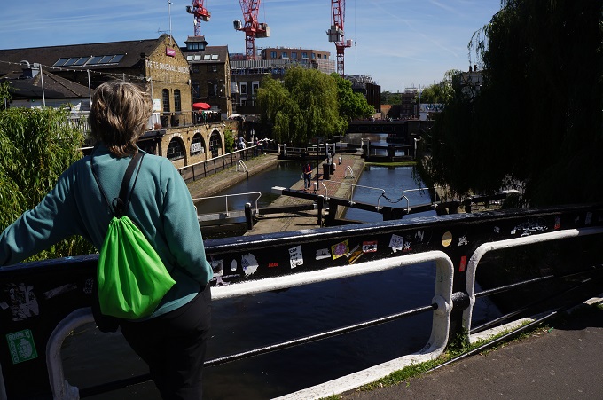
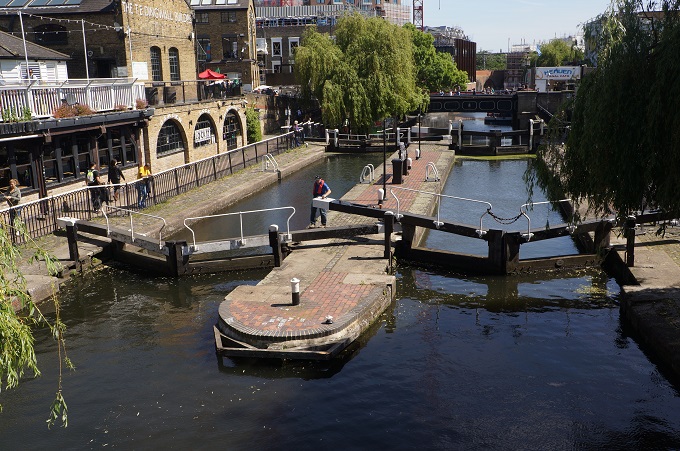
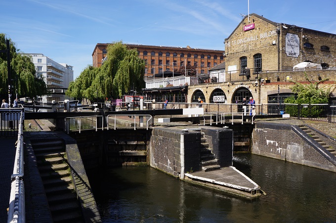
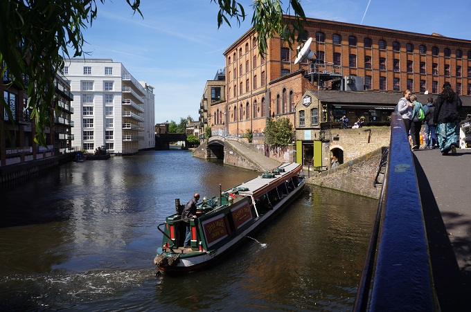
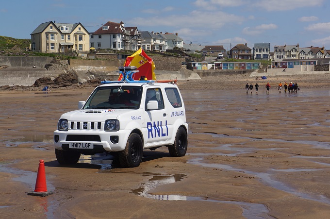
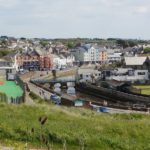
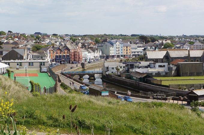
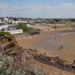
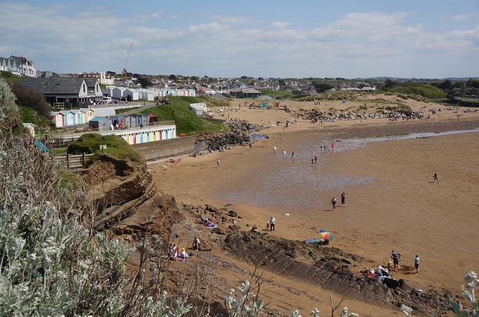
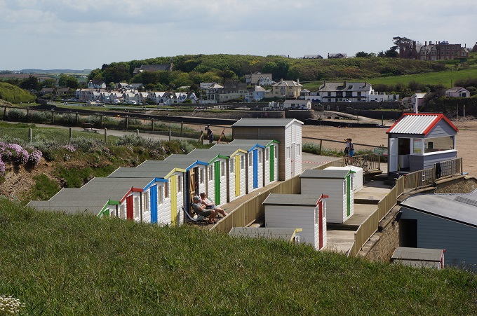
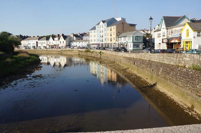
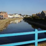
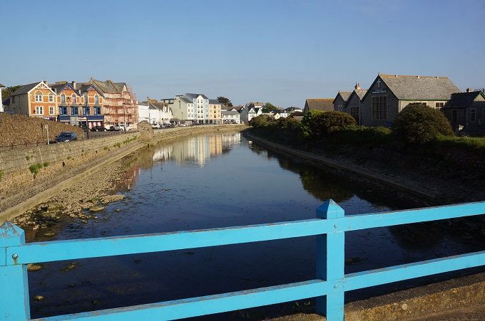
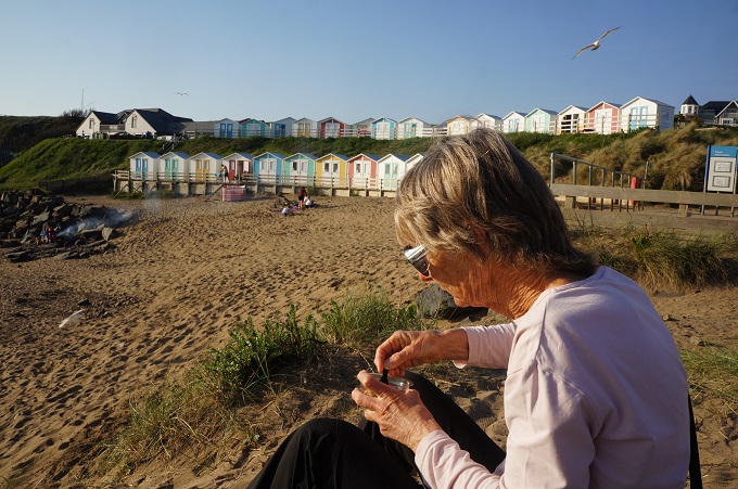
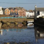
The coast has also changed and it is now the long sandy Cooklets and Summerleaze Beaches, with surfing, swimming , life guards and families out enjoying a beautiful sunny day. Bude is a compact, charming seaside town with everything you would expect including a small castle and a canal. The canal was dug to transport sand from the seashore inland to be spread on the poor soil. Part of this has been restored and there is a very pleasant walk along the tow path.
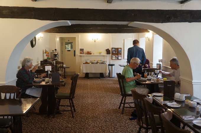
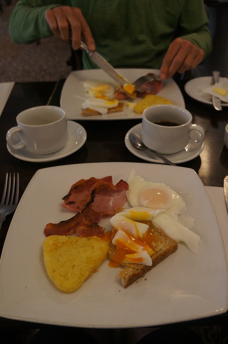
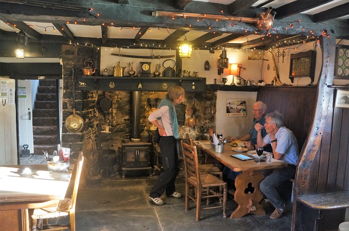
We fare welled two sets of new friends today. Sue and Len who are locals from Devon and the two laughing Norwegian lads. We have walked with them and had breakfasts, coffees and dinners with them on and off for the last four days.
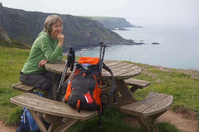
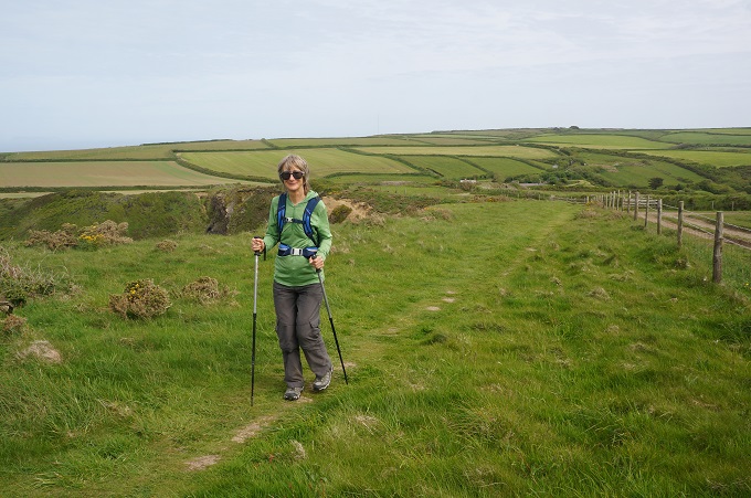
We are now getting into the rhythm of the walking. It always seems to take four days. It is great!
-
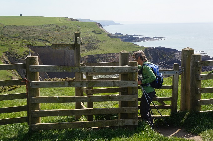
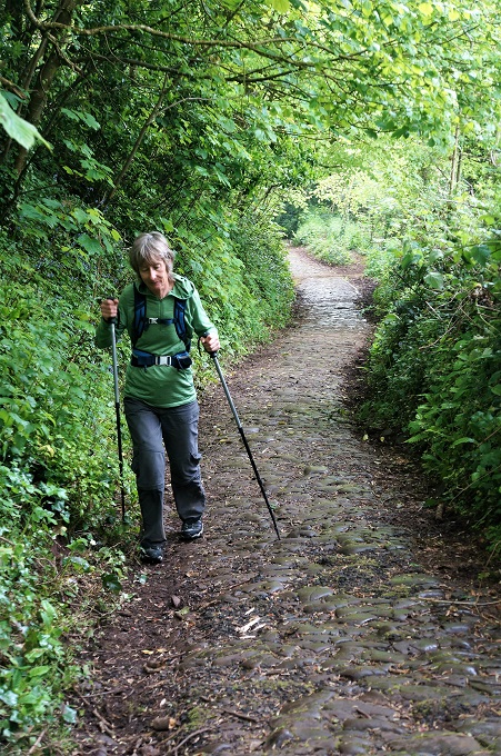
- The gradient; up and down, up and down…….
-
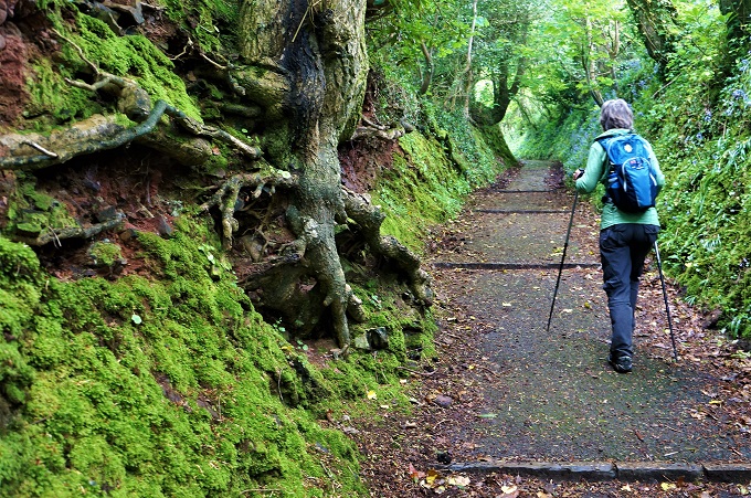
- Tidna Shute Valley
-
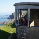
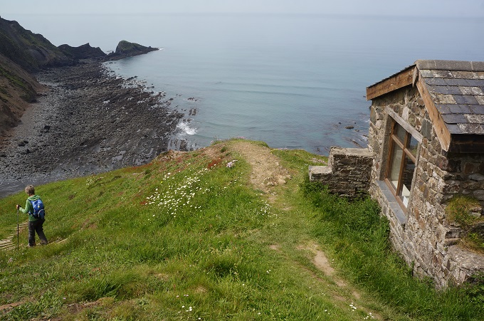
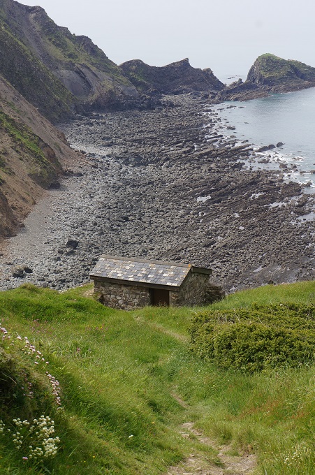
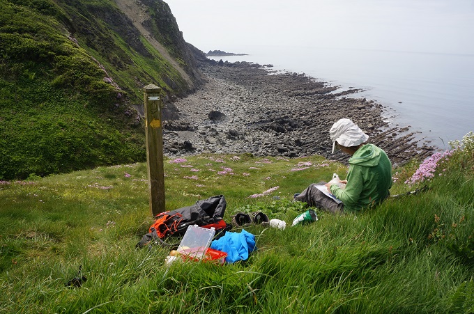
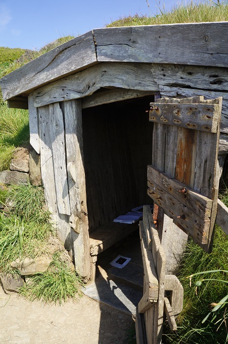
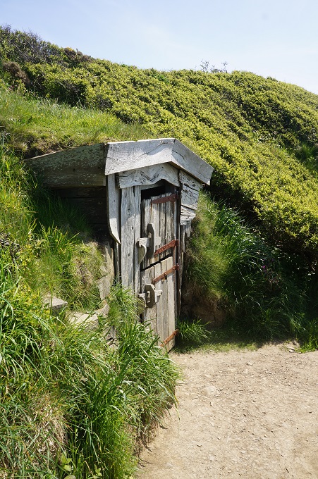
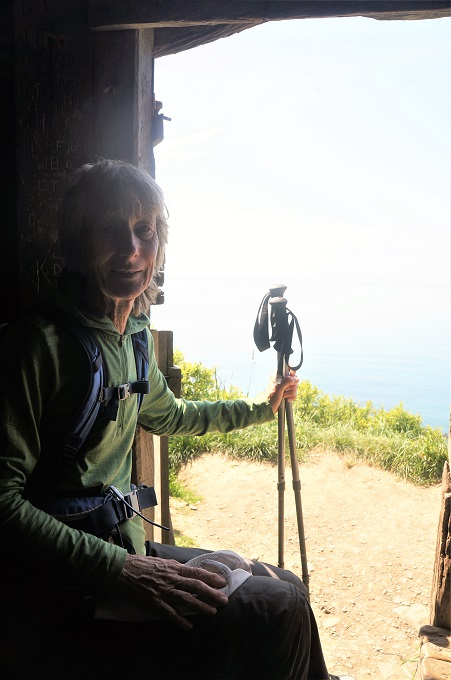
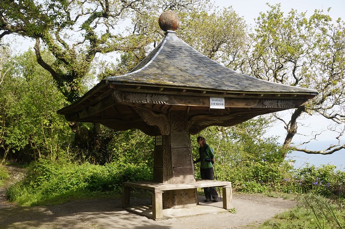
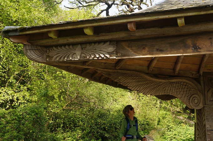
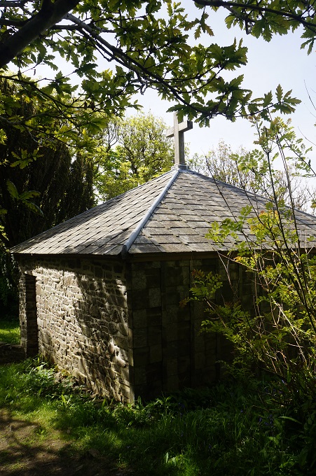
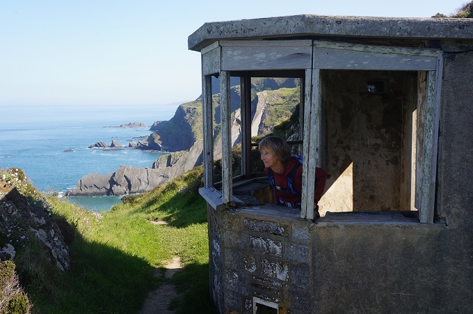
- Stone shelter, Higher Sharpnose Point
-
- GCHQ satellite dishes
-

- We are listening
-
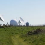
- GCHQ satellite dishes
-
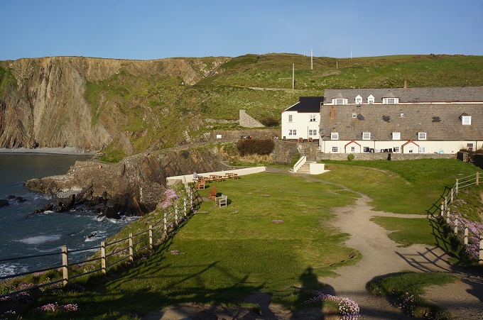
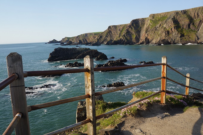
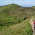
- Harscott High Cliff
-
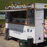
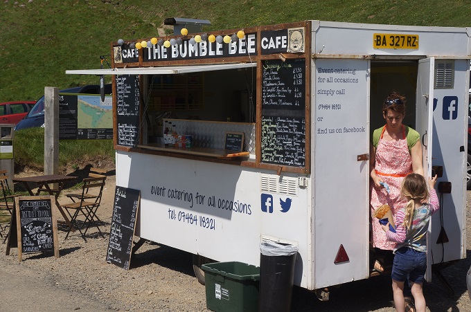
- Bumble Bee Cafe
-
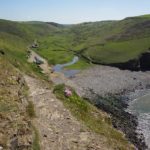
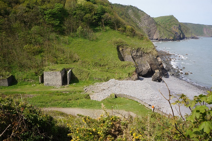
- Duckpool
-
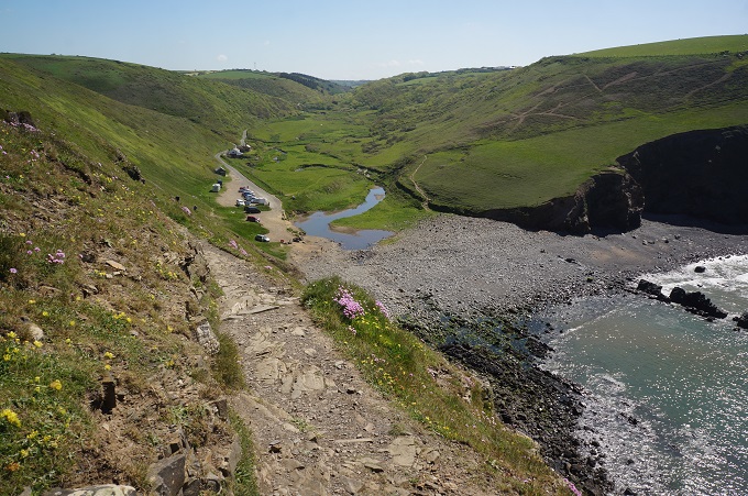
- Duckpool from Steeple Point
-
- Duckpool
-
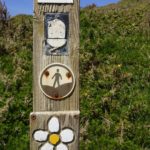
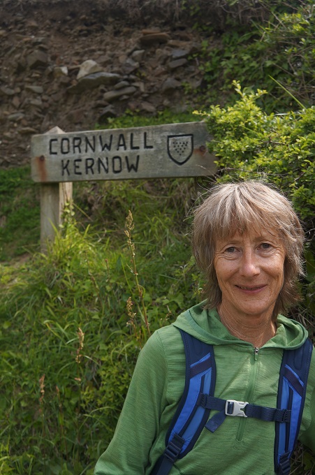
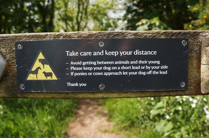
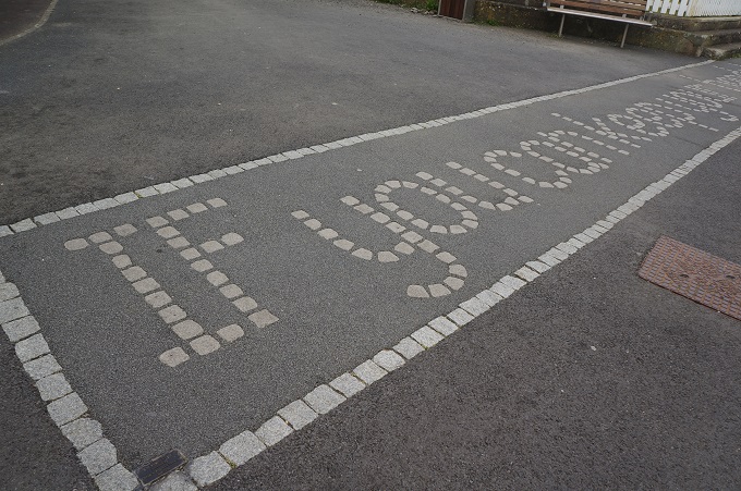
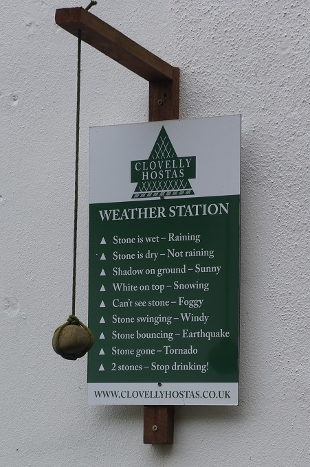
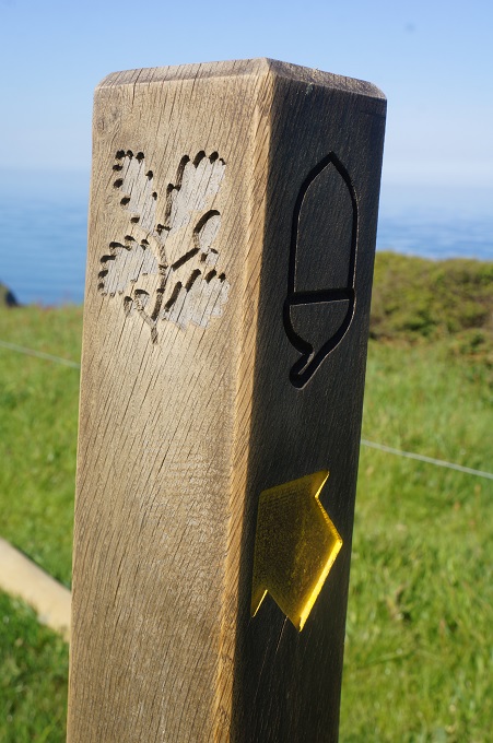
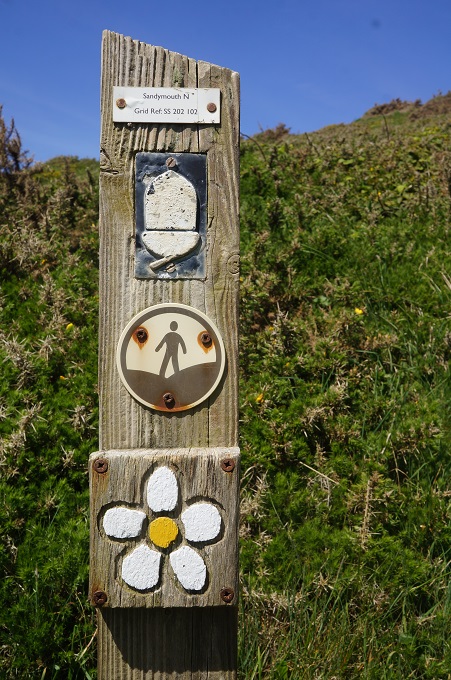
- Some new symbols
-
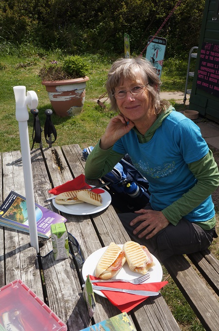
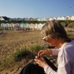
- Coffee at Cooklets Beach
-
- Easier going as we near Bude
-
- Northcott Mouth
-
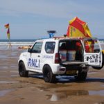
- Suzuki Jimny as beach patrol vehicle
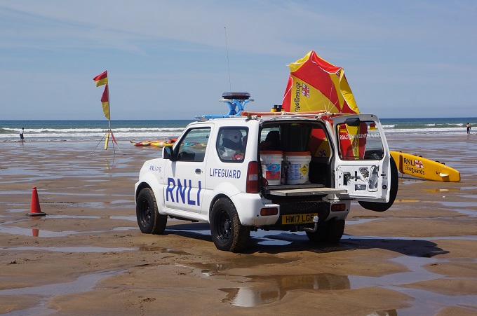
-
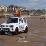
- Suzuki Jimny as beach patrol vehicle. RNLI is Royal National Lifeboat Institution
-
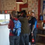
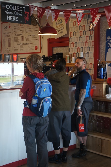
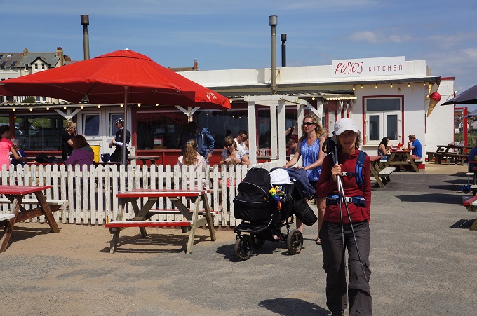
- Rosie’s Kitchen
-
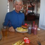
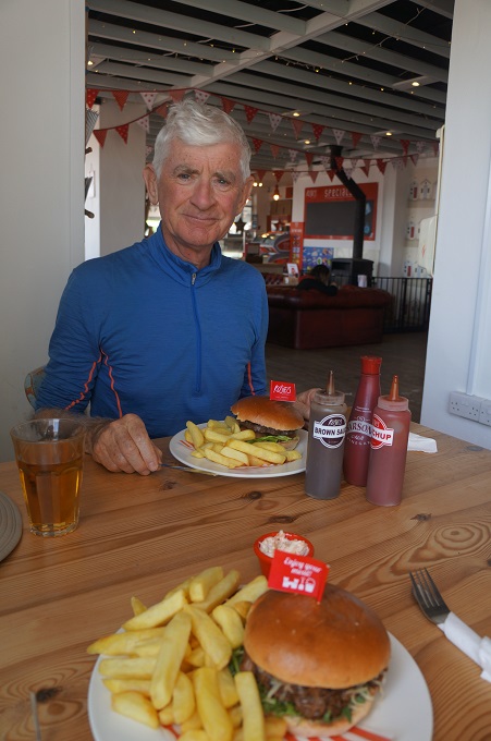
- Burgers at Rosie’s Kitchen
-
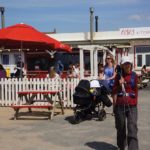
- Rosie’s Kitchen for lunch
-
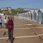
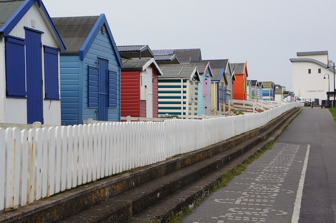
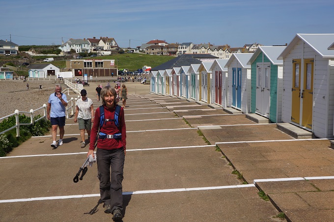
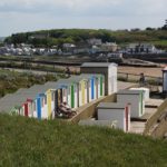
- Beach Huts Bude
-
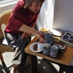
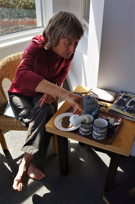
- Barbara being ‘Mother’ on arrival at The Grosvenor
-
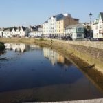
- Bude and canal
-
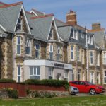
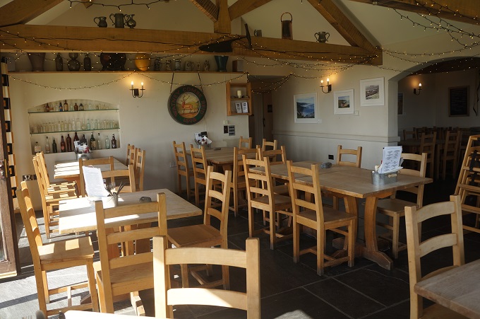
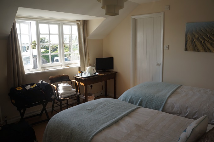
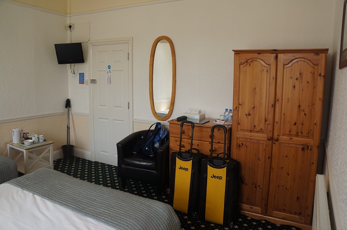
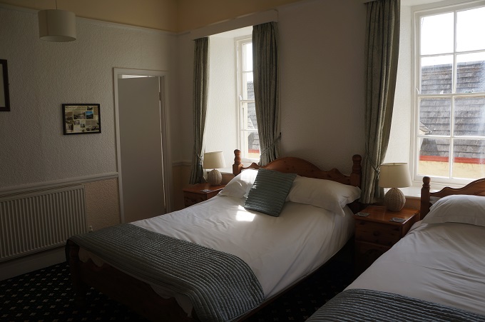
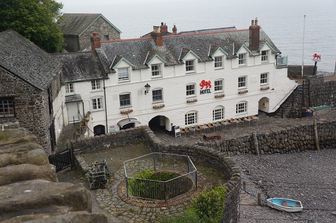
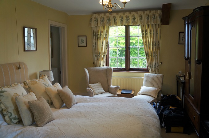
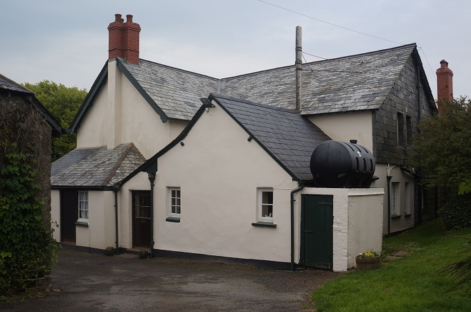
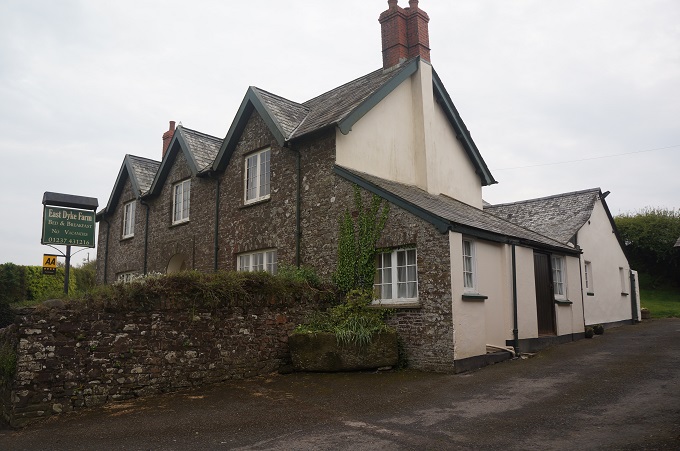
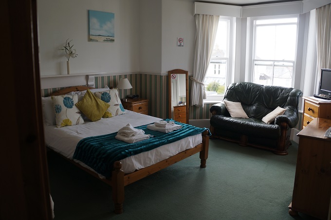
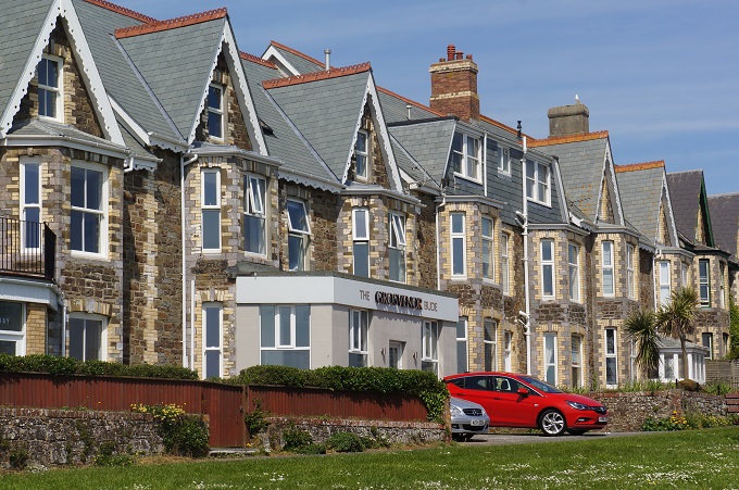
- Our accommodation, The Grosvenor
-
- Bude
-
- Bude
-
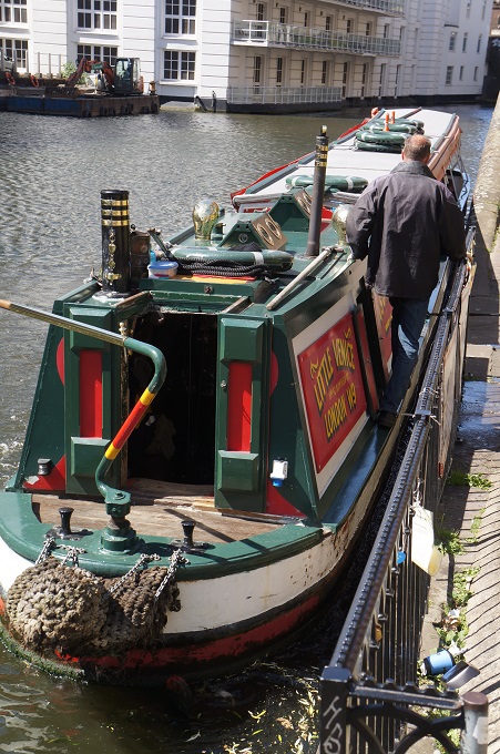
- Bude Canal
-
- Bude Canal
-
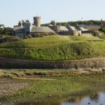
- Bude Castle

-
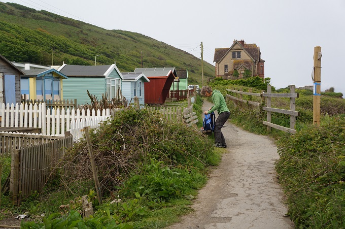
- Bude beach huts
-
- Bude Canal