St Michael’s Mount
‘Walking is man’s best medicine’. Hippocrates
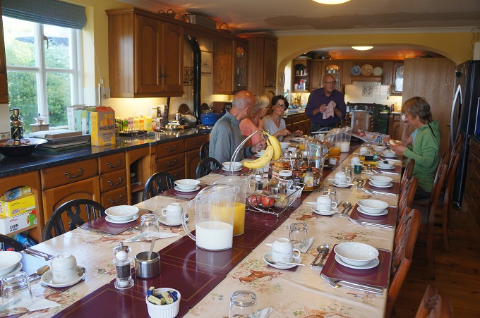
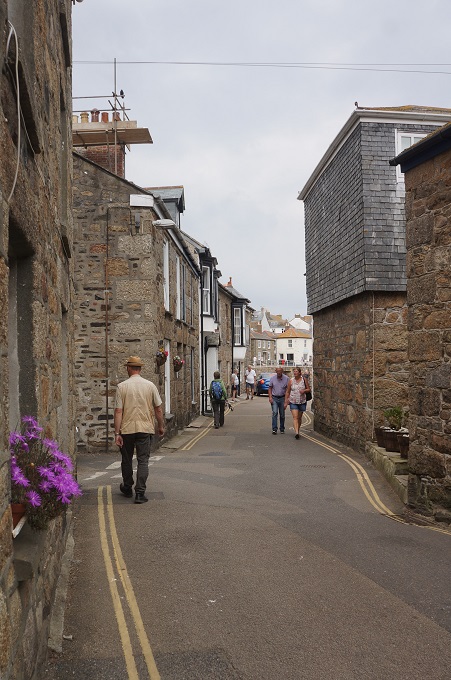
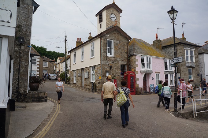
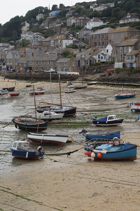
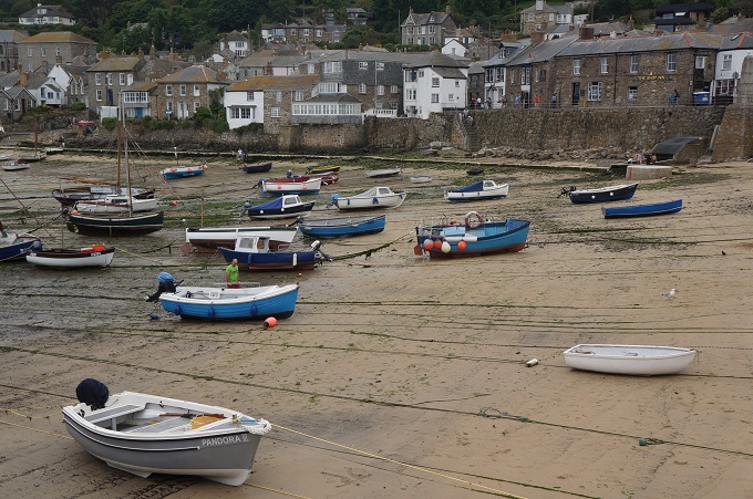
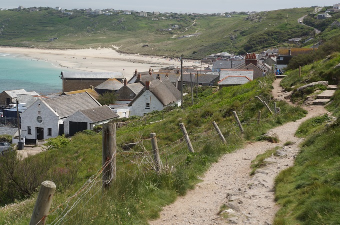
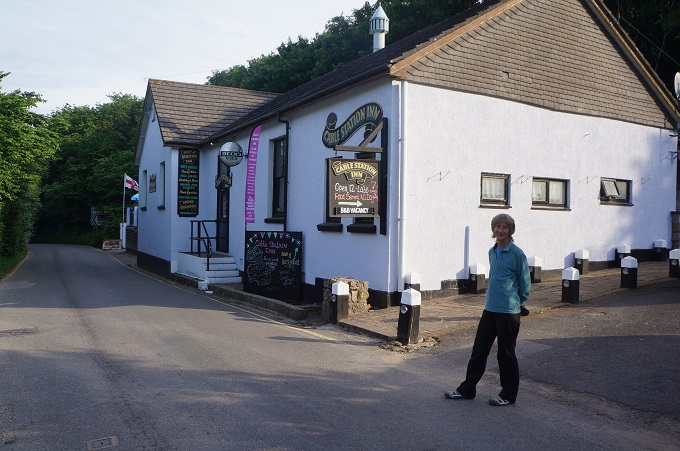
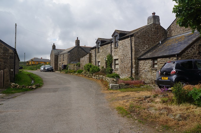
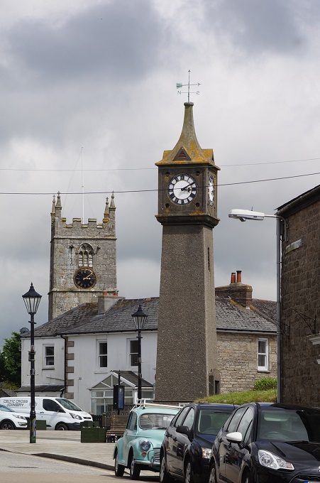
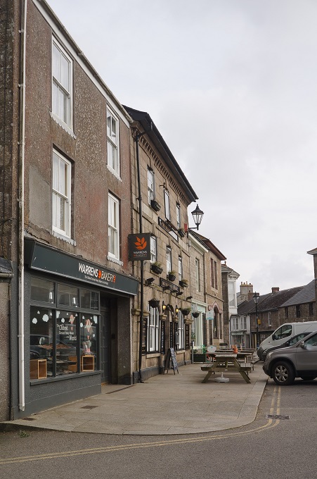
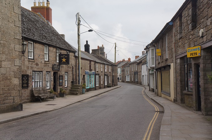
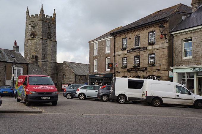
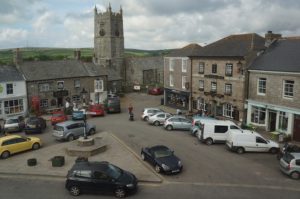
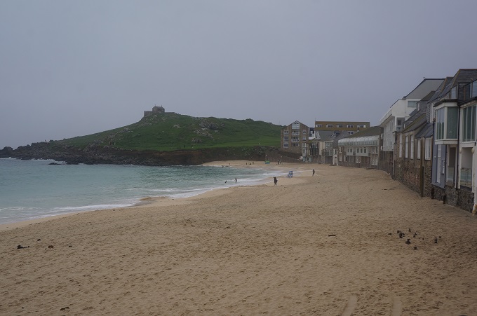
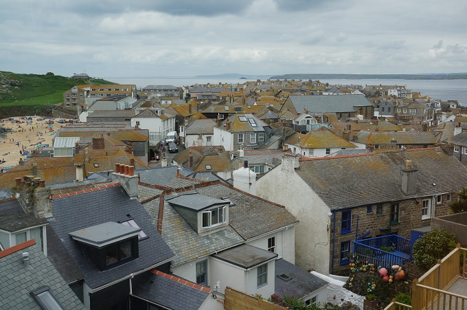
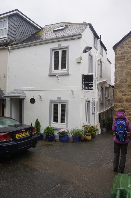
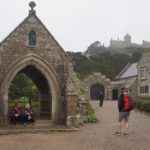
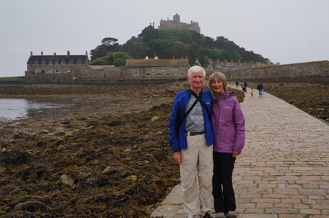
Today in Penzance today we had the third of our rest days and of course went to St Michael’s Mount.
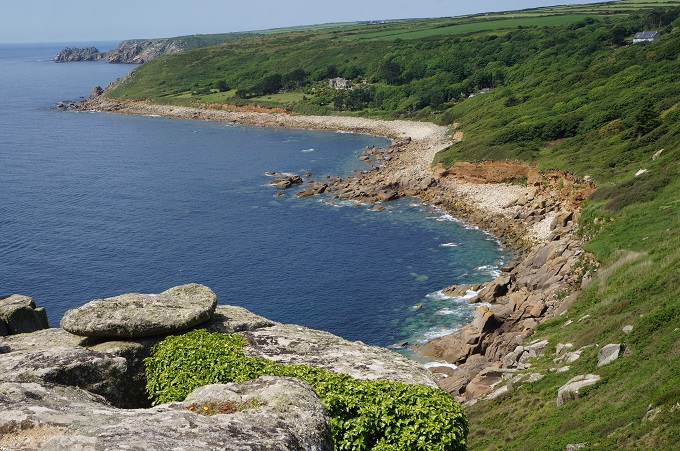
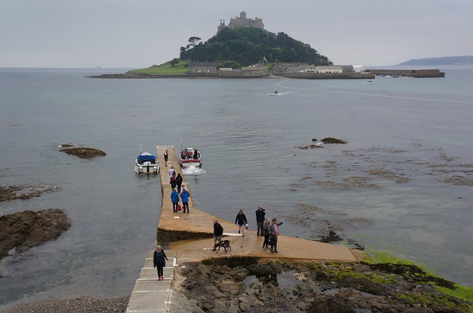
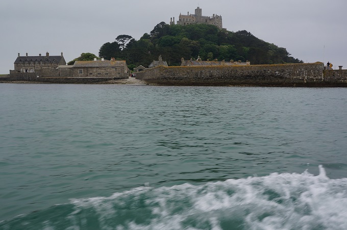
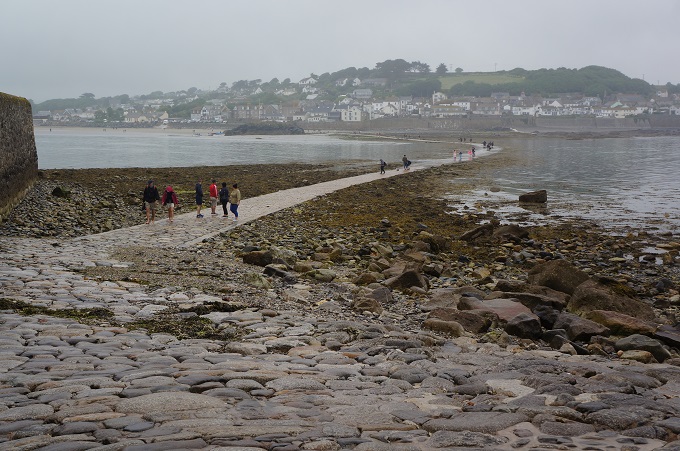
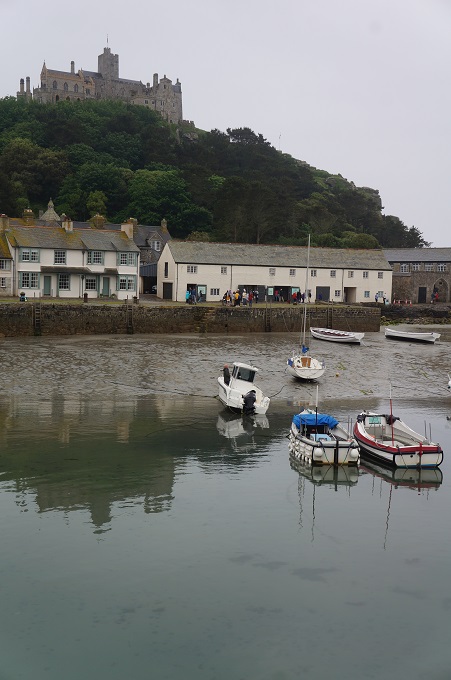
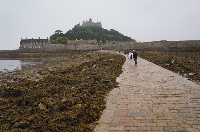
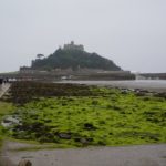
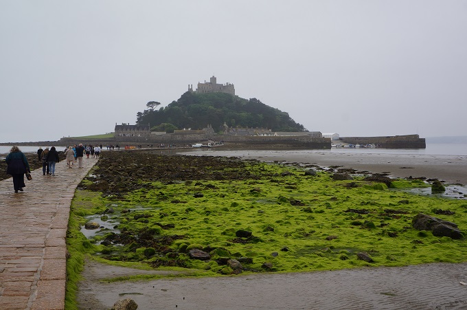
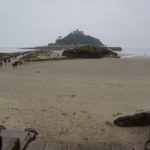
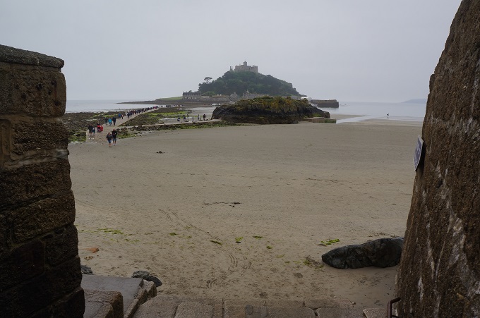
St Michael’s Mount is a small tidal island in Mounts Bay, just off shore from the town of Marazion. It is linked to the mainland with a man-made causeway of granite sets, passable about one and a half hours each side of low tide. At other times a fleet of small ferries take people to and from the island.
It may have been the site of a monastery from the 8th – 11th centuries but the earliest buildings on the summit today date from the 12th century. In the 11th century it was given as a sister island to the Benedictine religious order of Mont Saint Michel in Normandy, with which it shares the same tidal island characteristics. The island was seized and sold many times over the centuries until it was bought by the St Aubyn family in the mid 1600s. St Michael’s Mount is now owned and managed by the National Trust but the St Aubyn family still have a right to occupy and live on the island.
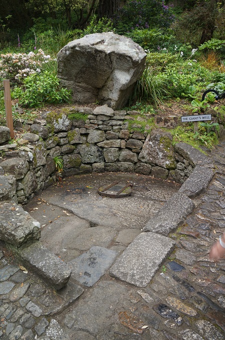
During the 6th century before the castle was built, according to legend, the island was home to an eighteen foot giant named Cormoran, who lived in a cave with his ill-gotten treasures obtained from terrorising local towns and villages. One day a young farmer’s son named Jack took on this gigantic menace, who had an appetite for cattle and children, and killed him by trapping him in a concealed pit, bringing down his axe upon his head. When he returned home, the villagers gave him a hero’s welcome and from then called him ‘Jack the Giant Killer’.
From as far back as 495AD, tales tell of seafarers lured onto the rocks by mermaids, or guided to safety by the apparition of St Michael, the patron saint of fishermen. It is said he appeared on the western side of the island to ward fishermen off from certain peril. This legend and four miracles said to have happened in 1262 and 1263 have bought pilgrims, monks and people of faith here ever since.
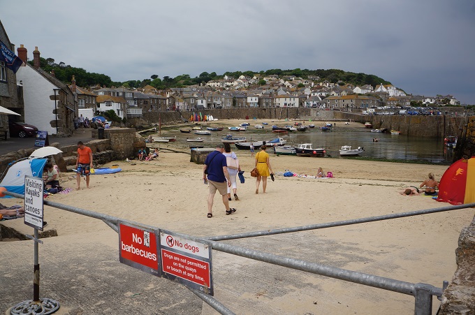
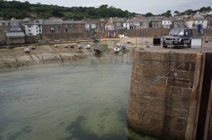
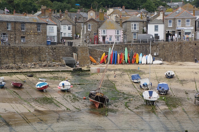
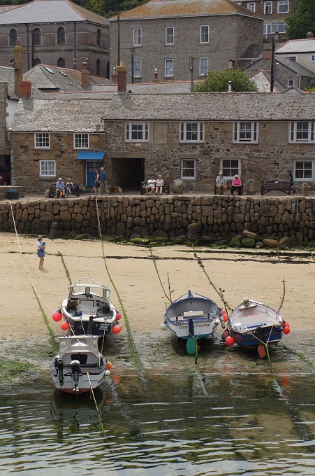
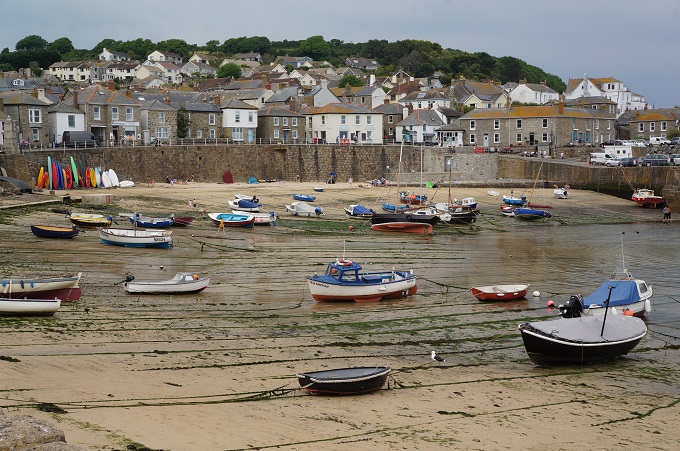
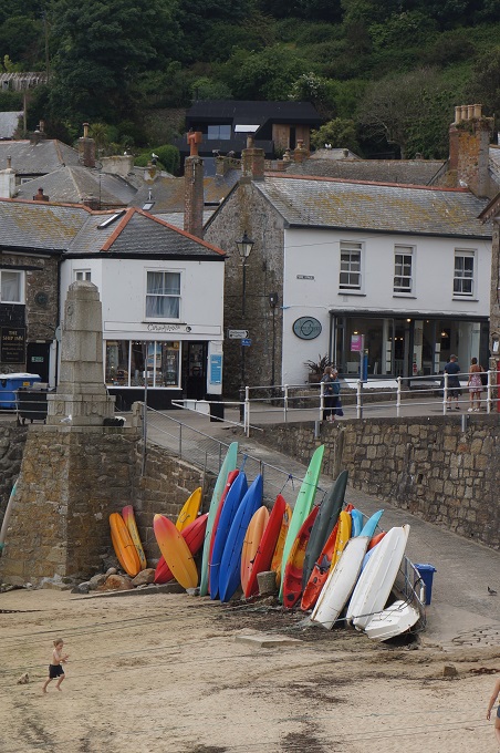
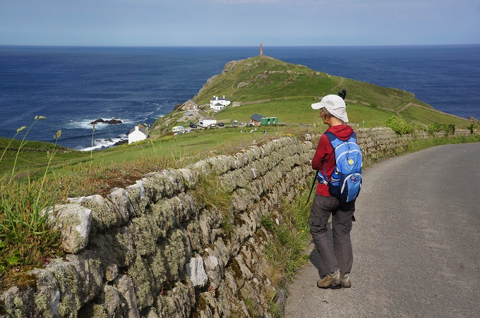
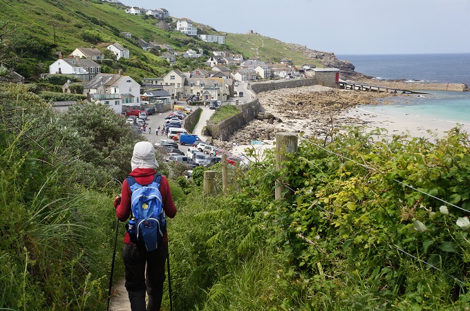
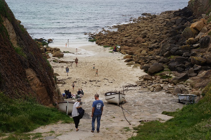
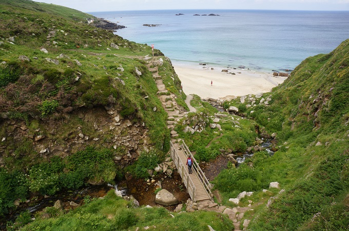
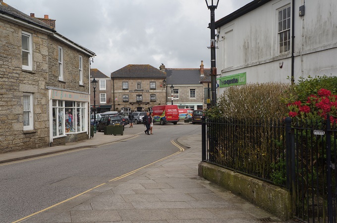
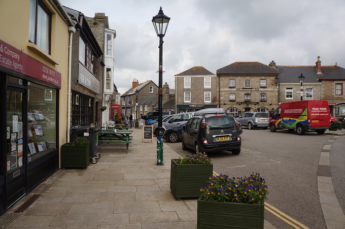
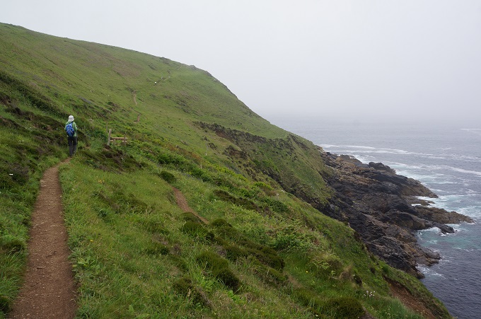
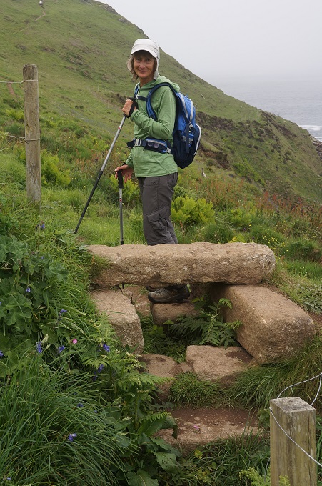
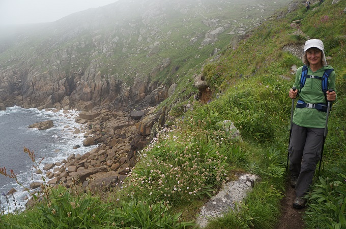
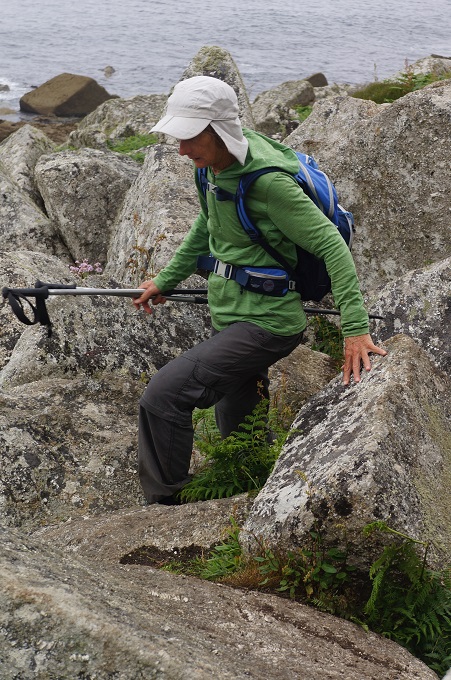
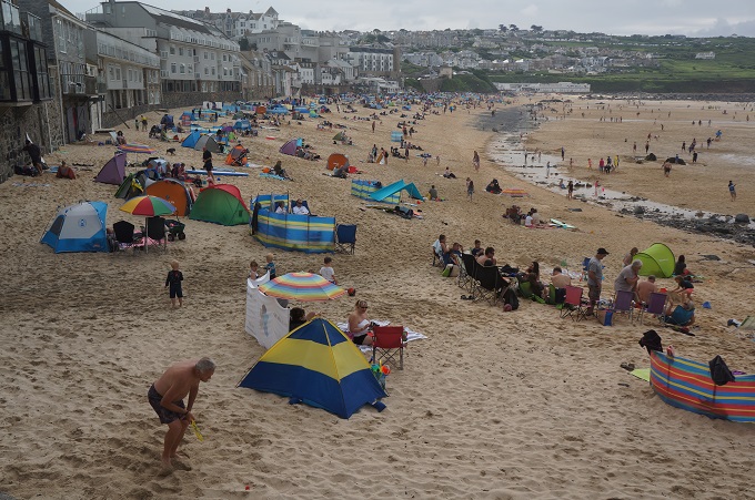
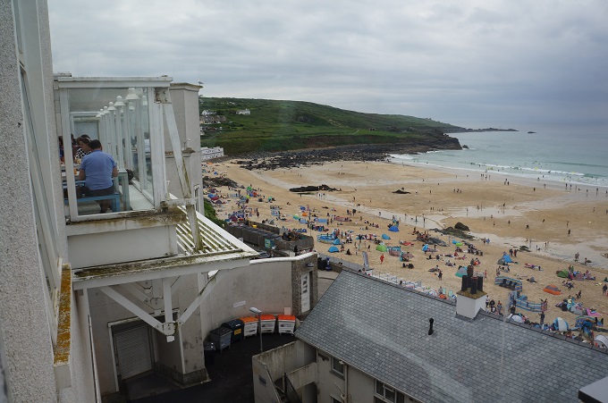
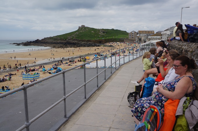
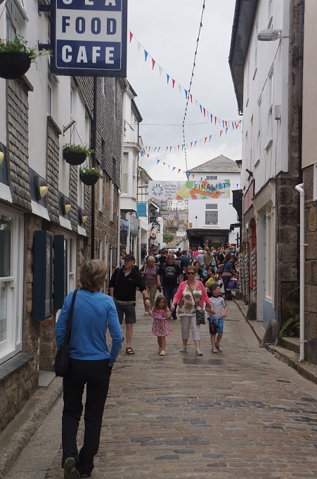
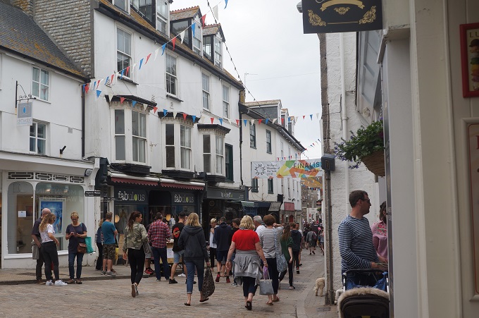
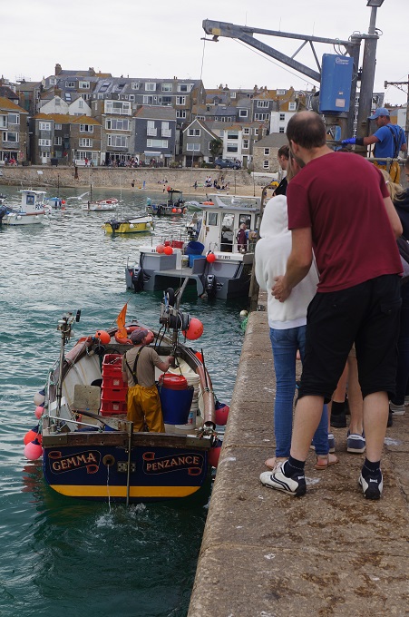
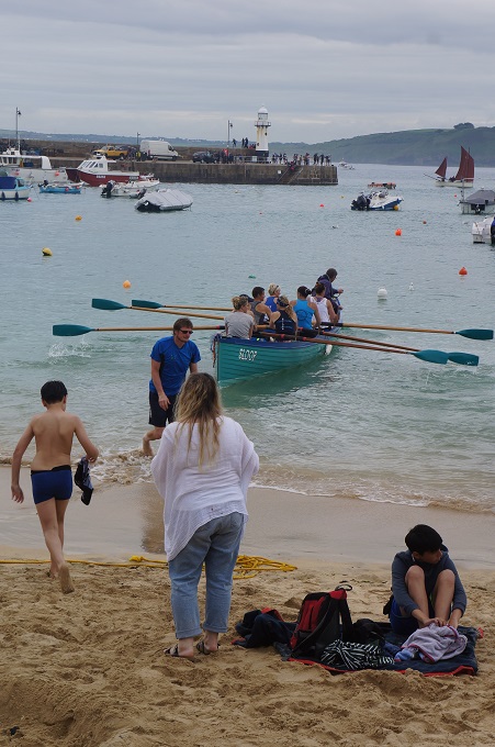
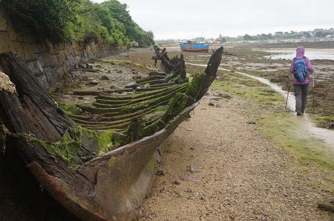
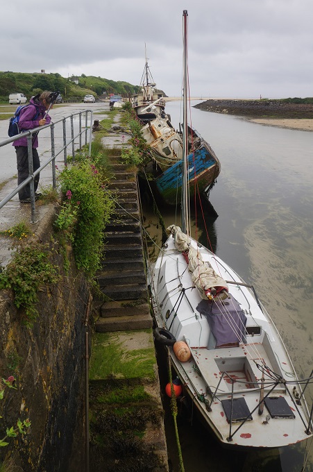
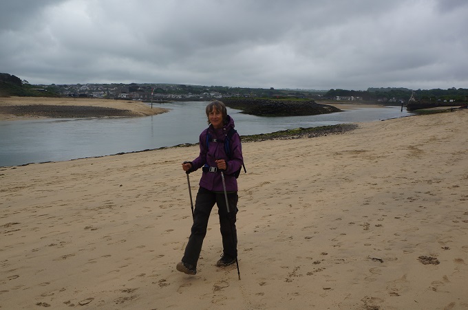
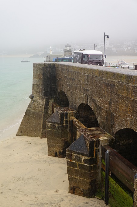
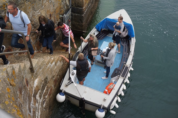
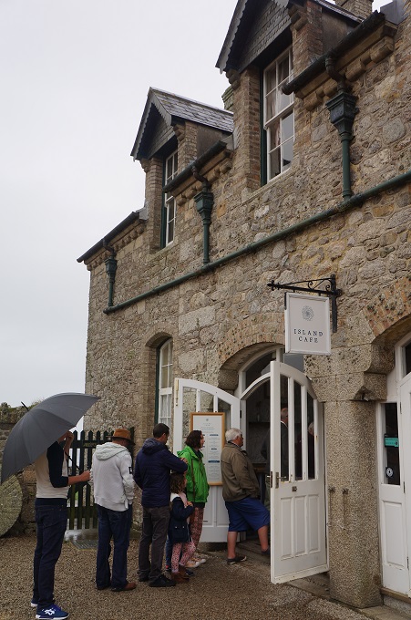
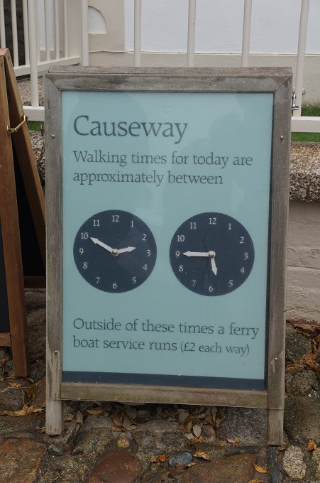
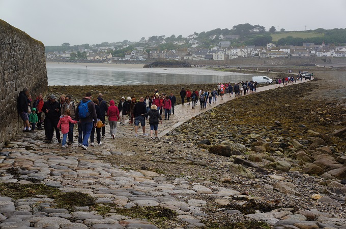
Access to St Michael’s Mount is at the village of Marazion which is about 7 kms from where we are staying in Penzance. As this is a designated ‘rest’ day we decided to take the bus both ways. We wanted to walk one way across the causeway which today was above water between 2.50pm and 5.40pm. We timed our visit to use one of the little ferries (£2) to get from the beach at Marazion to the harbour on the island and used the causeway to walk back.
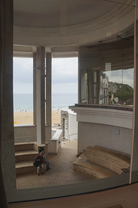
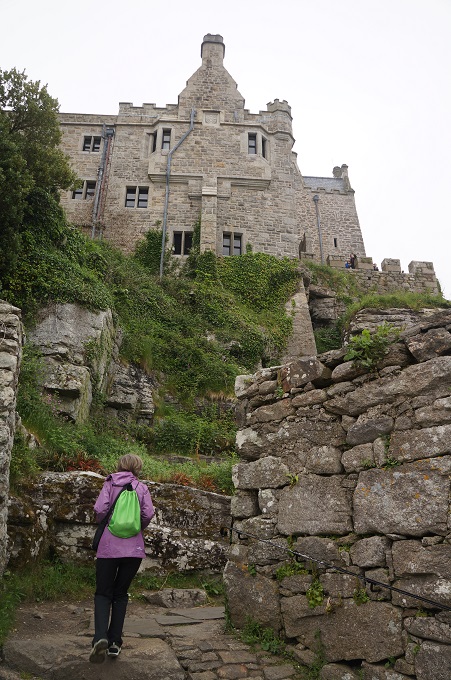
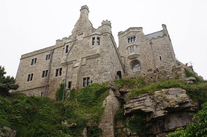
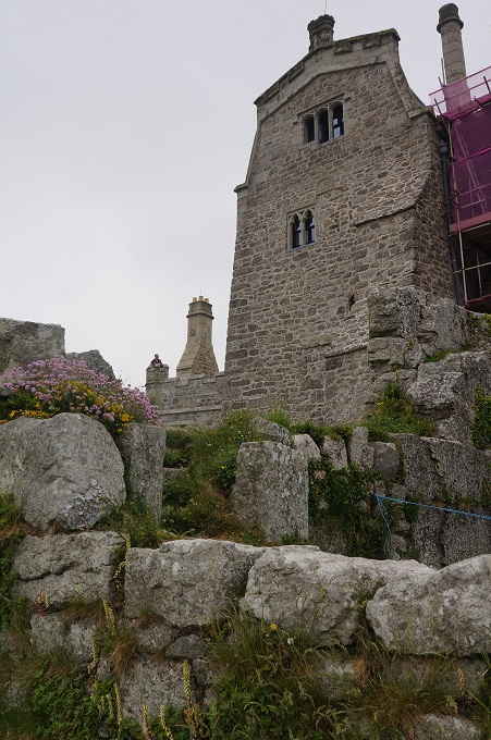
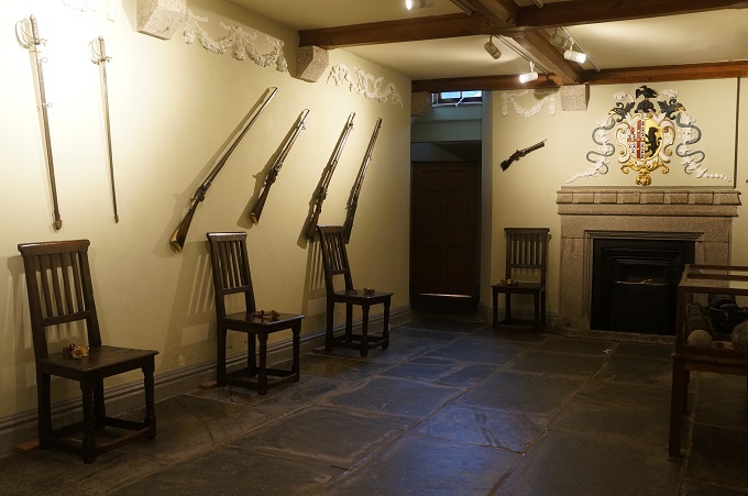
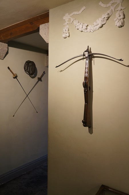
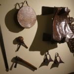
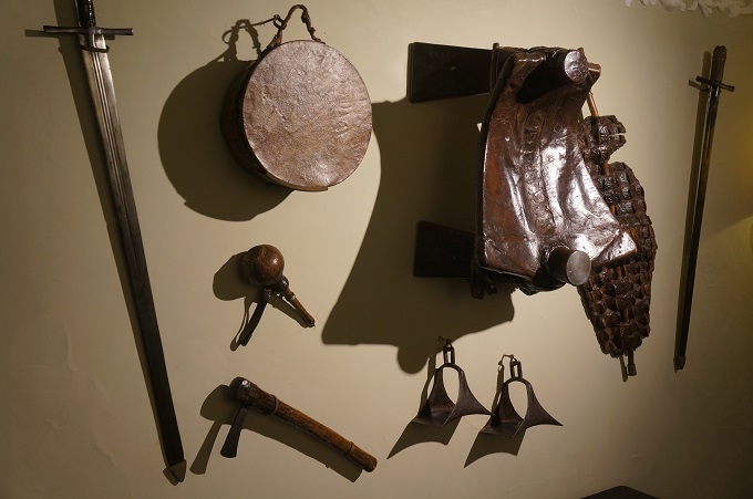
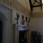
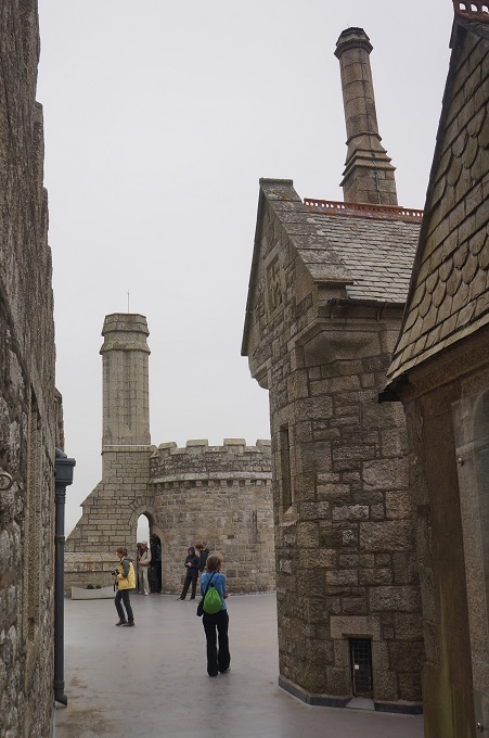
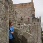
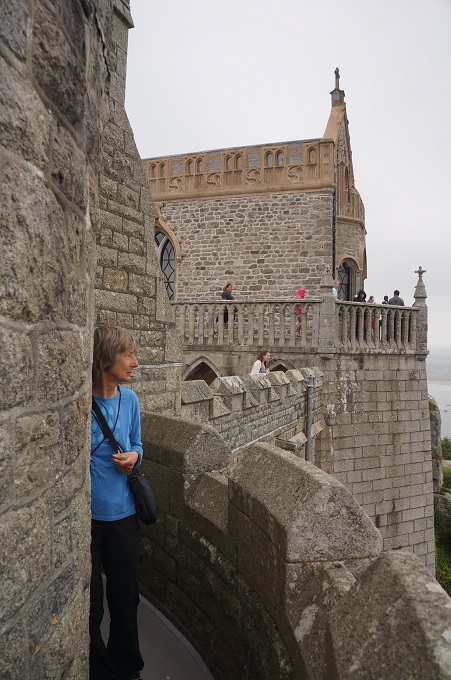
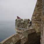
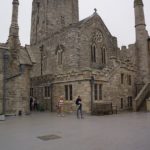
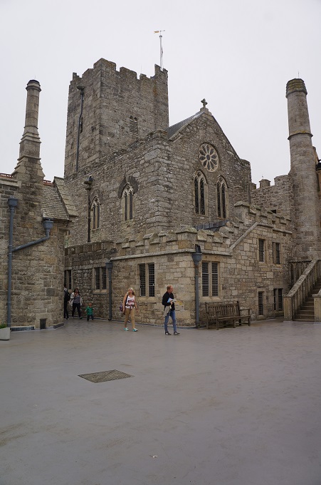
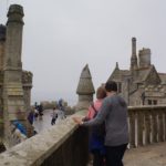
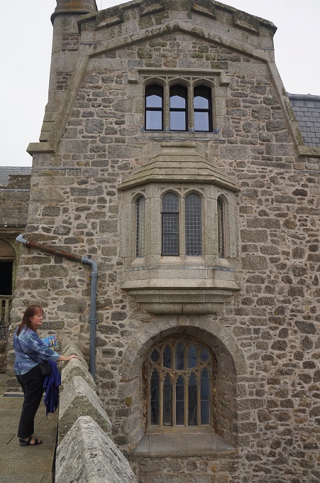
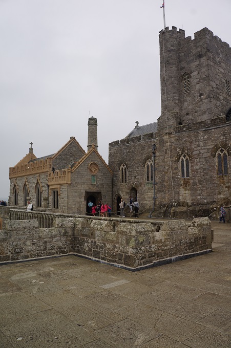
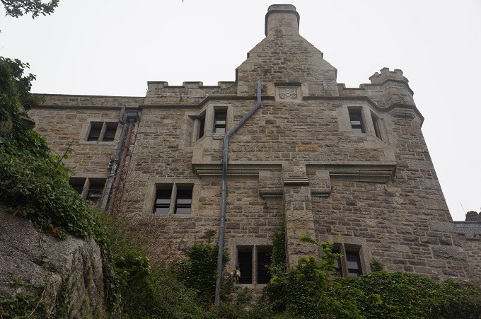
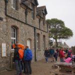
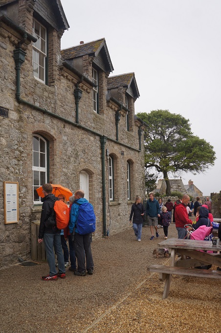
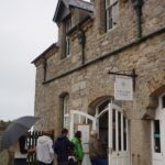
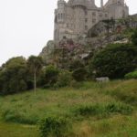
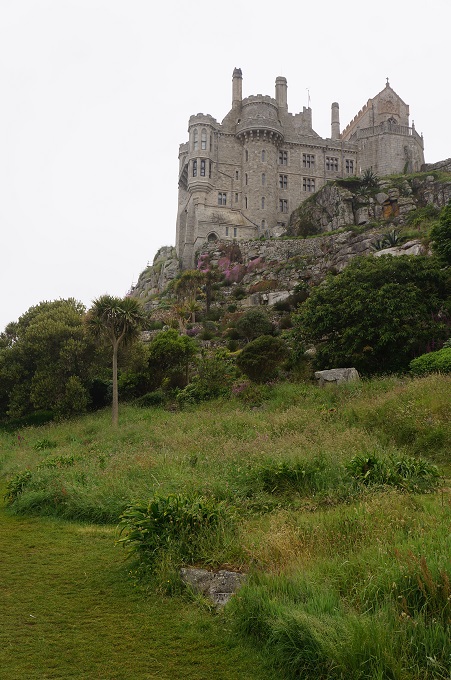
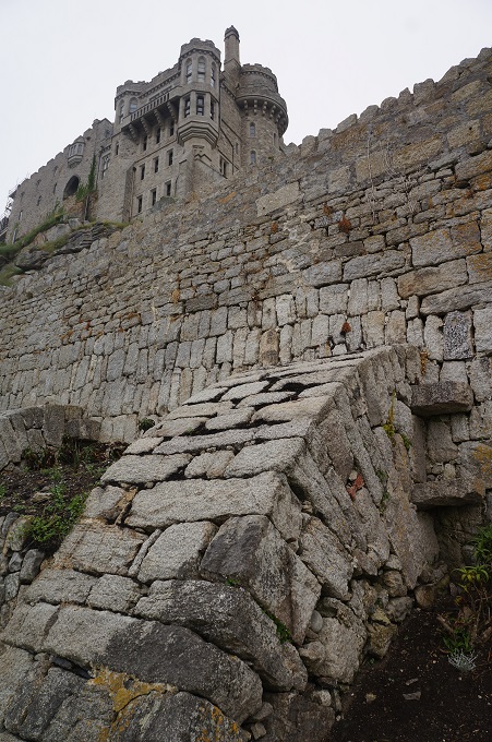
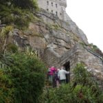
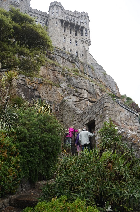
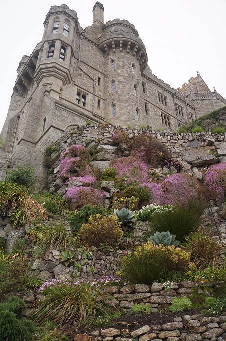
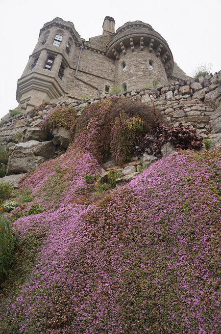
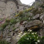
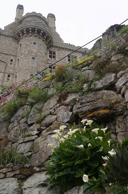
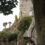
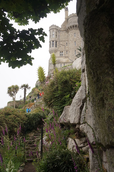
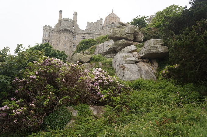
When you arrive on the island the castle seems to loom over you and the uniform grey granite makes it seem quite imposing and daunting. It is quite a steep climb on a cobblestone path (past the giant’s well and heart) up to the gun batteries and the castle entrance. Once inside it has more of a human scale. About a dozen rooms are open to the public and these are all quite intimate, cosy spaces. They feel well lived in and relate almost entirely to the occupation of the St Aubyn family.
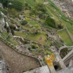
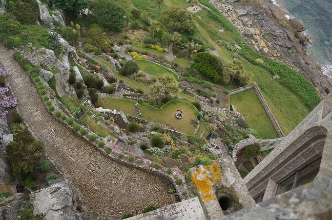
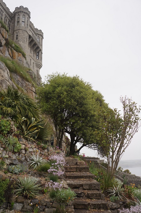
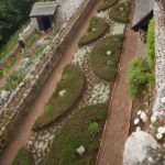
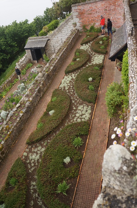
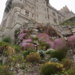
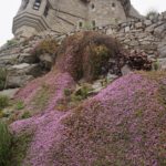
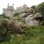
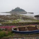
On the south-east side of the castle, capturing the warmth of the sun, is a garden first started in 1780. The sun’s heat is absorbed by the granite core of the island and released back in the winter, maintaining a frost-free climate. Many succulents as well as herbaceous and tender perennials are grown. The layout of the garden is such that you can enjoy it walking through it on the terraces but also from the battlements above for an aerial view. A lot of the succulents are damaged at the moment due to a heavy fall of snow earlier this year. The first snow on the island in 30 years.
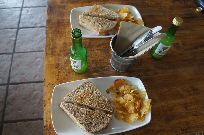
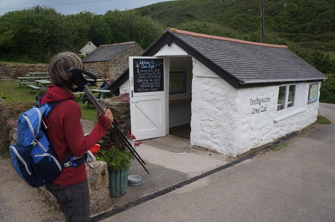
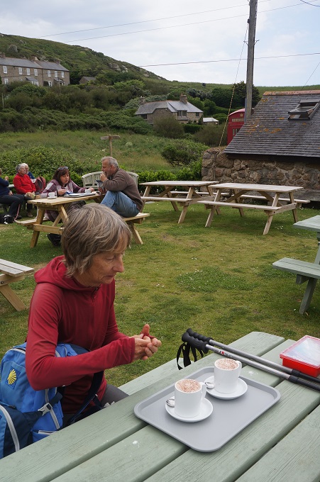
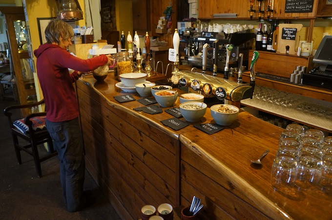
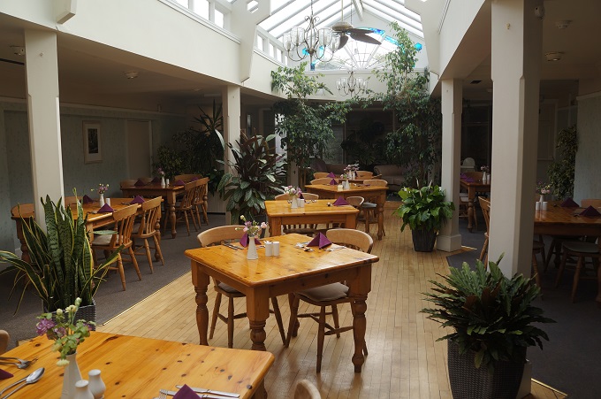
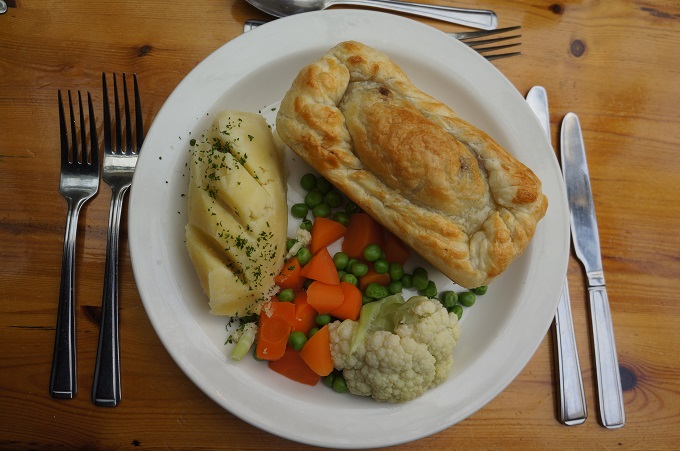
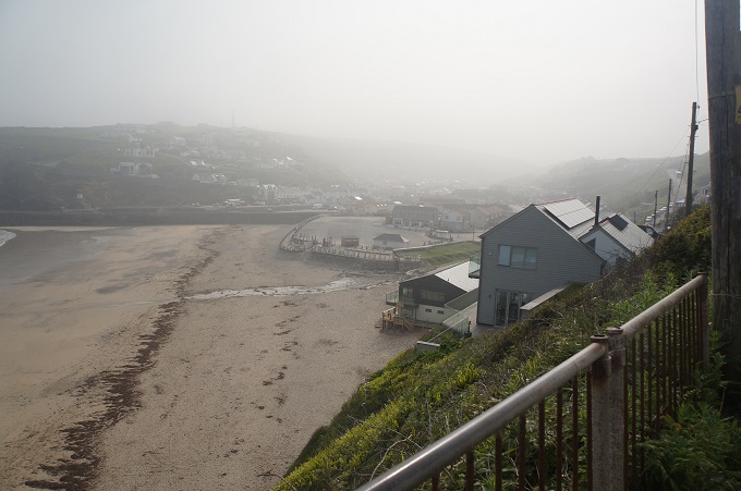
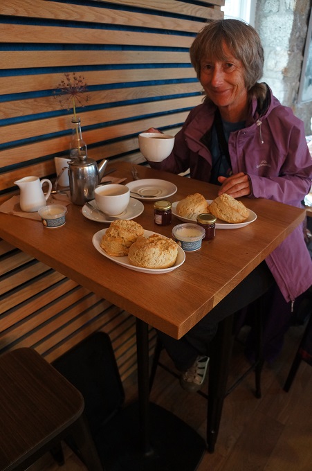
So it was another great day. Overcast and a bit hazy all day with some light drizzle while we retreated to the cafe for a cream tea. I think this just added to the atmosphere of the island and castle. Mid term break has finished and it is still early in the summer season so not too many people about.
PS in Penzance we did not see one single pirate or the very model of a modern major general!
-
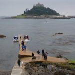
- When the causeway is submerged ferries are used to get to St Michael’s Mount
-
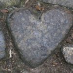
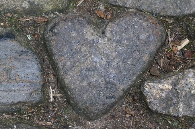
- The Giant’s Heart
-
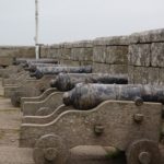
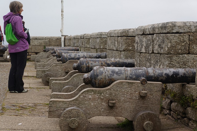
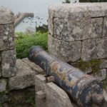
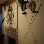
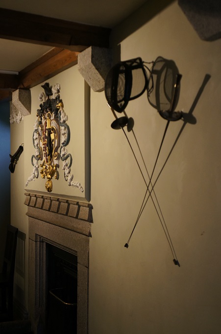
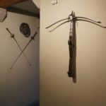
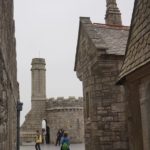
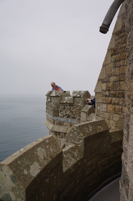
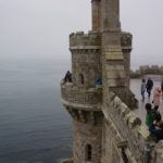
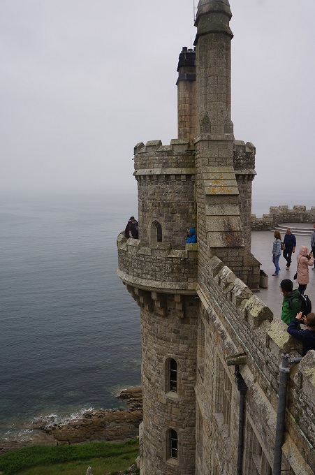
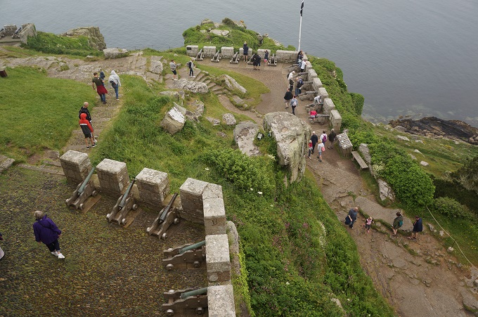
- The Gun Batteries
-
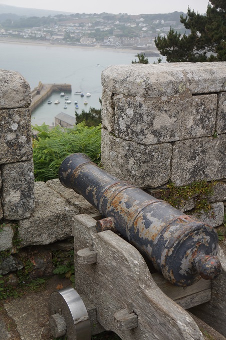
- The Gun Batteries
-
- The Gun Batteries
-
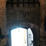
- Tudor portculus
-
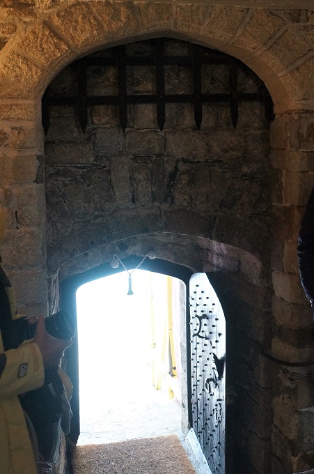
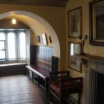
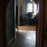
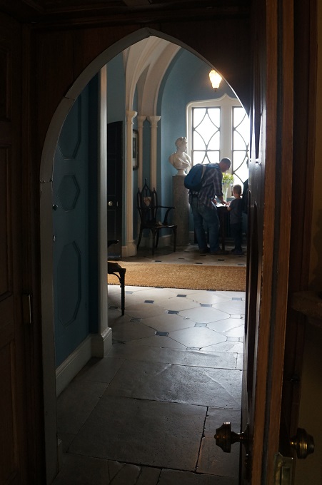
- The entrance Hall
-
- The Entrance Hall
-
- The Entrance Hall
-
- The Entrance Hall
-
- St John’s Room
-
- St John’s Room
-
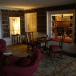
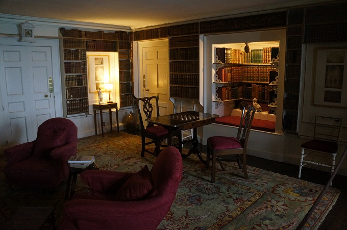
- The Library
-
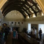
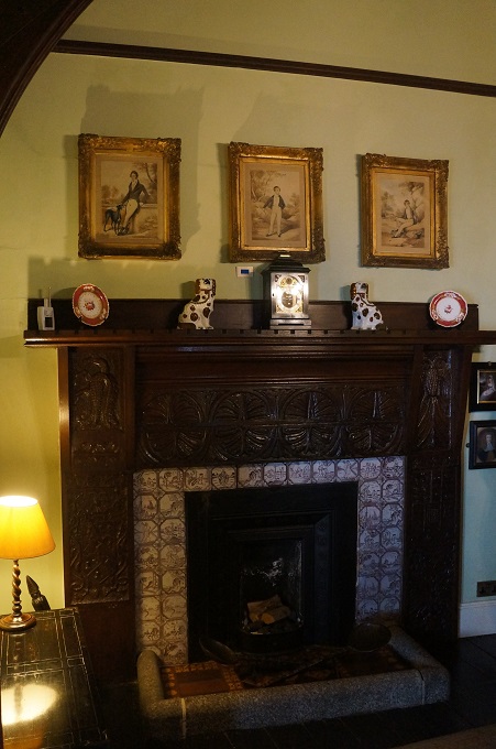
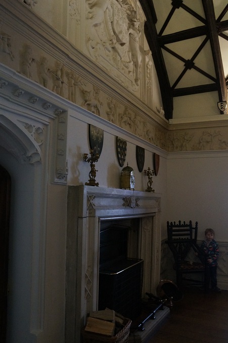
- Chevy Chase, this was the refectory for the priory and later the main dining room
-
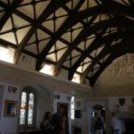
- Chevy Chase, this was the refectory for the priory and later the main dining room
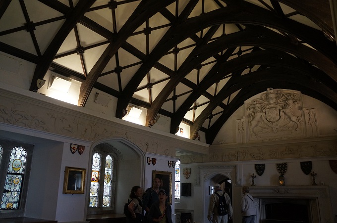
-
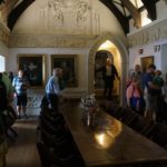
- Chevy Chase, this was the refectory for the priory and later the main dining room
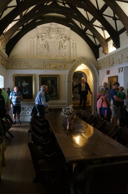
-
- Chevy Chase, this was the refectory for the priory and later the main dining room
-
- The Smoking Room
-
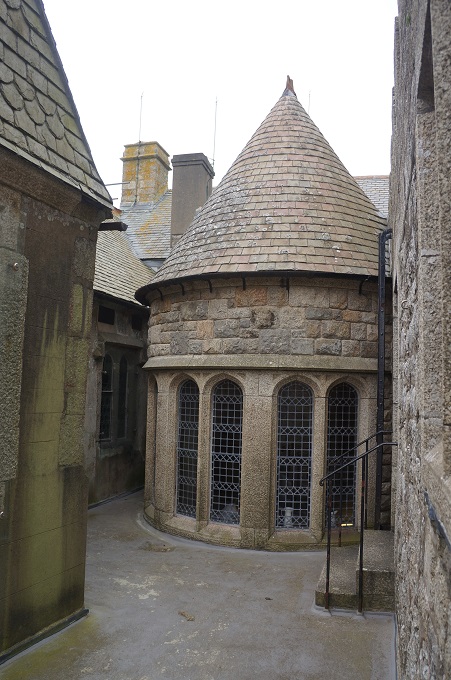
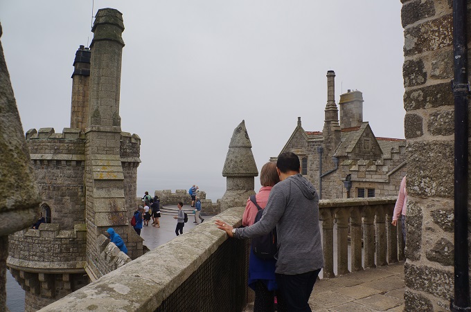
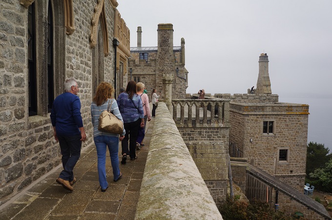
- The Roof Terrace
-
- The Roof Terrace
-
- The garden on St Michael’s Mount
-
- The Roof Terrace
-
- The Roof Terrace
-
- The Roof Terrace
-
- The causeway seen submerged
-
- The Roof Terrace
-
- The Roof Terrace
-
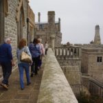
- The Roof Terrace
-
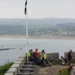
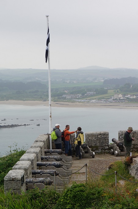
- The Gun Batteries
-
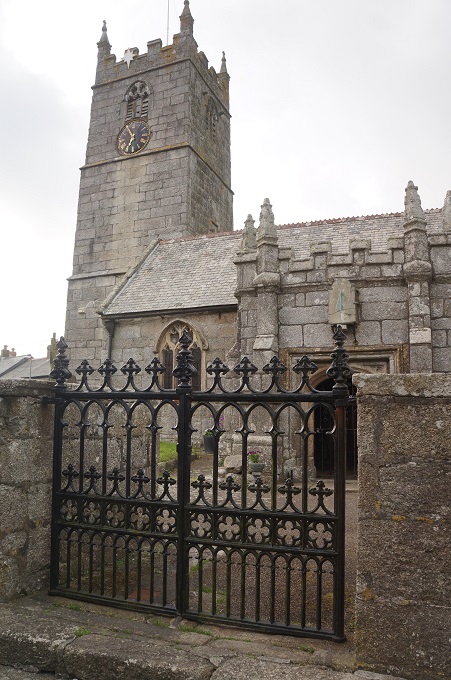
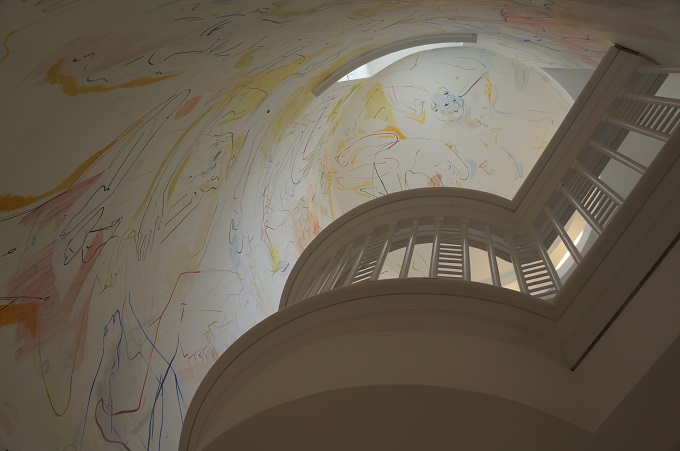
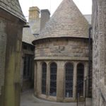
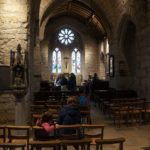
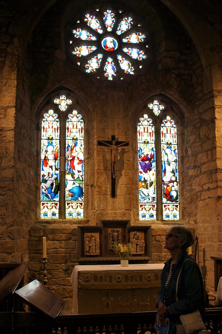
- The Church
-
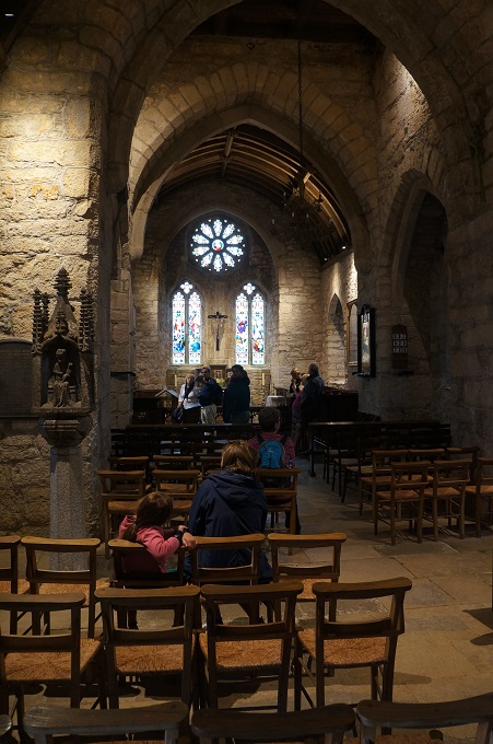
- The Church
-
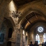
- The Church
-
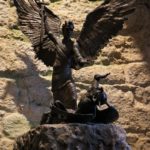
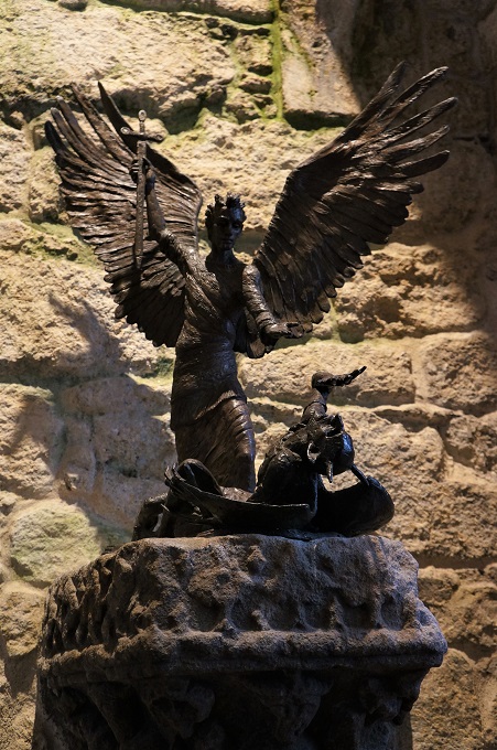
- St Michael
-
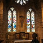
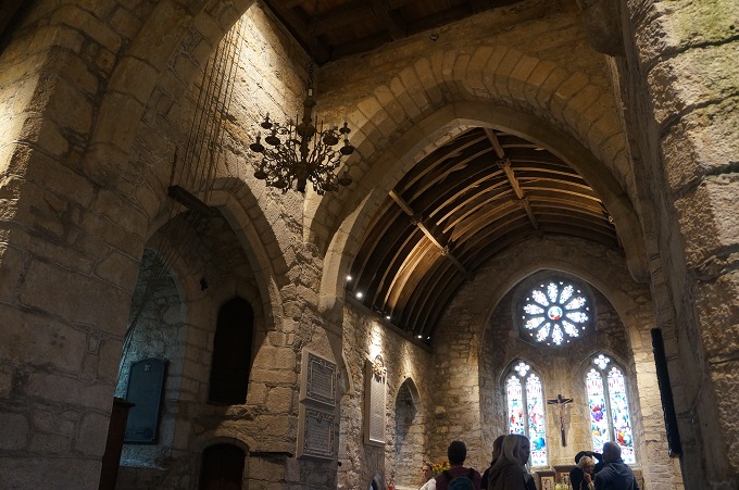
- The Church
-
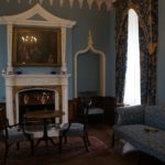
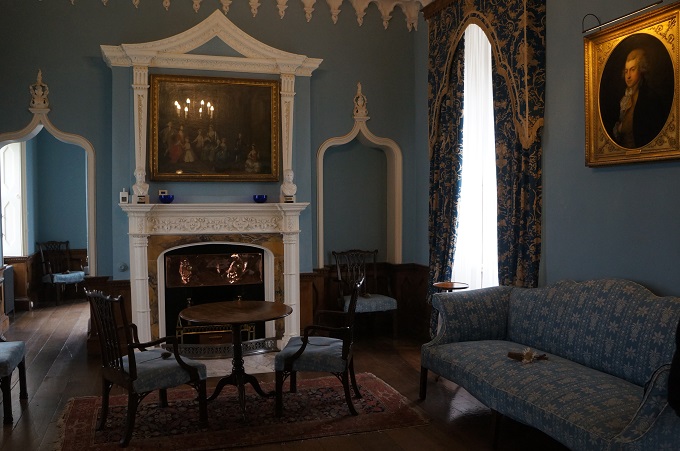
- Blue Drawing Rooms, formerly Lady Chapel
-
- Blue Drawing Rooms
-
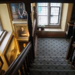
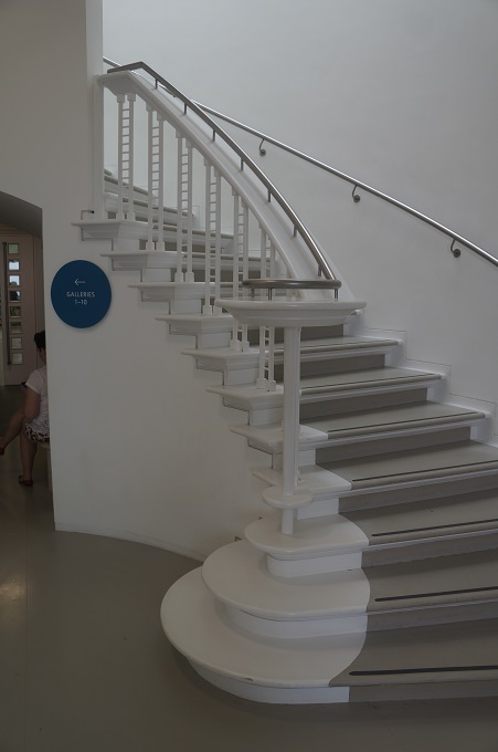
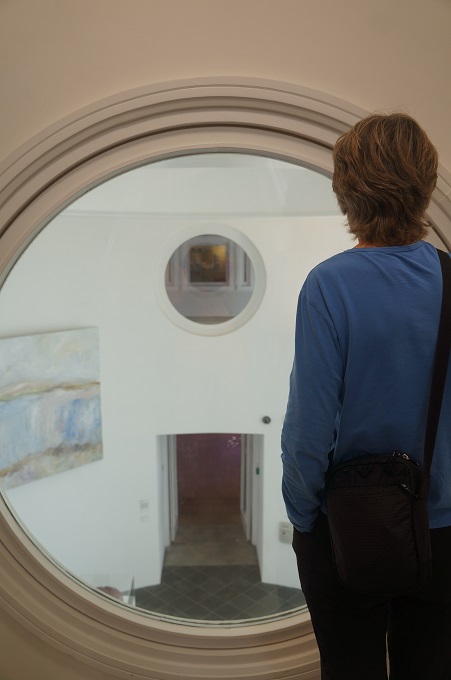
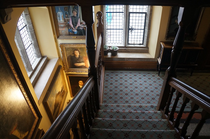
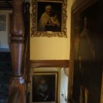
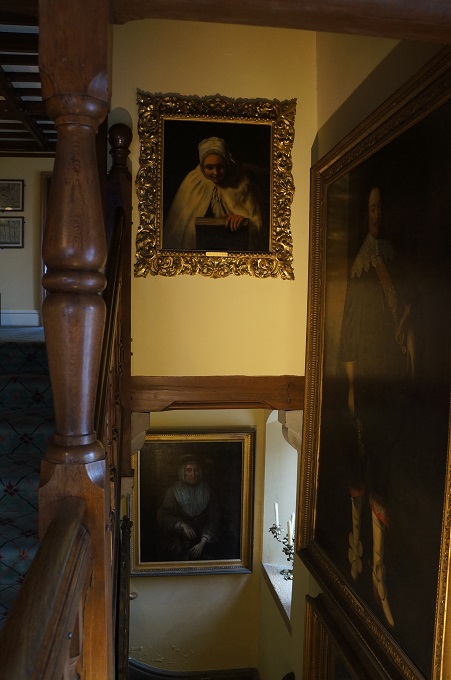
- stair Gallery
-
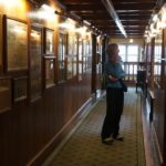
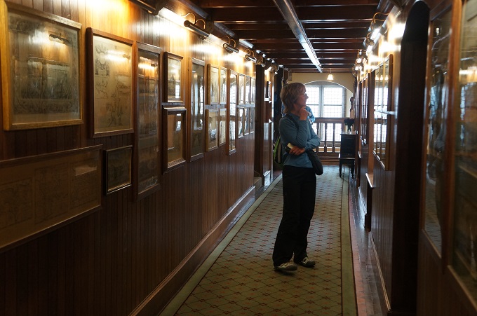
- The Long Passage
-
- Stair Gallery
-
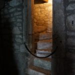
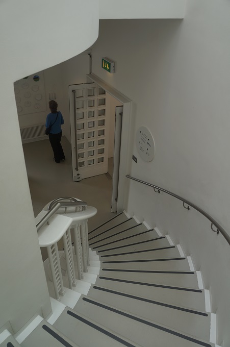
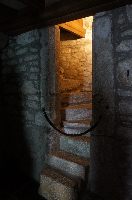
- Stone spiral stair
-
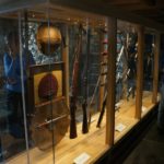
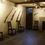
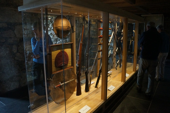
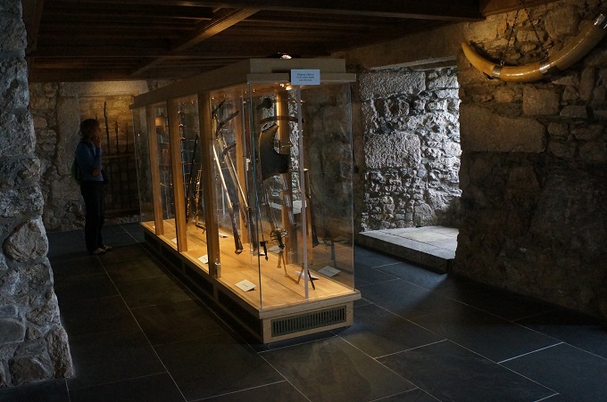
- Garrison Room
-
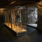
- Garrison Room
-
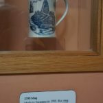
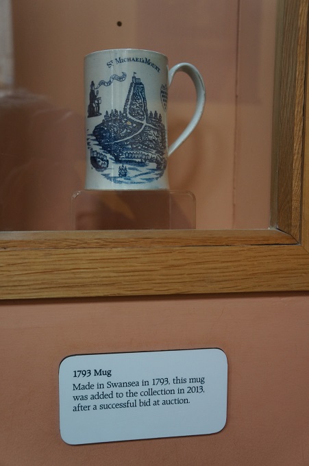
- 1793 mug
-
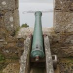
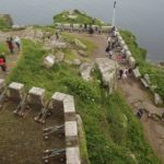
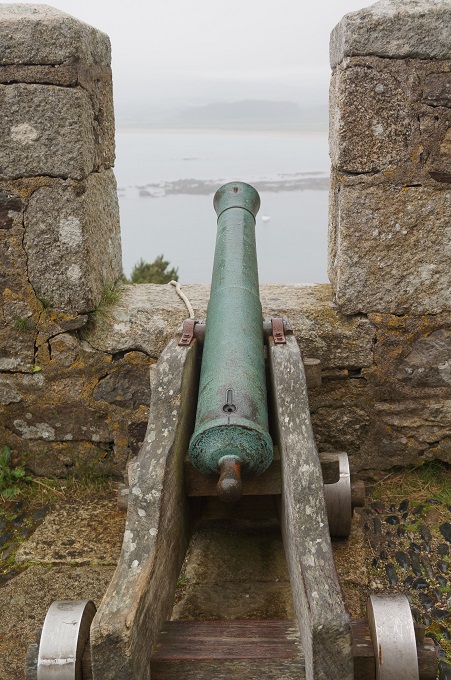
- Gun battery
-
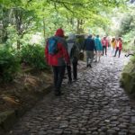
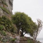
- Cobblestone paths
-
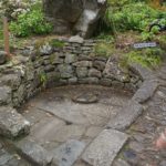
- The Giant’s Well
-
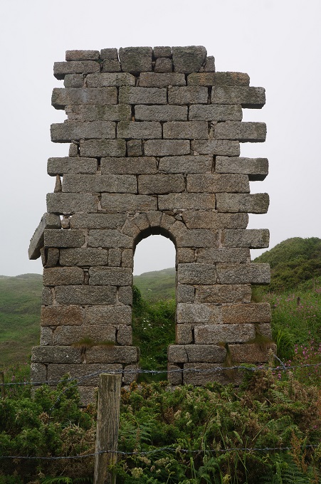
- Pill Box
-
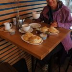
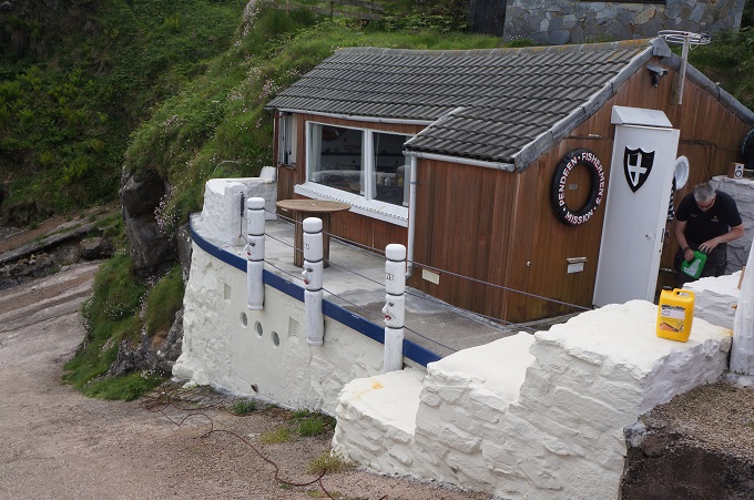
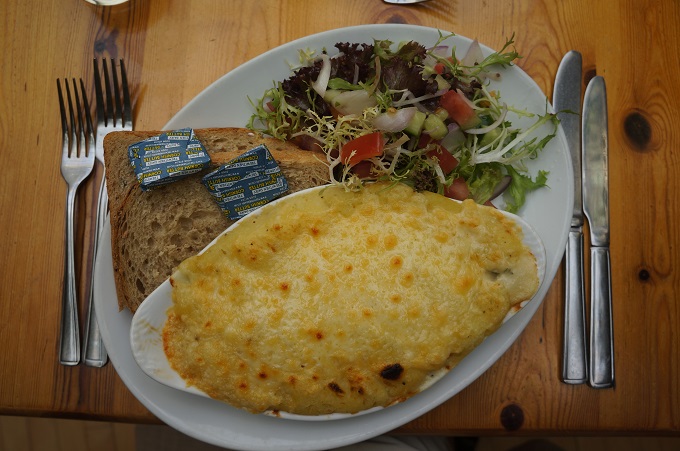
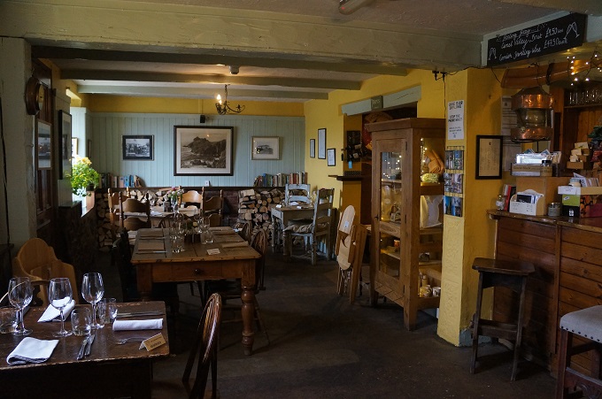
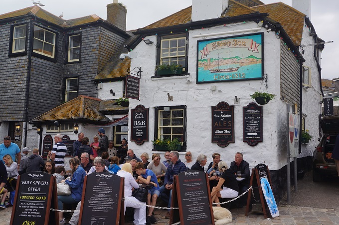
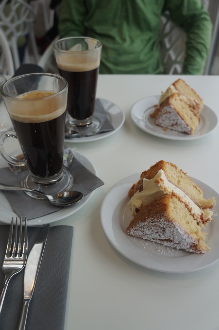
- Cream Tea in the Sail Loft
-
- Entering the gardens
-
- The causeway emerging from the water
-
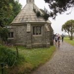
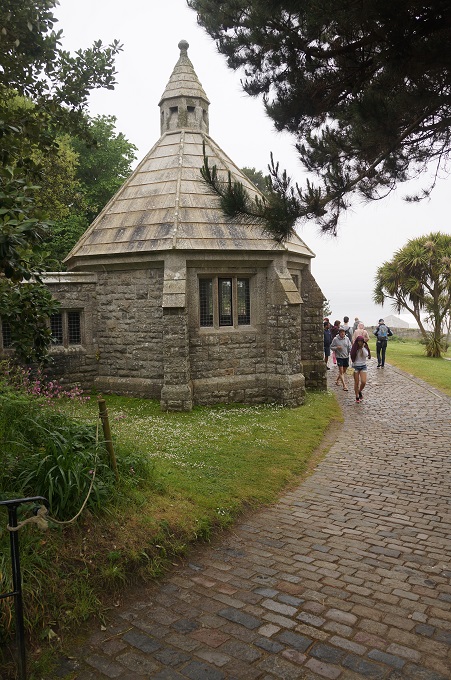
- One of two tea houses
-
- One of two tea houses
-
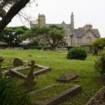
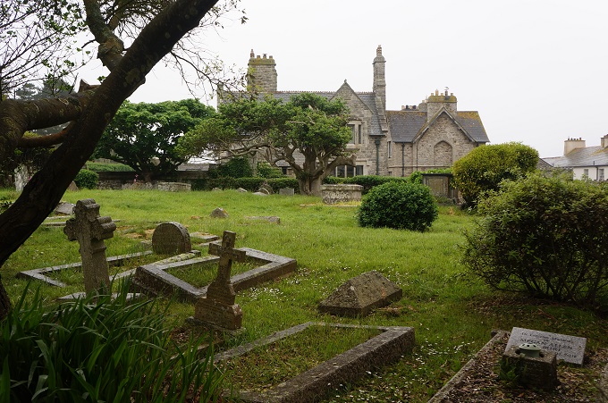
- The grave yard
-
- The gardens
-
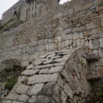
- Buttress supporting one of the large walls
-
- The gardens
-
- The gardens
-
- The gardens
-
- The gardens
-
- The gardens
-
- The gardens
-
- The gardens
-
- The gardens
-
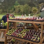
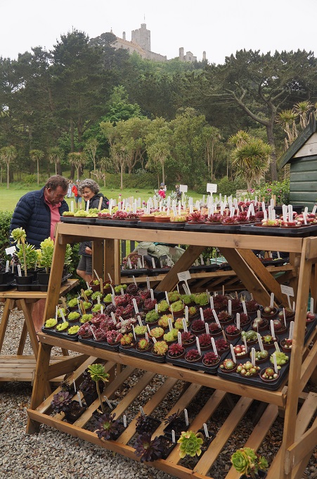
- Plants for sale
-
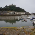
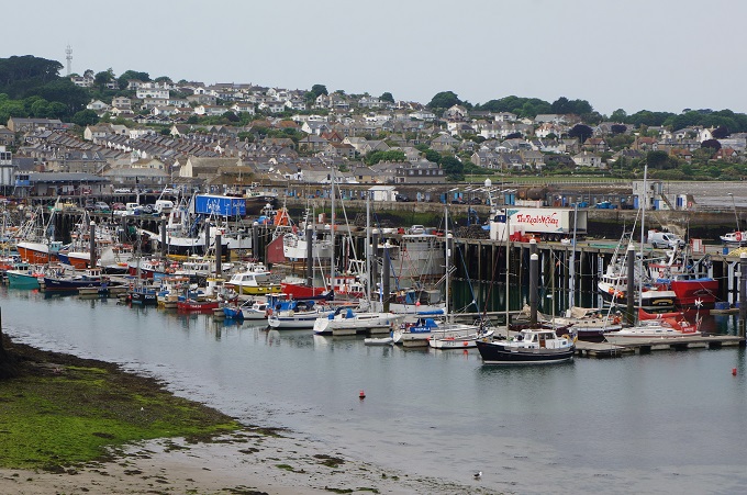
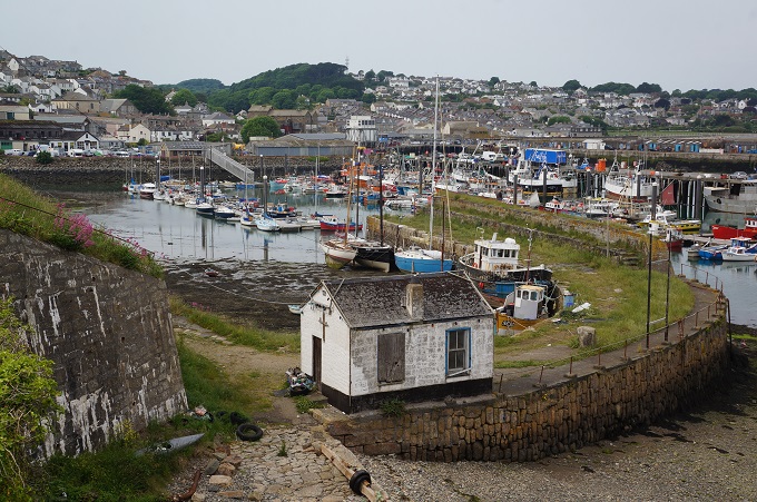
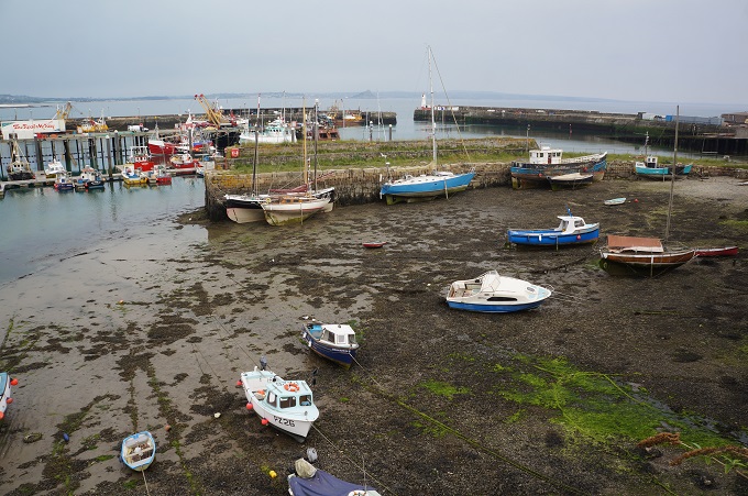
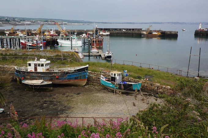
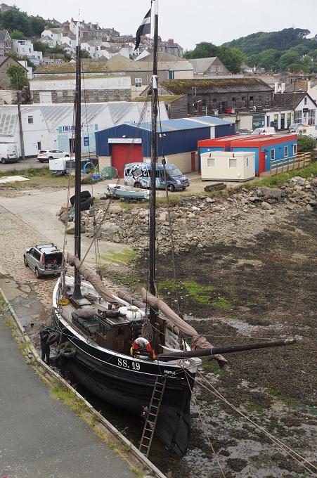
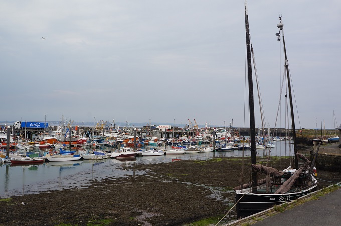
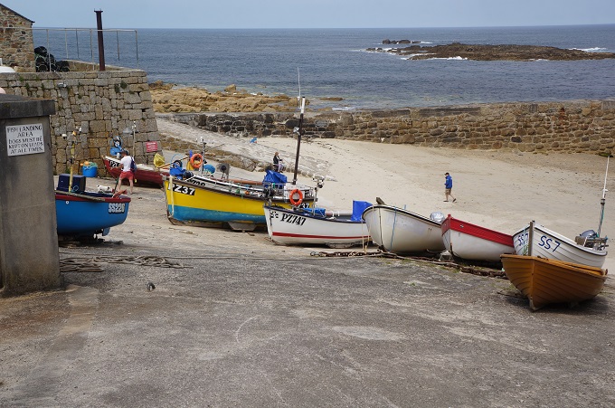
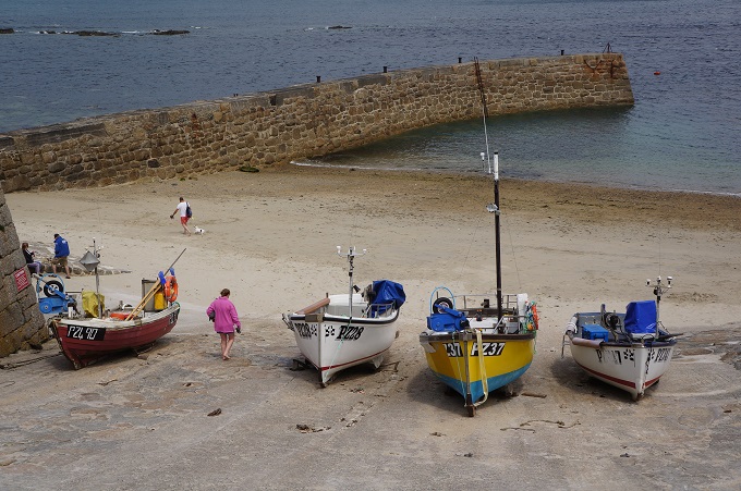
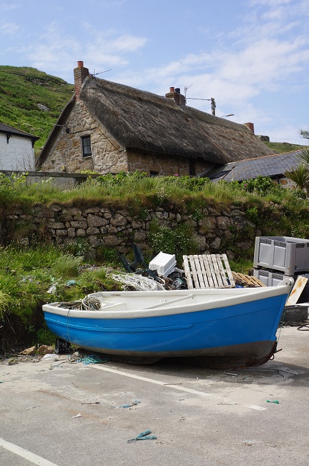
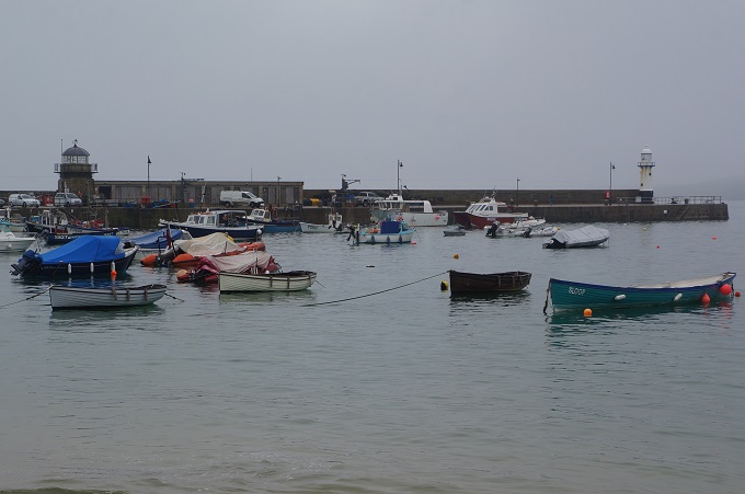
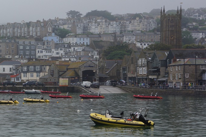
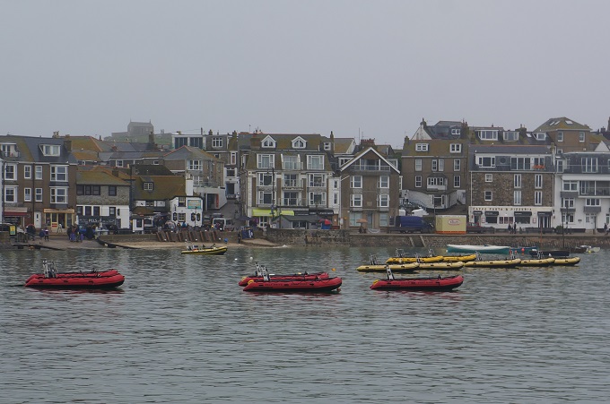
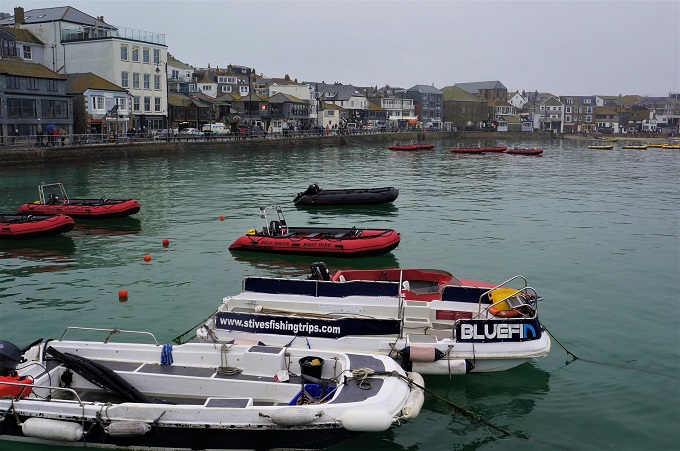
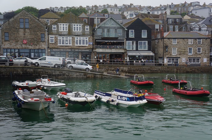
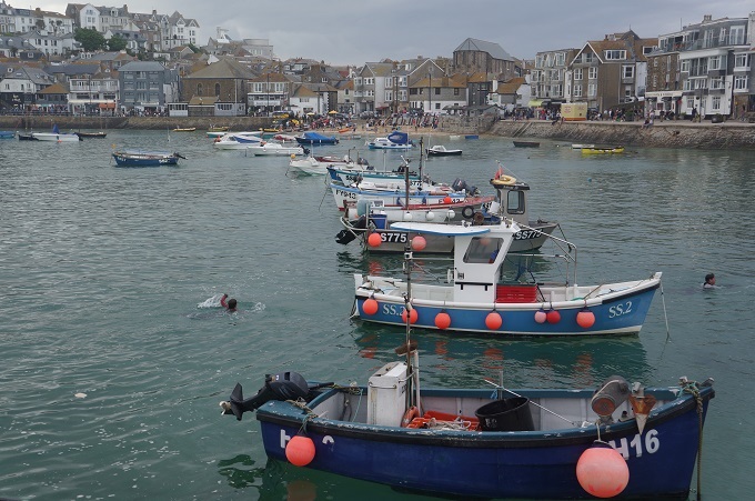
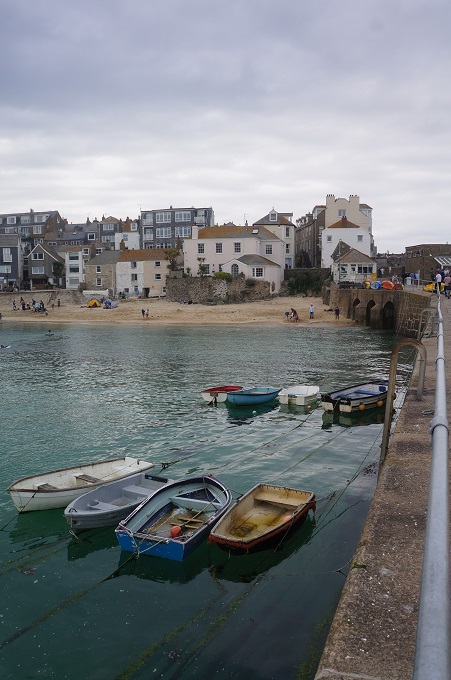
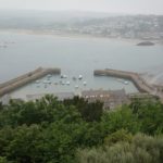
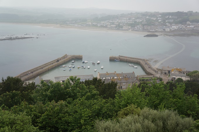
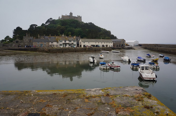
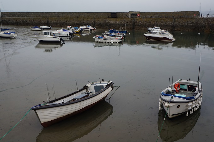
- The harbour
-
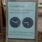
- Causeway walking times 05/06/2018
-
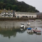
- The harbour
-
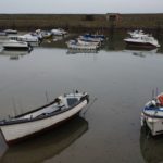
- The harbour
-
- The causeway is open
-
- The causeway, low tide
-
- The causeway
-
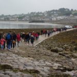
- On the causeway
-
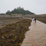
- From the mainland
-
- The causeway at low tide