Looe to Portwrinkle, 13 km, 599m climbing
‘There are some walks you have to take alone’
A short and uneventful day today. Not a great deal of interest and what was of interest we probably missed in the mist. The walking was sometimes a bit monotonous (maybe it’s just us, this was our 29th day of walking) and too much of it was done on roads, often narrow and without a shoulder or footpath.
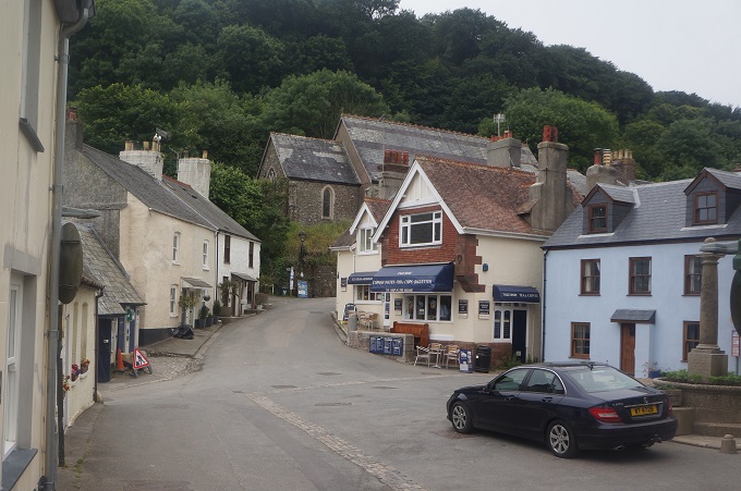
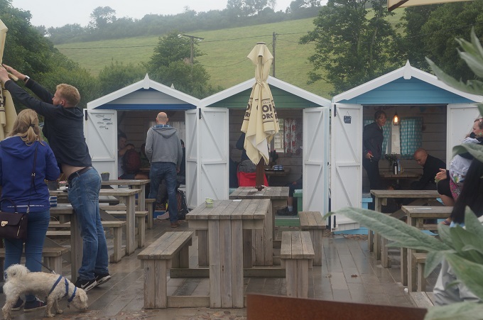
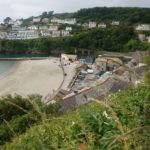
Leaving Looe we came to the rather strange seaside hamlet of Millendreath. It was once a thriving holiday village but for a few years was largely abandoned. Many of the homes are boarded up. It seems to be reviving with two new cafes on the beach and rebranding itself as Black Beach.
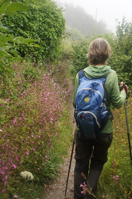
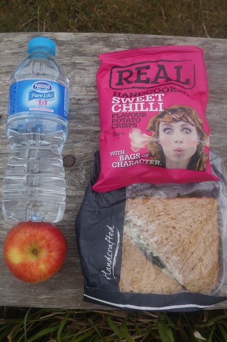
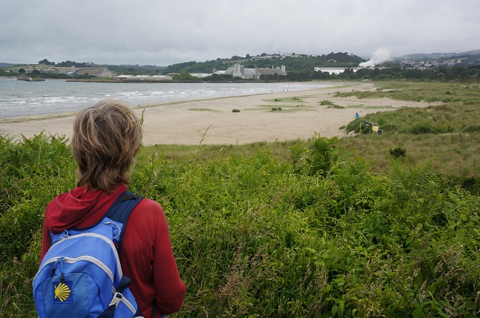
At this stage there wasn’t much walking near the coast, the path being diverted due to numerous slips. It wasn’t unpleasant, we walked along quiet roads, through woodland, across grassy fields and through a pine plantation. Eventually we came to the beach at Seaton and had a coffee from our Kanteen. At low tide you can walk on the beach for the next 2 km to Downderry but unfortunately it was nearer high tide so we had to walk along some very monotonous streets of bland modern seaside housing.
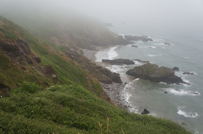
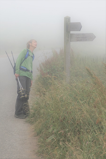
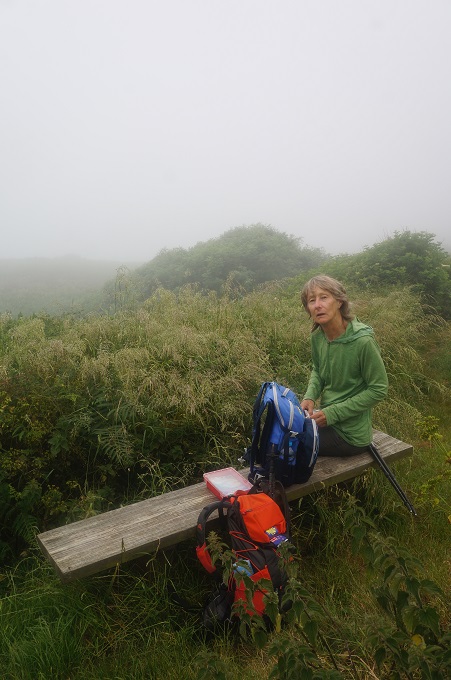
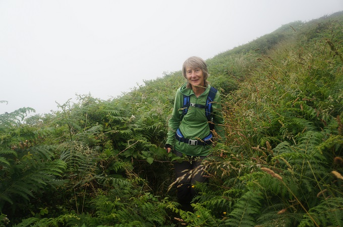
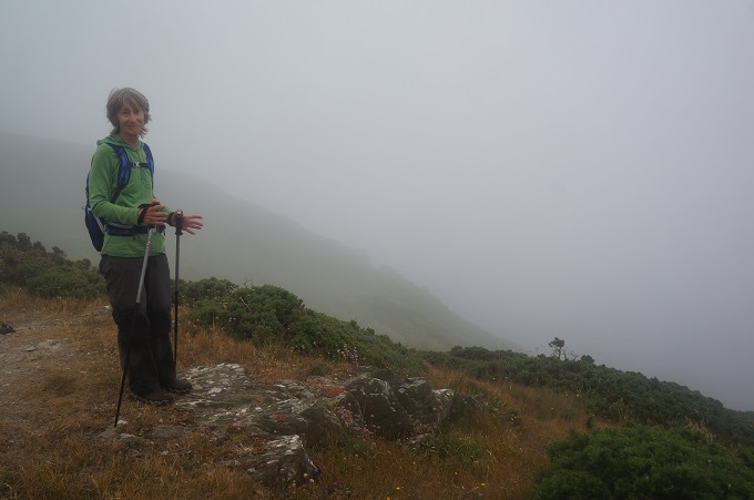
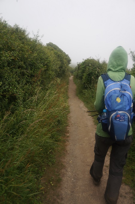
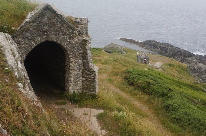
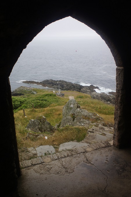
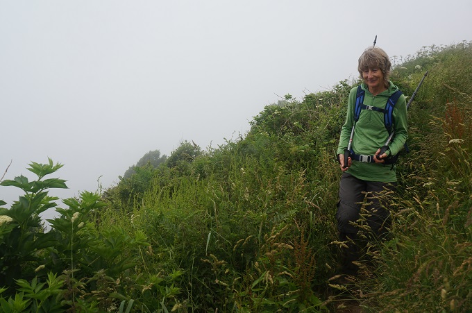
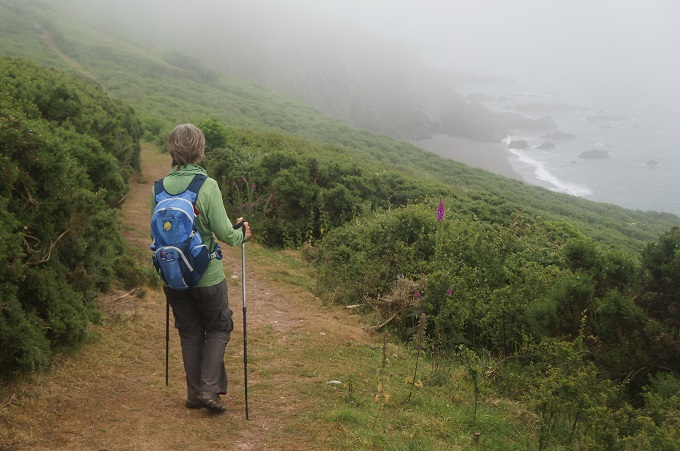
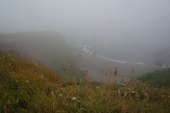
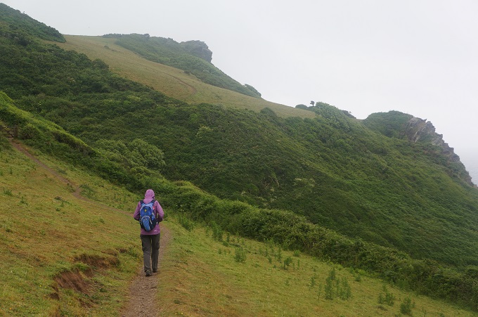
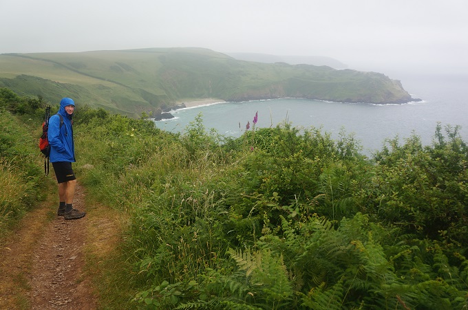
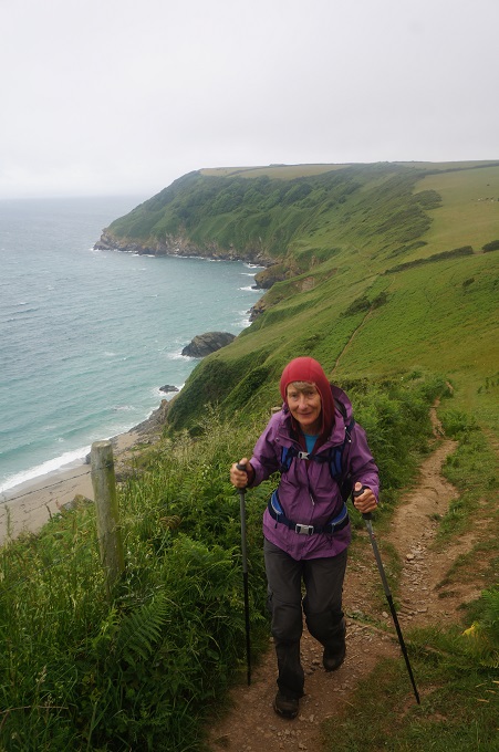
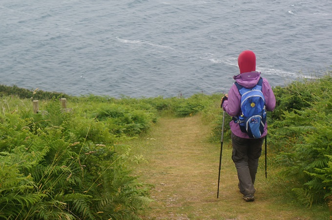
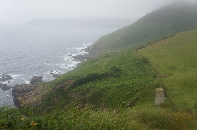
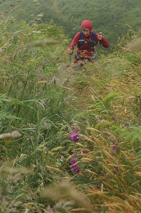
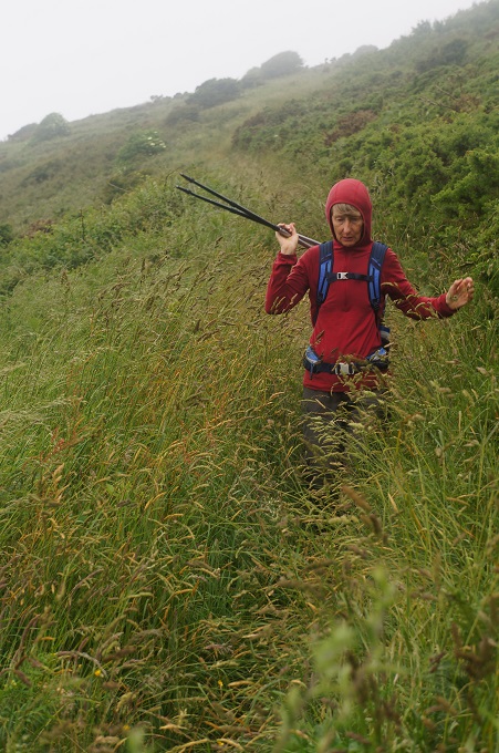
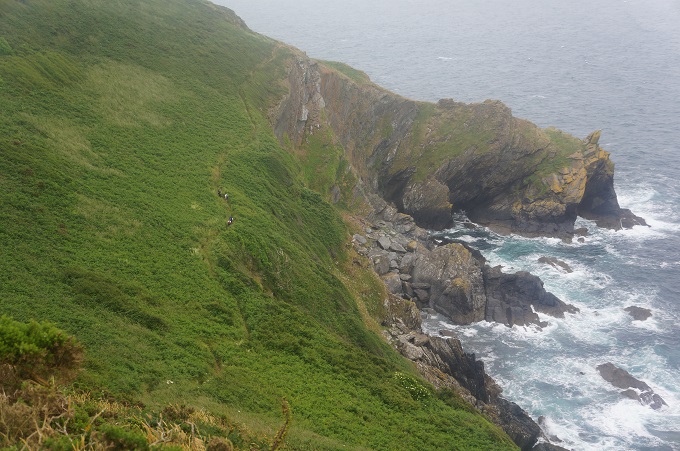
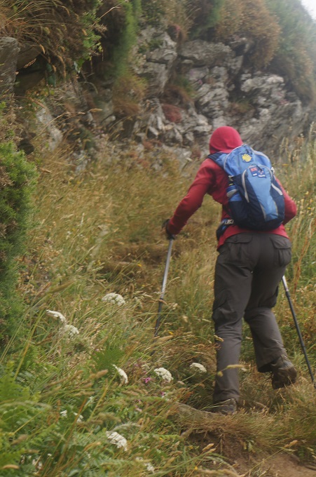
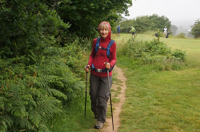
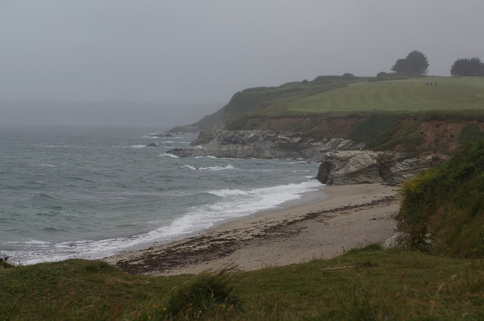
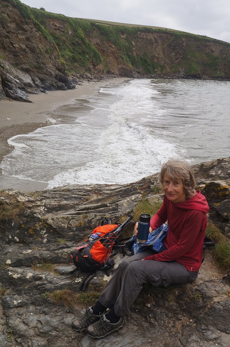
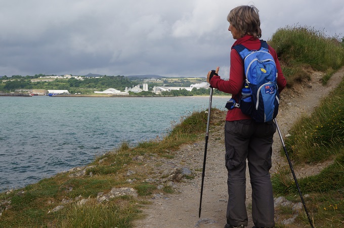
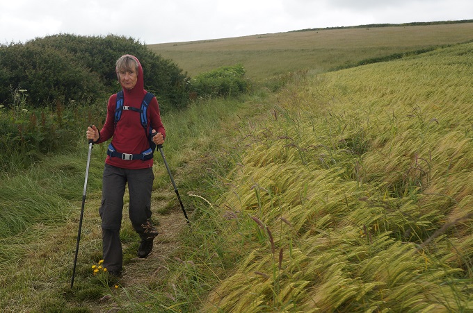
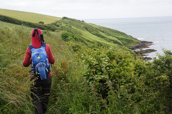
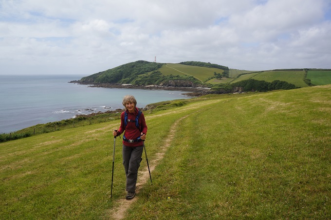
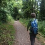
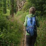
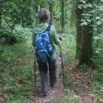
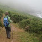
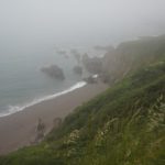
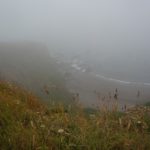
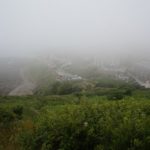
Off the road and back on the Coast Path we did the only real climb of the day up onto the cliffs. The vegetation was so lush it was often hard to find and follow the path. The hedgerows, bracken, brambles, nettles etc were up to our shoulders at times. The summit was covered in mist and what should have been great views along the coast were just whiteout. We could hear, but certainly couldn’t see, the waves crashing on the rocks below.
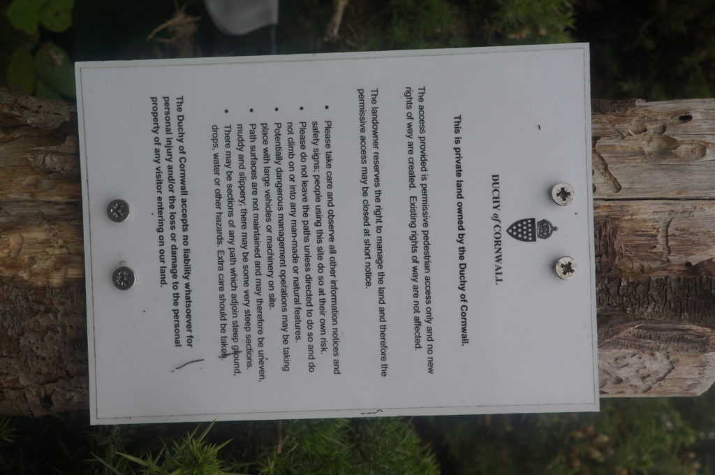
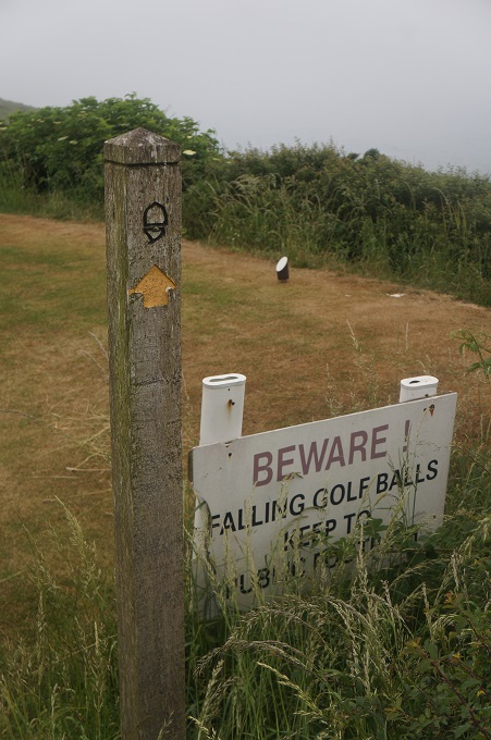
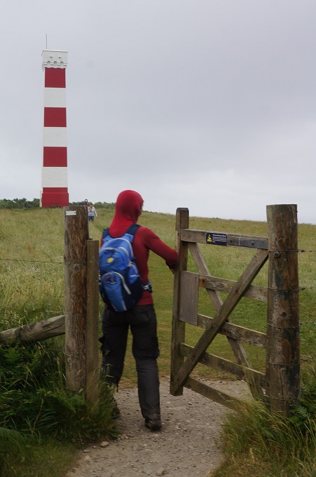
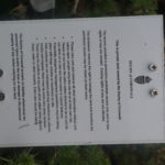
We did see a notice screwed to a fence, from the Duchy of Cornwall, ie Prince Charles. The guts of this is that this is their private land and the access they are providing is ‘permissive pedestrian access only’ and no new’ rights of way’ are created.
In the UK rights of way are theoretically established because the owner has dedicated them to public use. However, very few paths are formally dedicated this way. If members of the public have been using a path without interference for 20 years or more the law assumes the owner has intended to dedicate it as a right of way. If a path is unused for 20 years, it does not cease to exist, the guiding principle is ‘once a highway, always a highway’.
On a public right of way you have the right to ‘pass and repass along the way’ which includes stopping to rest, admire the view or consume refreshments. You can also take with you ‘natural accompaniment’ which includes a dog. Farmers must ensure that paths are not blocked by crops and if crops are growing over the path you have every right to walk through them.
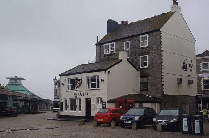
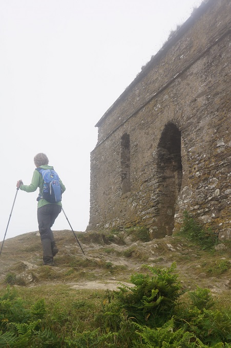
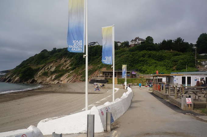
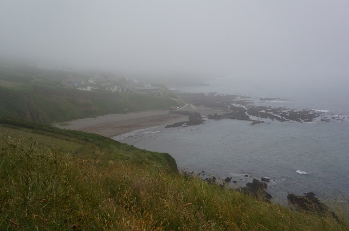
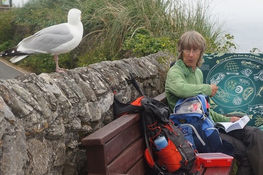
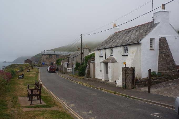
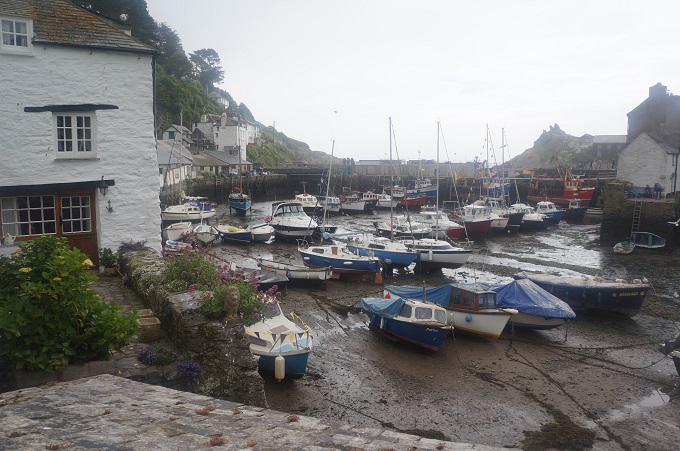
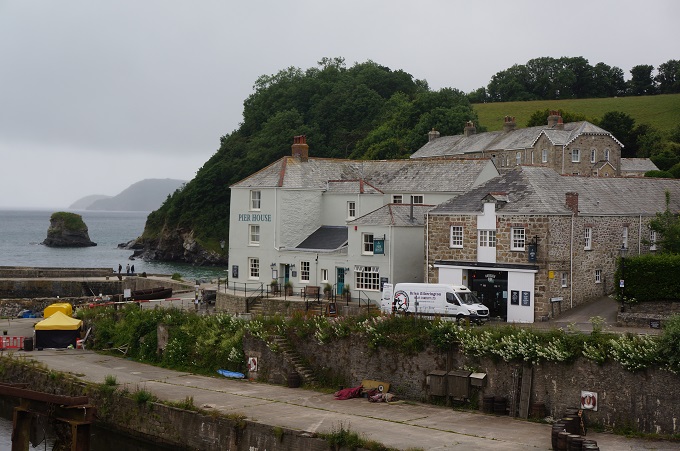
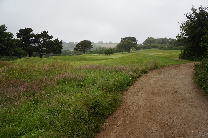
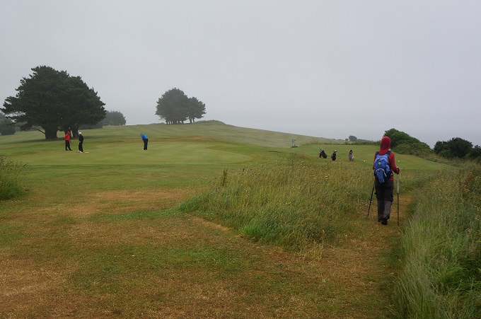
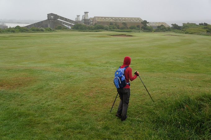
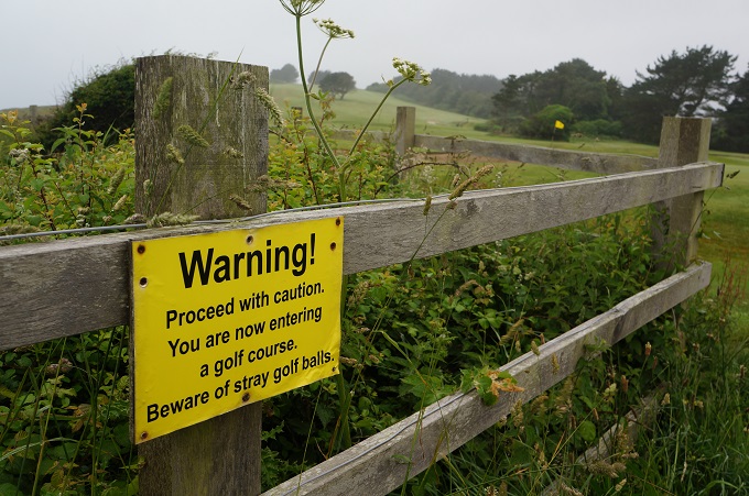
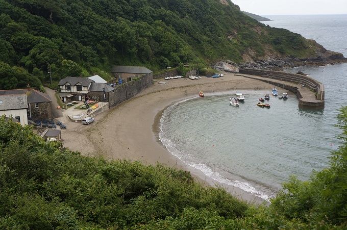
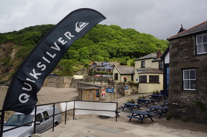
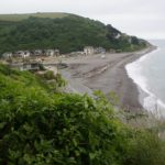
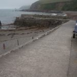
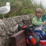
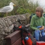
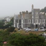
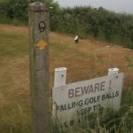
Having the permission of the Duchy we proceeded down to sea level and Portwrinkle. It has a little stone walled harbour empty of boats, a grand hotel (with ghost), a café, seaside houses, a bus stop, public toilets and a golf course. It has no charm and character at all. We stopped to eat our lunch and spent most of the time warding off a very pesky, determined gull.
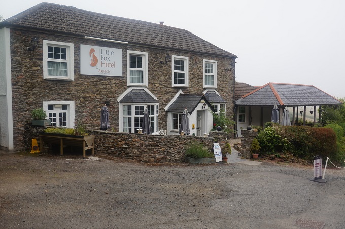
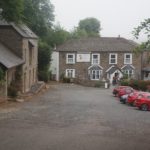
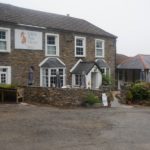
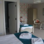
A walk along the side of the golf course and inland a bit and we are at The Little Fox Hotel. A very comfortable establishment standing alone among woodland and fields. Our room is in a very nicely converted stone stables and is the largest of the thirty we have used on this adventure so far.
Today was our penultimate day so we have mixed feelings about tomorrow. Feeling a bit flat.
-
-
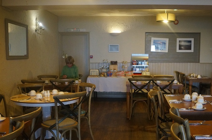
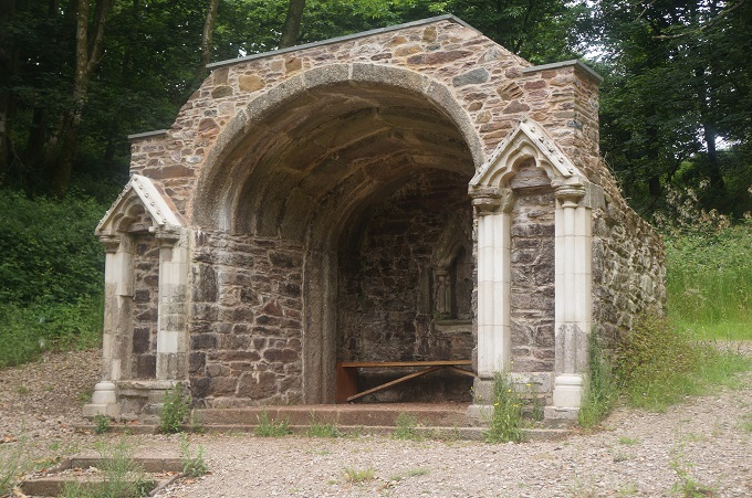
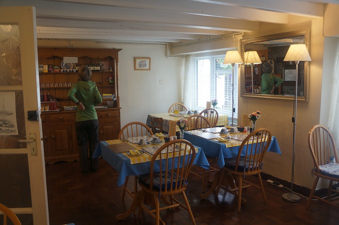
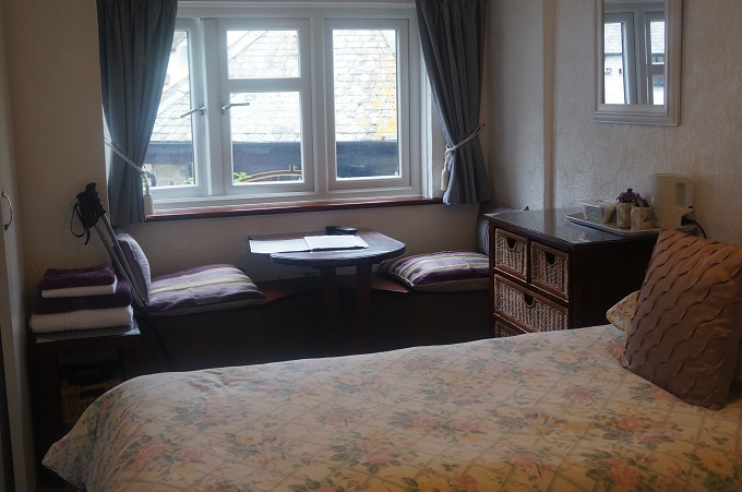
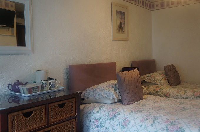
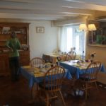
Dining room, Little Harbour Guest House, Looe
-
-
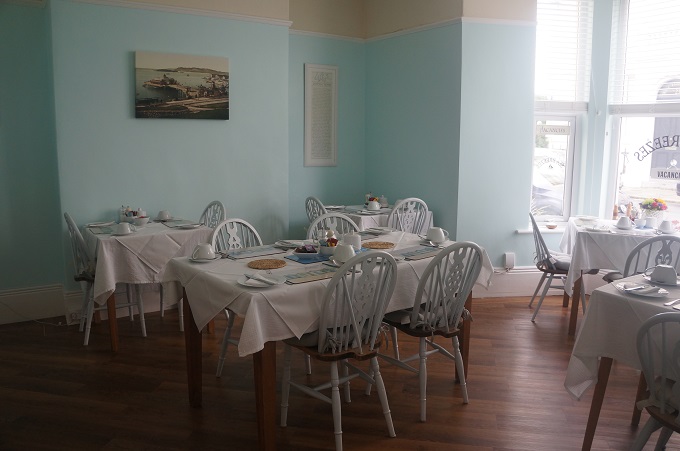
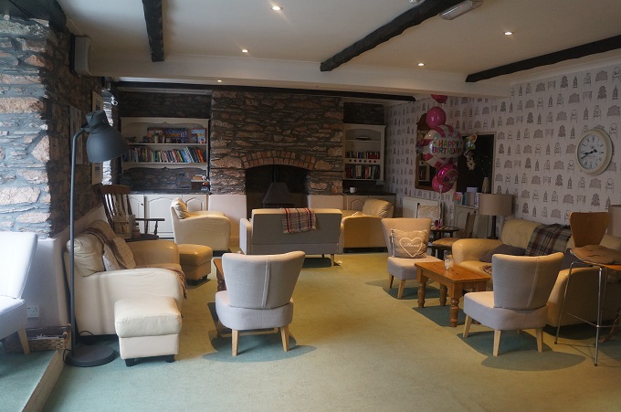
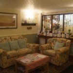
The lounge, Little Harbour Guest House, Looe
-
-
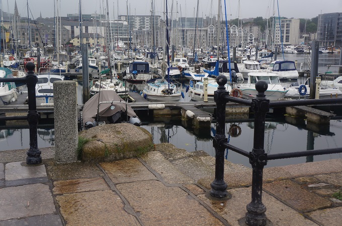
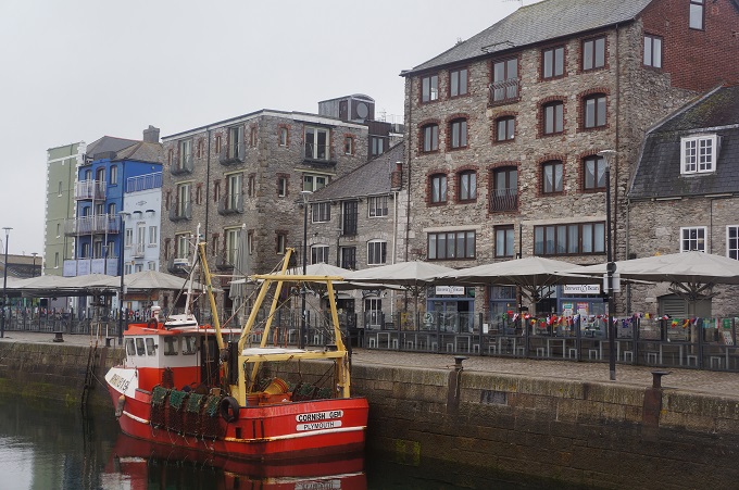
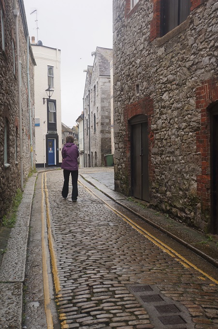
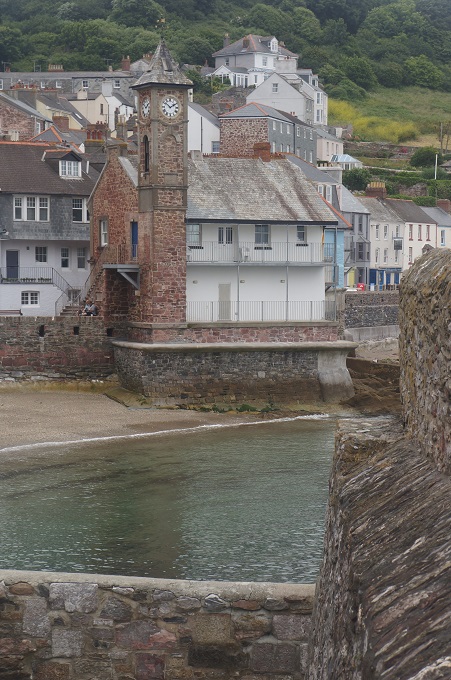
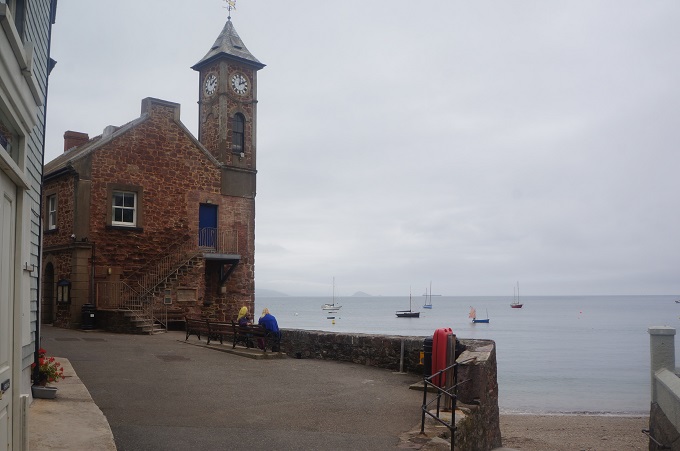
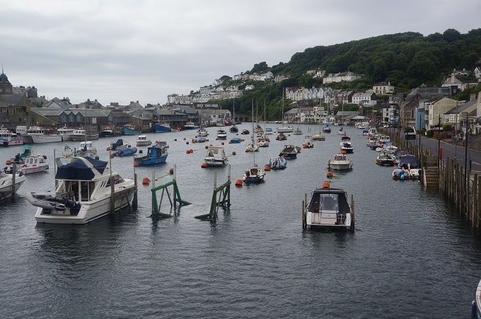
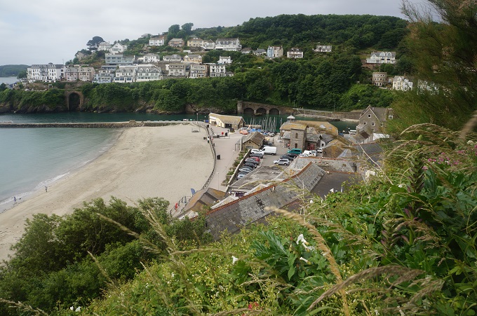
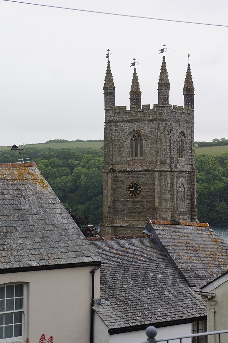
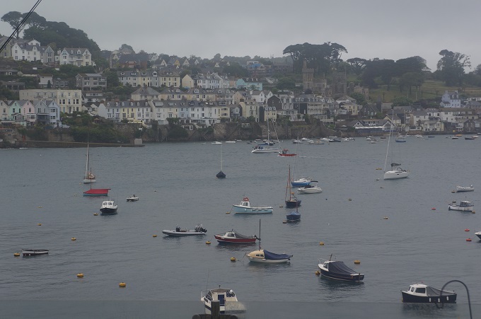
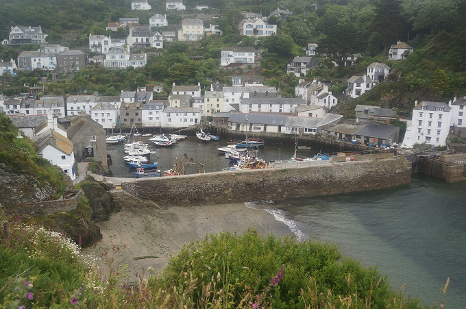
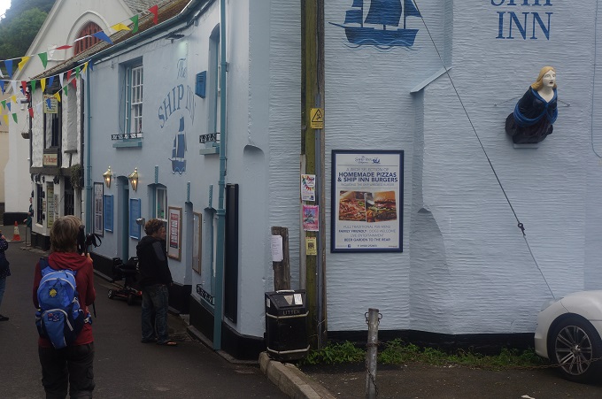
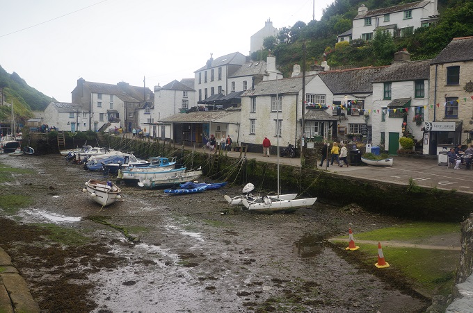
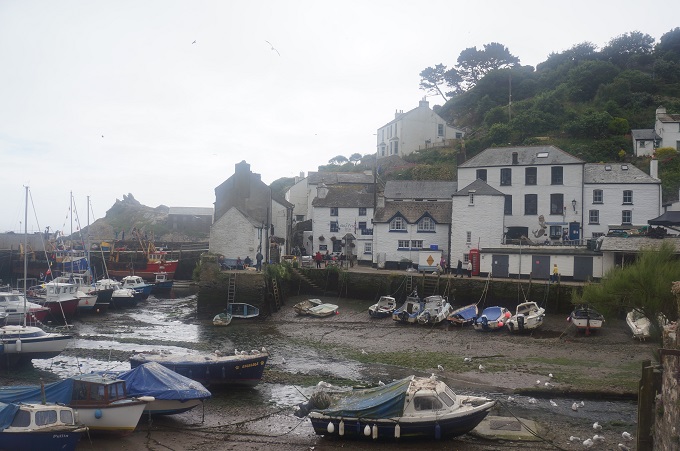
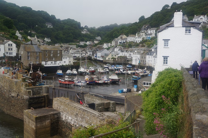
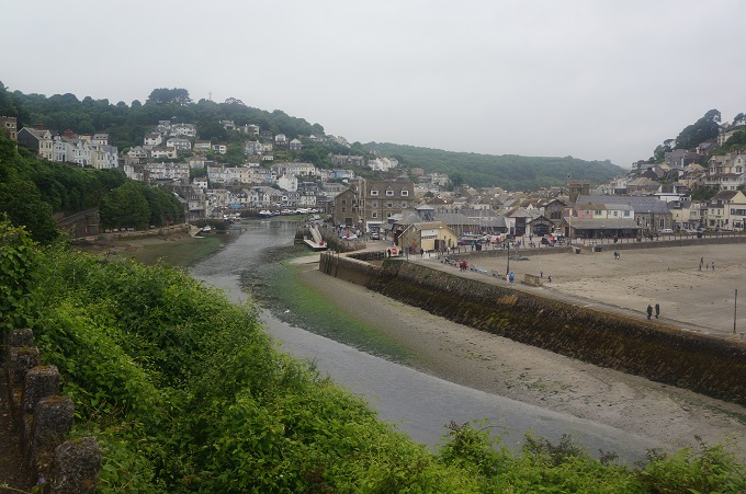
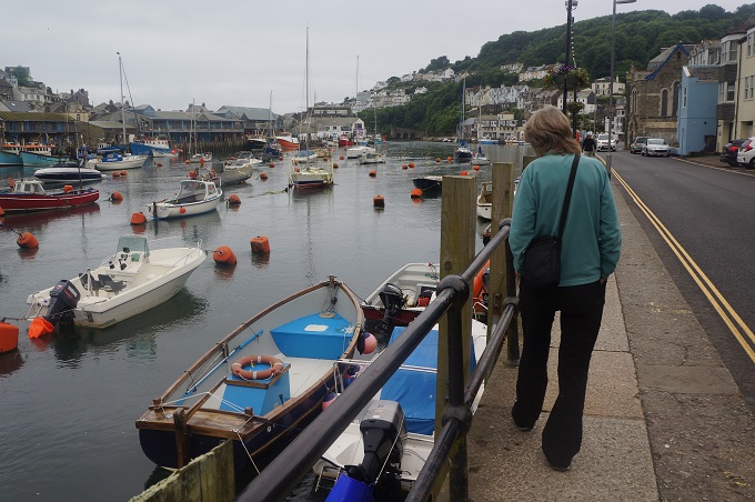
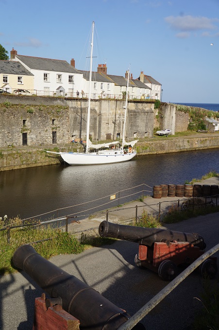
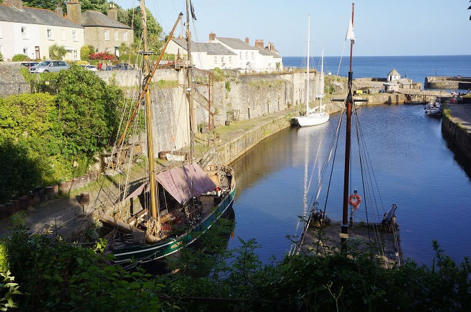
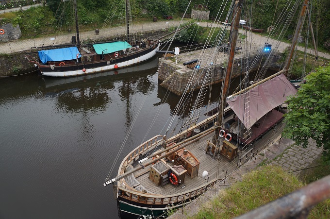
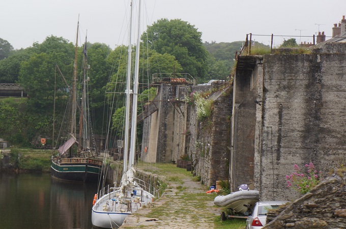
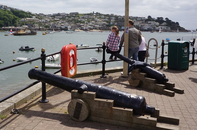
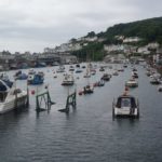
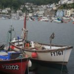
East and West Looe on Looe River
-
-
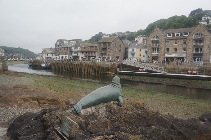
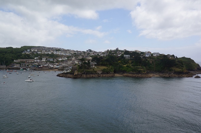
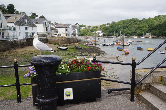
West Looe from East Looe
-
-
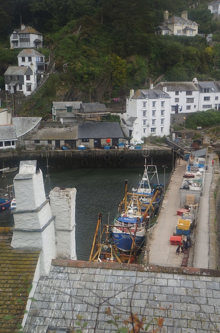
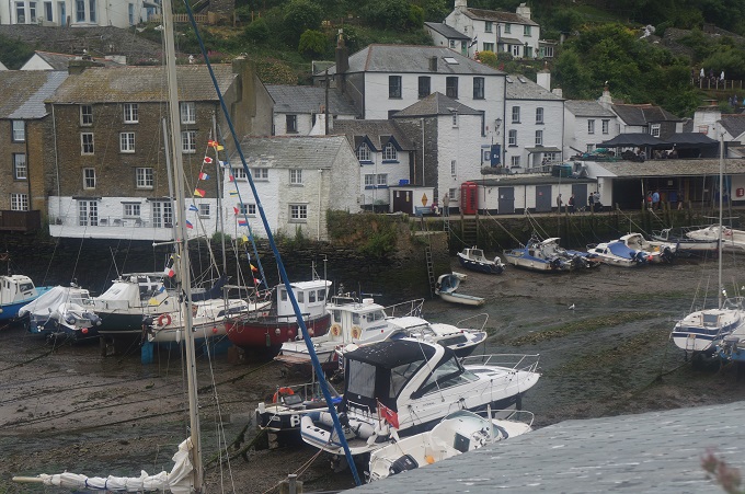
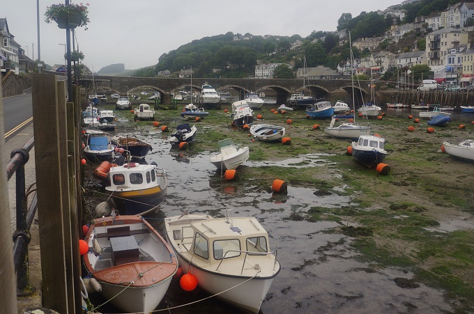
East Looe
-
-
East Looe
-
-

-
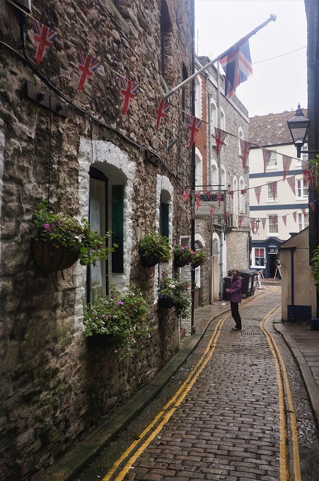
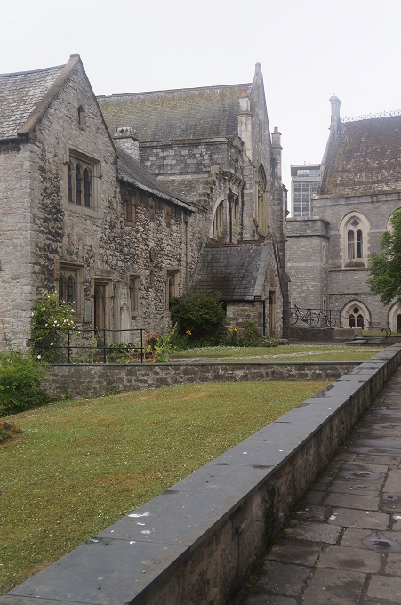
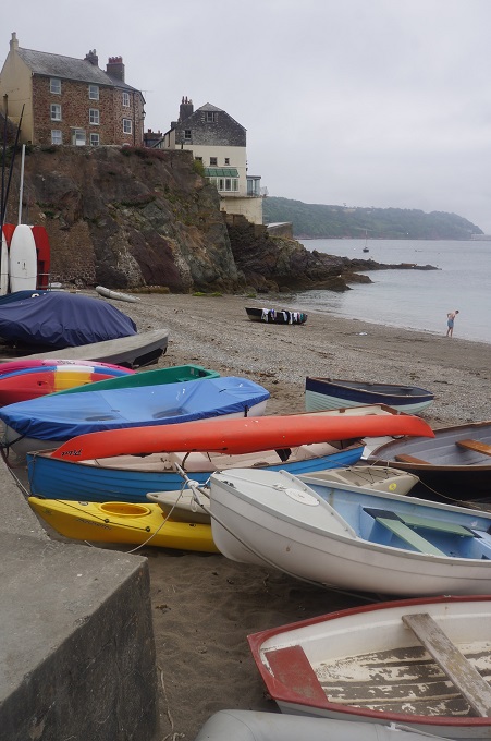
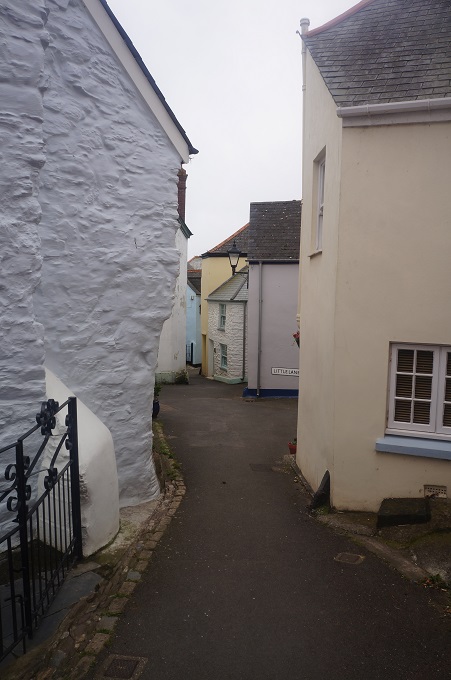
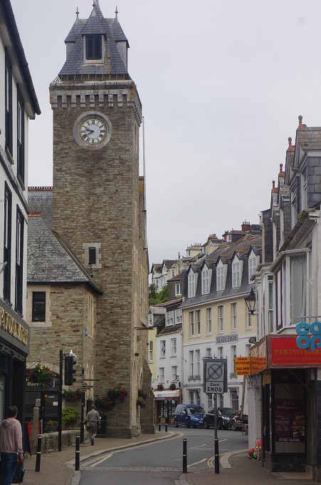
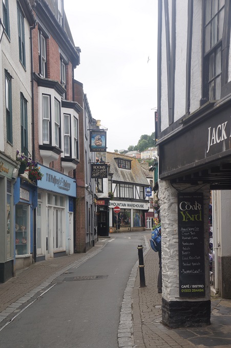
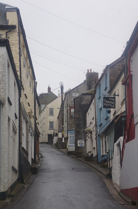
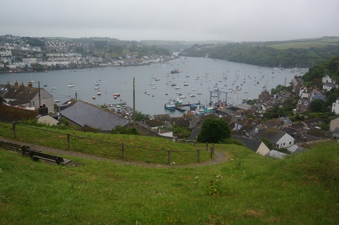
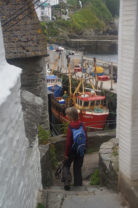
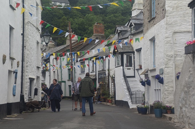
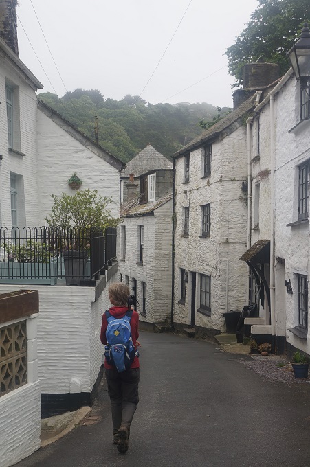
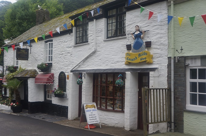
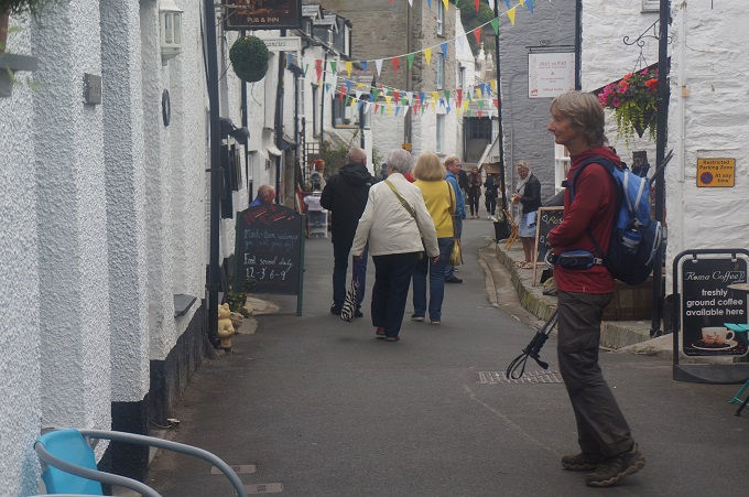
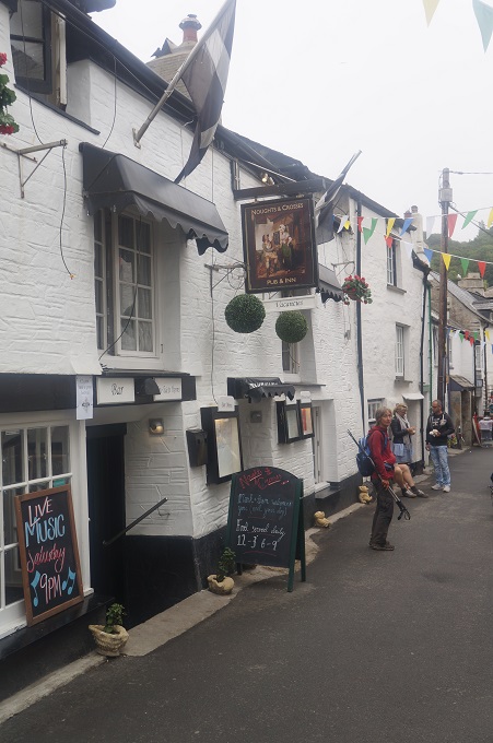
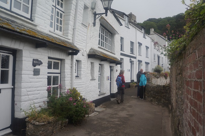
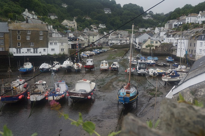
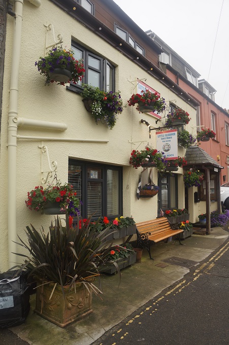
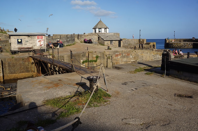
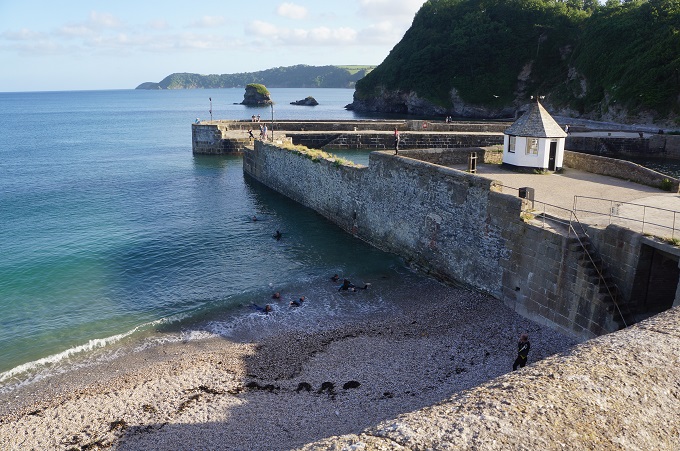
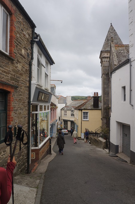
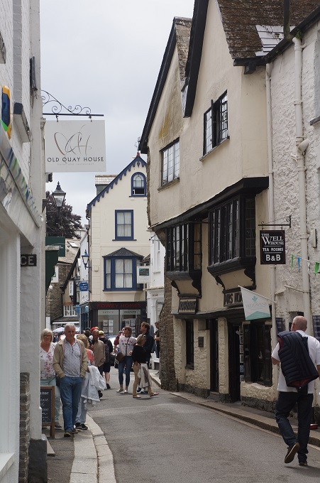
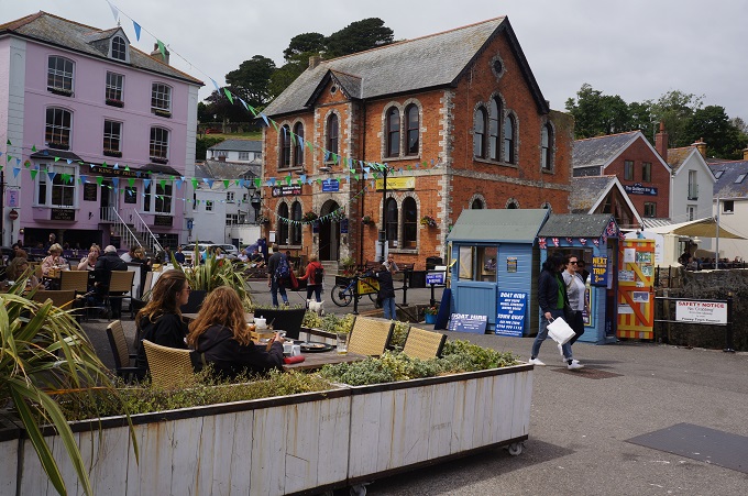
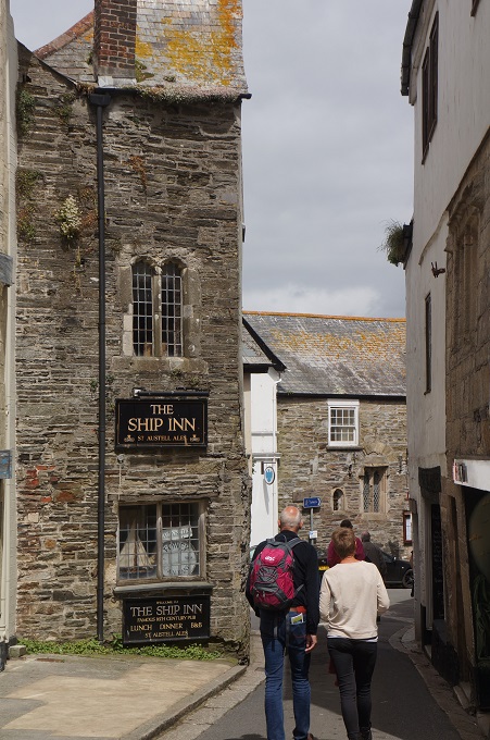
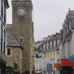
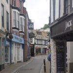
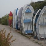
Looe
-
-
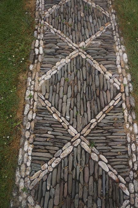
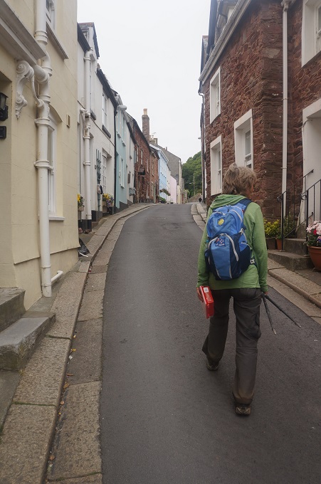
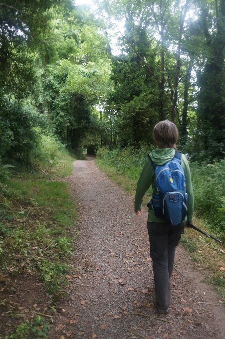
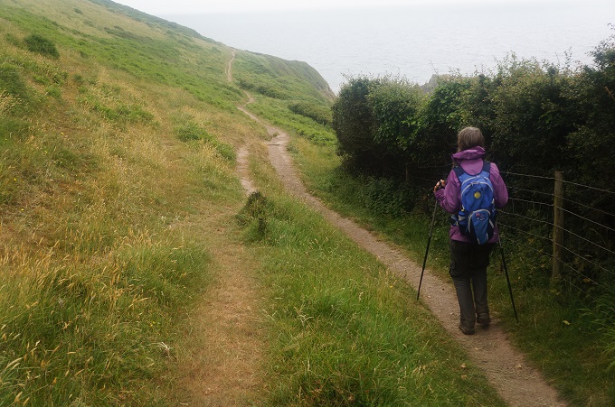
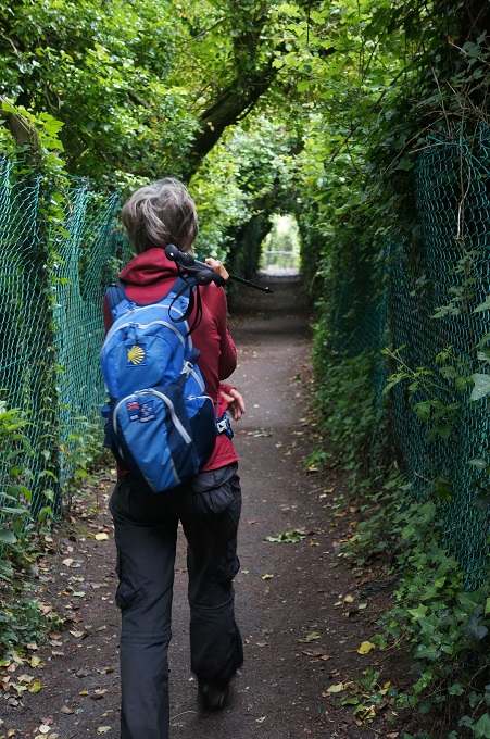
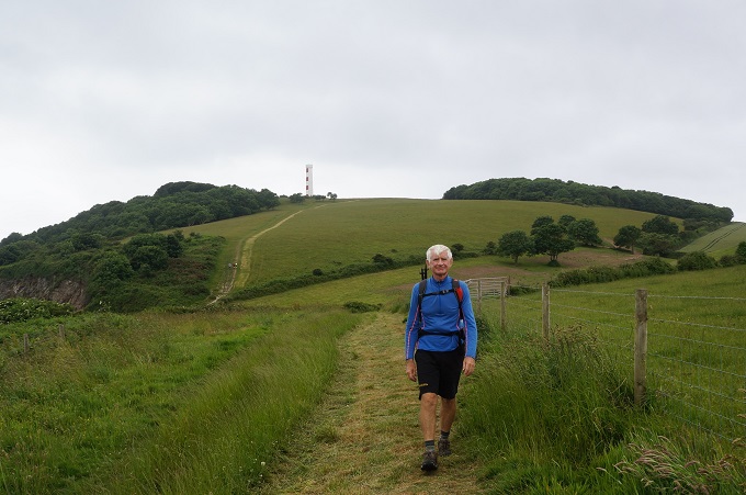
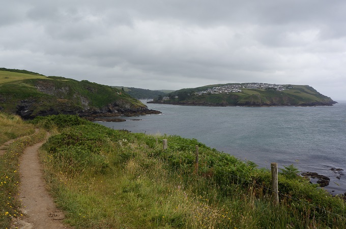
Easy walking
-
-
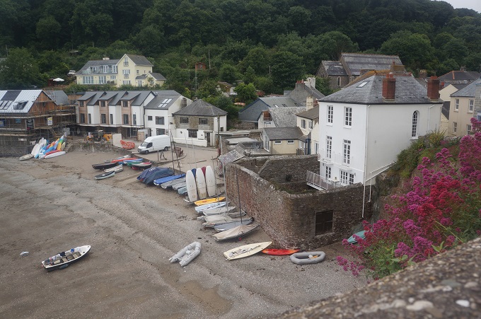
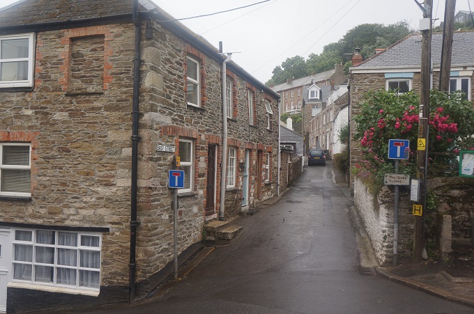
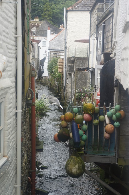
Millendreath
-

-
Millendreath, dead holiday village coming back to life
-
-
Millendreath
-
-
Millendreath
-
-
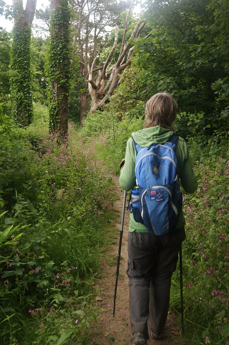
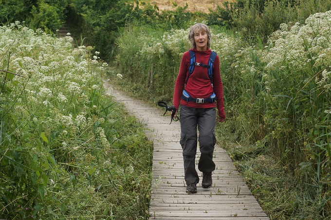
Nice path among trees and flowers
-

-
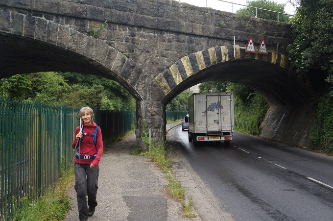
This is a two way road, pedestrians jump into the hedgerow
-
-
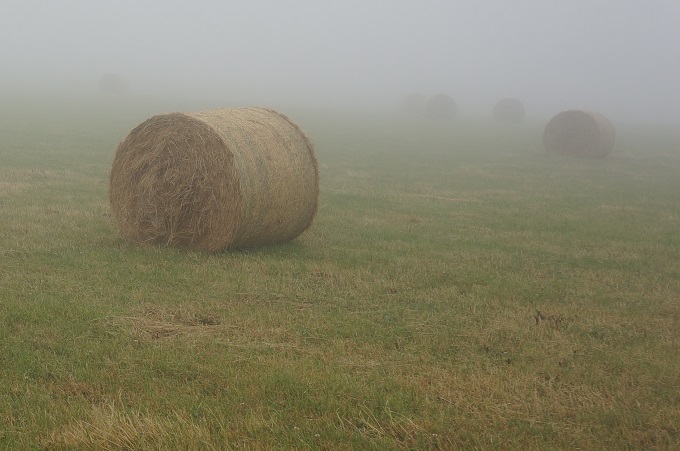
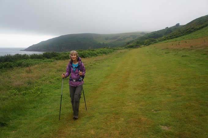
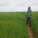
A grassy green field
-

-
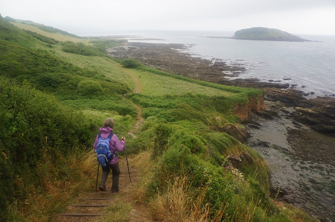
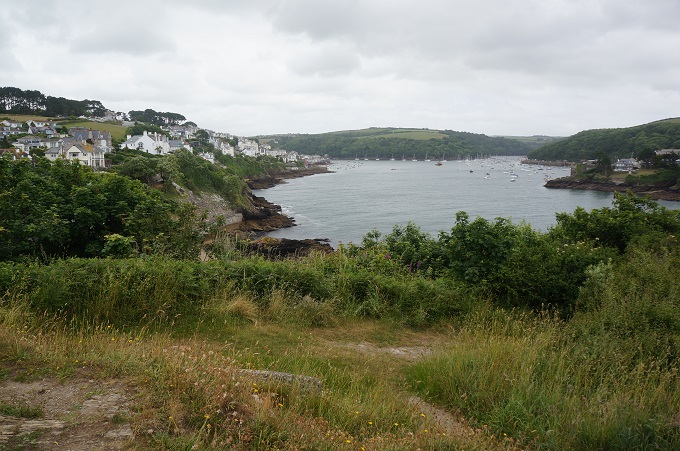
Looe Island and Looe receding in the distance
-
-
Woodland
-
-
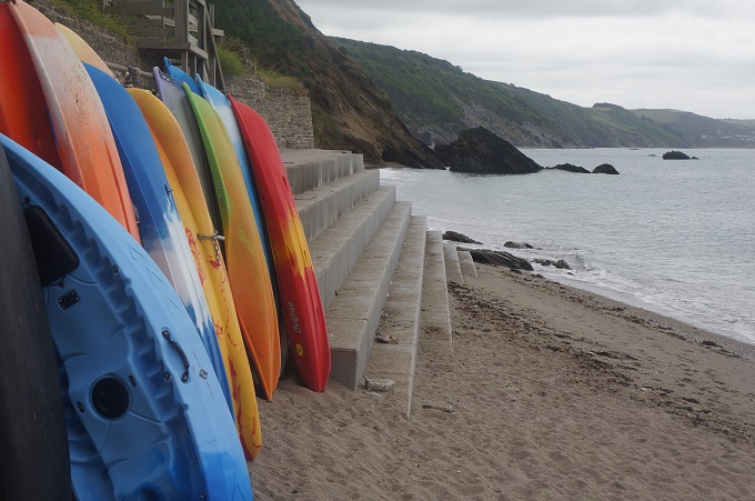
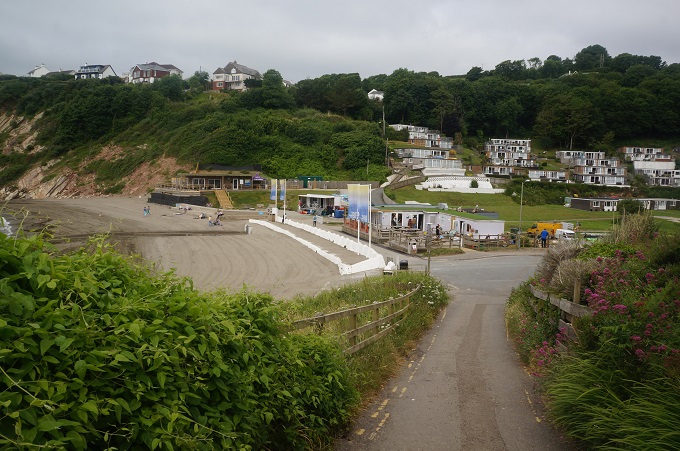
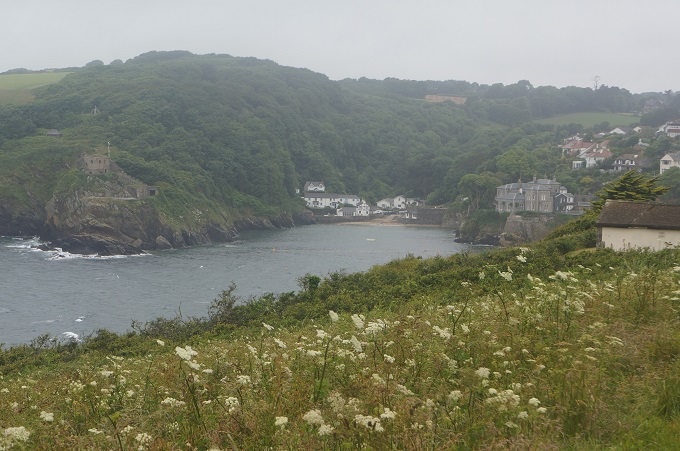
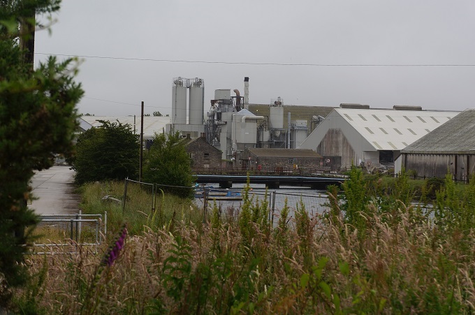
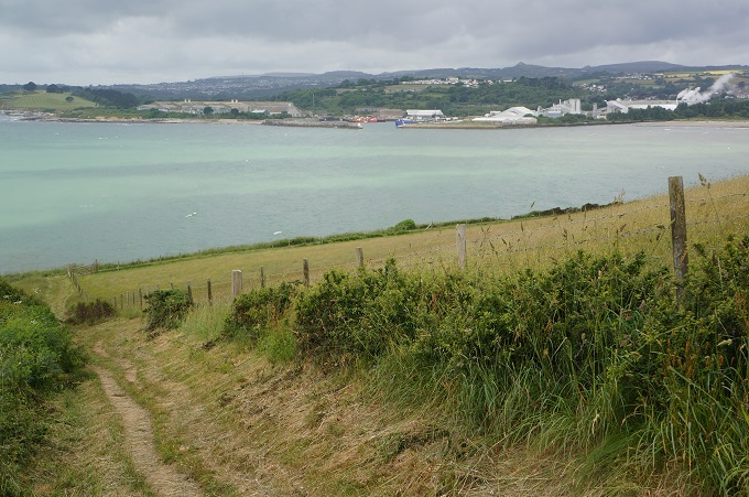
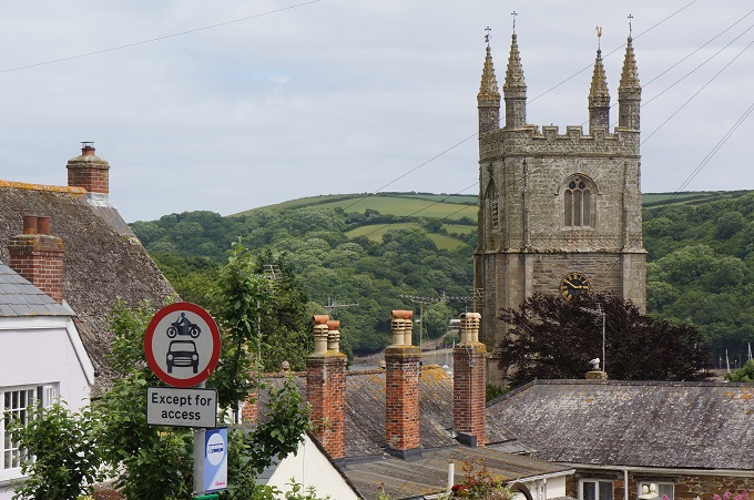
Seaton
-
-
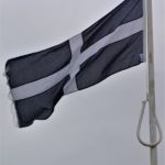
The flag of Cornwall, called the St Piran – black with a white cross and represents a white line of tin between dark molten rocks
-

-
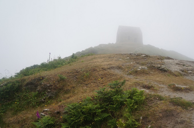
Up in the mist
-
-
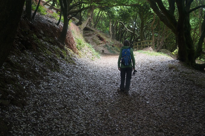
Shoulder high vegetation
-
-
From the Duchy Of Cornwall
-
-
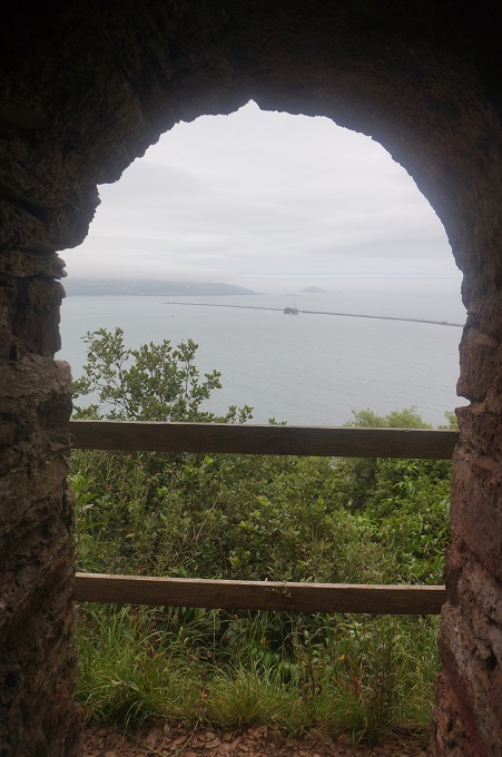
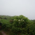
Look at the sensational view out there, or not!
-
-
-
Mist cleared for a moment
-
-
Things appear from the mist
-

-
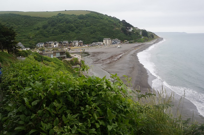
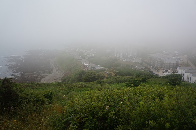
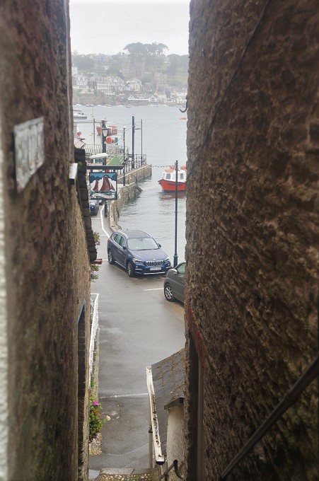
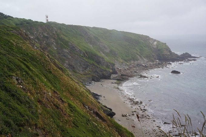
Portwrinkle appearing out of the mist
-
-
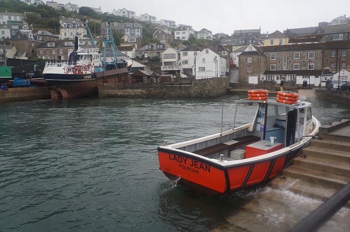
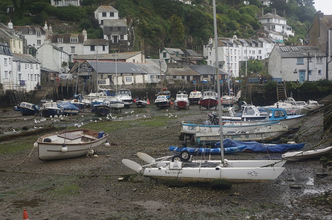
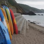
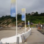
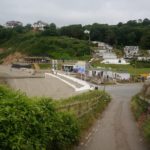
Portwrinkle
-
-
Portwrinkle
-
-
Scram!
-
-
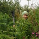
Barbara’s friend, Portwrinkle
-

-
Portwrinkle
-
-
Whitsand Bay Hotel, Portwrinkle
-
-
Portwrinkle disappearing in the mist
-
-
Beware, golf course, Portwrinkle
-
-
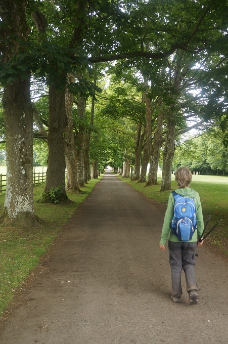
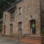
The Little Fox Hotel, Portwrinkle
-
-
The Little Fox Hotel, Portwrinkle
-

-
The Little Fox Hotel, Portwrinkle
-
-
The Little Fox Hotel, Portwrinkle
-
-
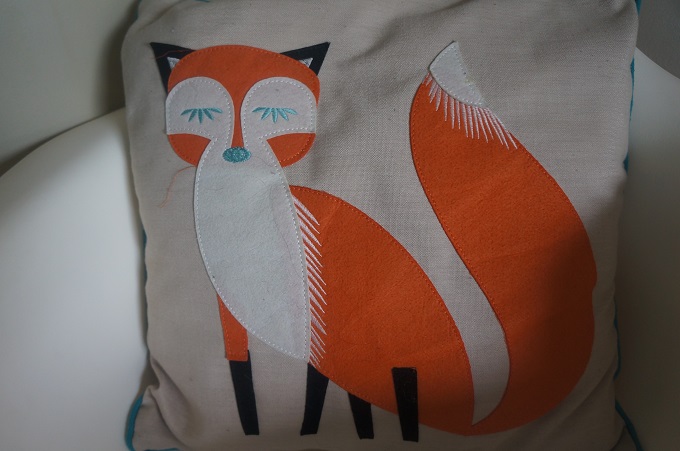
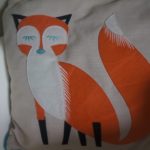
The little fox
-
-
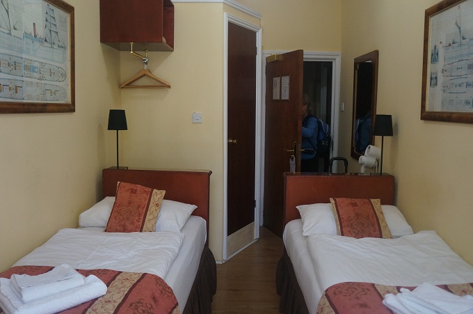
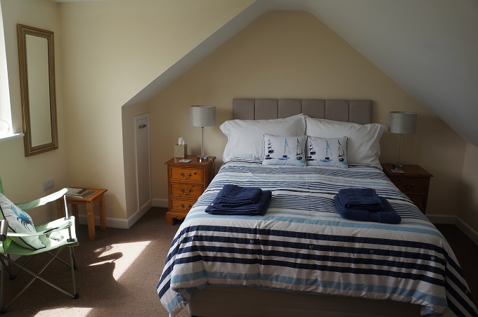
The Stables at The Little Fox Hotel, Portwrinkle
-

-
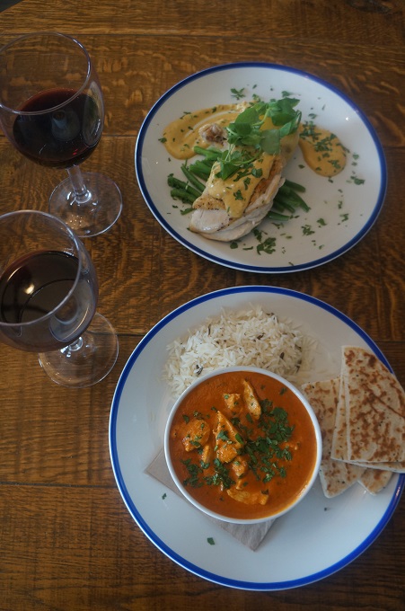
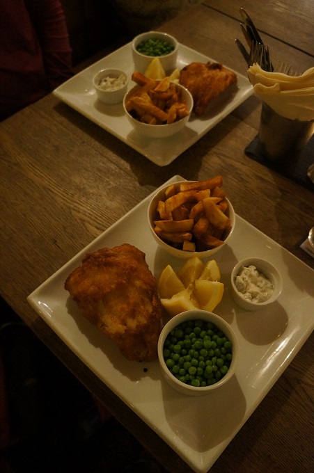
Roast leg of chicken and vegetables, chicken and mushroom pie and vegetables