Instow to Westward Ho! 19km, 159m ascending, 4228m accumulative ascending
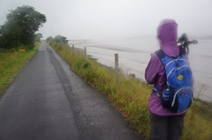
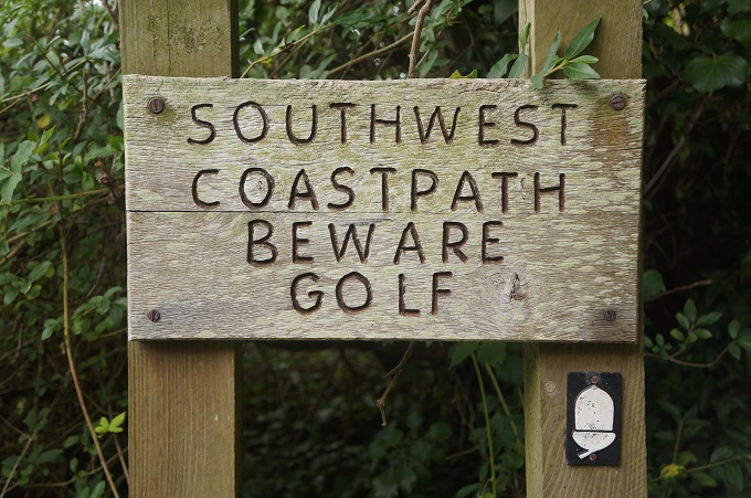
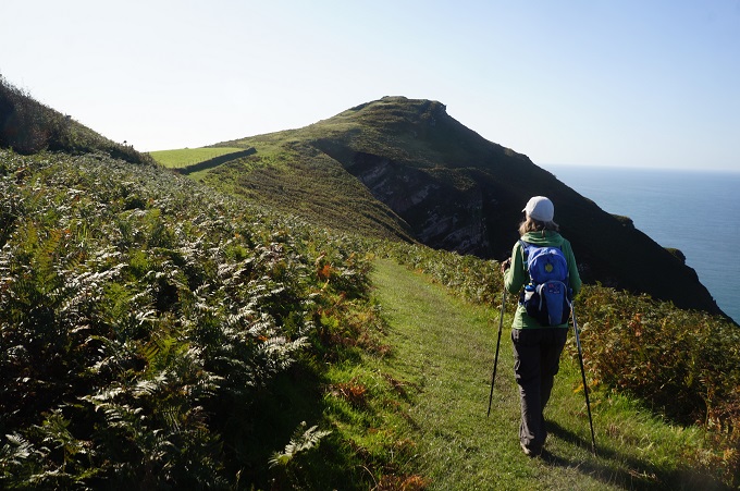
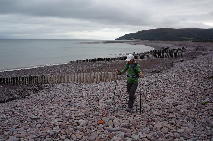
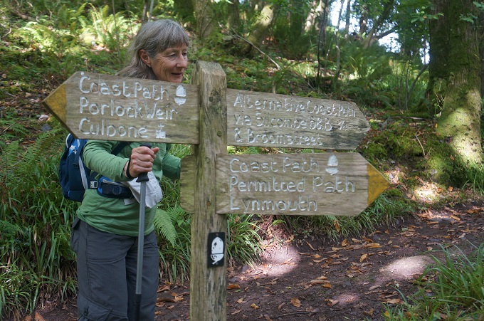
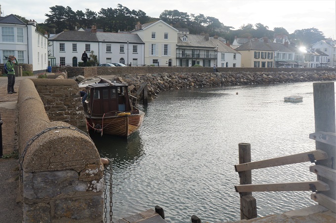
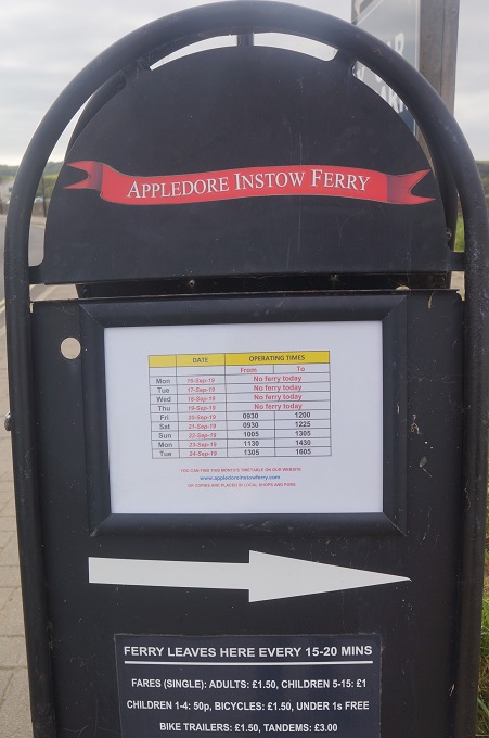
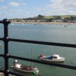
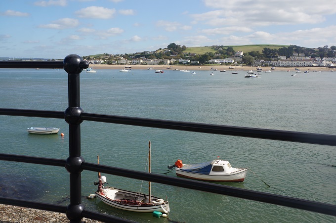
Almost like Groundhog Day today. From Instow walk for one and a half hours up the east bank of the River Torridge, cross the Long Bridge at Bideford, walk one and a half hours down the west bank to arrive at Appledore. Alternatively there should have been a ten minute ferry ride across the river. However there were no ferry services today. And besides we are Coast Path purists so we never take short cuts.
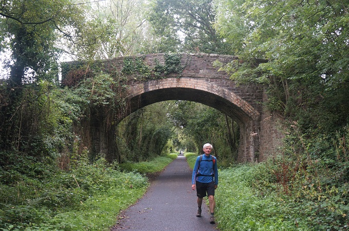
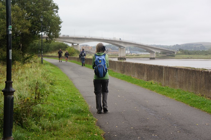
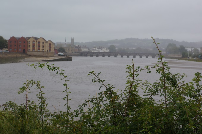
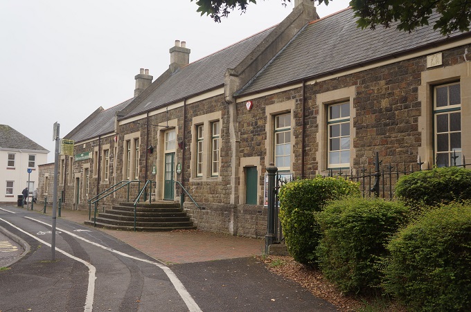
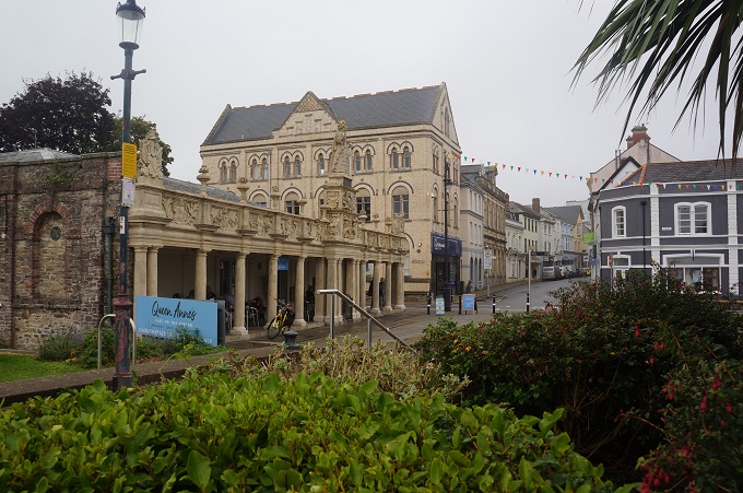
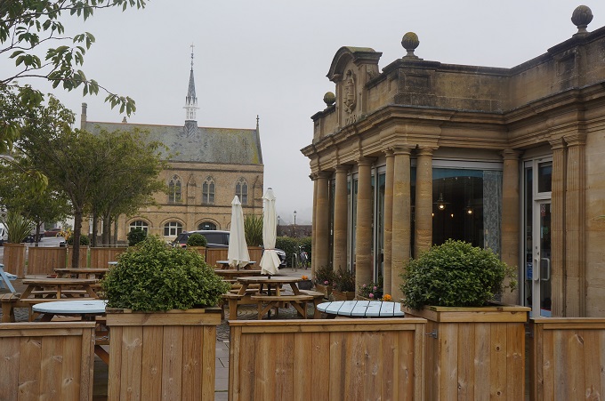
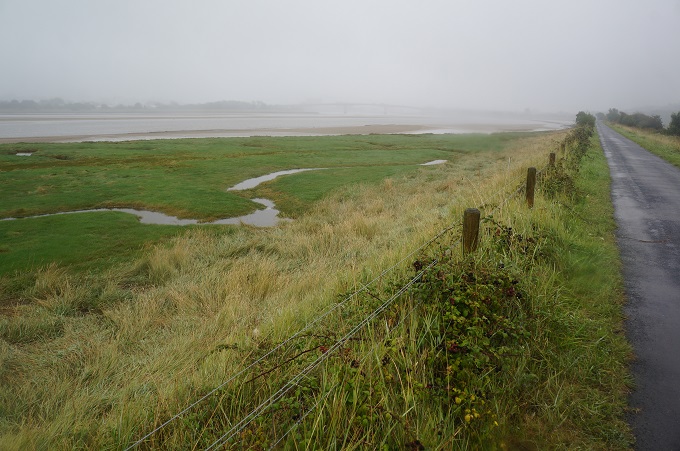
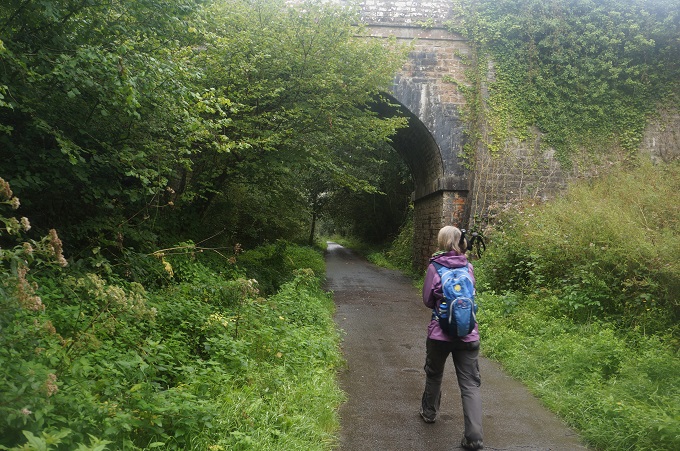
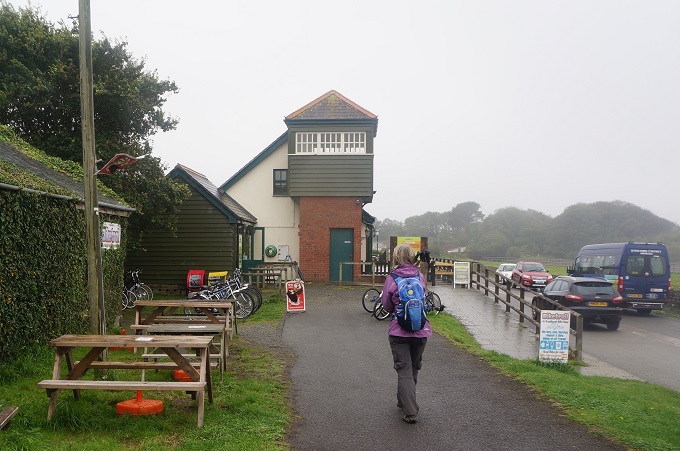
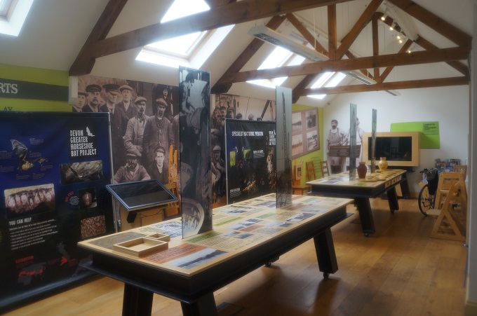
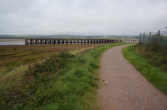
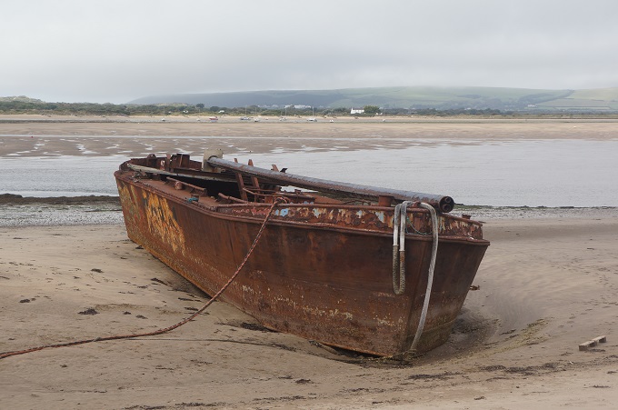
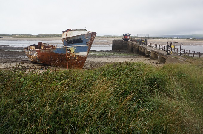
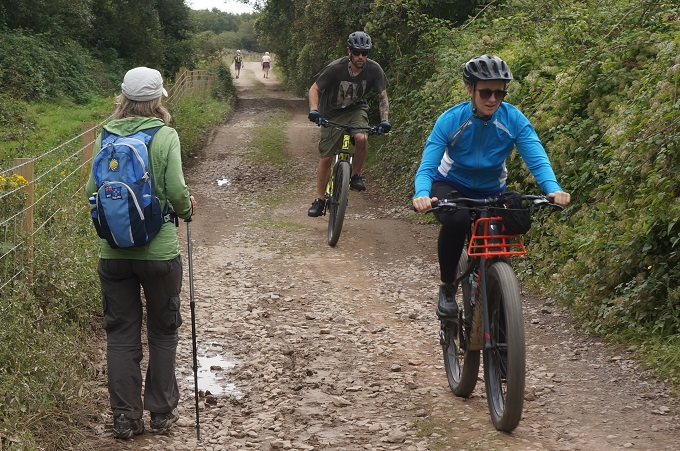
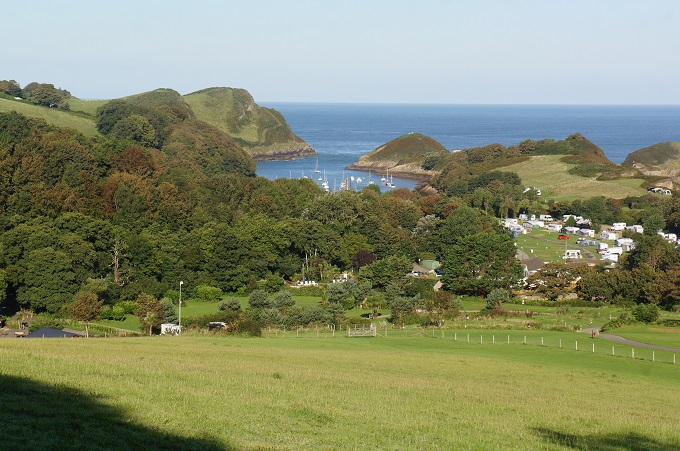
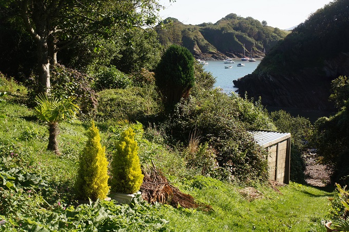
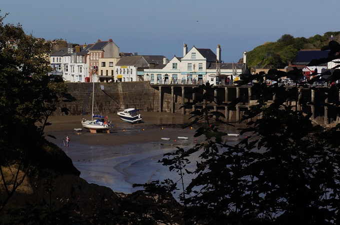
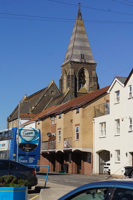
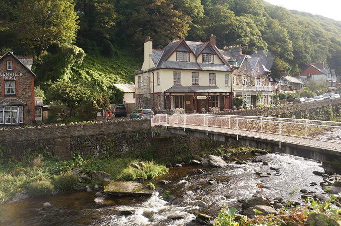
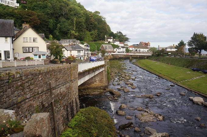
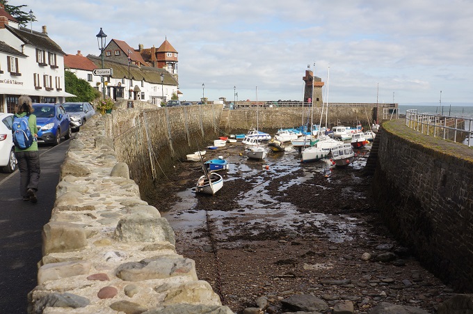
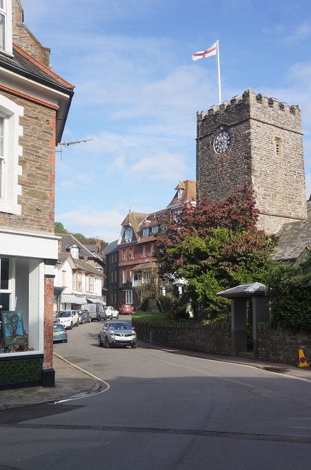
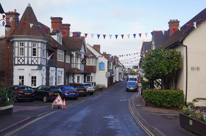
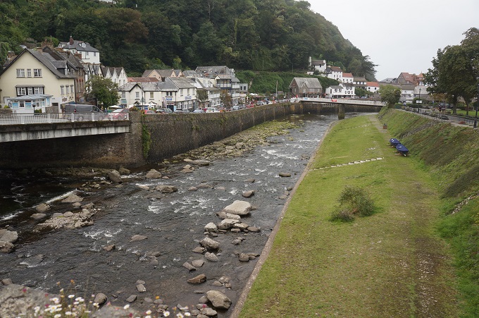
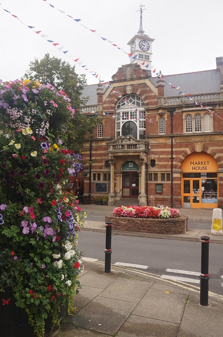
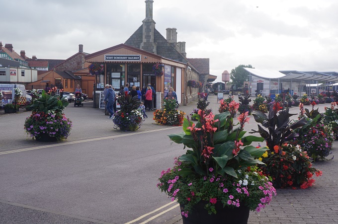
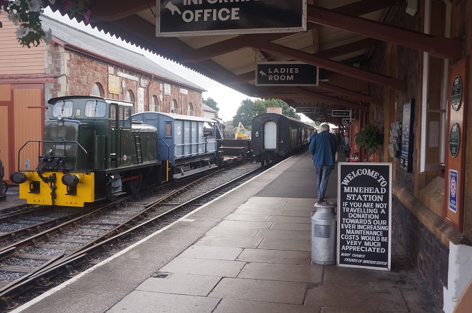
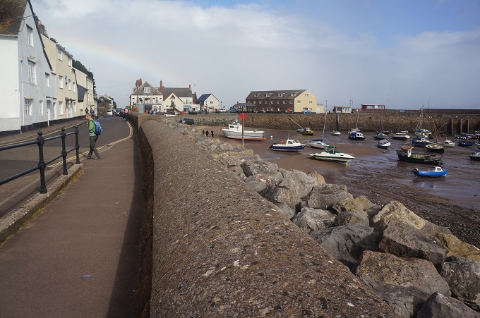
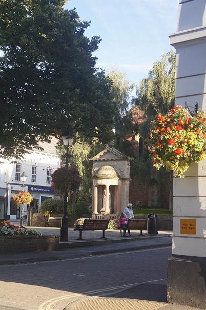
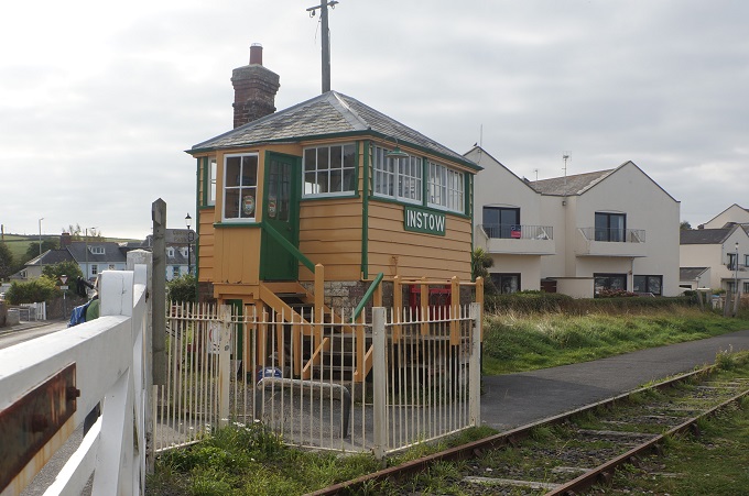
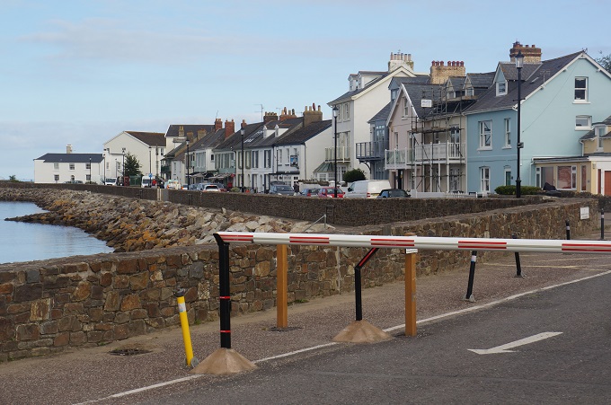
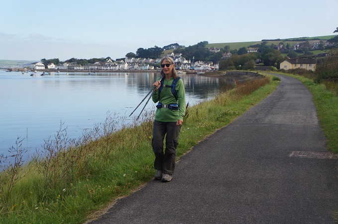
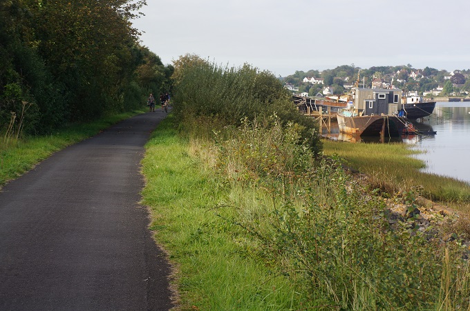
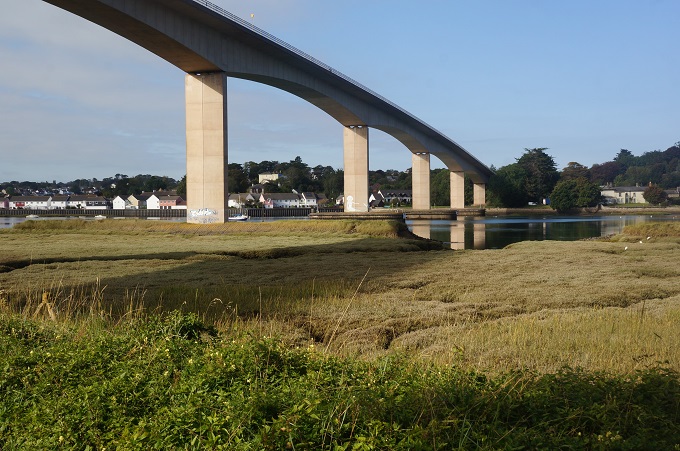
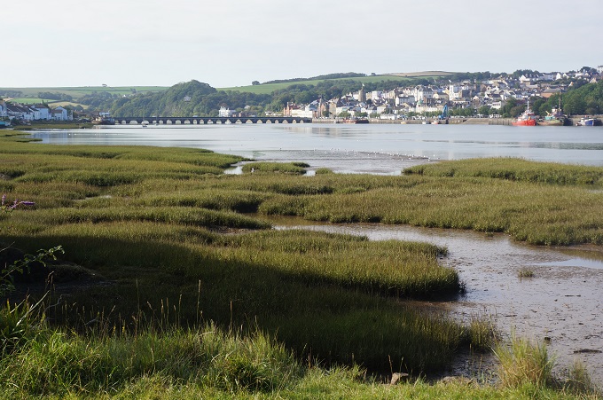
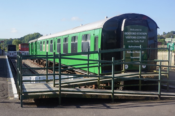
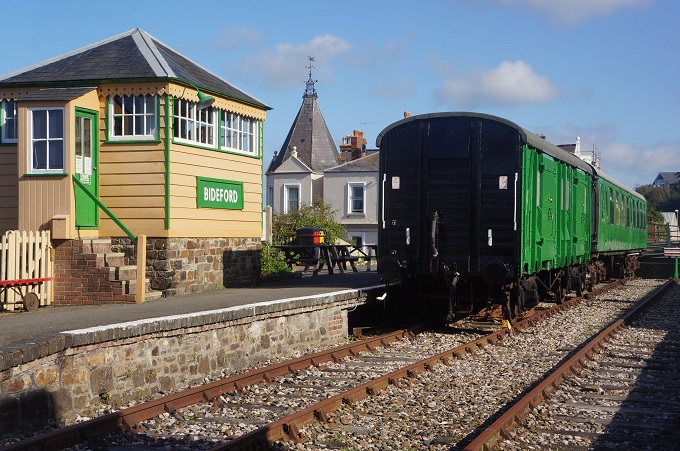
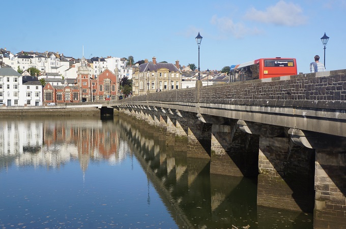
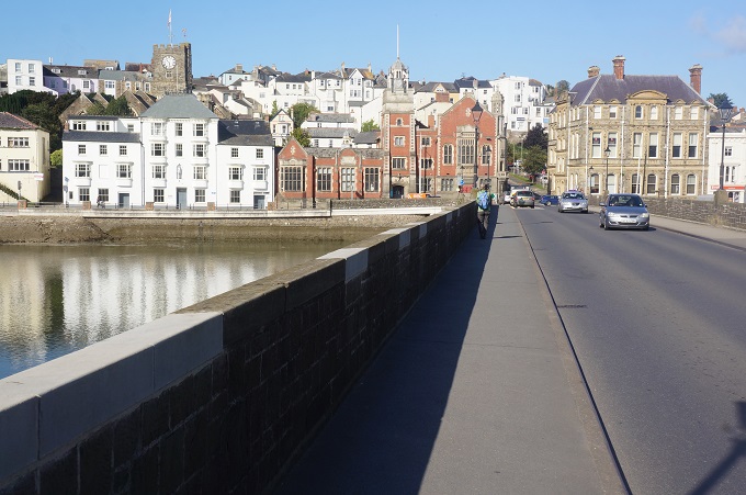
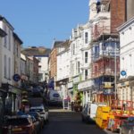
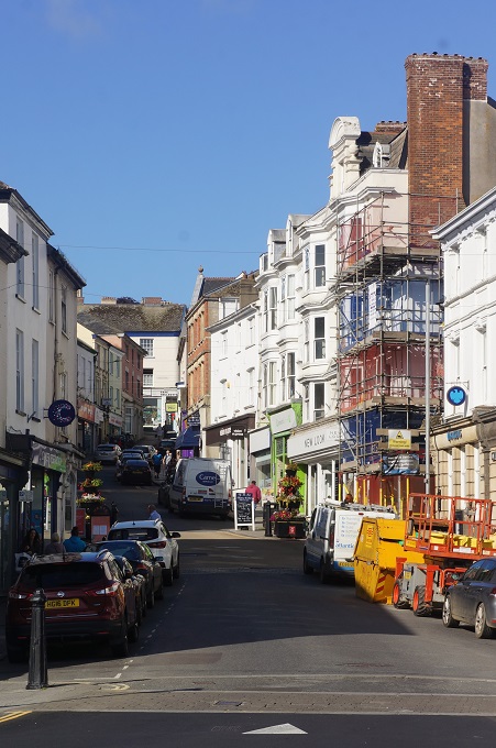
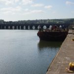
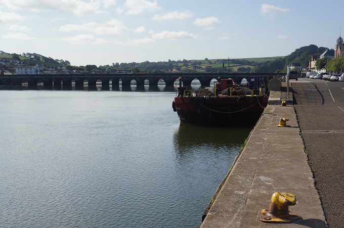
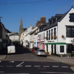
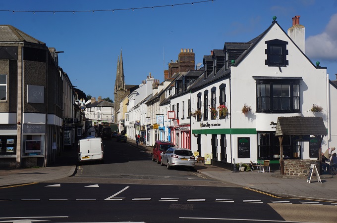
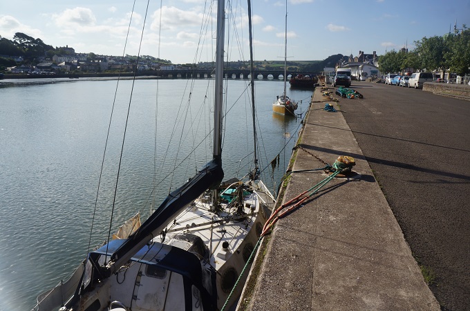
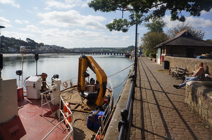
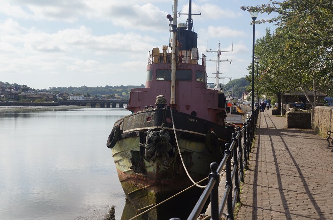
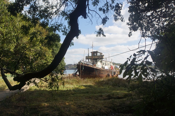
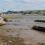
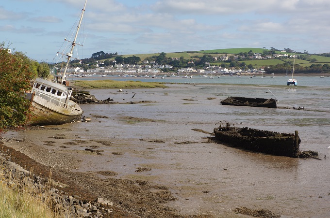
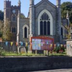
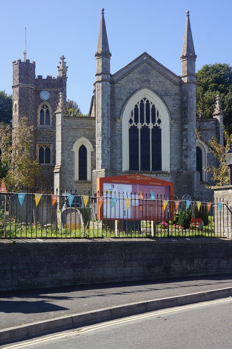
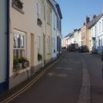
From Instow we continued on yesterday’s old railway line alongside the Taw’s sister river the Torridge as far as Bideford. Easy walking on a cool clear morning. A preserved railway signal box at Instow, many wrecks of ships on the river bank, the soaring new Torridge Bridge and a railway museum at Bideford were highlights along the way. The Bideford Long Bridge spans the River Torridge and is one of the longest mediaeval bridges in England with 24 stone arches. Bideford, the name derives from ‘by the ford,’ was the third largest port in England in the sixteenth century and was the location of one of the last hangings of women for witchcraft in England in 1682.
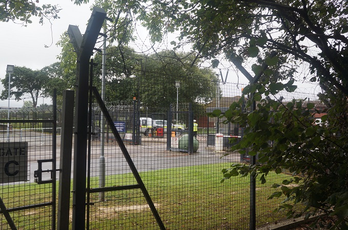
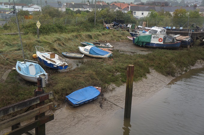
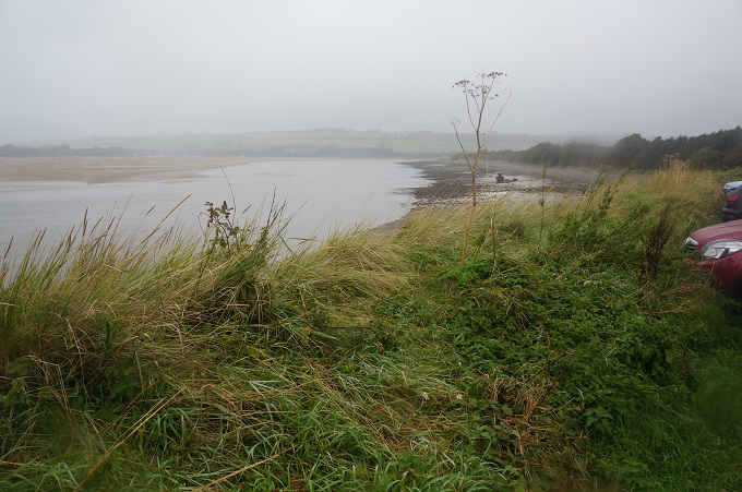
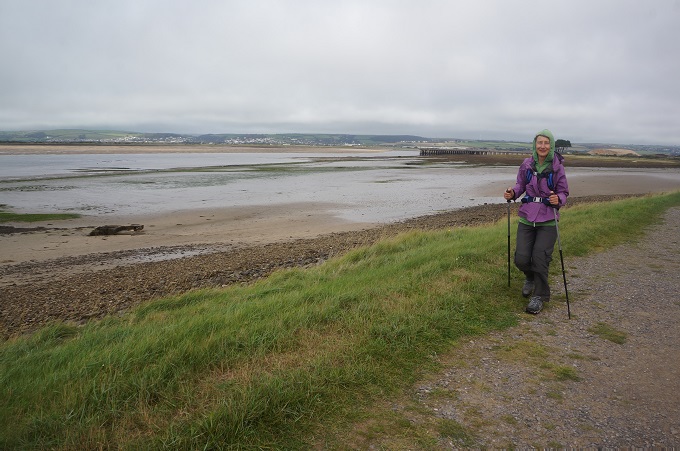
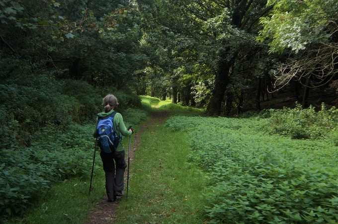
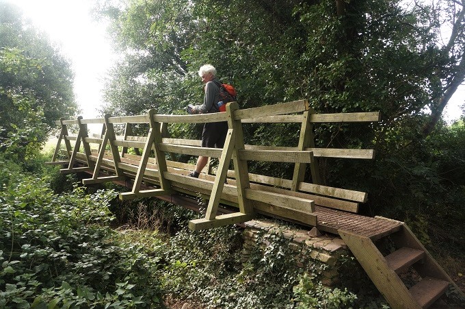
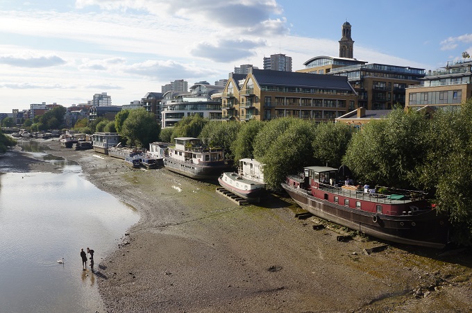
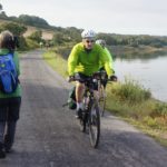
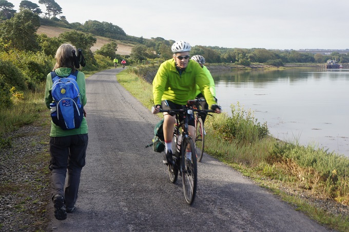
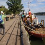
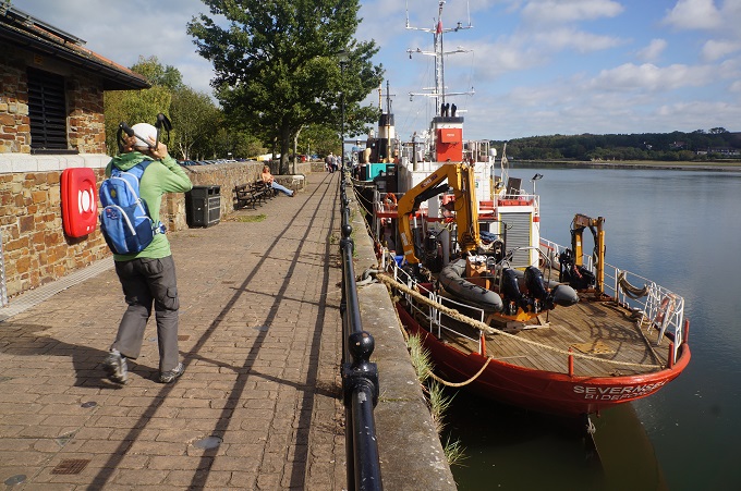
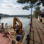
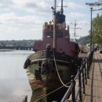
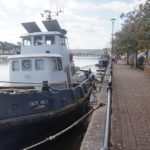
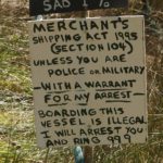
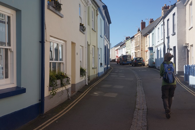
After the long, flat, straight path on the east side of the river the path on the west side was more convoluted. We actually went over a small hill and diverted around housing estates, meandered between pasture and river and ducked behind an industrial area. There is still shipping activity on the Torridge with all the associated dockyards, fish docks etc.
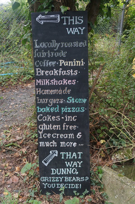
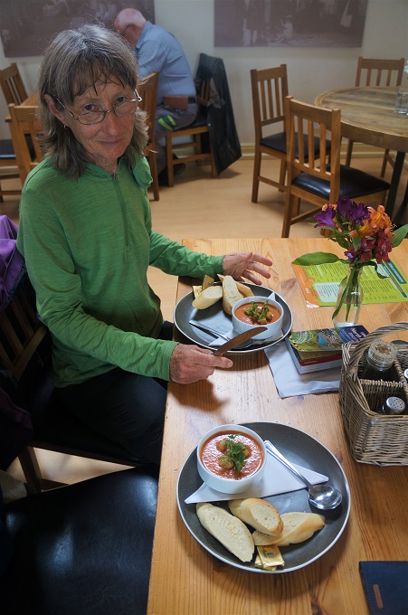
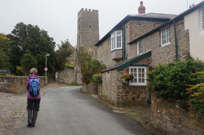
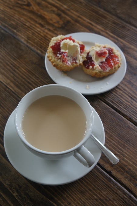
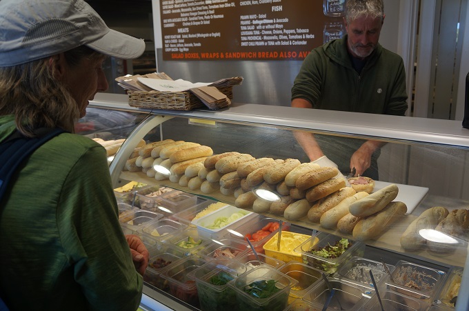
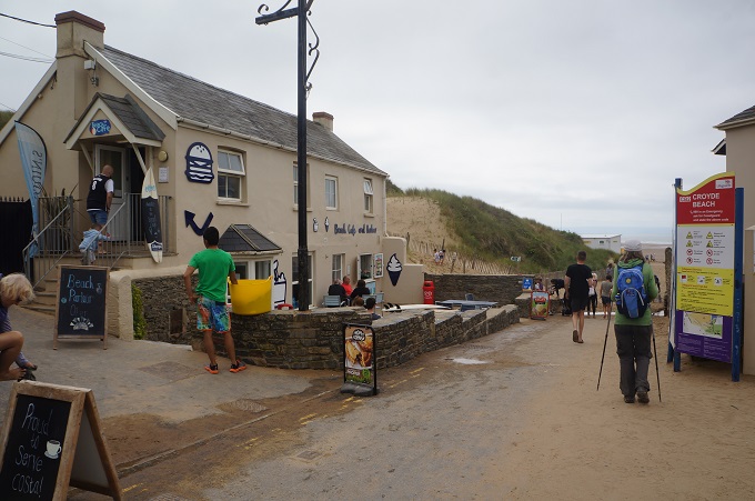
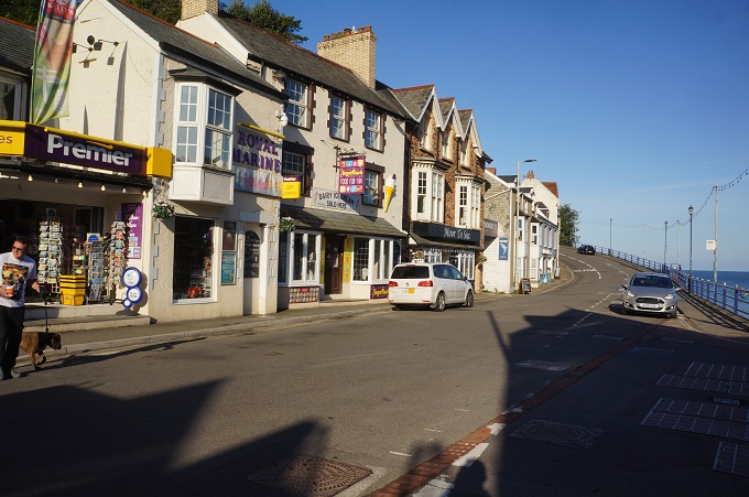
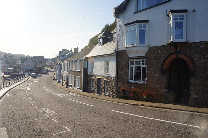
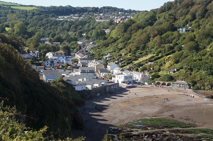
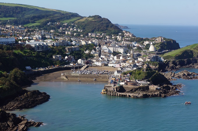
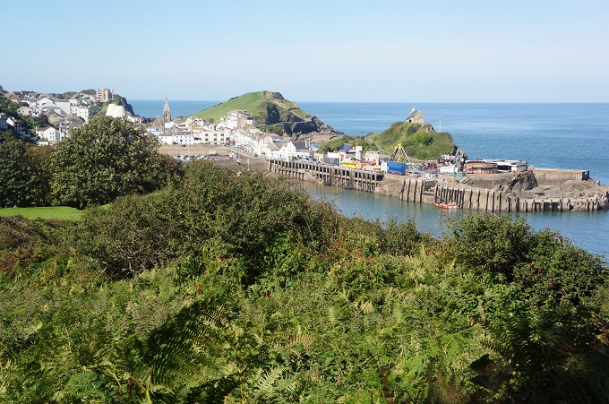
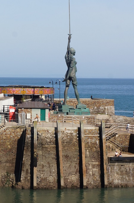
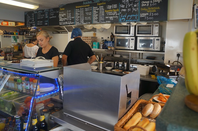
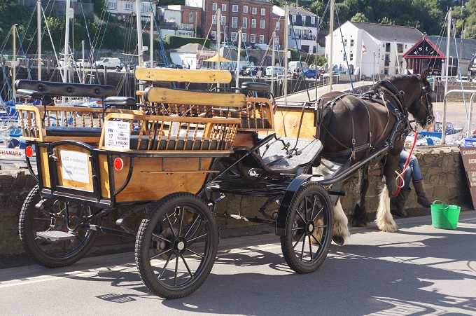
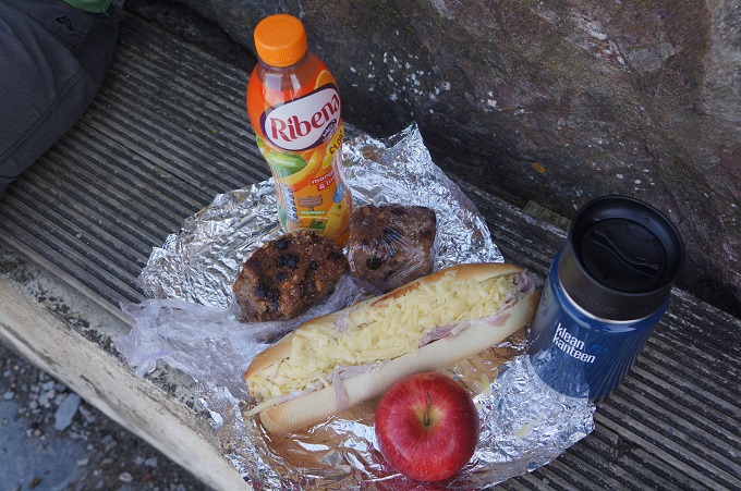
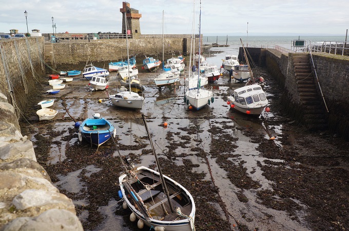
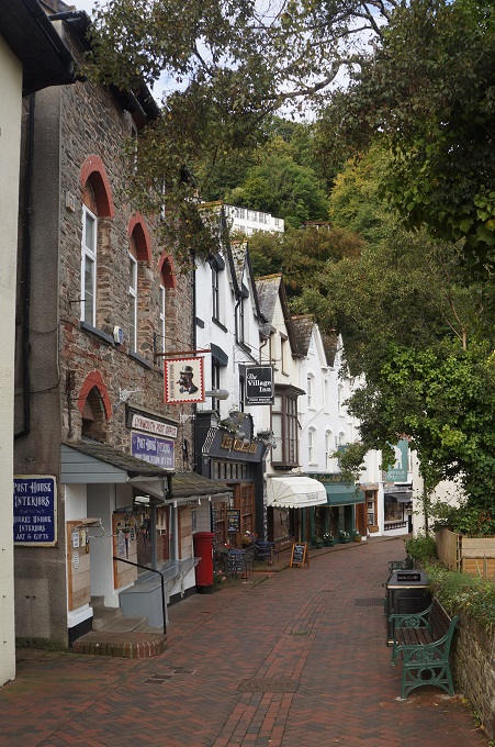
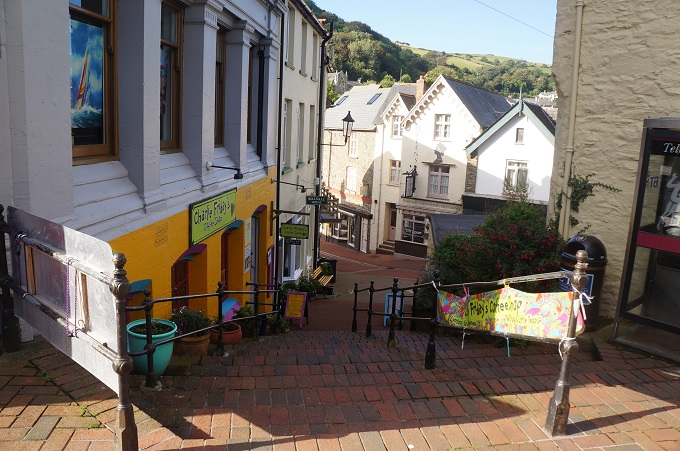
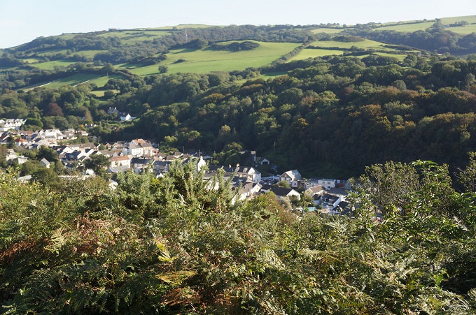
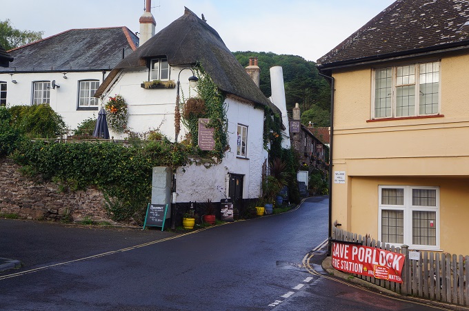
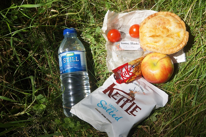
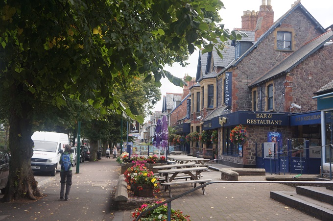
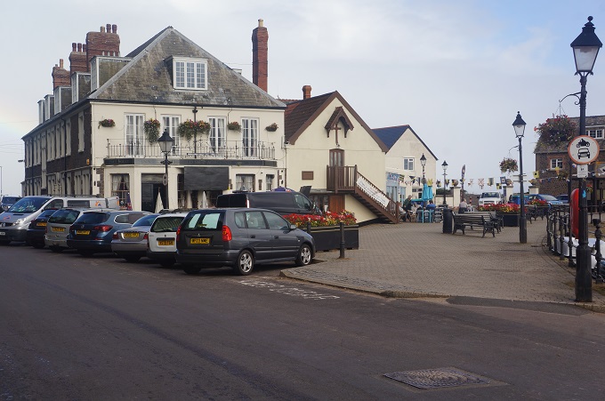
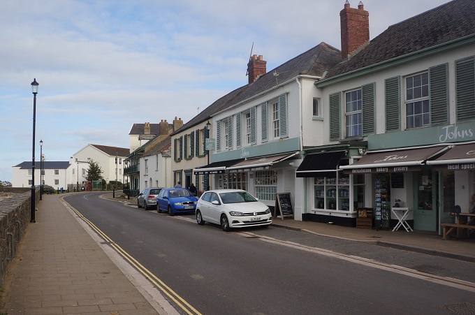
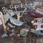
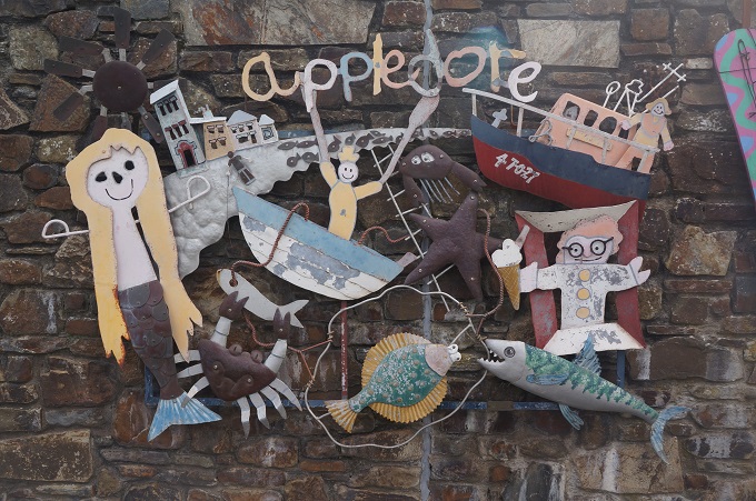
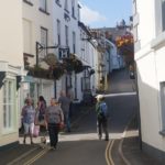
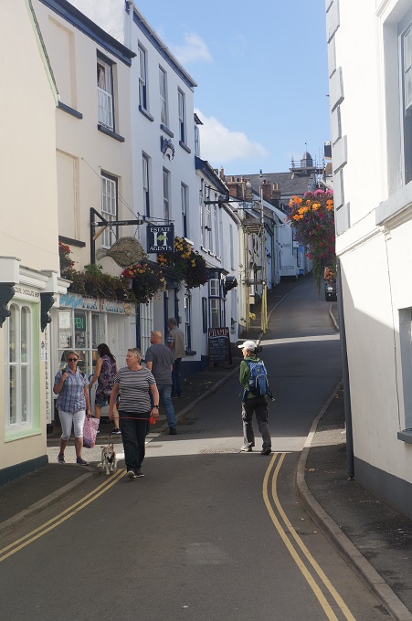
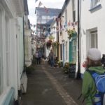
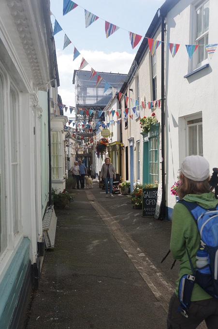
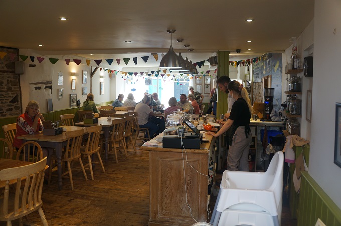
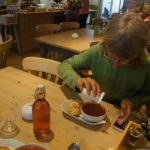
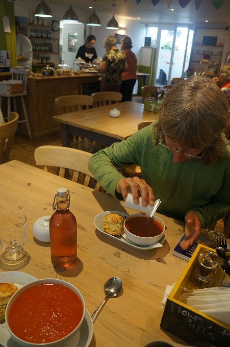
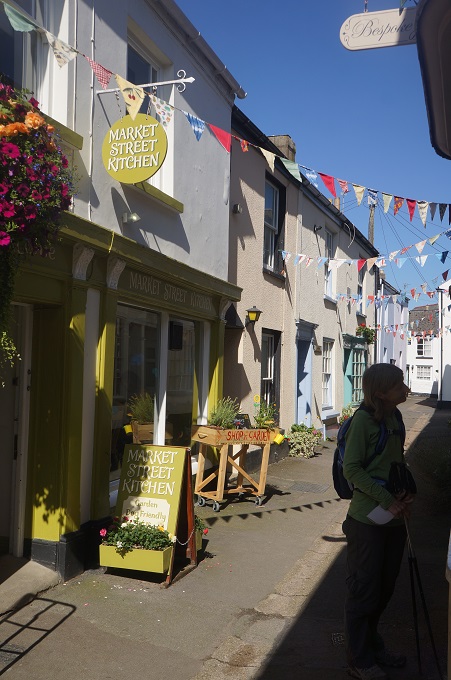
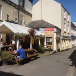
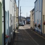
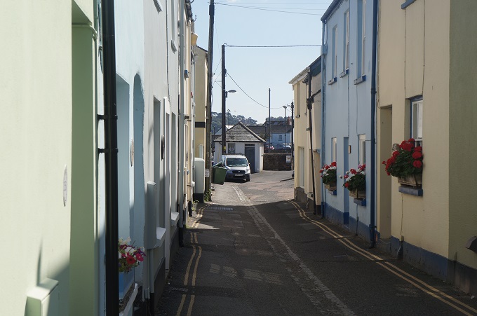
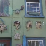
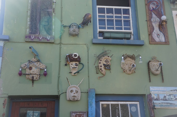
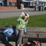
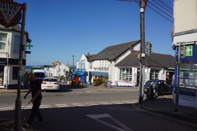
After some walking on the road we reached quaint and quirky Appledore. At heart it is a typical fishing village, but one onto which a vivid coat of creativity and craftmanship has been painted. It is a jumble of tiny cottages connected by narrow cobbled alleyways and full of galleries, studios workshops and showrooms. We stopped at the Market Street Kitchen for some soup and cheese scone.
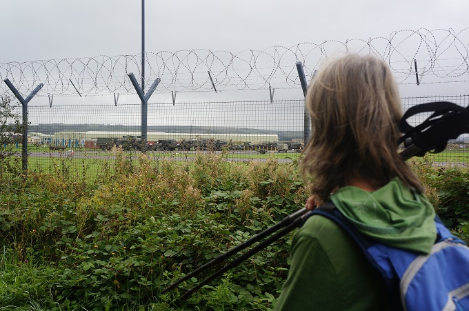
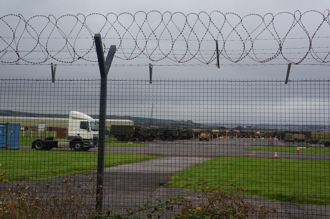
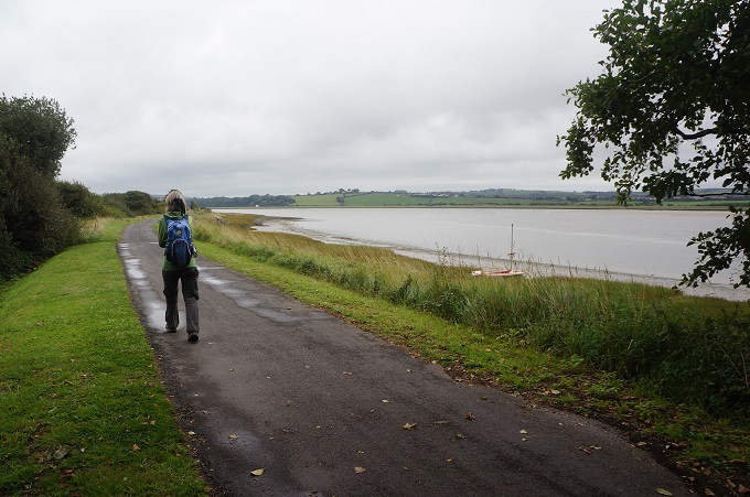
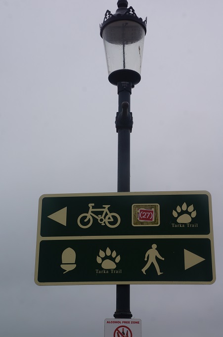
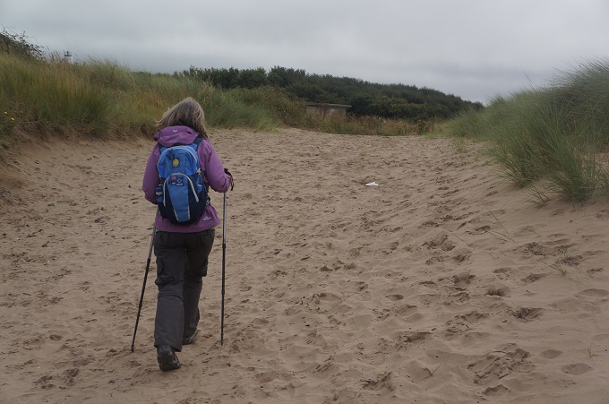
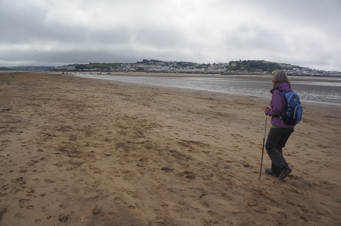
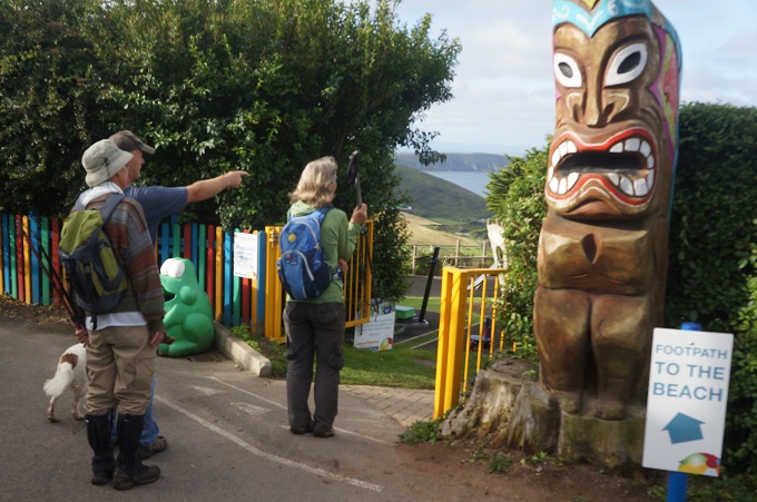
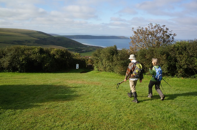
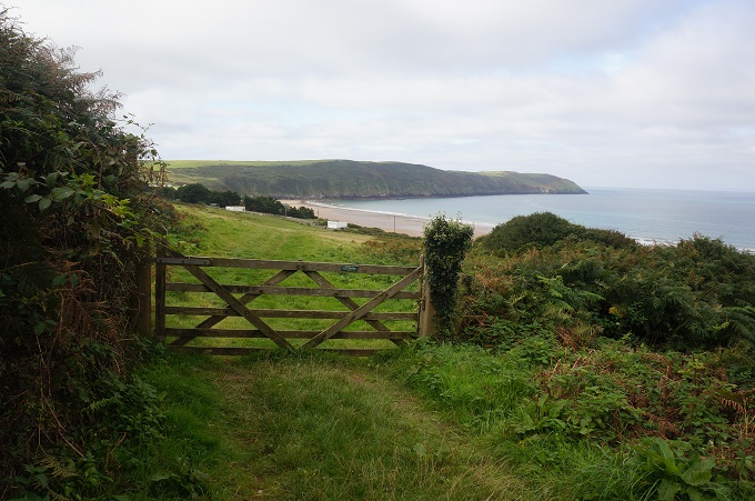
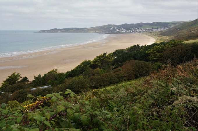
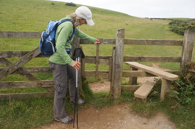
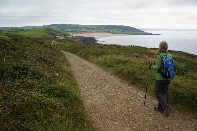
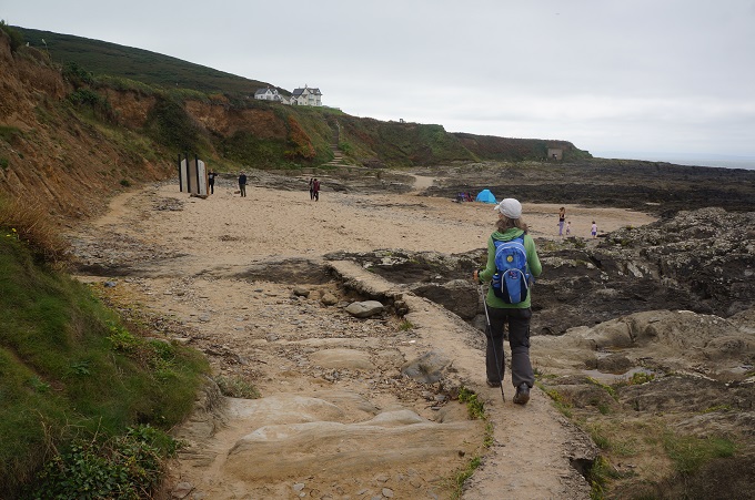
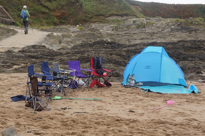
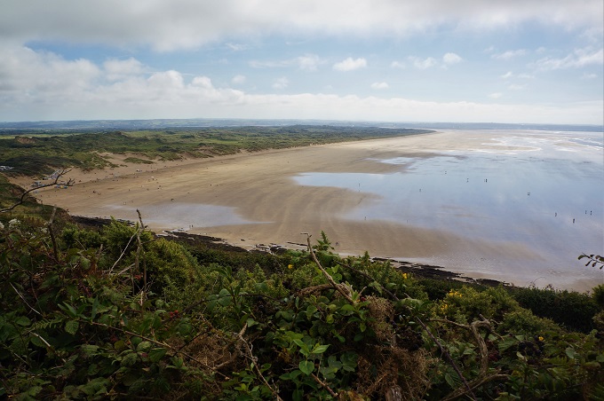
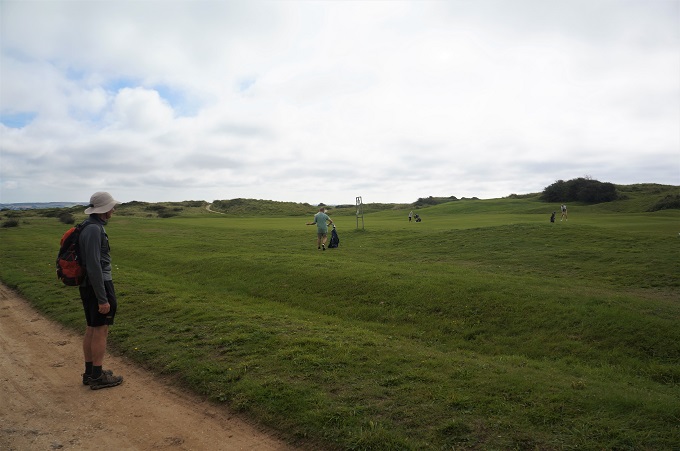
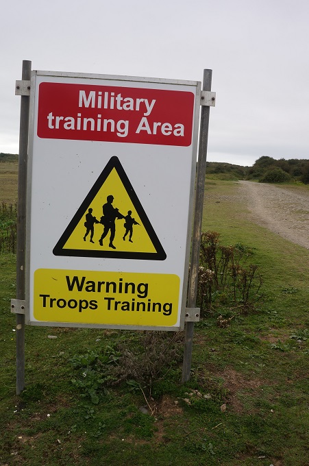
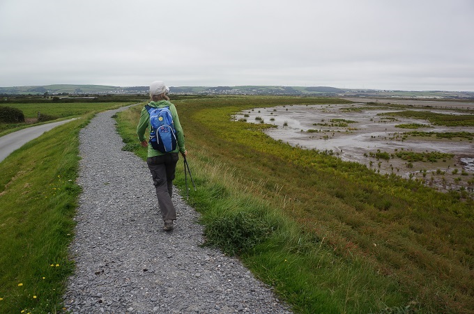
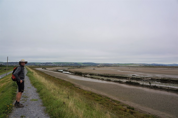
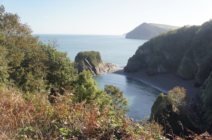
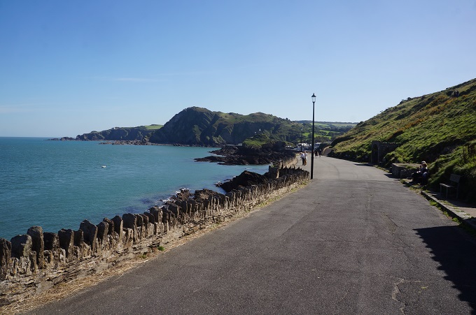
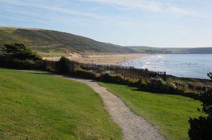
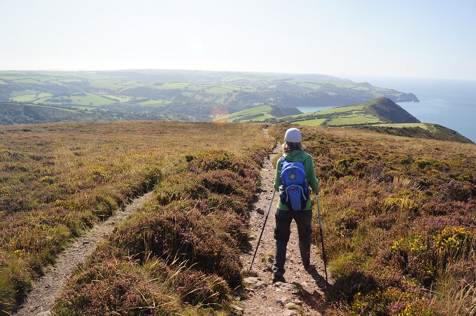
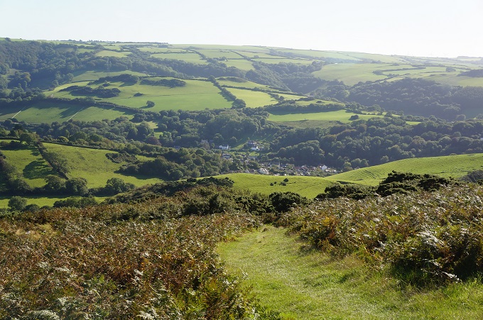
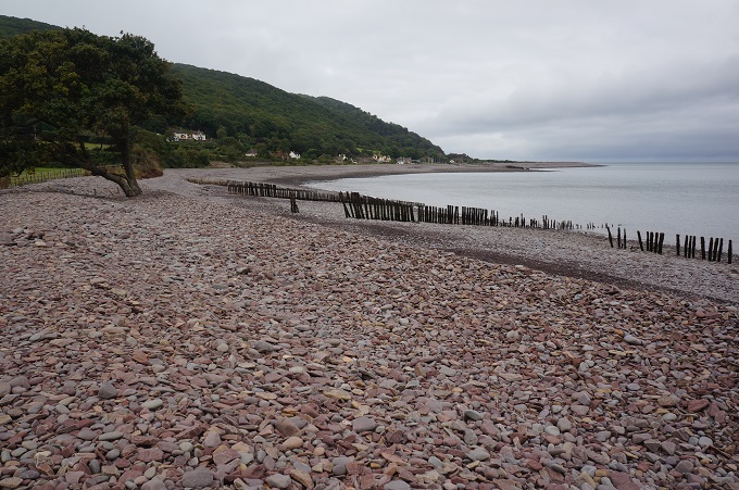
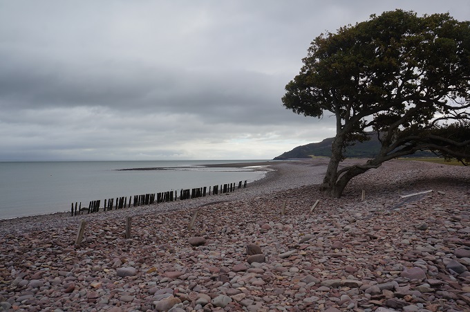
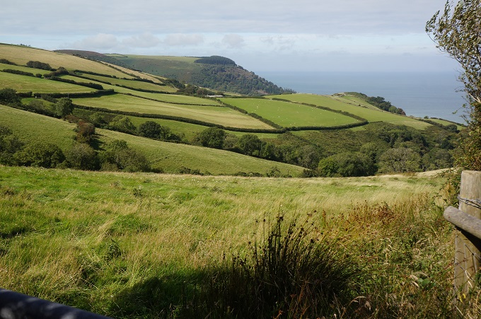
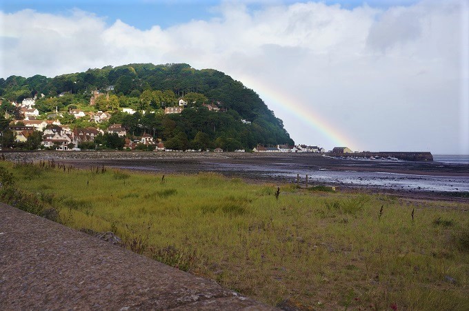
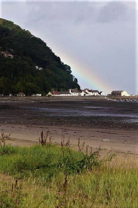
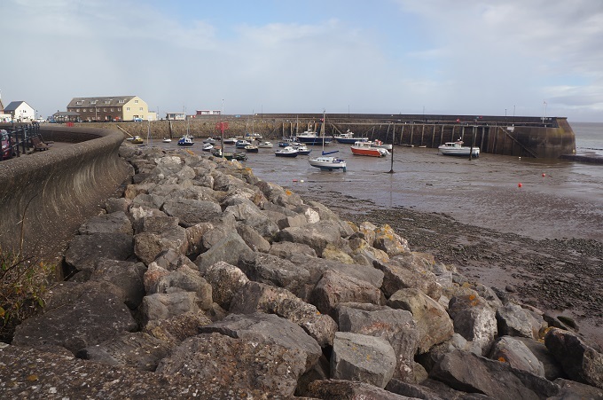
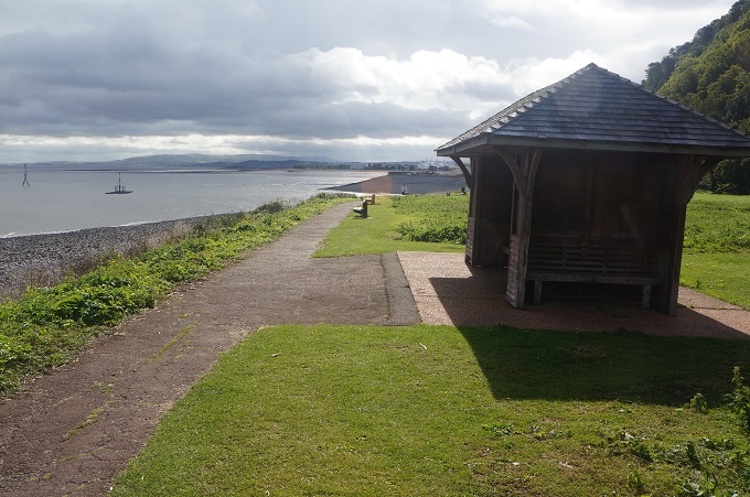
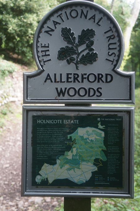
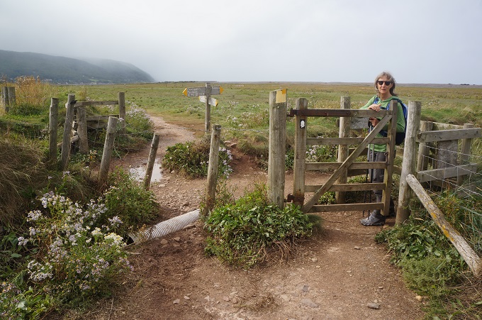
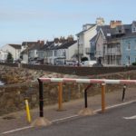
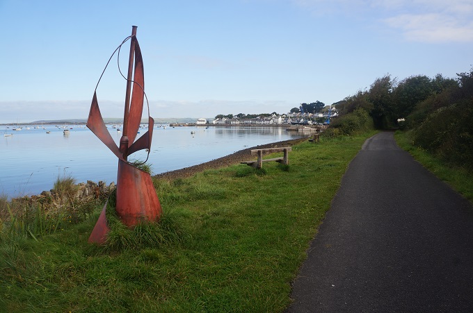
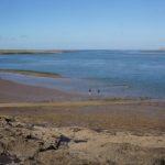
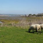
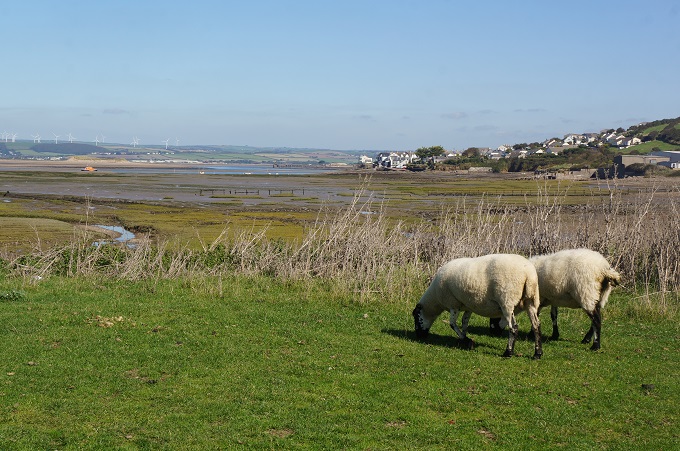
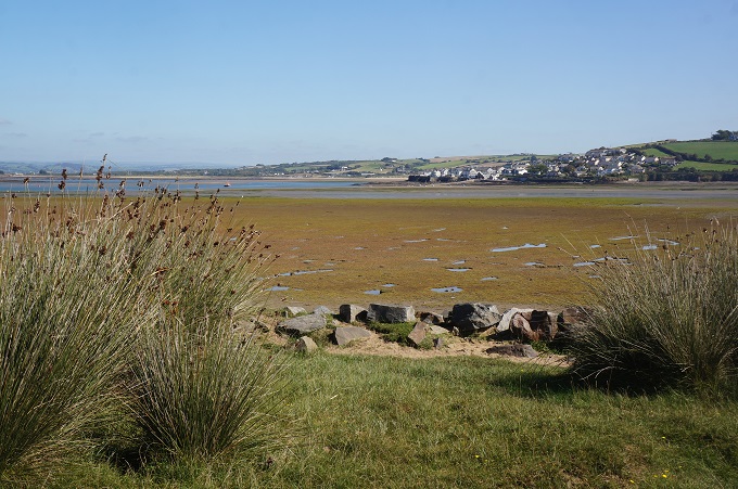
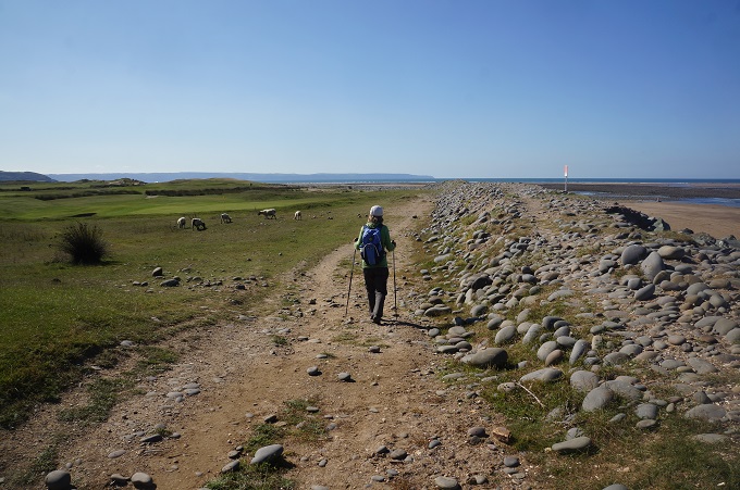
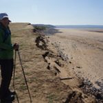
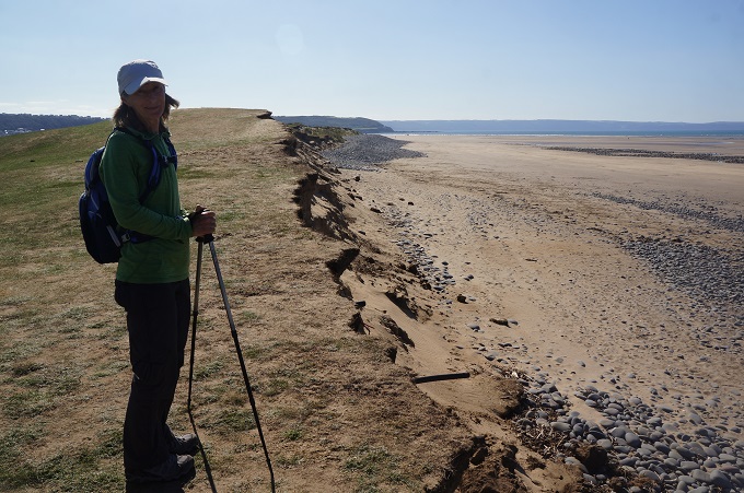
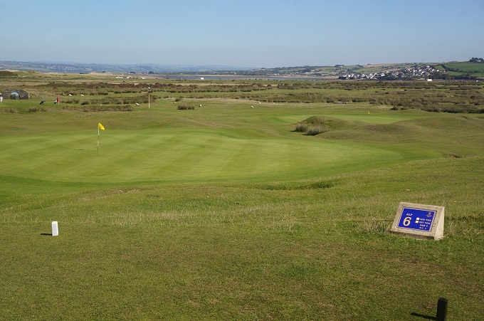
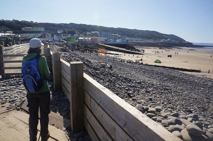
From Appledore there was a long walk around the Northam Burrows Country Park a large area of coastal plains and sand dunes. The Burrows are due partly to the pebble ridge that separates them from the sea. We also skirted a golf course, The Royal North Devon – the oldest links course in England.
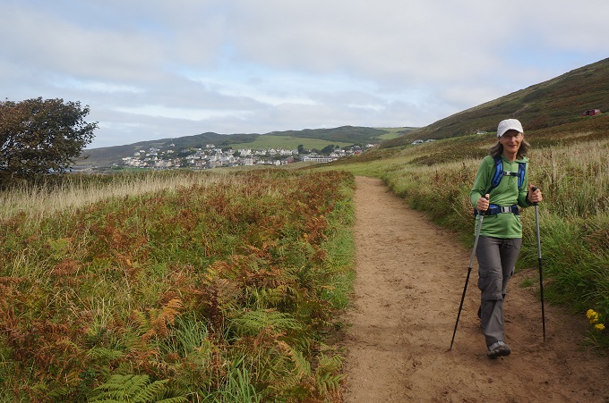
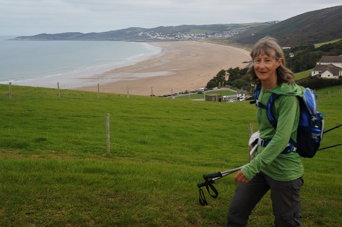
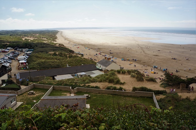
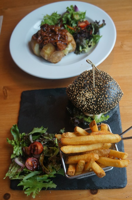
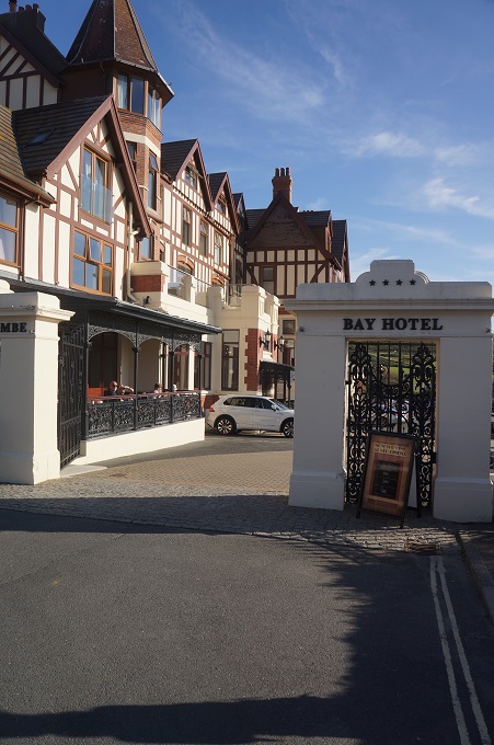
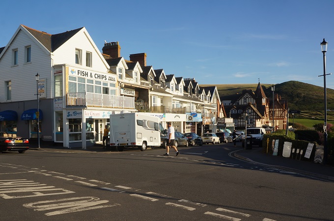
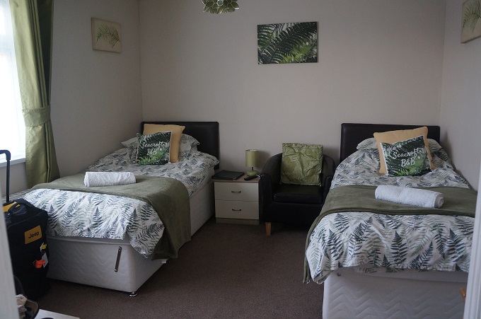
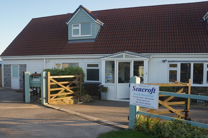
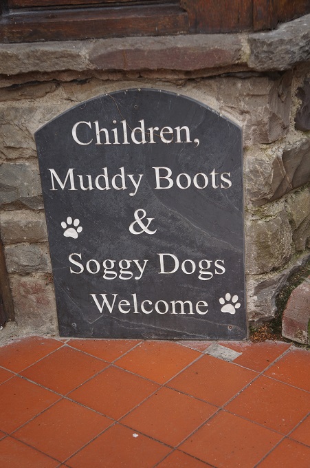
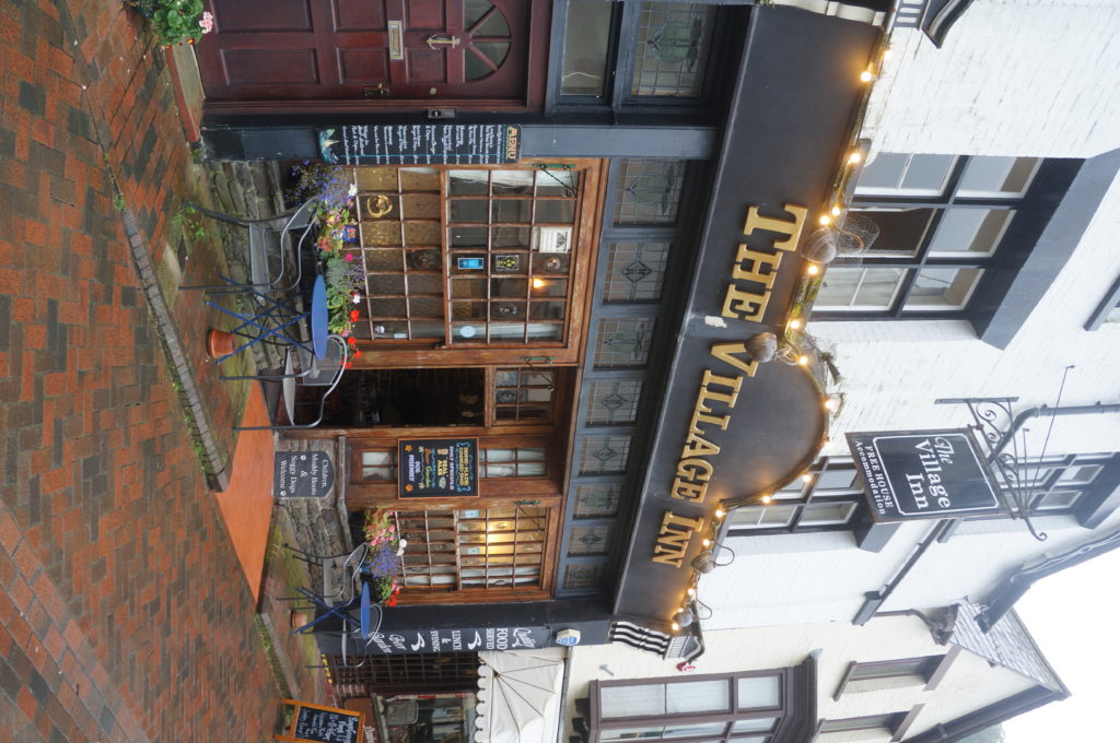
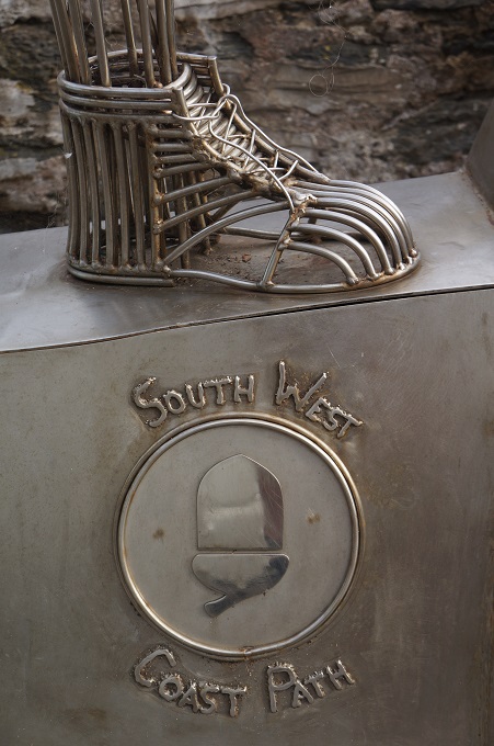
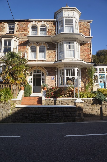
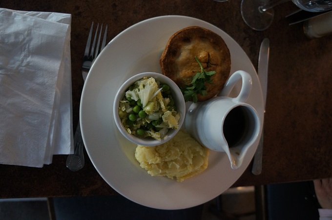
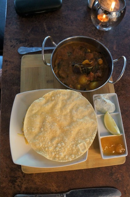
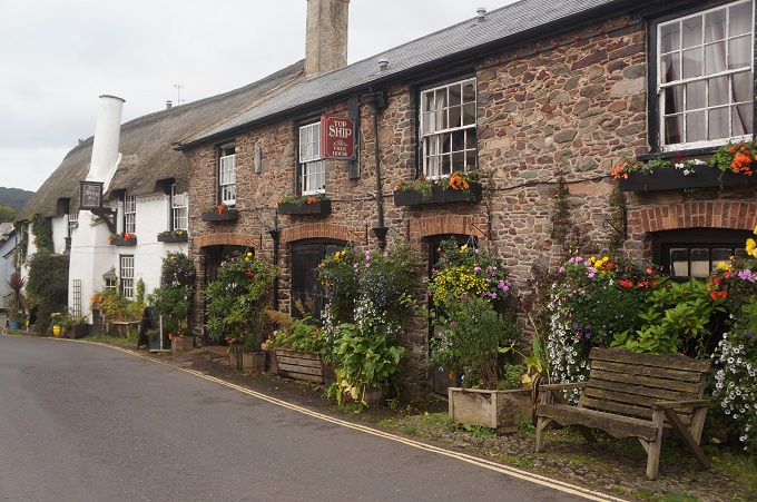
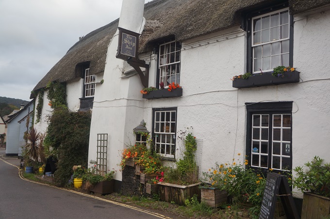
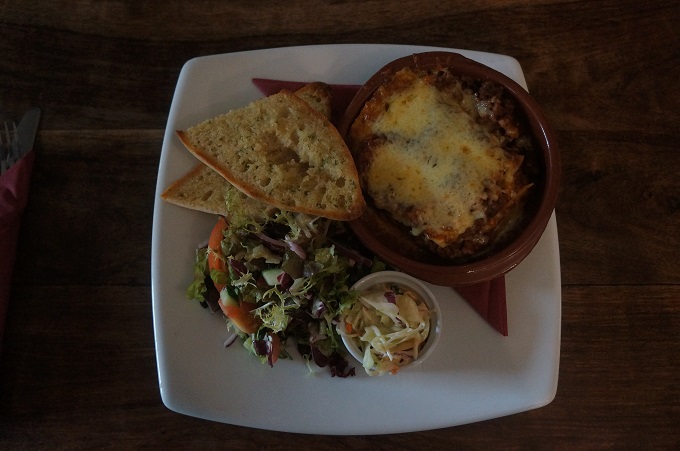
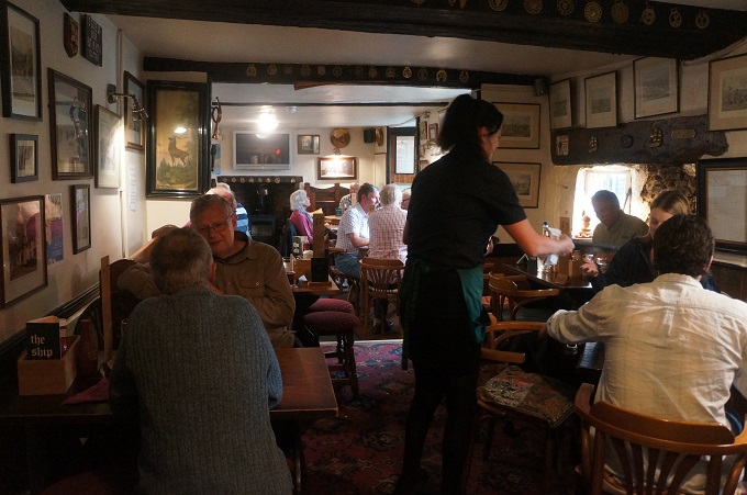
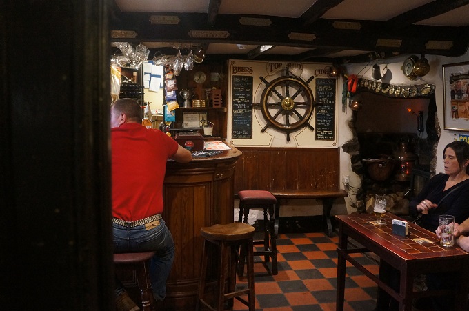
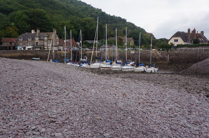
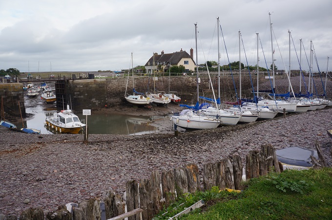
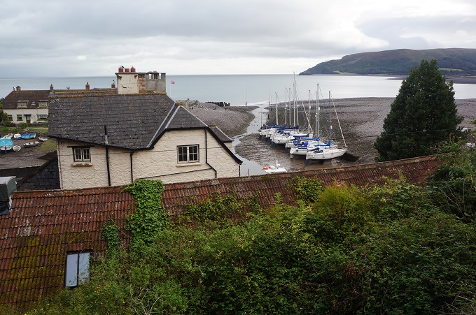
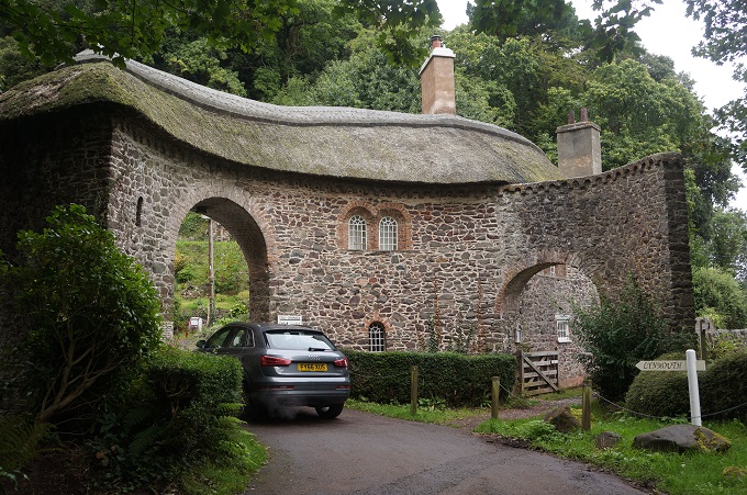
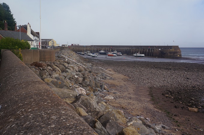
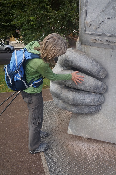
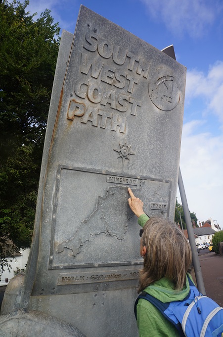
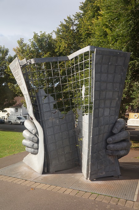
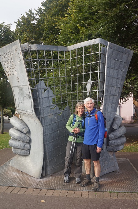
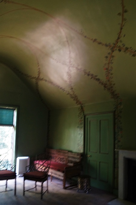
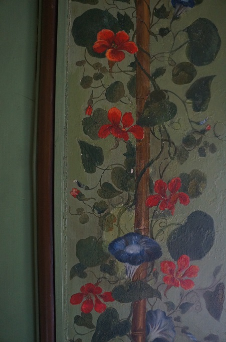
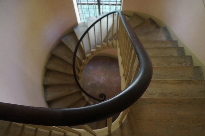
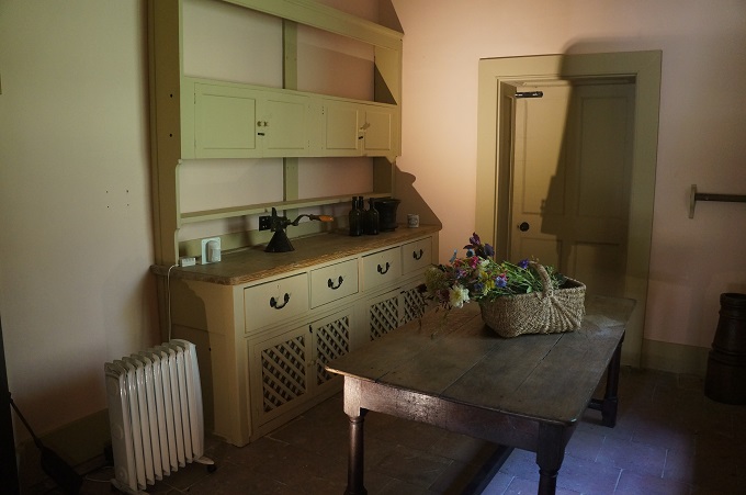
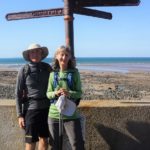
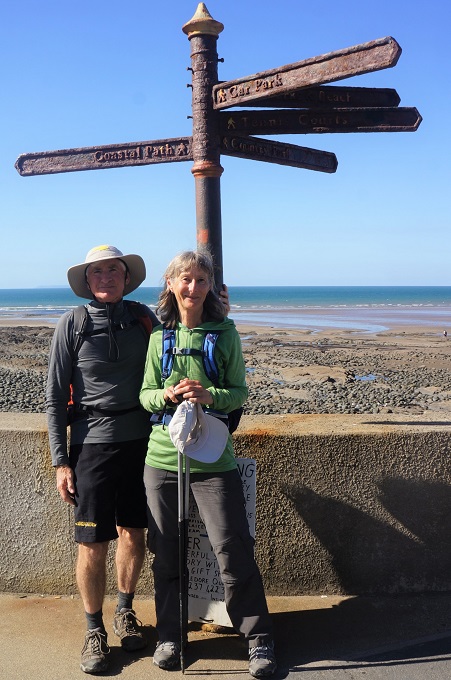
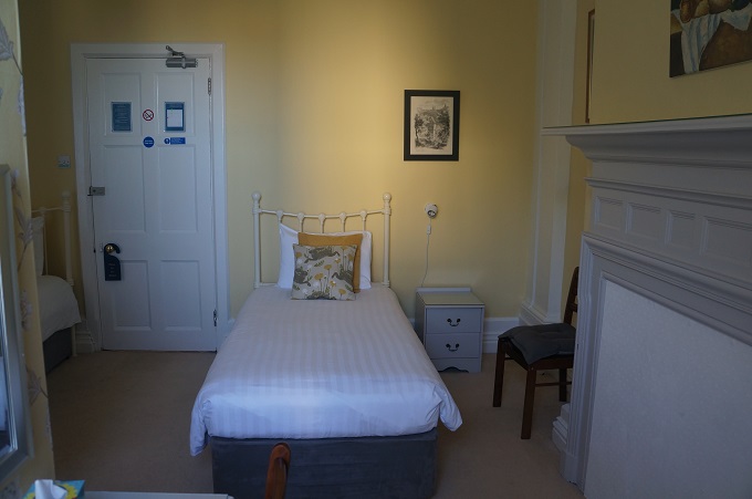
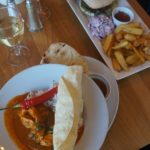
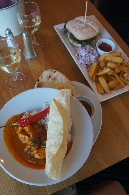
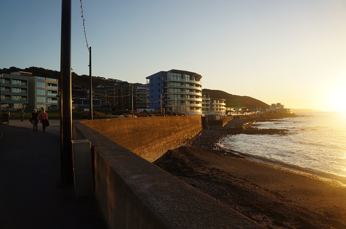
Then we were in Westward Ho! the end of this section of our walk. The place we started from last year to walk 500km to Plymouth. We went back to the same Coast Path sign and had the same photo taken as last year. This year we are staying at different accommodation – Culloden House – the oldest house in Westward Ho! built in 1865 by the developer who created the town as a Victorian seaside resort. We also tried to go back to the same place as last year, The Village Inn, for a meal but they weren’t serving meals tonight, so had to find somewhere else.
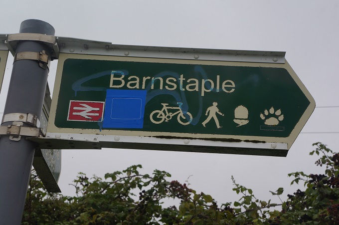
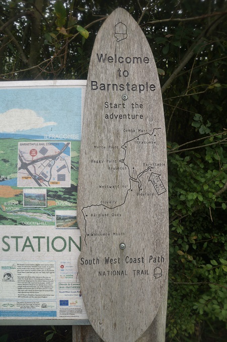
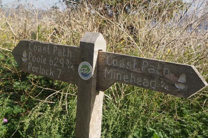
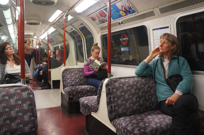
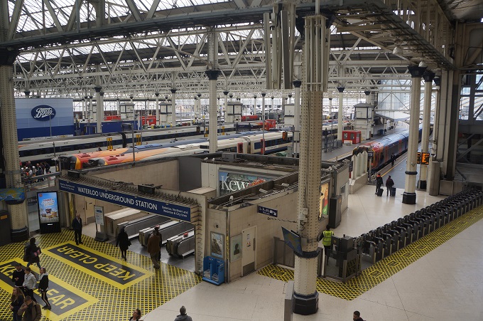
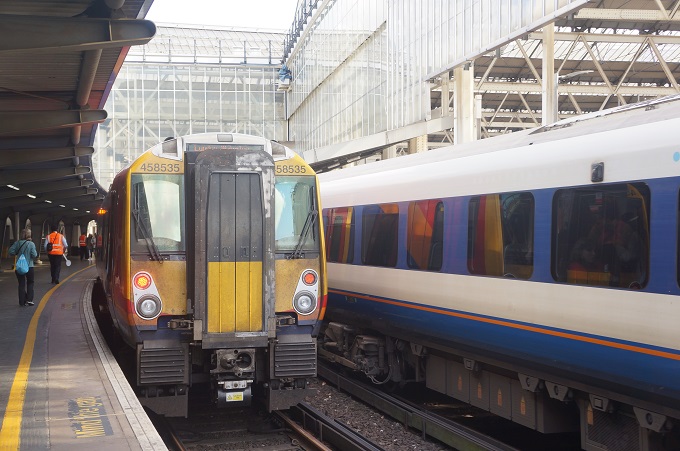
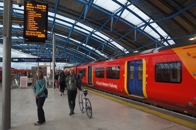
Tomorrow it is a local bus back to Barnstaple, branch line train to Exeter and main line train to Plymouth to start the next stage of our slow tourism.
-
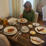
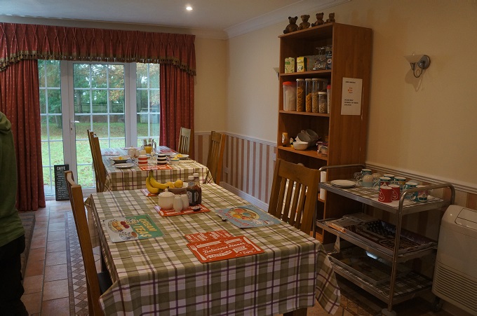
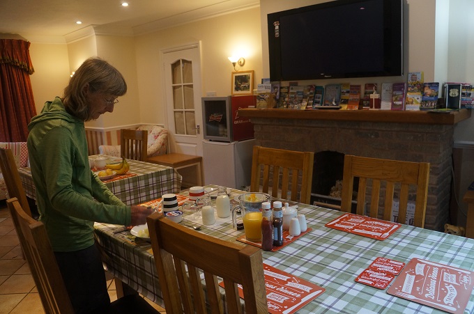
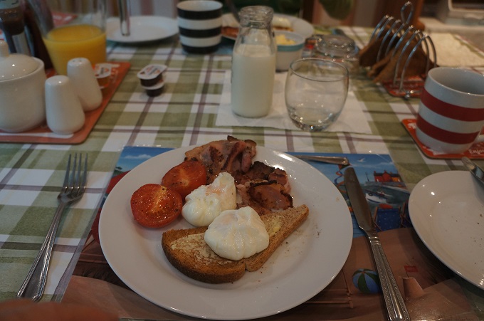
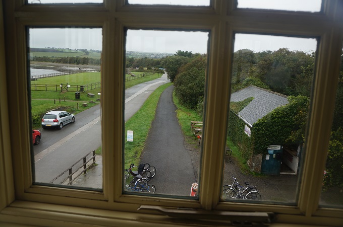
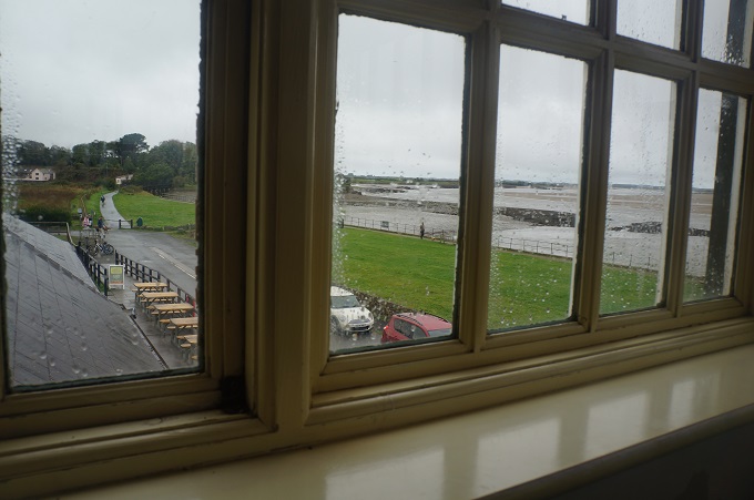
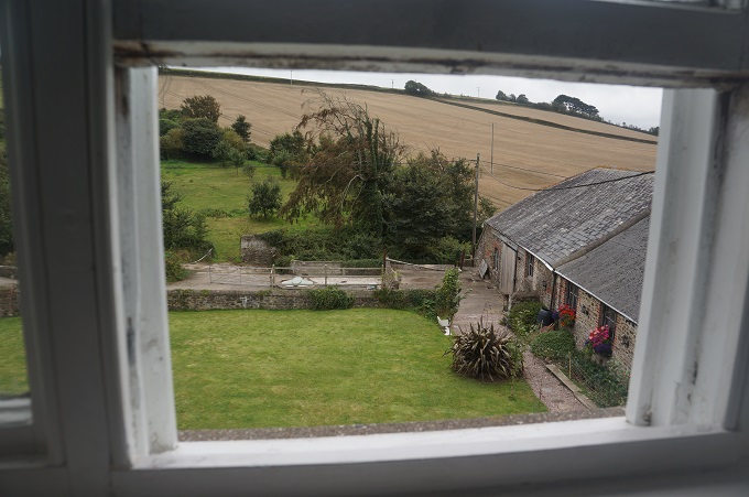
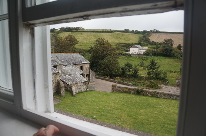
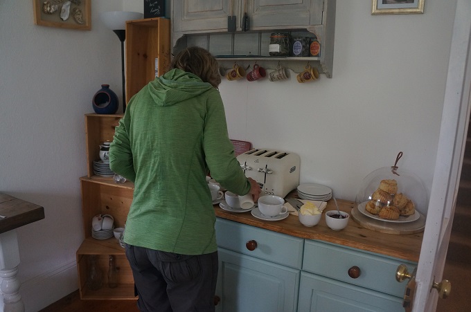
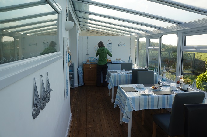
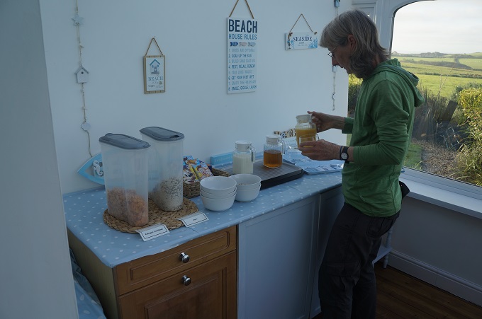
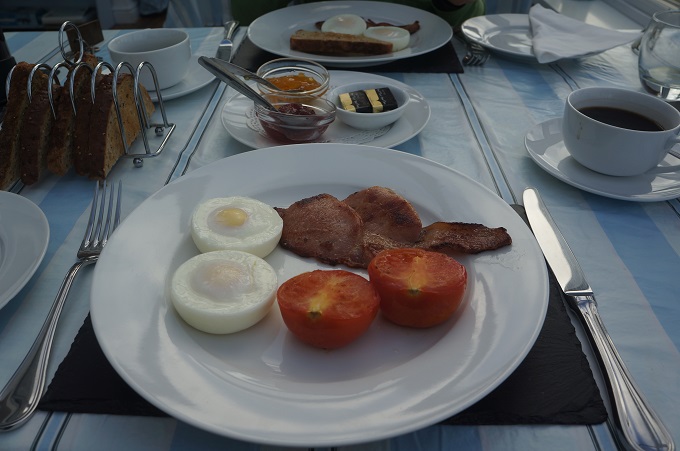
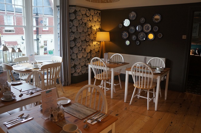
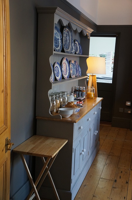
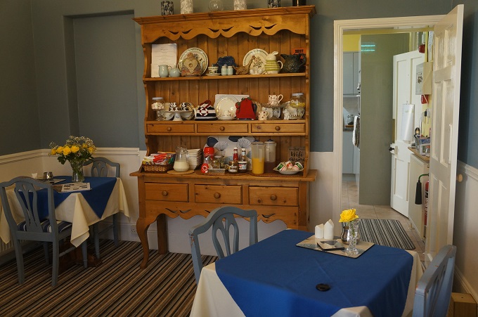
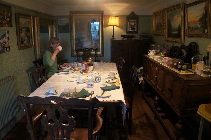
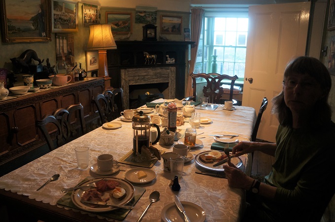
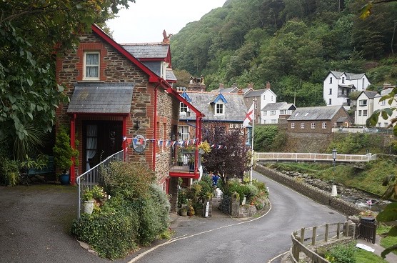
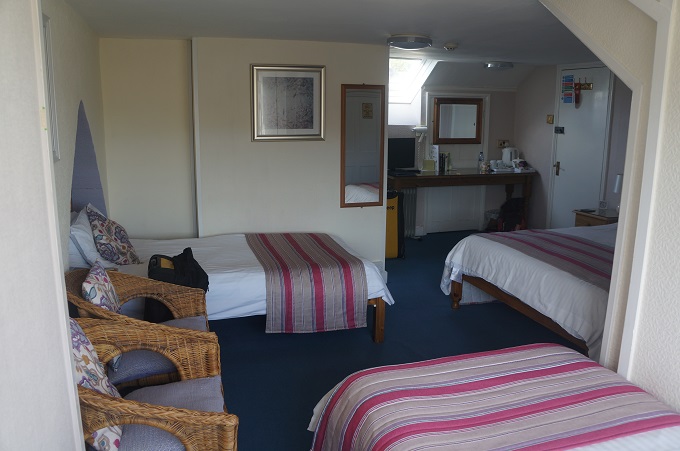
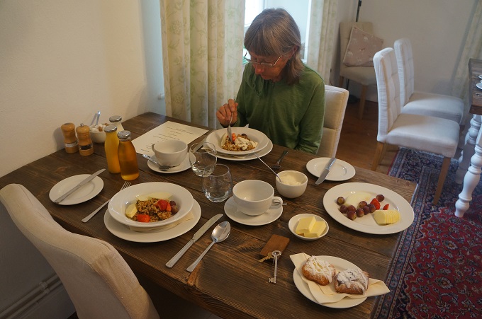
- Breakfast at Instow Barton b & b
-
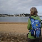
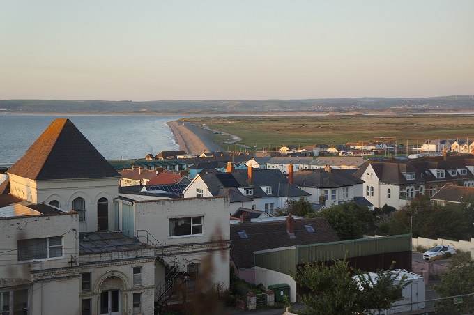
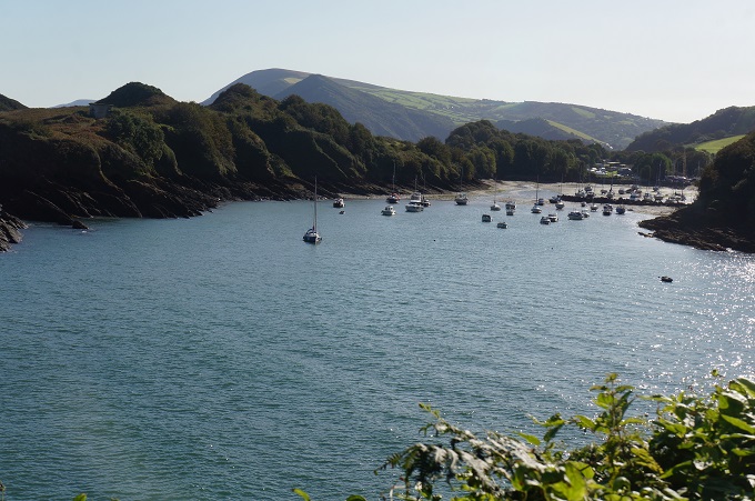
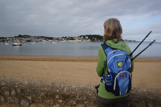
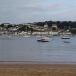
- Appledore from Instow beach
-
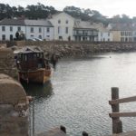
- Appledore from Instow, a quick ferry ride
-
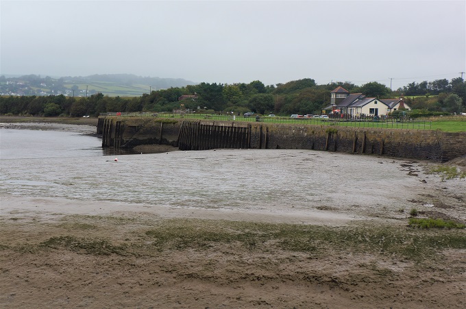
- Instow Quay
-
- Instow Quay
-
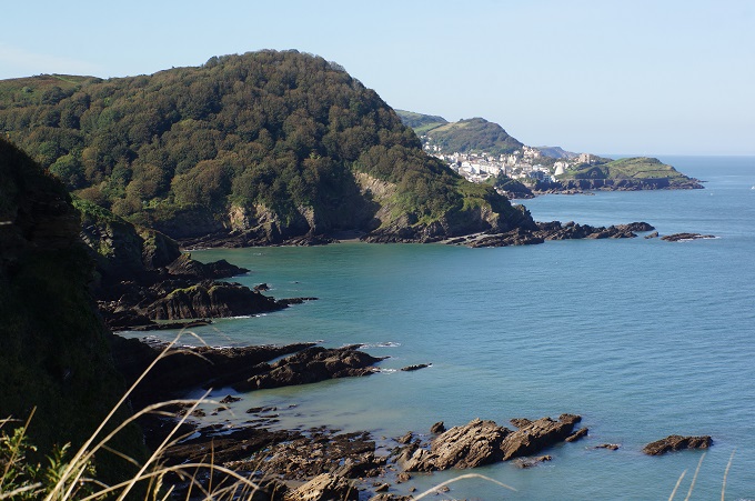
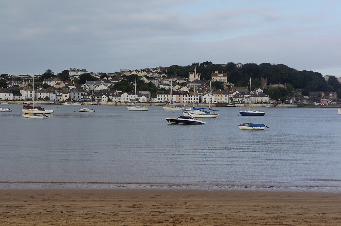
- Appledore from Instow
-
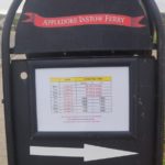
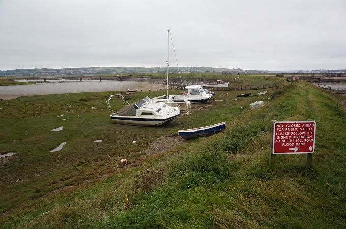
- No ferry today!!
-
- Instow
-
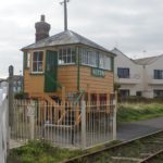
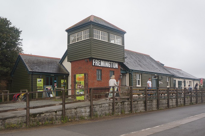
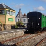
- Instow railway signal box
-

- Instow railway signal box
-
- Instow
-
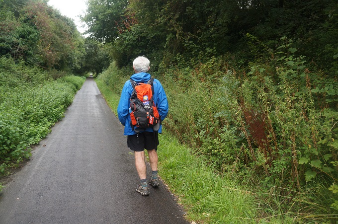
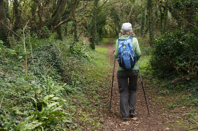
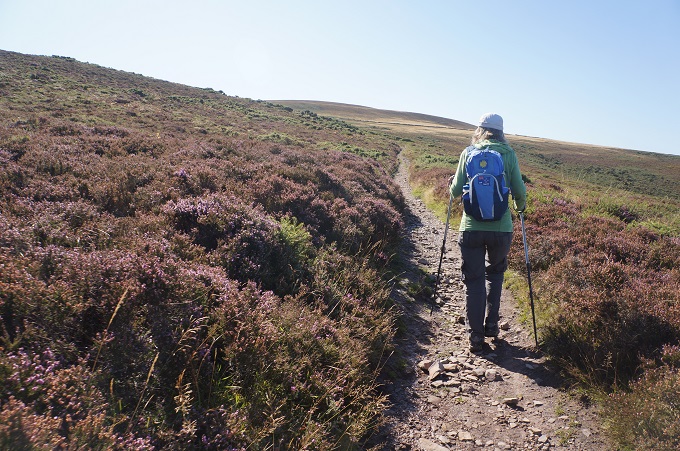
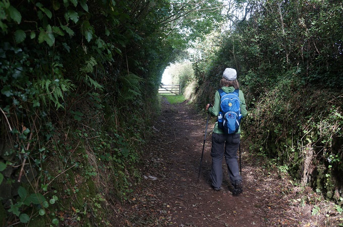
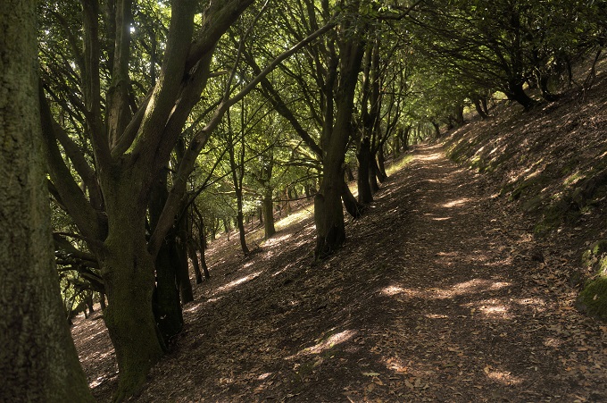
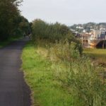
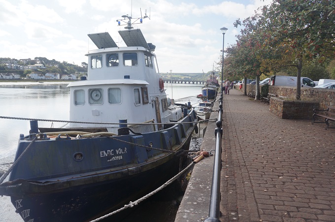
- Path along River Torridge
-
- Path along River Torridge, Instow in background
-
- Path along River Torridge
-
- Path along River Torridge
-
- New Torridge Bridge
-
- River Torridge and Bideford
-
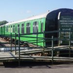
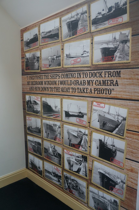
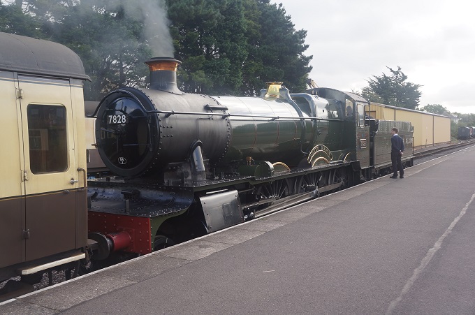
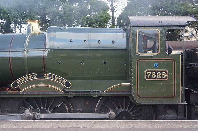
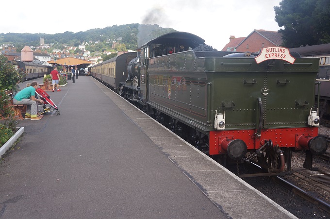
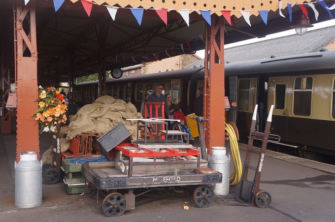
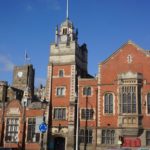
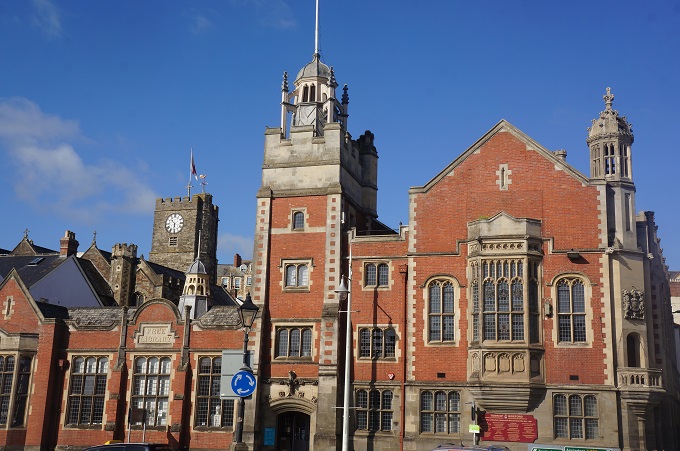
- Railway Museum Bideford
-
- Railway Museum Bideford
-
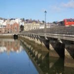
- The Bideford Long Bridge
-
- Bideford
-
- Bideford
-
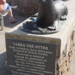
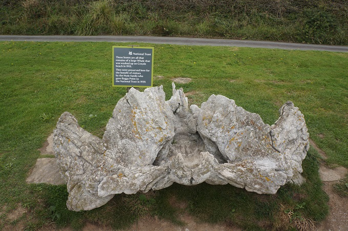
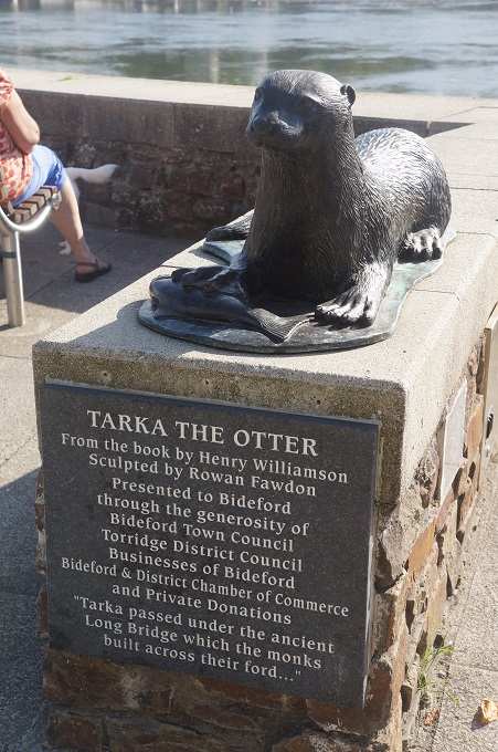
- Tarka the Otter
-
- Bideford
-
- The Bideford Long Bridge
-
- Bideford
-
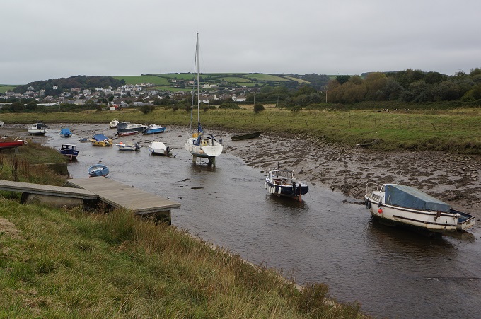
- River Torridge, Bideford
-
- River Torridge, Bideford
-
- River Torridge, Bideford
-
- River Torridge, Bideford
-
- River Torridge, Bideford
-
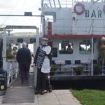
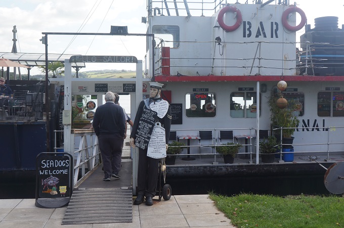
- Seadogs welcome
-
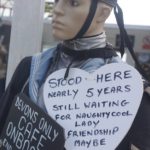
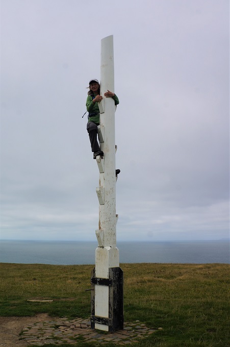
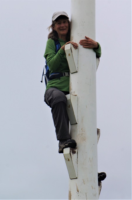
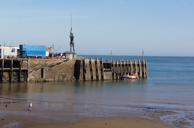
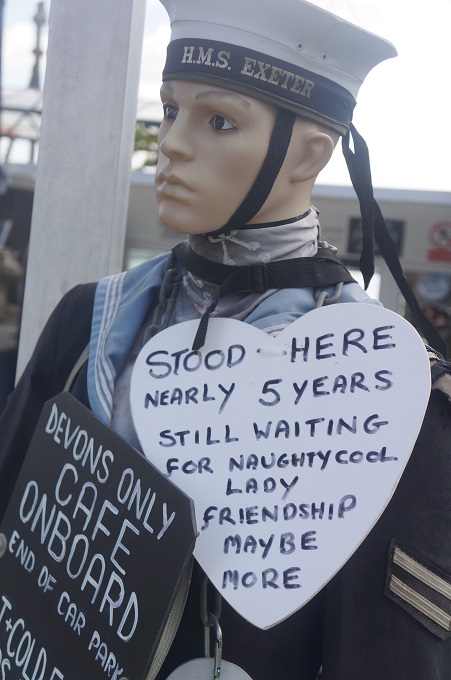
- Stood here nearly five years
-
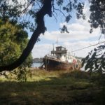
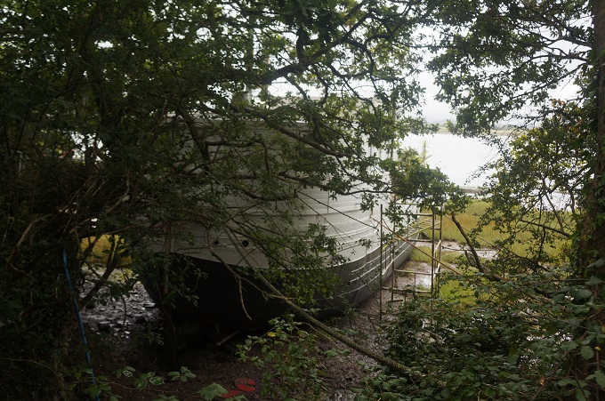
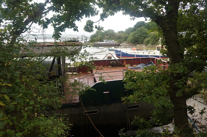
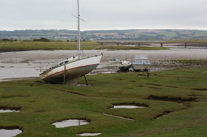
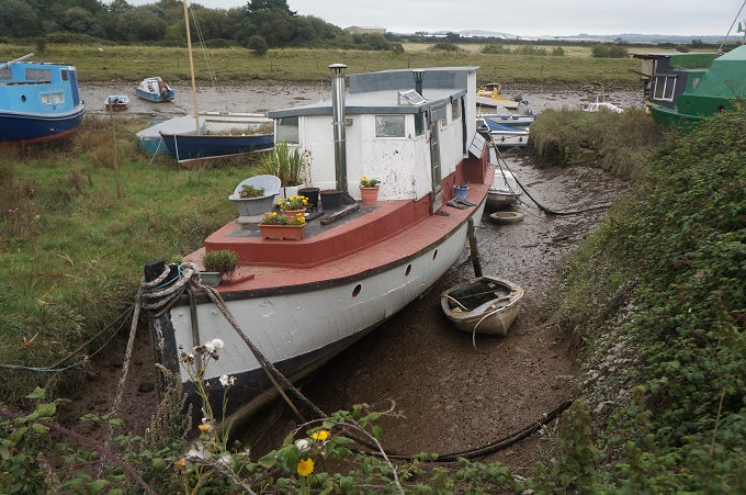
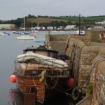
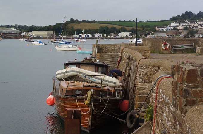
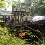
- House Boat River Torridge
-
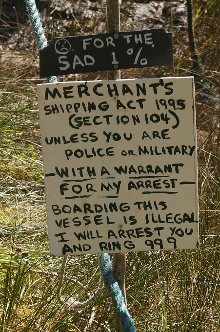
- For the sad 1%
-
- Gannis

-
- Instow across the River Torridge
-
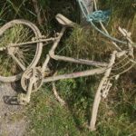
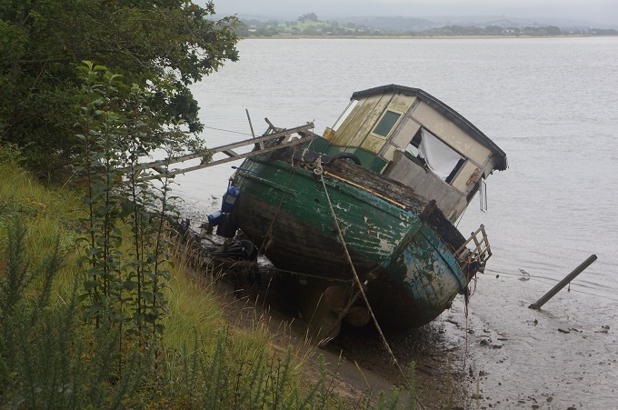
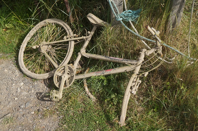
- This is what happens when you leave the path
-
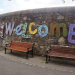
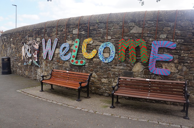
- Welcome to Appledore
-
- Appledore
-
- Instow from Appledore
-
- Appledore
-
- Appledore
-
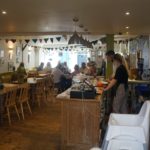
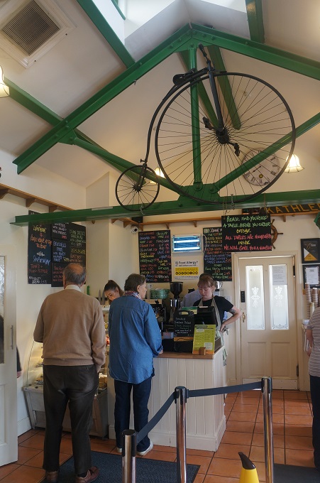
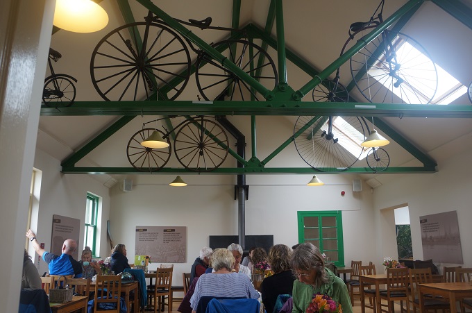
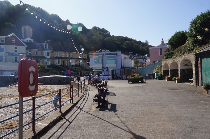
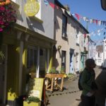
- Market Street Kitchen, Appledore
-
- Market Street Kitchen, Appledore
-
- Market Street Kitchen, Appledore
-
- Appledore

-
- Appledore
-
- Appledore
-
- Pirates at Appledore
-
- Appledore
-
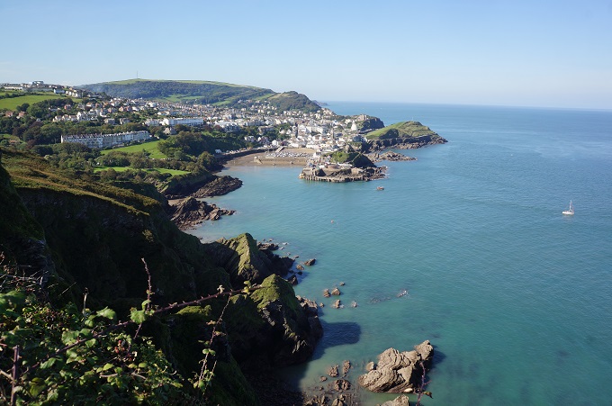
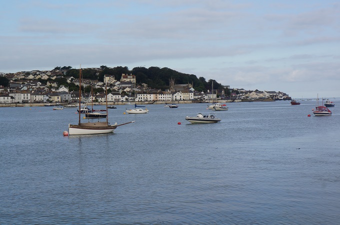
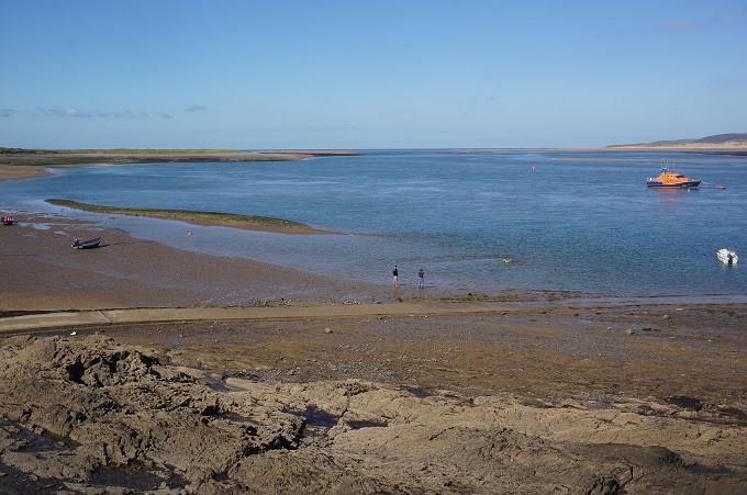
- The Taw and Torridge Rivers flow out to the Bristol Channel
-
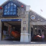
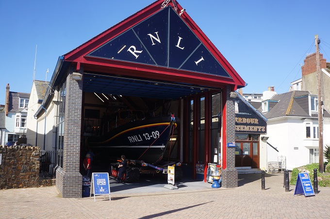
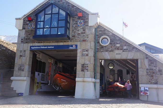
- Appledore Lifeboat Station
-
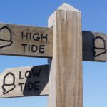
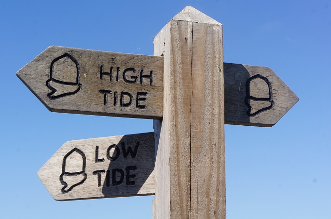
- Low tide for us
-
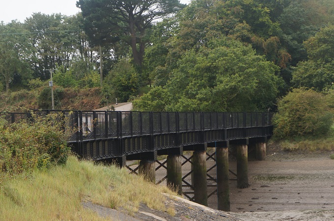
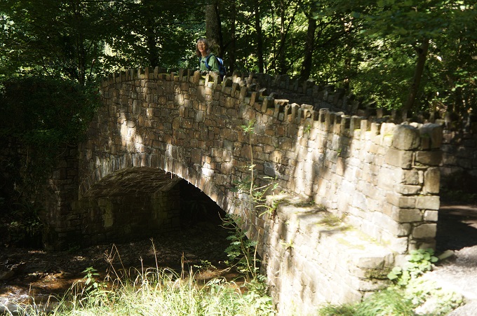
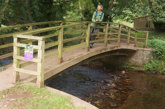
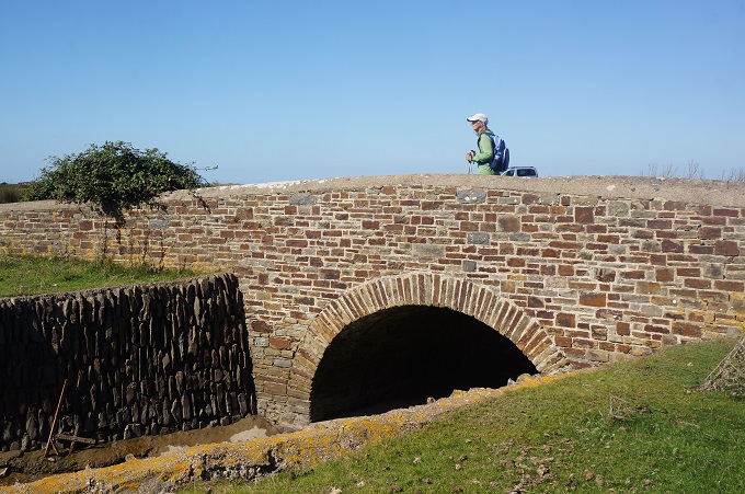
- Bridge, Northam Burrows Country Park
-
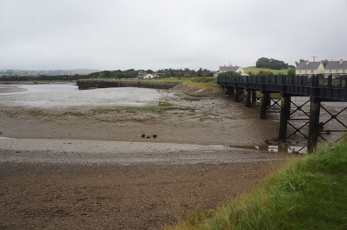
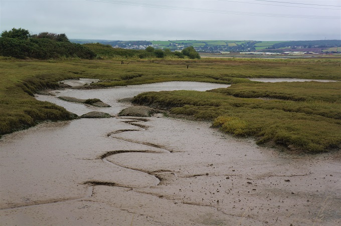
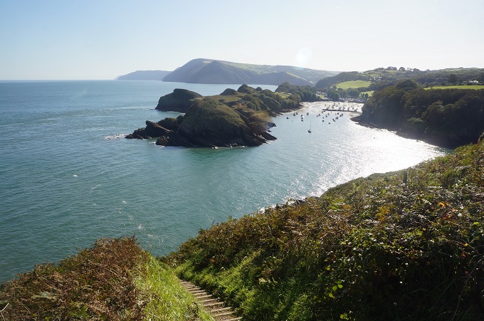
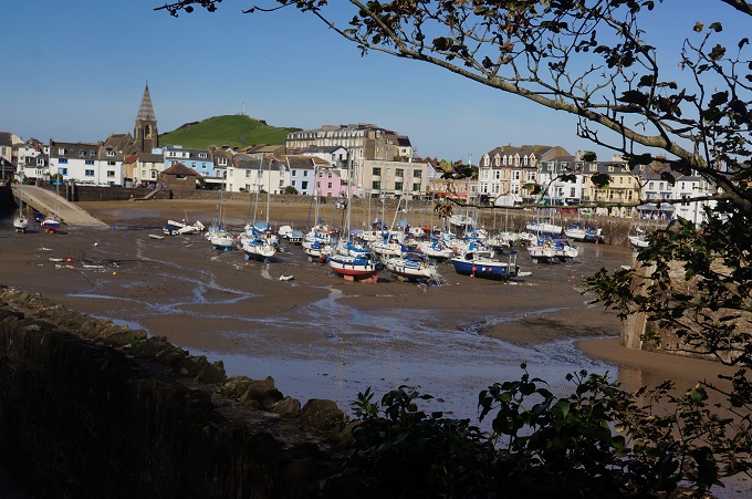
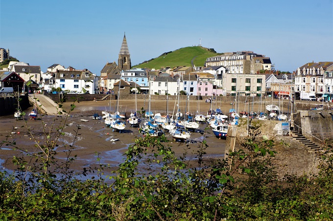
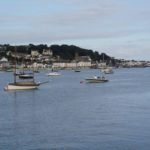
- Estuary of the Rivers Taw and Torridge
-
- Appledore from Northam Burrows Country Park
-
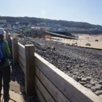
- Pebble Ridge that separates Northam Burrows Country Park from the sea
-
- The beach at Northam Burrows Country Park
-
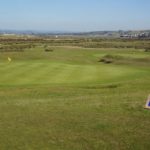
- Sixth tee, Royal North Devon Golf Links
-
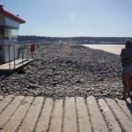
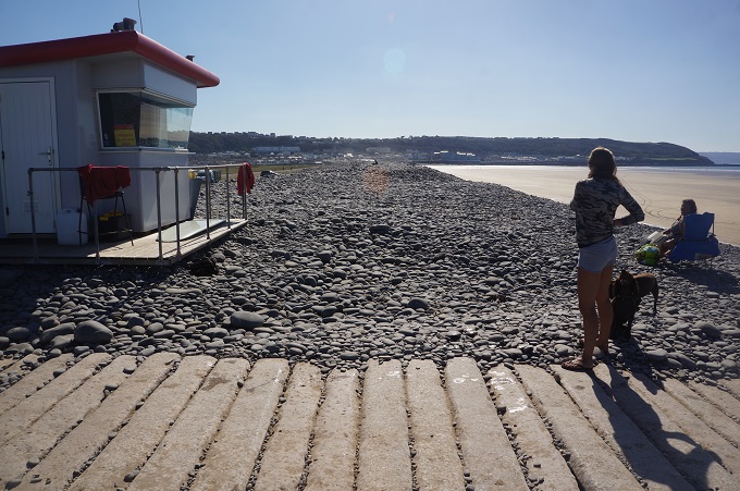
- Lifeguard, Northam Burrows Country Park
-
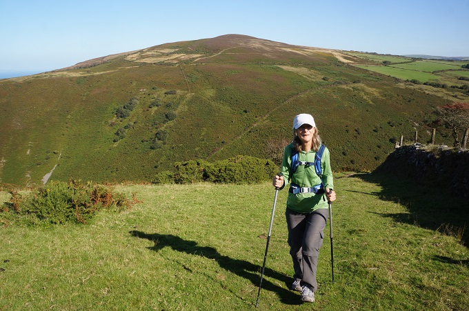
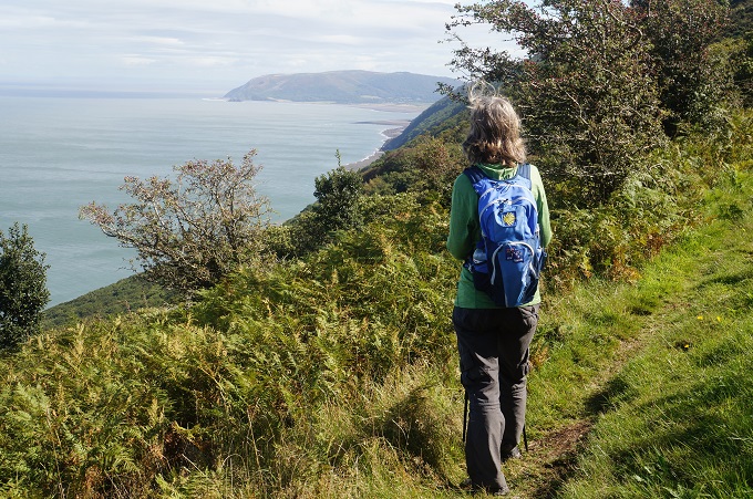
- Nearing Westward Ho1
-
- The finish point Westward Ho!
-
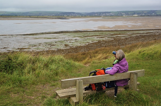
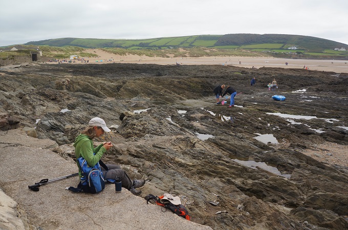
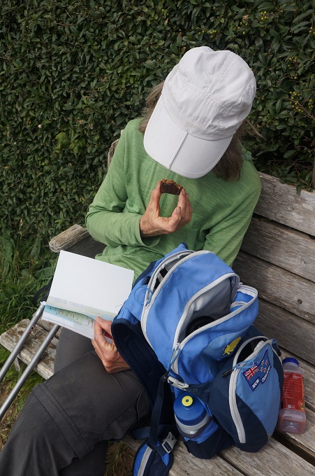
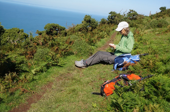
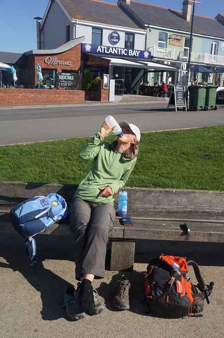
- Resting up at Westward Ho!
-
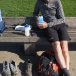
- Resting up at Westward Ho!

-
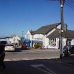
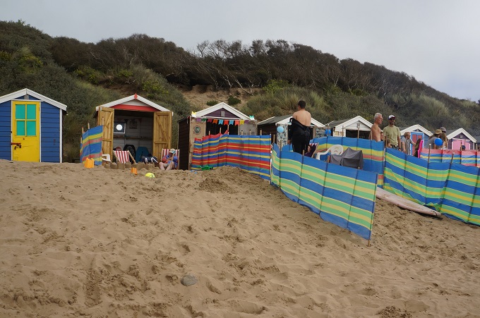
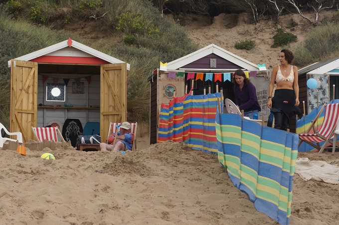
- Westward Ho!
-
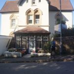
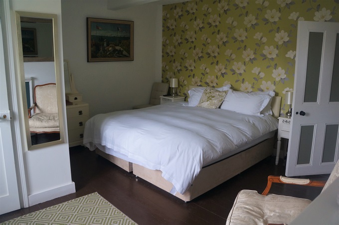
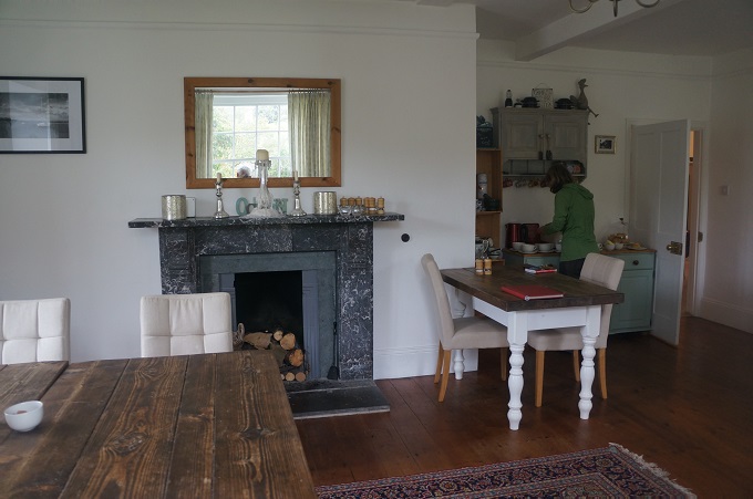
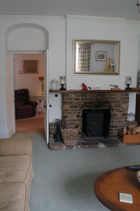
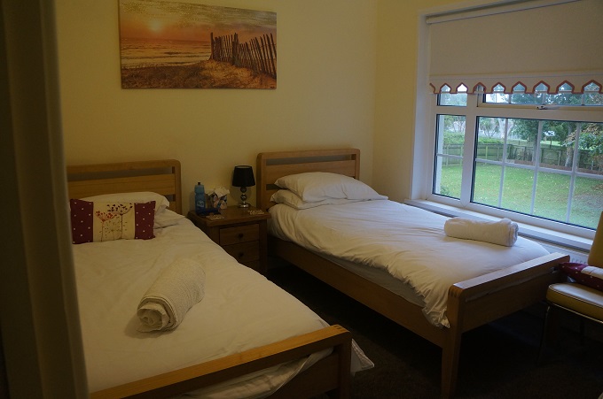
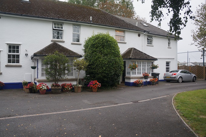
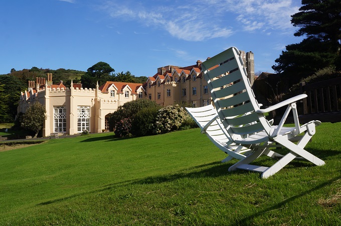
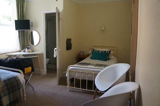
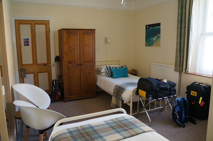
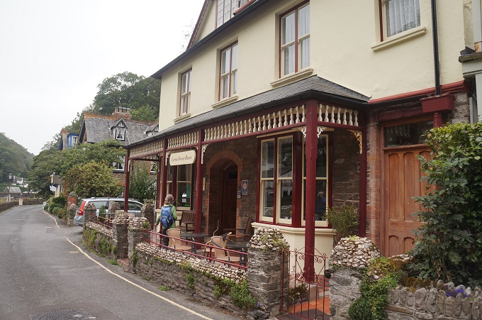
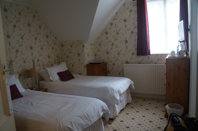
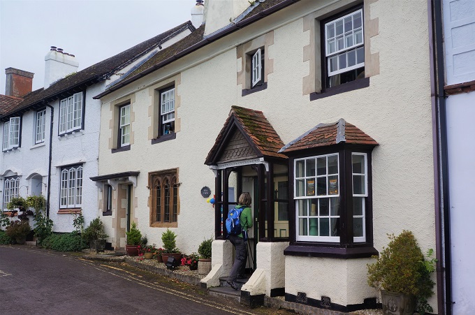
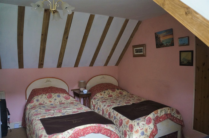
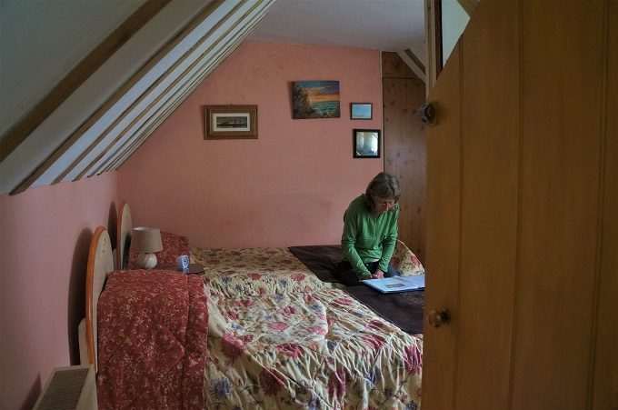
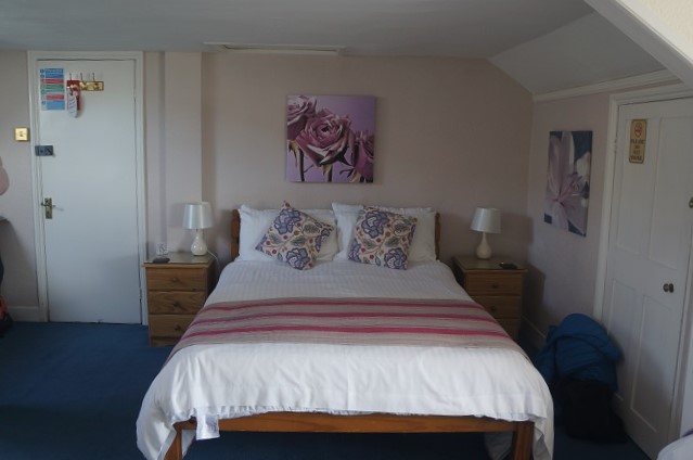
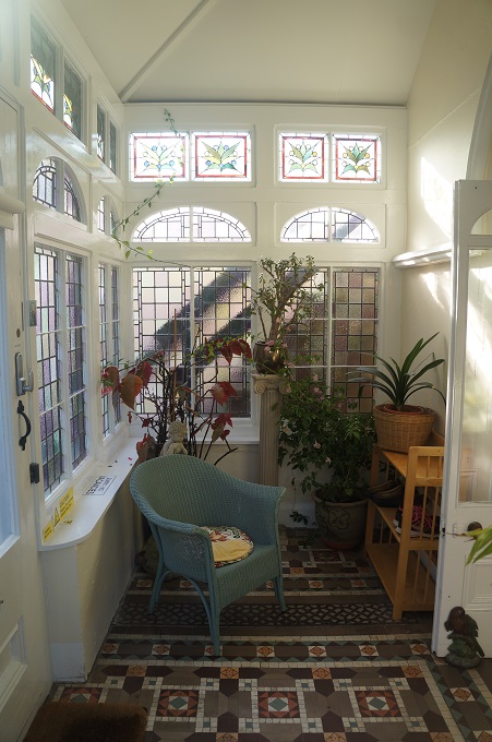
- Culloden House
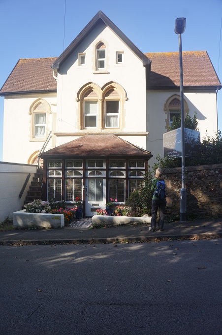
-
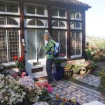
- Culloden House
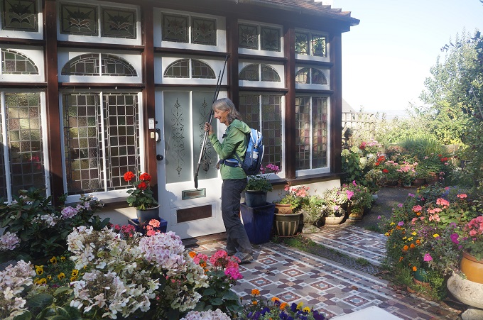
-
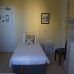
- Culloden House
-
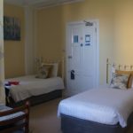
- Culloden House

-
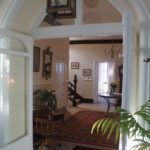
- Culloden House
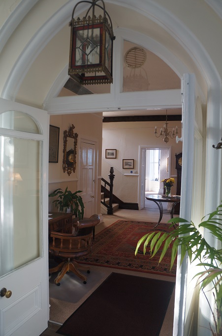
-
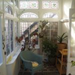
- Culloden House
-
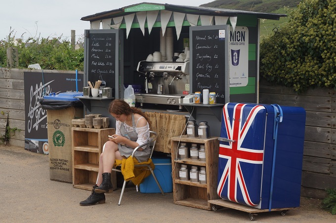
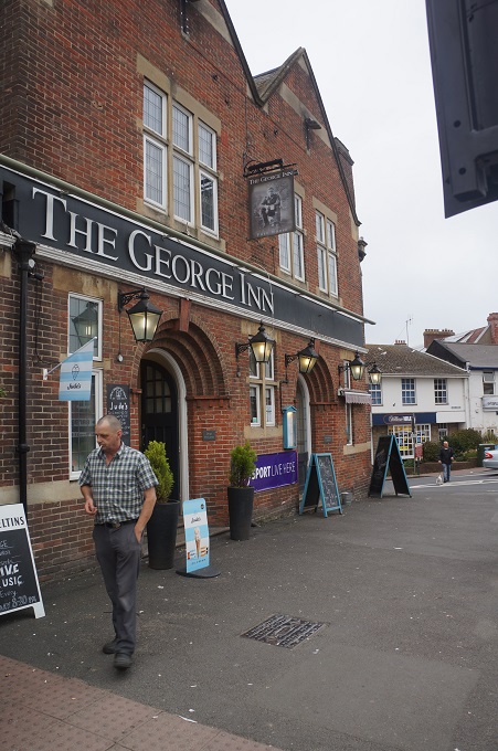
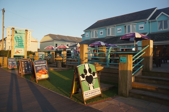
- Waterfront Inn
-
- Waterfront Inn
-
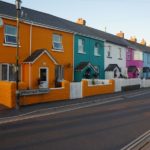
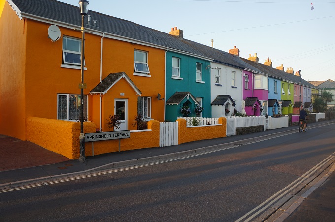
- Painted Ladies, Westward Ho!
-
- Westward Ho!
-
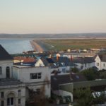
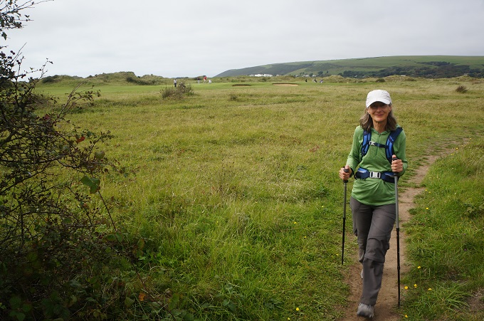
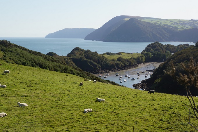
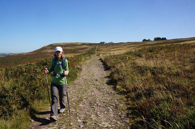
- View over Northam Burrows Country Park