Salcombe to Torcross, 20km, 686m ascending, 2,395 cumulative ascending
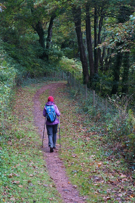
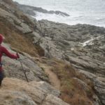
It rained during the night but the weather forecast looked okay, just a chance of some showers in the middle of the day. It was a bit dreary at first but brightened up and then we kept getting a few light showers for a couple of hours. It was one of those days when you put the rain coat on, then the sun came out and you were too hot, so you took the coat off. Then it rained a little so the coat went on, etc. About eight times before the showers disappeared.
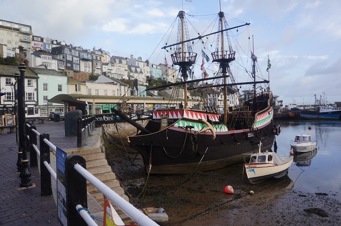
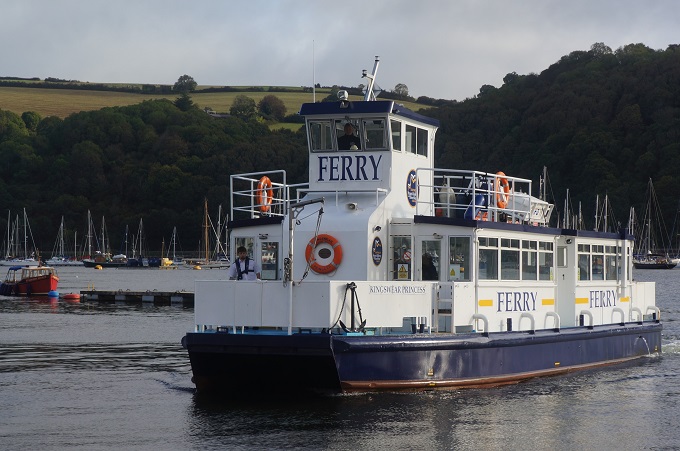
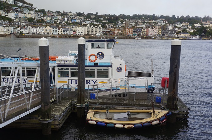
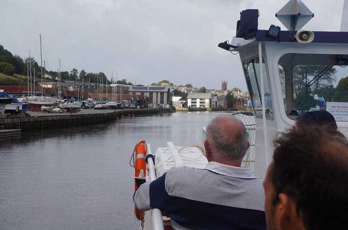
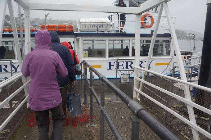
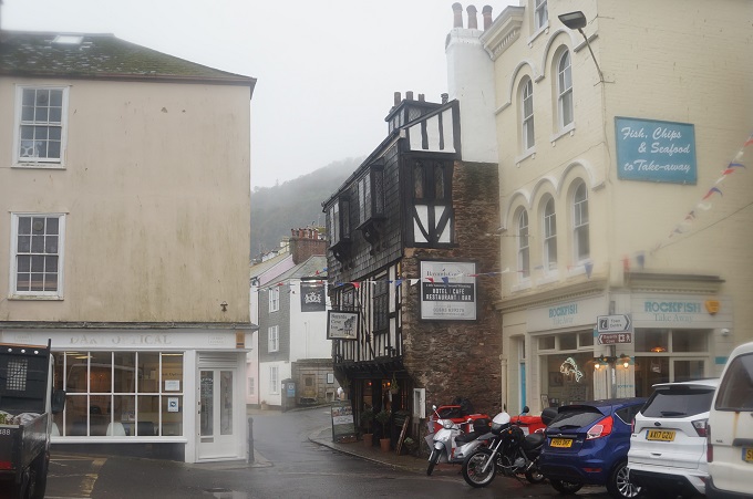
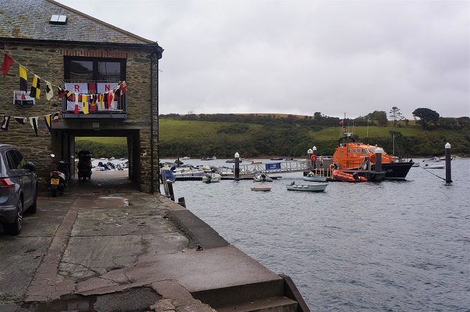
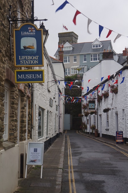
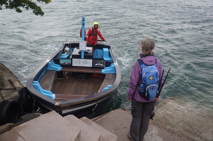
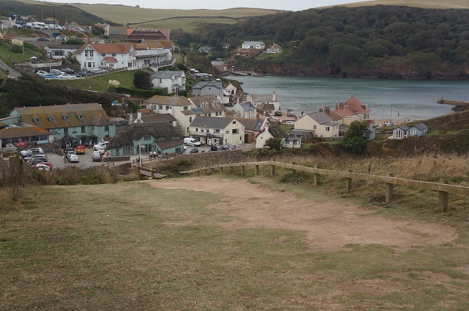
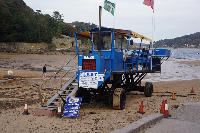
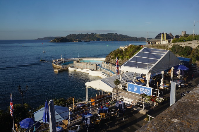
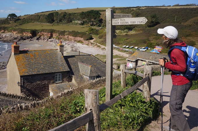
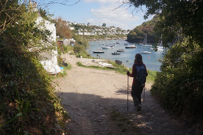
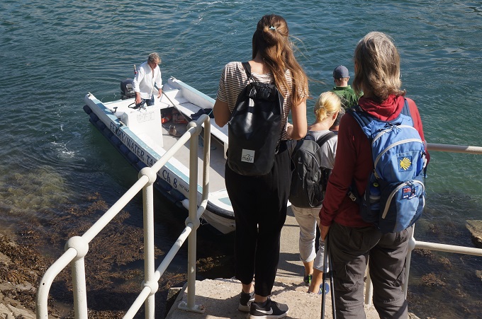
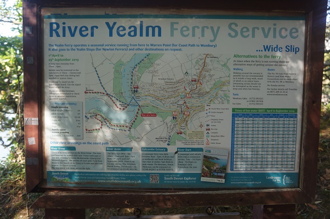
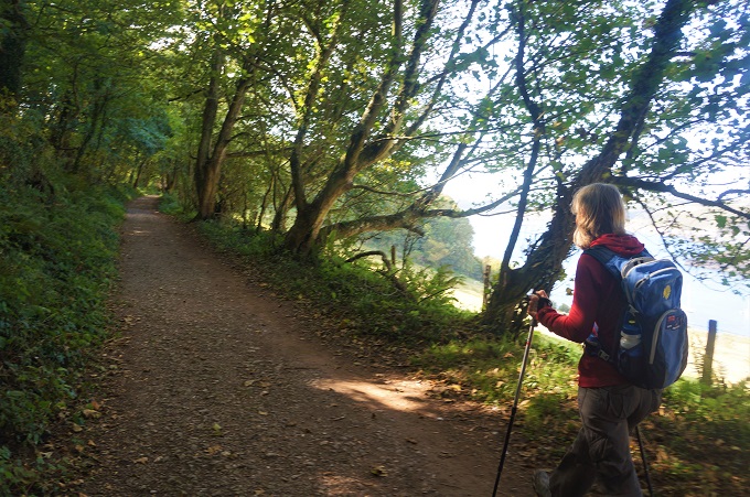
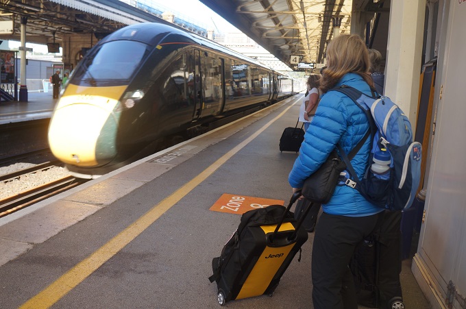
We had a quick look around Salcombe this morning. Yesterday it had been busy and teeming with police as a royal was in the village to celebrate 150 years of the Royal National Lifeboat Institution. It may have been Prince Michael of Kent, not sure. There is a regular seven day a week, all year round, every half hour, ferry service from Salcombe across to East Portlemouth and we were on the first ferry of the morning.
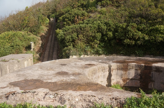
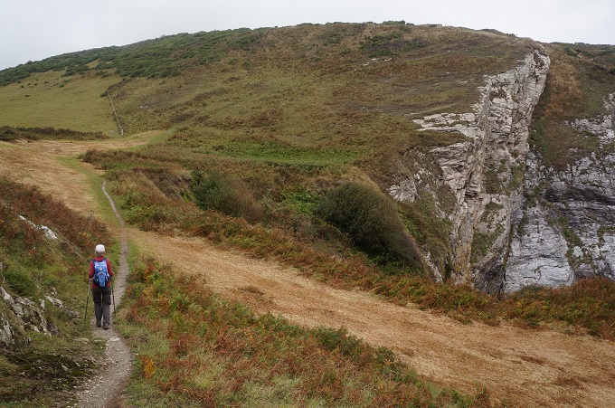
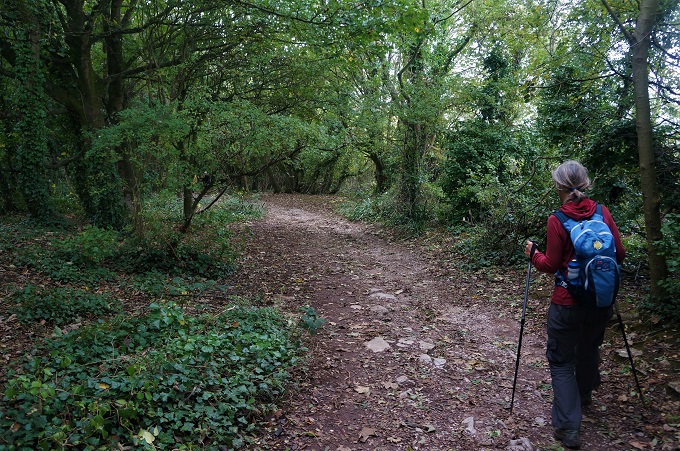
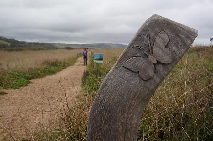
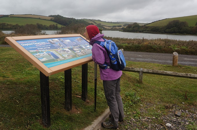
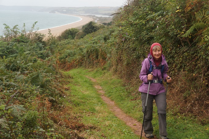
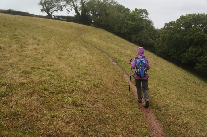
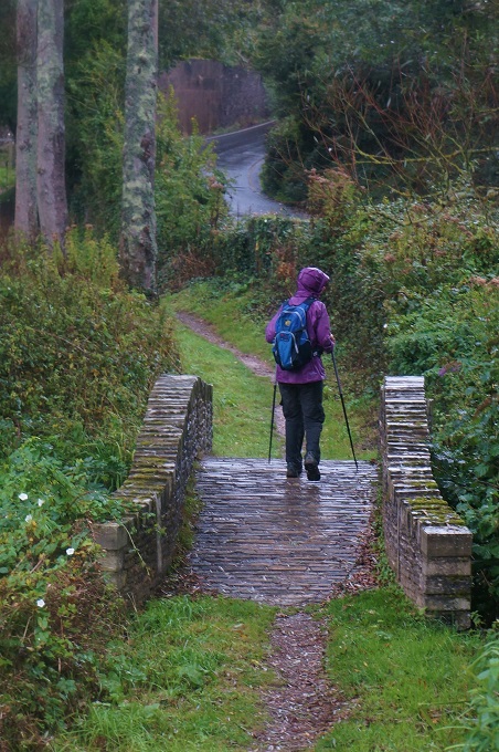
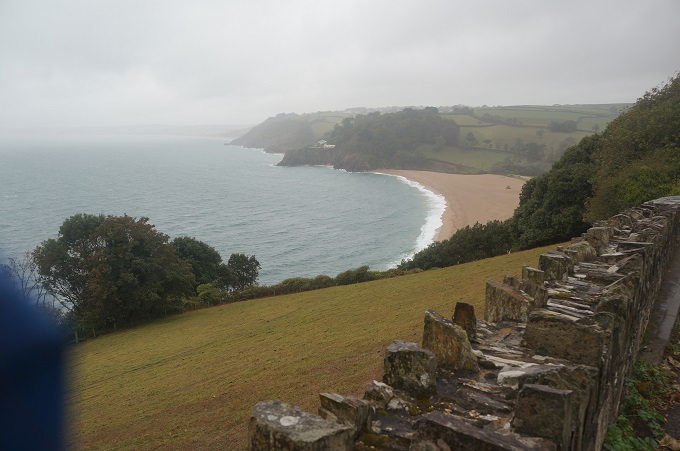
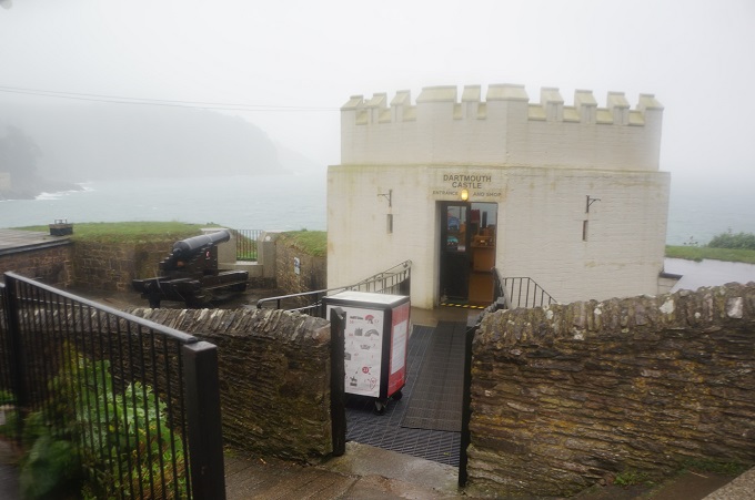
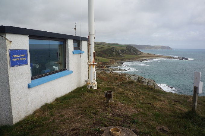
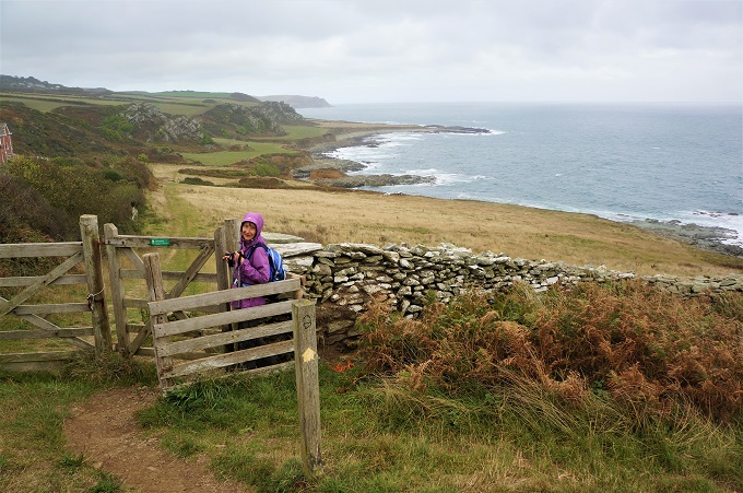
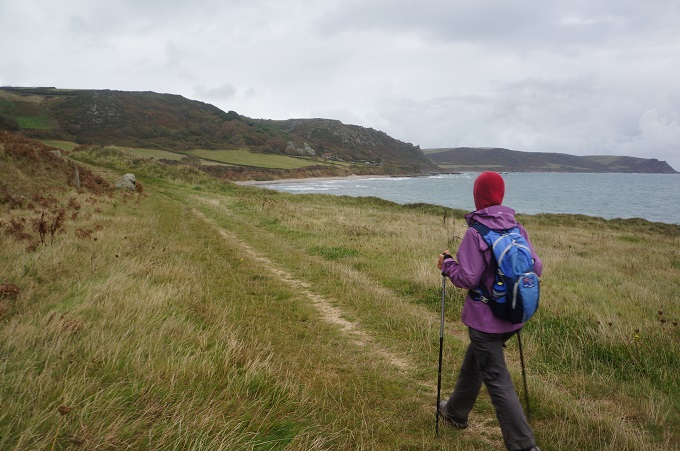
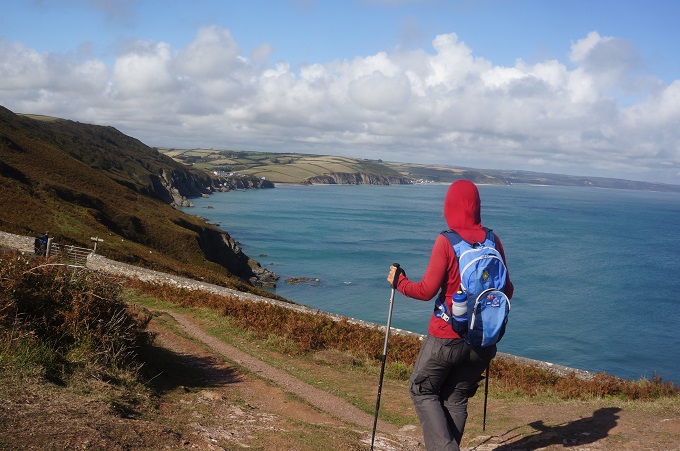
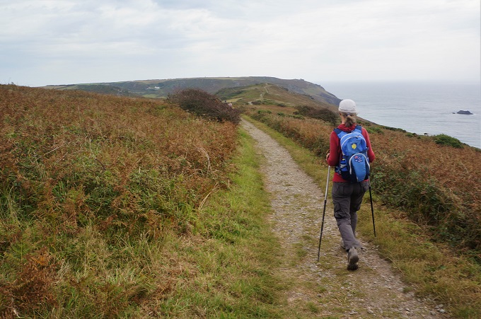
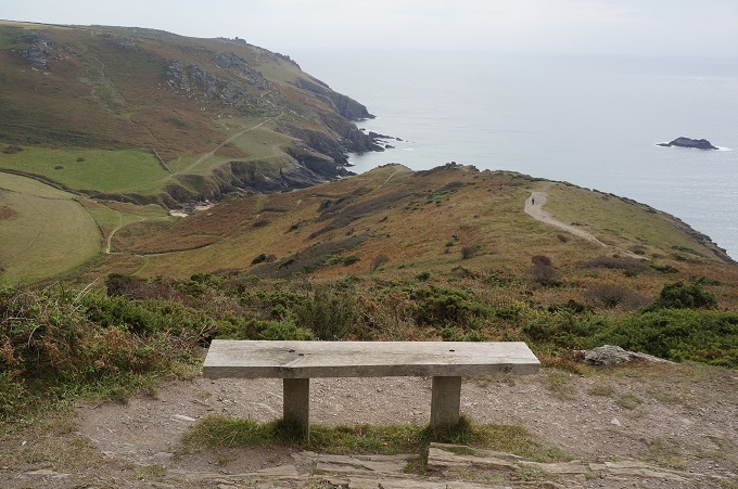
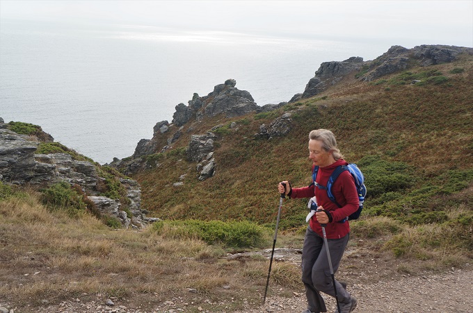
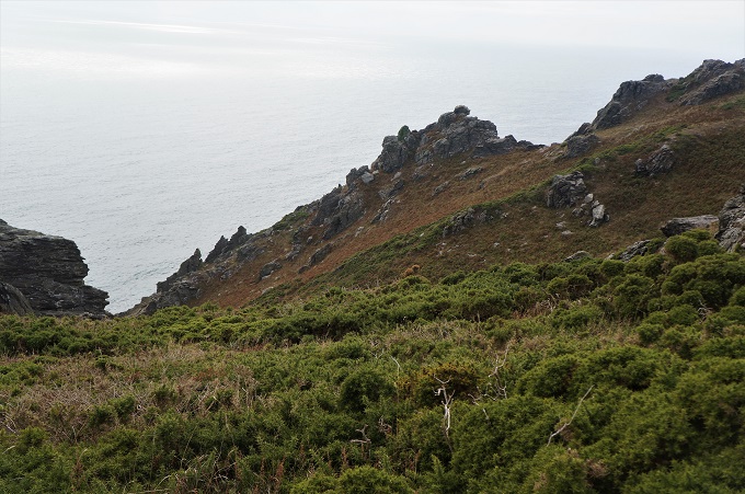
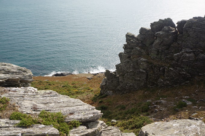
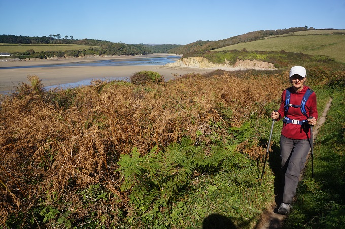
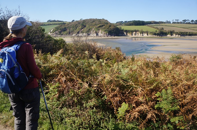
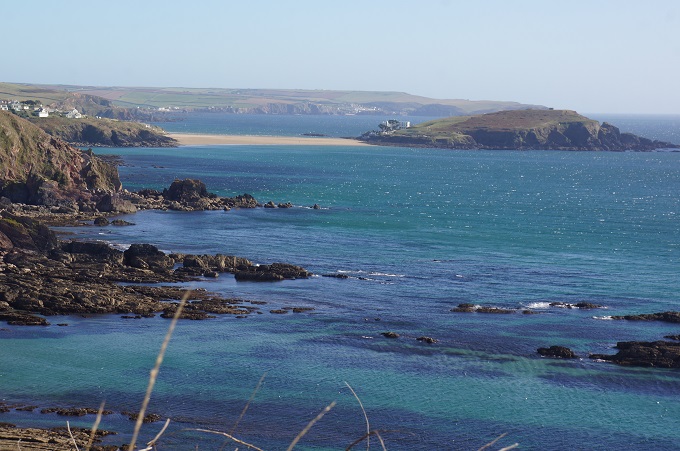
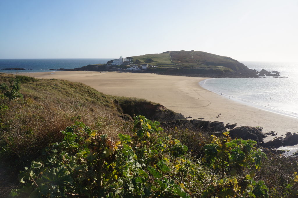
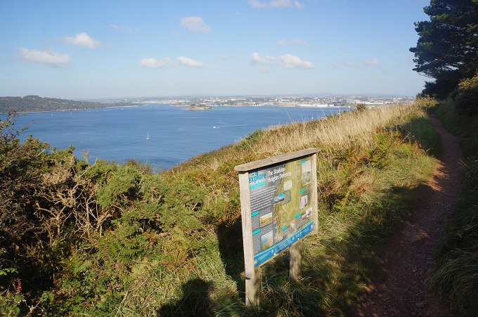
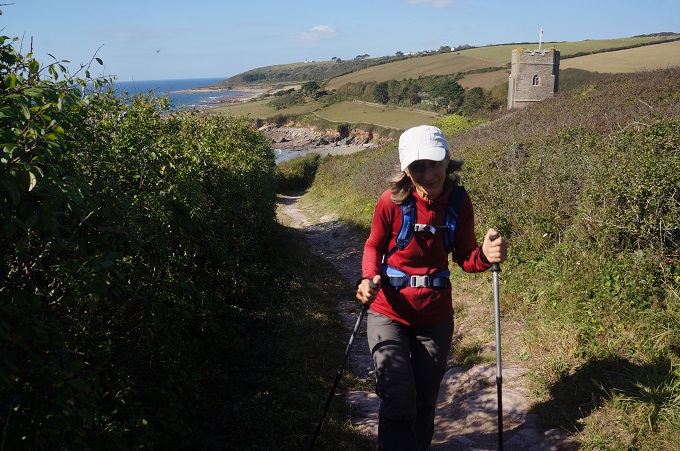
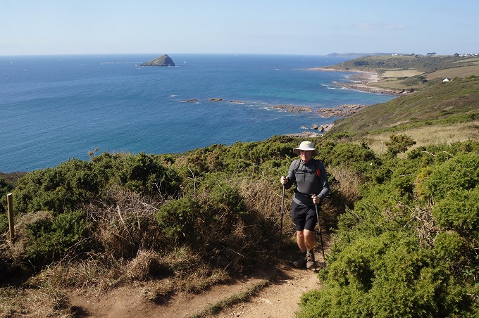
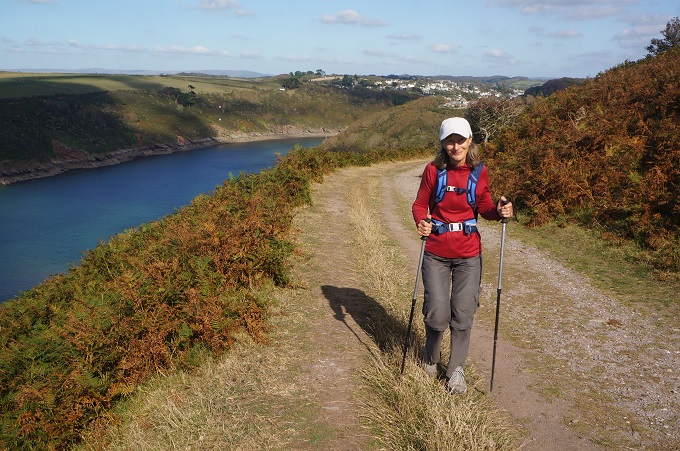
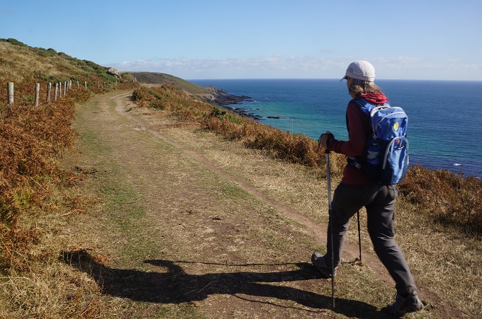
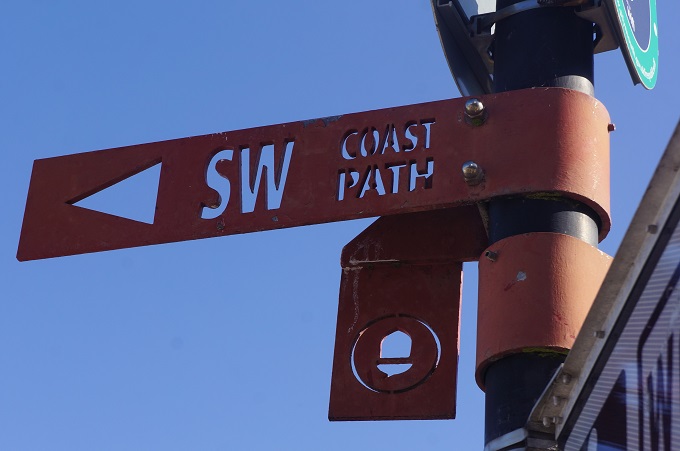
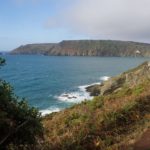
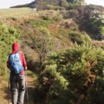
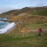
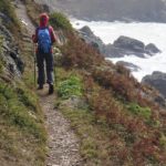
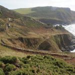
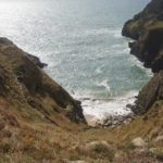
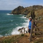
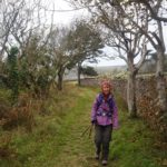
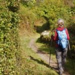
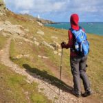
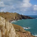
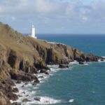
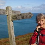
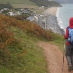
Today was a superb section of walking. Part of it on exposed cliff faces, the rugged cliffs contrasting with numerous tiny sandy coves below. After visiting the Coastguard Lookout and visitor’s centre at Prawle Point a long length was on an old ‘raised beach’, a low shelf a little above the sea giving an easy walk. The path climbed across the spine of Start Point behind the lighthouse before plunging down to the beach at Hallsands and more easy walking past Beesands to Torcross.
We came across the sites of two tragedies today, the first at Hallsand and the second at Torcross.
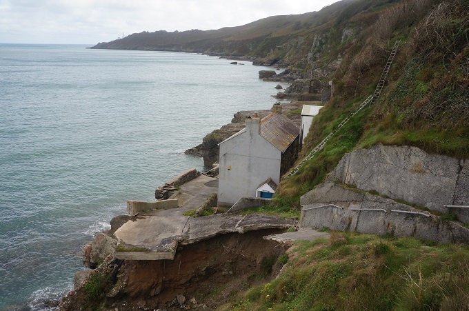
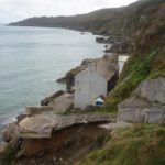
Hallsands was a small fishing village founded in the 18th century separated from the tempestuous tides by a pebble beach. In the 1890s a large construction company was given the right to dredge for shingle between Hallsands and Beesands. The villagers were very unhappy with the granting of this licence, complaining that the dredging would cause damage to their cray pots, disturb the fish and might also cause damage to their houses. They were given some meagre compensation but it wasn’t until 1900 that it dawned on everybody the extent of damage caused by the dredging. The sea wall had washed away, the beach had fallen between 7 and twelve feet and was no longer a barrier against the tide and a report concluded that a heavy gale would flood several houses if not seriously damage them. In 1902 dredging stopped but by then six houses had been lost to the sea. Large storms in 1917 washed the village away leaving only one house standing. Miraculously no-one in the village was killed during theses storms though the village never recovered.
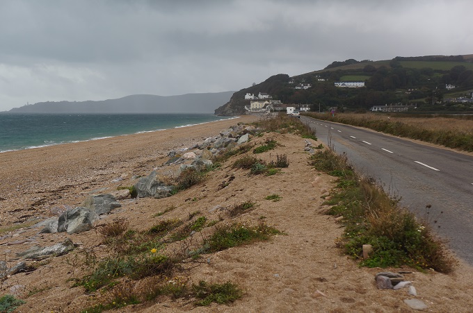
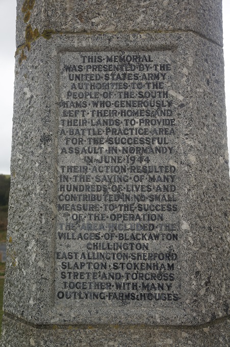
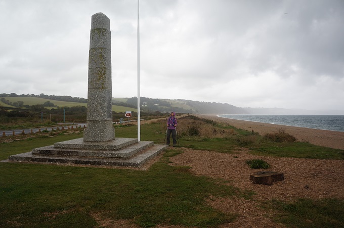
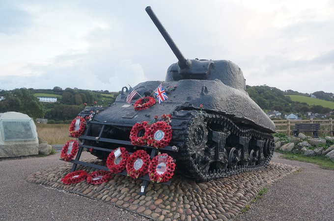
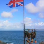
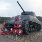
In 1943 the Slapton Sands at Torcross were chosen as a practice ground for 30,000 American troops prior to the D-Day landings in Normandie. It was called Operation Tiger. This beach was chosen as it was similar to Utah in Normandy, namely a gravel beach followed by a thin ribbon of sand and a lake. 3,000 residents of Slapton and Torcross were evacuated. The rehearsal was a tragedy on a huge scale. Despite protection from the Royal Navy, a convoy of eight ships heading to this rehearsal were attacked by German E-boats and 638 servicemen were lost. Worse was to follow: when the remaining boats reached land a further 308 personnel were killed – unbelievably – by friendly fire, following an order by Eisenhower to use live ammunition to harden the troops. The Normandy landings were almost cancelled due to the tragedy. Those who witnessed the tragic events of April 28th 1943 were sworn to secrecy and the whole incident covered up until the 1970s when a local resident did extensive research into the incident and arranged for a Sherman DD tank to be located near the beach in Torcross to commemorate the 946 US servicemen who died that day.
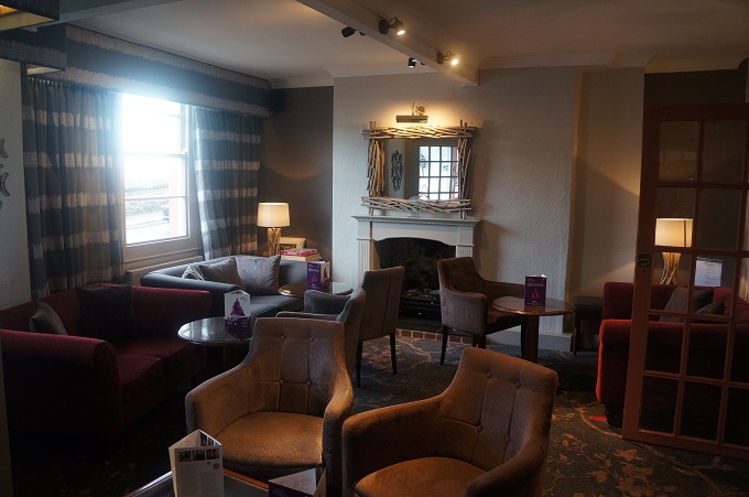
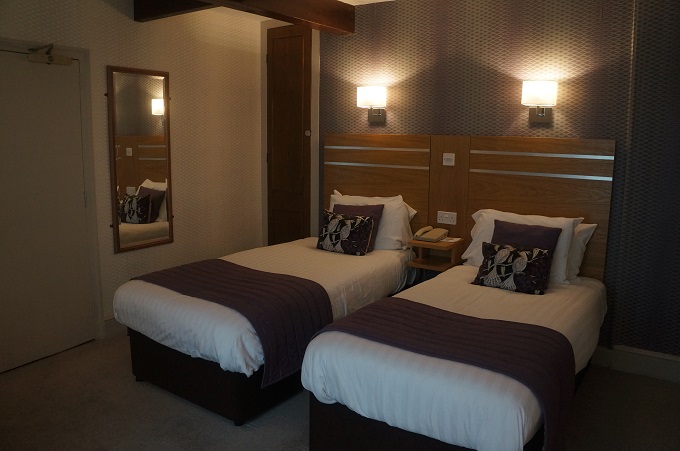
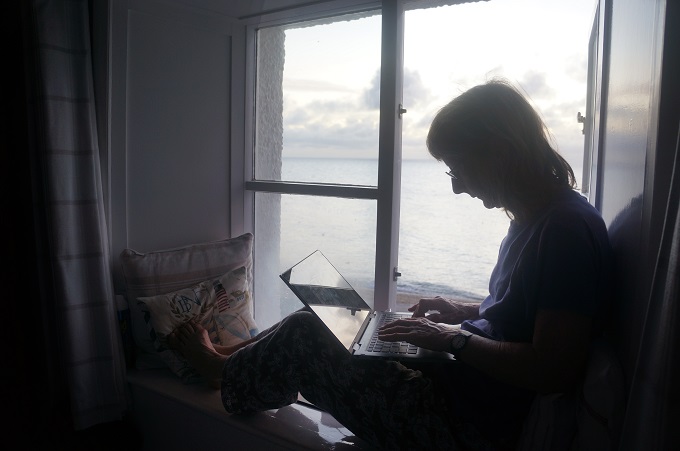
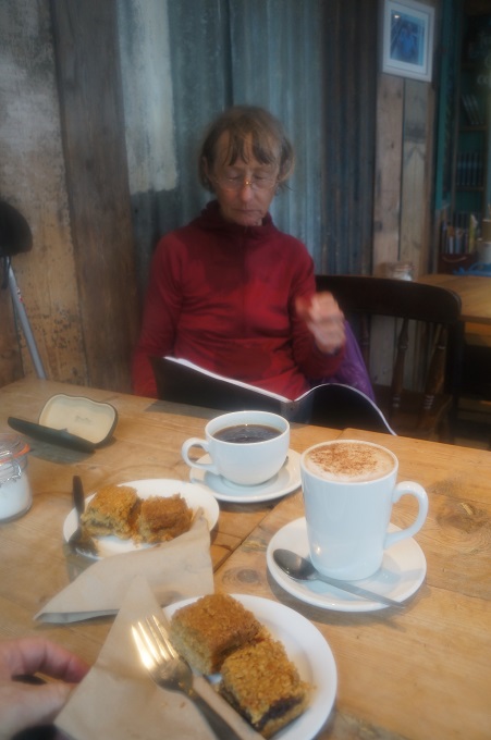
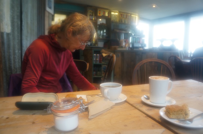
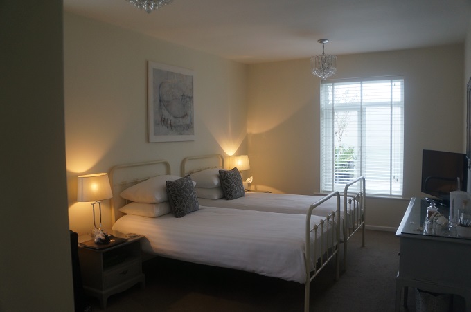
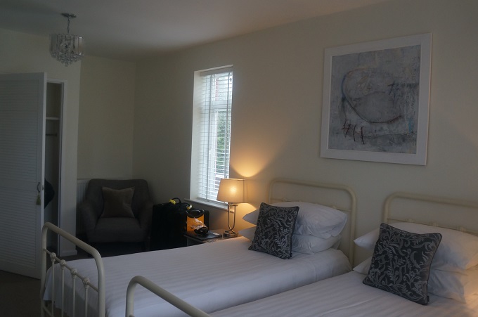
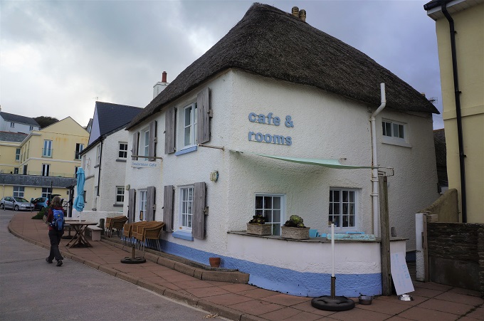
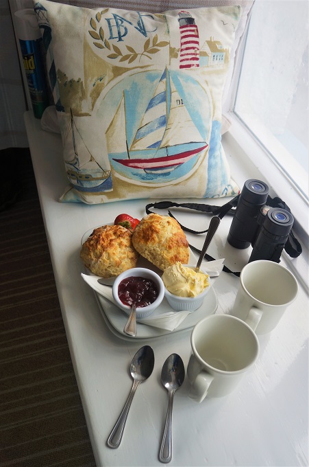
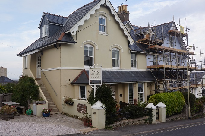
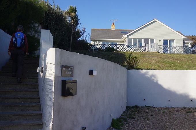
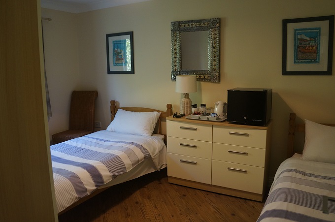
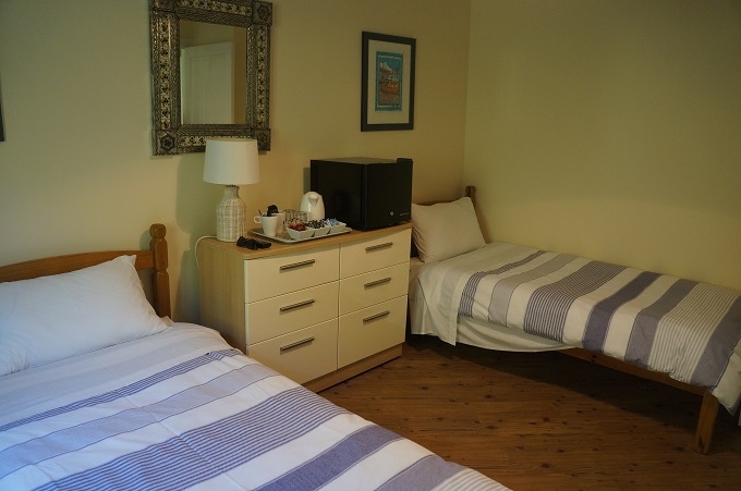
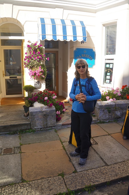
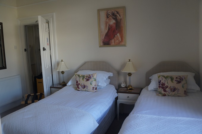
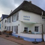
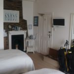
Our B & B tonight is ideal in many ways. It is right on the Coast Path, is opposite the beach, we have a first floor window looking out over the sea and when we arrived we were greeted with a delicious cream tea from the café downstairs.
-
-
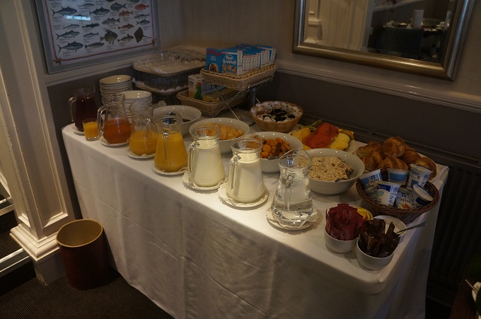
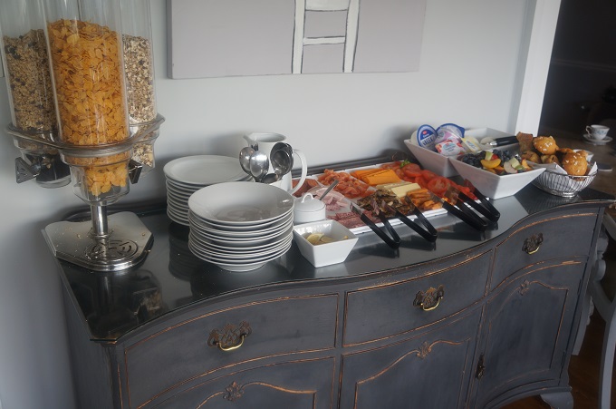
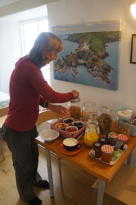
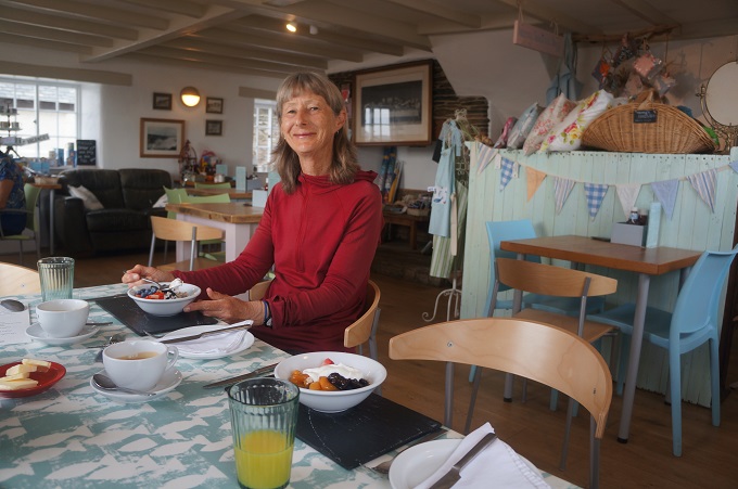
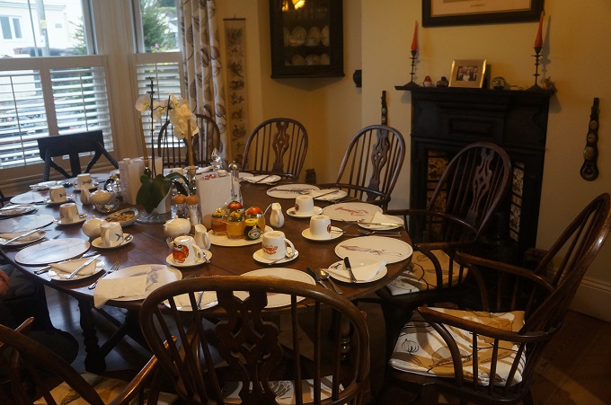
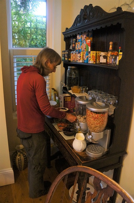
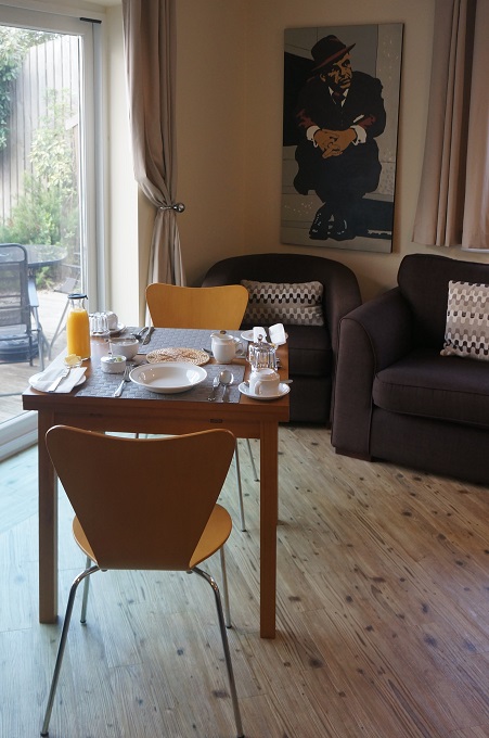
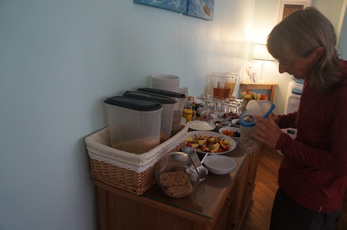
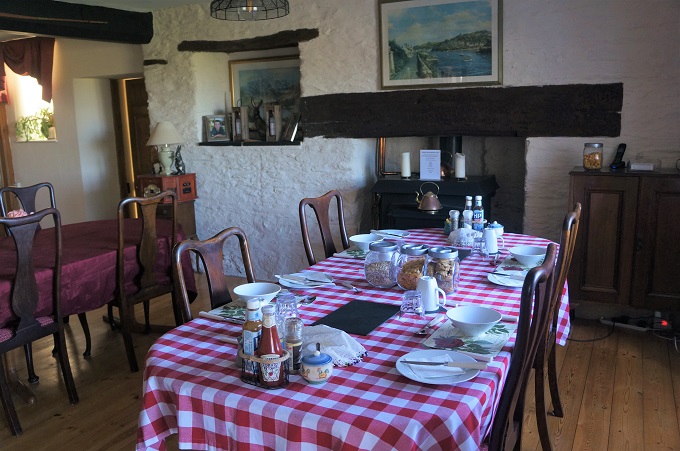
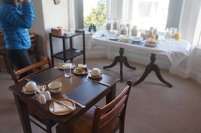
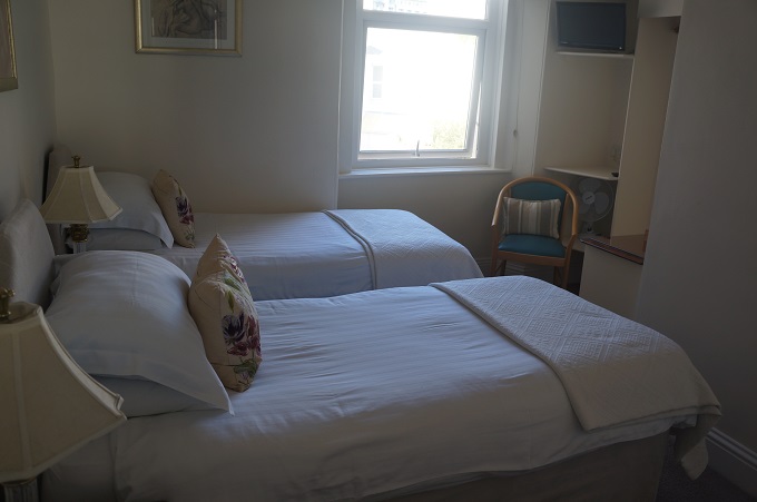
Breakfast room, Waverley B & B, Salcombe
-
-
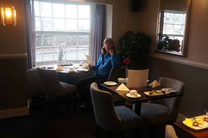
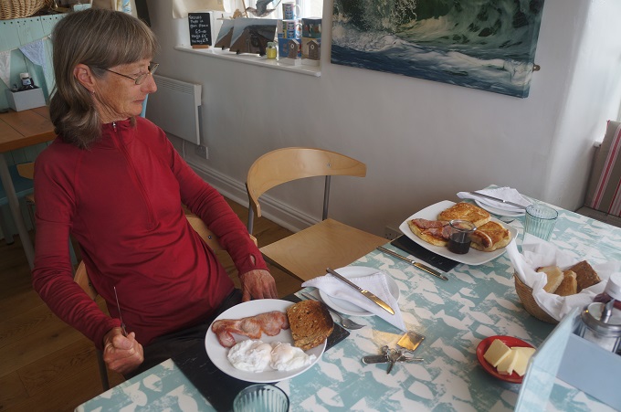
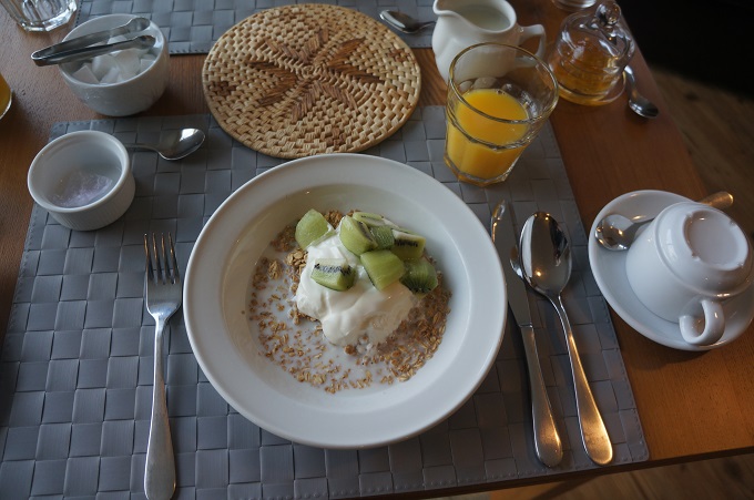
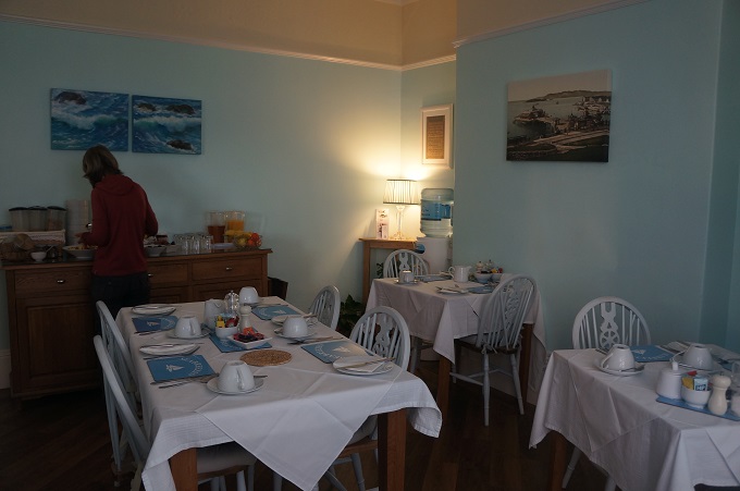
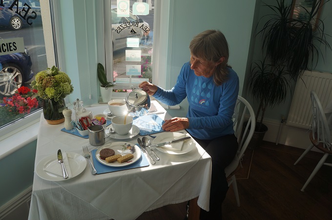
Breakfast, Waverley B & B, Salcombe
-
-
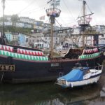
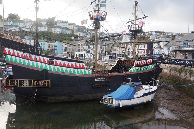
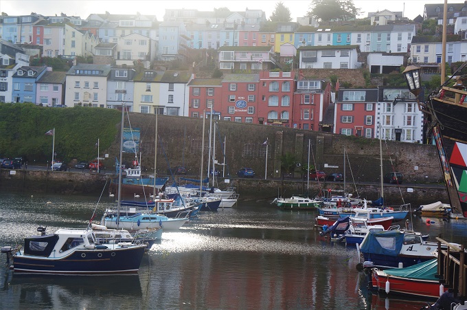
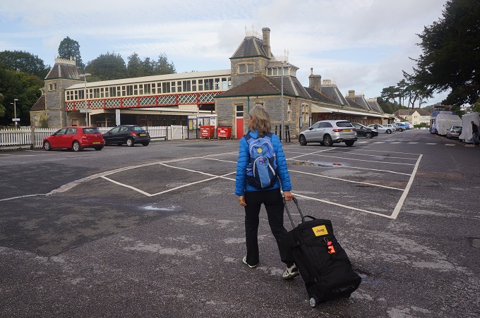
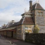
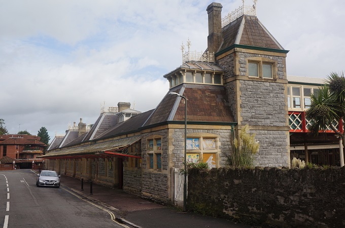
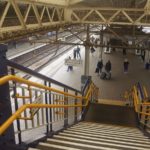
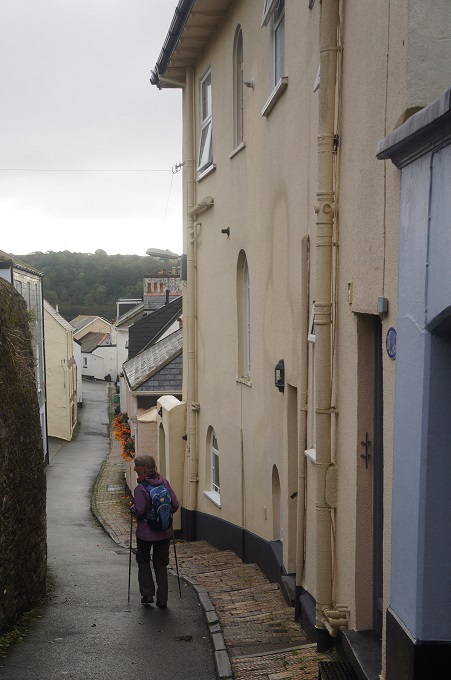
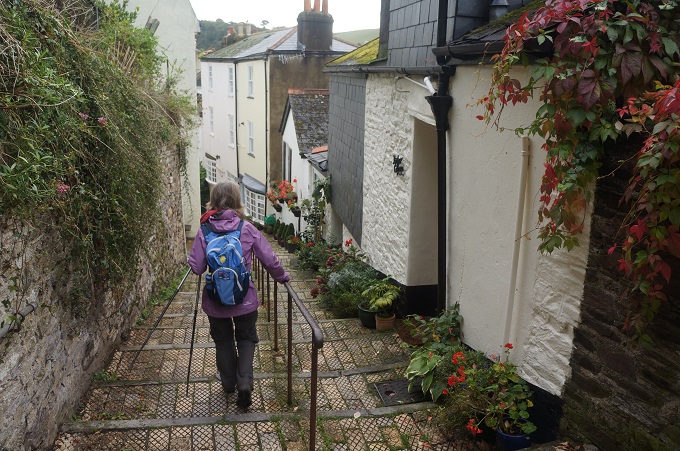
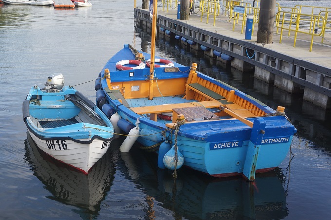
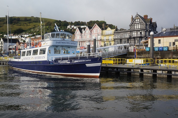
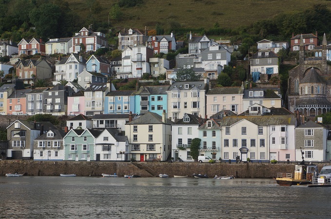
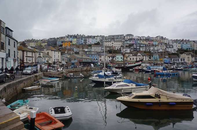
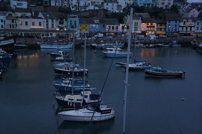
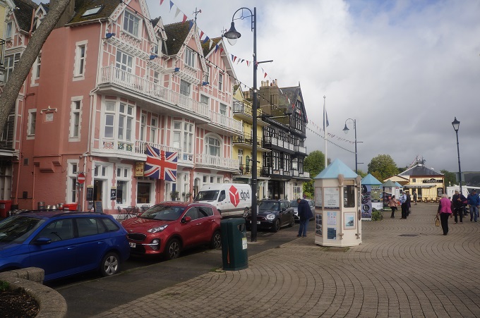
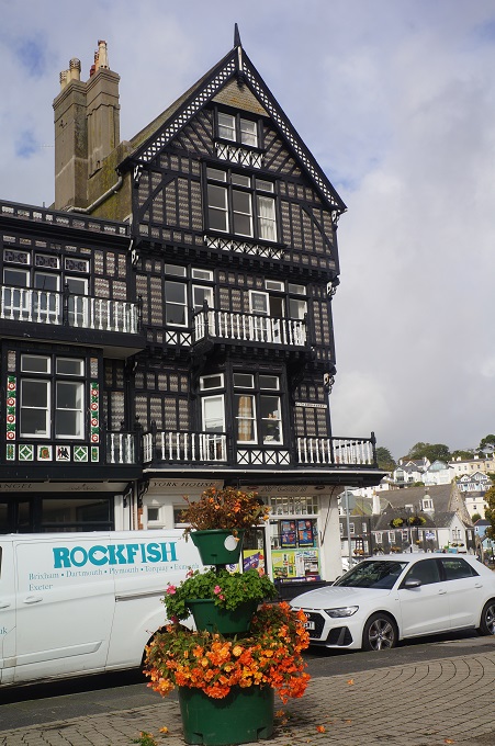
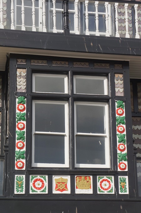
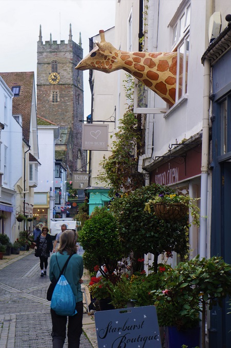
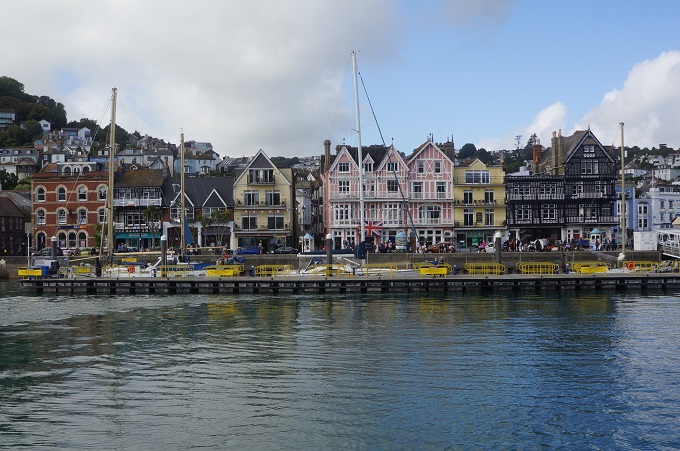
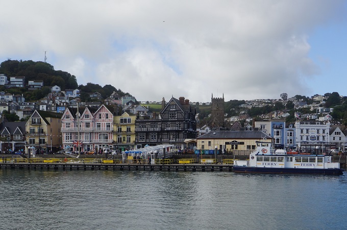
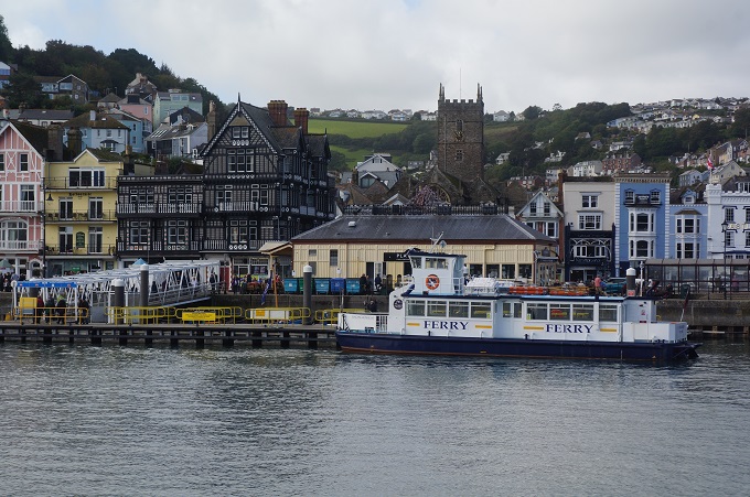
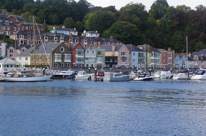
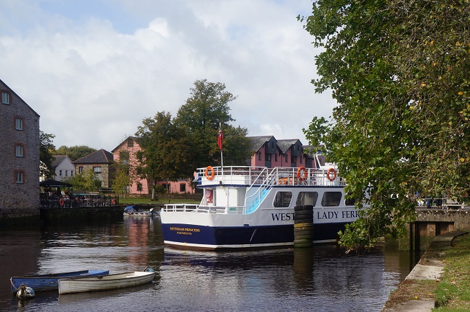
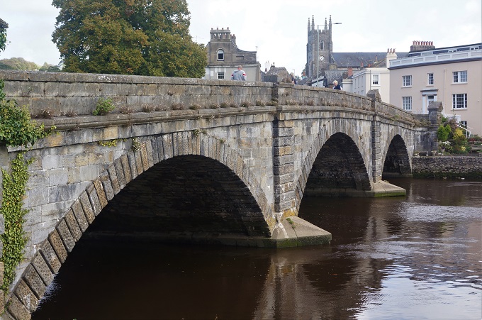
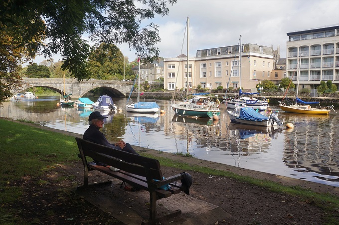
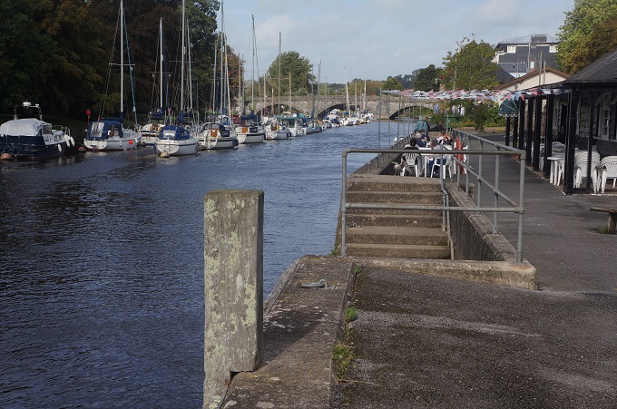
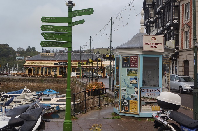
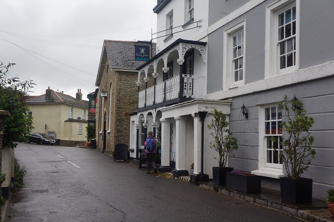
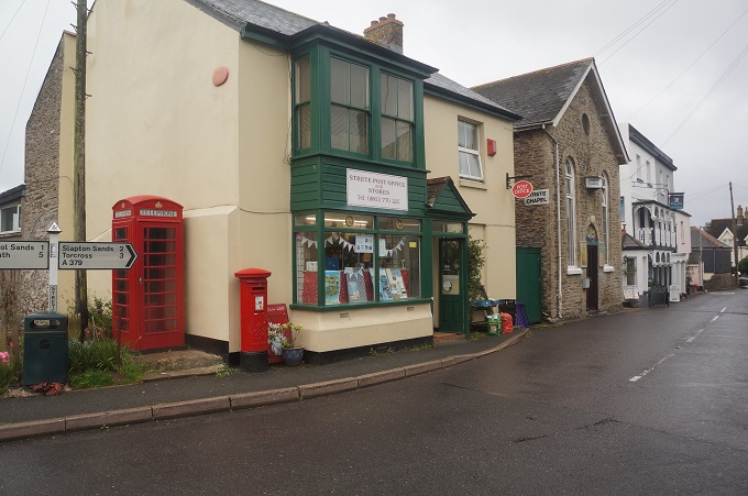
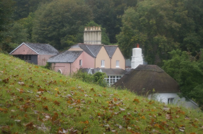
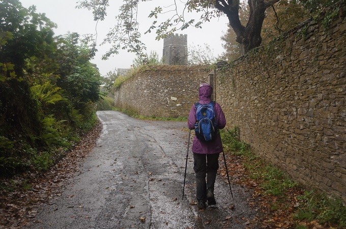
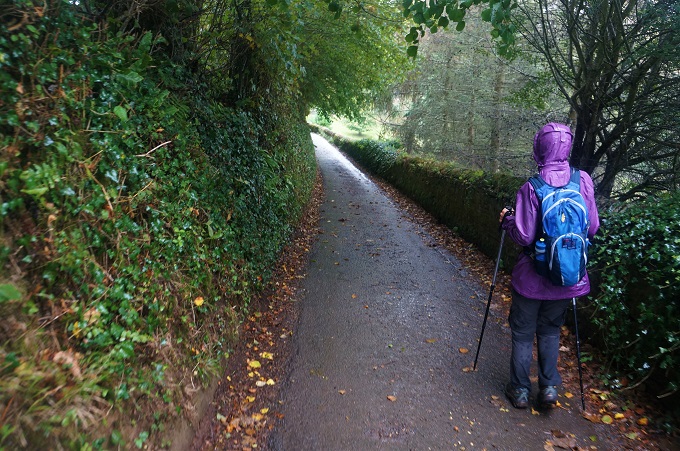
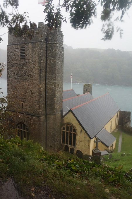
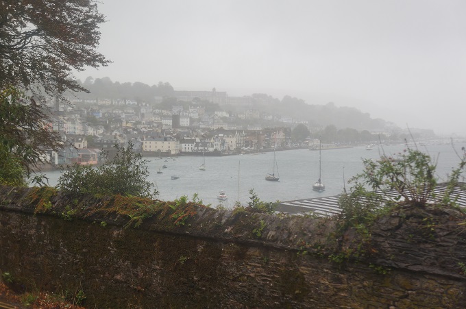
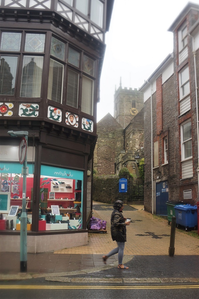
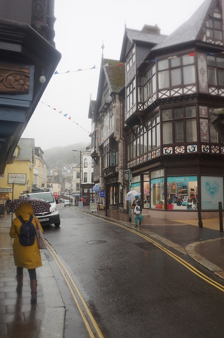
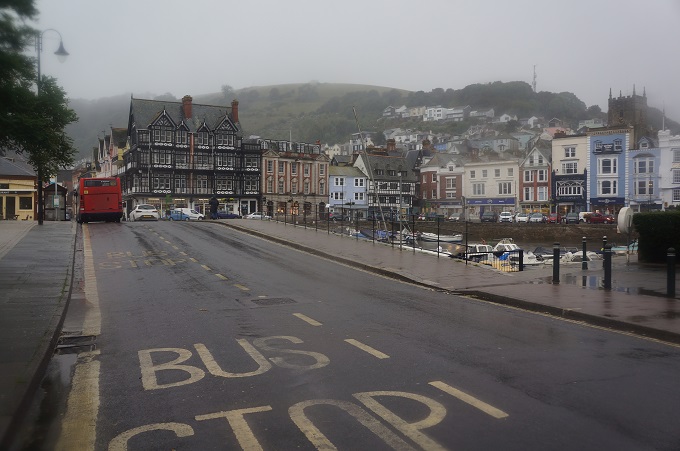
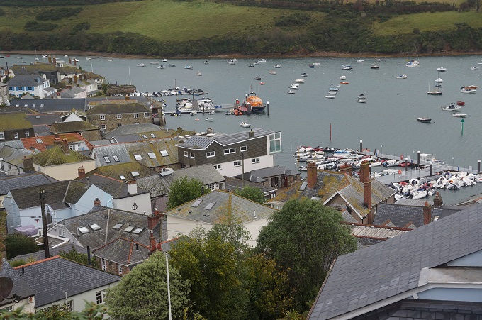
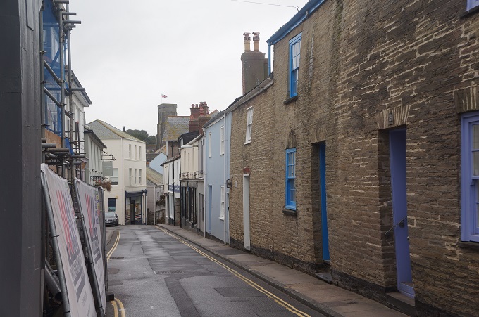
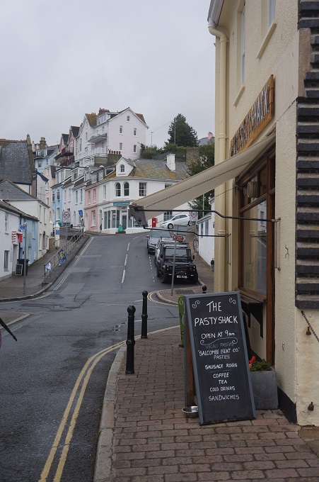
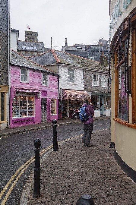
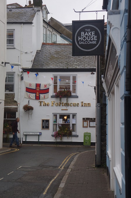
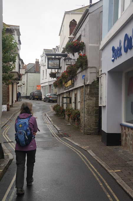
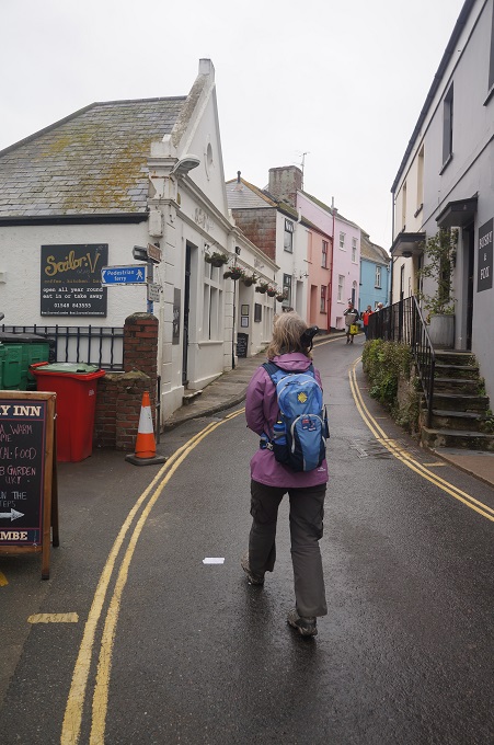
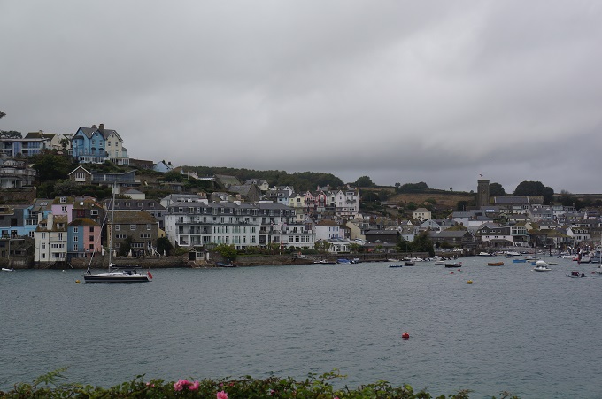
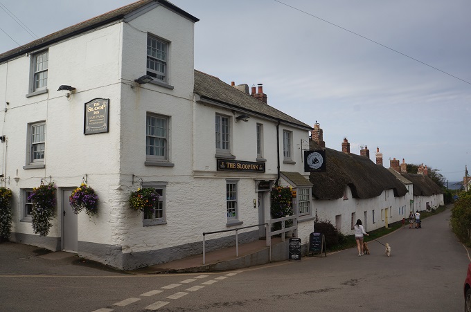
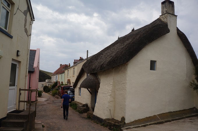
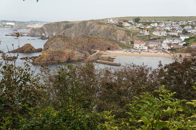
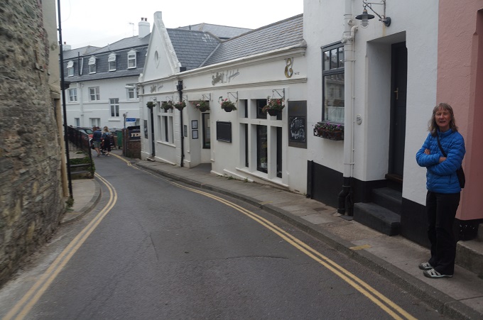
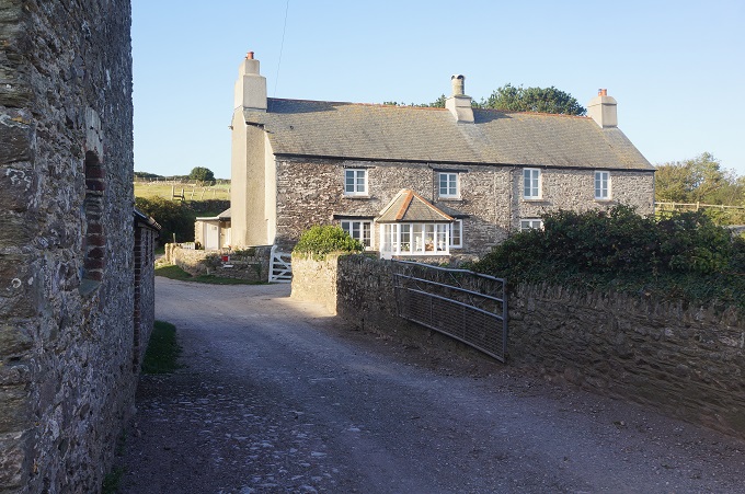
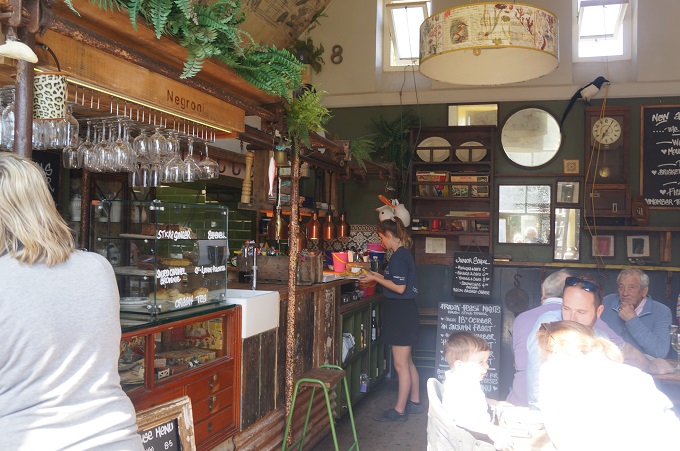
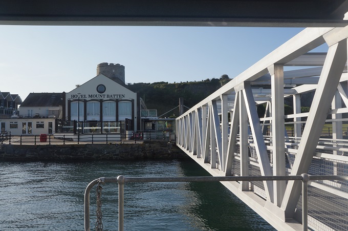
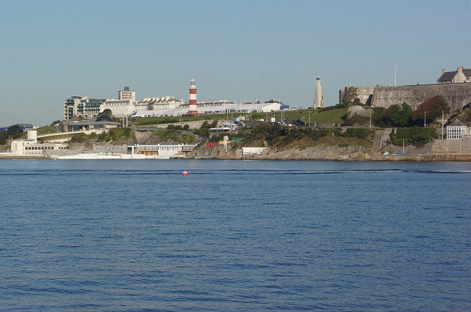
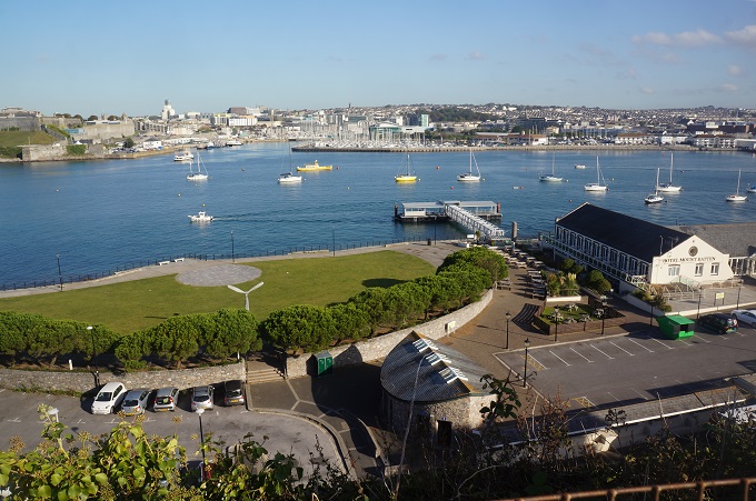
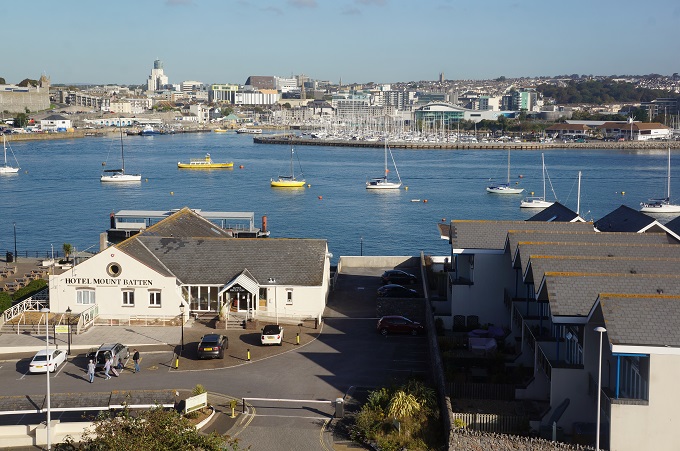
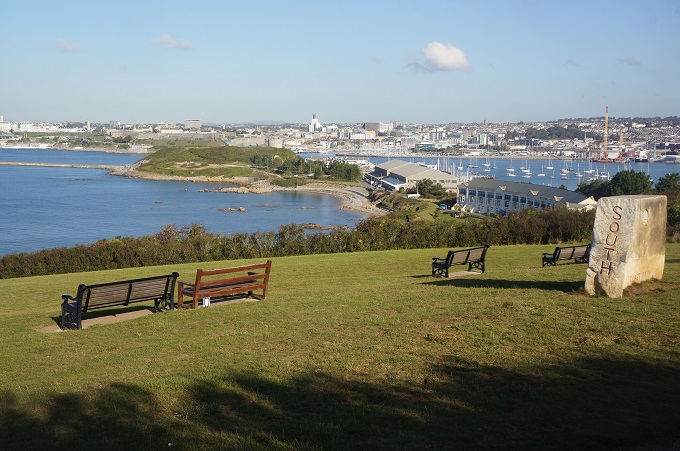
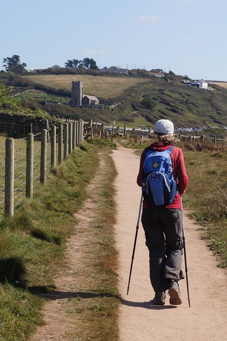
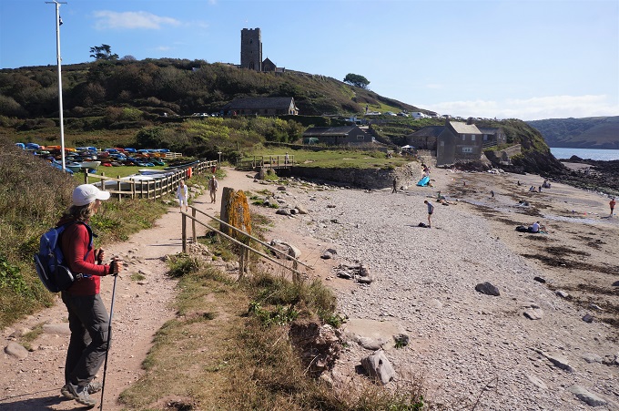
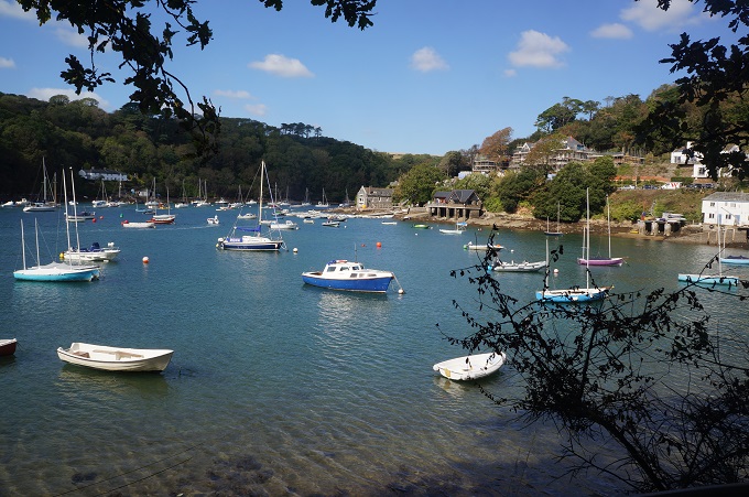
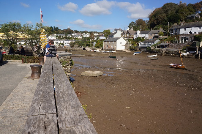
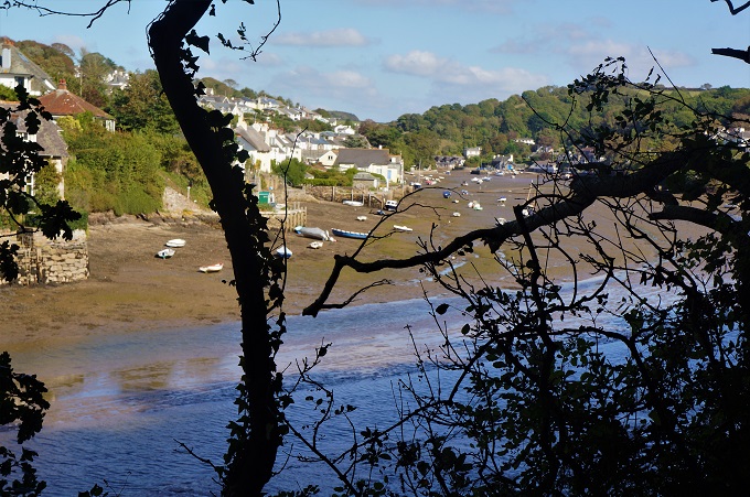
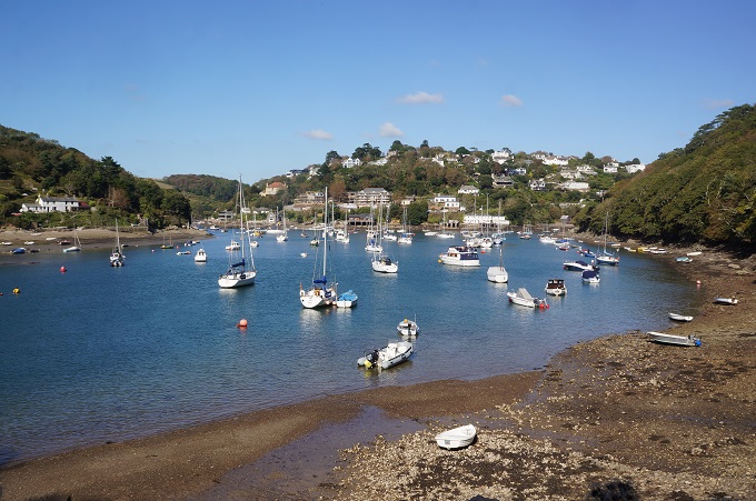
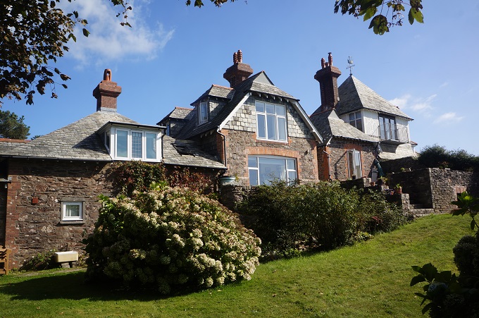
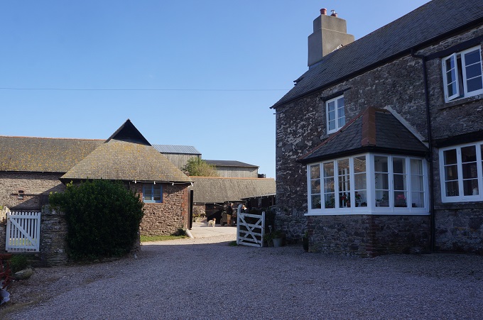
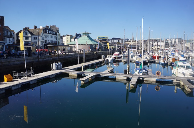
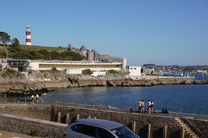
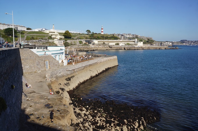
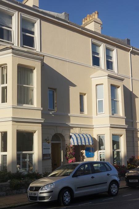
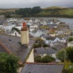
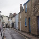
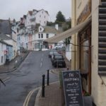
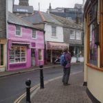
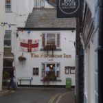
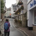
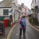
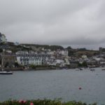
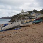
Salcombe
-
-
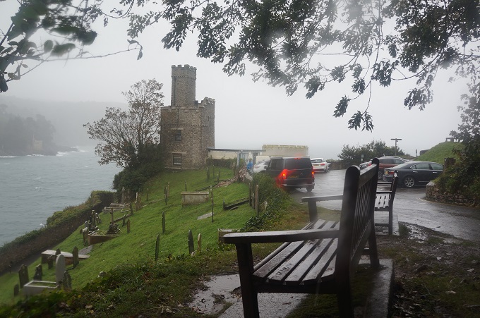
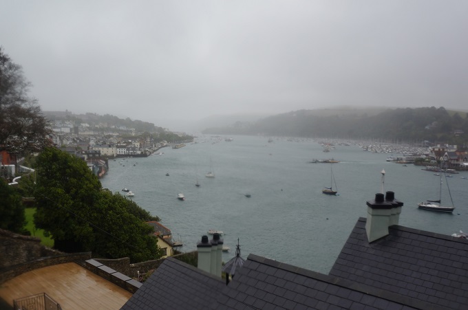
Salcombe
-
-
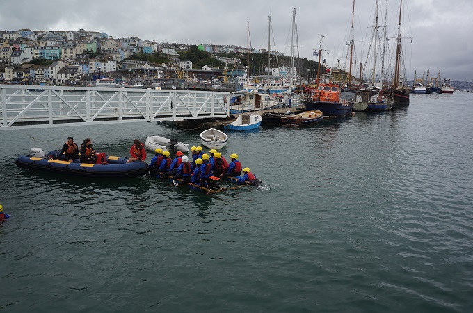
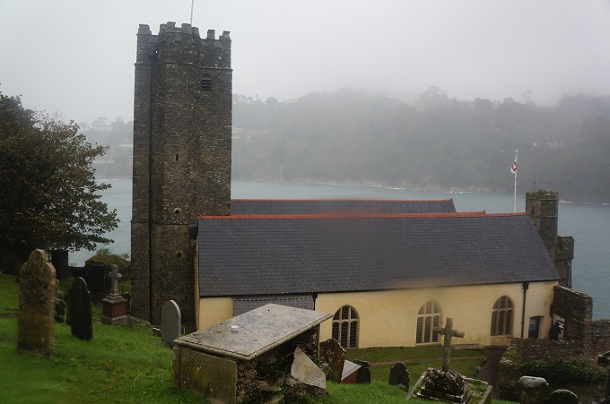
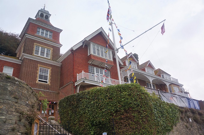
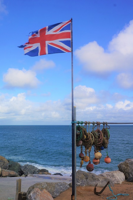
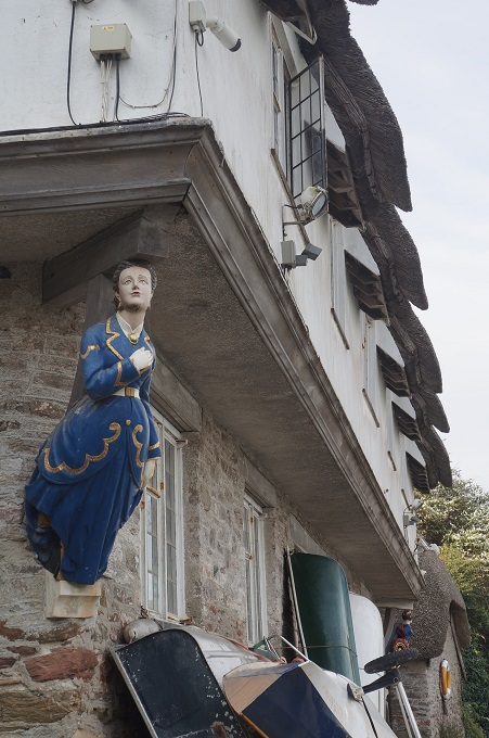
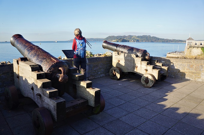
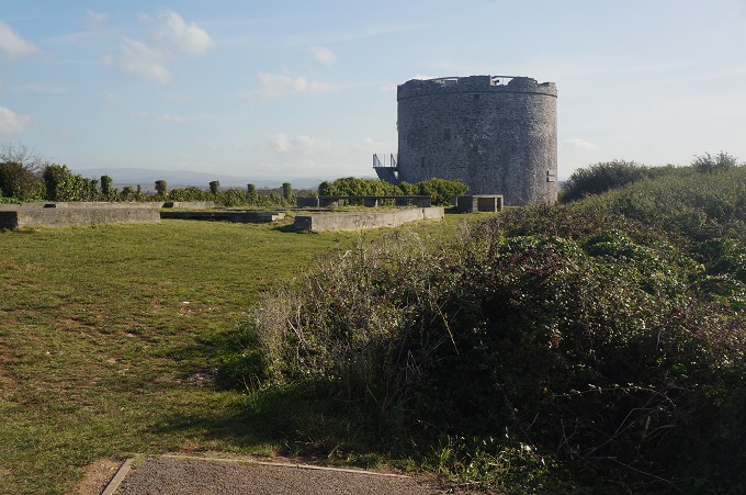
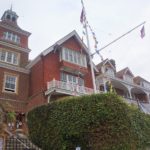
Salcombe Yacht Club
-
-
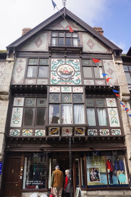
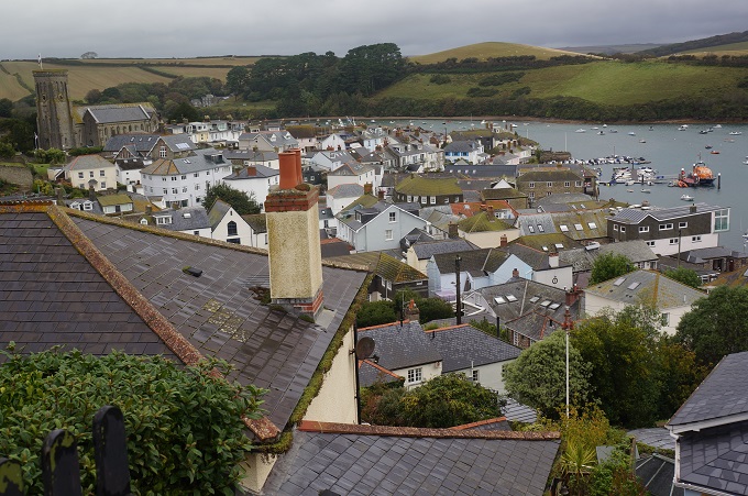
Salcombe
-
-
Salcombe
-
-
Salcombe
-
-
Salcombe
-
-
Salcombe
-
-
Salcombe
-
-
Salcombe
-
-
Salcombe
-
-
Salcombe
-
-
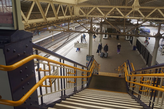
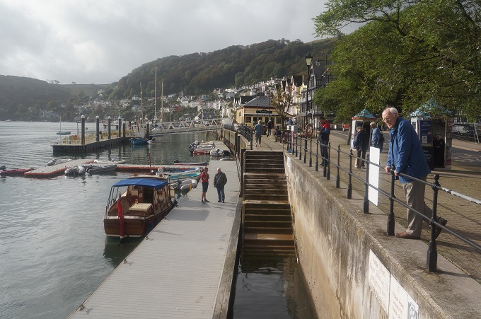
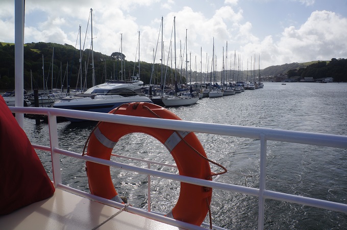
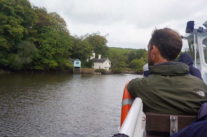
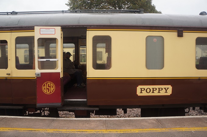
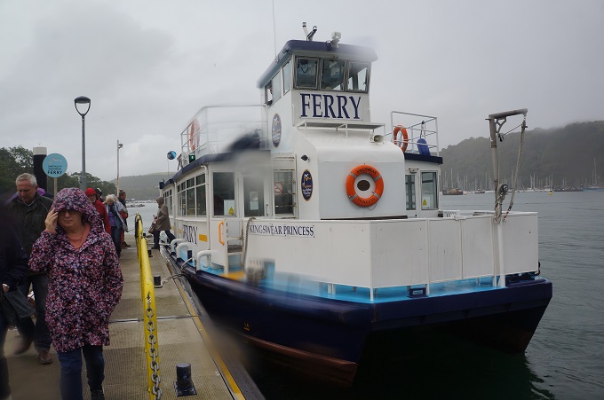
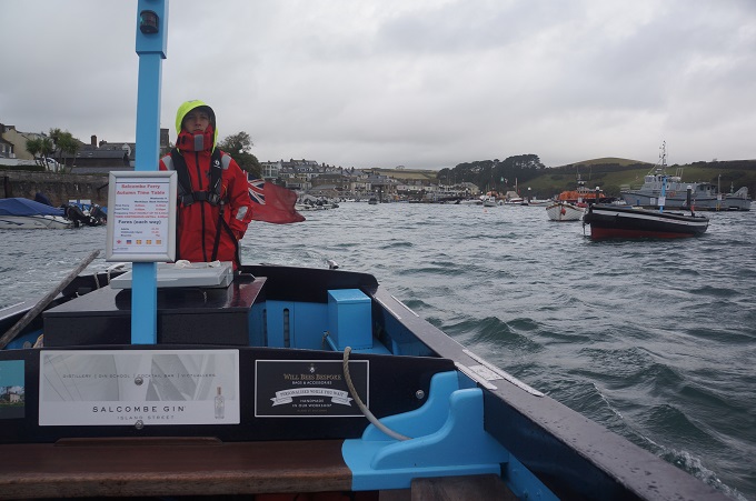
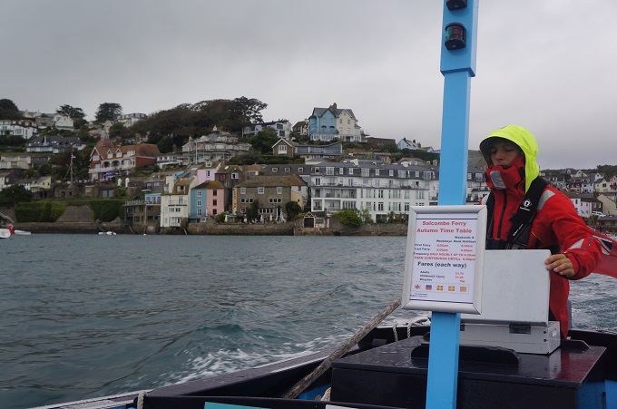
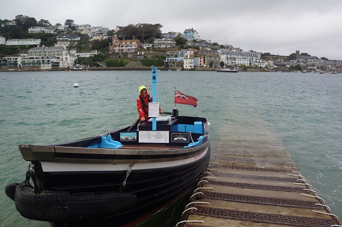
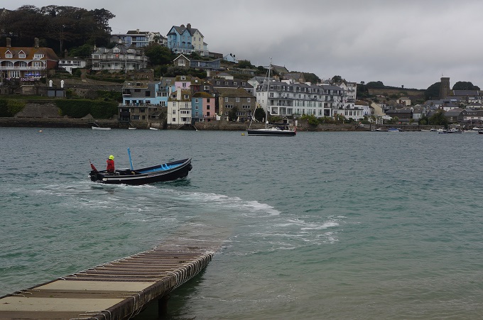
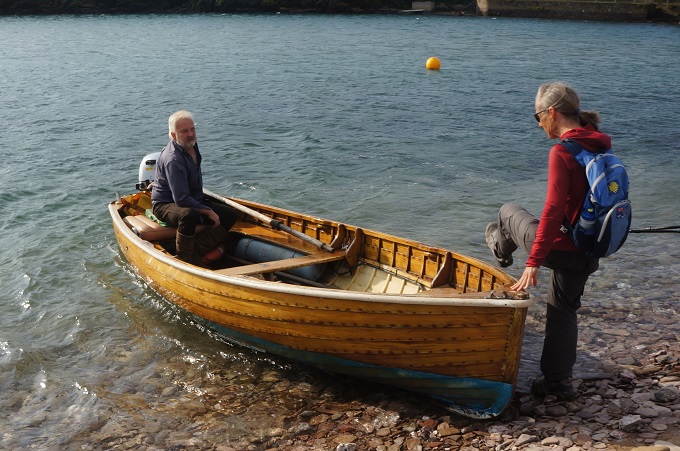
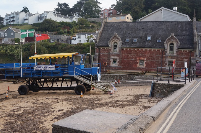
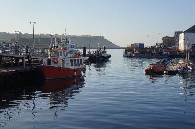
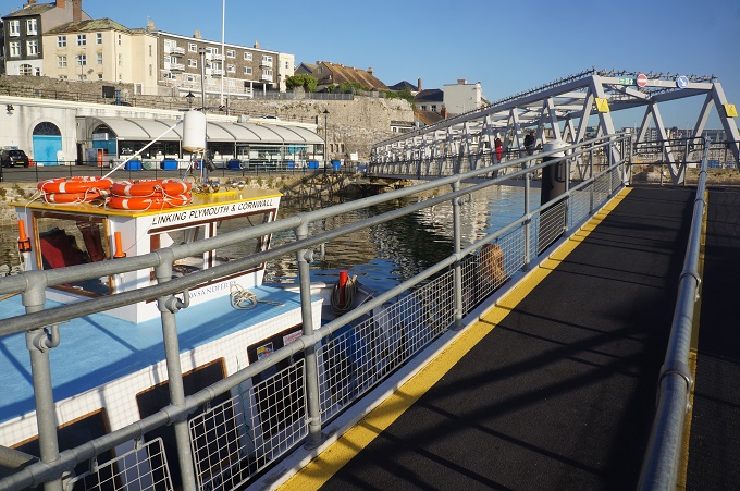
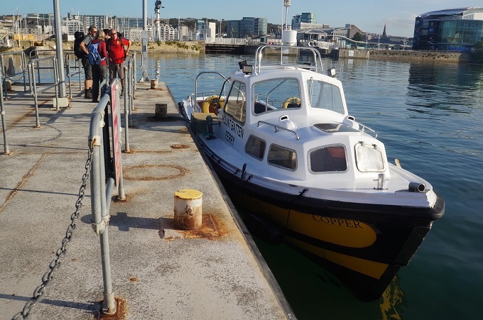
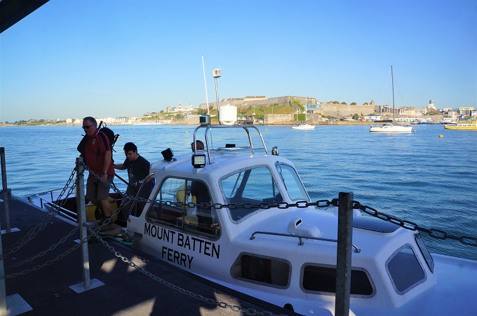
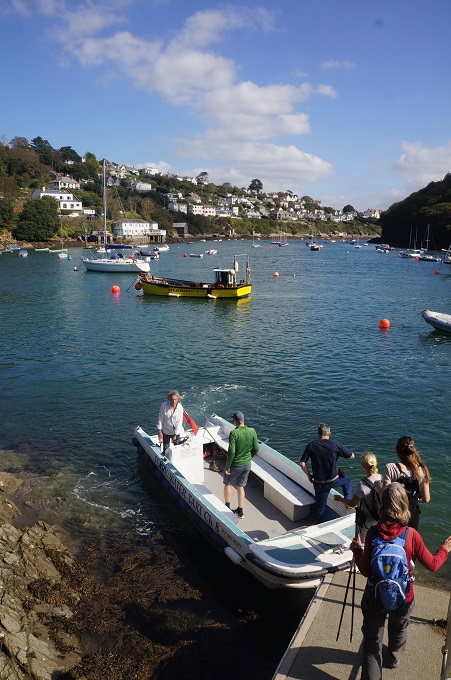
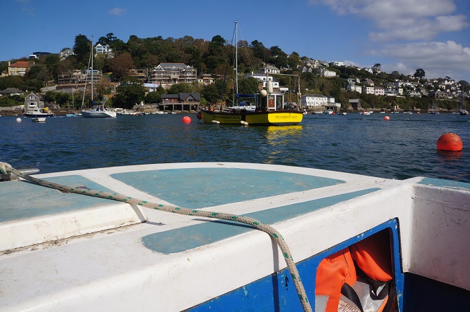
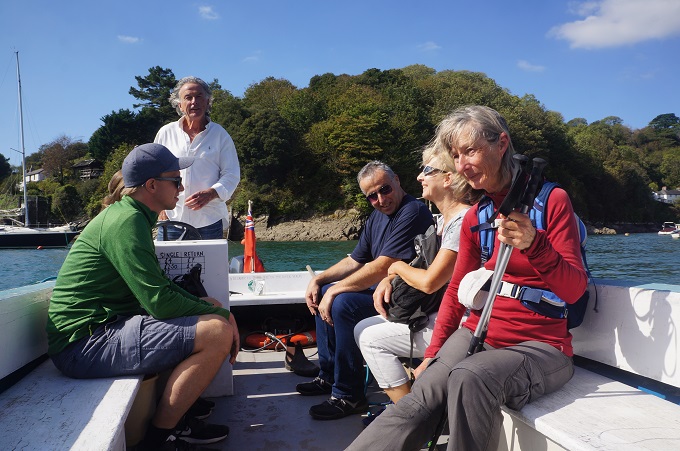
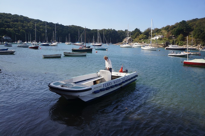
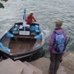
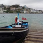
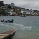
The ferry Salcombe to East Portlemouth
-
-
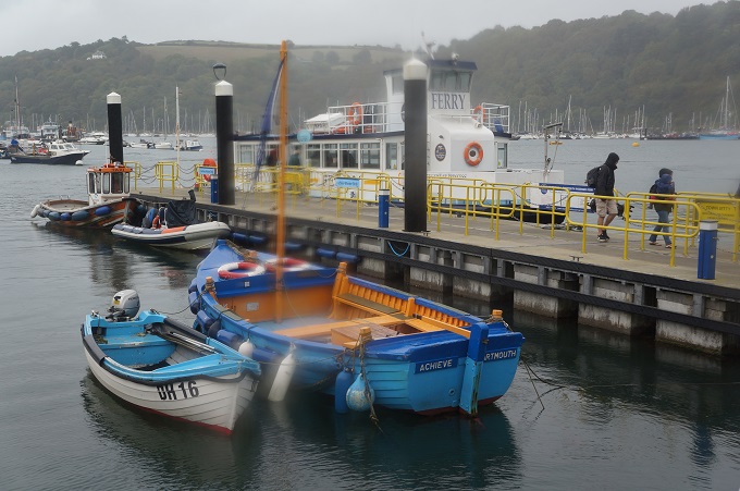
The ferry Salcombe to East Portlemouth
-
-
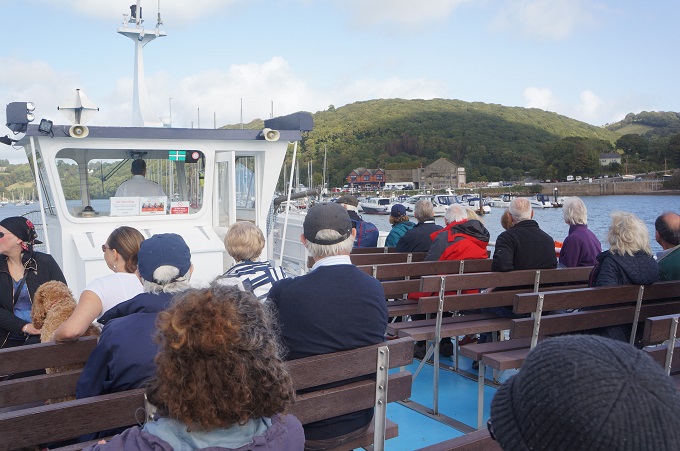
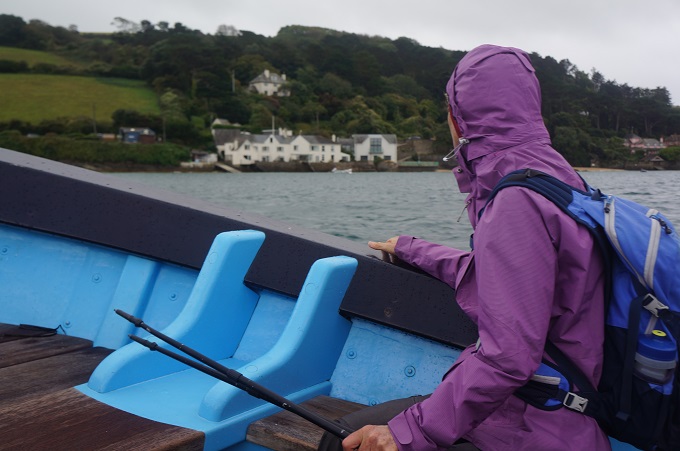
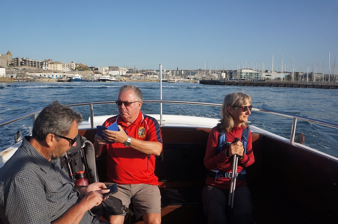
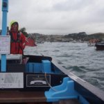
On the ferry to East Portlemouth
-
-
Salcombe
-
-
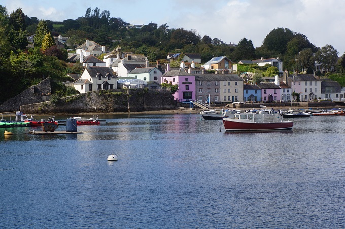
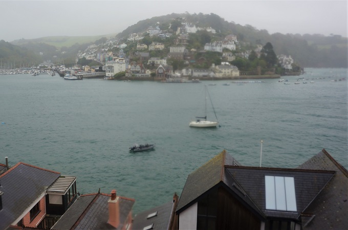
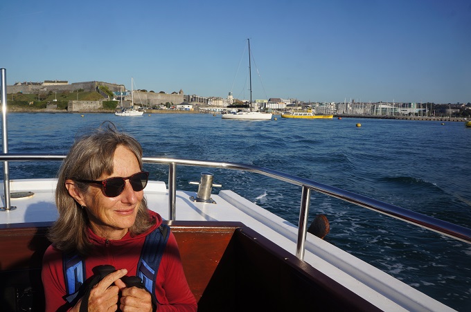
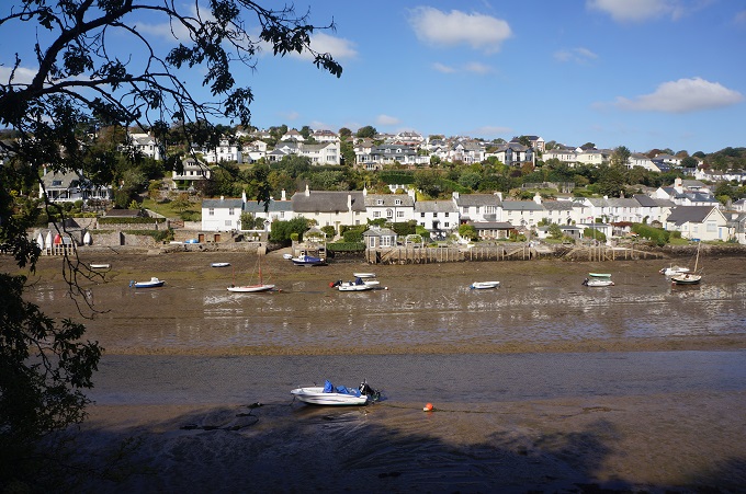
Salcombe from East Portlemouth
-
-
Salcombe from East Portlemouth
-
-
Salcombe from East Portlemouth
-
-
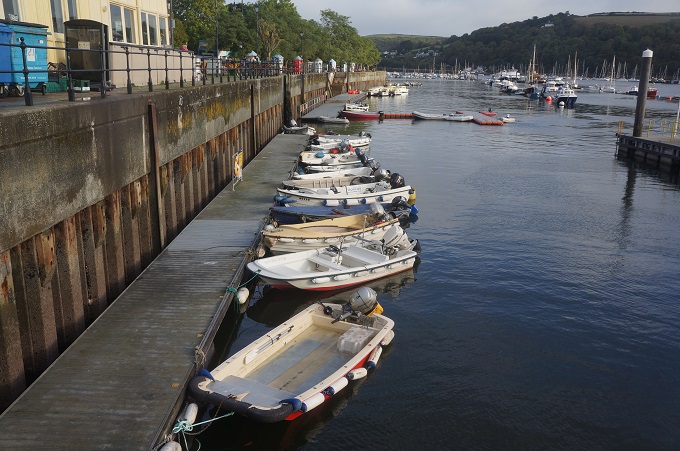
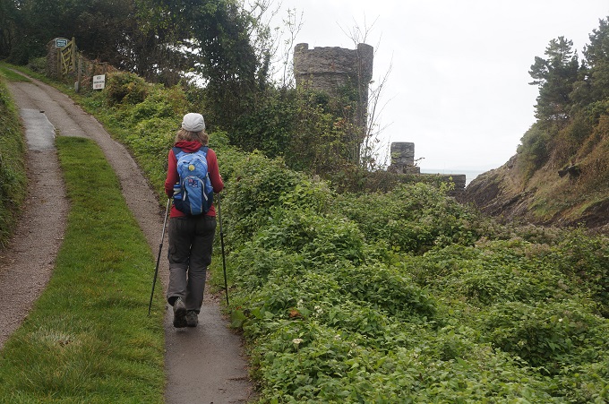
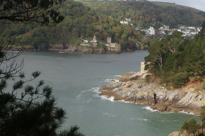
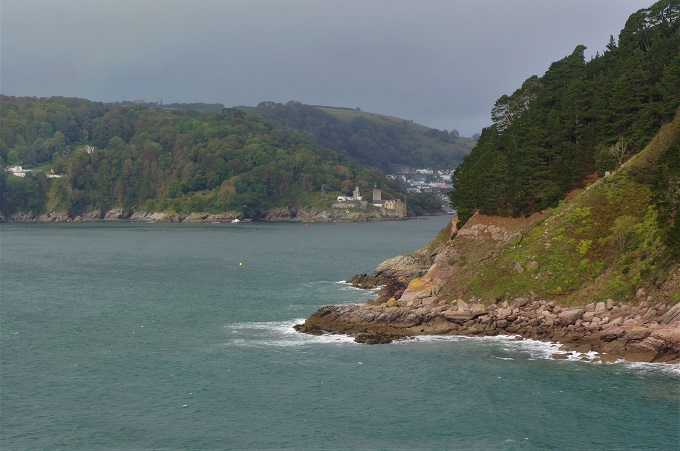
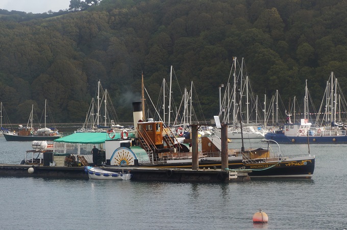
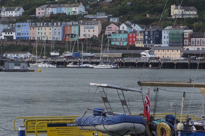
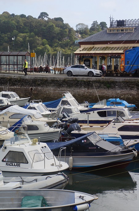
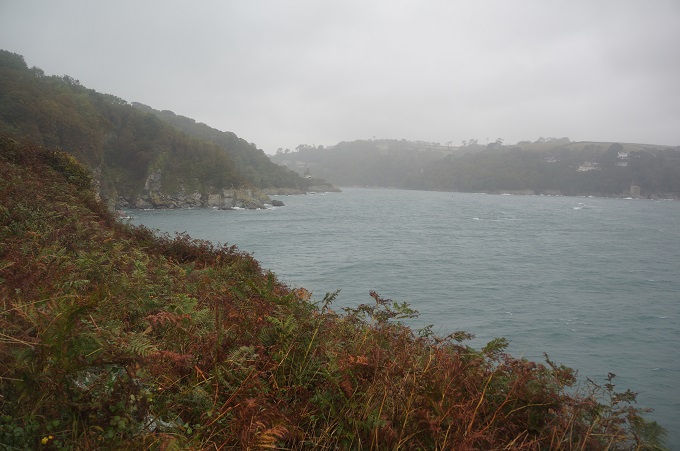
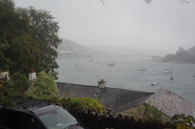
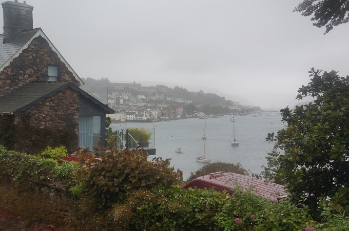
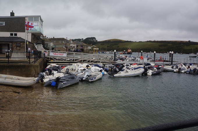
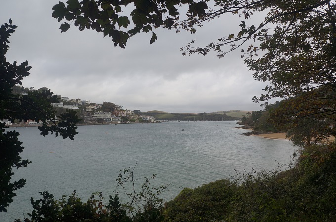
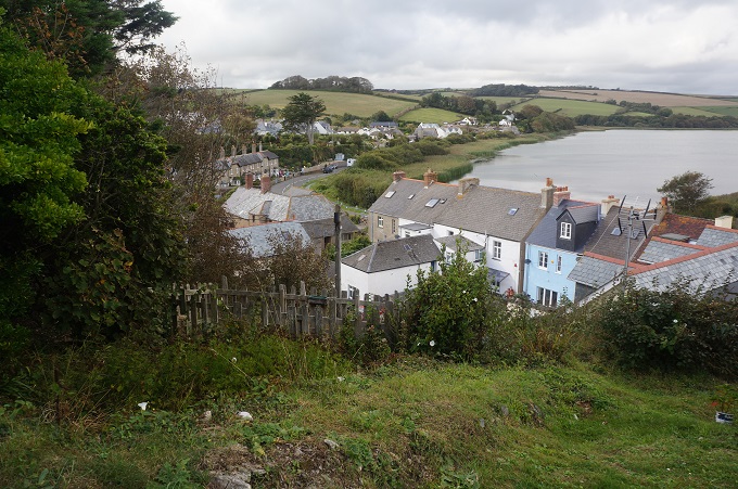
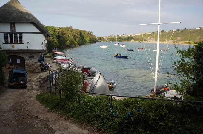
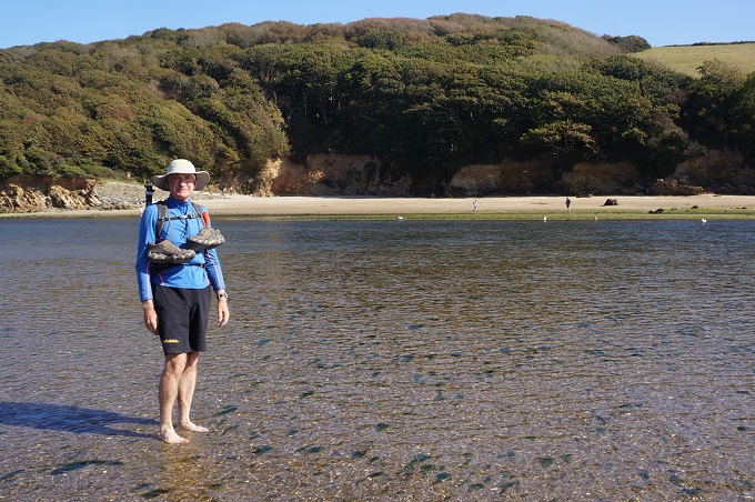
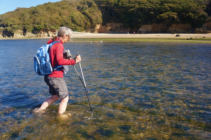
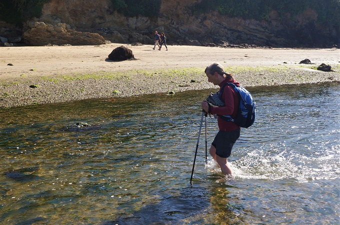
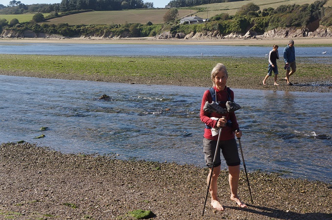
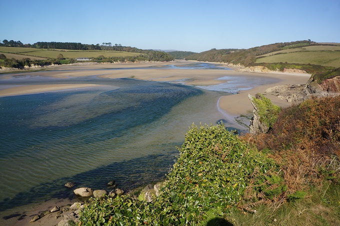
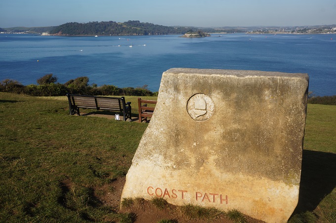
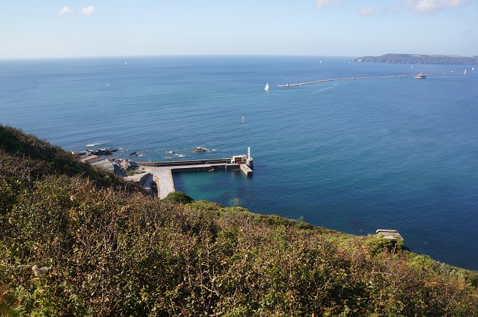
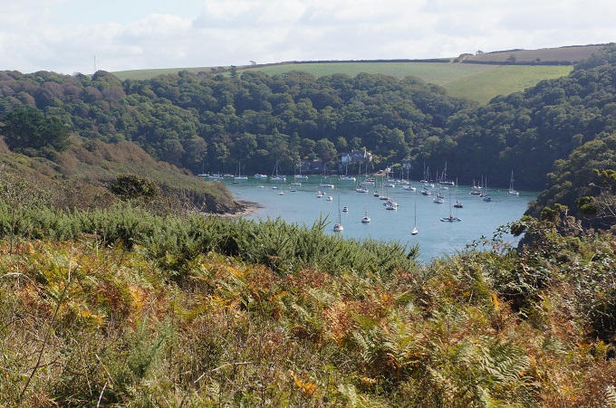
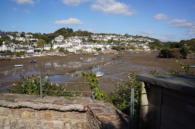
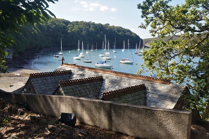
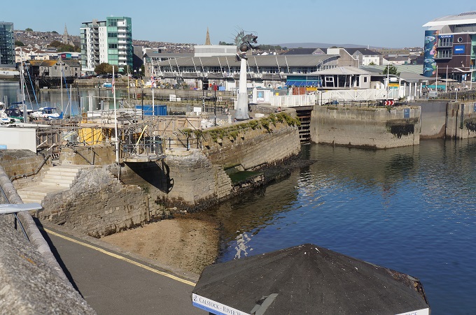
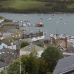
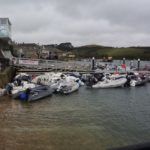
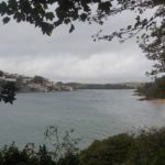
The estuary at Salcombe
-
-
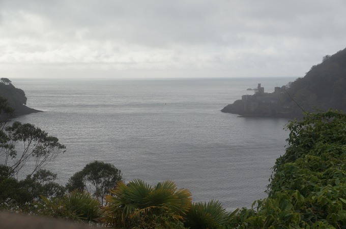
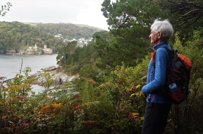
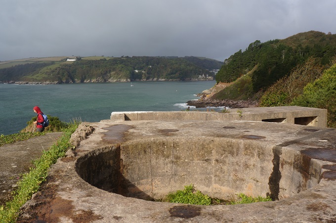
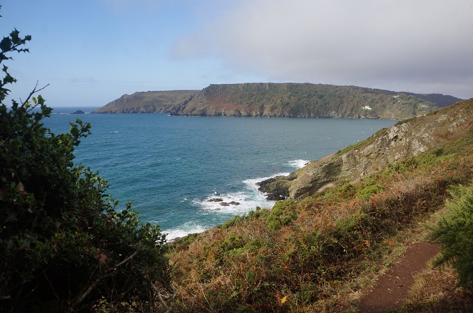
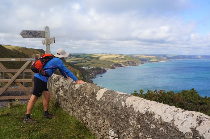
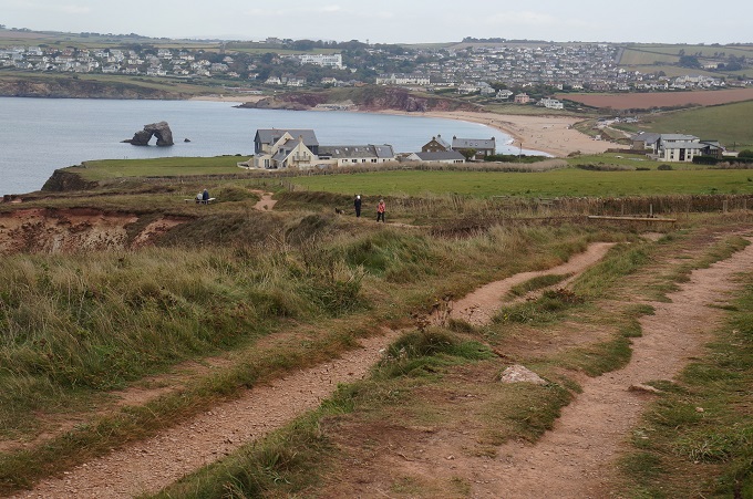
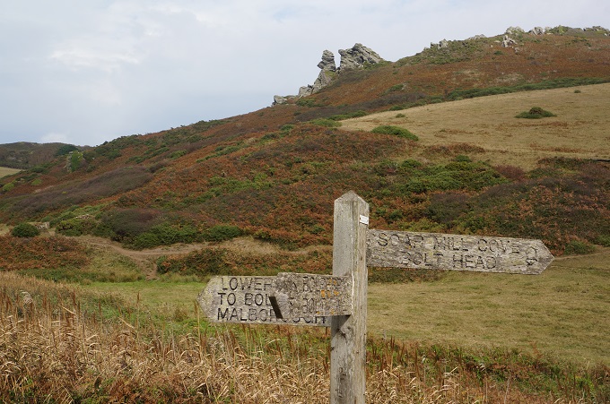
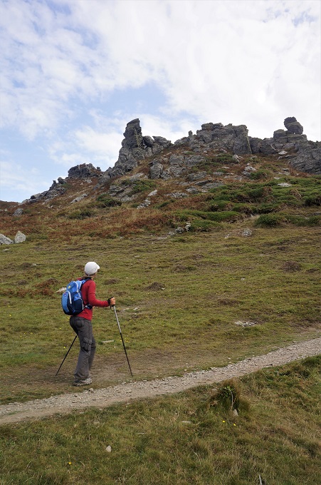
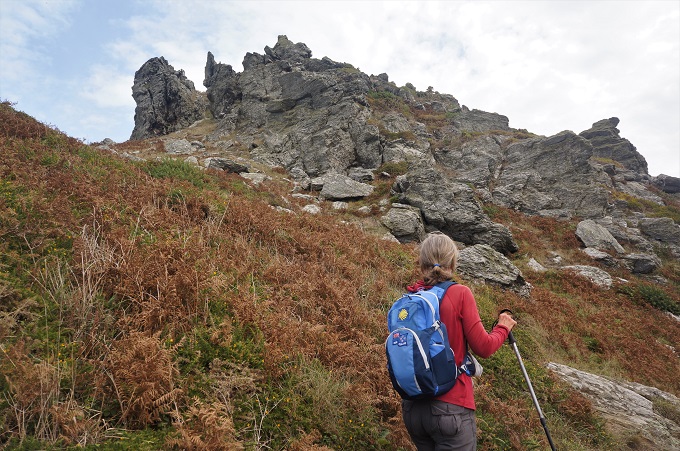
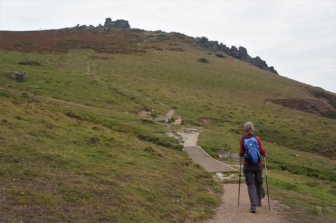
Bolt Head and Sharp Tor headlands that we climbed yesterday
-
-
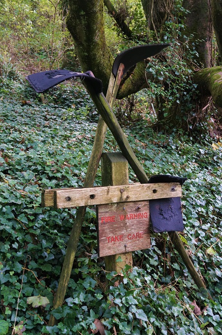
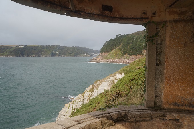
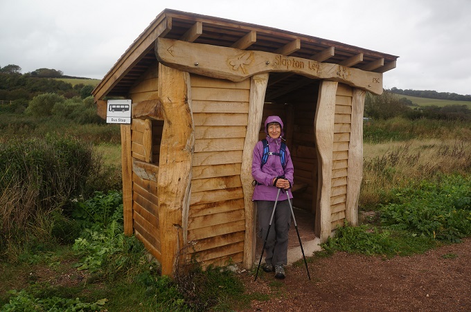
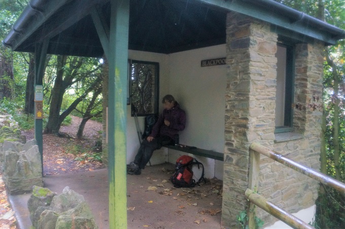
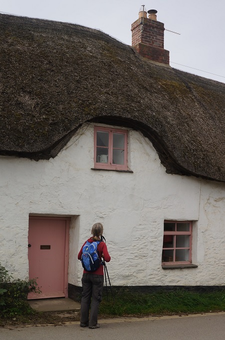
Thatched hut shelter near Shag Rock
-
-
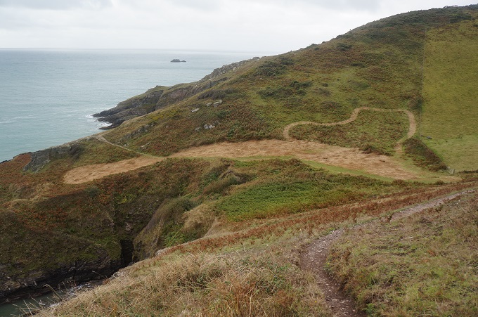
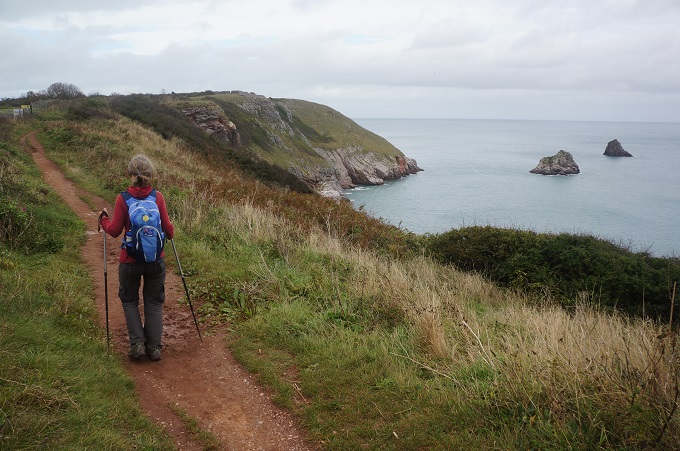
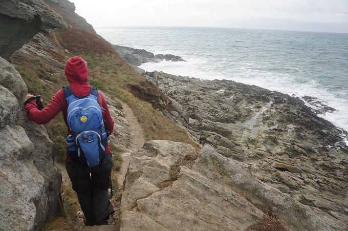
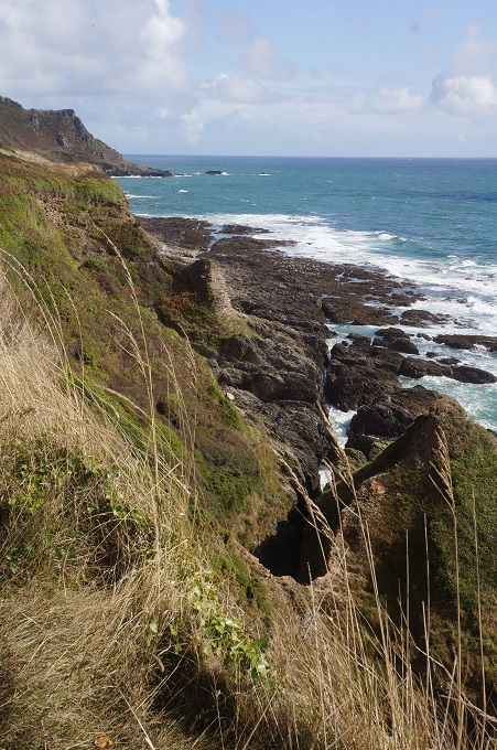
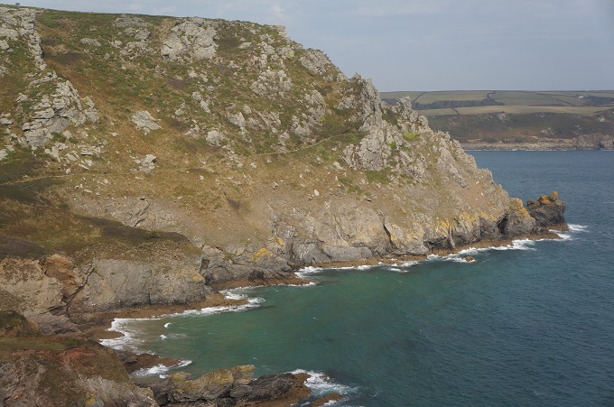
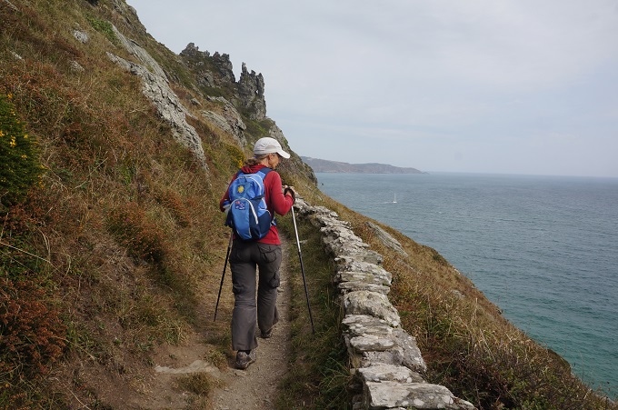
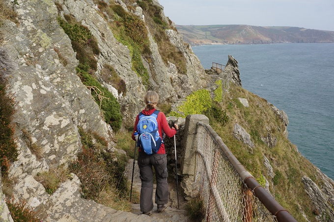
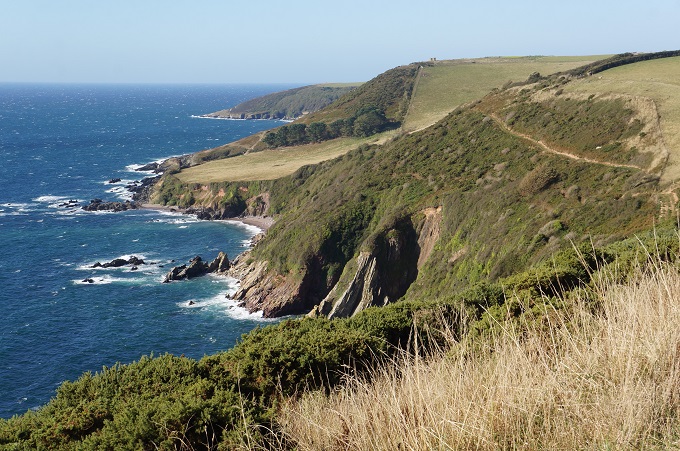
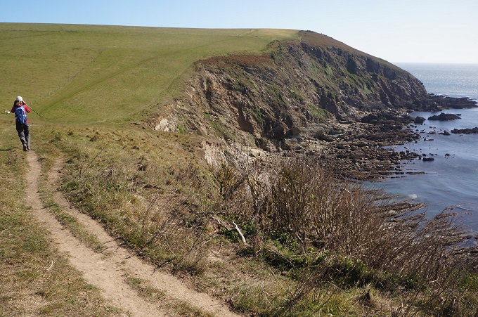
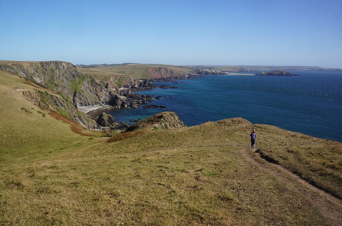
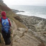
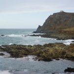
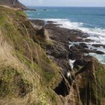
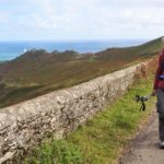
Deckler’s Cliff
-
-
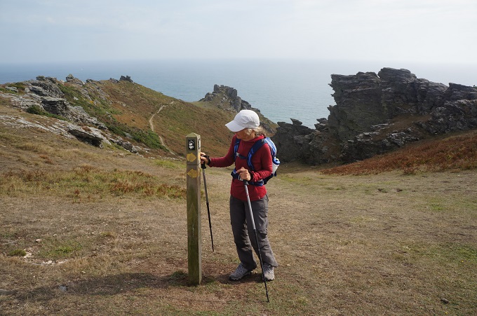
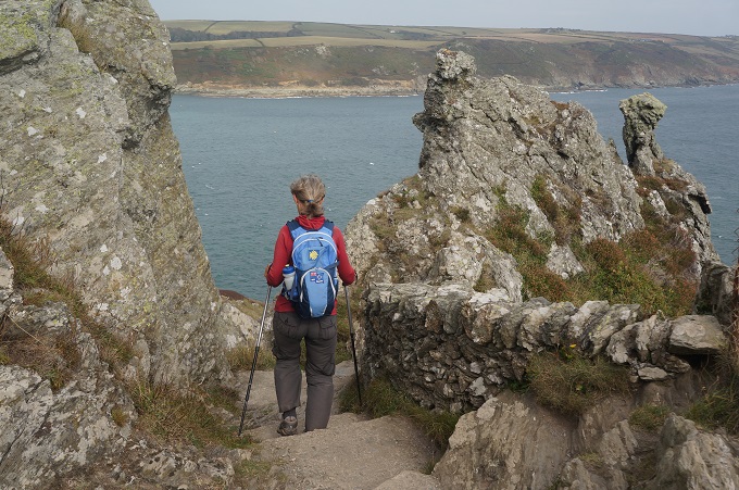
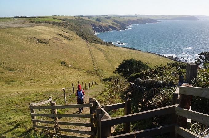
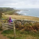
The pat at Pig’s Nose
-
-
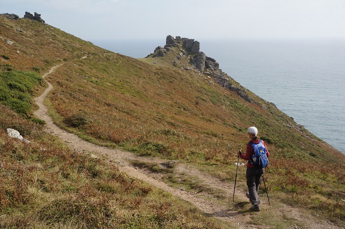
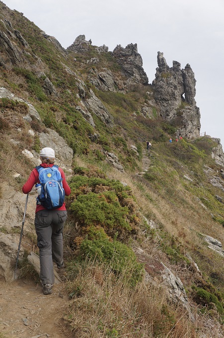
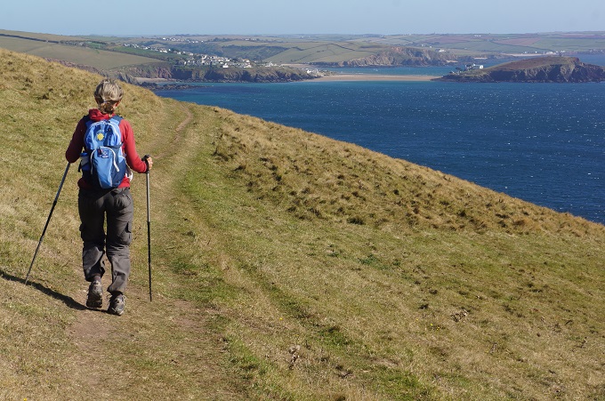
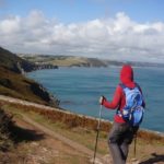
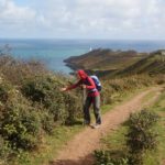
The path to Gammon Head
-
-
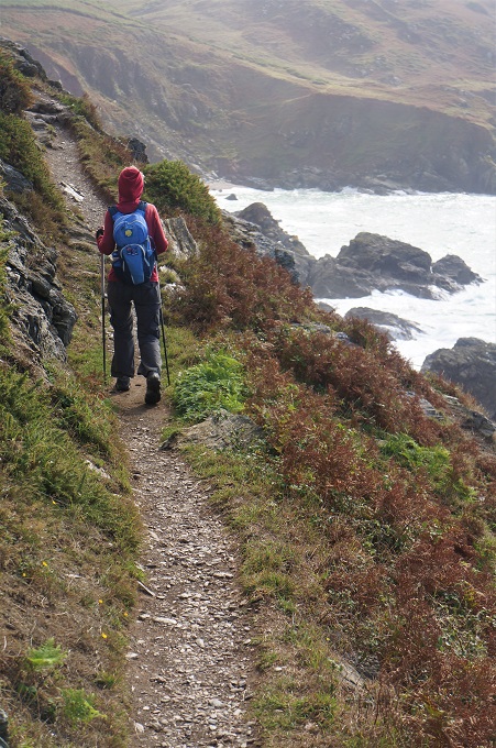
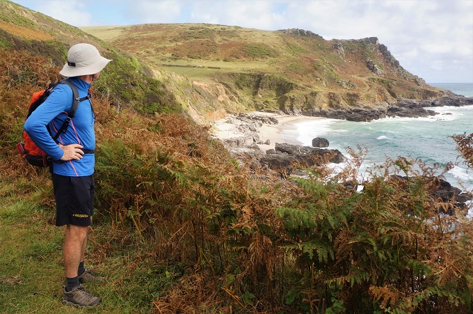
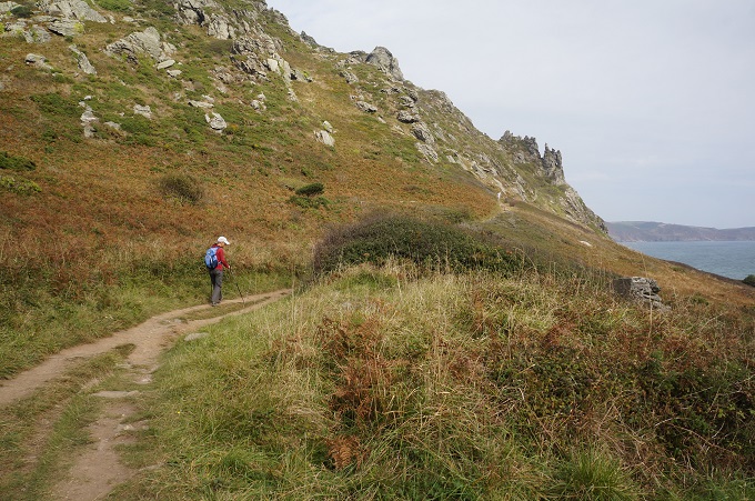
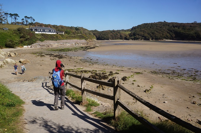
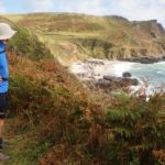
Many small secluded beaches today
-
-
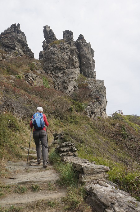
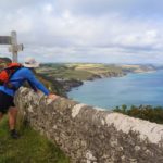
Gammon Head behind us
-
-
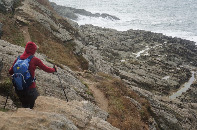
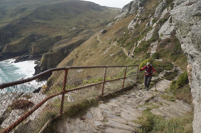
A slow rocky stretch
-
-
A slow rocky stretch
-
-
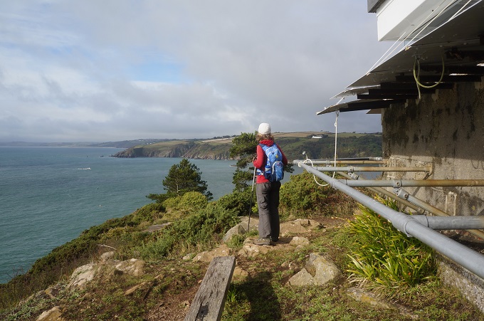
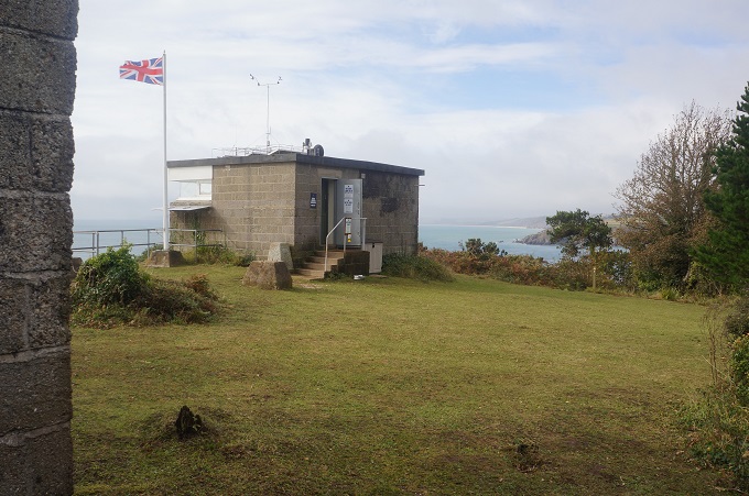
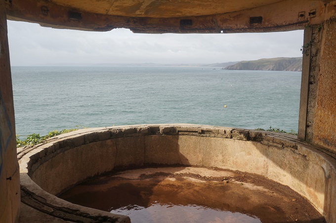
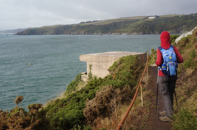
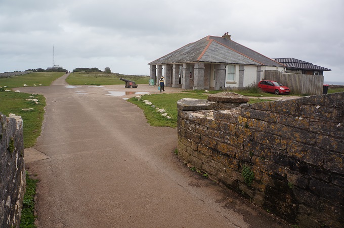
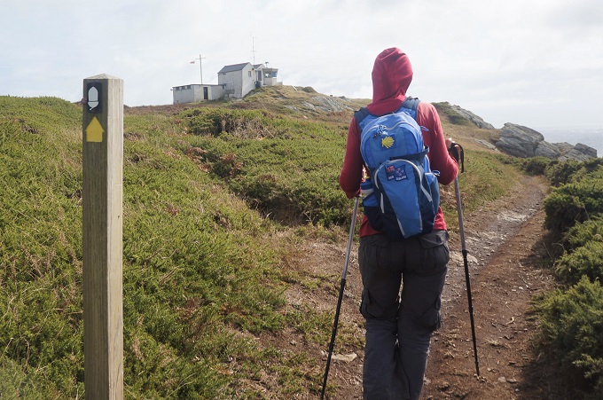
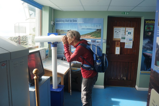
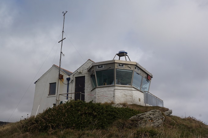
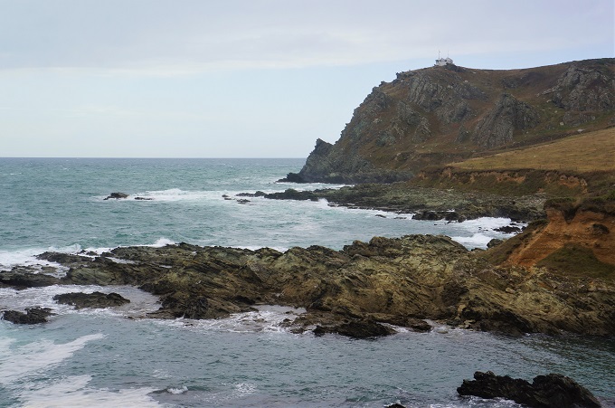
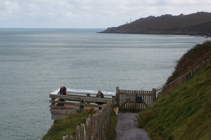
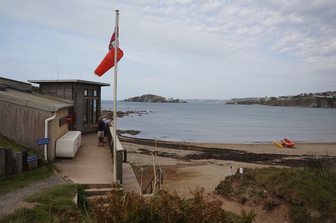
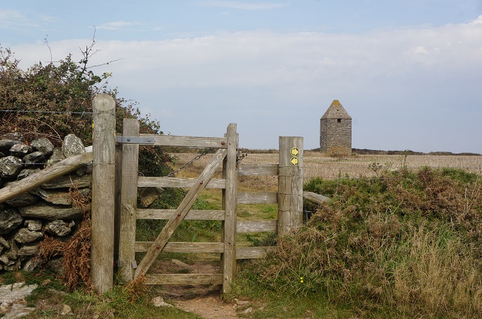
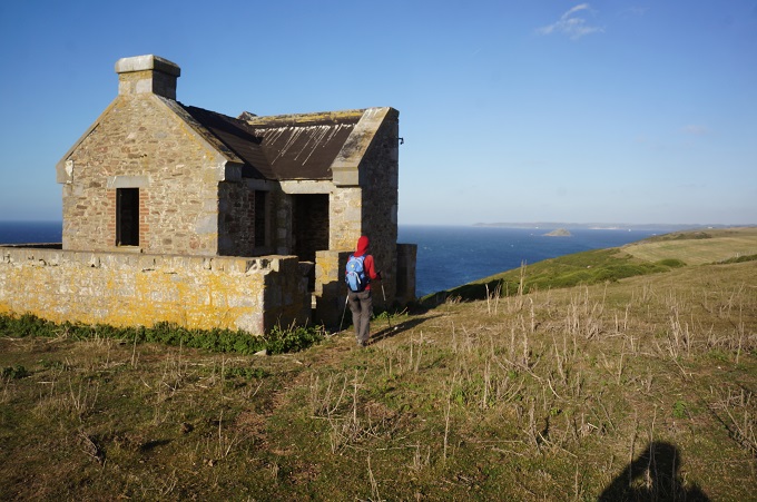
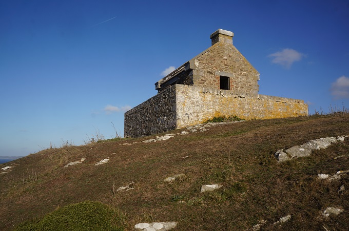
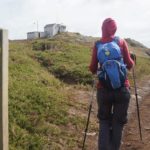
Coastguard Hut and Visitor Centre, Prawle Point
-
-
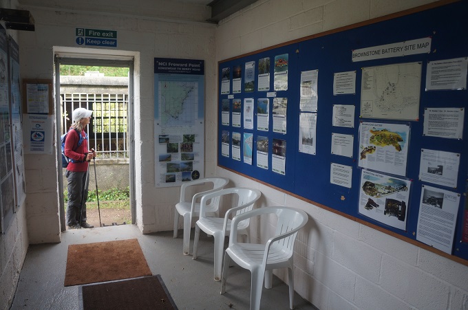
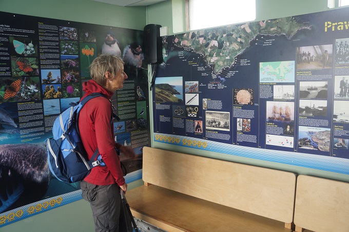
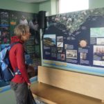
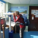
Visitor Centre, Prawle Point
-
-
Visitor Centre, Prawle Point
-
-
Visitor Centre, Prawle Point
-
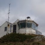
-
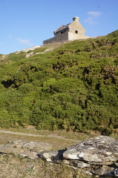
Coastguard Hut and Visitor Centre, Prawle Point
-
-
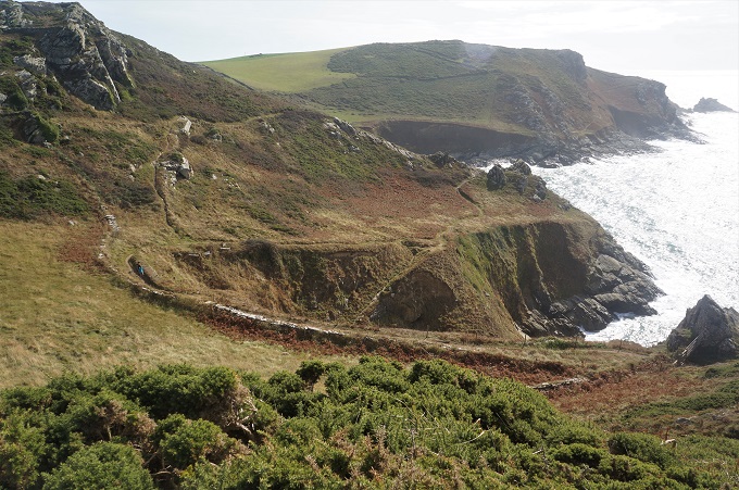
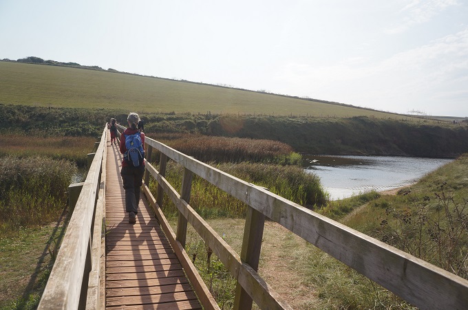
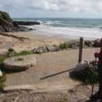
Descending to ‘raised beach’ at Prawle
-
-
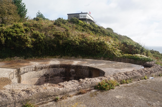
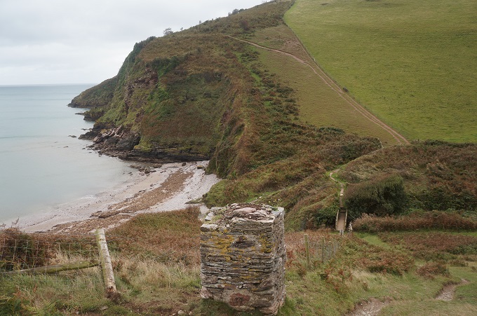
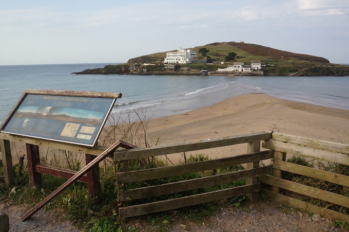
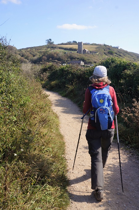
Prawle Point and Coastguard Hut
-
-
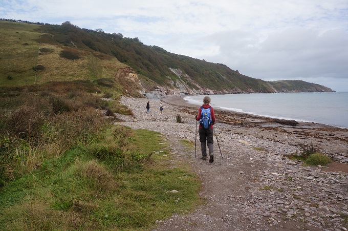
The ‘raised beaches’ at Prawle
-
-
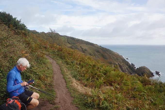
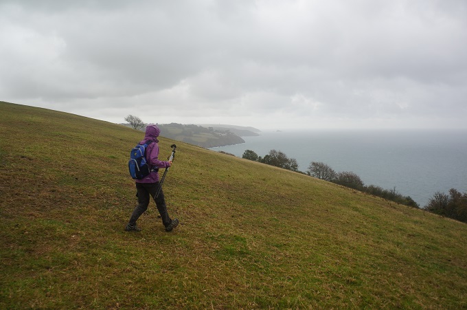
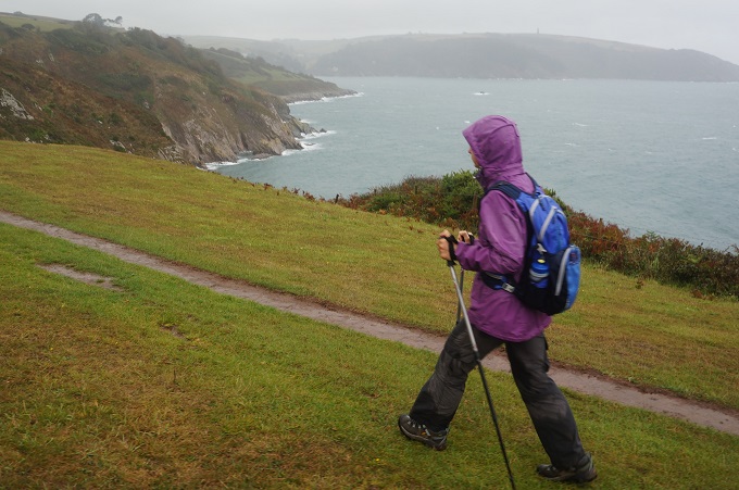
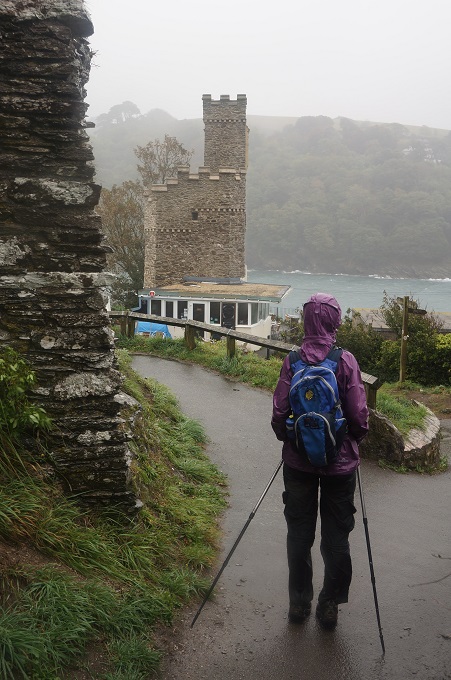
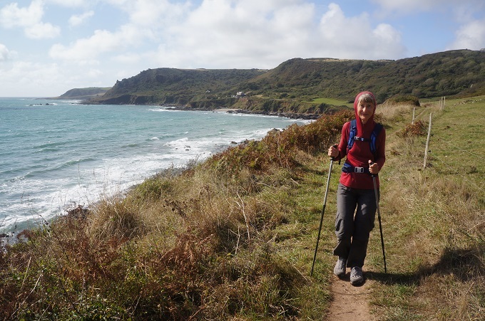
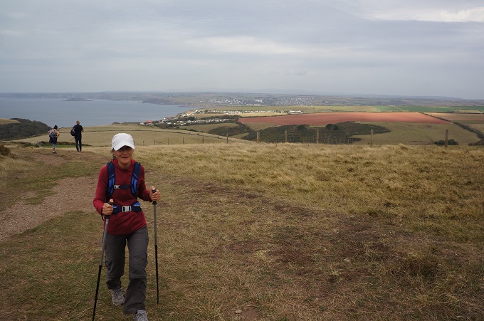
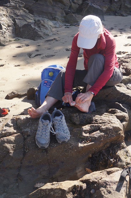
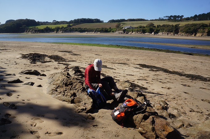
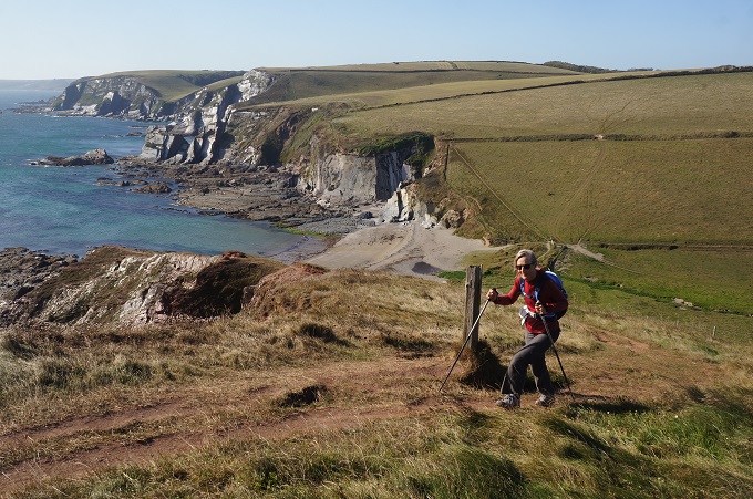
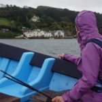
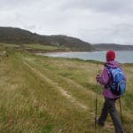
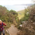
Raincoats on a short, light shower of rain
-
-
Raincoats off again in the sunshine
-
-
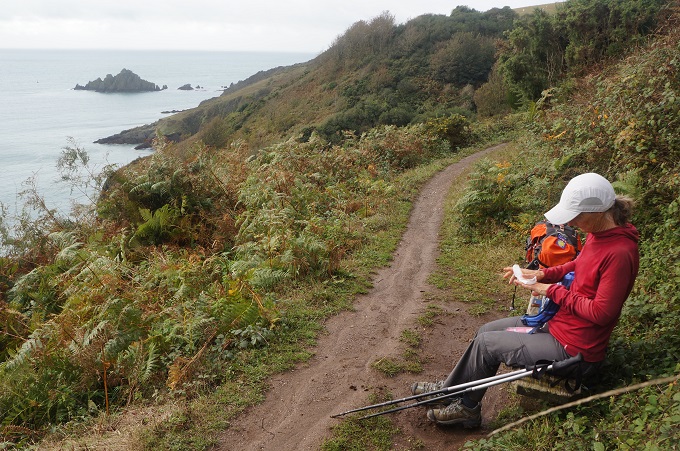
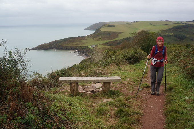
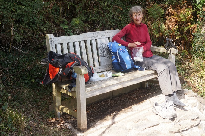
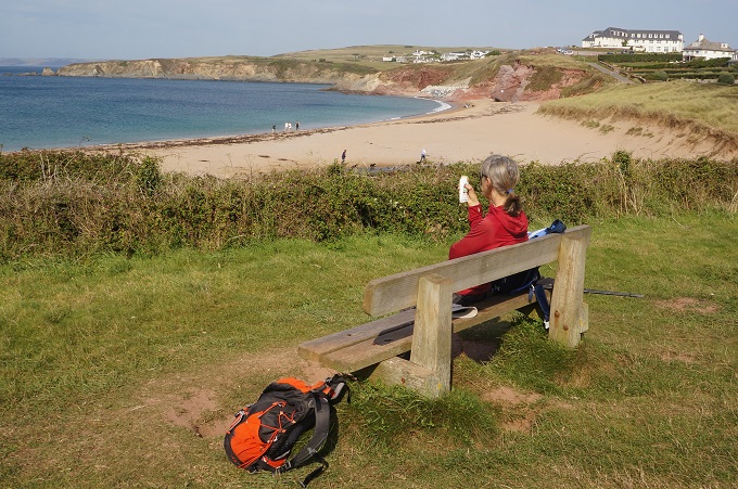
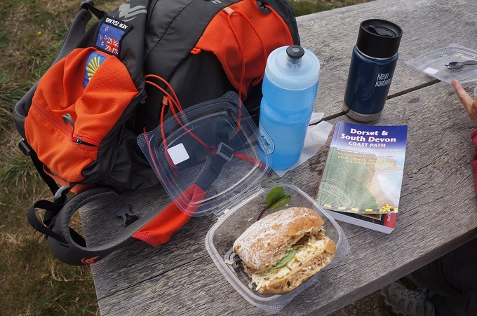
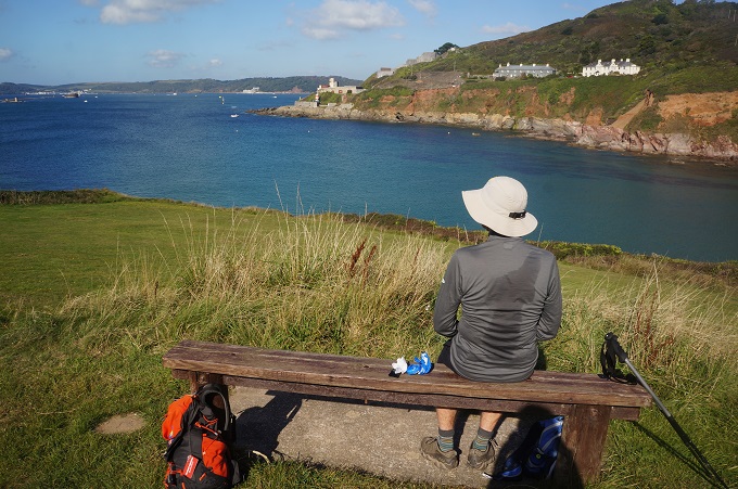
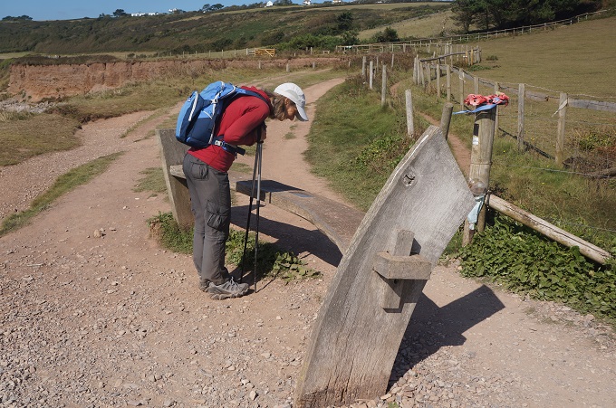
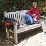
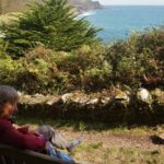
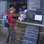
Lunch bench
-
-
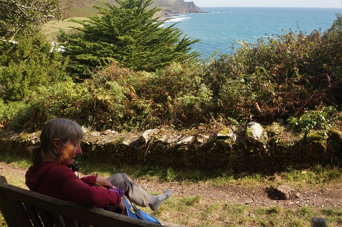
View to Start Point from our lunch bench
-
-
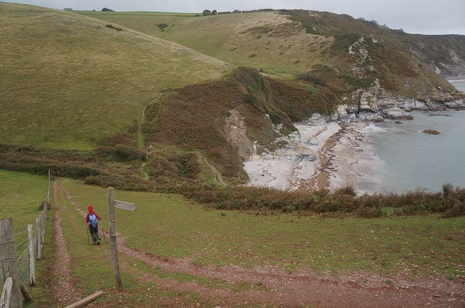
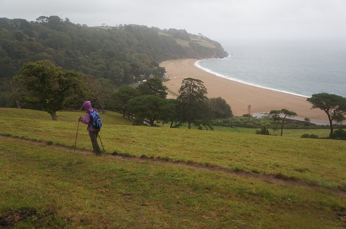
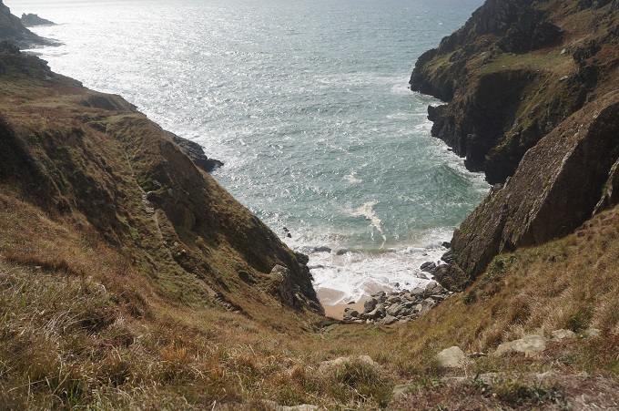
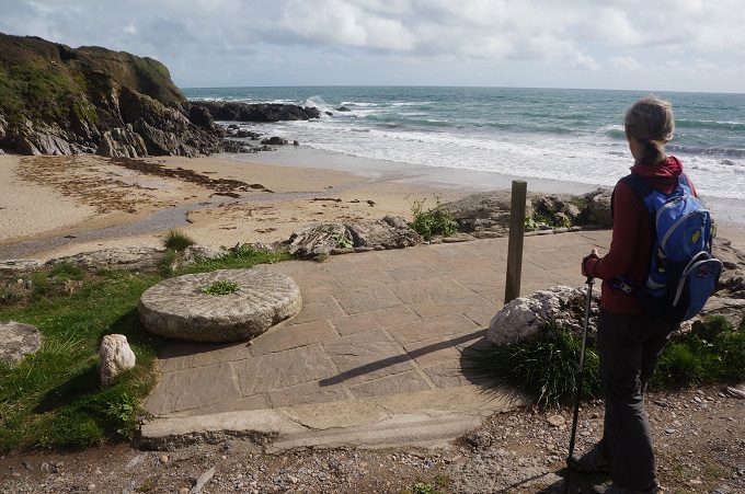
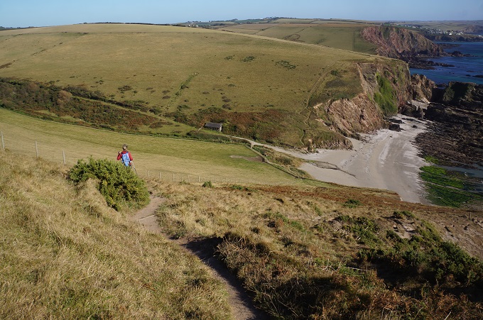
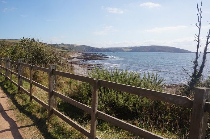
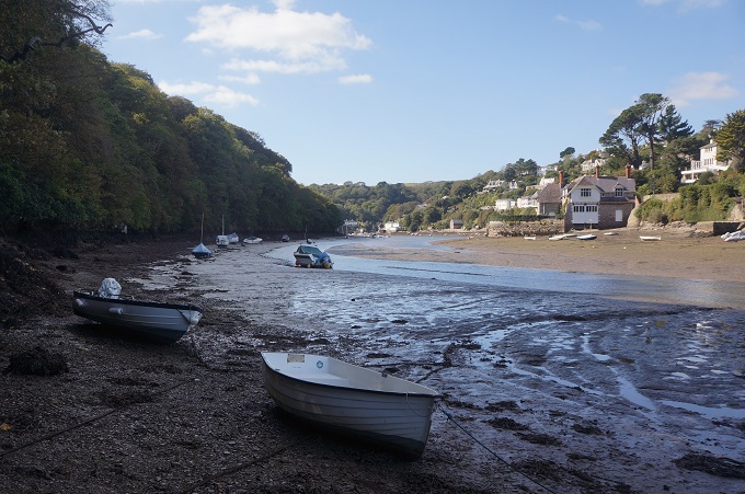
Lannacombe Beach
-
-
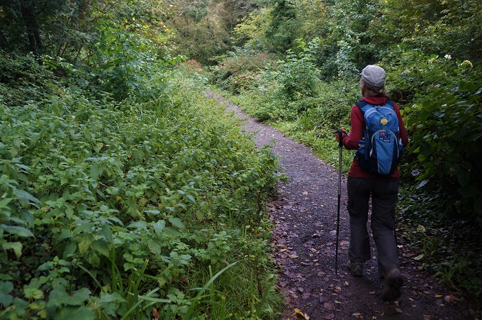
Easy walk above Lannacombe Beach
-
-
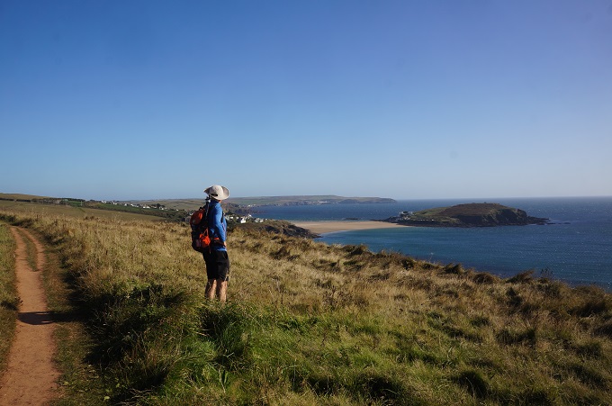
Start Point ahead
-
-
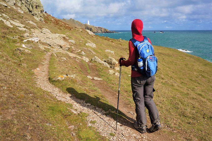
Eyeing up Start Point
-
-
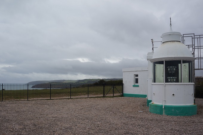
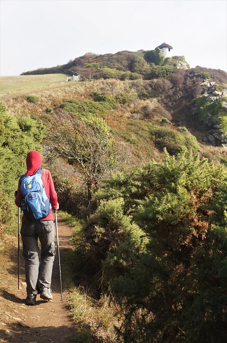
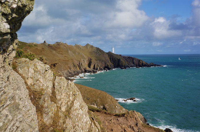
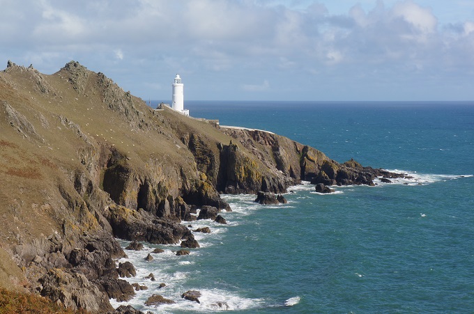
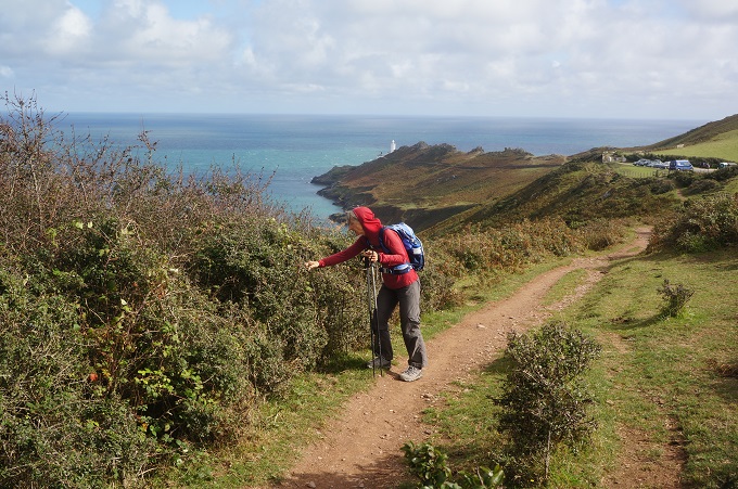
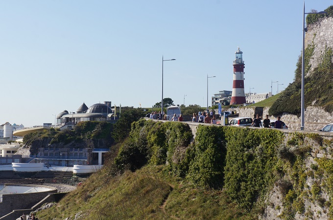
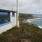
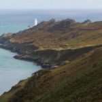
The Start Point Lighthouse
-
-
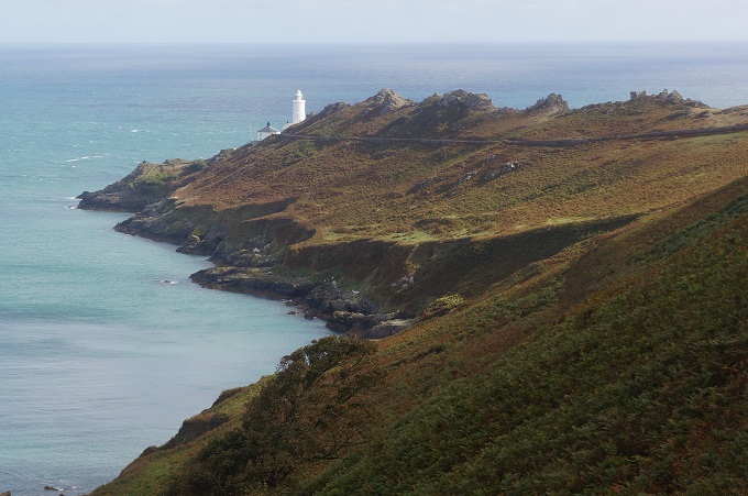
The Start Point Lighthouse
-
-
The Start Point Lighthouse
-
-
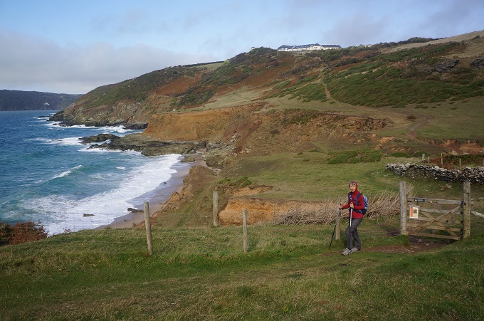
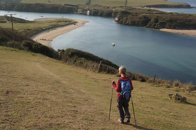
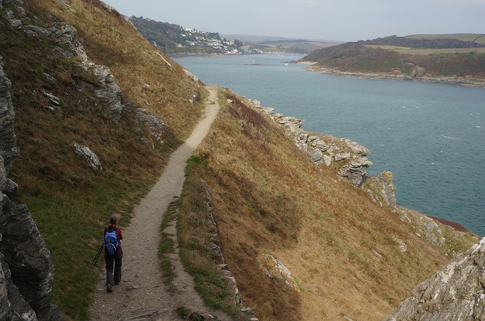
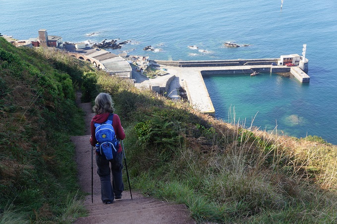
Hallsands and Beesands from Start Point
-
-
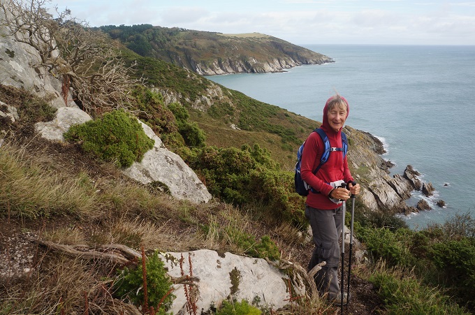
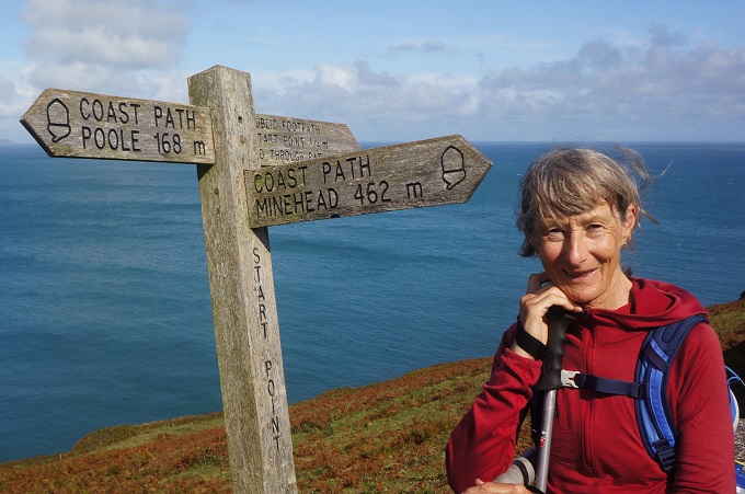
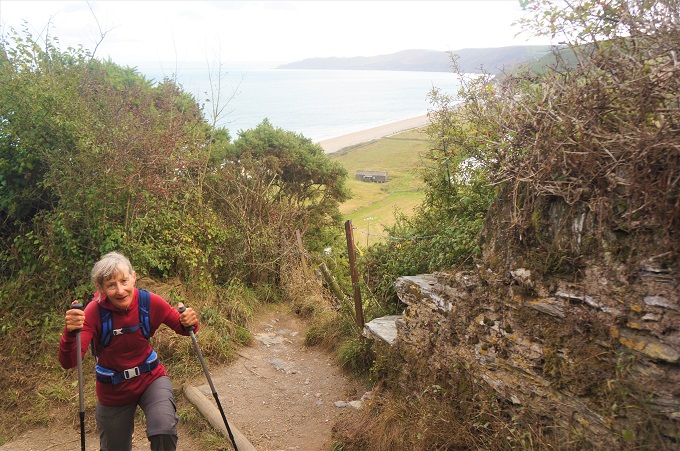
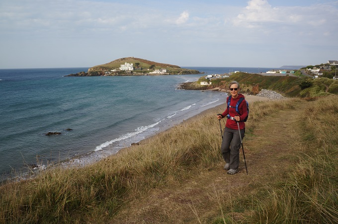
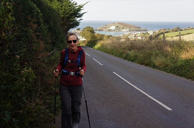
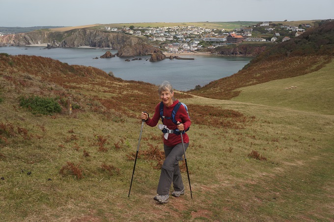
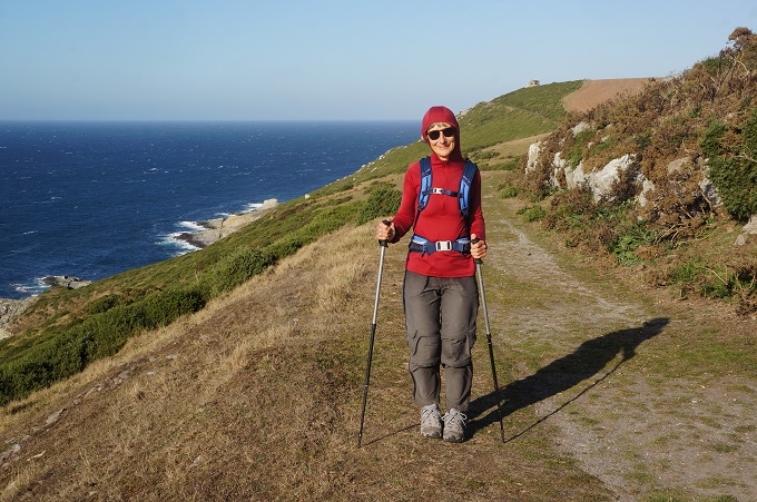
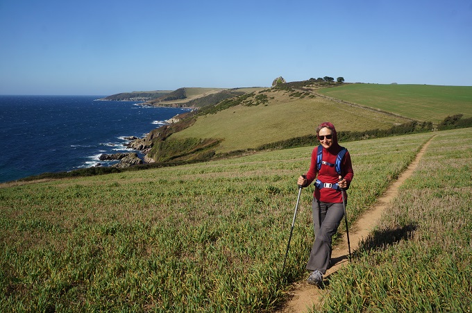
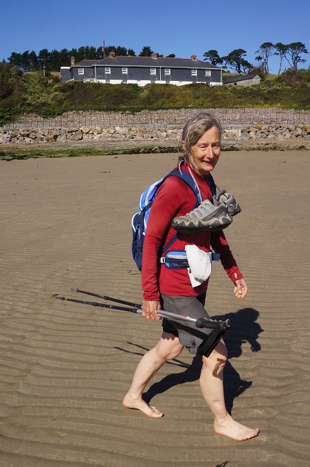
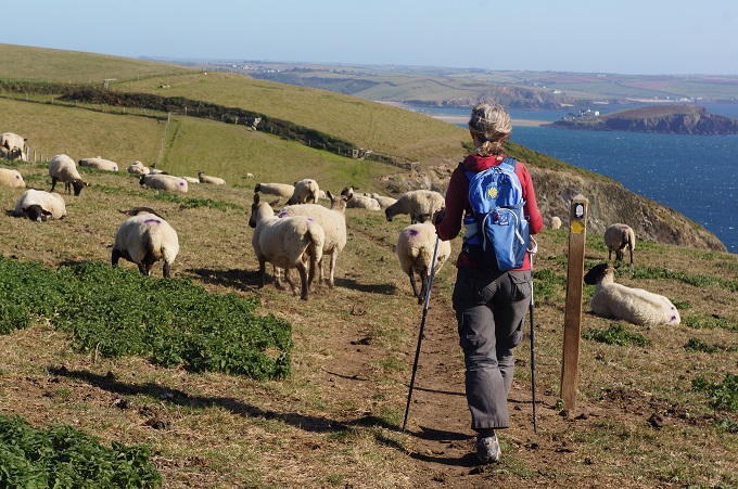
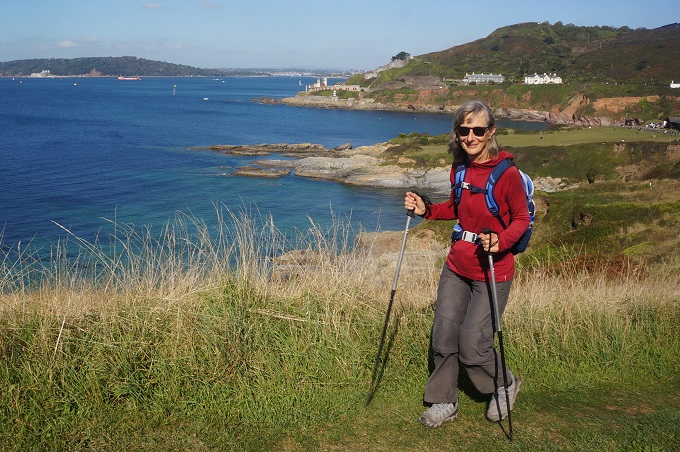
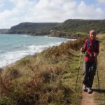
Barbara has walked every inch of the 462 miles from Minehead
-
-
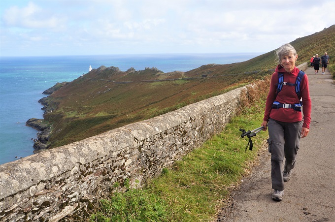
Leaving Start Point
-
-
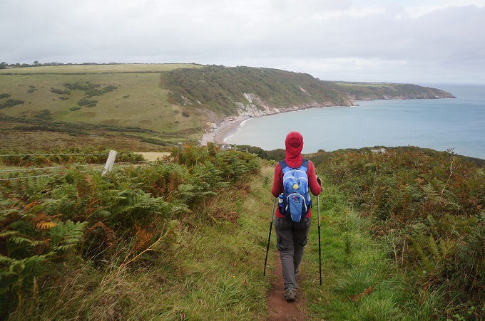
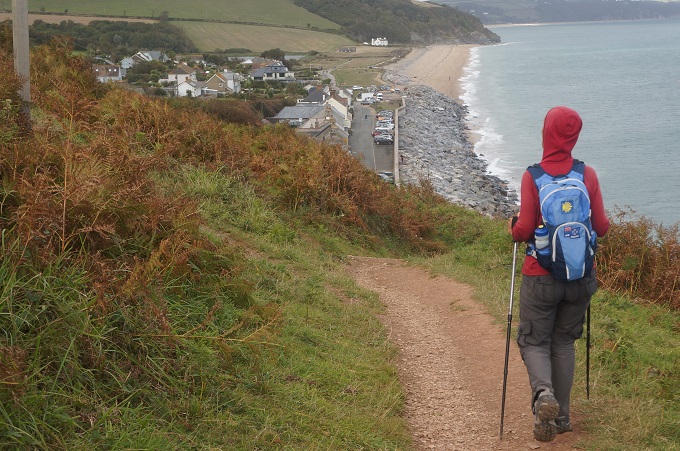
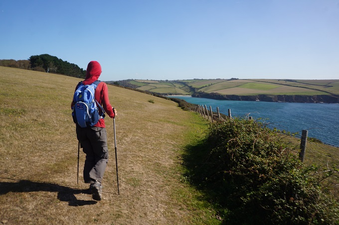
Looking ahead for our destination Torcross
-
-
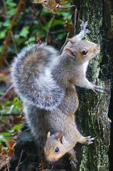
Checking out the berries, Start Point
-
-
Last look back at the Start Point Lighthouse
-
-
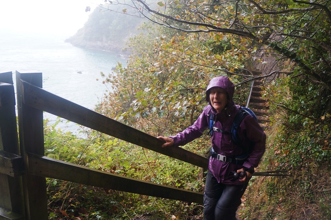
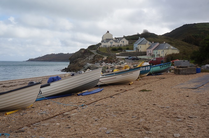
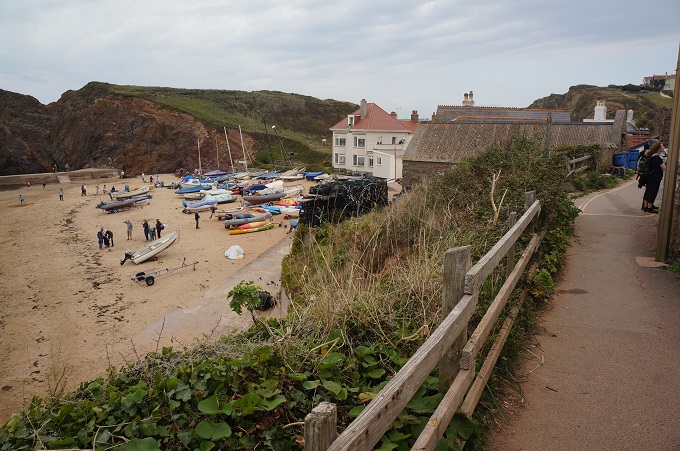
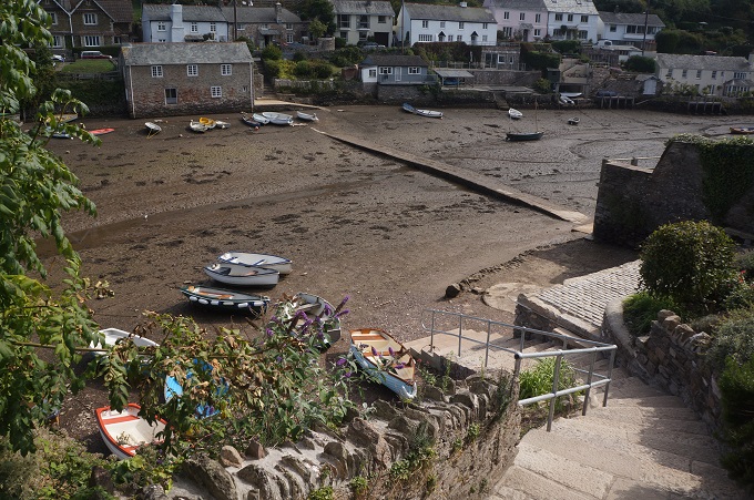
The last of the houses at the village of Hallsands, the other 37 washed away
-
-
The lookout over what had been the village of Hallsands
-
-
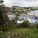
The new village of Hallsands
-
-
Descending into Beesnads
-
-
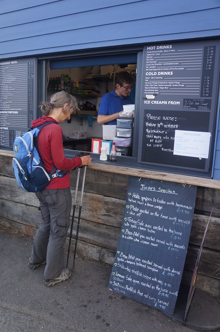
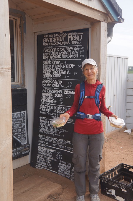
two hot chocolates please, a pick-me-up for the last 5 kilometres
-
-
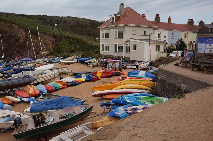
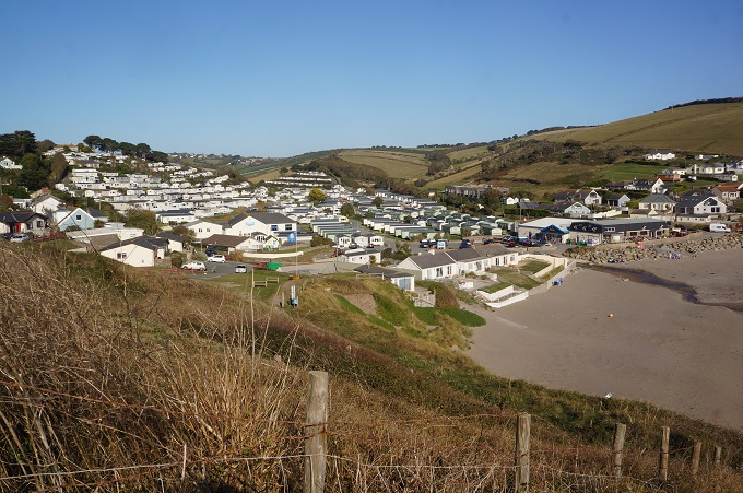
Beesands
-
-
The last climb of the day at Sunnydale
-
-
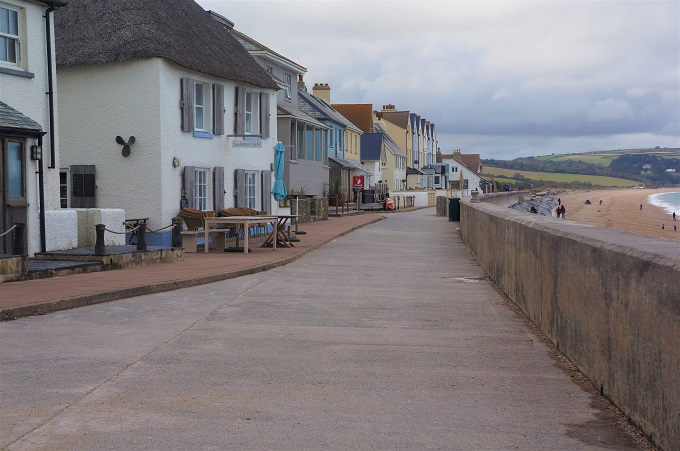
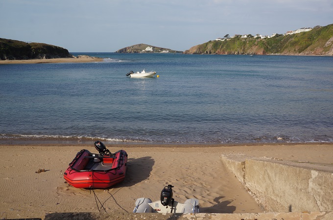
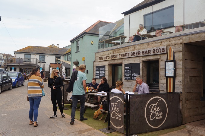
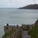
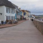
Torcross
-
-
Torcross
-
-
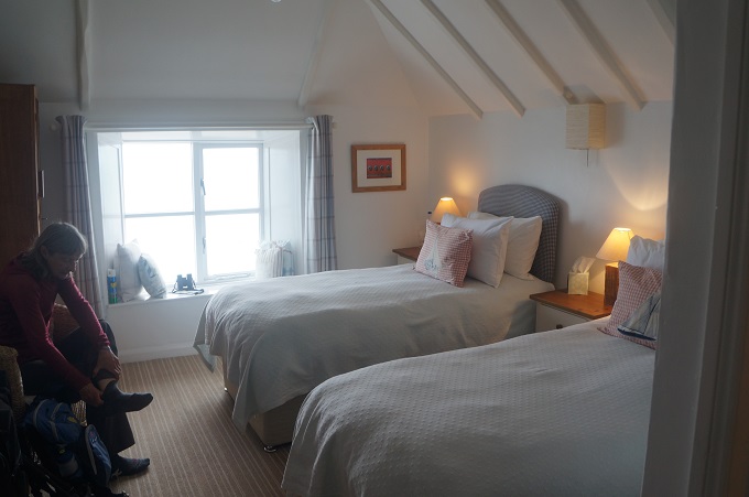
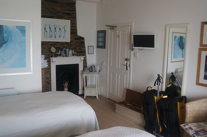
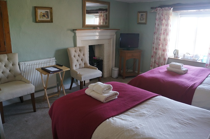
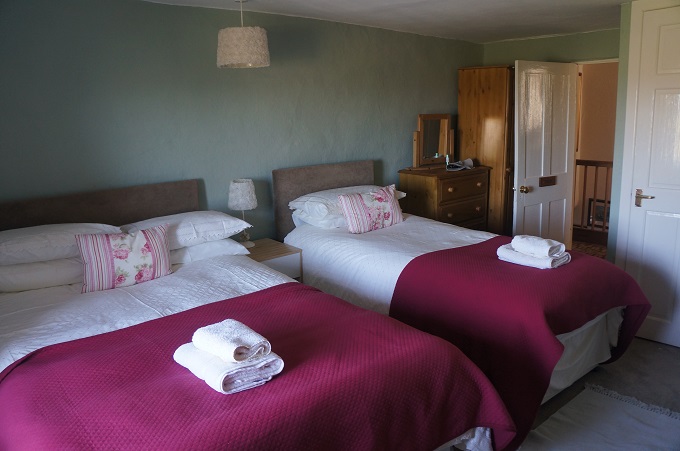
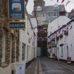
Sea Breeze B & B, Torcross
-
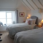
-
Sea Breeze B & B, Torcross
-
-
Sea Breeze B & B, Torcross
-

-
Sea Breeze B & B, Torcross
-
-
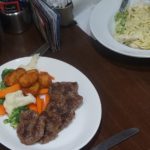
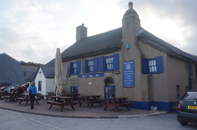
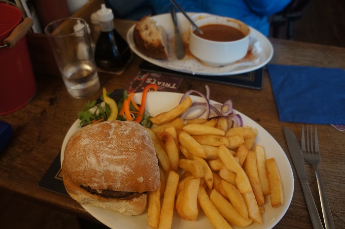
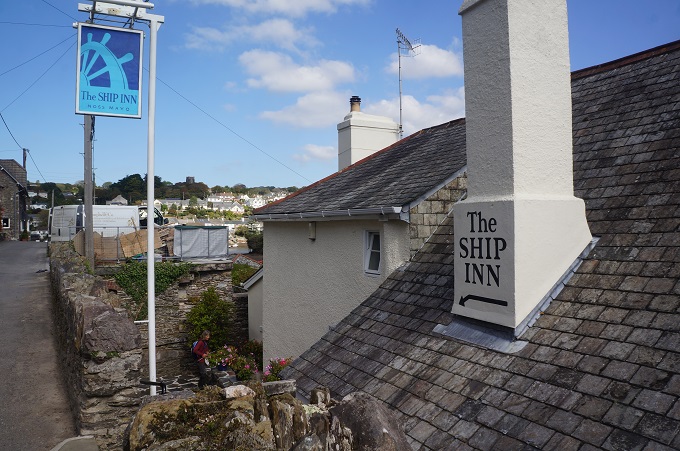
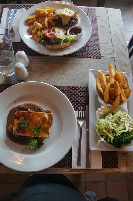
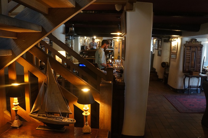
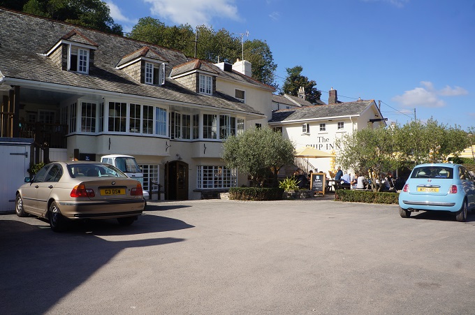
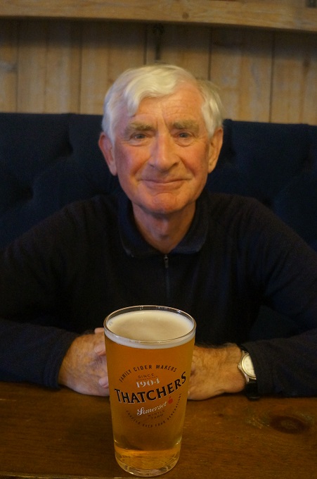
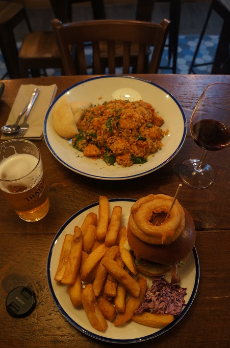
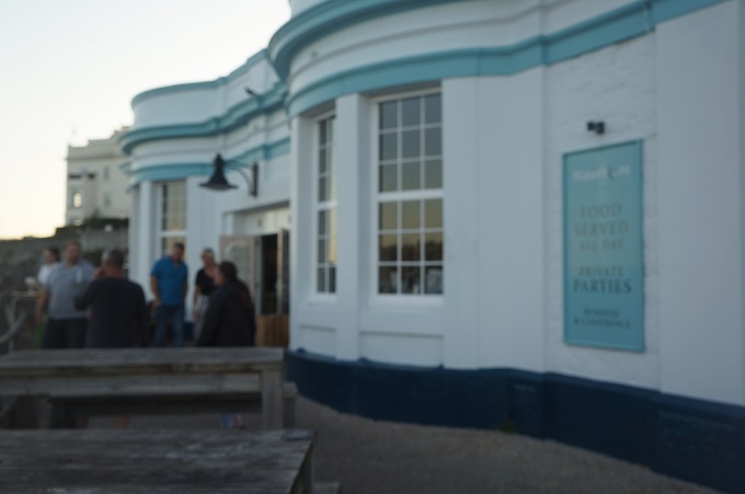
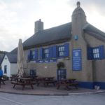
Start Bay Inn, Torcross
-
-
Start Bay Inn, Torcross
-
-
Sherman DD tank memorial to those killed in Operation Tiger