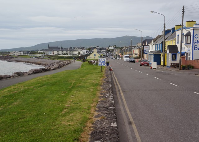
Castletownbere to Allihies 16km
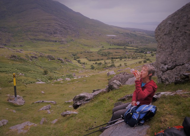
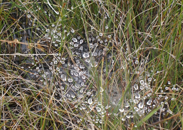
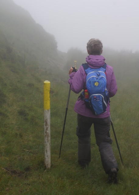
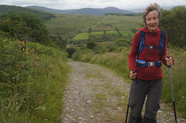
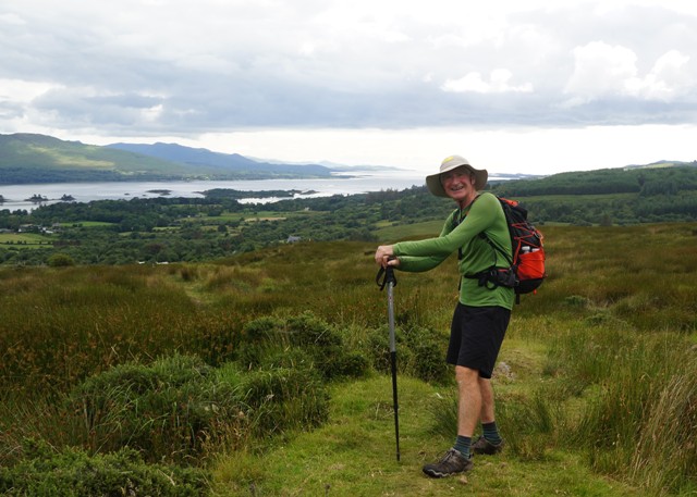
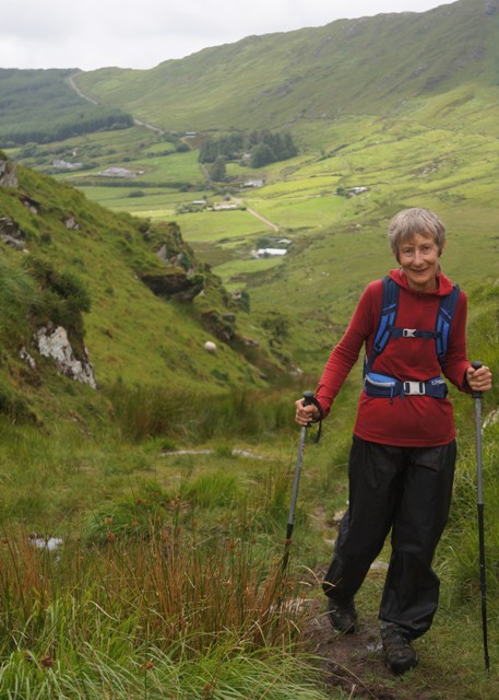
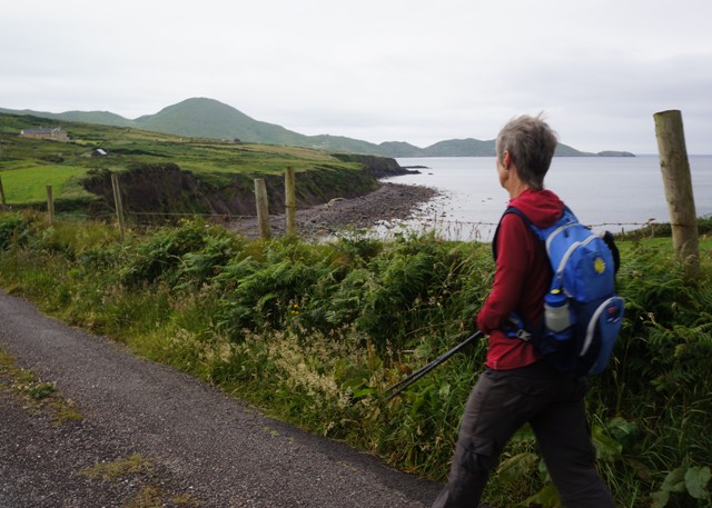
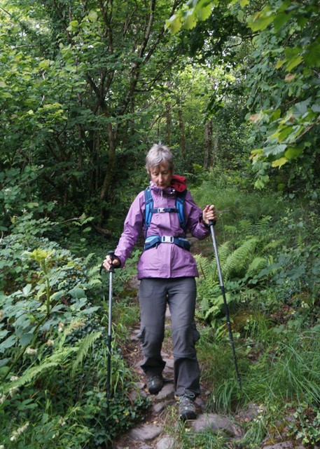
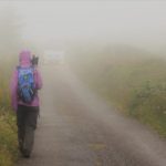
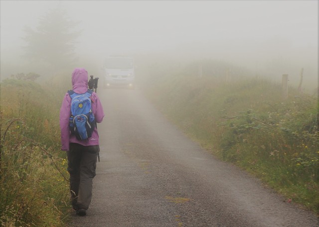
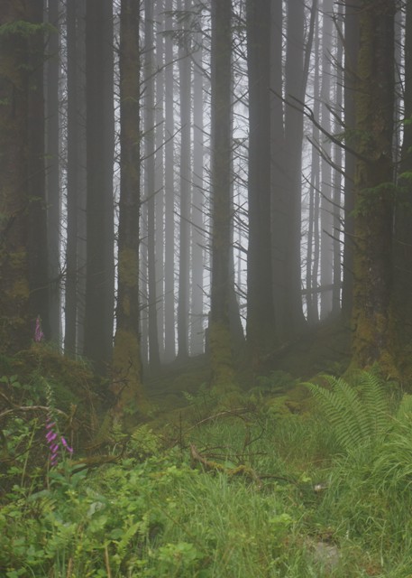
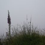
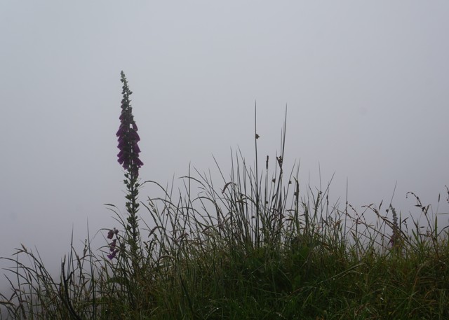
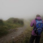
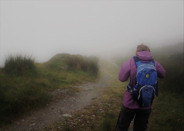
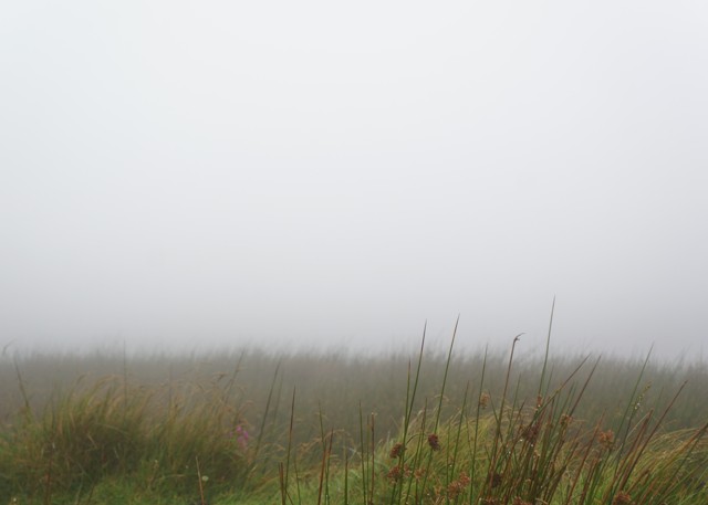
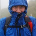
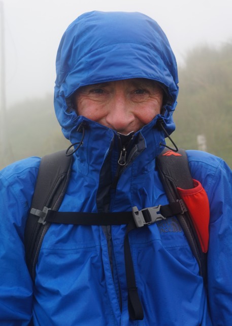
Weather wise yesterday may have been a ‘soft’ day but today was a ‘heavy’ day. We woke to very thick, low mist. It was warm and very humid so all day we felt we were carrying a heavy weight of air.
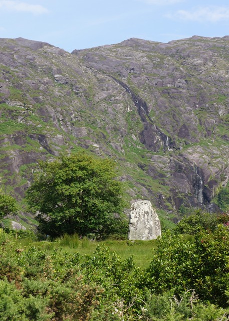
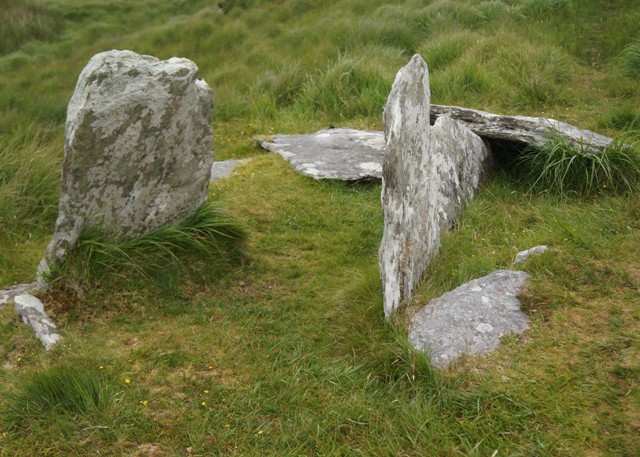
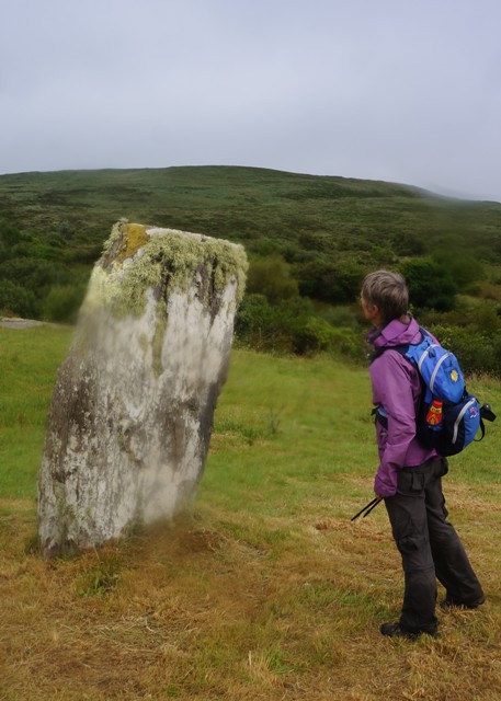
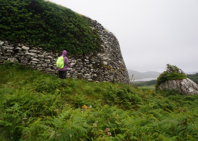
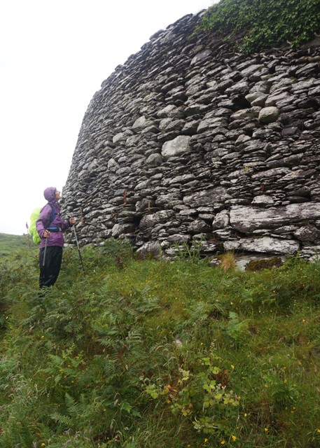
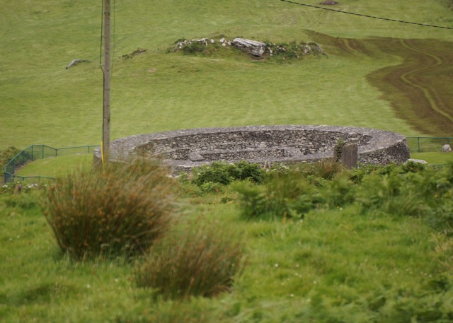
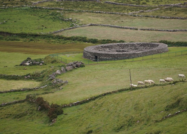
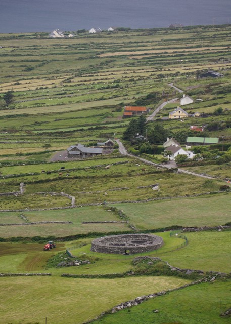
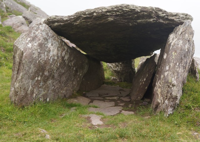
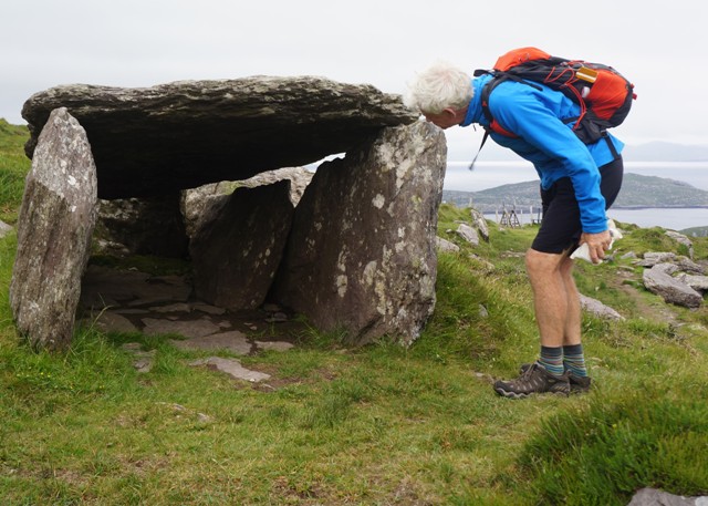
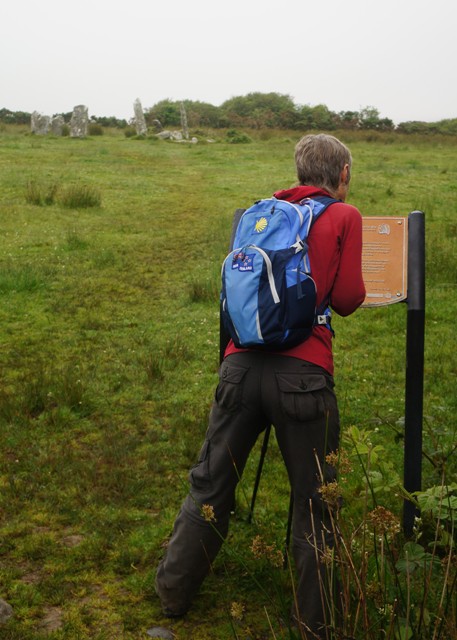
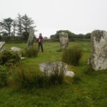
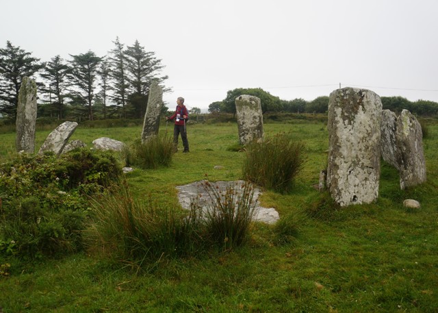
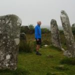
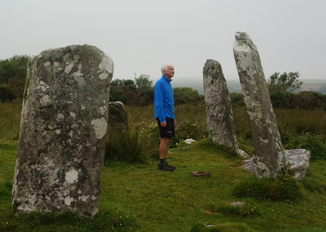
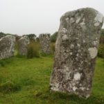
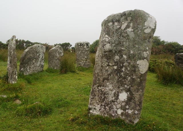
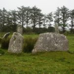
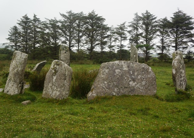
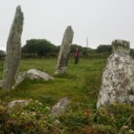
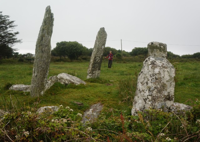
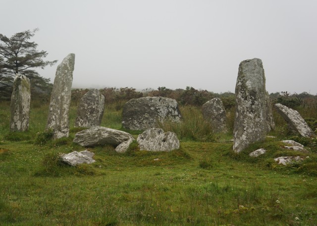
About 2 km out of Castletownbere, in a field beside a minor tarmac road we visited our first stone circle. Derreenataggart Stone Circle. Stone circles consist of an uneven number of free-standing, spaced stones. The number of stones varies from 5 to 17 and the diameter of the circles ranges form 2.5 to 17 metres. The stones are symmetrically arranged with the two tallest stones marking the entrance on the northeast side. The stones then reduce in height on either side of the circle. The axial stone set directly opposite the entrance in the southeast arc, is the lowest stone in the circle
Stone circles were constructed as ritual and ceremonial sites during the bronze age and are about 3,000 years old. A line drawn from the entrance to the axial stone will orientate on significant solar and lunar events and on some of the brighter stars. There are over 100 examples of stone circles in Ireland.
The stone circle at Derreenataggart has a 7.8 metre diameter. It is now incomplete and may have consisted of 15 stones. Twelve stones survive and of these 8 are standing. I had been hoping for a bright sunny morning to get some shadows on the stones but the misty morning made the circle seem quite ethereal and magical.
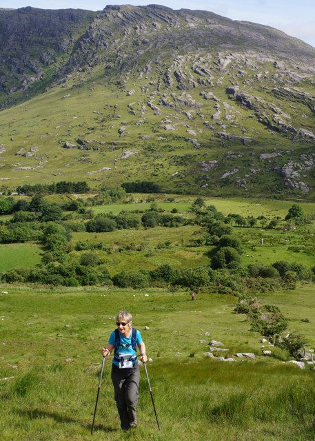
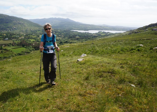
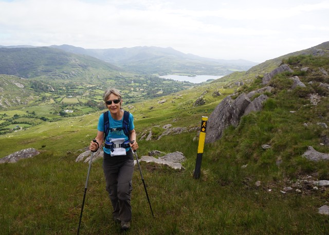
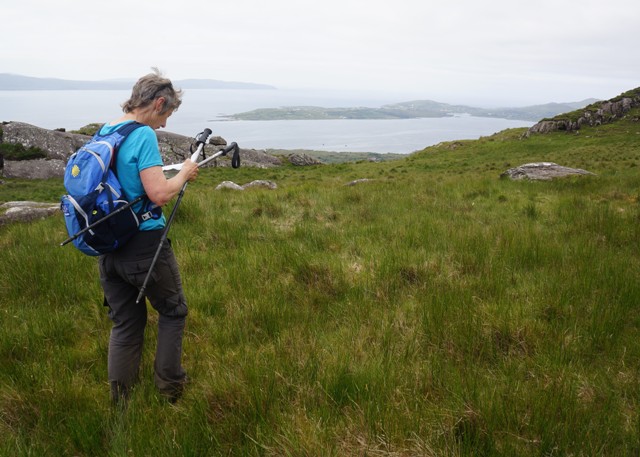
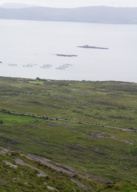
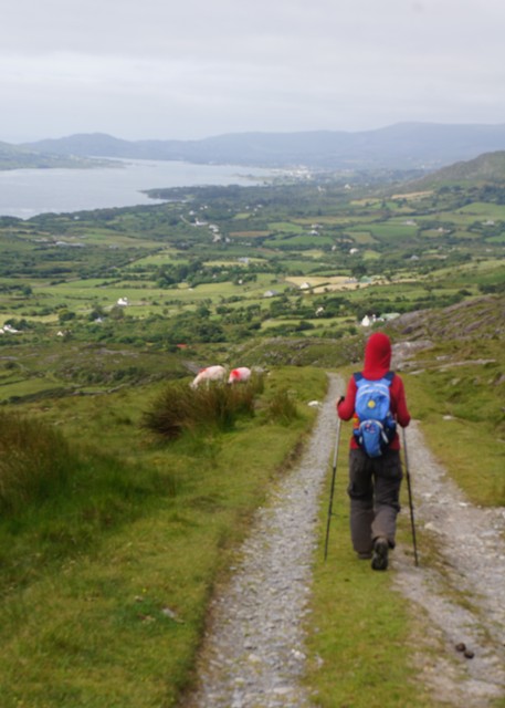
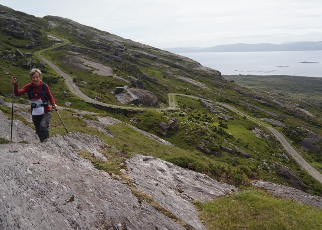
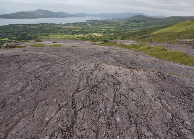
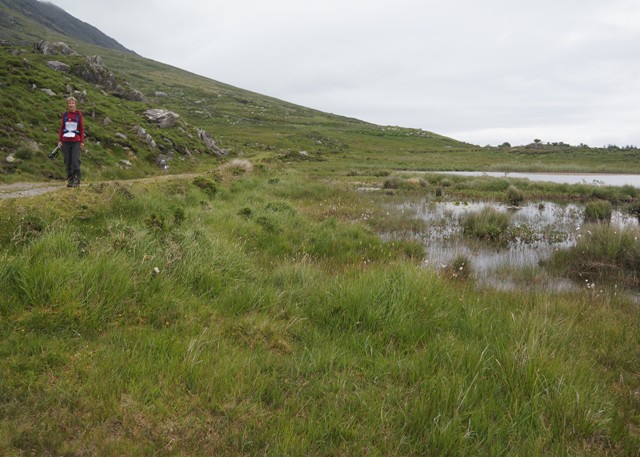
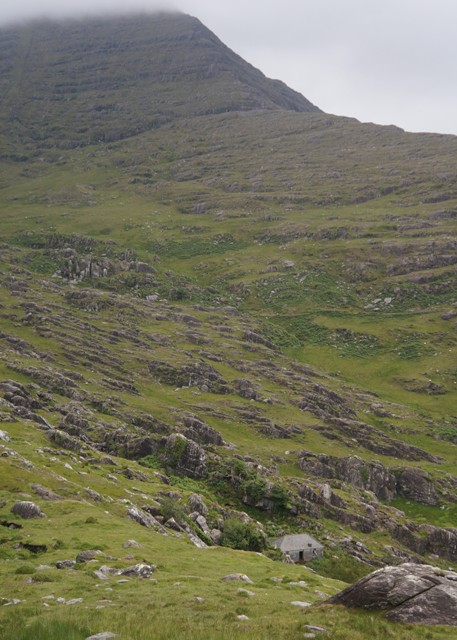
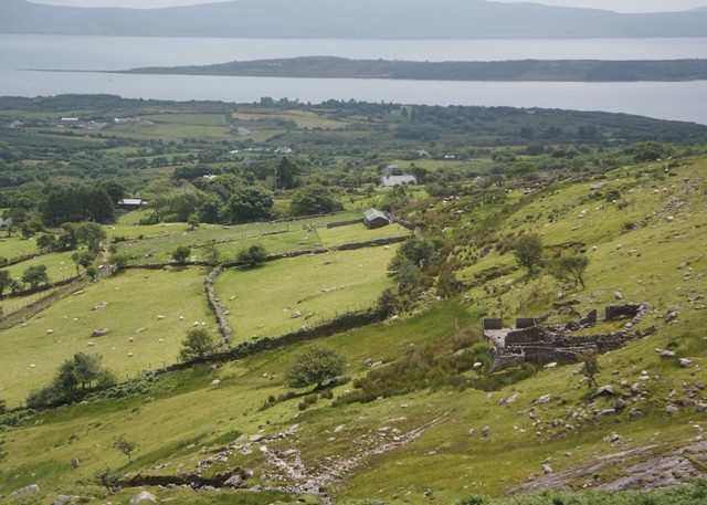
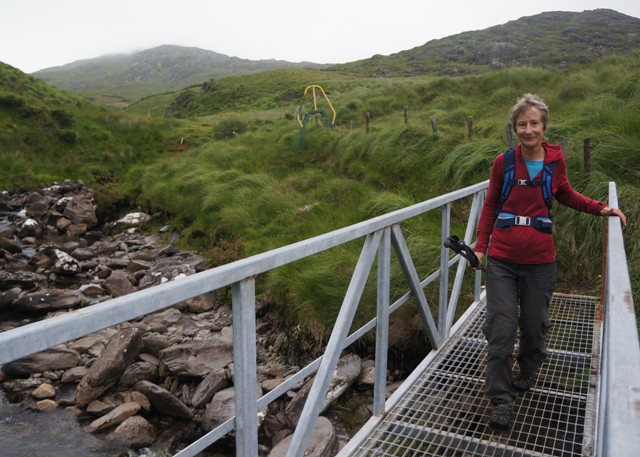
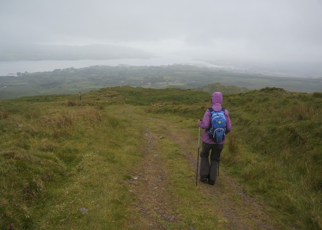
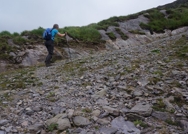
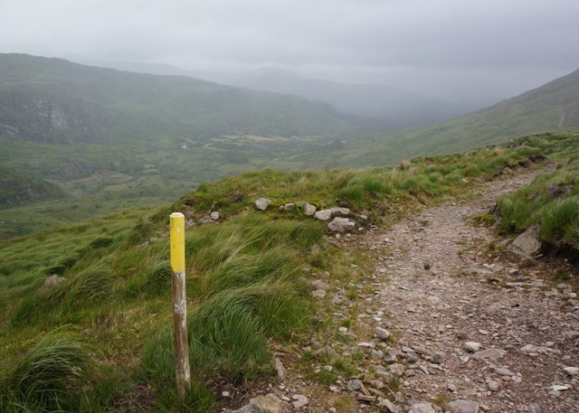
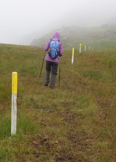
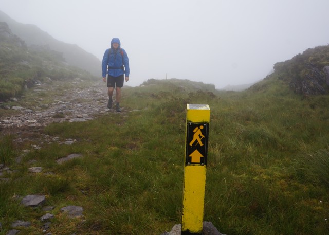
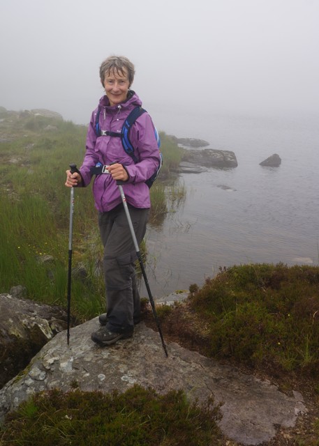
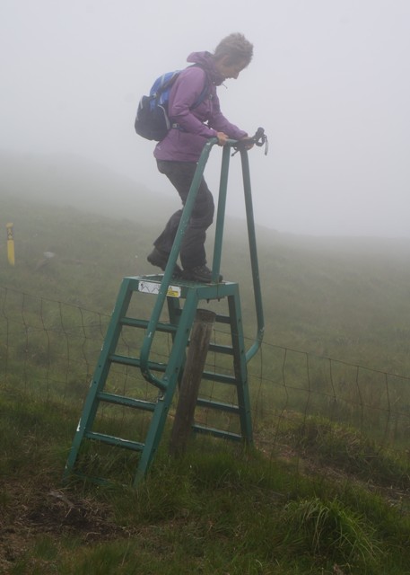
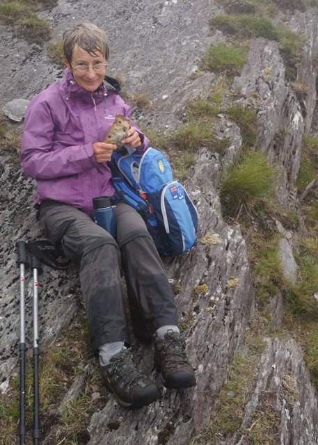
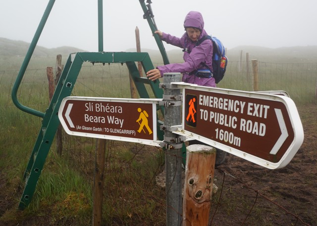
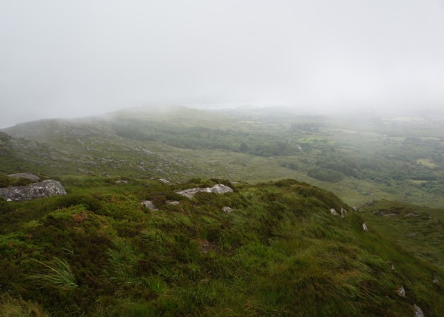
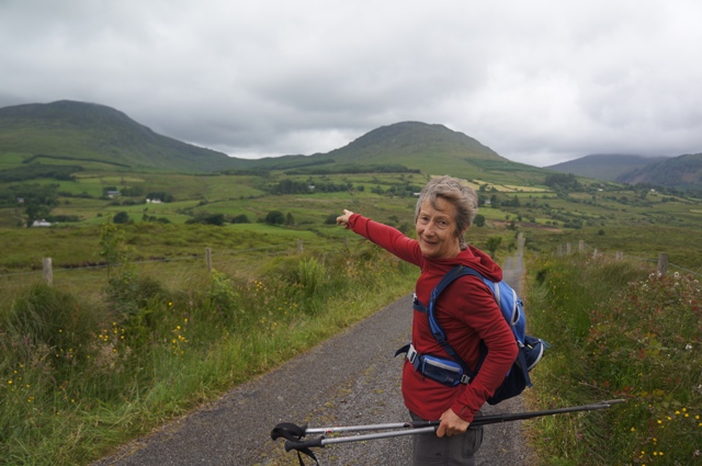
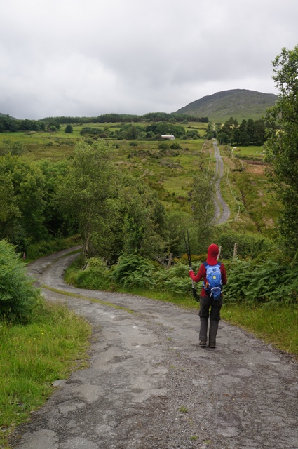
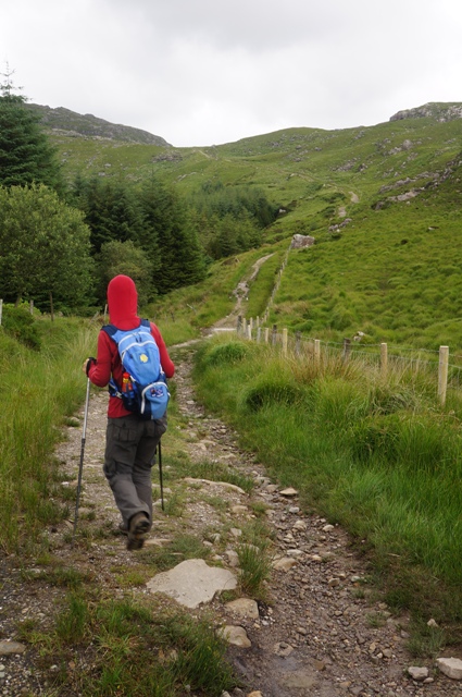
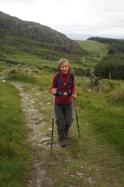
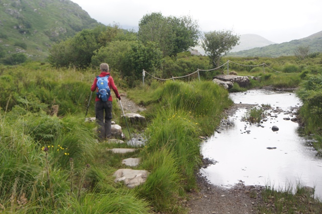
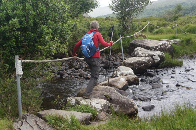
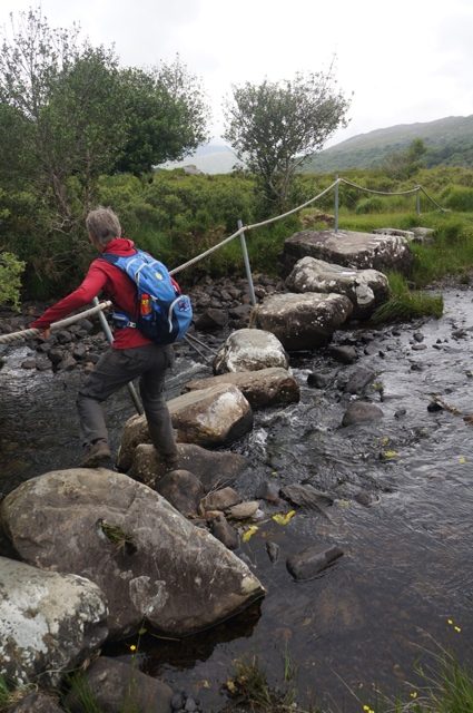
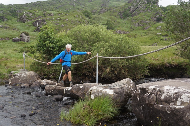
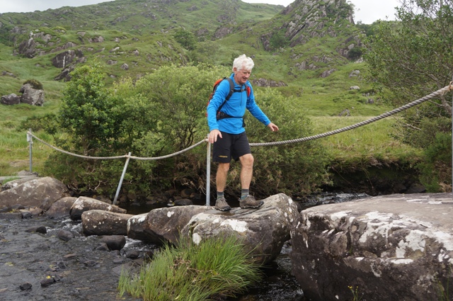
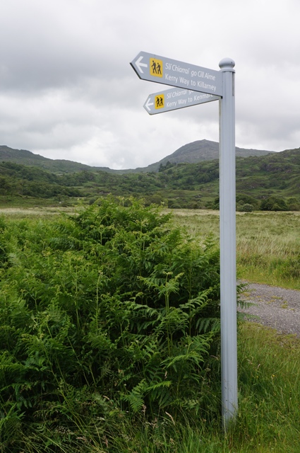
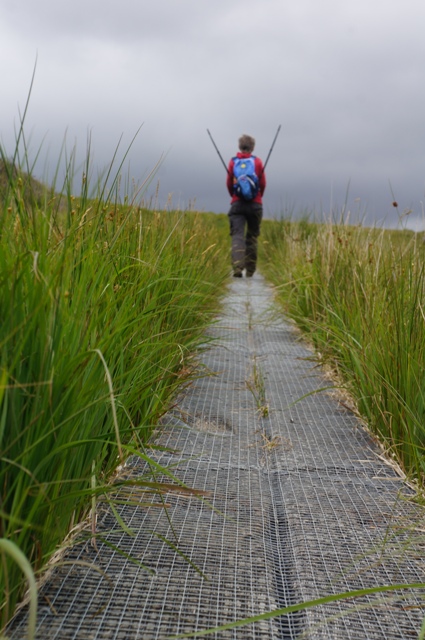
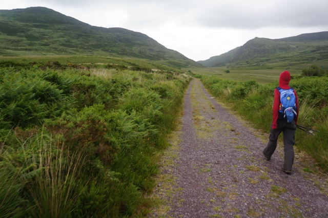
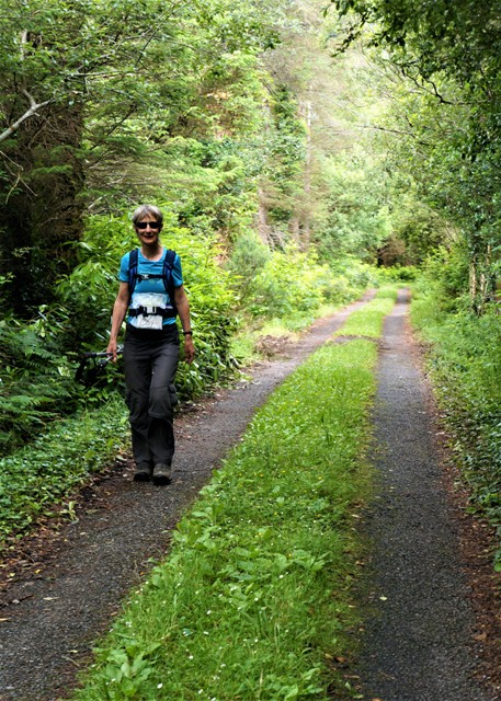
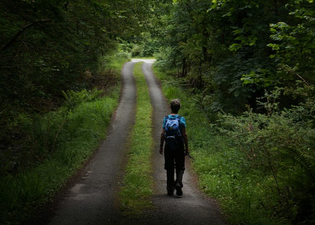
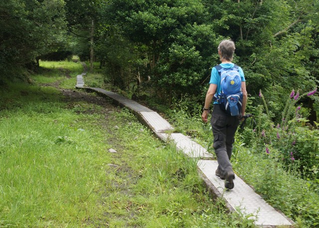
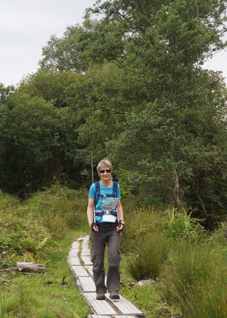
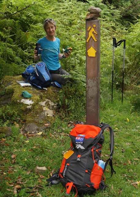
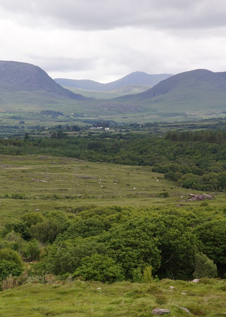
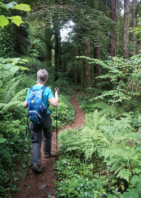
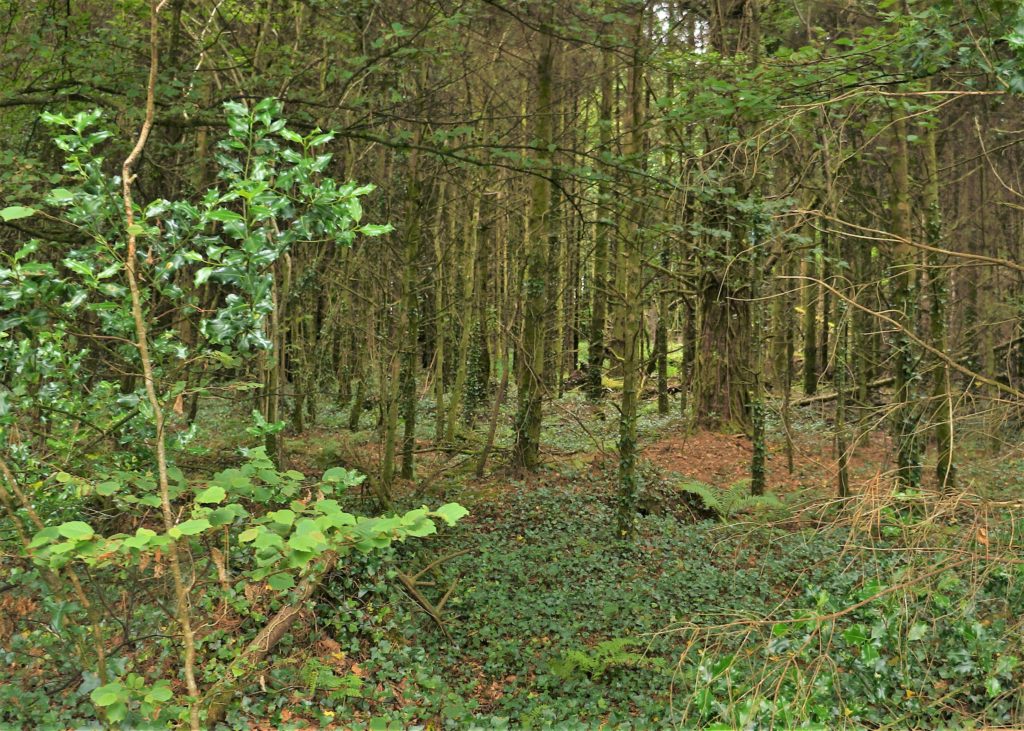
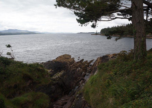
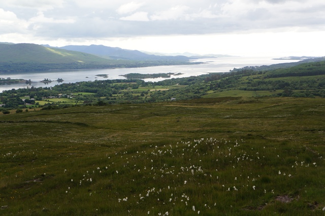
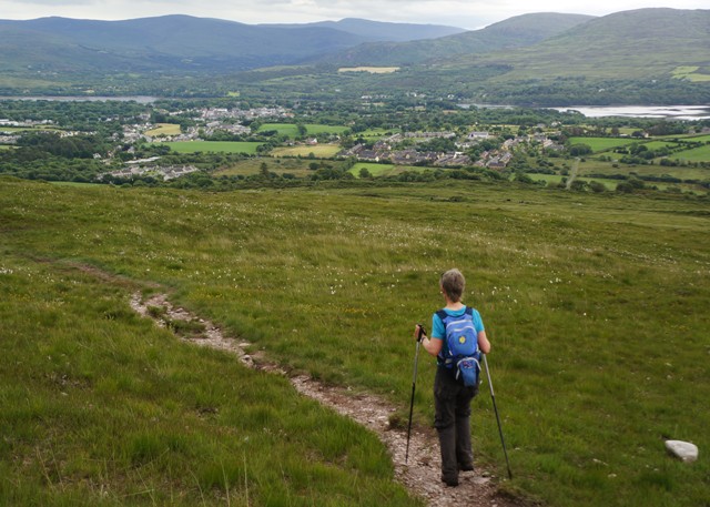
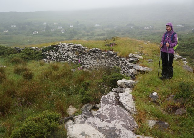
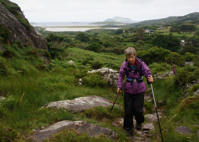
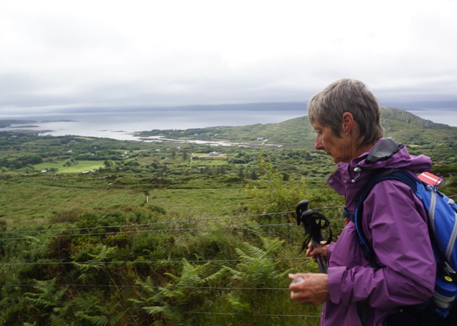
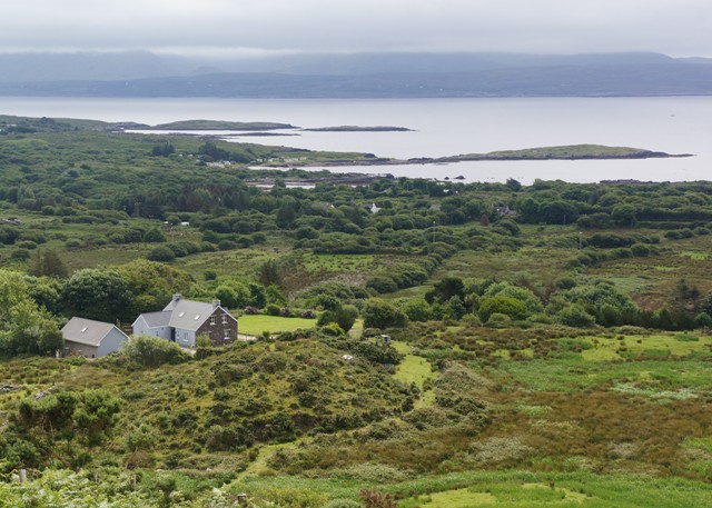
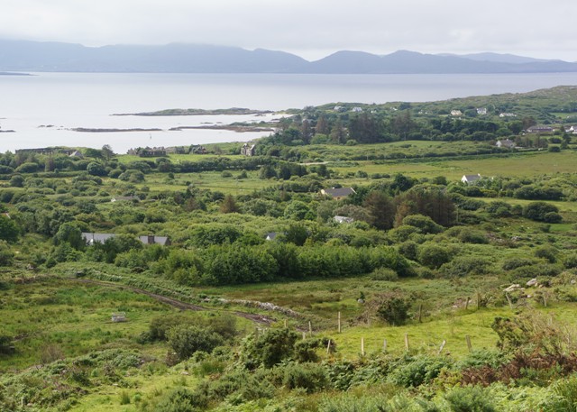
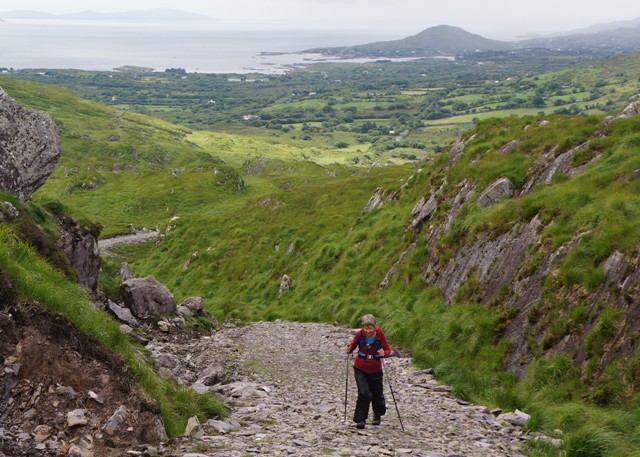
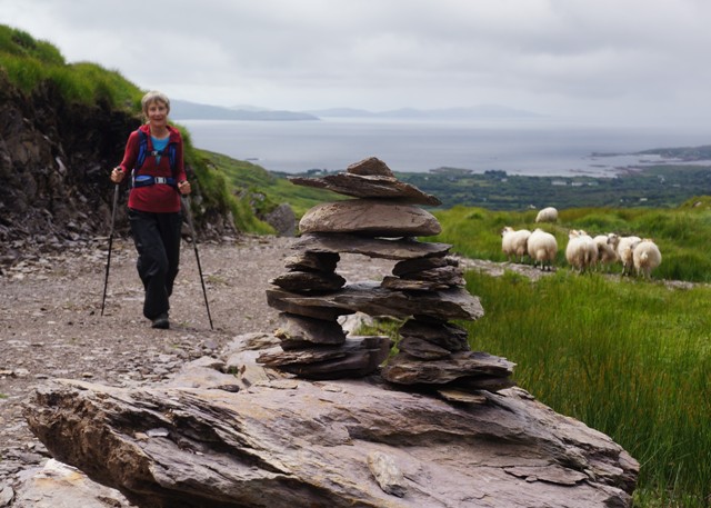
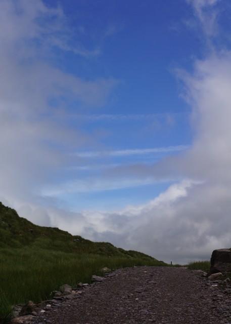
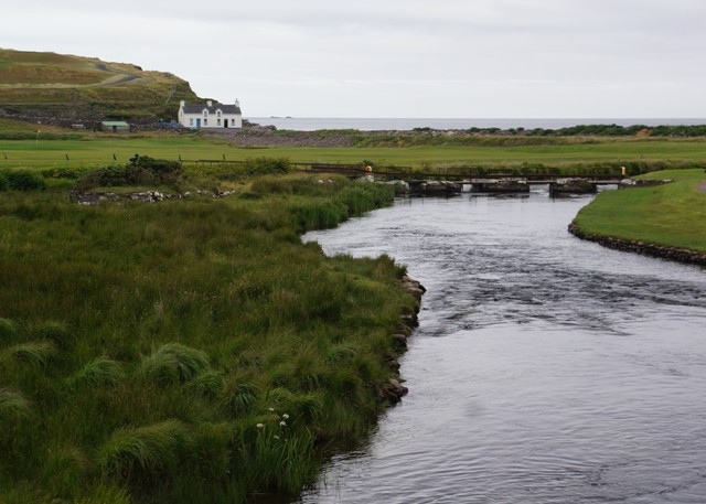
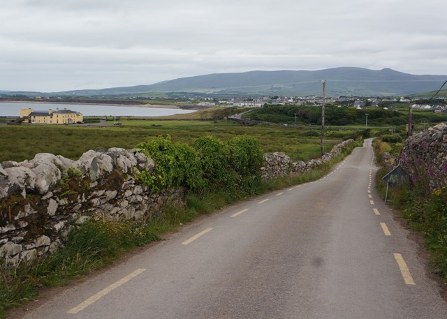
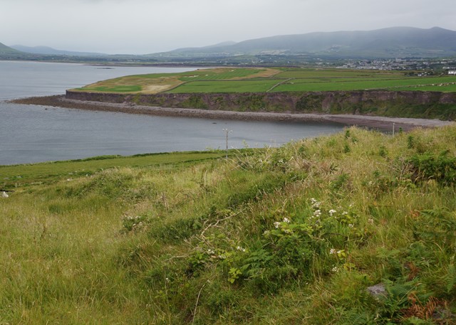
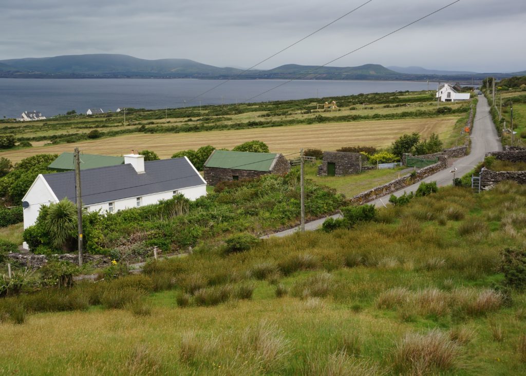
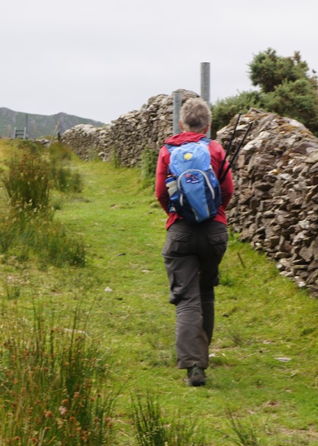
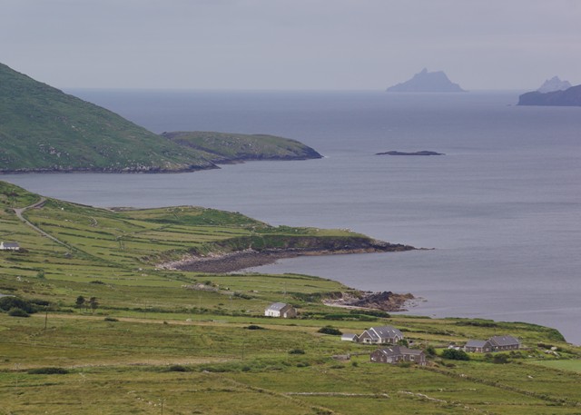
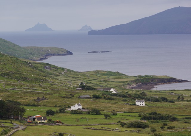
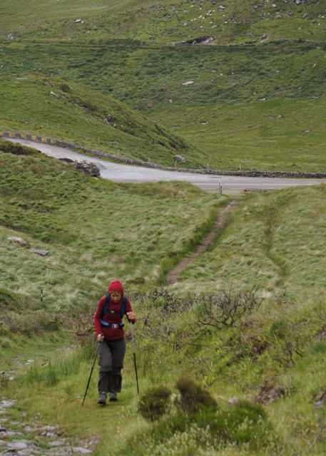
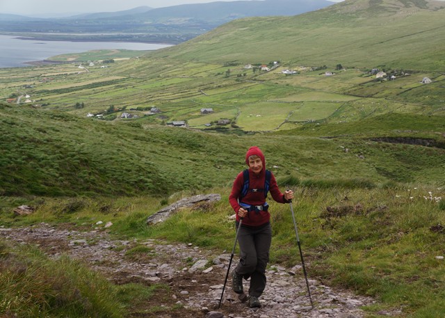
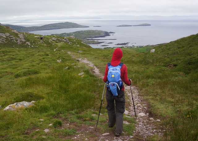
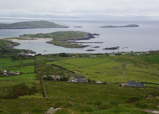
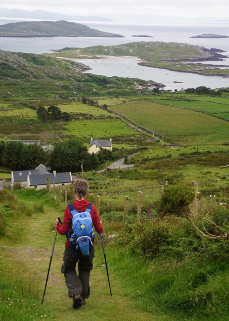
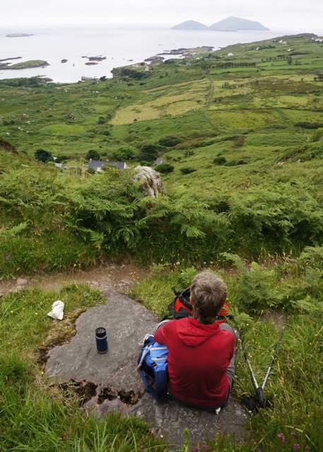
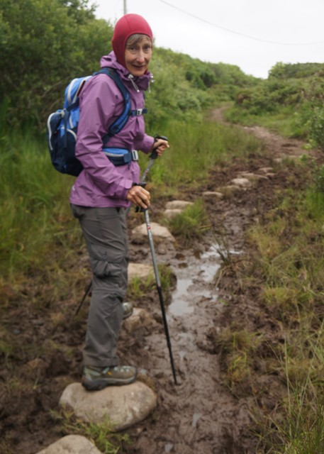
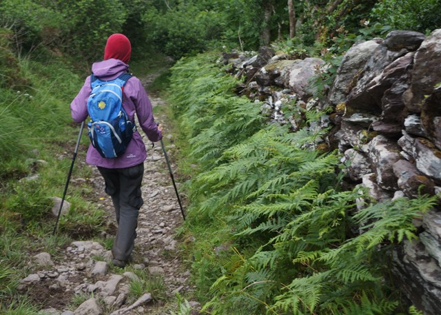
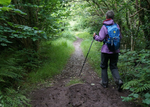
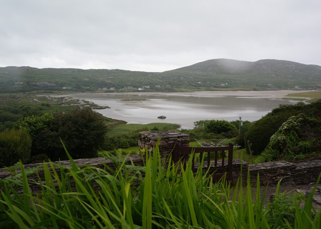
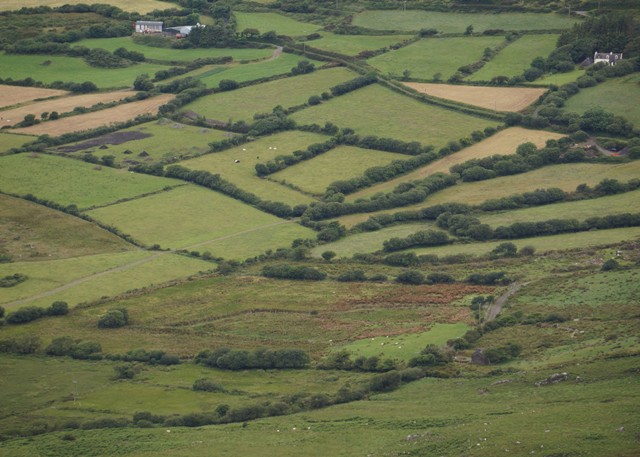
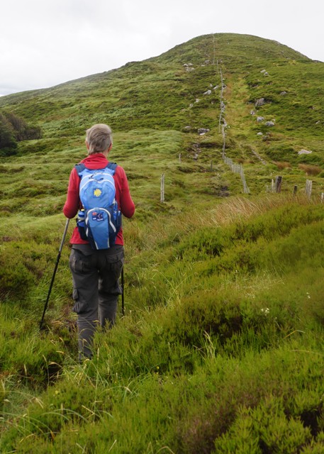
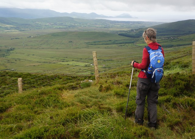
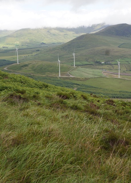
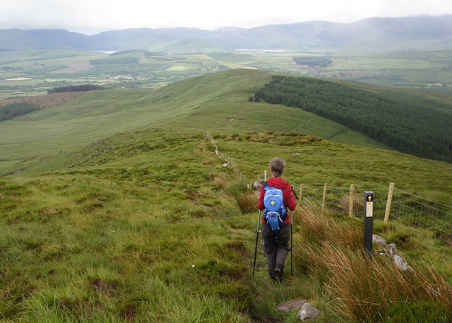
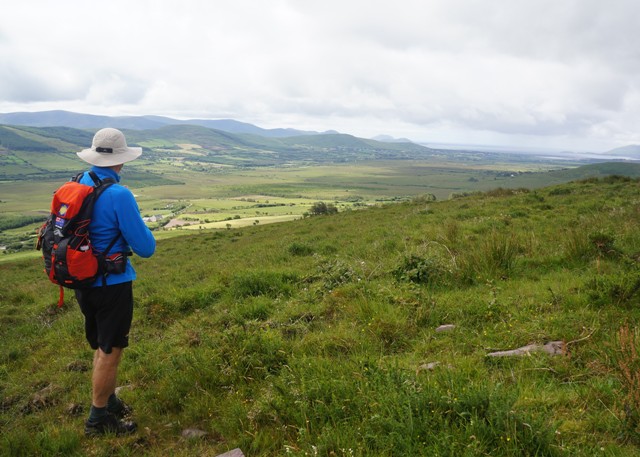
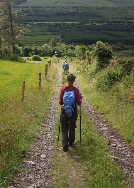
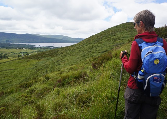
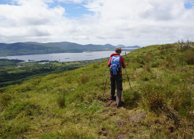
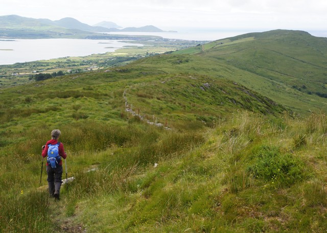
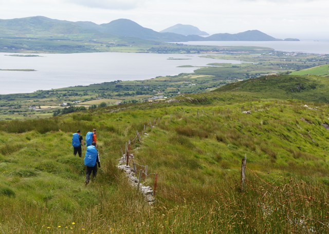
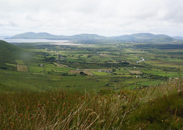
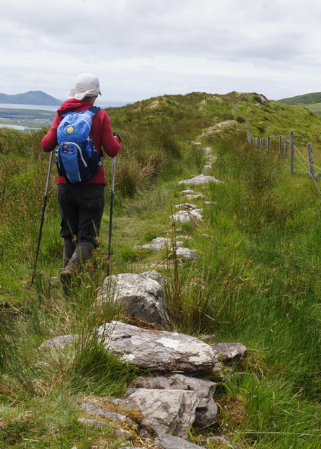
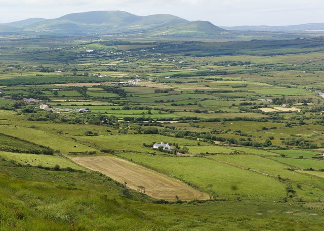
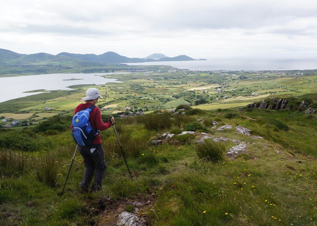
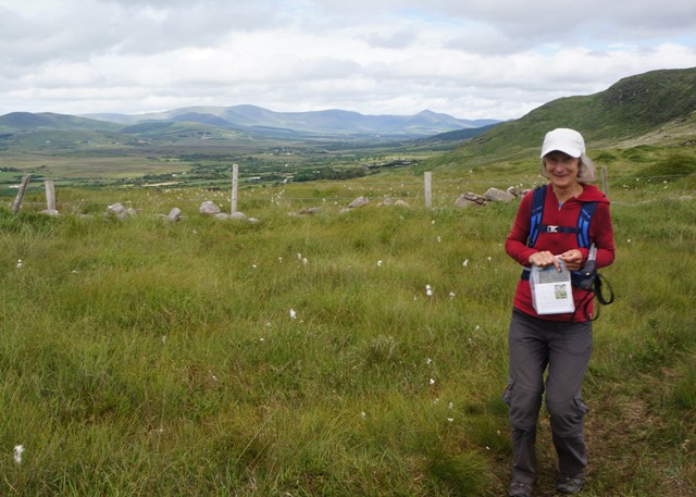
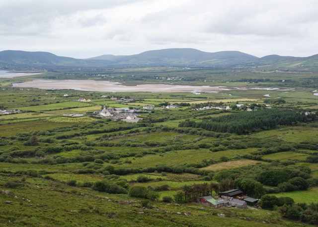
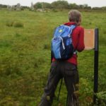
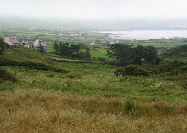
From the stone circle we quickly climbed up into the cloud layer and everything was white out. Our guide notes had us climbing further up across a hillside over boggy fields for some allegedly spectacular views down to Bere Island and Fair Head. We knew nothing would be seen from up there so devised our own route which kept us lower down on a minor tarmac road and kept our feet dry for most of the day. For our route we were using a large scale Ordinance Survey Map, without notes, so we made a few wrong turns which added a few kilometres to the day. Eventually we got it right and came down out of the cloud for a glimpse of Allihies, our destination.
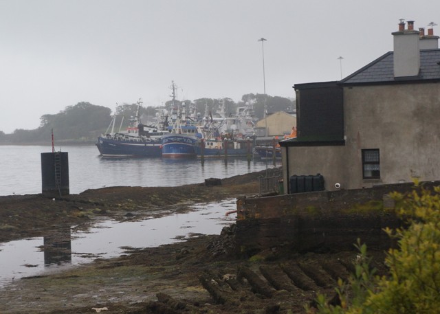
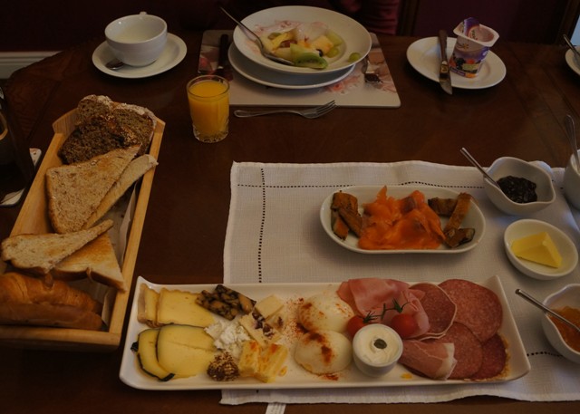
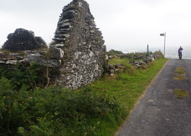
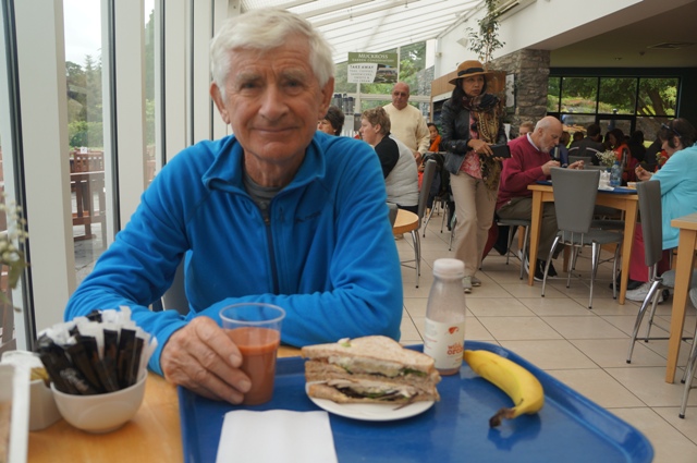
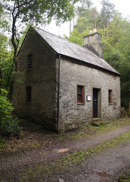
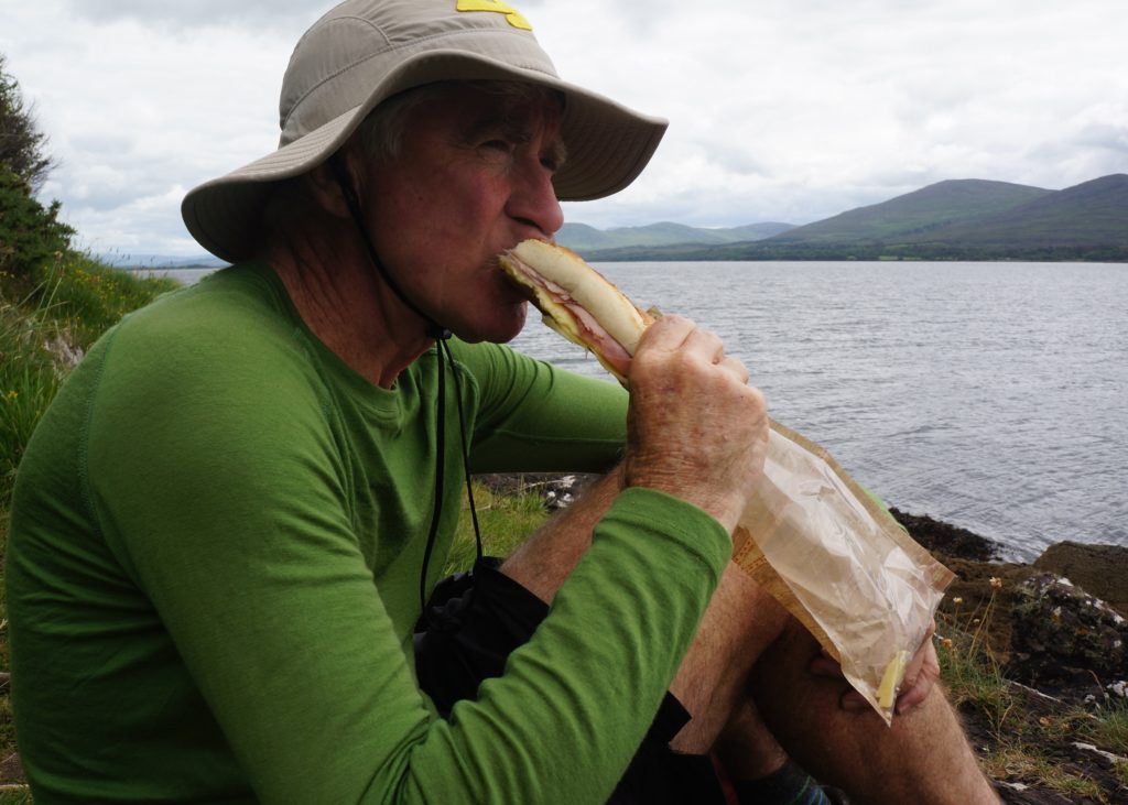
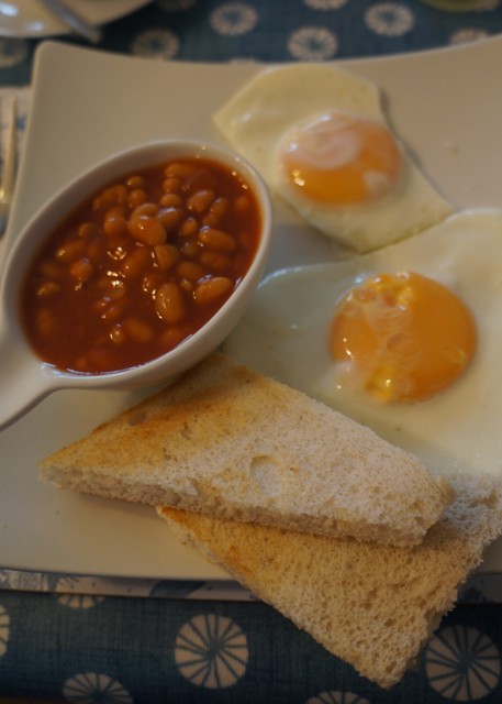
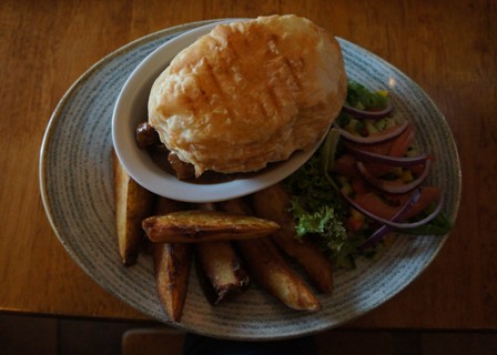
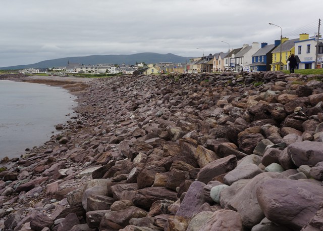
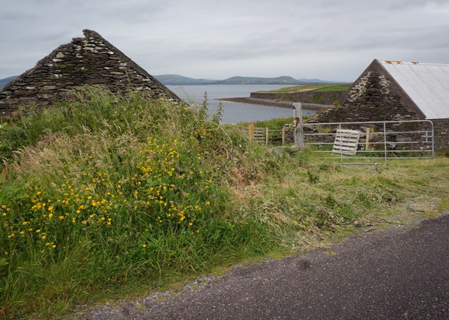
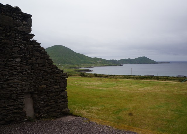
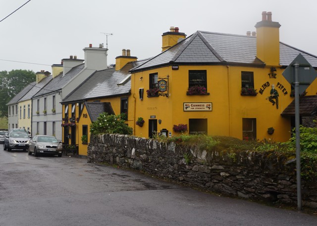
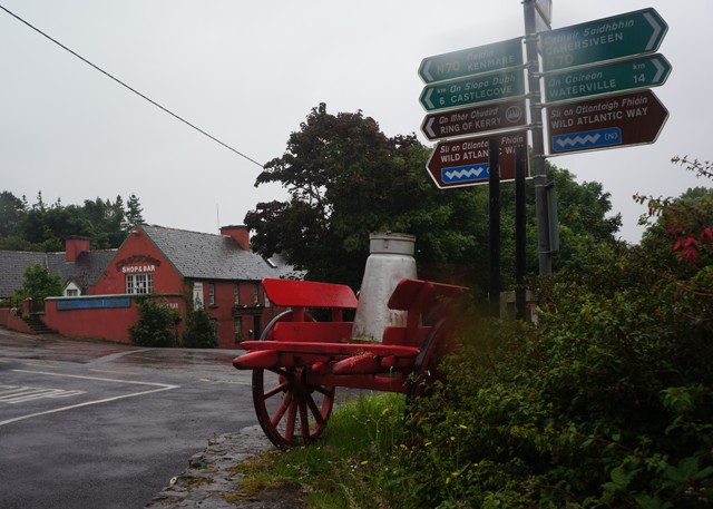
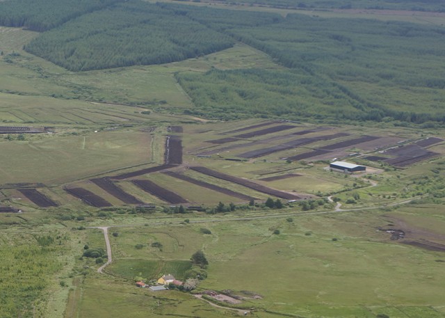
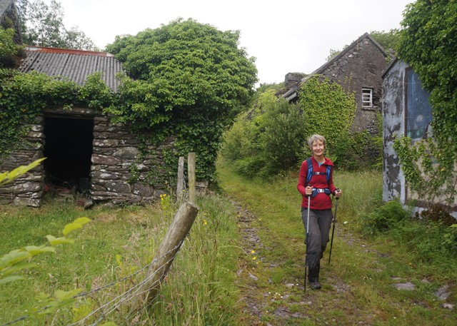
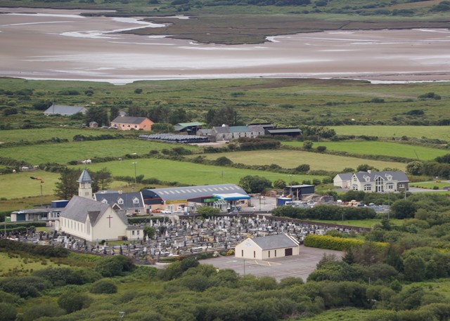
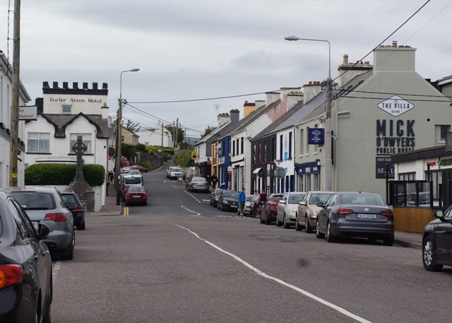
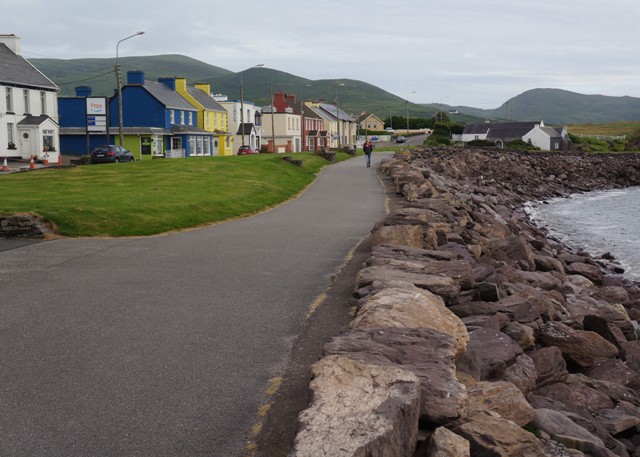
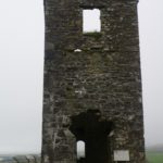
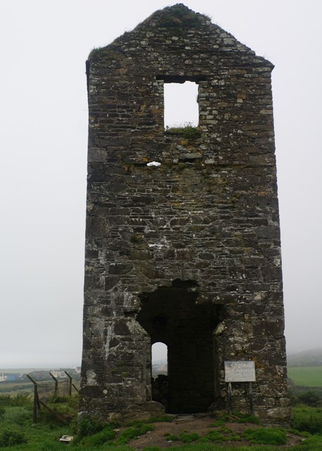
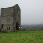
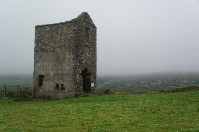
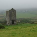
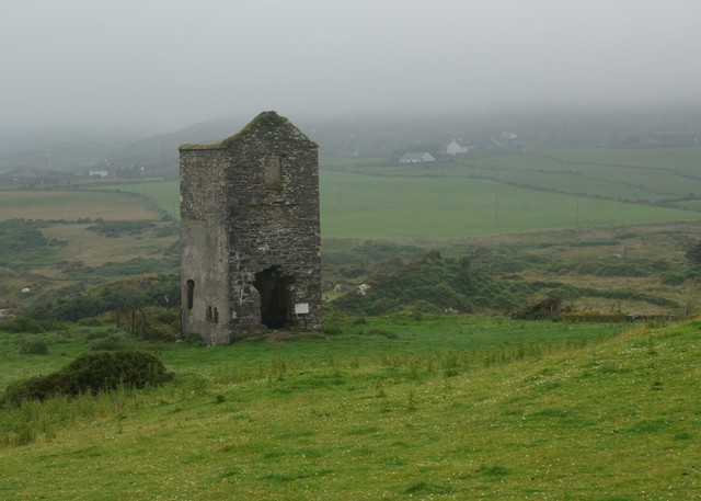
From the bronze age Allihies had been a site for copper mining. In 1812 a company was set up to mine the area and in the next hundred years nearly 300,000 tons of ore were sent to Swansea in Wales for smelting. 1500 people, largely Methodist Cornish miners, were employed in the mines. However the price of copper fell because of discoveries in other parts of the world, the source here ran out and the mining company closed. Allihies went back to being a small farming community. There are three ruined engine houses, used for pumping water out of the mines, still visible, and we had a look at one of them when entering the village. The most prominent one we will see on leaving the village in a couple of days time. There is a very good copper mining museum which has a ‘copper cafe’ where we had a most excellent lunch.
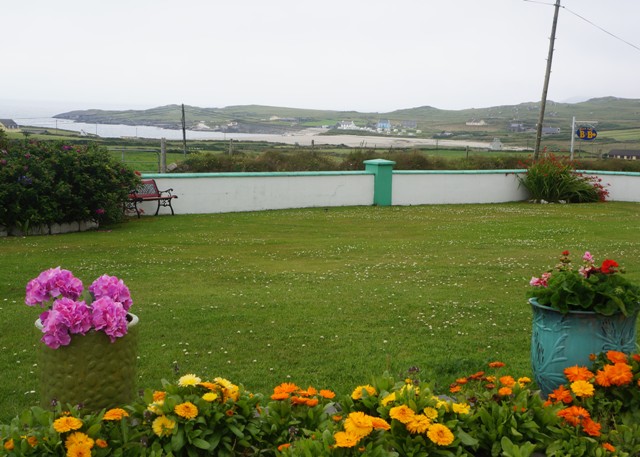
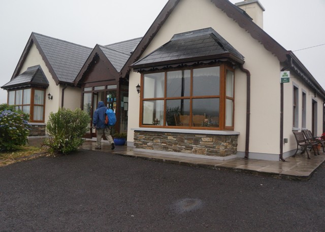
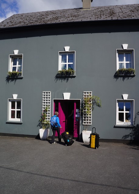
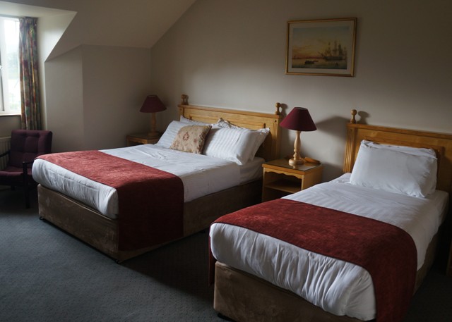
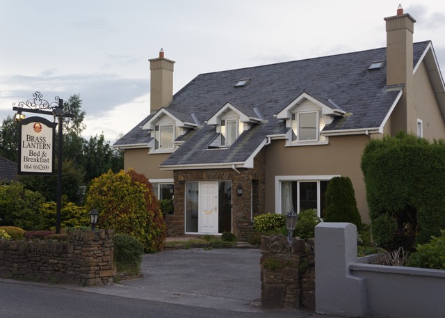
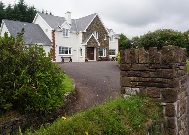
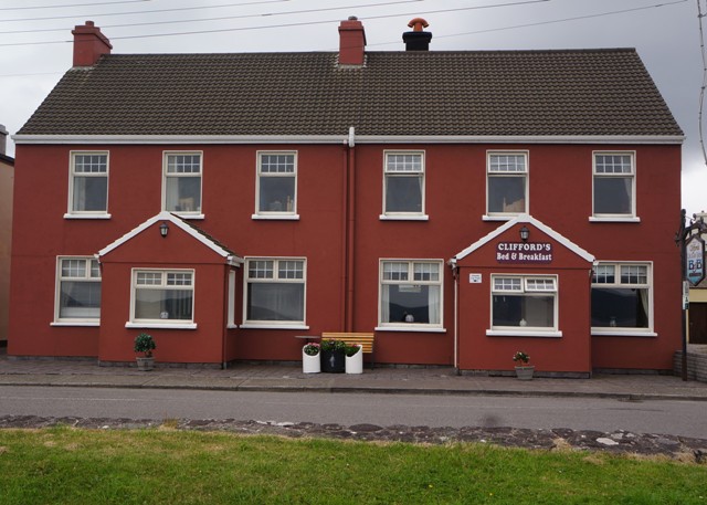
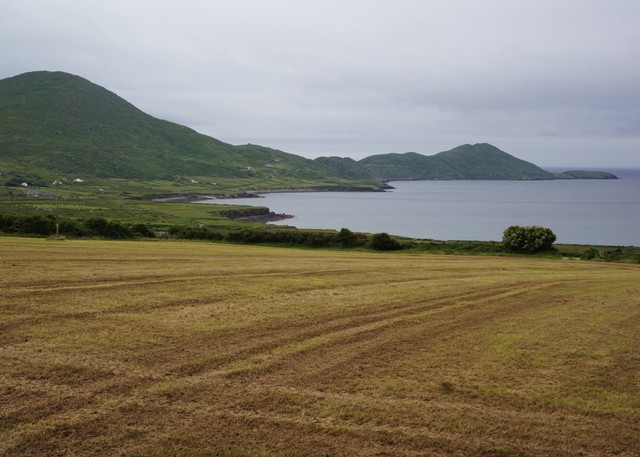
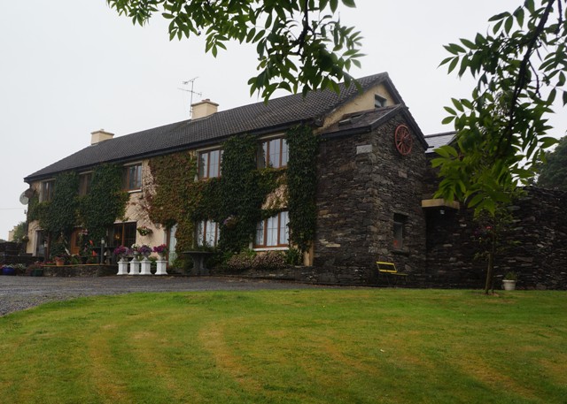
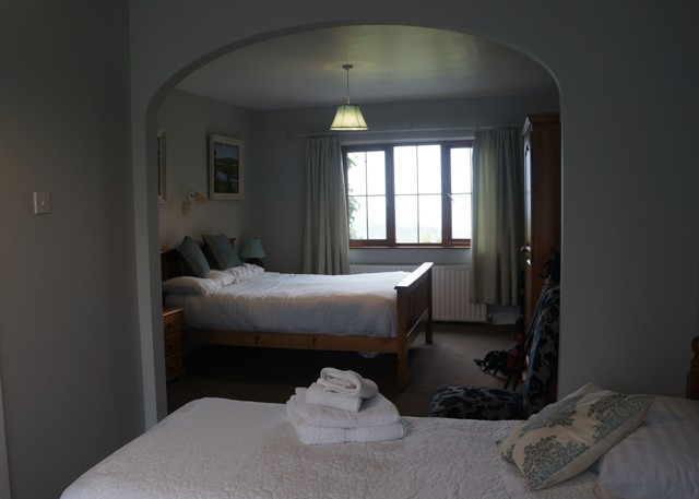
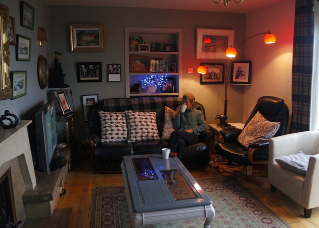
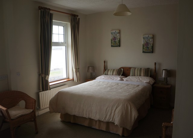
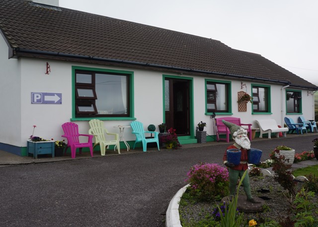
Our B & B is called Beach View and sure enough there is a beautiful white quartz sand beach below us in Ballydonegan Bay. But the beach is man made. The sand is the ore left over from the copper mining.
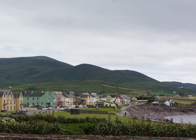
Allihies is the western most village on the Beara Peninsular and is the furthest village from Dublin in all of Ireland. This is how Beara got its name.
According to the ancient annals, Conn Cead Cathach (Con of the Hundred Battles) fought a fierce battle against Eoghan (Owen) Mór, King of Ireland at Clough Barraige in the early centuries AD. Eoghan was badly wounded in the battle. Those of his followers who survived took him to Inish Greaghraighe (now known as Bere Island) as a safe place for him to recover. There the fairy Eadaoin took him to her grianán (bower) where she nursed him back to health. This part of Bere Island is known as Greenane today.
Having fully recovered Eoghan and his followers then sailed southwards until they reached Spain. While there he met and married the princess Beara, daughter of the King of Castille. Wishing to return to Ireland, Eoghan and Beara sailed north with a large army and landed in Greenane on the south side of Bere Island. Owen took Beara to the highest point on the island and, looking across the harbour, he named the island and the peninsula in honour of his wife.
Old Irish saying of the day: In the land of the blind the one eyed man is king.
-
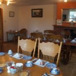
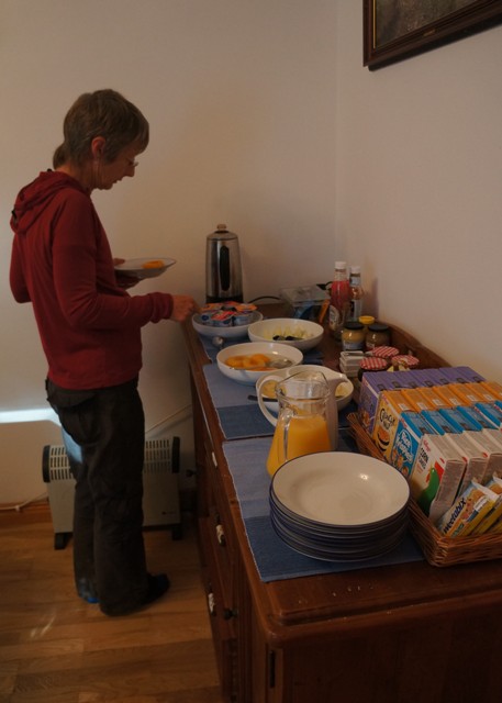
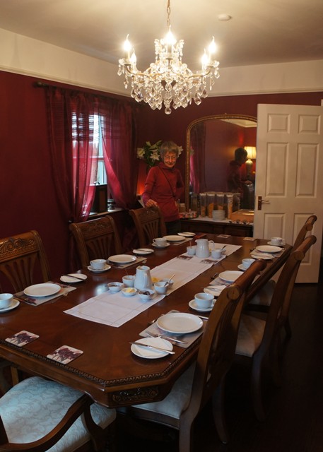
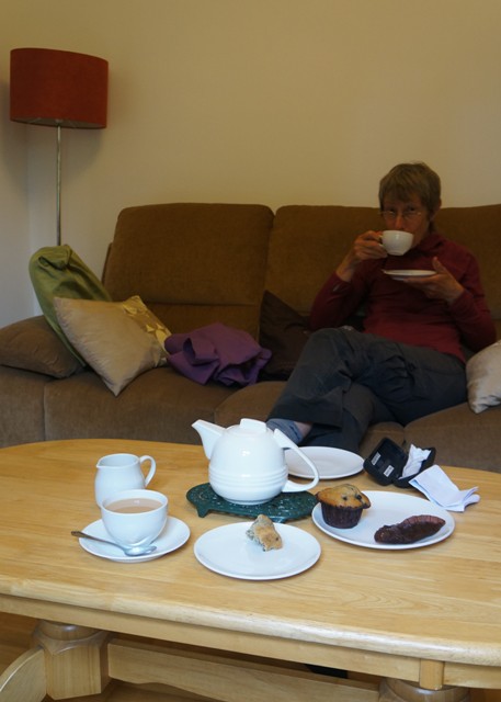
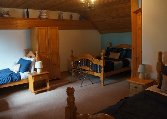
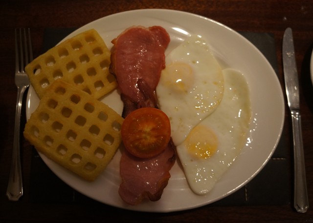
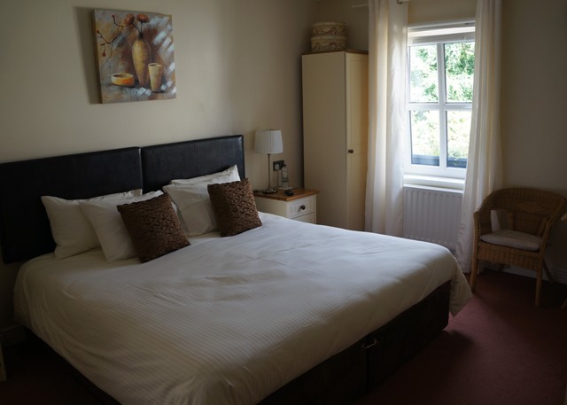
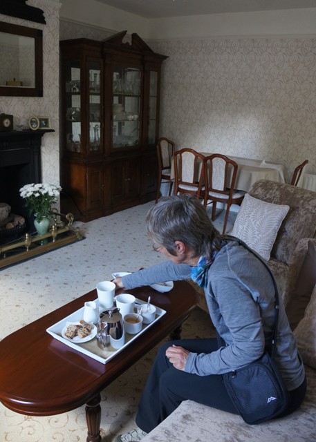
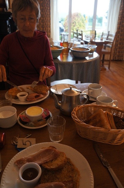
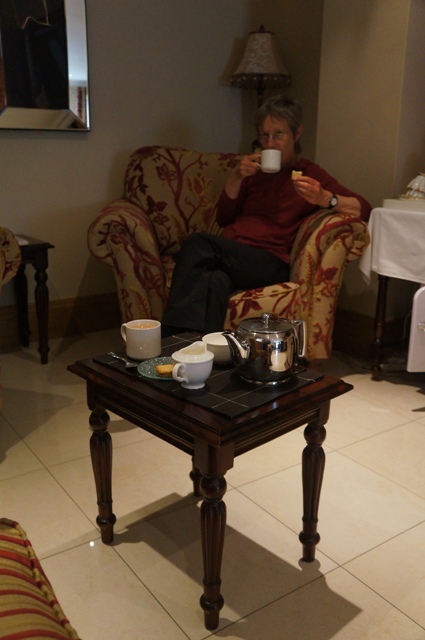
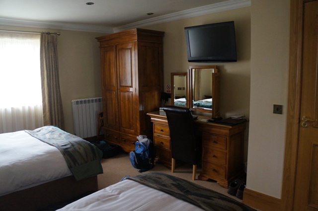
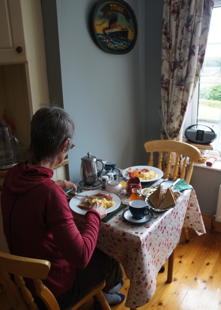
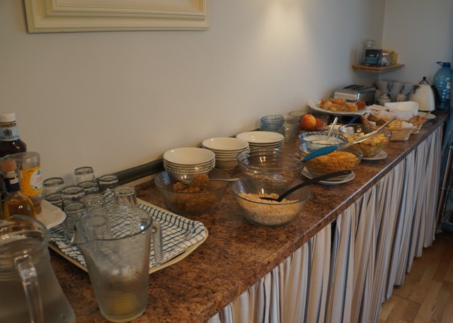
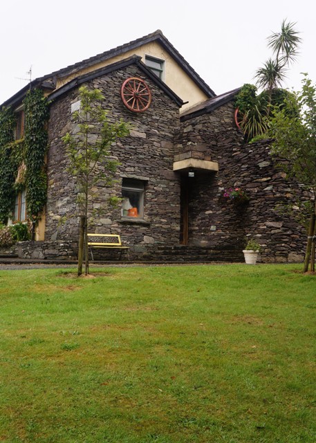
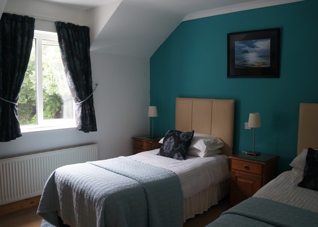
- Summer Hill breakfast room
-
- Stone circle in field
-
- Stone circle
-
- Stone circle
-
- stone circle
-
- Stone circle
-
- Stone circle
-
- Stone circle
-
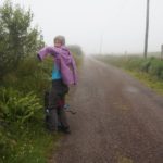
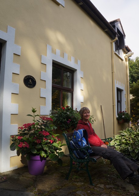
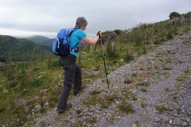
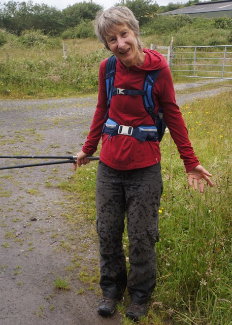
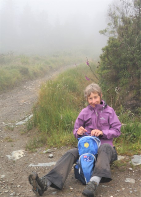
- Time for jackets on
-
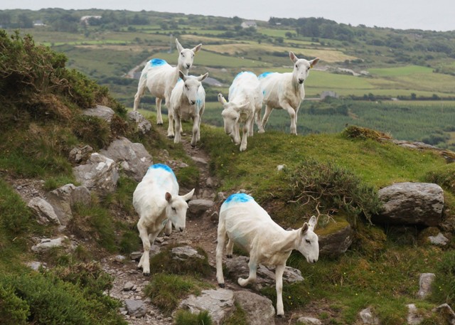
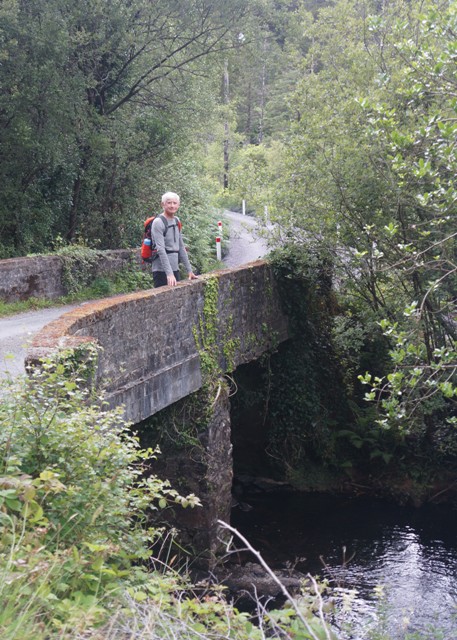
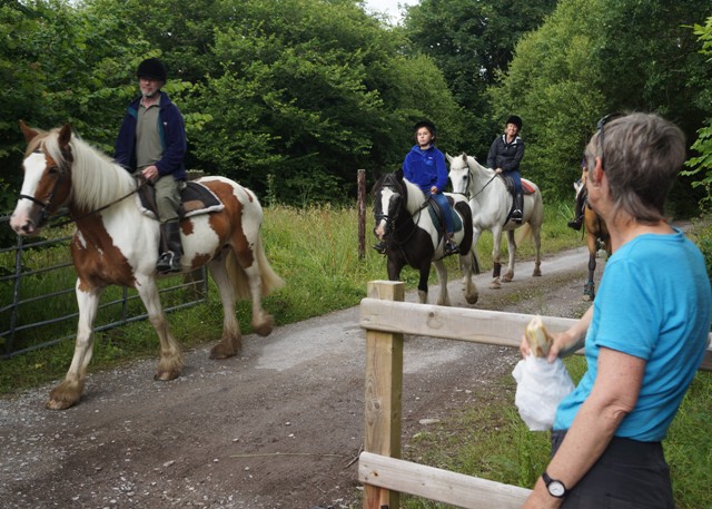
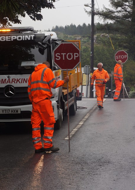
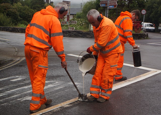
- Watch out for vehicles
-
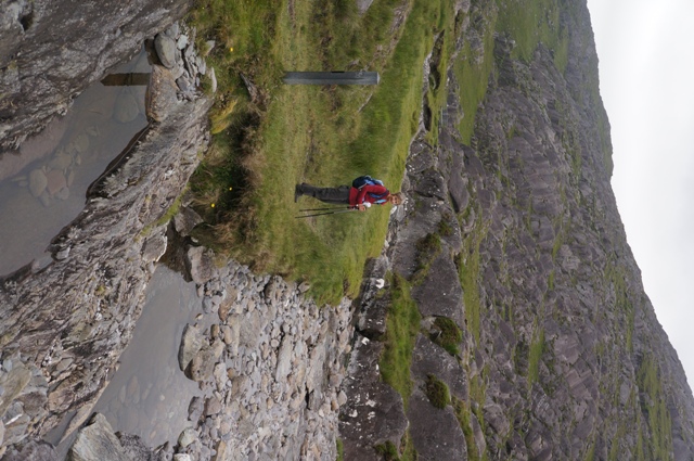
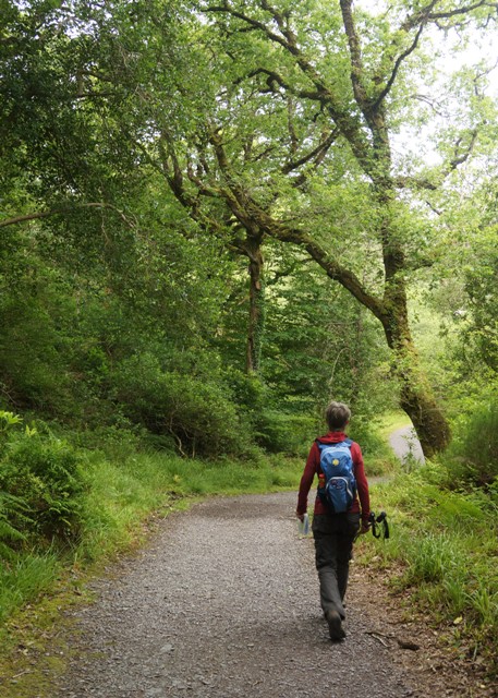
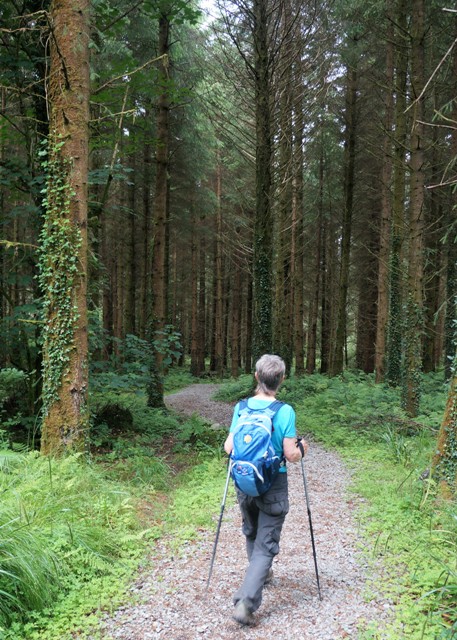
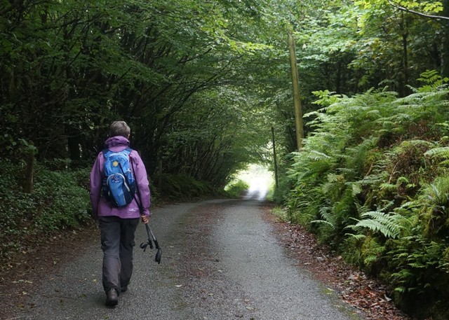
- Our lower route in the forest
-
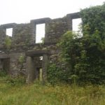
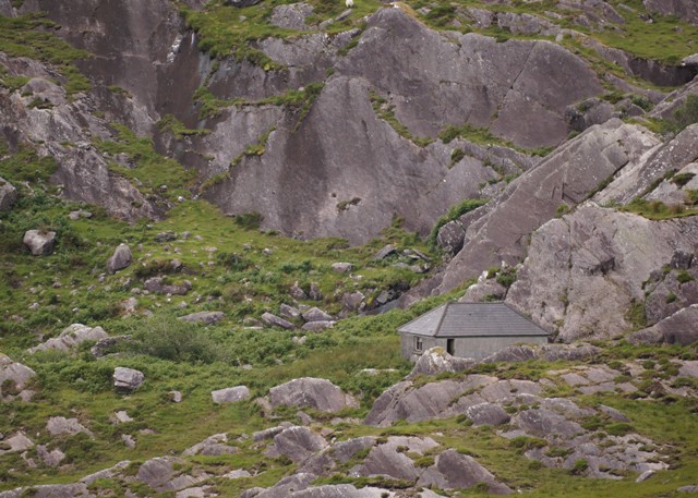
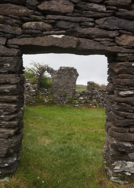
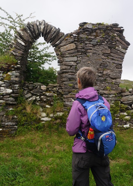
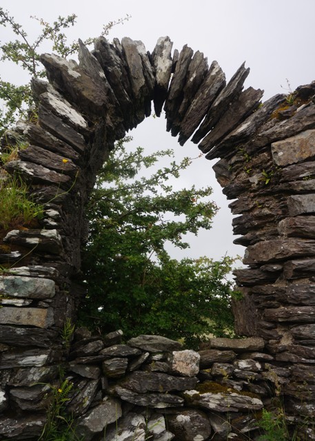
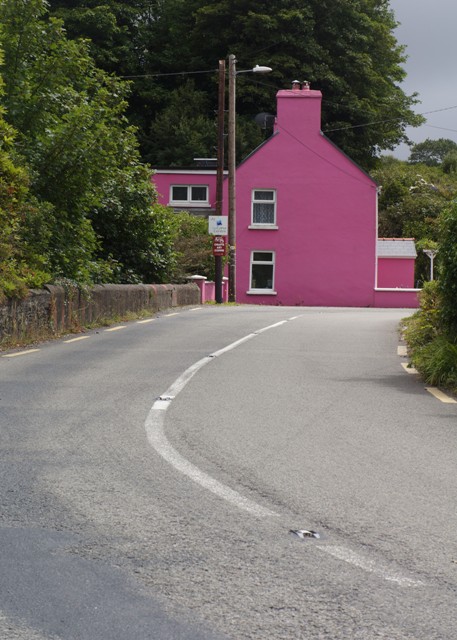
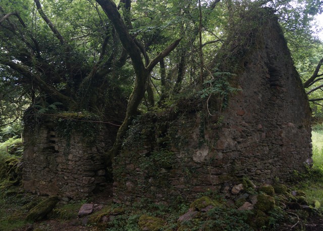
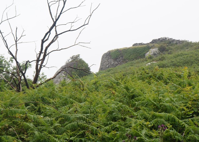
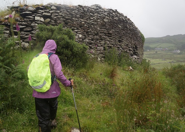
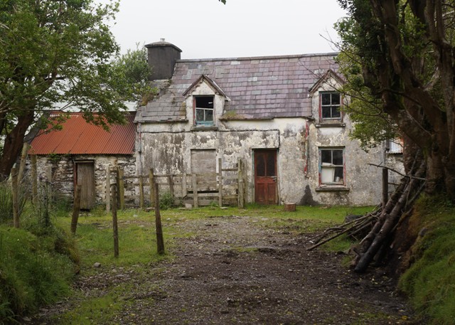
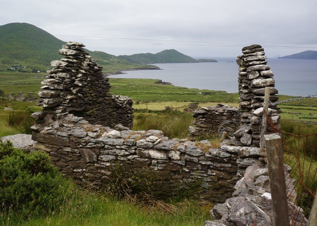
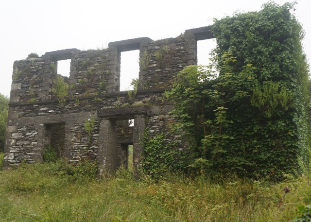
- House ruin of the day
-
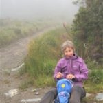
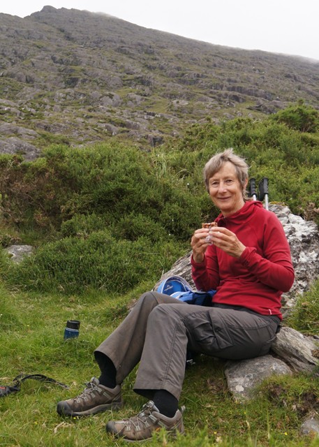
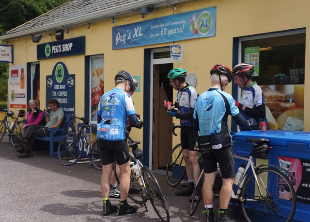
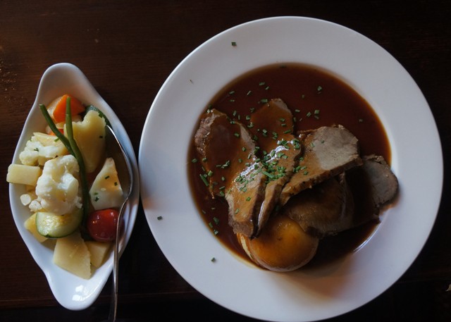
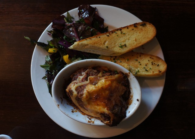
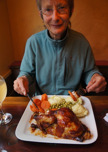
- Hungry
-
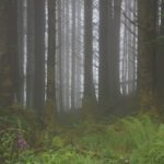
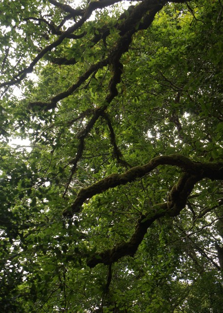
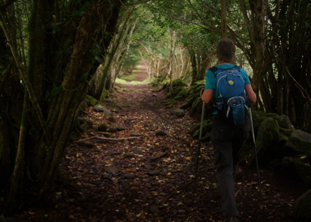
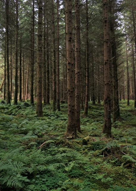
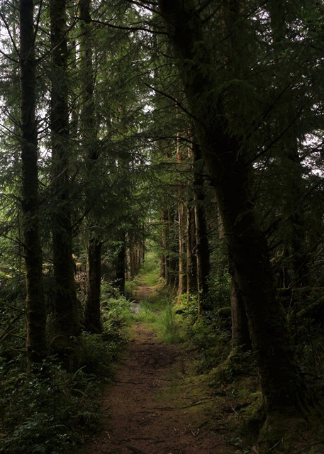
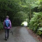
- Magic forest
-
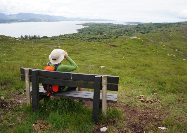
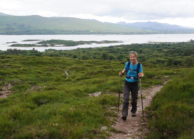
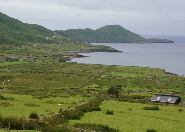
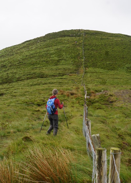
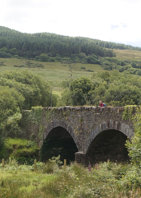
- Best view of the day
-
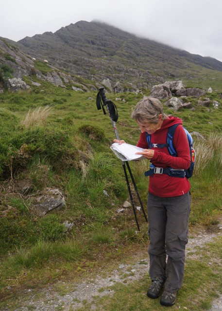
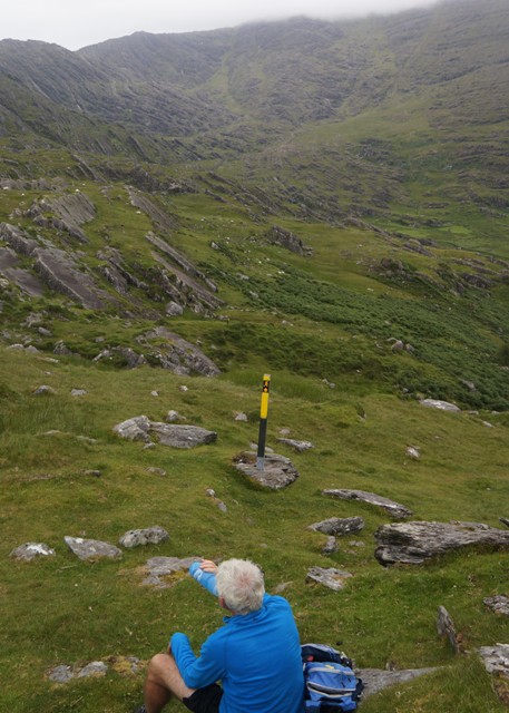
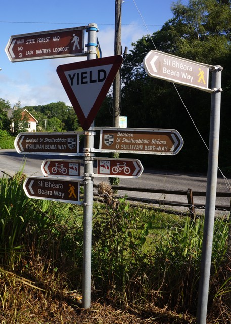
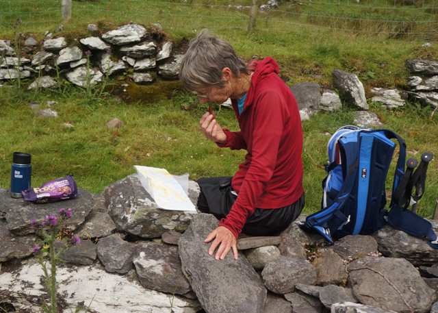
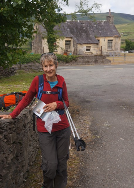
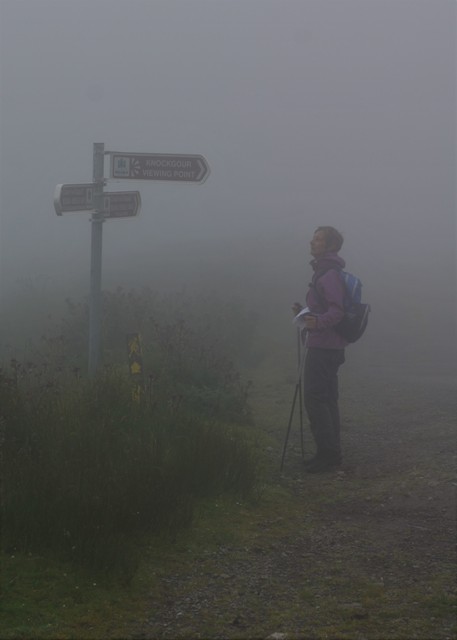
- Where are we?
-
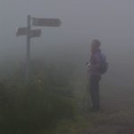
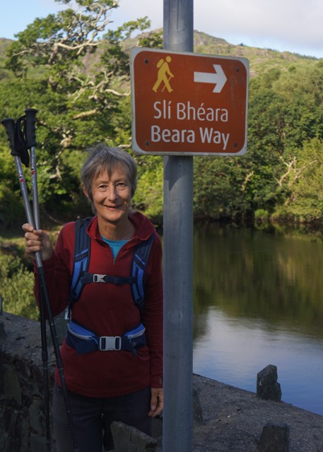
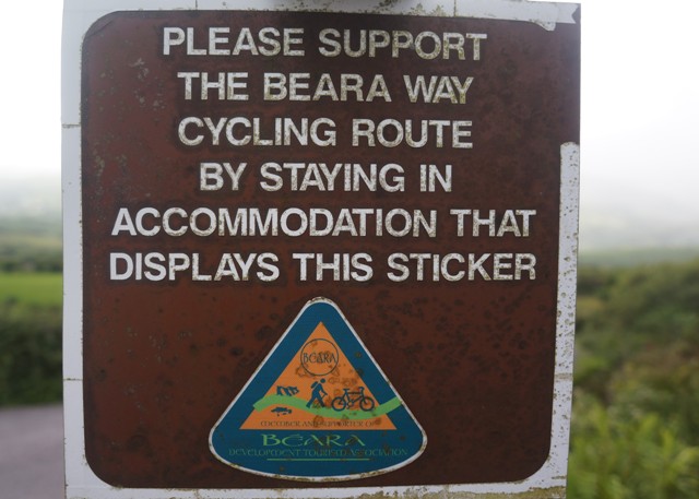
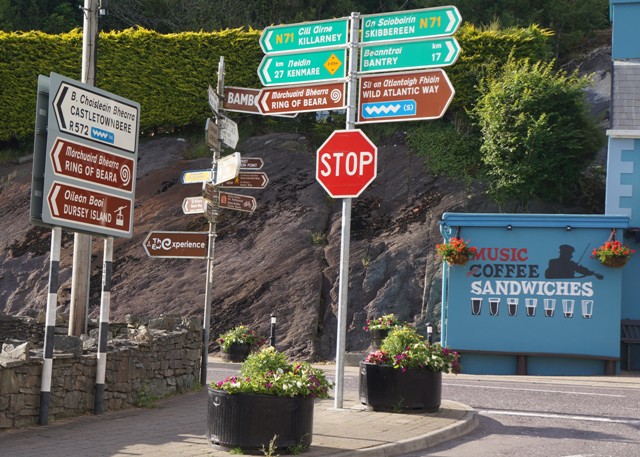
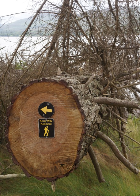
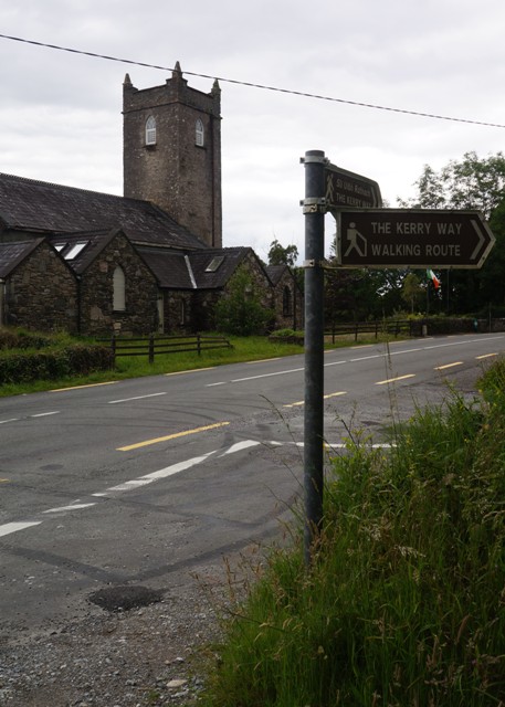
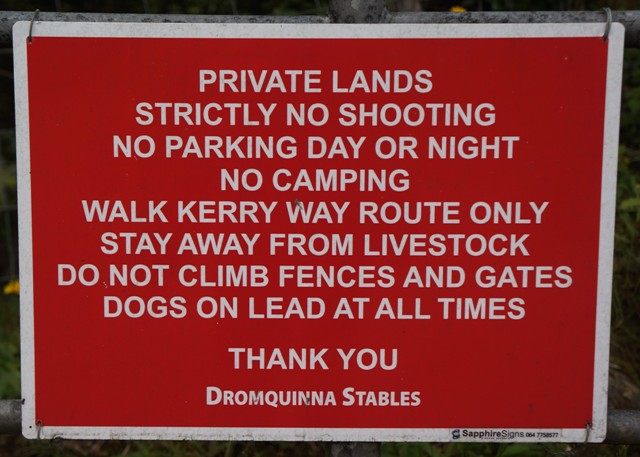
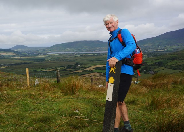
- Thank God for signs
-
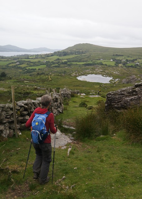
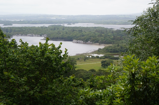
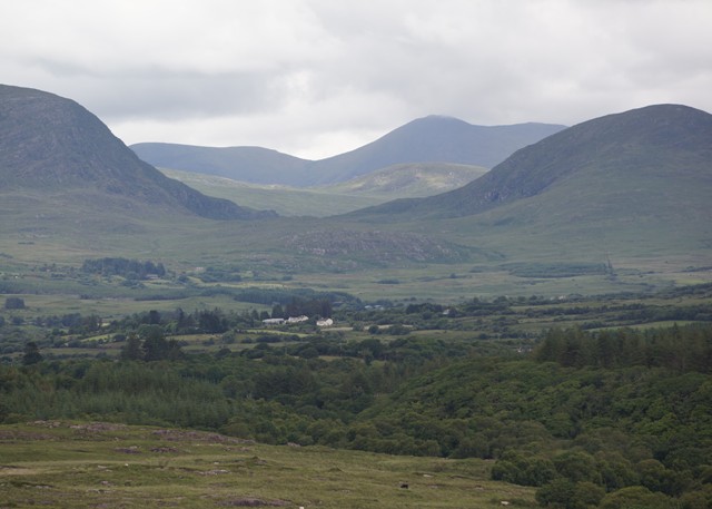
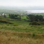
- Spectacular view down to beautiful Allihies
-
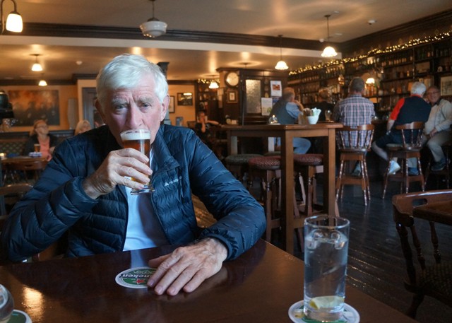
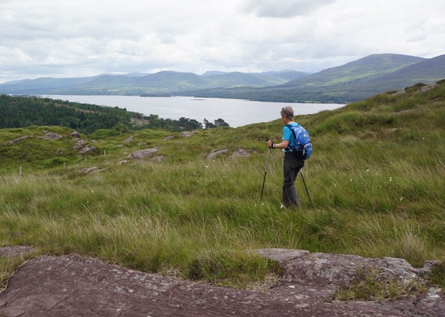
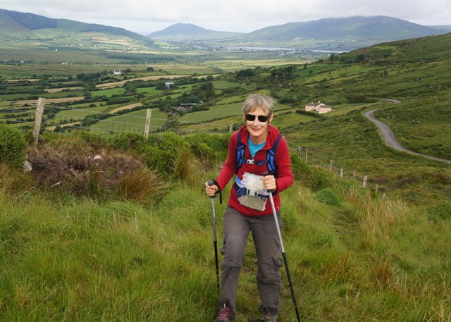
- I’m enjoying this.
-
- Mine pump engine room
-
- Mine pump engine room
-
- Mine pump engine room
-
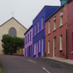
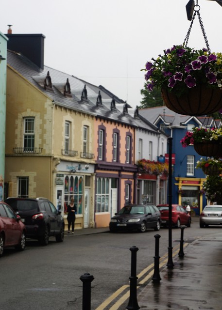
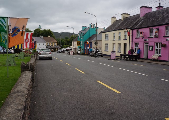
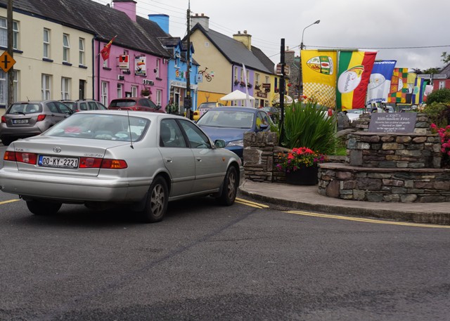
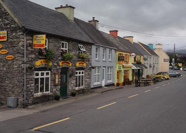
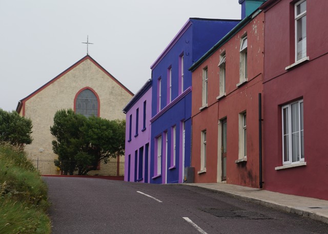
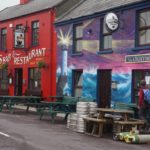
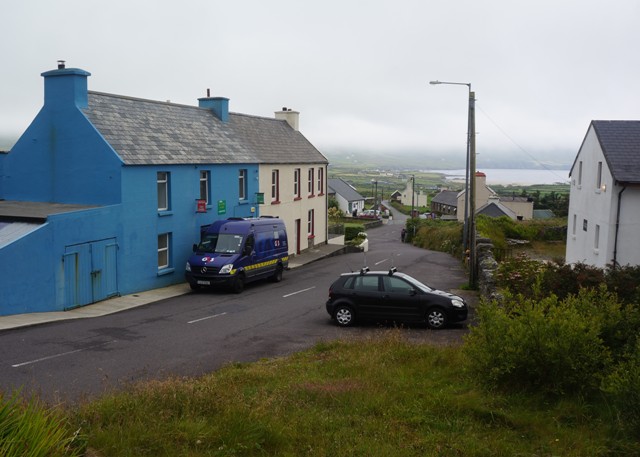
- Allihies
-
- Allihies
-
- Allihies
-
- Allihies
-
- Ballydonegan Bay
-
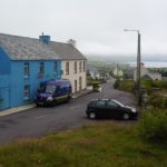
- Allihies
-
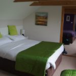
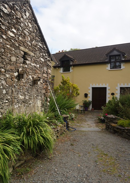
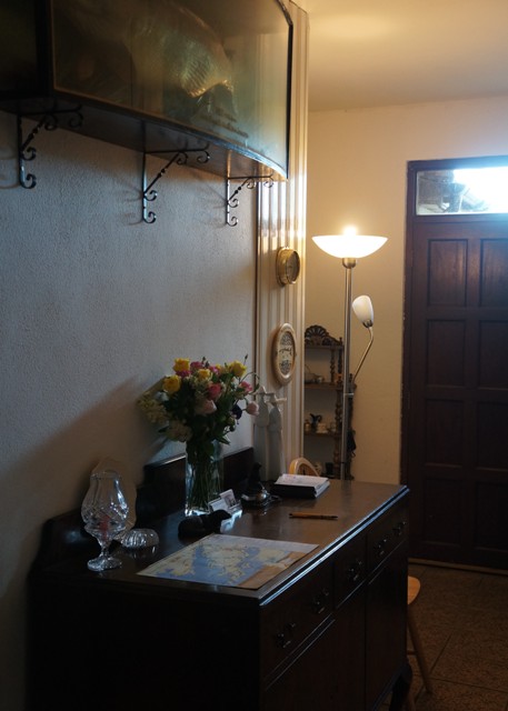
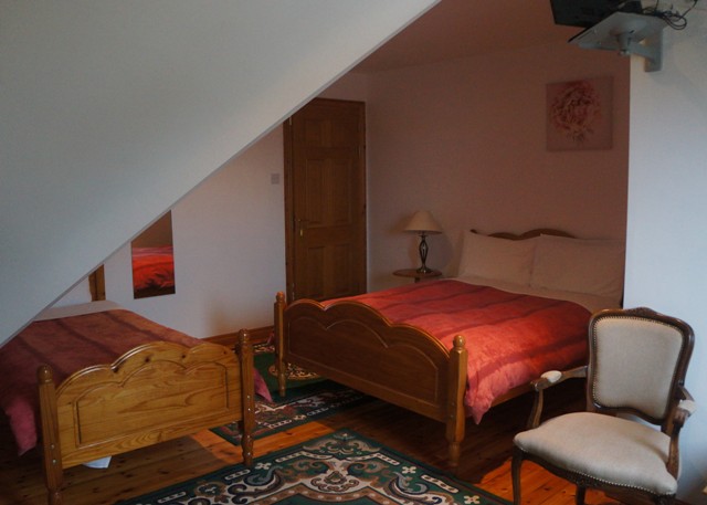
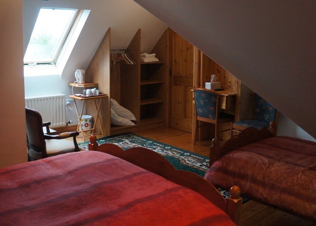
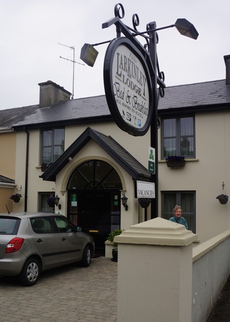
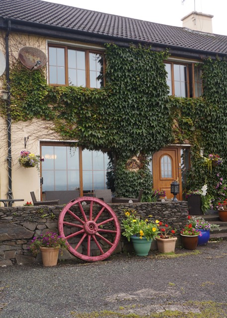
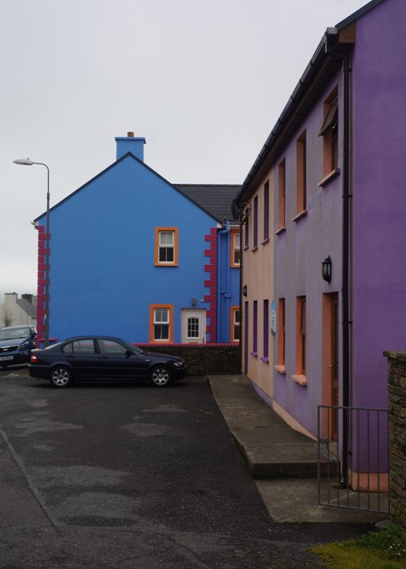
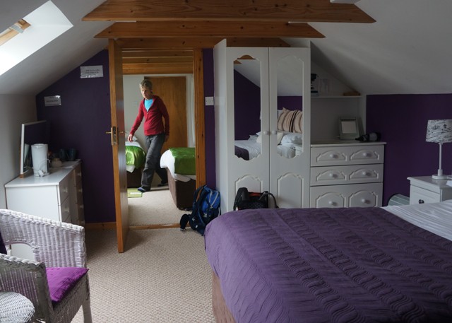
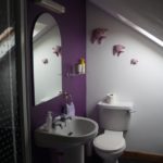
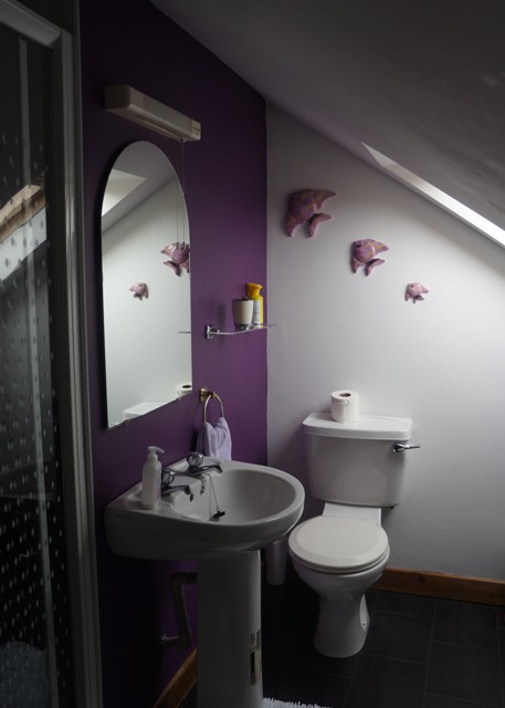
- Beach View B & B
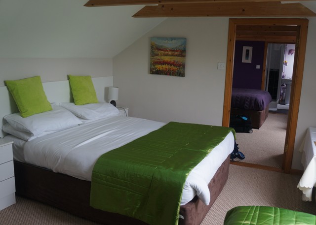
-
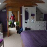
- Beach View B & B
-
- Beach View B & B
-
- Beach View B & B
-
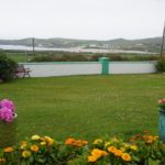
- Beach in the distance