Category Archives: Ireland 2017

What did we think of it and where to next

What did we think of it?

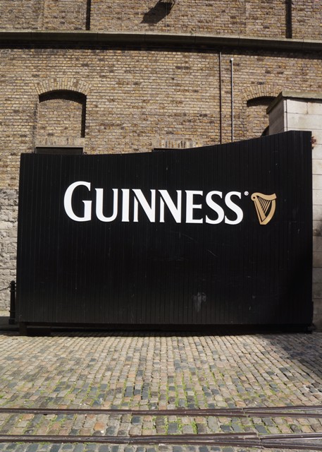
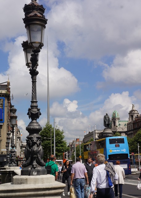
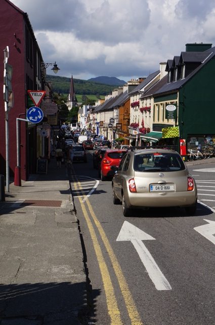
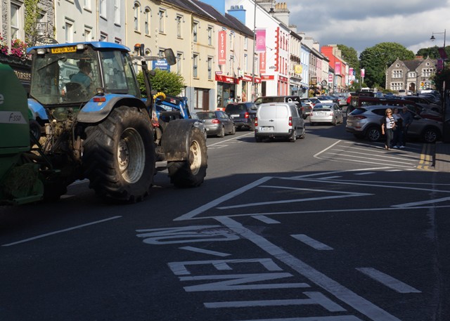
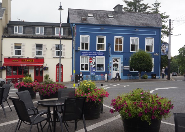
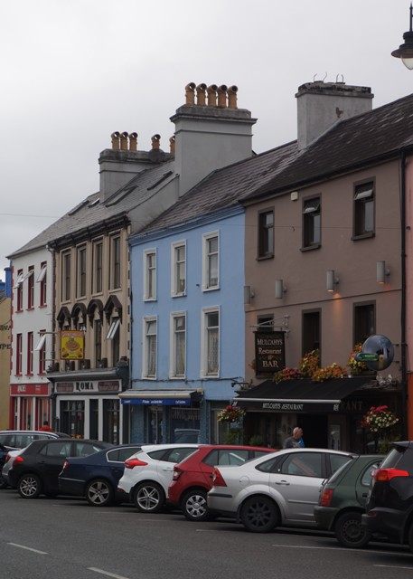
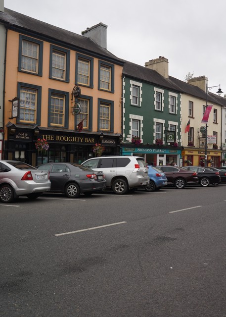
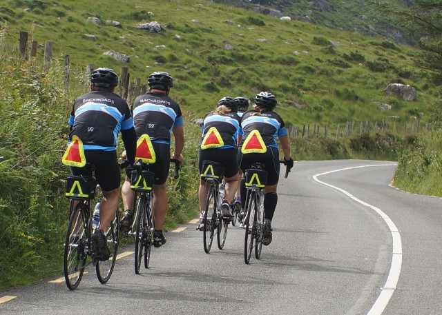
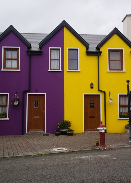
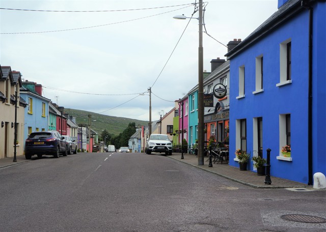
Ireland is a beautiful and interesting country to visit. They have 10 million visitors a year and make it easy to be a tourist. The Irish are very obliging, they drive on the same side of the road as us, and they sort of speak the same language. Except deep in the southwest where they also speak Irish Gaelic. The green countryside seems like home and the culture, slang and humour are all familiar. I guess because our own culture has so many influences from Ireland.

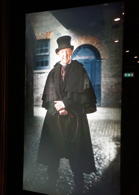
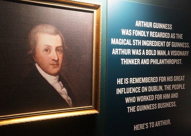
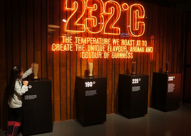
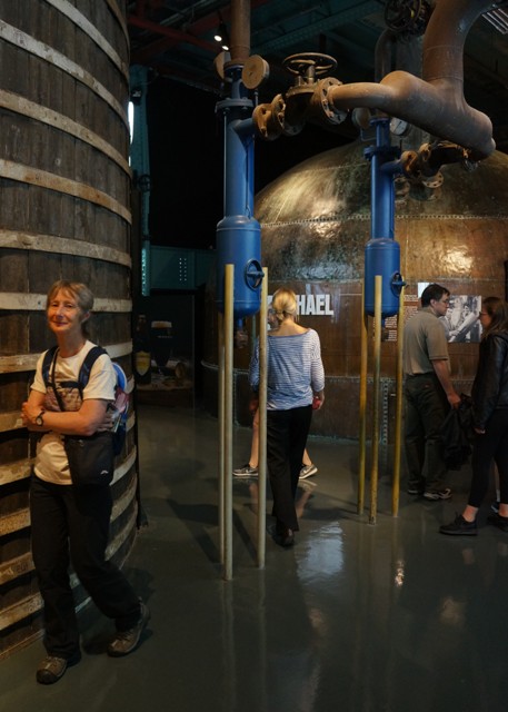
I had vaguely thought I would like to go to Ireland and see where my ancestors came from but it wasn’t really near the top of my ‘must do’ list. It was a brief visit there in 2015 by Barbara that focused our attention on the Emerald Isle.

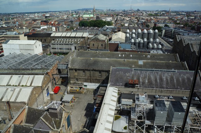
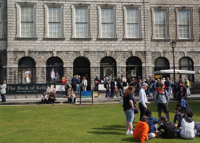
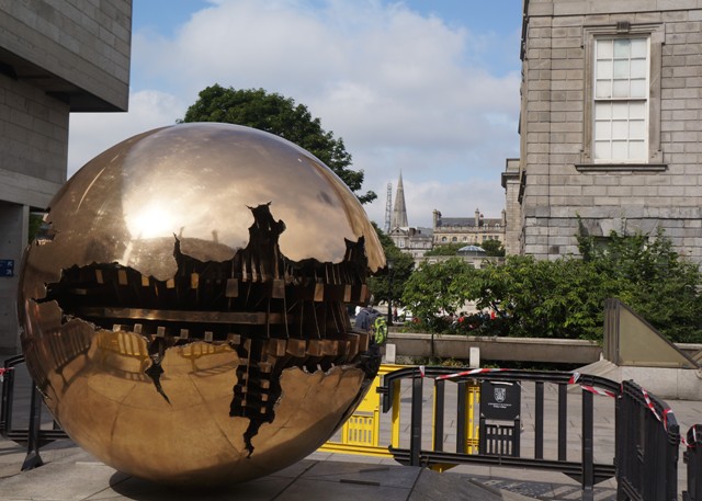
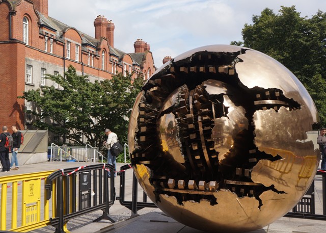
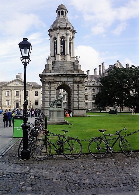
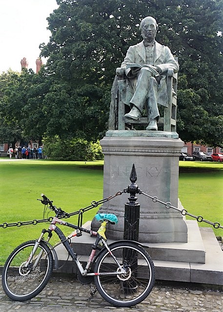
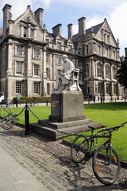
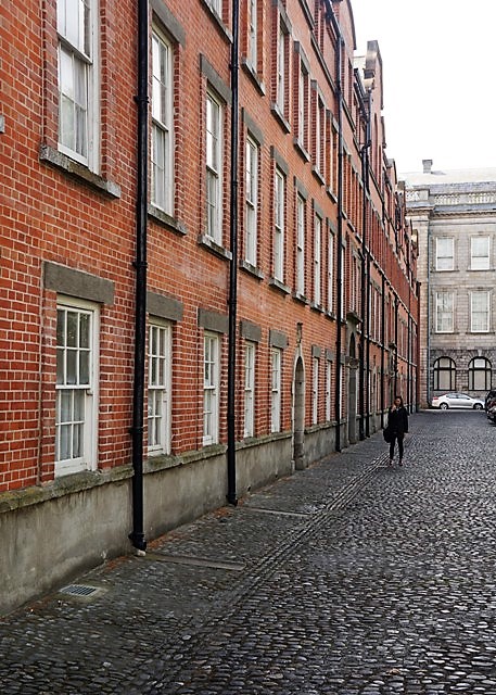
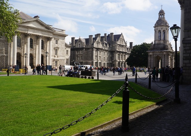
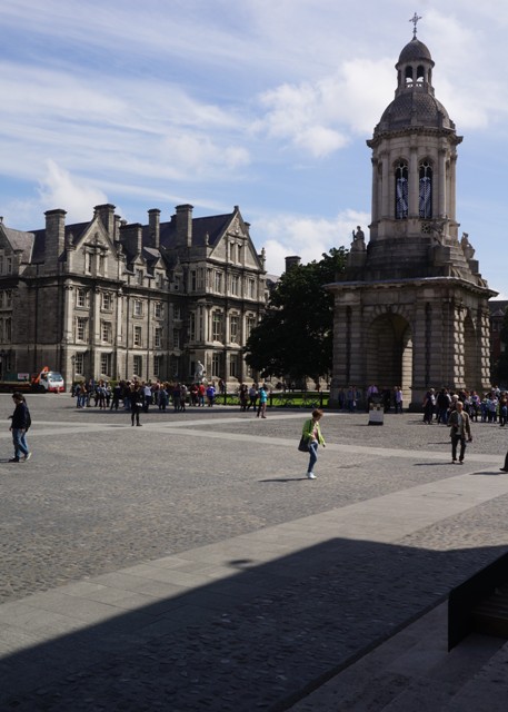
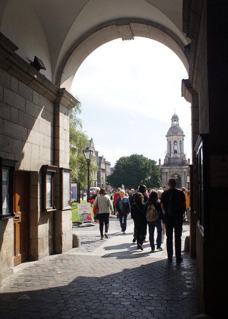
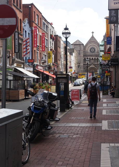
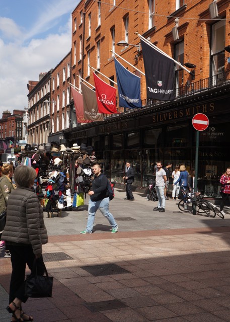
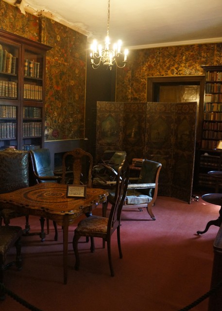
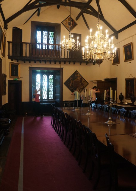
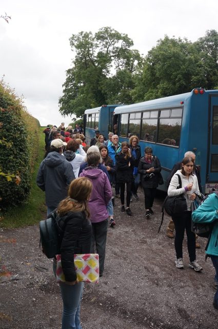
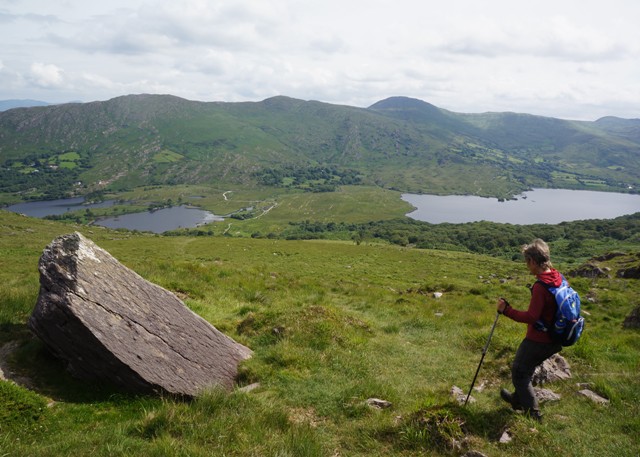
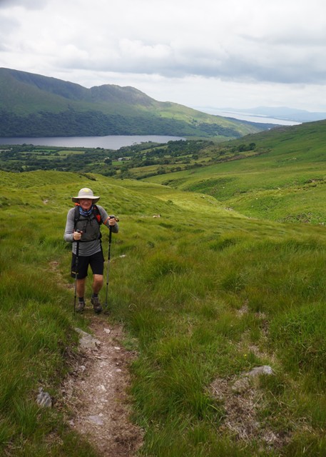
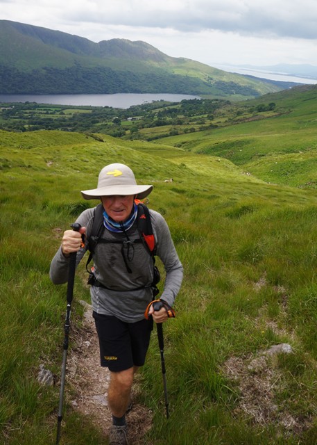
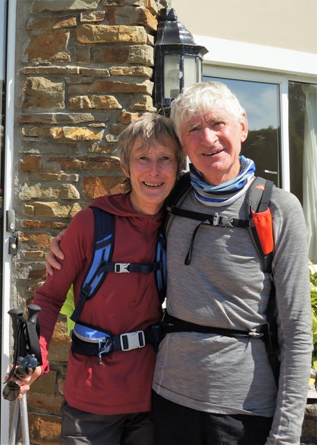
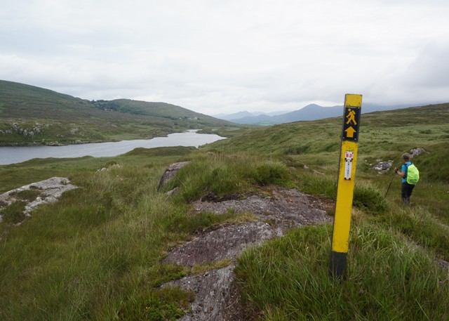
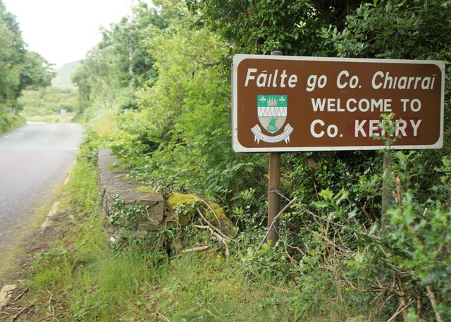
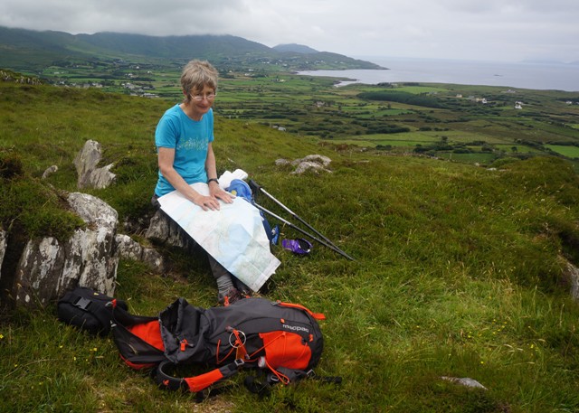
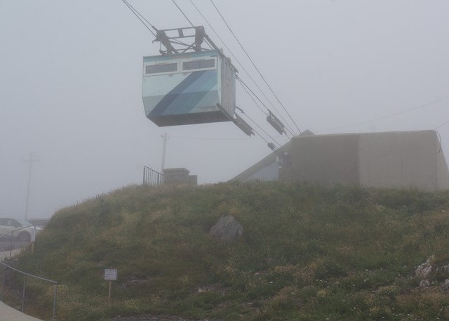
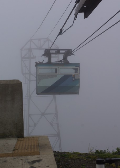
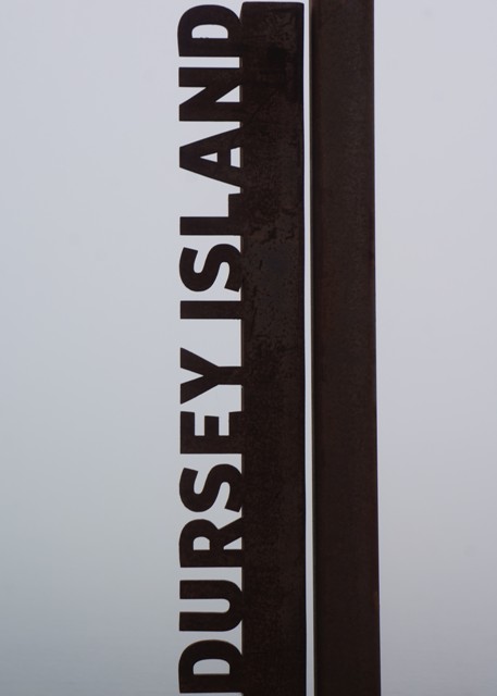
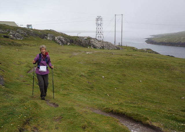
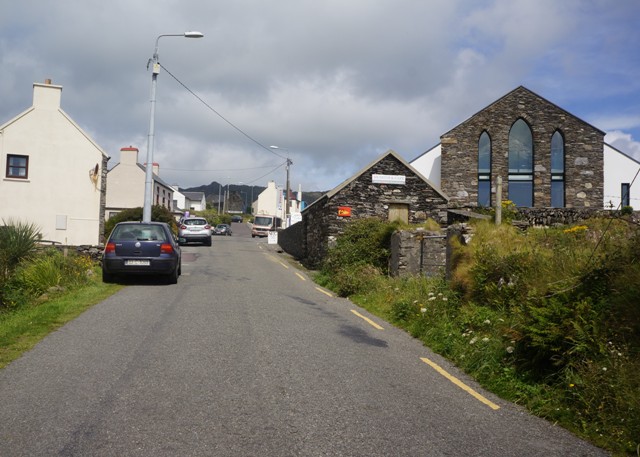
Our intention was never to “do” Ireland in four days in a rental car, or ten days on a coach. Our plan was to spend a week in Dublin and five weeks walking a small part of the southwest where three peninsulas jut out into the Atlantic Ocean.

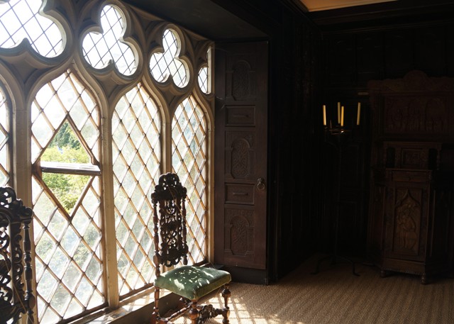
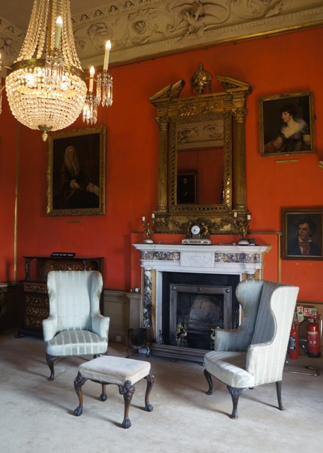
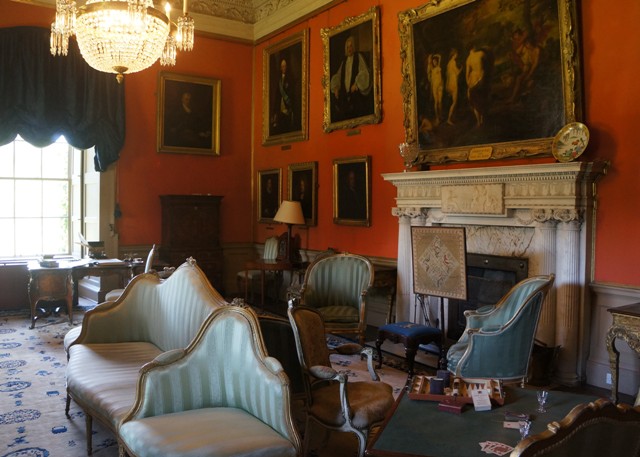
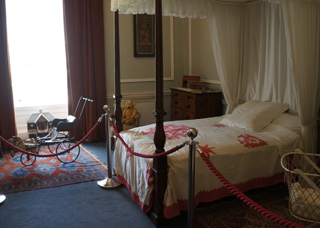
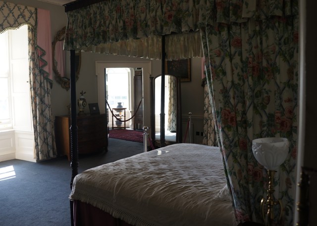
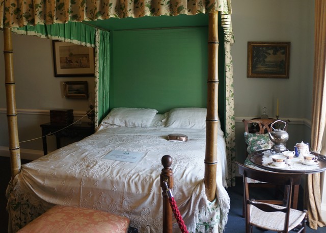
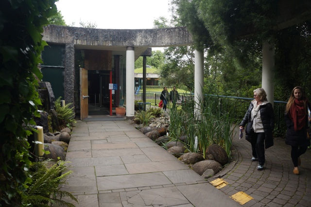
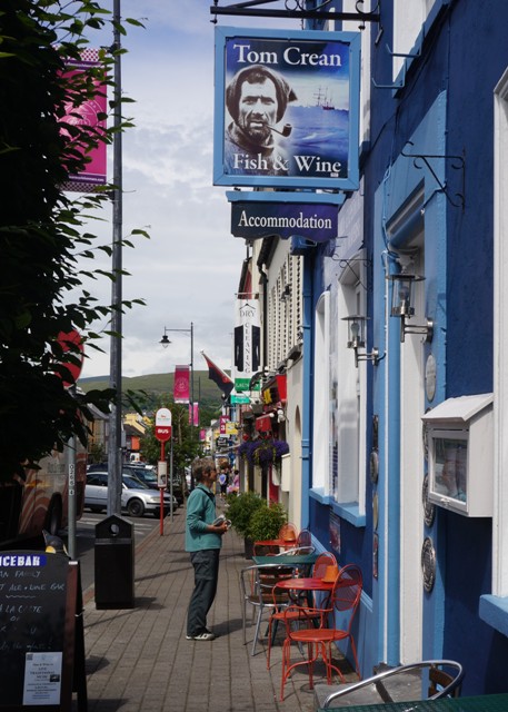
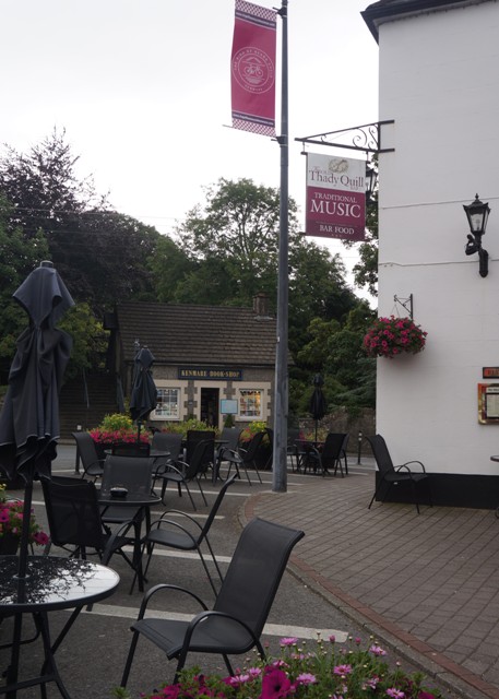
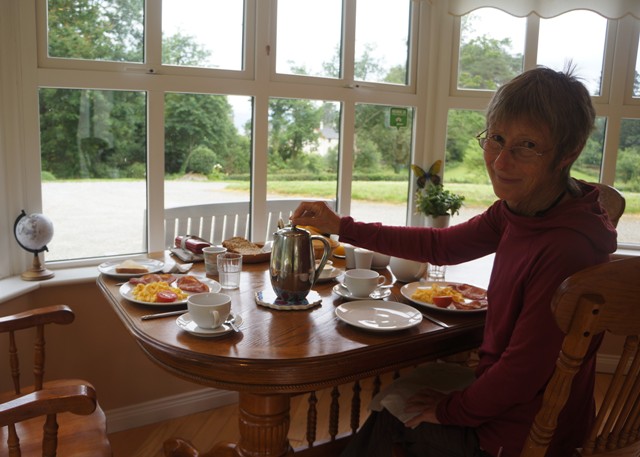
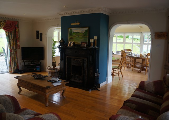
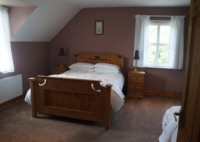
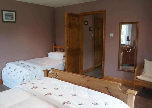
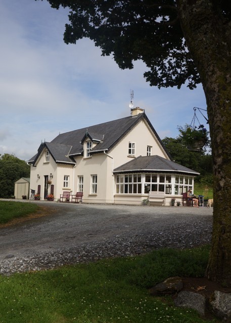
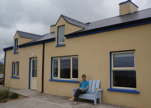
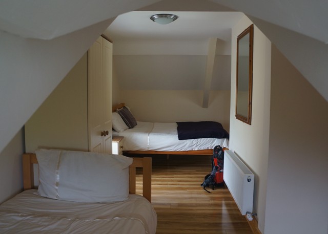
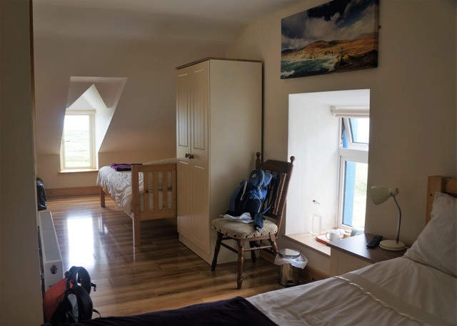
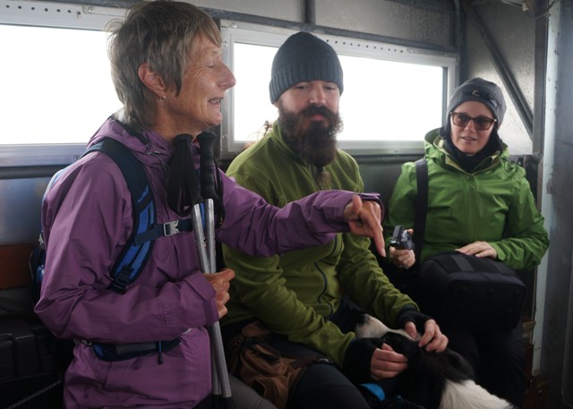
Our accommodation was mainly in B & Bs and a few times in small hotels. Accommodation was generally excellent. We could nitpick about minor things, but in reality these were trivial. Hospitality was great, everyone was very obliging and helpful. On request they made us packed lunches, drove us to the trail etc.

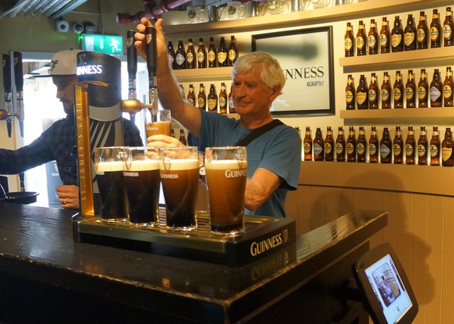
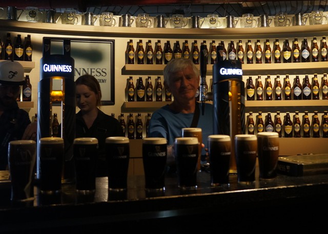
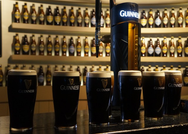
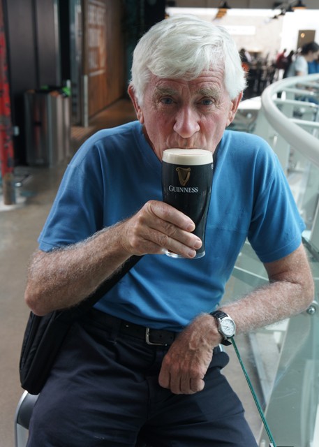
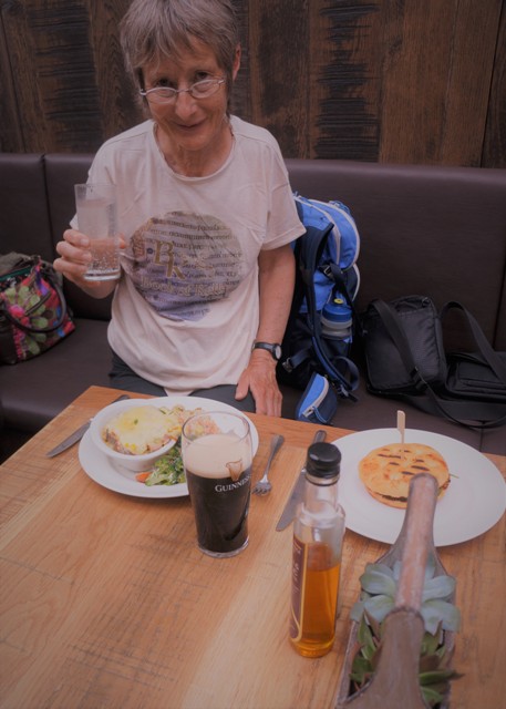
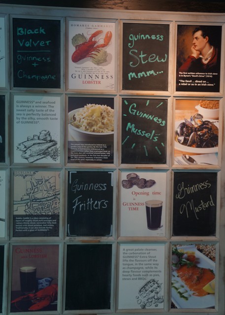
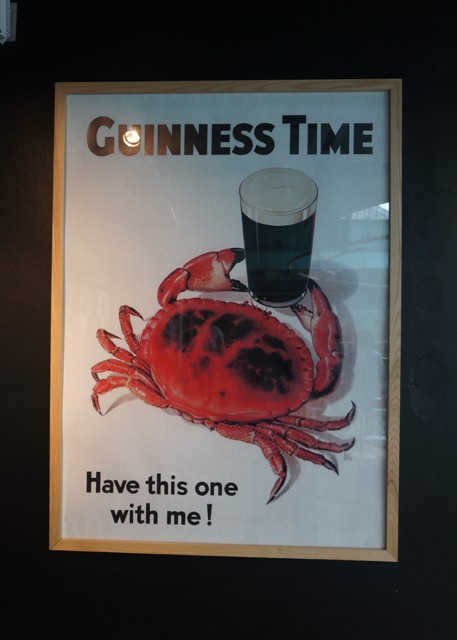
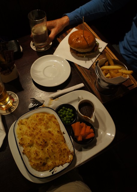
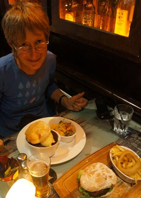
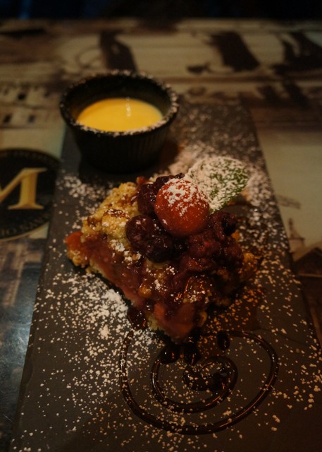
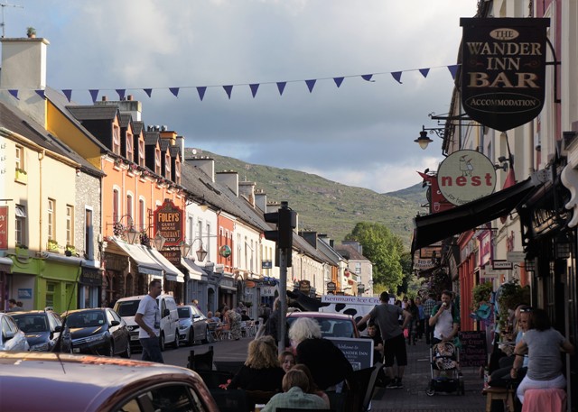
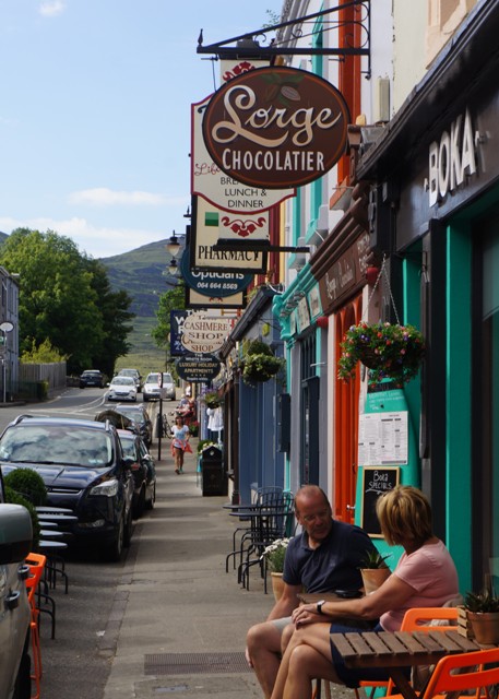
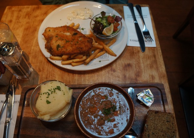
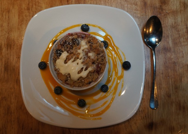
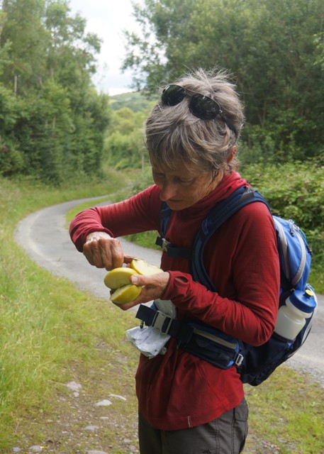
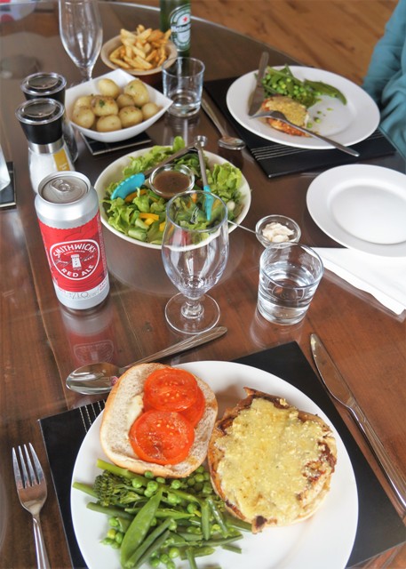
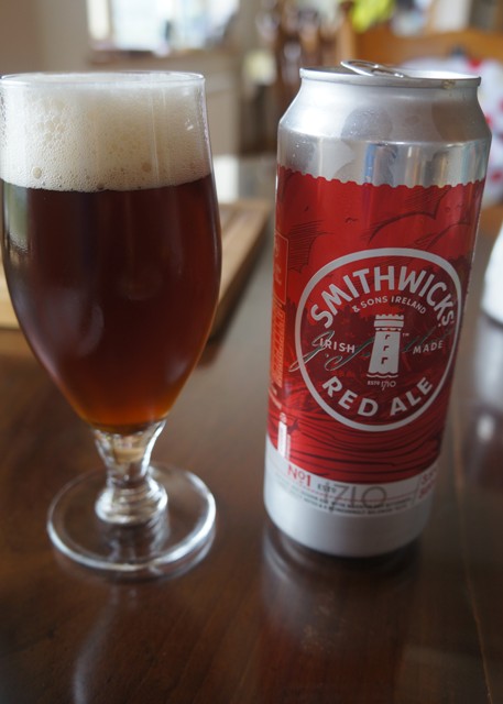
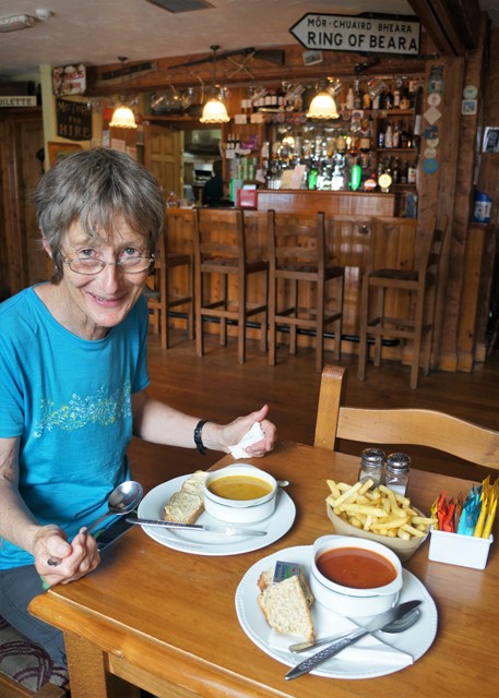
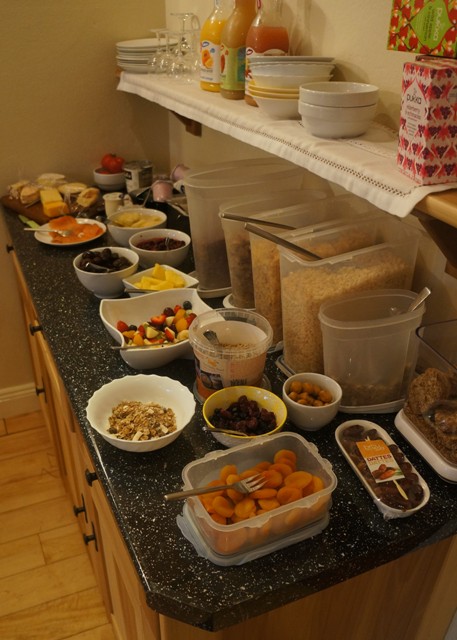
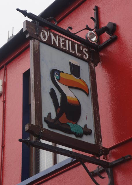
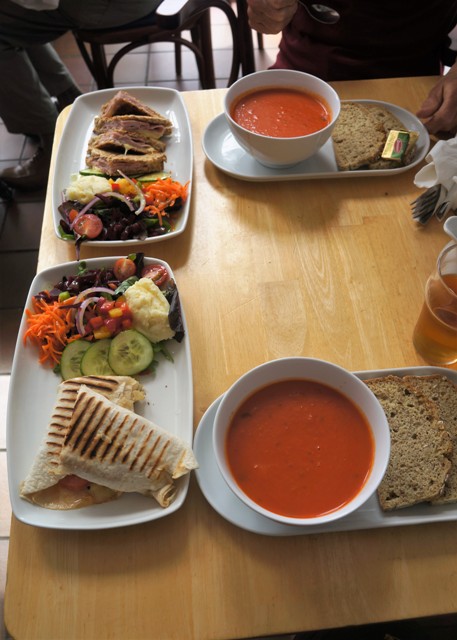
The food suited us very well. Much better than in Spain last year – although no vino tinto included in evening meals. We weren’t looking forward to ‘Full Irish Breakfast’ but in reality everywhere had other options. Every grocery and supermarket had a deli where they would make you fresh sandwiches, rolls etc with a large variety of fillings. Fresh fruit, drinks and all the usual stuff available in every village. Irish pubs have great meals, often breakfast and then meals from about noon until 9.00pm (then the live music starts). Unlike Spain where they have the afternoon siesta and don’t start evening meals until about 9.00pm. Soup and starters €5, mains €14, desserts €6, and you don’t have to drink. Unlike Spain there are no drinking fountains along the way and often no villages all day so you have to prepare and take food and drink with you for the day.

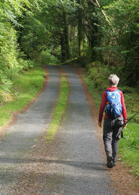
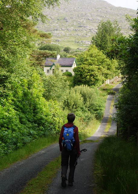
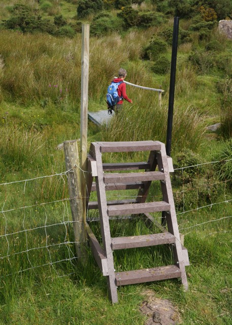
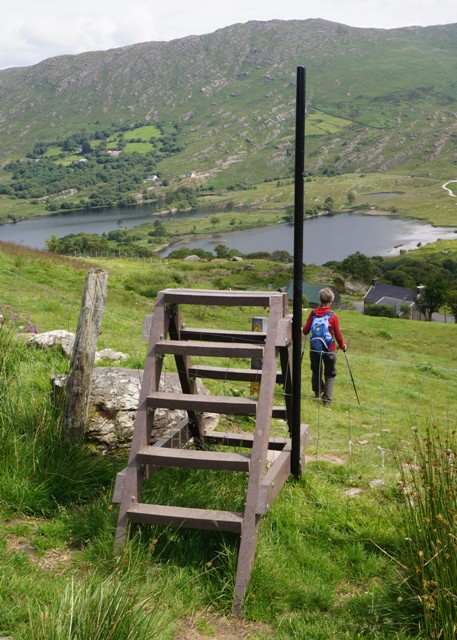
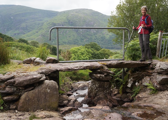
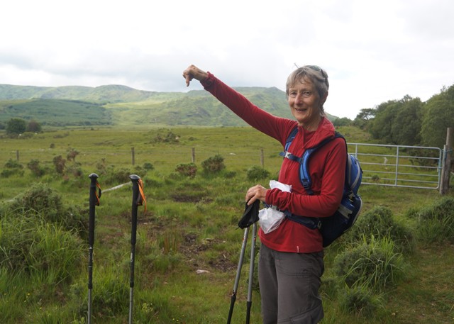
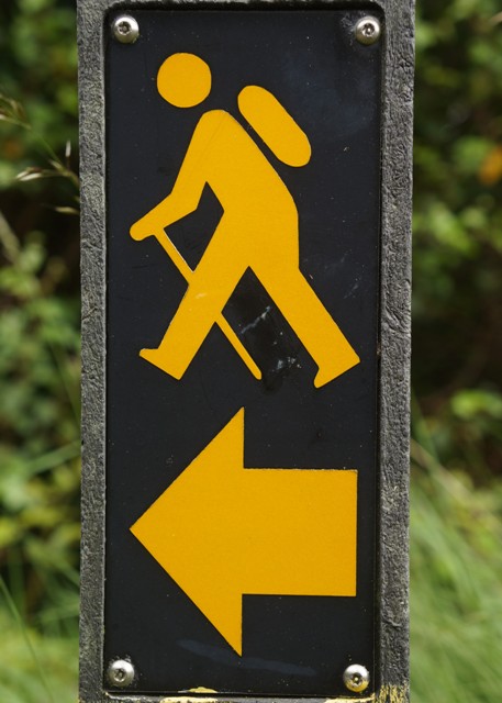
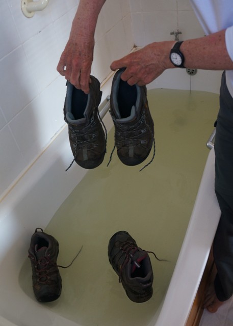
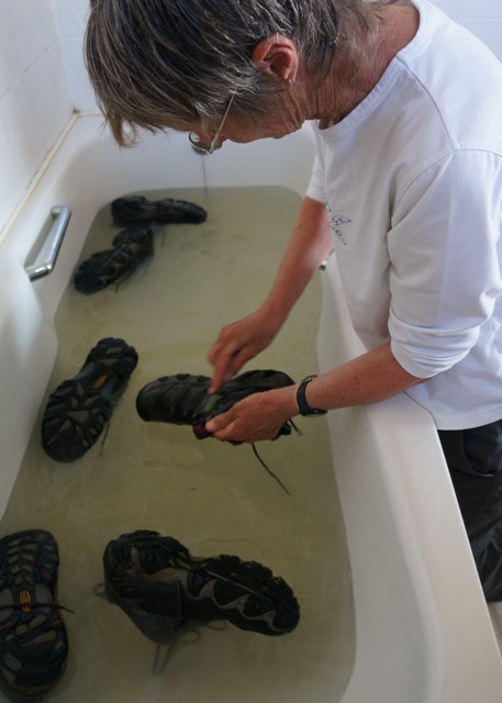
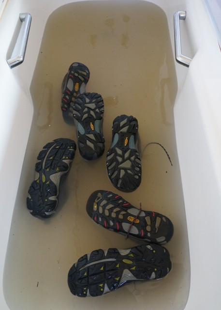
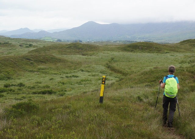
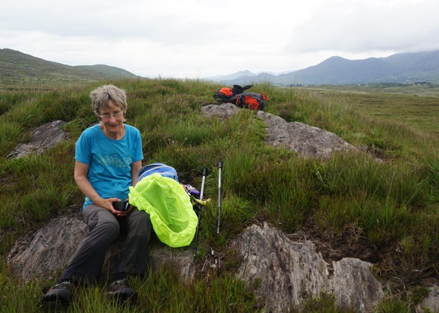
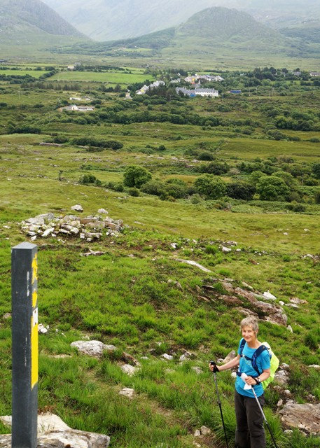
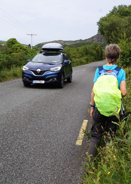
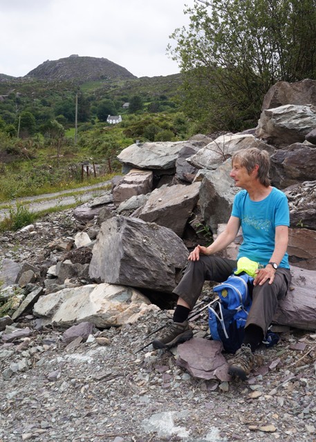
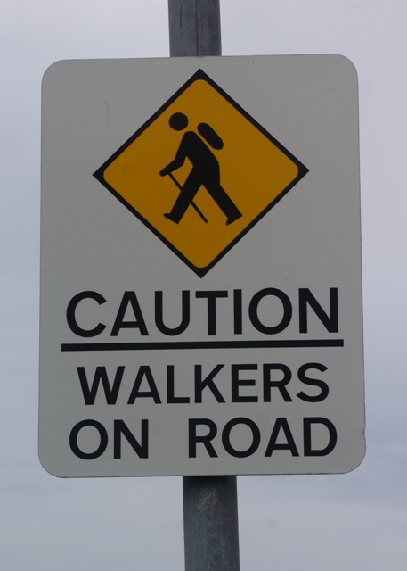
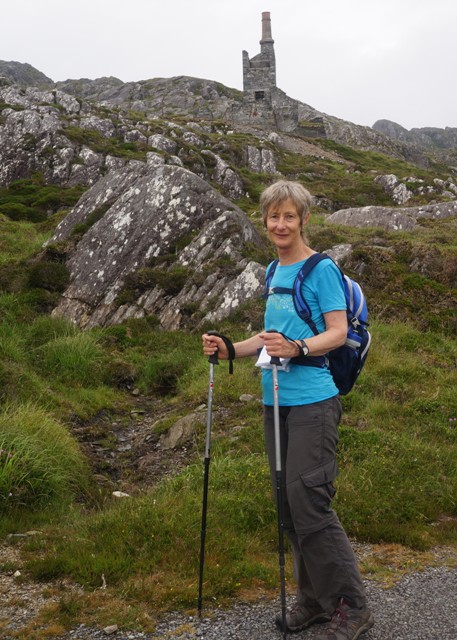
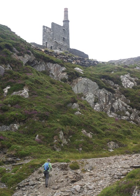
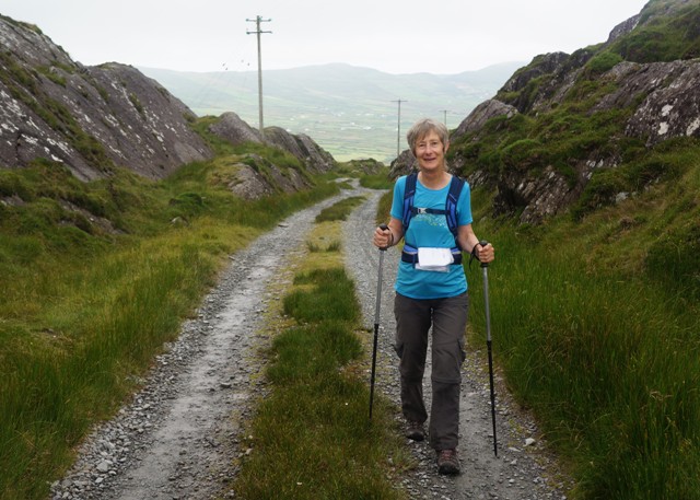
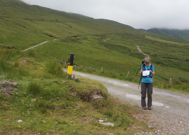
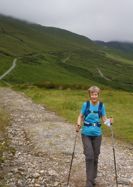
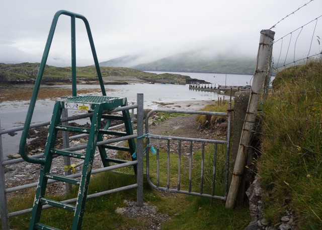
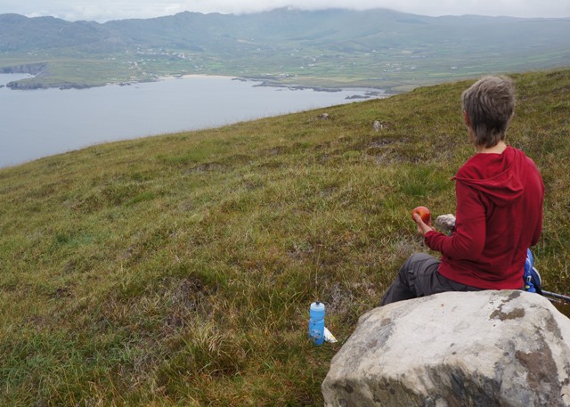
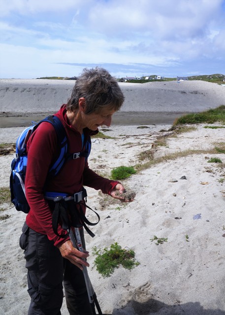
We thought we were reasonably fit when we left NZ but found some of the walking quite difficult. We hadn’t done enough training on the hills. A lot of the walking was on steep rugged hillsides with no trail, just following sheep tracks from sign post to sign post. We also hadn’t practiced tip toeing through rivers of cow muck or climbing over dozens of stiles each day. However we were accident, injury and illness free, except we each had a minor stomach upset early on. After 2 or 3 days we were up to speed and felt fit and strong. 20km days we did comfortably, 25kms you knew you had been for a hard walk, and the 36km day was way too much.

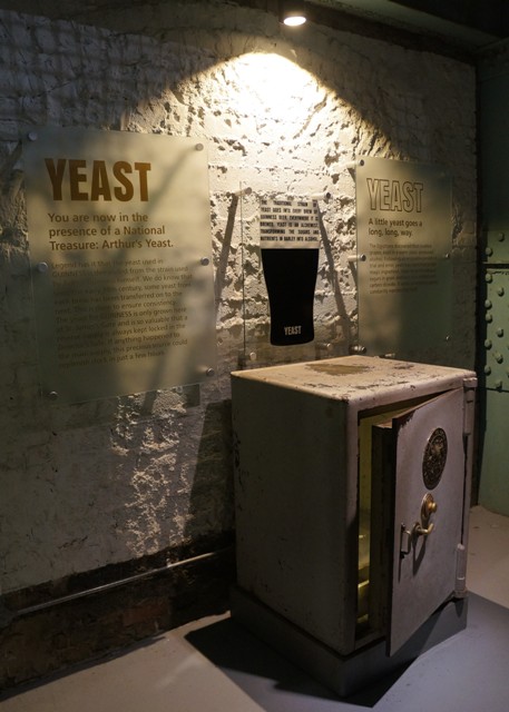
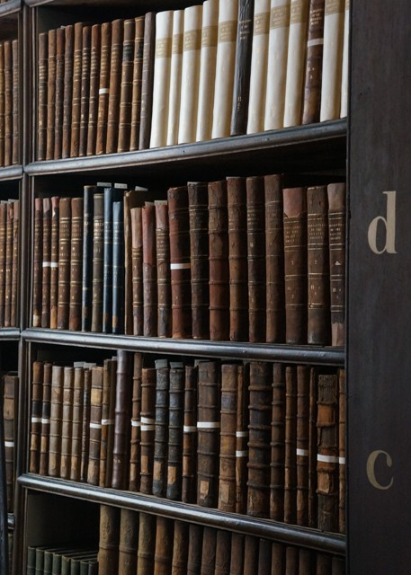
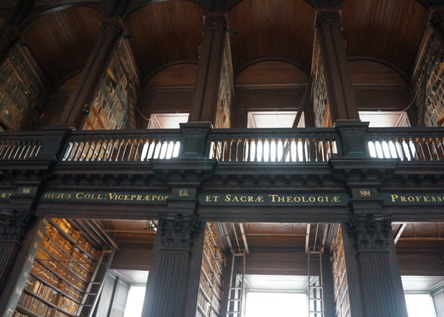
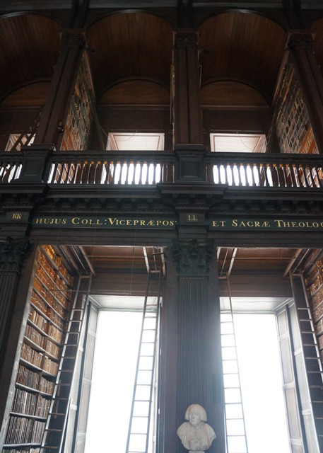
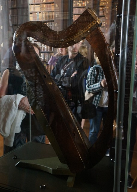
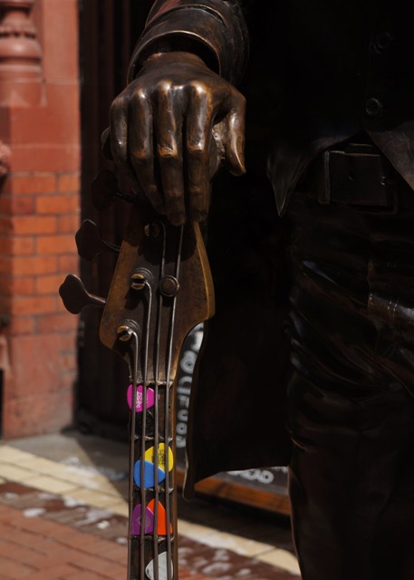
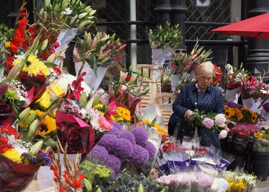
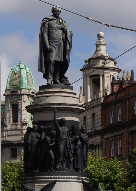
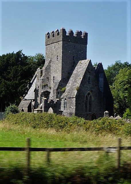
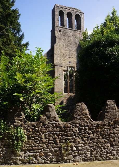
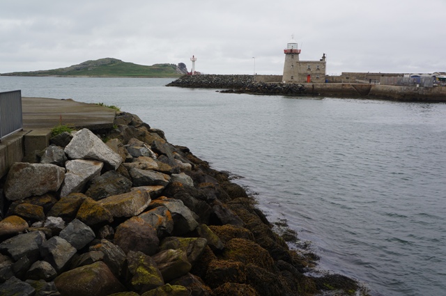
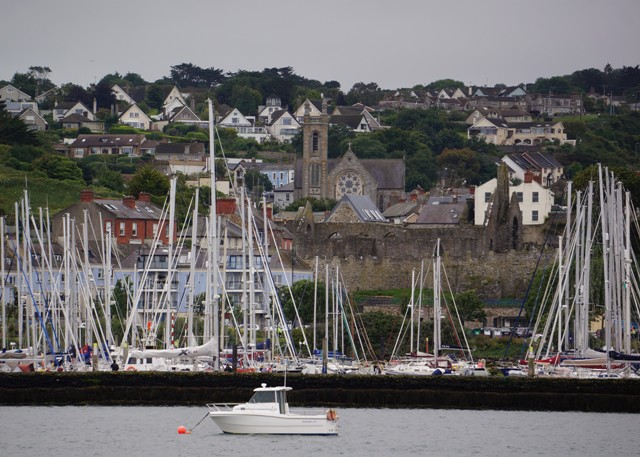
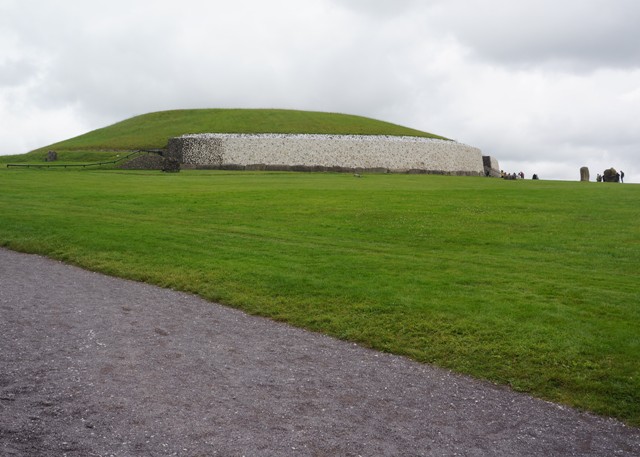
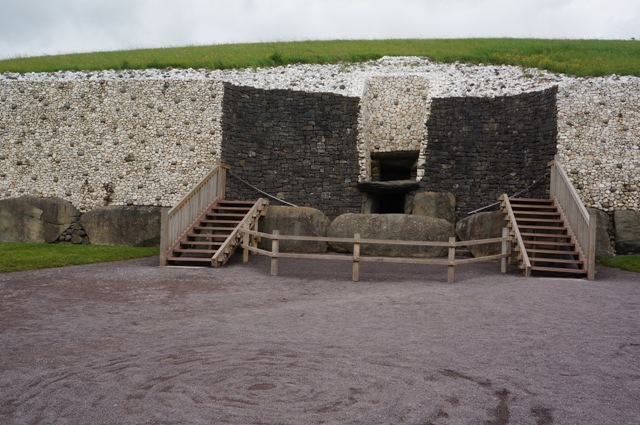
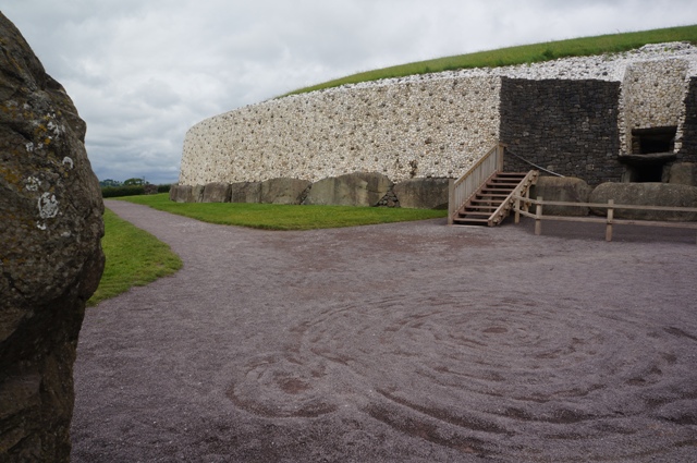
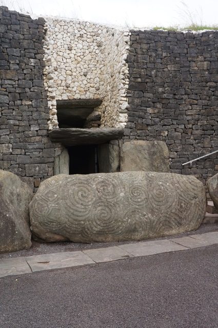
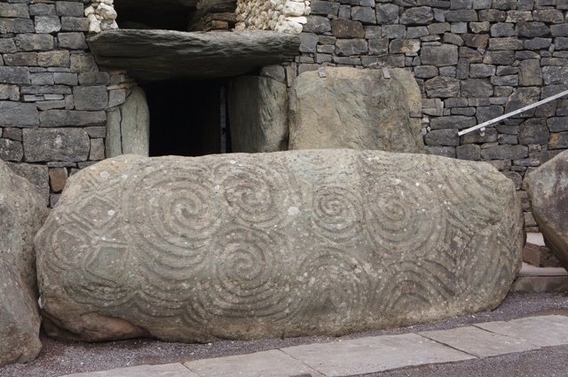
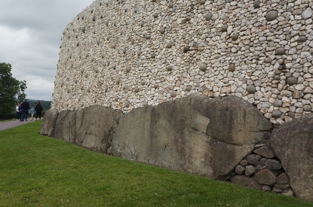
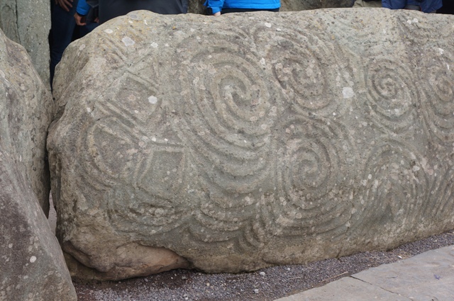
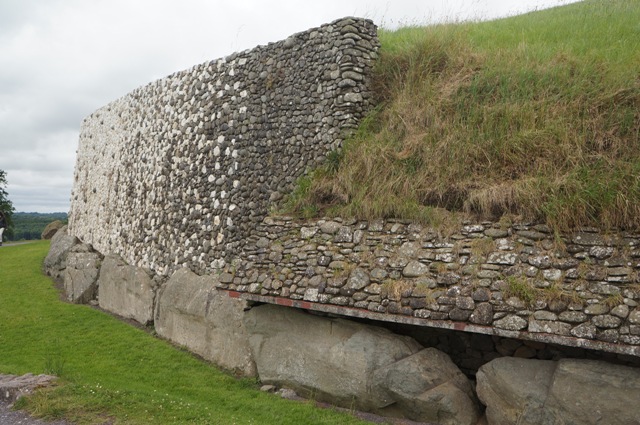
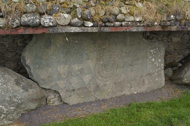
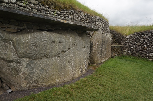
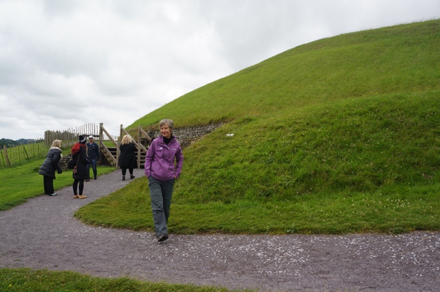
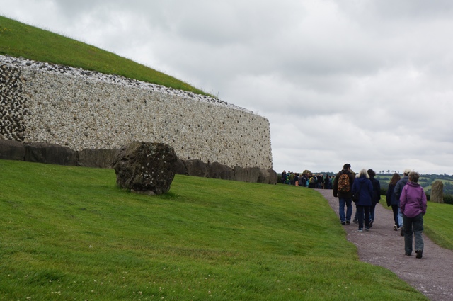
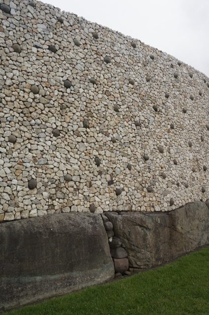
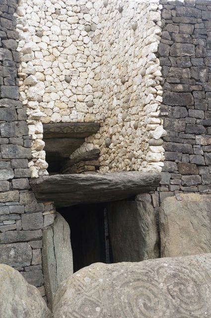
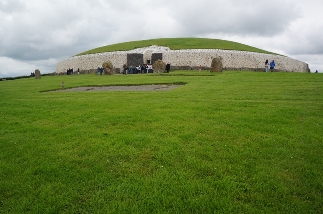
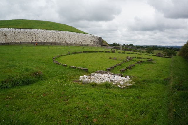
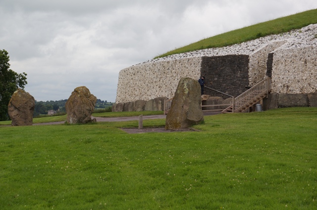
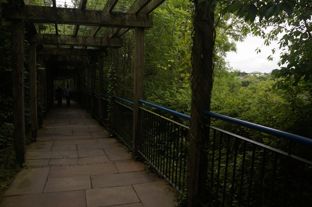
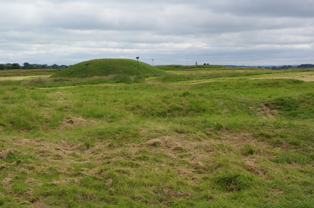
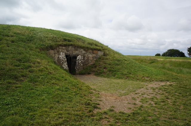
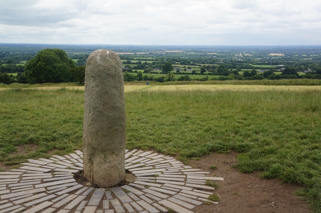
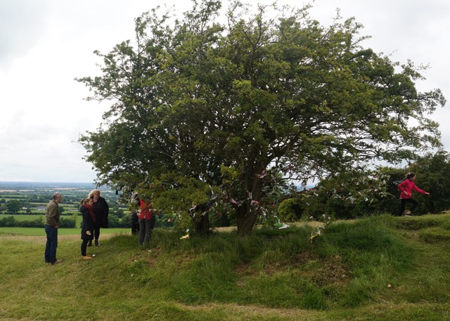
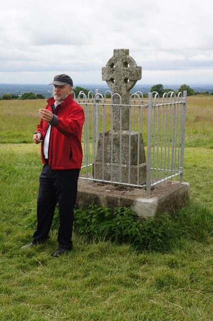
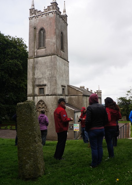
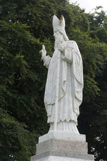
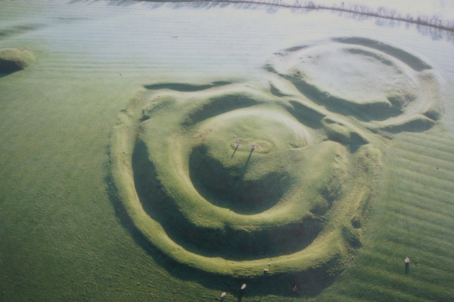
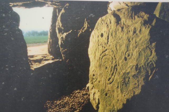
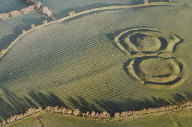
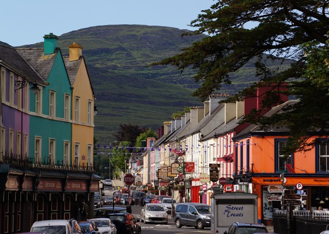
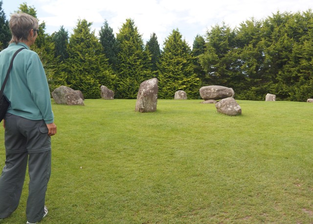
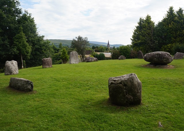
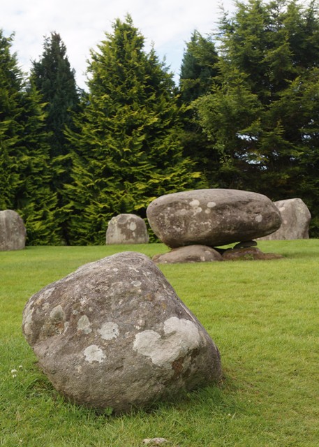
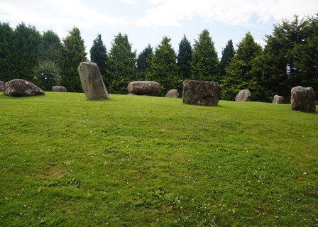
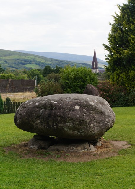
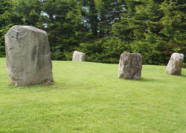
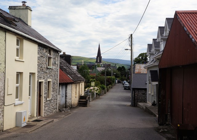
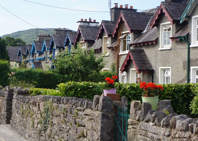
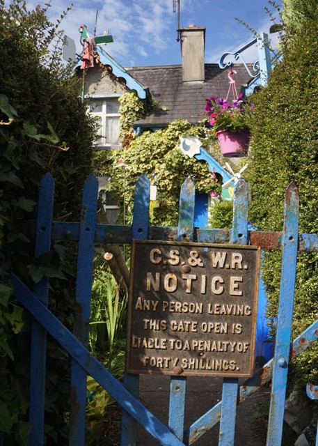
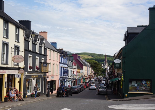
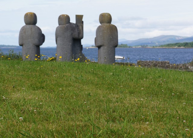
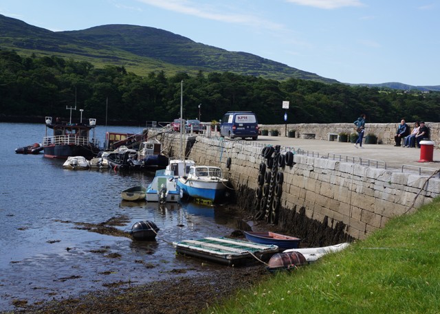
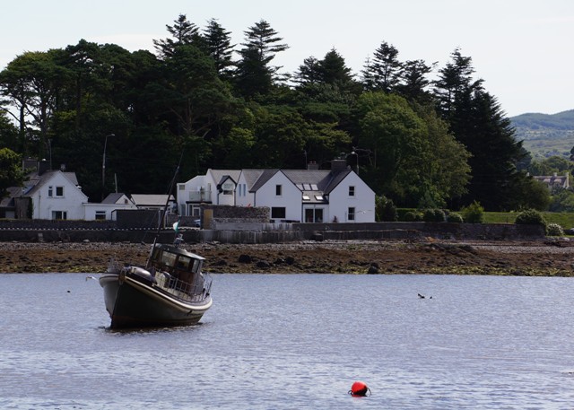
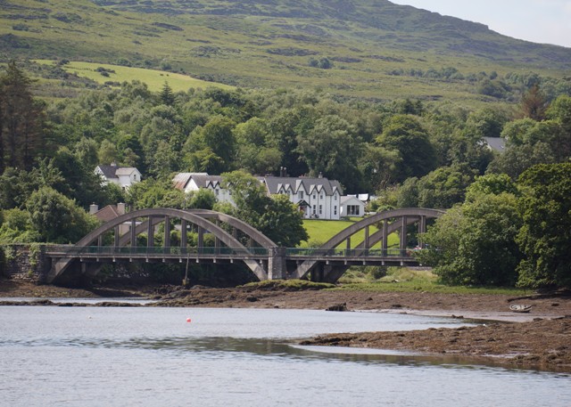
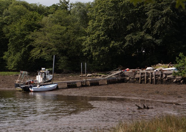
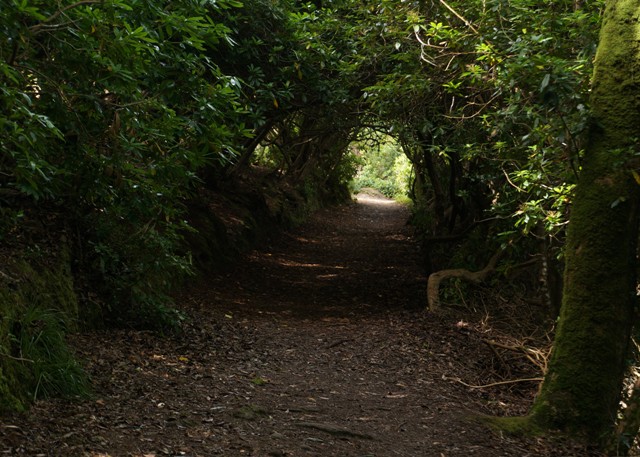
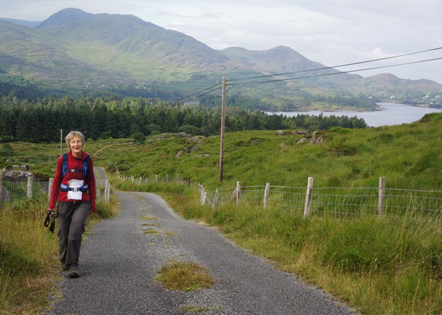
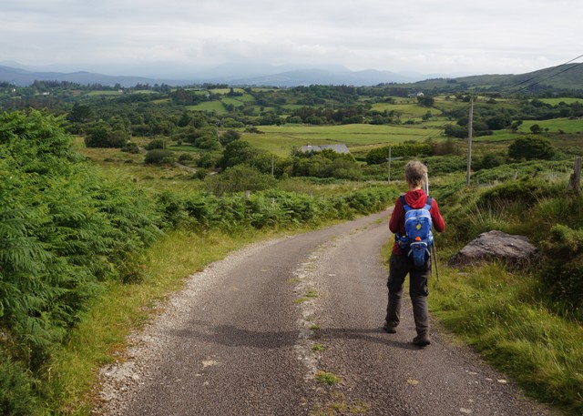
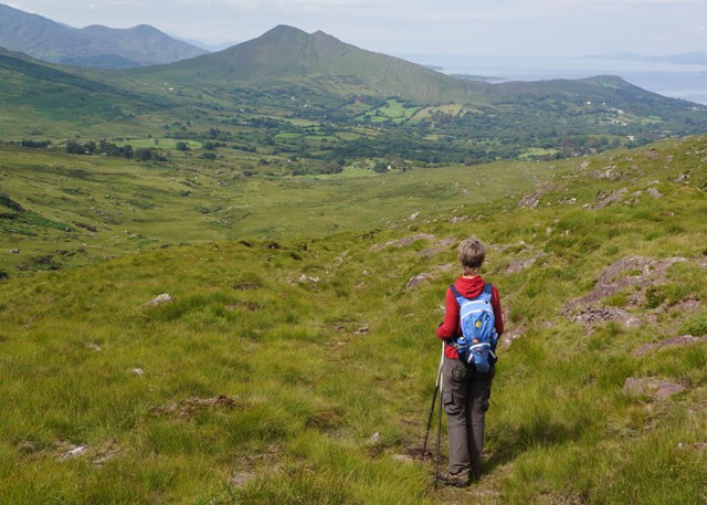
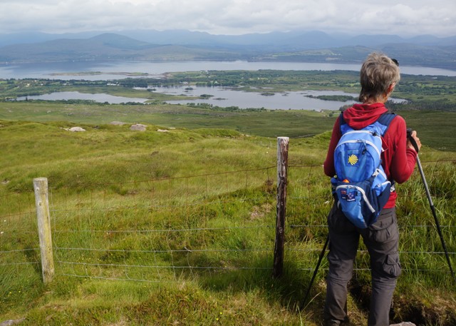
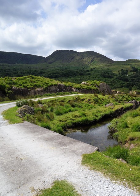
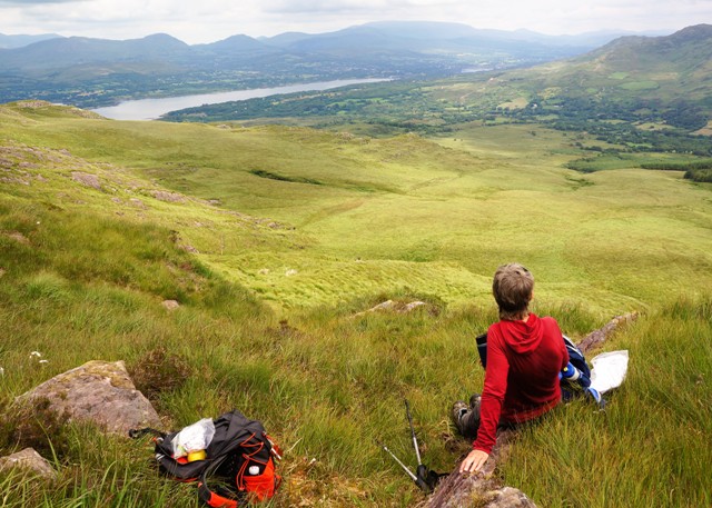
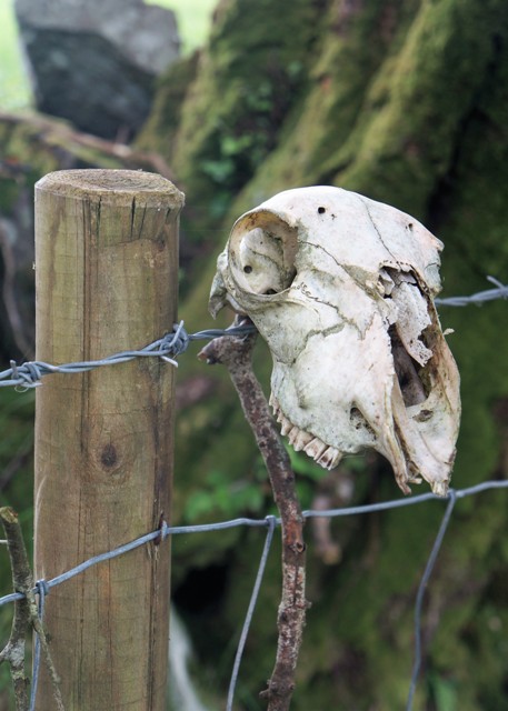
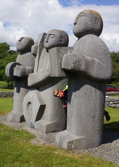
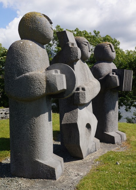
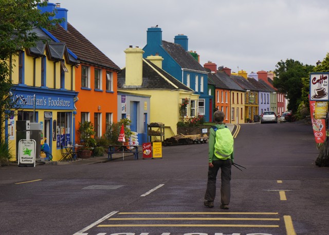
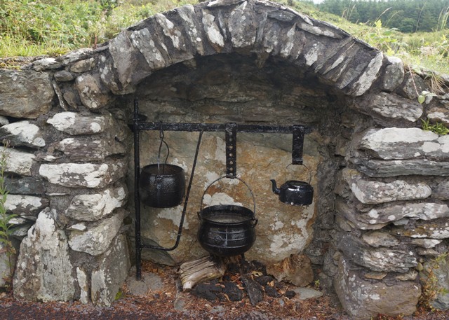
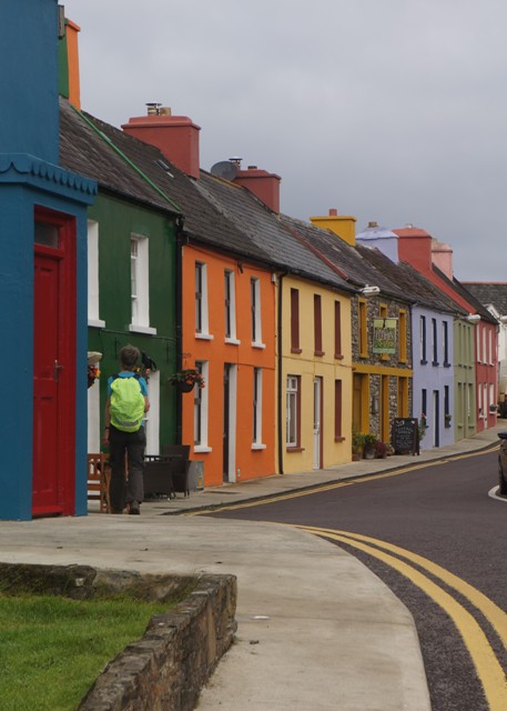
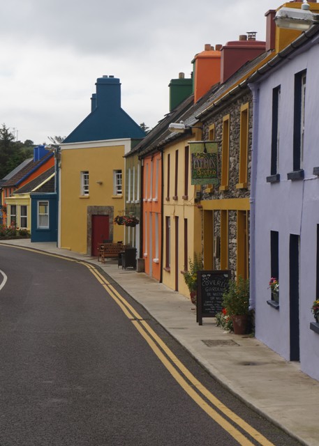
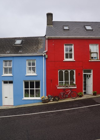
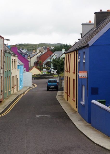
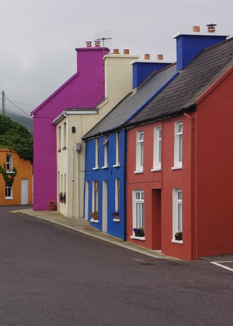
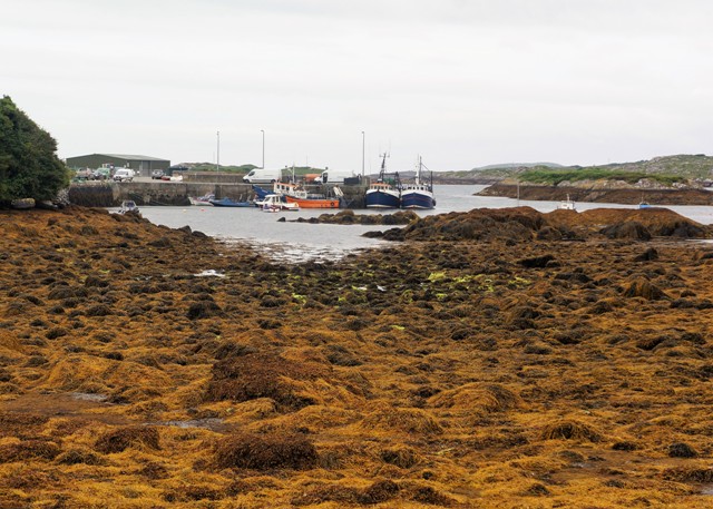
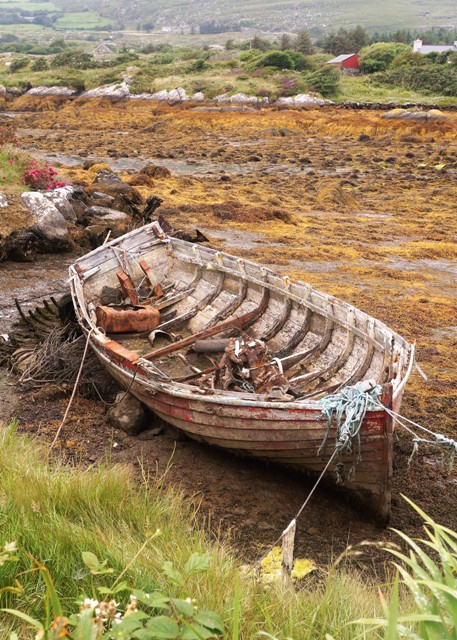
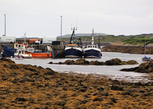
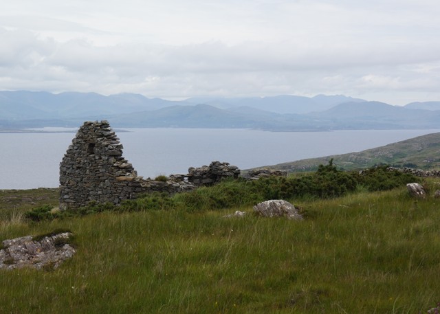
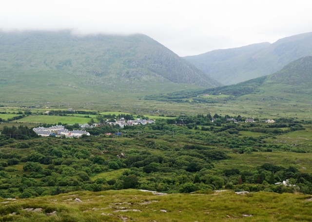
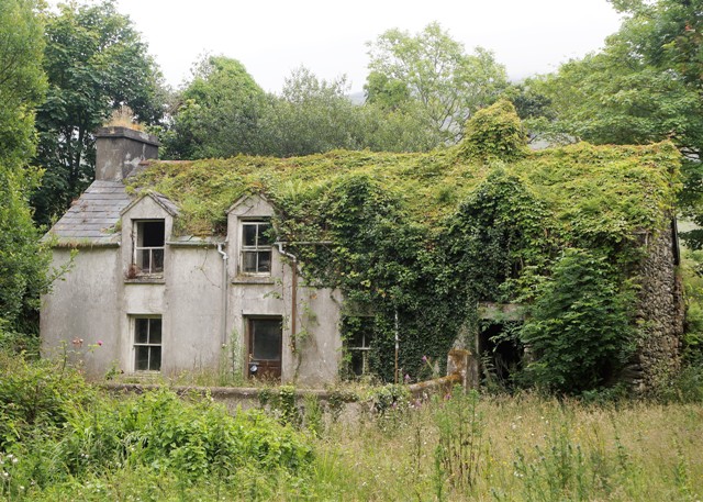
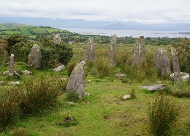
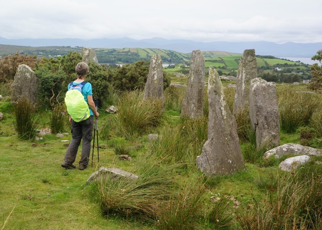
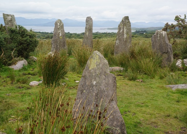
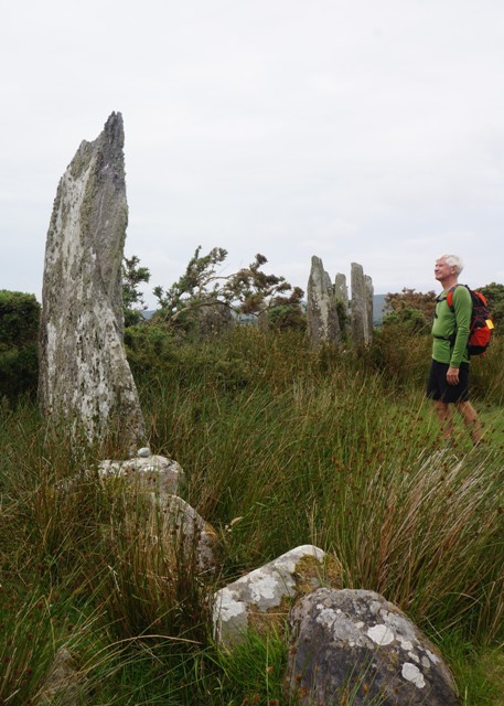
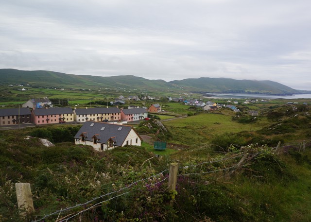
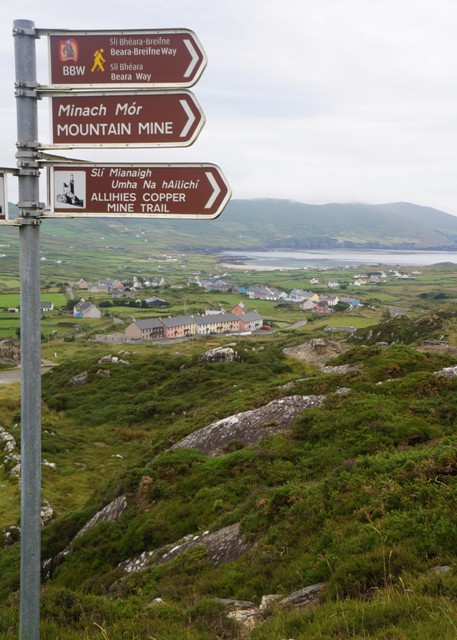
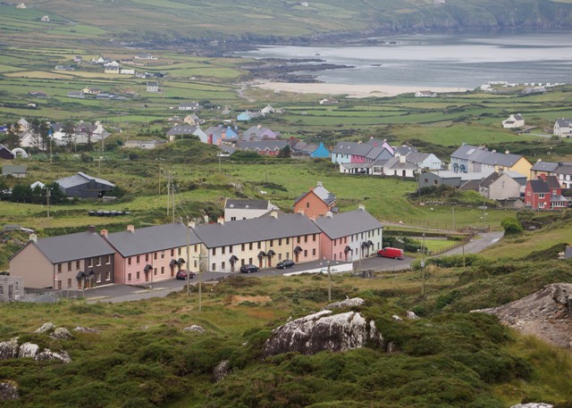
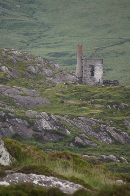
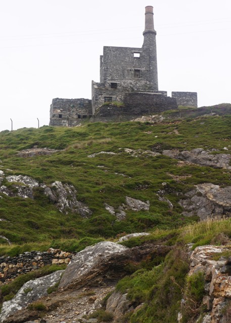
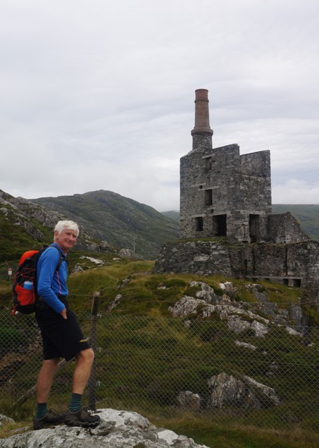
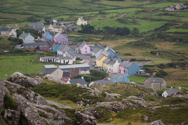
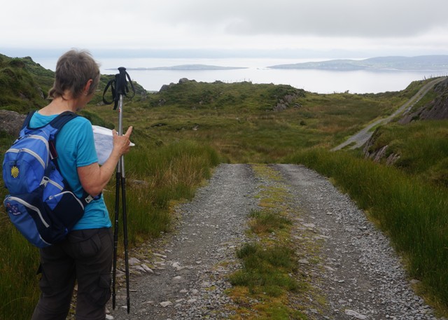
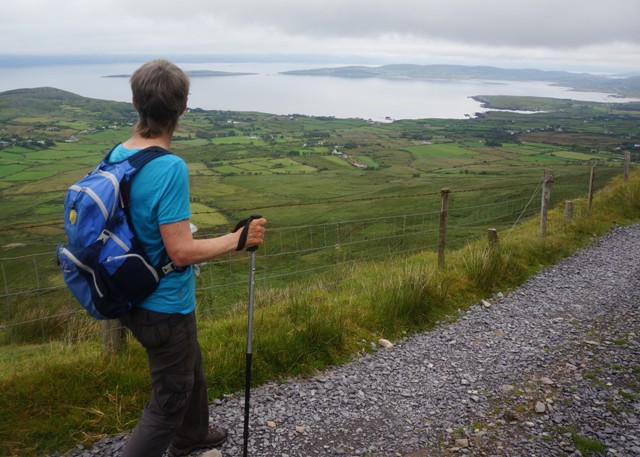
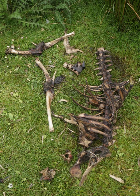
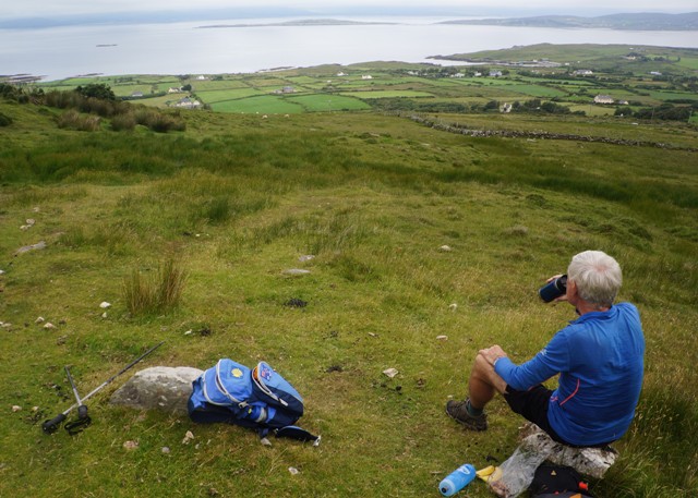
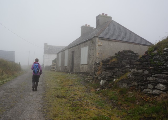
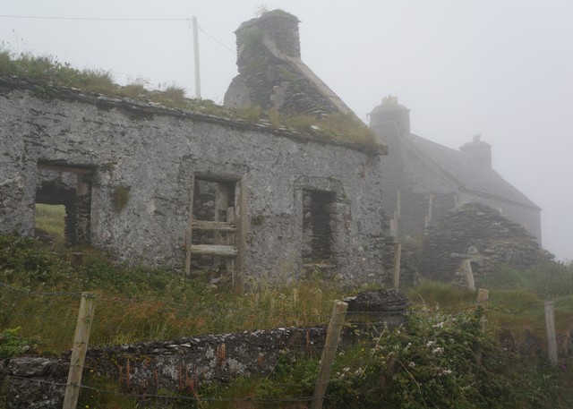
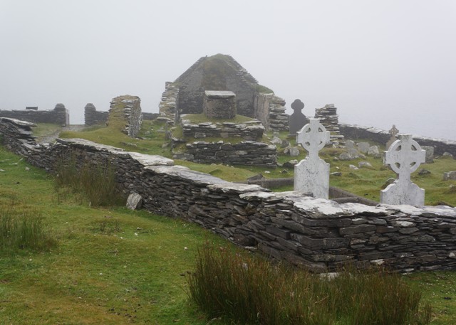
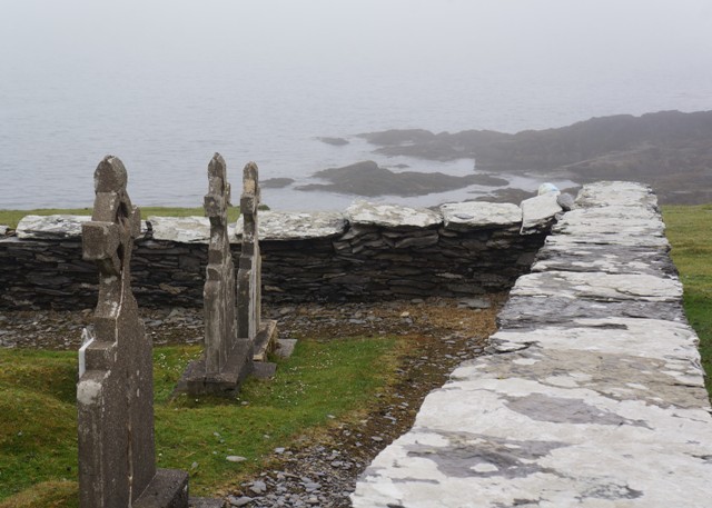
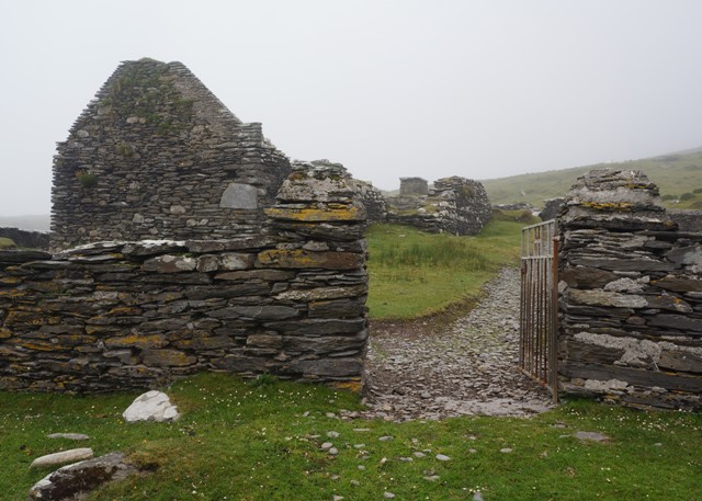
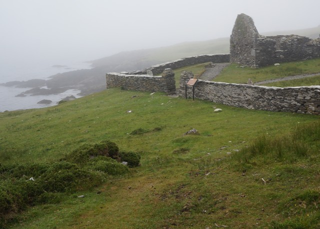
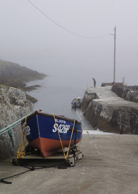
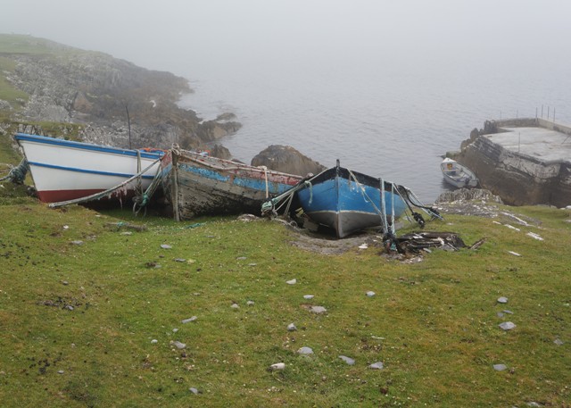
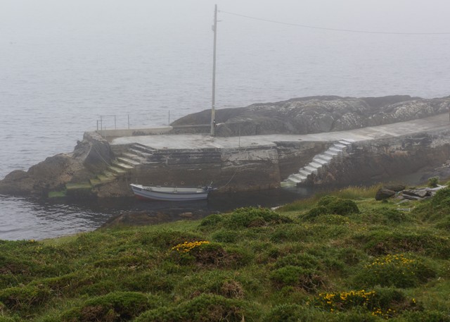
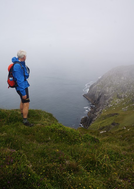
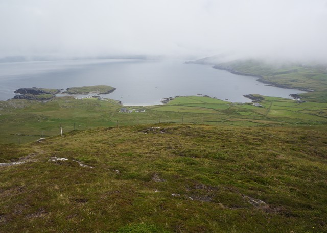
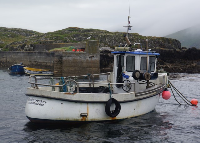
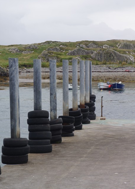
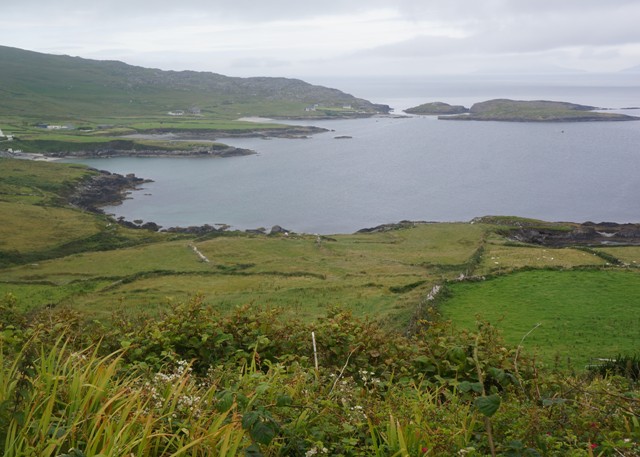
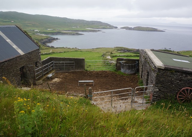
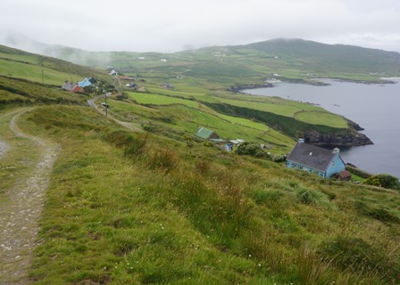
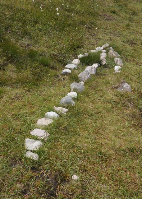
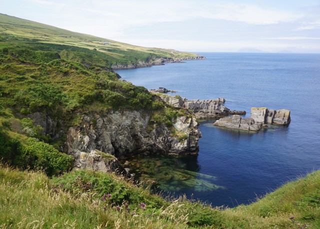
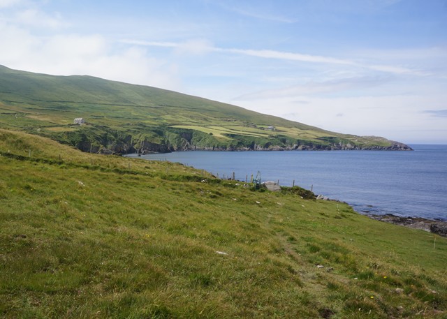
Overall we loved the walking and each morning couldn’t wait to get going. There were always many unexpected and interesting things we came across and a great variety of landscape from open fields, mountain passes, sandy beaches, rocky headlands, oak forests, tarmac minor roads to hedge lined farm roads. Ireland has thousands of ancient archeological sites so we often came across stone forts, standing stones, wedge tombs, stone circles, etc.

The weather was kinder to us than we thought it might have been. Just one day when it rained heavily for about four hours and a few others with occasional light showers. A few too many days with thick mist that obliterated any views and a few days when it was very humid – 98%. Mostly mild, cloudy days with little wind. Only one walking day of 25°C when we thought this is just getting too hot.

So where to next?

When you are walking quietly for hours on end you spend a lot of time thinking about and discussing where you would like to go next.

Of course a lot of the time you think, when today finishes I’m never walking another fricking inch in my life!!! Coach tours and cruises sound really, really good.

But in the cool of the morning when you are fresh and full of enthusiasm you do run through the list of walks you have heard about.

Trish and Al, the two Australians we met on the Dingle Way, walked the England Coast to Coast last year. This is 300 km from St Bee on the west coast to Robin Hood Bay on the east coast. They enjoyed it but said, and we already knew, it is a bit difficult and some navigation skills are needed as there is no sign posting. They walked the Camino Frances in 2015 and on the Dingle Way we were about the same ability as them. So that is one walk we are seriously considering.

We are still keen to go back to the Camino and one option is to cut out about 300 km in the middle over the Meseta (by getting the bus), and redoing the more interesting bits at the beginning and end. We would also do it in Autumn rather than spring to see some different colours.

There is the Great Ocean Walk in Victoria Australia. We have cycled this from Port Fairy to Anglesea (275km) and want to go back and walk it from Apollo Bay to the Twelve Apostles (100km in the reverse direction).

The Mont Blanc Circuit, Cinque Terre, The Amalfi Coast, etc. The list goes on and on but our legs probably only have two or three more years of long distance walking in them.

The Last Post (from Ireland)

Some would say we saved the best till last. Some would say we have now ‘done’ Ireland. This is because on our last day here we went to the Guinness Storehouse.

This is a massive celebration of all things Guinness. A very good, high tech, interactive attraction which everyone seemed to love, even if you have no real interest in stout, beer or Guinness.

It is a story of the history, the ingredients, the process, cooperage, the transportation, the promoting and advertising of one product – Guinness. Which we now know has the colour ruby red, not black or brown.

Arthur Guinness started brewing on the present site of the factory in 1759 – he signed a 9,000 year lease. The brewery buildings used today date from only 1904 but have grown to be the largest brewery in Europe.

How Guinness is made (simplified version).

The four main ingredients are barley, hops, yeast and water.

Irish barley is prepared in three ways – malted, flaked and roasted. These are ground together to form a grist.

The grist is mixed with hot water and mashed and left to stand for an hour. Starches are turned into sugars, producing a dark, sweet wort.

Hops are added to the wort and the ingredients are boiled to very high temperatures.

The hopped wort is cooled and yeast is added. Some of the sugars are turned into alcohol. The mixture is left to ferment for 48 hours and the yeast is removed by centrifuge.

The liquid has now become a stout and is matured for 10 days before being sold to the world.

Two of the highlights were the tasting room and learning to pour the perfect pint of Guinness. It takes 119.5 seconds to pour the perfect pint. In the tasting room you got to smell the aroma of barley, hops and yeast and are then taught how to taste Guinness on the front, side and back of the tongue – from a 2 oz glass. Learning to pour was all good fun and I don’t think anyone has failed yet. You get to keep and drink the pint you have poured. So now I have a certificate to say that I have crafted the perfect pint of Guinness.

You enter the building at ground floor and move up through about six floors to the Gravity Bar at the top, which has a 360 degree view of Dublin. There are two or three cafes and bars scattered on different levels and the food is excellent. It’s in an old warehouse building but the inside has been gutted and the large circular atrium is in the shape of a giant pint of Guinness. We were there nearly four hours and were entertained for every minute.

Altogether a great place to go, even if you never touch the stuff.

We are sitting in the hotel lounge and shortly will go out to the airport. On the way home I will think about a post that summarises our adventure in Ireland and suggest where we might go next.


Culture Vultures

A day of culture in one of Europe’s most cultural cities.

First up the Book of Kells at the Old Library, Trinity College. The Book of Kells is probably Ireland’s greatest cultural treasure and is the most famous medieval manuscript in the world. It is a lavishly decorated manuscript, written in Latin, of the four Gospels of the New Testament together with some other tables and texts. It was probably created in about 800AD by monks on the island of Iona off the west coast of Scotland. After attacks by Vikings on Iona the Book of Kells was moved to a monastery at Kells, county Meath, Ireland. It was sent to Dublin about 1653 to keep it safe during the Cromwellian period. In 1661 it was presented to Trinity College. There are other manuscripts of the same period at Trinity, The Book of Durrow and The Book of Armagh but these are not as lavish as The Book of Kells. The manuscript today contains 340 folios and is bound in four volumes. Two volumes are normally displayed at Trinity, one opened at a major decorated page and one at a text page with minor illustrations.

The Book of Kells is displayed on the ground floor of the Old Library, Trinity College. There is quite a large interpretive area where the history is explained and there are large brightly covered examples of pages from the manuscript along with explanation of the meaning in the illustrations. These are back lit and about 3 metres high by 1.5 metres wide and look rather like stained glass windows. There is an audio visual showing the making of a book from calf skin (vellum) and the pigments and techniques used in the text and illustrations. This is all very good. From there you move into a partly darkened room and in the middle is a glass topped steel cabinet. In the cabinet are the displayed manuscripts. Compared to the large copies seen previously the originals look small, dull and faded, probably due to the low level of artificial light. There is a scrum of people pressing around the cabinet and it is difficult to get a decent look. So it is a little bit of a let down. There is no photography allowed in any part of the Book of Kells display.

From there you go directly up to the next floor to view the Long Room of the Old Library of Trinity College. This is a wonderful space. 65 metres long, two stories high with a barrel vault ceiling. It has alcoves on two levels containing about 200,000 of Trinity College’s 6,000,000 books. Books are arranged by name of author in alphabetical order. At each alcove there is a marble bust of a writer, philosopher, statesman or religious leader. In the middle of the room is a harp, the oldest to survive in Ireland. Legend attributes it to Brain Boru, high king of Ireland (died 1014), but in fact it was made in the fifteenth century. The Long Room is still a working library with a reading room at each end and tall angled ladders to reach the highest volumes. I thought this room was an absolute joy. From there we walked around the grounds of Trinity College and that was the morning done.

In Harry Street, near Trinity College, we found the statue of one of Dublin’s favourite musical sons, Phil Lynett, of Thin Lizy. Remember ‘The Boys are Back in Town’ and ‘Whiskey in the Jar’.

We wanted to get away from the crowds and noise of Dublin so in the afternoon we did a bus tour to Malahide Castle and Gardens. Parts of the castle date back to 1175 and it is one of the oldest Norman castles in Ireland. It was the home of the Talbot family for nearly 800 years (1185 to 1975) with only a brief interlude between 1649 and 1660 when the castle and land were seized by Cromwell’s forces. The castle and grounds were eventually inherited by the seventh Baron Talbot and when he died in 1973 it passed to his sister Rose. In 1975 Rose sold the castle and grounds to the Irish State to offset crippling Inheritance Taxes. The bus tour had us at the castle for a guided tour of the castle that took 45 minutes of the allotted one hour. The tour was very good but we would rather have spent much more time in the 260 acres of gardens. The castle is full of an eclectic collection of furniture and paintings with most of it relating to many generations of the Talbot family.

We then had a sort of Groundhog Day experience. The tour took us to Howth for a 40 minute stop. This is the same village we stopped at yesterday for morning tea on the Newgrange Tour. Today was a beautiful sunny day so the village seemed a bit more attractive than yesterday. We spent the time sitting on the wharf, eating gelato and watching seals in the bay.

Not looking forward to tomorrow when we start our trek home at 10.30pm.

Day Tripper Yeah

An early start today. Much, much earlier than we wanted. We were both awake at 4.30am. Not because it was light and bright outside and all bedrooms in Ireland have the most flimsy transparent curtains but because outside there were dozens of screeching and squawking sea gulls. When we were at the Charles Stewart 5 weeks ago we didn’t notice the birds but then we were on the main street side of the hotel. This time we face a back alley and I think the sea gulls are scrounging for food down there.

Today was a busy but most interesting day. Before leaving NZ we had booked a one day bus tour to Howth, Newgrange and The Hills of Tara. 41 of us (15 nationalities) and Eoin the driver and guide.

Howth is a seaside village and outer suburb of Dublin at the north end of Dublin Bay. It was a morning tea stop with just enough time to look at the fishing boats in the harbor but not enough time to get to an abbey ruin, a Martello Tower, an interesting church etc. For us it wasn’t of great interest as we had seen some much prettier and more interesting villages in SW Ireland. The most entertaining event was as we were about to leave in the bus, a large truck with a catch of fish parked alongside us. It was immediately swarmed over by hundreds of large gulls. The guys kept on unloading the truck but the gulls were everywhere, getting into the truck, into the crates, flying off with mouthfuls of fish. It was all a bit scary, reminiscent of Alfred Hitchcock’s movie The Birds.

Next stop was Newgrange and this is probably the most awesome and most interesting place I have seen in Ireland. It is a 5,200 year old passage tomb located on a hill in the Boyne Valley. The experience is very well organized. The bus and car park are located a little way from an excellent visitor centre/café/souvenir shop. The walk is through a pergola under some trees. At one point, if you are looking, there is a glimpse through the trees of the hillside with the mound containing the tomb.  The visitor centre itself is half buried in the ground and is a series of circles with grass roofs, so it also looks like a mound. Here you buy tickets (ours were part of the tour deal) and you are organized into time slots of 15 minutes. Then there is a walk through more trees and over a bridge on the Boyne River to waiting mini buses. The buses then take you, in your time slots, about 2km up to the tomb site. There each group (about 20 people) is met by a guide and you get a talk for about 10 minutes on what Newgrange is all about – as far as they know. The guide then takes the group inside, up a 19m long, low, narrow rising passage to the central chamber. More explanation from the guide and then the lights are turned out and starting from total blackout there is a simulation of the winter solstice sun (Dec 21) entering the passage and the chamber. This very dramatic. Each group gets 10 minutes in the tomb before you file out. Unfortunately no photography allowed inside the tomb.

Newgrange was built by Stone Age (Neolithic) farmers and is called a passage tomb but is also thought to be a place of religious, ceremonial, astrological and spiritual importance. It is a mound 85 metres in diameter and 13.5 metres high. The base around the perimeter is retained by 97 large kerbstones some of which are decorated with megalithic art. Part of the perimeter is faced with white quartz stones which makes it look quite dramatic with the green of the grass over the top of the mound. A stone lined and roofed passage leads to a chamber with three alcoves. The chamber has a 6 metres high corbelled roof of diminishing diameter. In each of the alcoves is a large bowl shaped granite stone. The exterior front wall has been reconstructed from existing fallen material and there is some controversy about this.

In the wall above the entrance is an opening called a roof box. Its purpose is to allow sunlight to penetrate the chamber on the shortest days of the year, around December 21st, the winter solstice. At dawn, from December 19th to 23rd, a narrow beam of light penetrates the roof-box and reaches the floor of the chamber, gradually extending to the rear of the chamber. As the sun rises higher, the beam widens within the chamber so that the whole room becomes dramatically illuminated. This event lasts for 17 minutes, beginning around 9am. This is quite remarkable as Newgrange was built 500 years before the Great Pyramids and 1,000 years before Stone Henge.

After this we went to The Hills of Tara. This is Ireland’s most revered ancient landscape of huge symbolic importance. It looks very underwhelming being a hill with a series of grassed humps and trenches with a small standing stone, a very small passage tomb (which you can’t go into), a Celtic cross, a statue of St Patrick and a chapel converted to a visitor’s centre. Tara started as the chief pagan sanctuary and communal burial place of early Ireland, about 4,000BC. The five principal roads of Ancient Ireland converged on this place. Generation after generation added to its sacred significance. Eventually it was revered so much that the kings of Ireland’s medieval kingdoms were crowned here. Each royal kingdom is thought to have its own site here. To be crowned King of Tara was considered to be crowned king of all Ireland.

Our driver/guide gave us a long tour/history of the site but I think our minds were still at Newgrange and it was now a bit windy and cold. Archeology fatigue was starting to set in. We did learn about fairy trees. These are actually hawthorn trees and you often see them standing alone in fields. Farmers will not cut them down as that would let the fairies and their spells out. The trees are often circled with stones to further keep the spells in. People will also write wishes onto pieces of ribbon and tie them to Hawthorn trees in the hope of their wishes coming true.

A great day and for anyone visiting Ireland, in my opinion, Newgarnge is a must.

A Comparison

Not a lot to report on today. And no photos. Spent most of the day on buses, first Bus Eireann – Kenmare to Killarney, then Dublin Coach – Killarney to Dublin.

We have been thinking about how this walk compares to last year in Spain. They are both interesting, fantastic walks but have a lot of differences. So here goes:

Camino Frances (St Jean Pied de Port to Santiago de Compostella) 800km
More social, met lots more walkers, all with a common goal and destination, walking the Camino you were part of something. It is a religious, or spiritual or cultural experience.
Lots more villages (every 5km) so more cafes, bars, pharmacies, etc. The villages are often only there to support the pilgrims.
Didn’t have to plan the day’s food, drinks so much.
Way finding was easier (painted arrows) and many people about to follow or to ask.
‘The Bible’, John Brierley’s guide book is excellent and updated each year.
The route is more direct, not sending you on tortuous “scenic routes”, pilgrims just wanted to get there the easiest way.
Fuentes (water fountains) everywhere, lovely fresh, cool water.
Track is graded much better, wider, smoother, easier walking.
A gentler experience through developed countryside.
Much more infrastructure in place for many more walkers (200,000 per year).
Many accommodation options from expensive to cheap.
Language can be an issue, but not much, English is the language of the Camino.
You pass through major towns and cities (pop 200,000).
This Camino is not on the coast, totally inland.
Although it climbs to higher peaks (twice to 1500m) is overall  a much flatter walk.

Ireland (Dingle Way, Kerry Way, Beara Way) 500km
Very few people walking any of the Ways. Met a few, but it is far less social. Some days we saw nobody walking in either direction.
It is primarily a beautiful place for walking in a variety of landscapes, not a religious or spiritual experience.
Very few intermediate villages, usually nothing all day. The villages are there for other reasons not primarily to support walkers.
So you have to plan and take own food, drinks etc.
Way finding and guide notes good, but far less than Camino, and we did get lost.
You have to pay attention all the time because you are on your own.
The route is not the shortest most efficient (as the Camino), it is tortuous, scenic, goes where they can get access, where farmers give permission  etc.
Track is non-existent much of the time, just following poles across hills, fields, etc.
Very steep ascents and descents.
Muddy, boggy, wet, mucky, rocky, slippery, but also long distances on tarmac minor roads and gravel roads.
No Fuentes, often have to carry all your water for the day.
A more rugged experience through wilder, raw countryside and coastline.
Smaller range of accommodation, mostly B & Bs (but still excellent).
Language not a problem for English speakers.
No cities or major towns. Mostly small villages and small towns. Largest town is Tralee 23,000.

Overall we found the 500km in Ireland much more physically demanding than the 800km in Spain. But loved them both.

Tomorrow we are being seniors tourists and going on a day coach tour to Newgrange.

Easy Like Sunday Morning

We were at a bit of a loss this morning, didn’t really know what to do. Our daily routine was so simple. Just get up, put on the least smelly clothes, have breakfast, leave your bag by the front door, and head off. Full of enthusiasm, anticipation and energy.

So we had a late breakfast, wandered into the village, visited the stone circle, walked along the river bank, had an Americano and chocolate brownie, walked around Reenagross (Headland of the Crosses) Park, checked out the bus for tomorrow, went back to the B & B and had a lie down. The only task for the day was to thoroughly disinfect the bath after we had cleaned our walking shoes in it last night.

Kenmare has a stone circle right in the town itself, about 5 minutes walk from the square (which is actually a triangle?). This one is egg shaped and about 17 metres in diameter. It has 15 heavy boulders. At the centre is an impressive boulder-dolmen with a giant capstone. This is also known as a Boulder Burial and often marks the burial place of someone important.

We are definitely back on the tourist circuit. Kenmare is full of people, cars, coaches, bars, cafes, shops, music and cyclists. Lots of cyclists. It seems that the Beara Peninsular is popular with cyclists, maybe because it still has quiet roads, no coaches and has largely missed (or avoided?) the tourism bonanza that has overtaken southwest Ireland.

Lies, Damn Lies and Statistics

No. of days walking: 23
No. of kilometres walked: 504
No. of steps: 672,000
Longest walking day: 36 km Sneem to Kenmare
Shortest walking day: 10 km Castlegregory to Camp
No. of ‘rest’ days: 4
No. of metres climbed: over 10,000 (Everest is only 8,000)
No. of styles climbed: over 450
No. of gates opened and closed: about a 100
No. of different beds slept in: 25
No. of car rides: 2
No. of cars that tried to kill us: 1
No. of ham and cheese filled rolls eaten (butter but no mayo):17
No. of eggs eaten: 47 each
No. of midges that attacked us: a gazillion
No. of sheep we saw: 100,000+
No. of lambs we ate as roast of the day: 5
Favourite meal Barbara: Lasagne, salad and garlic bread at Glengarrif
Favourite meal Paul: O’Shea’s Beef and Guinness Pie at Sneem
Best rhubarb crumble: Dunquin Pottery and Café (It’s the seaweed)
Food we didn’t like: ‘Air and full of promise’ disappearing artificial cream
No. of fairies seen: not telling
No. of times Barbara said Yuck!! as she stepped in muck up to her ankle: 37
No. of Euros Barbara was fined for saying to the waitress “That was lovely”: 54
No. of times we didn’t know exactly where we were: at least once a day
No. of days without high speed broadband: 2
No. of days we arrived before our bags: 2
No. of days we wished we were at home cycling with our mates: every Wednesday and Friday

No more proverbs, but this time a limerick. This is one of the most well known, but in case anyone doesn’t know it:
There was a young lady in the fall
Who wore a newspaper dress to the ball
The dress caught on fire
And burnt her entire
Front page, sporting section and all.

The Last Test

Lauragh to Kenmare 27km

We knew this day would be a test. Three hills to get over, a climb of 200m, then a climb of 300m, and finally a climb of 400m. 900m climbing and of course 900m of descending.

We had a packed lunch from Moulin B & B as there was nowhere to buy food on the route today. It was clear and still and cool when we set out and it was very pleasant on a minor road through a forest. Soon we were into the first climb, Knockatee, and it got hot very quickly out in the open farmland. We crossed over a bigger road and happened to coincide with a group of cyclists from Backroads tours. There were about twenty in three groups. They all had the same jerseys and cute reflective triangles strapped to their butts. From the top there were views out over Kenmare Bay and Kerry Peninsular.

A steep descent then straight into the second climb, Knocagarrane, this time on a grass track. From the top we looked down on four lakes. Three were imaginatively called Cloonee Lough Lower, Cloonee Lough Middle and Cloonie Lough Upper. The fourth was Lough Inchiquin. Another steep descent then crossed between Lough Middle and Inchiquin and onto the third and biggest climb of the day, again on a grass track. From the top of this climb we could see Kenmare in the distance, still 13 km away. The last 8km, now in the mid afternoon , were very hot and on a tarmac road. After an age we at last turned onto the bridge over the Kenmare River. There was a beautiful cool breeze coming up the river from the sea and we just wanted to stay there and soak it up.

The Beara way has been a bit different to the other two as far as way finding goes. We have typed notes and although they have a profile to show climbs and descents, they have no map. We purchased an Ordnance Survey map but it is 1 to 50,000. So we have some notes, a map and what is actually happening on the ground in front of us. 90% of the time this is fine. 5% of the time it takes a bit of lateral thinking to rationalise the three bits of information. We get this correct about two times out of three. The other 5% of the time the information is missing or is just plain wrong. We guess this and get it correct about 1 time in three. So you have to constantly pay attention and we sure have made some mistakes that have cost us a lot in time and energy.

On open hillsides where there is no path, there are brown marker posts with a yellow arrow and the little yellow man. In theory from one post you are supposed to be able to see ahead to the next one but often it is a gap of several hundred metres, or a post has fallen over, or a tree has grown over a post. Up on the high passes where it gets misty the posts are often only 20 or 30 metres apart.

It was very satisfying to finish and get back to Kenmare today. It was physically and mentally challenging and we are happy to have completed just over 500km on the three walks. A quiet, relaxing day tomorrow before we head back to Dublin.

Old Irish proverb of the day: There are two versions of every story and twelve versions of every song.

The Penultimate Day

Eyeries to Lauragh 27km

Fran cooked us a wonderful meal last night. We had preordered these over the internet and Barbara had a chicken fillet stuffed with local Mileens (smoked) cheese. I had a chicken fillet burger but the best part was all the home grown vegetables. The best tasting vegetables we have had in Ireland. Potato, beans, peas, brocoli, lettuce, tomato, spring onion. It also came with a complimentary Smithwick’s Red Ale beer.

As I said yesterday Fran and husband Kevin are rugby mad. They were at Soldier Field Chicago last November for the historic match when Ireland beat the All Blacks for the first time. In the dining room there is an eleven shelves high book case with probably every book that has ever been published about rugby. There is a large section on the All Blacks with autobiographies on Grant Batty, Stu Wilson and Bernie Fraser, Murray Mexted, Ian Jones, Buck Shelford, Andy Haden, John Gallagher, Graham Mourie, Inga the Winger, Frank Bunce and Walter Little, etc, etc. There were also dozens and dozens of the programmes from all the matches they have been to. I was quite impressed.

As has become usual for us we first headed into the village of Eyeries for filled rolls, fruit, cookies and a recent addition to the diet: a bottle of Lucozade (the bottle says “a performance partner”). Eyeries is another of those lovely little villages with all the gaily painted buildings. The road out of the village took us along the coast to a tiny fishing community in Ballycrovane Bay. In a field overlooking the bay is a standing stone. We could see it in the distance but couldn’t find a way of getting close to it. The stone has distinctive Ogham markings along its side and at 5.3 metres high is believed to be the tallest Ogham Stone in Europe. The stone is from the bronze age but the inscriptions are from the 3rd to 5th century AD. Ogham is an ancient Irish alphabet consisting of twenty characters formed by parallel strokes on either side or across a continuous line.

From here we climbed a small hill to a plateau with a long narrow lake, Loughfada. This was the best part of the day, a nice grass path alongside the lake for about two and a half kilometres. A steep climb up to a saddle and below us in the valley was our lunch destination, the village of Ardgroom. Lauragh, our destination tonight, has no nearby places to get an evening meal so we planned to have a large lunch and just snacks for dinner.

Just out of Ardgroom we did a 1km detour and hike over some fields to the Ardgroom Stone Circle. It was very similar to the one we saw the other day near Castletownbere. This one has a diameter of 7.25 metres and once consisted of 11 stones. One stone has fallen and one is now missing. There is a tall standing stone off to one side, a sentinel stone, which appears to draw attention to the stone circle.

In order to bypass another boggy walk across a hillside we stayed on the R571 road for the last 10km. This is the main road around the Beara Peninsular but it carries very little traffic. It has no shoulder and 99% of drivers are excellent and slow down and pull over, well away from us. Only one driver refused to move an inch and at 100km/hr missed our elbows by about 50mm. We became very adept at jumping into the hedgerows.

Tomorrow is our last walking day and our feelings are mixed. We are looking forward to some recovery time but we are sure that in 3 or 4 days we will wish we were back in the hills again.

Irish saying of the day: Being a bit Irish: You don’t know the words but that doesn’t stop you singing the song.


The Living is Easy

Allihies to Eyeries  12km

At breakfast we said goodbye to a German couple we had become a bit friendly with. They started in Glengarrif the same day as us and we have seen them most days. A couple of times we have stayed at the same accommodation. A few years ago they spent 4 weeks in New Zealand and walked the Queen Charlotte Track. They called it paradise. The Queen Charlotte introduced them to the idea of walking and having your bags transported for you. Now they do it all the time. But now they have to go home as they only have two weeks per year leave from work and study.

This morning we climbed up the hill behind Allihies passing the largest of the three surviving copper mine engine houses. This one was erected in 1862 to operate the newly invented system of lowering and lifting miners to and from the mines. This mine, Mountain Mine, was the most productive in this area and reached a depth of 421 metres below the surface, 280 metres of this below ocean level. In the distance we could see the North Engine house, its role was to pump water from the depths to enable deeper and deeper mining.

It was nice and clear going over the saddle of the Sieve Miskish Mountains, and not a breath of wind. From the top we had views down into Coulagh Bay, further off Kenmare Bay, and in the far distance the Kerry Peninsular. The walking was easy for the first 7 or 8 kms, on minor tarmac roads and gravel farm roads (what they call a green road).  Then we climbed up onto the open ground of a grassy hill and traversed a steep slope for about 5kms. Trying to stay upright and walk across the slope was tough on the ankles and it was quite slushy and slippery. Great views down over a patchwork of fields, coloured farm houses, and the inlets along the coast. It was so still we could easily hear from far below the sound of tractors working the fields, dogs barking, cows lowing and roosters crowing.

A lovely day. Even with lots of stops and walking at an easy pace we arrived at our B & B by 1.30pm and our bags hadn’t arrived. For the Beara Way it is the job of each B & B to transport the bags ahead to the next accommodation. This is easy when it is only 10 or 20 kilometres along the road. We sat outside and had our bread rolls which we had bought freshly made from the general store in Allihies. Most country general stores will make you a sandwich or roll to order and have a variety of fresh pastries, cookies and scones. No losing weight through lack of food.

Fran at tonight’s B & B, Cappa House, sent a text to last night’s accommodation and within 15 minutes our bags were delivered. Cappa House is also about 2 kms from the village of Eyeries so Fran is making us a dinner here tonight.

Fran said all her family were mad rugby fans and can’t wait for the third test. Local time it will start 8.30am on a Saturday morning which seems a bit strange to us.

Old Irish saying of the day:
Here’s to:
A long life and a merry one
A quick death and an easy one
A pretty girl and an honest one
A cold beer and another one!

A day of two halves

Dursey Island to Allihies 16km

Former All Black captain Sean Fitzpatrick was infamous for having a store of catch phrases he used to trot out at every post match interview. One of his favourites was “It was a game of two halves”. Today we had a “day of two halves”.

Looking out the Velux roof window at 6 this morning it was a stunning, sunny, windless day. Perfect for our visit to Dursey Island. By the time we had finished breakfast the sea mist had rolled in and everything was whiteout again. Calm and cool but just no visibility. The owner of the B & B drove us the 16km out to Dursey Sound in his car. The plan was for us to do some walking on Dursey Island and then walk back to Allihies.

Dursey Island forms the tip of the Beara Peninsular with strong currents racing through the narrow Dursey Sound. The island is serviced from the mainland by a cable car. The only cable car in Ireland and the only one in Europe that travels across the sea.. Before the first cable car was installed in 1969 the island could be cut off for weeks by bad weather. It is said the priest sometimes had to bless the islanders by making the sign of the cross from the mainland. Dursey is the last place where the sun sets in Europe and on 31st December 1999 featured on worldwide television to mark the Millenium. There are no permanent residents left on the island but there are houses to rent and people have vacation homes there.

There are many stories and legends concerning Allihies and Dursey and it has a tragic history. According to local tradition the Children of Lir are buried in Allihies. King Lir’s second wife, jealous of Lir’s love for his children, changed them into swans. The local version claims the swans spent the last three hundred years of their nine hundred year long exile on the Bull, Calf and Cow rocks of Dursey Island. The spell was broken when they heard bells from the church in Allihies and came ashore in human form. The four stones in Allihies are said to mark their graves.

The Viking Age in Ireland was from 800AD to 1150AD, and during that time they used Dursey Island as a slave “depot”. They held their Irish slaves there until they had enough to fill a ship to go home to Scandinavia.

Dursey was the last refuge of the Irish after their defeat at the battle of Kinsale in 1602. Irish Chieftain Donal Cam prepared the island and garrisoned it with 40 men. The English attacked at the end of 1602. The defenders outnumbered and outgunned surrendered in a few hours. They were all hanged. As a reprisal the English burned the houses and the church and slaughtered 300 inhabitants, mainly old men, women and children.

We took the cable car over to the island but it was pretty hopeless trying to see anything. There is a great coastal walk, many ruins, a lighthouse, signal tower etc. We didn’t stay long and crossed back to the mainland. The cable car operates from 9 -11am and 2.30 – 4.30pm. We didn’t want to spend hours wandering about in the mist so came back on the last morning crossing at 11am. From the cable car terminus we set out on the 14km walk along the coast to Allihies. The mist slowly lifted, the sun appeared, and we had a wonderful walk.

The afternoon was perfect. A dry path, great views, warm, sunny and no wind. Ireland at its very best.

Old Irish proverb of the day: Young people don’t know what old age is, and old people forget what youth was.