Noss Mayo to Bigbury-on-Sea, 19km, 430m ascending, 1261m cumulative ascending.
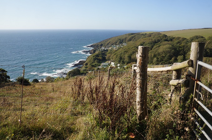
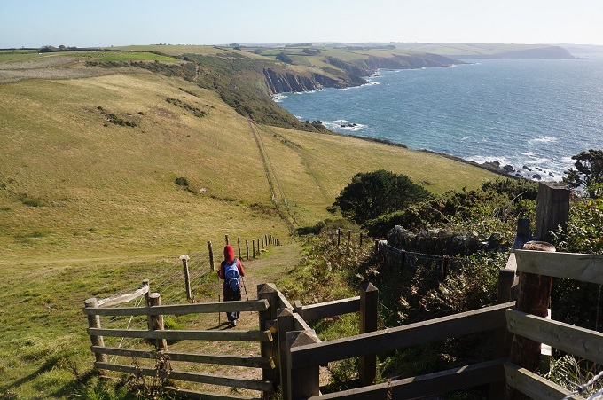
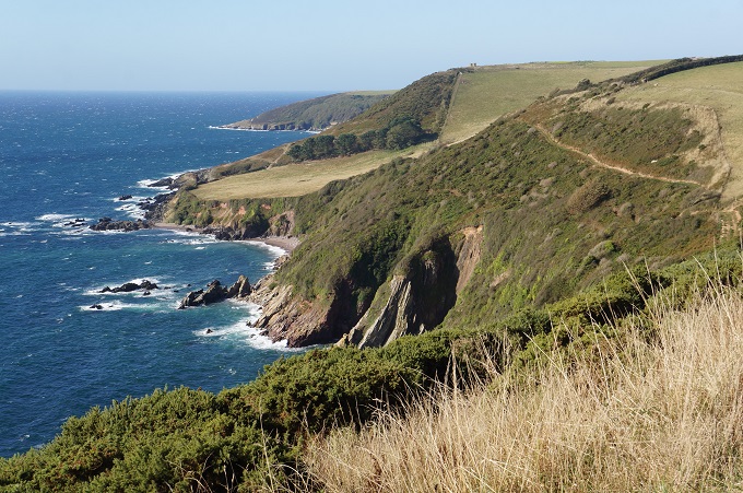
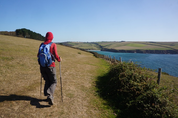
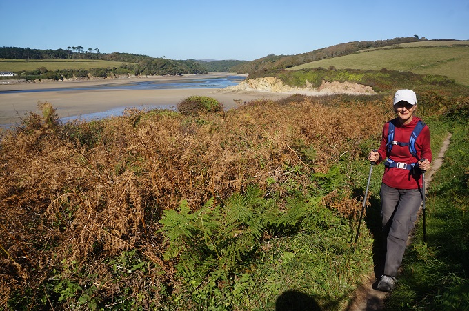
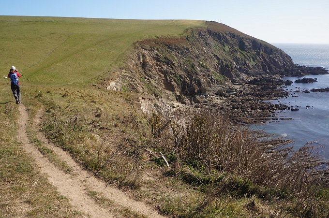
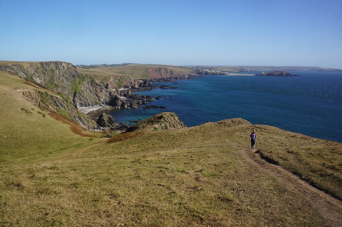
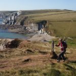
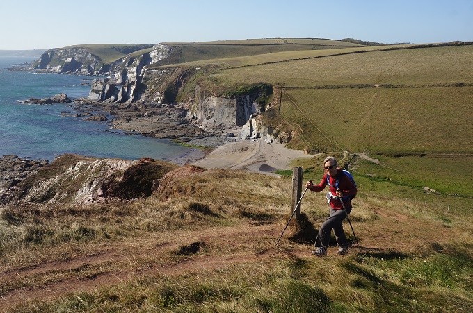
Today was a section of fine high-level coastal cliffs, cut midway by the substantial and extremely picturesque estuary of the River Erme. The first half to the river was particularly easy to walk as there is a wide former carriage route, now nicely grassed over, giving access to the superb coastline. The second half from the river to Bigbury-on-Sea was more demanding with a series of descents and ascents, some quite steep, making the walking strenuous but accentuating the dramatic cliffs.
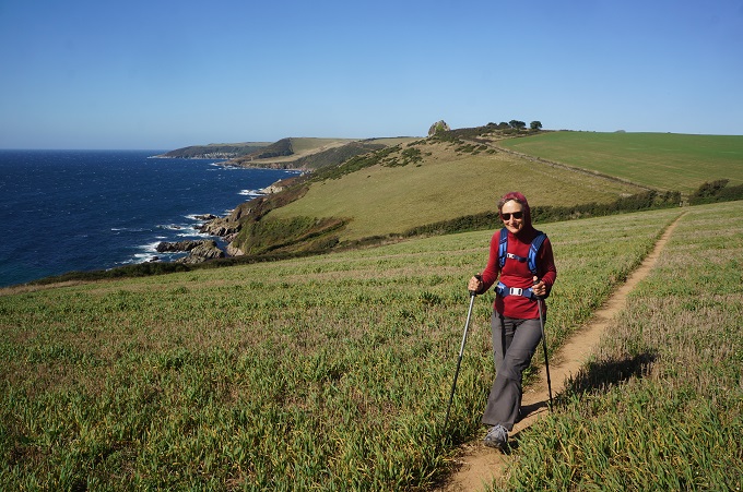
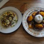
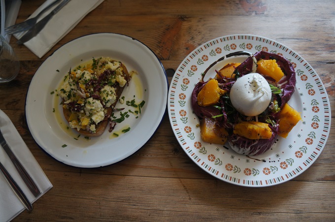
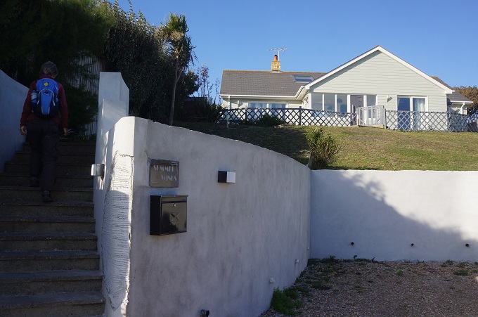
There were two challenges today, The wind and the river. When we awoke this morning there was a steady breeze and it got stronger throughout the day. I would say 30km/hr and gusting 40+ on the exposed cliff tops. We walked into it all day and this evening are feeling a bit battered. The only time we got out of the wind was in woodland, deep in the Erme river valley and in the café. Fortunately it wasn’t a cold wind so we could still walk in just a lightweight merino top. We now know why our B & B tonight is called Summer Winds.
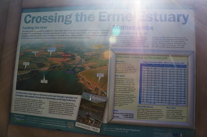
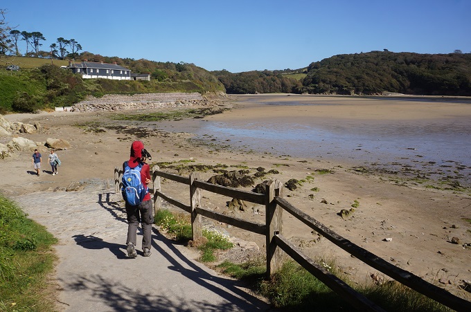
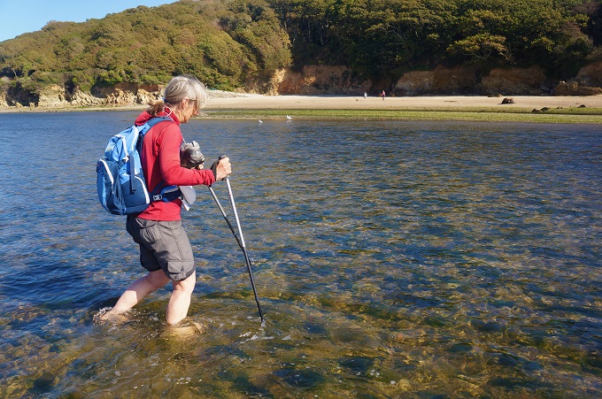
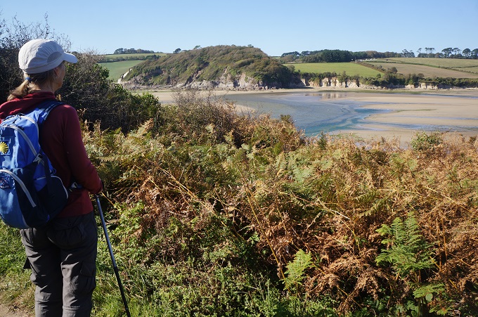
The other challenge was the River Erme. There is no ferry and we knew it had to be crossed. There were three options: arrange a taxi at £20 -30 to drive you round via an inland road, walk an extra 14kms up the river to the first vehicle bridge and back on roads with no shoulder, wade across the river from one hour each side of low tide. We wanted to do the latter but knew we may have had to chose one of the other two. We knew low tide was about 4.00pm but weren’t sure if this was Greenwich Mean Time or British Summer Time and if so, did we add or subtract an hour.
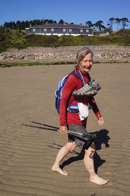
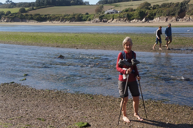
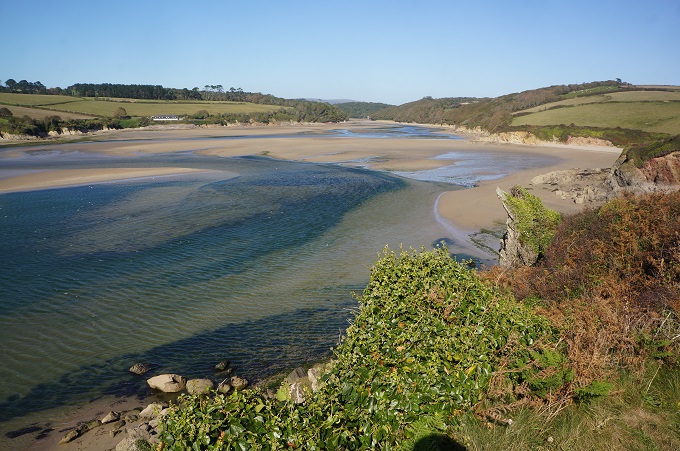
We arrived at the river at midday and determined low tide was 4.09 BST. The river was still very full so we went up the hill to the Schoolhouse Café for something to eat and to fill in time. About 2 o’clock we came back down to the river, and what a transformation, the river valley that had been all water was now largely a vast expanse of sand. We waited about on the riverbank for a while as we weren’t exactly sure where the safest recommended crossing point was. Shortly a guy crossed the river from the far side so we had a chat to him. He showed us where to cross, said the water was now only mid-calf deep and the river bed was sand and pebbles so just take your shoes off and go bare feet. This we did, it was all very easy and by 2.30 we were ready to head off on the far side. Still one and a half hours before low tide. There is a tidal range of about 6 metres so if your arrival time at the river is off there is no hope of wading across.
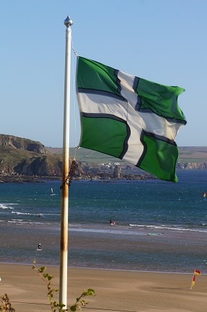
Today for the first time we saw the Devon County flag flying. It is quite new, created in 2003 and dedicated to St Petroc. The flag has a green background with a white cross edged in black. The green represents the rolling and lush Devon hills, the black represents the high and windswept moors (Dartmoor and Exmoor) and the white represents both the salt spray of Devon’s two coasts and the china clay industry (and mining in general).
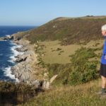
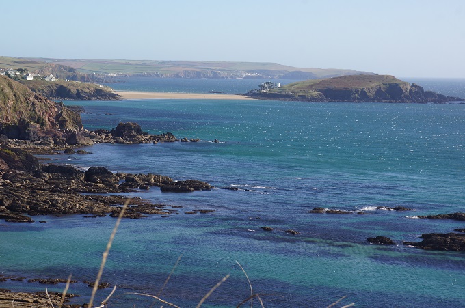
Most of the walk today was very remote and quiet. All morning we saw only one runner and one dog walker, both near the start at Noss Mayo. The only food available until near the end at Bigbury-on-Sea, was the café we went to above the river. We crossed a few small beaches but they were deserted as there was no car access. This is when the Coast Path is at its best, just the magnificence of the cliffs and the panoramic views.
-
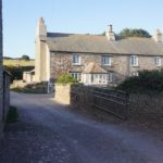
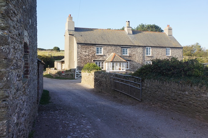
- Worswell Barton Farmhouse B & B
-
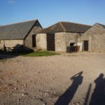
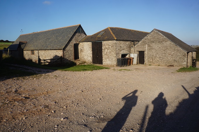
- Farm buildings Worswell Barton
-
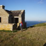
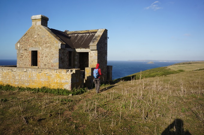
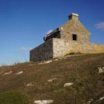
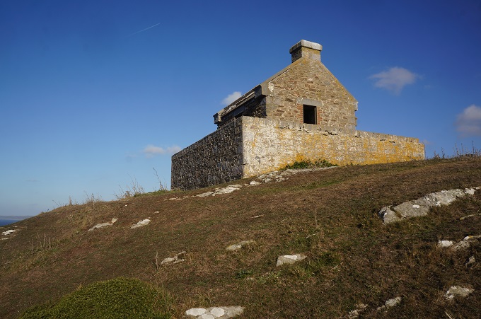
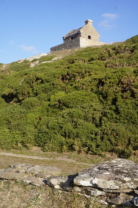
- Ruined Signal Station
-
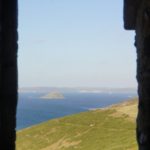
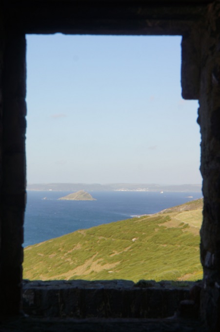
- Great Mewstone Island from ruined signal station
-
- Ruined Signal Station
-
- Ruined Signal Station
-
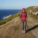
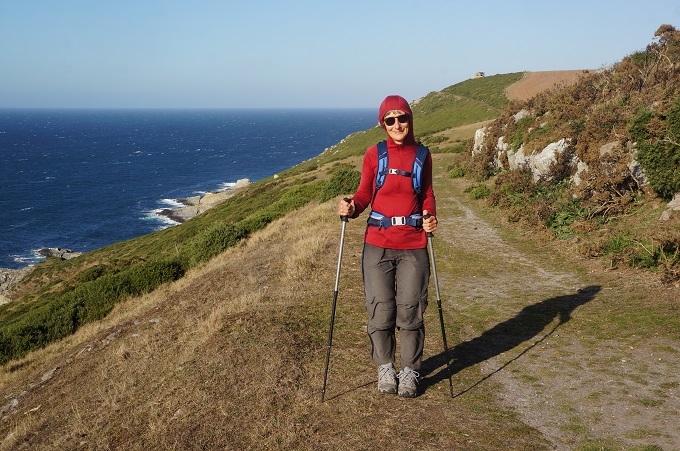
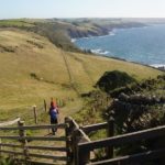
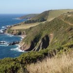
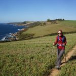
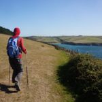
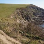
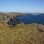
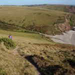
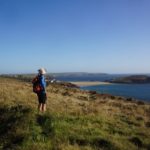
- Easy walking along exposed cliffs
-
- Easy walking along exposed cliffs

-
- Revelstoke Park
-
- Revelstoke Park
-
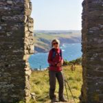
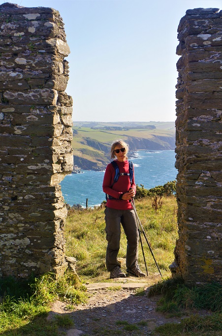
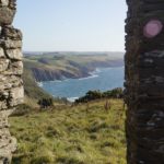
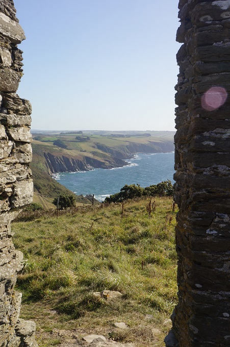
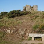
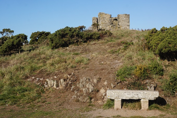
- Ruined look out, Beacon Hill
-
- Ruined look out, Beacon Hill
-
- Ruined look out, Beacon Hill
-
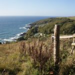
- Easy cliff top walking
-
- Easy cliff top walking
-
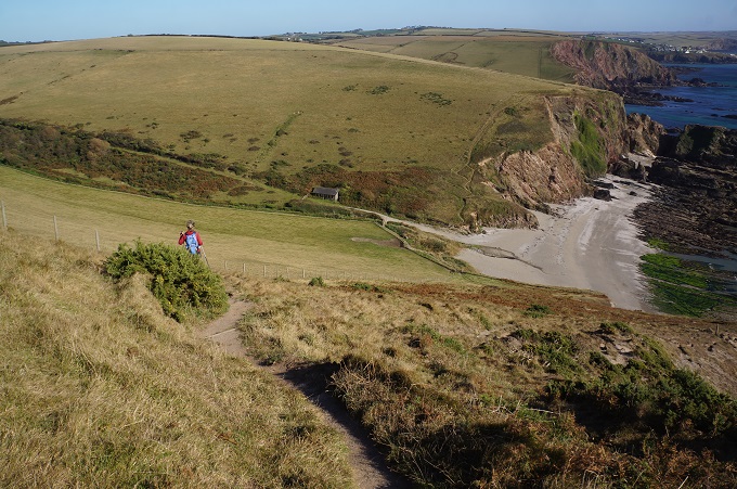
- Walking over what was a corn field above Butcher’s Cove
-
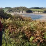
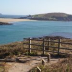
- Approaching the Erme River estuary
-
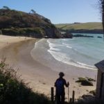
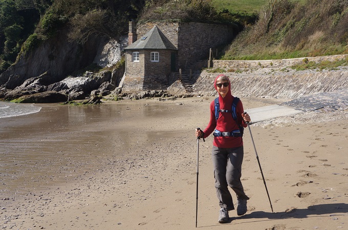
- Mothercombe Beach
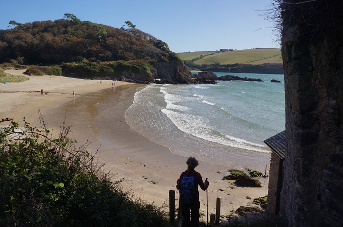
-
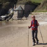
- Mothercombe Beach
-
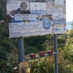
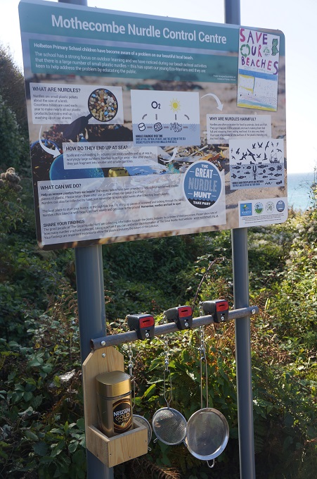
- Mothercombe Nurdle Control Centre
-
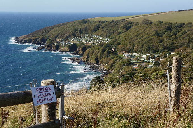
- Instructions about crossing the Erme Estuary
-
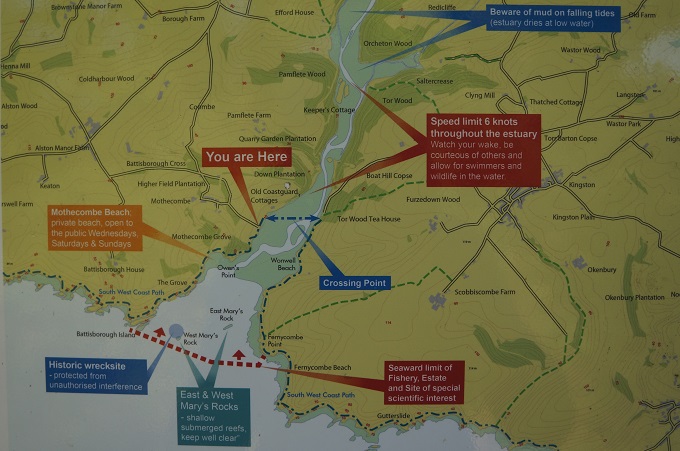
- Map of Erme River and Estuary
-
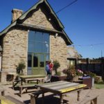
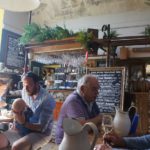
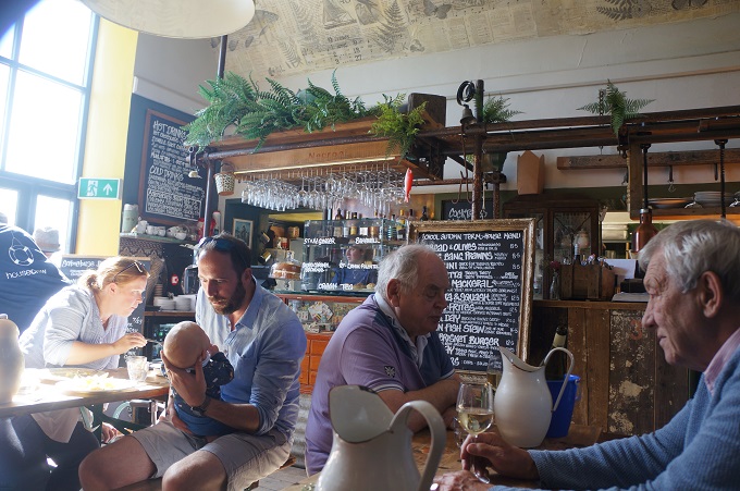
- Schoolhouse Cafe, Mothercombe
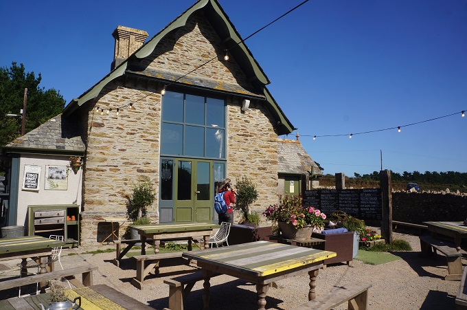
-
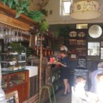
- Schoolhouse Cafe, Mothercombe
-
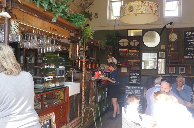
- Schoolhouse Cafe, Mothercombe
-
- Schoolhouse Cafe, Mothercombe
-
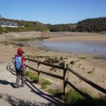
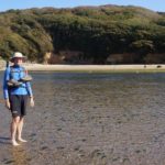
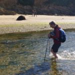
- Getting close to low tide
-
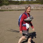
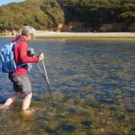
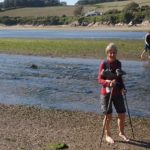
- Shoes off, ready for crossing the Erme River
-
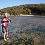
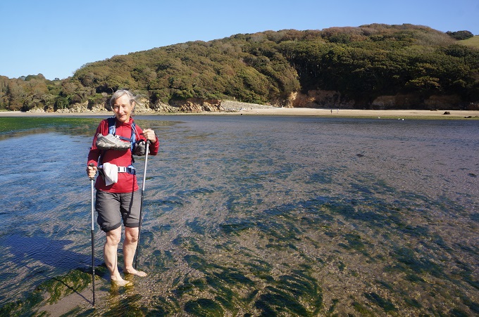
- The water is not even cold, Erme River
-
- It’s weed in the water not fish, Erme River
-
- Easy going on sand and pebbles, Erme River
-
- Crossing the Erme River
-
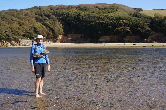
- Erme River crossing was easy
-
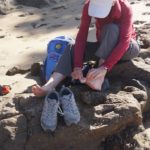
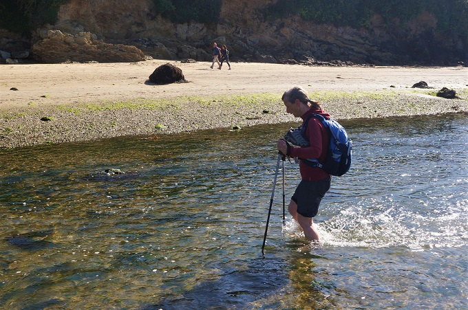
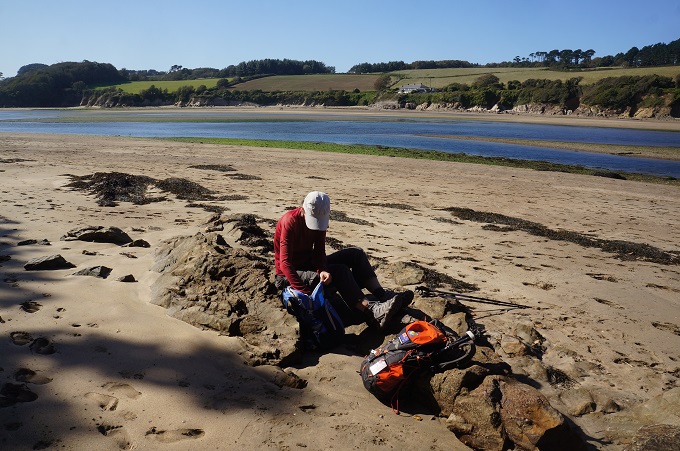
- Shoes back on after crossing the Erme River
-
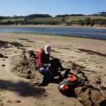
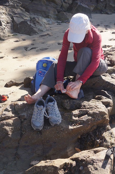
- Getting organised after crossing the Erme River
-
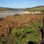
- The Erme River estuary
-
- The Erme River estuary
-
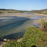
- The Erme River at low tide
-
- Beacon Point
-
- Last sight of the Erme River mouth
-
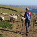
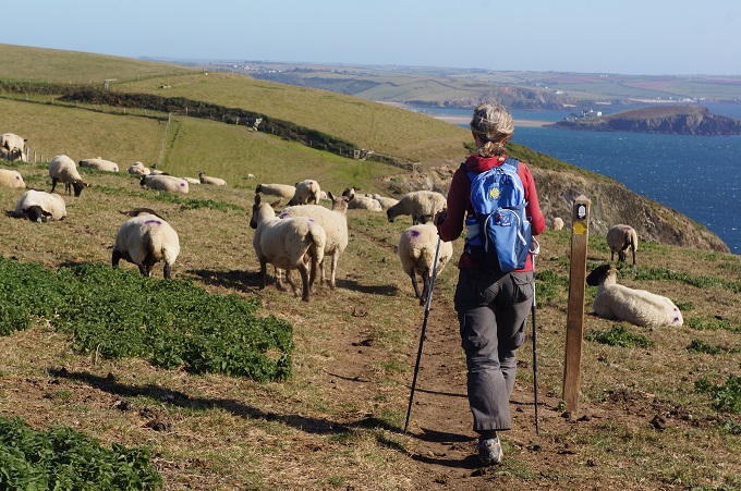
- Little Bo Peep has found her sheep
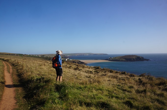
-
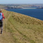
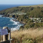
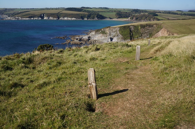
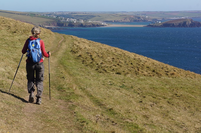
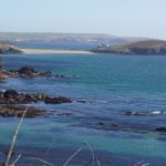
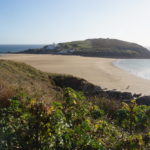
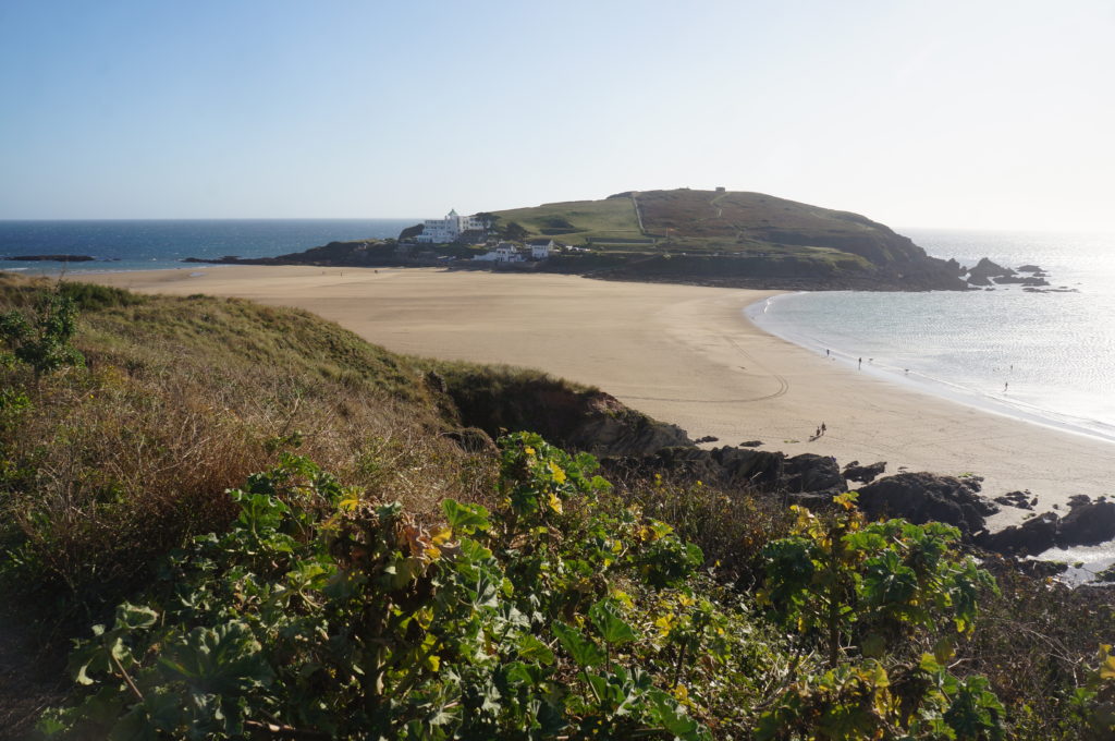
- First glimpse of Bigbury-on-Sea and Burgh Island
-
- Some high cliffs ahead
-
- Roller coaster path
-
- The tidal Burgh Island
-
- Last major climb of the day
-
- Coming to Bigbury-on-Sea and Burgh Island
-
- The tidal Burgh Island
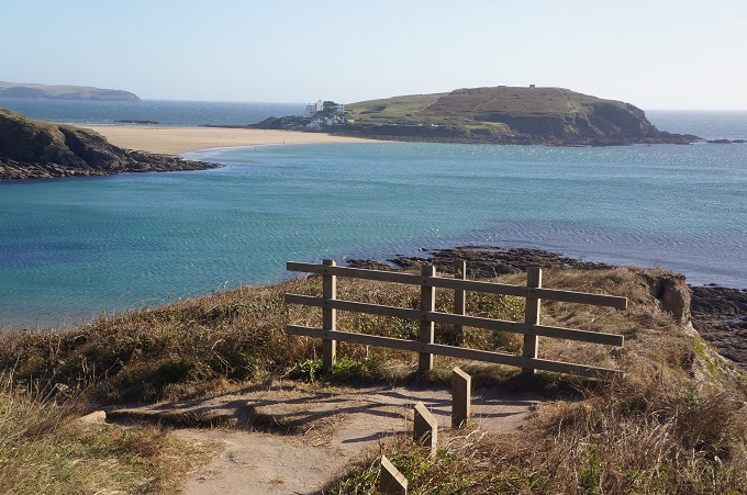
-
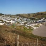
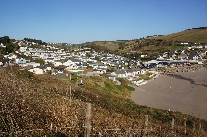
- Challaborough Bay Holiday Park
-
- The tidal Burgh Island
-
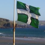
- The flag of the county of Devon
-
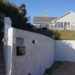
- Summer Winds B & B, Bigbury-on-Sea
-
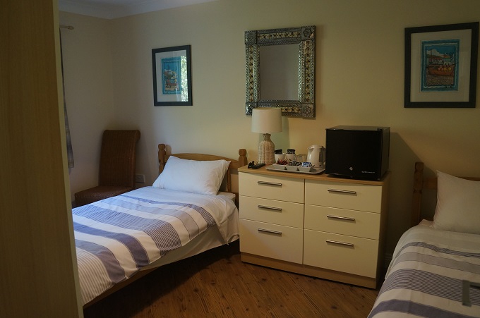
- Summer Winds B & B, Bigbury-on-Sea
-
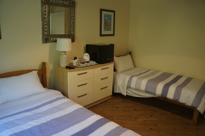
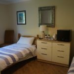
- Summer Winds B & B, Bigbury-on-Sea