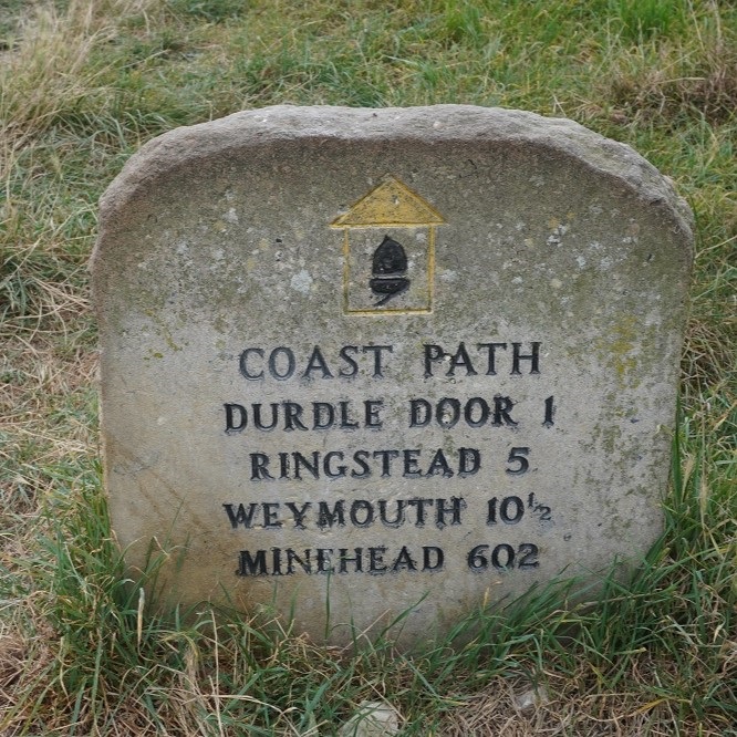
Lulworth Cove to Kimmeridge Village 17km
Ascension 610m Accumulated ascension 5987m
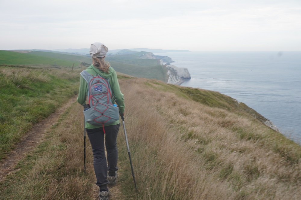
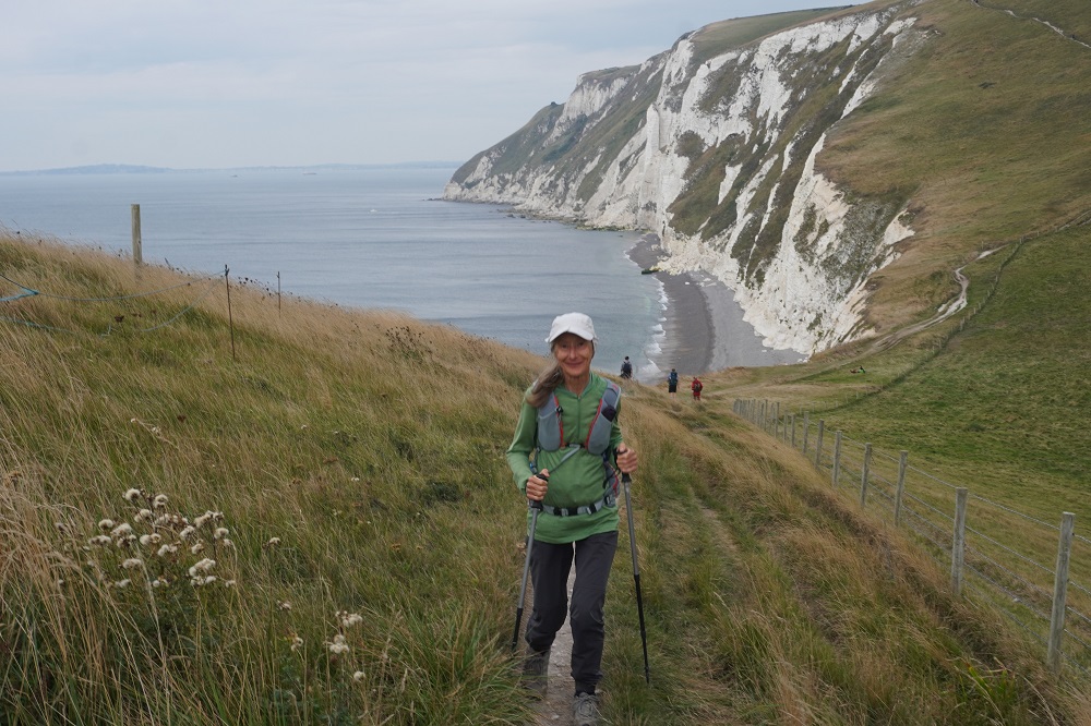
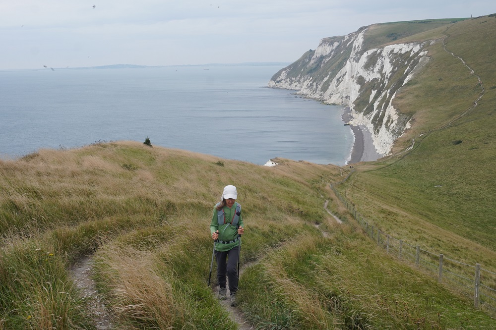
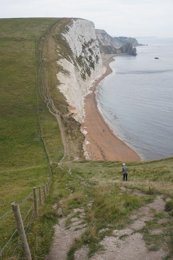
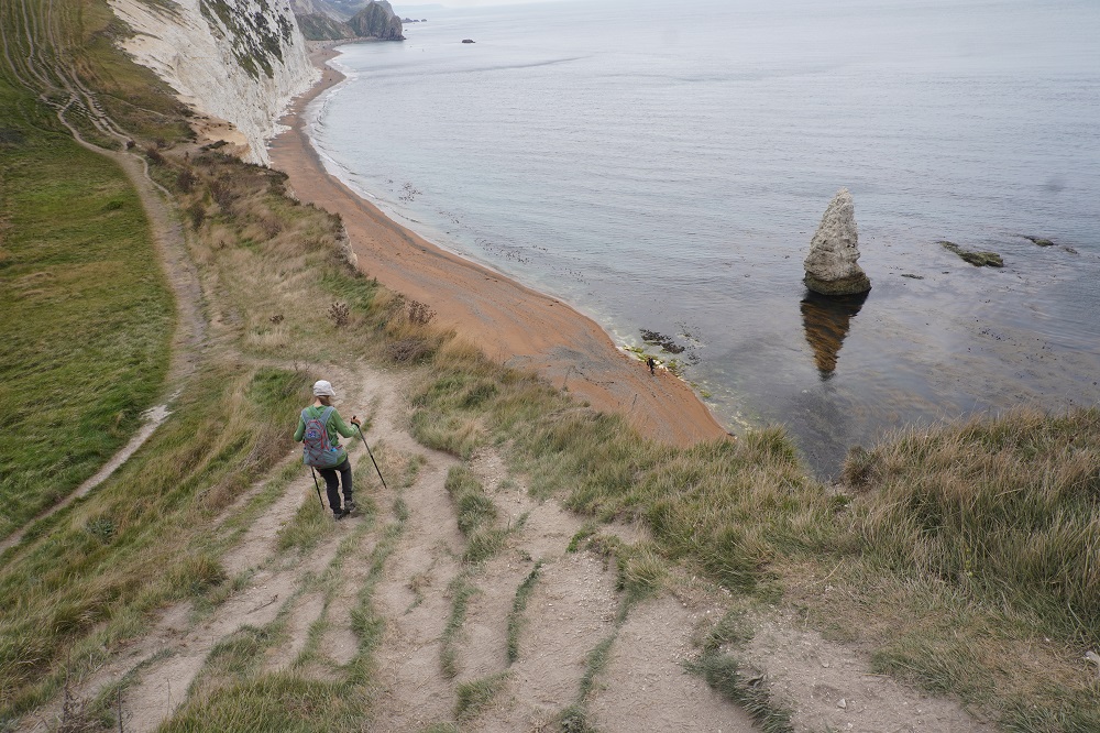
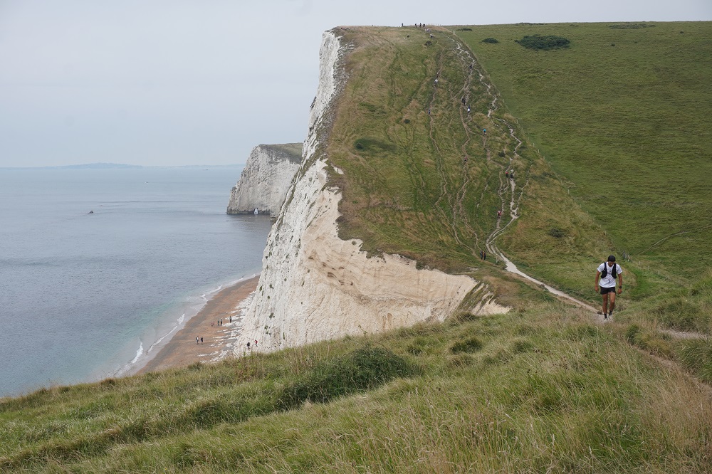
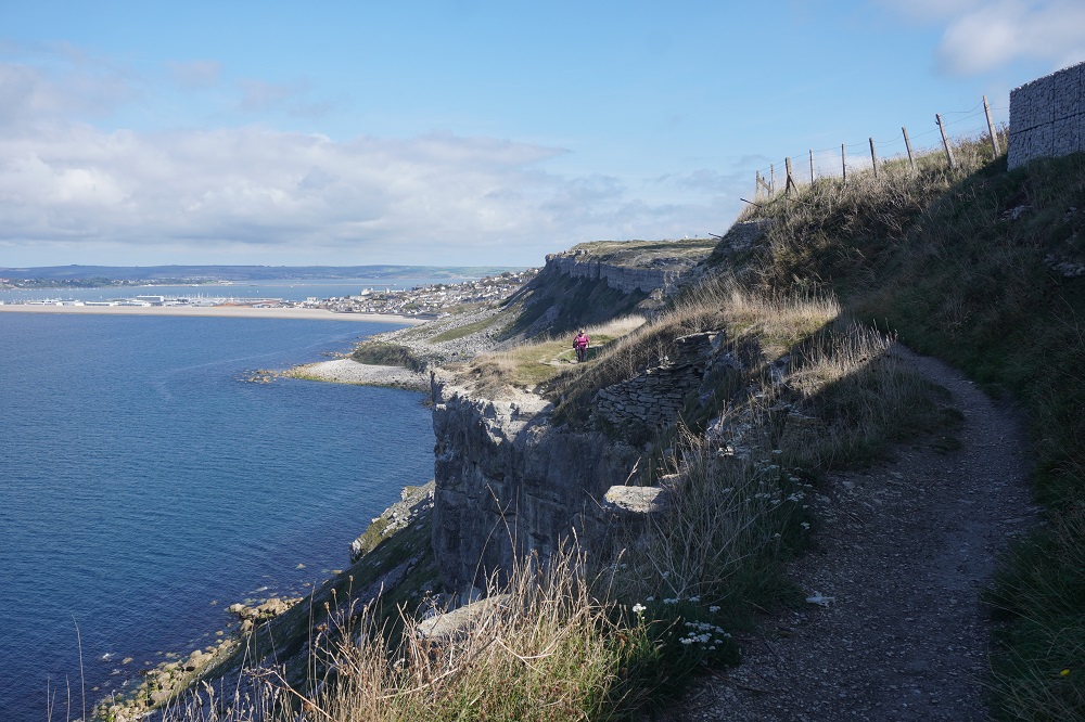
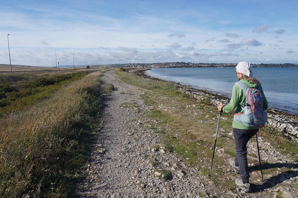
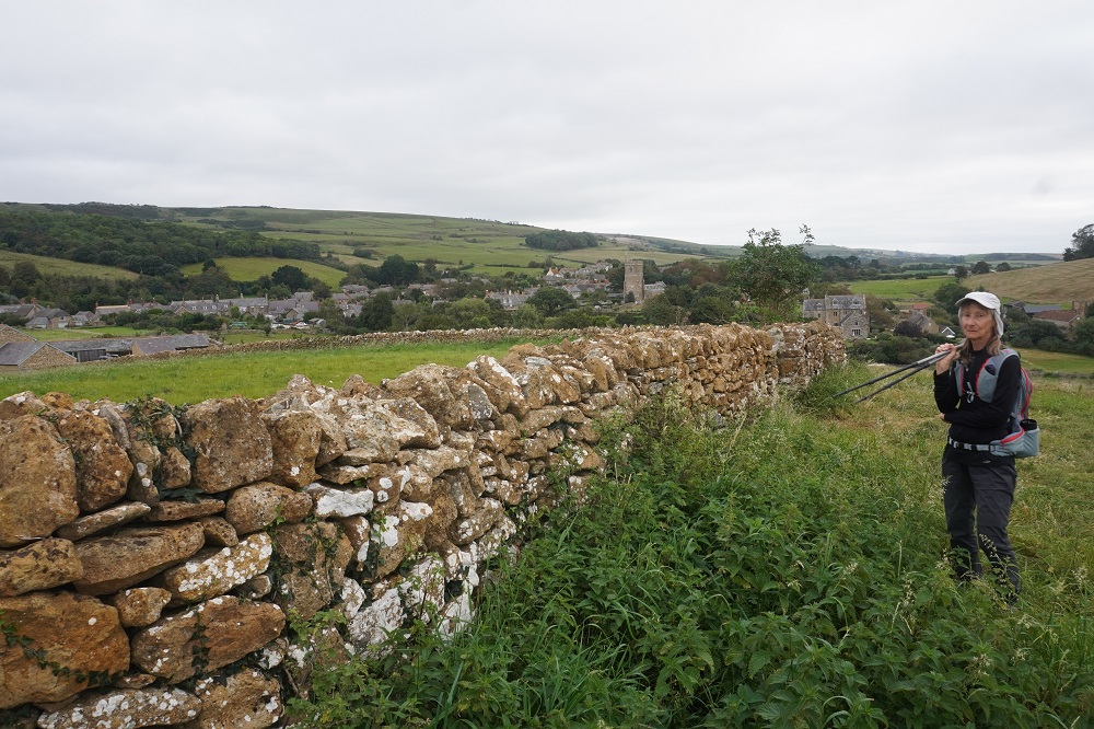
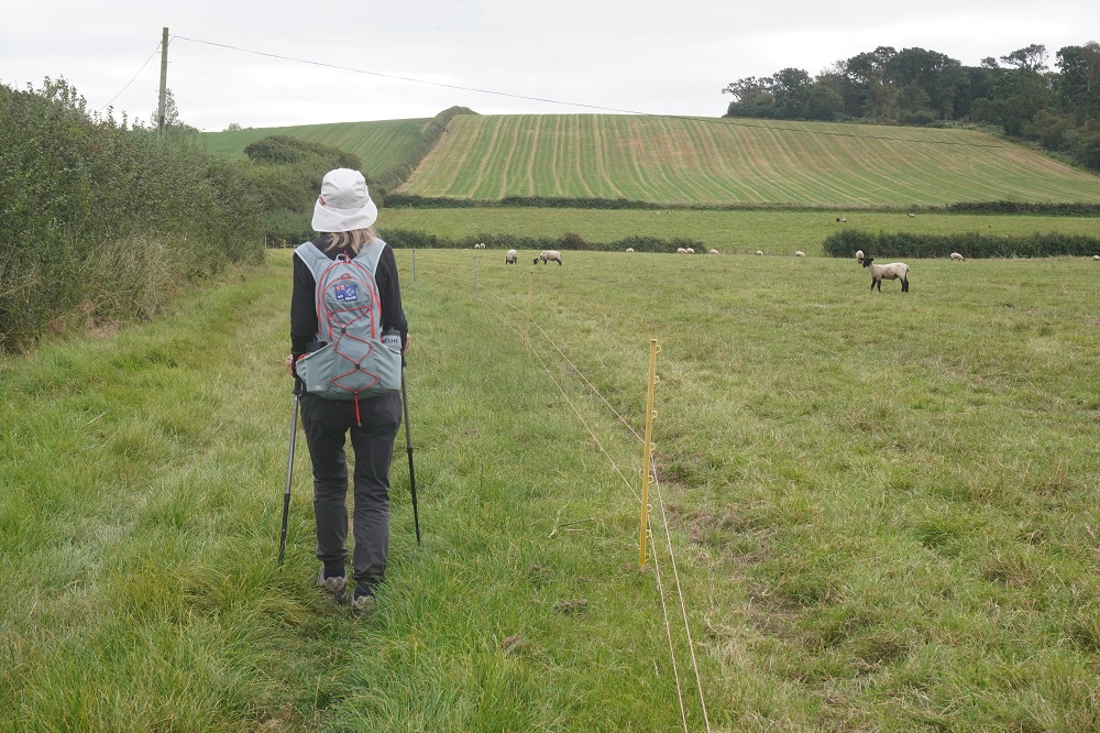
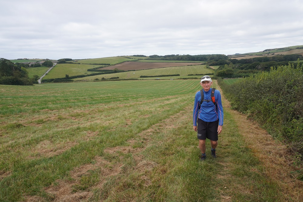
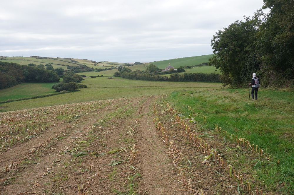
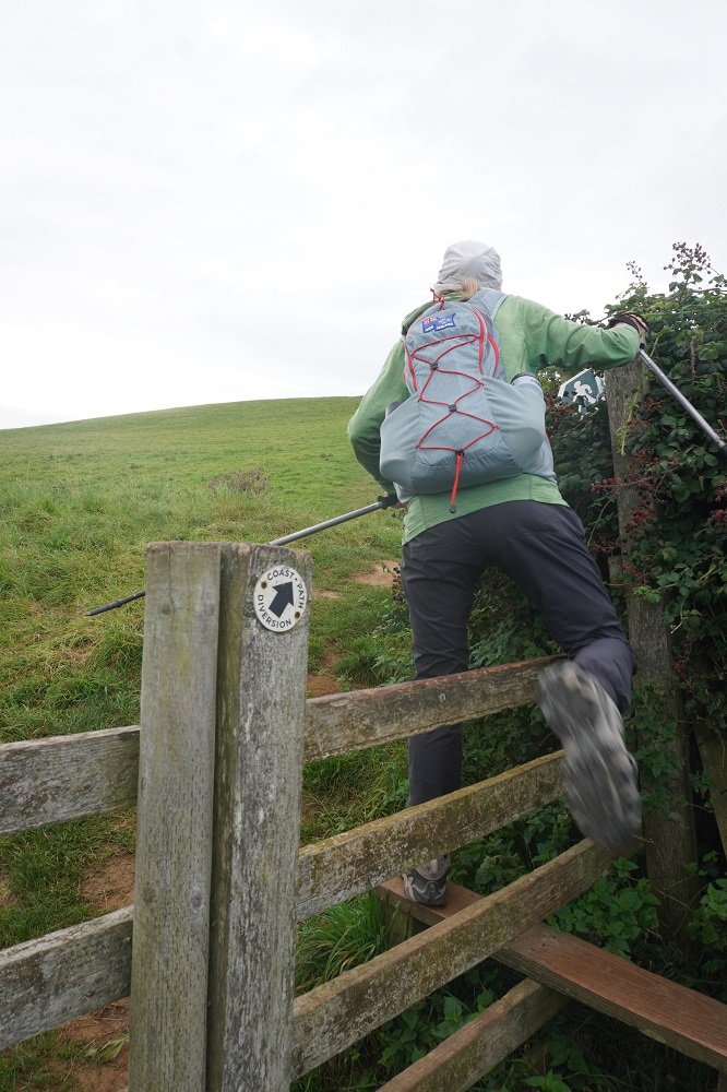
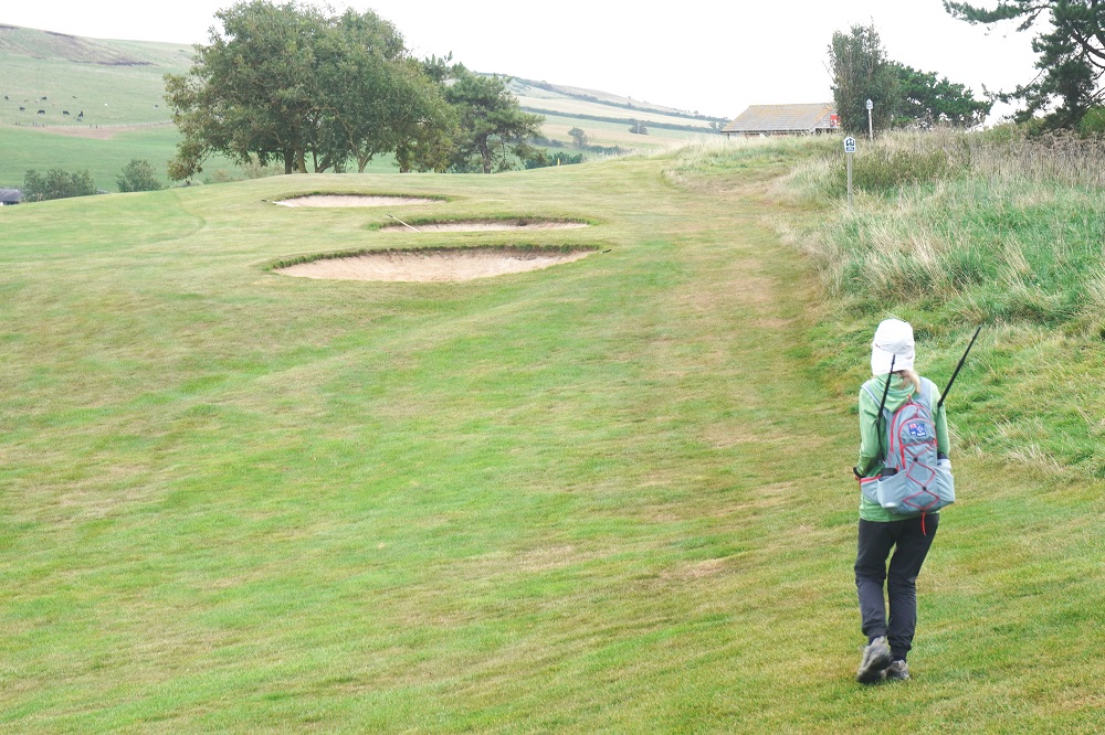
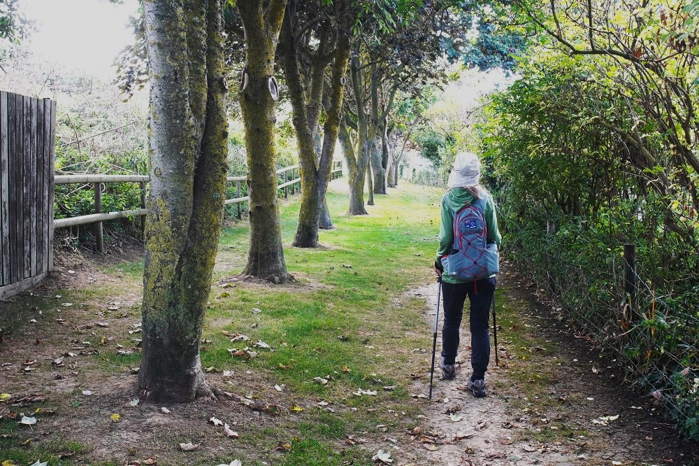
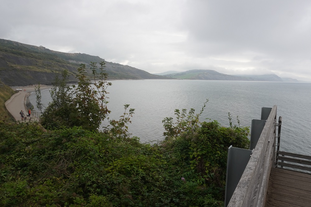
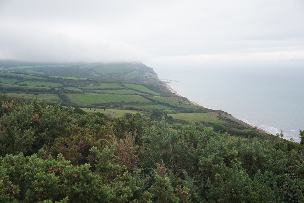
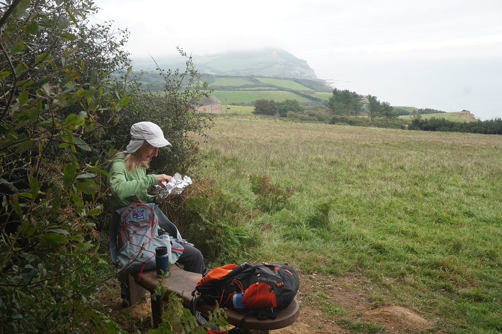
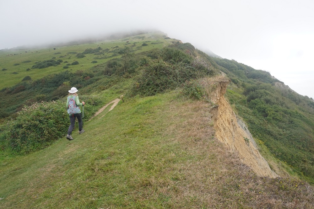
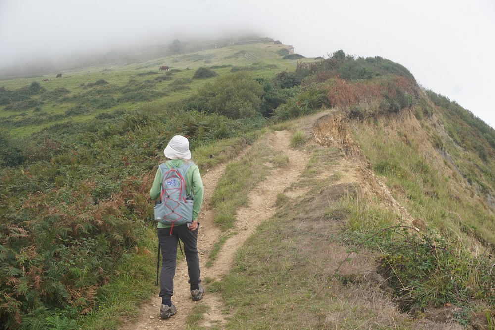
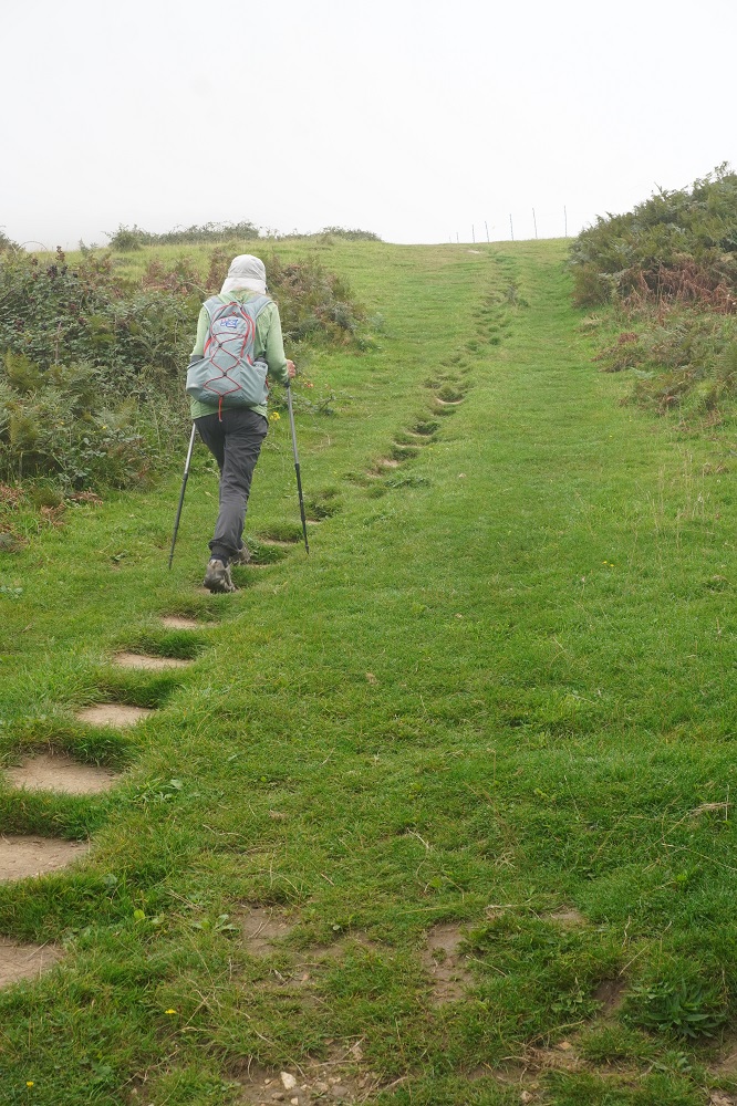
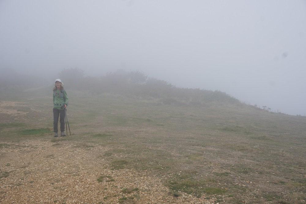
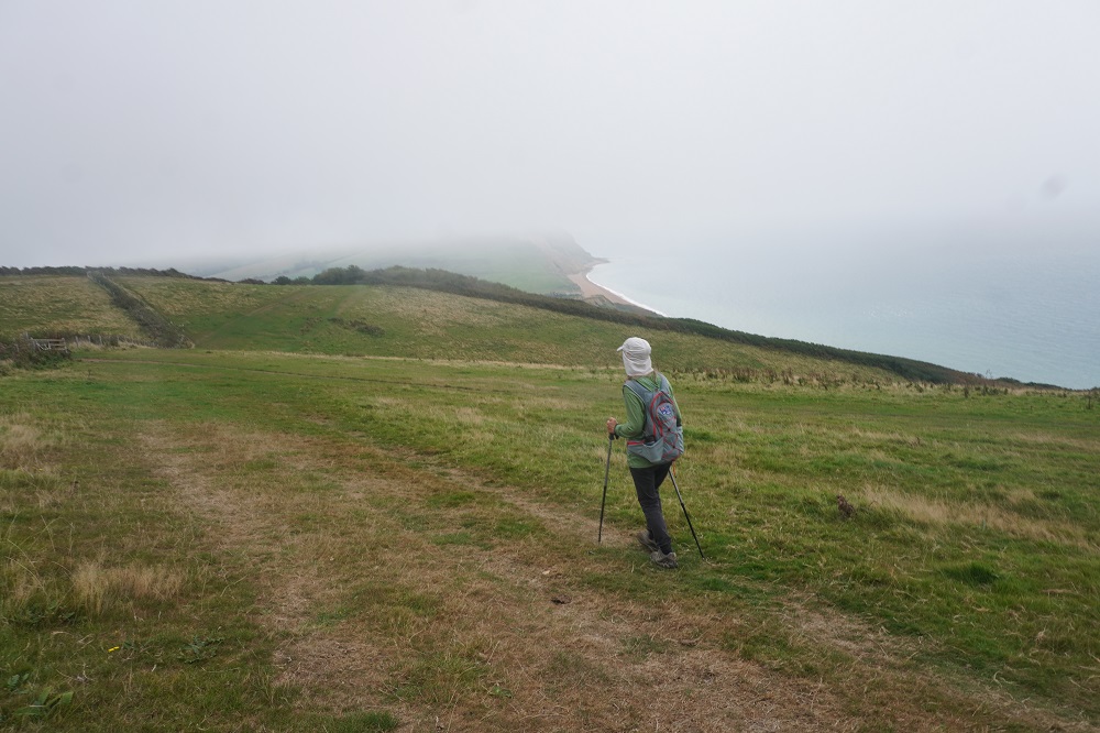
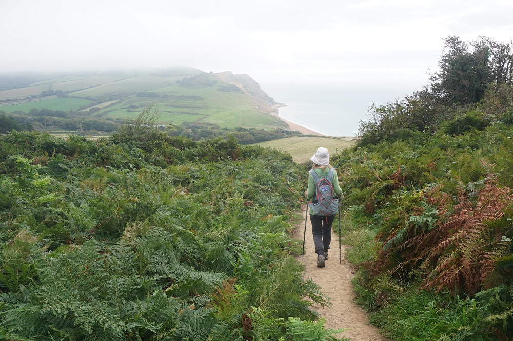
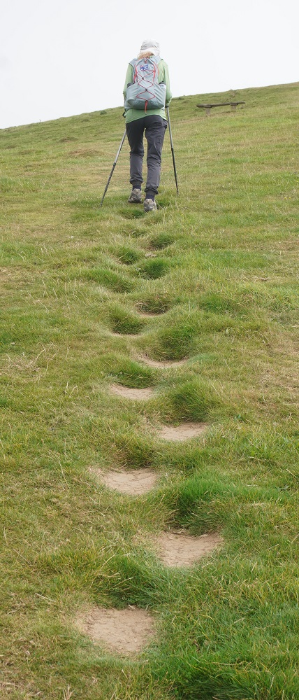
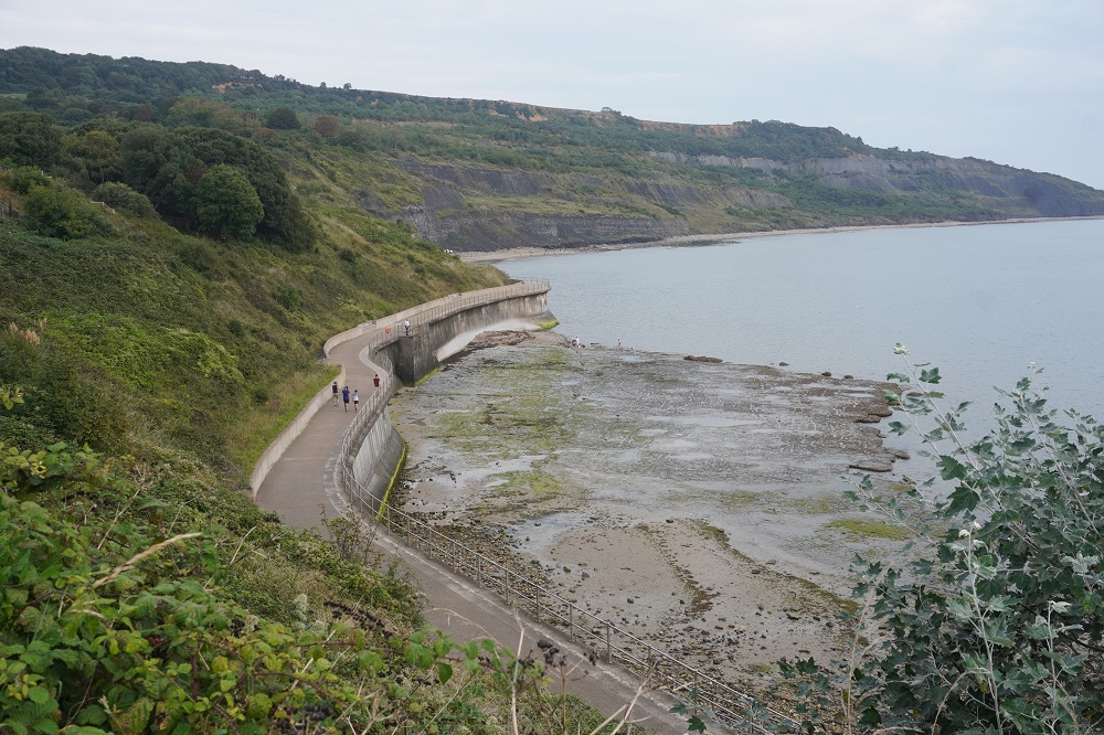
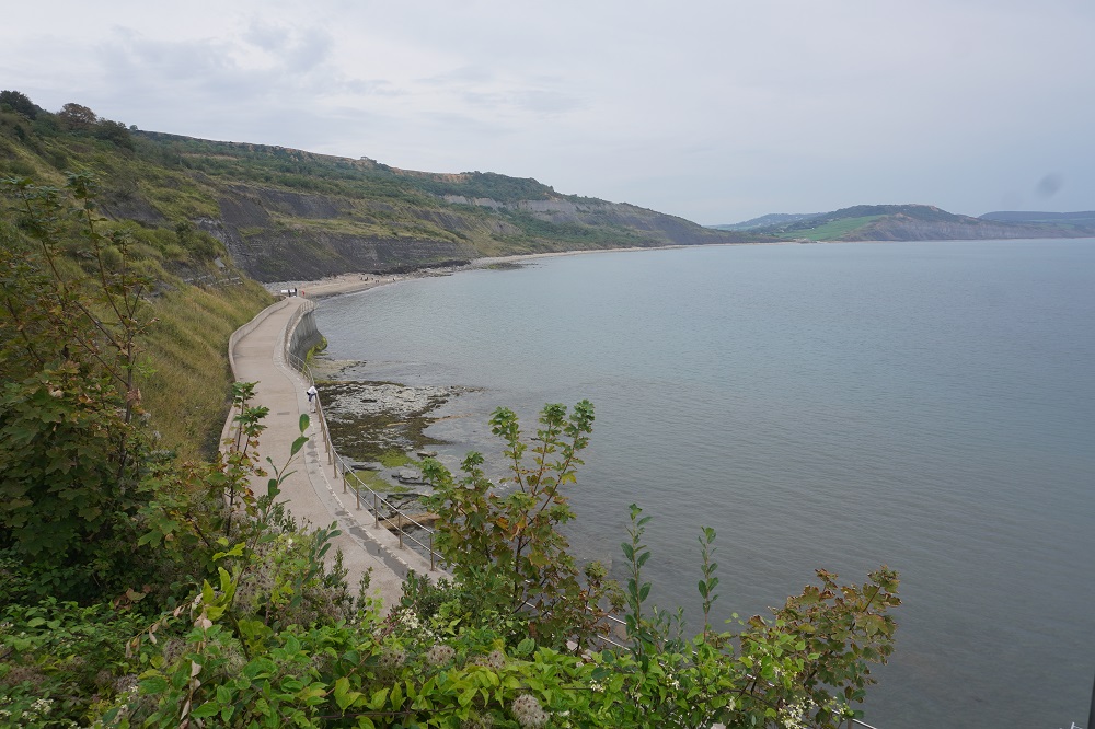
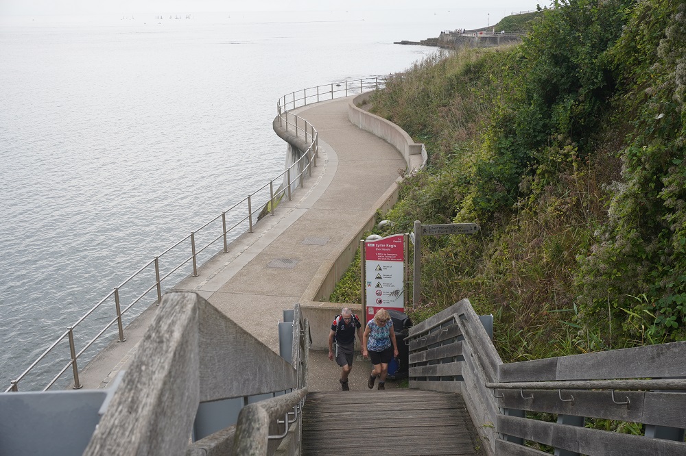
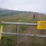
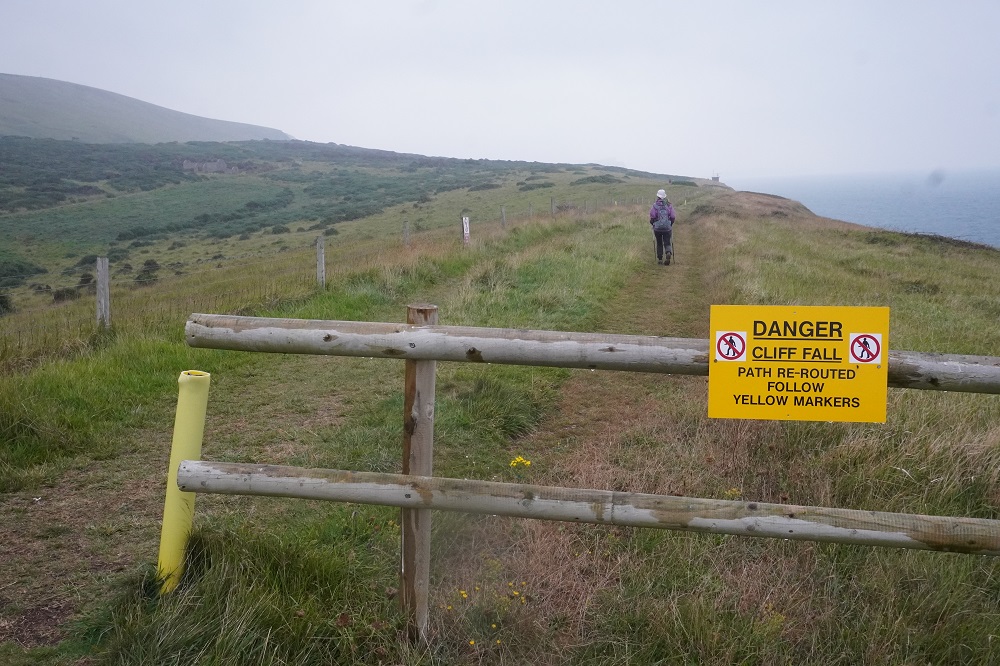
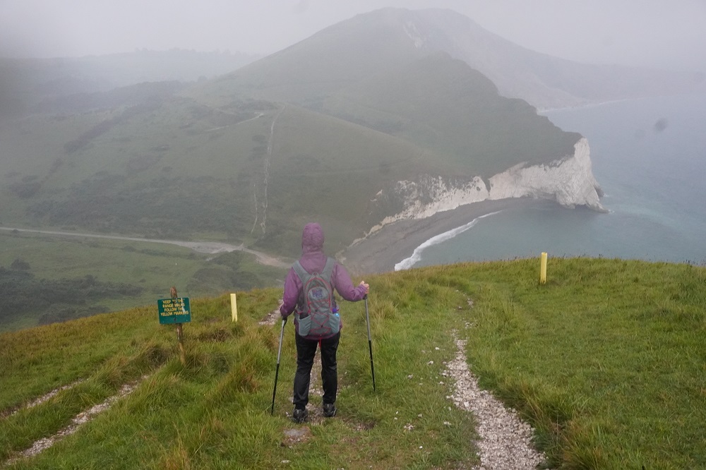
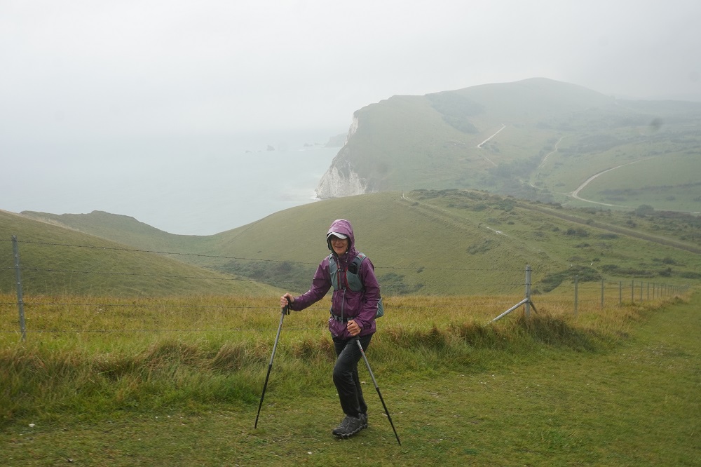
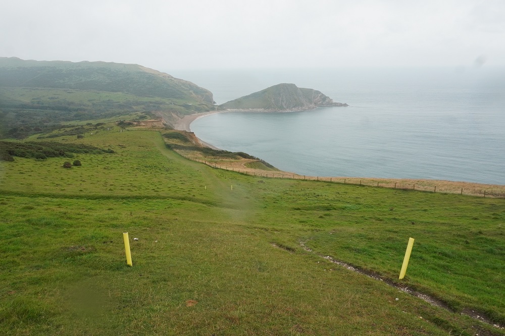
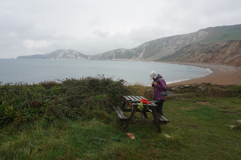
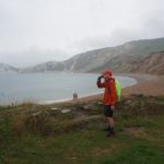
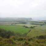
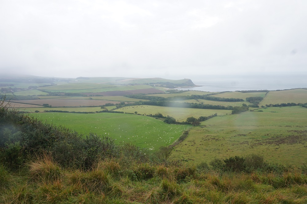
This should have been another spectacular day of cliff top walking, but the rain gods had other ideas. For the first time in 23 days out of NZ and 16 days on the south coast it rained. It still was an outstanding day in a way. It rained for about 4 hours, often heavily and for half an hour was accompanied by loud claps of thunder. Apologies for the photos that have blurry blobs of rain on them, it was impossible to keep the lens dry. Another roller coaster day, the climbs and descents were very steep and on the wet slippery ground walking poles were essential. On the up-hills it was like walking up a stream of milk as the rain flowed over the limestone path. We were both soaked to the skin but it wasn’t cold, except where it got quite windy on the tops.
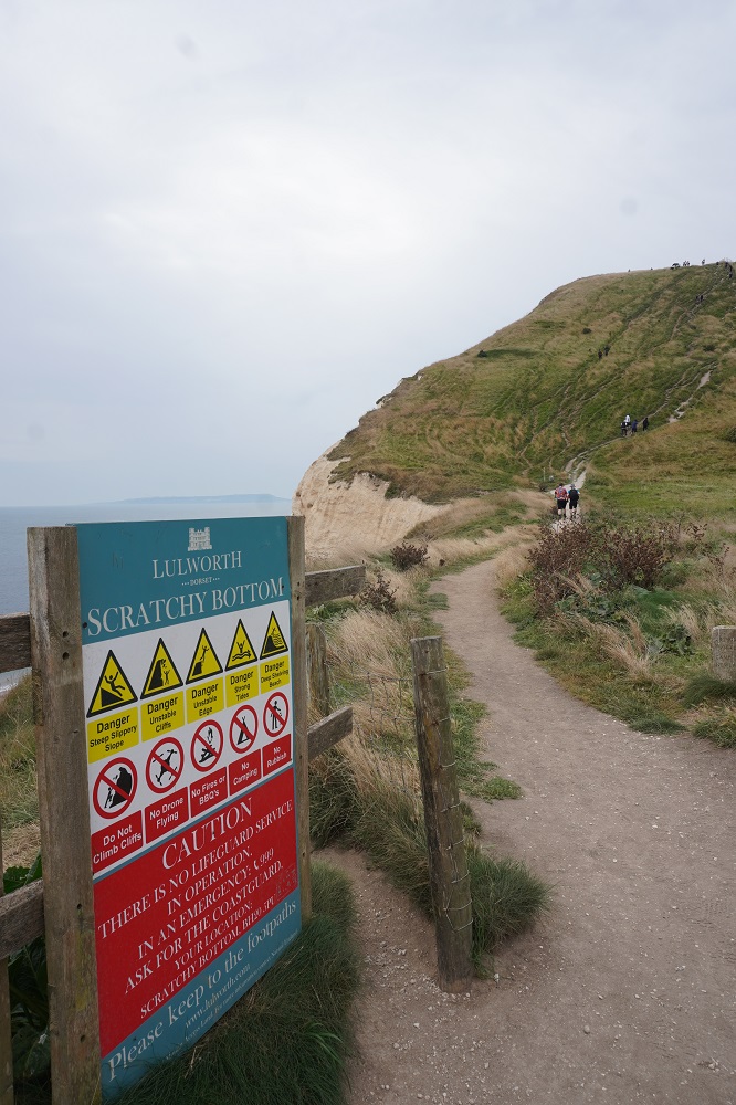
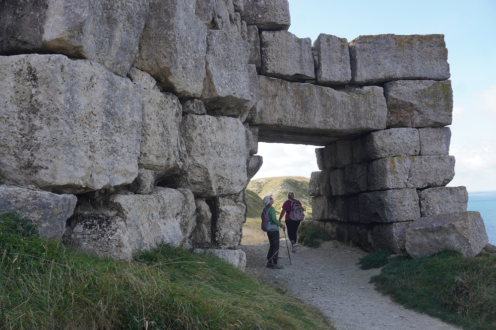
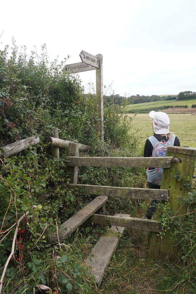
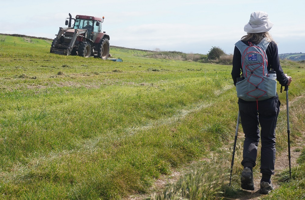
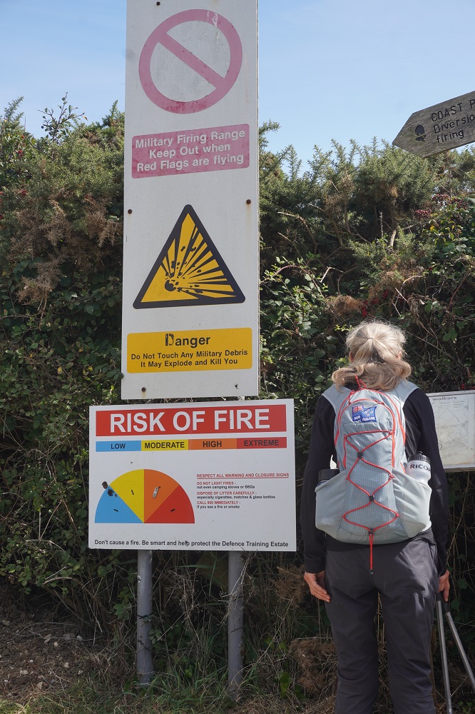
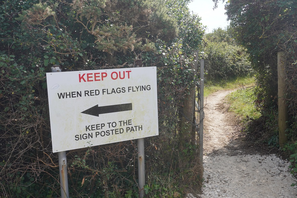
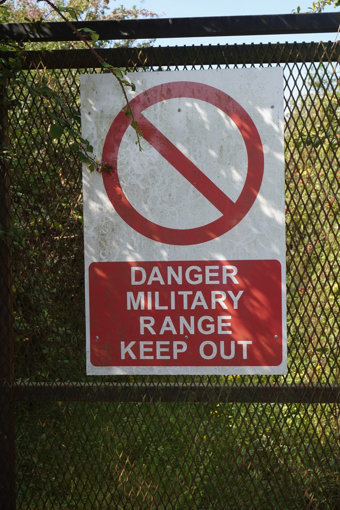
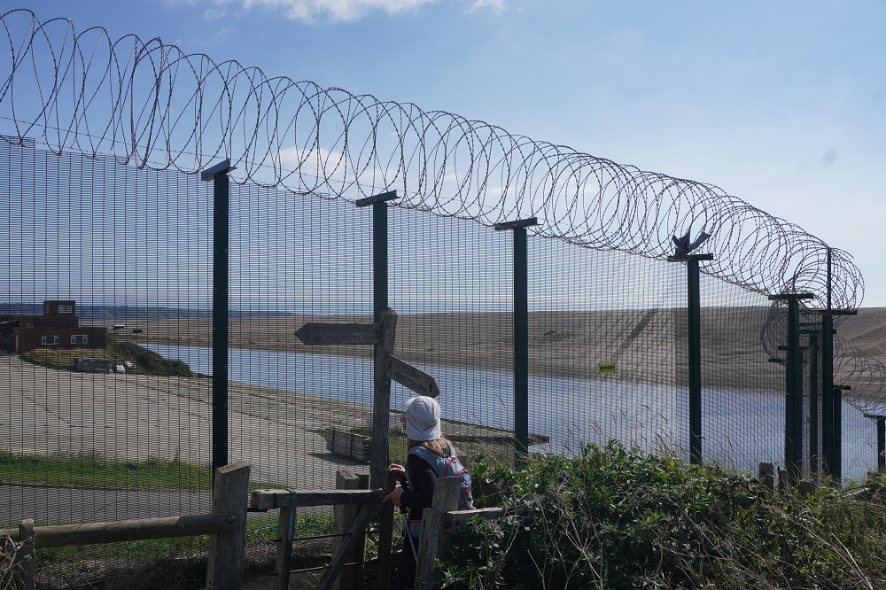
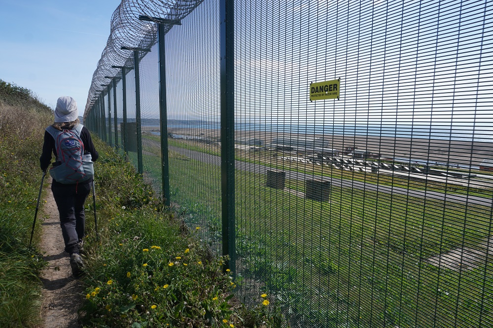
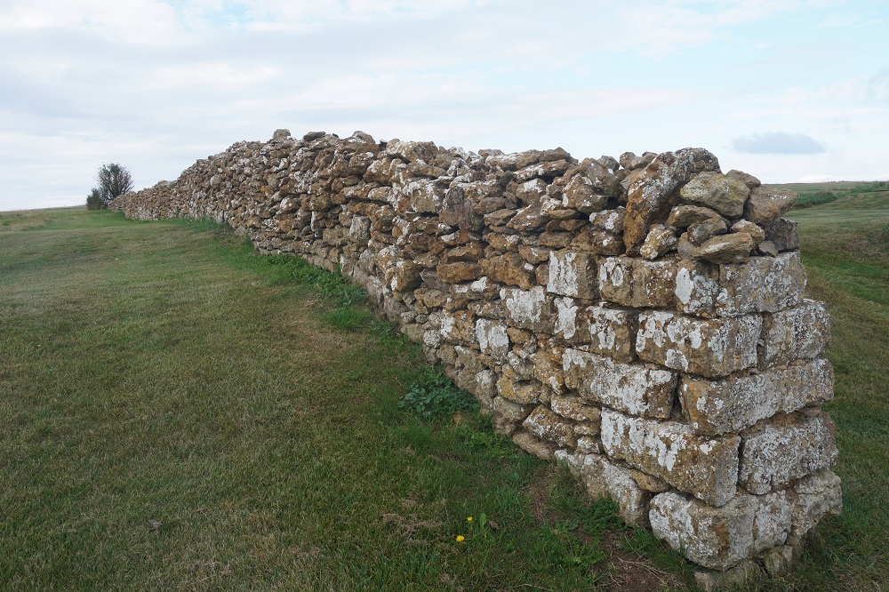
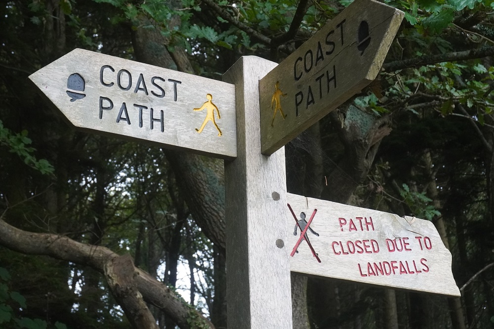
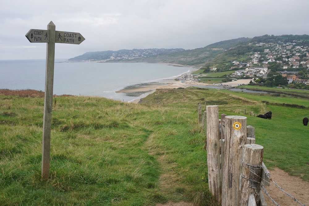
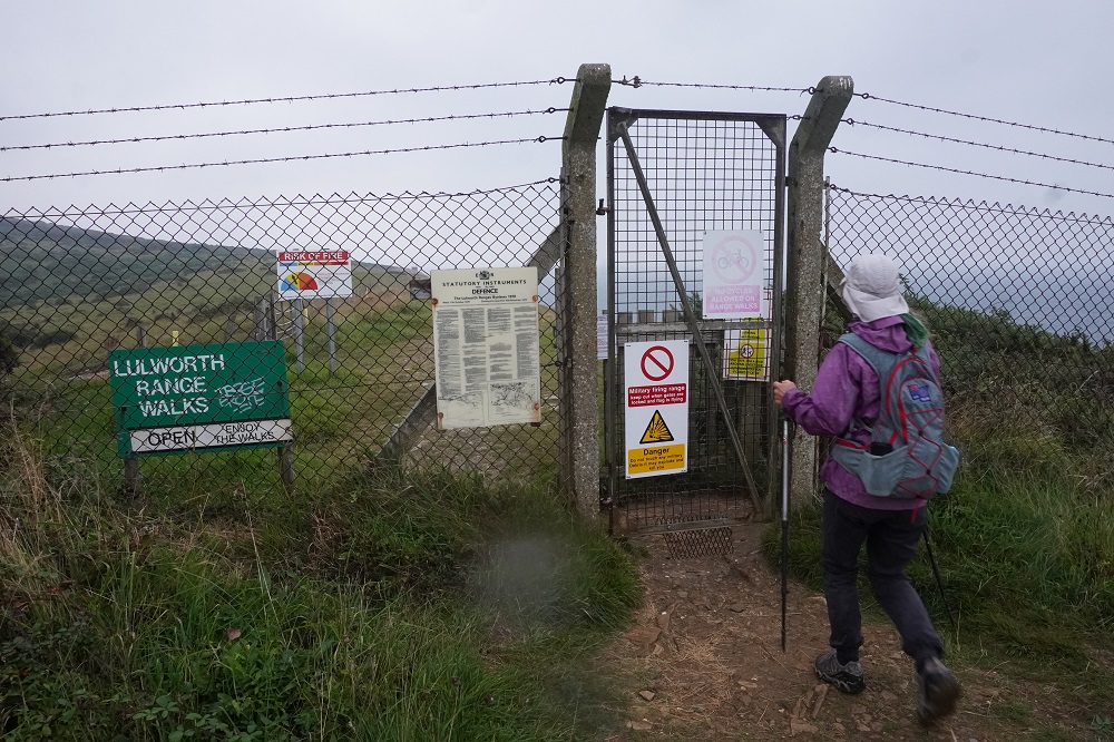
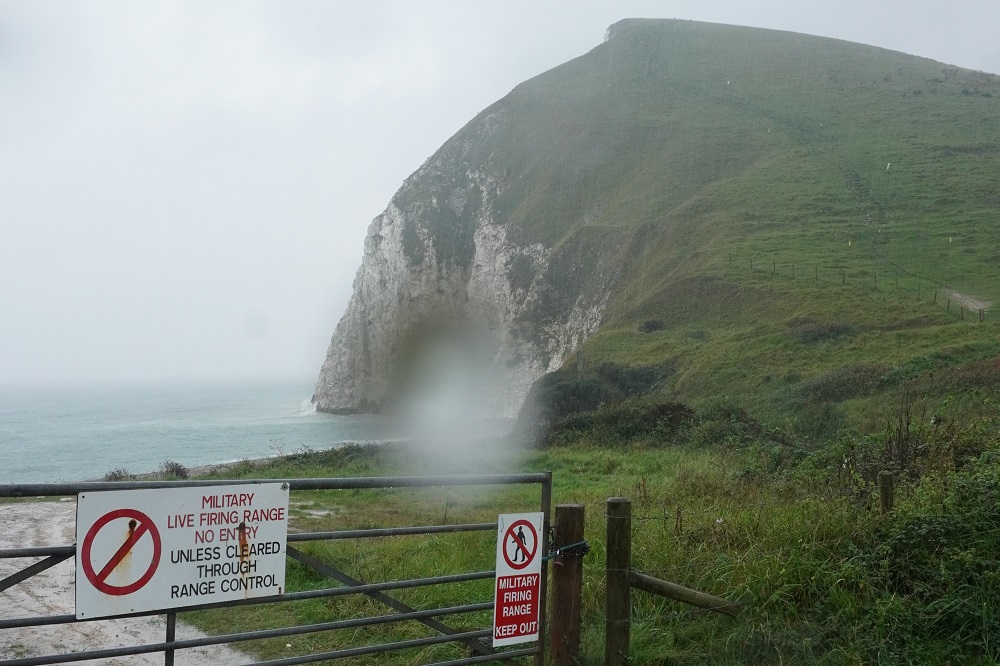
Almost all of todays walk went through the Lulworth Army Firing Range. The path is only guaranteed to be open on Sundays. During the week and sometimes on Saturdays the path is closed. We had timed our Coast Path walk to be here on a Sunday, otherwise there is a diversion which adds 10km to the distance.
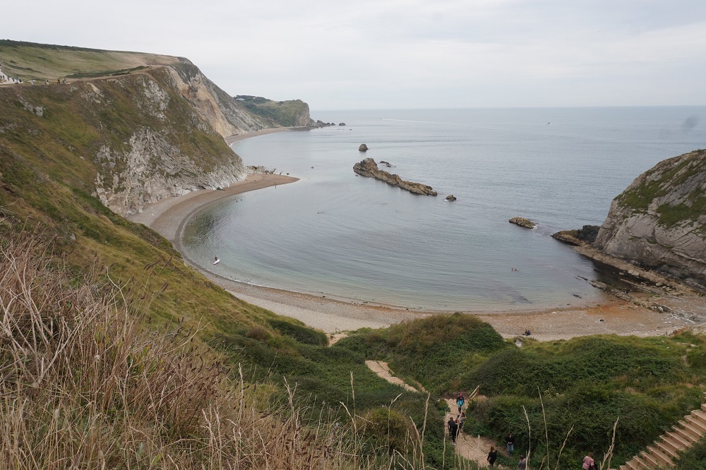
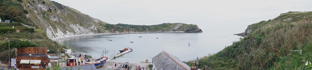
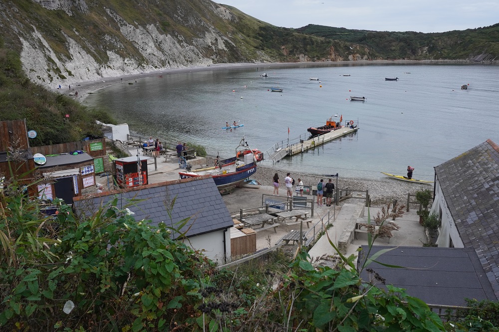
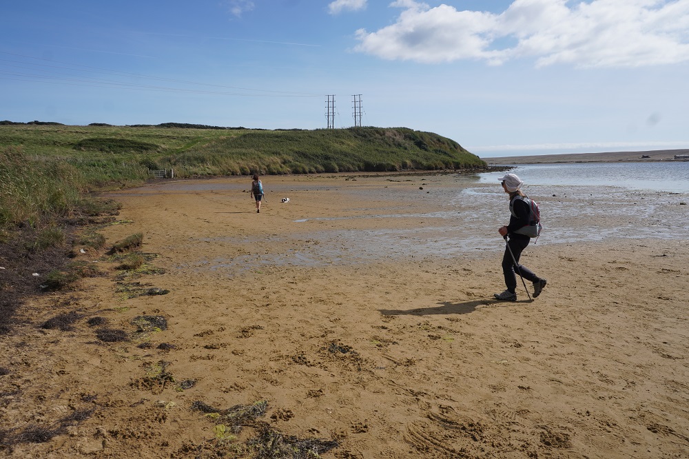
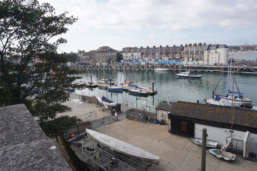
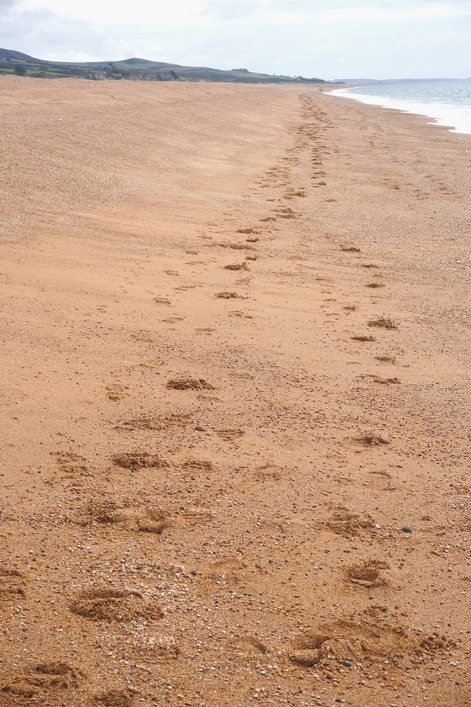
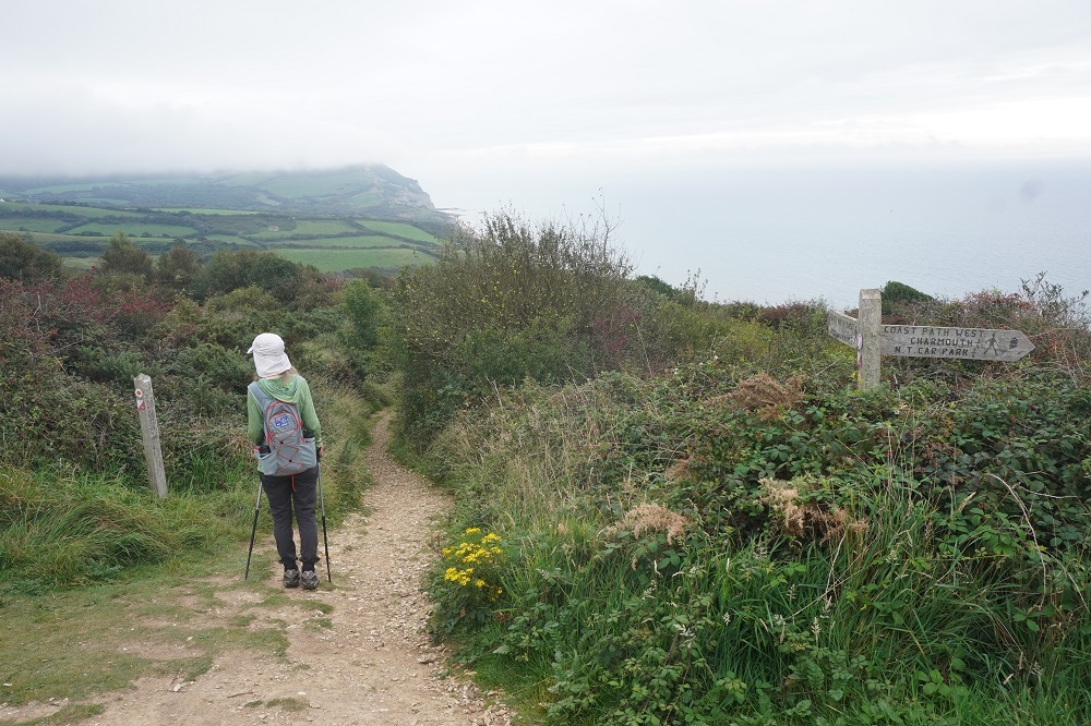
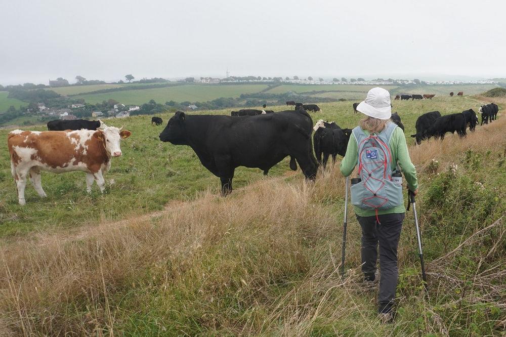
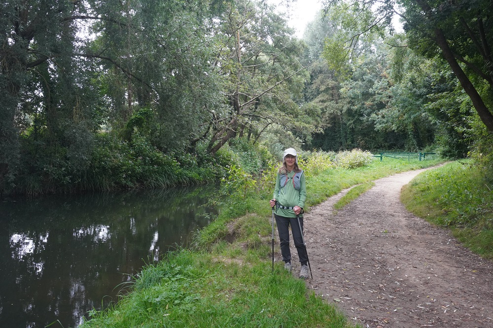
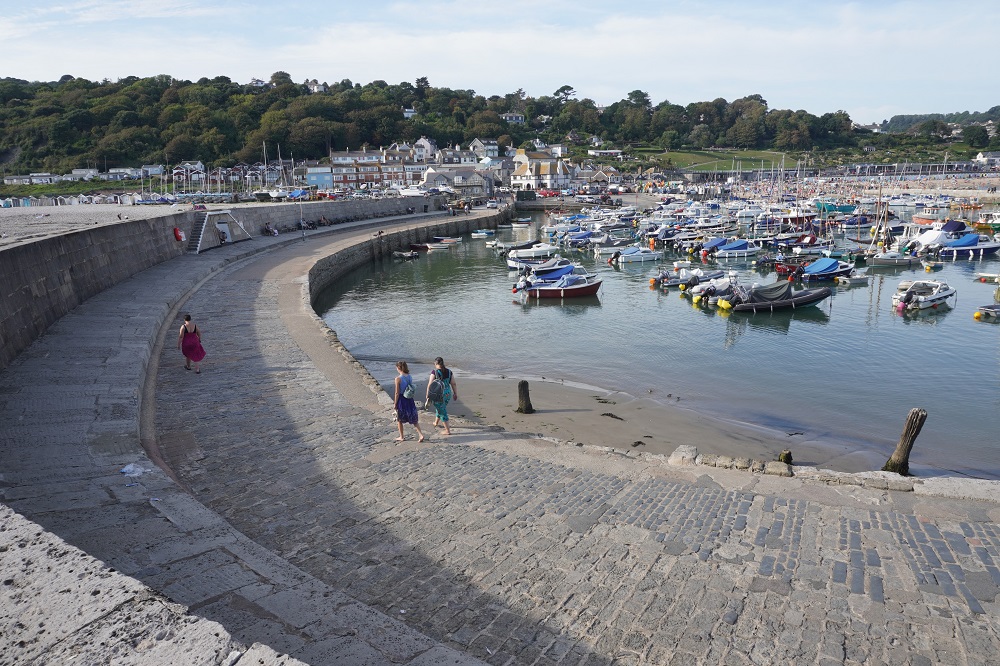
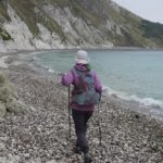
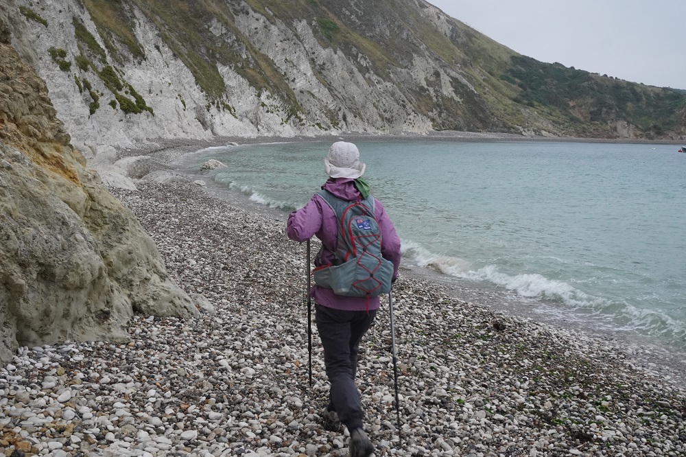
The path out of Lulworth Cove this morning started with a walk around the cove. It was high tide and there was only about a metre of pebbly beach between the sea and the cliff. As we got off the beach the rain started and stayed with us almost all the way to Kimmeridge Bay. There were a few of us as we left West Lulworth Village but some gave up and decided to get the bus as soon as the rain started. Others gave up on the steep descents as they didn’t have walking poles. It would have been so easy to slip and do an injury, so for most of the day it was just the two of us.
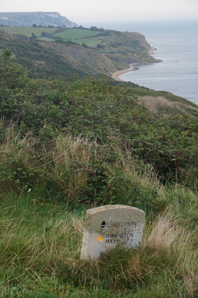
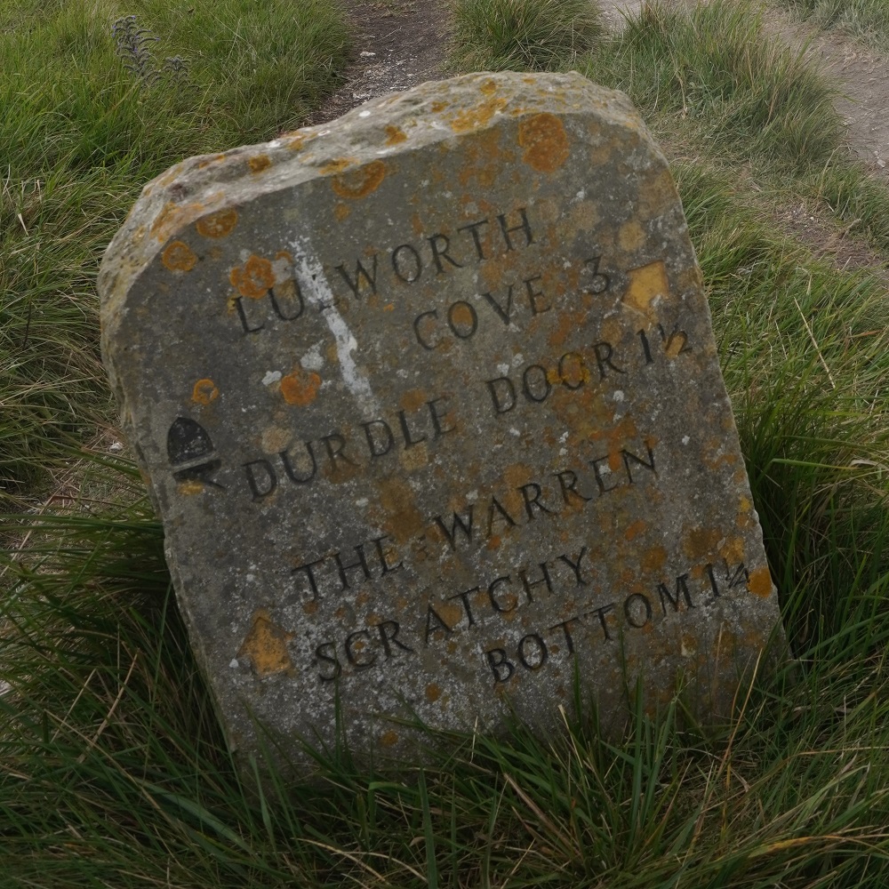
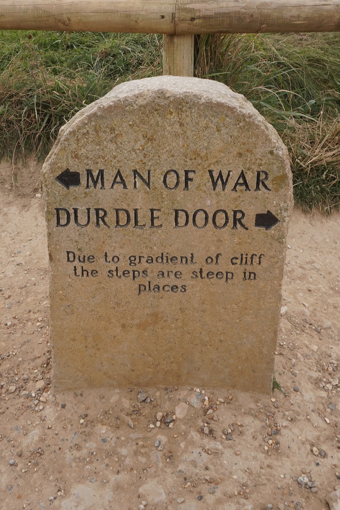
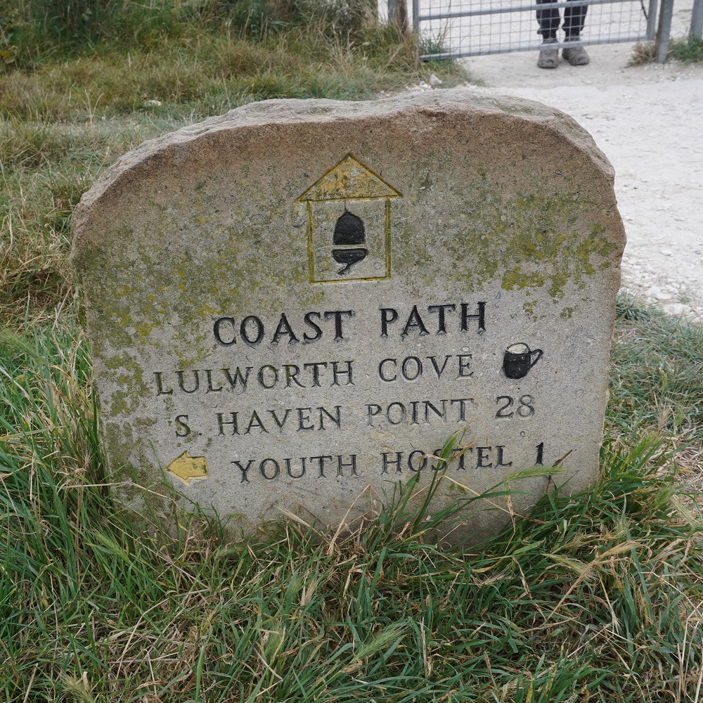
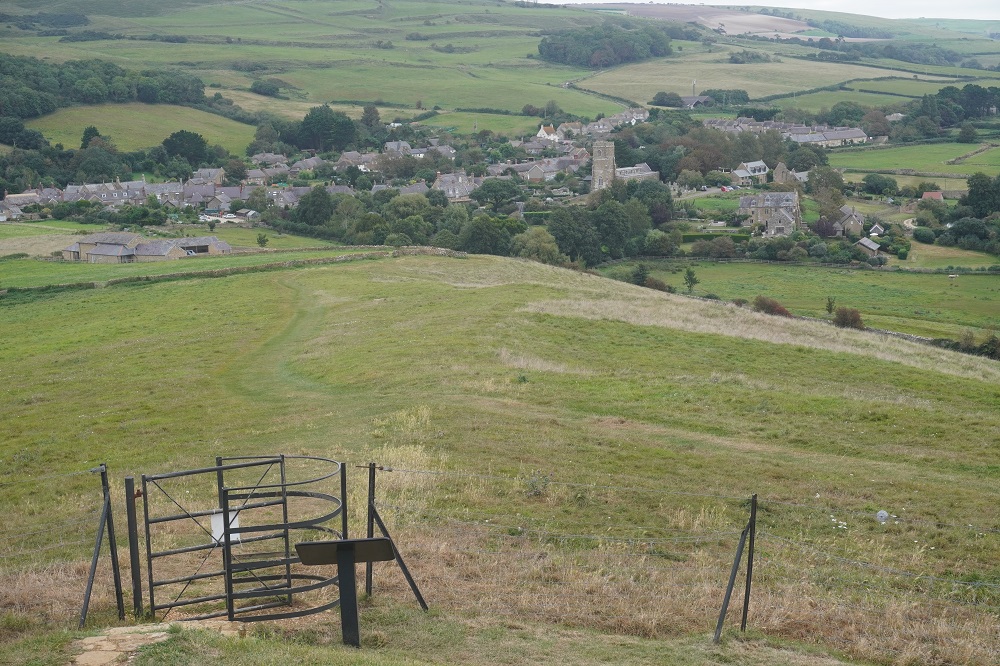
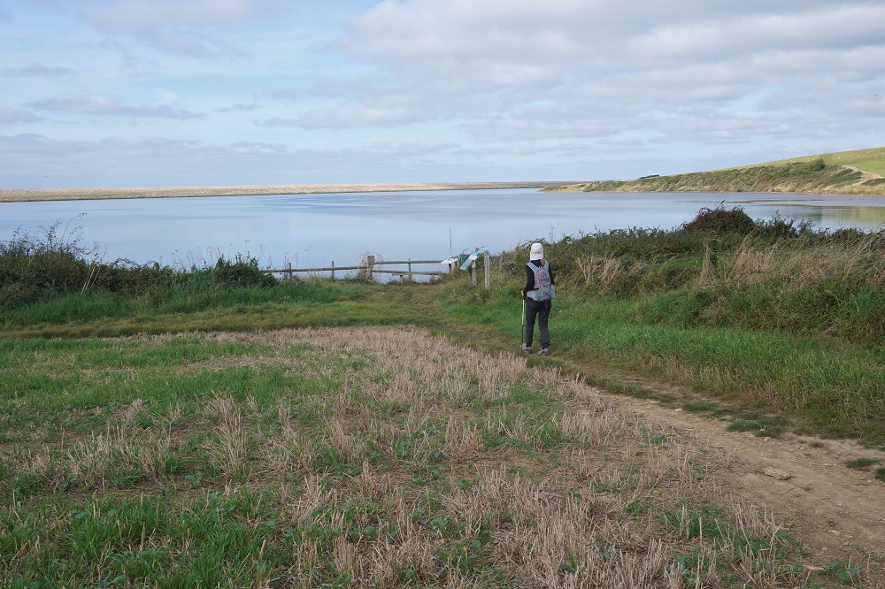
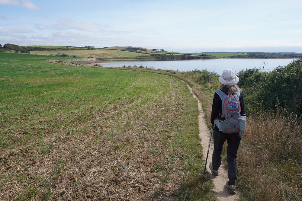
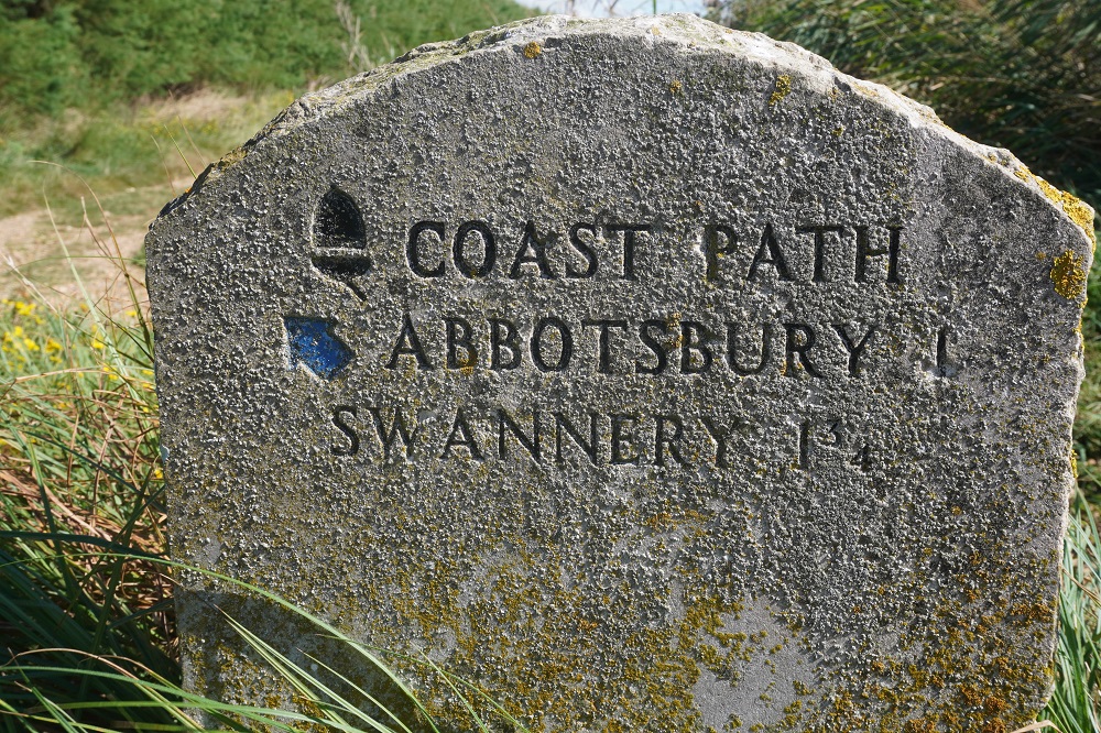
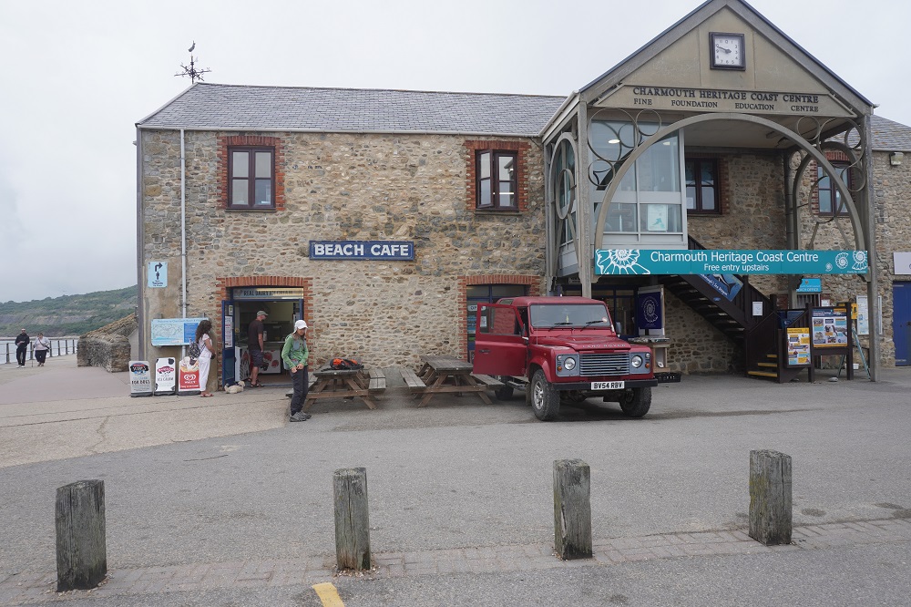
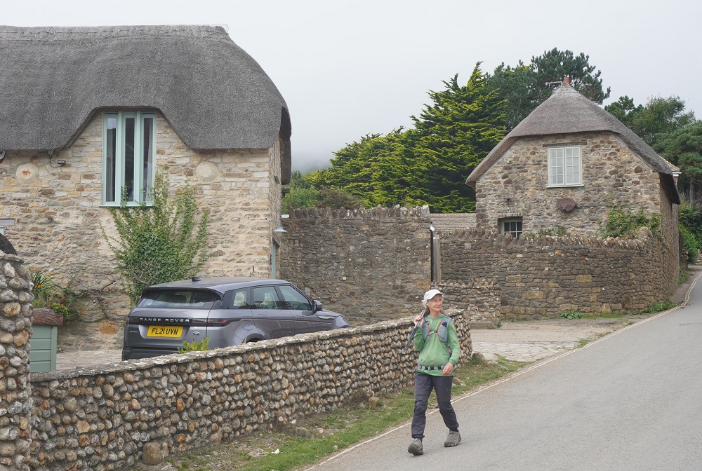
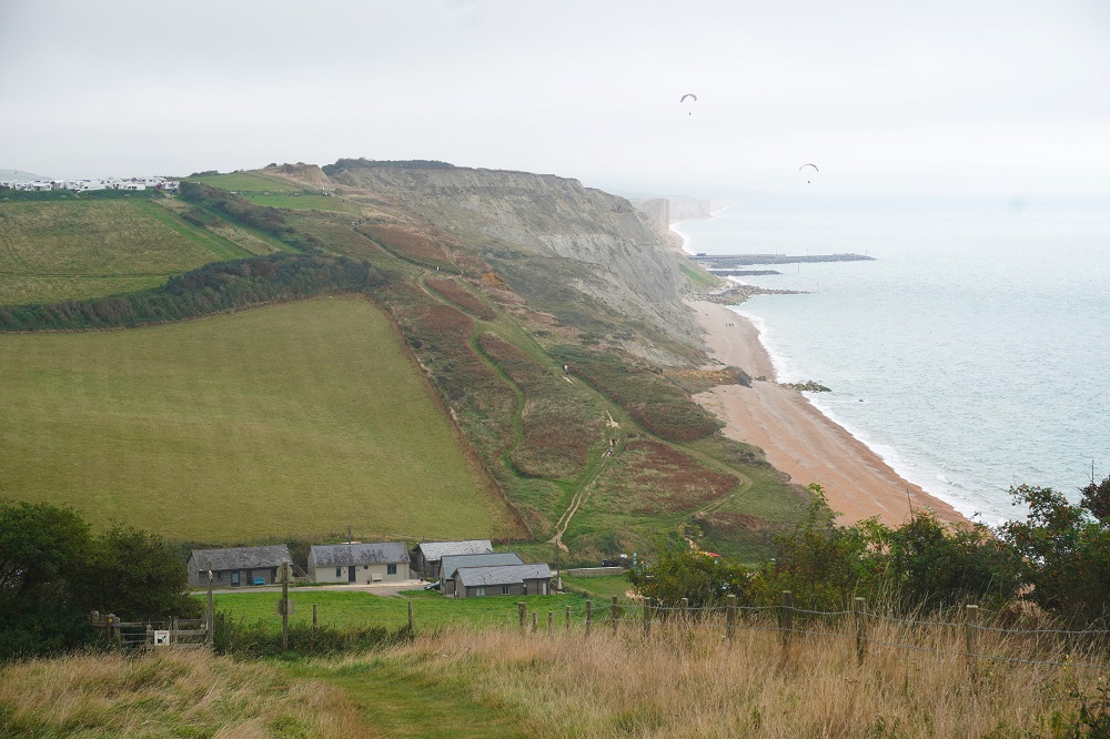
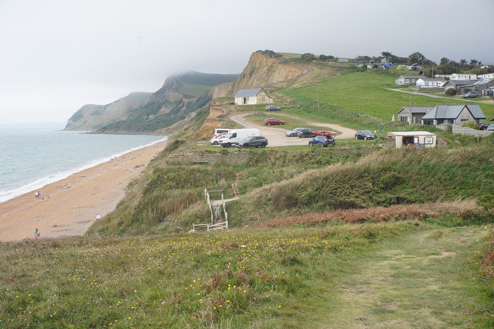
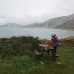
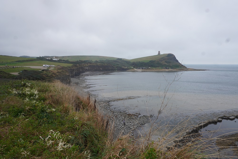
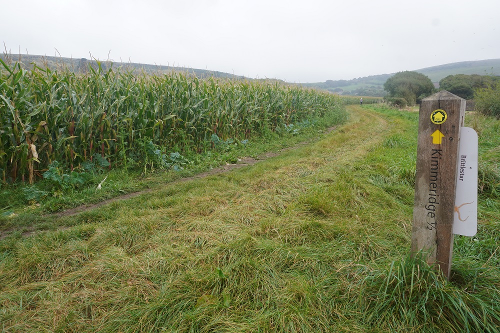
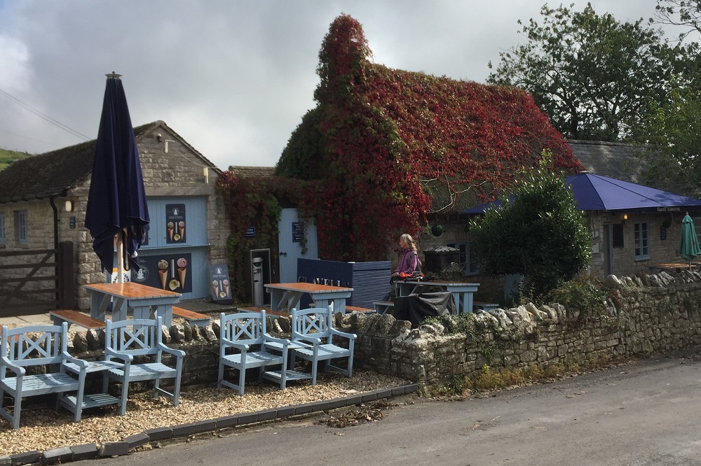
Our accommodation tonight is at Corfe Castle village which is seven and a half kilometres inland from the Coast Path at Kimmeridge. Absolute Escapes had organised a taxi to pick us up at Clavell’s Café in Kimmeridge and take us to Corfe Castle. Tomorrow morning the taxi will deliver us back to Kimmeridge to continue the walk. We were making great progress despite the weather until we came to a marker stone with an arrow downhill to Kimmeridge Bay and an arrow straight ahead along a ridge to Kimmeridge Village. We walked along the windy ridge for twenty minutes until we came to the perimeter fence of the firing range. There were two information boards there but neither of them showed Kimmeridge Village and there were no signs at all. We hummed and hahed for a while consulting maps and looking down into the valleys. One path went down to the coast where we could see Kimmeridge Bay and the other went inland down to a valley which looked like it had more houses. We knew Clavell’s Café was not on the coast so we went down the steep inland path. After half an hour it was obvious this was going nowhere so we retraced our steps up to the ridge and took the route down to the bay. At the beach we met some people in a car park and they had just come from lunch at Clavell’s. They showed us the road to the village which was about a mile away. We could have got there by our original path off the ridge but it was a long and convoluted route along farm tracks and across fields.
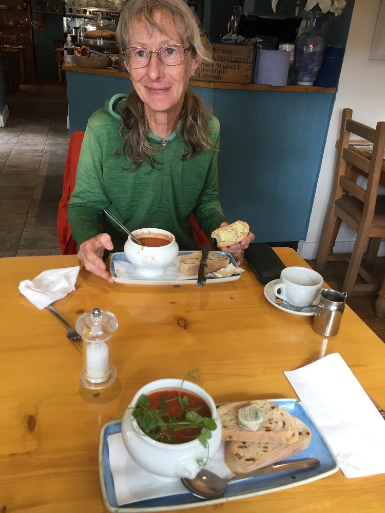
Our taxi pick-up was 3.30 and we arrived at the café at 2.30, time enough to have a delicious bowl of Isle of Wight tomato soup with basil, pesto, water cress and sour dough bread. I ordered a double shot espresso with some extra water. I didn’t realise until I had added some of the water that it was cold water! Every other time you get a little container of boiled water. And it cost me £3.50.
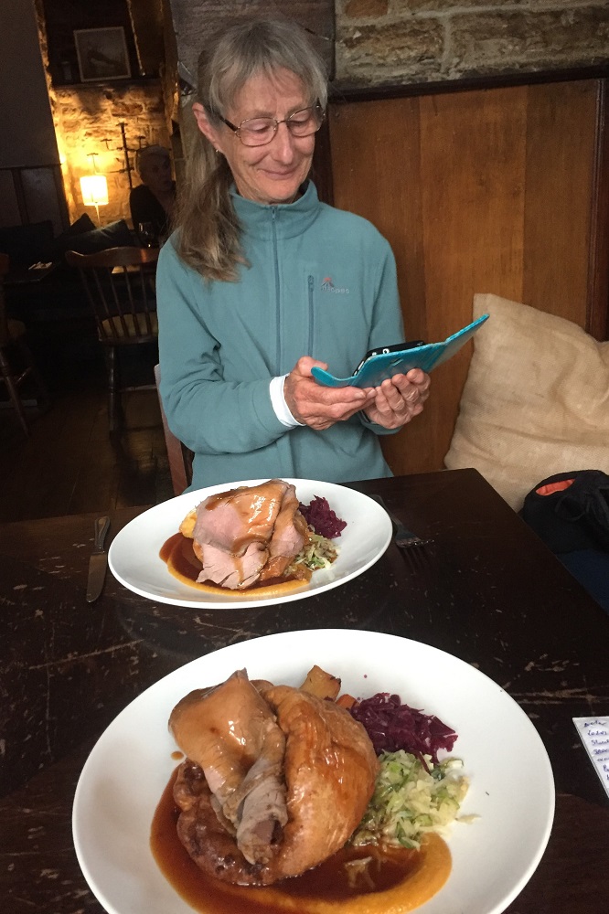
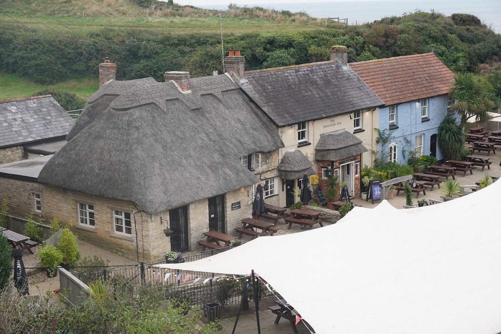
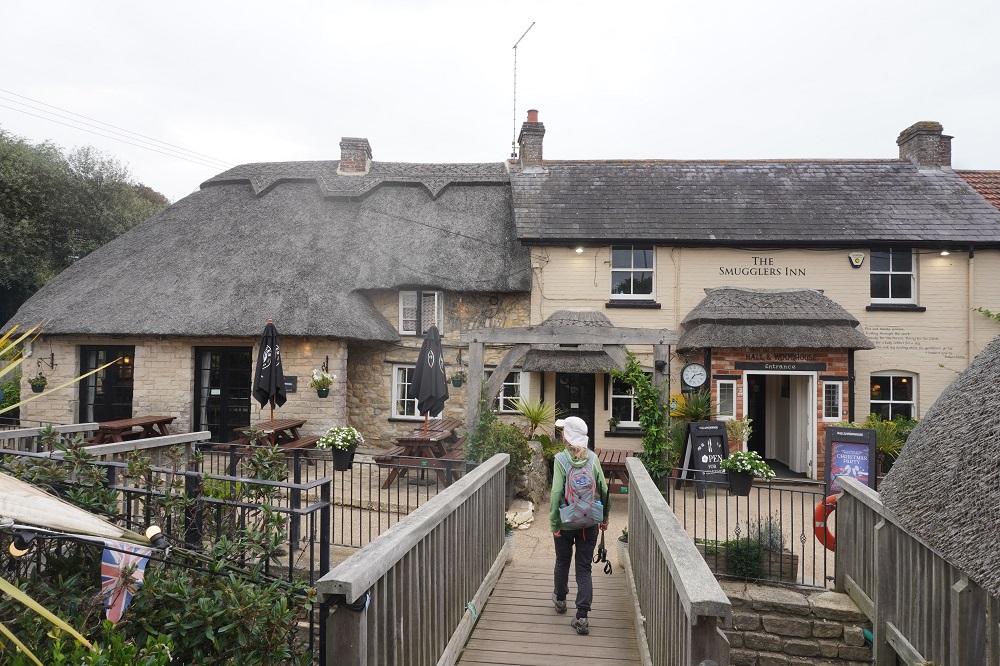
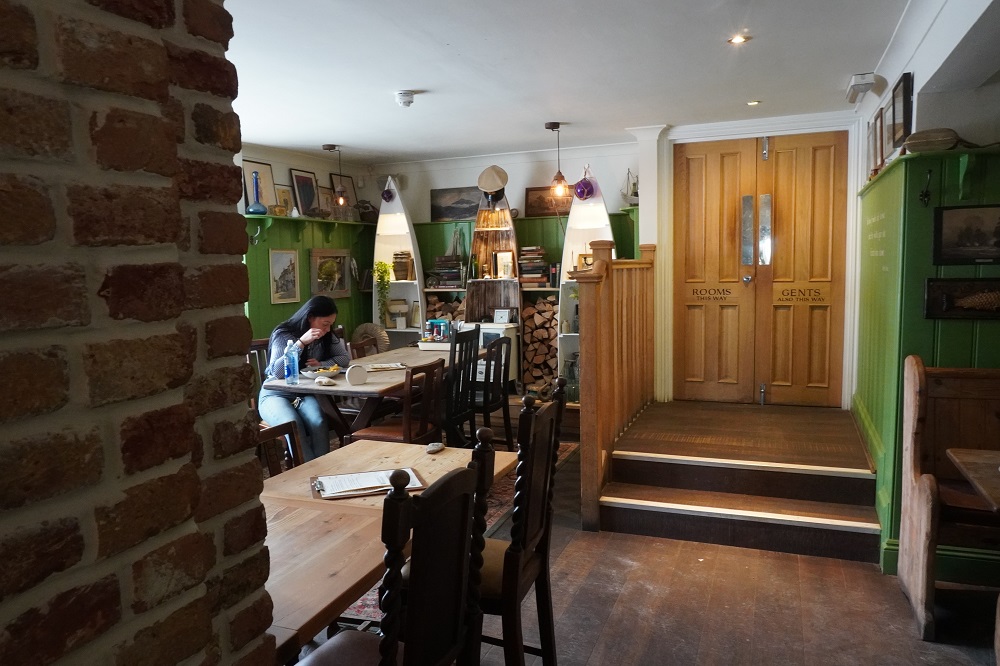
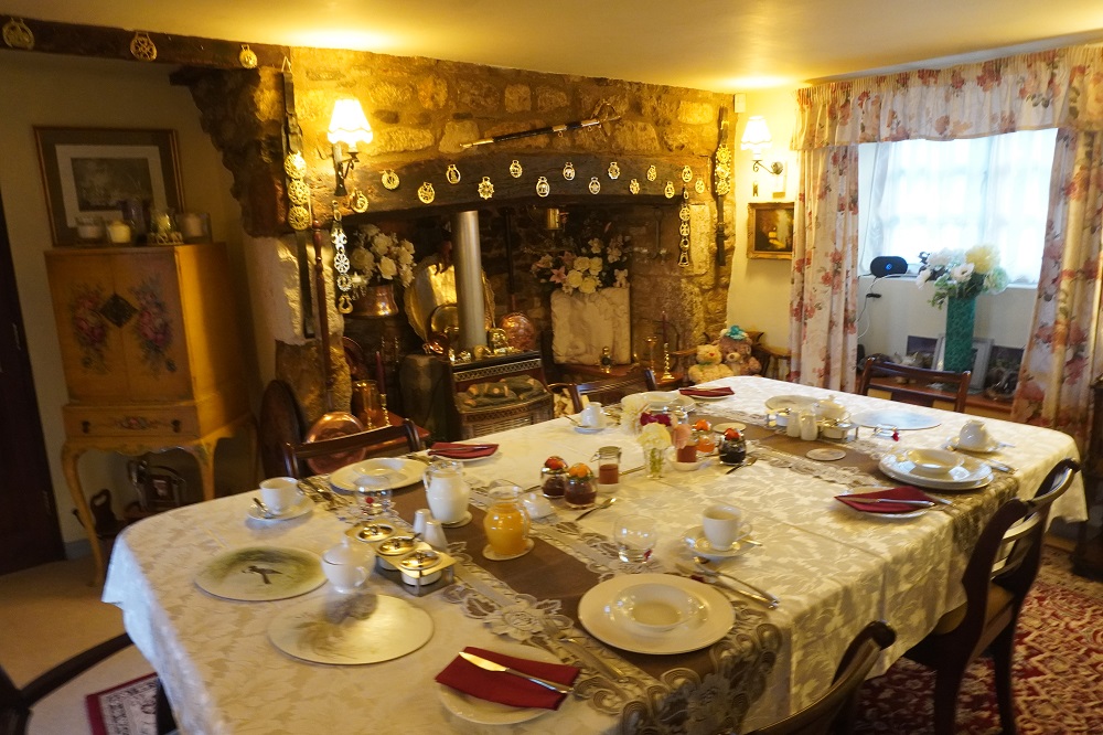
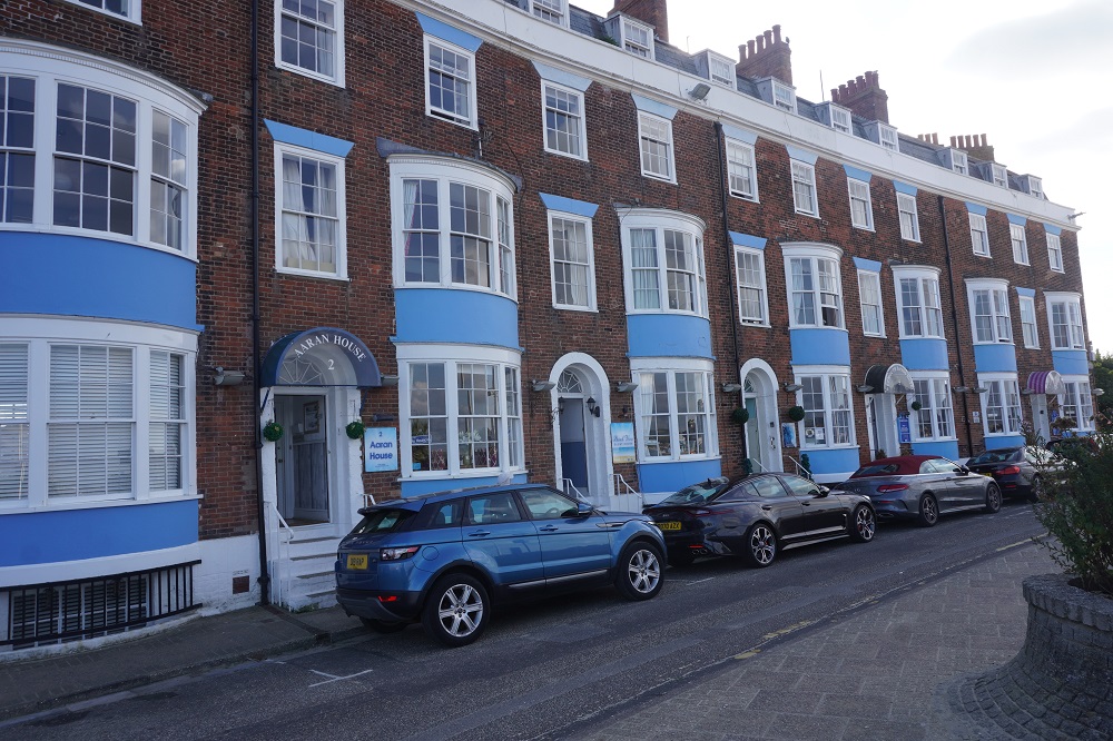
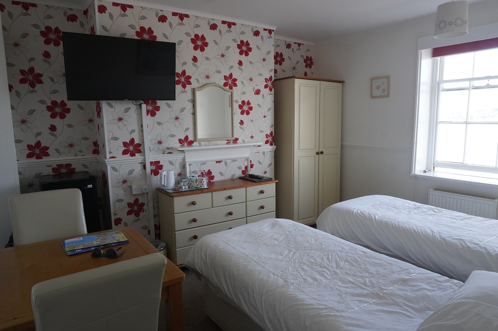
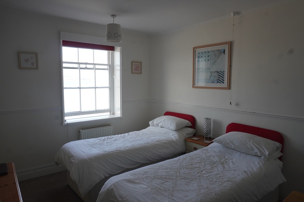
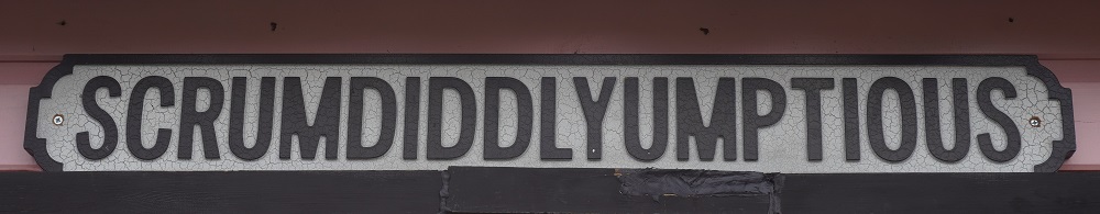
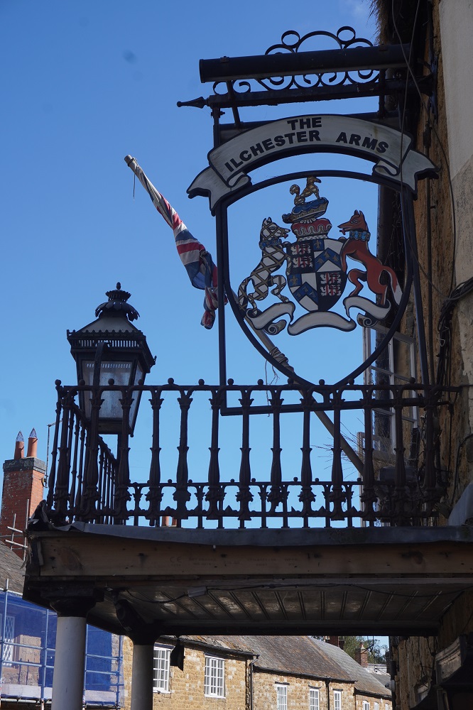
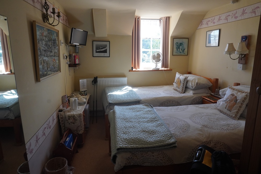
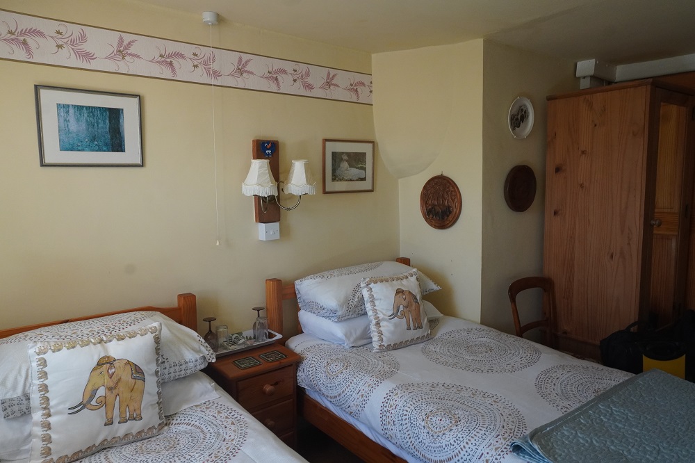
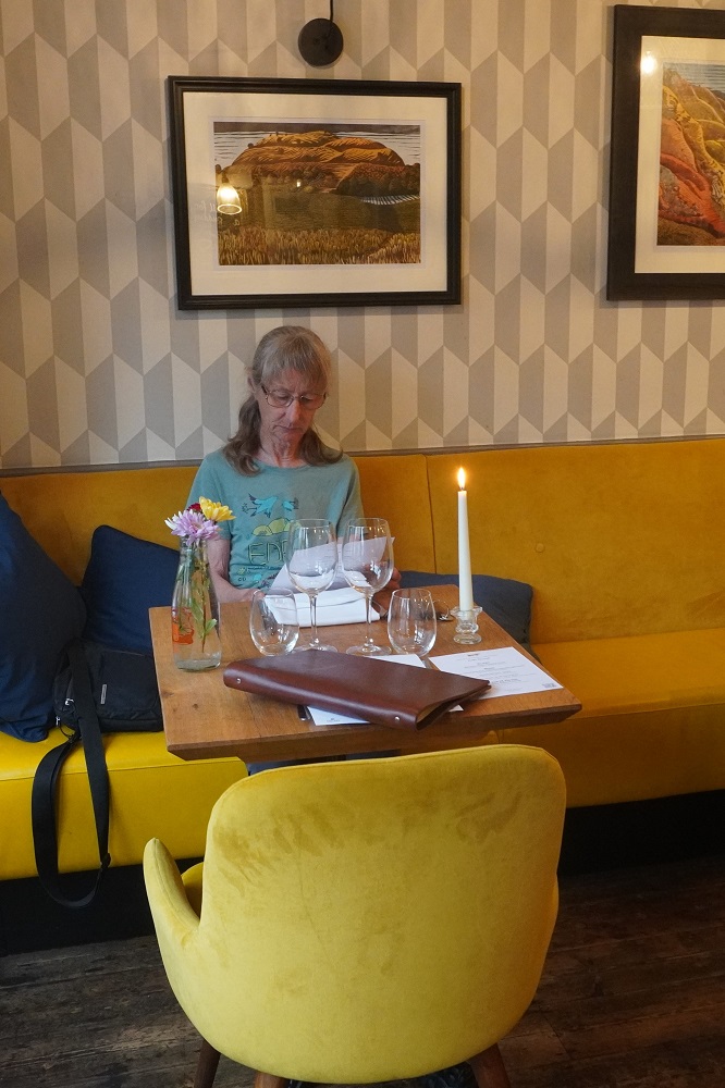
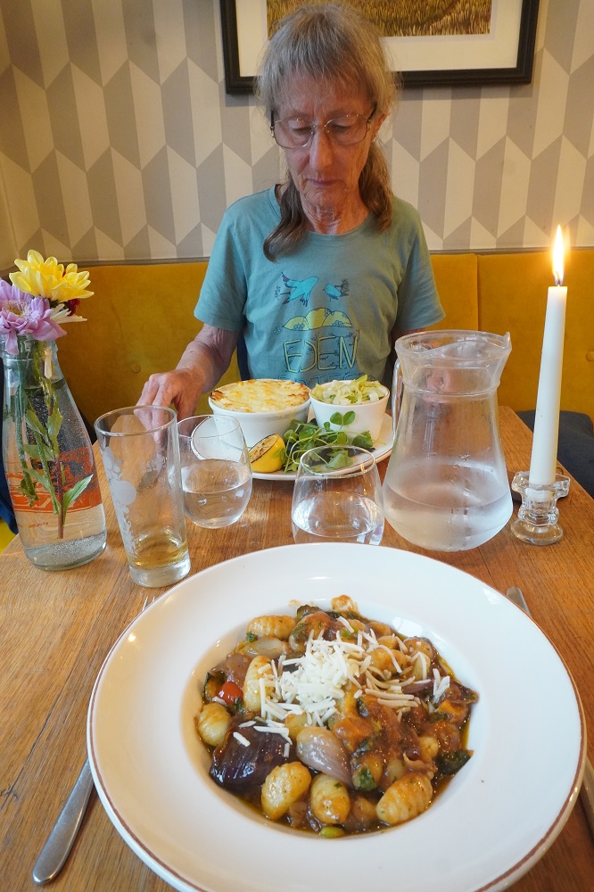
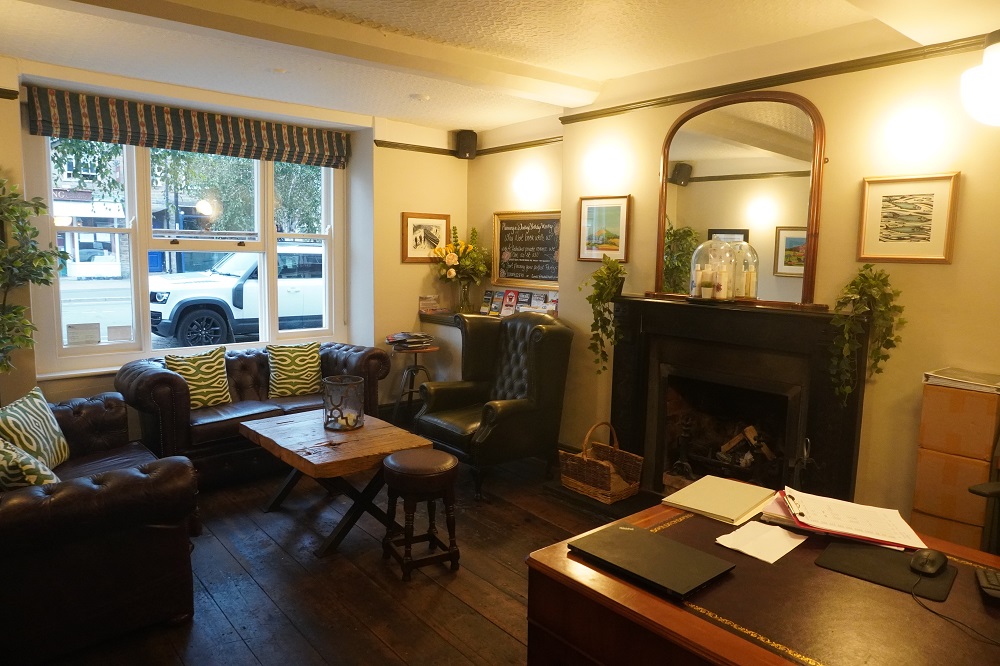
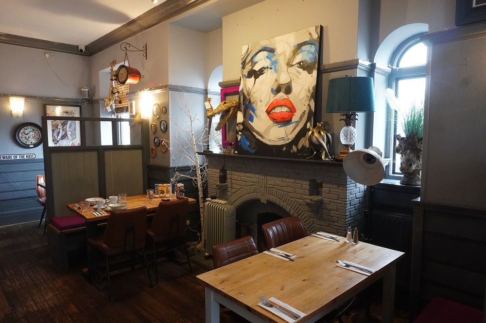
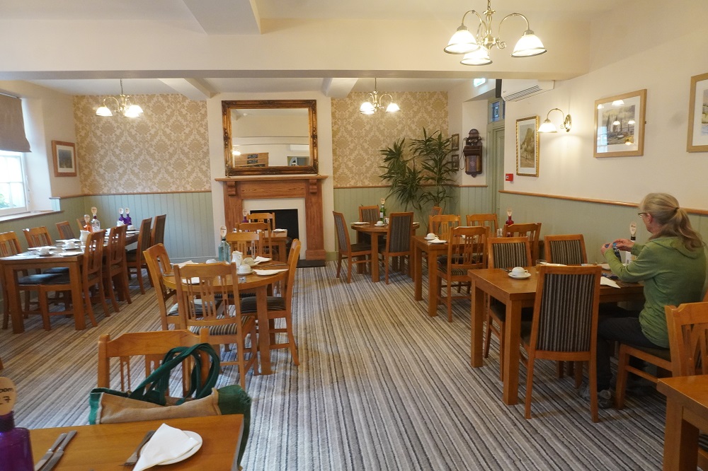
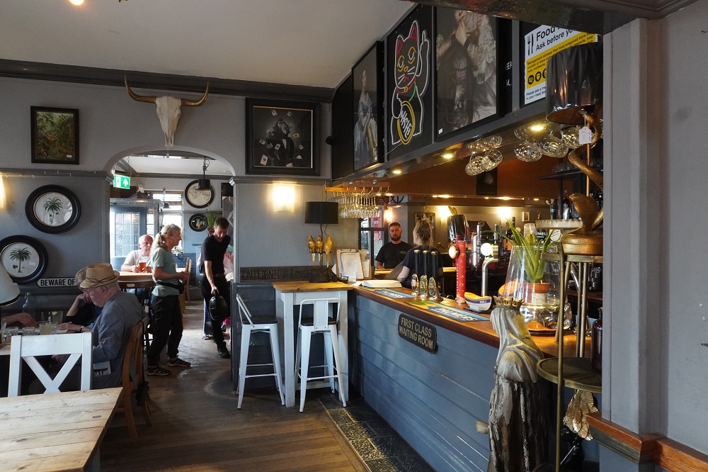
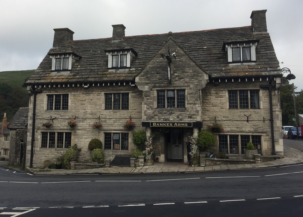
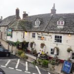
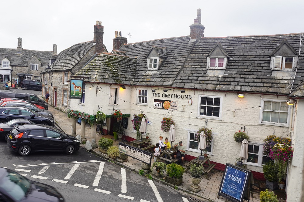
The taxi met us on time and delivered us to the Bankes Arms Hotel. This is another charming village pub, very comfortable and with meals. We have been desperate to get some vegetables for a while now and being a Sunday they had a beef roast with potato (cooked in duck fat), parsnip, carrot, red cabbage, green cabbage, cauliflower cheese, gravy and Yorkshire Pudding. Scrumdiddlyumptious as they would say in West Bay.
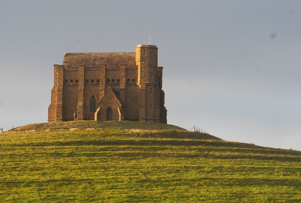
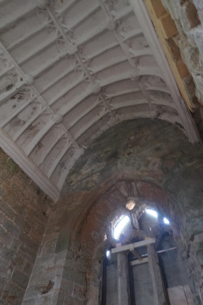
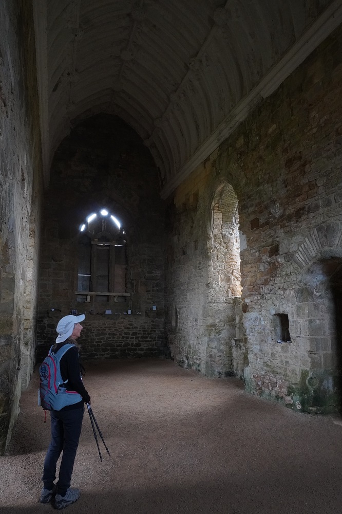
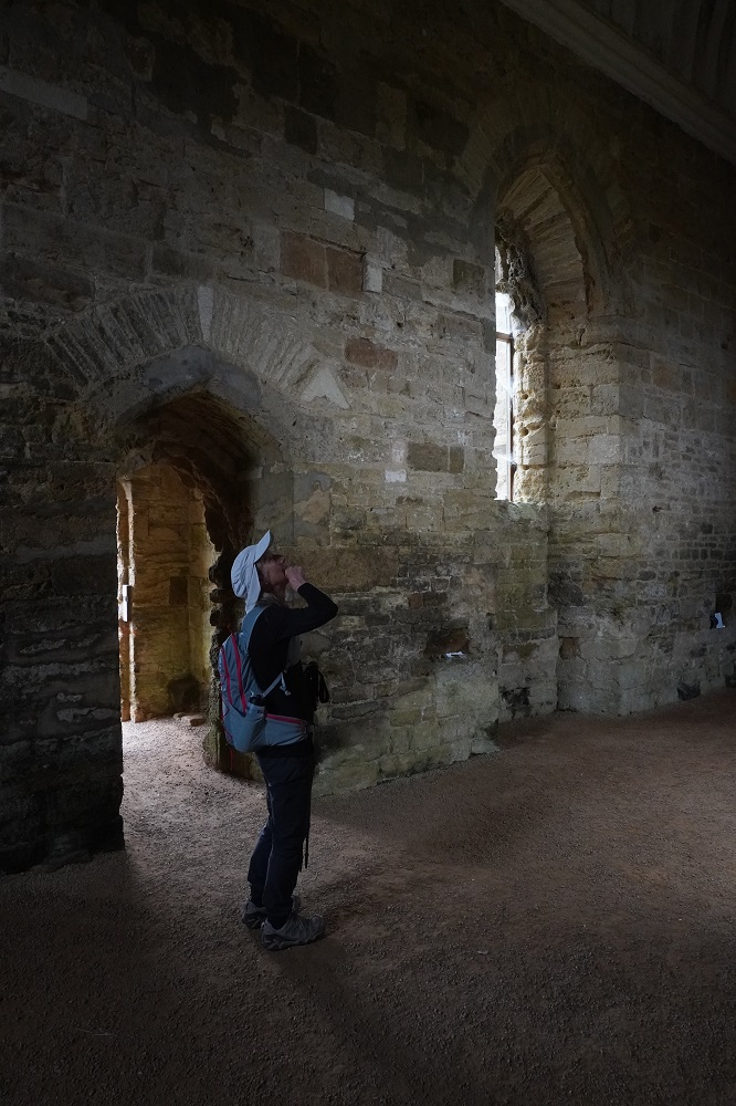
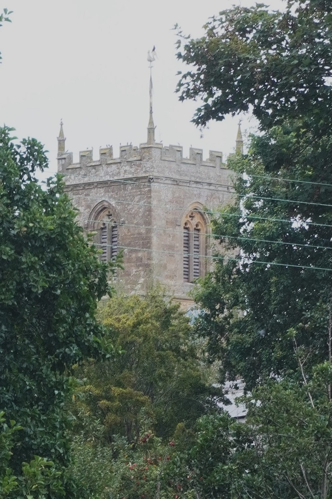
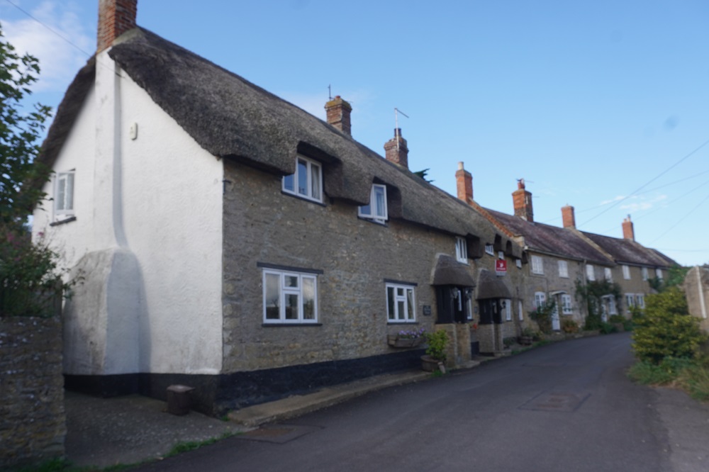
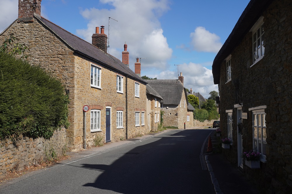
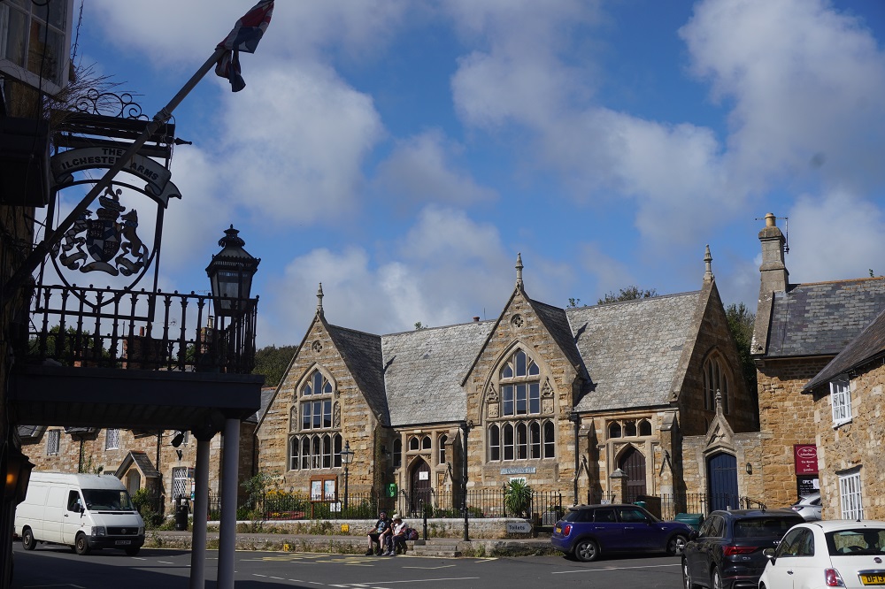
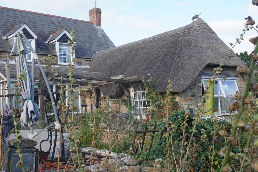
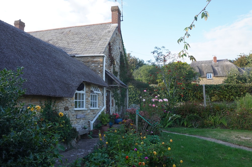
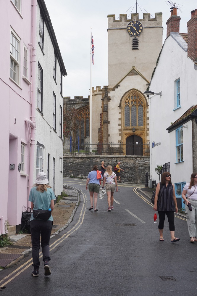
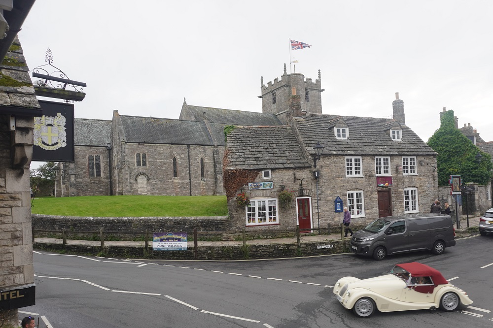
Corfe Castle is another beautiful village and it does have a castle. More on that in another post.
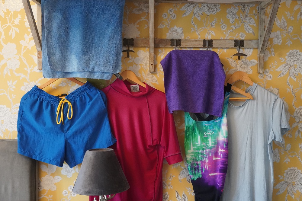
Not an easy day but we actually enjoyed being out in the wild weather on the cliffs and toughing it out. Everything we had with us is saturated so tonight we are trying to dry it all out. The room smells a bit like wet dog.
-
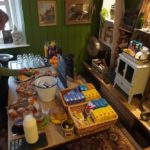
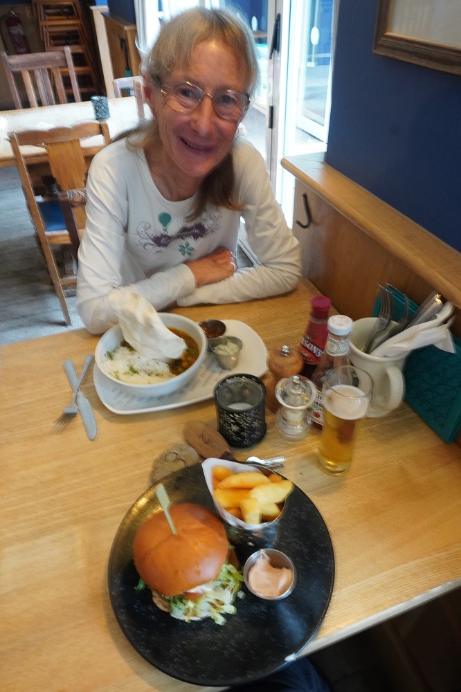
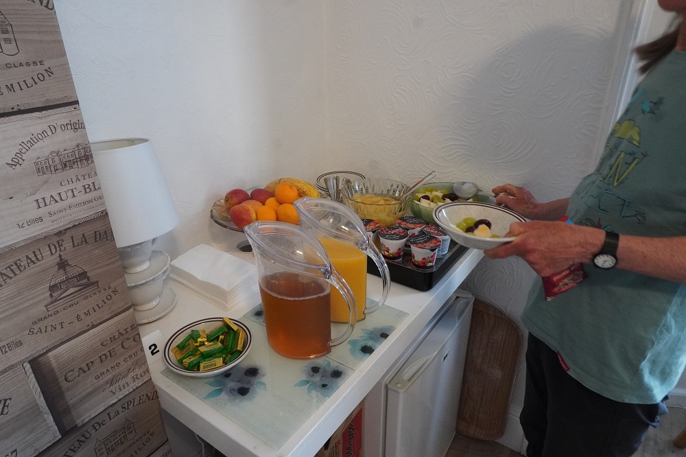
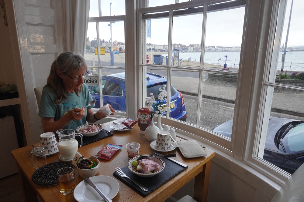
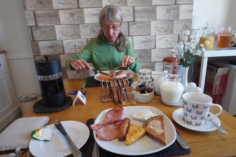
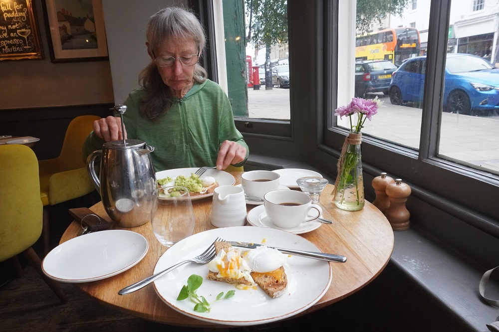
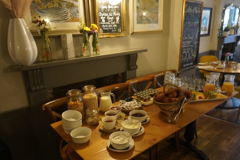
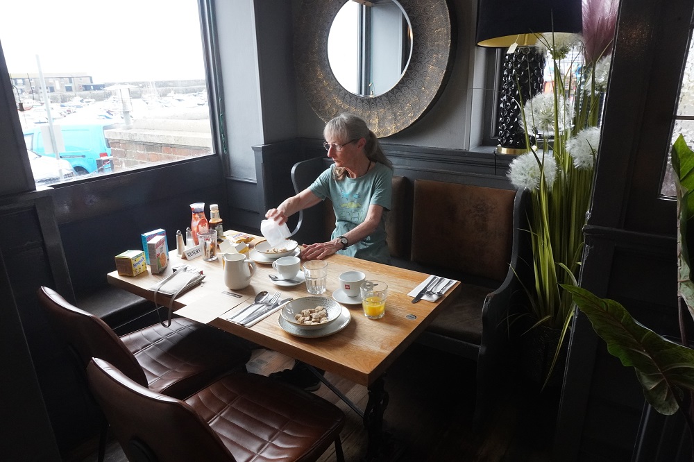
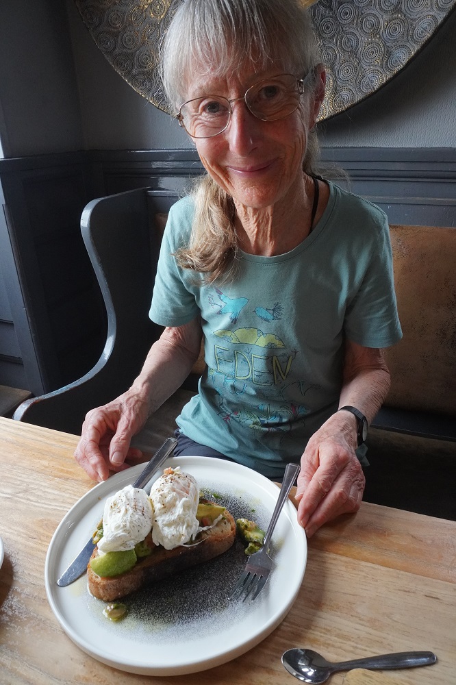
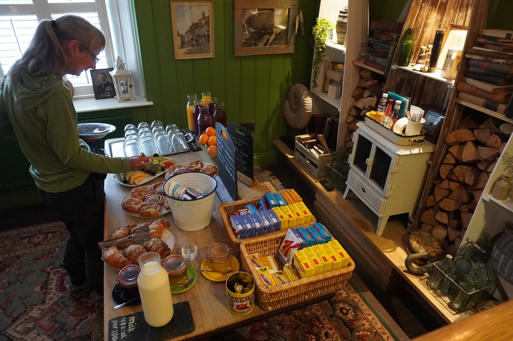
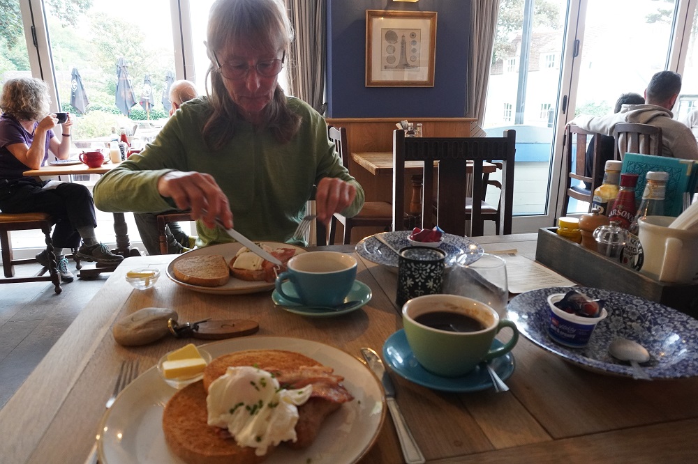
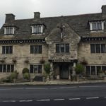
- Lulworth Cove Inn breakfast
-
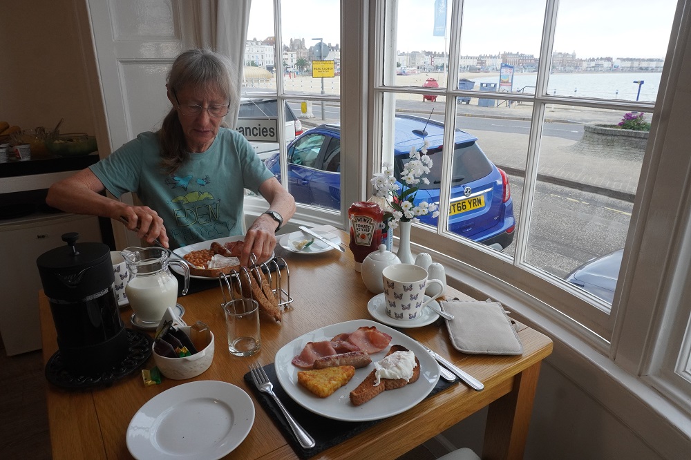
- Lulworth Cove Inn breakfast
-

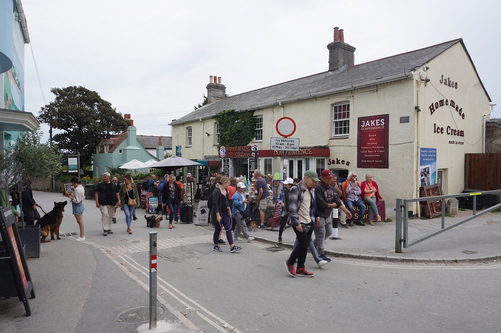
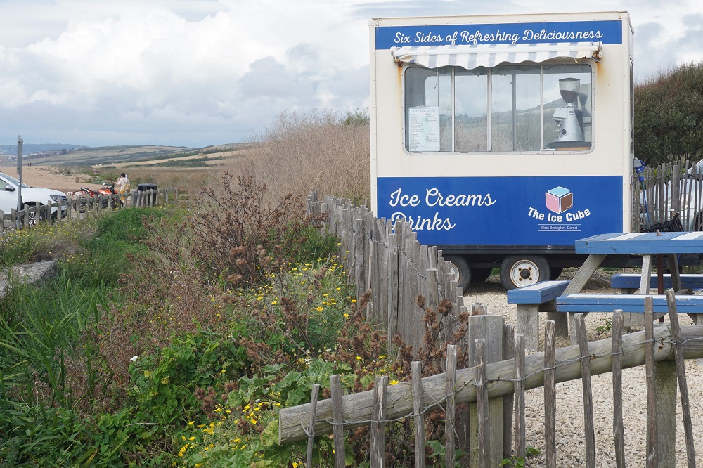
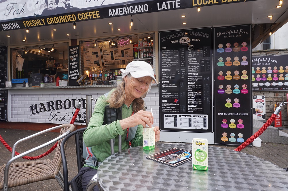
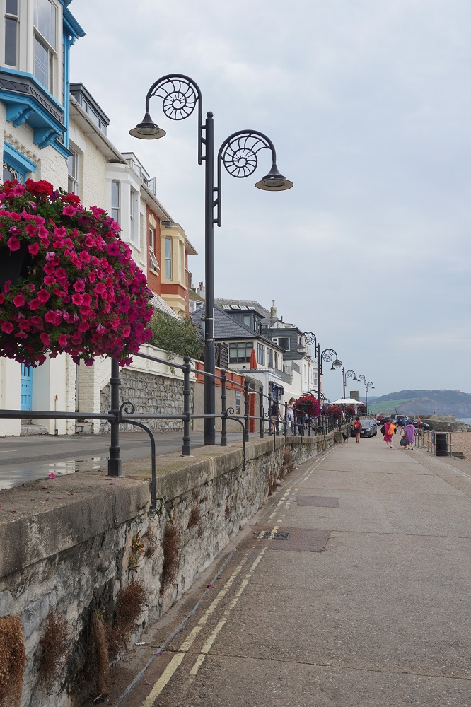
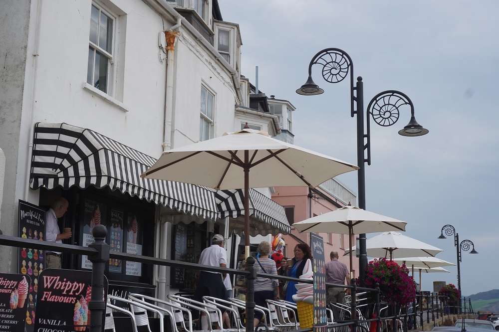
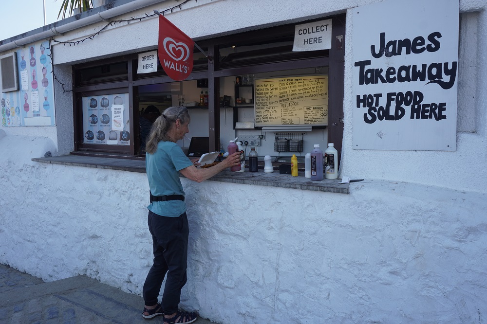
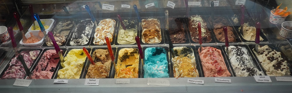
- West Lulworth ice cream
-
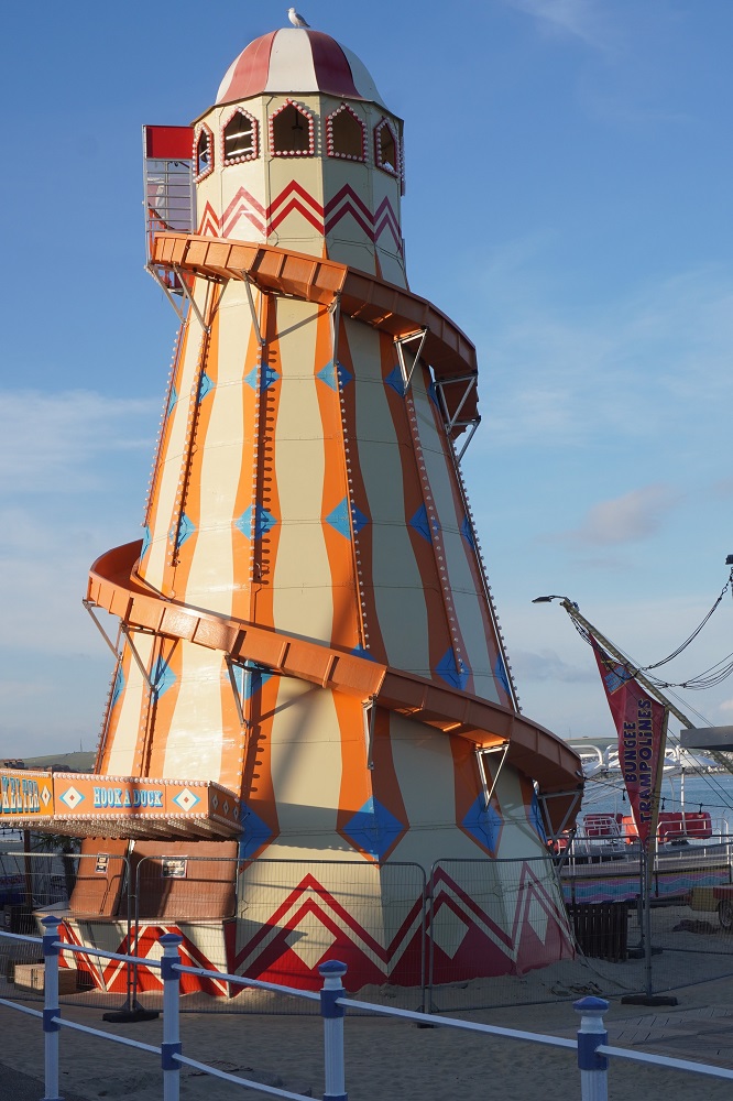
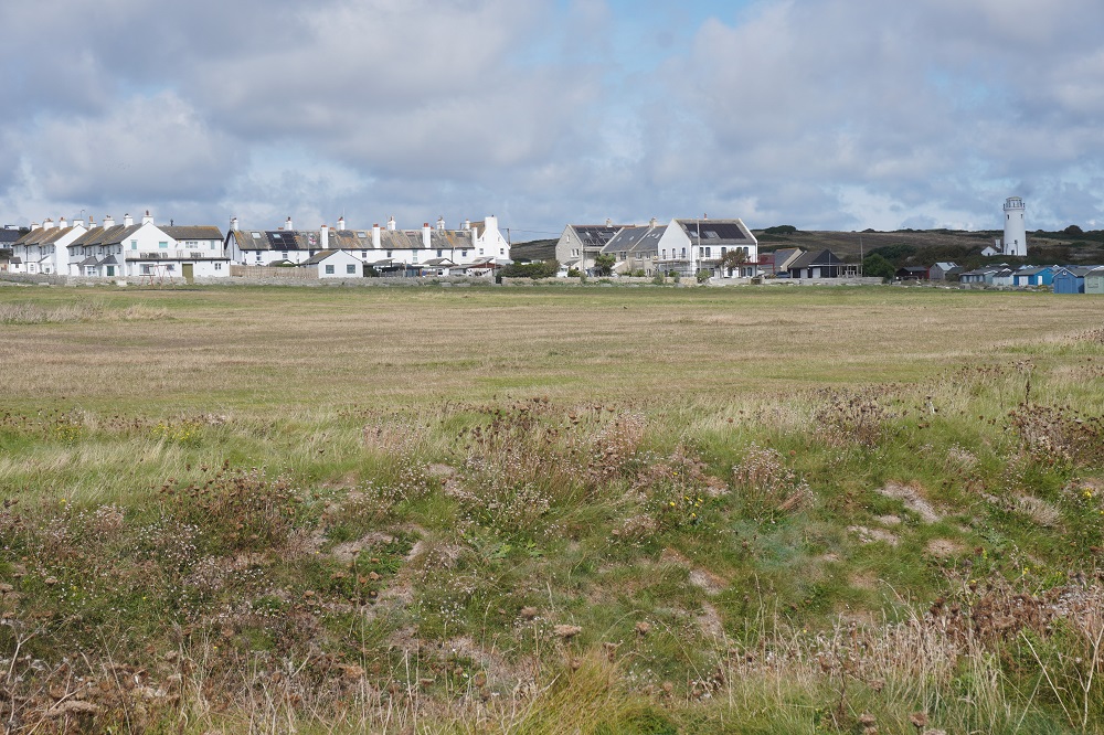
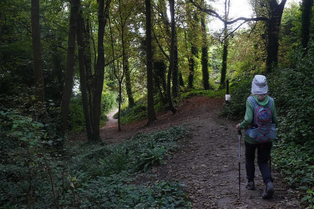
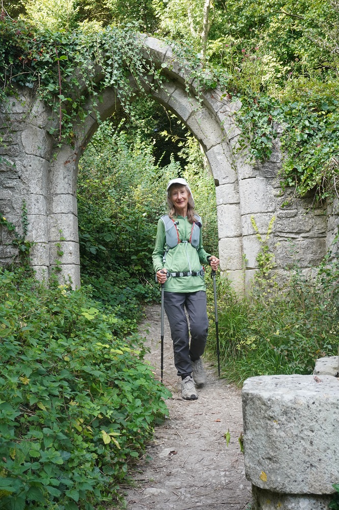
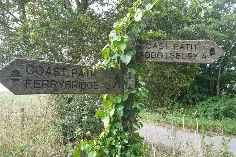
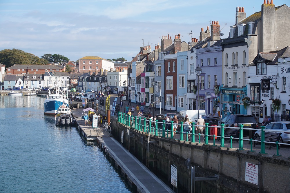
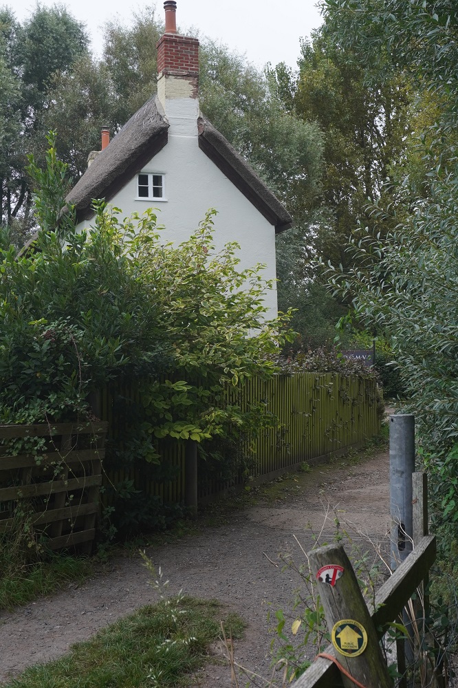
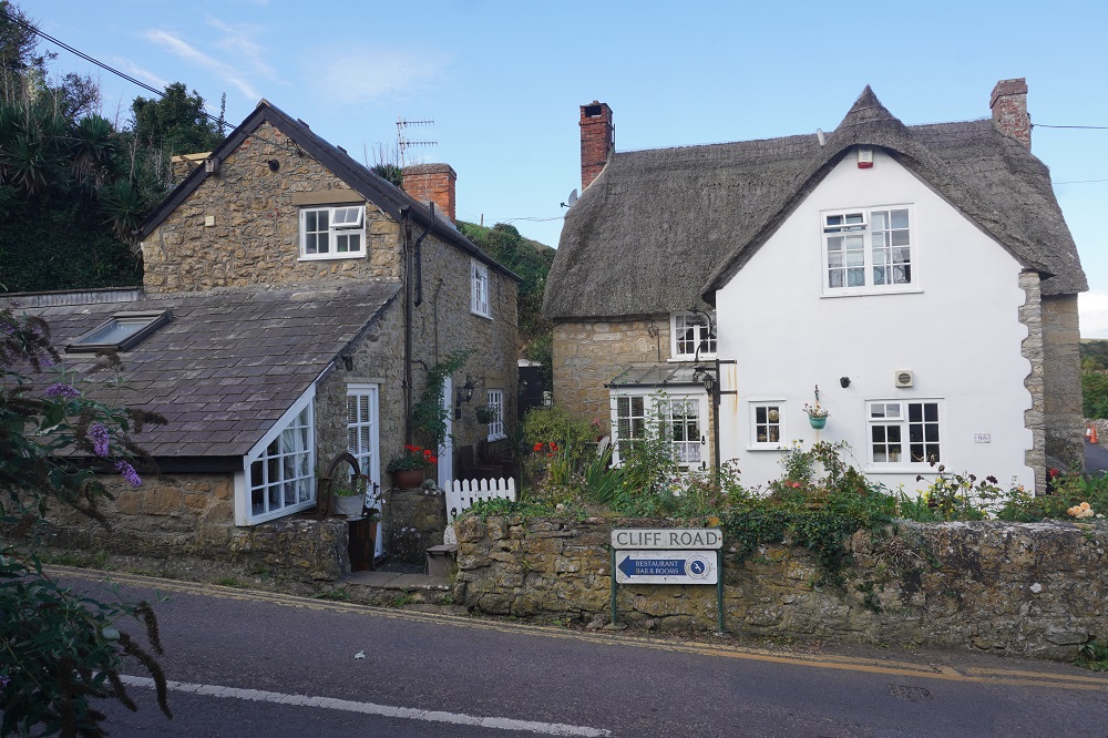
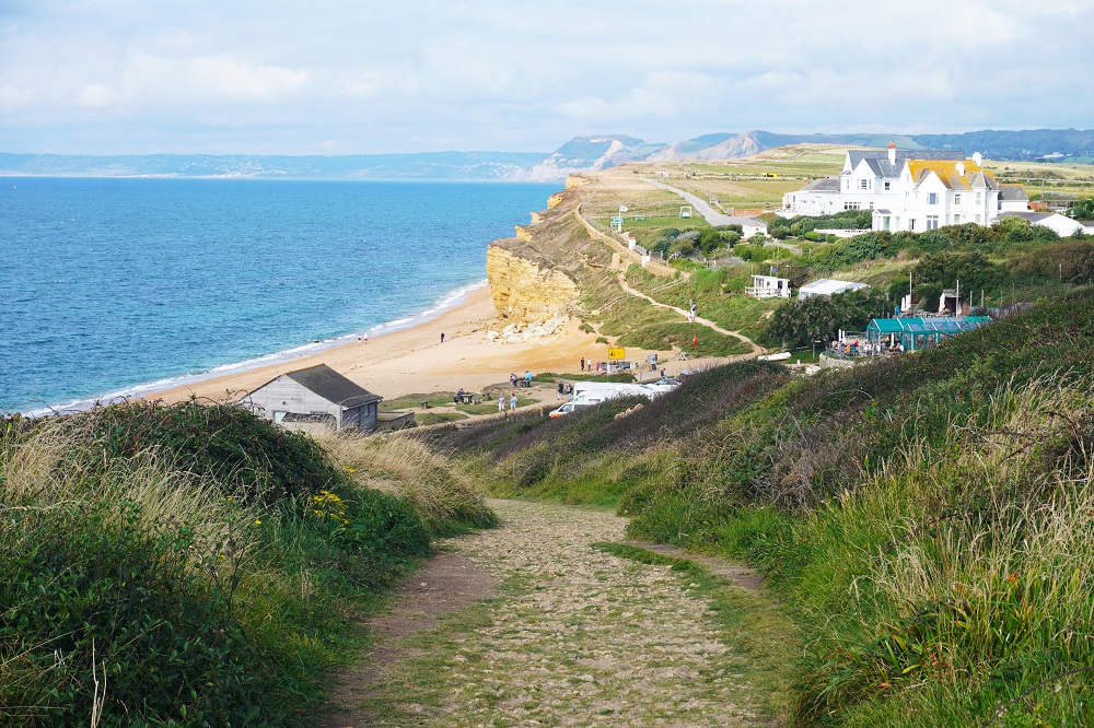
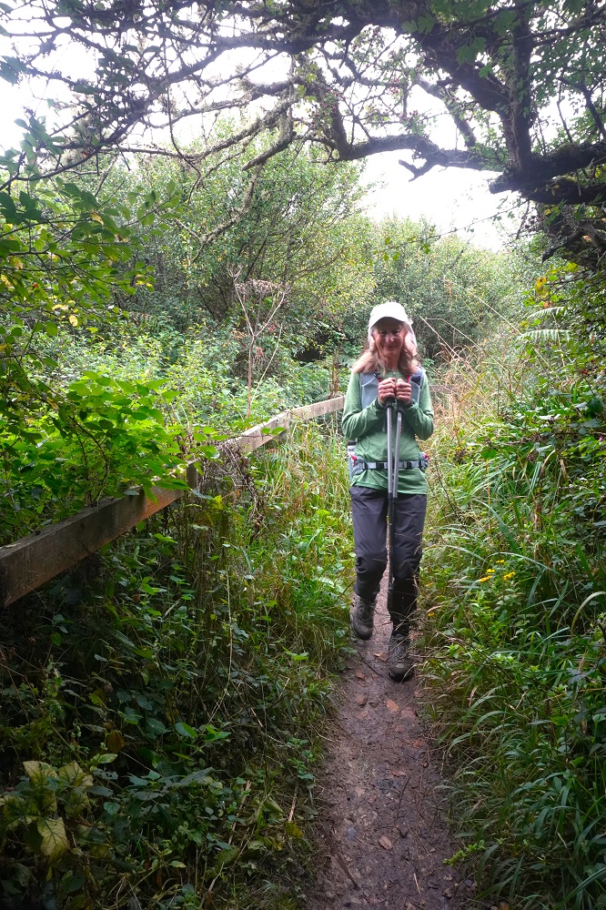
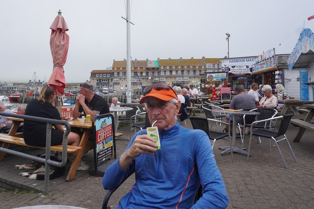
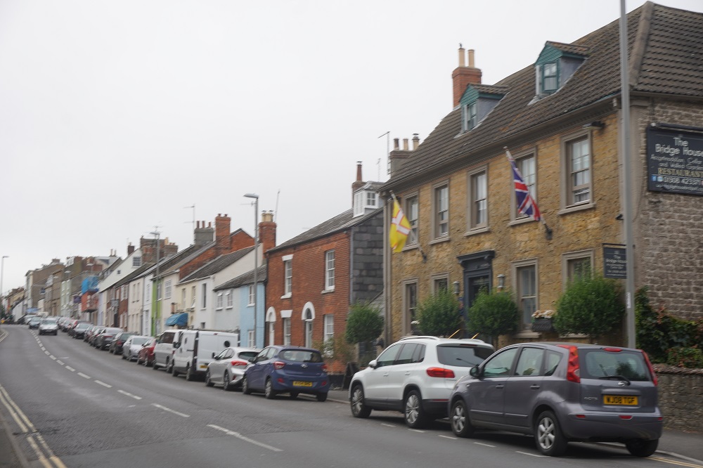
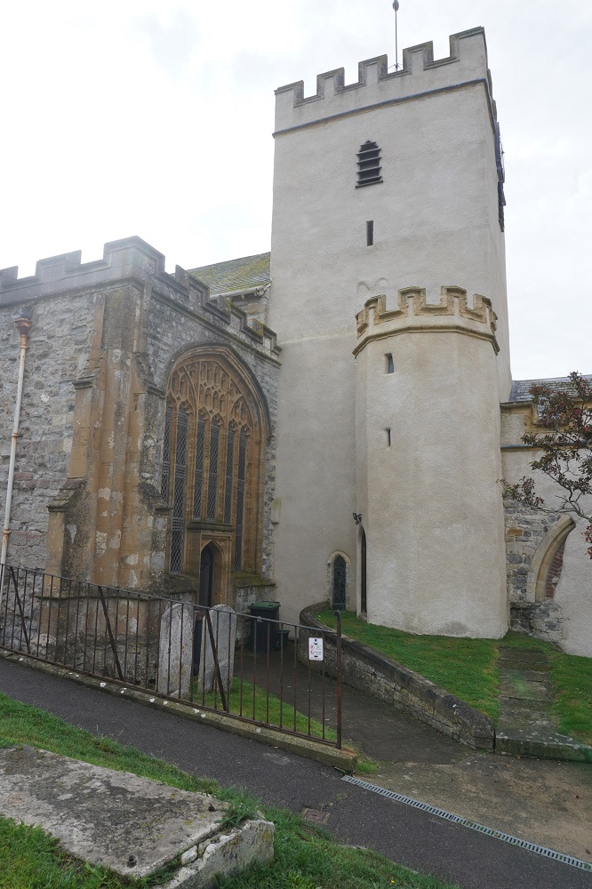
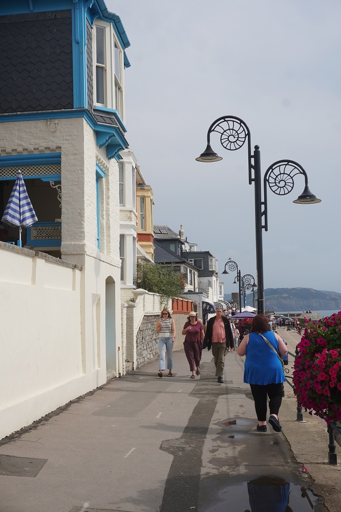
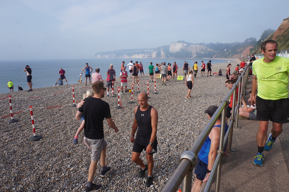
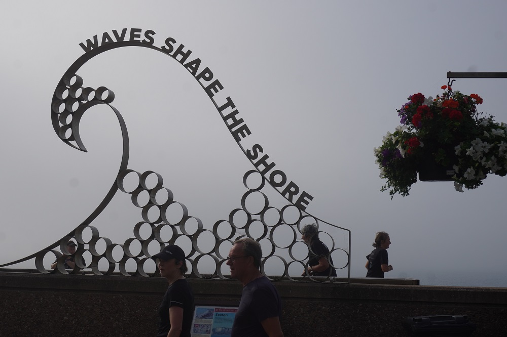
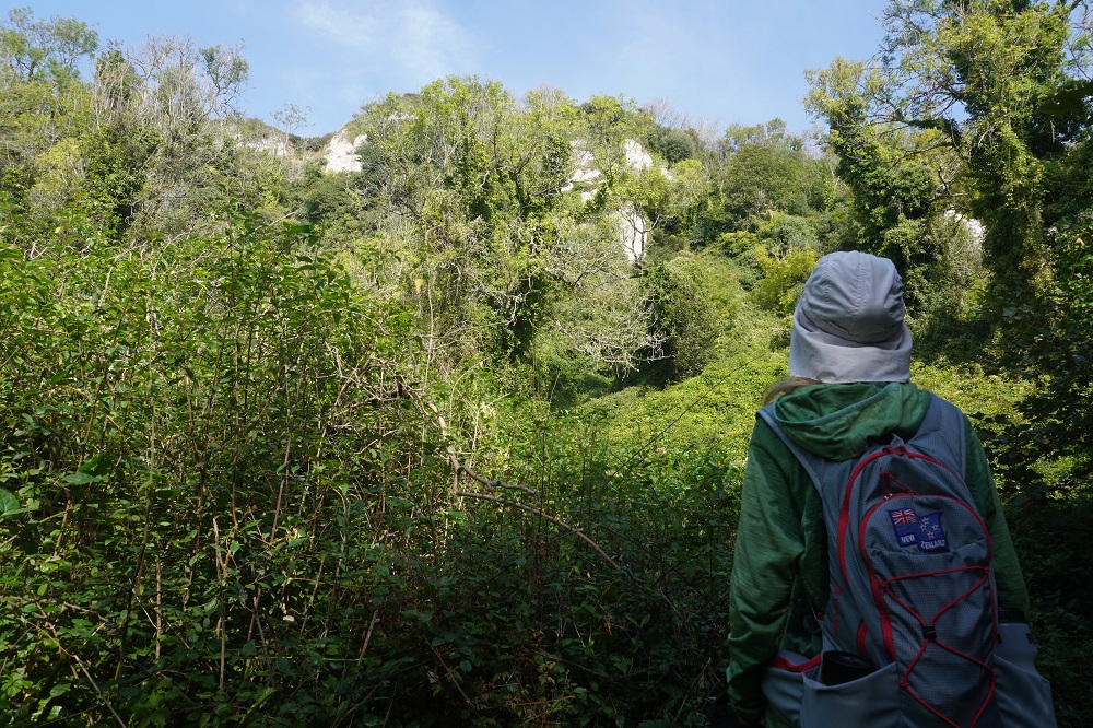
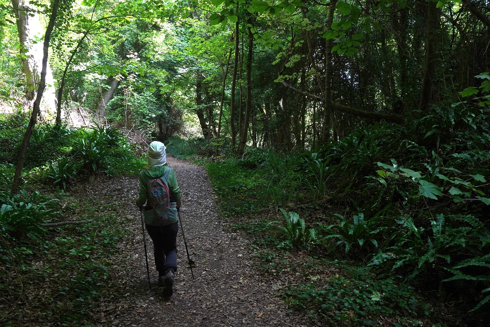
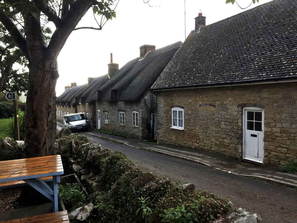
- West Lulworth
-
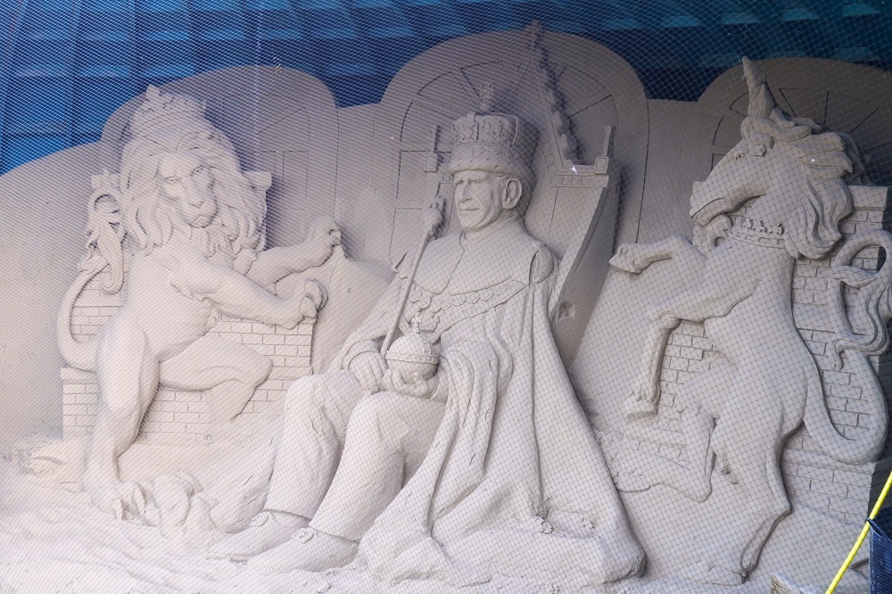
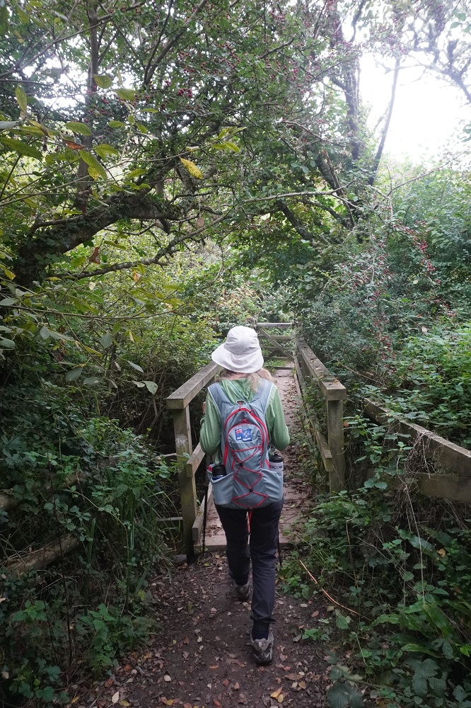
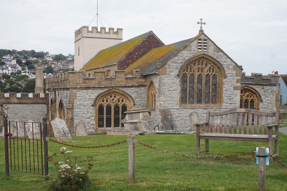
- West Lulworth
-
- West Lulworth
-
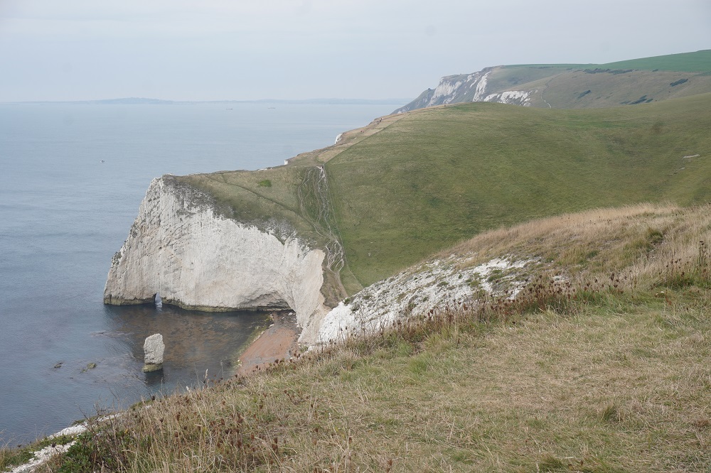
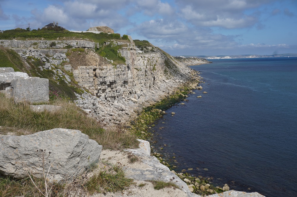
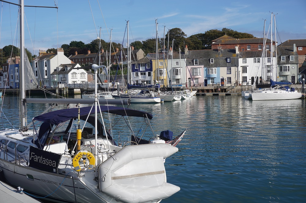
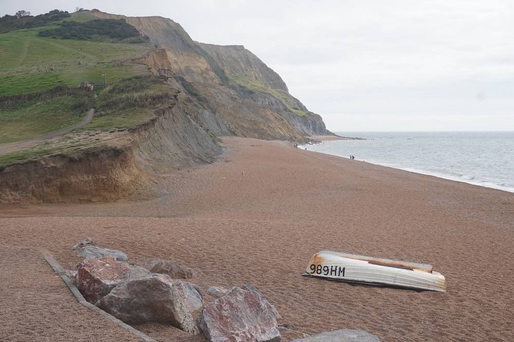
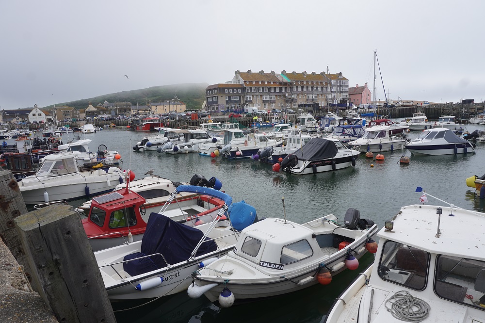
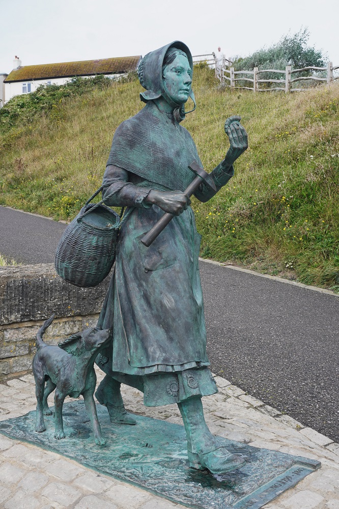
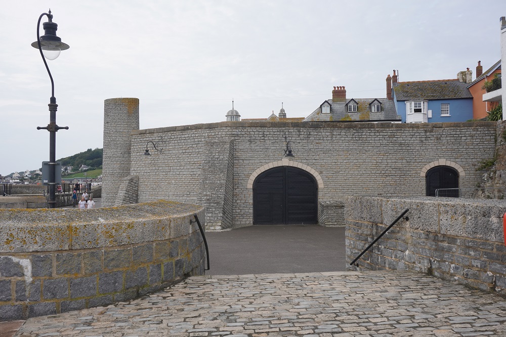
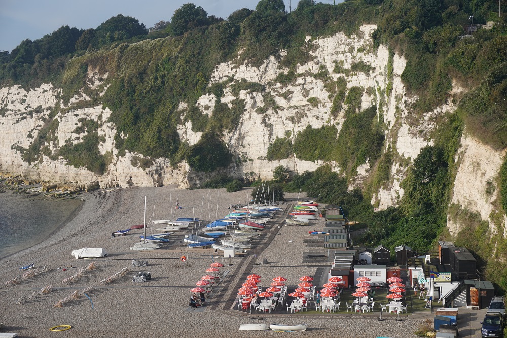
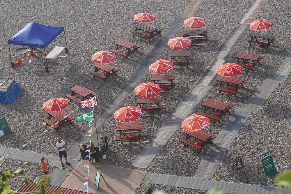
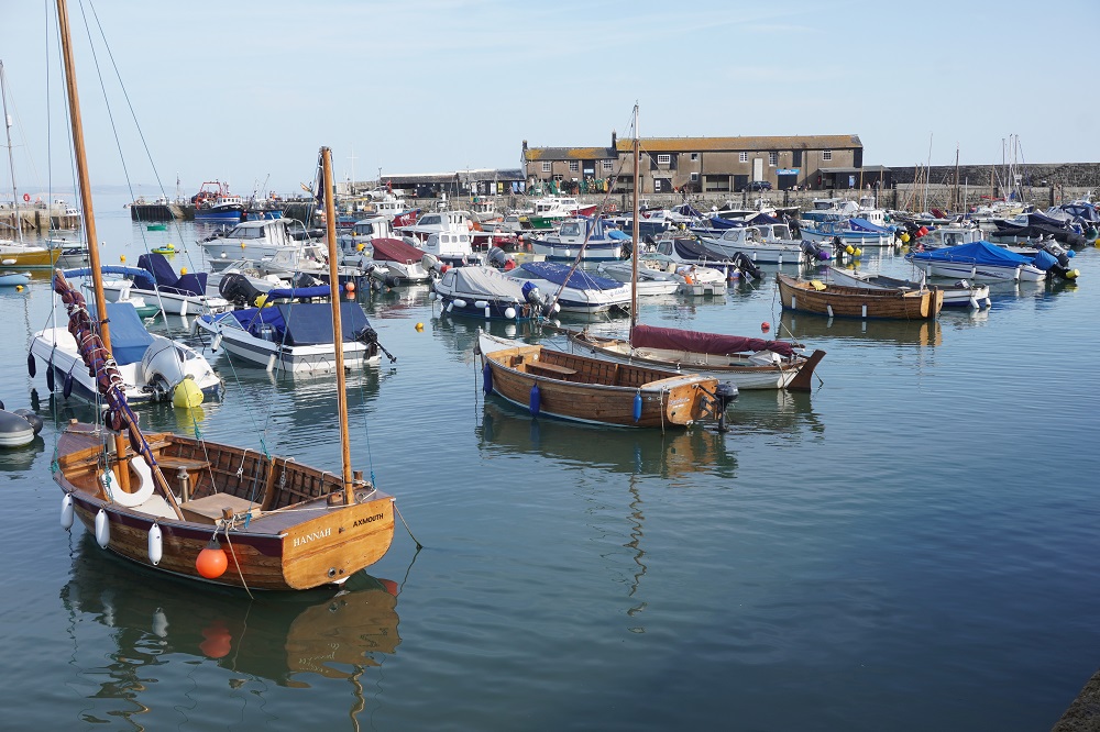
- Lulworth Cove
-
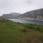
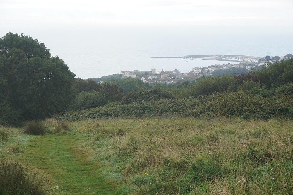
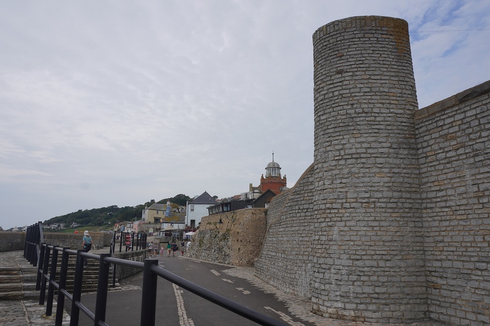
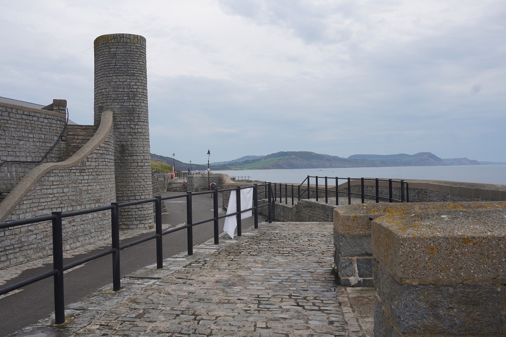
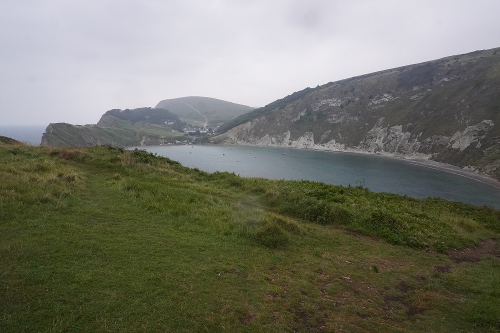
- Looking back at Lulworth Cove
-
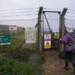
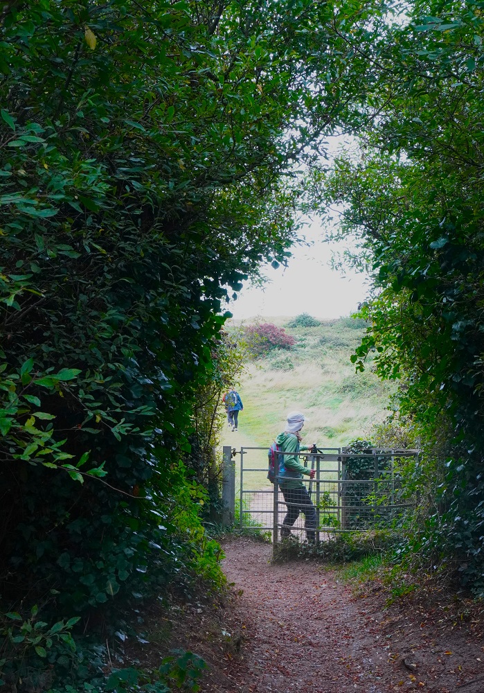
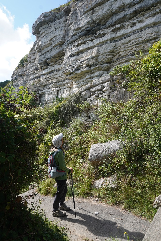
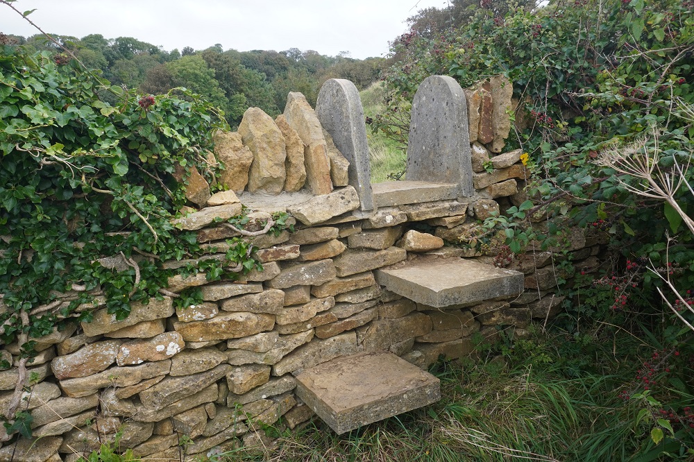
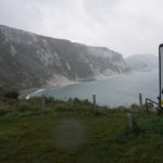
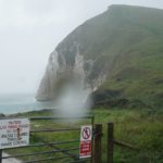
- Entering Lulworth Army Firing Range
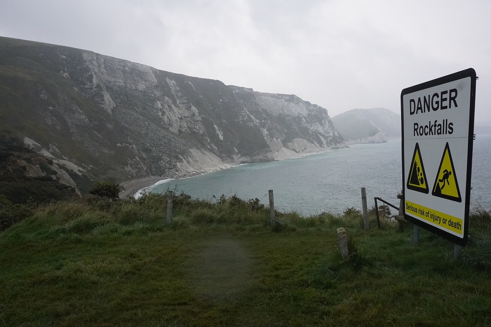
-
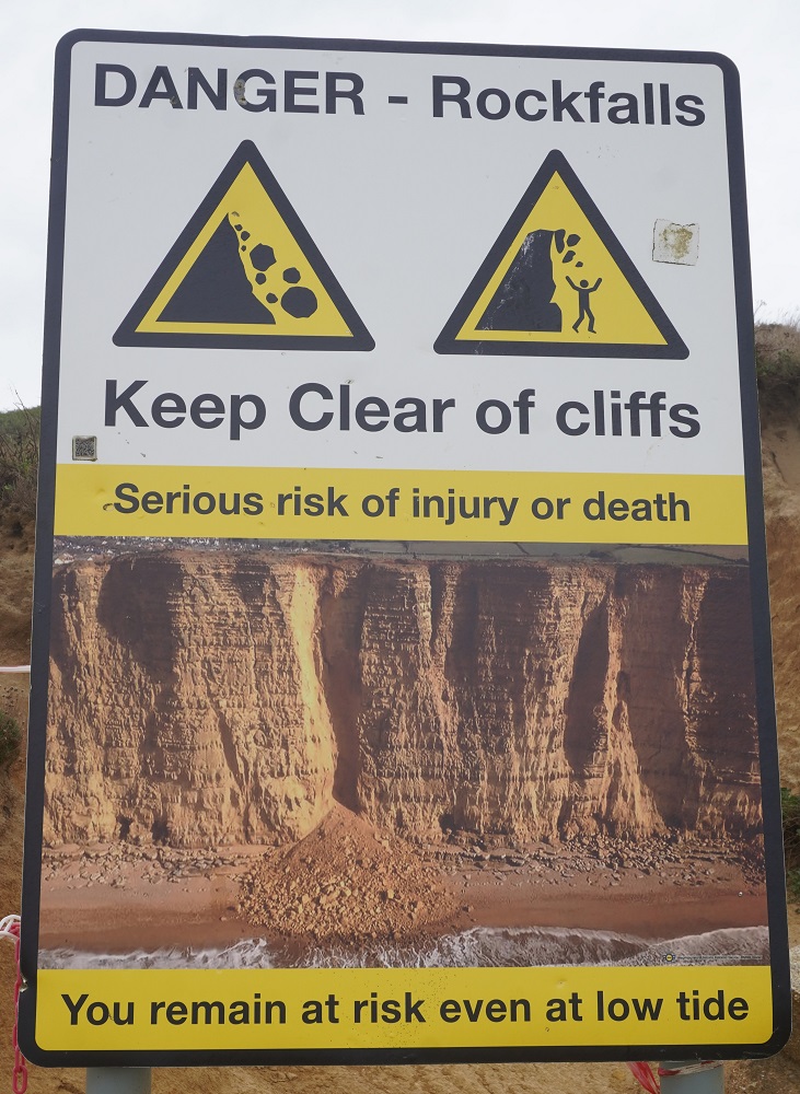
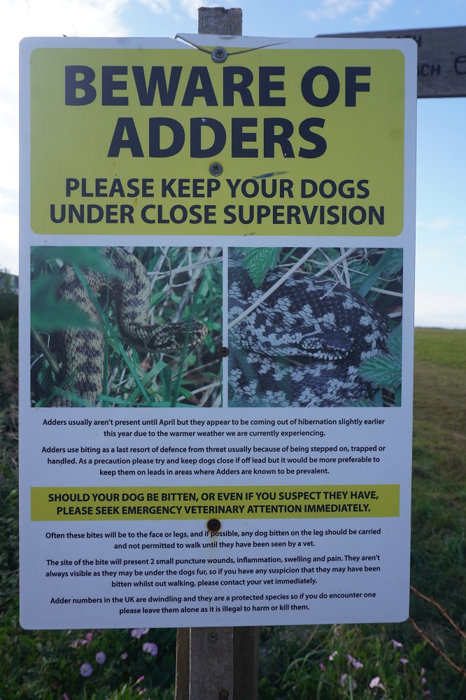
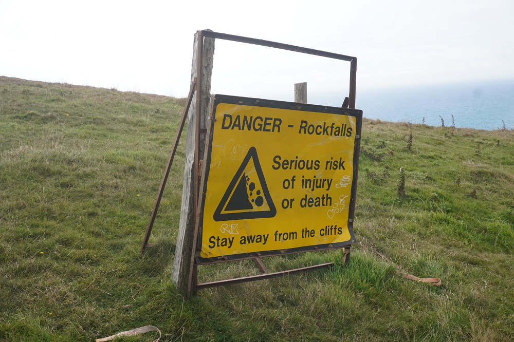
- DANGER
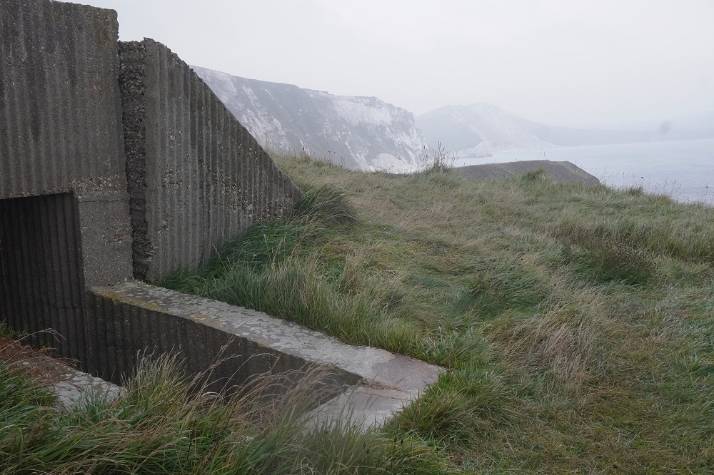
-
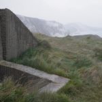
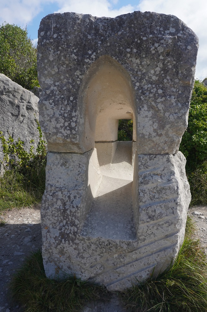
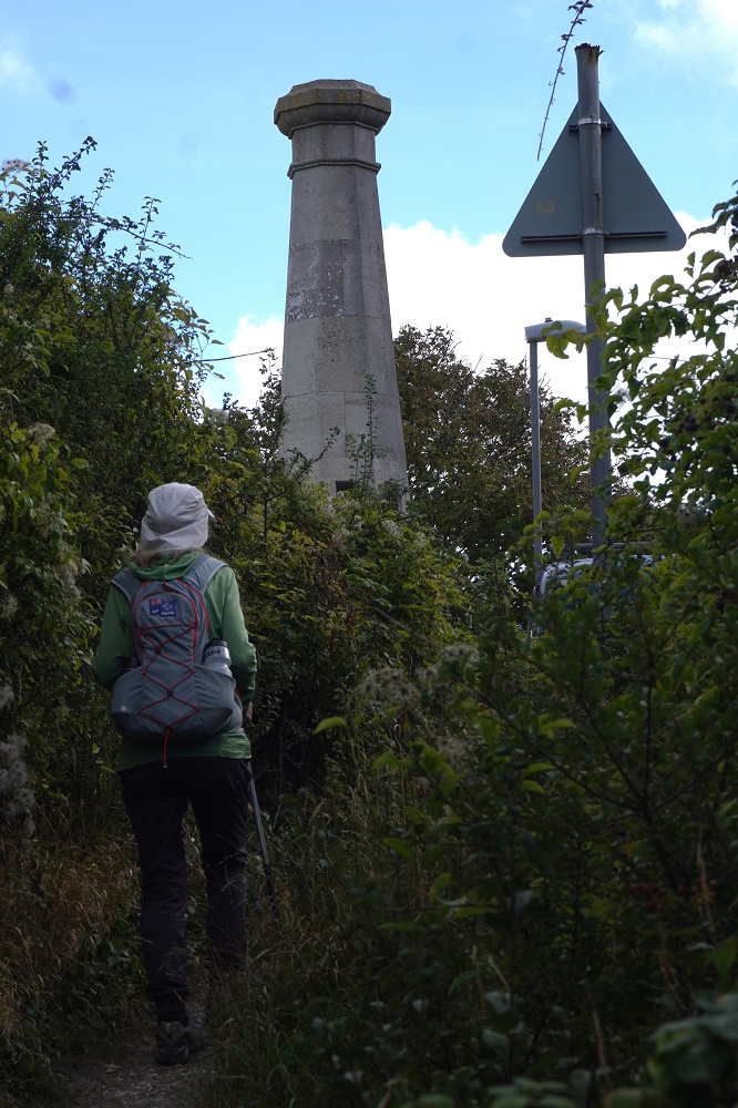
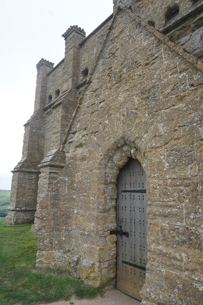
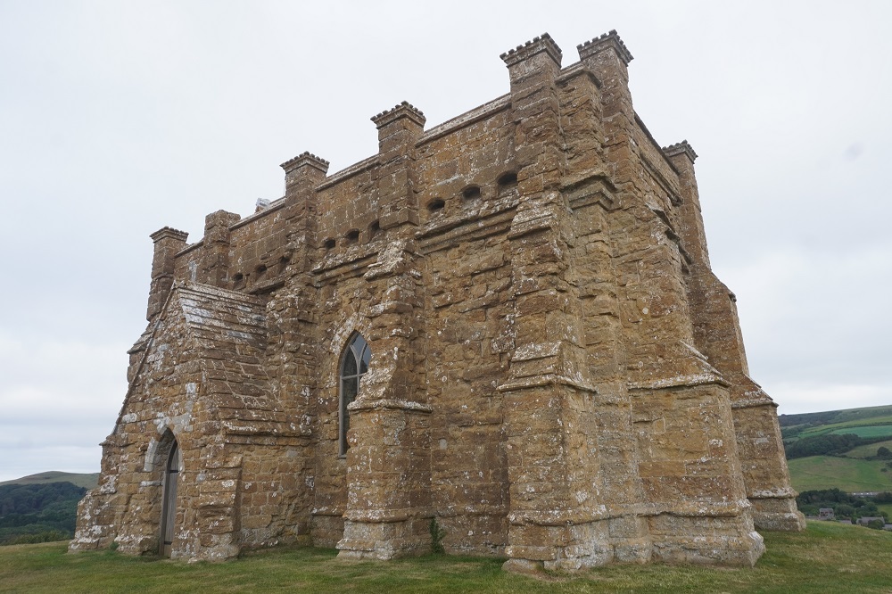
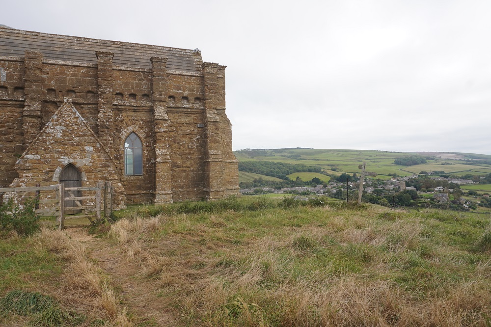
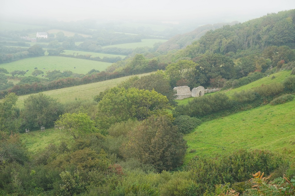
- Army structure – in the rain
-
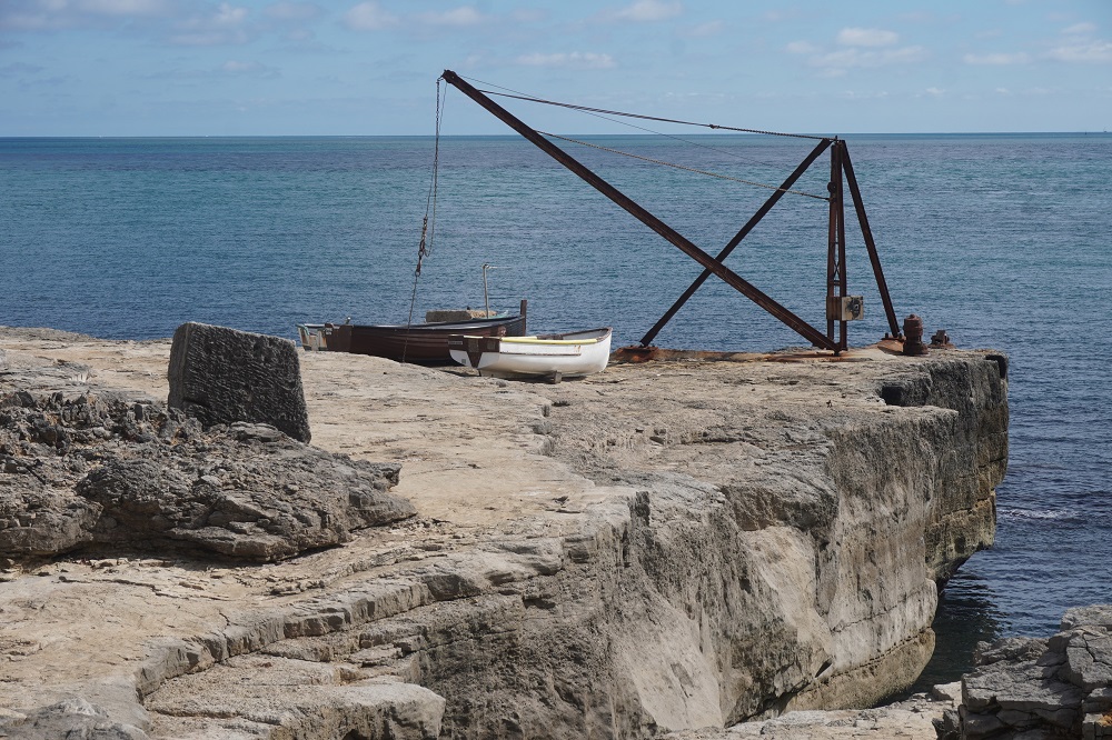
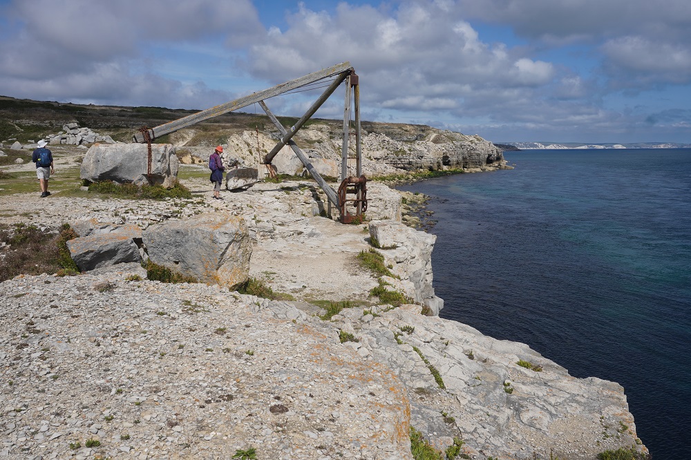
- Mupe Rocks
-
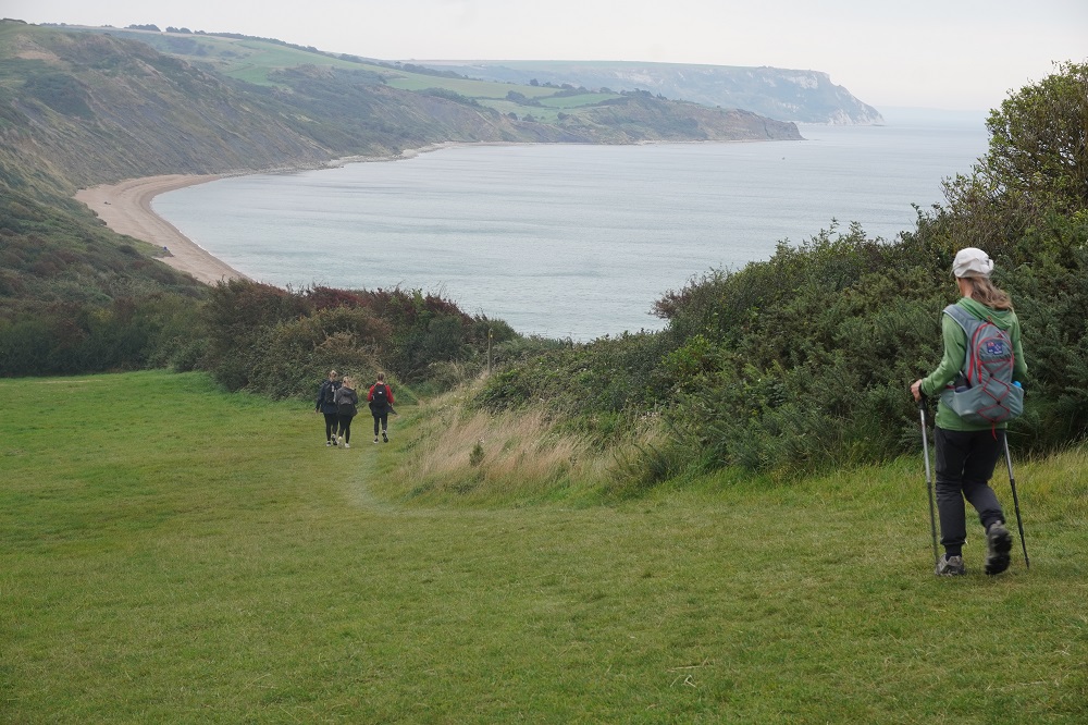
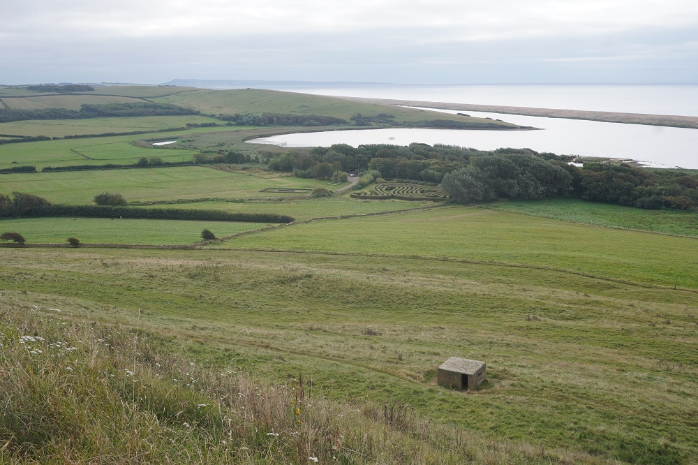
- Arish Mell
-
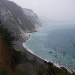
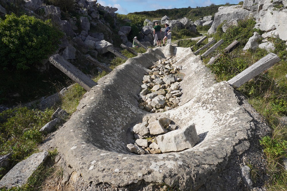
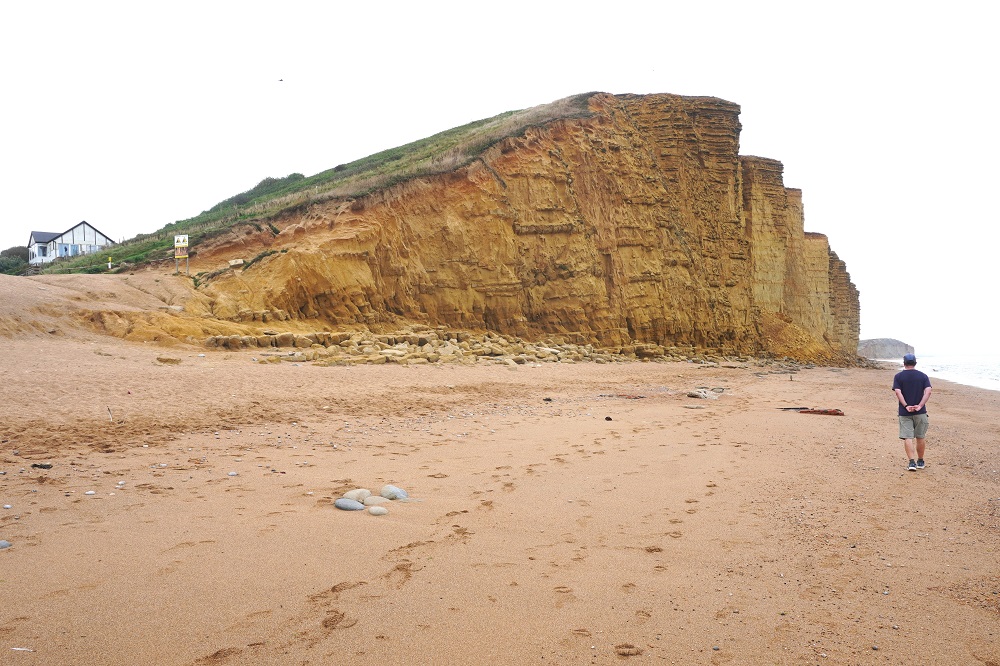
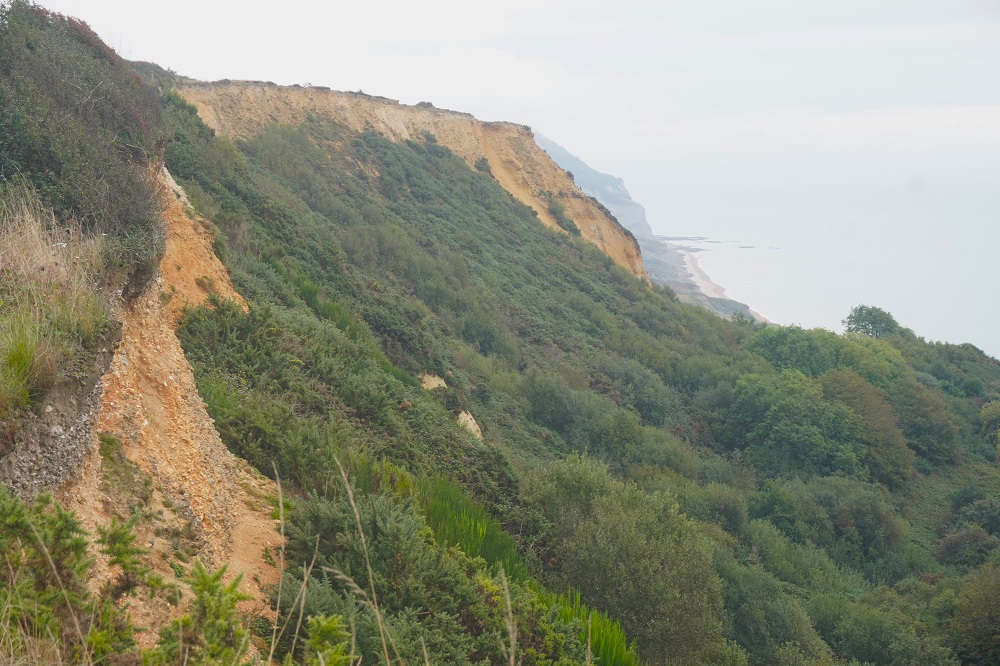
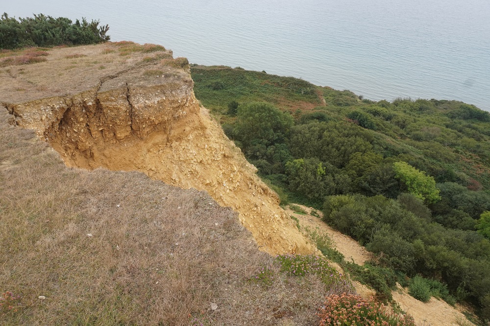
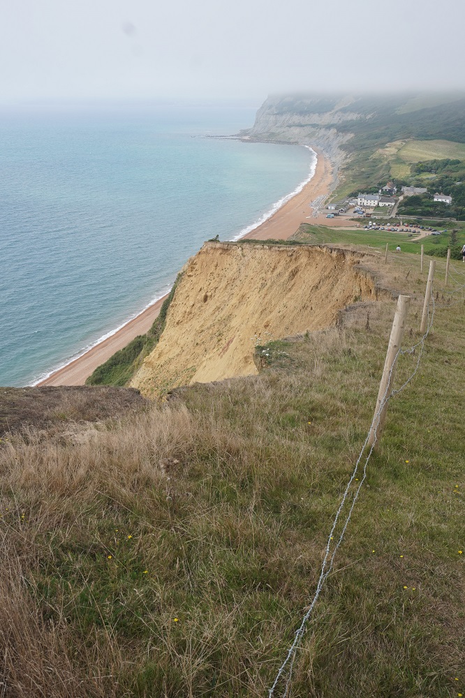
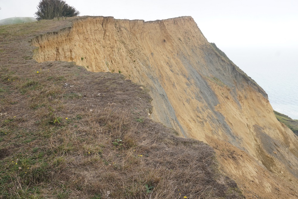
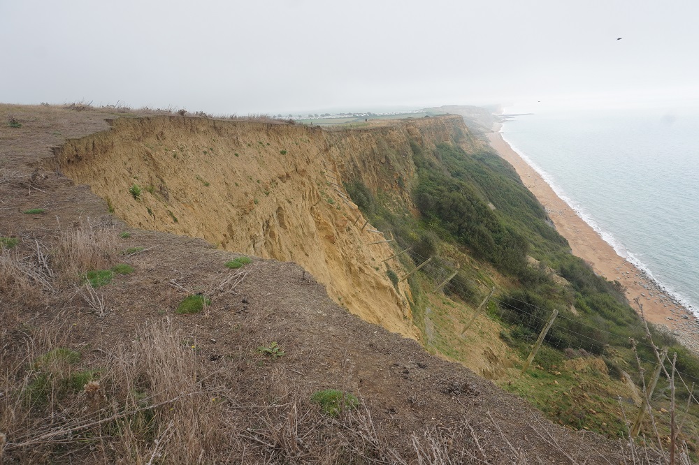
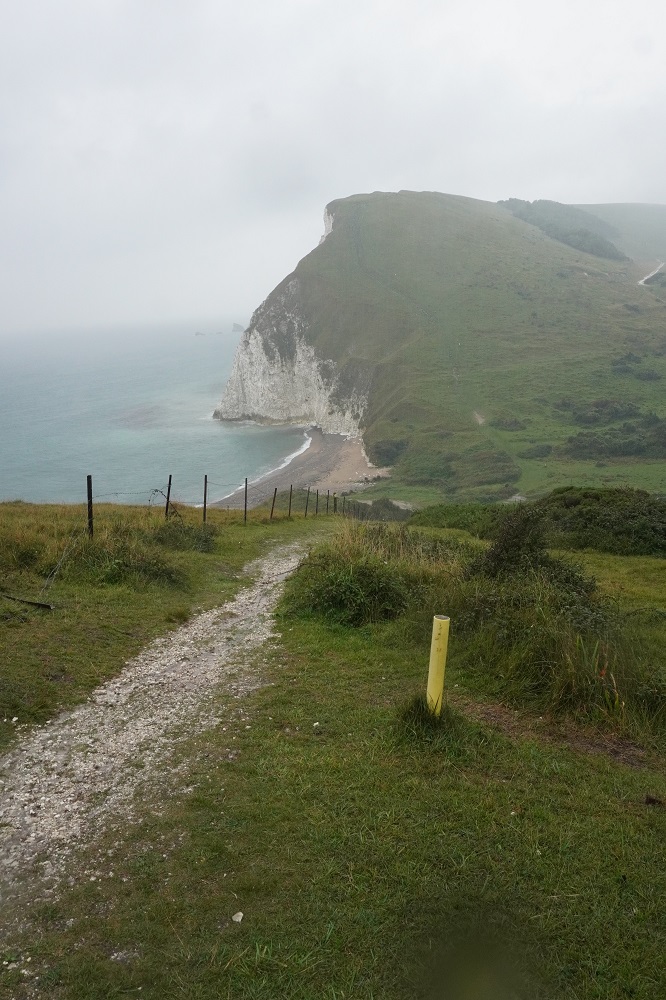
- Large land slides
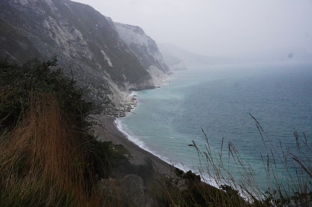
-
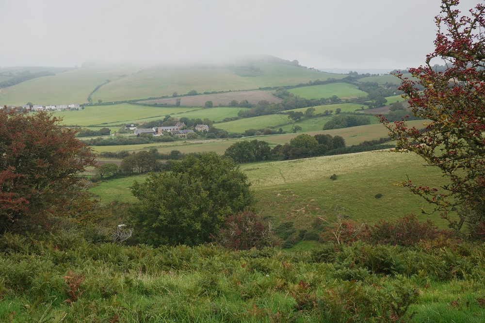
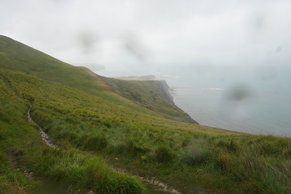
- Somewhere in the rain
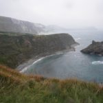
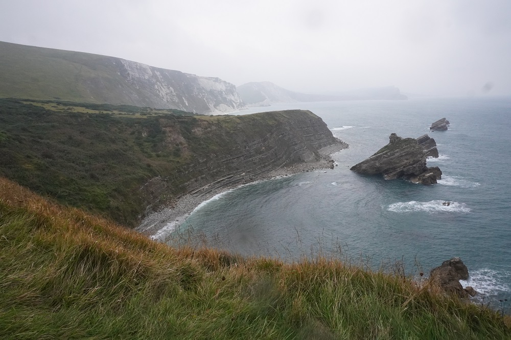
-
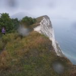
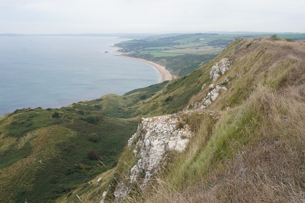
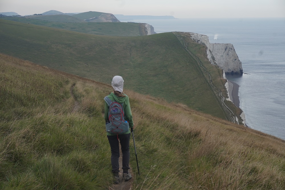
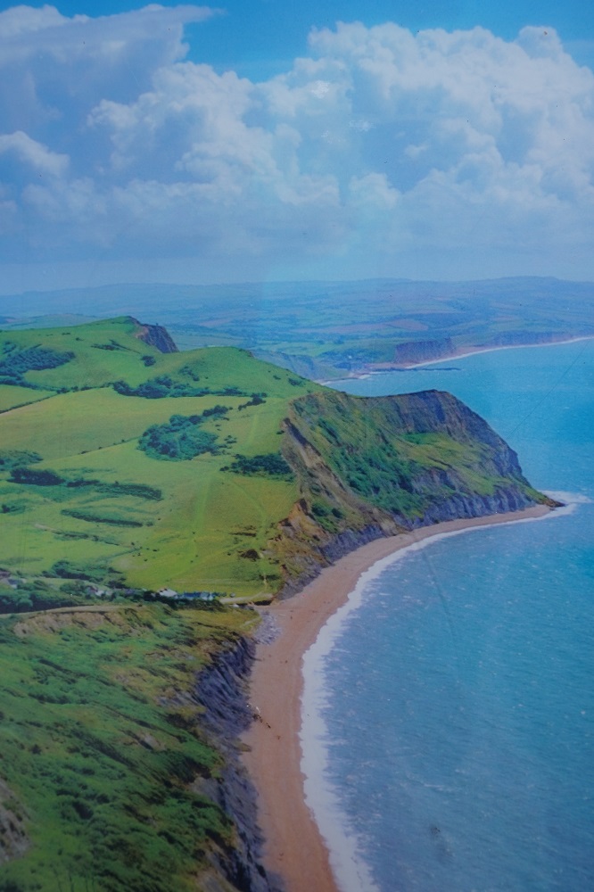
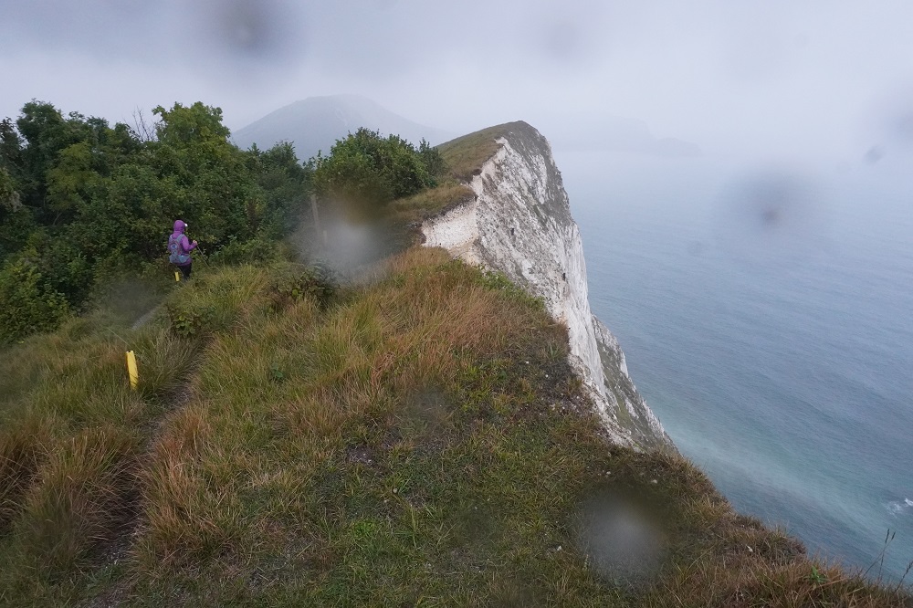
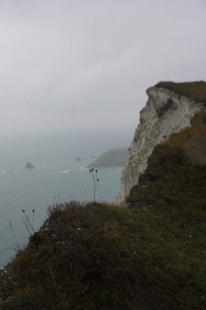
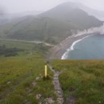
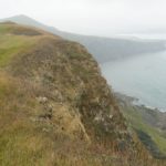
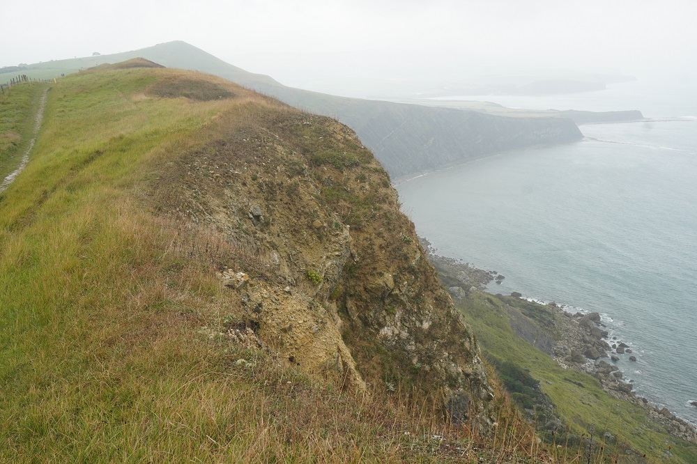
- Gad Cliff
-
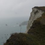
- Gad Cliff
-
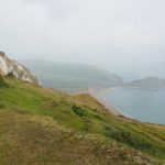
- Hobarrow Bay
-
- Hobarrow Bay steep descent
-
- Hobarrow Bay in the rain and thunder
-
- We came down there in poring rain
-
- Climbing up again in the pouring rain
-
- Wet wet wet
-
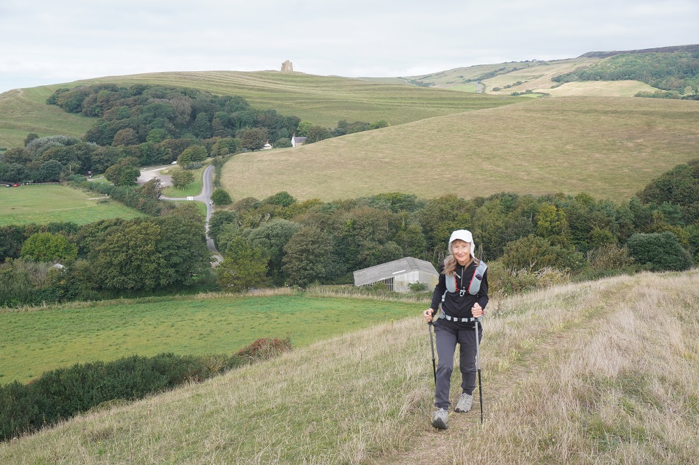
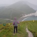
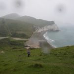
- Warbarrow
-
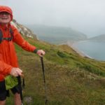
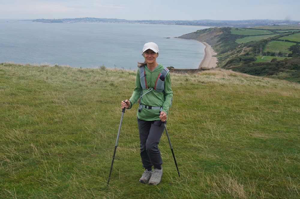
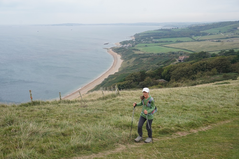
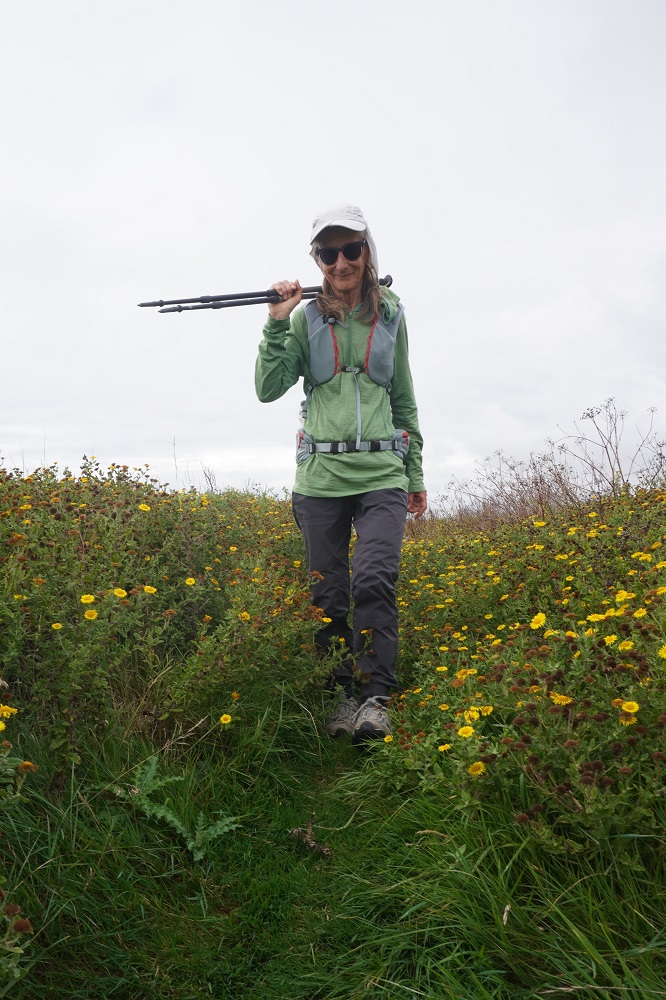
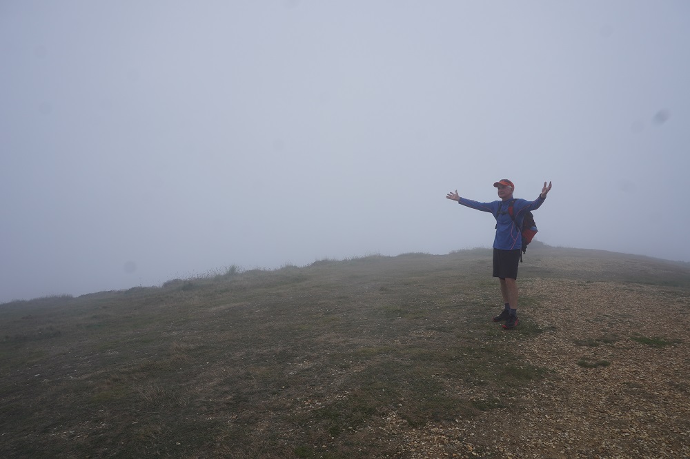
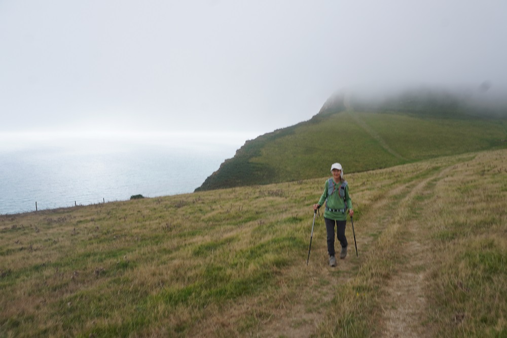
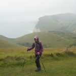
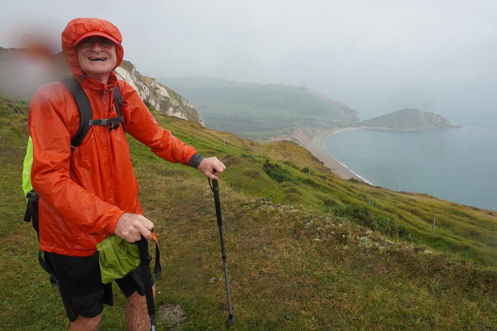
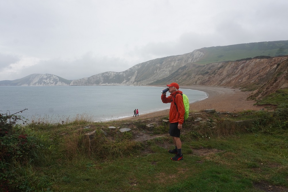
- I’m enjoying this
-
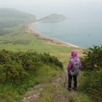
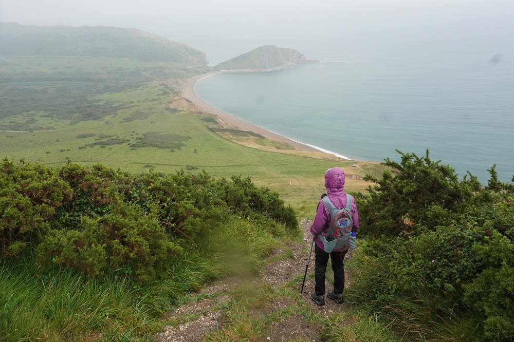
- Descending to Warbarrow
-
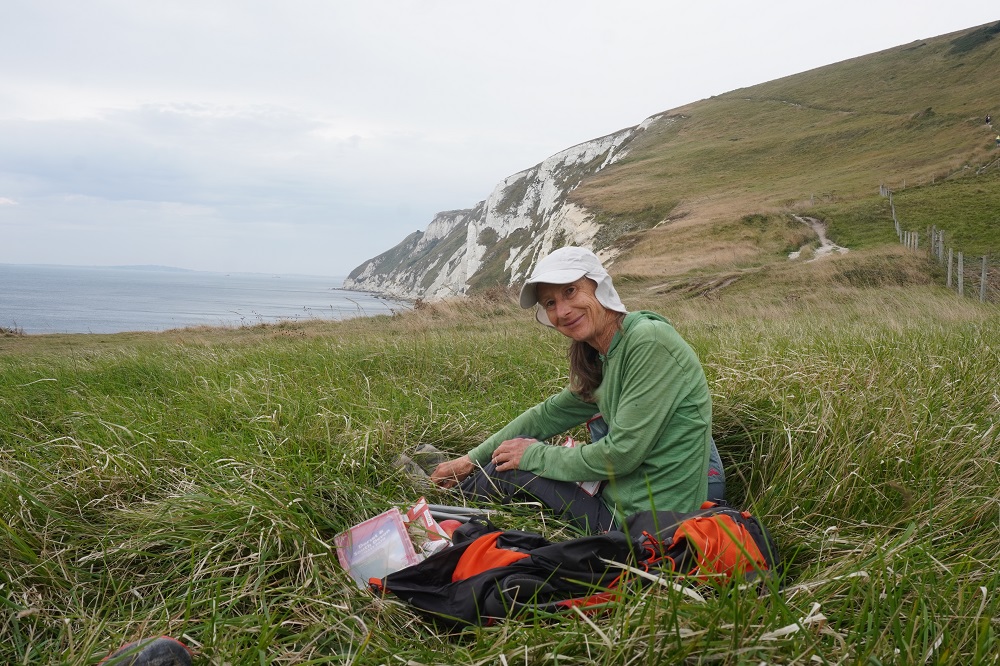
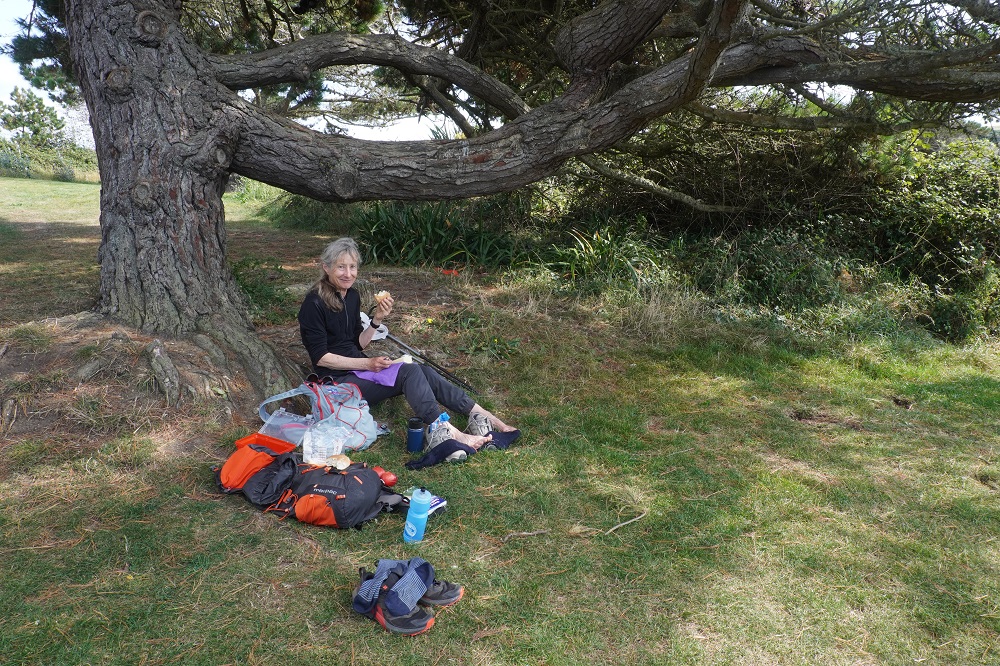
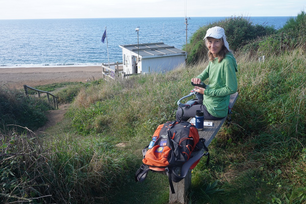
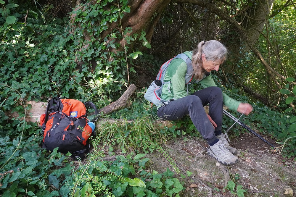
- Coffee stop in the rain
-
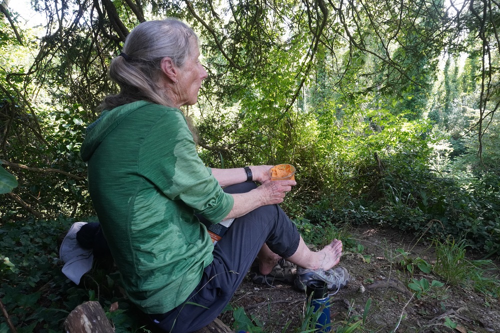
- Coffee stop in the rain admiring the scenery
-
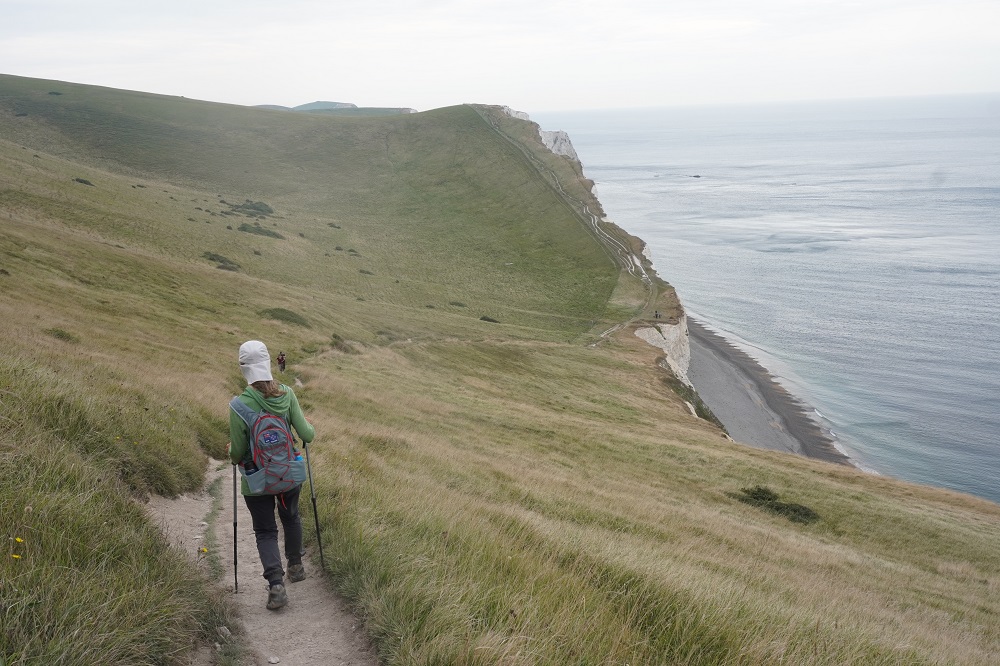
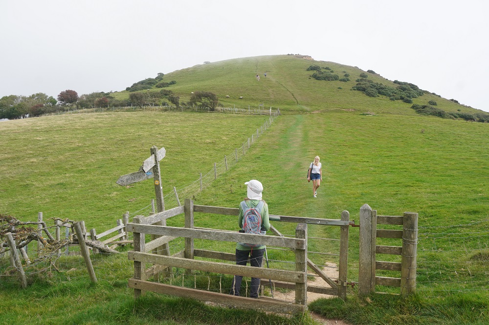
- Another climb
-
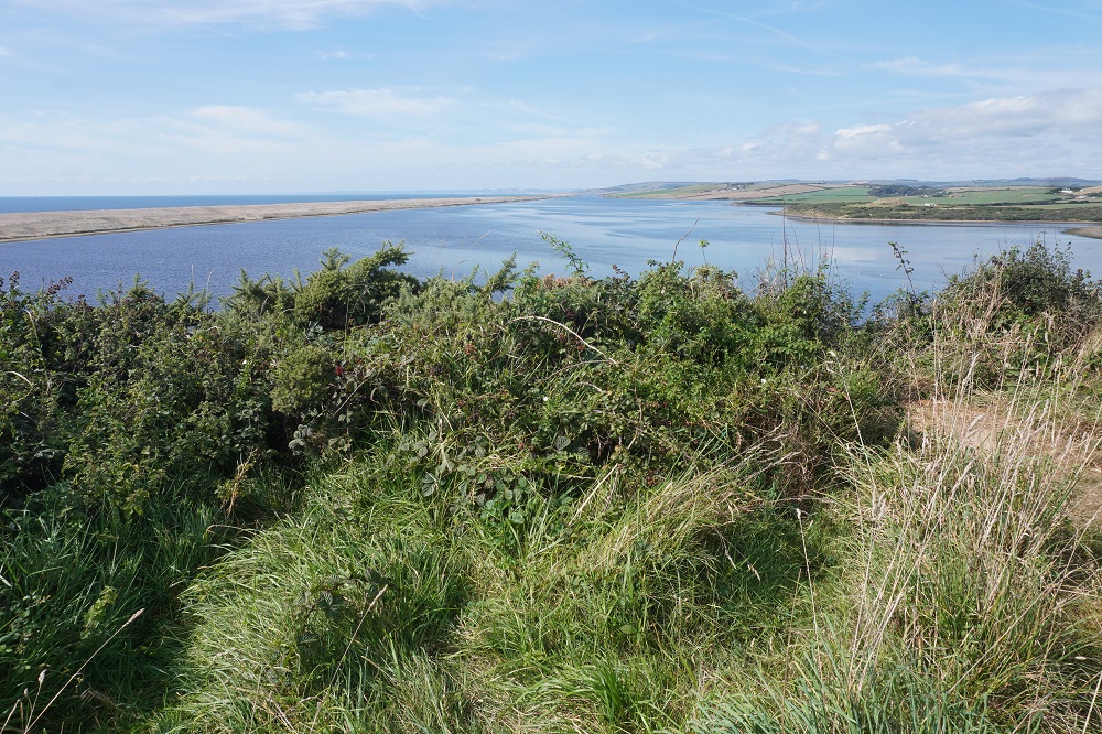
- Cliff walking
-
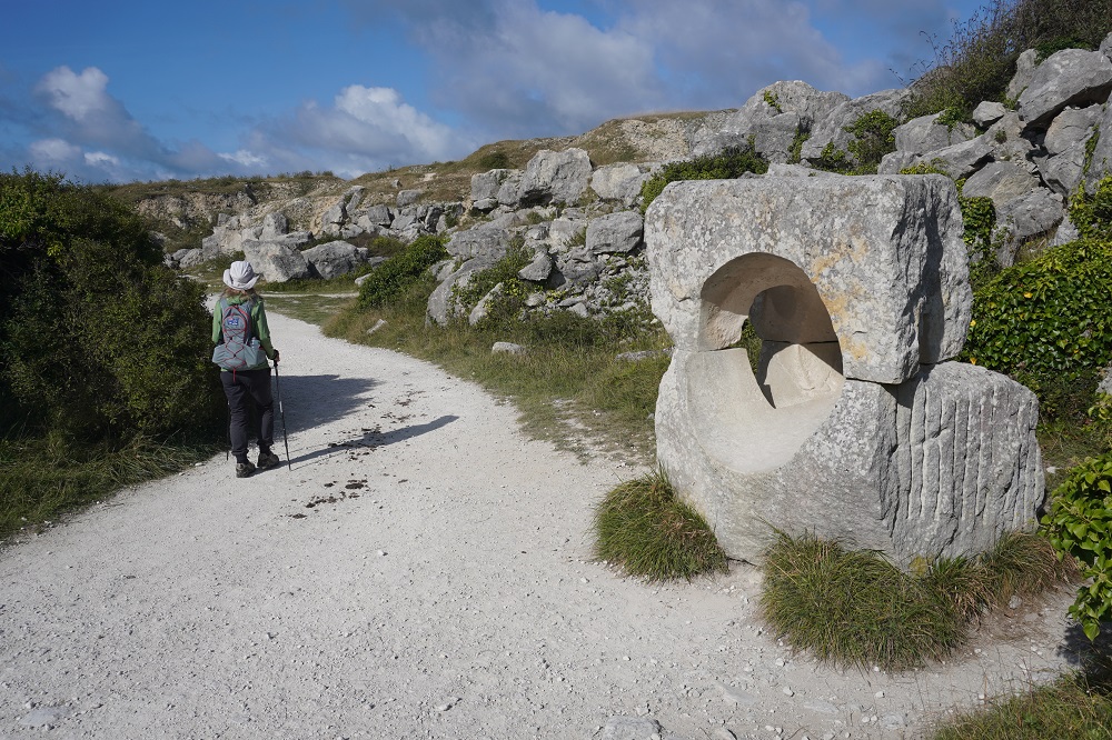
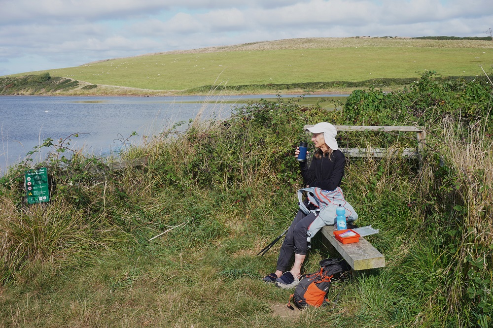
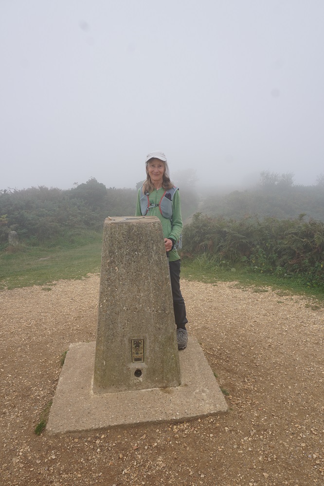
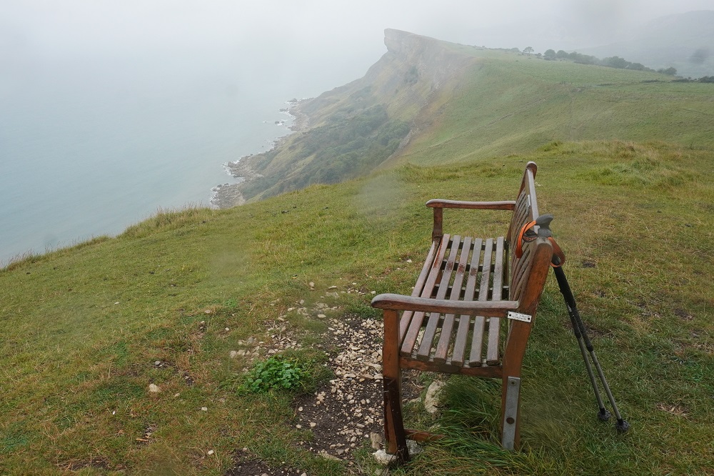
- Cliff view, no takers for the seat today
-
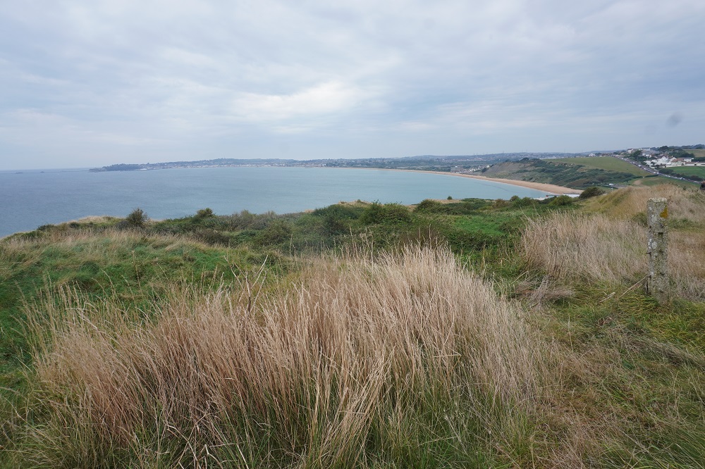
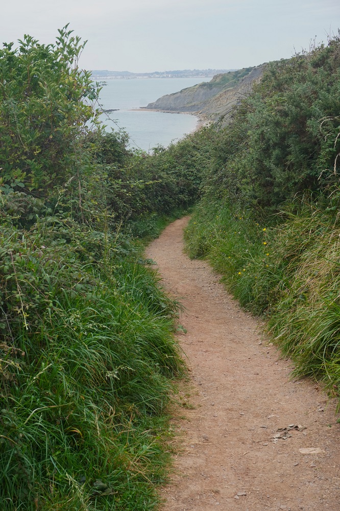
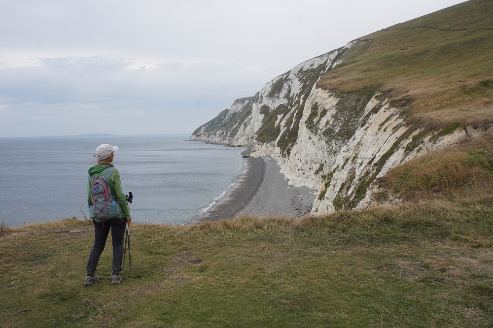
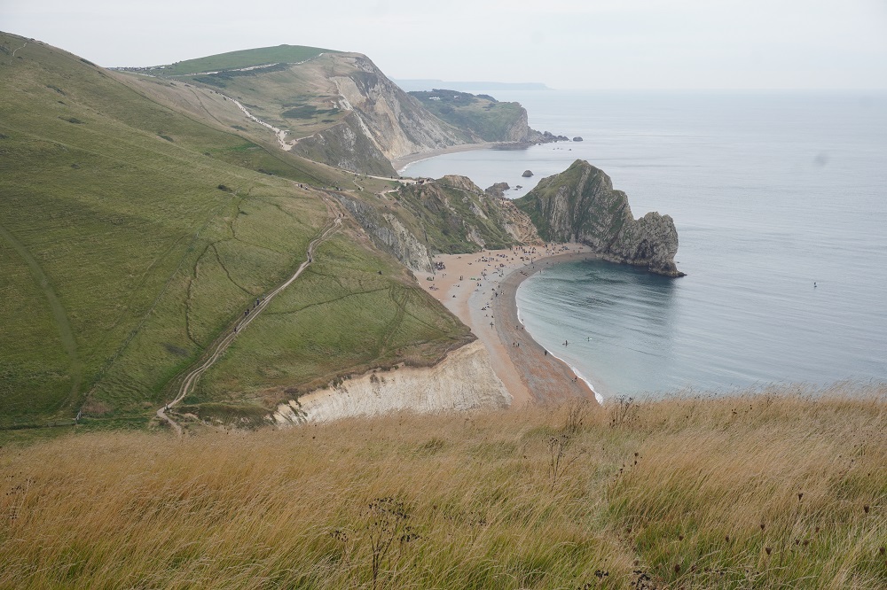
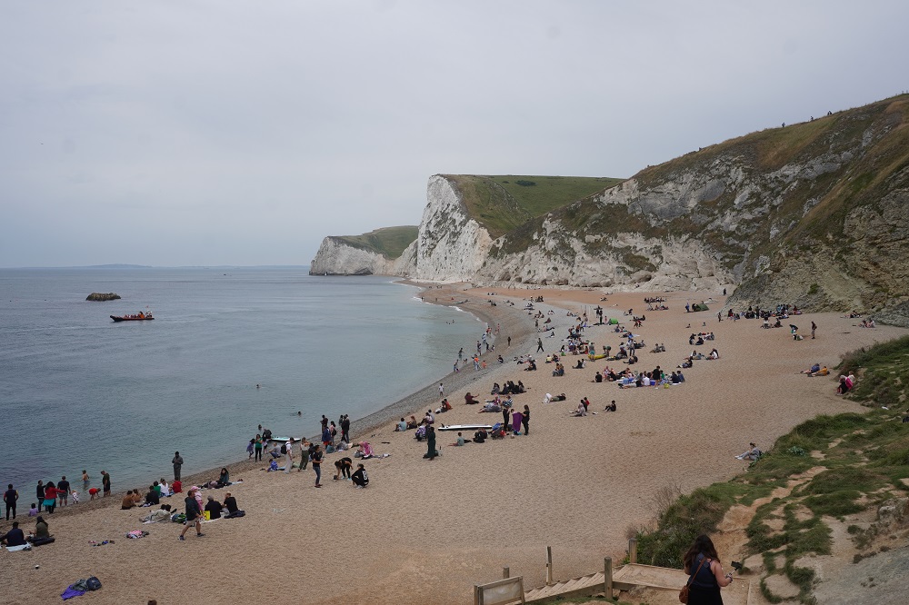
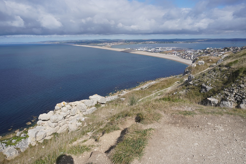
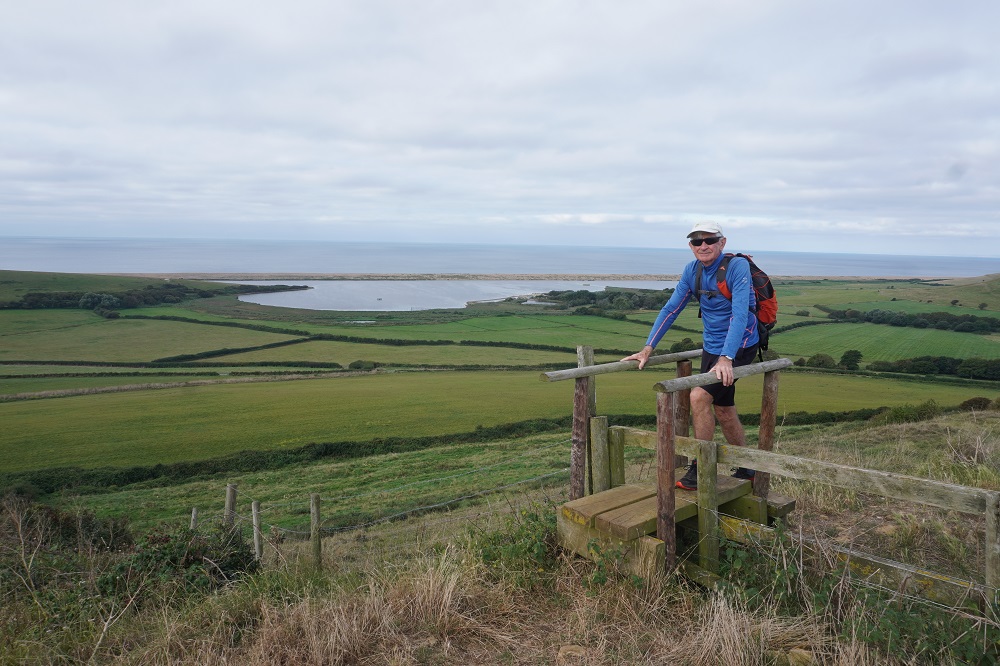
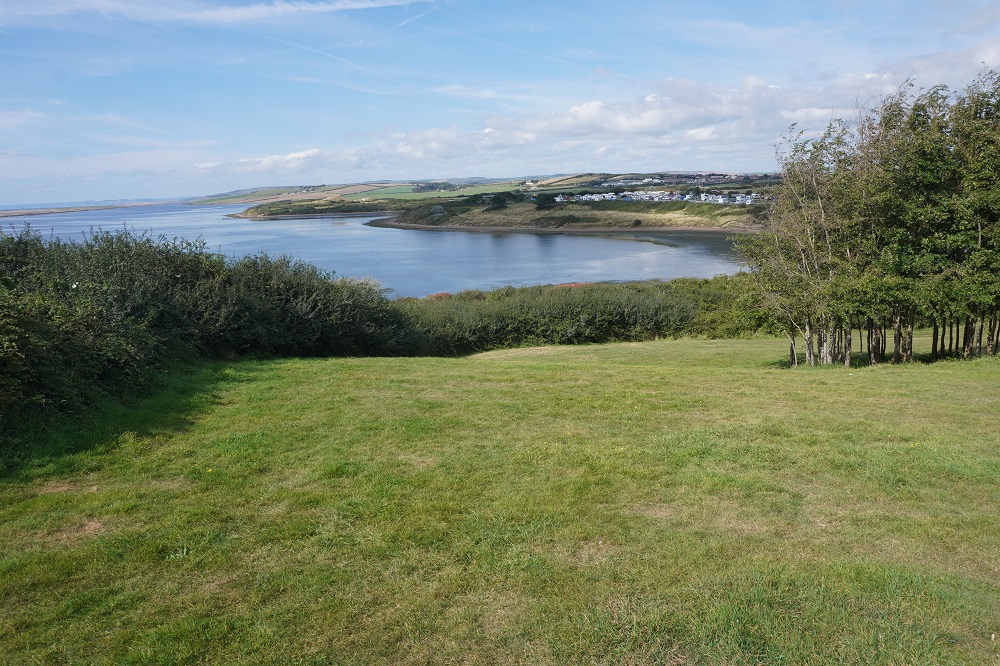
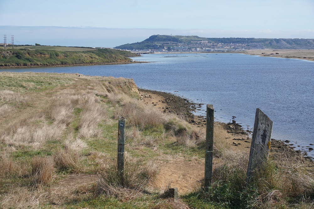
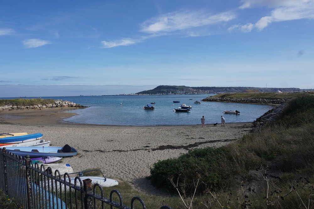
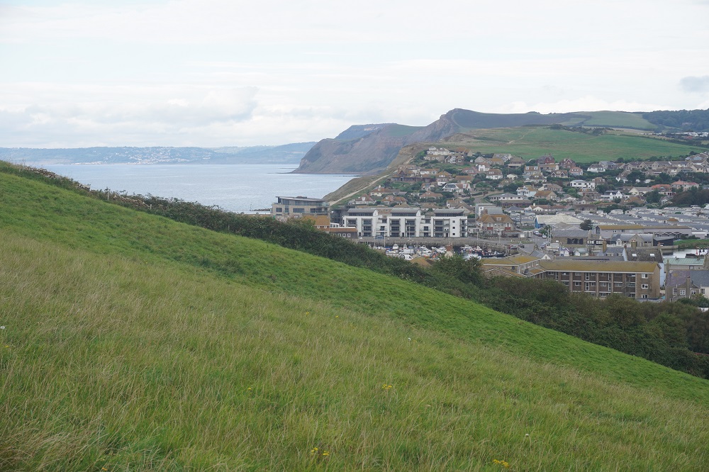
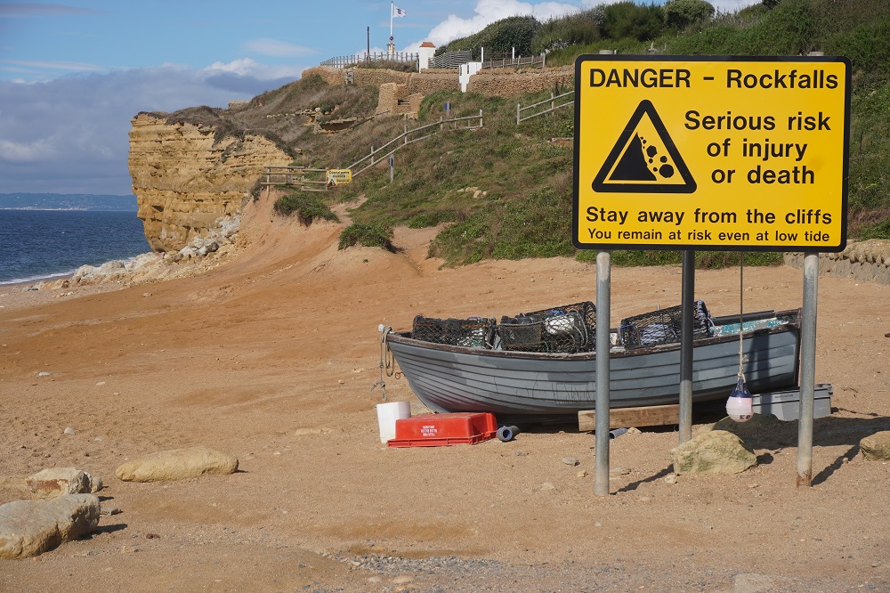
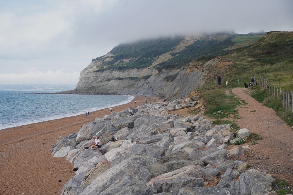
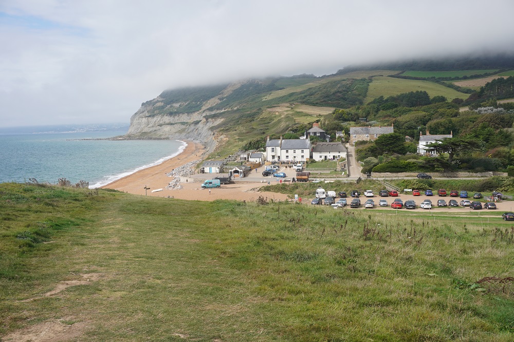
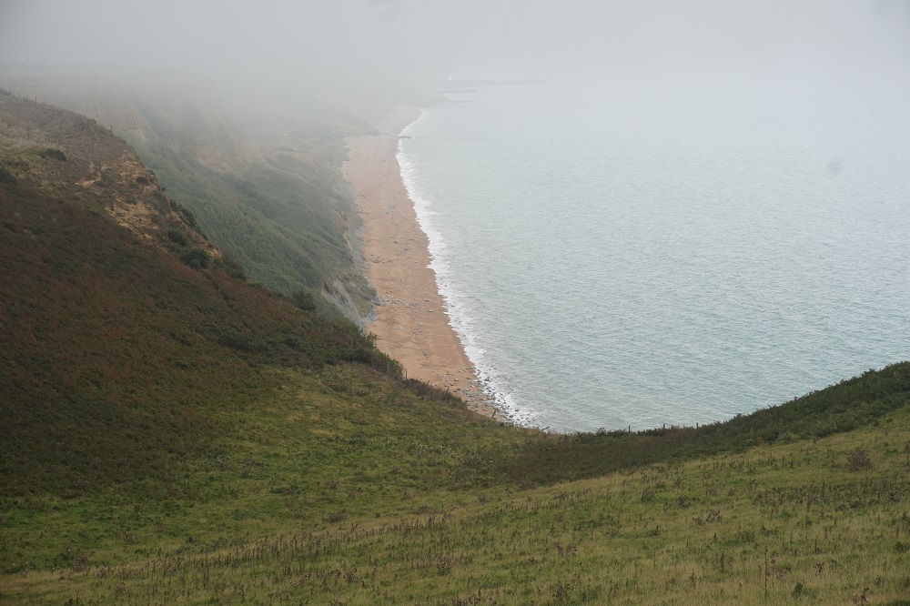
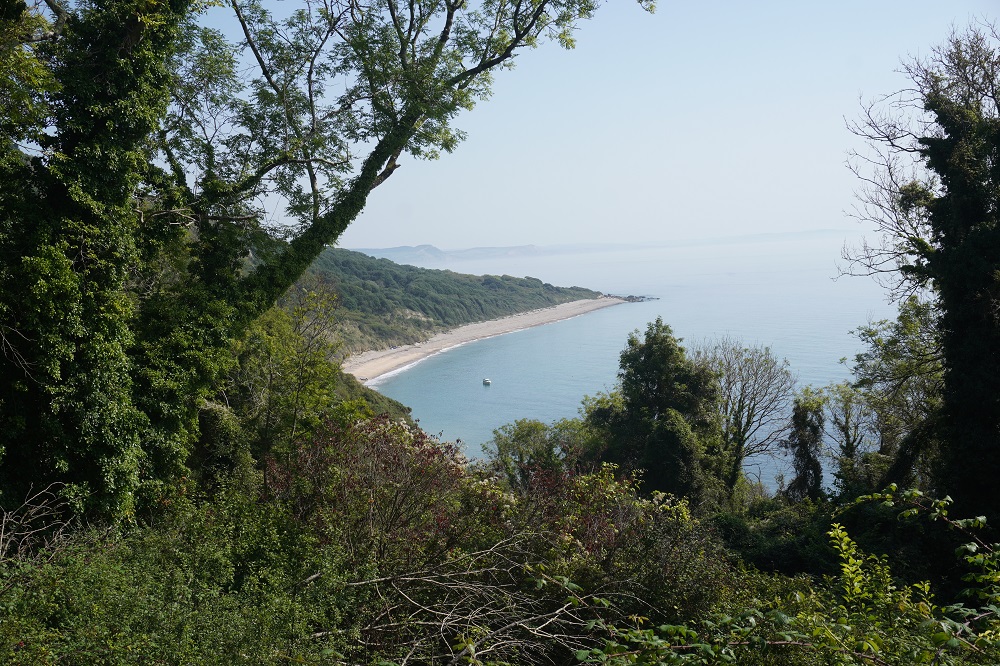
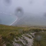
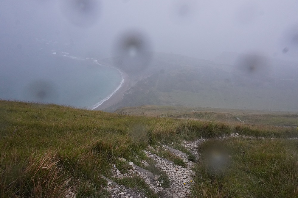
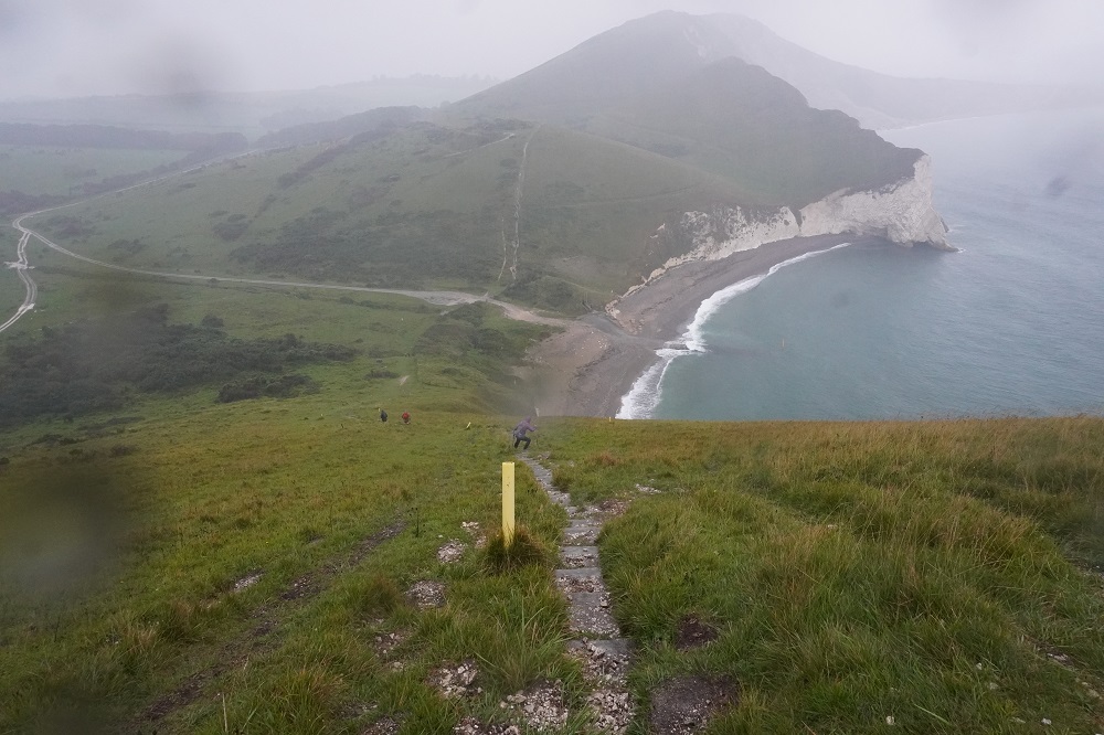
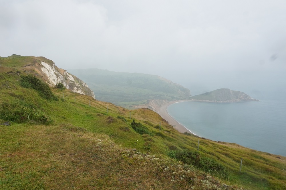
- Kimmeridge Bay down there
-
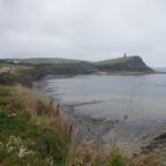
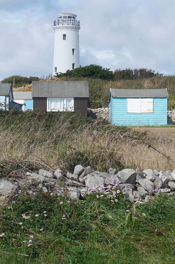
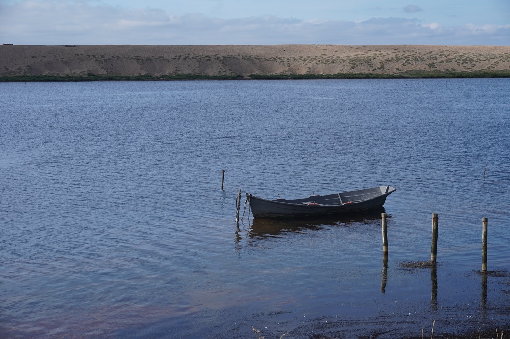
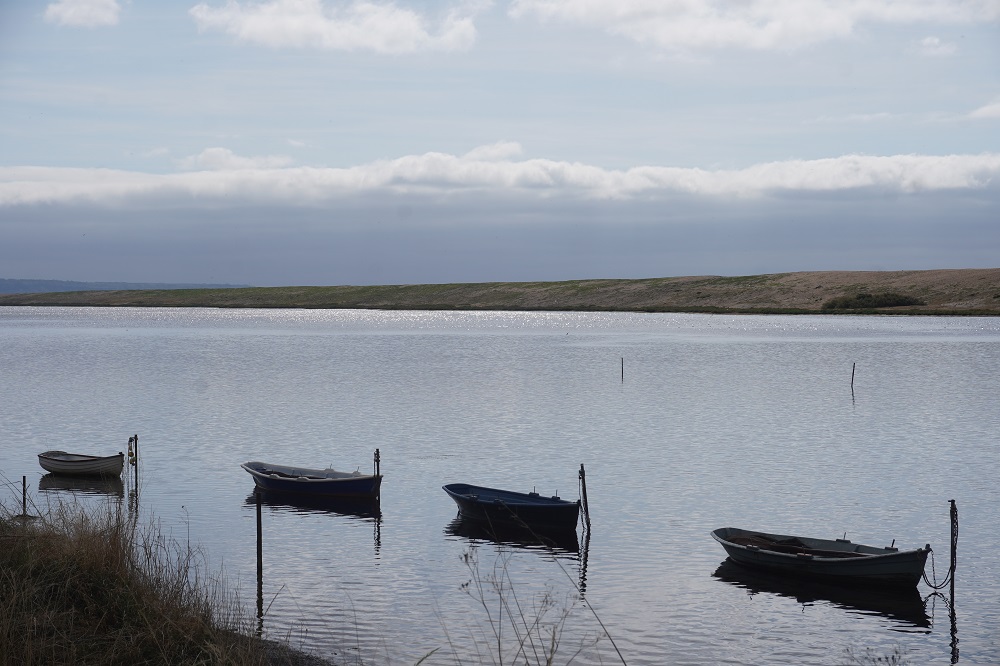
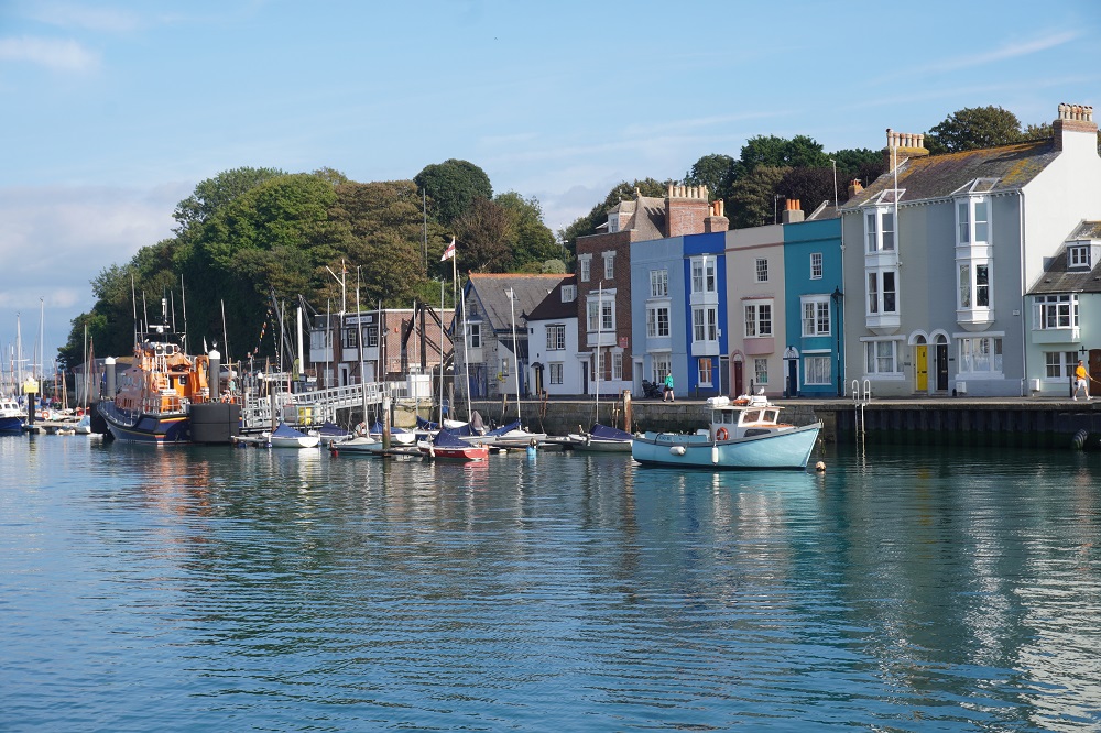
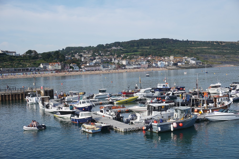
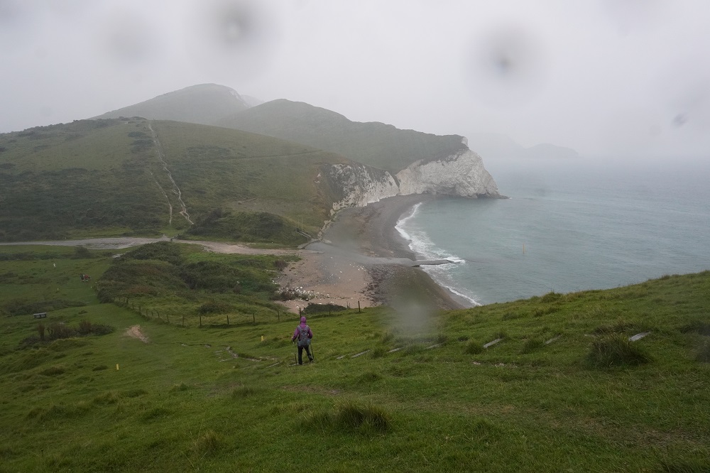
- Kimmeridge Bay
-
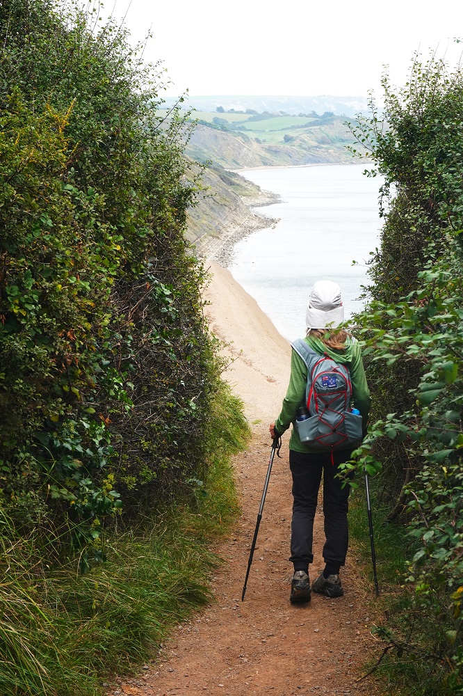
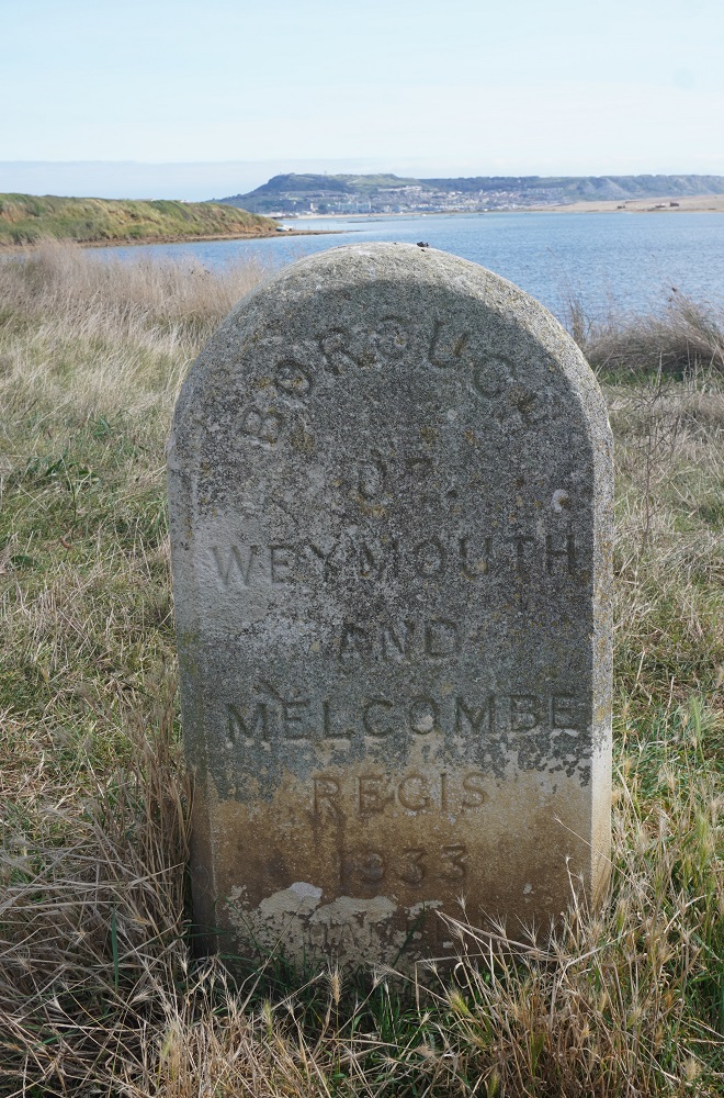
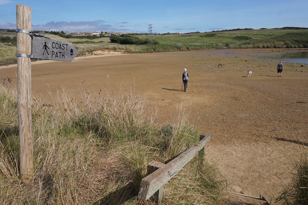
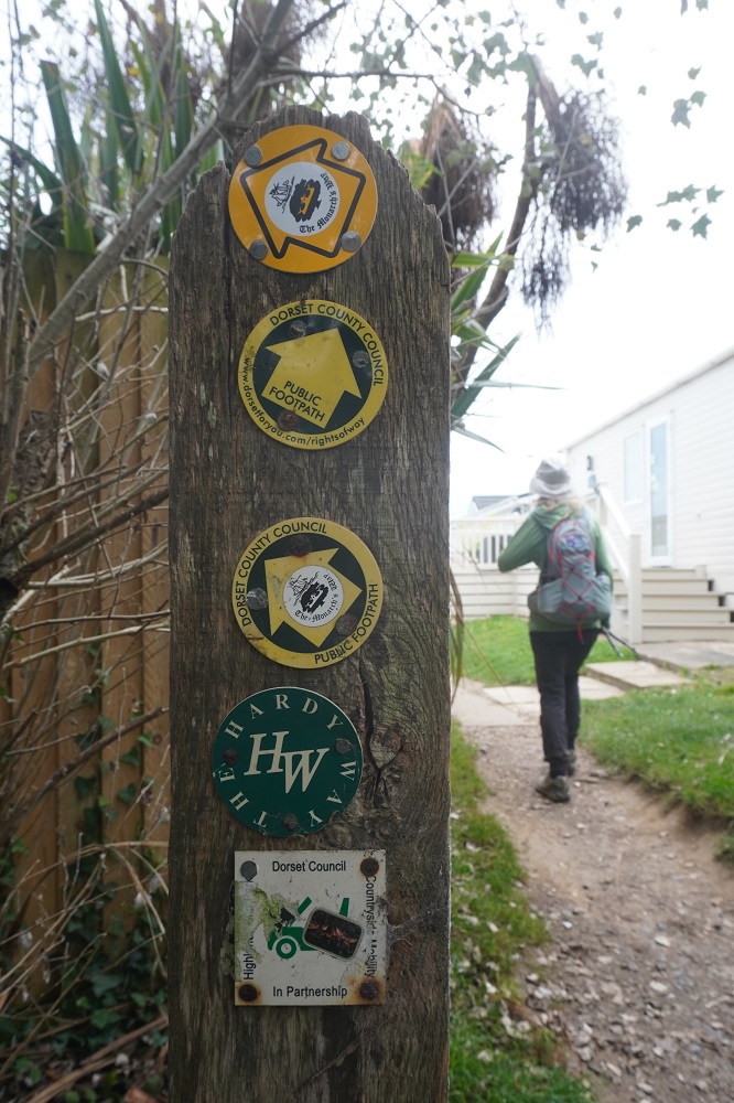
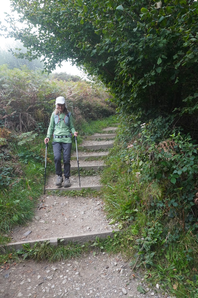
- Path Kimmeridge Bay to Kimmeridge Village
-
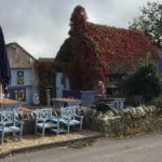
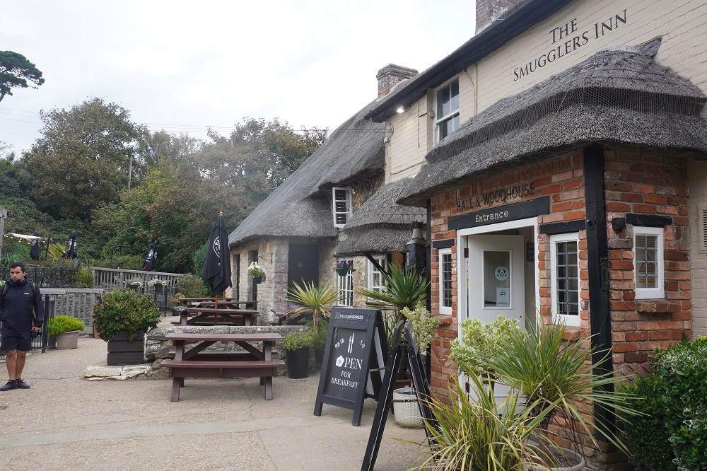
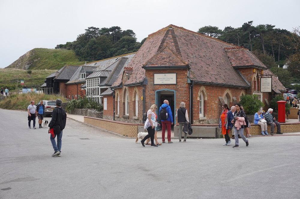
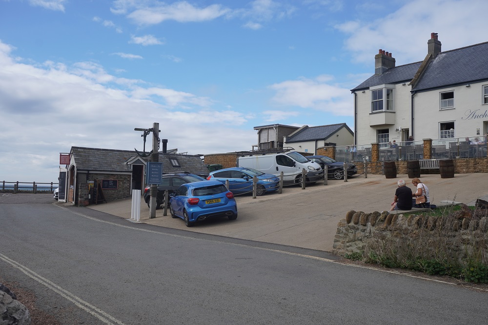
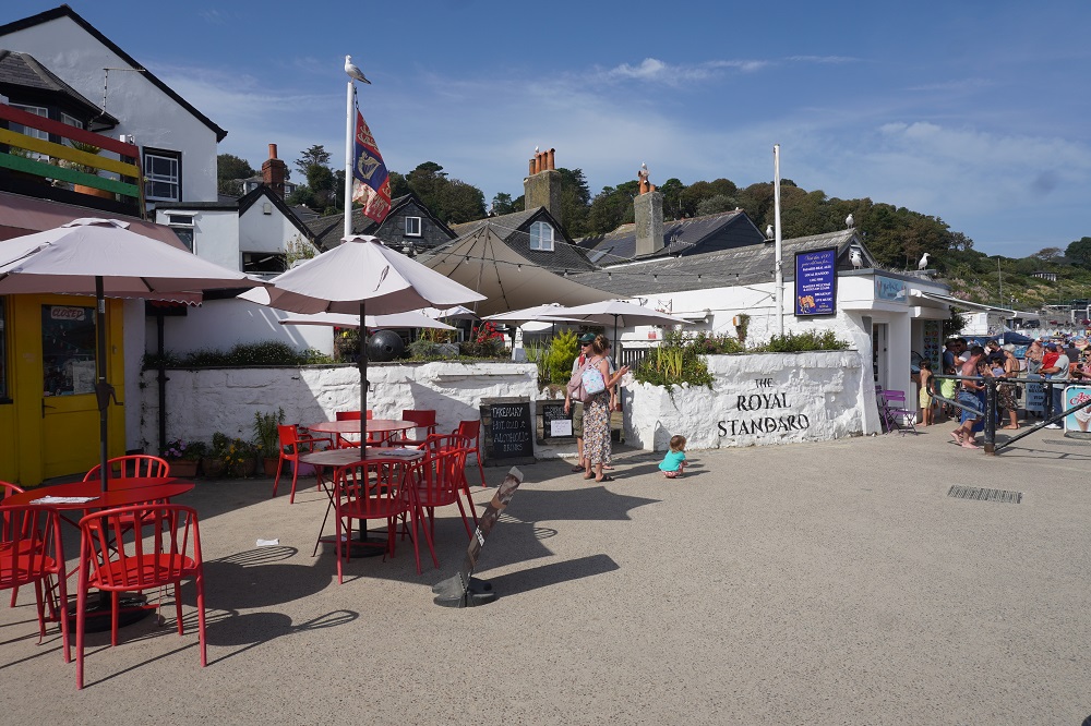
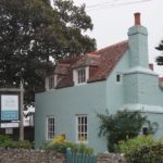
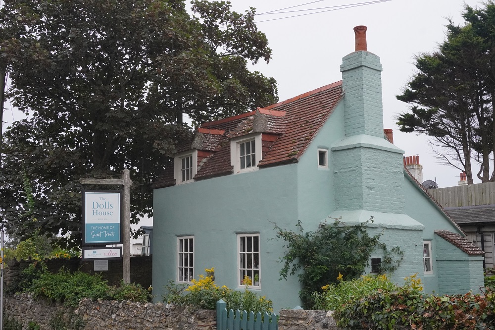
- Cavell’s Cafe Kimmeridge Village
-
- Cavell’s Cafe Kimmeridge Village
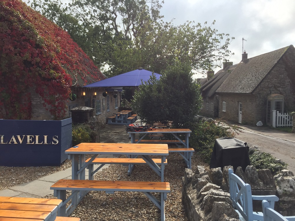
-
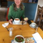
- Cavell’s Cafe Kimmeridge Village
-
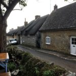
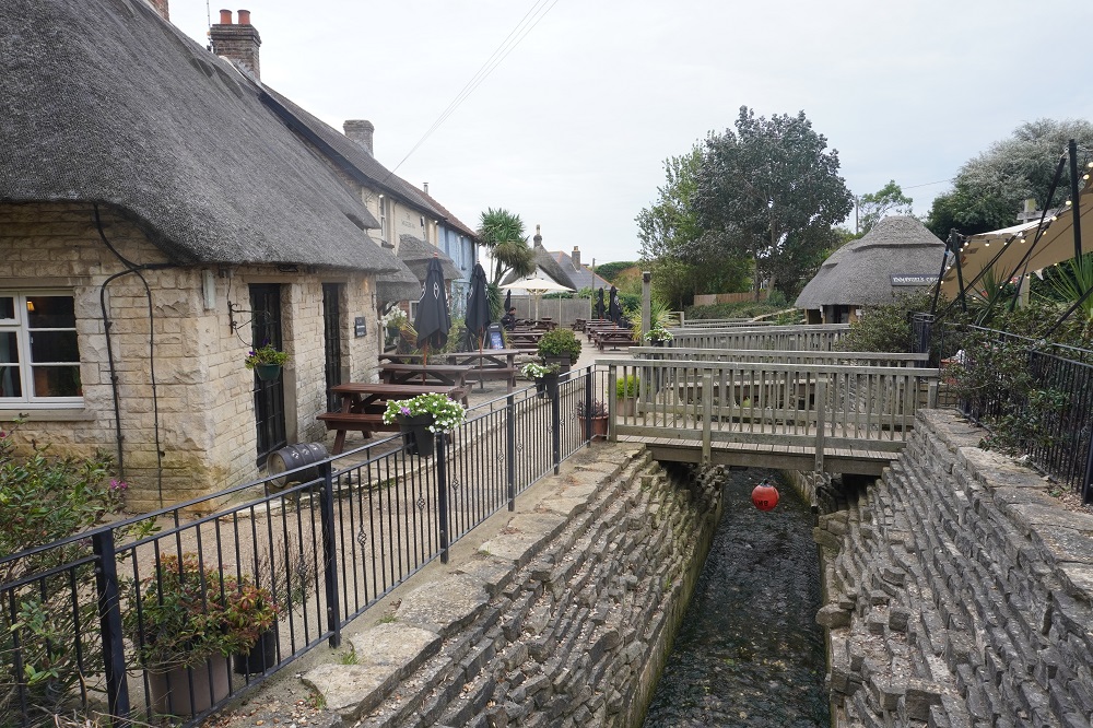
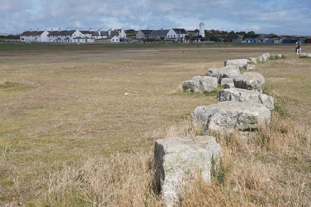
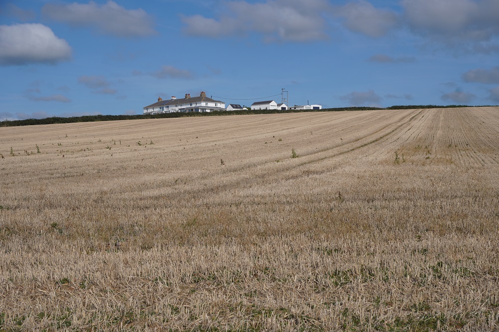
- Kimmeridge Village
-
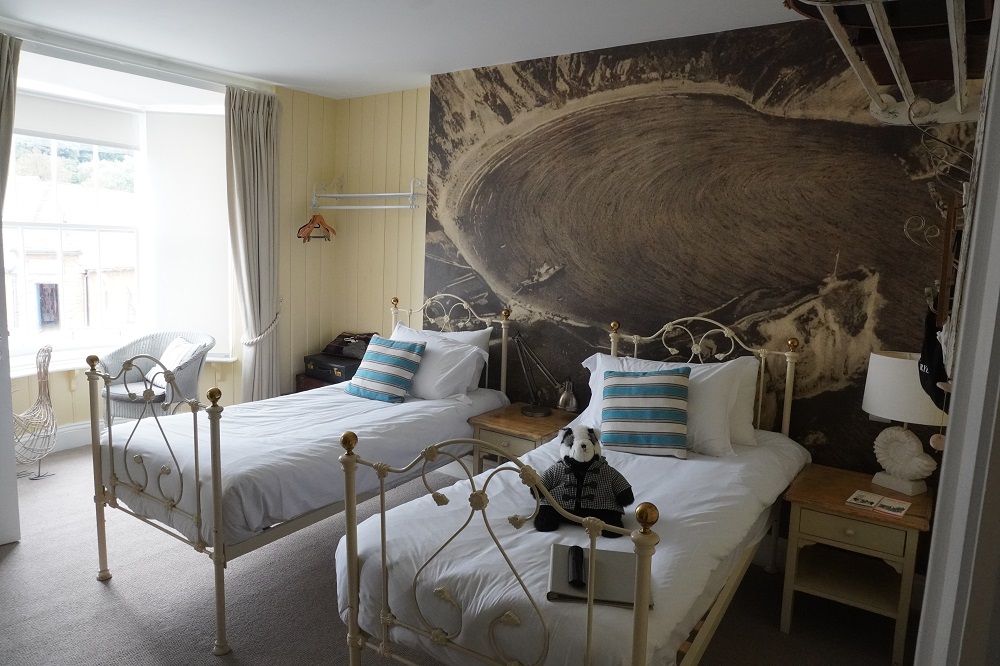
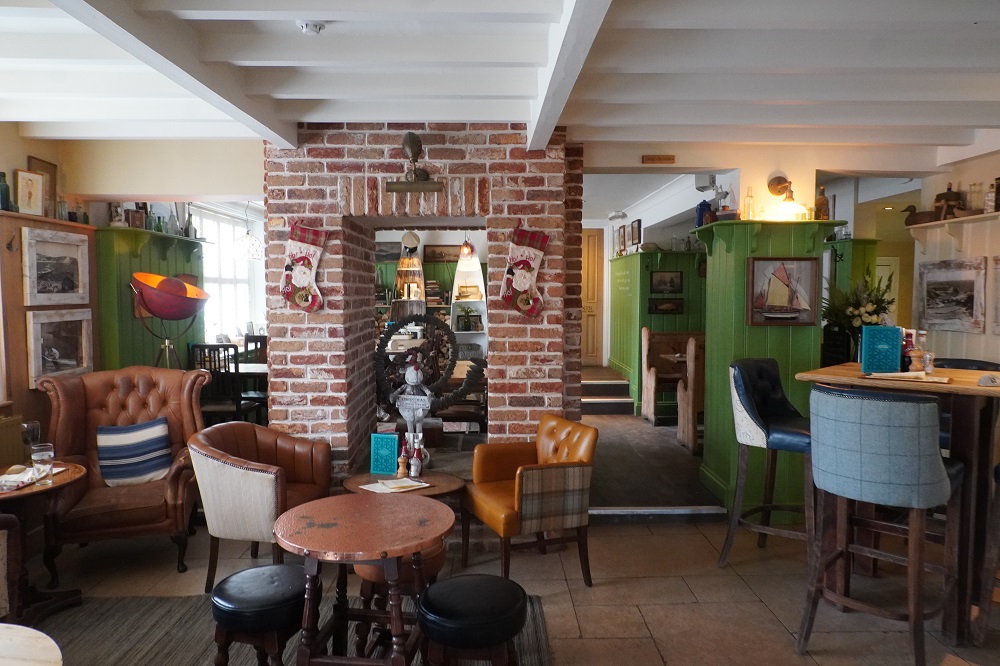
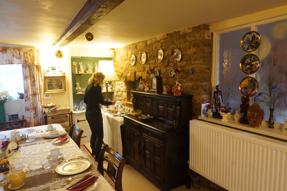
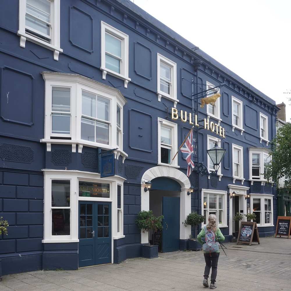
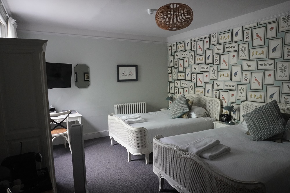
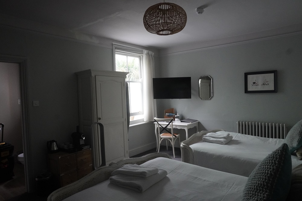
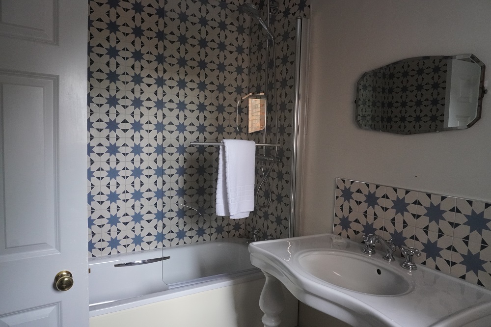
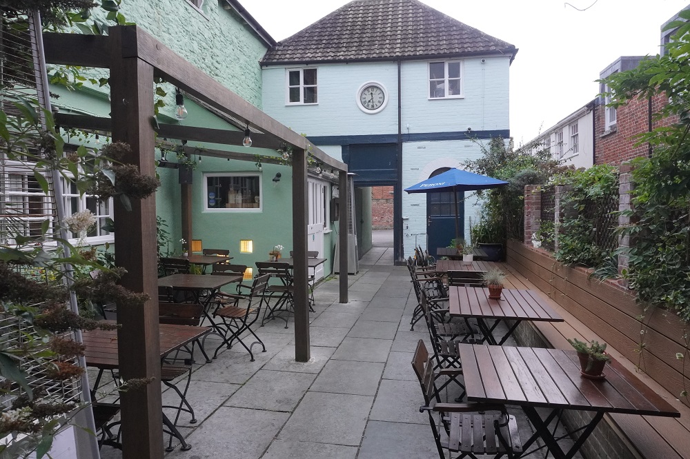
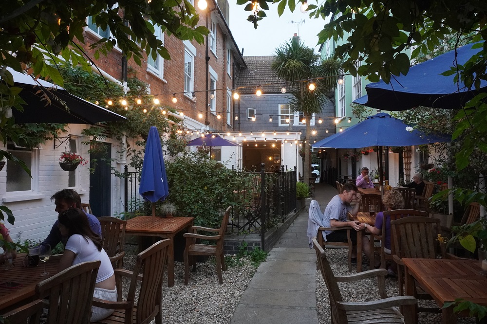
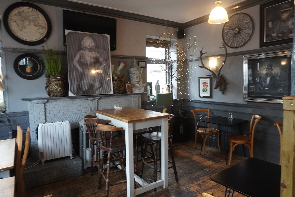
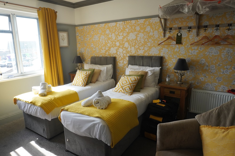
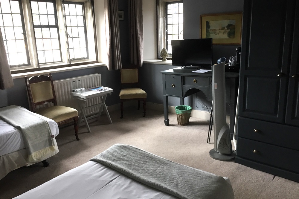
- Bankes Arms Corfe Castle
-
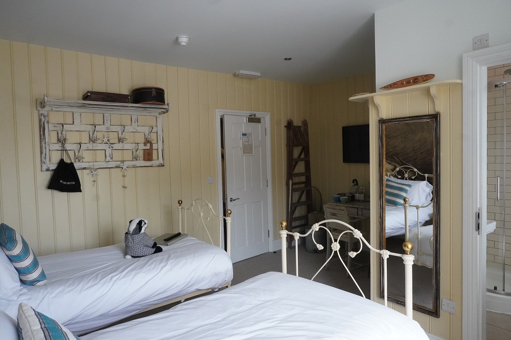
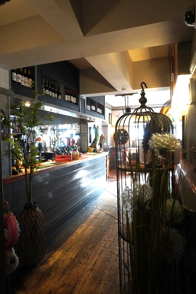
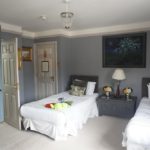
- Bankes Arms Corfe Castle
-
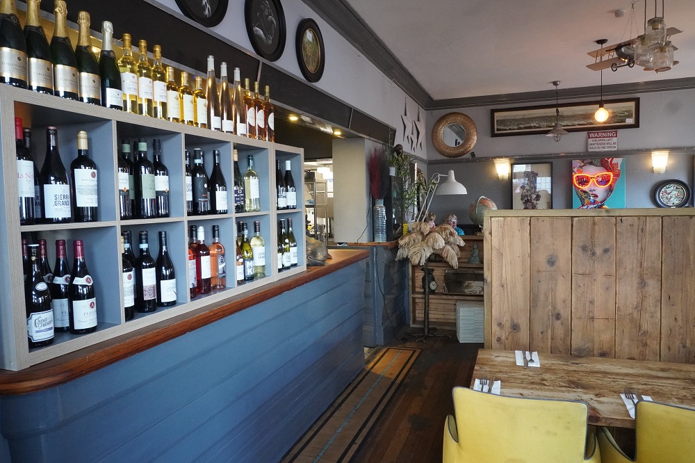
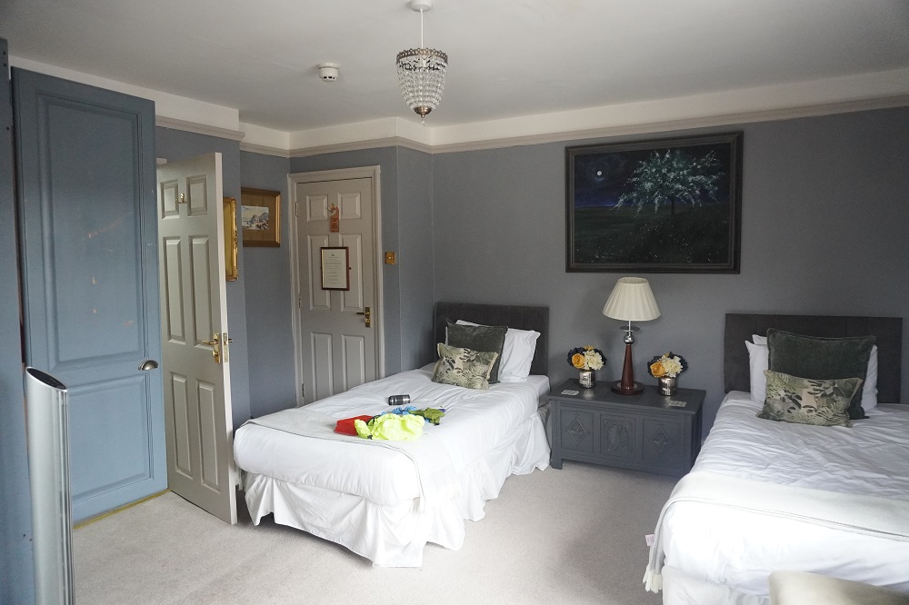
- Bankes Arms Corfe Castle
-
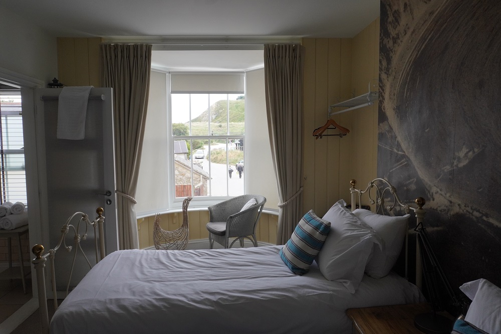
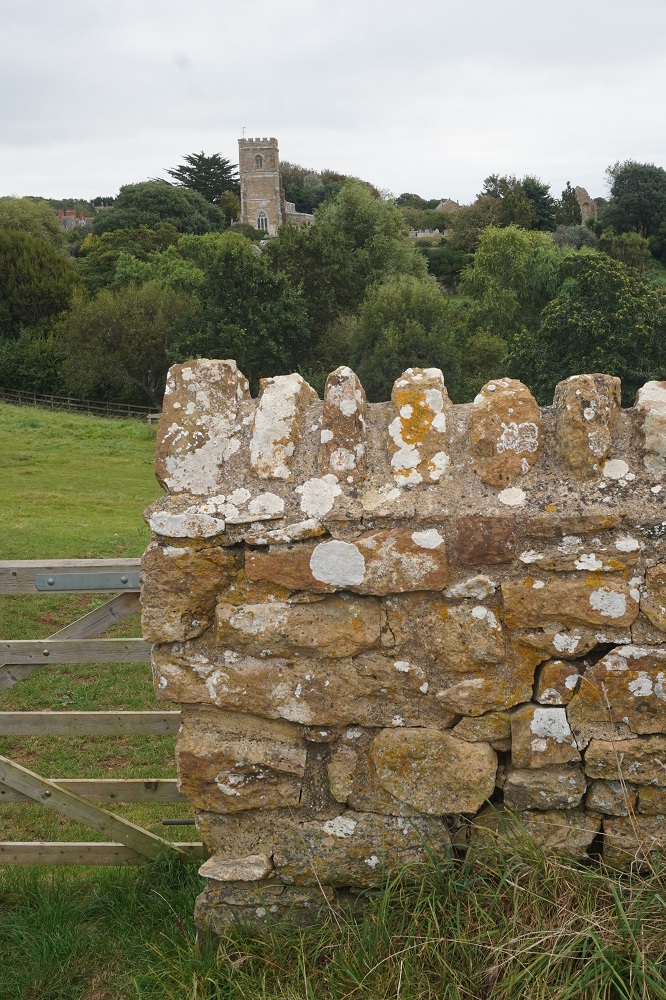
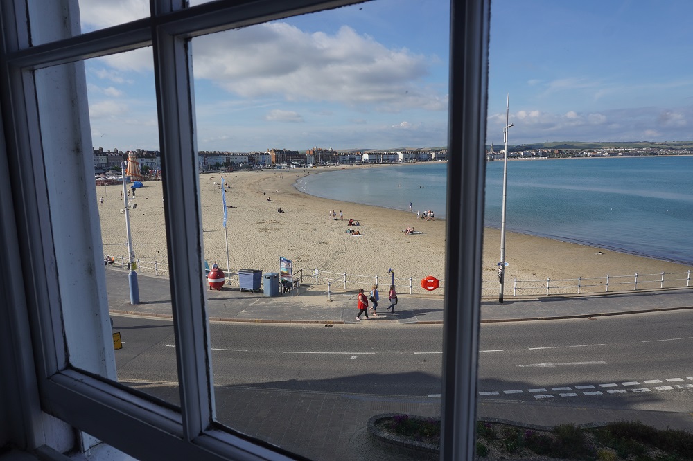
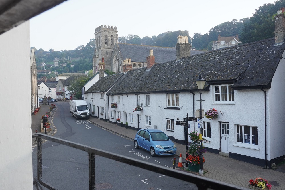
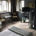
- Corfe Castle village from our hotel window
-
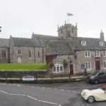
- Corfe Castle village from our hotel window
-
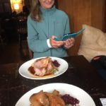
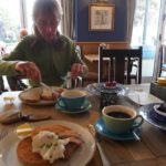
- Bankes Arms Roast Beef, Corfe Castle