Torcross to Dartmouth, 17km, 455m ascending, 2,850m cumulative ascending
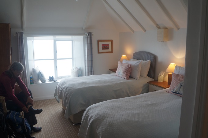
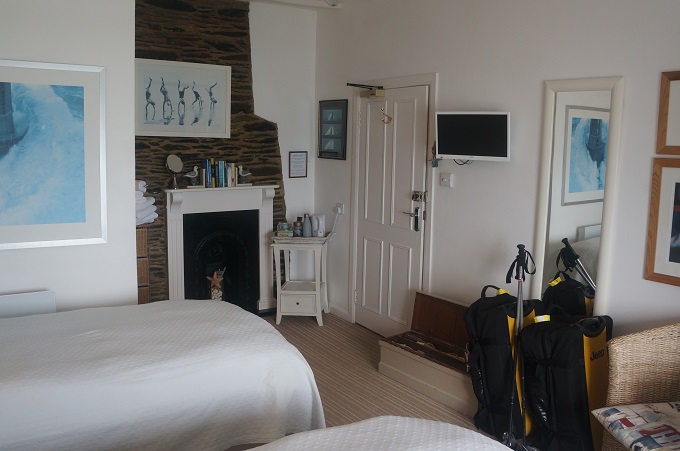
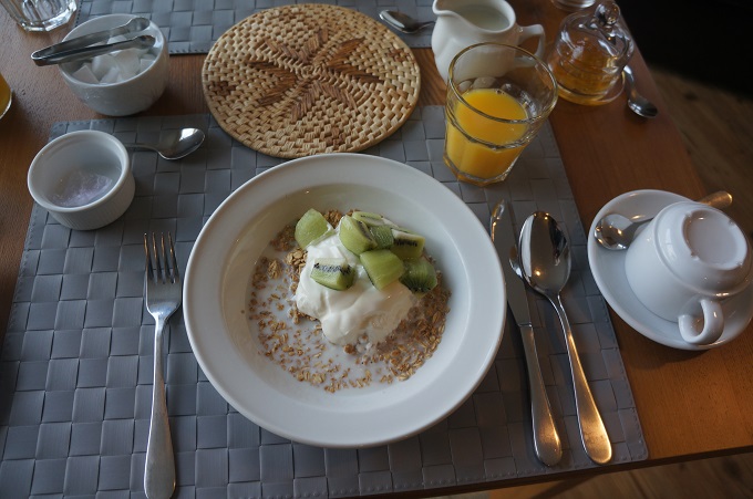
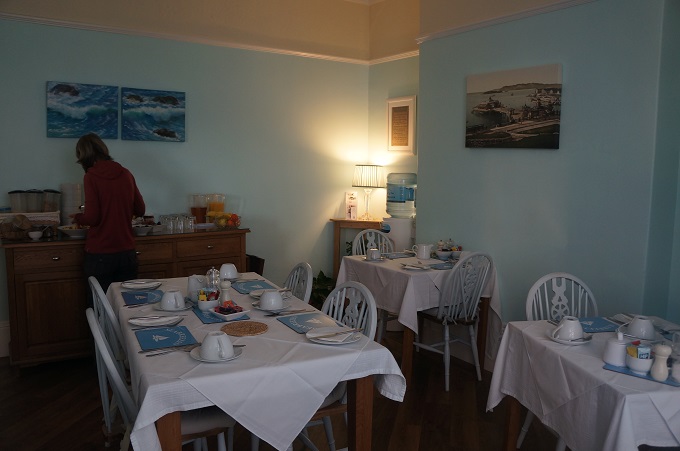
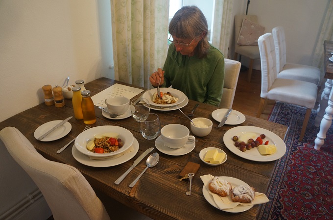
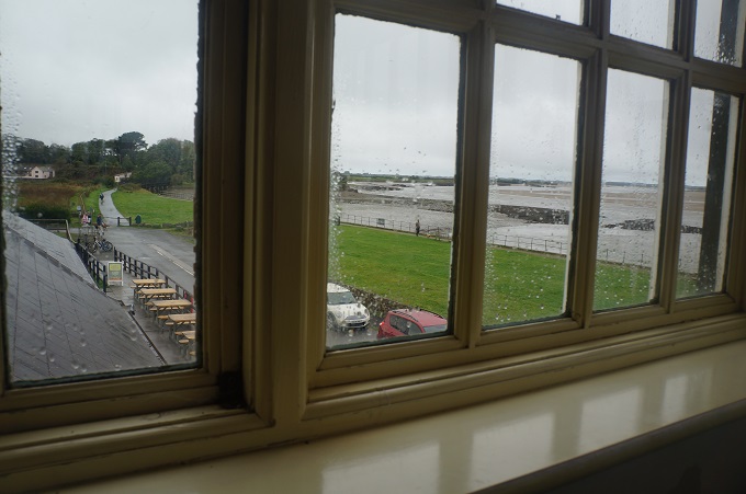
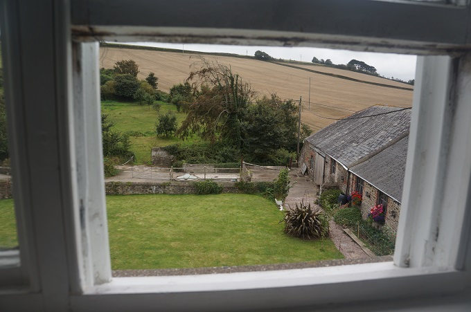
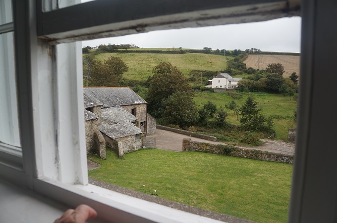
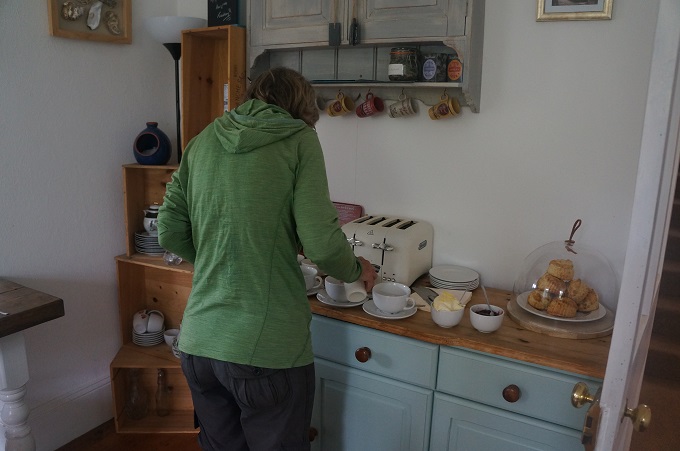
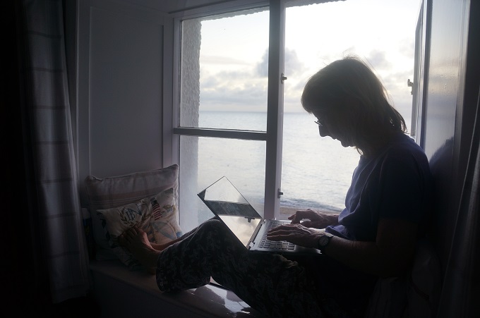
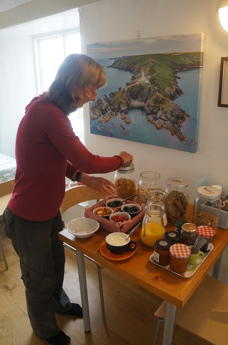
The walk into Dartmouth should have been relaxing and one of the prettiest of the whole Coast Path but it turned into a dour feat of endurance. When we awoke it was a fine morning and it was very pleasant looking out over the sea from the window seat in our room. Breakfast didn’t start until 9.00am which is later than we like. We were just getting our muesli when the bag transfer man turned up wanting our bags. There was a mad rush to get all our things together so we didn’t hold him up. Usually he emails or rings the B & B the night before to say when he will arrive and mostly it is long after we have departed.
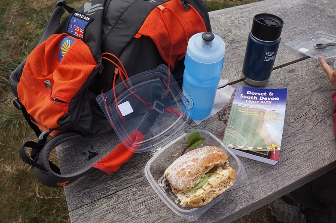
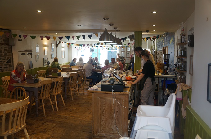
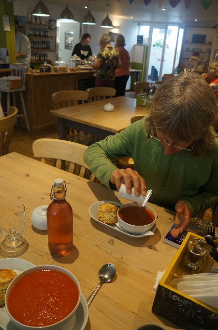
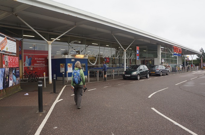
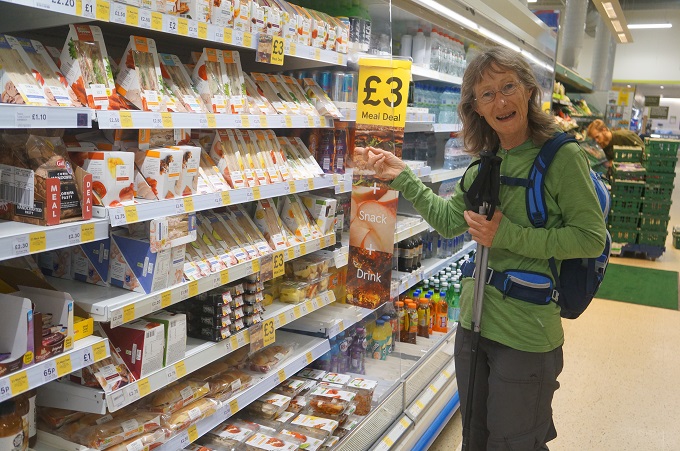
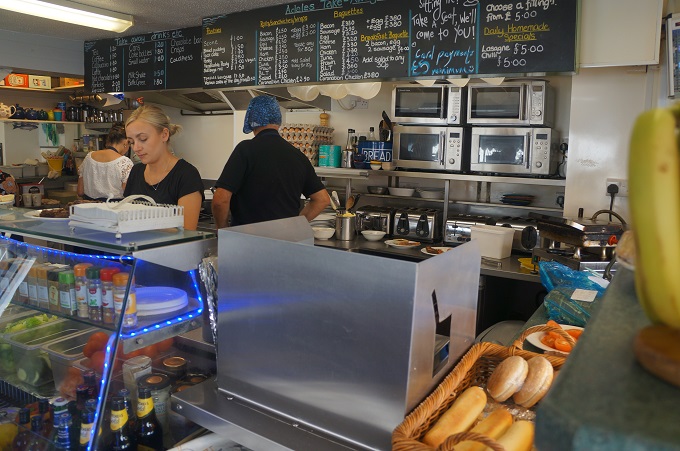
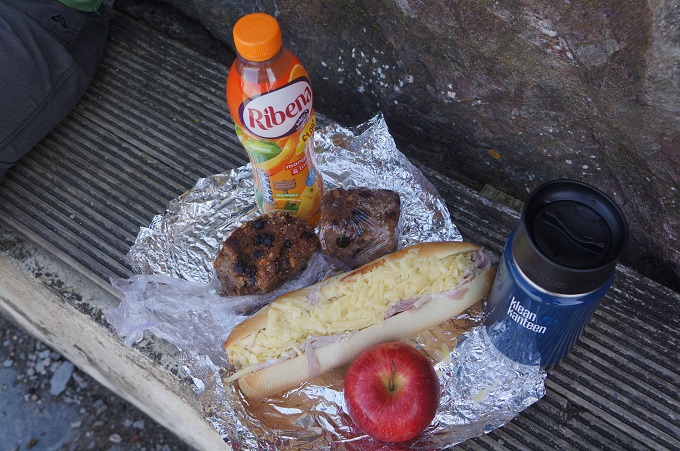
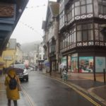
By the time we left, a bit before 10, it was very grey and it wasn’t long before the raincoats were on, and today they stayed on. Light rain at first but as we neared the mouth of the Dart River it was heavy, steady rain and a strong wind. By the time we got to Dartmouth Castle we were two drowned rats so decided to stop at the tearoom and get something like hot soup to warm and cheer us up. Unfortunately there was only one young lady working today and she was only making drinks and serving cake so we had to make do with a hot drink and some flapjacks. What should have been a lovely walk along the wooded Dart Estuary into the picturesque town of Dartmouth became a grin trudge as we got colder and colder. After a quick stop at a grocery store we went straight to our B & B for a hot shower and some dry clothes.
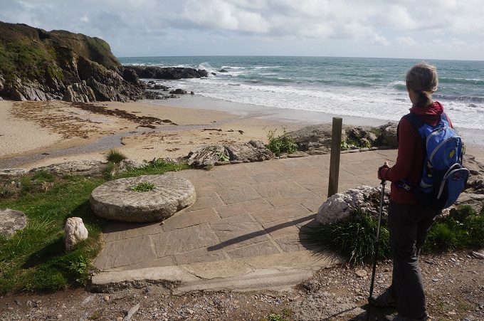
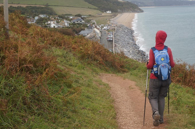
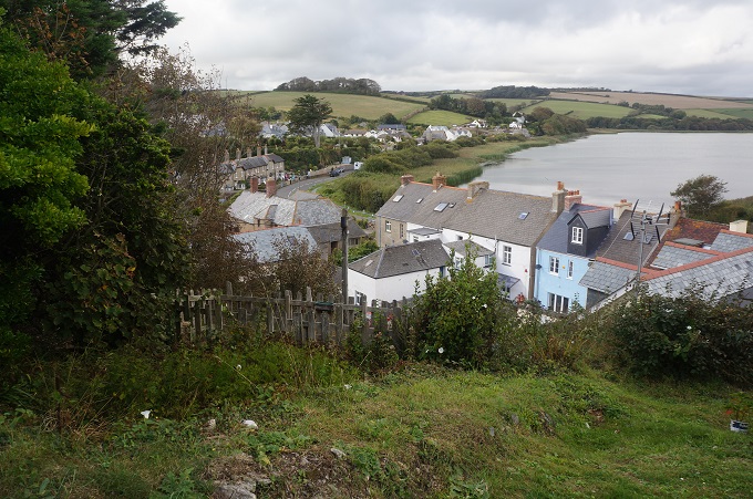
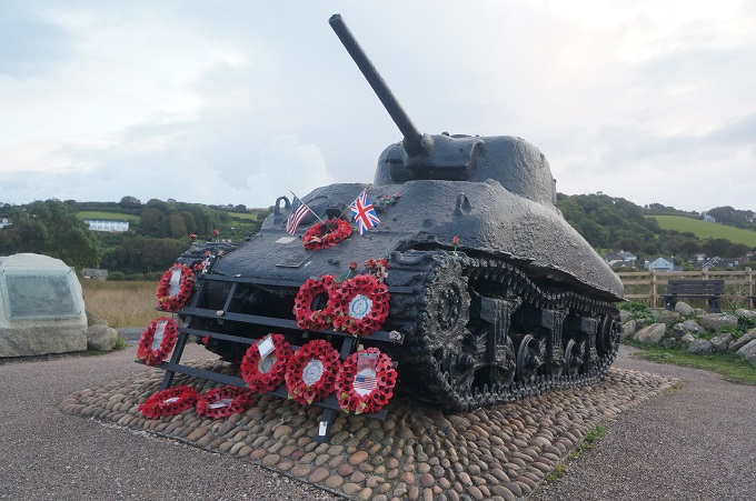
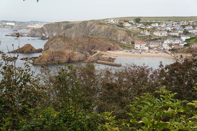
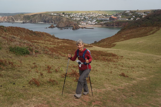
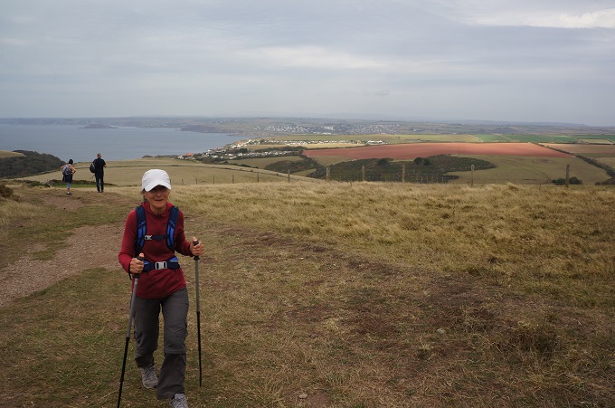
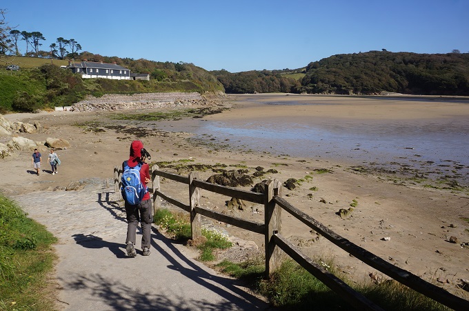
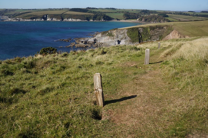
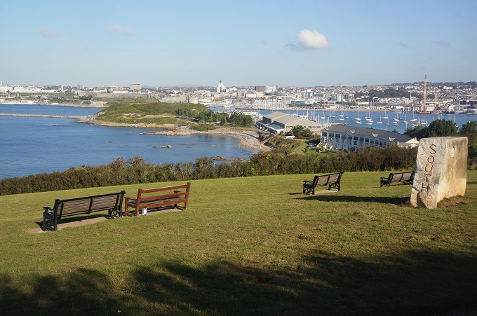
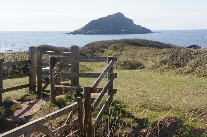
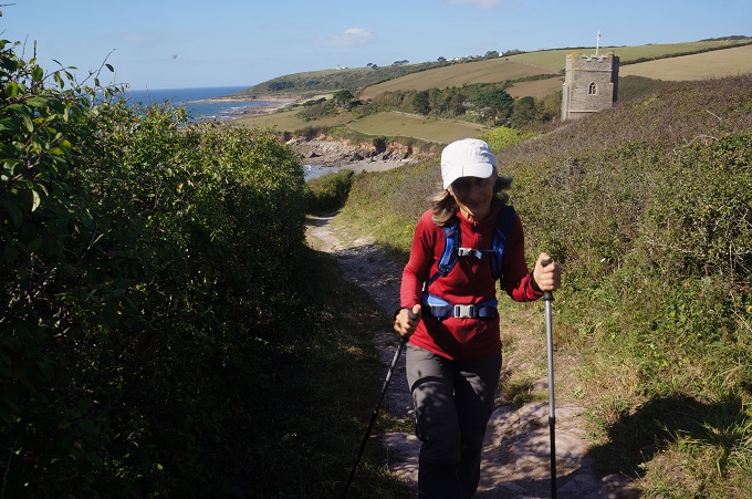
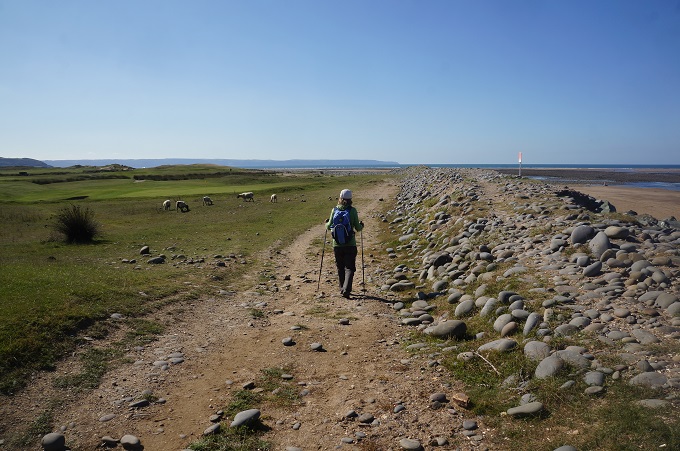
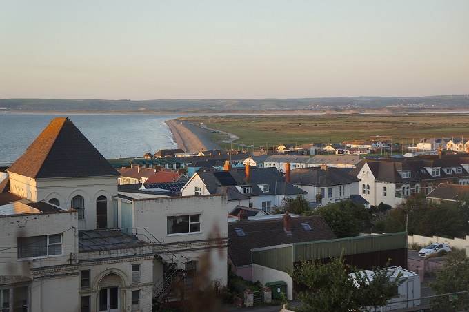
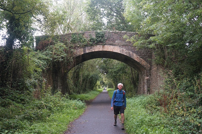
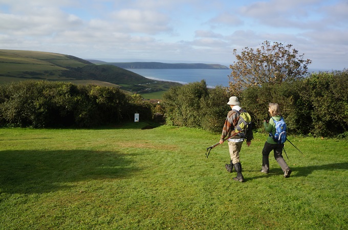
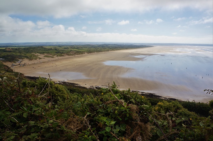
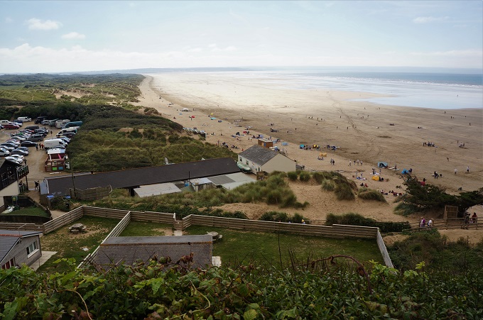
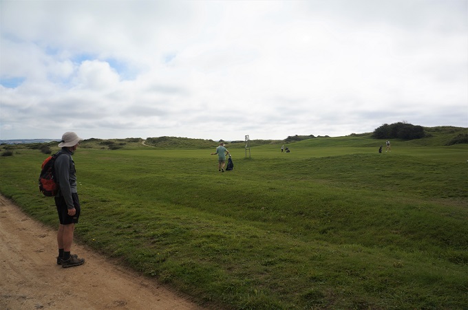
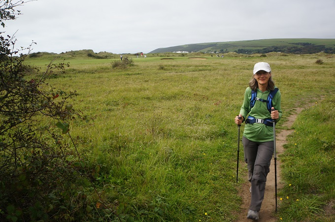
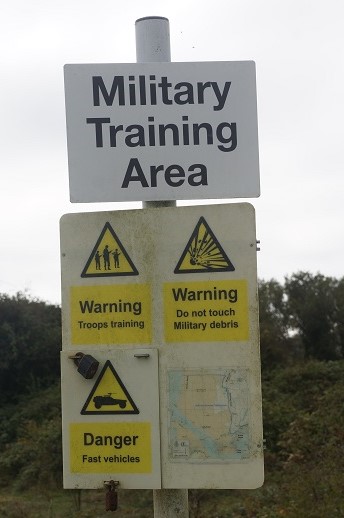
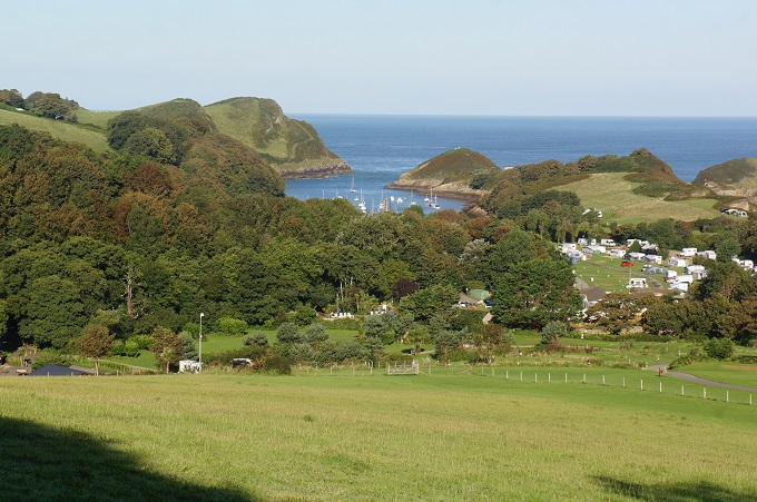
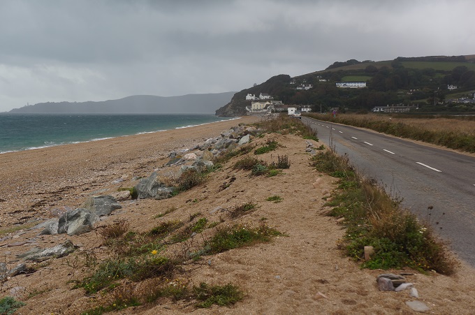
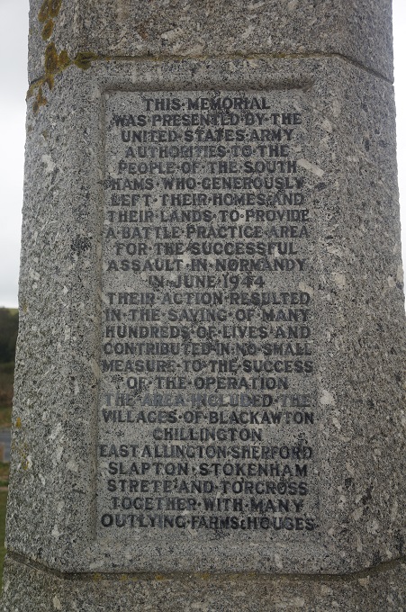
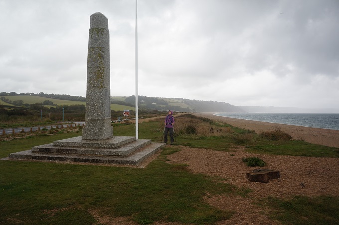
The first section was dead flat out of Torcross along a low shingle ridge known locally as the Slapton Line which separates the freshwater nature reserve lake of Slapton Ley from the pebbly beach and the sea. This is the area the Americans used for their D-Day rehearsals. Halfway along the Line there is a large stone monument erected by the United States Government honouring the 3000 residents who were evacuated for twelve months from the surrounding villages. At the end of the Line the path climbed gently inland through a couple of small villages crossing paddocks and using very quiet country lanes.
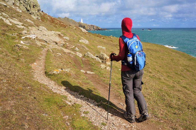
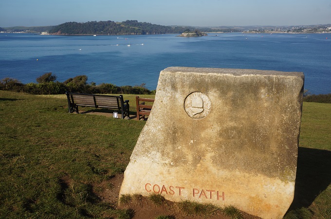
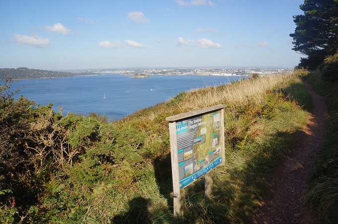
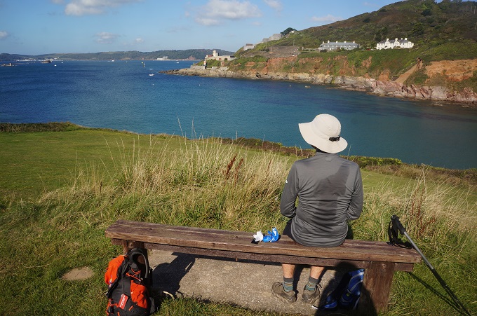
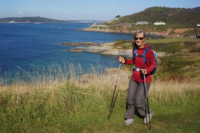
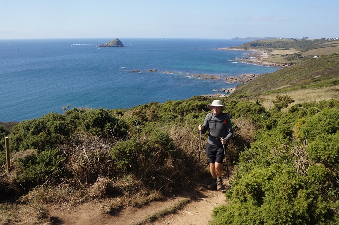
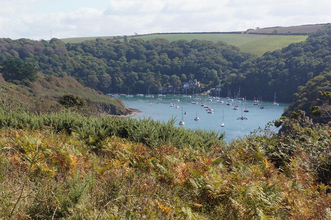
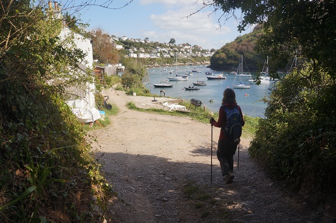
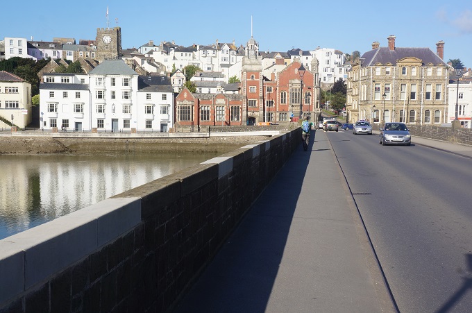
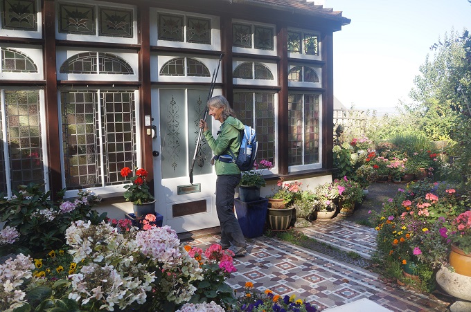
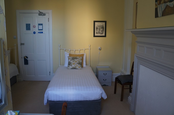
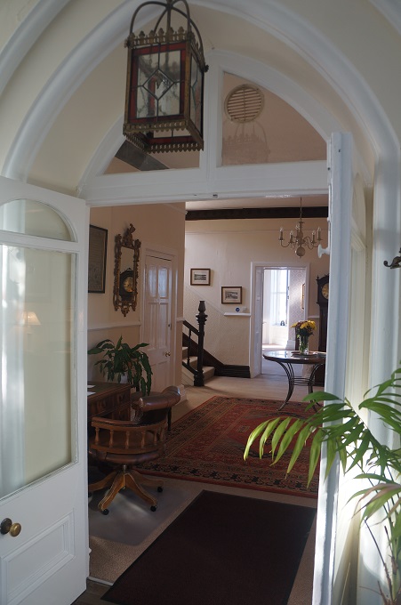
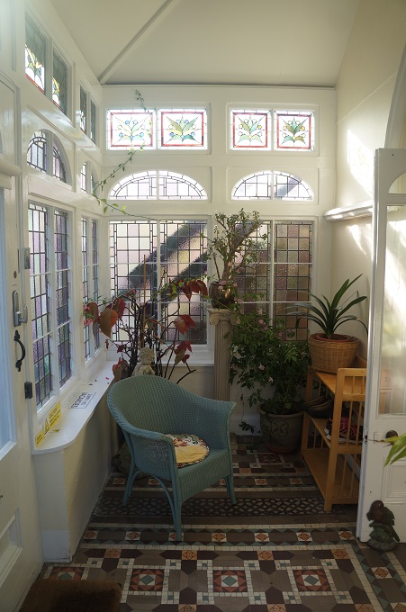
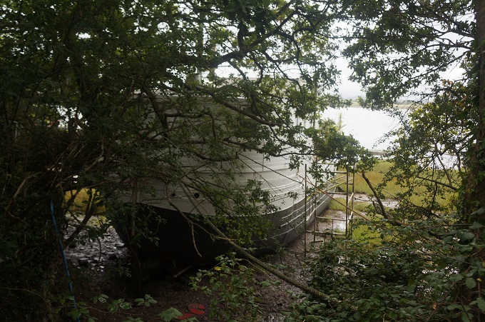
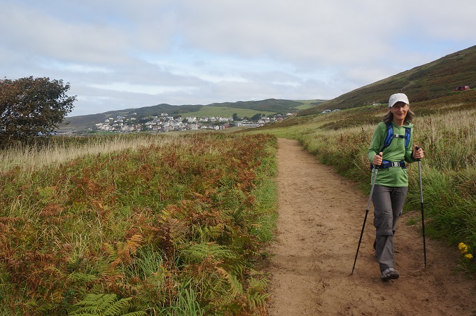
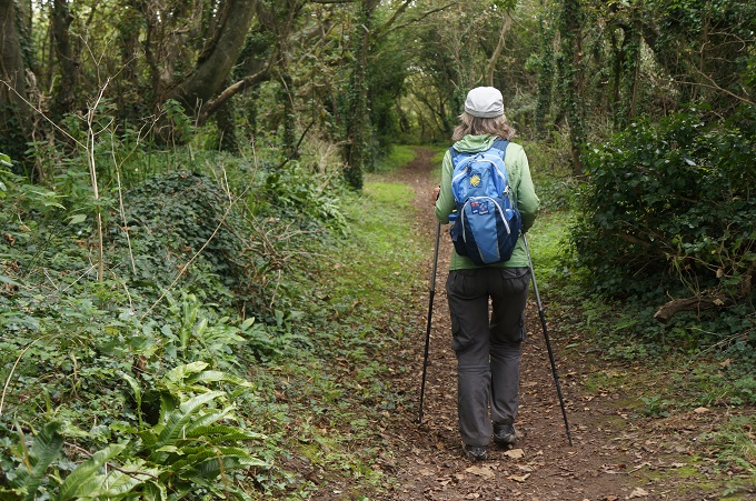
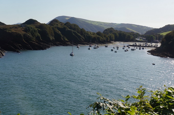
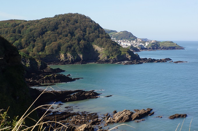
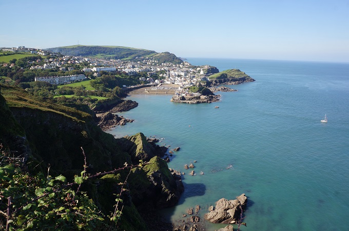
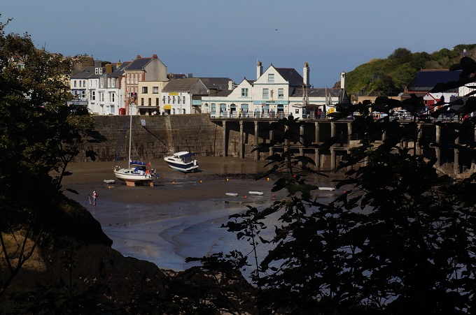
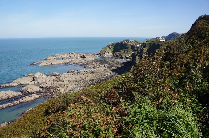
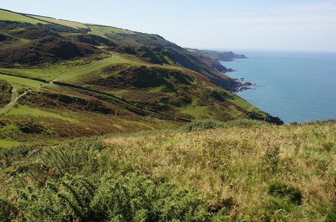
From here there was some easy cliff walking around the headland and into the Dart Estuary along a mostly wooded path, past the castle and St Petrox Church, onto urban roads and into the lovely town of Dartmouth. As has become the norm on this holiday our accommodation is at the far end of town and 20 minutes up a steep hill. At the Dartmouth Boutique B & B however we were very warmly welcomed and our wet coats taken away to be dried and our saturated shoes delivered to our room in plastic bags. It is also very, very comfortable.
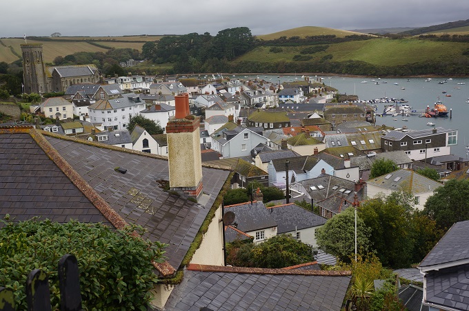
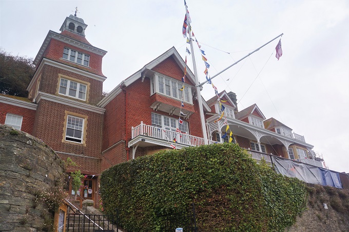
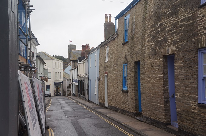
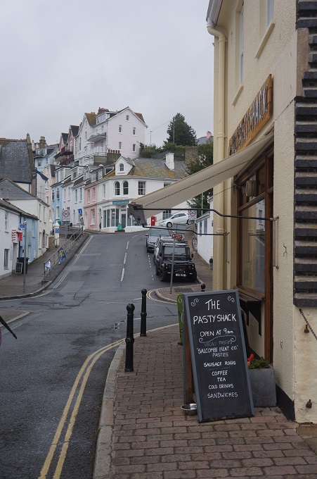
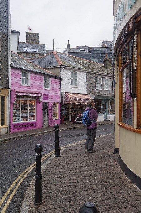
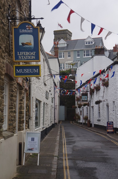
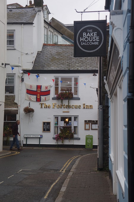
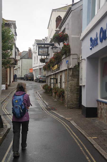
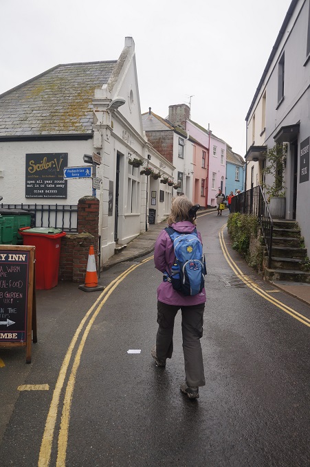
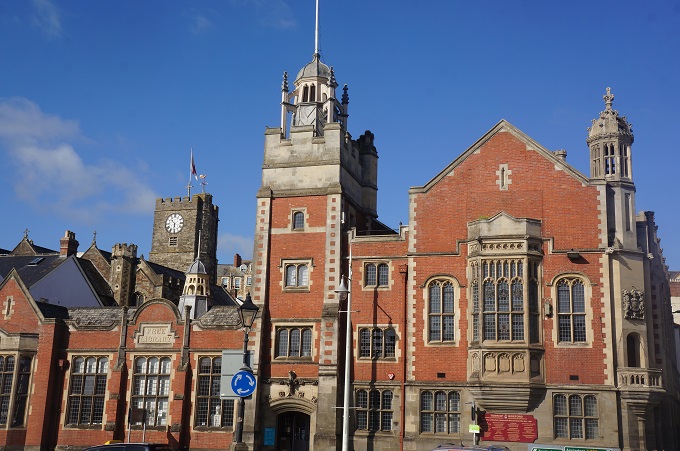
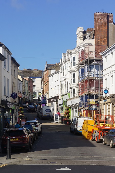
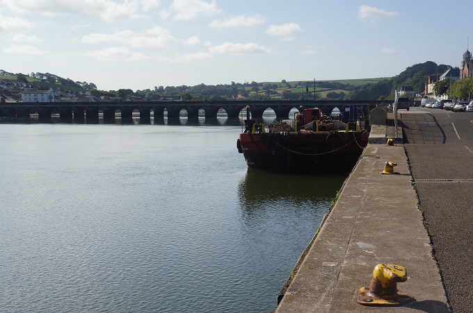
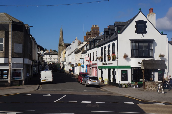
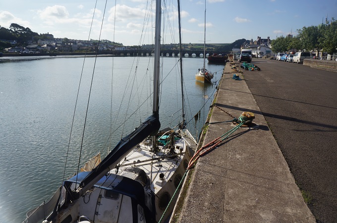
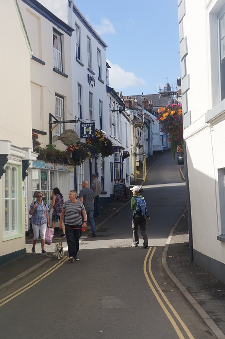
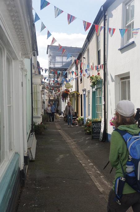
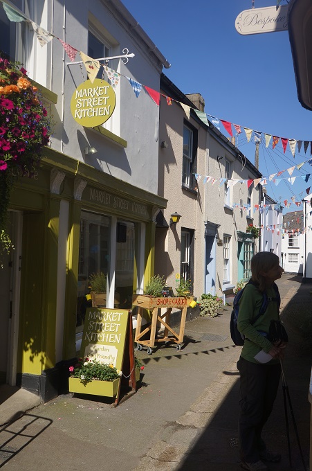
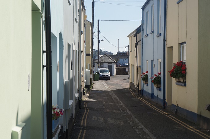
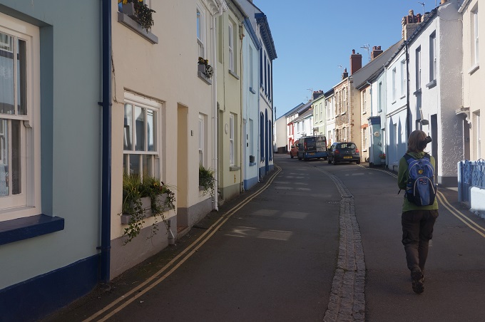
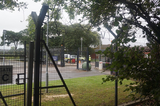
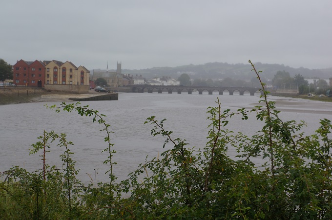
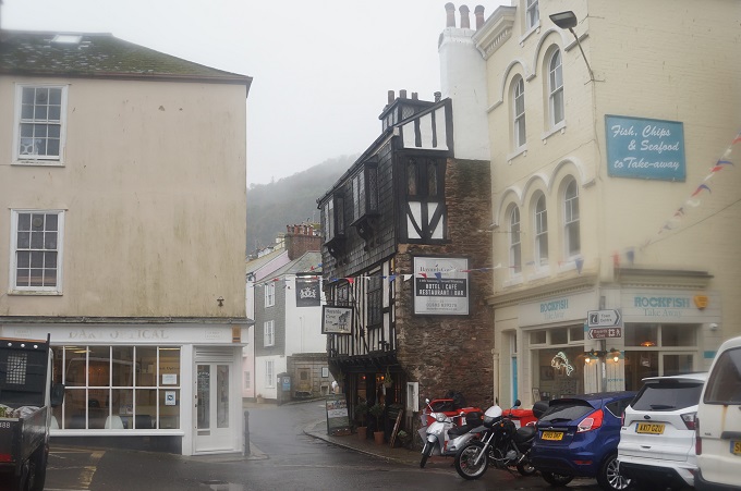
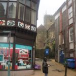
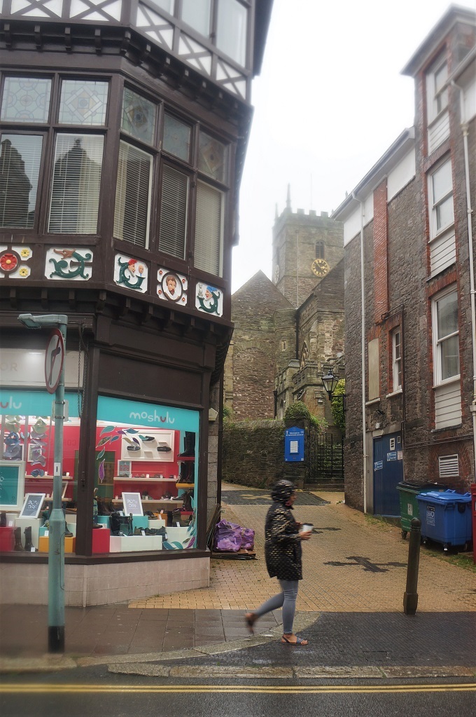
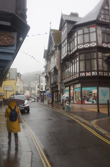
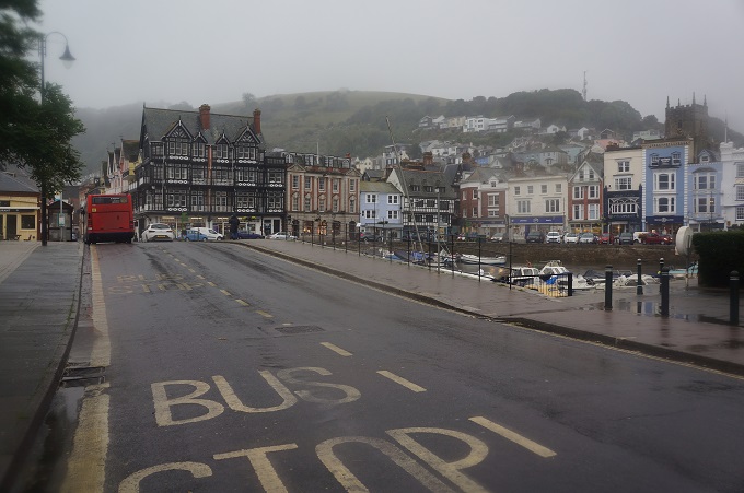
Dartmouth has a mediaeval feel to it with narrow streets and fine old buildings. Its prosperity is based on the deep-water harbour developed by the Normans nearly a thousand years ago. In 1147 it was the mustering point for 164 ships leaving for the Second Crusade – a role it repeated in 1190 during the Third Crusade under King John. It is home to the only naval college in Britain – Britannia Royal Naval College and is famous for its royal links. Kings George V and George VI, the current Prince of Wales and Duke of York all trained here, as did their father the Duke of Edinburgh.
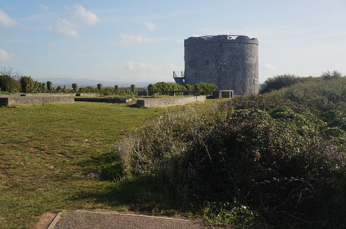
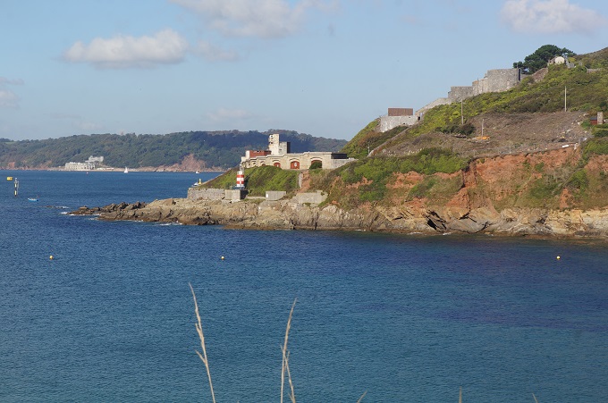
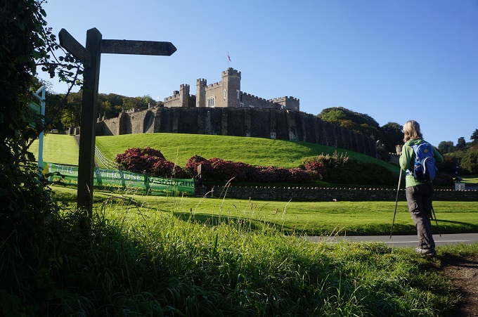
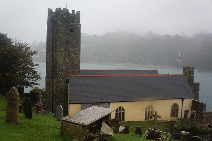
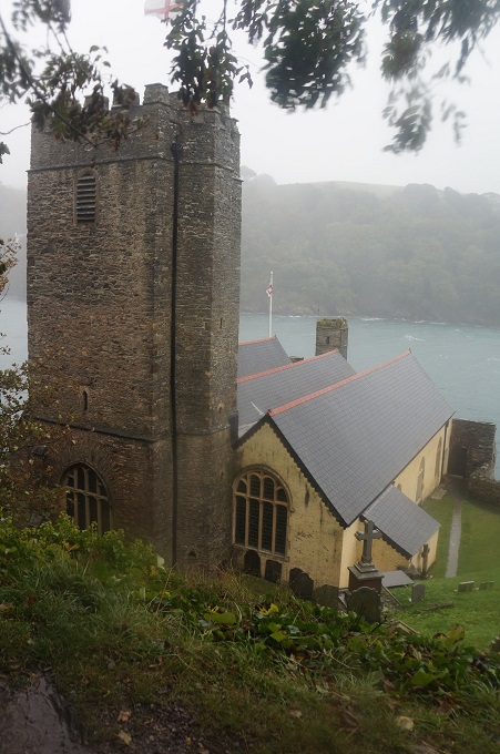
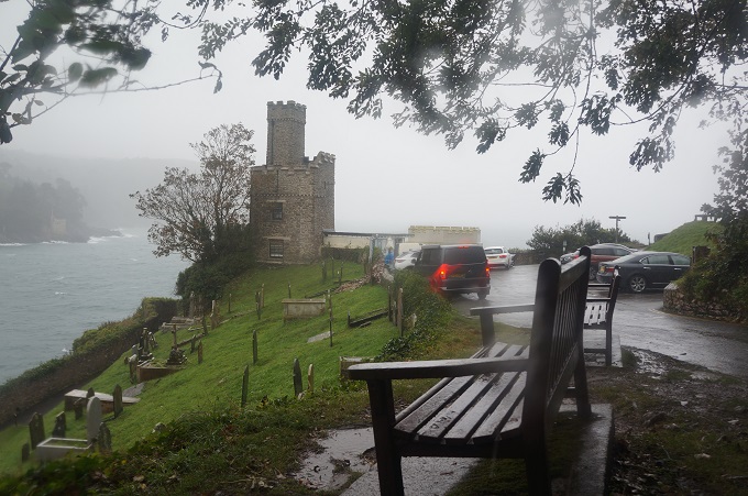
The twin castles of Dartmouth and across the River Dart at Kingswear were built at the end of the fourteenth century to protect the harbour from attack. Dartmouth Castle is a bit unusual as besides the gun towers etc it has a church, St Petrox. The castle was in use until WWII. Outside the castle is Dartmouth Castle Tearooms, built with battlements like a castle and known as the Castle Light. Built in the nineteenth century it acted as a form of lighthouse, providing light to ships sailing up the Dart.
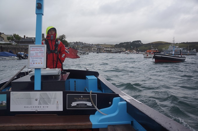
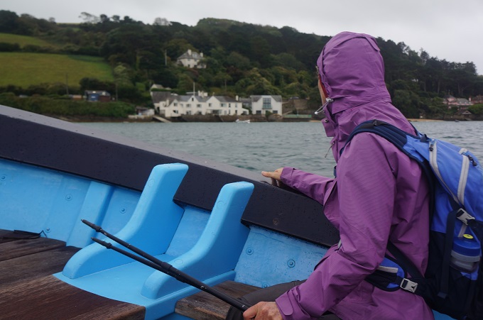
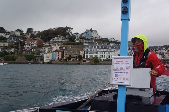
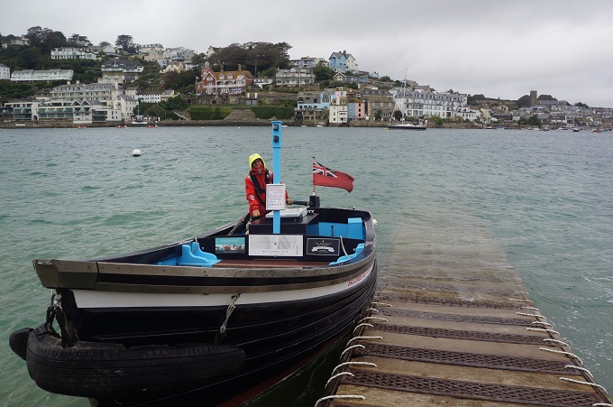
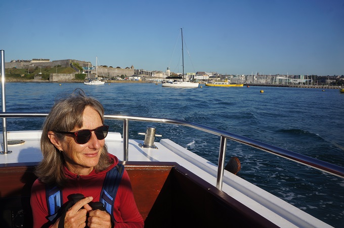
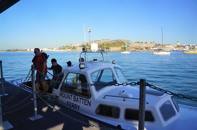
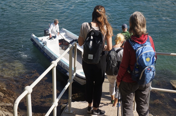
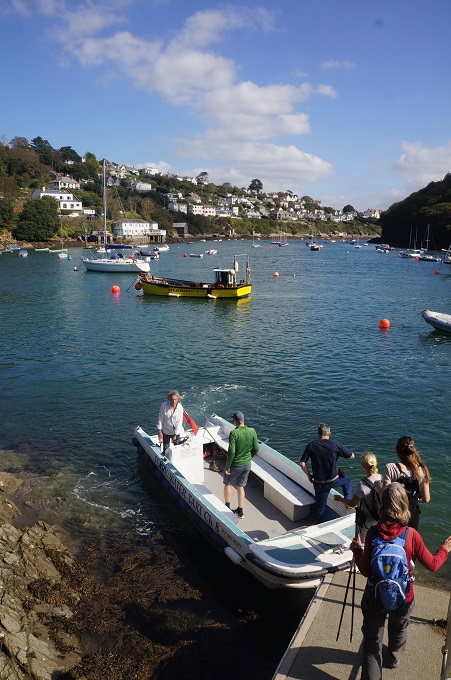
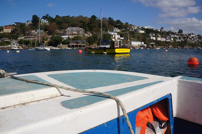
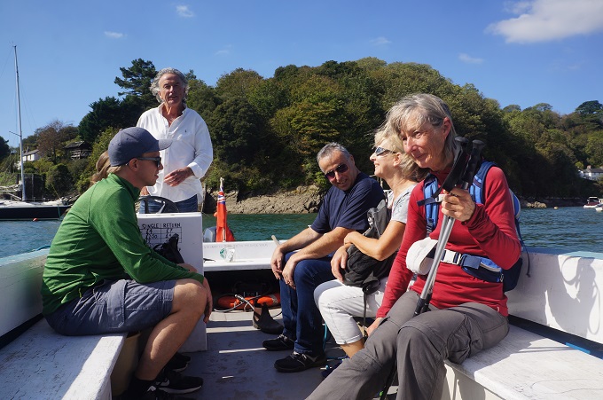
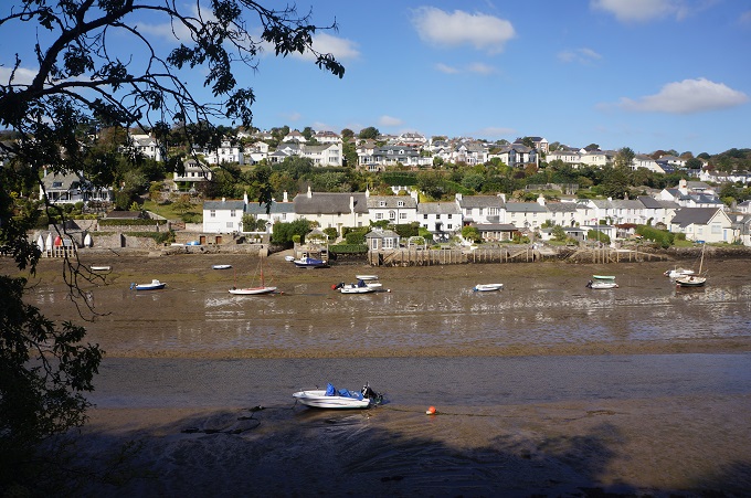
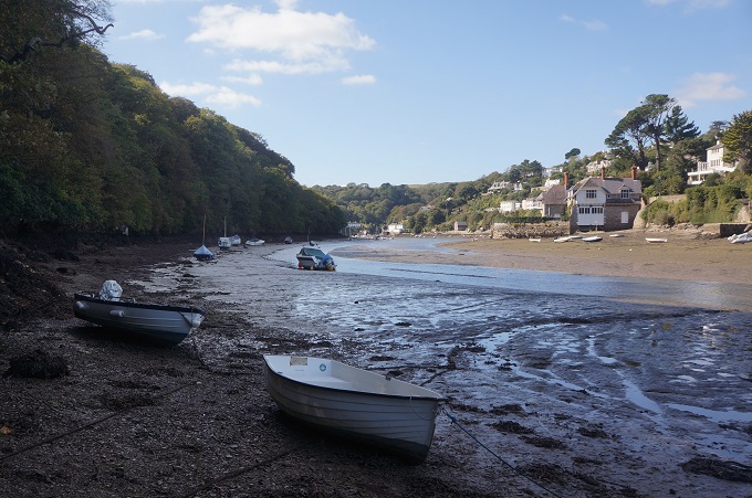
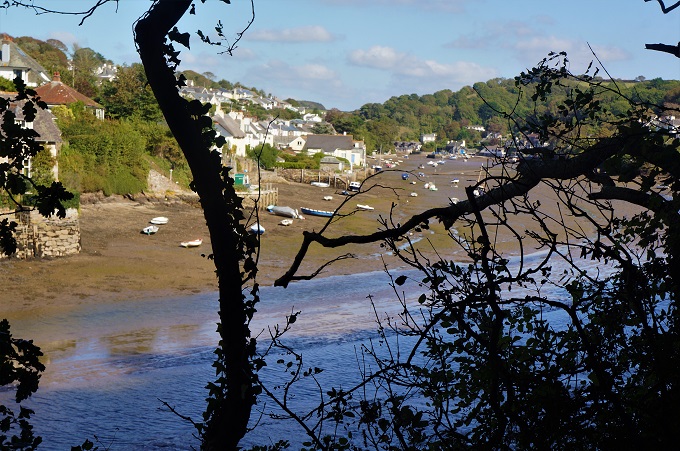
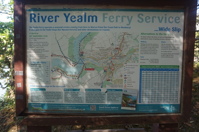
We have two nights here and tomorrow we are going on an excursion up the river. Let’s hope the weather improves.
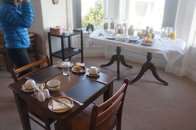
-
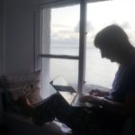
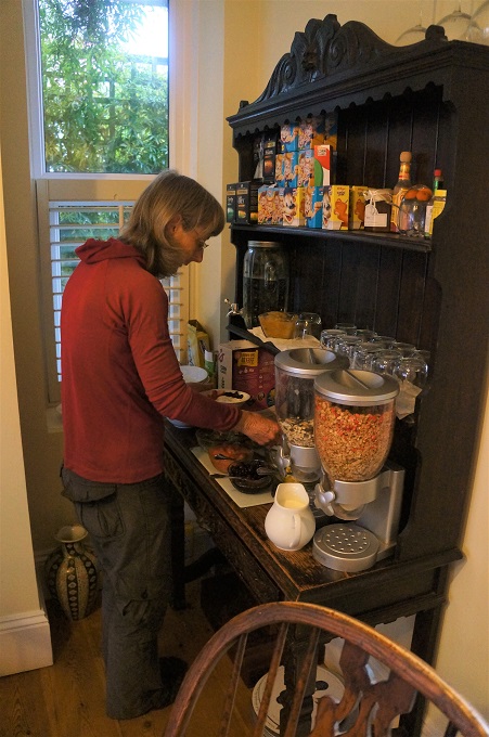
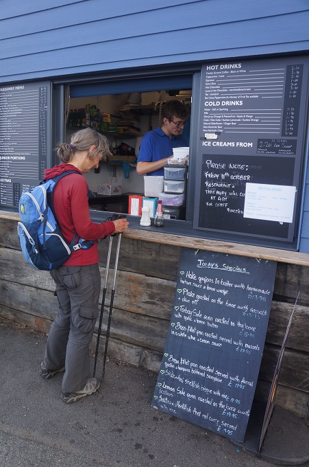
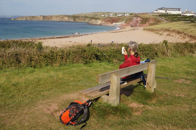
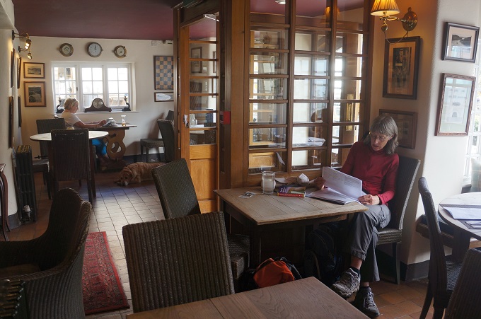
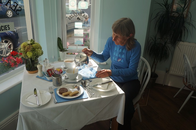
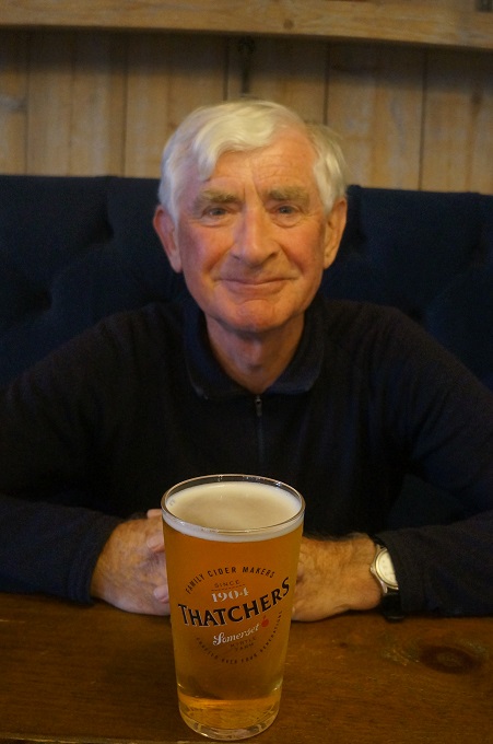
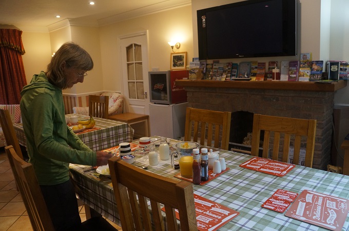
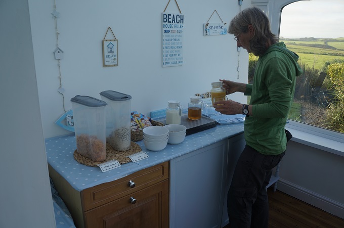
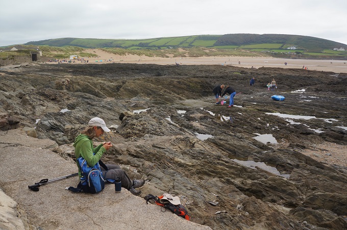
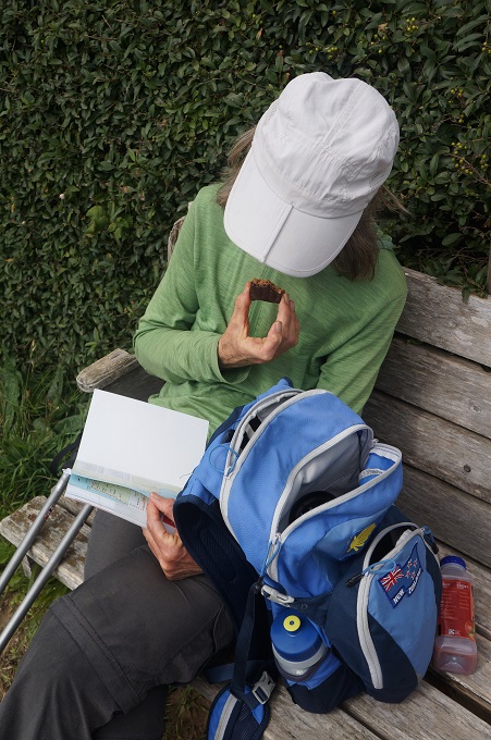
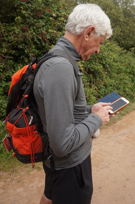
- Checking the emails at the Sea Breeze, Torcross
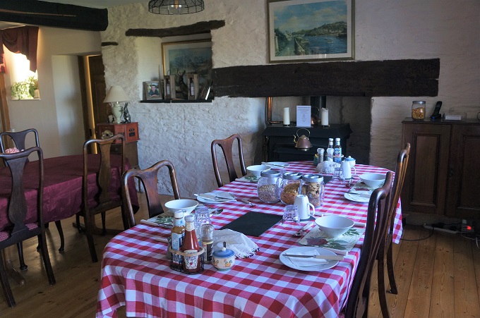
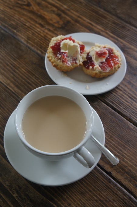
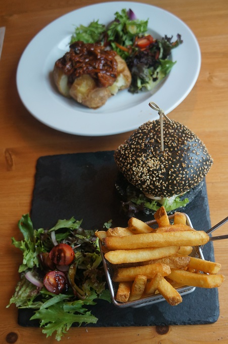
-

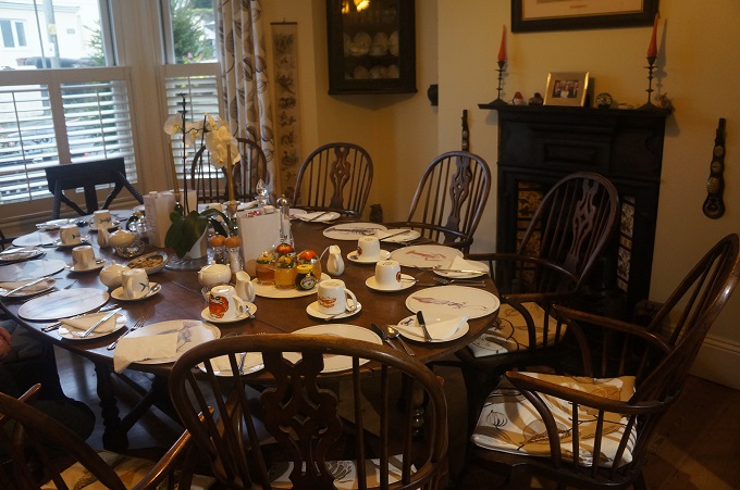
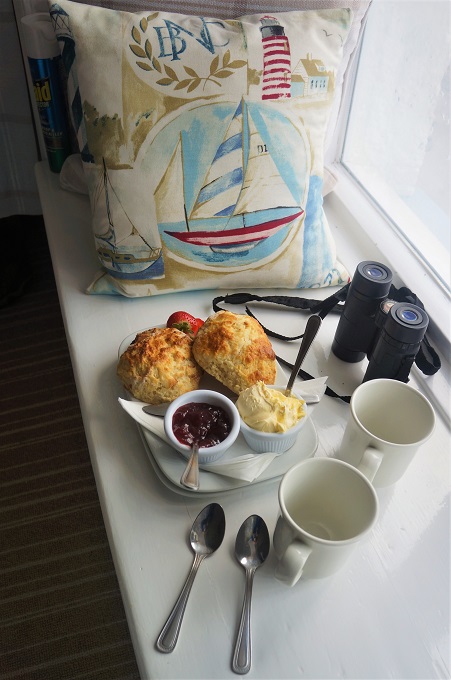
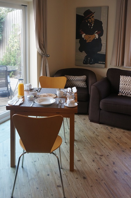
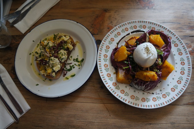
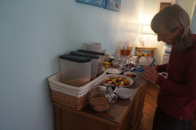
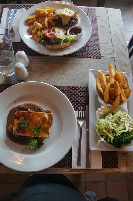
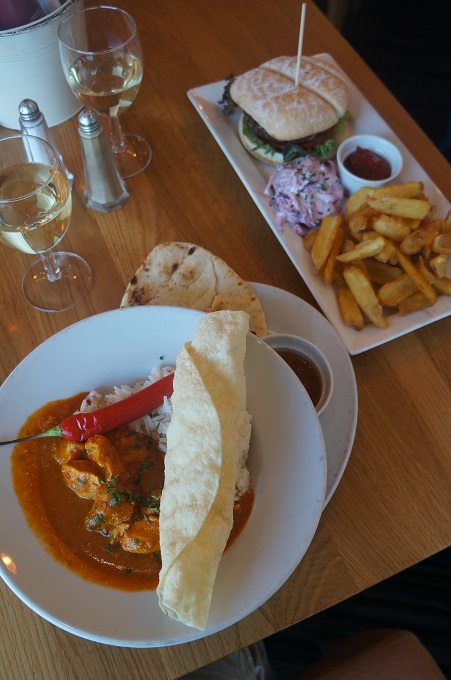
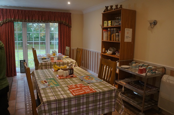
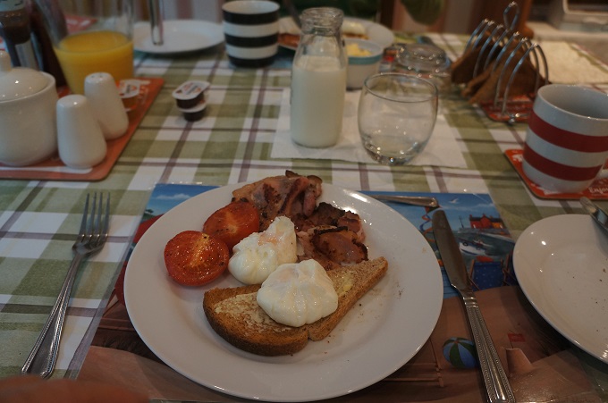
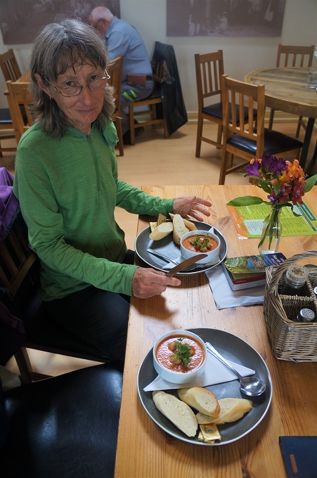
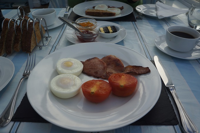
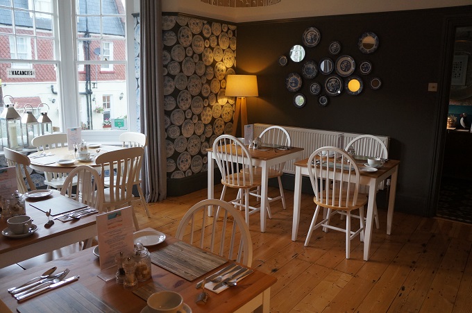
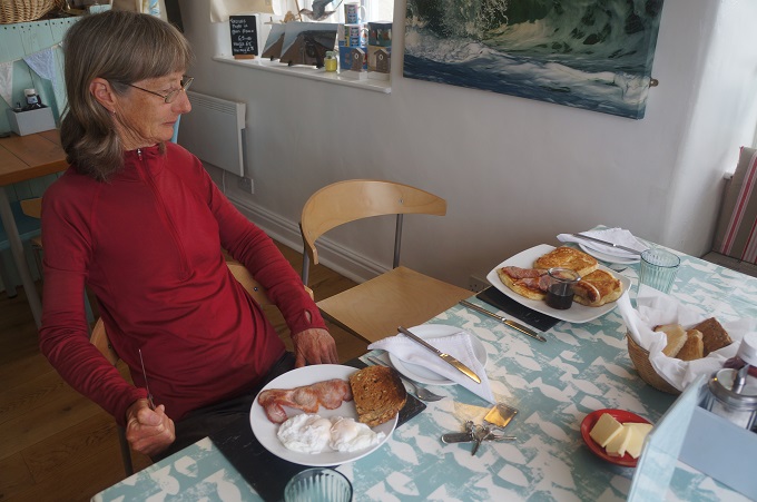
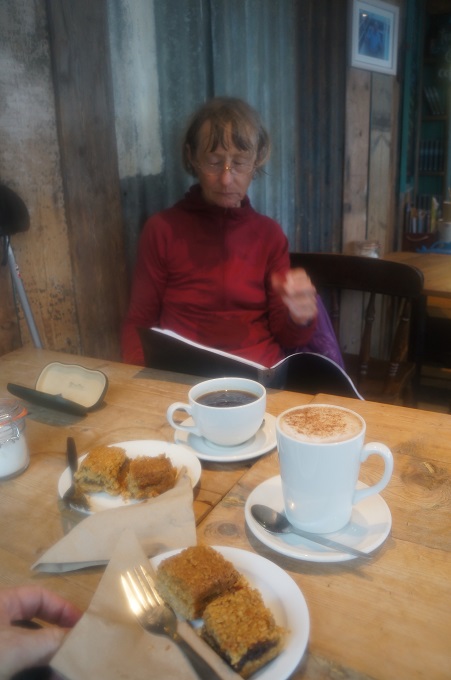
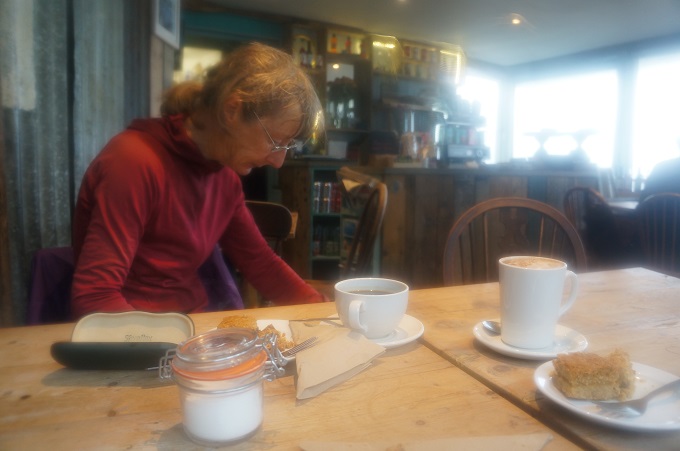
- Breakfast at Sea Breeze, Torcross
-

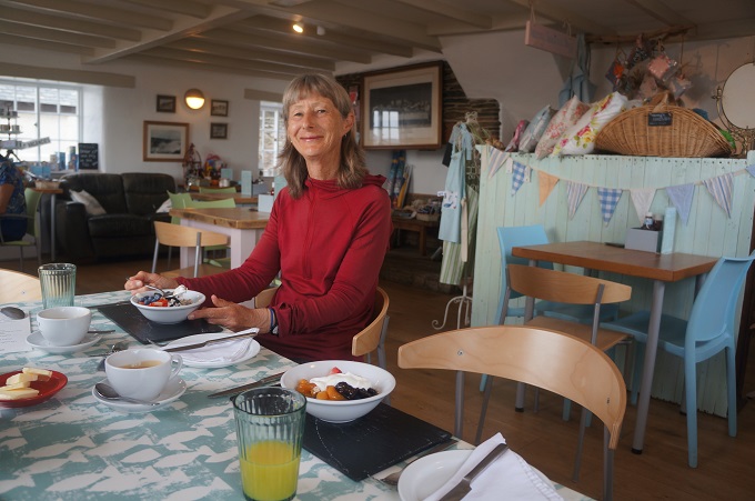
- Breakfast at Sea Breeze, Torcross
-
- Breakfast at Sea Breeze, Torcross
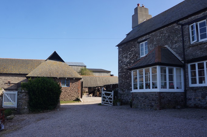
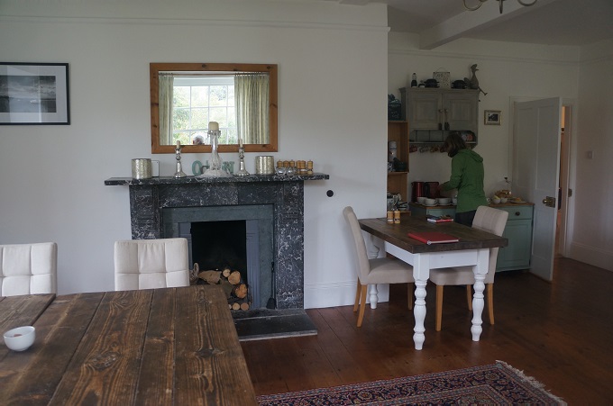
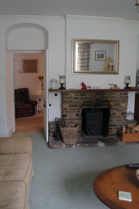
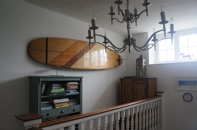
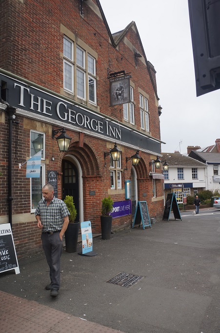
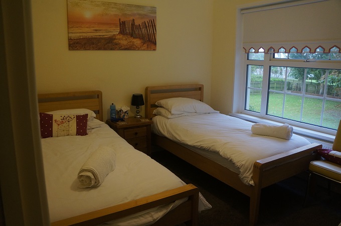
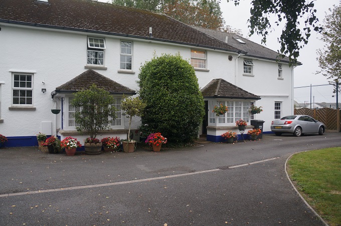
-
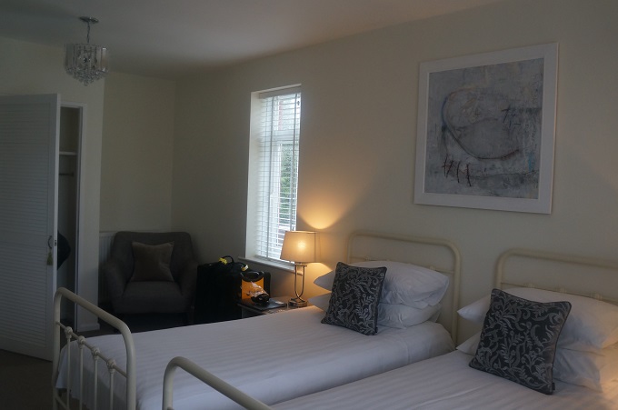
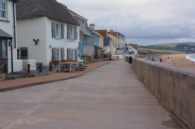
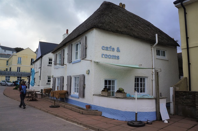
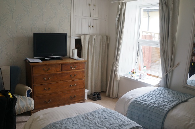
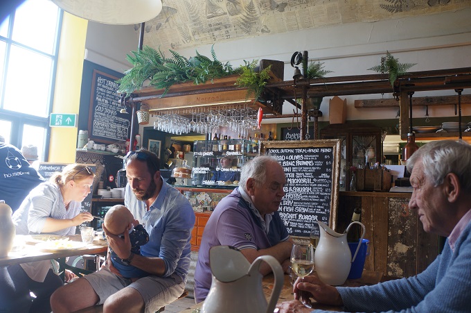
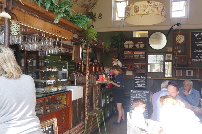
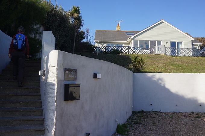
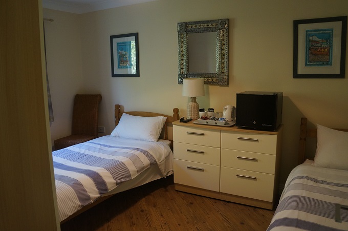
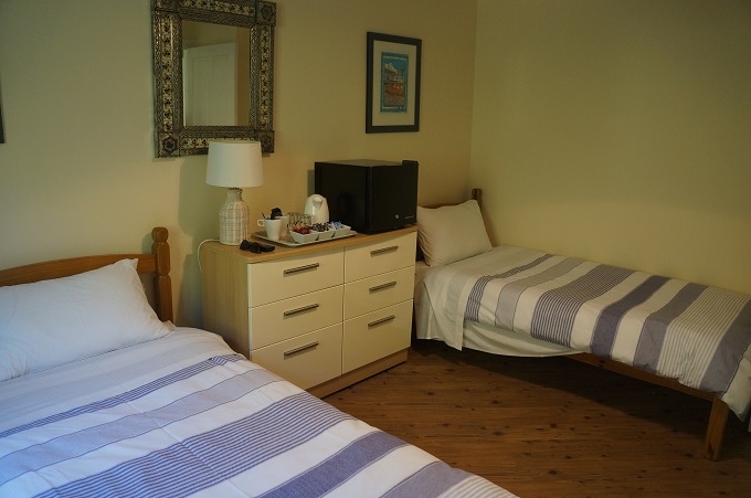
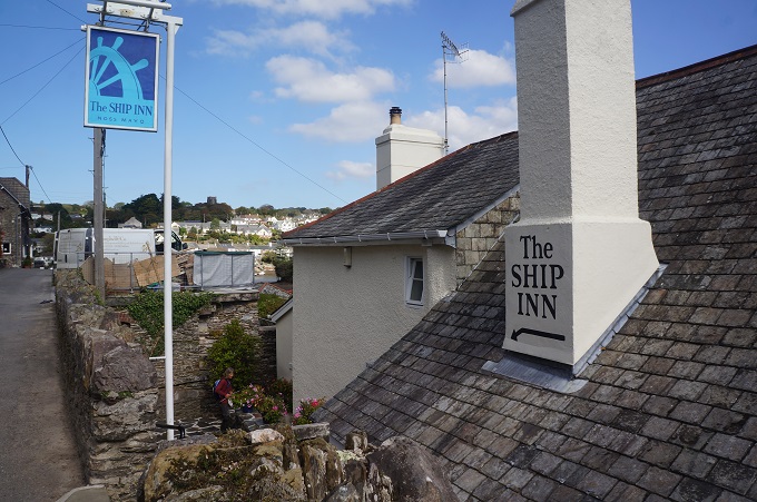
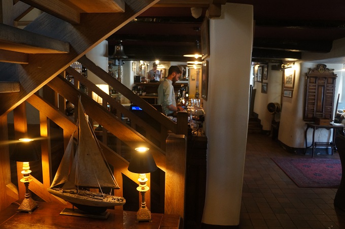
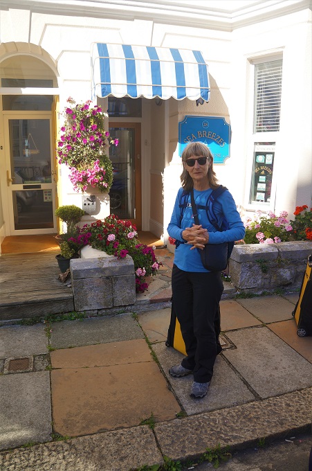
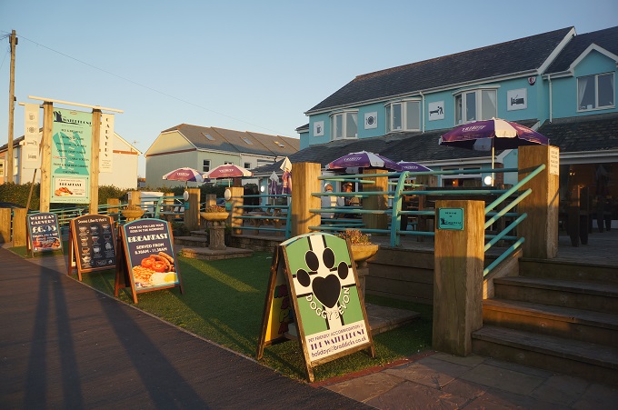
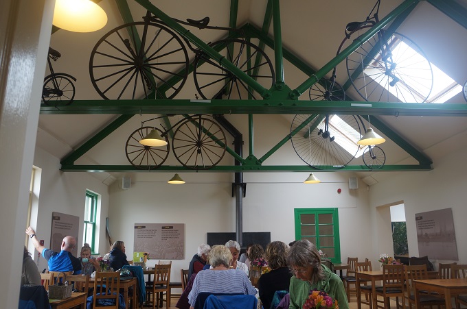
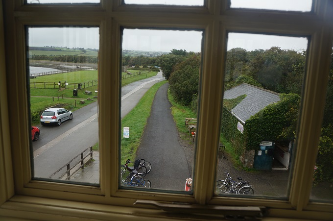
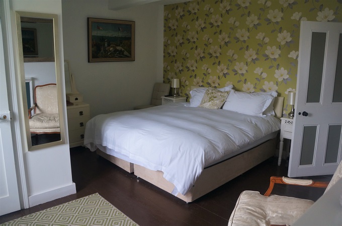
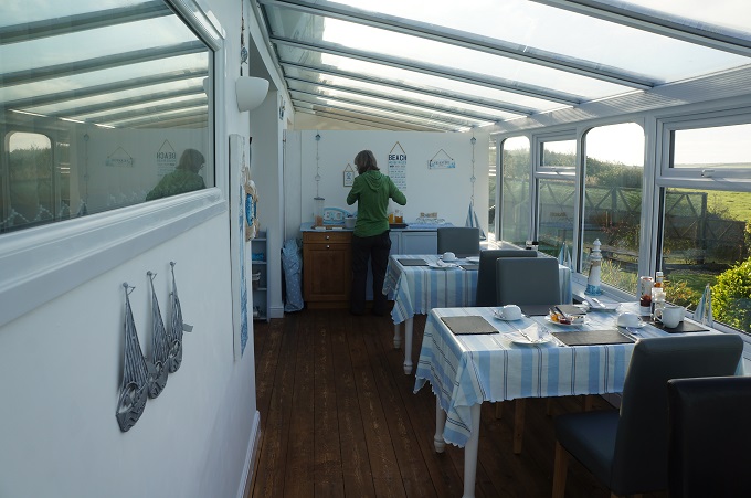
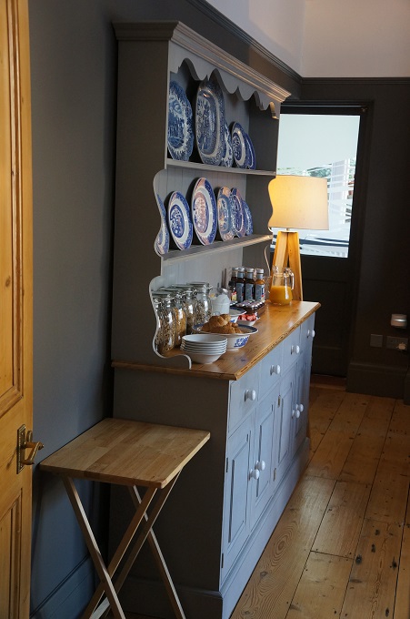
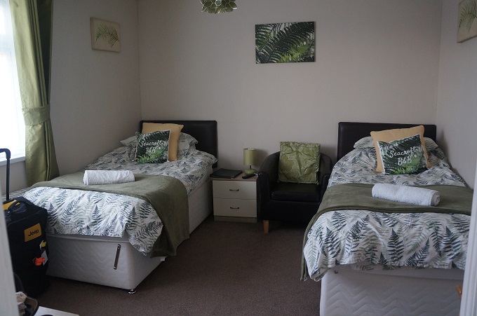
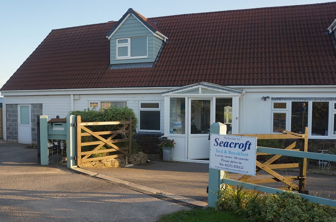
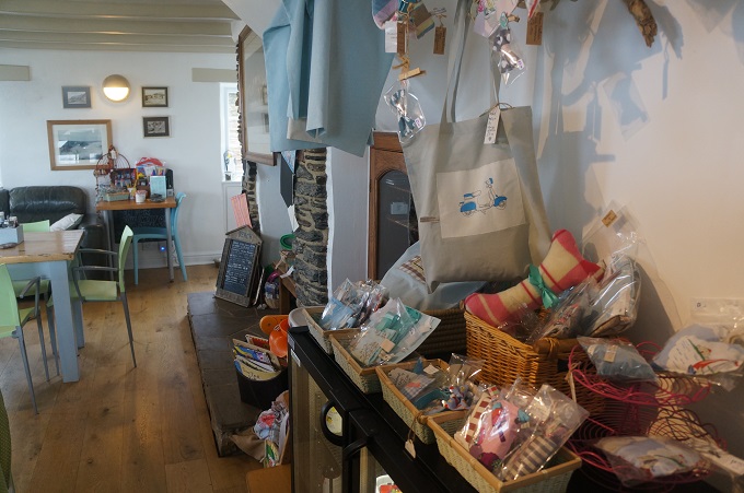
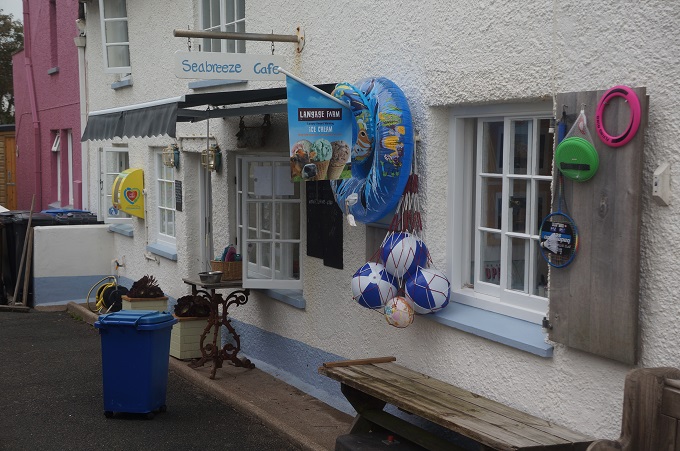
- Sea Breeze, Torcross
-
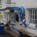
- Sea Breeze, Torcross
-
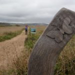
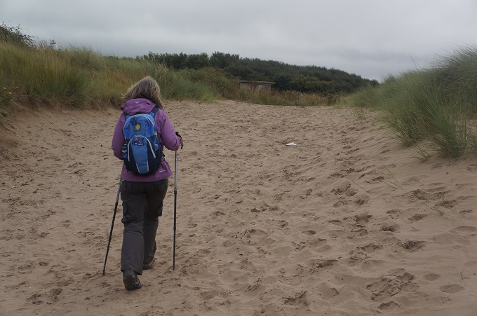
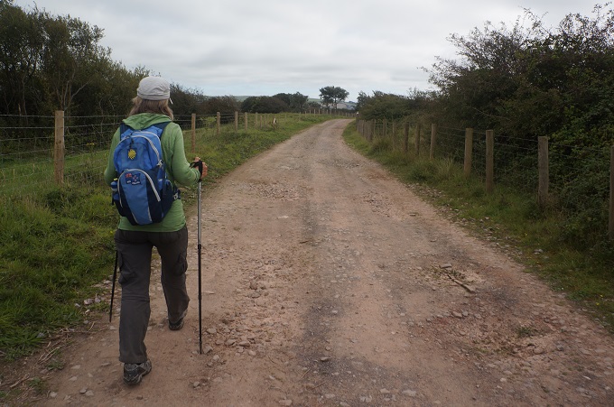
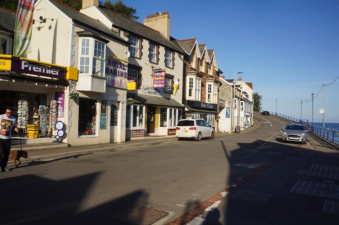
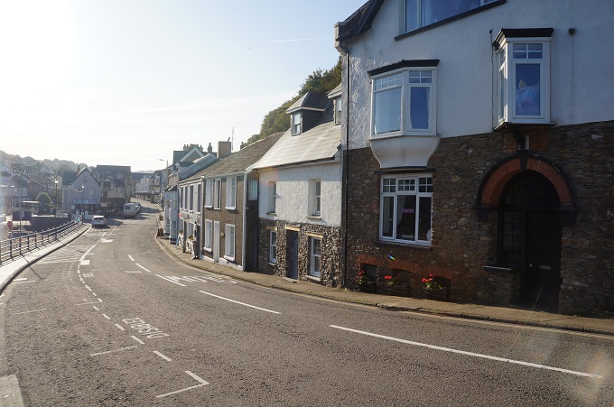
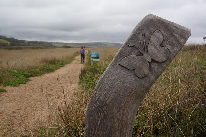
- Slapton Line leaving Torcross
-
- Slapton Line leaving Torcross
-
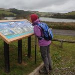
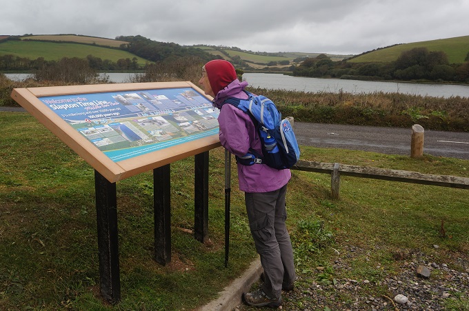
- Slapton Ley
-
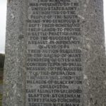
- Memorial Slapton Ley
-
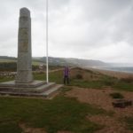
- Memorial Slapton Ley
-
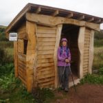
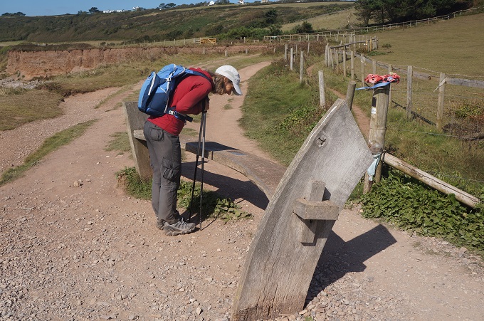
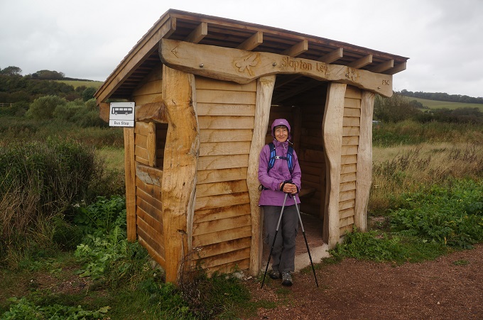
- Rustic bus shelter, Slapton Ley
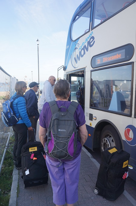
-
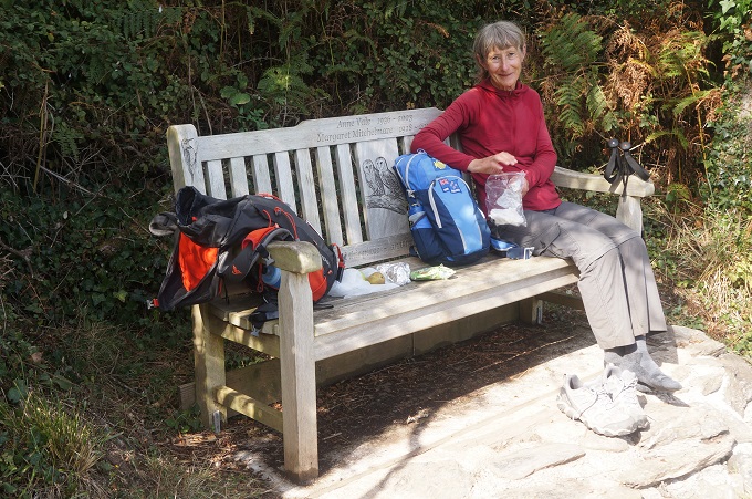
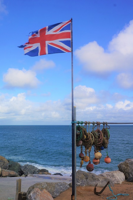
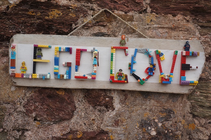
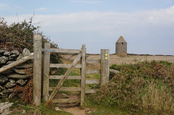
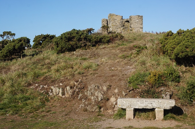
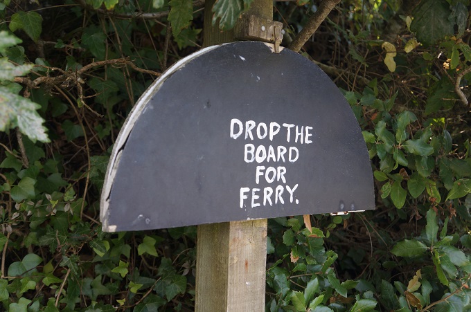
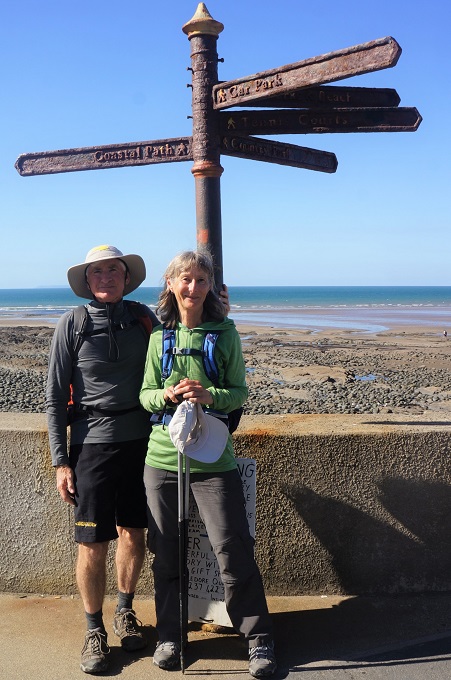
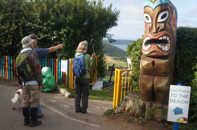
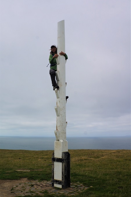
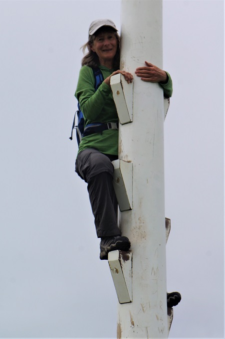
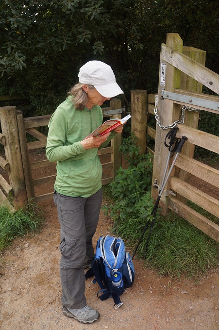
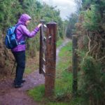
- For Warwick
-
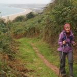
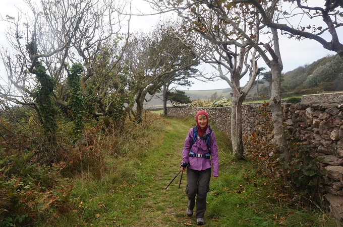
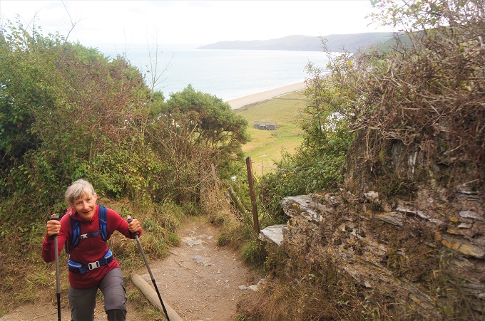
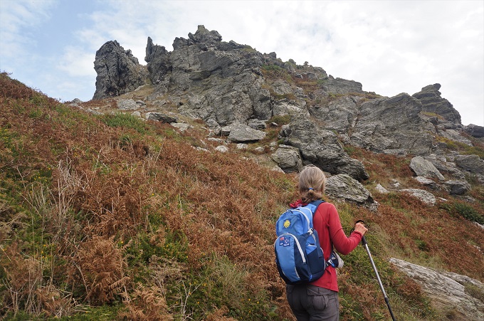
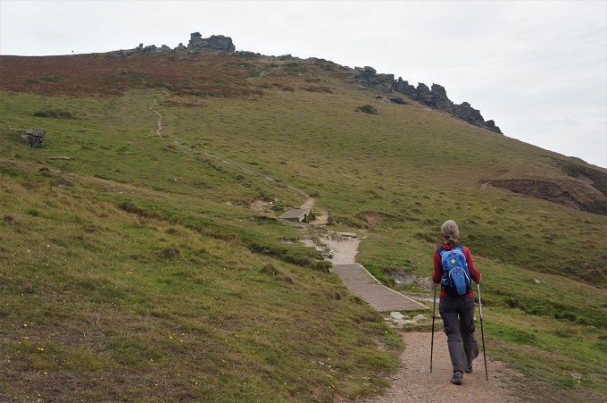
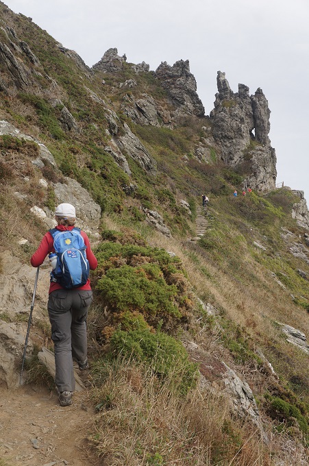
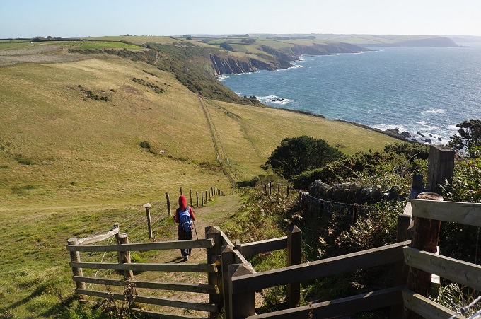
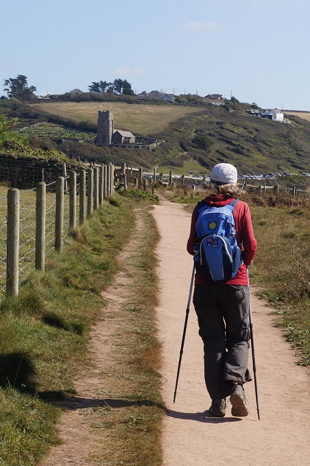
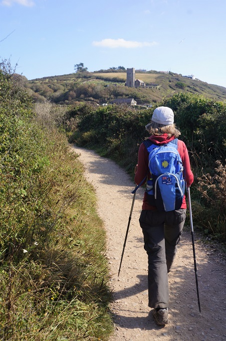
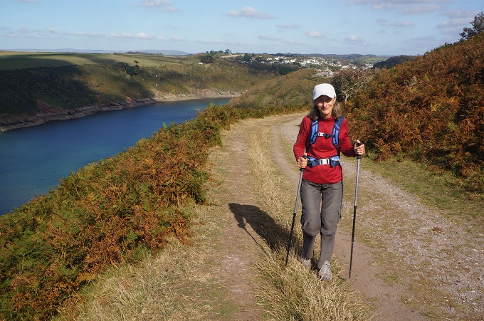
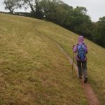
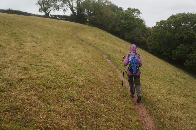
- Climbing to Strete
-
- Climbing to Strete
-
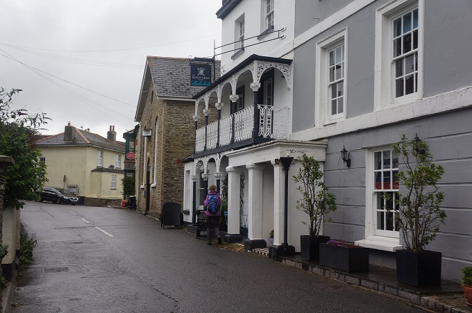
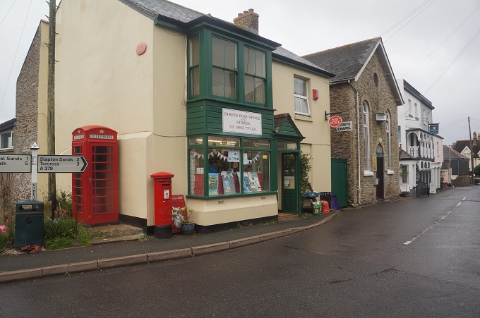
- Strete
-
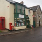
- Strete
-
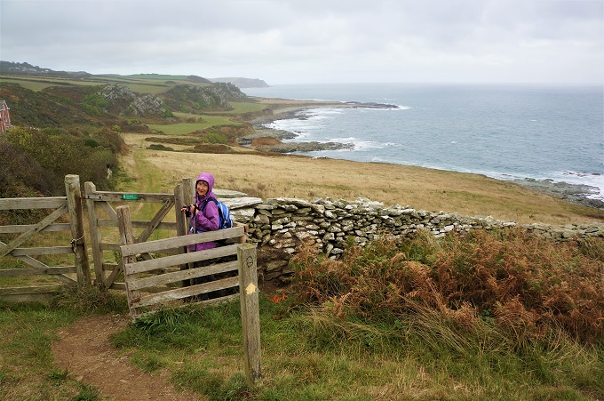
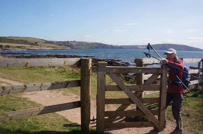
- Crossing fields, Frogwell
-
- Crossing fields, Frogwell
-
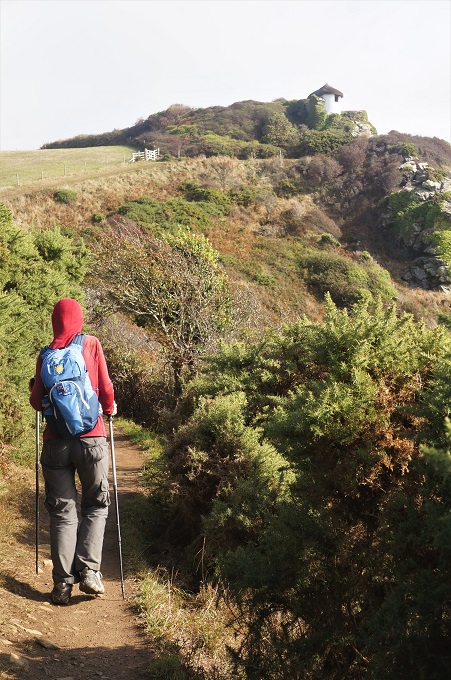
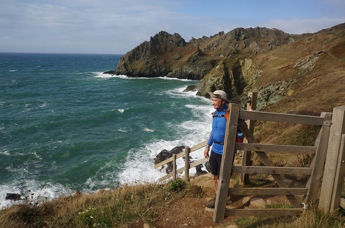
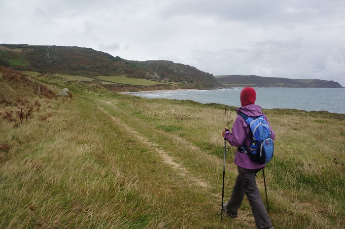
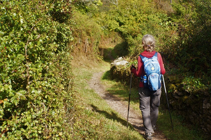
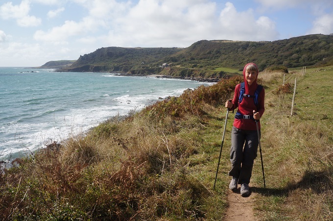
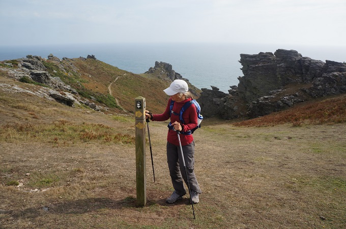
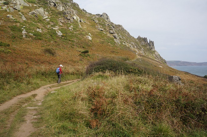
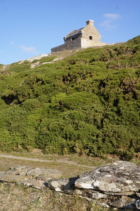
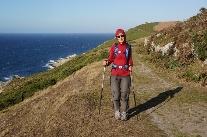
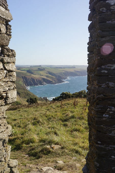
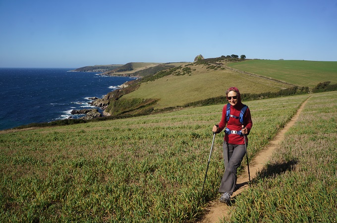
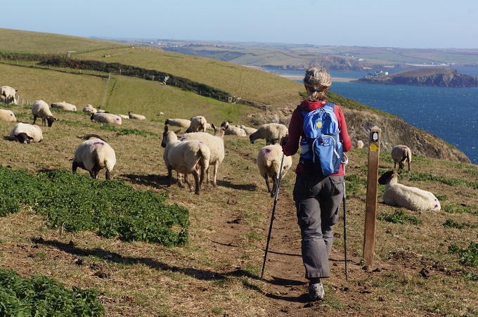
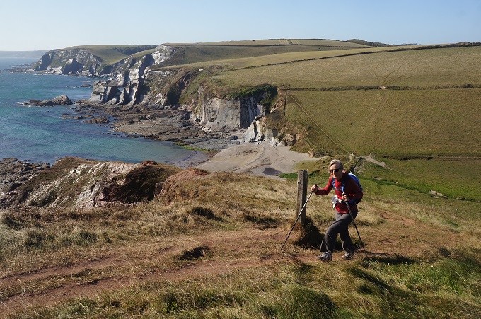
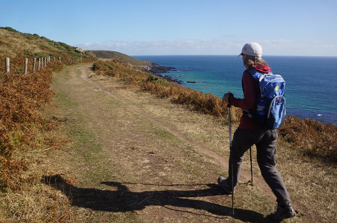
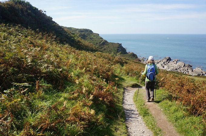
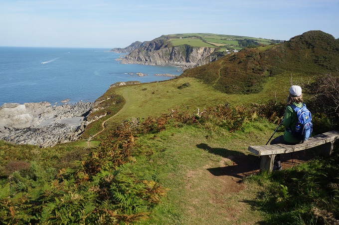
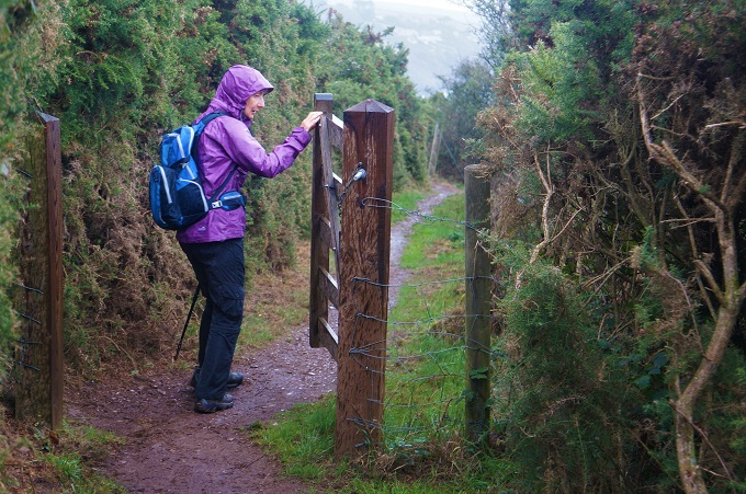
- Sheltered from the winds in the gorse hedges
-
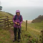
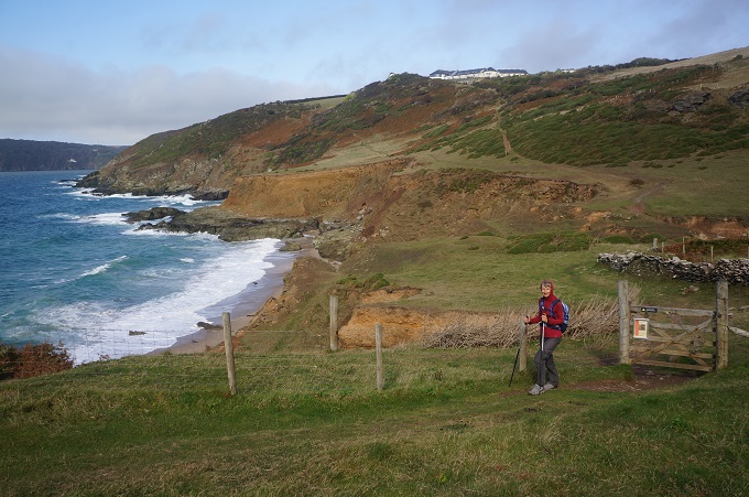
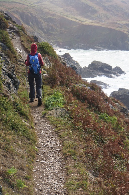
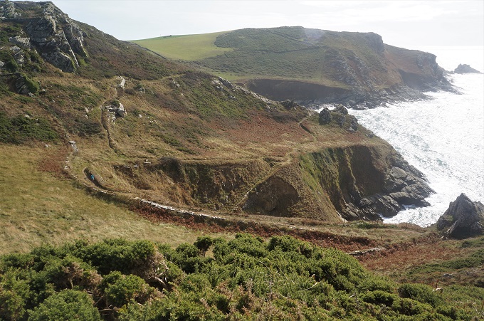
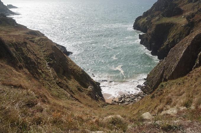
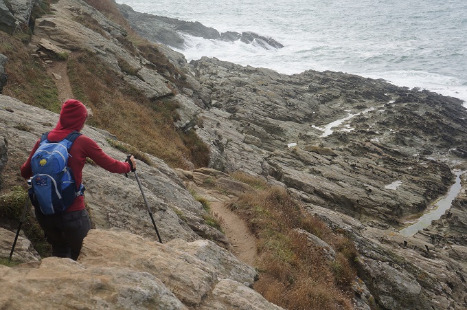
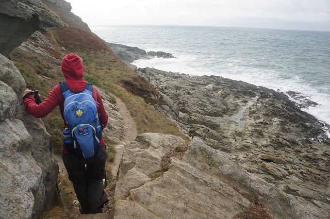
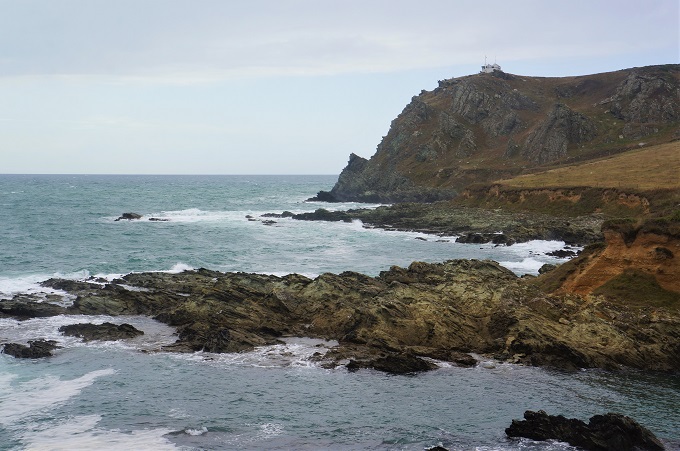
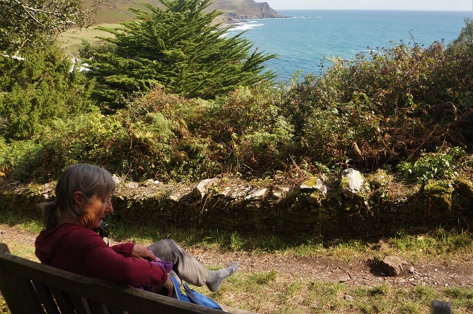
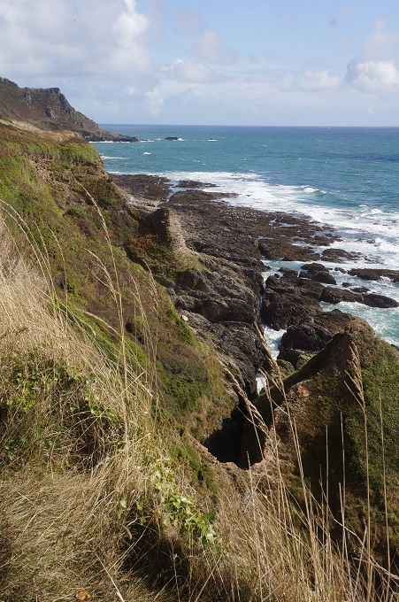
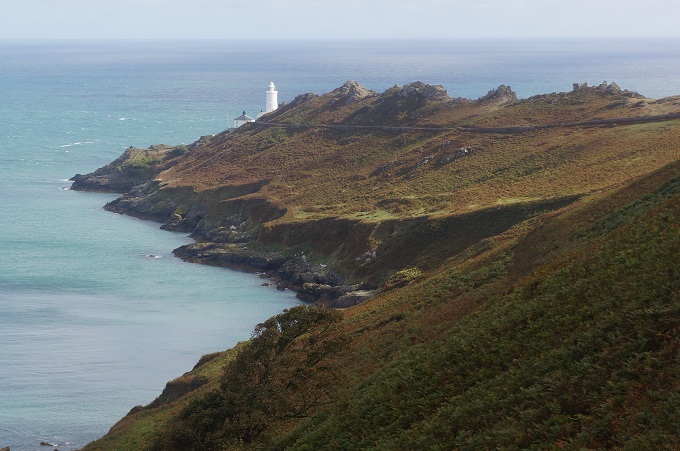
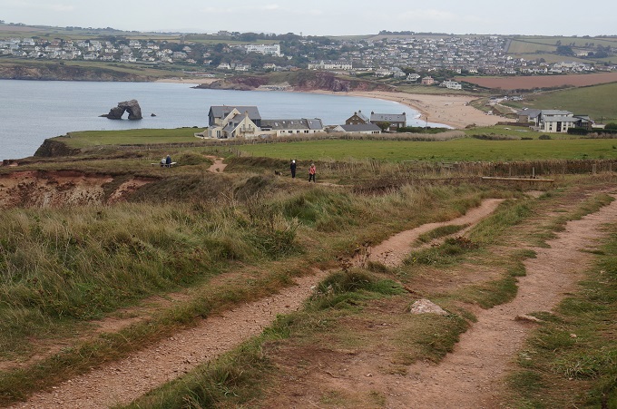
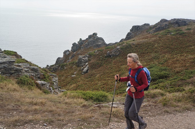
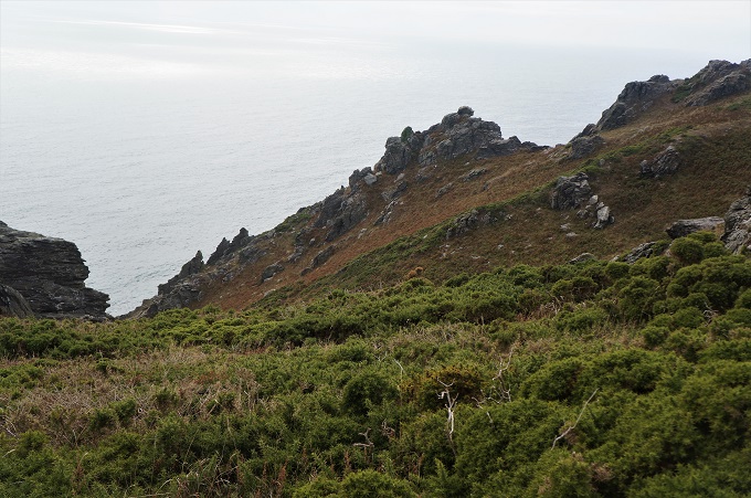
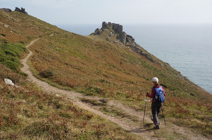
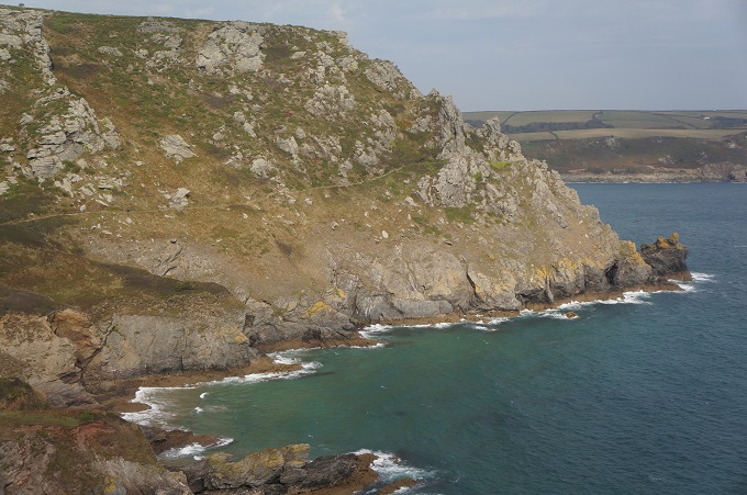
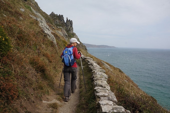
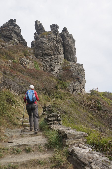
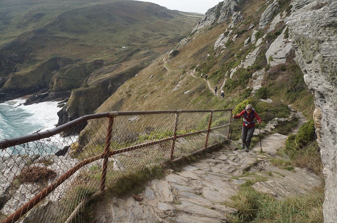
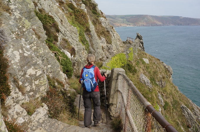
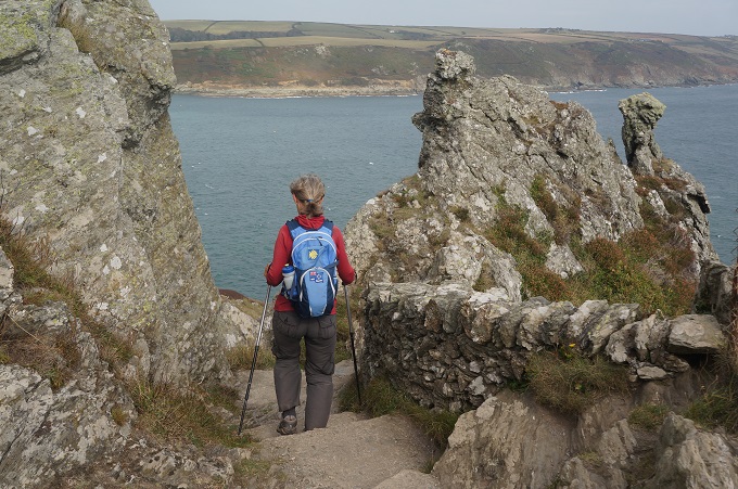
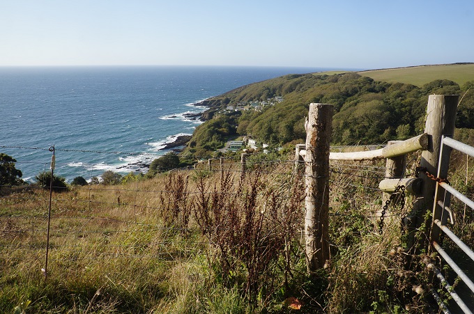
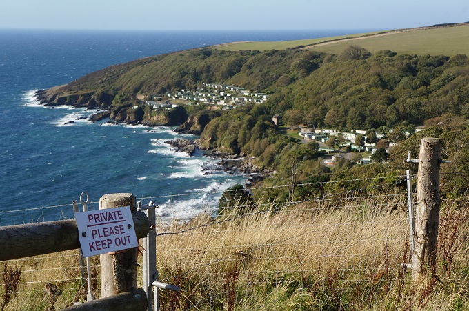
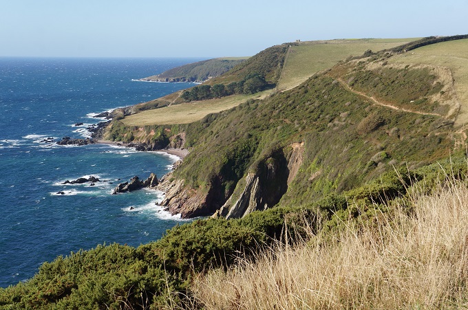
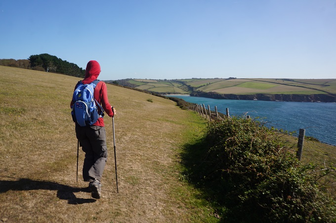
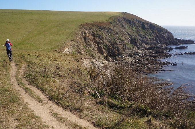
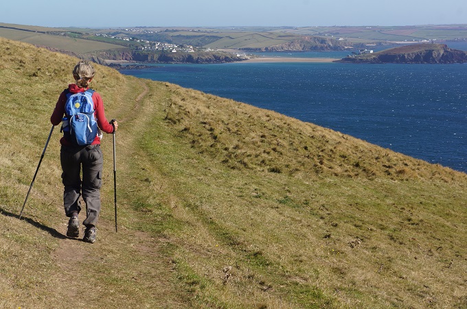
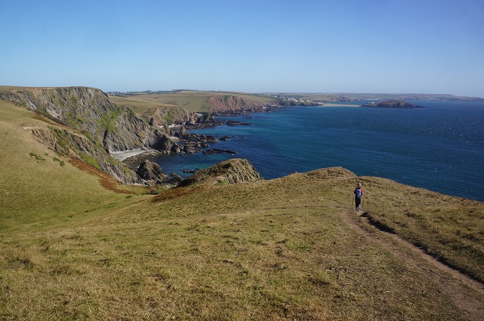
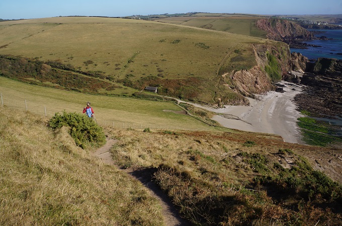
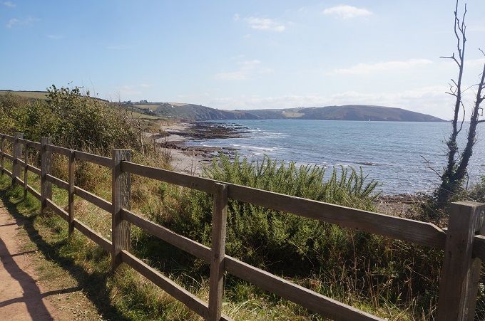
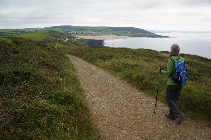
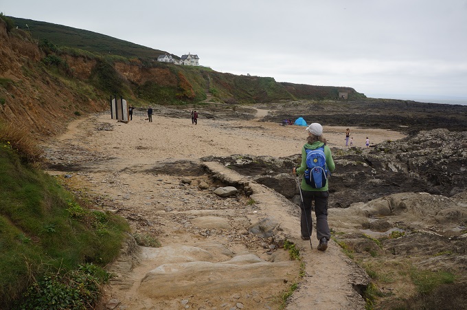
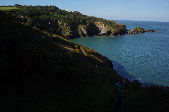
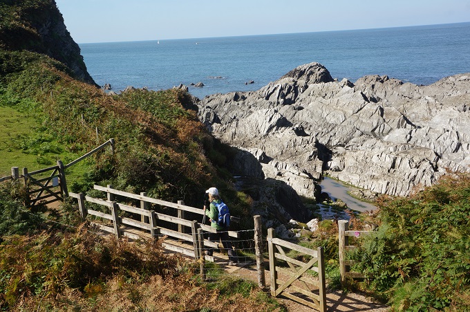
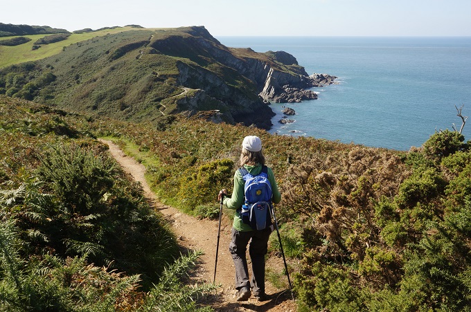
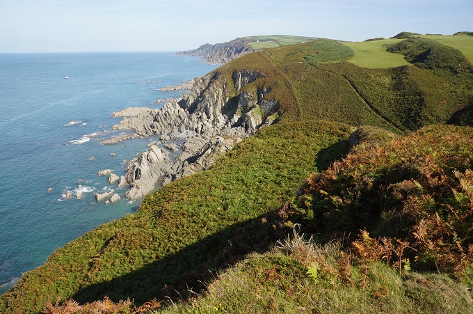
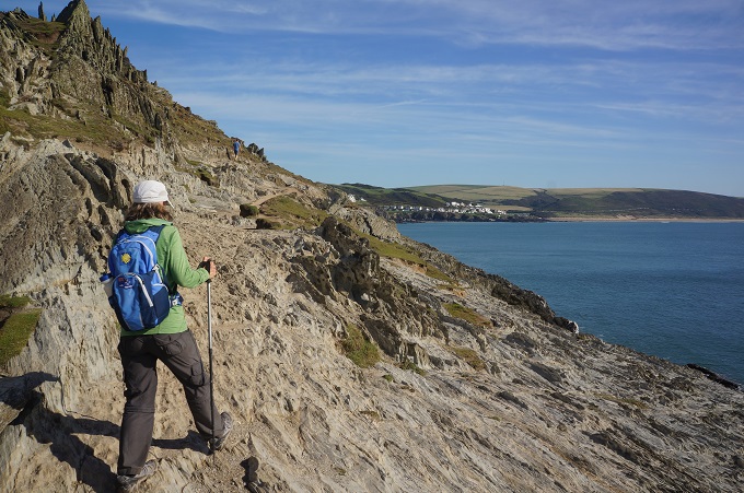
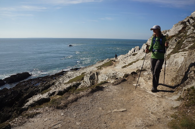
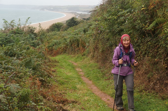
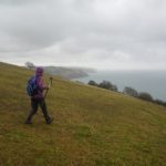
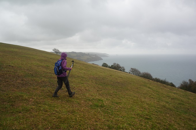
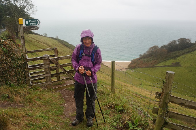
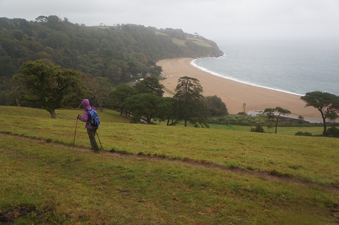
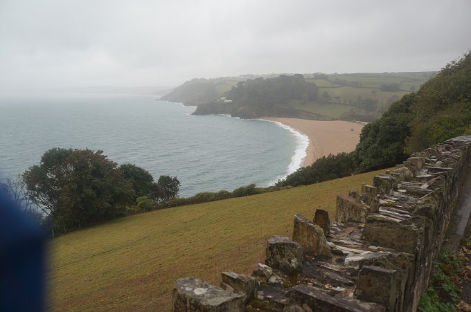
- Exposed cliff above Blackpool Sands
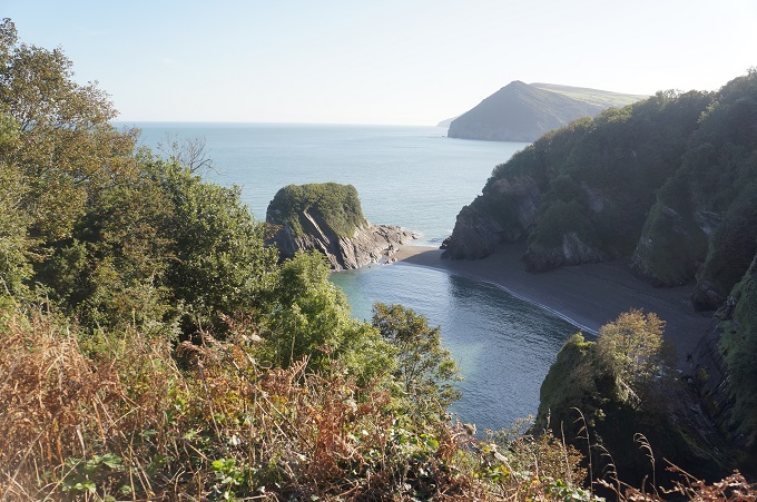
-
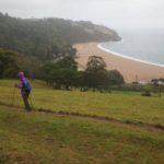
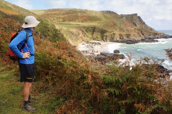
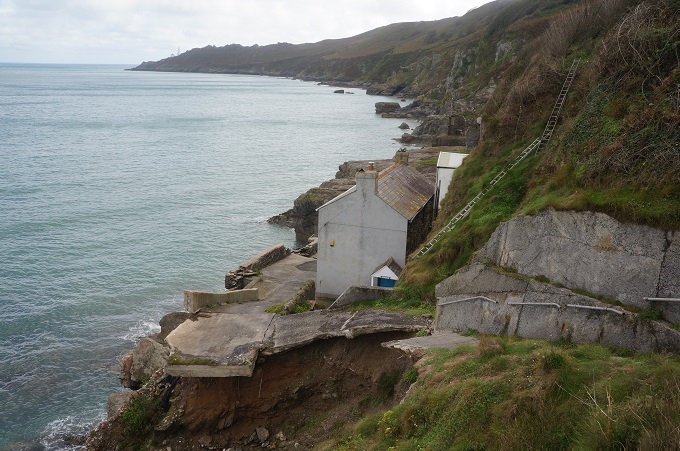
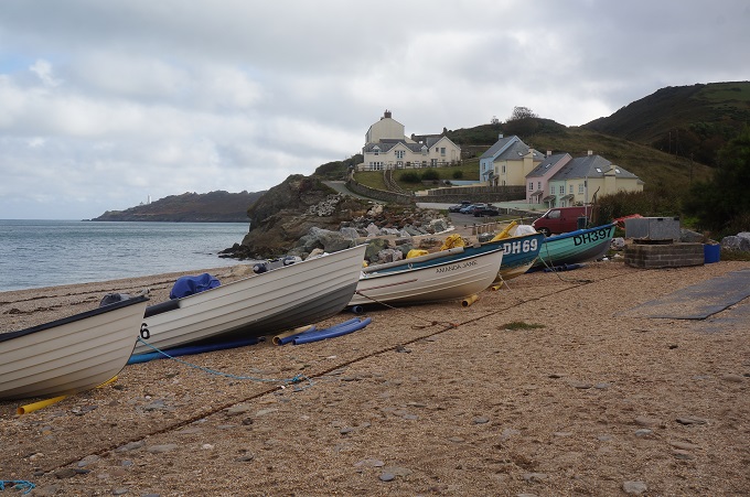
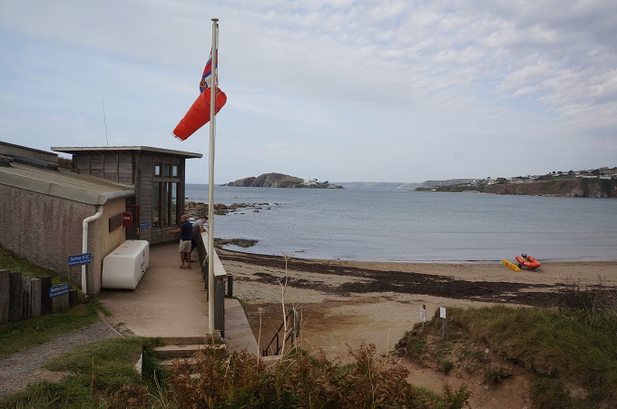
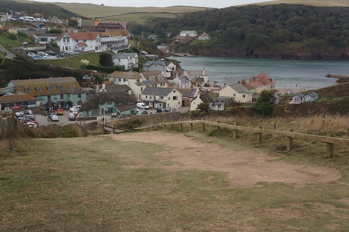
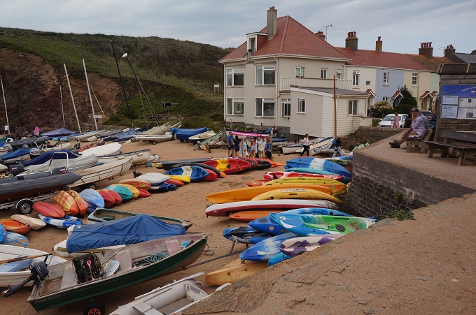
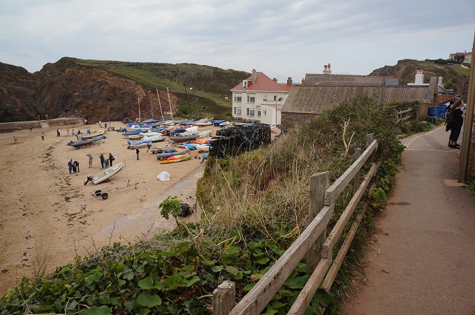
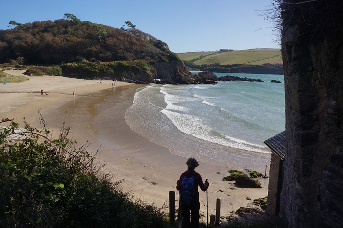
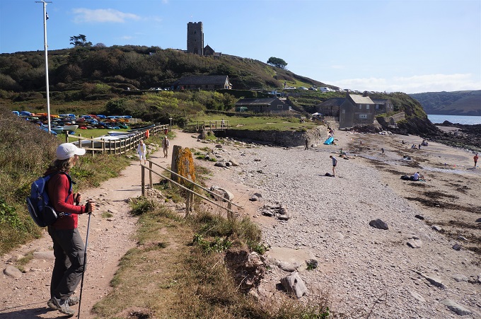
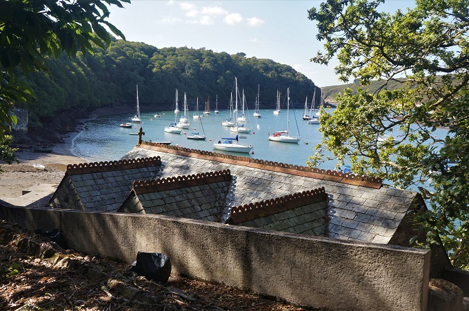
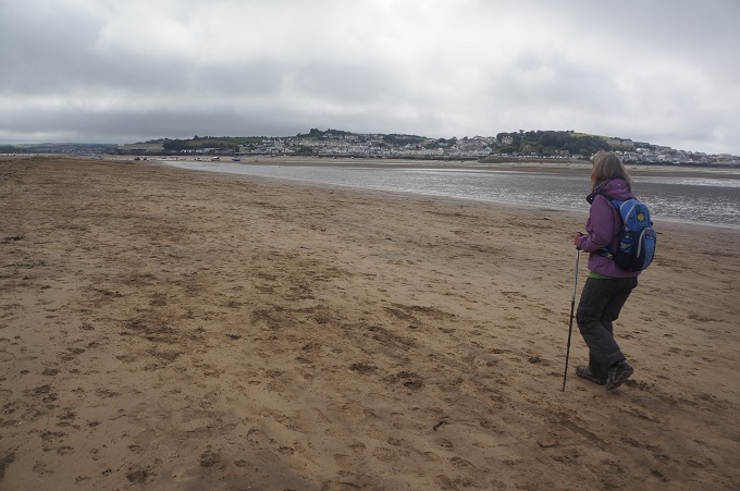
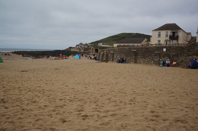
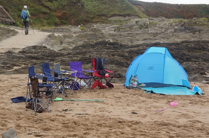
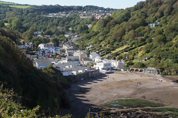
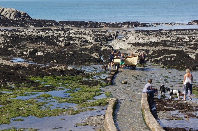
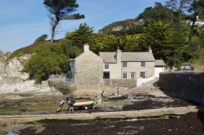
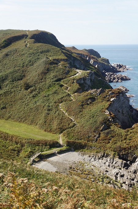
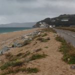
- Blackpool Sands
-

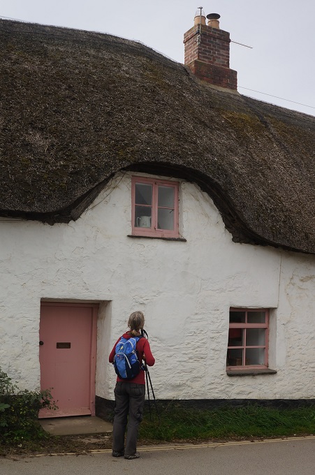
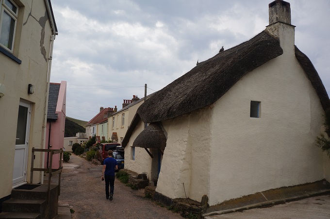
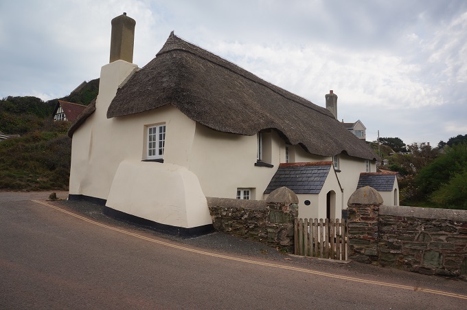
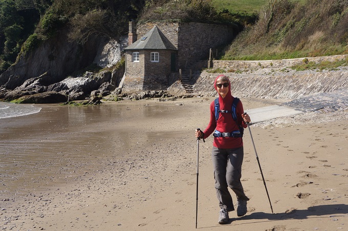
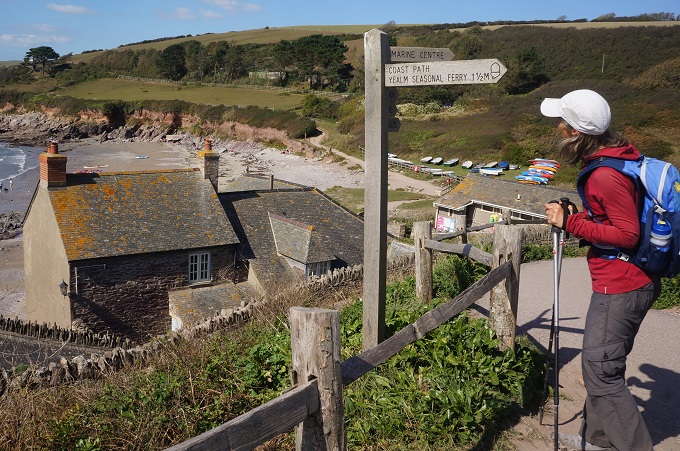
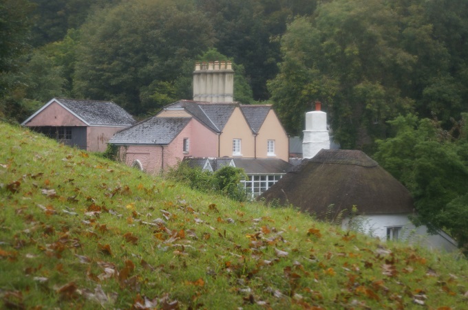
- Cute house, Blackpool Sands
-
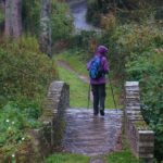
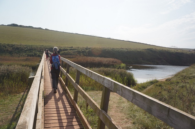
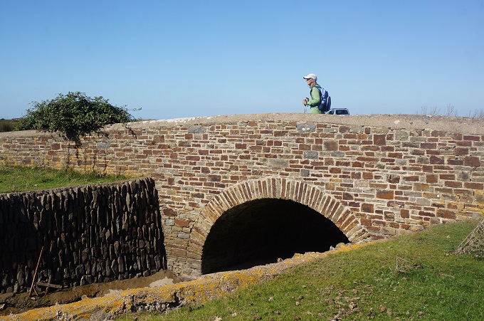
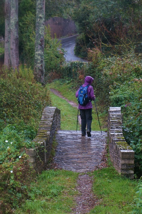
- Cute stone bridge Blackpool Sands
-
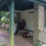
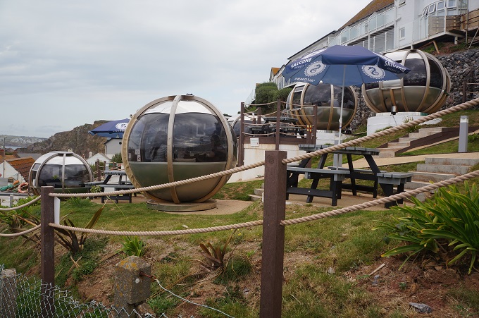
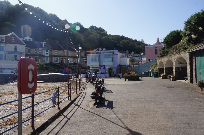
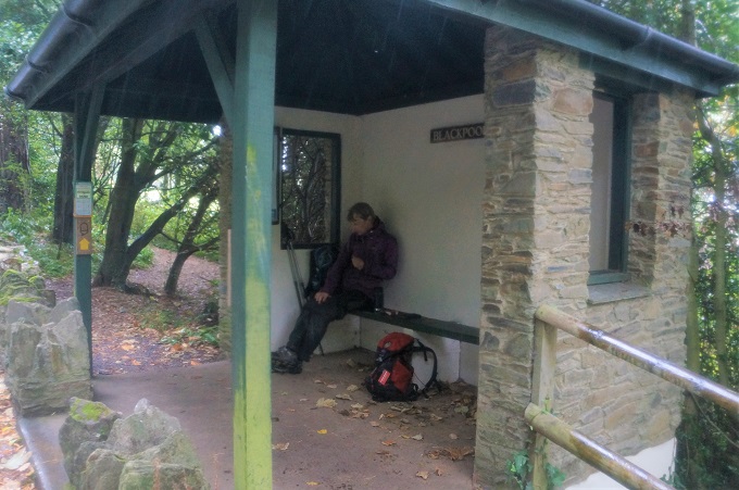
- Only place out of the rain – a bus shelter, Blackpool Sands
-
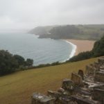
- Blackpool Sands
-
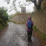
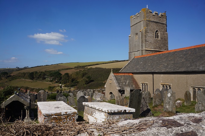
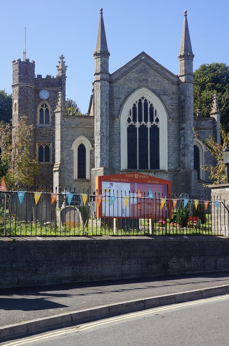
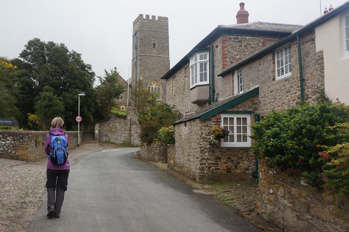
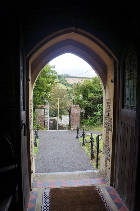
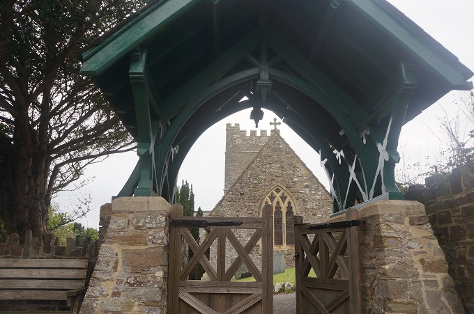
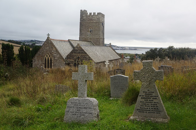
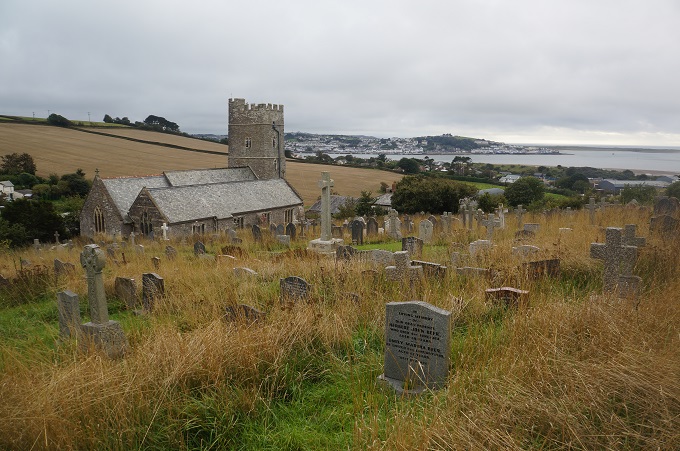
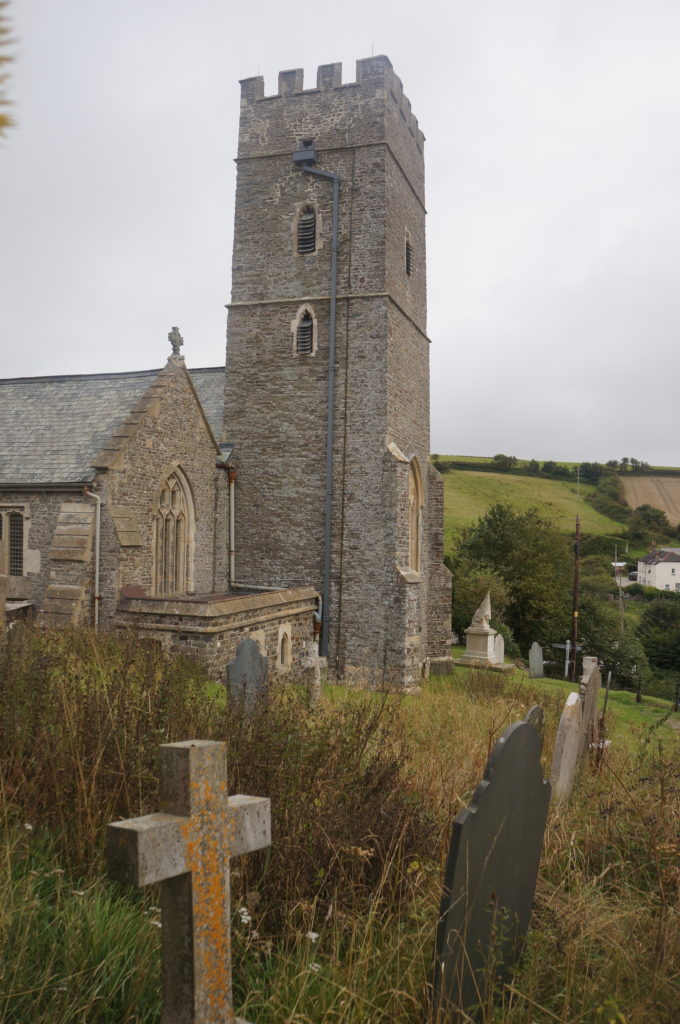
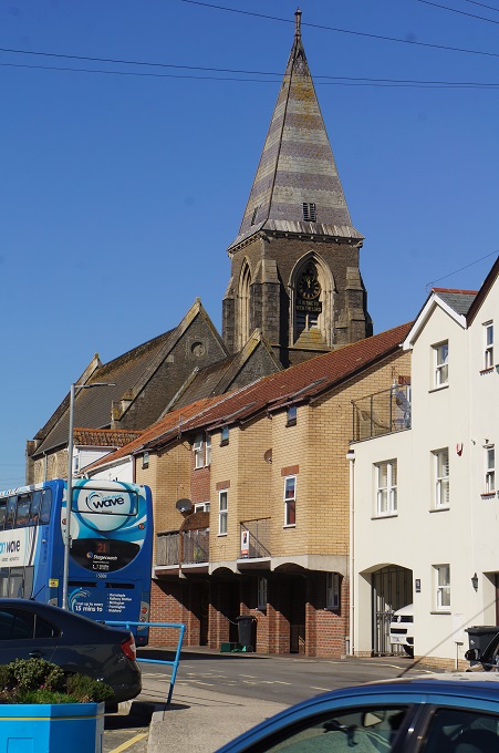
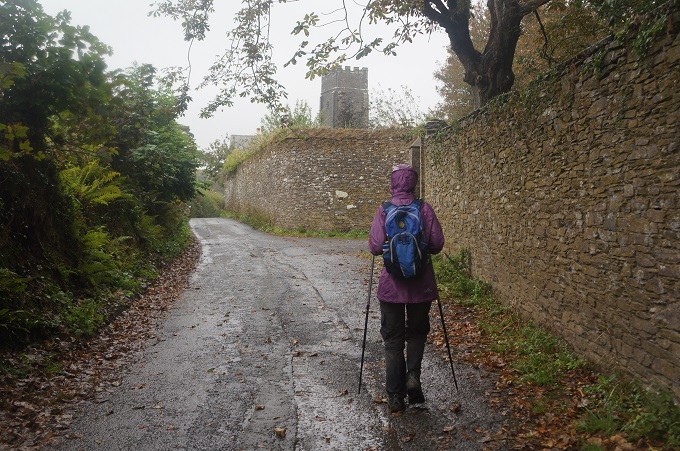
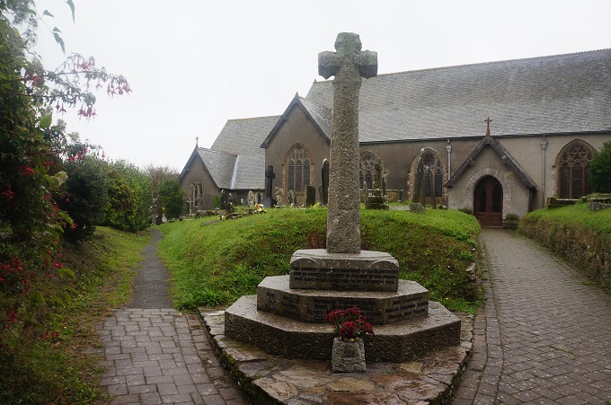
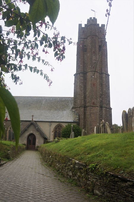
- Church at Stoke Fleming
-
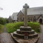
- Church at Stoke Fleming
-
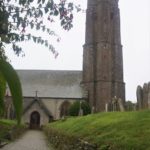
- Church at Stoke Fleming
-
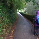
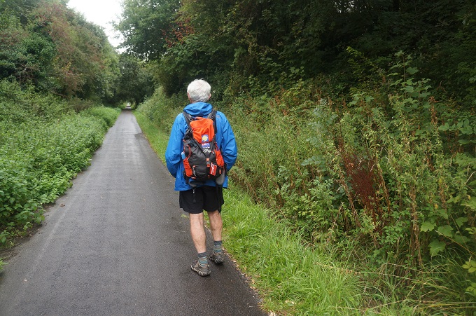
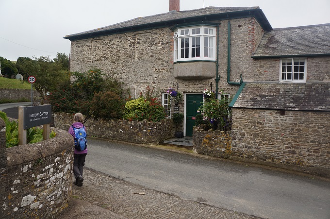
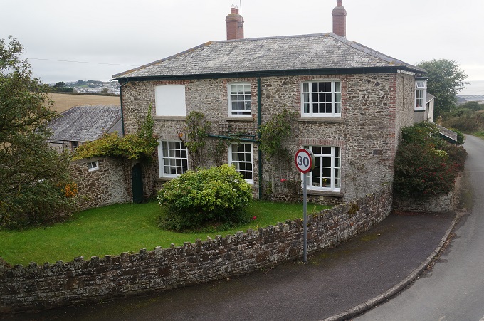
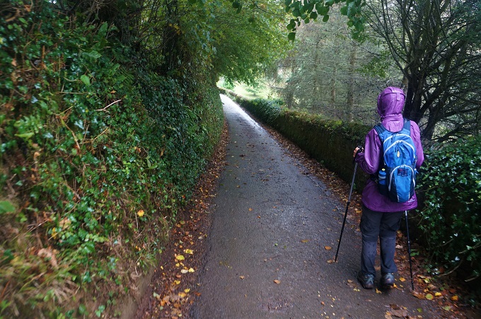
- Quiet country lane Stoke Fleming
-
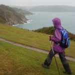
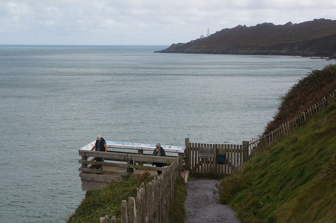
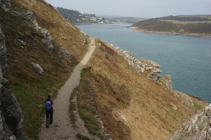
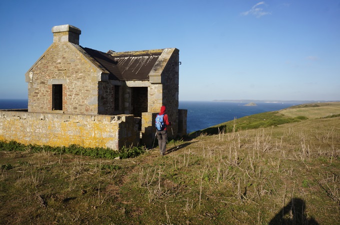
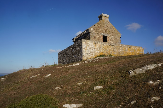
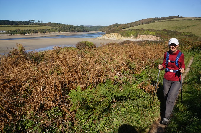
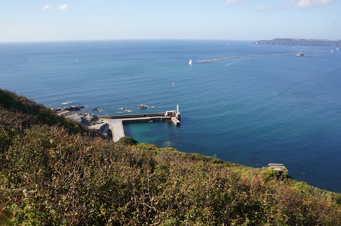
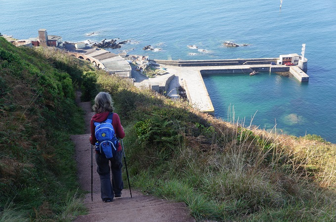
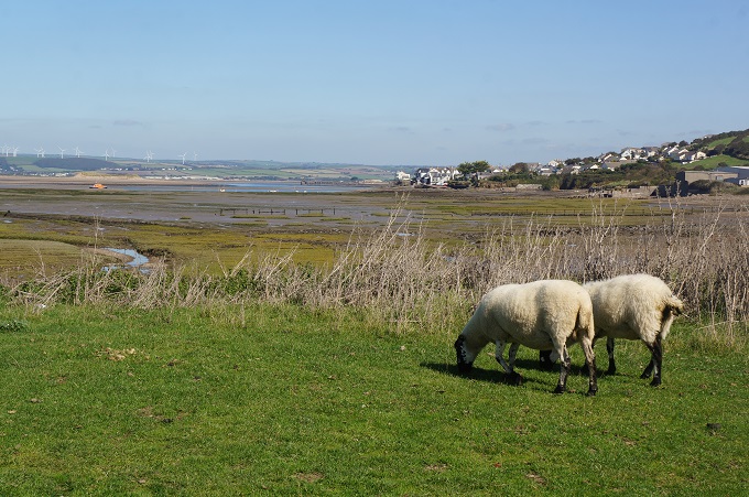
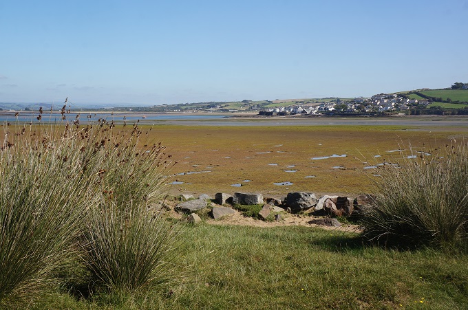
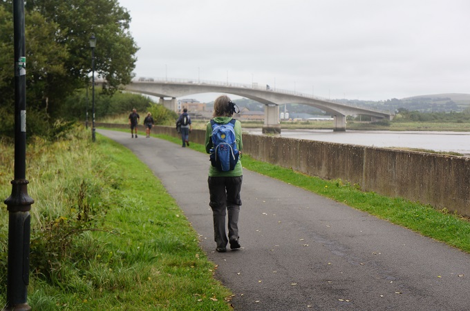
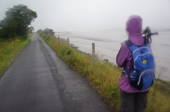
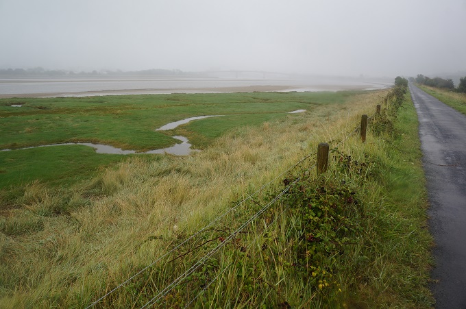
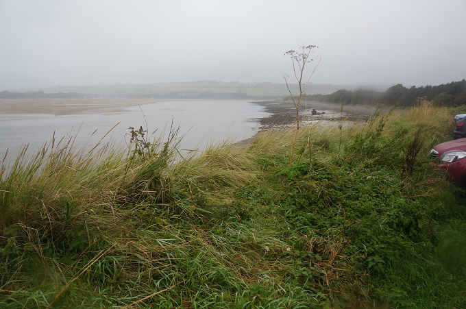
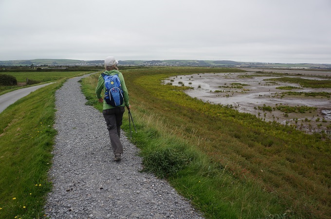
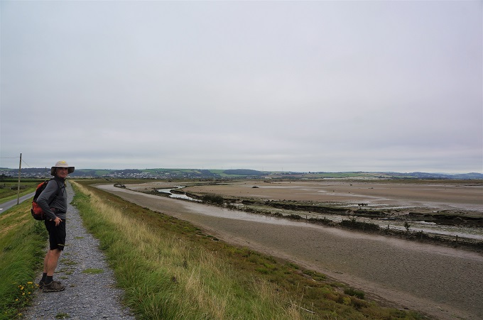
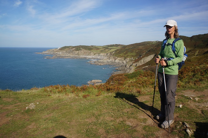
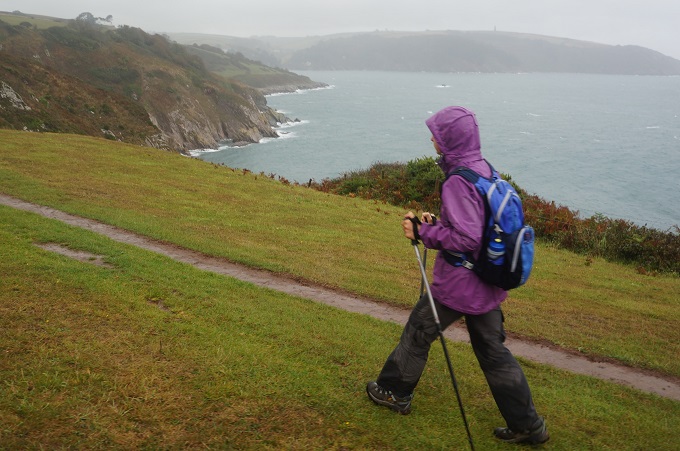
- Exposed to wind and rain, approaching mouth of Dart River
-
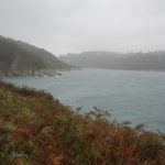
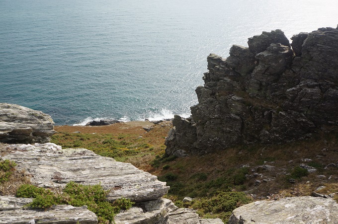
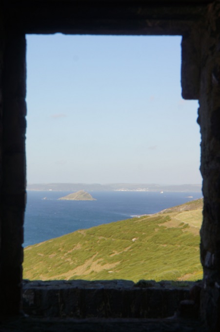
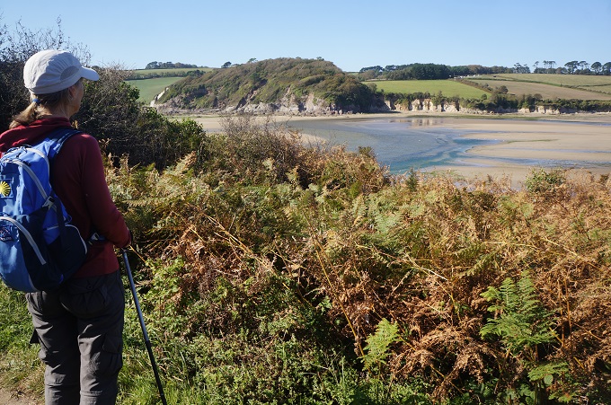
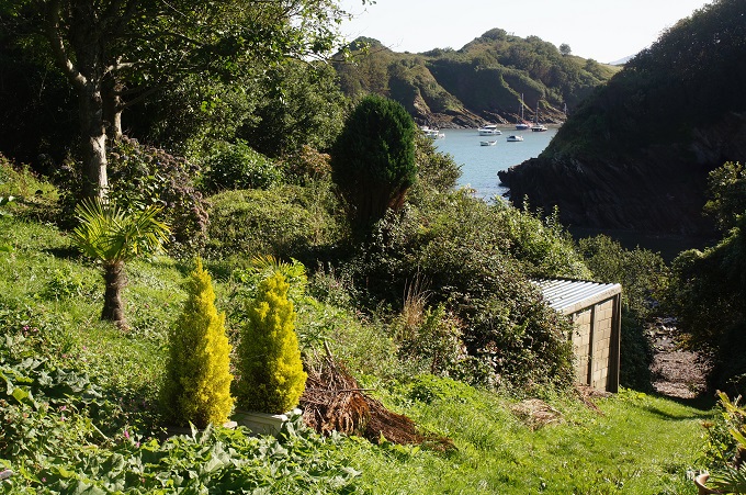
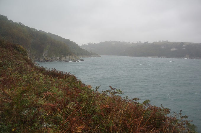
- Warren Point Dart River mouth
-
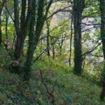
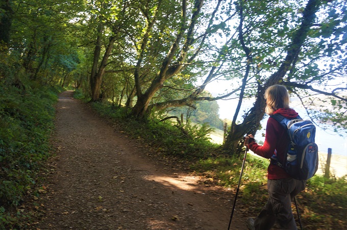
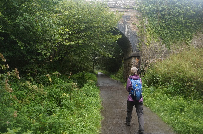
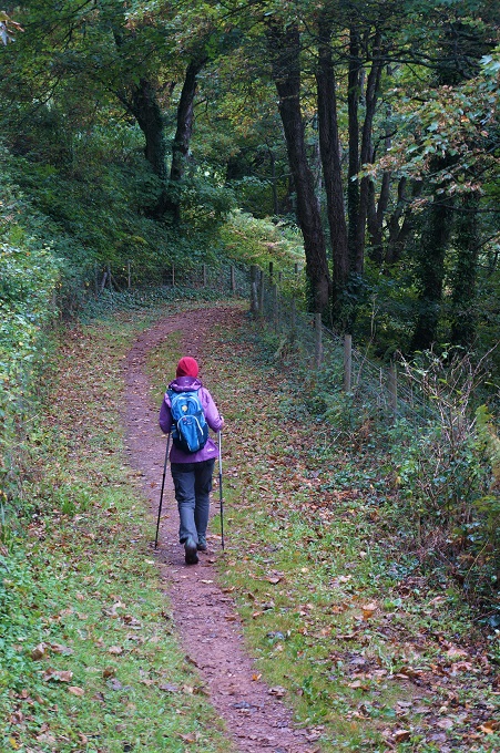
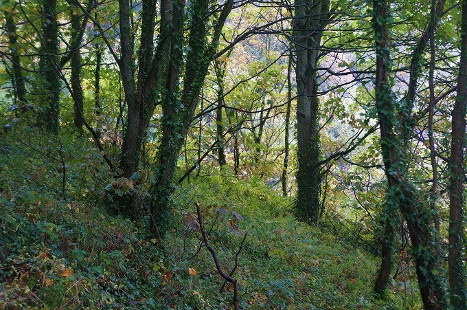
- Nice woodland, Dart River
-
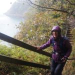
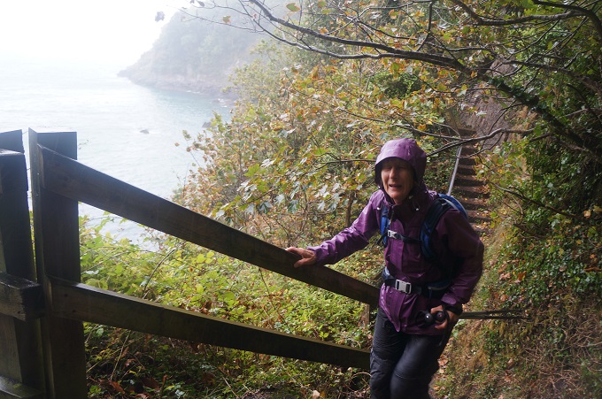
- Very wet now, Dart River
-
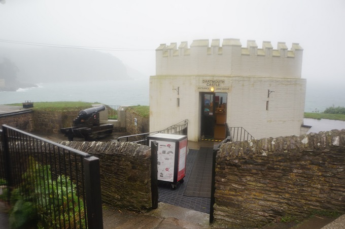
- Dartmouth Castle
-
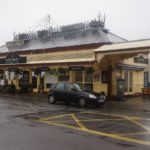
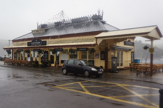
- Dartmouth Castle Tearooms
-
- Dartmouth Castle Tearooms
-
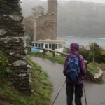
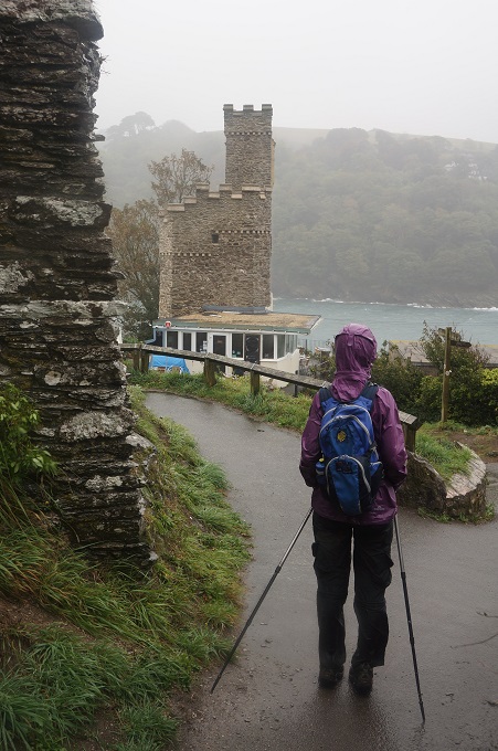
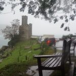
- Castle Light
-
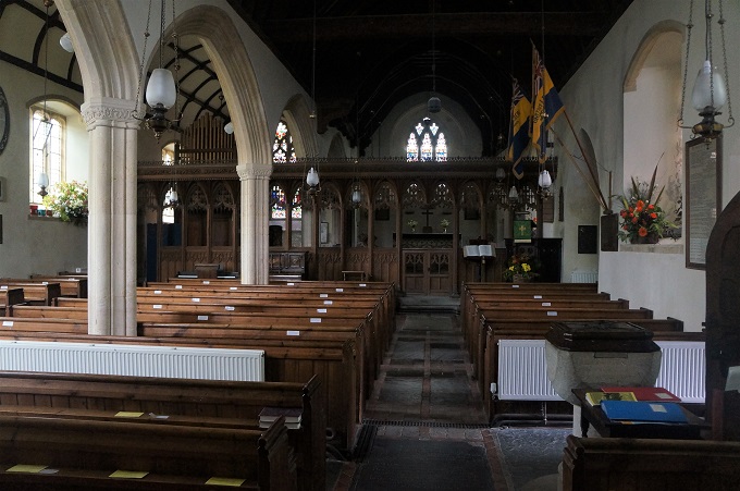
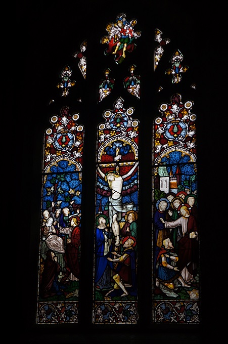
- St Petrox
-
- St Petrox
-
- Dartmouth Castle
-
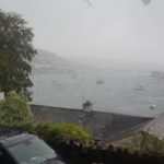
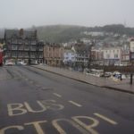
- Dartmouth over there in the rain
-
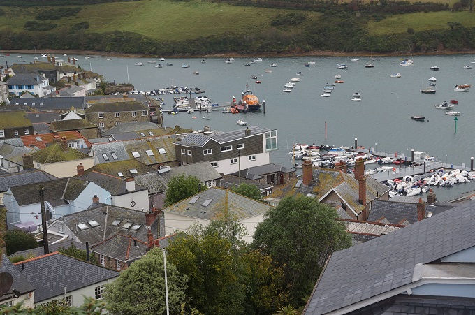
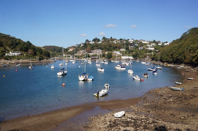
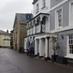
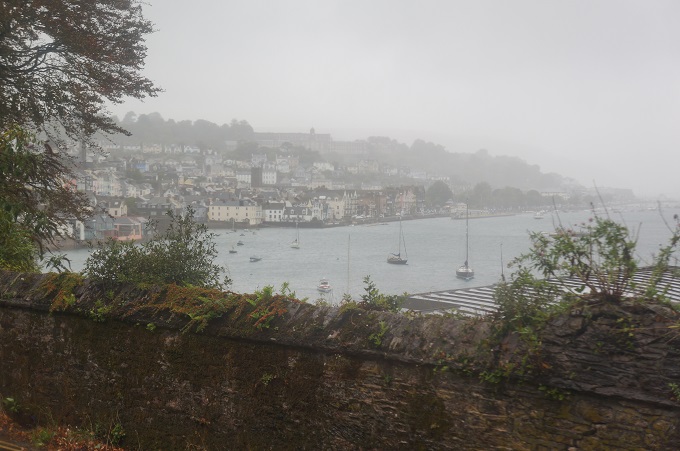
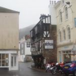
- Dartmouth
-

- Dartmouth
-
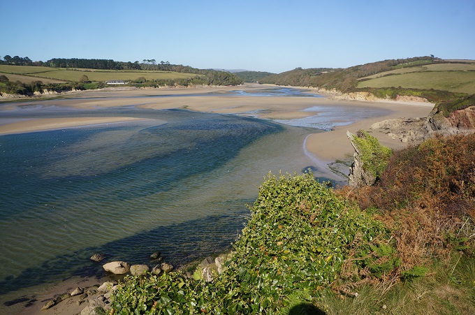
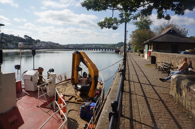
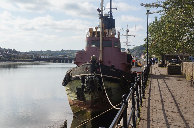
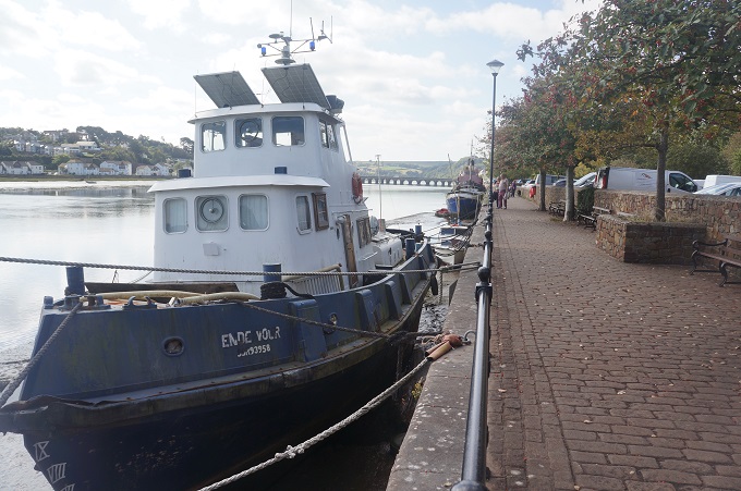
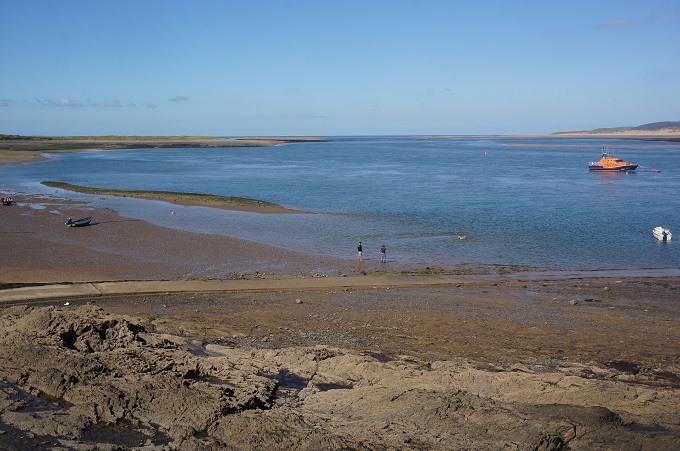
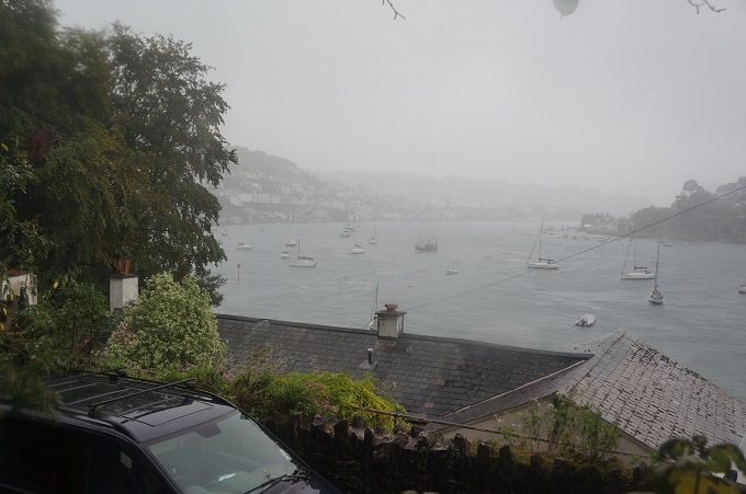
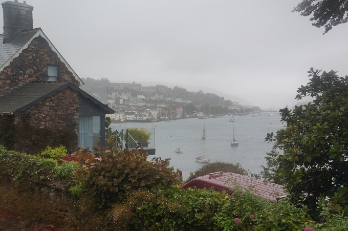
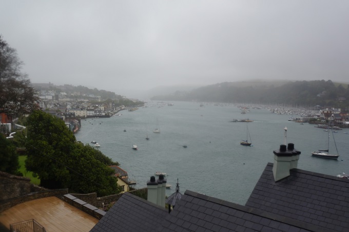
- River Dart
-
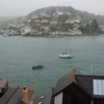
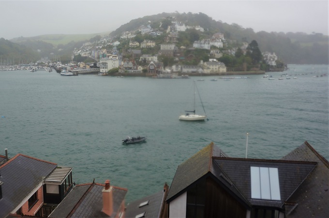
- Kingswear and River Dart
-
- Dartmouth
-
- Dartmouth
-
- Dartmouth
-
- Dartmouth
-
- Dartmouth
-
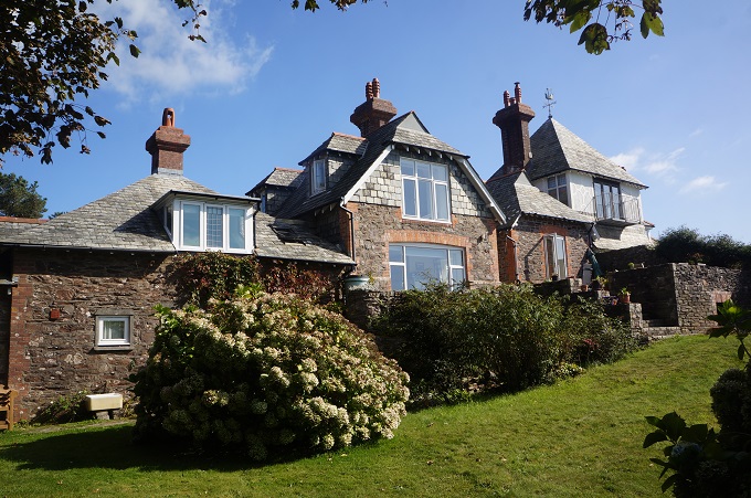
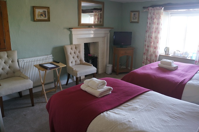
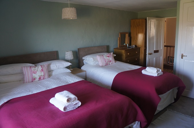
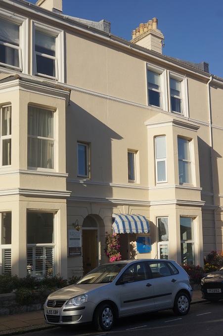
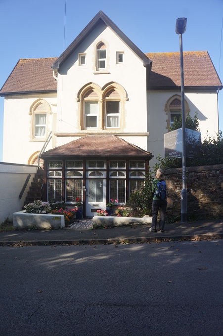
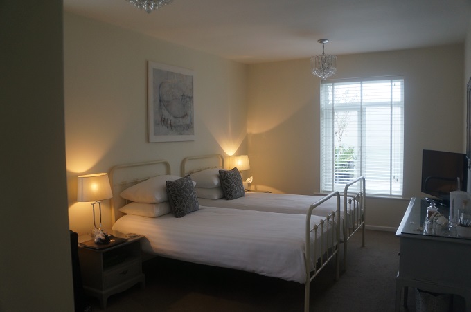
- Dartmouth Boutique B & B
-
- Dartmouth Boutique B & B