Lizard to Coverack, 18 km, 699 m climbing
‘Truth walks bare feet, lies keep switching shoes’
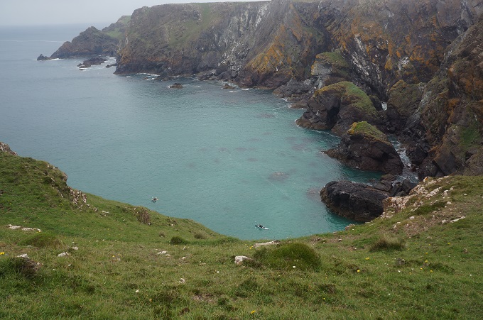
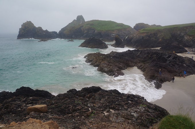
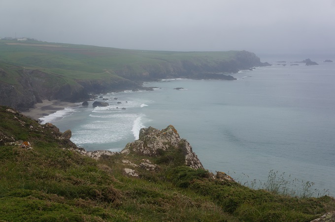
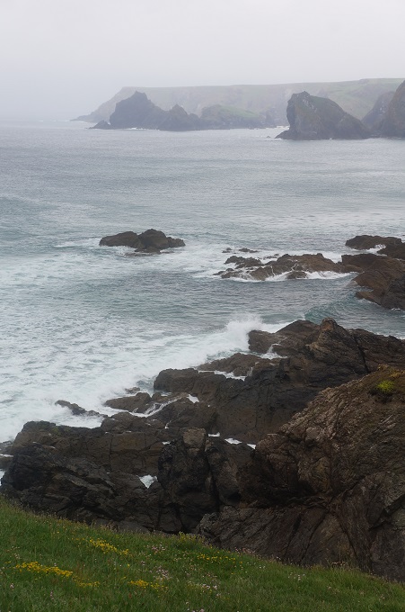
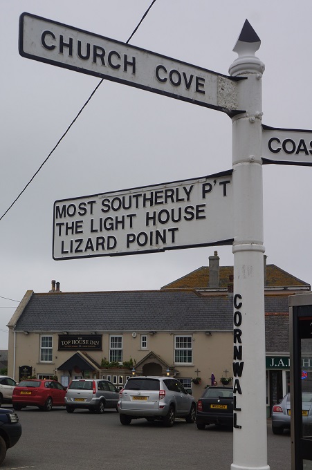
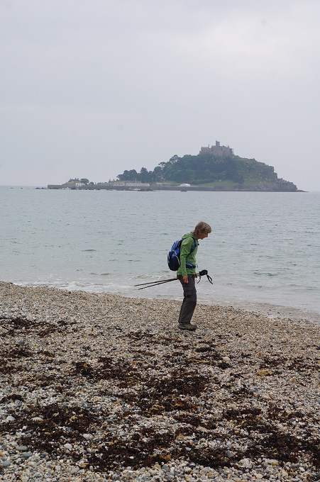
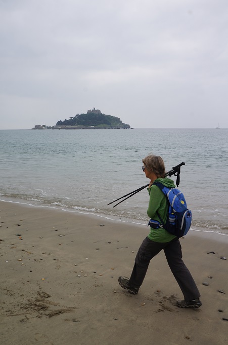
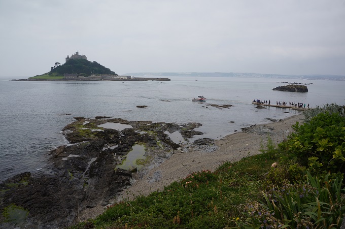
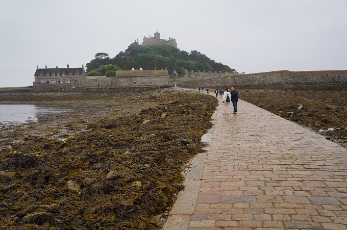
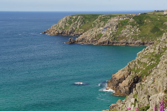
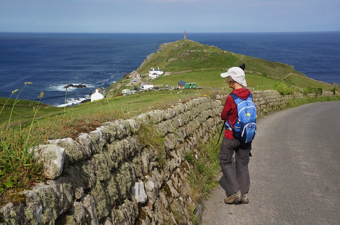
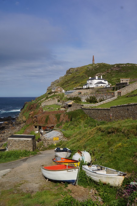
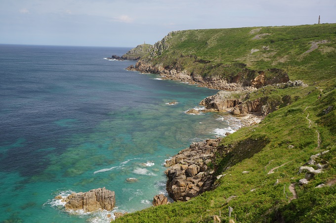
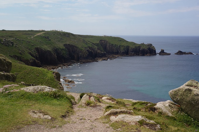
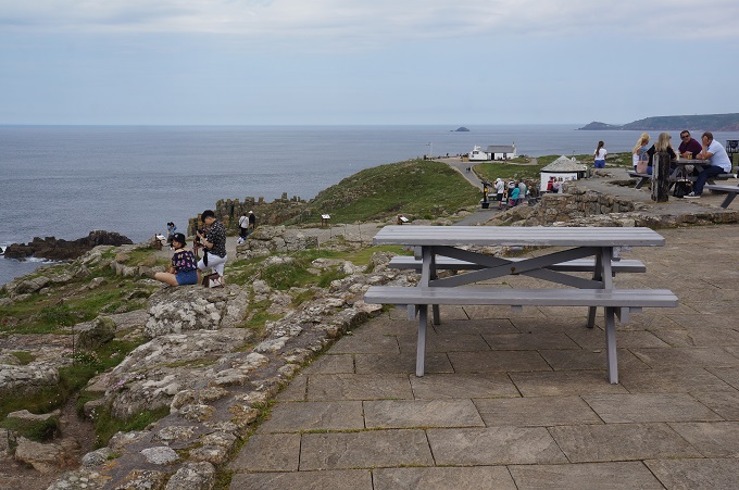
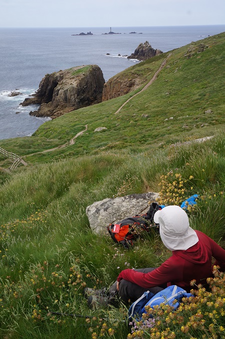
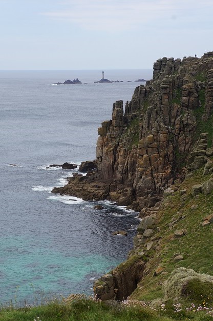
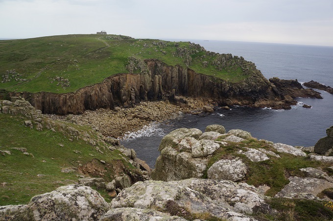
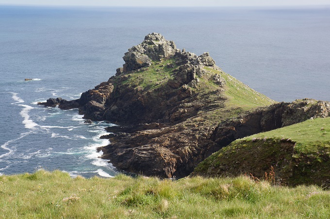
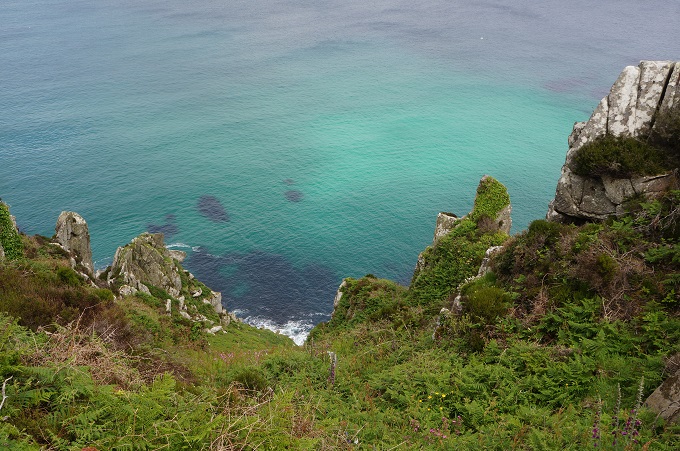
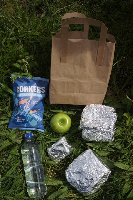
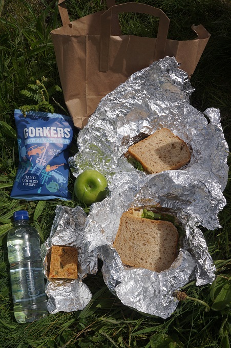
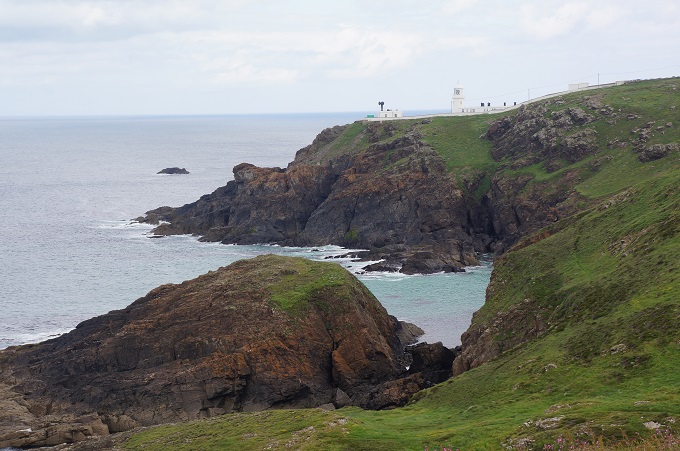
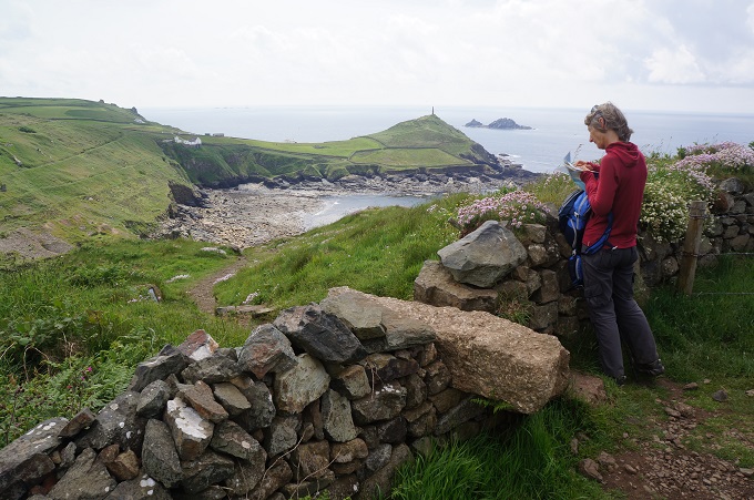
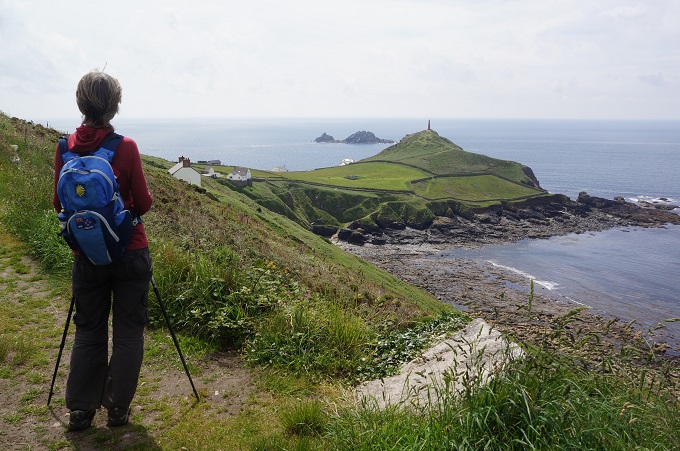
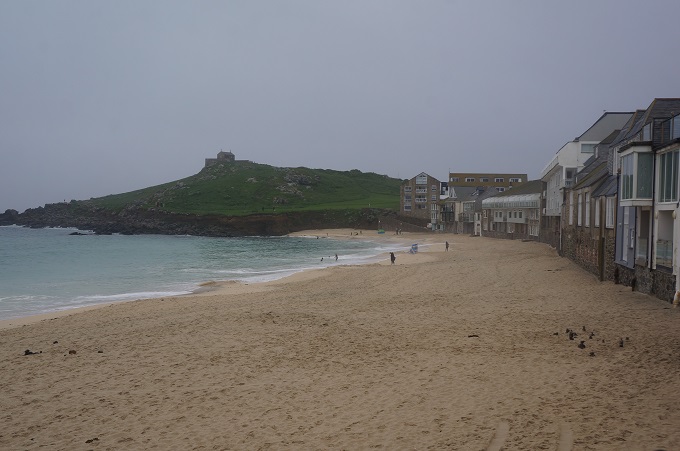
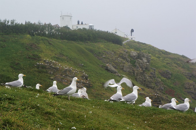
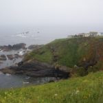
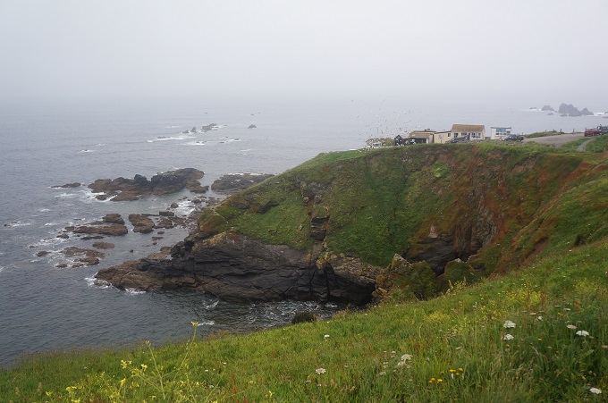
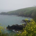
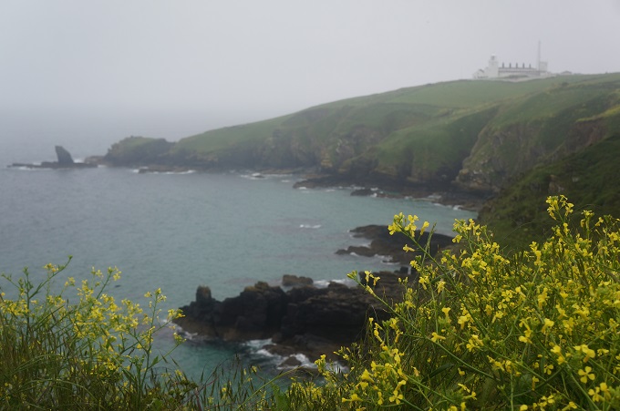
After buying some lunch (sandwiches, drinks and Reese’s peanut butter cups – yum yum) we went back down to Lizard Point. It was just us and the gulls as the coaches and cars bringing the hoards hadn’t arrived yet. Lizard Point is famed as the most southerly point of mainland Britain. There are a lot of offshore islands and these are 500 million years old, leftover crumbs of the collision between the super-continents Gondwanaland and Euramerica.
Lizard is named after the colourful serpentine rock found in this area. This gives the cliffs great streaks of green, reminiscent of a snake’s or lizard’s skin. Local sculptors carve ash trays and lighthouse ornaments from the serpentine rock, although they would be a bit heavy for us to carry. The rock is actually part of the earth’s mantle, which is normally about 20 km below the surface.
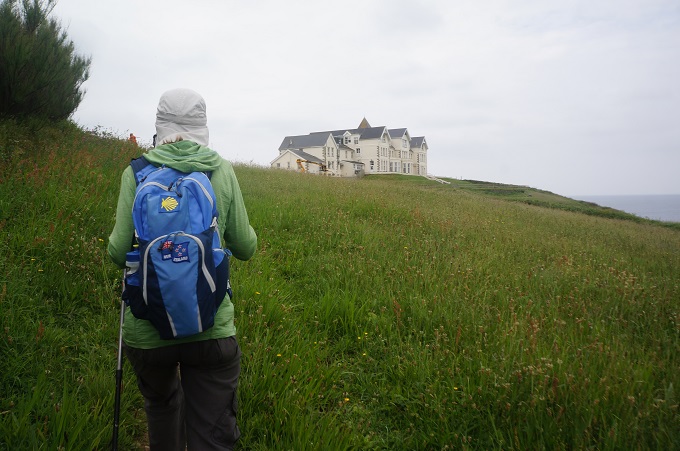
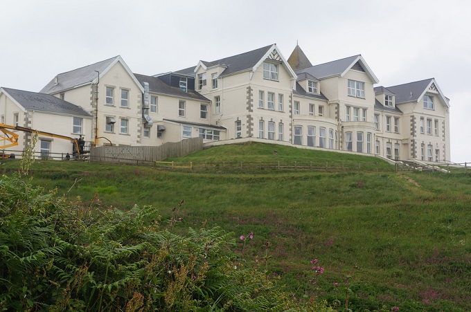
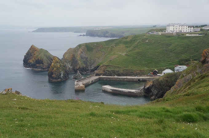
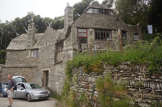
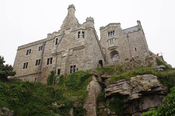
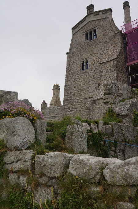
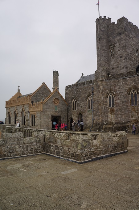
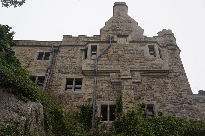
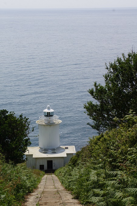
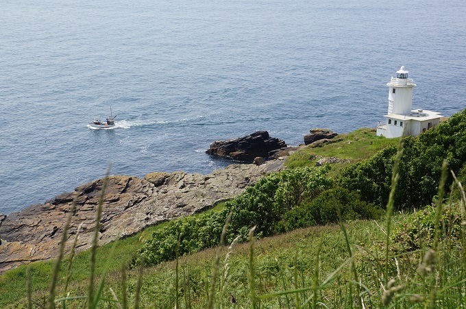
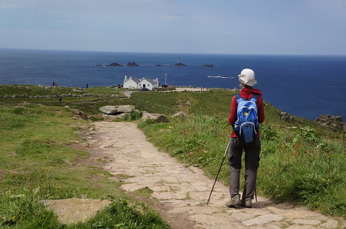
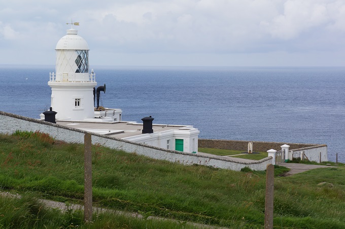
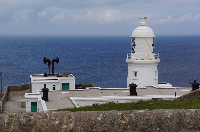
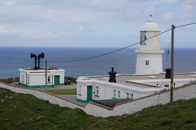
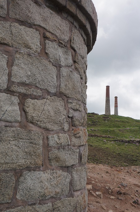
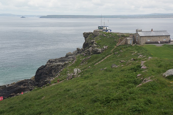
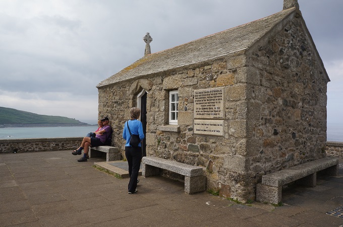
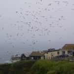
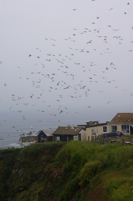
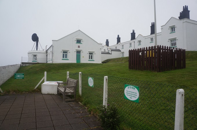
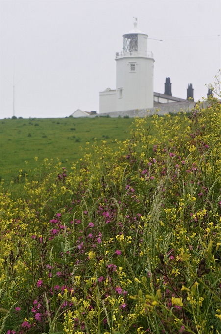
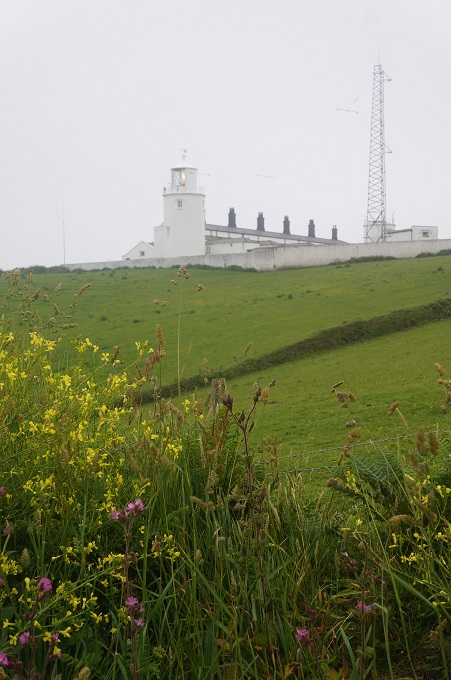
Lizard Point also has a lighthouse. The first light here was built in 1619, although it was opposed by locals as parts of their houses were made from material salvaged from wrecks. The current lighthouse was built in 1751 and has two towers (only one still used today) with cottages built between them. While still operating, the lighthouse is also a museum and interactive learning centre and you can climb to the top of the tower. Unfortunately we were much too early to wait and do this. The light on the tower was flashing and the fog horn blasted about every 25 seconds. Two hours later we could still hear it in the distance, long after the light had faded in the mist
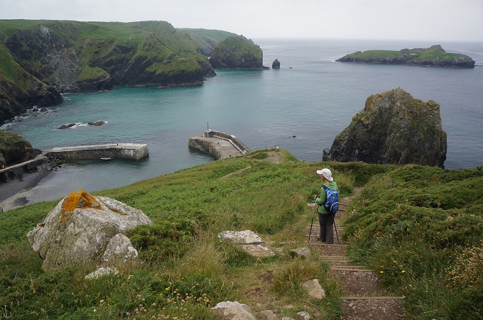
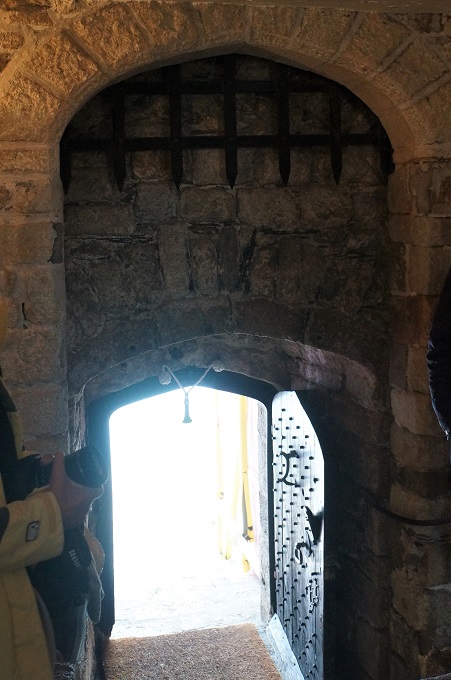
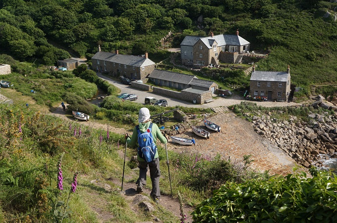
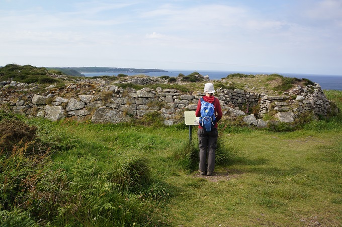
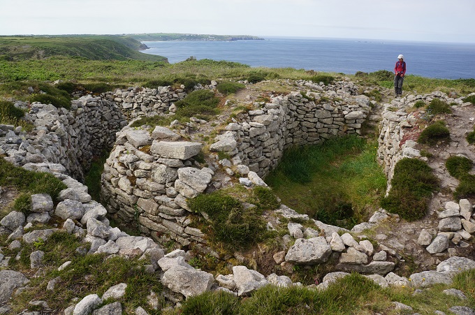
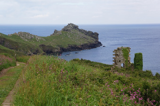
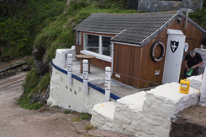
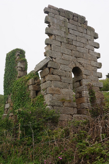
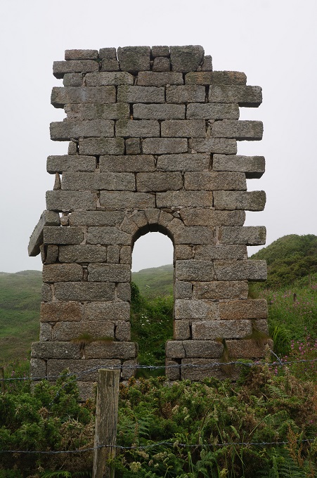
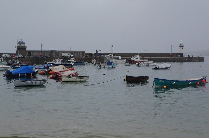
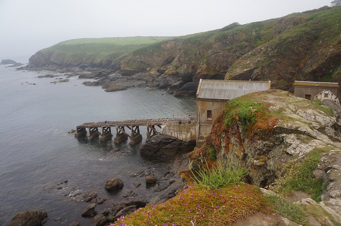
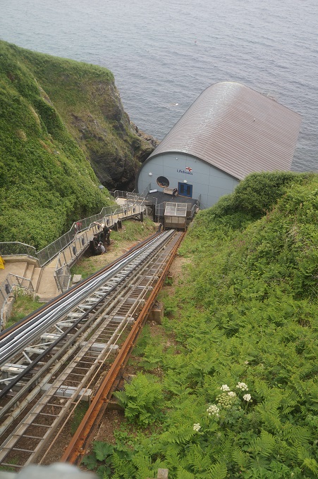
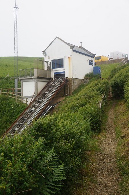
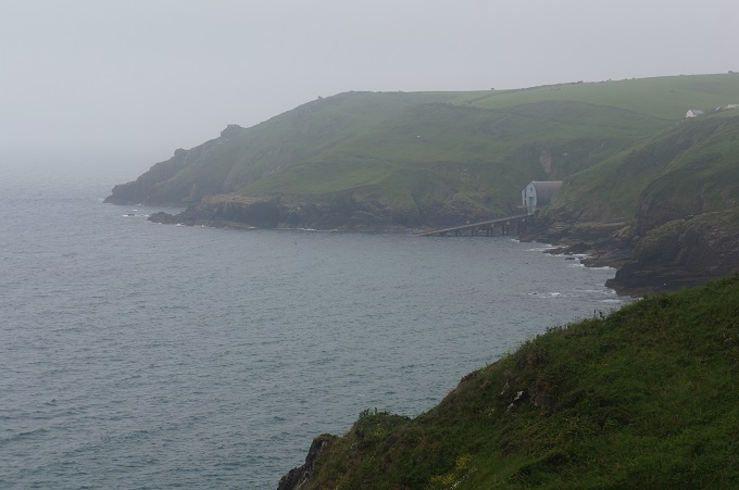
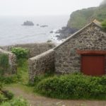
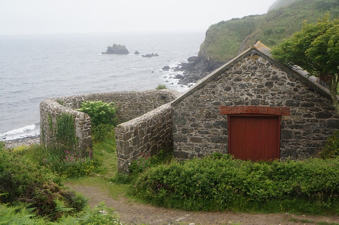
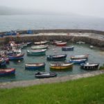
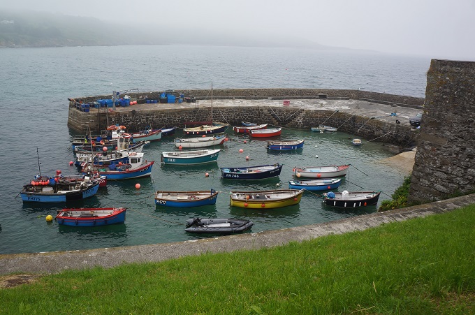
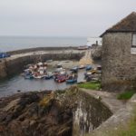
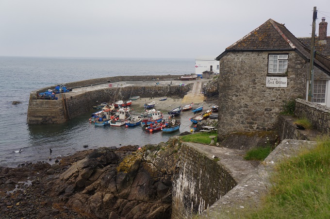
There have been three life boat stations in a cove at Lizard Point, the first in 1859. We had a quick look at the third edition, built in 1914 and closed in 1961. A little later in the morning we came to the location of the present station at Kilcobben Cove. This was edition number two at this site, built in 2010. There is a cable car on a steep track that takes crew and supplies down to the boathouse and then another steep ramp that the life boat runs down to the sea. It’s a pity we didn’t see it in action, it would be a spectacular sight.
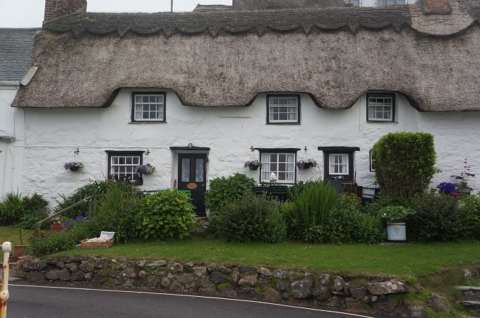
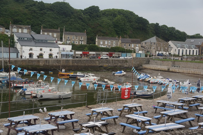
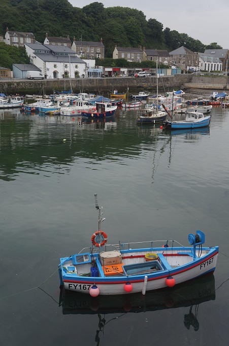
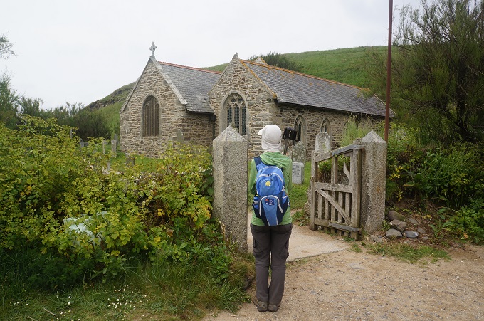
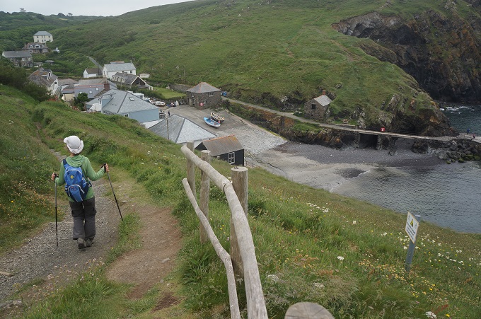
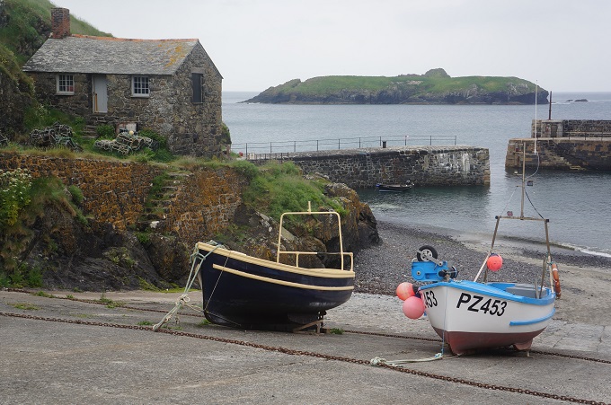
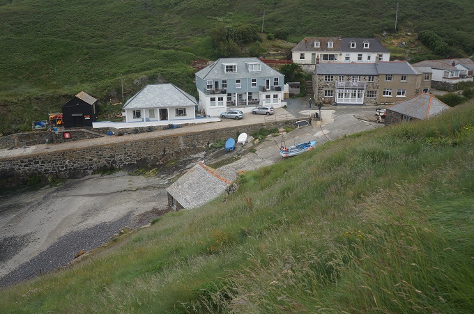
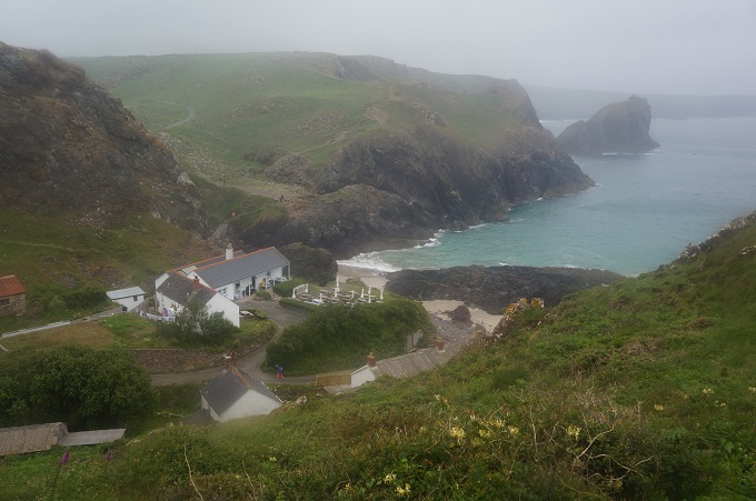
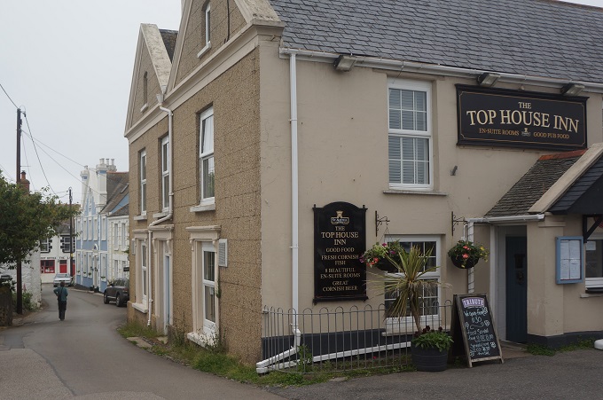
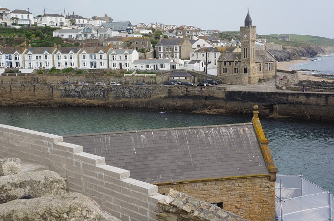
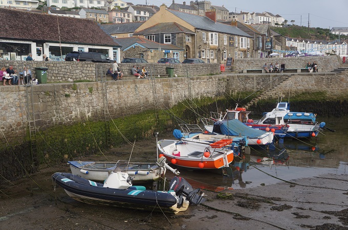
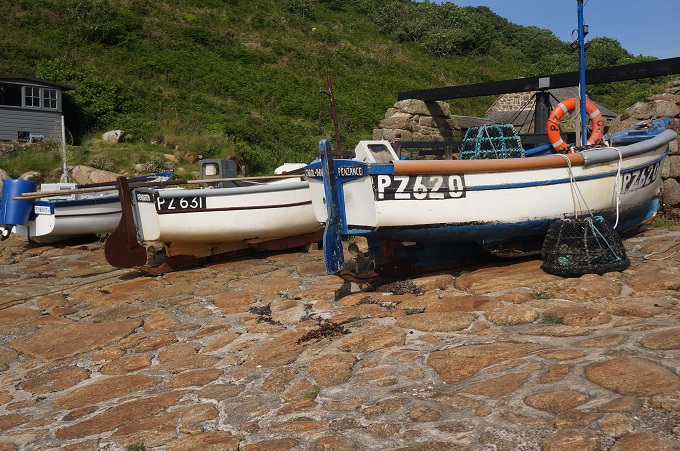
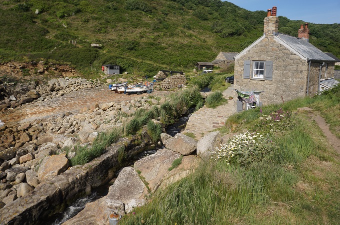
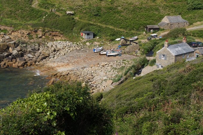
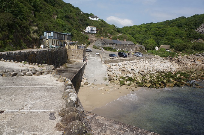
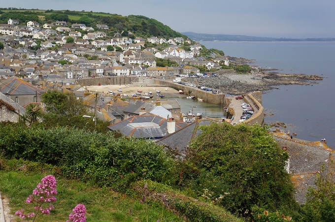
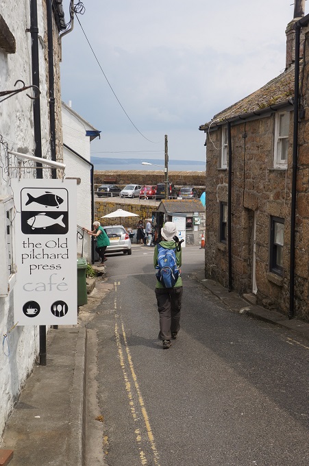
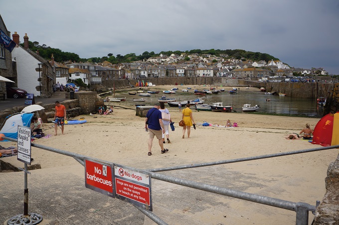
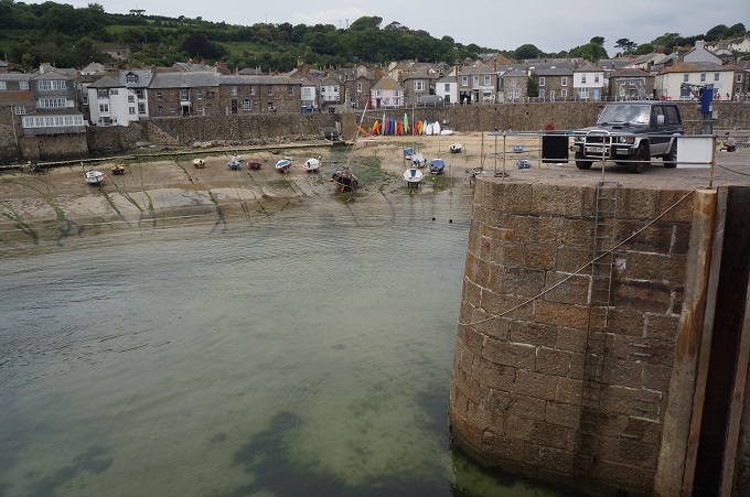
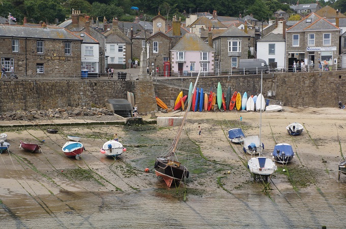
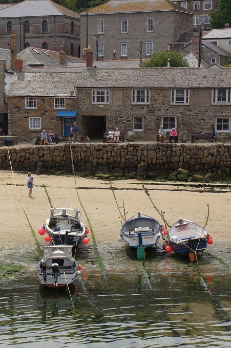
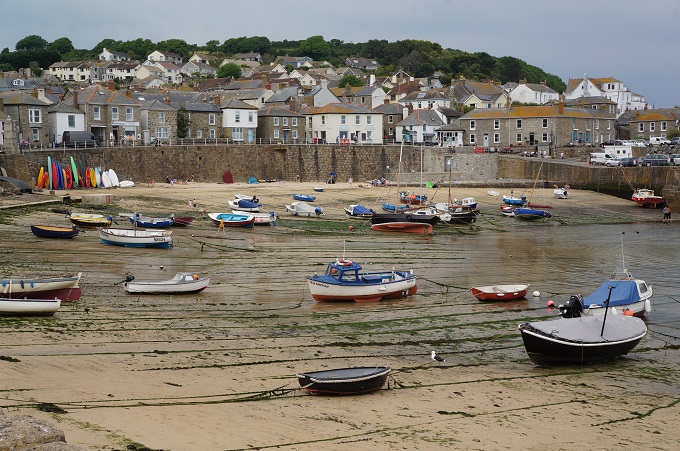
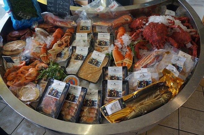
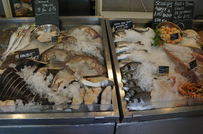
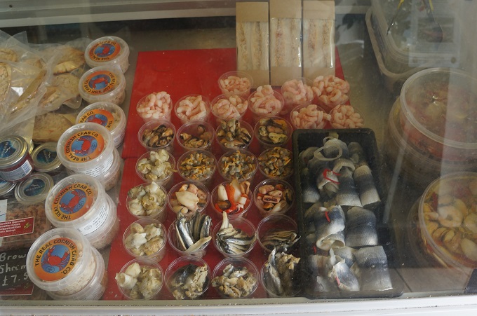
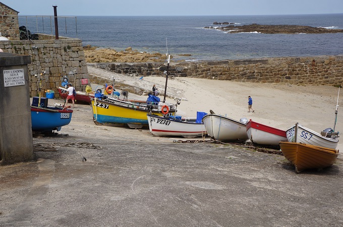
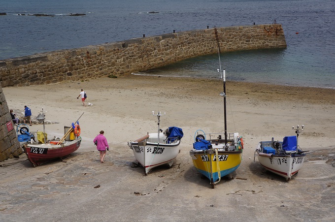
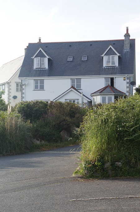
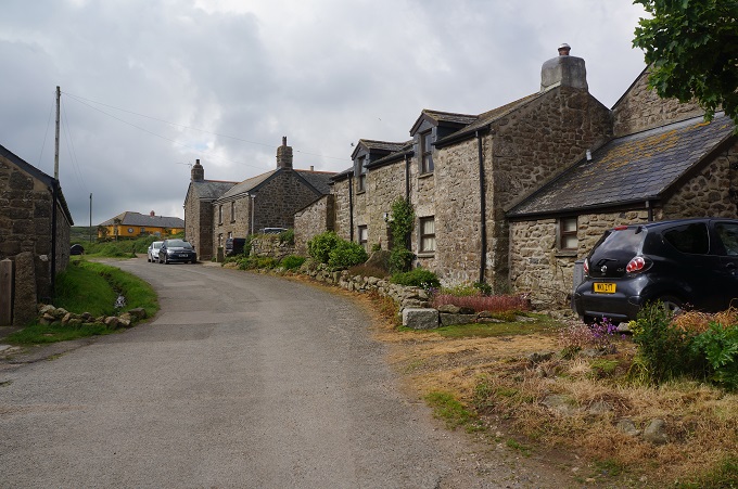
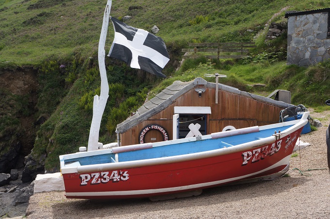
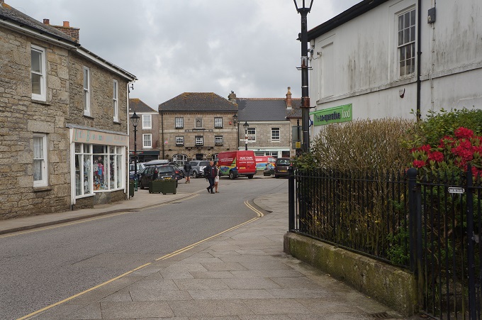
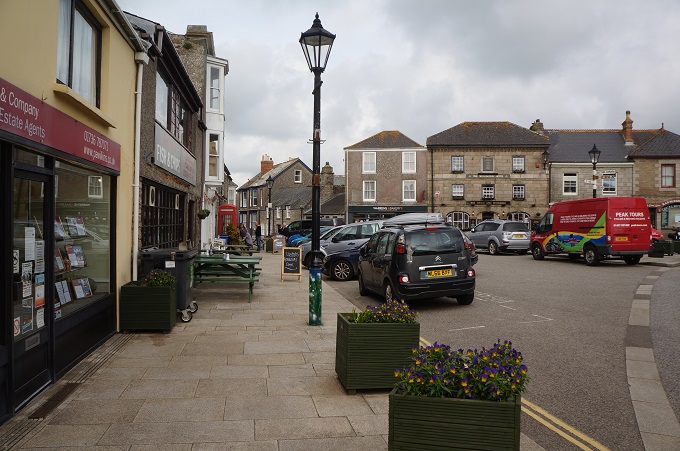
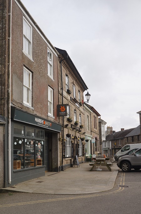
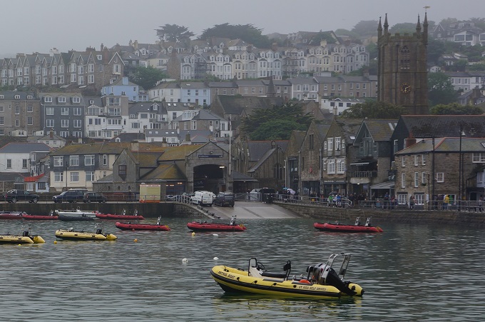
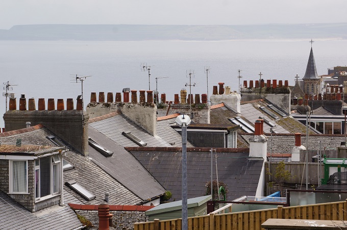
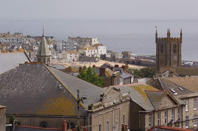
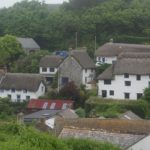
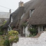
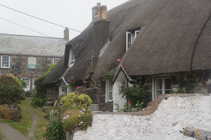
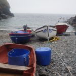
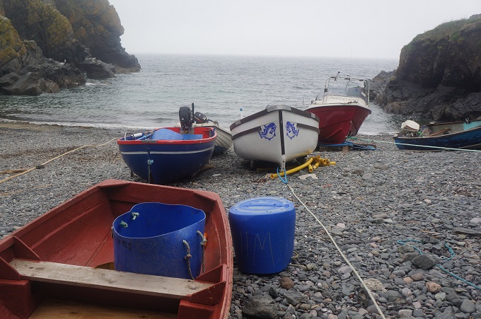
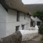
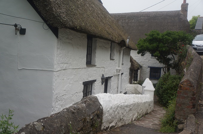
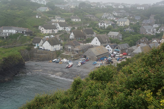
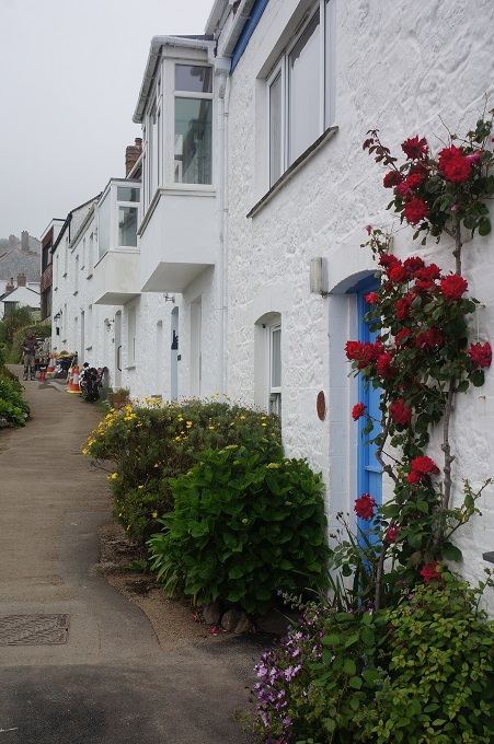
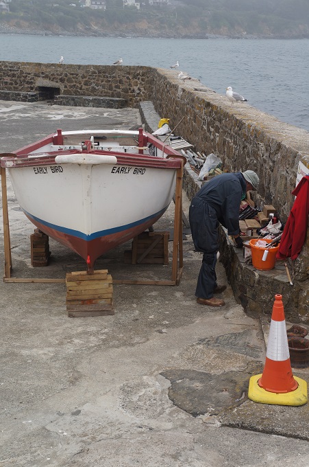
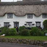
The only village we passed through today was Cadgwith, a collection of lobster pots, fishing floats and boats clustered around the one pub. On Fridays the Cadgwith Singers gather to work on their sea shanties but we didn’t hear a sound from the pub as we went by. At least half the houses in the village have thatched roofs and this looks like an un-touristy working fishing village.
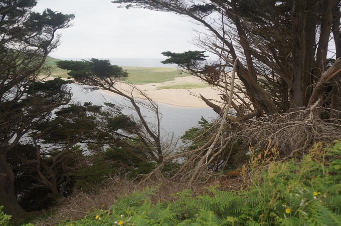
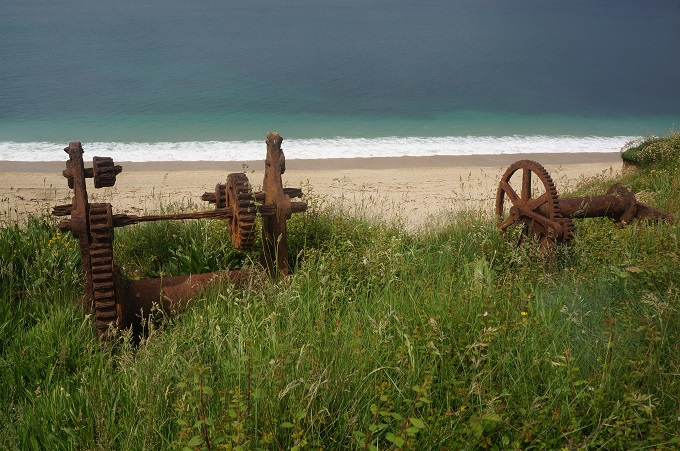
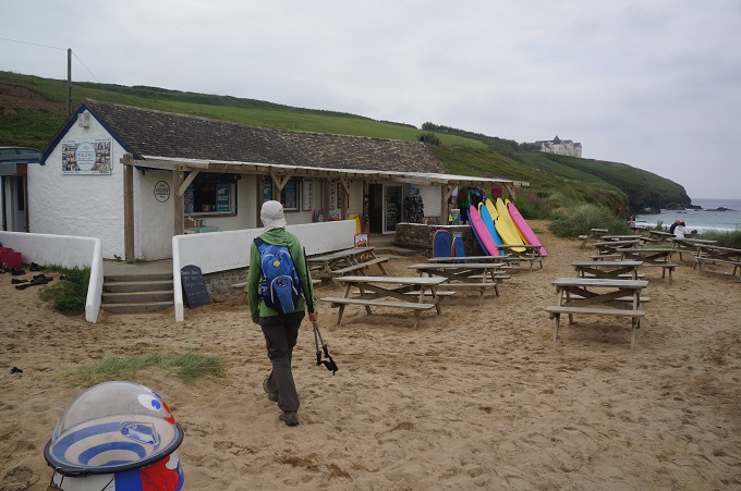
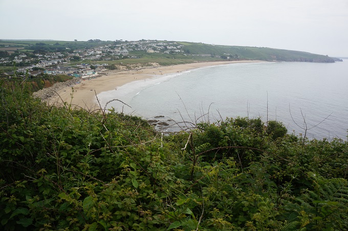
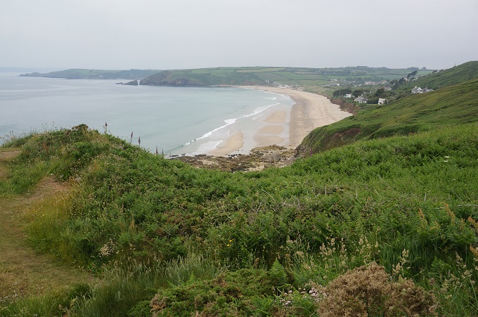
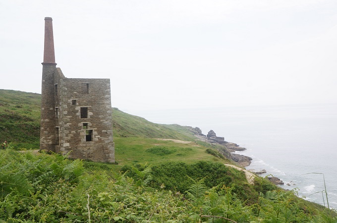
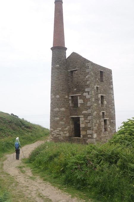
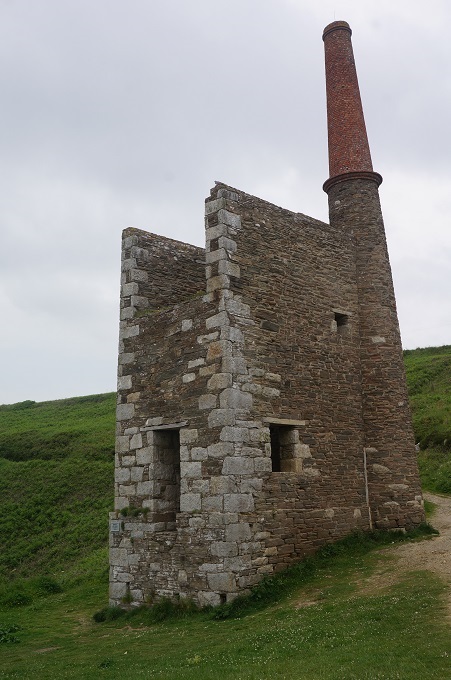
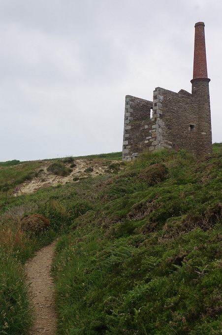
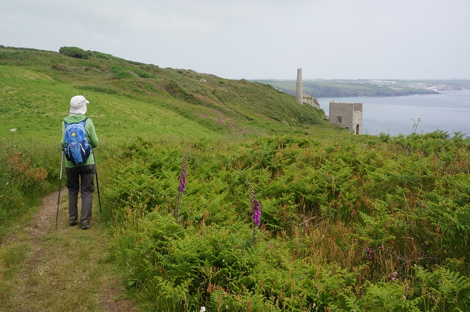
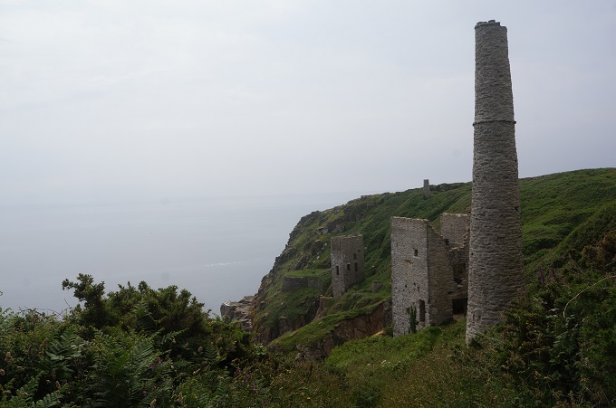
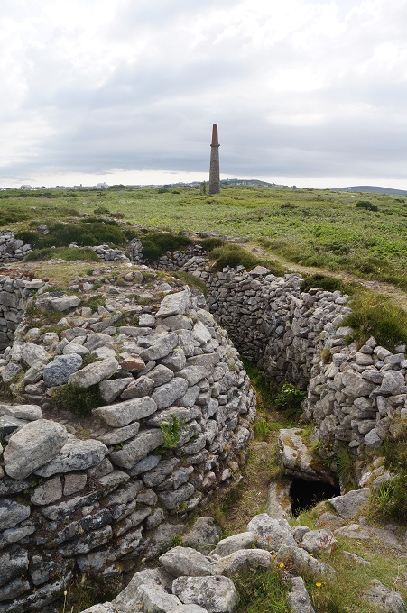
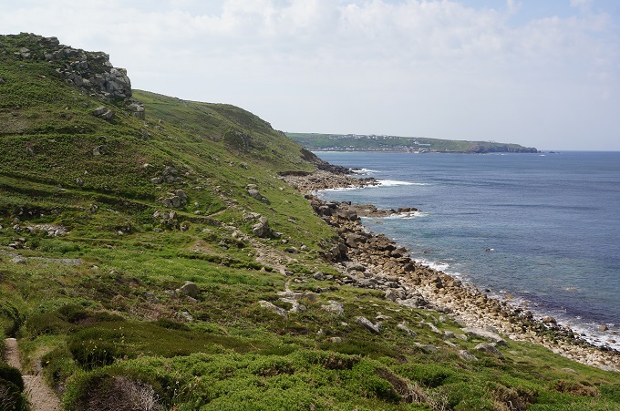
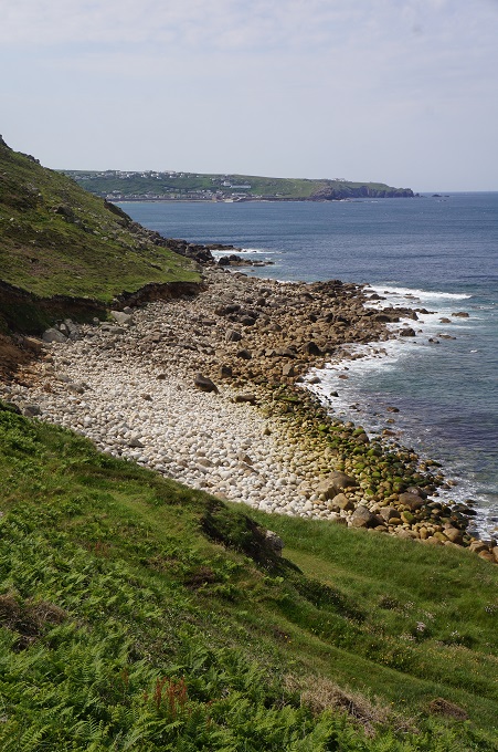
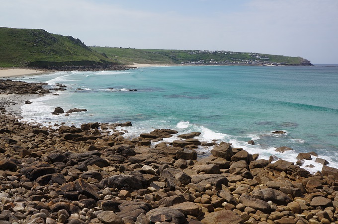
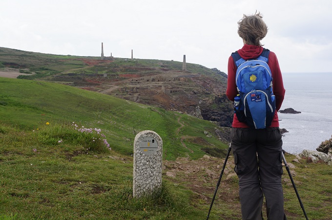
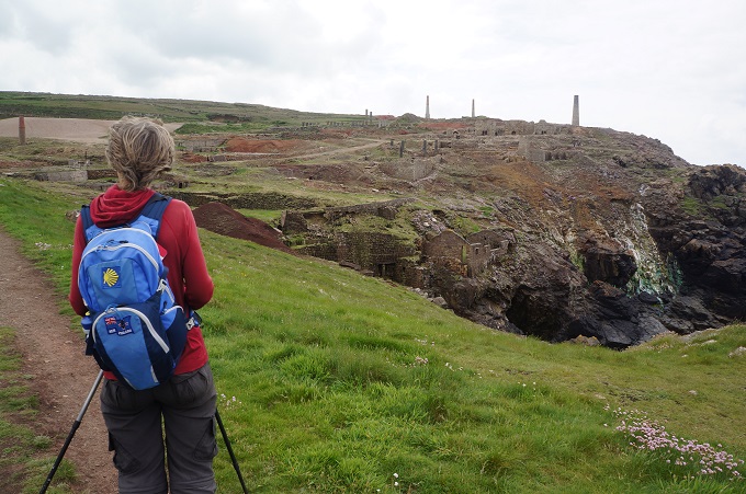
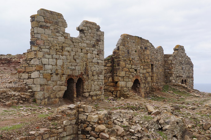
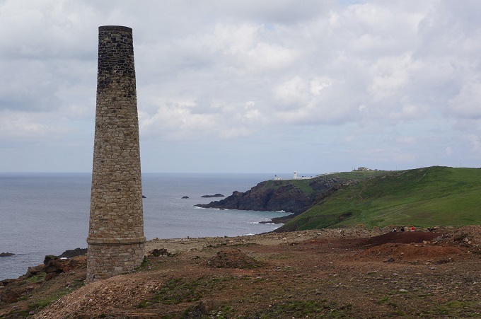
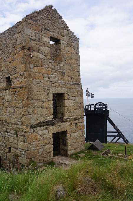
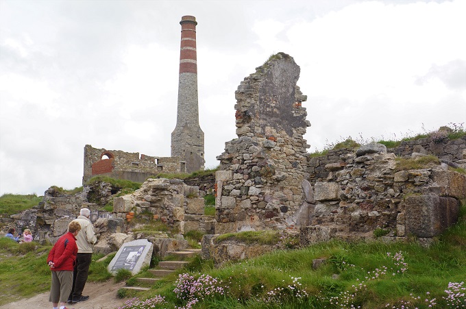
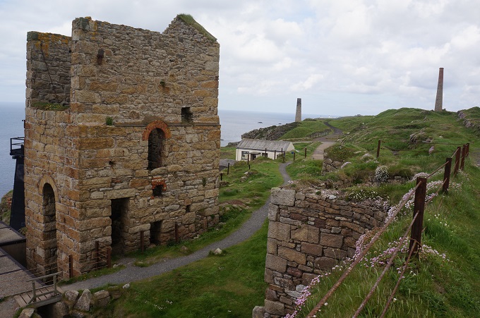
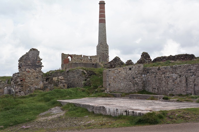
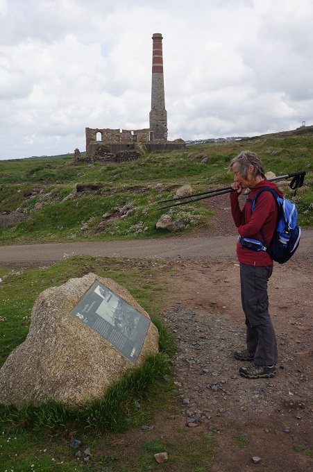
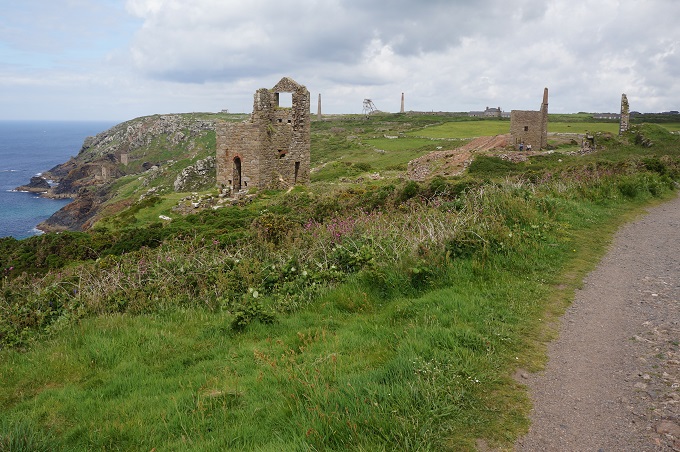
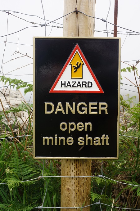
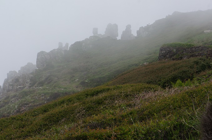
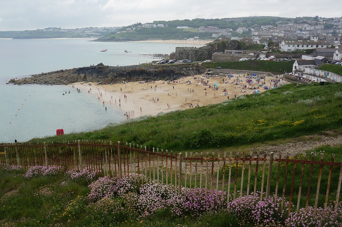
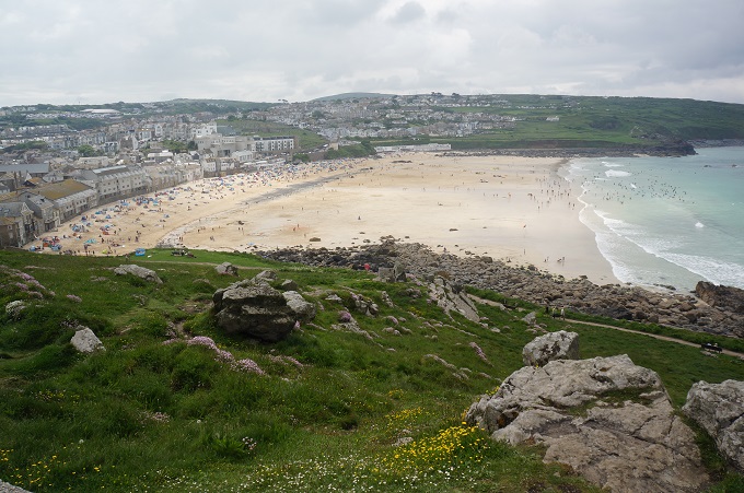
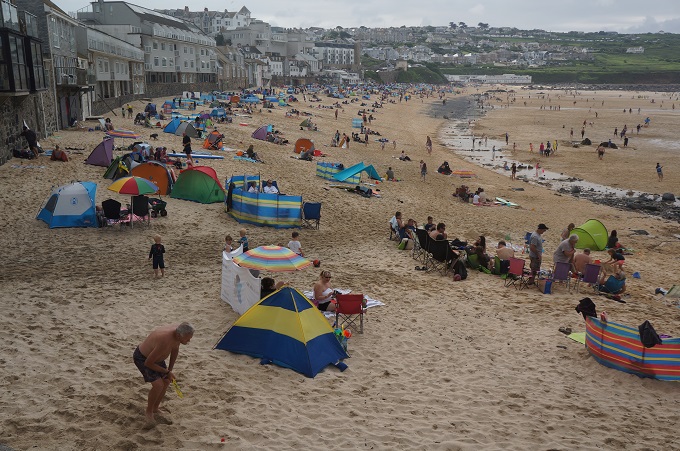
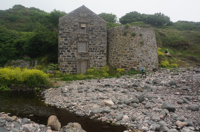
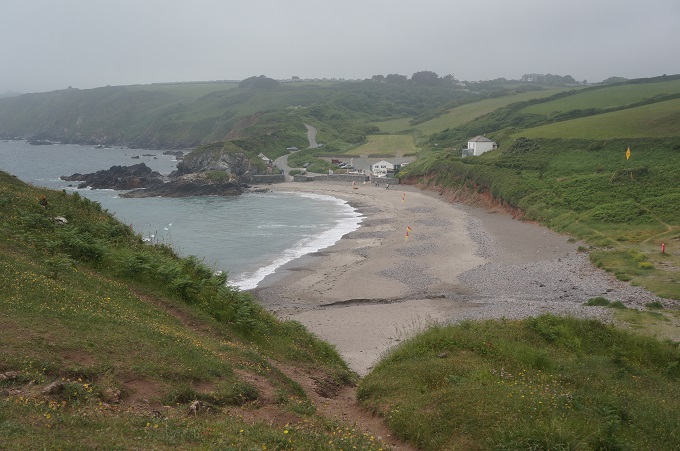
We also passed a few sandy beaches, the biggest of which was Kennack Sands another beach popular with surfers. It had the usual ice cream shop, surf school and life guards. Nearby we came to the ruins of a serpentine works. There was once a thriving Victorian factory making mantlepieces, grave stones, shop fronts and polished ornaments from serpentine stone quarried on the site. 20 men and 3 boys were employed in the factory in 1883, which gained its power from a water wheel.
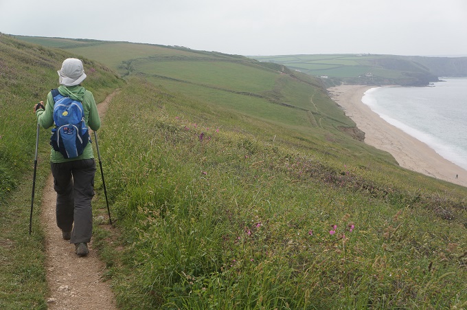
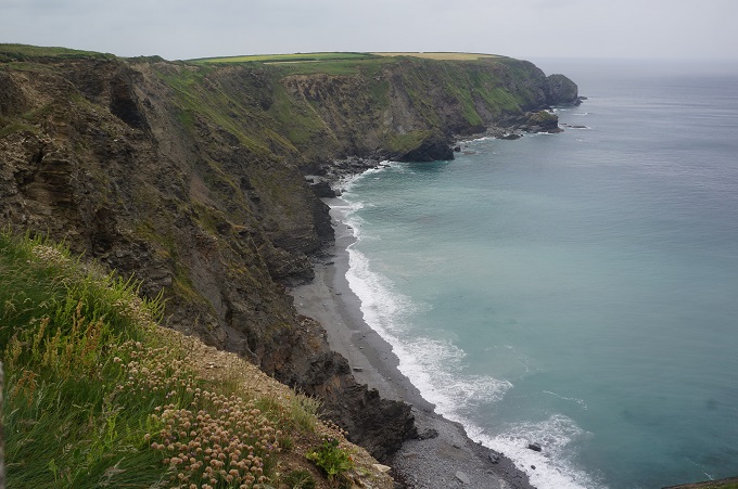
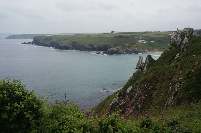
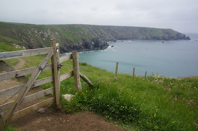
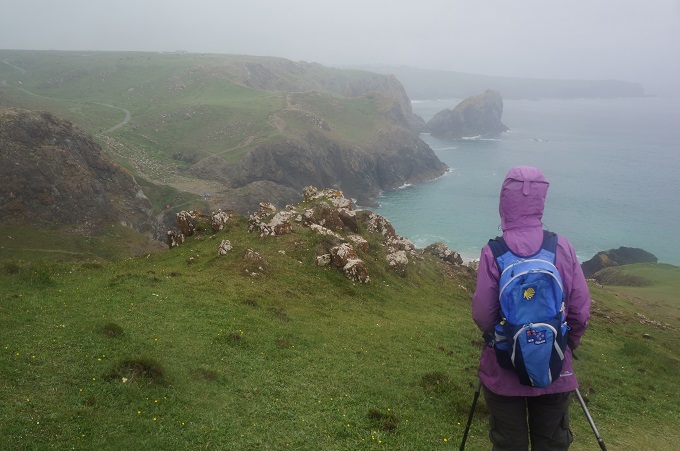
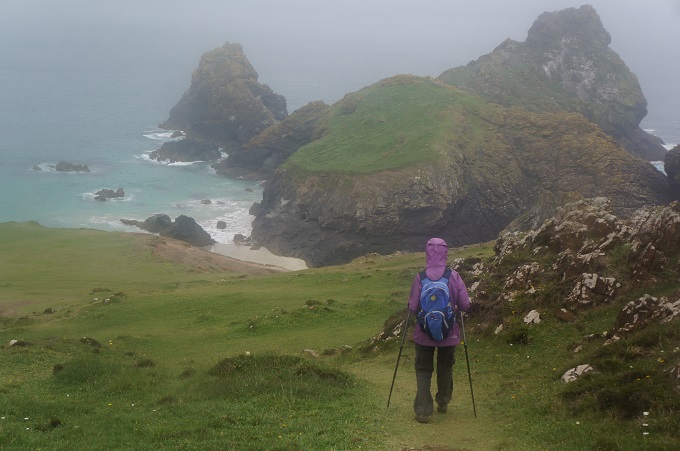
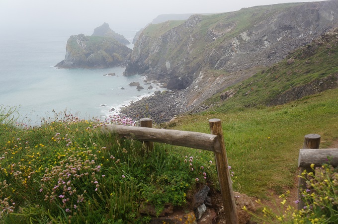
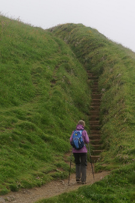
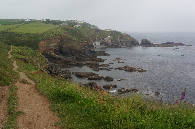
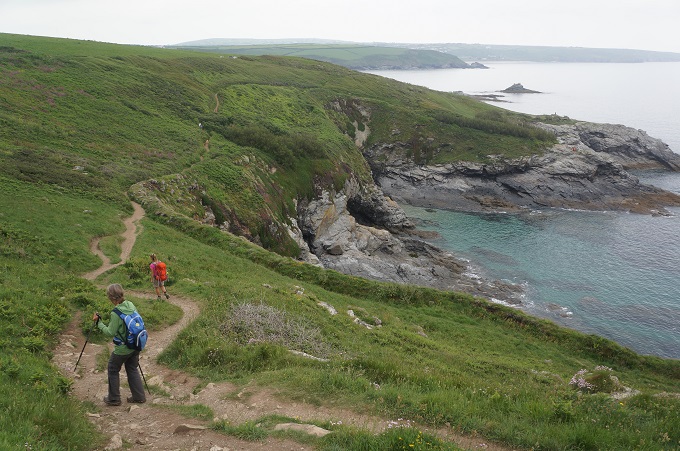
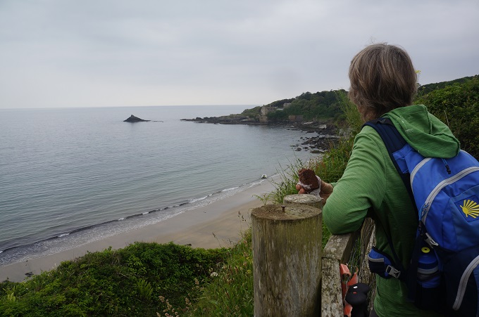
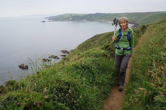
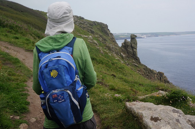
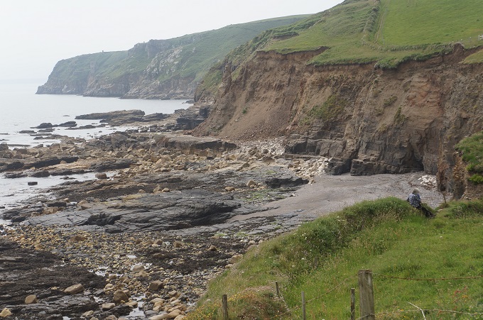
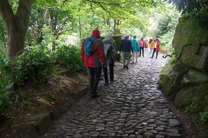
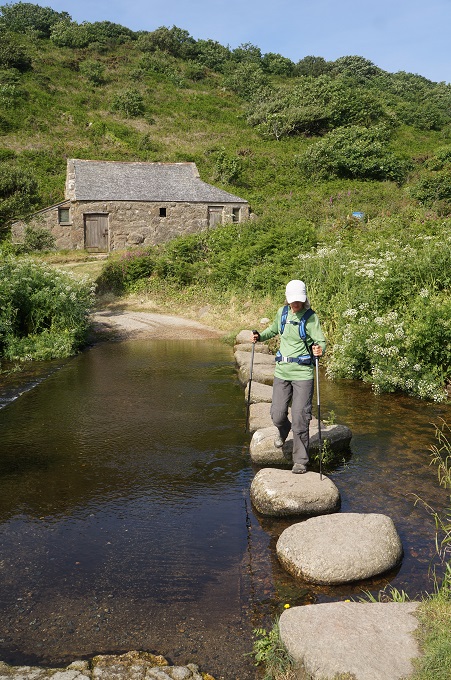
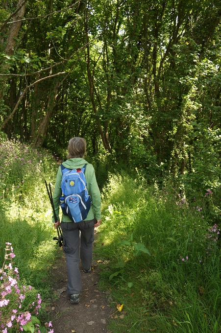
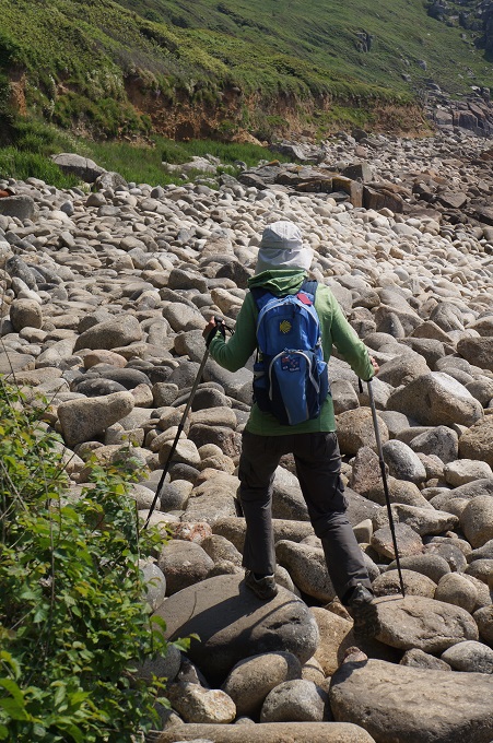
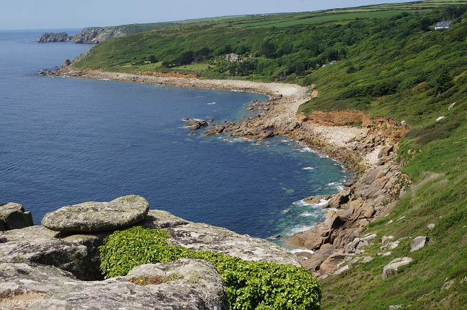
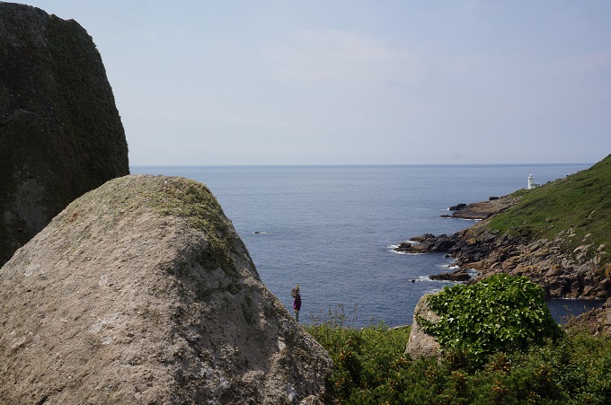
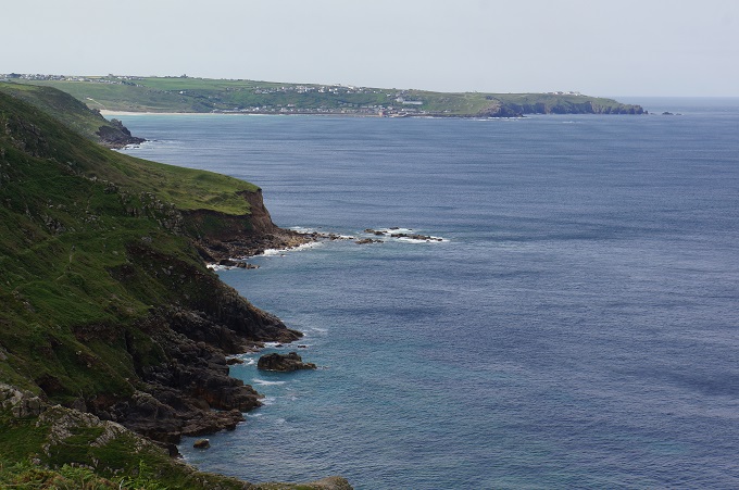
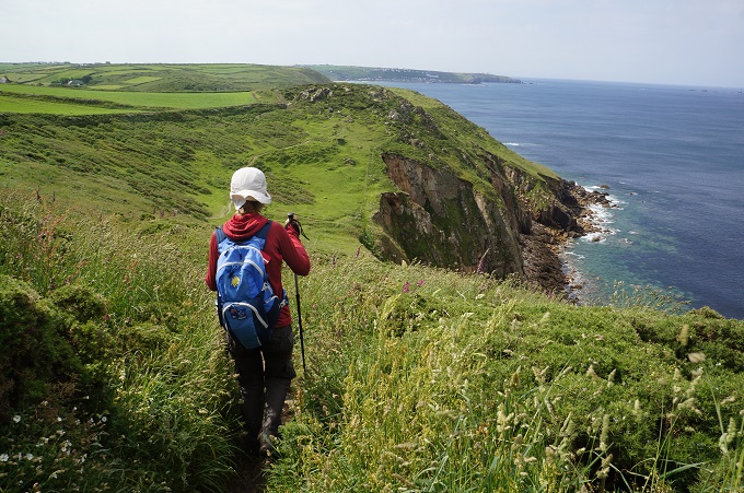
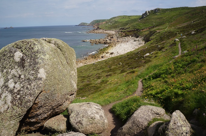
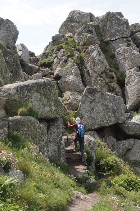
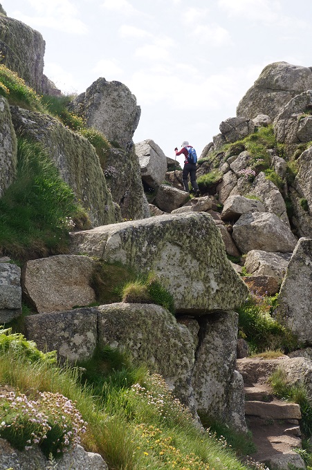
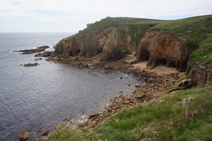
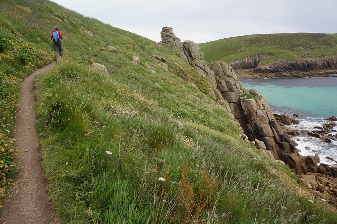
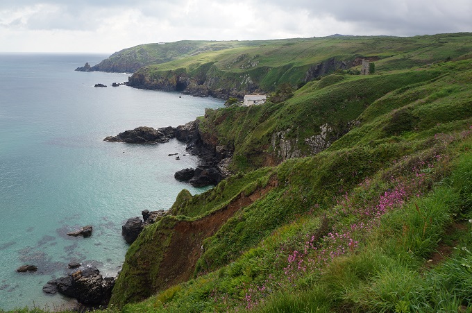
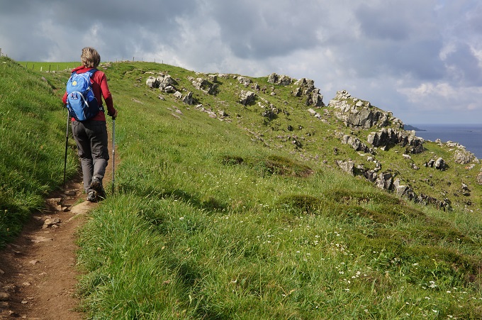
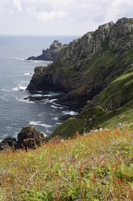
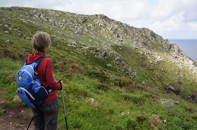
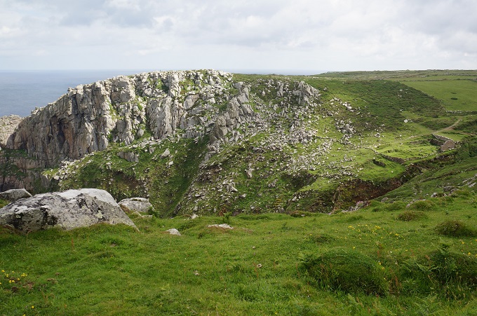
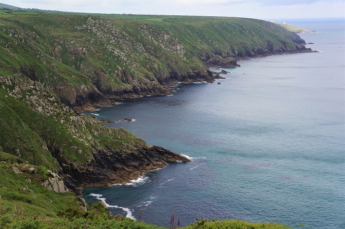
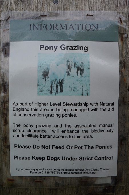
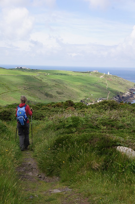
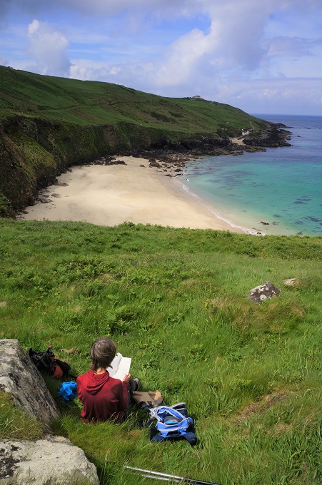
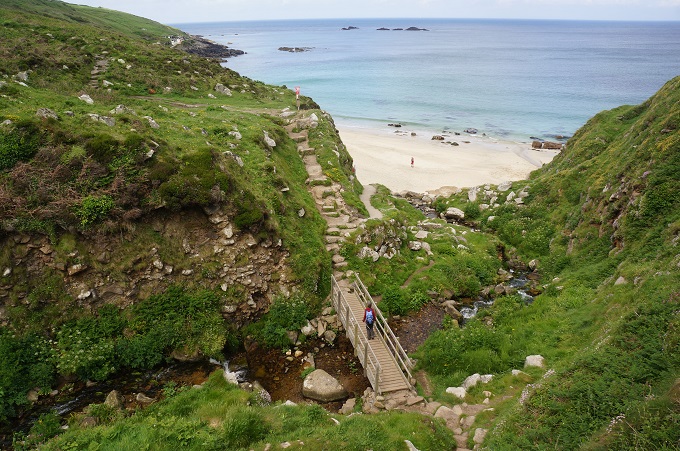
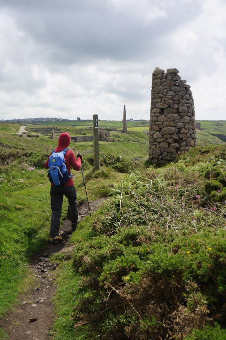
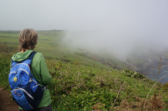
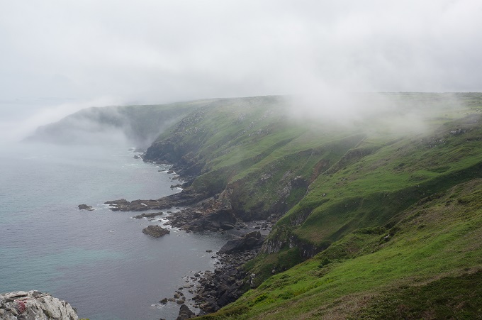
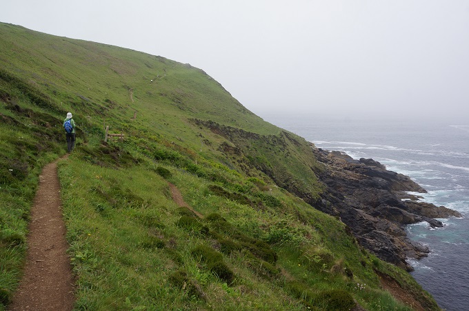
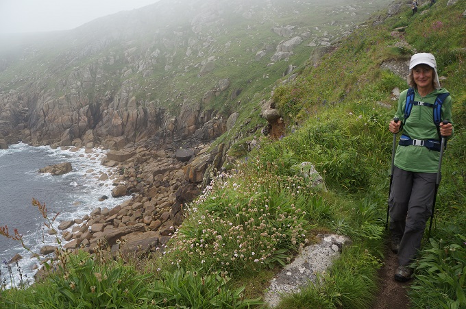
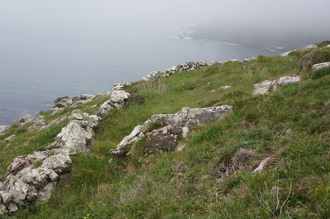
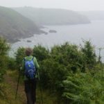
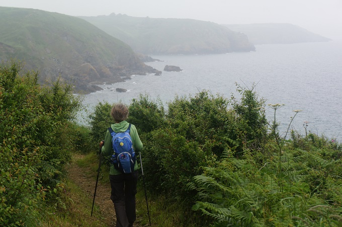
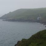
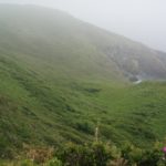
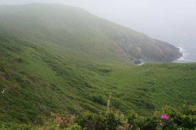
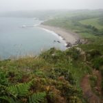
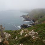
Today was again all about cliffs and coves, punctuated by headlands. If it had been clearer we would have had excellent views along the coastline. This part of the coast is largely sheltered from the worst of the prevailing winds and so it has a lush, well vegetated character. It also doesn’t have roads or car parks nearby so is relatively unfrequented by casual walkers and long stretches were quiet and remote.
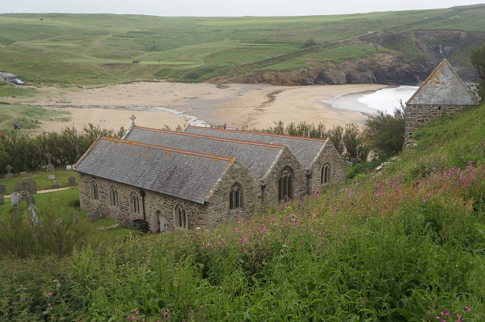
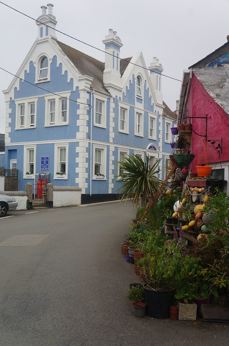
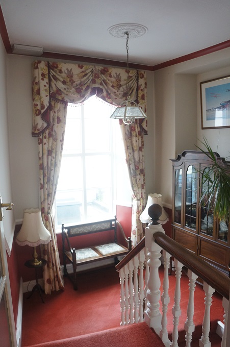
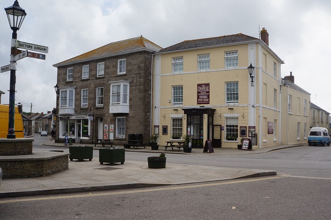
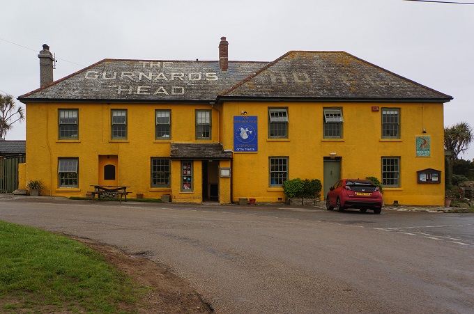
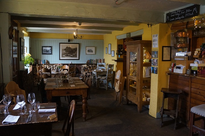
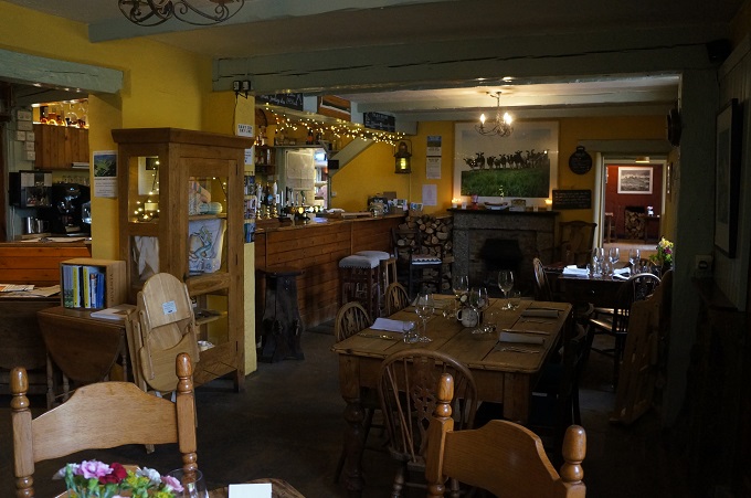
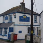
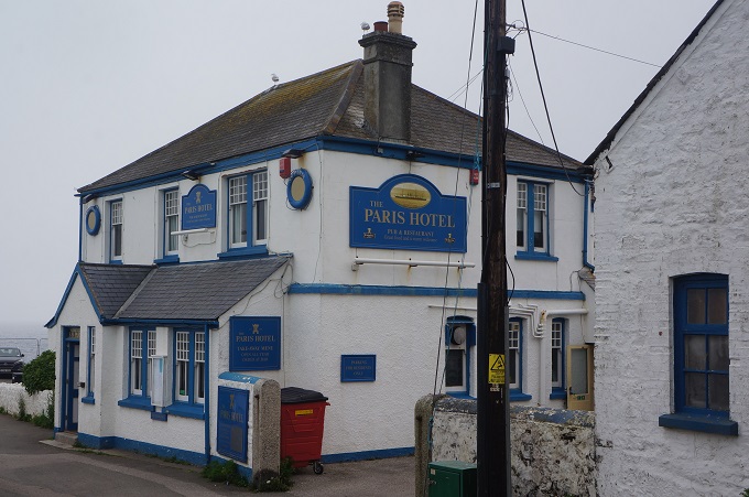
Tonight we are at the Paris Hotel. It is named after the S.S Paris that was wrecked off the point here in 1899. At dinner we were treated to a pod of dolphins passing in front of the dining room windows.
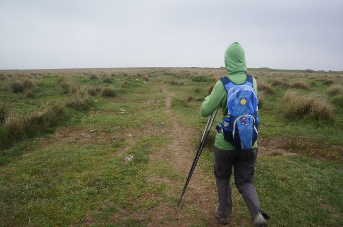
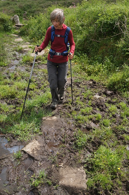
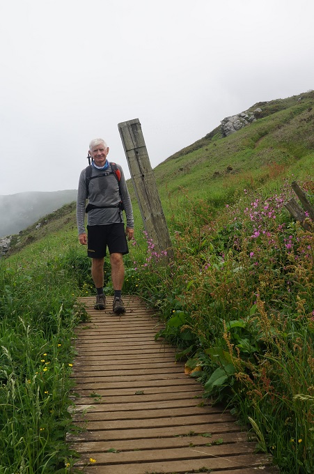
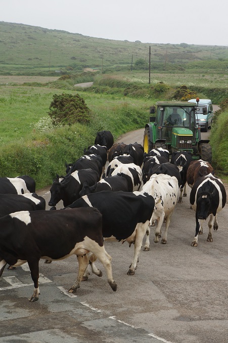
While walking along we decided today was a ‘not too’ day. Not too hot, not too much glare, not too difficult, not too far, not too short, not too much wind, not too many people, not too much mud, not too many steep climbs, not too many precipitous descents, not too much mist, not too cold, not too many diversions, not too many cows. And obviously not too much for us to think about!
-
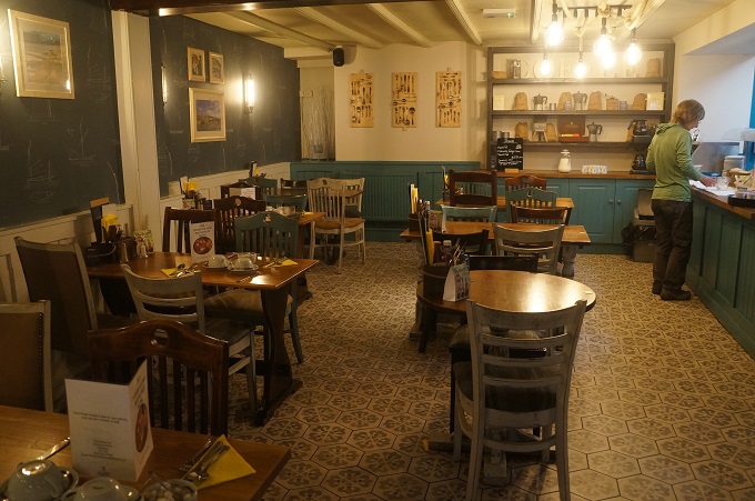
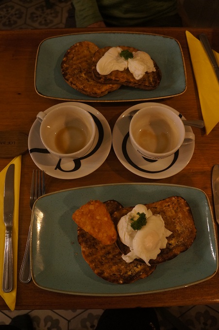
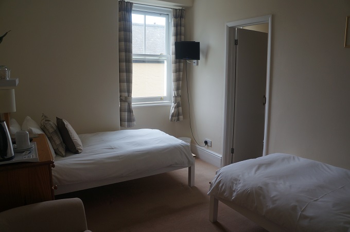
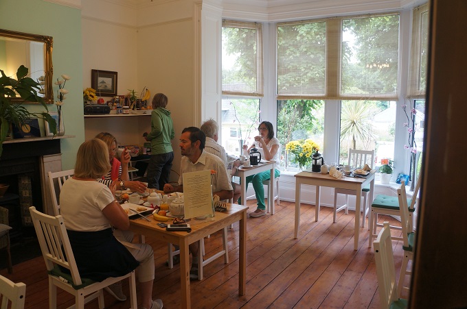
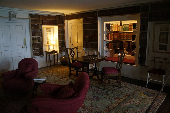
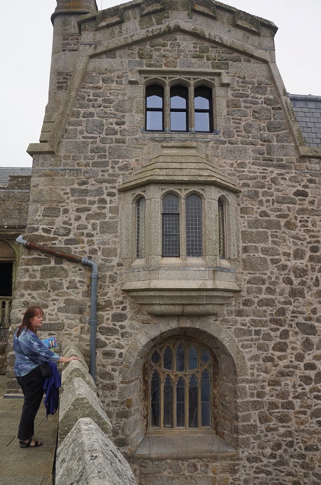
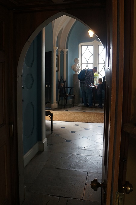
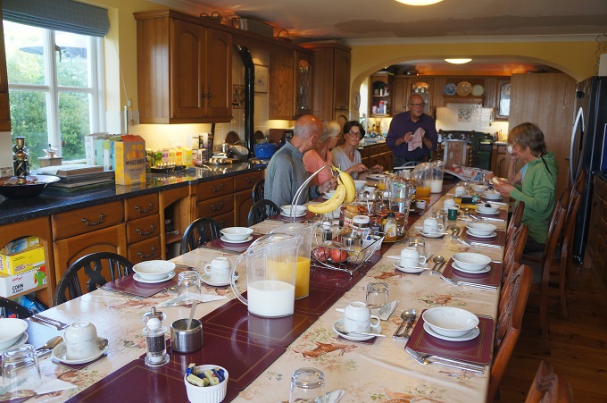
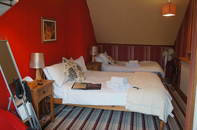
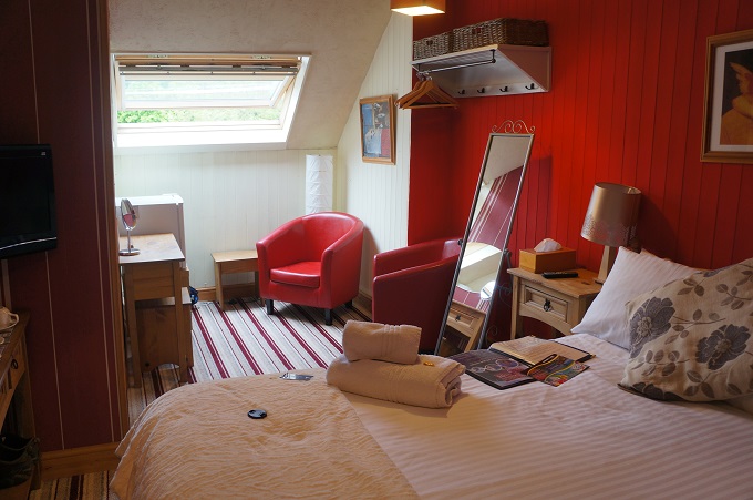
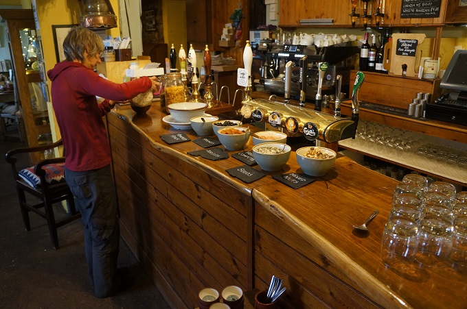
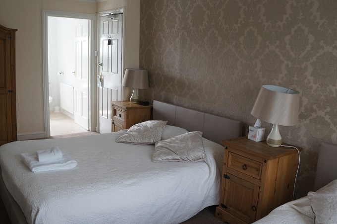
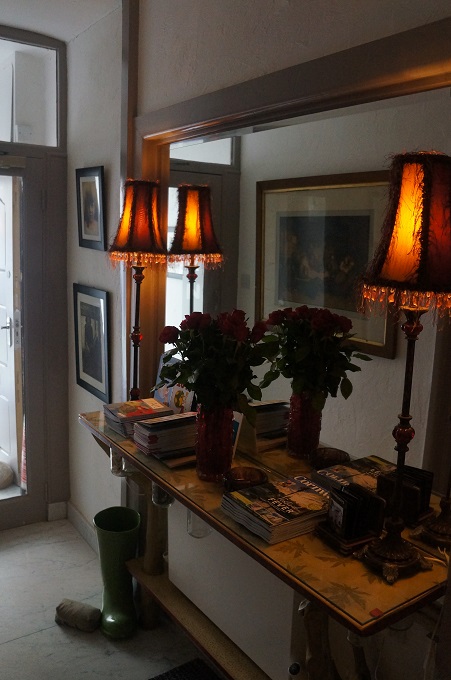
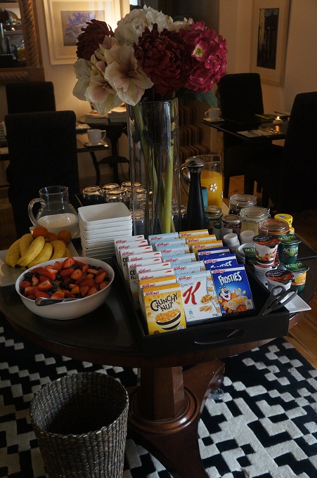
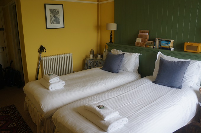
- Dining room, Caerthillian B & B

-
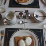
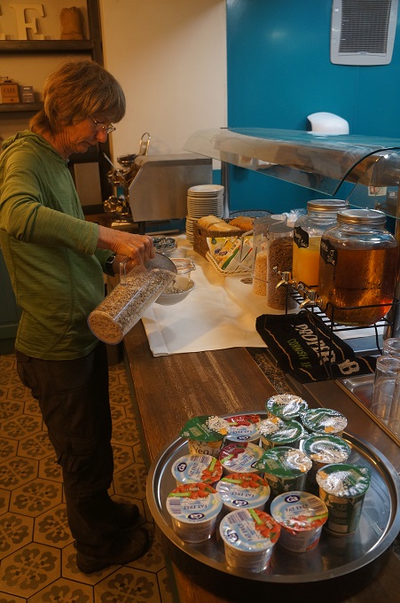
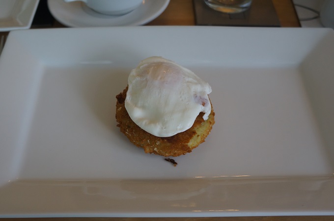
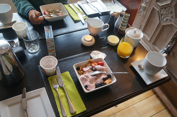
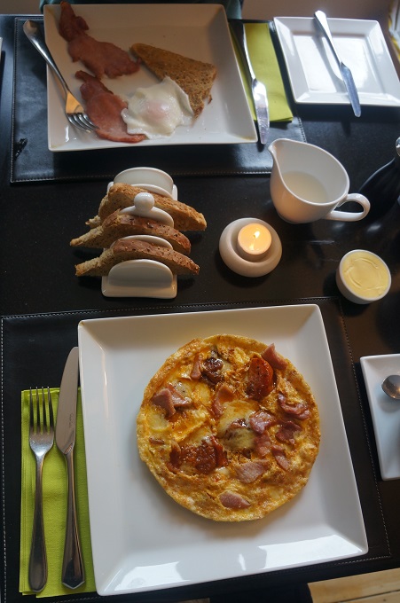
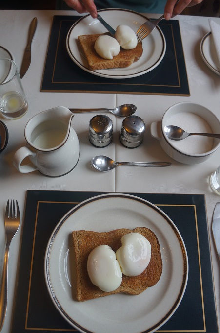
- Poached eggs yet again
-
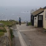
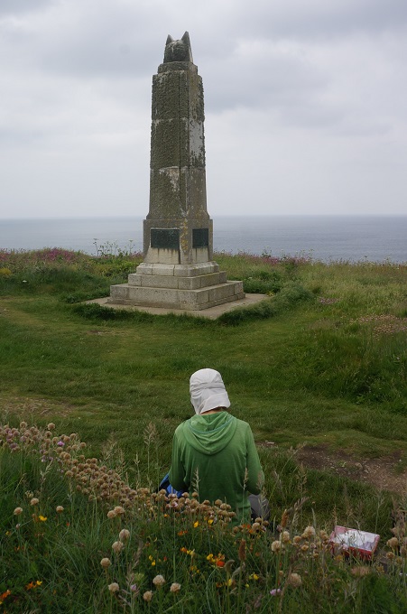
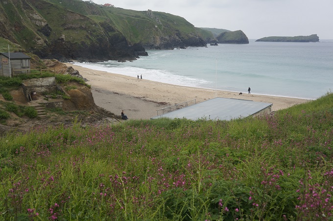
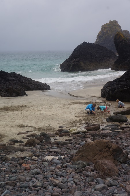
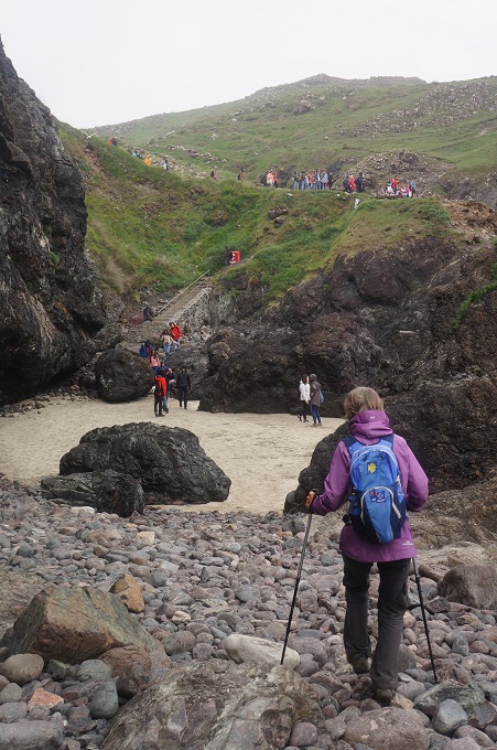
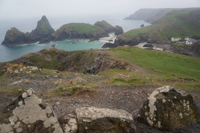
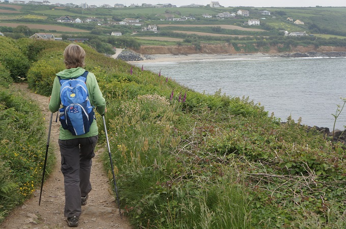
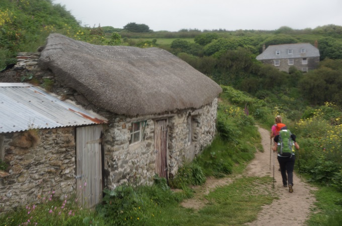
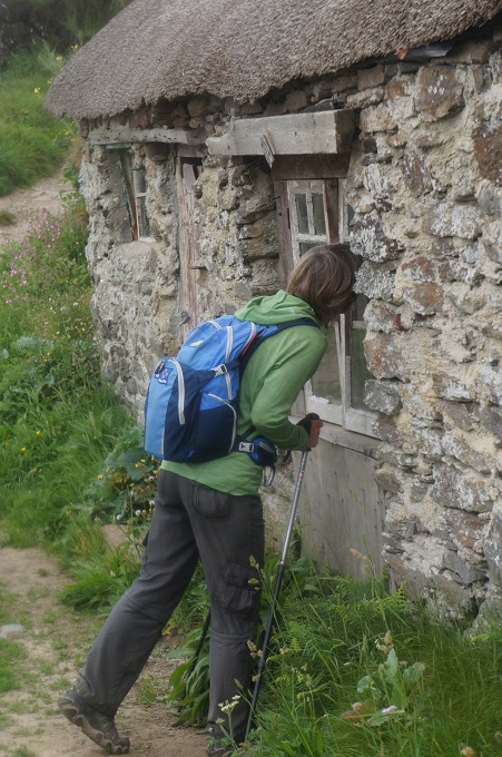
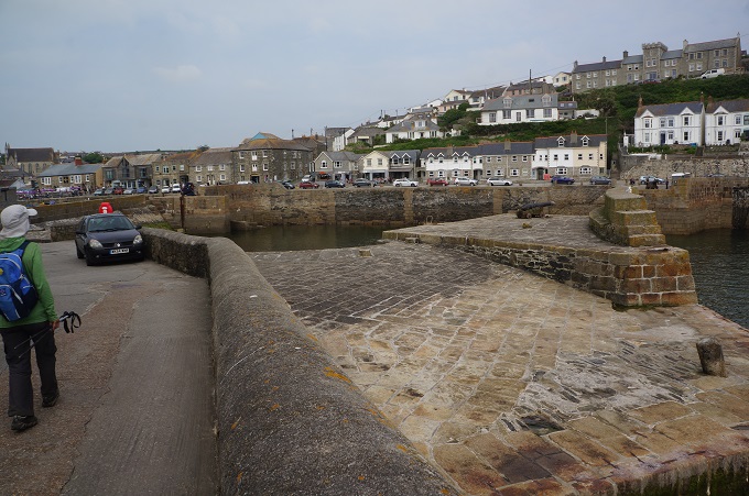
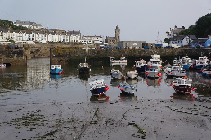
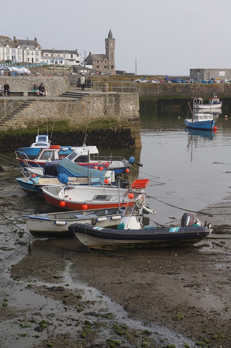
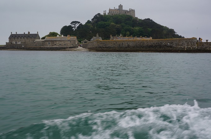
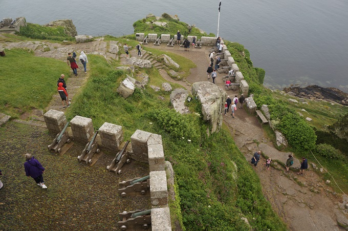
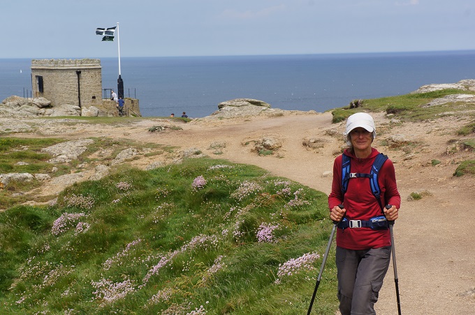
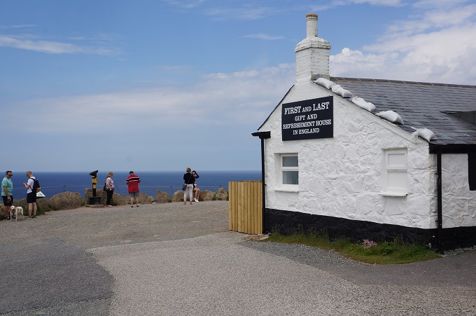
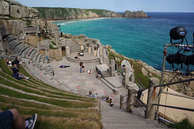
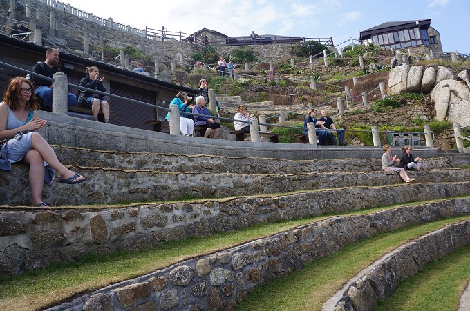
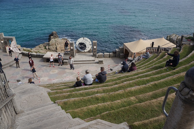
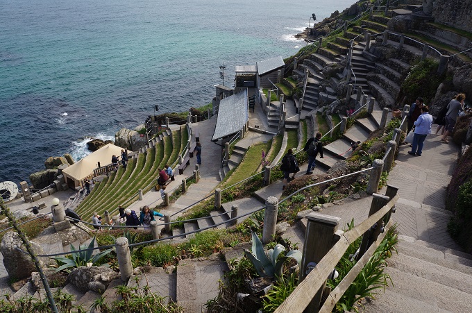
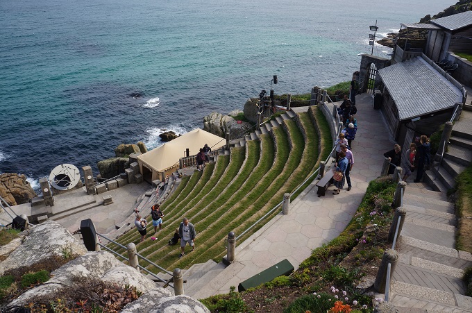
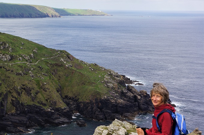
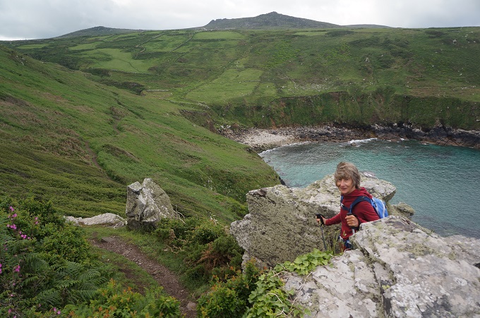
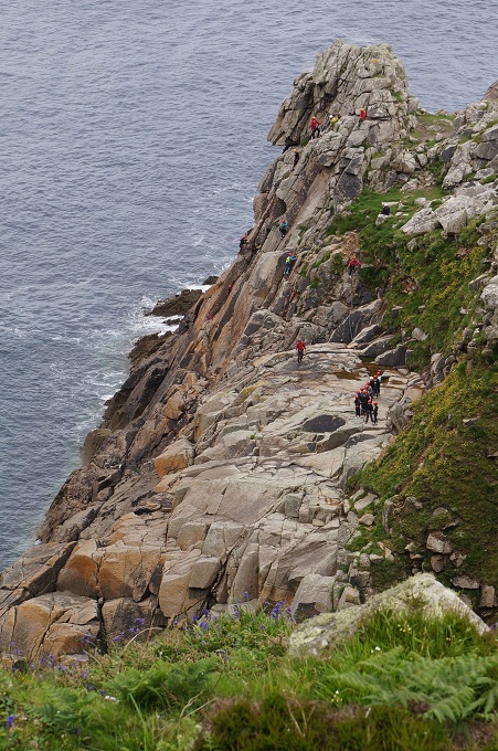
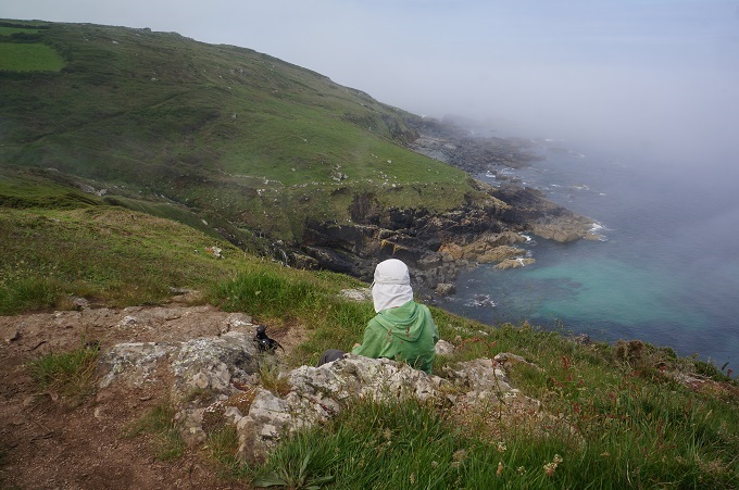
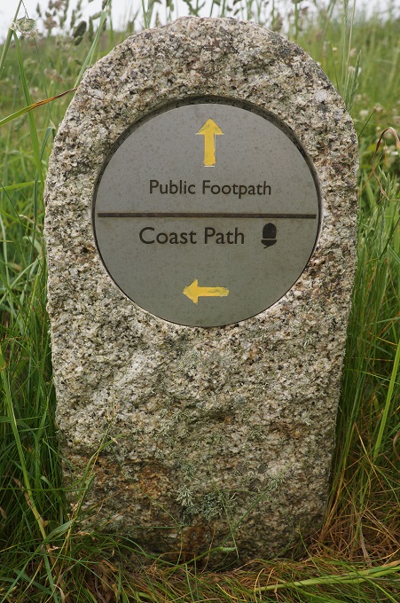
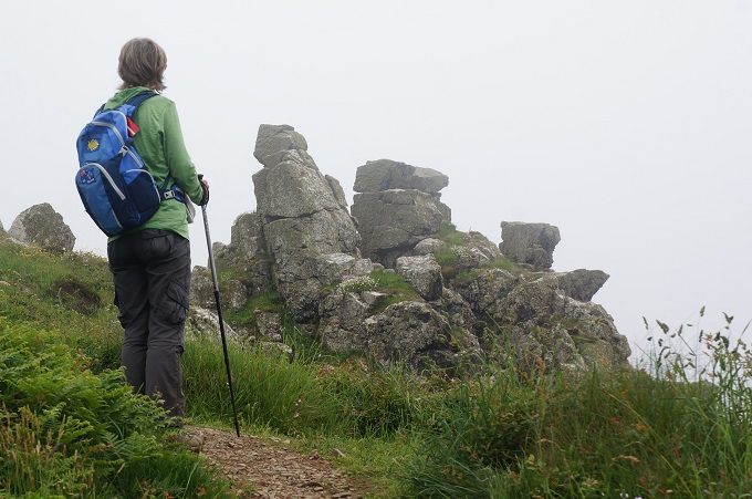
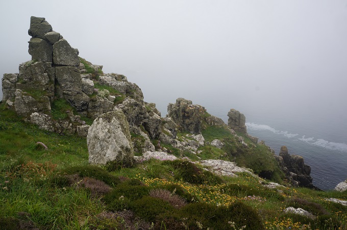
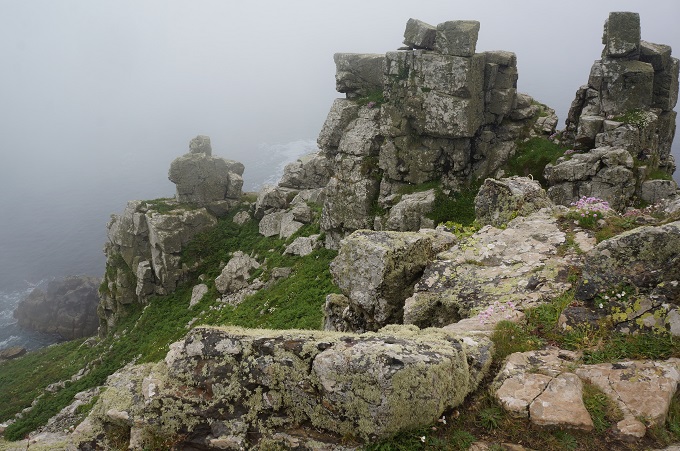
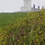
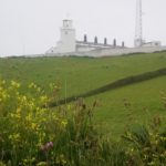
- Lizard Point
-
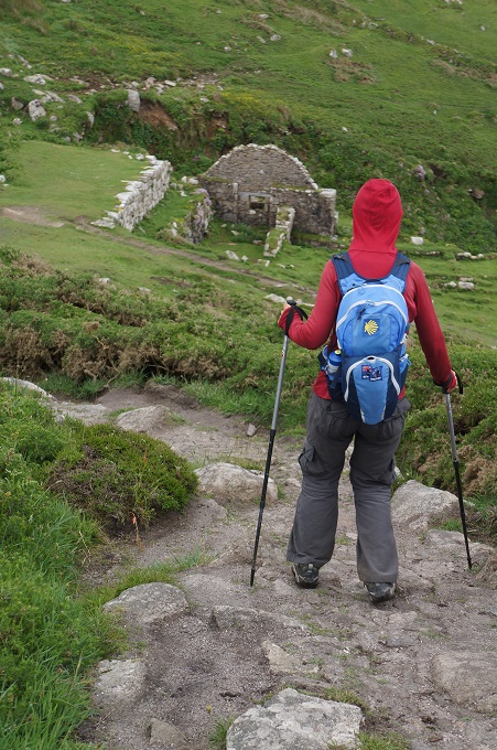
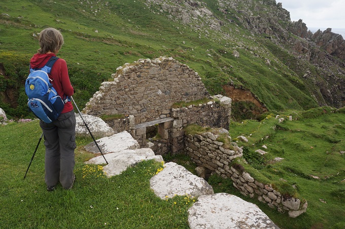
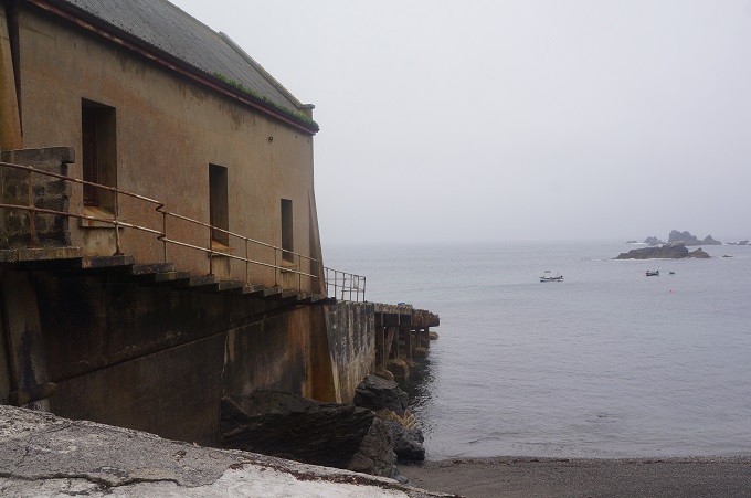
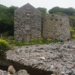
- Old Lifeboat station, Lizard Point
-
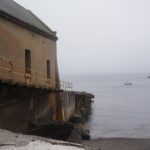
- Old Lifeboat station, Lizard Point
-
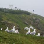
- Gulls, Lizard Point
-
- Something disturbed the gulls, Lizard Point
-
- Lizard Point
-
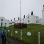
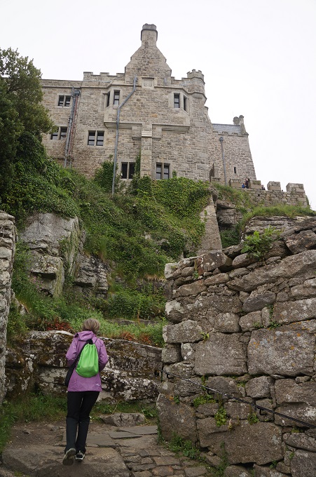
- Lizard Lighthouse and cottages
-
- Lizard Lighthouse and cottages, fog horn on left
-
- Lizard Lighthouse
-
- Lizard Lighthouse
-
- Lizard Point and lighthouse
-
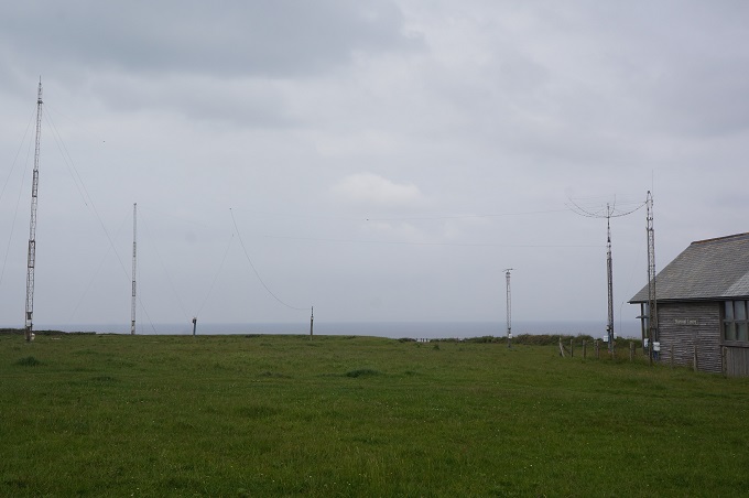
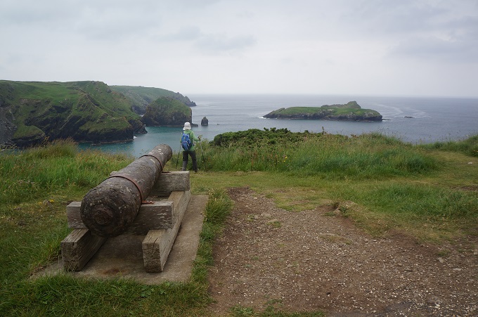
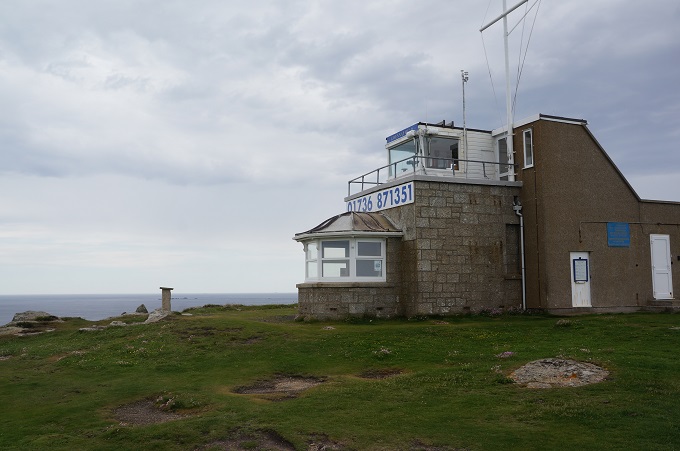
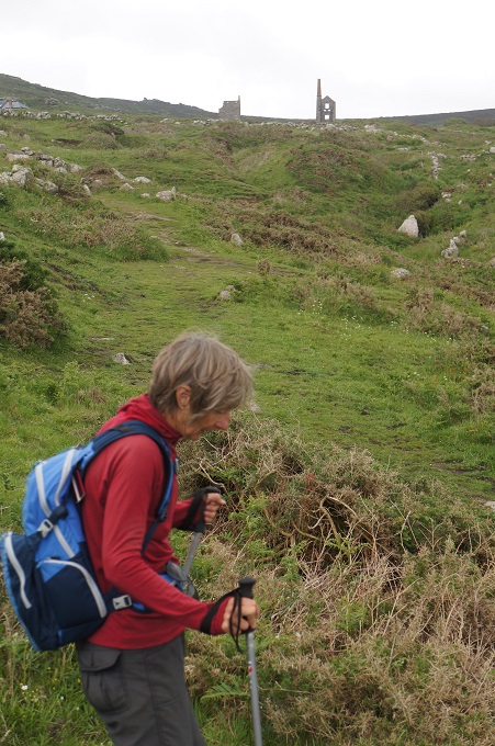
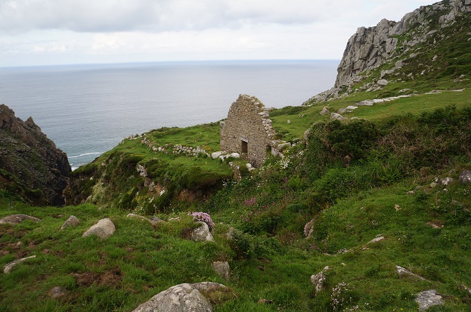
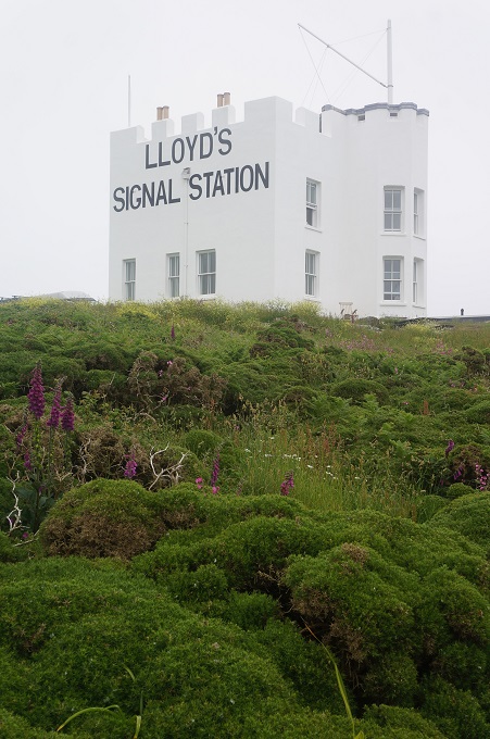
- Signal Station, Hot Point
-
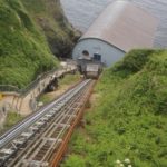
- New lifeboat station Kilcobben Cove
-
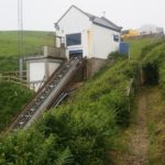
- New lifeboat station Kilcobben Cove
-
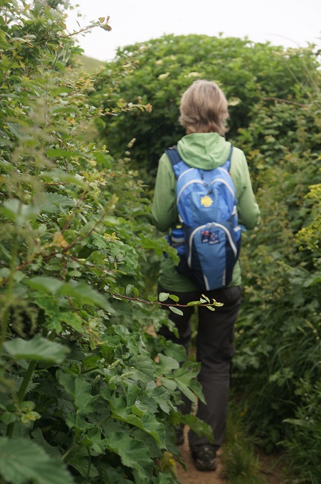
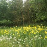
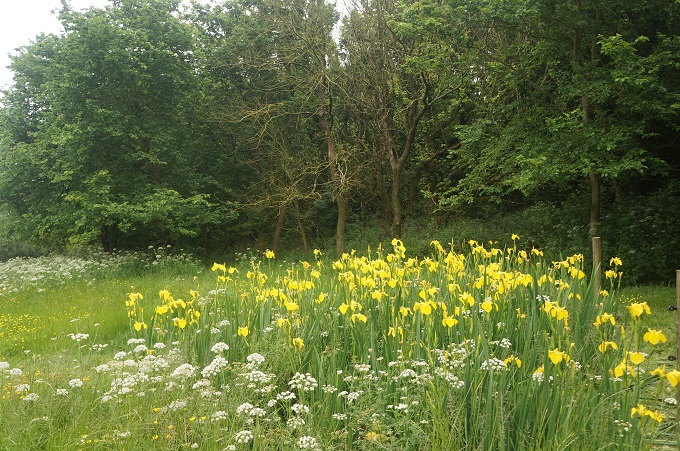
- Lush vegetation today
-
- New lifeboat station Kilcobben Cove
-
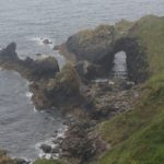
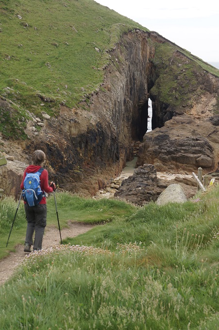
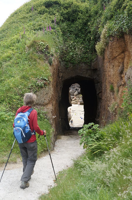
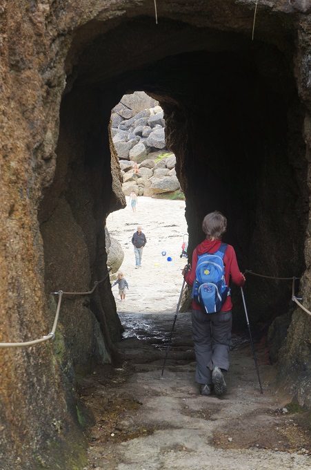
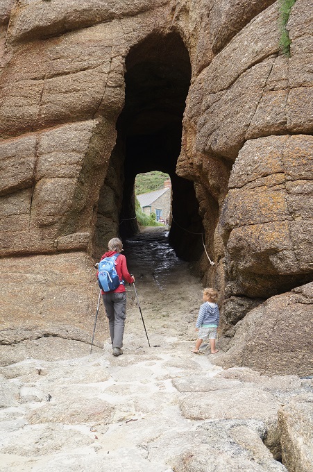
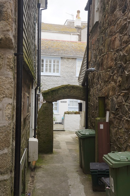
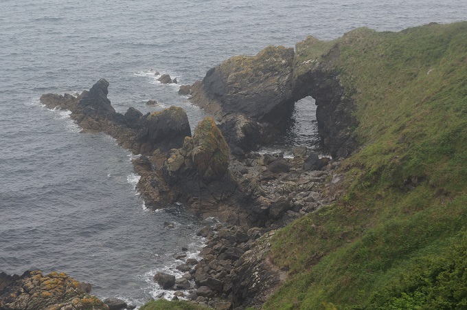
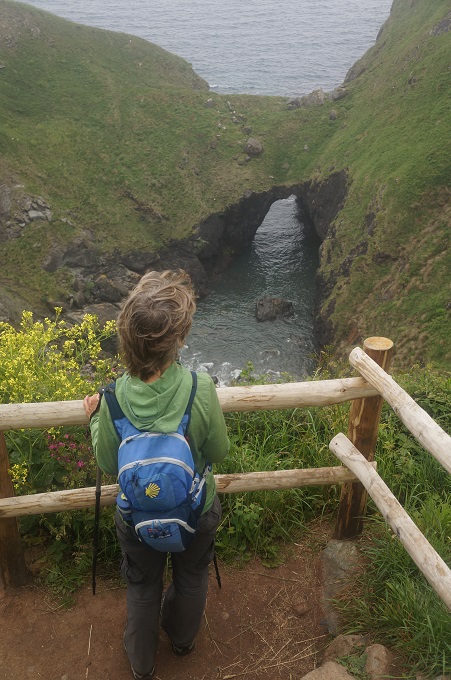
- Rock arch
-
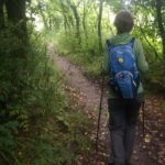
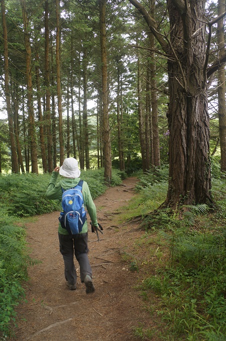
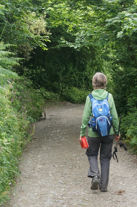
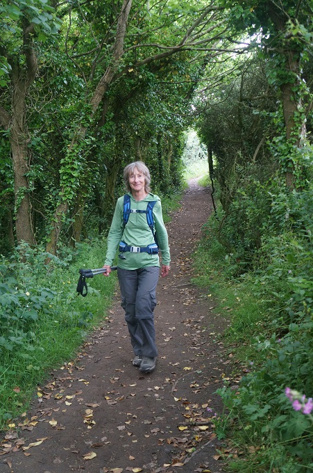
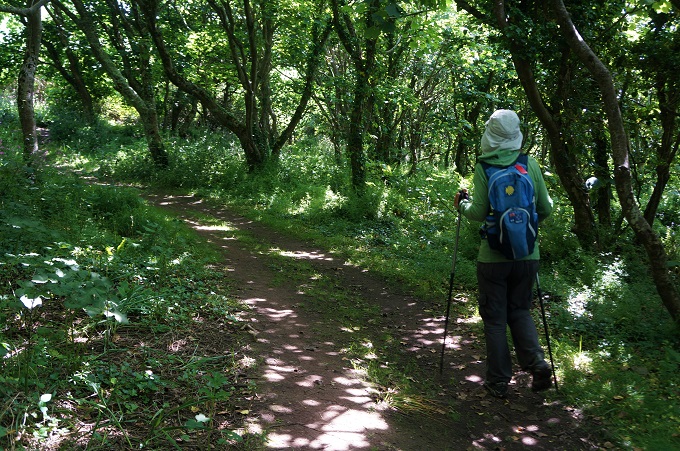
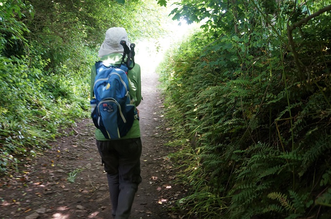
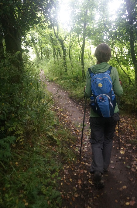
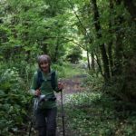
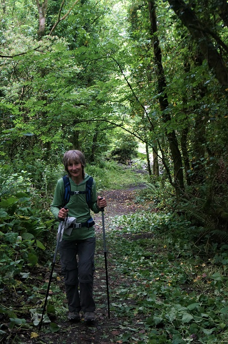
- Woodland
-
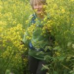
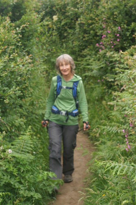
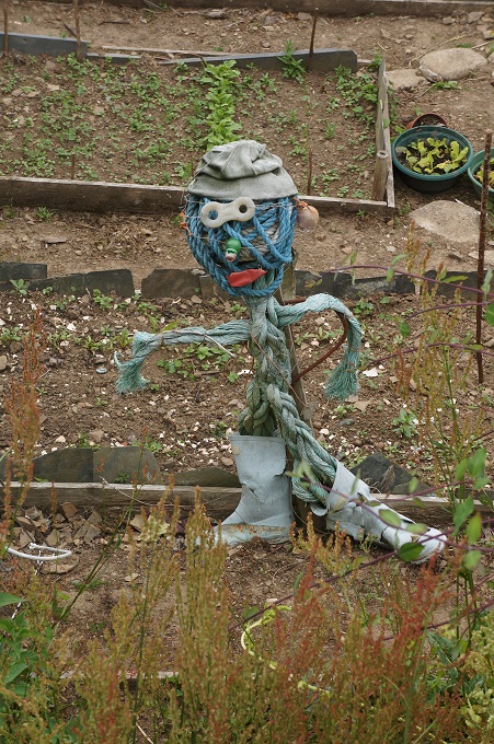
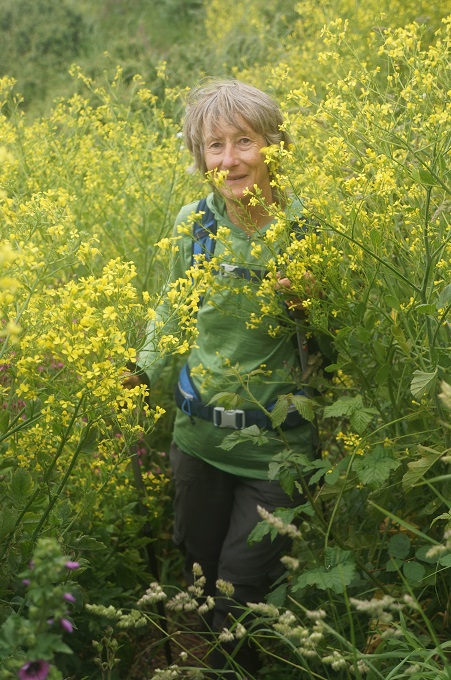
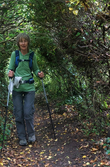
- Barbara didn’t pack a machette
-
- Devil’s Frying Pan
-
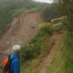
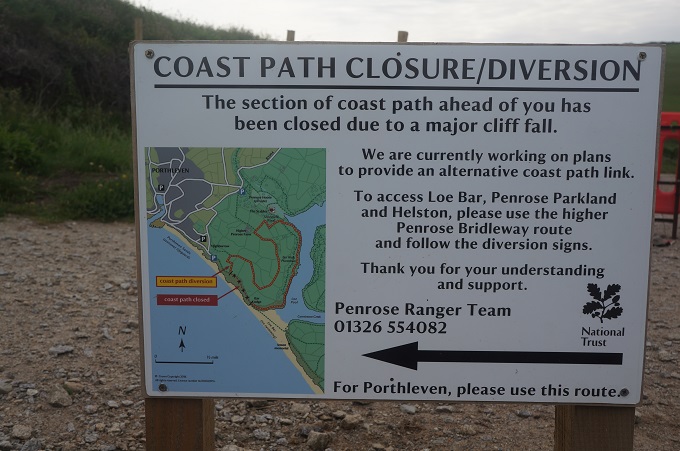
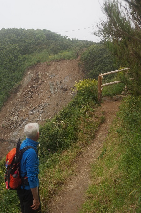
- Path wiped out in slip, diversion coming up
-
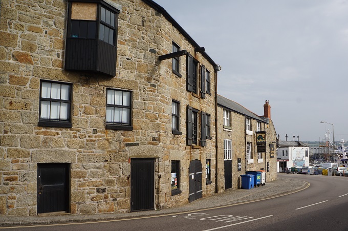
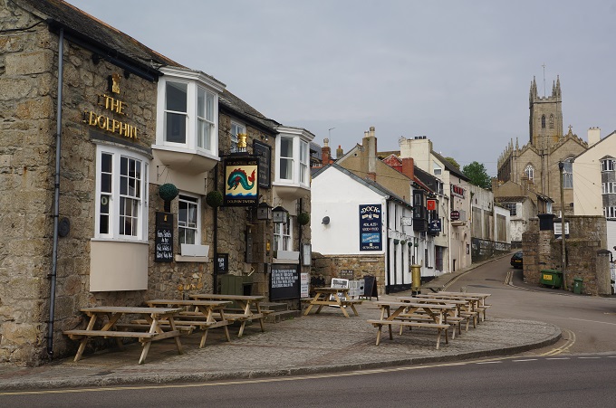
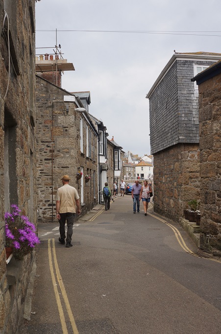
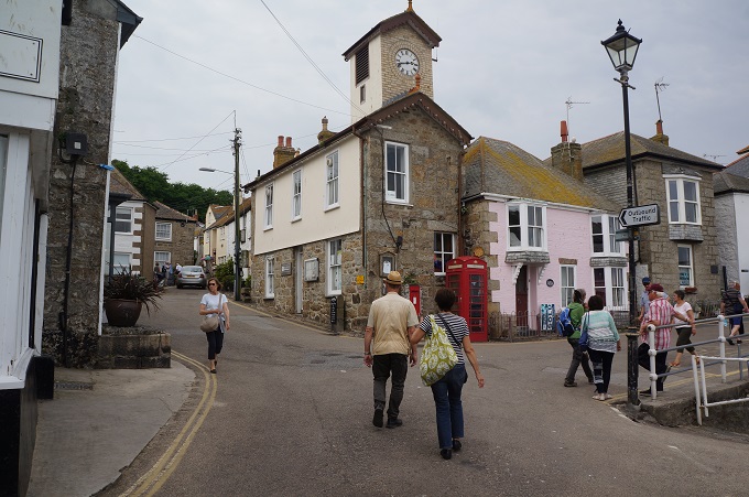
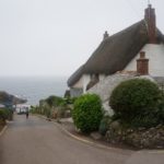
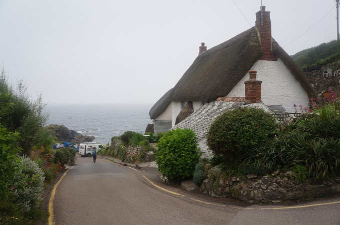
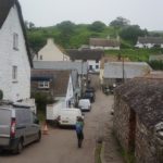
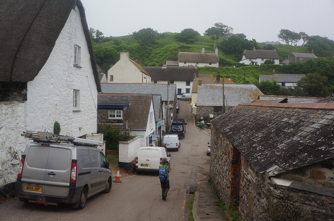
- Cadgwith

-
- Cadgwith
-
- Cadgwith
-
- Cadgwith
-
- Cadgwith
-
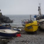
- Cadgwith
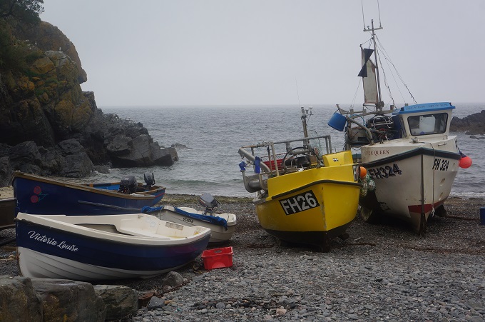
-
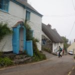
- Cadgwith
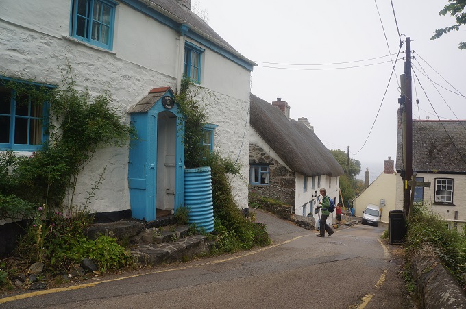
-
- Cadgwith
-
- Cadgwith
-
- Heather down to the sea
-
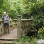
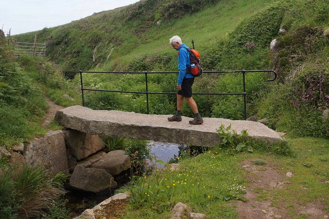
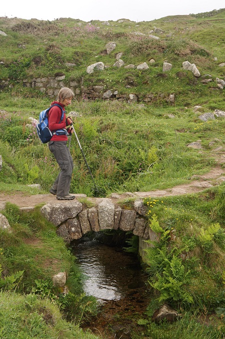
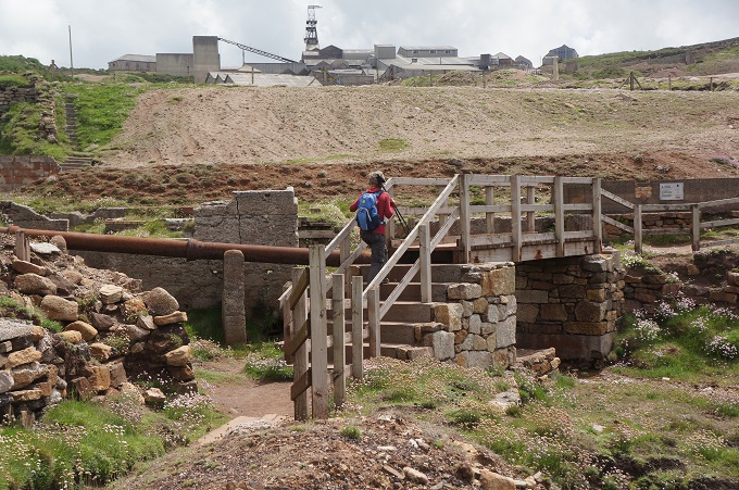
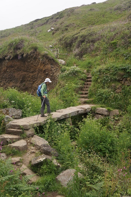
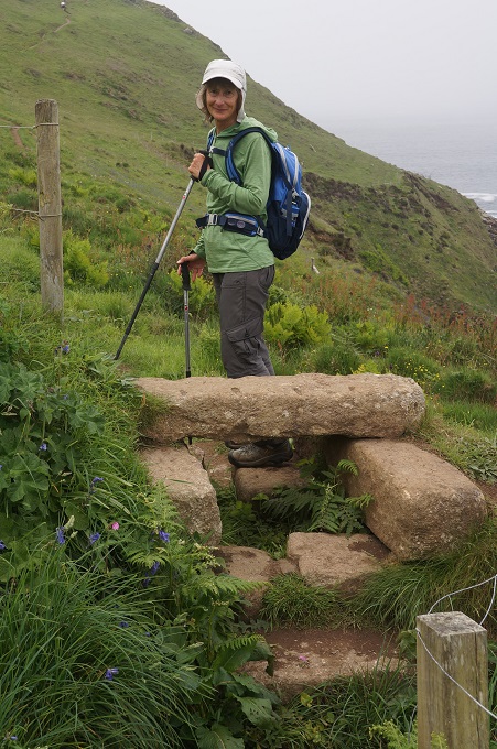
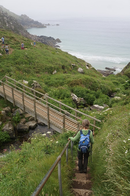
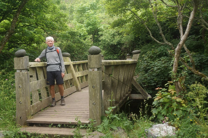
- Nice bridge
-
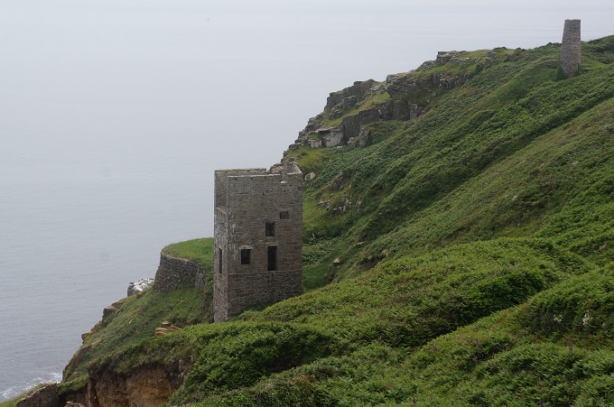
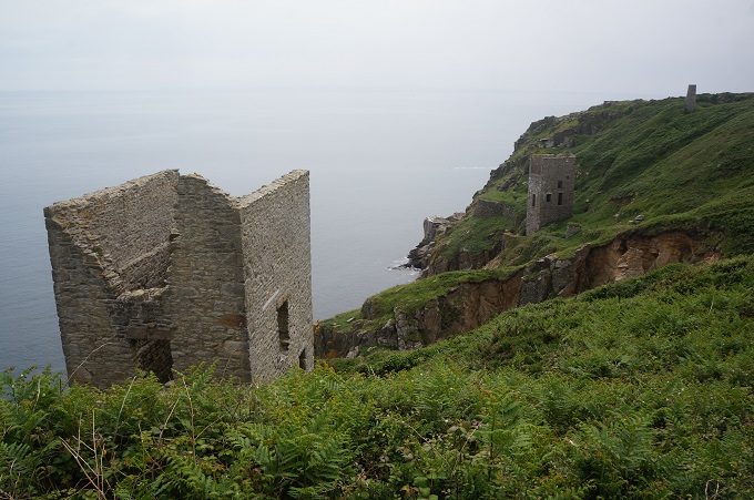
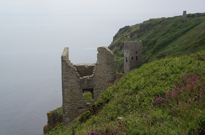
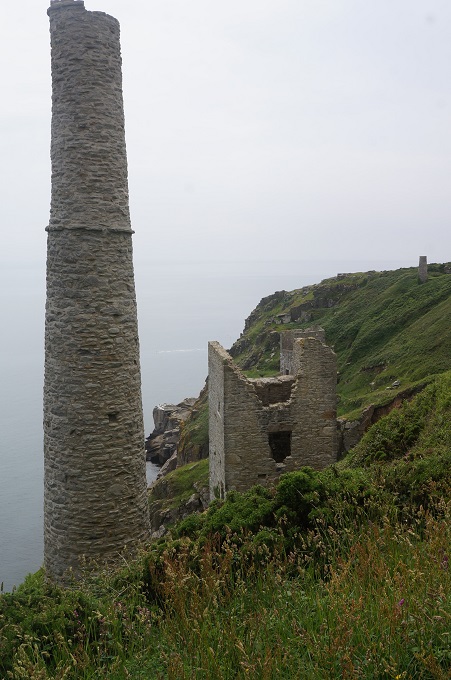
- Serpentine factory
-
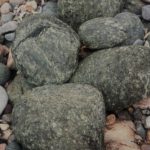
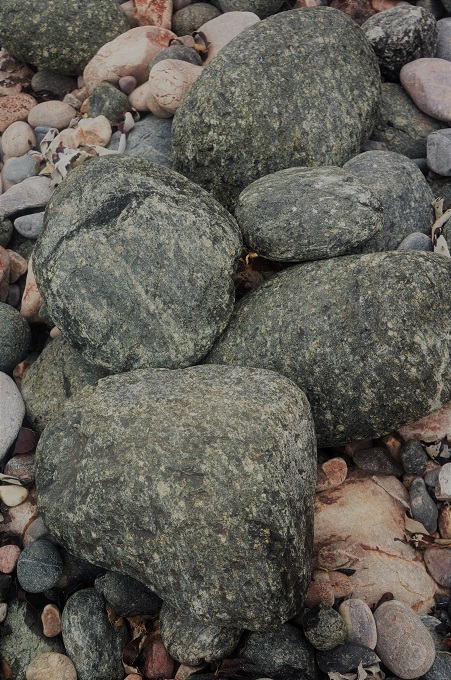
- Serpentine
-
- Serpentine factory
-
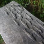
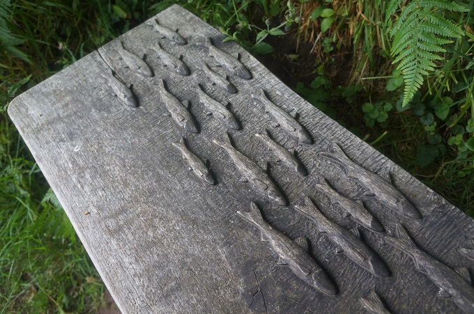
- Fish on timber bench
-
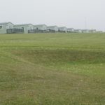
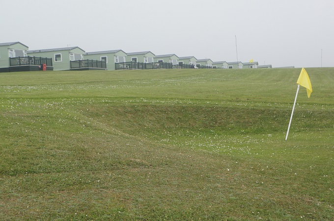
- Golf course and caravan park
-
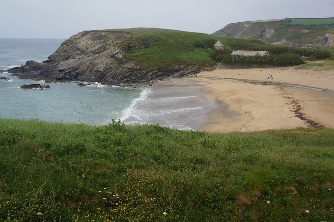
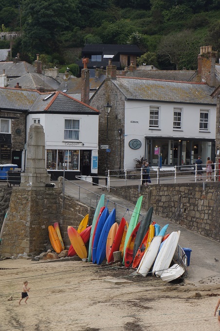
- Kennack Sands
-
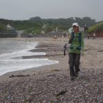
- Kennack Sands
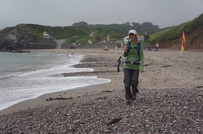
-
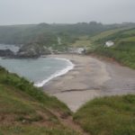
- Kennack Sands
-
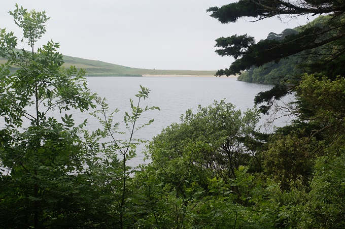
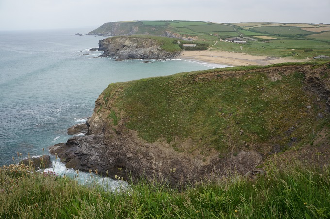
- Looking back at Kennack Sands

-
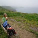
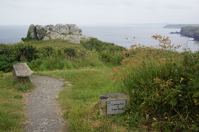
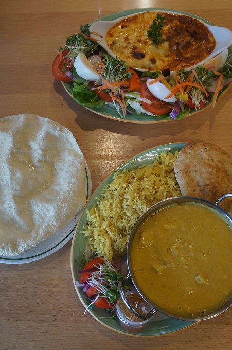
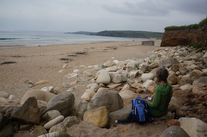
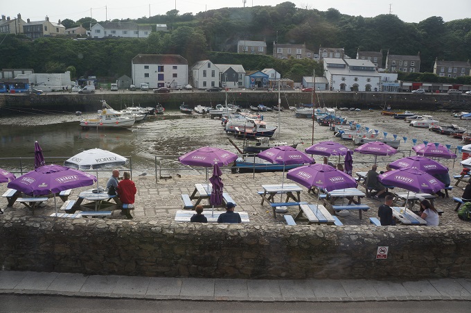
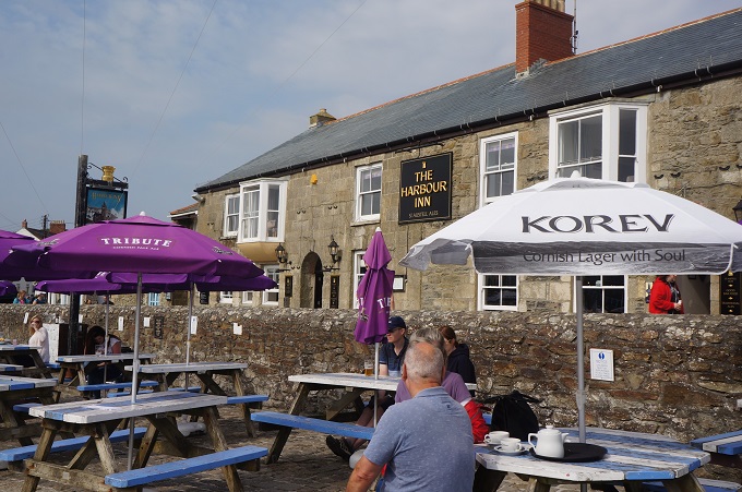
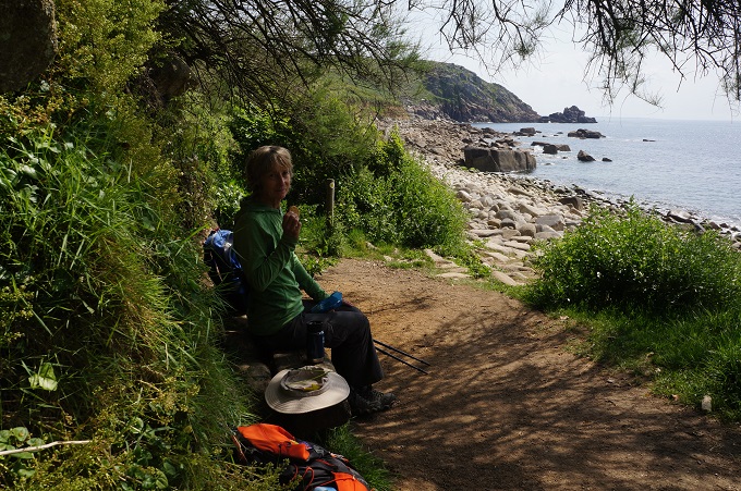
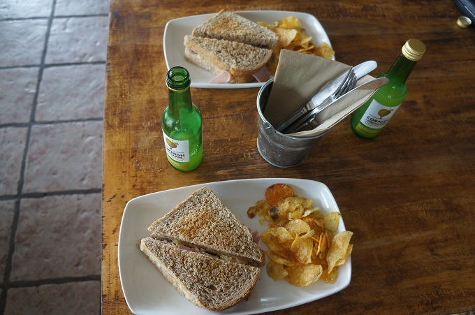
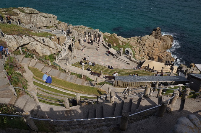
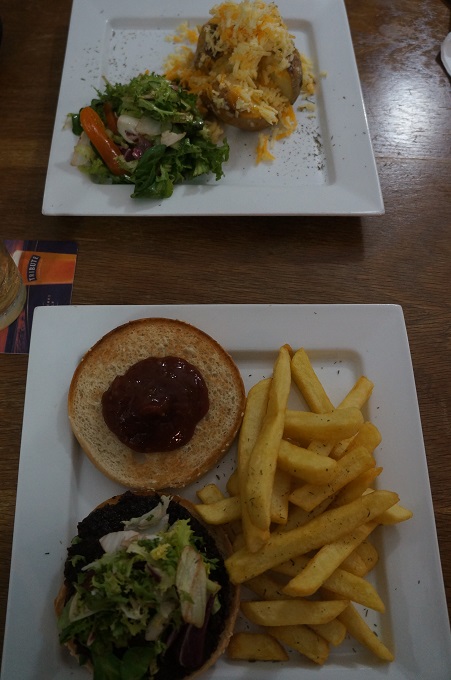
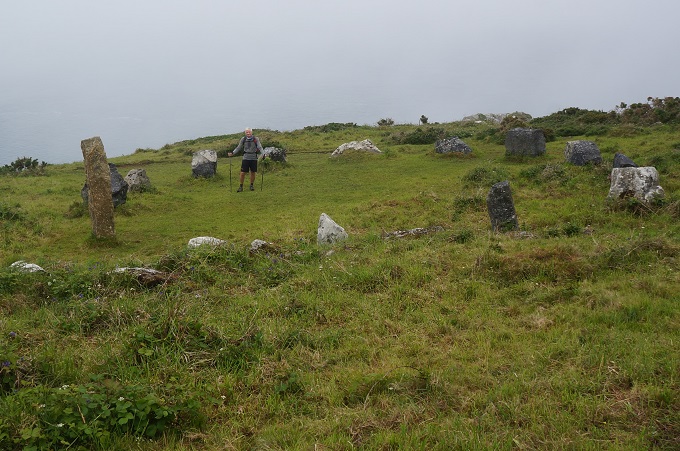
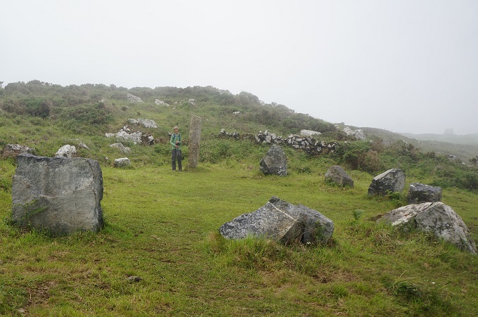
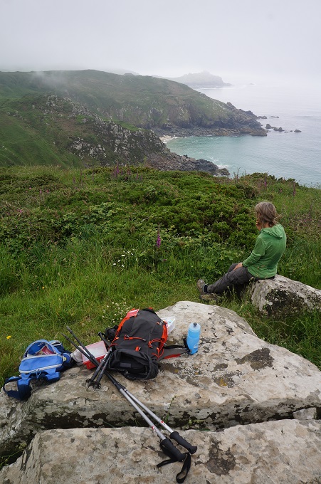
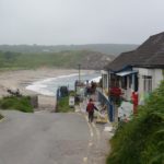
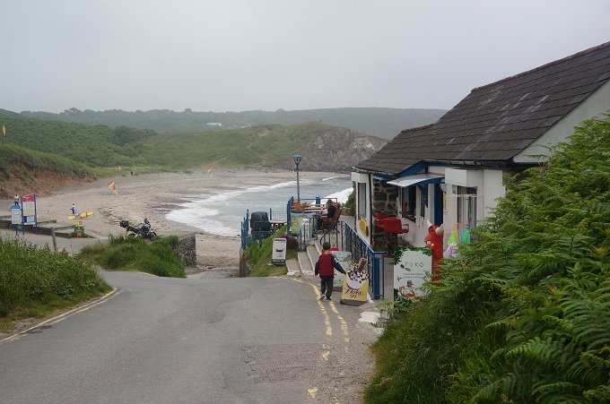
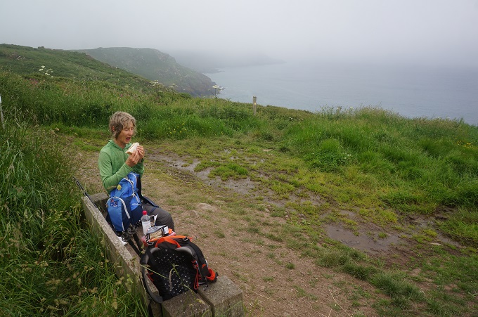
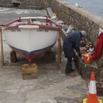
- Lunch at Carrick Loz
-
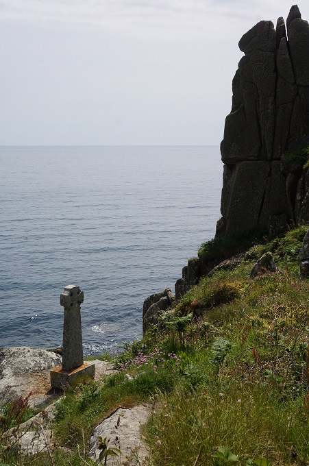
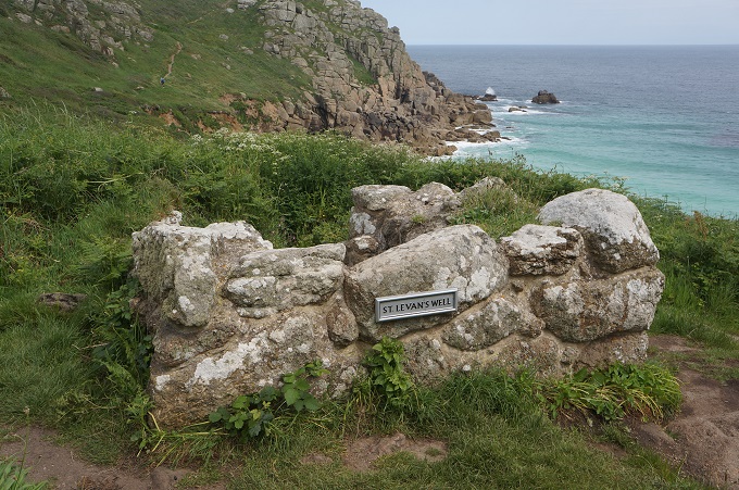
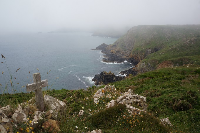
- Possibly a pet’s grave
-
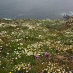
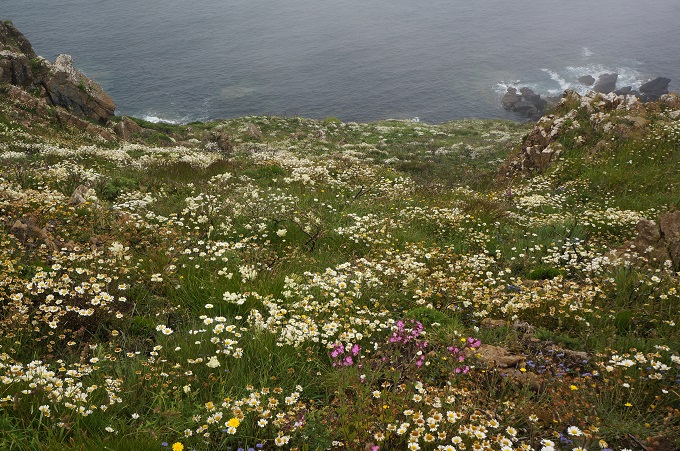
- Wild flowers all the way down to the sea
-
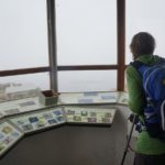
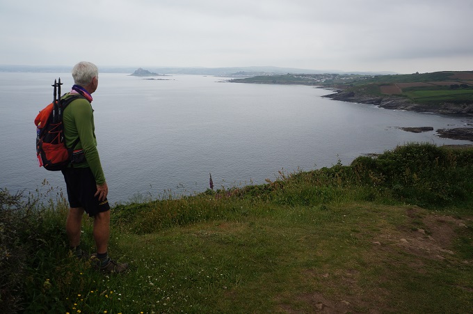
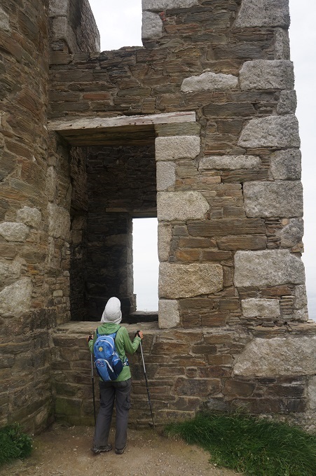
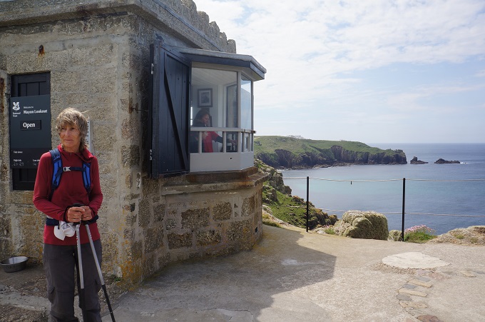
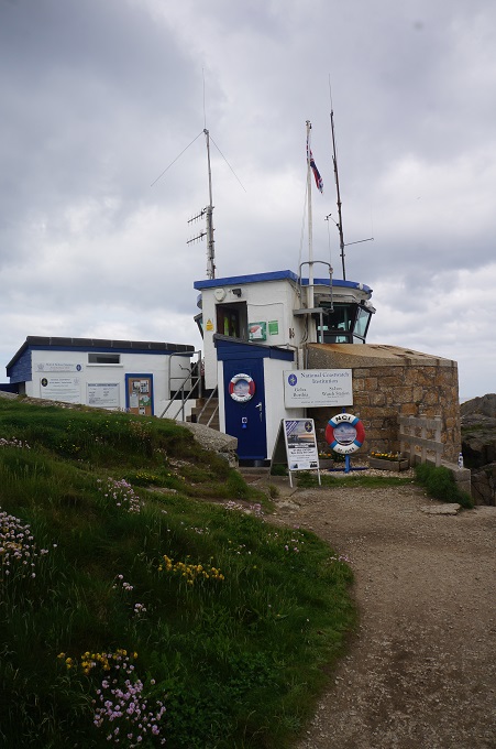
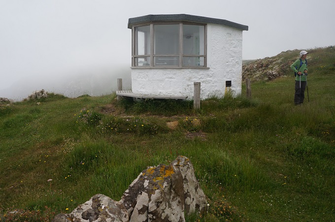
- Blackhead Lookout
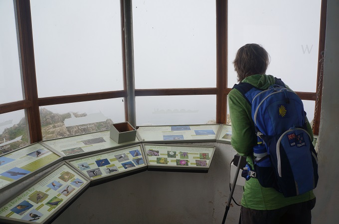
-
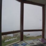
- Black Head Lookout
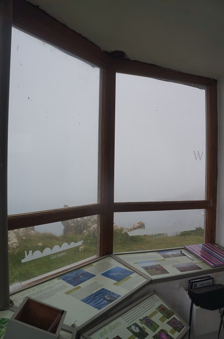
-
- Blackhead Lookout
-
- Orchids
-
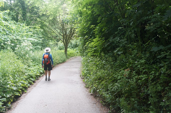
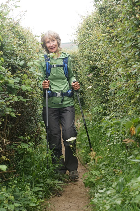
- Diversion through woodland
-
- Diversion through woodland
-
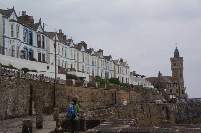
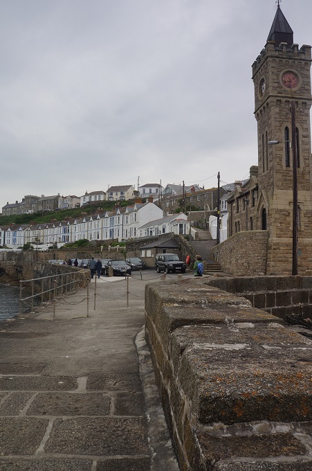
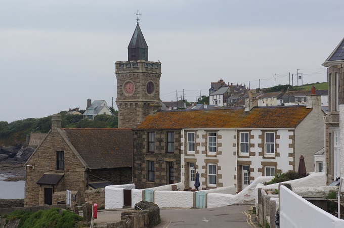
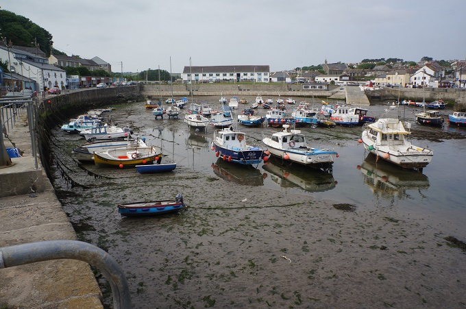
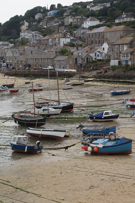
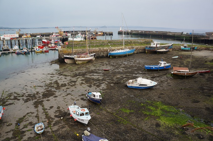
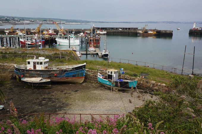
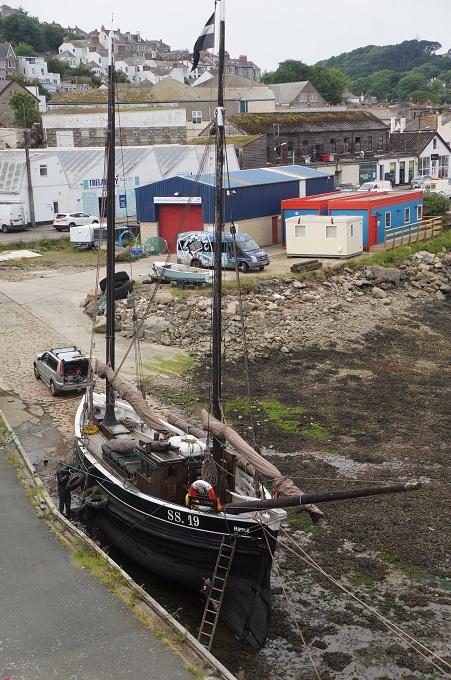
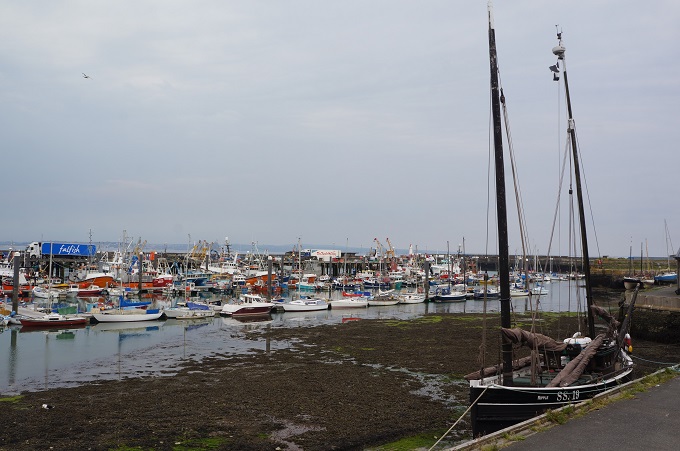
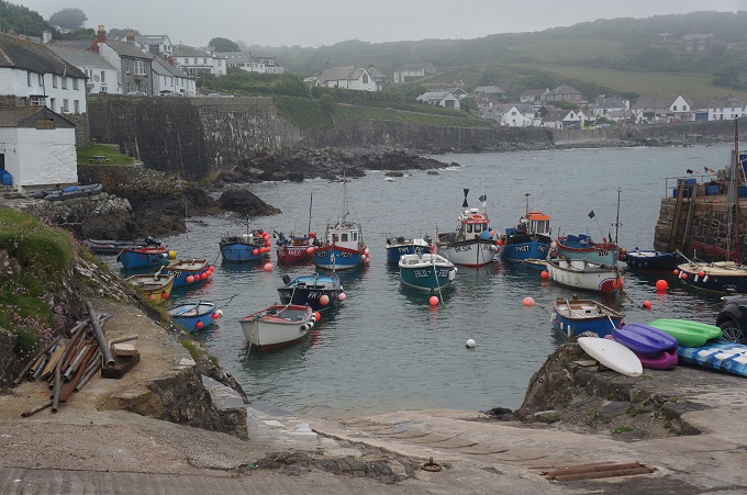
- Coverack
-
- Coverack
-
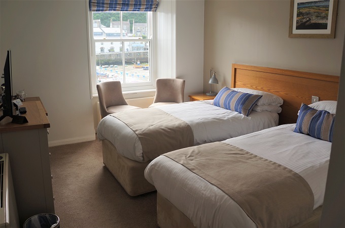
- Paris Hotel
-
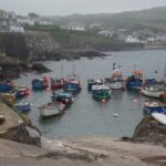
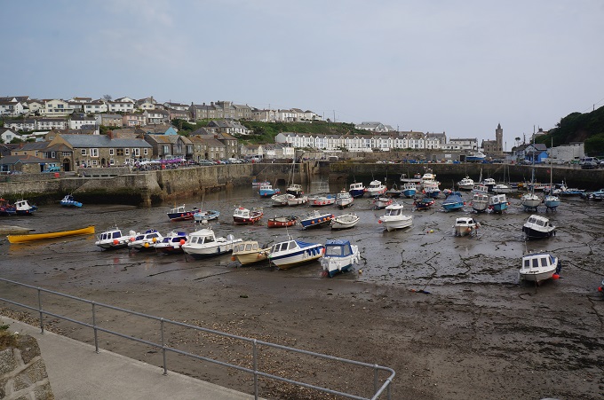
- Coverack
-
- Coverack
-
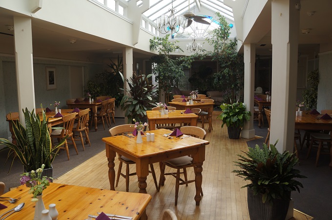
- Paris Hotel
-
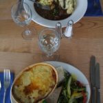
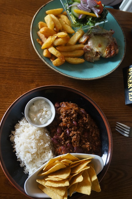
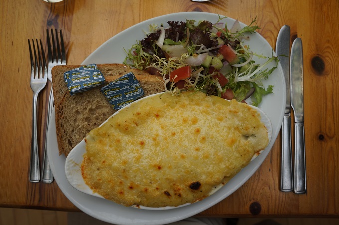
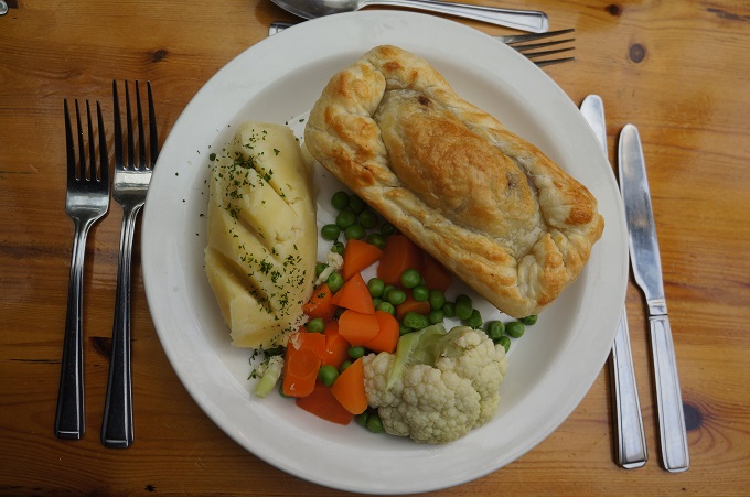
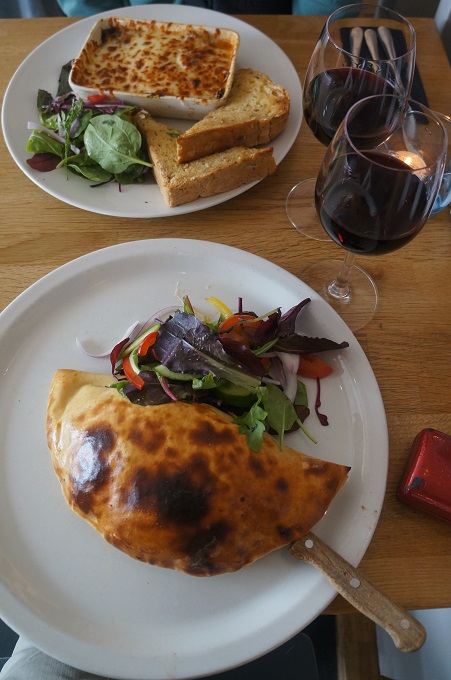
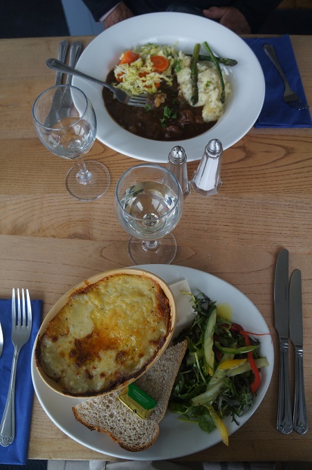
- Beef stew with vegies and mash, fish pie with salad and granery bread
-
- Coverack
-
- Coverack