Fowey to Looe, 19 km, 827m climbing
‘Maybe I can’t stop the downpour but I will always join you for a walk in the rain’
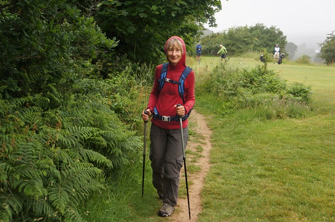
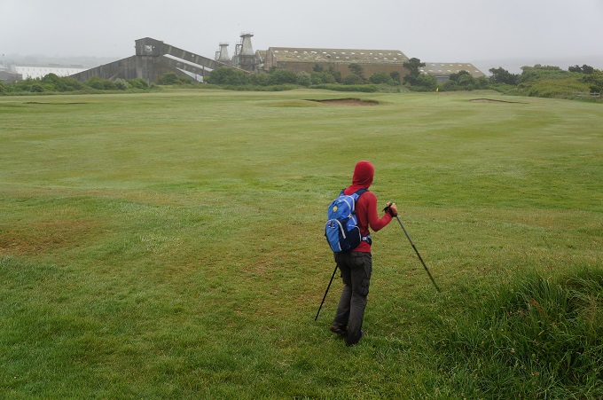
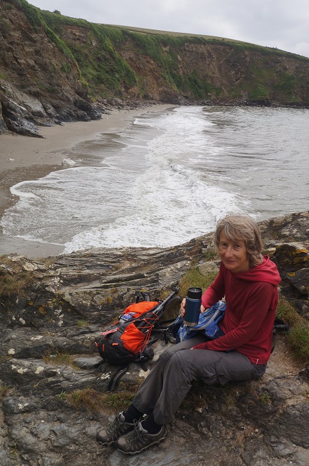
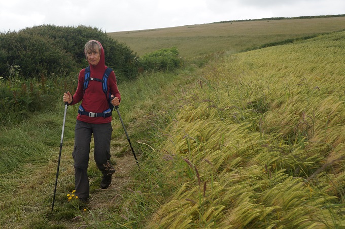
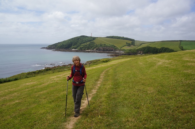
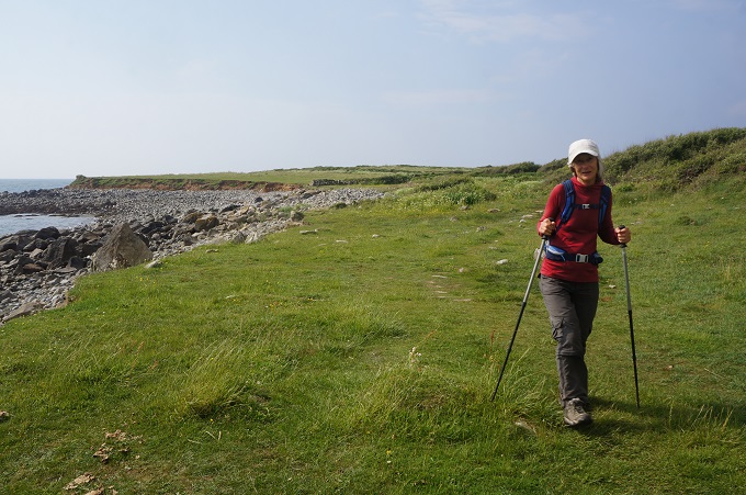
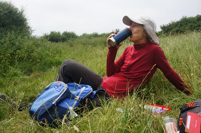
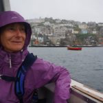
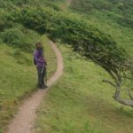
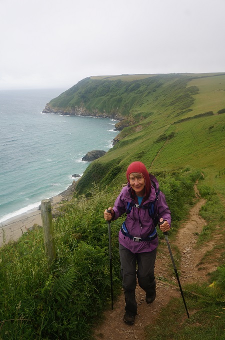
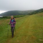
A damp day today. In Ireland they would call it a soft day. Just enough drizzle to make you damp so you put on a rain jacket. Then it clears a bit so you are too hot and take off the rain jacket. As you go around a headland it is windy and cold so on goes a warm layer. Up the next hill you get far too hot so off comes a layer. At the top it is misty and drizzly so the rain jacket goes on again. Costume changes all day.
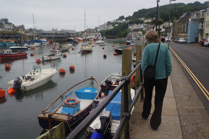
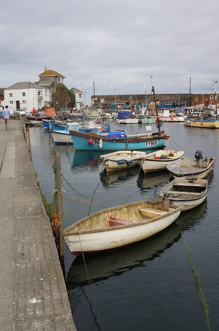
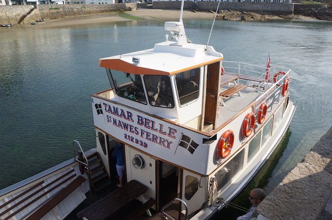
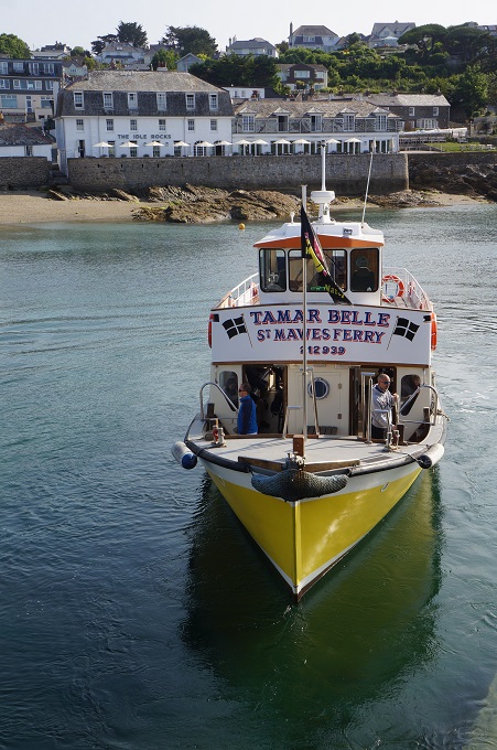
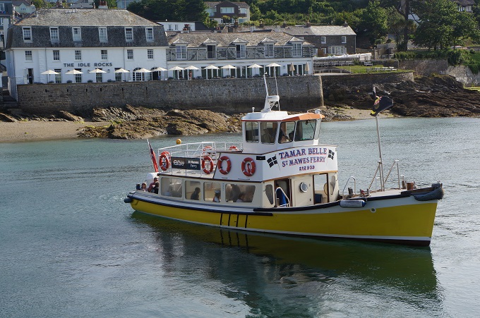
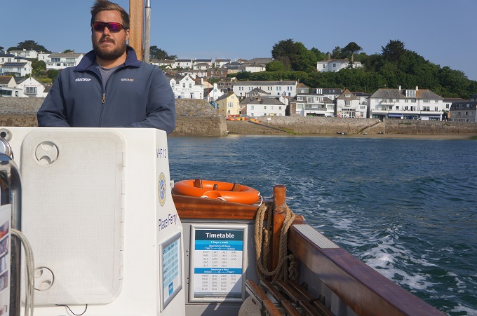
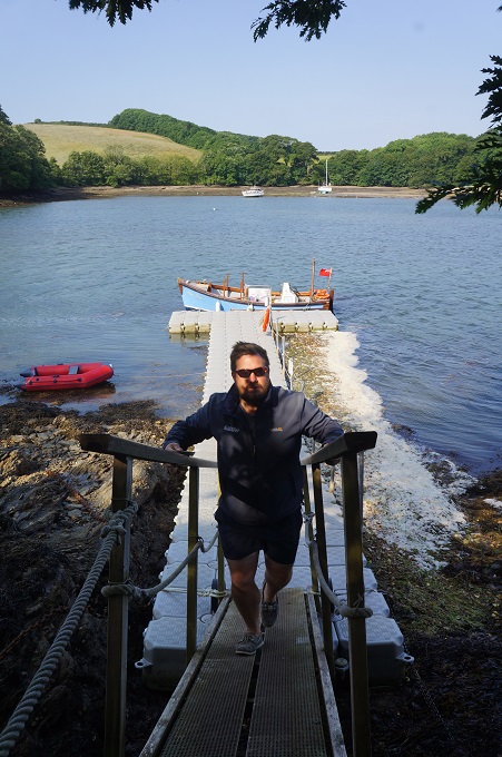
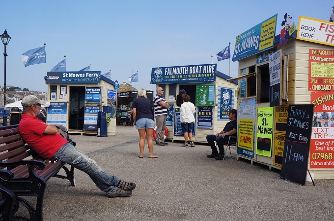
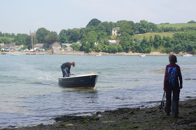
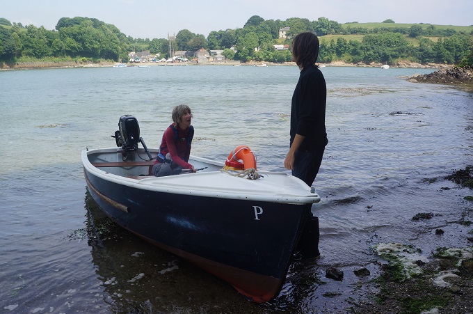
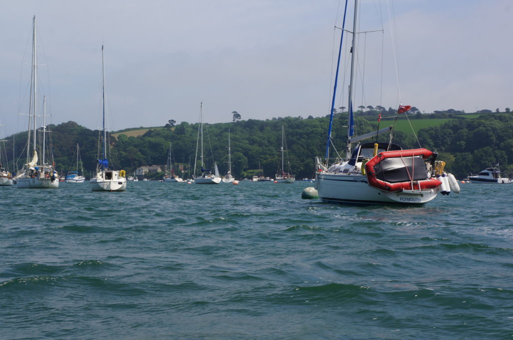
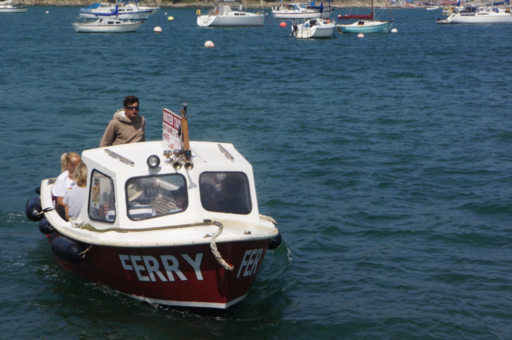
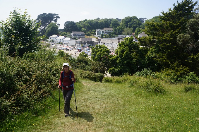
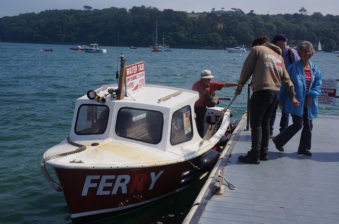
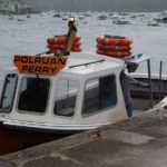
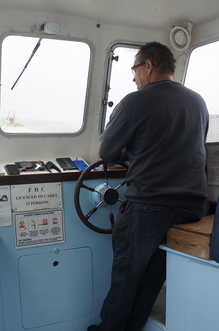
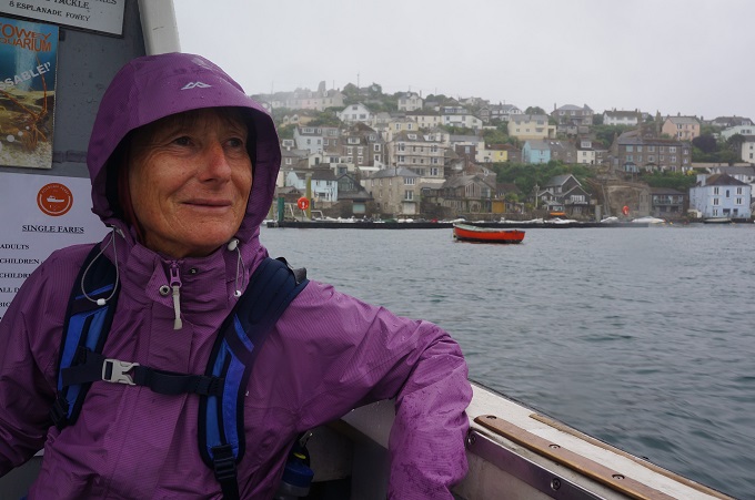
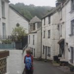
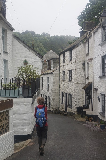
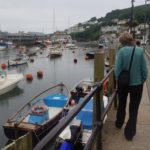
Today was a day of three villages separated by two quite different walks. At Fowey we caught the ferry over the river to Polruan on the other side, a ten minute crossing. The first scheduled sailing was at 9.45 am but as usual we were there just before 9 am. Almost immediately a ferry boat arrived and the ferryman said he would take us there and then. This was great as it put us ¾ of an hour ahead of schedule for the day.
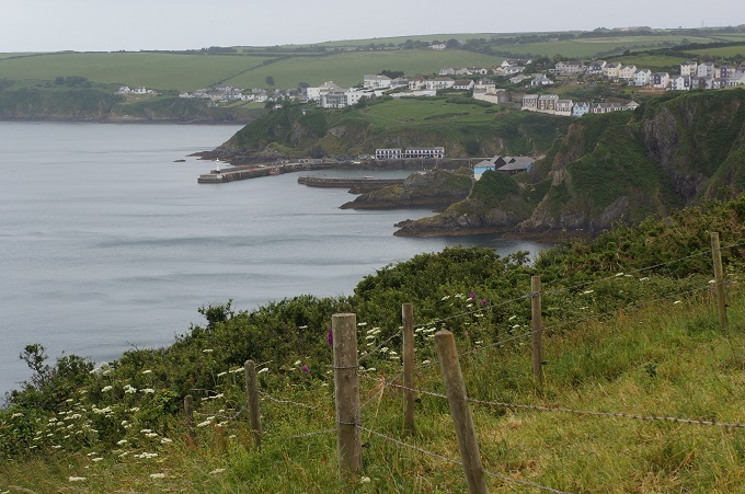
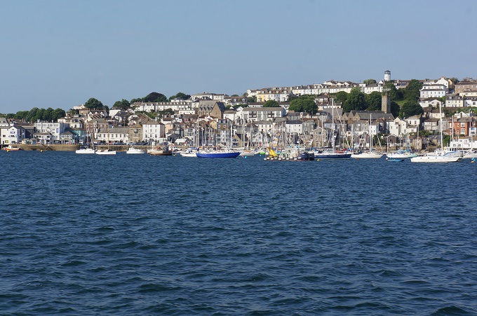
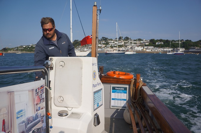
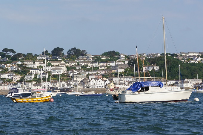
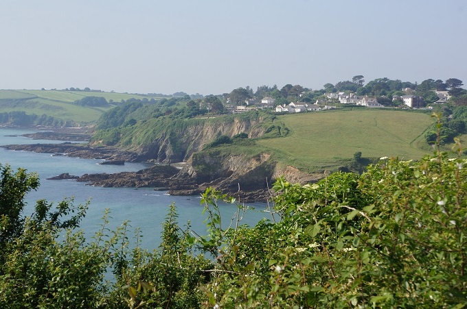
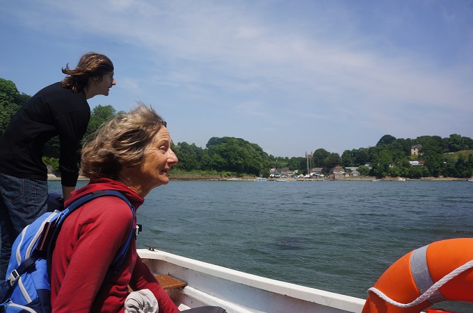
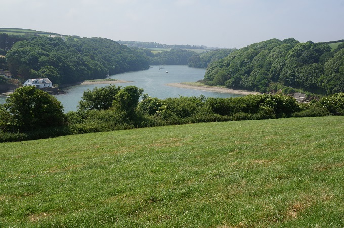
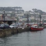
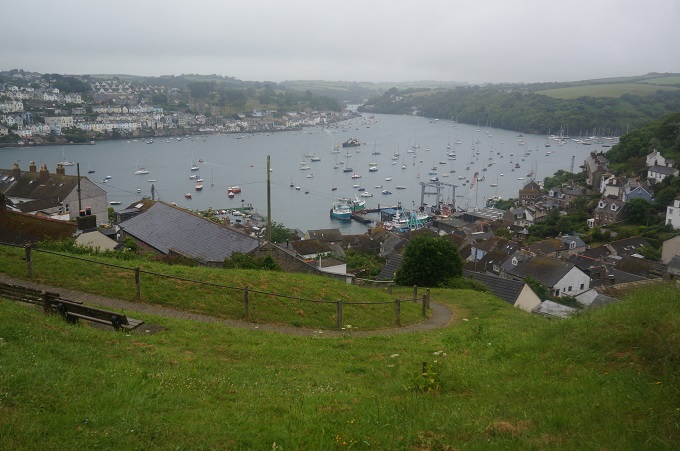
Polruan is a much quieter and serene version of the bustling and touristy Fowey even though they are so close and face each across the river. A couple of kilometres upstream there is a car ferry linking the two villages. It was a bleak and breezy morning and the crossing was quite choppy. On a clear sunny morning the view back to Fowey would have been fantastic but today it almost disappeared in the murk.
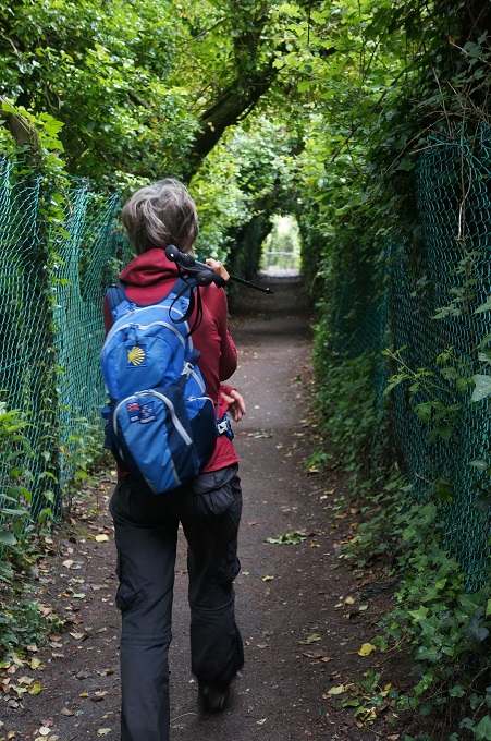
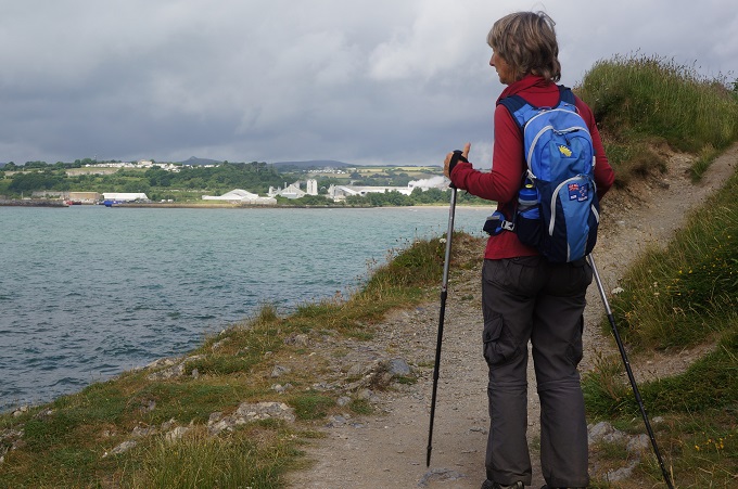
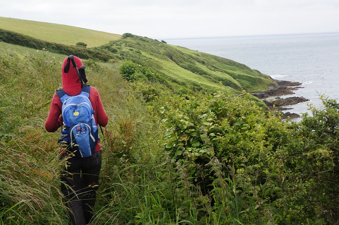
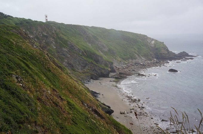
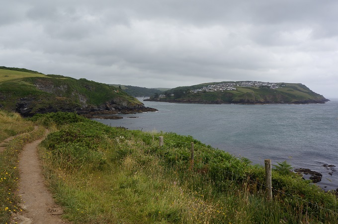
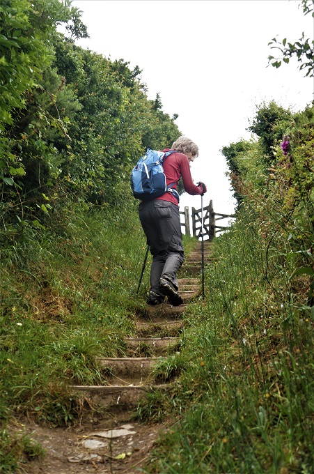
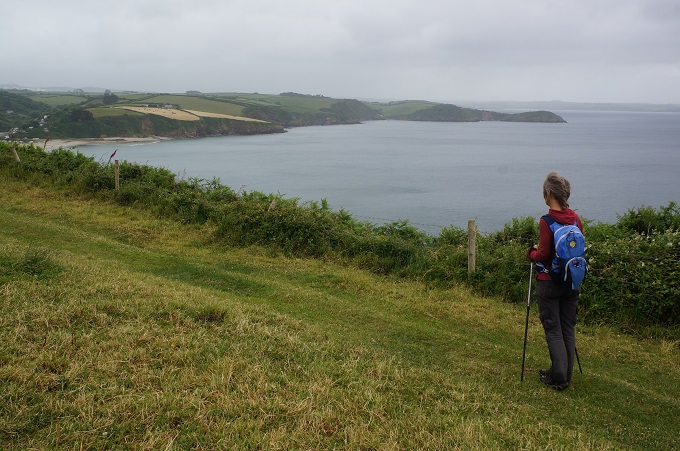
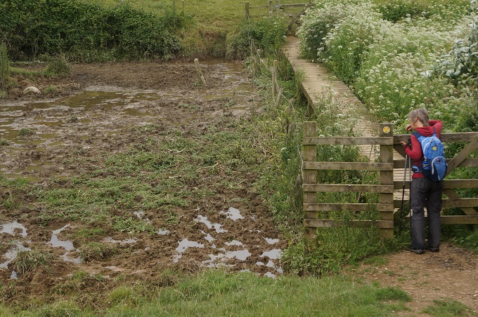
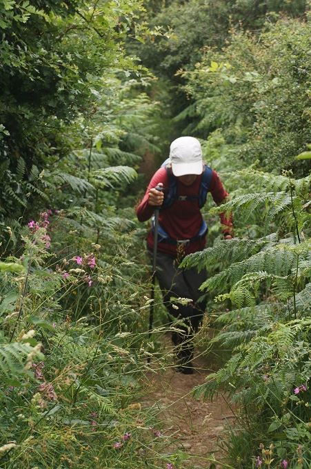
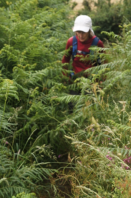
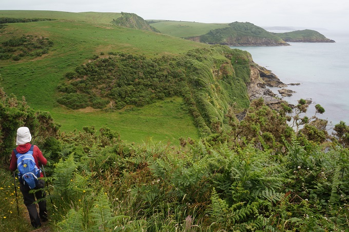
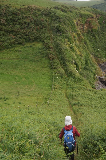
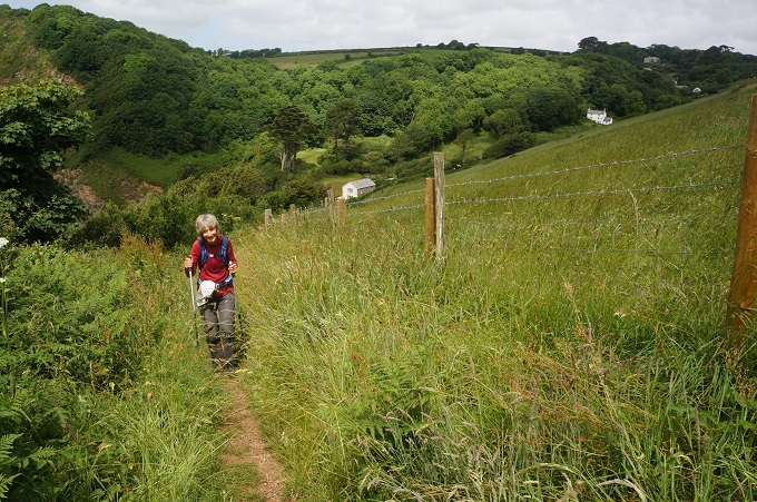
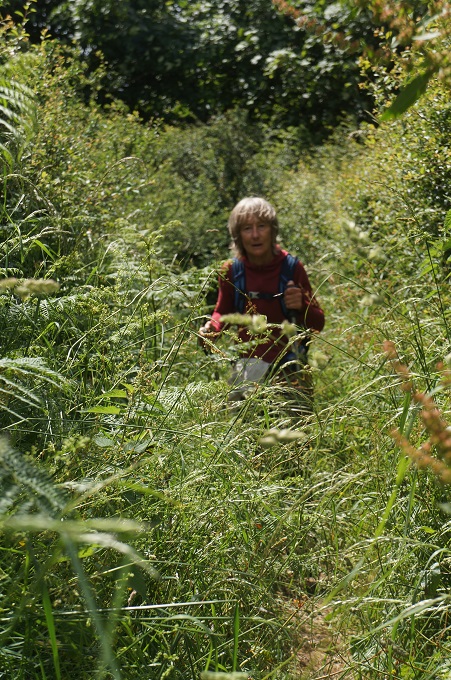
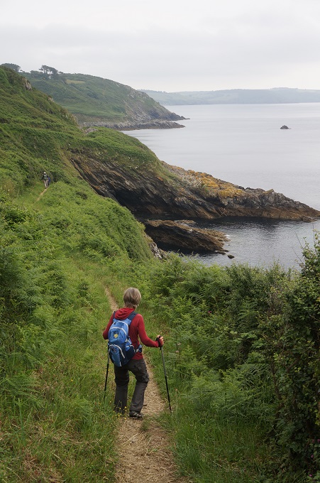
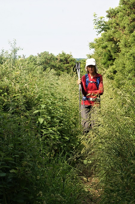
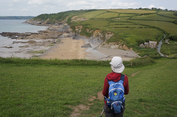
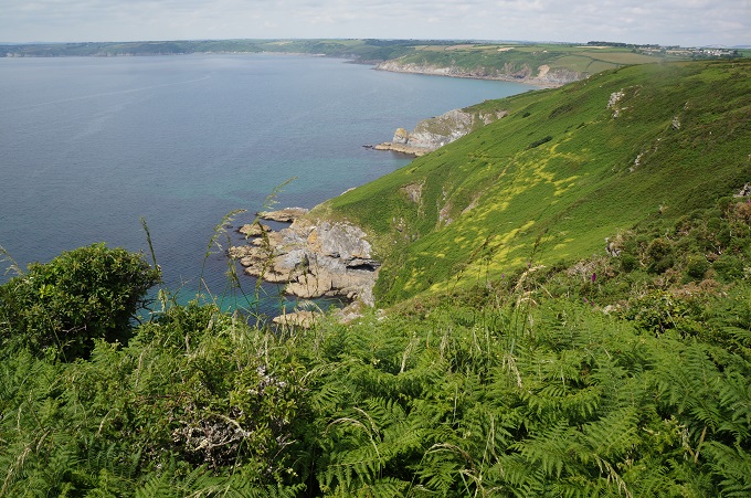
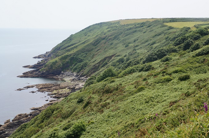
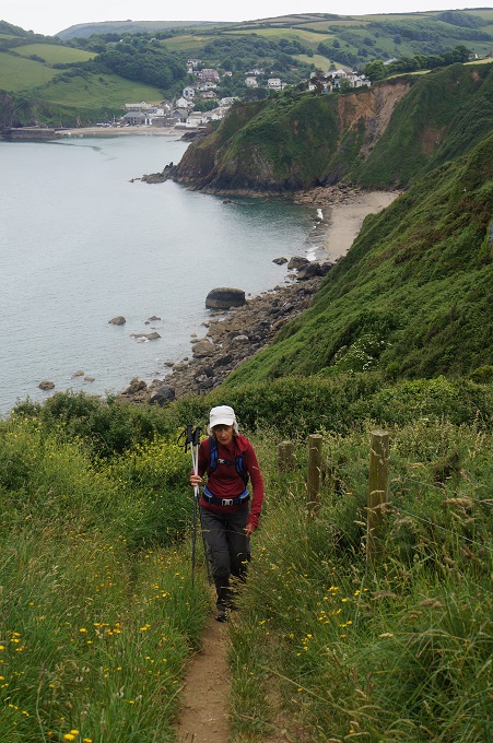
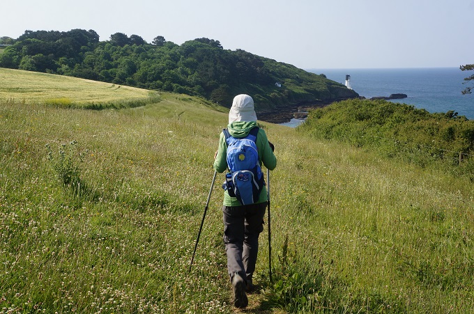
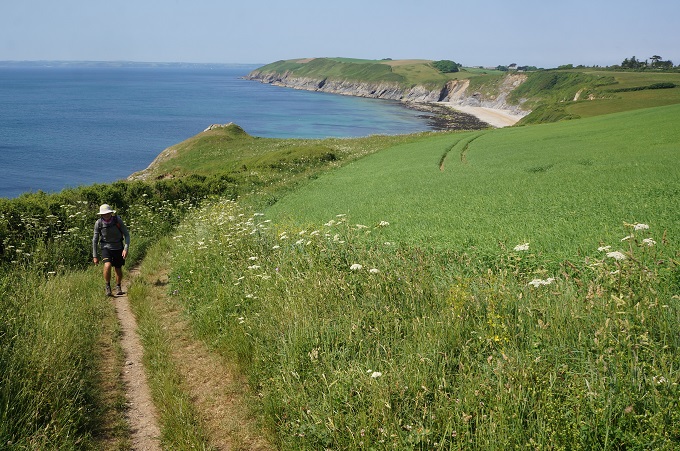
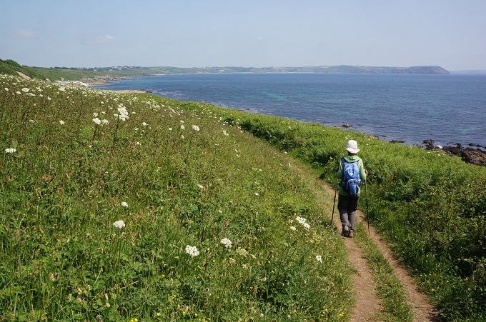
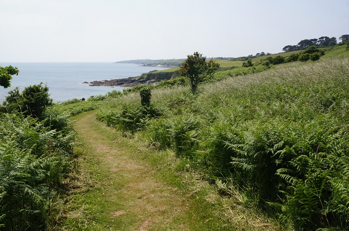
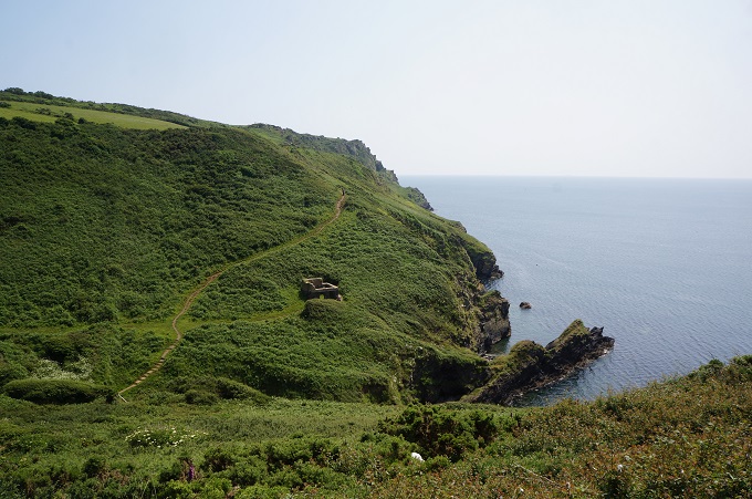
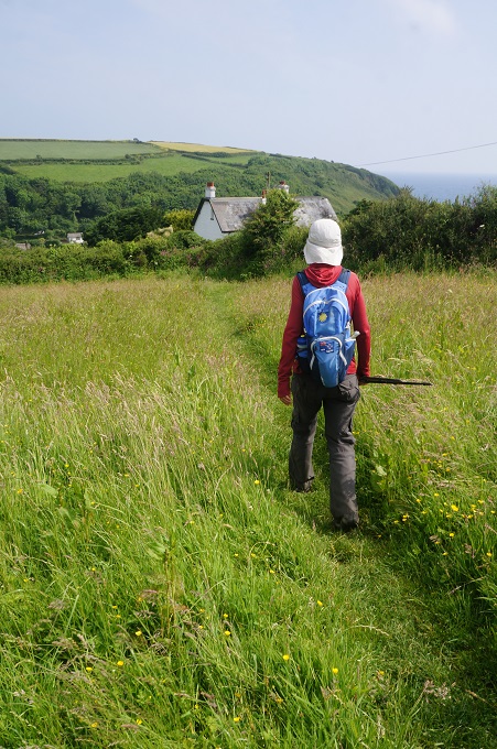
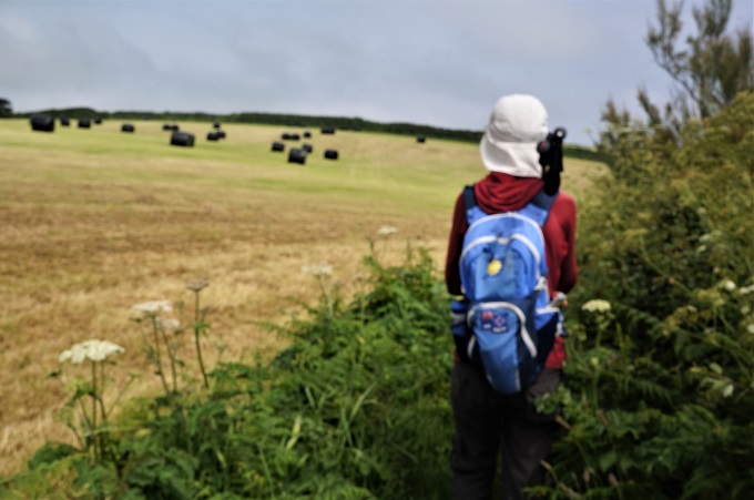
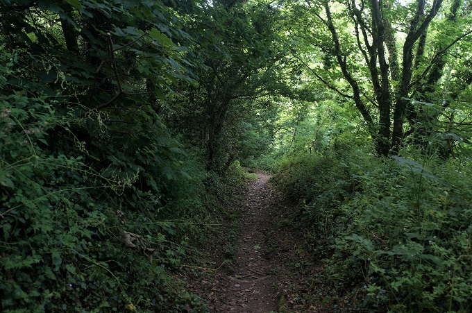
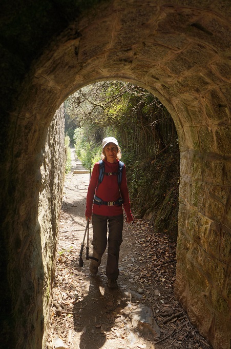
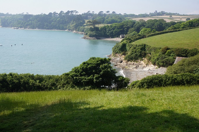
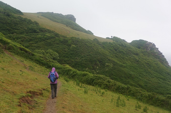
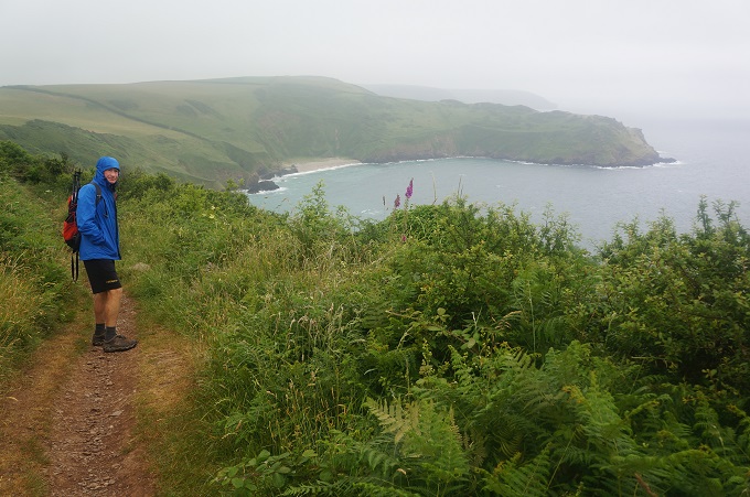
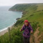
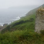
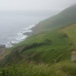
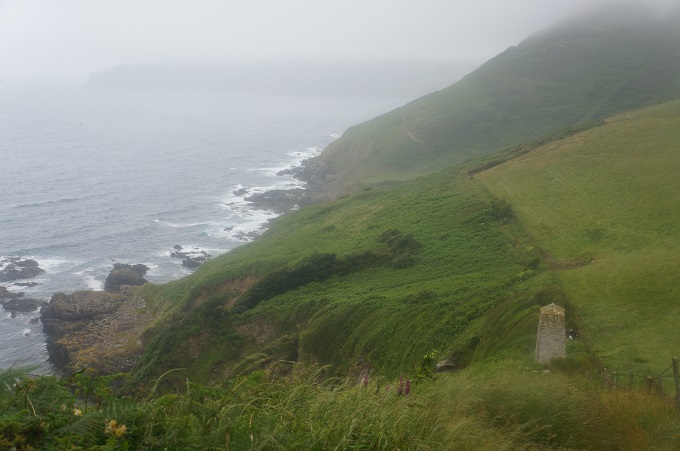
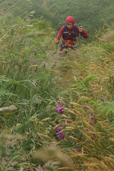
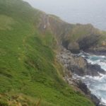
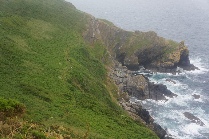
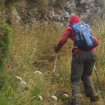
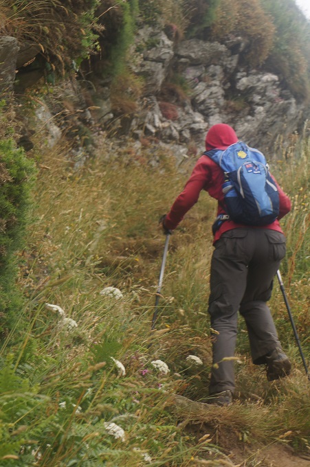
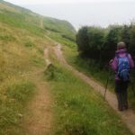
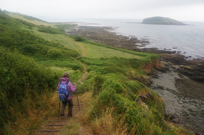
The walk to Polpero was hard work with a lot of climbing up impressive headlands. Again it wasn’t looking its best in drizzle. This part of the path was very overgrown and you couldn’t look at the views much as you had to concentrate on where to put your feet down there somewhere in the foliage.
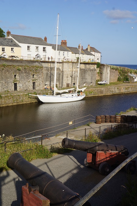
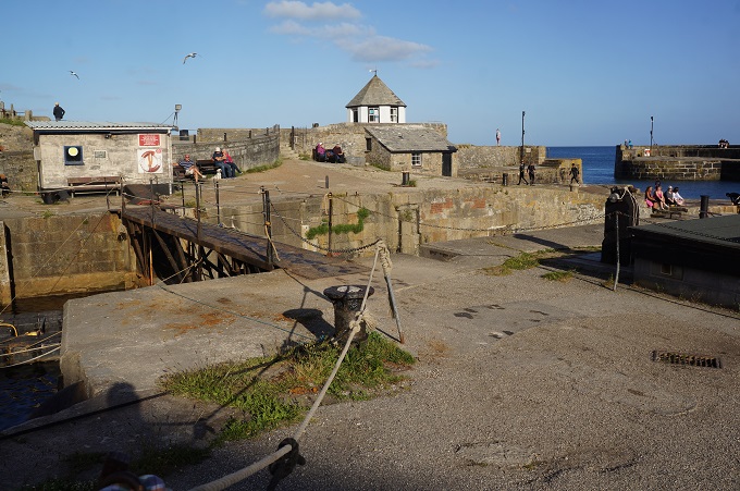
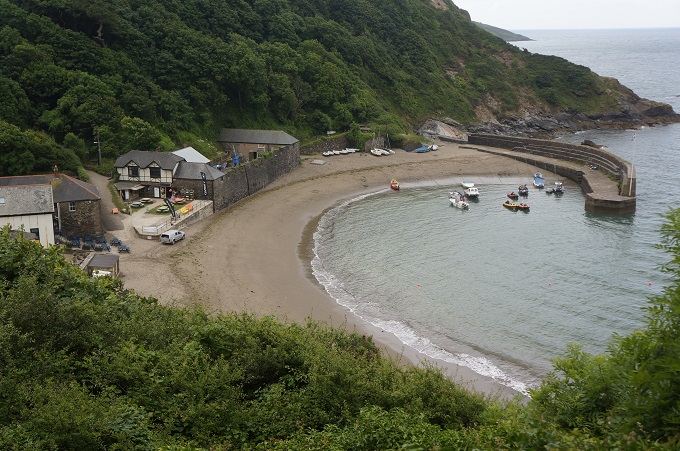
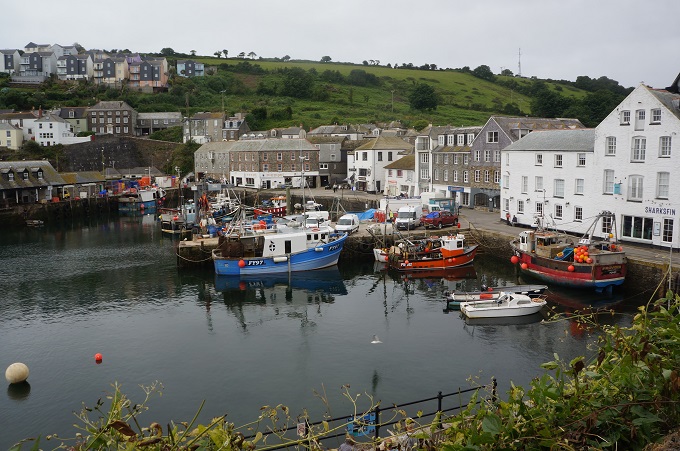
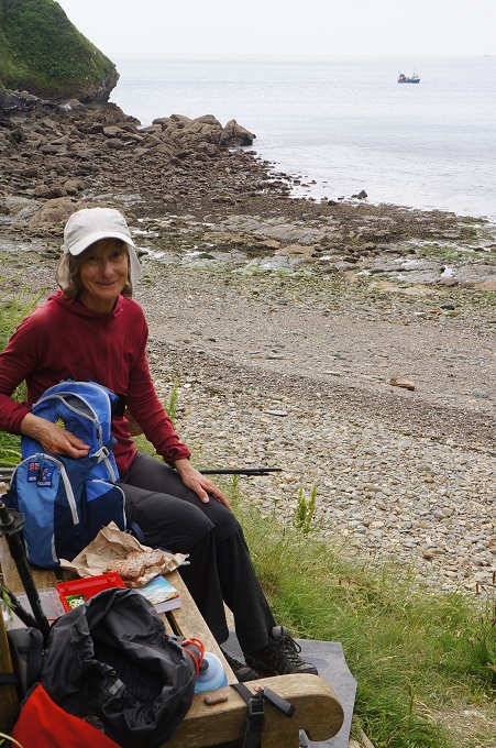
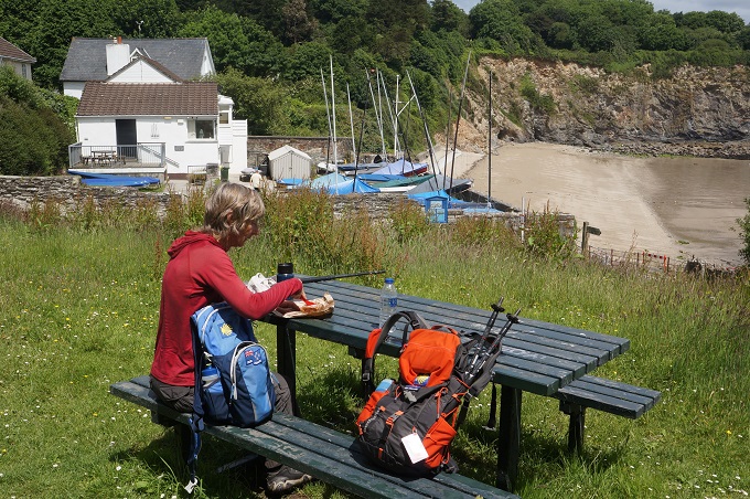
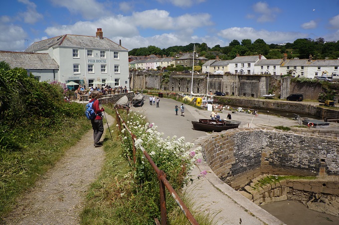
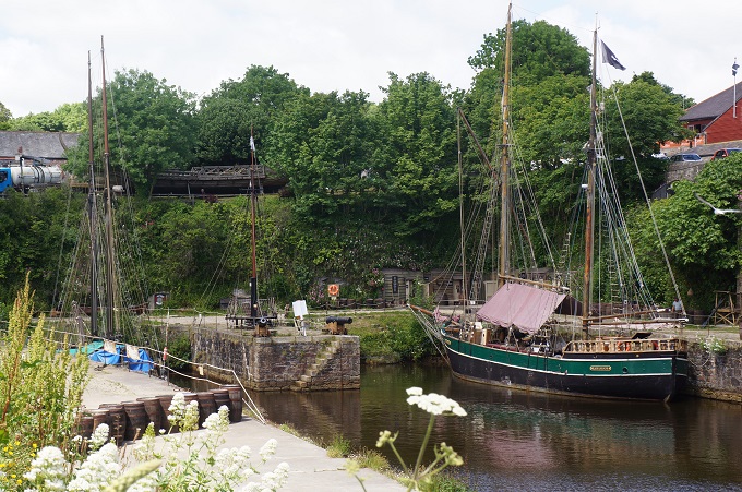
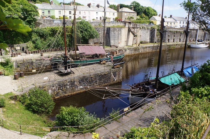
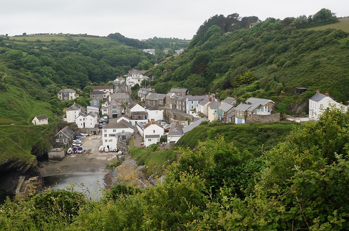
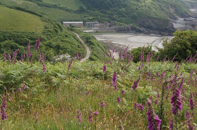
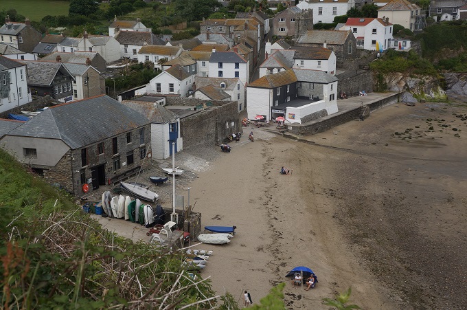
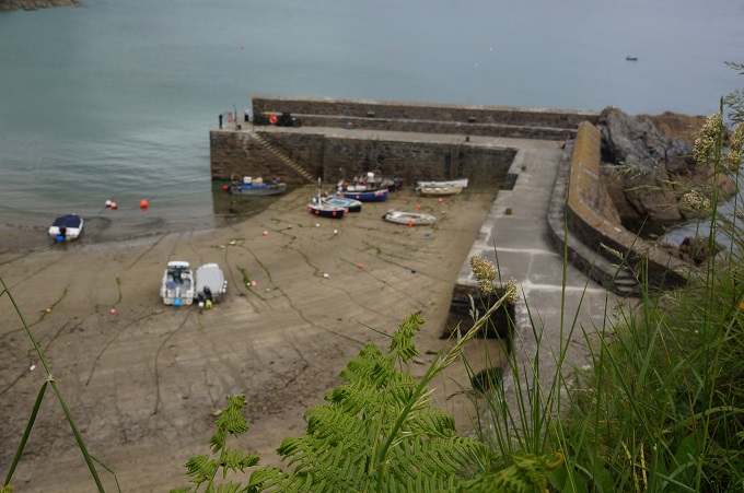
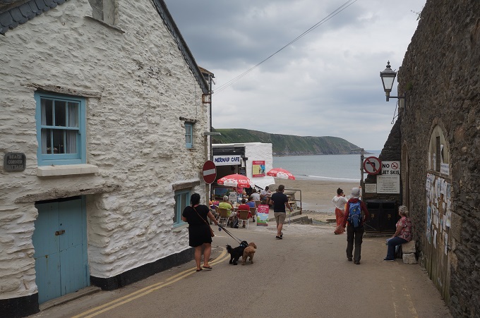
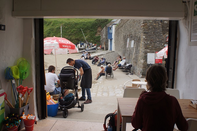
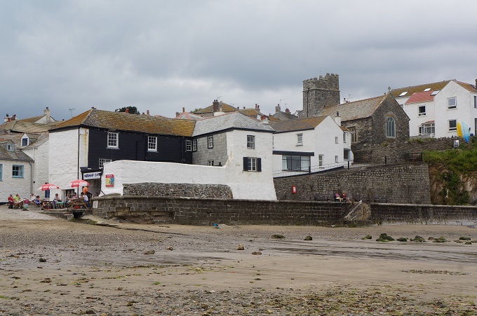
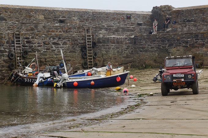
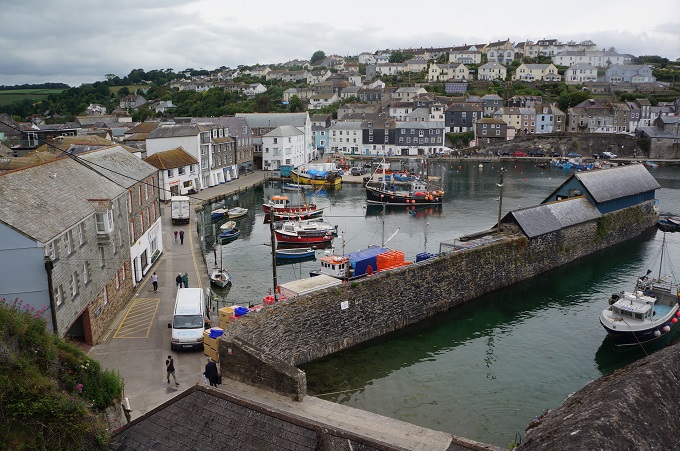
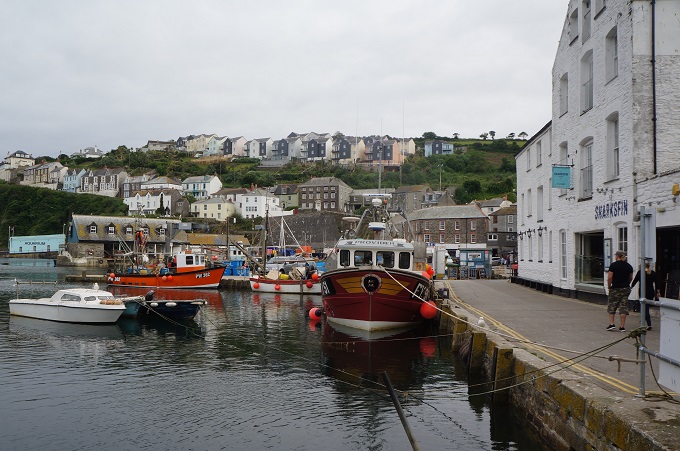
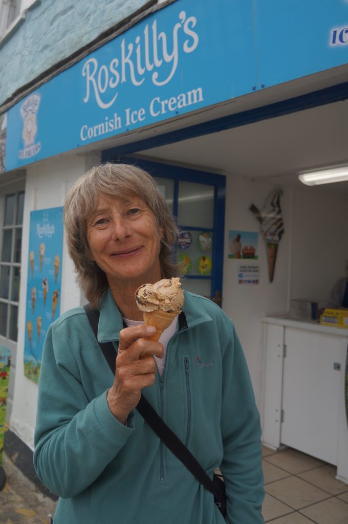
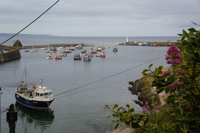
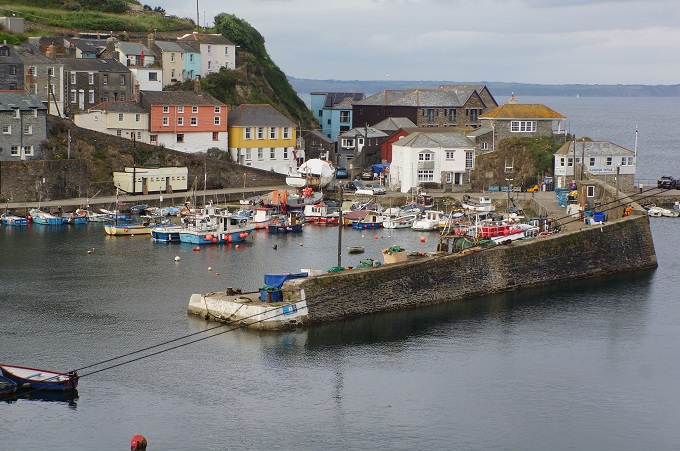
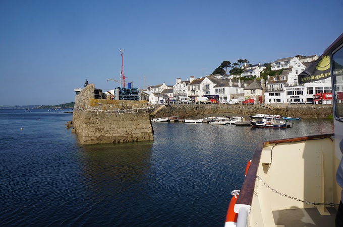
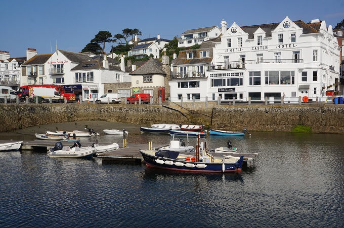
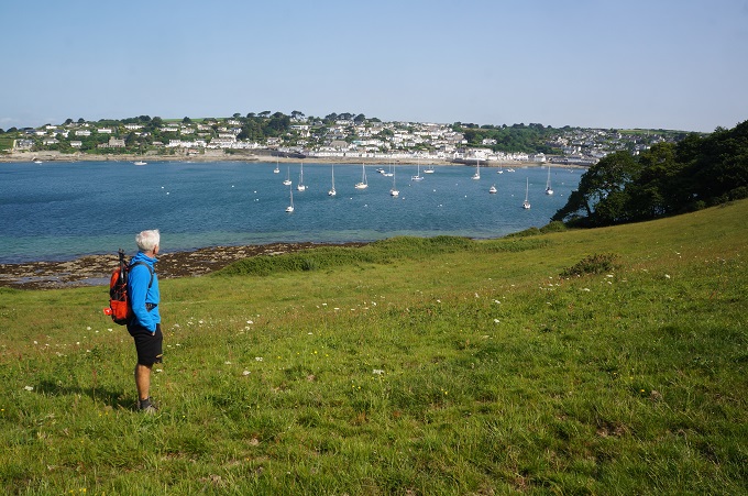
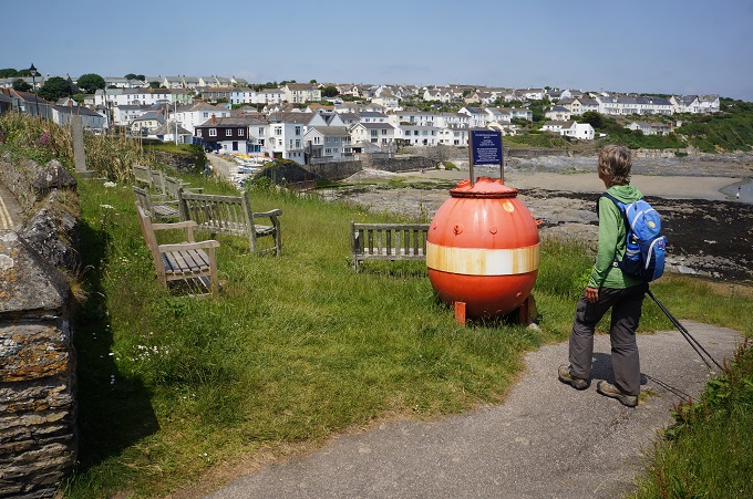
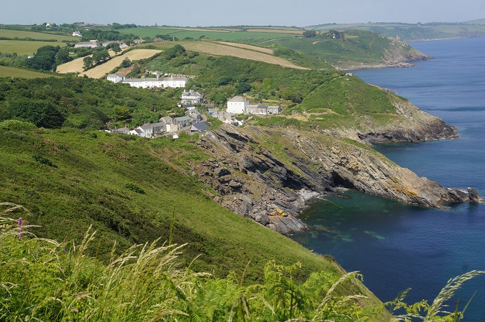
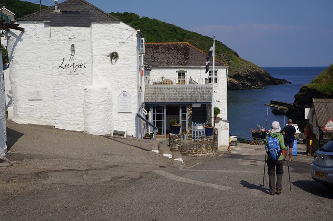
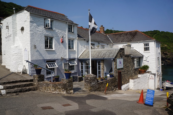
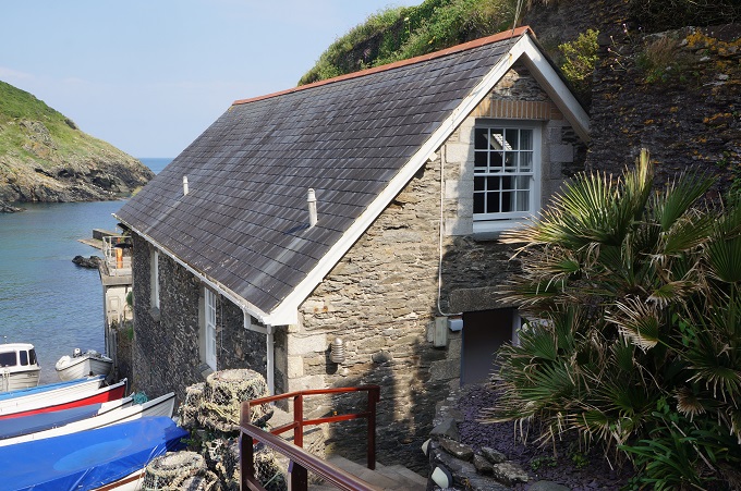
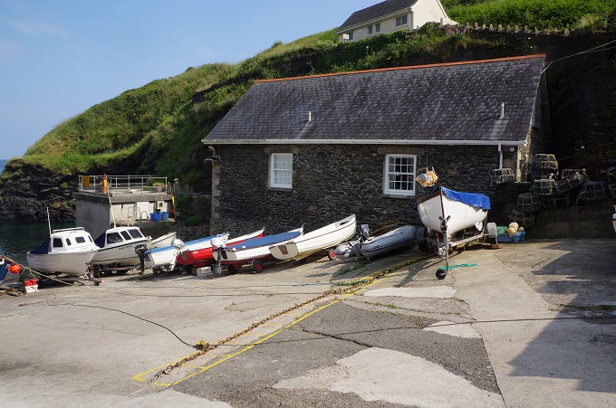
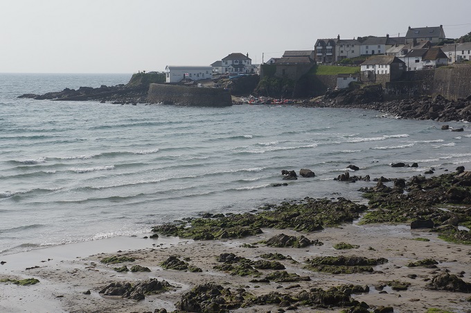
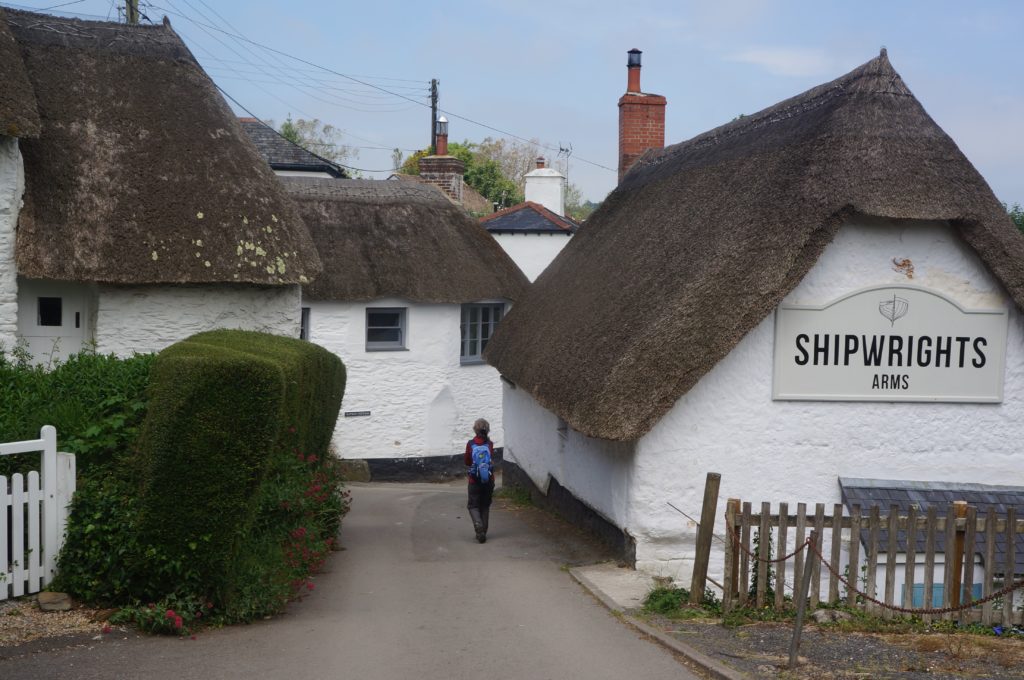
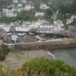
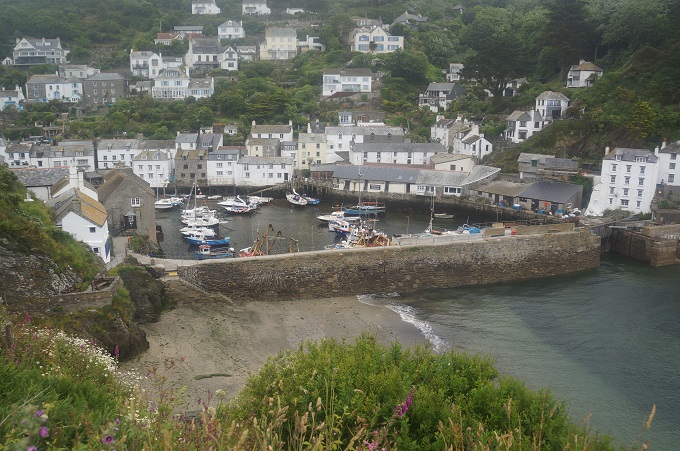
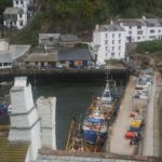
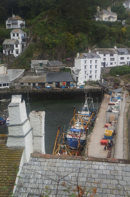
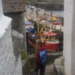
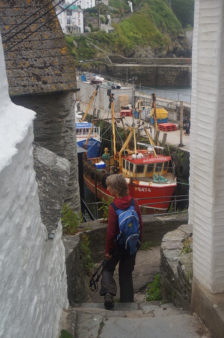
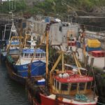
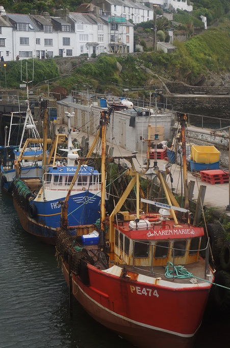
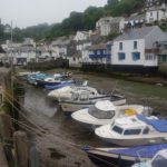
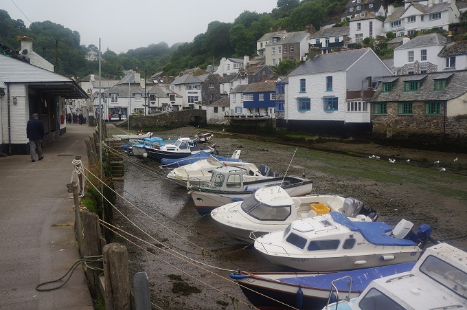
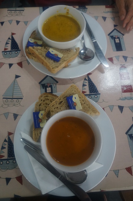
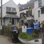
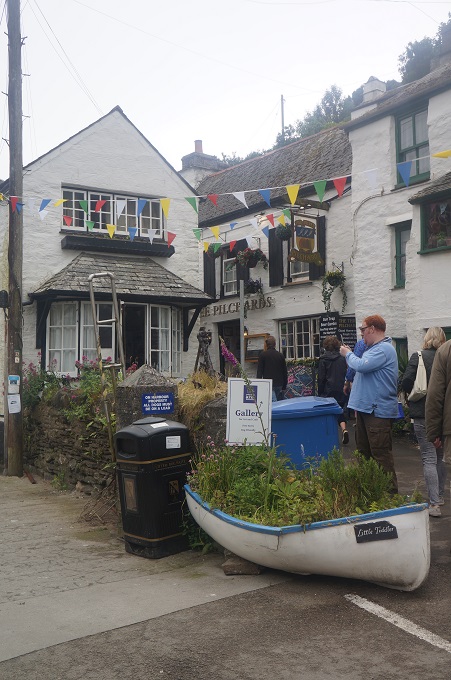
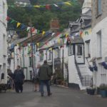
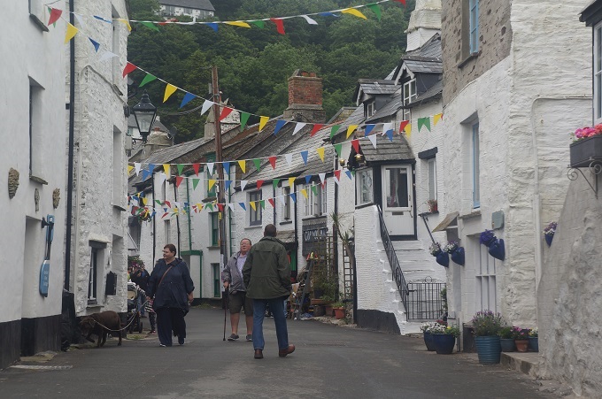
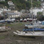
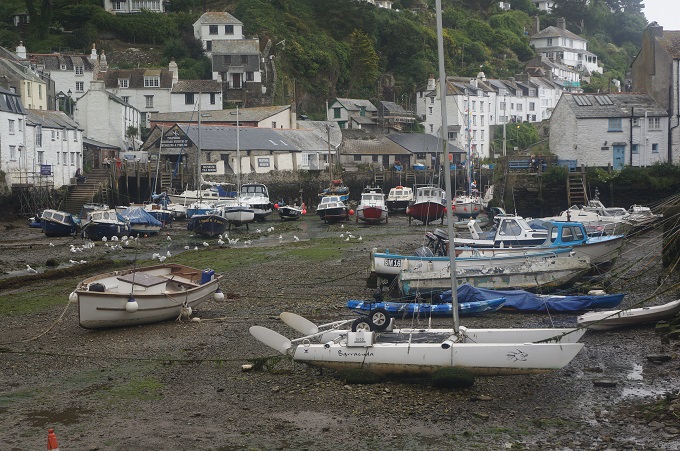
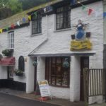
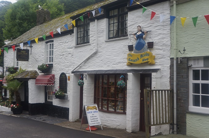
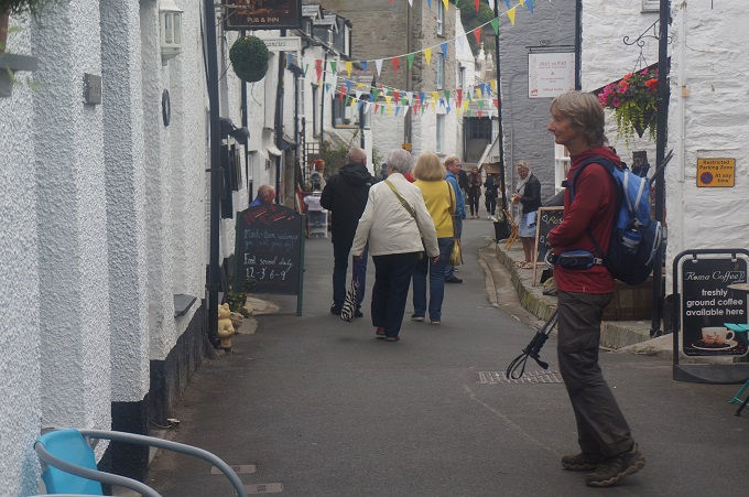
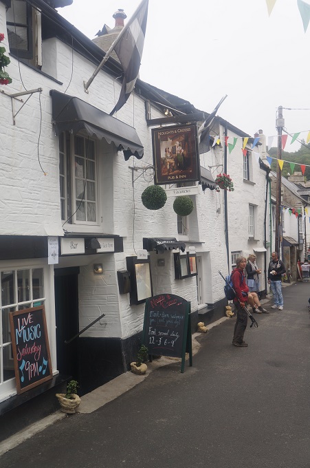
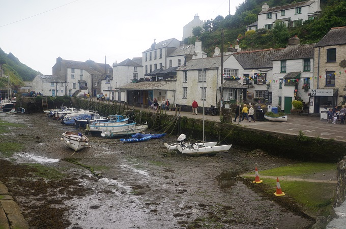
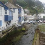
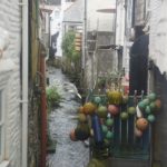
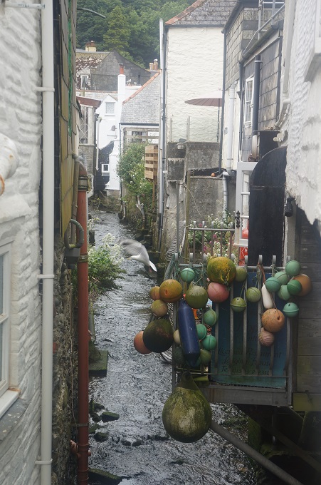
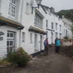
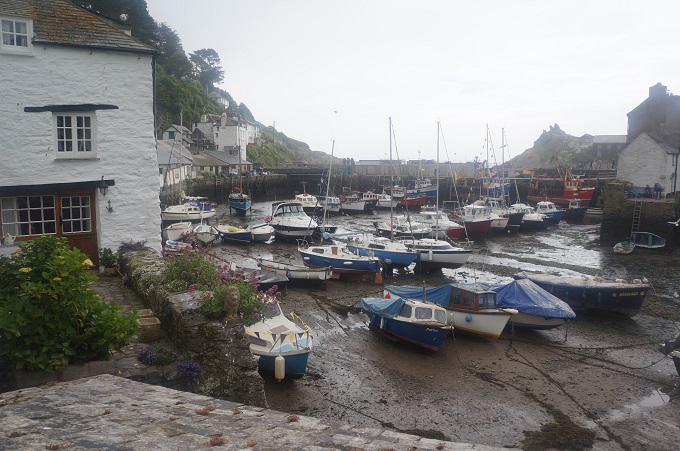
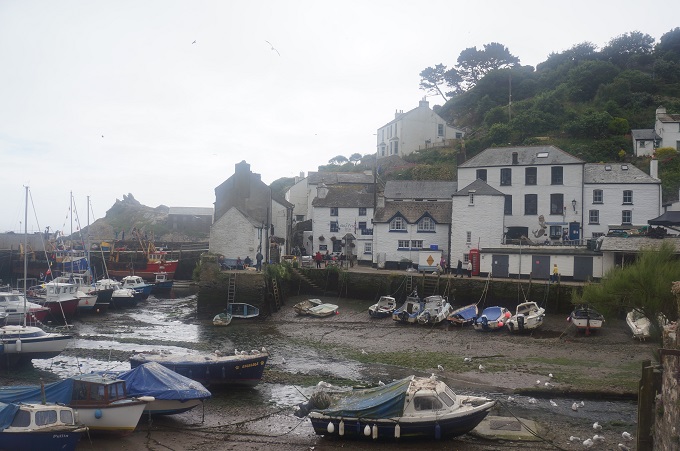
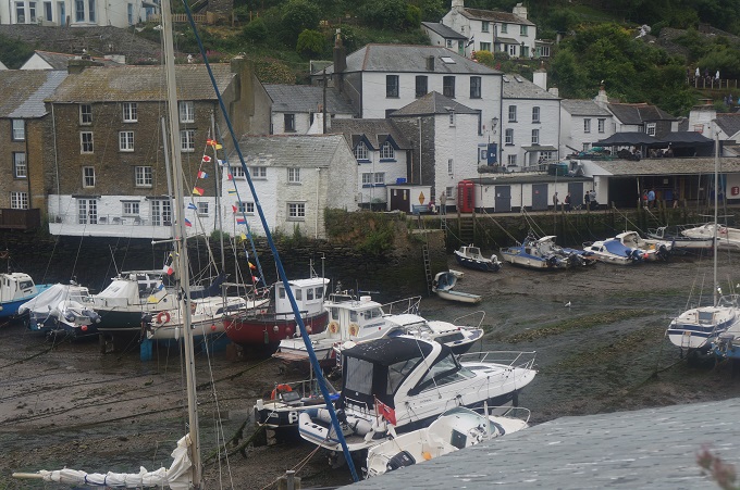
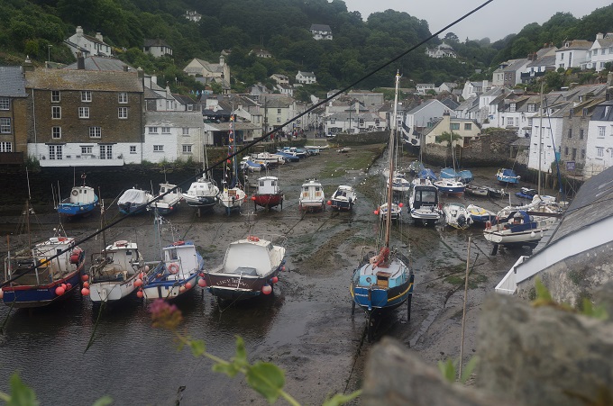
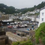
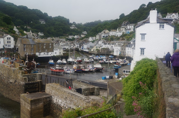
Polpero is yet another picturesque town, squeezed between two high hills clad in pine forests. The layout is unusual as the town is strung out along two parallel roads stretching inland for about a mile. It survives on fishing and tourism and was very busy today as it was Fathers’ Day. It’s another village you come across unexpectedly. Walking around a quiet and remote headland you suddenly come across a high stone harbour wall and behind it tiers of white houses stacked up on the sides of the valley. We stopped for some lunch of soup and bread.
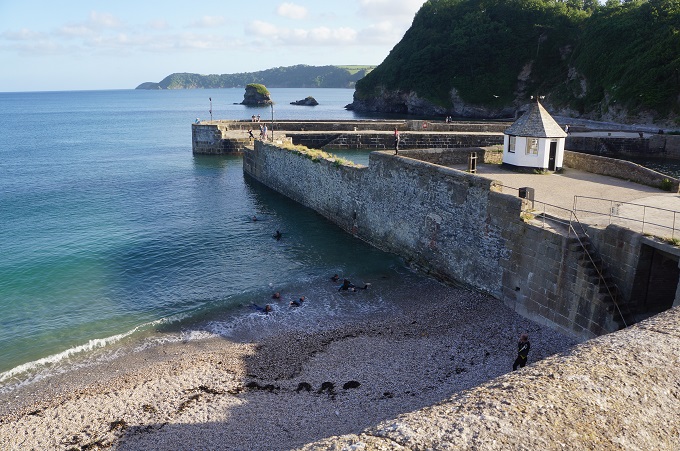
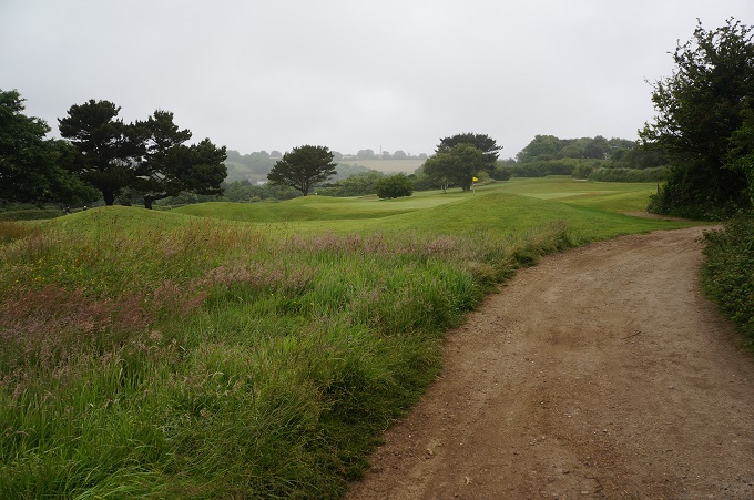
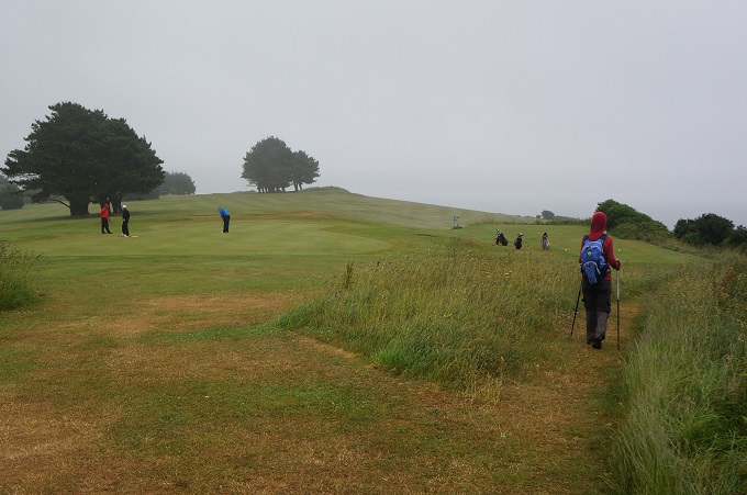
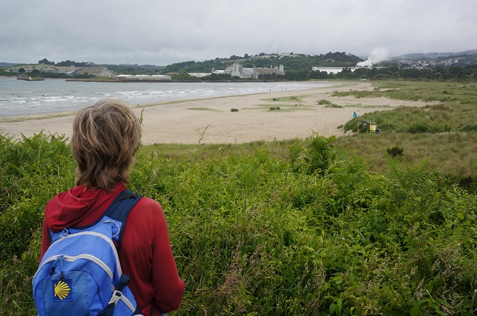
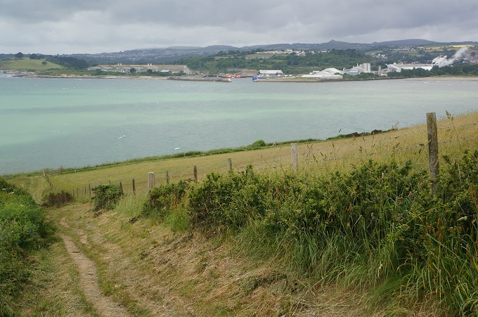
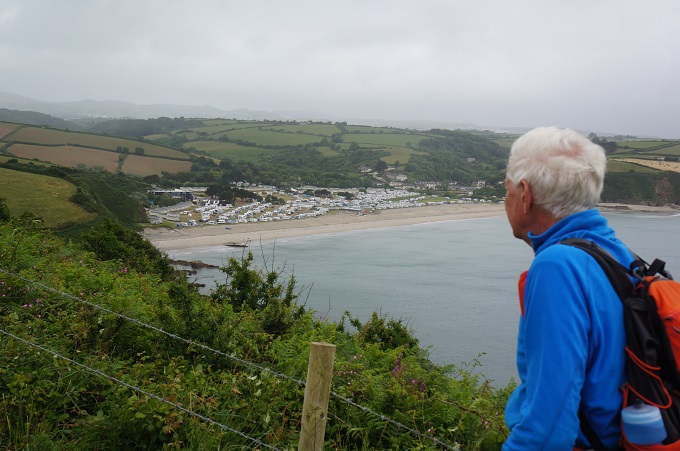
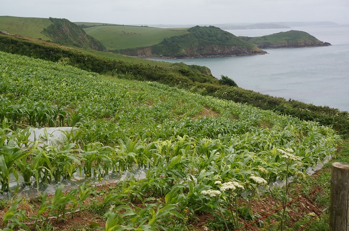
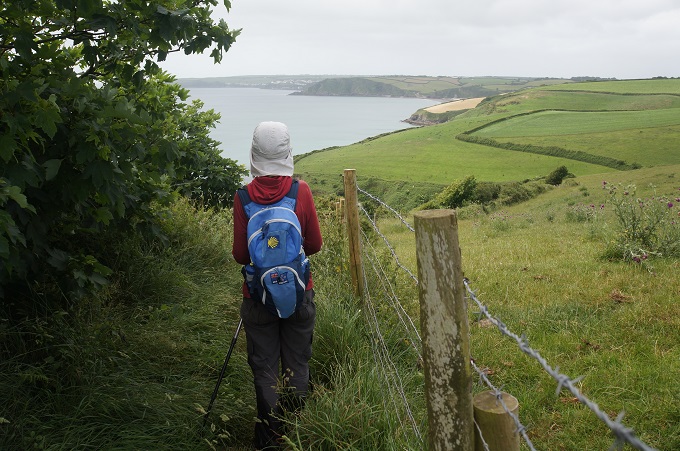
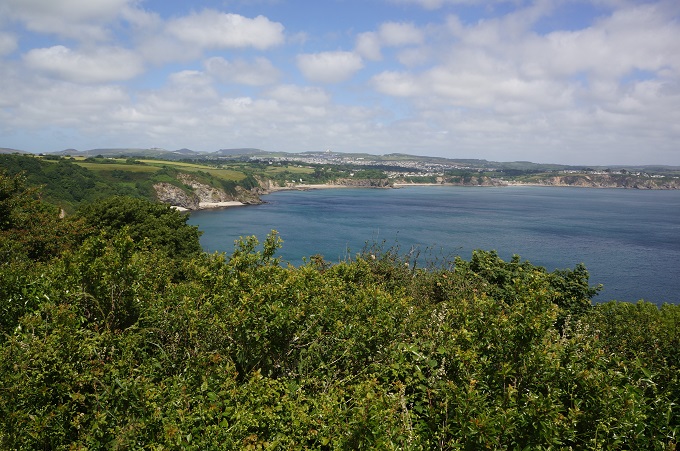
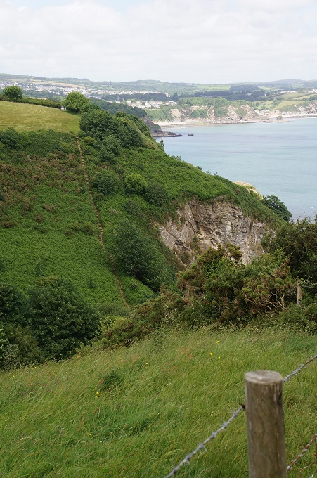
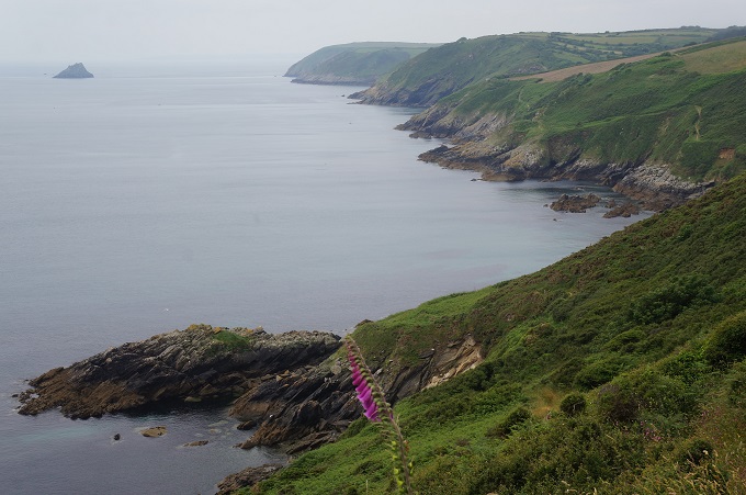
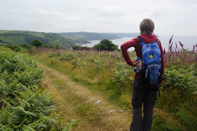
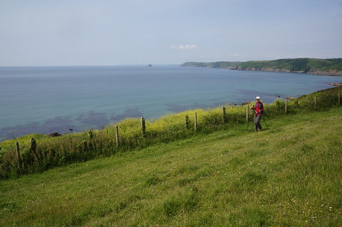
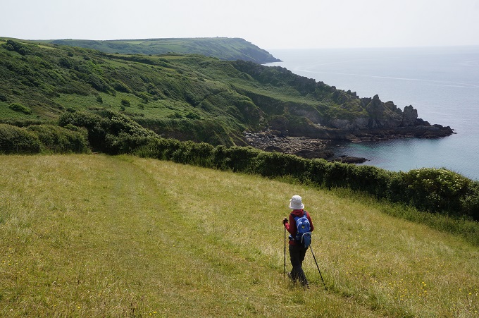
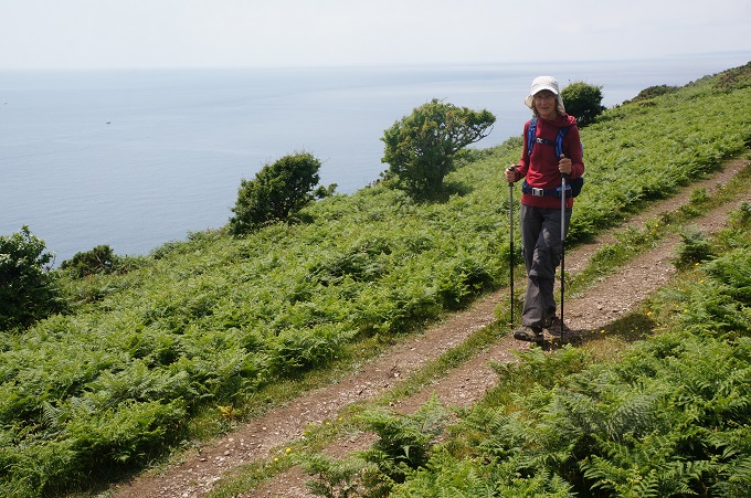
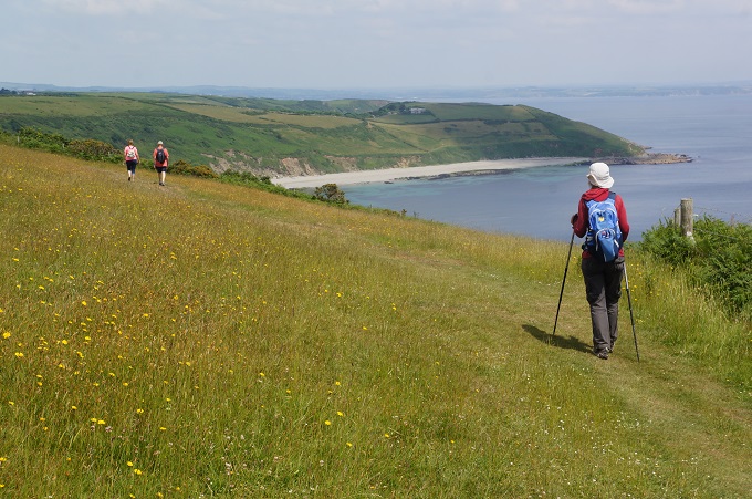
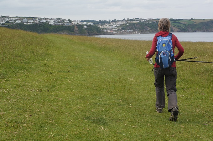
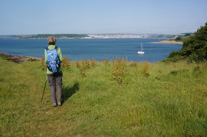
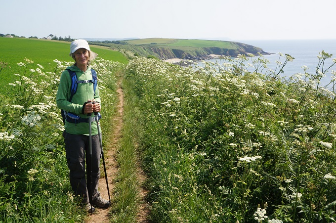
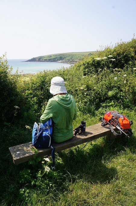
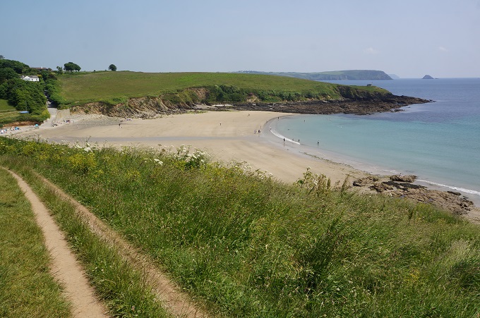
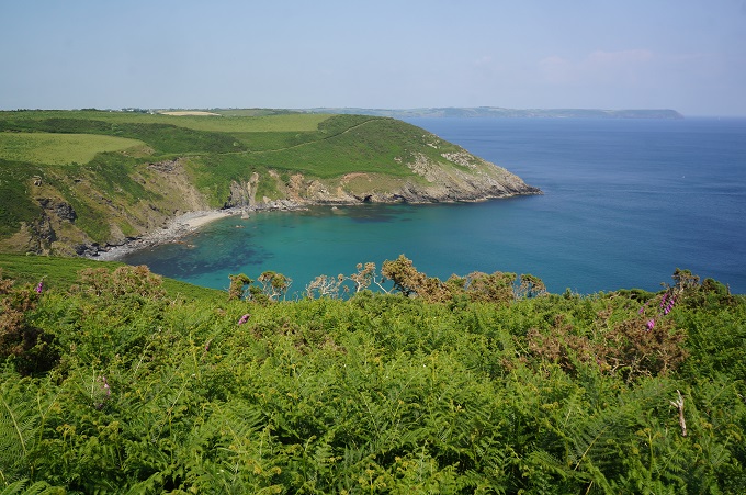
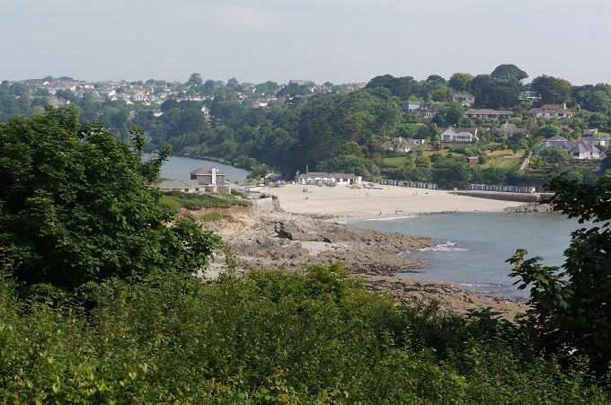
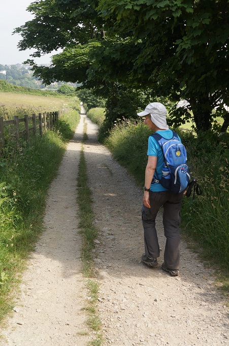
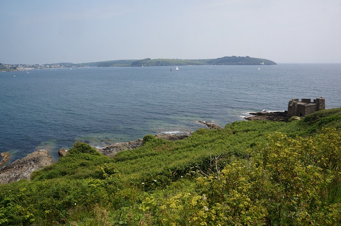
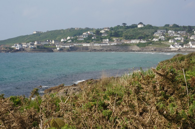
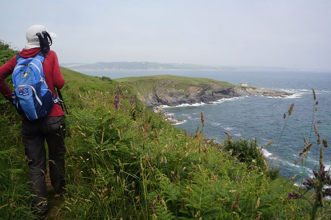
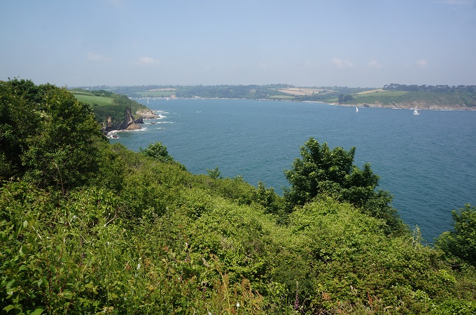
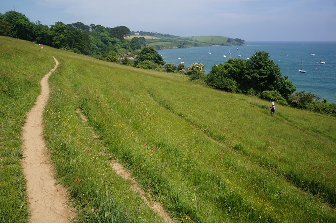
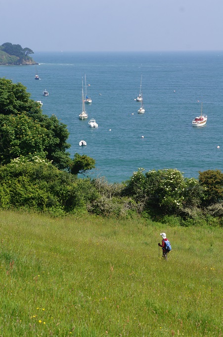
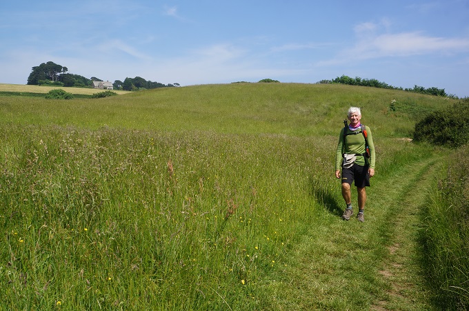
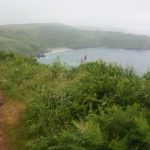
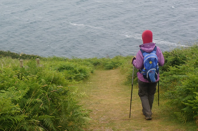
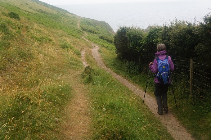
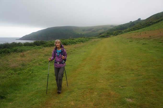
After lunch the walk was gratifyingly gentle on ever reducing low headlands. This weekend, Sat and Sun, there was a Coast to Cove event on – running or walking – and the path was freshly mown and a dream to walk on. This was the easiest walking in 4 weeks. Nearing Looe you pass Looe Island (aka St George’s Island) which you can actually walk to a couple of times a year when the tide is particularly low. According to local legend, Jesus of Nazareth visited Looe Island with Joseph of Arimathea in order to buy tin – though presumably he didn’t need to wait for the tide in order to walk out.
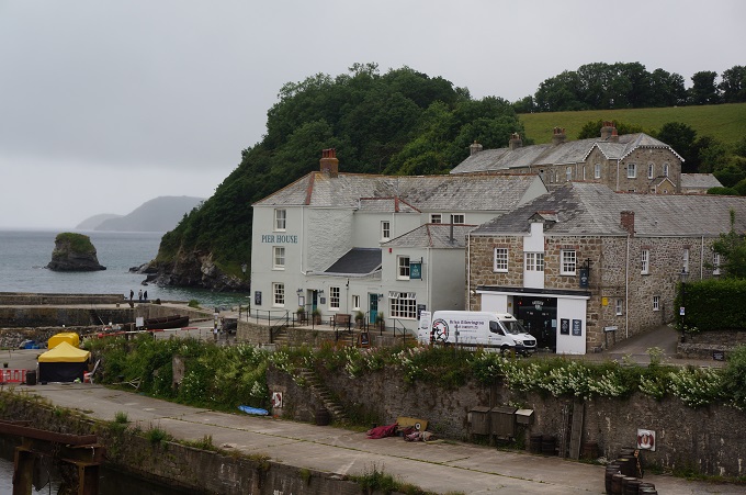
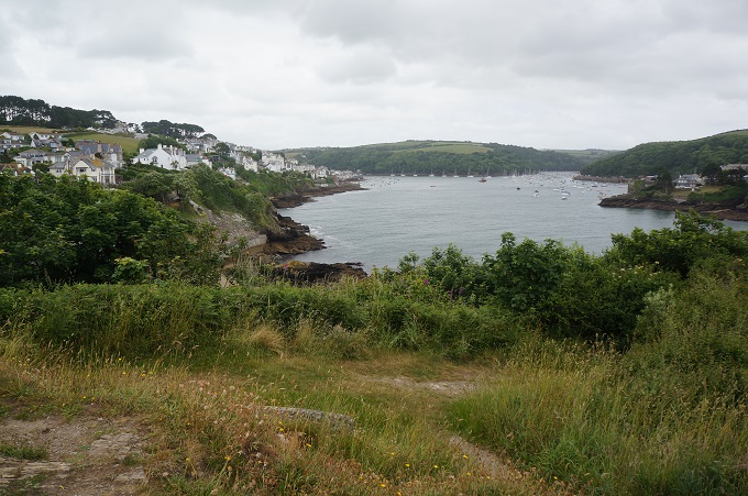
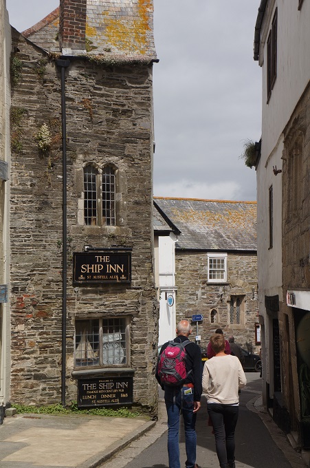
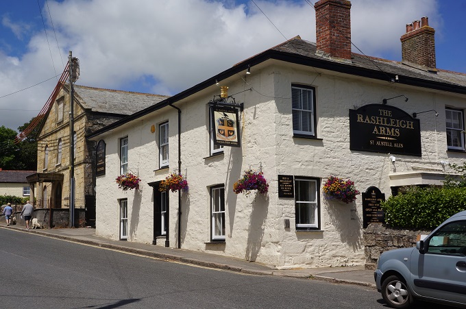
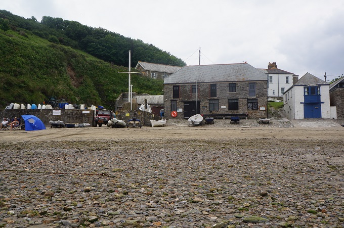
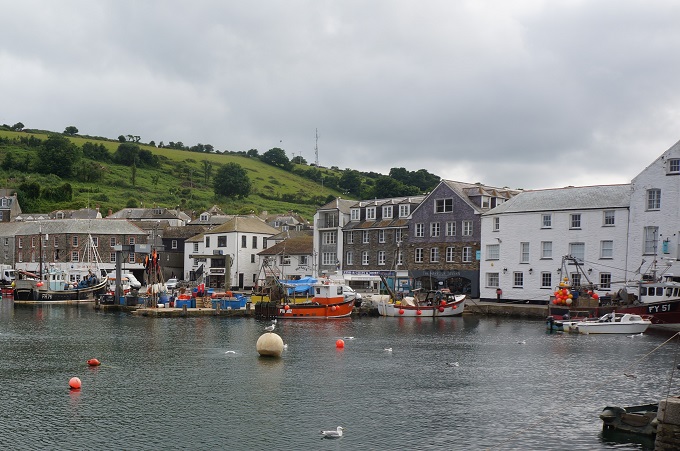
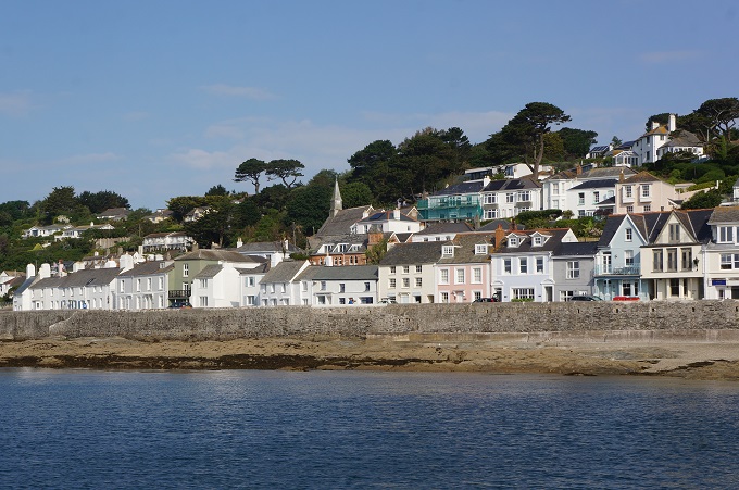
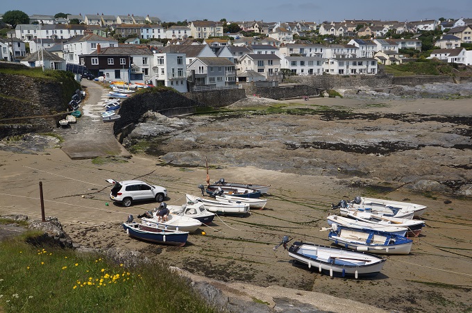
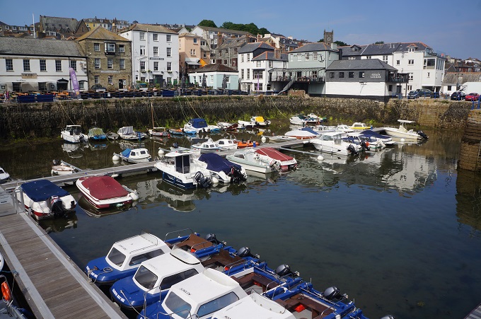
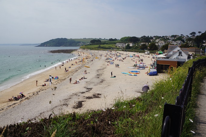
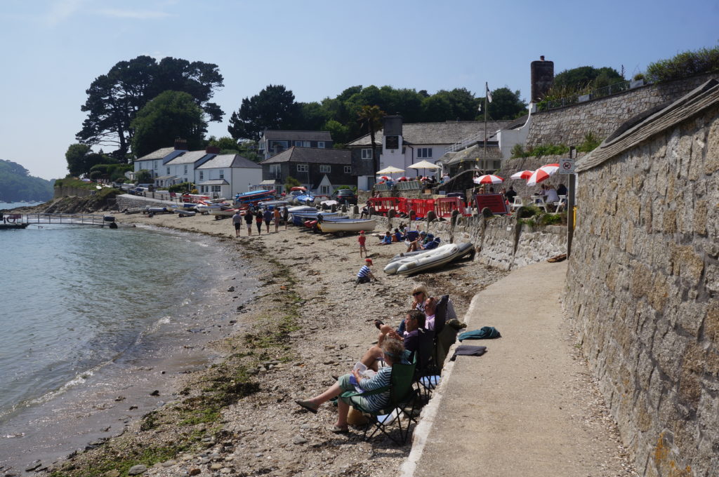
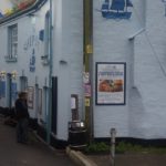
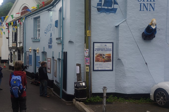
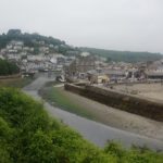
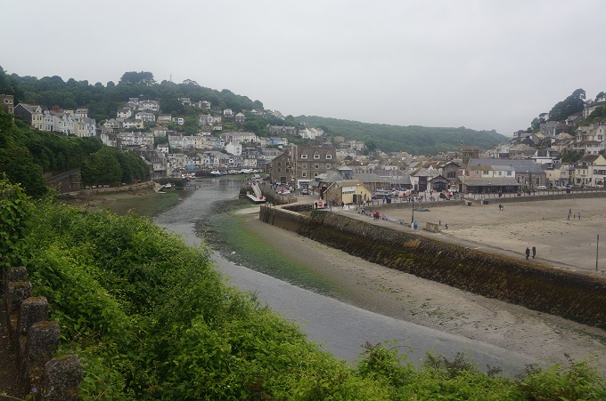
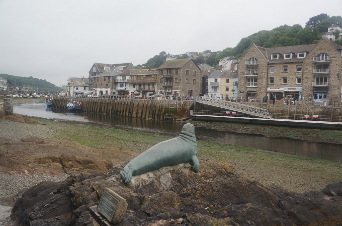
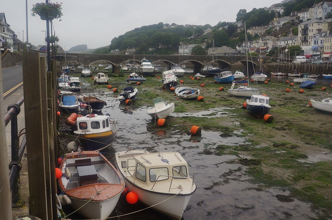
Loee (pronounced loo) is a medium sized coastal town divided into two halves – East and West Looe – by the river of the same name. The river is crossed by a stone arched bridge. The town has a long history as a commercial port and boatbuilding town, but only really grew in the 19th century with the Victorians’ insatiable appetite for seaside holidays. It still has a fishing industry and a tourism industry. We are staying here tonight and found it a bit odd. All the accommodation is in West Looe but all the entertainment, pubs, cafes etc are in East Looe.
-
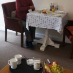
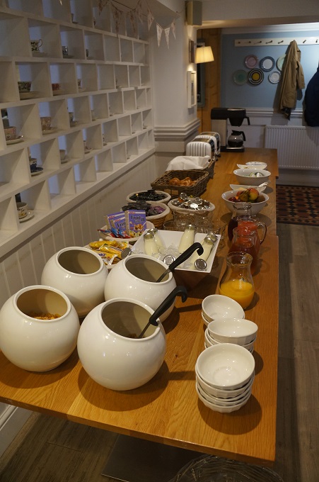
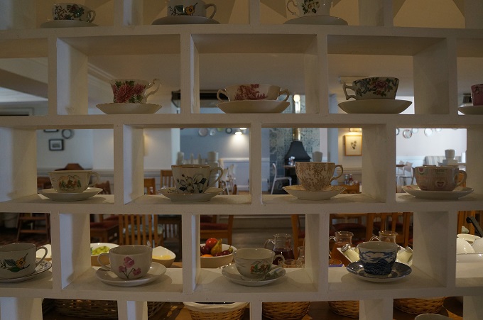
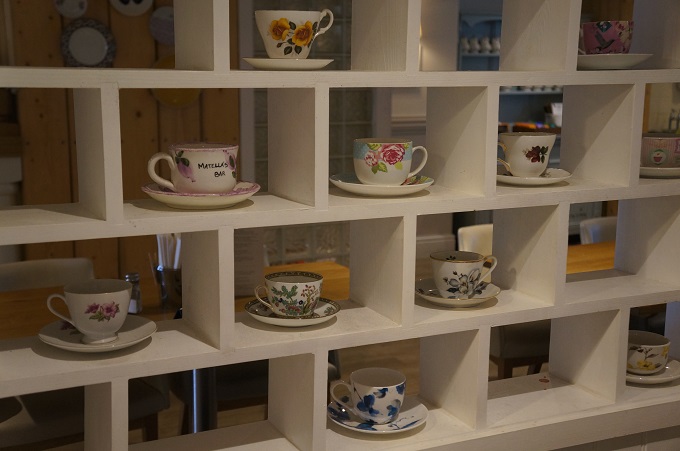
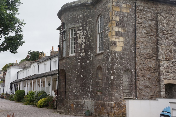
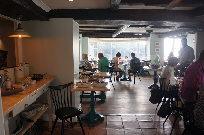
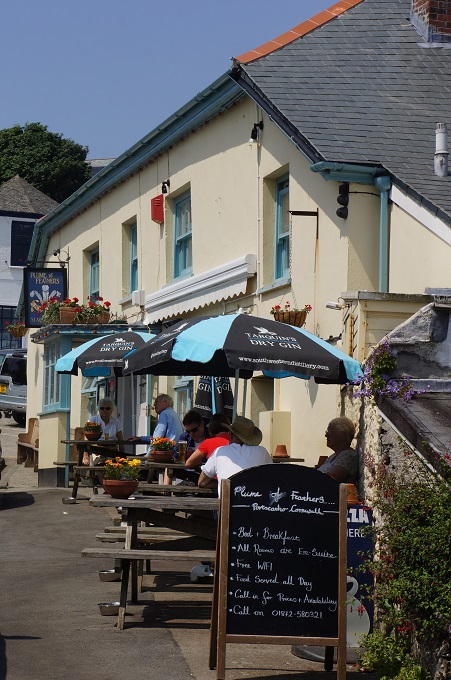
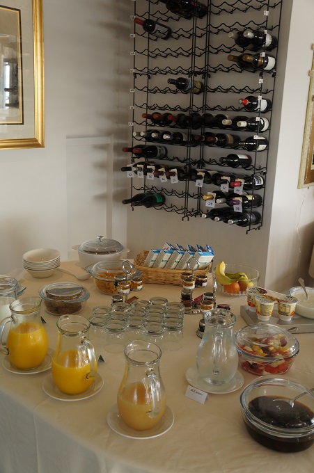
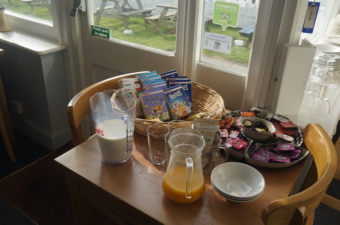
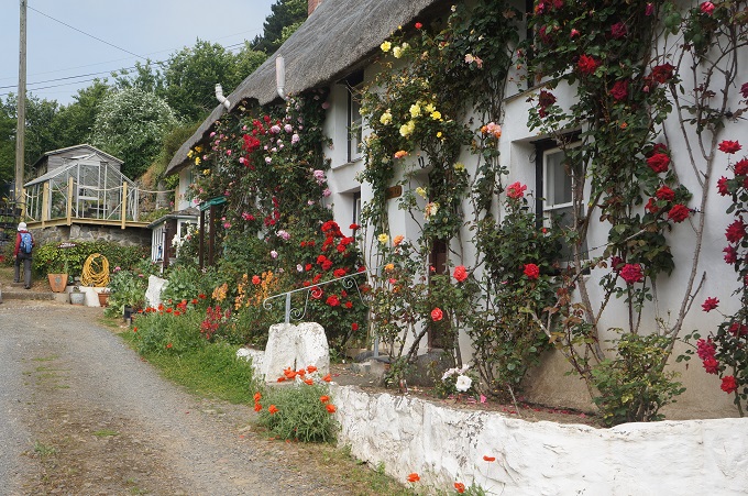
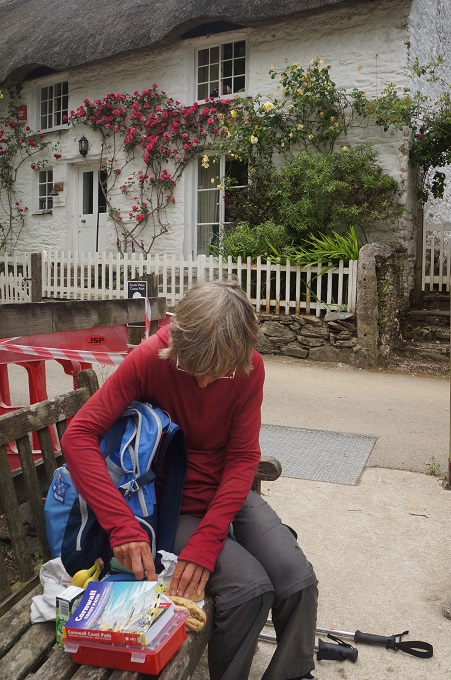
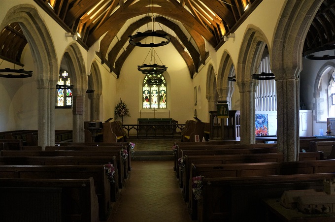
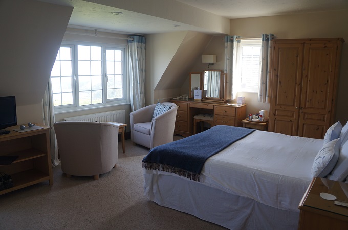
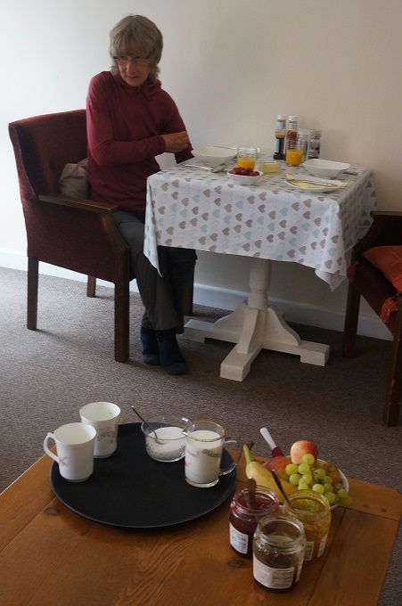
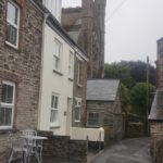
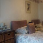
- Breakfast in Doreen’s lounge, 4 The Windmill, Fowey
-
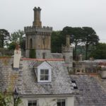
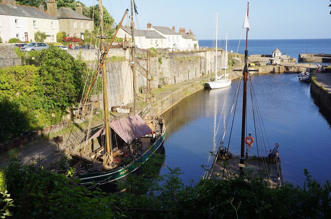
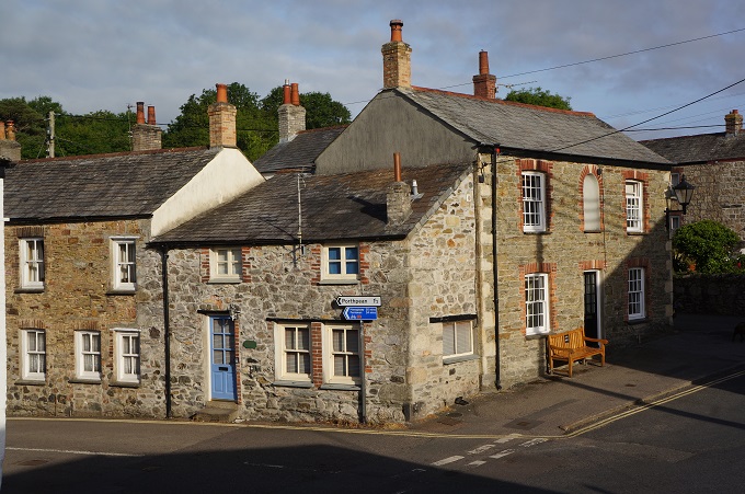
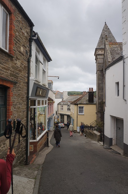
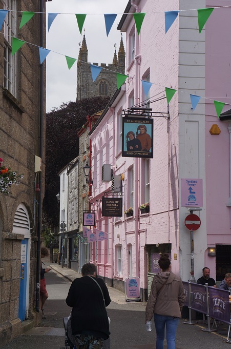
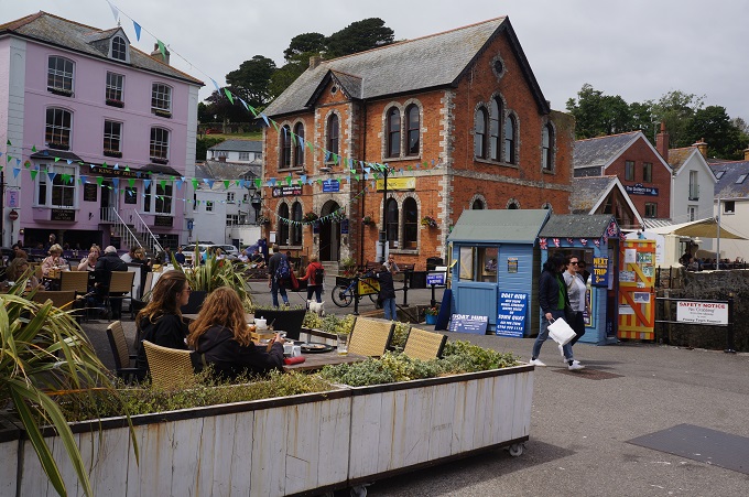
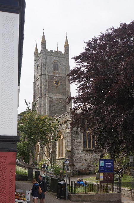
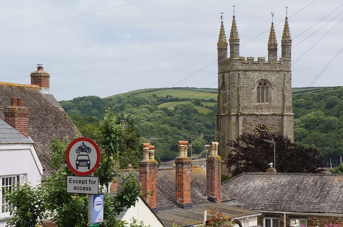
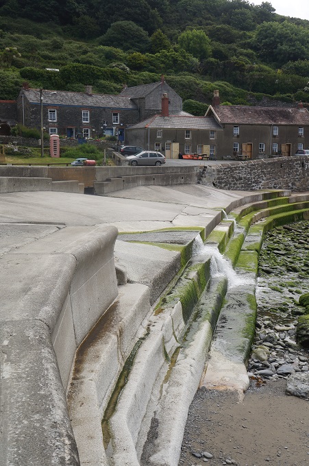
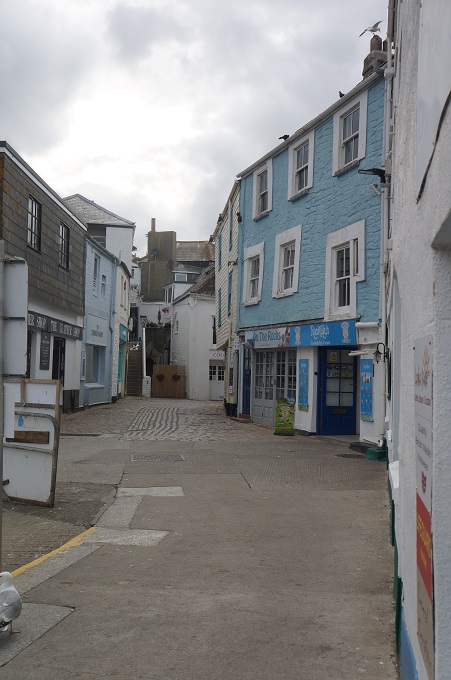
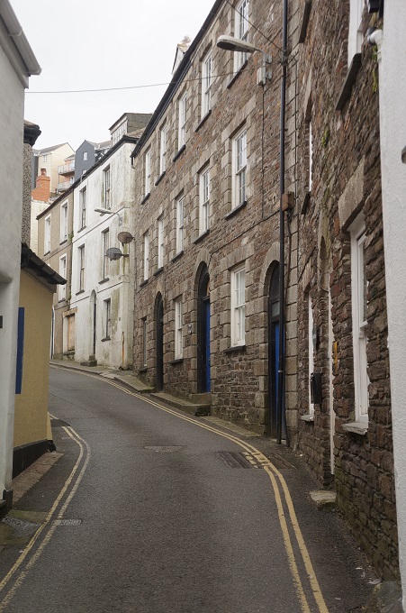
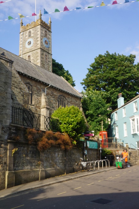
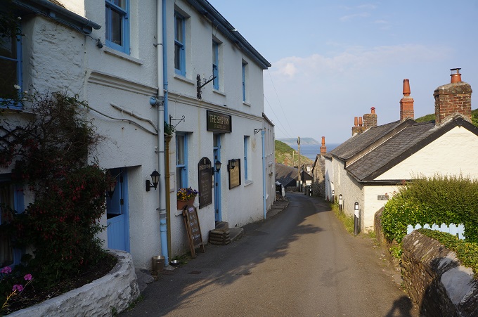
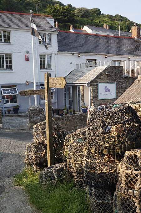
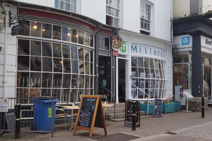
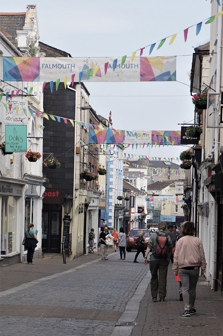
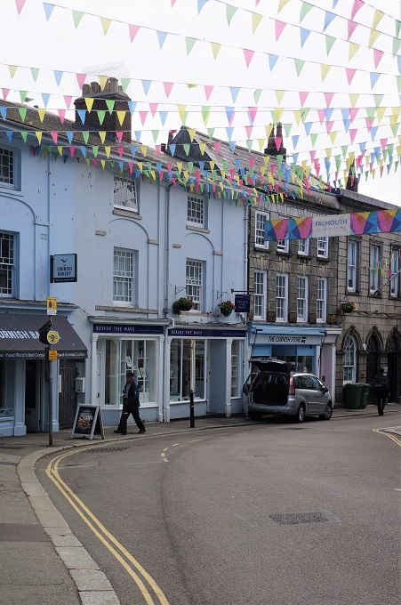
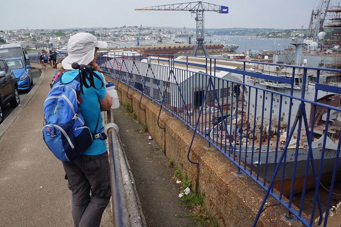
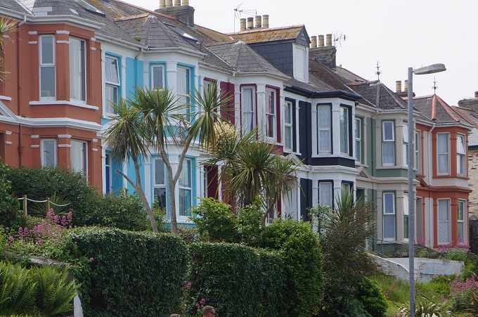
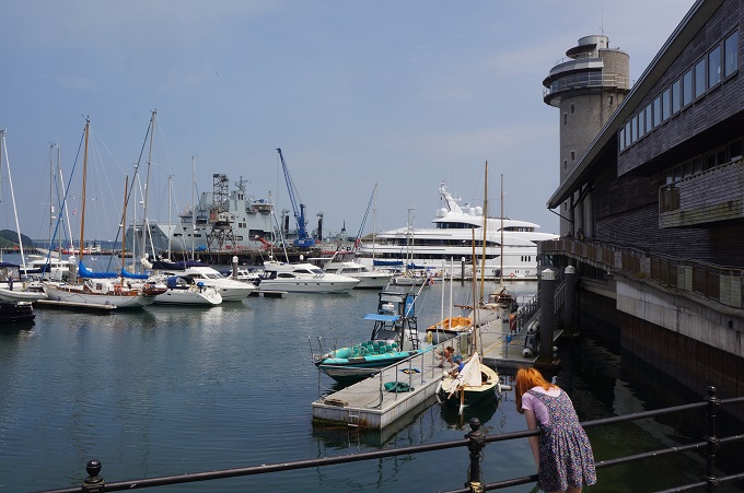
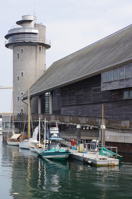
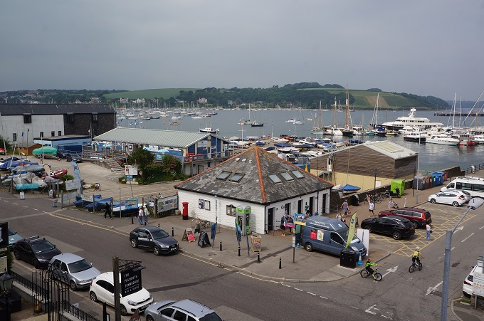
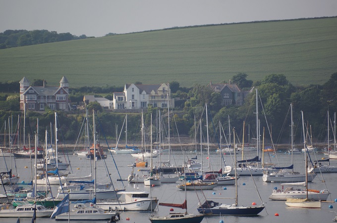
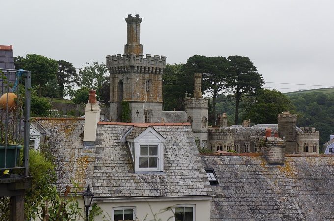
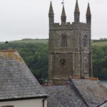
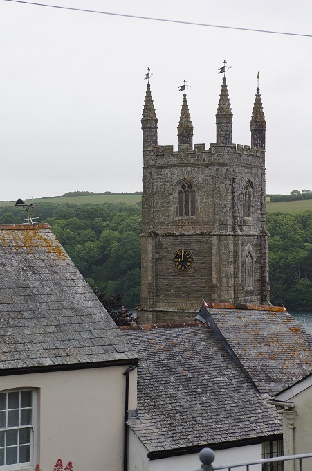
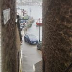
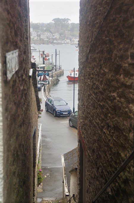
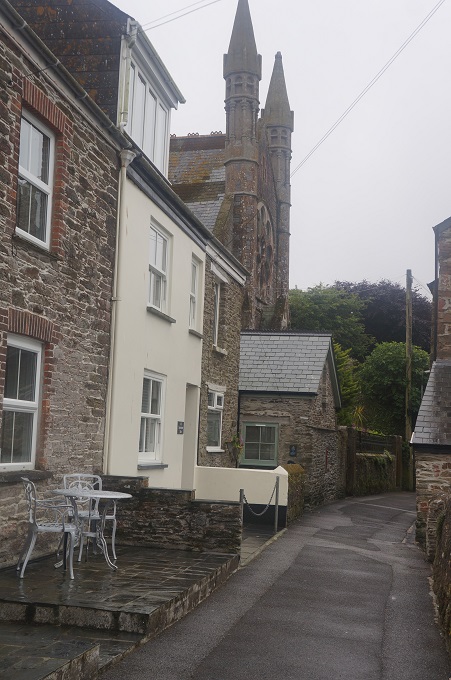
- Fowey
-
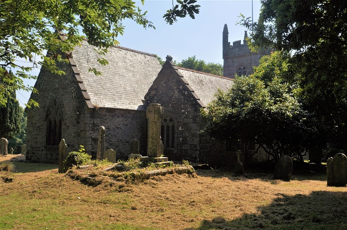
- Fowey
-
- Fowey

-

- Father’s Day today in UK

-
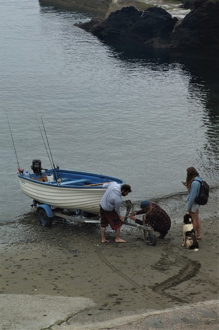
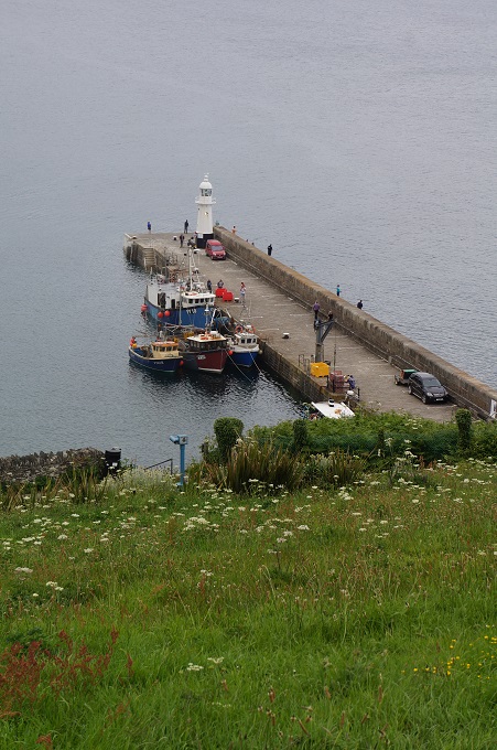
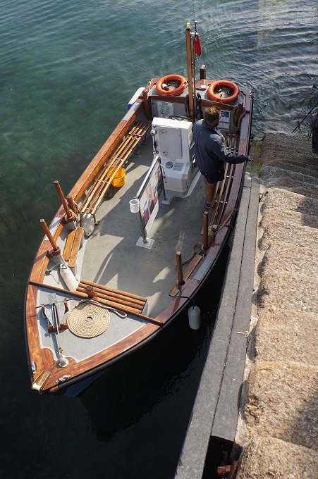
- The ferry, Fowey to Polruan

-
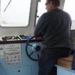
- The ferryman
-
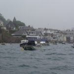
- A bit sloppy crossing from Fowey to Polruan

-
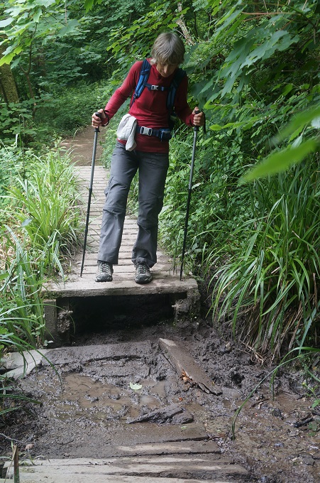
- Essential gear for the ferry crossing, Fowey to Polruan
-
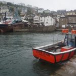
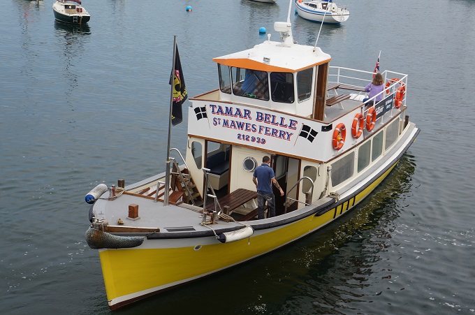
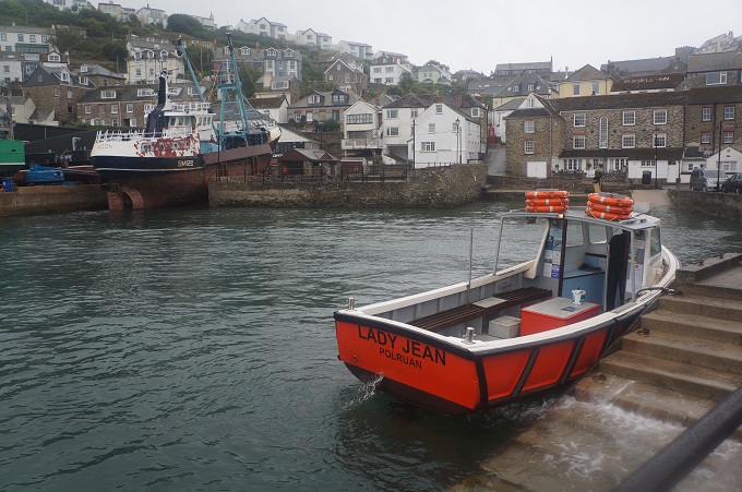
- Lady Jean, the ferry Fowey to Polruan
-
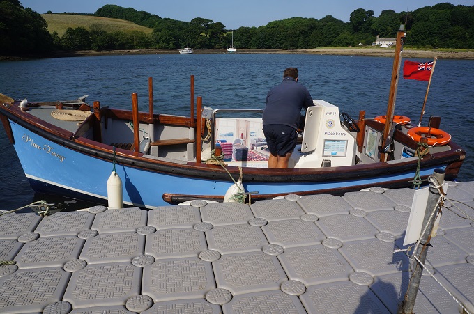
- The ferry jetty, Polruan

-
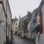
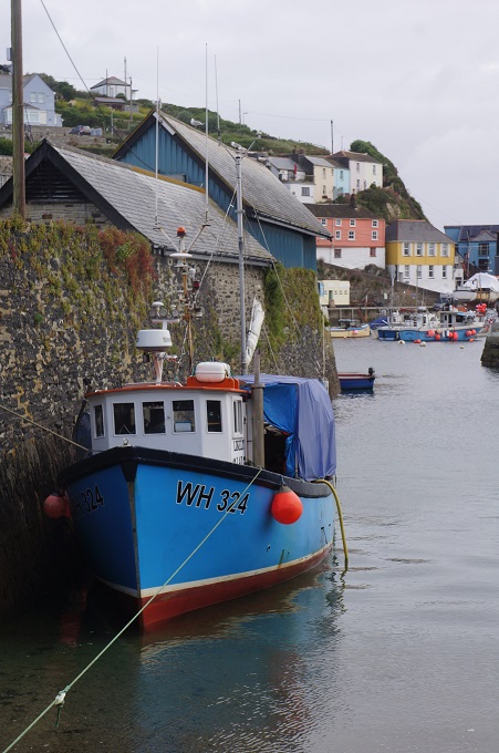
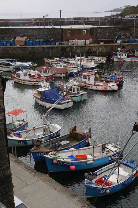
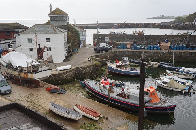
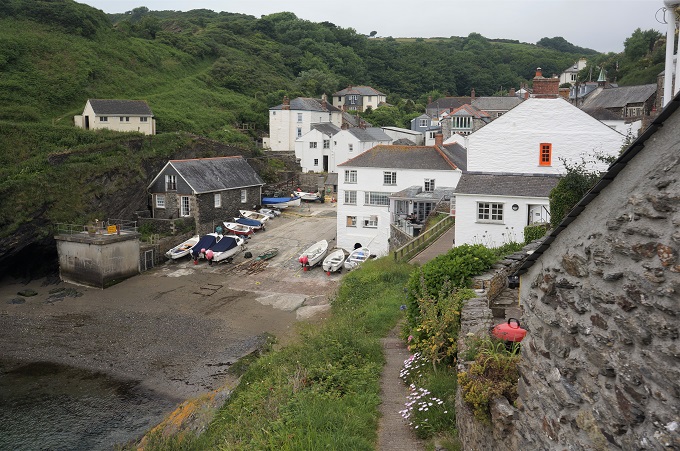
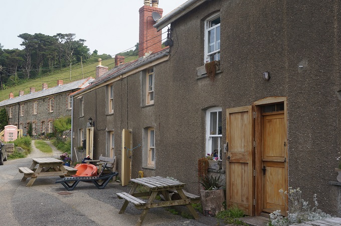
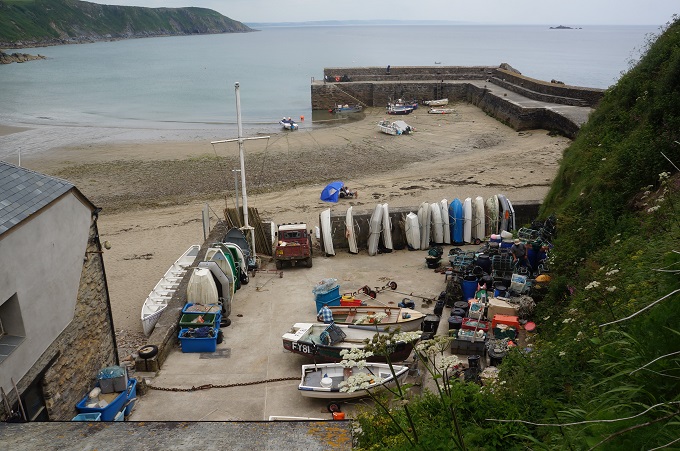
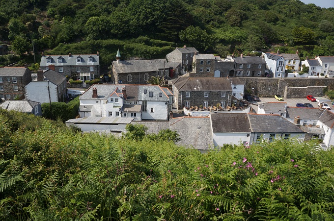
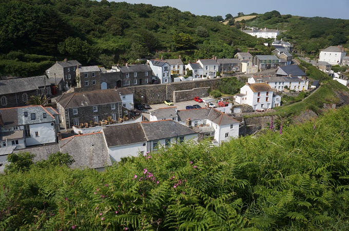
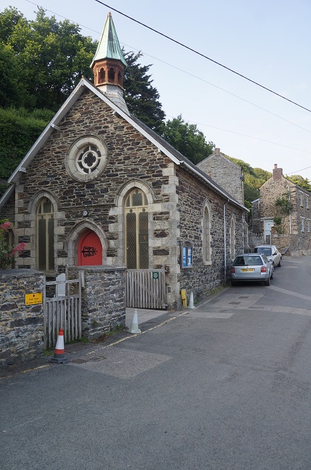
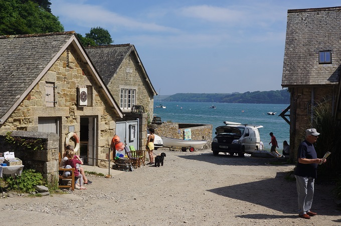
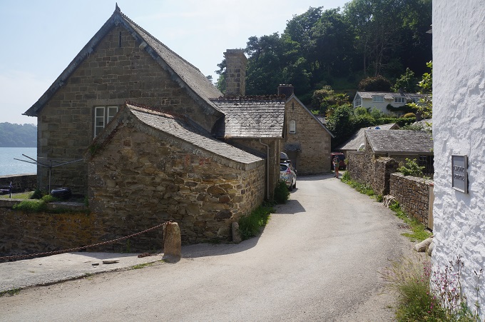
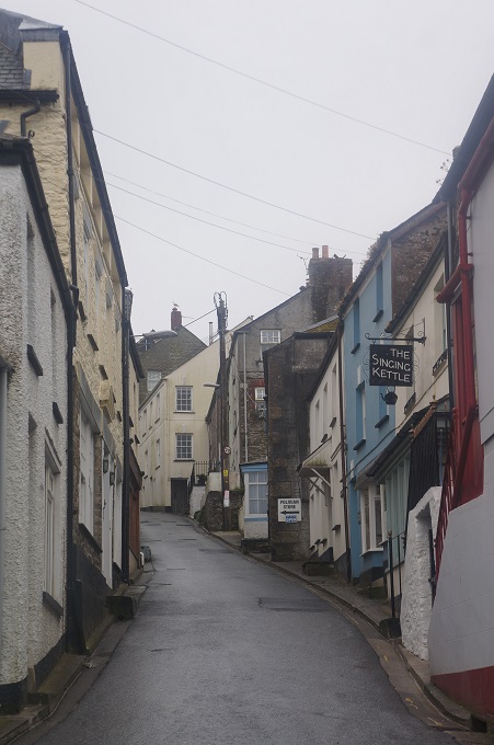
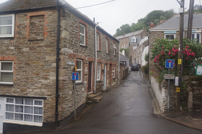
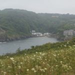
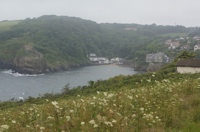
- Polruan
-
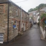
- Polruan
-
- The ferry jetty, Polruan
-
- Polruan
-
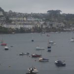
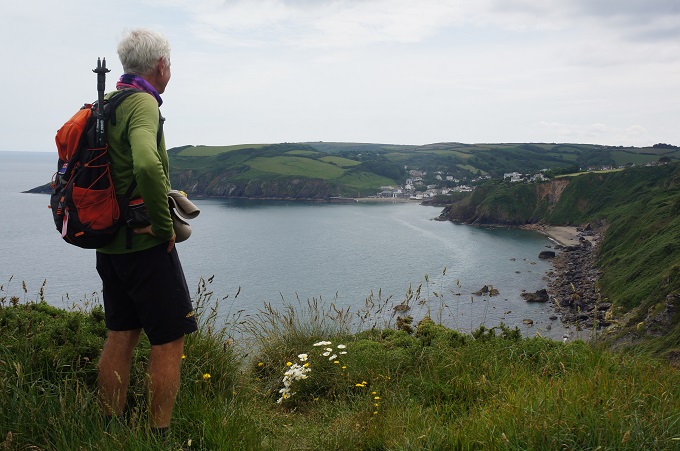
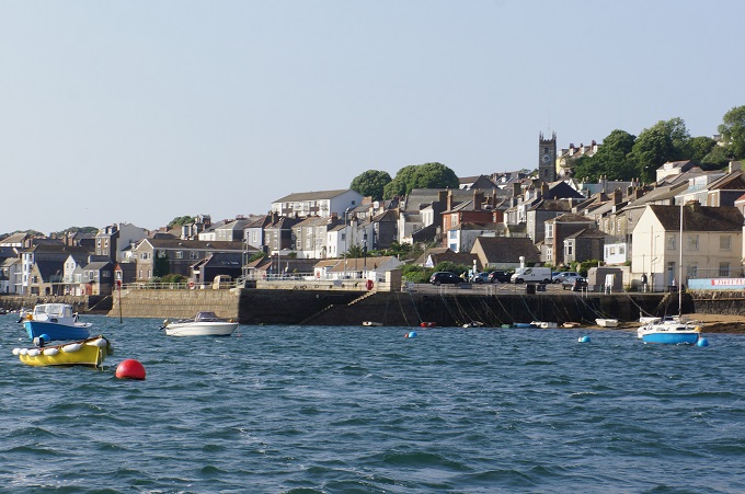
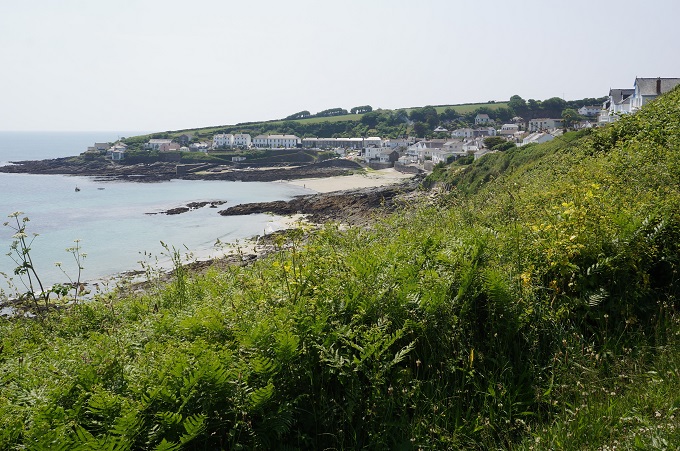
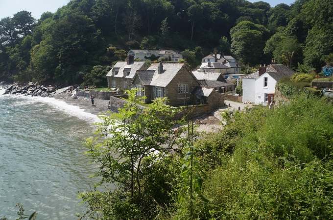
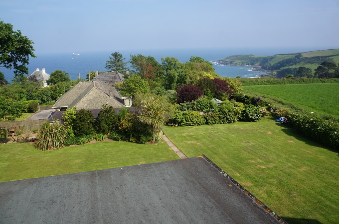
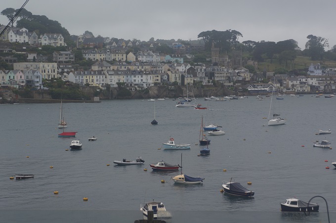
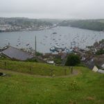
- Fowey from Polruan on a drizzly Sunday morning
-
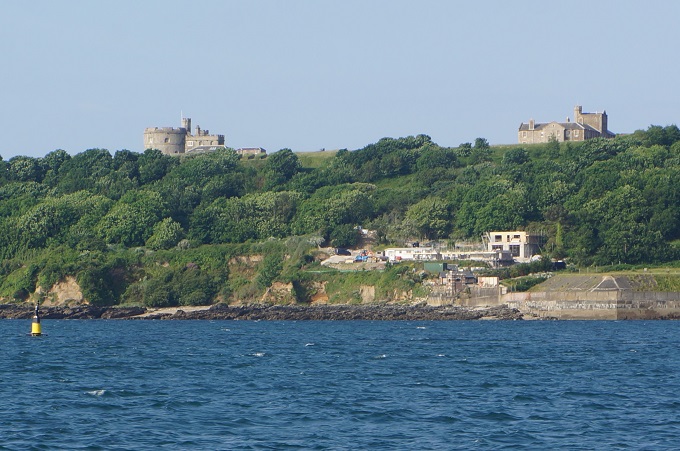
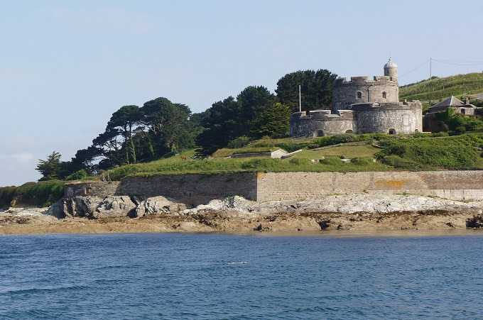
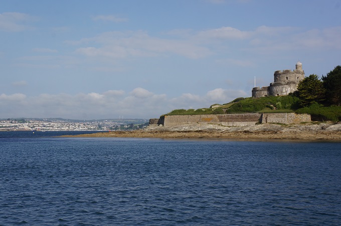
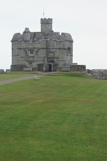
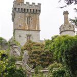
- Leaving Fowey. St Catherine’s Castle on left guarding the harbour entrance
-
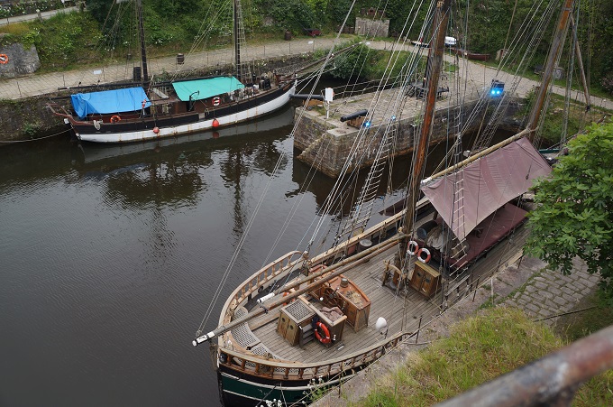
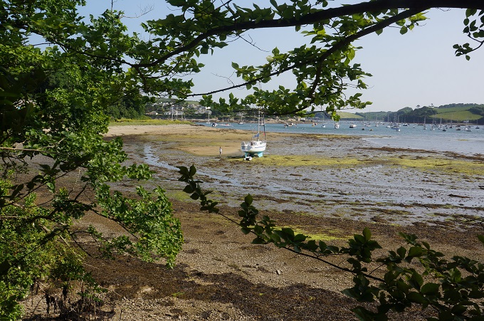
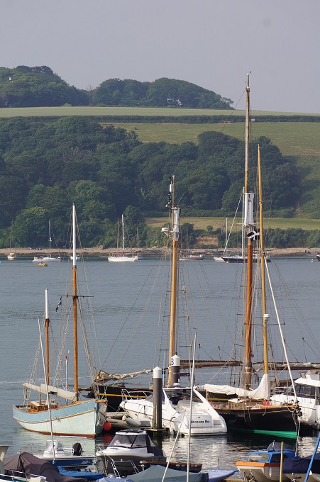
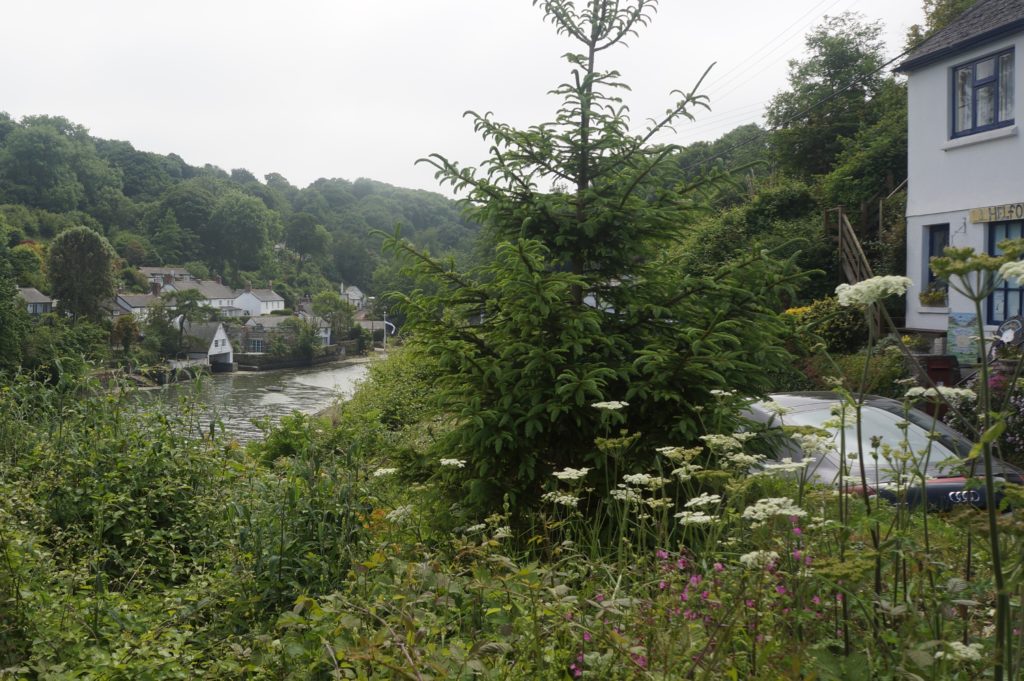
- Fowey River, Fowey far side, Polruan near side
-
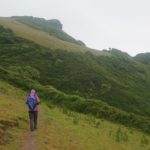
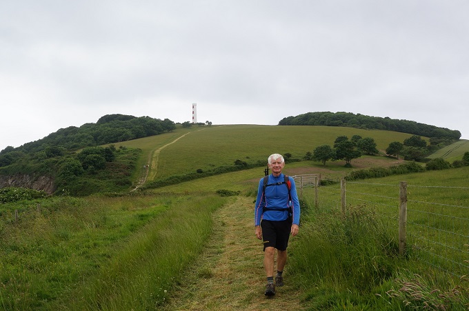
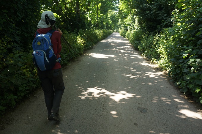
- Starting the climbs
-
- This must be the same species that grows in Wellington

-
- A damp sort of day
-
- More climbing
-
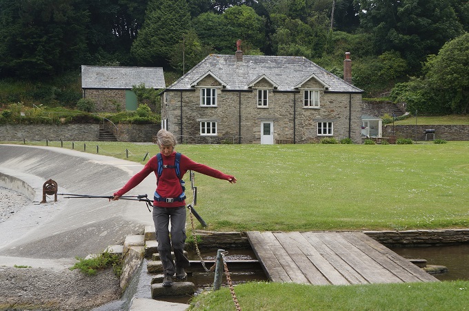
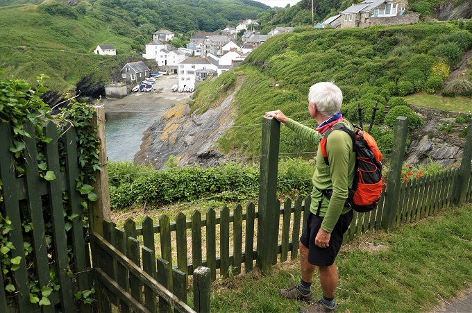
- Don’t go off the edge Barbara
-
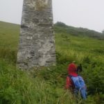
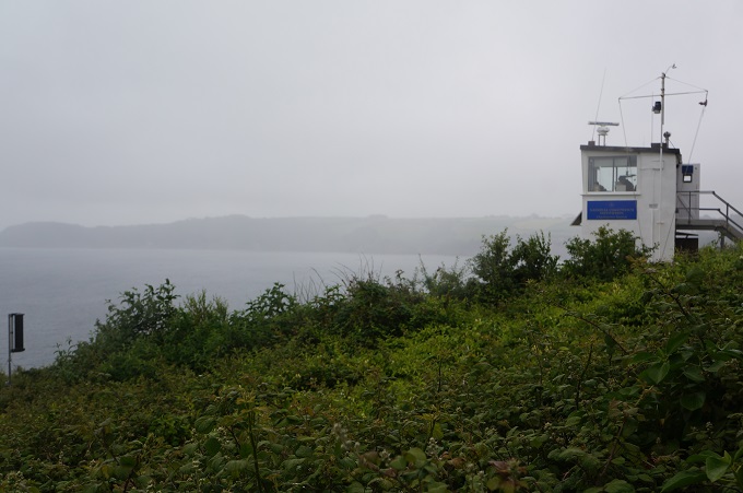
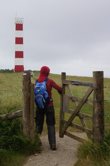
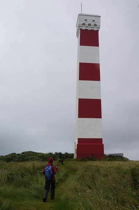
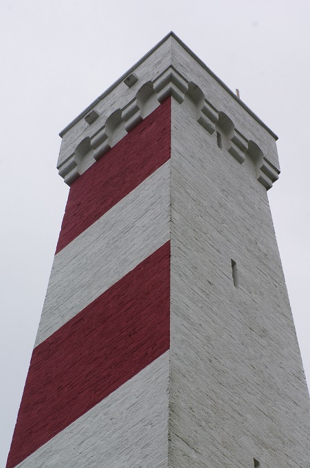
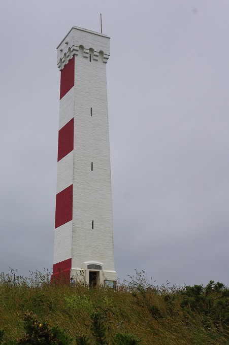
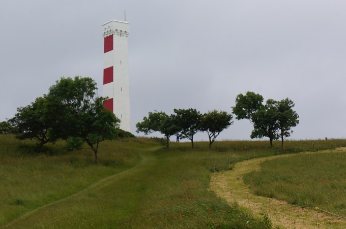
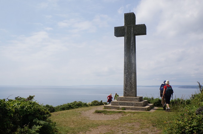
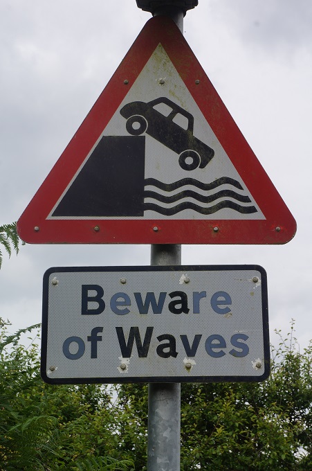
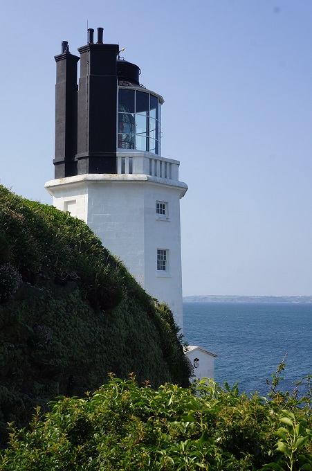
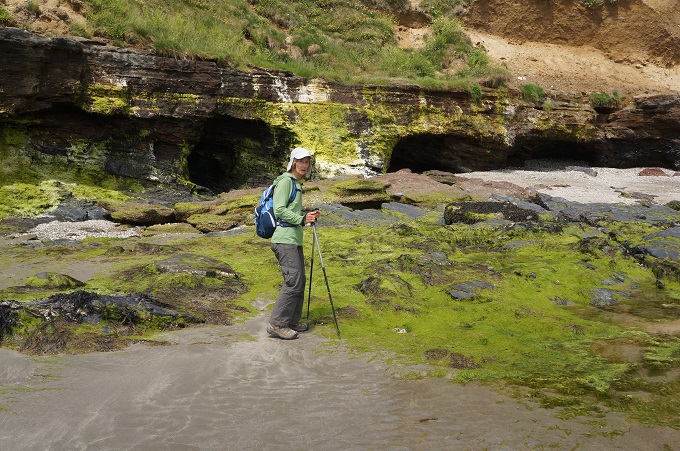
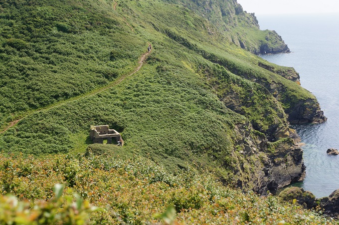
- Sailors’ navigation aid
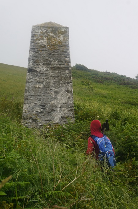
-
- Sailors’ navigation aid, warning of off shore rocks

-
- Sailors’ navigation aid, warning of off shore rocks
-
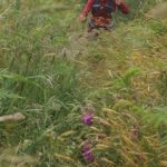
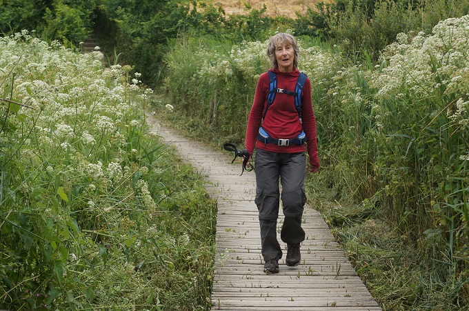
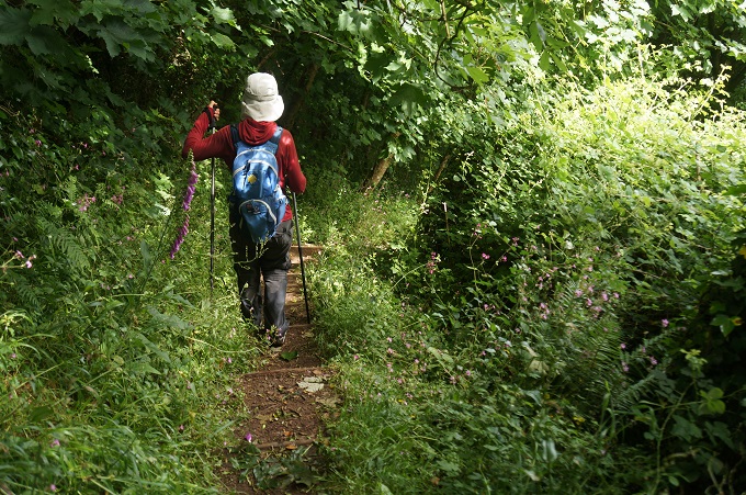
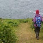
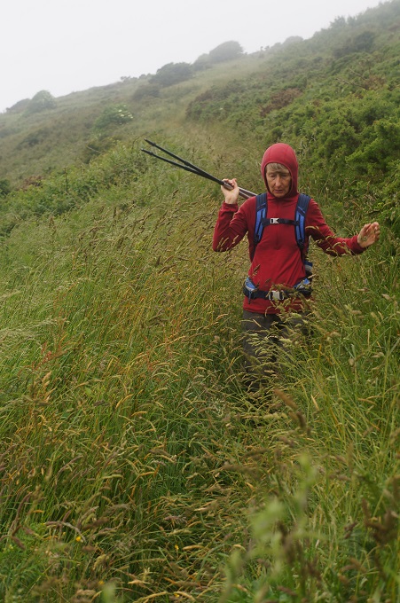
- Overgrown paths
-
- Wading through waist high vegetation
-
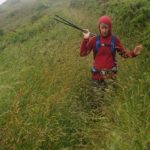
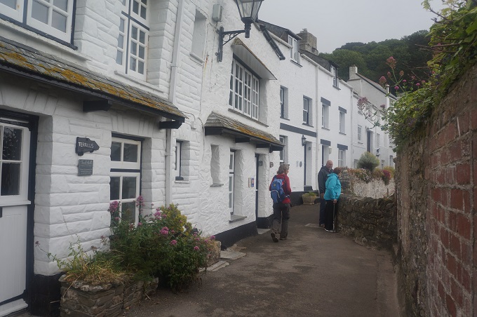
- Three people on the track ahead
-
- Endless steps
-
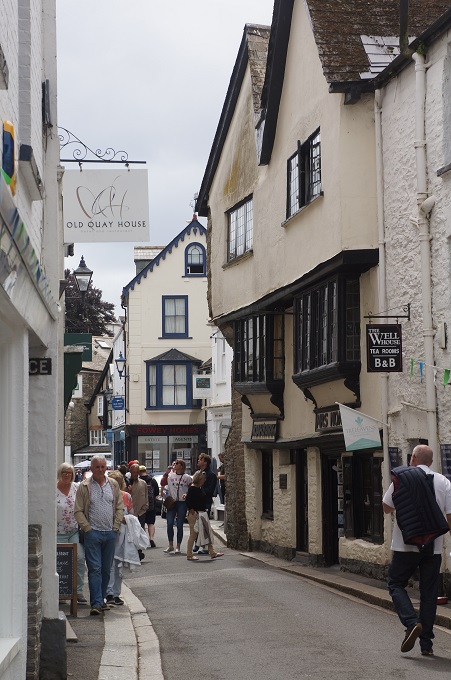
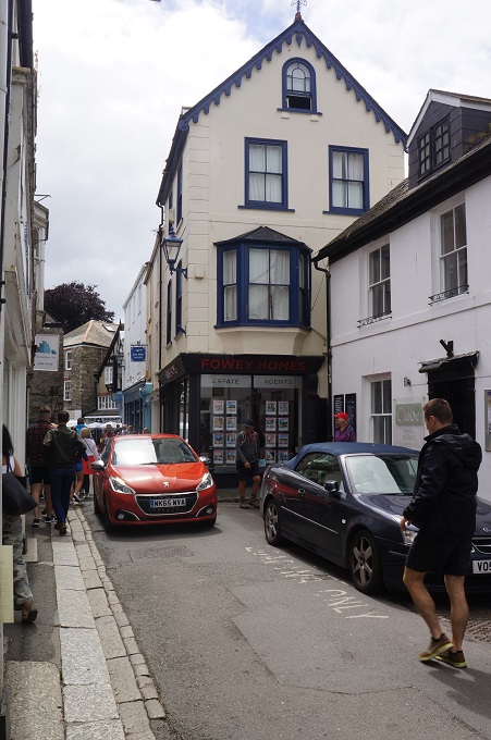
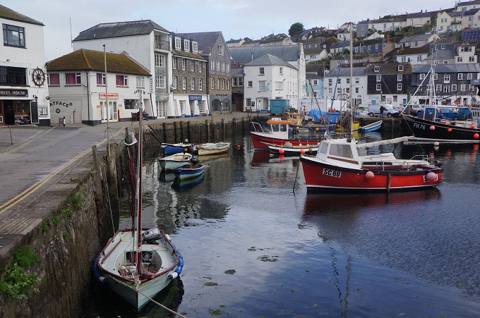
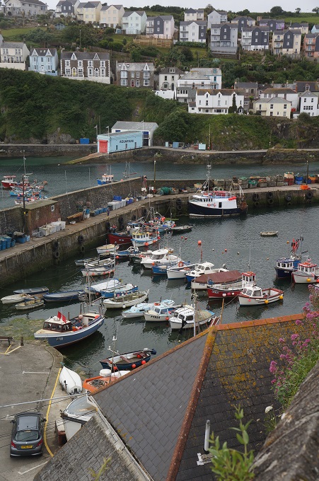
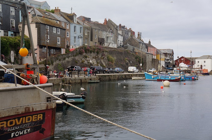
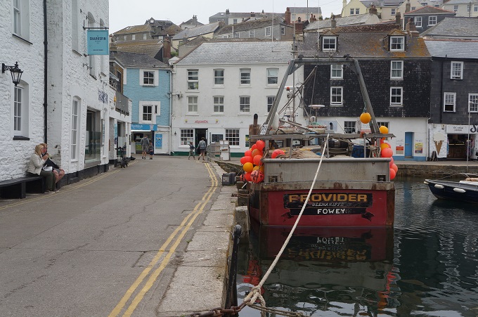
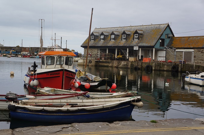
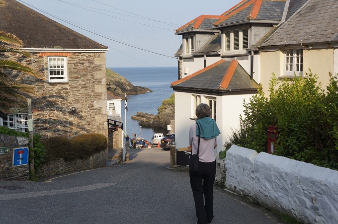
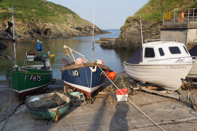
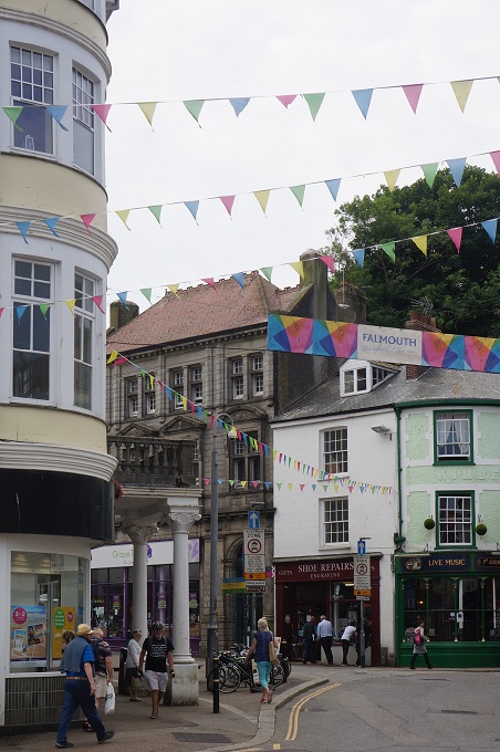
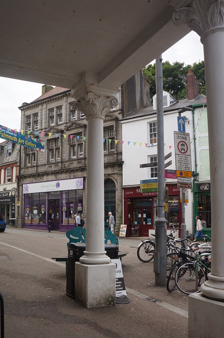
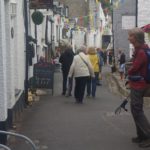
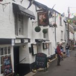
- Polpero
-
- Polpero
-
- Polpero
-
- Polpero
-
- Polpero
-
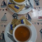
- Carrot and coriander soup and tomato and basil soup at The Wheelhouse Cafe, Polpero
-
- Polpero
-
- Polpero
-
- Polpero
-
- Polpero
-
- Polpero
-
- Polpero
-
- Polpero
-
- Polpero
-
- Polpero
-
- Polpero
-
- Polpero

-
- Polpero
-
- Polpero
-
- Polpero
-
- Polpero
-
- Polpero
-
- Polpero
-
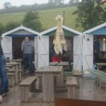
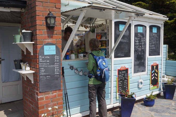
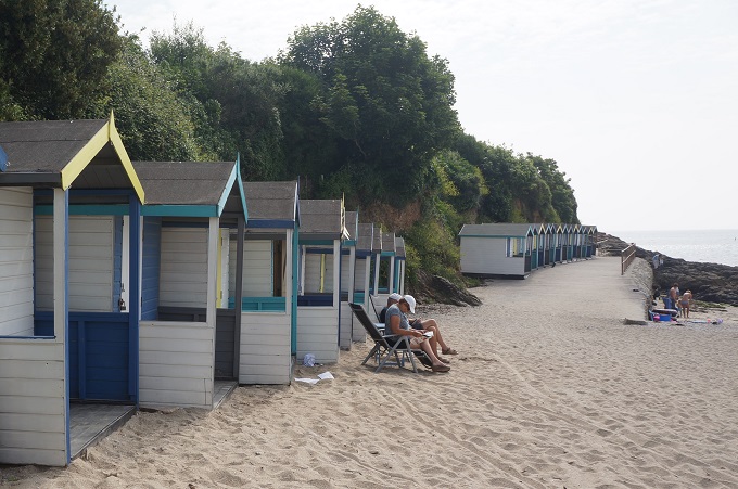
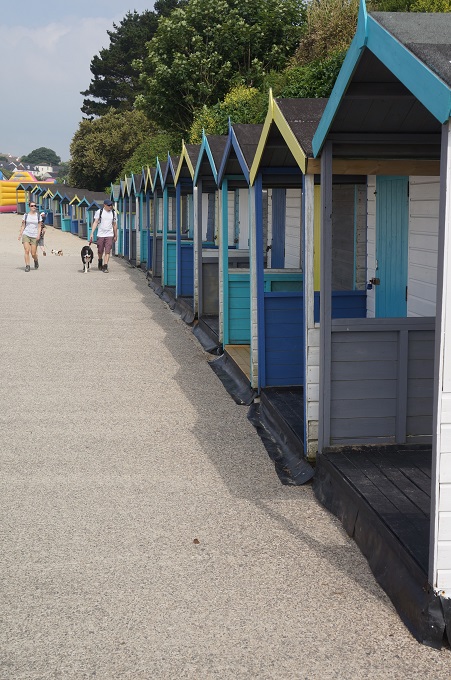
- Beach huts are nice places for a cup of tea when it is raining
-
- Polpero
-
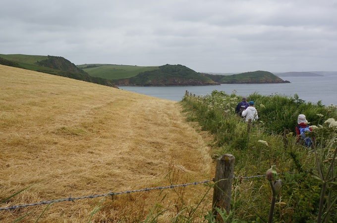
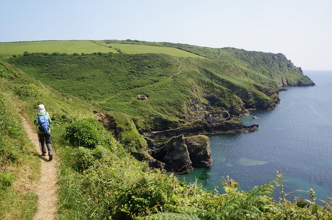
- Gentle path
-
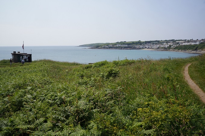
- Gentle walking, Looe Island off shore
-
- Gentle walking near the end of the day
-
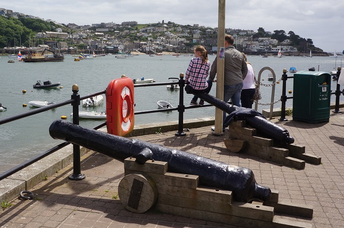
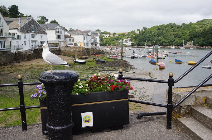
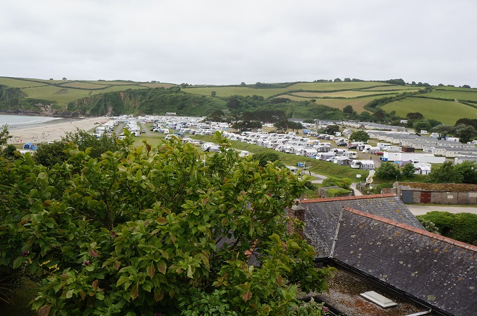
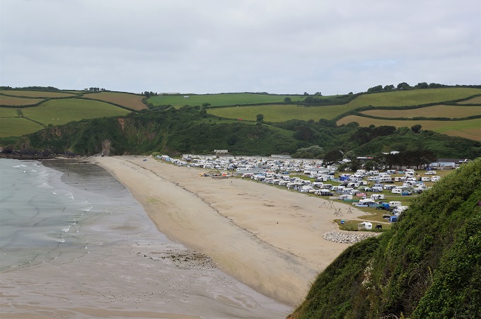
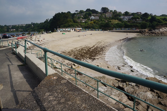
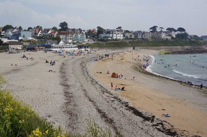
- Looe
-
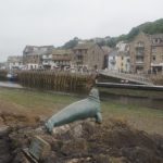
- Nelson, Looe
-
- Looe

-
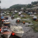
- Looe
-
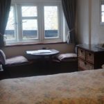
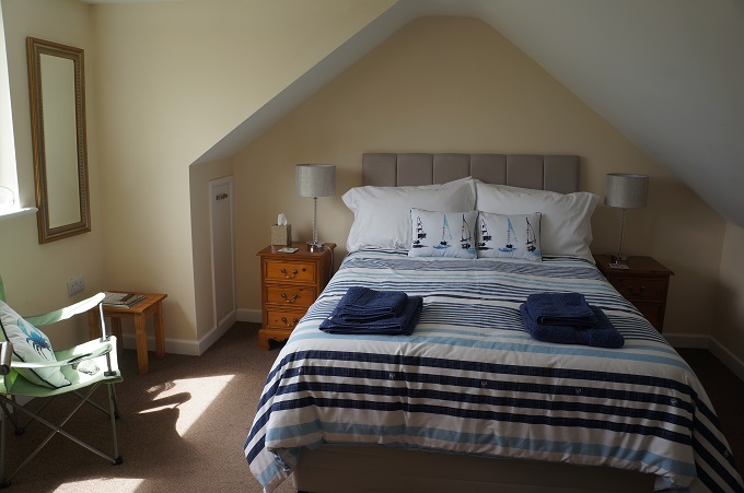
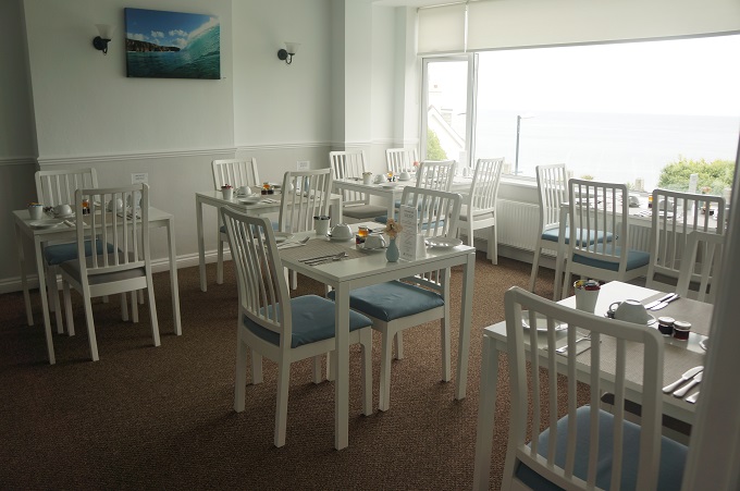
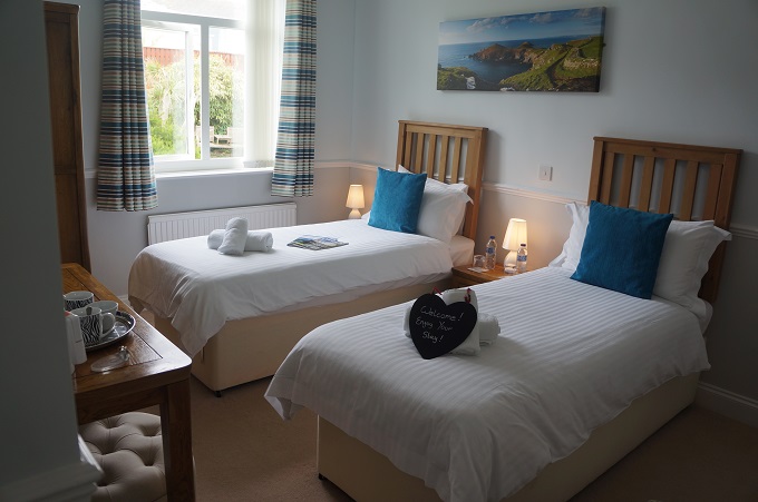
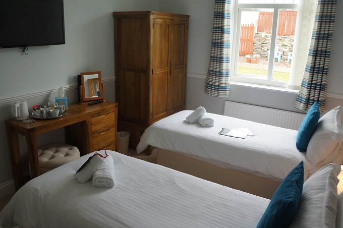
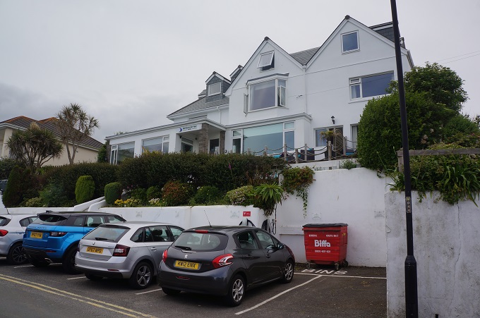
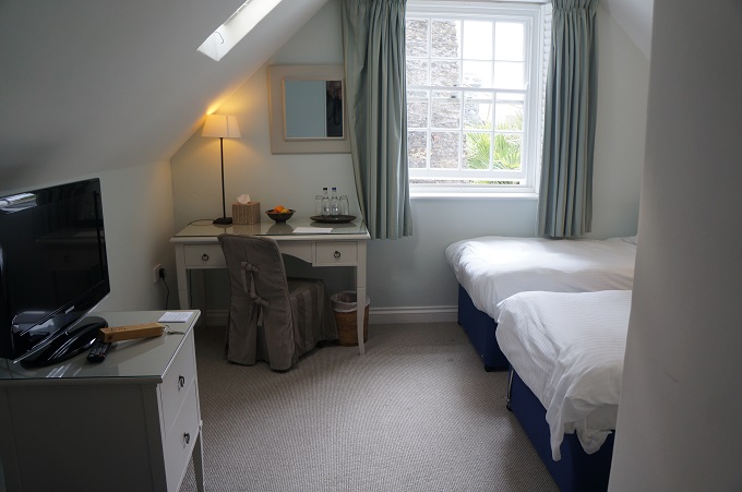
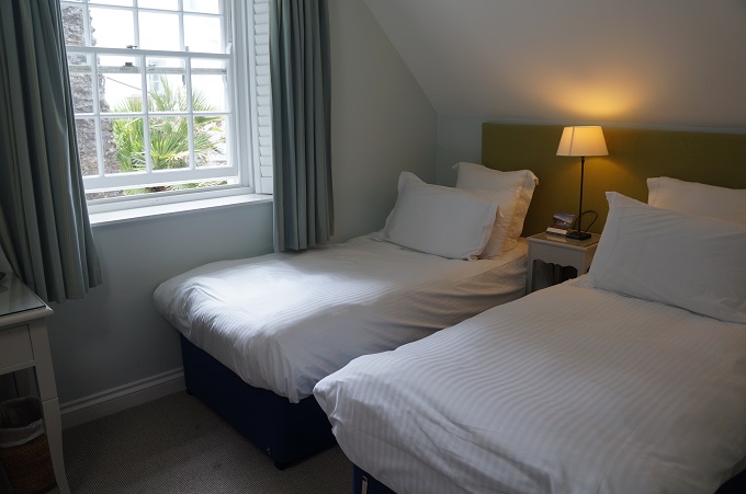
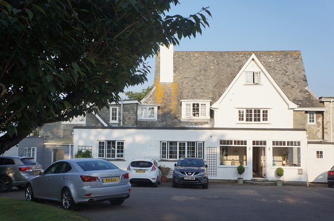
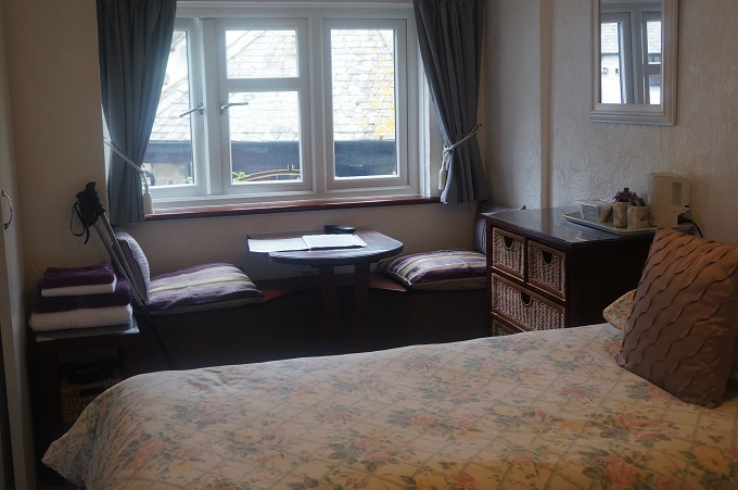
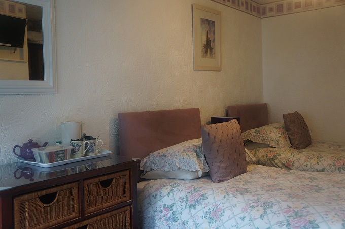
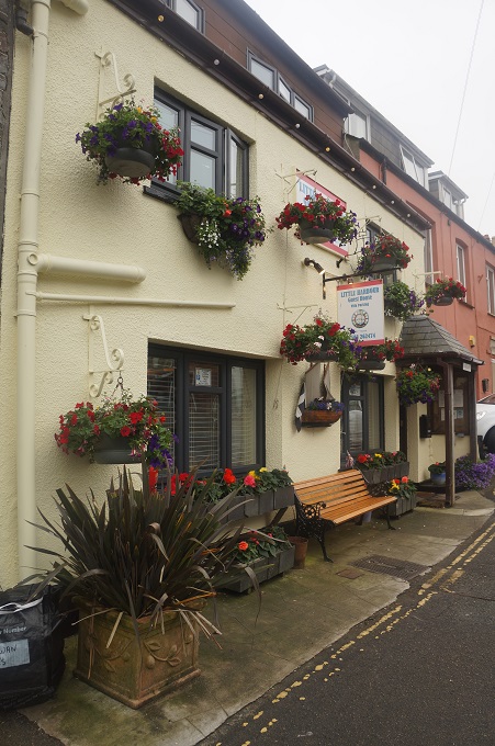
- Little Harbour Guest House, Looe
-
- Little Harbour Guest House, Looe
-
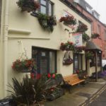
- Little Harbour Guest House, West Looe
-

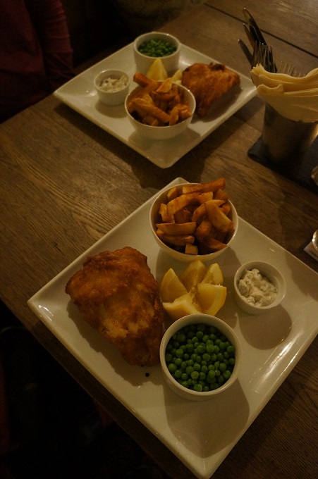
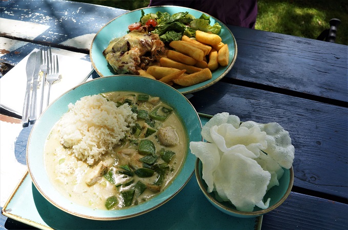
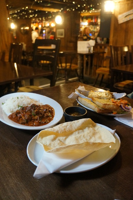
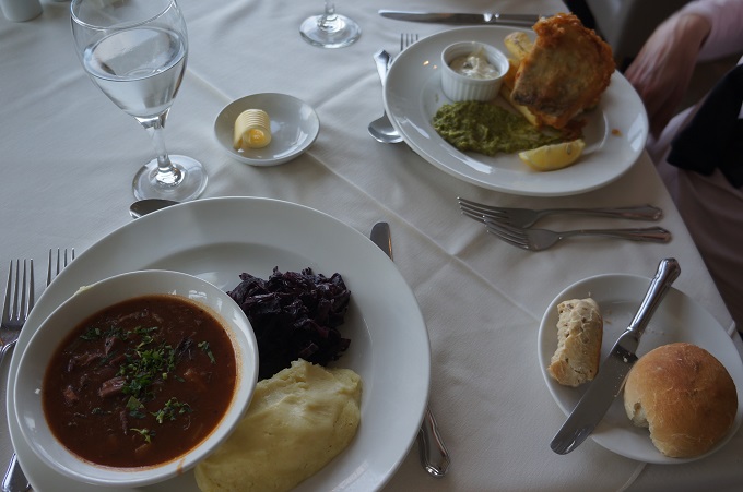
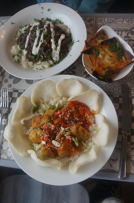
- Beef Chilli and Sweet and Sour Pork
-
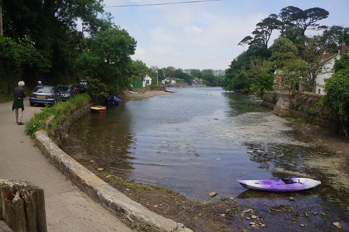
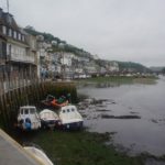
- Looe River