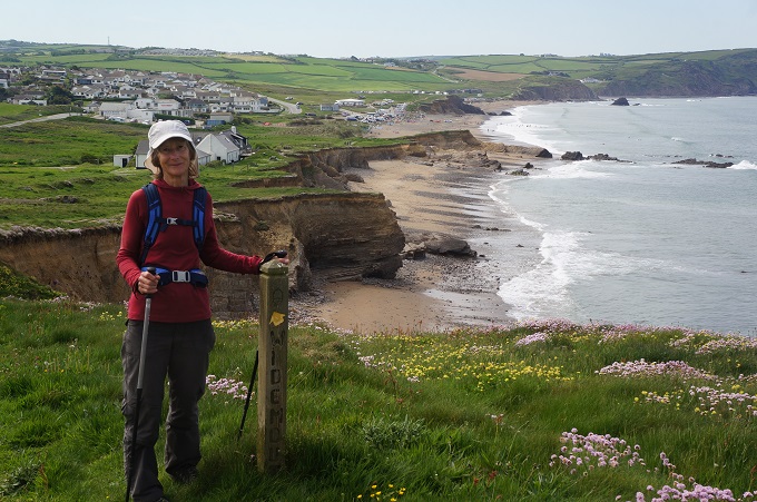
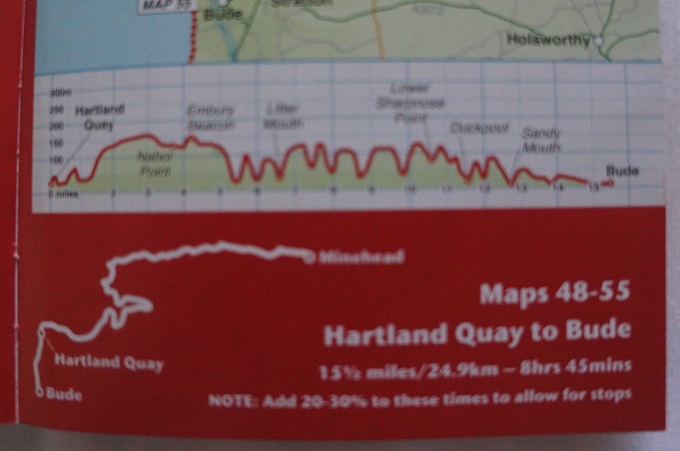
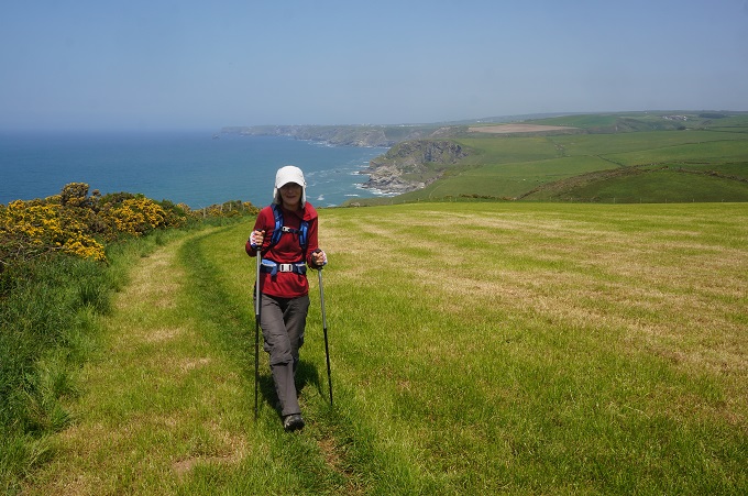
Tintagel to Port Gavern, 14.7 km, 789 metres of climbing
‘Everything is within walking distance if you have the time’
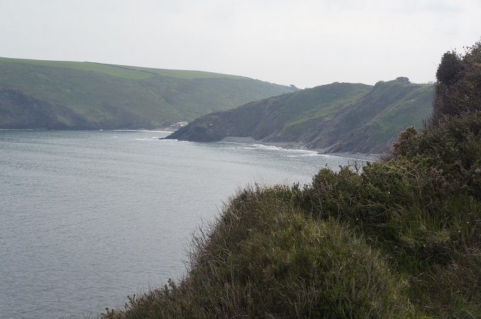
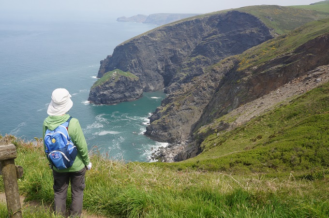
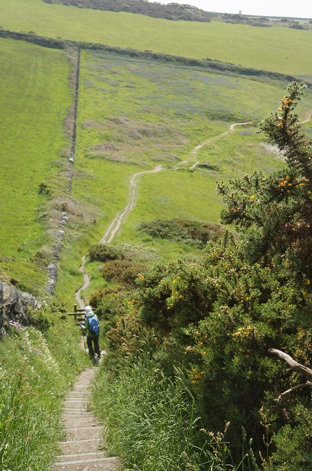
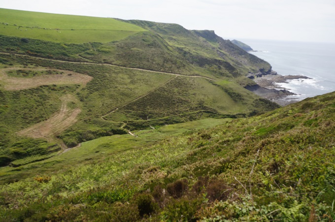
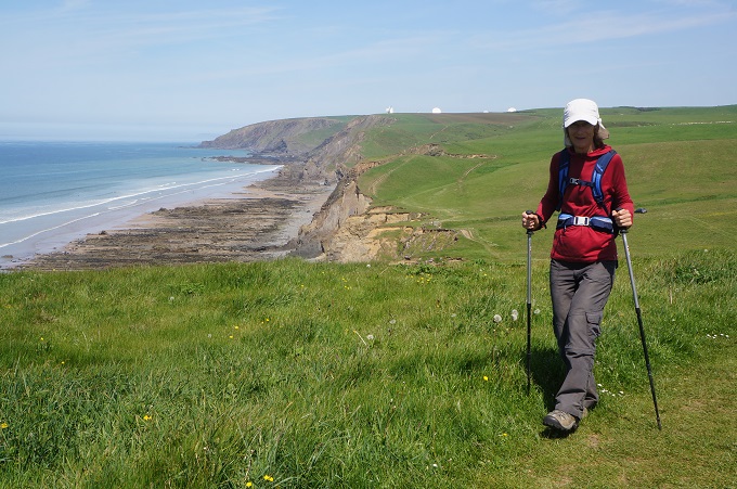
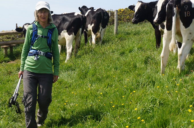
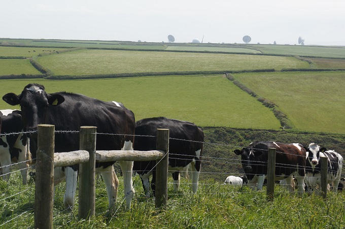
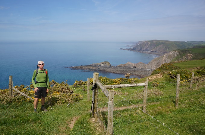
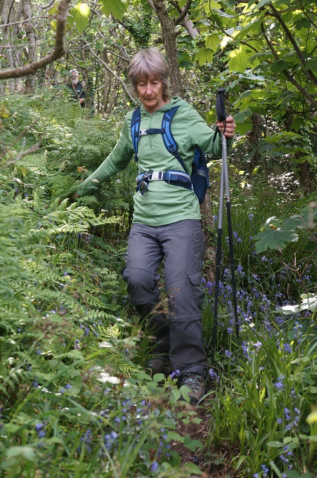
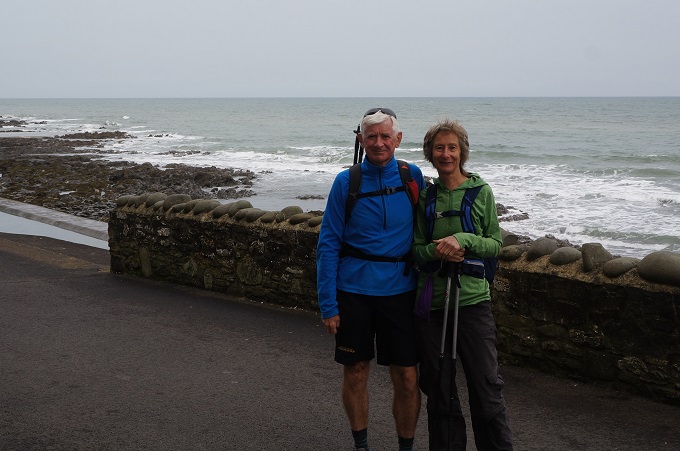
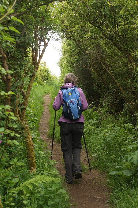
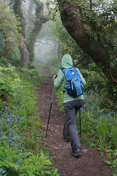
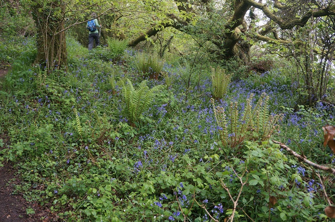
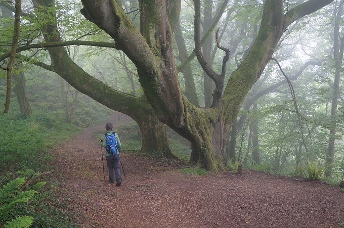
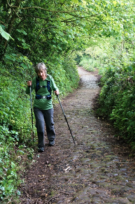
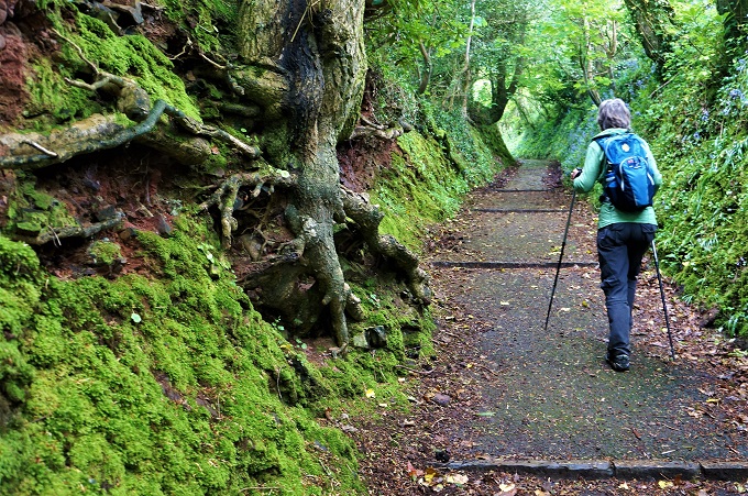
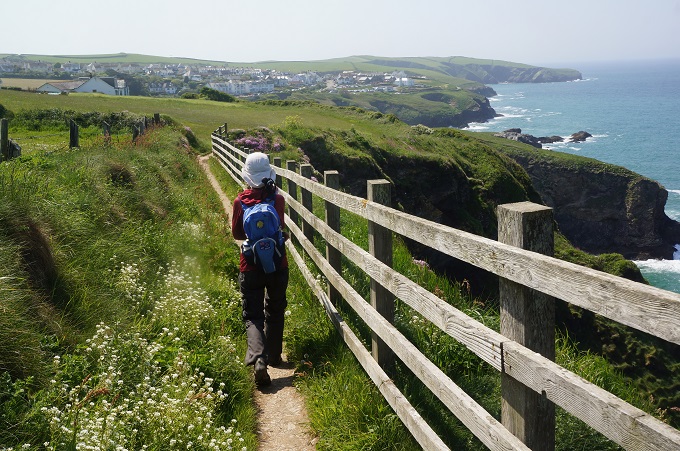
Another wonderful day of walking with lots of interest along the way. I think we are getting used to the knee wrenching descents and lung bursting ascents.
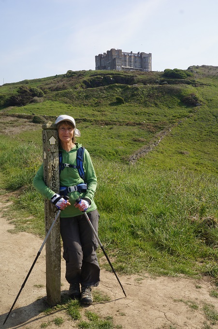
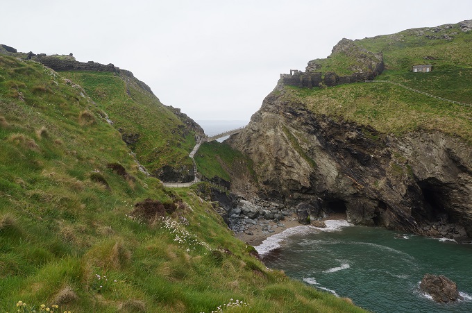
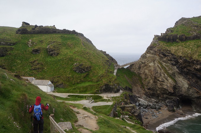
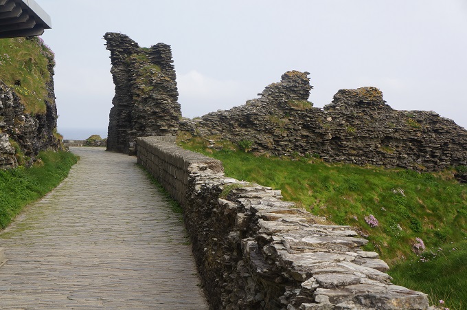
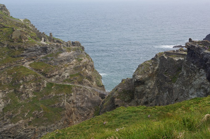
From Tintagel we passed the remains of the medieval castle perched on its isolated headland. Pottery, coins and two inscribed pillars suggest there was Roman activity on this site in the 3rd and 4th centuries. From 450 to 650 AD it was an important trading site. In 1138 Geoffrey of Monmouth writes his History of the Kings of Britain. His legendary King Arthur is said to have been conceived at Tintagel. From 1225-33 Richard 1st Earl of Cornwall builds the castle and buys the land. From this time ‘King Arthur’s Castle’ become a tangled mixture of local folklore and literary legends. Today the site is owned by Charles, Prince of Wales as part of the landholdings of the Duchy of Cornwall.
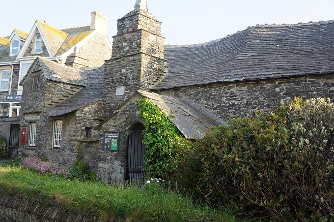
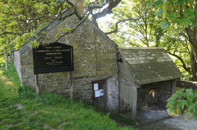
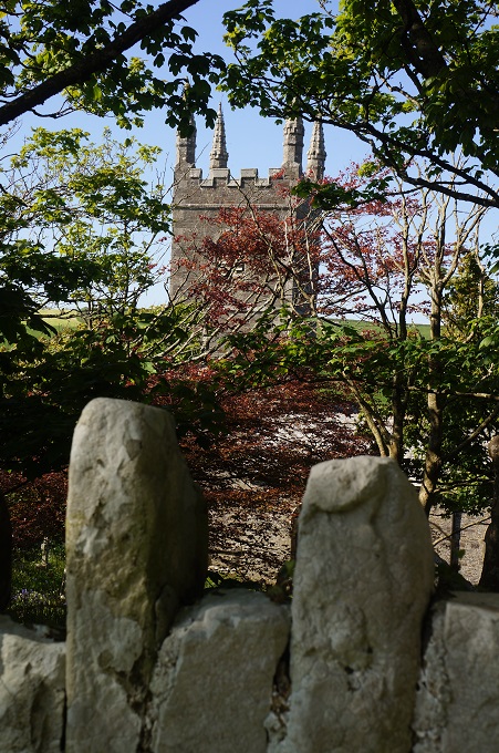
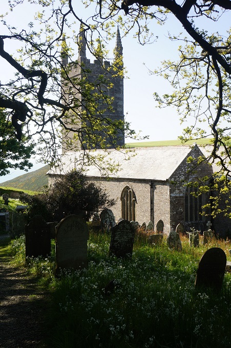
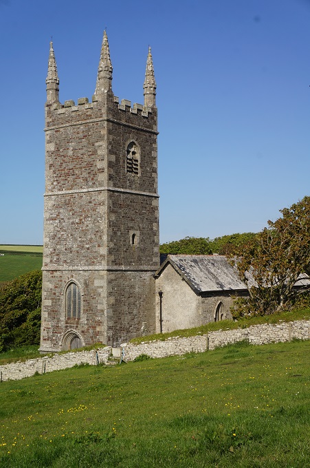
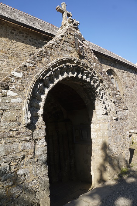
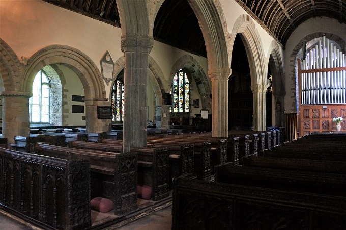
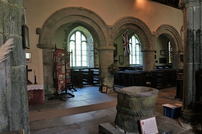
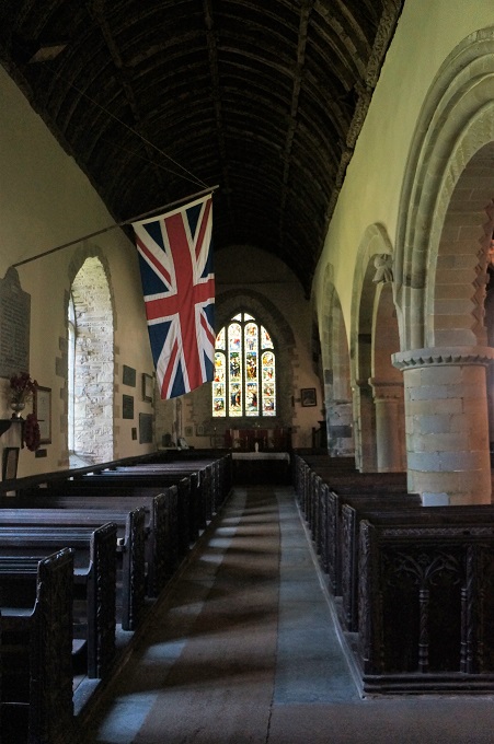
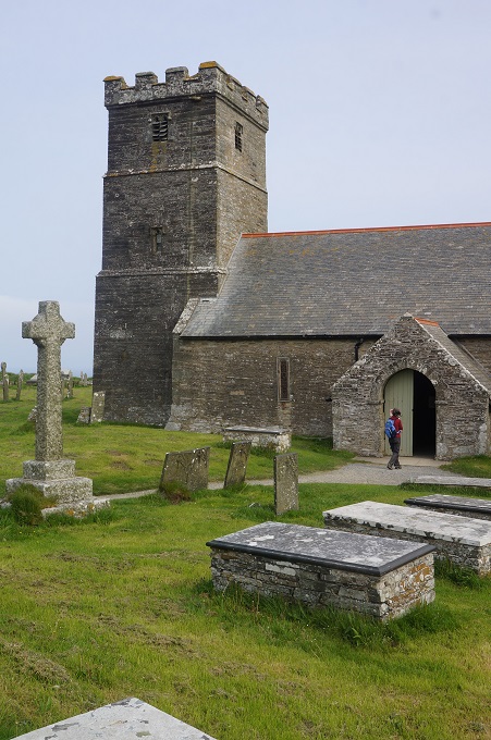
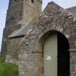
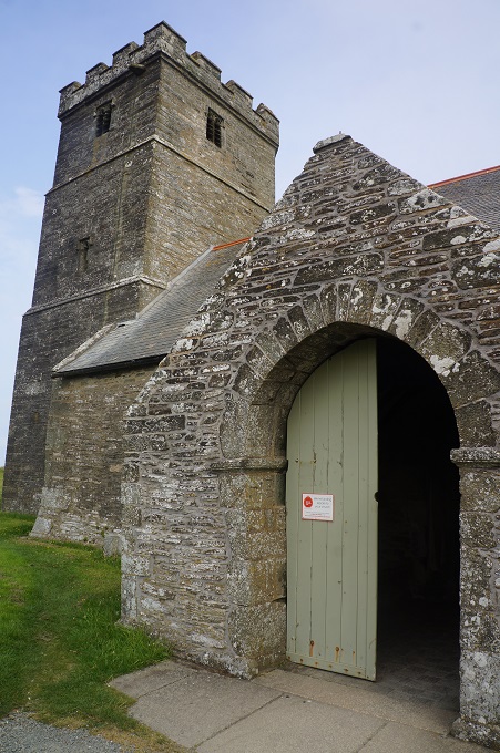
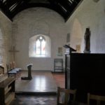
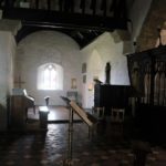
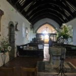
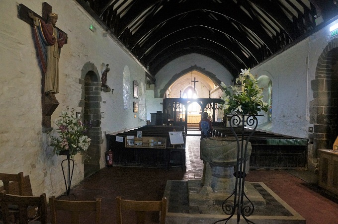
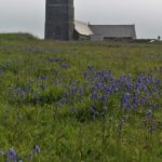
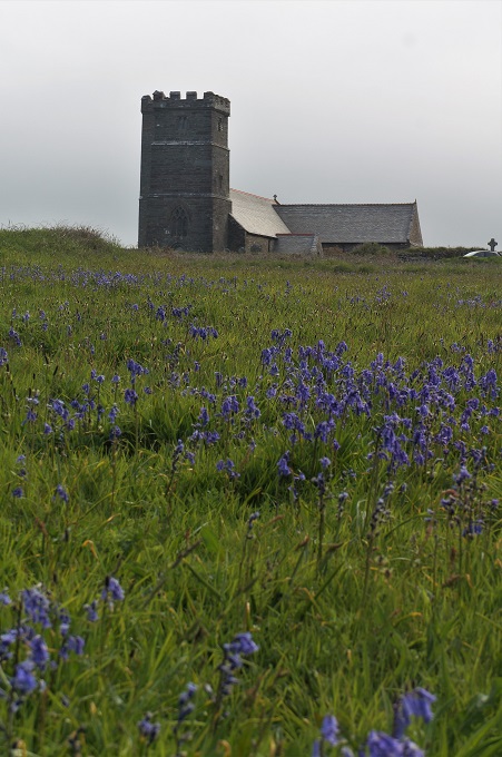
A little further on was the atmospherically located St Materiana’s Church perched on a cliff top. This church may go back to the 11th or 12th century while the tower was added in the 14th century and the battlements on the tower in the 15th century. The parish registers begin for burials in 1546, for baptisms in 1569 and for marriages in 1588.
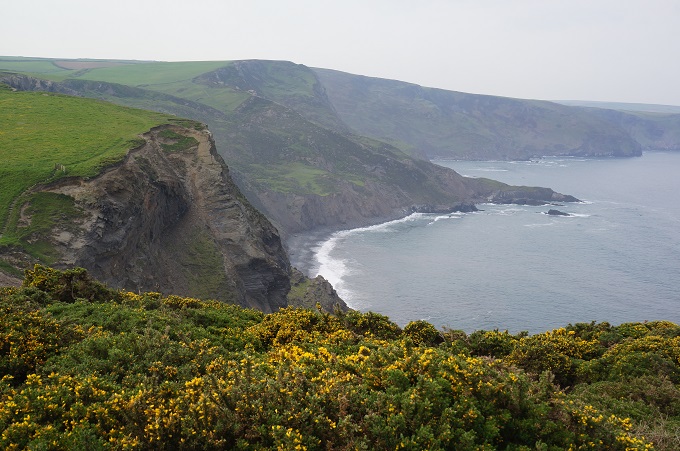
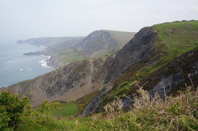
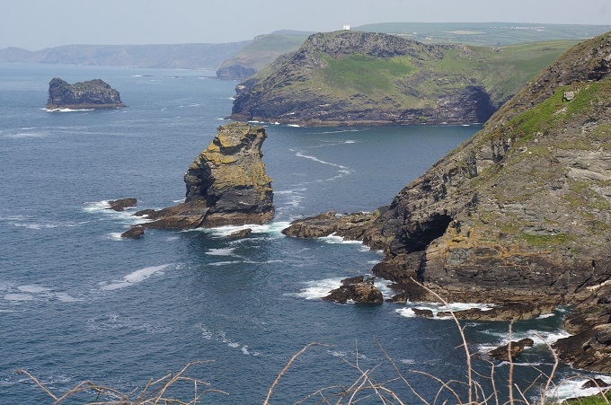
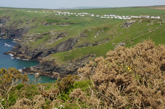
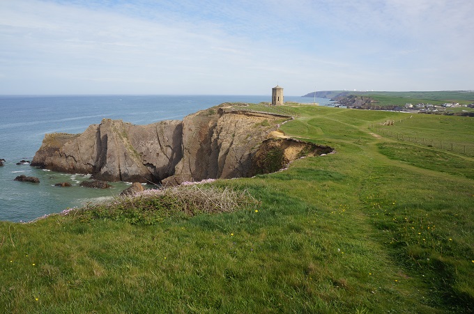
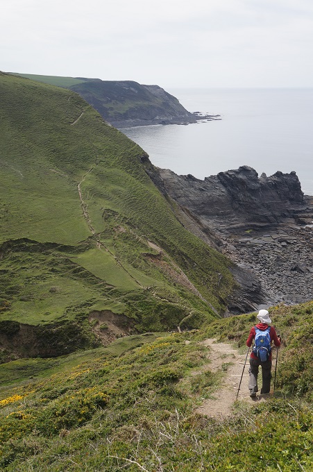
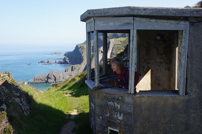
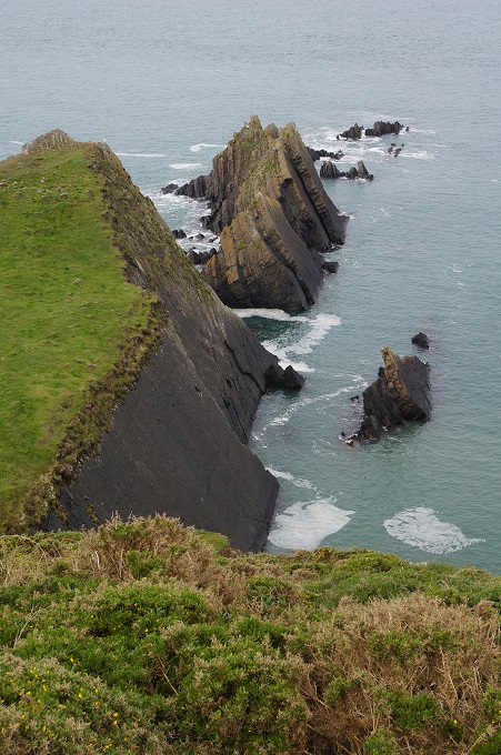
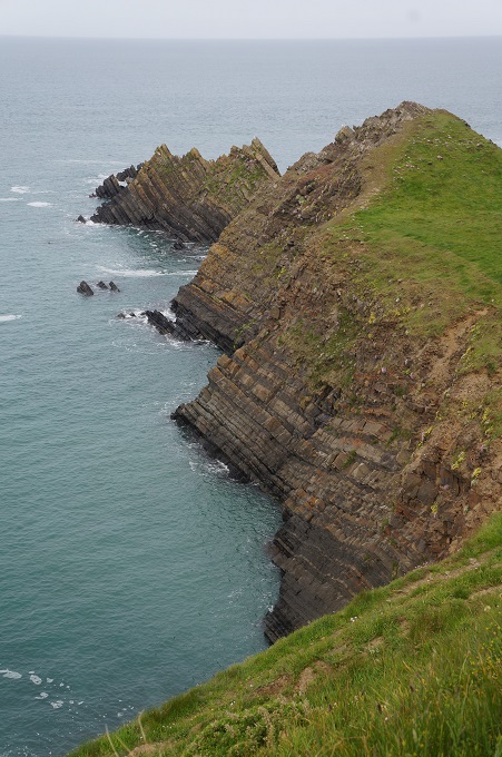
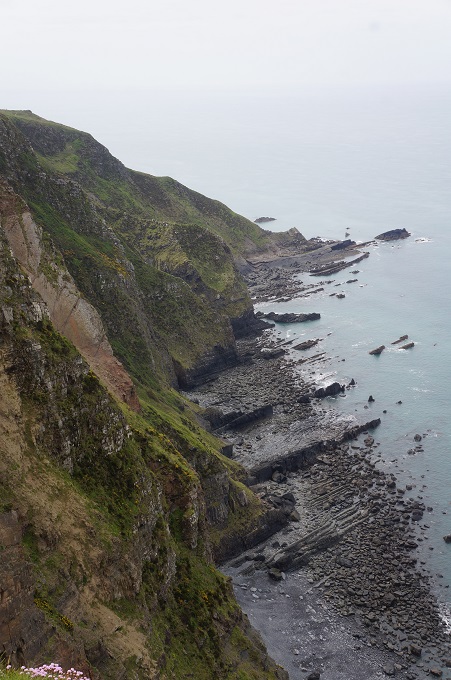
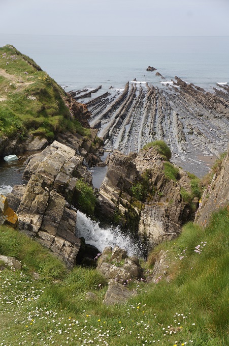
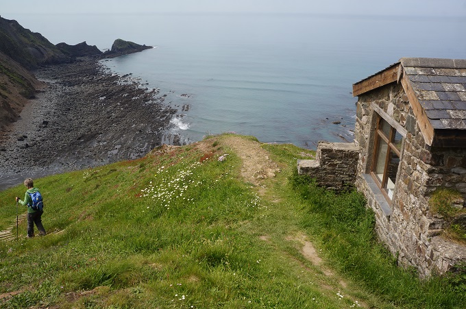
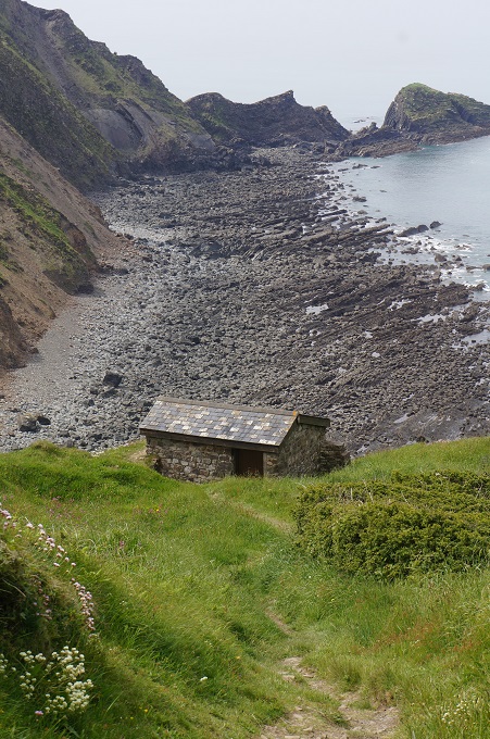
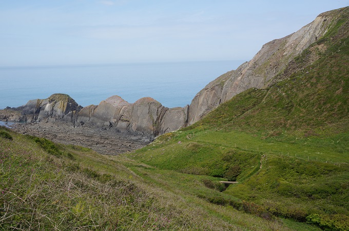
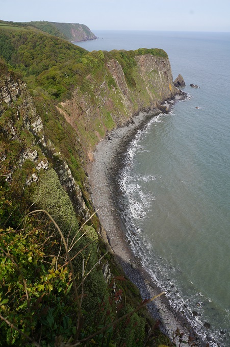
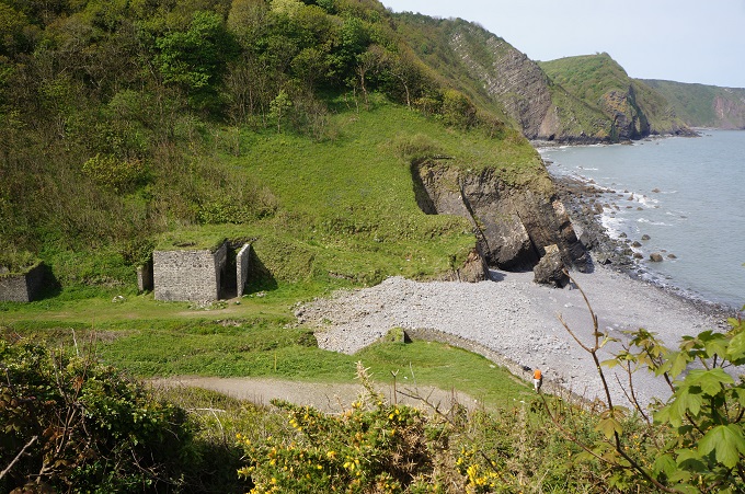
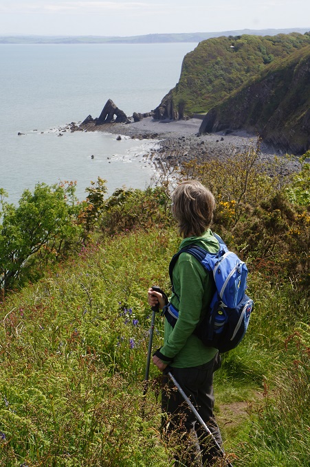
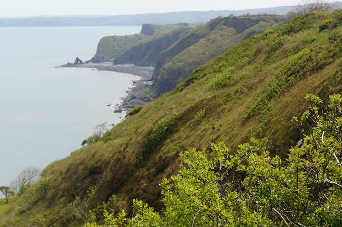
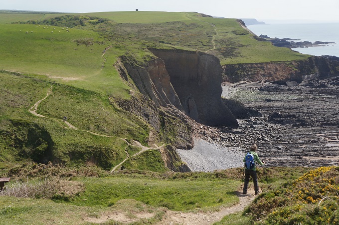
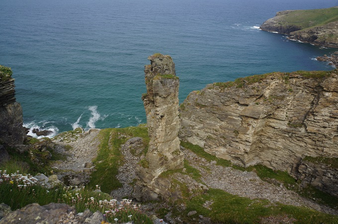
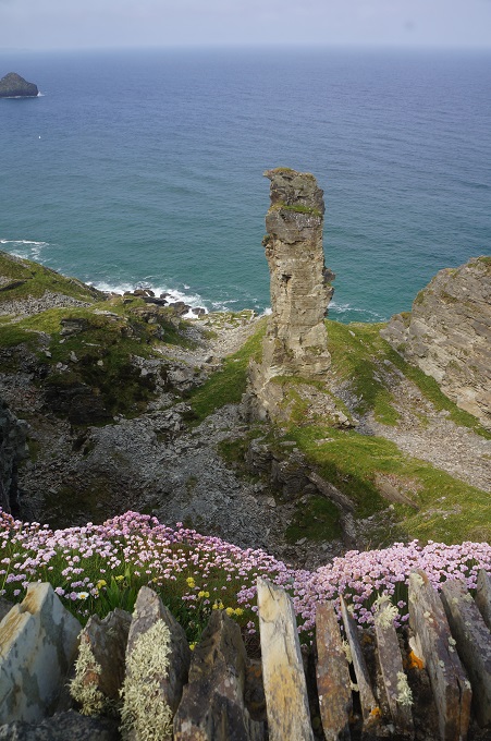
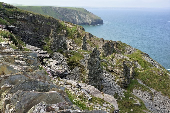
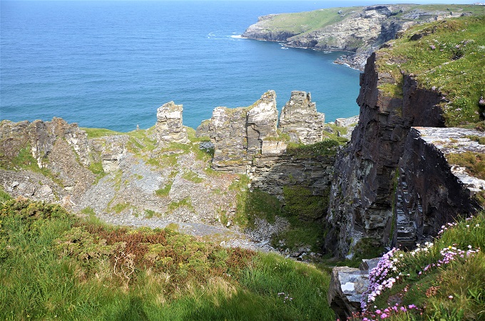
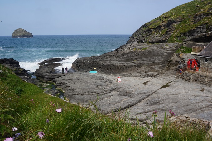
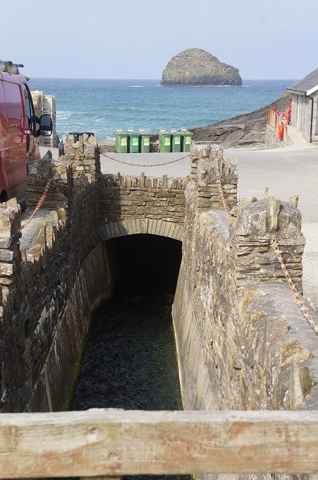
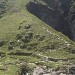
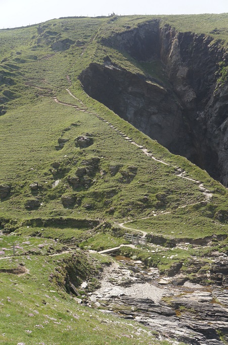
Another point of interest was the remains of slate quarries in the cliffs. Slate was extracted from here for 300 years. There were two ways of getting the slate. The first was by digging a hole in the ground in the area of known deposits and winching it to the surface. The other was by getting at the slate that had been exposed by cliff erosion. There is an isolated pinnacle that is thought to have been left as the fixing point for a cable necessary for winching the slate out of the cliff workings although another explanation is that it contains inferior slate and left as not worth the effort to extract.
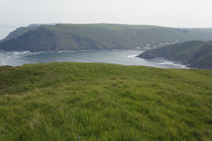
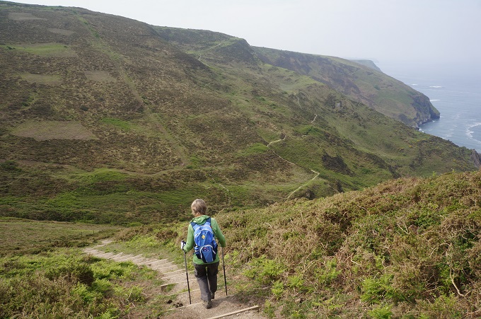
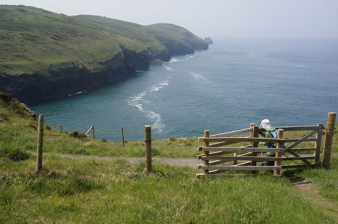
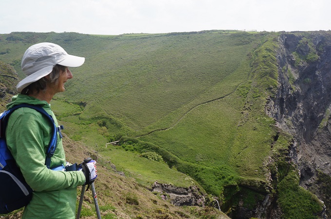
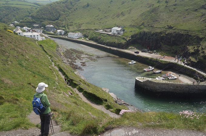
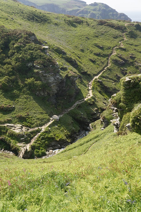
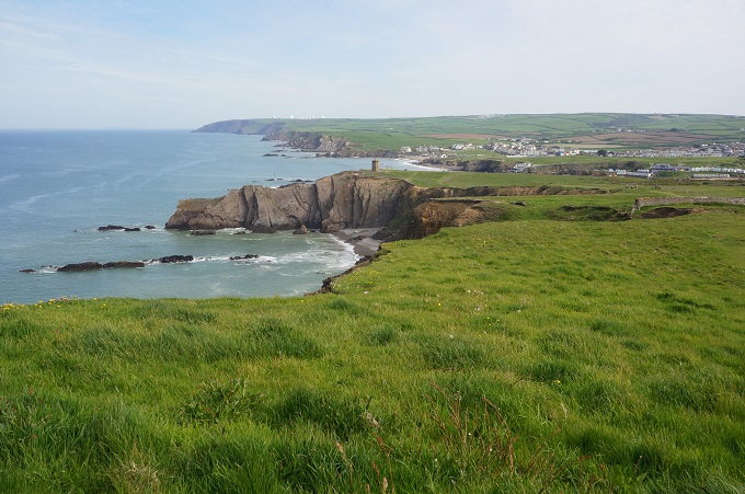
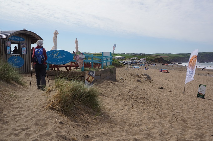
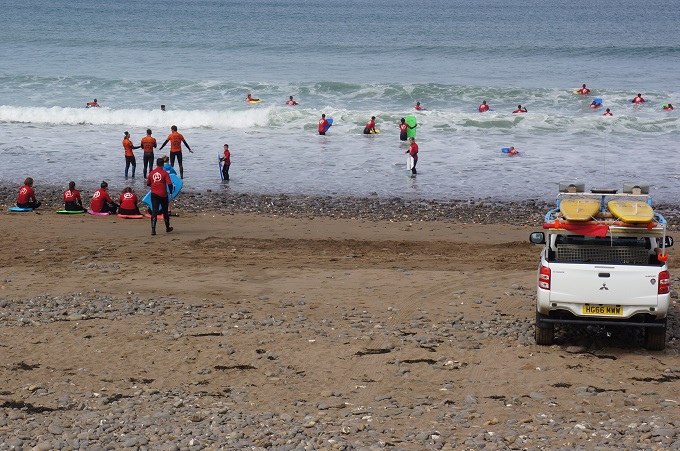
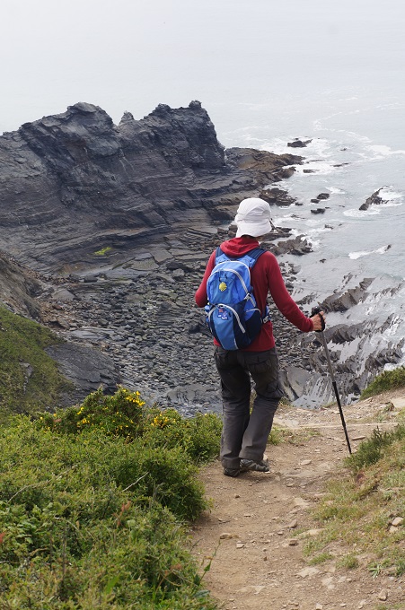
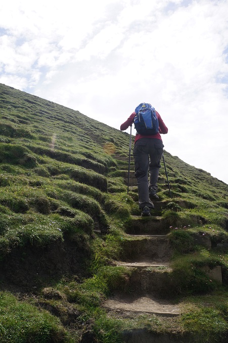
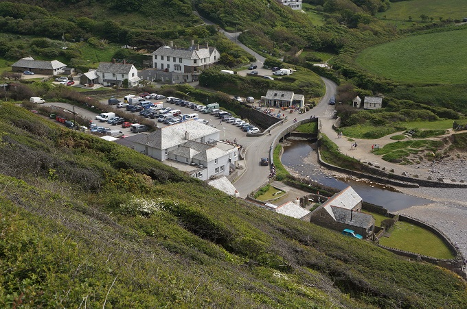
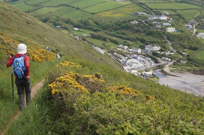
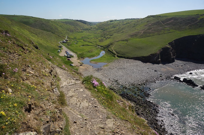
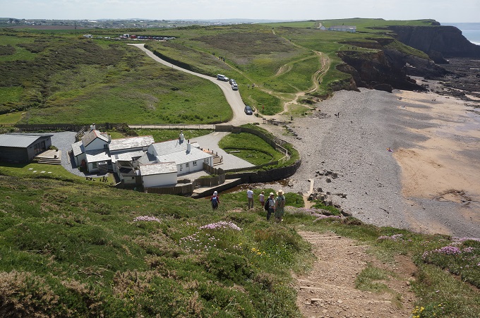
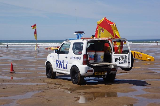
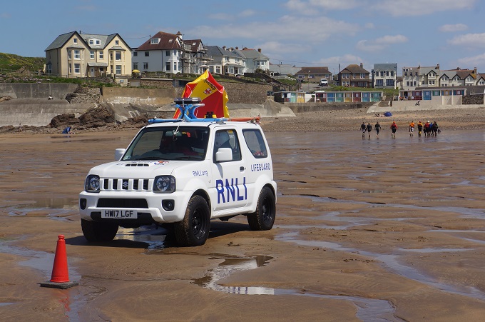
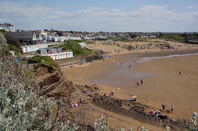
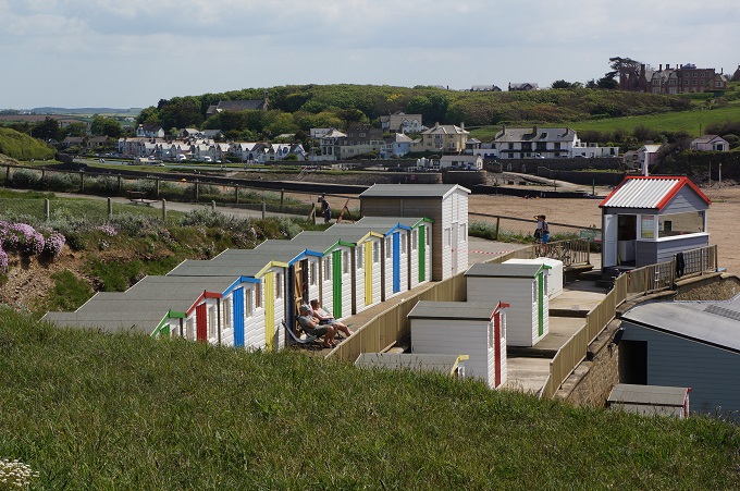
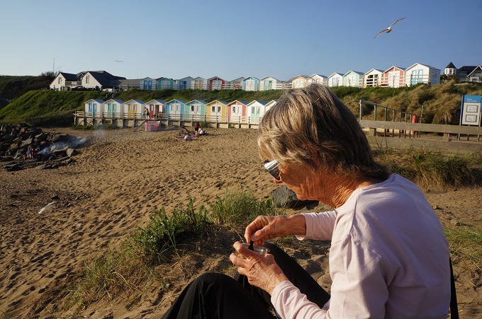
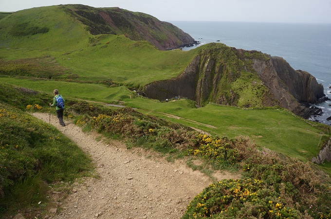
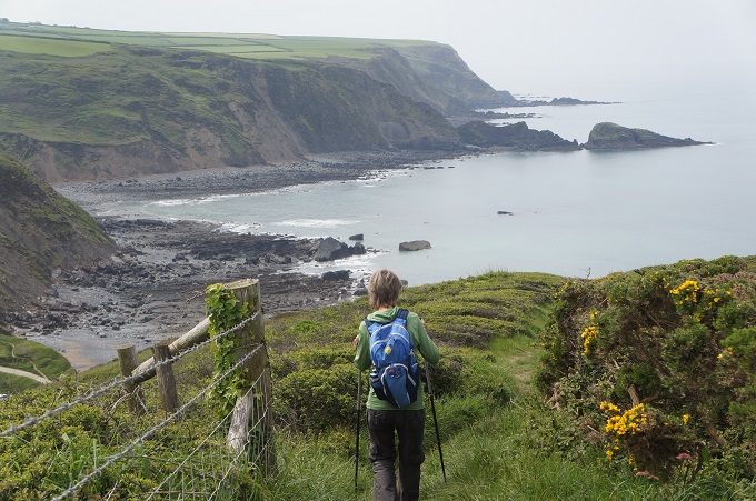
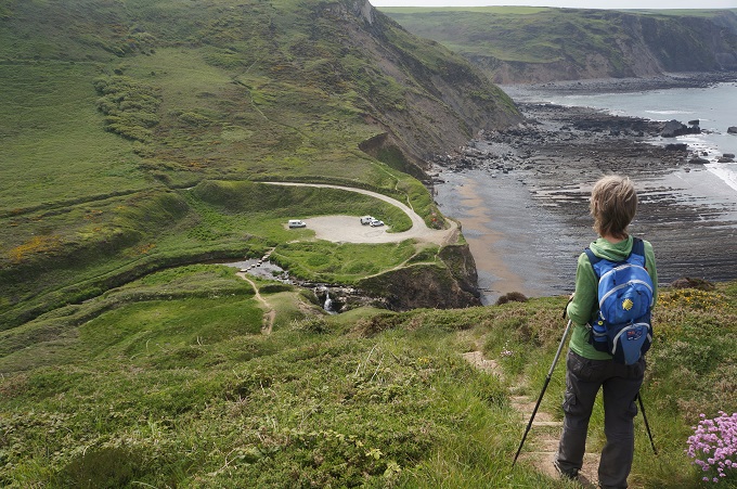
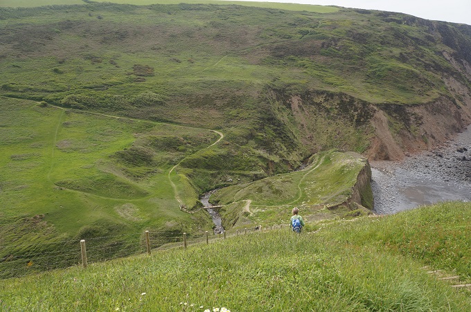
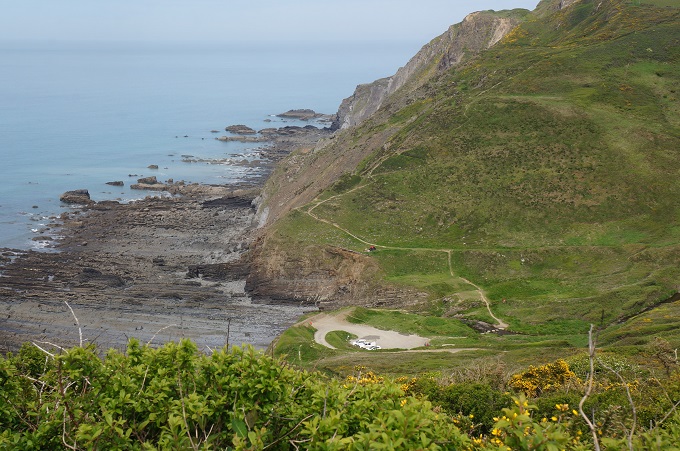
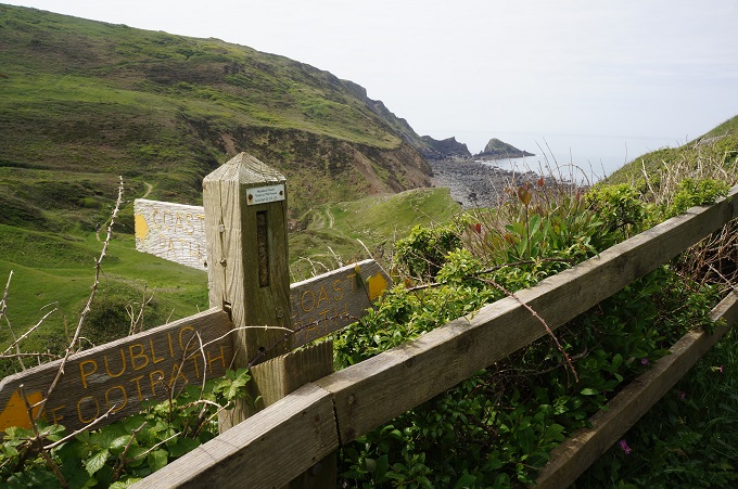
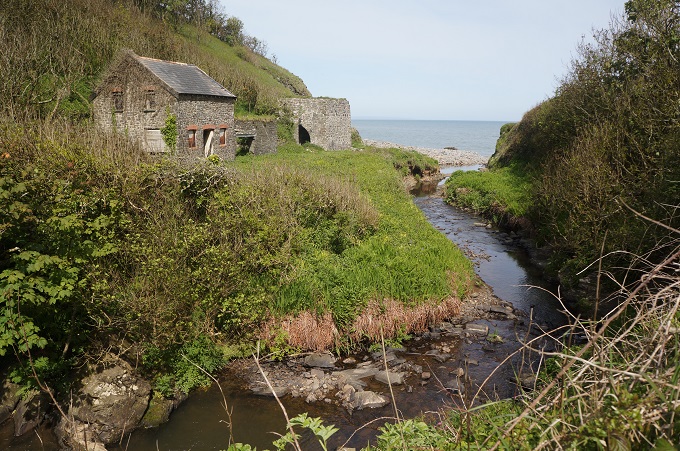
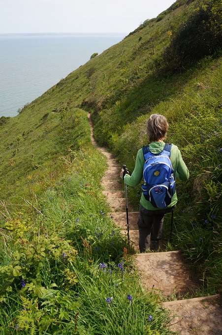
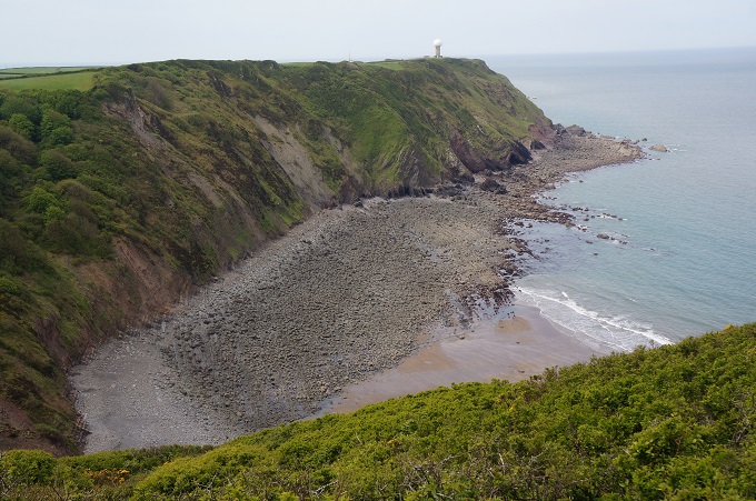
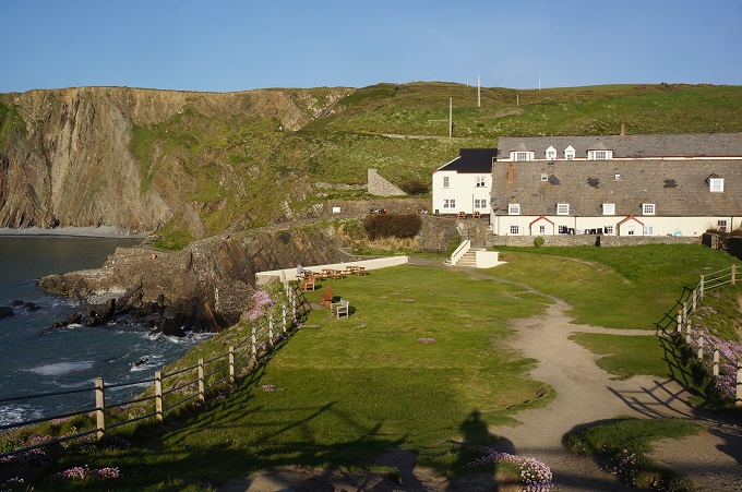
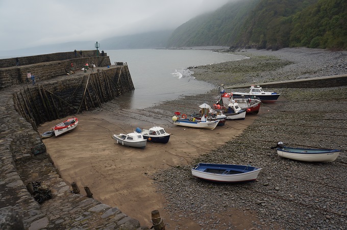
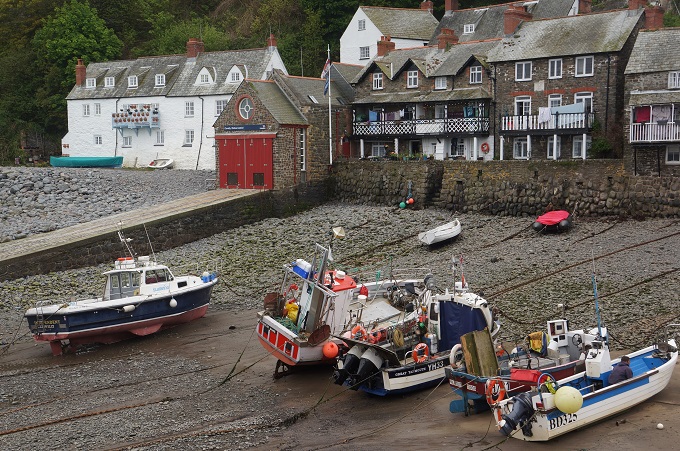
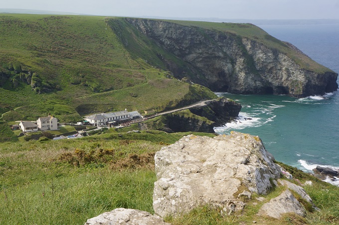
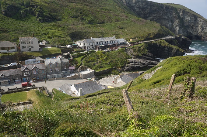
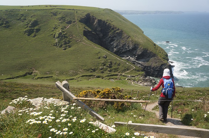
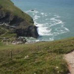
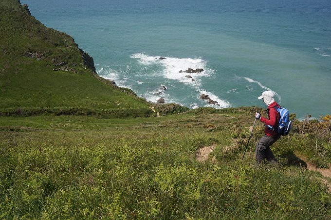
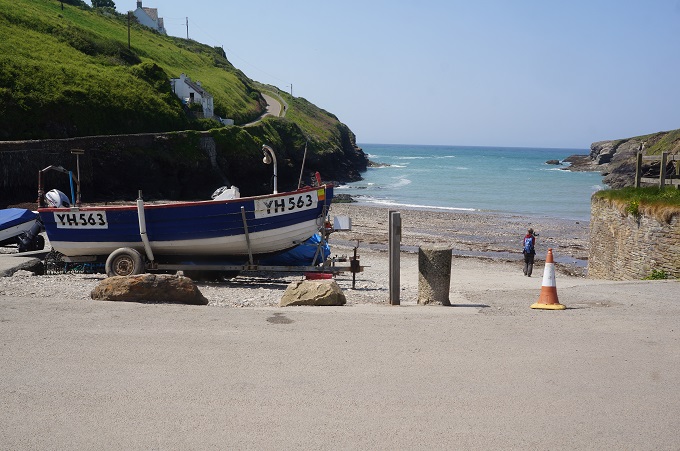
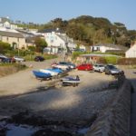
We then came across Trebarwith Strand, a tiny settlement squeezed into a narrow valley, with two life guards tending a very dangerous looking beach. After climbing back out of this valley there was a nice level patch for a mile or so. Our trip notes then innocently said ‘first of four deep valleys signalling the start of punishing ascents and descents’. And they were punishing. By the time we reached our hotel at Port Gaverne we were more than a little tired.
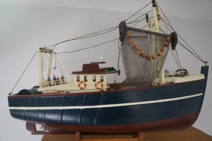
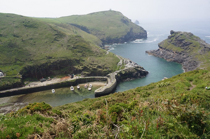
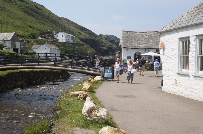
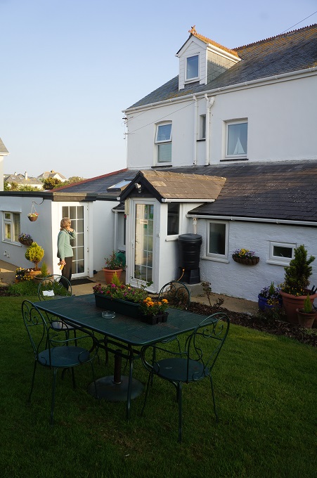
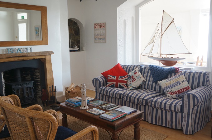
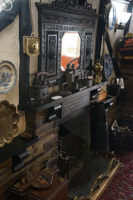
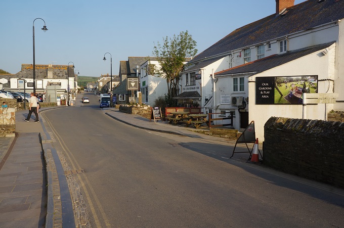
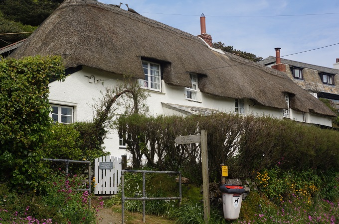
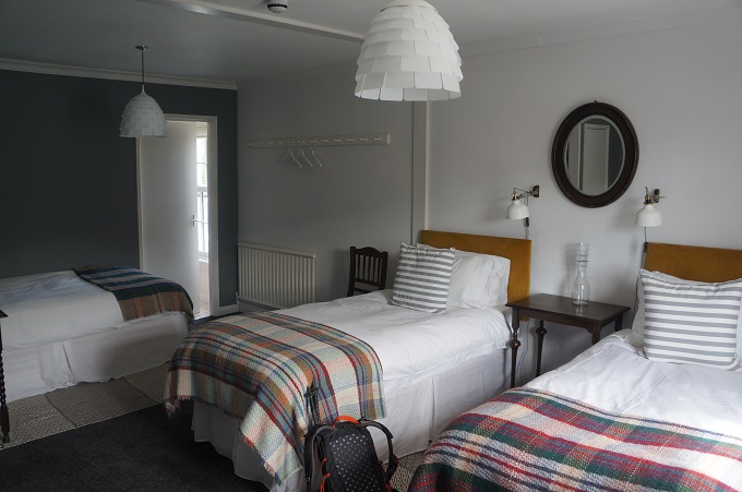
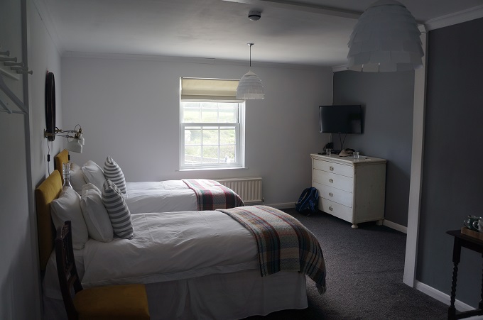
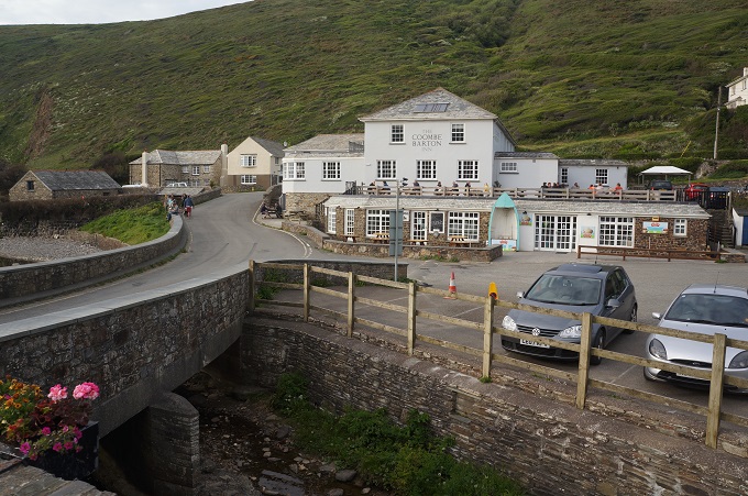
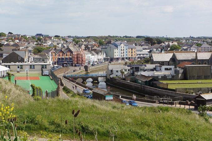
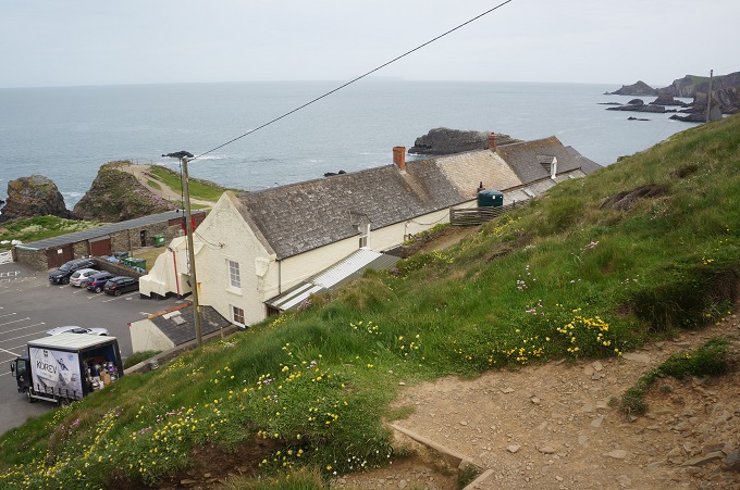
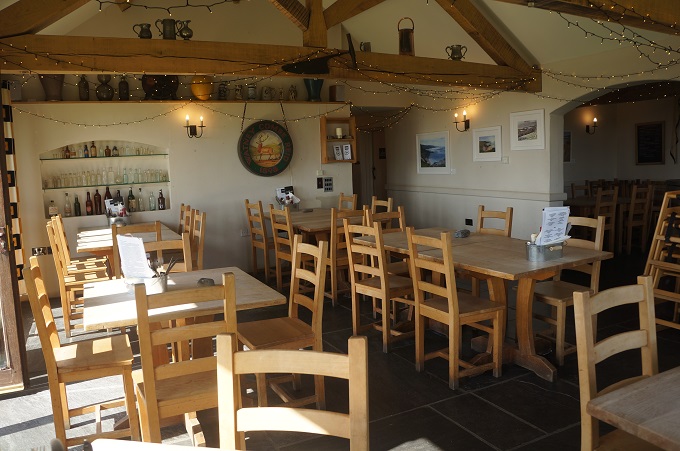
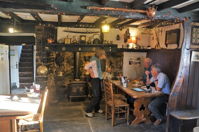
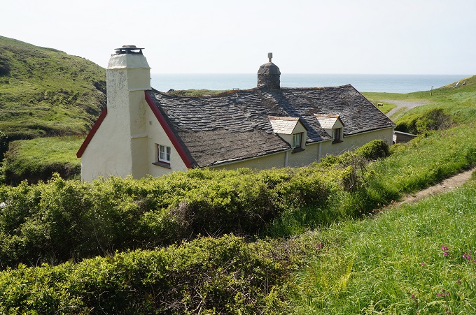
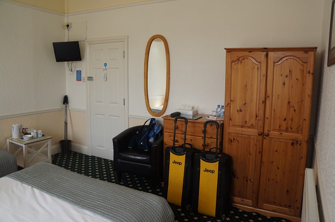
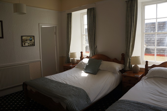
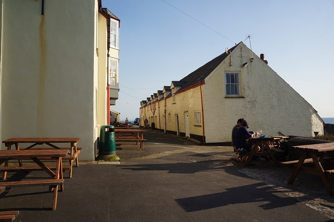
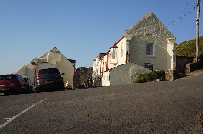
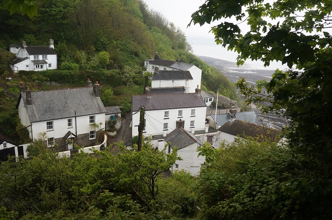
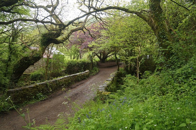
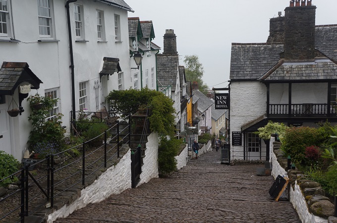
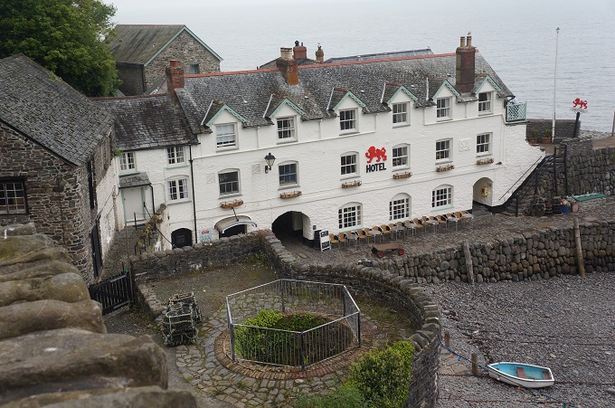
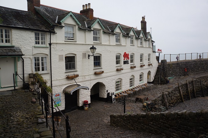
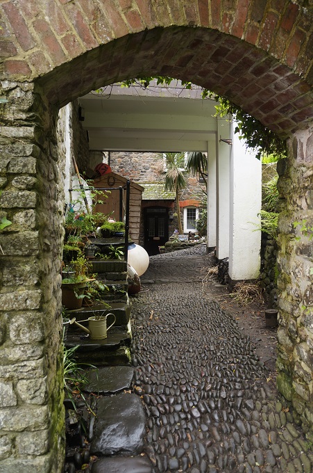
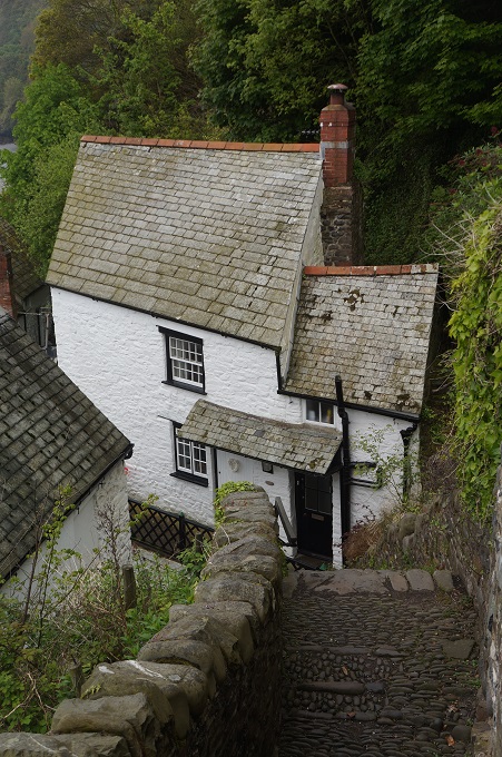
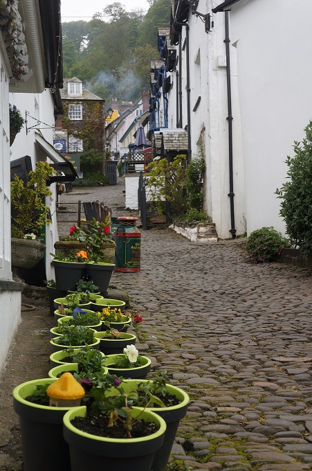
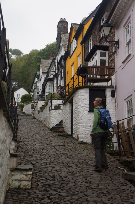
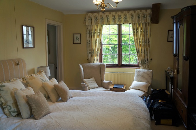
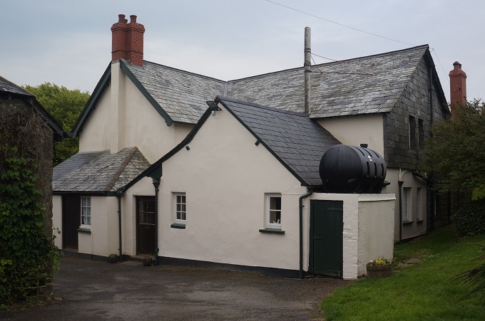
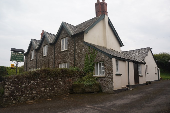
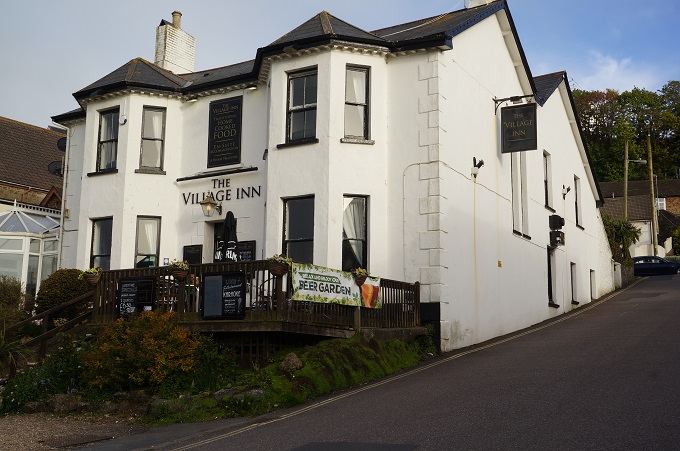
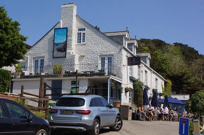
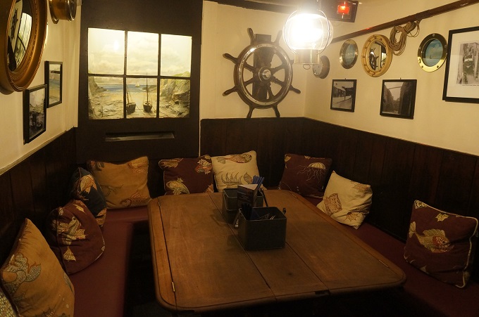
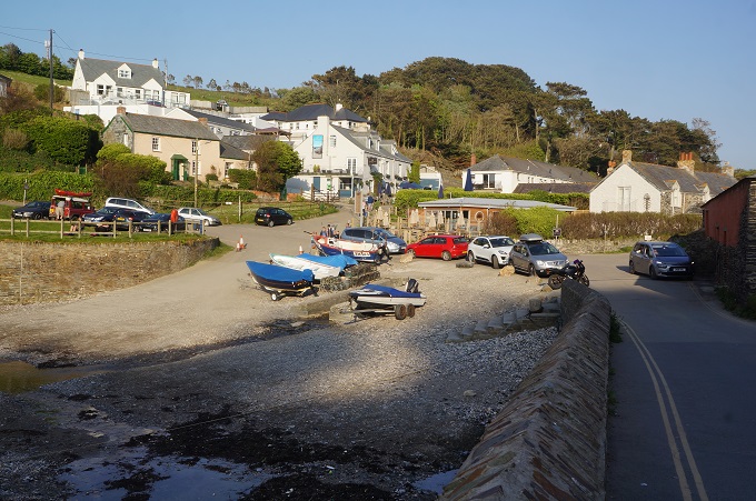
Port Gaverne is a charming spot and the hotel we are staying at dates from the 17th century and although it is fitted out to a very high standard it is still in keeping with the atmosphere of a traditional fishing village. Just half a mile over the hill is the bigger fishing village of Port Isaac where the outside filming of the tv series Doc Martin takes place. In the series Port Isaac is known as Portwenn. We will pass through it first thing tomorrow morning.
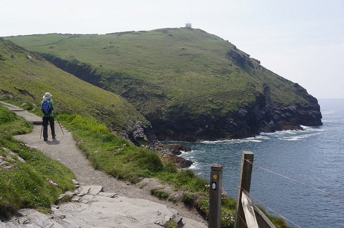
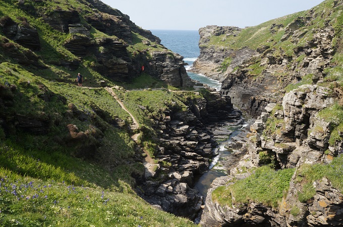
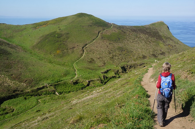
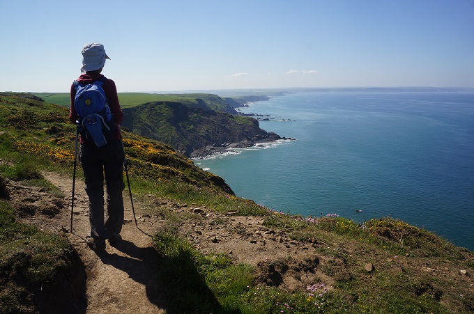
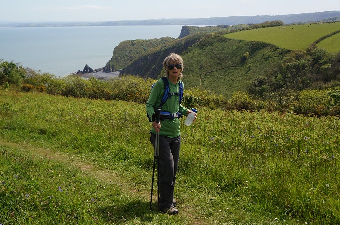
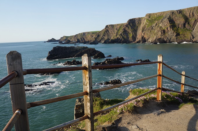
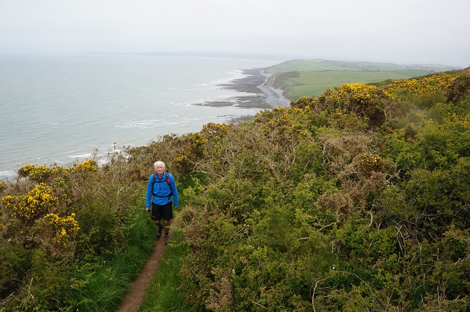
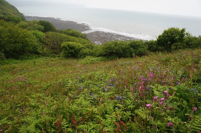
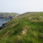
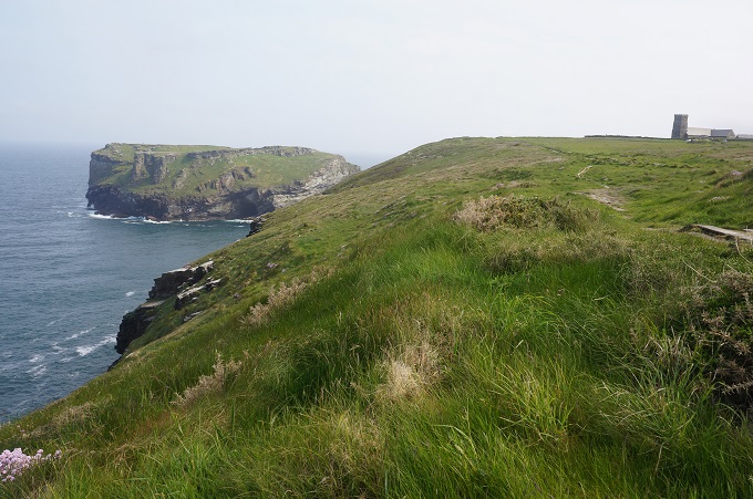
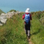
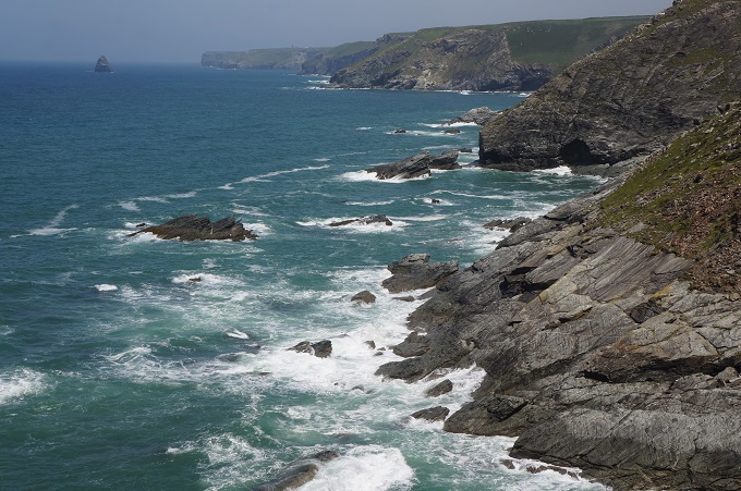
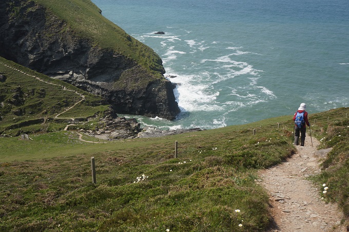
We saw very few people on the path today but hundreds of seabirds soaring and diving on the air currents off the cliffs. Many times we wished we also could soar from cliff top to cliff top and avoid all those deep valleys.
-
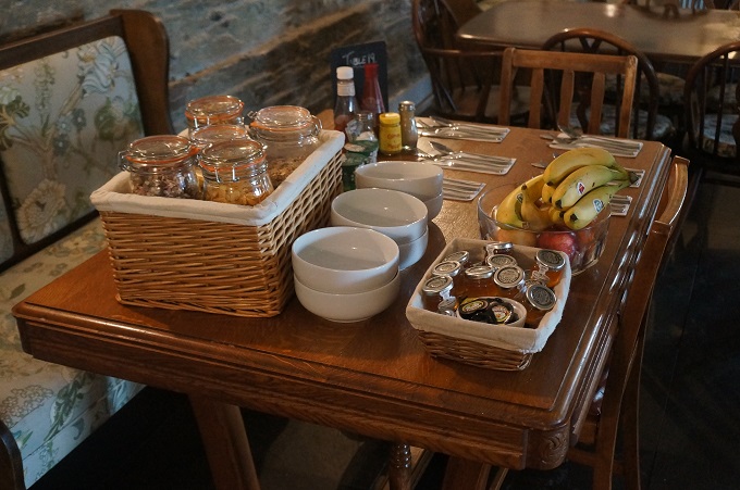
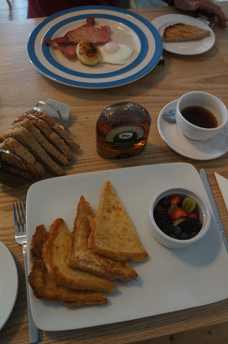
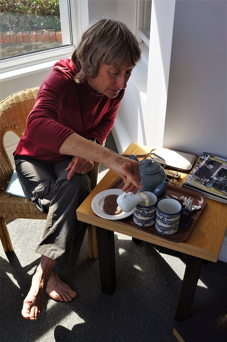
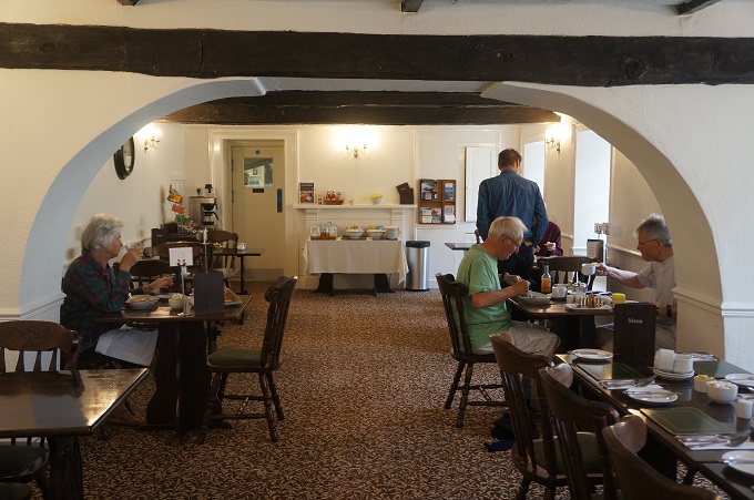
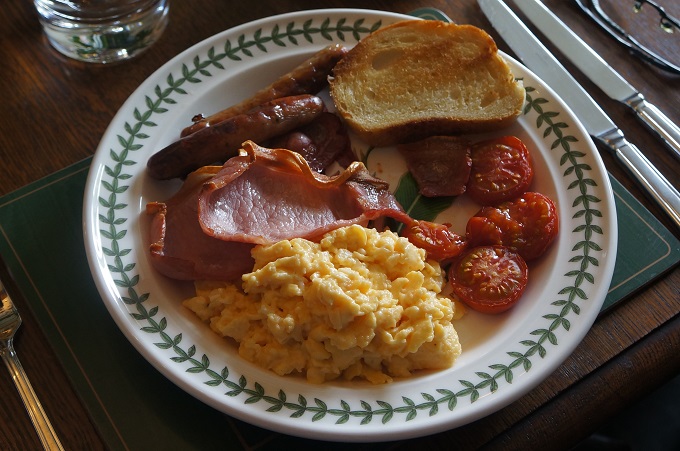
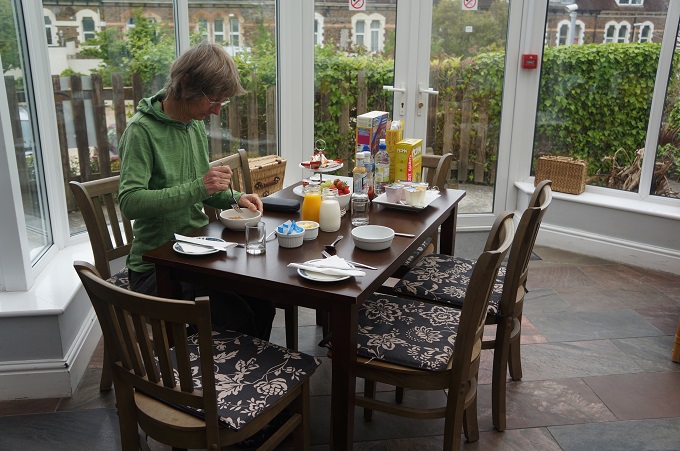
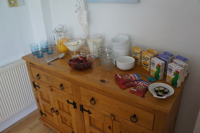
- Travenna Lodge breakfast
-
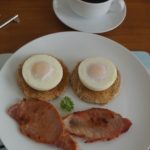
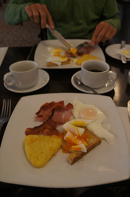
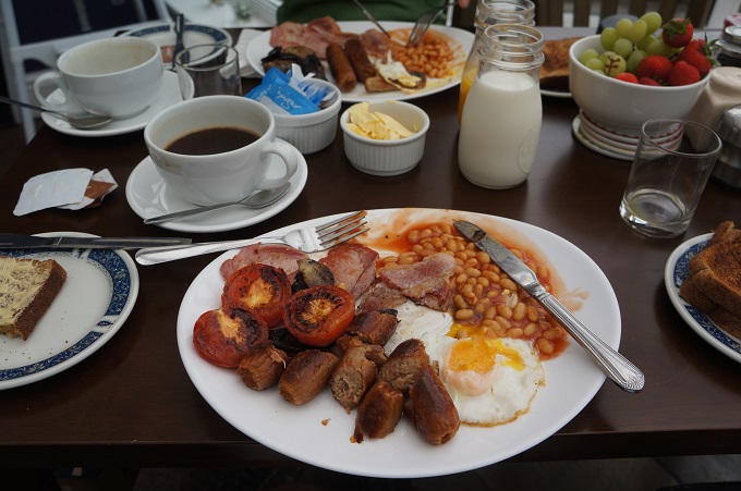
- Smiley breakfast, Travenna Lodge
-

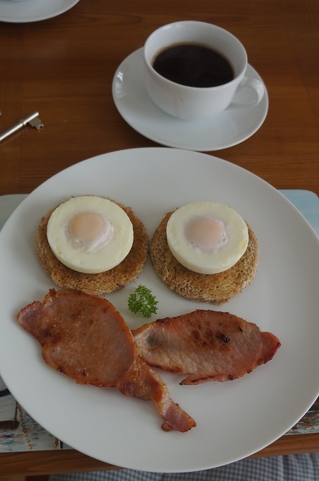
- Aston Martin DB7 with art work by Ted Stourton
-
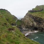
- What’s left of Tintagel Castle
-
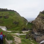
- Tintagel Castle
-
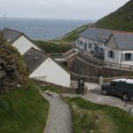
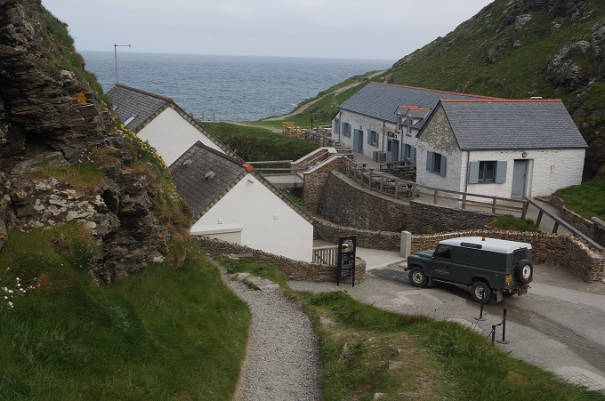
- Tintagel Castle Visitor’s Centre
-
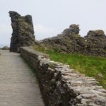
- Only a few walls in ruin at Tintagel Castle
-
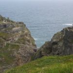
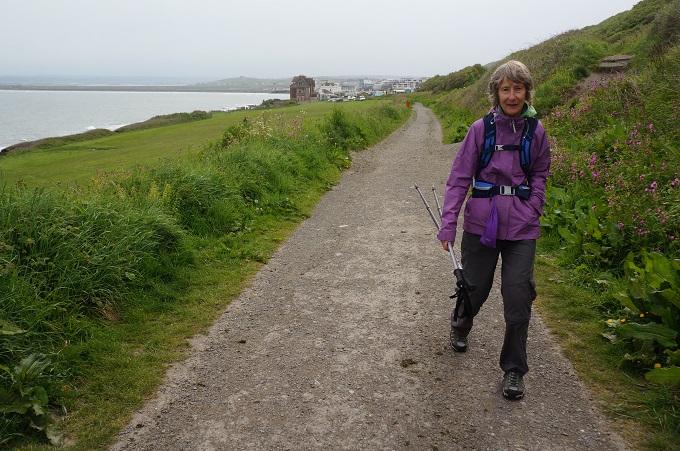
- Leaving Tintagel Castle
-
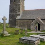
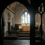
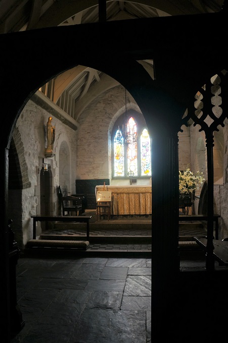
- St Materiana’s Church Tintagel
-
- St Materiana’s Church Tintagel
-
- St Materiana’s Church Tintagel
-
- St Materiana’s Church Tintagel

-
- St Materiana’s Church Tintagel

-
- St Materiana’s Church Tintagel
-
- St Materiana’s Church Tintagel
-
- St Materiana’s Church Tintagel
-
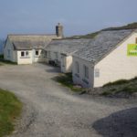
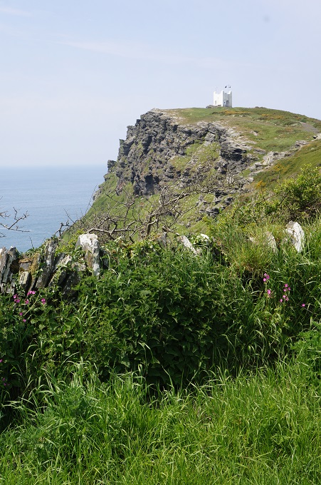
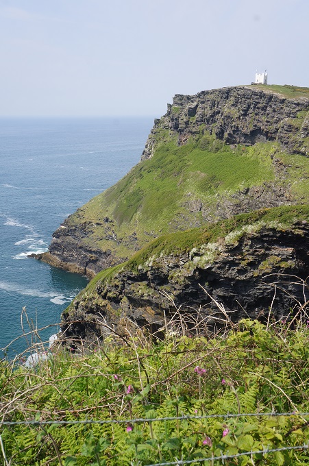
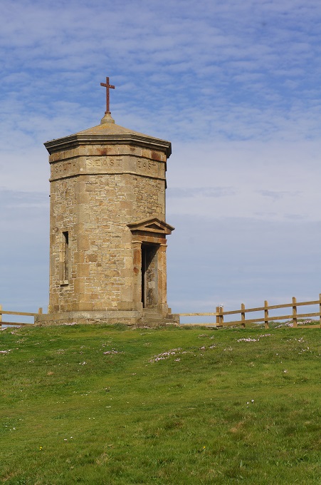
- Youth Hostel, Tintagel
-
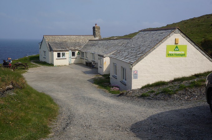
- Youth Hostel high on cliff, Tintagel
-
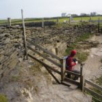
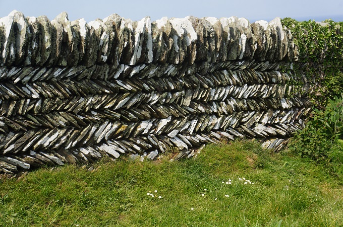
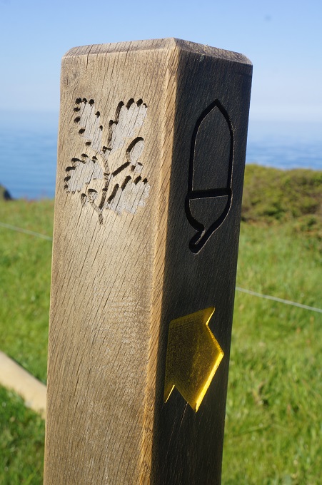
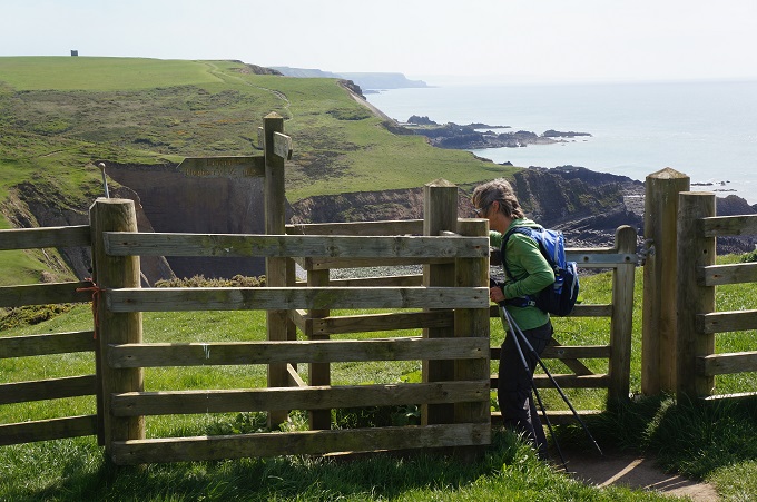
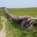
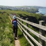
- Stone walls, stiles and fences

-
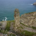
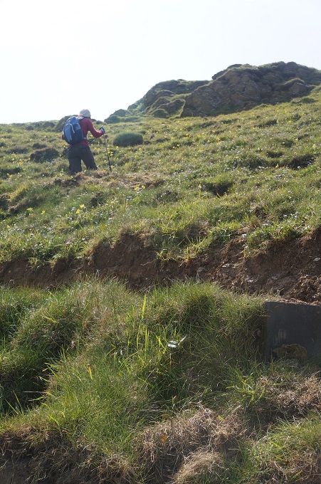
- Tower of inferior slat left behind after quarrying
-
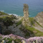
- Tower of inferior slat left behind after quarrying
-
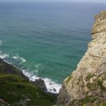
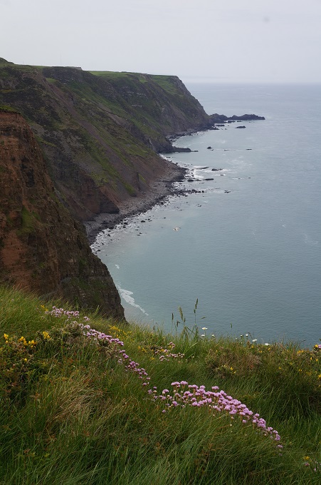
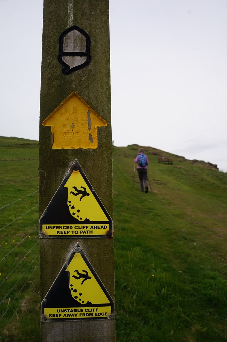
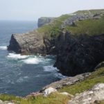
- sheer drop to the sea
-
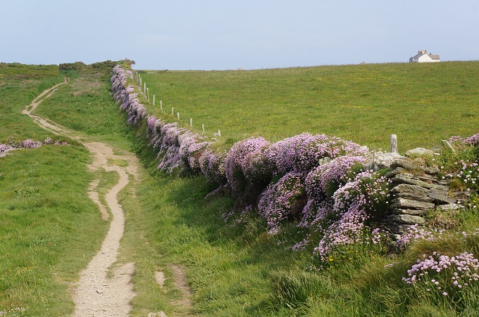
- ‘Thrift’ flowers alone the stone wall. Also called ‘sea pink’ and ‘lady’s cushion’.
-
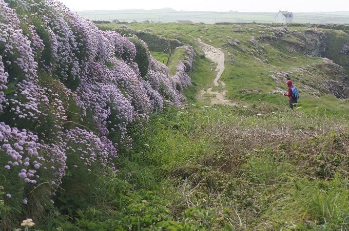
- ‘Thrift’ flowers alone the stone wall. Also called ‘sea pink’ and ‘lady’s cushion’.
-
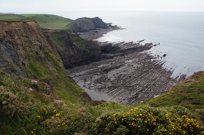
- Evidence of extensive slate workings
-
- Evidence of extensive slate workings
-
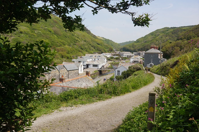
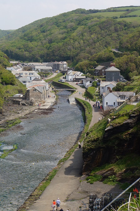
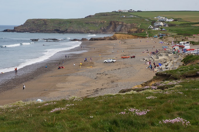
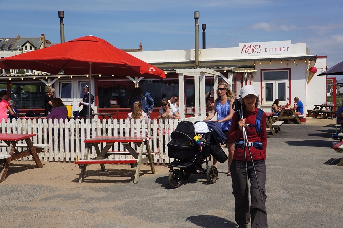
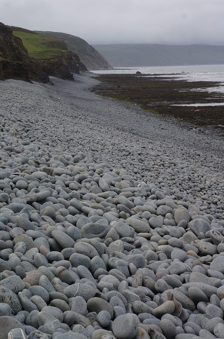
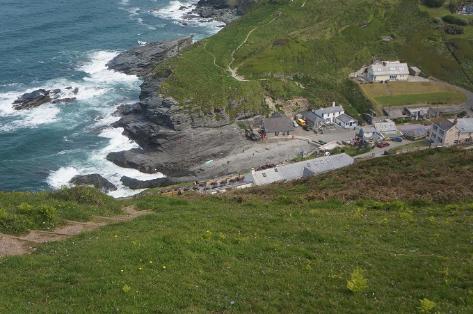
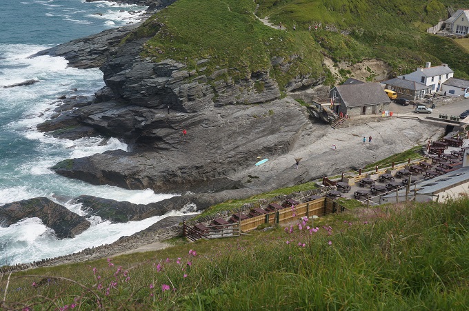
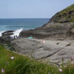
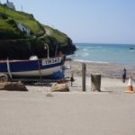
- Trebarwith Strand
-
- Trebarwith Strand
-
- Trebarwith Strand
-
- Trebarwith Strand
-
- Trebarwith Strand
-
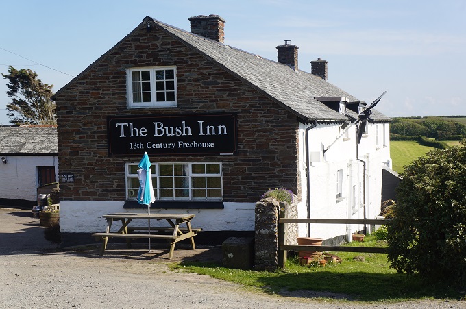
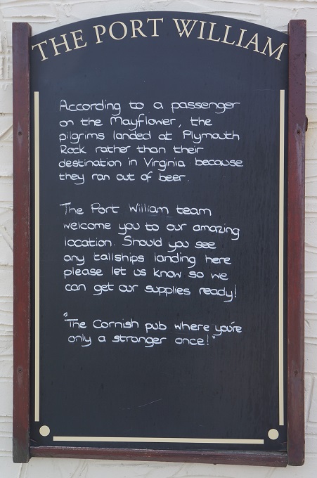
- The Port Willaim Hotel, Trebarwith Strand
-
- Trebarwith Strand
-
- Trebarwith Strand
-
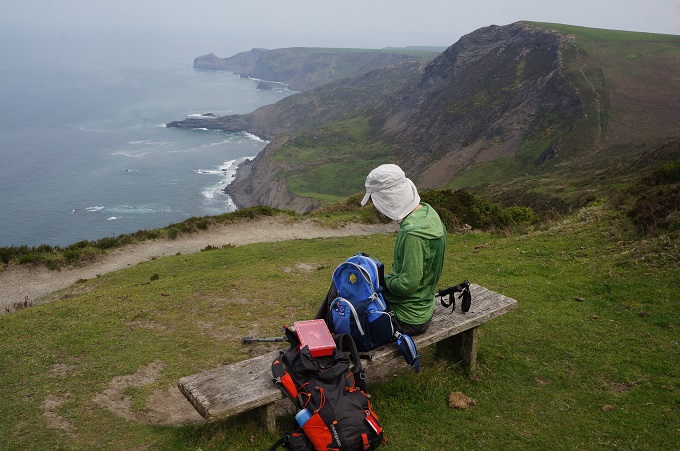
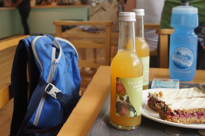
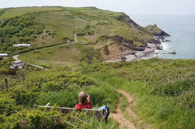
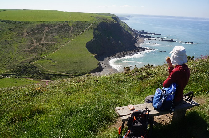
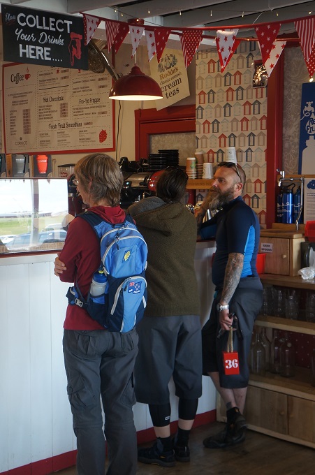
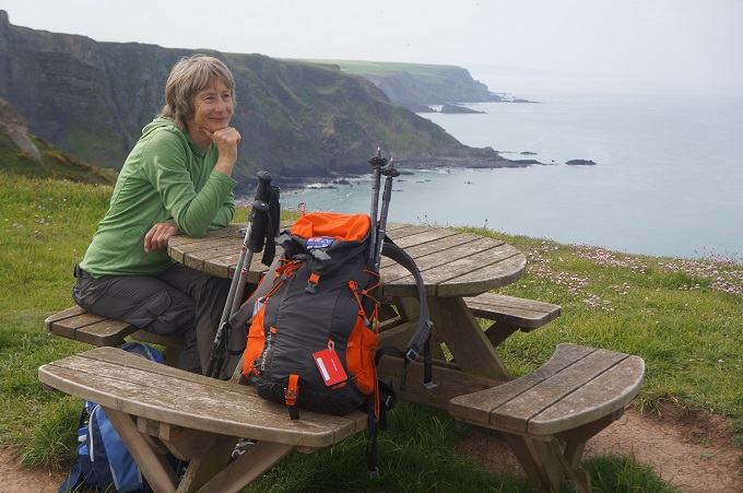
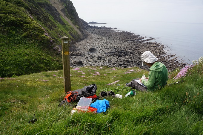
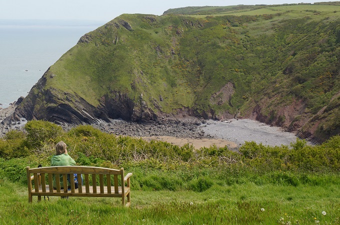
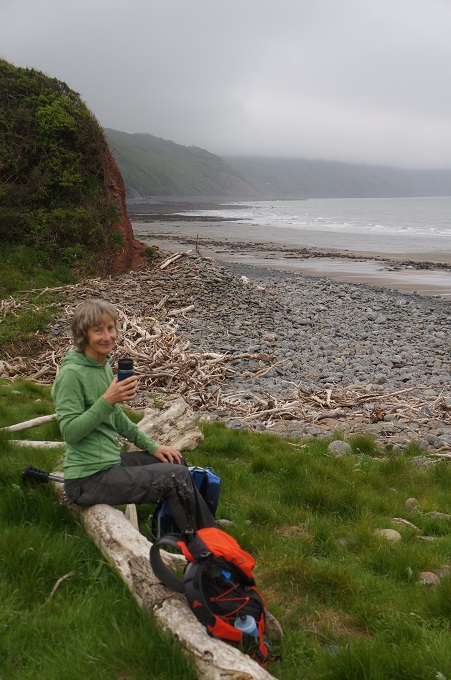
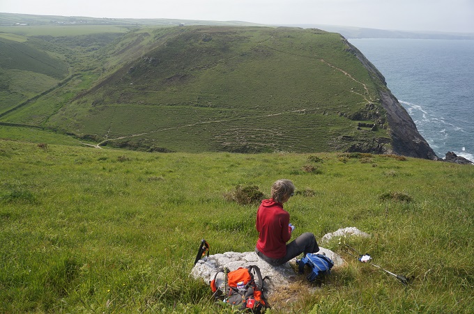
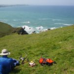
- Kleen Kanteen coffee stop contemplating the next challenge
-
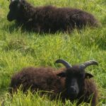
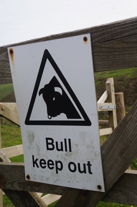
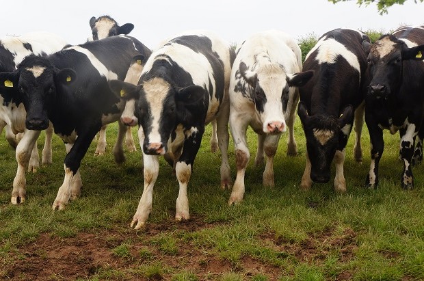
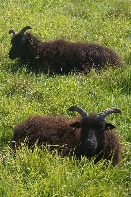
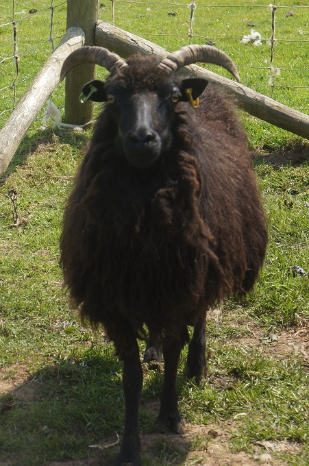
- Hebridean sheep are grazing the Tregardock cliffs to improve floral diversity
-
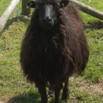
- Hebridean sheep
-
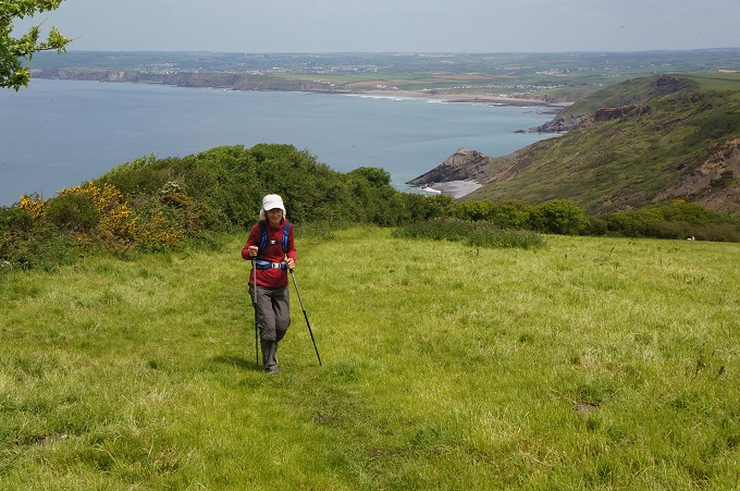
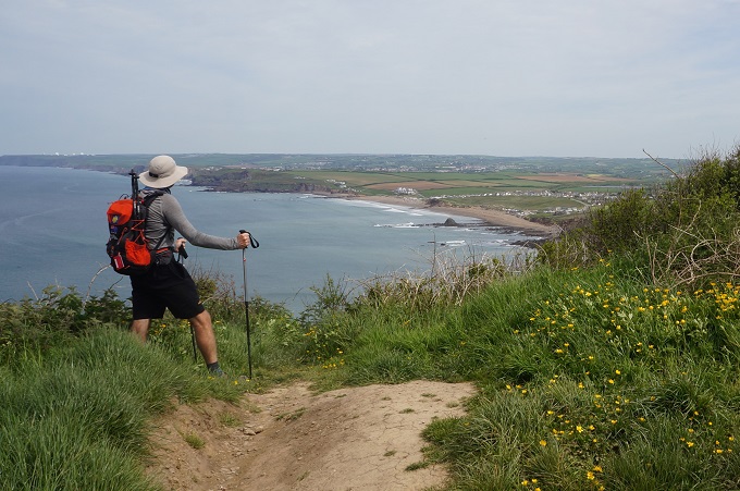
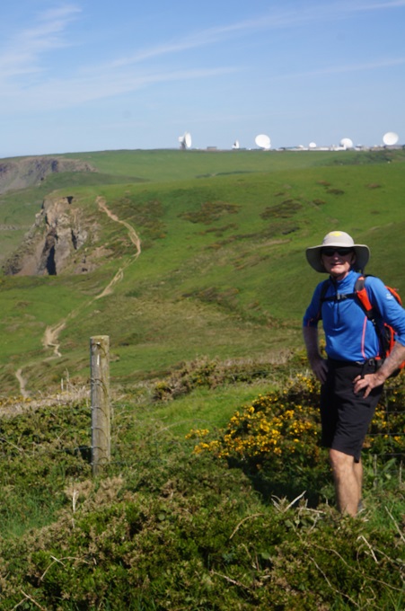
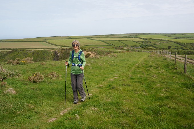
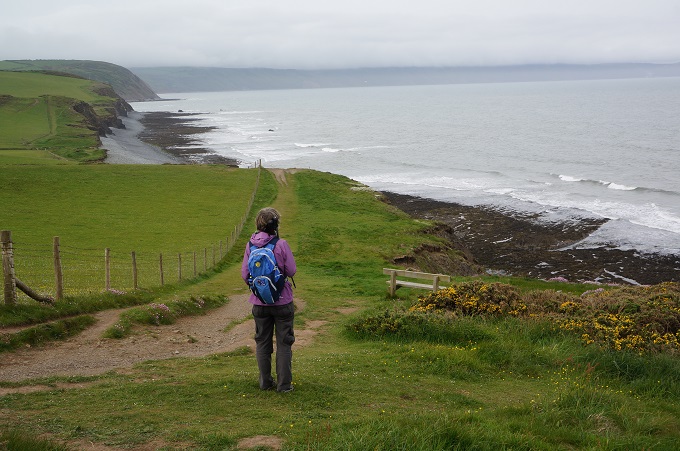
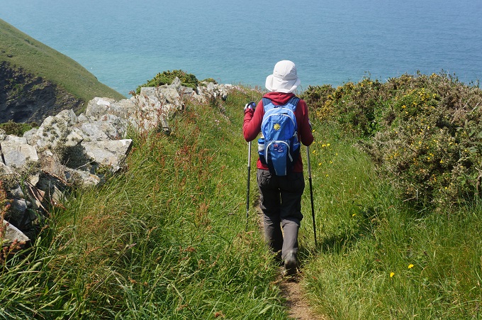
- Walking to the wide blue yonder
-
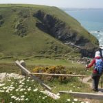
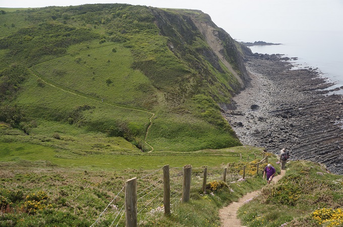
- Another descent and ascent
-
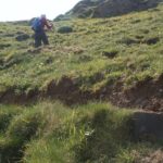
- Some ascents are very steep
-
- Oh Heck!
-
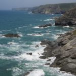
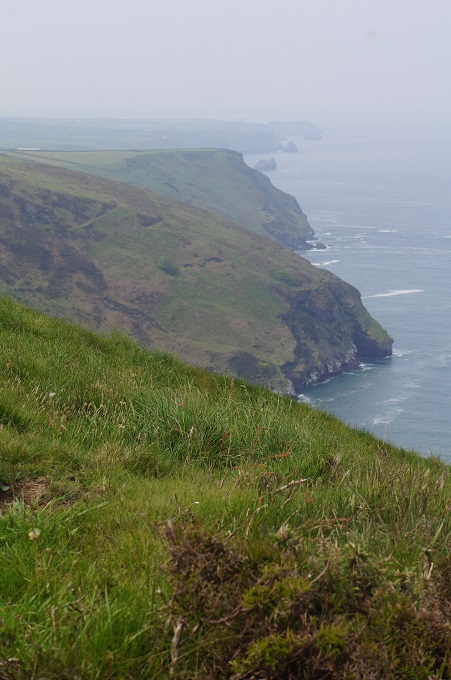
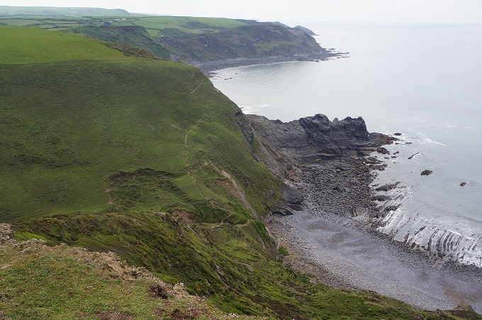
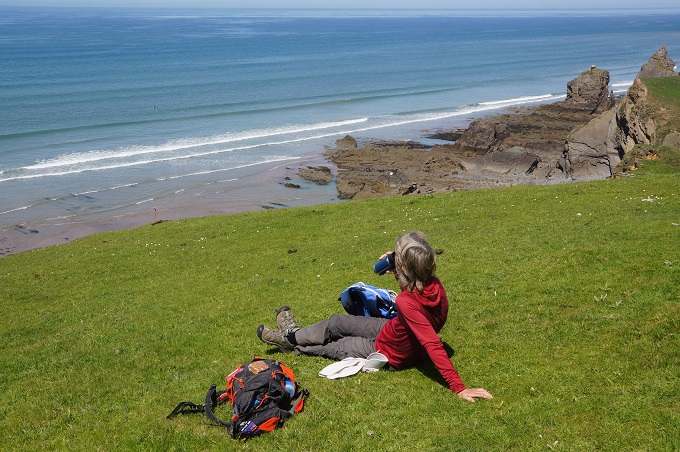
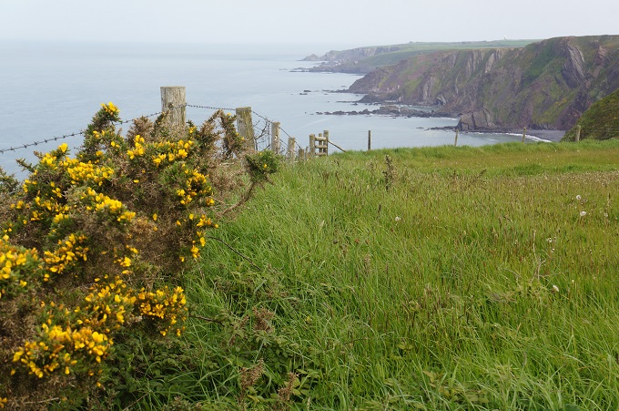
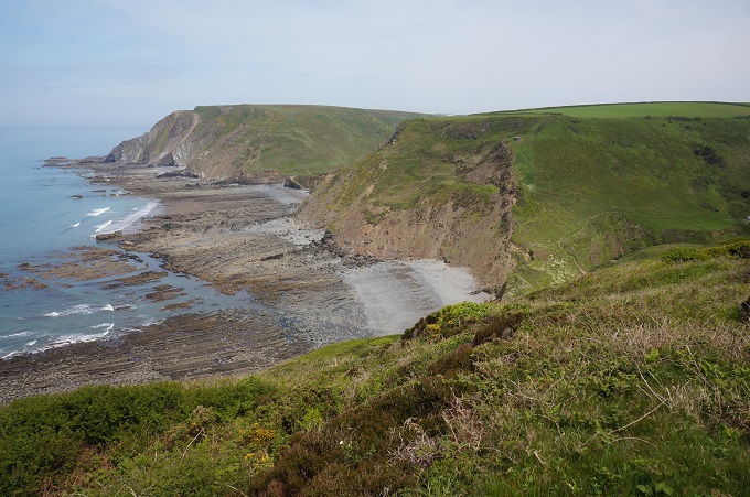
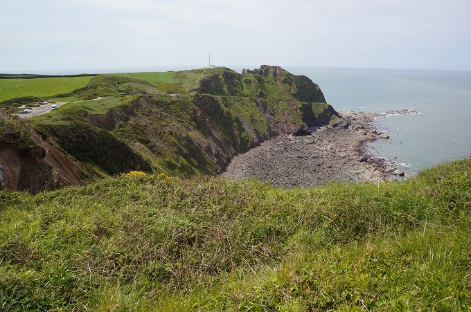
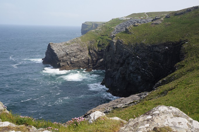
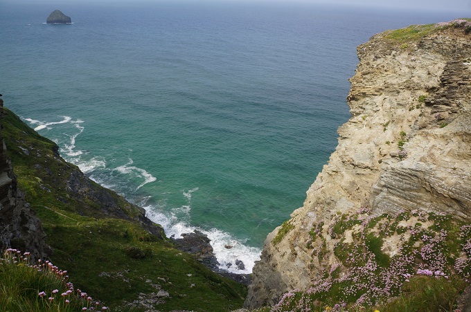
- A wild coast today
-
- Quite slippery on the loose slate
-
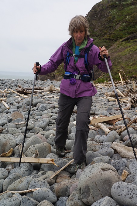
- About the eighth tricky descent for the day
-
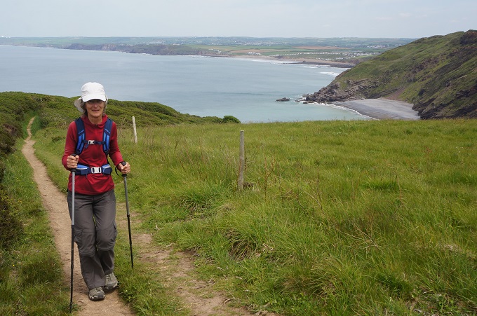
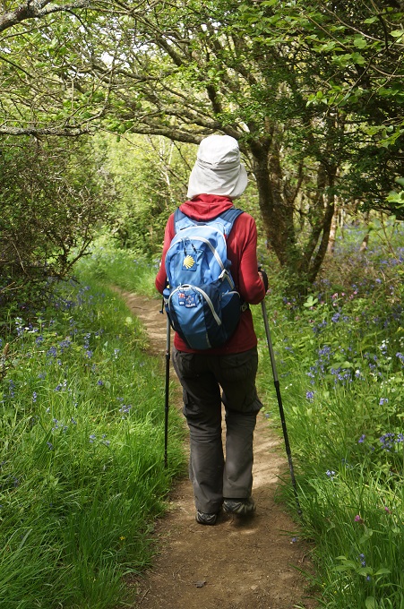
- Nice soft walking on the grass
-
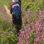
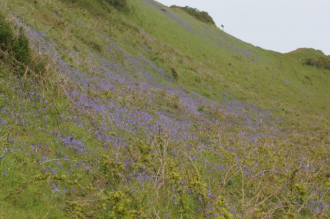
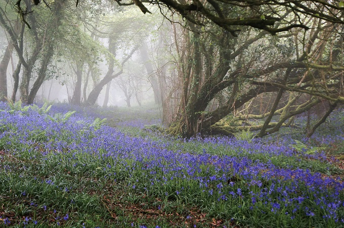
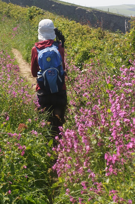
- Wild flowers line the path
-
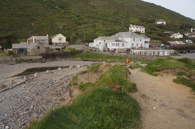
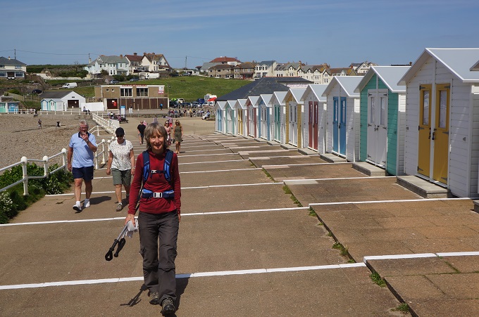
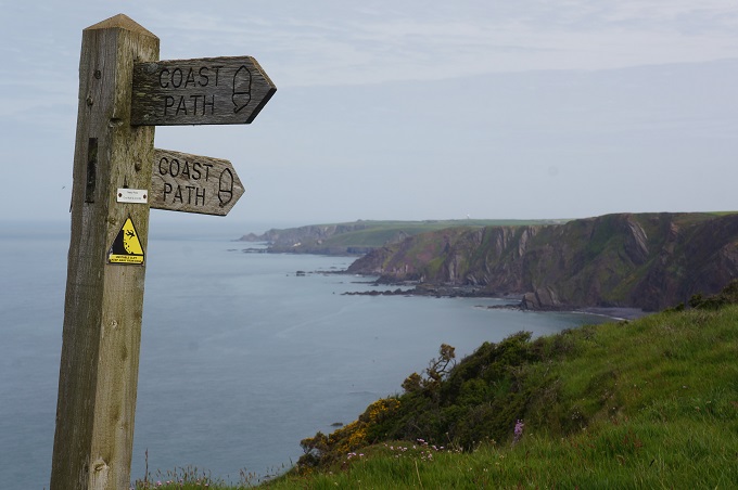
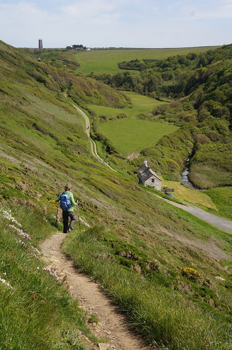
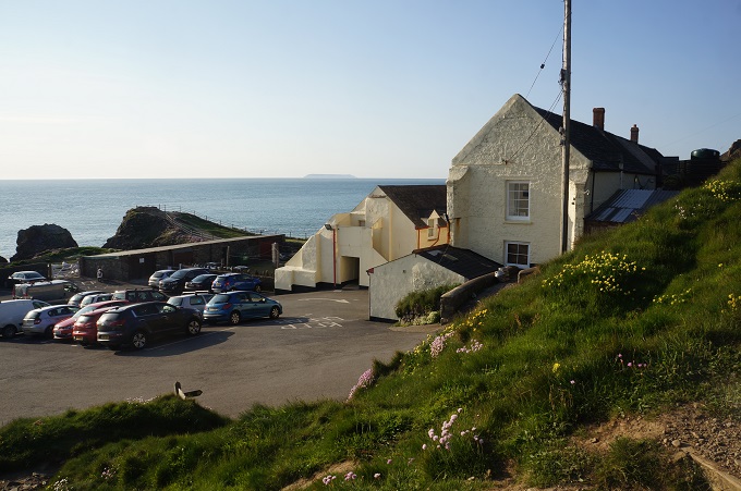
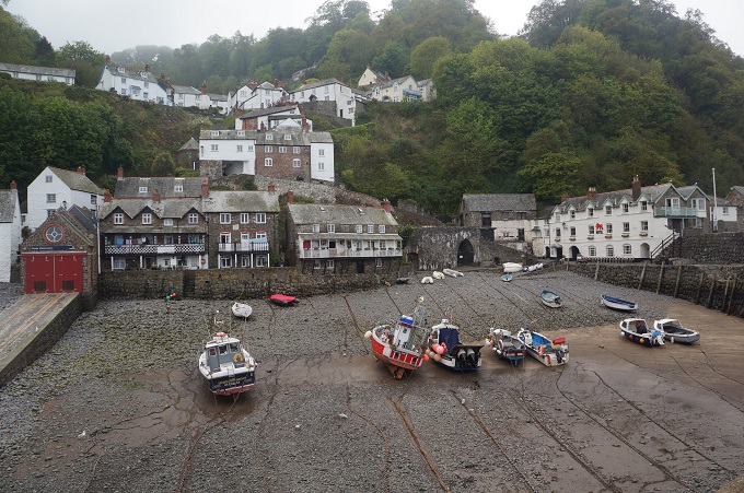
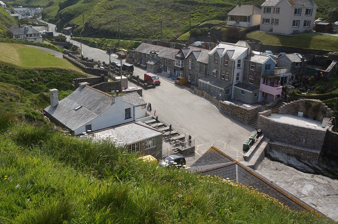
- At last Port Gaverne/Port Isaac
-
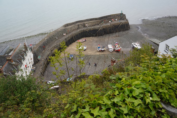
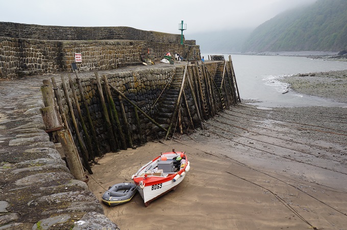
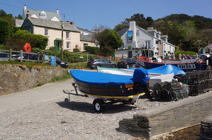
- Port Gaverne beach
-
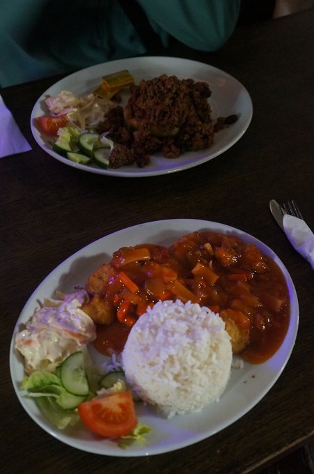
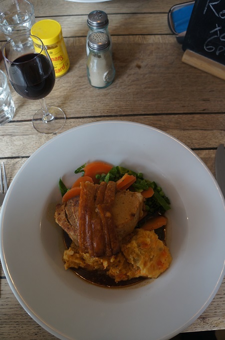
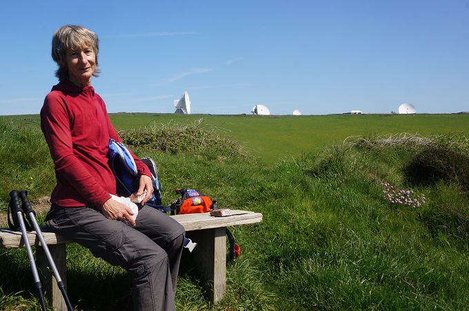
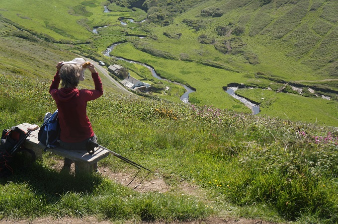
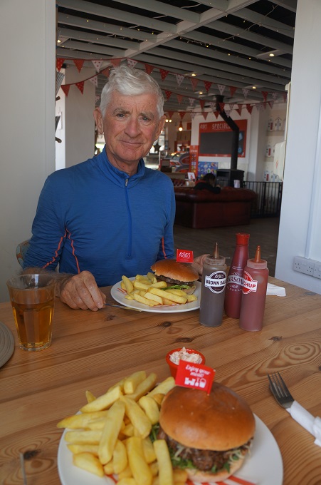
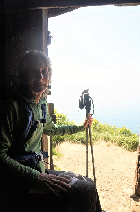
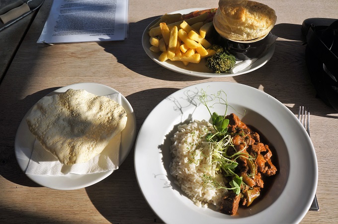
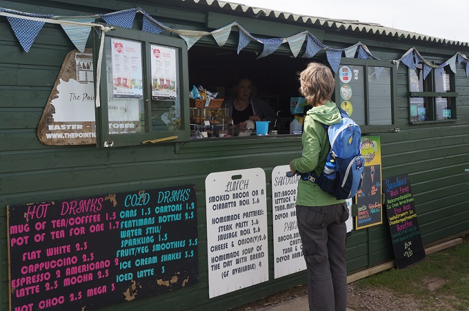
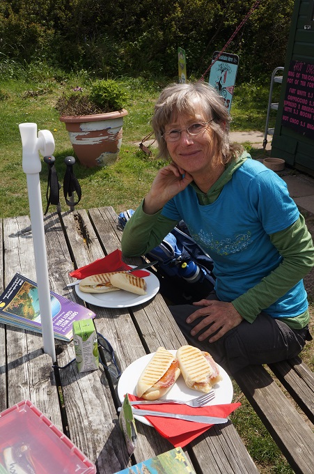
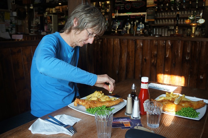
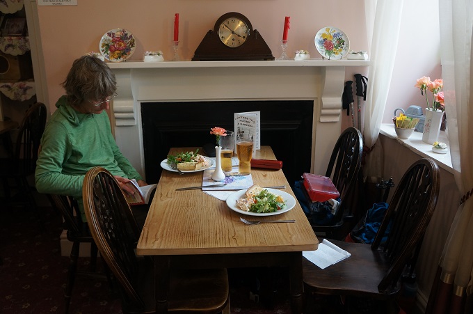
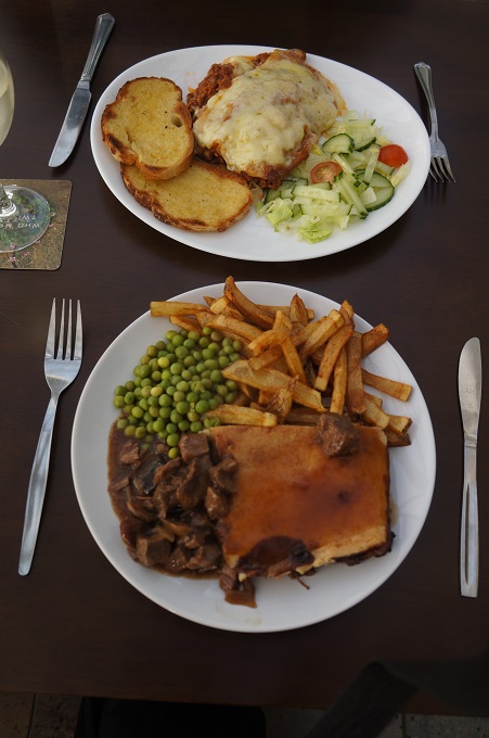
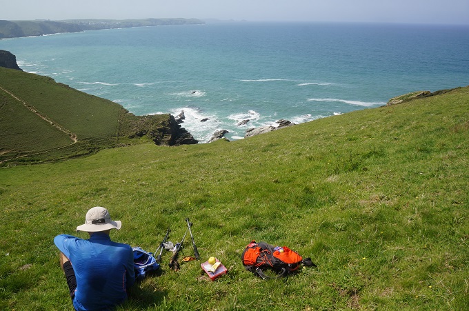
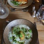
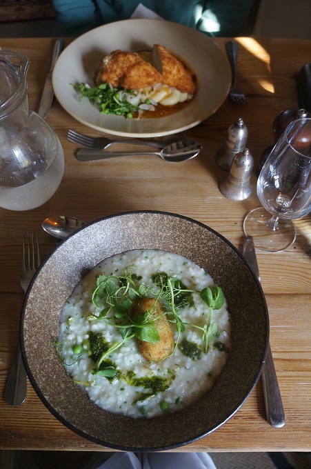
- Lunch stop
-
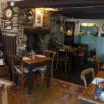
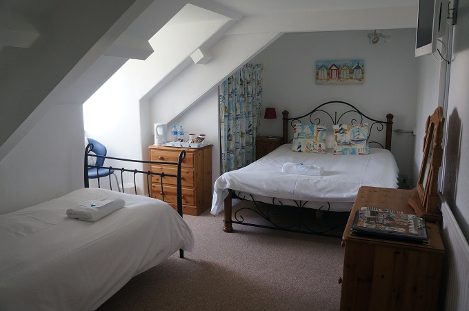
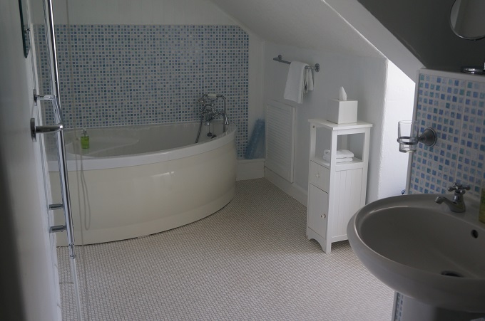
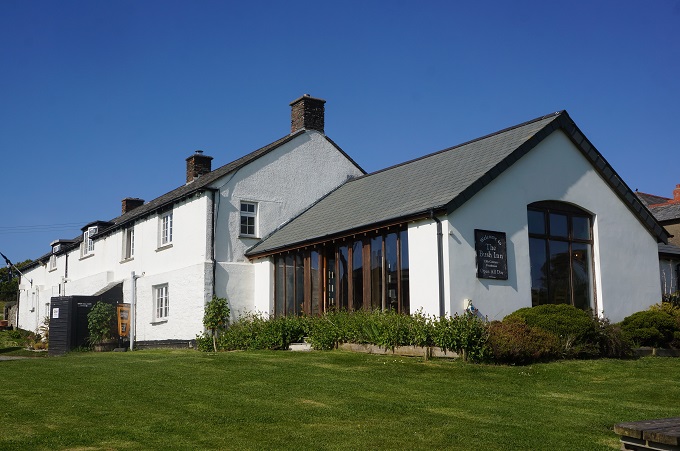
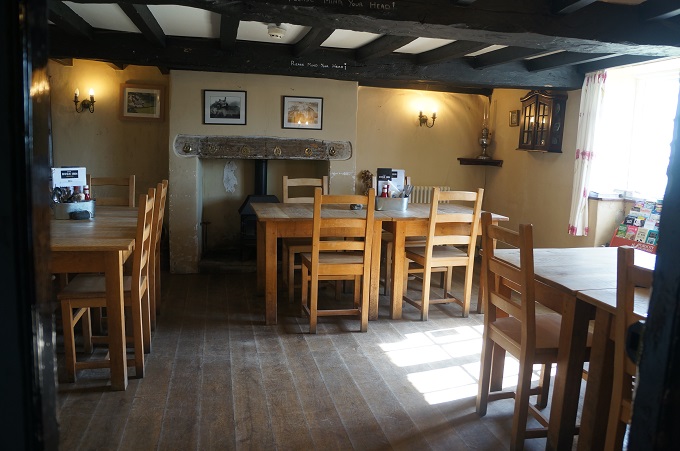
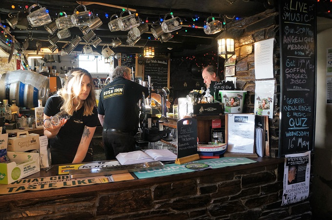
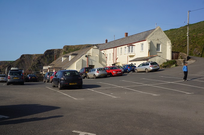
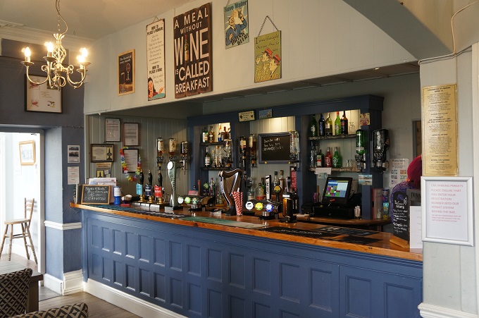
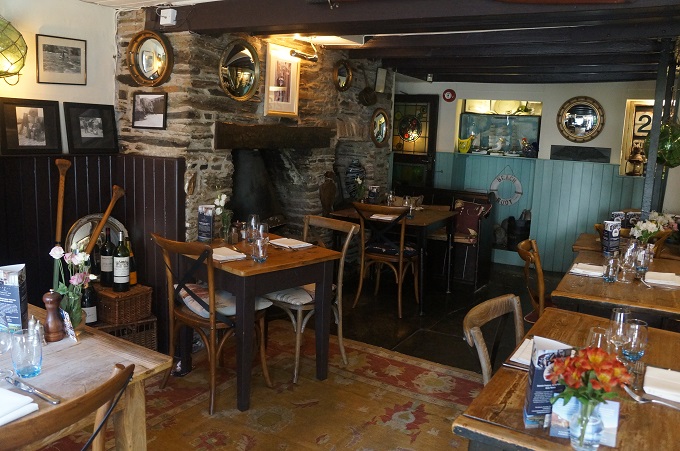
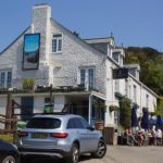
- Port Gaverne Hotel
-
- Port Gaverne Hotel
-
- Port Gaverne Hotel
-
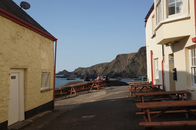
- Port Gaverne
-
- Port Gaverne Hotel
-
- Port Gaverne Hotel
-
- Port Gaverne
-
- Port Gaverne
-
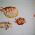
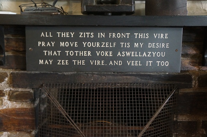
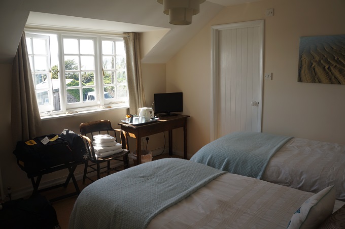
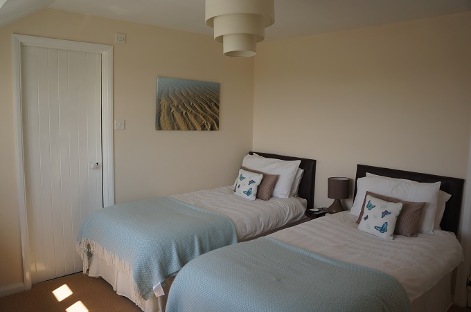
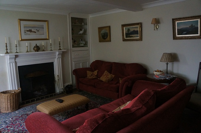
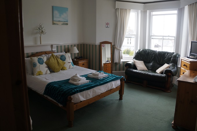
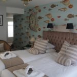
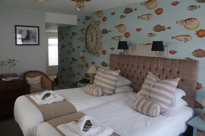
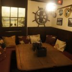
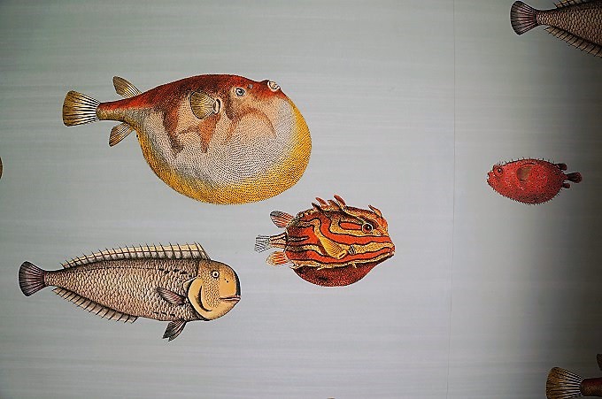
- Room wallpaper, Port Gaverne Hotel
-

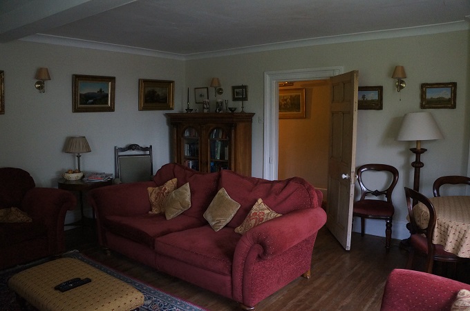
- Room decoration, Port Gaverne Hotel