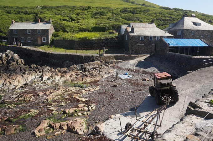
Portreath to Hayle, 19.9km + 3 km to accommodation, 415 metres of climbing
‘I love long walks, especially when they are taken by people who annoy me’. Fred Allen
Portreath, Porthtowan, Chapel Porth, Trevallus Porth, Perranporth, Mawgan Porth, Portcothan, so many porths! We can’t remember which one we are at. We often stop and talk to people and they ask where have you come from, and where are you going? It’s a bit embarrassing when we can’t remember. We can’t say we came from Porthwhat’sit and we are going to What’sitporth. They would look at us as if we have wandered out of an institution for the dazed and bewildered.
And then there were the ports: Port Quin, Port Isaac, Port Gaverne, Port Gennys. And now we are getting into the saints: St Agnes, St Ives, St Just, St Levan. I might start writing on my left hand where we set out from and on my right hand where we are going to.
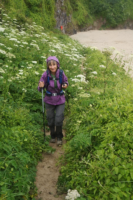
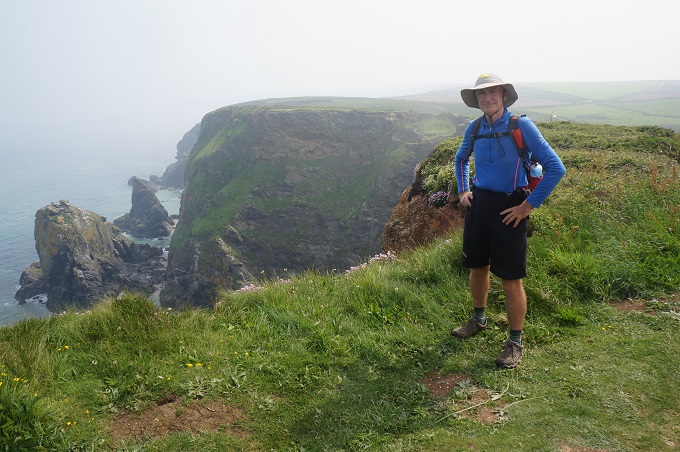
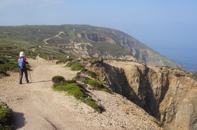
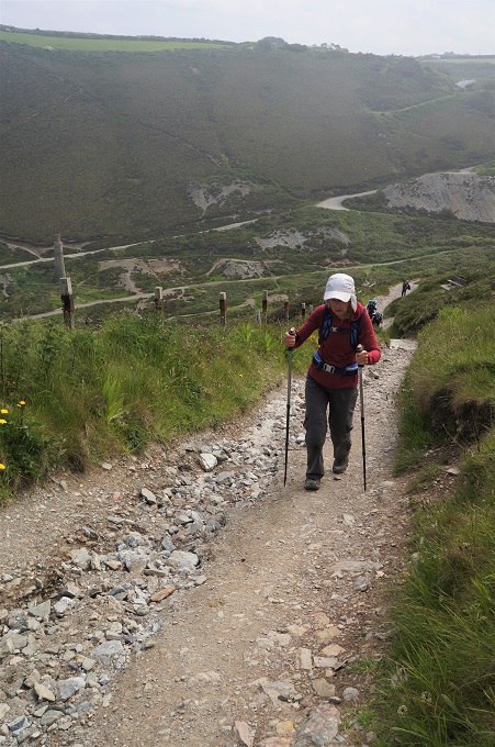
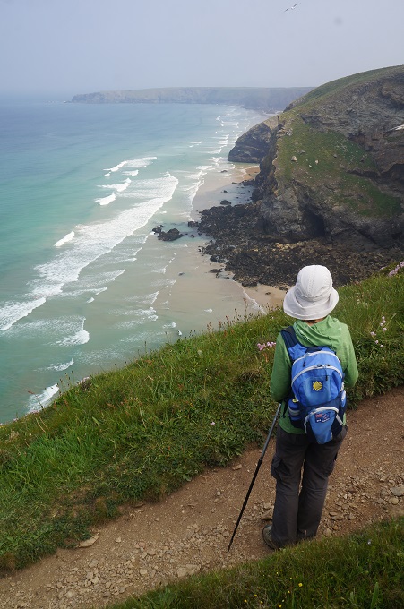
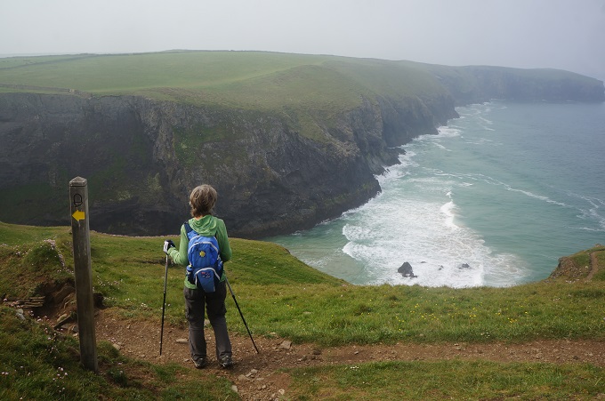
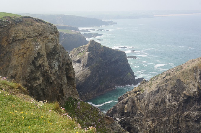
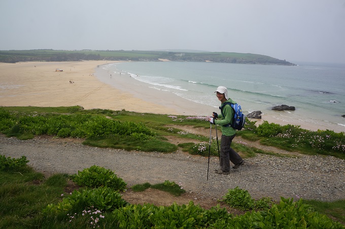
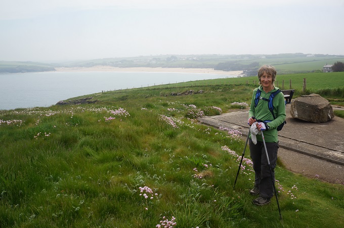
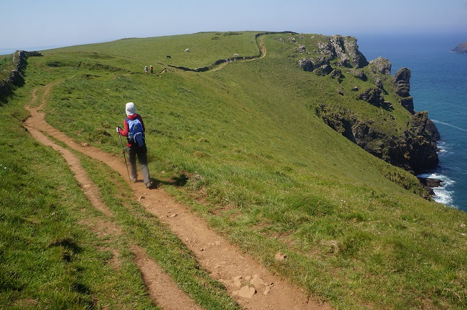
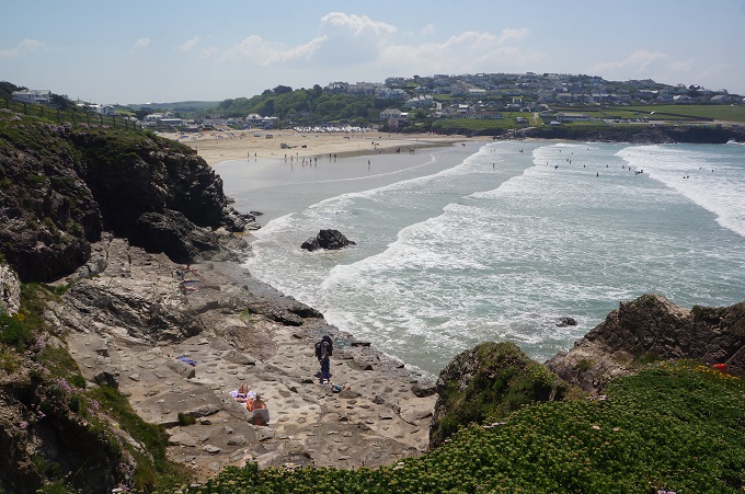
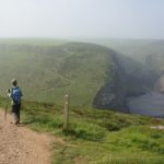
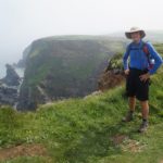
There was a nasty start to the day and then two distinct characters to the coast for the rest of the day. Almost straight out of Portreath we had two gut buster rollercoaster climbs and descents through steep valleys. This was nasty because we had not yet warmed up and got into the rhythm of the day. From here to Godrevy Point it was walking on high level cliffs with the sea far below.
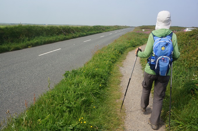
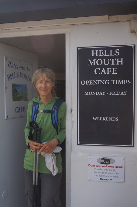
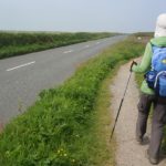
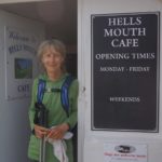
The highlights of this section were the Hell’s Mouth Café (opposite Hell’s Mouth Cove) where we had a cool drink, Shetland Ponies grazing at the side of the path, and seals on the rocks far below at Navax Point. At least a small crowd of people claimed to see seals but with our poor eye sight we couldn’t make out anything. We didn’t mind as twice we have practically stepped over seals on Paraparaumu Beach. The lowlight was that for a while the path was right alongside a busy road.
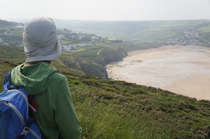
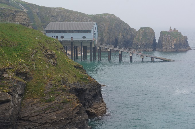
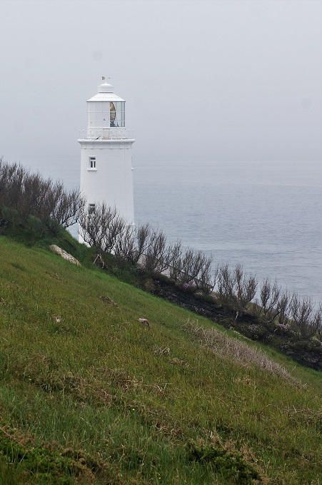
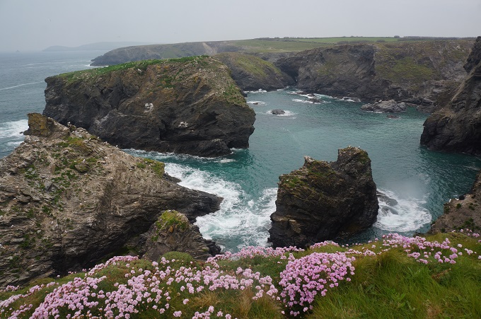
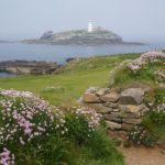
Off Godrevy Point is an island with an offshore lighthouse. This was the inspiration for Virginia Woolf’s classic novel, To the Lighthouse. Written in 1927, it drew on her memories of holidays with her parents in St Ives: the lighthouse in the book is merely a device for the development of the plot.
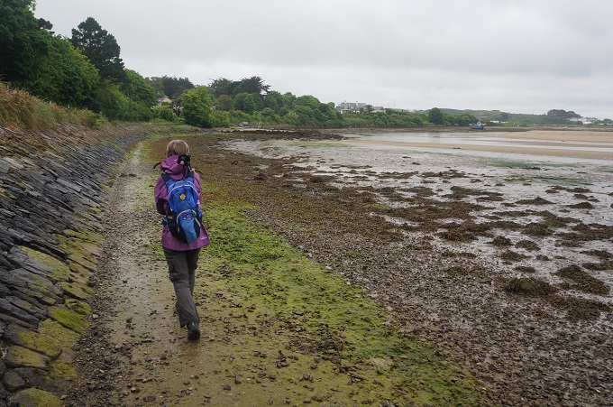
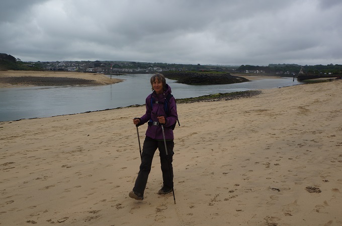
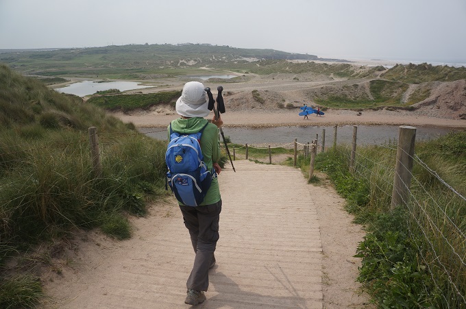
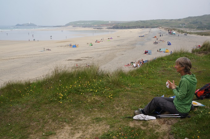
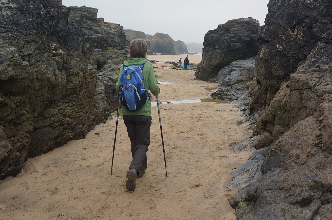
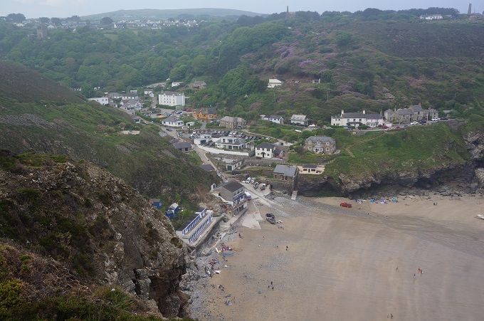
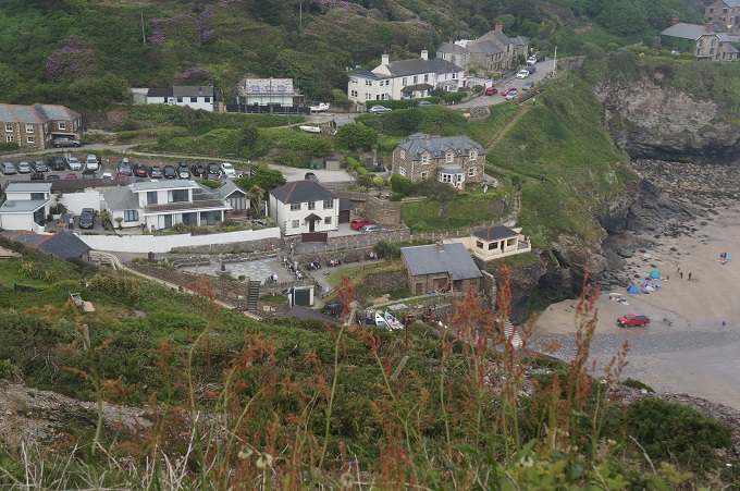
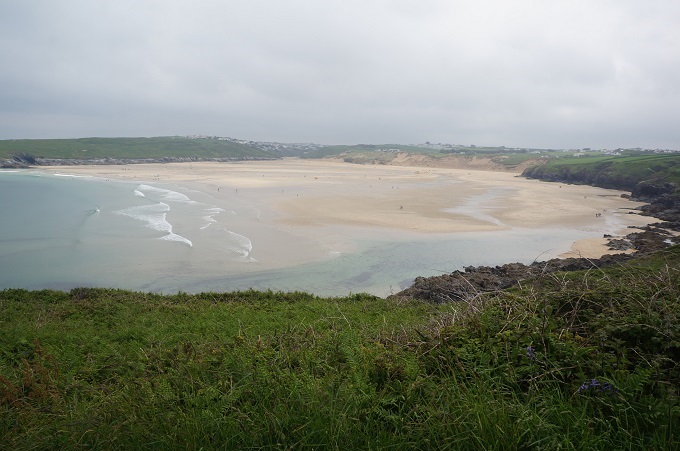
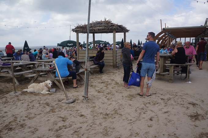
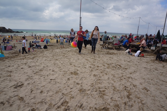
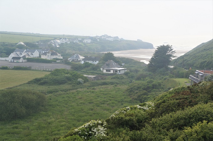
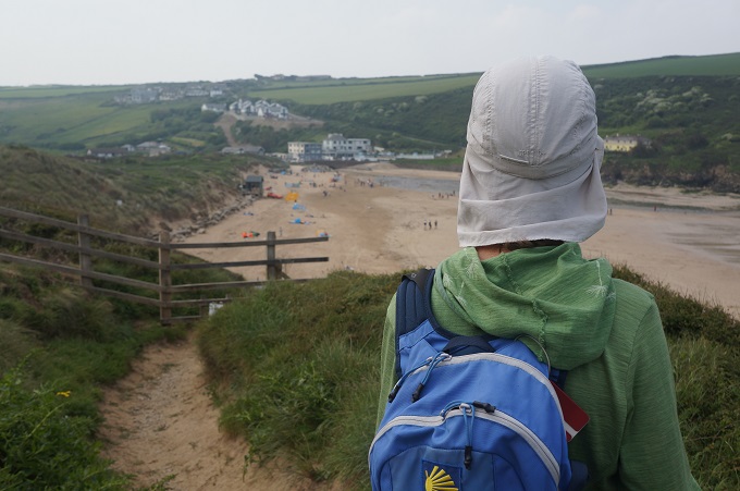
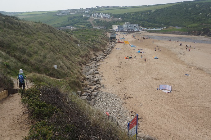
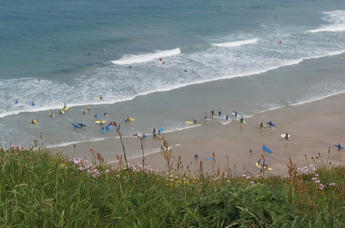
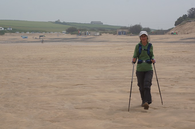
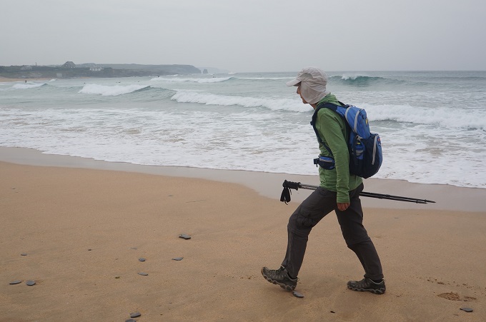
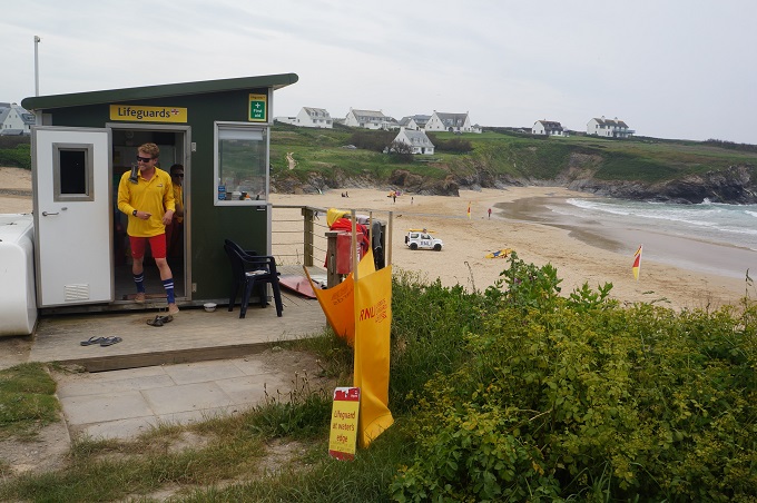
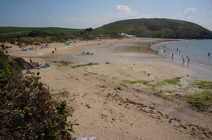
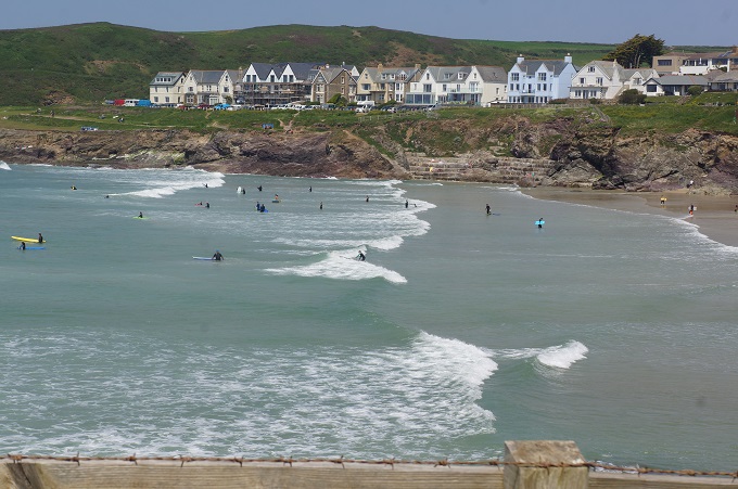
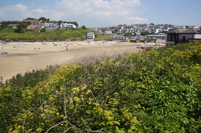
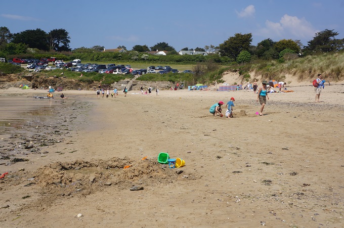
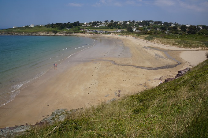
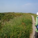
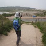
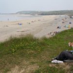
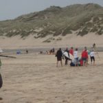
The second half of the day focused on sand, either dunes or beach, and the great colourful sweep of St Ives Bay. At Gwithian we trudged through the dunes for a while but soon decided it was far easier walking on the beach. It was only an hour past high tide so there was no chance of being trapped on the beach. St Ives Bay is 4 miles (6½ kms) long but we made really good progress. At about four locations along the beach there was a public car park, a life guard station, red/yellow flag swimming area and hence lots of families. This week is spring break for the school kids.
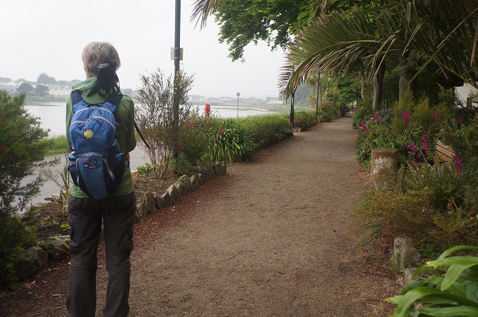
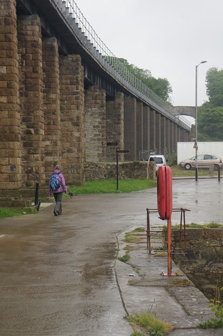
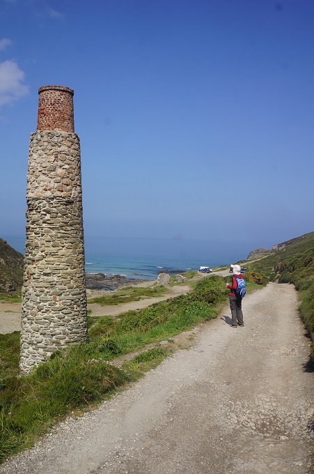
From the end of the beach the walk into Hayle was through a depressing industrial area. Our hotel is a further 2 miles inland but this was mostly along the King George V Memorial Walk which runs alongside Copperhouse Pool – a relic of Hayle’s industrial past. The walk is decorated with Victorian lamps, benches, ponds, fountains, a scent garden and hundreds, maybe thousands, of different species of plants.
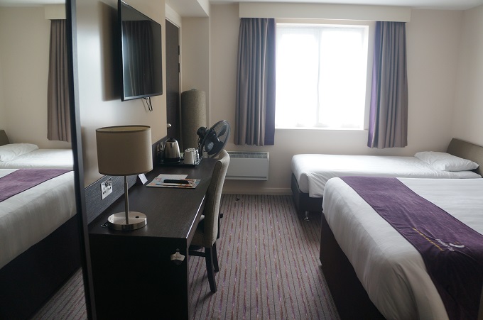
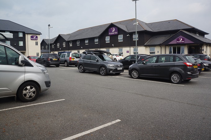
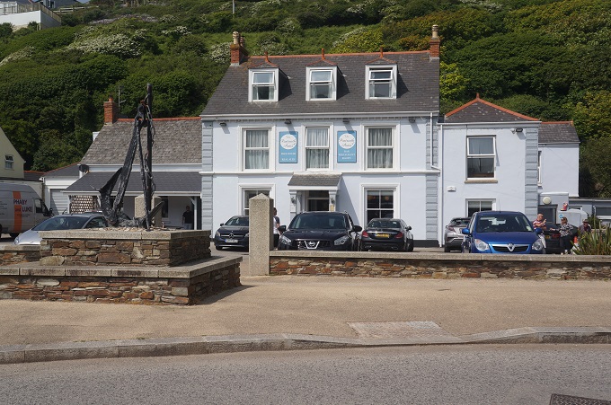
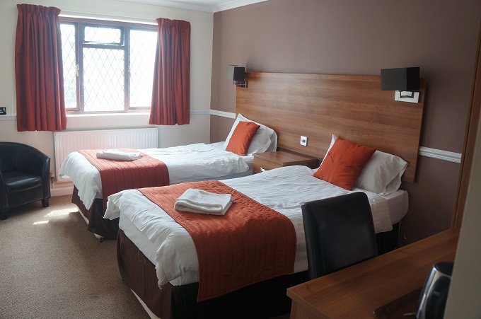
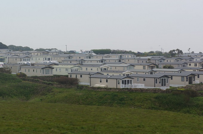
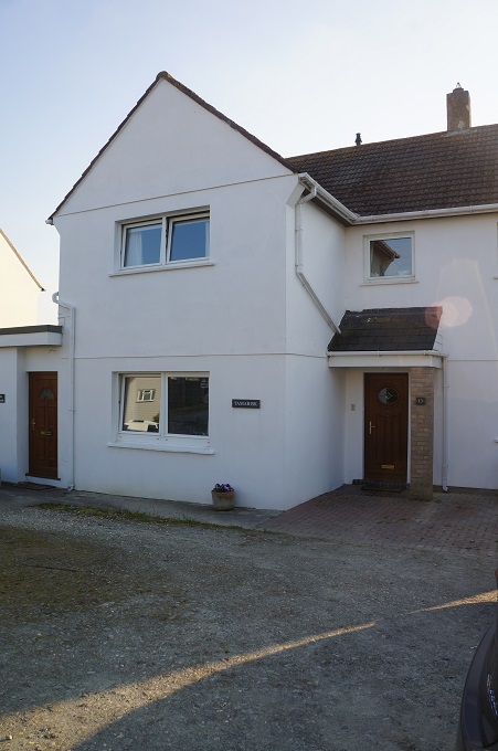
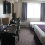
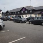
Our hotel, The Premier Inn, is large, modern and part of a chain. It is located in a commercial layby on a busy road. The layby is shared with a Marks & Spencer Store, Next, Boots, Castro Coffee, MacDonalds, a petrol station and acres of car parking. Pedestrians have to risk their lives crossing two large roundabouts to get here. Apart from us I don’t think anyone has ever walked here.
-
-
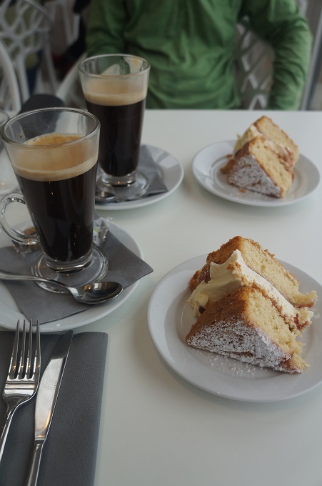
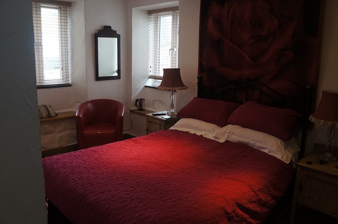
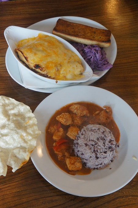
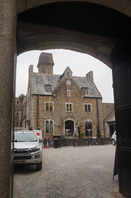
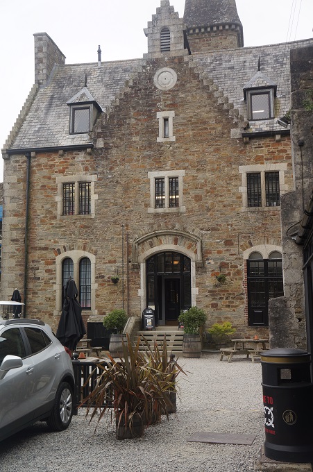
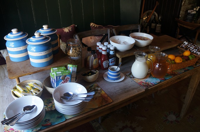
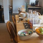
Breakfast, Portreath Arms Hotel
-
-
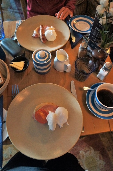
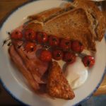
Would you like tomatoes with that sir? Breakfast Portreath Arms Hotel
-

-
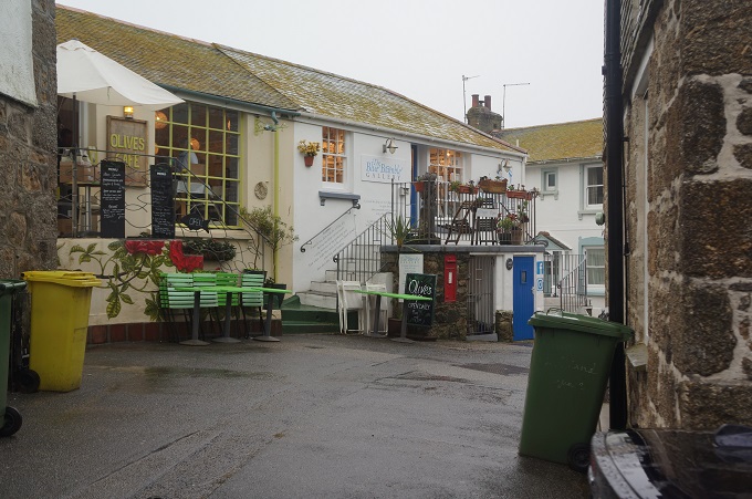
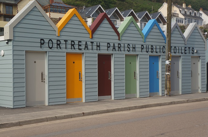
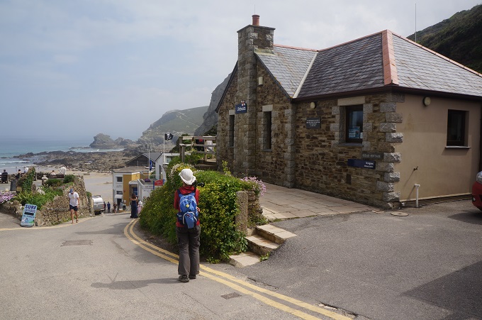
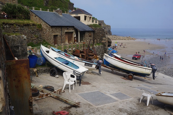
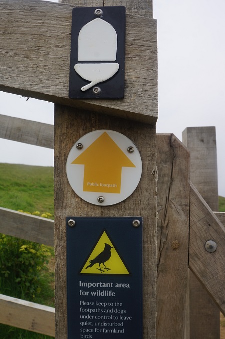
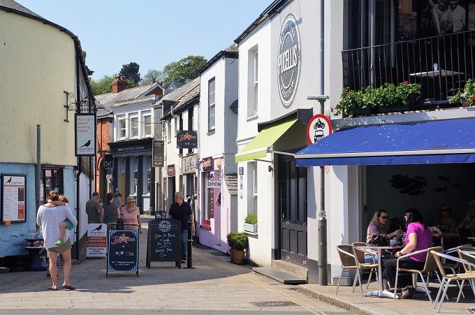
Portreath loos
-
-
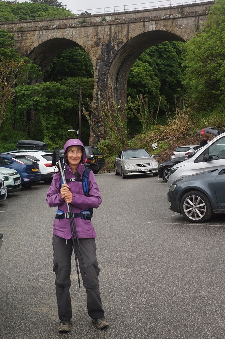
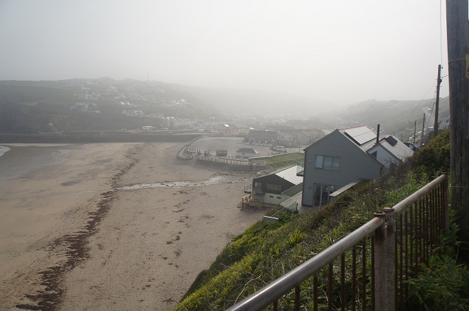
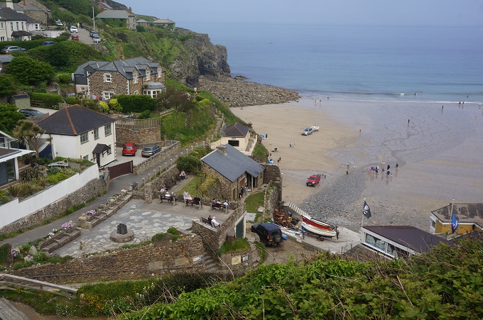
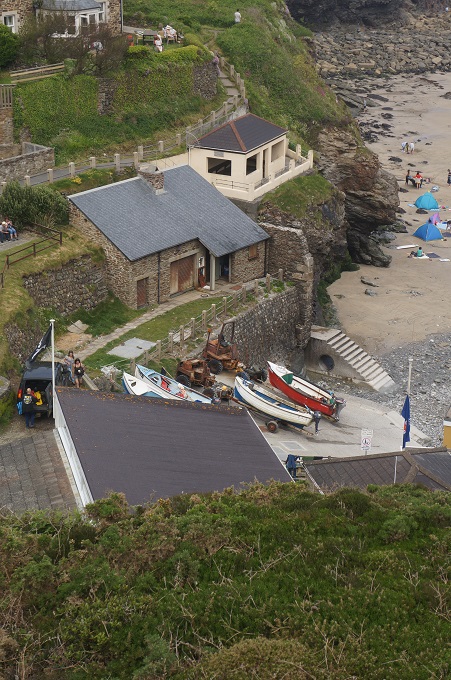
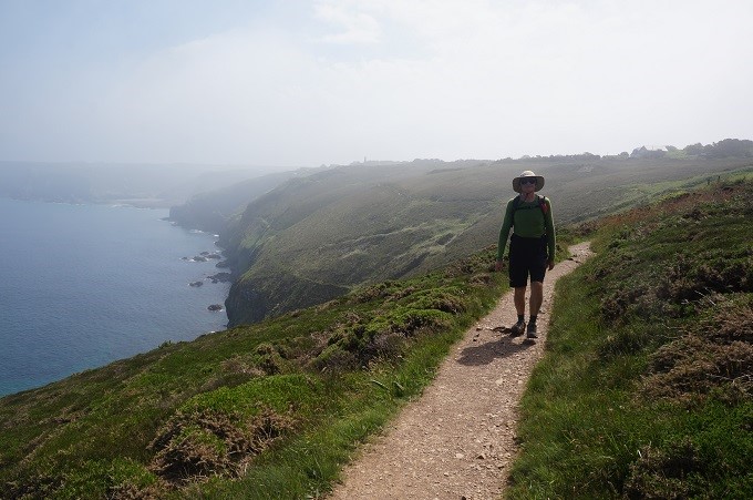
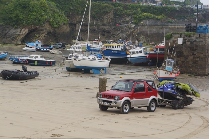
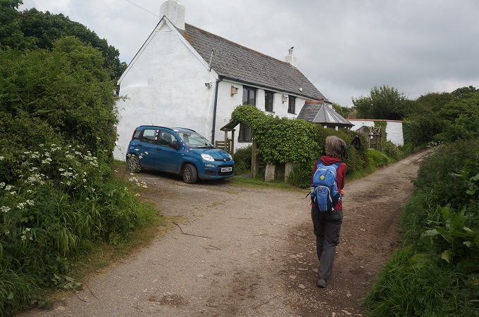
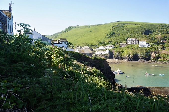
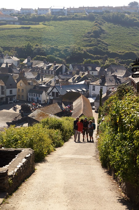
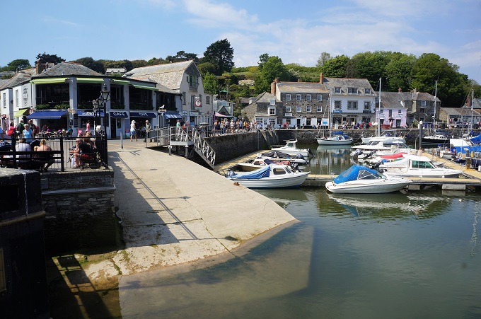
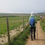
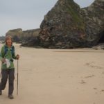
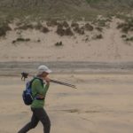
Leaving Portreath in the hazy morning light
-
-
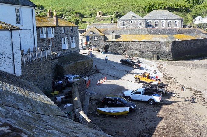
Leaving Portreath
-
-
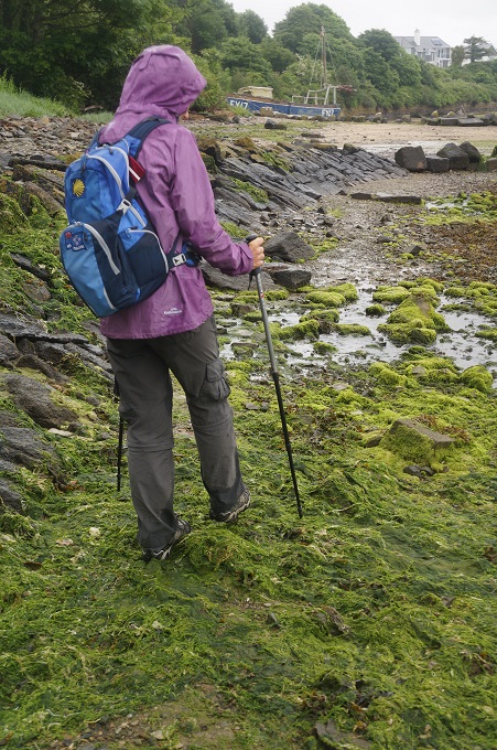
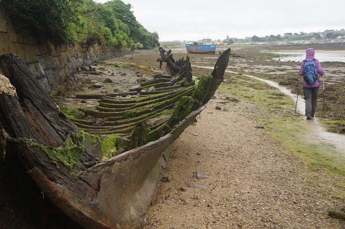
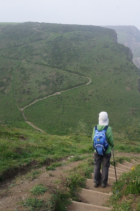
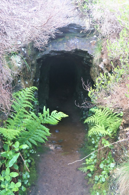
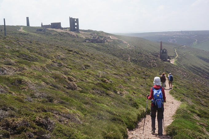
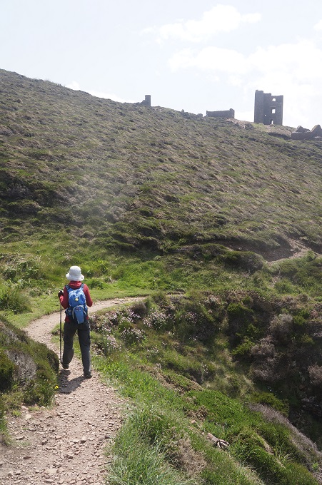
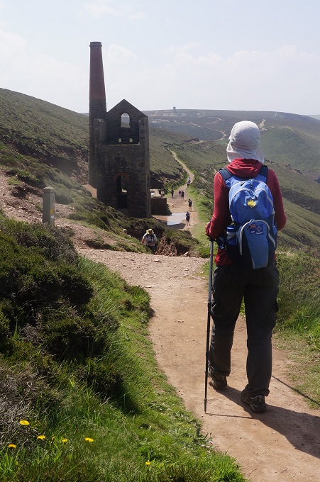
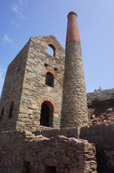
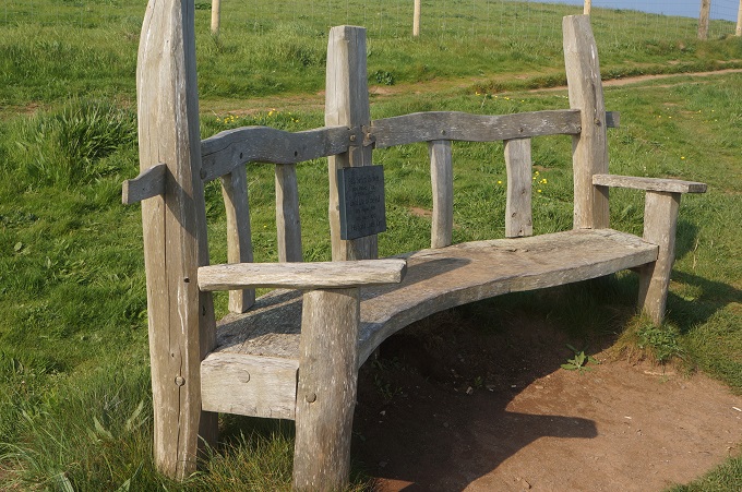
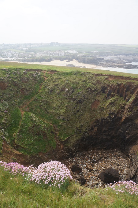
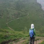
You know where this is leading!
-
-
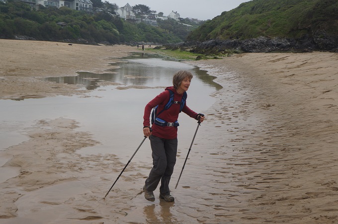
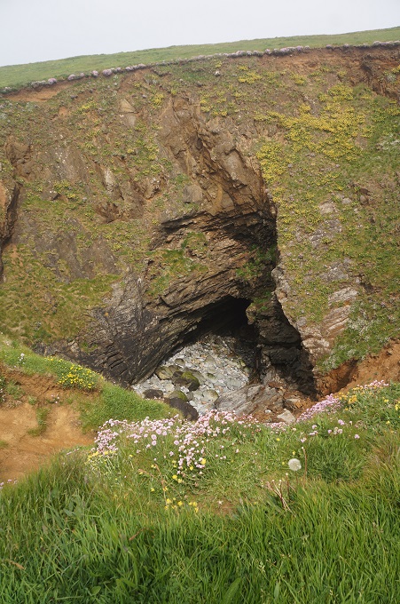
Oh dear!
-
-
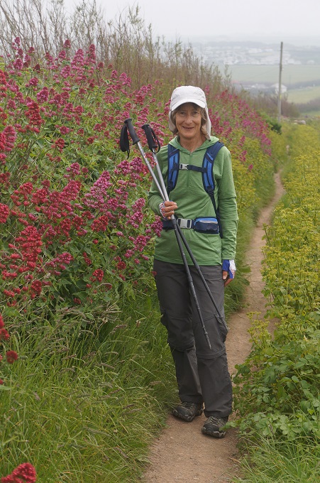
Heather and gorse covered cliff tops
-
-
Path was unpleasantly close to the road for a while
-
-
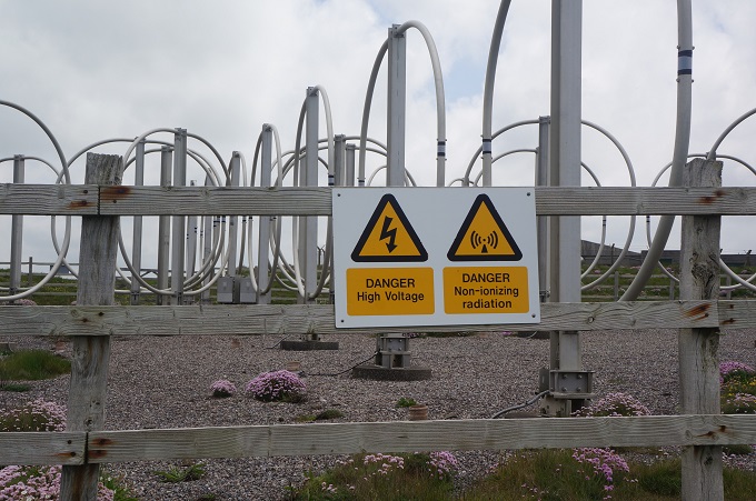
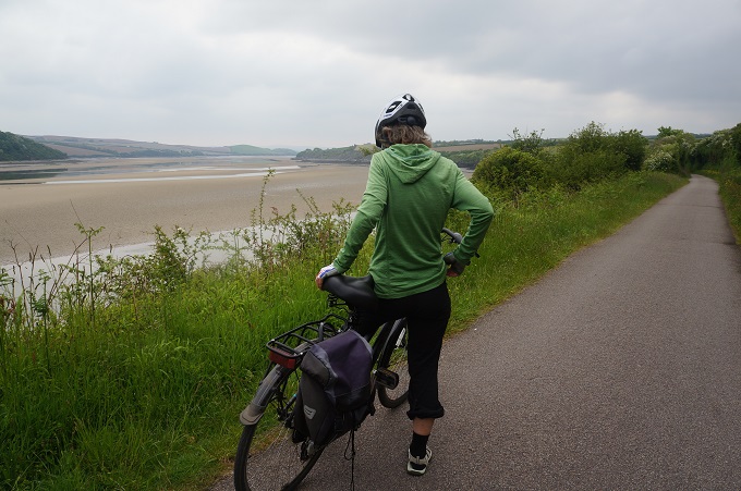
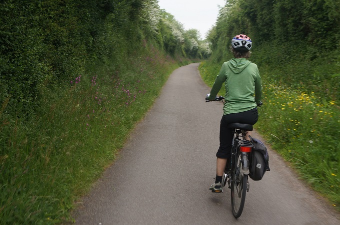
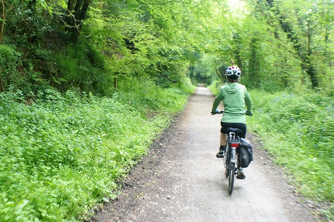
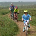
Most of the SWCP bikes are banned, but sometimes ……….
-
-
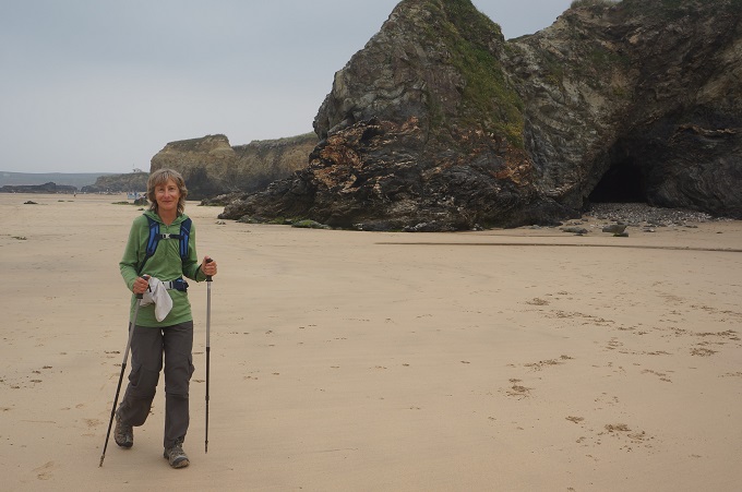
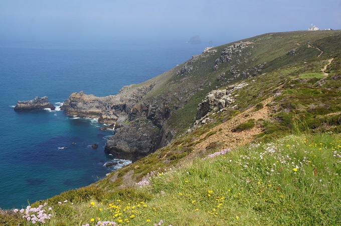
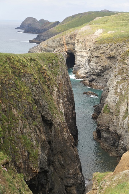
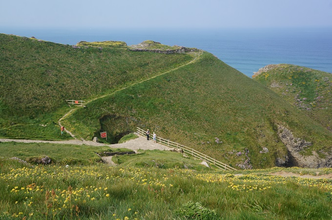
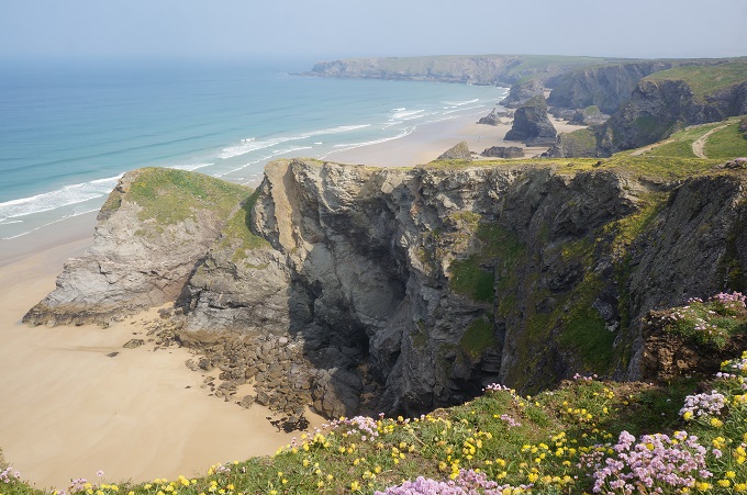
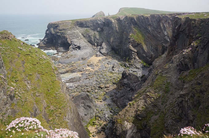
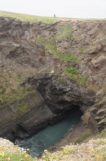
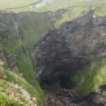
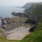
Hell’s Mouth cliffs and caves
-
-
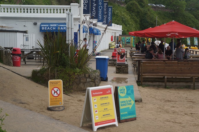
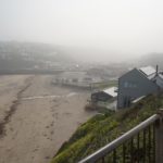
Popped in here for a hell of a nice cold apple juice
-
-
-
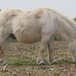
Shetland ponies beside the path today
-

-
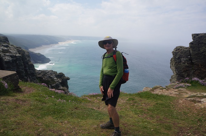
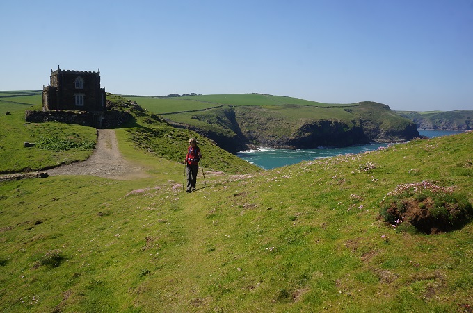
Godfrey Point and Godfrey Lighthouse
-
-
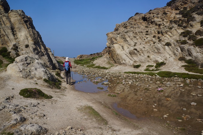
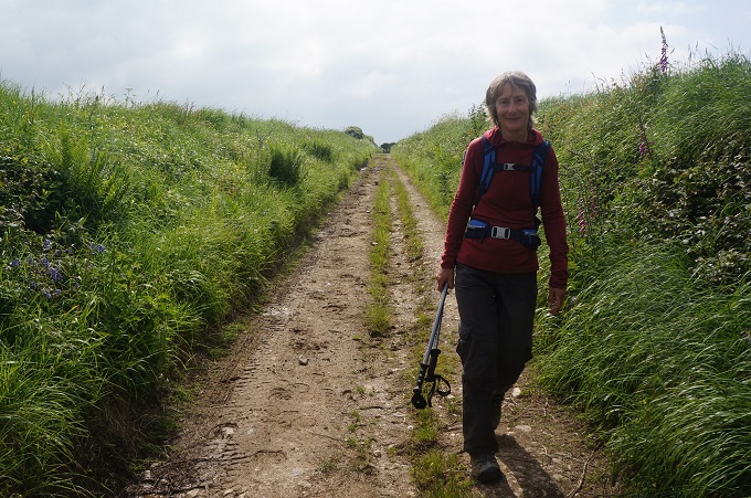
N ice flat walking
-
-
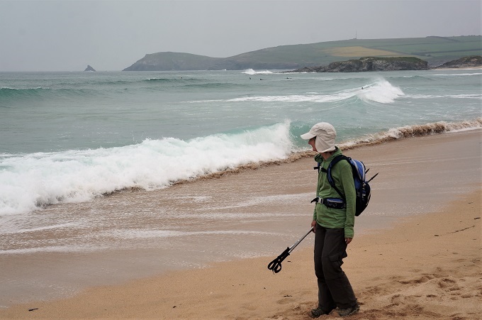
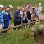
Look at the seals
-
-
Can you see them down there?
-
-
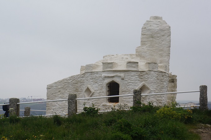
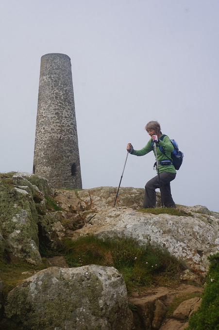
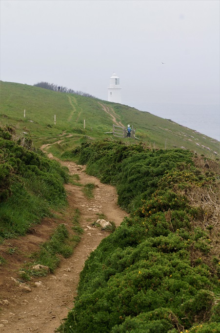
Godfrey Lighthouse
-
-
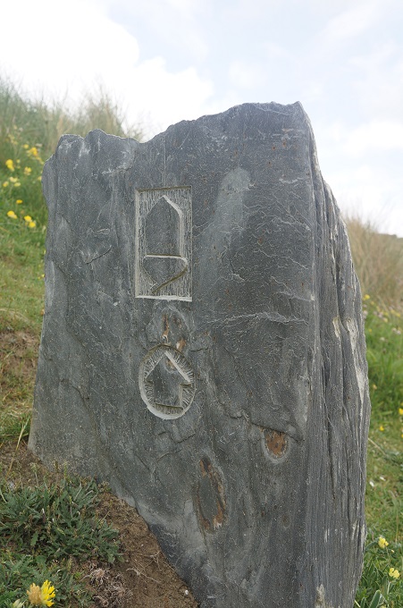
St Gothian Sands
-

-
St Gothian Sands
-
-
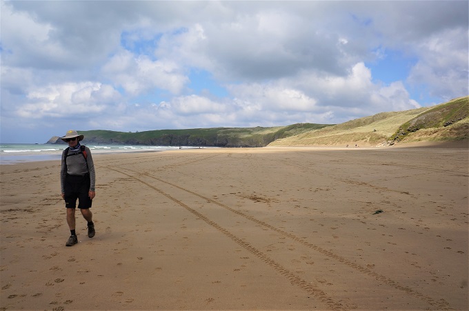
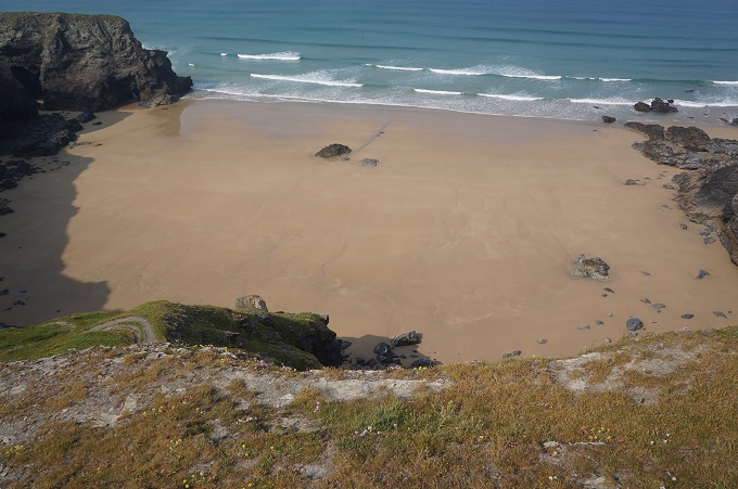
Godrevy Beach
-
-
Out of the sand dunes and onto the beach
-
-
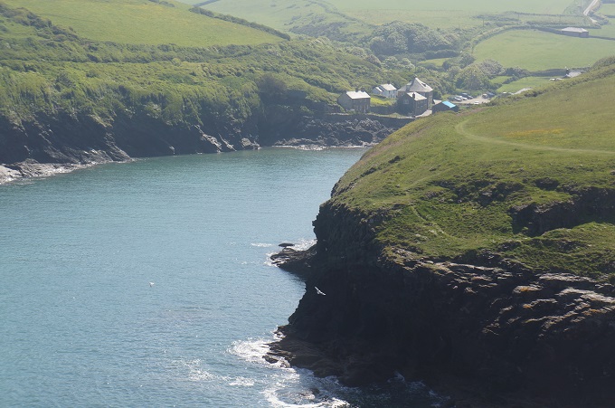
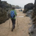
Cliffs of black rock, St Ives Bay
-
-
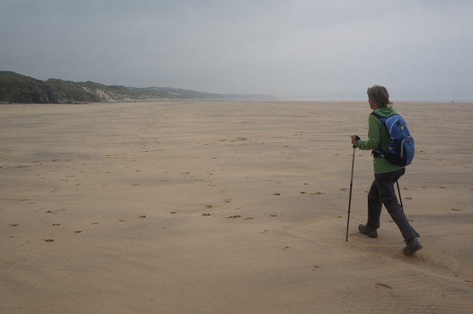
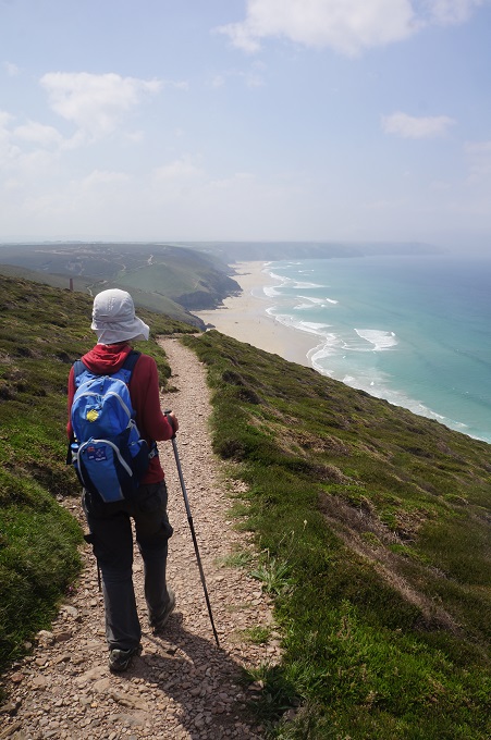
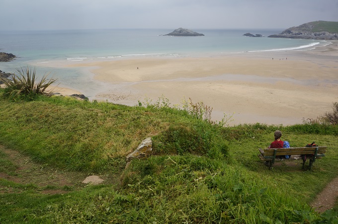
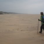
6 km of walking St Ives Bay
-
-
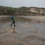
St Ives Bay, sand dunes and streams
-
-
Oblivious to the beach goers, St Ives Bay
-
-
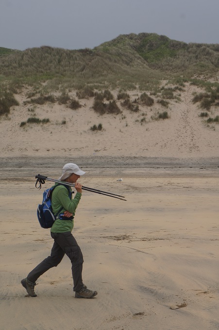
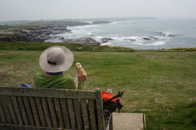
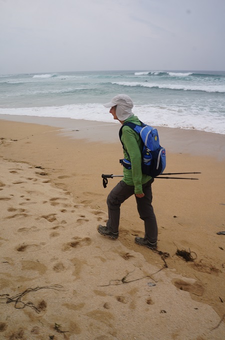
Deep in thought, St Ives Bay
-
-
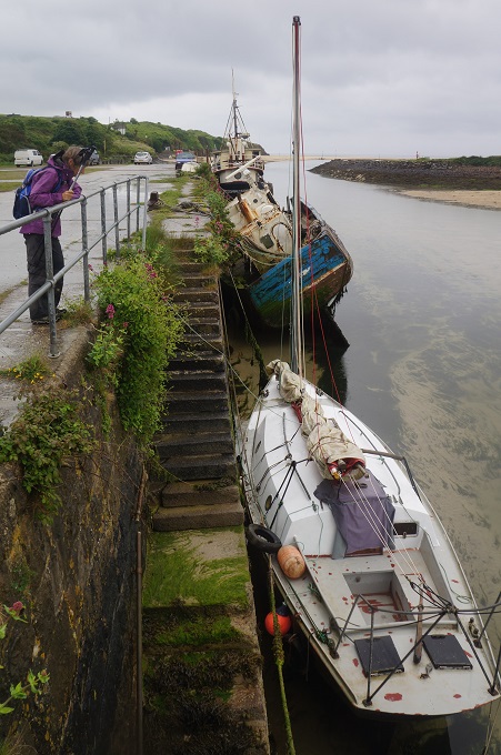
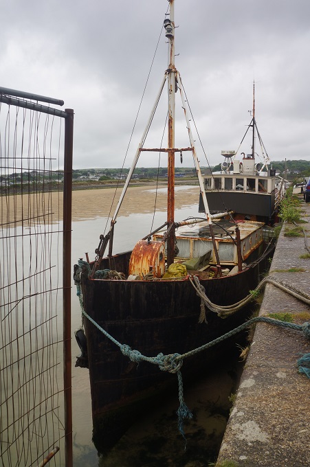
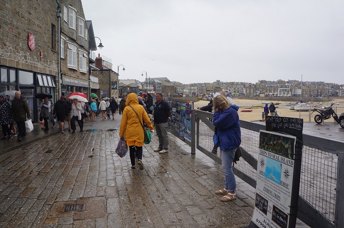
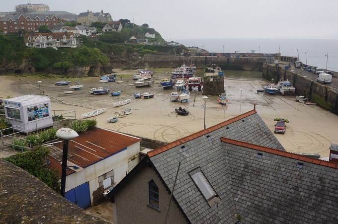
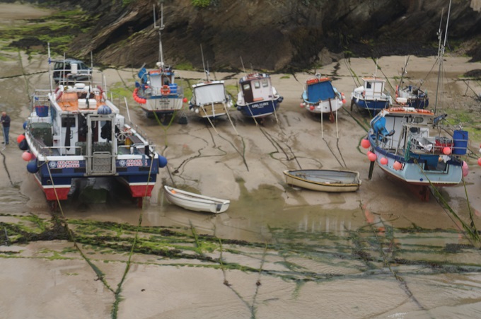
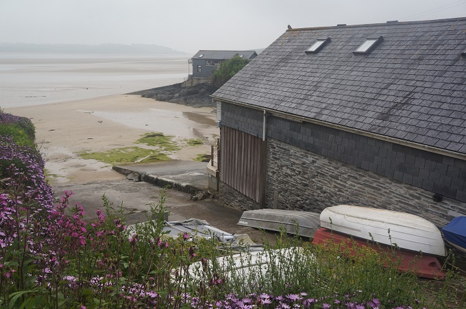
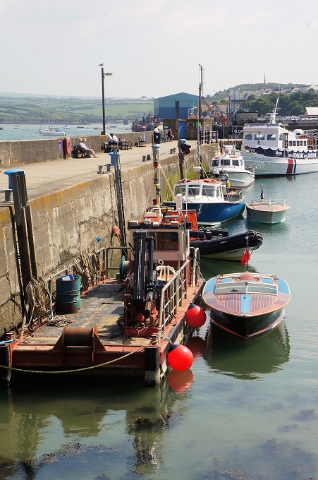
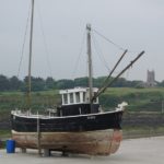
Hayle
-
-
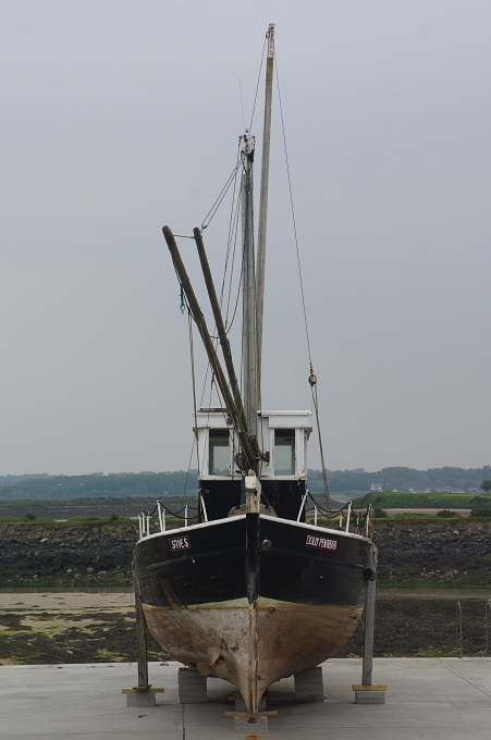
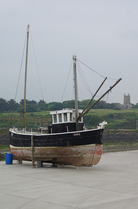
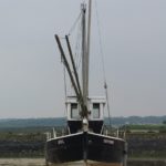
Hayle, boat and church
-
-
Hayle
-
-
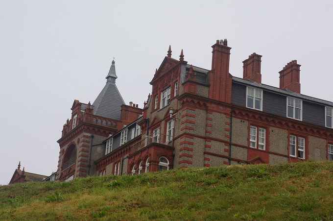
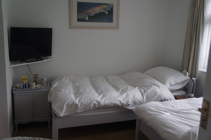
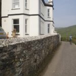
The Premier Inn, Hayle
-
-
The Premier Inn, Hayle