Whiteout

Castletownbere to Allihies 16km

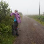
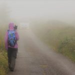
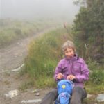
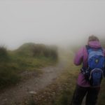
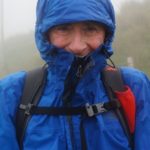
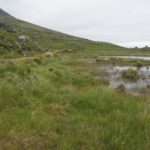
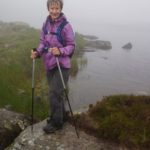
Weather wise yesterday may have been a ‘soft’ day but today was a ‘heavy’ day. We woke to very thick, low mist. It was warm and very humid so all day we felt we were carrying a heavy weight of air.

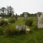
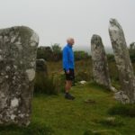
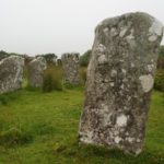
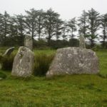
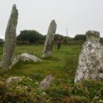
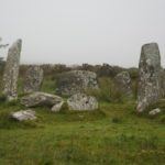
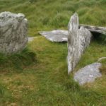
About 2 km out of Castletownbere, in a field beside a minor tarmac road we visited our first stone circle. Derreenataggart Stone Circle. Stone circles consist of an uneven number of free-standing, spaced stones. The number of stones varies from 5 to 17 and the diameter of the circles ranges form 2.5 to 17 metres. The stones are symmetrically arranged with the two tallest stones marking the entrance on the northeast side. The stones then reduce in height on either side of the circle. The axial stone set directly opposite the entrance in the southeast arc, is the lowest stone in the circle
Stone circles were constructed as ritual and ceremonial sites during the bronze age and are about 3,000 years old. A line drawn from the entrance to the axial stone will orientate on significant solar and lunar events and on some of the brighter stars. There are over 100 examples of stone circles in Ireland.
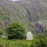
The stone circle at Derreenataggart has a 7.8 metre diameter. It is now incomplete and may have consisted of 15 stones. Twelve stones survive and of these 8 are standing. I had been hoping for a bright sunny morning to get some shadows on the stones but the misty morning made the circle seem quite ethereal and magical.

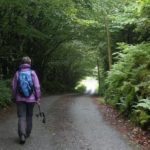
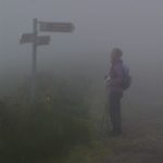
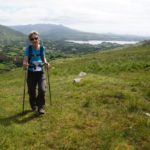
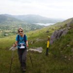
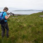
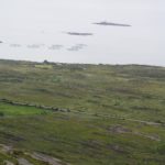
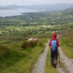
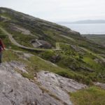
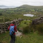
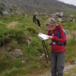
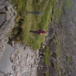
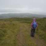
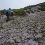
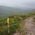
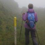
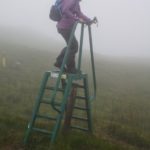
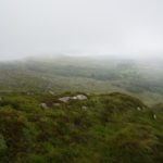
From the stone circle we quickly climbed up into the cloud layer and everything was white out. Our guide notes had us climbing further up across a hillside over boggy fields for some allegedly spectacular views down to Bere Island and Fair Head. We knew nothing would be seen from up there so devised our own route which kept us lower down on a minor tarmac road and kept our feet dry for most of the day. For our route we were using a large scale Ordinance Survey Map, without notes, so we made a few wrong turns which added a few kilometres to the day. Eventually we got it right and came down out of the cloud for a glimpse of Allihies, our destination.
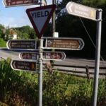
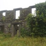
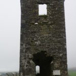
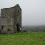
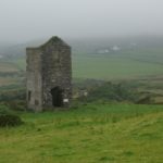
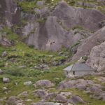
From the bronze age Allihies had been a site for copper mining. In 1812 a company was set up to mine the area and in the next hundred years nearly 300,000 tons of ore were sent to Swansea in Wales for smelting. 1500 people, largely Methodist Cornish miners, were employed in the mines. However the price of copper fell because of discoveries in other parts of the world, the source here ran out and the mining company closed. Allihies went back to being a small farming community. There are three ruined engine houses, used for pumping water out of the mines, still visible, and we had a look at one of them when entering the village. The most prominent one we will see on leaving the village in a couple of days time. There is a very good copper mining museum which has a ‘copper cafe’ where we had a most excellent lunch.

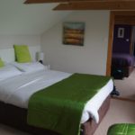
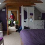
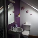
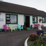
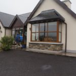
Our B & B is called Beach View and sure enough there is a beautiful white quartz sand beach below us in Ballydonegan Bay. But the beach is man made. The sand is the ore left over from the copper mining.

Allihies is the western most village on the Beara Peninsular and is the furthest village from Dublin in all of Ireland. This is how Beara got its name.

According to the ancient annals, Conn Cead Cathach (Con of the Hundred Battles) fought a fierce battle against Eoghan (Owen) Mór, King of Ireland at Clough Barraige in the early centuries AD. Eoghan was badly wounded in the battle. Those of his followers who survived took him to Inish Greaghraighe (now known as Bere Island) as a safe place for him to recover. There the fairy Eadaoin took him to her grianán (bower) where she nursed him back to health. This part of Bere Island is known as Greenane today.

Having fully recovered Eoghan and his followers then sailed southwards until they reached Spain. While there he met and married the princess Beara, daughter of the King of Castille. Wishing to return to Ireland, Eoghan and Beara sailed north with a large army and landed in Greenane on the south side of Bere Island. Owen took Beara to the highest point on the island and, looking across the harbour, he named the island and the peninsula in honour of his wife.

Old Irish saying of the day: In the land of the blind the one eyed man is king.

A Soft Day

Castletownbere and Bere Island 5km

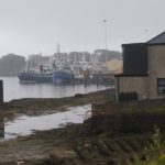
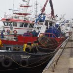
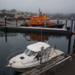
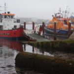
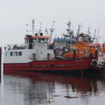
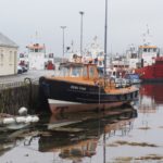
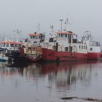
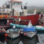
Castletownbere is a busy fishing port that sits on a sheltered bay which is covered on the ocean side by Bere Island. The town was once a stronghold of the O’Sullivan Bere clan. Their nearby Dunboy Castle was besieged and destroyed by sea borne English forces in 1602.
During WW1 the harbour was used as a base for American seaplanes. The harbour itself is one of what are known as the 3 “Treaty Ports”. One of the conditions of the Anglo-Irish Agreement of 1921, was that after Irish Independence the harbour along with Cobh outside Cork City and Lough Swilly in County Donegal, were to remain under British control. The British wanted them to be able to be used as naval bases. In 1938 the ports were handed  back to the Irish government. Bere Island has many forts and gun emplacements built to protect the harbour.
The Beara Peninsular is by far the least touristy of the three we are visiting. Kerry has the most tourists, closely followed by Dingle. But Beara is nice and quiet and we haven’t seen a tour coach yet. They say it is like Ireland used to be 20 or 30 years ago totally tranquil and unspoiled. Compared to Kerry and Dingle it seems completely forgotten about.

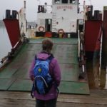
Today was a soft day in two senses. A soft day of walking. We walked back into town and caught the little ‘landing craft’ car ferry over to Bere Island which only takes about 15 minutes for the crossing. The island is approx 10 km x 3km and has a walking loop of 28km. There is a little village (Rerrin) about 5km from the ferry and several other points of interest; a light house, wedge tombs, standing stones, military fortifications, castle ruins, signalling towers etc. All these involved long walks which we chose not to do.

The other sense of it being a ‘soft’ day is the Irish description of the weather. It was a day of low mist, no wind, quite warm, Not really raining but enough to get you quite damp. Quite a lot of glare with the sun trying to get through the grey skies. What here is called a ‘soft’ day. So it was the kind of day that didn’t engender a lot of enthusiasm.

Irish saying for the day: Sometimes I laugh so hard the tears run down my leg.

Loop de Loop

Adrigole to Castletownbere 23 km

Last night’s accommodation, Dromagowlane House caters mainly for anglers. Paul our host has won many fishing trophies and last night the four other guests (all male of course) were here for the fishing. The fishermen usually stay for a week whereas we walkers are just one night stands. It was entertaining at breakfast this morning listening to the guys. They were two pairs of friends, but the pairs didn’t know each other. There was instant rapport as they swapped stories of fishing locations, size of catches, equipment, the ones that got away, etc.

Paul drove us back to Peg’s Store and then went on to deliver our bags to tonight’s destination. Yesterday we had made a lunch order for baps. But Peg had forgotten our order, or the baps had run out or something, anyway we ended up with corned beef and cheese sandwiches. Much later on a hill side we were to learn this was corned beef like we had never tasted before. Sort of a pink spam like substance, that might have contained meat. But when you are in the middle of nowhere, hungry and need energy it all tastes good. Washed it down with luke warm instant coffee. Yum.

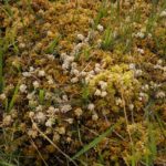
Our entertainment today was to keep an eye out for two insectivorous plants which can be found in the barren uplands here. They are the Sundew which is a tiny reddish plant and the Butterworth which is light green and star shaped. Due to the lack of nourishment from the ground these plants absorb tiny insects and flies to get sustenance. At first we didn’t know what we were looking for but we found them when we realized these plants were very tiny, and everywhere.

Today’s walk was 23 kilometres, to go by road was 10! Every time we thought we were getting somewhere we were turned in another direction away from Castletownbere and always up another hill. Several times we went way up a valley on one side of a stream, crossed over, and came all the way back down the other side. This might have been interesting if everything hadn’t been lost in the mist.

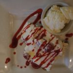
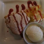
It started to rain an hour before Castletownbere and we arrived in town soaked to the skin. We decided to have dinner then as our B & B is a kilometer out of town. It was 4.30 and they were still serving the lunch menu. The first course was okay but the desserts were to die for. Barbara had pavlova with ice cream and fresh raspberries and strawberries. I had apple pie with ice cream and raspberry couli.

We are here for two nights and tomorrow will take the ferry over to Bere Island and explore. Or if it’s still raining, stay in bed.

Old Irish proverb of the day: If Irish eyes are smiling then they are up to mischief.

Breakfast for Champions

Glengarrif to Adrigole 17km

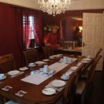
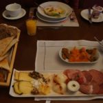
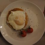
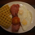
A different breakfast today. It was in a very elegant dining room and at one large table. It started with the usual, juice, coffee and a bowl of fresh fruit with yoghurt. We were then given a platter of smoked fish, salmon, salami, ham and about 10 different cheeses. All very nice and tasty, and very continental but we didn’t think it was the breakfast of champions who had a big climb ahead of them. We asked for something cooked and got one poached egg and two baby tomatoes. First stop was back up to the corner deli for some fresh made sandwiches.

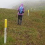
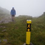
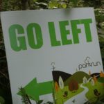
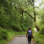
Leaving the village was through the delightful Glengarrif Woods Nature Reserve. This forest is one of the best examples of ancient Oak woodland in Ireland. It was Saturday morning and there was a Park Run going on. The second we have come across. The first was in Tralee. All too soon we had left the lovely valley and were climbing up the steep side of Derrynafulla Mountain. 510m vertical climb in about 3km. The legs were strong but the lungs and heart were working overtime. Mist and then rain set in as we got higher but it wasn’t cold and there was little wind. The way marking was excellent in the mist. About every thirty metres was a yellow painted post so it would have been hard to get lost.

Derrynafulla has its own piece of history. After the loss of Dunboy Castle to the English in June 1602, Donal Cam O’Sullivan, Chieftain of Beara, continued to resist the subjugation of his territory. With an army of about 1,000 soldiers he waged a guerrilla campaign against Elizabethan forces. His men relied entirely for meat, butter and milk on their herd, hidden that winter among the valleys and woods of Derrynafulla. The herd comprised 2,000 cattle, 4,000 sheep and 100 mountain ponies. The Governor of Beara, Sir Charles Wilmot, in a strategic attack, seized the Irish herd stripping O’Sullivan of a crucial resource. Threatened with starvation O’Sullivan was forced to abandon Beara and flee north with 1,000 followers. The sick and wounded were left behind in the woods at Derrynafulla. They are reputed to have stoked the camp fires for four days convincing the English that O’Sullivan was still in occupation. When the ruse was discovered by Wilmot, these unfortunates were promptly put to death.

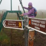
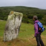
There was a long undulating trudge across the uplands following a fence line with about every tenth fence post painted yellow. There was also quite a large lake, Toberavanaha Lough, which we didn’t see in the white out until Barbara practically stepped into it. At the start of the descent we came to some signage indicating an emergency short cut down to a road. Conditions can get pretty bad up there. We were feeling good and didn’t think it was too bad so came down the normal longer route. In the mist on the descent we missed some ringforts but did find a standing stone.

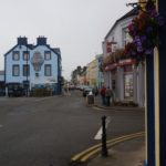
At the bottom we made a slight detour to visit Massmount Church which has been derelict since the 19th century. Also at the church were a German couple doing the same route as us so we might see them over the next few days. We hadn’t seen anyone else all day. Then just a short walk to Peg’s Shop at a cross roads in Adrigole. We were supposed to ring our B & B from there and be picked up. The B & B is about 6km up a side valley. Our phone didn’t want to work but Peg made the call for us. And also took our lunch order for tomorrow. She had some very nice looking home baking so we might stock up. Paul from the B & B soon arrived and we are now in his cosy farmhouse.

Old Irish proverb of the day: There’s nothing so bad it couldn’t be worse.

Postscript to yesterday’s post: Since we arrived in Tralee, ie all of the Dingle and Kerry Ways, we have been in County Kerry. As we drove in the bus to Glengarif we crossed into County Cork. The road from Kenmare to Glengarrif curves and twists over the Caha Mountains. It is a wild and lonely place even in summer. There are three tunnels on the Caha Mountain Pass. These seem to have been hacked out of the mountains, not drilled, and are left in a rough hewn state.

Round and Round and Round we go

Killarney to Glengarif

A transition day to the start of the Beara Way.

There is only one bus a day from Killarney to Glengarif (with a bus change at Kenmare) and it departs at 3.10pm. It is only a summer service operating from June 25th till August 26th. Otherwise it is a four and a half bus trip via Cork. We stayed at the Larkinley B & B until check out time at 11.00am and then headed to the bus station which fortunately is part of a large outlet store shopping mall. Toni at the B & B had a ‘friend’ who would drive us to Glengarif for €100 but we decided to wait for the bus costing €17.50.

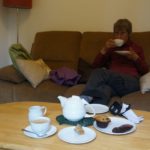
The most comfortable seats in the mall were part of the Costa’s Coffee House and so the game became what was the least we could buy for the longest time we could sit there. We did okay. Bought a pot of tea and muffin, then a sandwich and juice, which lasted an hour and a half each. At the mall we met up with our new young German friends Pieter and Maria and we have invited them to stay with us in Paraparaumu.

The bus from Killarney to Kenmare took 45 minutes with 5 minutes wait for a connection to Glengarif, another 45 minutes. It was a bit strange as yesterday it took us six and half hours to walk Kenmare to Killarney and today we returned in 45 minutes. Coming into Kenmare the bus went past the Brass Lantern B & B which we left yesterday morning and where we will return in 8 days. Talk about going round in circles!

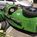
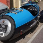
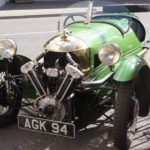
Highlight of the day was getting off the bus and seeing  two beautiful three wheeler Morgan cars parked on the footpath. These date from about the mid 1930s. Reminds me of my days with my MG TF1500 before a wife, kids and mortgage – the full catastrophe as Zorba the Greek would say.

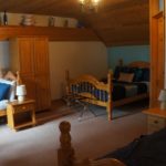
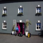
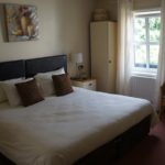
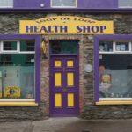
We are staying in a very cosy B & B which reminds us very much of our old 1850s home at Donald Street.  Although we never had the audacity to have a purple front door. We have got out our smelly old shoes and walking clothes ready for tomorrow.

Old Irish proverb of the day: There is no place like home.