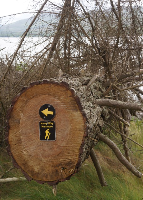
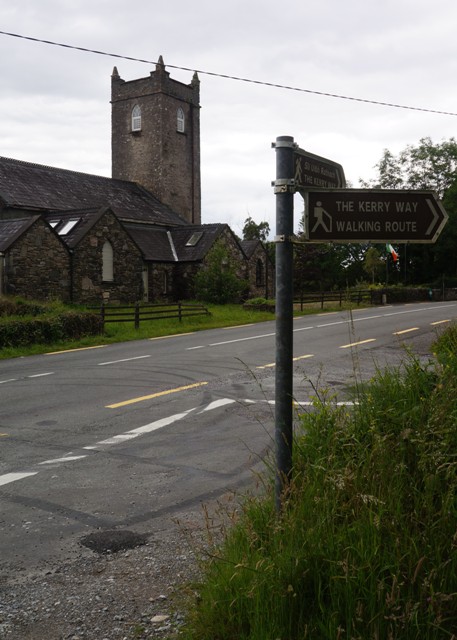
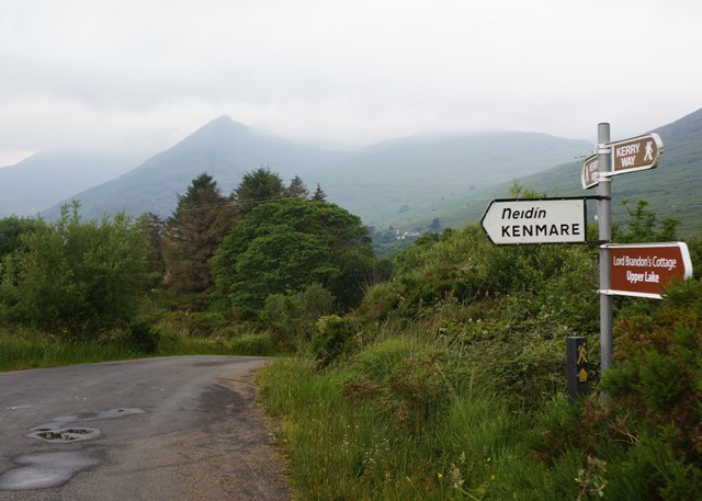
Kenmare to Killarney 26 kms
Our last day on The Kerry Way. Total 218 kms
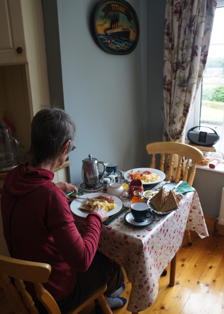
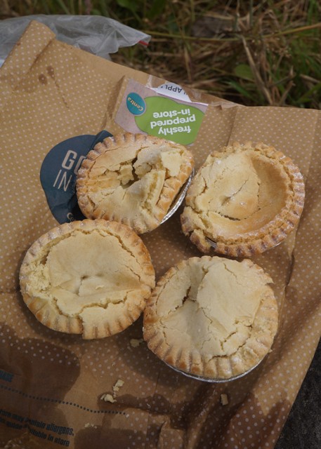
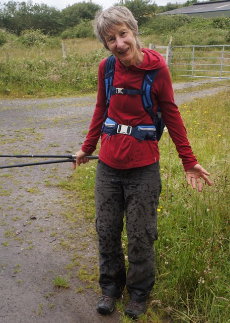
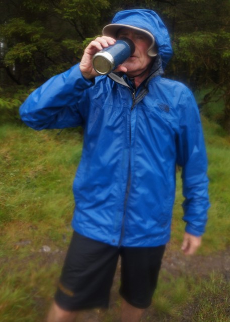
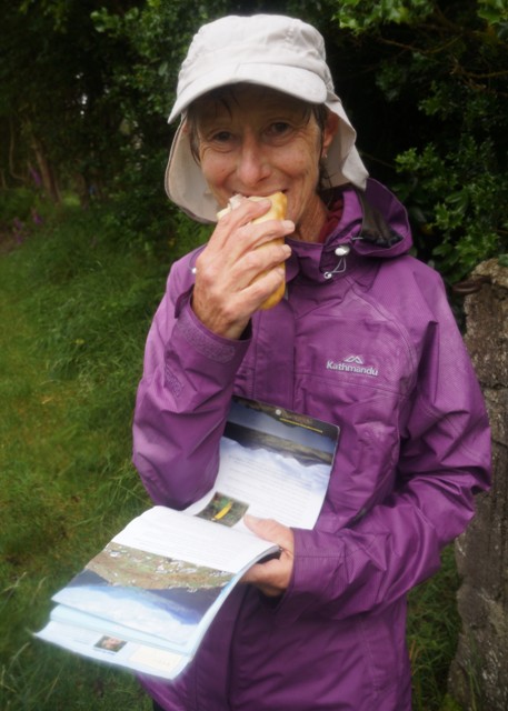
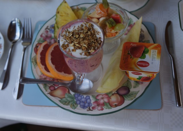
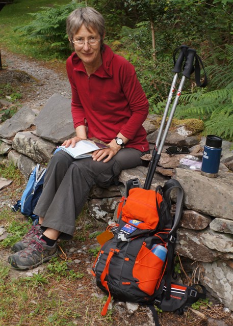
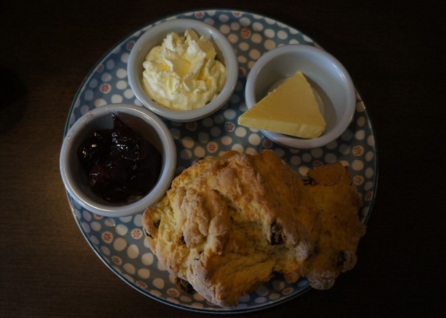
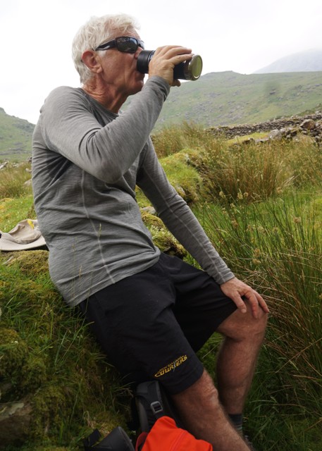
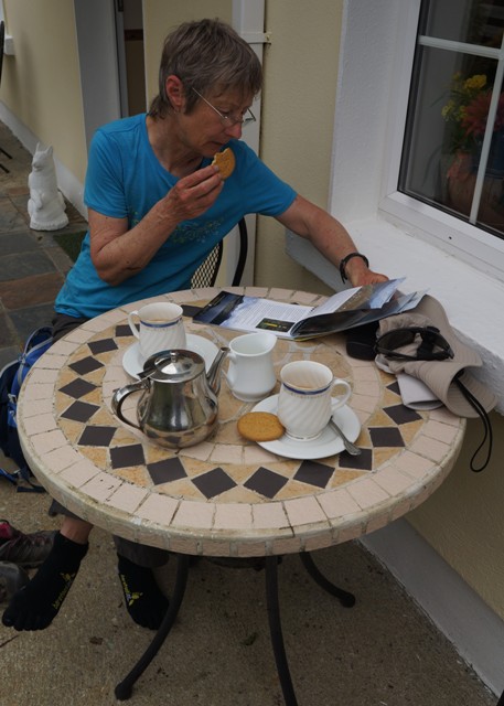
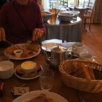
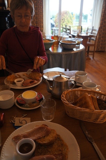
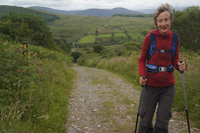
Surprisingly we felt okay today. Woke up with no aching muscles, just tender feet and generally feeling weary. A sugar hit of maple syrup and two coffees at breakfast didn’t seem to lift the energy levels much.
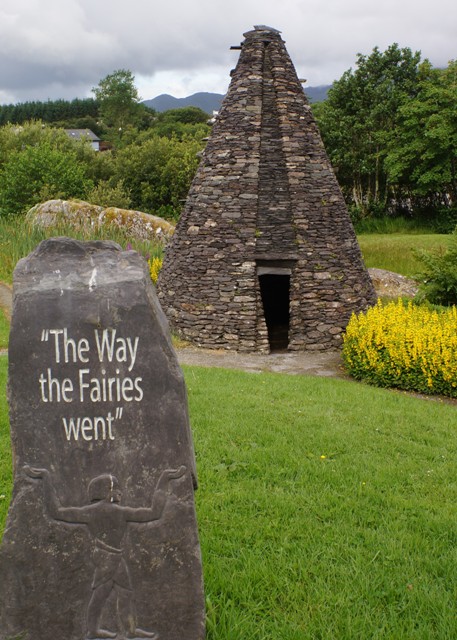
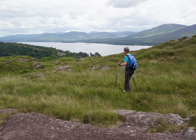
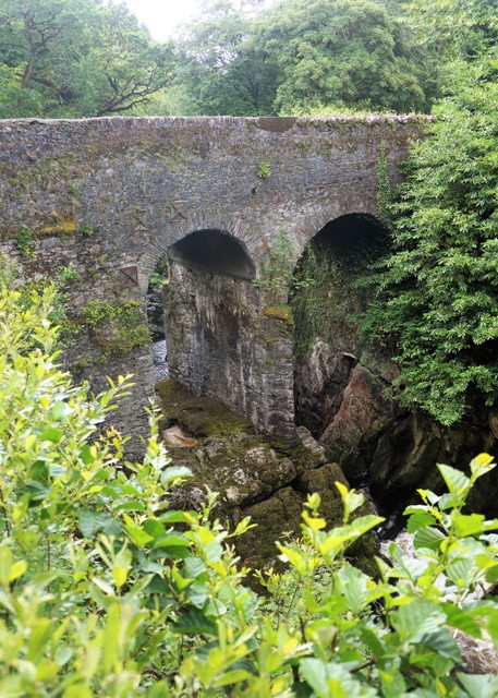
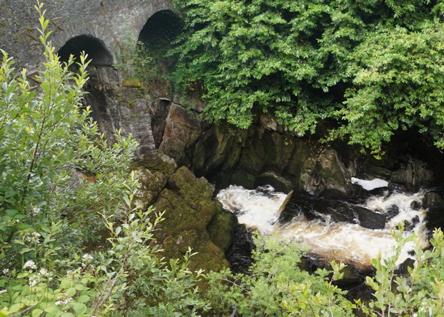
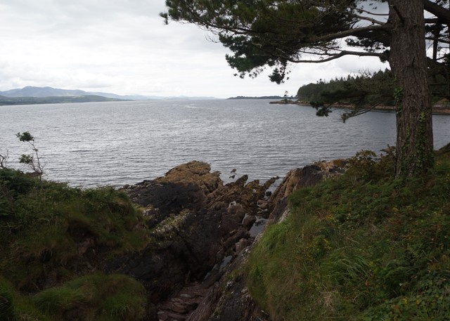
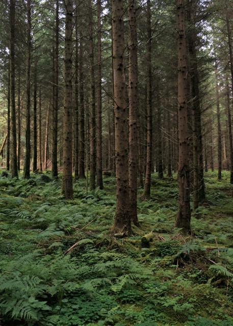
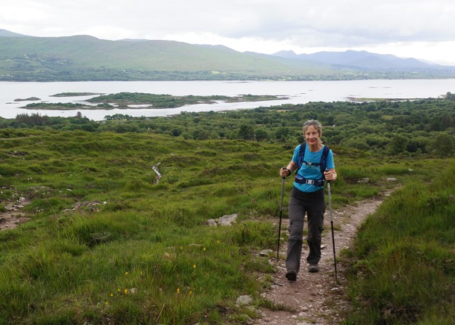
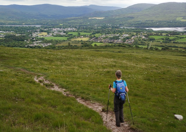
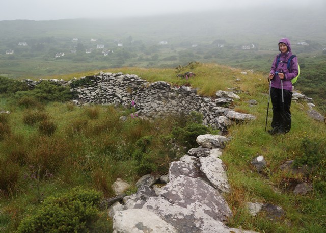
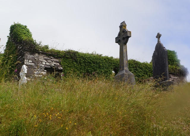
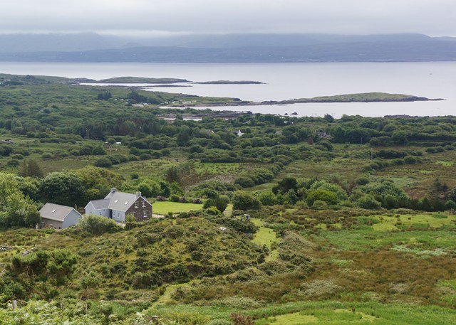
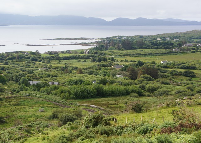
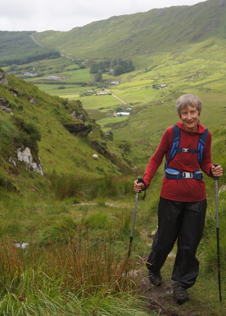
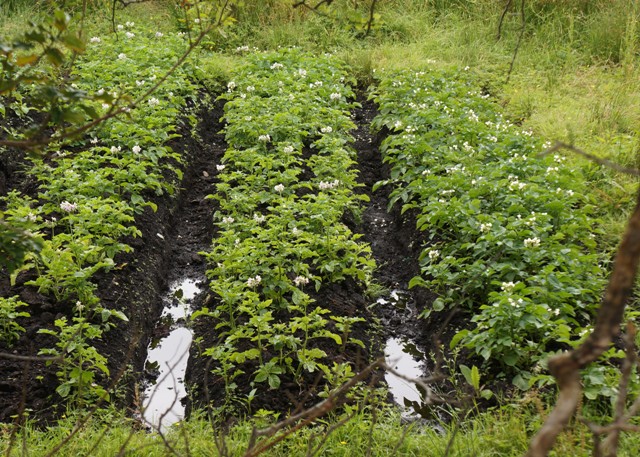
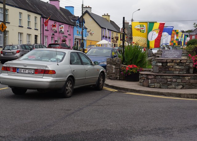
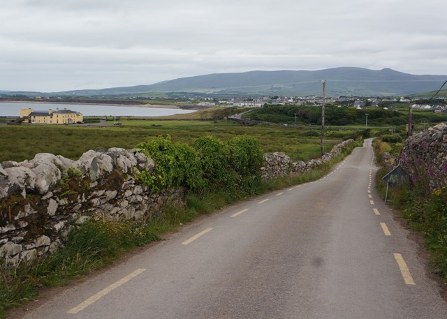
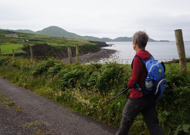
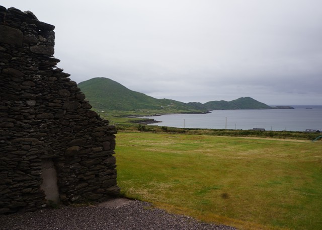
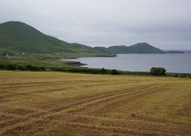
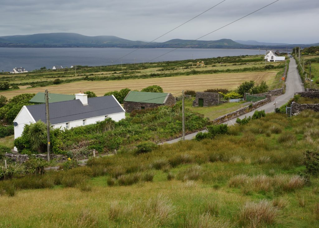
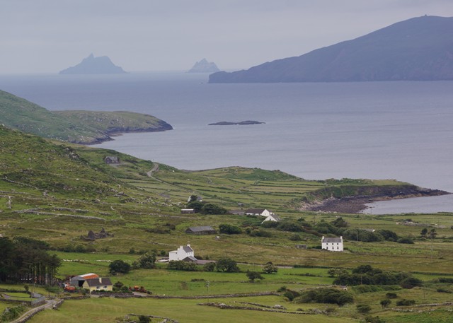
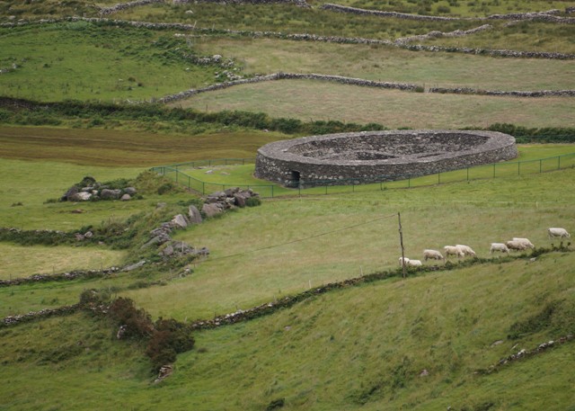
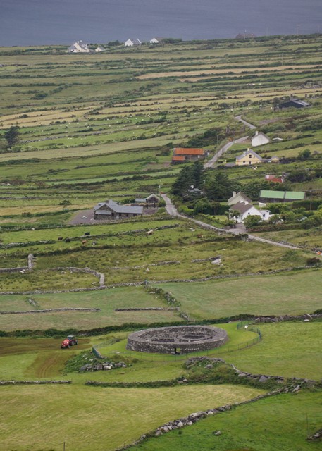
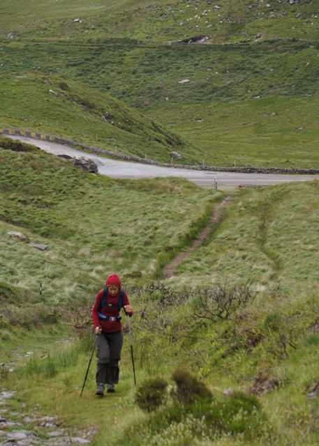
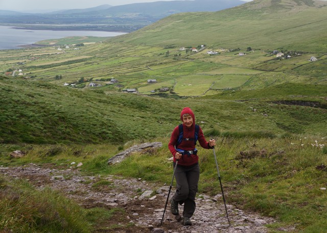
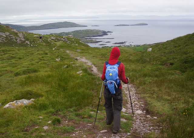
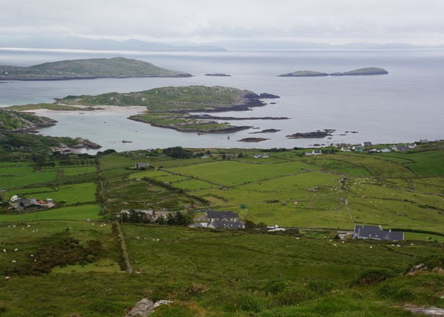
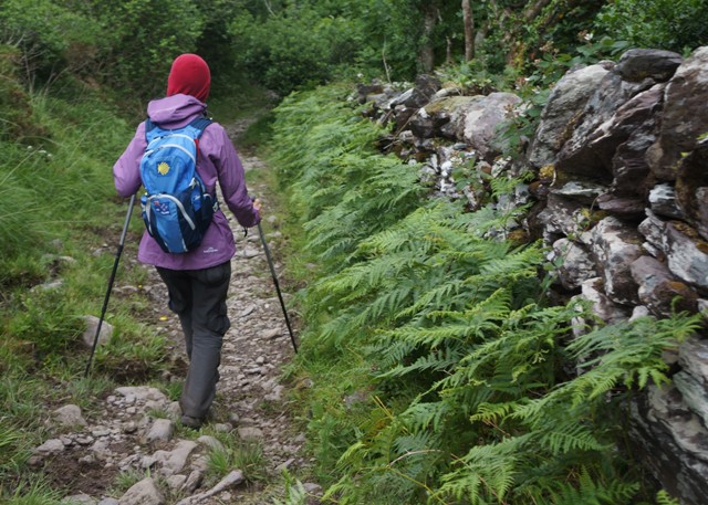
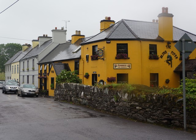
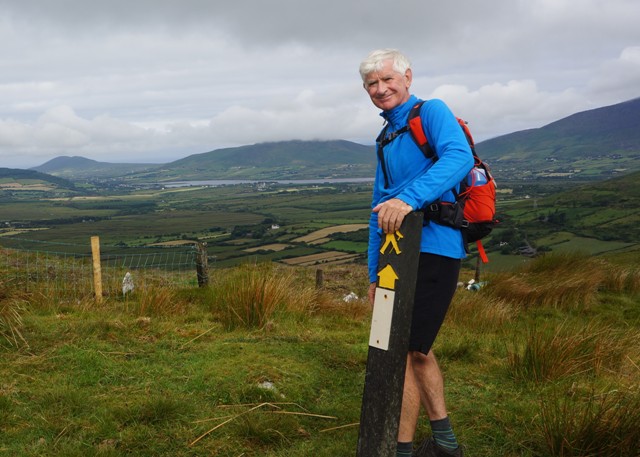
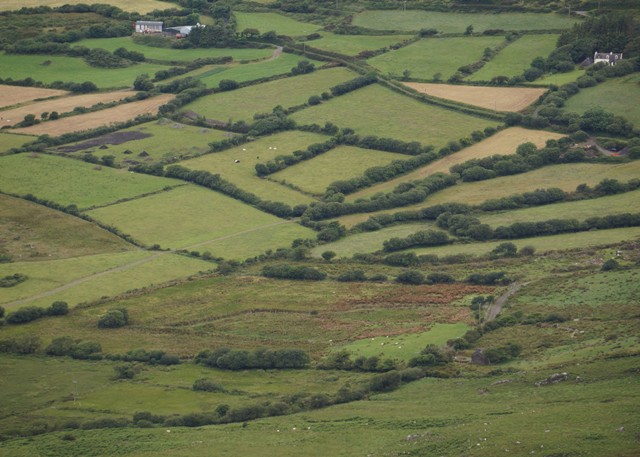
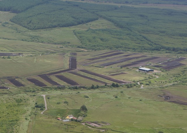
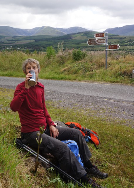
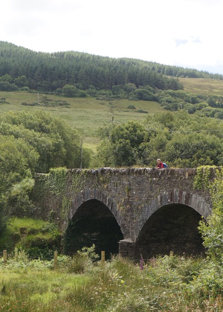
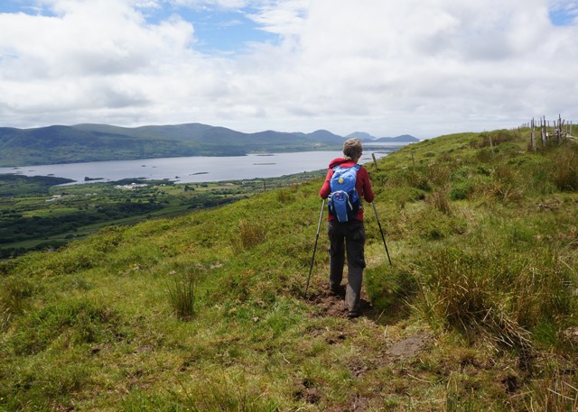
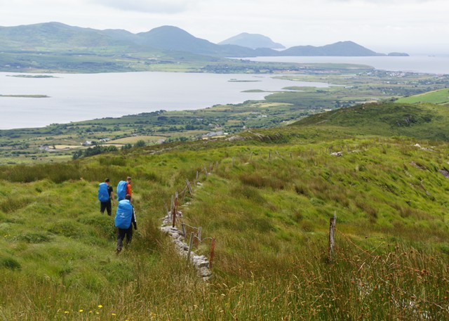
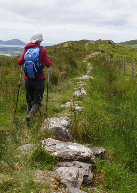
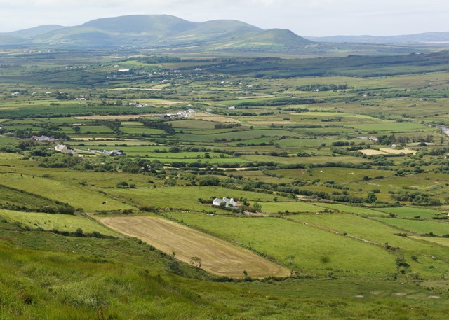
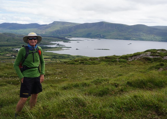
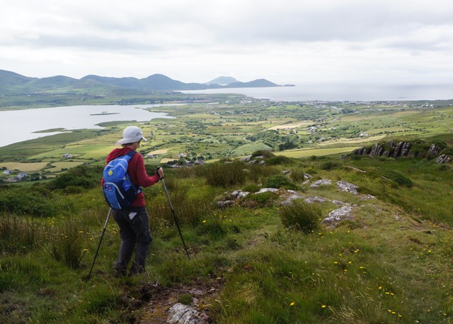
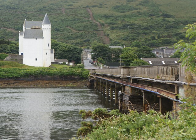
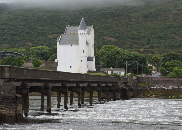
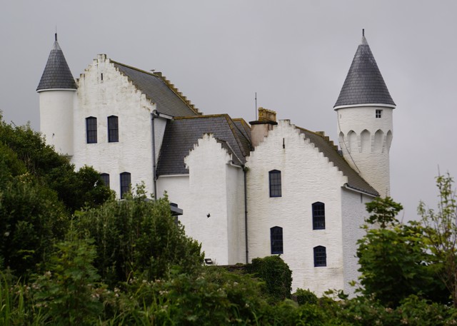
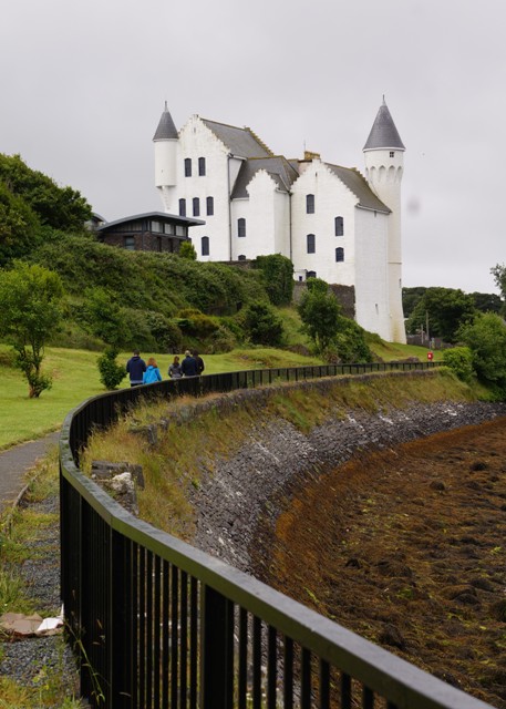
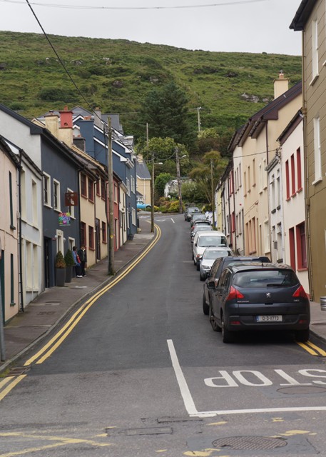
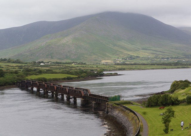
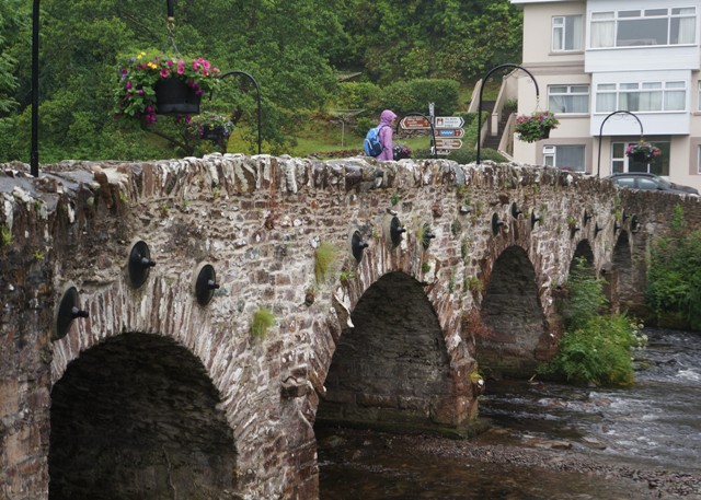
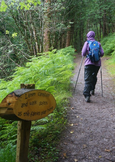
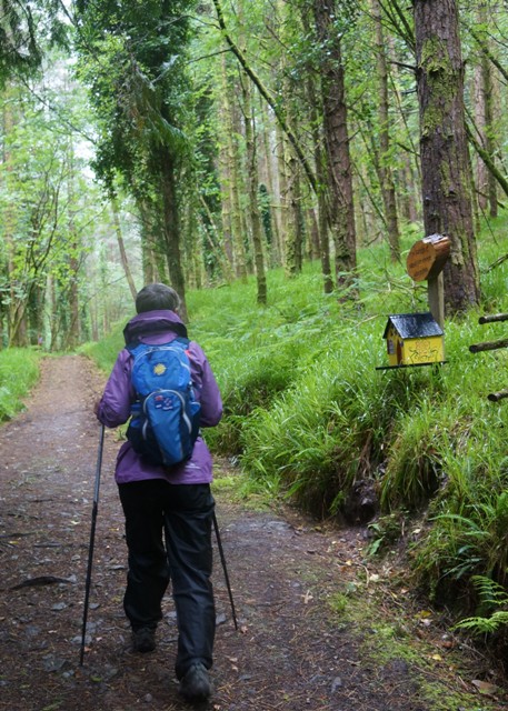
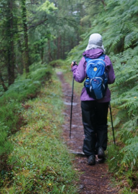
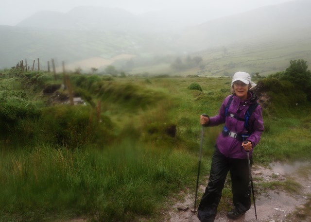
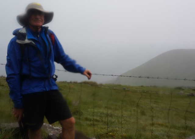
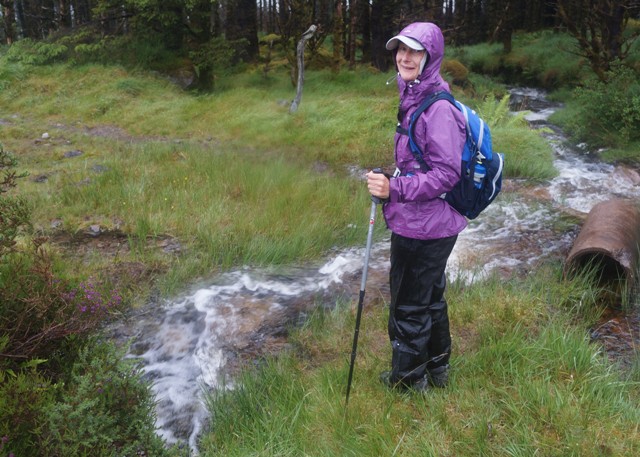
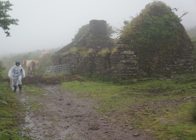
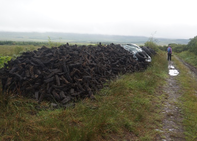
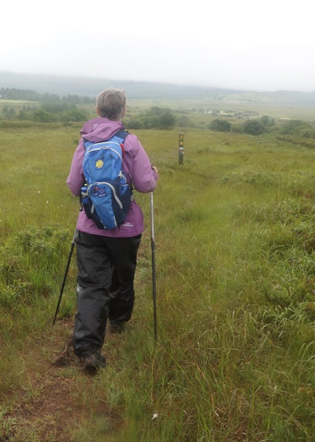
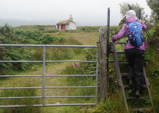
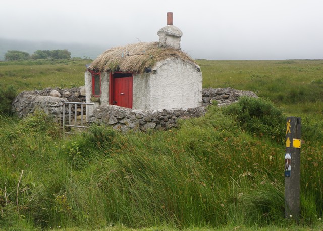
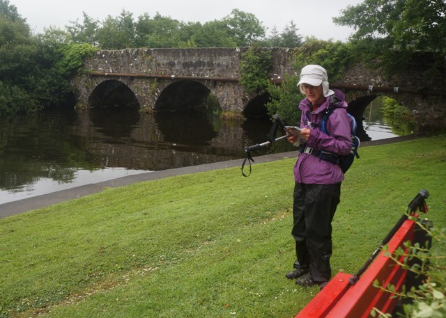
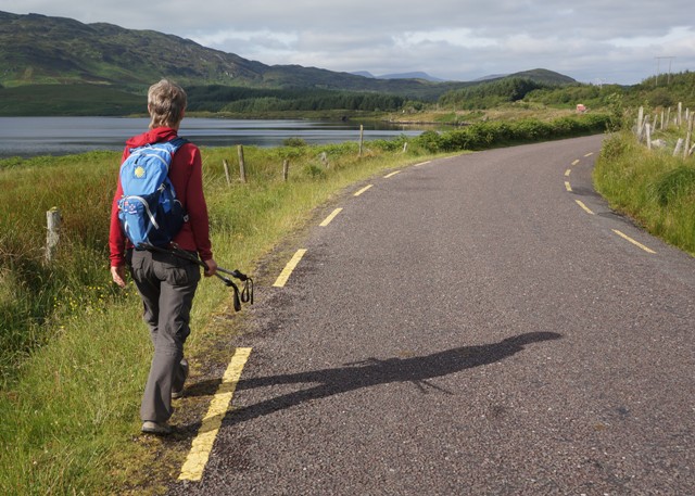
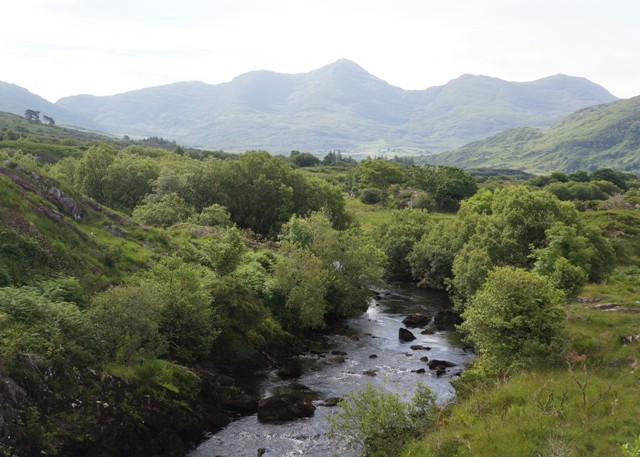
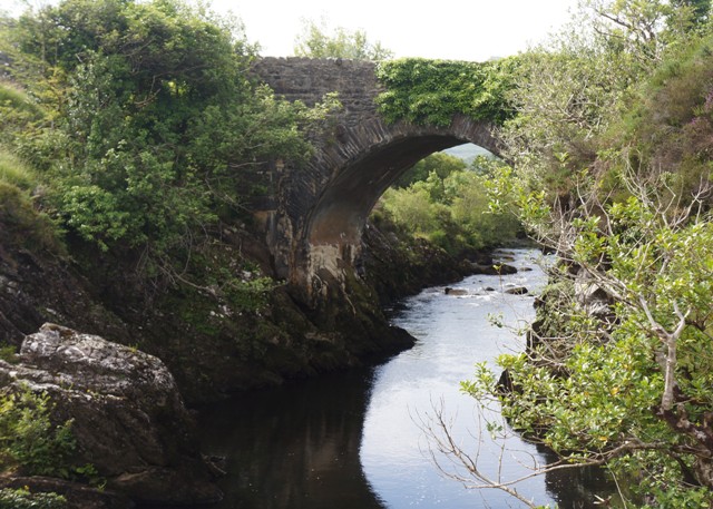
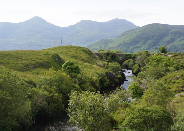
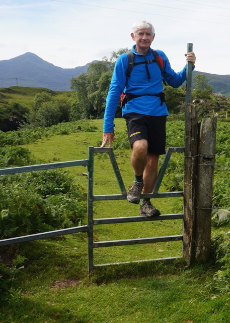
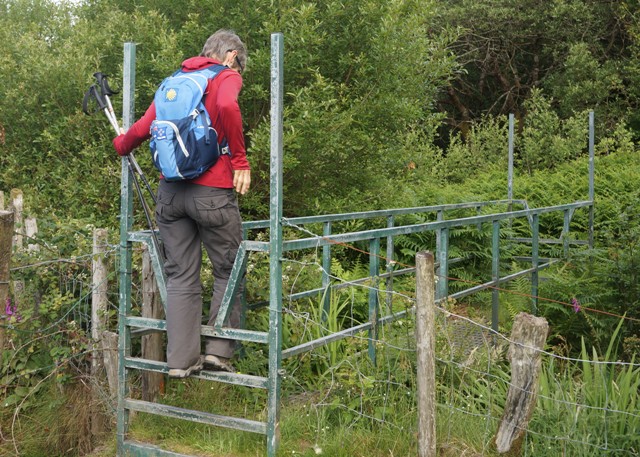
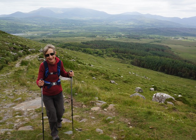
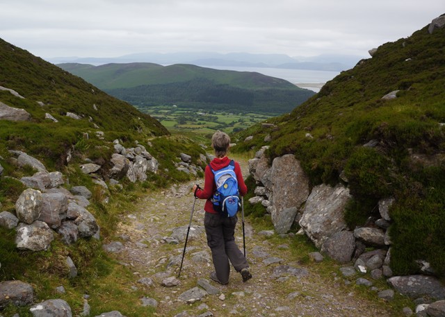
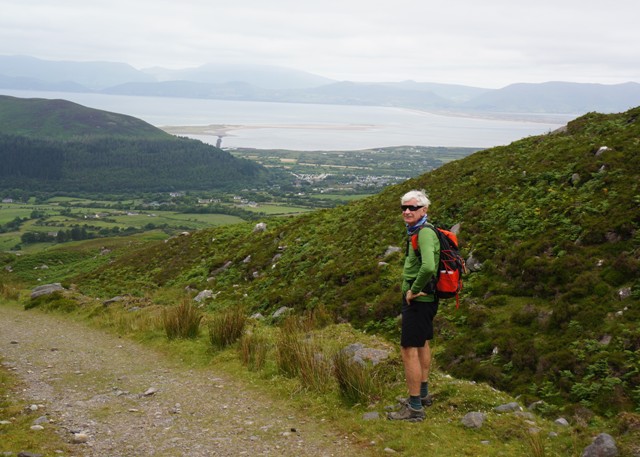
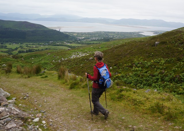
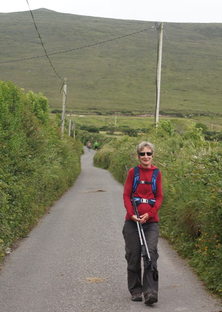
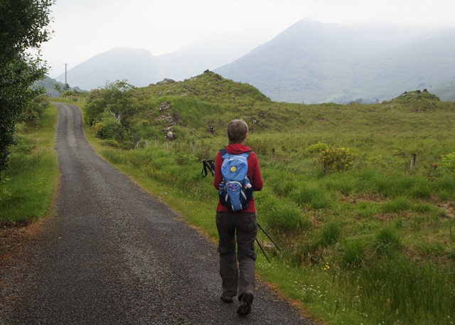
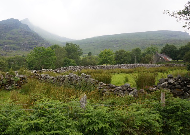
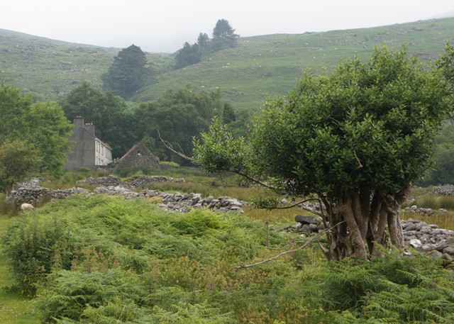
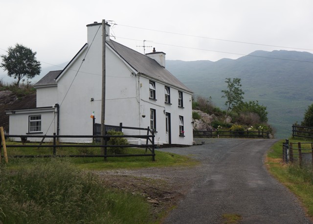
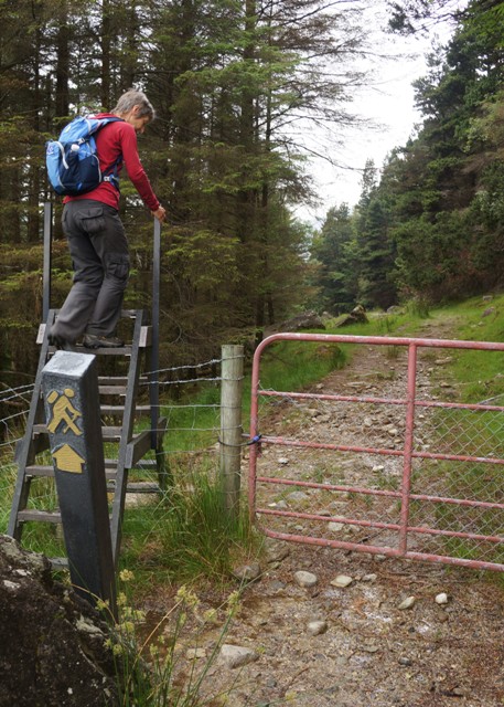
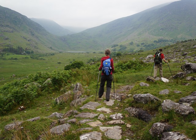
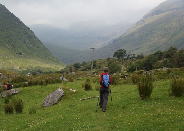
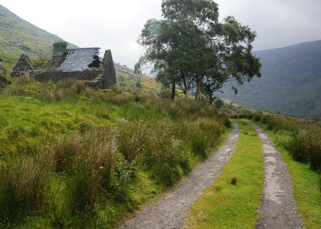
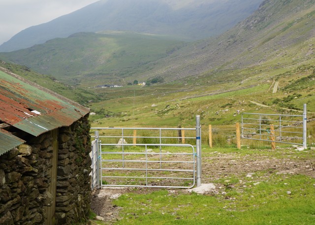
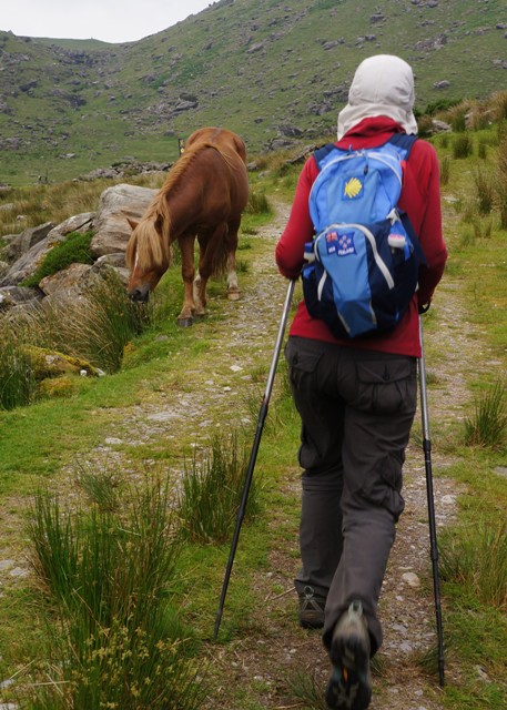
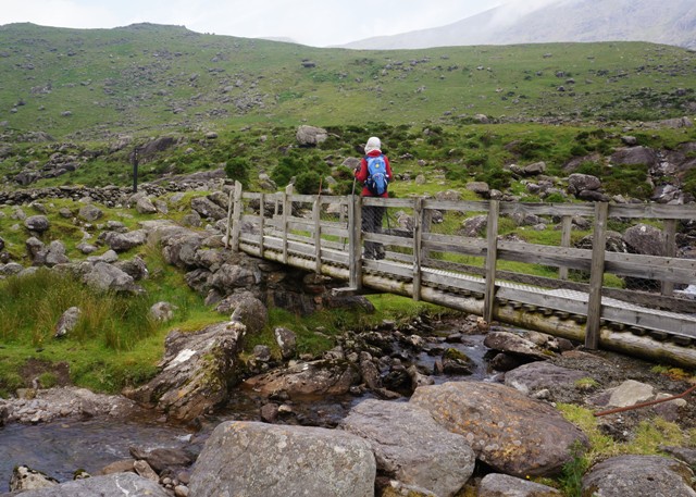
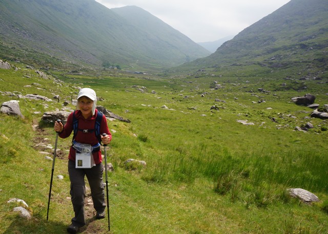
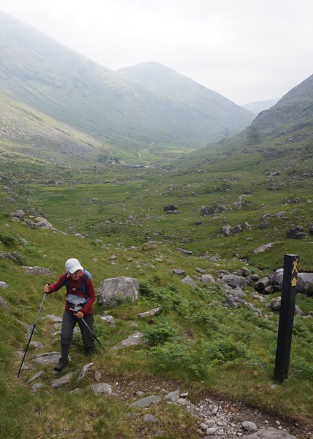
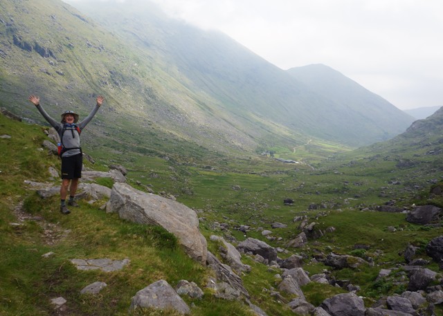
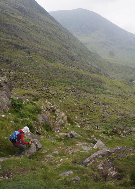
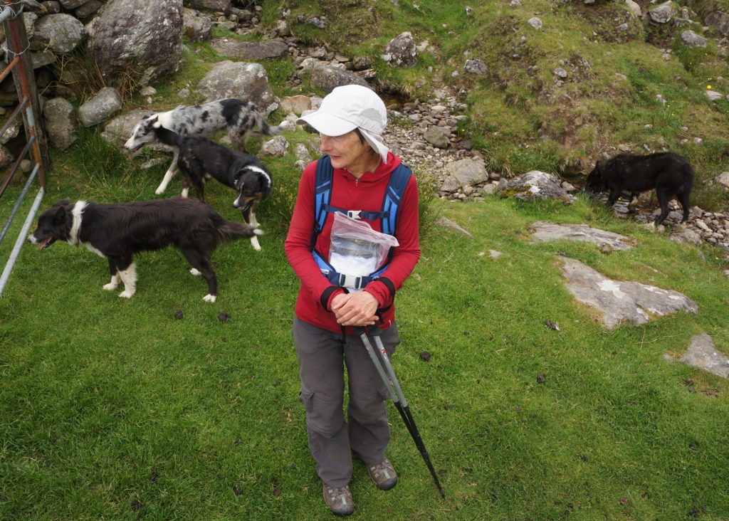
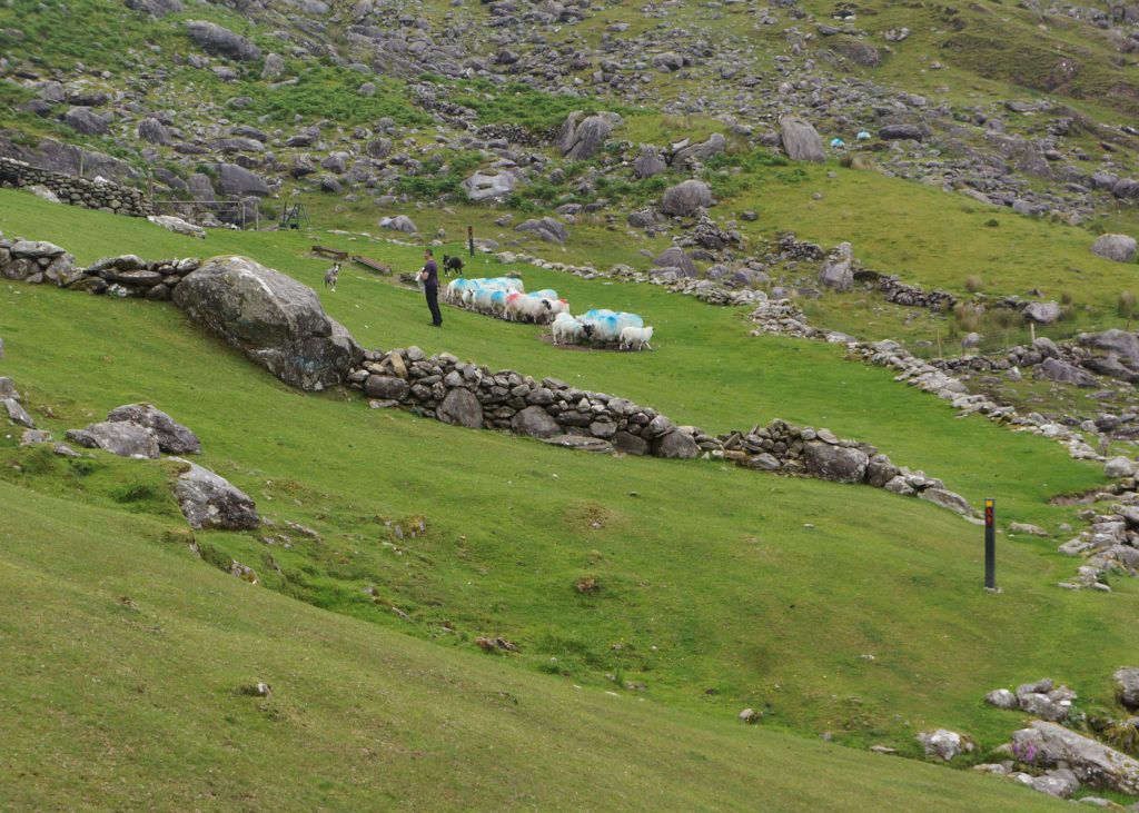
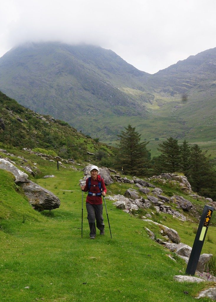
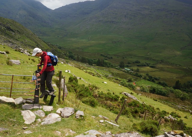
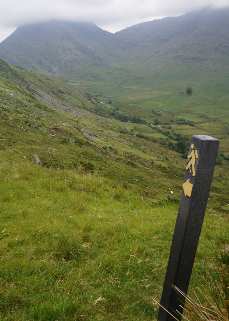
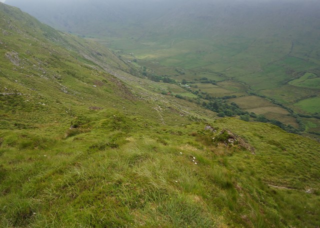
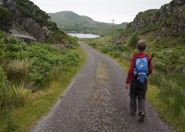
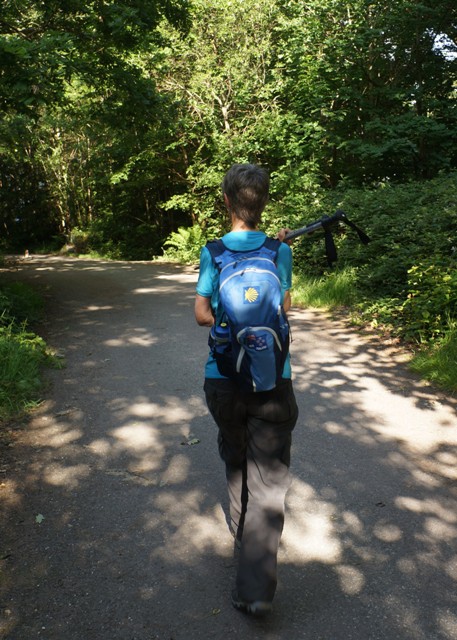
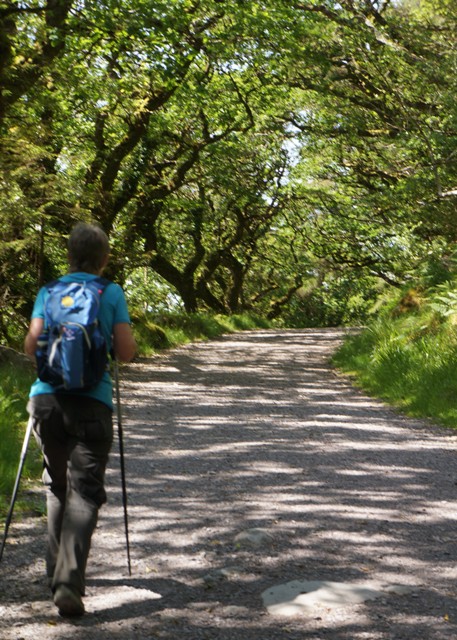
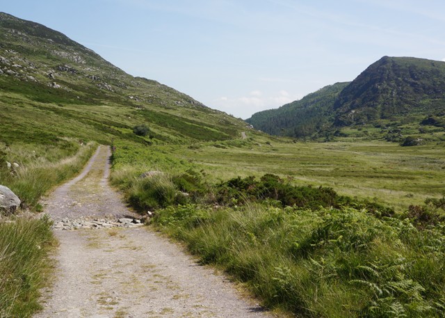
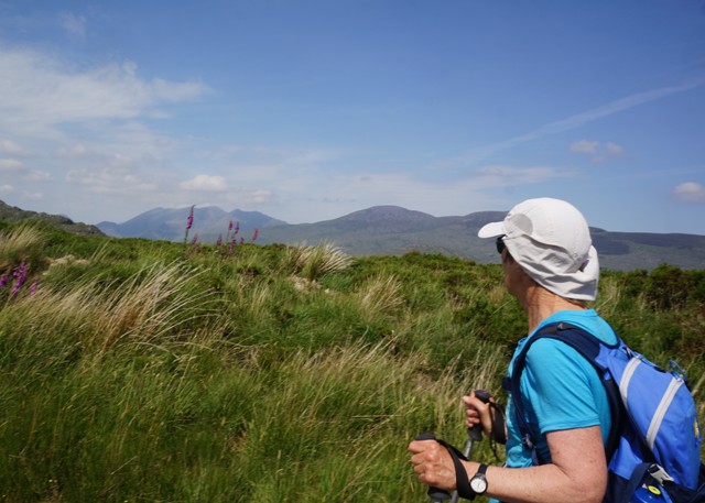
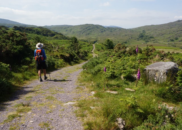
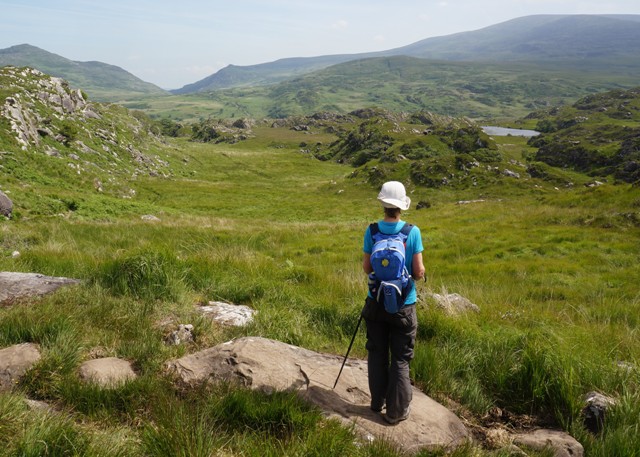
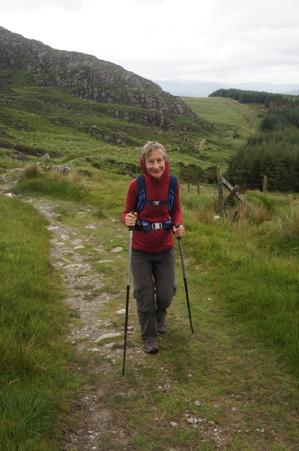
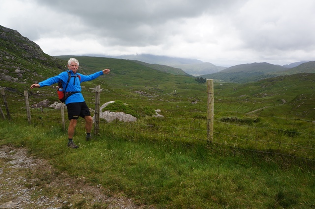
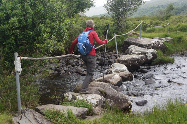
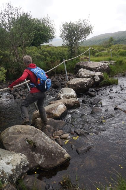
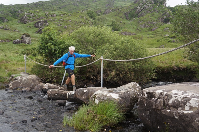
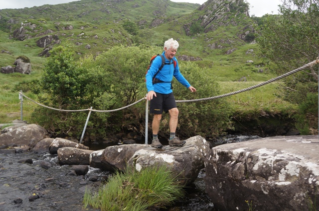
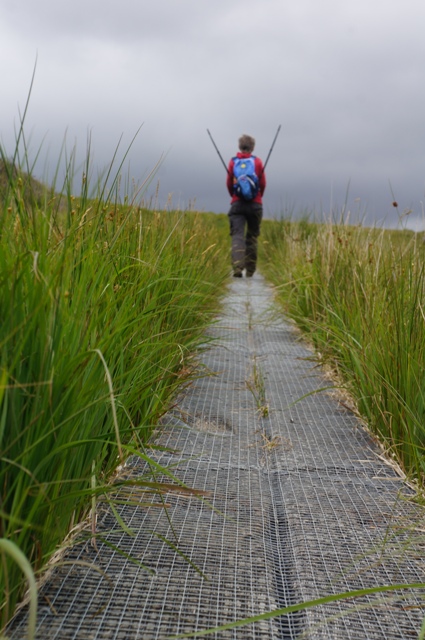
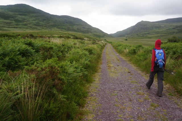
Straight out of Kenmare the tarmac just went up and up and up. Then down, down, over a bridge, then up, up , up to Windy Gap. And it was windy today. Battling into a head wind all the way. Over the gap was through rugged farmland, exposed and pretty wild. Then steeply down into a more sheltered valley.
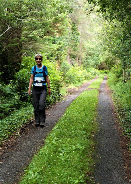
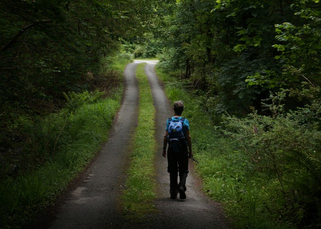
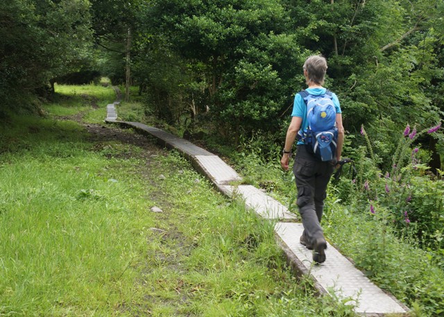
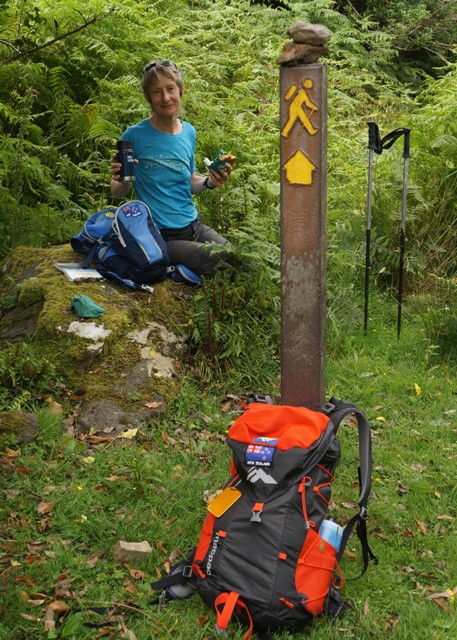
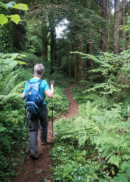
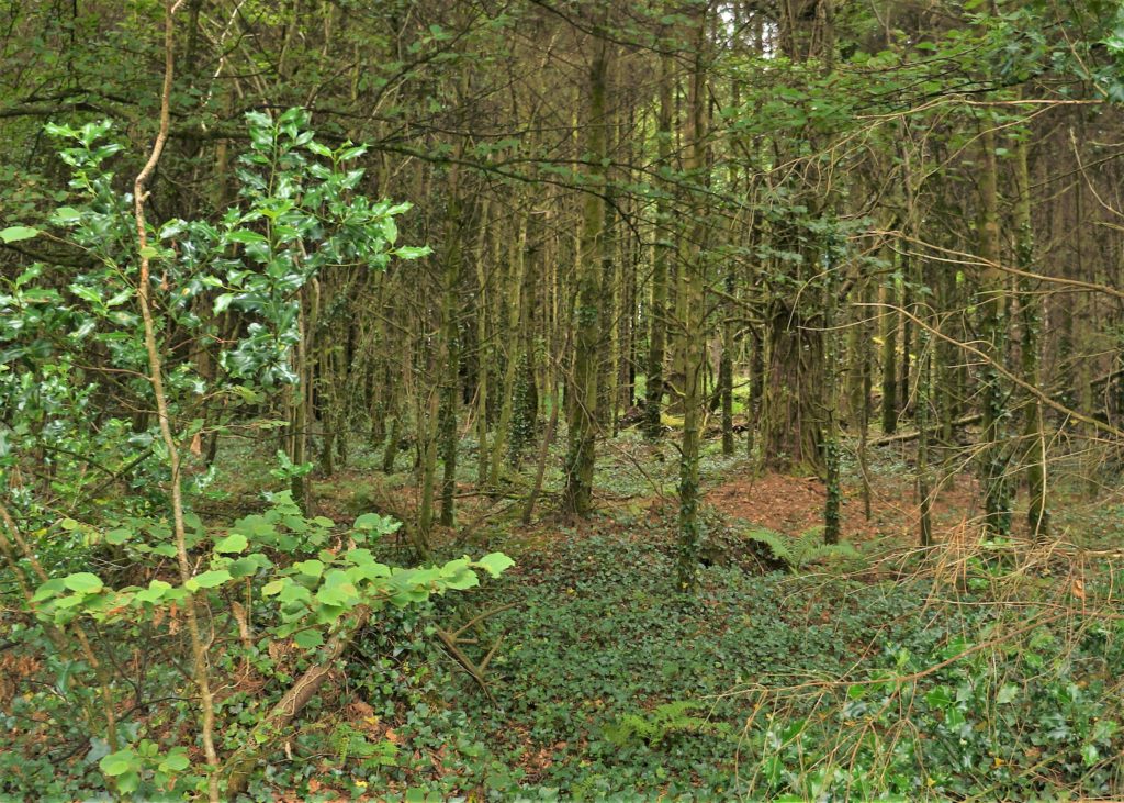
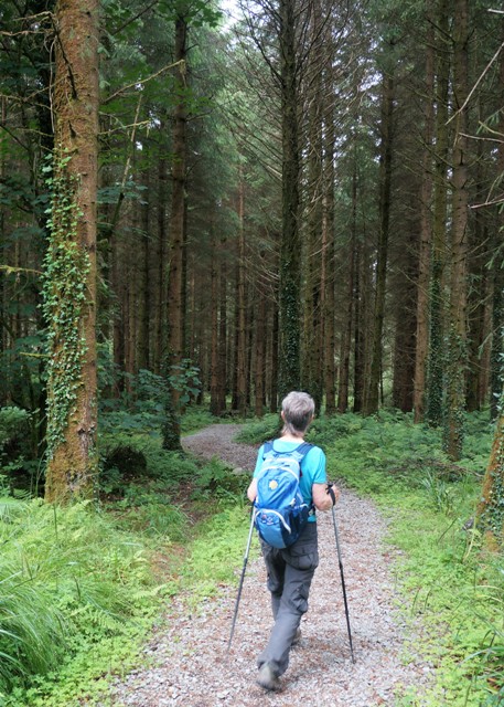
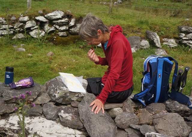
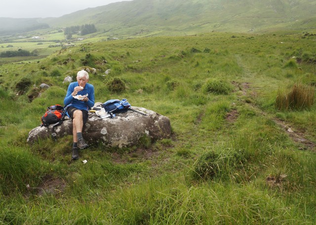
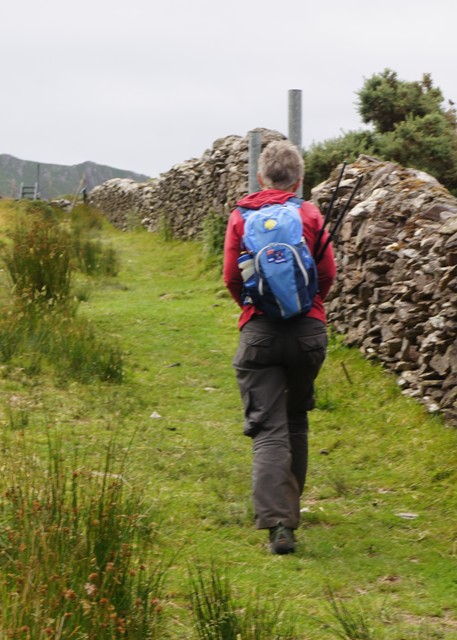
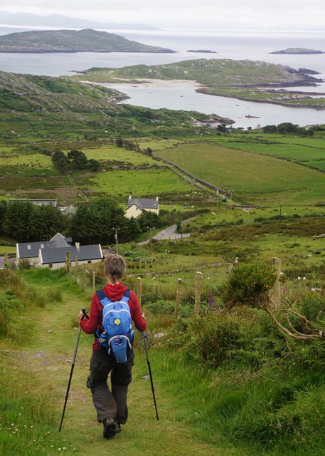
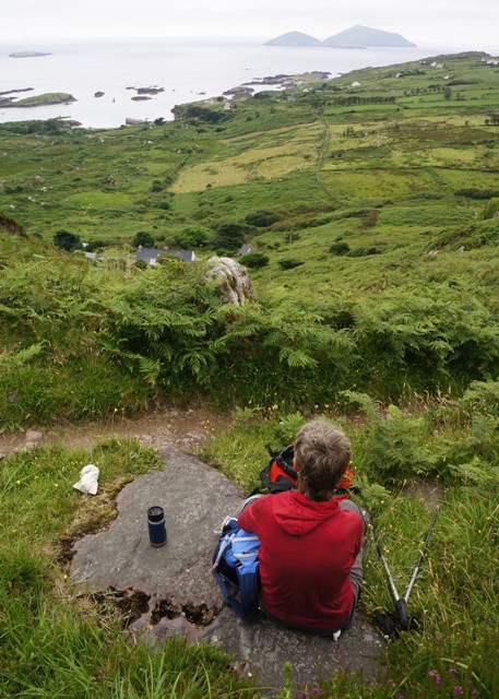
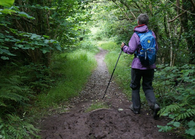
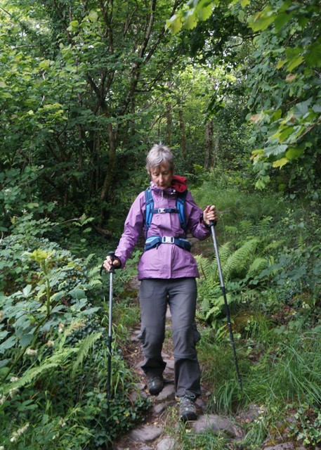
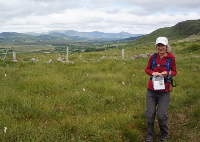
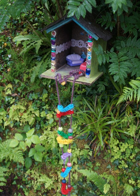
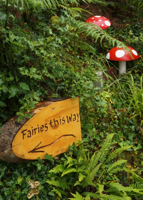
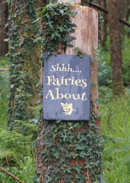
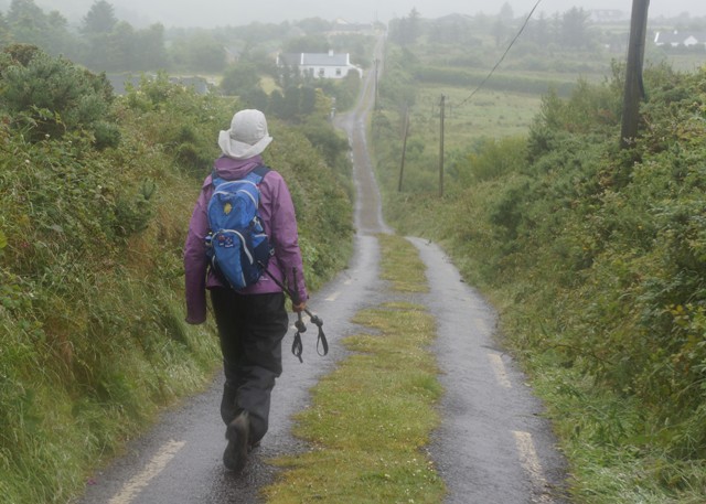
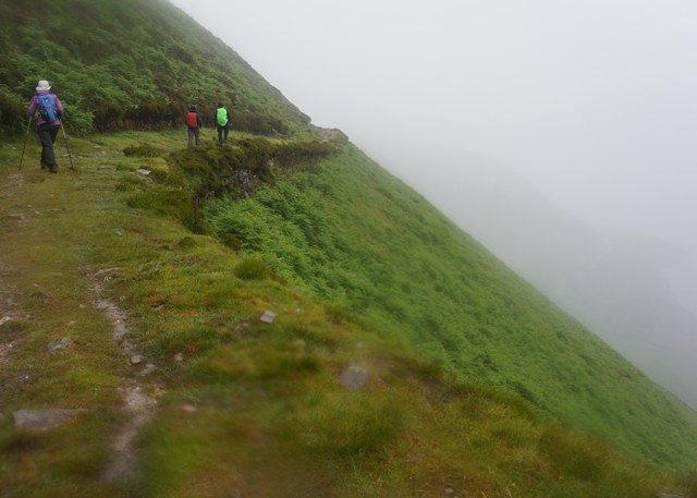
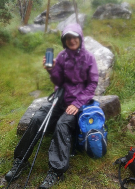
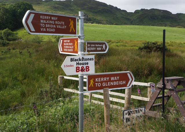
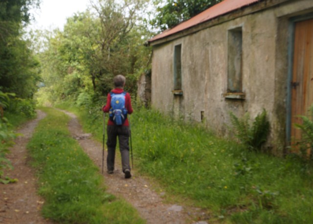
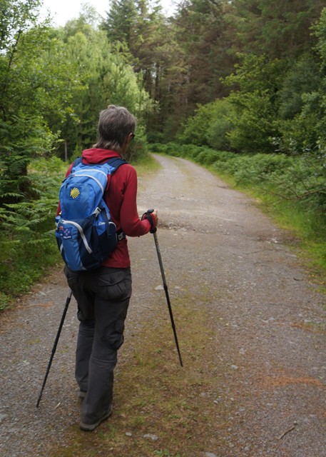
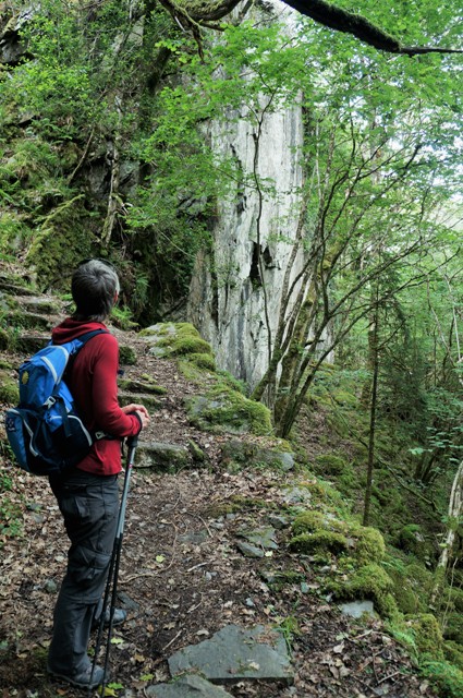
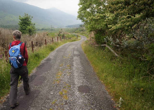
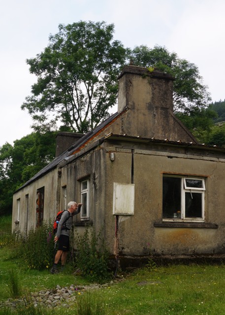
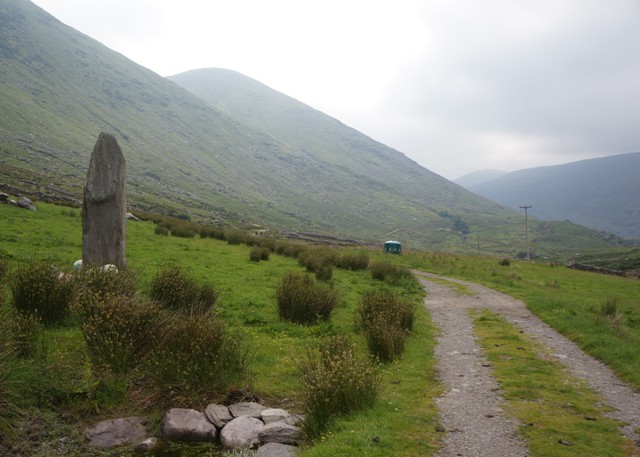
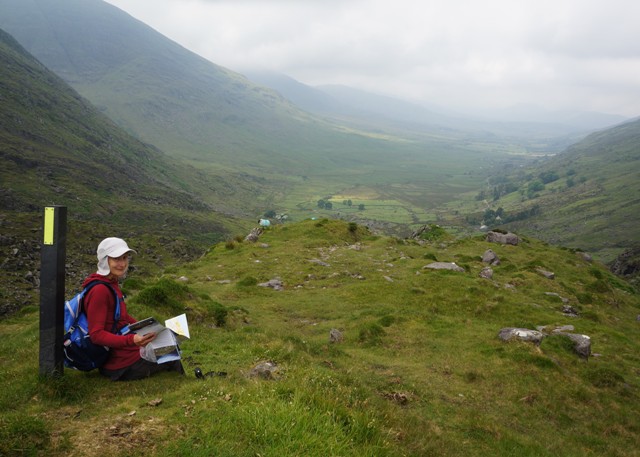
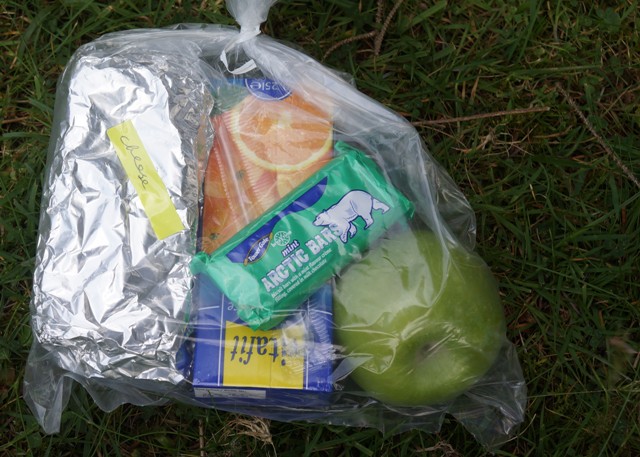
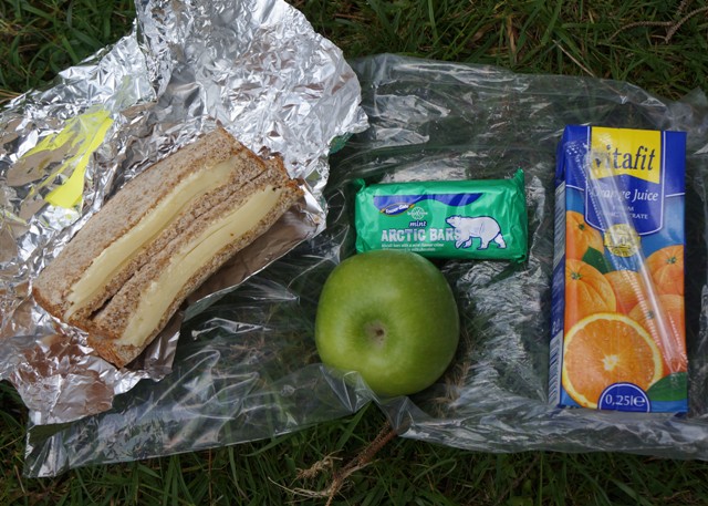
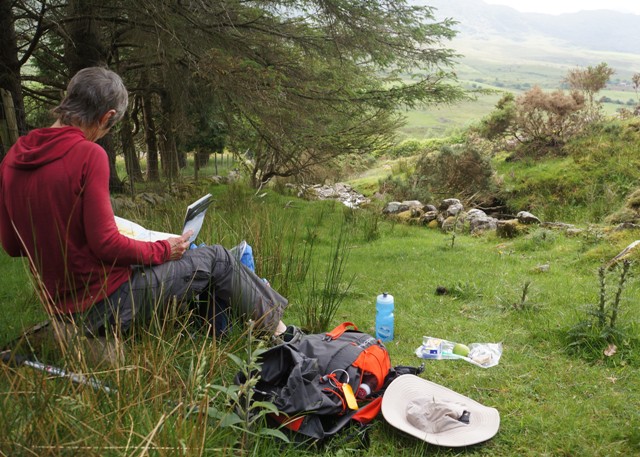
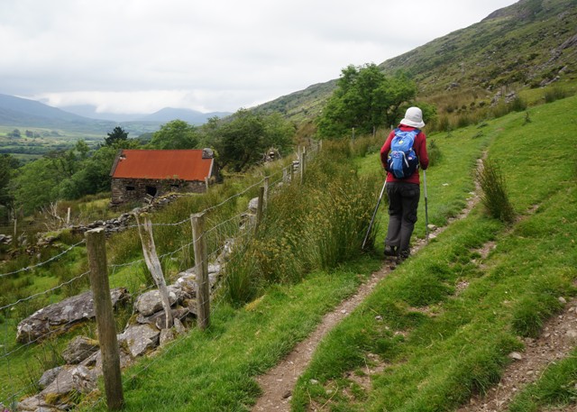
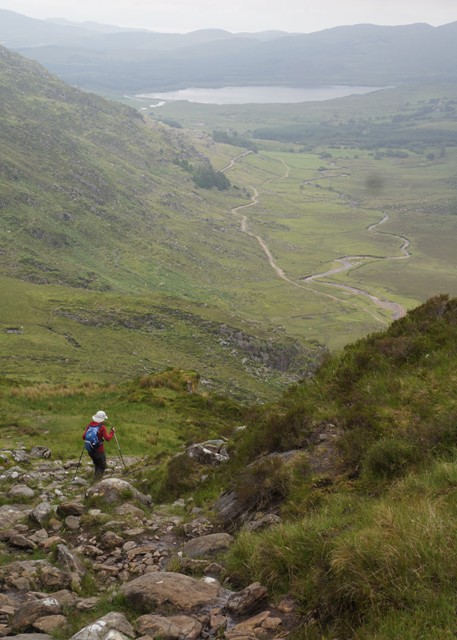
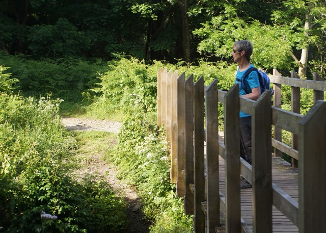
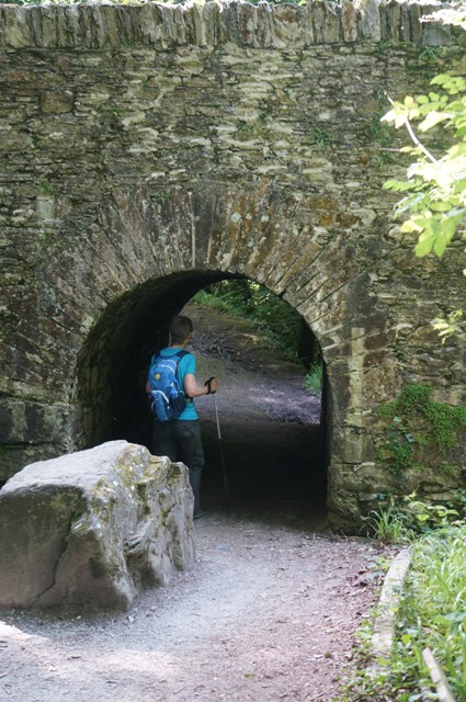
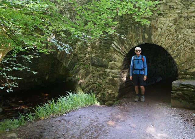
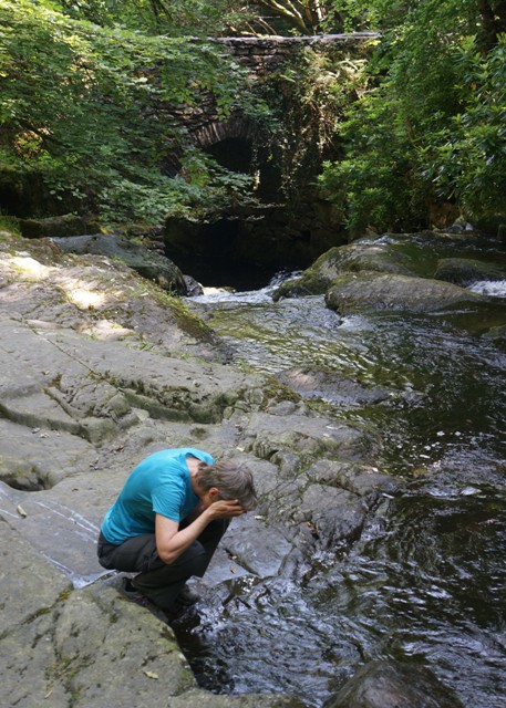
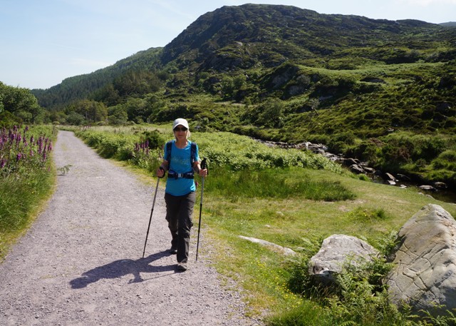
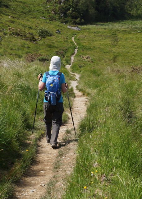
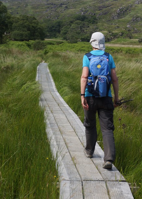
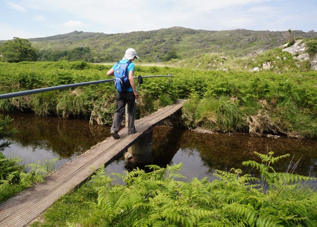
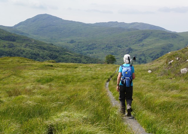
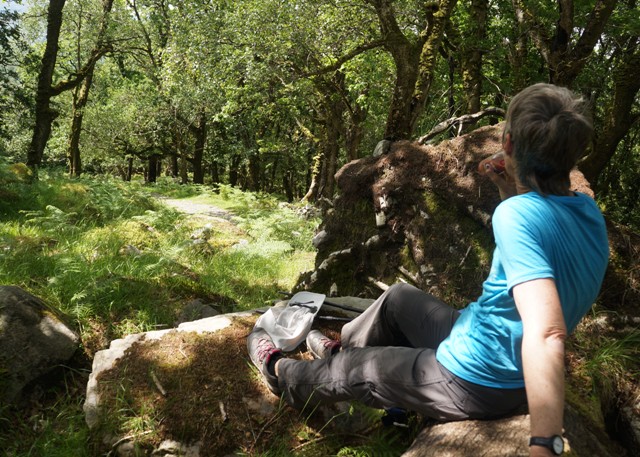
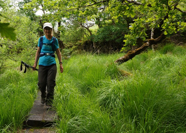
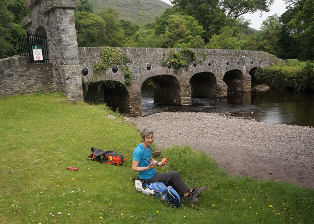
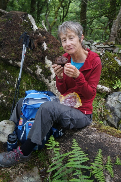
We only had 10 kilometres of new walking today. At that point we met the path we had already walked from Killarney on day 1. The next 16 kilometres were retracing our steps in the opposite direction. We even stopped on the exact same log to have a coffee and muffin. Check out the photos.
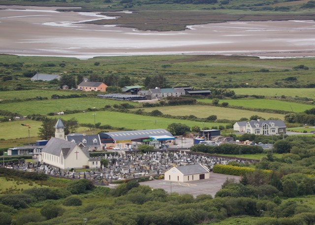
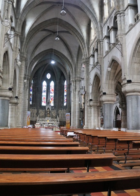
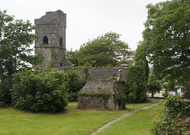
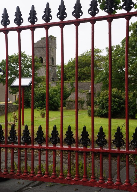
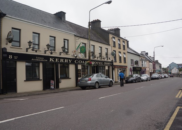
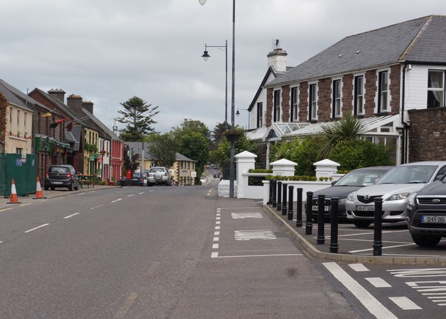
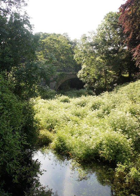
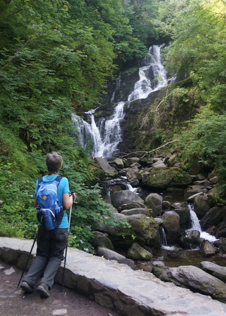
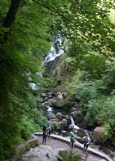
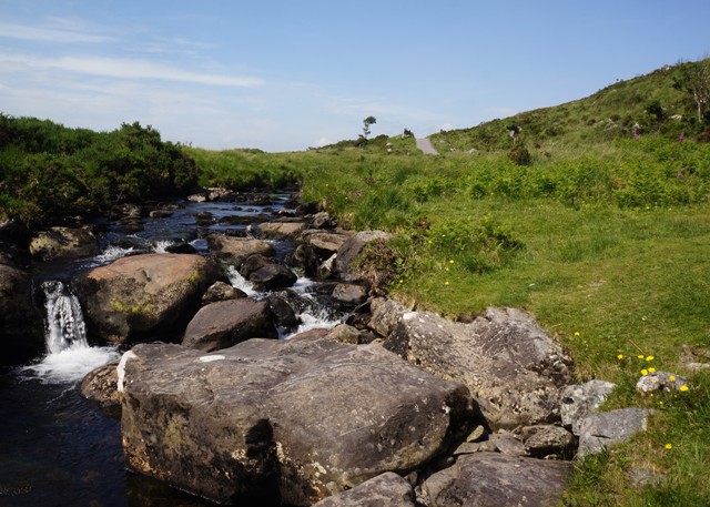
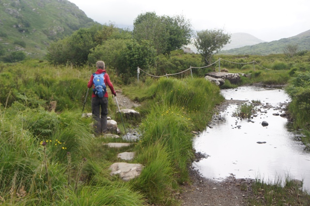
Went back past Torc waterfall and as we had lots of time to fill in, called into the Muckross House Tearoom. To get out of the wind as much as anything. The last 4 kilometres along the busy road into Killarney was tedious and we were fast running out of energy when an Irish guy caught up with us and started talking about the Lions Tour. Said the Hurricanes match was one of the best he had ever seen.
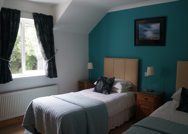
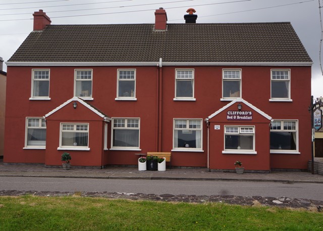
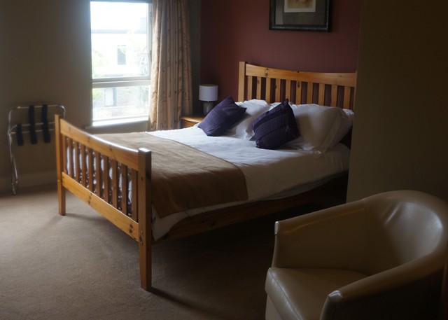
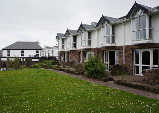
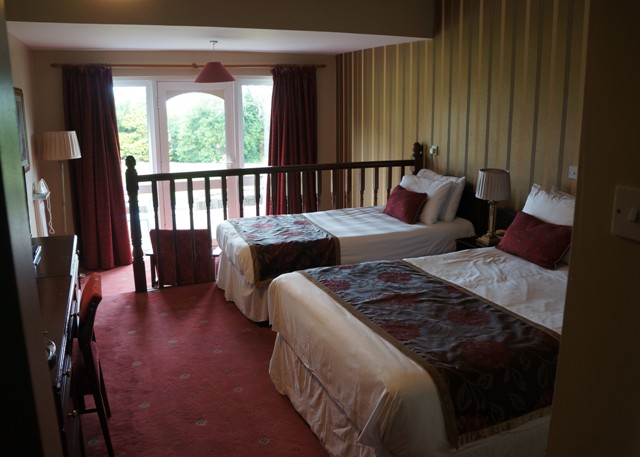
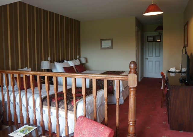
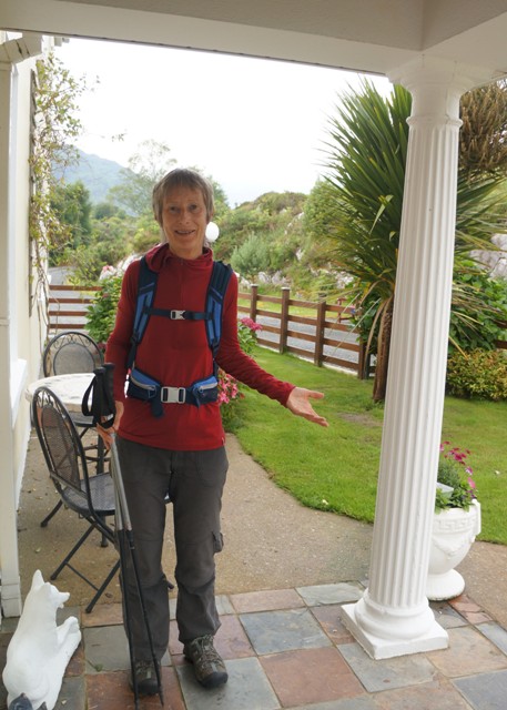
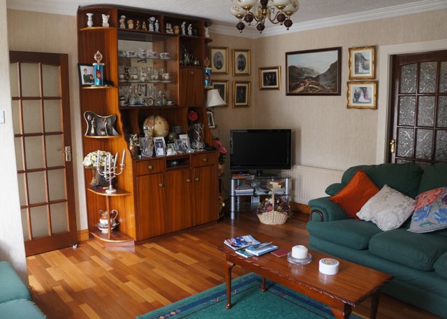
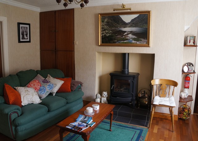
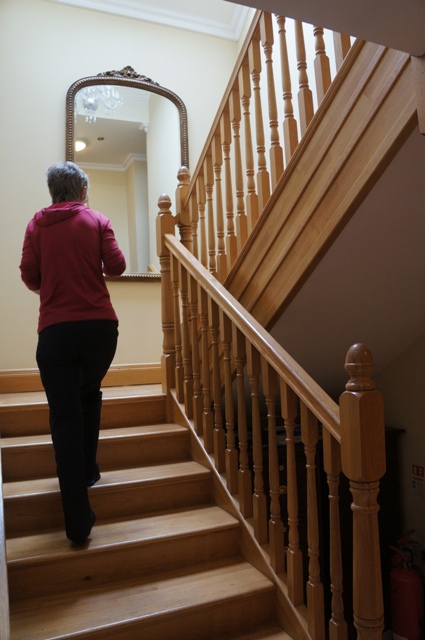
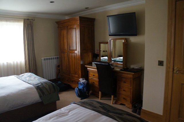
Lots of rules at this B & B. Check-in time was between 1700 and 1900. No washing clothes . No tea and coffee in room. The lovely lady Toni made us feel welcome with tea and biscuits when we arrived.
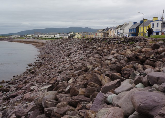
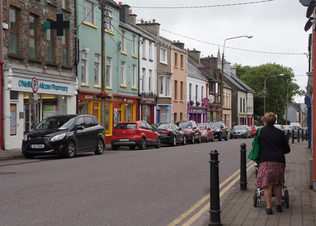
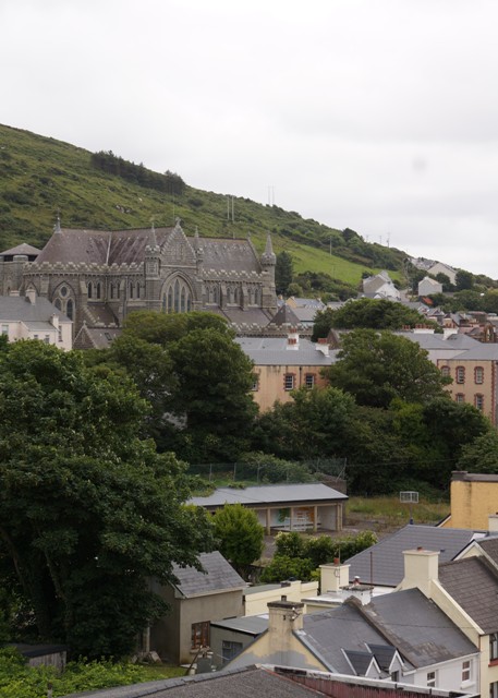
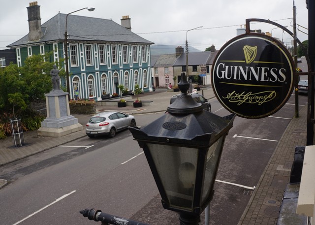
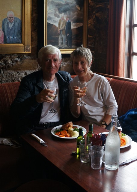
Quite cold in Killarney. Last time we were here people were in shorts and singlets enjoying the heat wave. We celebrated the end of our walk with some wine and a chat with the lovely young German couple we had met several times along the way. Unlike in Spain very few people are walking the Kerry Way. There haven’t been a lot of opportunities to socialise. In 10 days we have only chatted with an elderly Belgian woman, two American lady cousins, the young German couple, three young German guys (travelling fast),and another young German couple (medical graduate). Yesterday, in 36 kilometres, we met no one going in either direction.
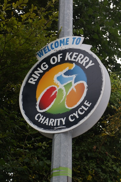
Killarney is preparing for the 34th Ring of Kerry Charity Cycle Race which is on Sat July 1. 10,000 competitors racing 112 miles around the peninsular. From what I have seen there is a lot of stopping at remote pubs for a quick pint. It is all part of the tradition.
Tomorrow we have to organise transport to get to Glengarif to start the Beara Way.
Old Irish proverb of the day: A person’s health is in his feet.
-
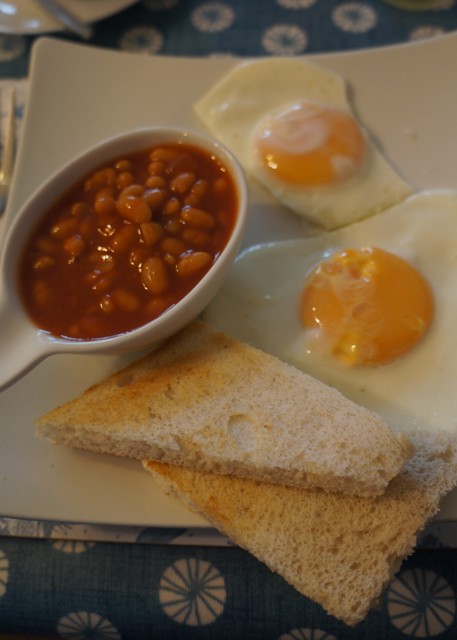
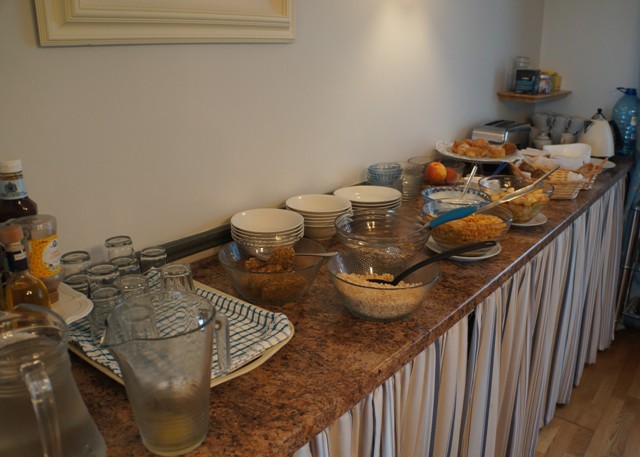
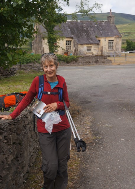
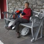
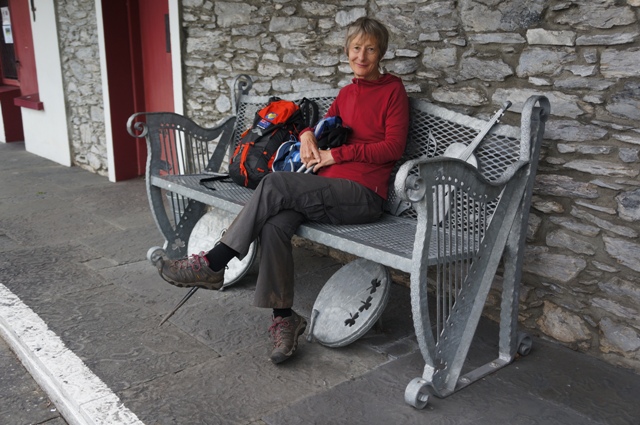
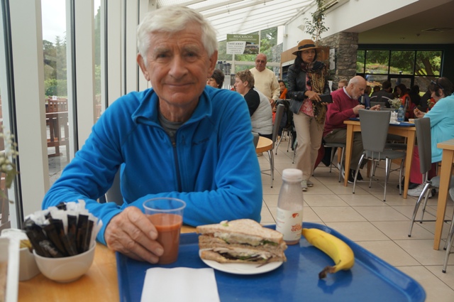
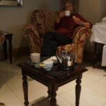
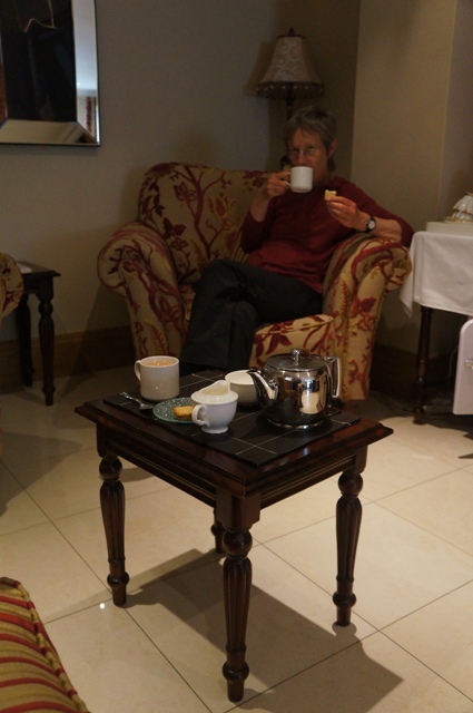
- Breakfast
-
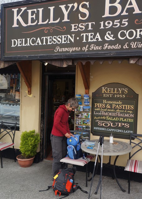
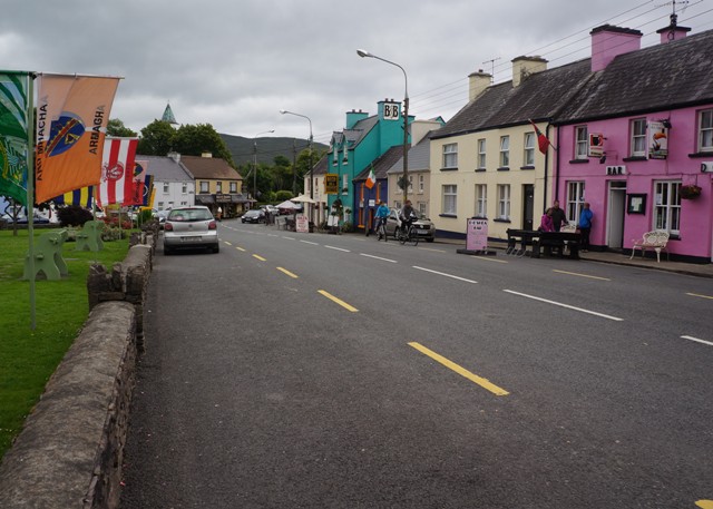
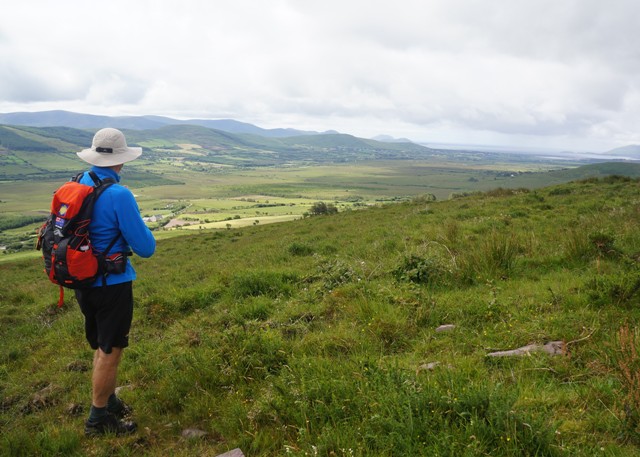
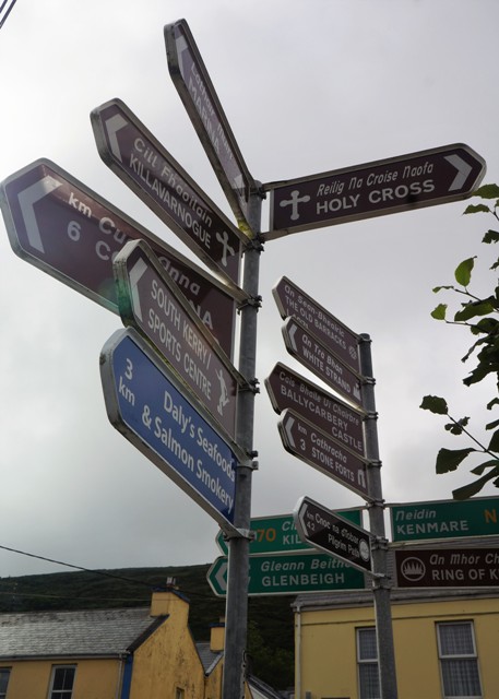
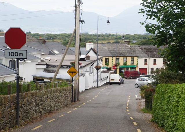
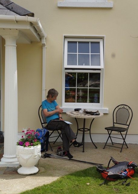
- Waiting for Tourist Office to open
-
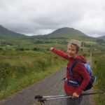
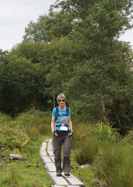
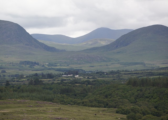
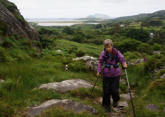
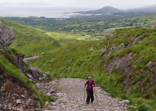
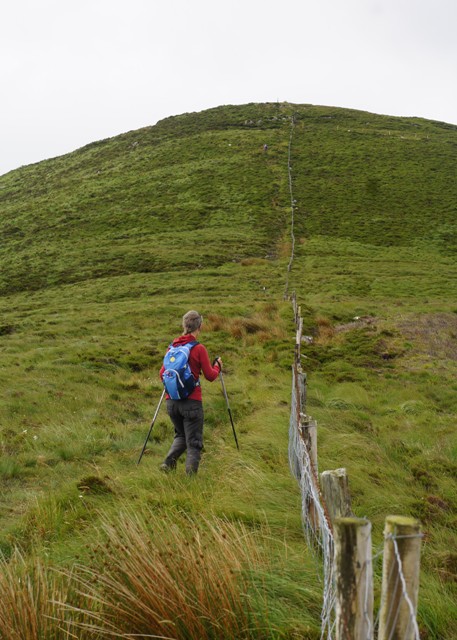
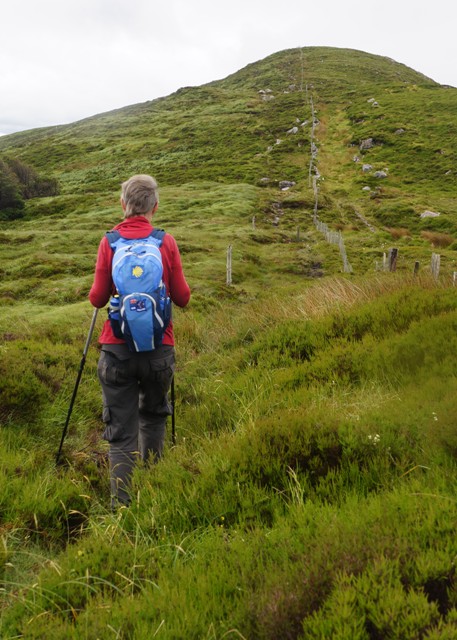
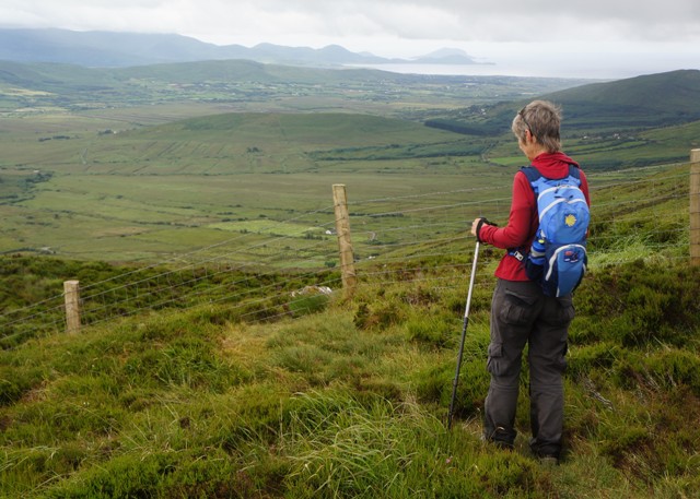
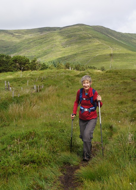
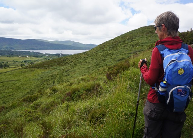
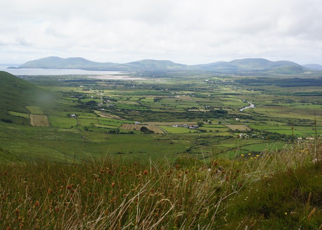
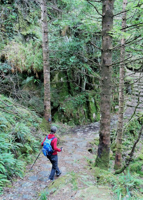
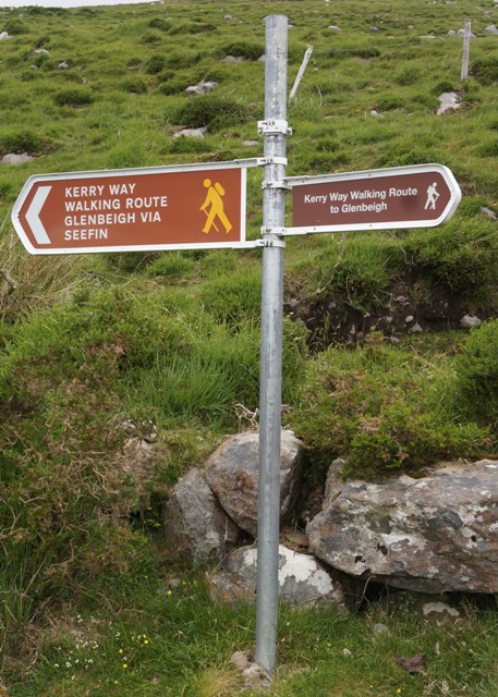
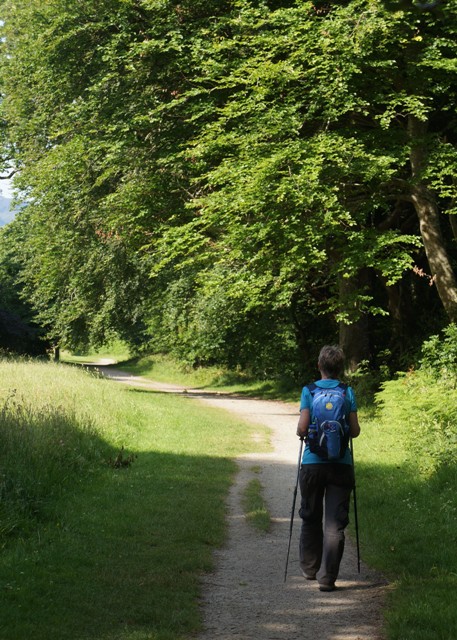
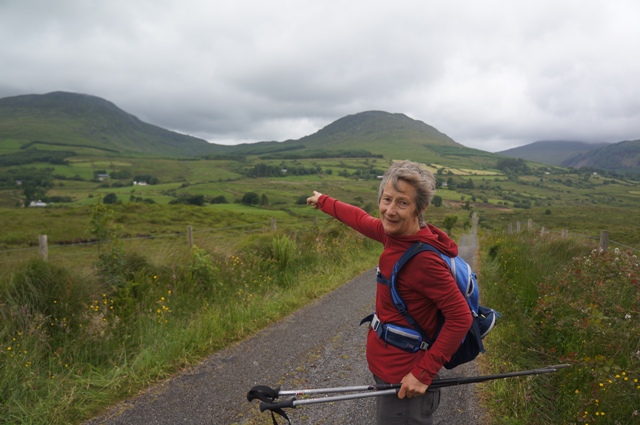
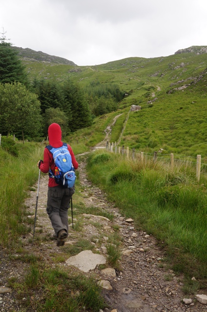
- Up there is windy gap
-
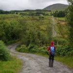
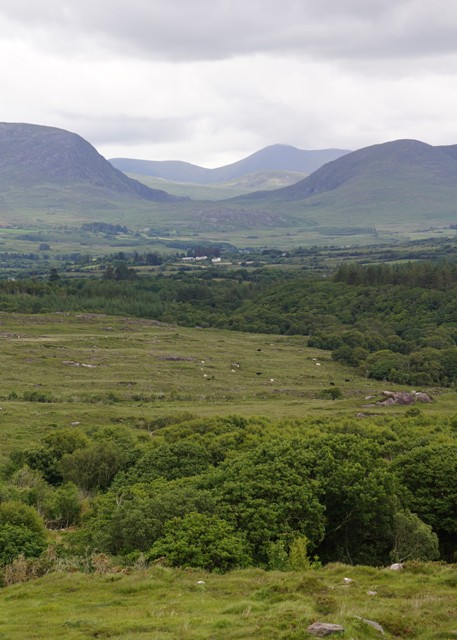
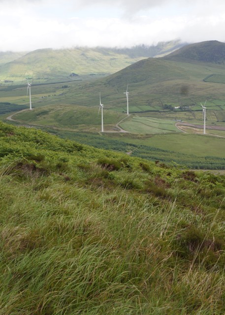
- Down and up
-
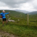
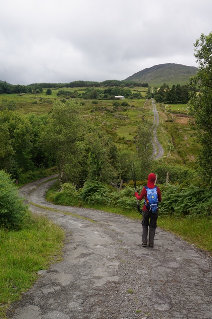
- Windy up here
-
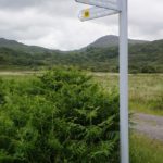
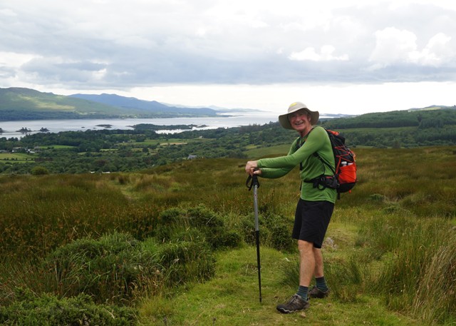
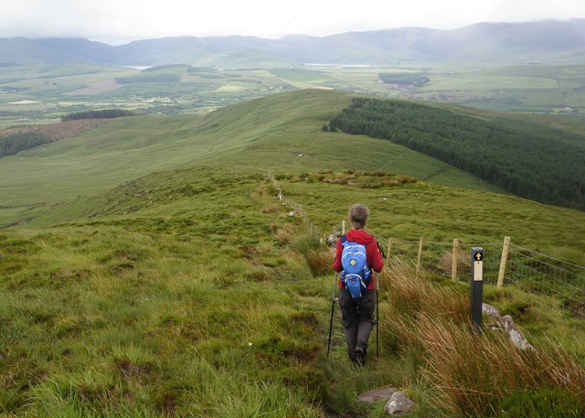
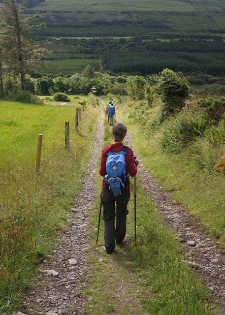
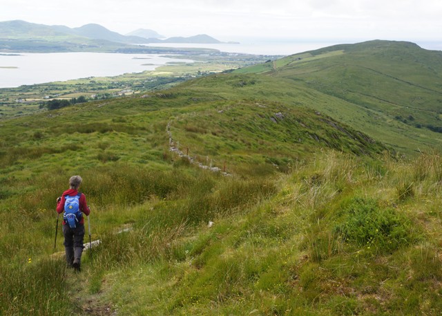
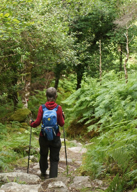
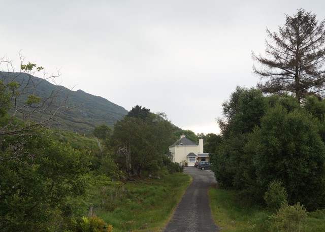
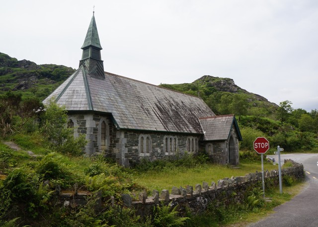
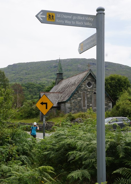
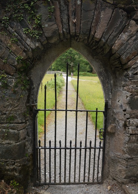
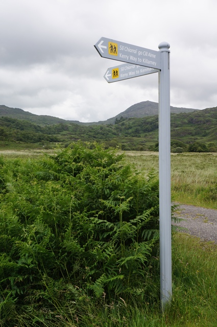
- Where we reoined the outward route
-
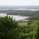
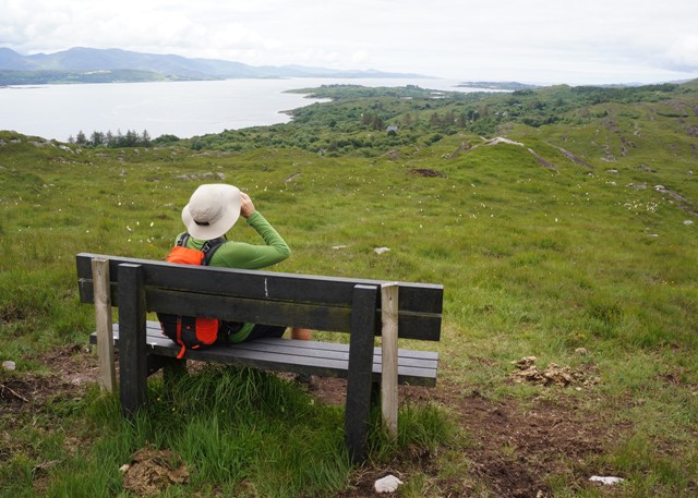
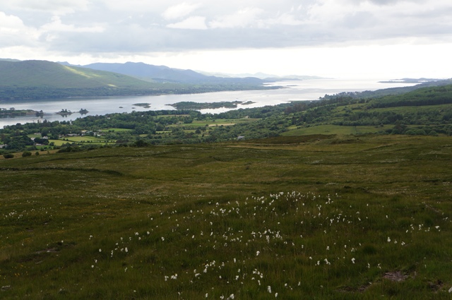
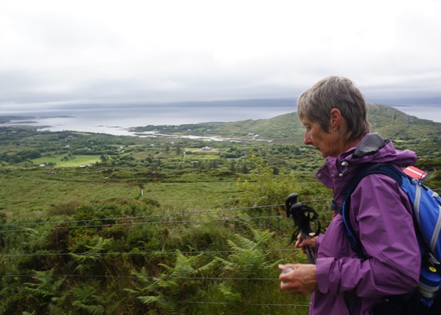
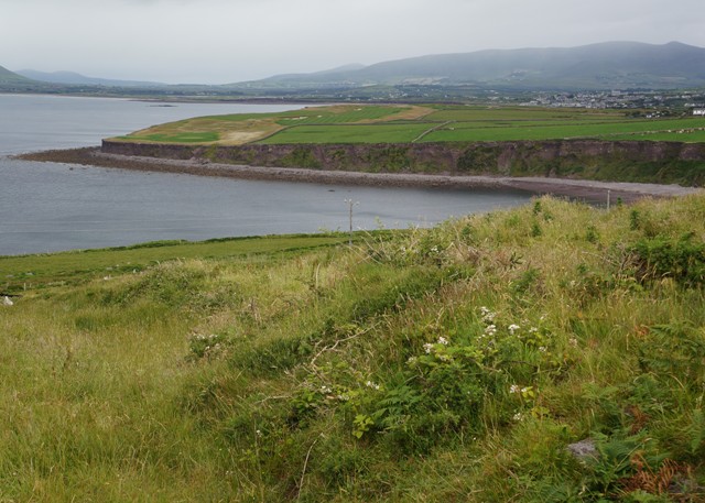
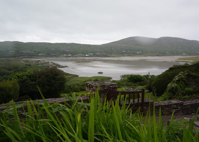
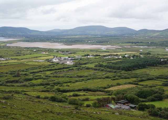
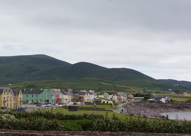
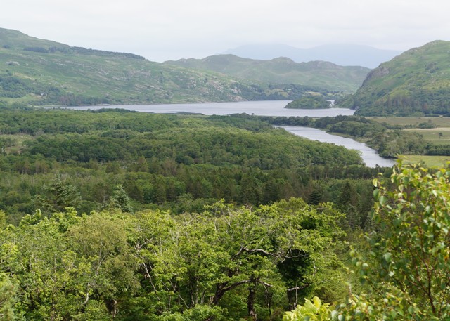
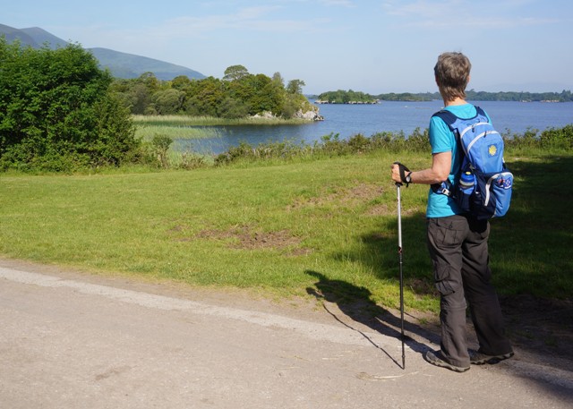
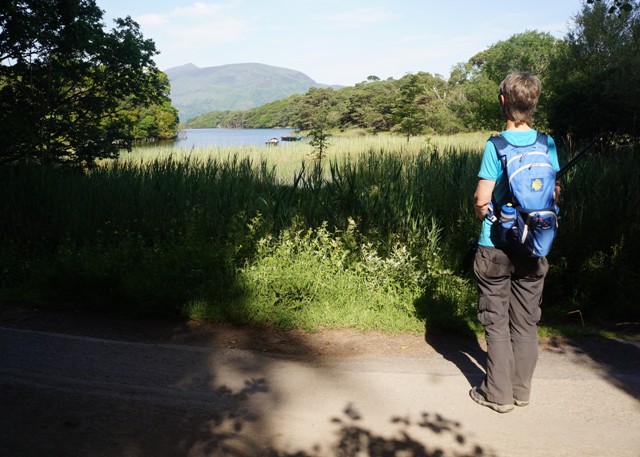
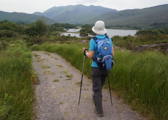
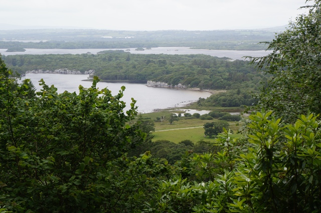
- Killarney Lakes
-
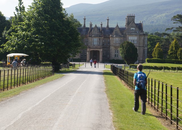
- Muckross House Tearooms
-
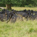
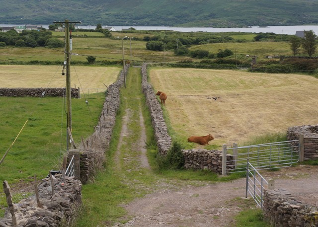
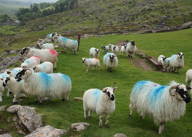
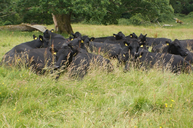
- Heard of cows?
-
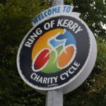
- The big race July 1st
-
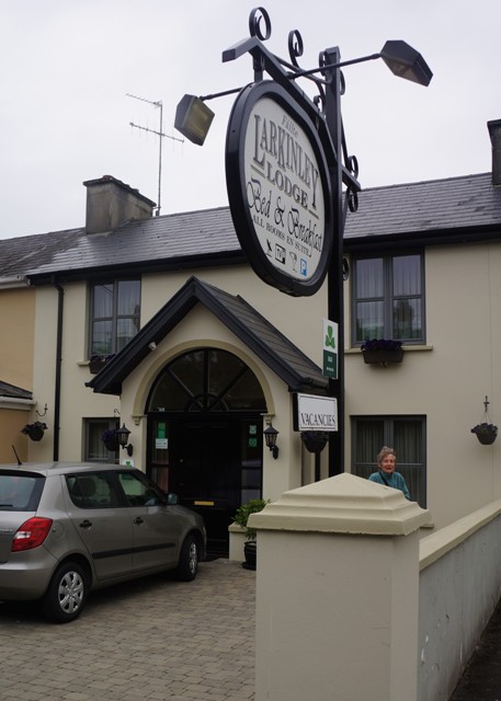
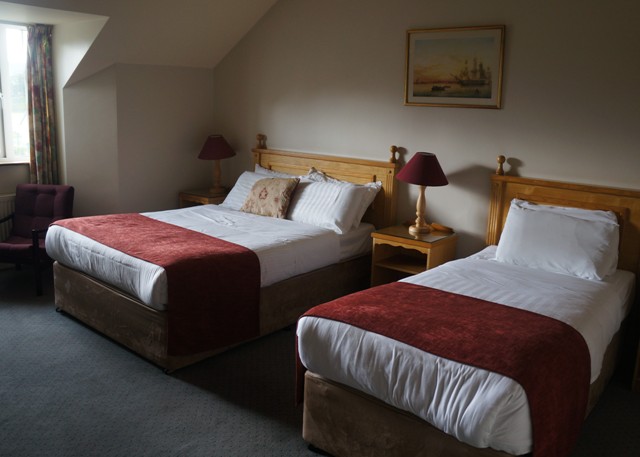
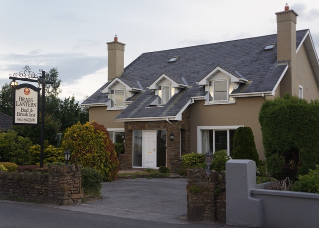
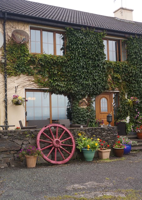
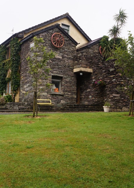
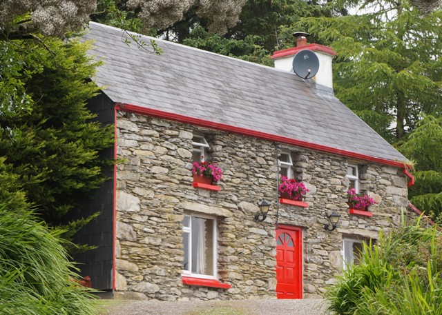
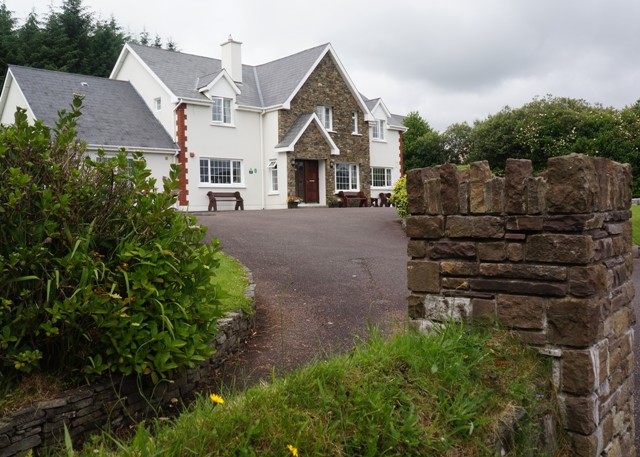
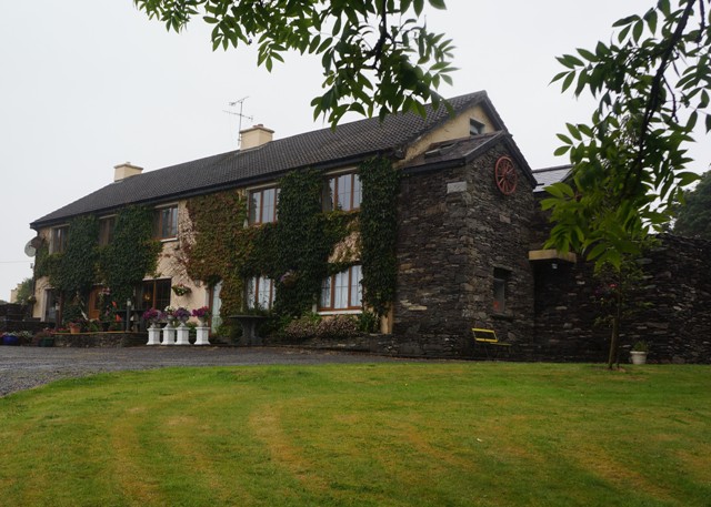
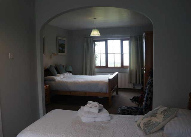
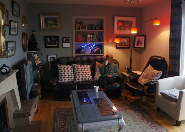
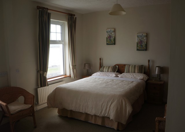
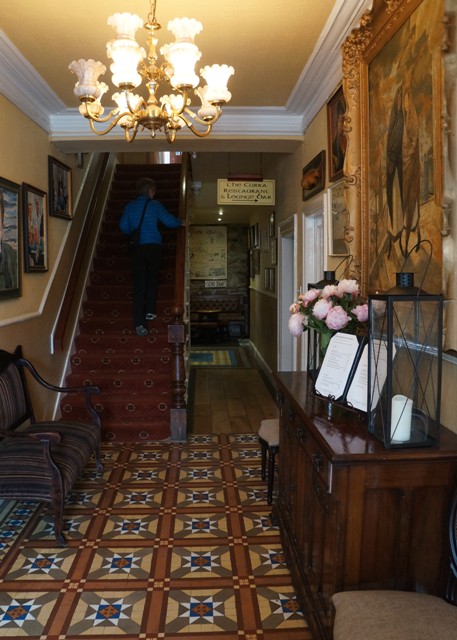
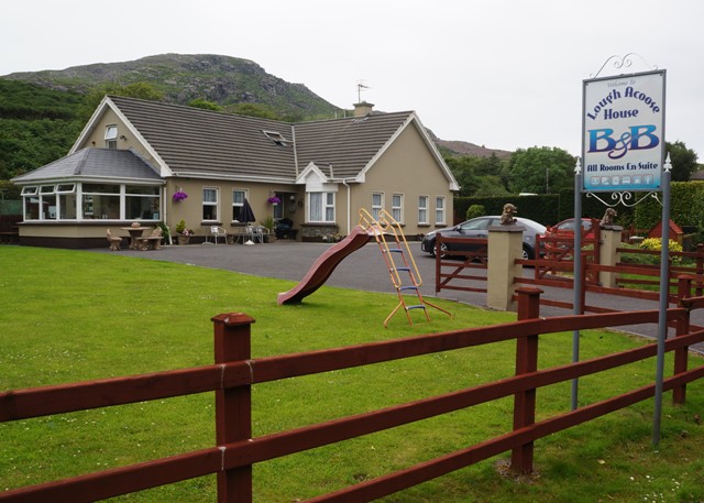
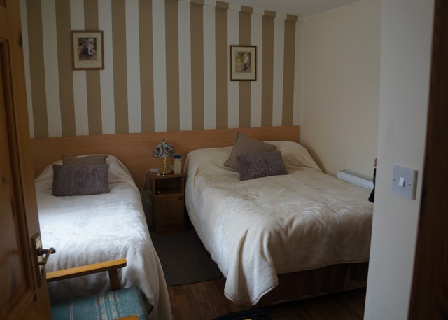
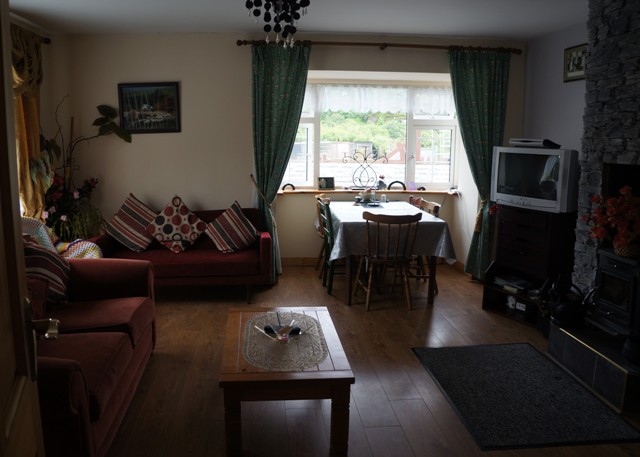
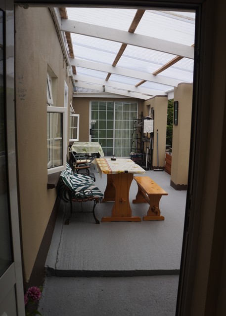
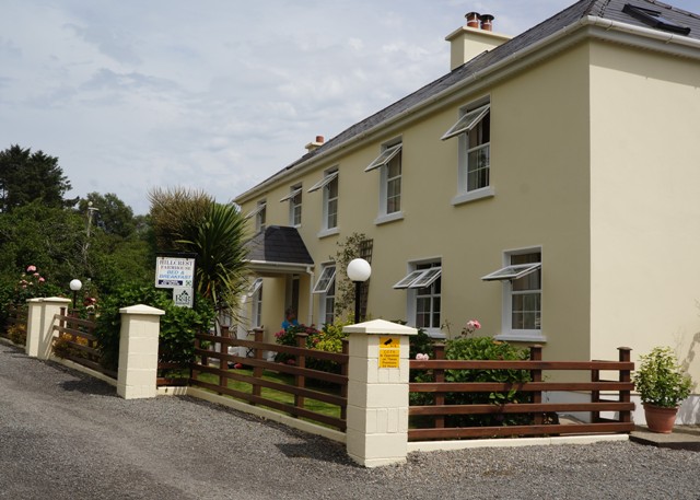
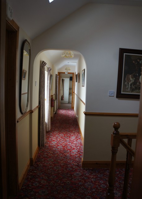
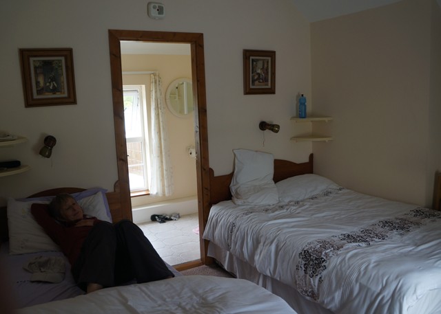
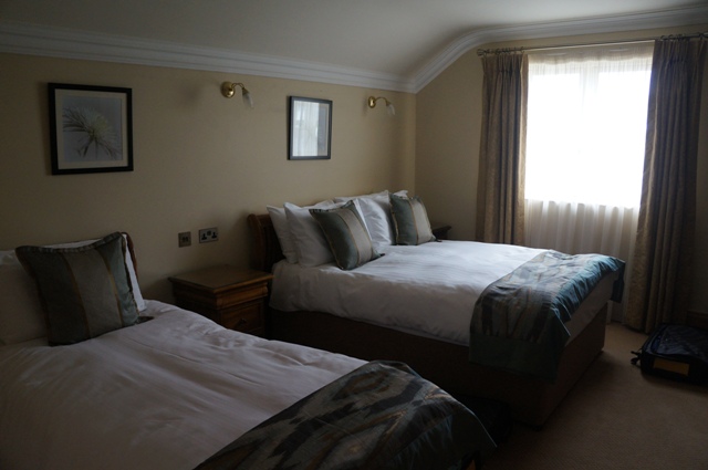
- Larkinley Lodge
-
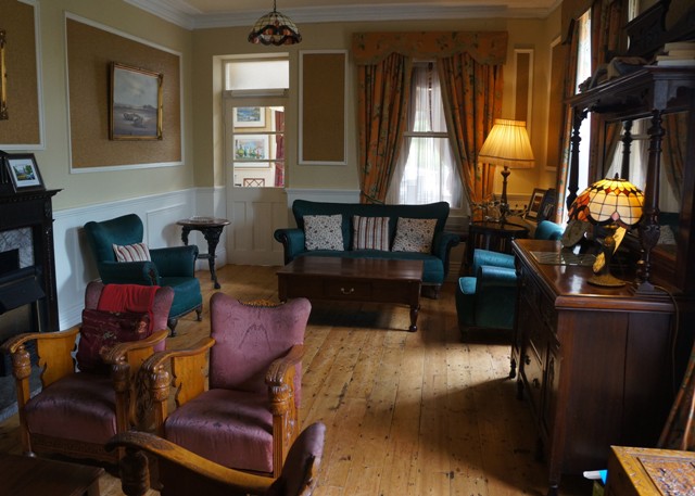
- Larkinley Lodge
-
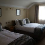
- Larkinley Lodge
-
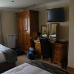
- Larkinley Lodge
-
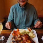
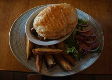
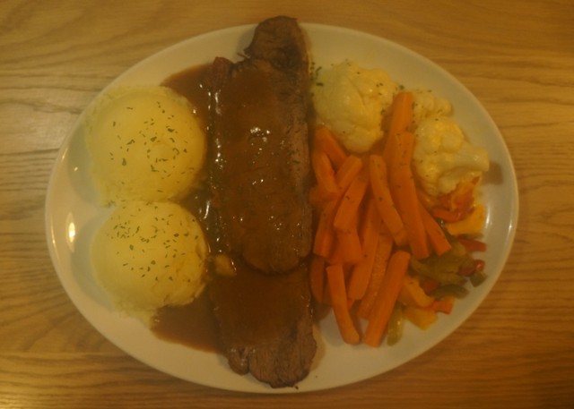
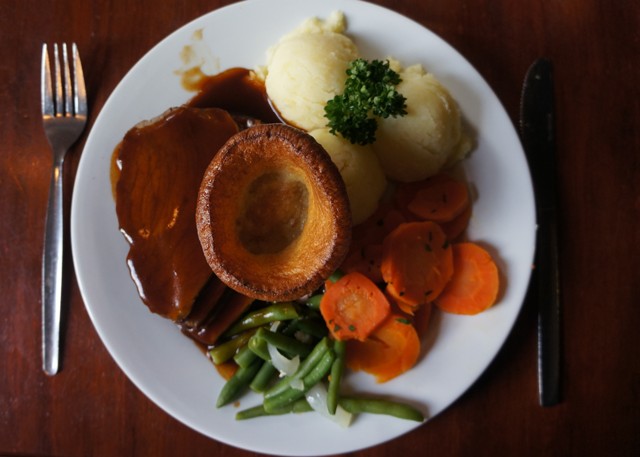
- Half a roast chicken
-
- Larkinley Lodge